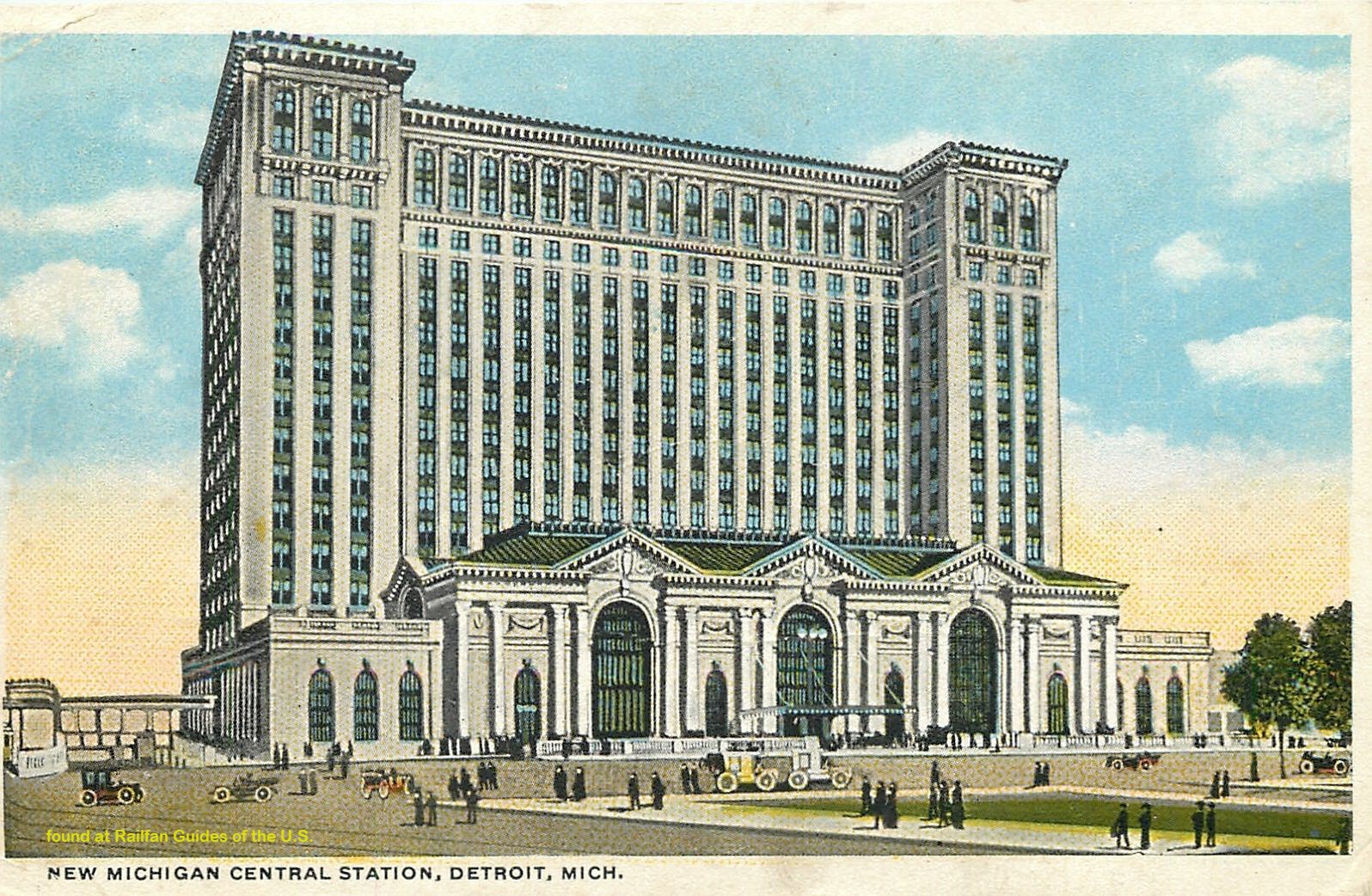
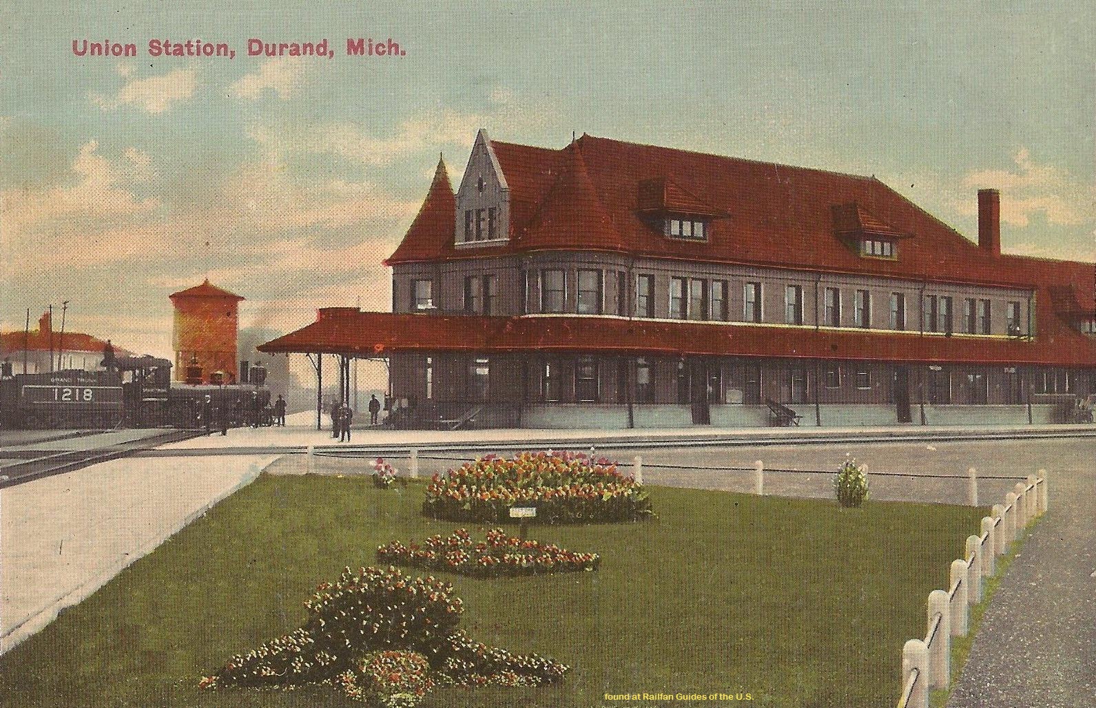
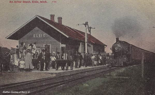
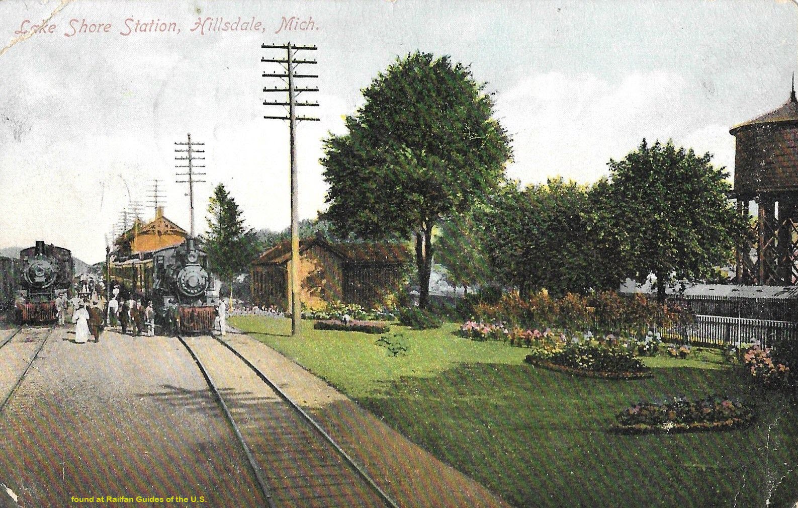
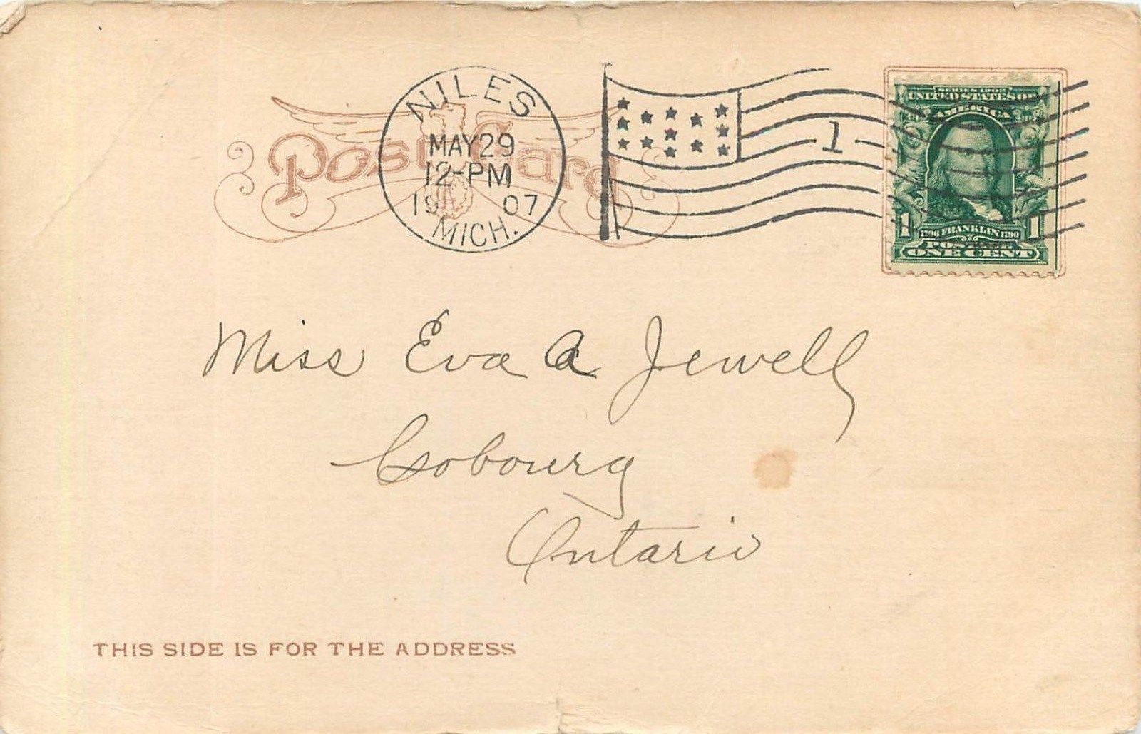
One of the better resources I have come across to this end is the plethora of old post cards still around depicting many of these structures, some better than others.
Most of the postcards were found on EBay unless noted, other pictures, mostly the more recent ones, come from Google and/or Bing images -
credit given if the source is known.
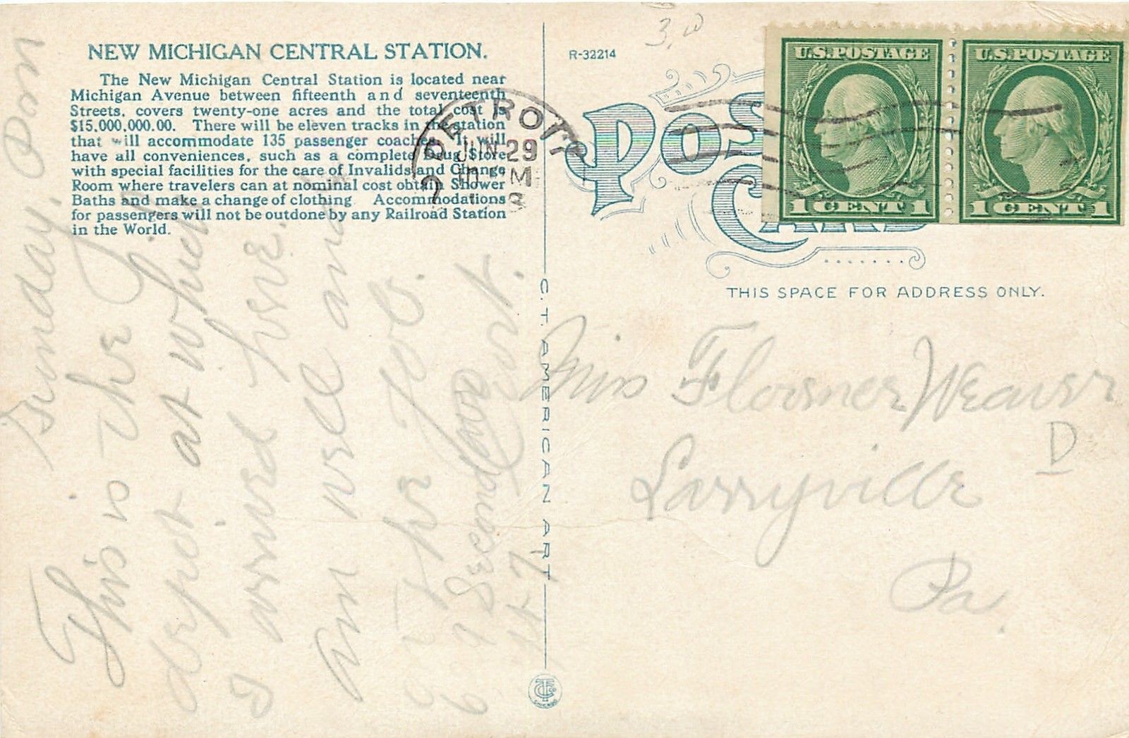
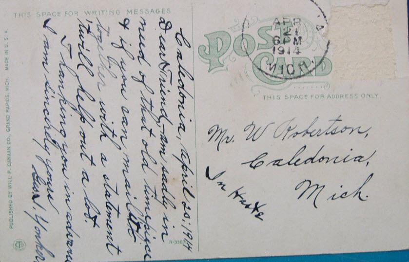
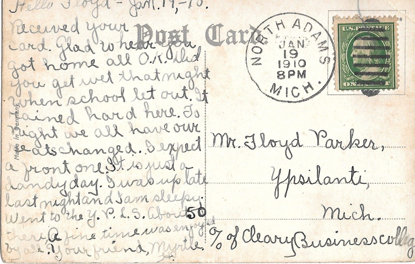
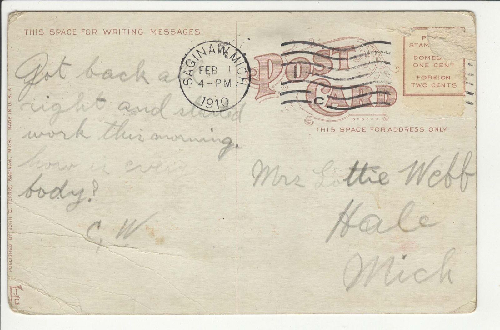
Dates are in the picture name, x means the date is approximate. If they were available, and interesting, I included the back side of the postcards.
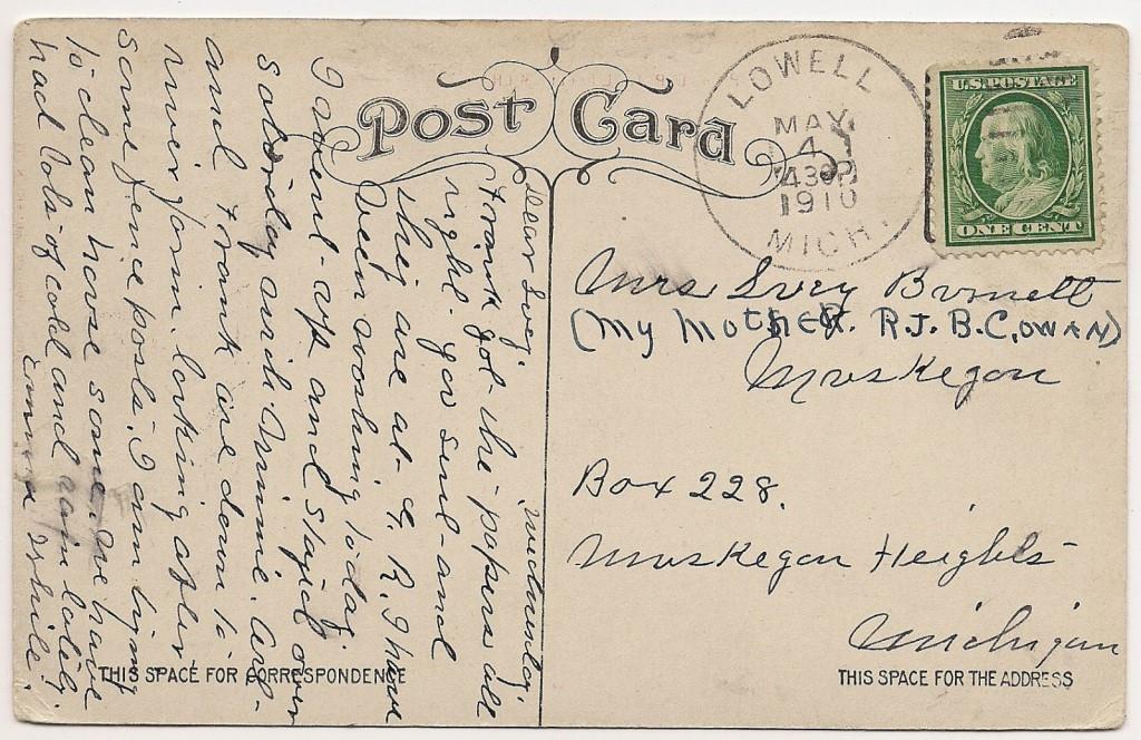
1901a and 1910b would be the same card, both sides.
If the picture was really, really bad, some of them have been cleaned up and/or repaired when I had the energy.
Since many of these stations are no longer around (railfans seem to prefer the term "extant", I'm not one of them! :-), this page is mostly for historical reference.
This page is mostly for historical reference, as MANY of these stations are not around anymore!
What's the difference between a station and a depot? Most people will say "nuttin", it's a matter of preference, although many will use depot for older buildings.
If you have a picture you would like to contribute, please see the bottom of the page for how to find me, credit is always given to contributing photographers.
Another couple of great references for railroad stations and structures in Michigan are
here and here
Here are a few Michigan related facts you may not be aware of:
Websites and other additional information sources of interest for the area: http://www.waterwinterwonderland.com/contact.aspx A fun filled page with
pictures of stations in a similar format to this page
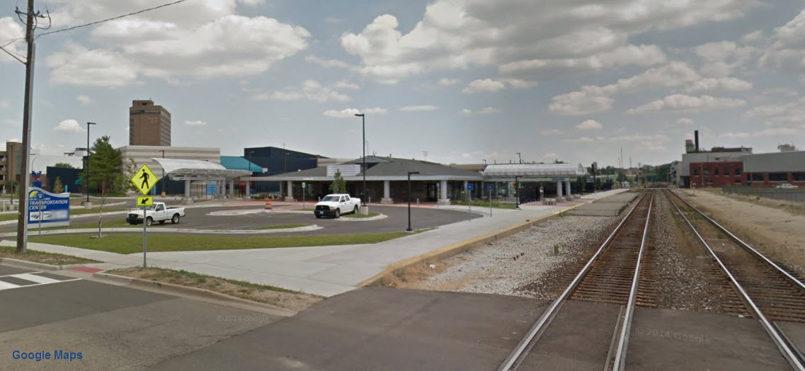
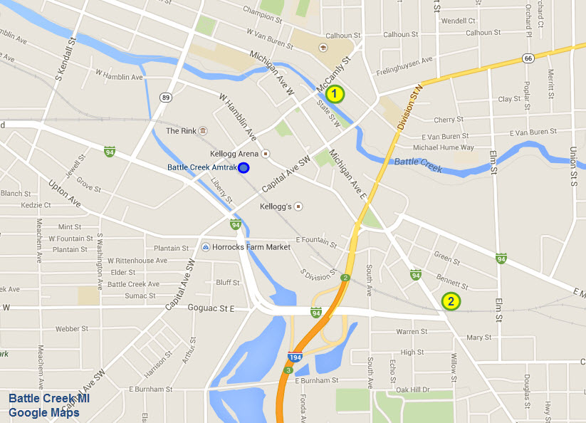
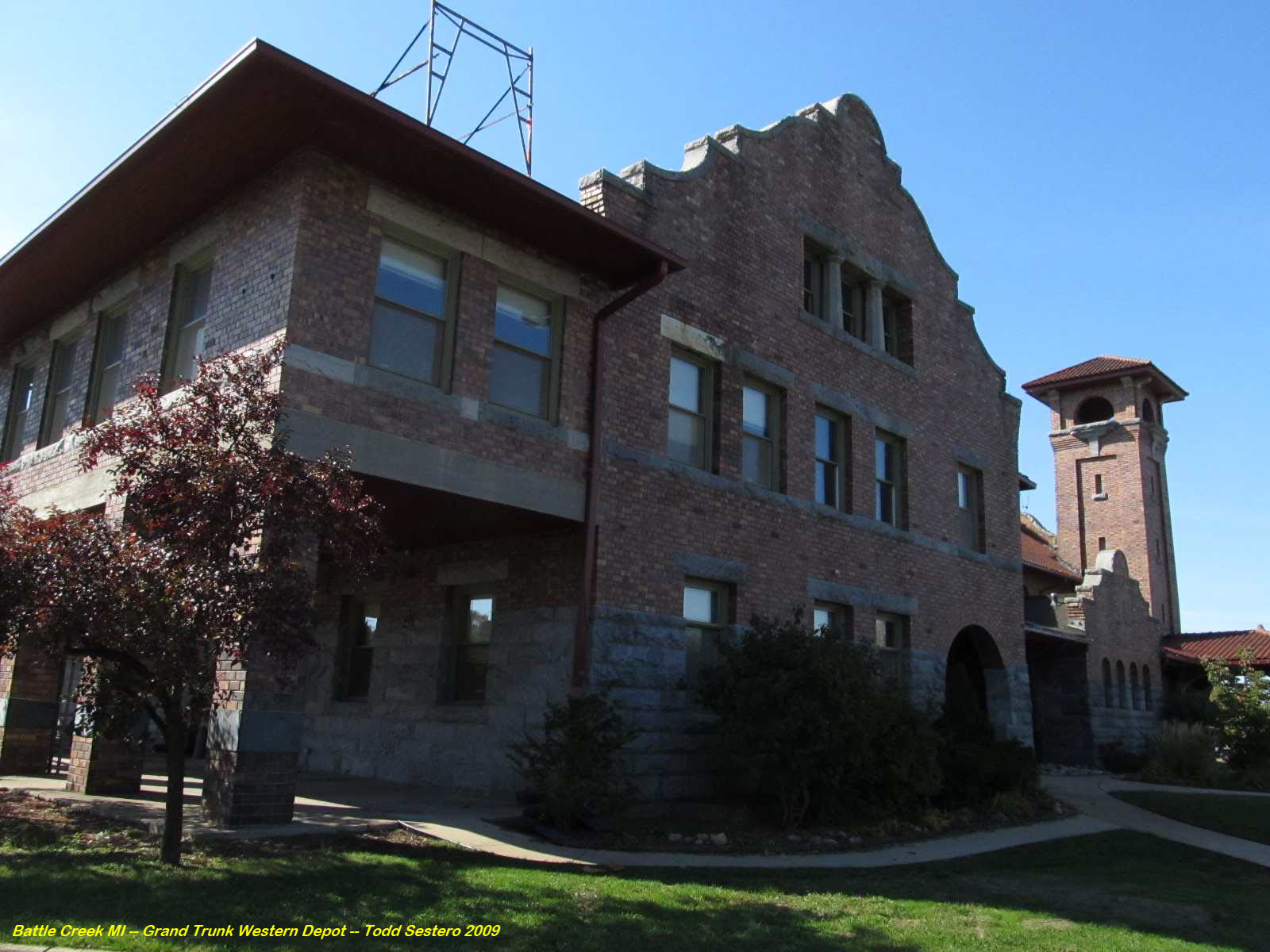
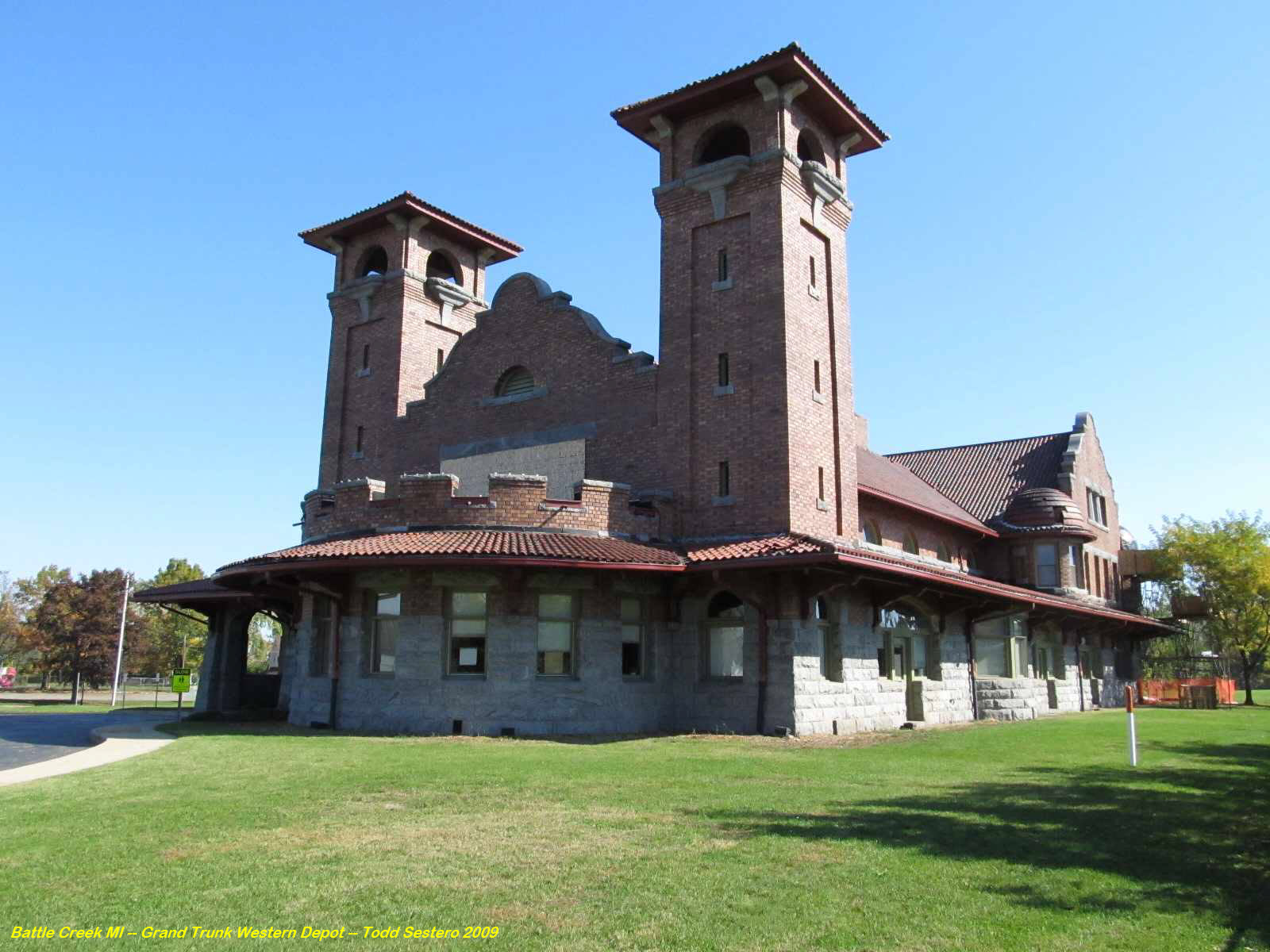
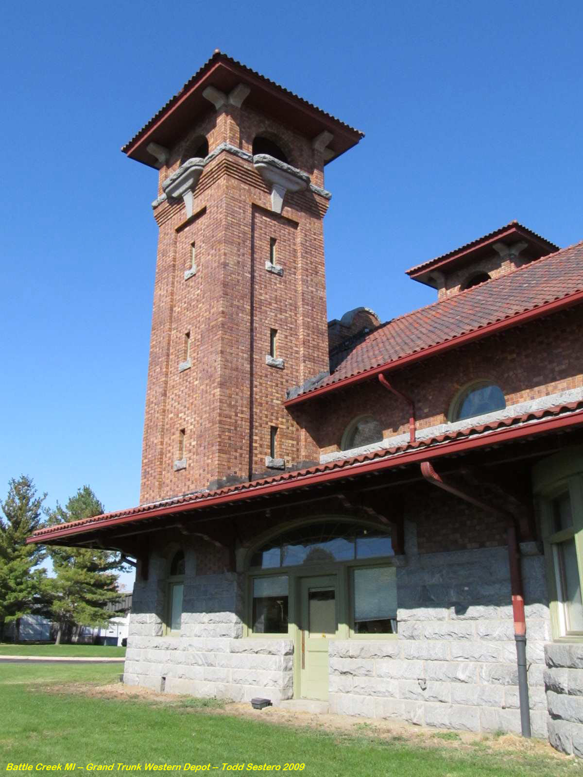
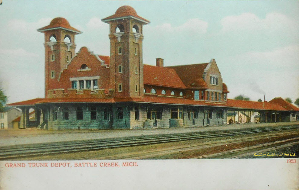
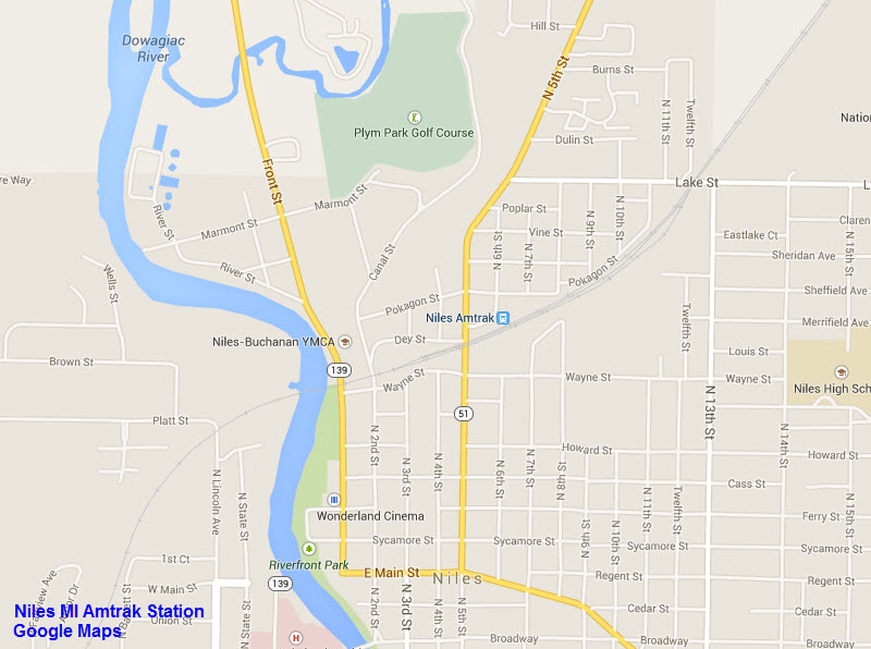
GPS Coordinates: 42.318296, -85.187697
Amtrak Station Code: BTL
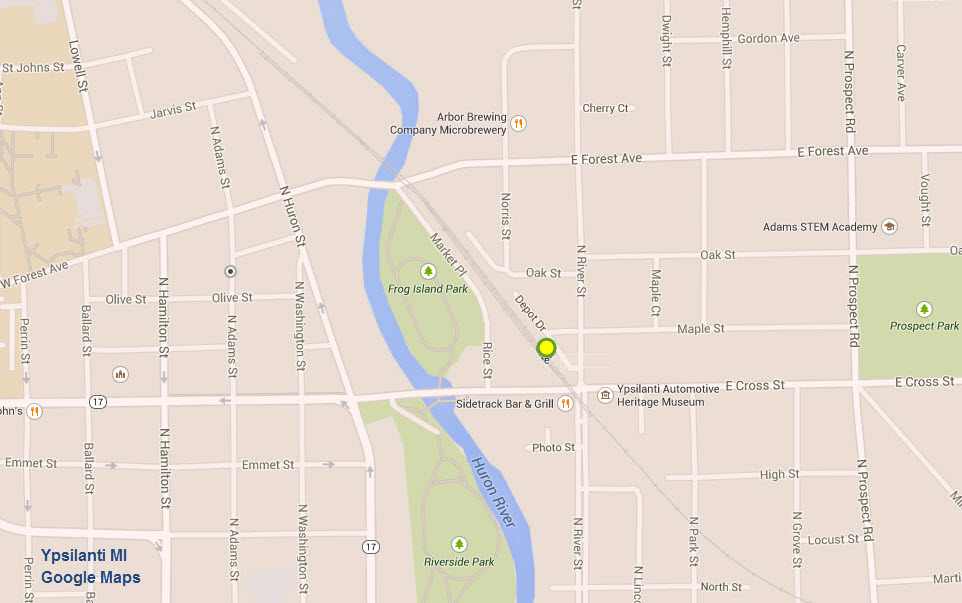
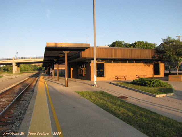
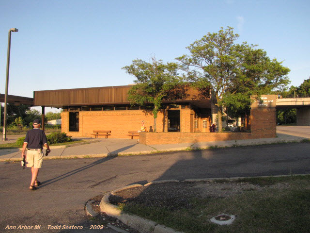
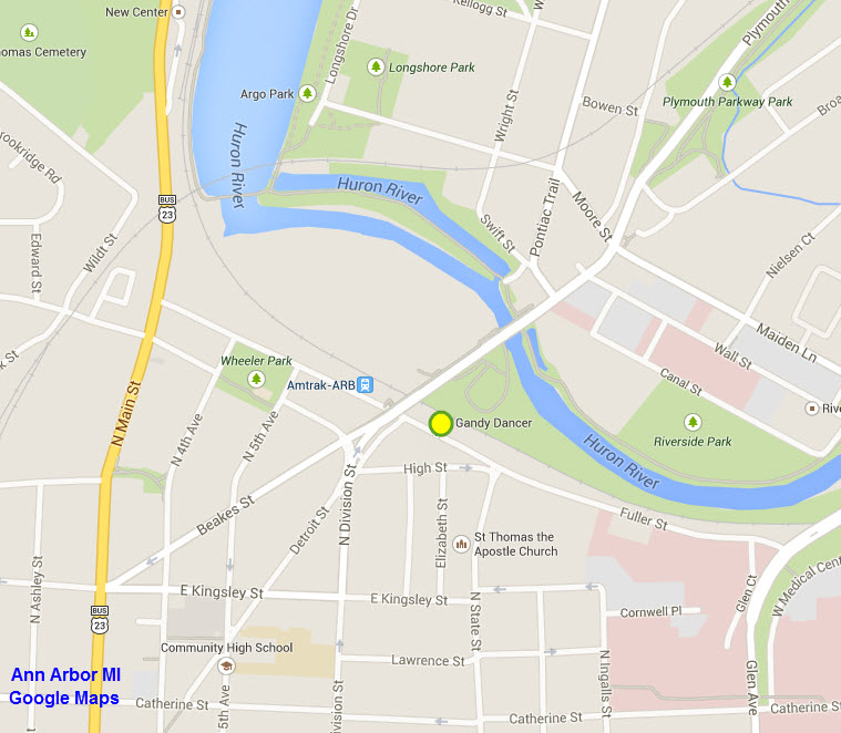
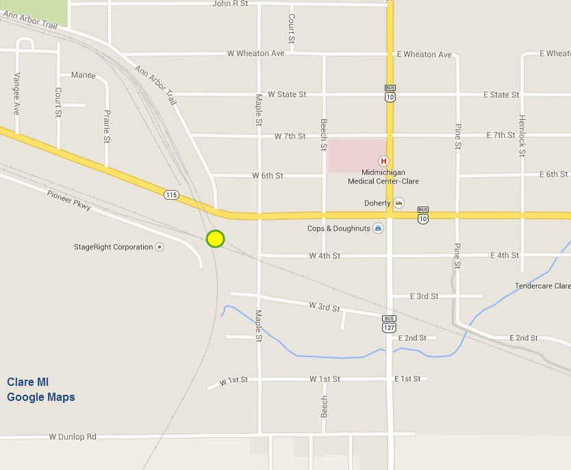
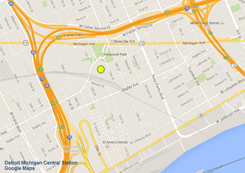
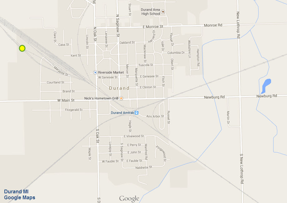
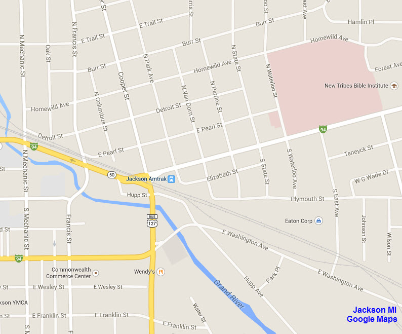
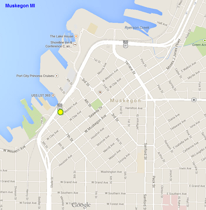
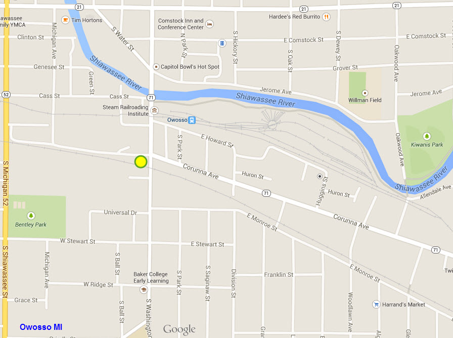
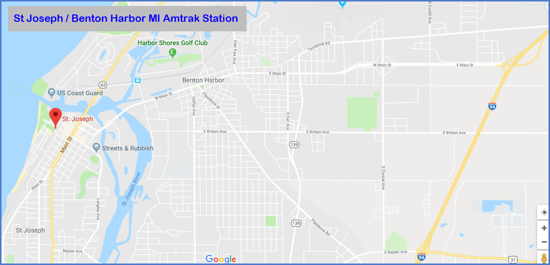
Located at the blue dot on the map below.
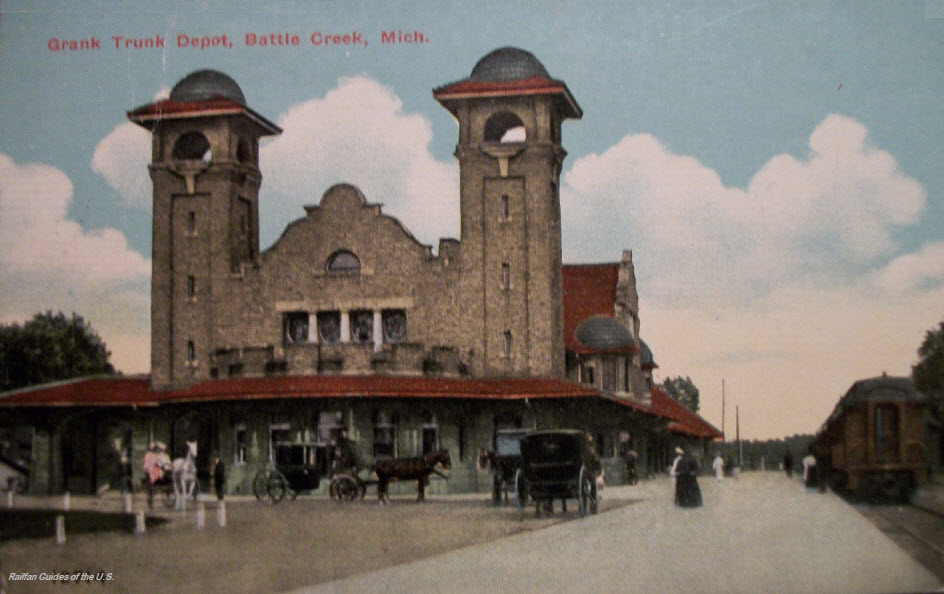
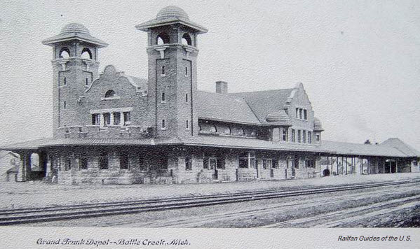
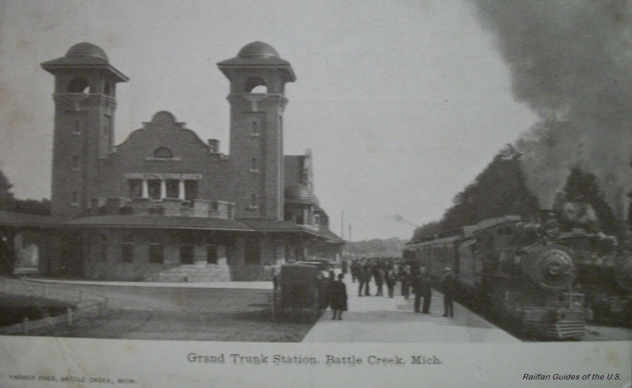
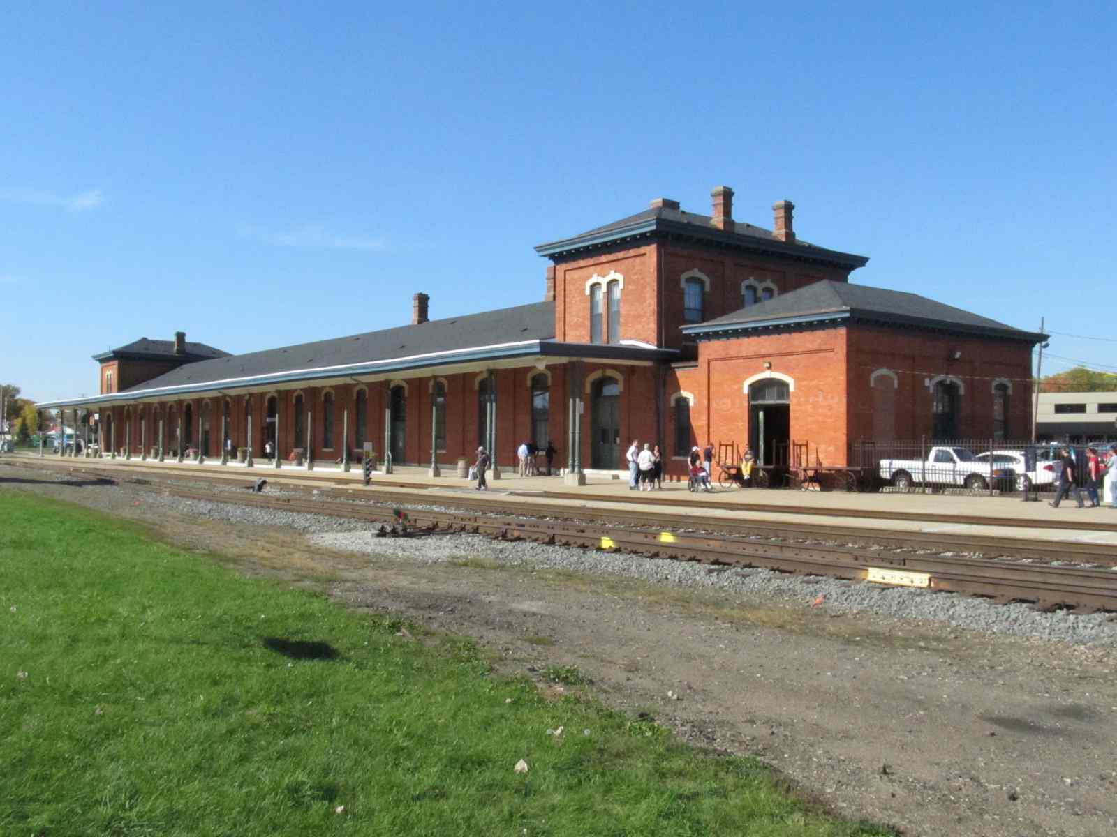
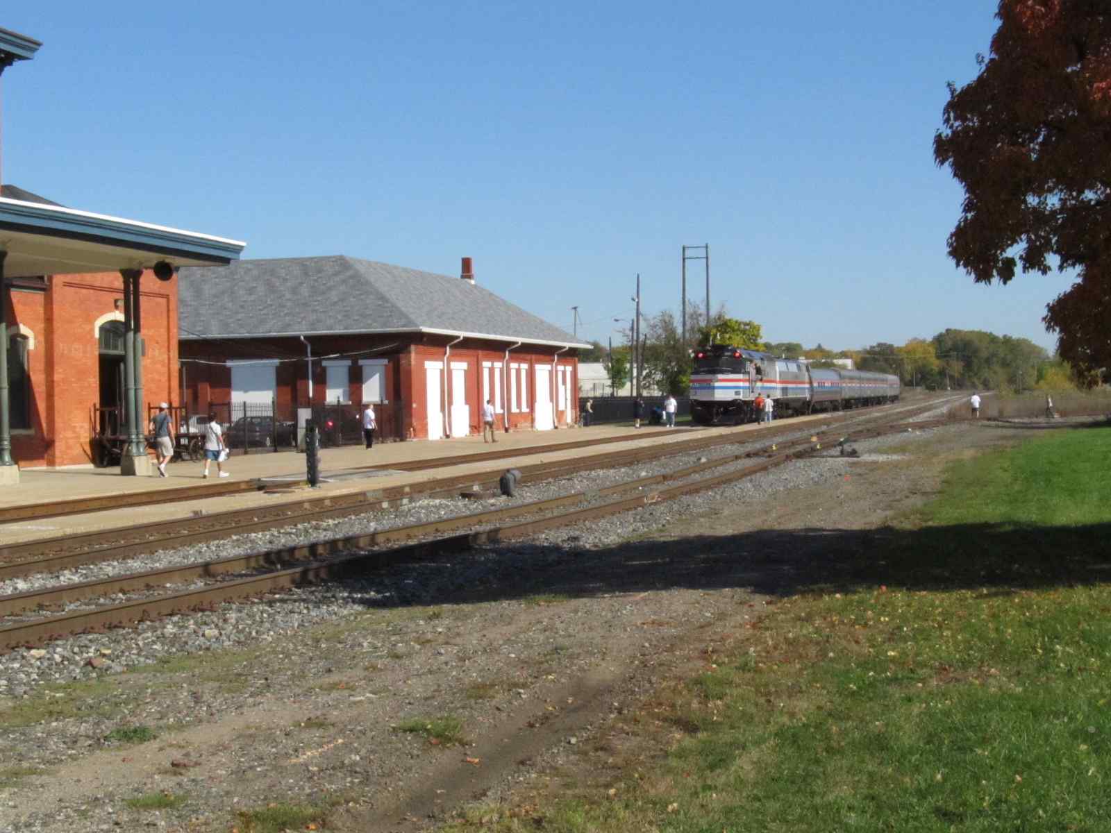
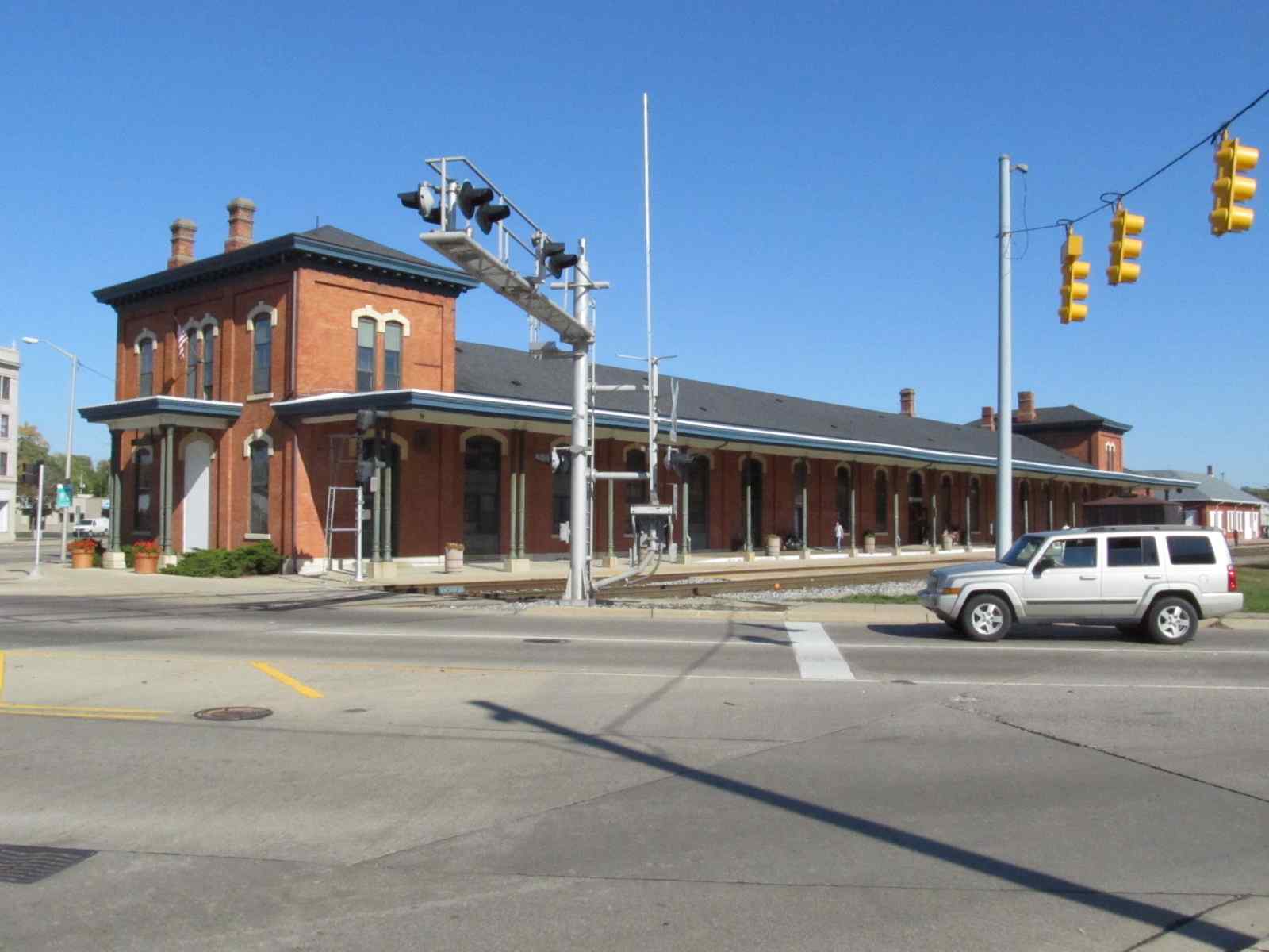
For additional pictures of these buildings, and more, check out my Battle Creek page here
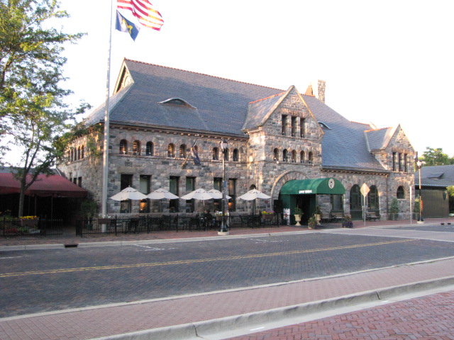
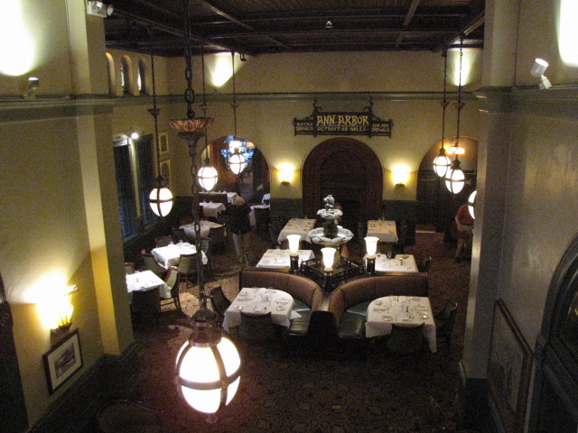
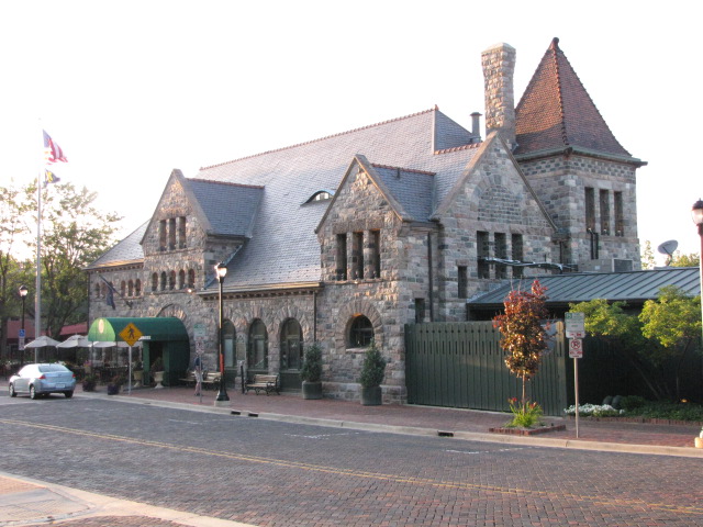
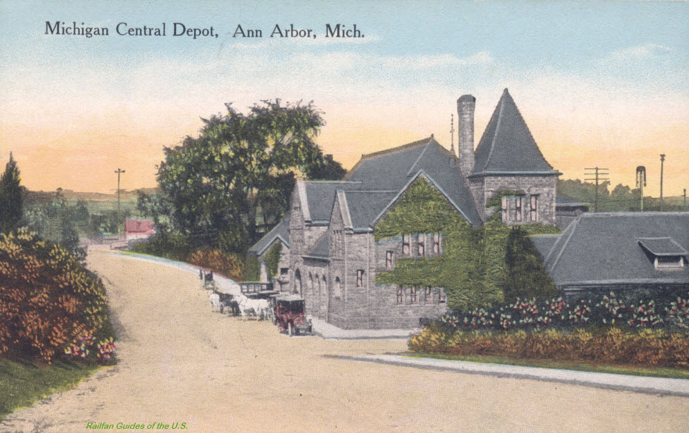
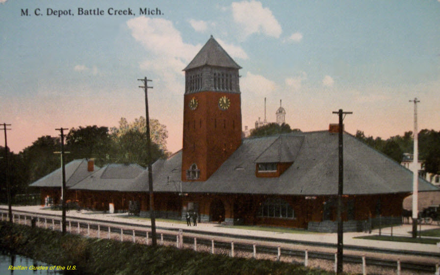
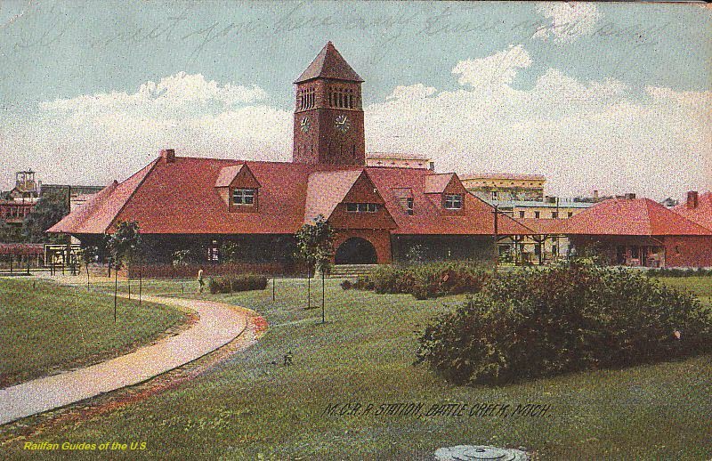
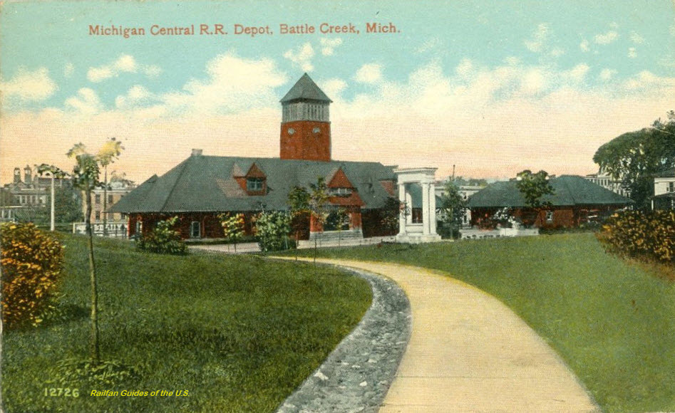
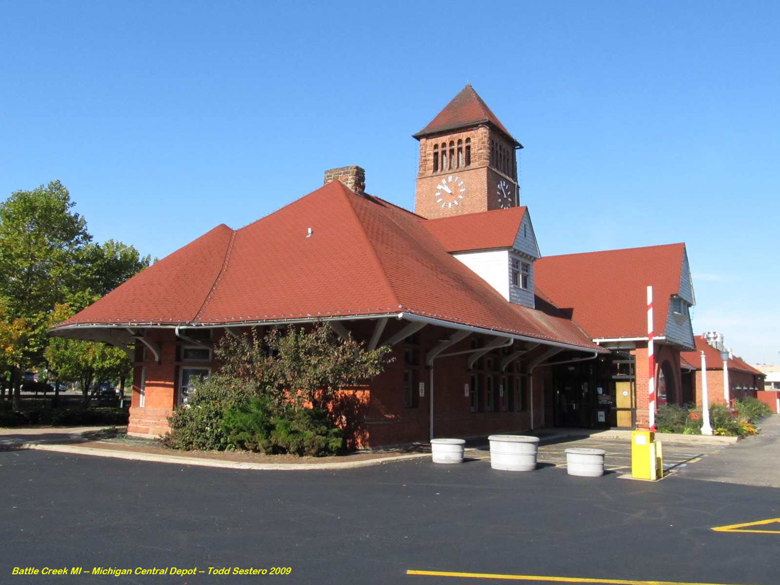
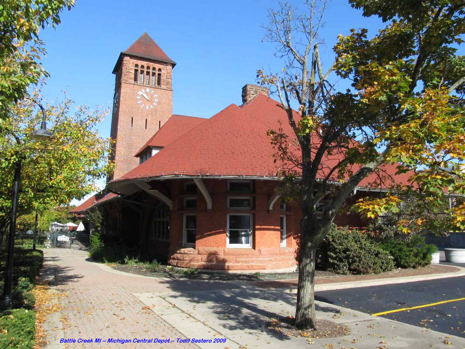
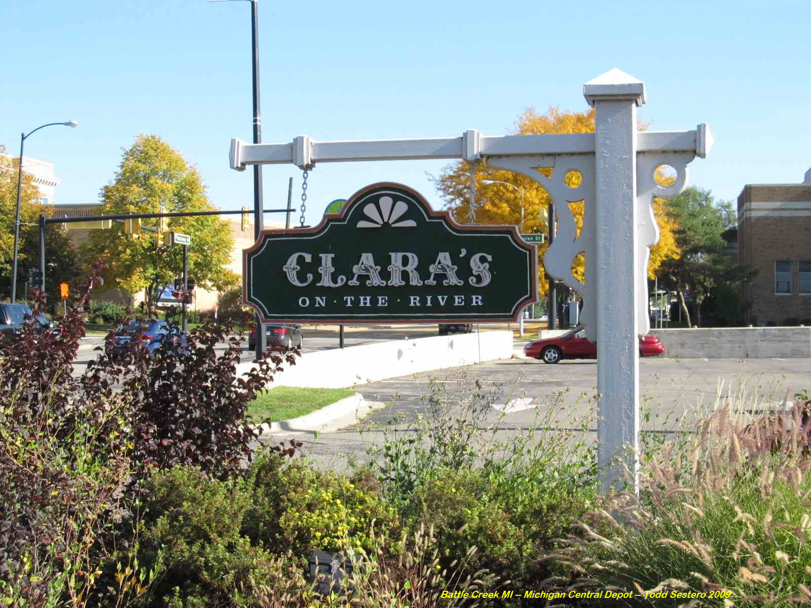
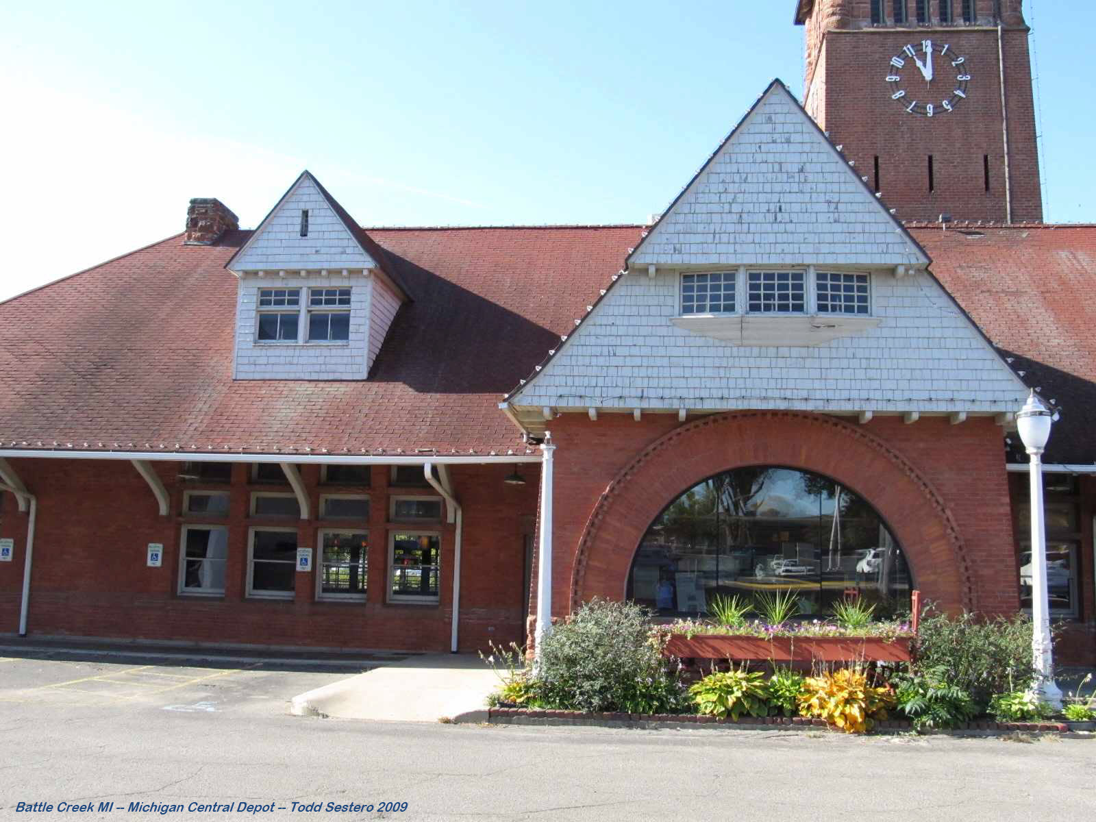
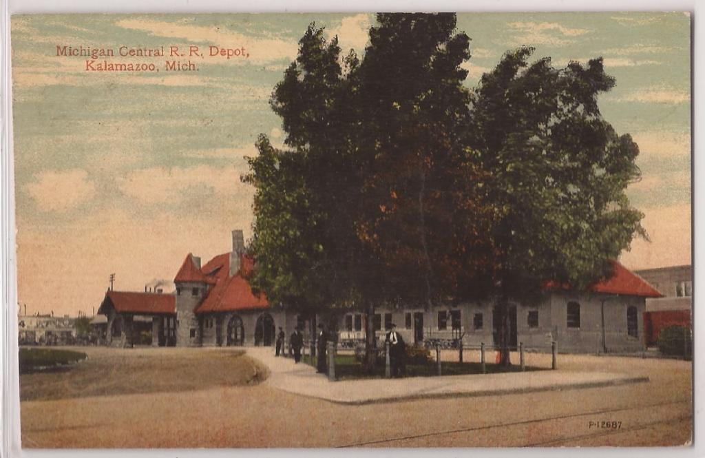
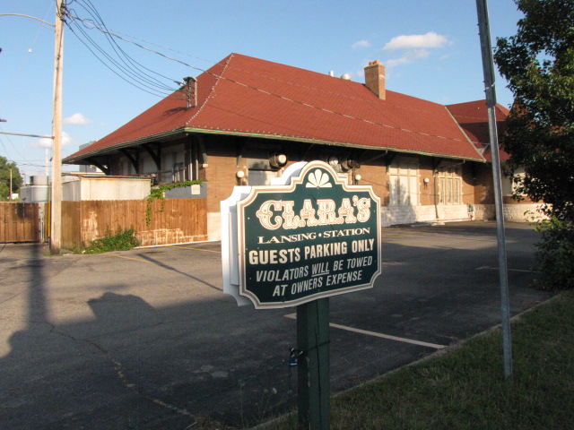
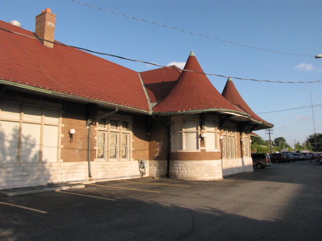
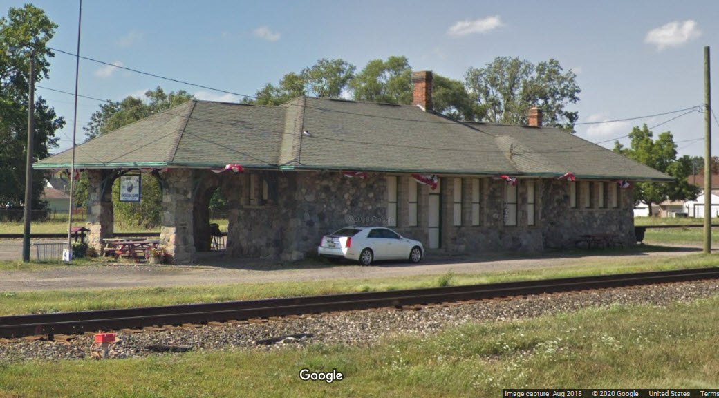
Battle Creek - Clara's Restaurant, the ex Michigan Central Depot
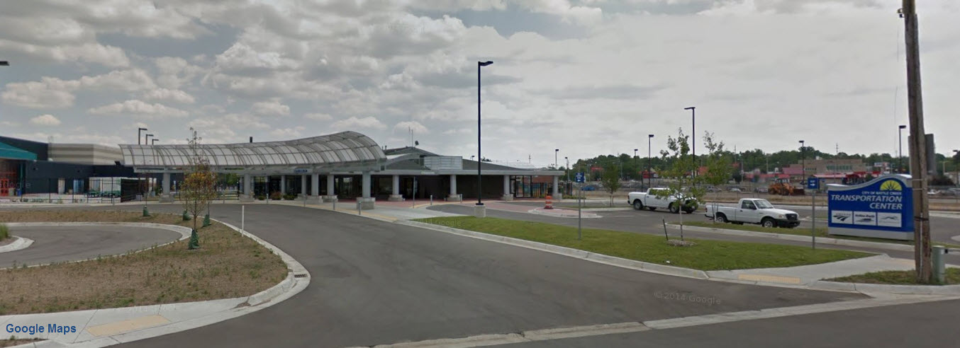
GPS Coordinates: 42.321165, -85.181683
At location #1 on the map above
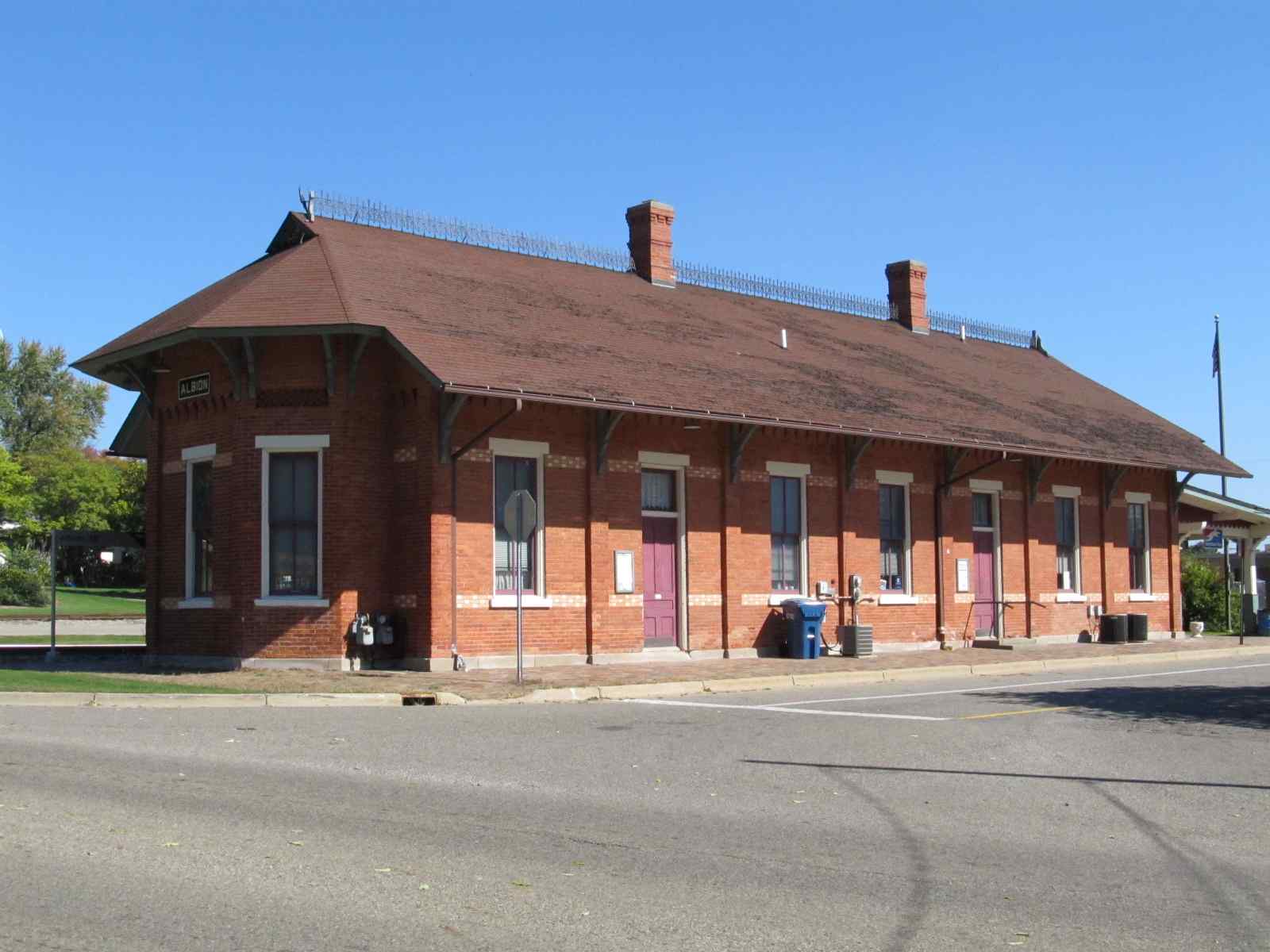
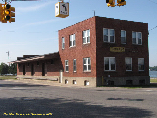
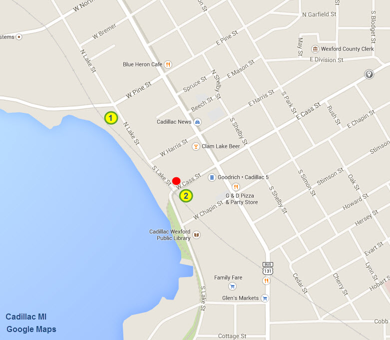
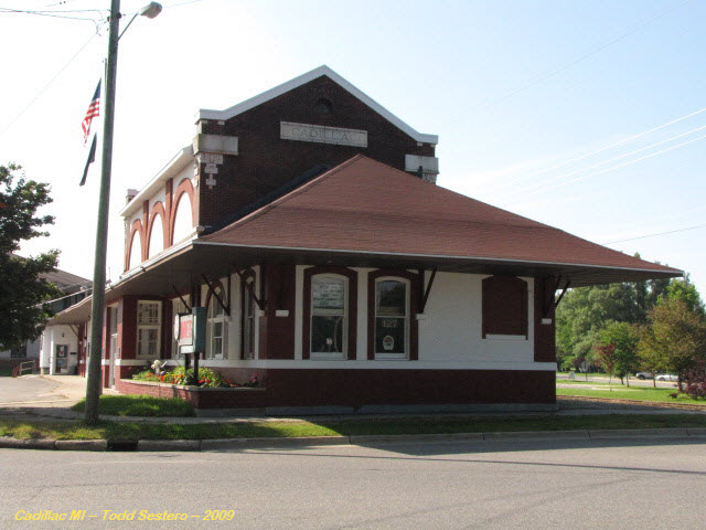
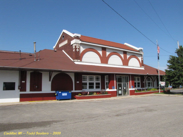
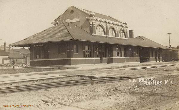
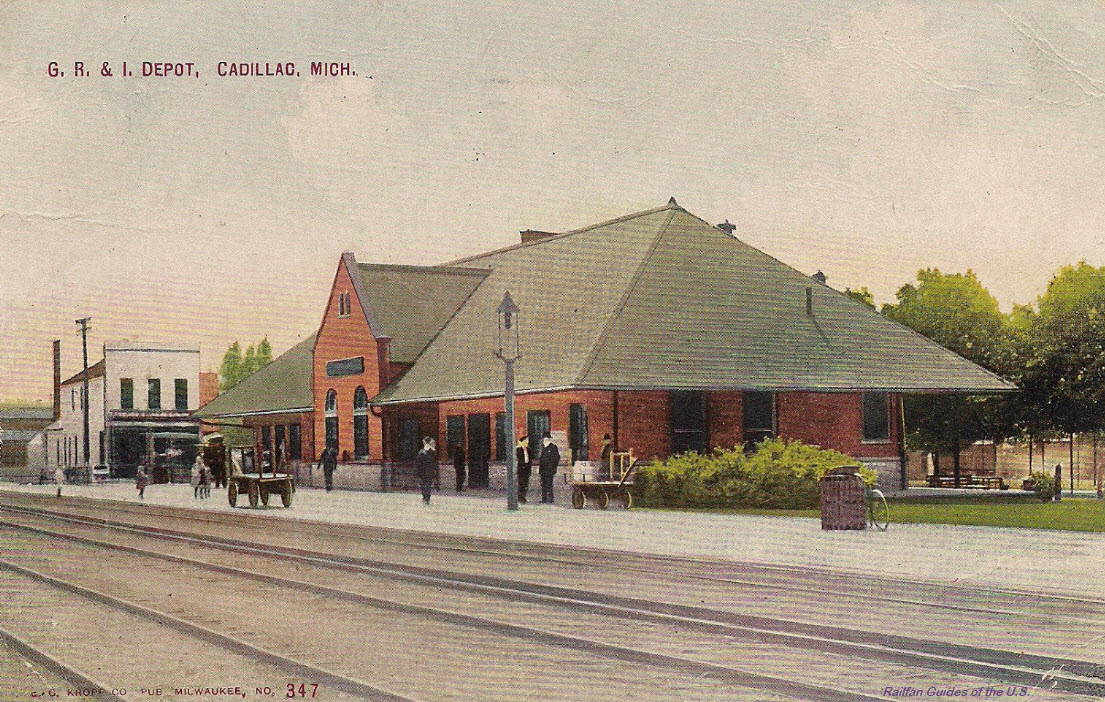
GPS Coordinates: 44.250967, -85.403020 Location #1 on the map below
For additional pictures of these buildings, and more, check out my Cadillac page here
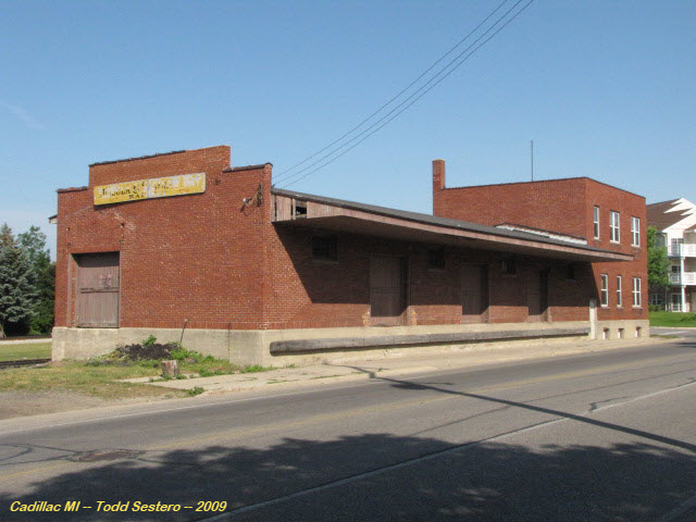
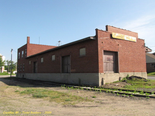
Cadillac
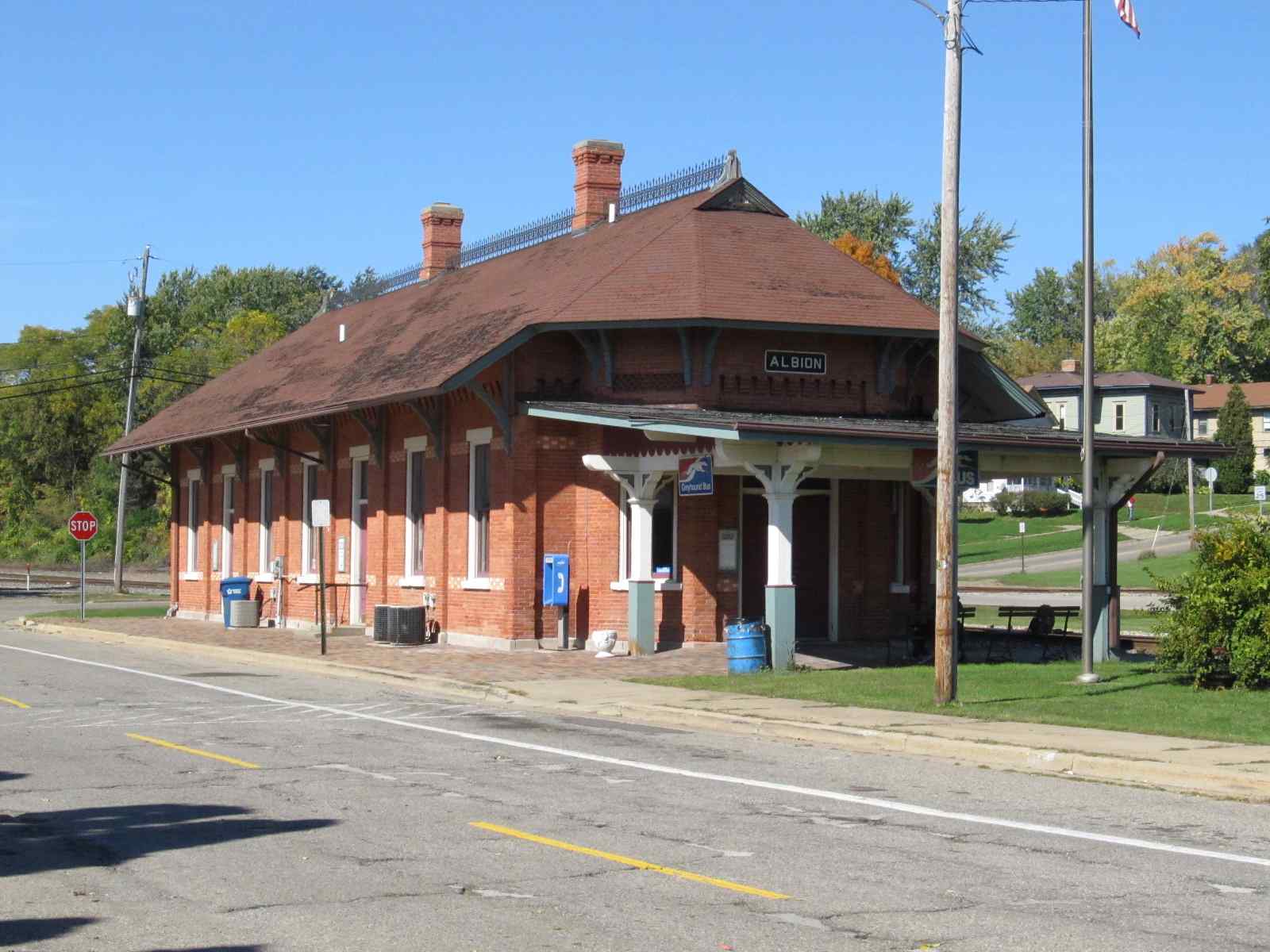
GPS Coordinates: 44.248379, -85.400138, location #2 on the map above
There is also a small steam engine in a park across the street from the depot, where the red dot is located
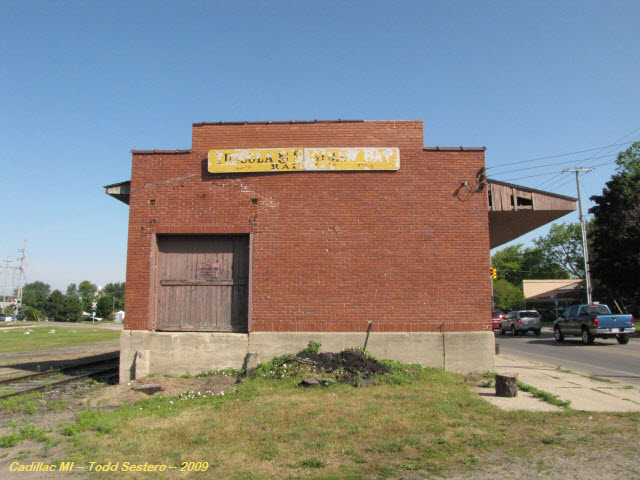
GPS Coordinates: 43.063756, -85.936864
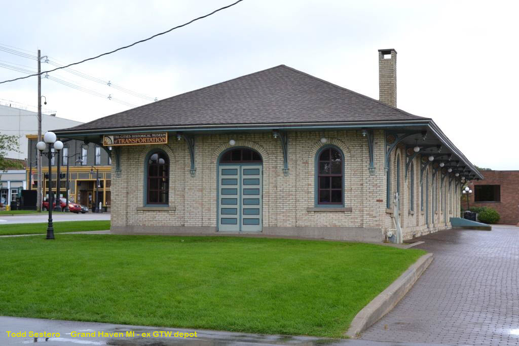
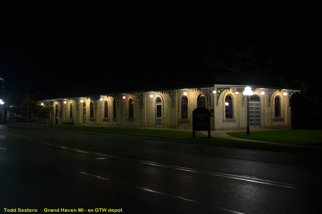
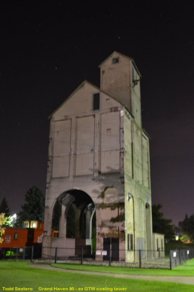
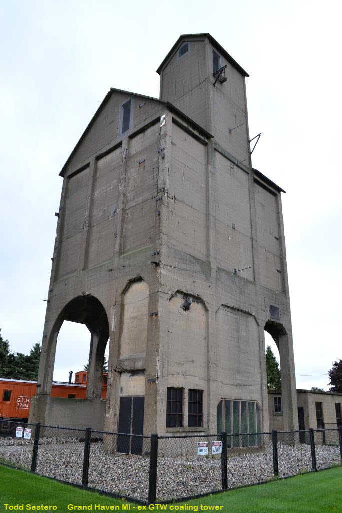
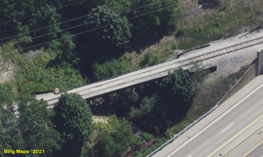
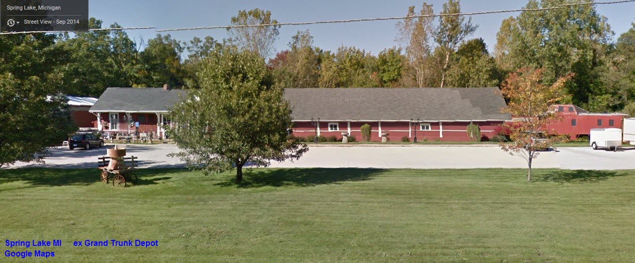
The shops for the C&M. At location #1 on the map below. This building also served as an INTERURBAN DEPOT in Spring Lake and was moved here.
The city's police and fire station is located at the red dot.
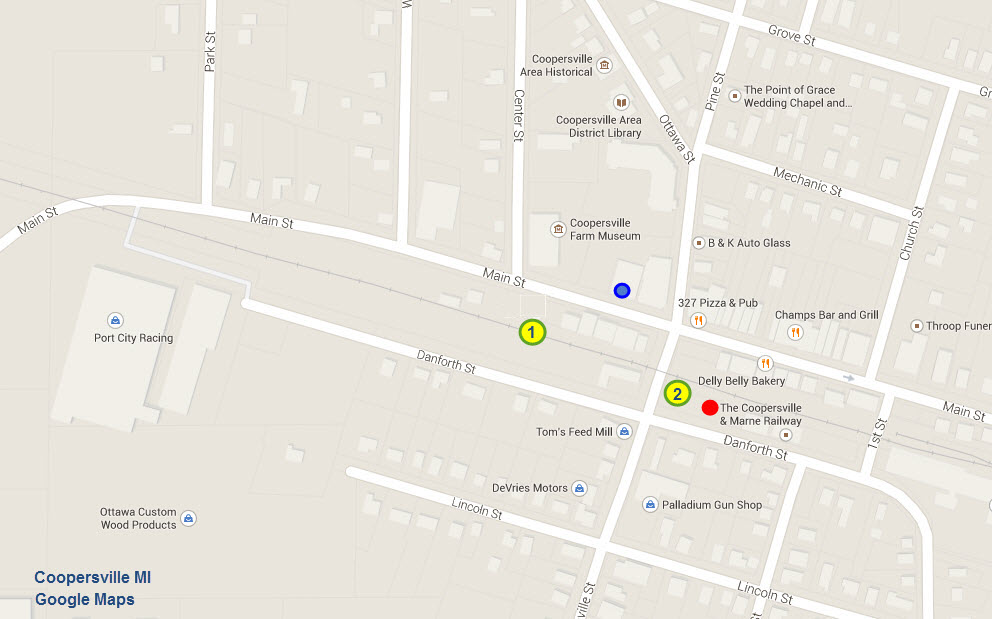
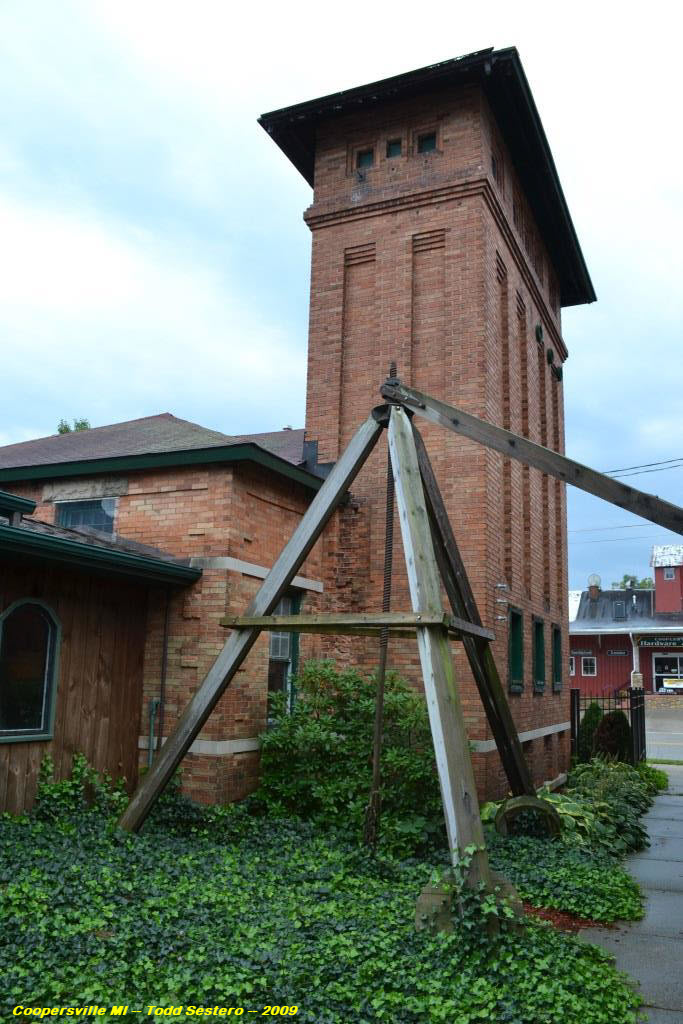
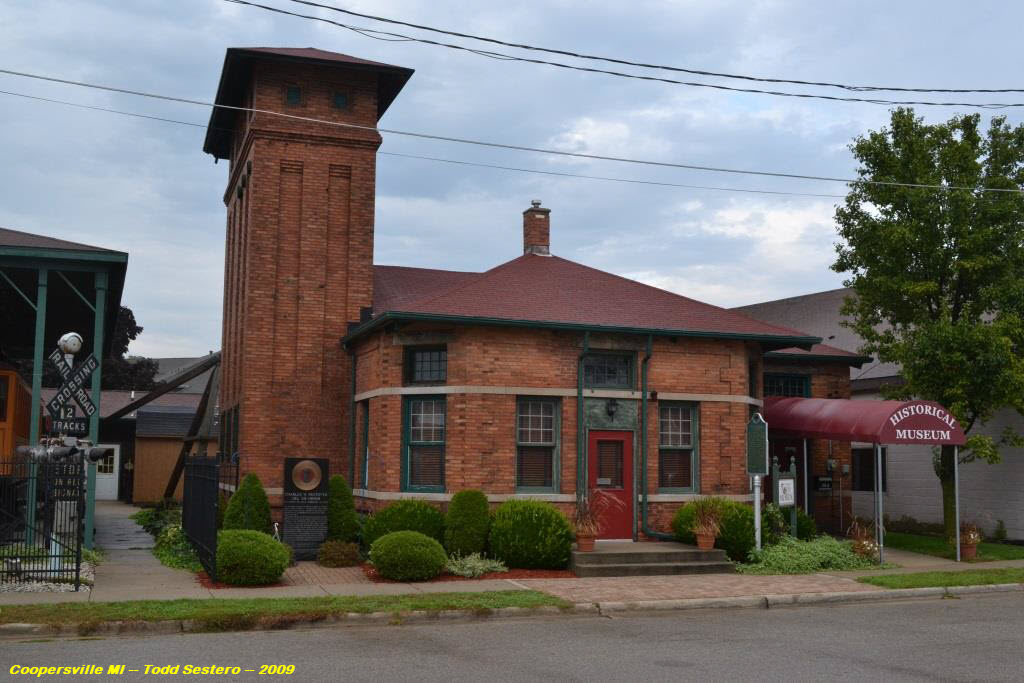
Coopersville
GPS Coordinates: 43.064124, -85.935944
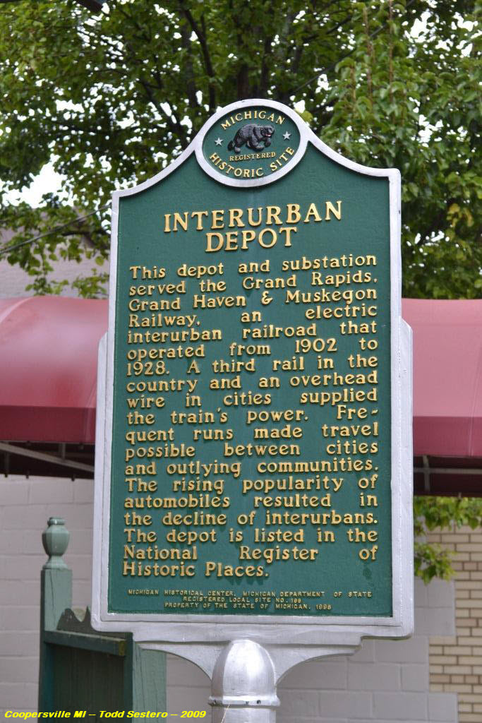
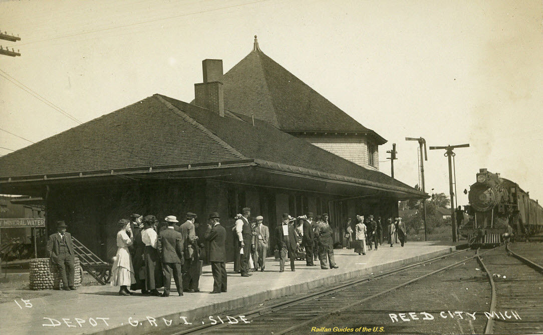
This building served as the INTERURBAN DEPOT for the Grand Rapids, Grand Haven & Muskegon Rwy, and electric interurban
railroad that used 3rd rail in the country and overhead wire in town! Located at the blue dot on the map above.
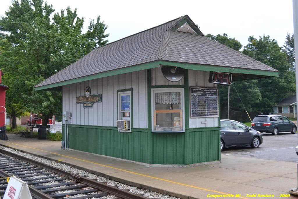
Coopersville
GPS Coordinates: 43.063344, -85.935329
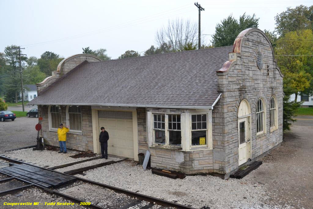
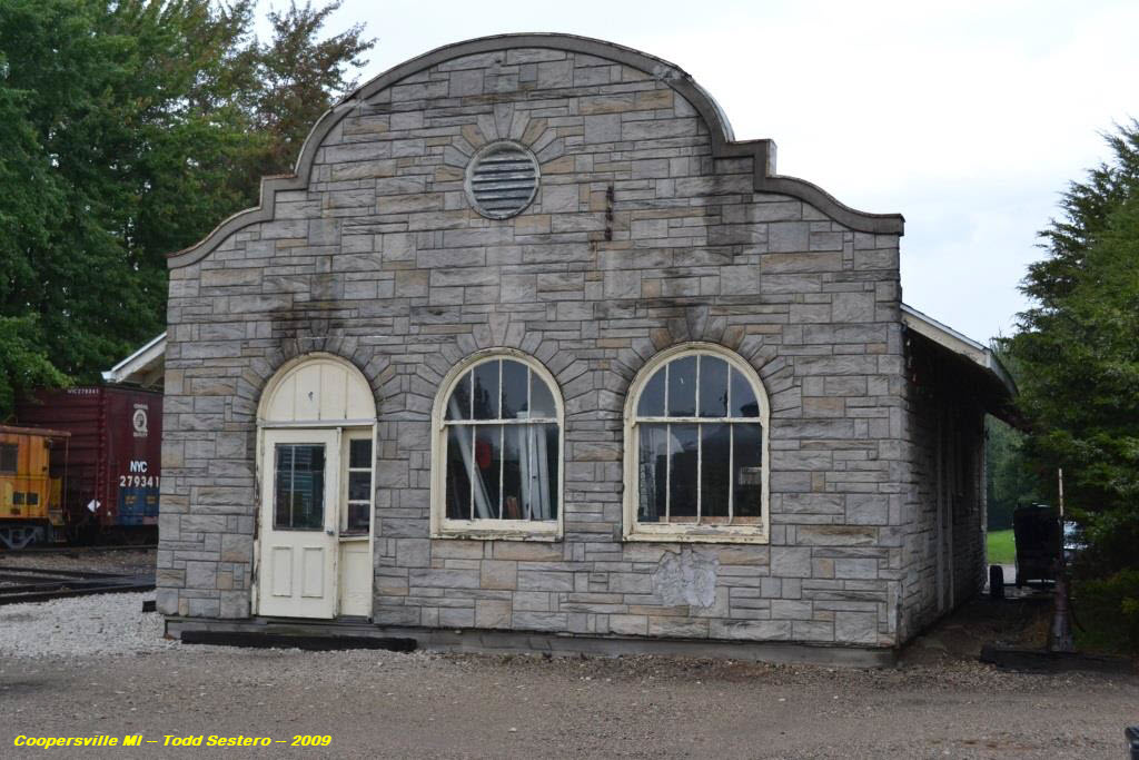
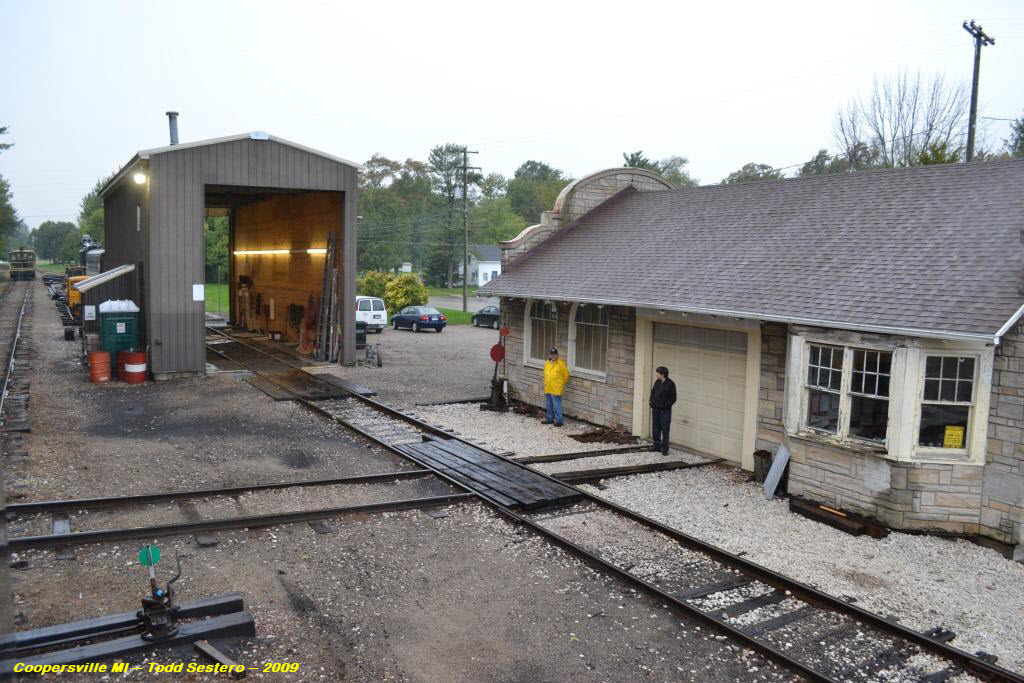
This small building serves as the ticket office for the Cooperville & Marne Rwy.
Location #2 on the map above.
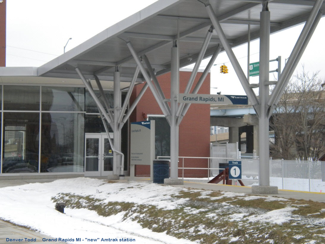
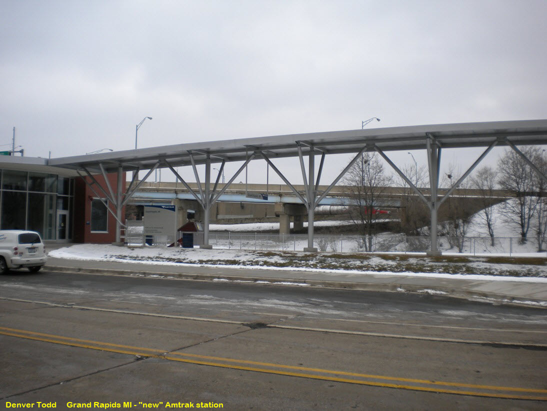
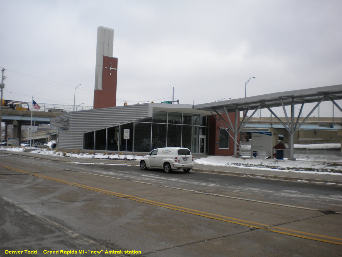
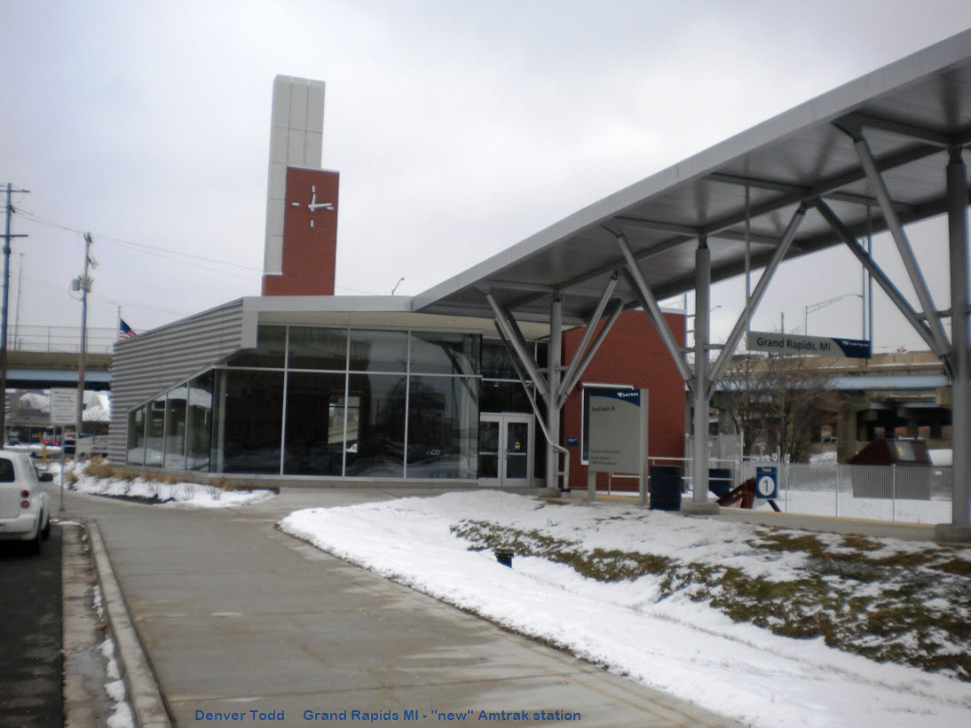
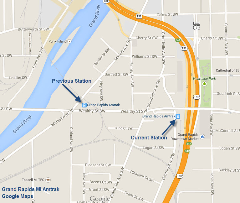
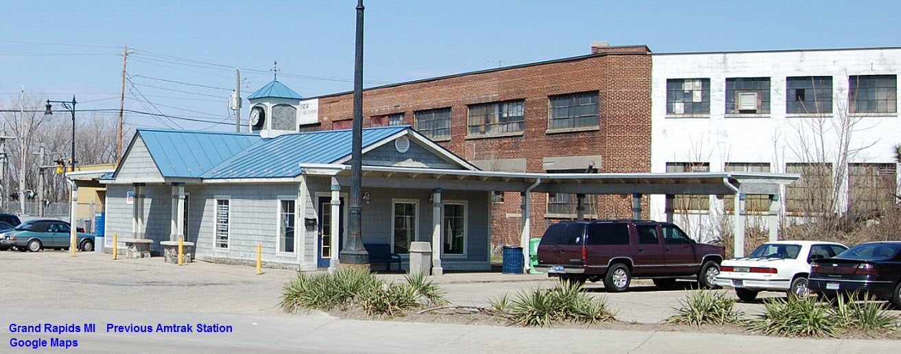
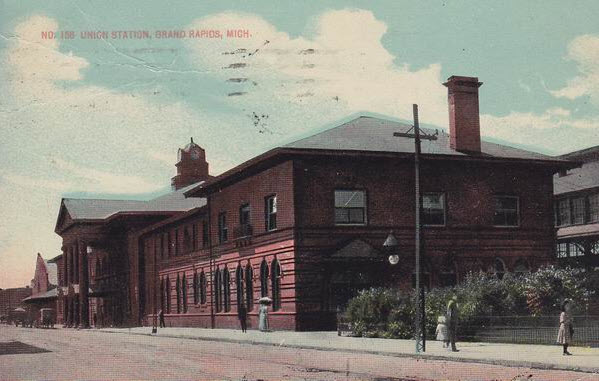
GPS Coordinates: 42.955704, -85.672336
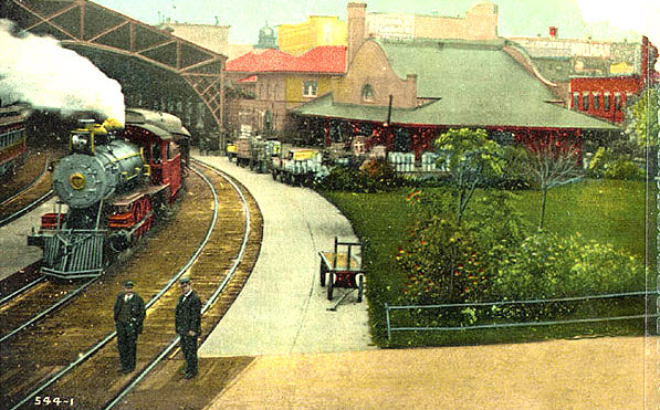
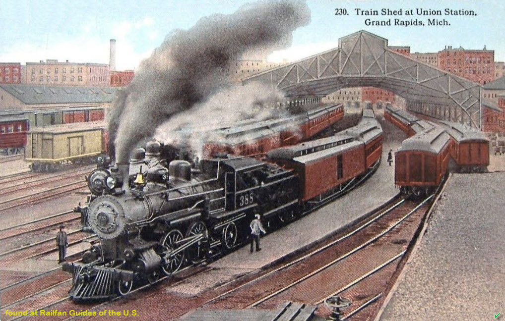
Amtrak Station Code: GRR
For additional pictures of these buildings, and more, check out my Grand Rapids page here
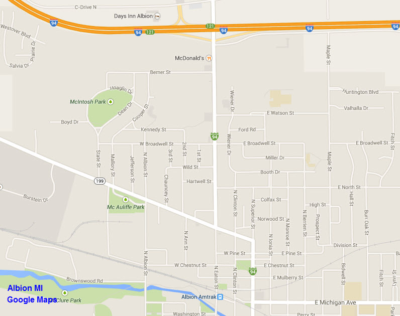
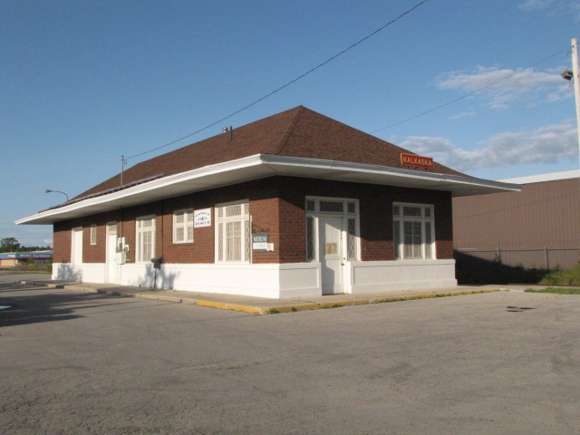
GPS Coordinates: 44.730996, -85.177703
For additional pictures of this building, and more, check out the Kalkaska section of my Traverse City Page here
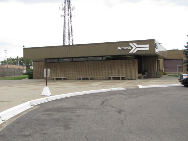
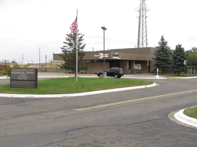
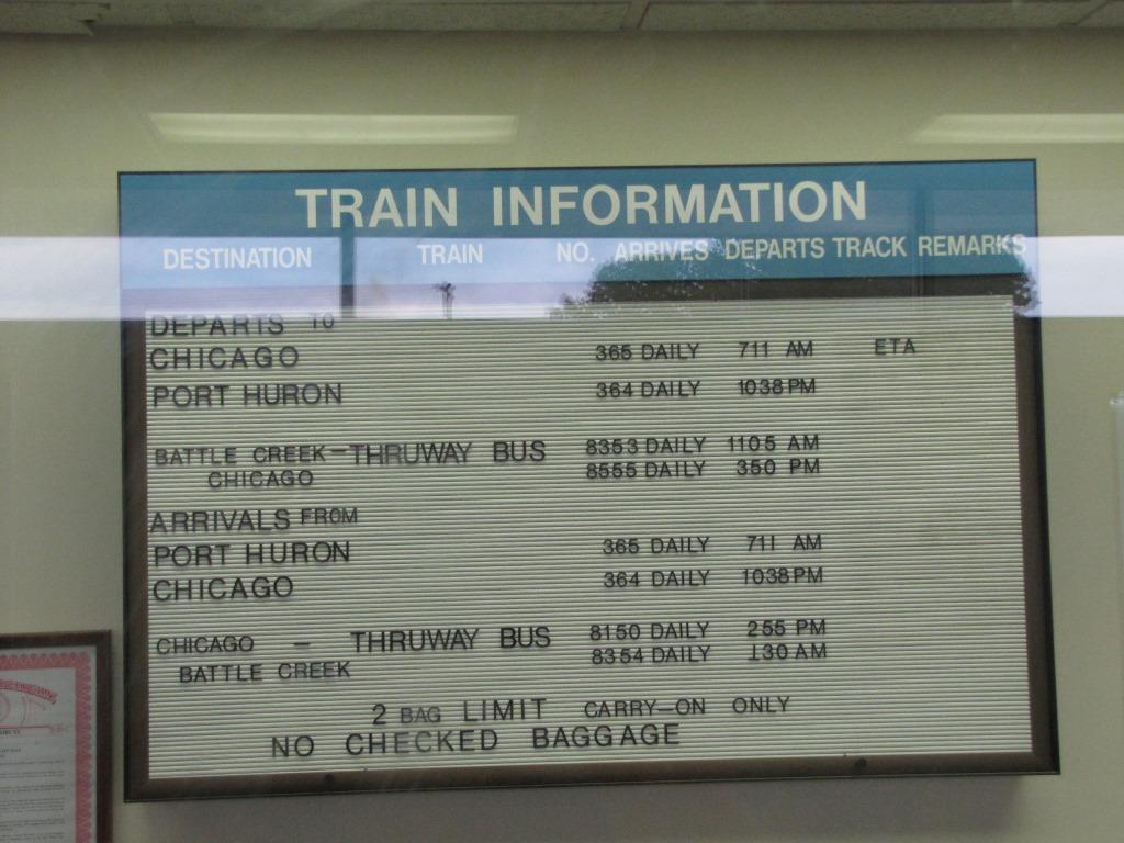
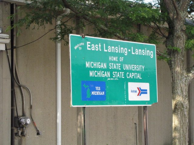
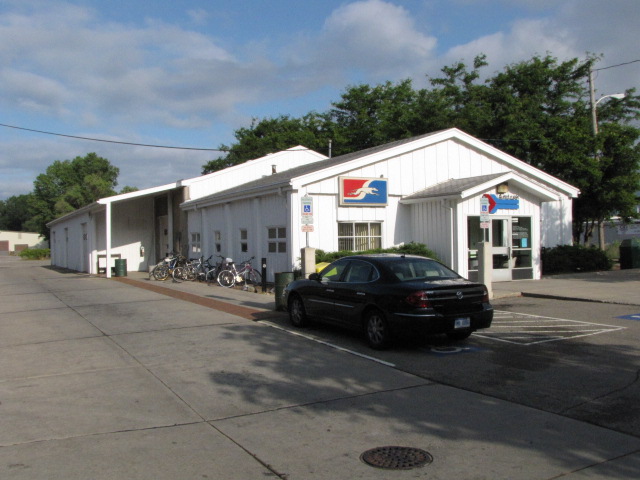
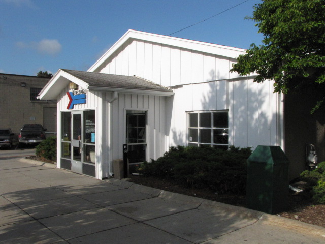
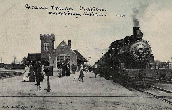
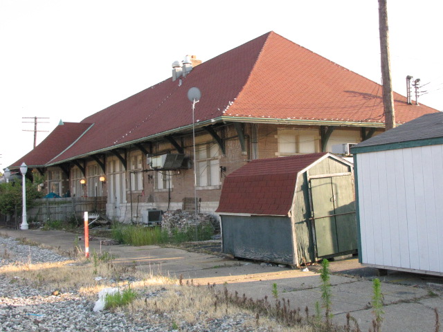
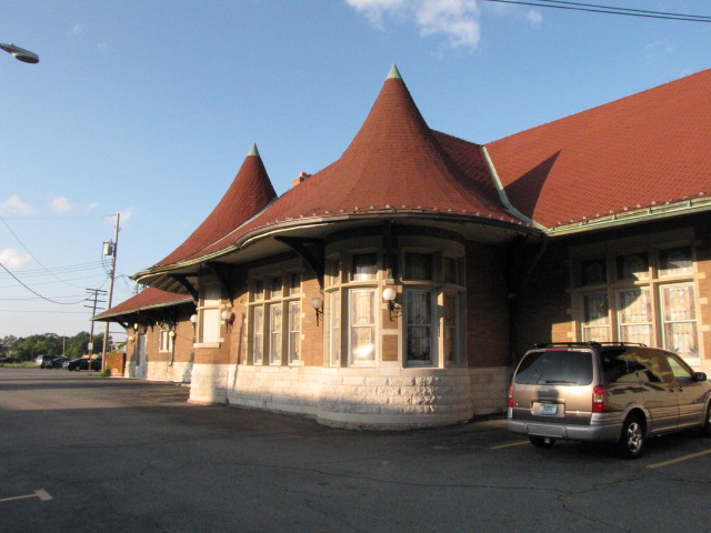
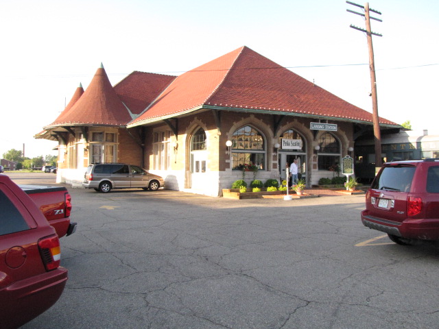
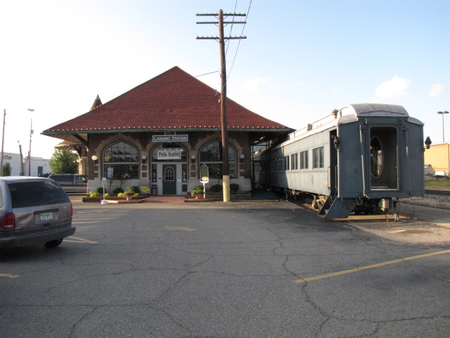
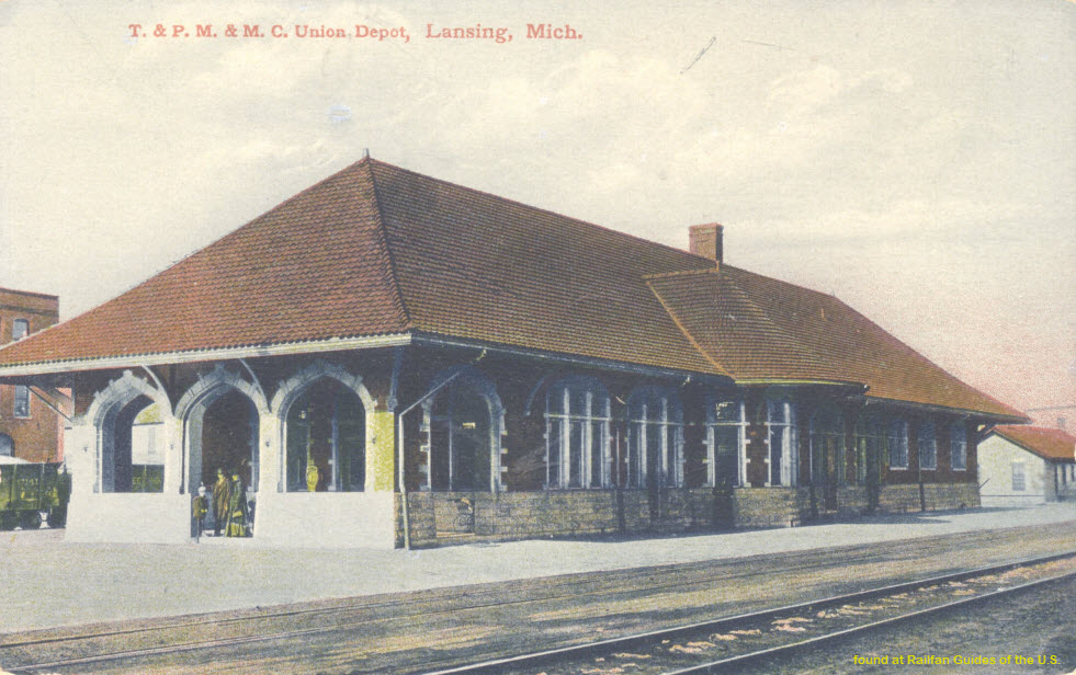
(East) Lansing - Amtrak Station
GPS Coordinates: 42.719021, -84.494829
Amtrak Station Code: LNS
For additional pictures of these buildings, and more, check out my Lansing page
here
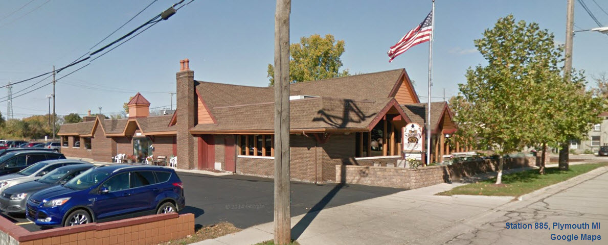
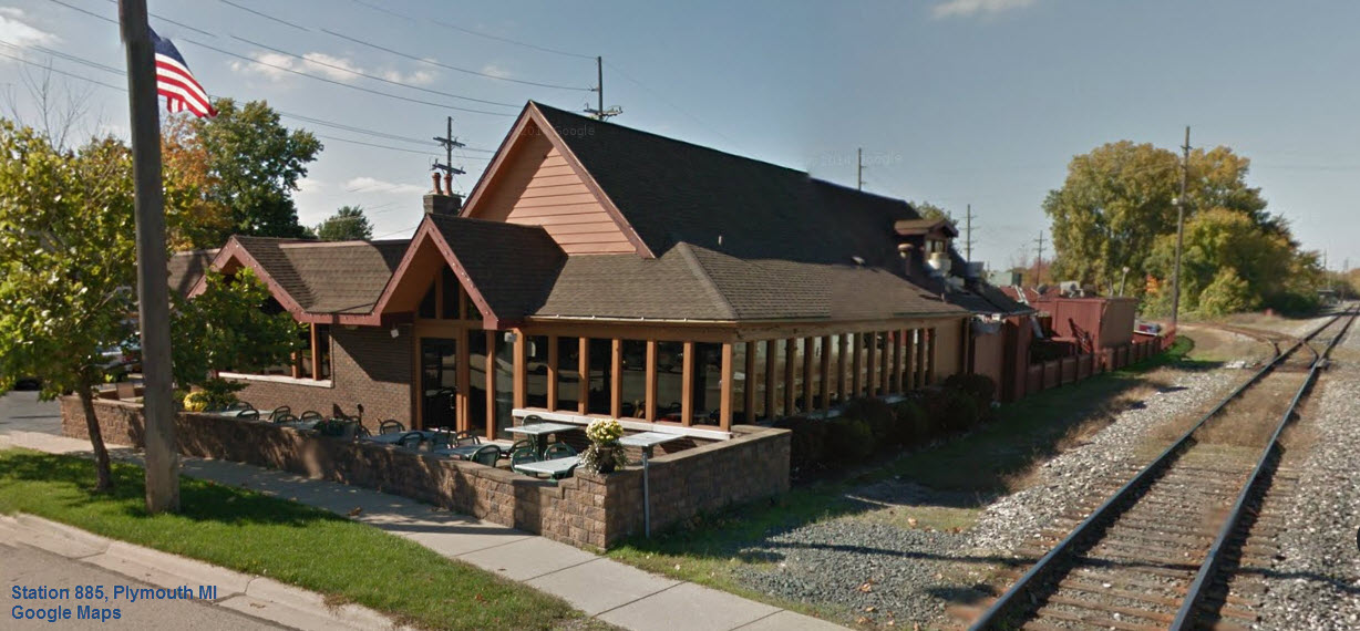
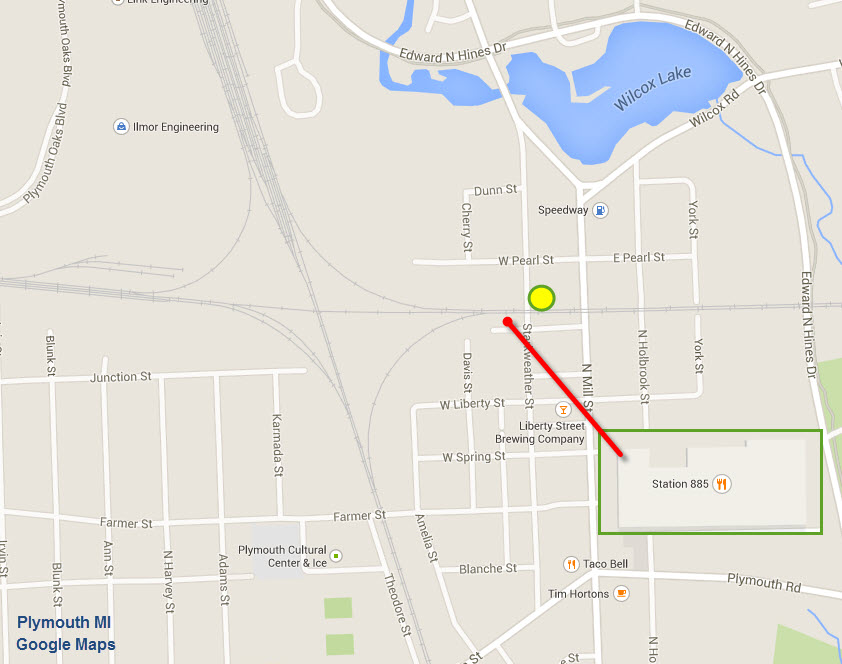
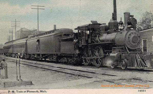
Plymouth - Station 885
GPS Coordinates: 42.380602, -83.462385
Station 885 is not an original depot, although it sits on the site of a Chesapeake & Ohio freight house, which was built in the early 1900s. The
Chesapeake freight house was relocated diagonally across the tracks in the 1960s and a new free standing restaurant was constructed on the original site...885
Starkweather, Plymouth Michigan.
For additional pictures of these buildings, and more, check out my Plymouth Diamond page here
Additional info and pictures are here
and here
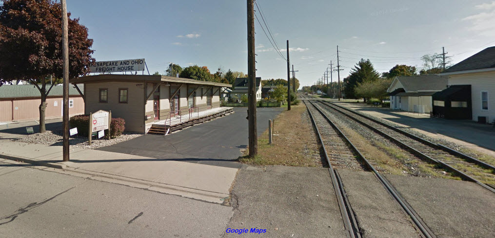
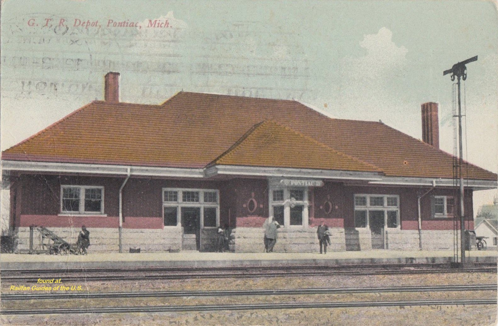
Plymouth
GPS Coordinates: 42.380906, -83.461750
This is the C&O freight house that used to stand where the Station 885 is located now
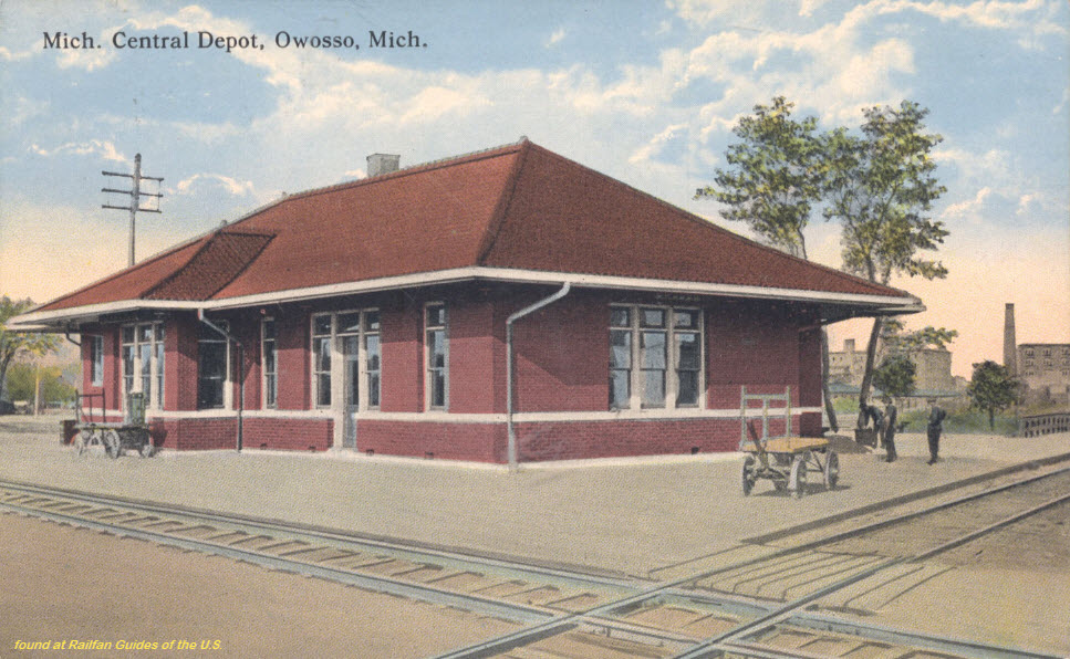
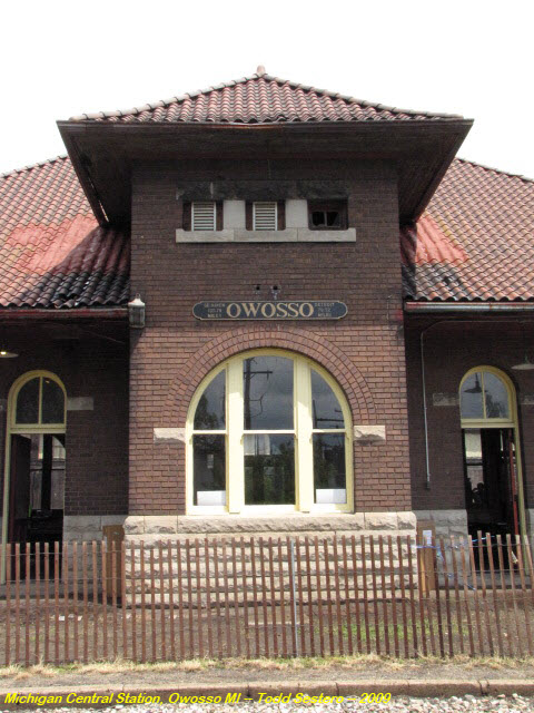
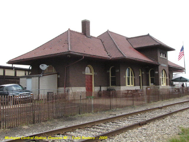
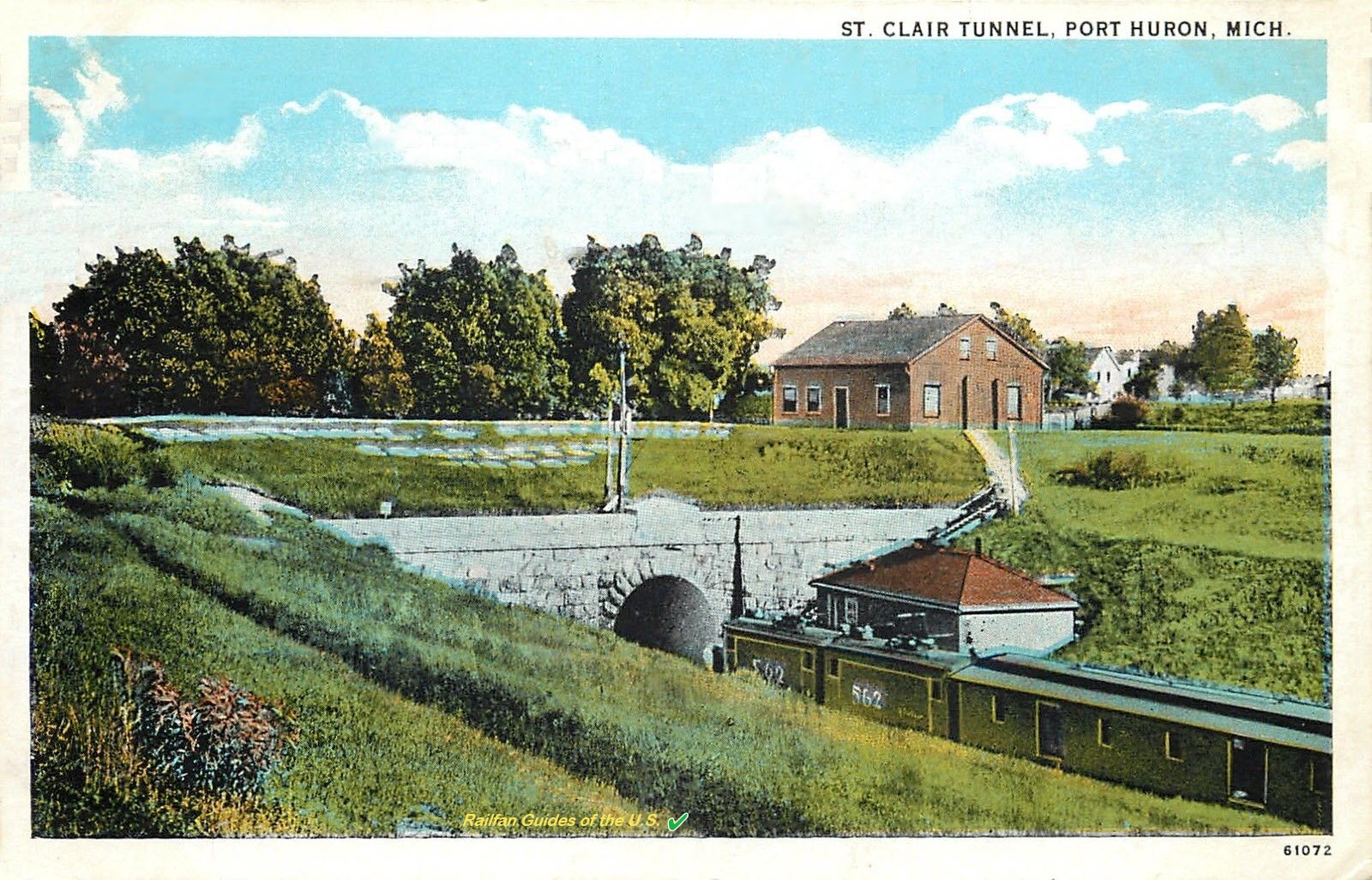
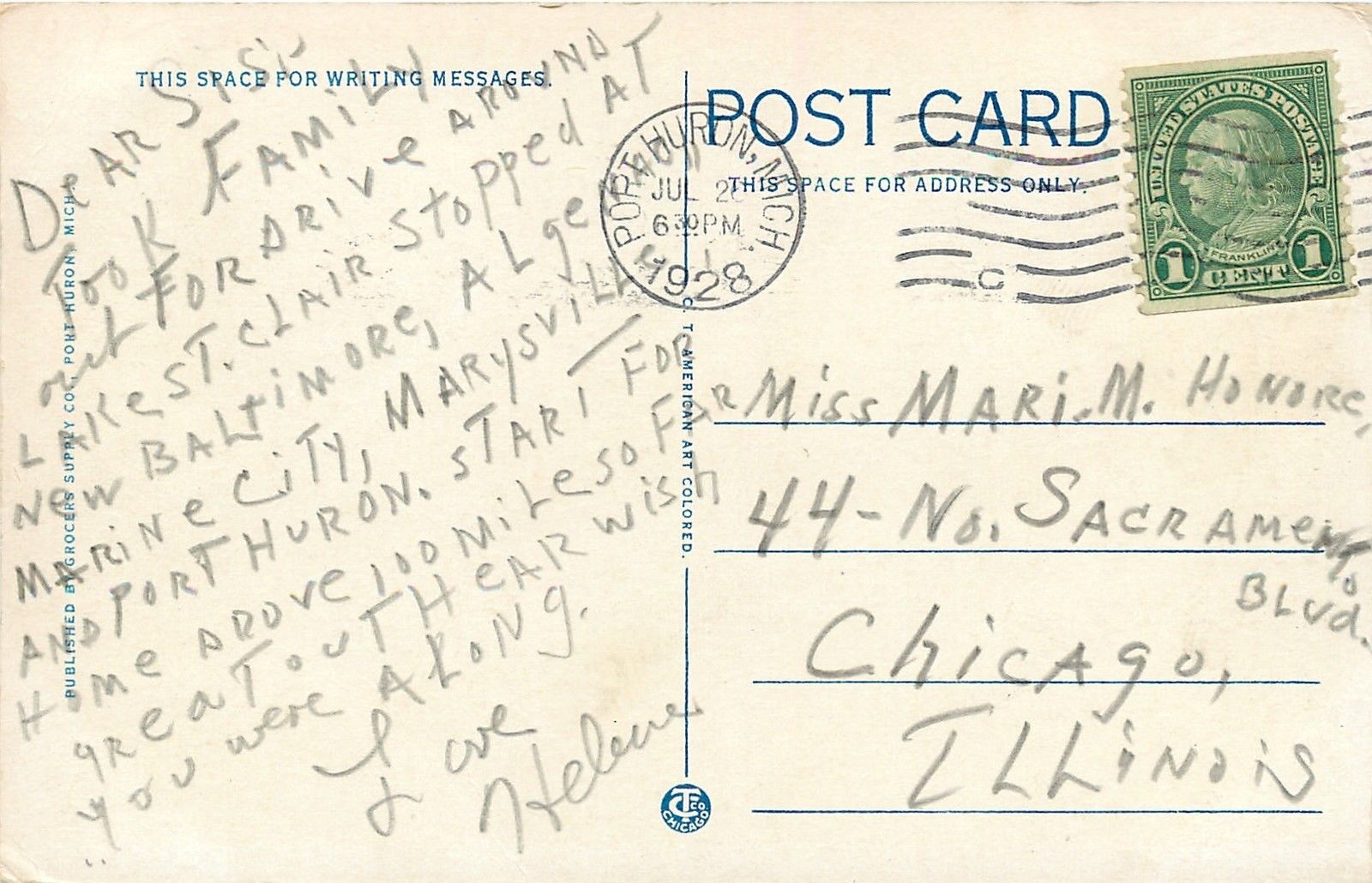
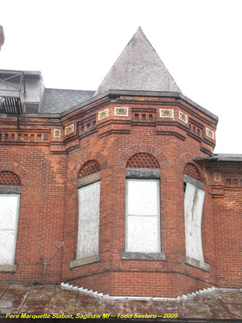
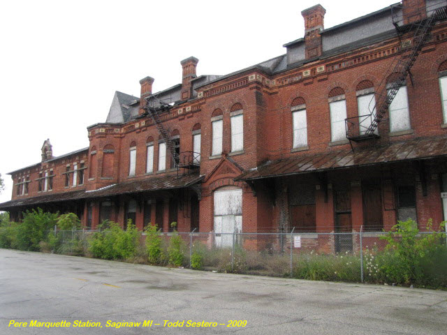
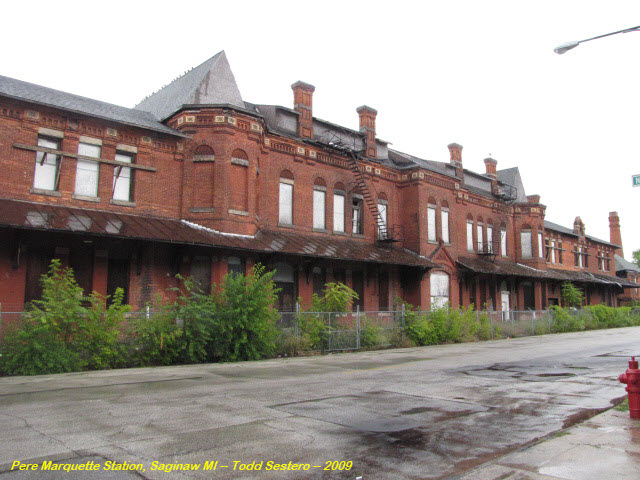
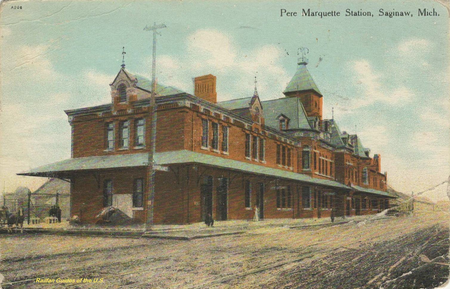
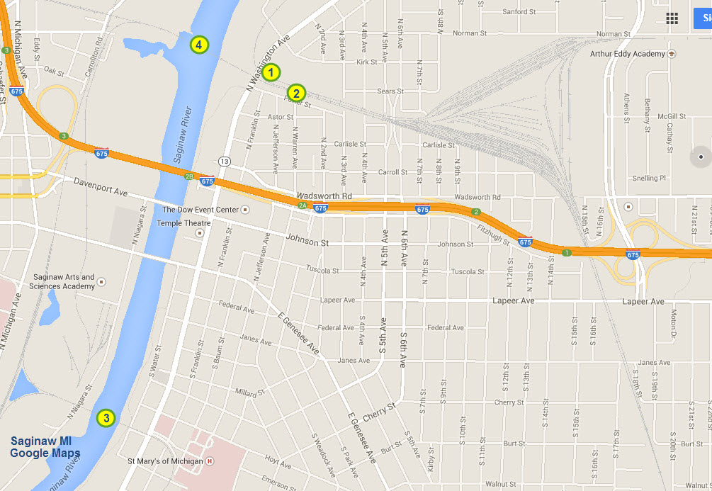
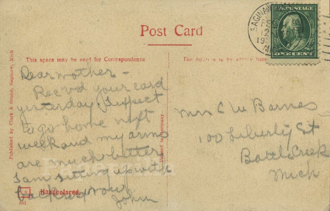
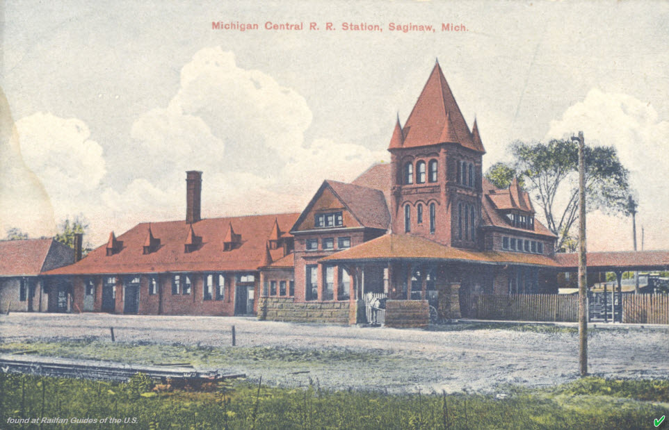
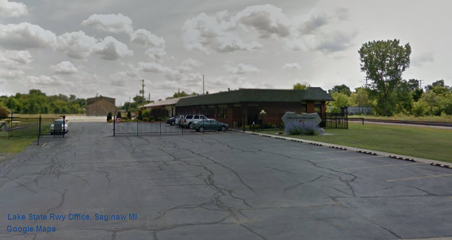
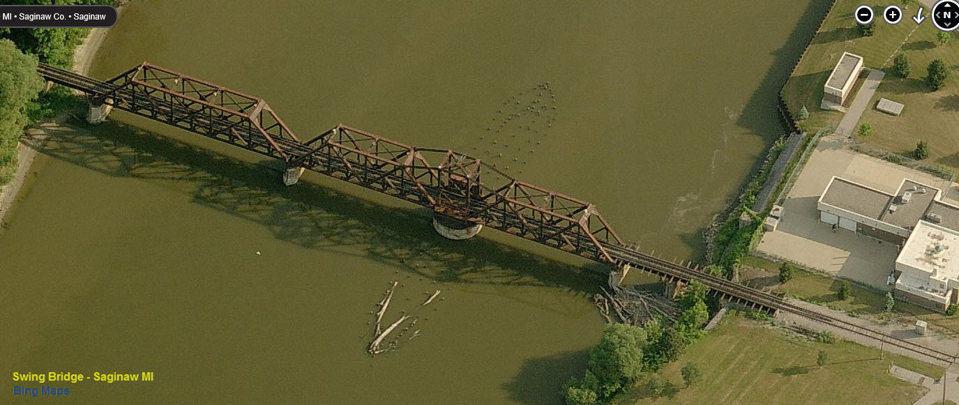
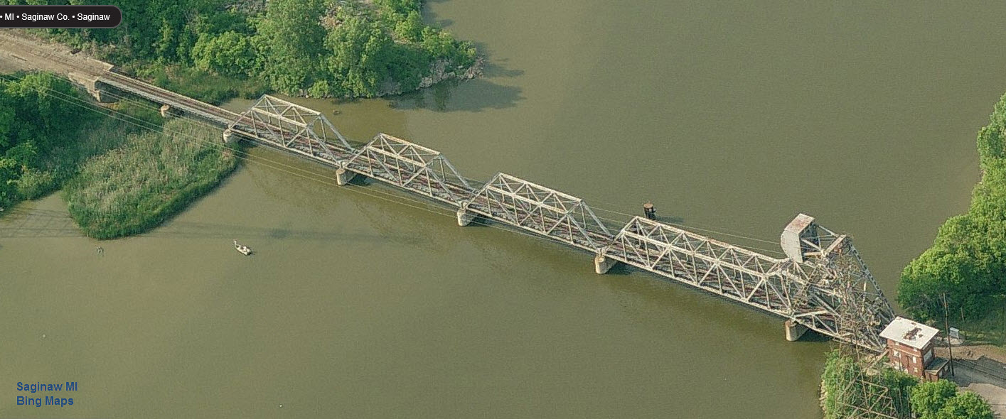
GPS Coordinates: 43.440765, -83.933013
This station is located at location #2 on the map below.
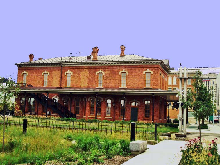
For additional pictures of all of the Saginaw stuff, please check out my Saginaw page here.
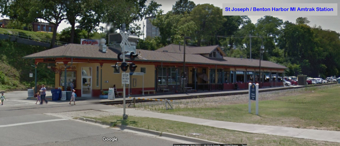
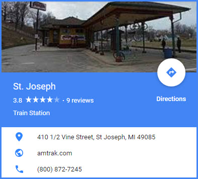
GPS Coordinates: 42.109140, -86.484528
Amtrak Station Code: SJM
The station is physically located in St Joseph, but it is named the St Joseph/Benton Harbor station.
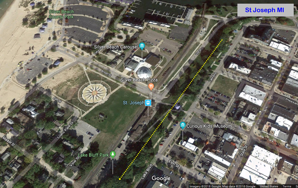
St Joseph has developed the waterfront area adjacent to the station. When I first came by here maybe 1996'ish, none of the renewal had been done, and the station
was a dingy little covered platform at best. If you are in towards the city, like on Lake Blvd, you cannot see the station because of the ridge (the dotted yellow
line) that separates the station from the rest of town.
Unless you looked hard driving down the road, you would pass right on by this cute little depot. The only reason I knew it was there is
because friends of my Aunt and Uncle lived directly across the street.
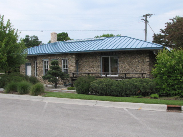
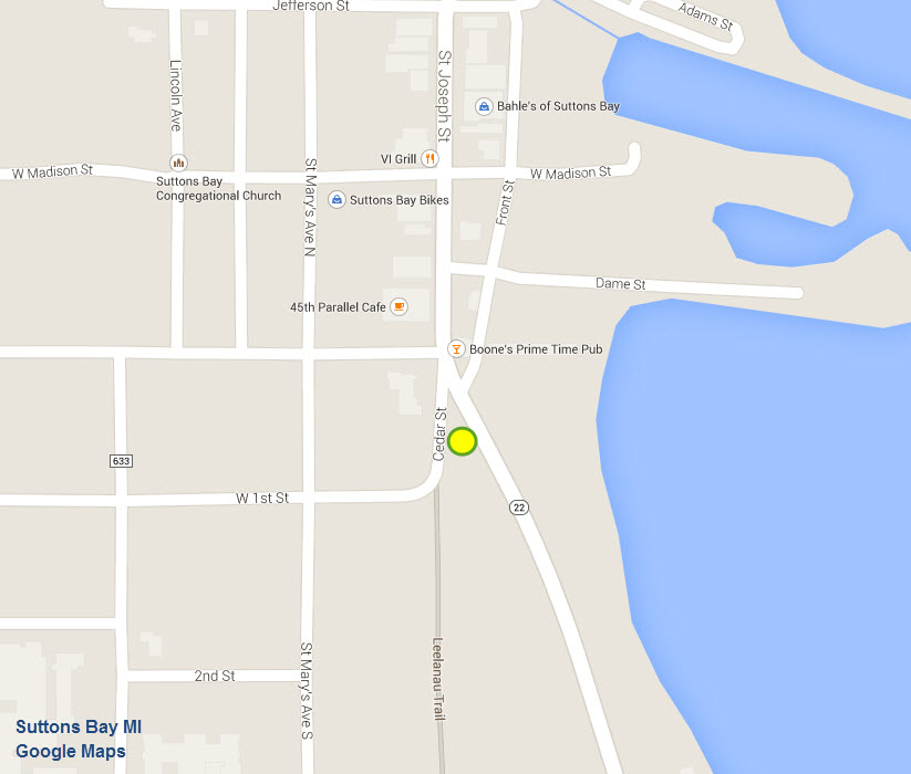
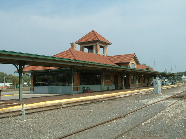
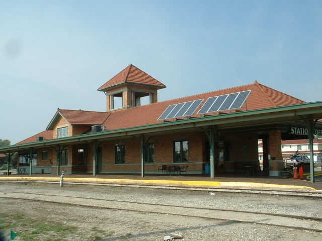
For additional pictures of these buildings, and more, check out my Suttons Bay segment on the Traverse City page
here
GPS Coordinates: 44.758075, -85.609259
Dunno anything about the depot, but at least it has been restored and is used by several small businesses.
A dinner train (the Grand Traverse) used to operate out of here until a few years ago.
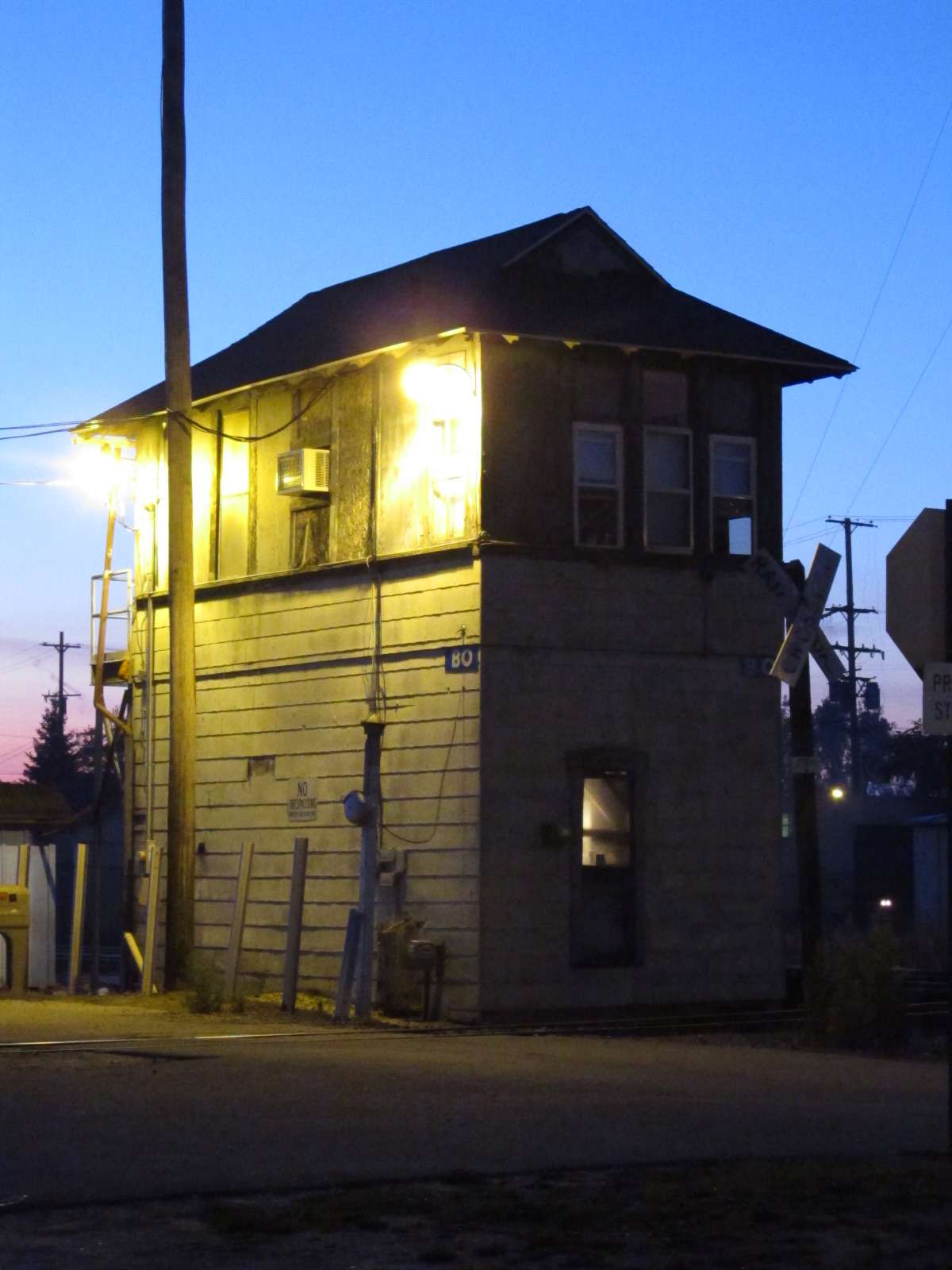
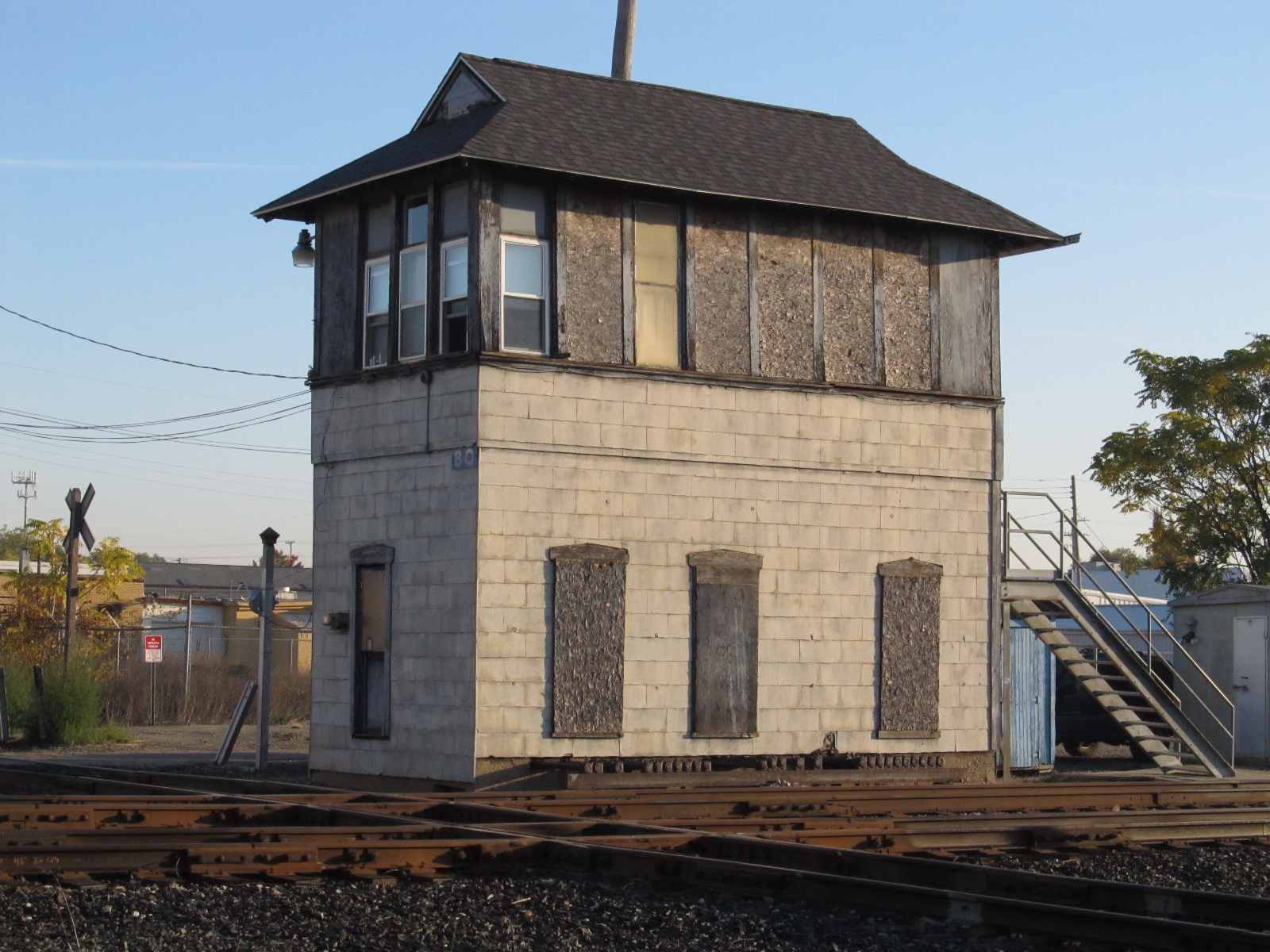
The two sets of pictures were taken about 5 or 6 years apart, with the bottom set being the older pictures.
For additional pictures of these buildings, and more, check out my Traverse City page here
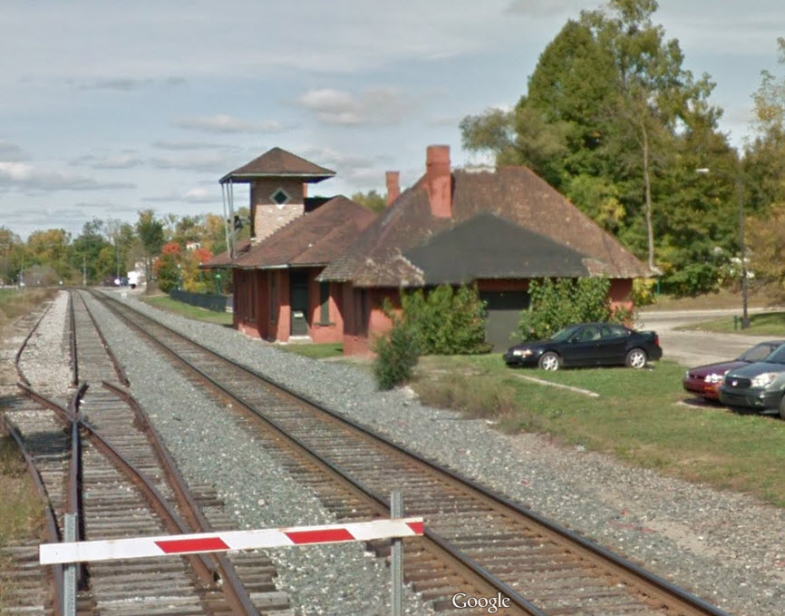
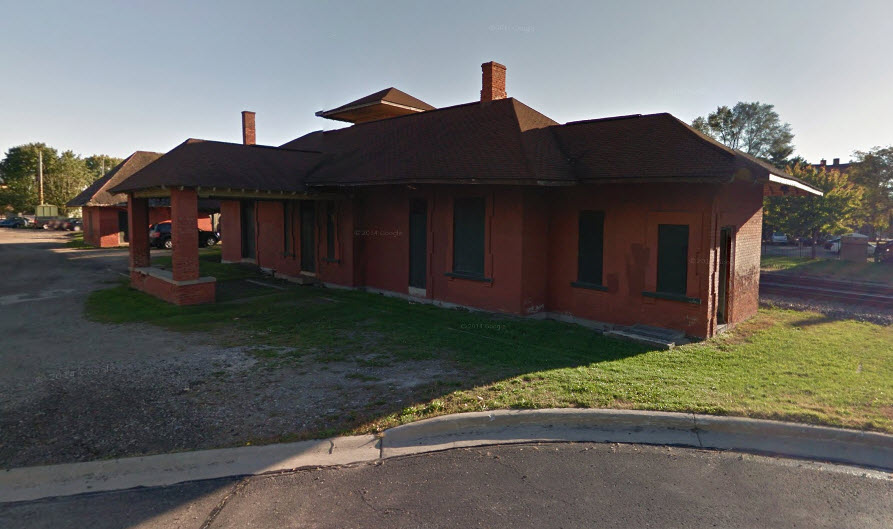
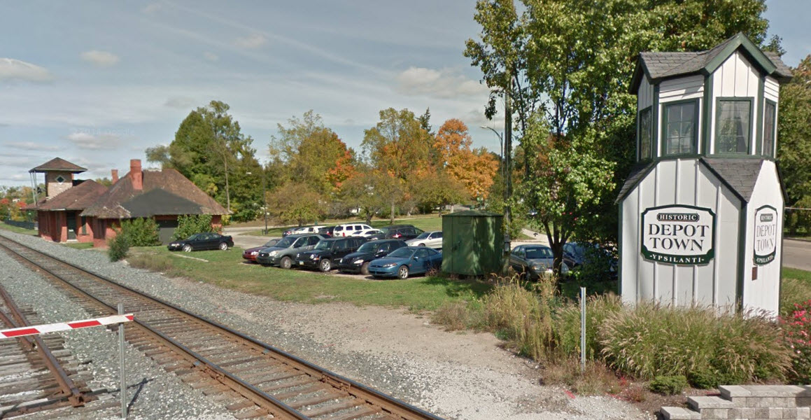
Traverse City
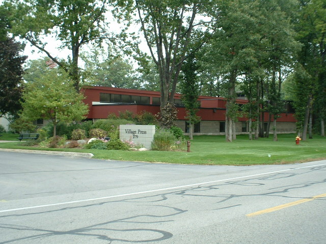
Well, I will get some flack over this, maybe, cause it's not a depot, but if you subscribe to Village Press' Live
Steam Magazine, this is where it comes from! (OK, so they added and Outdoor Railroading to the title a few
years ago). They also put out a number of other magazines covering the machining trade, among others. When I stopped by there, I was amazed at
the number of specialized magazines they work on.
GPS Coordinates: 42.204475, -83.160873
758 Oak St, Wyandotte, MI 48192
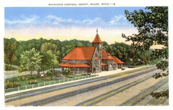
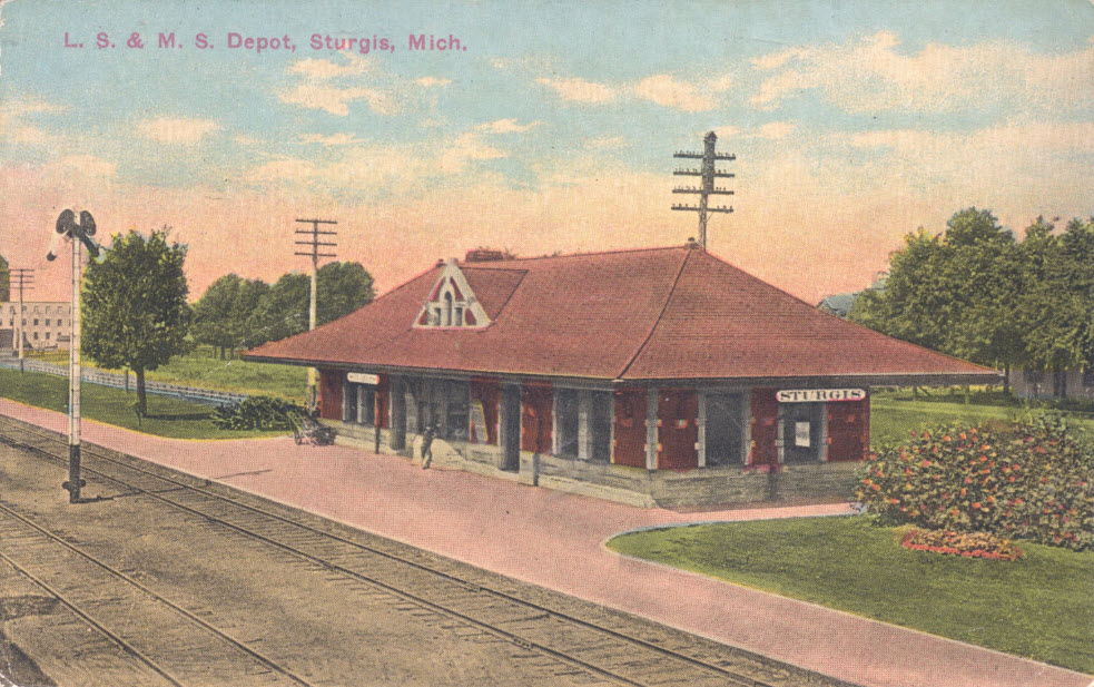
Built in 1891 by Michigan Central Railroad and also used by Lake Shore & Michigan Southern.
Now used by the American Legion.
I love trains, and I love signals. I am not an expert. My webpages reflect what I find on the topic of the page. This is something I have fun with while
trying to help others.
Please Note: Since the main focus of my two websites is railroad signals, the railfan guides are oriented towards the signal fan being able to locate them.
For those of you into the modeling aspect of our hobby, my indexa page has a list of almost everything railroad oriented
I can think of to provide you with at least a few pictures to help you detail your pike.
If this is a railfan page, every effort has been made to make sure that the information contained on this map and in this railfan guide is correct. Once in a while,
an error may creep in :-)
My philosophy: Pictures and maps are worth a thousand words, especially for railfanning. Text descriptions only get you so far, especially if you get lost or
disoriented. Take along good maps.... a GPS is OK to get somewhere, but maps are still better if you get lost! I belong to AAA, which allows you to get
local maps for free when you visit the local branches. ADC puts out a nice series of county maps for the Washington DC area, but their state maps do not have the
railroads on them. If you can find em, I like the National Geographic map book of the U.S..... good, clear, and concise graphics, and they do a really good job
of showing you where tourist type attractions are, although they too lack the railroads. Other notes about specific areas will show up on that page if known.
Aerial shots were taken from either Google or Bing Maps as noted. Screen captures are made
with Snagit, a Techsmith product... a great tool if you have never used it!
By the way, floobydust is a term I picked up 30-40 years ago from a National Semiconductor data book, and means miscellaneous
and/or other stuff.
Pictures and additional information is always needed if anyone feels inclined to take 'em, send 'em, and share 'em, or if you have something to add or correct.... credit
is always given! Please be NICE!!! Contact info is here
Beware: If used as a source, ANYTHING from Wikipedia must be treated as being possibly being inaccurate, wrong, or not true.


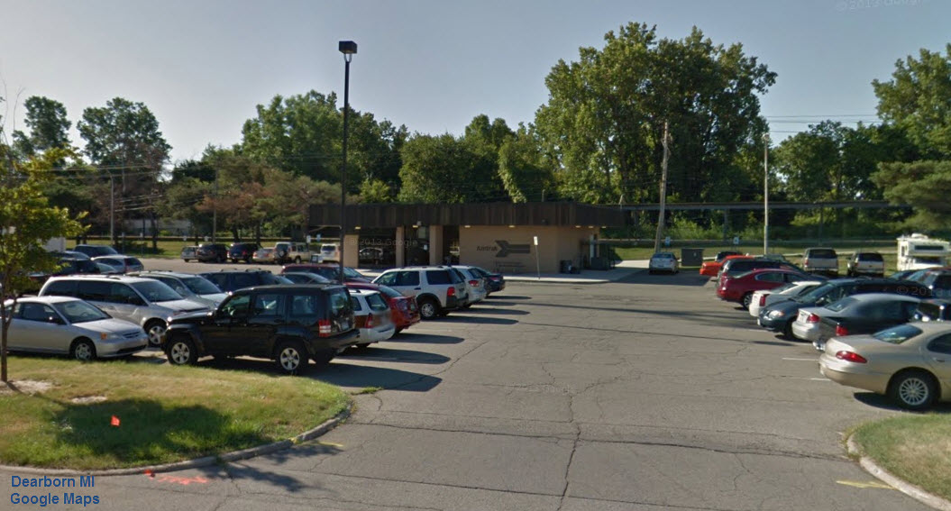
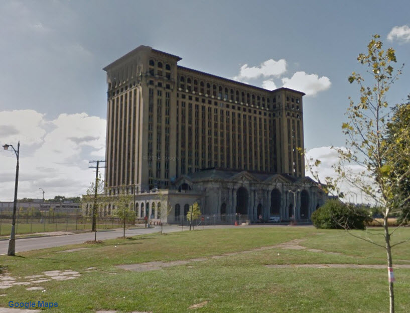

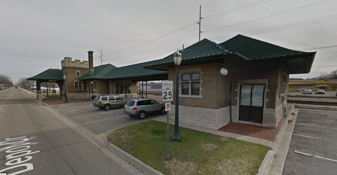
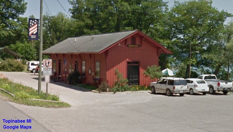
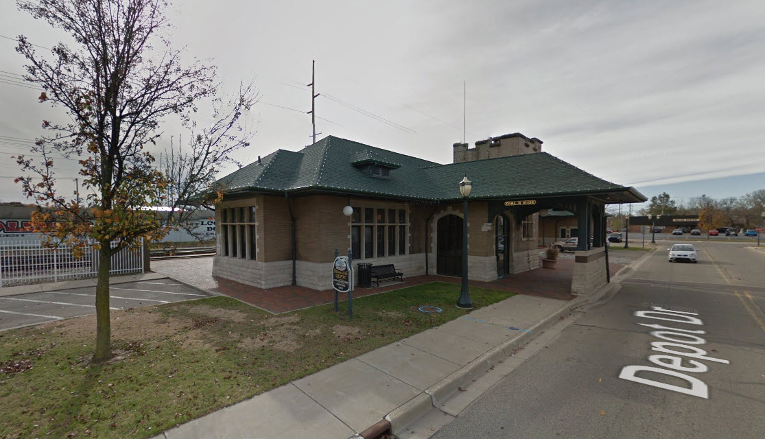 2015, Google Maps Streetview
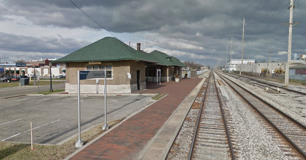 2015, Google Maps Streetview
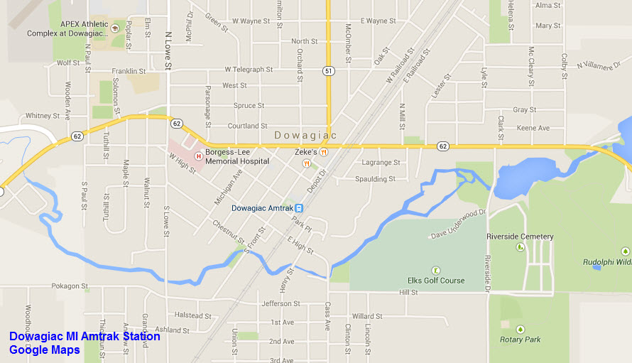


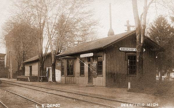
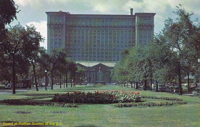
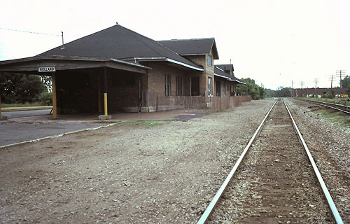
 From around 1964.
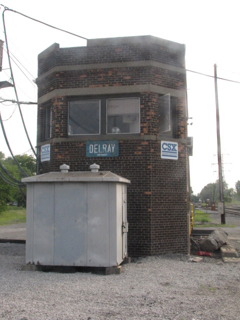
 Found on the internet, no credit
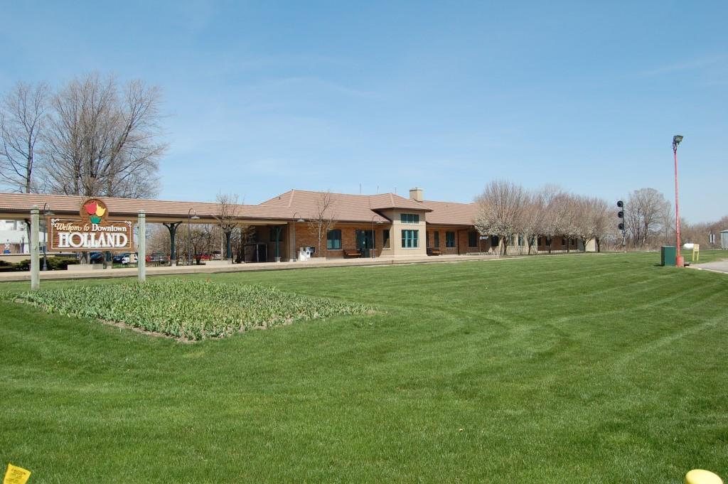 Denver Todd Photo
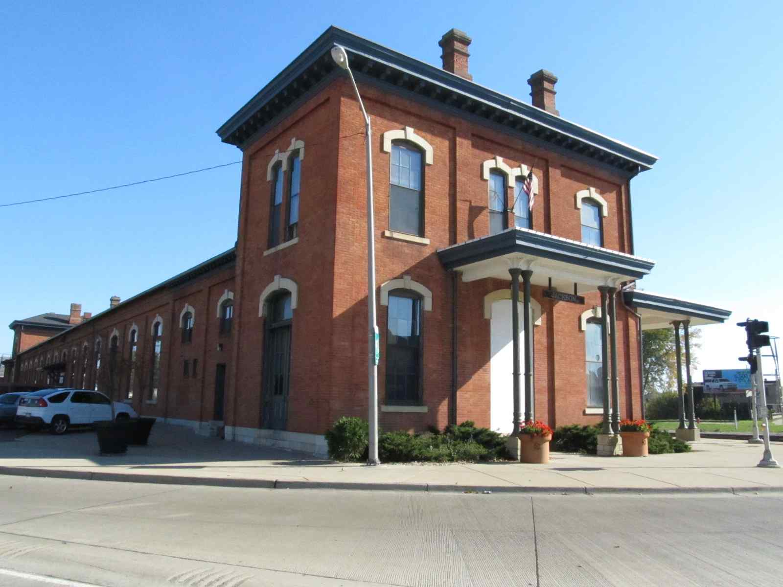


 Three from today, from Google Maps Streetview
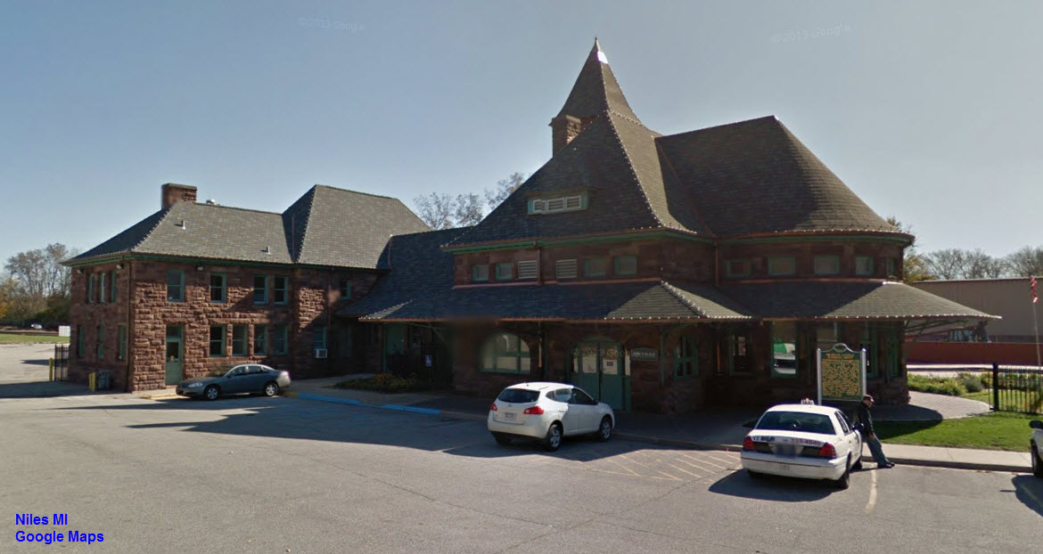


 2014
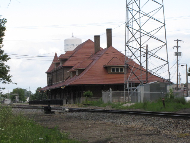
2014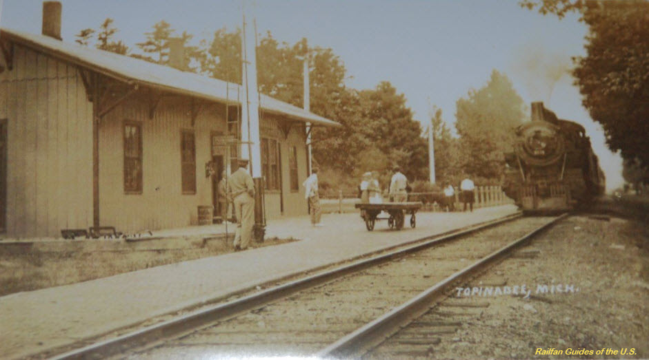 Yesteryear

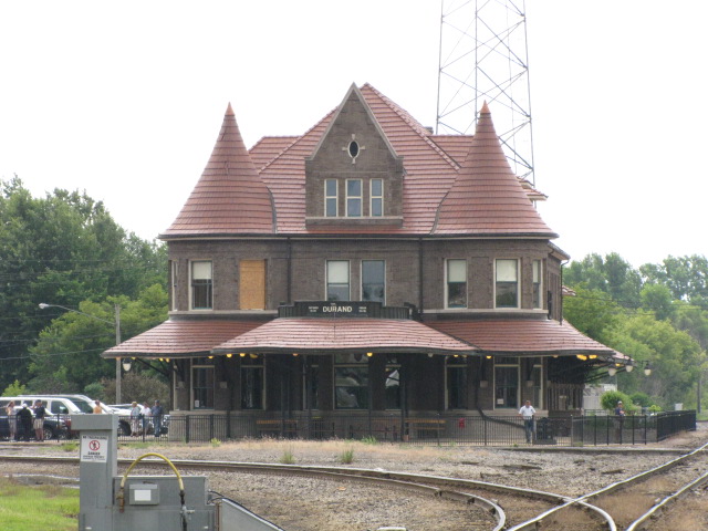
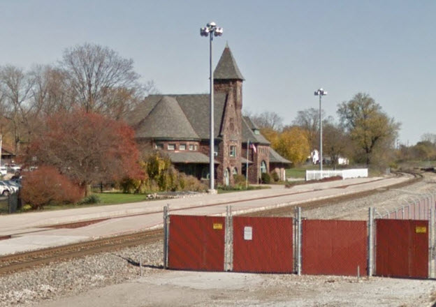
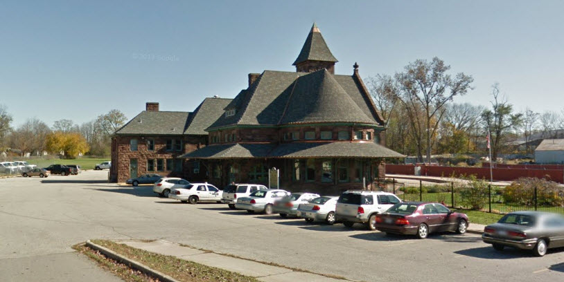
 3X Google Street View