
In General
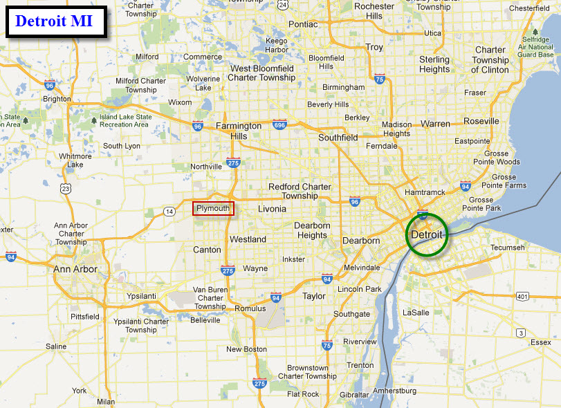
Getting Here
Map
Sights
Bridges/Overpasses
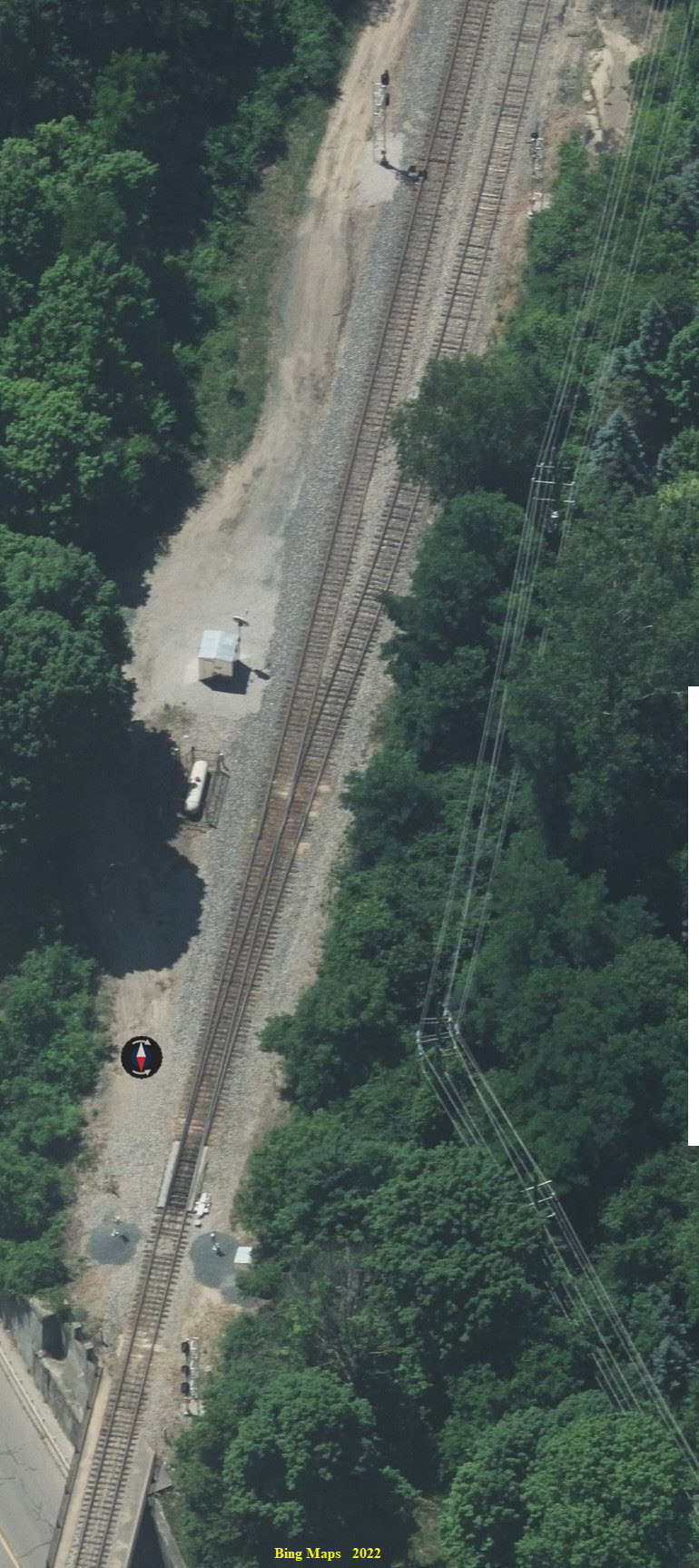
Signals
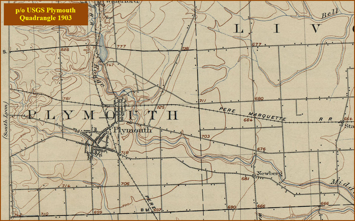
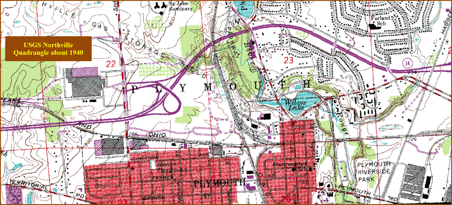
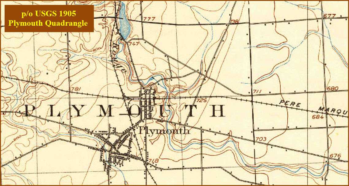
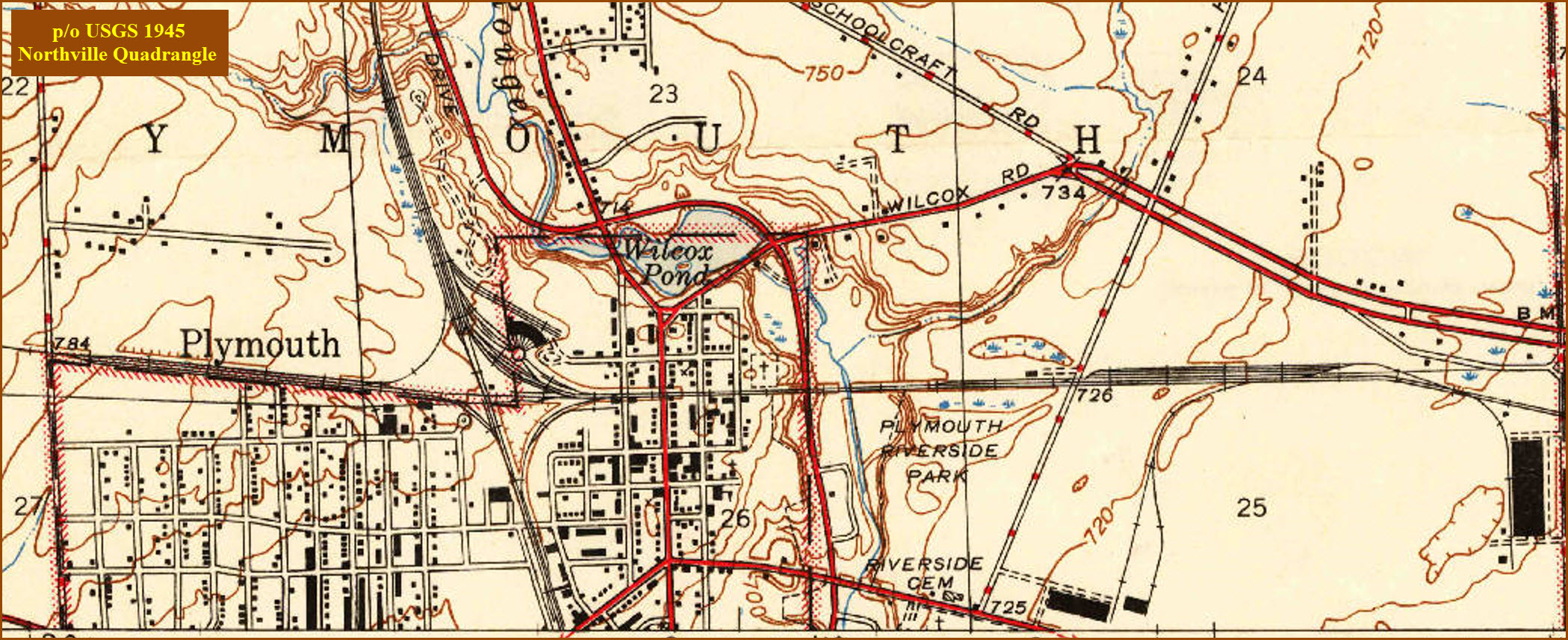
Historic Maps
Floobydust
DETROIT RAILFAN GUIDE
RAILFAN GUIDES HOME
RAILROAD SIGNALS HOME
Location / Name:
Plymouth MI, Wayne County
What's Here:
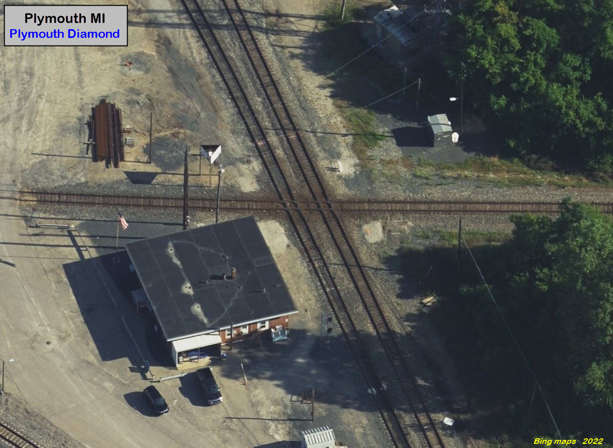
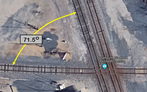
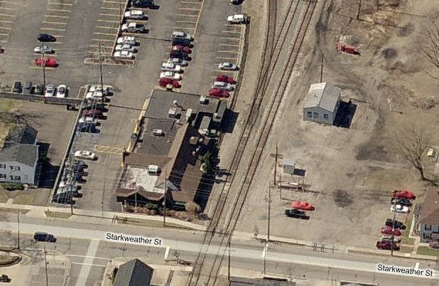
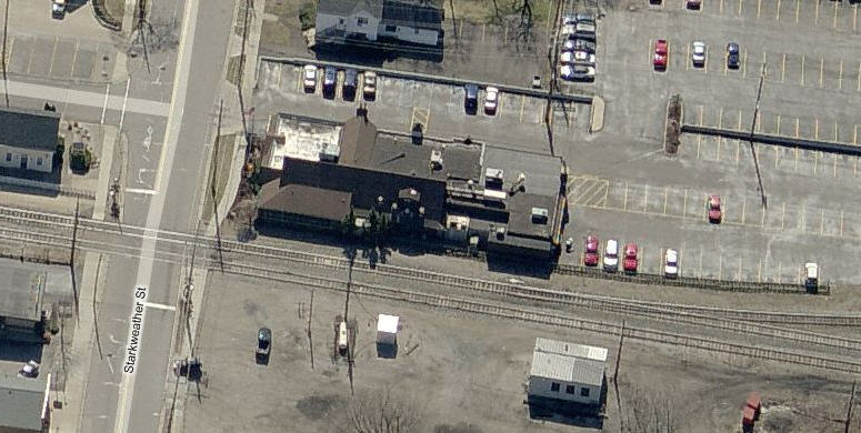
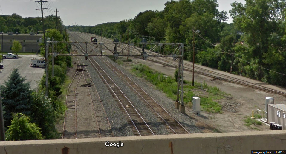
Plymouth Diamond
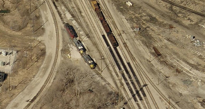
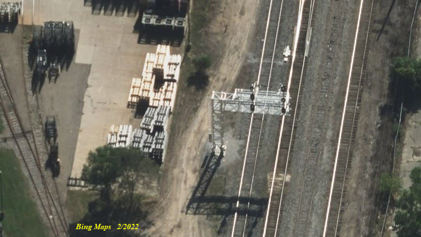
CSX's Plymouth Yards
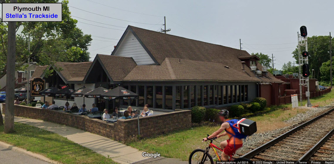
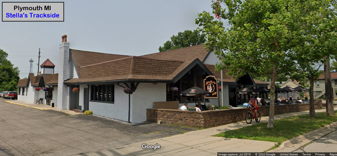
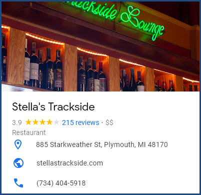
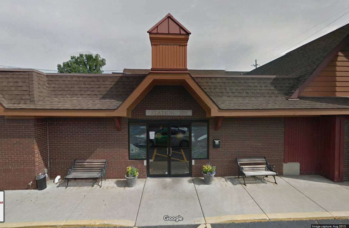
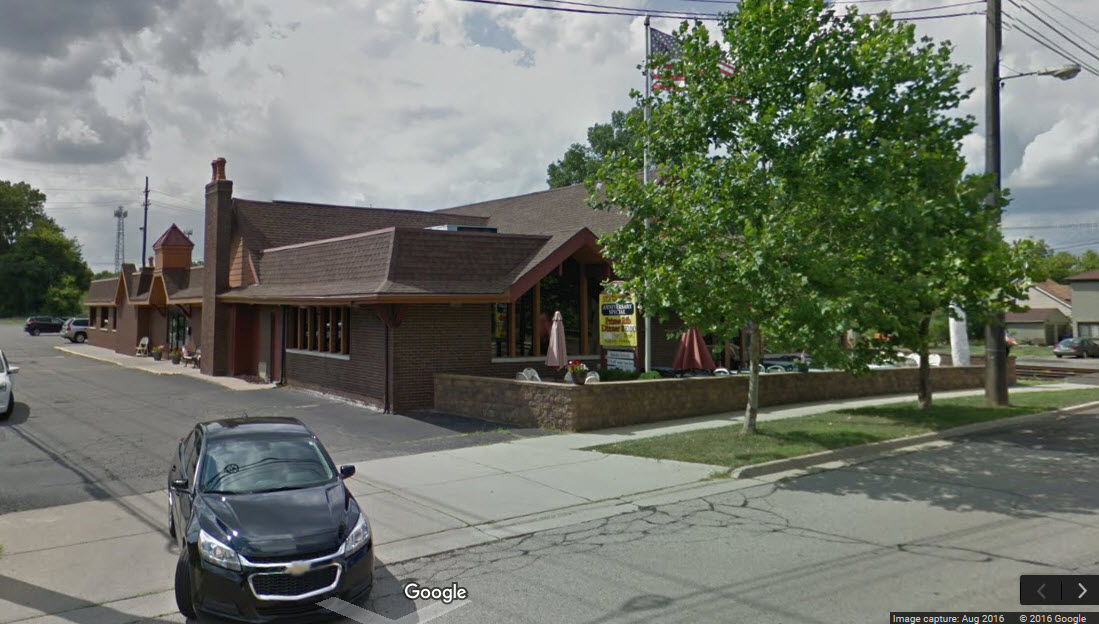
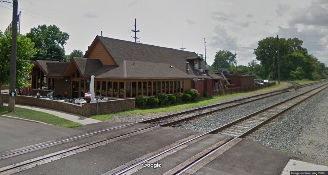
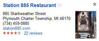
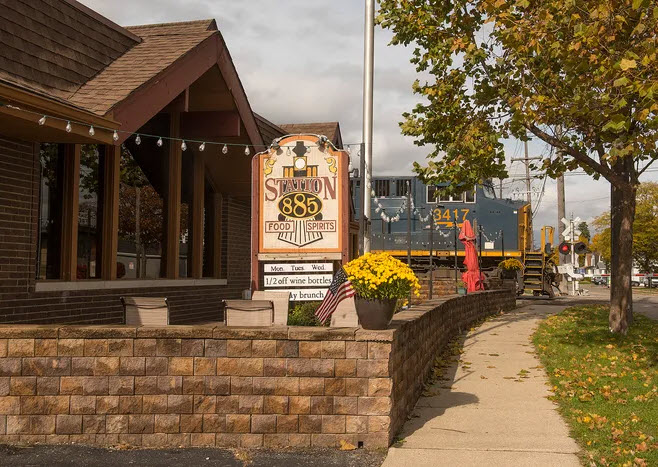
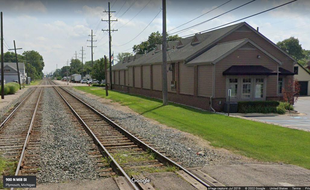
Stella's Trackside Restaurant
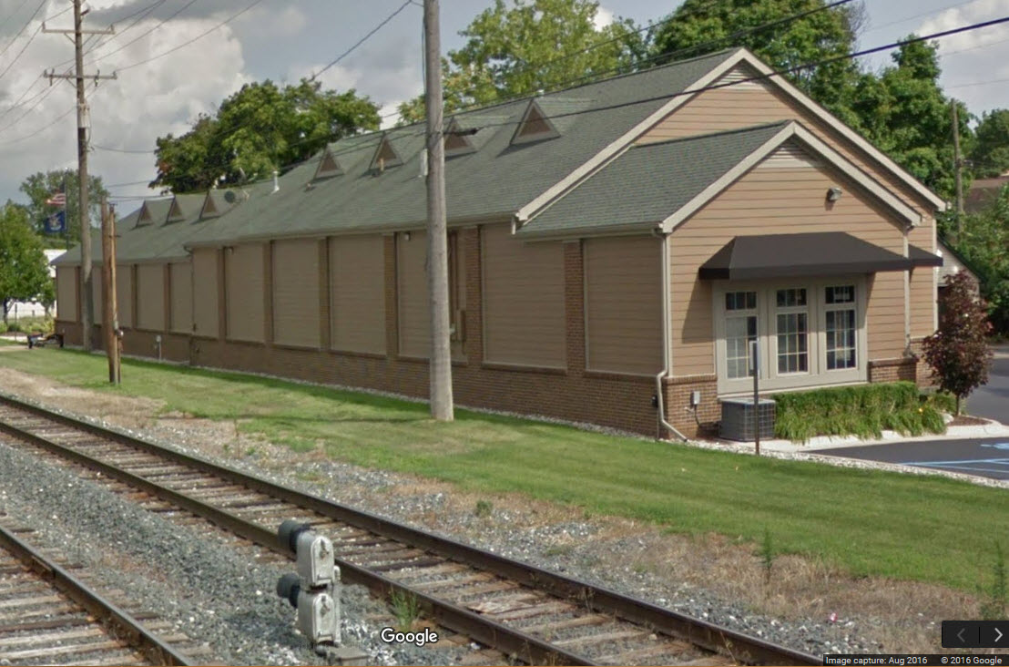
Former C&O Freight Shed
Data:
GPS Coordinates: 42.380779, -83.466555 (at the diamond)
Phone A/C: 734
ZIP: 48170
Access by train/transit:
None
The Scoop:
Plymouth Diamond seems to be a local favorite, despite the fact that you can't actually get to the diamond itself. You can still get some good shots, but you can also miss trains if positioned in the wrong spot... It's sort of like railfanning Tower 26 in Houston... you just can't be everywhere at once, trains might show up somewhere else!
CSX, one of four Class 1 railroads in Michigan (the others are NS, GTW, and CR), has two mainlines in the state. Plymouth is at the crossroads of them. The Diamond is at the junction of two sub-divisors, the Plymouth (E-W) and Saginaw (N-S) sub-divisions. Actually for the mile between mileposts CH24 and CH25, the track is referred to as the Plymouth Interlocker.
The best places to view the action is from the parking lot of the Station 885 restaurant, or any of the public grade crossings at Mill St, Farmer St, Main St, Starkweather St, Holbrook St, or Haggerty Rd.
As far as trespassing on railroad property goes in Plymouth, the railroad is VERY serious about going onto their property. They will call the local cops to enforce the no trespassing signs posted, as they did for me back in 2000 or so when I was parked near the the cement plant. They also gave me grief about my hand held scanner, but were nice enough to allow me to put it in the trunk, showing them my out of state license. I since took care of that by getting a 2m HT with a high band scanner built in, but somewhere I thought I read that the law has been repealed.
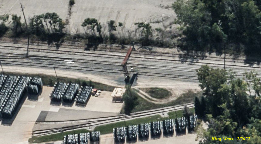
All of the trackage here used to be the Pere Marquette. In 1947 the C&O (Chesapeake and Ohio Railway) absorbed the PM, hence the C&O Freight Shed.
The CSX Plymouth Subdivision is a freight railroad line in the state of Michigan. It connects the Plymouth Diamond at milepost CH 24.5 to Grand Rapids at CH 148.1, passing through the Lansing metro area en route. Other towns served include Brighton, Howell, Williamston, Grand Ledge, and Lake Odessa. Operationally, it is part of the CSX Chicago Division, dispatched from Calumet City, IL.
Acknowledgements:
Denver Todd
Garry Kaluzny
EBay seller: matchbookalbumstore
Google Maps
Bing Maps
Websites and other additional information sources of interest for the area:
http://wikimapia.org/10104229/Plymouth-Diamond
https://en.wikipedia.org/wiki/Plymouth_Subdivision
https://www.radioreference.com/apps/db/?aid=1555
http://www.michiganrailroads.com/stations-locations/503-wayne-county-82/wayne-co-stations-o-r/2237-plymouth-yard-plymouth-mi
From downtown Detroit, take I-96 west. When you get to the intersection with I-276, and I-96 goes north with 276, GO STRAIGHT onto 14. Take the very next exit (#20), and take a left onto N. Sheldon Rd at the top of the ramp. Take a left at Farmer Street after going over 14. This will take you to the south leg of the diamond.
From the south, as in Toledo, take I-275 instead of I-75 (which would take you to downtown Detroit), and then west on 14 at exit 29.
From the north, coming in on I-75 or I-94, take 75 till it runs into 94, head "south" on 94, till you hit I-96, then take 96 out as in above.
Coming in from the west on I-96, take it till you hit I-275 and head south till you come to 14 at exit 29 and then follow the instructions above.
If you're coming in from the west on I-94, get off onto 14 at exit 171 on the west side of Ann Arbor. Take 14 to exit 20, Sheldon Rd.
Map
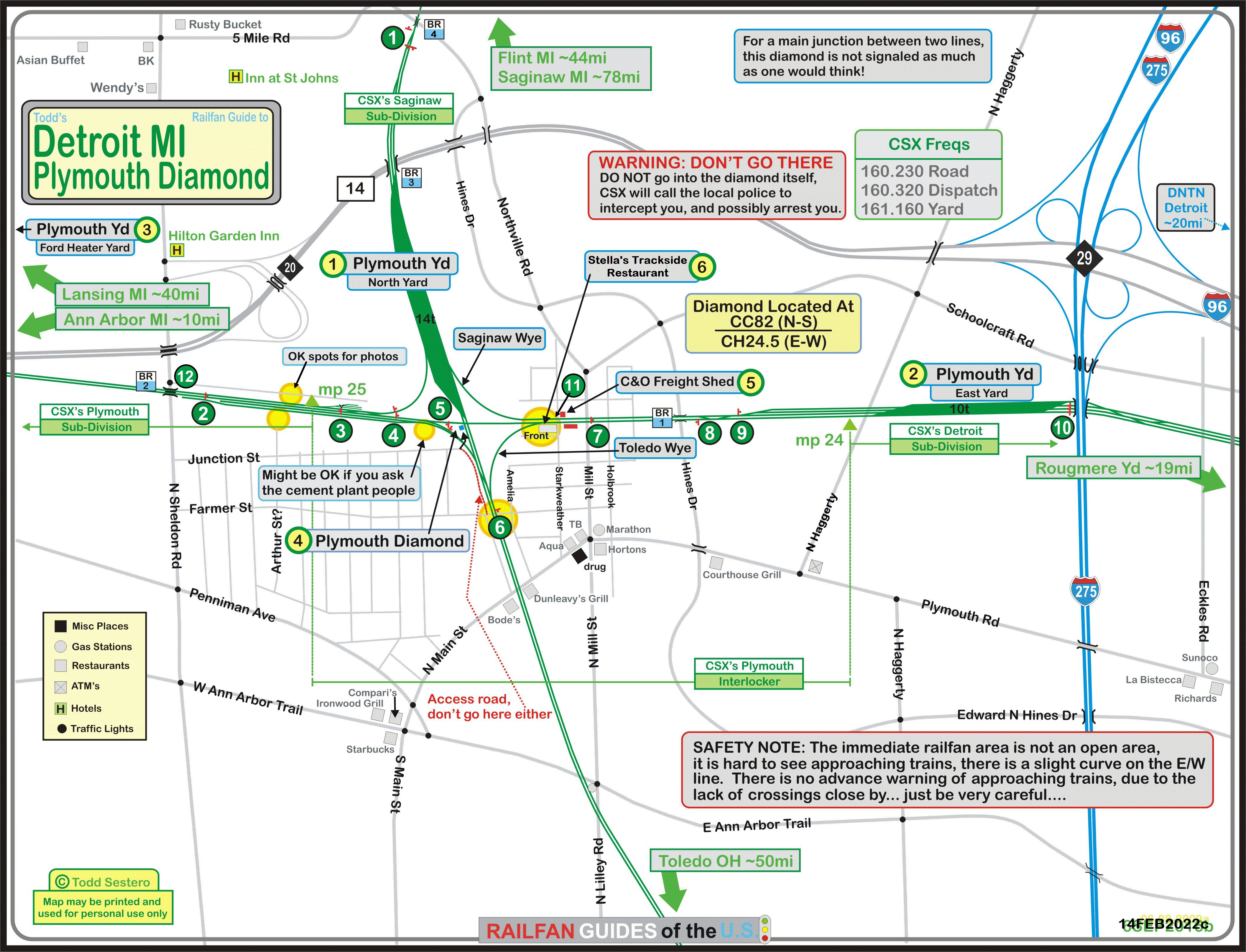
Click here for the map in PDF format.
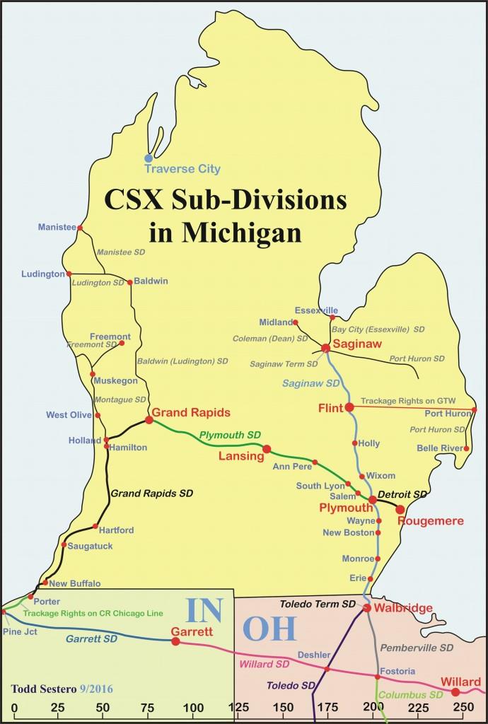
Numerous inconsistencies exist between the map below and the CSX sub-divisions
listed on the Wikipedia page of the same name
If anyone has any better and accurate info, it would be appreciated.....
Sits just to the north of the diamond. Plymouth Yard is a yard along the N/S Pere Marquette (Toledo to Saginaw) line, just north of the crossing of the PM/C&O (Detroit-Grand Rapids) line in downtown Plymouth.
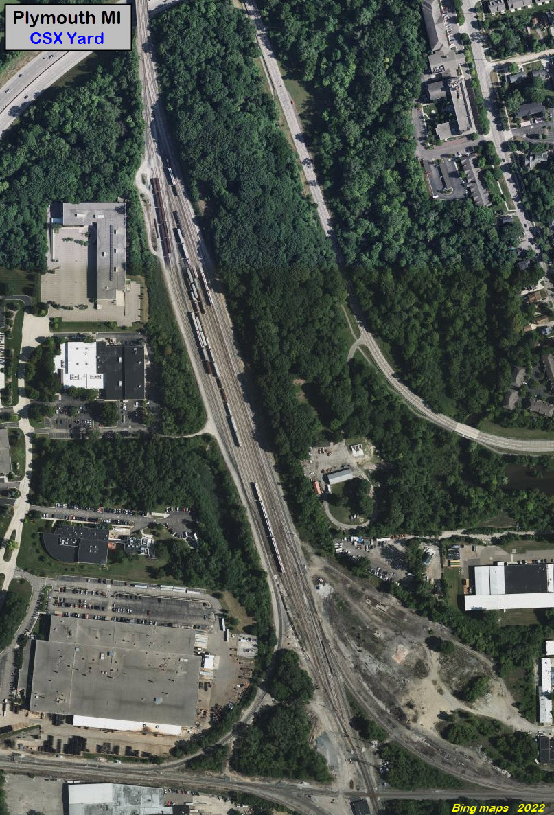
The bottom end of Plymouth Yard, just north of the diamond.
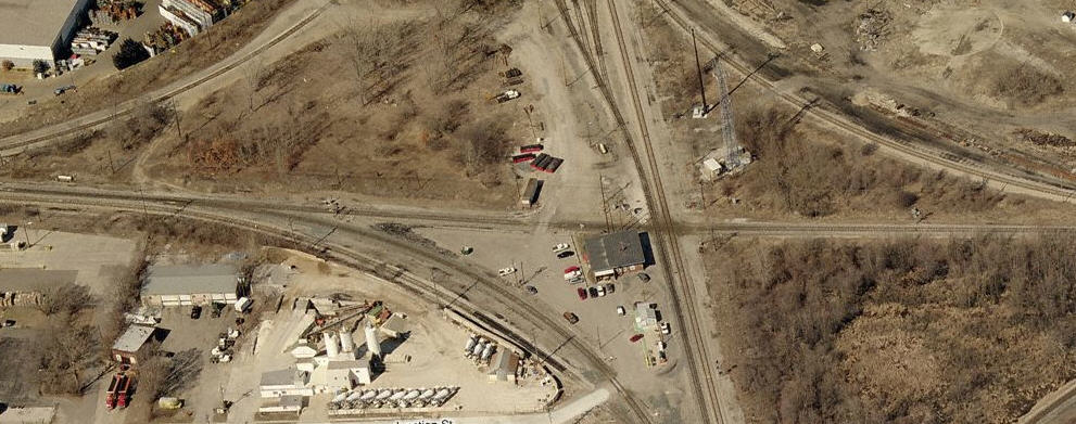
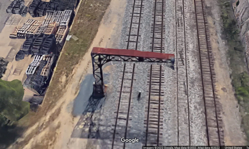
Former C&O yard, about 3/4 of a mile east of the diamond.

3/4 mile east of the diamond.
GPS Coordinates: 42.380779, -83.466555
 Measured using Corel Draw...
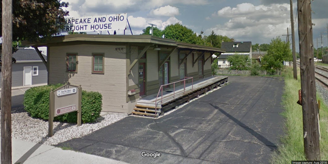
GPS Coordinates: 42.380599, -83.462417
885 Starkweather Street, Plymouth MI 48170
734-519-5358
Owner: Bob Ostendorf, also owns Stella’s Black Dog Tavern in downtown Plymouth
https://stellastrackside.com/
https://www.hometownlife.com/story/money/business/2018/11/15/stellas-black-dog-tavern-moving-into-station-885-restaurant-site/1891673002/
Formerly known as Station 885, looks like Stella's opened around the end of 2018.

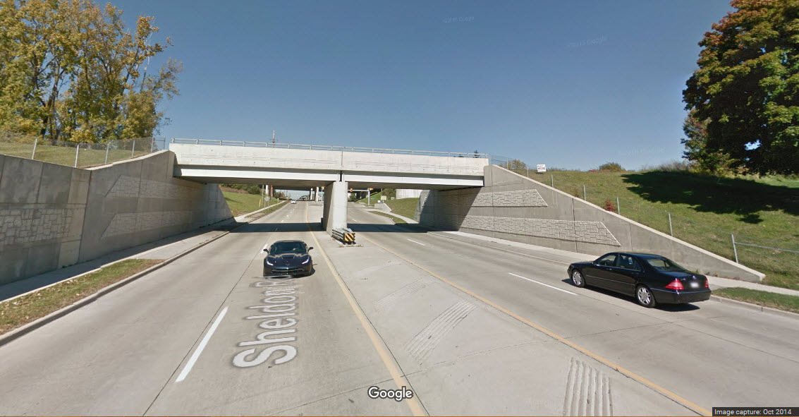
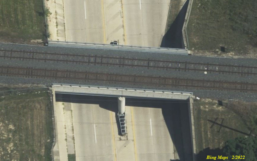
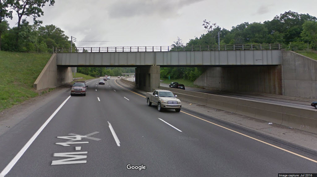
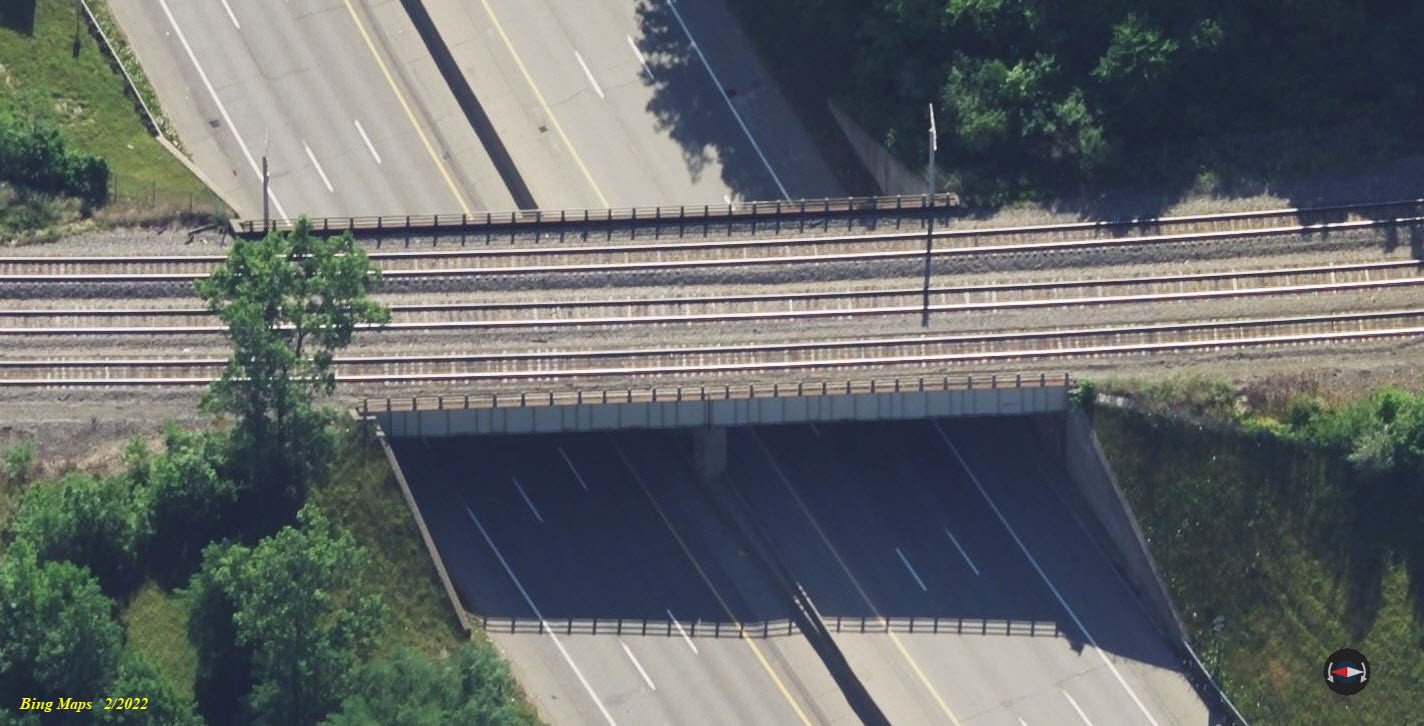
Simple double-tracked overpass. Looks the same from both sides.
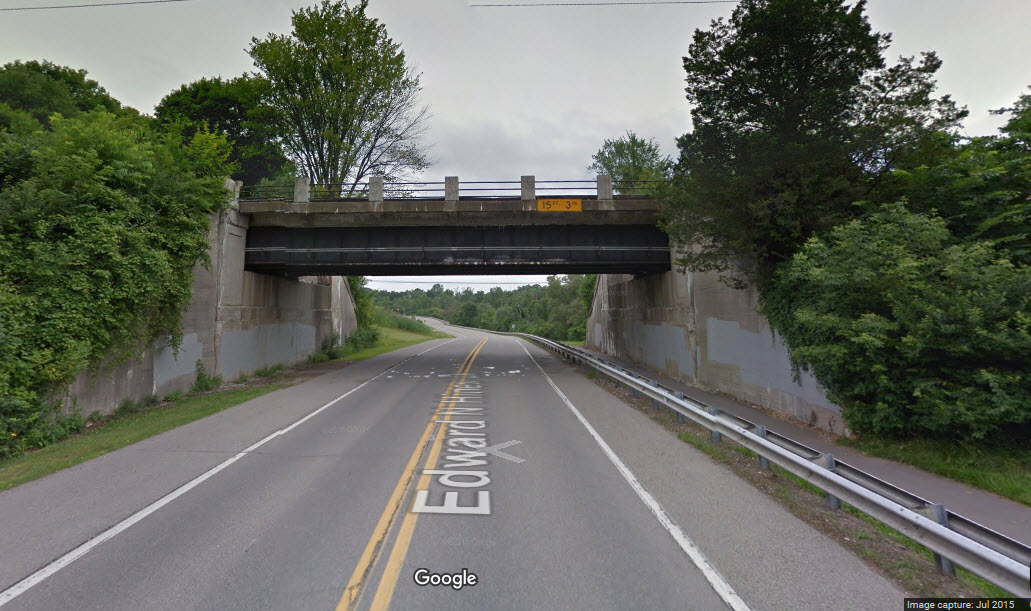
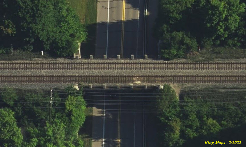
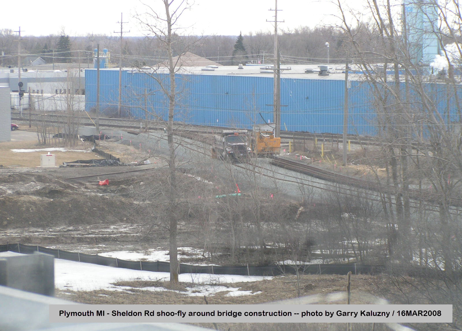
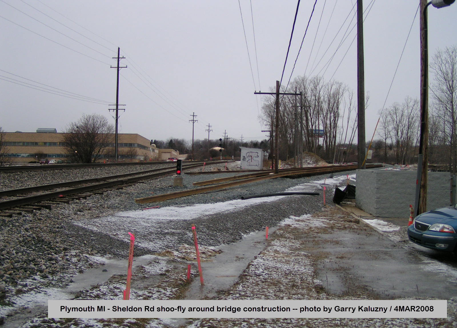
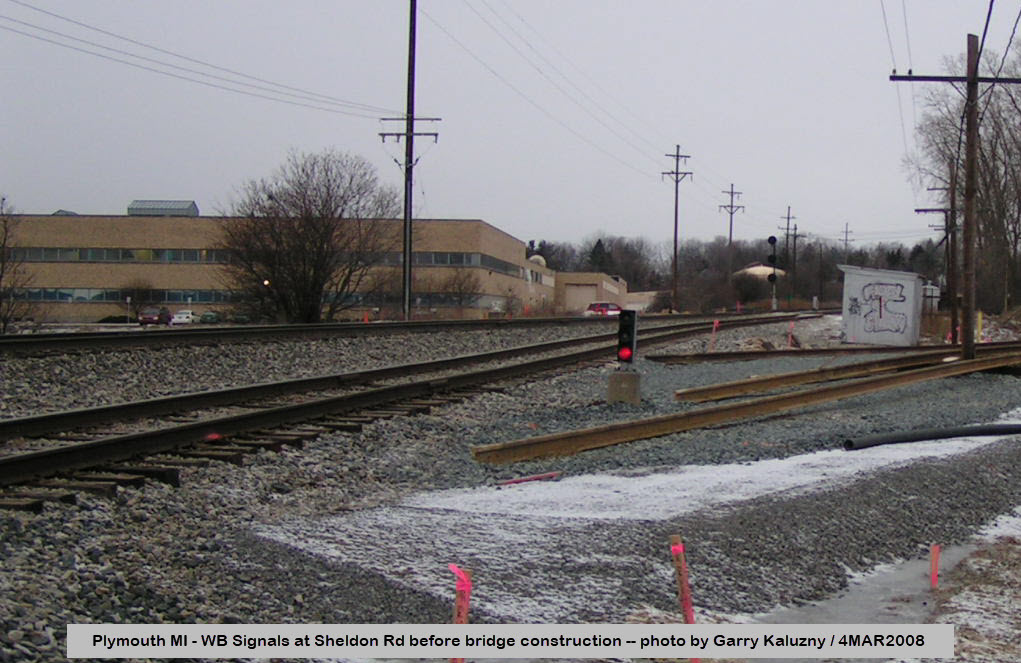
A relatively new overpass, because in my first version of this guide, I had this marked as a good spot for pictures.... not anymore! Thanks to Garry, I now know that the grade crossing was eliminated in 2008, with a shoo-fly being built around the construction site.
A couple of pictures, courtesy Garry Kaluzny, of the temporary shoo-fly track CSX installed during the construction of the Sheldon Rd bridge.
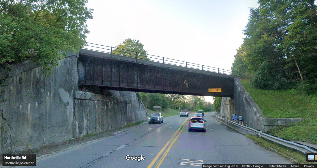 looking south
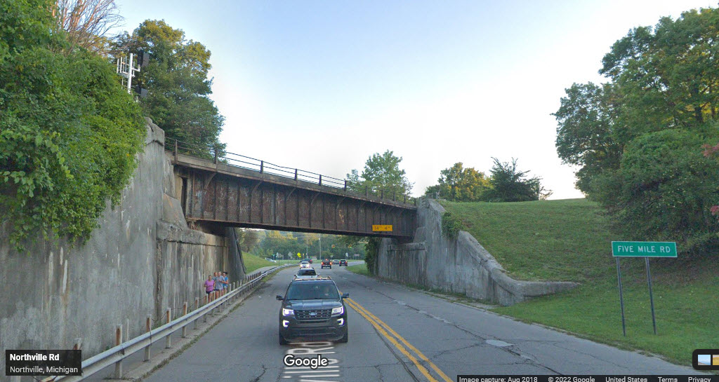 looking north
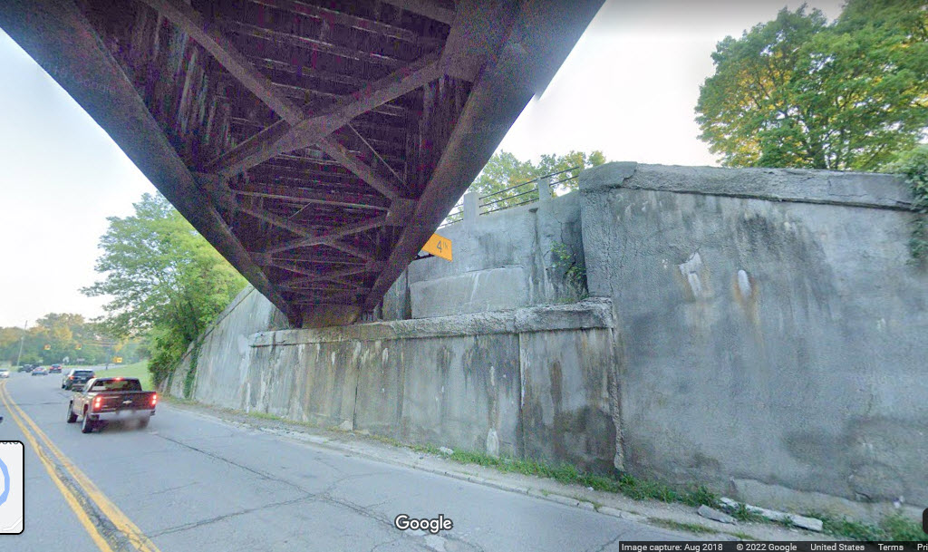
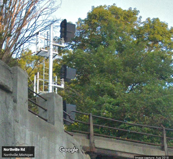
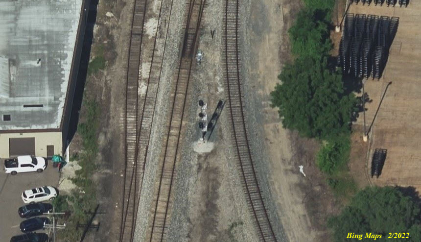
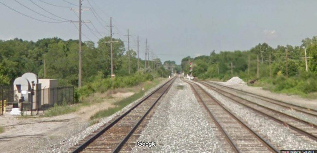
Looks like CSX has done a signal upgrade project since I did my last page revision, anyone know the specifics?
If anyone has the inclination and the time, I could use some good pictures of the signals, especially the old ones.
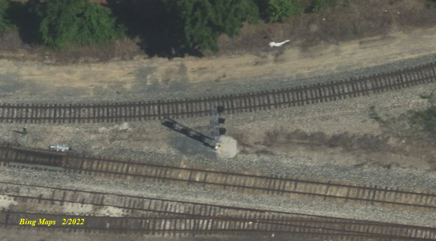
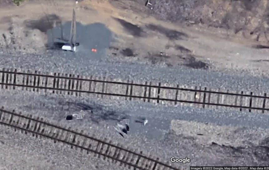
One of these signals used to be a dwarf, and I know you can't see it hardly at all since Google's aerial pictures are pretty much garbage these days.... :-(
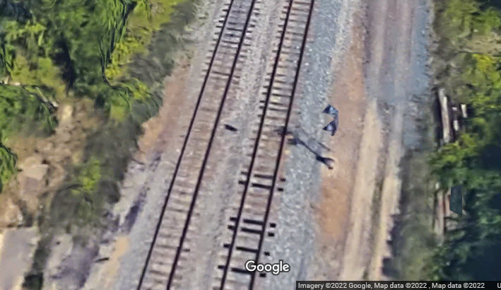
Looks like this signal was removed in the upgrade. It also could have been the dwarf signal depicted down at location 12. Dunno.
GPS Coordinates: 42.38121, -83.47210
As of 2/2022, Google is still showing the old signal, and one of the three "Birds Eye Views" on Bing still shows the old signal.
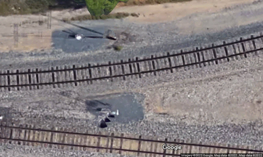
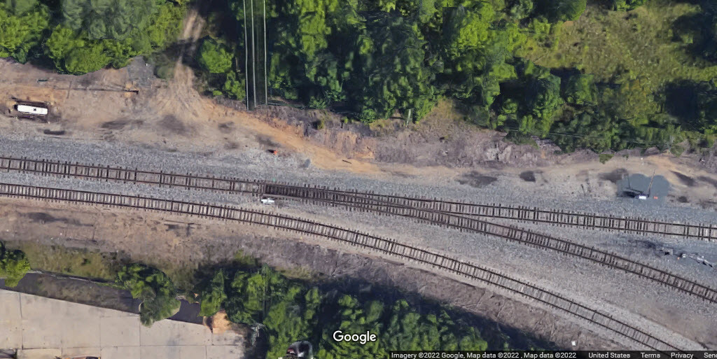
GPS Coordinates: 42.38103, -83.46987
Looks like they removed the interchange track signal with the signal upgrade....
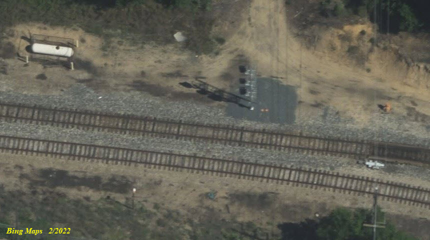
GPS Coordinates: 42.38096, -83.46882
Again, it appears that they removed the interchange track signal with the signal upgrade, and moved the EB interlocking signal a little to the west before the switch with one of the SW corner's interchange track.
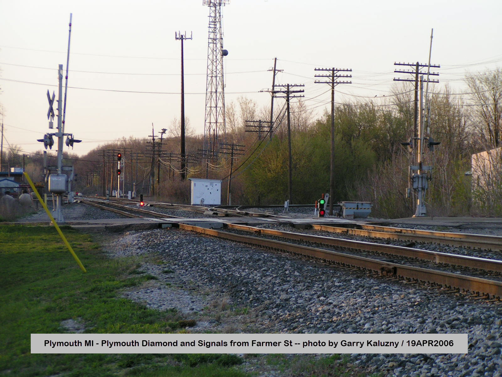
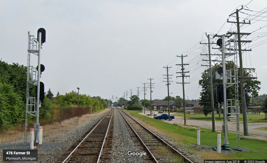
Google streetview from Farmer Street.
The dwarf signal is gone, being replaced by a pair of high colorlight signals on the opposite side of Farmer St.
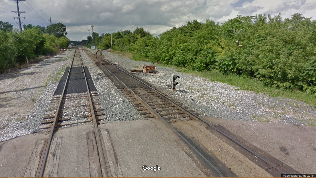
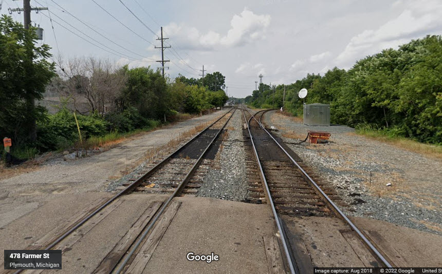
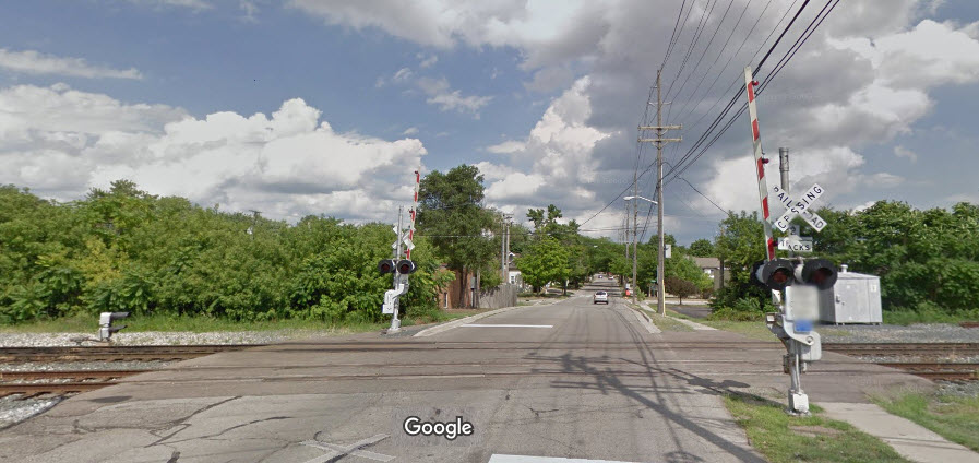 The Farmer St grade crossing.
Google streetview from Mill Street.
As of 2019 when the Google cameras came thru, this signal has been removed.
Taken from Haggerty grade crossing on Google's streetview.
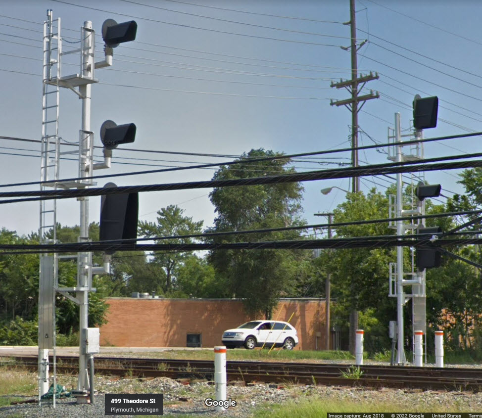
 the "old" signals
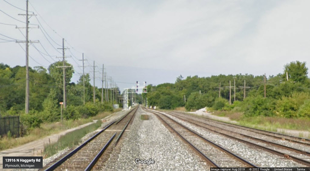 the new signals
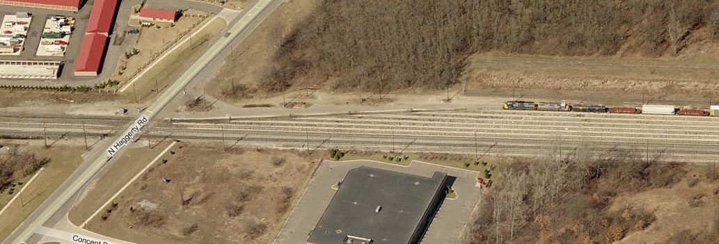
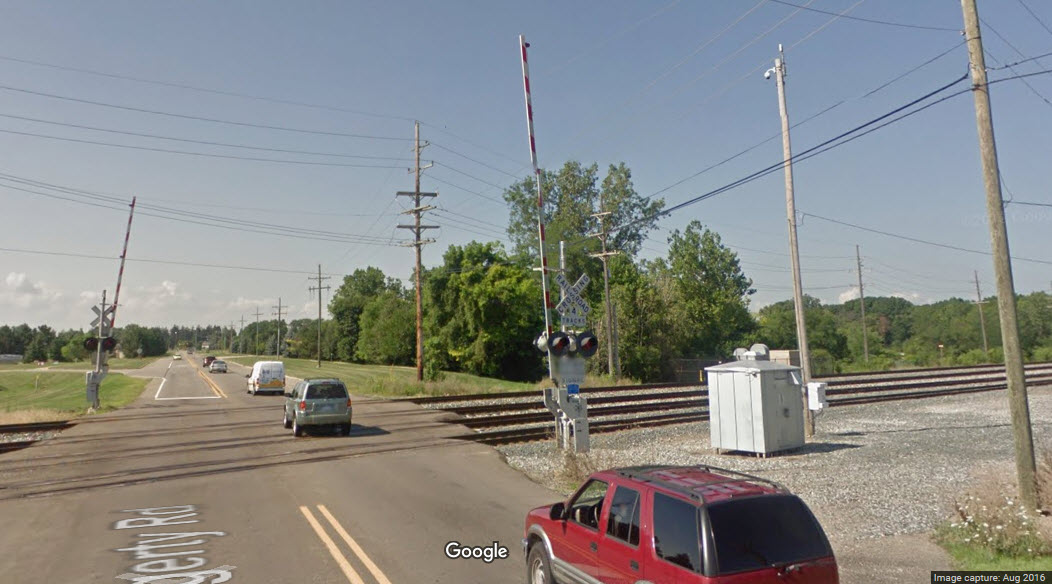 Grade crossing at Haggerty Rd.
Formerly searchlight signals on a signal bridge, they are now colorlight signals on a cantilever.
Also looks like the siding on the left side of the picture was removed.
 the old signals
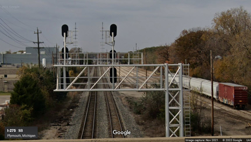 the new signals
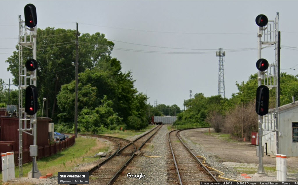
These are new signals since I did my previous update, they are adjacent to Stella's...
Thanks to Gary, we have a picture of the WB signals prior to the signal upgrade and the bridge construction.
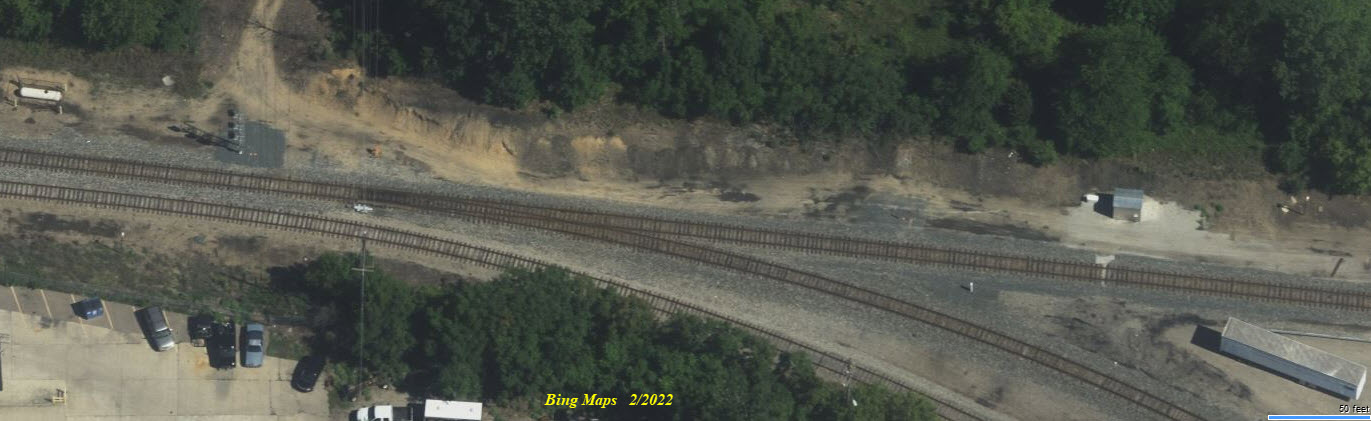
This building may have been a former railroad warehouse too.... maybe..... it is at the Mill St grade crossing, signal location 7.
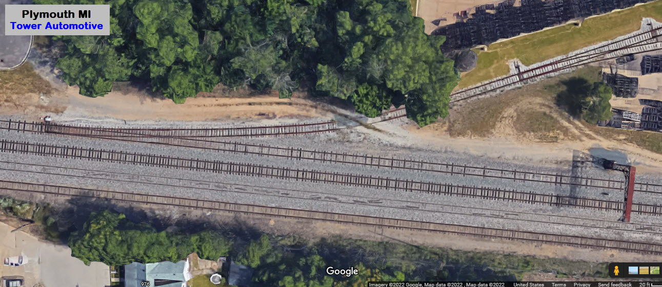
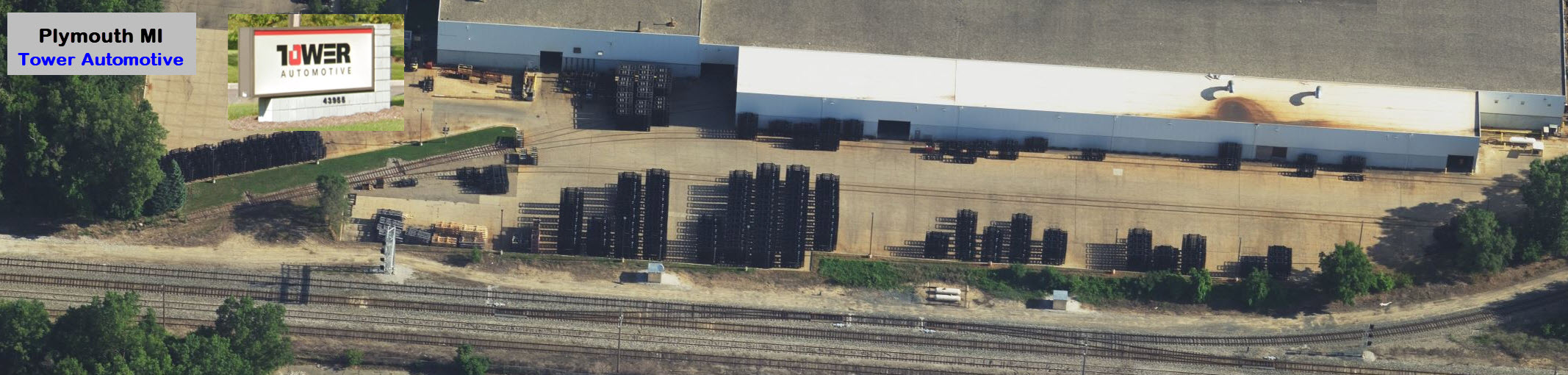
Tower Automotive
They used to have a connection to the E/W CSX main in the NW corner of the diamond.......
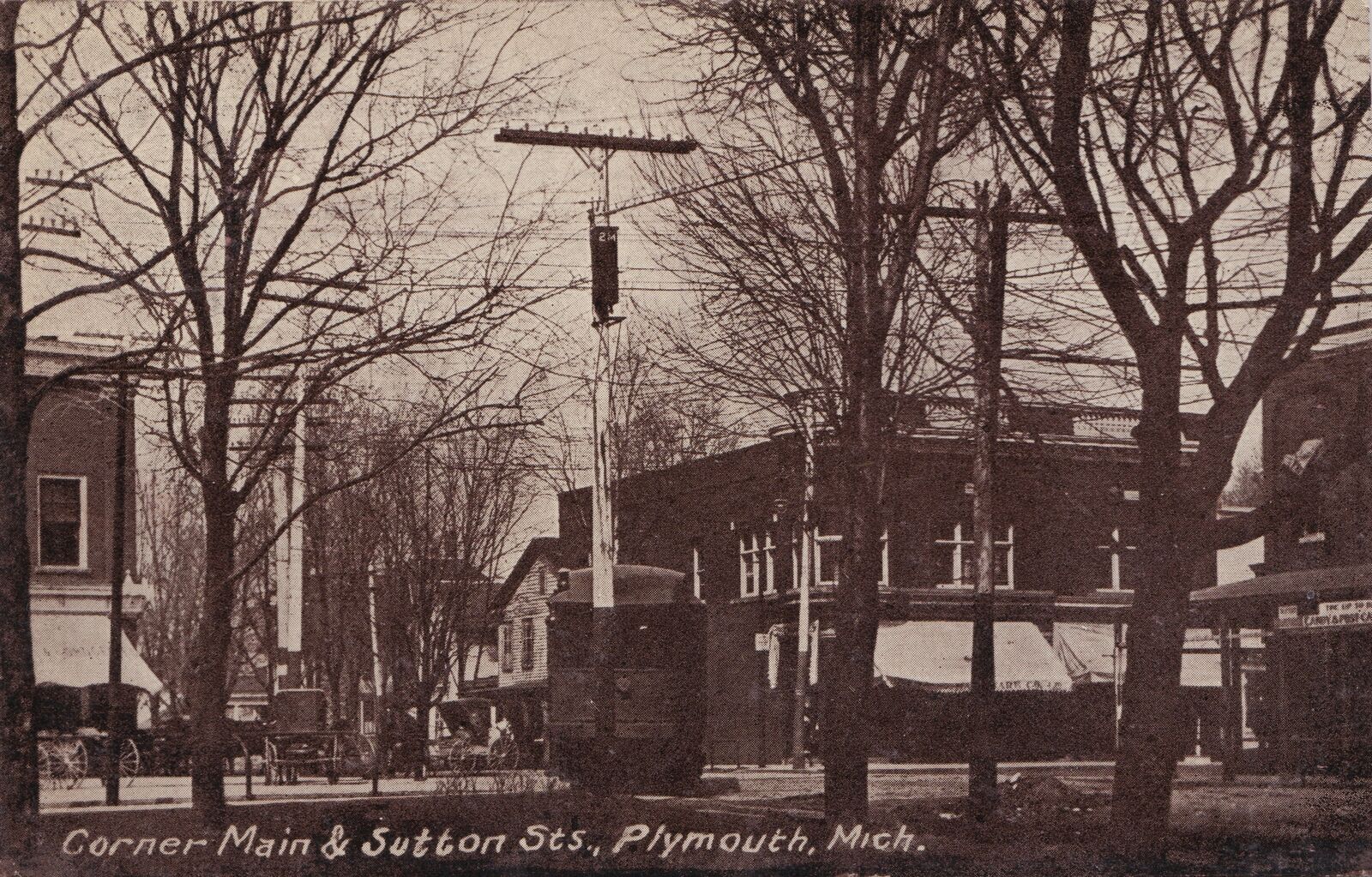
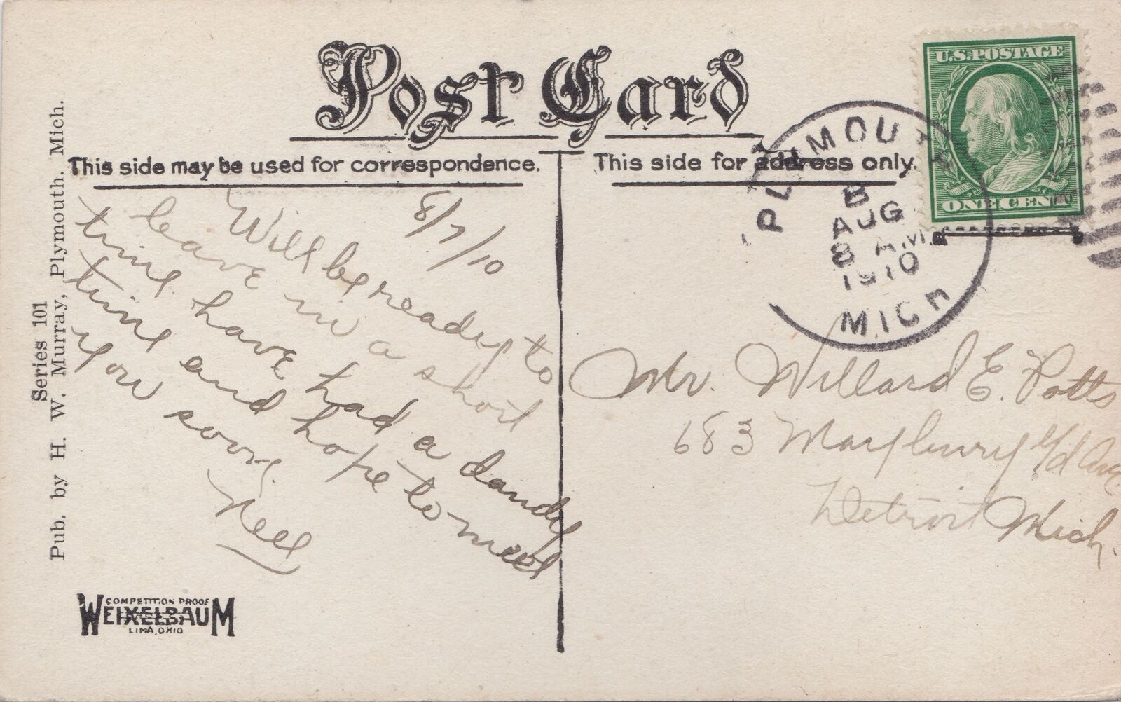
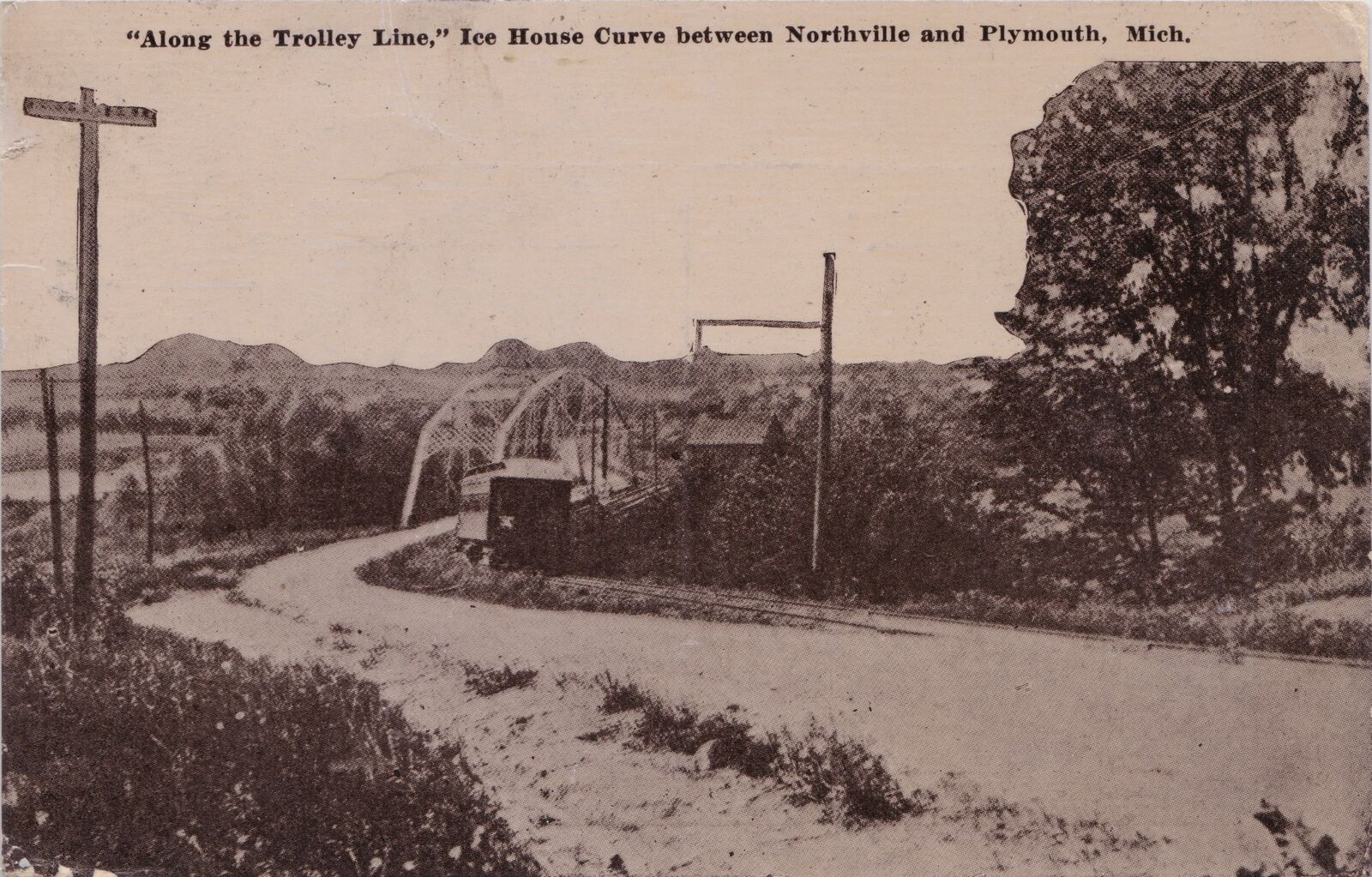
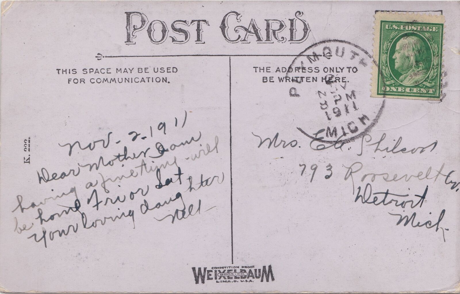
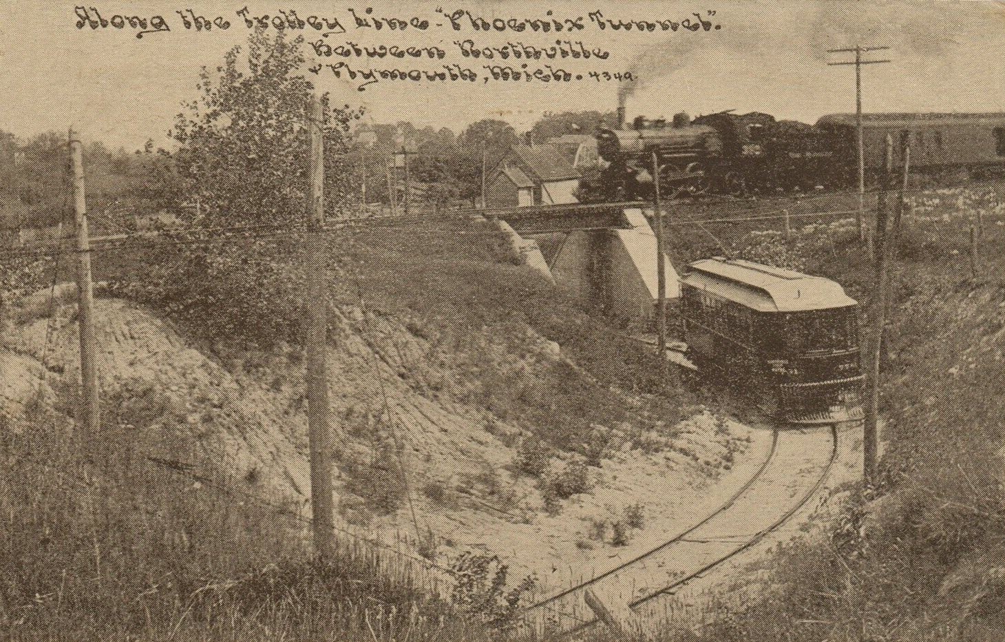
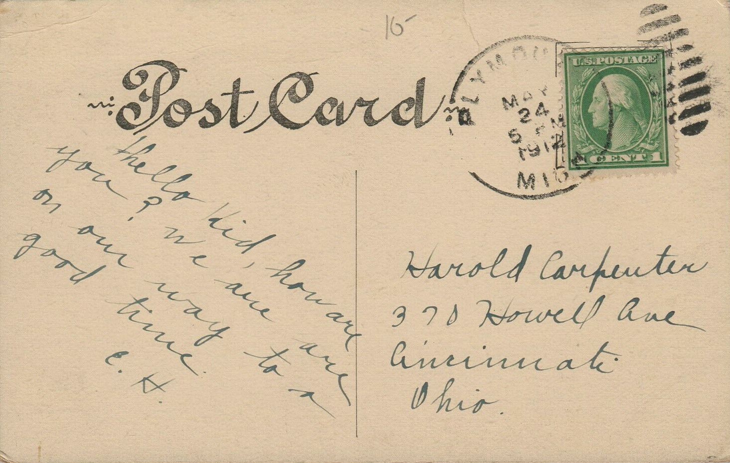
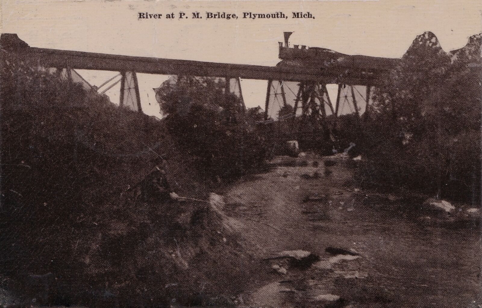
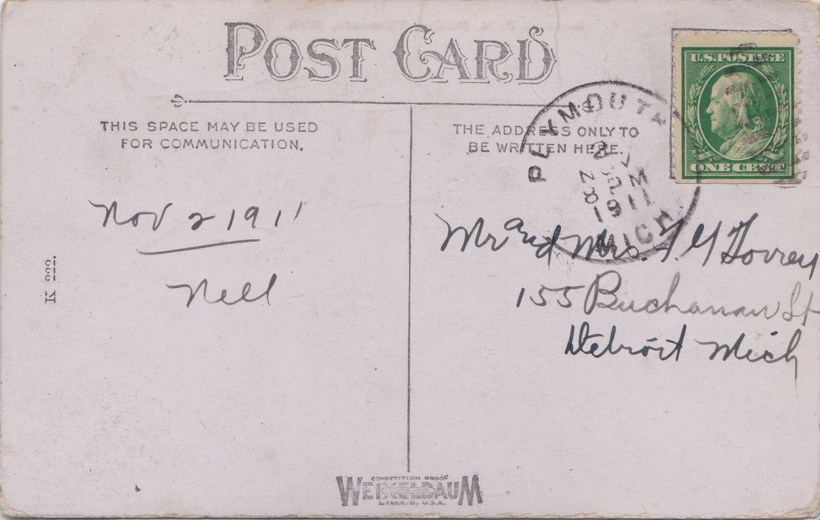
Postcards

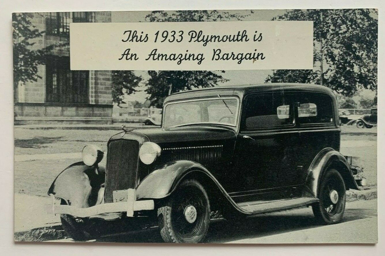
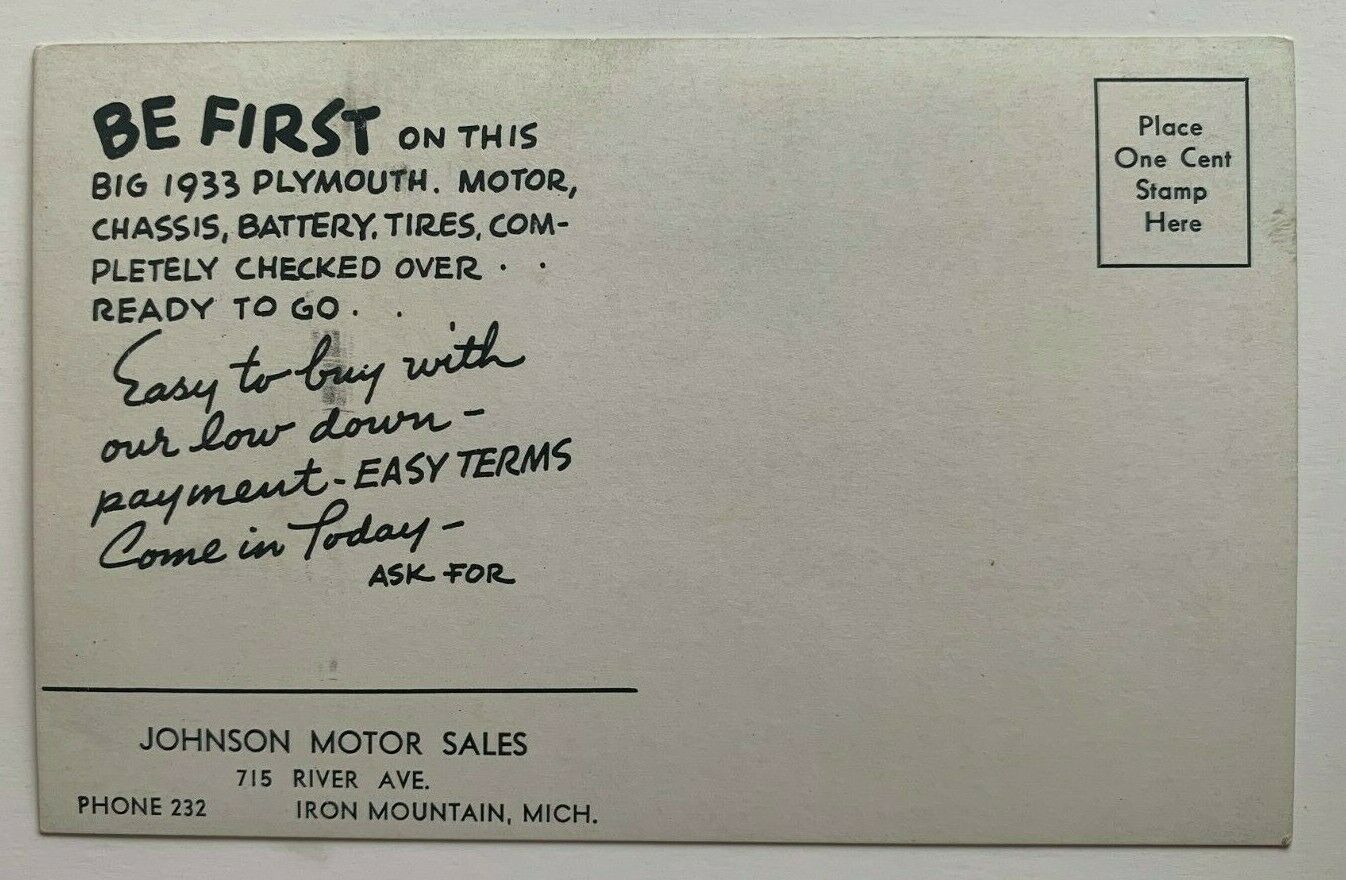
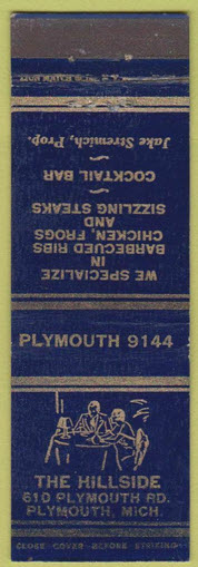
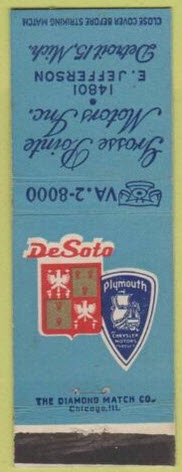
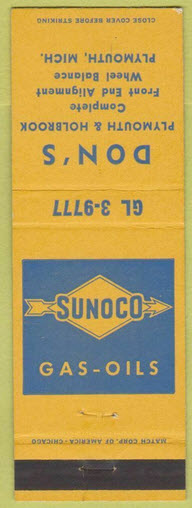
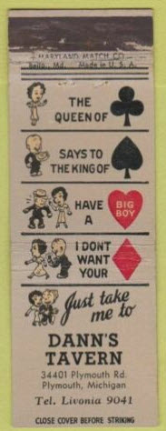
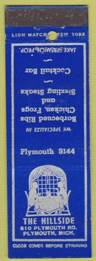
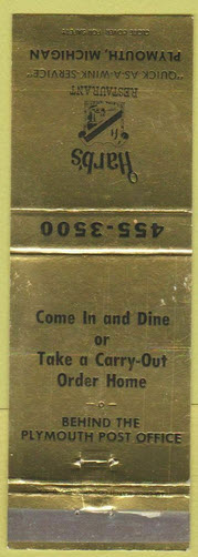
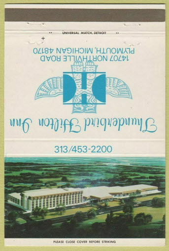
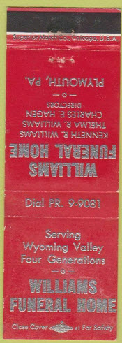
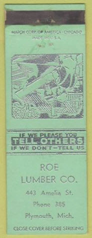
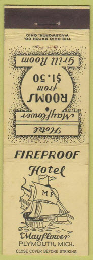
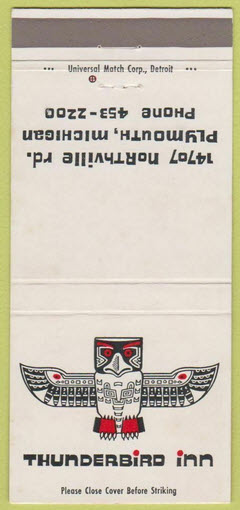
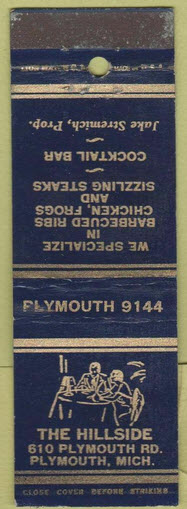
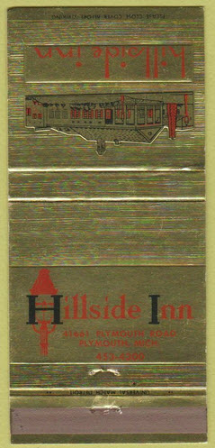
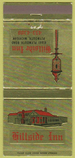
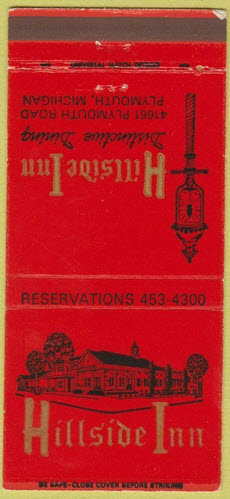
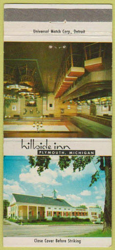
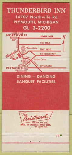
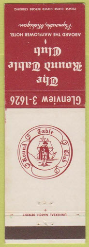
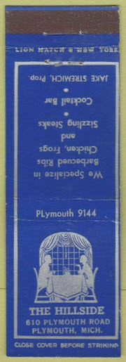
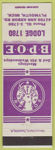
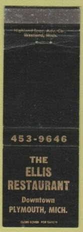
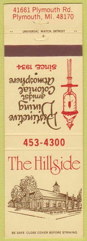
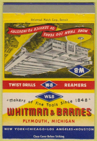
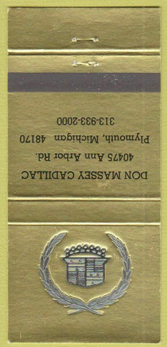
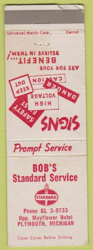
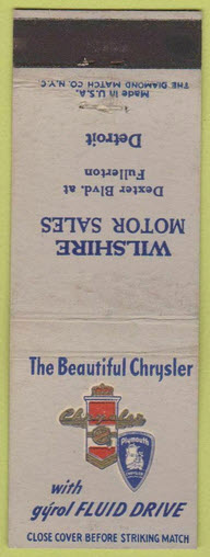
Matchbook Covers
Like postcards, matchbook covers are an interesting trip down memory lane, too bad more places today don't utilize them. :-)
From EBay seller: matchbookalbumstore
Disclaimers:
I love trains, and I love signals. I am not an expert. My webpages reflect what I find on the topic of the page. This is something I have fun with while trying to help others.
Please Note: Since the main focus of my two websites is railroad signals, the railfan guides are oriented towards the signal fan being able to locate them. For those of you into the modeling aspect of our hobby, my indexa page has a list of almost everything railroad oriented I can think of to provide you with at least a few pictures to help you detail your pike.
If this is a railfan page, every effort has been made to make sure that the information contained on this map and in this railfan guide is correct. Once in a while, an error may creep in :-)
My philosophy: Pictures and maps are worth a thousand words, especially for railfanning. Text descriptions only get you so far, especially if you get lost or disoriented. Take along good maps.... a GPS is OK to get somewhere, but maps are still better if you get lost! I belong to AAA, which allows you to get local maps for free when you visit the local branches. ADC puts out a nice series of county maps for the Washington DC area, but their state maps do not have the railroads on them. If you can find em, I like the National Geographic map book of the U.S..... good, clear, and concise graphics, and they do a really good job of showing you where tourist type attractions are, although they too lack the railroads. Other notes about specific areas will show up on that page if known.
Aerial shots were taken from either Google or Bing Maps as noted. Screen captures are made with Snagit, a Techsmith product... a great tool if you have never used it!
By the way, floobydust is a term I picked up 30-40 years ago from a National Semiconductor data book, and means miscellaneous and/or other stuff.
Pictures and additional information is always needed if anyone feels inclined to take 'em, send 'em, and share 'em, or if you have something to add or correct.... credit is always given! Please be NICE!!! Contact info is here
Beware: If used as a source, ANYTHING from Wikipedia must be treated as being possibly inaccurate, wrong, or not true.
DETROIT RAILFAN GUIDE
RAILFAN GUIDES HOME
RAILROAD SIGNALS HOME
NEW 06/09/2009, SEP08/2016, FEB07/08/11/13/14/2022
Last Modified 14-Feb-2022