![]()
In General
Getting Here
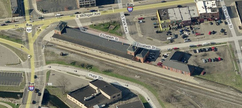
Map
Sites
Bridges
Signals
Floobydust
MICHIGAN GUIDE HOME
RAILFAN GUIDES HOME
RAILROAD SIGNALS HOME
Location / Name:
Jackson MI, Jackson County
What's Here:
Amtrak
Jackson & Lansing RR
Norfolk Southern
Amtrak Station, a former Michigan Central Depot
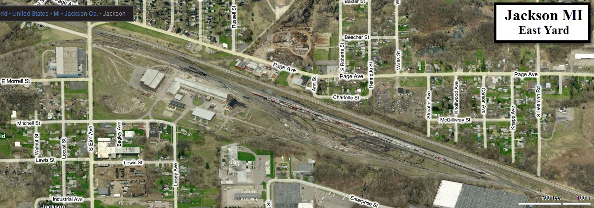
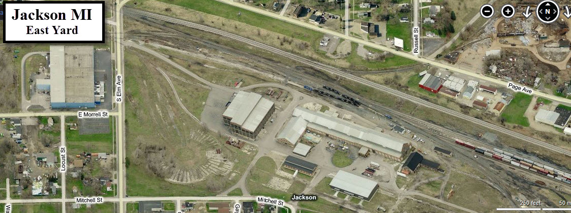
NS's East Yard
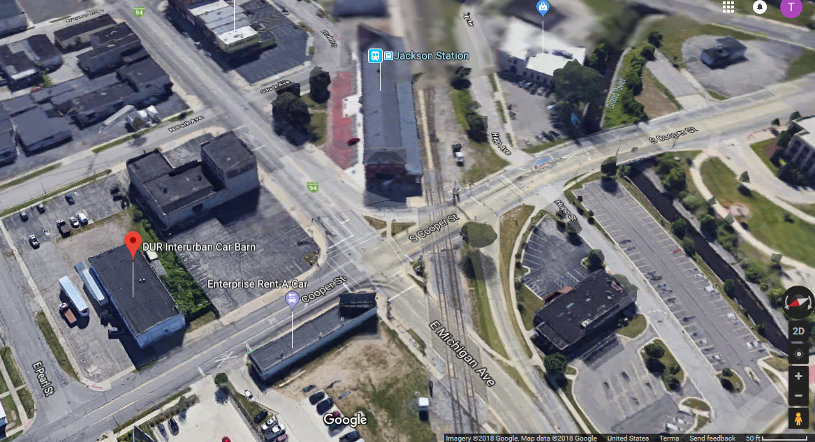
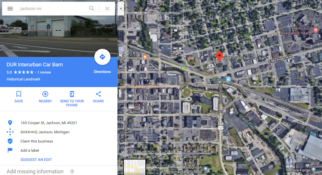
DUR Interurban Car Barn
Data:
GPS Coordinates: As Needed
Phone A/C: 517
ZIP: 49201
Access by train/transit:
Amtrak
The Scoop:
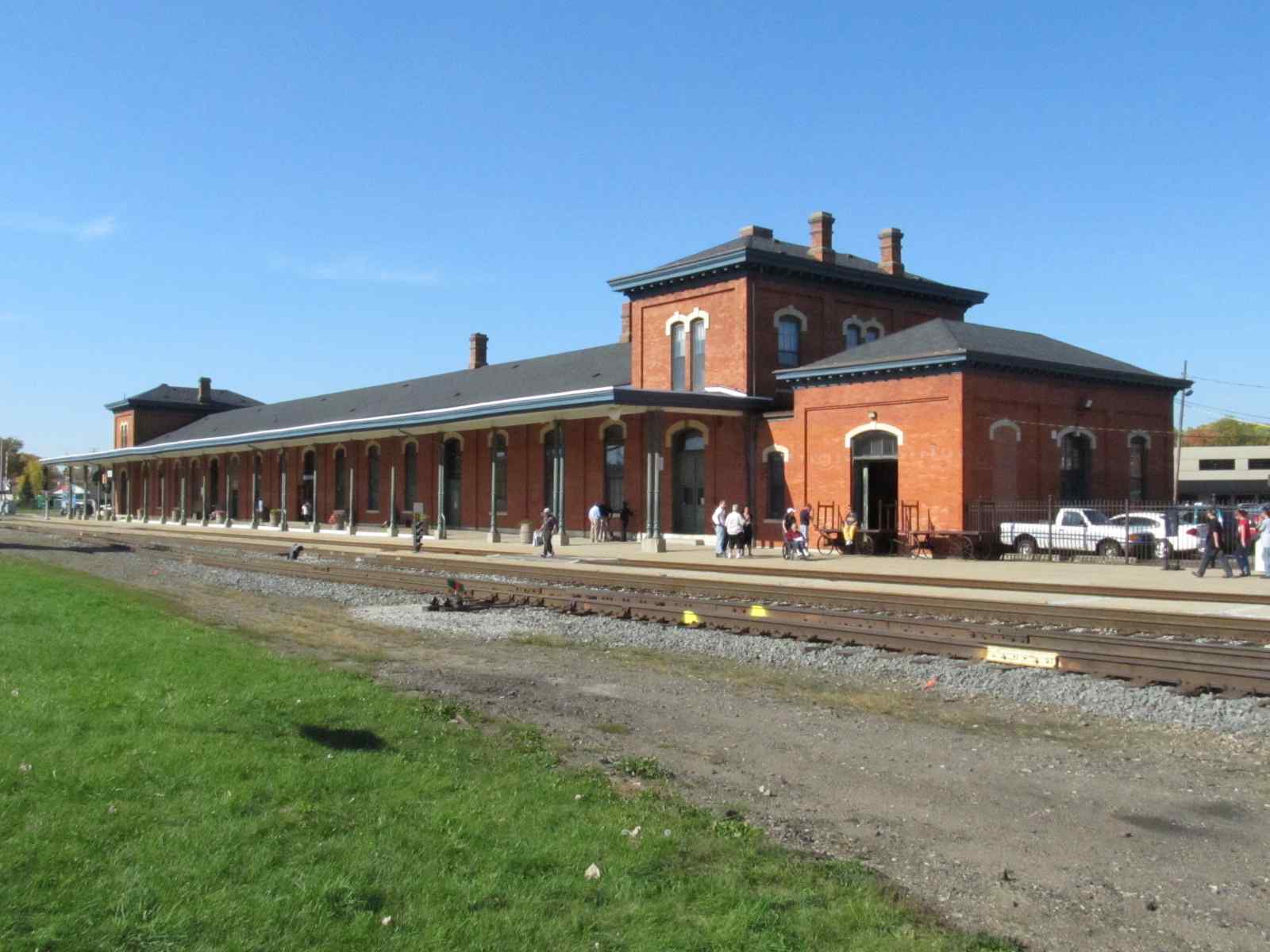
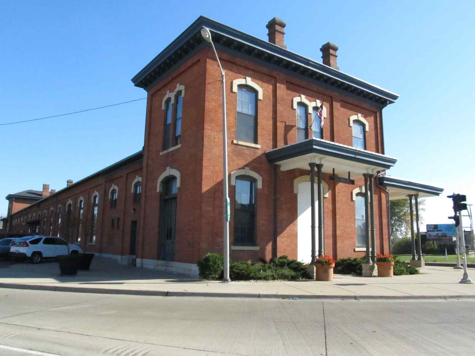
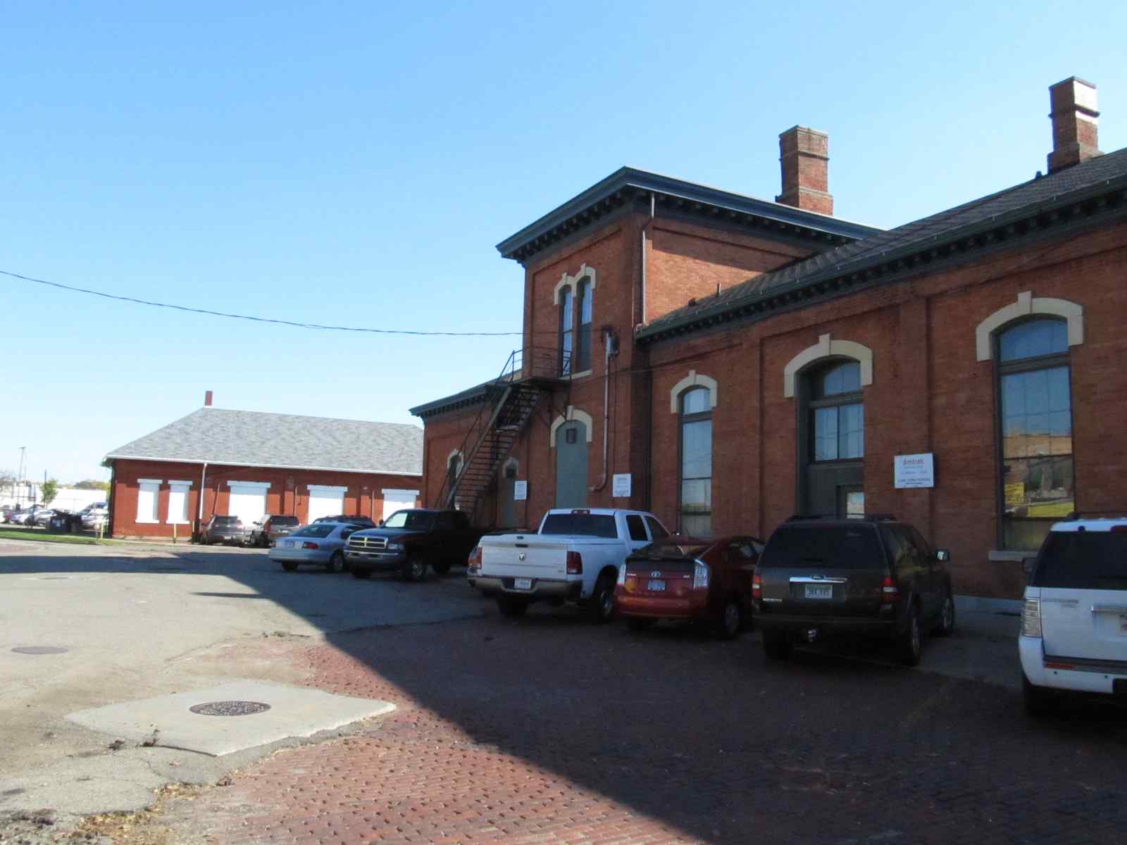
Jackson is home to a former Michigan Central depot that now services Amtrak, and Norfolk Southern's East Yard.
Most of the tracks through Jackson have grade level crossings. There are four places where roads avoid the tracks: At North Mechanic St and North Jackson St the roads go under, and over at West Ave and US127 / North W Ave.
On the east side of town, just east of of US127, East Yard ends and joins up with the mainline, and shortly after that, the line goes into a single track to head east to Ann Arbor.
On the west side of town, the track does the single to double thing between Wildwood Ave and Laurence Ave, across from Oakgrove Ave when you're on Michigan Ave.
On October 8th and 9th, 2011, Amtrak's 40th Anniversary train visited Jackson. One of the reasons Jackson was picked for Michigan, is because they had two tracks in town to allow NS freights to pass, and Amtrak owns the track. Pictures from the day are located here
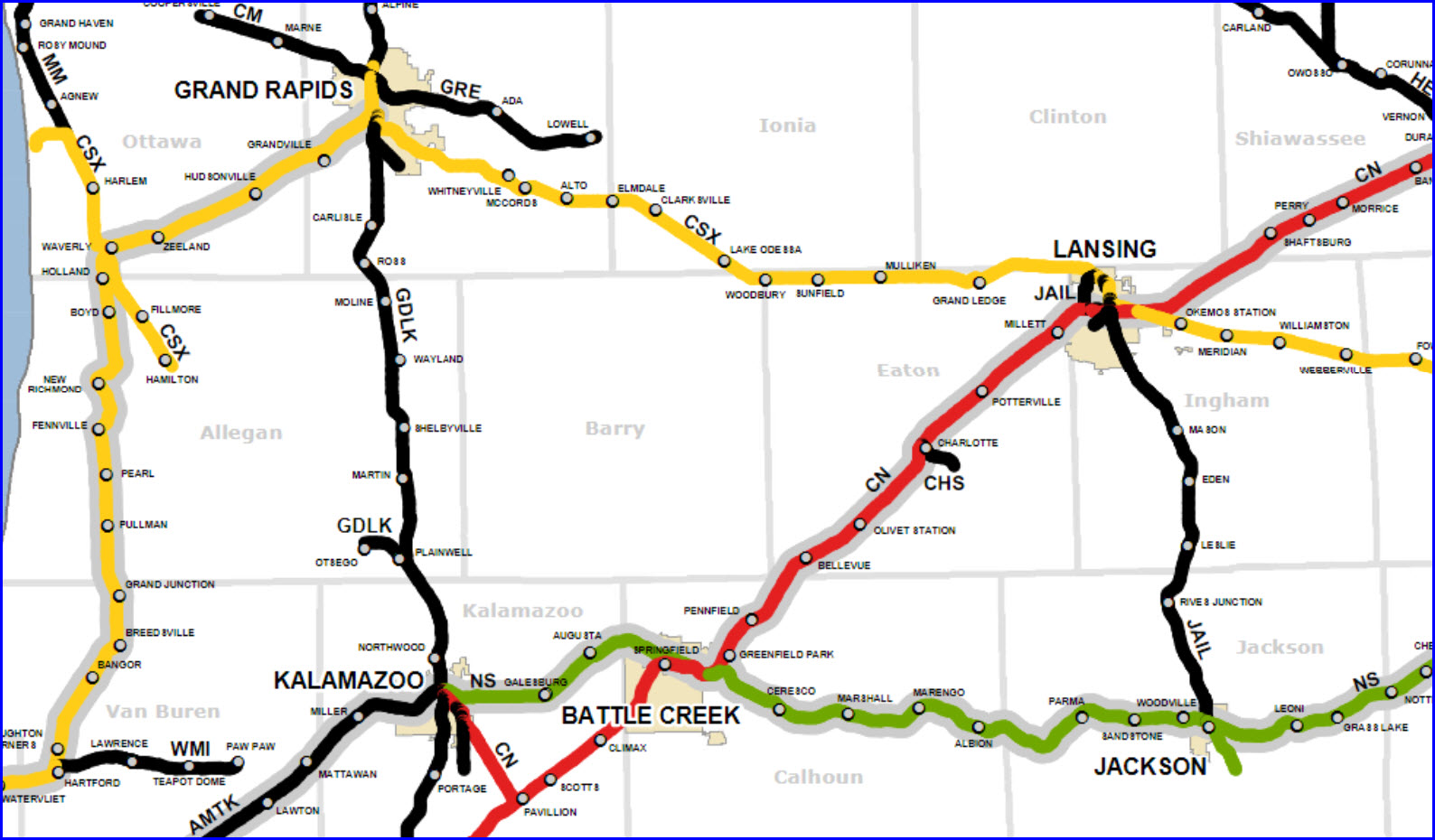
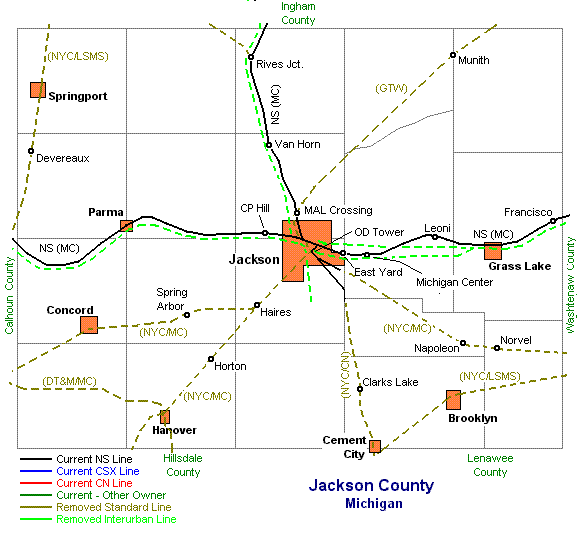
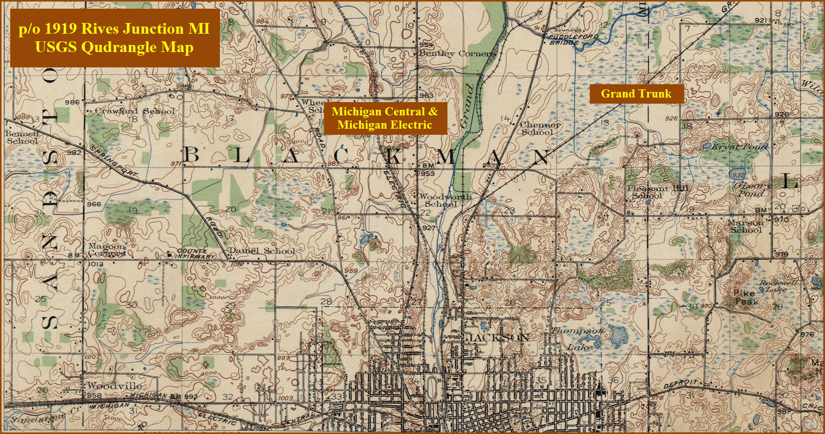
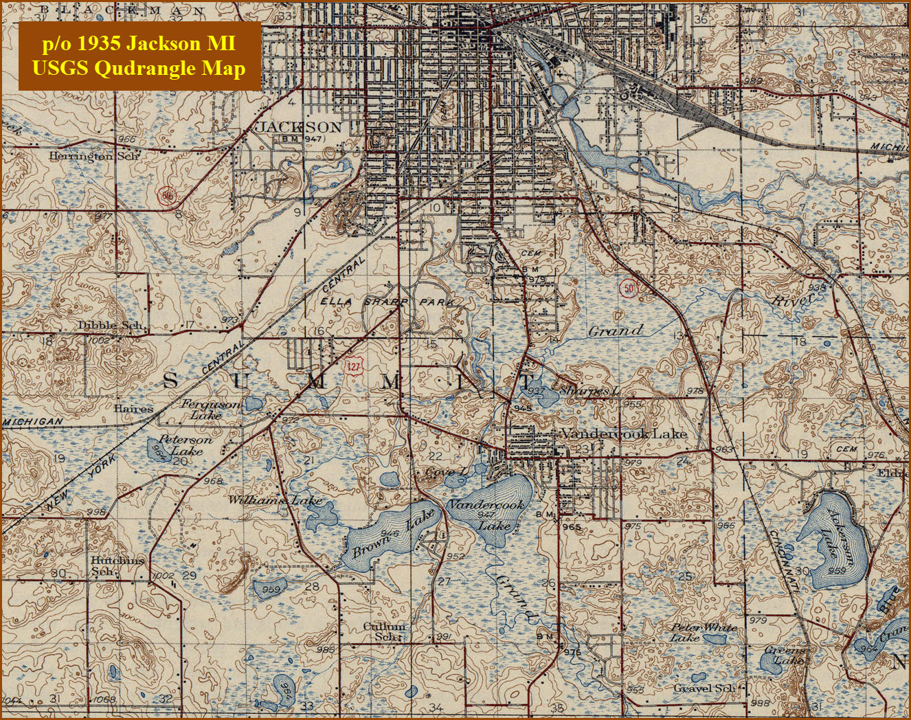
As you can see from the county map below, the New York Central, Michigan Central, and the Grand Trunk all came into or through Jackson prior to the 1970's.
Acknowledgements:
Jack Prange
Denver Todd
Google Streetview
Websites and other additional information sources of interest for the area:
None for now.....
The easiest way to get to the depot is to take exit 139 off of interstate 94 and head south on Cooper. Jackson is about 80 miles west of Detroit,
and 37 miles south of Lansing via US127.
If you're really game for punishment, it's about two and a half hours to/from Deshler via a multitude of backroads, knowledge gained from doing it myself, ugh.... the only plus is that you cross the NS main in Stryker (or Bryan if you wanna go a little further out of your way), which is a very active mainline. According to the Toledo map there are about 90 to 120 trains a day on the line.
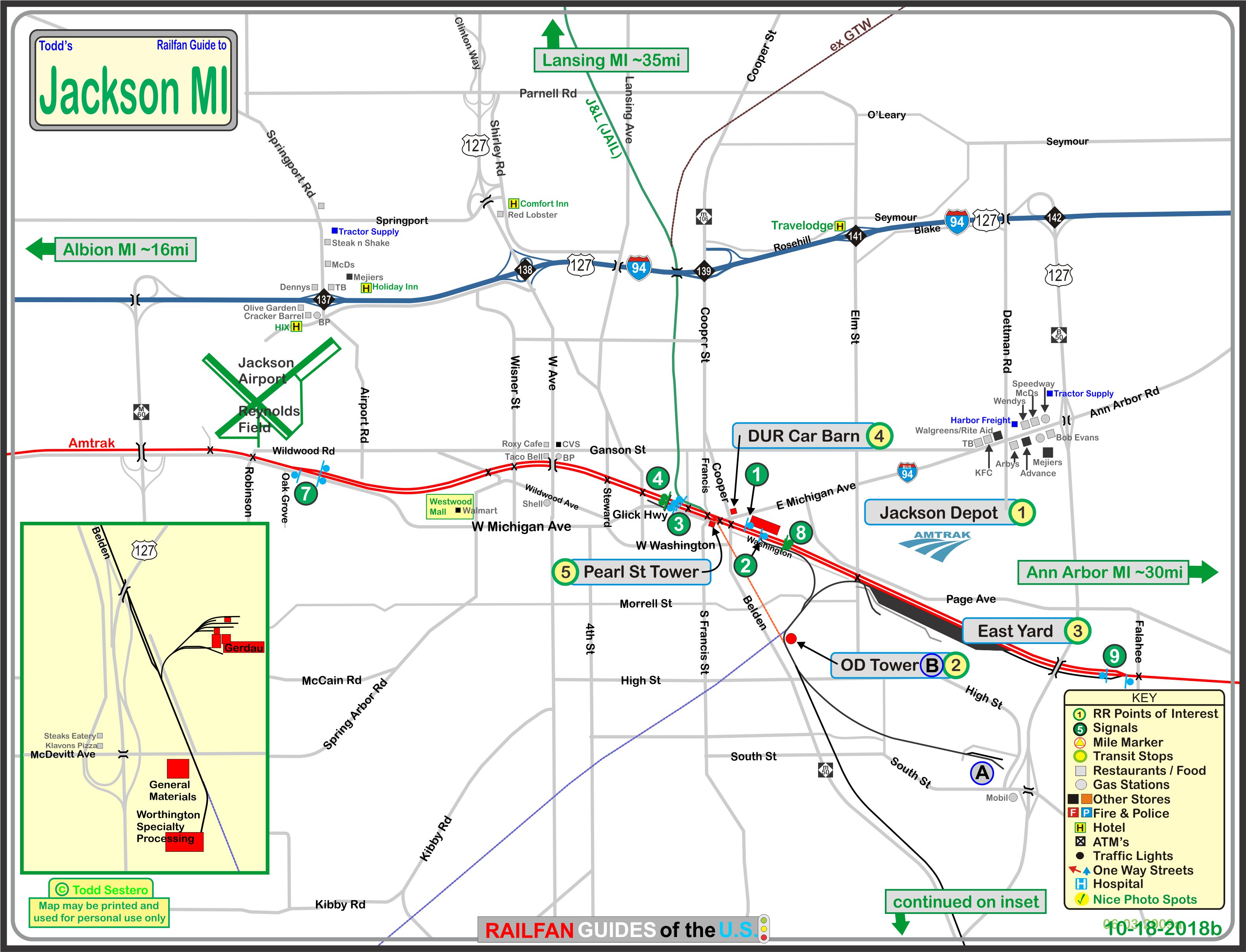
Click here for the map in PDF format.
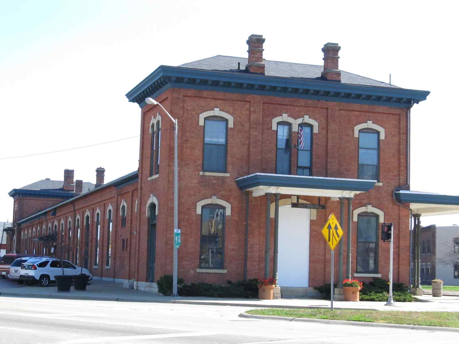
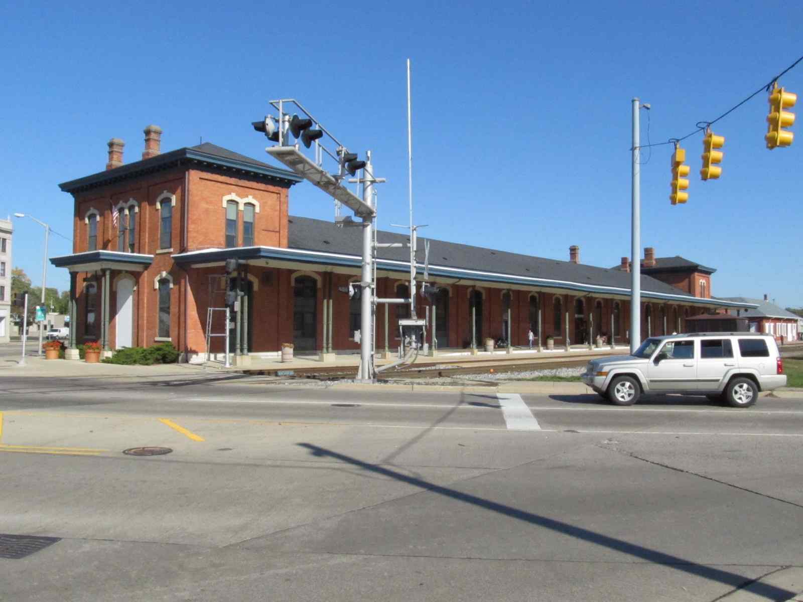
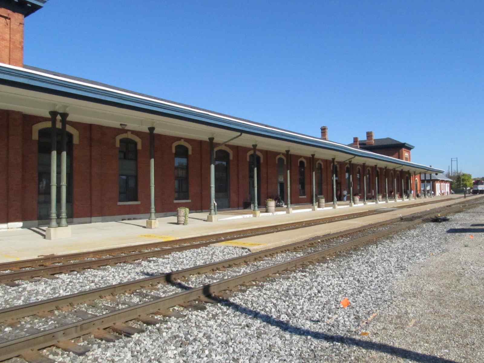
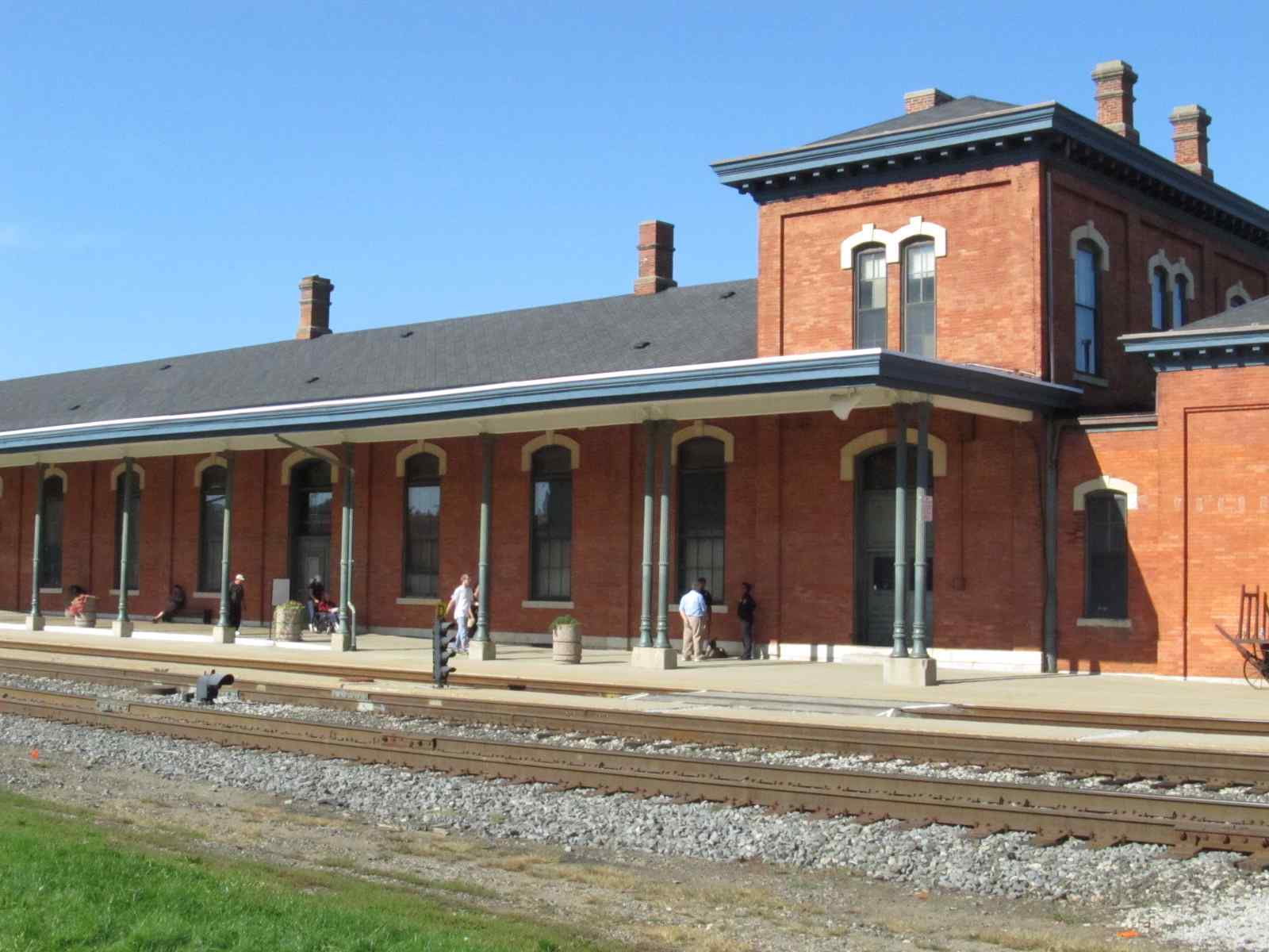
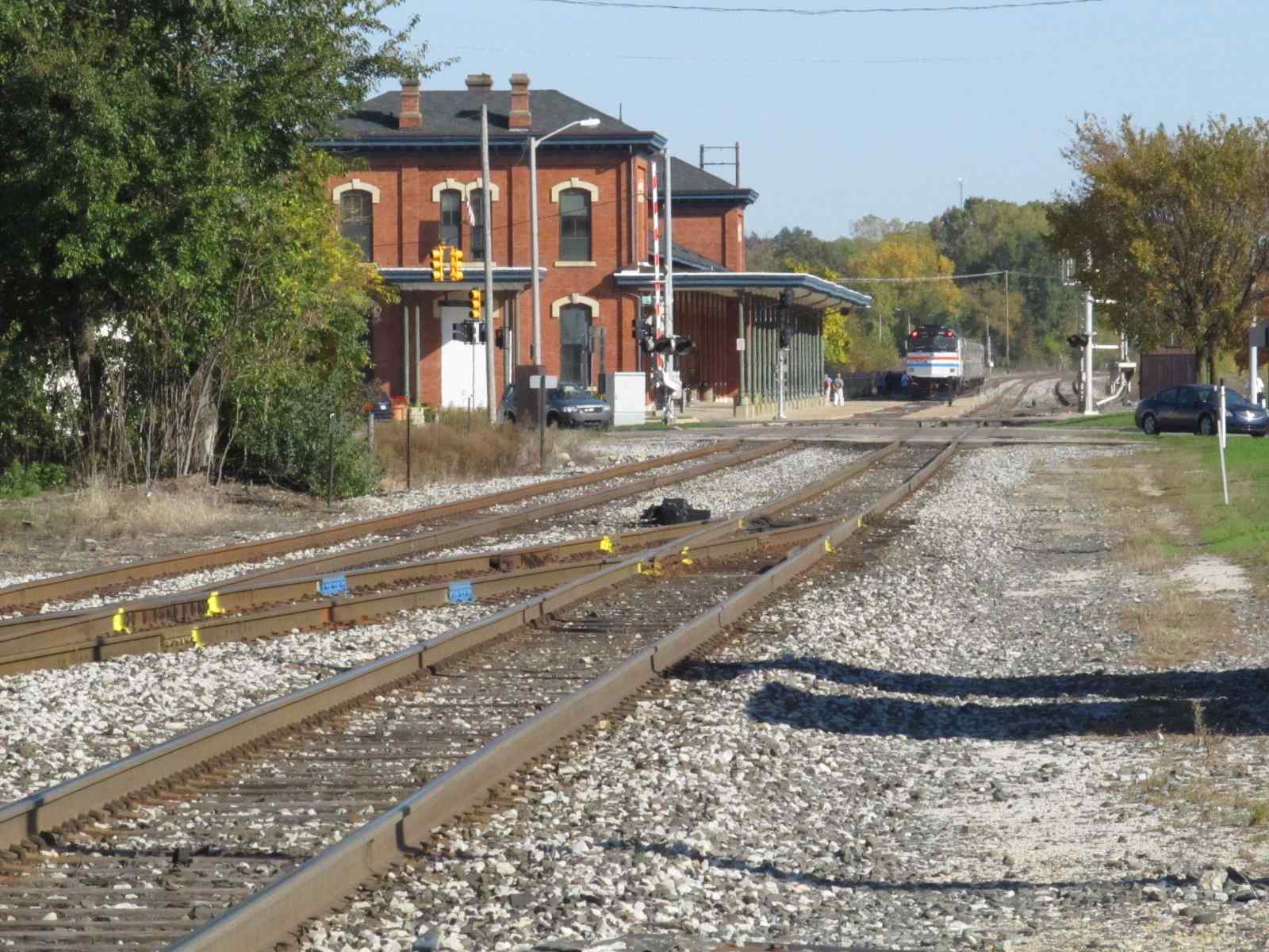
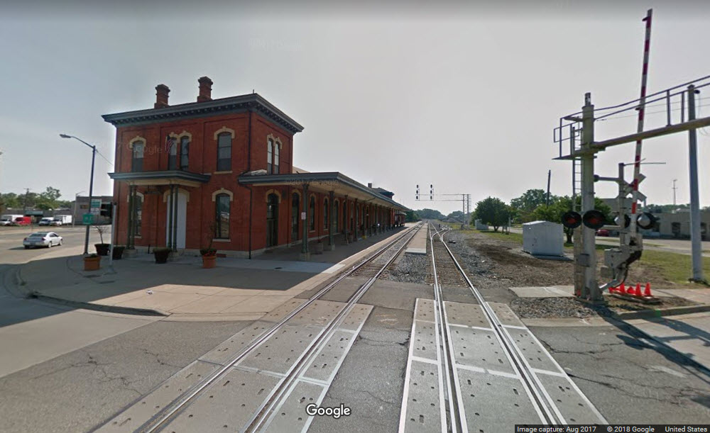
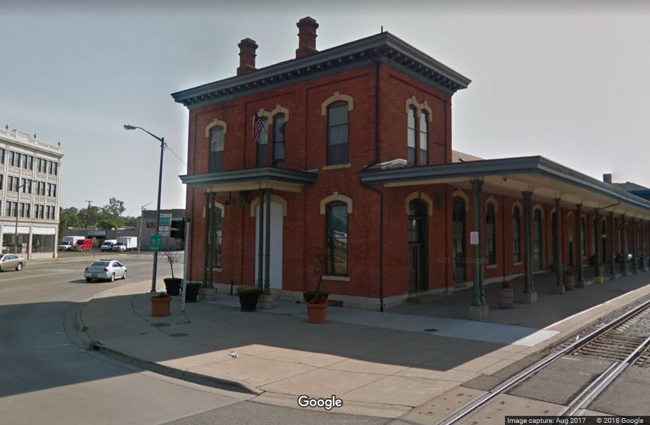
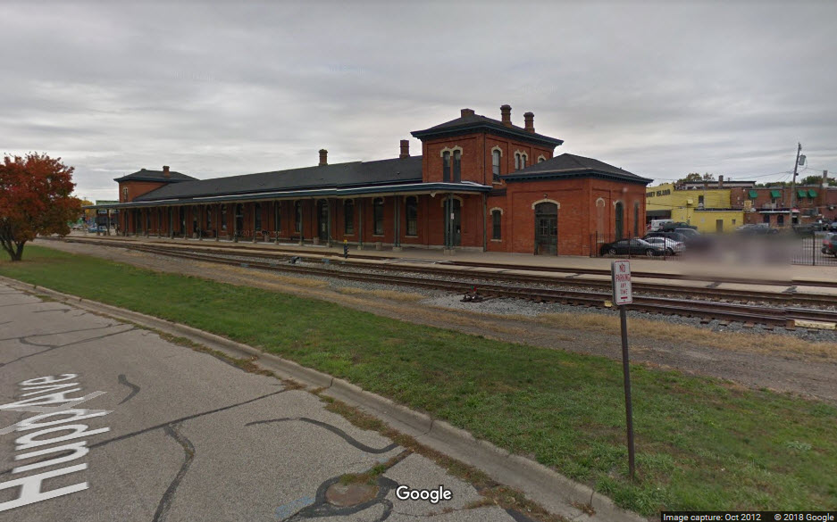
![]() The Amtrak Station
The Amtrak Station
The Jackson Amtrak depot was built in 1872 by the Michigan Central as a replacement for an earlier one built in 1841.
Today the depot services 6 trains a day, going between Detroit (Pontiac) and Chicago.
The depot was host to Amtrak's 40th Anniversary train on October 8th and 9th, 2011, and was the best place I've been to (so far) to view the train because it was so well displayed with nothing in the way.
More information at:
http://www.michiganrailroads.com/RRHX/Stations/CountyStations/JacksonStations/Jackson/JacksonMIUnionStation.htm
A little history is at:
http://www.michiganrailroads.com/RRHX/Stations/CountyStations/JacksonStations/Jackson/JacksonMI.htm


THIS SIGNAL IS GONE
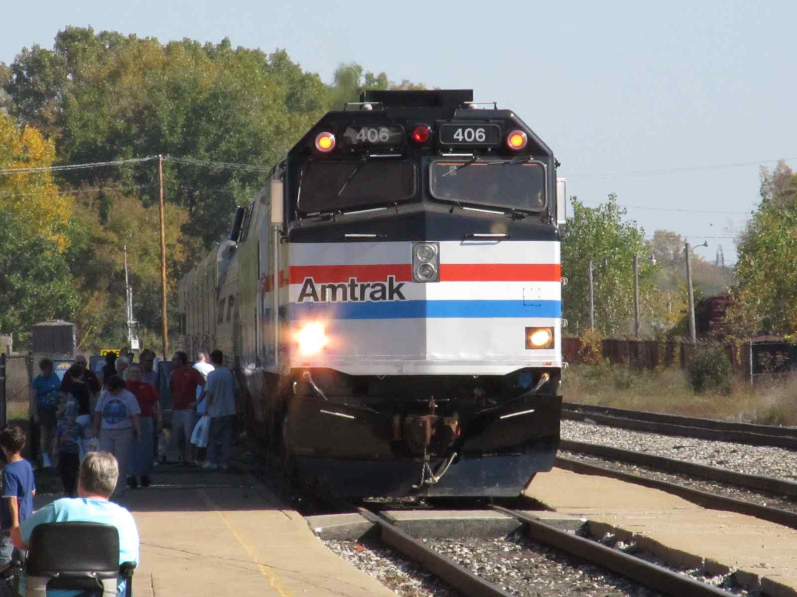

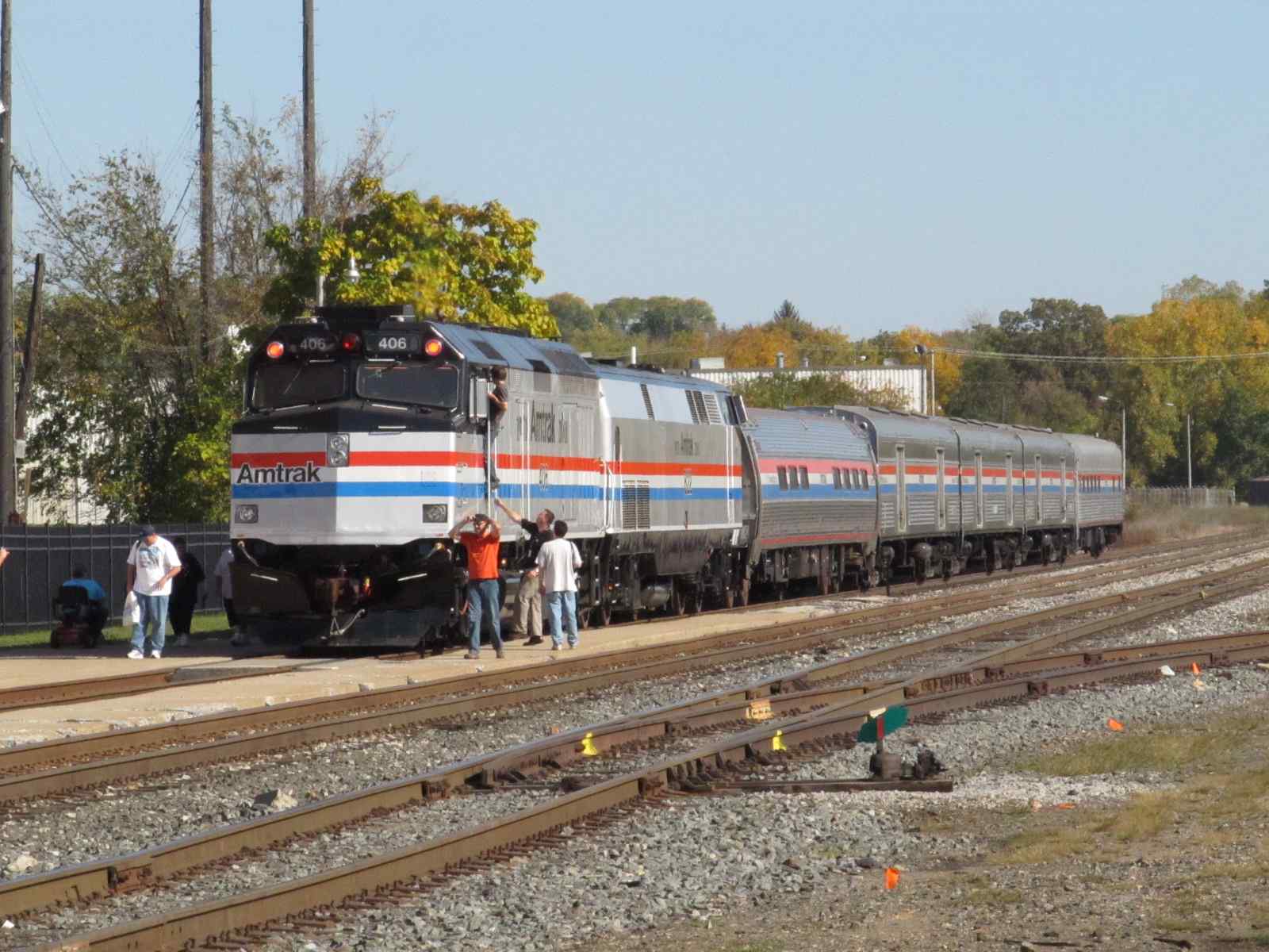
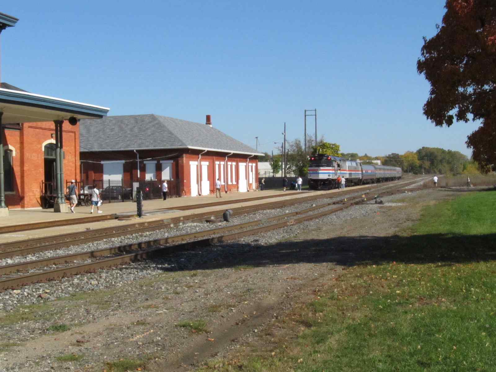
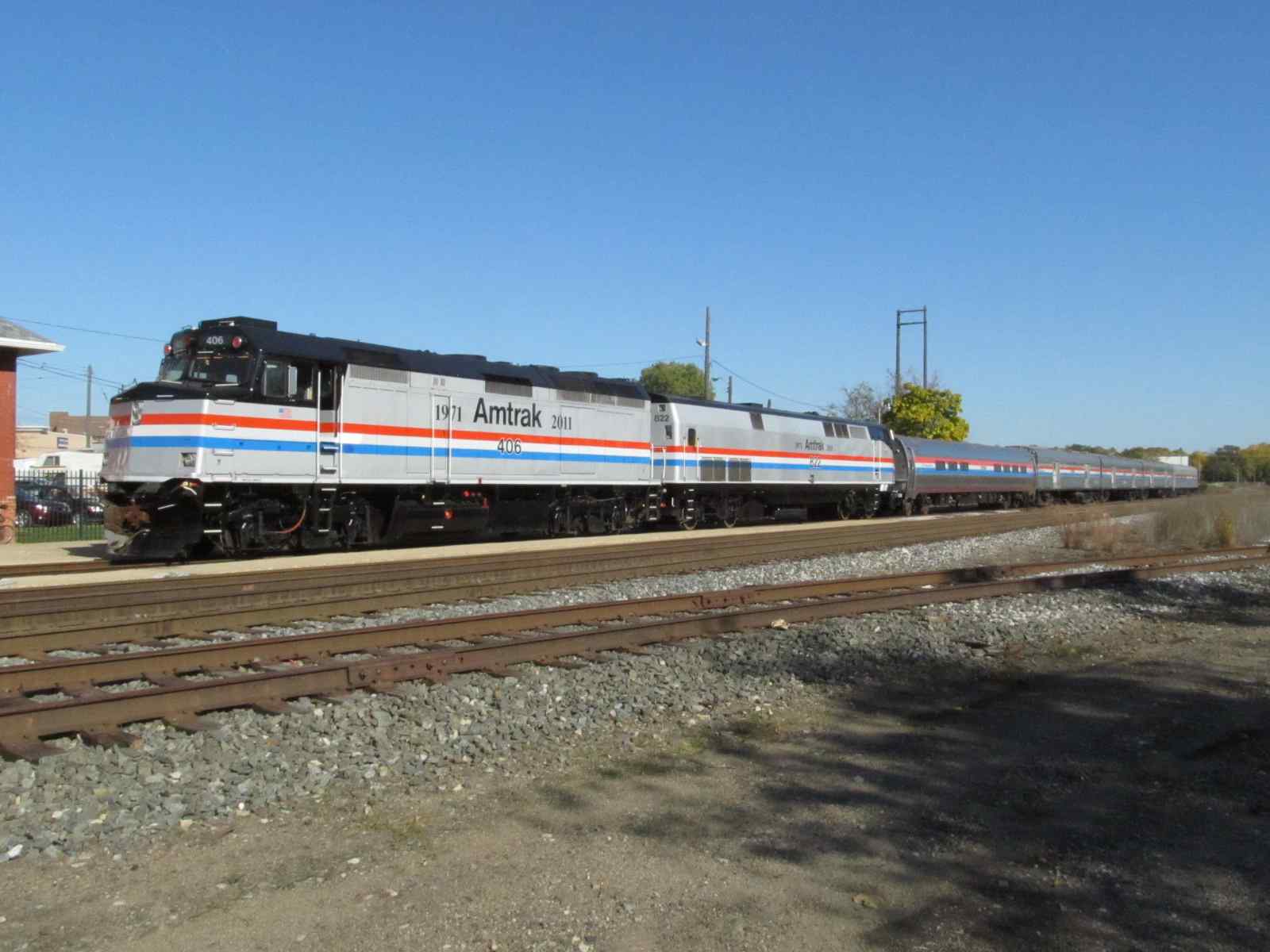
Happy 40th Amtrak!
Additional pictures of the train are on my page at: https://railroadsignals.us/amtrak40th/JAC.htm
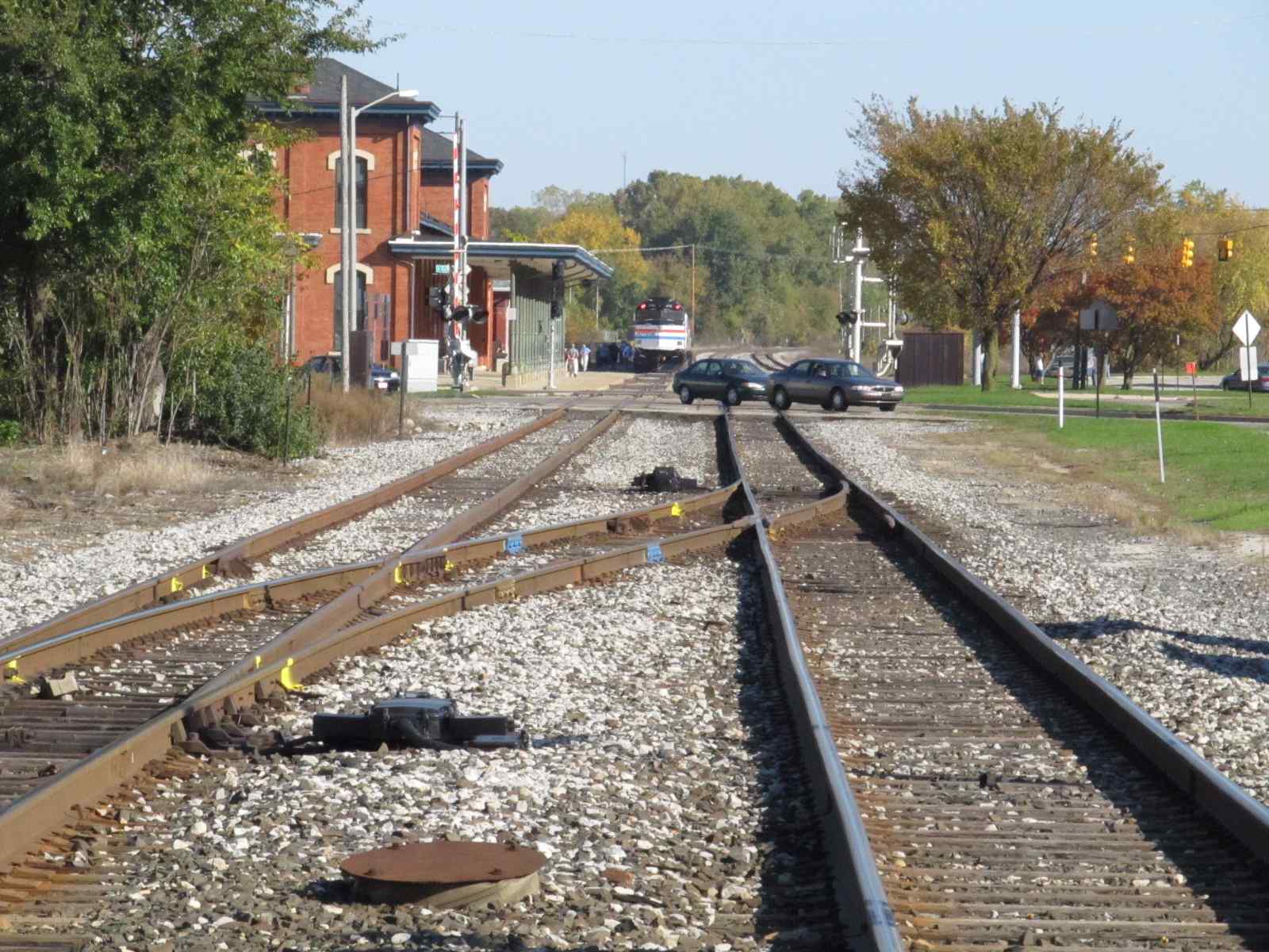
Looking at the station and Amtrak Birthday train from Pearl and Francis.
![]()
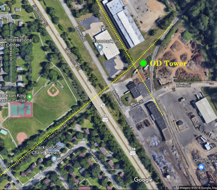
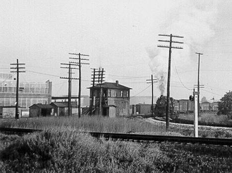
![]() OD Tower
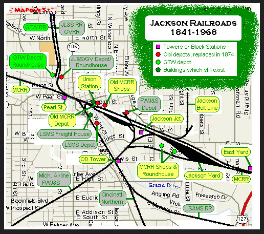
OD Tower
http://www.michiganrailroads.com/stations-locations/102-jackson-county-38/1059-od-tower-mi-jackson-county
From Michigan Railroads.com: OD Tower was located south of downtown Jackson. This was the crossing (diamond) of the north-south Lake Shore & Michigan Southern's Jackson
Branch, and the east-west Michigan Air Line and Jackson & Fort Wayne line (which operated as a double track main line). Just south of OD, the Cincinnati Northern
verged south to Bryan, Ohio via Hudson. OD Tower also controlled the interlocked crossing of the former LSMS Jackson Branch which went north along what is now
Airline Drive, terminating at the freight house (which is now restored and a Wendy's Restaurant).

![]() East Yard
East Yard
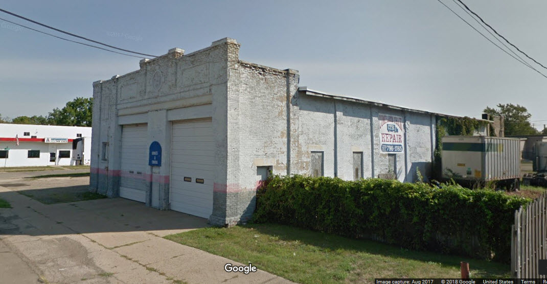
![]() Former DUR Interurban Car Barn
Former DUR Interurban Car Barn
So close yet so far.... didn't know about when I last came thru here, darn it! :-)

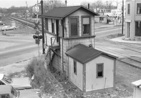
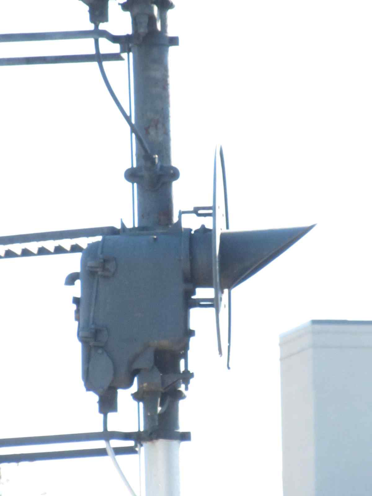
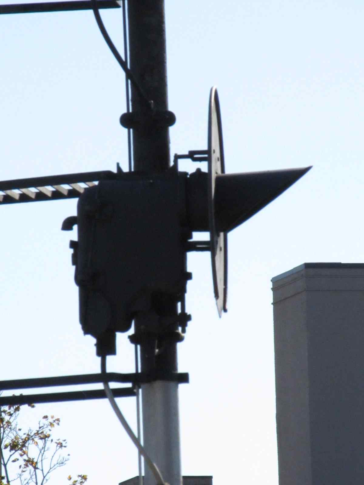
![]() Pearl St Tower
Pearl St Tower
http://www.michiganrailroads.com/stations-locations/102-jackson-county-38/1060-pearl-street-tower-jackson-mi
The Pearl Street Tower in Jackson controlled the Michigan Central main line, the branch north to Grand Rapids and Saginaw, and the freight lead to industries
in downtown Jackson. This tower was closed shortly after this photo was taken in 1963 and remote controlled by the XN operator at Jackson's depot.
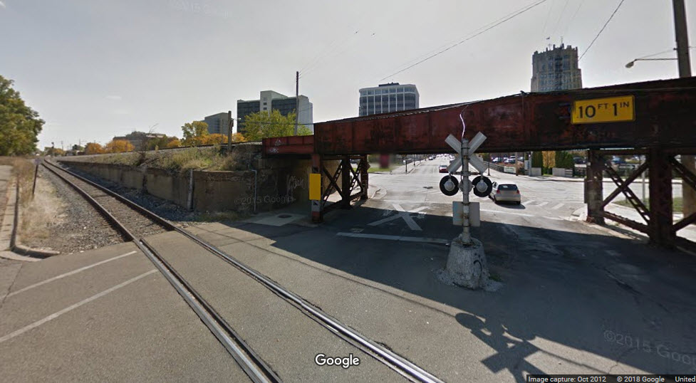
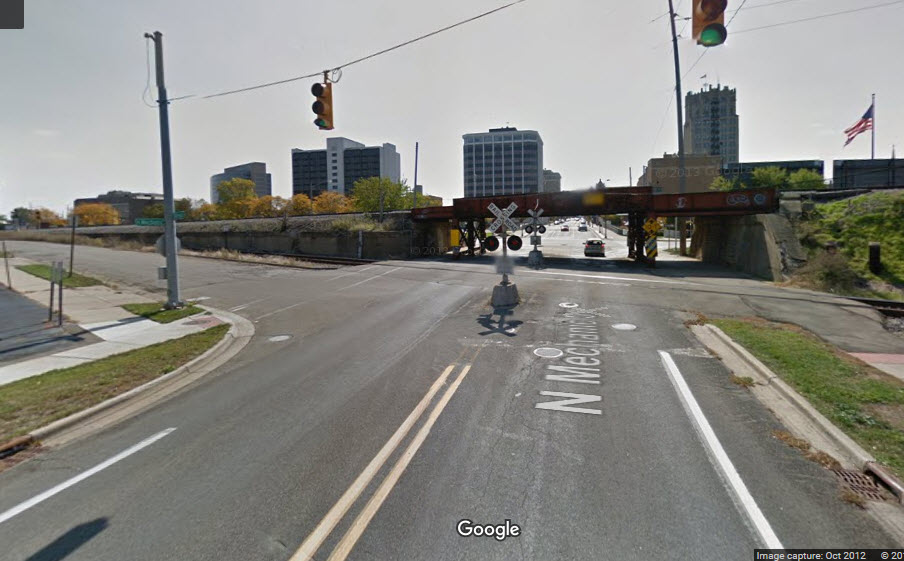
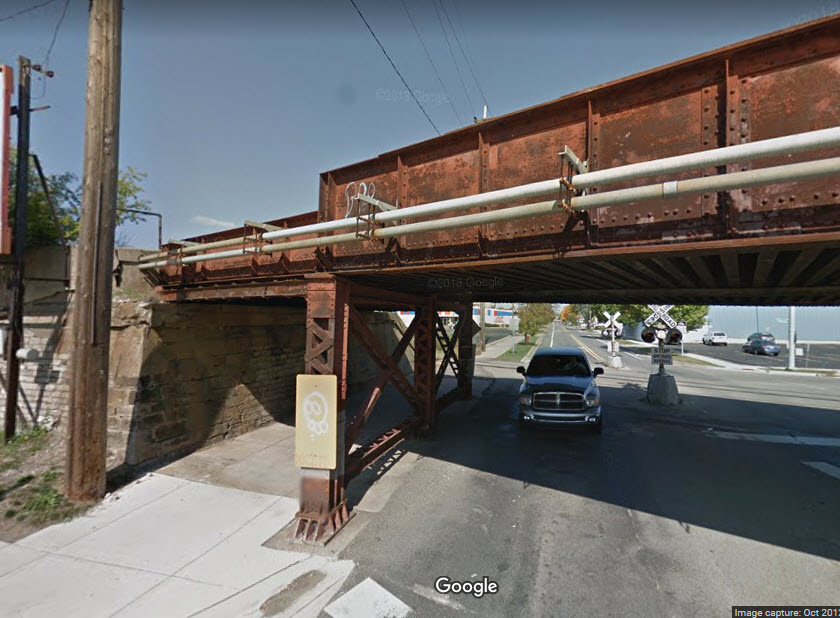
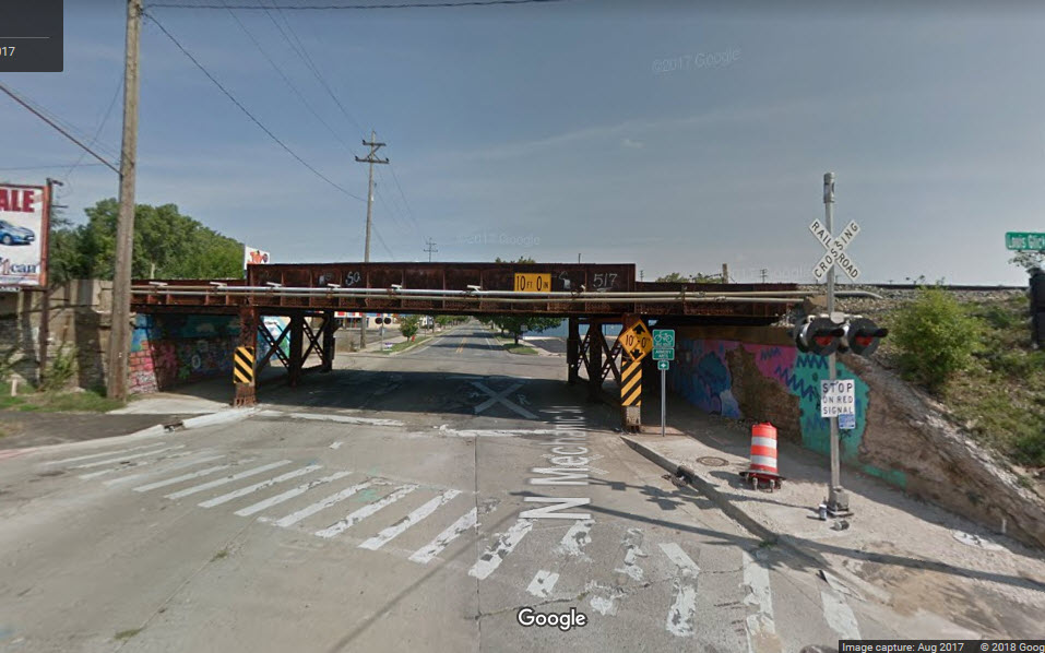
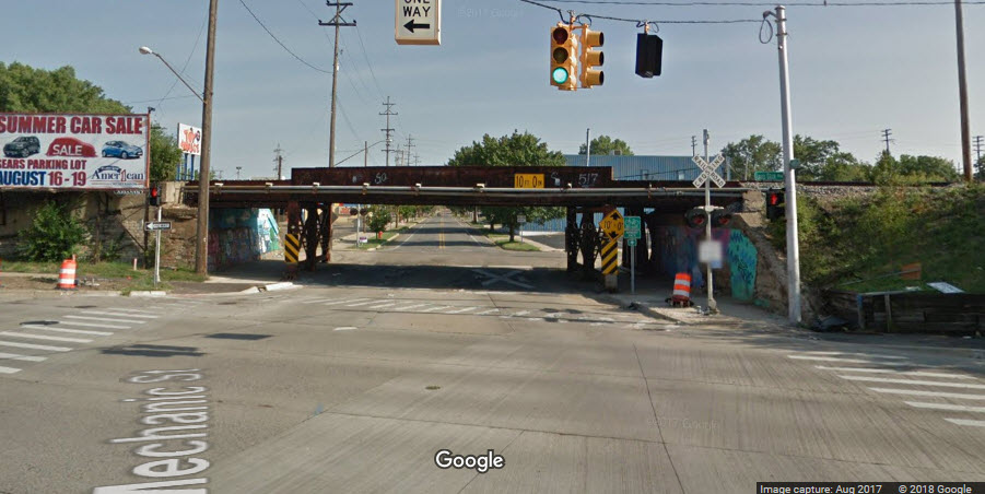
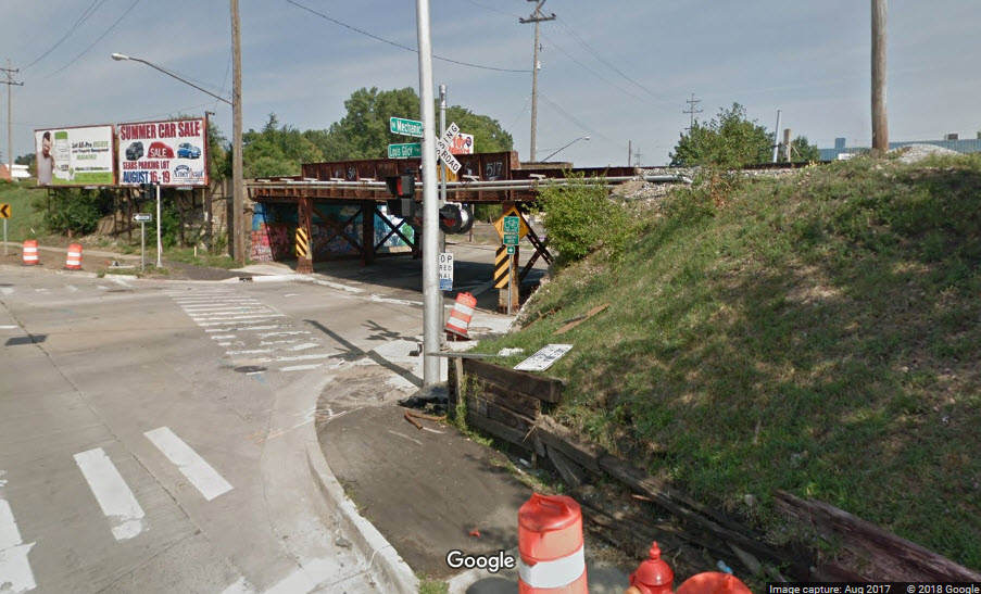
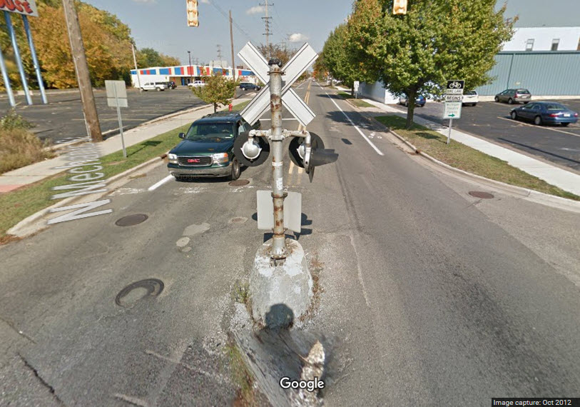
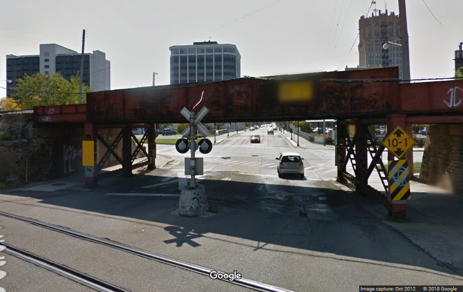
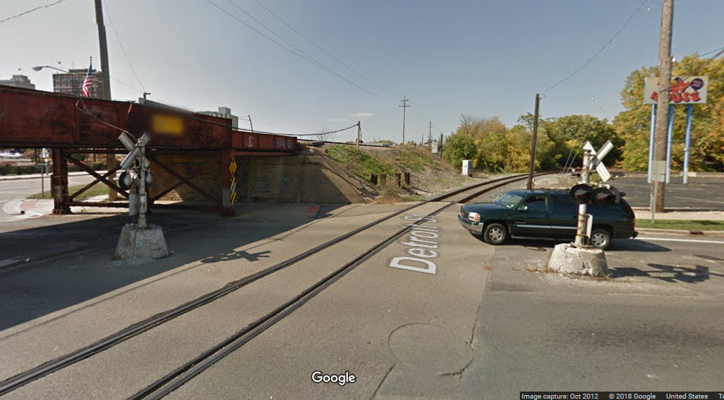
![]() N Mechanic St
N Mechanic St
This bridge, well, not so much the bridge, but because of where it is in relation to the branch line, has the grade crossing signals in unique places. Coming off
of the Louis Glick Hwy, there is a signal without a gate, and on the far side, you have a couple of grade crossing lights in the middle of the street.!
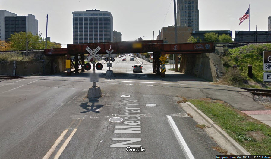
![]() N Jackson St
N Jackson St
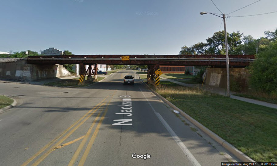
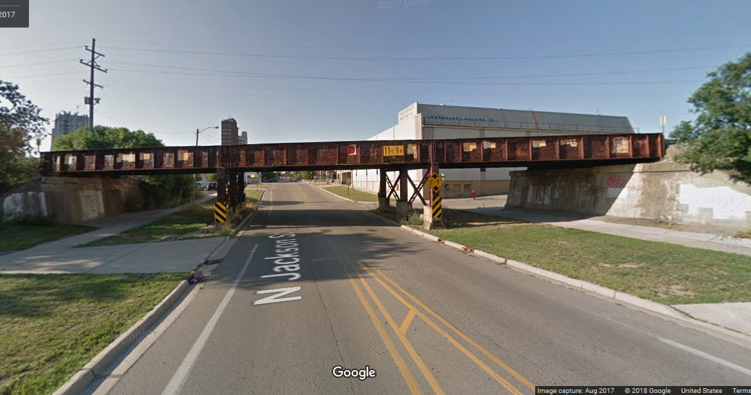
Looks like all of the signals have been replaced, probably around the same time the signals were replaced in Kalamazoo in 2012/2013.
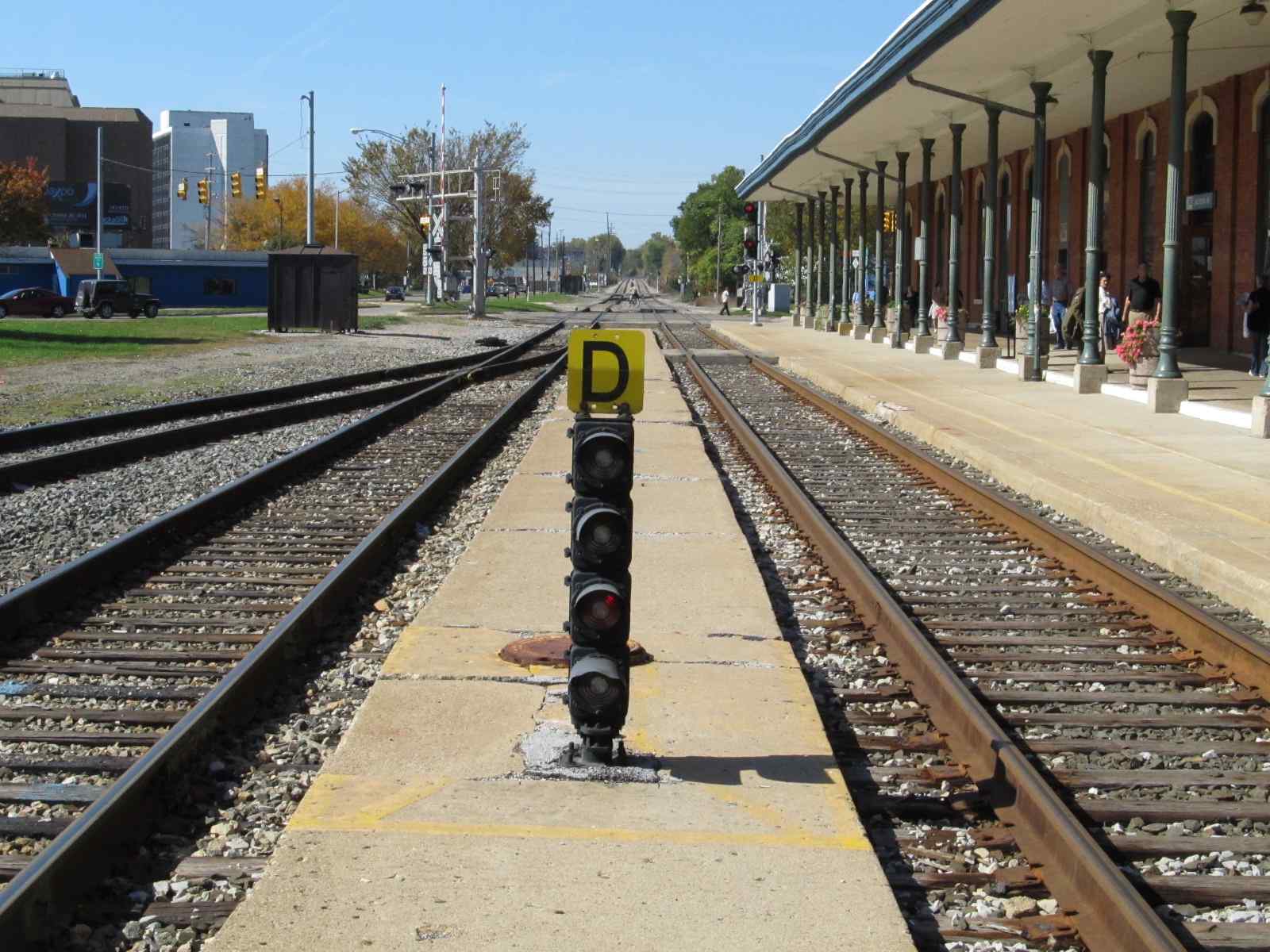
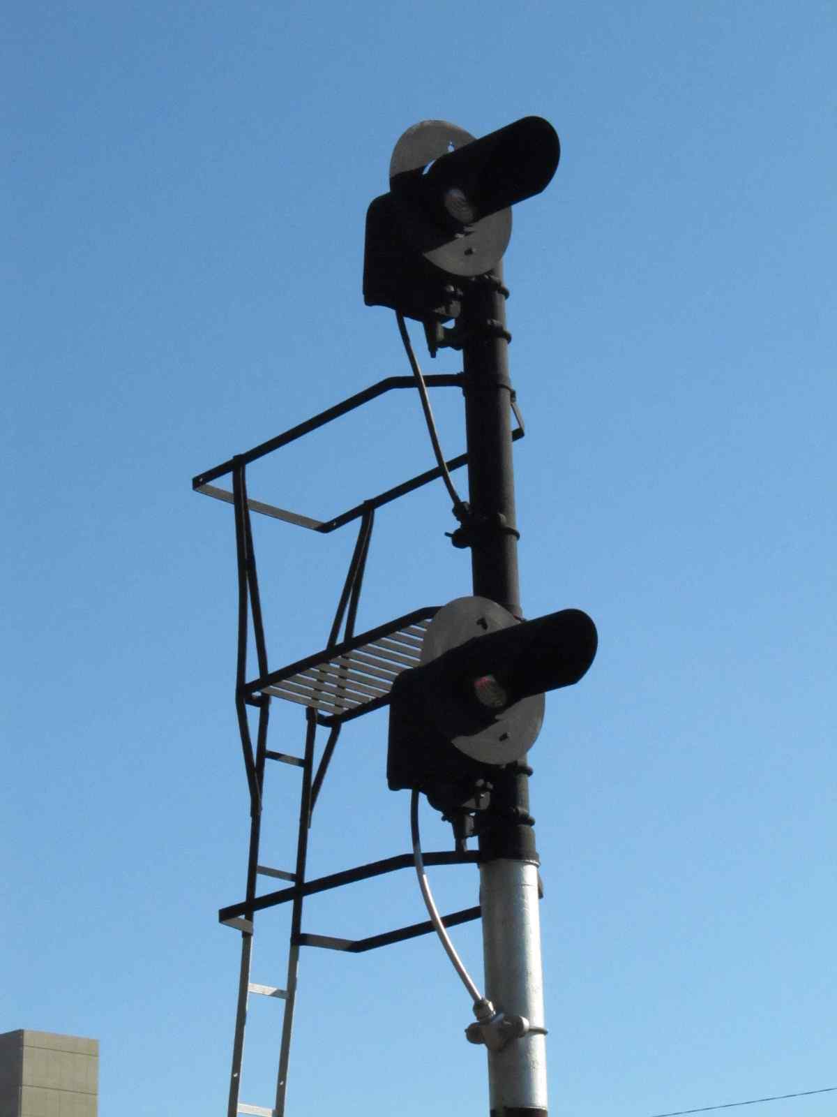
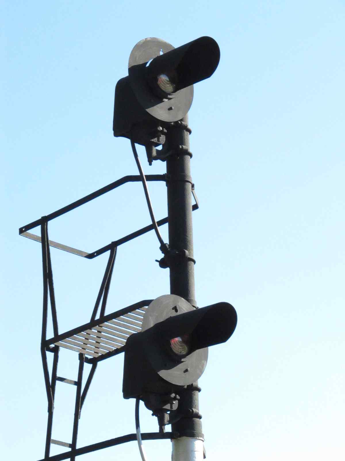
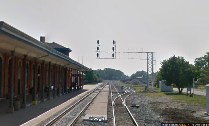
![]() WB Dual head searchlight at the end of the station
WB Dual head searchlight at the end of the station


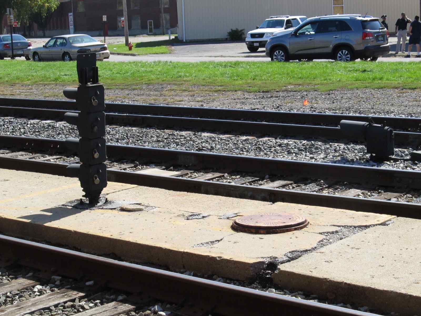
![]() WB Dwarf signal adjacent to the station
WB Dwarf signal adjacent to the station
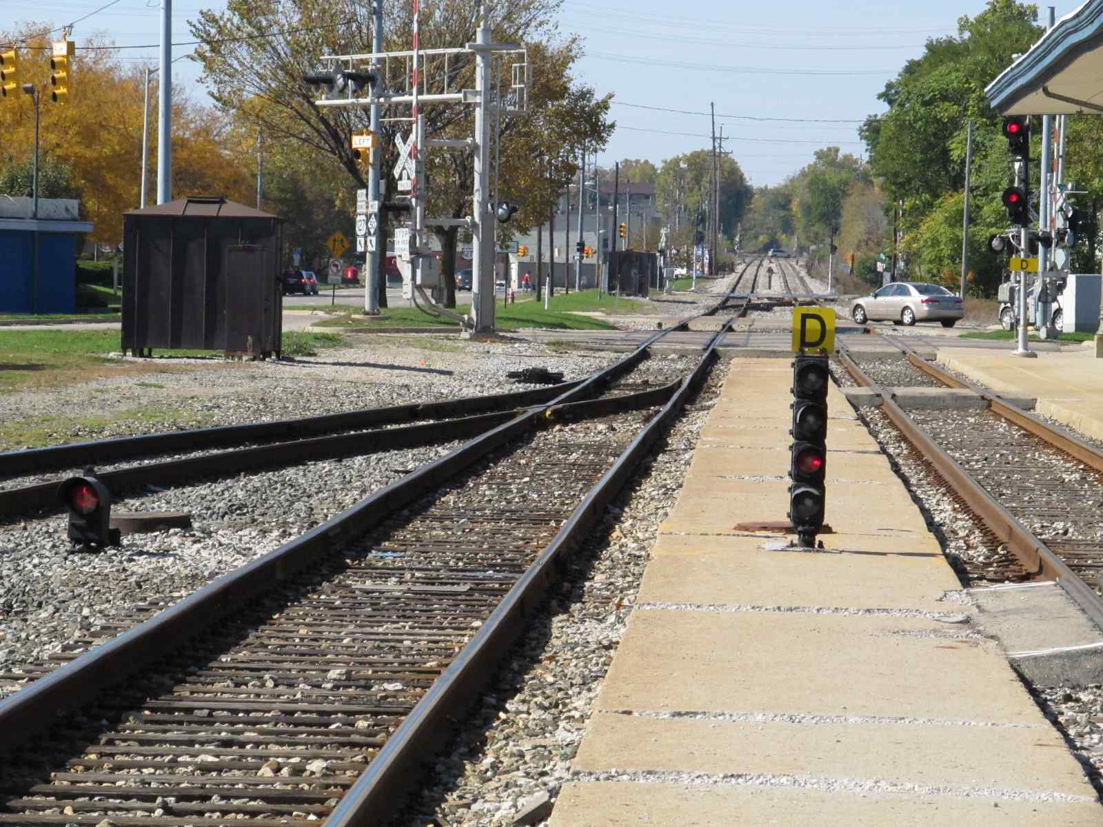
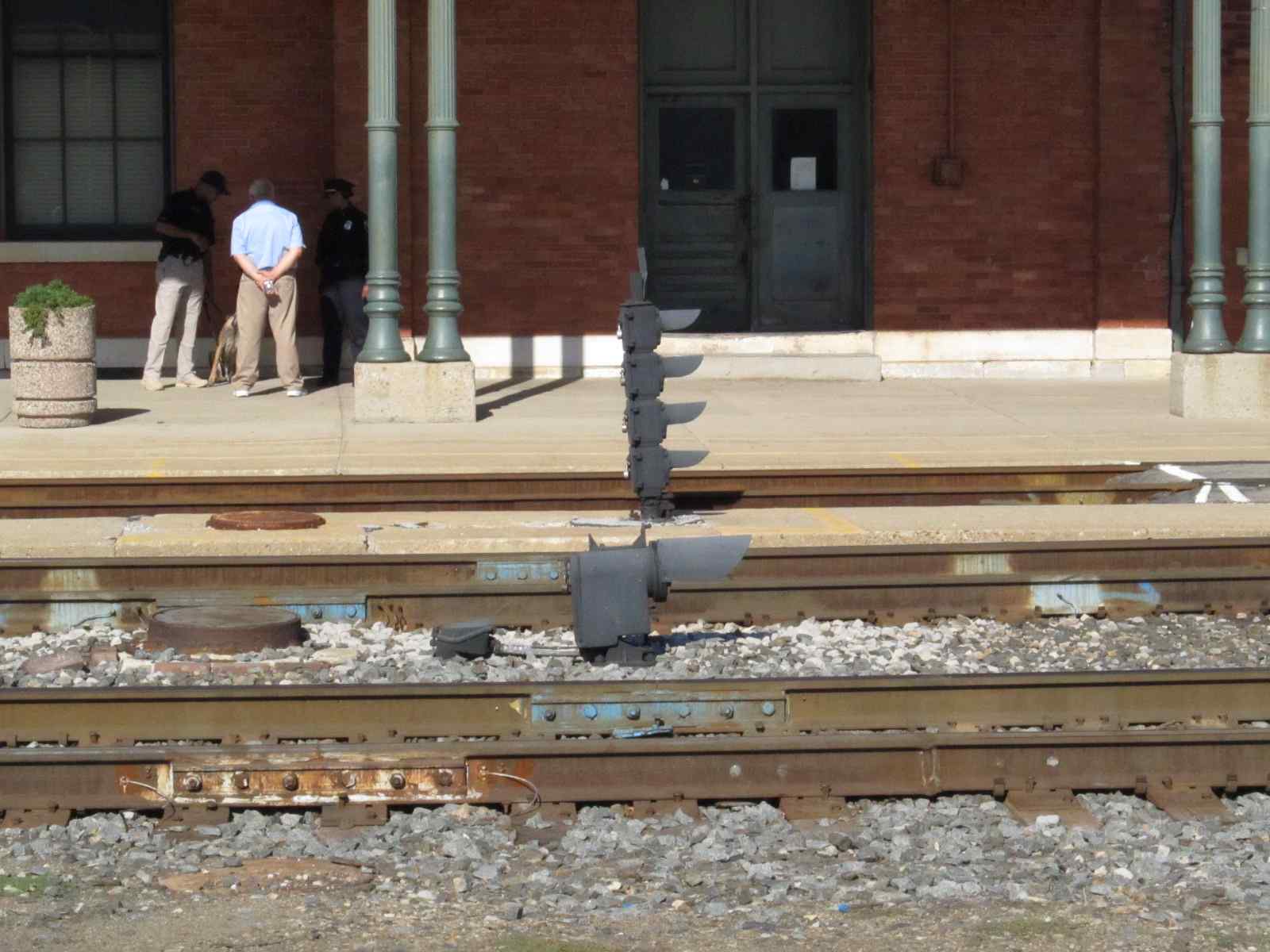
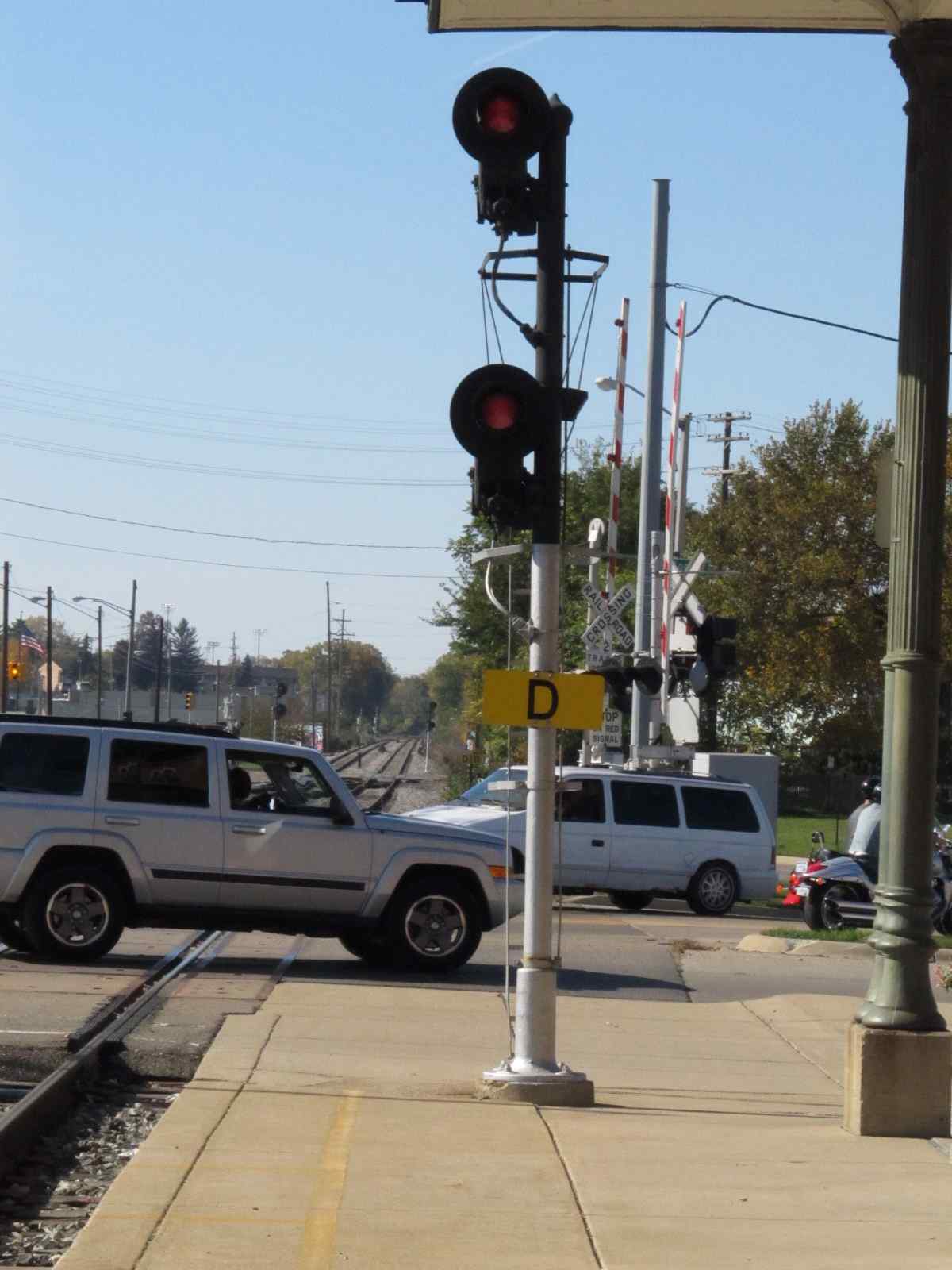
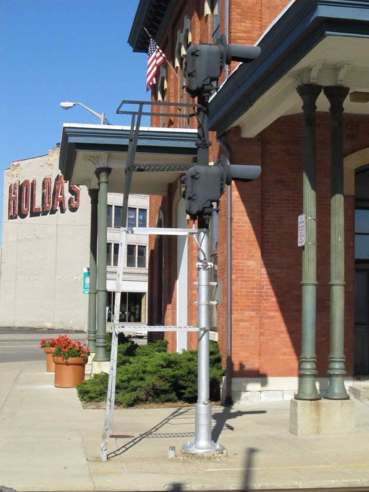
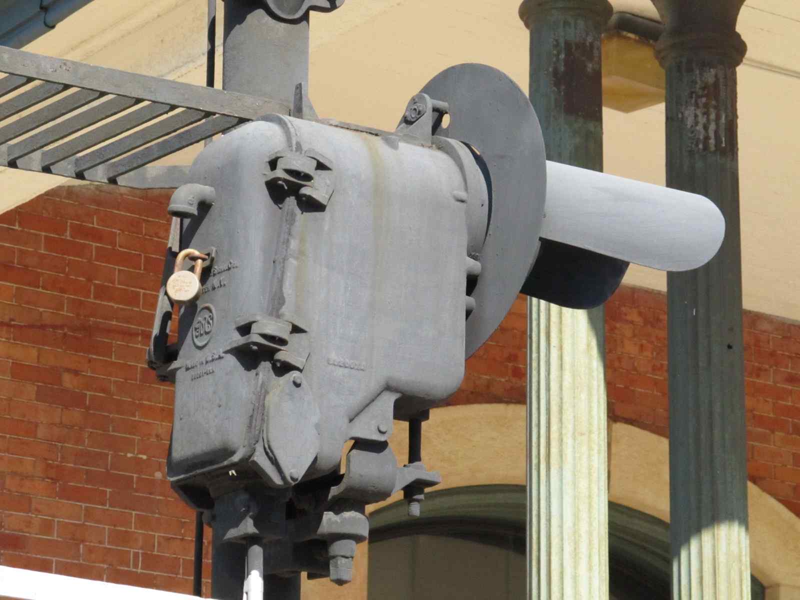
![]() EB Interlocking signals near the corner of Pearl and Francis
EB Interlocking signals near the corner of Pearl and Francis
THIS SIGNAL HAS BEEN REPLACED BY A DWARF
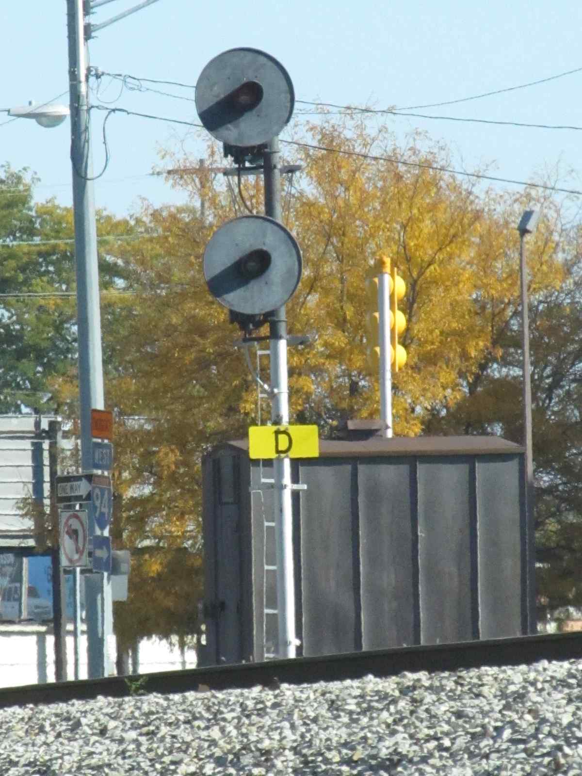
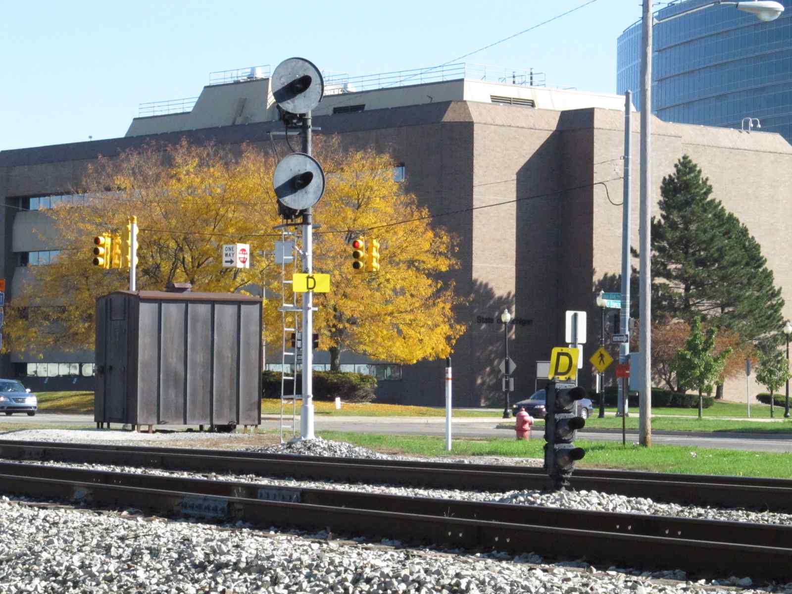
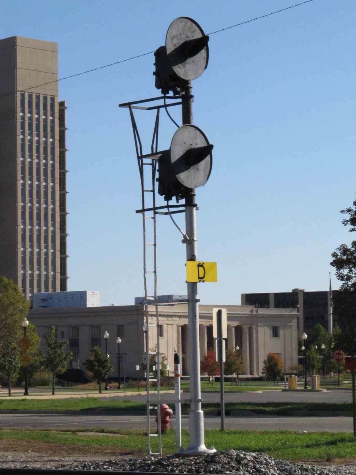
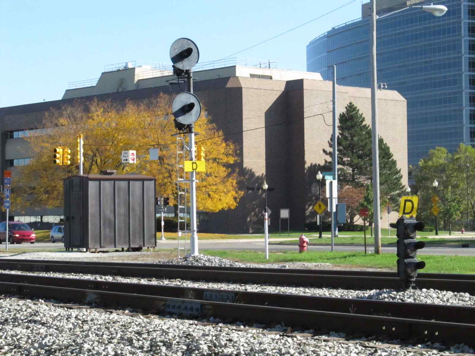

High searchlights protect the EB main, while a 3 color colorlight dwarf handles the job for reverse traffic.
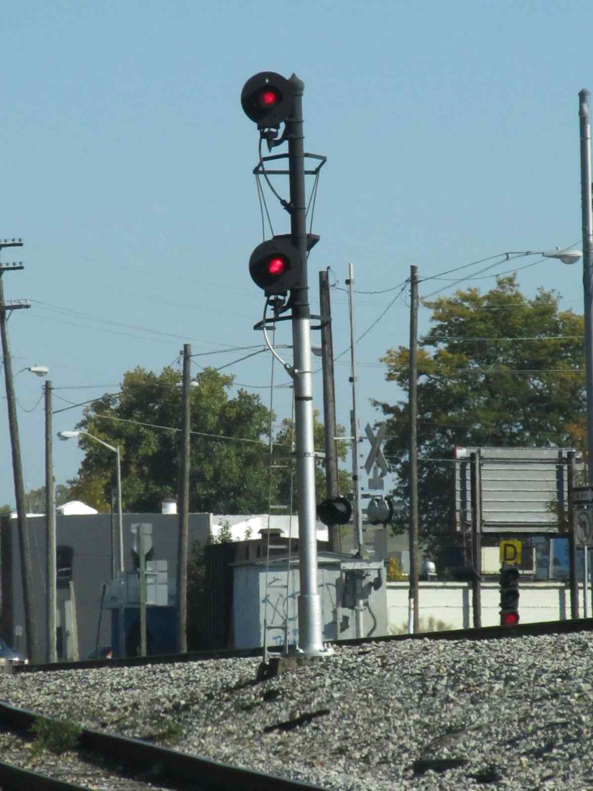
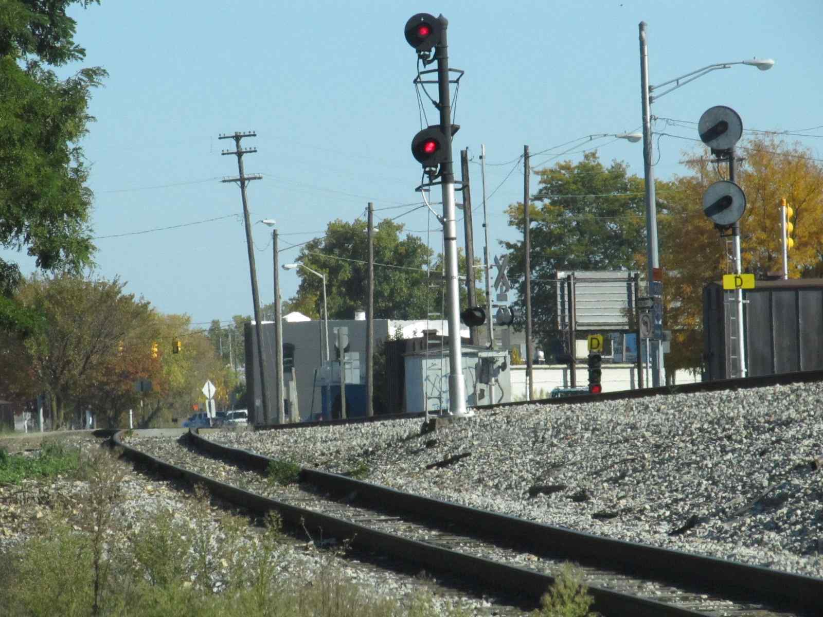
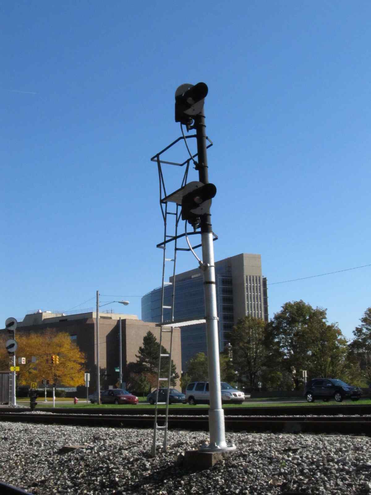
A two head searchlight signal controls the Lansing line entering the mainline.... notice the smaller backgrounds.
Looking at the signals from the depot.
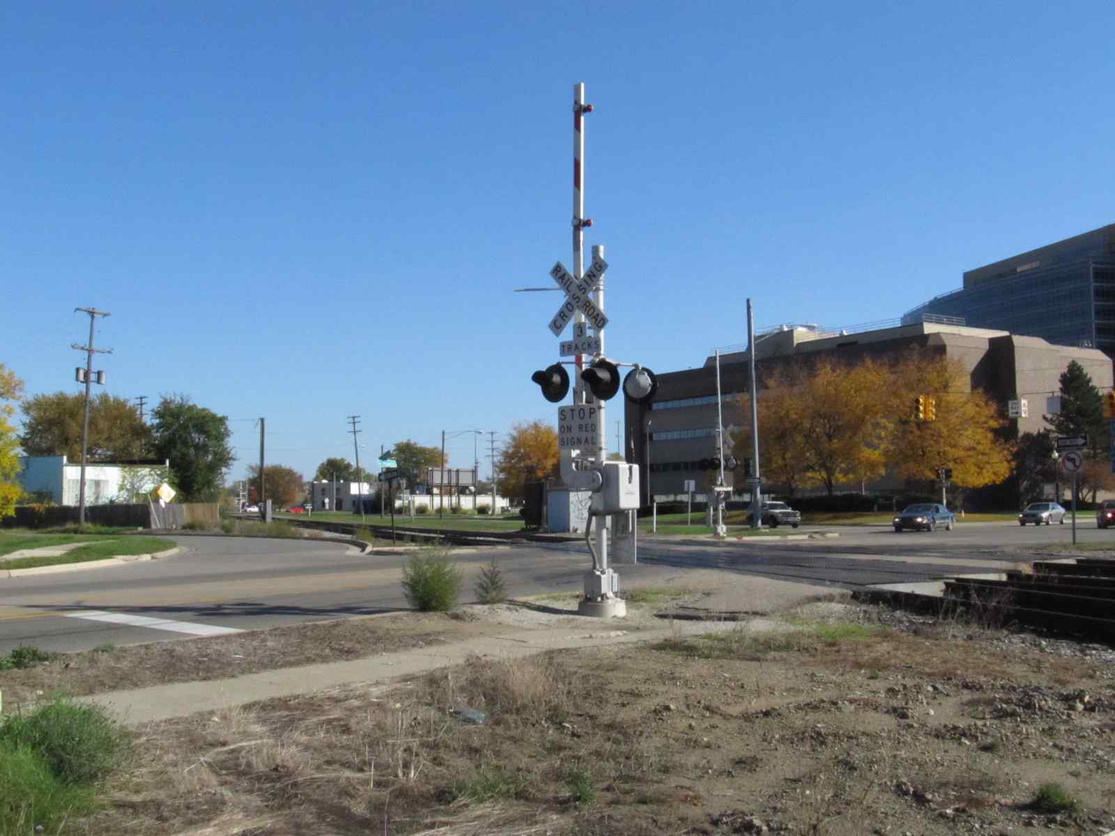
The grade crossing gates at Pearl and Francis.
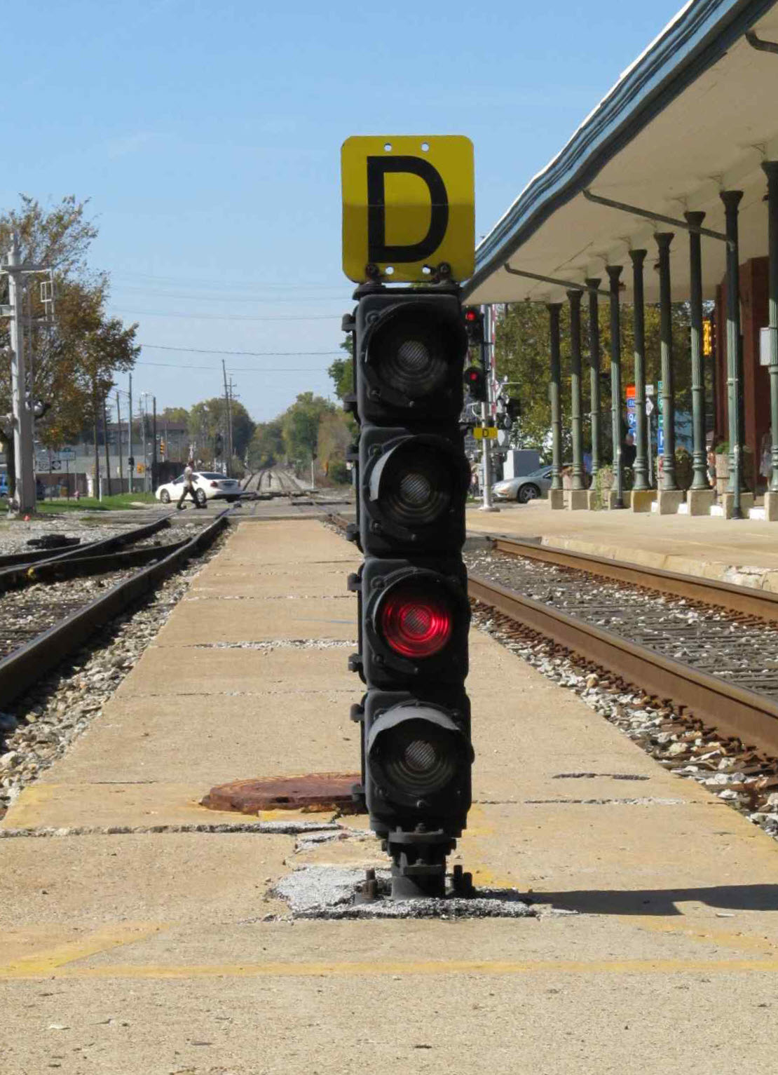
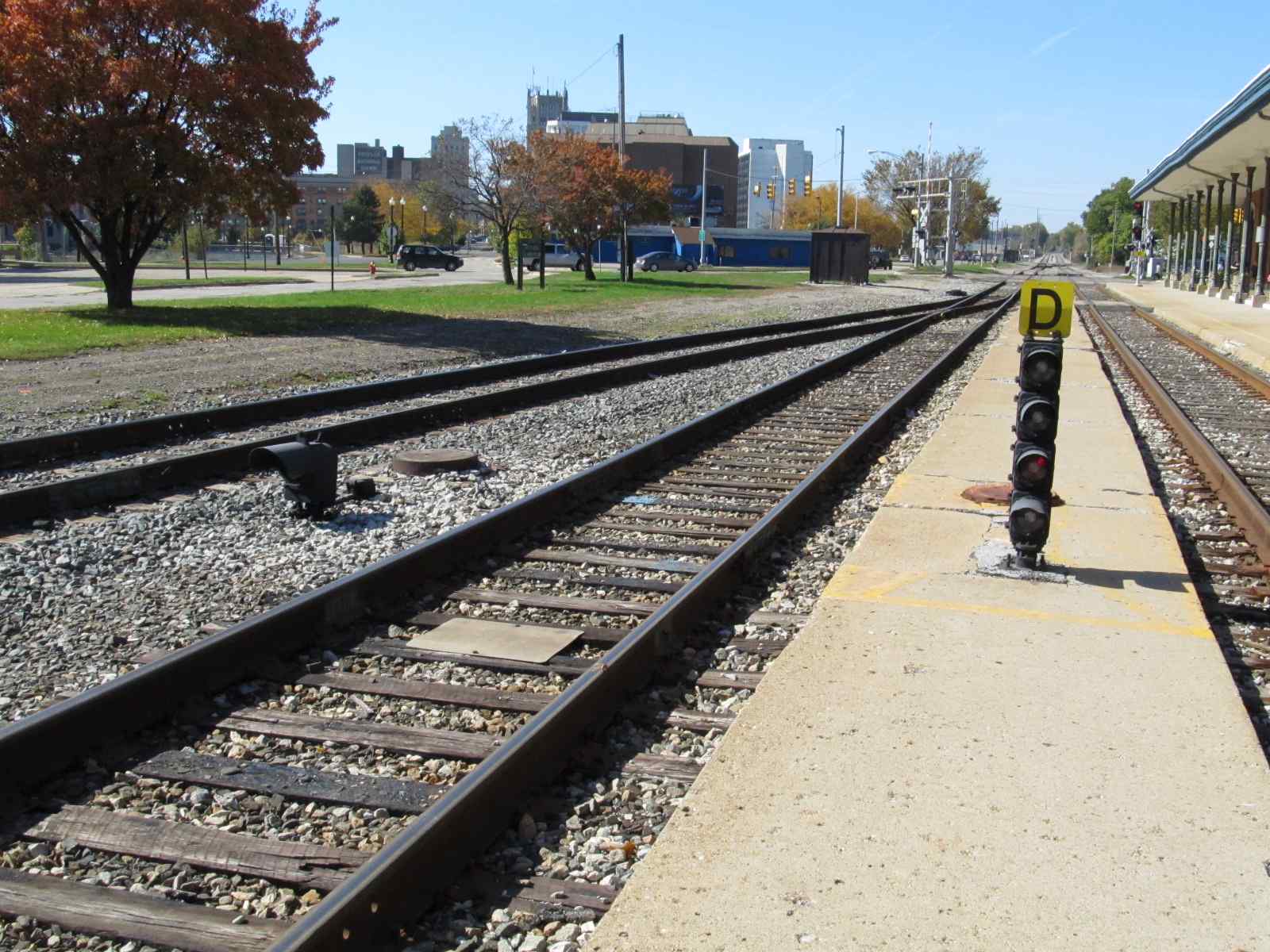
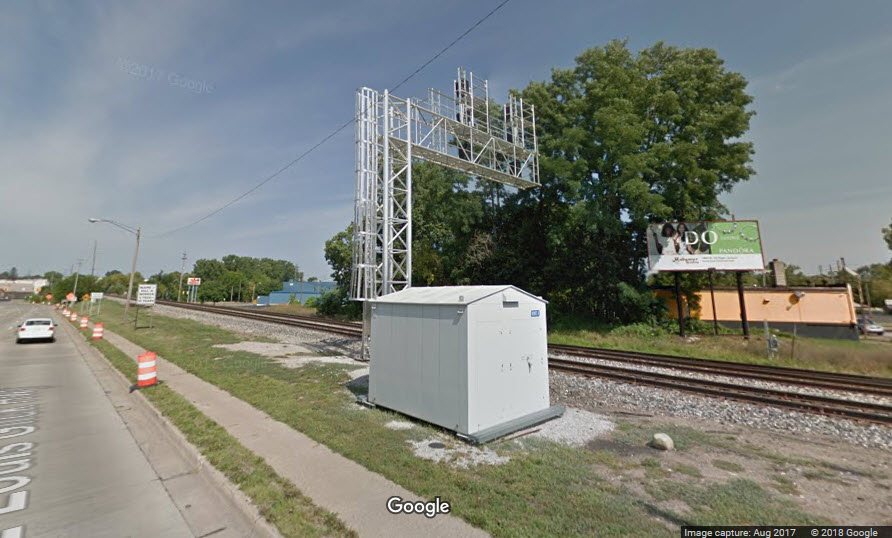
![]() New EB Interlocking Colorlight Signals
New EB Interlocking Colorlight Signals
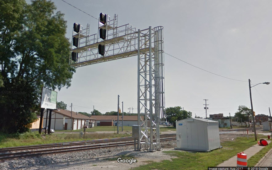
![]() WB Interlocking Signals
WB Interlocking Signals
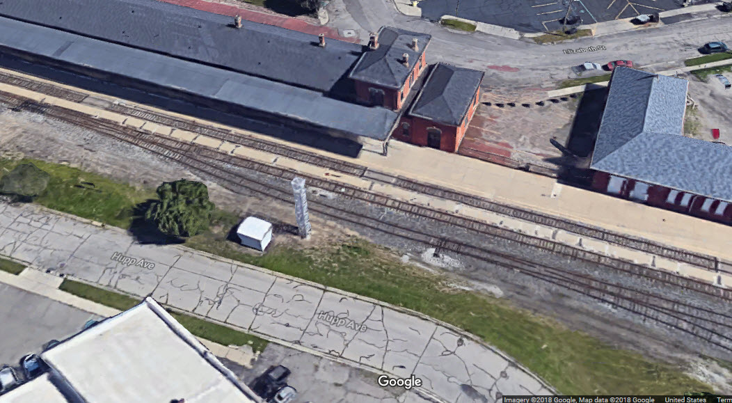
The aerial shot shows the cantilever bridge half installed, while the Streetview doesn't show it at all.....
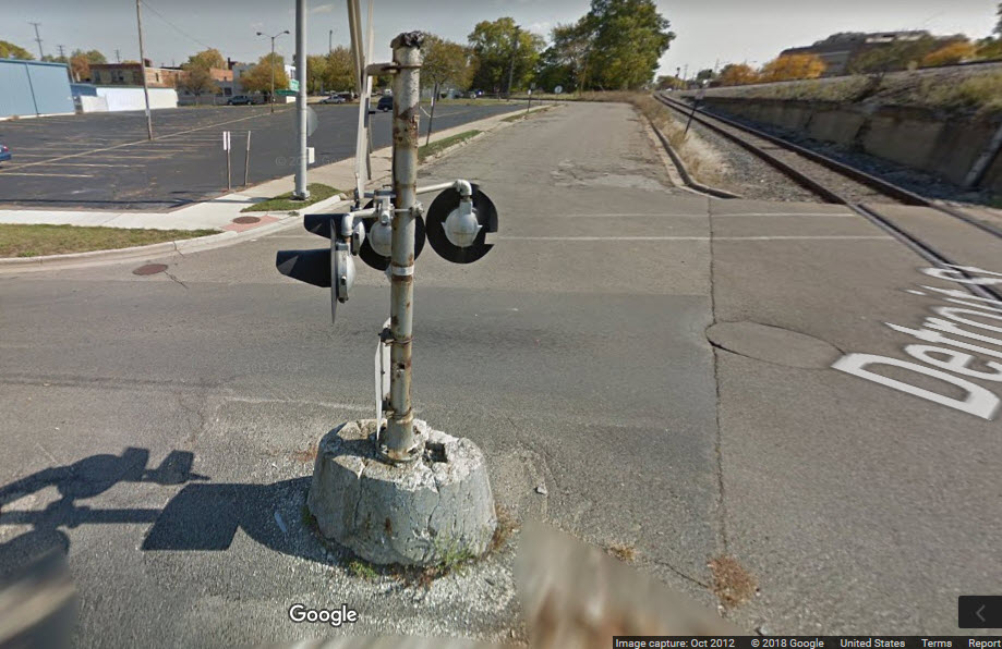
![]() Grade Crossing Signals on N Mechanic St
Grade Crossing Signals on N Mechanic St
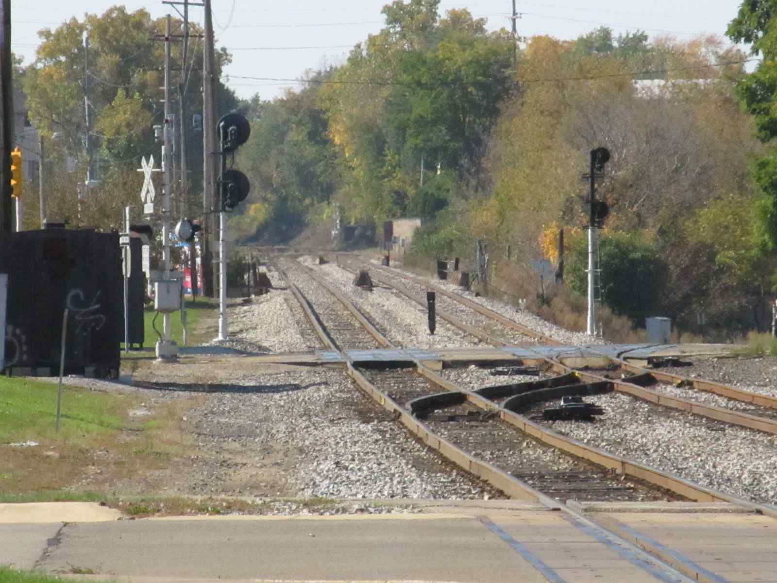
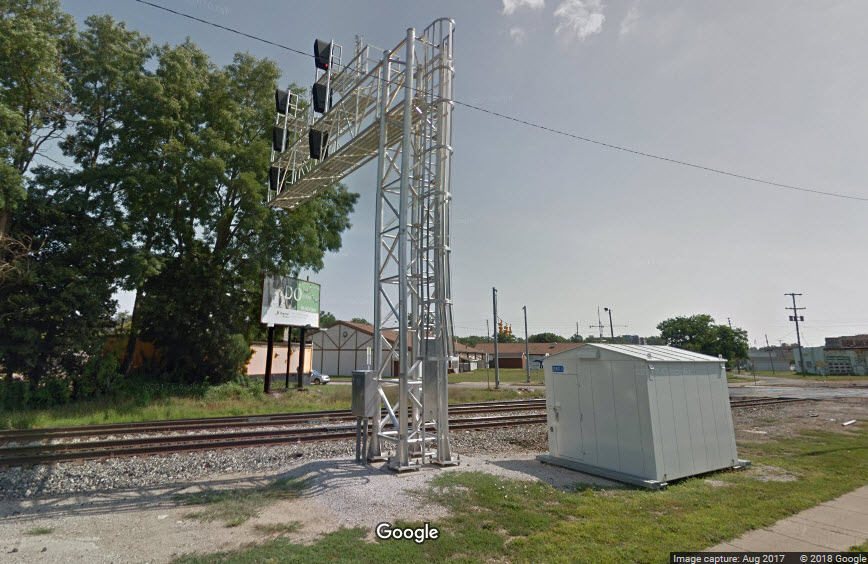
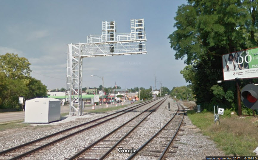
![]() Interlocking Signals
Interlocking Signals
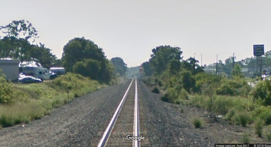
On the west side of town out near the airport, is where the two tracks going thru town converge into one for it's trek west to Albion and Battle Creek.
The top picture below is looking from Wildwood Ave east.
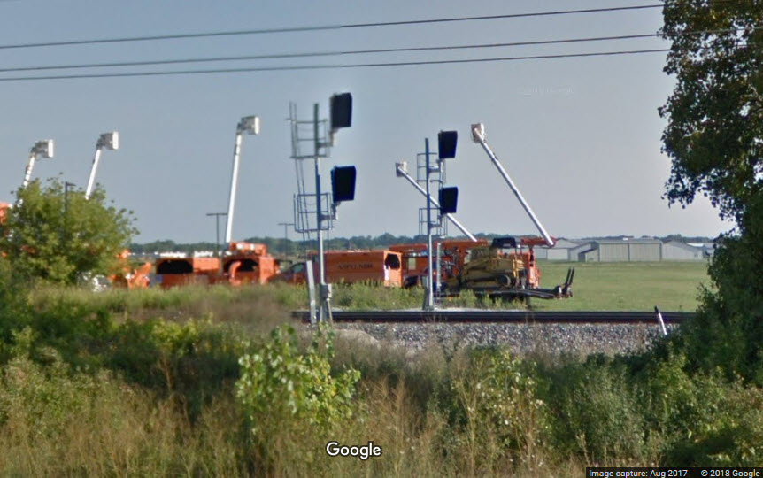
![]() New WB Colorlights
New WB Colorlights
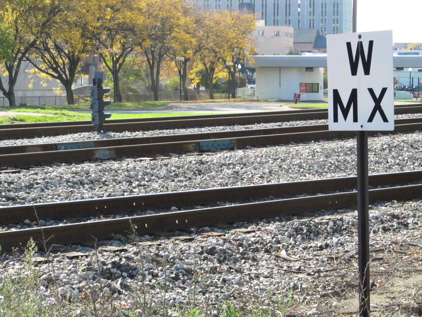
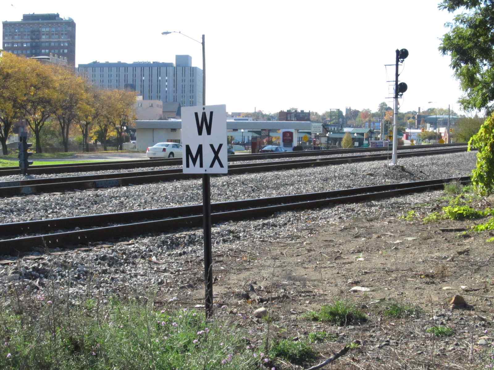
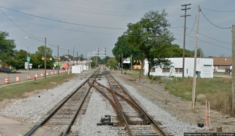
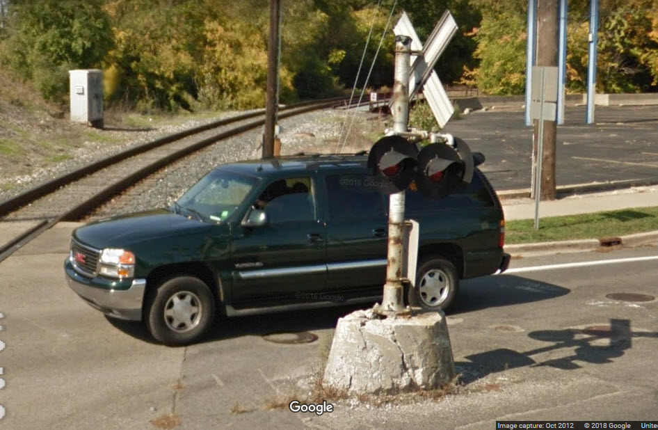
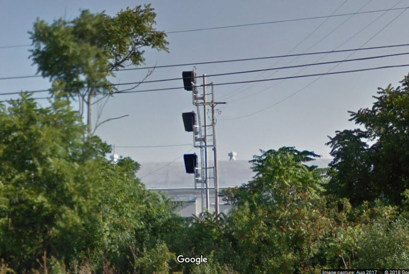
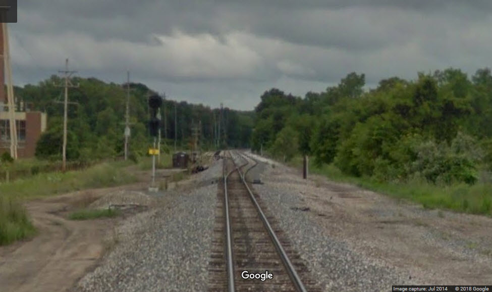
![]() Interlocking Signals - Eastside
Interlocking Signals - Eastside
These signals are just west of Falahee Rd. This Streetview is from 2014, so I do not know if they were updated with the rest of the signals.
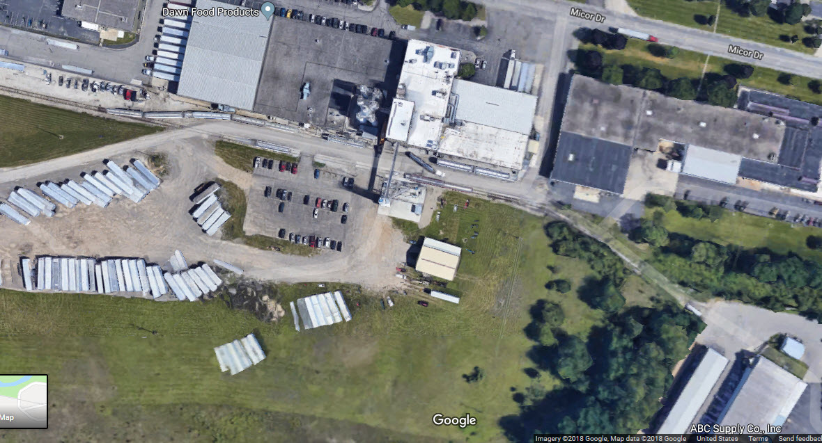
![]()
In SE Jackson, this one line serves Dawn Food Products and ABC Supply Co.
Courtesy of the University of Texas Library, click here for their index page.
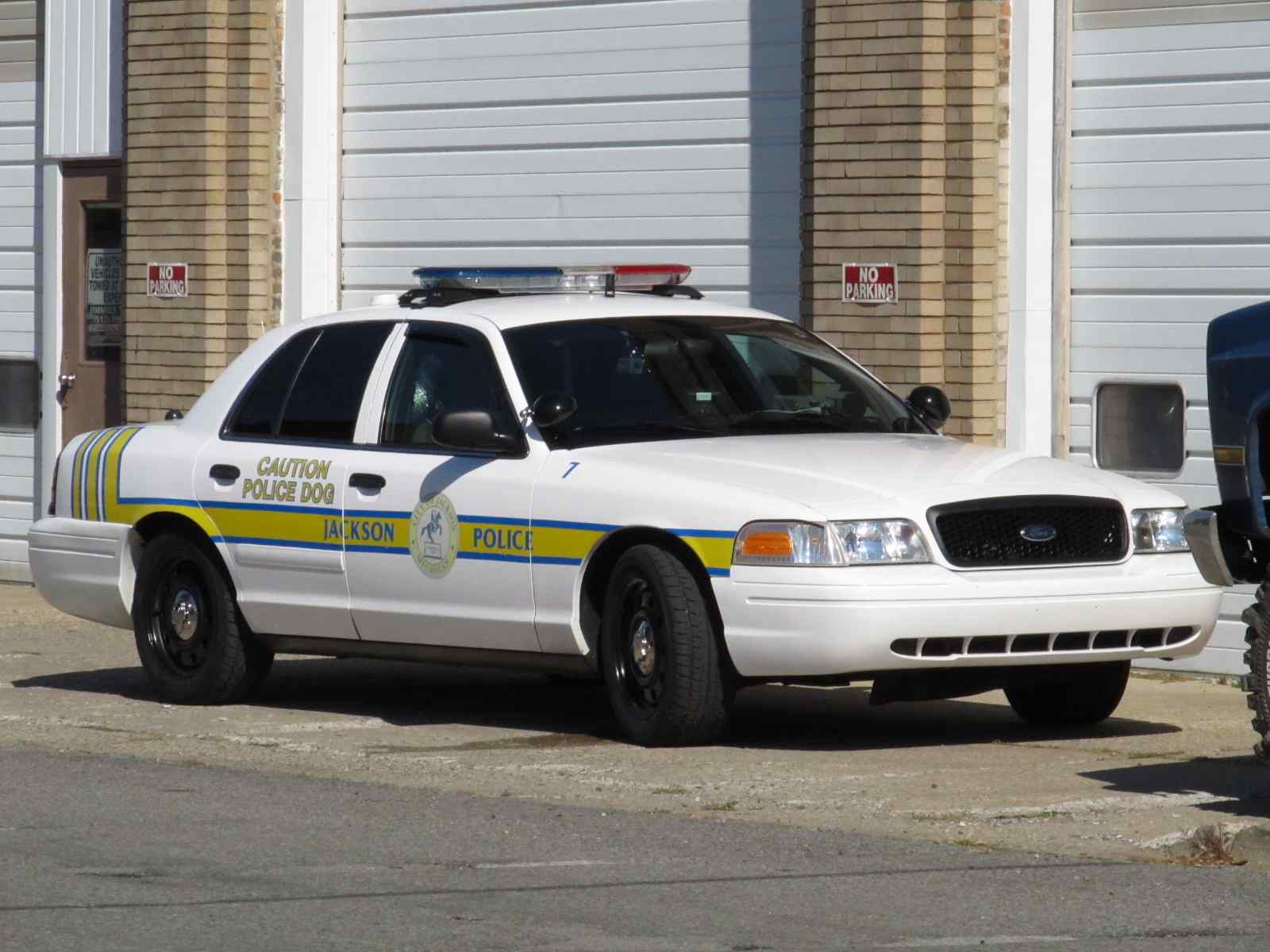
Jackson police car.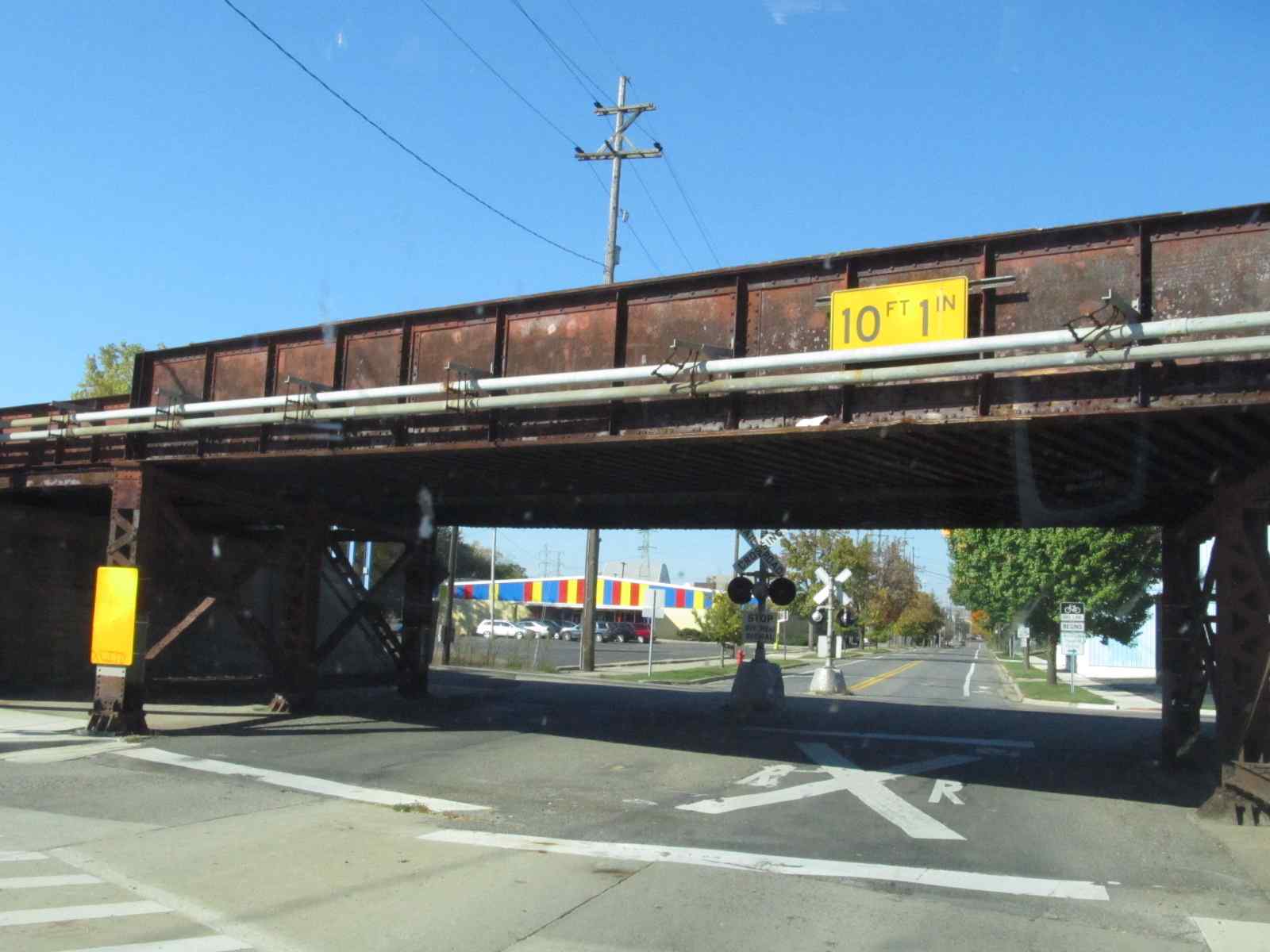
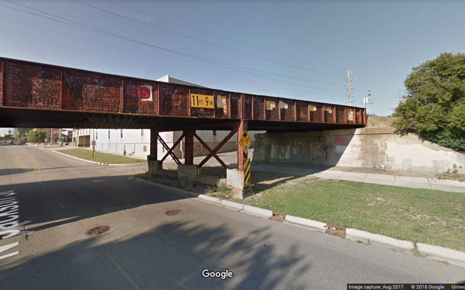
One of the few places the line is grade separated, at Jackson St. Another one on the west side is where West Ave goes over. On the east
side of town, US127 goes over the tracks.
Disclaimers:
I love trains, and I love signals. I am not an expert. My webpages reflect what I find on the topic of the page. This is something I have fun with while
trying to help others.
Please Note: Since the main focus of my two websites is railroad signals, the railfan guides are oriented towards the signal fan being able to locate them.
For those of you into the modeling aspect of our hobby, my
indexa page has a list of almost everything railroad oriented
I can think of to provide you with at least a few pictures to help you detail your pike.
If this is a railfan page, every effort has been made to make sure that the information contained on this map and in this railfan guide is correct. Once in a while,
an error may creep in :-)
My philosophy: Pictures and maps are worth a thousand words, especially for railfanning. Text descriptions only get you so far, especially if you get lost or
disoriented. Take along good maps.... a GPS is OK to get somewhere, but maps are still better if you get lost! I belong to AAA, which allows you to get
local maps for free when you visit the local branches. ADC puts out a nice series of county maps for the Washington DC area, but their state maps do not have the
railroads on them. If you can find em, I like the National Geographic map book of the U.S..... good, clear, and concise graphics, and they do a really good job
of showing you where tourist type attractions are, although they too lack the railroads. Other notes about specific areas will show up on that page if known.
Aerial shots were taken from either Google or Bing Maps as noted. Screen captures are made
with Snagit, a Techsmith product... a great tool if you have never used it!
By the way, floobydust is a term I picked up 30-40 years ago from a National Semiconductor data book, and means miscellaneous
and/or other stuff.
Pictures and additional information is always needed if anyone feels inclined to take 'em, send 'em, and share 'em, or if you have something to add or correct.... credit
is always given! Please be NICE!!! Contact info is here
Beware: If used as a source, ANYTHING from Wikipedia must be treated as being possibly being inaccurate, wrong, or not true.
RAILFAN GUIDES HOME
RAILROAD SIGNALS HOME
NEW 10/10/2011, 12/04/2016
Last Modified
21-Oct-2018