
In General
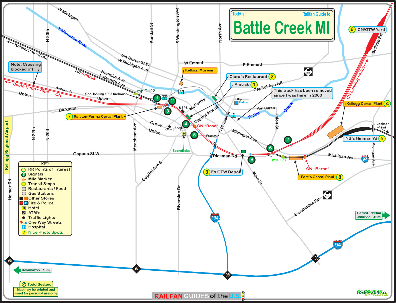
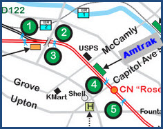
Maps
Sights
1 - the Amtrak Station
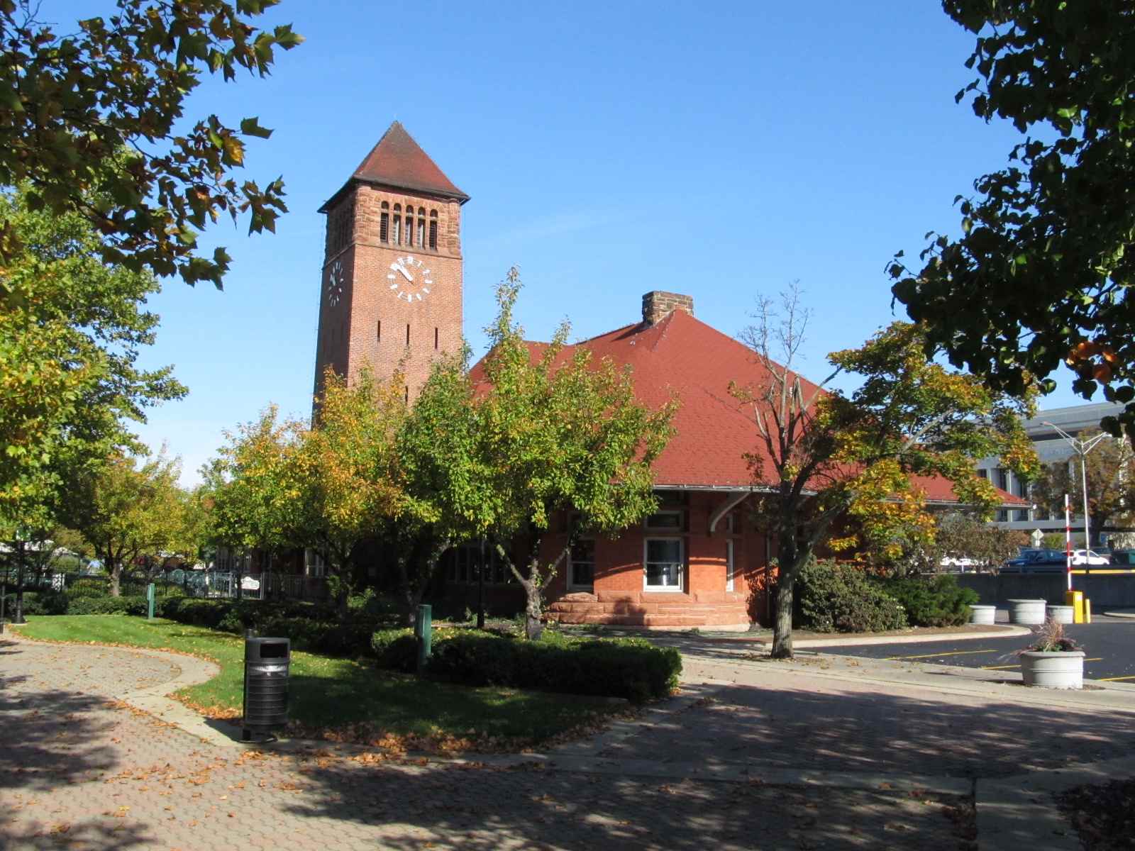
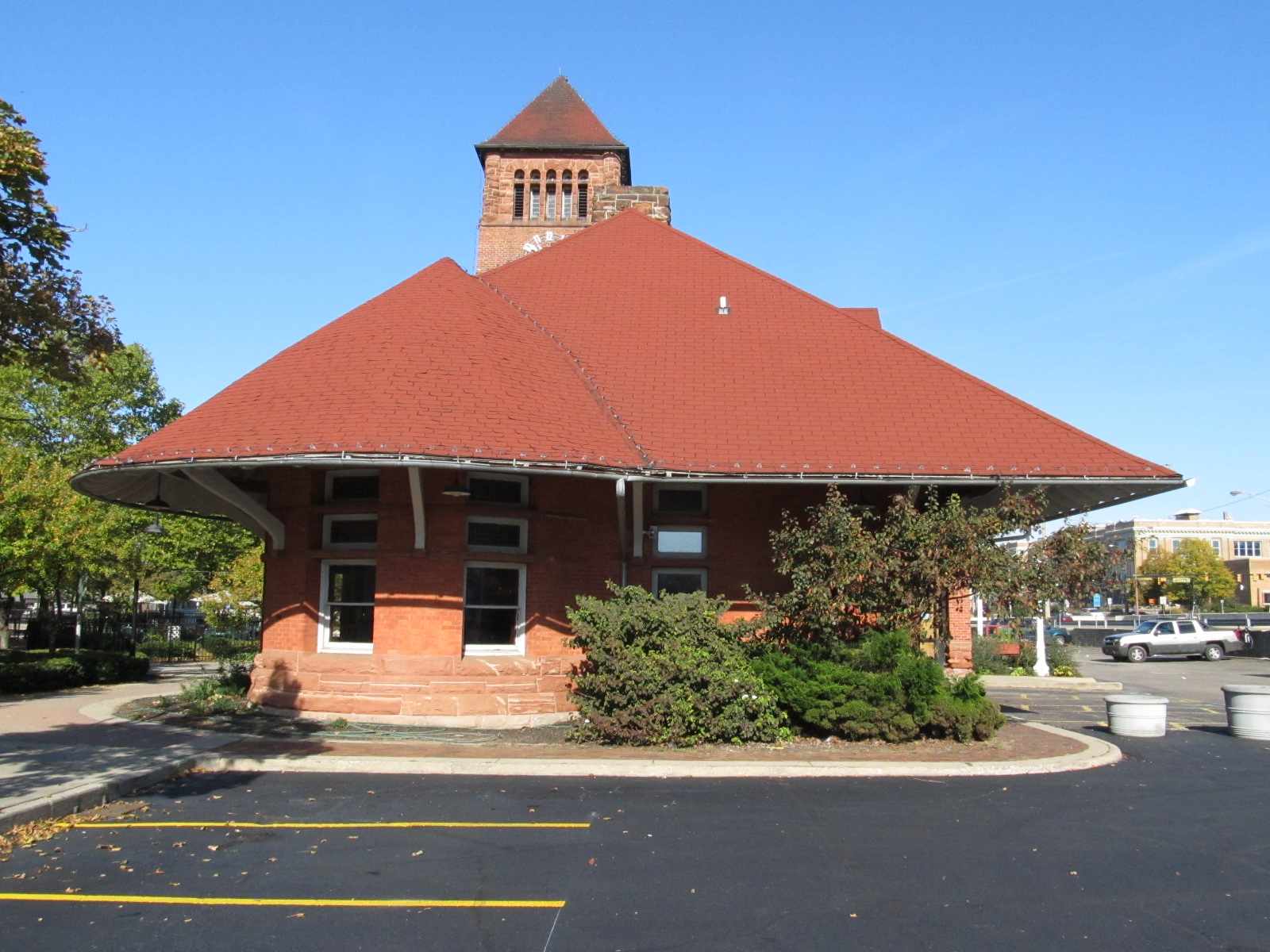
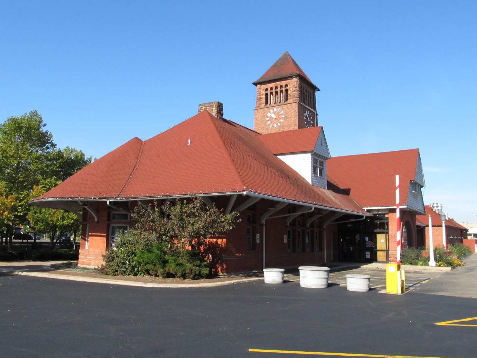
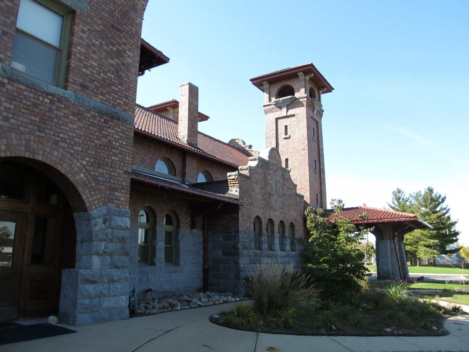
2 - the Ex-Michigan Central Depot
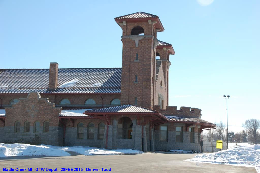
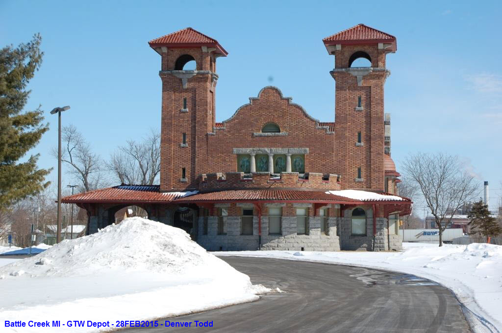
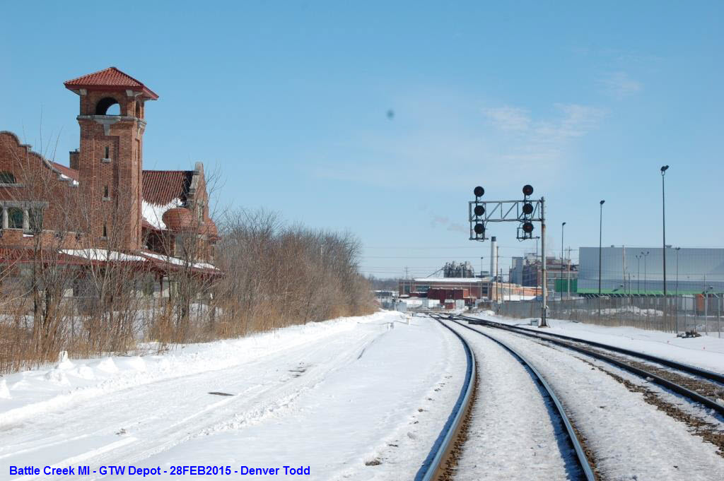
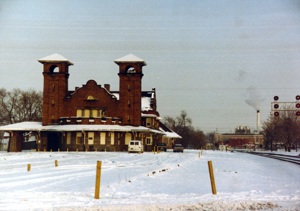
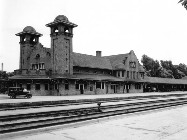
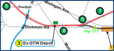
3 - the ex-Grand Trunk Depot
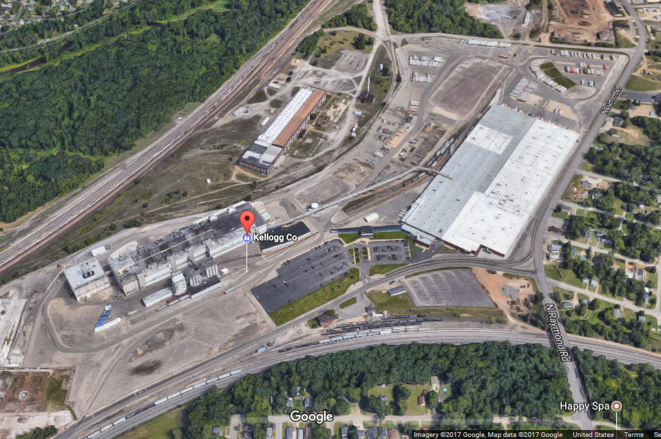
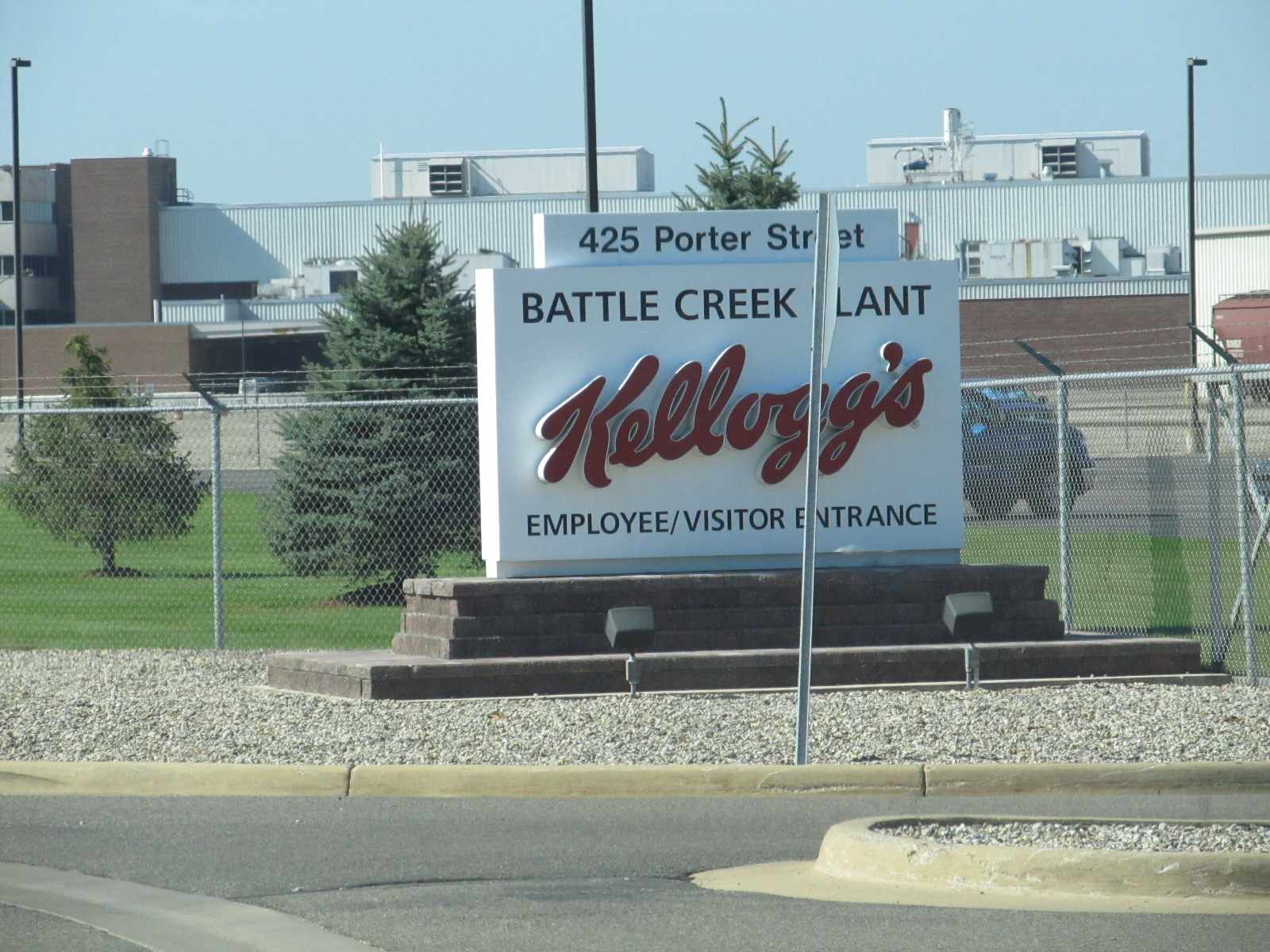
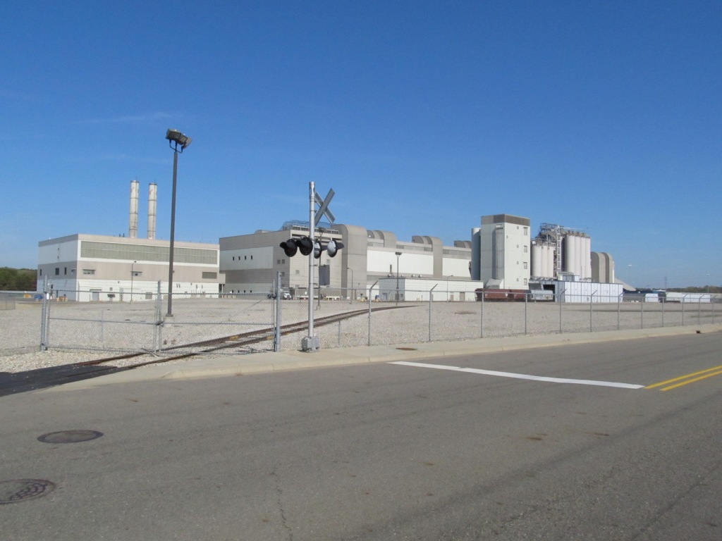
4 - the Kellogg Plant
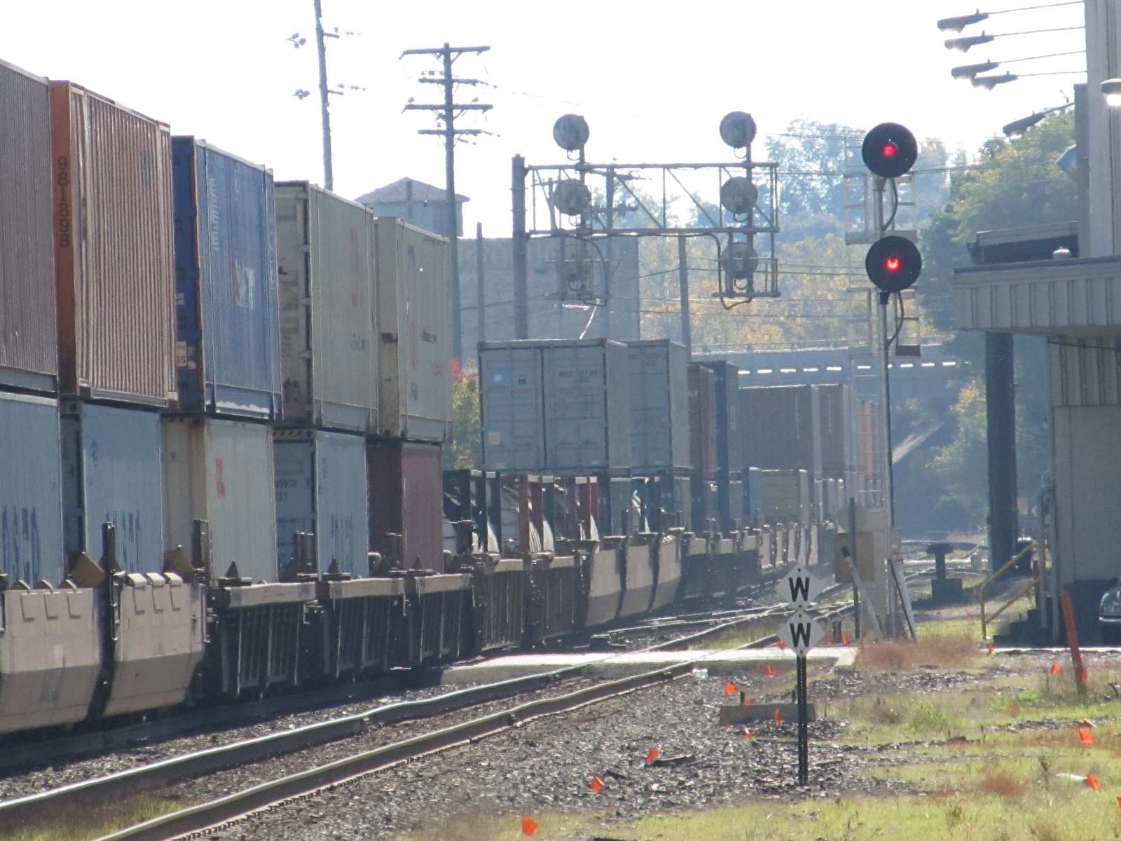
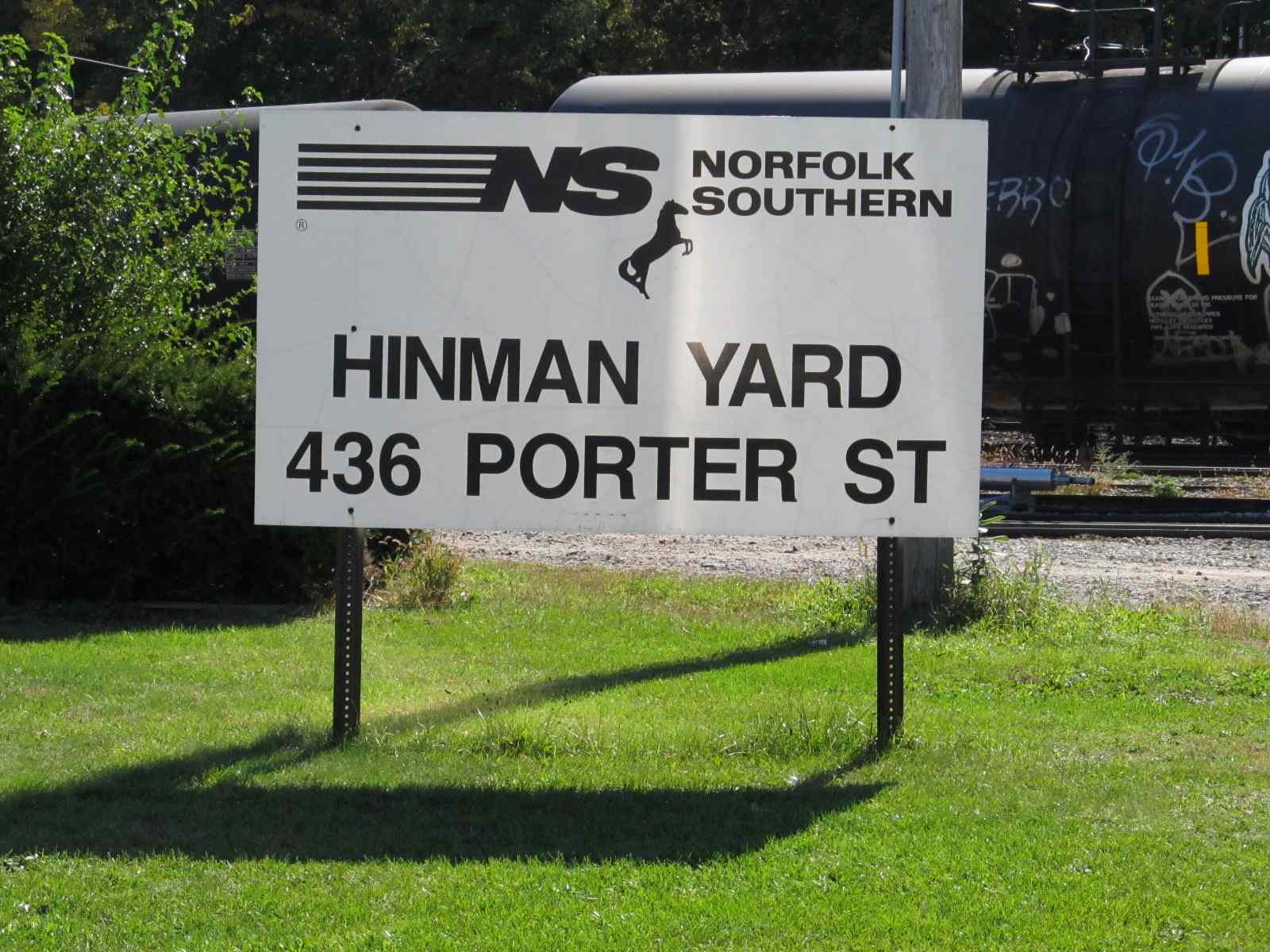
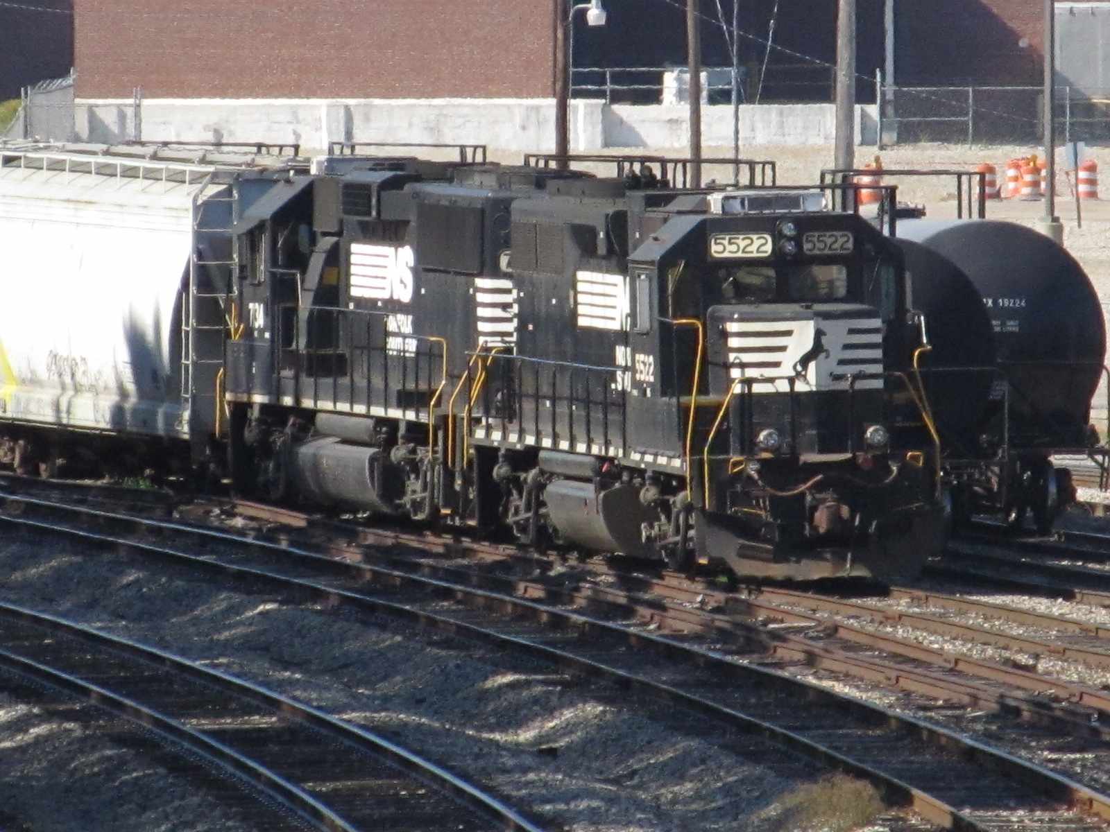
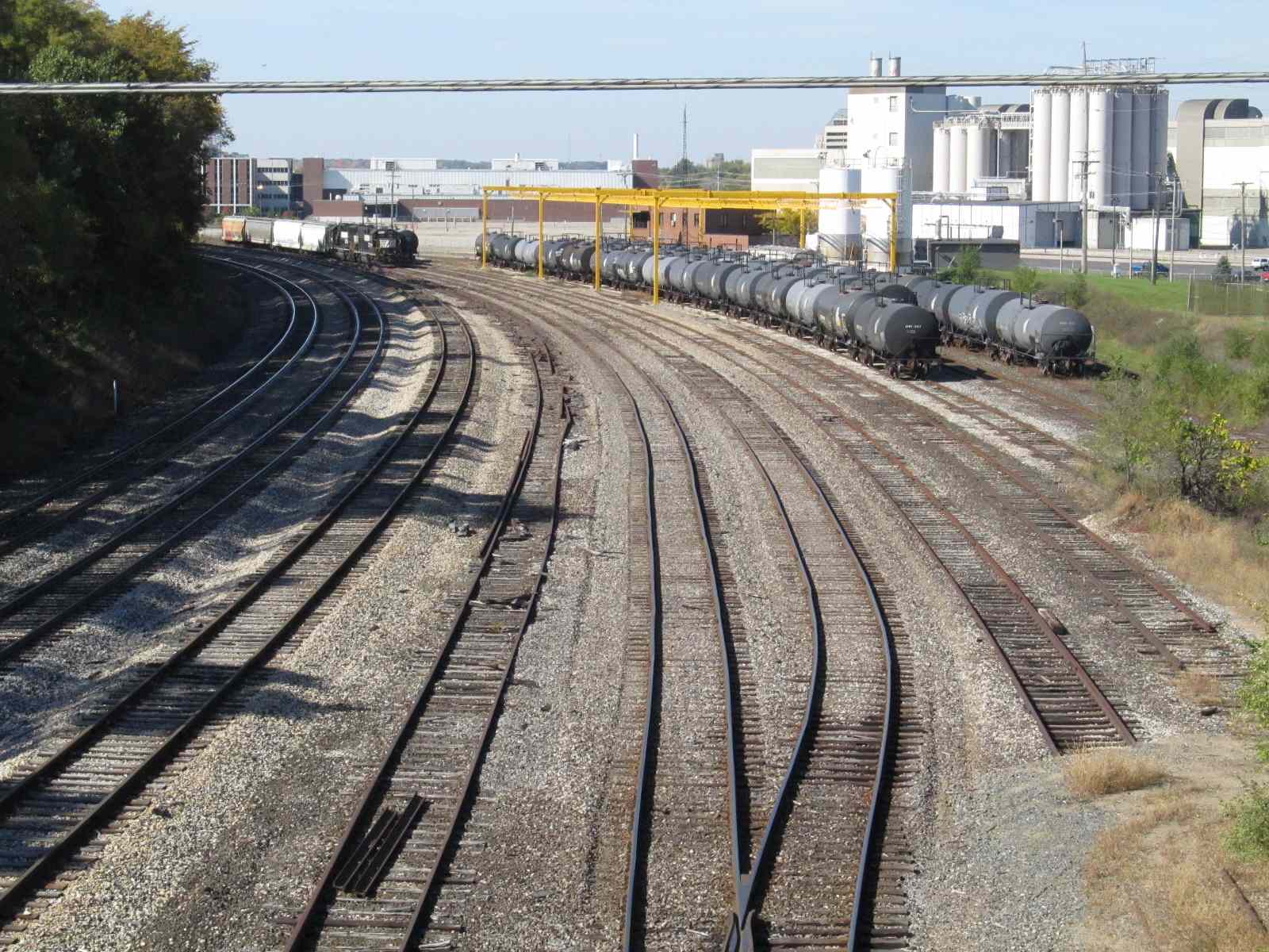
5 - NS's Hinman Yard
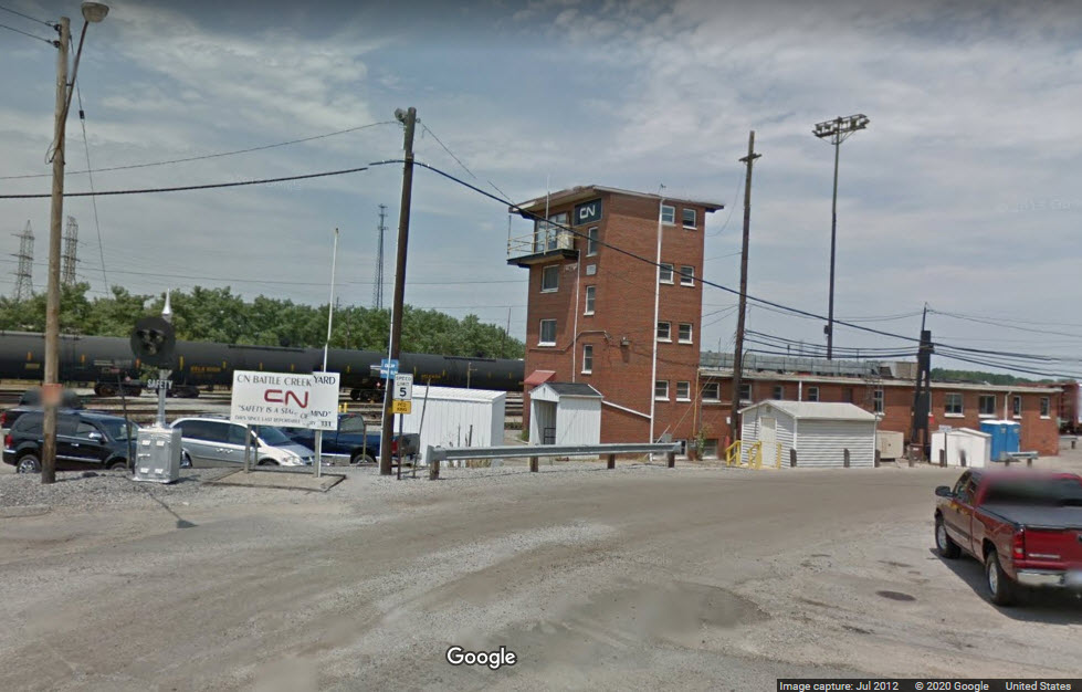
6 - CN's Battle Creek Yard
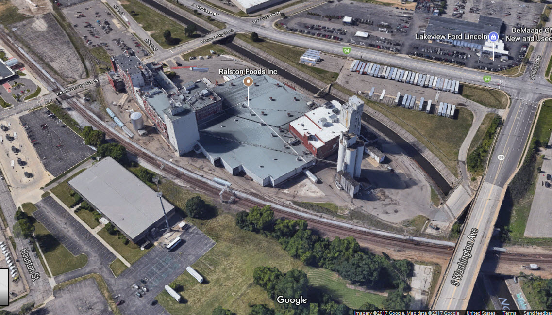
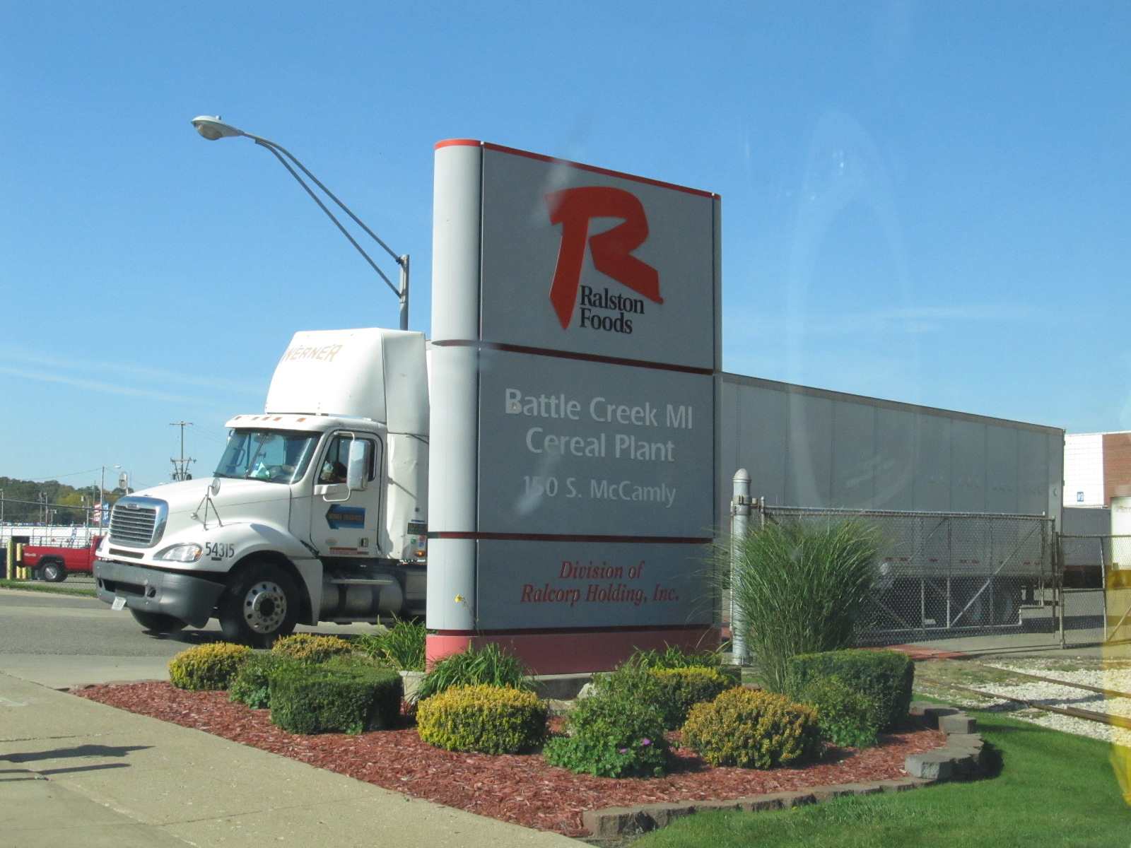
7 - the Ralston Purina Cereal Plant
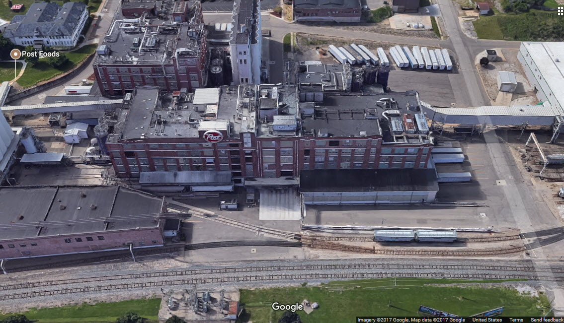
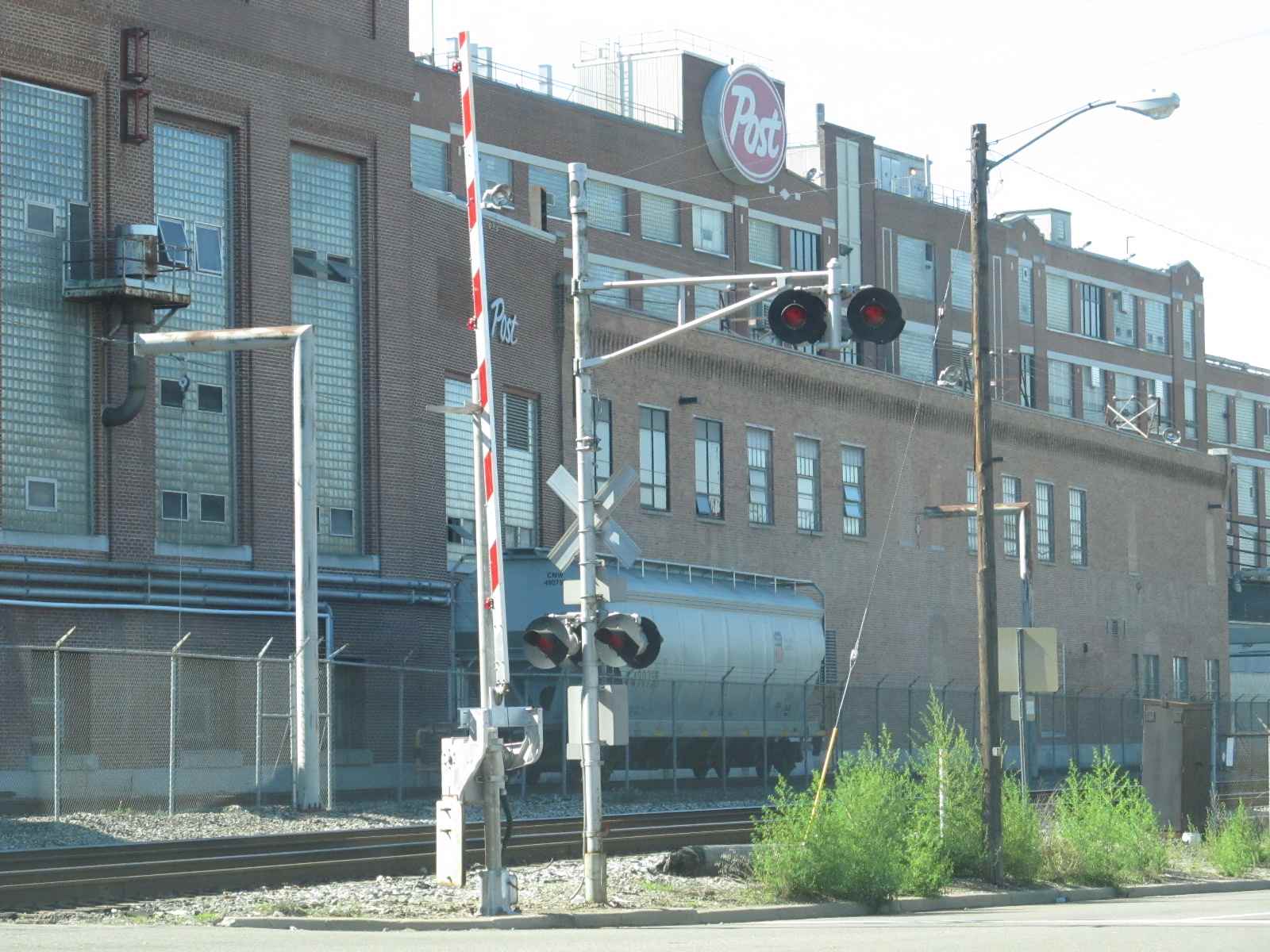
8 - the Post Cereal Plant
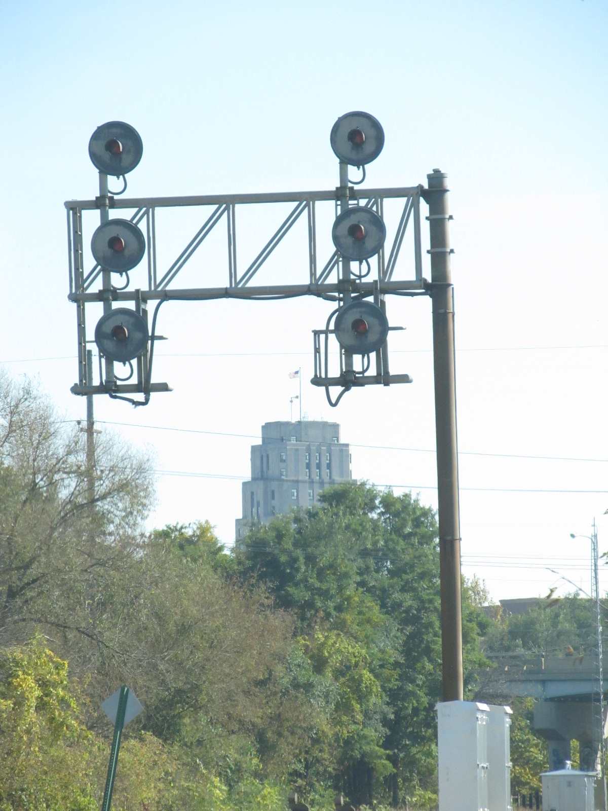
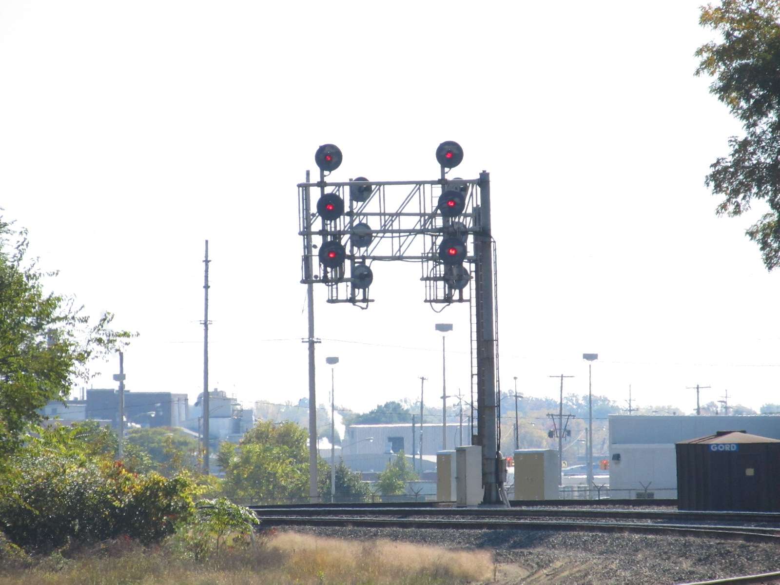
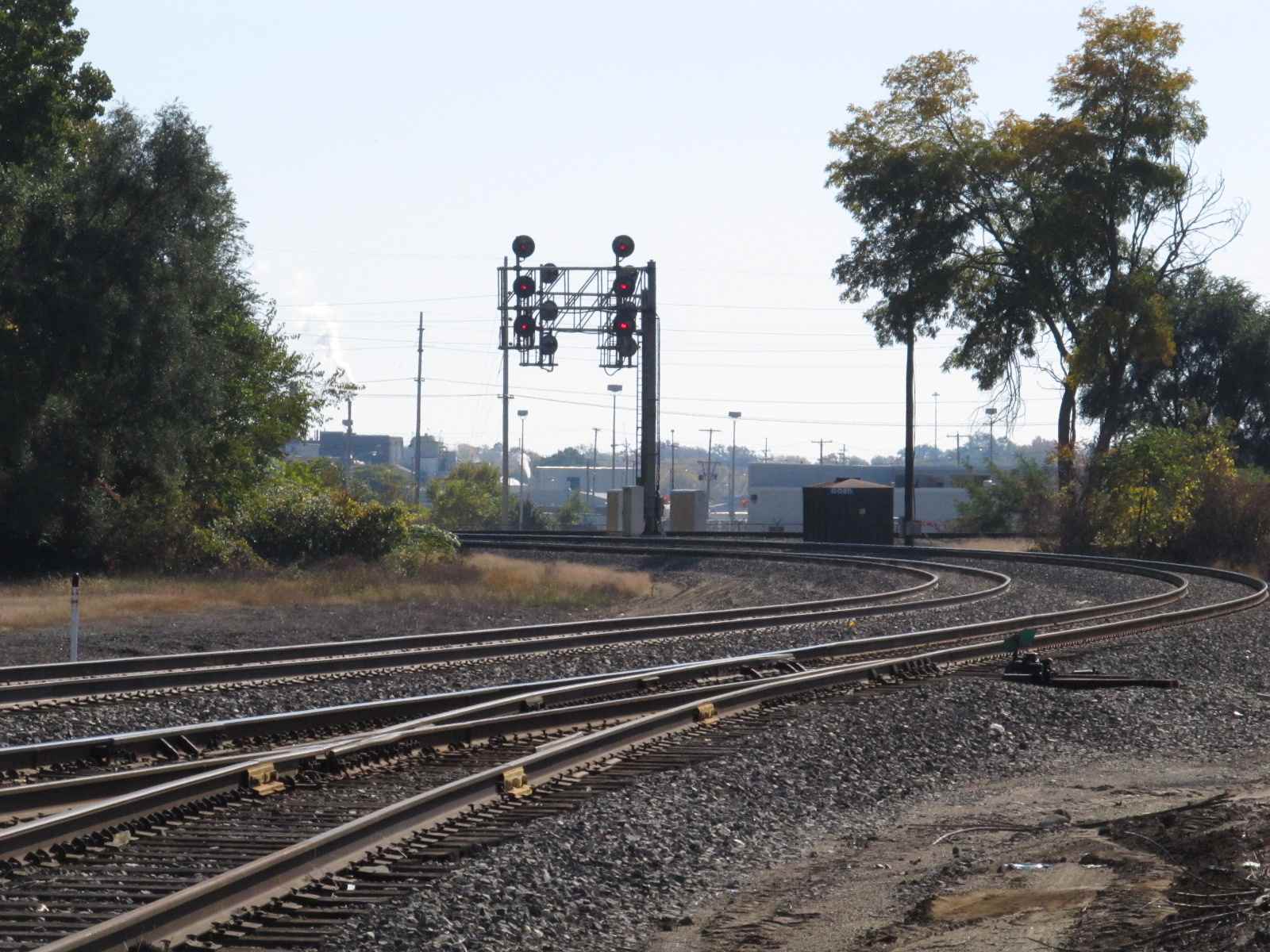
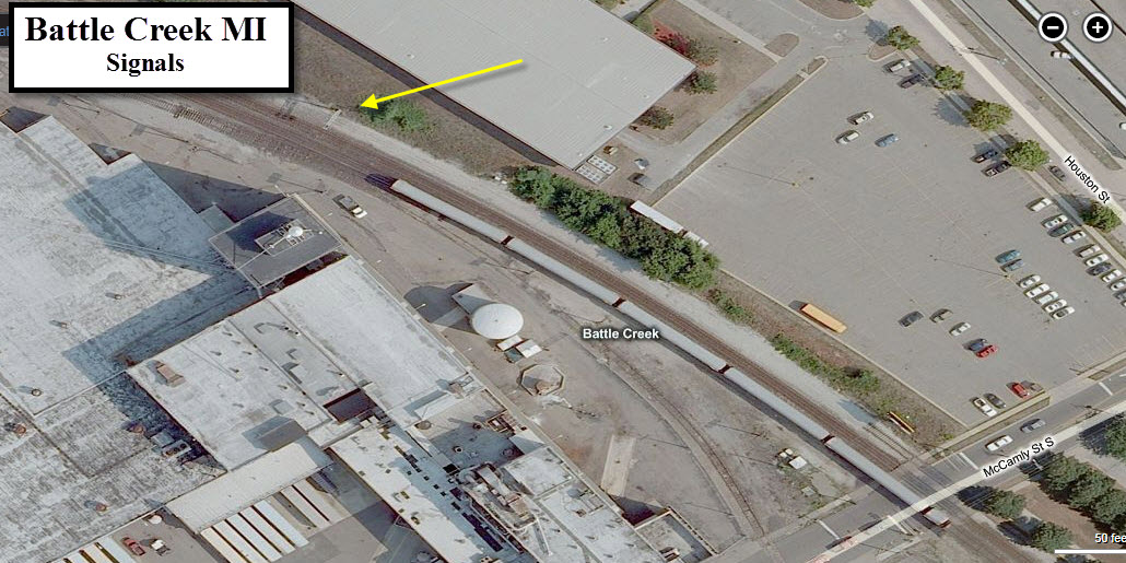
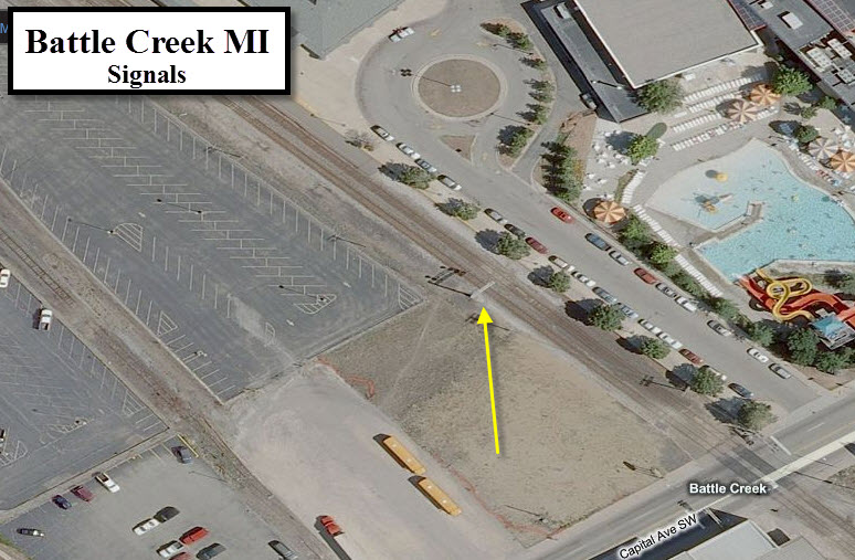
Signals
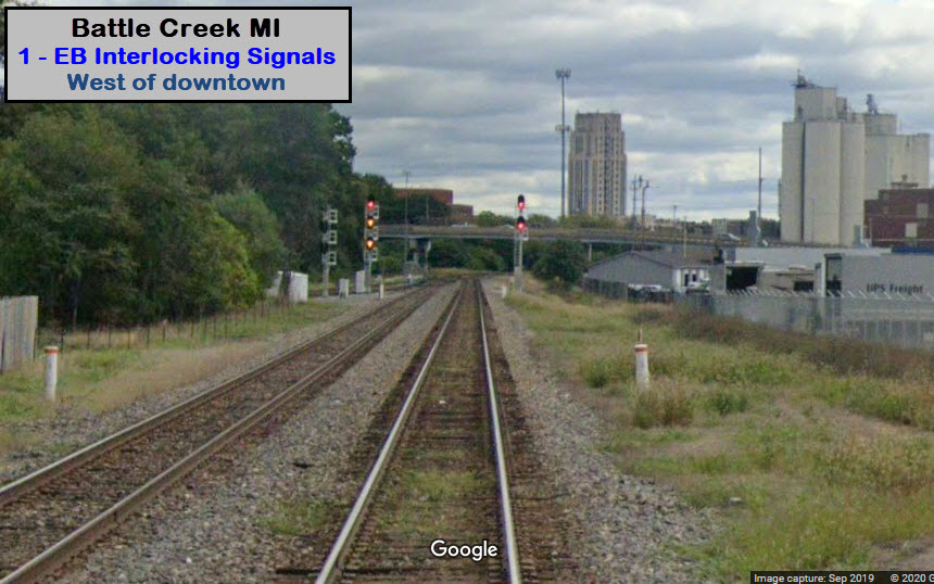
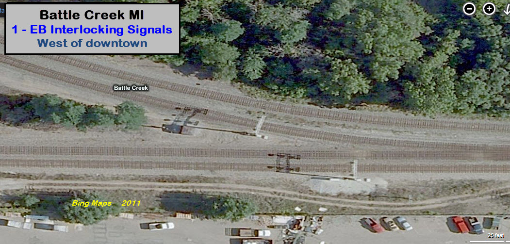
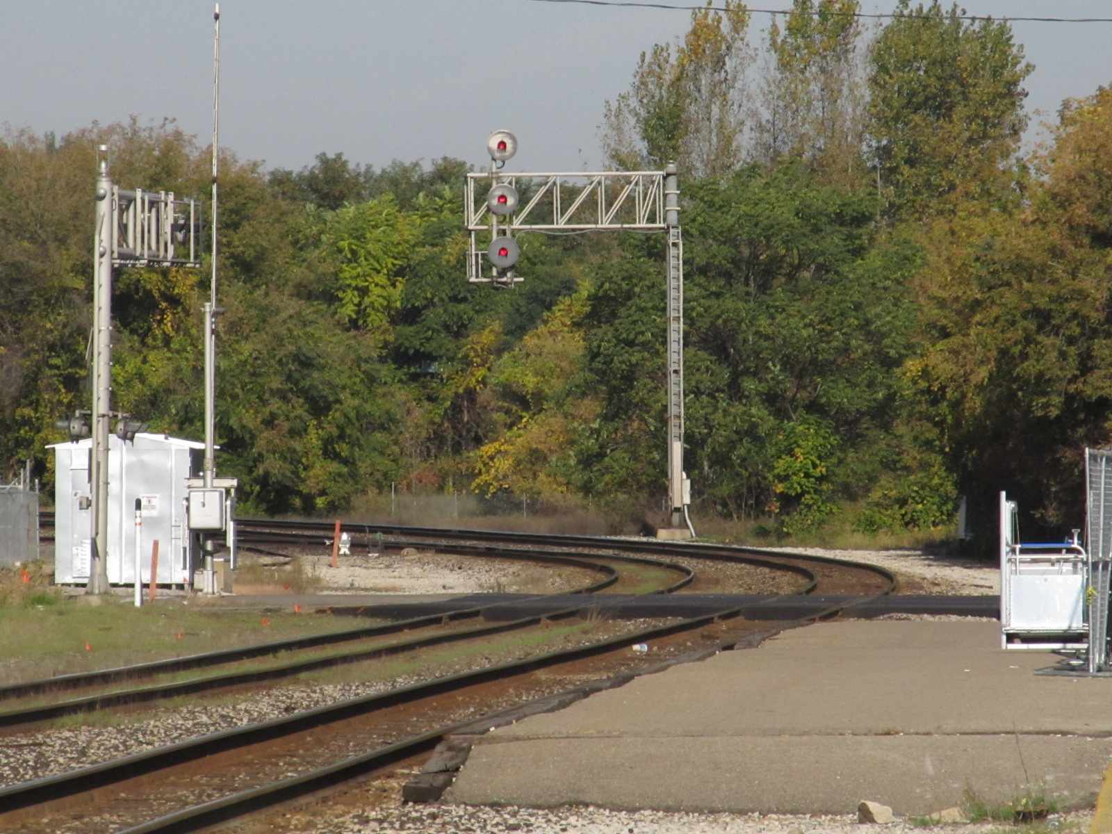
1 - EB Interlockers on west side of town
2 - WB Signals west of McCalmly St
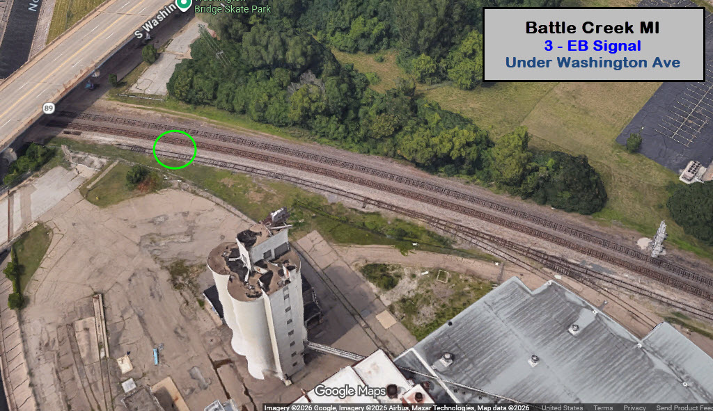
3 - EB Signals under Washington Ave
4 - EB Signals for Crossover at Capitol Ave
5 - WB Signals for Crossover near Capitol Ave
6 - SB Signal(s) at Michigan Ave
7 - SB Interlocking Signals north of Michigan Ave
8 - EB Colorlights for a crossover by the GTW Depot
9 - WB Interlocking Colorlights
10 - McAllister Rd, north of Battle Creek Yd
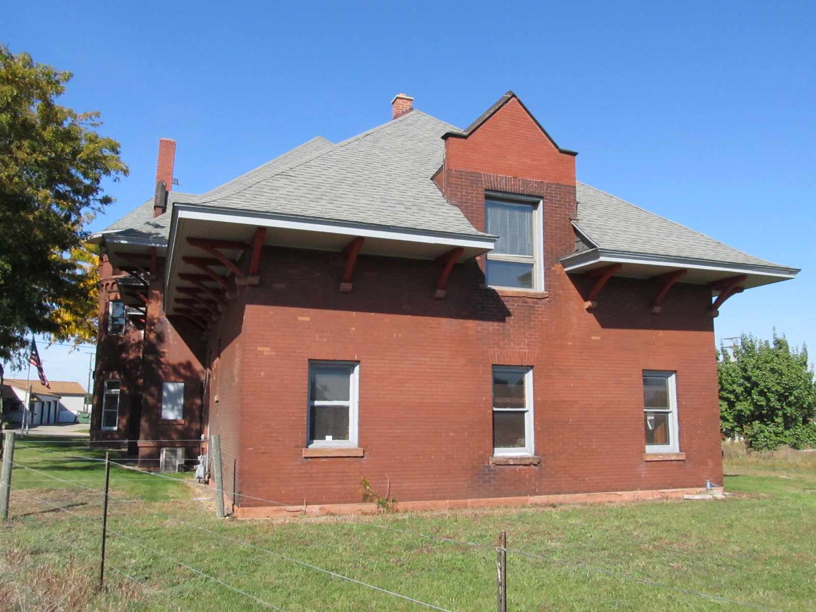
Fire and Police
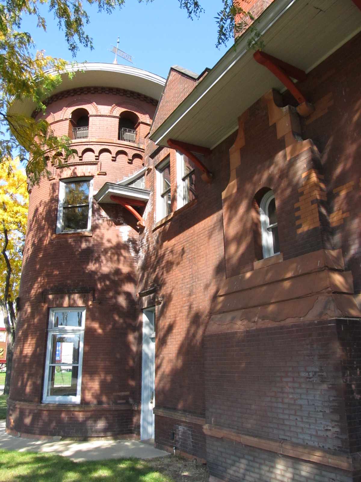
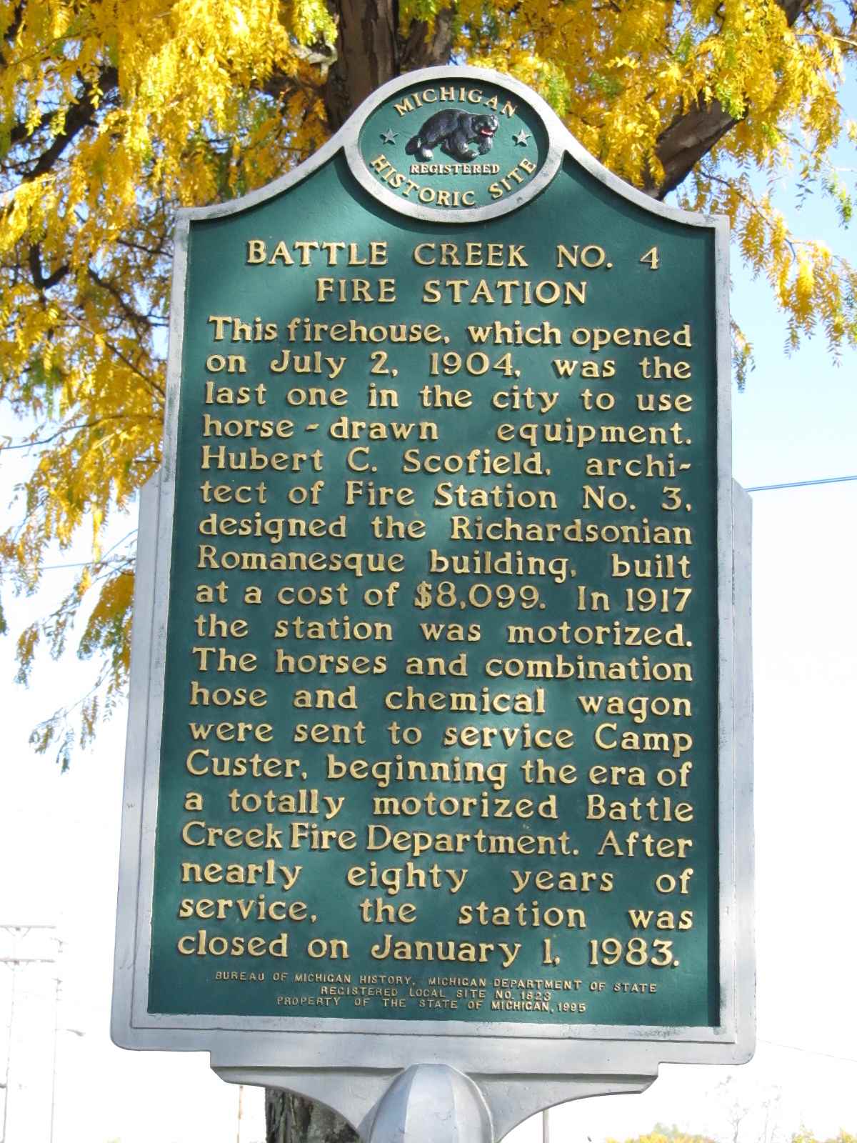
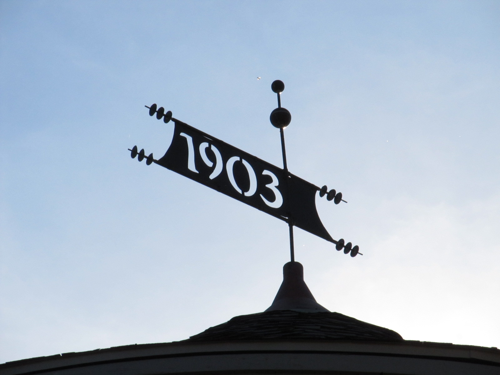
1903 Fire Station
Central Fire Station
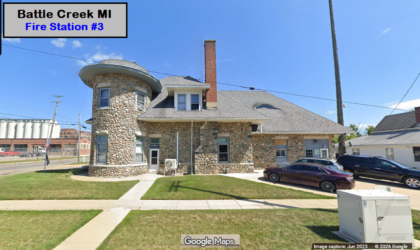
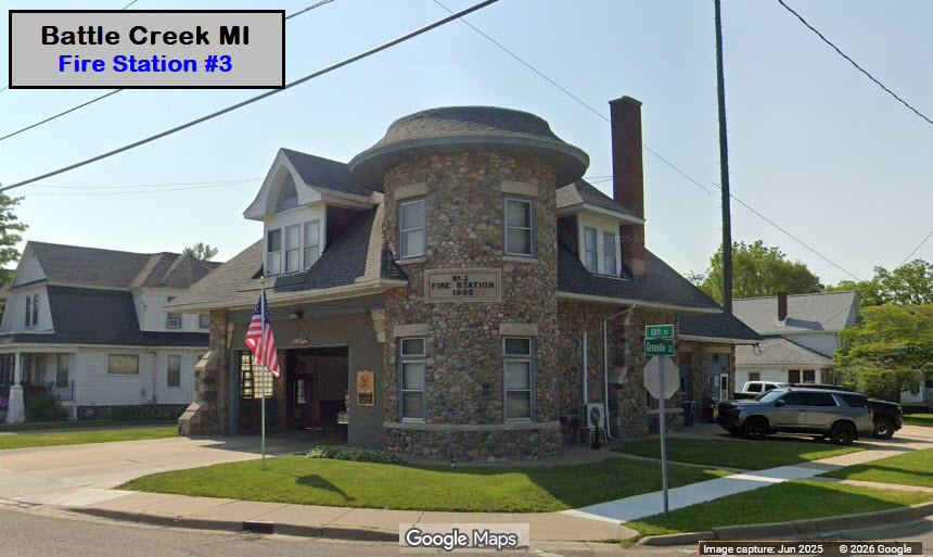
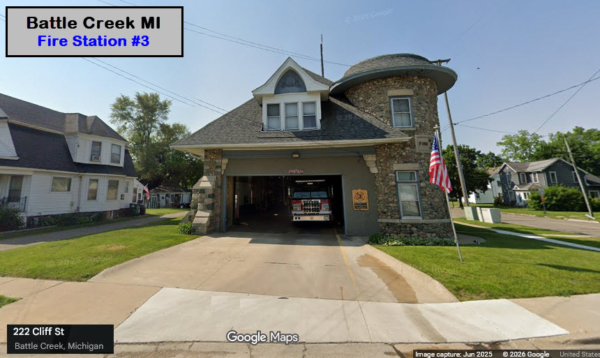
Station #3
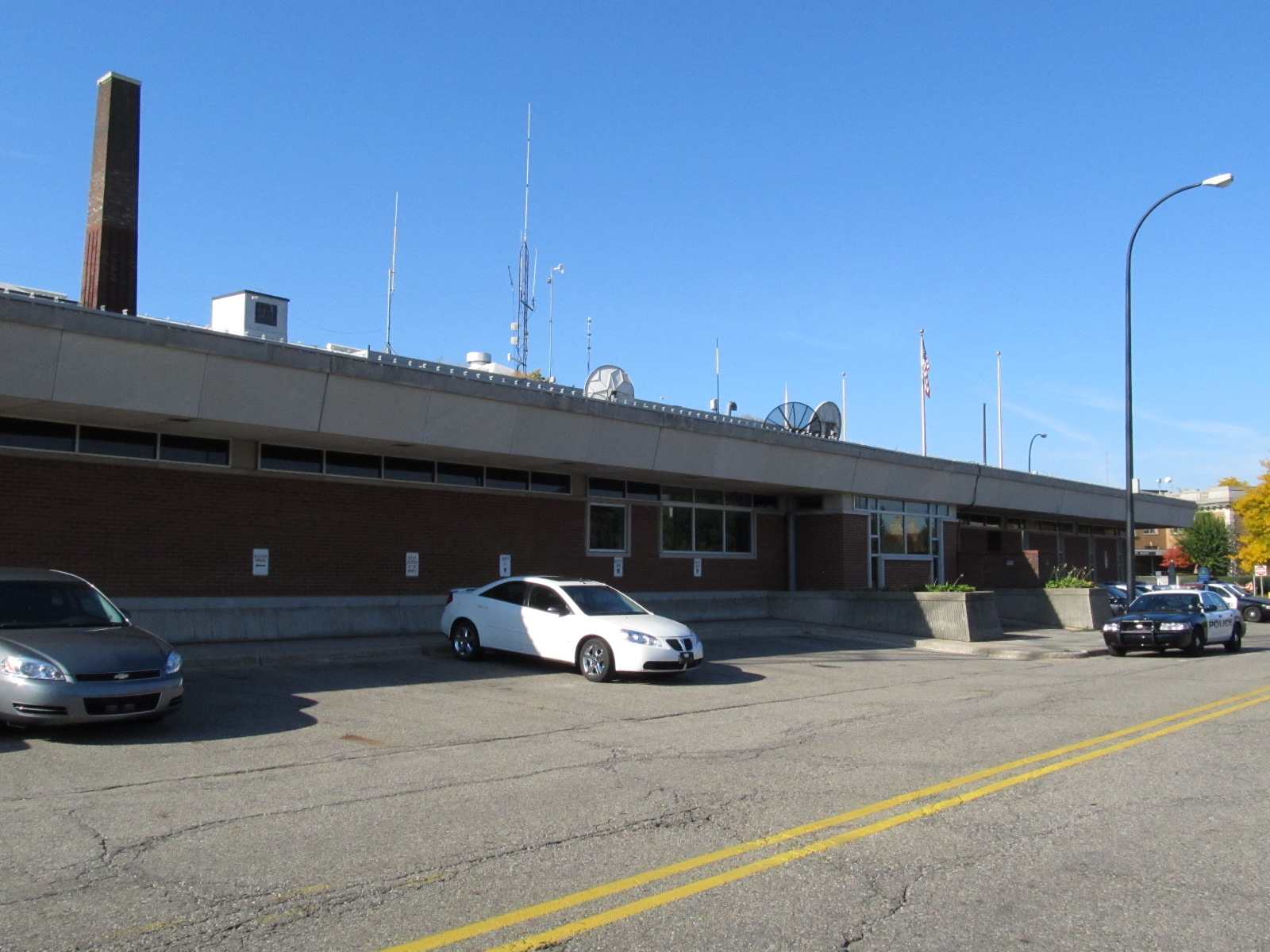
Battle Creek Police HQ
Floobydust
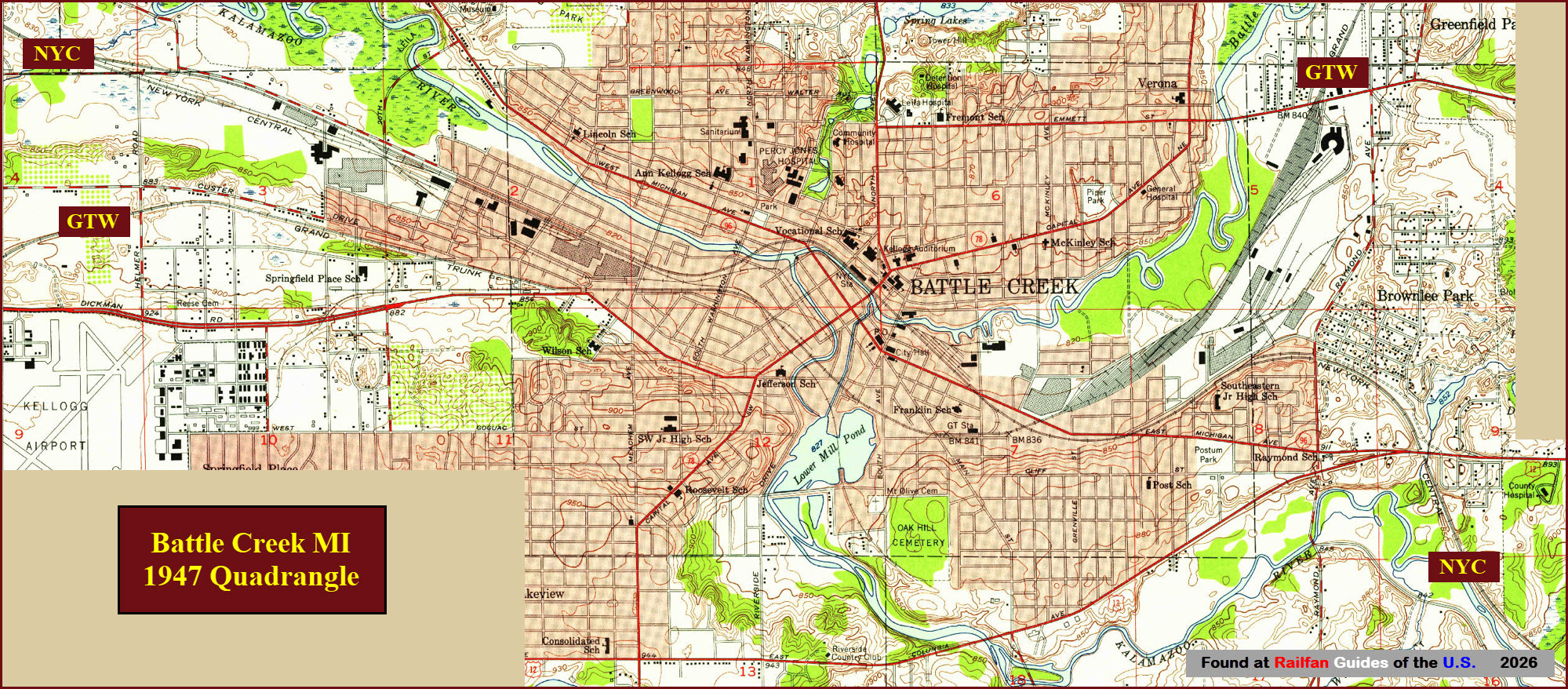
USGS Map
MICHIGAN RAILFAN GUIDE HOMEPAGE
RAILFAN GUIDES HOME
RAILROAD SIGNALS HOME
Location / Name:
Battle Creek MI, Calhoun County
What's Here:
Amtrak, Norfolk Southern, Canadian National
Grand Trunk and Michigan Central depots
Amtrak station
Several yards
Cereal capitol of the United States! :-)
Data:
GPS Coordinates: As needed
Phone A/C: 269
ZIP: 49017
Access by train/transit:
Amtrak
The Scoop:
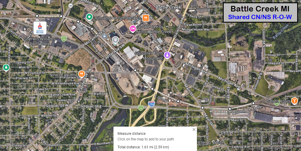
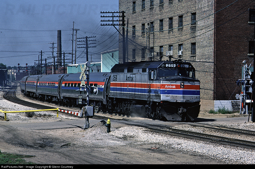
What comes to your mind when you think of Battle Creek.... Cereal?.... it should, for the majority of America's cereal comes from here. Norfolk Southern and Canadian National service the cereal business in town, and through trains come thru with fair regularity.
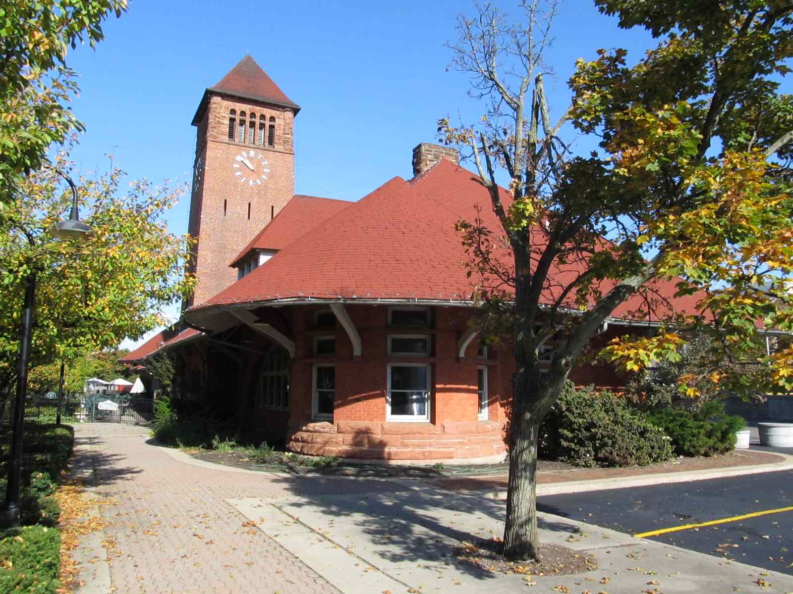
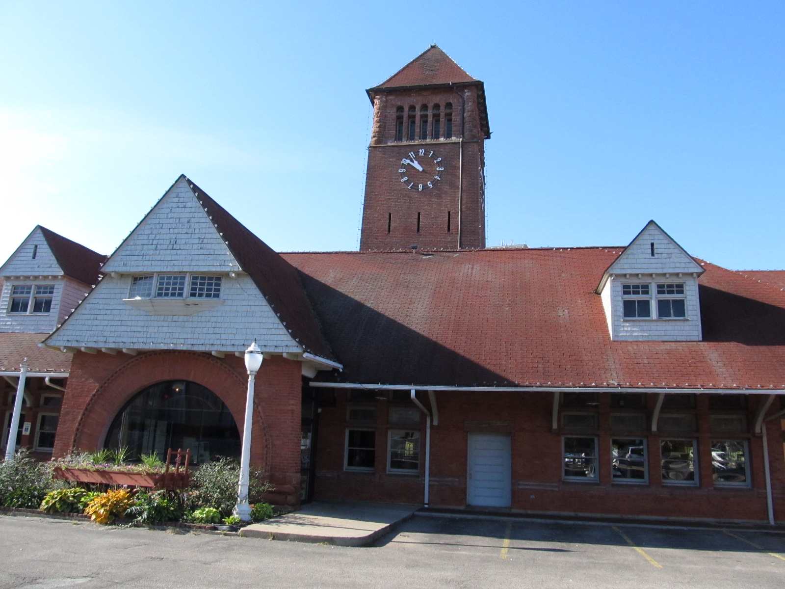
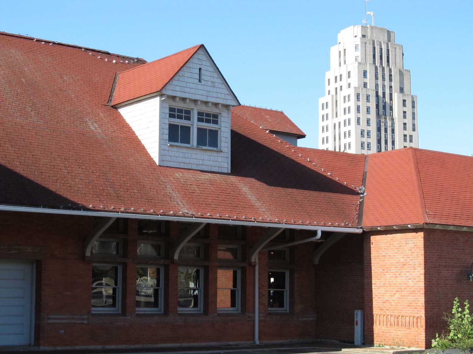
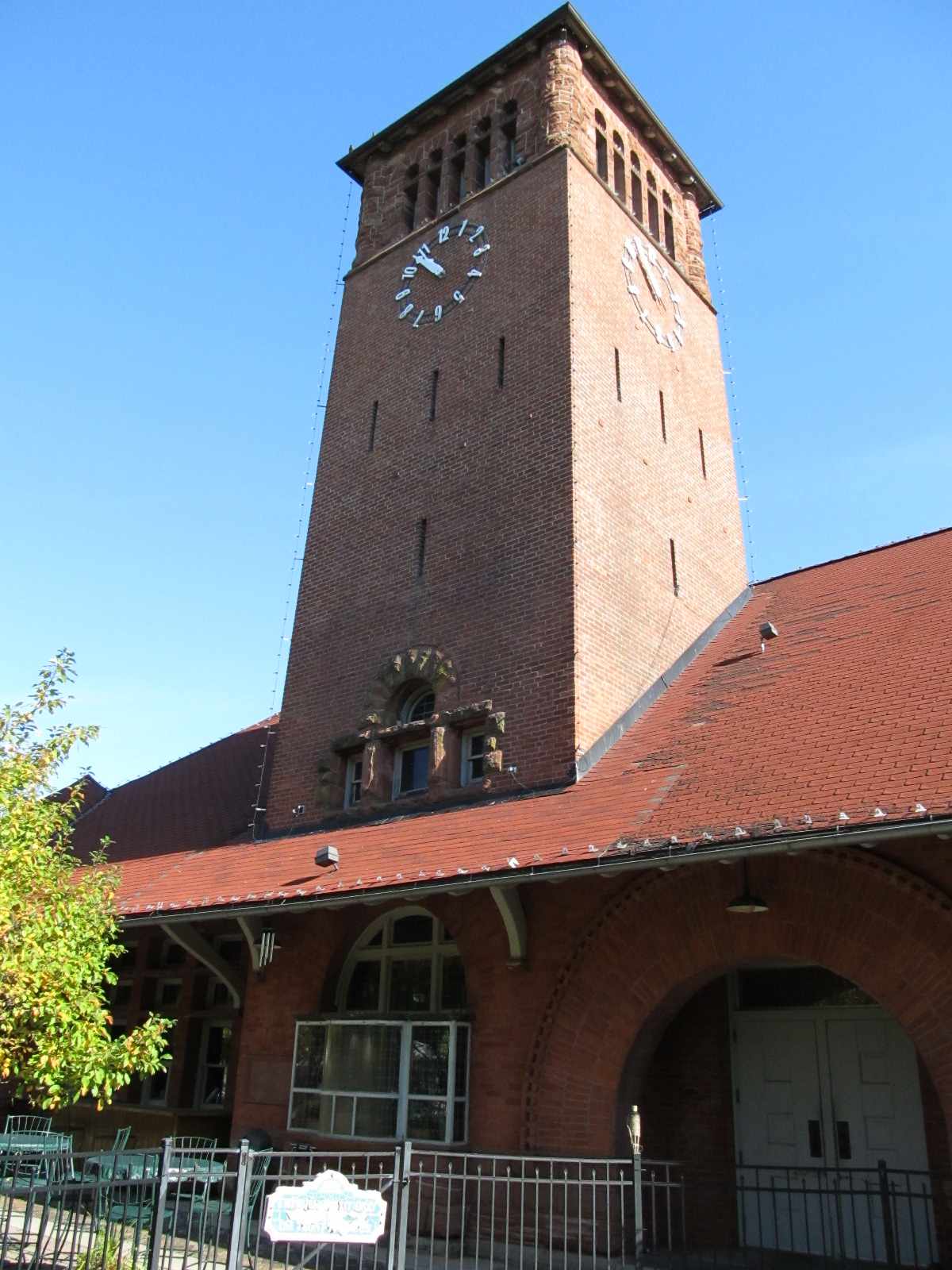
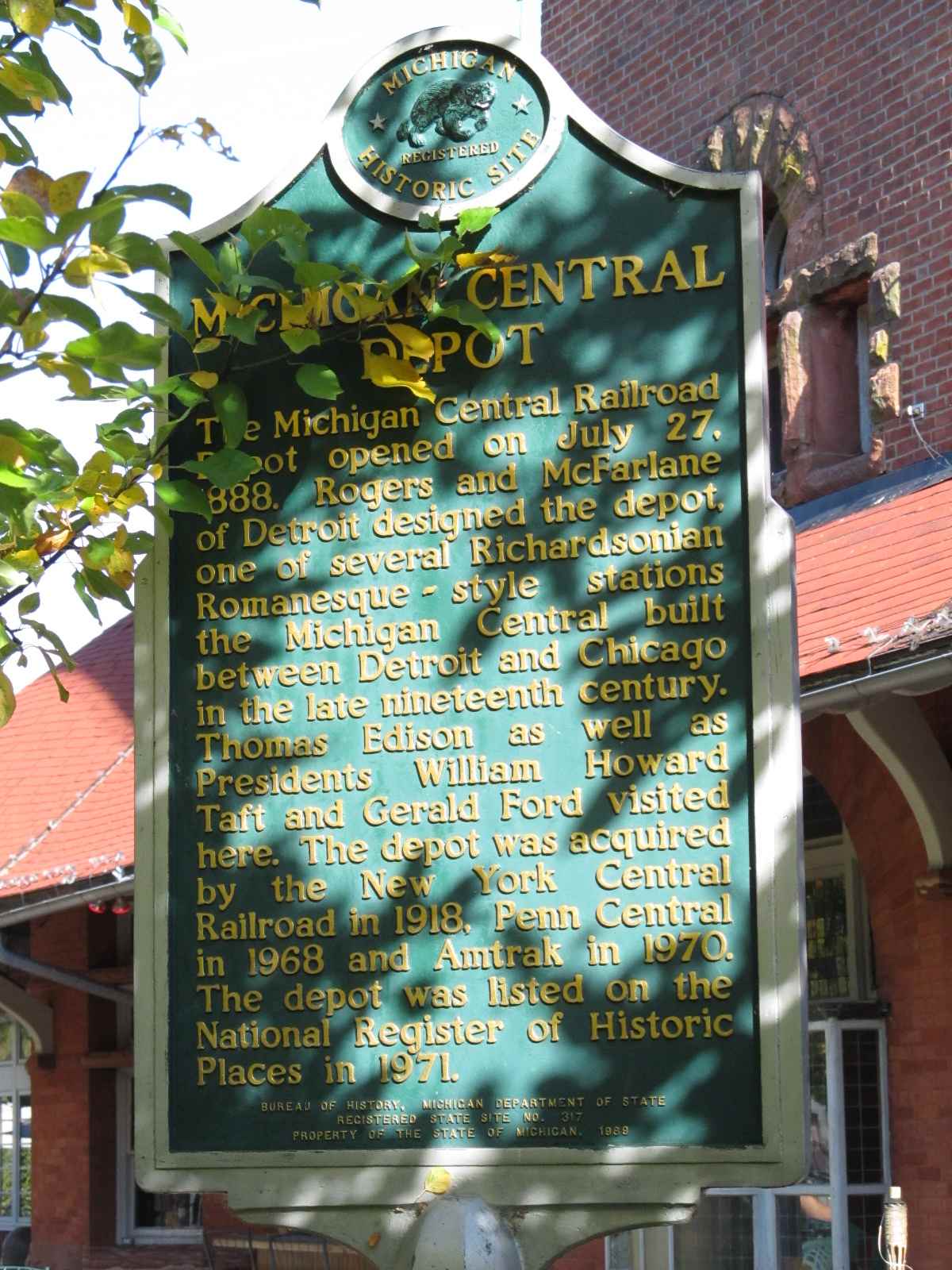
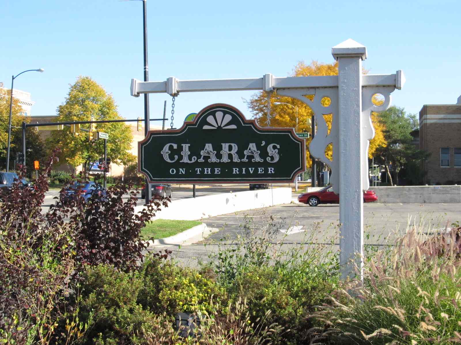
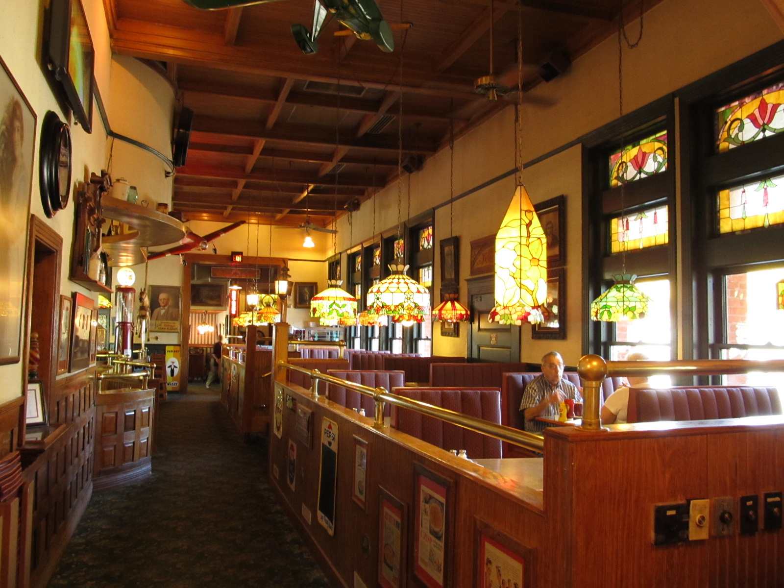
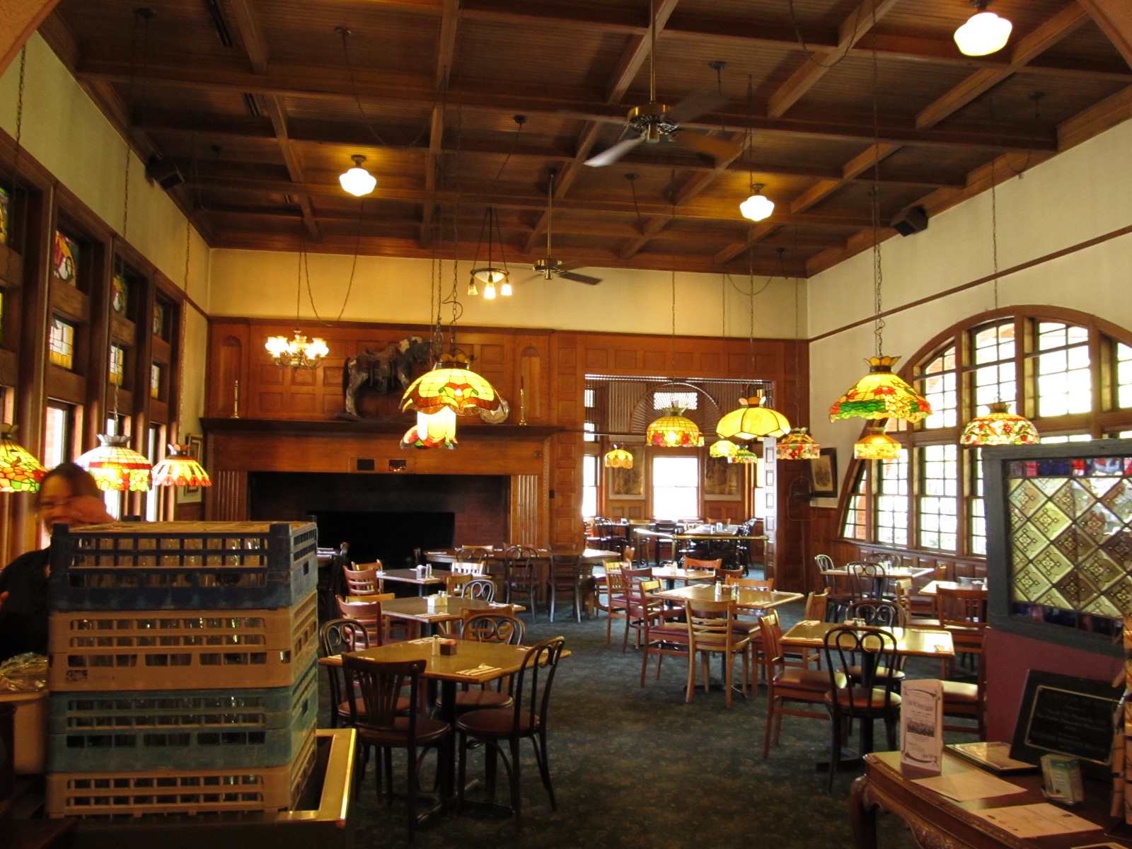
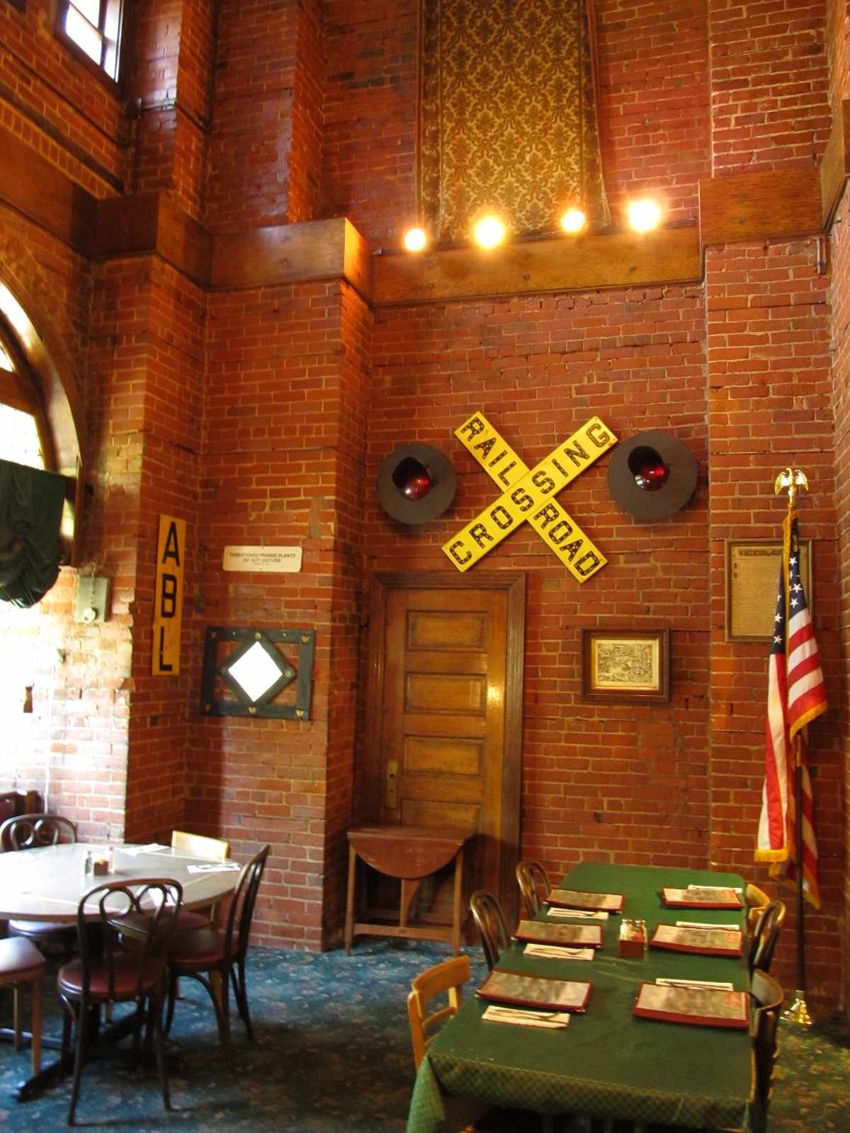
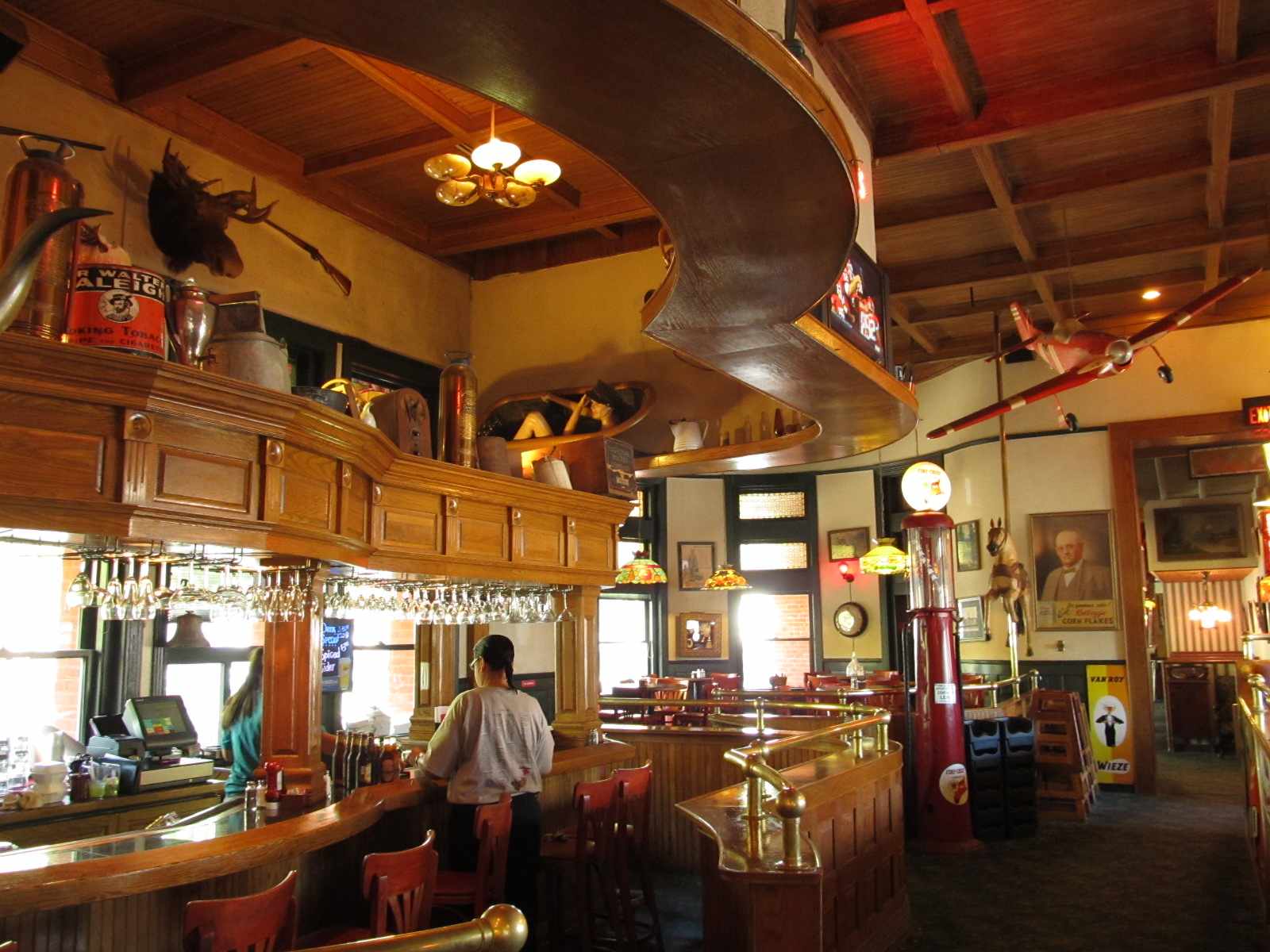
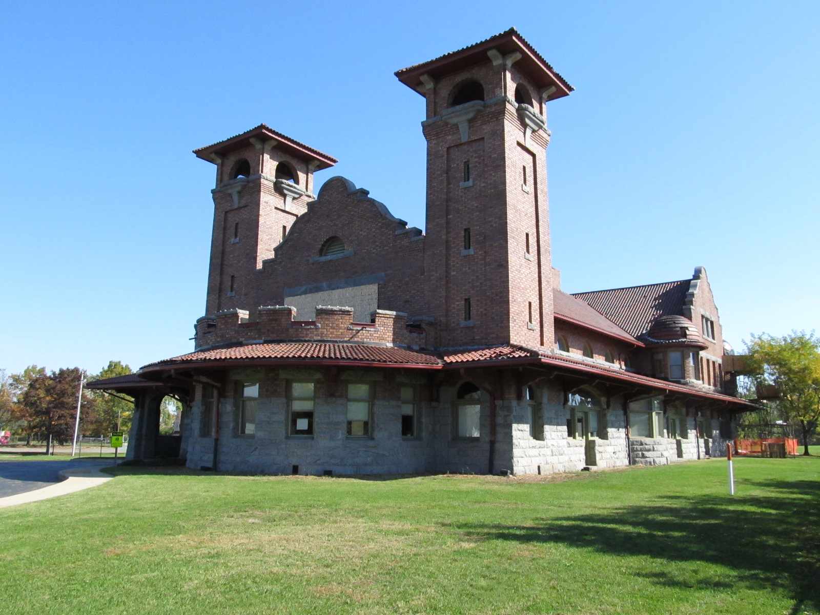
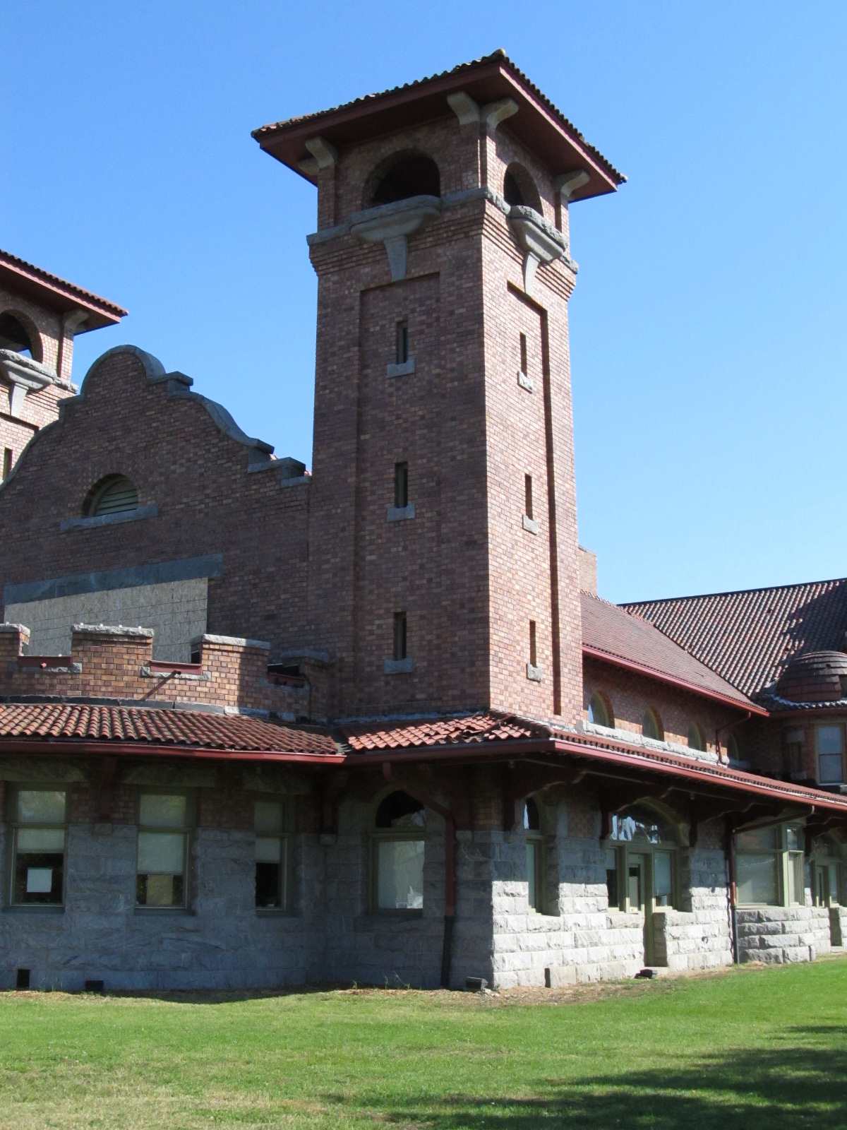
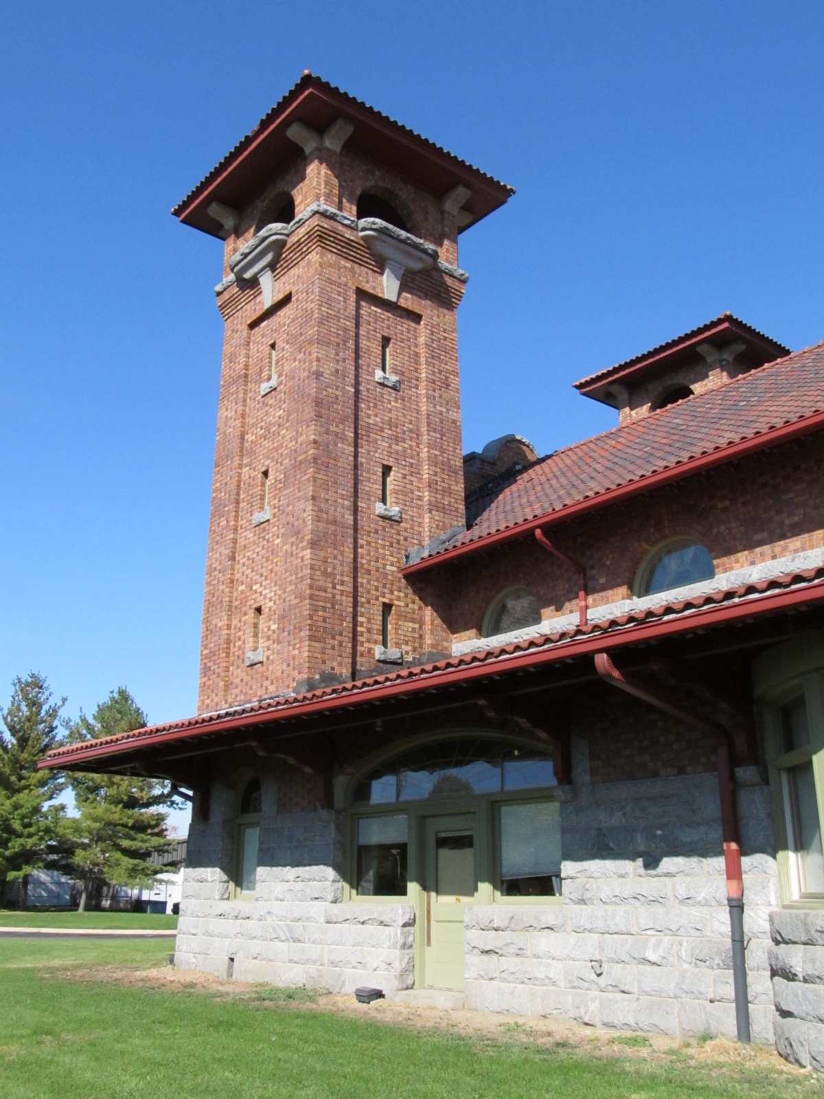
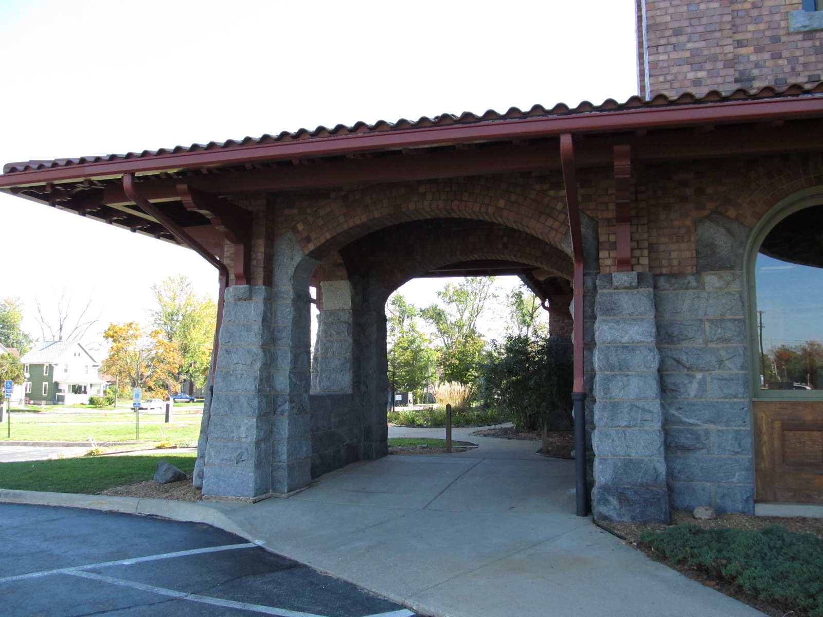
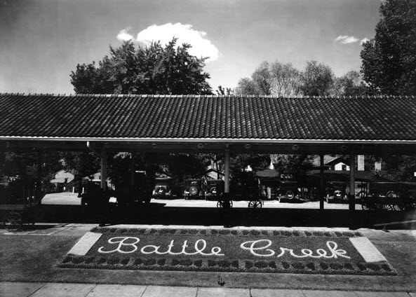
As far as surviving stations go, there is an ex Grand Trunk Western depot still standing over in the triangle of Main, Yuba, and Bennett. In downtown, Clara's Restaurant occupies the ex Michigan Central depot built in 1888.
On my latest visit to Battle Creek in 2011, I had limited time, and did not get to visit the GTW yard :-( If anyone wants to share their photos from there, please email me. Signal replacement had already started.
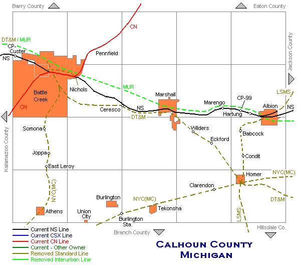
If you compare the USGS map from 1947 to a map of toady, you will see that Norfolk Southern and Canadian National share 1.6 miles of track going thru town. Not sure when they consolidated the right-of-ways. Maybe someone from Battle Creek can email me and let me know?
Acknowledgements:
Denver Todd
J. Maloney, for help preparing this page.
Jack Prange II, for continuing updates!
Aaron Schlegel
Glenn Courtney
Google Maps
the USGS
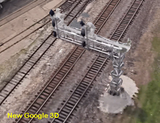
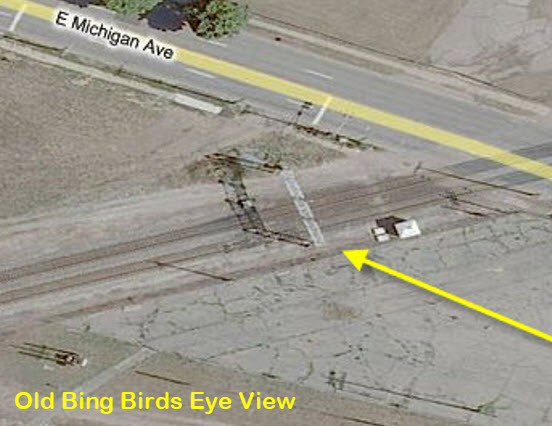
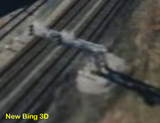
Bing Maps - NOTE: unfortunately, Bing has "improved" their -birds-eye- view, to what they call "3D', and they might as well not even offer the service. Try zooming in, and you will see that the close-up views are worthless than Google's views of similar likeness. It's too bad, Bing use to excel at this while Google's version, at the time, was worse :-( Here's a quick comparison:
Websites and other additional information sources of interest for the area:
http://www.railroadmichigan.com/countyCAL.html
http://www.willard.lib.mi.us/historical/bcphotos/railroads/index.htm really nice photos from Battle Creek's history at the Willard Library's site
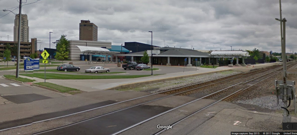
GPS Coordinates: 42.318296, -85.817821
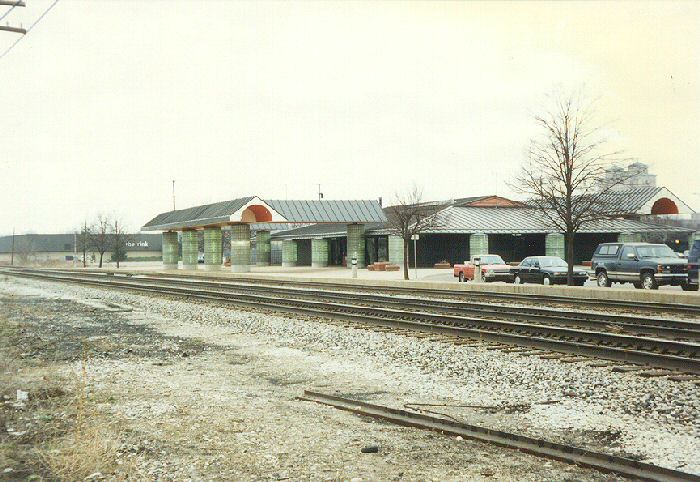
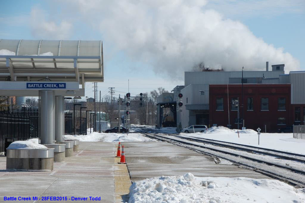
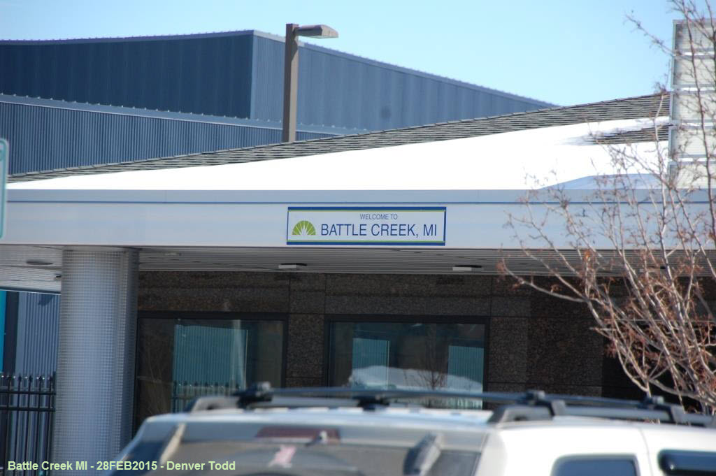
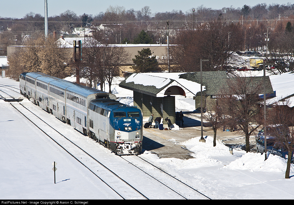
The Battle Creek Amtrak station, in 2011, was under construction as part of an upgrade to an area transportation center. All of the pictures thumbnailed are from 2011 except for the 2015 set from Denver Todd.
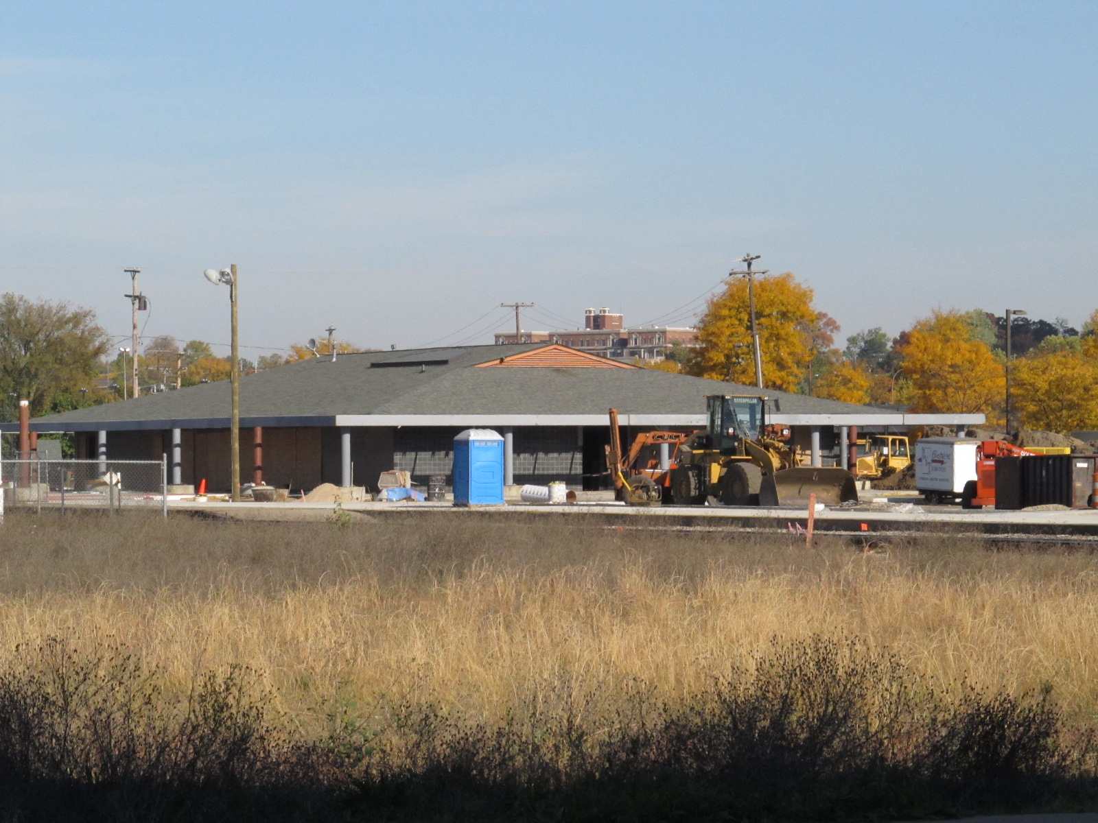

 The new transportation center being built.
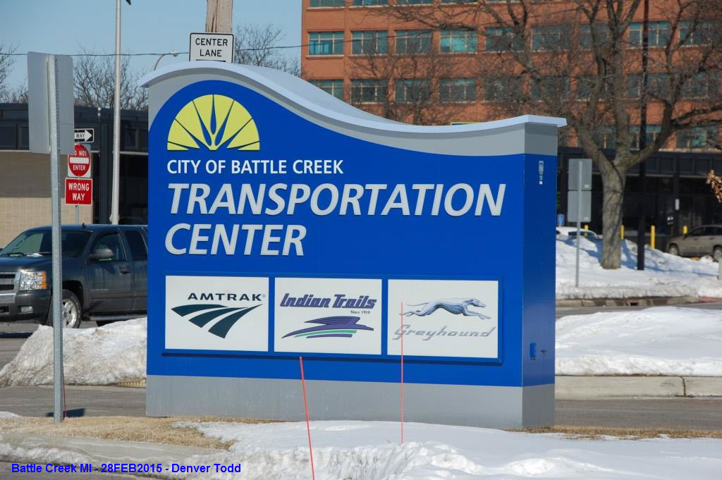

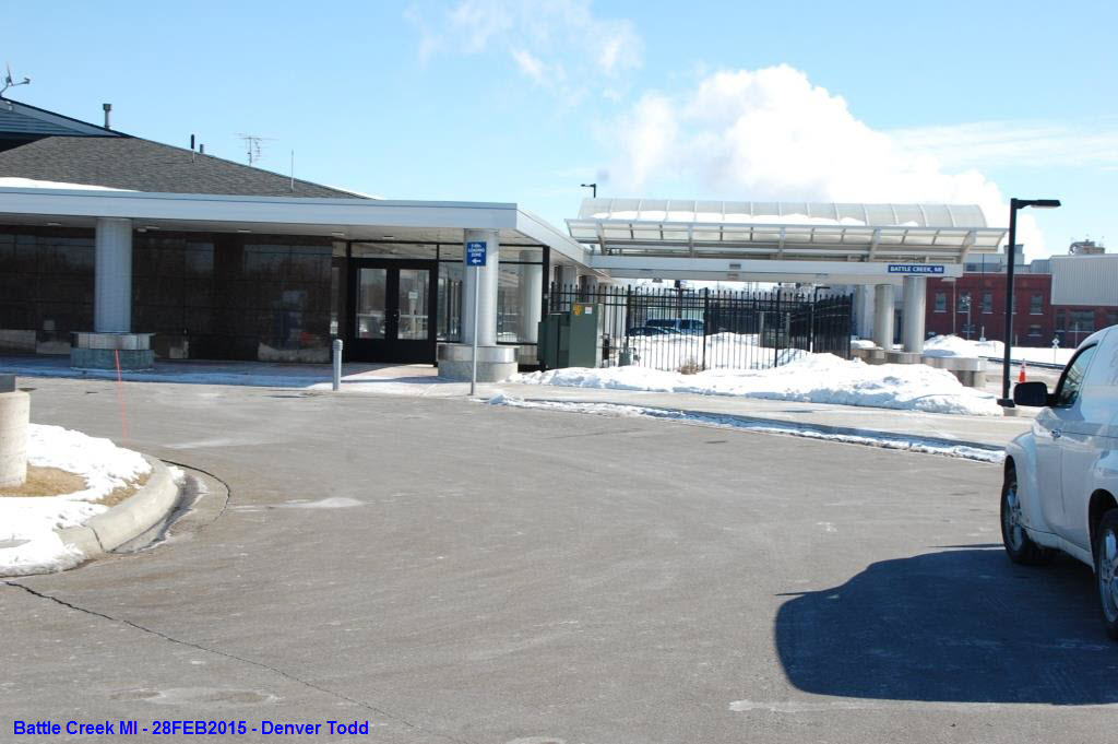

 Battle Creek Transportation Center in 2015, courtesy Denver Todd.
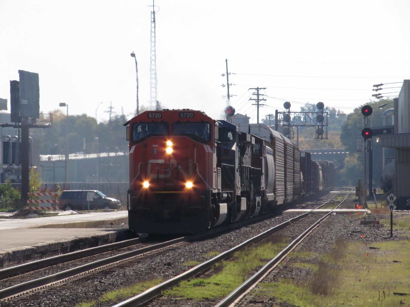


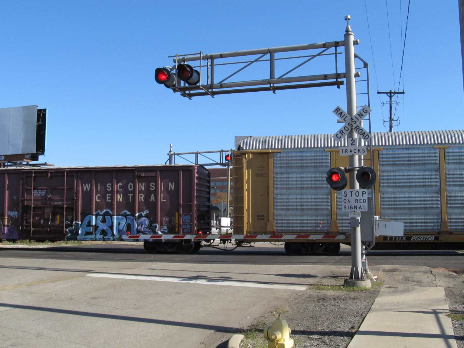
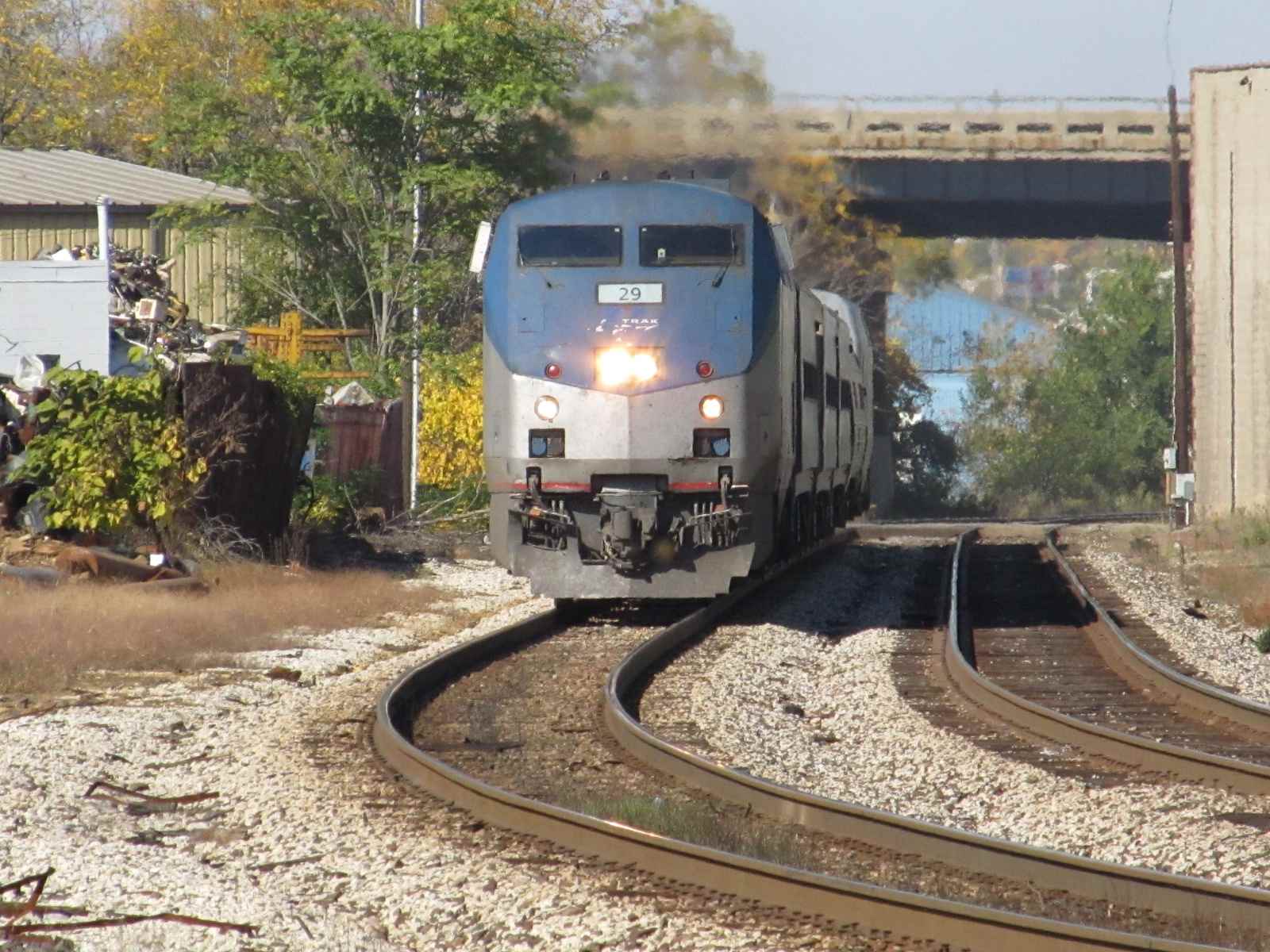
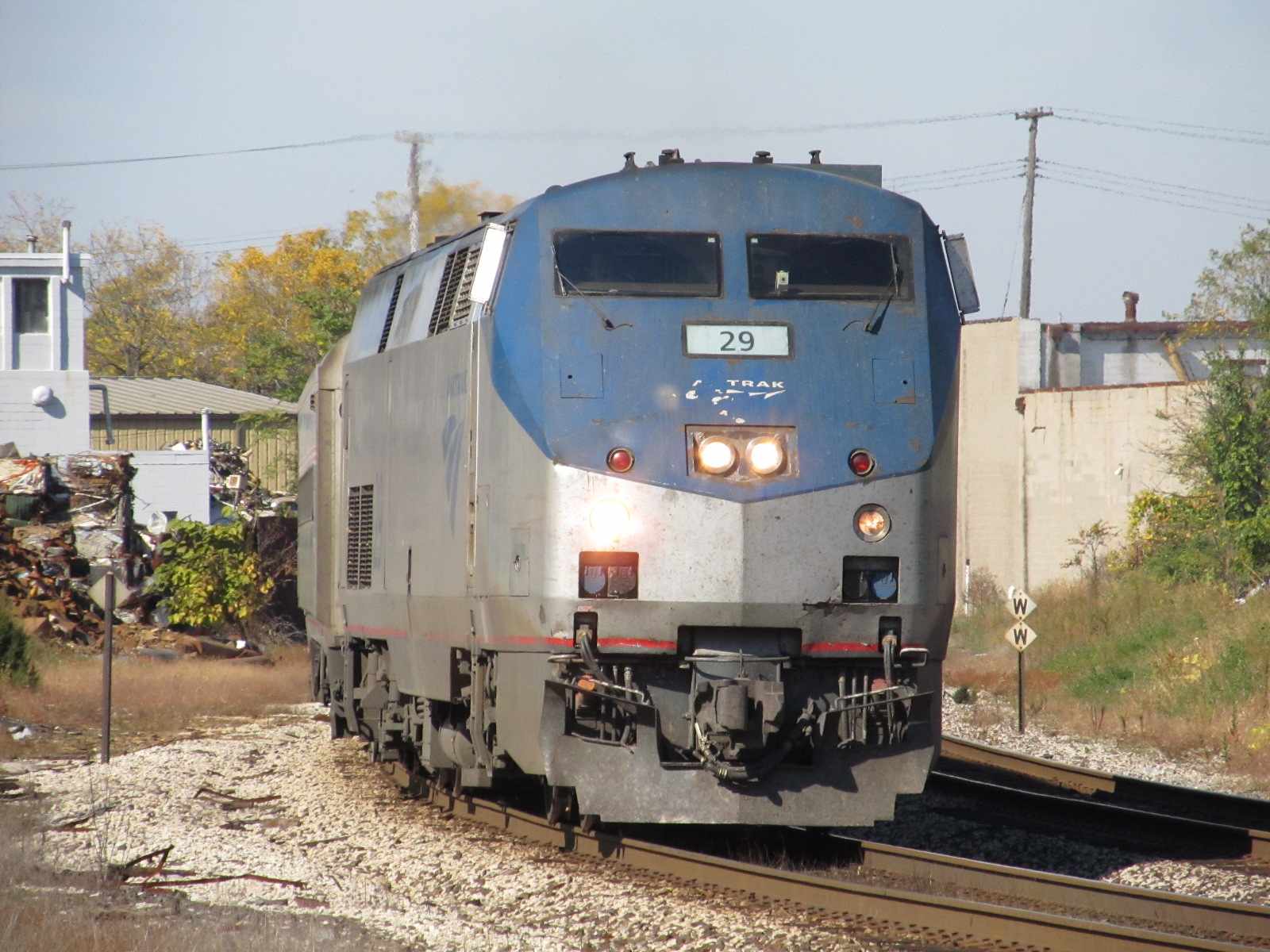
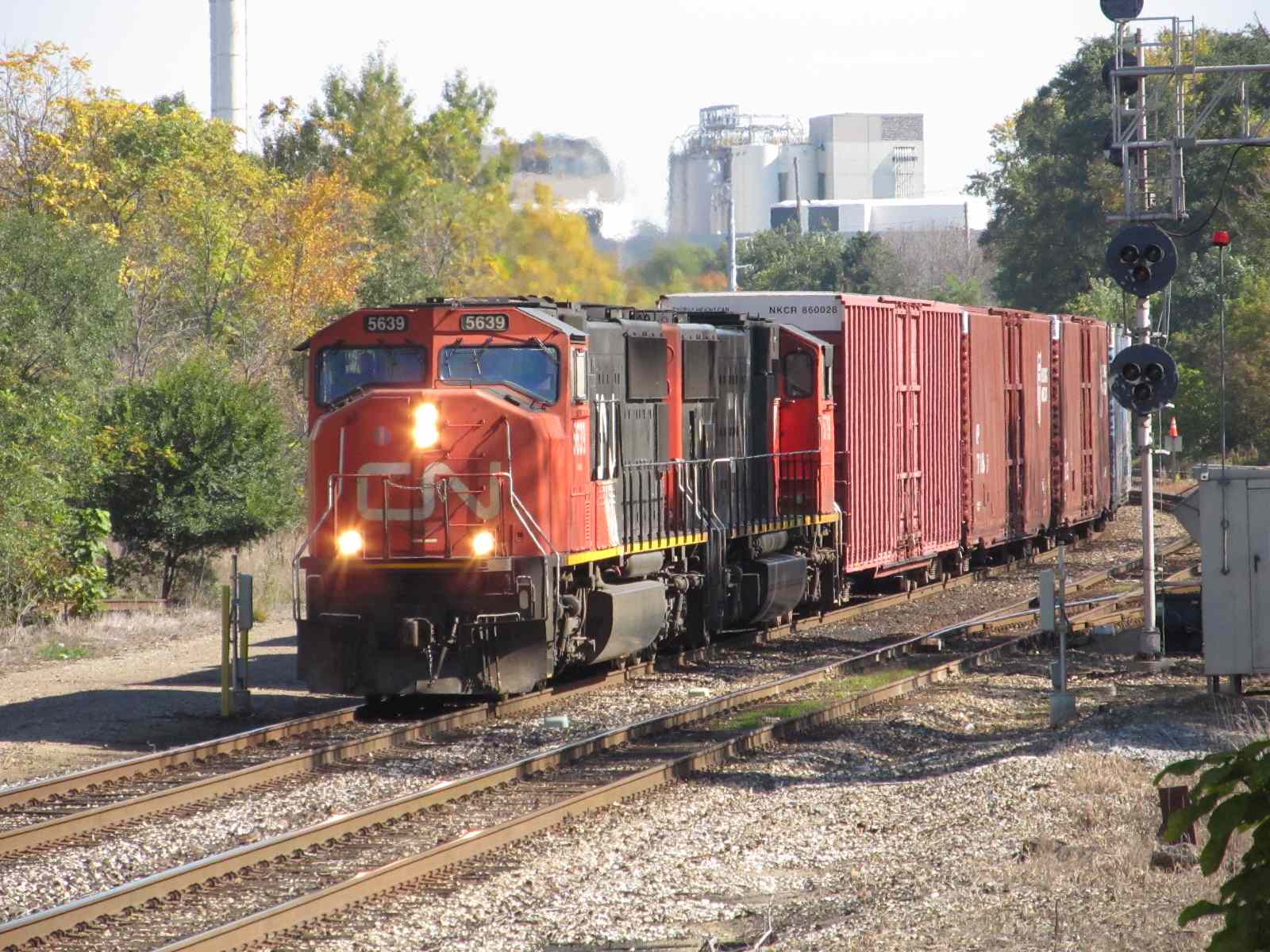
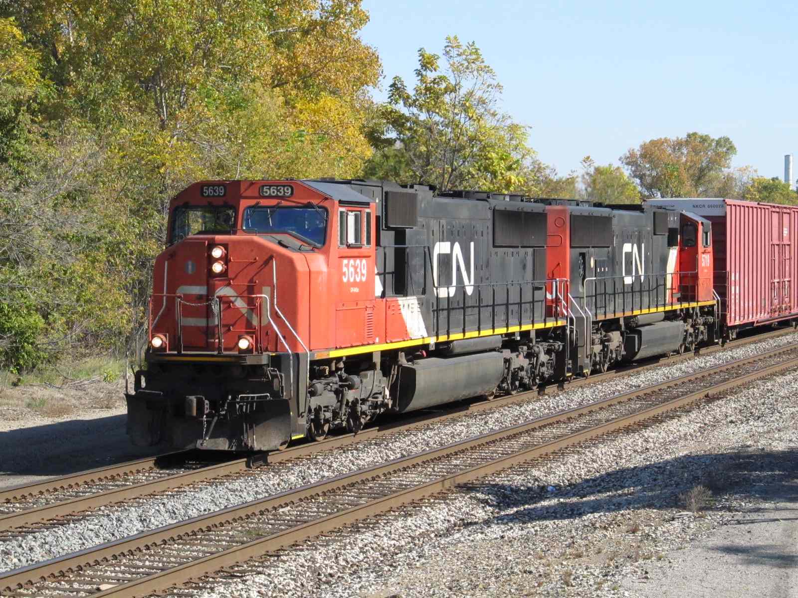
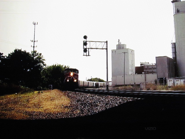
 A passing CN freight.
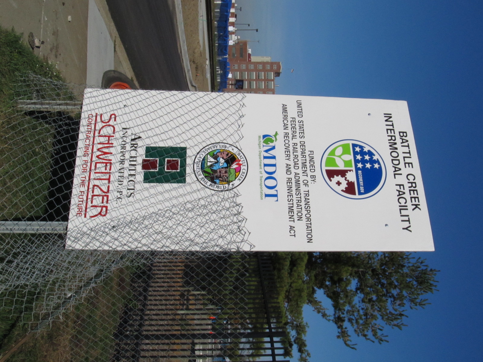

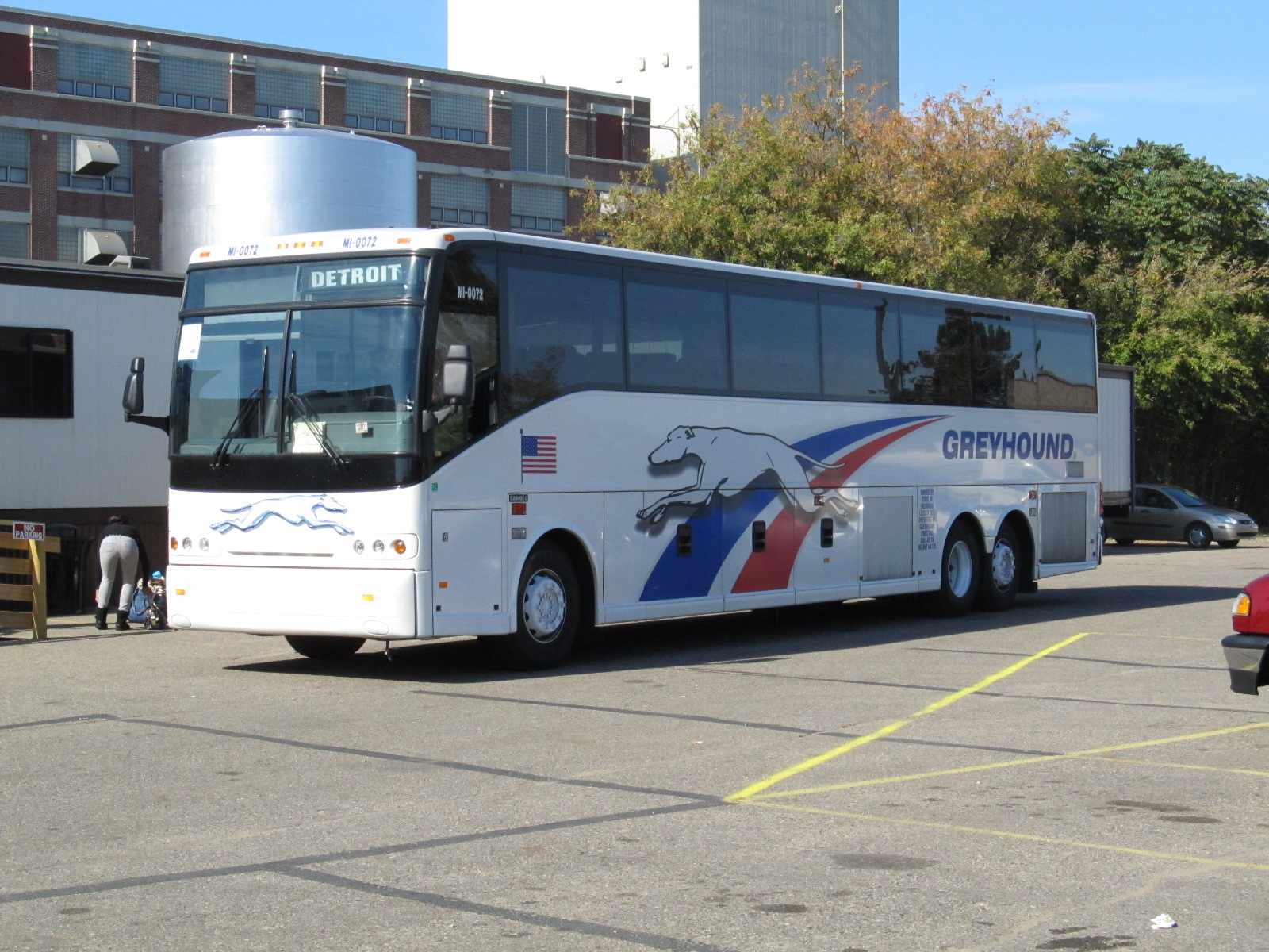 The temporary facility, which also handles Greyhound.
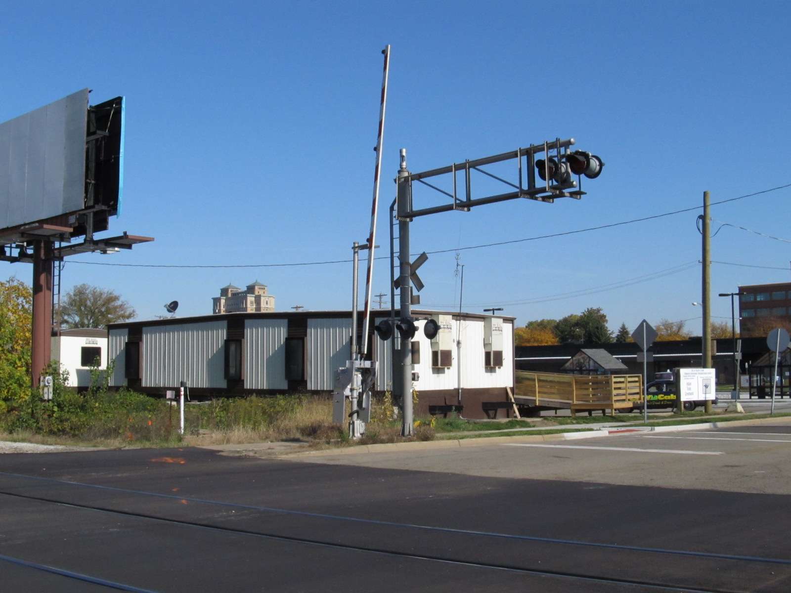
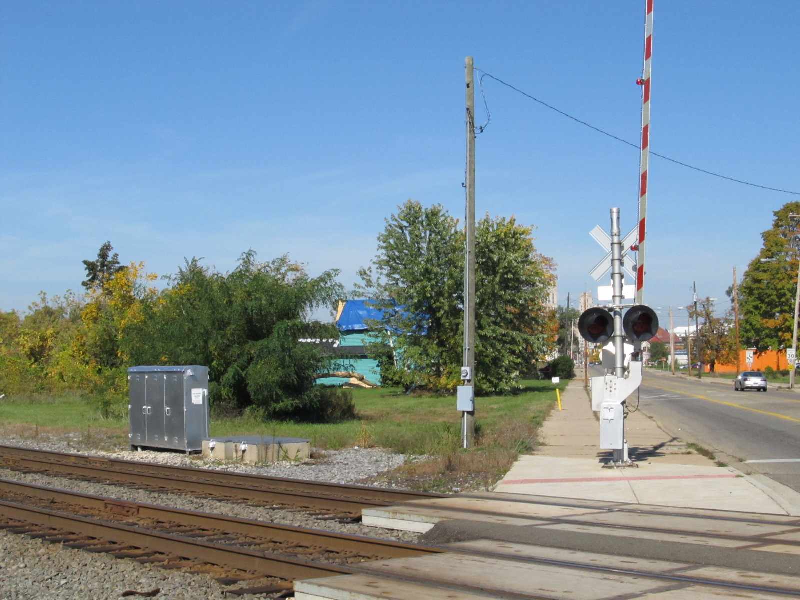
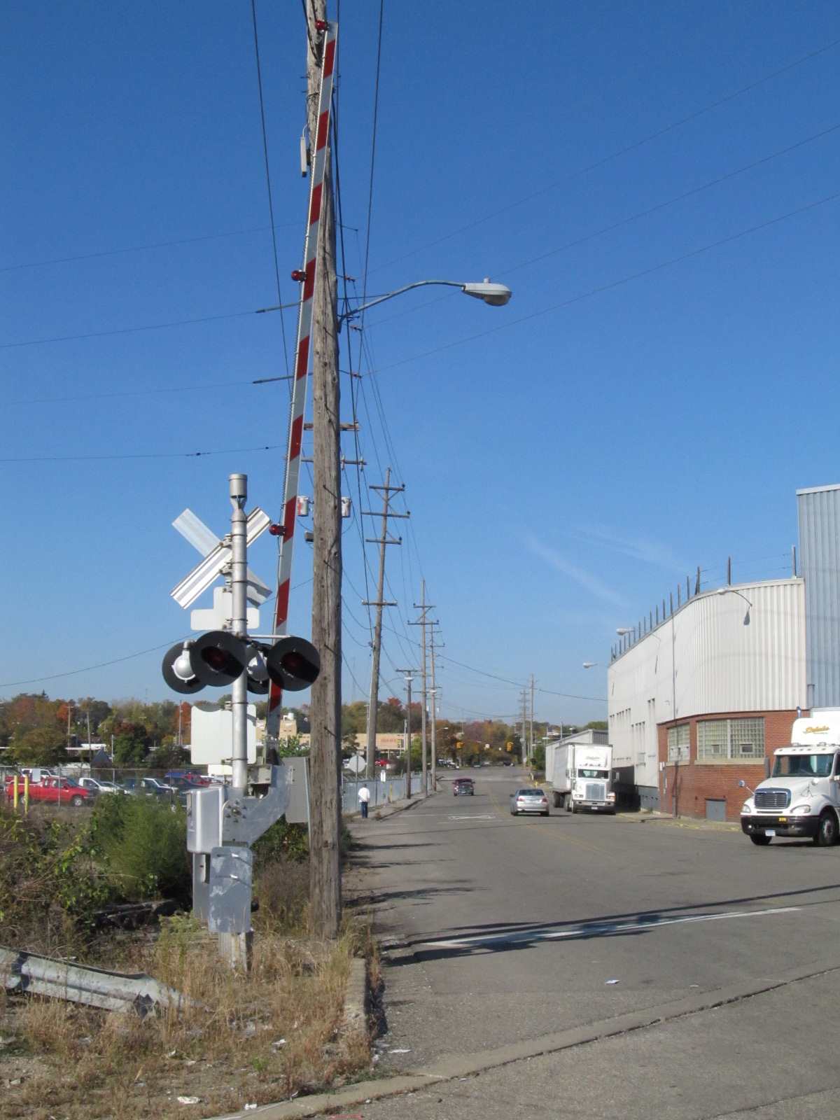
 Crossing gates on McCamly, between the two stations
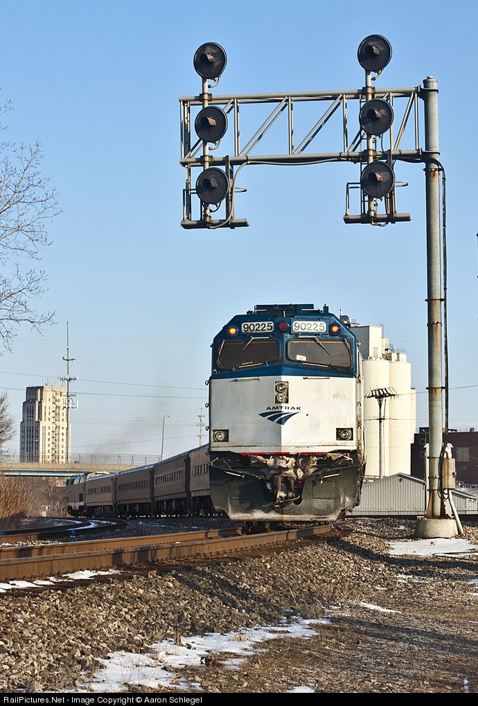
GPS Coordinates: 42.321159, -85.181727

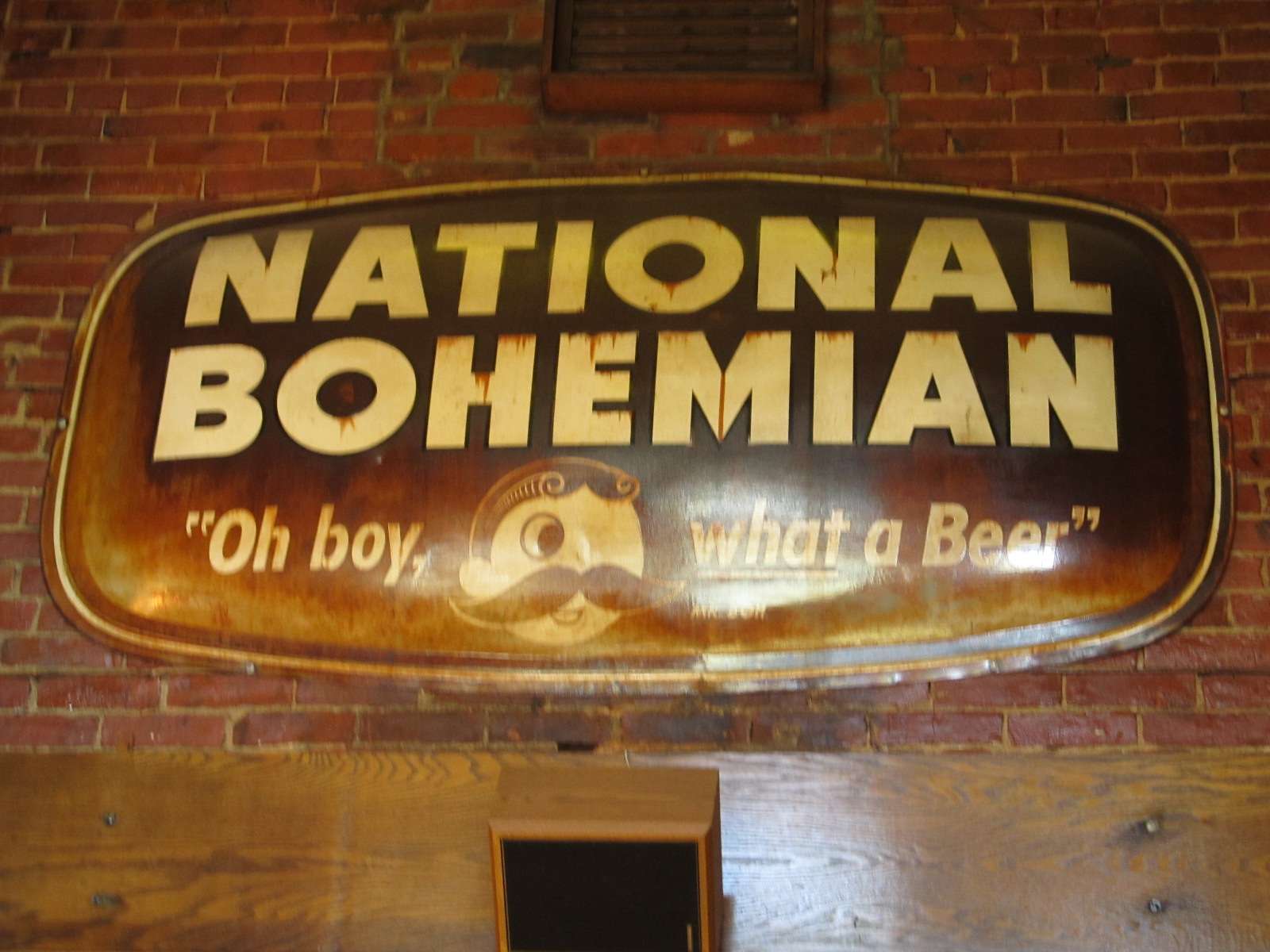 If you're from B'more, you'll know "Natty Boh".
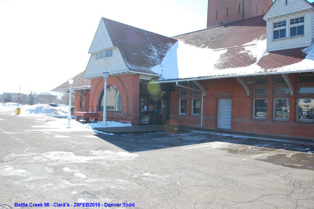
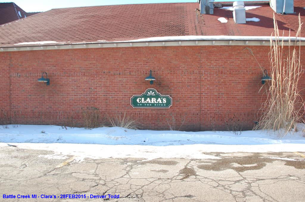
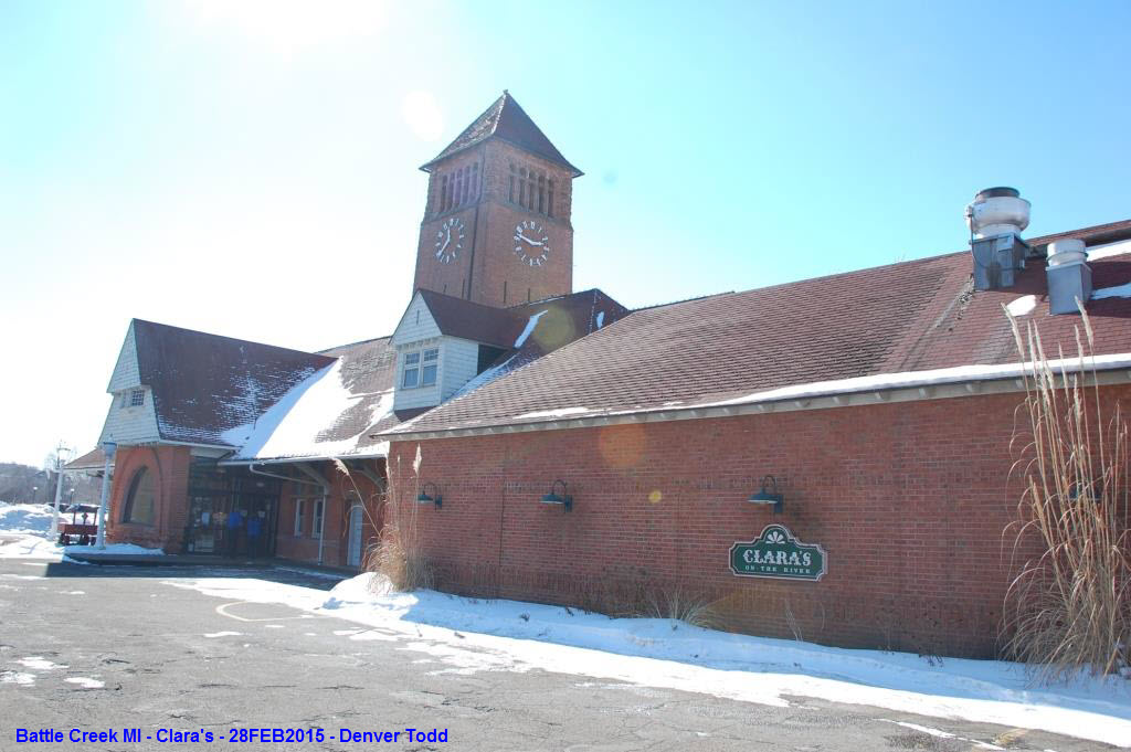
 Photos courtesy Denver Todd.
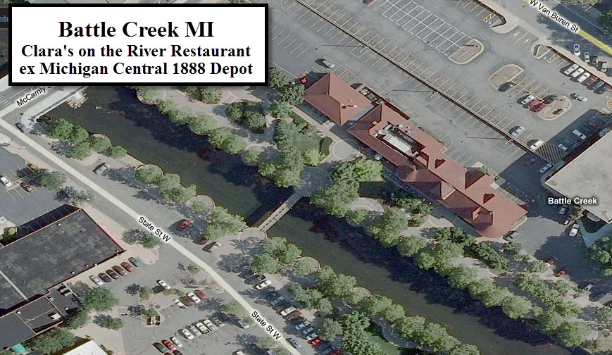
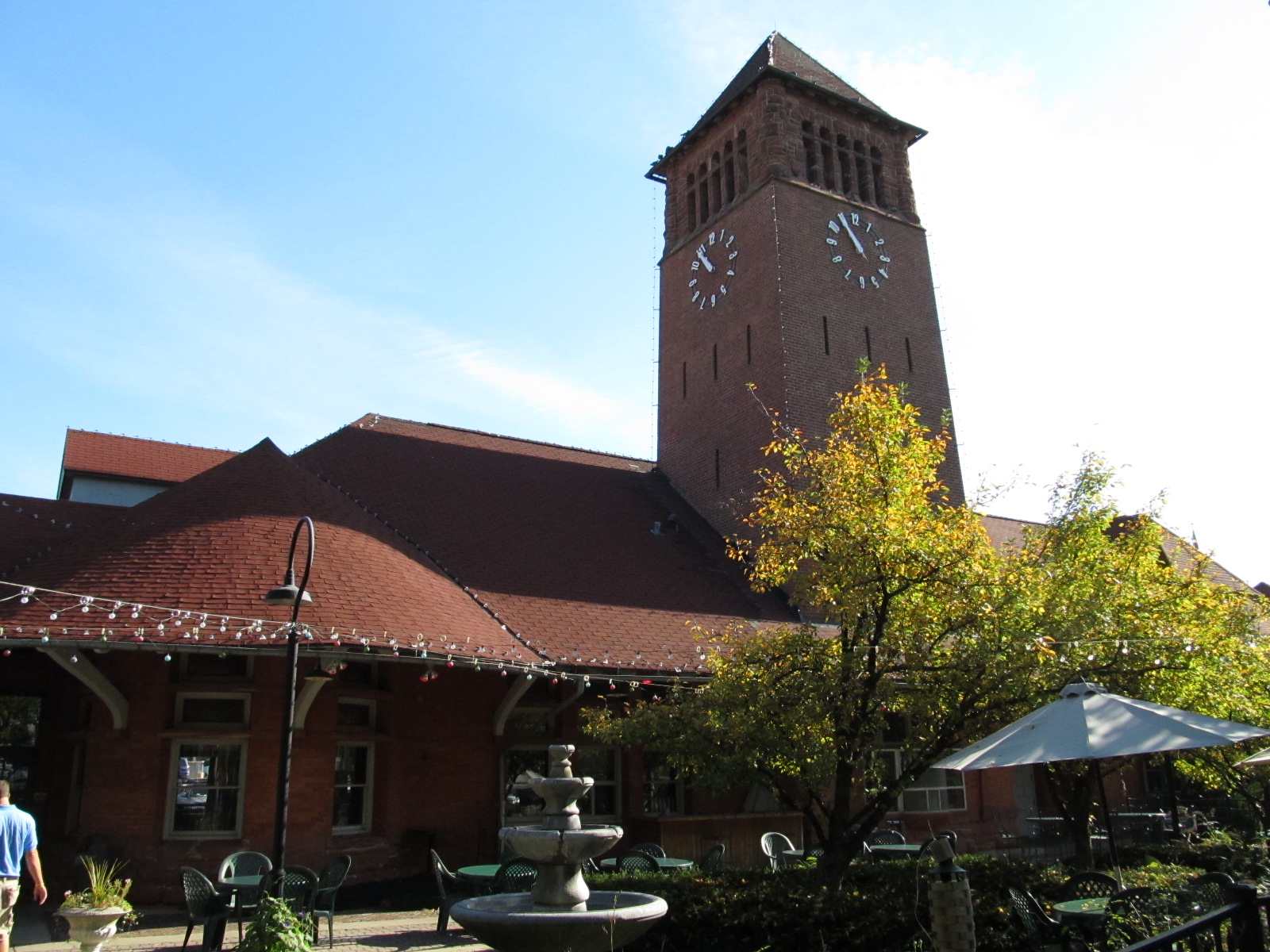
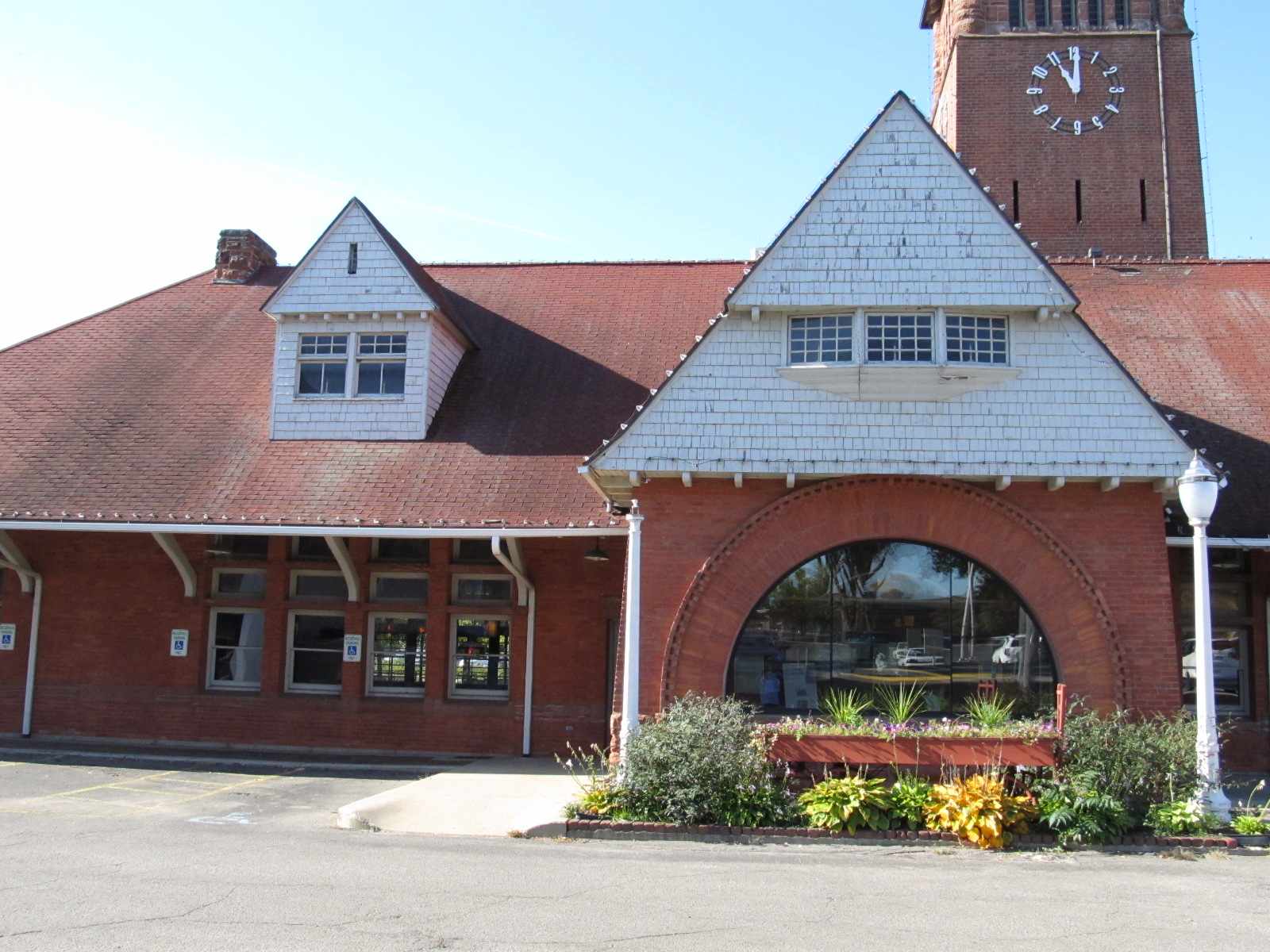
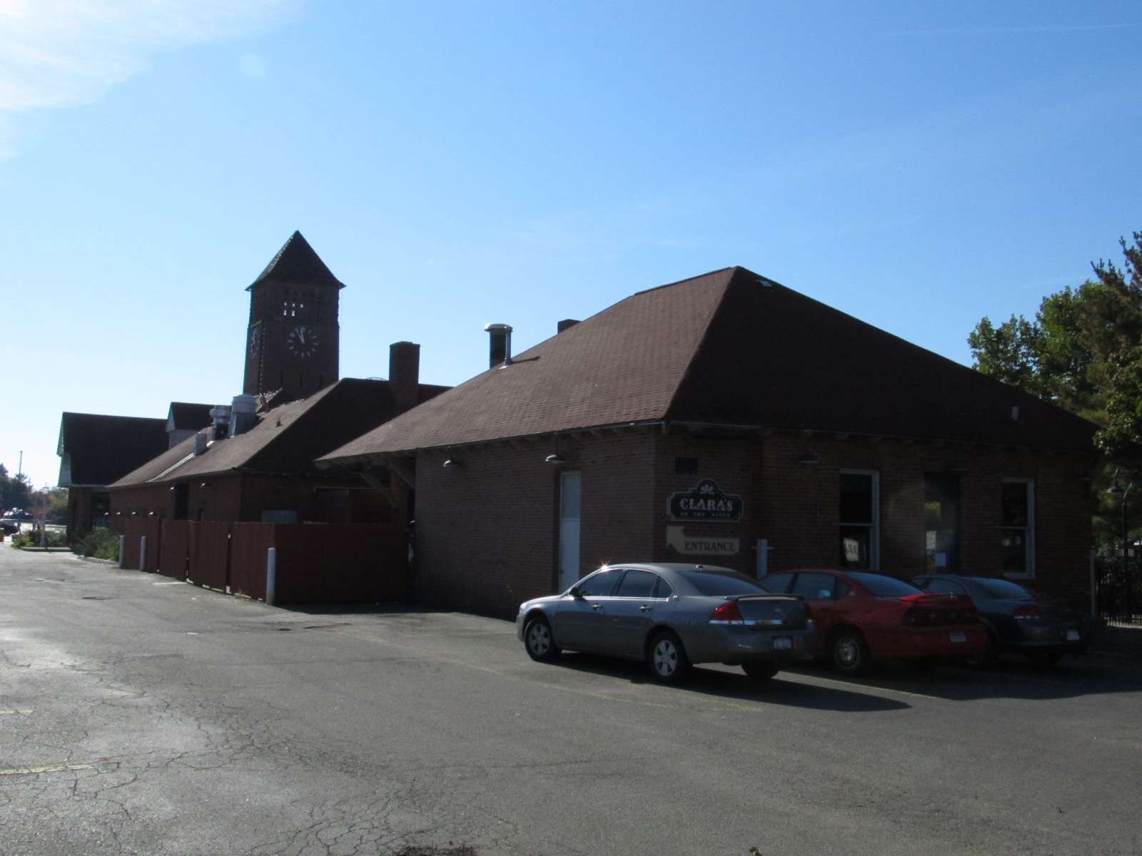
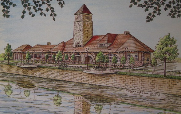 Postcard from Clara's on the River
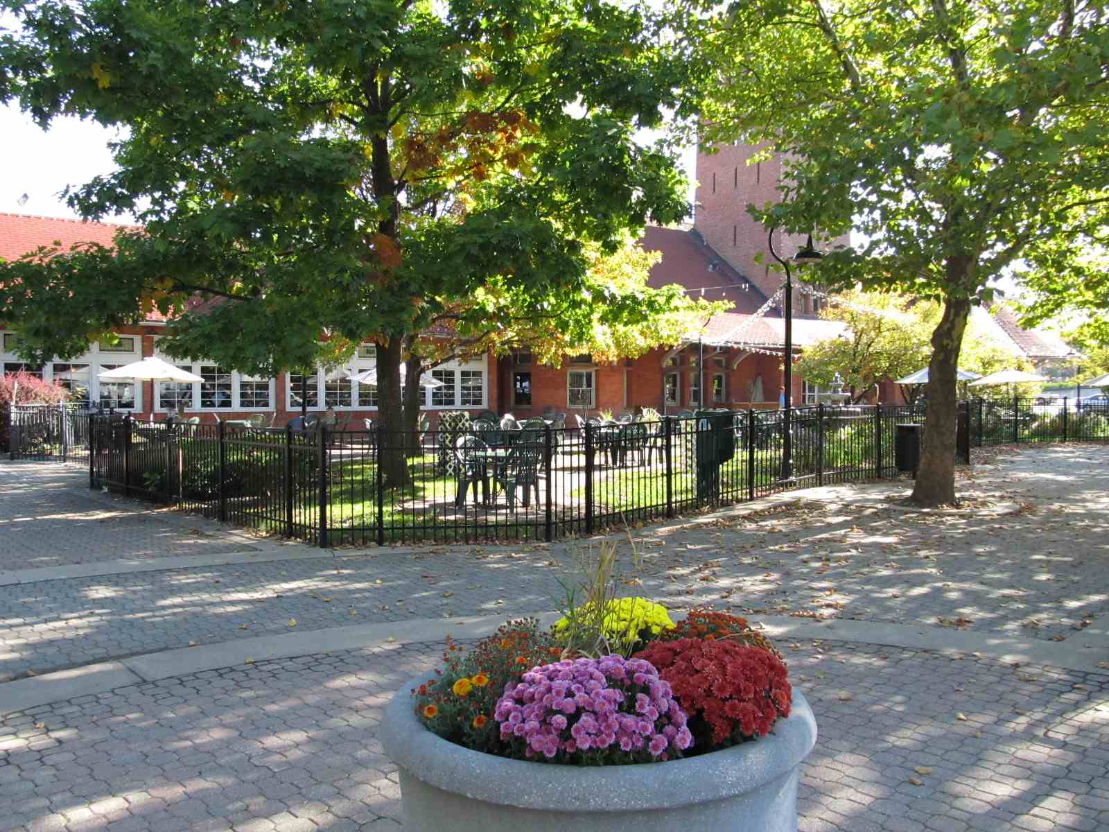
GPS Coordinates: 42.312069, -85.174144
The vintage pictures are from the library's website. There is now a hedge line between the depot and the tracks, so pictures of the depot with a train is not possible. Good shots of afternoon EB and morning WB trains can be had from here.
More info on this depot at: http://www.caascm.org/showcases/1


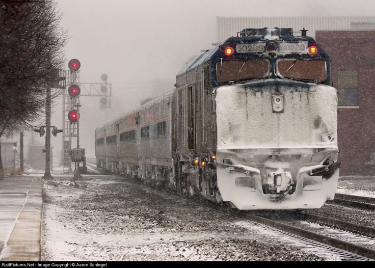
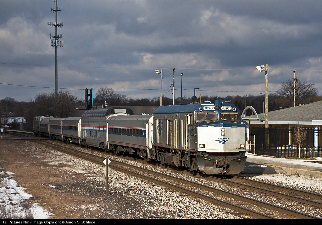
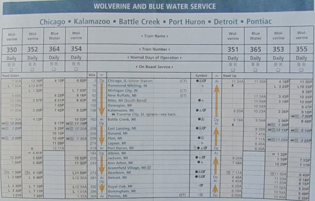
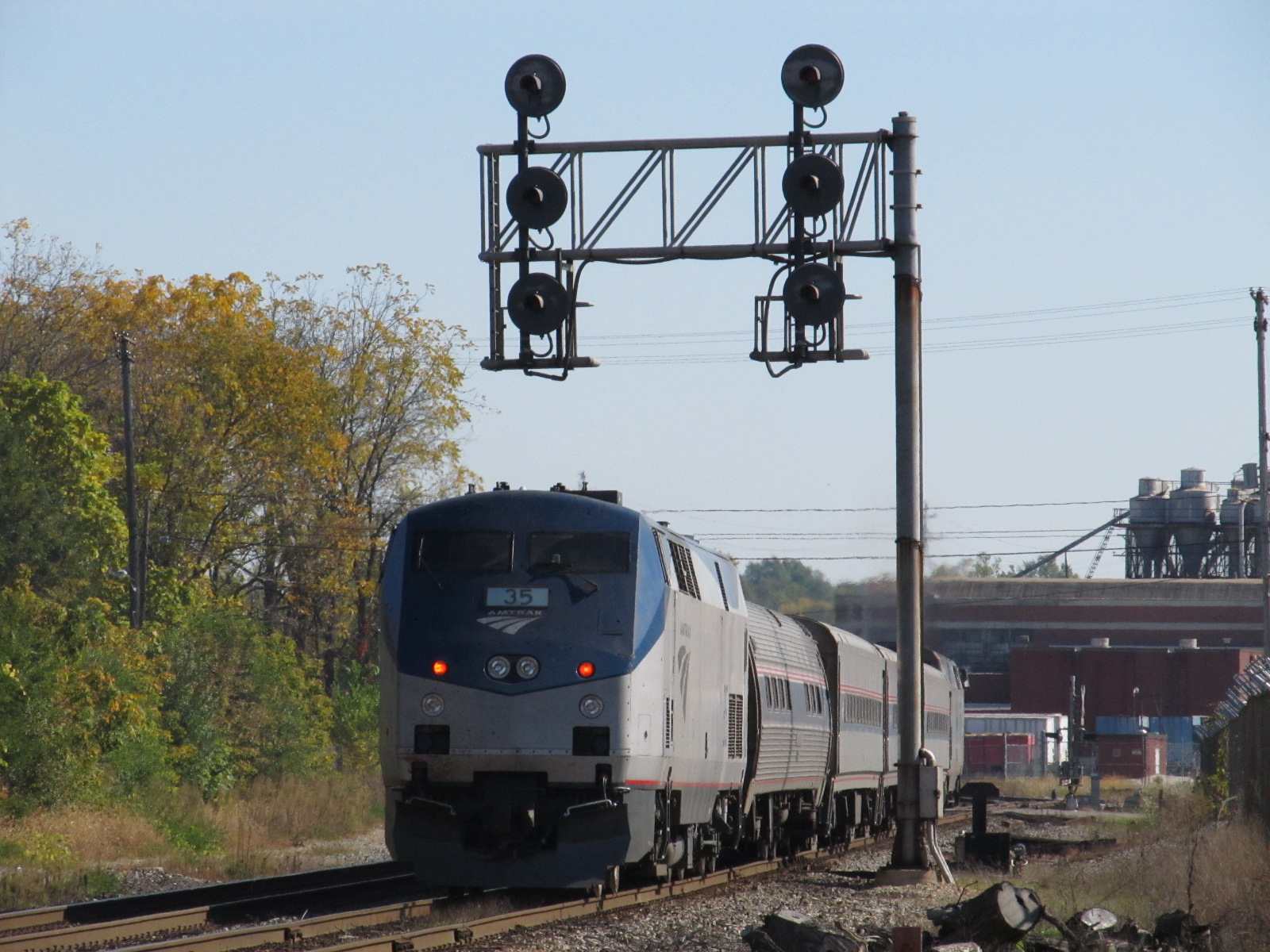 The EB Wolverine, train #350, it will get into Pontiac around 3pm, it's now about 11:15am.
 Crossing gates on Main Street in front of the station.


 Photos courtesy Denver Todd.
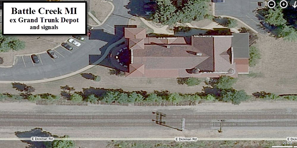
GPS Coordinates: 42.319229, -85.145825

GPS Coordinates: 42.316438, -85.148071
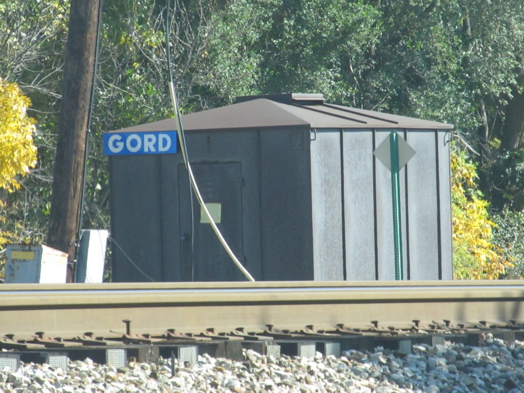
This yard is located across from the gigantic Kellogg plant on Porter St.
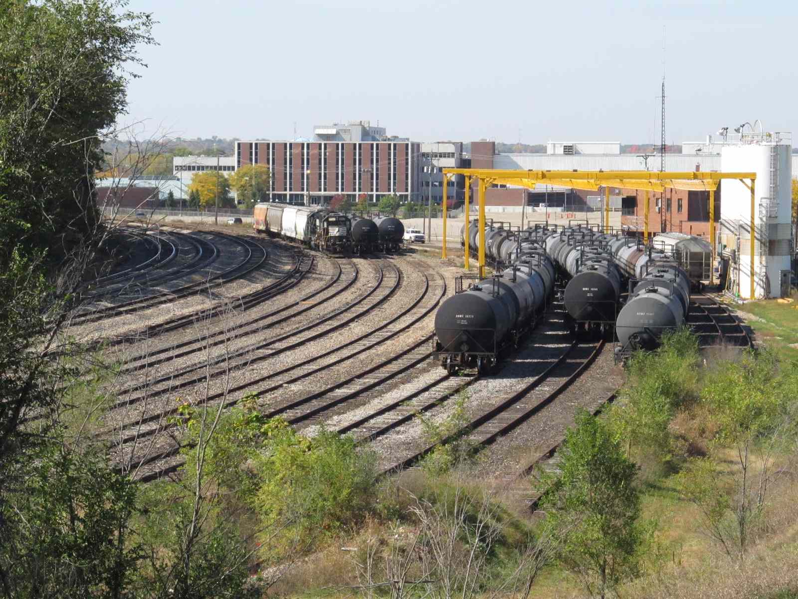
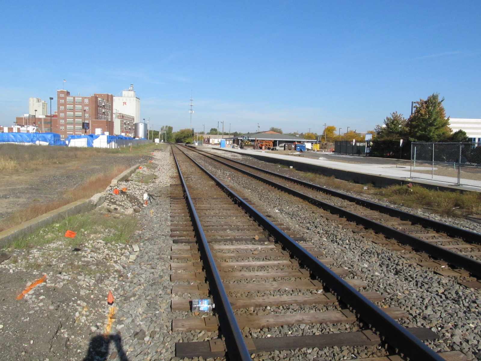
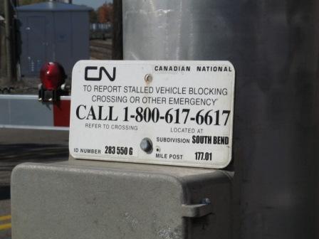
 Mile marker by the yard.
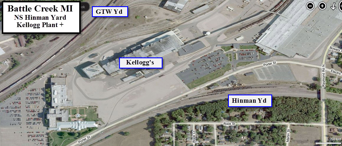
GPS Coordinates: 42.339920, -85.138345
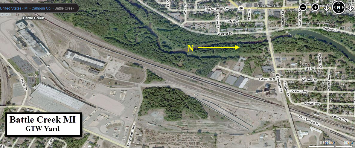
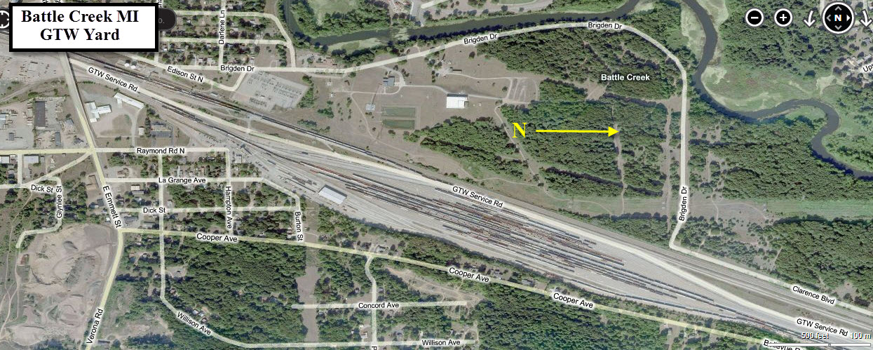
At the end of Raymond St, you will find the main entrance and the yard tower.
GPS Coordinates: 42.318878, -85.190867
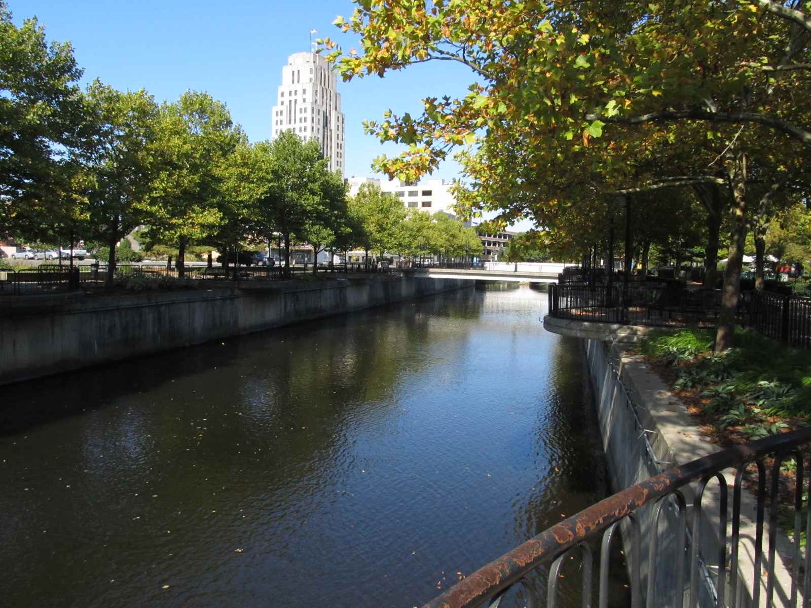
Also note, on the left side of the shot below, is the Amtrak station, and to the right, we can see where Washington St has a new overpass, over the railroad and stream.
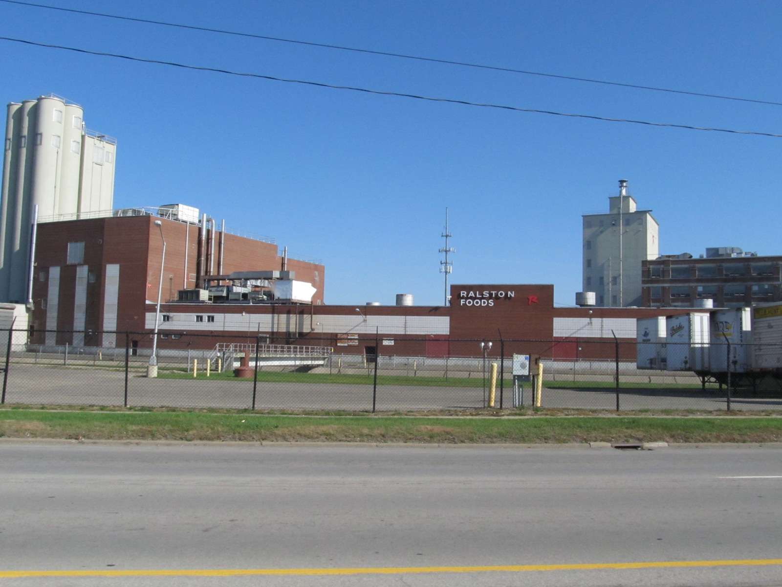
GPS Coordinates: 42.311206, -85.162747
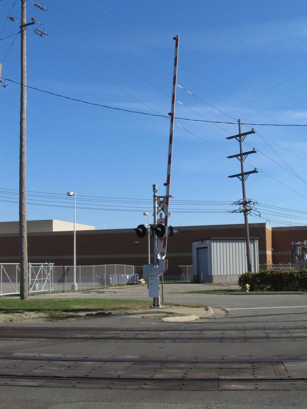
Crossing gates and signals in front of the Post Plant.


Signals
1 - EB Interlockers on west side of town
2 - WB Signals west of McCalmly St
3 - EB Signals under Washington Ave
4 - EB Signals for Crossover at Capitol Ave
5 - WB Signals for Crossover near Capitol Ave
6 - SB Signal(s) at Michigan Ave
7 - SB Interlocking Signals north of Michigan Ave
8 - EB Colorlights for a crossover by the GTW Depot
9 - WB Interlocking Colorlights
10 - McAllister Rd, north of Battle Creek Yd
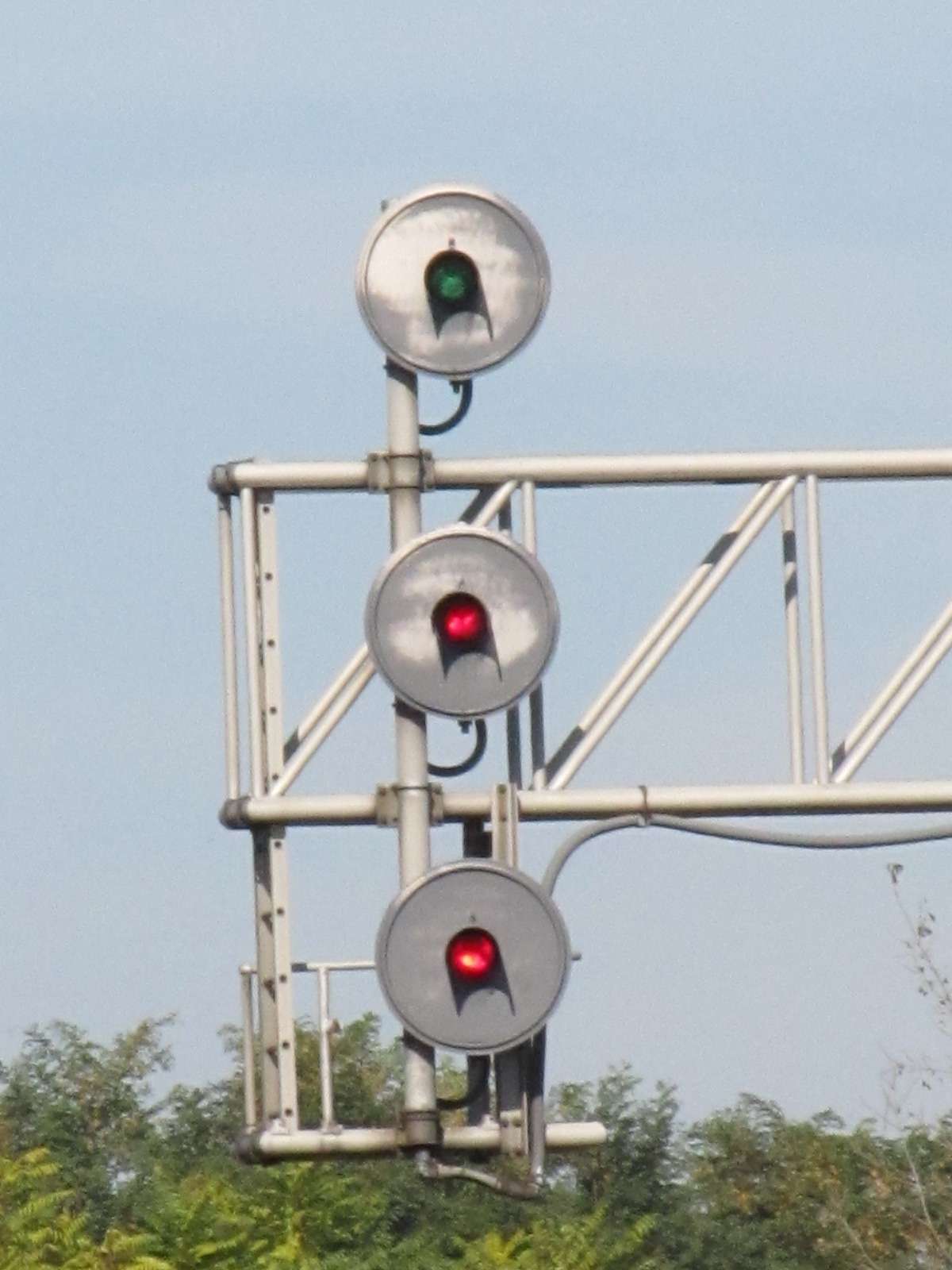
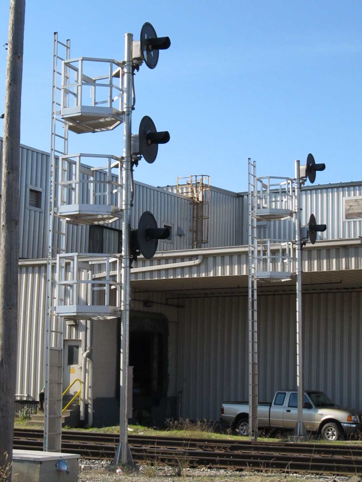
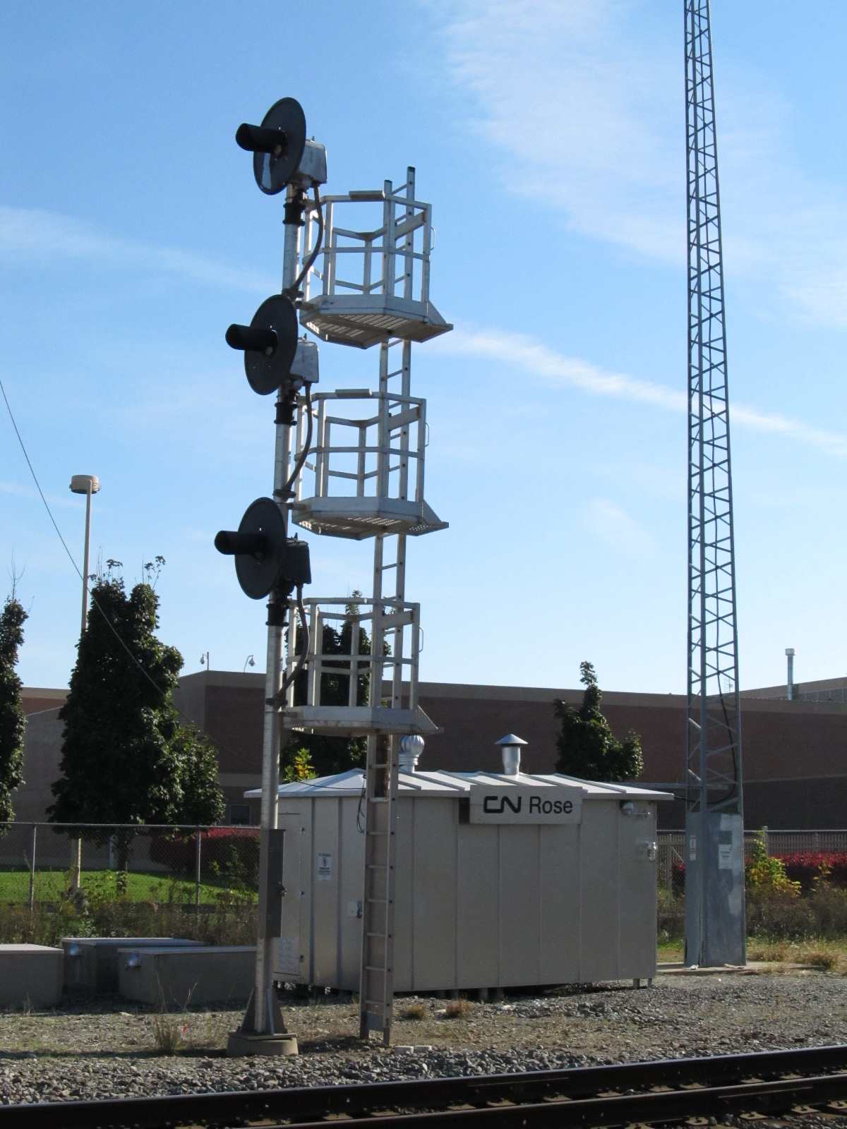
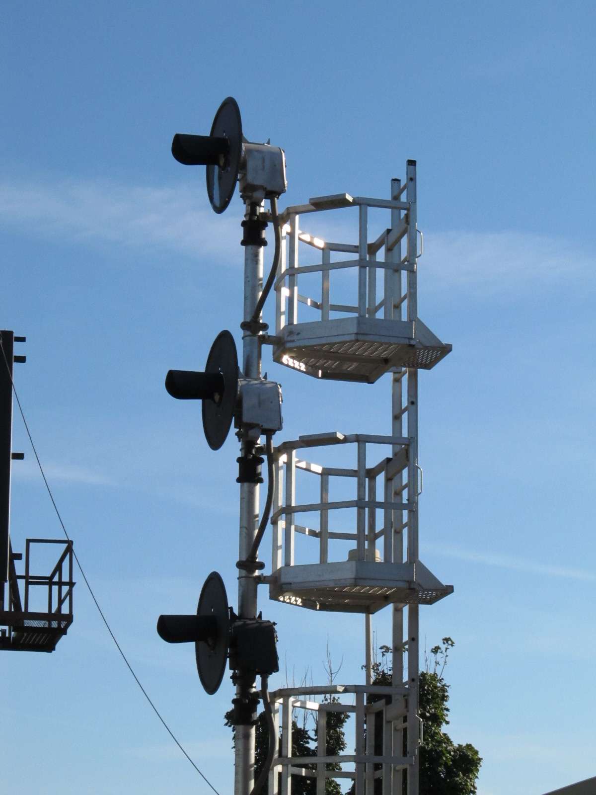
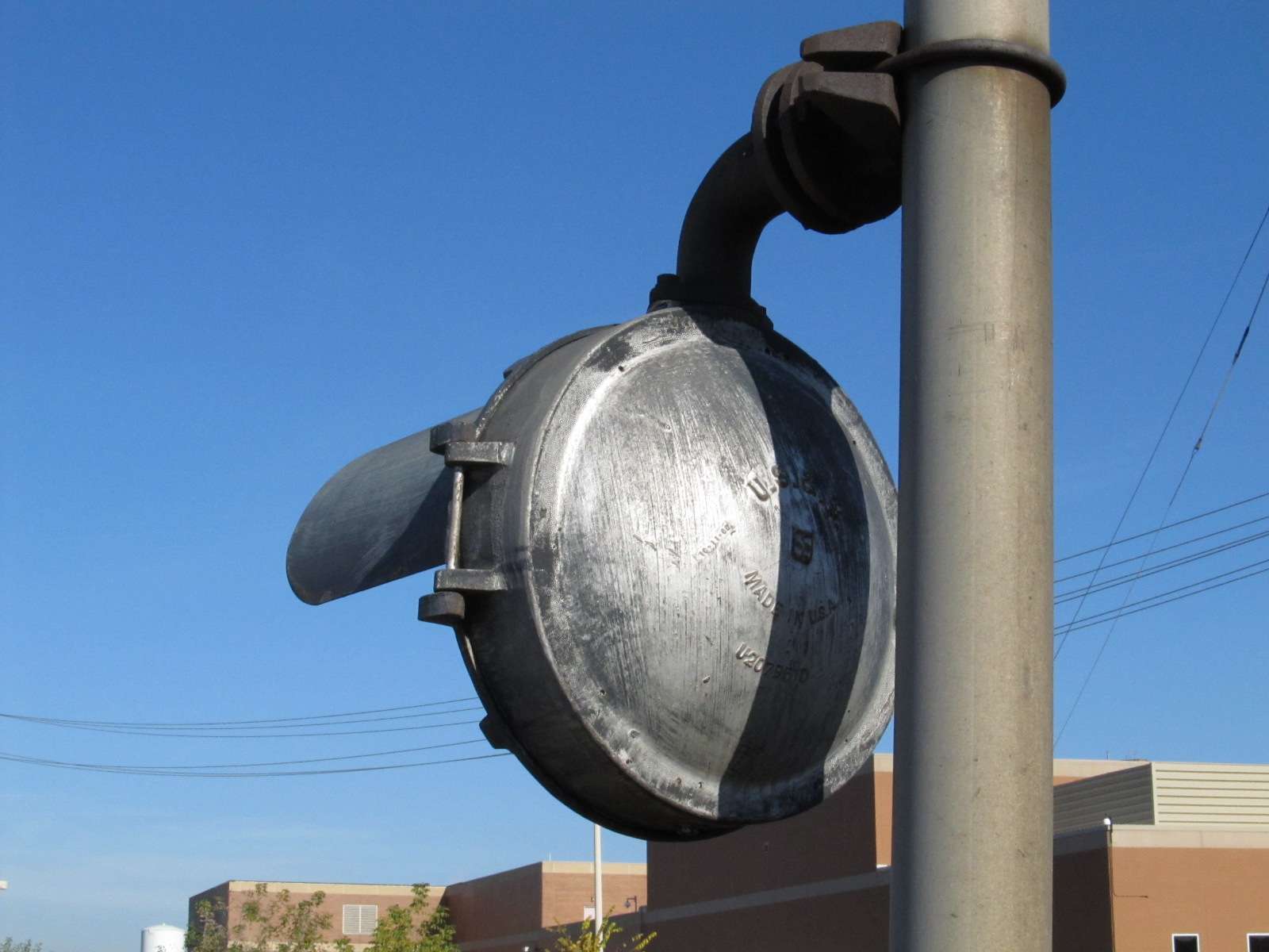
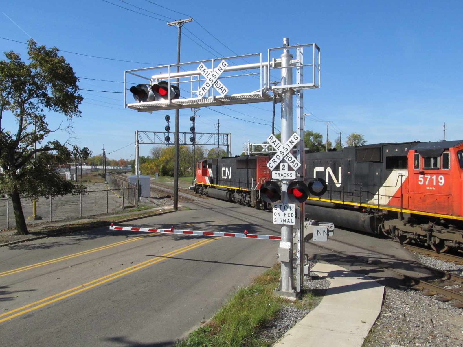
Jack Prange II wrote to inform me, that as of December 2016, signal replacement is complete, so the searchlight signals have been replaced by the (now) standard "darth vader" color light signals.
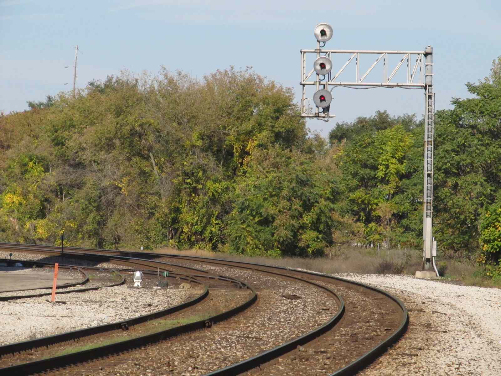
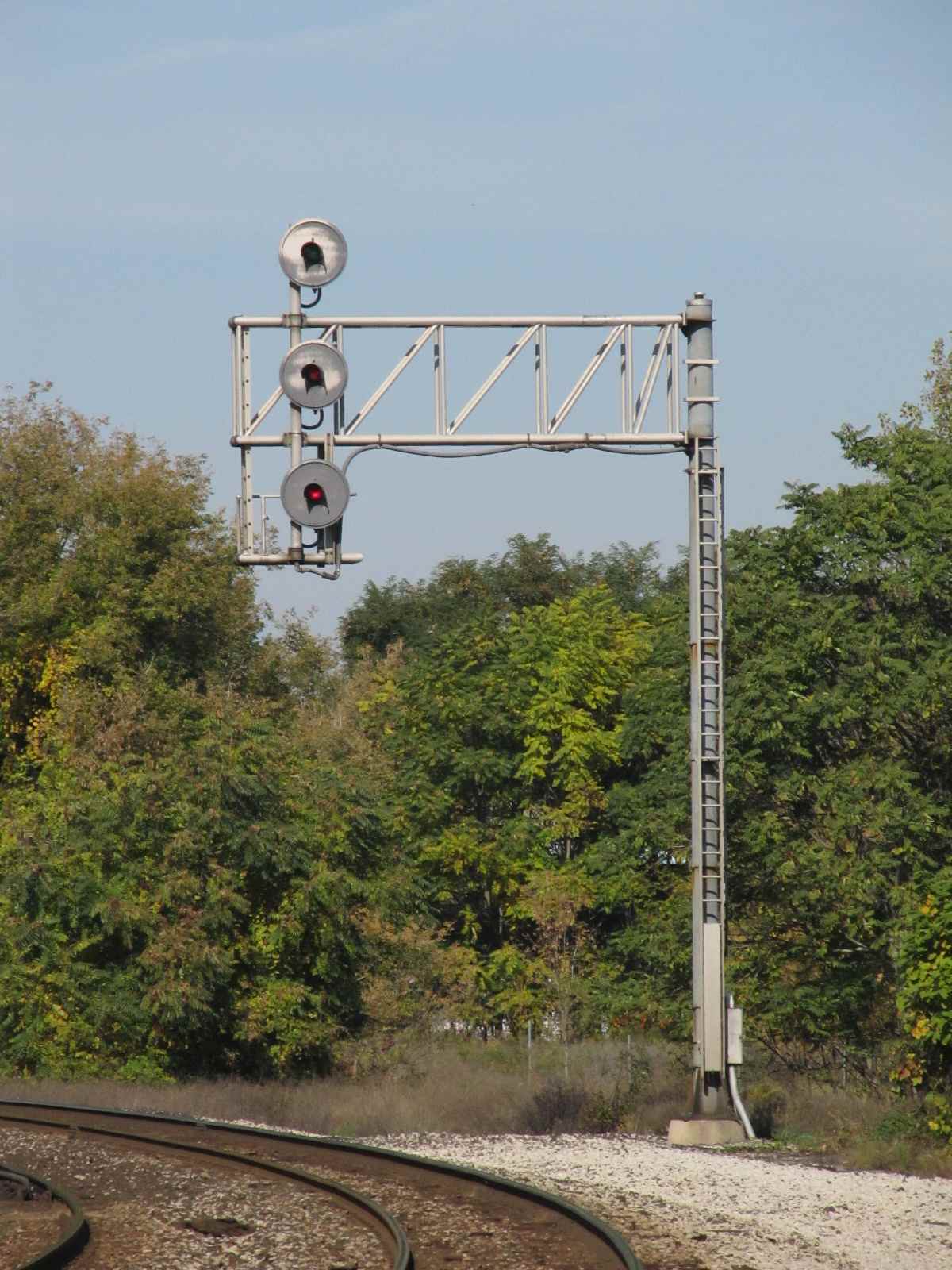
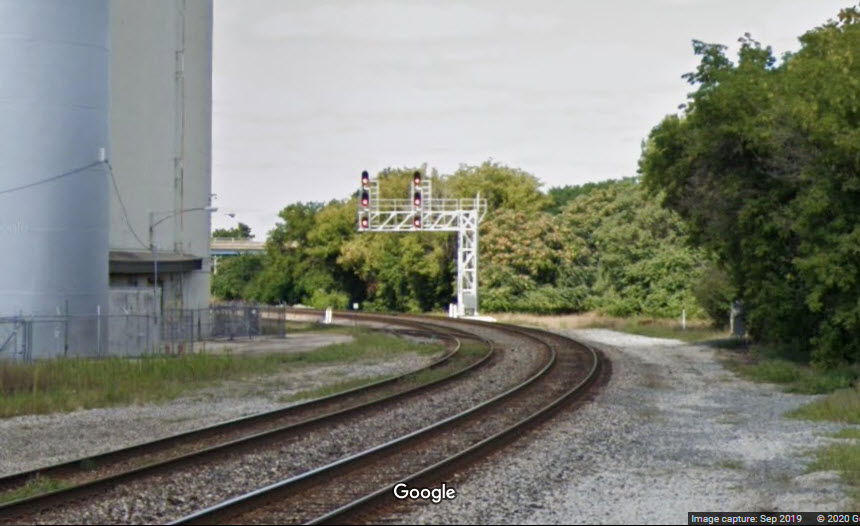
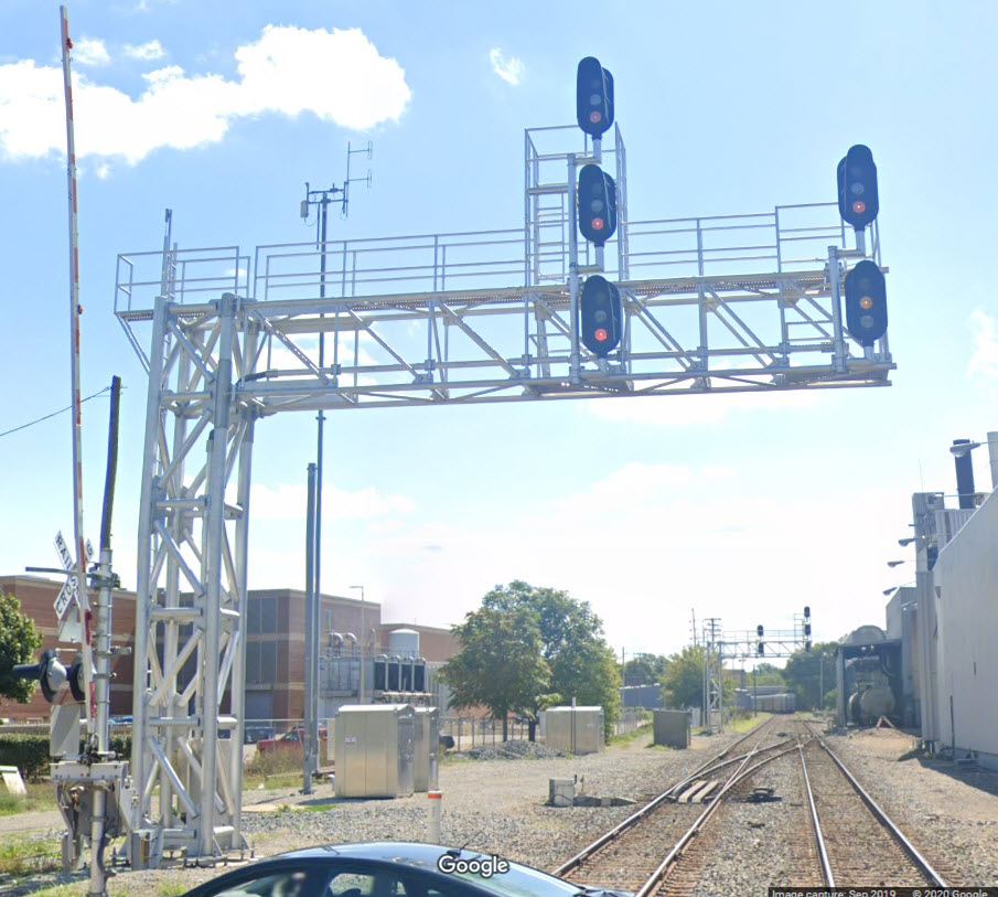
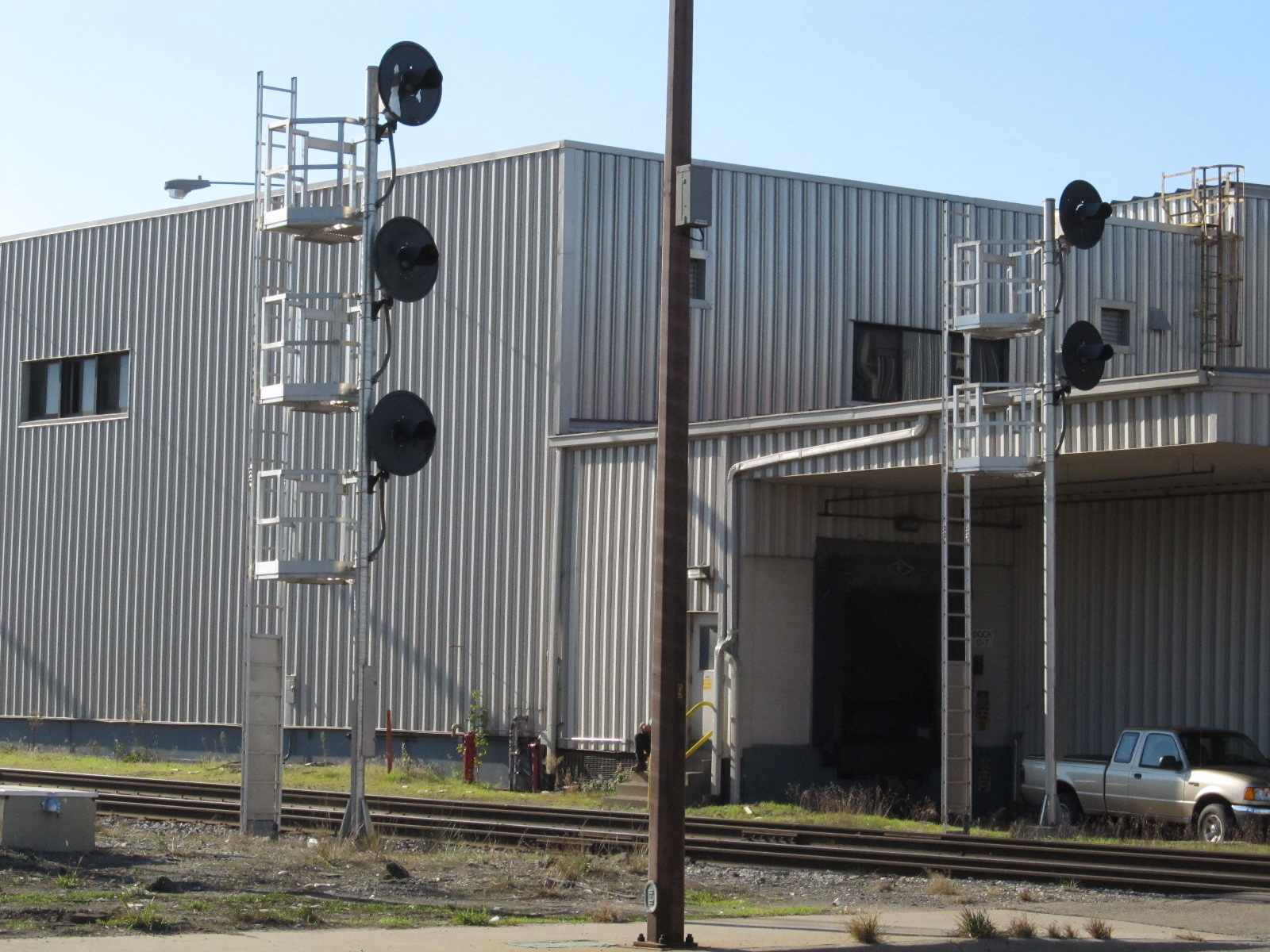
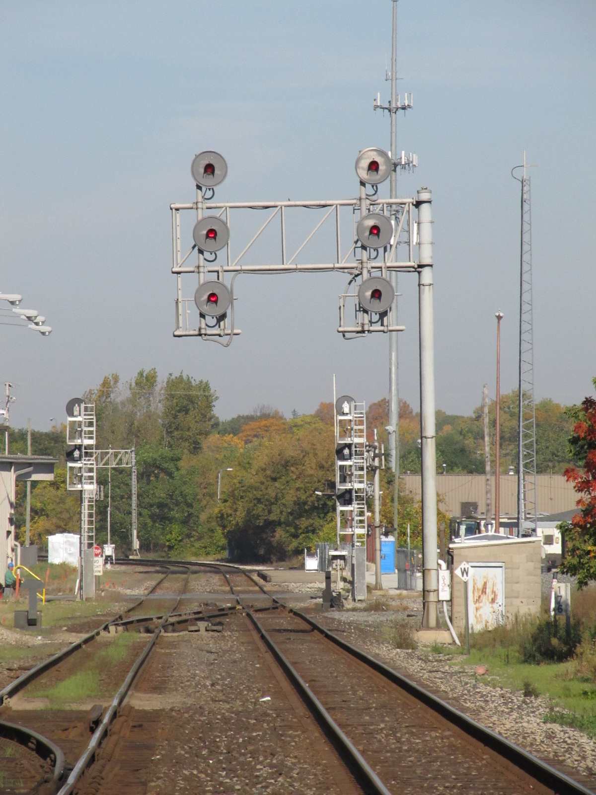
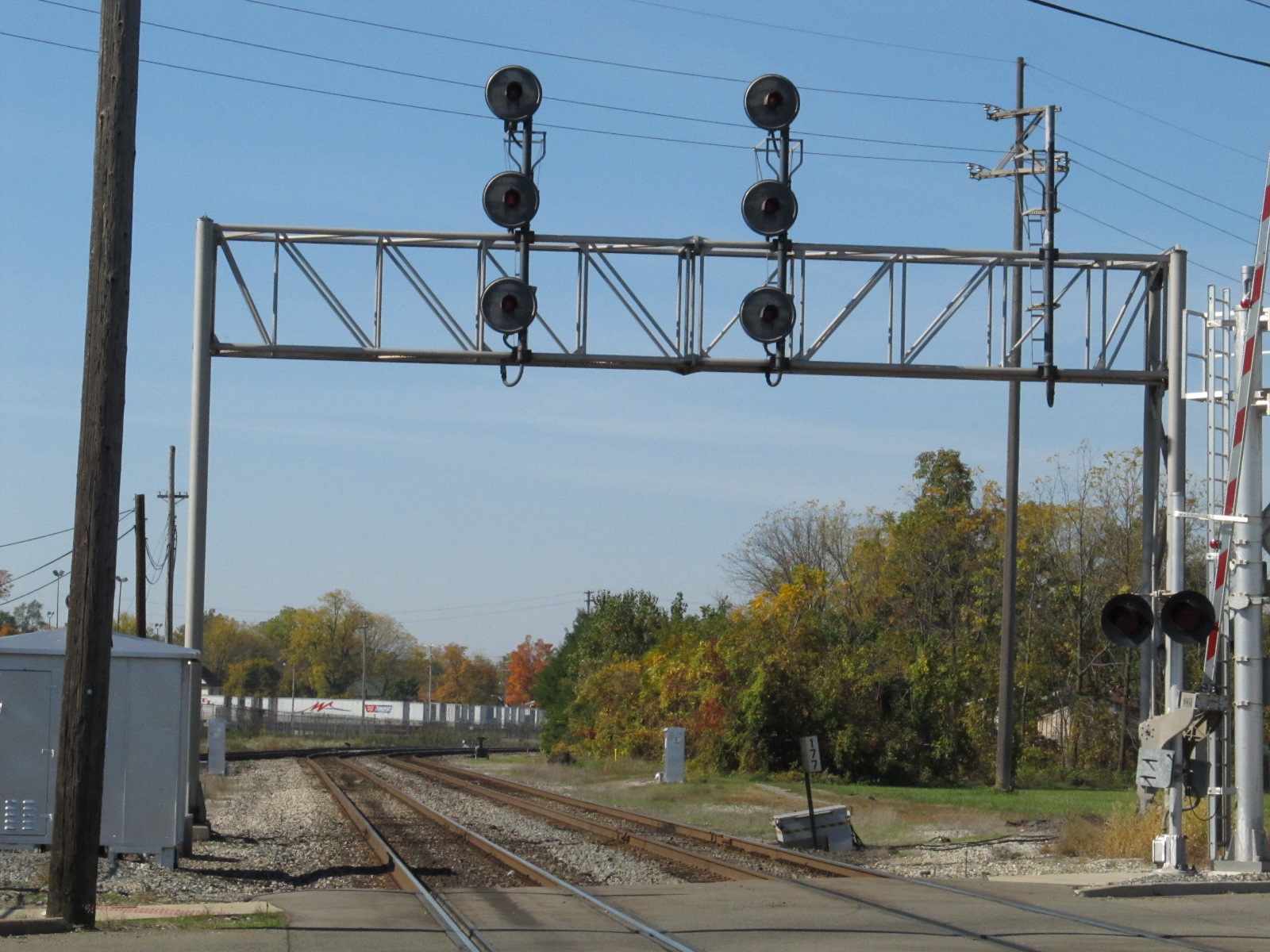
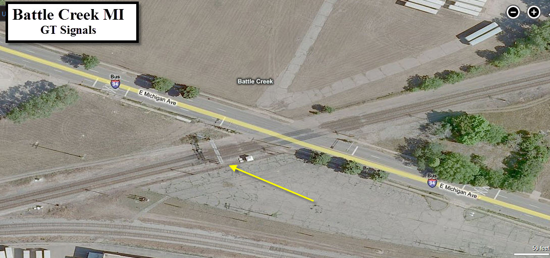
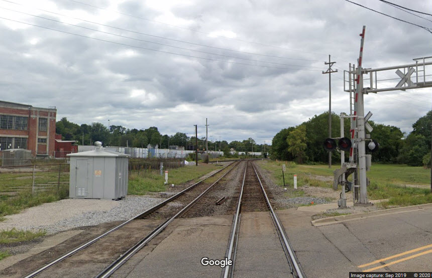
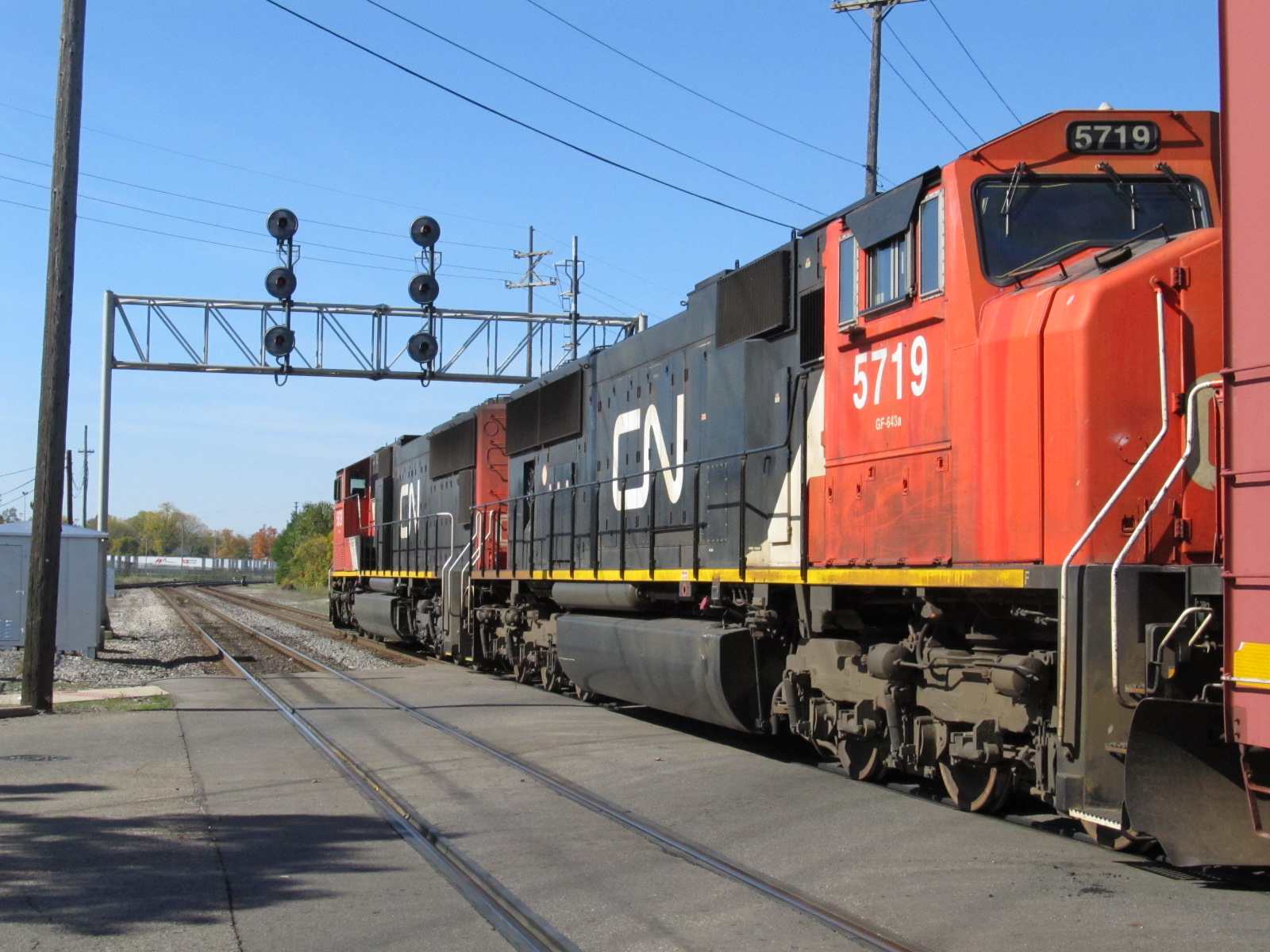
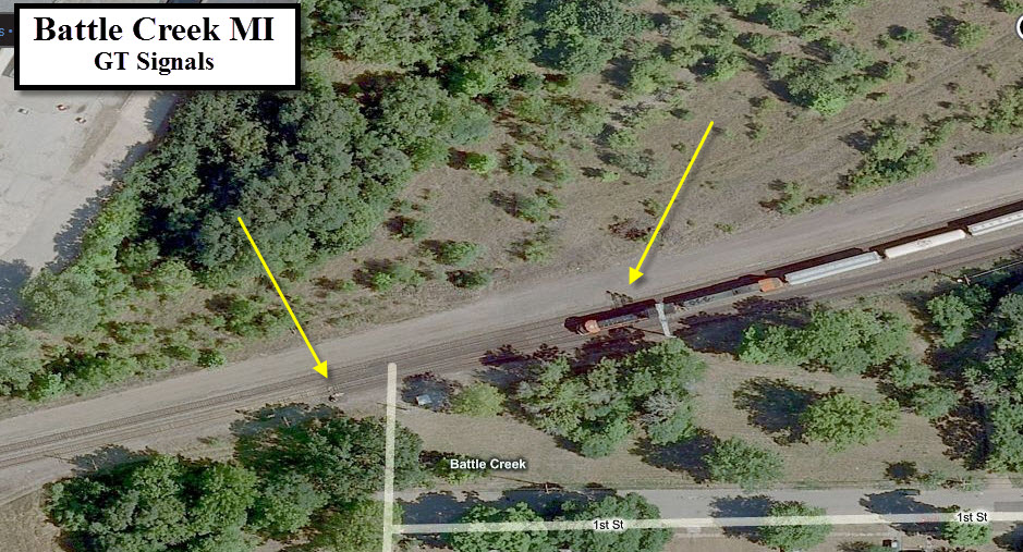
GPS Coordinates: 42.32043, -85.19672
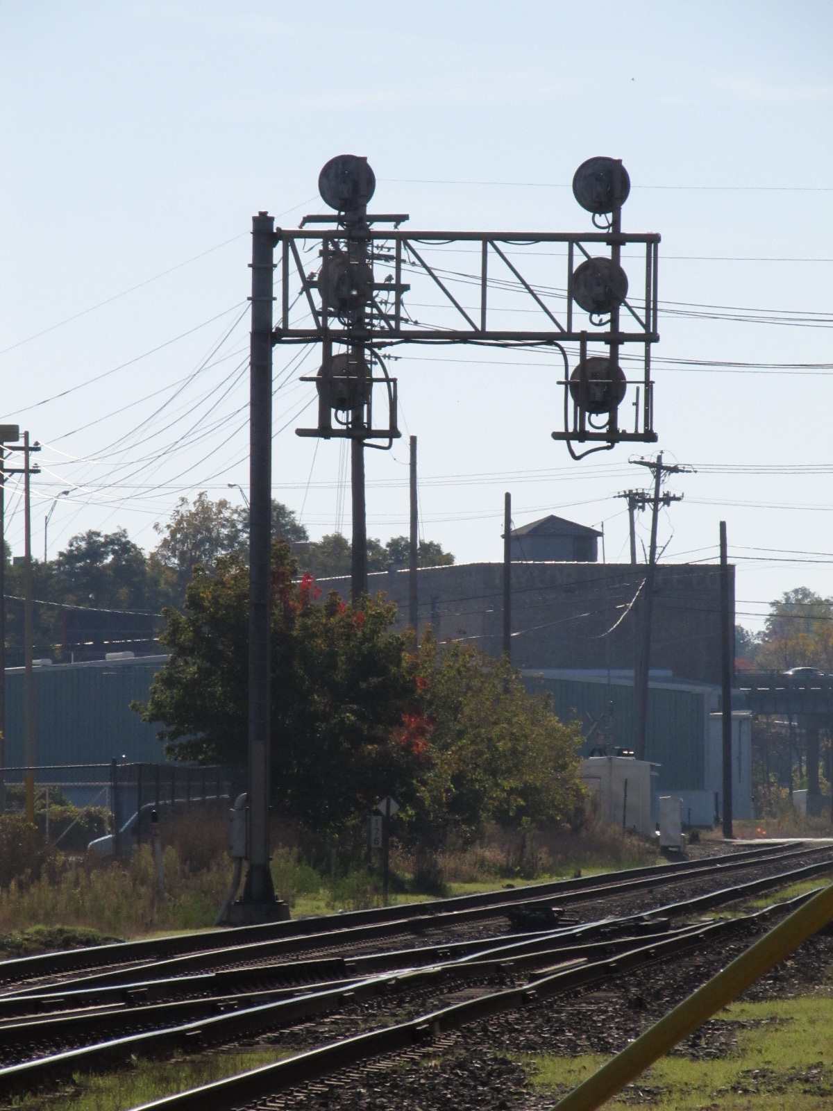
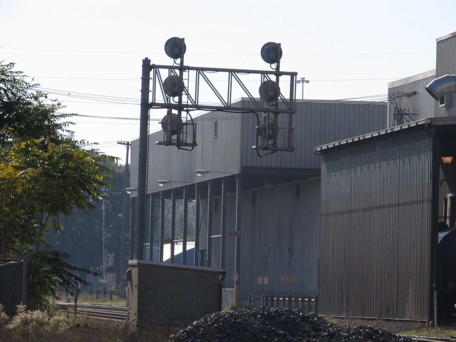
Two sets of signals located at the mainline split for EB traffic where the NS and CN mainlines merge into one, for their trek thru town. Almost all of the searchlight signals in town were mounted on cantilever bridges, as these are depicted.

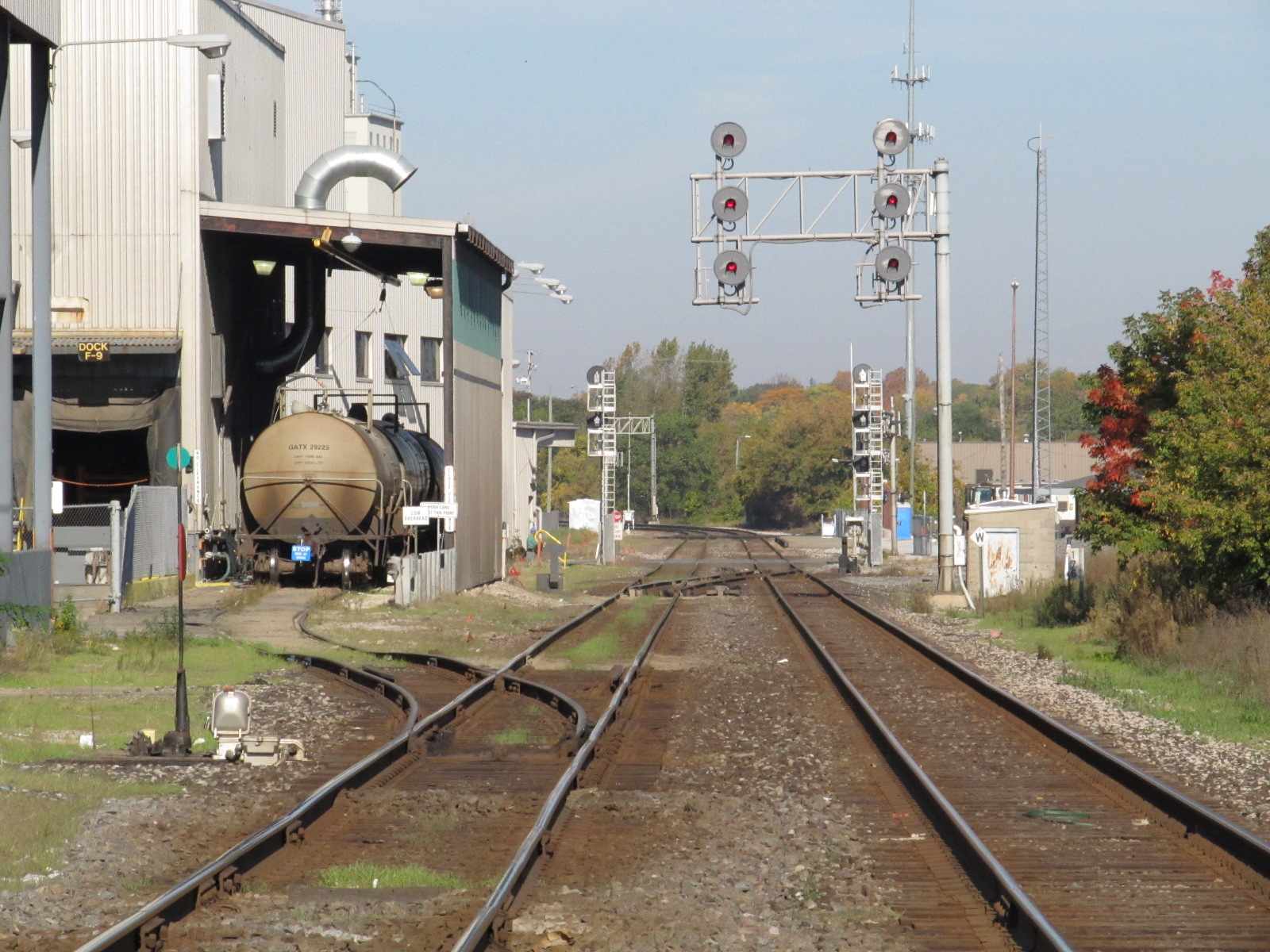
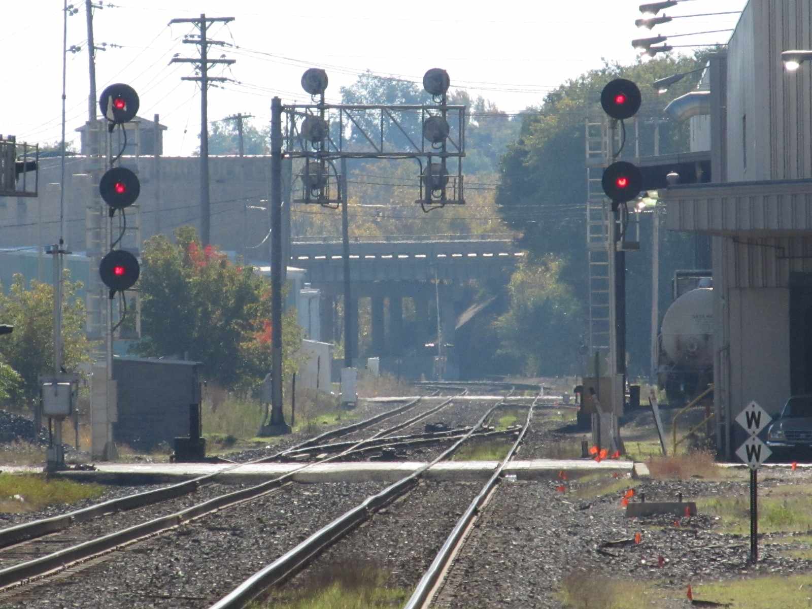
GPS Coordinates: 42.31986, -85.19070
First set of signals for WB traffic after passing the Amtrak station.
GPS Coordinates: 42.32019, -85.19229
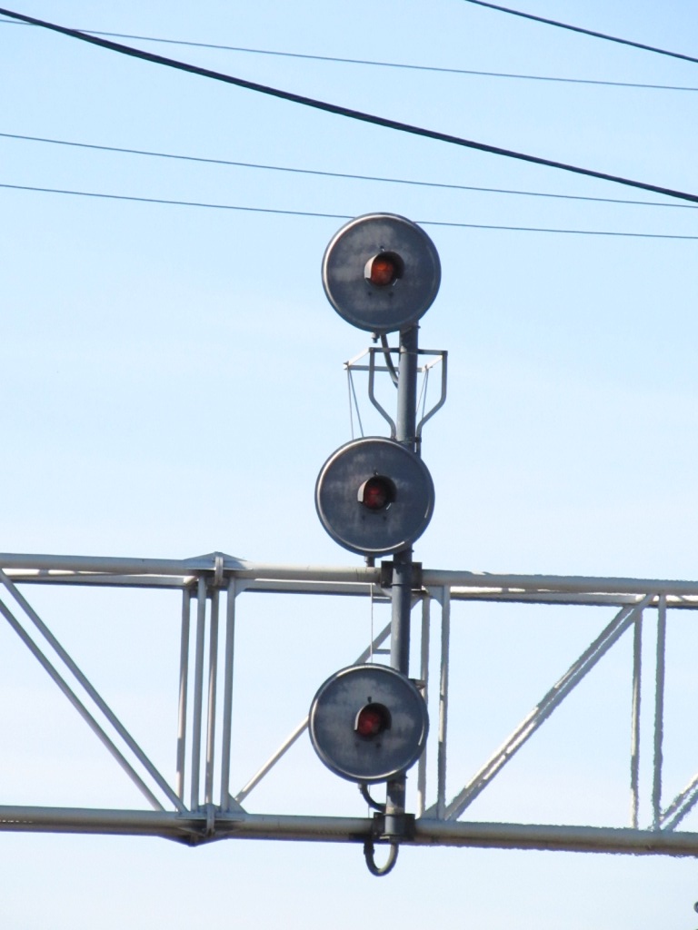
Between the two sets of signals above WAS this pair of signals for EB traffic. I need a detail picture of it if anyone has one.
Never mind, I see the signal is no longer there......

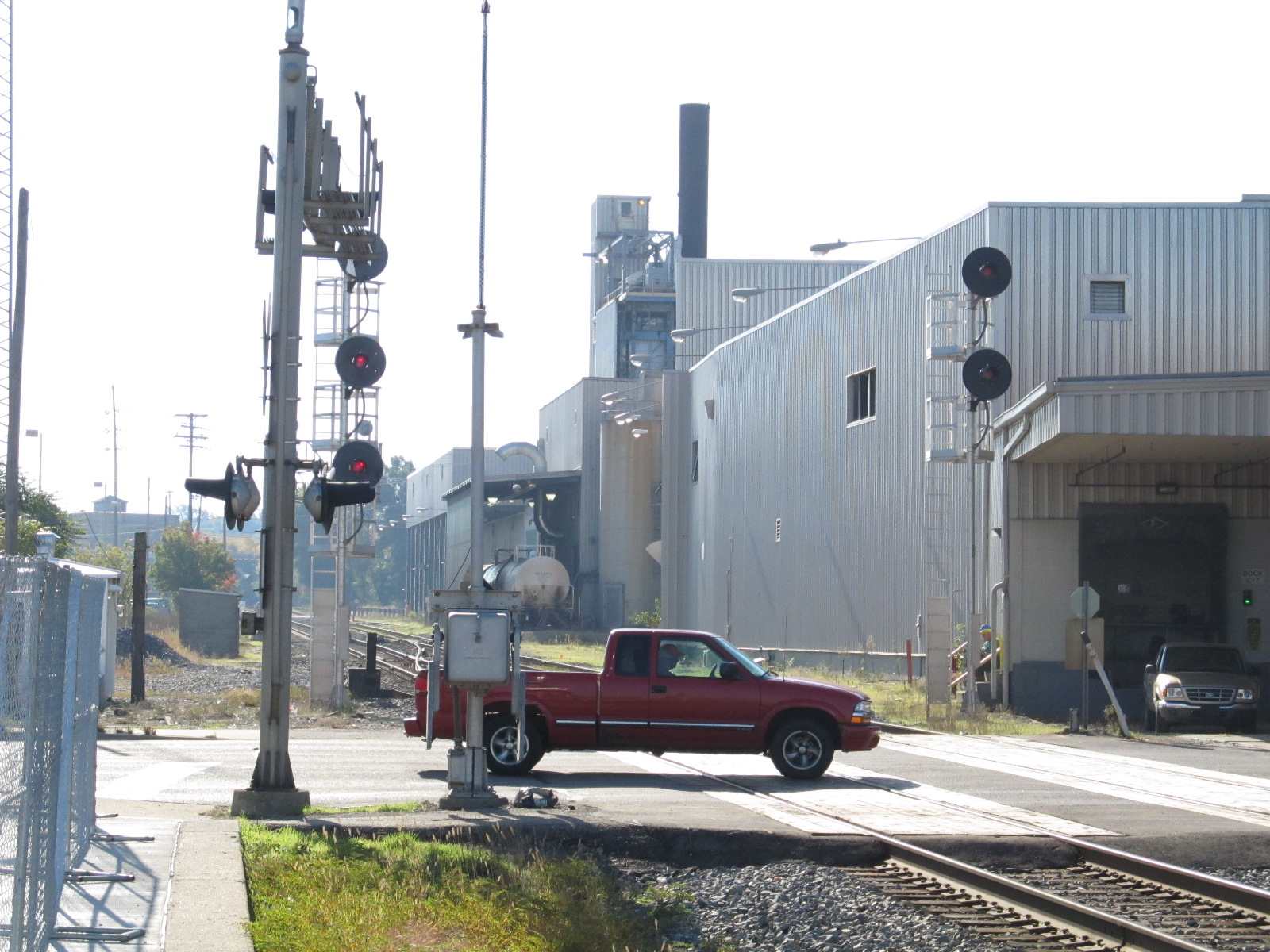
GPS Coordinates: 42.31755, -85.18725
For EB traffic, across from the Amtrak Station, and next to Capitol Ave SW.
Looks like there signals were moved closer to the crossover from the earlier shot from Bing, where it is across from the water park.
 Looks like these signals have been removed by the time I visited in 2011 :-(
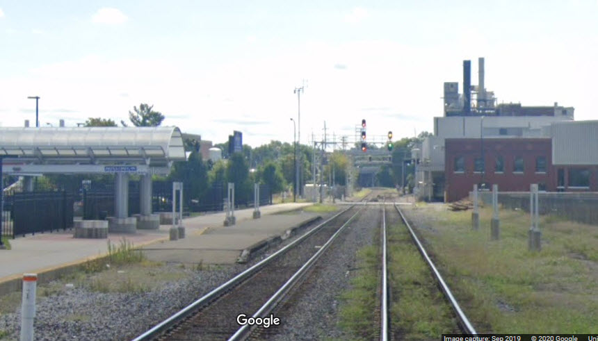
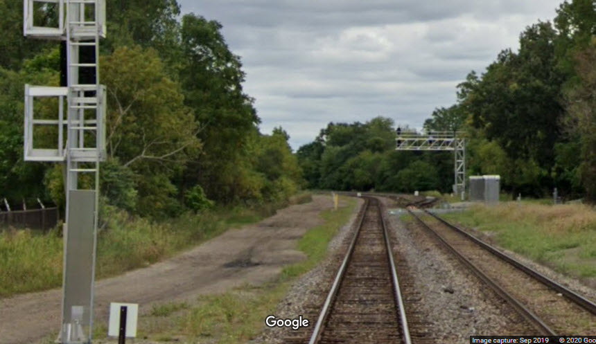
The view from Fountain St in 2020, still has the old searchlight signals still in place from 2015.
GPS Coordinates: 42.31609, -85.18529
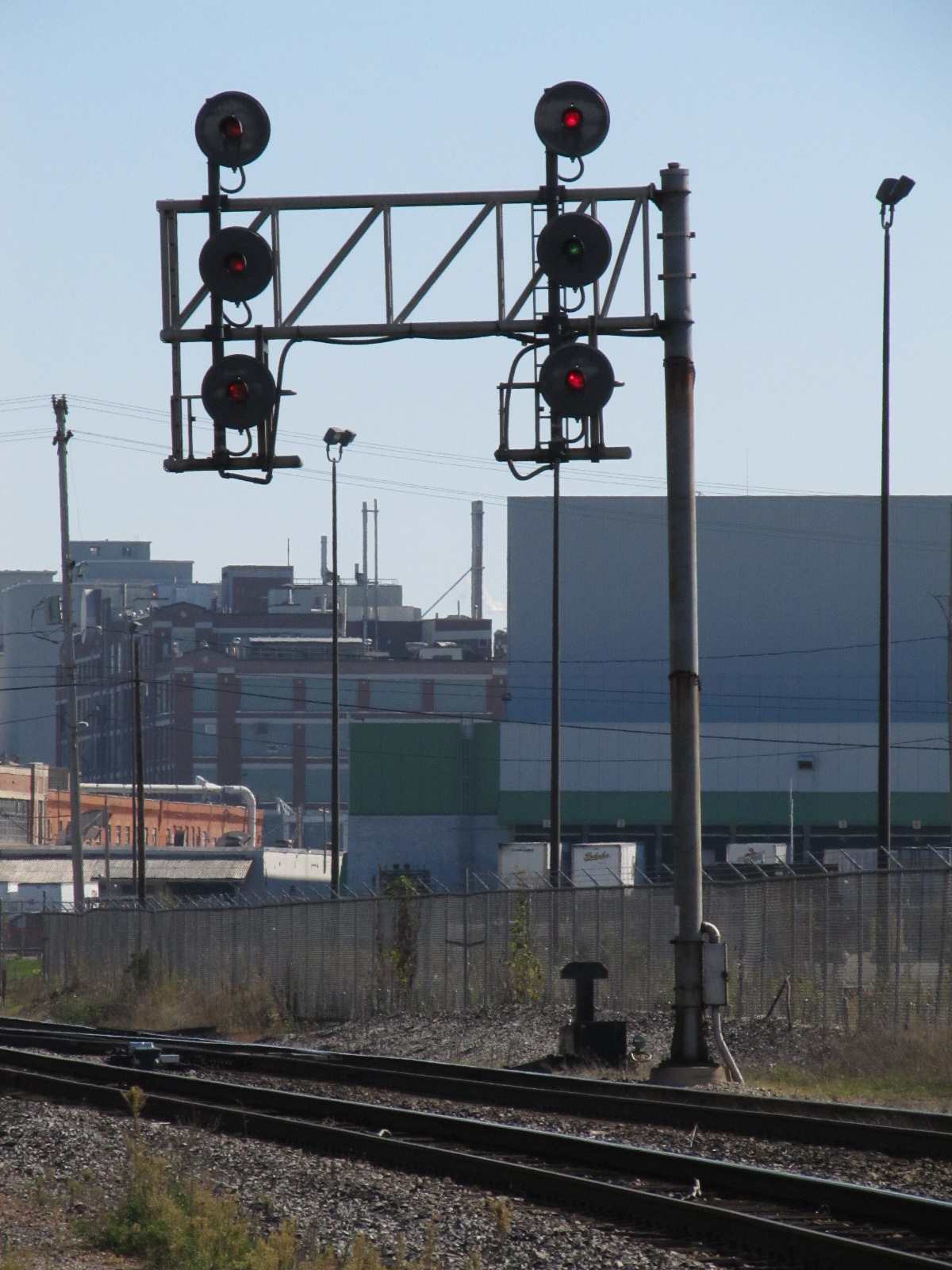
Two sets on individual masts for EB traffic and a double set on a cantilever bridge for WB's next to Capitol Ave SW
I'm taking a guess that the EB signals here replaced the two cantilevered signals at location #4


 Shots of the signals (& crossing gates) from E Fountain St.
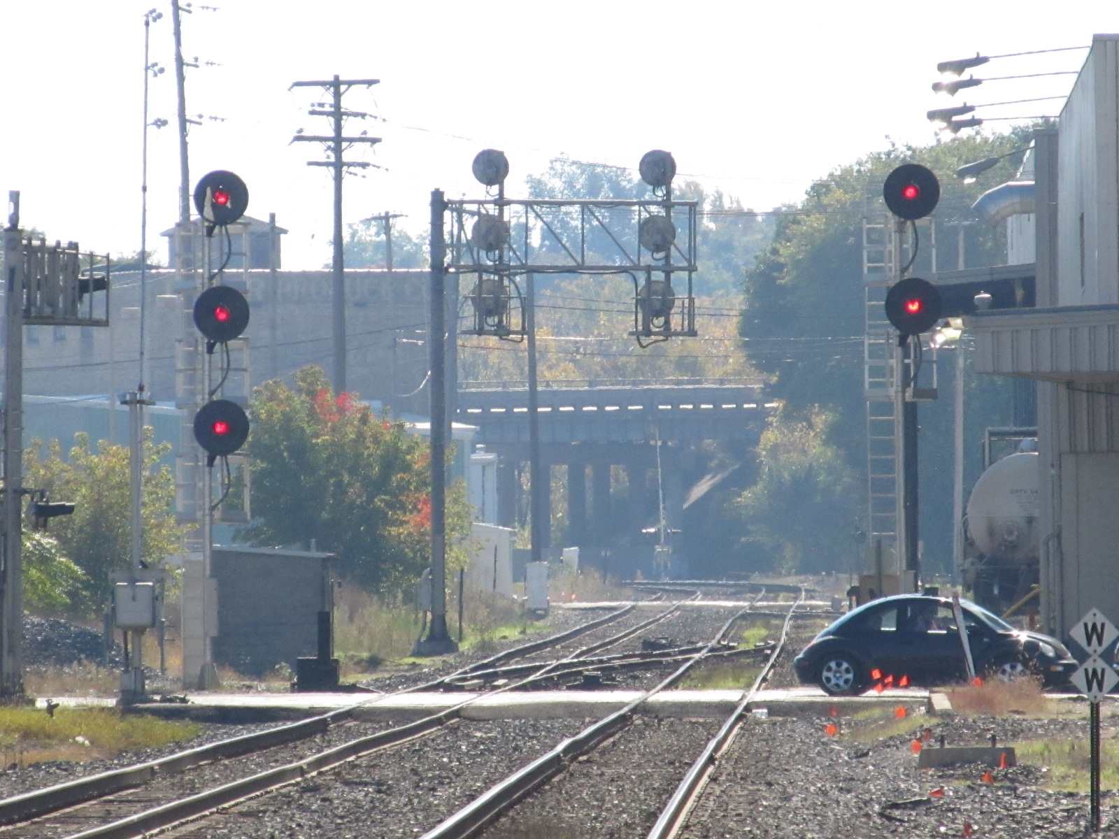
 Pictures of the signals taken from the temporary station location.
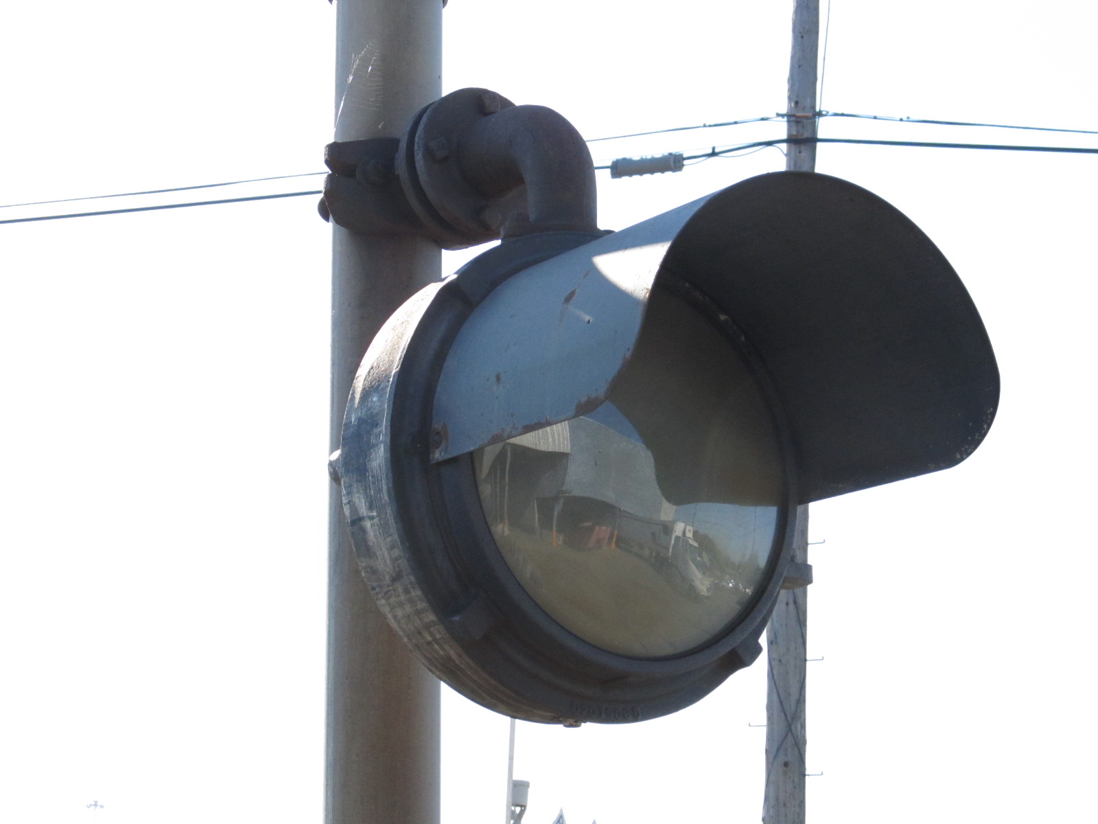
 A no left turn signal for trucks coming out of the plant onto E Fountain St.
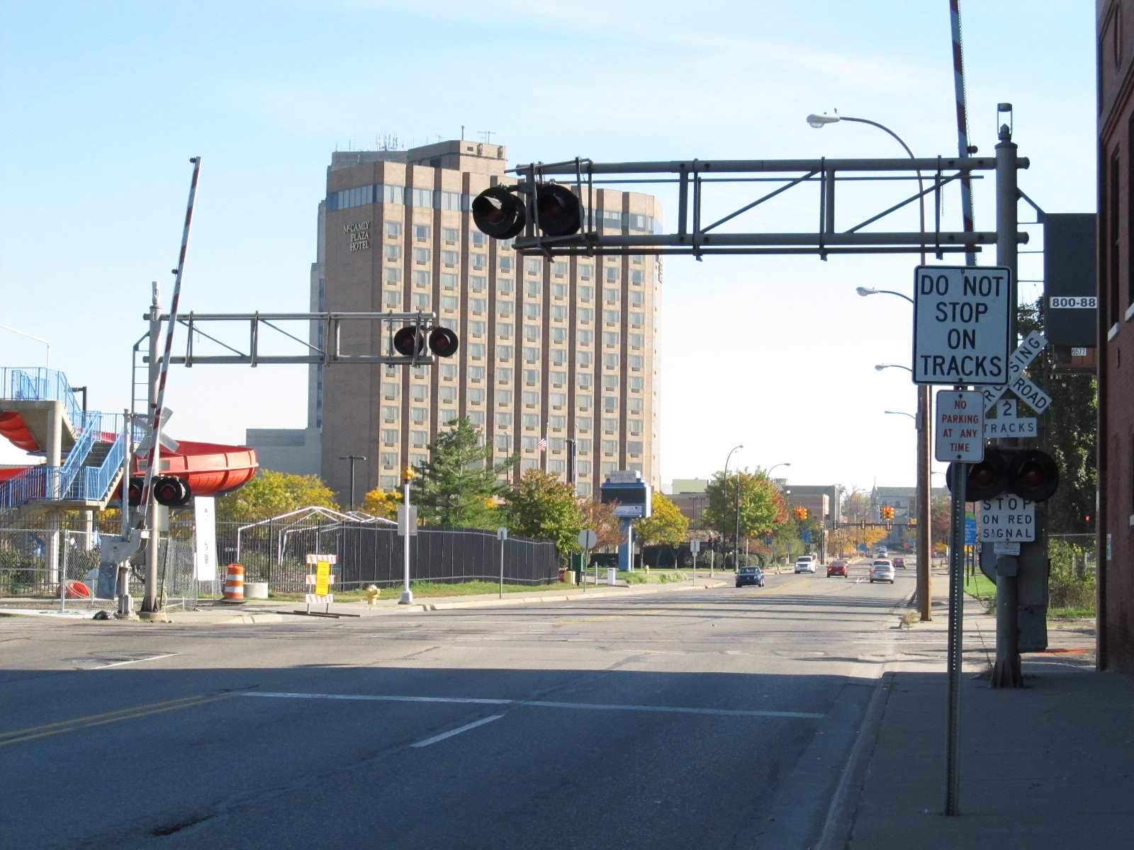 Grade crossing gates at Capitol Ave.
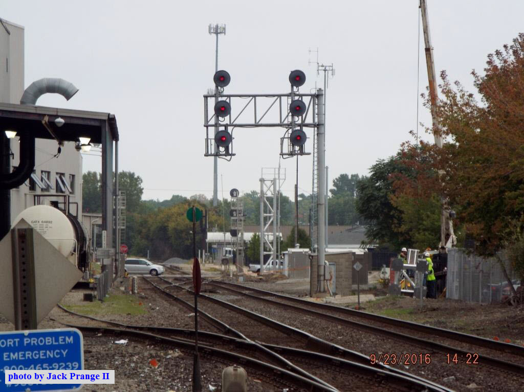
In the picture above, you can see the supports being installed for the new signals. Taken from Fountain St, courtesy Jack Prange II.
GPS Coordinates: 42.31254, -85.16747
For CN trains leaving the yard and heading west. A couple more pix below.
The signal bridge is gone, and one of the signals was moved to "the other side" of Michigan Ave.

You can see the new signals from Michigan Ave, where the old signal bridge used to be.

GPS Coordinates: 42.31329, -85.16412
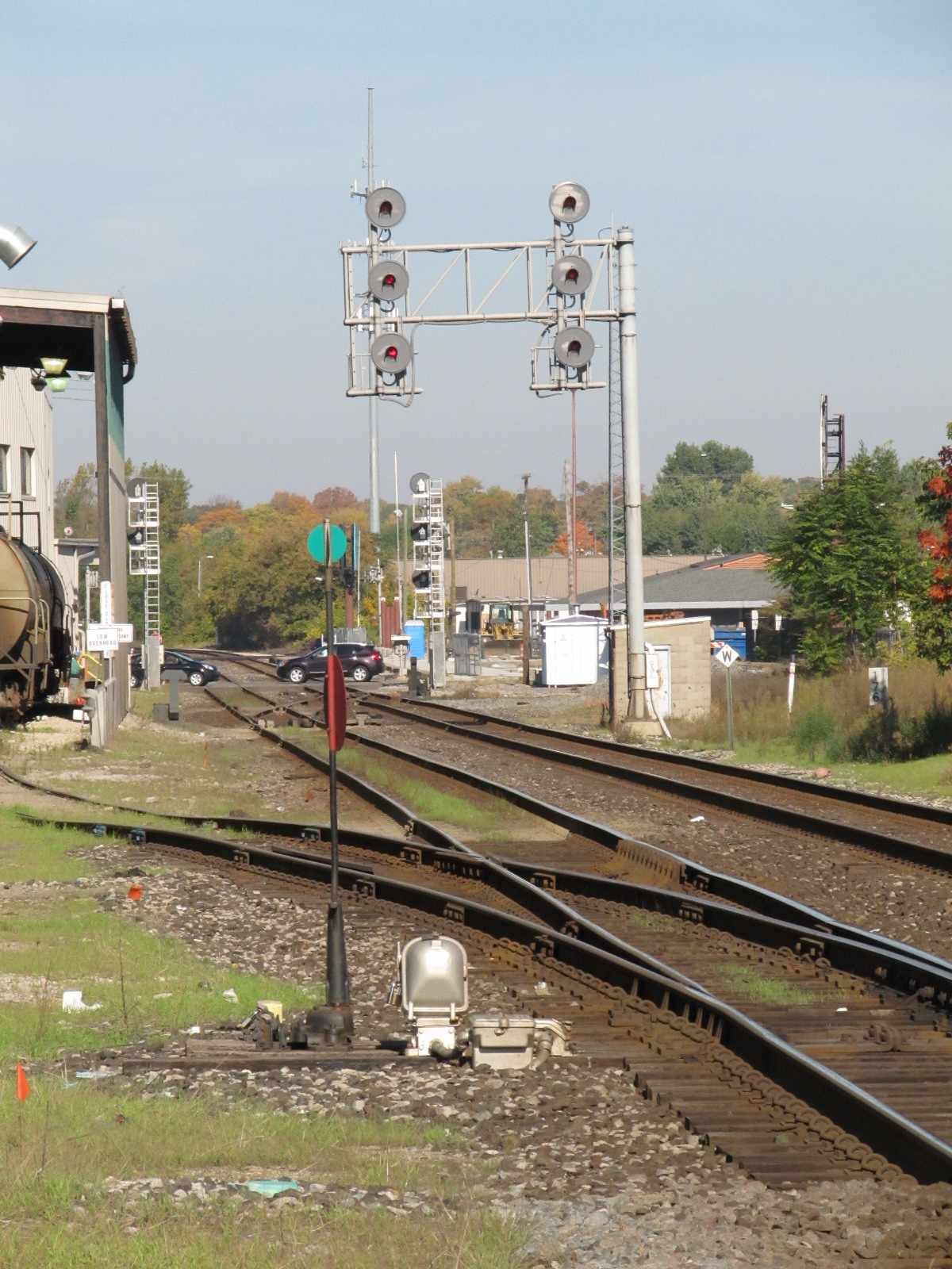
There used to be two sets of signals here. A single mast mounted signal for trains inbound to the yard, and two sets on a cantilever for outbounds.
Now, there is only a cantilever bridge for SB trains, where the siding joins up with mainline 2.


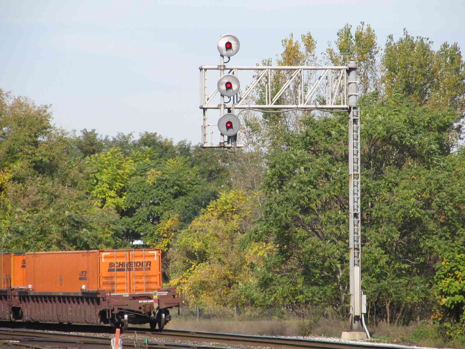
GPS Coordinates: 42.31185, -85.17414
These signals are for a crossover.

 The medium clear is for the Wolverine.
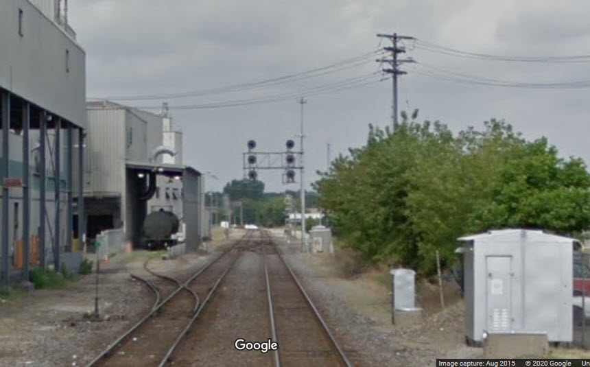
GPS Coordinates: 42.31205, -85.16778
A new pair of signals for trains coming from Hinman Yard joining the mainline.
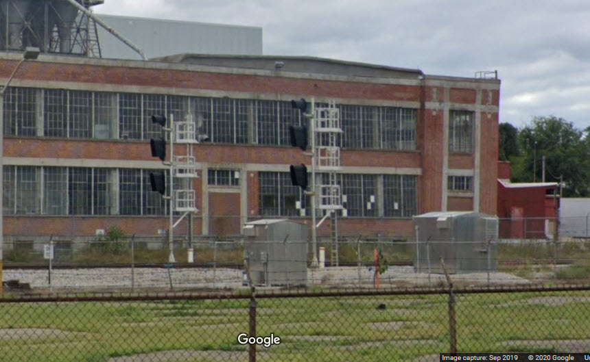
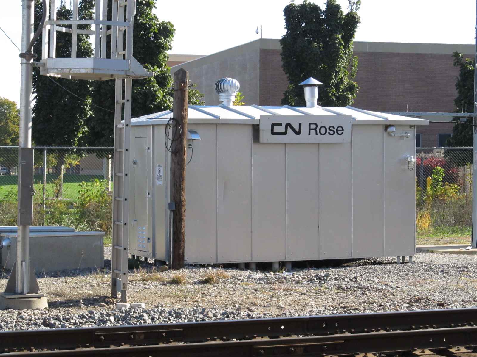
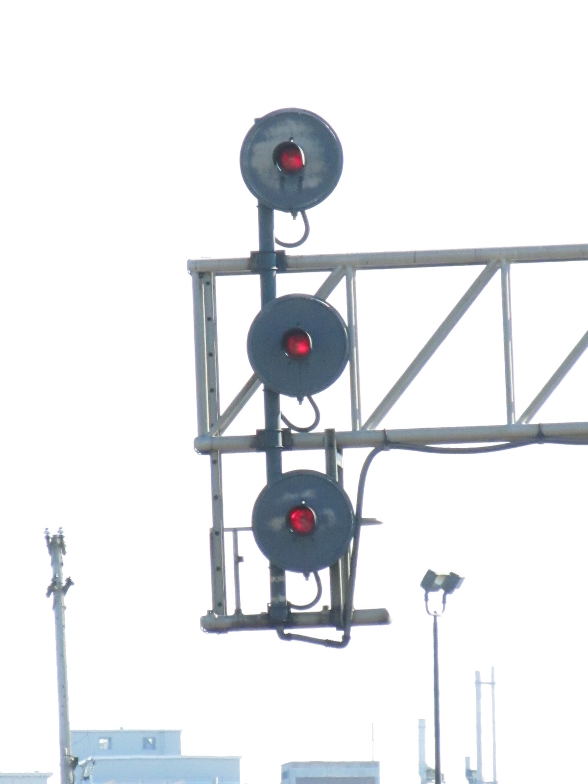
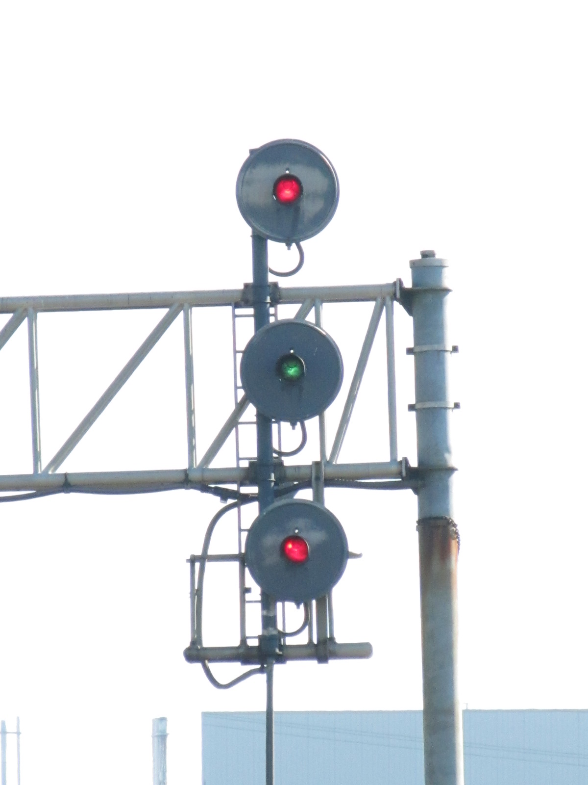
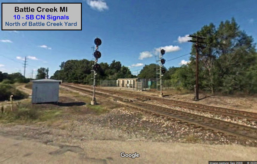
GPS Location: 42.35911, -85.12430
A pair of signals here for SB trains headed into CN's Battle Creek yard -- Google's Streetview has shots from here dated 2008 and 2023. I never got to this location personally. Not sure when the tri-lights were replaced, but probably around the same timeframe as the rest. Also noticed they repositioned the signals closer to the yard, and further away from McAllister Rd.
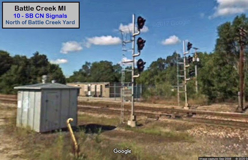
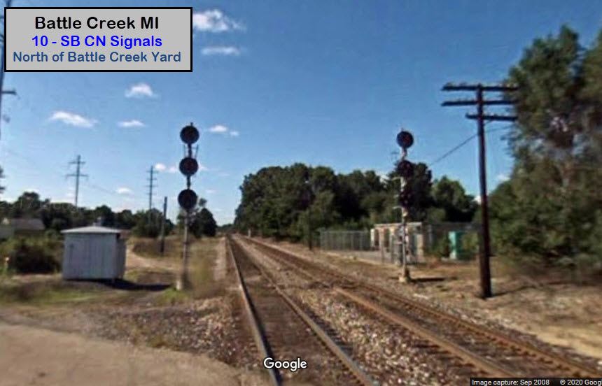
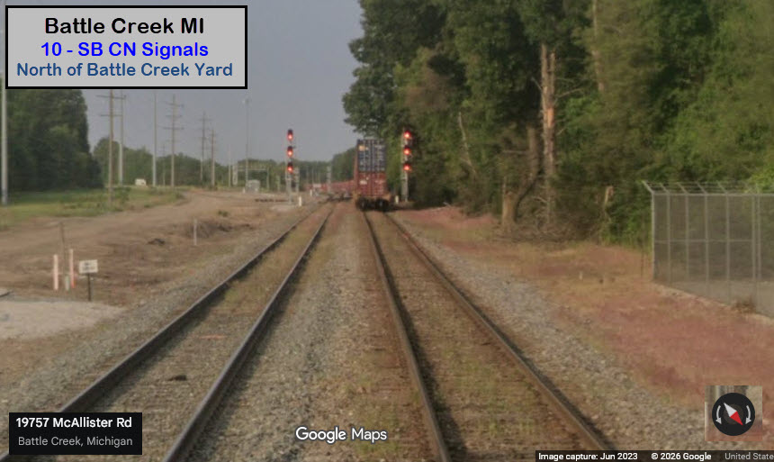
GPS Coordinates: 42.32052, -85.19901
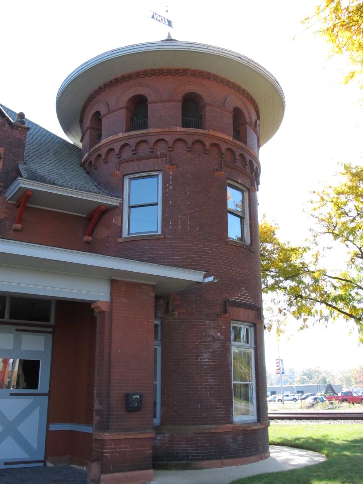
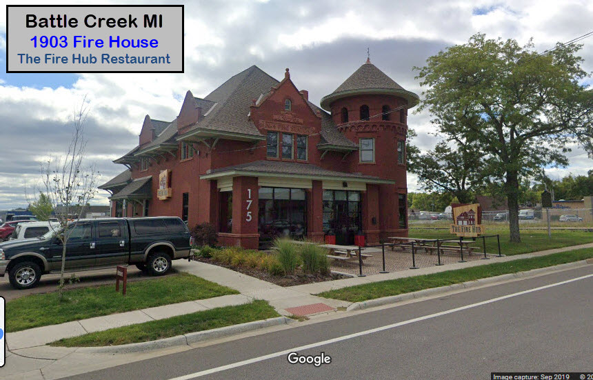
This cool example of early 1900's architecture is on the west side of town, on Kendall just off Dickman.
It WAS the FIRE HUB restaurant, but appears to be a food panty now :-(.
Looks like they haven't done anything with the rest of that lot in the years since I have been there last.
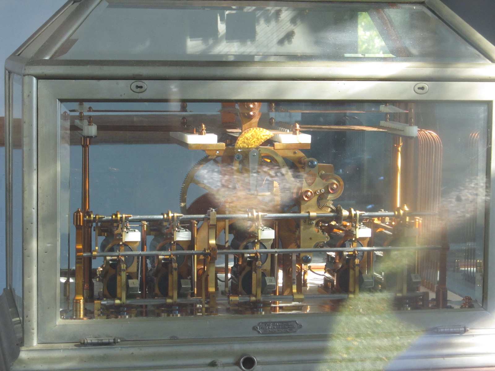
I don't know if it is still there, but if you take a walk around the building and look in the windows, you used to be able to see a very early fire alarm telegraph.


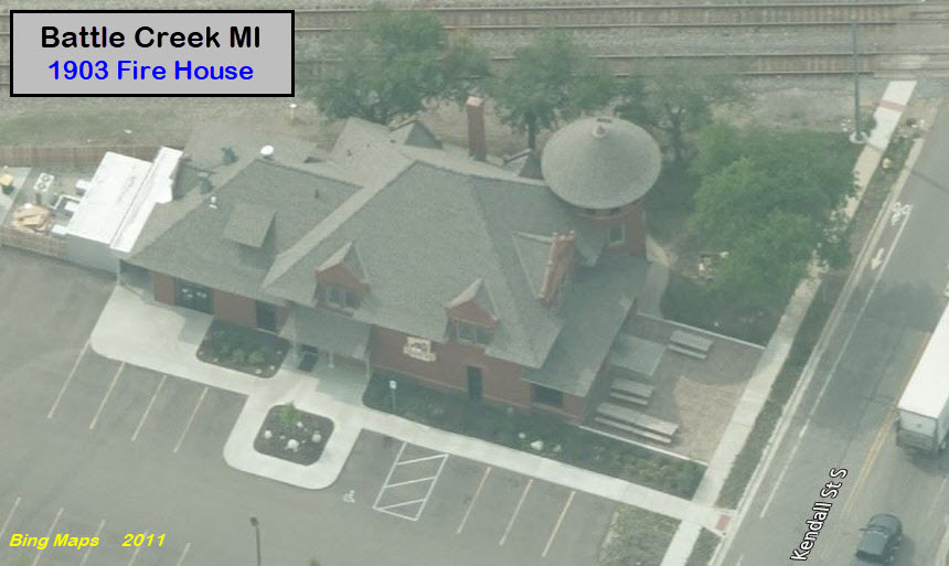
GPS Coordinates: 42.31567, -85.17591
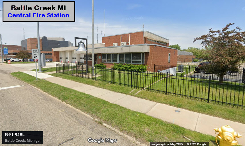
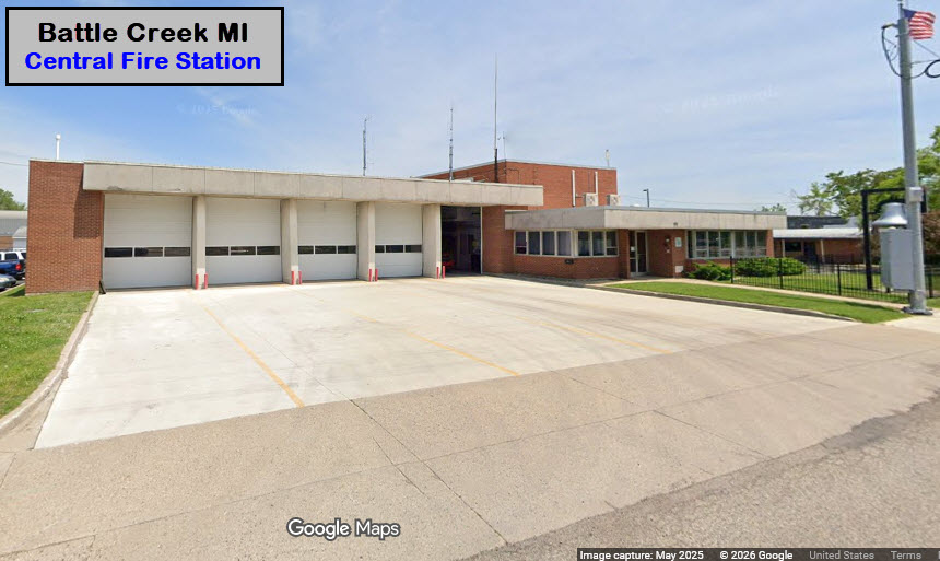
195 E Michigan Ave, Battle Creek, MI 49014
GPS Coordinates: 42.30932, -85.16405
222 Cliff St, Battle Creek, MI 49014
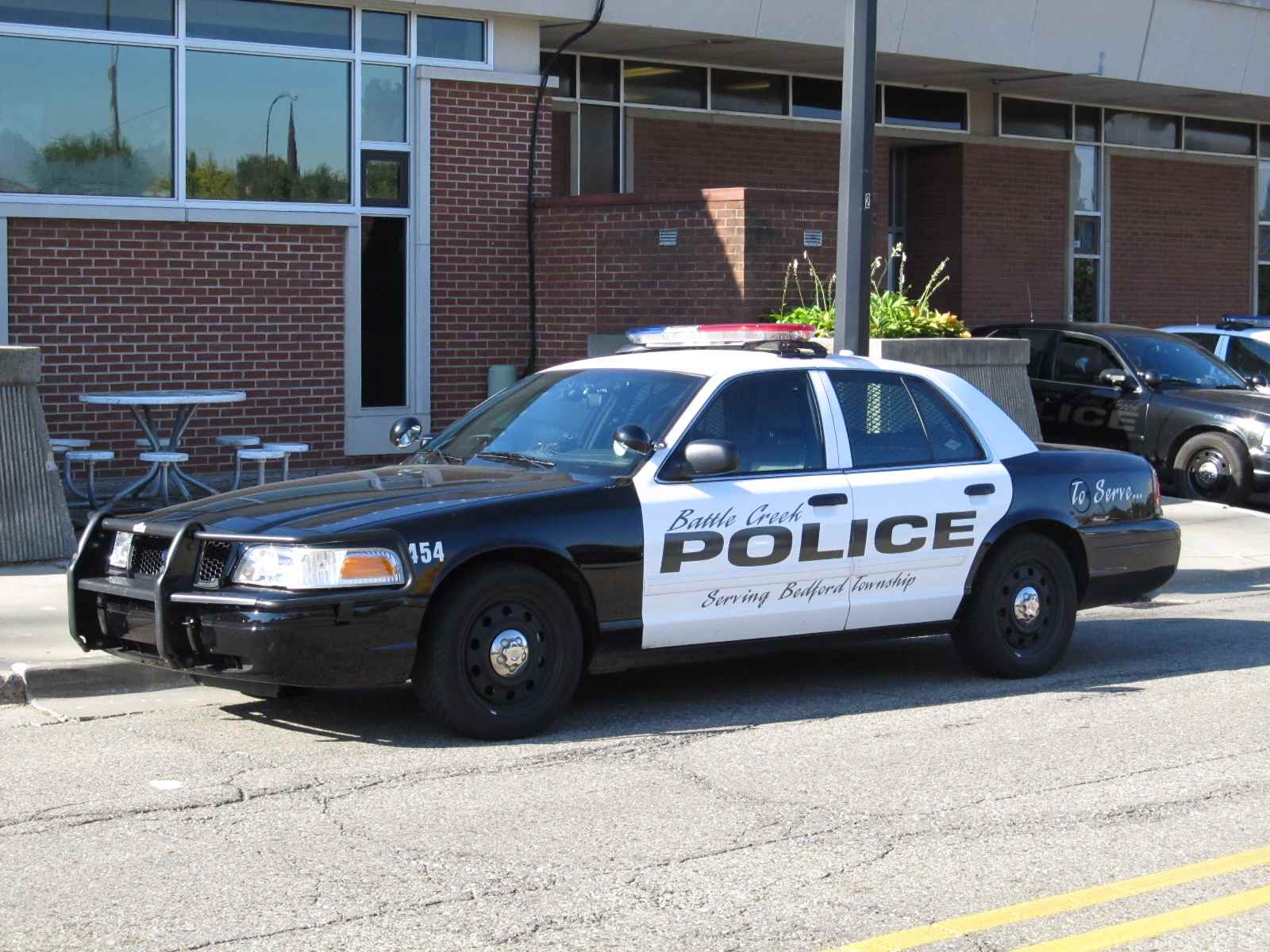
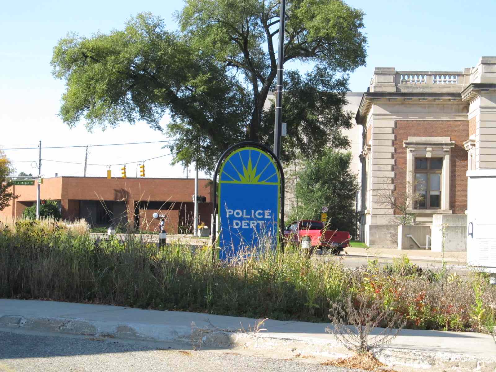
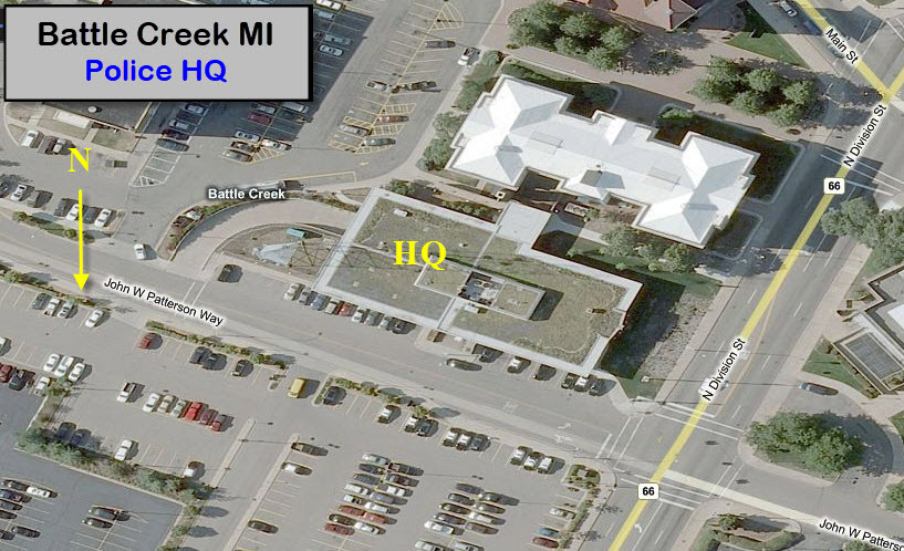
![]() Battle Creek Police Department HQ
Battle Creek Police Department HQ
The Battle Creek police headquarters is at North Division St and John W Patterson Way.

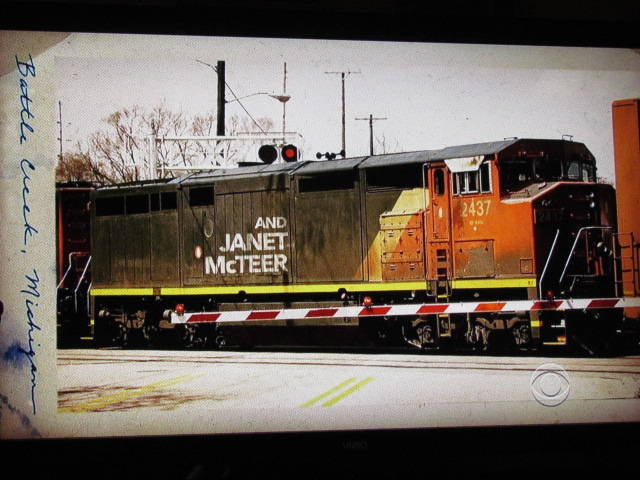
AND, speaking of the police department in
Battle Creek, on Sunday March the 1st, 2015, CBS had it's debut of
Battle Creek, a new cop show.
Unlike other shows, I don't know if it is filmed in Battle Creek as many
others are, but at least in the opening credits, they feature two clips of
trains, which because of the cantilever signal bridge, certainly could have
been filmed in Battle Creek. I wonder if they will have a story
about a Cereal Killer? :-).......

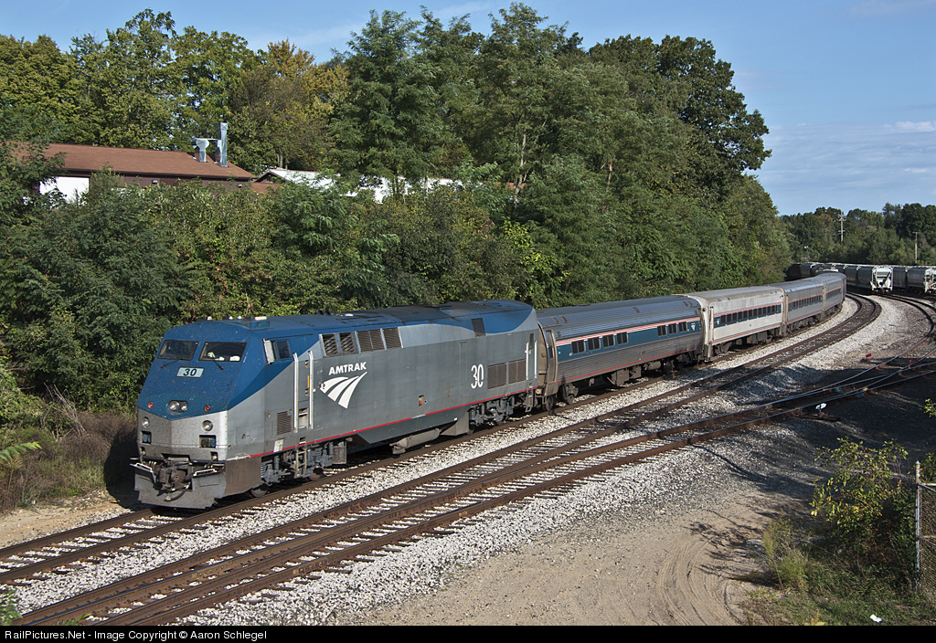
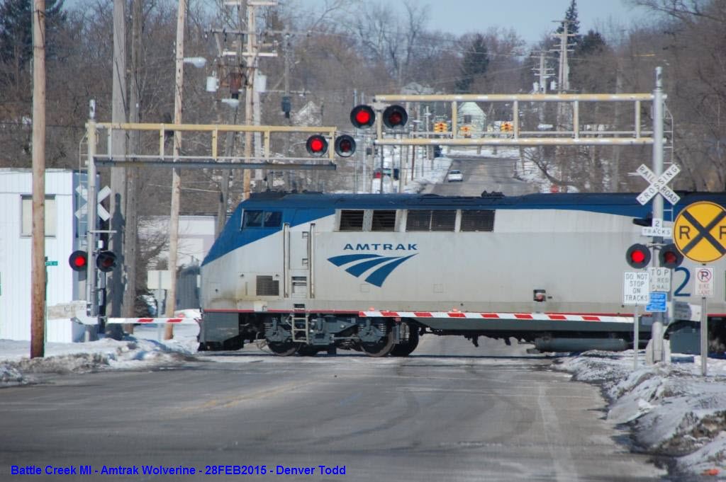
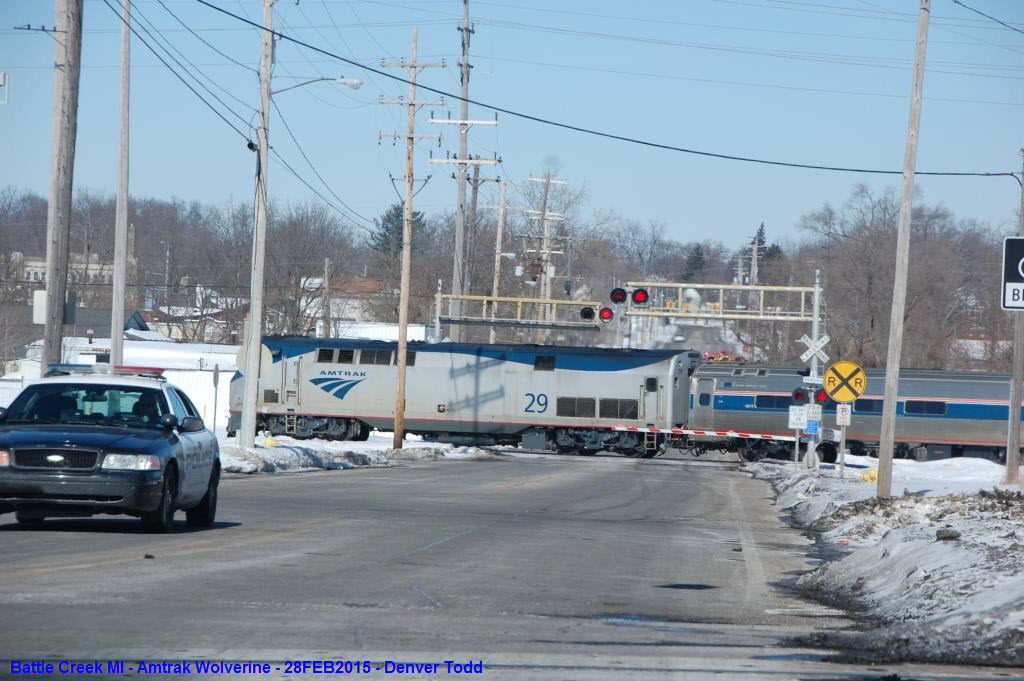
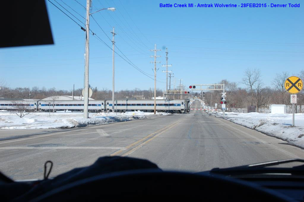
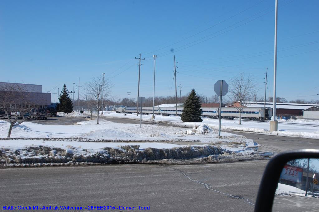
Amtrak Wolverine
Denver caught the Wolverine coming thru around 2:00PM on February 28th, 2015, but had no time for set-up.
Buses
Last but not least, a few busses caught around town.


USGS: https://ngmdb.usgs.gov/topoview/viewer/#14/42.3132/-85.1837
Disclaimers:
New format 10/26/23: Please check out my disclaimer page for my standard dribble and contact info here
RAILFAN GUIDES HOME
RAILROAD SIGNALS HOME
NEW 11/21/2011, DEC20/2016, OCT15/2020, JAN25/1st big snow of the season! :-)/26/2026
Last Modified 26-Jan-2026