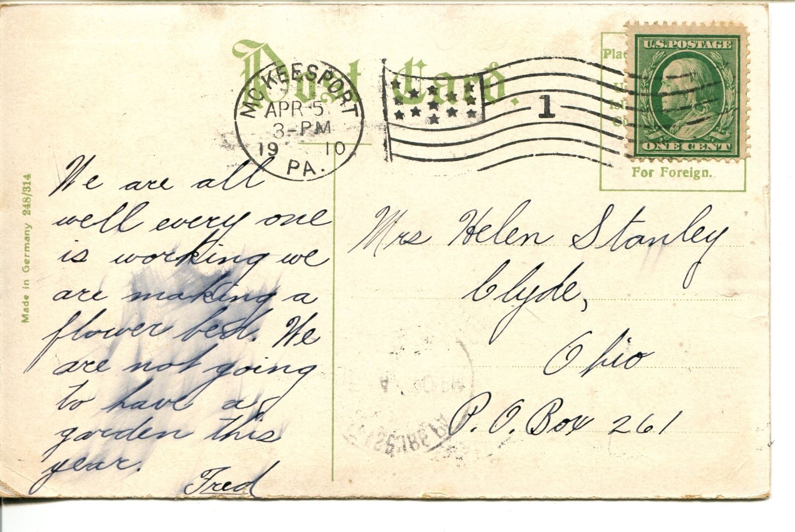
One of the better resources I have come across to this end is the plethora of old post cards still around depicting many of these structures, some better than others.
Most of the postcards were found on EBay unless noted, other pictures, mostly the more recent ones, come from Google and/or Bing images -
credit given if the source is known.
Dates are in the picture name, x means the date is approximate. If they were available, and interesting, I included the back side of the postcards.
1901a and 1910b would be the same card, both sides.
If the picture was really, really bad, some of them have been cleaned up and/or repaired when I had the energy.
Since many of these stations are no longer around (railfans seem to prefer the term "extant", I'm not one of them! :-), this page is mostly for historical reference.
This page is mostly for historical reference, as MANY of these stations are not around anymore!
What's the difference between a station and a depot? Most people will say "nuttin", it's a matter of preference, although many will use depot for older buildings.
If you have a picture you would like to contribute, please see the bottom of the page for how to find me, credit is always given to contributing photographers.
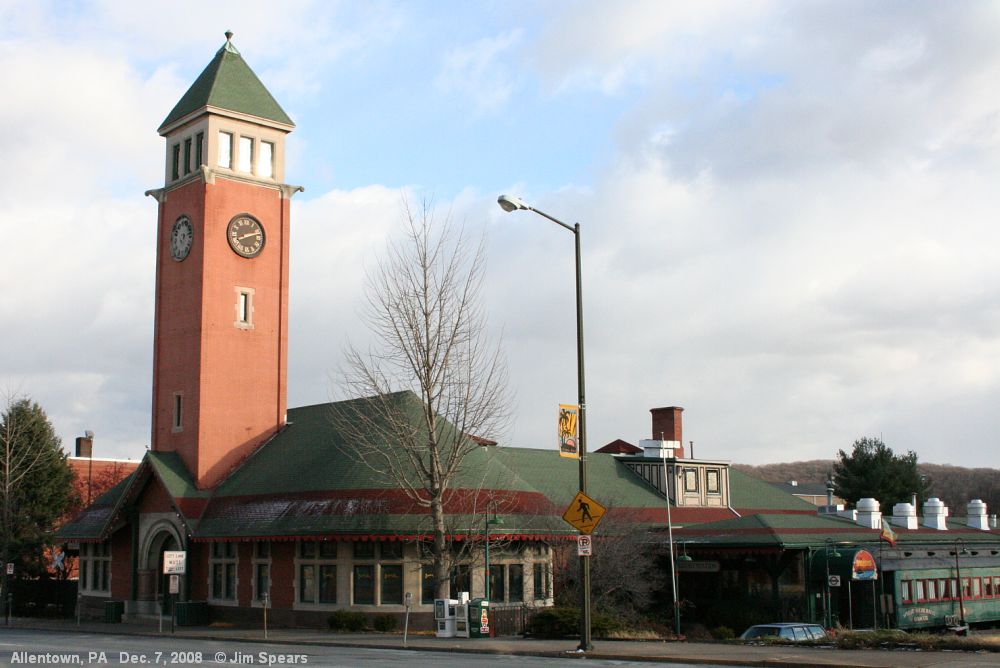
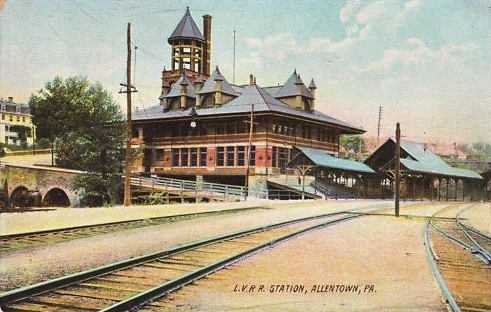
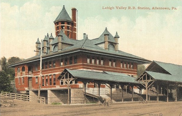
Check out my Altoona railfan
guide for more info and pictures.
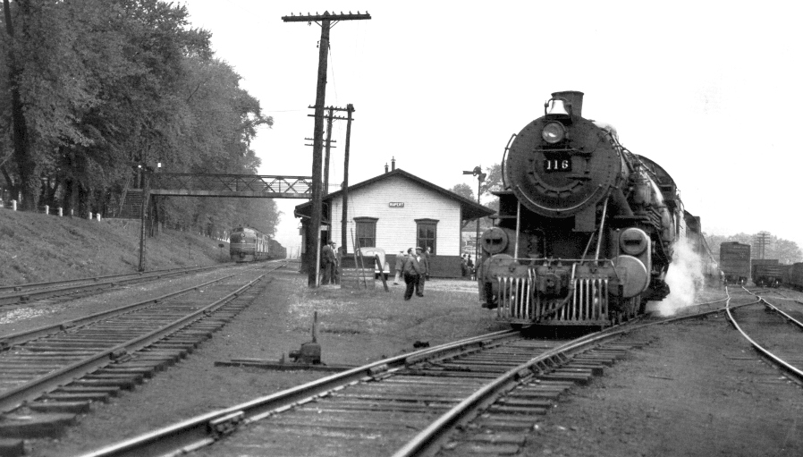
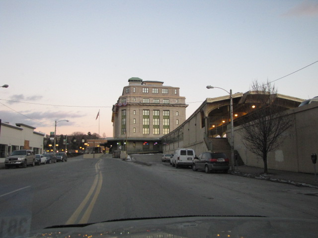
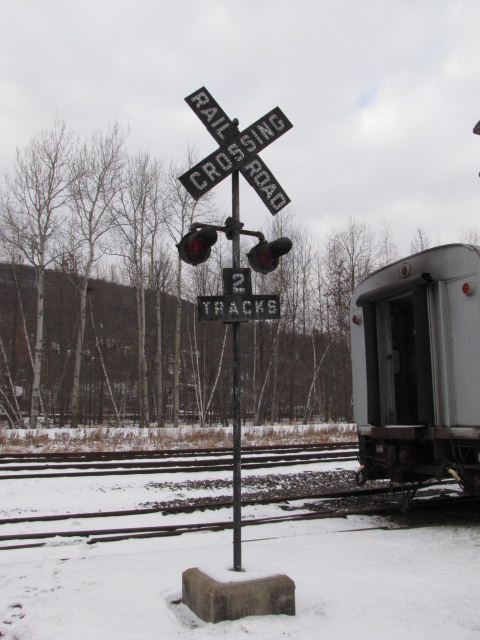
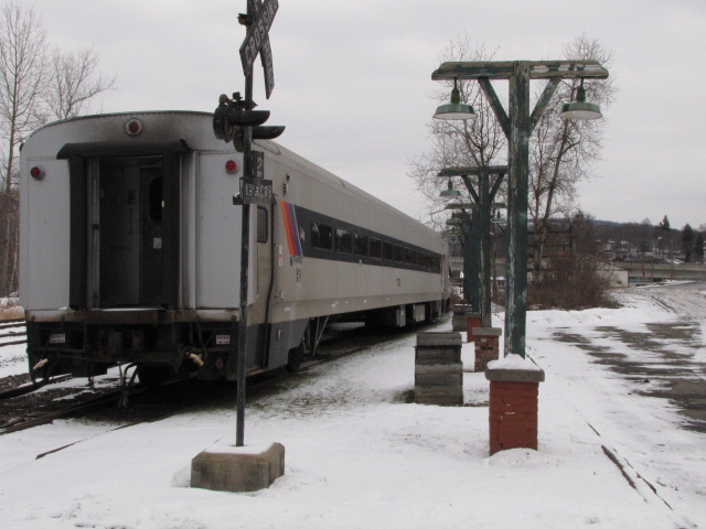
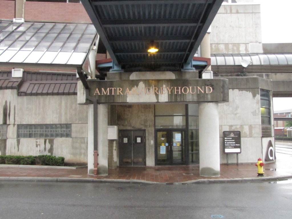
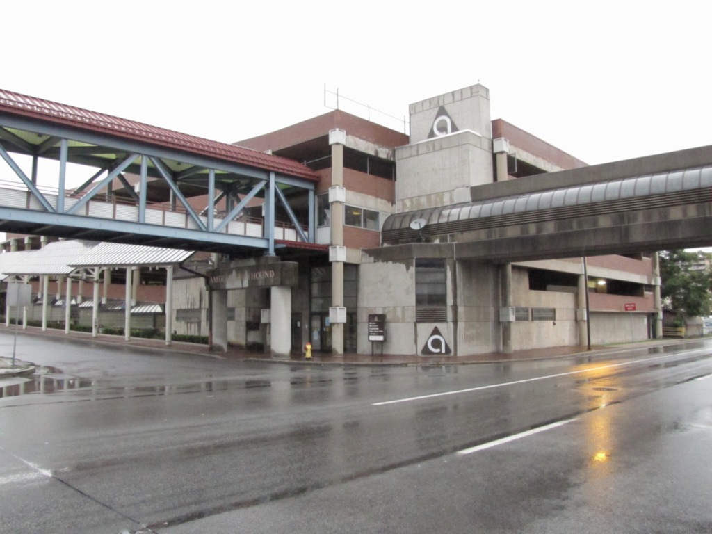
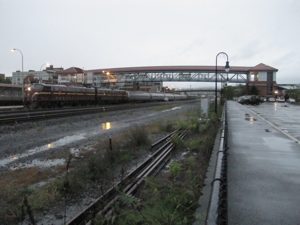
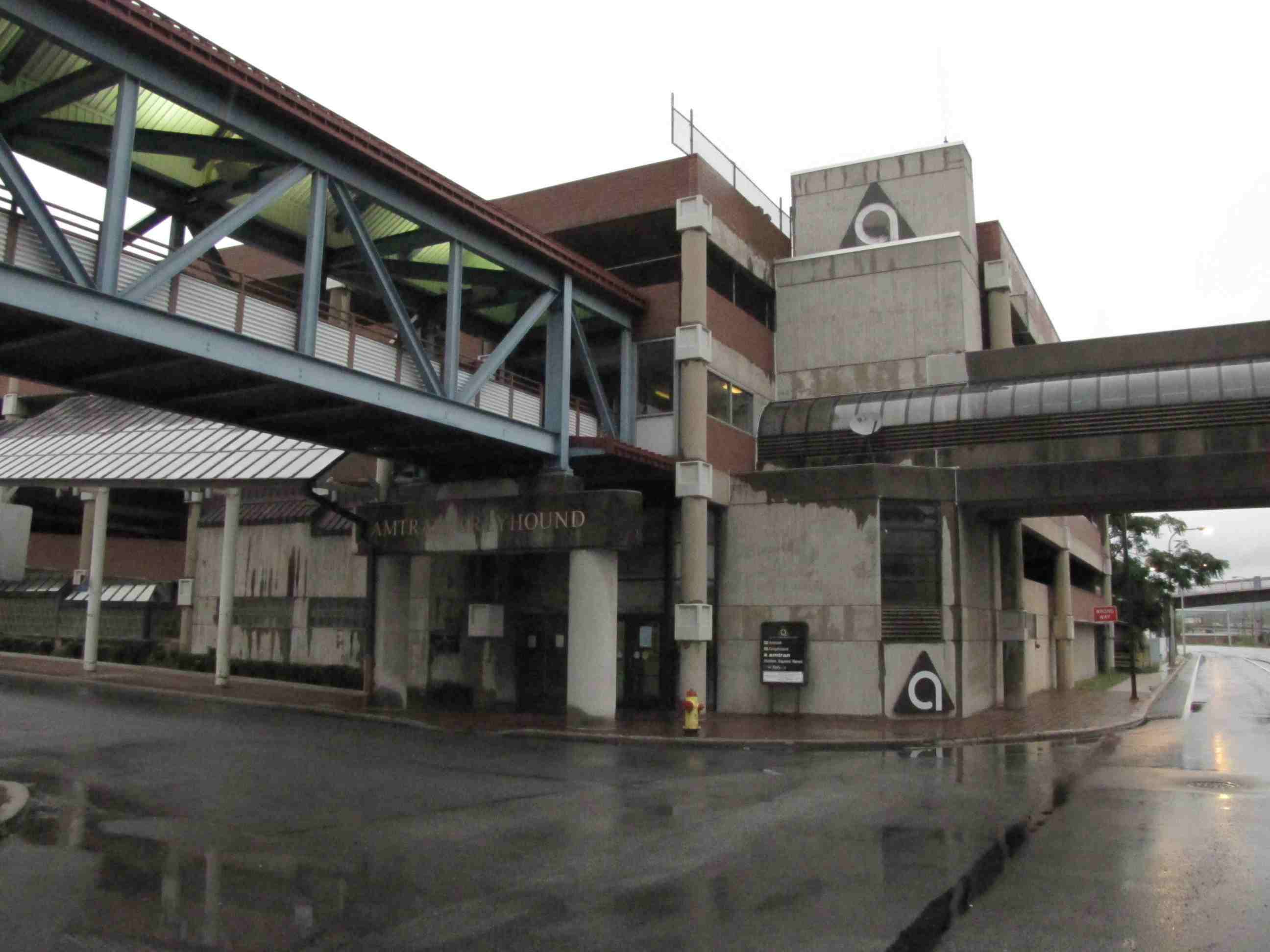
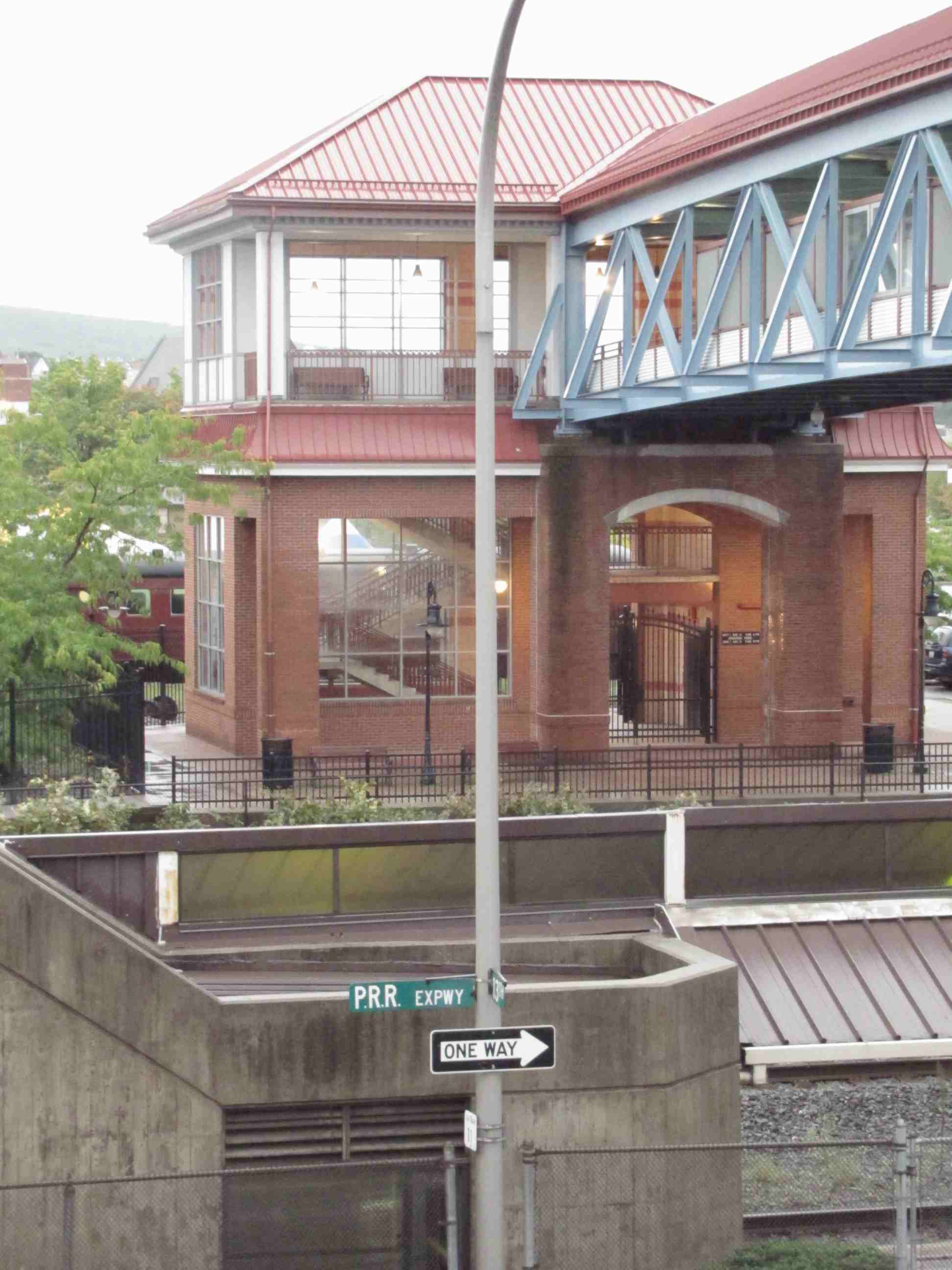
Amtrak Station
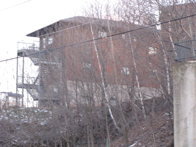
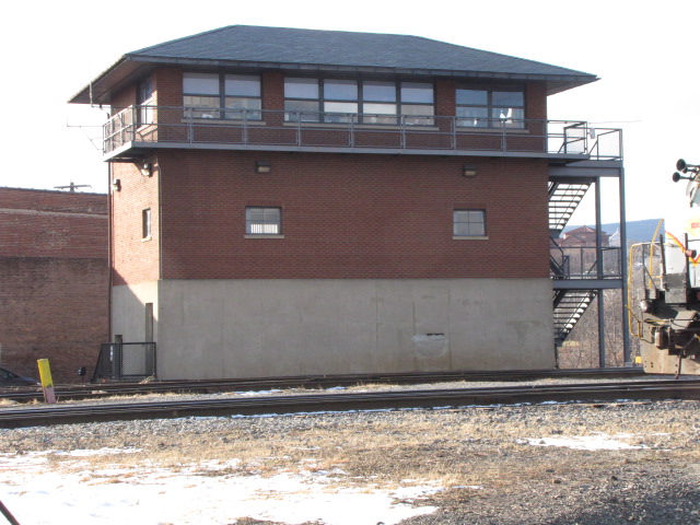
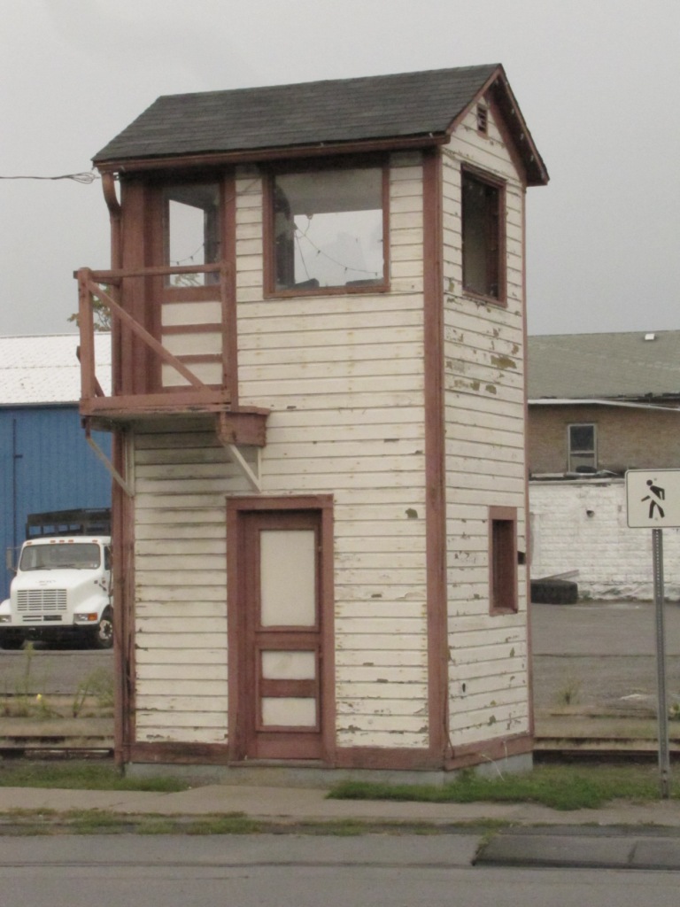
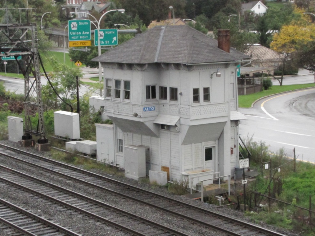
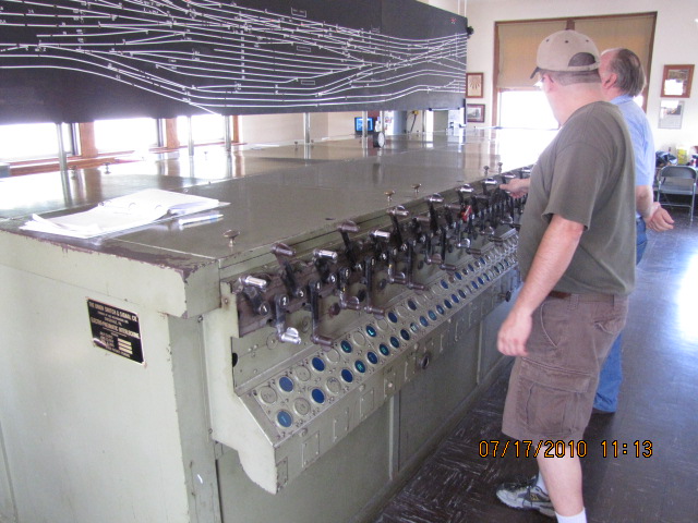
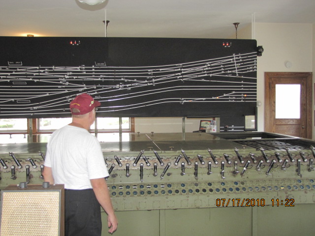
ex PRR ALTO Tower
ALTO tower lasted as a tower until the summer of 2012. The picture on the right shows the tower with its name plate taken off after it
was decommissioned on the same day the PL signals were taken out of service and removed. More pix in the Altoona guide.
GPS Coordinates: 40.00828, -75.29031
Amtrak Code: ARD http://www.trainweb.org/usarail/ardmorepa.htm https://www.greatamericanstations.com/stations/ardmore-pa-ard/ https://radnorhistory.org/archive/photos/?p=7938
39 Station Avenue, Ardmore PA 19003
Used by both Amtrak and SEPTA, busiest station on the Paoli line.
11 miles to Paoli (west) and 8 miles to Philadelphia/30th St Station (east).
Built by the PRR, and used by them until 1968, Penn Central until 1976, Conrail
until 1983 (under contract with SEPTA) when SEPTA took over local passenger service.
The brick station that was torn down in 2022 was built in 1957. The
Victorian structure it replaced was built ~1875, and was destroyed by fire.
The Victorian depot replaced an earlier wood structure built the Philadelphia and Columbia Railroad (P&C).
The line was completed by the P&C in 1834, and sold to the Pennsy in 1857.
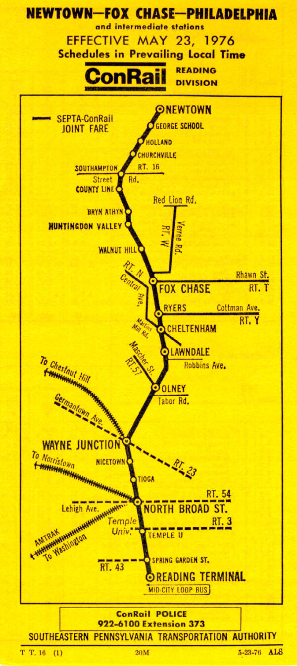
Sitting along a hikey-bikey trail, the line to Newtown has been a much
discussed line for future development into a new commuter line by
SEPTA for something like the last 30 years. In November
of 2016, SEPTA has apparently given in to the rich people and
thrown in the hat. "They" are going to let Newtown
tear up what remains of the rails, and turn the line into more
hikey-bikey trails. Years from now, when the Millenials
are asking themselves why they are stuck in traffic to get downtown
for their jobs, they can reflect back upon this moment in history
and be proud! :-)
More pictures and information in my Harrisburg railfan guide.
Also, for a great pictorial guide of downtown, click
here
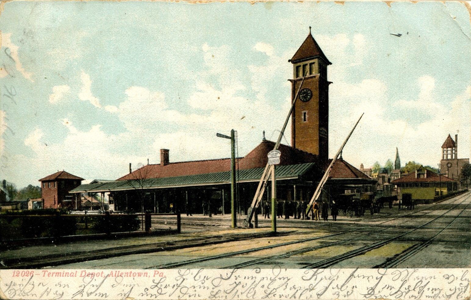
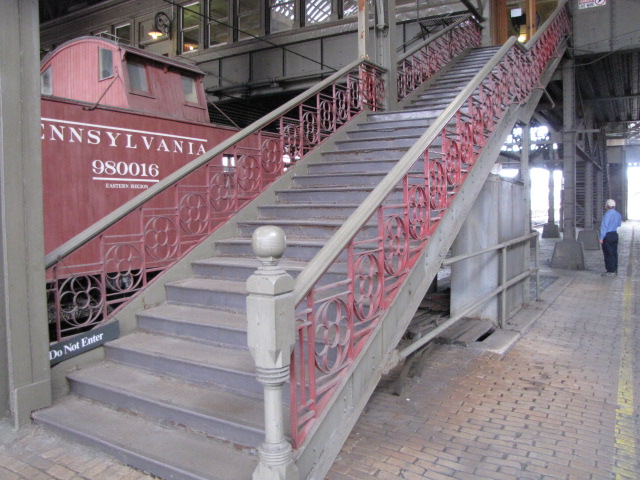
ex PRR Harrisburg Depot
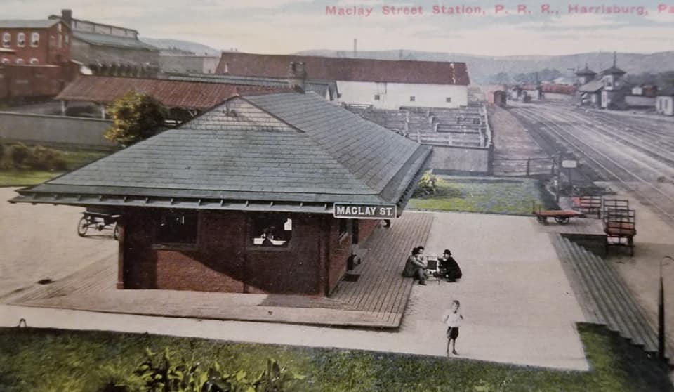
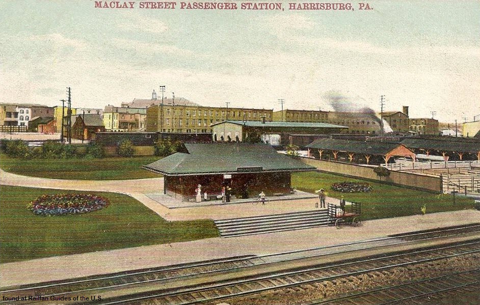
ex PRR Maclay Street Depot
I can't tell you anything about this station, because I cannot find any information on it, anywhere....
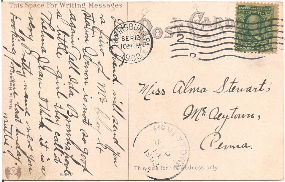
Maybe someone out there knows? Found the postcard on EBay!
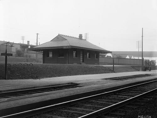
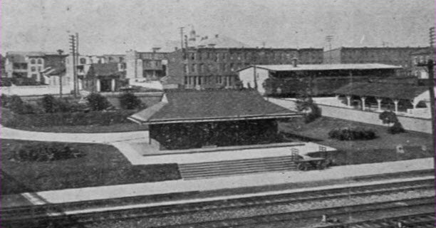
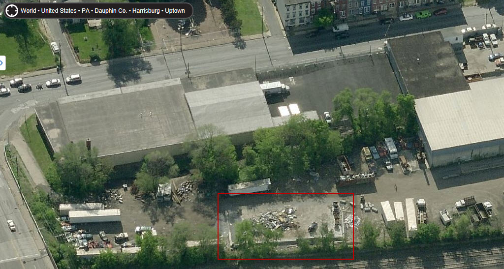
Below is my best guess where this station might have been, if so, most of
what is pictured is long gone, and they superimposed the state capitol
building in the background, because it is way off to the left and could
not have been seen in this view. I can't tell if what looks like
a foundation is the remains of the station (inside the red outline), or
"recently" put there to contain whatever it is that they keep there.
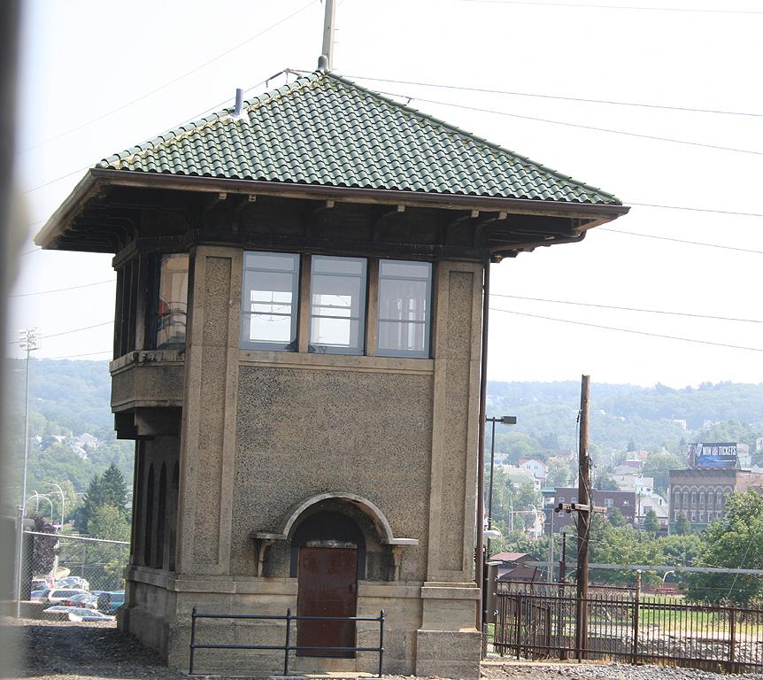
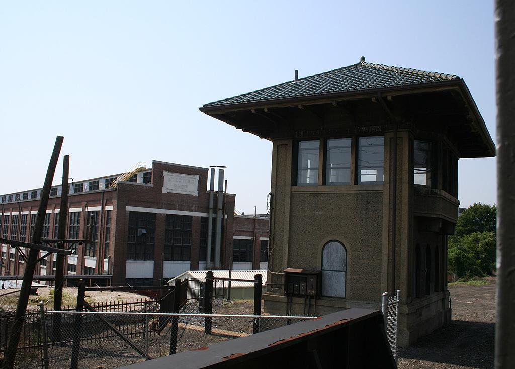
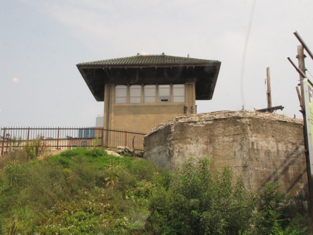
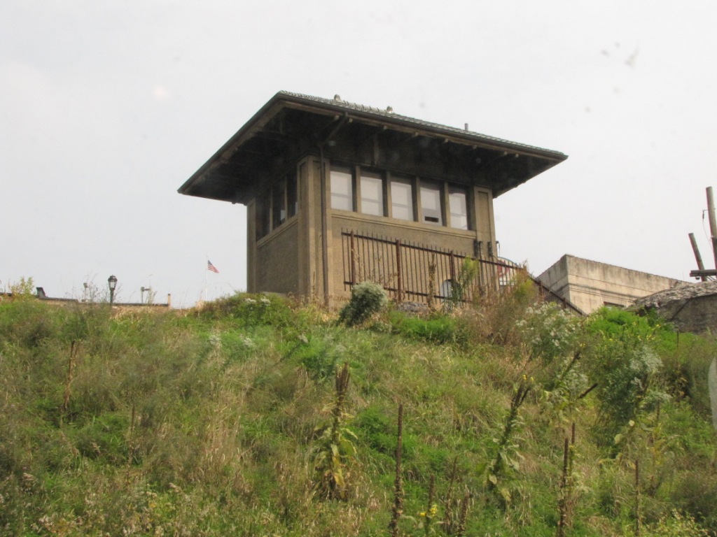
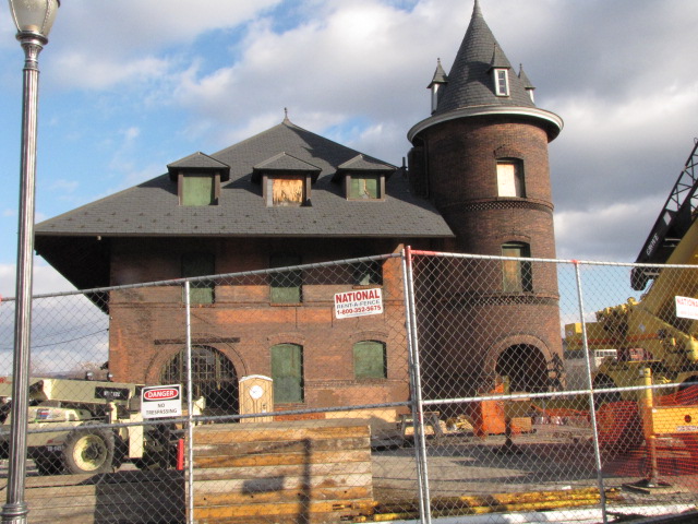
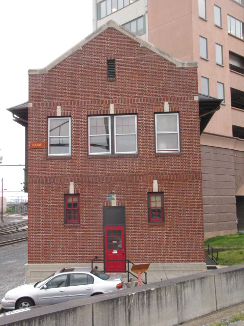
ex PRR Harris Tower
Pennsy's HARRIS tower in Harrisburg PA.
It re-opened (I believe) in June 2010, and is supposed to be open on
Saturdays between 10am and 4pm, but don't count on the hours if you are making a
trip specifically to see the tower, as I stopped by once shortly after 3pm,
and it was already closed. It is just north of the Amtrak depot.
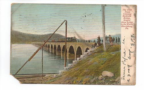
Also in the area north of downtown is the Rockville bridge in Marysville, and
Enola yard, on the south side of I81 along US11/15.
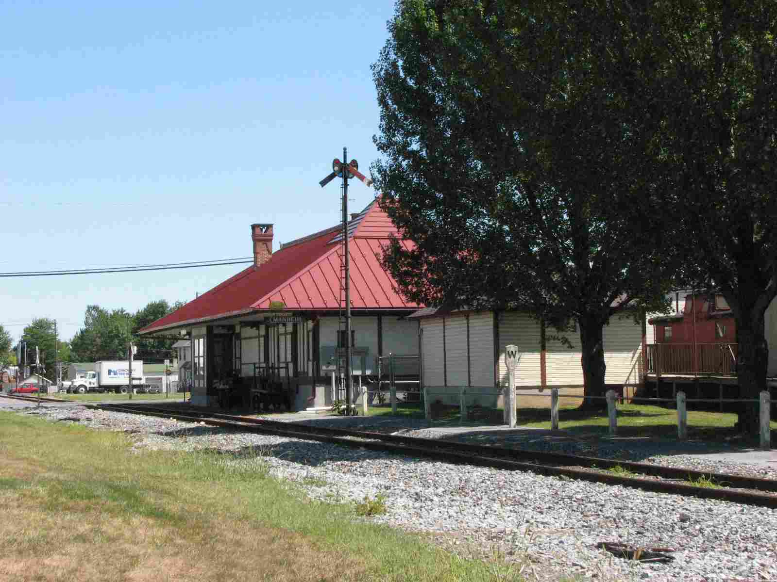
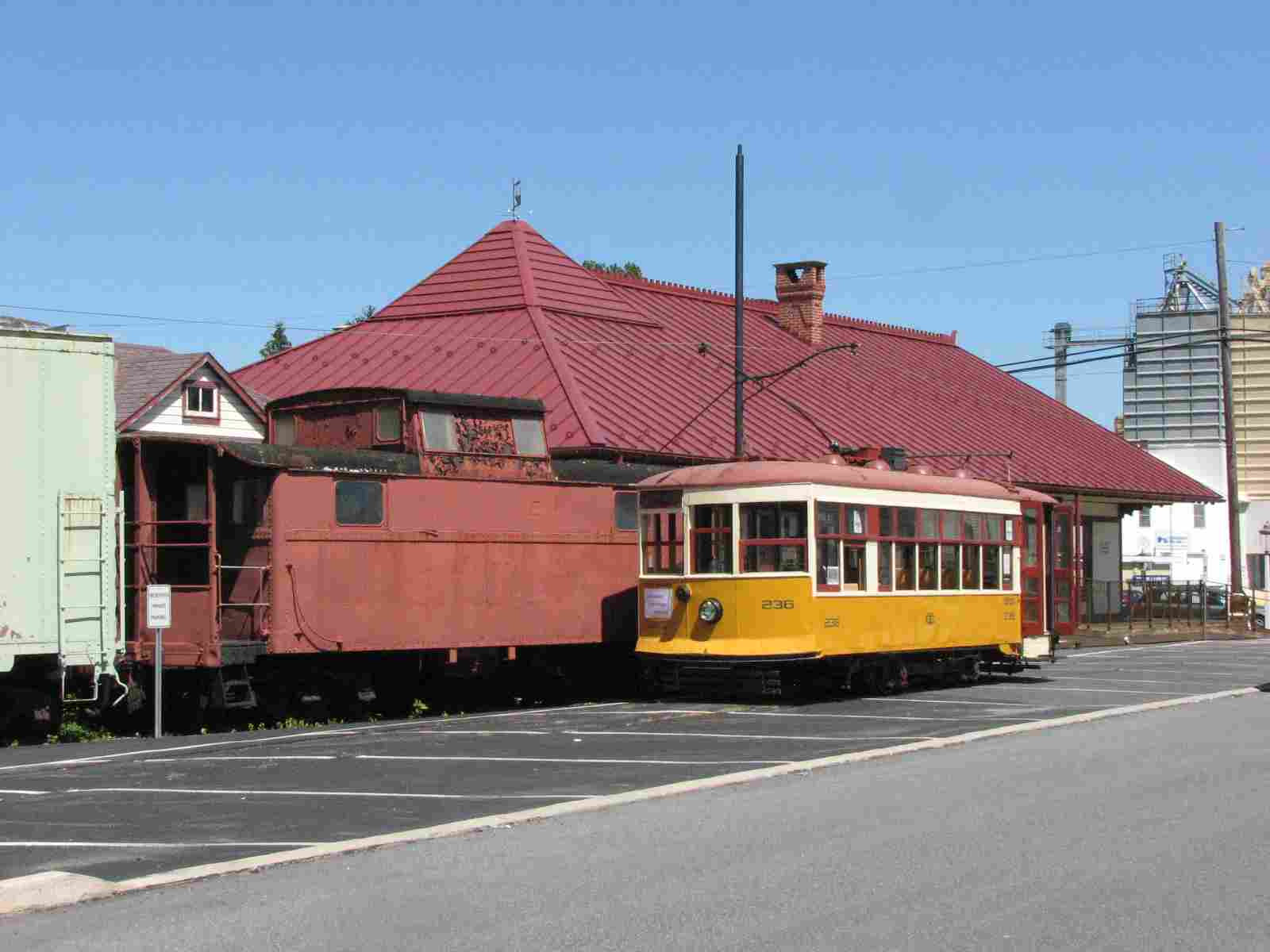
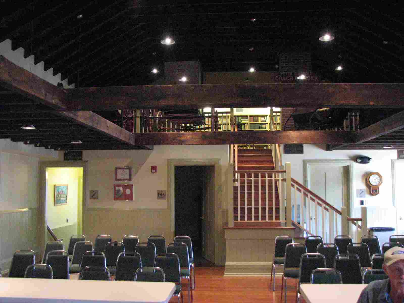
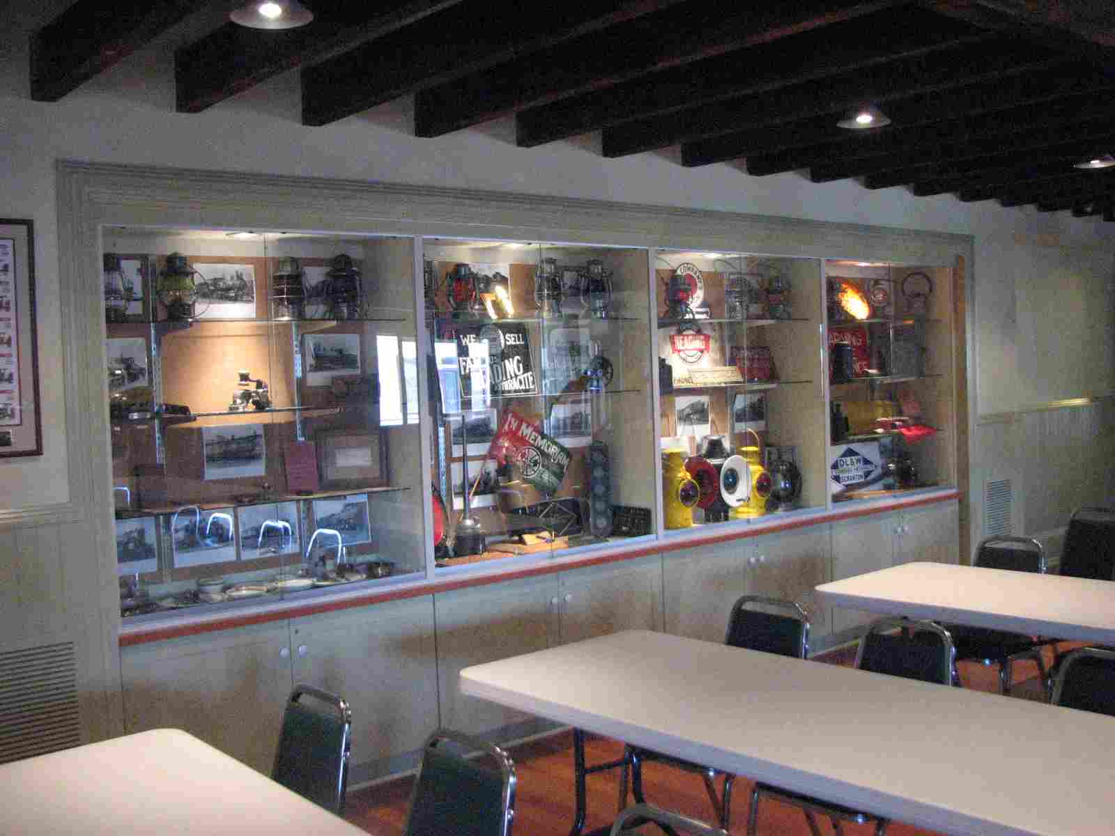
More info and pictures at my Manheim Railfan guide.
GPS Coordinates: 40.15821, -76.39213
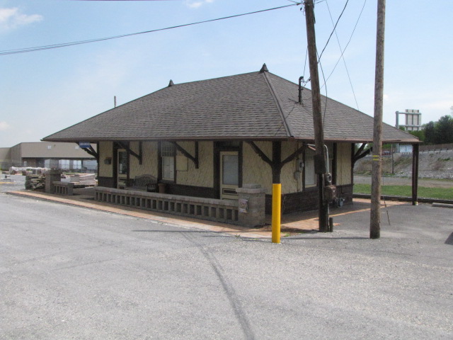
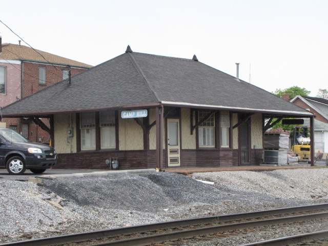
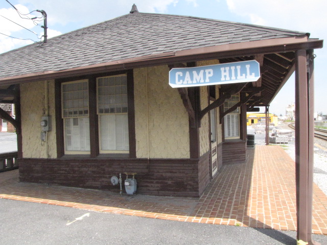
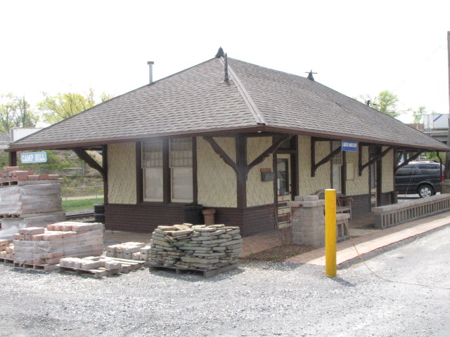
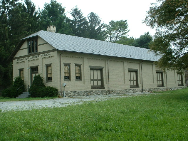
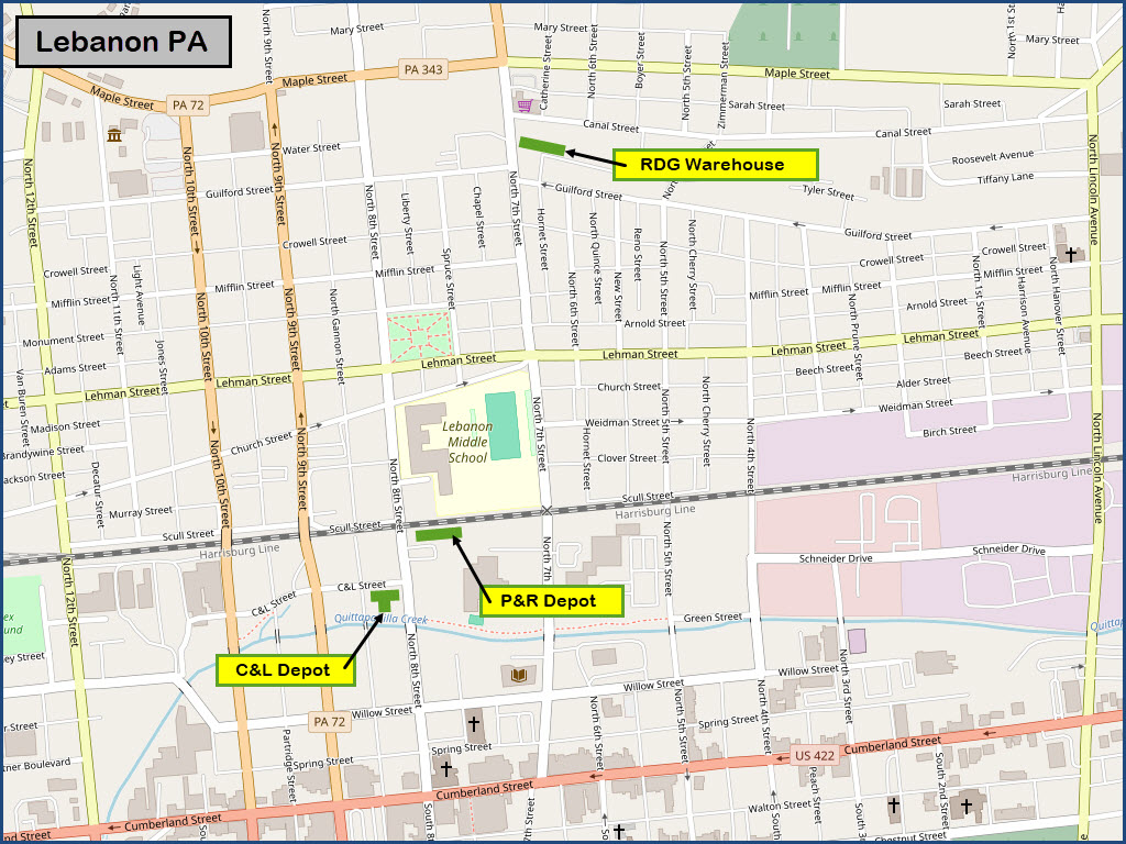
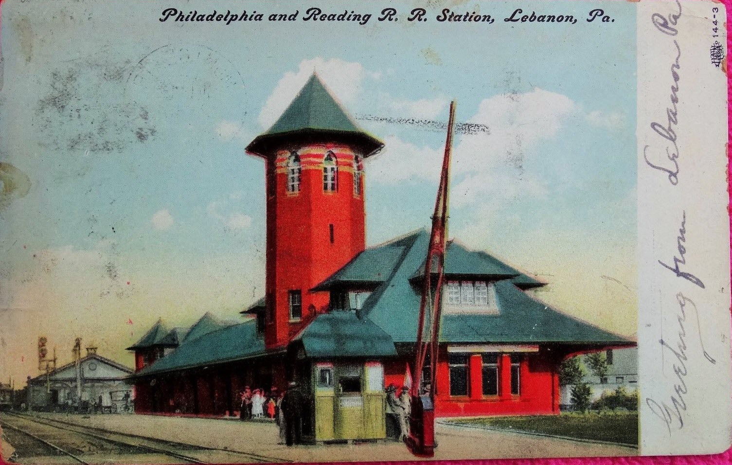
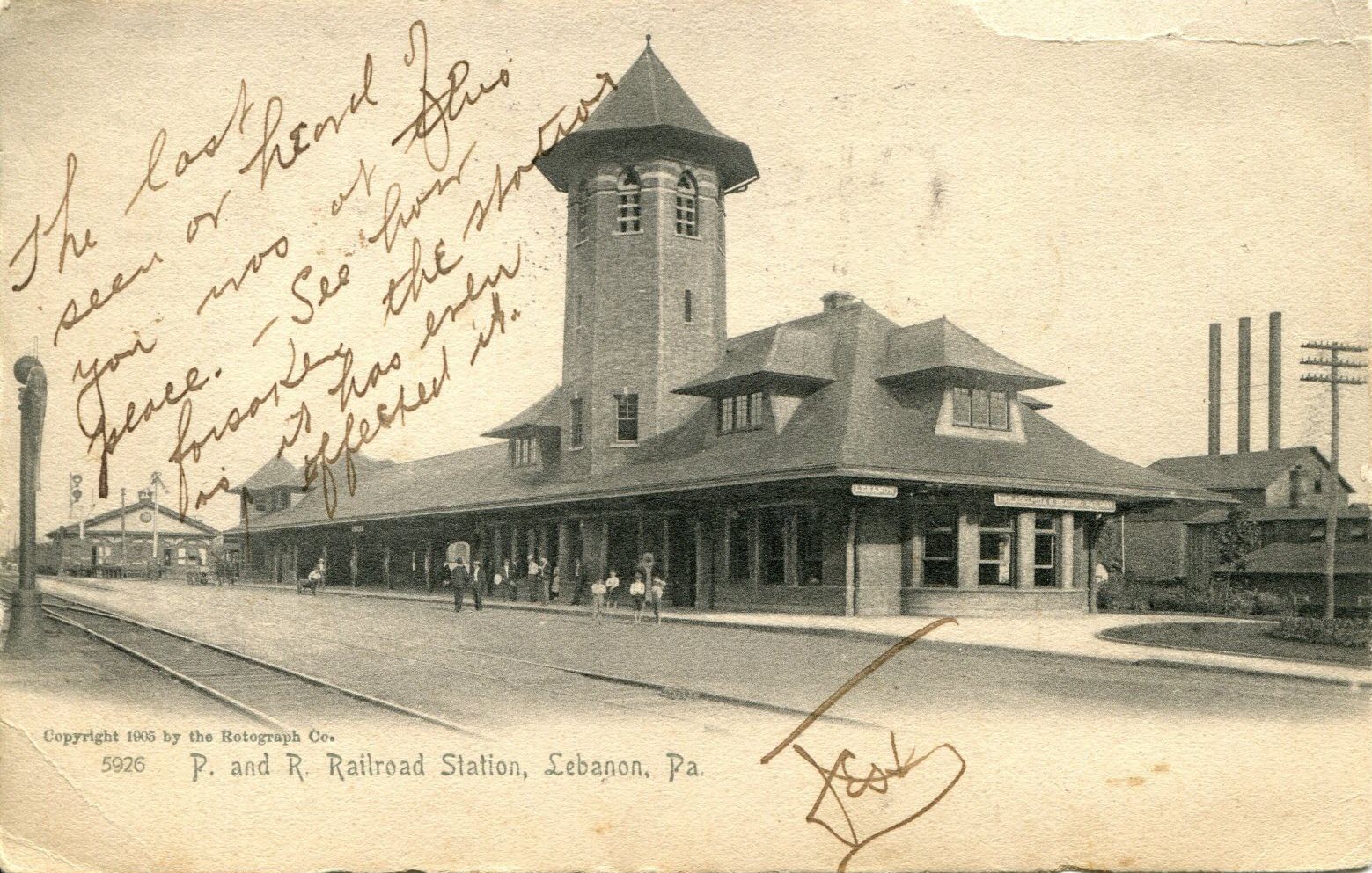
Ex Reading RR Depot. They have an operating trolley, but only have about
500 feet of track to run it on!
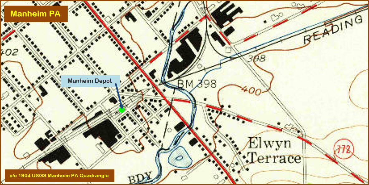
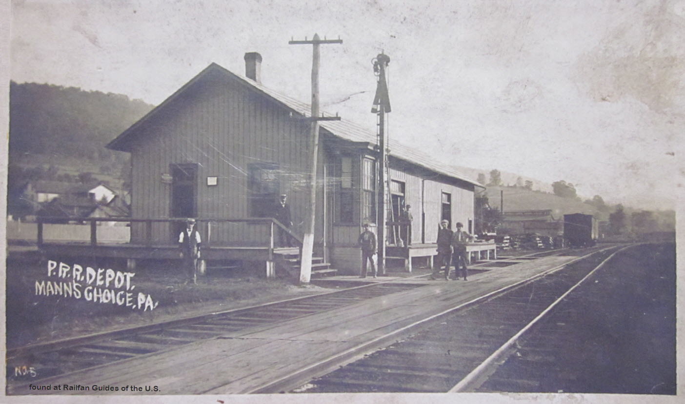
A Pennsy depot that used to be in Mann's Choice, southwest of the interchange of
the Pennsy Turnpike and I-99 heading up to Altoona. Another pix found on EBay.
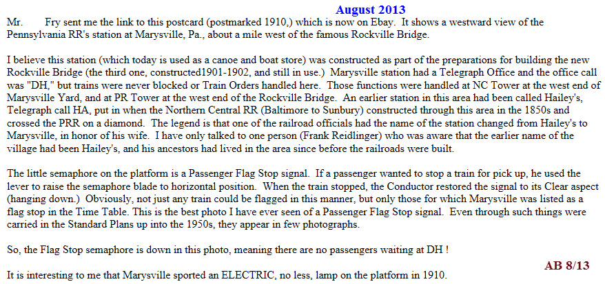
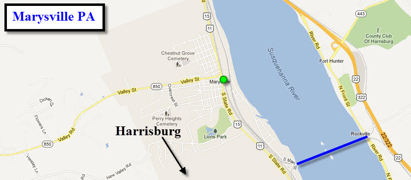
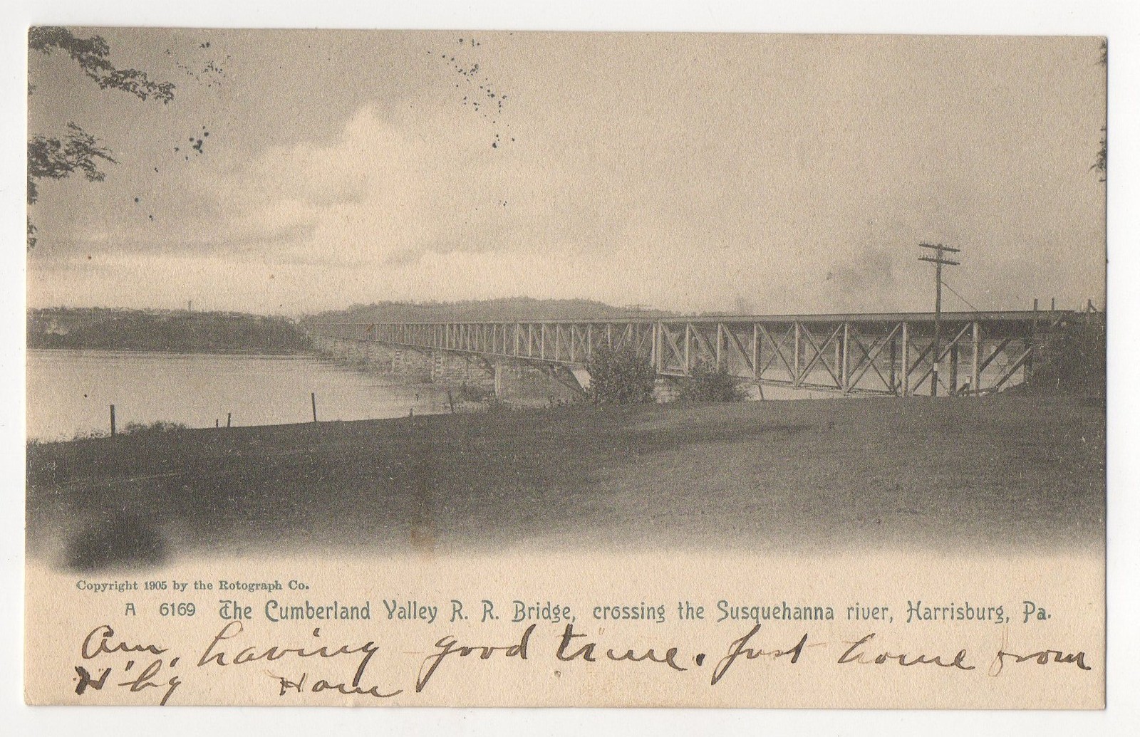
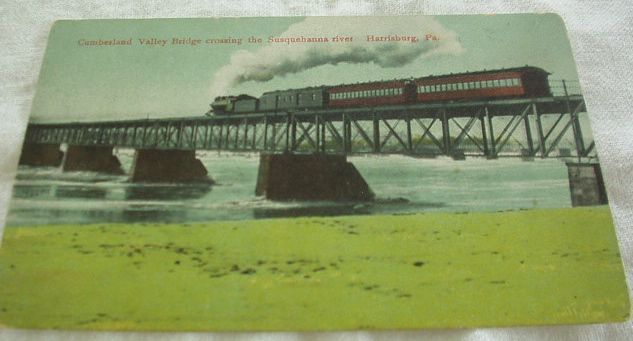
Marysville is on the western bank of the Susquehanna River,
north of Harrisburg PA. The information is from a friend who prefers to
remain anonymous. But a BIG Thanks goes to him for detailing the photo and
providing the history!
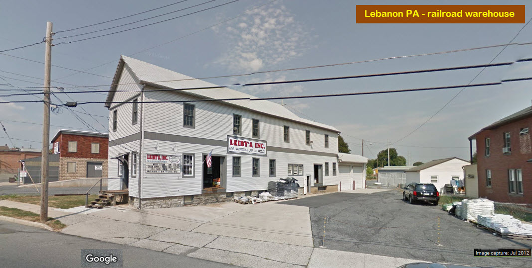
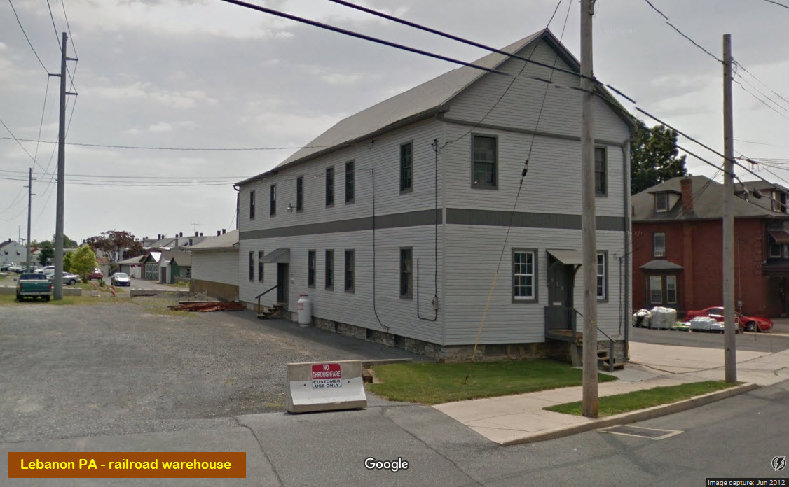
A "stranded" depot. CSX (ex B&O) tracks
are behind on the fill.
Dunno anything about it, but it sure would be a great place for a model railroad club and/or a live steam club!!!
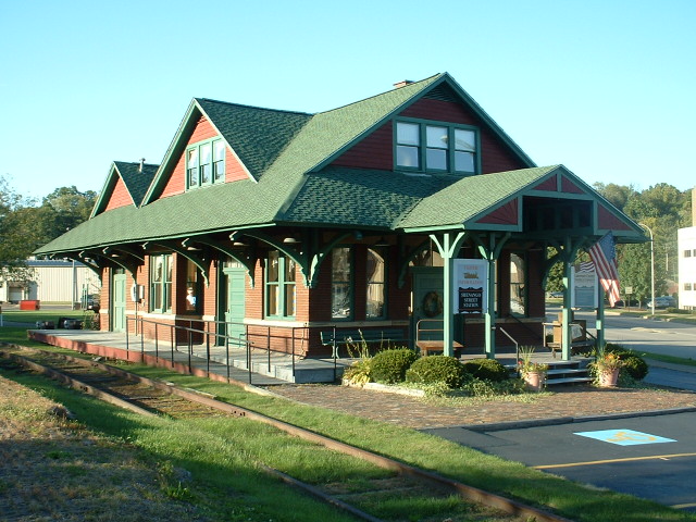
Depot #2
This depot is located almost in the middle of the downtown area.
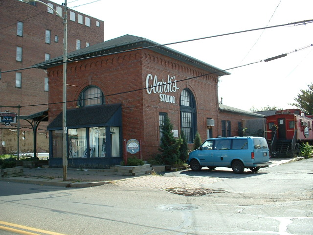
Depot #3
This depot is located in the downtown area, the front of which houses a photo studio.
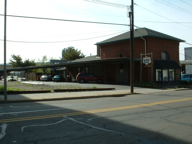
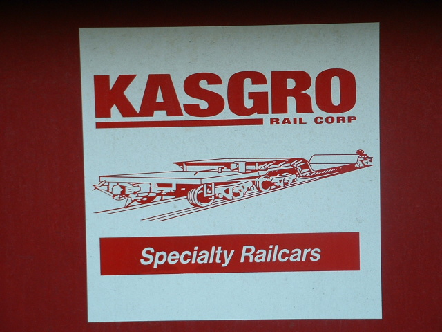
New Castle is also home to the New Castle Industrial RR,
and Kasgro, which specializes in large capacity railroad cars. Several of
the old Westinghouse cars for carrying transformers can/could be seen in their yard.
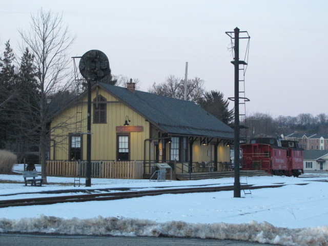
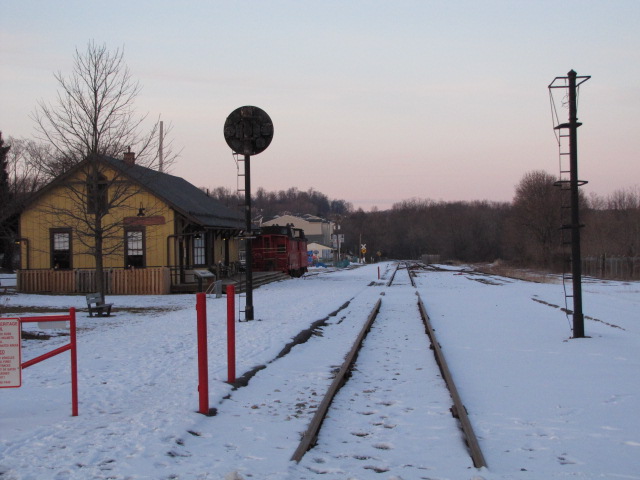
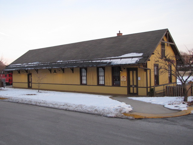
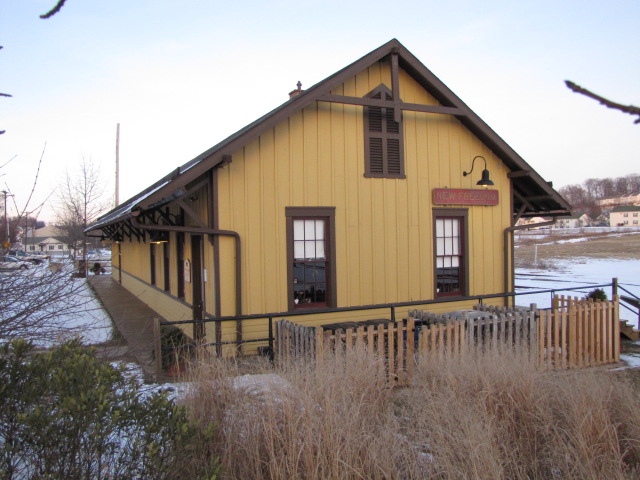
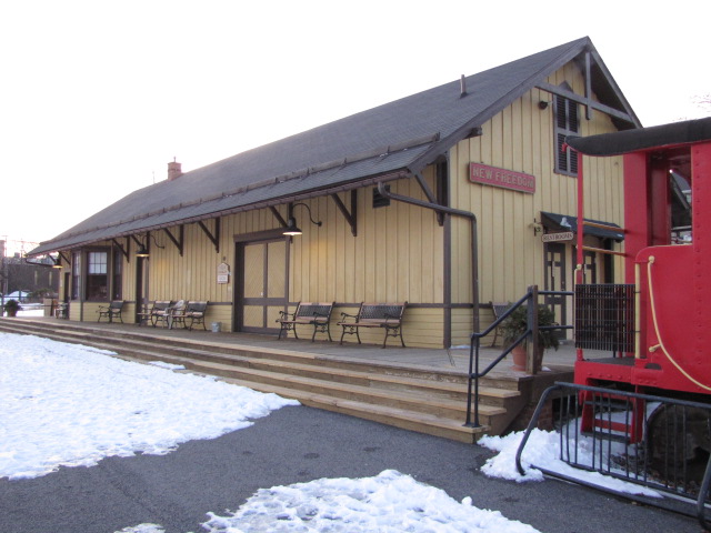
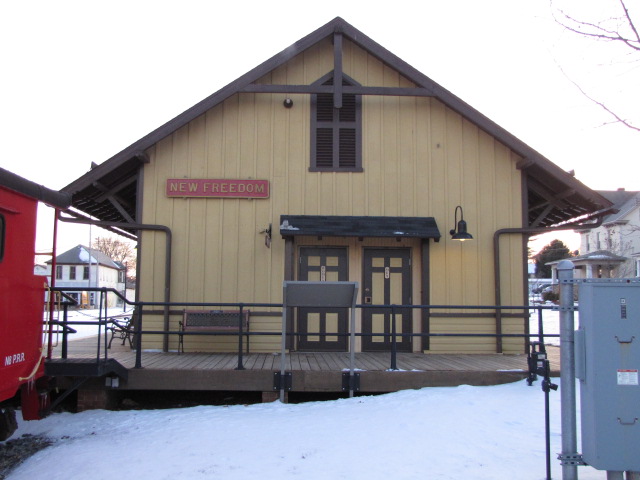
More info and pictures at my New Freedom Railfan Guide.
GPS Coordinates: 39.74013, -76.70062
117 N Front St, New Freedom PA 17349
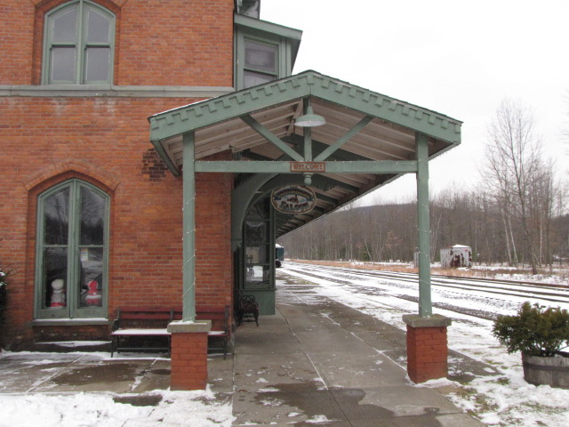
This ex Pennsy Depot is used a visitors center and ticket office for the Northern Central Rwy.
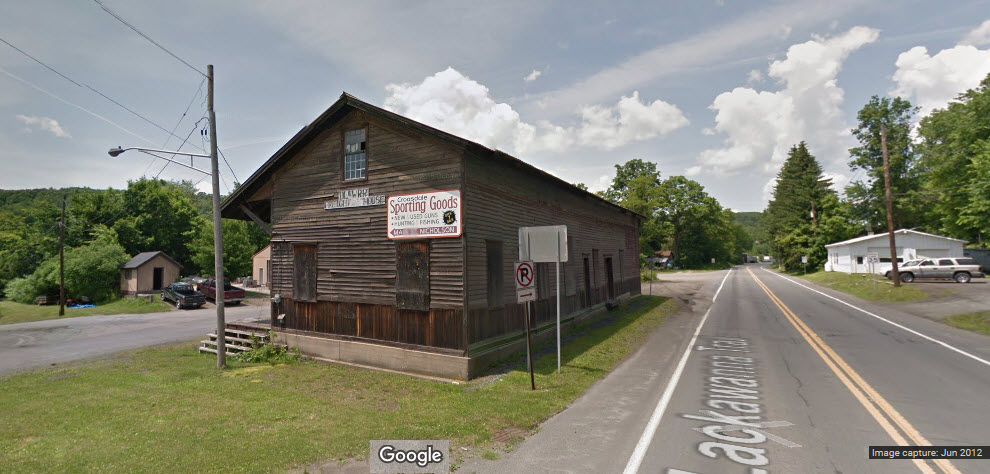
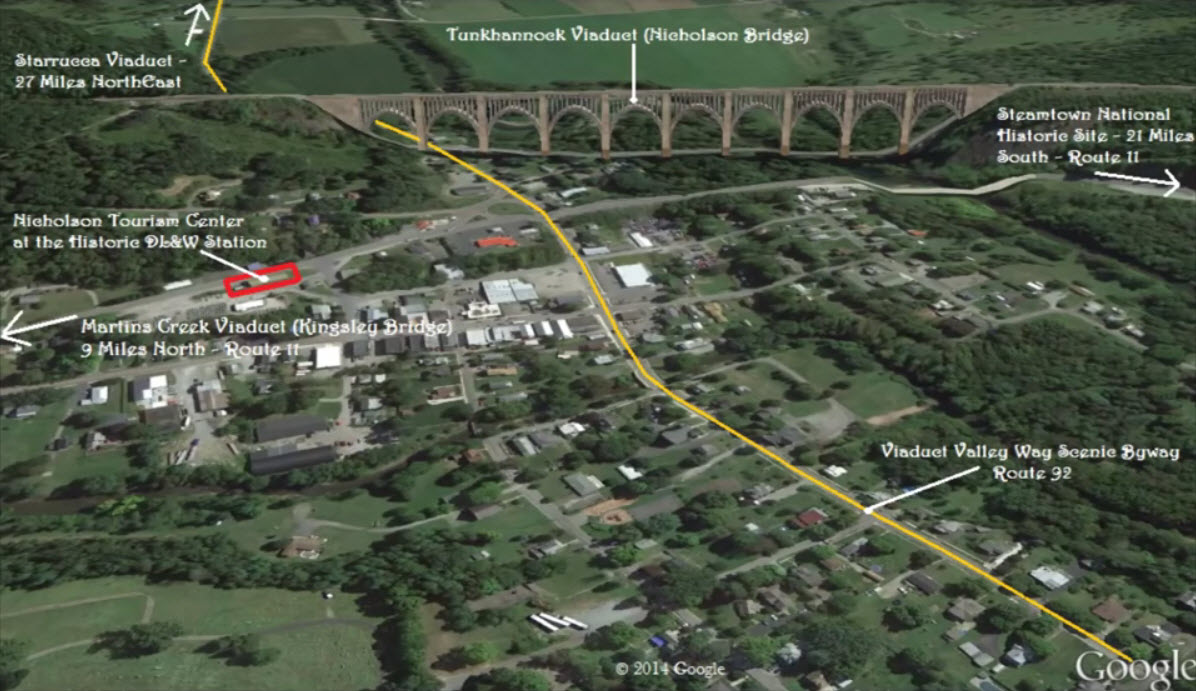
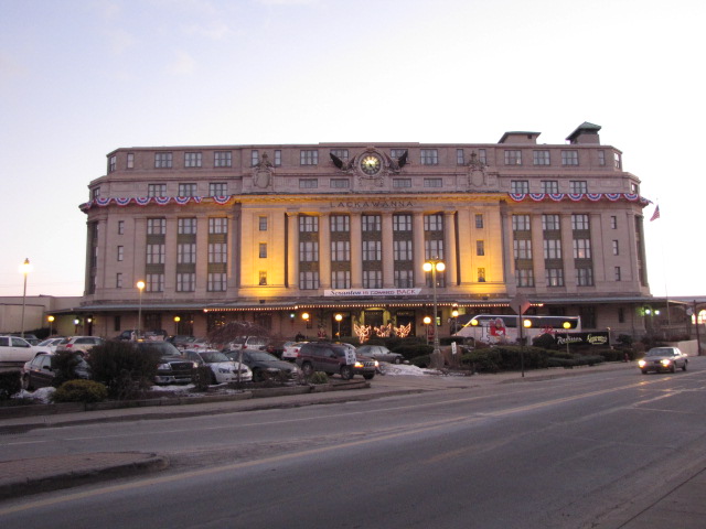
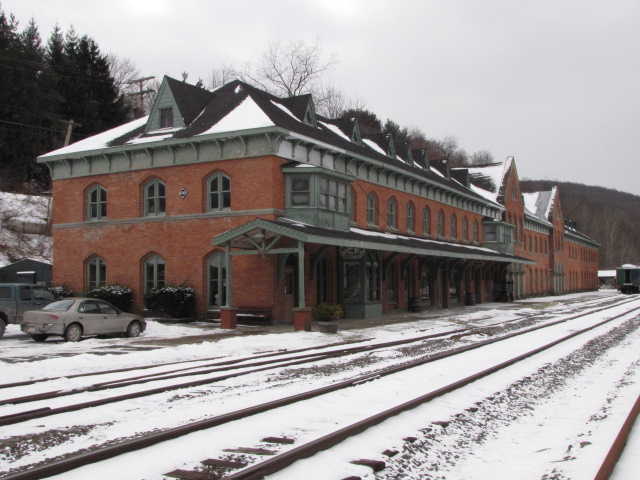
The Nicholson Station was the first, and largest, station built by the
Liggett’s Gap Railroad on its line from Scranton, PA to Great Bend, PA in
1849/1850. Initially, the wood station was used to board transient workers
before being used to handle freight and passengers. As many as one hundred
workmen slept on the second floor of the station during construction. The north
section of the first floor, the freight room, was the big dining hall and the
south portion of the first floor was a kitchen, living room, and bedroom for family.
The Liggett’s Gap Railroad was a predecessor to the Delaware, Lackawanna &
Western Railroad (DL&W), which was the one of the earliest railroads in the
region. Railroads were crucial in the late 19th Century and early 20th Century,
the Industrial Age of the United States, to changing how goods, people, and
services moved, especially by, literally, opening small rural communities like
Nicholson to the “rest of the world.” Railroads like the DL&W moved coal, iron
and steel out of Scranton through towns including Nicholson to where it was
needed outside the region. They fueled our nation’s economy.
Additionally, all along the DL&W from Scranton to Binghamton, stations to
receive milk were built at places most convenient to area dairy farmers. The
largest milk station was at Nicholson, just north of the Nicholson station. Milk
was then shipped on the lines to Scranton and Binghamton.
Nicholson was the most important stop between Scranton and Binghamton as it
sent and received more passengers and freight and brought more profit to the
DL&W than any other station along the line, and for some years it was more than
all the other stations combined. Reverend Garford Williams reported in the
January 15, 1954 edition of the Nicholson Examiner that “in 1854, the Nicholson
station received 3,459 passengers who paid $1,741.32 in fares from all DL&W
railroad points to Nicholson. The same year, Nicholson sent out 2,562 passengers
on the Lackawanna Railroad, who paid $1,778.79 in fares to all railroad points.”
It’s interesting to note that the 1880 U.S. Census records that there were 586
residents in Nicholson.
In 1855, the local Post Office moved from the edge of the settlement to the
station, at which time the name was changed from Baconville (sometimes also
referred to as Bacontown), after the town’s second Postmaster (Nathan Bacon), to
Nicholson, named after John Nicholson, the former comptroller general of the
Commonwealth of Pennsylvania from 1782 to 1794 who greatly influenced our early
Nation. For some time, the station agent, Albert King, was also the postmaster.
For fifty years, the Nicholson station employed a passenger agent, a freight
agent, telegrapher, and several assistants.
Between the years 1870 and 1883, all trains had to be switched at the
Nicholson station; requiring a switch man to be on duty at all times day and
night. About this time there were five stage coach routes out of Nicholson that
made connections with the DL&W. Also, with Nicholson being the low spot on the
rail line, all trains out of Nicholson needed a push up and out of the town. The
“Nicholson Pusher” was a helper engine, with two engines added later, used to
push or pull long freight trains either way out of Nicholson. Because of this,
there was a turntable in Nicholson, with three siding tracks and one switch
track, all that were connected to the main line.
In May 1878, the first telephone service in the area was installed when
service was opened between the Nicholson and Scranton Stations, about 21 miles
south. The station was THE center of the community.
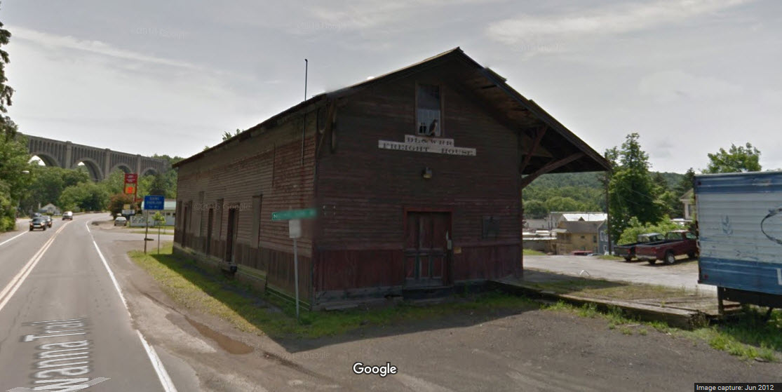
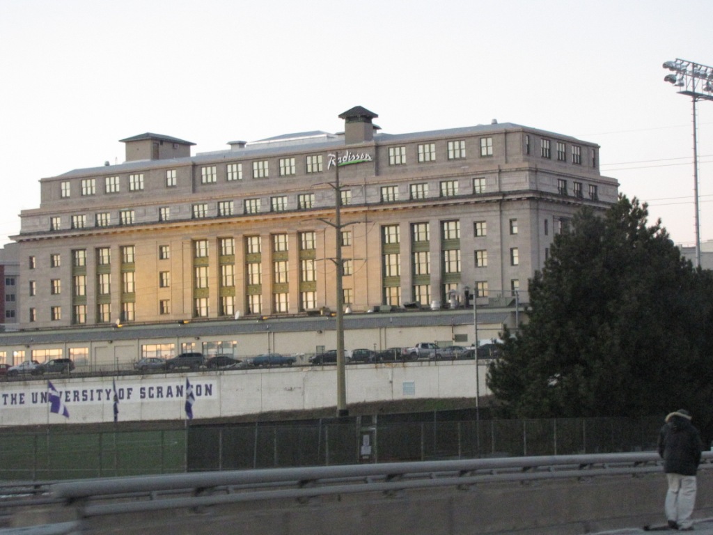
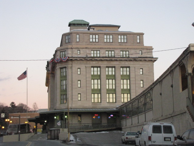
After the DL&W built the Cut-Off that was opened in 1915, the original wood
station only handled freight while passenger service was provided by the newly
built concrete station on the hill next to the also newly constructed largest
reinforced concrete bridge in the world, the Tunkhannock Viaduct, known as the
Nicholson Bridge to local residents. The old main line was eventually sold to
the Commonwealth of Pennsylvania to become State Route 11. In 1941, Route 11 was
widened, and the ticket bay window and part of the roof on the Route 11 side
were removed.
The wood station continued to handle freight after the DL&W merger with the
Erie Railroad (becoming the Erie Lackawanna Railroad) in 1960. From the October
16, 1970, Nicholson Examiner article about the Nicholson station agent, it’s
stated that the station “is the last station between Scranton (PA) and
Binghamton (NY) to remain open.” This further illustrates the importance of the
Nicholson station not just to the community, but to the region as well.
Due to financial hardship, the Erie Lackawanna Railroad closed the station in
1971. The building was then sold in 1983 to a local business and in private use
until bought by the Nicholson Heritage Association in June 2012.
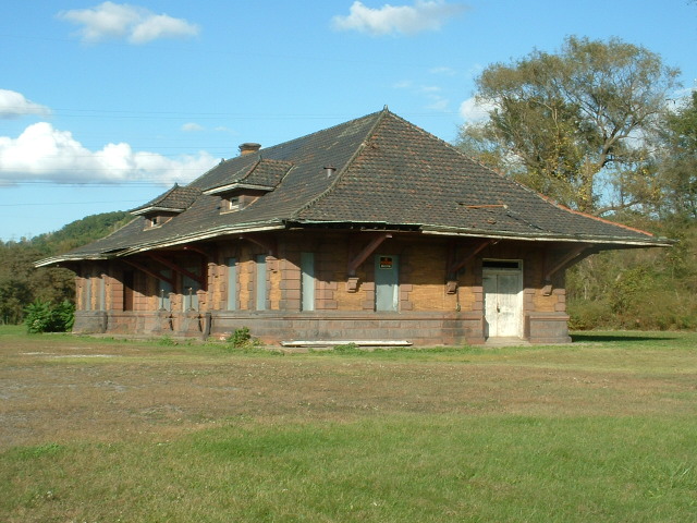
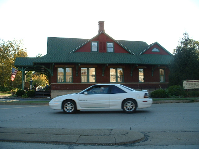
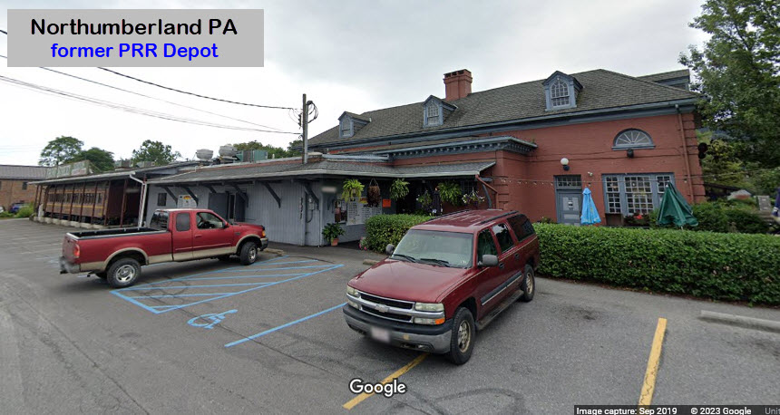
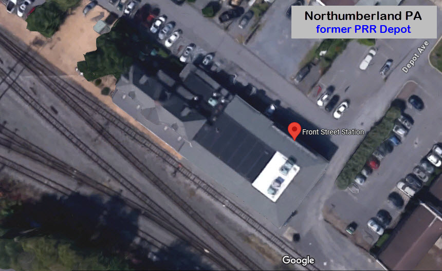
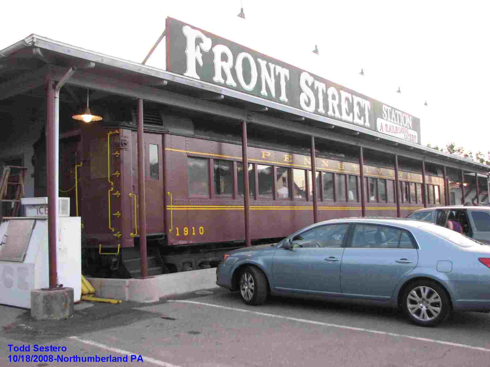
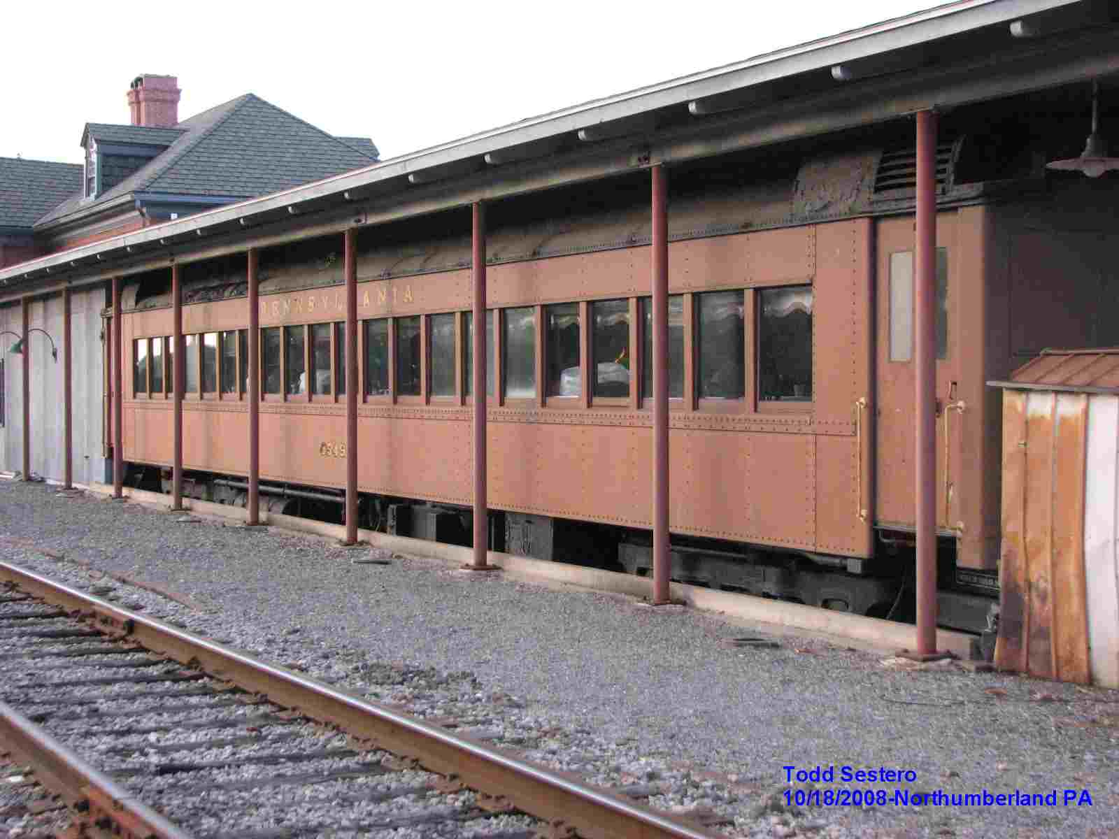
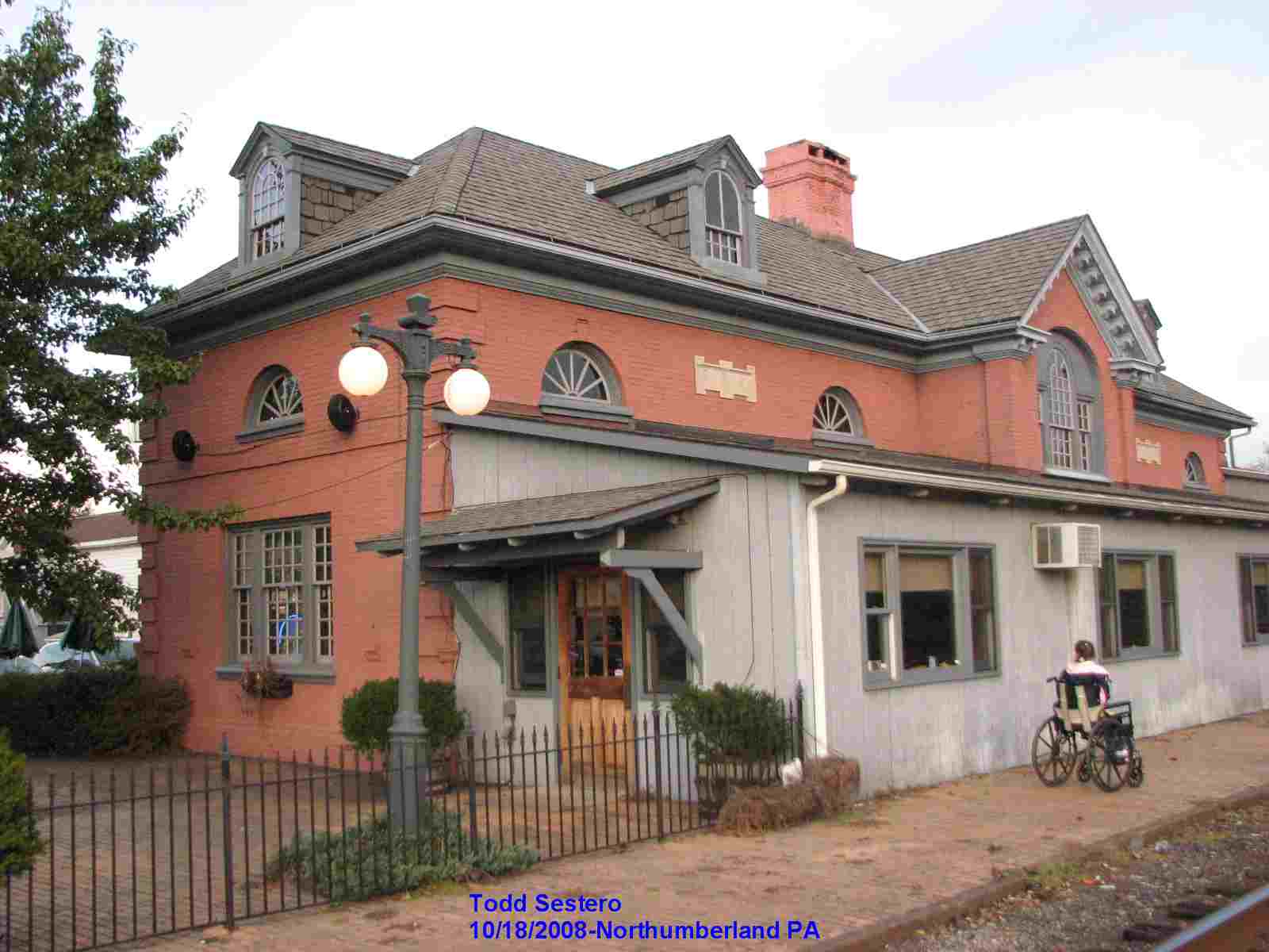
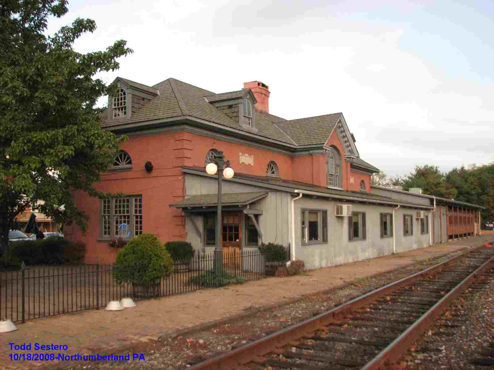
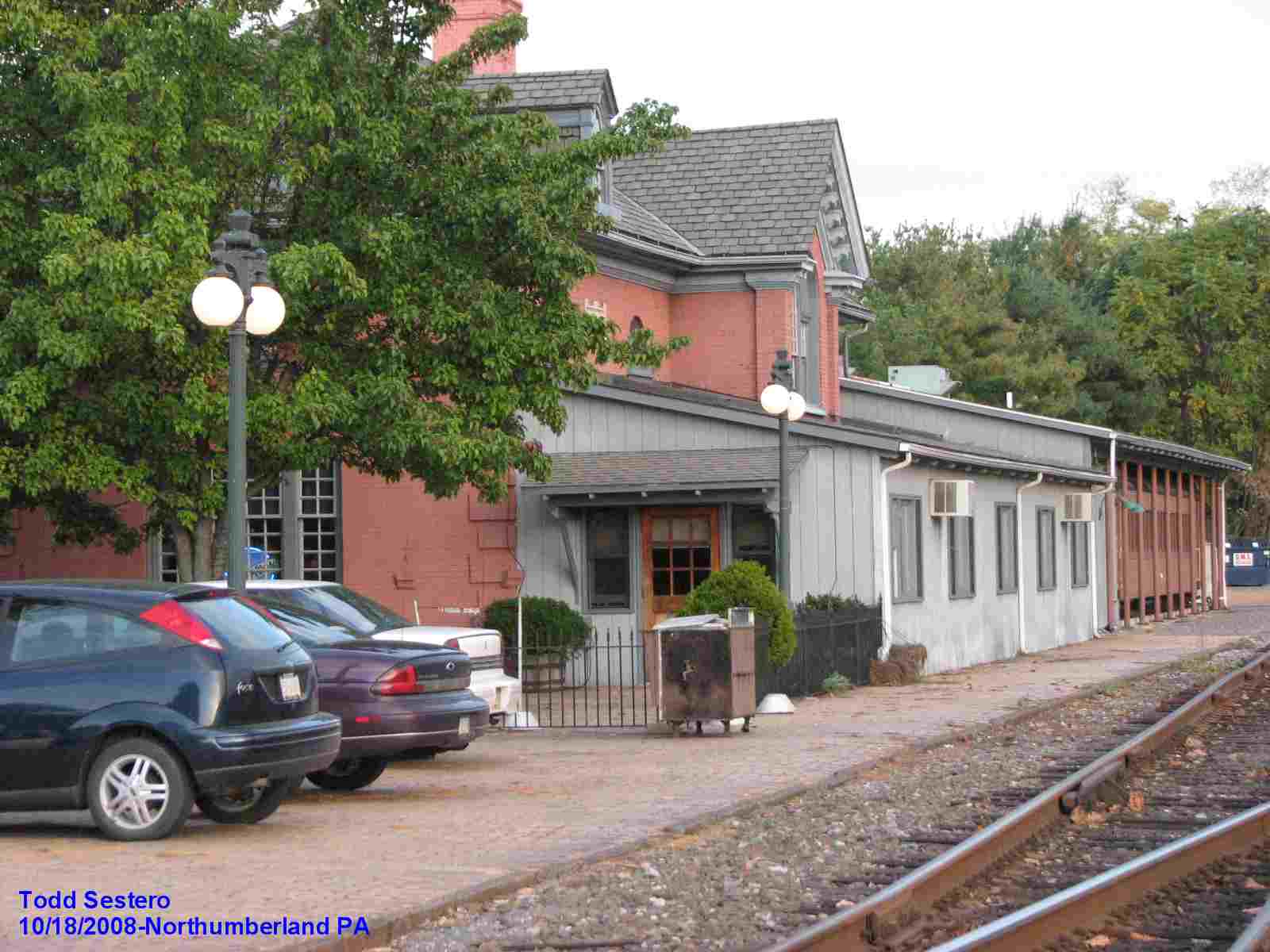
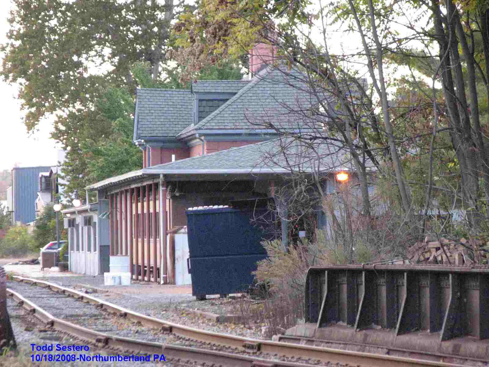
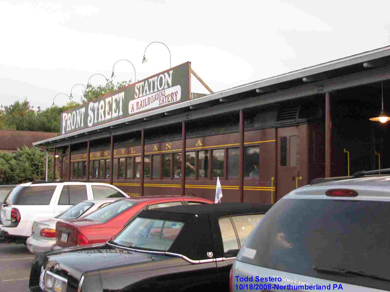
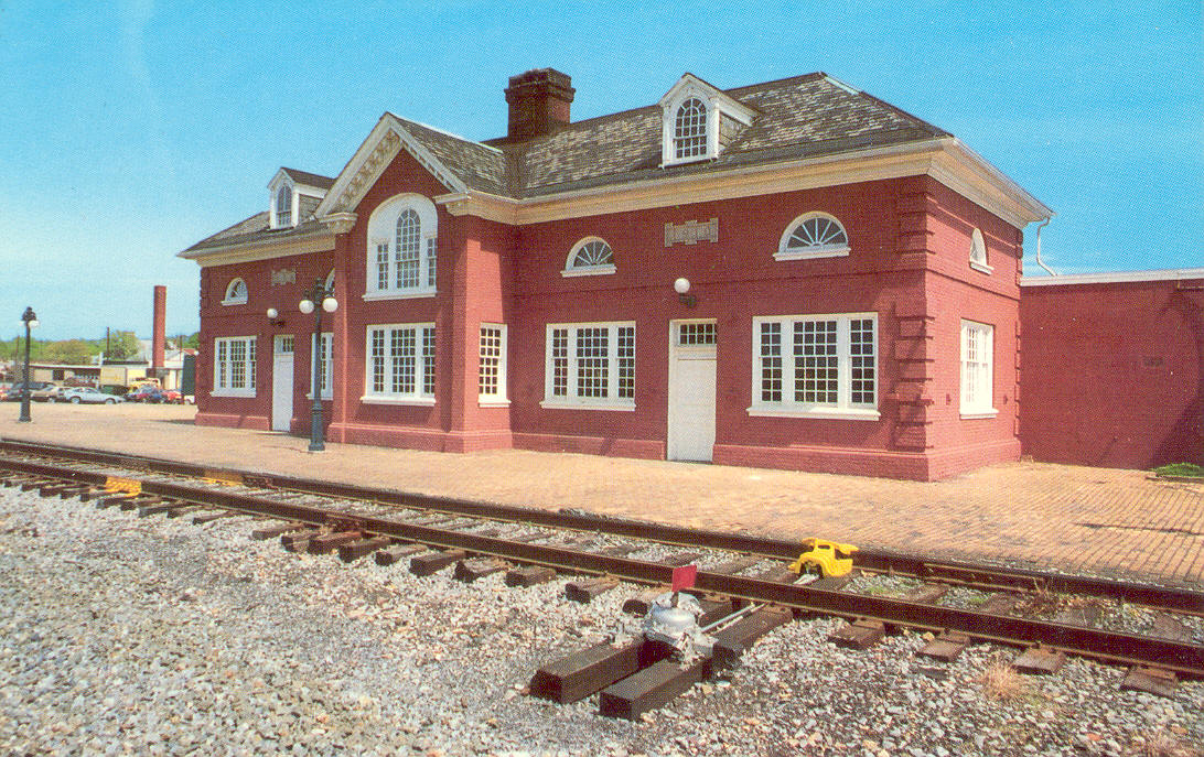
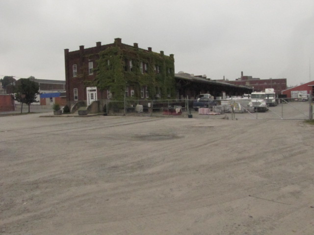
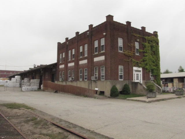
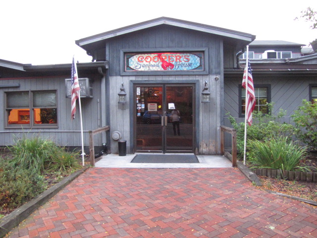
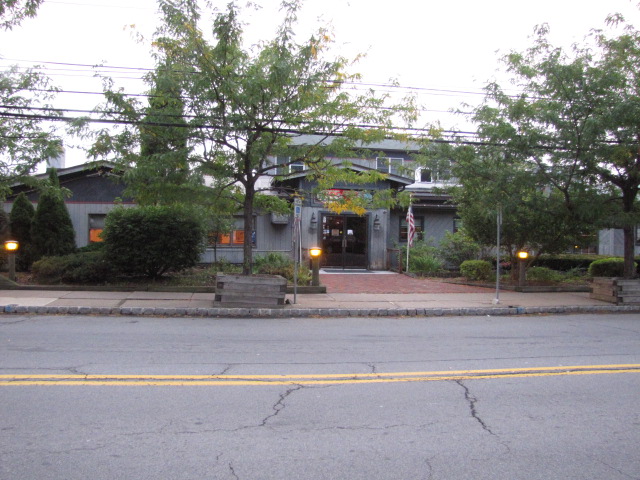
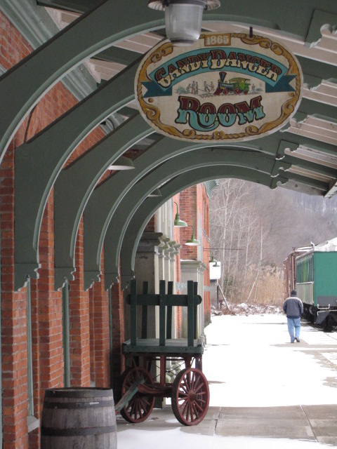
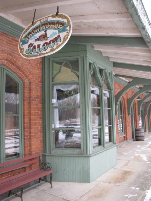
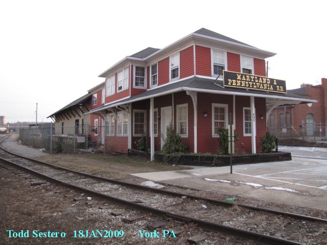
This ex PRR station is now a restaurant (the Front Street Station), having been purchased from Conrail in 1981.
They built one addition to the front of the station, and another to the right,
placing two ex Pennsy passenger cars on the outside of the addition. The
food is good and reasonable, and if you are in the area, you should make a point
of stopping in for lunch or dinner. Northumberland is about 50 miles north of Harrisburg and I81.
From their website: In 1860 a smaller, wooden passenger station was
built on the site by the Pennsylvania Railroad, but was destroyed by fire
after the turn of the century. In 1908 construction began on this building
in addition to an expanded classification yard, which became the fifth
largest such railroad yard in the United States (at the time/Todd).
In 1910 this building was completed, opening the way for a flourishing
Pennsylvania Railroad passenger train service that brought 18 trains
to town each day. The station closed in 1958 and remained closed until
Jay Seidel purchased the building in 1981, and restored it for his
restaurant. Front Street Station opened for business on August 1, 1983.
In 1988 our Banquet Facility was added. The room includes two 1931
Pullman passenger cars, which are actually part of the room. The
Banquet Room seats up to 300 guests. In 1990 our outdoor Platform
Cafe opened for dining, featuring barbeque cook-outs and live entertainment.
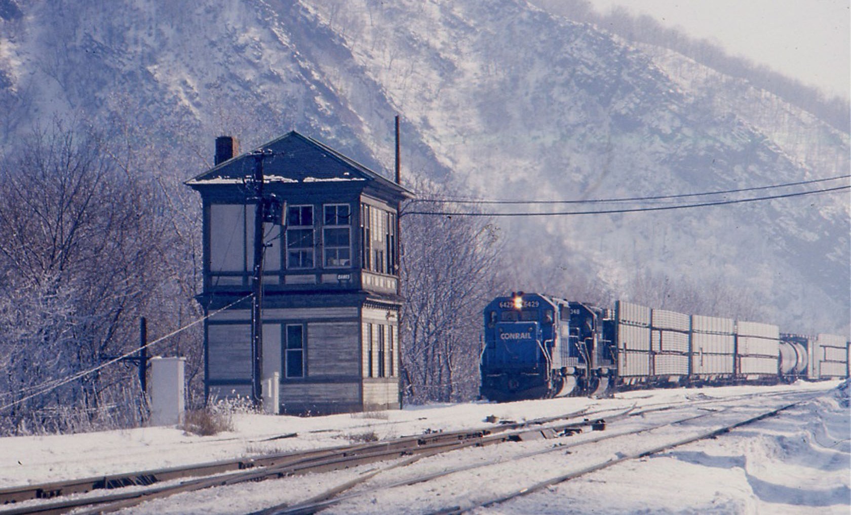
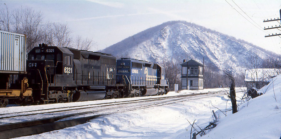
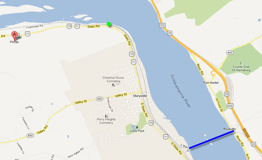
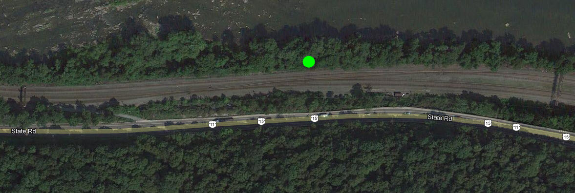
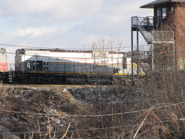
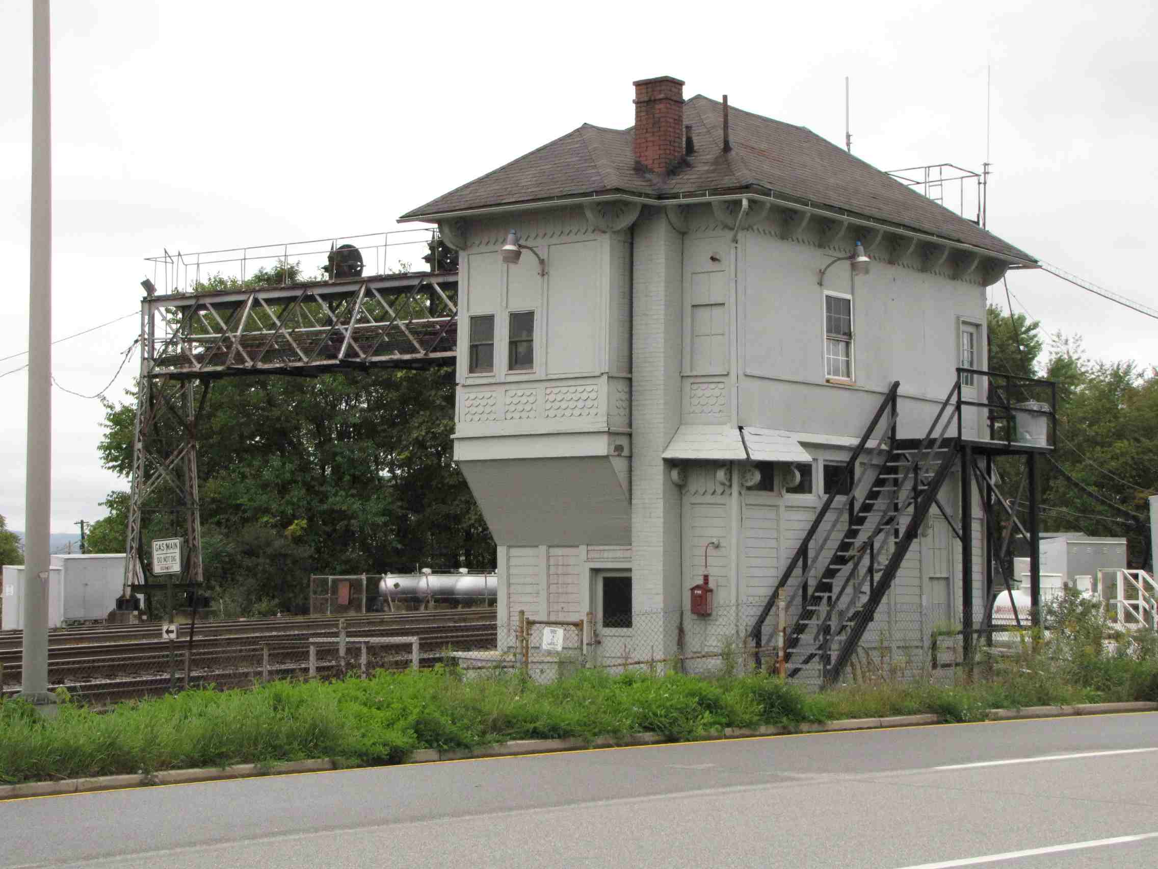
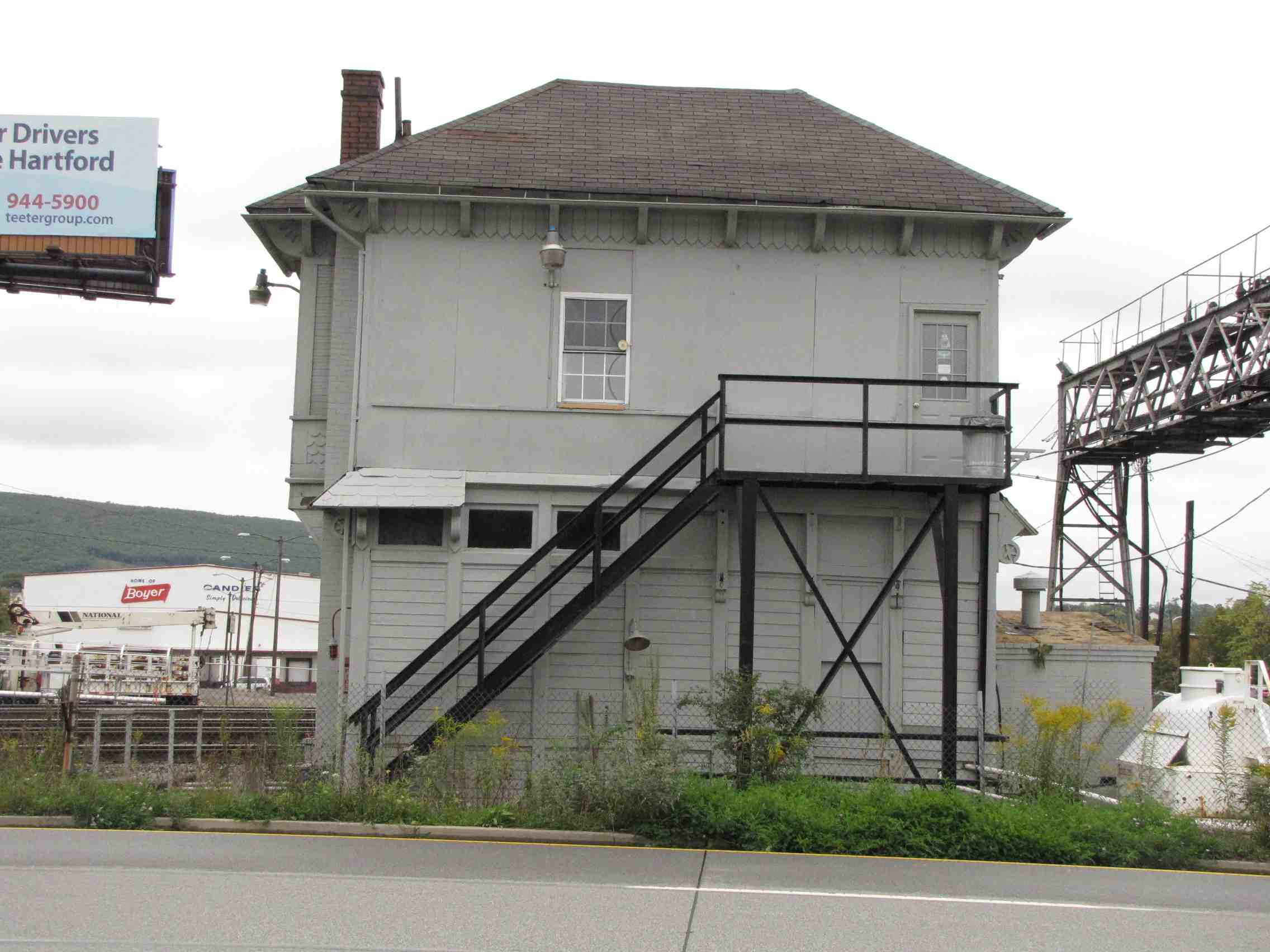
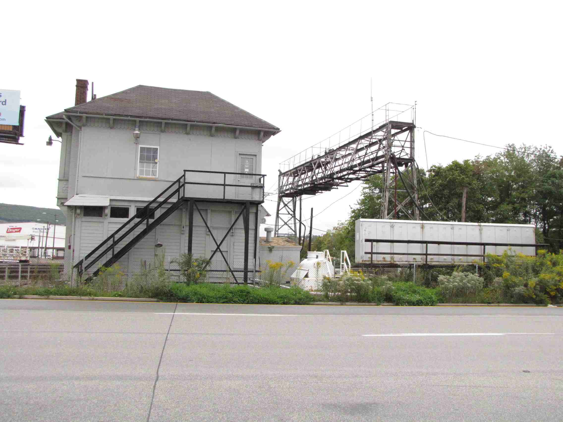
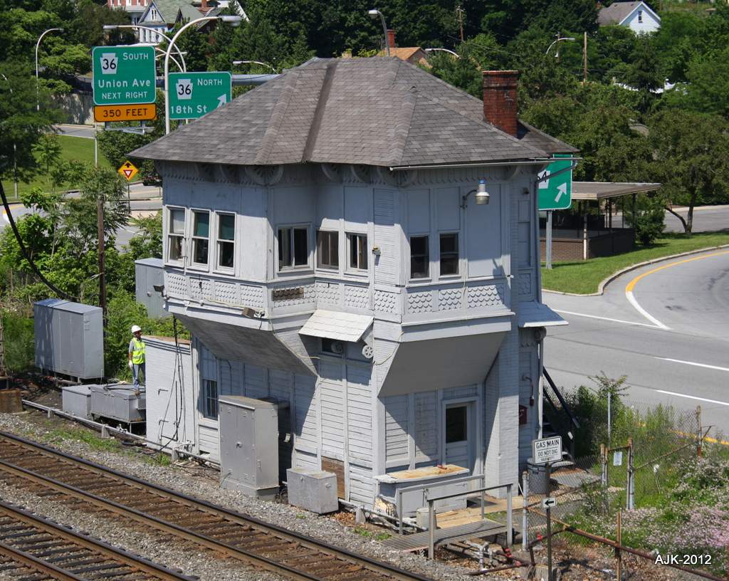
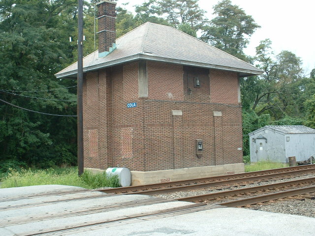
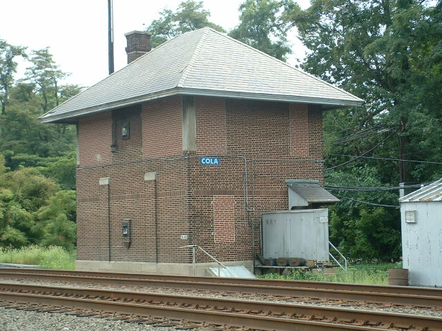
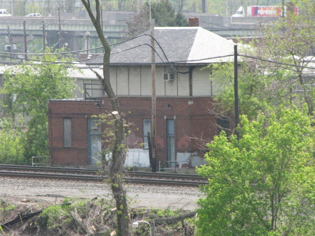
Perdix, although I have driven through there many, many times, wasn't a familiar name until
a friend sent out these pictures and I looked it up. Banks tower was
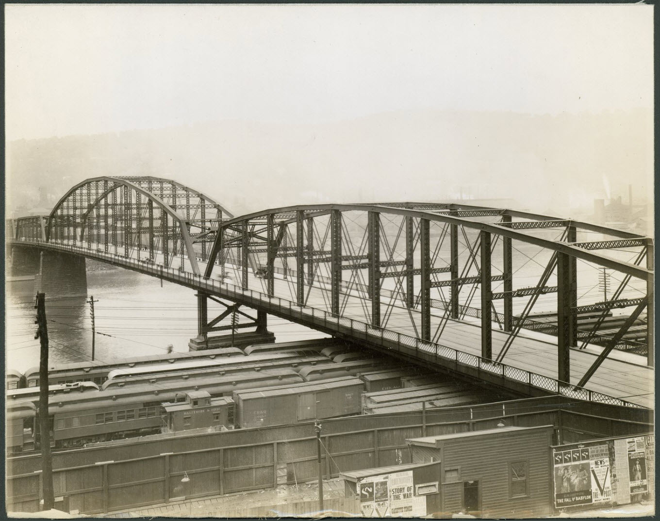
the first tower west of the Rockville Bridge (in blue) and Marysville.
My friend states: "NC," of course, stood for Northern Central,
as that's where the NC's Baltimore-Sunbury main line crossed the PRR's Middle
Division. It was constructed in 1912, and demolished in the late 1980s.
(Originally the diamond had been at "HA" Hailey's Station, a
half mile to the east.) The pictures are from February 1978.
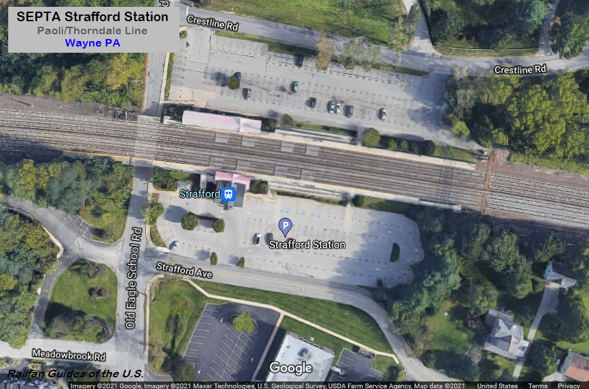
GPS Coordinates: 40.04956, -75.40380
On Strafford Ave, off Old Eagle School Rd.
A SEPTA commuter rail station on the Paoli/Thorndale Line, with a 4-track mainline out in front of it. From Wikipedia: From 1873 to 1883, the building served as the railway station for Wayne PA.
In 1883, the building was moved to its current location in Strafford, which was then called
Eagle. The name was changed to Strafford in 1887. The landmark building was constructed in
the "Eastlake" or "Stick" architectural style popular from 1855 to 1877. In 1911 the
Philadelphia and Western Railroad extended their Strafford Branch to the station which
lasted until 1956. The train station was added to the National Register of Historic
Places in 1984. Rumors that the station had originally been one of the buildings used
in the 1876 Centennial Exposition in Philadelphia are unfounded. SEPTA restored the
station between 1999 and 2002 after damage from a June, 1999 fire. Work included
restoring the historic station building as well as the outbound shelter.

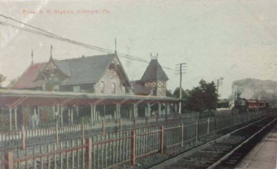
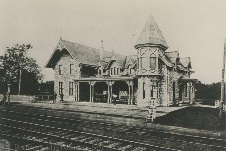 ~1875
~1875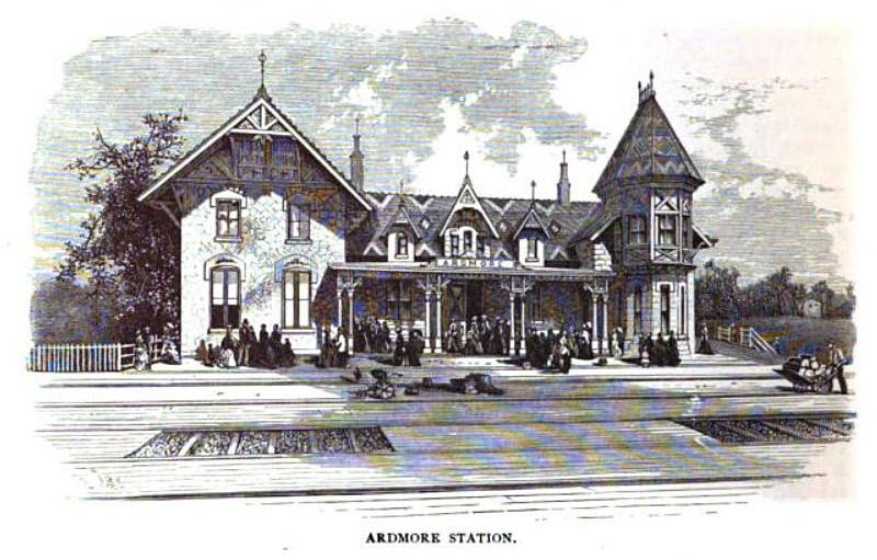 ~1875
~1875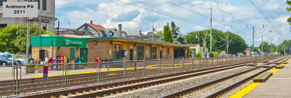 2011
2011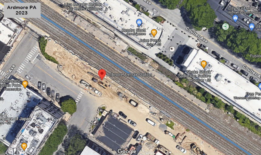 2023
2023


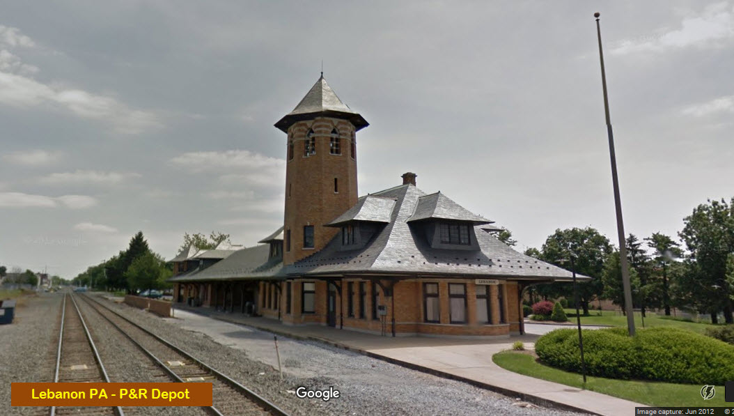 From Google Maps in 2017
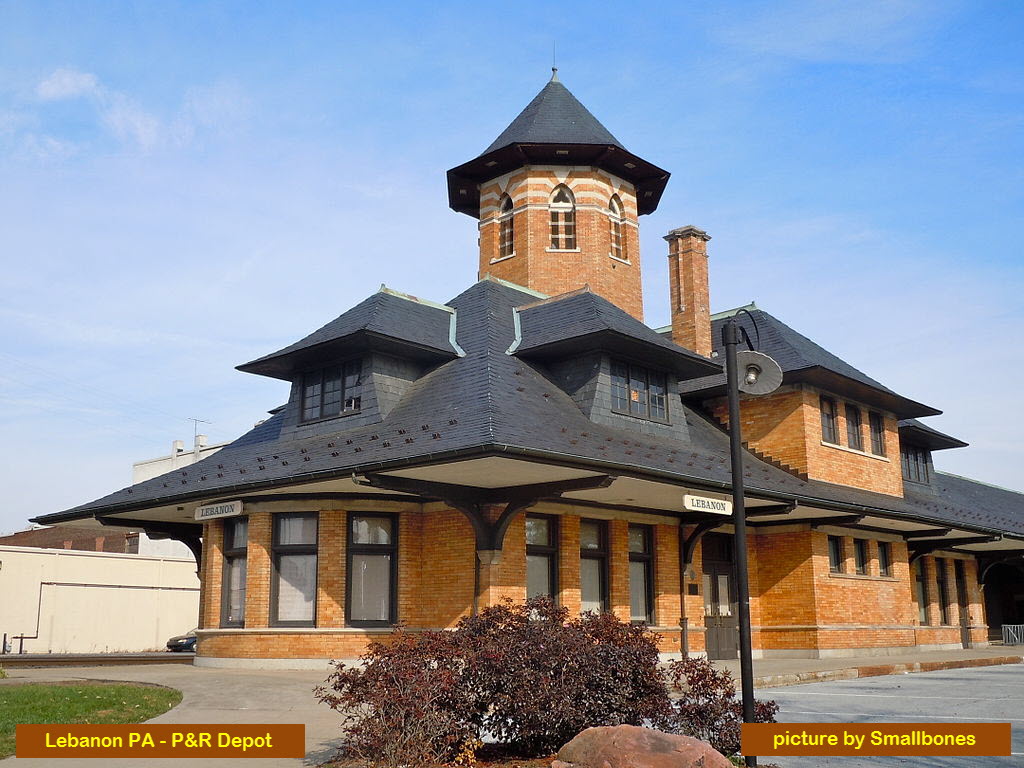 picture by Smallbones, from Wikipedia