In General
Getting Here
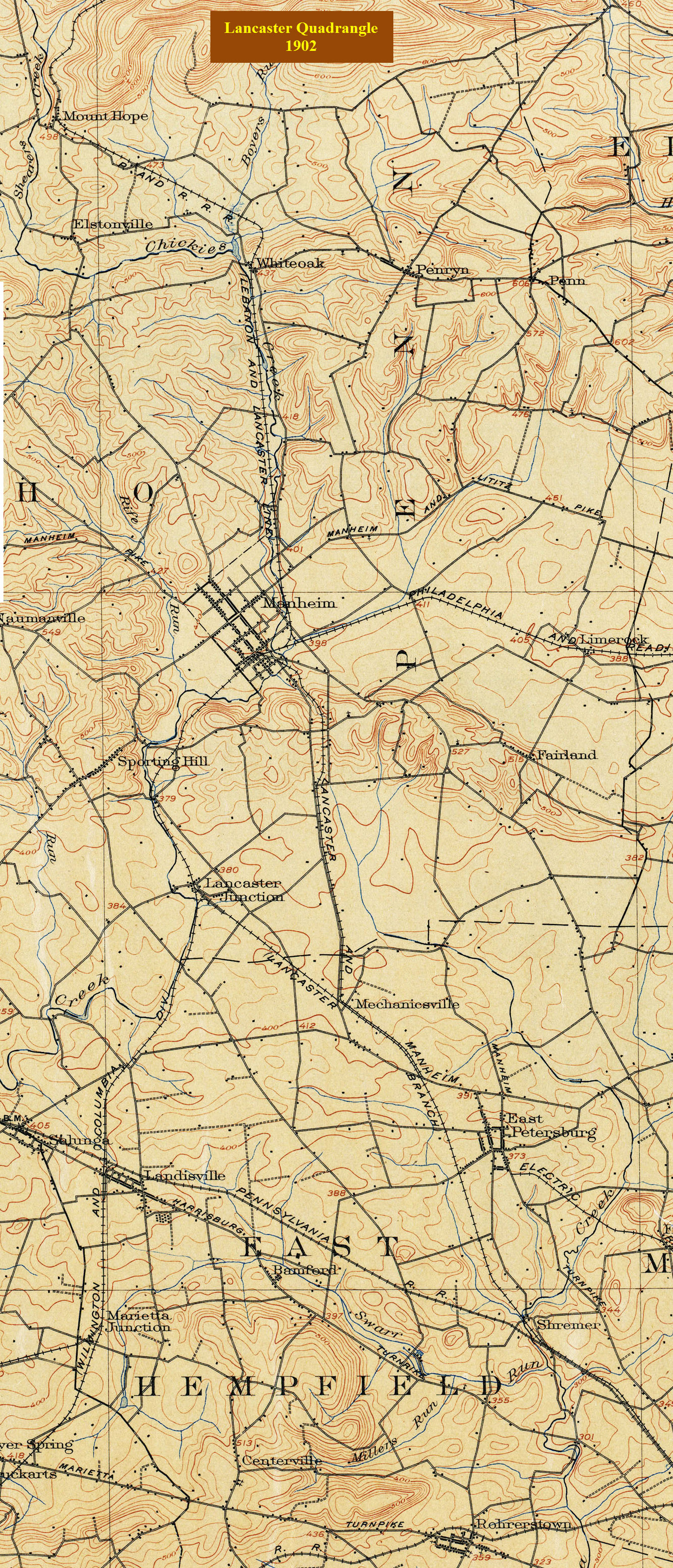
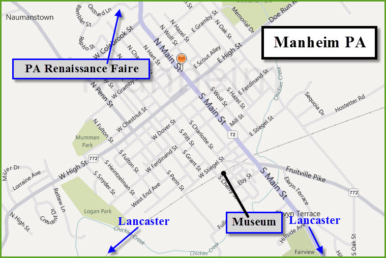
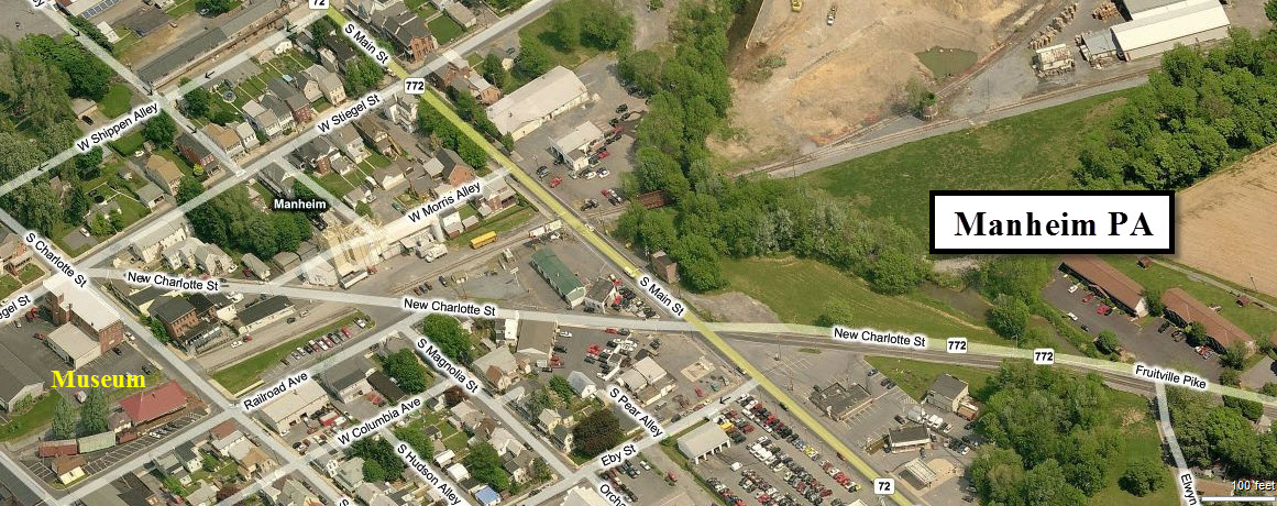
Maps
Sights
In General
Getting Here
Maps
Sights
Sights
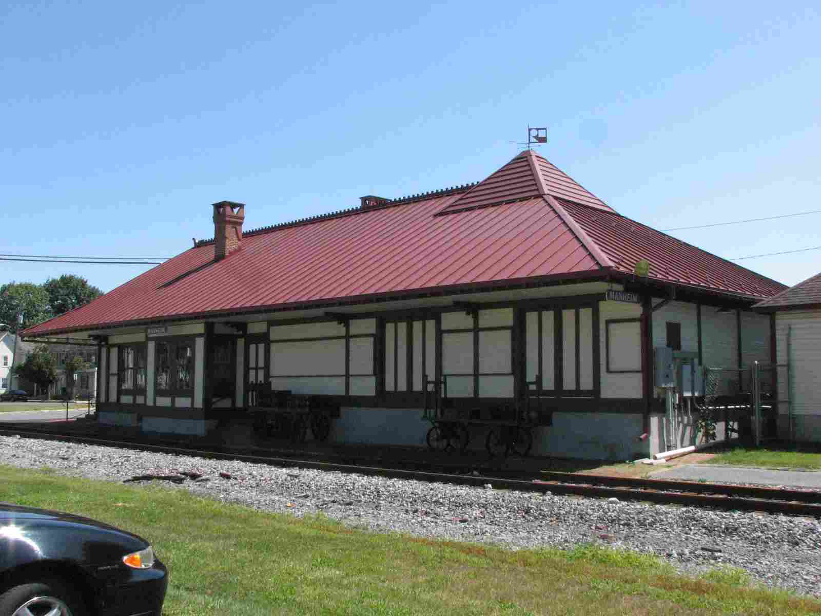
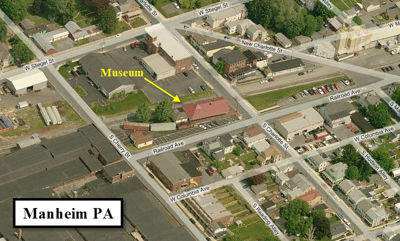
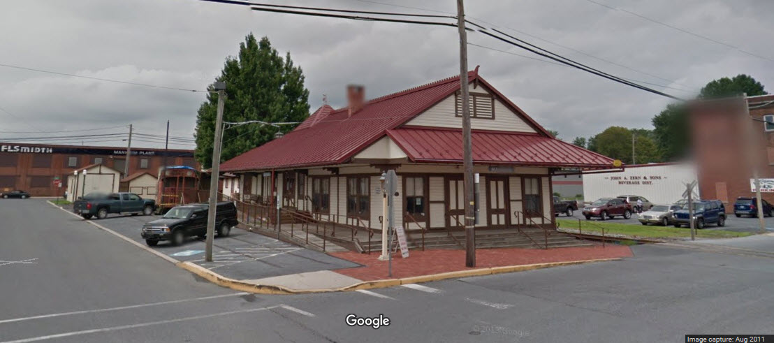
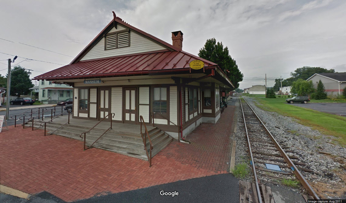
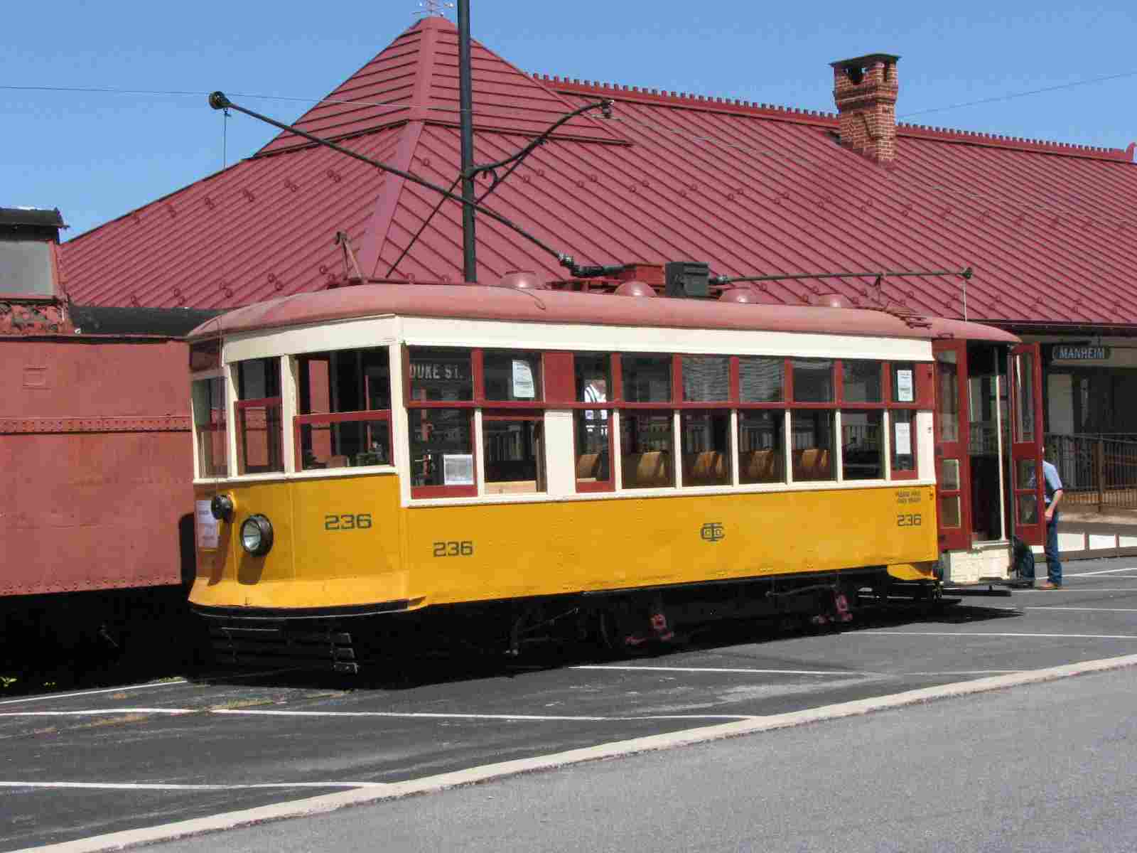
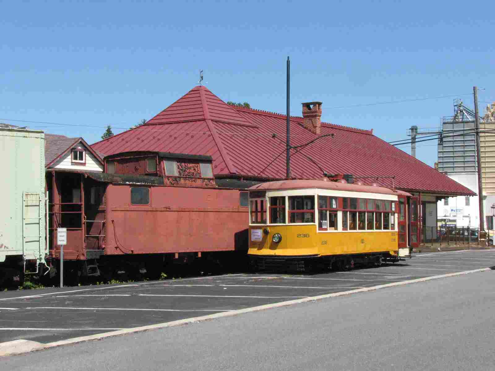
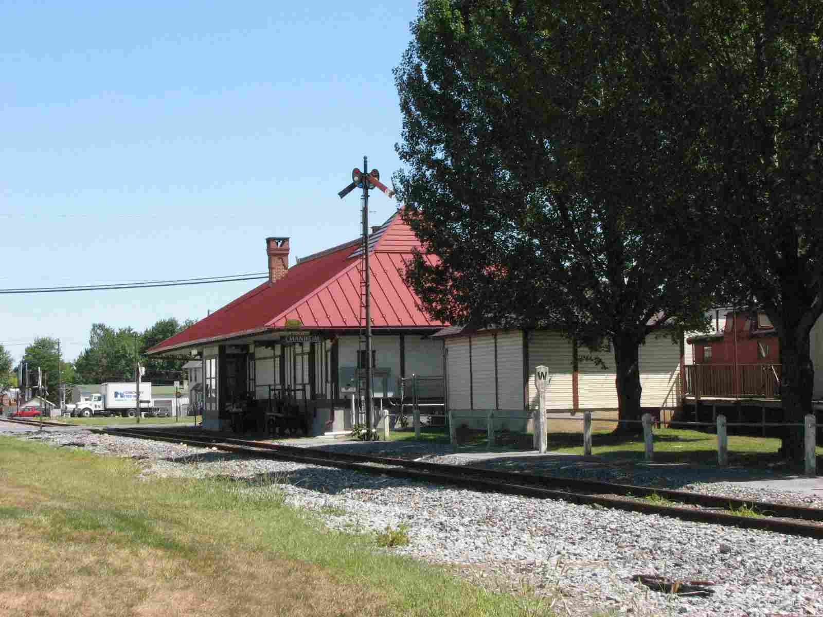
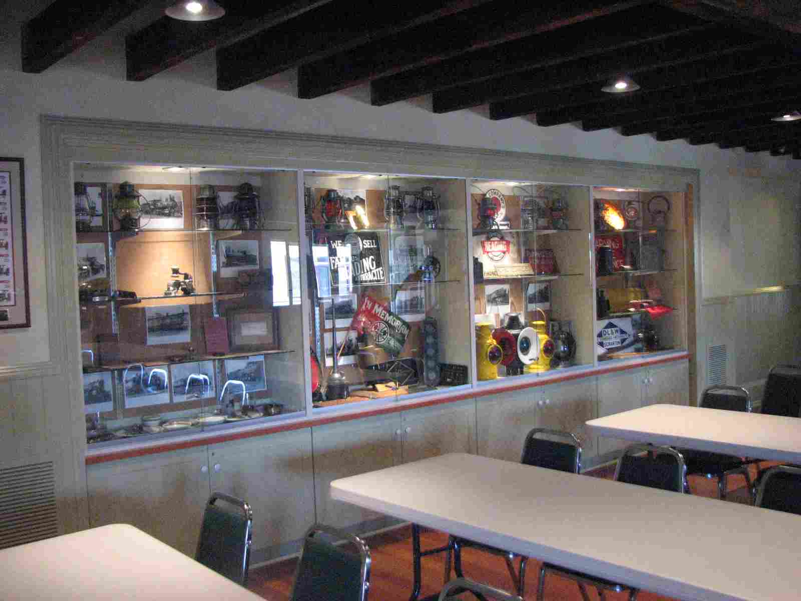
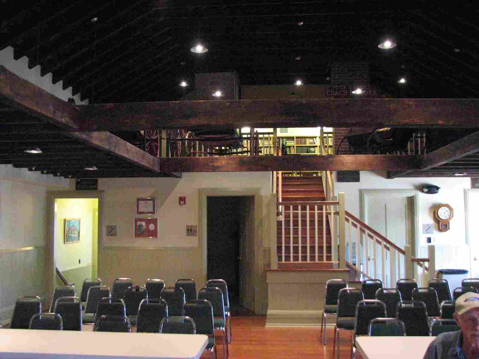
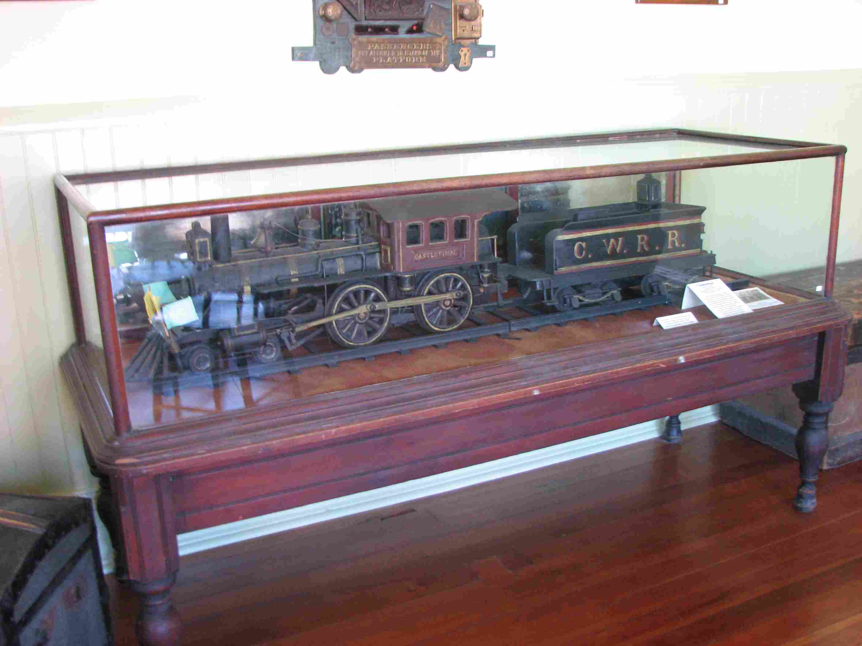
![]() The Manheim Transportation and Industrial Museum
The Manheim Transportation and Industrial Museum
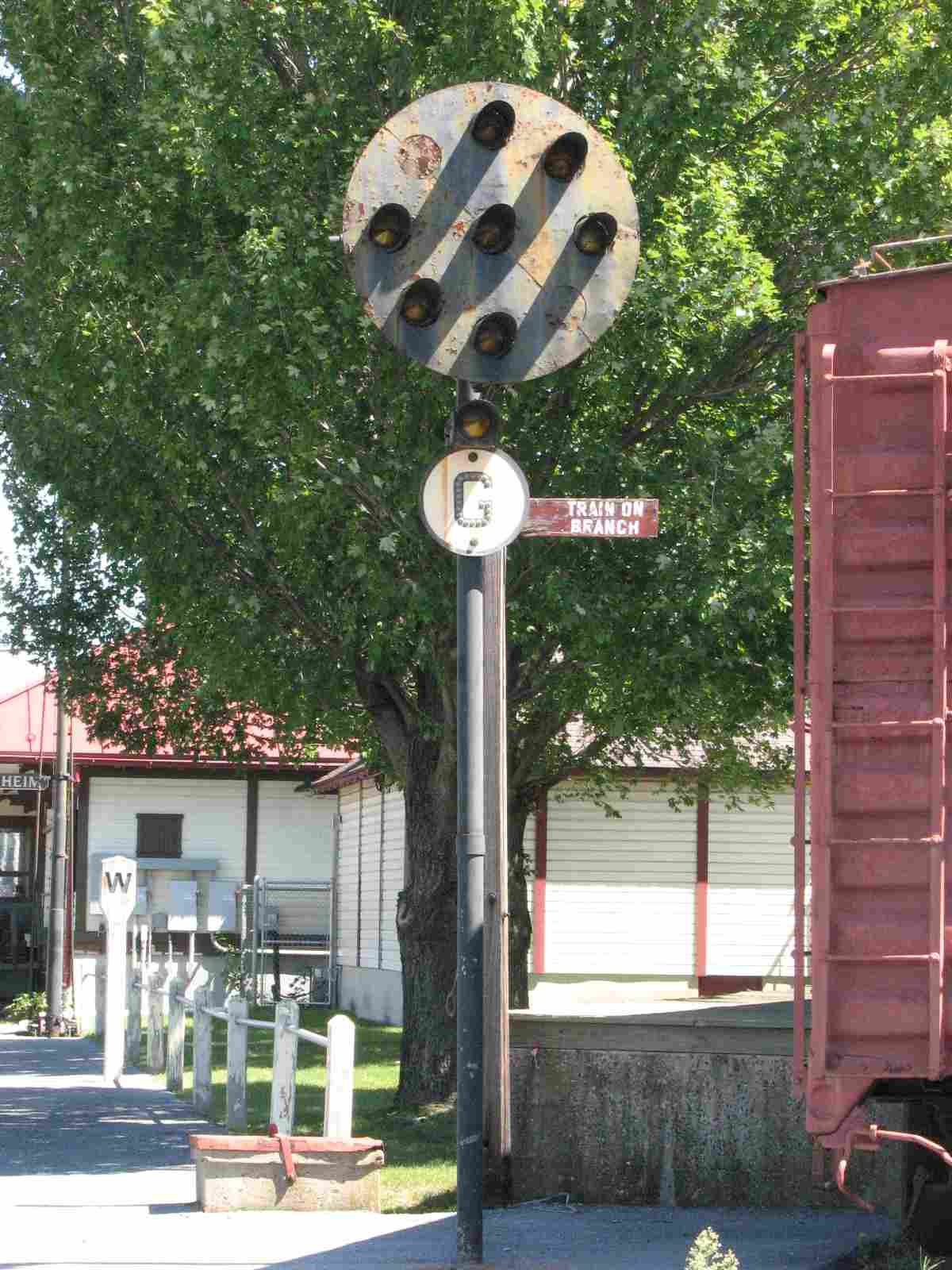
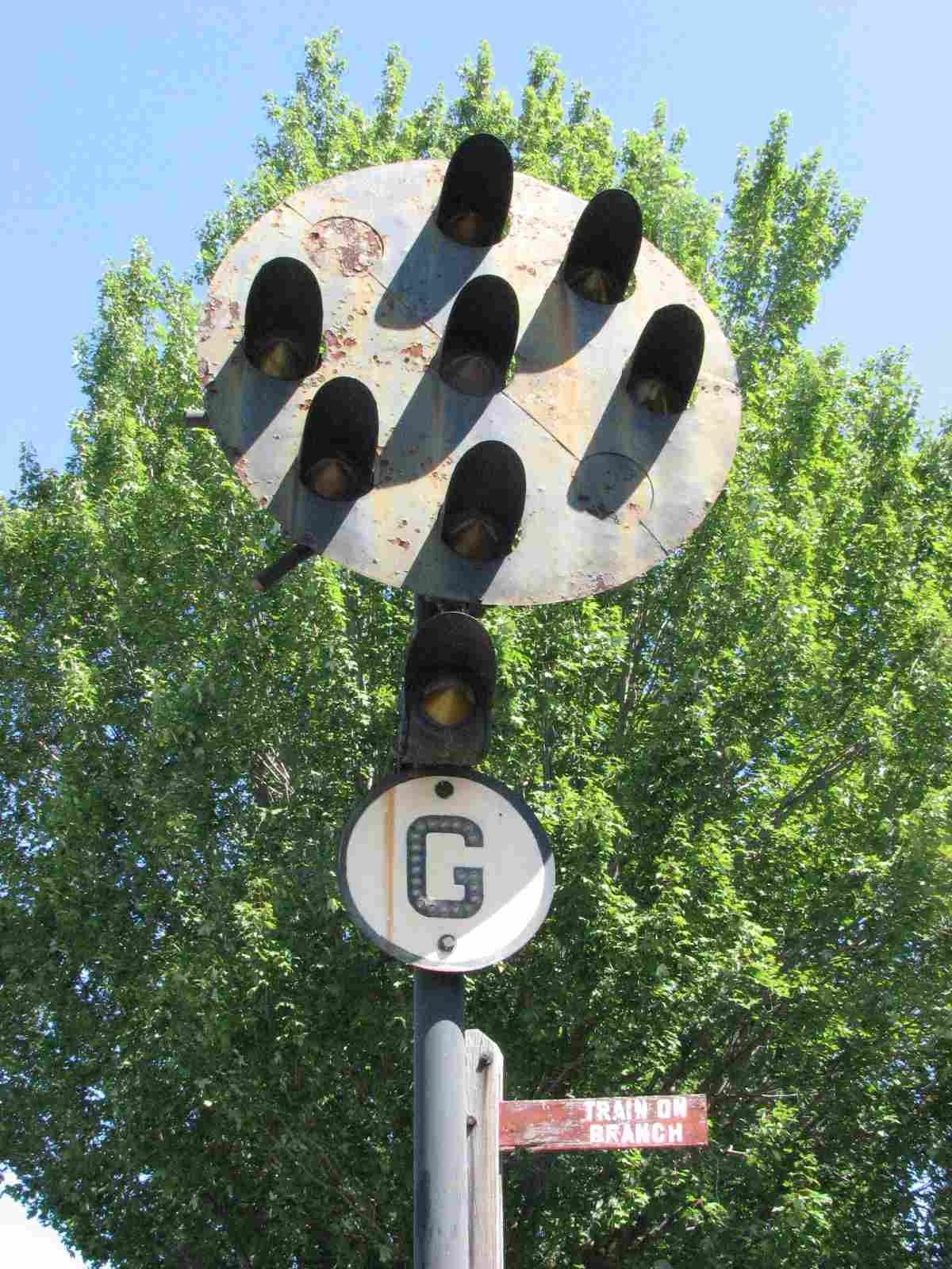
Being a Pennsy PL signal, it is not native to this line since this was a Reading line.
It was installed at the museum long after the station was used for such purposes.

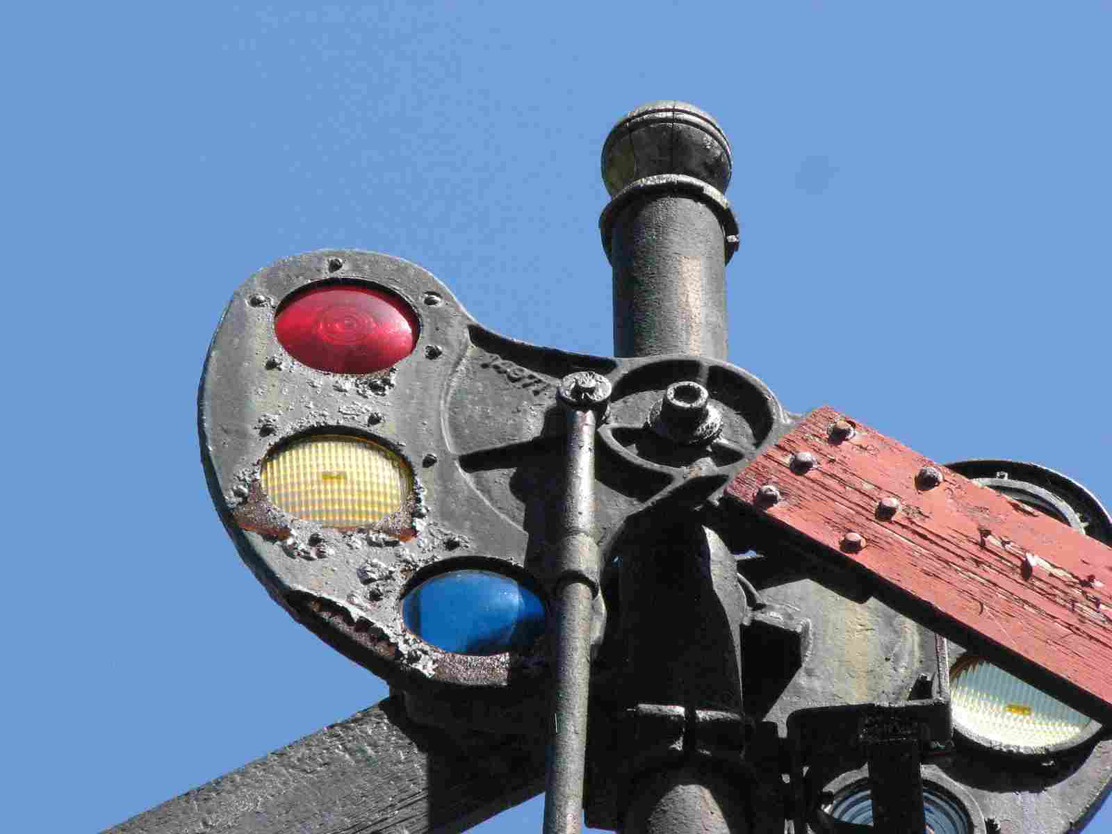
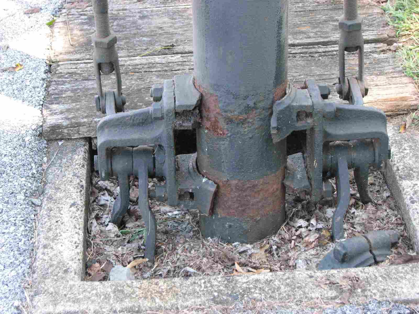
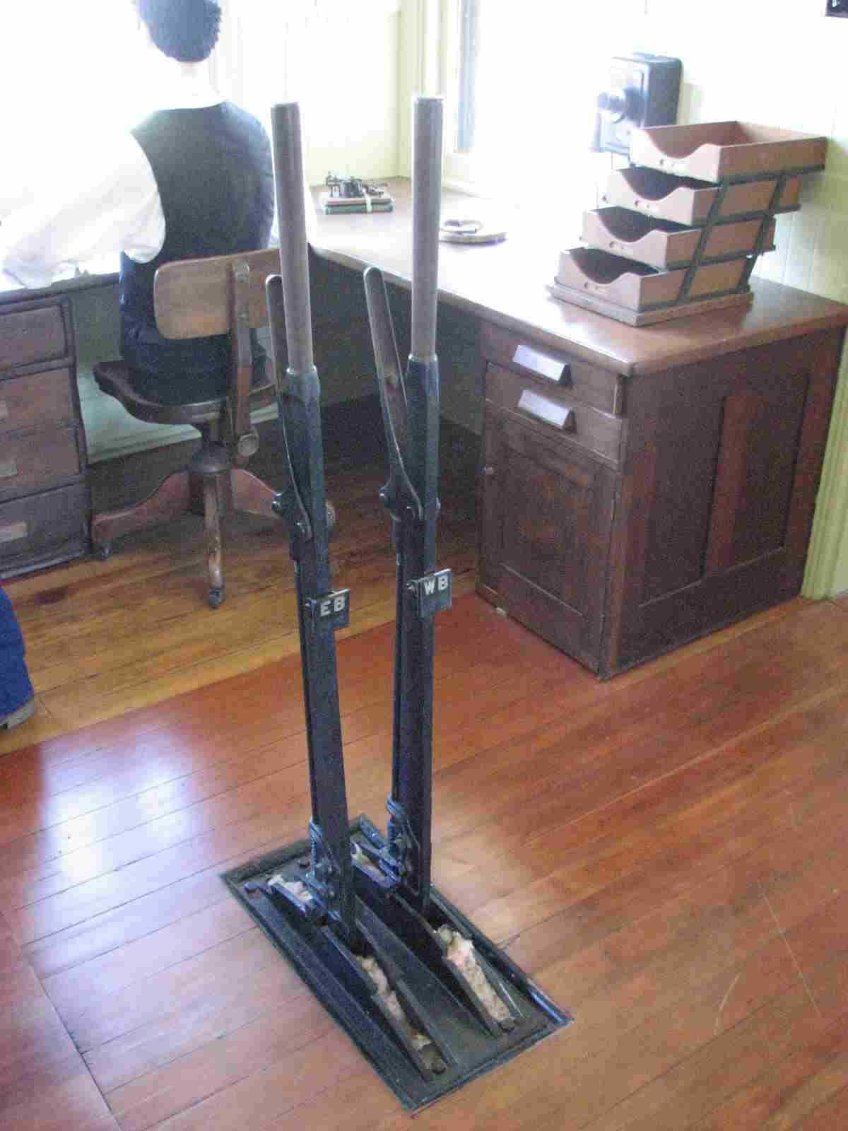
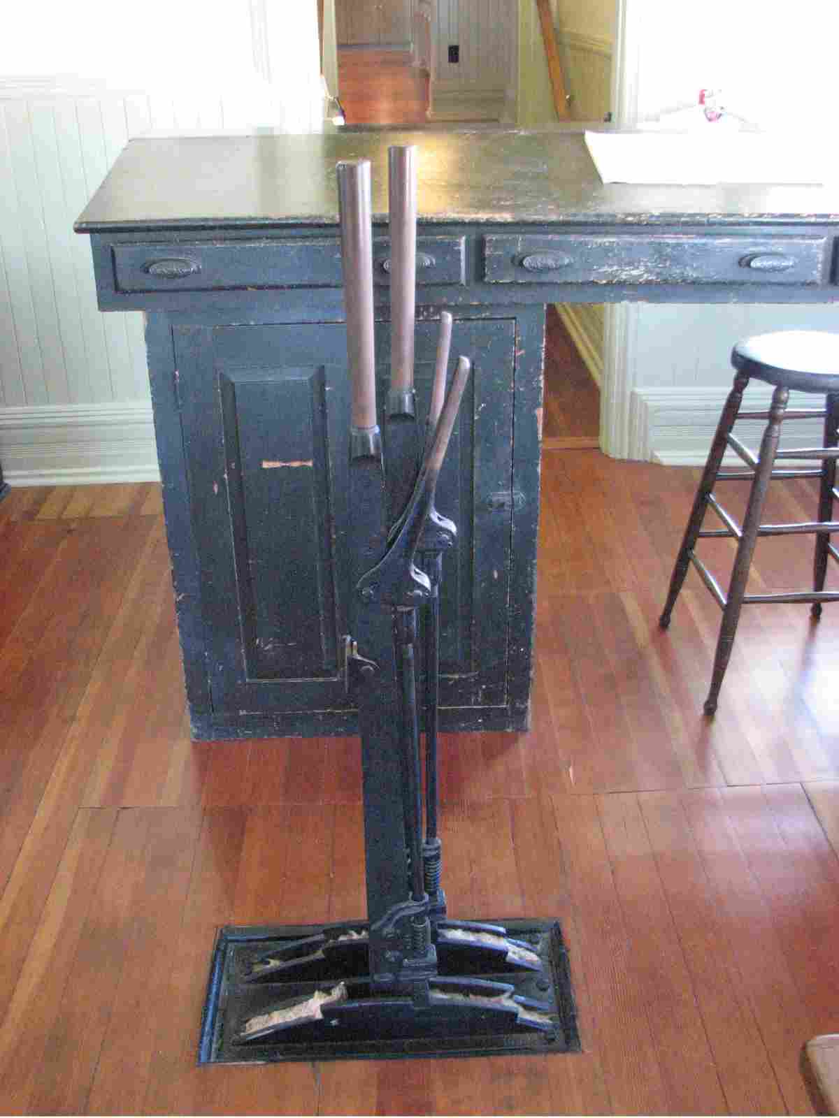
A typical rod operated lower quadrant train order semaphore.
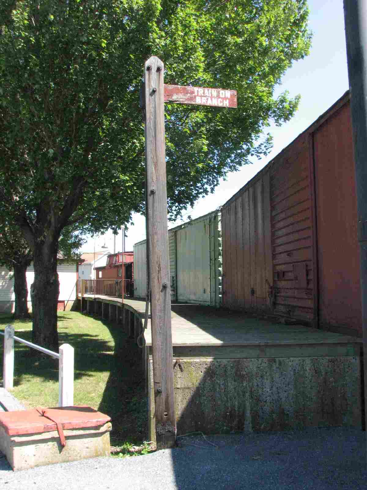
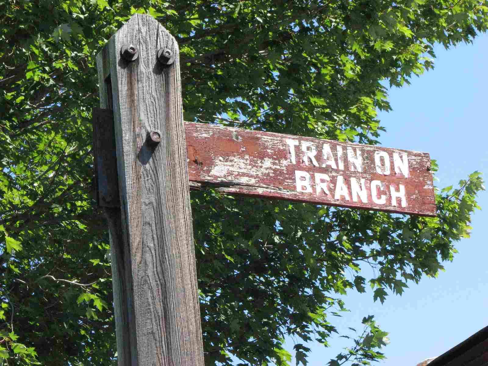
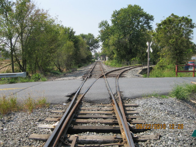
The "Train on Branch" signal was probably the one previously used at
Lancaster Junction. After the tracks were placed out of service and
pulled, Lancaster Junction was no longer a junction point and trains went
straight through to Lancaster's Reading Station by way of Dillerville yard.
The text highlighted in blue comes from Curt M. of Manheim, who also provided
me with the pictures below of the wye. Thanks Curt!
![]() The Wye
The Wye
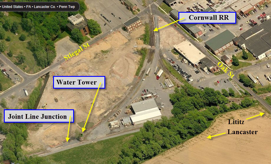
Just east of Manheim station was a water tower (red sandstone bottom half
still standing) at what was "Joint Line Junction" which connected
to the Cornwall Railroad. Their right of way (before it became part of the
Reading) passed to the rear of the mansion house which is now the center
of "Renaissance Faire." Those tracks continued through Cornwall
Boro skirting the great open pit mine and crossing underneath the PRR branch
line which it (Cornwall RR) paralleled to the city of Lebanon.
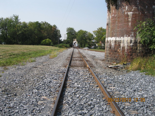
The Wye in Manheim is the only one in this area. Just behind me on the
East end of the East leg of the wye, there used to be a single head
searchlight signal but no trace of it remains. Same picture but
ahead and to the left used to be a shed housing a hand crank phone which,
I assume, was to contact the station operator in Manheim in the event of a
stop signal.
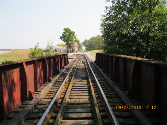
Above is a view looking east across the bridge that is in the lower left
hand corner of the aerial picture above.
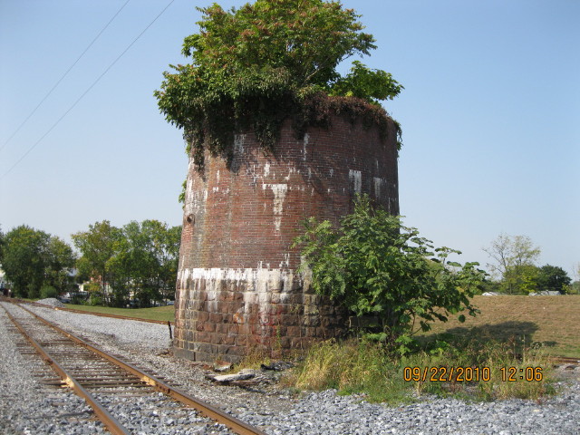
What's left of the water tower.
Looking west towards the station from the water tower.
Looking west towards downtown Manheim at Oak St.
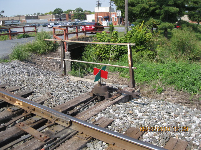
Switch stand adjacent to Oak St.
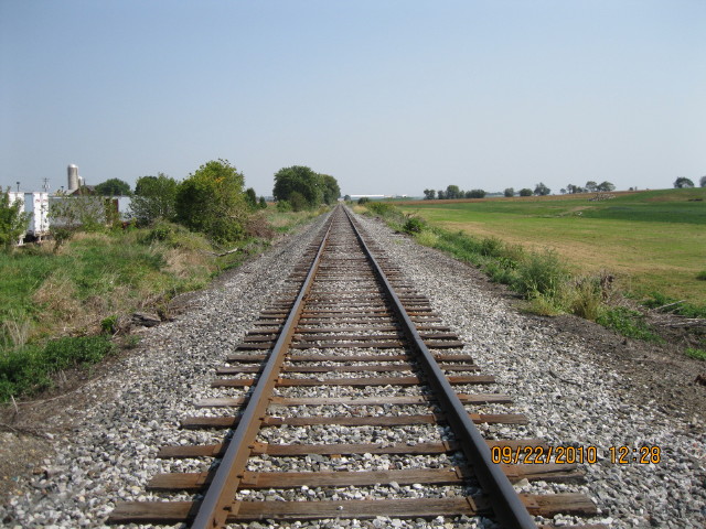
Looking east towards Lititz from the wye.
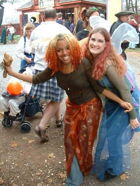
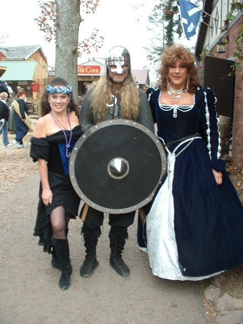
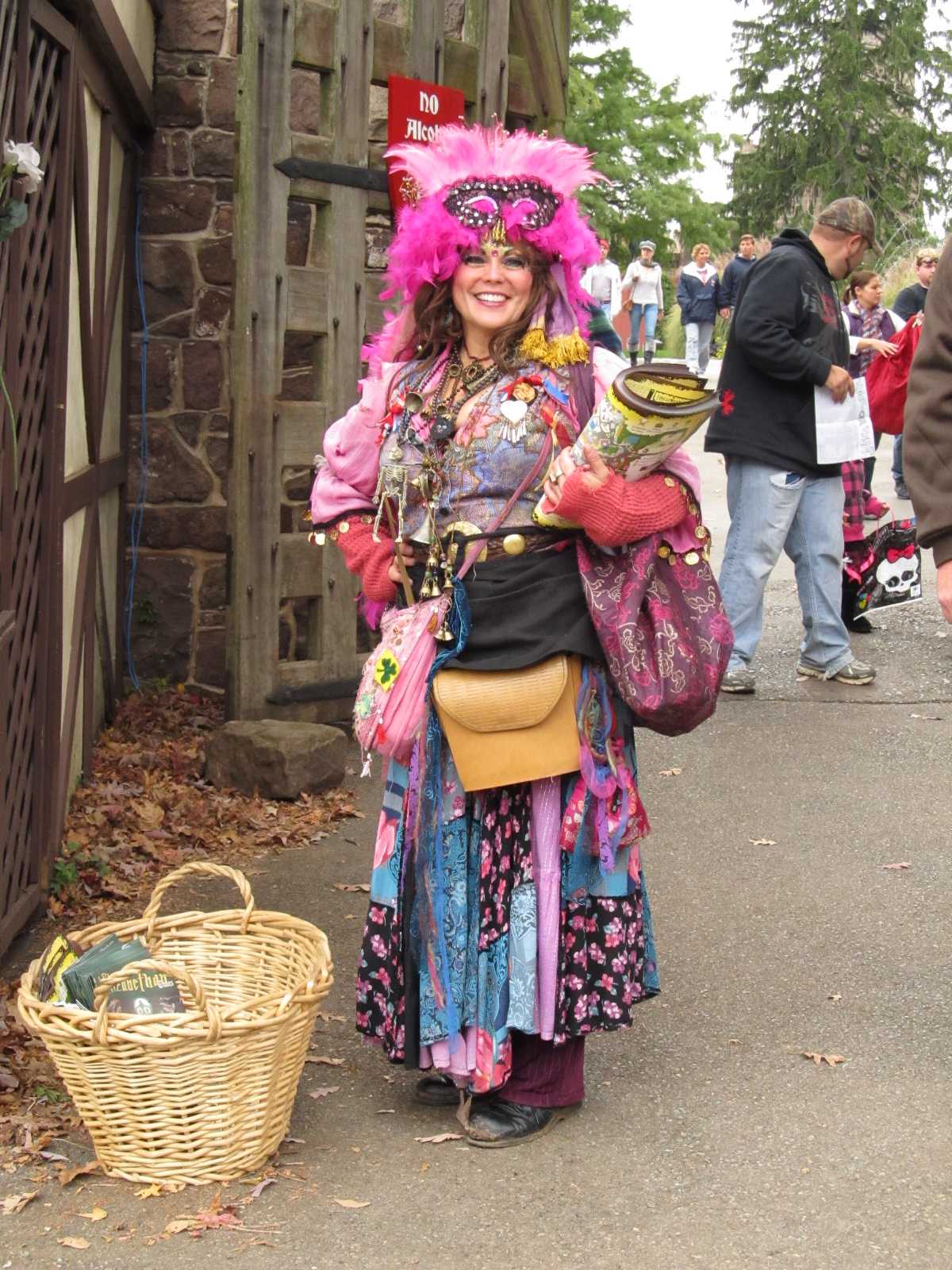
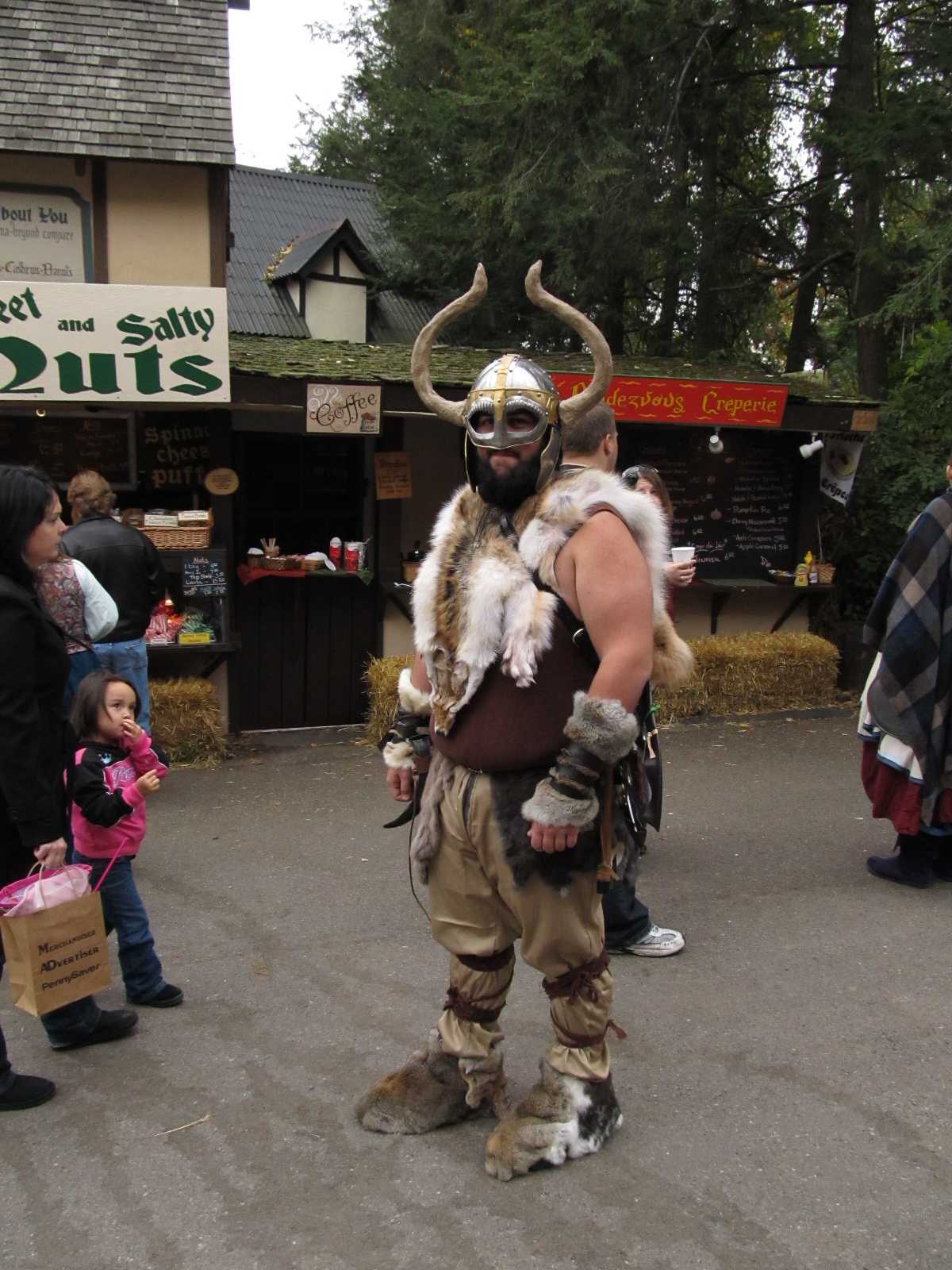
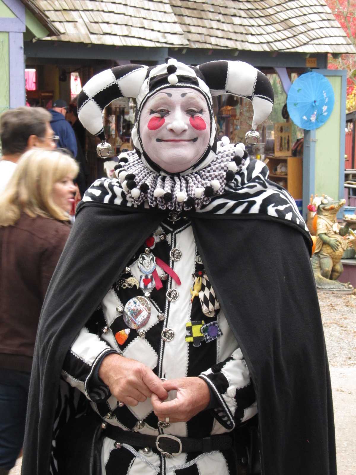
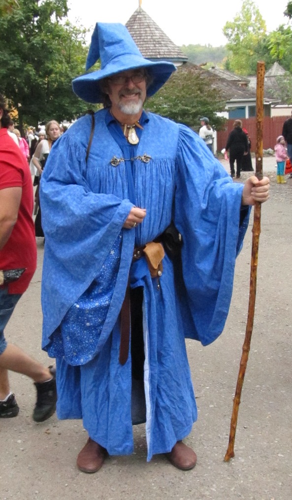
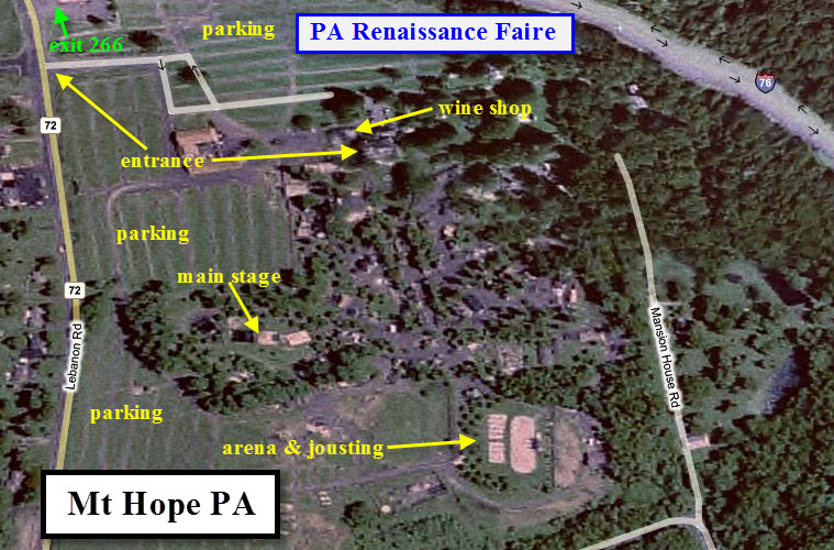
![]() The Pennsylvania Renaissance Faire
The Pennsylvania Renaissance Faire
The PA Faire is held August thru October, usually the last
weekend. Among Renfaires, they are one of the best (IMHO). Queen
Elizabeth is the centerpiece of the Faire's attractions, and they always seem to
find an excellent girl to play the part. On the last day of the Faire,
they have a most excellent presentation on the stage by the pirate ship, which
lasts about 2 - 2 1/2 hours compared to the normal one hour, for they bring back
acts that have performed over the whole run.
They also have things, stuff, and events going on all year
long, with a special Dicken's show before Christmas, which is always sold out!
If you are into wine (I'm not), people tell me the wines
produced at the Mt. Hope Winery are very good, and they usually offer a deal on
a case, with additional discounts on the last day of the Faire.
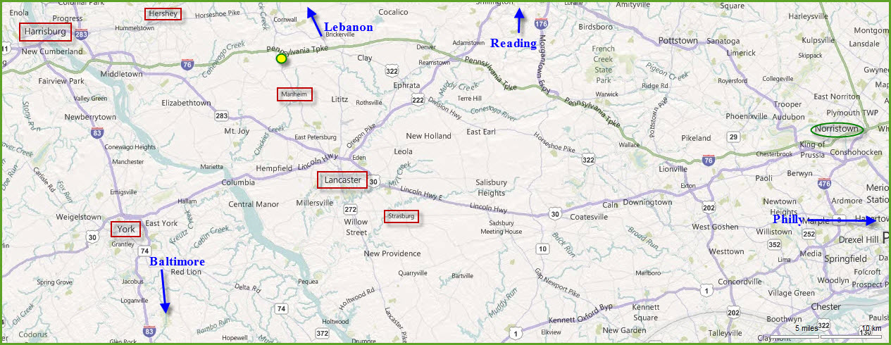
The Faire is located at the green/yellow circle on the map
at the top of the page.
For pictures, check out my Renfaire index page (which includes a schedule of RenFaire's) at:
https://railroadsignals.us/renfaires/renfaires.htm
A very small sampling of the pictures I have from the PA Faire: