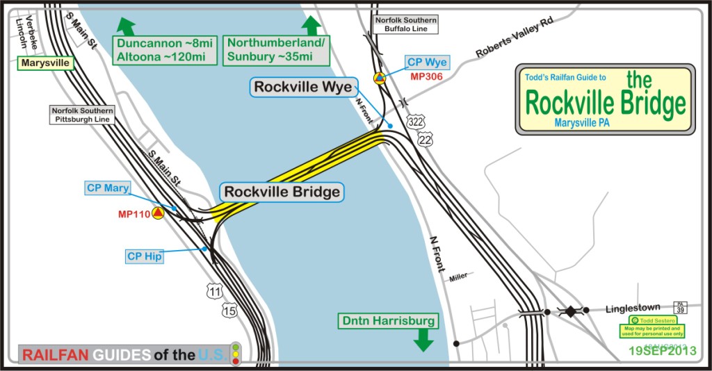
What's Here:
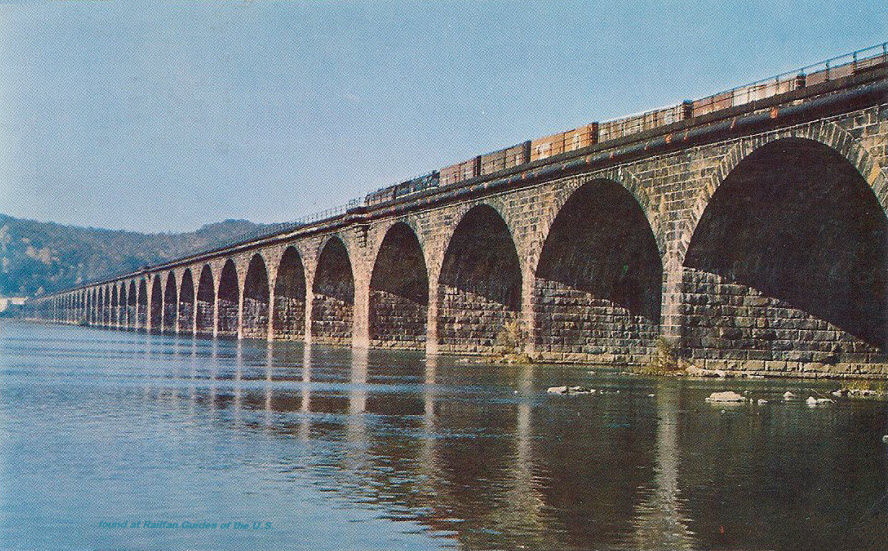
the Infamous Pennsylvania RR Rockville Bridge
Wye on the east side of the river
Three short tunnels
Data:
GPS Coordinates: as needed
Phone A/C: 717
ZIP: 17053
Access by train/transit:
None
The Scoop:
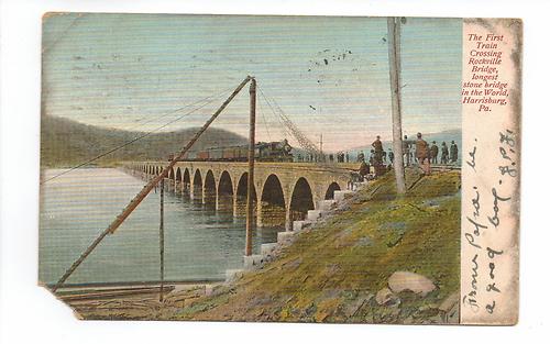
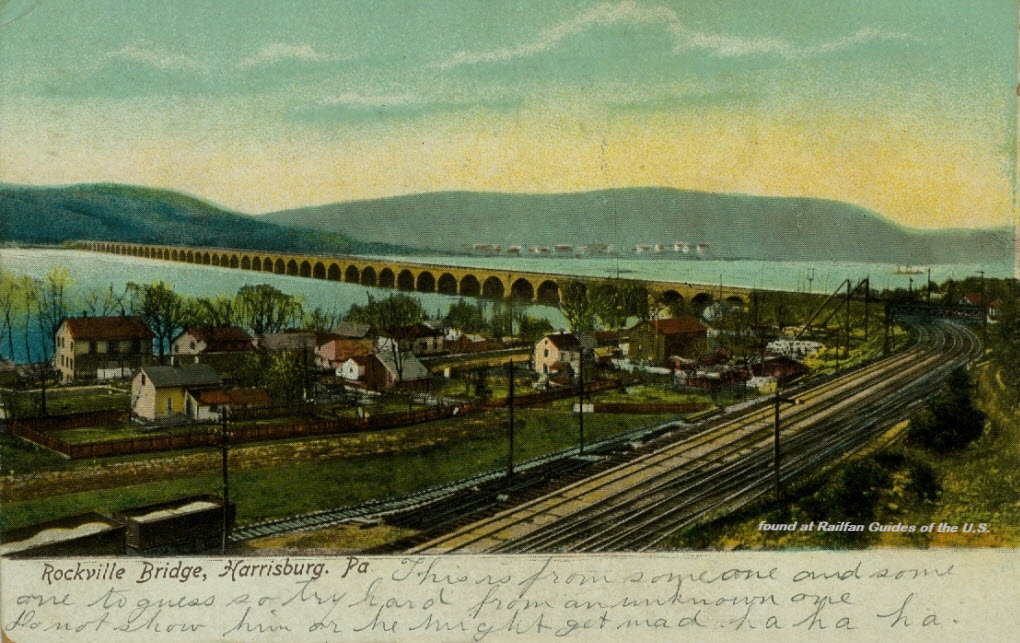
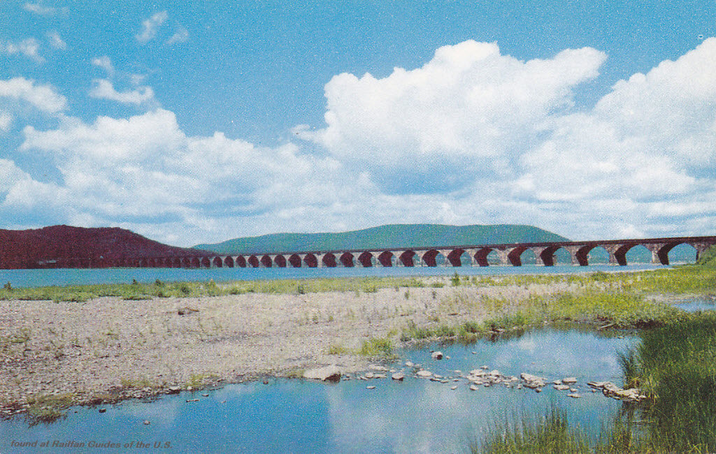
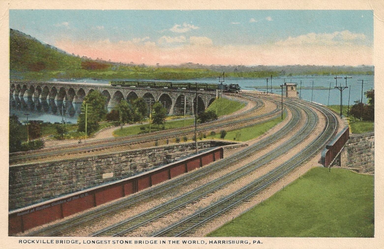
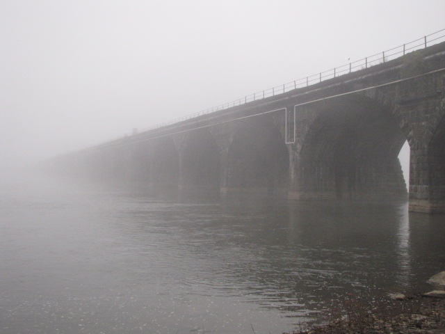
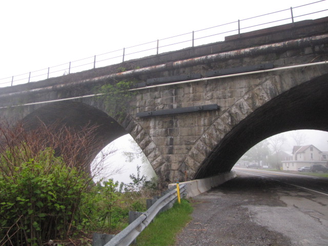
In March of 2002, the Rockville Bridge celebrated its 100th birthday!
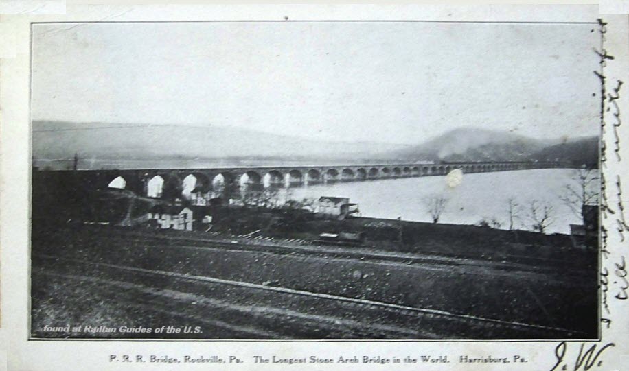
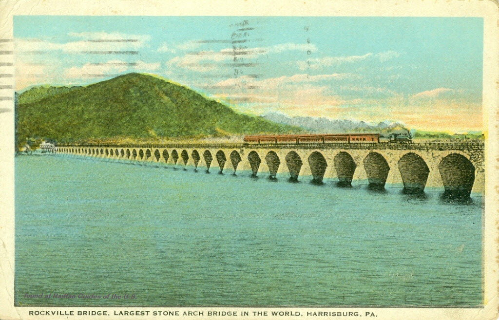
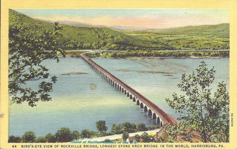
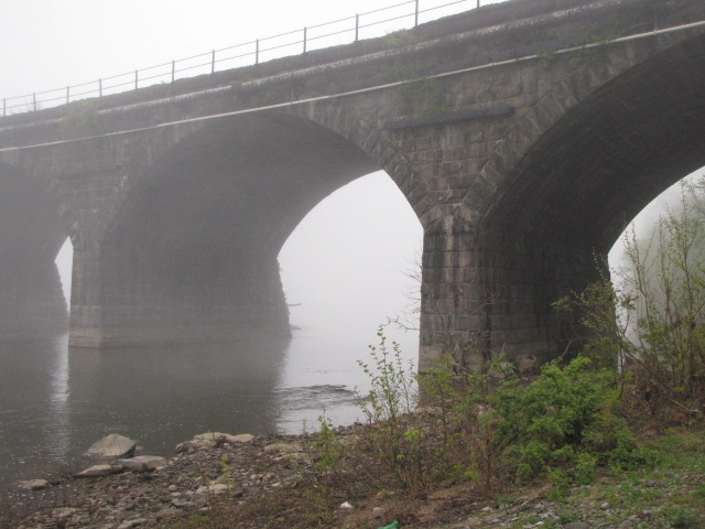
It is the longest stone arch bridge
of it's type in the world at 3820 feet, and 48 arches. Each arch is 70
feet. The bridge is 52 feet wide, wide enough for 4 tracks, but currently
only has 2 tracks on it, except at the very east end.
The current bridge is the third
bridge that has spanned the Susquehanna. The first bridge, which was
completed in 1849, was a wooden structure and carried one track. The
second bridge, completed in 1877, was an iron truss type, and carried two
tracks.
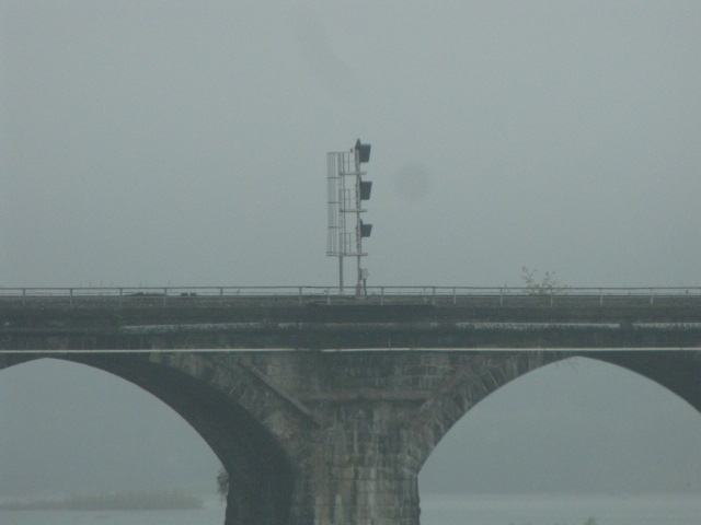
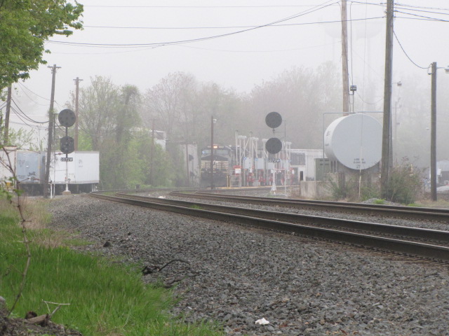
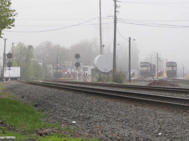
There are three sets of signals on
the Bridge. Two of them are on the east end of the bridge for "EB"
traffic, for a crossover, and then going into three tracks. On the west
end of the bridge, there is a signal for the south track, because it can go
either north or south. The north track on the bridge can only go north off
the end of the bridge. The two sets on the east end replaced a cantilever
bridge maybe 3 or 4 years ago.
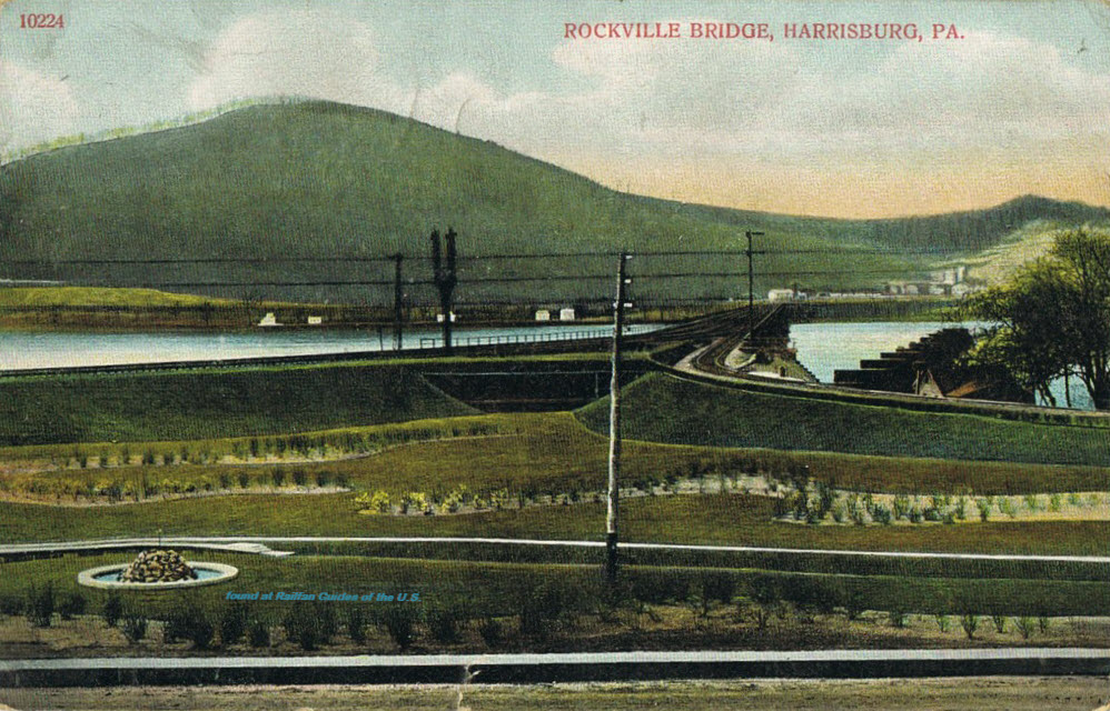
As far as shooting the Bridge is concerned, you can good shots from either end,
but it's a little easier from the east side only because it's easier to
park. There is also a bed and breakfast on the western shore just south
of the bridge, where you can get some pretty nice shots, especially in the
fall when the colors are bright.
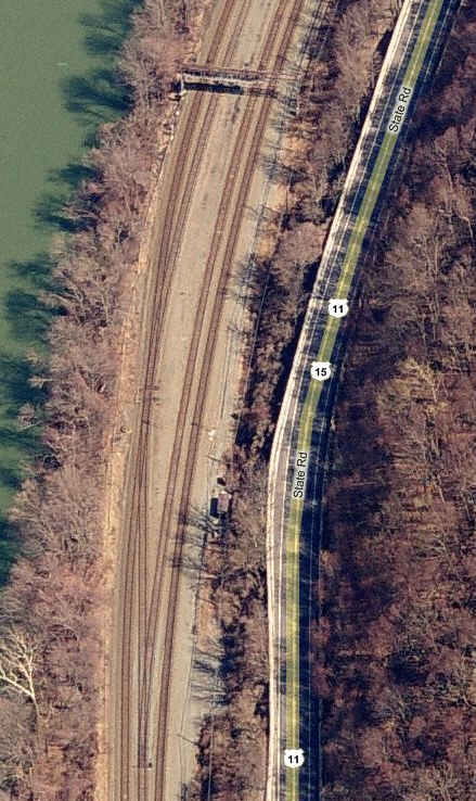
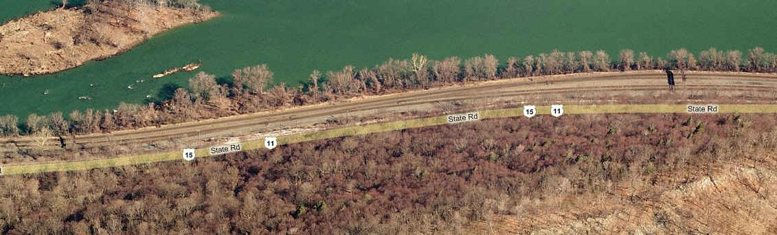
For railfanning in the immediate area, US15 follows the R-O-W up the west side
for quite some distance (up to Duncannon), and there are many opportunities for
action along the way.
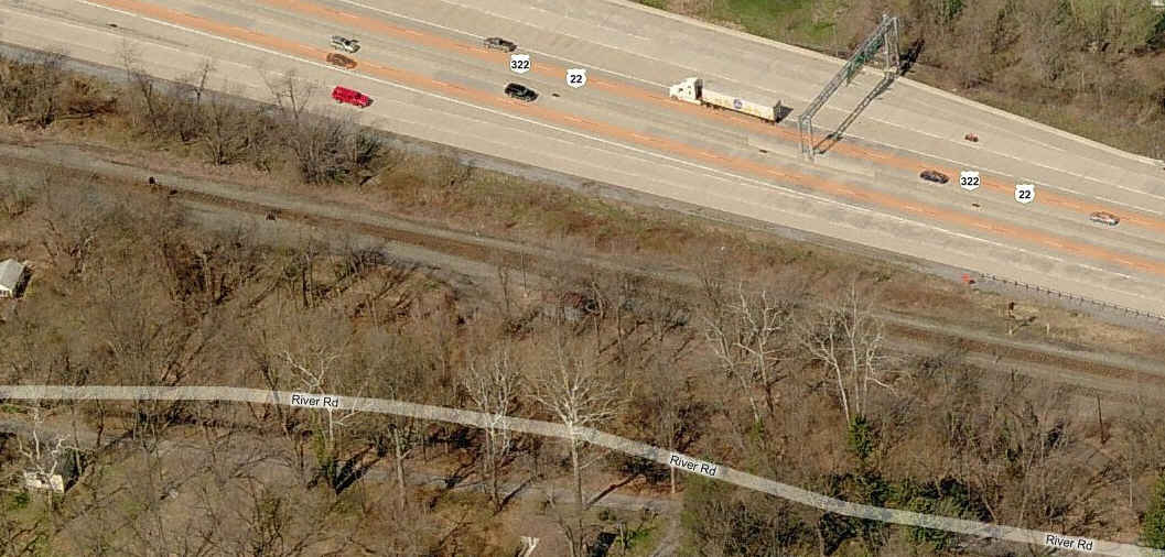
US22 on the other side of the river also follows the tracks well up to Duncannon,
but it is a high speed highway, with few places to pull over and shoot.
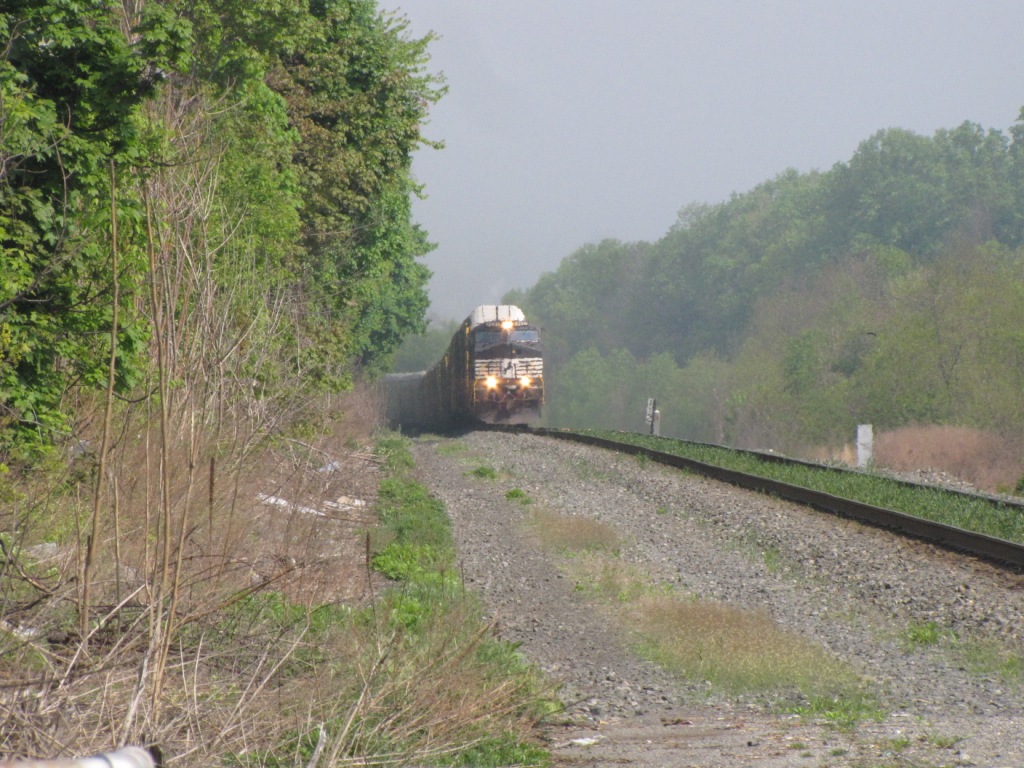
It's the Buffalo line, and trains run less frequently than the main line on the
other side of the river.
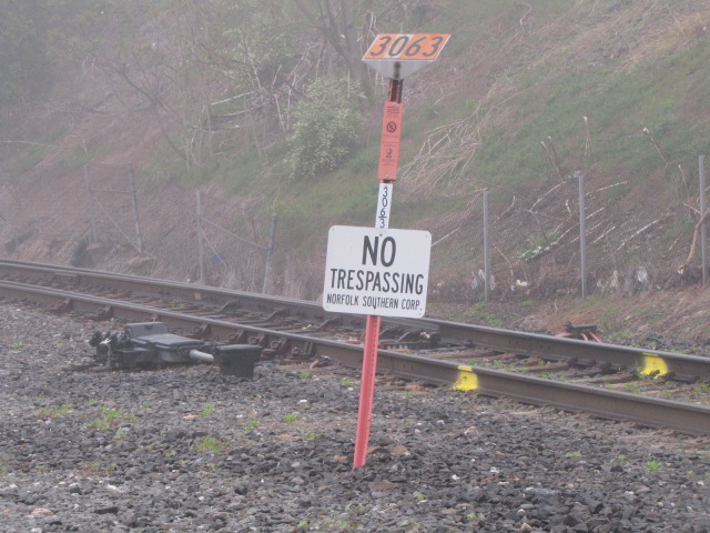
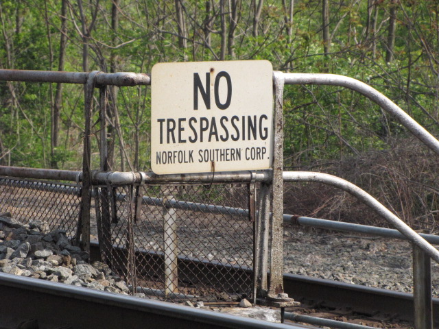
Security
In these post 911 days, the
railroads are always watching out for terrorists. We, unfortunately, fall
into the suspect category and are always being plagued and harassed by the
railroad police unnecessarily. Stay on public
property, I can't emphasize this enough, and try to be civil to the railroad
cops if they do come around. BUT, and here's the big one, NS cops
in Harrisburg tried to tell a friend of mine back in February 2010, that he
couldn't take pictures of Enola from the US15 "overlook". If it wasn't for
the fact that my buddy personally knows the chief of police, and he came onsite
to help my buddy chase off the NS cops, they would probably still be there
arguing.
Access to the Rockville Bridge is convenient off I81, on the north side of
Harrisburg. Use exit 65 for the west coast of the Susquehanna and
Marysville, and exit 66 for the east coast of the river.
From the Southwest, ie, Tennessee, Virginia, Roanoke, Hagerstown, etc, just
come up I81, and get off at the above exits.... it's that easy.
From the east, like New York City, Allentown, upper NJ, come in on I78, and
when you run into I81, continue west on it and look for that exit 65.
From the north in New York or northern PA, come down I81 from places like
Scranton, Wilkes Barre, Binghamton and Syracuse, and again, look for exit 65.
From Rochester head south on I390. When you hit the Southern Tier Expressway,
I86, take it towards Painted Post, where you'll want to get off and head south
on US15. US15 brings you right to the Bridge.
If you're coming from Buffalo way, you have to do a cross country trek via the
back roads thru Batavia on 63 till it joins up with 390 in Geneseo.
From the west, like Pittsburgh or anything west of there, take the Pennsy
Turnpike east, and as you hit I81 just outside of Harrisburg, take it
north to exit 65.
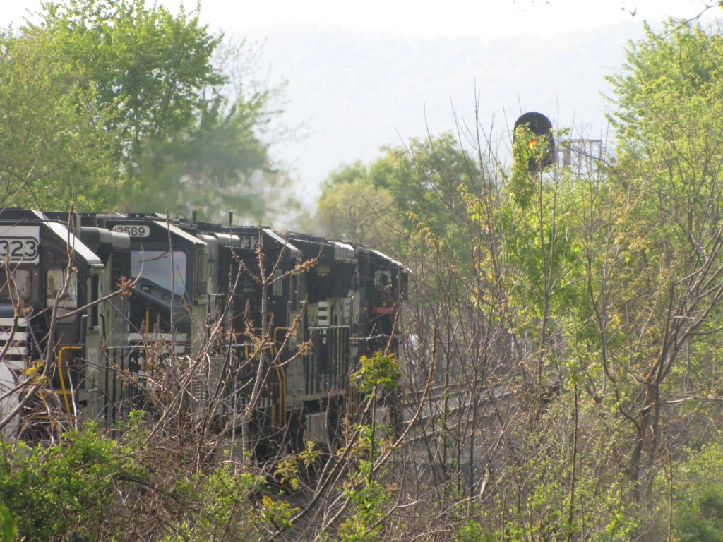
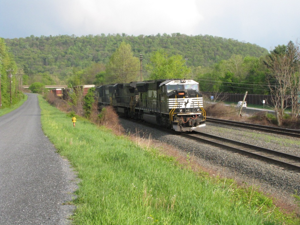
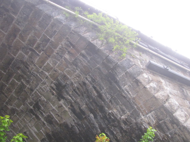
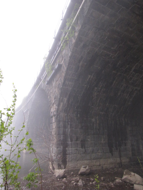
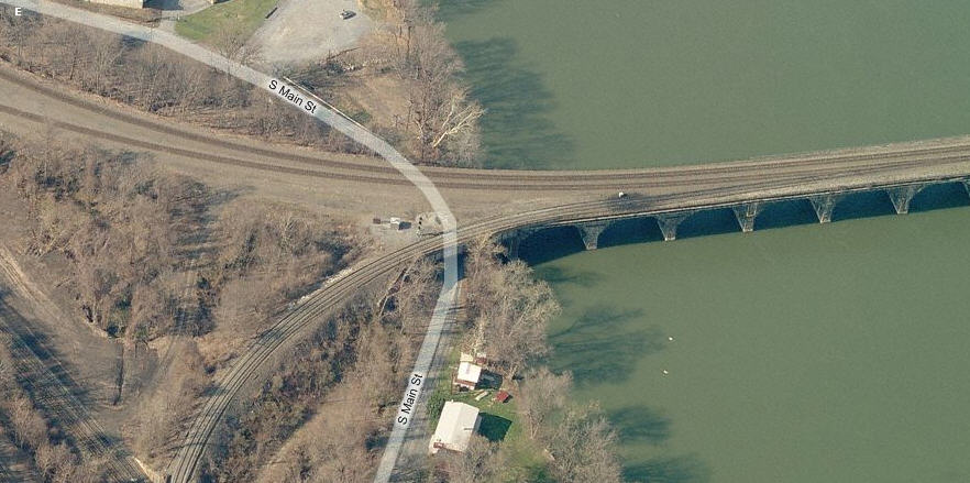
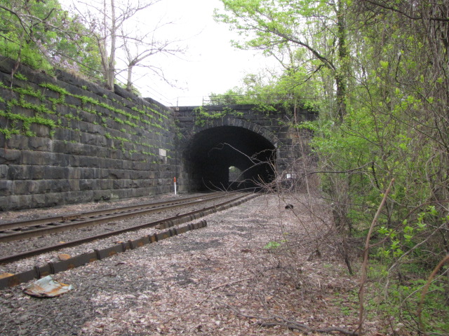
West end of the bridge, showing the abandoned tunnels, picture
below is a continuation of this picture to the south.
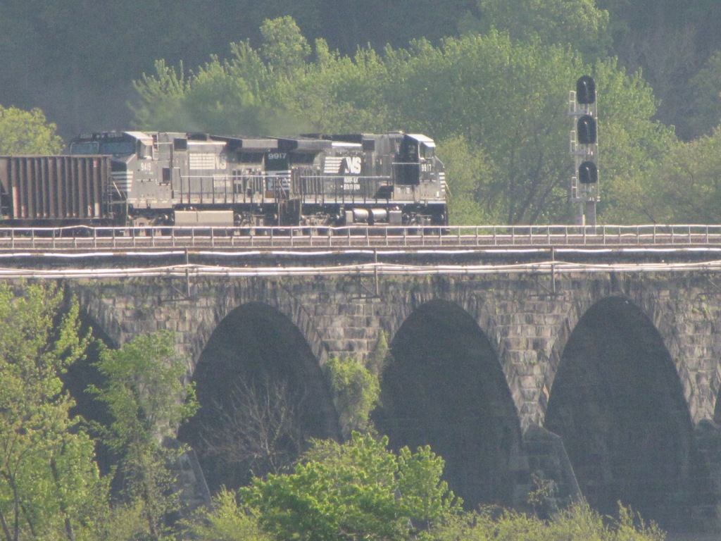
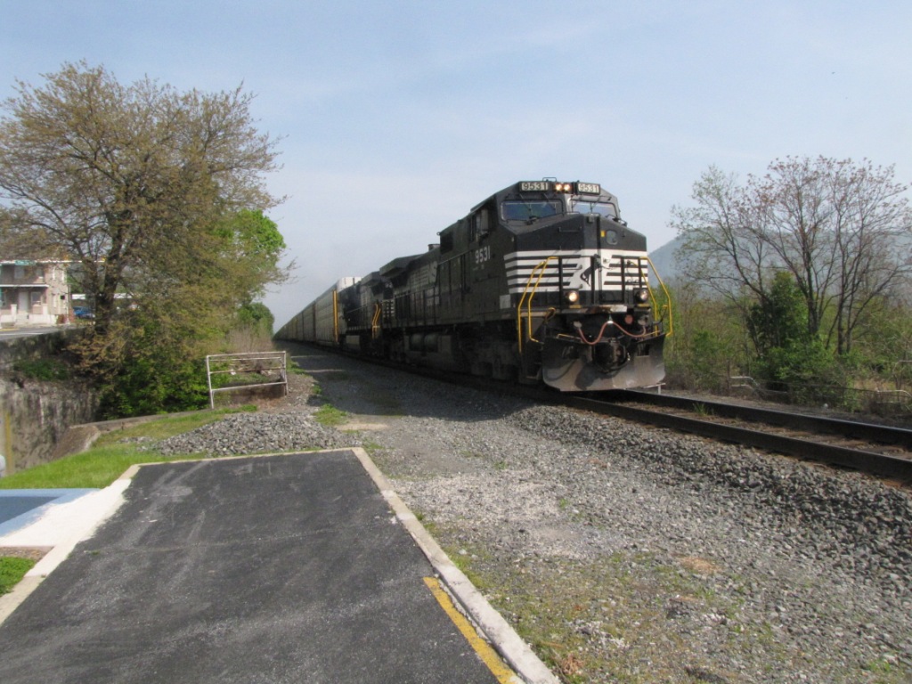
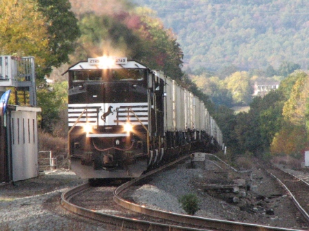
West end of the bridge with SB freight headed into Enola.
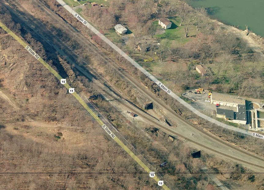
Going a little further south yet on the west shore, at the bend in the river is
another short tunnel.
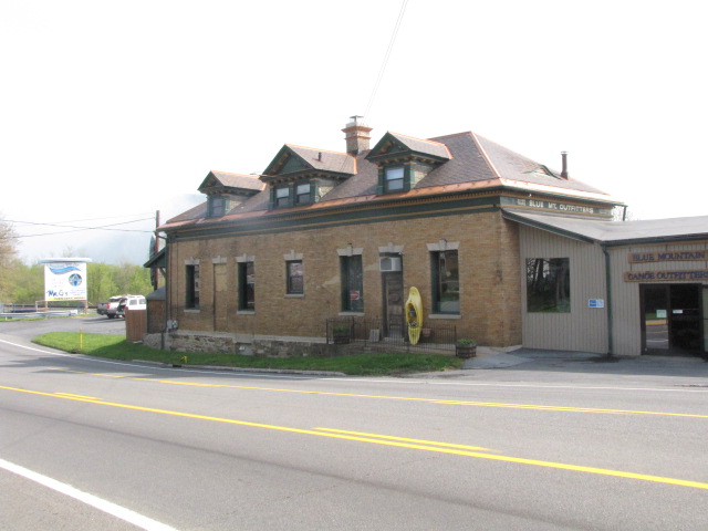
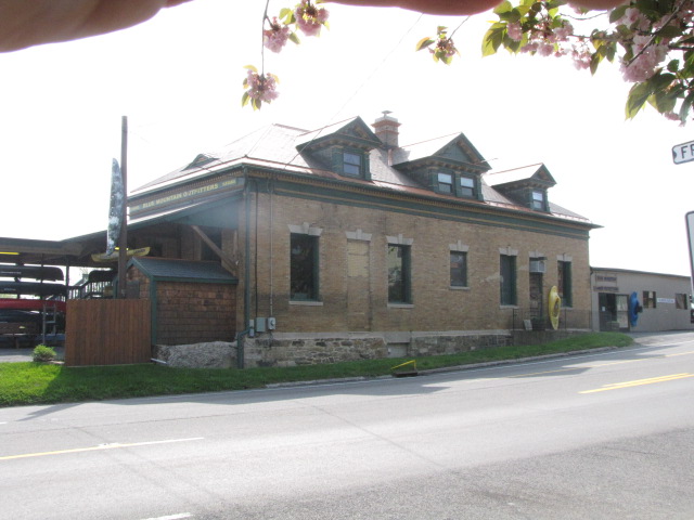
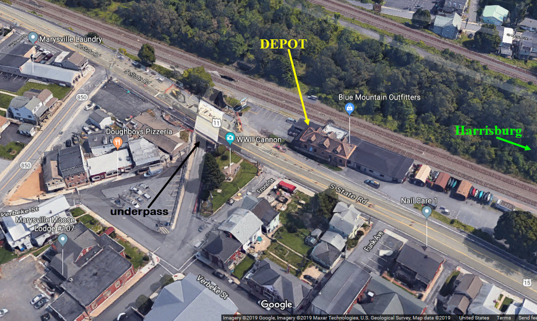
The Marysville Depot
GPS Coordinates: 40.342511, -76.929518
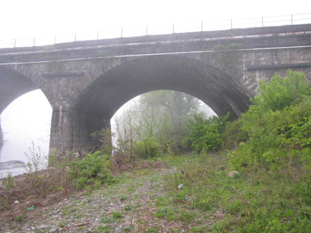
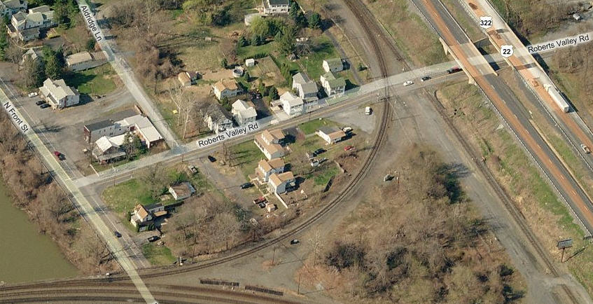
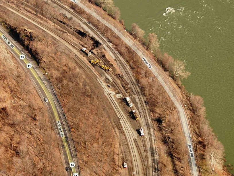
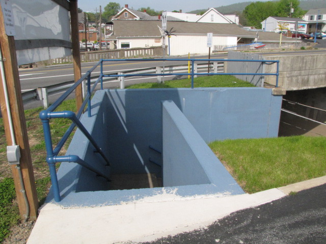
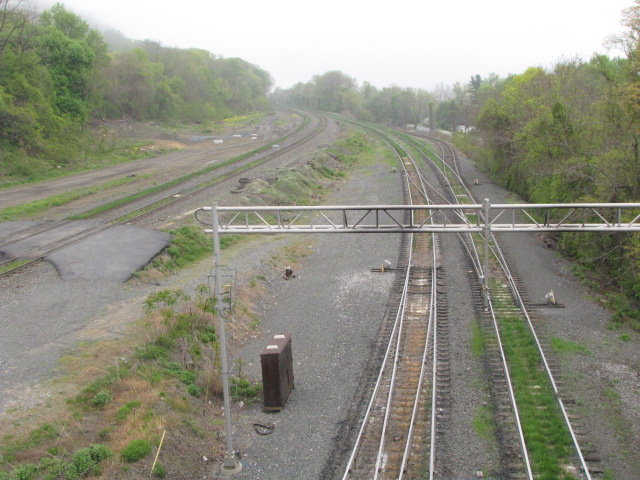
The River Road Overpass
GPS Coordinates: 40.317959, -76.915599
Just off the exit from WB I81, but you can't get to the River Rd overpass from here, you have to go south on US15 instead of north.
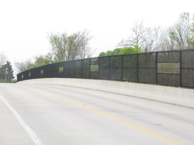
Looking north from the overpass.
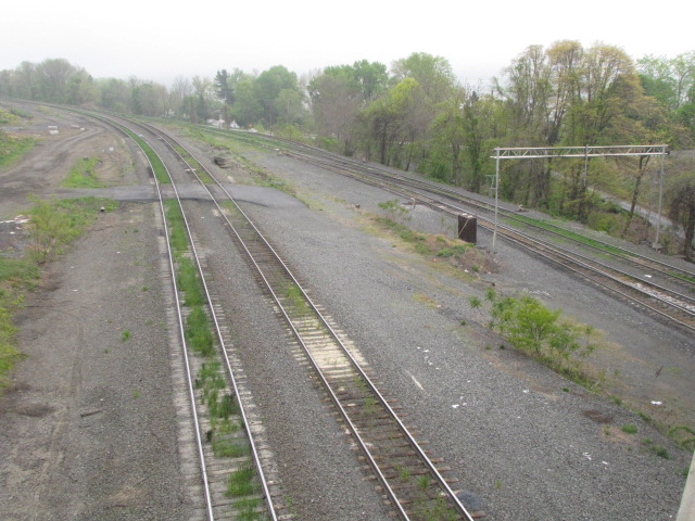
Looking south from the overpass.
The overpass, commemorative plaque, and parking area.
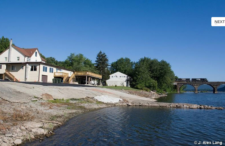
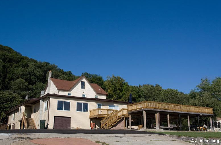
The Bridgeview B&B
GPS Coordinates: 40.329517, -76.915873
810 S Main St, Marysville, PA 17053
(717) 957-2438 www.bridgeviewbnb.com
This used to be a cool place to rent a boat to go out into the Susquehanna and catch pictures of trains on the bridge.
Converted into bed and breakfast a few years ago, it offers the railfan a unique opportunity to camp out right next to the bridge.
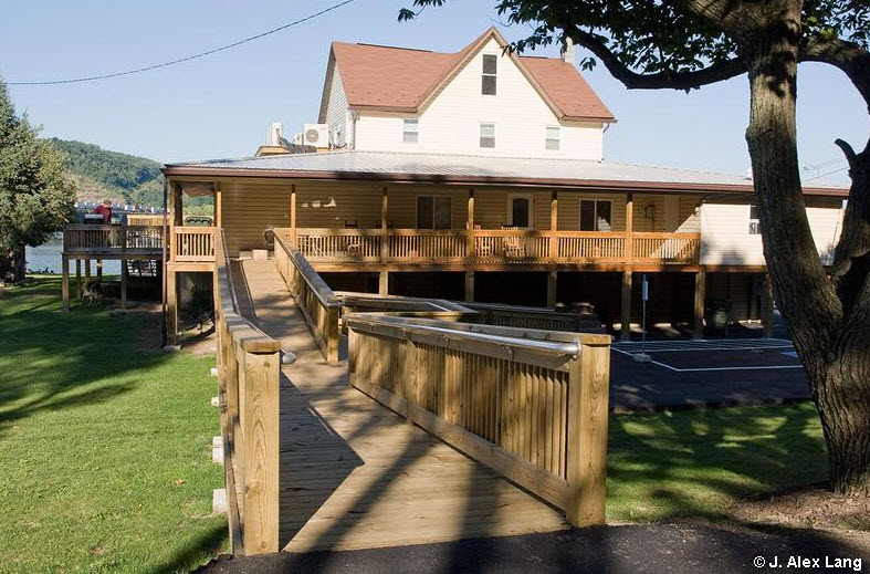
The B&B provides the railfan with a most excellent view of the Rockville Bridge due to its location. They have
also done a great job with the decking and wheelchair accessible ramps from the parking lot.... Nice Going!
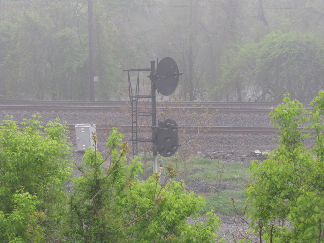
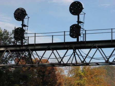
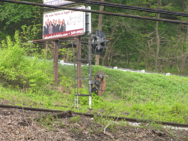
Old signals on a new cantilever structure. Taken from River Rd by the Bed and Breakfast.
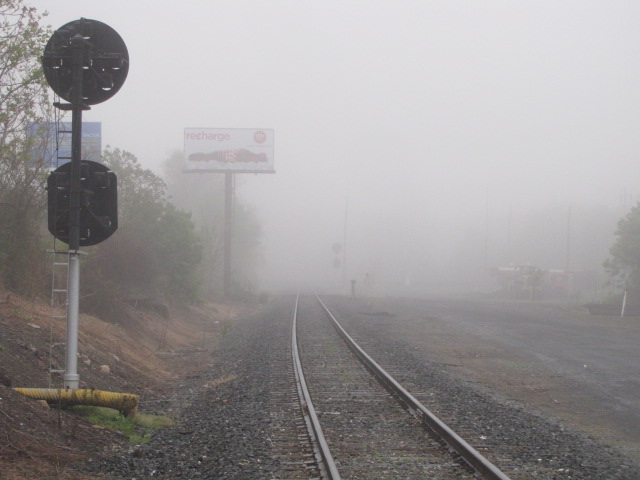
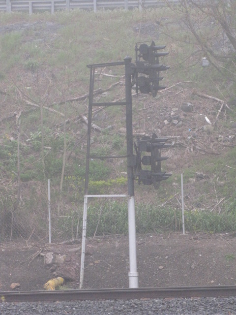
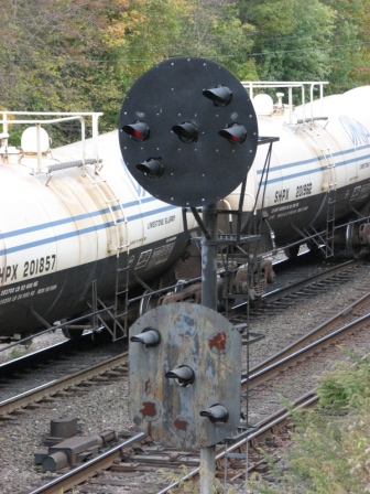
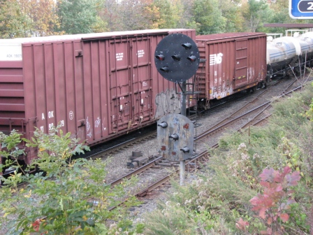
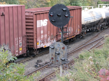
Western Shore, CP HIP.
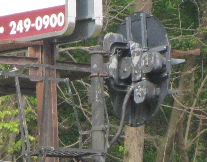
Three former signal locations, as seen from US15.
Western Shore, CP HIP.
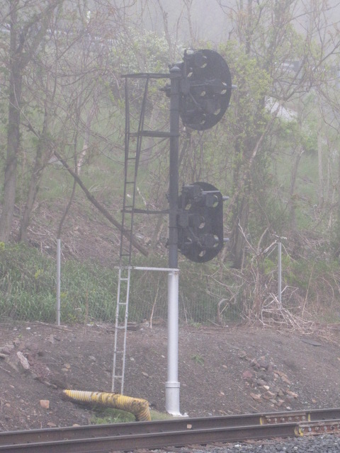
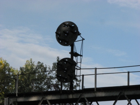
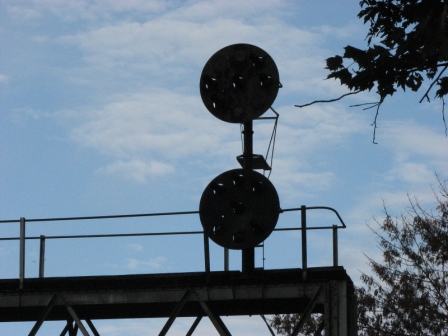
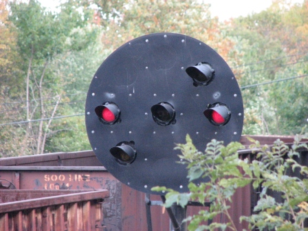
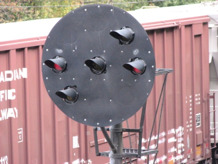
A lone PL signal for SB traffic on the Pittsburgh line,
headed into Enola.
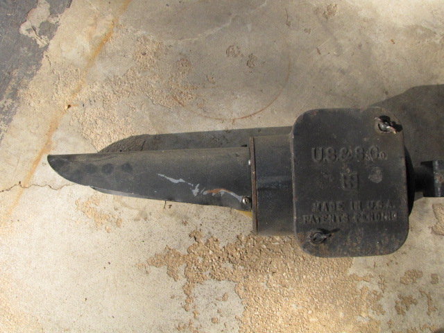
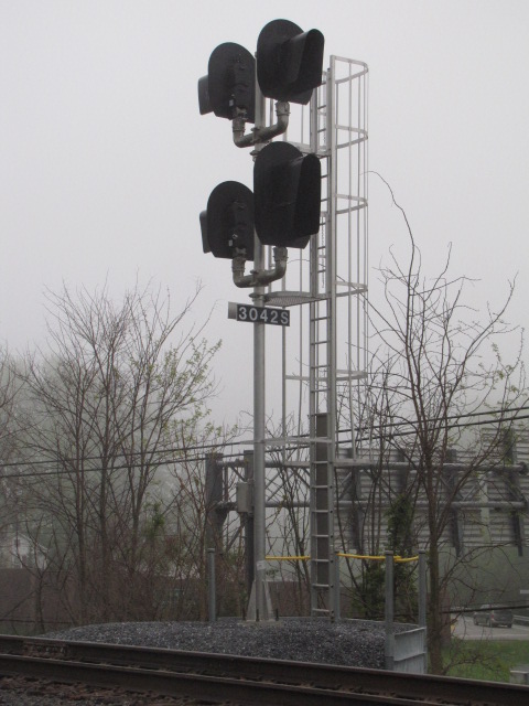
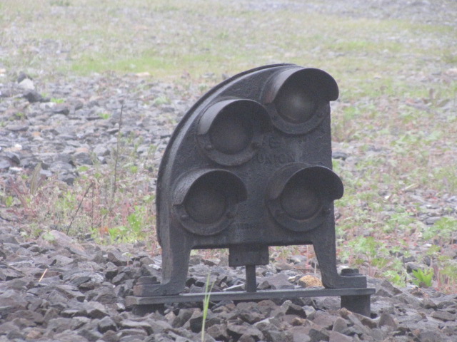
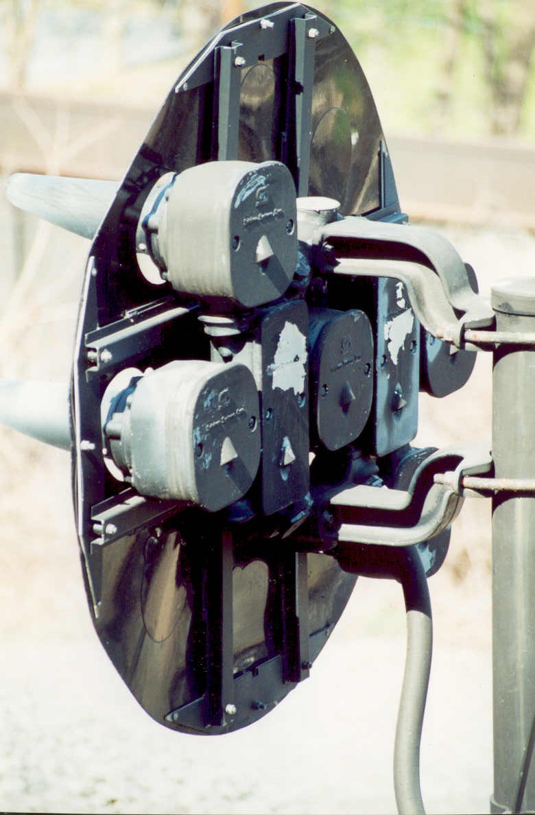
The upper head is a newer replacement made by Safetran, you don't see them too
often (details in the 2nd row of pictures).
That explains all of the screws holding the background on, compared to the lower head.
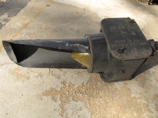
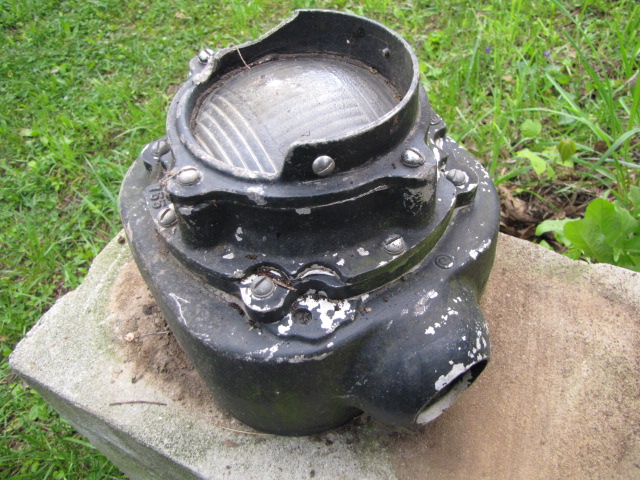
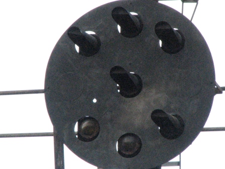
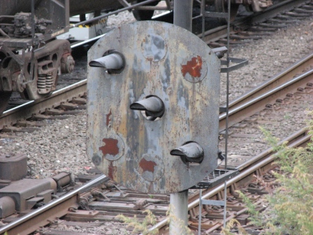
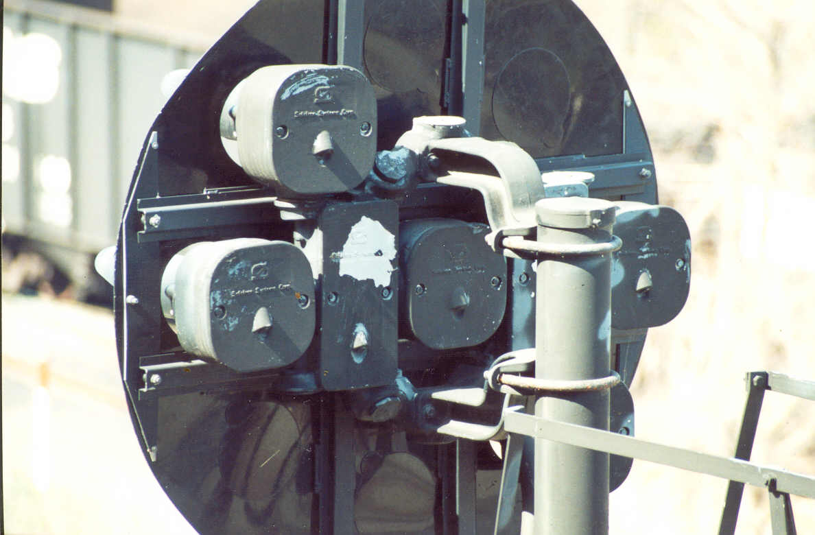
The two pictures on the left of the second line are an original US&S lamp, the
two on the right are of a Safetran unit, they also use a completely different
mounting system and hub.
< Scans of pictures from 5 years ago or so.
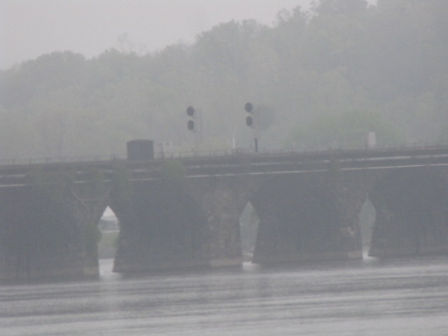
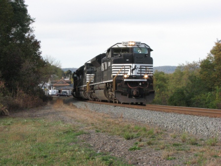
Western side of The Bridge.
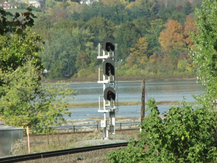
A newer colorlight installation for trains coming out of Enola and heading across the Bridge.
On the Bridge, Single Signal WB
Left picture from the western shore, right picture taken from the eastern shore on the north side of the bridge.
On the Bridge, Two Signals EB
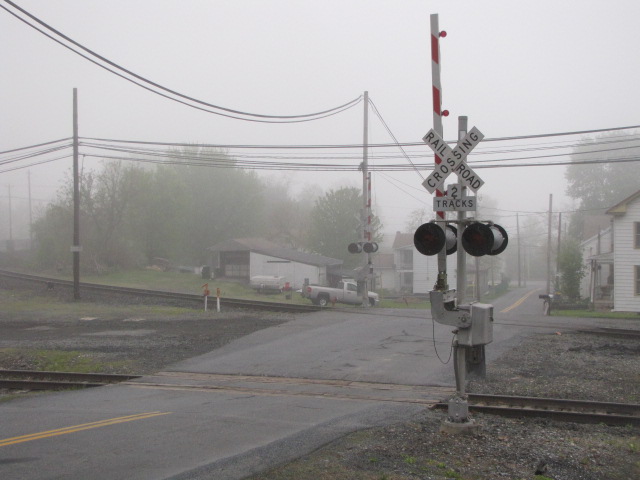
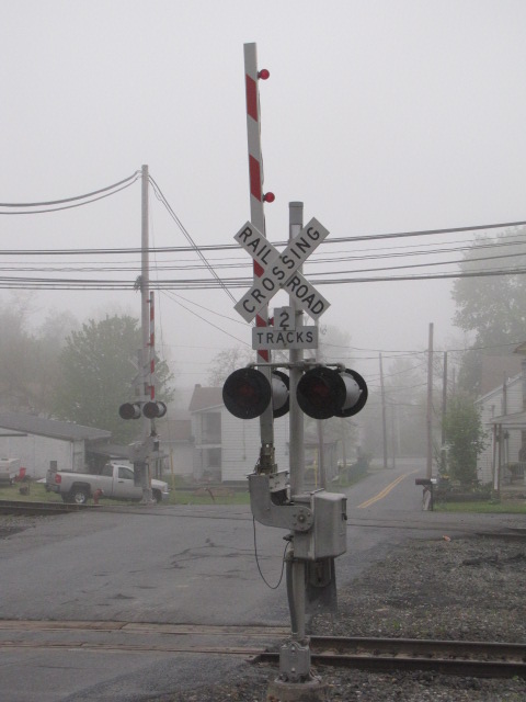
Cemetery Rd
Back to back sets of color light signals, for both NB and SB traffic. Good spot for NB pix.
SB Signal Bridge north of the US322 overpass.
Didn't manage to get any pictures of this set of signals. Has anyone else?
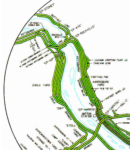
Pictures at the Rockville Wye, on the east side of the Bridge
North of Harrisburg Yard and Linglestown Rd
This Signal Bridge is difficult to access for good pictures, this is taken from along US322.
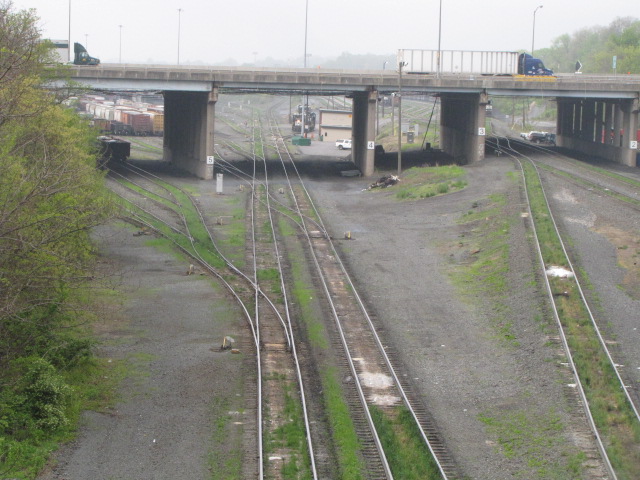
North Side of Harrisburg Yard
This set doesn't show up on my map, yet.....
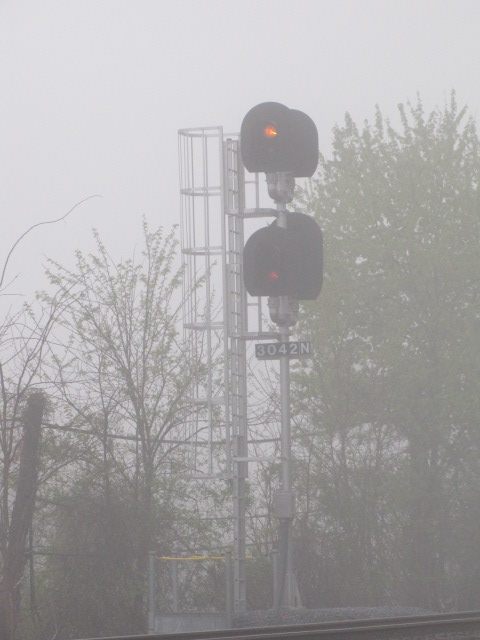
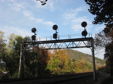
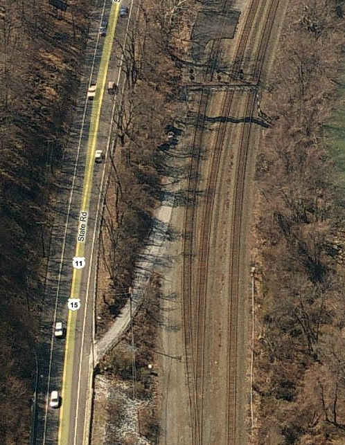
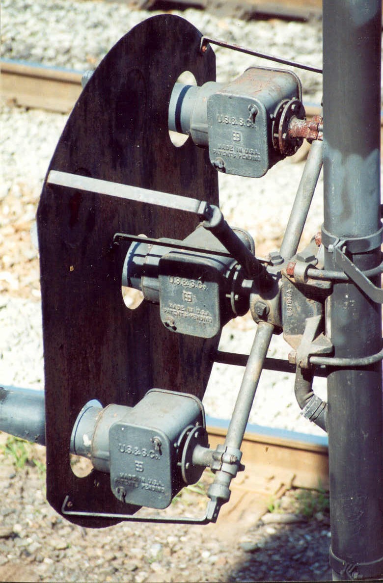
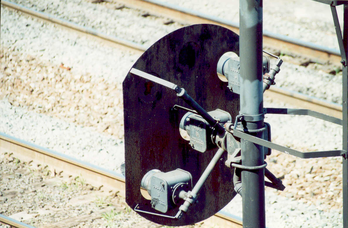
First Signals North of Marysville
Signal Bridge with Pennsy PL Signals, for SB traffic heading to Harrisburg, the right
signal has a full lower background - not very common.
I mis-labeled this set #10 on the upper left hand corner :-(
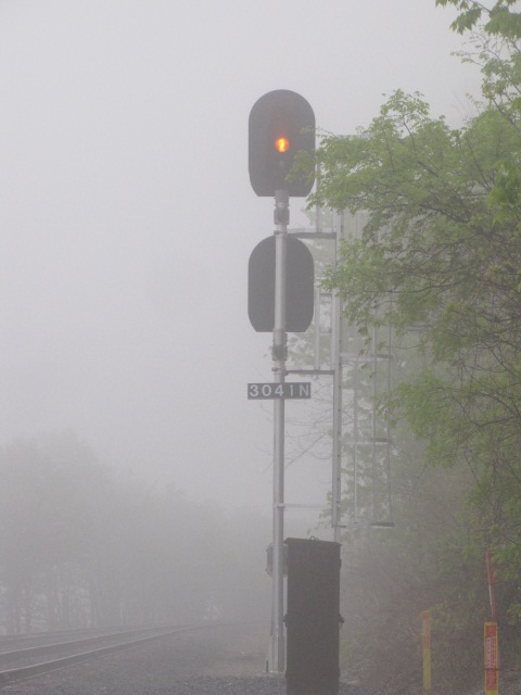
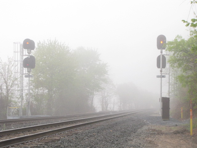
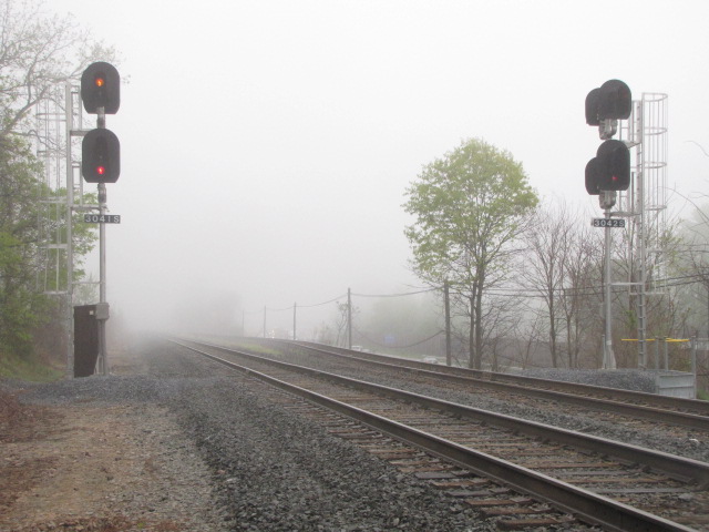
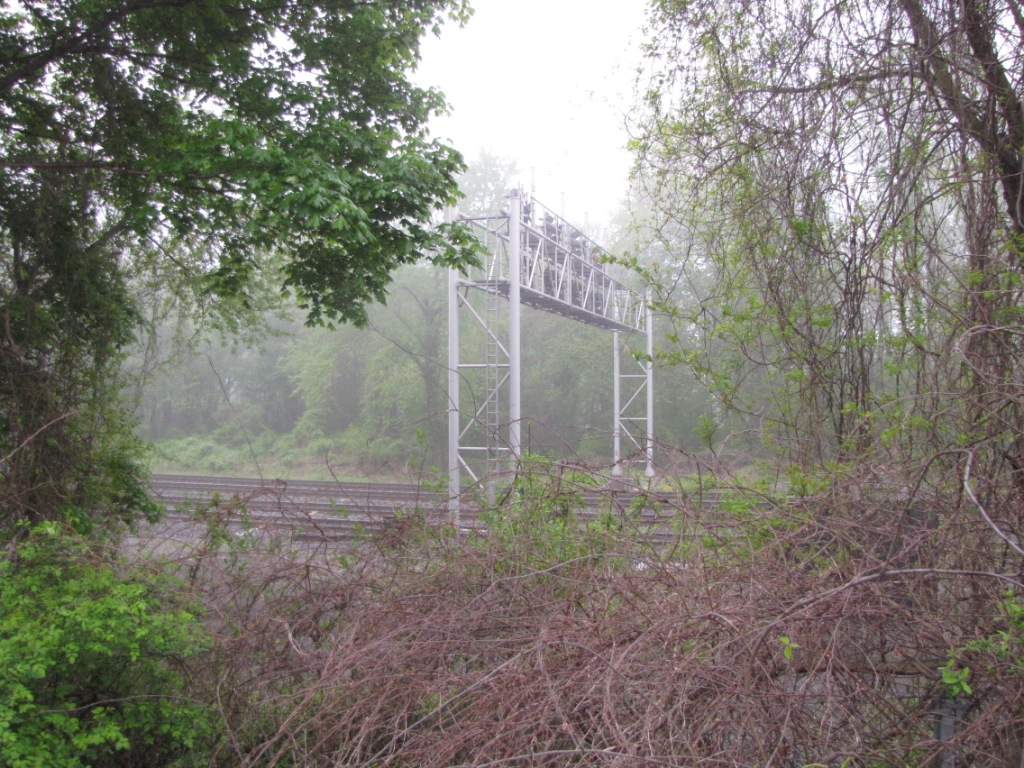
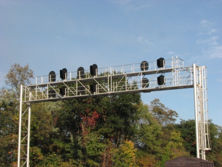
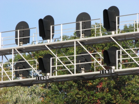
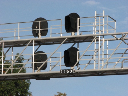
Second Signal Set North of Marysville
"New" signal bridge with color light signals. 6 sets of signals, with a set of three for both NB and SB traffic.
Pictures from my 2008 venture to Northumberland.
Pittsburgh Line, further up.
North off the map on the west side of the river, the Pittsburgh line goes from 4 tracks to 3, with a couple of nice signal bridges.
Buffalo Line, further up.
North off the map on the east side, is where the Buffalo Line narrows from two tracks to one, with signals.
Courtesy of the University of Texas Library, click
here for their index page.
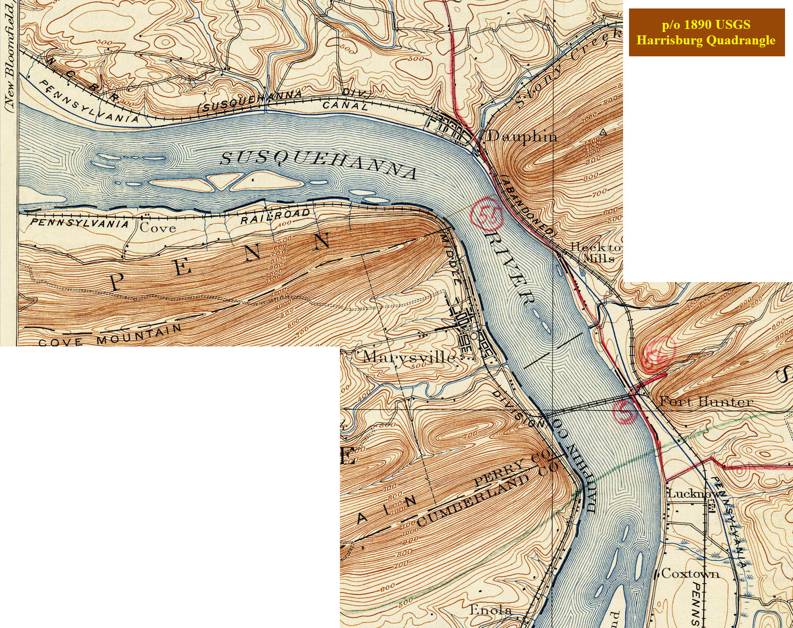
Below is a portion of a 1890 USGS Harrisburg Quadrangle map, showing
the Marysville/Rockville Bridge area and a little north.
Notice the Pennsylvania Canal and the
abandoned (even in 1890) track bearing off to the right above Dauphin.
The railroad on the east bank is the Northern Central, the second railroad out
of Baltimore.
Disclaimers:
I love trains, and I love signals. I am not an expert. My webpages reflect what I find on the topic of the page. This is something I have fun with while
trying to help others.
Please Note: Since the main focus of my two websites is railroad signals, the railfan guides are oriented towards the signal fan being able to locate them.
For those of you into the modeling aspect of our hobby, my
indexa page has a list of almost everything railroad oriented
I can think of to provide you with at least a few pictures to help you detail your pike.
If this is a railfan page, every effort has been made to make sure that the information contained on this map and in this railfan guide is correct. Once in a while,
an error may creep in :-)
My philosophy: Pictures and maps are worth a thousand words, especially for railfanning. Text descriptions only get you so far, especially if you get lost or
disoriented. Take along good maps.... a GPS is OK to get somewhere, but maps are still better if you get lost! I belong to AAA, which allows you to get
local maps for free when you visit the local branches. ADC puts out a nice series of county maps for the Washington DC area, but their state maps do not have the
railroads on them. If you can find em, I like the National Geographic map book of the U.S..... good, clear, and concise graphics, and they do a really good job
of showing you where tourist type attractions are, although they too lack the railroads. Other notes about specific areas will show up on that page if known.
Aerial shots were taken from either Google or Bing Maps as noted. Screen captures are made
with Snagit, a Techsmith product... a great tool if you have never used it!
By the way, floobydust is a term I picked up 30-40 years ago from a National Semiconductor data book, and means miscellaneous
and/or other stuff.
Pictures and additional information is always needed if anyone feels inclined to take 'em, send 'em, and share 'em, or if you have something to add or correct.... credit
is always given! Please be NICE!!! Contact info is here
Beware: If used as a source, ANYTHING from Wikipedia must be treated as being possibly being inaccurate, wrong, or not true.


 Just off the exit from WB I81, but you can't get to the River Rd overpass from here, you have to go south on US15 instead of north.
 Looking north from the overpass.
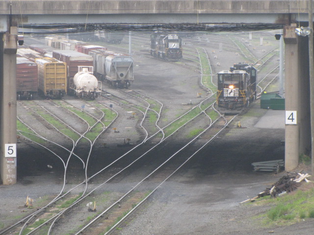
 Looking south from the overpass.
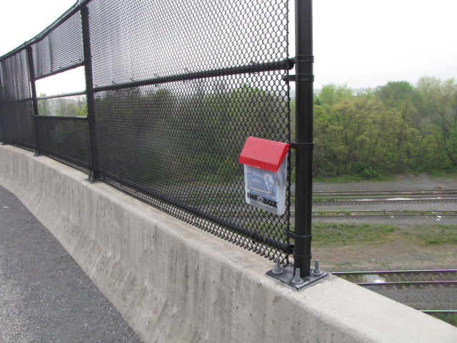

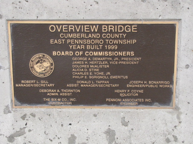
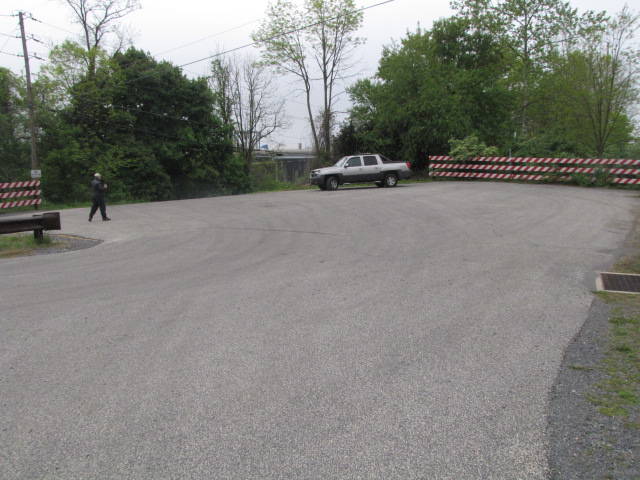 The overpass, commemorative plaque, and parking area.
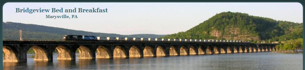


 Middle tunnel, southern portal
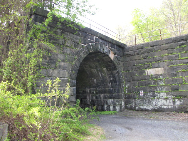 North tunnel, northern portal
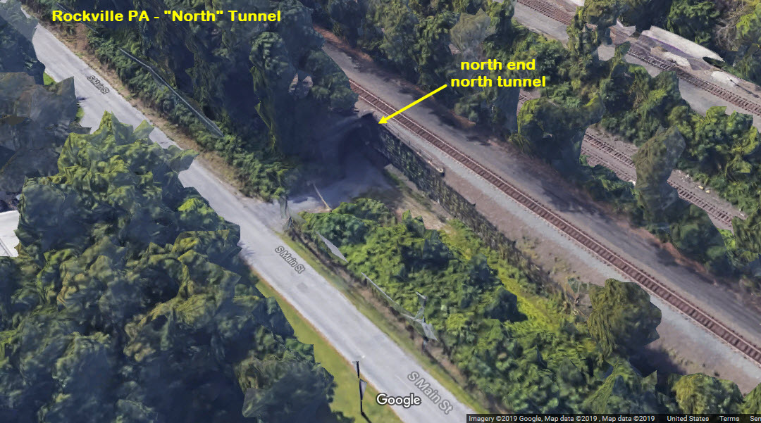 North tunnel
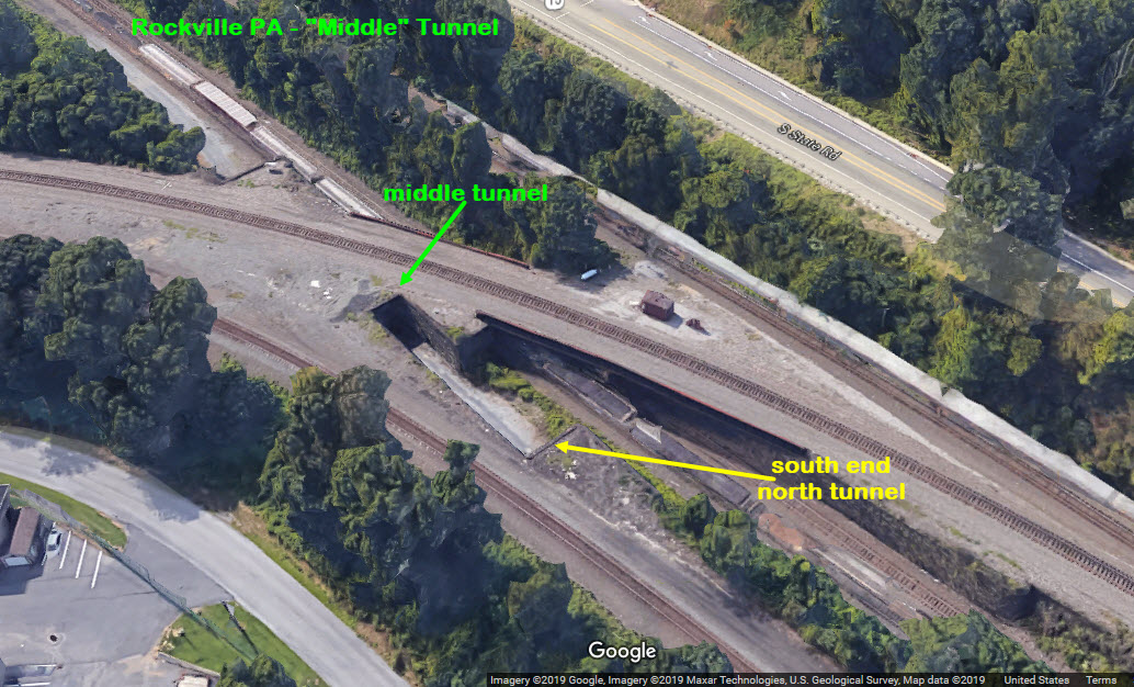 North and middle tunnels
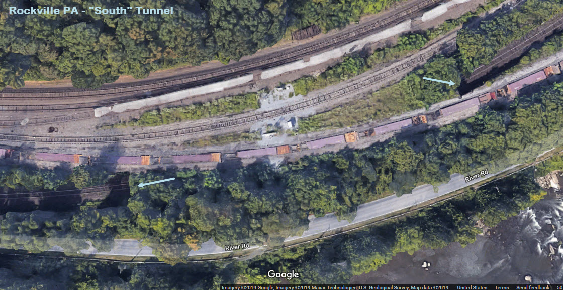

 < Scans of pictures from 5 years ago or so.