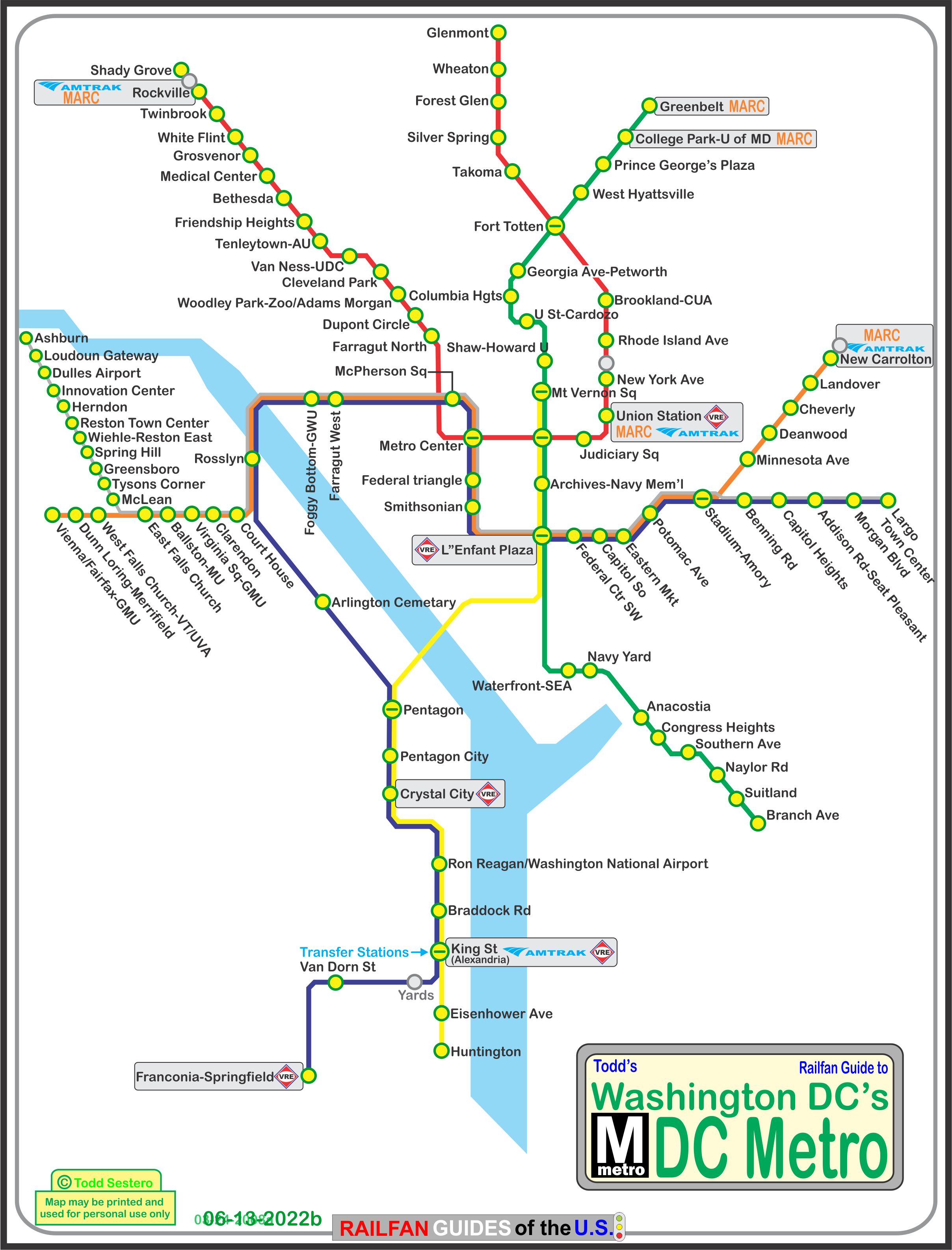
The Washington Metro, also known just as the
Metro and Metrorail, is the rapid transit / subway system for Washington,
D.C., and its surrounding suburbs. It is administered by the Washington
Metropolitan Area Transit Authority (WMATA), which also operates Metrobus
service under the Metro name in Maryland.
Metro provides service to Montgomery and Prince George's County in Maryland;
and in Virginia: to Fairfax County, Arlington County, and the City of Alexandria.
The Metro opened March 27th, 1976. Since then, the network has grown to
include five lines, 86 stations, and 106.3 miles of track.
It started in 1968, when WMATA approved the construction of a 98 mile
rapid transit system. Construction started on December 9th,
1969. There were originally 5 stations on the 4.6 mile Red Line, Rhode
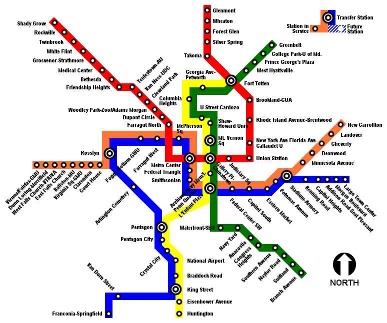
Island to Farragut North. The system now comprises of:
-- The Red Line, has 27 stations.
-- The Blue Line, 27 stations, opened in 1977.
-- The Orange Line, 26 stations, opened in 1978.
-- The Yellow Line, 17 stations, opened in 1983.
-- The Green Line, has 21 stations, opened in 1991.
-- The Silver Line, added 5 stations that opened on 7/26/2014,
another 6 stations to be completed in 2016 (MISSED that date!).
About 50 miles of the system is underground, as are 47 of the 86 stations.
There are 50 stations in DC, 15 in Prince Georges Co MD, 11 in
Montgomery Co MD, 11 in Arlington Co VA, 6 in Fairfax Co VA,
and 3 in Alexandria VA.
The Forest Glen station on the Red Line is the deepest on the
system at 196 feet, but doesn't use escalators, they use high
speed elevators instead.
Washington's Metro system is the second-busiest rapid transit
system in the United States in number of passenger trips, after
the New York City Subway System.
Fares vary based on the distance traveled and the time of day,
which really makes commuting more complicated than it has to be,
and sucks for those of us who don't ride the system every day.
Riders enter and exit the system using a stored-value card in the
form of a paper magnetic stripe fare card or a proximity card known as SmarTrip.
So, IMHO, the DC Metro is one of the worst systems to ride, because of their
fare structure. Fares are based on the time of day, AND, the distance
you are traveling. Add to this, for instance, the transfers
between the two Farragut stations (from Wikipedia): While it is only a block away
(across the square) from Farragut North on the Red Line, there is no direct
connection between the two stations. WMATA originally planned to have a
single Farragut station that would serve as an alternate transfer station
to ease congestion that would develop in Metro Center. However, it would
have been constructed using the cut and cover method, disrupting the square
above. Therefore, this proposal was not favored and the two separate stations
were built instead. As part of its long-term capital improvement plan dated
September 12, 2002, Metro has proposed building an underground pedestrian
tunnel connecting this station with Farragut North. On October 28, 2011,
Metro announced its Farragut Crossing program, allowing riders using a
SmarTrip card up to 30 minutes to transfer for free by foot between
Farragut West and Farragut North stations. Gee, how nice and
considerate of them to "give you" 30 minutes FOR FREE :-)
Parking is pretty convenient at most above ground stations, BUT
BEWARE of the posted signs, for they DO ticket almost immediately
(speaking from personal experience). Most lots have general
parking until the rush hours, then certain spaces need to be vacated.
Acknowledgements:
WMATA Website
Wikipedia
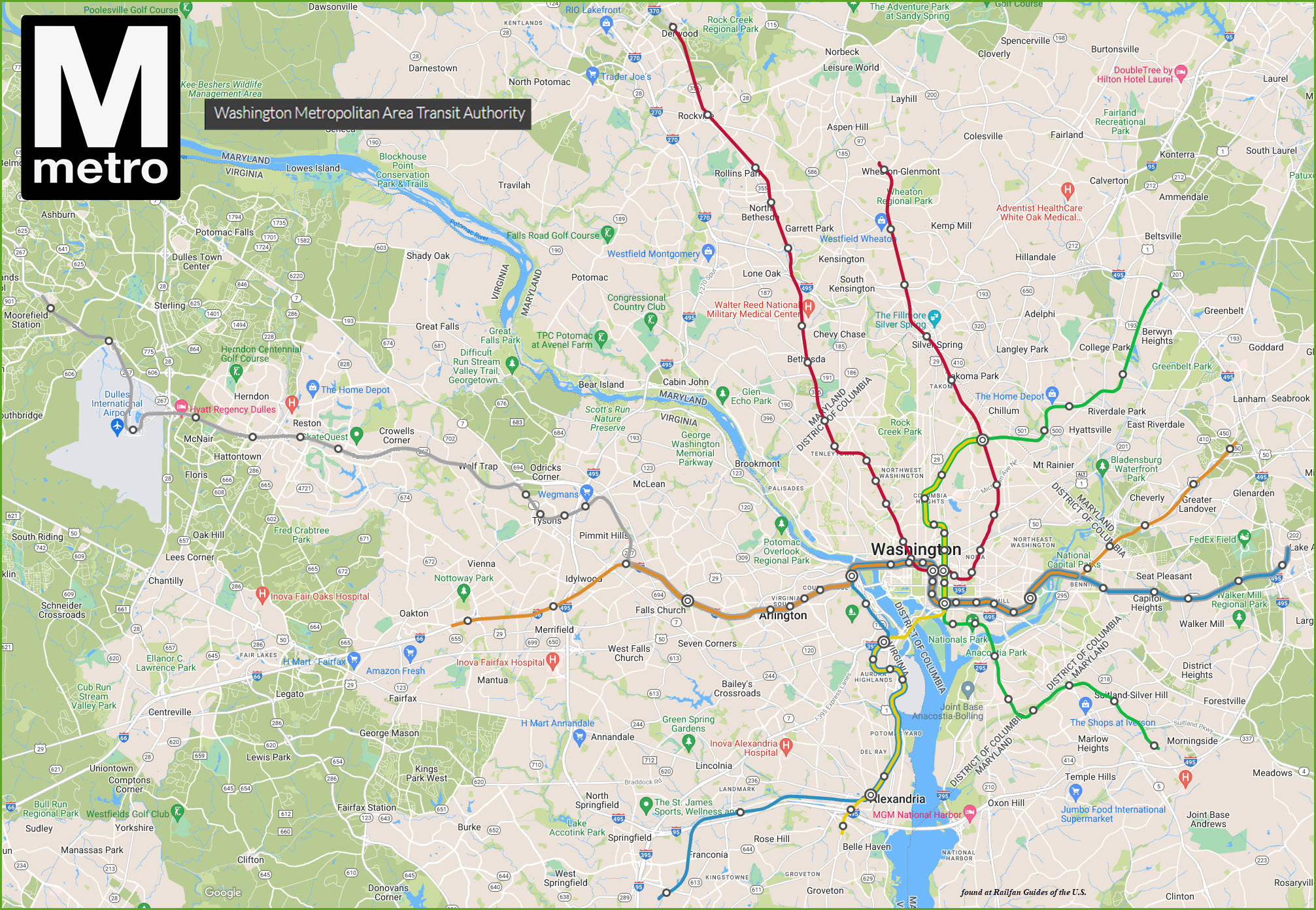
Google Maps
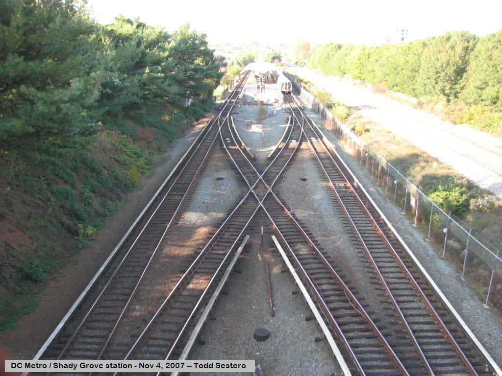
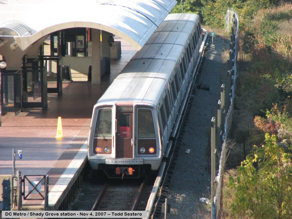
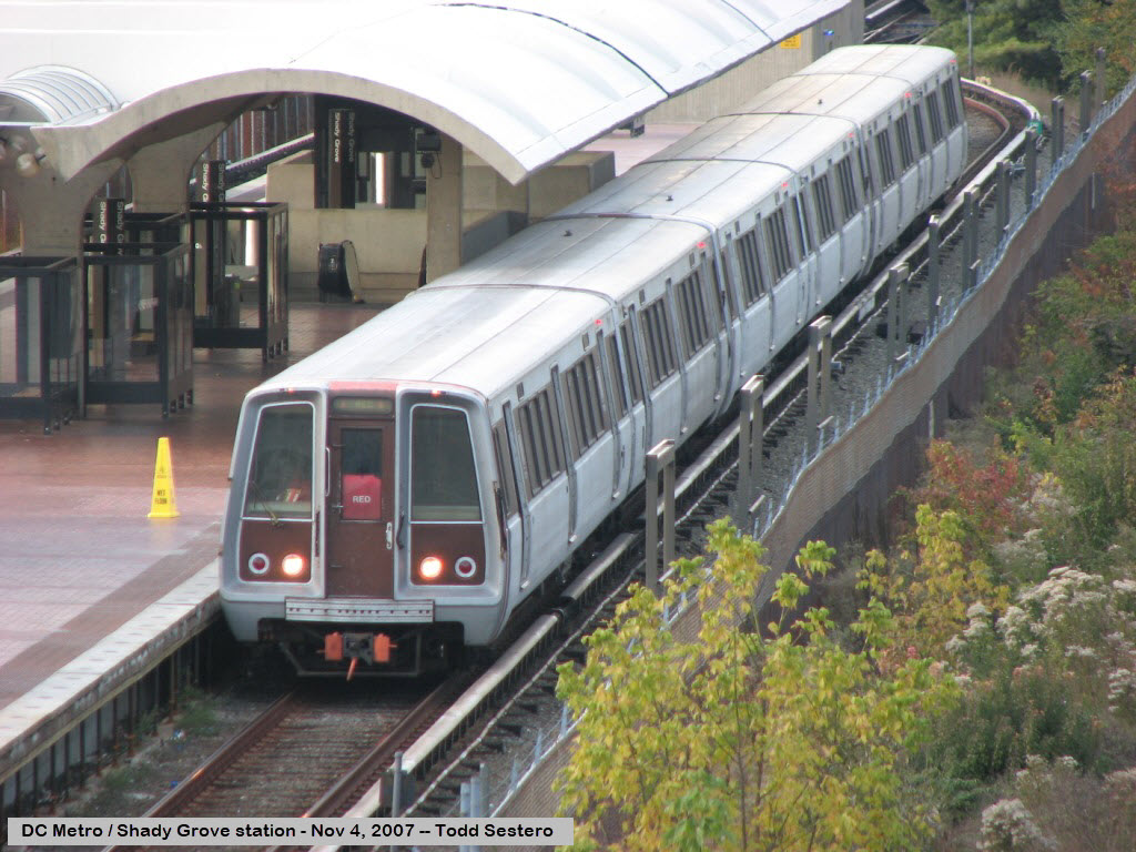
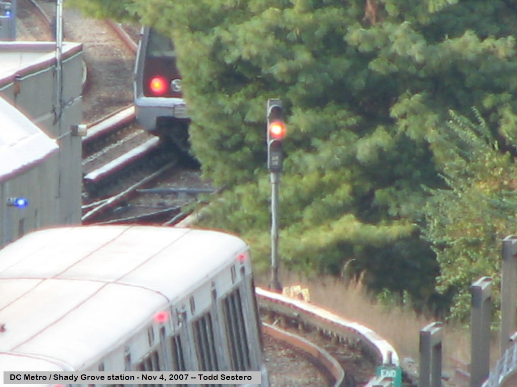
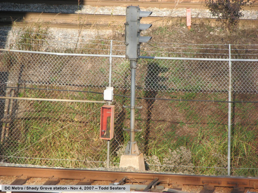
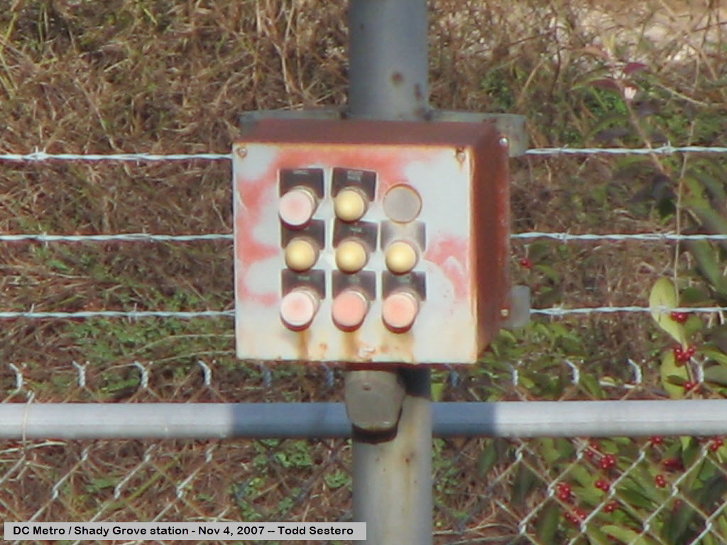
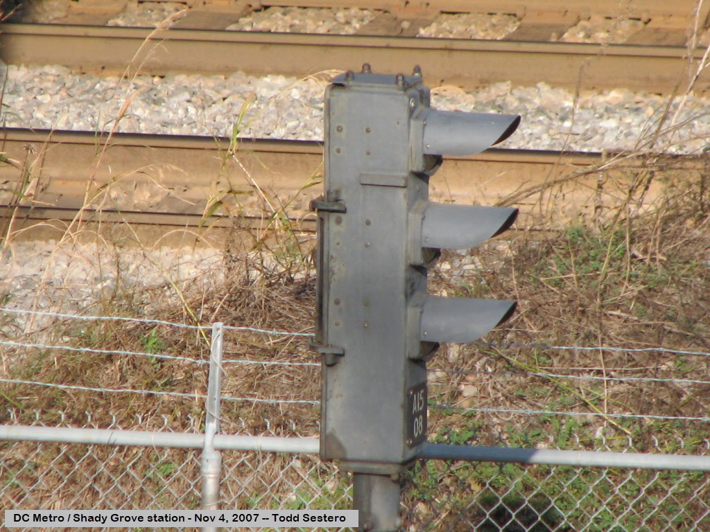
Pictures from the Shady Grove station at the end of the Red Line on train show day at Gaithersburg, 11-04-2007.
Pictures such as these can be had anywhere on the system.
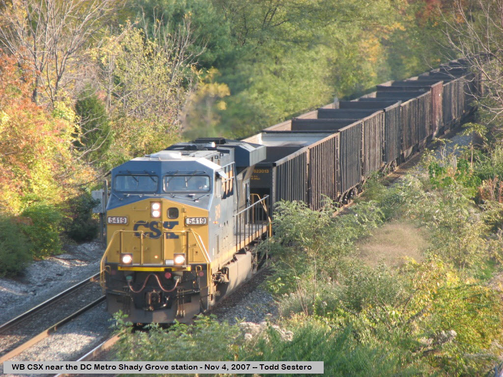
CSX runs alongside the Metro, this one is on it's way west to Hagerstown and Cumberland.
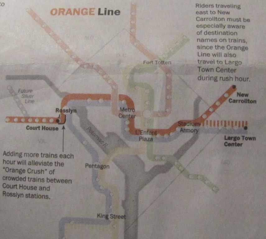
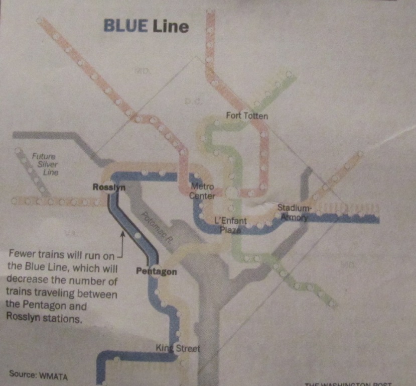
WMATA announced changes back in 2012 to the operating schedule for
the Yellow, Orange, and Blue lines in preparation for the opening of the Silver line.
The changes to Metrorail are being promoted as Rush Plus, and are effective
only during and around the rush hours.
There are no changes to the Green or Red line schedules, other than having to
adjust your timing if you connect with one of the aforementioned lines.
These changes were in the Sunday, June 10th edition of the Washington Post
in their Metro section, and took effect on June 18th, 2012.
Trains will be added to the Orange and Yellow lines, but trains will be
deleted from the Blue line schedule.


 From 6/12/2012
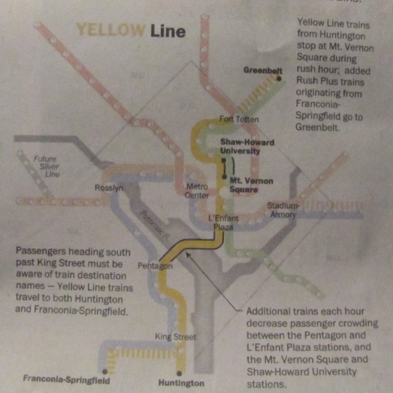
 Other changes made on June 12th, 2012
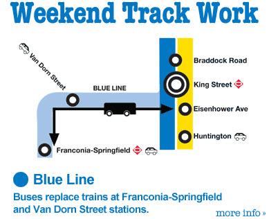 Check out
their website for work going on around the system!
http://www.wmata.com/.
Check out
their website for work going on around the system!
http://www.wmata.com/.