Location / Name:
Philadelphia PA: Bucks, Chester, Delaware, Montgomery and Philadelphia Counties
What's Here:
Railroad Stations of 1934
Access by train/transit:
Well, at the time, any of them :-)
The Scoop:
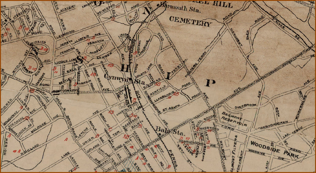
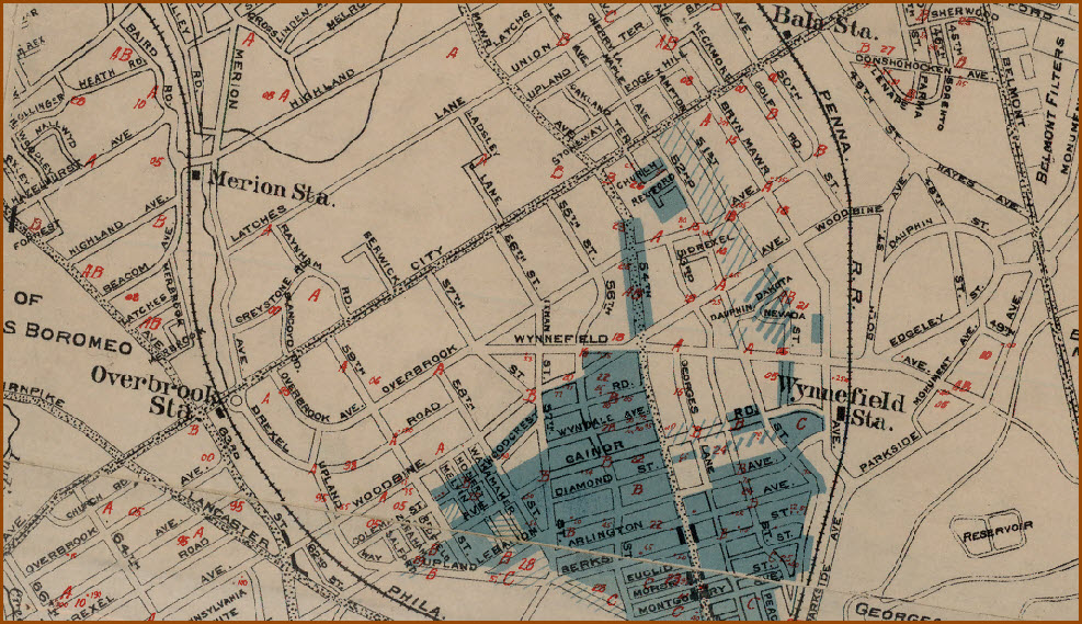
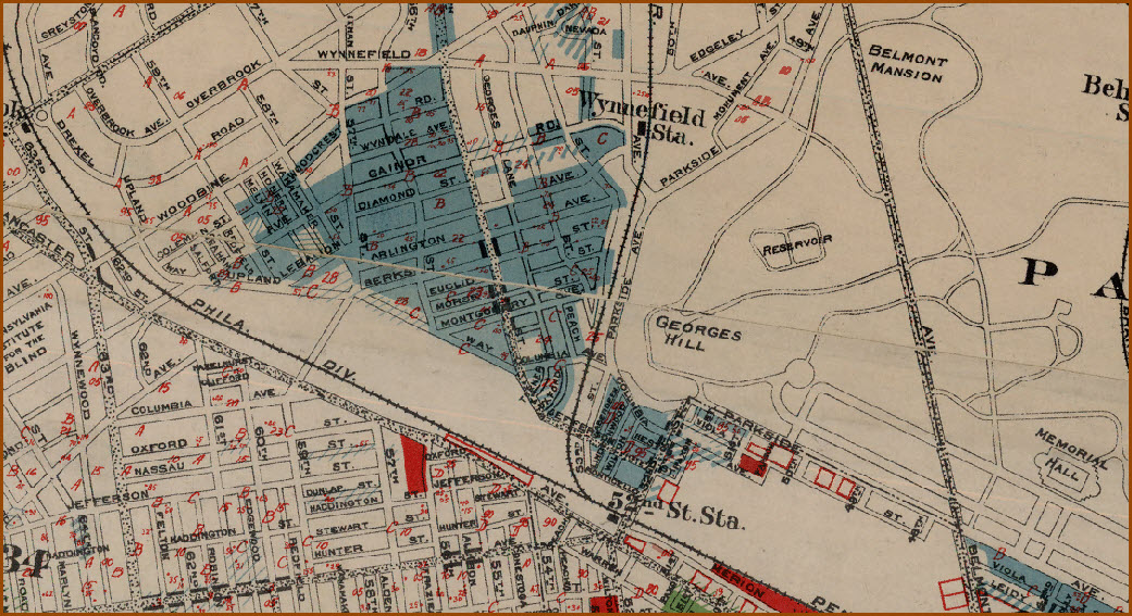
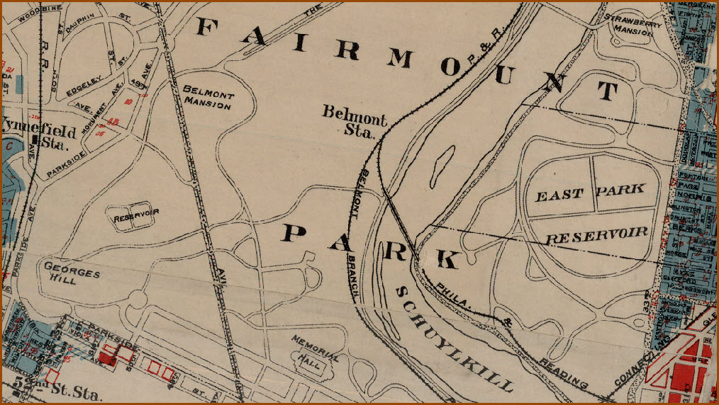
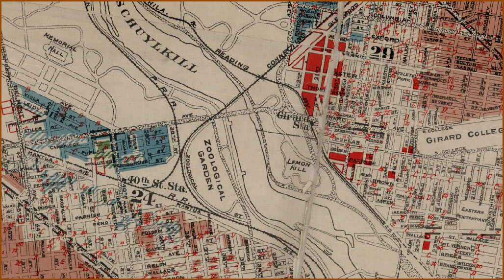
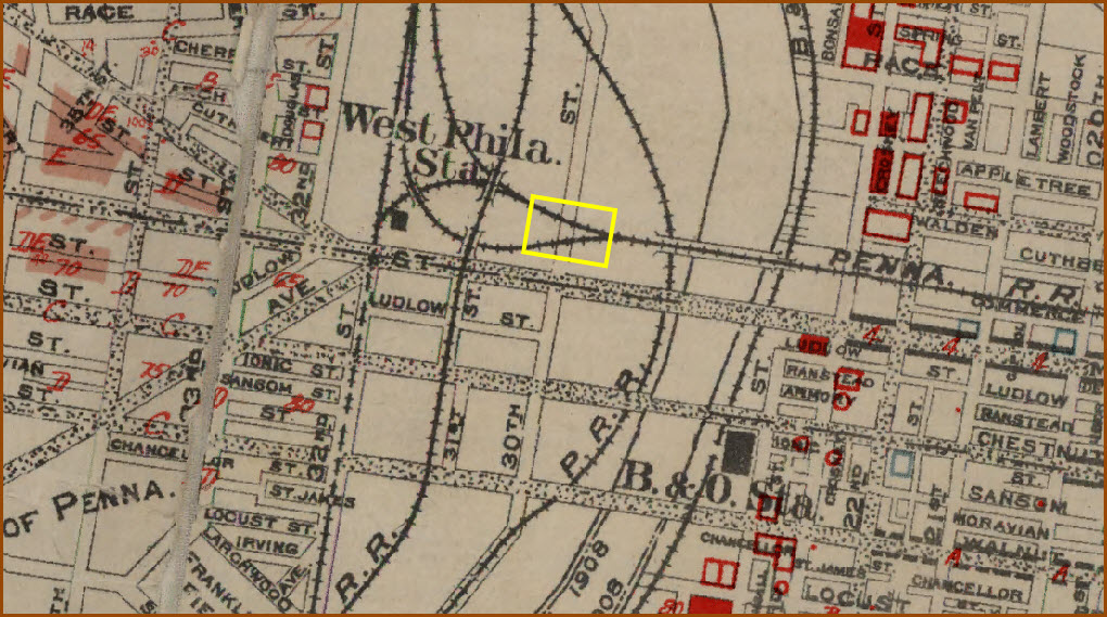
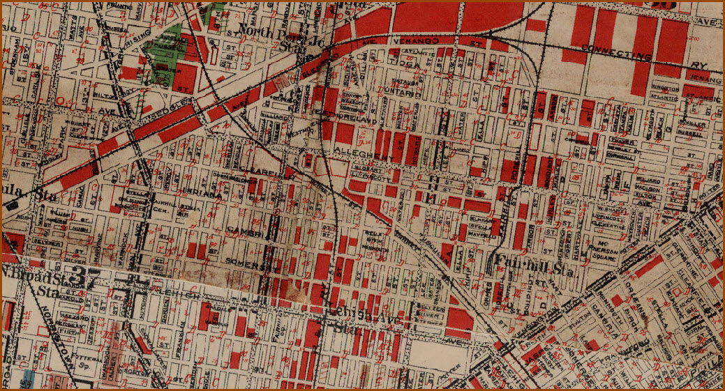
This page covers the railroad / train stations that were around in 1934.
The base map comes from an excellent historical reference page of maps of
the greater Philadelphia area from back in the early 1800's, all overlaid on
Google's map from today. You can click on as many maps as you want,
but only the latest map will be shown on top, earlier maps will be
"underneath".
Because there are so many stations to cover, I have divided the coverage
into several pages, this page covers stations Northwest of the current 30th
Street Station, the other two cover North East Philadelphia, and South
Philadelphia.
Acknowledgements:
Greater Philadelphia Geo History
Railroad Abbreviations:
PG&N - Philadelphia, Germantown & Norristown RR
PN&NY - Philadelphia, Newtown & New York RR
P&R - Philadelphia & Reading Rwy, which later became the Reading
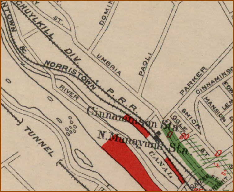
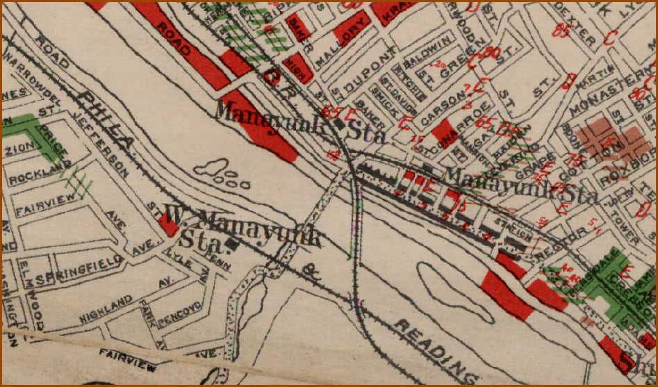
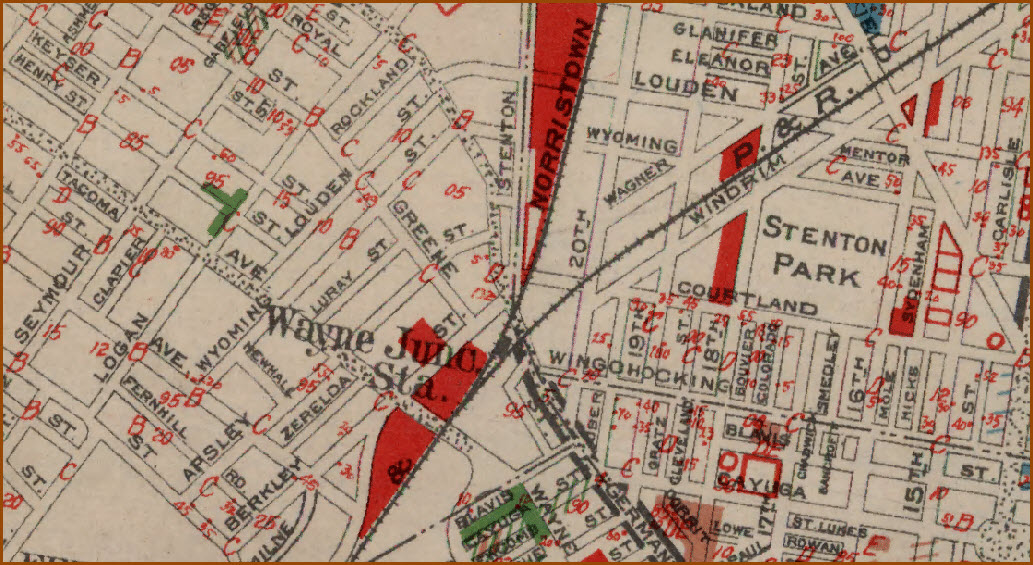
PRR - Pennsylvania RR Cinnaminson Station (PRR), N. Manayunk Station (G&N)
Manayunk Station (PRR), Manayunk Station (G&N/P&R), W. Manayunk
Station (P&R)
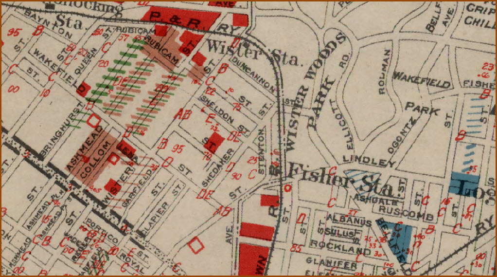
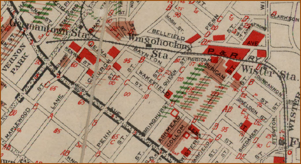
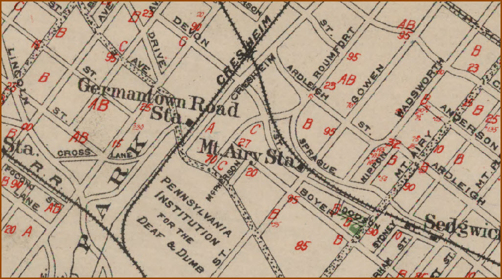
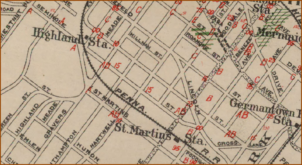
Germantown Station (PRR), Queen Lane Station (PRR)
The PRR Germantown Station is now the Chelten Station on the Chestnut Hill
West Line, formerly the R8 Line. This is to differentiate this station
from the station on the Reading line by the same name. A station has been at Chelten
since 1884. The 1884 station was replaced in 1918. In 1958, that station was razed
to make way for a concrete structure which stands today.
Queen Lane Station
Chelten Station around 1925???
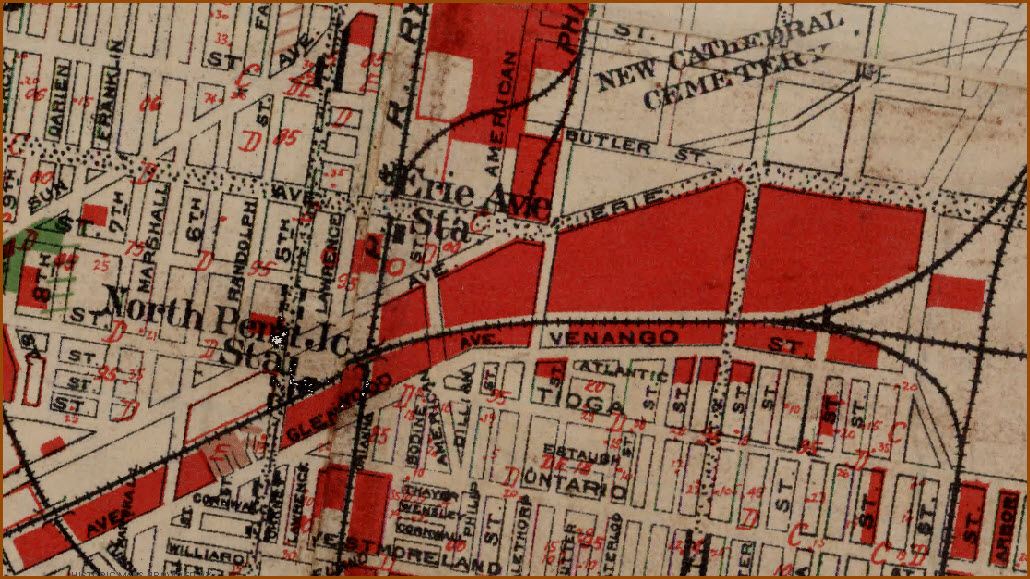
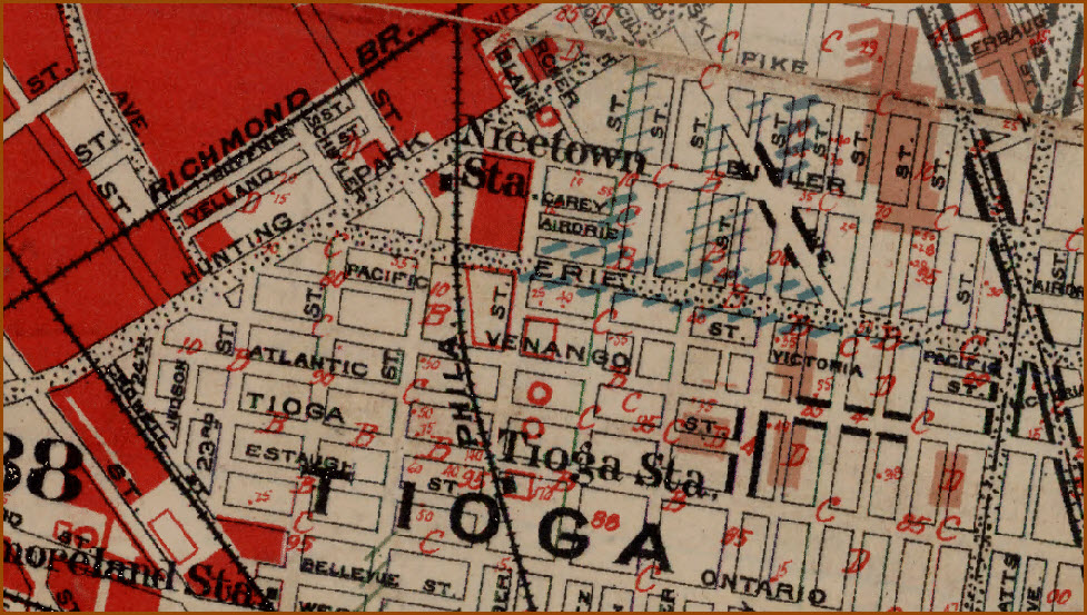
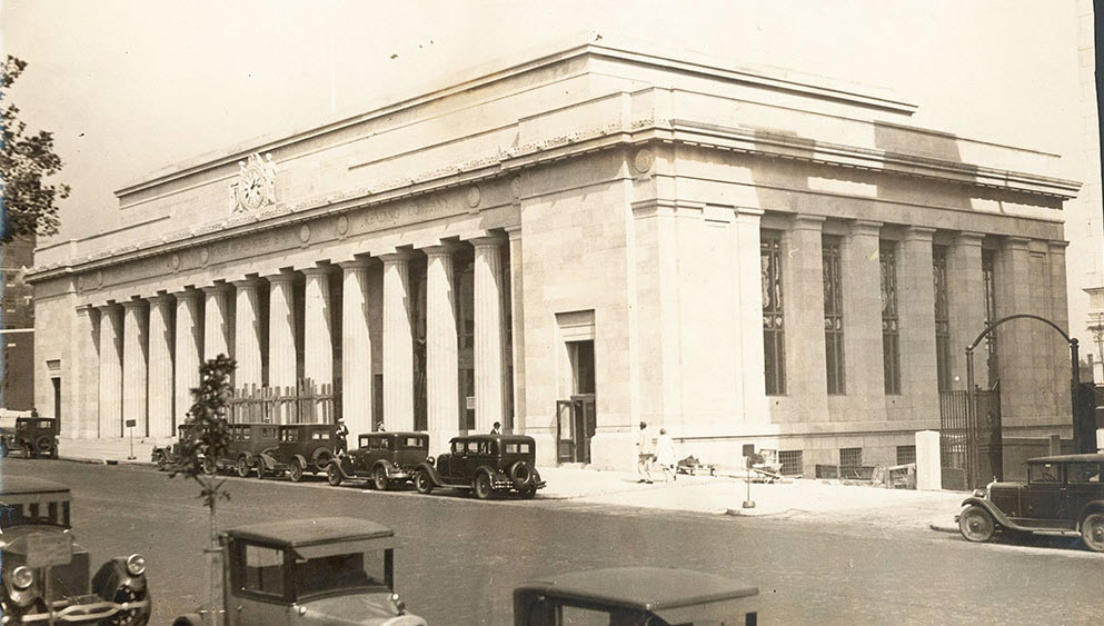
N. Philadelphia Station (PRR), N. Broad St Station (P&R)
Erie Ave Station (P&R), North Penn Junction Station (PRR)
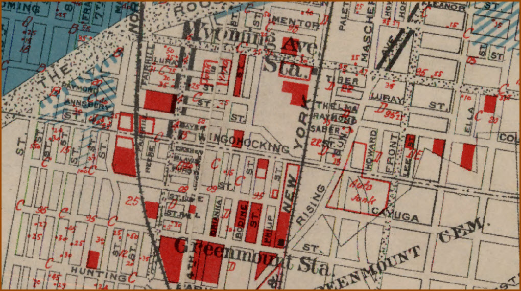
Wyoming Ave Station (PN&NY), Greenmount Station (PN&NY)
Disclaimers:
I love trains, and I love signals. I am not an expert. My webpages reflect what I find on the topic of the page. This is something I have fun with while
trying to help others.
Please Note: Since the main focus of my two websites is railroad signals, the railfan guides are oriented towards the signal fan being able to locate them.
For those of you into the modeling aspect of our hobby, my
indexa page has a list of almost everything railroad oriented
I can think of to provide you with at least a few pictures to help you detail your pike.
If this is a railfan page, every effort has been made to make sure that the information contained on this map and in this railfan guide is correct. Once in a while,
an error may creep in :-)
My philosophy: Pictures and maps are worth a thousand words, especially for railfanning. Text descriptions only get you so far, especially if you get lost or
disoriented. Take along good maps.... a GPS is OK to get somewhere, but maps are still better if you get lost! I belong to AAA, which allows you to get
local maps for free when you visit the local branches. ADC puts out a nice series of county maps for the Washington DC area, but their state maps do not have the
railroads on them. If you can find em, I like the National Geographic map book of the U.S..... good, clear, and concise graphics, and they do a really good job
of showing you where tourist type attractions are, although they too lack the railroads. Other notes about specific areas will show up on that page if known.
Aerial shots were taken from either Google or Bing Maps as noted. Screen captures are made
with Snagit, a Techsmith product... a great tool if you have never used it!
By the way, floobydust is a term I picked up 30-40 years ago from a National Semiconductor data book, and means miscellaneous
and/or other stuff.
Pictures and additional information is always needed if anyone feels inclined to take 'em, send 'em, and share 'em, or if you have something to add or correct.... credit
is always given! Please be NICE!!! Contact info is here
Beware: If used as a source, ANYTHING from Wikipedia must be treated as being possibly inaccurate, wrong, or not true.

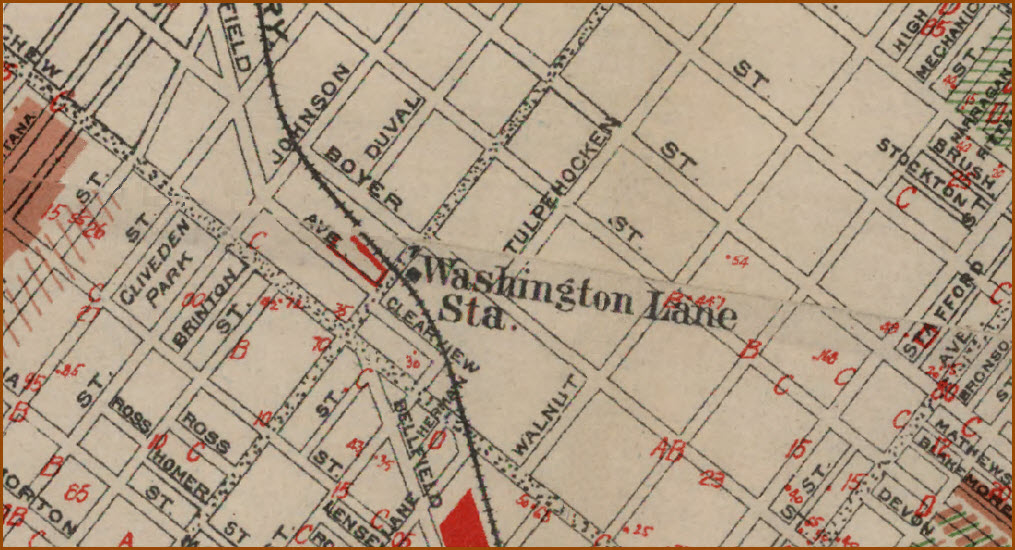
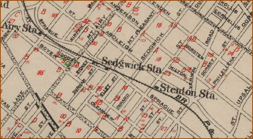

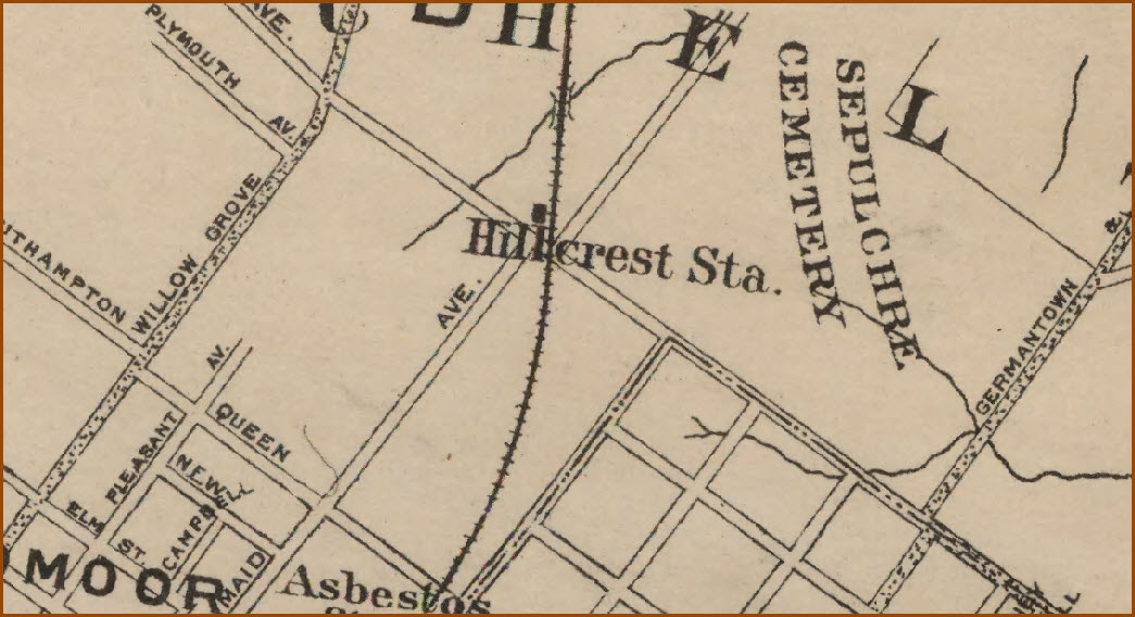
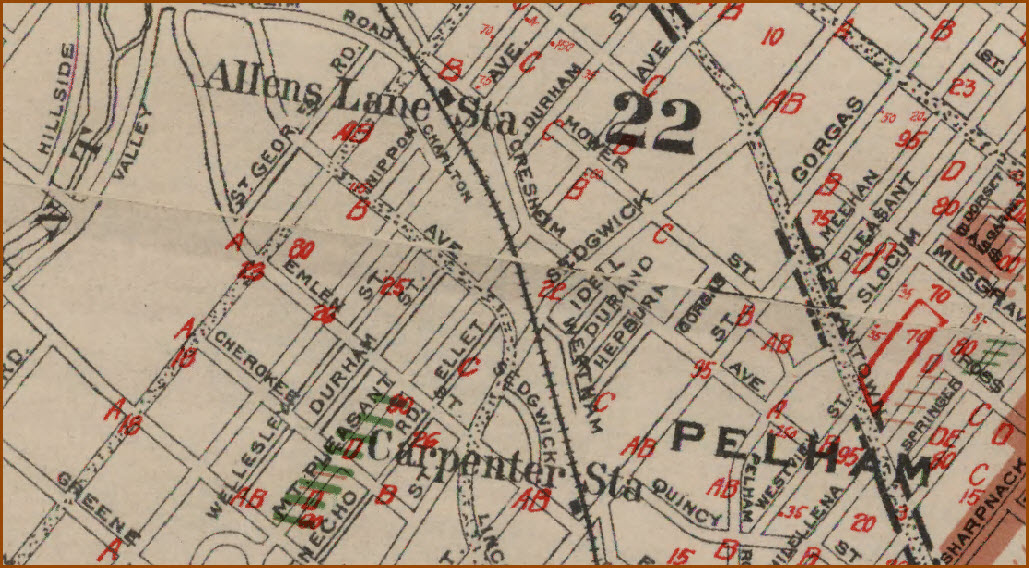
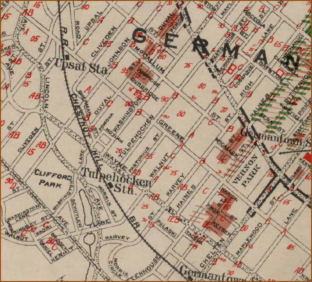
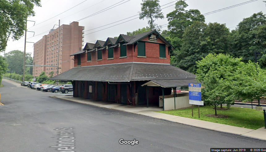 Tulpehocken Station
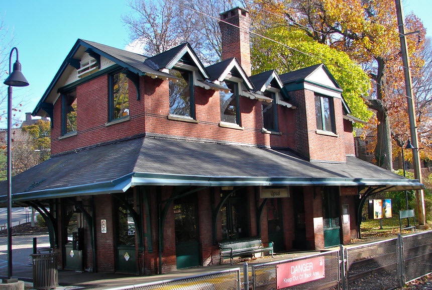 Upsal Station
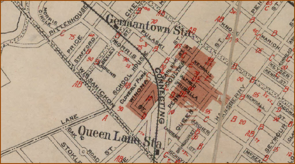
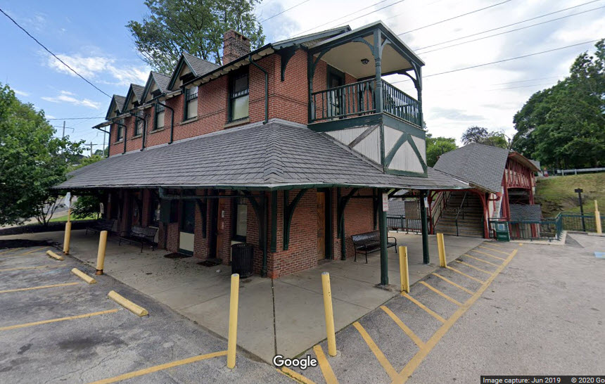 Queen Lane Station
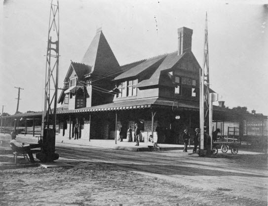 Chelten Station around 1925???
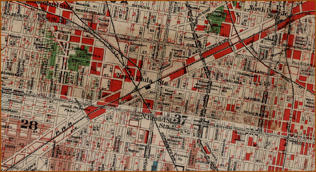
 North Broad St station
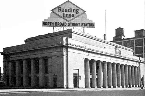
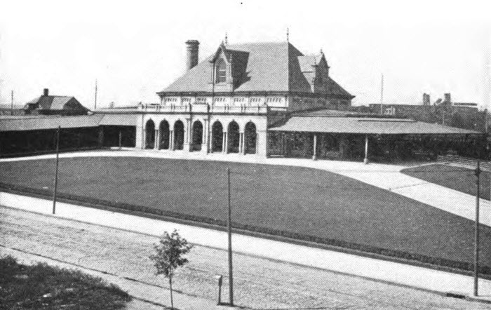 North Philadelphia Station