In General
Getting Here
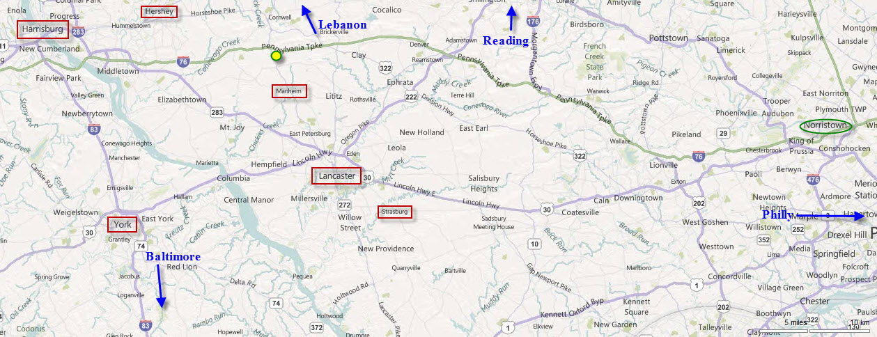
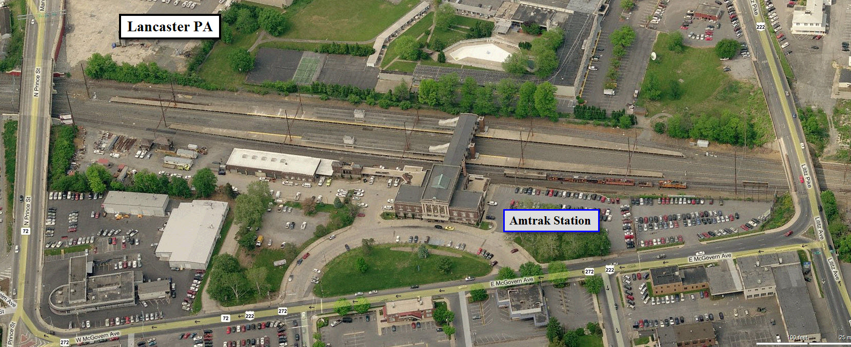
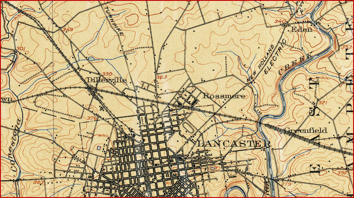
Maps
Sights
Signals
Fire and Police
Railfanning Lancaster to Harrisburg
USGS Maps
RAILFAN GUIDES HOME
RAILROAD SIGNALS HOME
In General
Location / Name:
Lancaster PA
What's Here:
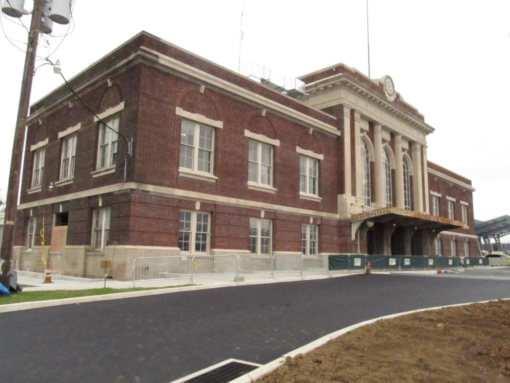
Amtrak Station
Thru Amtrak trains and Harrisburg service trains come thru town.
Small yard to the west.
Plenty of Pennsy PL signals (for the time being).
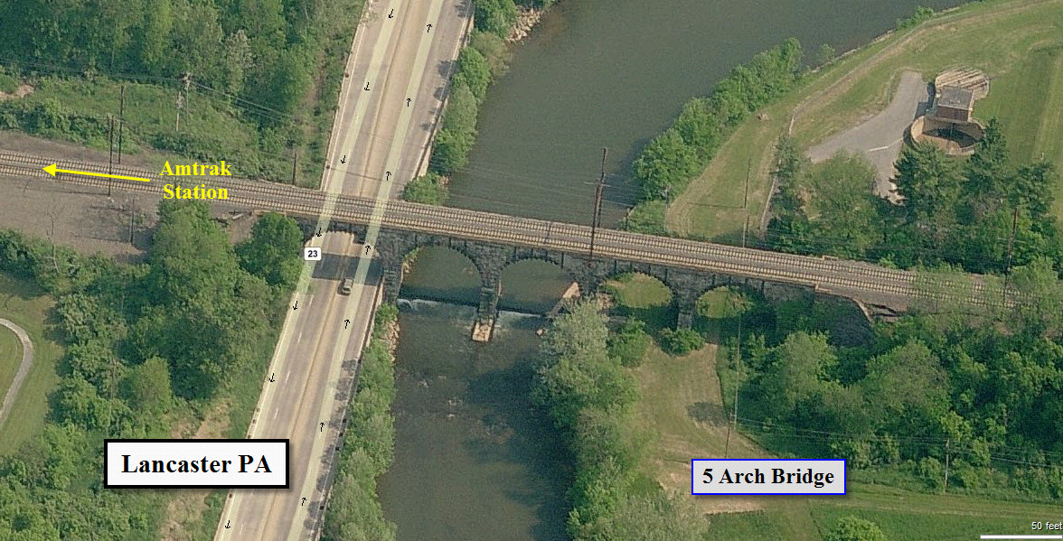
Great stone arch viaduct for pictures on the east side of town.
Data:
GPS Coordinates: 40.054326,-76.30816
53 E Mcgovern Ave, Lancaster PA 17602
Scanner Frequencies:
???
Access by train/transit:
Amtrak stops here.
The Scoop:
Tucked away in the middle of Amish Country in central Pennsylvania are a few gems in the world of railfanning.
Lancaster has a right nice station for Amtrak, formerly a Pennsy depot. There is also a really nice
stone arch viaduct, small yard, an engine service facility, and of course, Pennsy PL signals. A
couple of branches take off from the main line in Lancaster, one to Columbia, one to Manheim and
Lititz, and one to Reading.
Over in Strasburg you have the Strasburg Railroad,
one of the more successful excursion railroads in the United States, and the
Railroad Museum of Pennsylvania.
About 10 miles north of Lancaster is a small town called Manheim. Manheim may be
famous to most in the Delmarva area for it's car auctions, but for us, it holds a nice
surprise in the form of the Manheim Museum, which is almost all railroad oriented, and is
housed in an old PRR depot.
The Lancaster and Strasburg area is also a big area for the Amish, so when visiting,
please be careful of their buggies on the road. They make some good eatin too!
Acknowledgements:
Denver Todd
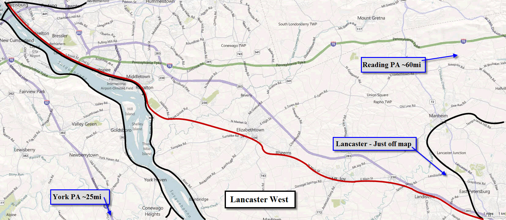
Other guides for southern central Pennsylvania are:
Columbia
Harrisburg
Lancaster - You Are Here!
Manheim
Marysville and the Rockville Bridge
New Freedom
Strasburg
York
Maps
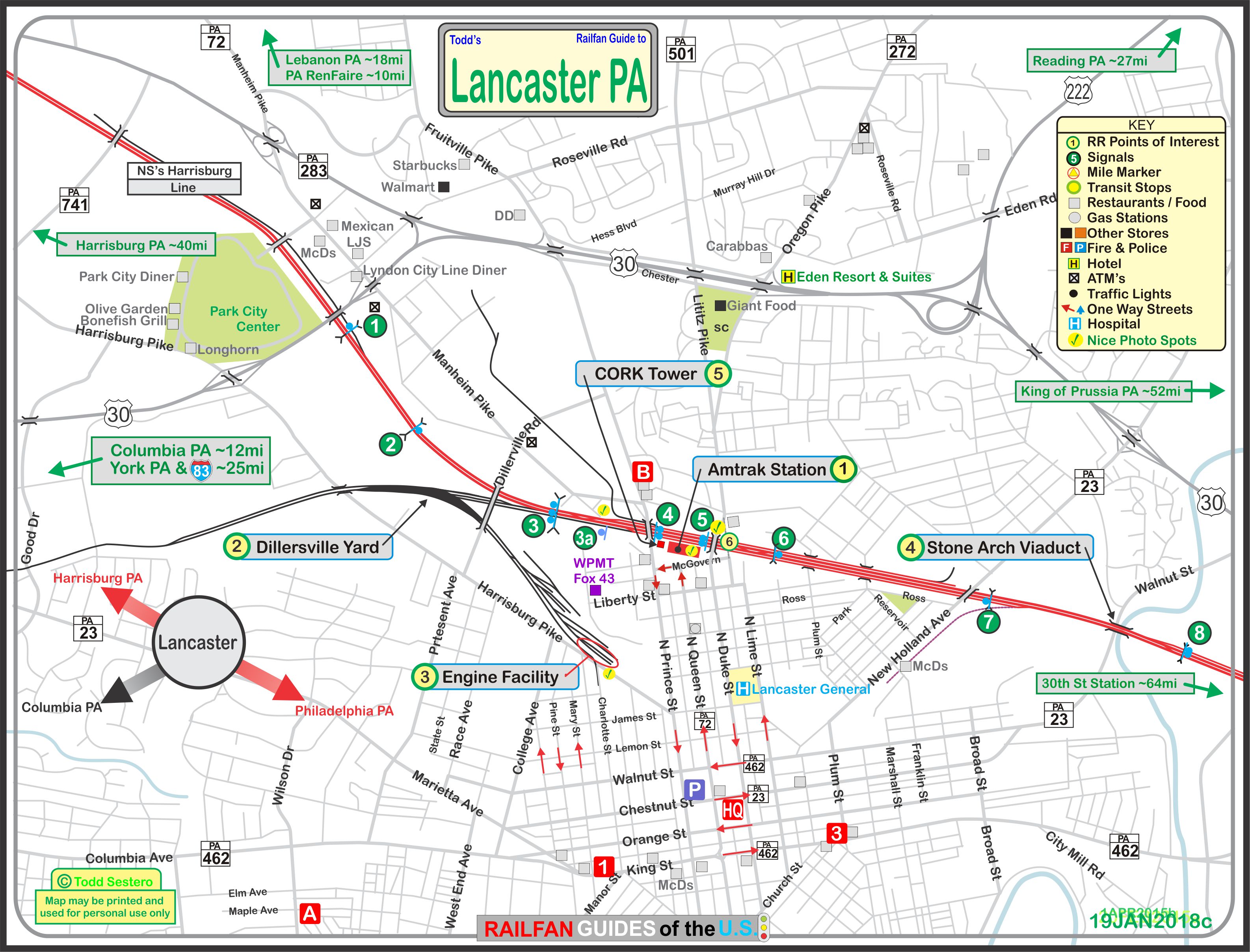
Click here for the above map in PDF format
Sights
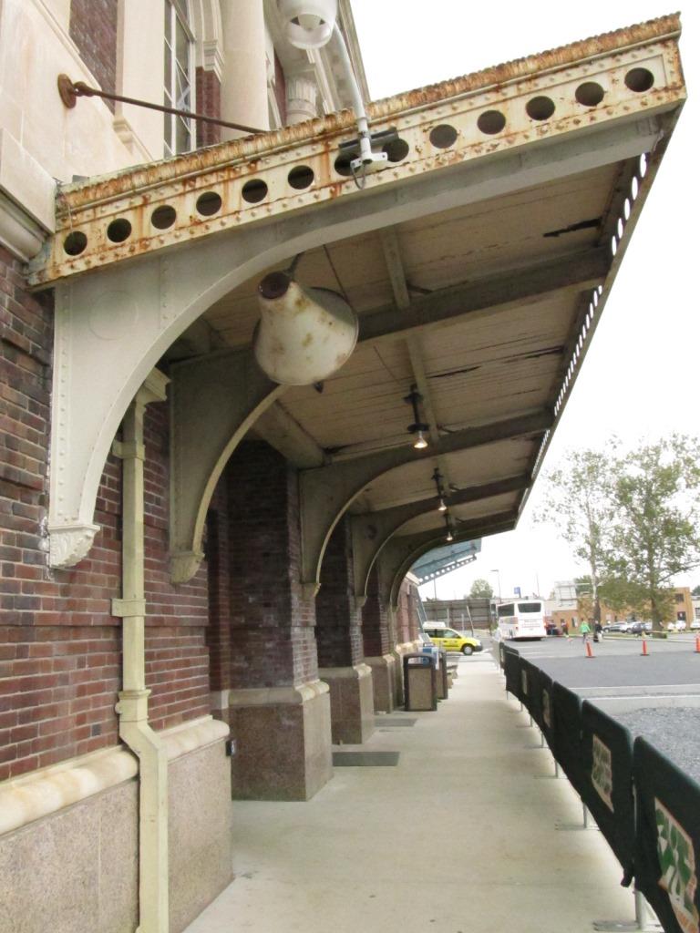
The Amtrak Station
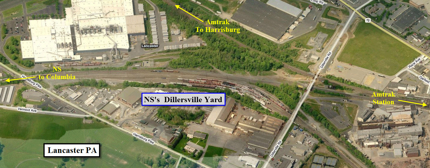
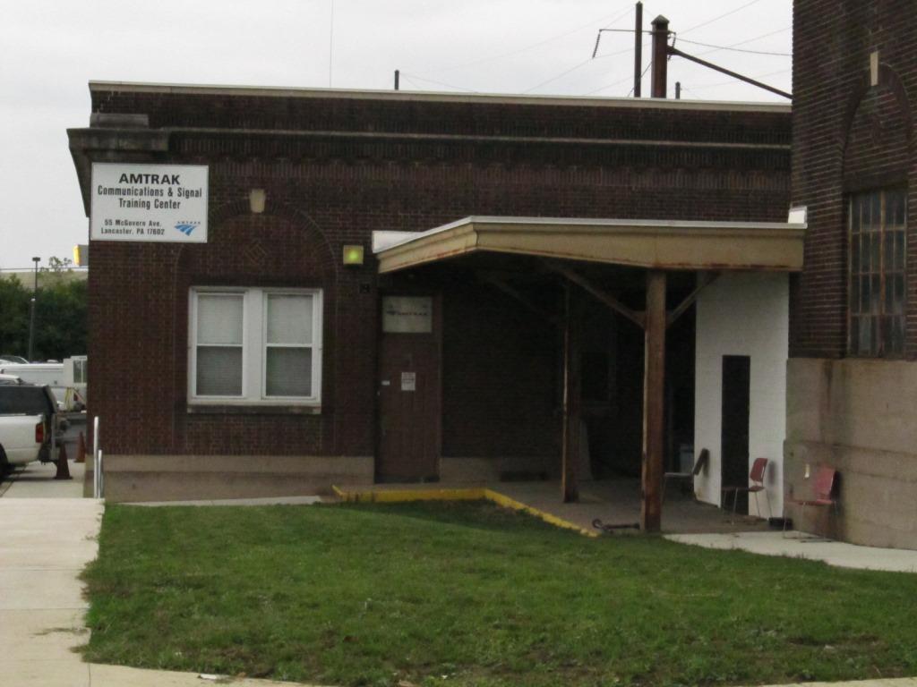
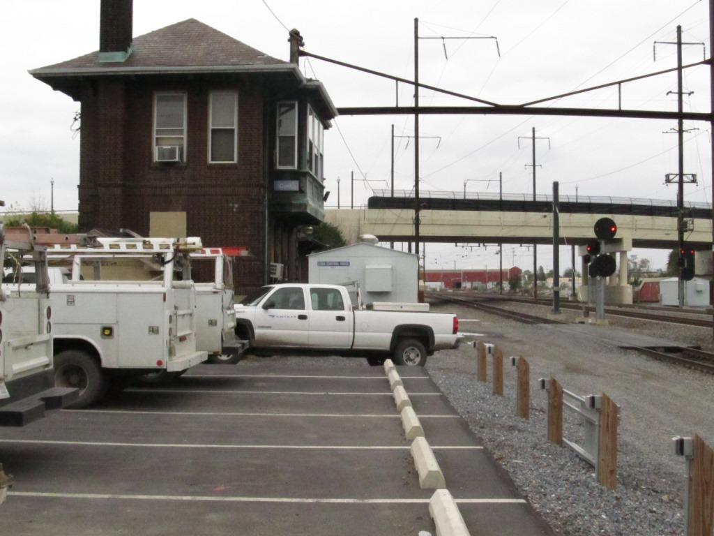
NS's Dillersville Yard
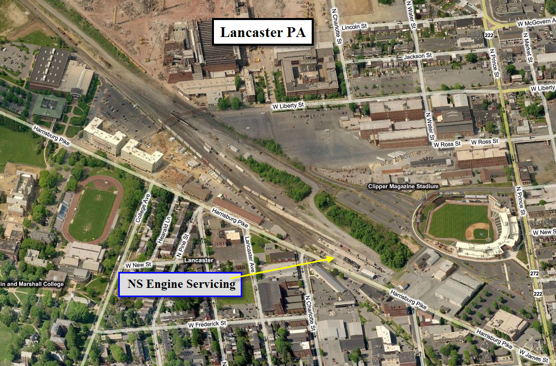
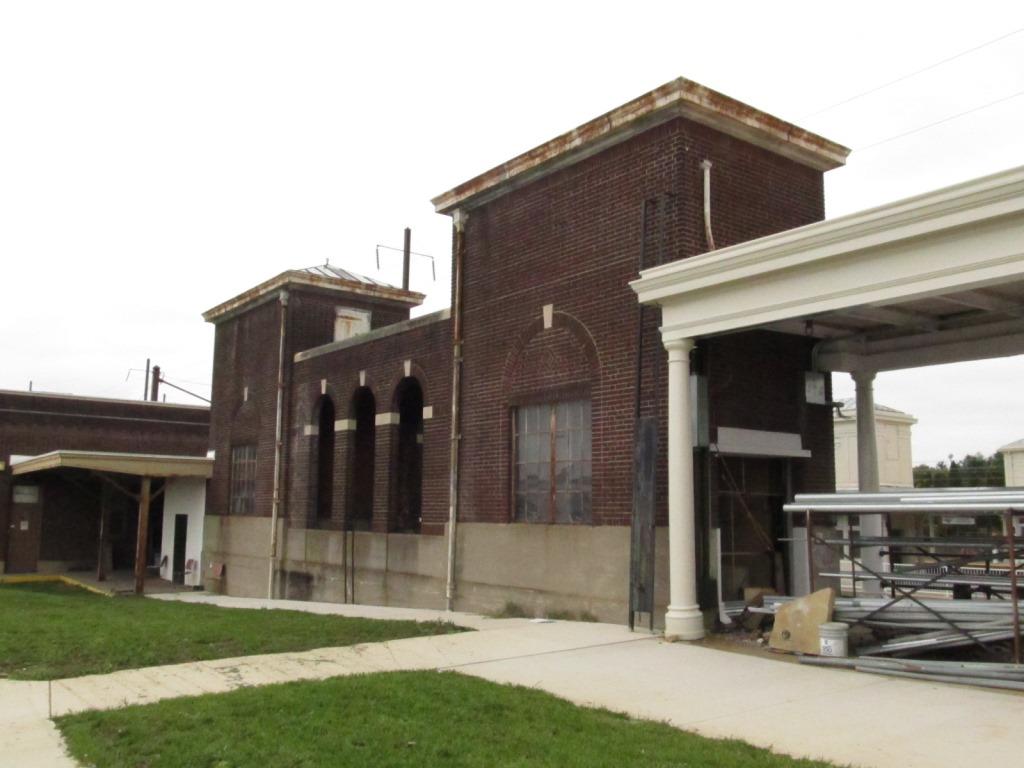
Engine Service
Stone Arch Viaduct
CORK Tower
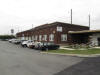
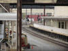
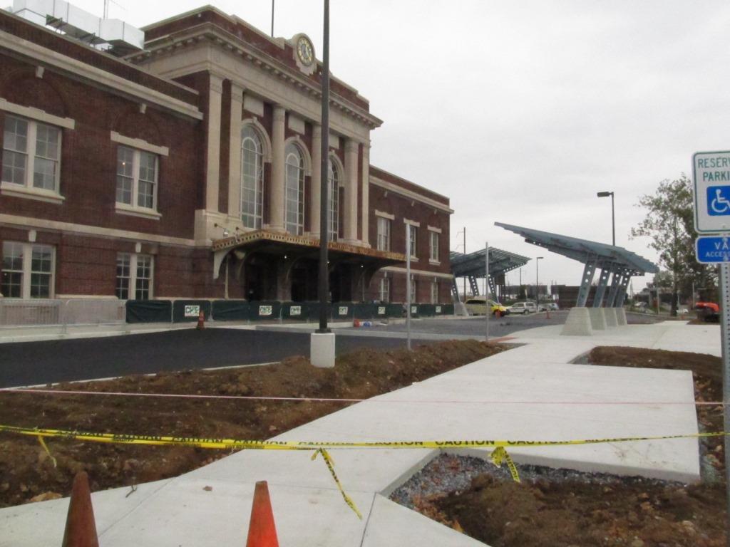
 The Amtrak Station
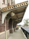


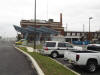

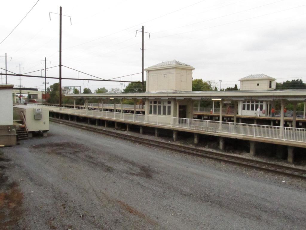
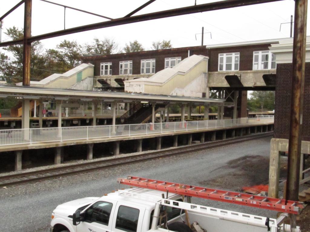
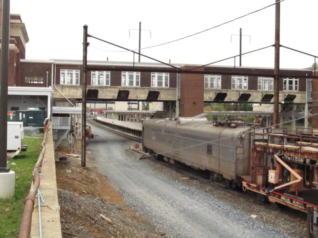
 On the backside of the station
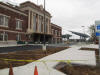
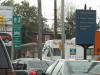 The way to the station is well marked all over town
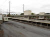
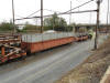
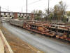
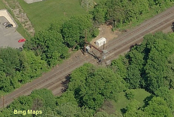
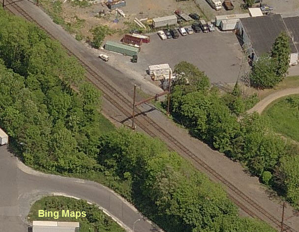
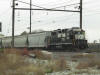
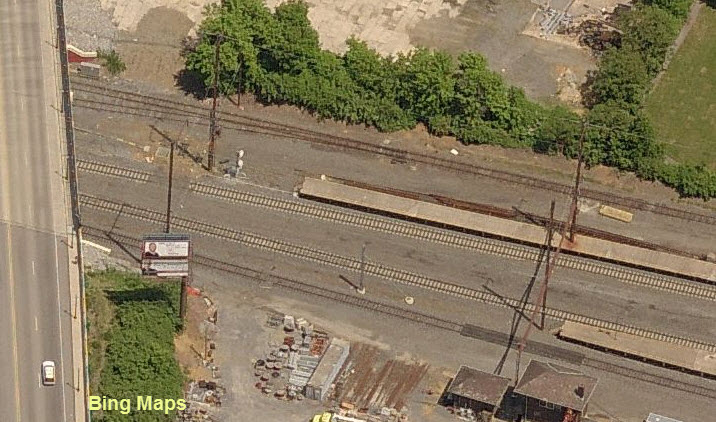
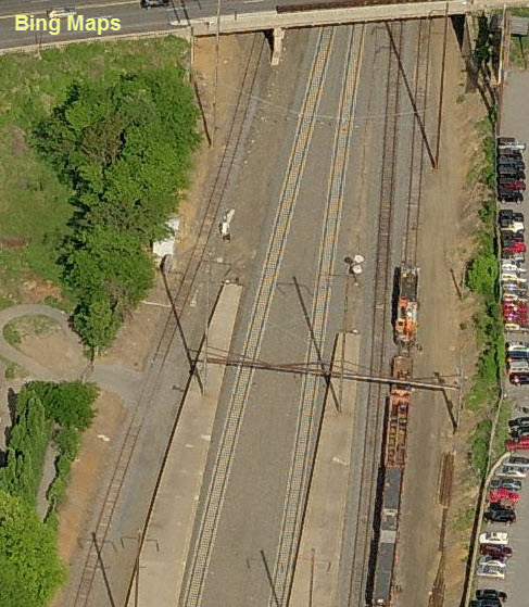
 NS's Dillersville Yard
If you look at the USGS map all the way at the bottom of the page, you can see why they chose the name Dillersville for the yard.
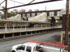
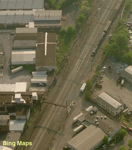
 Engine Service
 Stone Arch Viaduct
On the east side of town is this nice stone arch viaduct carrying two tracks. It goes
over PA 23, and should be accessible from the ball fields shown on the map.
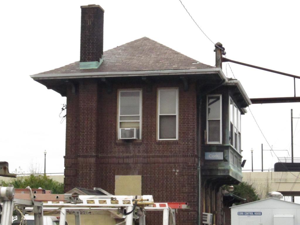
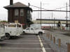
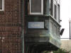
 CORK Tower
Sits at the west end of the station complex and grounds.
Signals
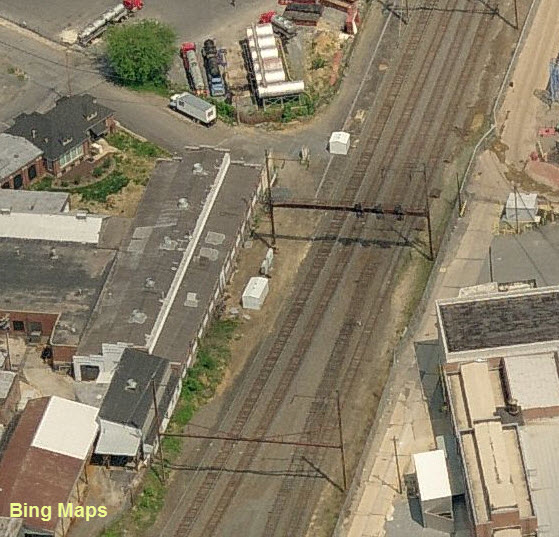
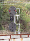
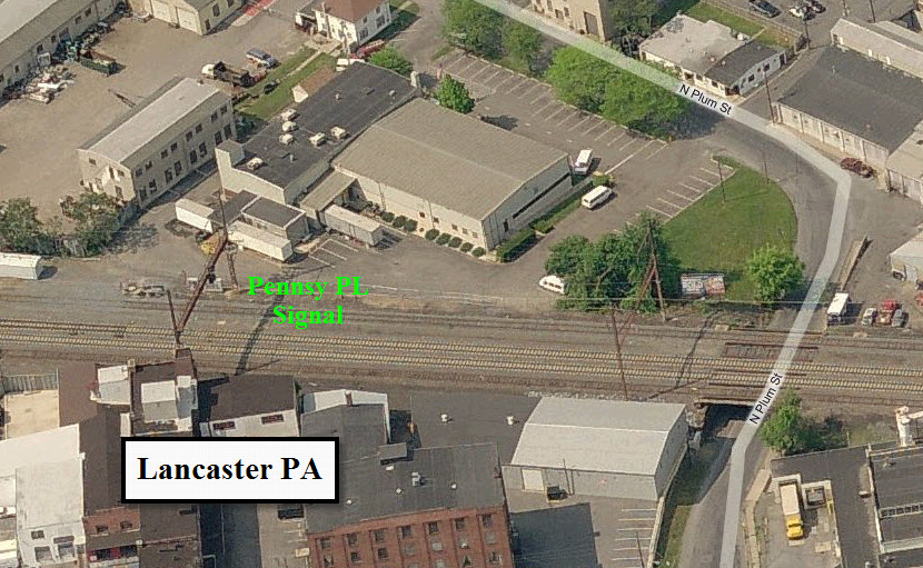
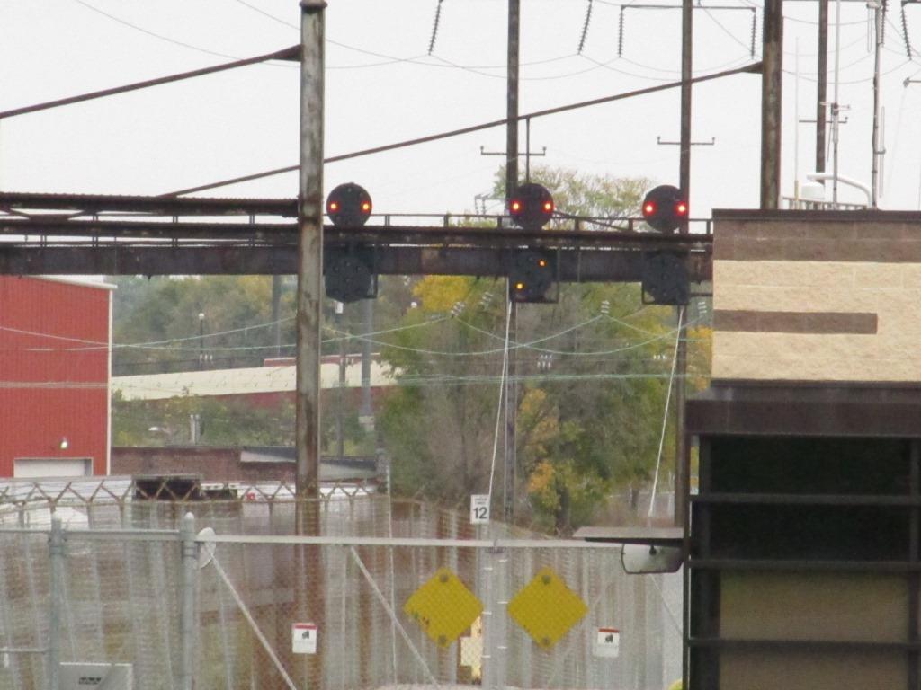
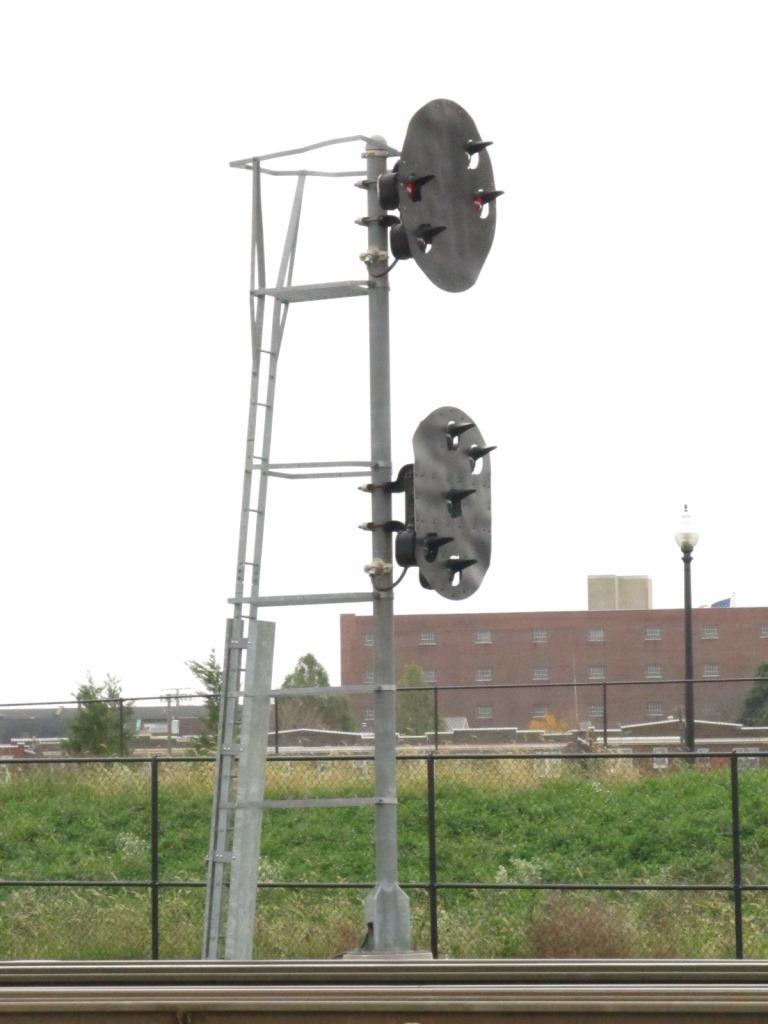
As of 2011, there are quite a few signals around in Lancaster for the signal fan, all (still) Pennsy PL signals.
However, I have not been here lately to see if they still exist or have been replaced by color light signals.
For what the signals mean, check out my Amtrak PCL page here


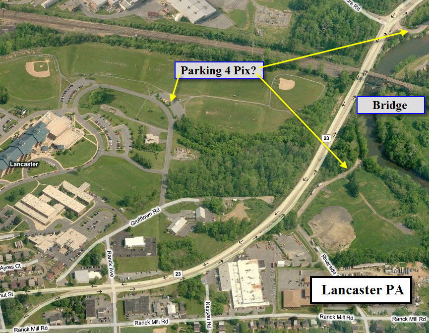
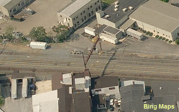
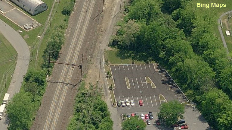
These pictures were taken from beside the building, shown with the yellow arrow below.

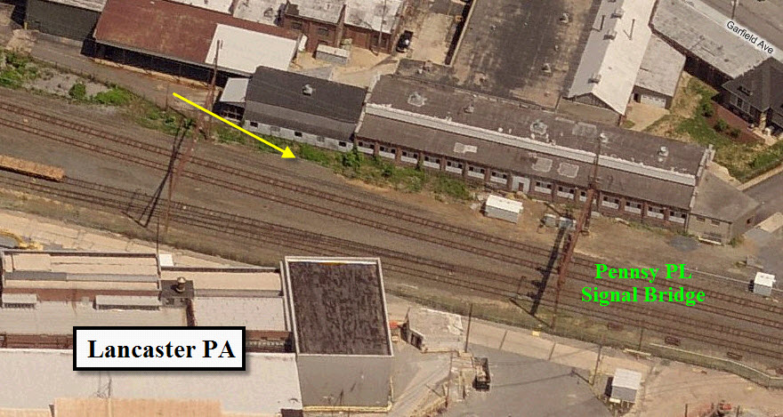

This location is between "3" and the station....
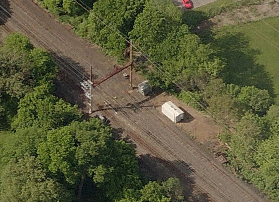
In the Google satellite view, you can still see the signal, in the newer Bing birds-eye view, it is gone.
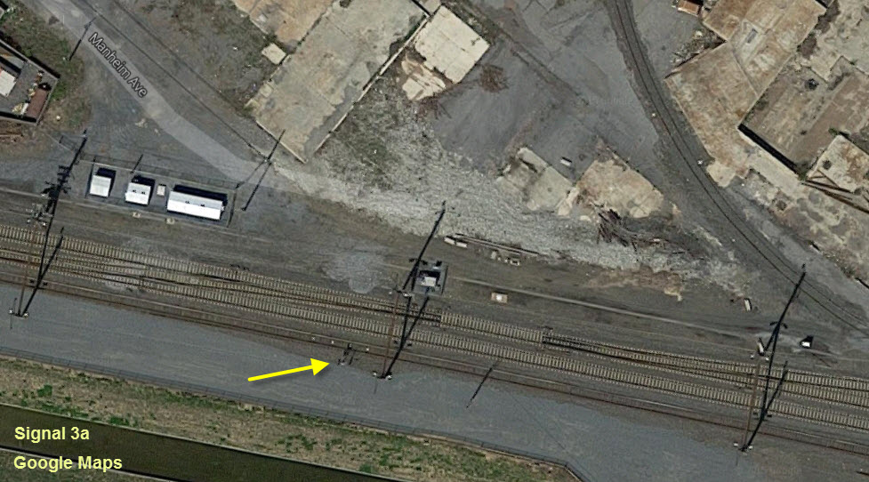
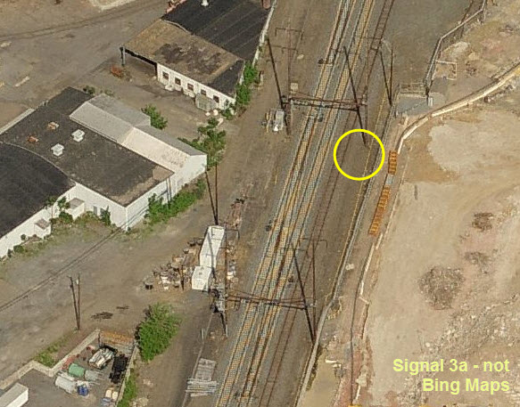

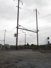
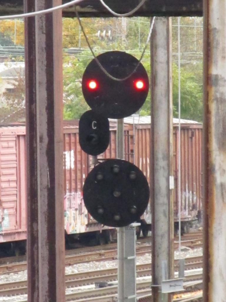
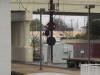
 Since these pictures were taken in 2011, it appears that this pole mounted PL signal is no longer around :-(
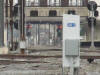
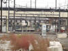
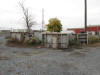 The C&S guys look like they are/were using this as a dumping ground for old equipment cabinets.
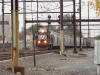
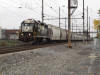
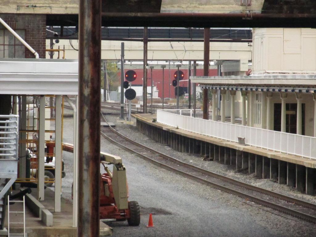
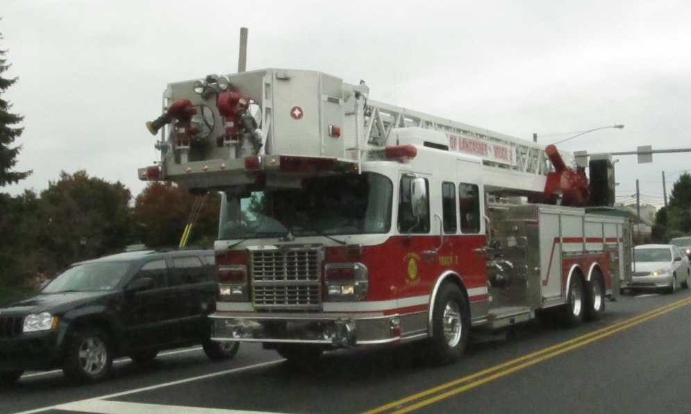
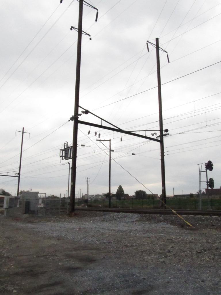
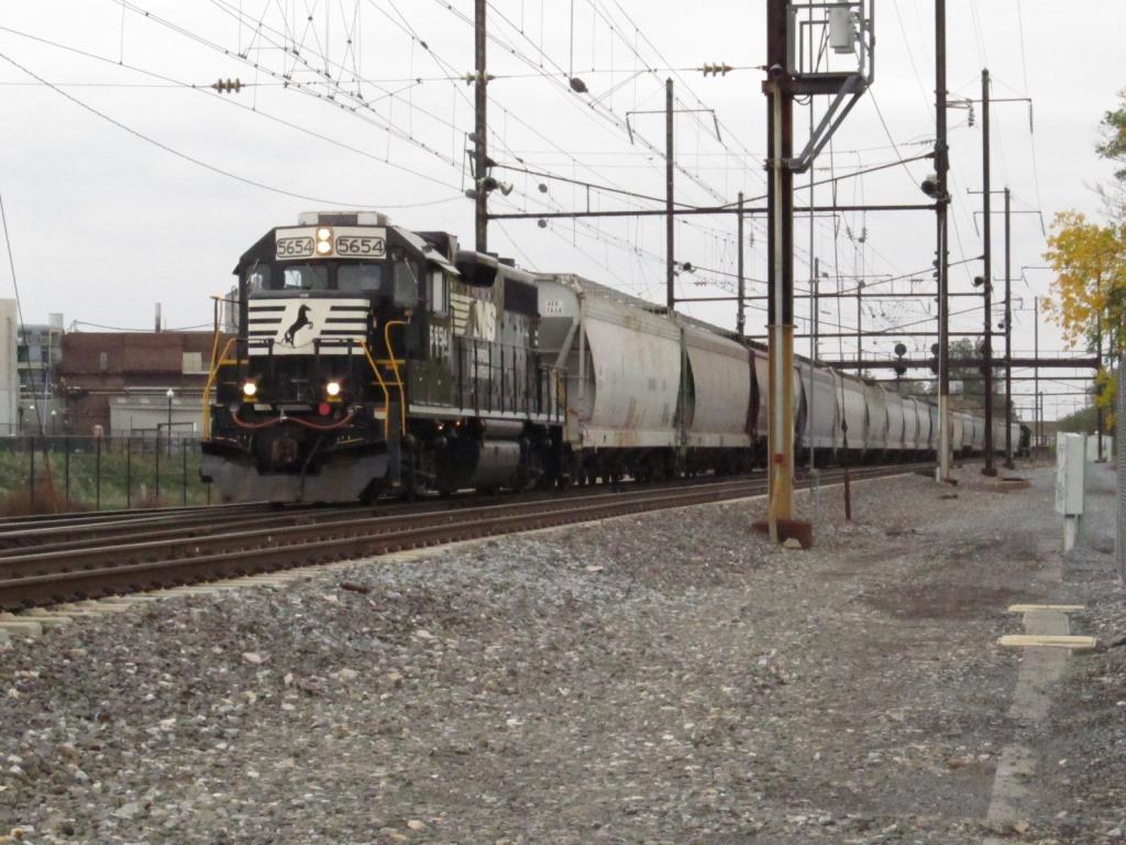
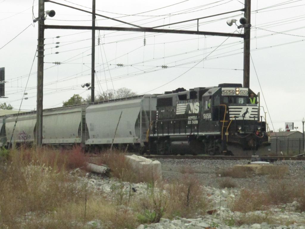
 A couple of freights happened to come by in the short span of about 10 minutes

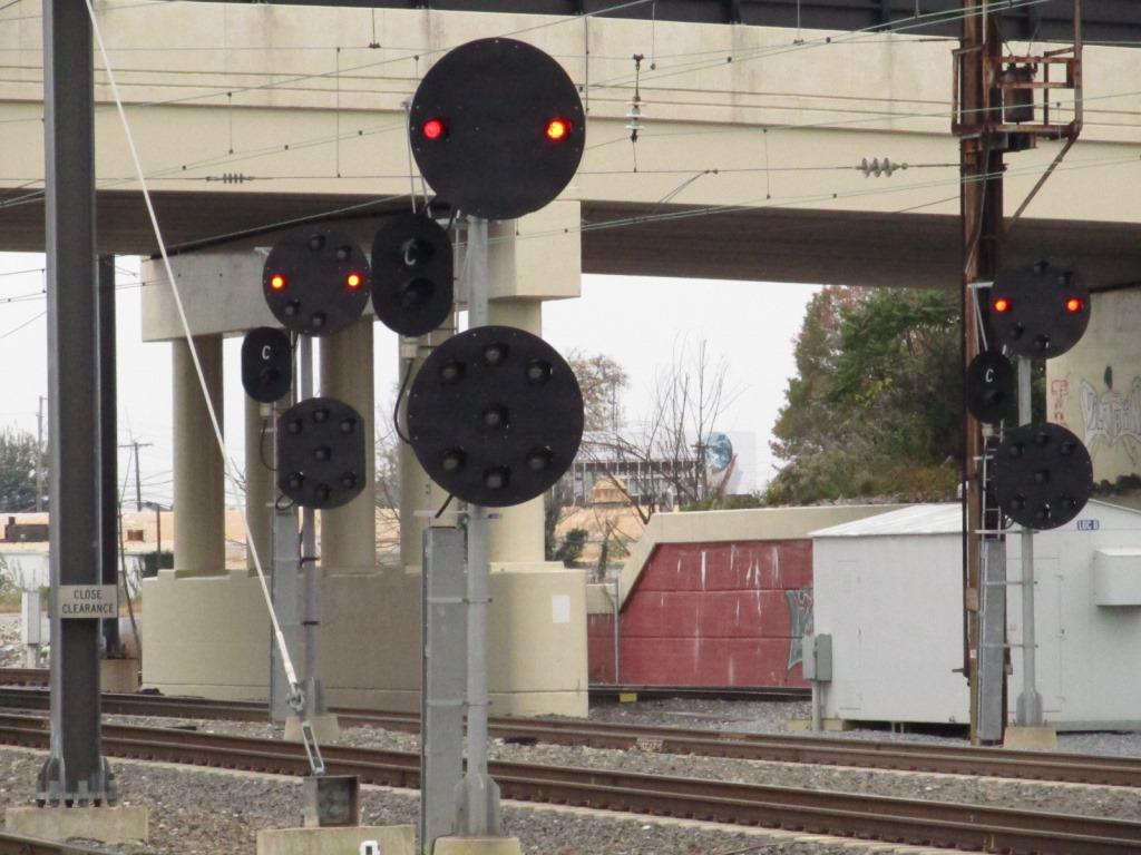
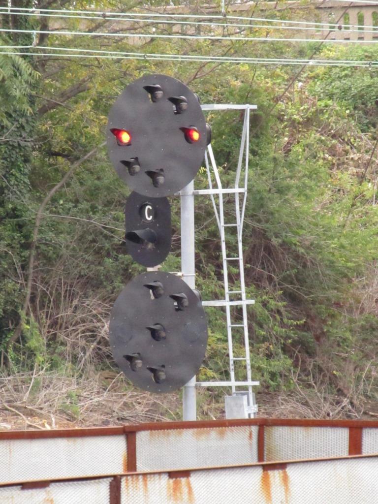
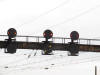
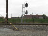
 Signals at the east end of the station from this location, the one on the left shows one of the signals displaying restricting
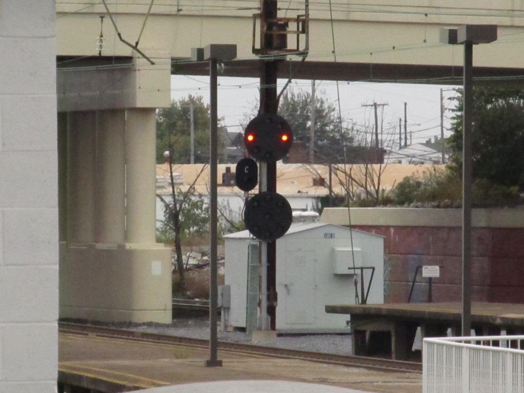
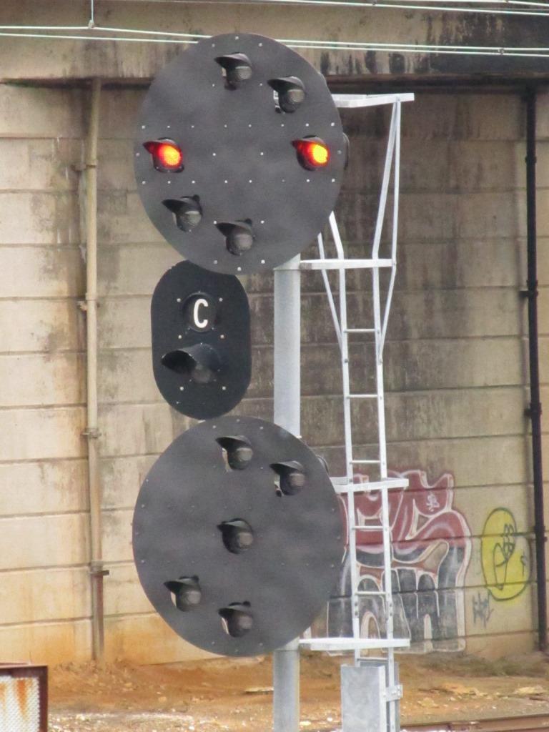
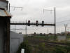
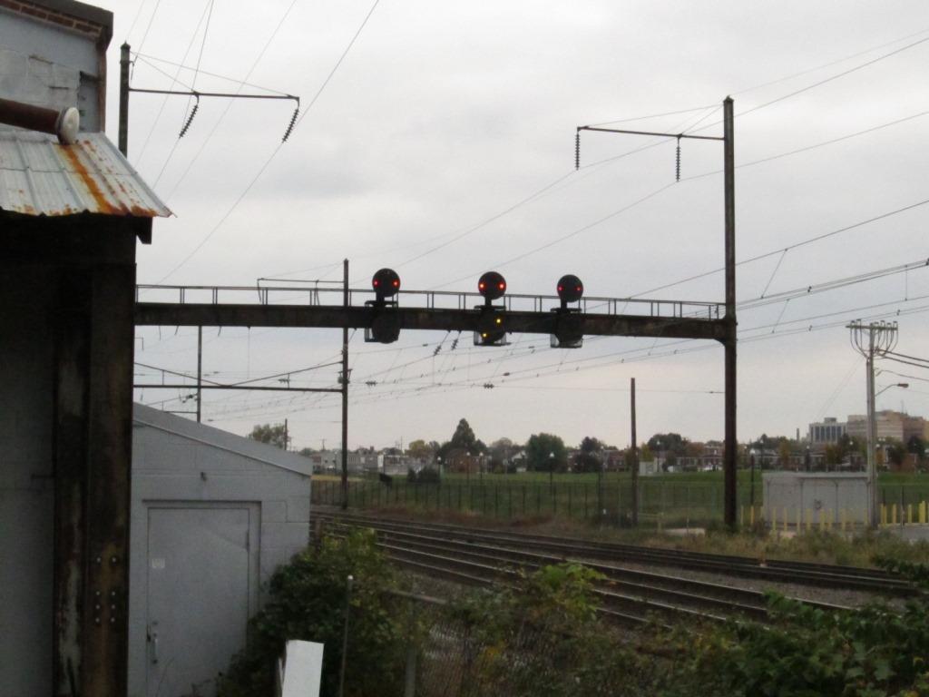
 Signals on the west side of the station


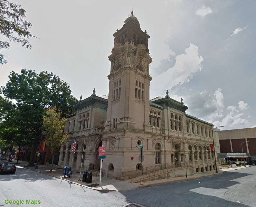
Fire and Police
 Lancaster Police Department
GPS Coordinates:
39 W Chestnut St, Lancaster, PA 17603 (717) 735-3300
http://www.cityoflancasterpa.com/police and
http://lancasterpolice.com/

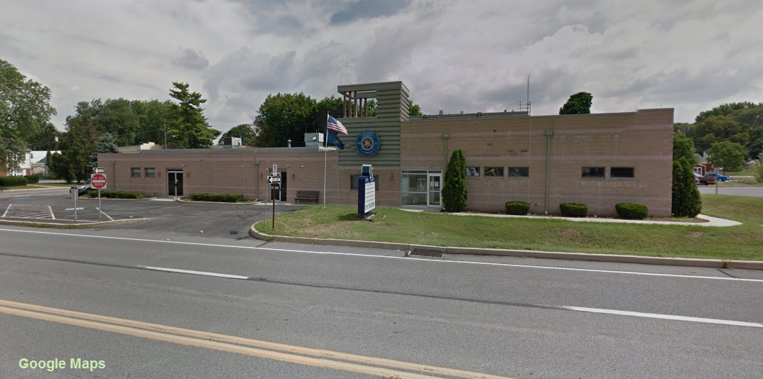
 Lancaster Fire Department Headquarters
GPS Coordinates:
120 North Duke Street, Lancaster, PA 17603, (717) 291-4866
http://www.cityoflancasterpa.com/fire
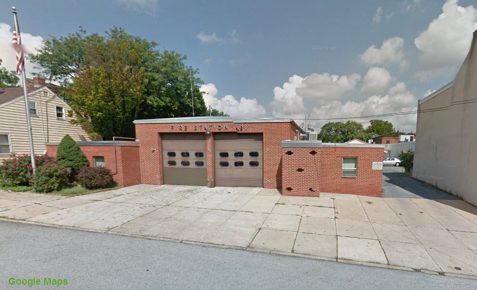
 Lancaster Fire Department Station #1
GPS Coordinates: 40.037302, -76.313887
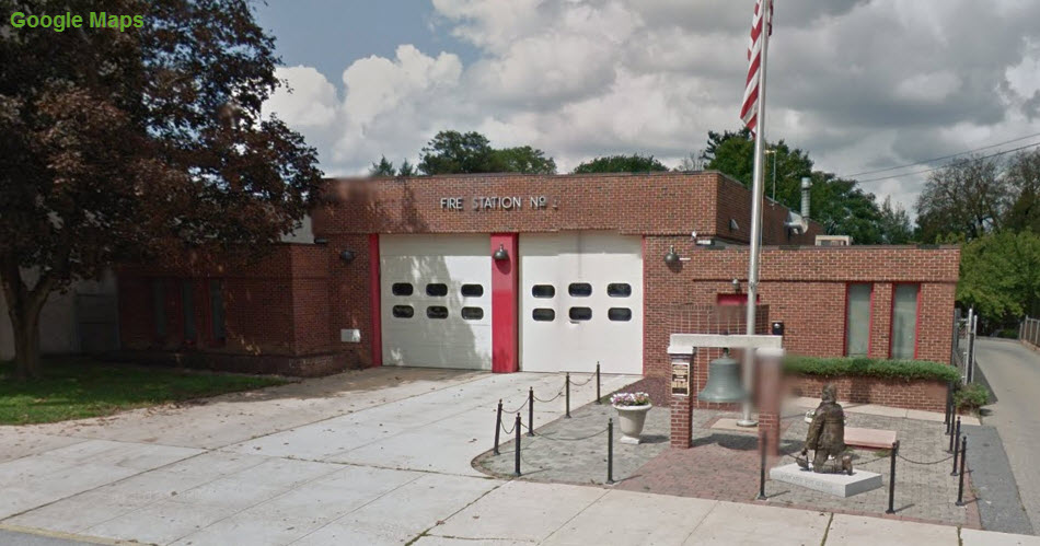
 Lancaster Fire Department Station #3
GPS Coordinates: 40.039118, -76.297944
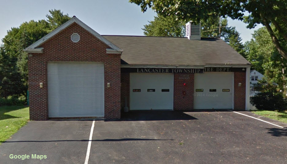
 Lancaster Township Fire Department
GPS Coordinates:
125 Fairview Ave, Lancaster, PA, (717) 394-5353
www.ltfd.org
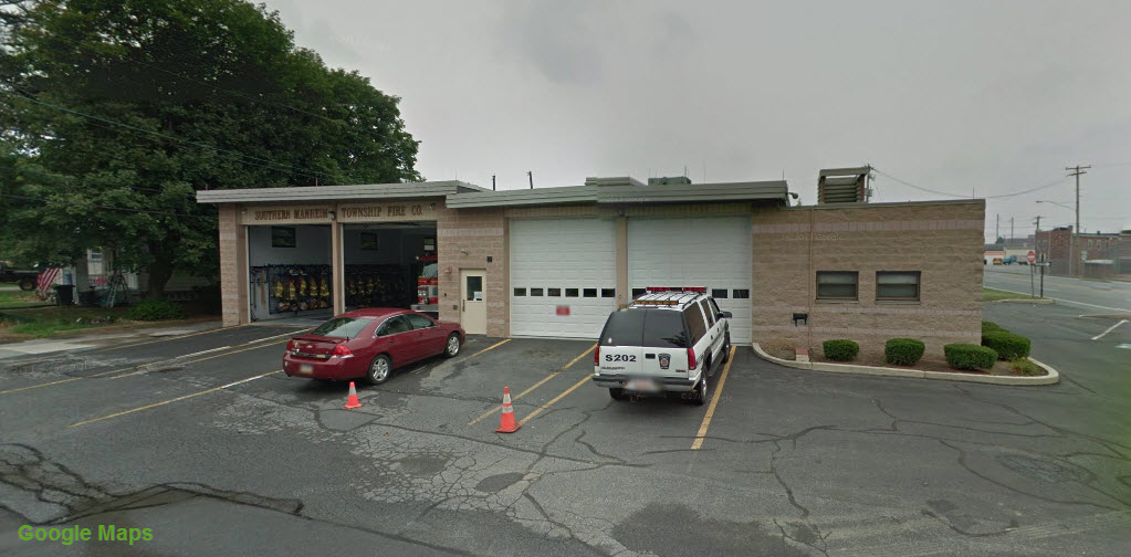
 Southern Manheim Township Fire Company
GPS Coordinates:
396 Orchard Street, Lancaster, PA, (717) 394-5285
www.smtfc.com
Railfanning Strasburg to Harrisburg
Historical USGS Maps
Disclaimers:
I love trains, and I love signals. I am not an expert. My webpages reflect what I find on the topic of the page. This is something I have fun with while
trying to help others.
Please Note: Since the main focus of my two websites is railroad signals, the railfan guides are oriented towards the signal fan being able to locate them.
For those of you into the modeling aspect of our hobby, my
indexa page has a list of almost everything railroad oriented
I can think of to provide you with at least a few pictures to help you detail your pike.
If this is a railfan page, every effort has been made to make sure that the information contained on this map and in this railfan guide is correct. Once in a while,
an error may creep in :-)
My philosophy: Pictures and maps are worth a thousand words, especially for railfanning. Text descriptions only get you so far, especially if you get lost or
disoriented. Take along good maps.... a GPS is OK to get somewhere, but maps are still better if you get lost! I belong to AAA, which allows you to get
local maps for free when you visit the local branches. ADC puts out a nice series of county maps for the Washington DC area, but their state maps do not have the
railroads on them. If you can find em, I like the National Geographic map book of the U.S..... good, clear, and concise graphics, and they do a really good job
of showing you where tourist type attractions are, although they too lack the railroads. Other notes about specific areas will show up on that page if known.
Aerial shots were taken from either Google or Bing Maps as noted. Screen captures are made
with Snagit, a Techsmith product... a great tool if you have never used it!
By the way, floobydust is a term I picked up 30-40 years ago from a National Semiconductor data book, and means miscellaneous
and/or other stuff.
Pictures and additional information is always needed if anyone feels inclined to take 'em, send 'em, and share 'em, or if you have something to add or correct.... credit
is always given! Please be NICE!!! Contact info is here
Beware: If used as a source, ANYTHING from Wikipedia must be treated as being possibly being inaccurate, wrong, or not true.
RAILFAN GUIDES HOME
RAILROAD SIGNALS HOME
NEW JUN15/2011, AUG29/2018?, JUL26/2020
Last Modified 26-Jul-2020


 On the backside of the station
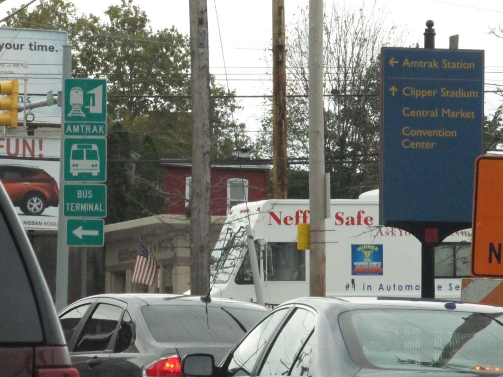 The way to the station is well marked all over town


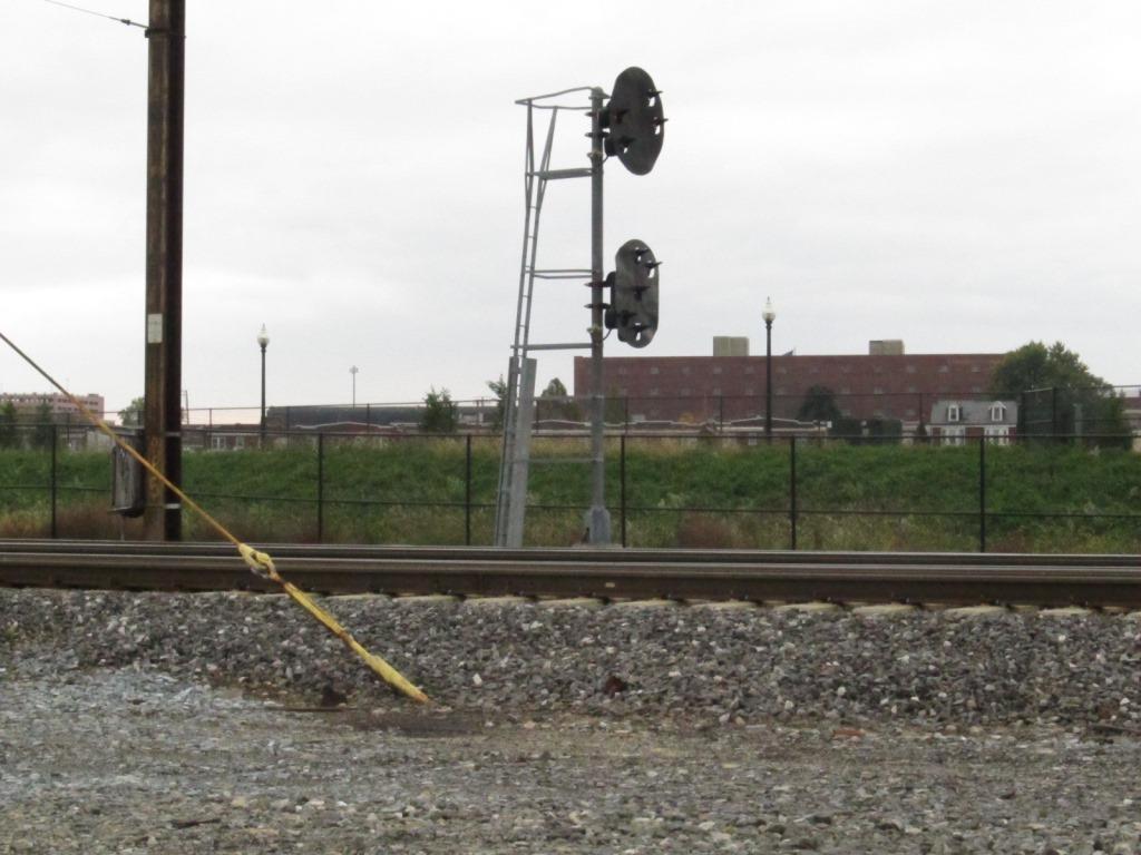 Since these pictures were taken in 2011, it appears that this pole mounted PL signal is no longer around :-(
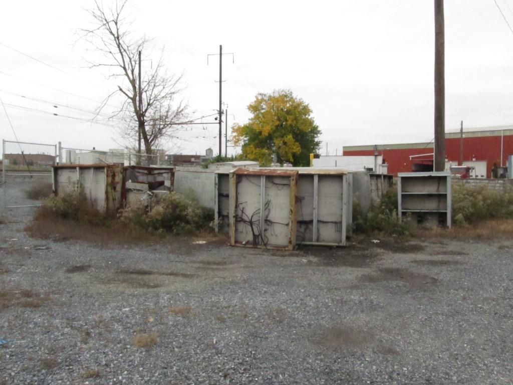 The C&S guys look like they are/were using this as a dumping ground for old equipment cabinets.
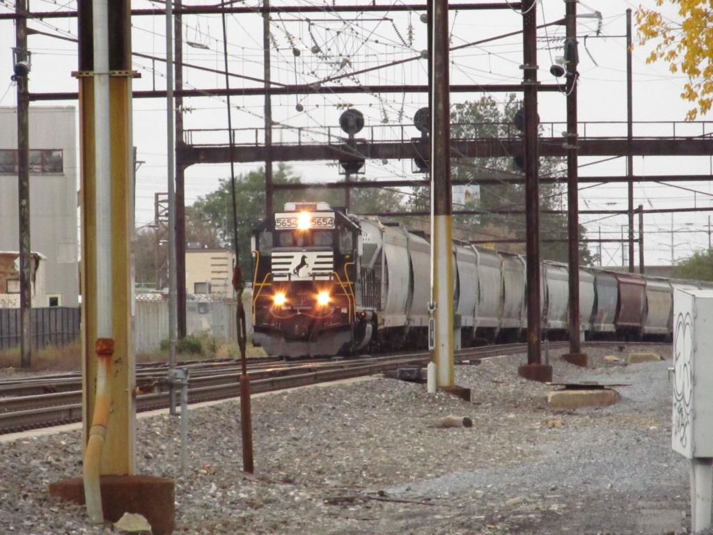
 A couple of freights happened to come by in the short span of about 10 minutes
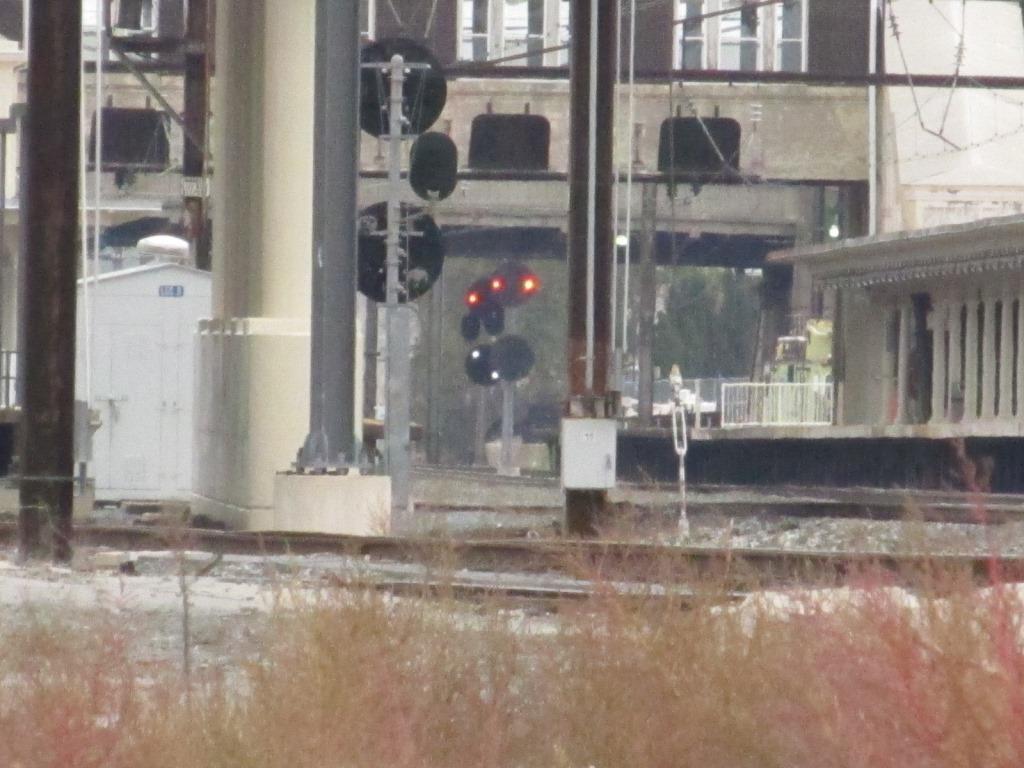
 Signals at the east end of the station from this location, the one on the left shows one of the signals displaying restricting