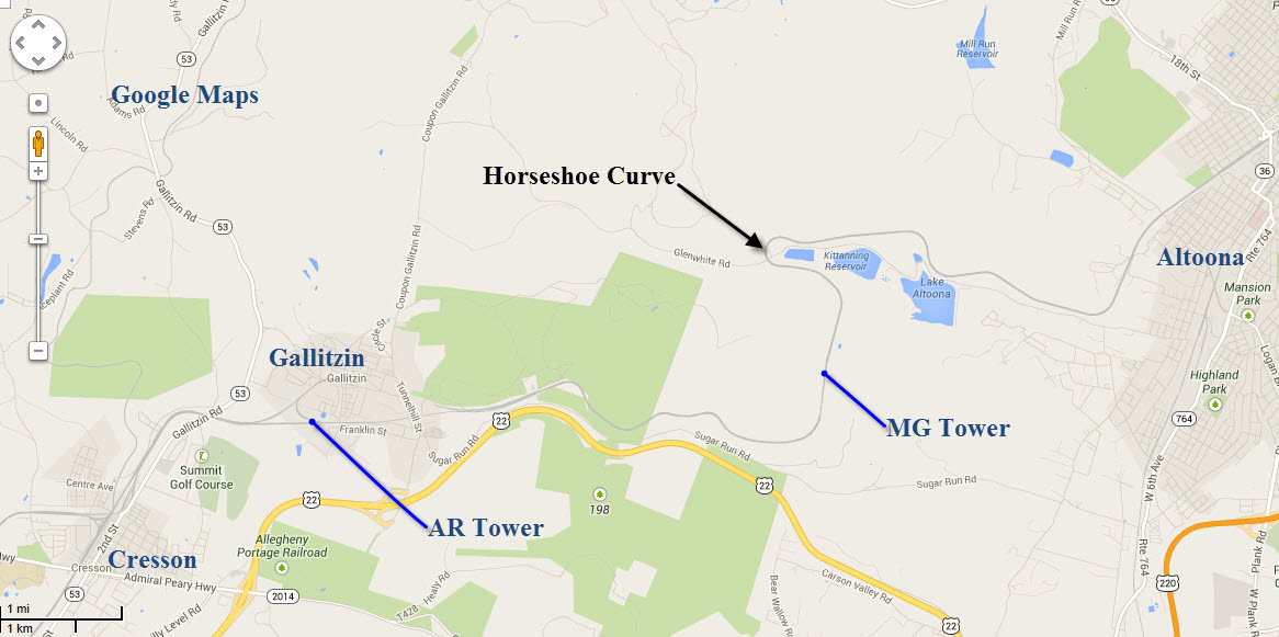
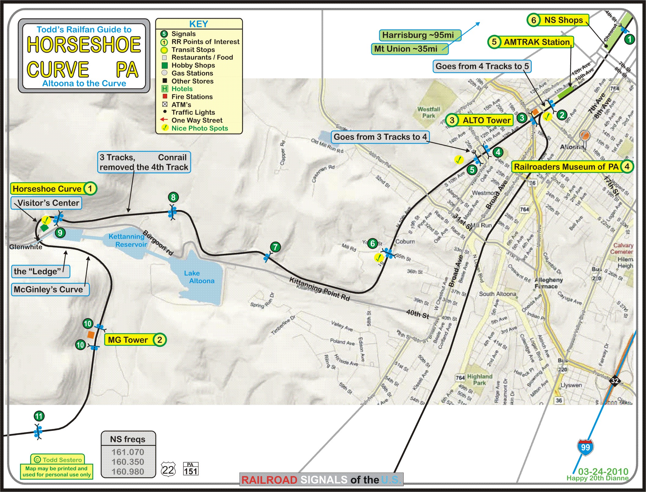
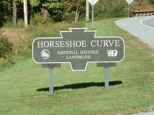
This page covers Horseshoe Curve, located about 5 miles west of Altoona PA.
Horseshoe Curve is probably the most famous railroad oriented site in the eastern United States.
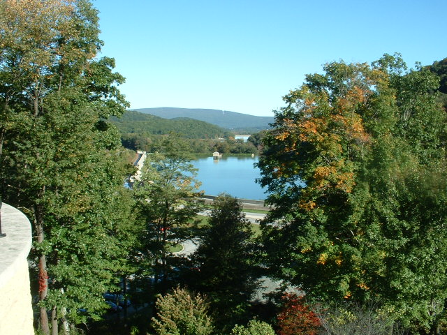
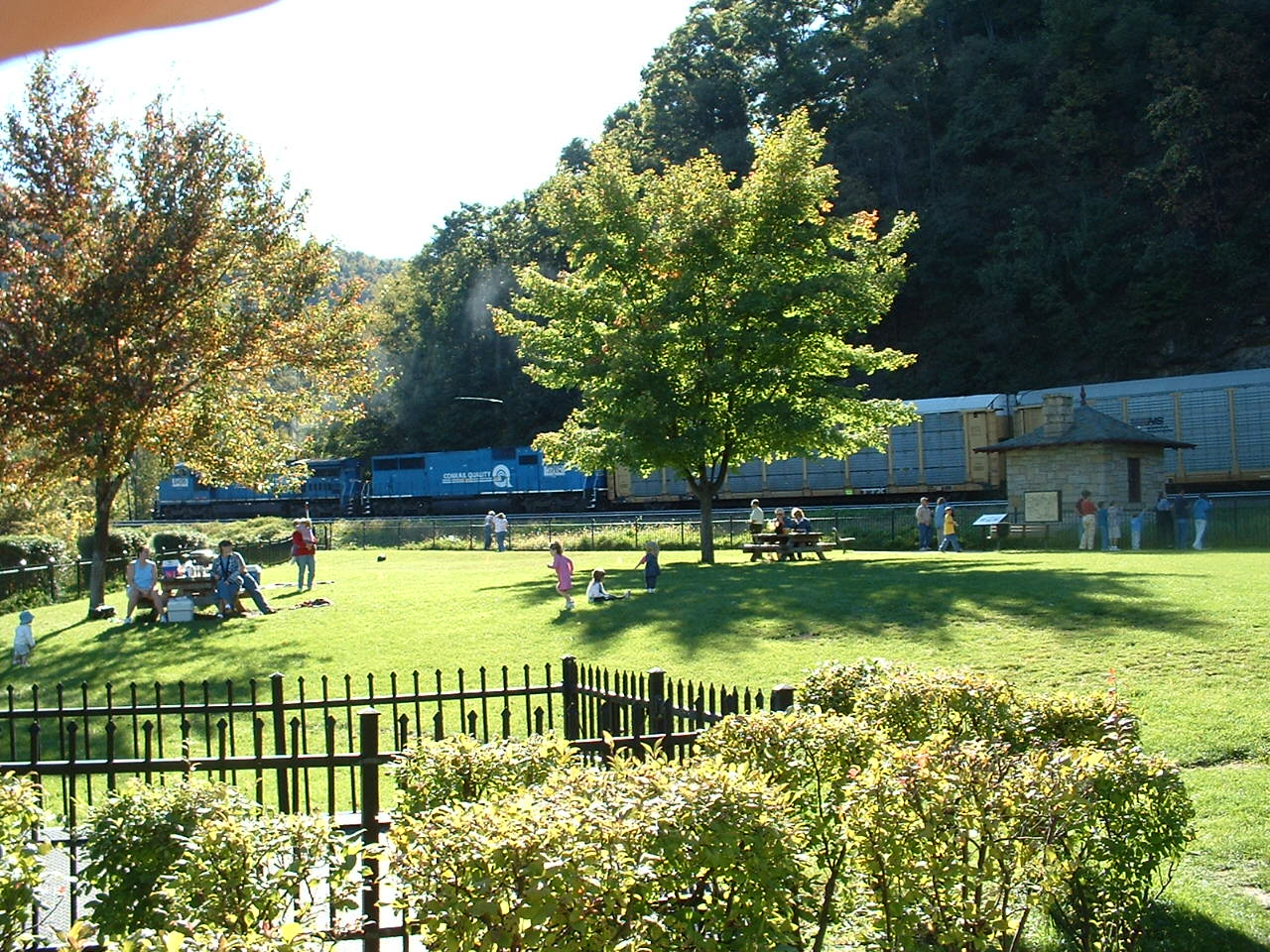
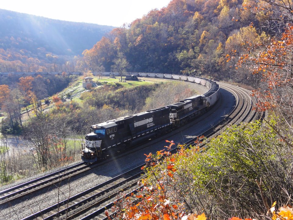
This is what everyone comes to Altoona for, and it is well worth the trip. The elevation at the east end of the curve is 1594 feet above sea level, and the
west end is 122 feet higher. The curve is 1800 feet across, 2375 feet in length, and forms a 200 degree arc. The average degree of curvature is 9 degrees
and 15 minutes, or a 619 foot radius.... comprised of two curves - a 637' radius curve on the north side, and it tightens up to 609' radius on the south side.
The grade is 91 feet rise per mile, which equates to 1.8%. The Curve has been in continuous operation since it opened in 1854, and helps trains reach the
summit of the Allegheny Mountains. It was designed by John Edgar Thompson and Herman Haupt.
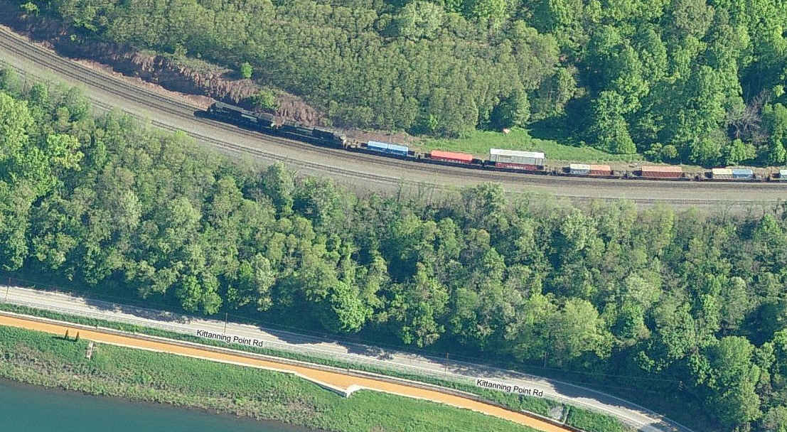
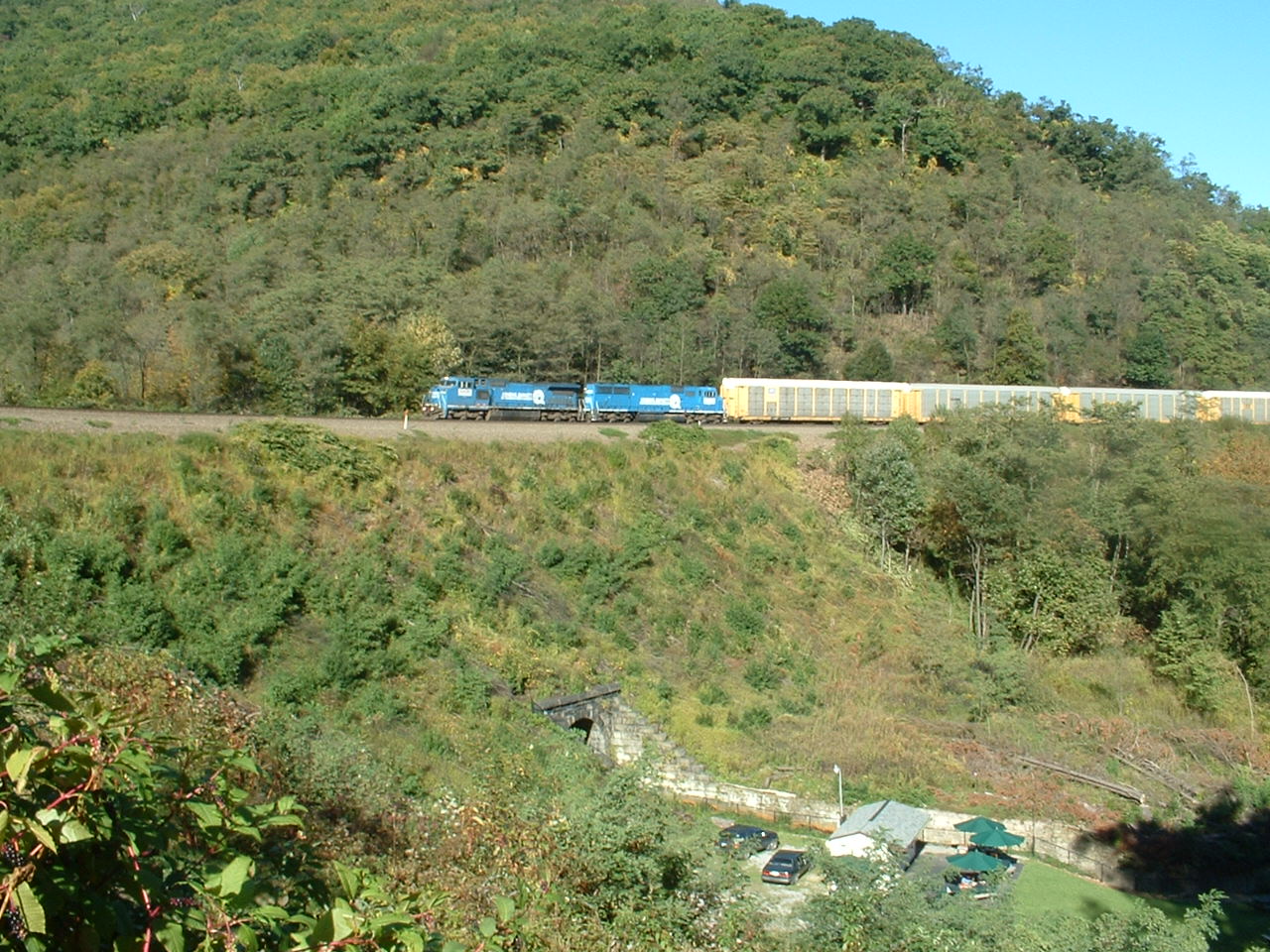
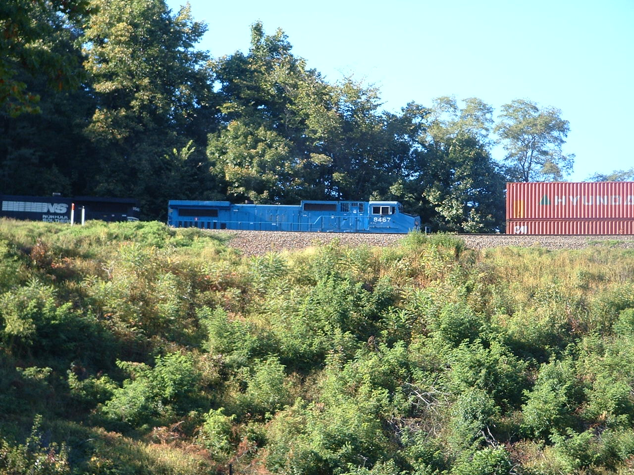
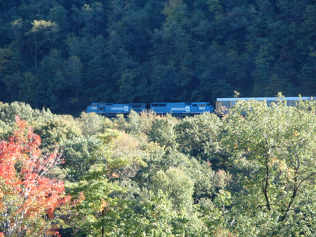
There are about 50 trains a day that use the Curve. Many westbound freights use helpers, which cut off at Cresson.
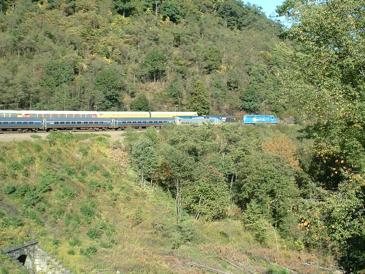
Amtrak runs one train thru here: the Pennsylvanian, one a day in each direction.
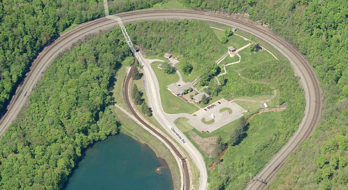
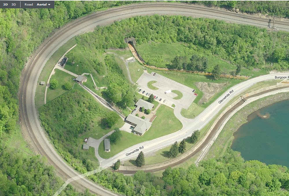
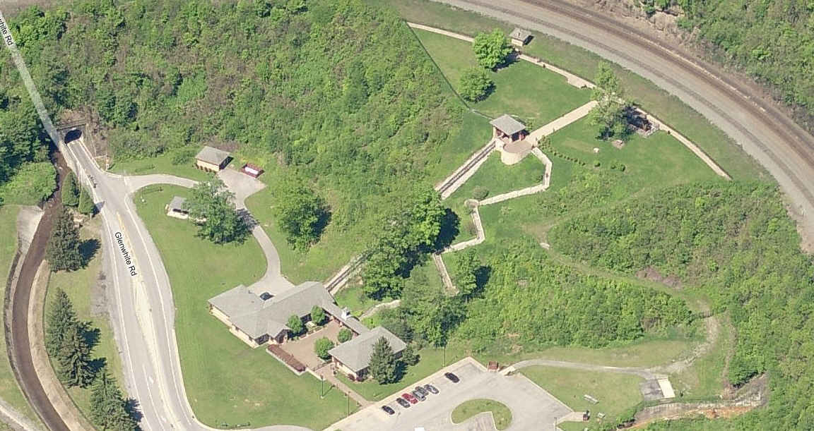
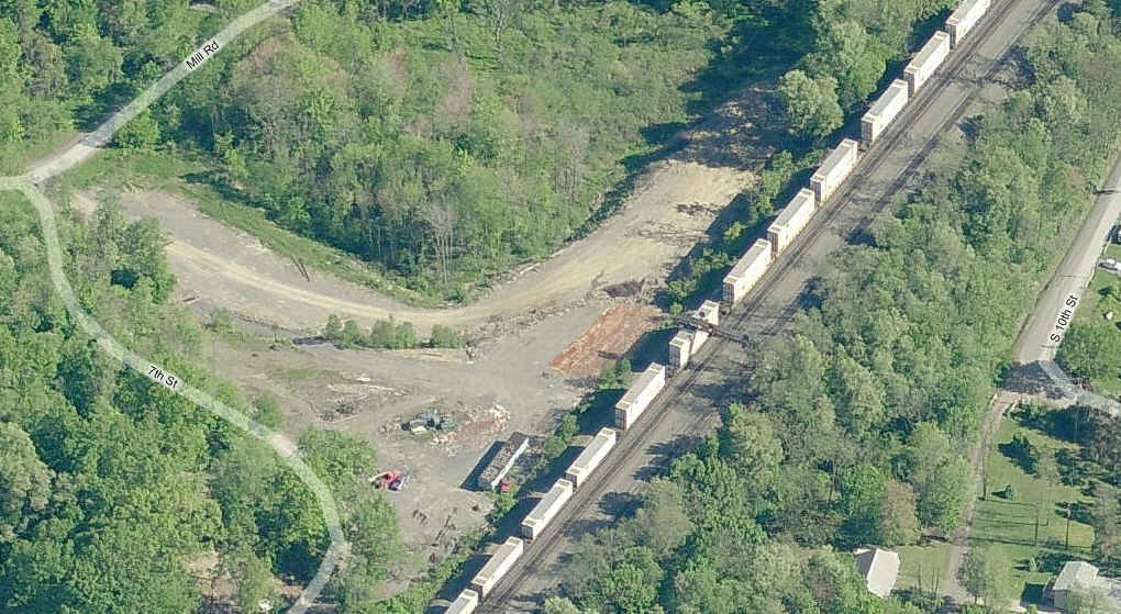
On the top row, the aerial screen captures are from Bing Map's "birds eye
view". Details of the visitors center are to
the right, and the far right photo is of a signal bridge on the "downside" of the hill, towards Altoona.
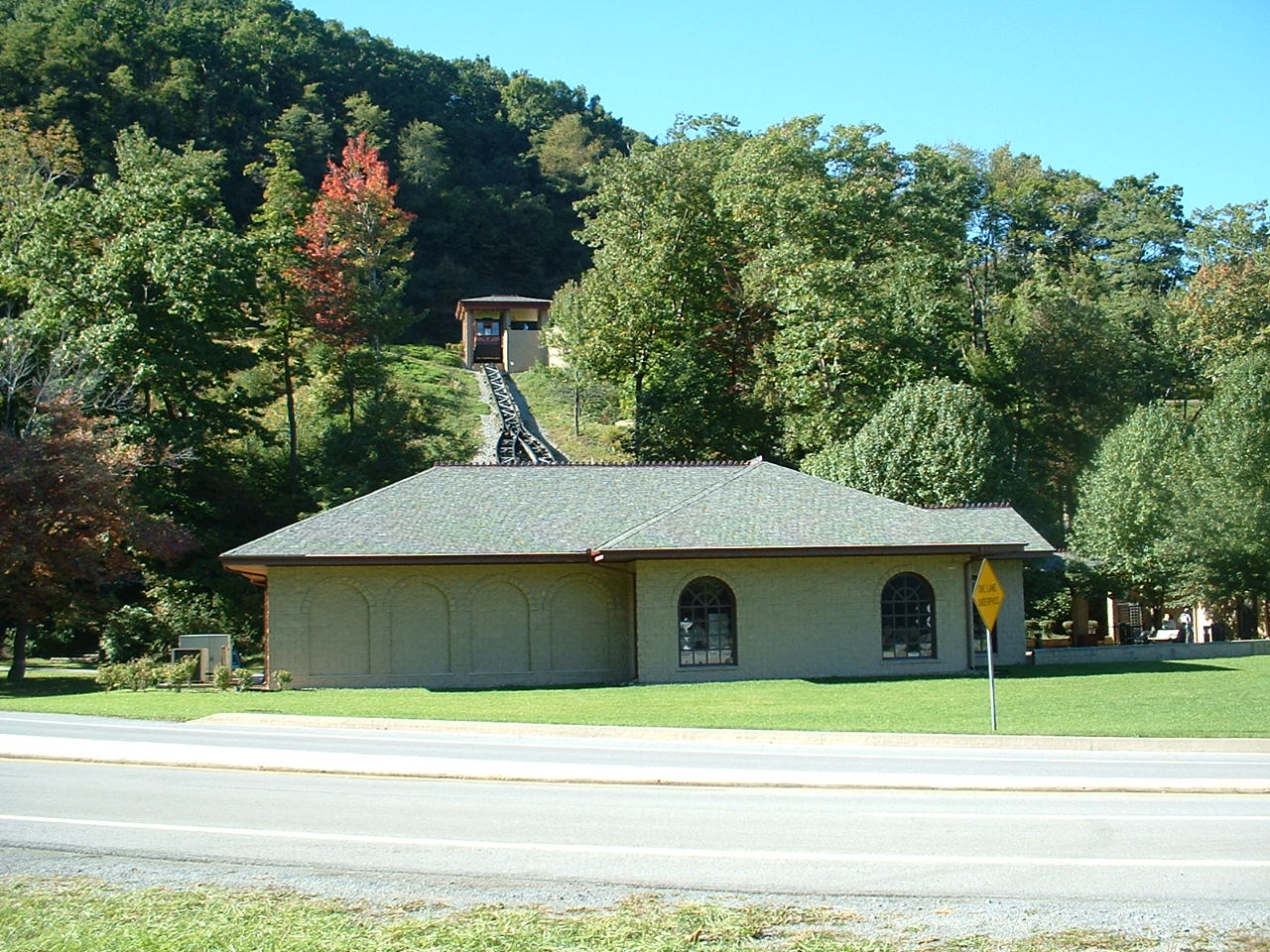
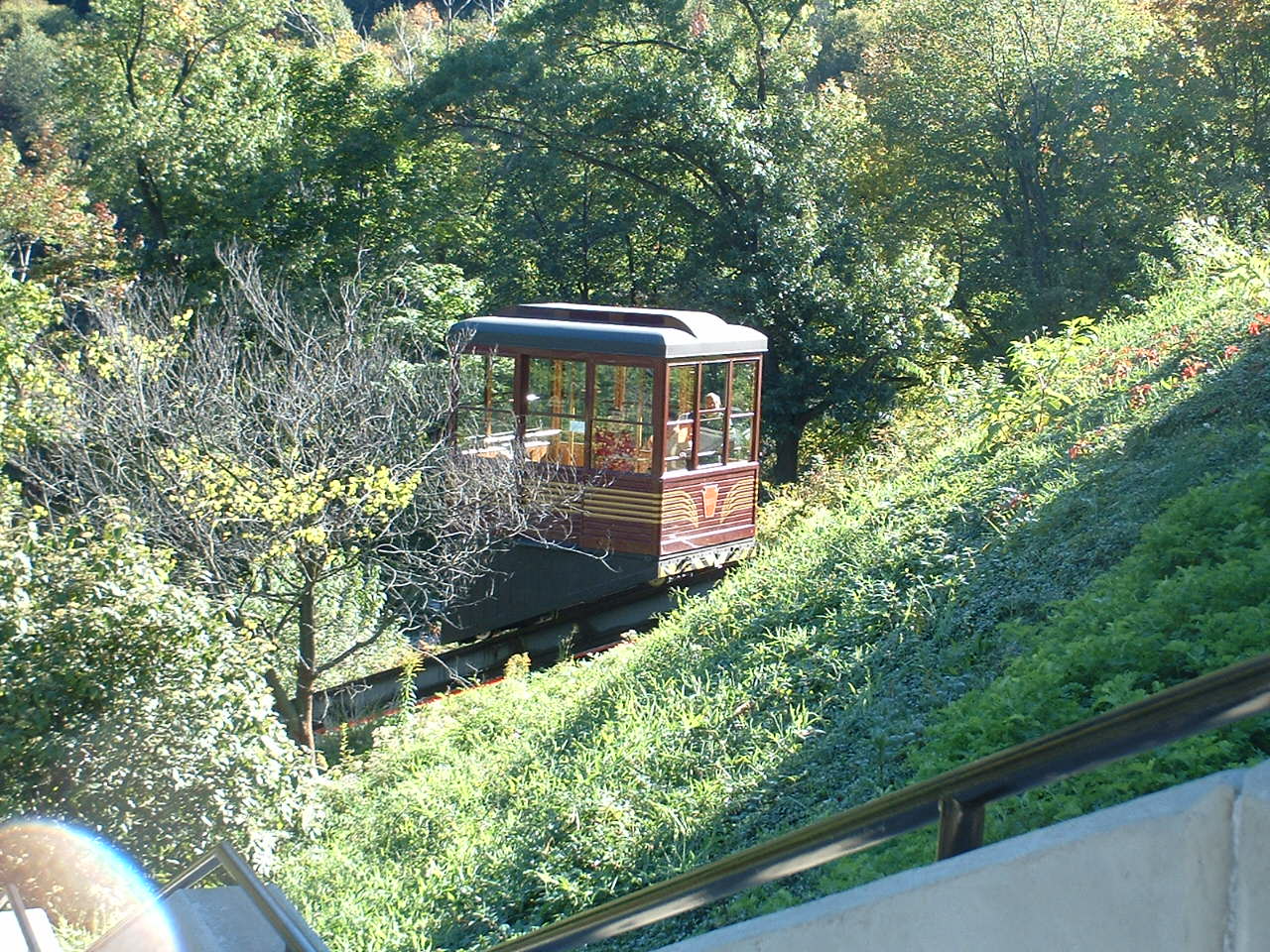
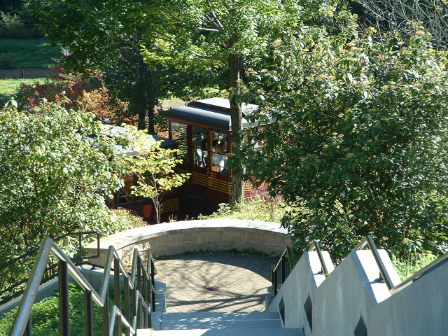
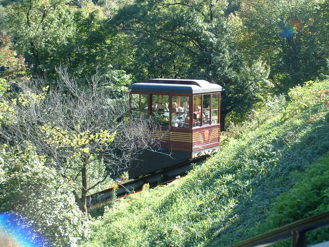
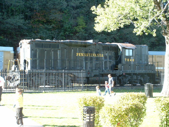
Second row of pictures are of the visitors center, the incline, or funicular, and the Pennsy Geep that replaced the K-4 Steamer #1361.
The incline only runs April thru October.
Some historic highlights:
The Curve was opened on February 15th, 1854, and originally had only two tracks,
Union soldiers protected the curve during the Civil War,
The park in the curve area was beautified for public use in 1879,
The Curve was widened from 2 tracks to 4 between 1898 and 1900.
A paved road opened to the park in 1932,
Construction of a guest house began in 1940, which later became a gift shop,
The Nazis attempted to sabotage the Curve during WWII in Operation Pastorious
Pennsy K-4 put on display in 1957, and the Pennsy turned over control of the park to Altoona,
National Historic Landmark status is given to the site in 1966,
Conrail removed one of the four tracks in 1981, and it remains that way today,
An agreement with the National Park Service is signed in 1989 to develop the site,
The Railroaders Museum manages construction of a new $5.8 million visitors facility,
The new Horseshoe Curve National Historic Landmark opened on April 25th, 1992.
Nice looking tower, but no-one there any more unless they're doing maintenance.
It handled a couple of crossovers, which are now controlled, like everything else, far, far away.
The tower is supposed to be torn down soon, but so far (as of SEP2018), has not.
The tower is not easily accessible, unless you feel like taking the risk to get arrested by trespassing on railroad property.
More pictures of the tower and trains at MG can be found here
Disclaimers:
I love trains, and I love signals. I am not an expert. My webpages reflect what I find on the topic of the page. This is something I have fun with while
trying to help others.
Please Note: Since the main focus of my two websites is railroad signals, the railfan guides are oriented towards the signal fan being able to locate them.
For those of you into the modeling aspect of our hobby, my indexa page has a list of almost everything railroad oriented
I can think of to provide you with at least a few pictures to help you detail your pike.
If this is a railfan page, every effort has been made to make sure that the information contained on this map and in this railfan guide is correct. Once in a while,
an error may creep in :-)
My philosophy: Pictures and maps are worth a thousand words, especially for railfanning. Text descriptions only get you so far, especially if you get lost or
disoriented. Take along good maps.... a GPS is OK to get somewhere, but maps are still better if you get lost! I belong to AAA, which allows you to get
local maps for free when you visit the local branches. ADC puts out a nice series of county maps for the Washington DC area, but their state maps do not have the
railroads on them. If you can find em, I like the National Geographic map book of the U.S..... good, clear, and concise graphics, and they do a really good job
of showing you where tourist type attractions are, although they too lack the railroads. Other notes about specific areas will show up on that page if known.
Aerial shots were taken from either Google or Bing Maps as noted. Screen captures are made
with Snagit, a Techsmith product... a great tool if you have never used it!
By the way, floobydust is a term I picked up 30-40 years ago from a National Semiconductor data book, and means miscellaneous
and/or other stuff.
Pictures and additional information is always needed if anyone feels inclined to take 'em, send 'em, and share 'em, or if you have something to add or correct.... credit
is always given! Please be NICE!!! Contact info is here
Beware: If used as a source, ANYTHING from Wikipedia must be treated as being possibly being inaccurate, wrong, or not true.


 Marc Lingenfelter
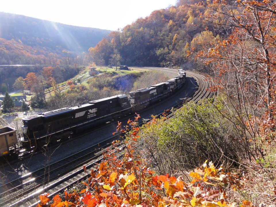 Marc Lingenfelter
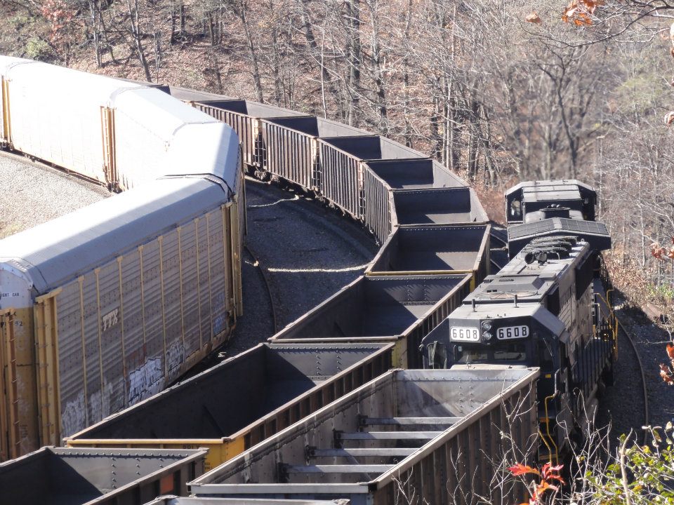 Marc Lingenfelter
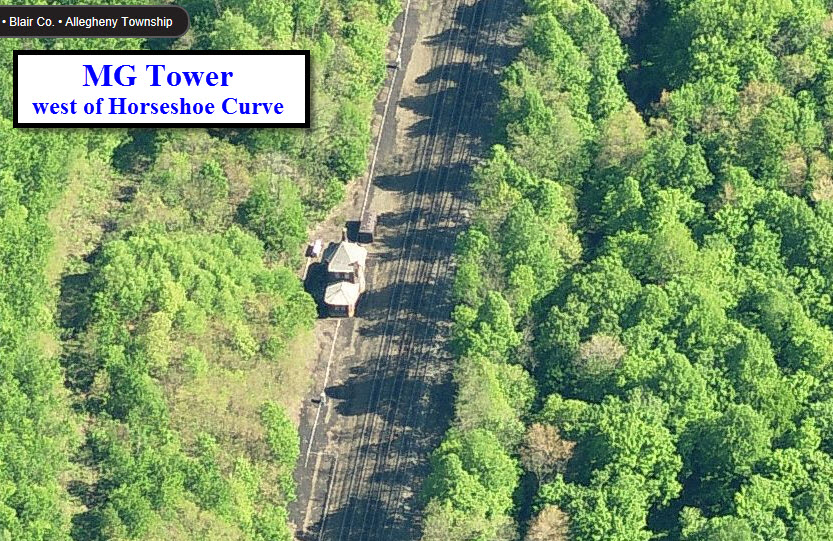
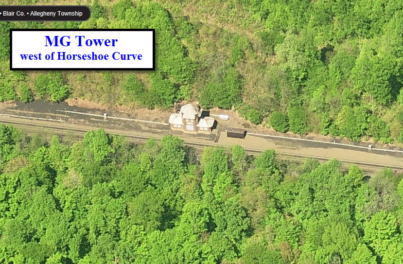
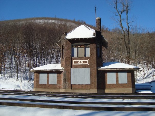 Photo by Marc Lingenfelter