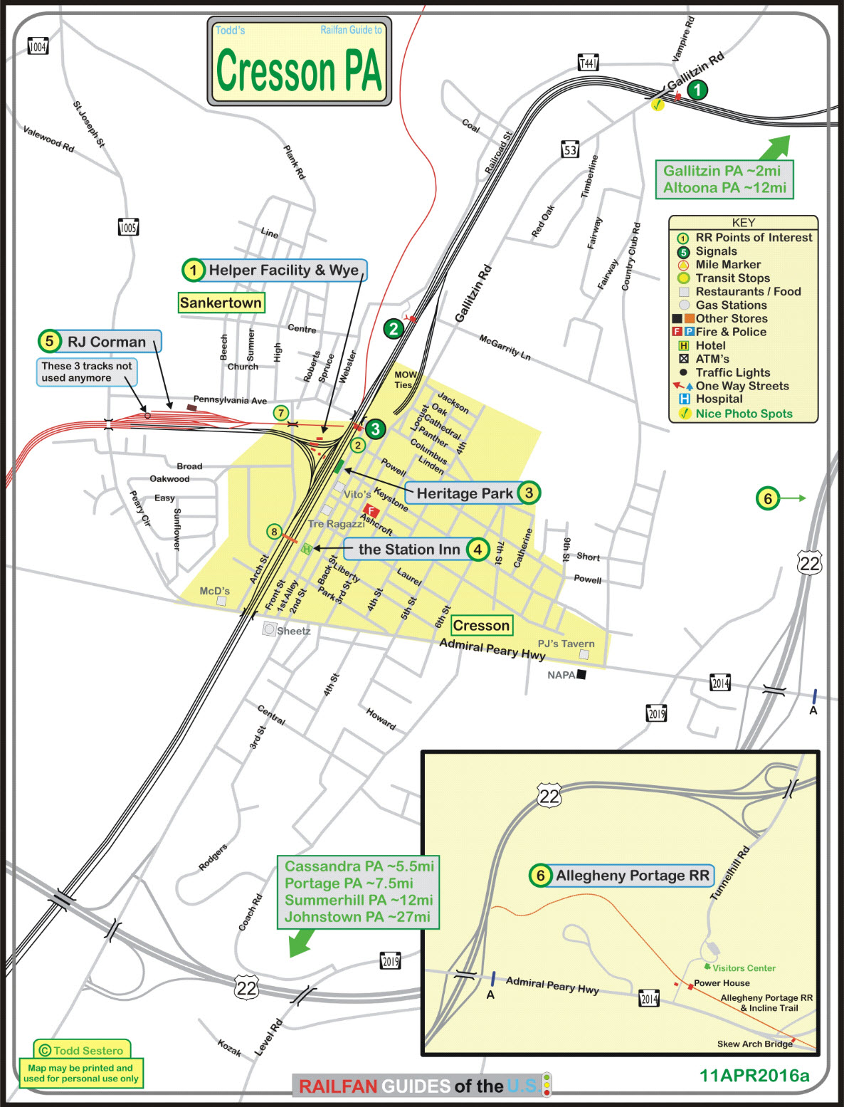
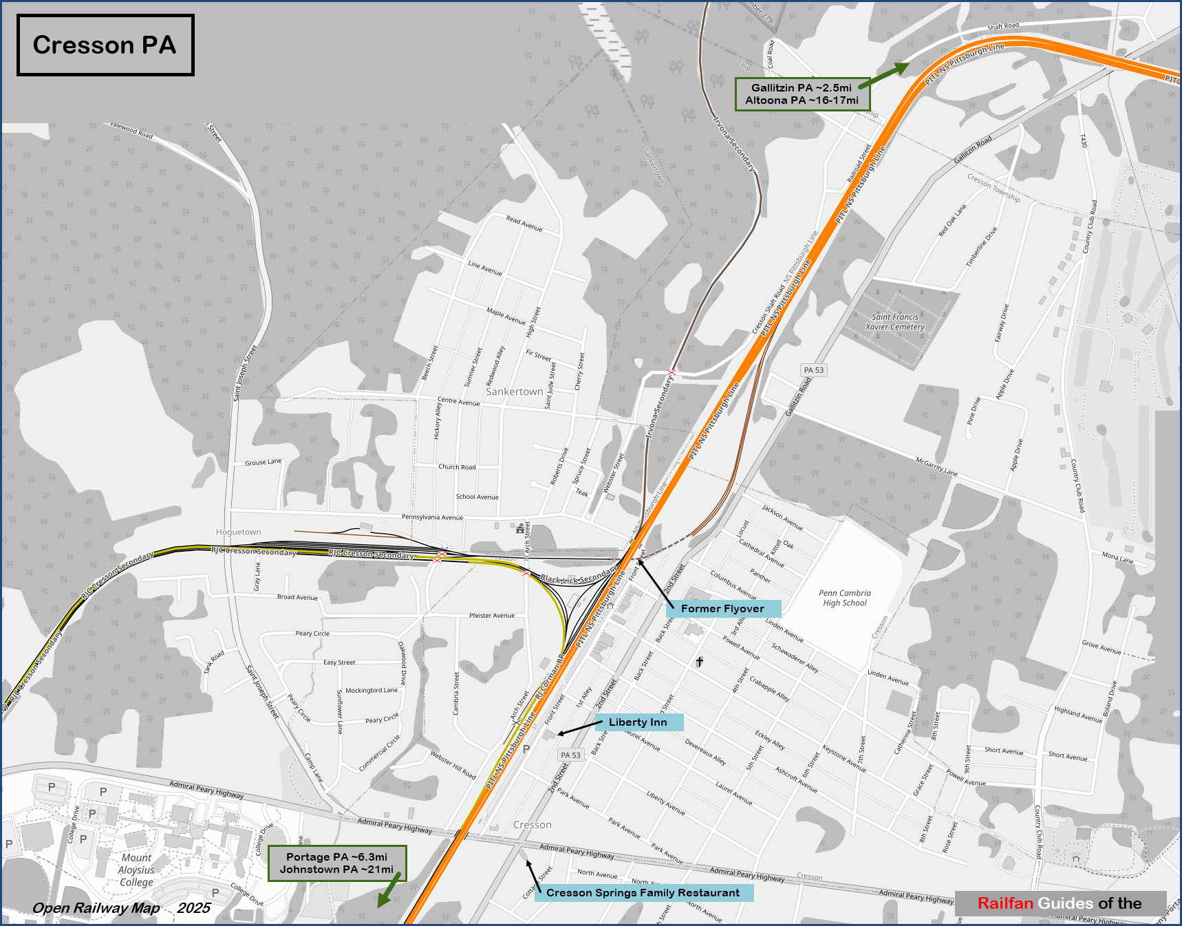
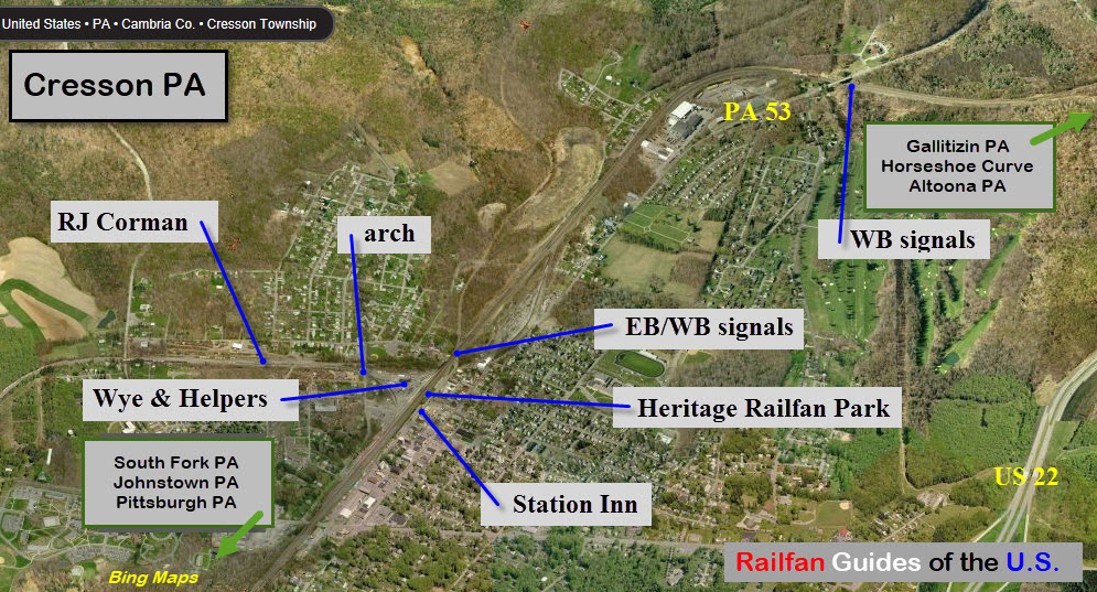
What's Here:
NS helper facility
RJ Corman RR
A wye
The Station Inn bed & breakfast
And the Allegheny Portage RR National Historic Site is very close!
Data:
GPS Coordinates: 40.28258, -86.51806
Zip code: 16630
Phone A/C: 814
Elevation: 2,057ft
Population: 1,666 (2013)
80 Miles east of Pittsburgh
Access by train/transit:
None - Amtrak comes thru here, but does not stop. Closest city for
passenger service is Altoona PA, ~20 miles
The Scoop:
Along with the Horseshoe Curve and Altoona, Gallitzin and
Cresson make this part of the country one of the biggest railfan
areas to visit in the U.S.
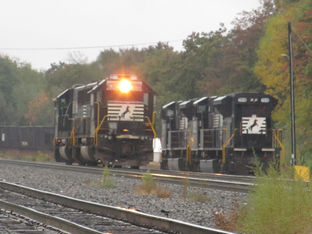
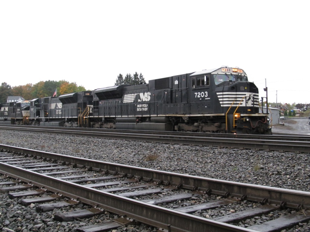
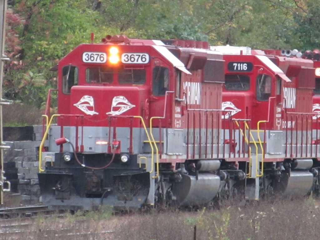
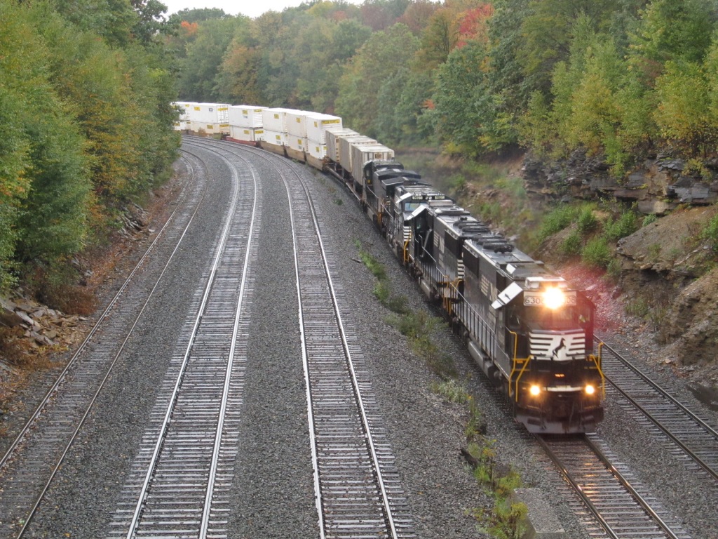
Cresson is home to a Norfolk Southern helper facility, RJ Corman, a wye,
and the Station Inn, one of the few
places in the U.S. where you can sleep right next to a mainline of this caliber.
If you're looking for something to eat, my suggestion if you have the time
and don't mind a sit-down place, is the Cresson Springs Family Restaurant.
They are a step up from the sub shops and pizza places in town, but if
you're in a rush, there's nothing wrong with them!
Note: Bing Maps no longer offers "birds eye" views for Cresson, and Google
Maps DOES NOT have streetview coverage of Front Street, dang.
Acknowledgements:
Denver Todd
Super Trains video
prrwestslopefan
Geoff Hubbs
Charlie Whipp
the Auran website
Google Maps
Bing Maps
GPS Coordinates: 40.46578, -78.59187 (grade crossing on Arch St)
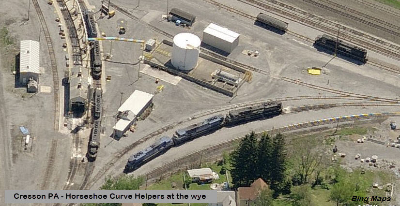
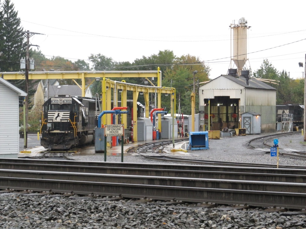
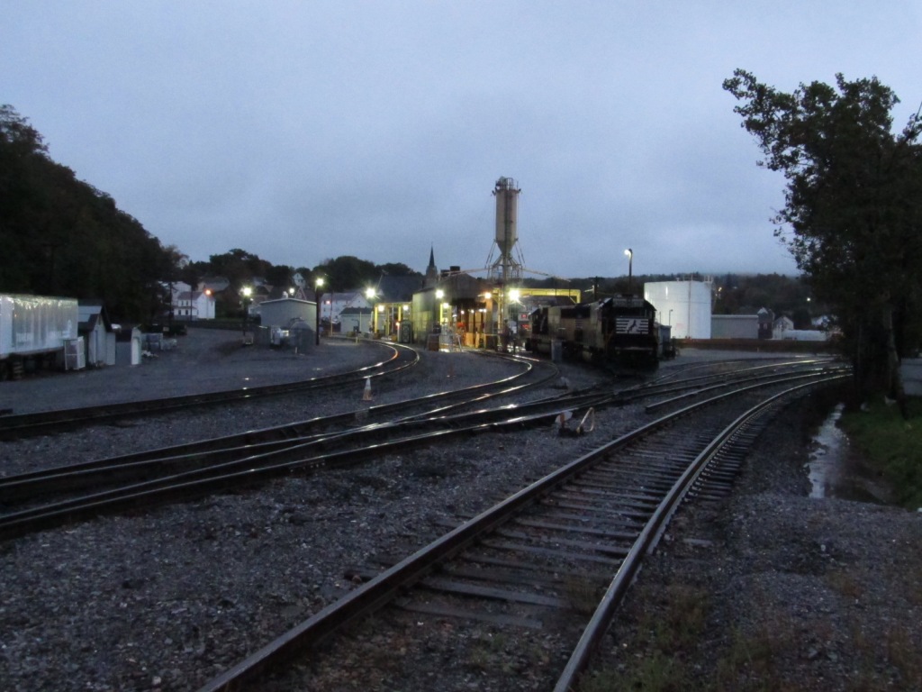
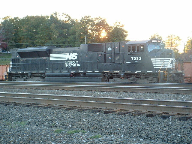
Ever since Horseshoe Curve became a reality, helpers have
always been needed to get the trains up and over the hill. If you have
been taking pictures long enough, you will remember seeing engines in
PRR, Penn Central,
Conrail, and now,
Norfolk Southern livery. If you can go back a few more years
into the 50's, well, you may also remember steam! :-)
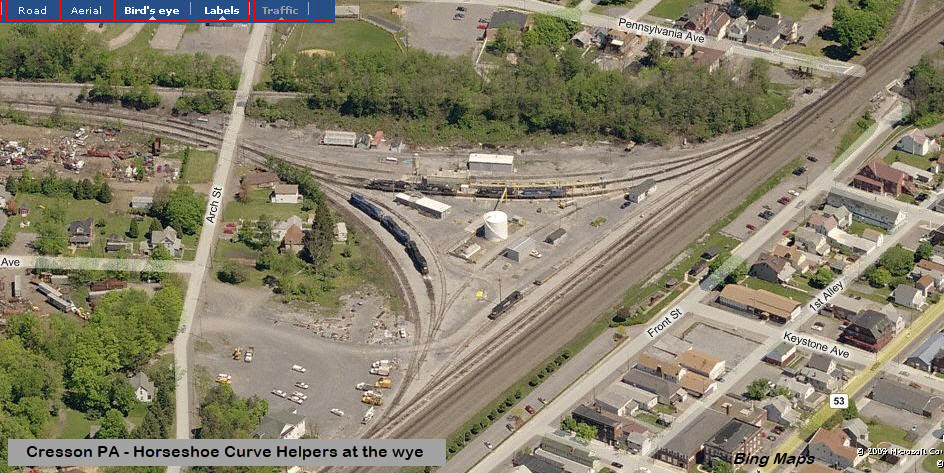
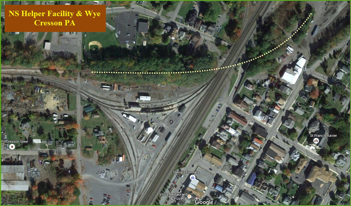
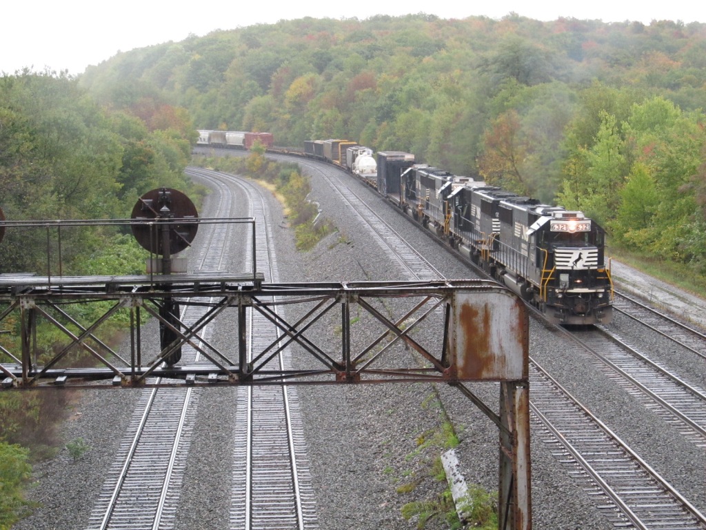
The helper facility is nicely planted on the inside of
the Cresson Wye, as can be seen from the aerial shots.
Oct 2004
Oct 2011
The above pictures are taken from Arch St.
Across from the Helper Facility and Wye
With a great view in both directions, this spot can keep you busy for a whole day by itself!
Oct 2004
Oct 2011
Oct 2011
Oct 2011
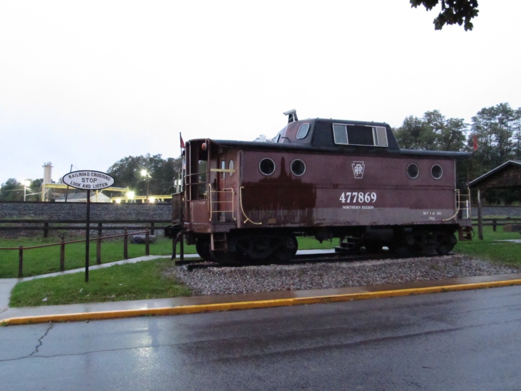
Heritage Park
GPS Coordinates: 40.46494, -78.58928
501 Front St, Cresson PA 16630
Oct 2004
Oct 2011
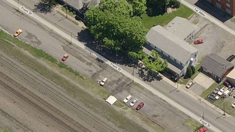
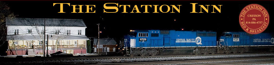
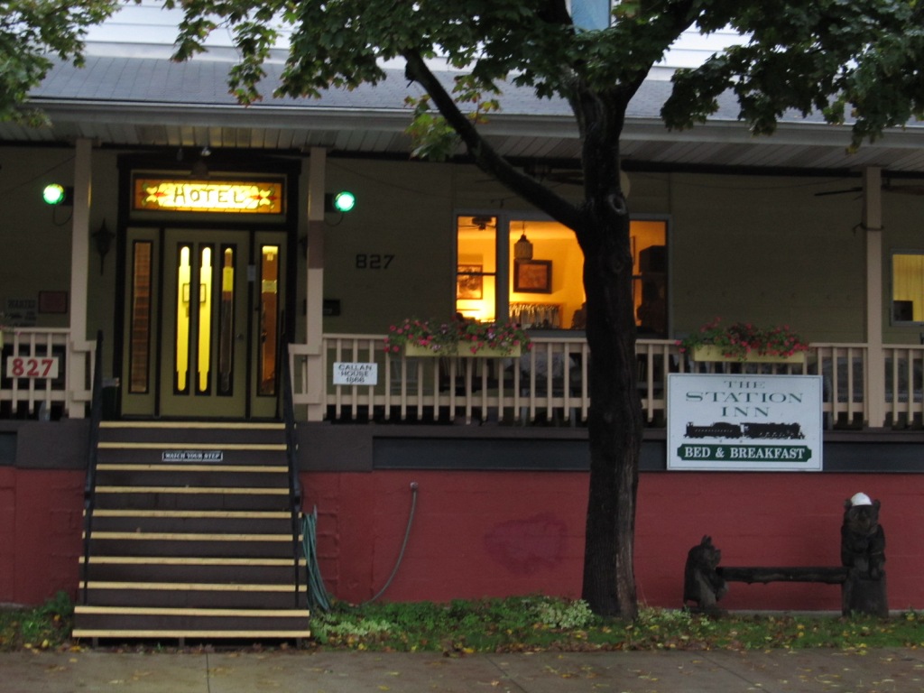
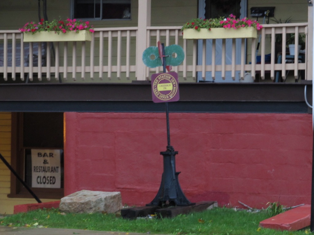
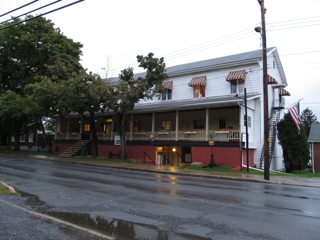
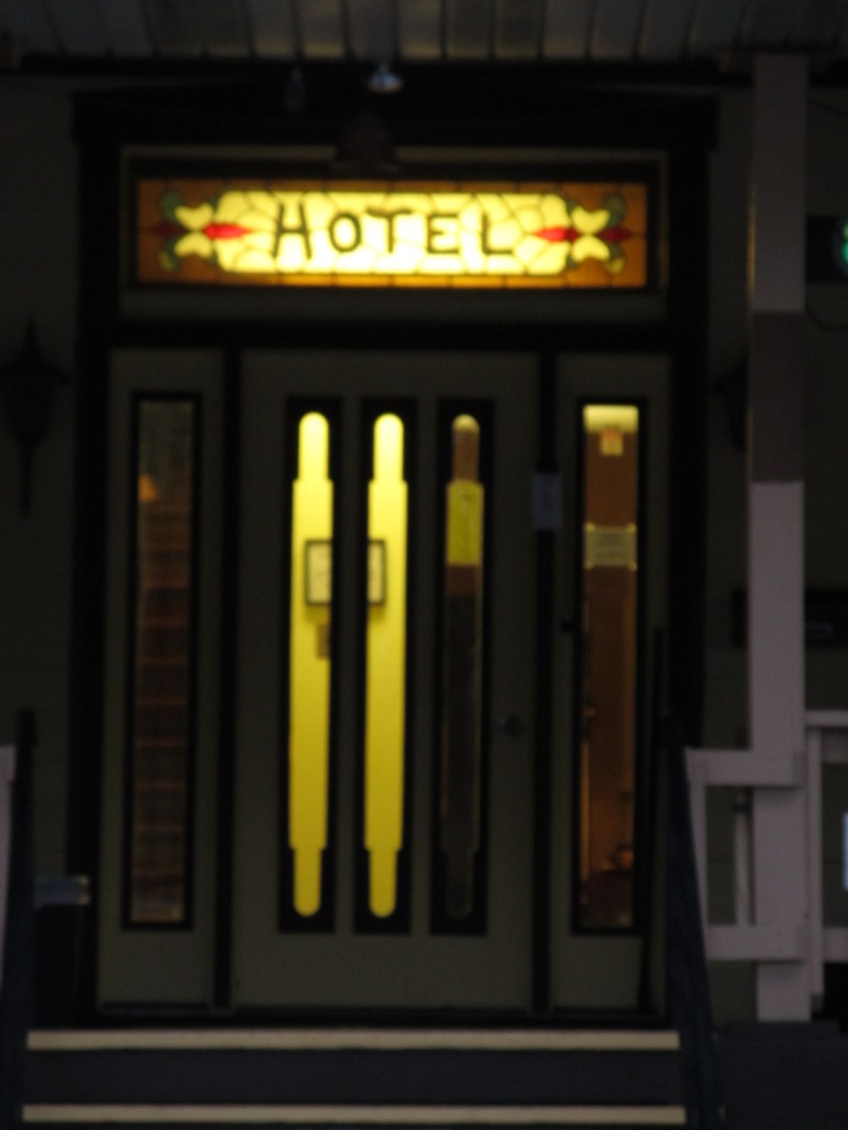
The Station Inn
GPS Coordinates: 40.46197, -78.59119
827 Front St, Cresson PA 16630
814-886-4757
This is a great place to stay if you anticipate staying overnight in the
area. More info here.
Oct 2011
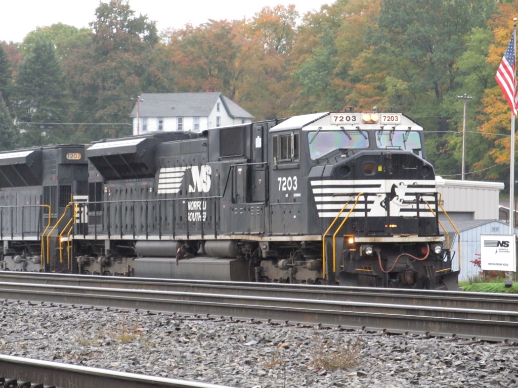
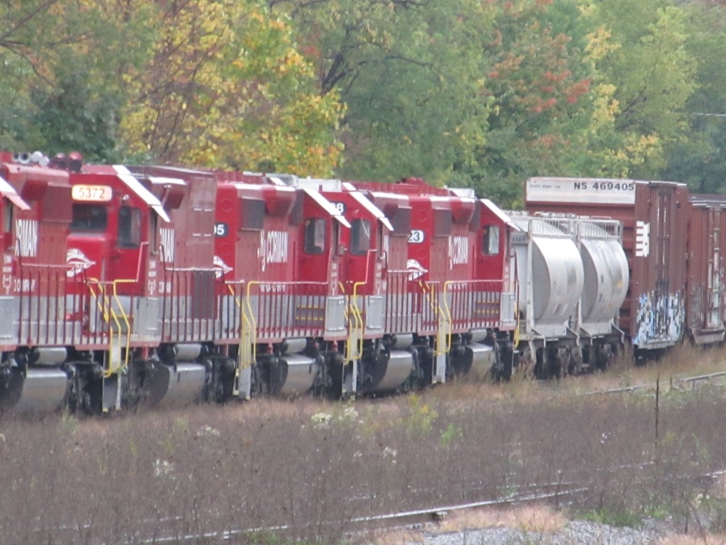
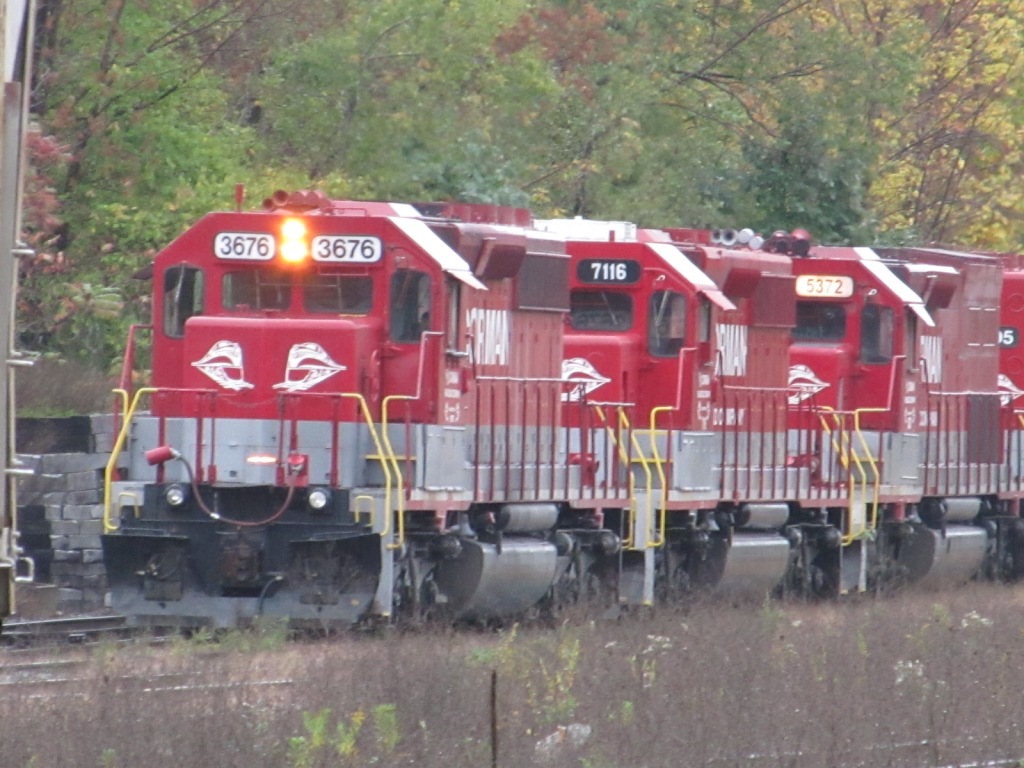
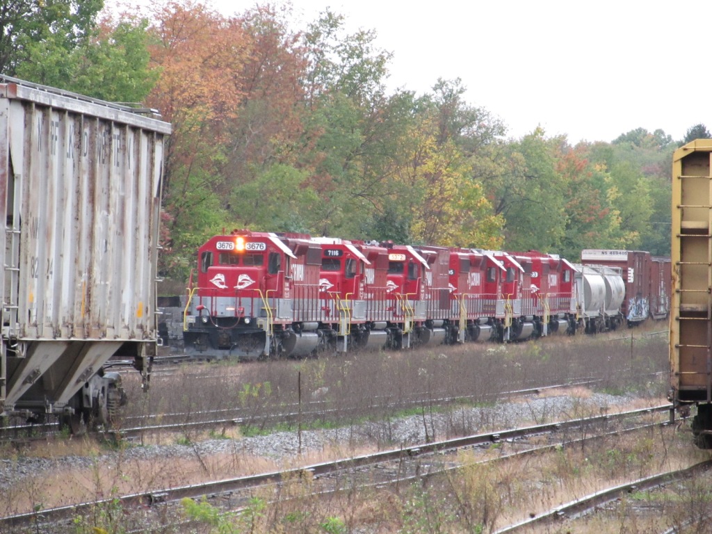
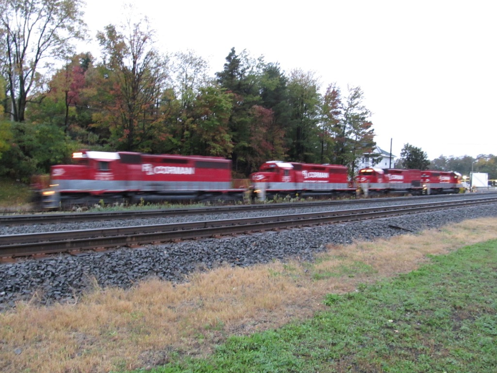
RJ Corman
This is part of RJ Corman's ever expanding empire.
Oct 2011
Oct 2011
Oct 2011
To the left is a much larger and newer version of the map below.
Allegheny Portage Railroad
I used to have this site on this page, but have moved it here
The Allegheny Portage Railroad is part of the National Park system as a National Historic Site.
More info is also HERE and HERE
Elsewhere in Town - Small Arch Bridge
This small ARCH underpass is on Arch St, off Shakertown Rd as you head over to the west side of the helper facility.
Elsewhere in Town - Pedestrian Underpass
If you're standing on Front St across from the wye, this
underpass would be to your left, directly across from the Station Inn.
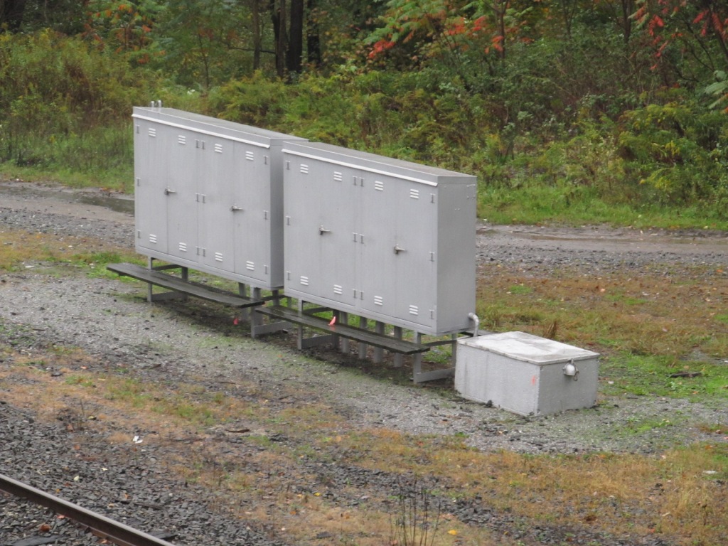
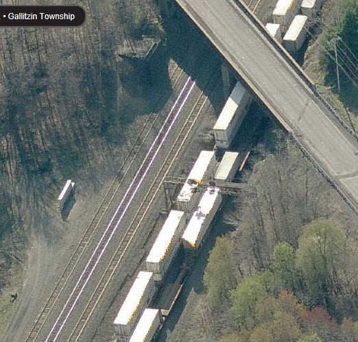
MOW Yard
Below is a section of the USGS map that illustrates the bridge/flyover between the two yards,
and the fact that the eastern yard was at one time a much more substantial yard.
Not sure when it was removed, the Bridgehunter page does not mention a date.
But according to "prrwestslopefan", the flyover was removed in the mid 90's,
he believes around 1994 or 95. It was removed as part of Conrail & PA's
double stack clearance project. The same project that enlarged the Allegheny Tunnel in Gallitzin.
photo by Geoff Hubbs, August 1972
photo by Charlie Whipp
Above, from the Auran site:
The 1st Cresson flyover bridge being demolished, apparently the RR crane toppled over,
and the entire town turned out to see ... it was replaced by a 4 pier, through girder
span ... and was again demolished in the double stack height program.
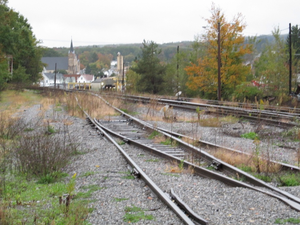
In looking at the USGS Map at the bottom of the page, there used to be a
flyover, over the mainline, that connected the two yards.
As you are entering Cresson from the east (coming from Gallitzin),
you will pass over the ex-Pennsy mainline before hitting town.
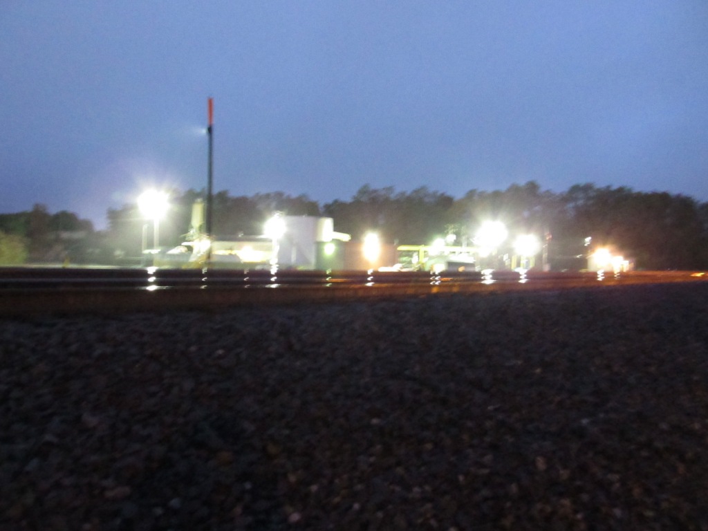
Parking can be found on the Cresson side of the overpass. It was
getting dark by the time I got here in Oct 2011. By the time I took
the last pictures, it was well into darkness.
Oct 2011
Oct 2011
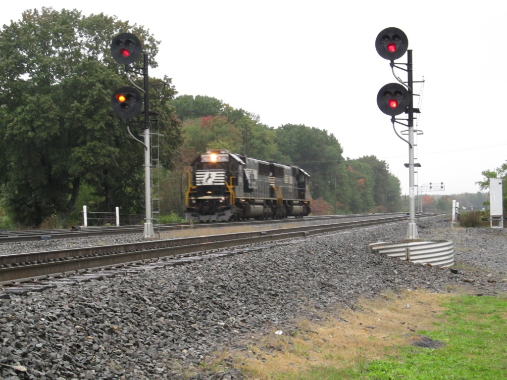
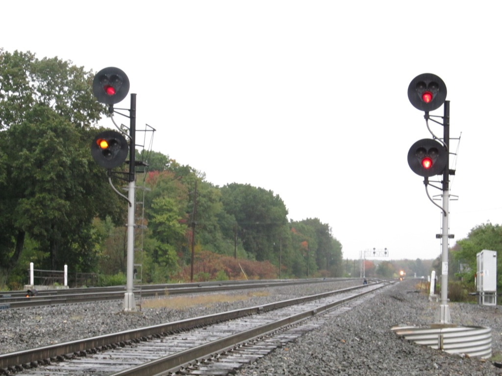
WB - in Cresson
Oct 2011
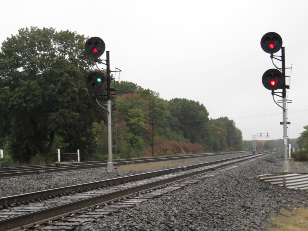
EB - in Cresson
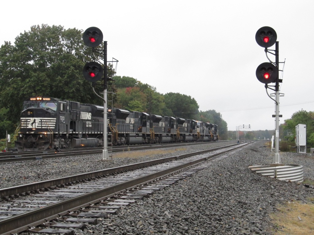
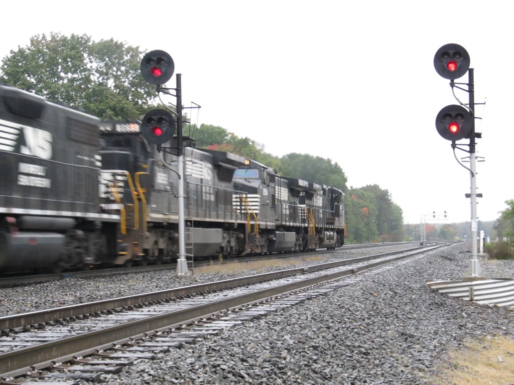
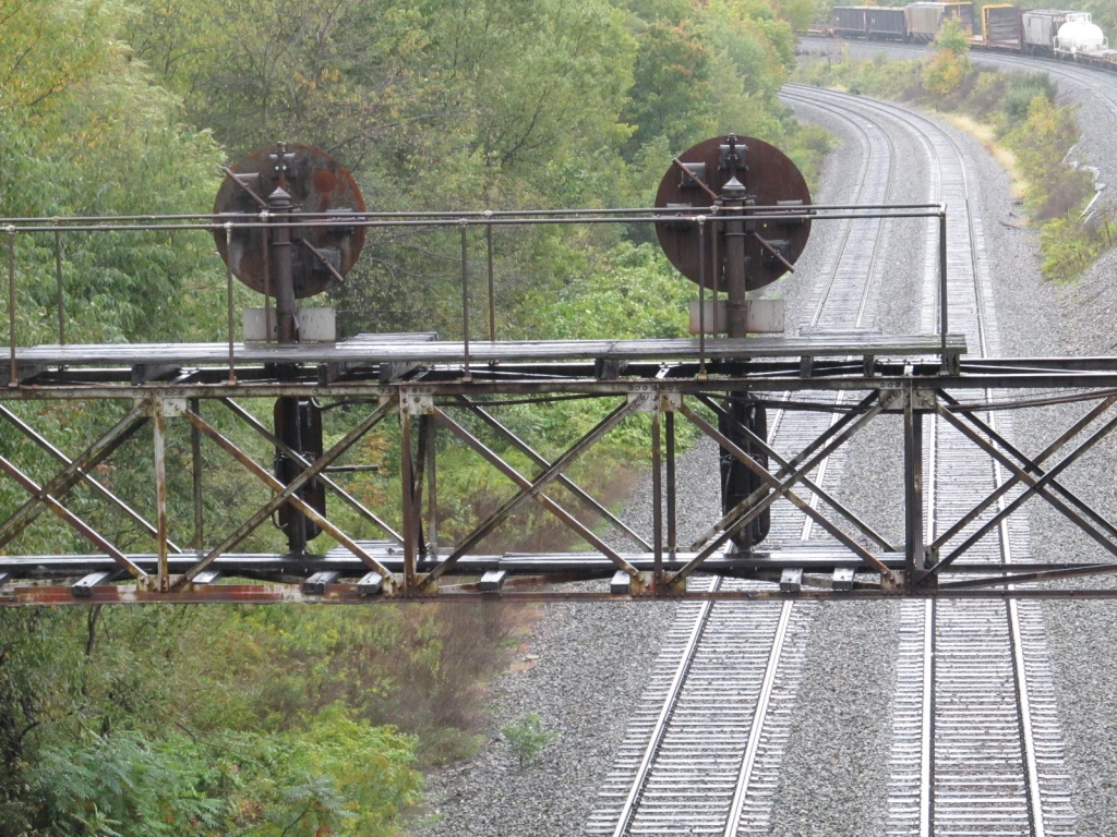
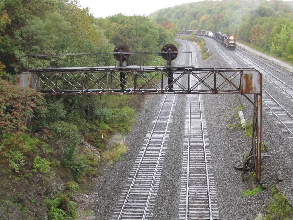
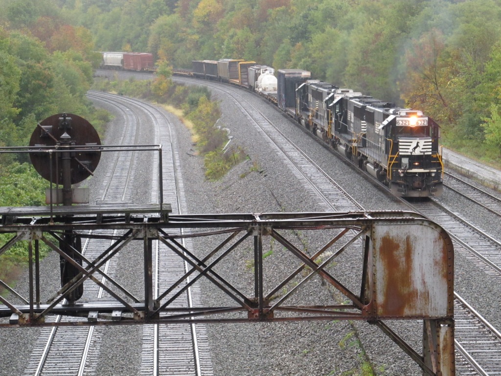
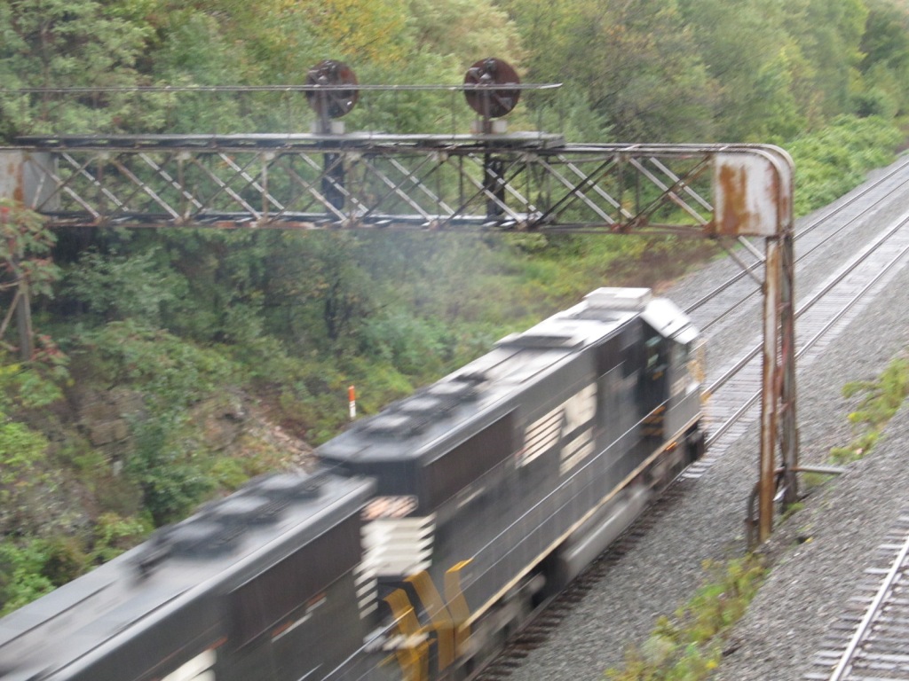
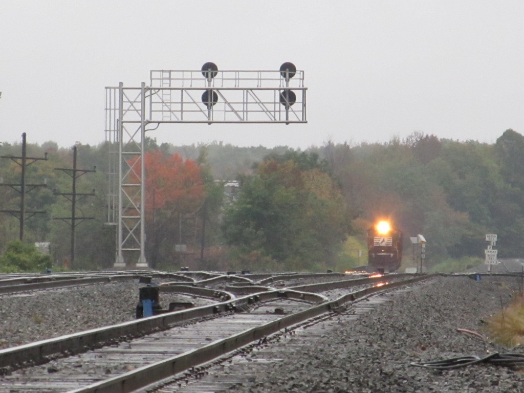
These signals are not native to this region. They were upgrades during
the Conrail era. They are "trilights", or, to keep the purists happy,
many maintainers call them either just plain ole colorlight signals or
triangularly shaped color light signals, "type G",
after the GRS designation for them (however, a US&S type "G" signal would be a B&O style CPL signal).
I have much more on them
here.
Oct 2011
Sorry, last one in the dark is a little fuzzy :-( Didn't feel like getting the tripod out. Oct 2011
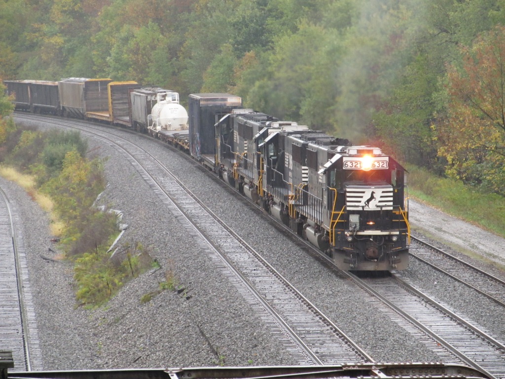
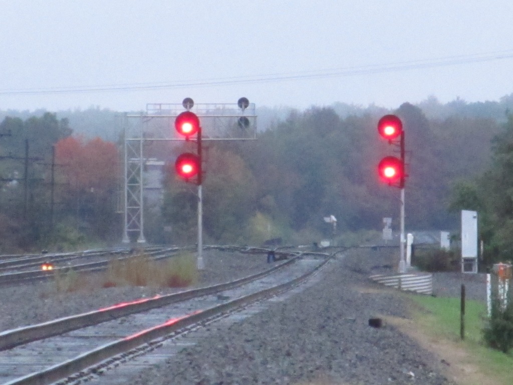
A WB freight passes the signals close to the former location of MO Tower. Oct 2004
All of these shots are from Heritage Park, the aerial shots are from Bing Maps birdseye view!


 Oct 2004
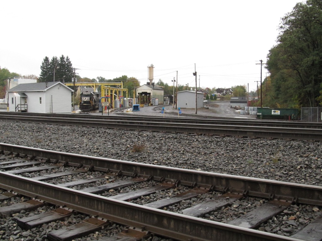

 Oct 2011
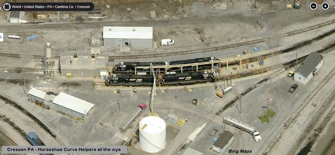
 Oct 2004
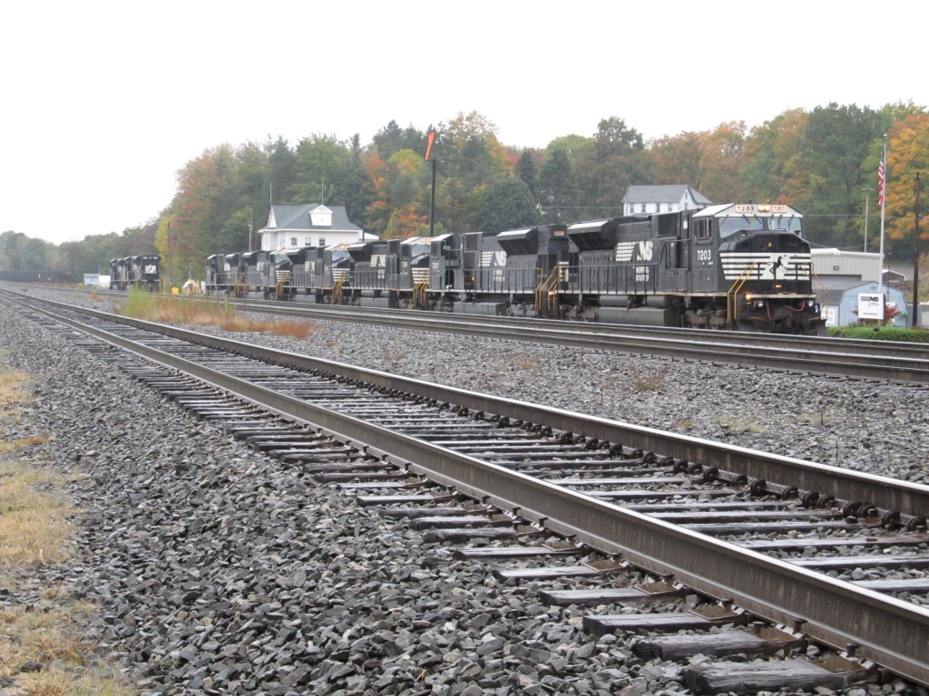

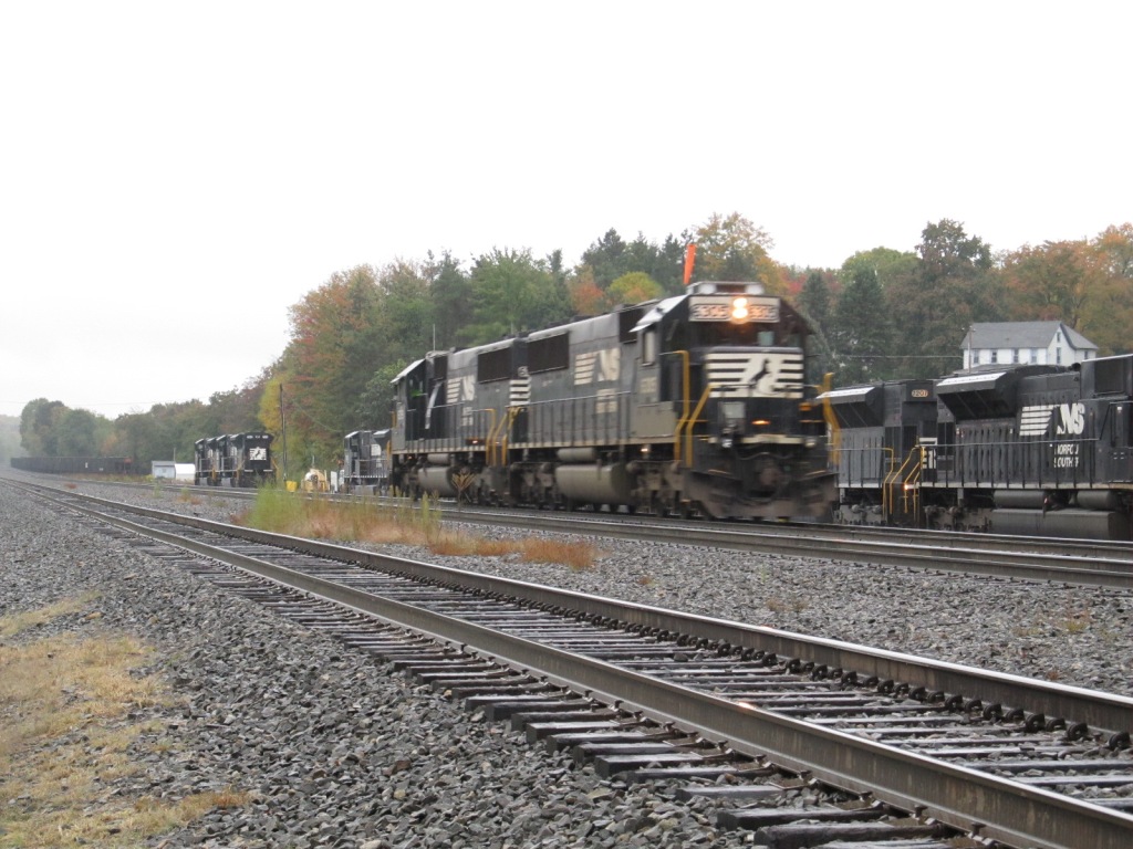
 Oct 2011
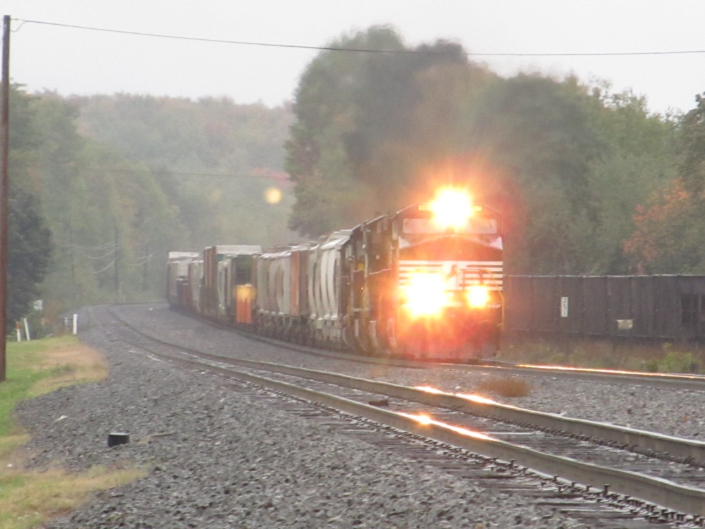

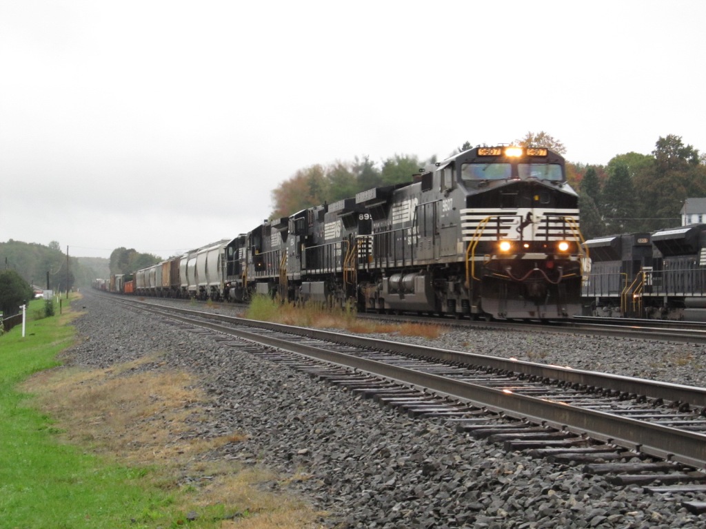 Oct 2011
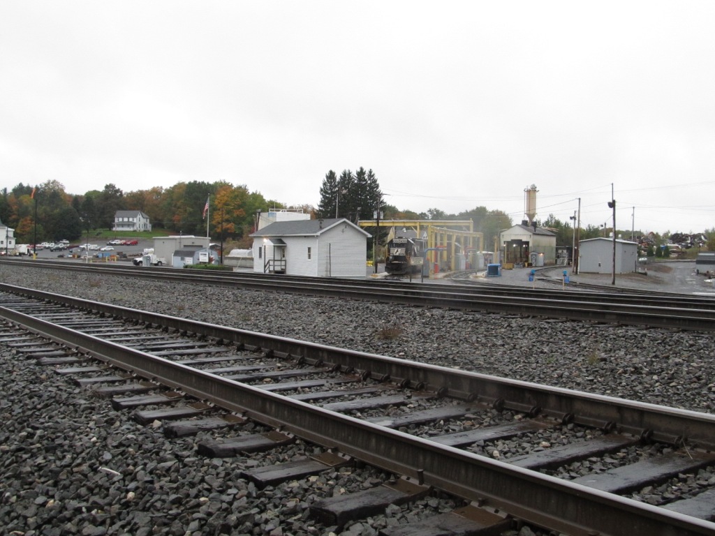
 Oct 2011
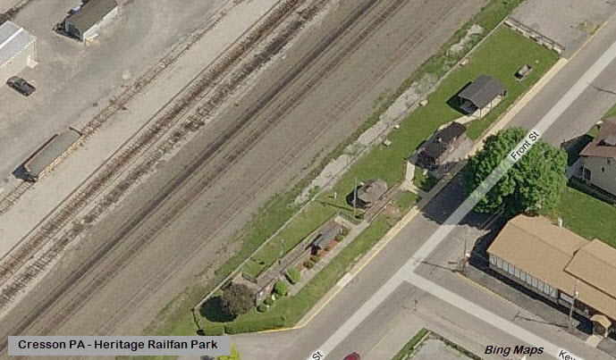
 Oct 2004
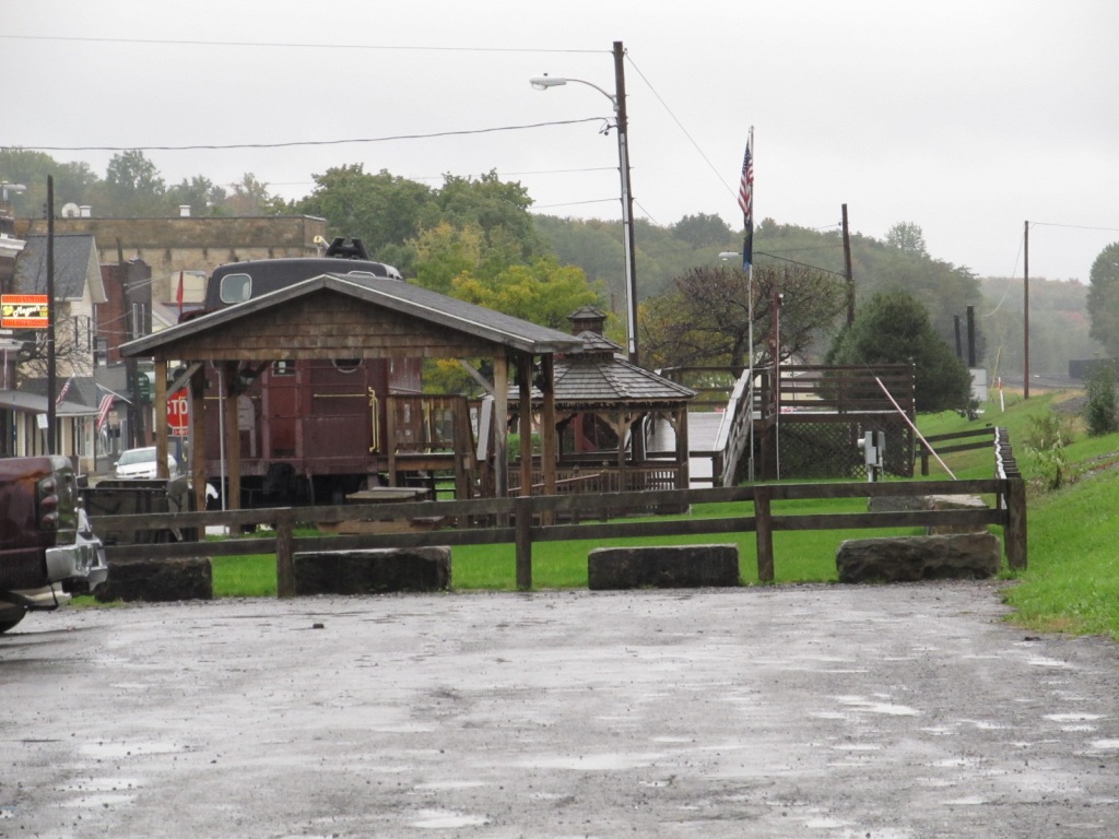


 Oct 2011
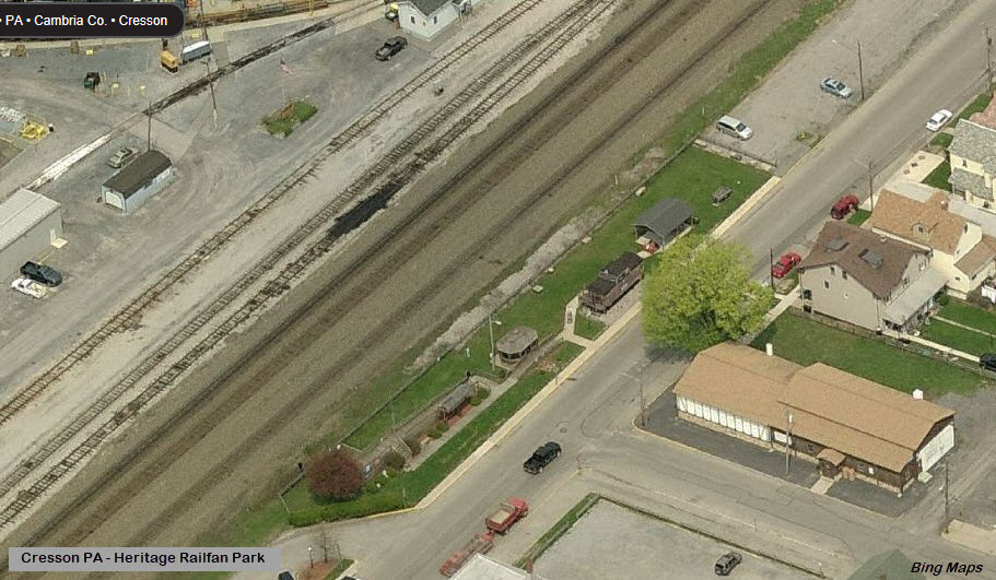
 Oct 2011
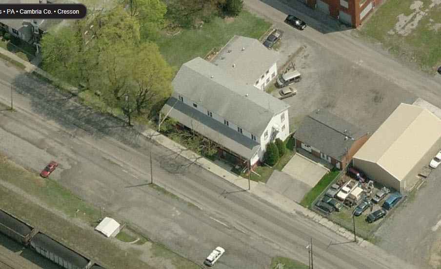

 Oct 2011
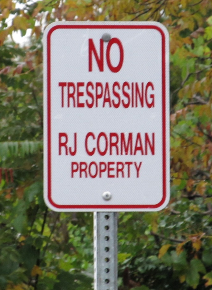
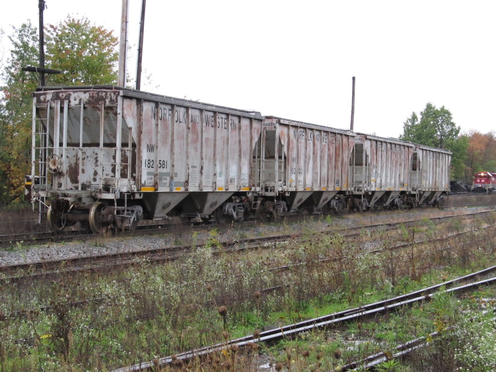
 Oct 2011
 Oct 2011
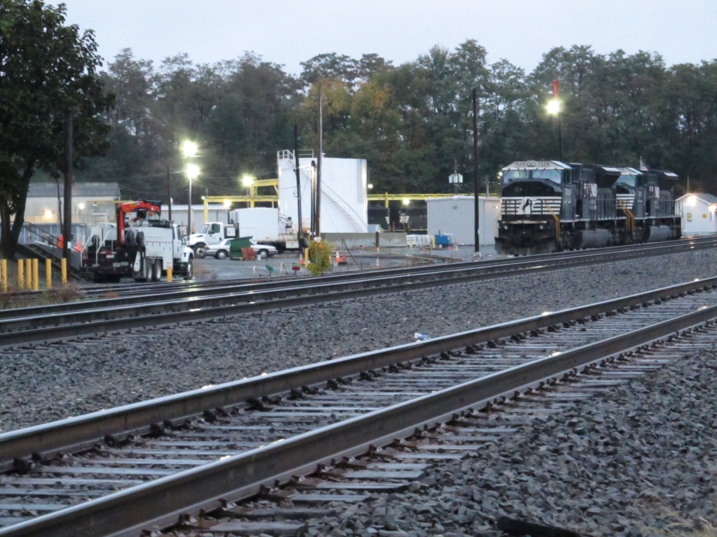
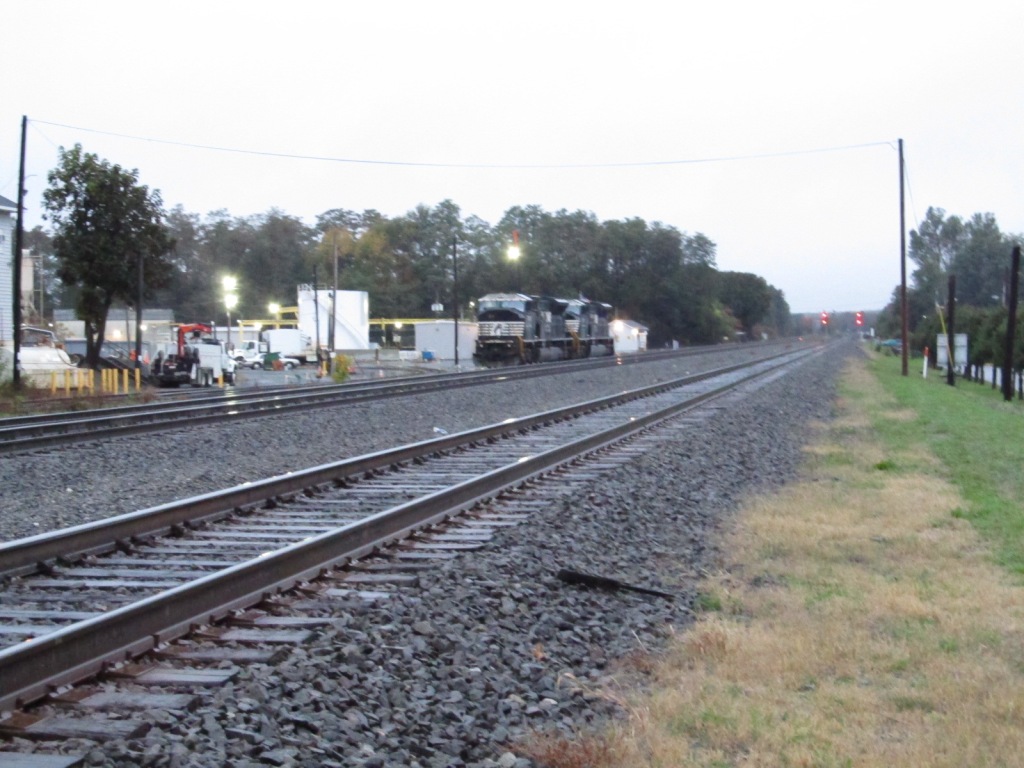
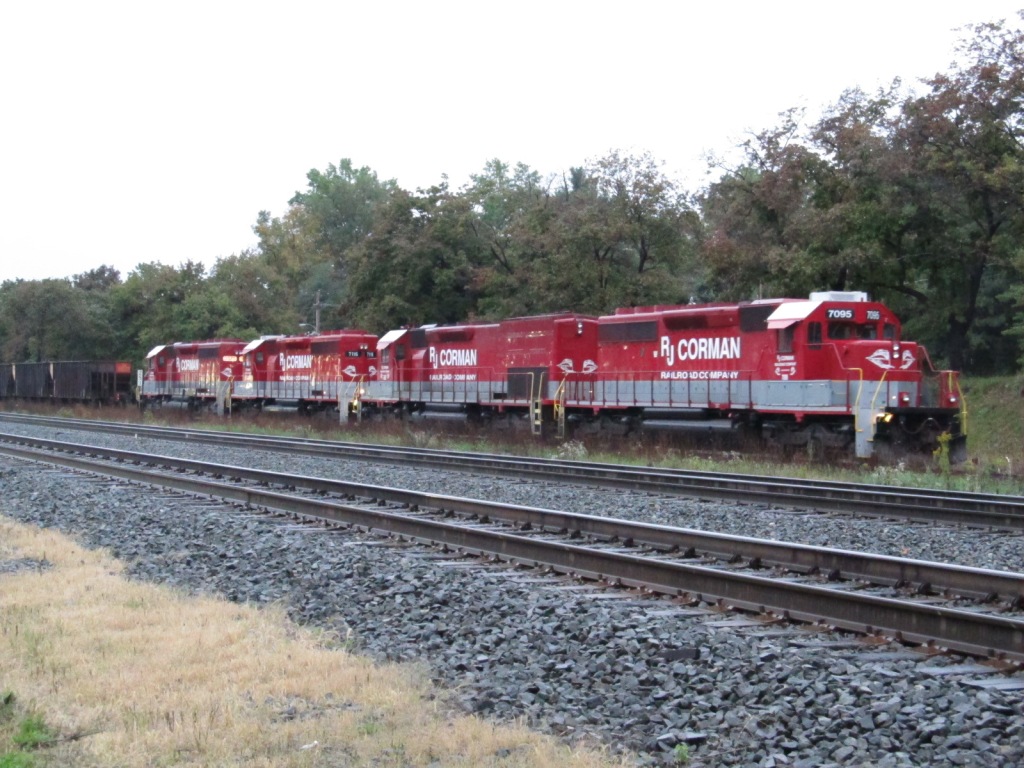
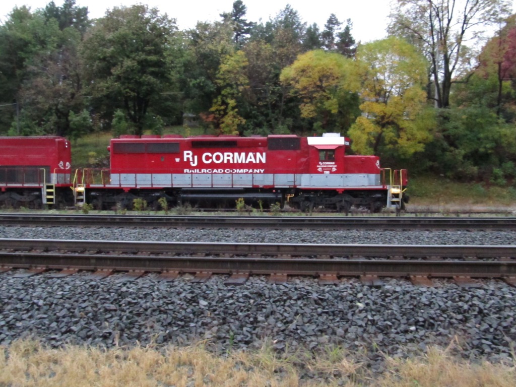
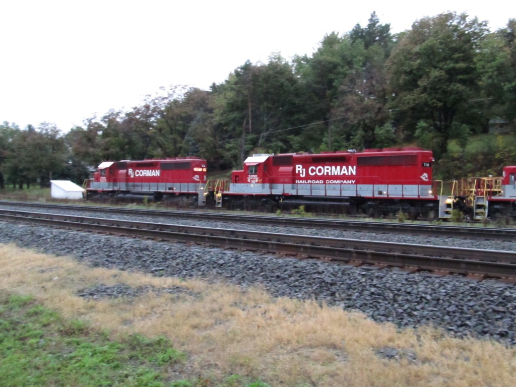
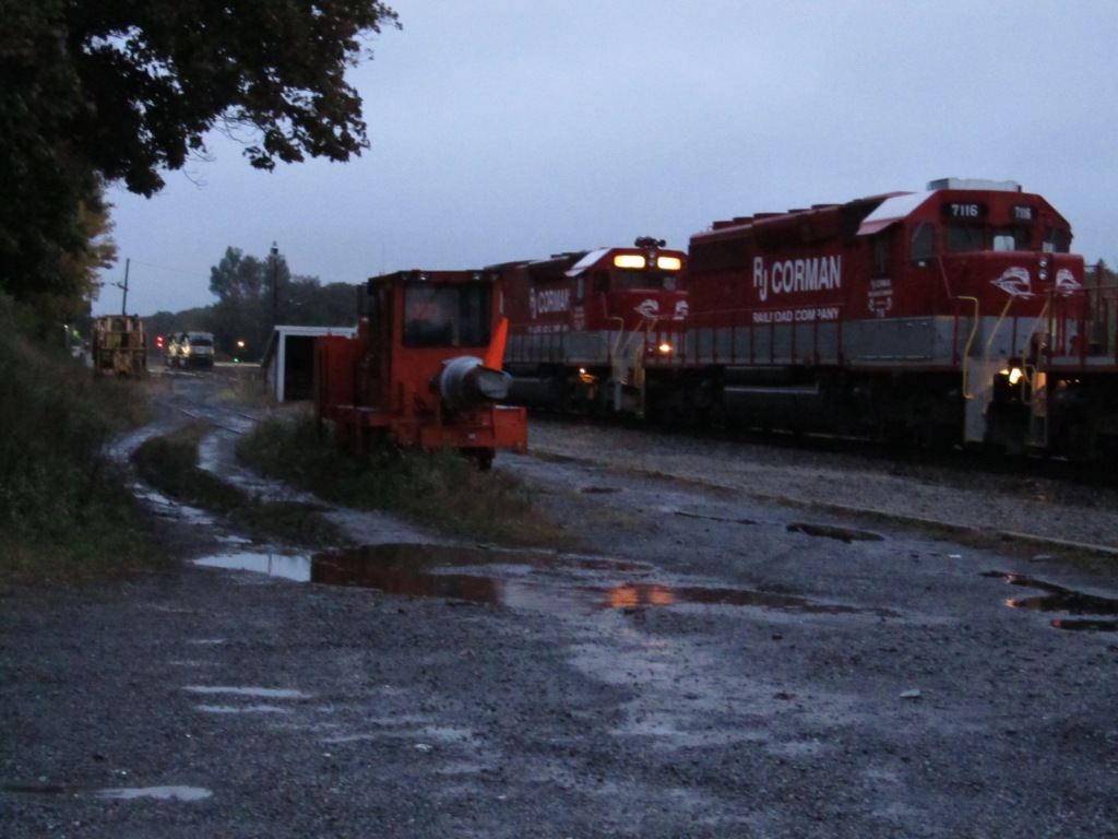
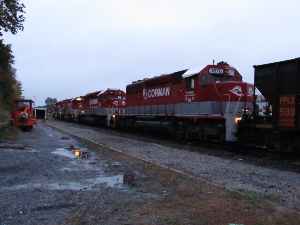
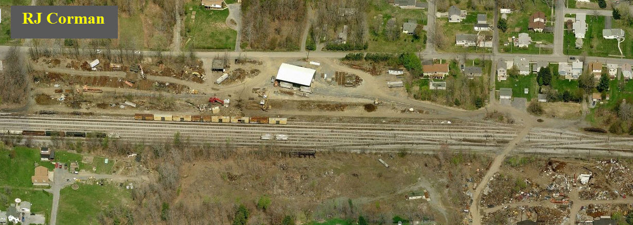
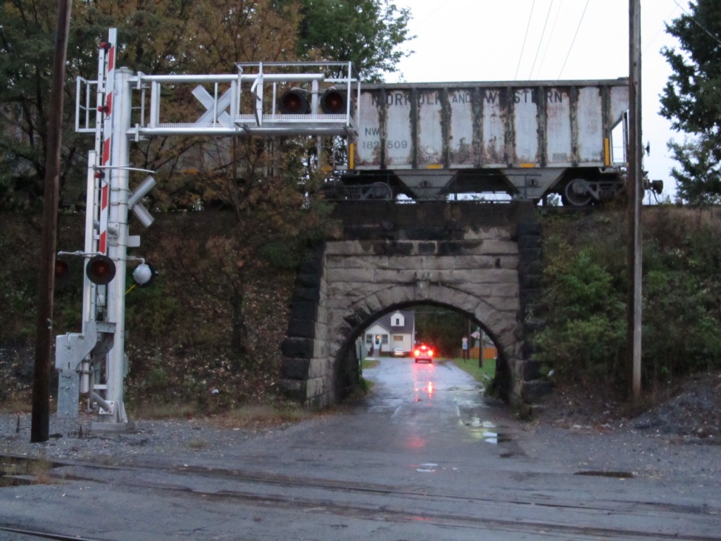
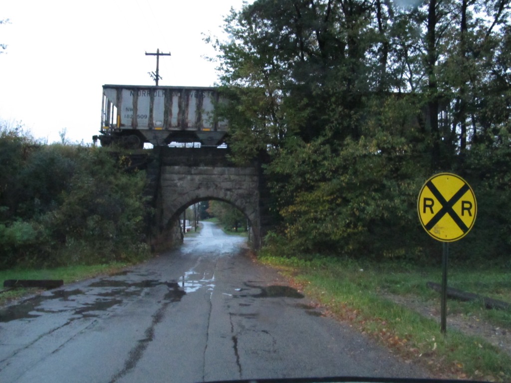
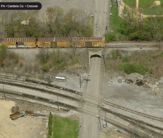
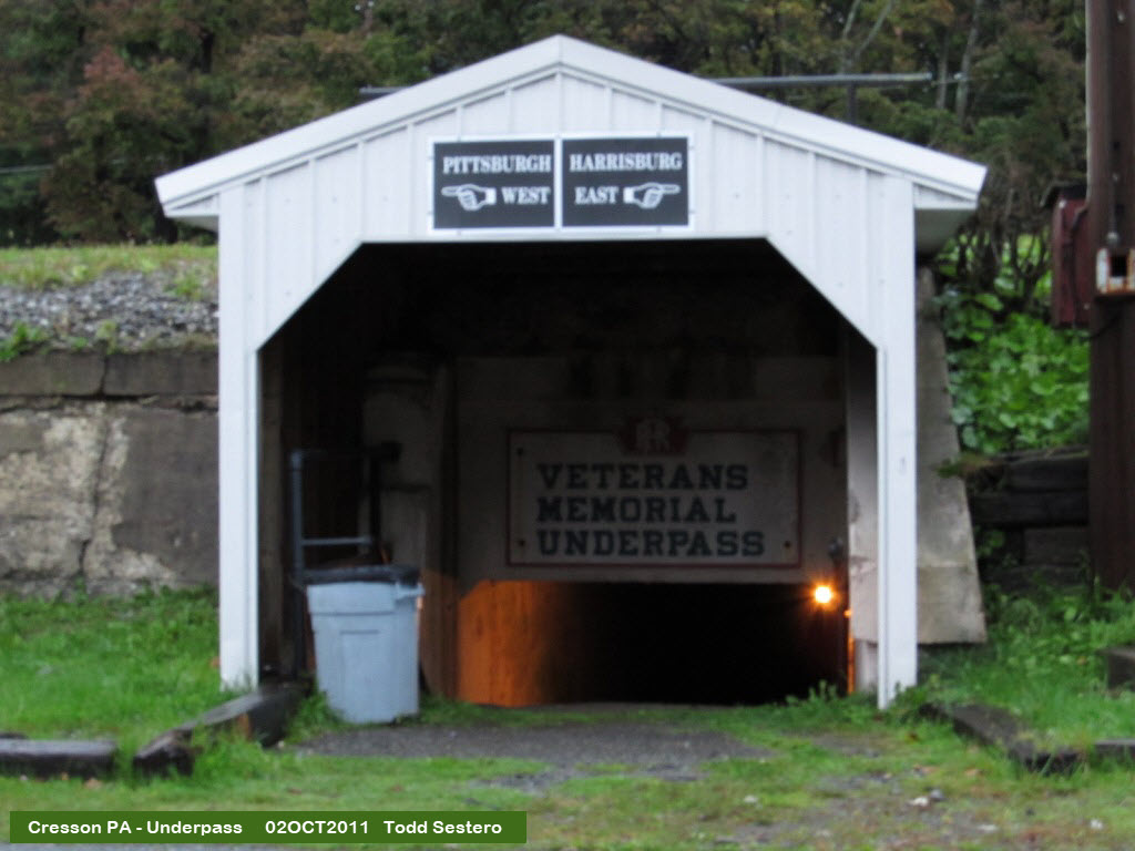
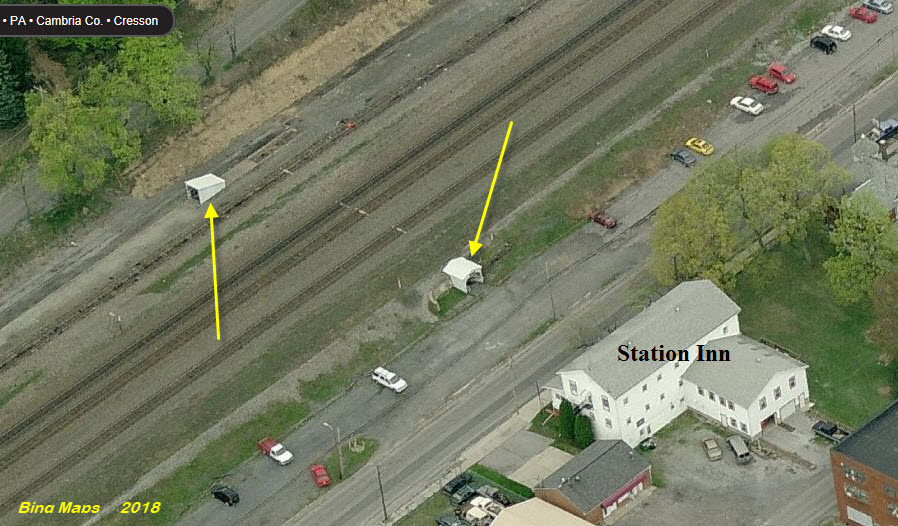
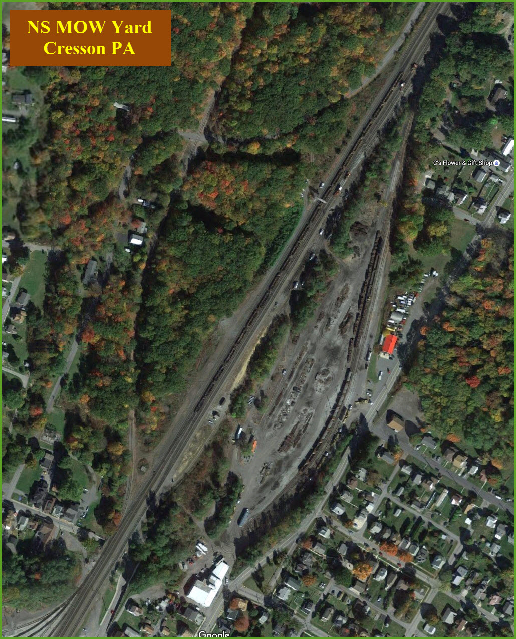
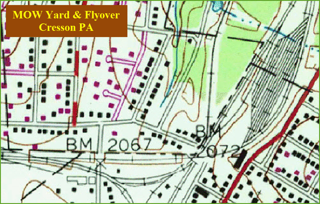
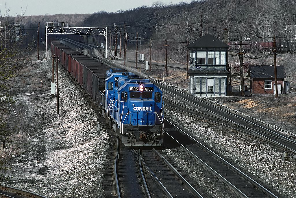
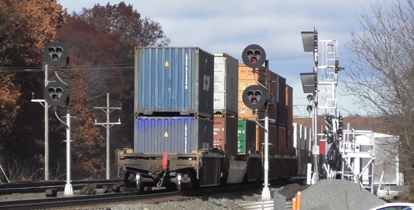
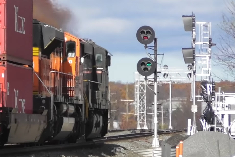
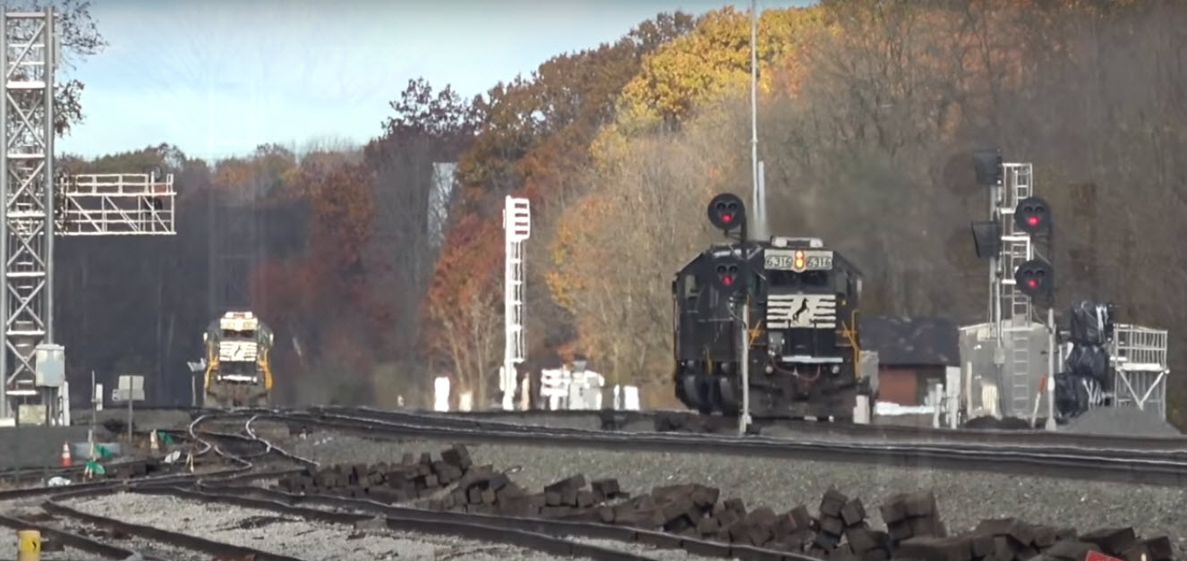
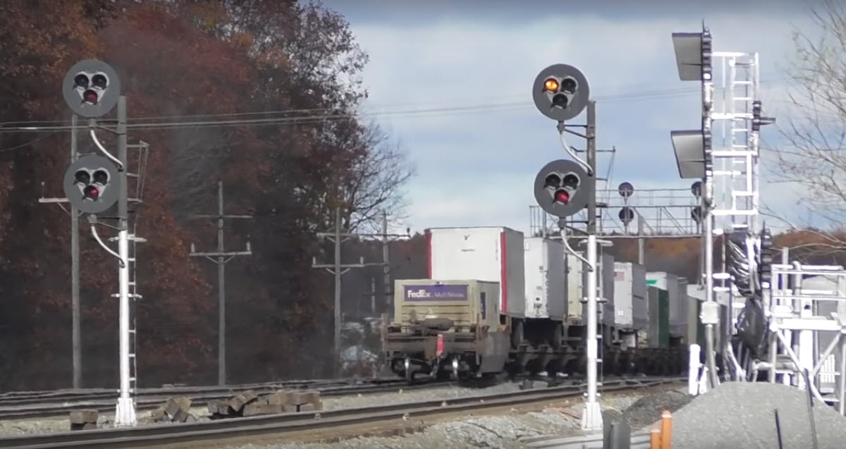
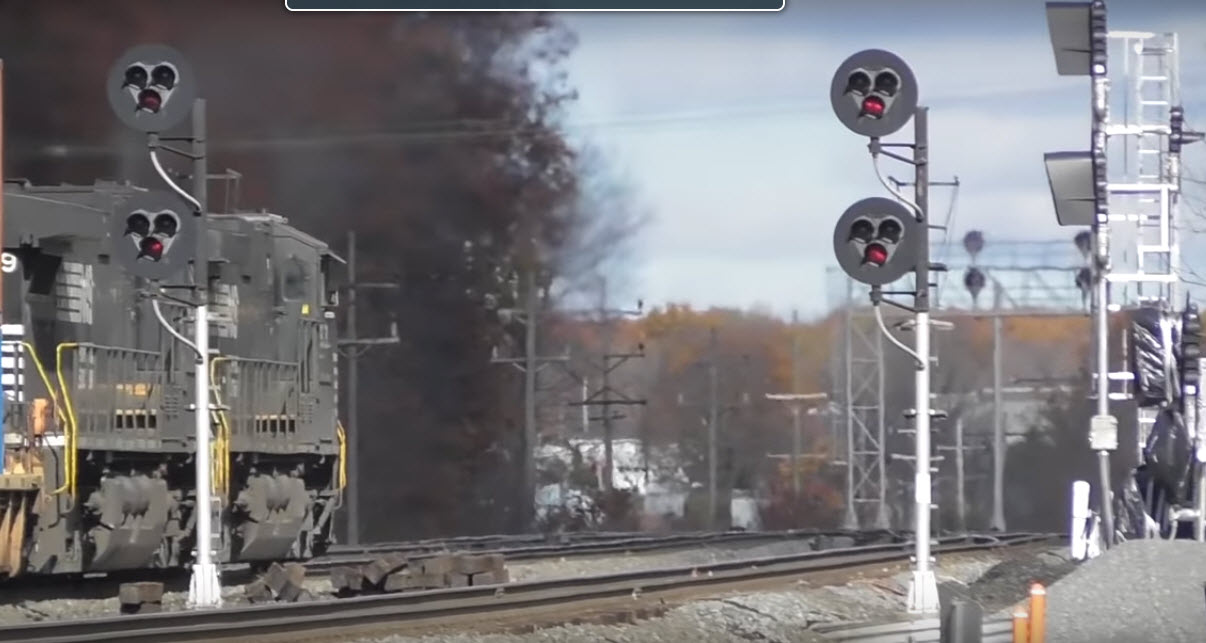
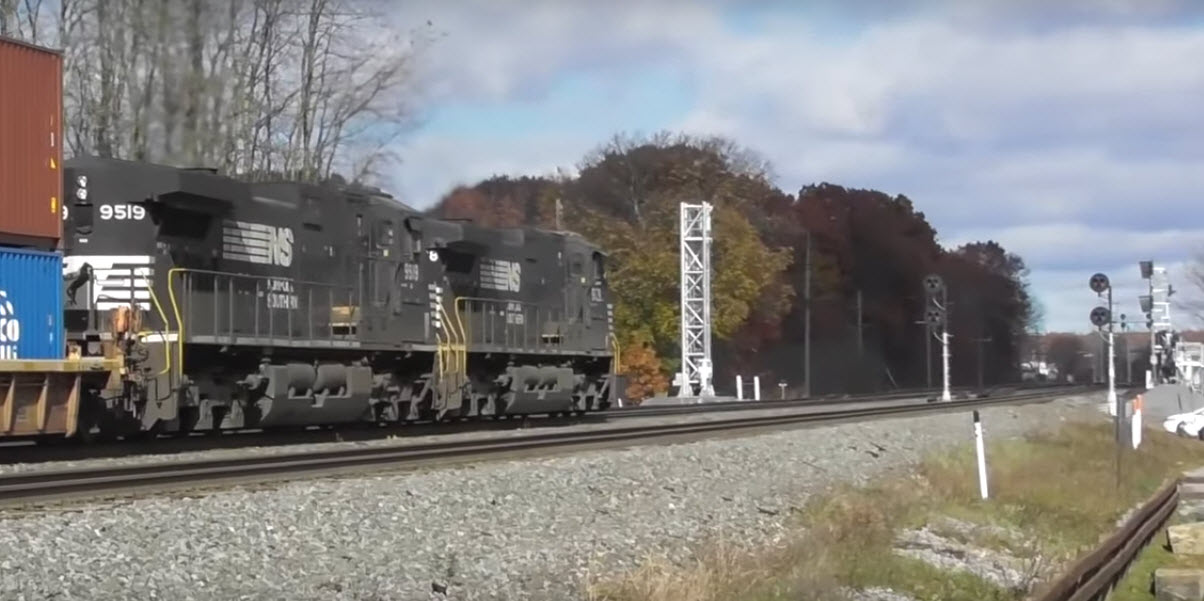
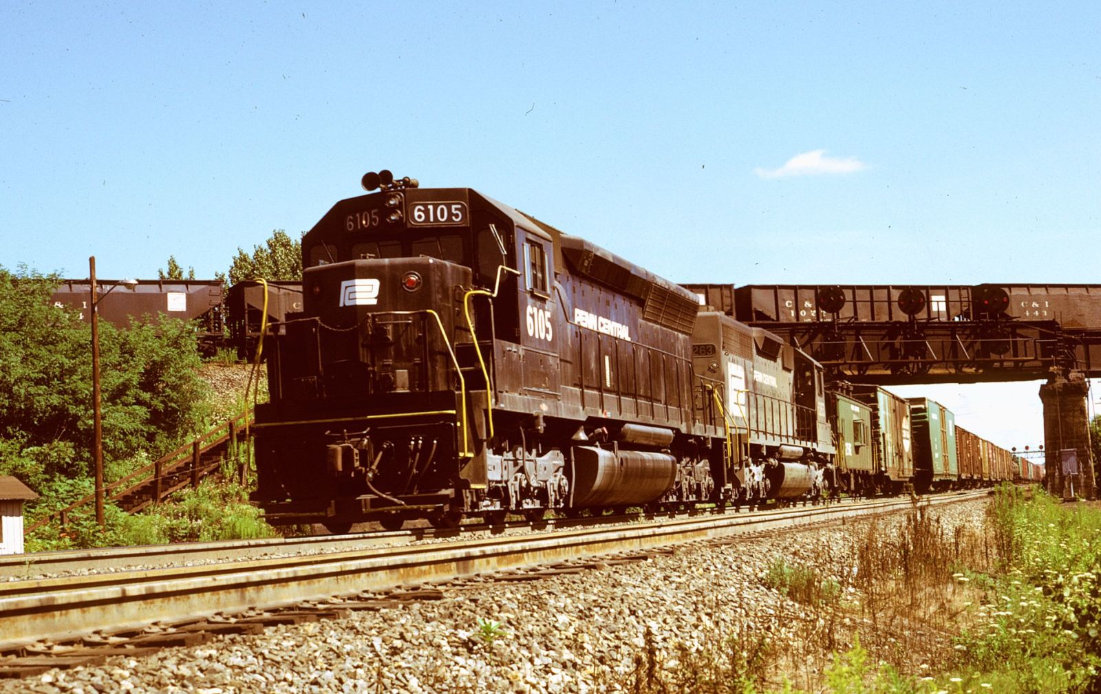 photo by Geoff Hubbs, August 1972
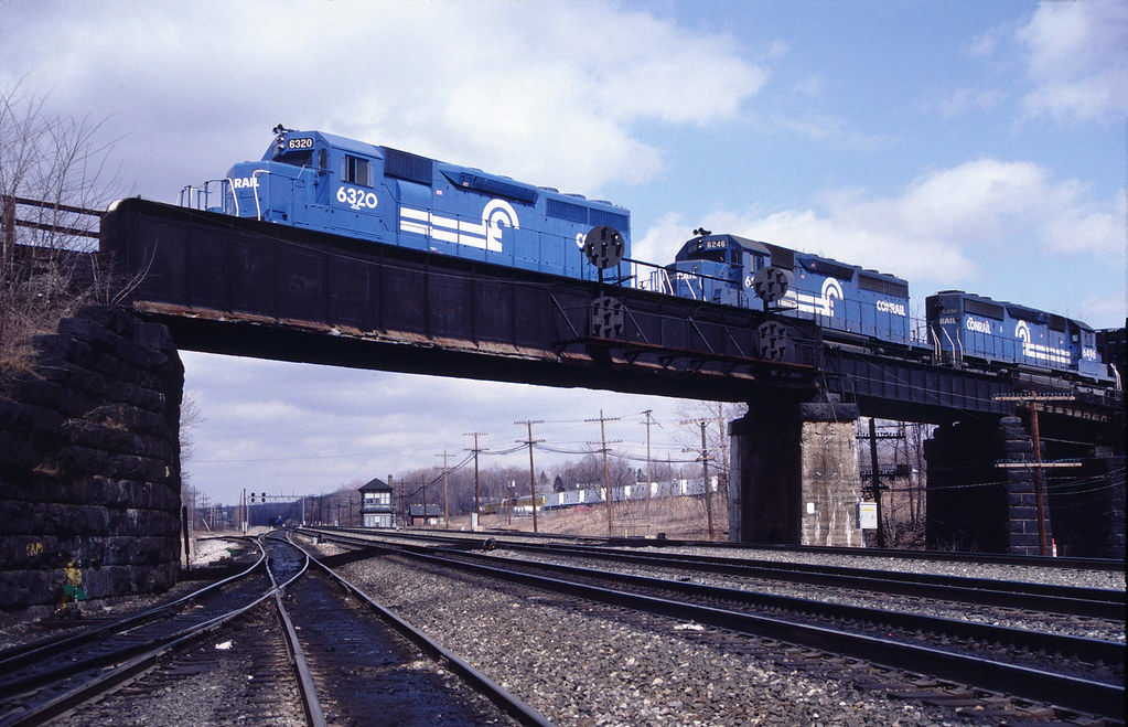 photo by Charlie Whipp

 Oct 2011
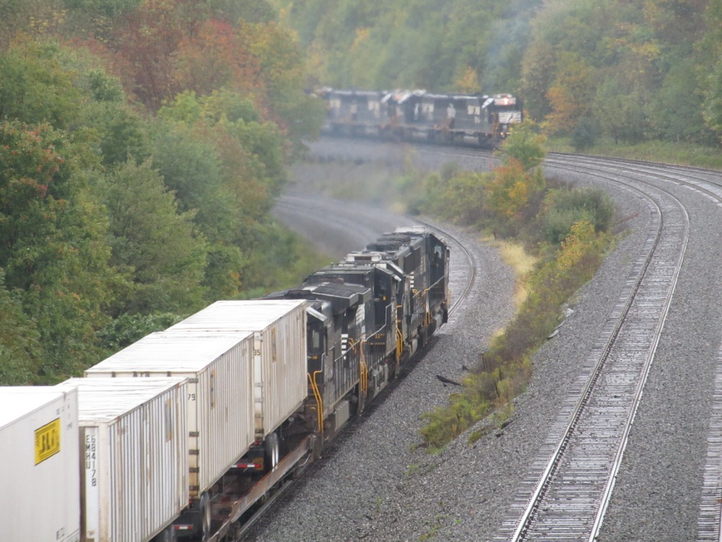

 Oct 2011
 Oct 2011
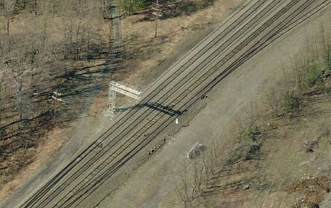


 Oct 2011
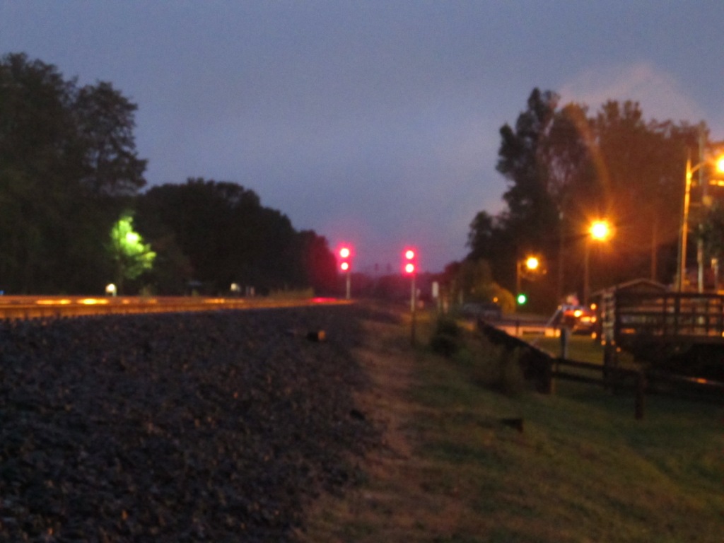 Sorry, last one in the dark is a little fuzzy :-( Didn't feel like getting the tripod out. Oct 2011
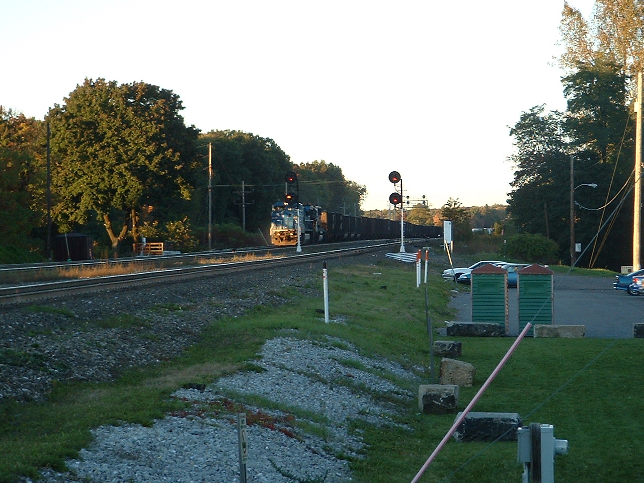
 A WB freight passes the signals close to the former location of MO Tower. Oct 2004
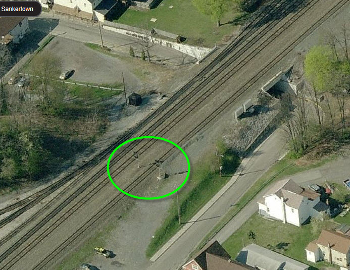
 The fire house is behind it.