What's Here:
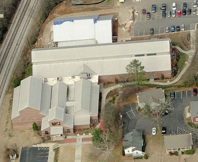
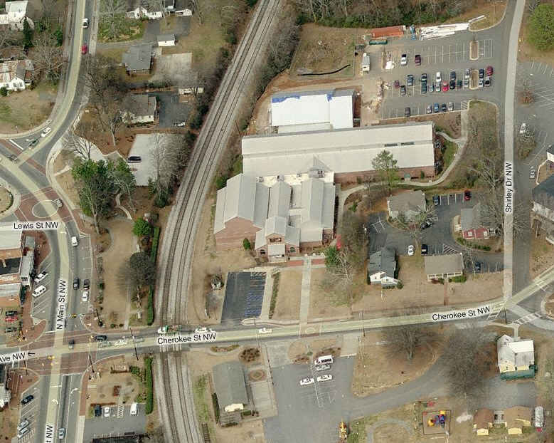
The Southern Museum of Civil War and Locomotive History
CSX's mainline between Atlanta and Chattanooga TN
Data:
GPS Coordinates: as needed
Phone A/C:
ZIP:
Access by train/transit:
None
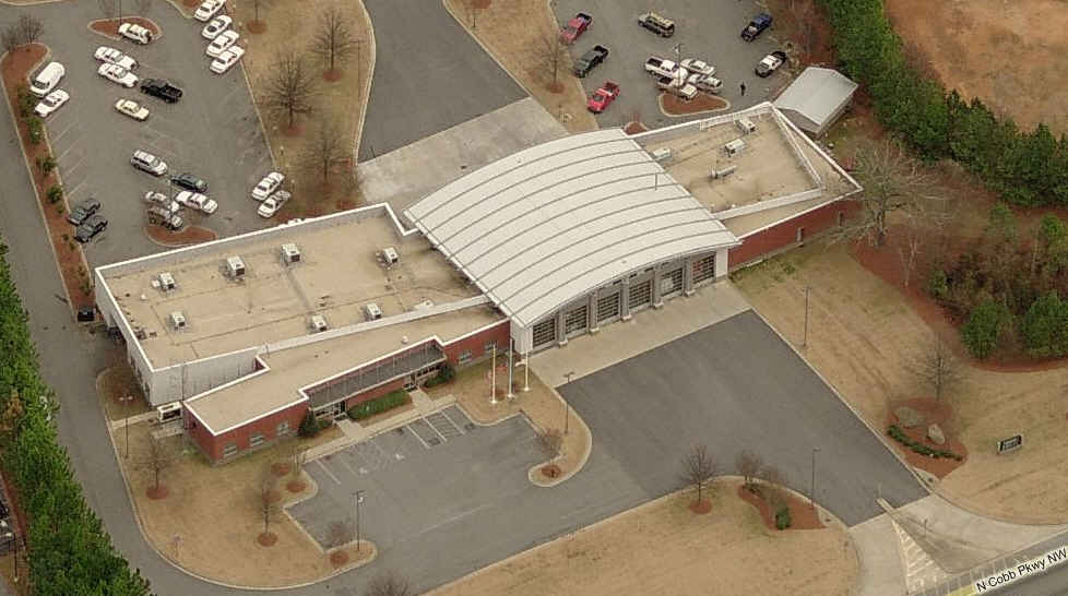
The Scoop:
This page is part of the Atlanta GA railfan guide.
CSX winds its way through Kennesaw on its way from Atlanta and Chattanooga.
There are a bunch of places around to get great shots of the trains as they rumble through.
The Museum here is one of the better Civil War museums I have been to. On
display is the Civil War steam locomotive the General.
MAP 1 - the Atlanta Homepage
MAP 2 - Downtown Atlanta MAP 3 - NS's Inman yard and CSX's Tilford & Howell Yards - NW of downtown Atlanta
MAP 4 - south of Atlanta
MAP 5 - east of Atlanta
MAP 6 - west of Atlanta
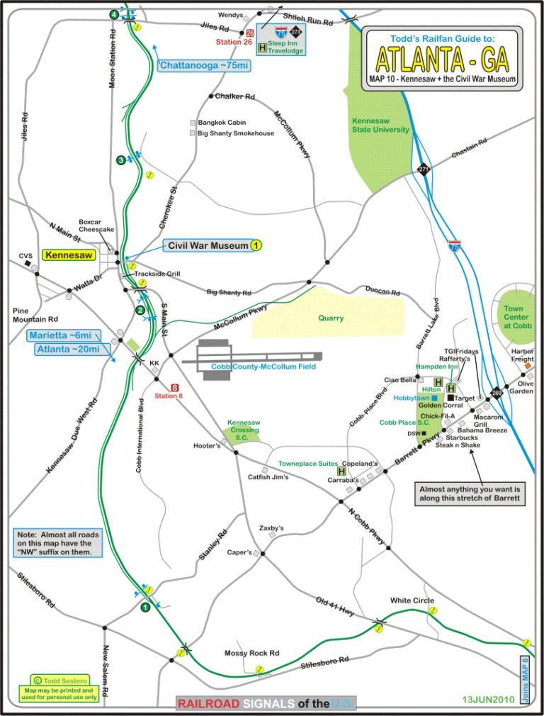
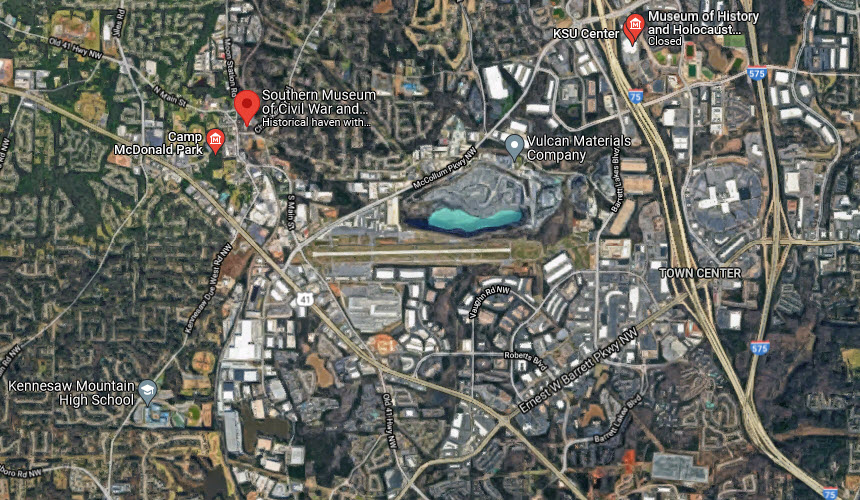
MAP 7 - the Duluth and Norcross area, with the Southeast Railroad Museum MAP 8 - the Marietta and Elizabeth area - NW outside the Perimeter MAP 9 - the Georgia Northeastern RR MAP 10 - the Kennesaw area and the Southern Museum of Civil War and Locomotive History
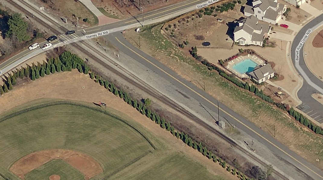
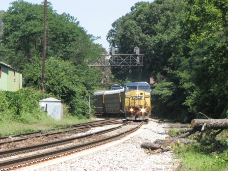
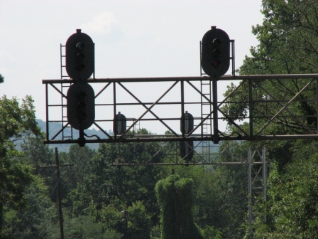
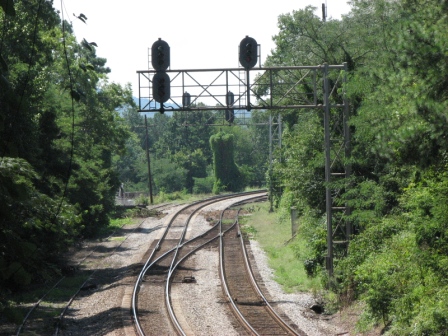
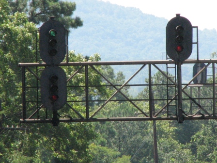
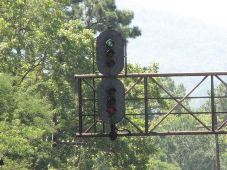
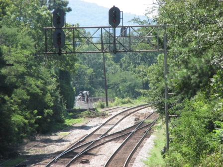
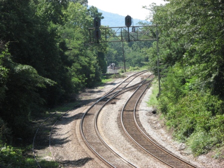
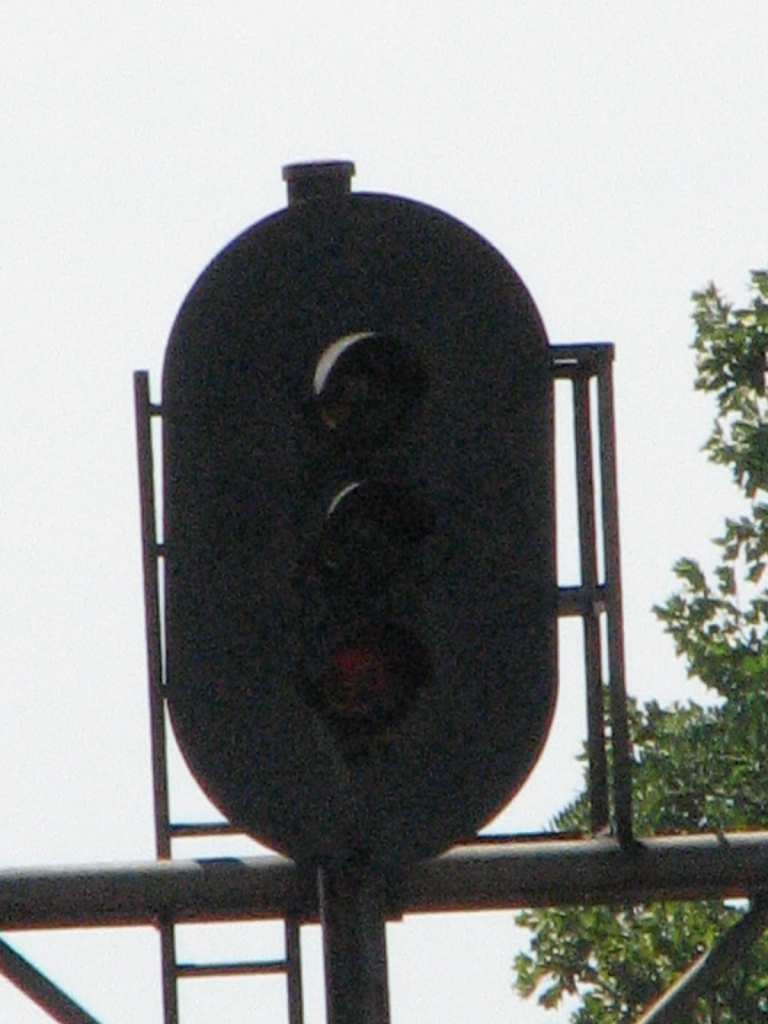
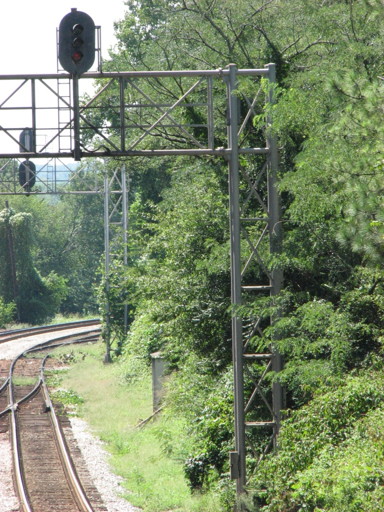
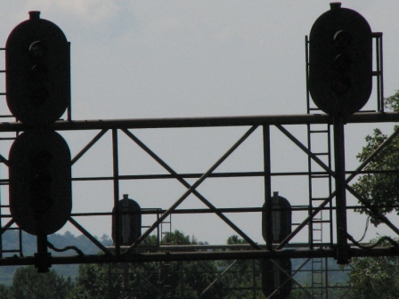
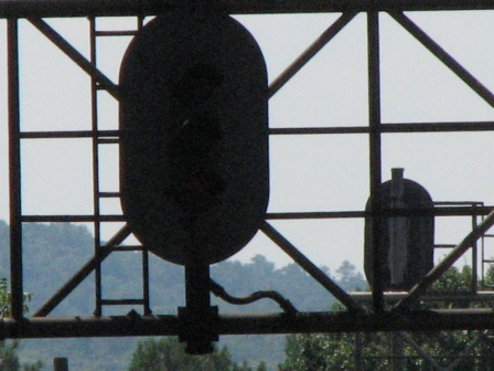
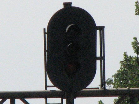
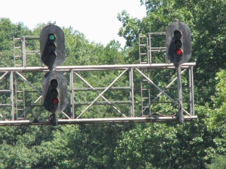
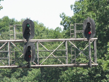
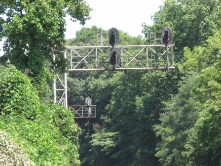
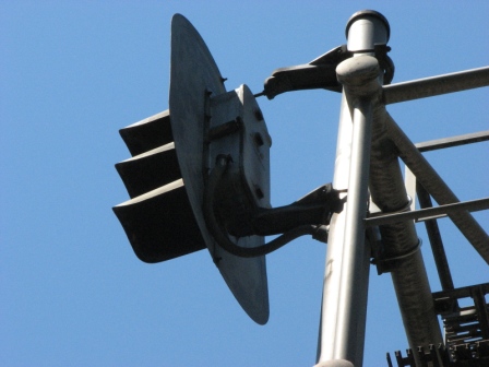
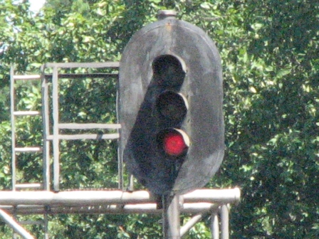
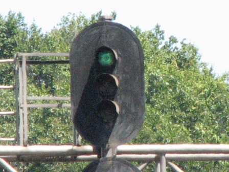
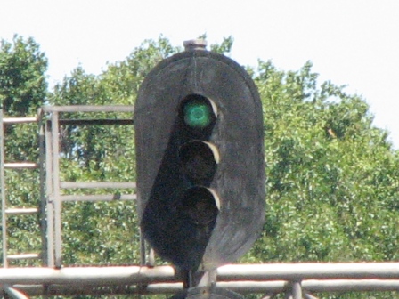
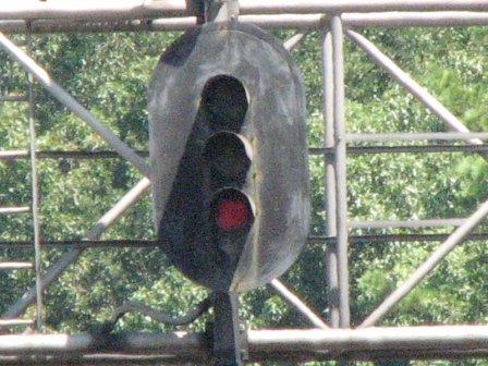
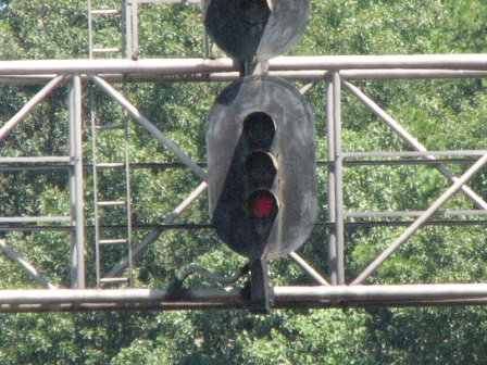
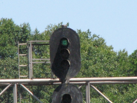
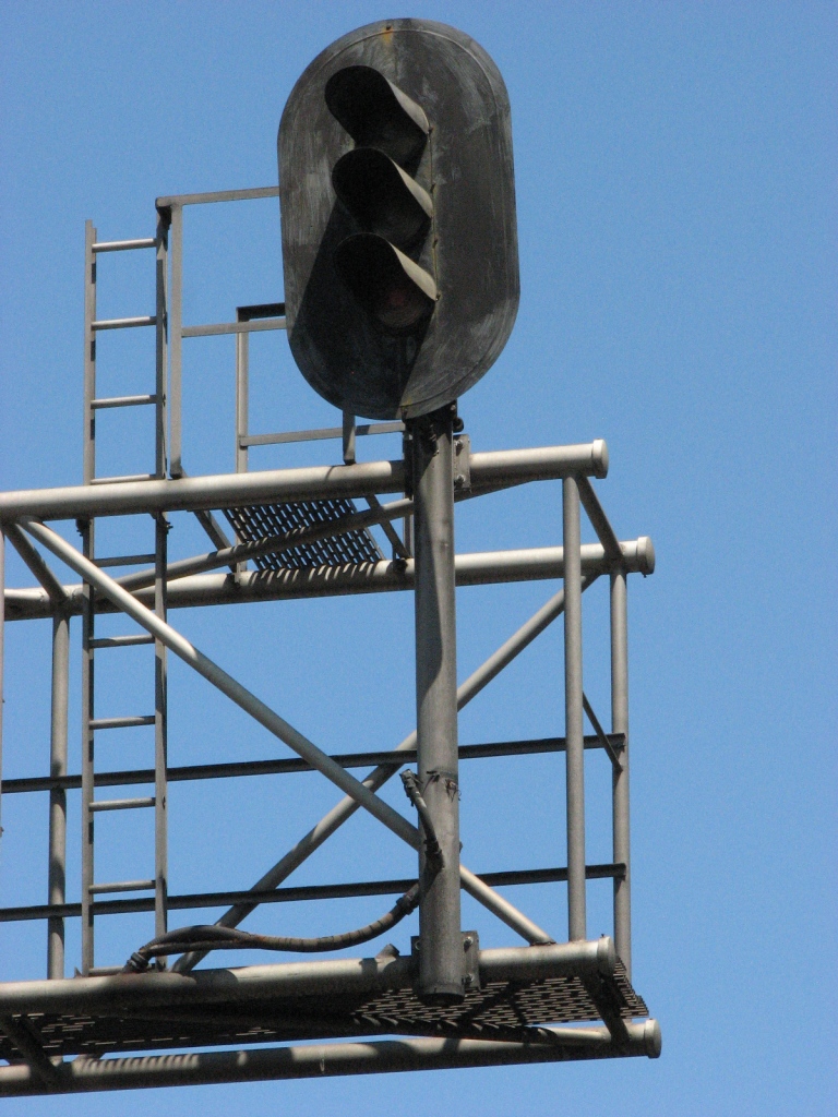
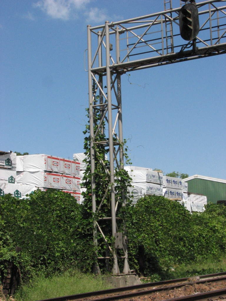
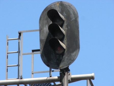
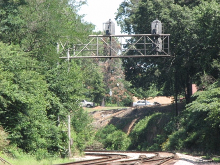
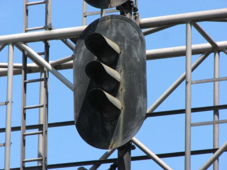
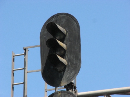
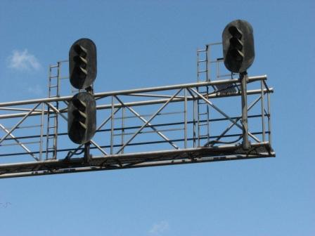
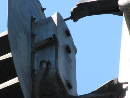
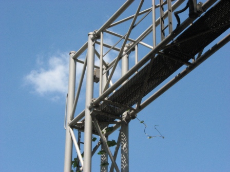
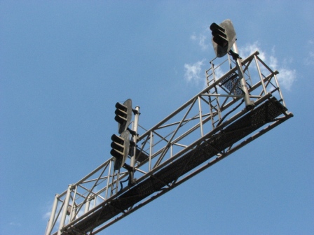
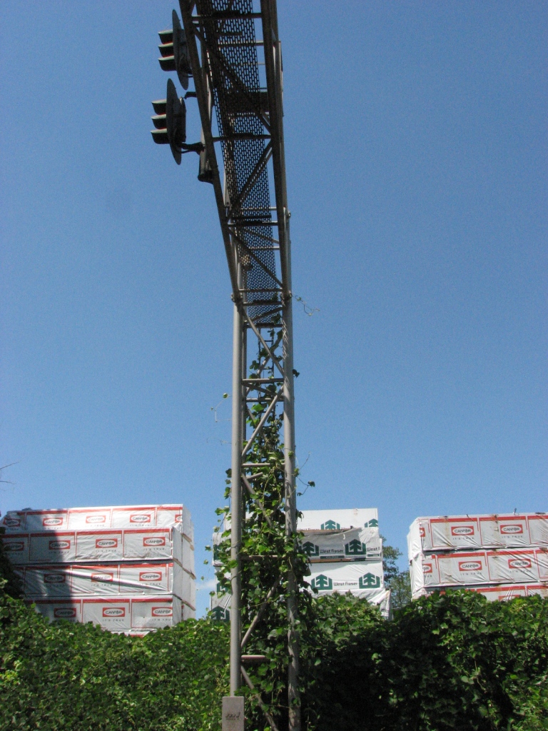
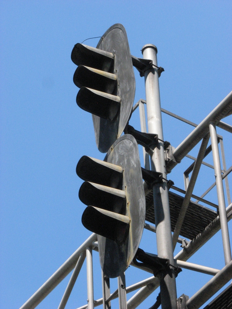
This set of signals is for a single crossover. I parked
in the shopping center to the west of the overpass and got pretty good shots,
nice spot for train pix too. The signal pictures are in no particular
order.....
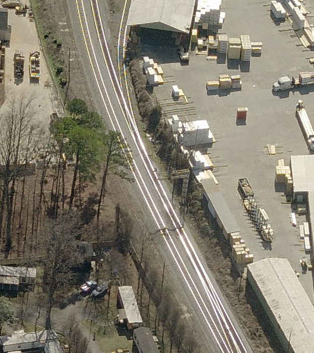
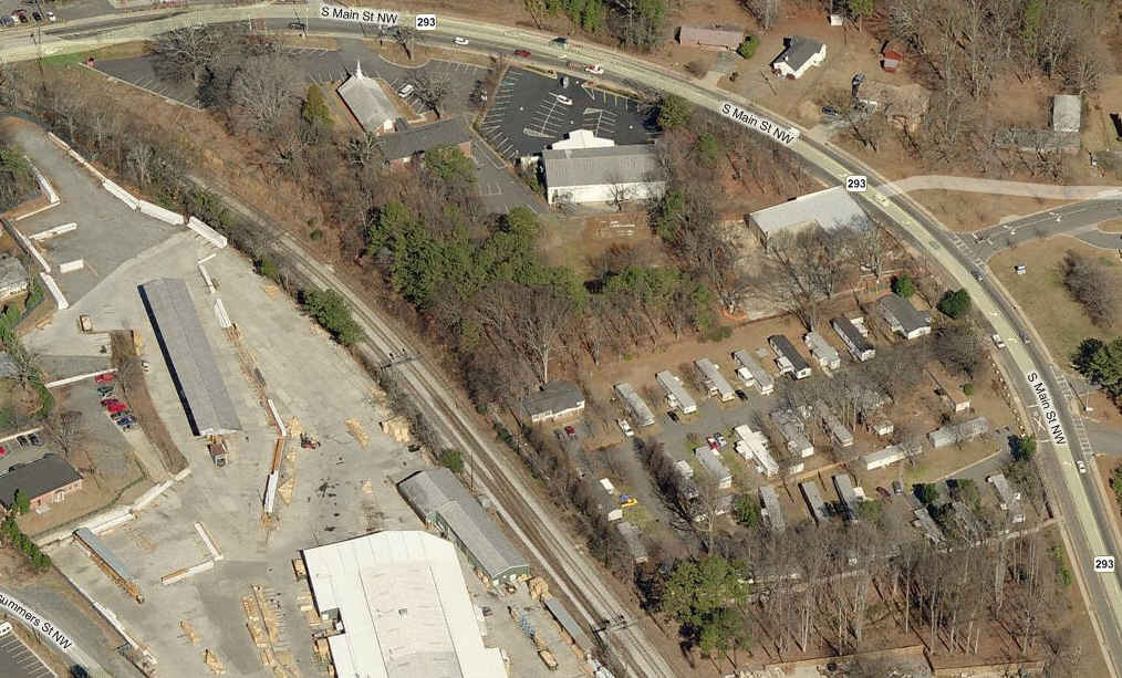
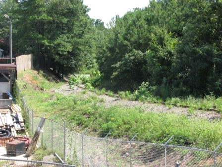
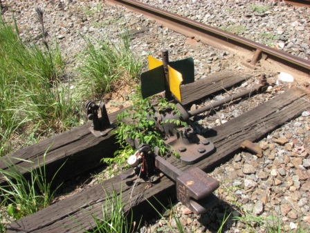
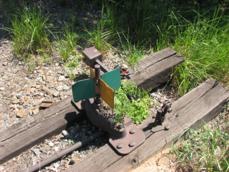
Sign for the lumber yard siding
Siding not used anymore, going down to Main Street
Hand throw for the unused siding
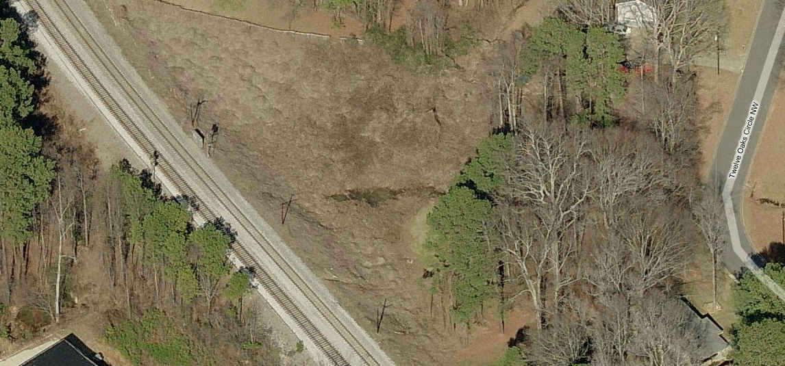
Near Twelve Oaks Road
Kinda near Twelve Oaks Rd, but still not really accessible by foot.
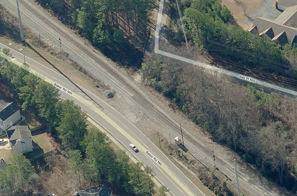
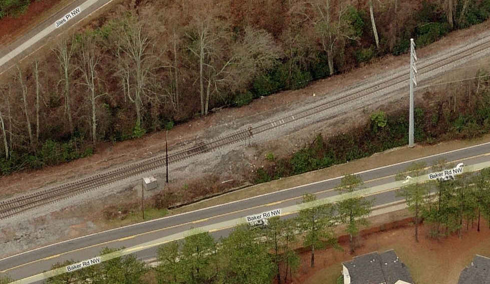
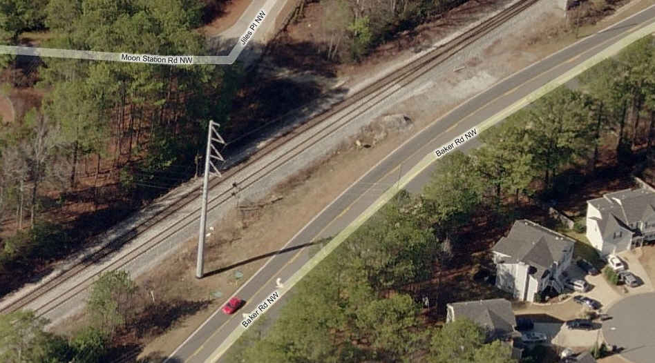
Baker Rd
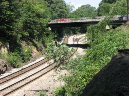
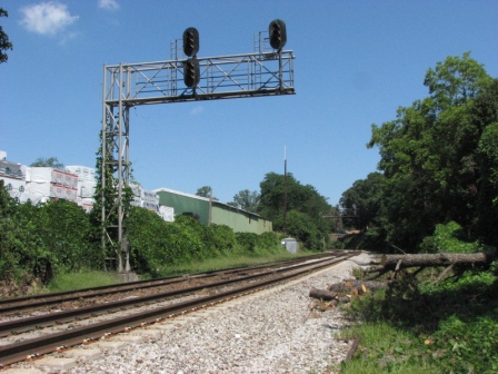
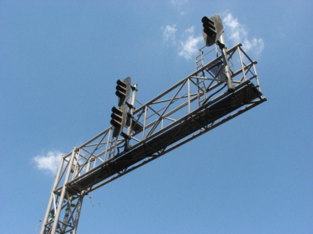
This location on Baker Road is just north of Jiles Road. Interlocking for the two to one split.
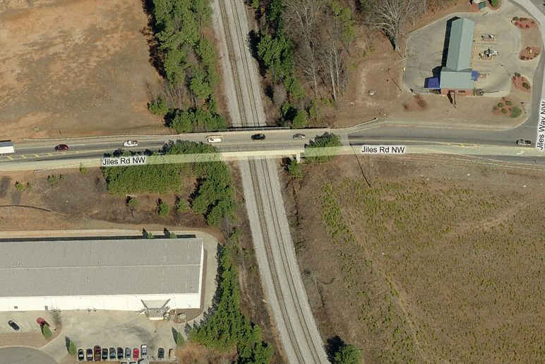
The overpass at Jiles looks like a good hangout for pictures.
Not a bad spot for pictures, going over Barrett... from here, you can go east and catch the SB's
along N. Cobb Pkwy with ease... you'll be surprised at how long it takes em to get there!
Grade crossing at White Circle, at the bottom of the map.
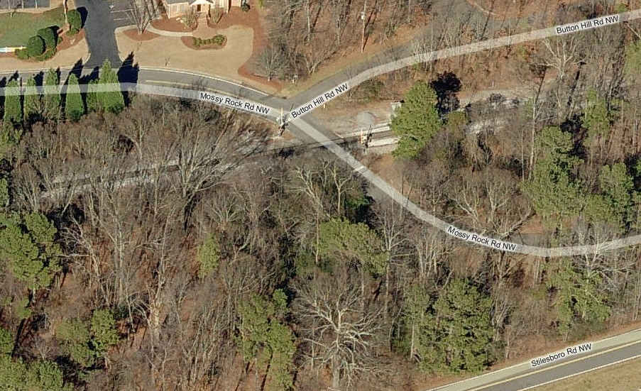
Grade crossing at Mossy Rock... Don't be surprised if people give you a funny look here, the homes look really,
really expensive and probably don't understand us.... :-)
A NB CSX freight at N. Cobb Pkwy... I love how Bing just manages to catch so many trains while flying around.
There is a Hobbytown hobby shop in the Cobb Place Shopping Center, way behind the
DSW, which is right off Barrett. There may be more hobby shops, but I don't get around that much.
If you're a Chinese tool nut, there is a Harbor Freight store at the approximate
location on the map, their handtool quality has improved some, but now,
just like Sears did years ago, they offer way too many different lines of
varying quality, and names (not to mention everything is offered in a plethora
of colors :-).
If you go wayyyy down Barrett, till it turns into the East-West Connector, and then some,
you will eventually come to Austell Road... hang a left, and in the shopping center on your
right, you will see the only Home Depot Discount outlet in the U.S...... why here?, you'll
have to ask the folks on Paces Ferry Road! :-)
3999 Austell Rd, Austell, GA 30106, 770-941-9600 ..... If you
go there, you will be about 5 miles from a hefty sized intermodel yard off of
Westside Road and Garret Road SW in Austell.
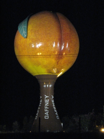
One of my favorite sights on the trip along I-85 between Atlanta and Baltimore, in Gaffney SC!
Courtesy of the University of Texas Library, click here for their index page.
Disclaimers:
I love trains, and I love signals. I am not an expert. My webpages reflect what I find on the topic of the page. This is something I have fun with while
trying to help others.
Please Note: Since the main focus of my two websites is railroad signals, the railfan guides are oriented towards the signal fan being able to locate them.
For those of you into the modeling aspect of our hobby, my
indexa page has a list of almost everything railroad oriented
I can think of to provide you with at least a few pictures to help you detail your pike.
If this is a railfan page, every effort has been made to make sure that the information contained on this map and in this railfan guide is correct. Once in a while,
an error may creep in :-)
My philosophy: Pictures and maps are worth a thousand words, especially for railfanning. Text descriptions only get you so far, especially if you get lost or
disoriented. Take along good maps.... a GPS is OK to get somewhere, but maps are still better if you get lost! I belong to AAA, which allows you to get
local maps for free when you visit the local branches. ADC puts out a nice series of county maps for the Washington DC area, but their state maps do not have the
railroads on them. If you can find em, I like the National Geographic map book of the U.S..... good, clear, and concise graphics, and they do a really good job
of showing you where tourist type attractions are, although they too lack the railroads. Other notes about specific areas will show up on that page if known.
Aerial shots were taken from either Google or Bing Maps as noted. Screen captures are made
with Snagit, a Techsmith product... a great tool if you have never used it!
By the way, floobydust is a term I picked up 30-40 years ago from a National Semiconductor data book, and means miscellaneous
and/or other stuff.
Pictures and additional information is always needed if anyone feels inclined to take 'em, send 'em, and share 'em, or if you have something to add or correct.... credit
is always given! Please be NICE!!! Contact info is here
Beware: If used as a source, ANYTHING from Wikipedia must be treated as being possibly inaccurate, wrong, or not true.


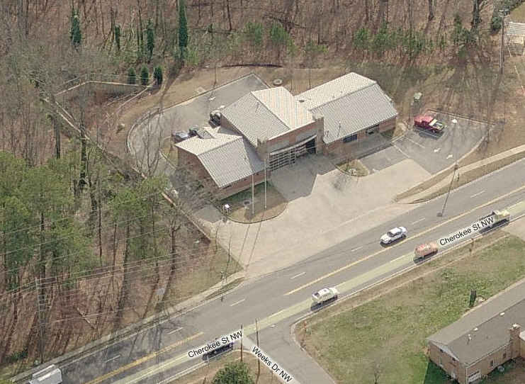
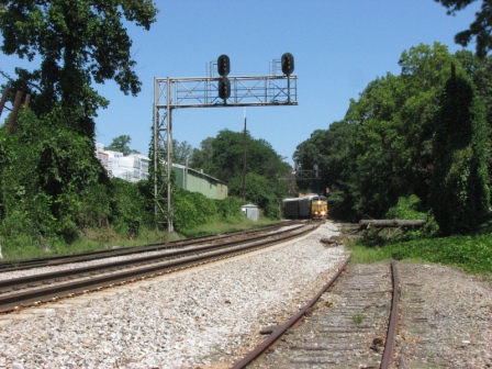
 I betcha the locals hate it when two trains hit the crossing at Cherokee, as in the right pix.


 The overpass at Jiles looks like a good hangout for pictures.
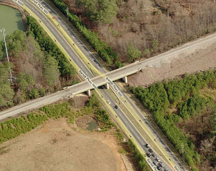 Not a bad spot for pictures, going over Barrett... from here, you can go east and catch the SB's
along N. Cobb Pkwy with ease... you'll be surprised at how long it takes em to get there!
Not a bad spot for pictures, going over Barrett... from here, you can go east and catch the SB's
along N. Cobb Pkwy with ease... you'll be surprised at how long it takes em to get there!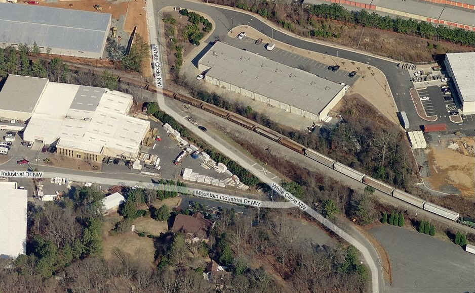 Grade crossing at White Circle, at the bottom of the map.
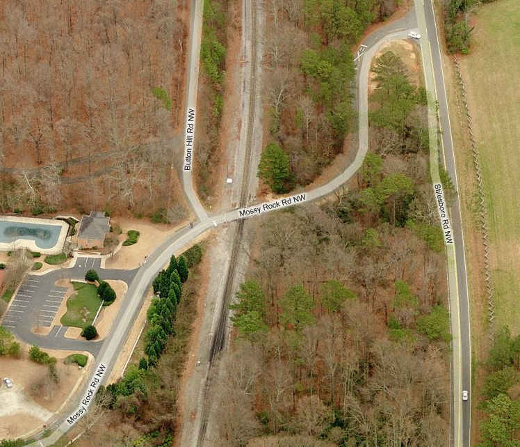
 Grade crossing at Mossy Rock... Don't be surprised if people give you a funny look here, the homes look really,
really expensive and probably don't understand us.... :-)
Grade crossing at Mossy Rock... Don't be surprised if people give you a funny look here, the homes look really,
really expensive and probably don't understand us.... :-) A NB CSX freight at N. Cobb Pkwy... I love how Bing just manages to catch so many trains while flying around.