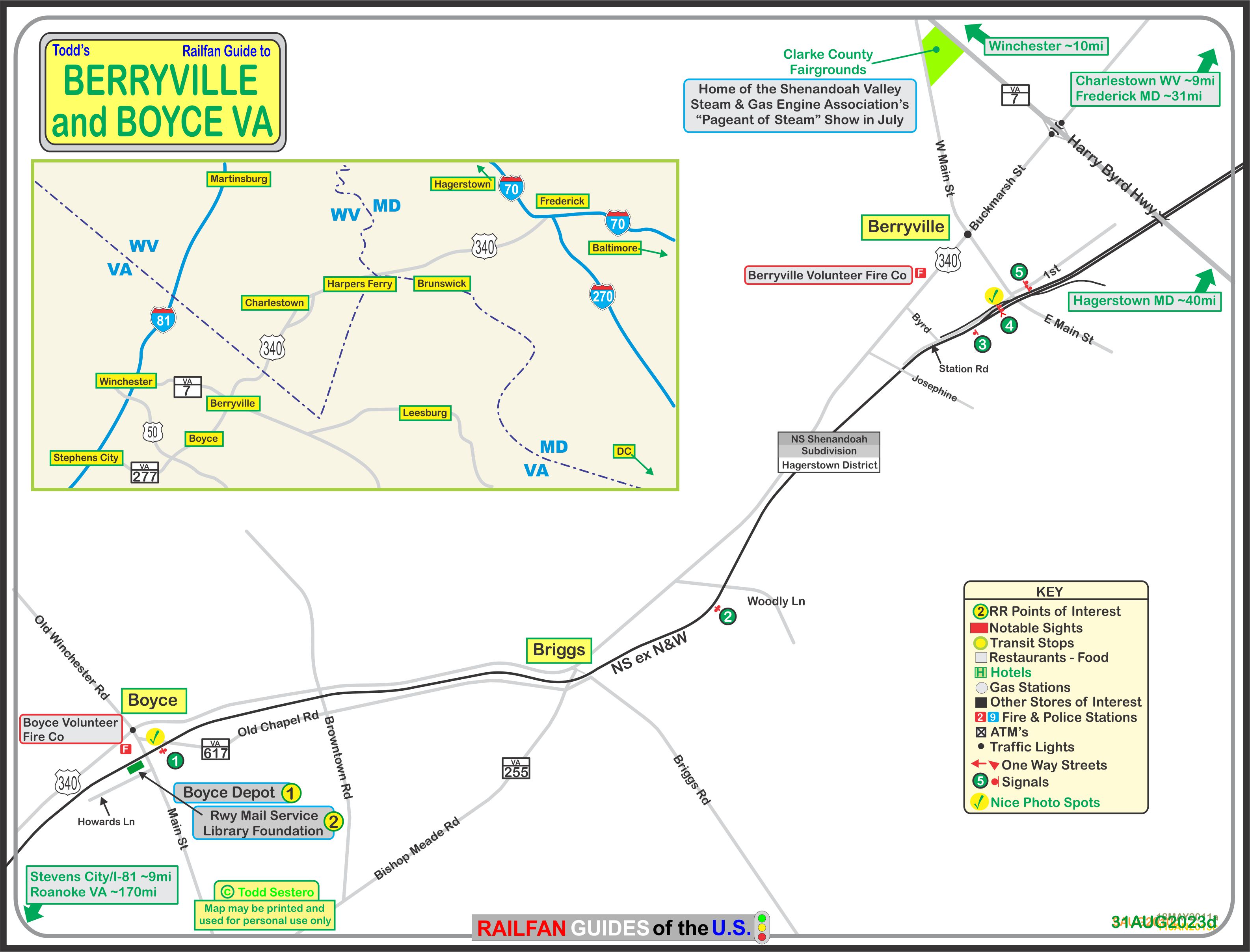
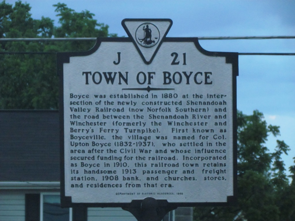
Tucked away in the north western part of Virginia are two small towns which offer
the railfan a quick diversion if they are traveling through the area on US 340.
US 340 is used as a shortcut by many to get between I70 and I81 much more quickly than going through Hagerstown,
IF you are coming from the Baltimore area - It's much more relaxing, and has
oodles of stuff to stop off at and see, compared to the interstate route!
You pass right thru
Harpers Ferry WV, and
Brunwick MD is not
far off the beaten path - both will keep you busy for hours as a railfan.
I don't know if he is still there or not, but somewhere along this route on
US340 is a ham who has this huge antenna farm, definitely impressive, must
work a lot of DX!
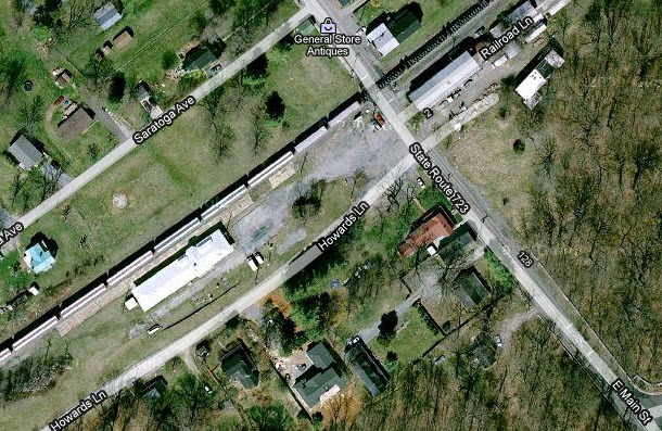
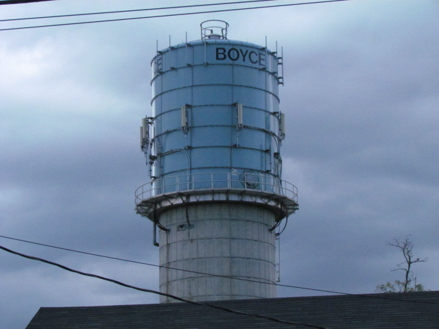
Boyce and Berryville are about 6 miles apart, and sit on a Norfolk Southern
route between Hagerstown MD and Front Royal and Roanoke VA.
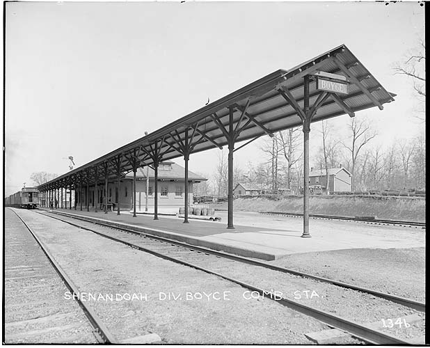
Boyce has a former N&W depot. The depot is presently the home of the Railway
Mail Service Library.
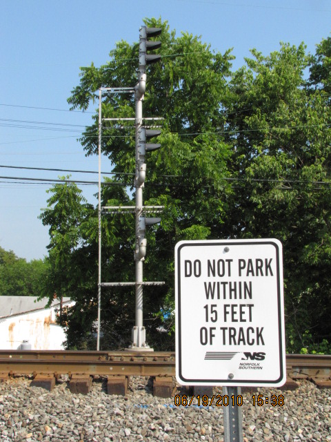
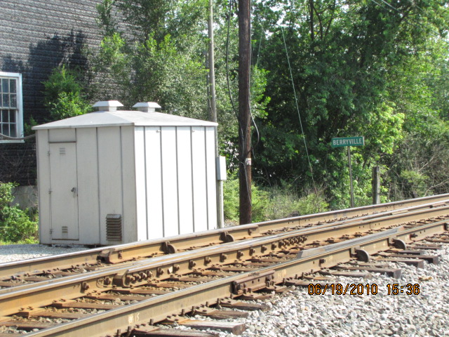
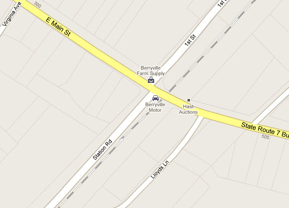
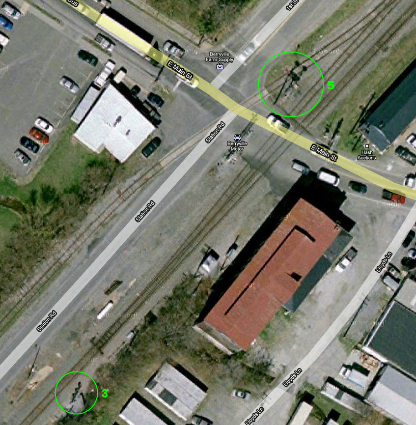
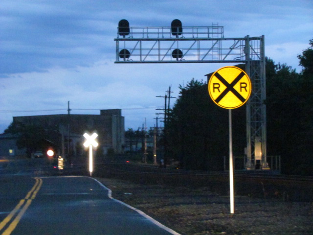
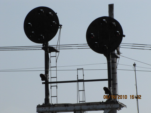
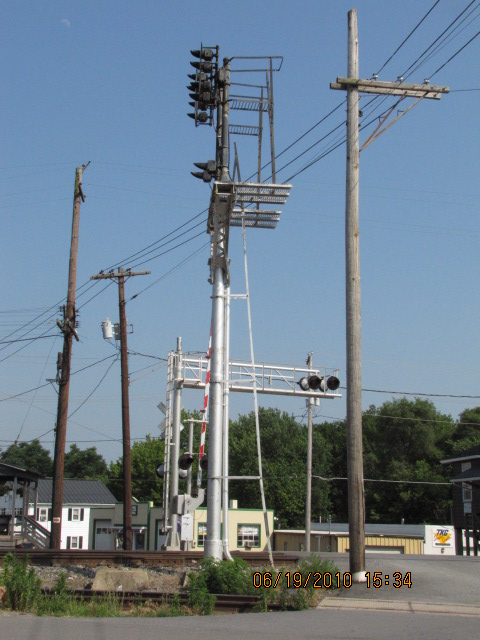
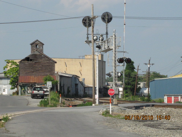
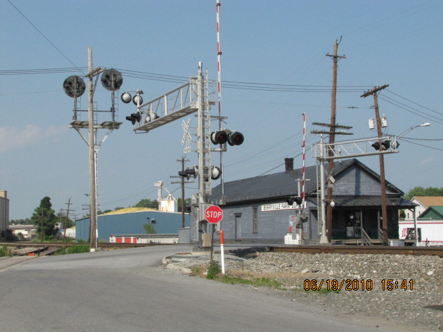
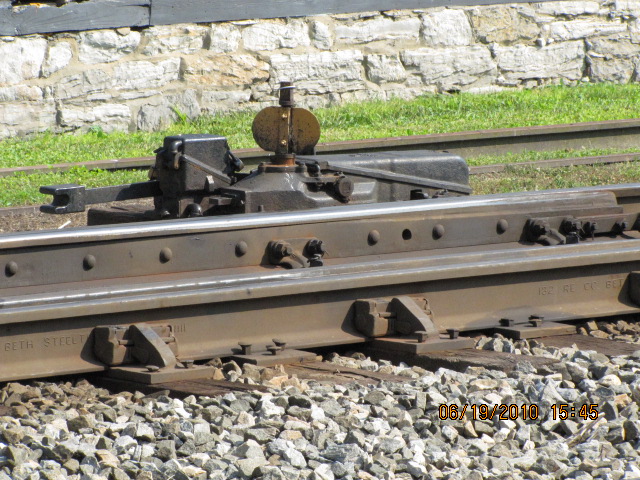
Berryville has a siding with signals, which were CPL's on a bracket post until 2012.
In Berryville, the southern end of the siding was extended a little further
south, and as a result, signal location 5, where the CPL signals used to be,
was also moved southward to a new location on a cantilever bridge (location
4). The takeoff for the siding was also moved, and now starts on the
other side of Main St.
As far as remaining CPL signals go in the area, I stand corrected, as I have
received reports that there are still a few other CPL locations at interlockings,
such as Shenandoah Junction (nope, gone as of 2019), Charlestown, and Shepardstown!! Thanks to Dan
Cupper, Mike True, and Jon Roma for the info! Mike also adds that many, if
not most of the intermediate signals have been removed between Roanoke and
Hagerstown, with signals mostly at the interlockings. Although they are
way out of this area, Jim Pickett also reports that there are still several N&W
CPL's at the junction of the old (Twelve Pole) and new (Big Sandy) lines in
Kenova WV, and, there are also two near Hanging Rock OH west of Ironton.
As of early 2020, all of this info needs verifying, and now, in 2023, the
chances of them surviving are probably close to nil.
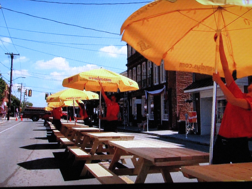
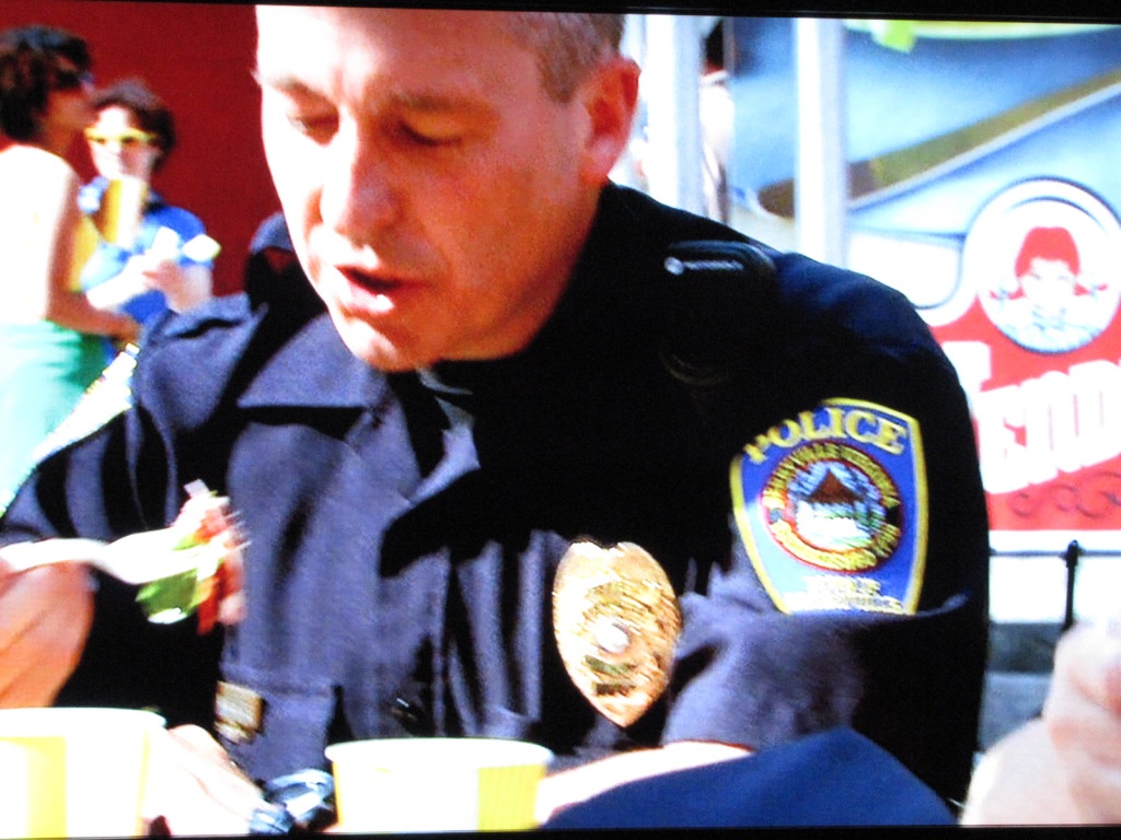
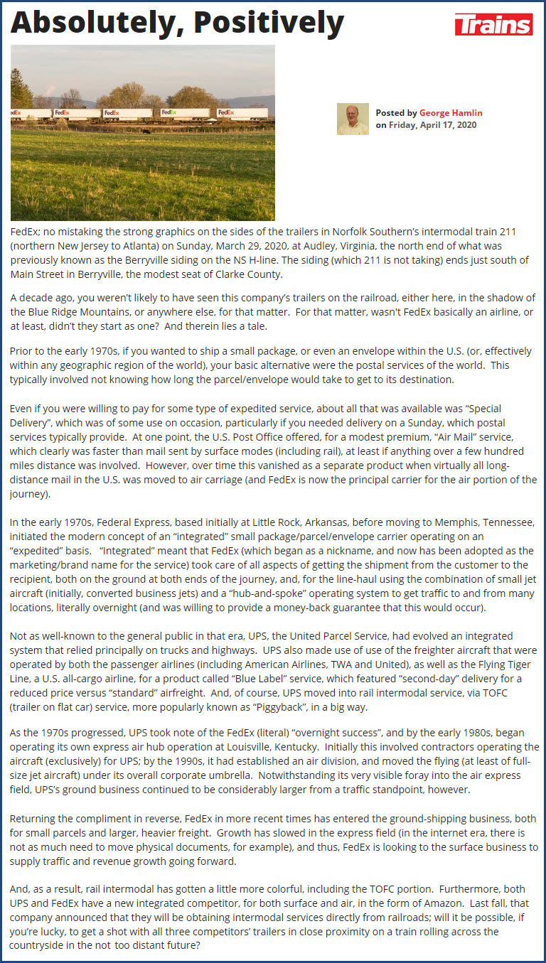
Interesting notes: Berryville was featured in a Wendy's commercial in 2011,
and Train's writer George Hamlin wrote a piece on seeing Fedex vans on
trains, and it featured a photo and start-off with a note about the
Berryville siding.
Other noteworthy railroad things around these here parts:
-- the Winchester and Western Railroad operates between Winchester and Gore (to the west by about 11 miles)
-- the tunnels at Harper Ferry
-- CSX runs along the "valley" N/S along with I-81 and US11 out of Hagerstown
-- and your close to the central part of Maryland for lots of railfanning action, check my central MD pages at: https://railfanguides.us/md/central/index.htm.
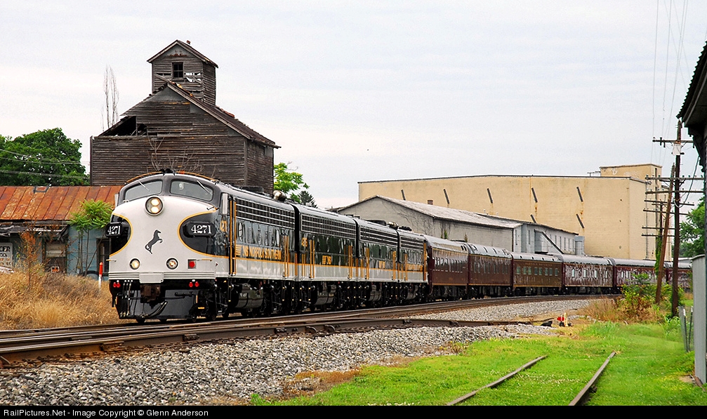
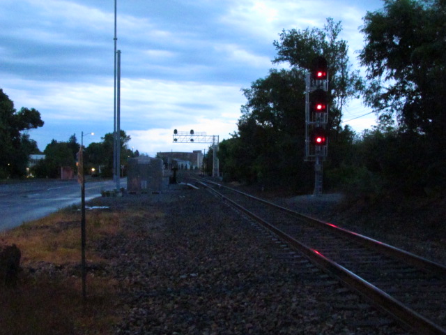
The picture above was taken by Glenn Anderson at the siding in Berryville, on
July 5th, 2009. The deadhead train was headed on it's way to Norfolk VA
from Altoona to pick up executives for a one week tour of WV, VA, and OH.
Photo used with Glenn's permission... thanks!
Acknowledgements:
Glenn Anderson
Dan Cupper
Mike True
Jon Roma
Jim Pickett
Google Maps
Trains magazine
Denver Todd
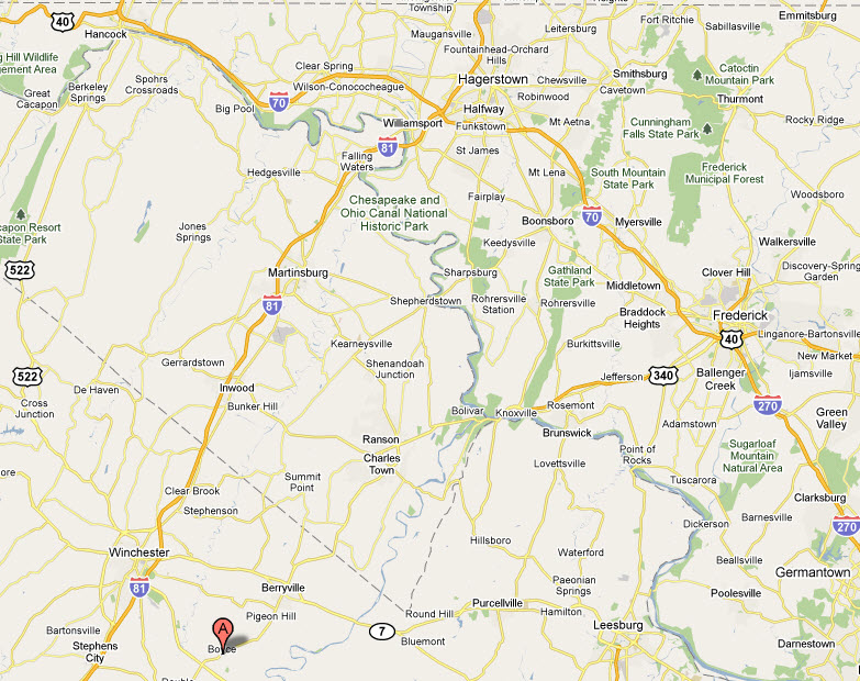
There are a number of paths to take in getting here. Despite the rural location, it's not too
bad a trip to get here.
From the Baltimore area, or the I95 corridor that comes thru Baltimore, go around the 695 Beltway
to I70 and head out on it to Frederick (you can only go one way on it, as I70
ends at the Beltway). In Frederick, head south on US340 (exit 53).
US340 will take you through Harpers Ferry, and around Charlestown using the
bypass they finished about 3 years ago. Berryville is about 38 miles from Frederick.
From the west, coming in on I70, take I81 south in Hagerstown (exit 26), and take it down to the
Winchester exit 315. Then head east on VA7 (it's Berryville Pike in
Winchester) for about 6 to 7 miles and that will put you in Berryville.
The CSX tracks in Winchester are a little over a mile going west from exit 315.
Berryville is about 41 miles from Hagerstown at the 81/70 junction.
From the south, on I81, again, take exit 315 and head east on VA7. If you want to hit Boyce first,
I would suggest you take exit 307, which puts you on VA277, and head east (a
right at the top of the exit ramp). In a few miles, at the Dinosaur place
on your right, you will meet up with US340 and cross US522 (which, if you go
north on long enough, will take you to the East Broad Top :-)
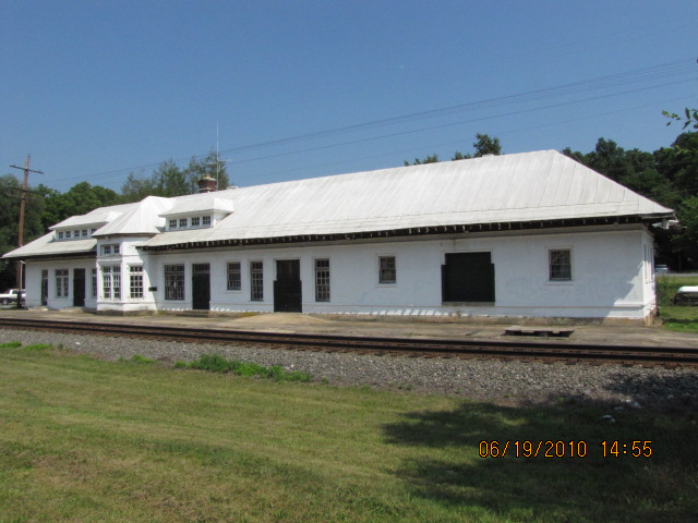
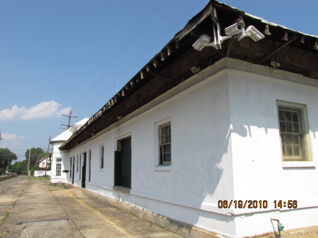
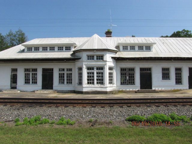
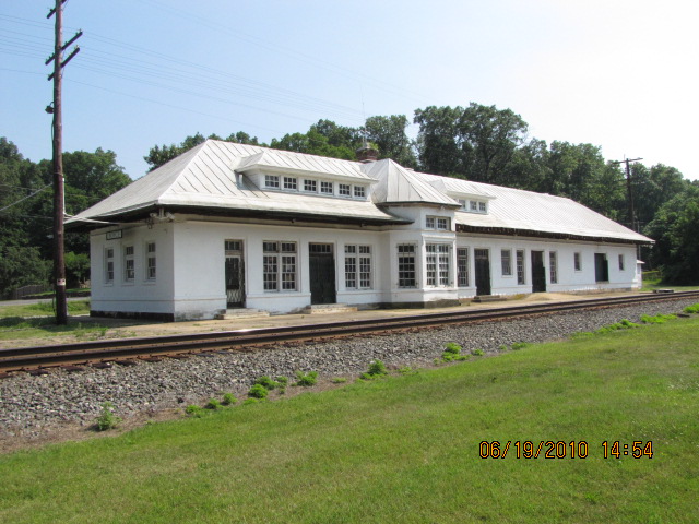
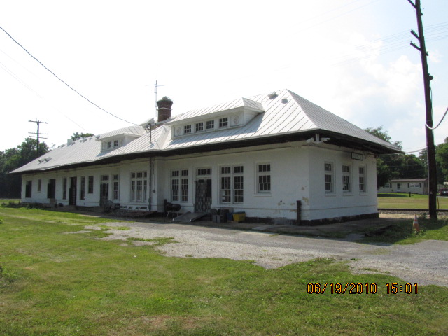
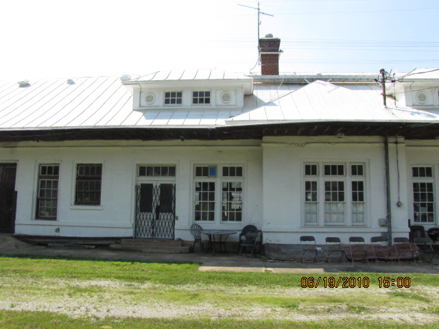
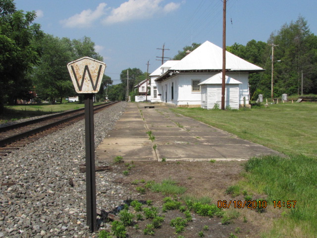
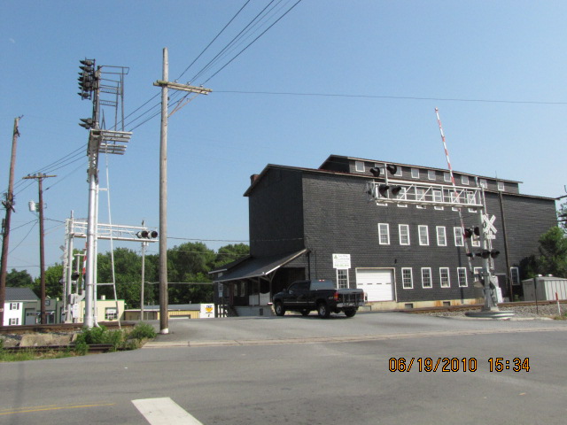
The depot sits at milepost H-46.1, and was completed in 1913. The towns people were dissatisfied with the plans the
Norfolk and Western presented to them, so they helped the railroad out, to build a
bigger and better station, by giving he railroad additional money. The
size is roughly 142' x 26'.
The depot is presently the home of the Railway Mail Service Library.
Dr. Frank R. Scheer is the curator of the museum, and invites you to stop by.
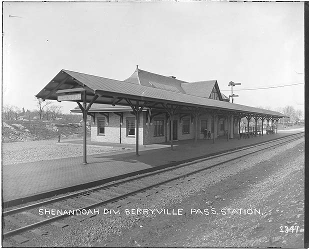
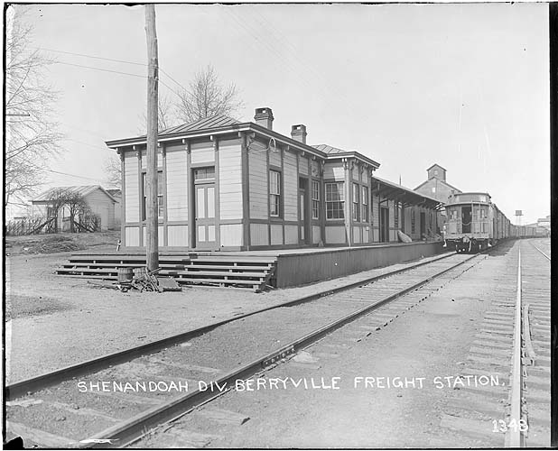
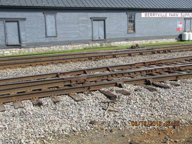
The Berryville Depot
Provided for historical reference since the depot and freight are both gone. Here are a couple
of pictures I found while wandering thru the Virginia Tech's collection.
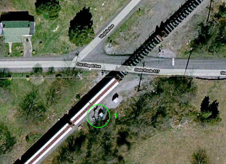
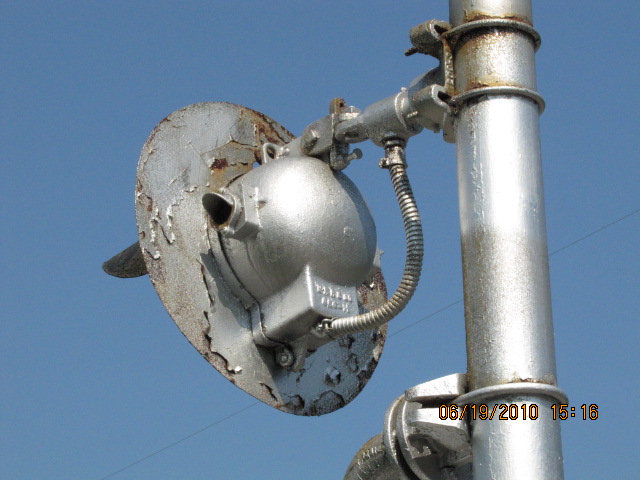
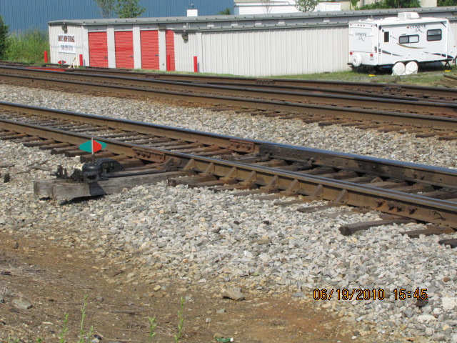
This one is out in the middle of a field off Woodly, haven't had the time to
go for a walk. Can't tell from Google's aerial view if this signal is
still with us or not - bad sun angle, and the trees are bigger.
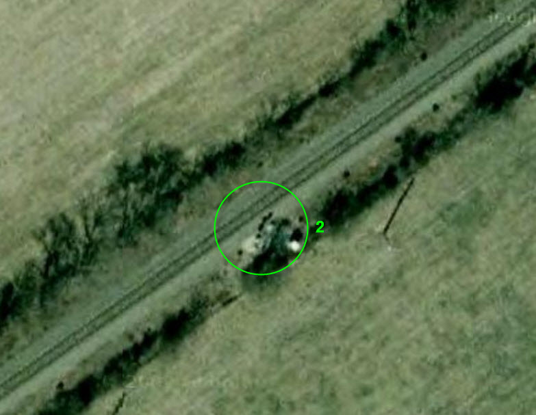
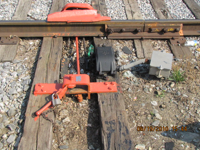
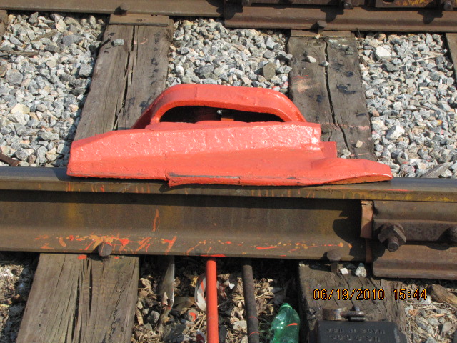
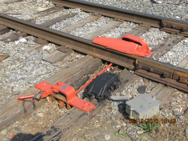
This signal has been moved about a hundred yards west, and a new color light installation for
WB's about a hundred yards away. Never noticed the old N&W whistle post there before.
Pix from 2010
This aerial shot and maps are from Google maps.
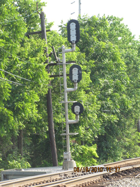
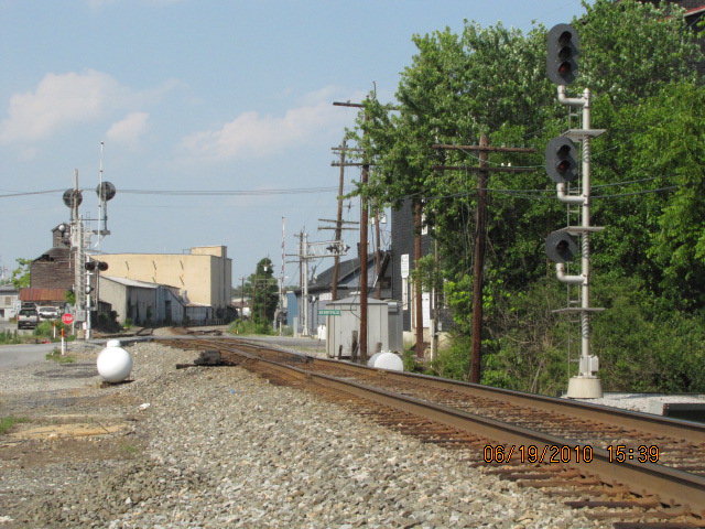
SB Colorlights
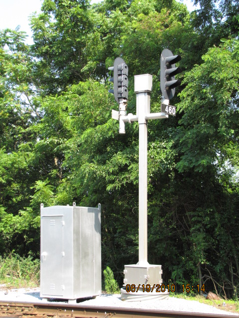
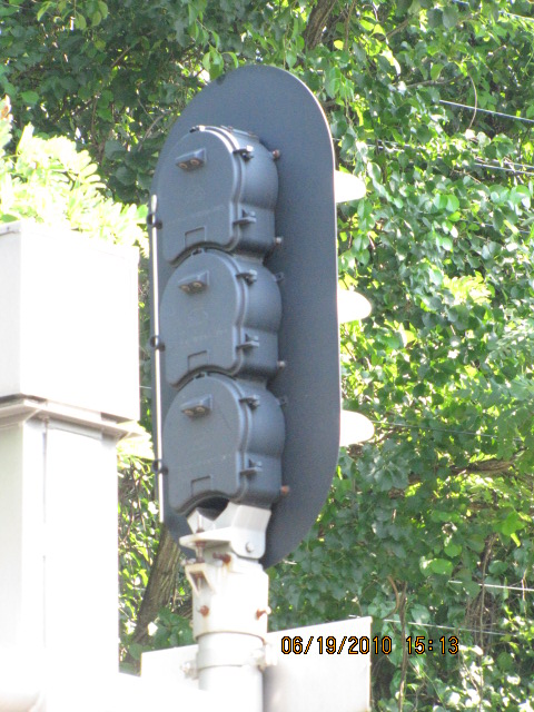
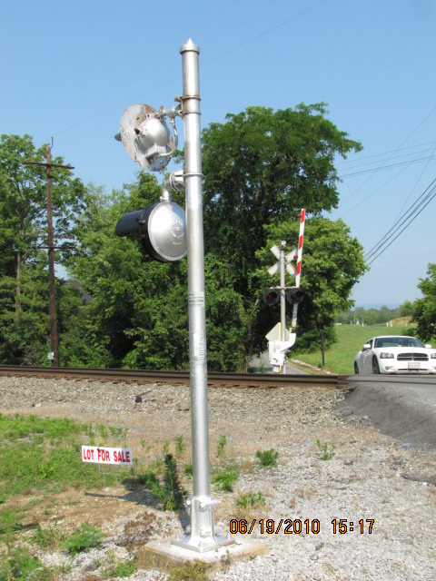
Located on a new cantilever bridge, these new signals are several hundred feet south/west of the CPL signals they replaced.
May 2013
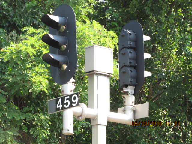
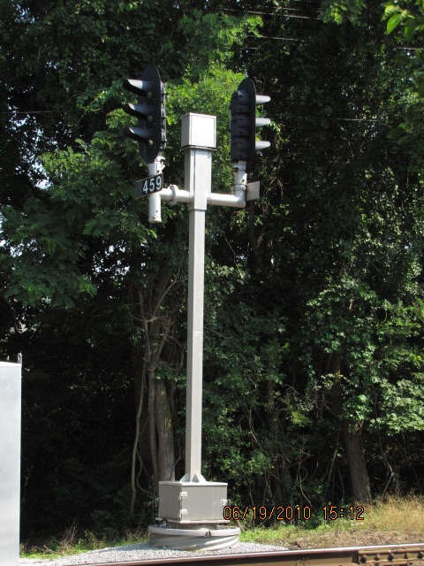
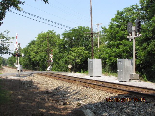
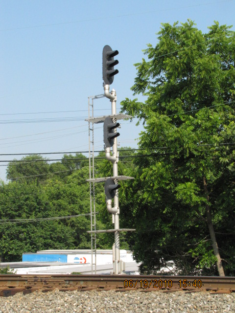
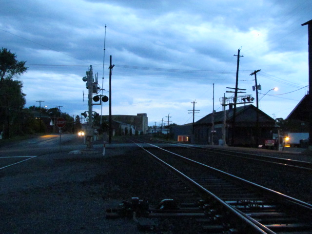
SB CPL Signals
I passed thru town in May of 2013, and these signals are now GONE! :-(
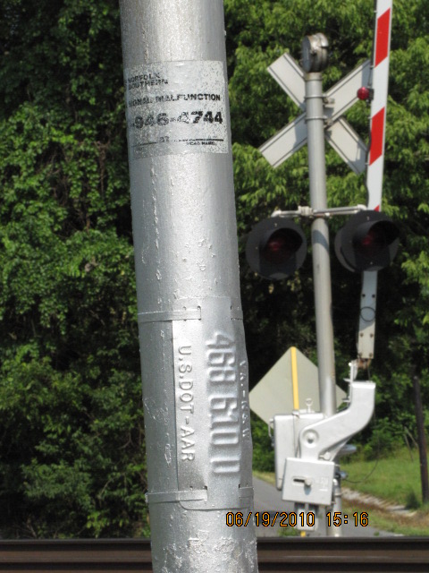
The signals here were for SB traffic coming from Hagerstown, and control the interlocking point where the tracks go down to
a single main. They WERE the only N&W CPL's still left in the immediate area.
Replaced by the colorlights at location 4.
This shot is from Google maps street view.
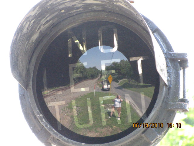
Boyce Grade Crossing at Millwood
The "no left turn" type lights are becoming rarer and rarer, just like the N&W CPL's.
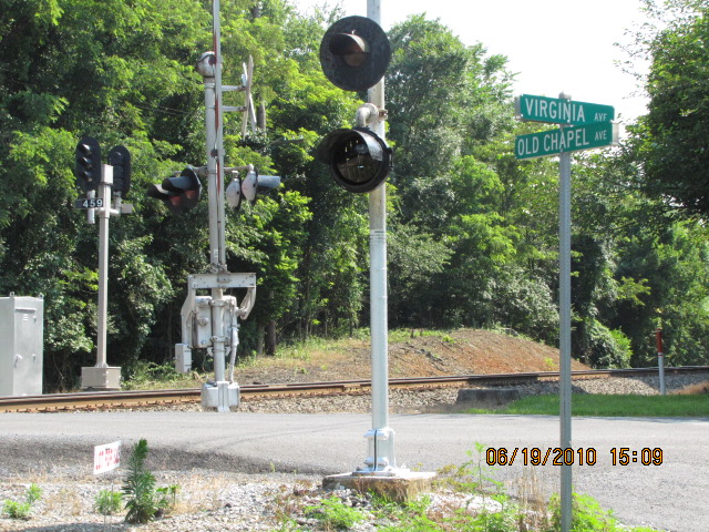
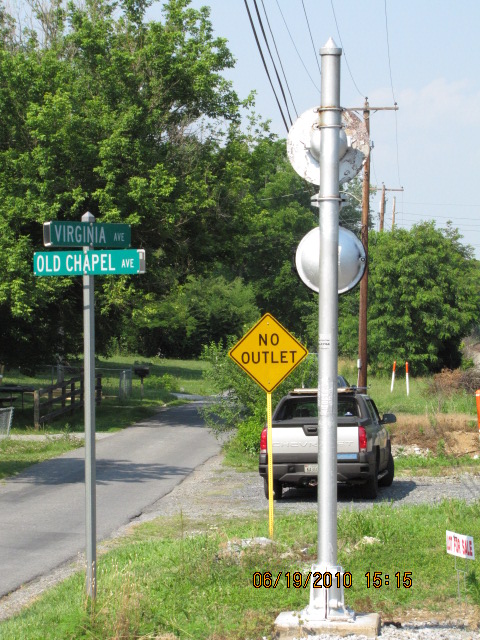
Boyce Grade Crossing at Old Chapel
The same type of "no left turn" signal is at this crossing.
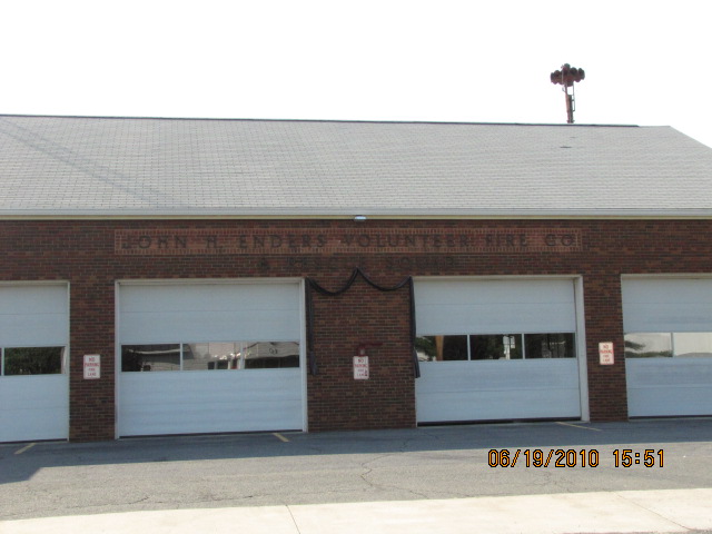
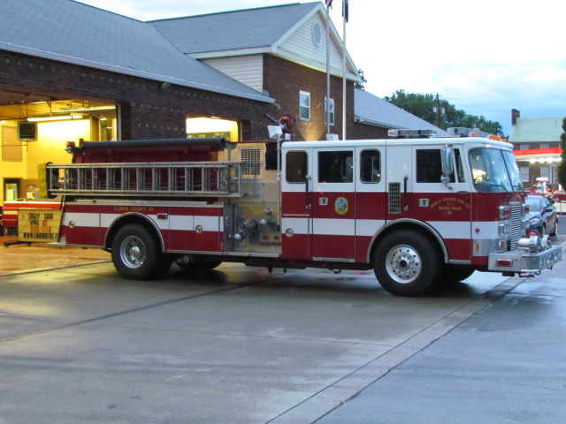
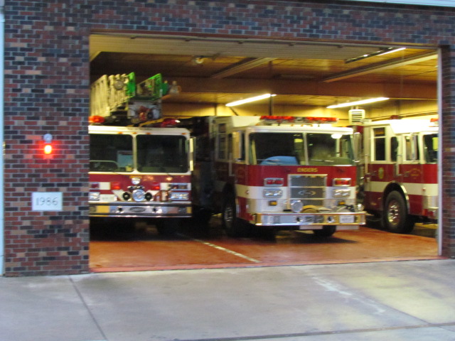
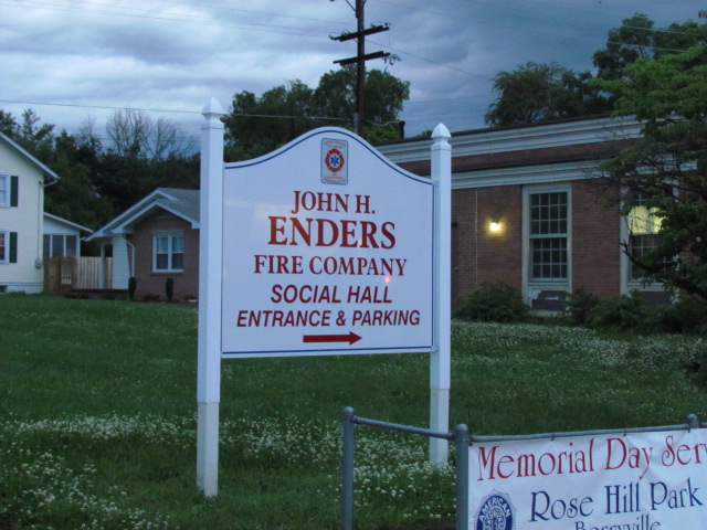
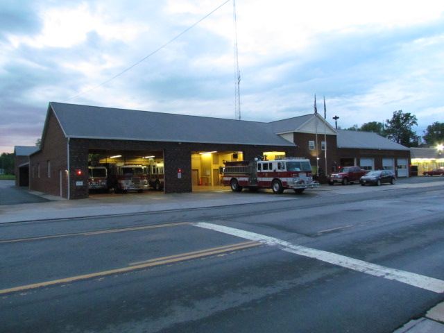
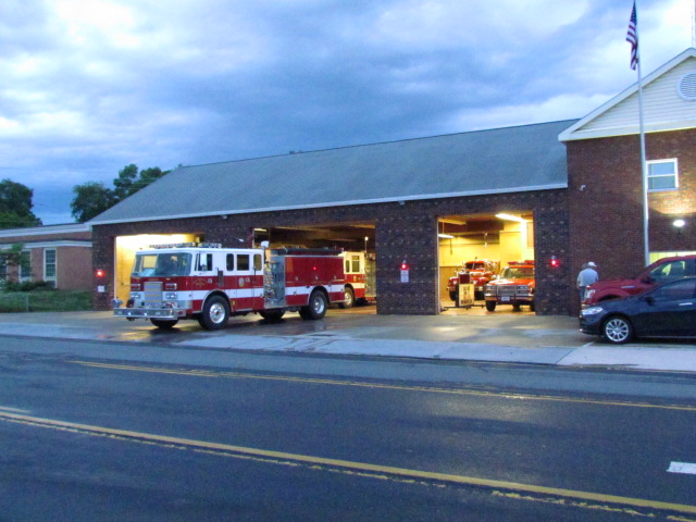
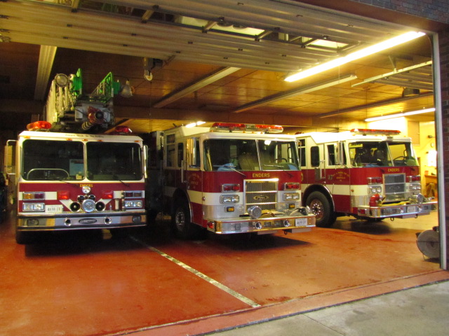
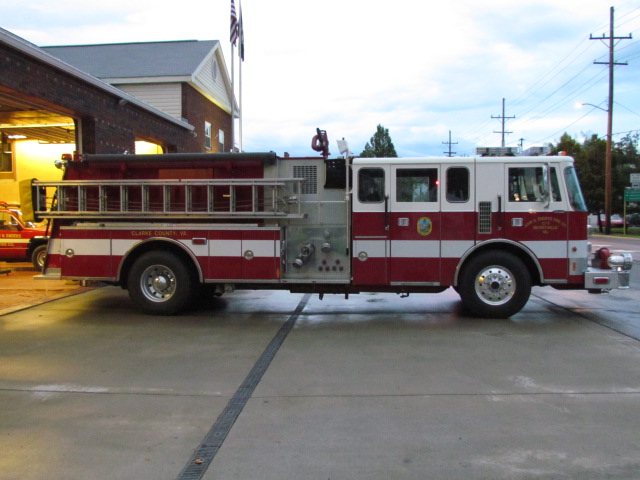
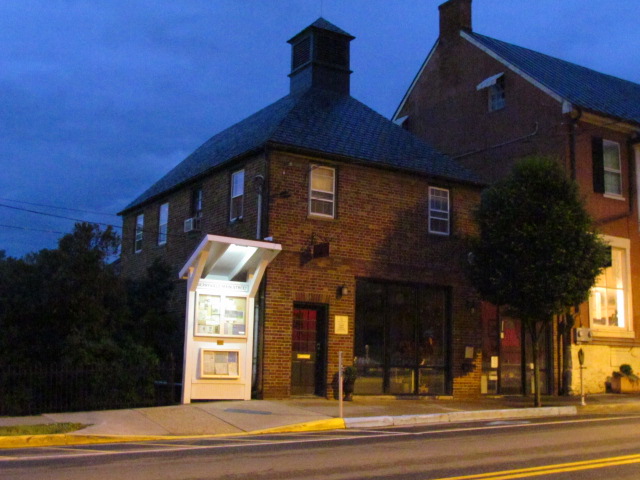
Berryville's "John H. Enders" Volunteer Fire Company
2010
May 2013
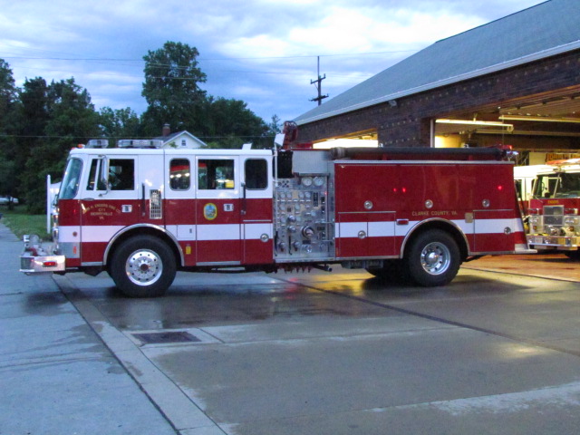
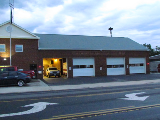
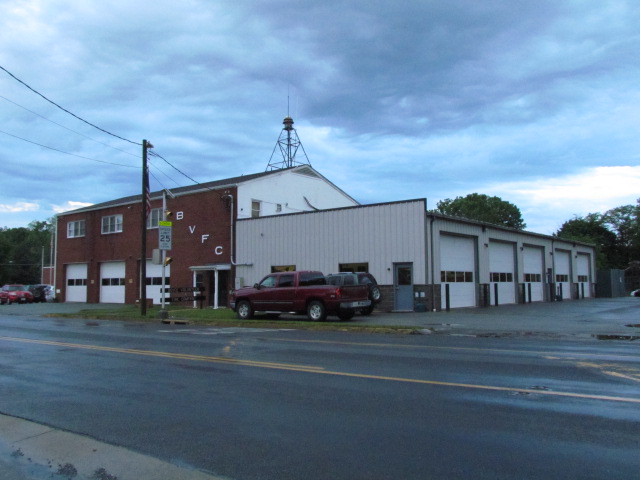
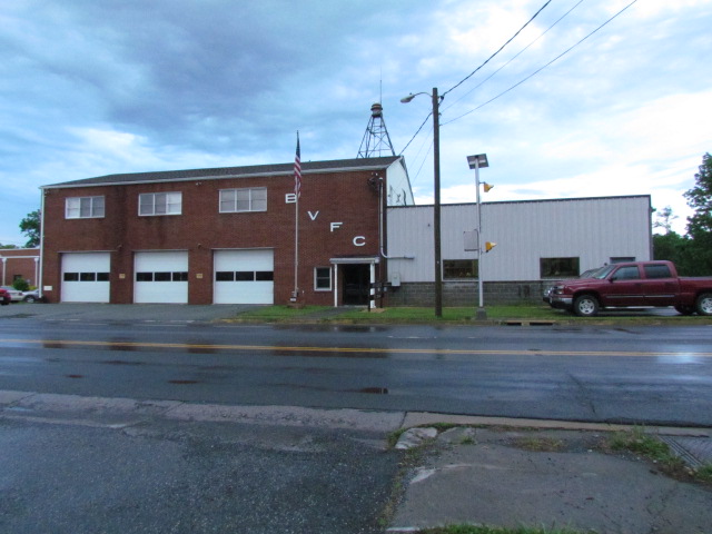
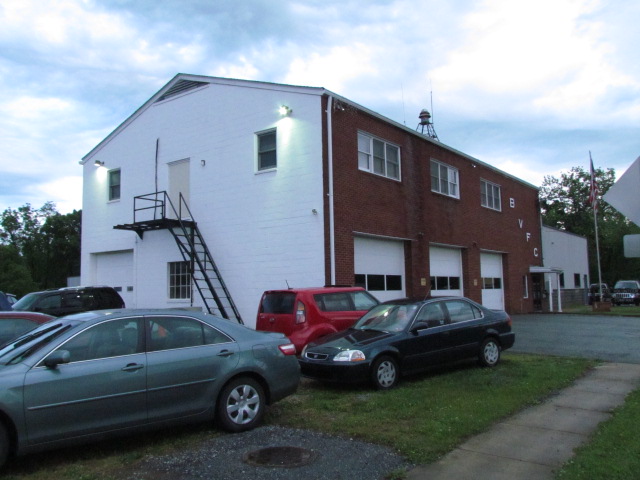
Boyce Volunteer Fire Company
May 2013
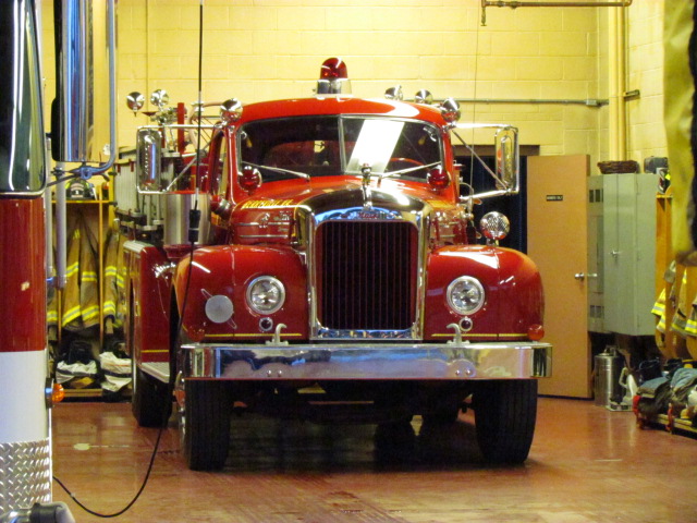
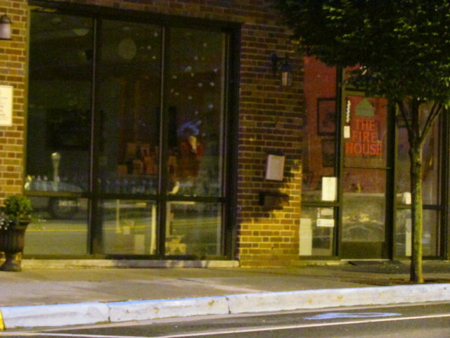
Berryville Fire Museum
Located on Main Street, between US 340 and the railroad tracks, it will be on the right side after you go thru the first
traffic light after turning onto Main St.
Thanks to the guys at the Enders Volunteer Fire Company for letting me know about it.
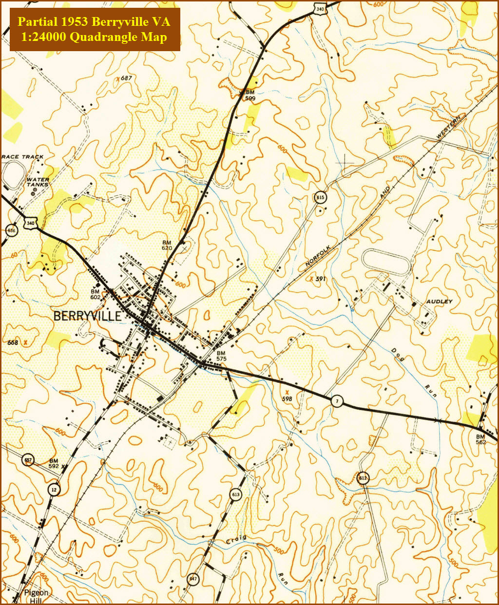
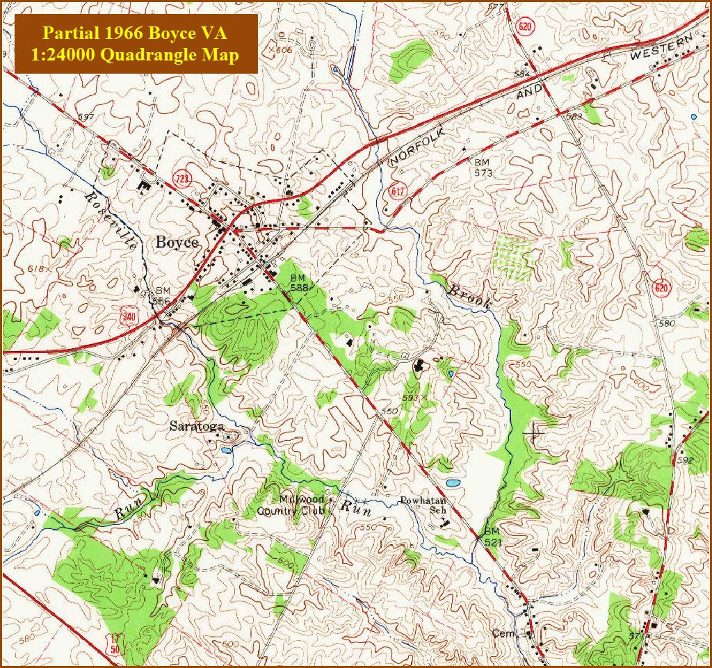
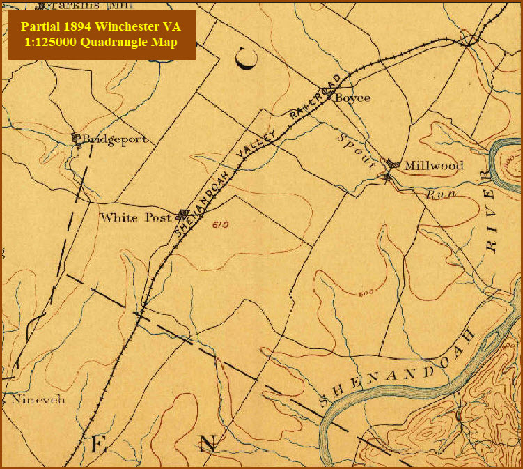
Well, at least on the USGS's website, these dates are the earliest they have a
1:24,000 resolution map available. Earlier maps can be had going back to
the 1800's, but they will be part of either Winchester VA or Cumberland MD maps,
at lower resolution.
Disclaimers:
I love trains, and I love signals. I am not an expert. My webpages reflect what I find on the topic of the page. This is something I have fun with while
trying to help others.
Please Note: Since the main focus of my two websites is railroad signals, the railfan guides are oriented towards the signal fan being able to locate them.
For those of you into the modeling aspect of our hobby, my
indexa page has a list of almost everything railroad oriented
I can think of to provide you with at least a few pictures to help you detail your pike.
If this is a railfan page, every effort has been made to make sure that the information contained on this map and in this railfan guide is correct. Once in a while,
an error may creep in :-)
My philosophy: Pictures and maps are worth a thousand words, especially for railfanning. Text descriptions only get you so far, especially if you get lost or
disoriented. Take along good maps.... a GPS is OK to get somewhere, but maps are still better if you get lost! I belong to AAA, which allows you to get
local maps for free when you visit the local branches. ADC puts out a nice series of county maps for the Washington DC area, but their state maps do not have the
railroads on them. If you can find em, I like the National Geographic map book of the U.S..... good, clear, and concise graphics, and they do a really good job
of showing you where tourist type attractions are, although they too lack the railroads. Other notes about specific areas will show up on that page if known.
Aerial shots were taken from either Google or Bing Maps as noted. Screen captures are made
with Snagit, a Techsmith product... a great tool if you have never used it!
By the way, floobydust is a term I picked up 30-40 years ago from a National Semiconductor data book, and means miscellaneous
and/or other stuff.
Pictures and additional information is always needed if anyone feels inclined to take 'em, send 'em, and share 'em, or if you have something to add or correct.... credit
is always given! Please be NICE!!! Contact info is here
Beware: If used as a source, ANYTHING from Wikipedia must be treated as being possibly being inaccurate, wrong, or not true.
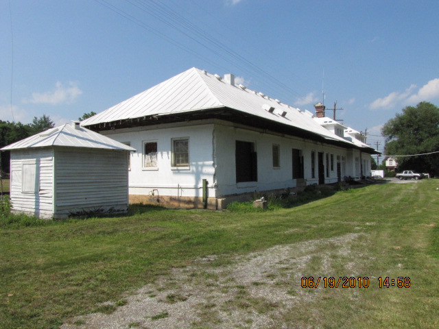
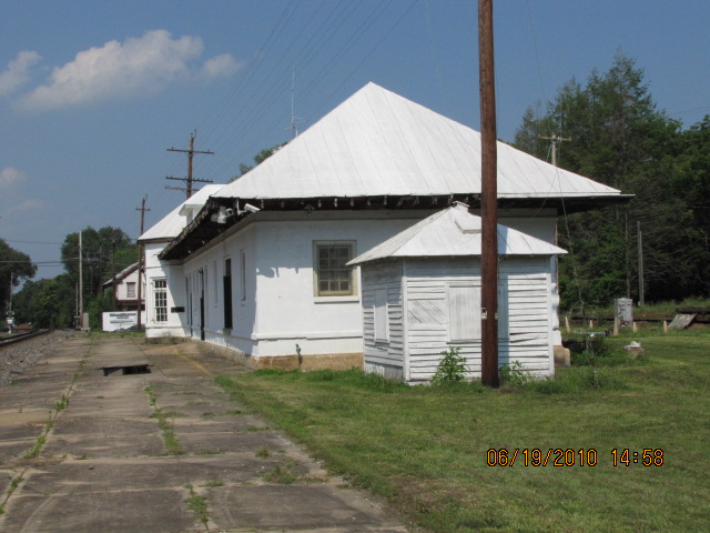
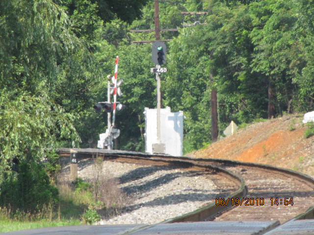
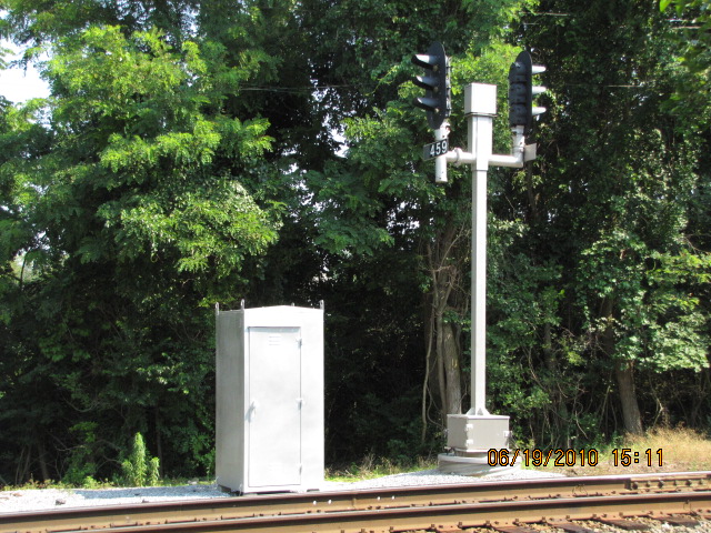

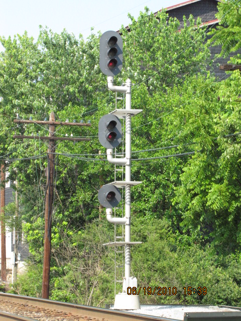

 Pix from 2010
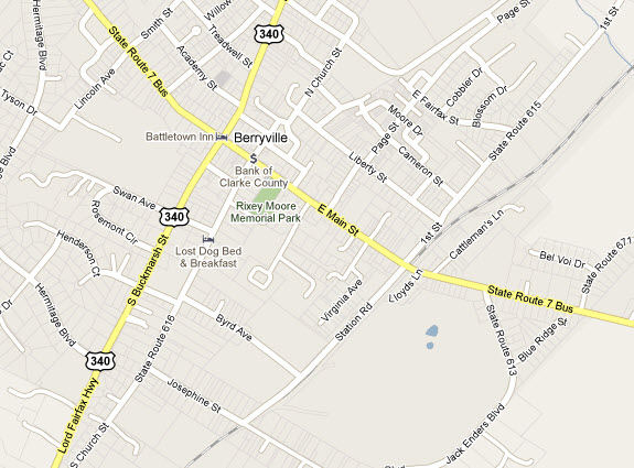
 This aerial shot and maps are from Google maps.
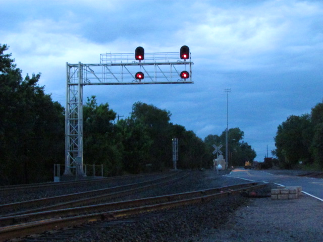

 May 2013
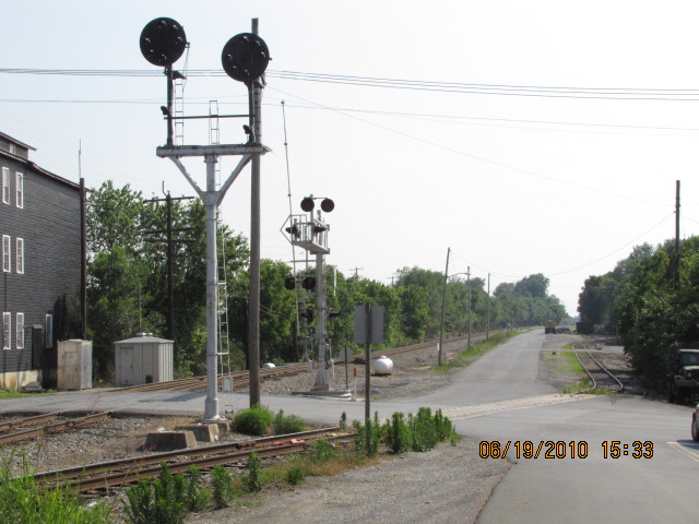


 This shot is from Google maps street view.


 2010
2010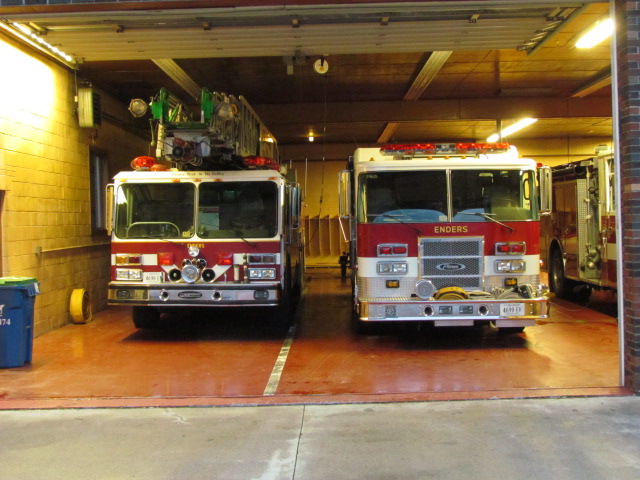
 May 2013
 May 2013
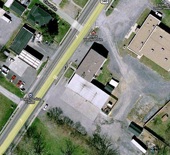

 2010
2010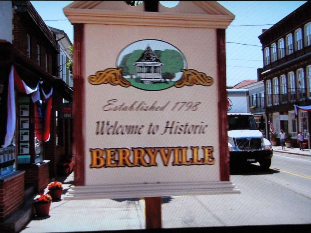
 May 2013