RAILFAN GUIDES HOME RAILROAD SIGNALS HOME
There are few good pages around to highlight the many railroad stations
and depots that used to exist. When I know of them, they will be
found under additional resources.
One of the better resources I have come across to this end is the
plethora of old post cards still around depicting many of these
structures, some better than others.
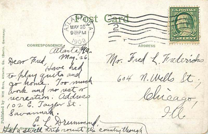
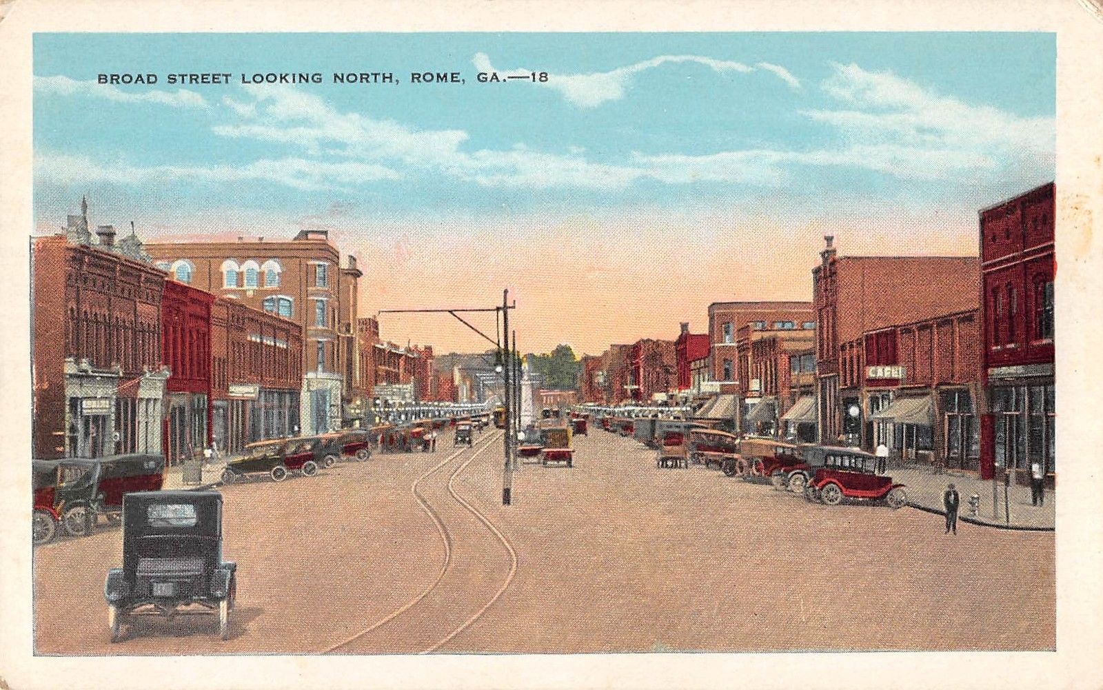
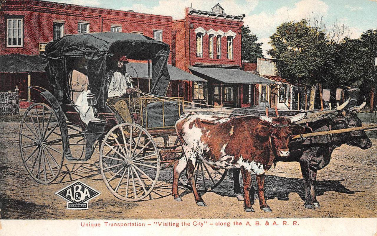
A good portion of the pictures on this page are postcards I
found on EBay. Some of them have been cleaned up and/or
repaired when I had the energy.
If you have the time, other good sources for pictures are:
Shorpy, Google,
and Bing images, and the Library
of Congress (you have to be very patient to find things here :-)
Since many of these stations are no longer around (railfans seem to prefer the
term "extant", I'm not one of them! :-), this page is mostly for historical reference.
What's the difference between a station and a depot? Most people will say "nuttin",
it's a matter of preference, although many will use depot for older buildings.
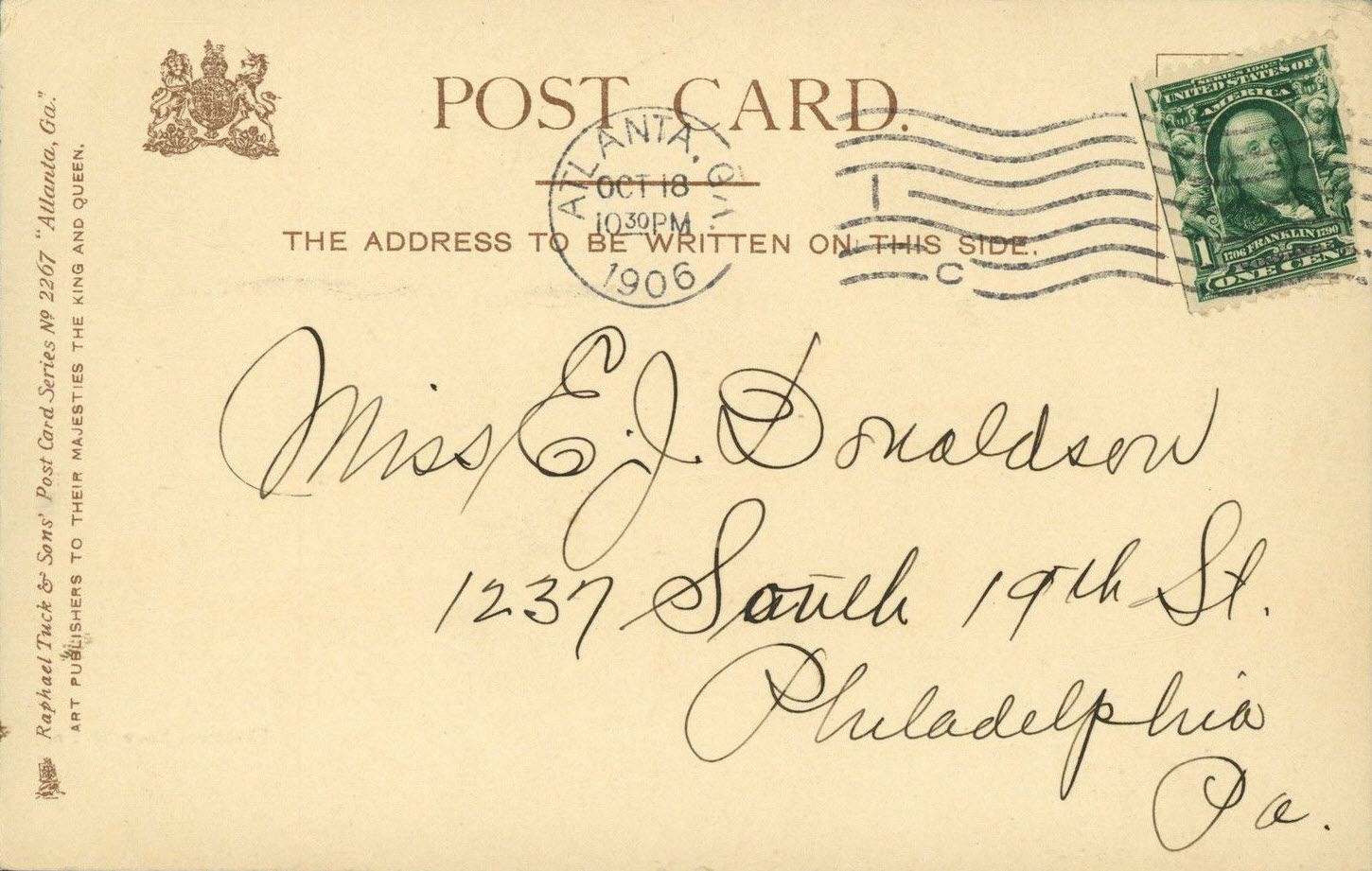
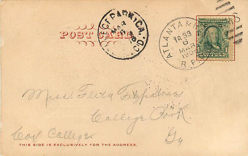
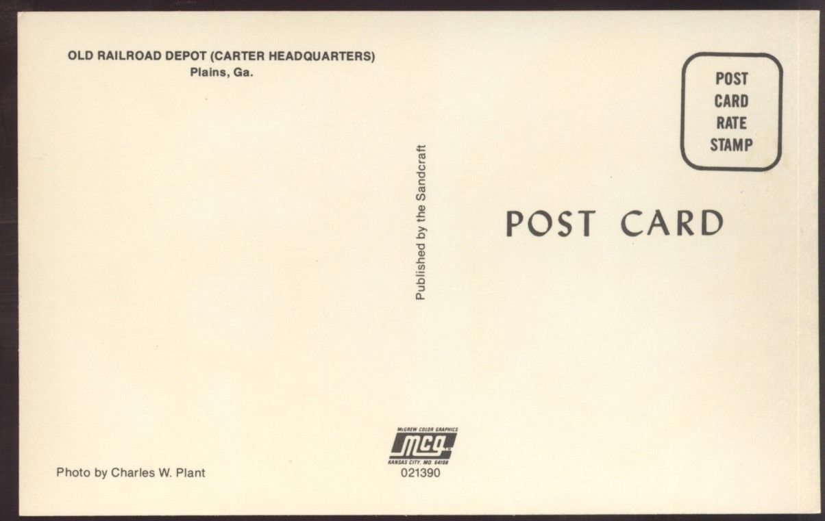
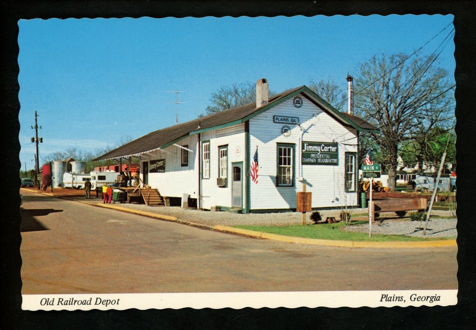
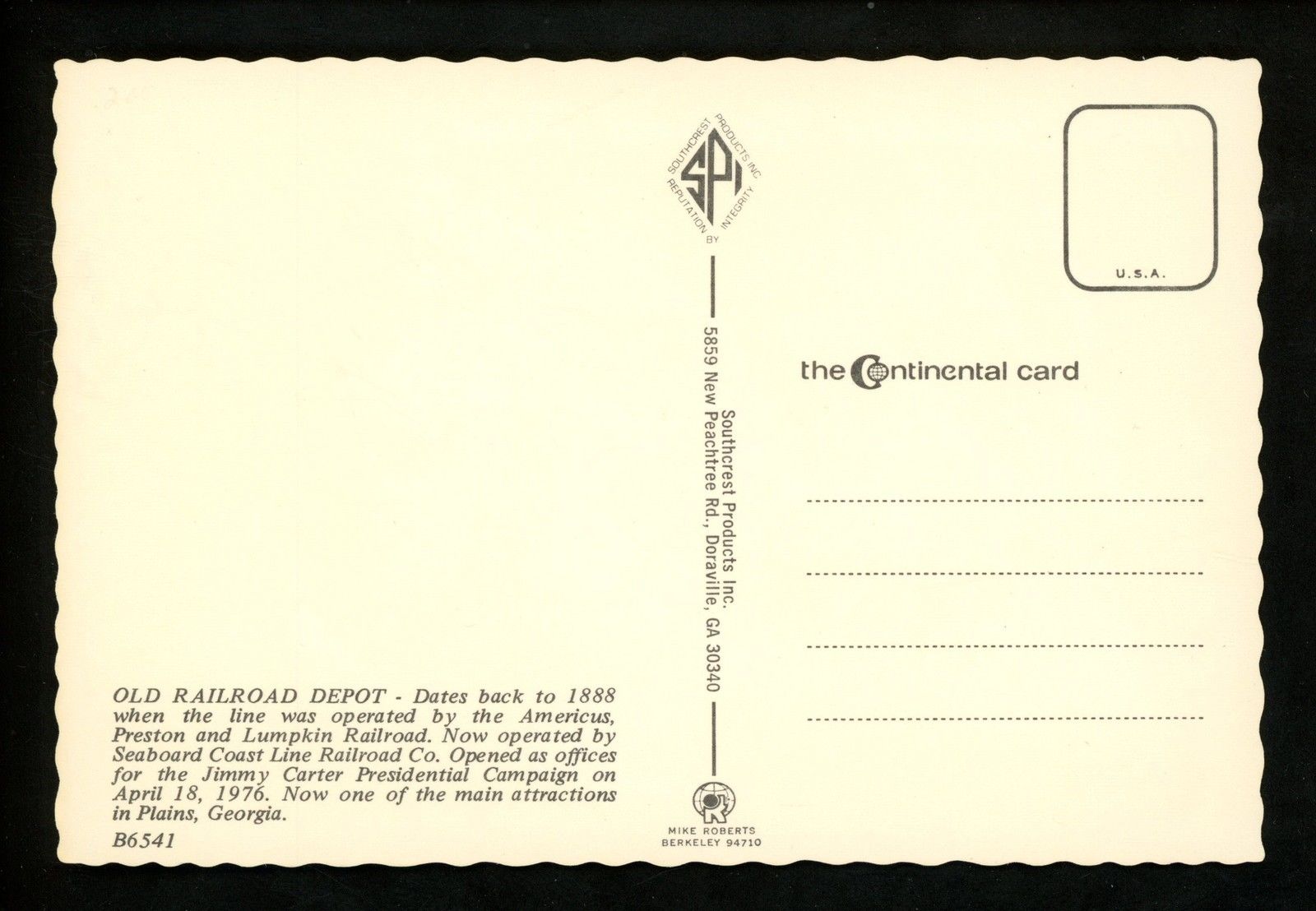
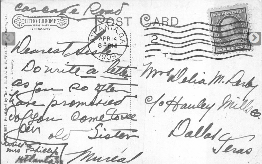
If they were available, and interesting, I included the back side of the postcards.
If you have a picture you would like to contribute, please see the bottom of the
page for how to find me, credit is always given to contributing photographers.
Acknowledgements:
Jim Kelling
Martin K. O'Toole
Anthony Dahlen
Denver Todd
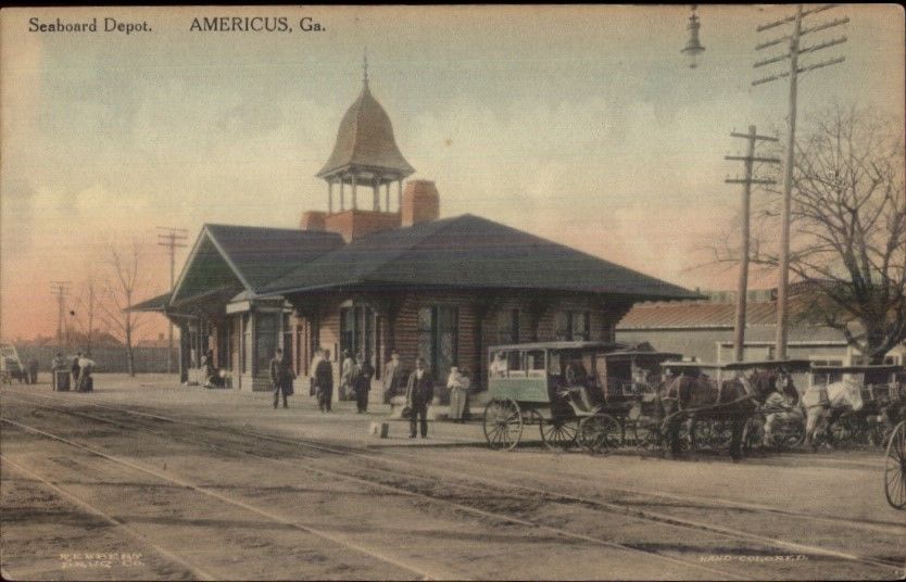
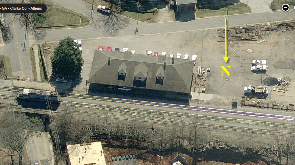
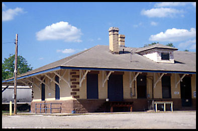
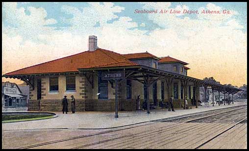
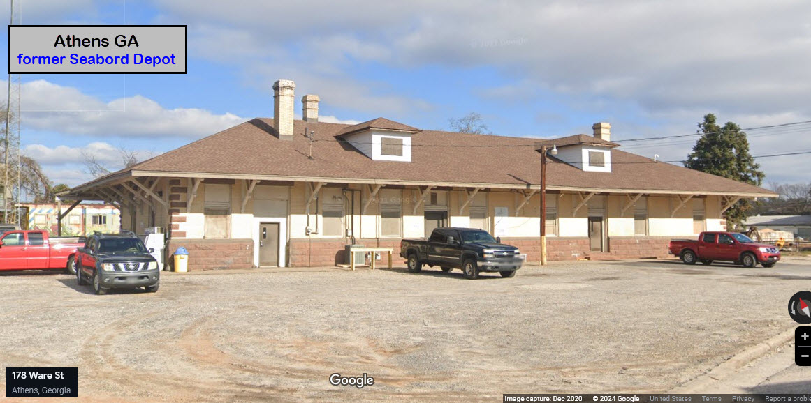
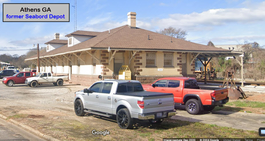
GPS Coordinates: 33.96581, -83.37875
101 Ware St, Athens GA 30601
This station was built by the Georgia, Carolina & Northern (Seaboard Air Line).
The last passenger train was the Silver Comet which made it's final run
in October, 1969. The depot has always been used by the railroad as
part of their maintenance operations. Thanks to Martin O'Toole for
providing more accurate information for the depots in Athens!
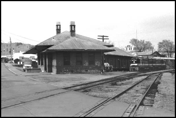
ATHENS - ex Central of Georgia Depot
This depot served the line running north from Macon. It was
destroyed by fire in the early 1980s, maybe prior to 1981?
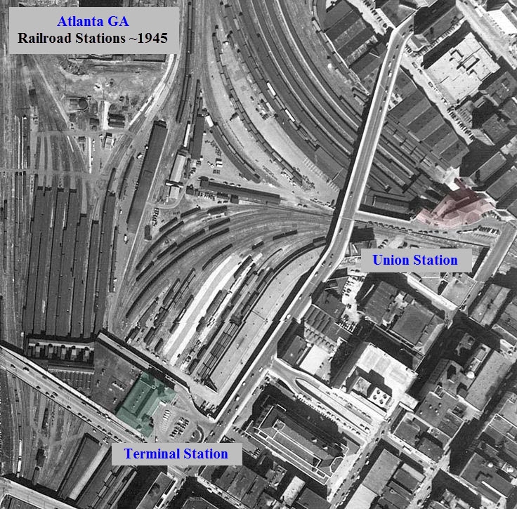
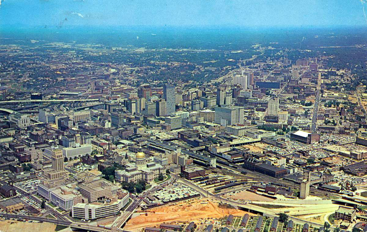
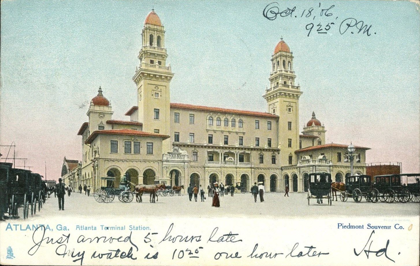
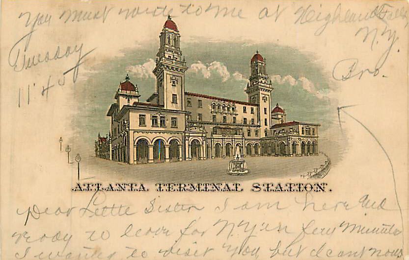
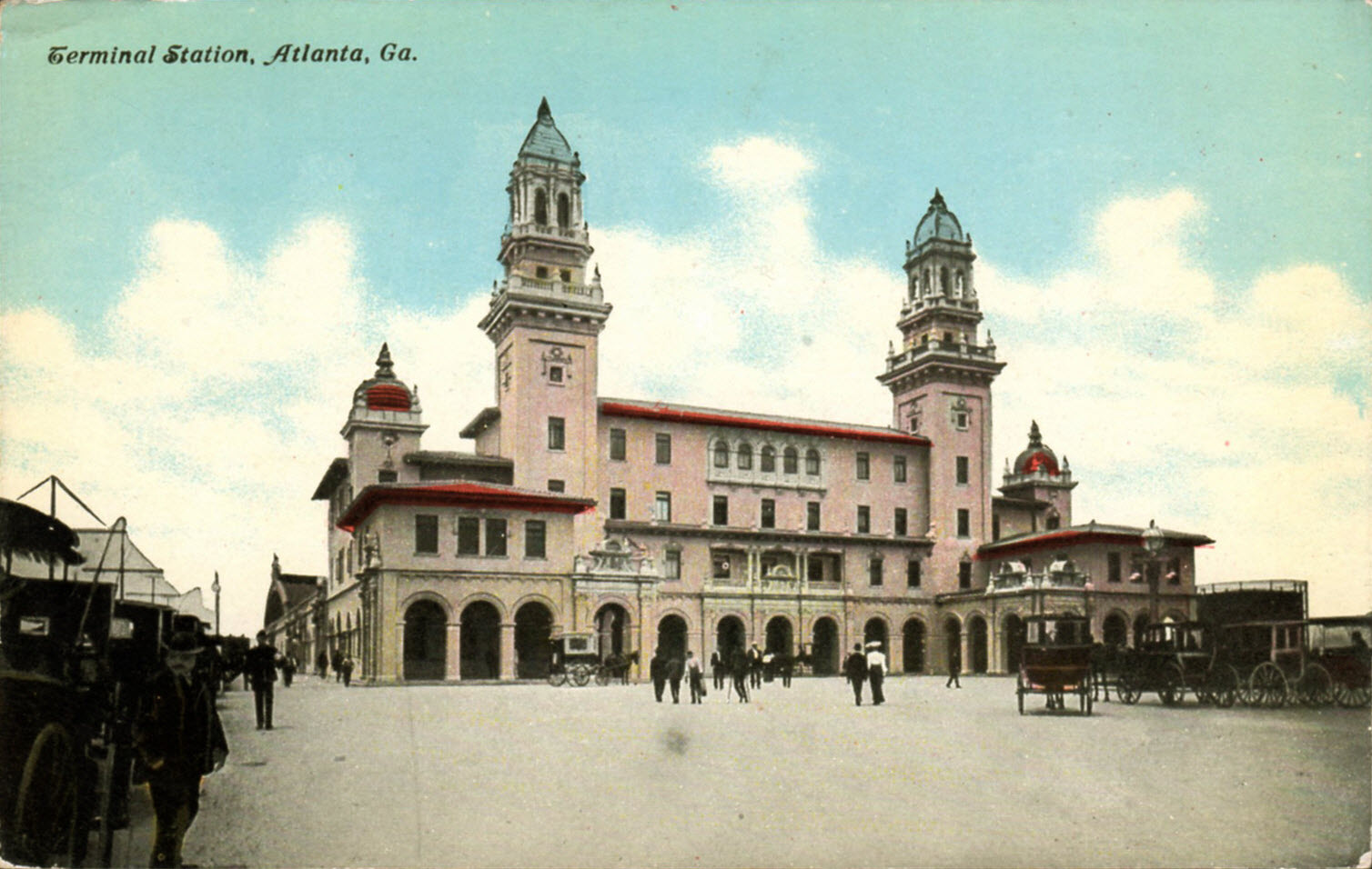
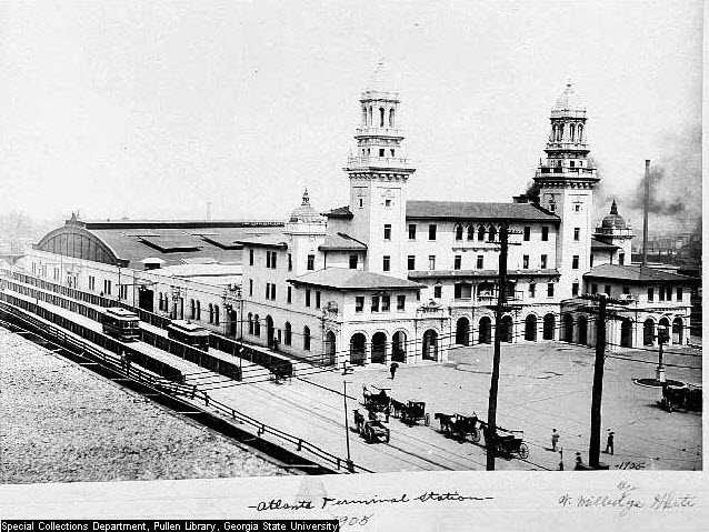
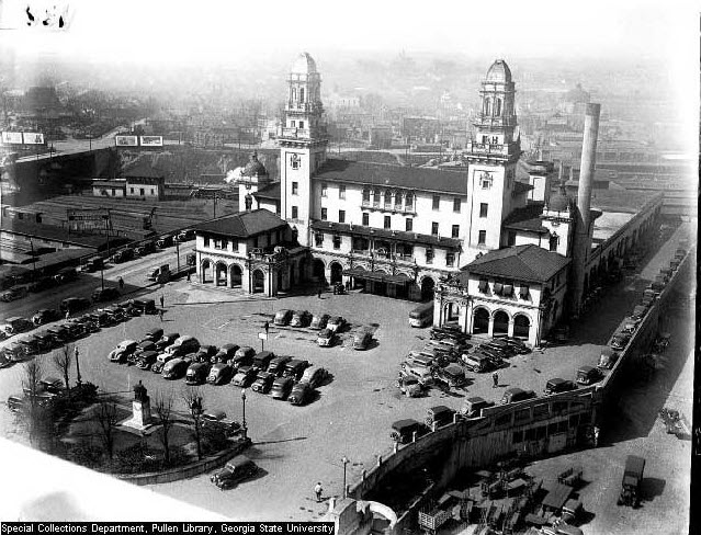
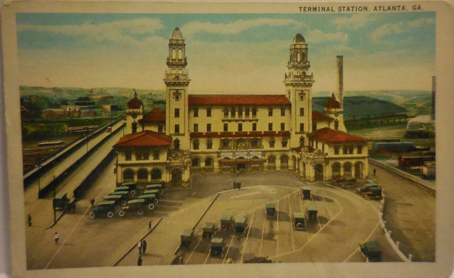
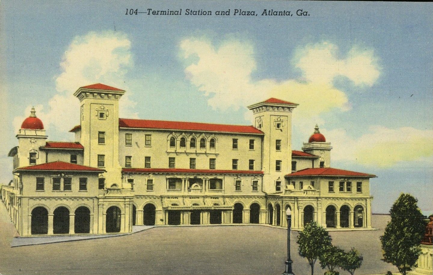
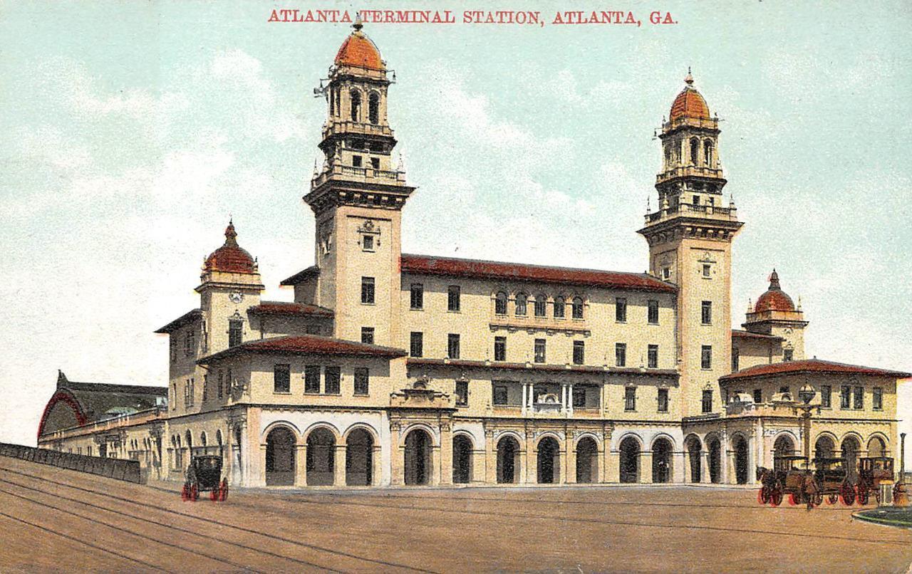
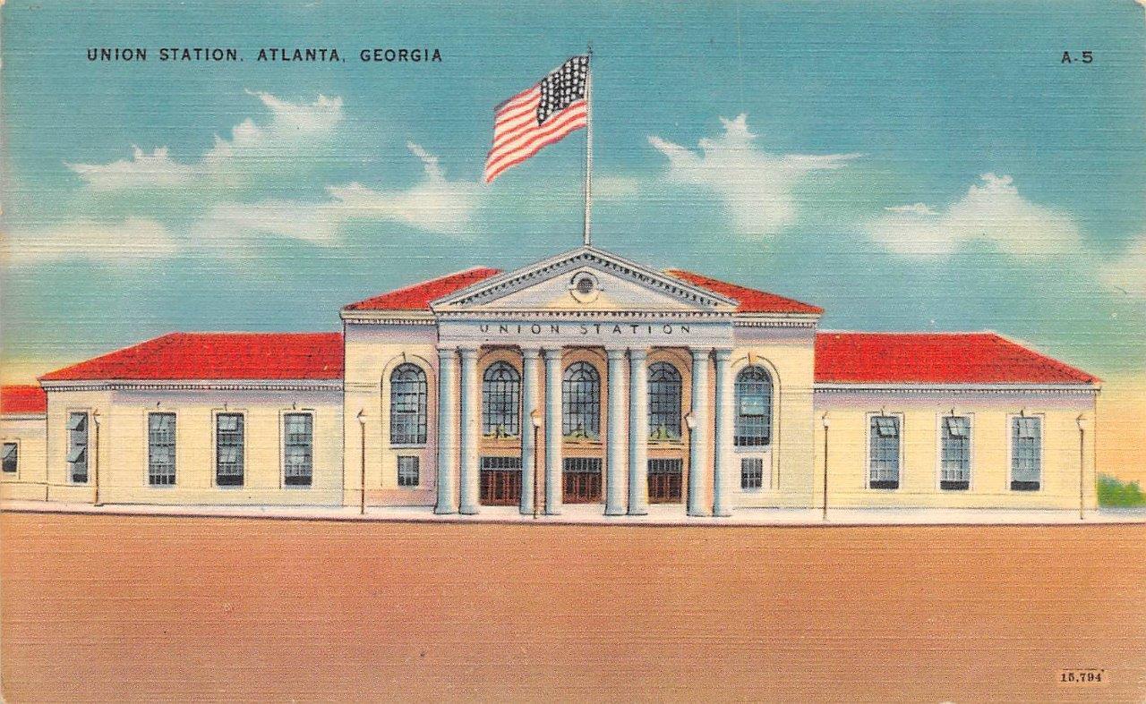
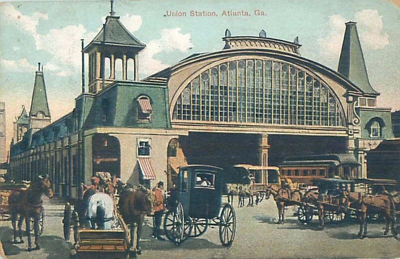
From Wikipedia: Terminal Station in Atlanta was the larger of two principal train stations in downtown, Union Station being the other. Opening in 1905, Terminal Station served Southern
Railway, Seaboard Air Line, Central of Georgia, and the Atlanta and West Point. The architect was P. Thornton Marye, whose firm also designed the Fox Theater and
Capital City Club in downtown Atlanta, as well as the Birmingham Terminal Station. At the station's opening in 1905 the military band of the 16th Infantry Regiment
played "Down in Dixie" according to a report that appeared in the Atlanta Journal. In its 20th century heyday, Atlanta Terminal Station was used by such well-known
trains of the time as the Crescent, Man 'o War, Nancy Hanks, Ponce de Leon, and Silver Comet. A veritable rail-travel crossroads of the American south-east, it was a
critical railroad link between the warm climate of Florida and the Gulf Coast, and the rather colder, more densely populated states of the north-east and mid-west. For
many northern Americans, Atlanta Terminal was the gateway to the sunshine. The Atlanta Convention Bureau released a postcard in the 1920s that claimed that Terminal
Station was served by 86 trains per day. The train shed that had originally been built alongside the head house was torn down in 1925. The Southern Railway
built an office building next door to the station at 99 Spring Street that is still standing, although the Southern eventually moved their local offices to another building
in Atlanta. The station head house was renovated in 1947 just after World War II. After Terminal Station closed in June 1970, Southern continued to
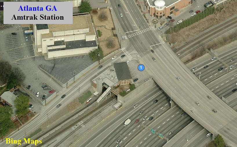
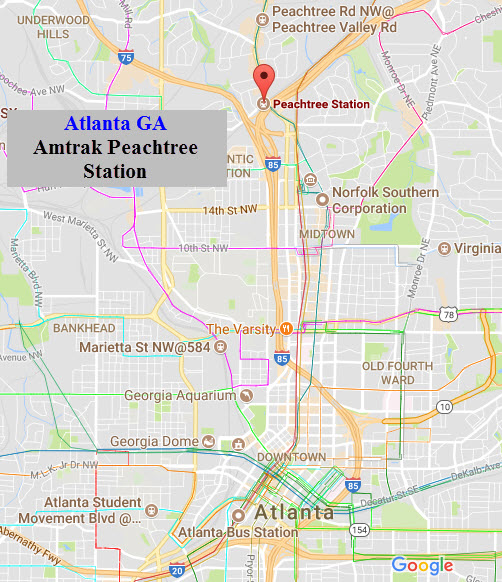
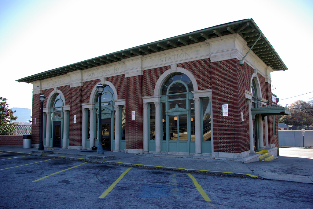
operate its Southern Crescent and Piedmont passenger trains using the much smaller Peachtree Station, commonly known as Brookwood Station and built as a suburban station,
as their only stop in Atlanta. The only other passenger train remaining at that time that had been using Terminal Station, the Nancy Hanks, used a makeshift ticket
office and waiting room in the Southern office building next door. Terminal Station was razed in 1972, although the Southern retained one platform for its use.
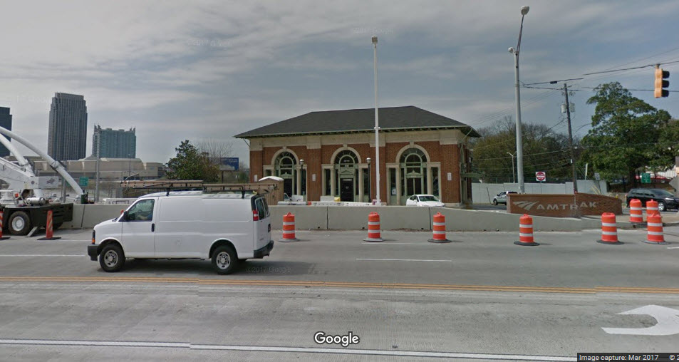
The site of Terminal Station is now the Richard B. Russell Federal Building which was built in 1979. The aforementioned platform, an old switch tower, and a
portion of lead trackage are all that remain of the station. Question: does anyone know when the top of the two towers came down?
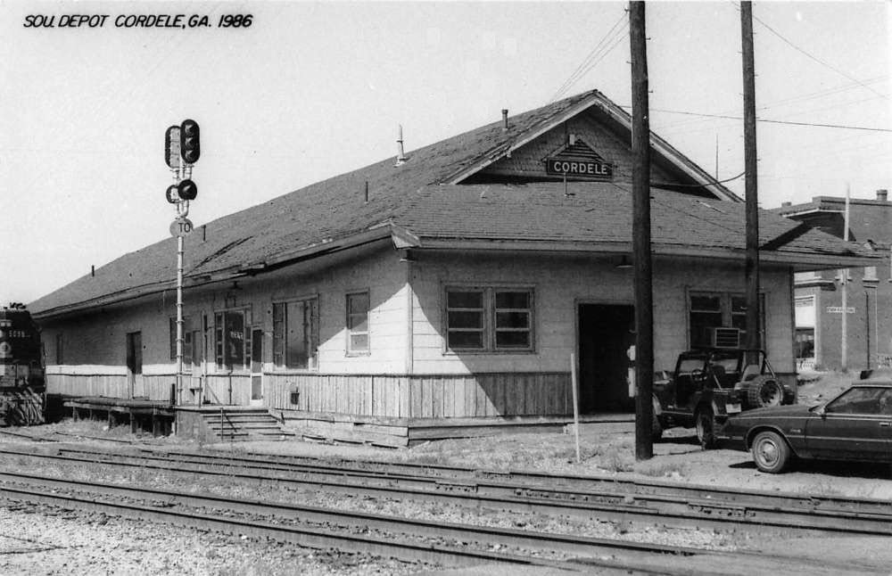
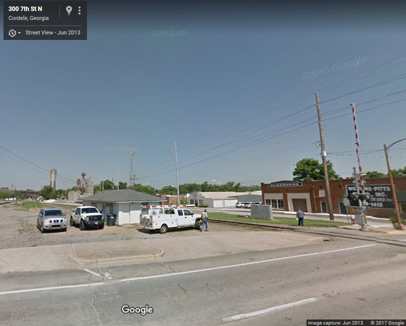
GPS Coordinates: 31.970416, -83.782962
Neither of the vintage structures are around any more, but it looks like CSX has a small maintenance building around on 7th St N. The town sports a diamond crossing,
and a very interesting track layout, including many signals and sidings.
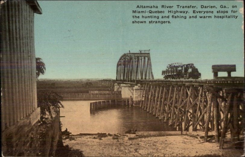
Darien is at exit 49 off of I-95, and looks like a good spot to stop if you're hungry, but there is no railroad activity in town any more, much less a bridge.
And, unless they built US17 on the railroad's bridge abutments, there is no evidence of them round either.
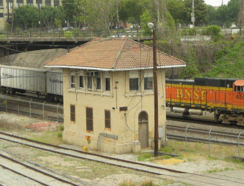
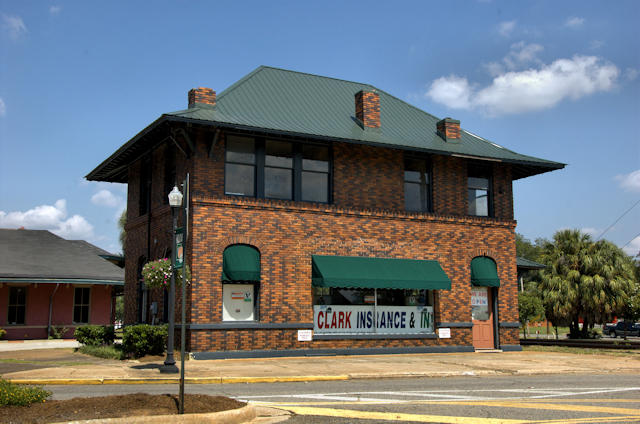
This is one of the few interlocking towers still in existence in Georgia.
It was built by the Central of Georgia, and originally had a restaurant on the bottom floor.
GPS Coordinates: 34.11851, -83.57566
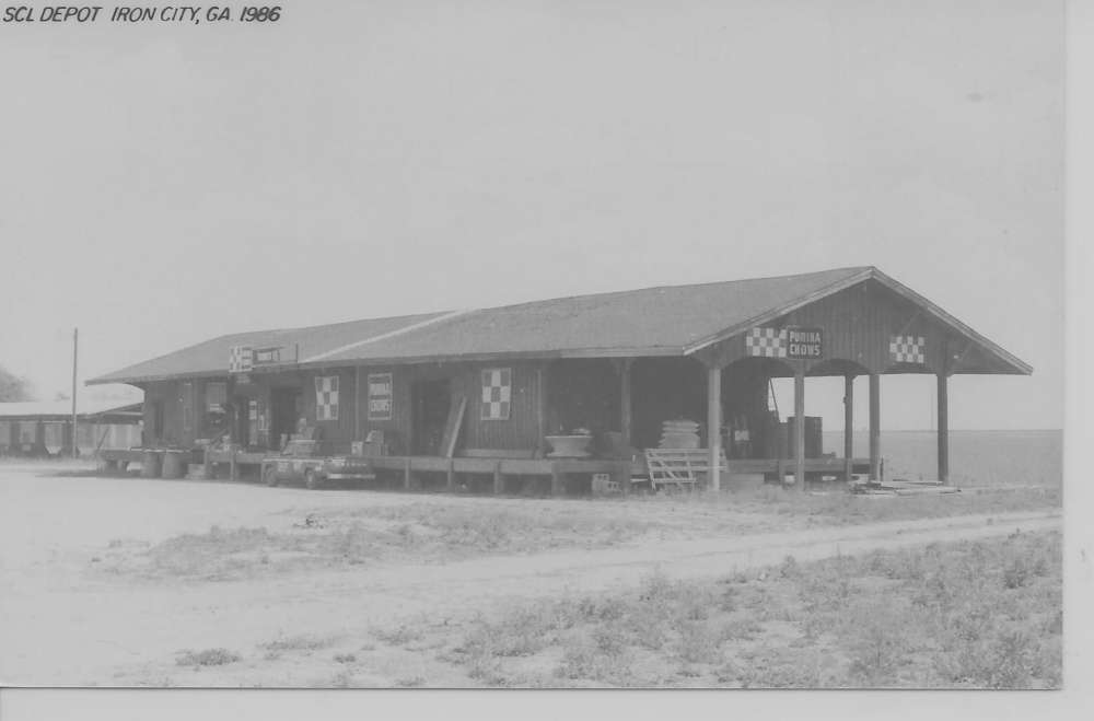
Looks like the depot was at the end of a stub track off a wye on the Seaboard
main going roughly north/south thru town.
Thanks to Anthony Dahlen for letting me know this depot is still standing.
GPS Coordinates: 33.952909, -84.550984
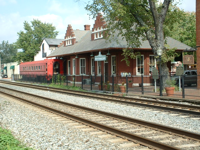
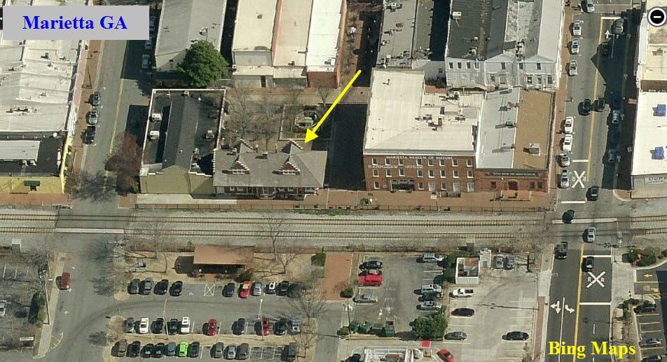
More info and pictures are on my Marietta GA page
Former L&N depot right off the square in Marietta.... good area for antiques, and close to the "Big Chicken"! Lots of CSX action passes
by here too! The Georgia Northeast RR is a mile or so north of here as an extra added bonus... and lots of pawn shops around too if you're into them.
GPS Coordinates: 33.942150, -84213424
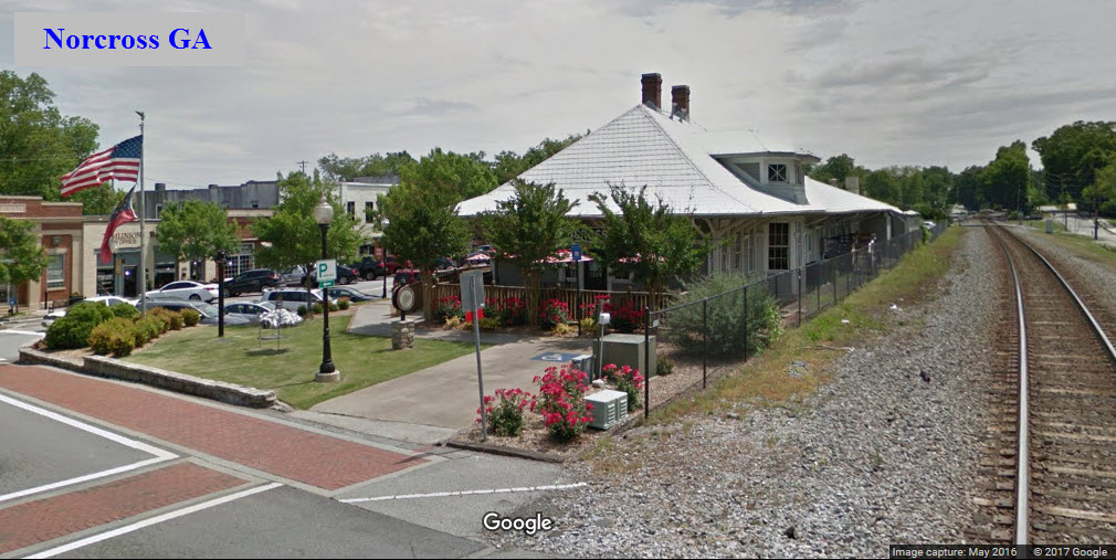
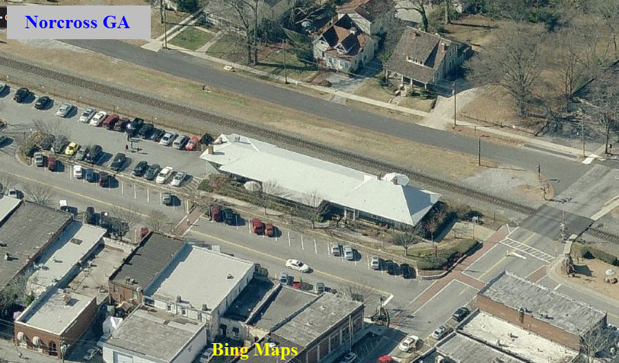
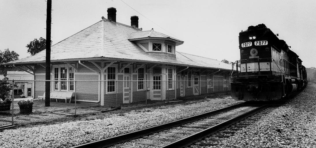
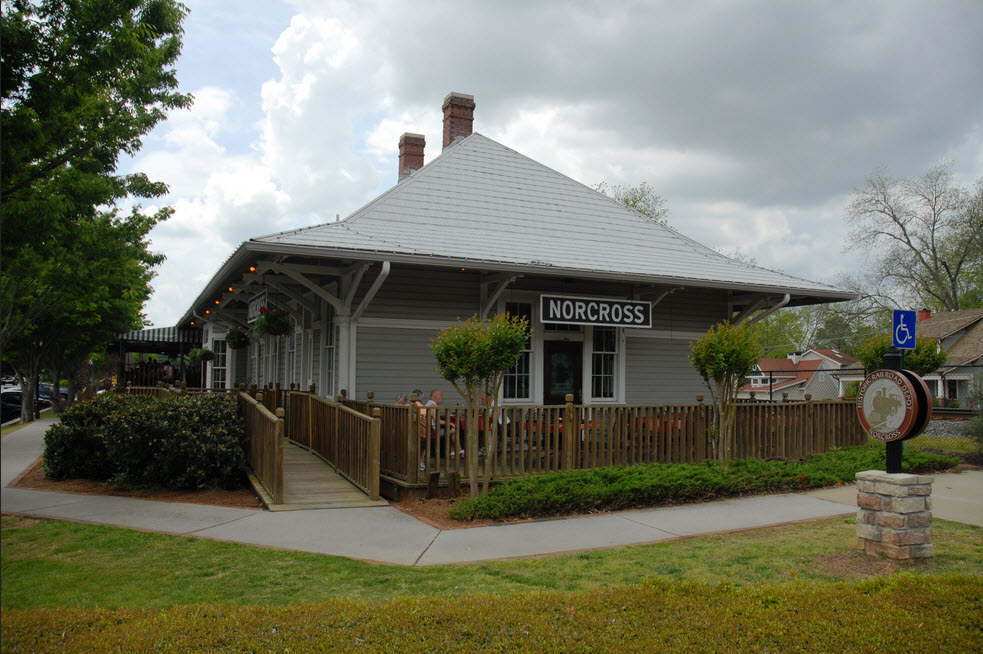
The depot is now The Crossing Steakhouse restaurant
40 S Peachtree St, Norcross, GA 30071 http://www.thecrossingofnorcross.com/
678) 280-9081
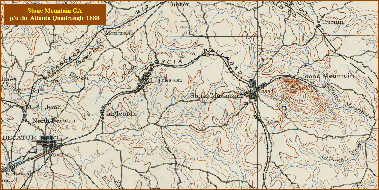
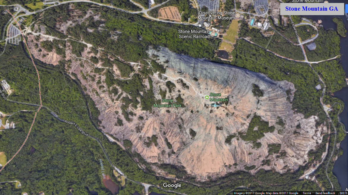
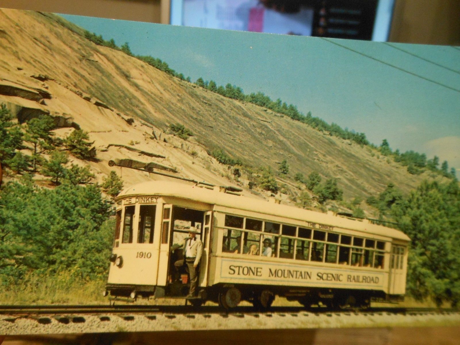
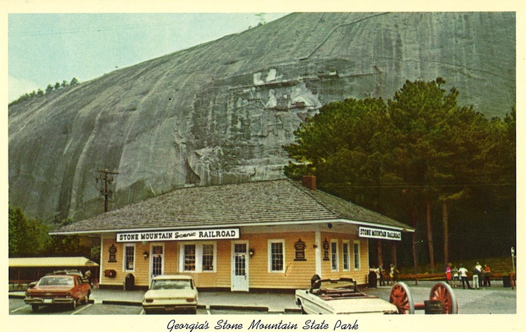
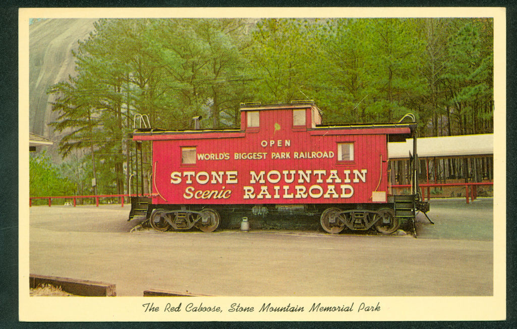
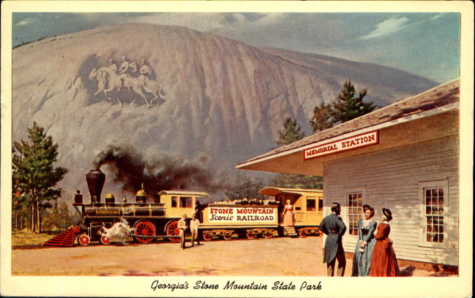
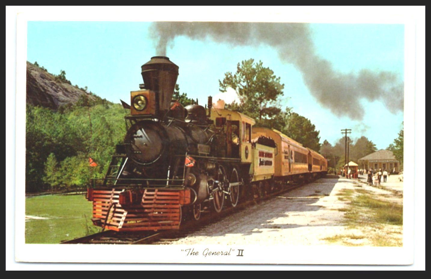
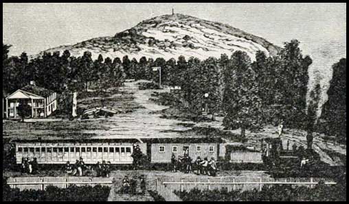
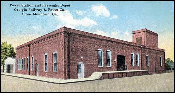
Stone Mountain not only refers to the famous rock that dominates the skyline around these here parts, but it is named after the town of Stone Mountain. Both
have something for the railfan to stop and see. The town has an old depot, and the Mountain has the worlds largest/longest park ride in the world.
STONE MOUNTAIN - The Park
GPS Coordinates (for the railroad visitor center): 33.810665, -84.145200
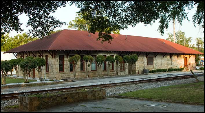
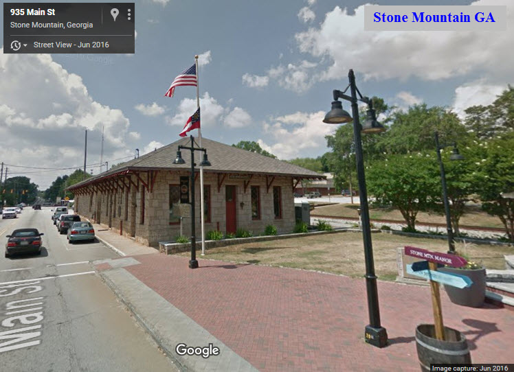
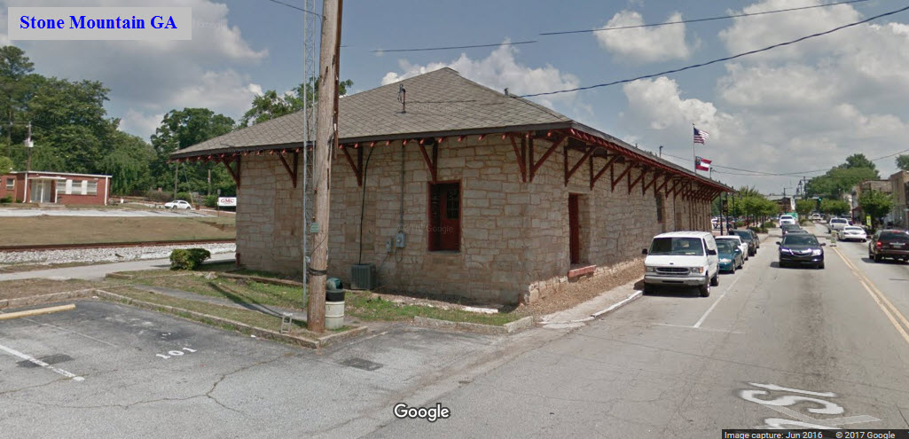
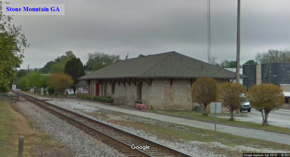
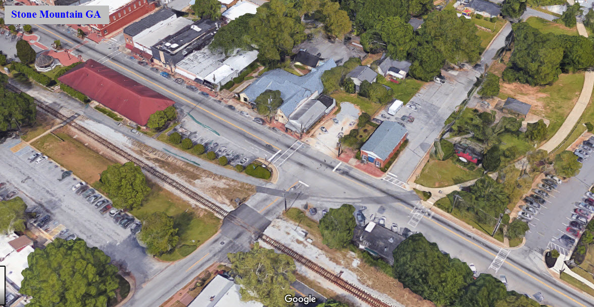
STONE MOUNTAIN - The Town
GPS Coordinates: 33.806602, -84.170569
Notice below, the interchange between the CSX and the Stone Mountain RR has been removed and most of it is now a trail.

 Sorry its so small, most pictures on Pinterest seem to be this way.... why is that?
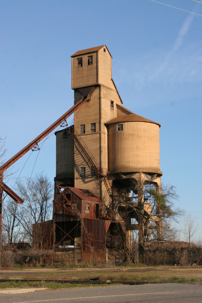
 Former Southern Rwy coaling tower.
 The depot in Madison is supposedly made from the same plans.
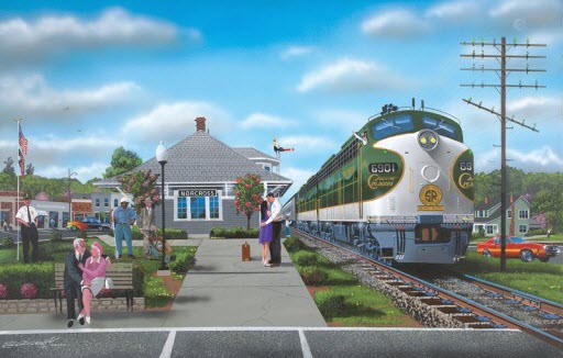 Print by Robert West, "Love Affair"
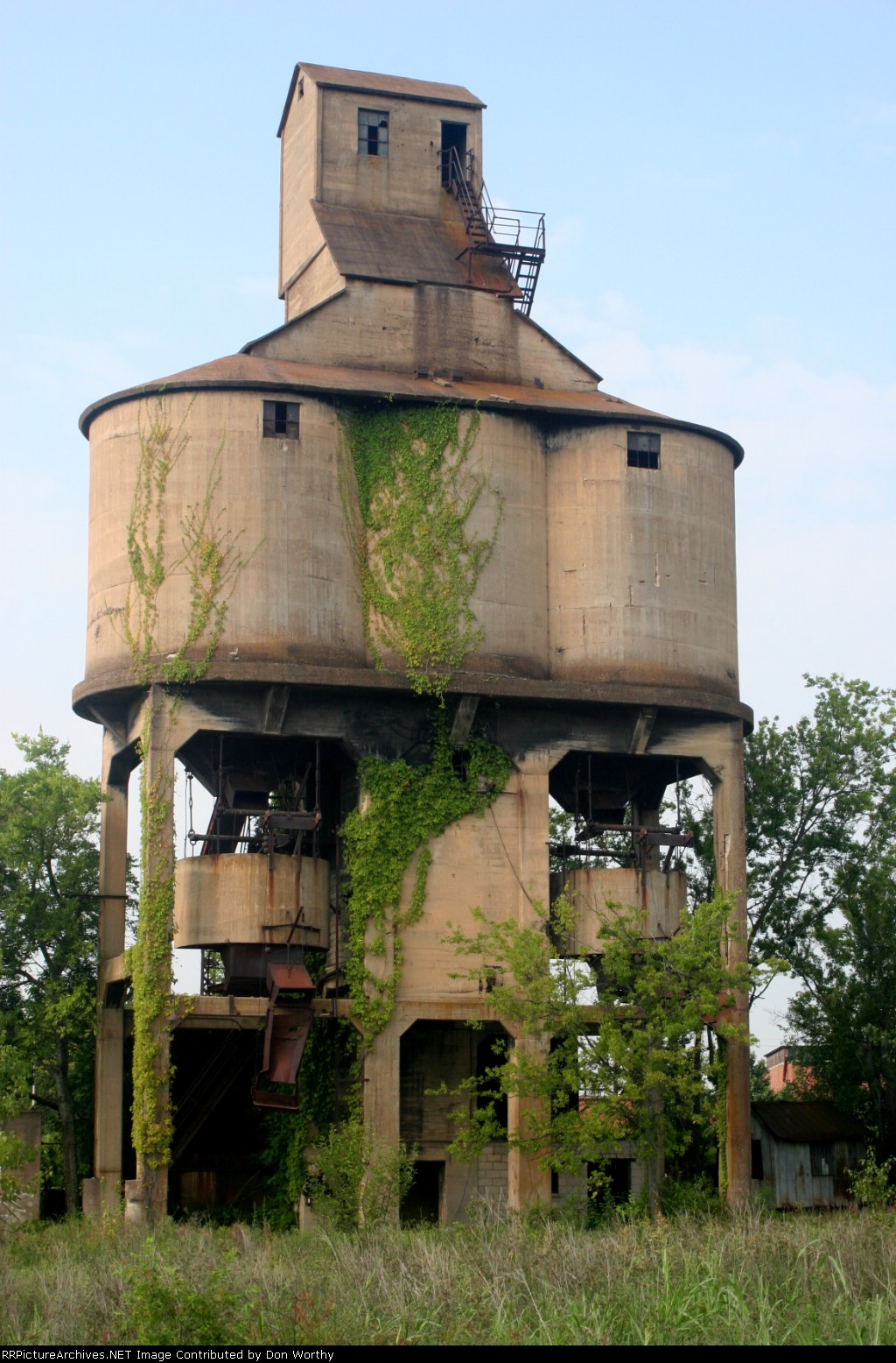
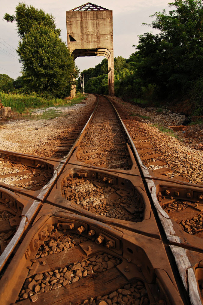
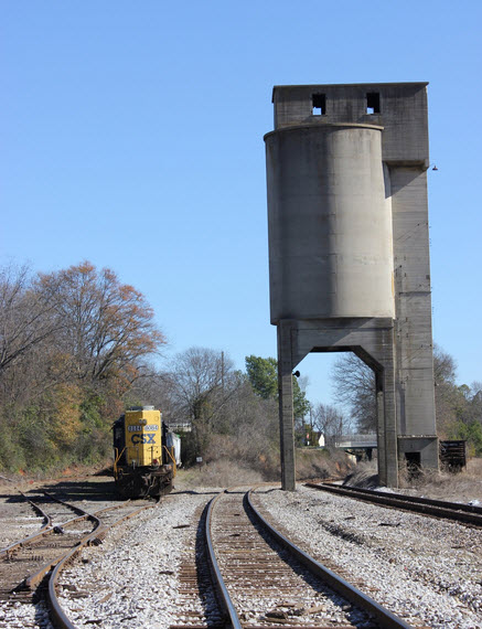
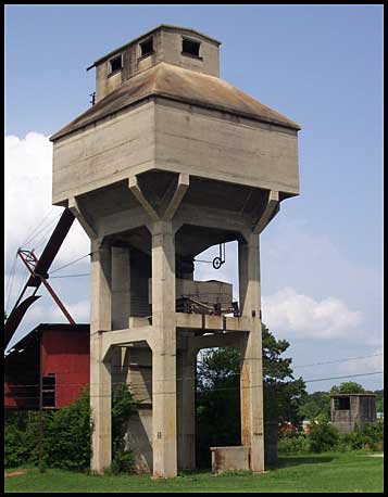 Coaling tower from the Savannah & Atlanta Rwy
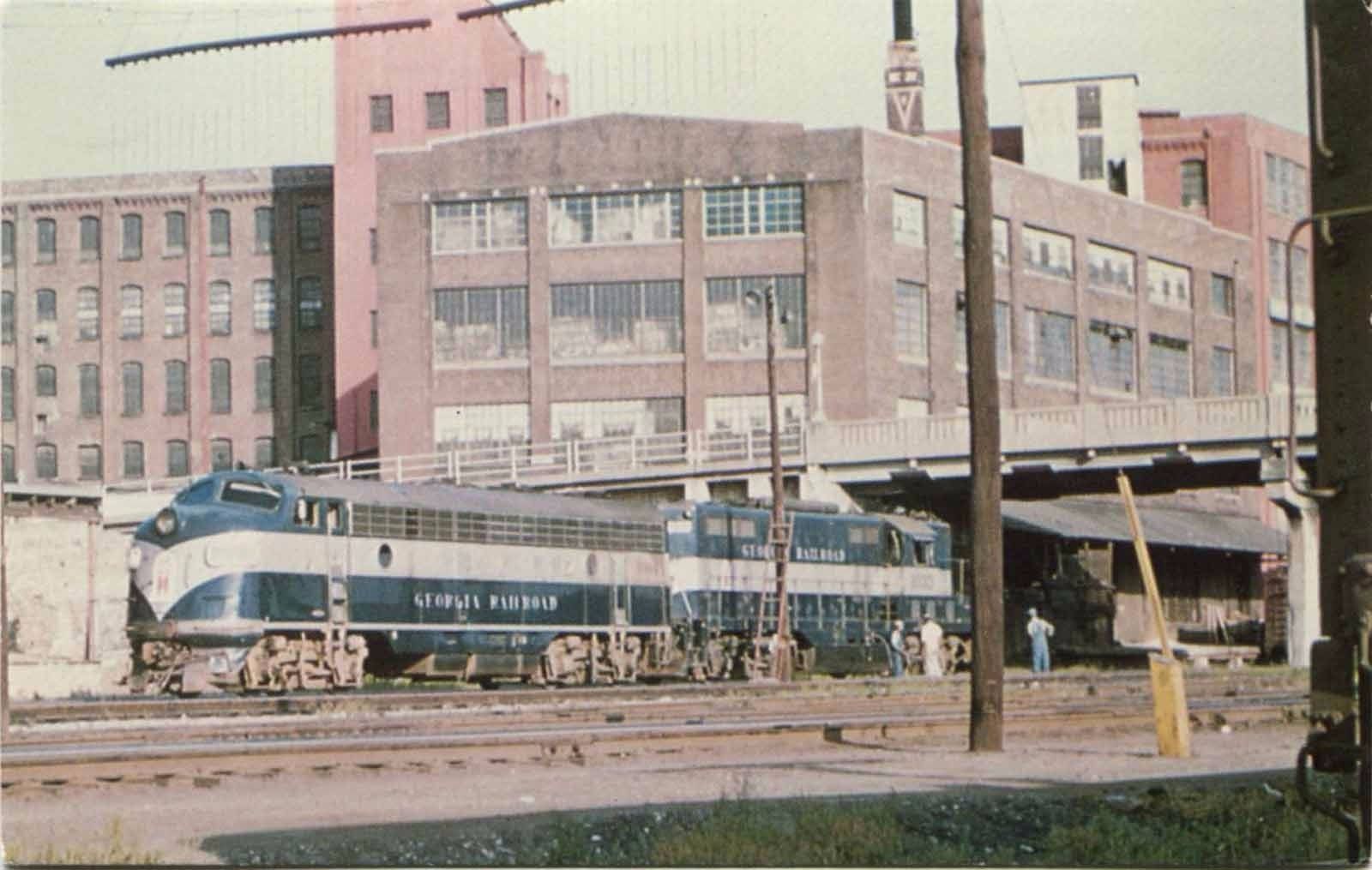
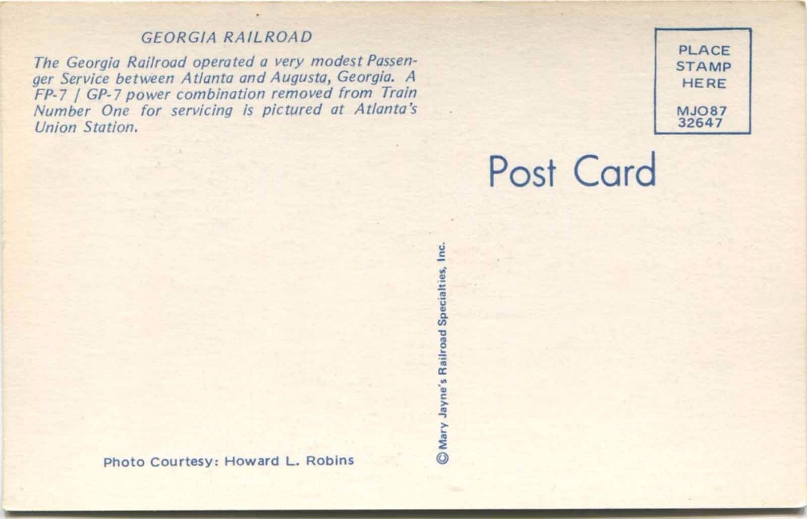
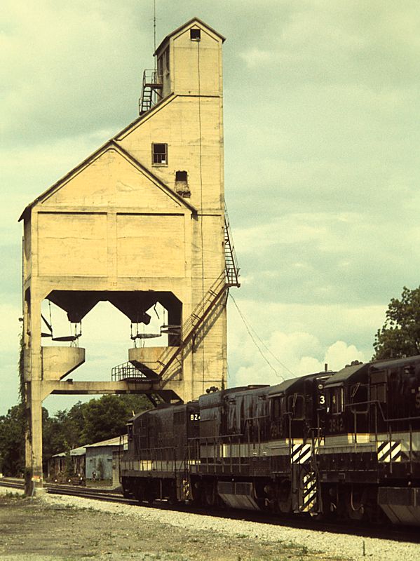
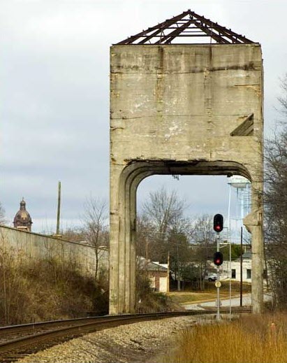
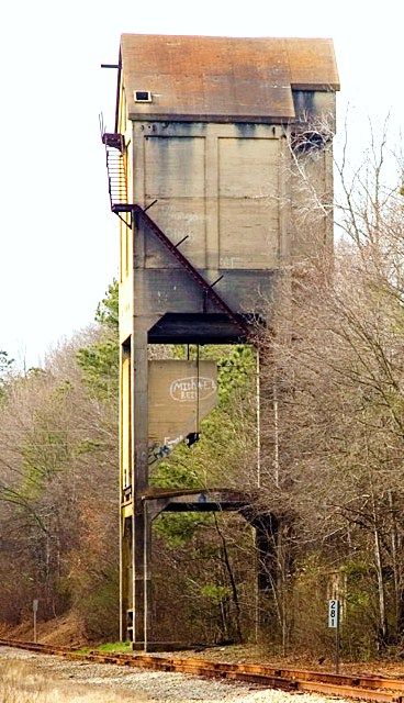
 Coaling tower from the Georgia RR