-- Northeast Corridor North
The following 6 towers are on the Northeast Corridor, north of the 30th Street Station.
Stations are listed north to south towards 30th Street.
GPS Coordinates: 40.118416, 74.839322 Location: 21.3 miles northeast, Bristol PA Built: 1947 Status: Inactive Owning Railroad(s): Amtrak Secondary Railroads: SEPTA and New Jersey Transit History: PRR/PC/Amtrak Activity: High Railfan Access: Driving https://www.signalbox.org/overseas/usa/grundy.htm
From Jersey Mike's page: Built in 1947, Grundy is as close as you can get to a "standard"
tower design on the NEC. It is of all brick construction with concrete foundation and flooring
and no bay window. Grundy replaced 'BD', a mechanical tower built in 1911 when the alignment
was grade separated, which itself replaced an earlier tower built in 1898. Grundy was
outfitted with a 31-lever US&S Model 14 electro-pneumatic machine and 45 mph turnouts.
Heading northbound there is a ladder crossover all the way from the 0 track and Bristol
yard to the 5 track. Heading southbound there is a ladder crossover from track 4 to the
0 track. Grundy still sports its blue placards from its active days with Amtrak, which
ended around 1994.
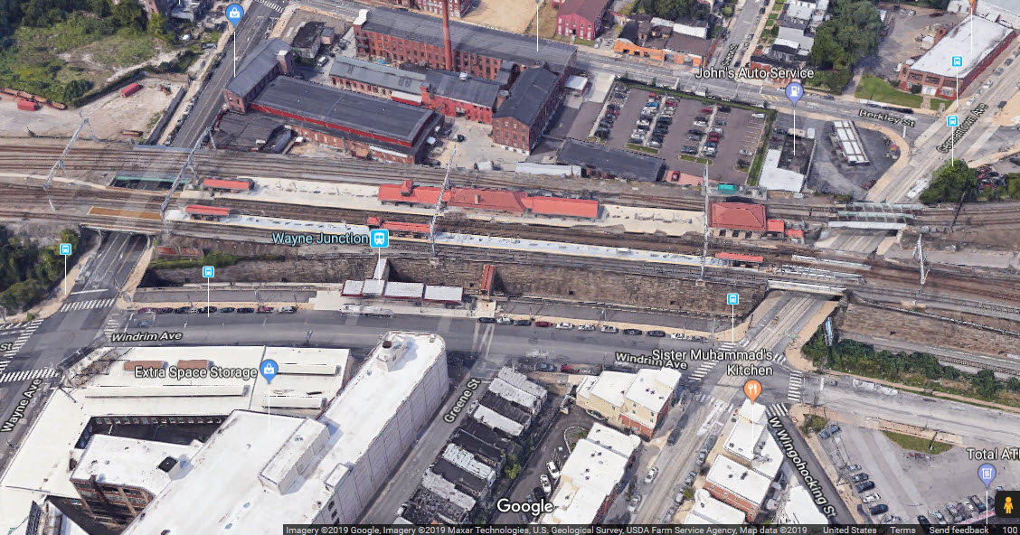
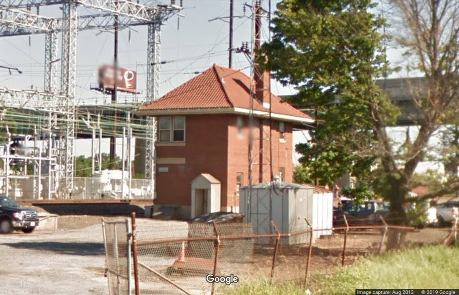
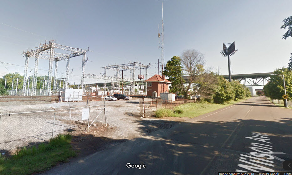
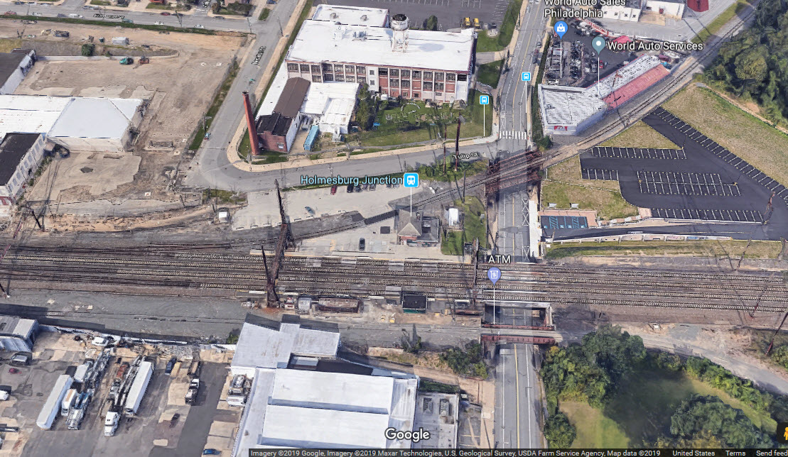
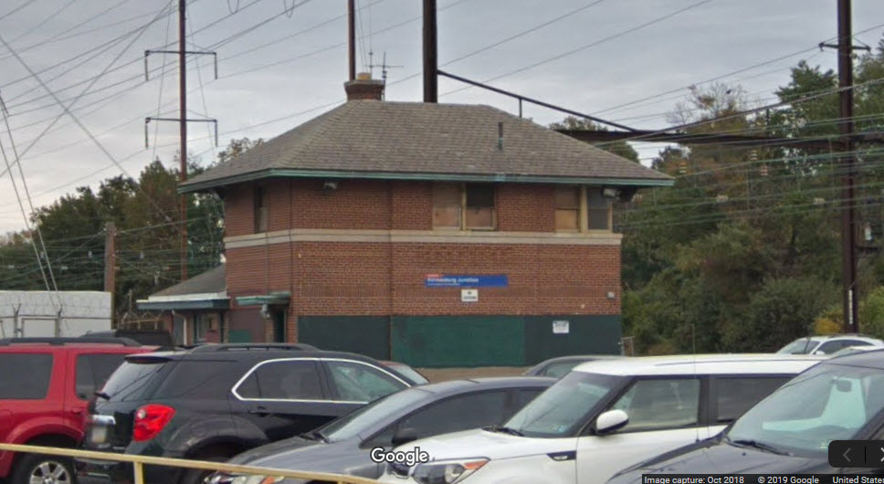
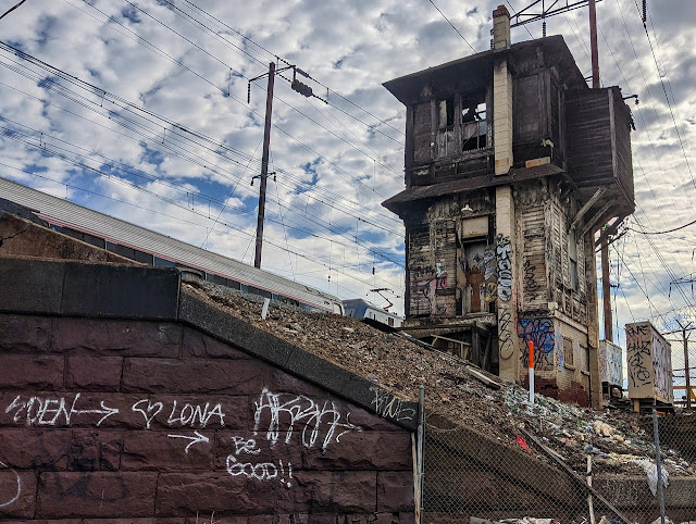
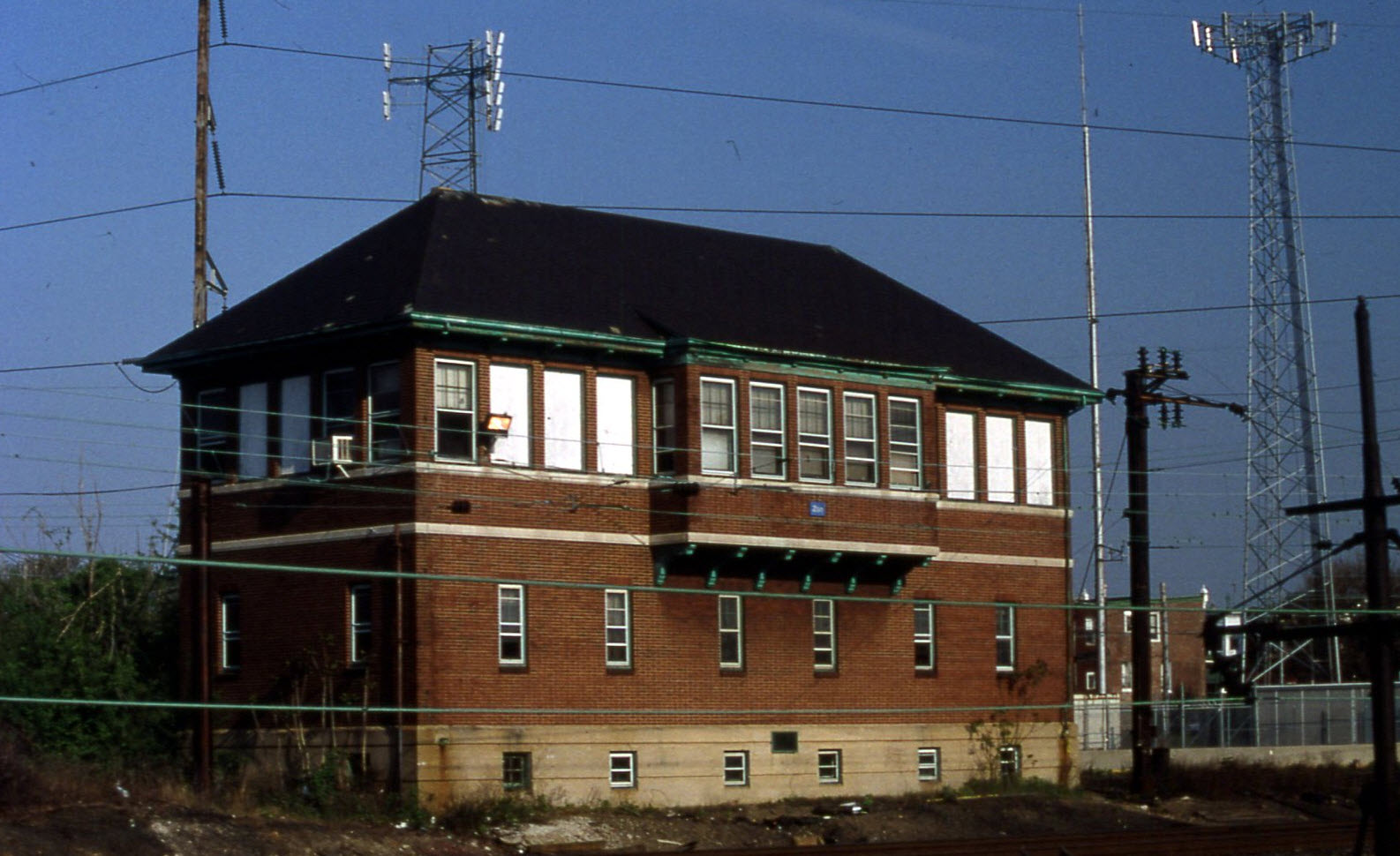
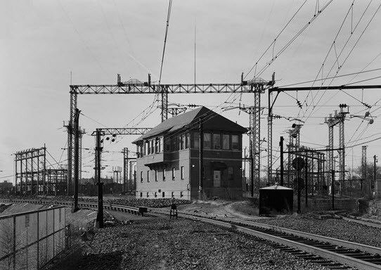
GPS Coordinates: 40.032862, -75.023835 Location: 9.93 miles northeast, Holmesburg Junction, North Philadelphia Built: 1947 Status: Inactive Owning Railroad(s): Amtrak Secondary Railroads: SEPTA and New Jersey Transit History: PRR/PC/Amtrak Activity: High, very high during rush hours Railfan Access: Driving, walking, train, bus https://www.signalbox.org/overseas/usa/holmes.htm
From Jersey Mike's page: The "new" tower built at Holmes interlocking in 1947, has a new 31 lever US&S Model 14 electro-pneumatic
machine and special (for the time) 45 mph turnouts (replacing the old 30 mph turnouts). The original
Holmes tower was located on the east side of the tracks and contained a 40+10 lever US&S
S-8 electro-mechanical machine with 31+10 used levers.
One of the interesting notes about this tower is that it had a passenger waiting
room attached to it.
From Jersey Mike's page: The junction is before the main line platforms, so the branch gets its own low-level platforms. North
Philadelphia also interesting that it is a full crossover and spawns two short "station tracks" that
serve the outside of each island platform. The PRR numbers its tracks from North to South so in this
case you would have the 0 track for local freight, northbound station track, northbound platform,
main line tracks 1-4, southbound platform, southbound station track and 5 track for local freight.
The western sub-interlocking contains a full facing point crossover and the eastern sub-interlocking,
after the platforms, has a full trailing point crossover. The facing crossover also crosses trains
onto the Chestnut Hill Branch. North Philadelphia's signature is its massive 9 at the east of its
western sub-interlocking track signal gantry (which oddly enough only carries 3 signal heads) which
stands out in any ground level or aerial photo of the interlocking.
North Philadelphia had a 47 lever US&S F13 EP machine with 45 working levers. All the switches were
pneumatically operated. A two man operation, North Philadelphia was one of the most demanding towers
in the Philadelphia Terminal Division due to the number of conflicting moves it had to handle.
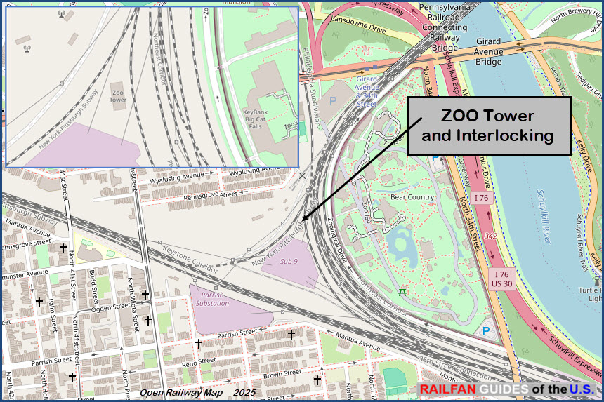
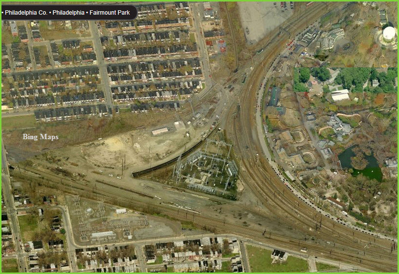
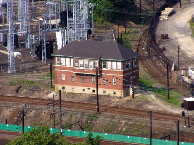
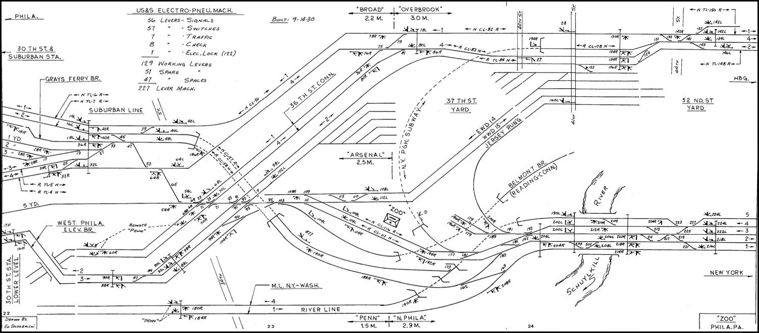
ZOO is a major interlocking complex and active interlocking tower along the Amtrak Northeast Corridor. ZOO Tower sits at a wye junction between the Northeast Corridor and Keystone Corridor
main lines. The tower controls the approaches for the upper (the commuter platforms on the west
end) and lower levels (Amtrak's platforms on the north end) of the 30th Street Station
complex. At one time, there existed the
ability to switch trains to/from the High Line - the West Philadelphia Freight Elevated
(the elevated freight bypass over/through the 30th Street Station complex), but this has since been removed
around the 1995 timeframe.
Jersey Mike photo, this can be seen from Mantua Ave.
-- Northeast Corridor South
The following 5 towers are on the Northeast Corridor, south of the 30th Street Station,
starting with Arsenal and heading south towards Wilmington DE.
-- West Trenton Line
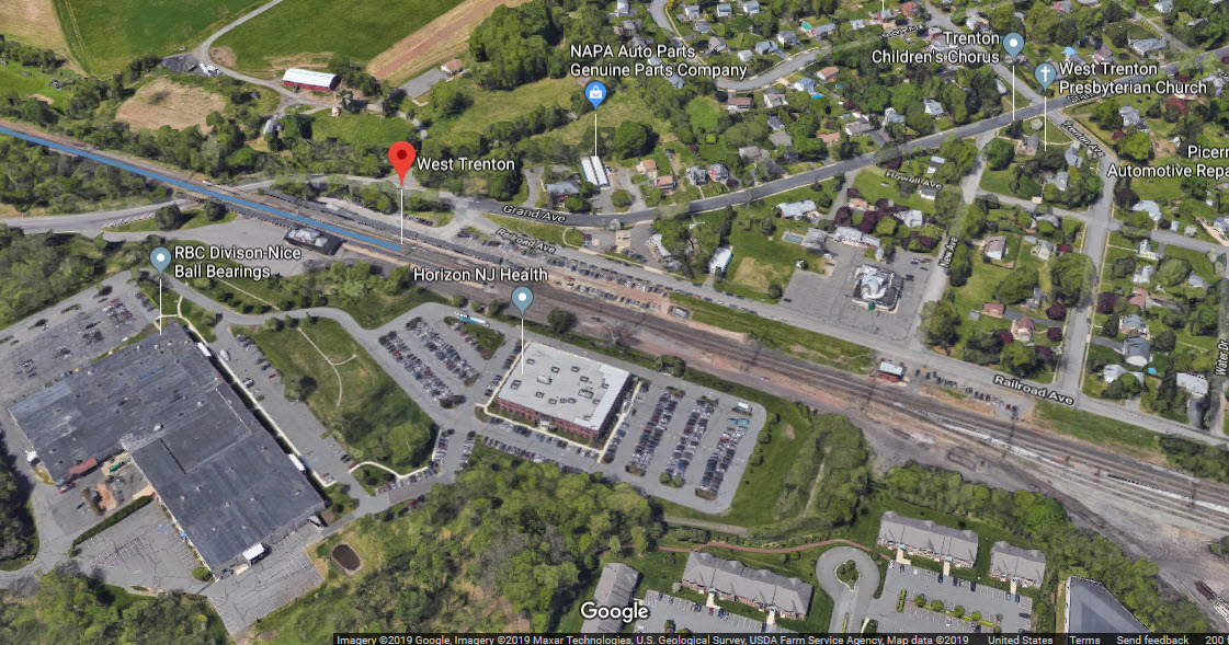
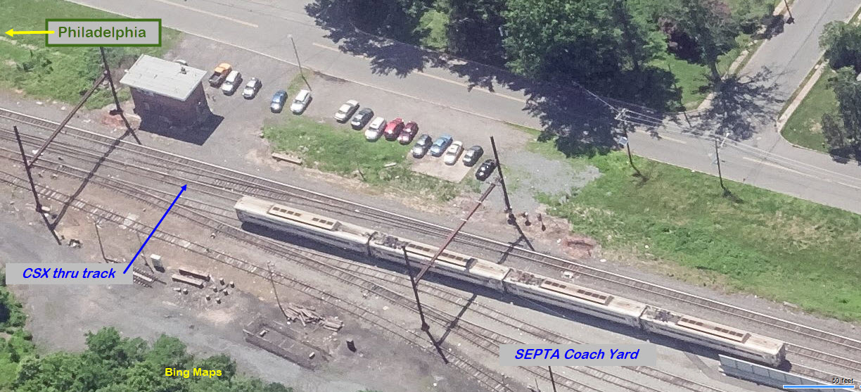
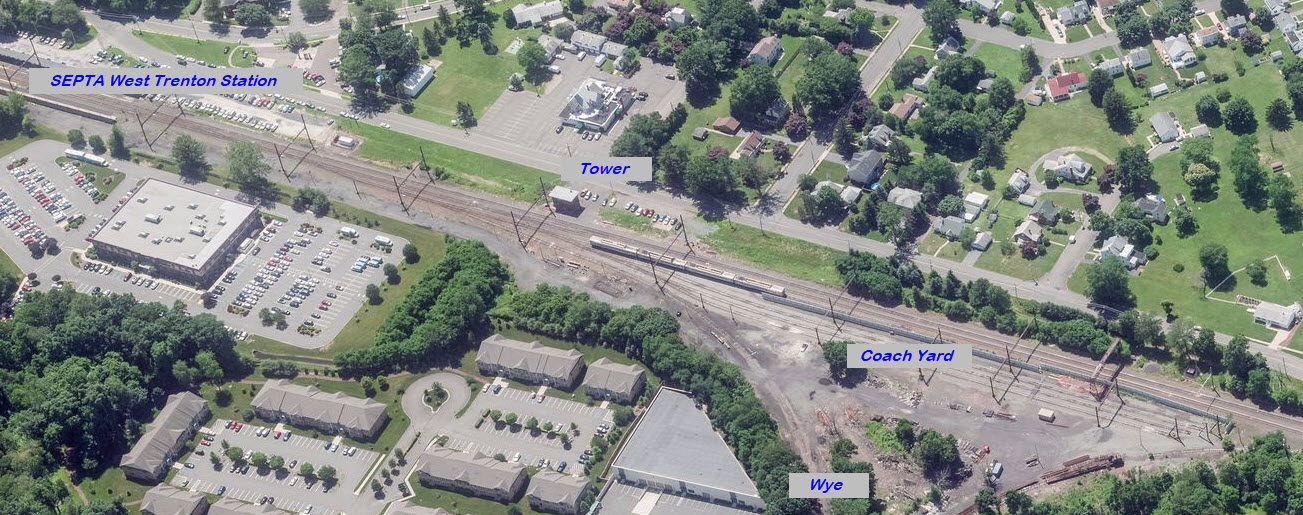
The following 3 towers are on the former Reading's West Trenton Line, "north" of the 30th Street Station,
starting with Trent and heading north towards West Trenton in New Jersey.
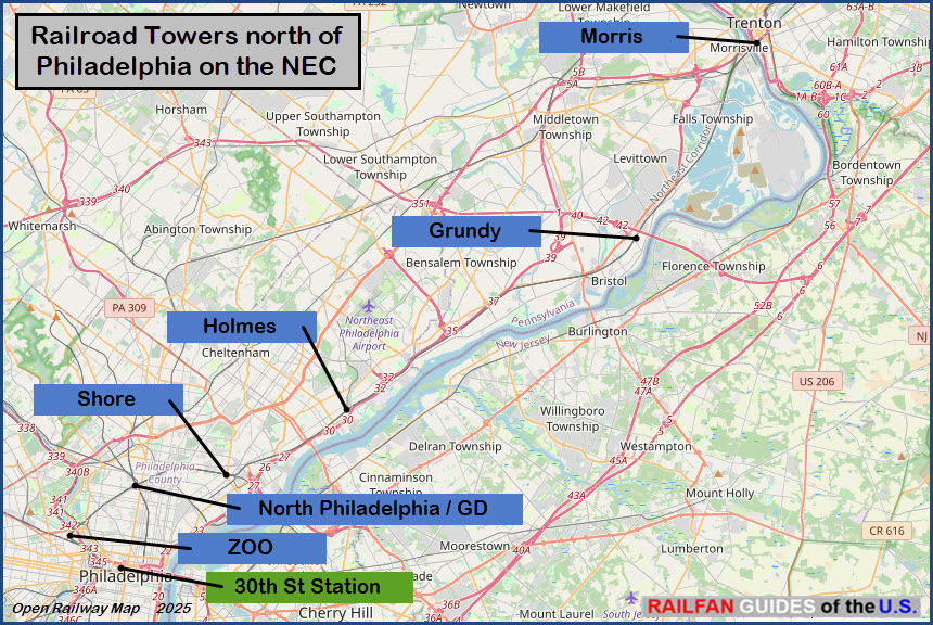
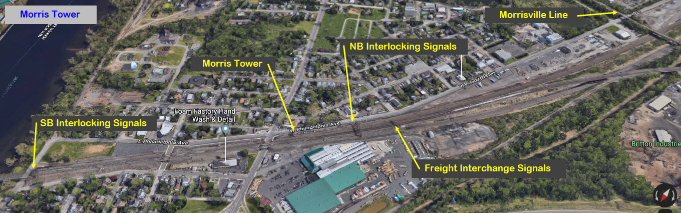
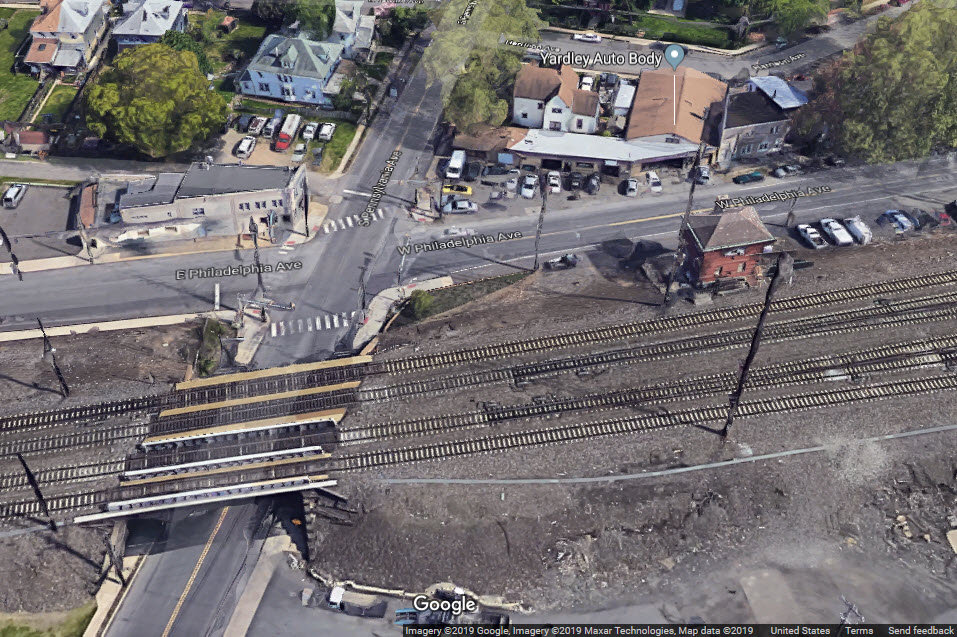
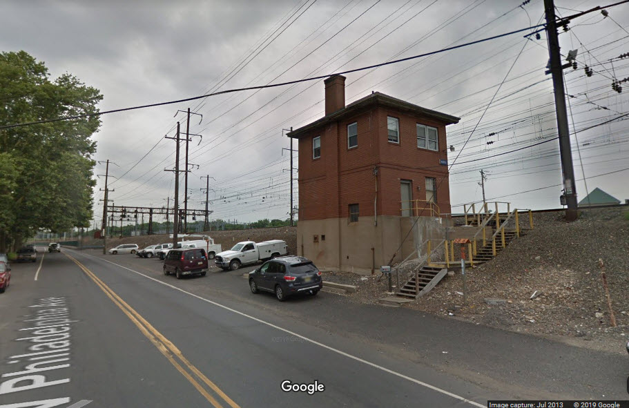
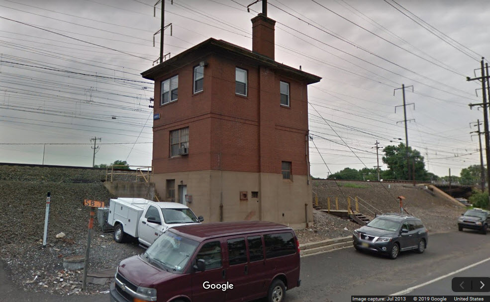
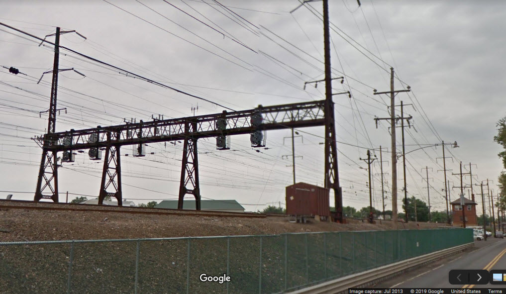
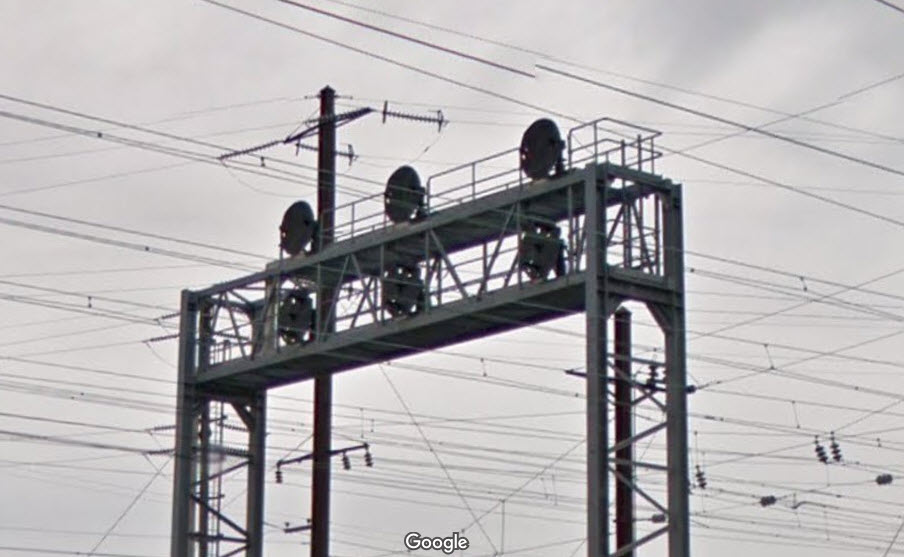
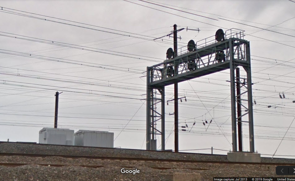
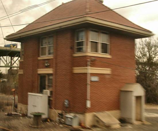 photo by Jersey Mike, 2002
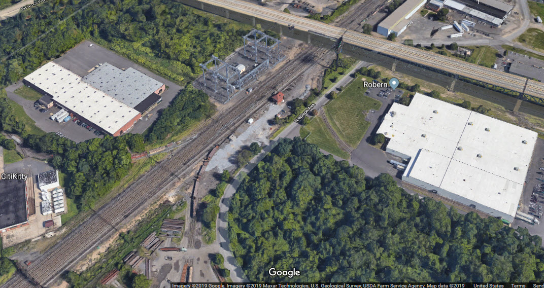
 Mike Brotzman
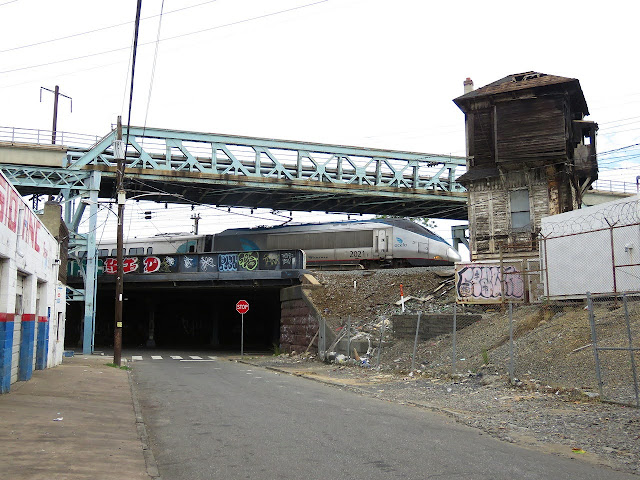 Mike Brotzman
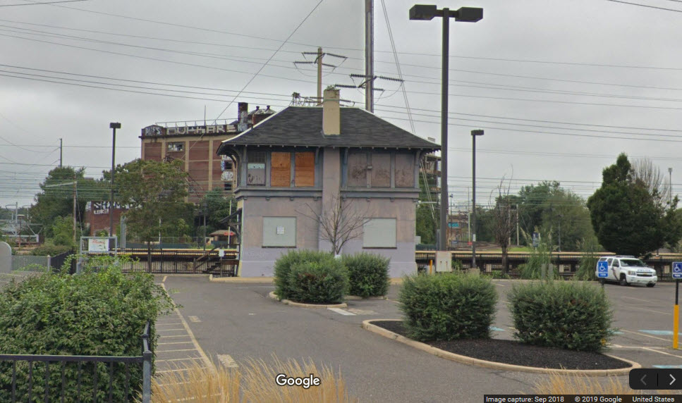
 Photo: Jersey Mike
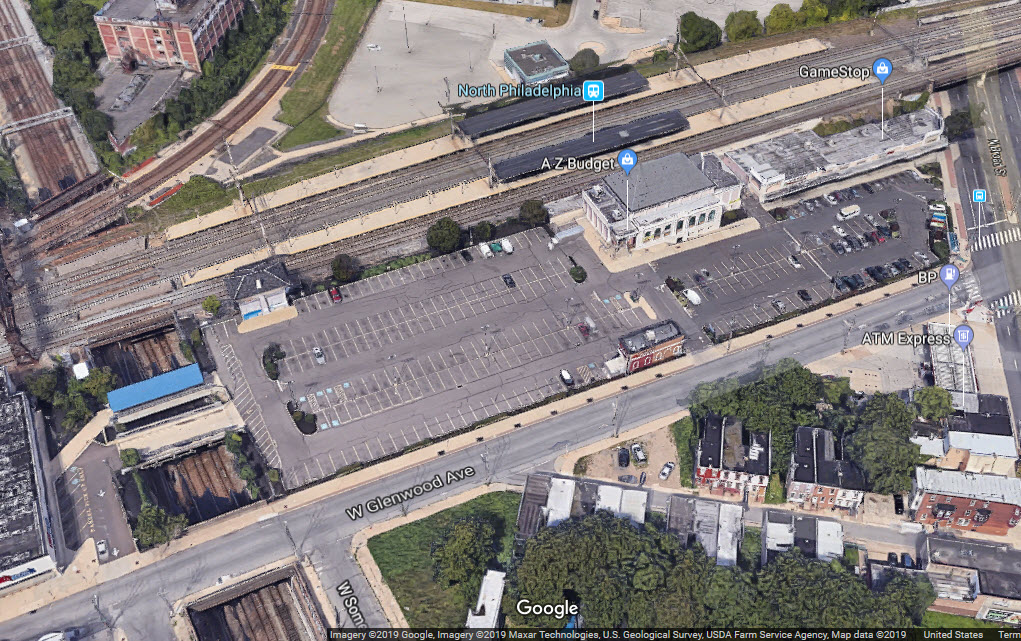
 Jersey Mike photo, this can be seen from Mantua Ave.
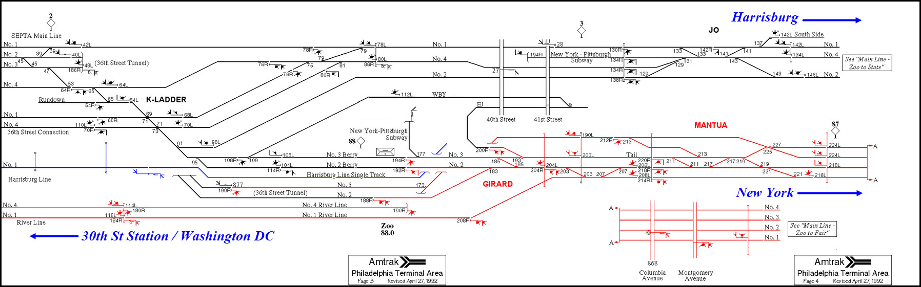
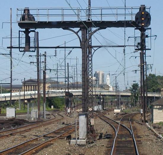
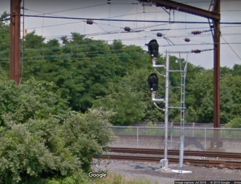 One of the SB signals.