Access by train/transit:
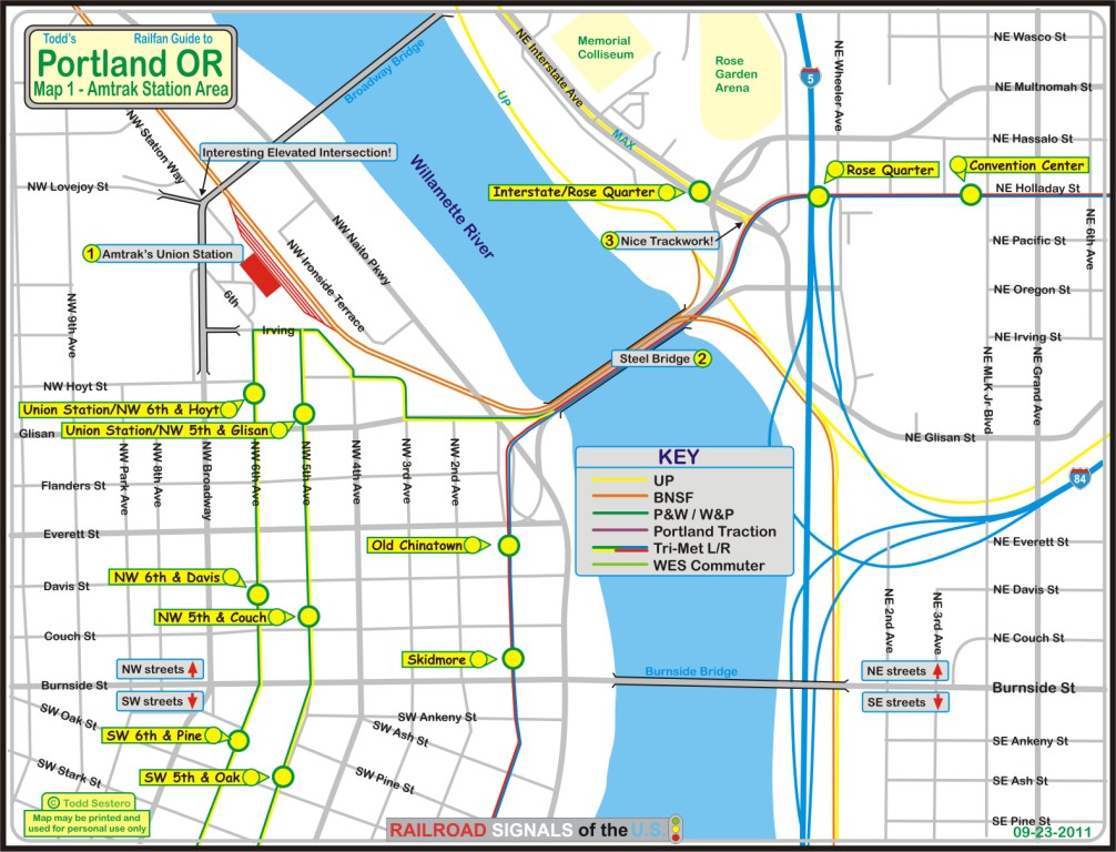
Trimet MAX Light Rail Green/Yellow/Orange lines have two stops a block away
Amtrak has three trains that stop here: the Cascades, the Empire Builder, the
Coast Starlight
The Scoop:
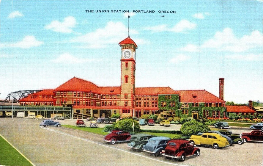
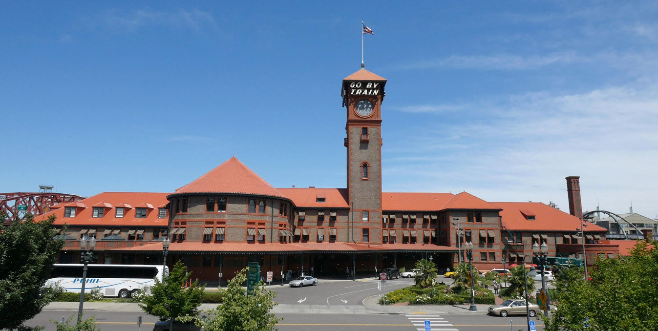
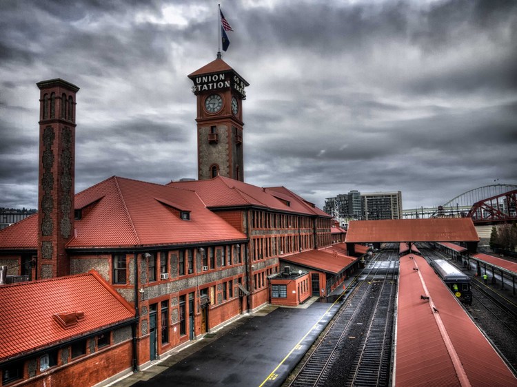
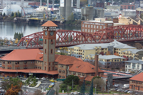
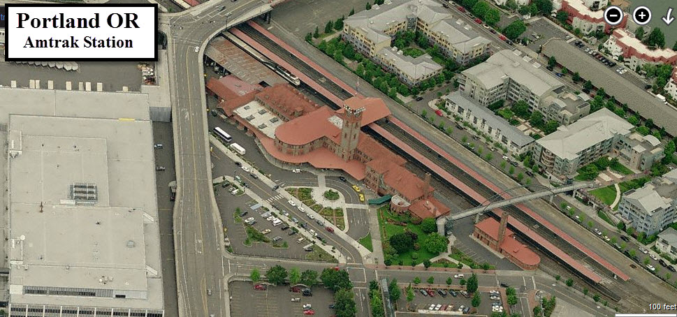
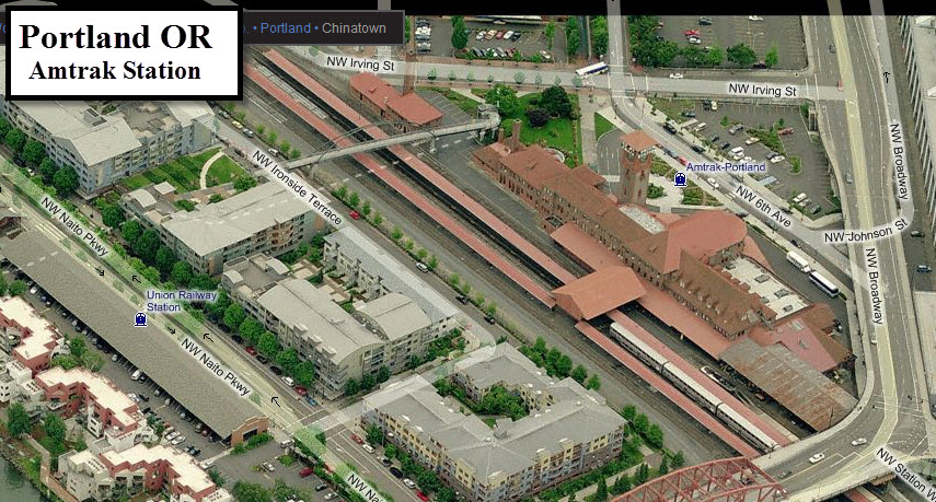
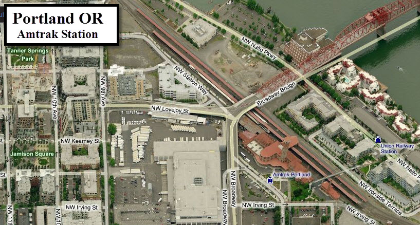
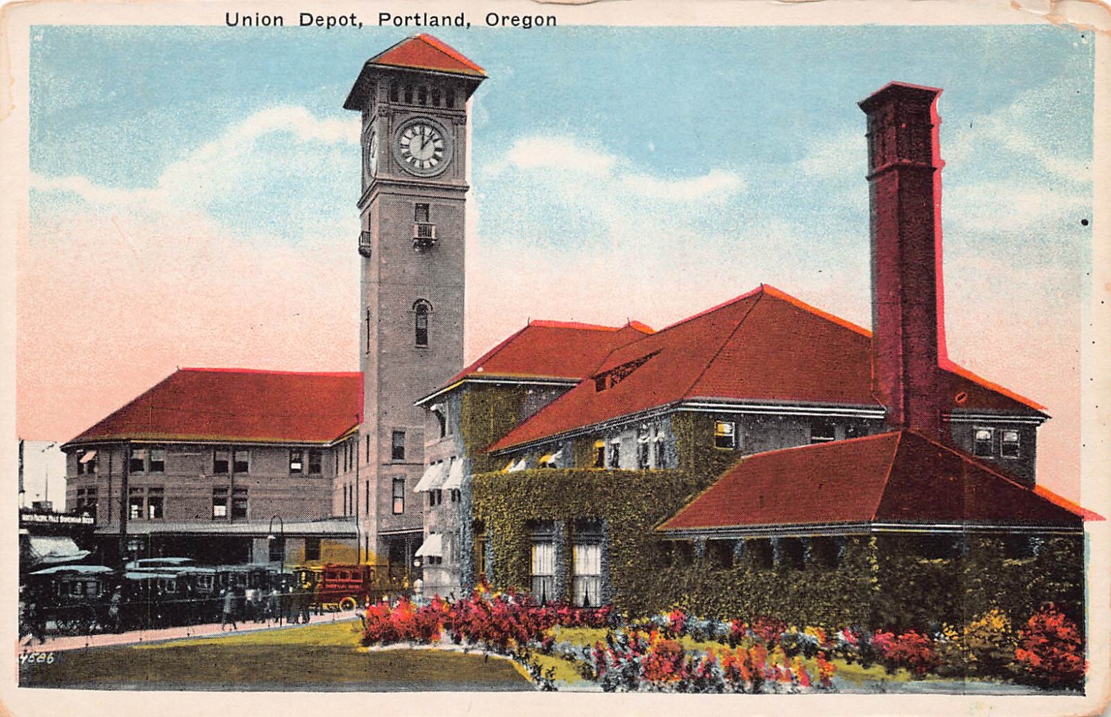
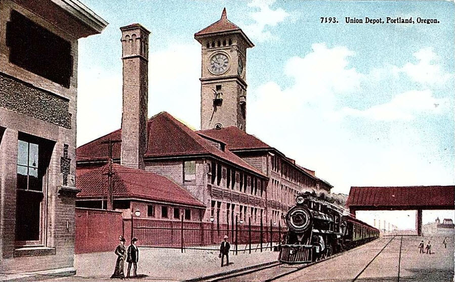
Beautiful Portland Union Station with it's iconic tower - instantly
recognized!. It's a must see if you're anywhere in the vicinity!
Both UP and BNSF come thru on a regular basis, no telling from where or going to
tho. A railfan will be running all over the place to try to keep up with
the traffic thru here.
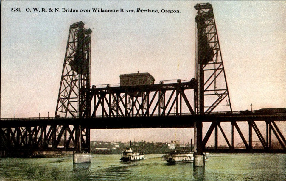
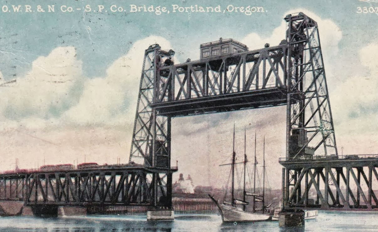
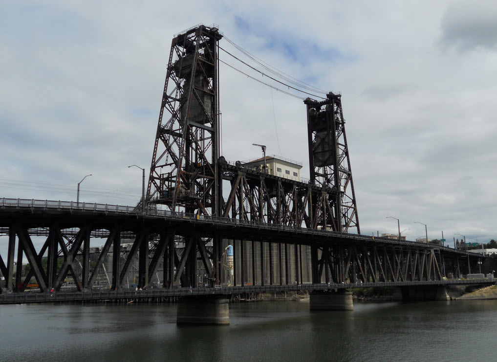
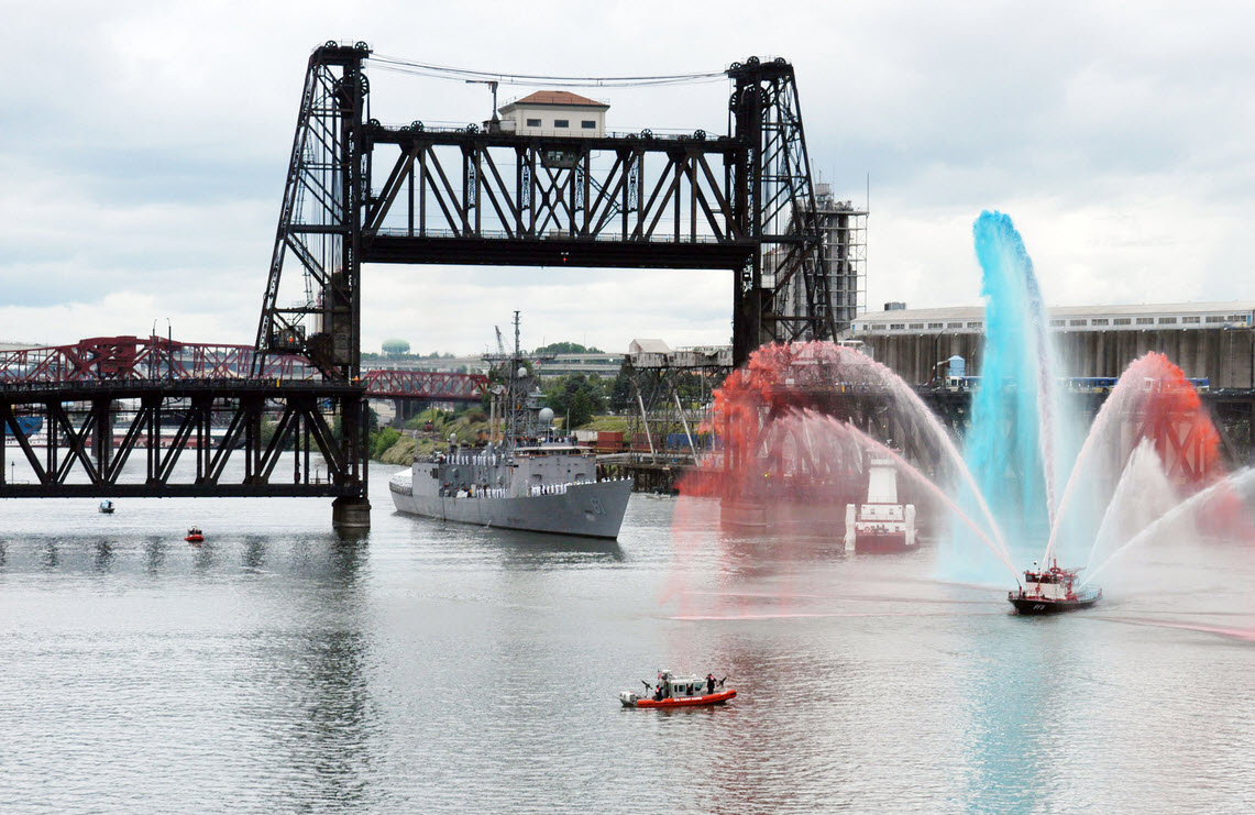
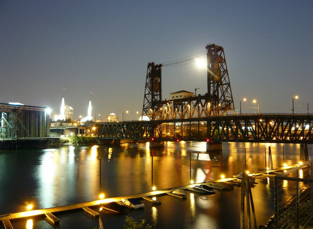
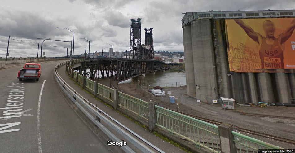
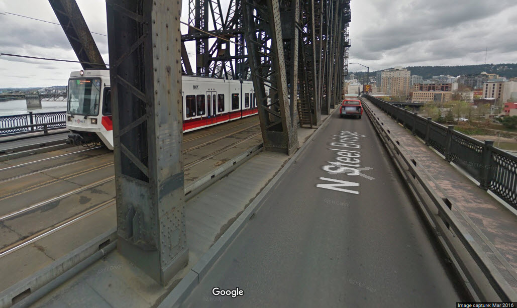
The Steel Bridge is a rarity, and carries rail traffic on the lower level, and
MAX light rail and vehicular traffic on the upper level.
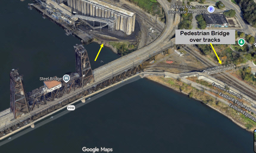
The Steel Bridge also has a pedestrian walkway on the southern side of the
bridge, and once you're over the river, the walkway continues, and there is a
another pedestrian bridge which goes over the tracks for good shots.
Acknowledgements:
Rick Holm
Google Maps
Google Images
From Wikipedia:
The initial design for the station was created in 1882 by McKim, Mead, and White. Had the
original plan been built, the station would have been the largest train station in the world.
A smaller plan was introduced by architects Van Brunt & Howe, and accepted in 1885.
Construction of the station began in 1890. It was built by Northern Pacific Terminal
Company at a cost of $300,000, and opened on February 14, 1896. The signature piece of
the structure is the 150 ft. tall Romanesque Revival clock tower. The neon signs
were added to it in 1948. The signs read "Go by Train" on the northeast
and southwest sides and "Union Station" on the northwest and southeast sides.
The station was placed on the National Register of Historic Places in 1975.
The neon signs on the tower went dark in March 1971, because the railroads using it, Union
Pacific, Burlington Northern and Southern Pacific, were preparing to transfer all of their
remaining passenger services to Amtrak. For that reason, the station's then-owner,
the Portland Terminal Railroad (itself jointly owned by those three railroads), decided to
discontinue operation of the signs. In 1985, two local non-profit groups, the National
Railway Historical Society (Pacific Northwest chapter) and the Oregon Association of Railway
Passengers, led a fundraising campaign for public donations to enable the signs to be restored
to operation. New neon tubes, in place of the old, were installed in July, and the signs
were switched back on and returned to regular use in September 1985. The "Union Station"
signs remain illuminated continuously, while the "Go by Train" signs flash on and off,
in a sequence of "Go", then "Go by", then all three words,
then off and on and repeat.
In 1987, ownership of the station and surrounding land was transferred from Portland Terminal
Railroad to the Portland Development Commission as part of the Downtown/Waterfront urban renewal district.
Shortly afterwards, Union Station underwent a renovation. It was rededicated in 1996.
In 2004, the roadway in front of the station was reconfigured, providing a new connection to
the northwest and a forecourt. In addition, the area is being redeveloped, including
new housing where railroad tracks once were.
A photo by Rick Holm from July 2nd, 2011... one of many railfan trips run out of Union Station... thanks Rick!
???
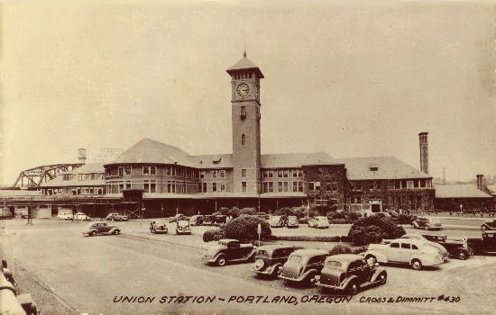
1950
1918
East end of the Steel Bridge
GPS Coordinates: 45.528158, -122.667795
The east end of the Steel Bridge offers the railfan a number of interesting things to spend
your time chasing down: the cool short curved bridge, the MAX wye, the peace sign,
the wye coming off the Steel bridge, and signals.
This wye is a double track junction between all of the
lines and allows the yellow line to head north. Although it is technically
a wye, it is not used as such as in conventional railroading, it just allows
trains to go from any branch to any other. BTW, under my banner in the
upper left hand corner are some signals, easy to get to from the station.
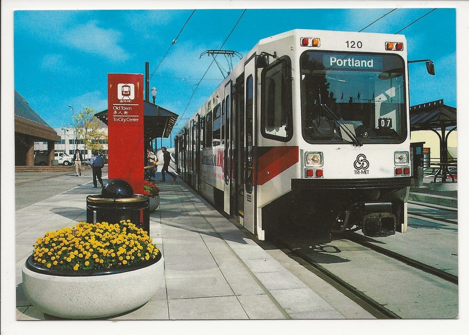
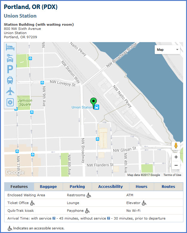
Light Rail Servicing Union Station
The two closest stations to Union Station are about 2 blocks away north of
Glisan St on NW 5th and 6th Avenues.
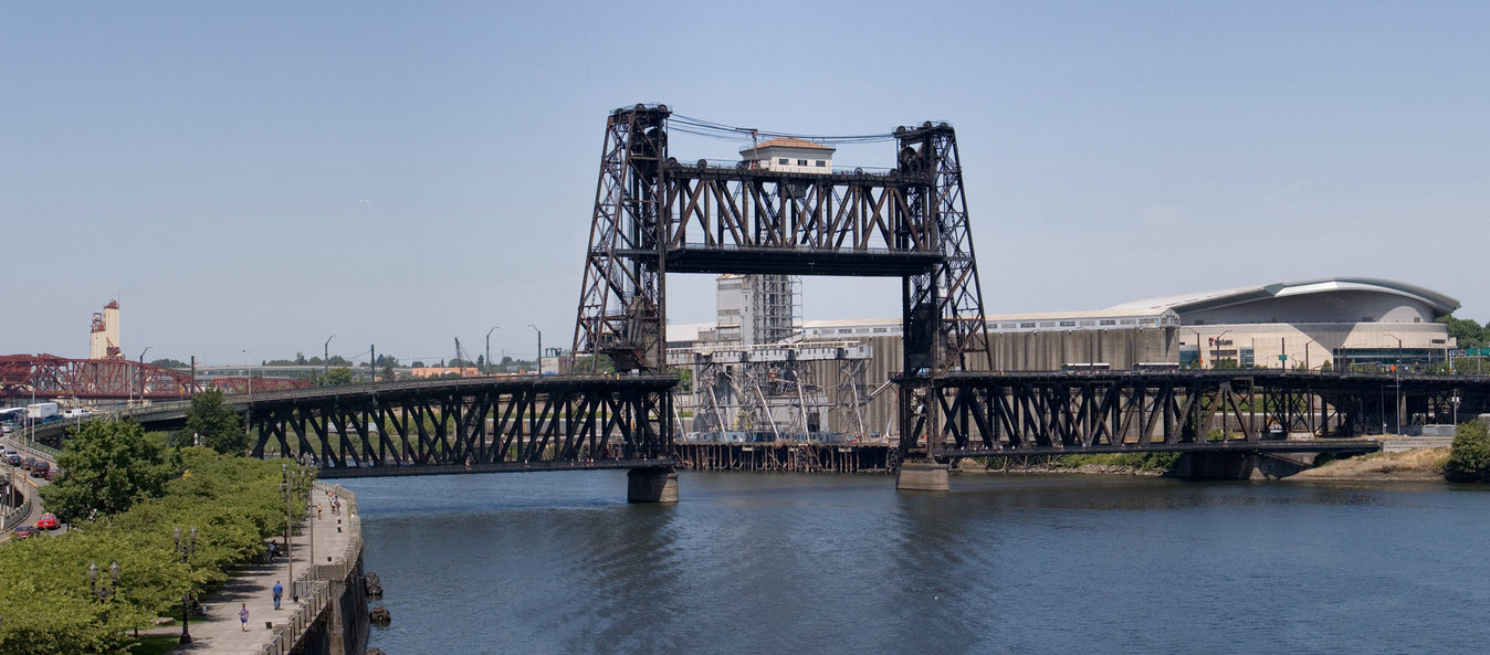
I don't normally make a big deal out of bridges, but this lift bridge deserves a special mention
because of it's design and what it carries on it. Three modes utilize the bridge: vehicular
traffic, the MAX Light Rail system, and trains. Trains use the lower deck, and the bridge
is double tracked. One of the best shots I have in Portland is of 4449 coming across the
bridge from the eastern side - I gotta see if I can find it...... I'm sure there are more
examples of double deck lift bridges, but the only other one I know of is in Newark NJ.
Cool Bridge
GPS Coordinates: 45.52867, -122.66844
A close-up of the little curved bridge, perfect for finding a place for it on your model pike!
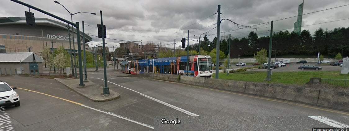
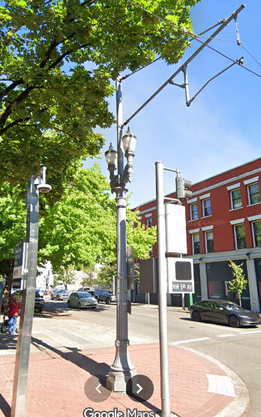
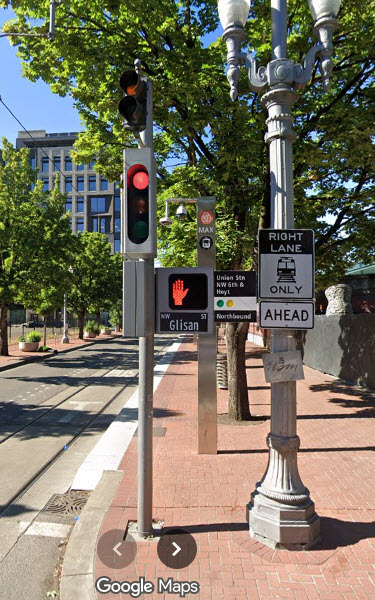
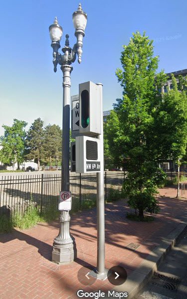
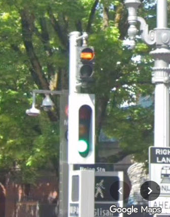
Traffic Lights
Interesting take on traffic lights.
Not sure, but they are probably a custom design for the downtown area along the light rail corridor.
These pix are from Glisan and 5th near Union Station.
Notice the bar signal for the LRV's!
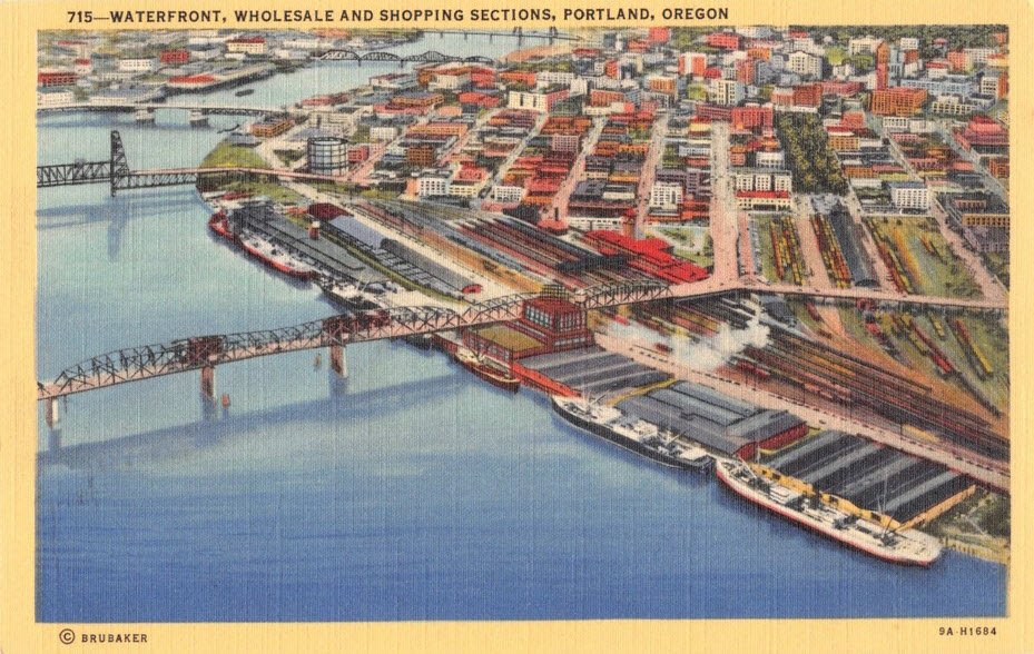
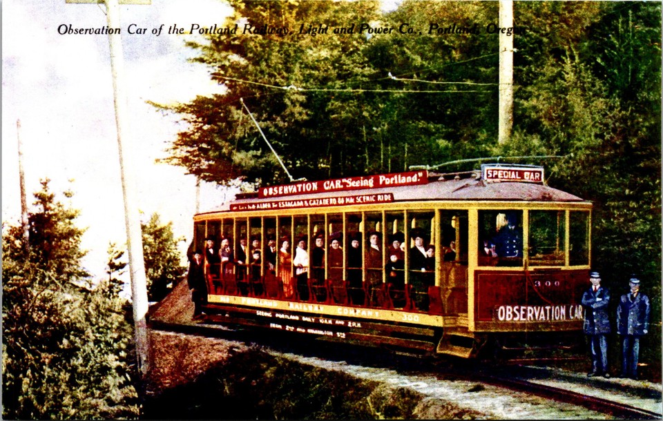
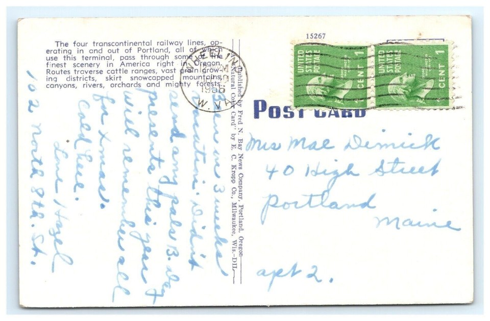
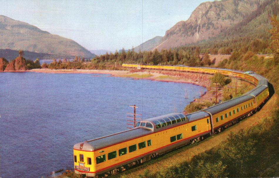
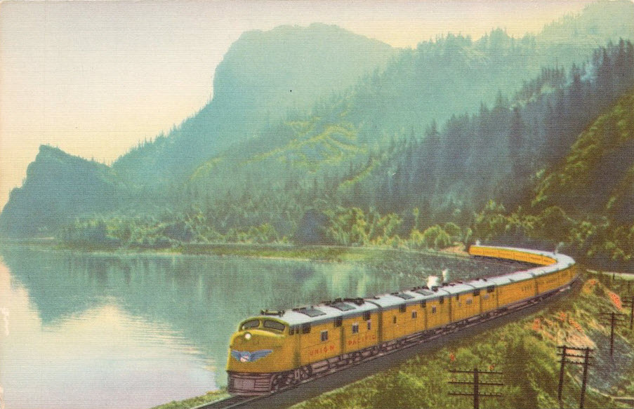
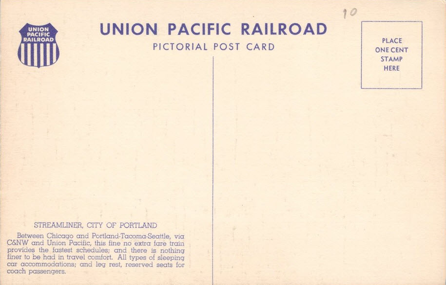
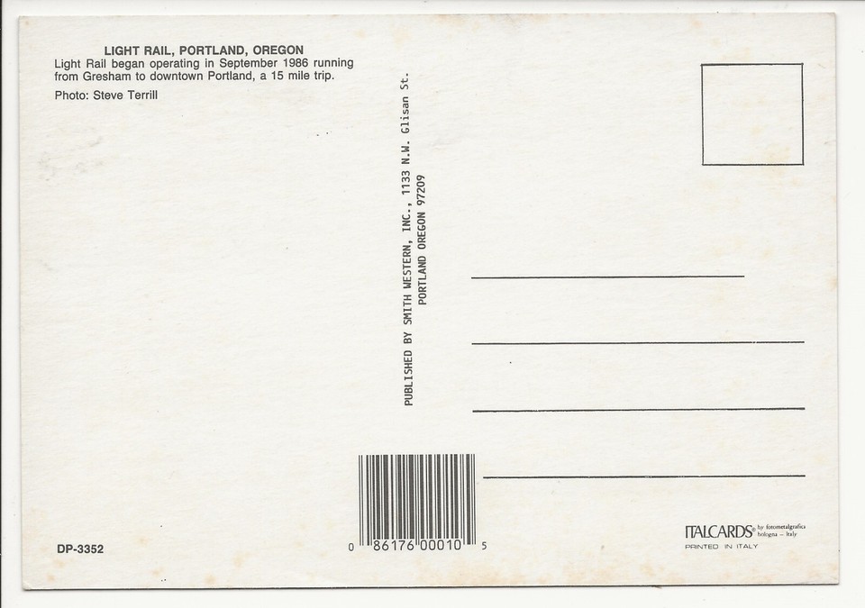
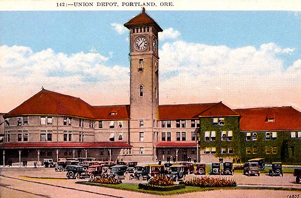
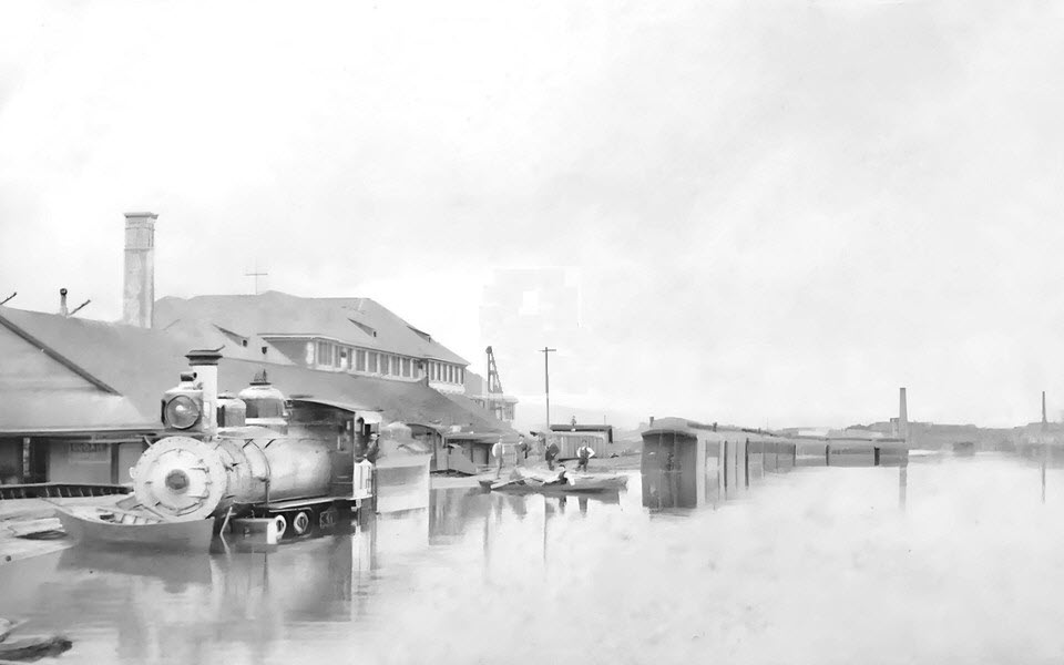
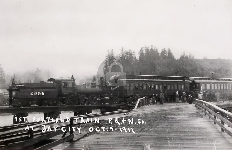
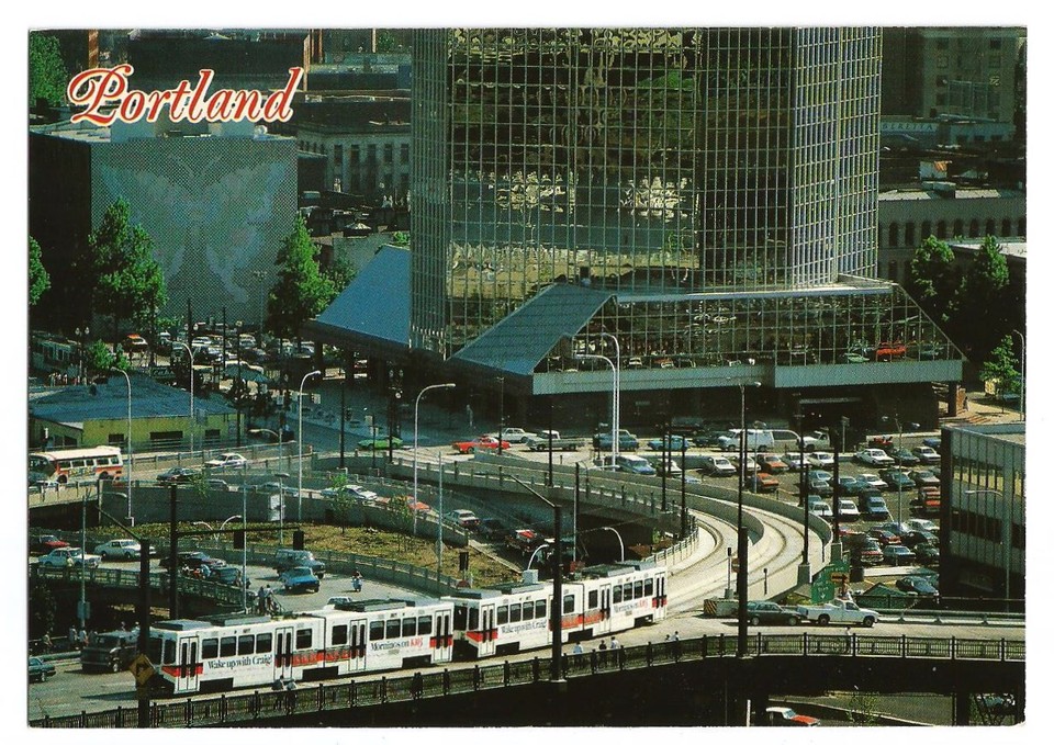
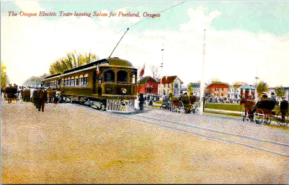
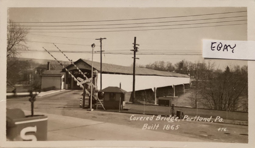
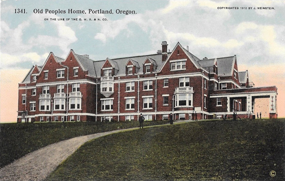
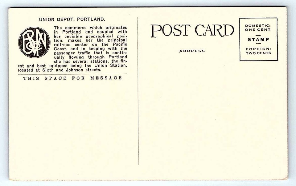
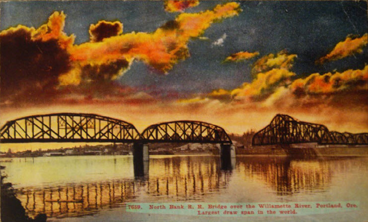
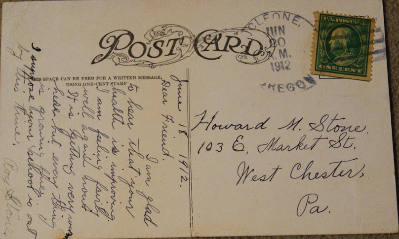
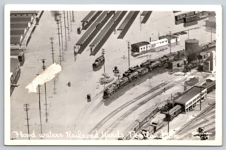
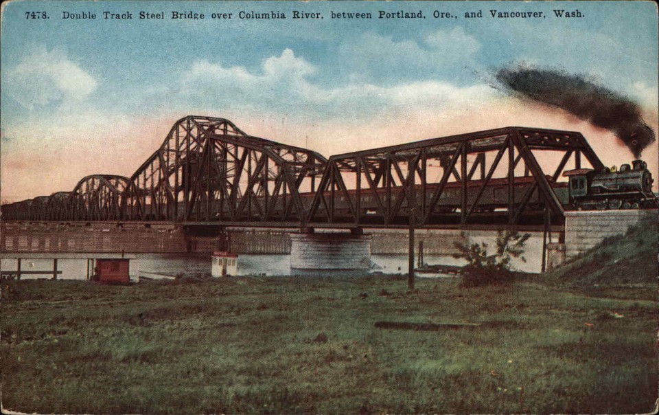
Postcards
Some of these could be included in some of the above sections, but I'm feeling lazy tonight :-)
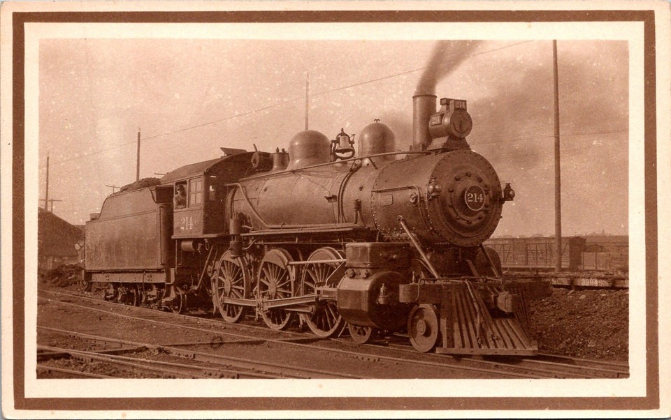
Portland Oregon Washington RR & Navigation Co #214
William Crooks Locomotive, ~1924
Disclaimers:
New format 10/26/23: Please check out my disclaimer page for my standard
dribble and contact info here
 Amtrak's Union Station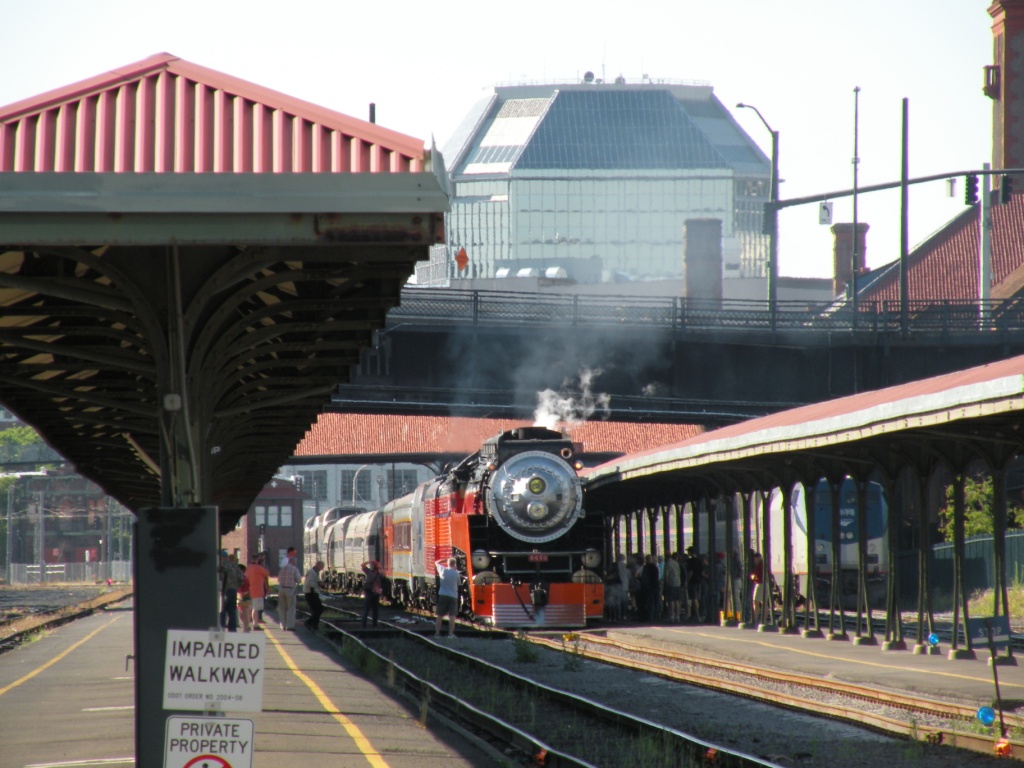
 ???
??? 1950
1950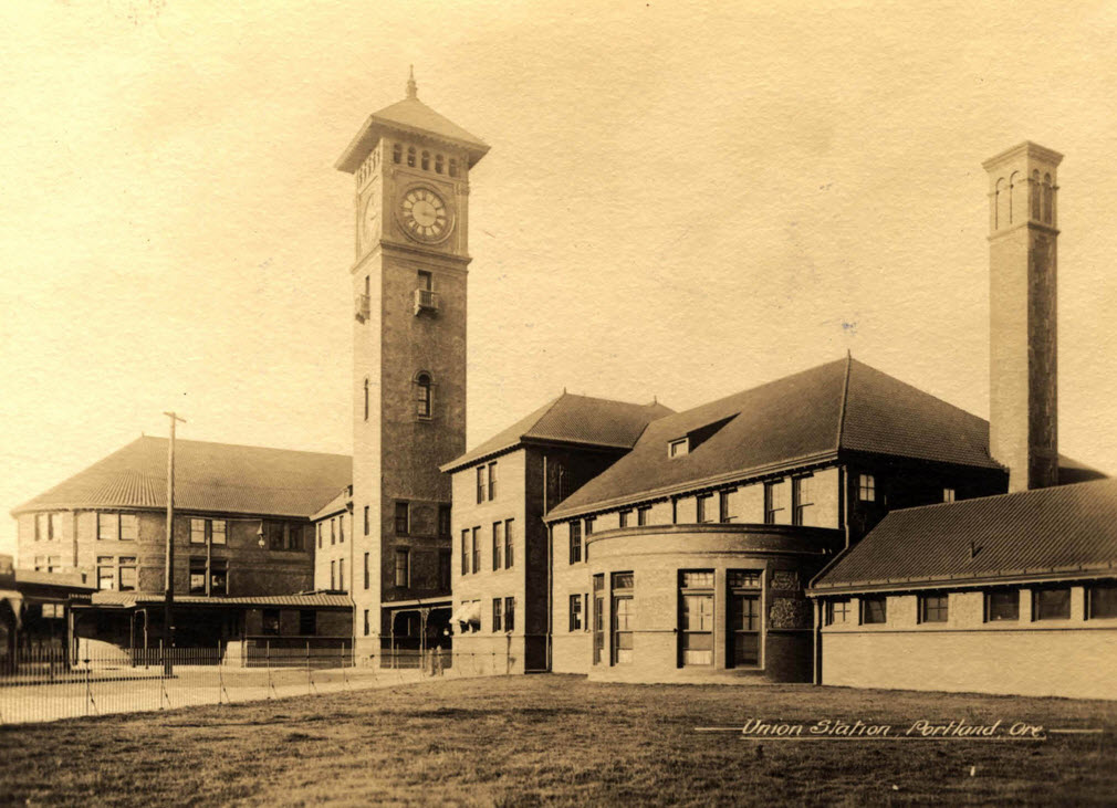 1918
1918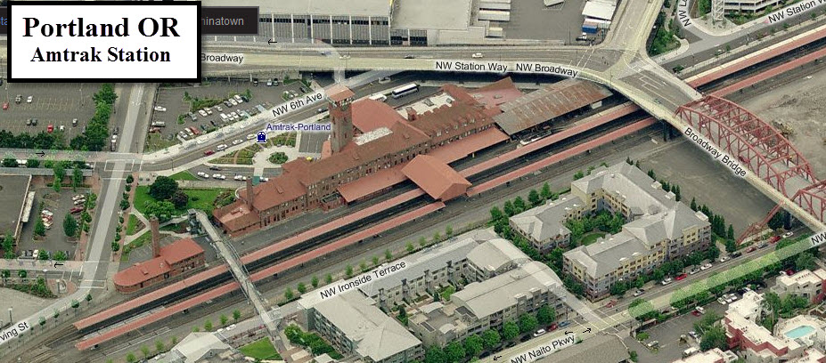
 East end of the Steel Bridge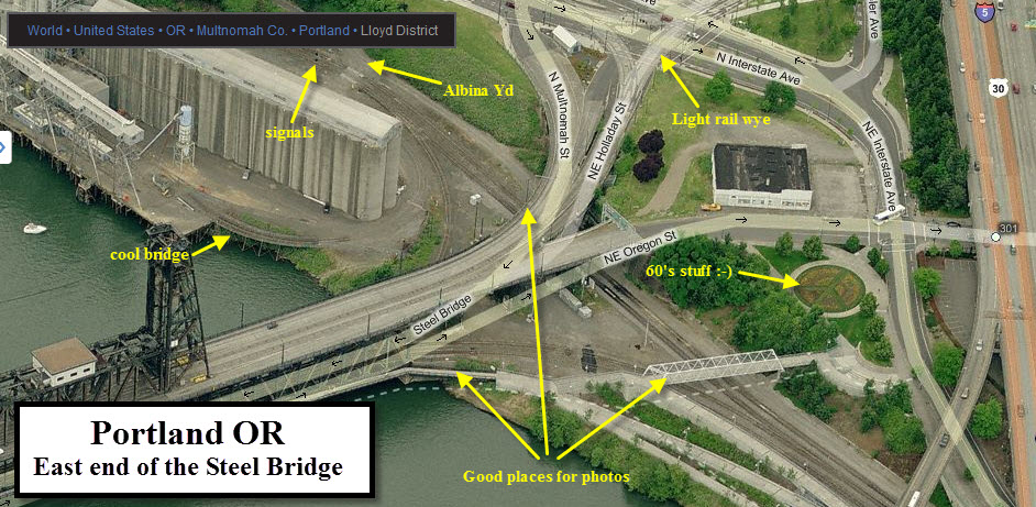
 Light Rail Wye/Junction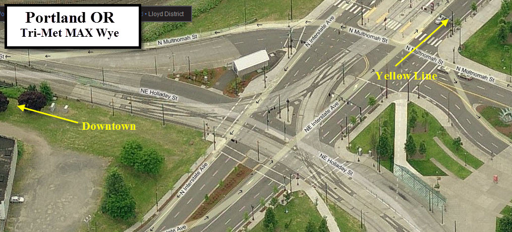
 Light Rail Servicing Union Station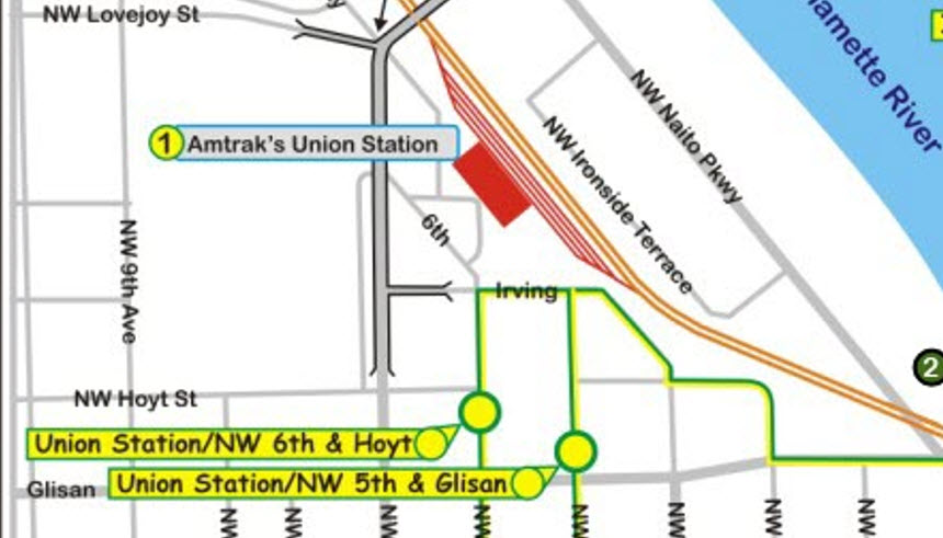

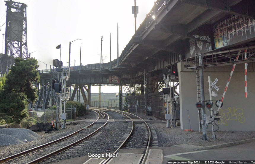
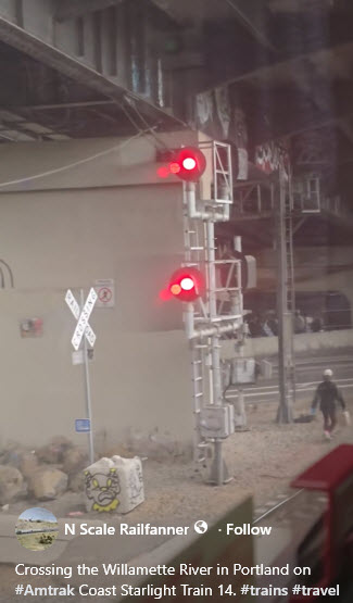
 Inbound Colorlights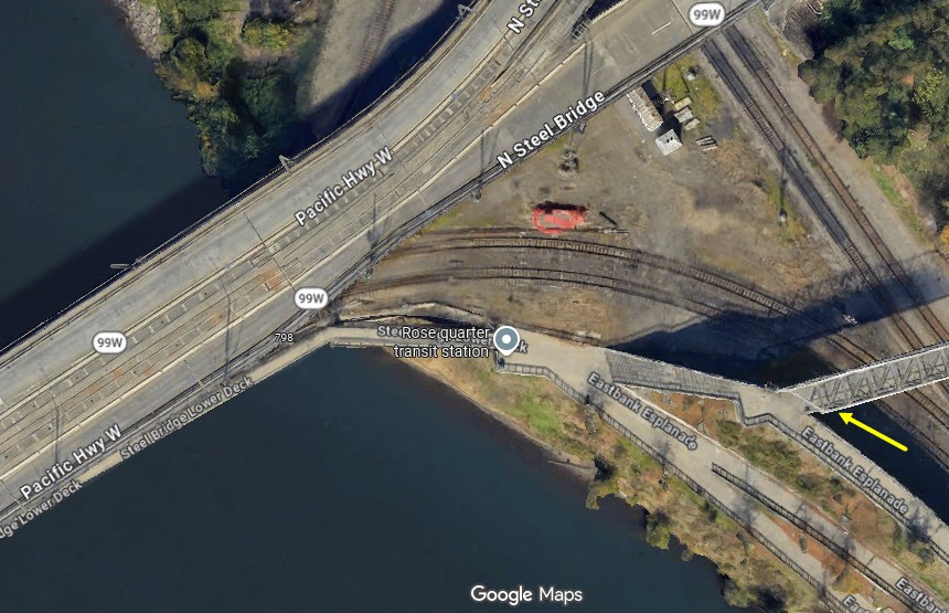
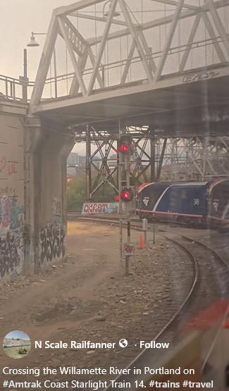 from the FB video by N Scale Railfanner.
 Colorlights coming into Union Station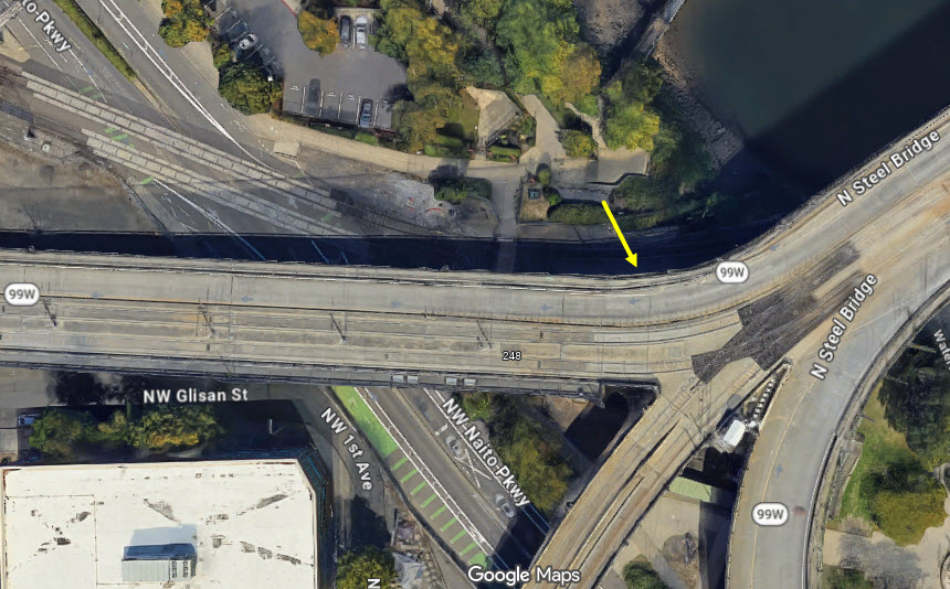
 the Steel Bridge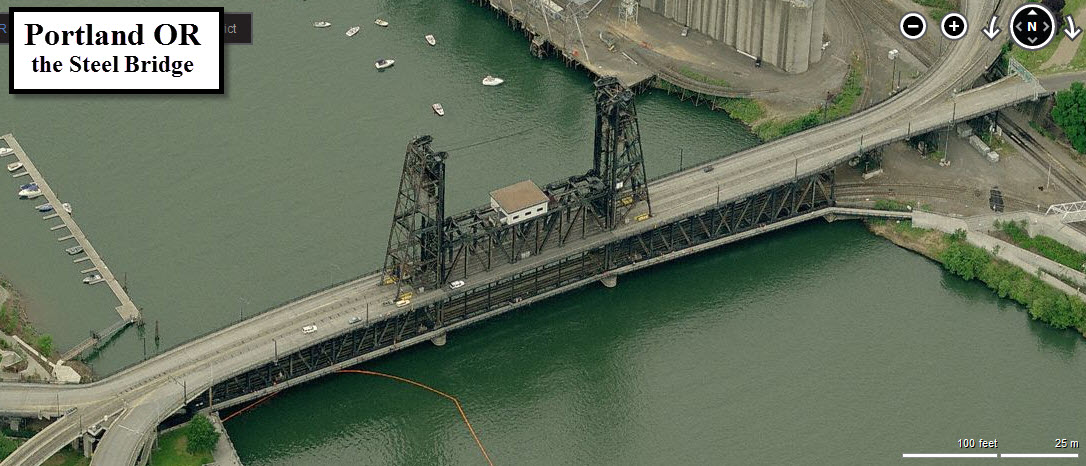
 Cool Bridge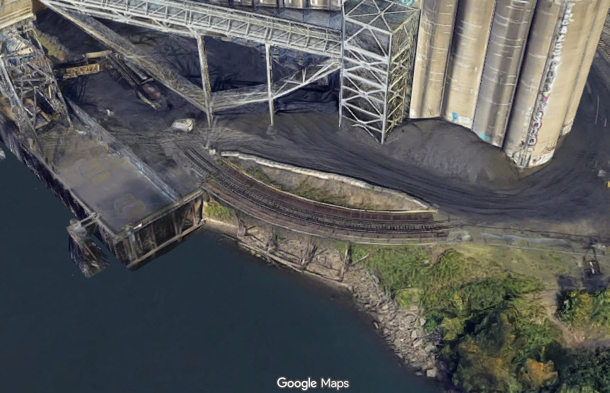
 Notice the bar signal for the LRV's!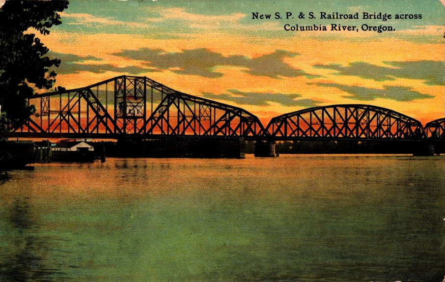
 Portland Oregon Washington RR & Navigation Co #214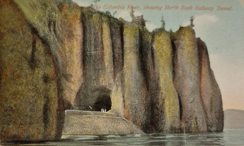
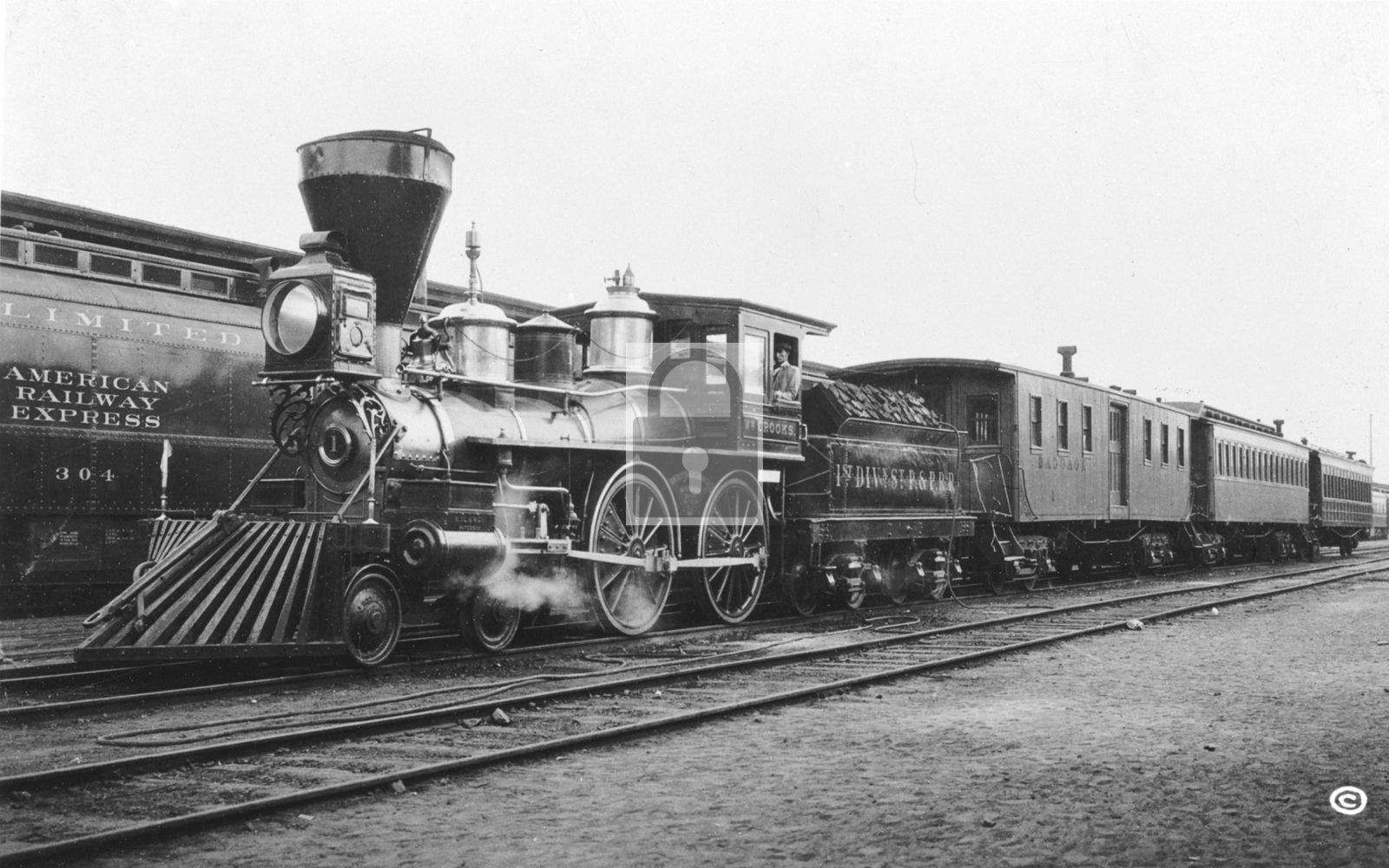 William Crooks Locomotive, ~1924