RAILFAN GUIDES of the U.S.
Todd's
Railfan Guide to
TOLEDO OH
North
RAILFAN GUIDES HOME
RAILROAD SIGNALS HOME
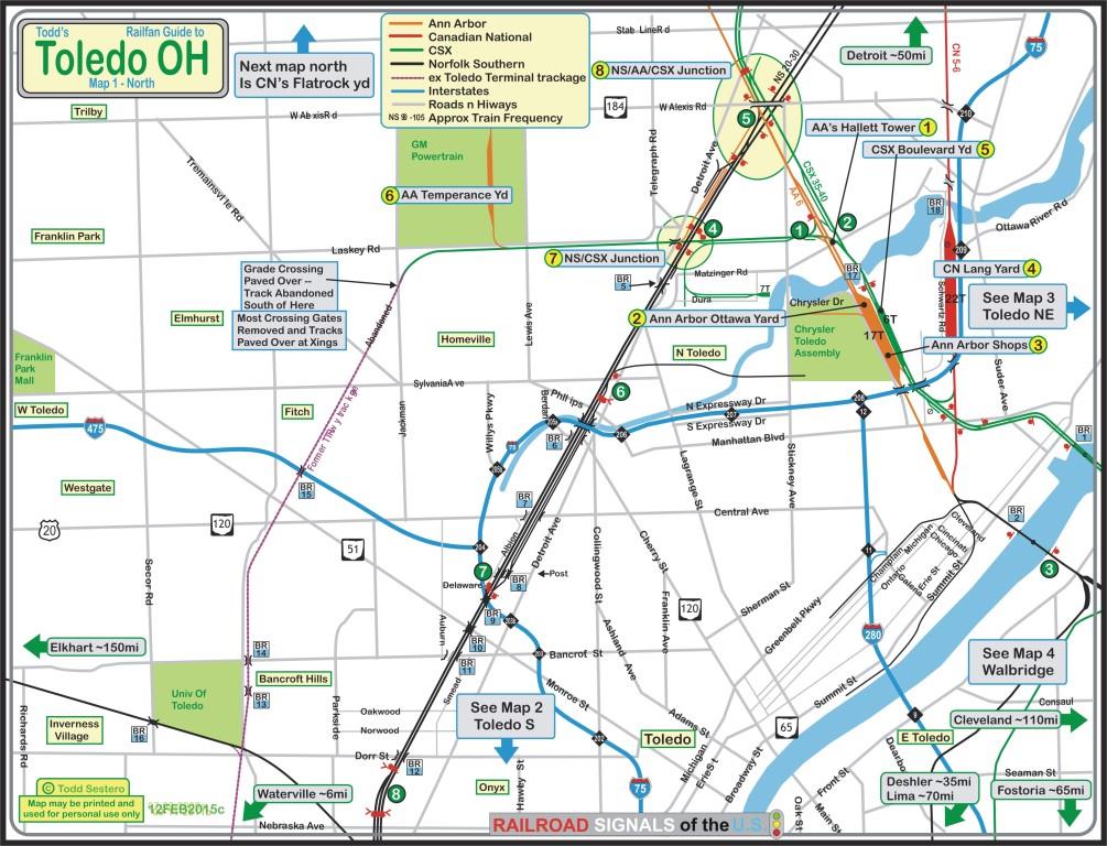
The northern side of Toledo probably contains the lion's share of things to visit. The southern side mostly has yards. With that said, you've got the Ann Arbor, CSX, CN, and NS. There are a couple of nice swing bridges crossing the Maumee, and numerous small ones going over the roads and highways of Toledo... a lot!
Not too many signals on the map except for interlockings.
I've split the area up into five sections:
Introduction and
General Information
Toledo north
Toledo south
Toledo northeast
- east side of the Maumee and north of Walbridge
Walbridge
(map only so far)
Train frequencies came from a map put out by Toledo, as seen below. If information on my maps is wrong, blame them.
I would like to thank David Patch for additional information, and Ryan Ramsey for help with the yard information.... there's a lot of them around!
Any additional info / help would be appreciated to make this guide better :-)
Pix are from www.bing.com/maps, aka,
the old maps.live.com.
Aerial pictures were "snagged" by
Techsmith's
Snagit, a great product!
The above map in PDF form is
here
1
2
3 4
5 6
7 8
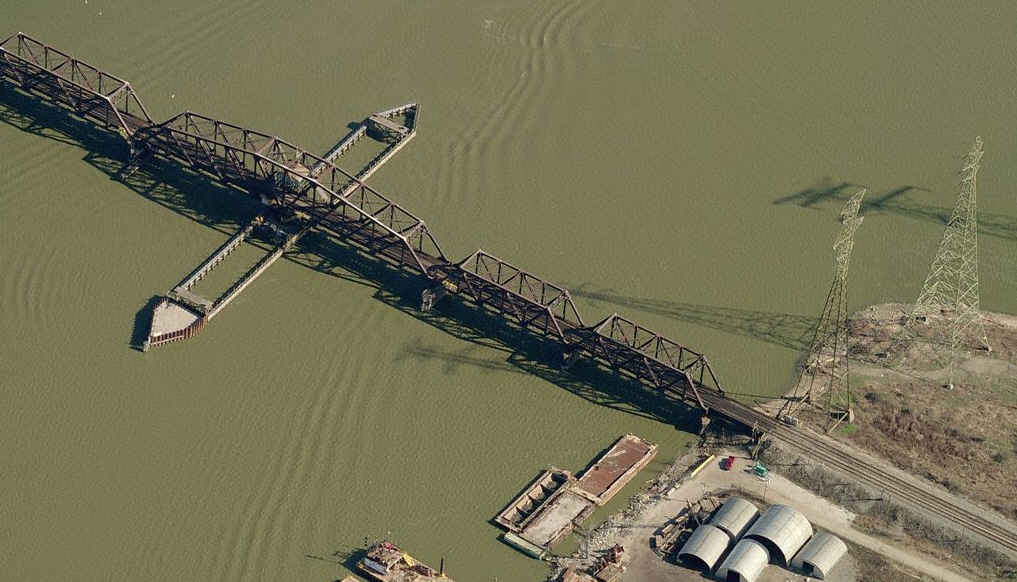
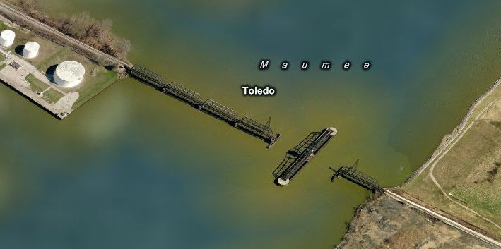
Maumee River Bridges:
BR1
BR2
BR3 and BR4 are on the Toledo South map
Bridges/overpasses along the NS mainline:
BR5
BR6 BR7
BR8
BR9 BR10
BR11 BR12
Overpasses along the old Toledo Terminal trackage: BR13
BR14 BR15
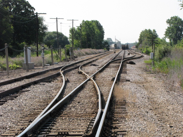
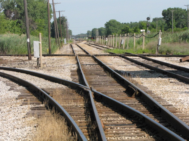
Signals
SITES
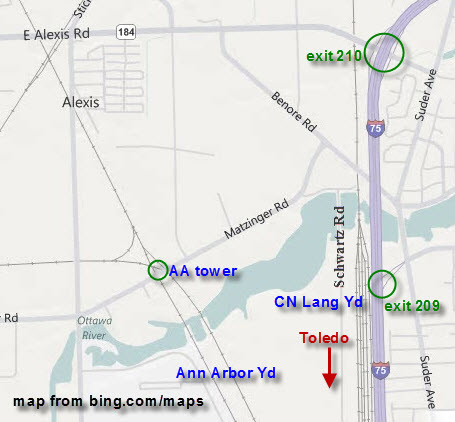
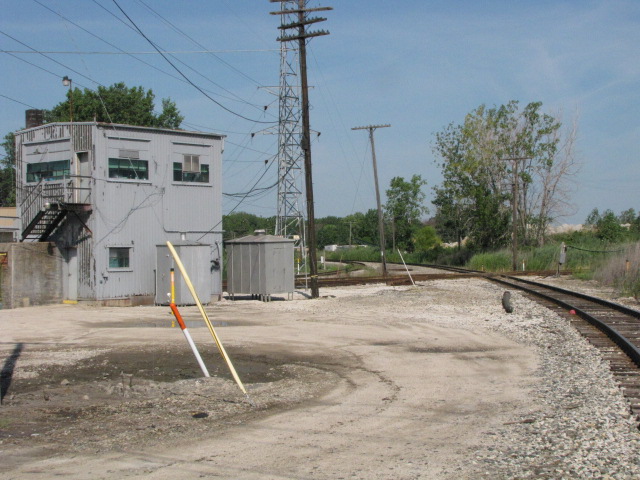
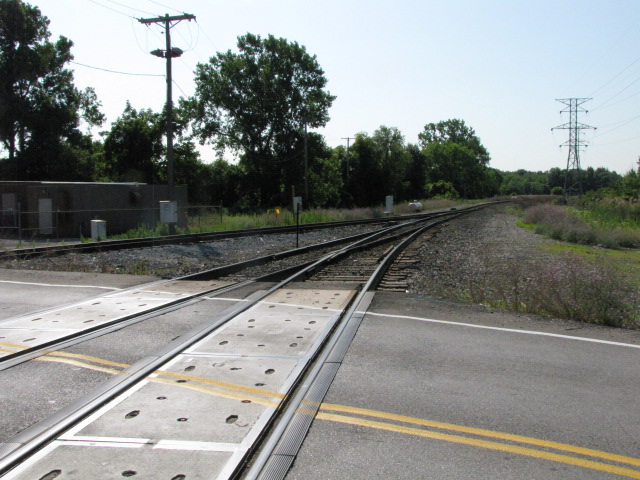
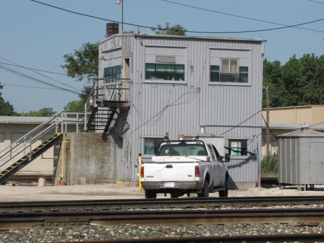
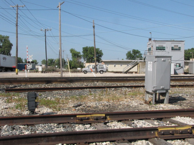
1 Ann Arbor's Hallett Tower
The tower operator doubles as the Ann Arbor dispatcher,
which explains both its status as the last operating tower in Toledo as well
as its likely future survival.
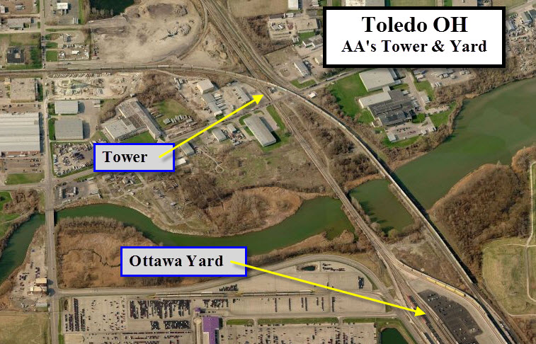
The AA tower..... Good view and pix from up there.
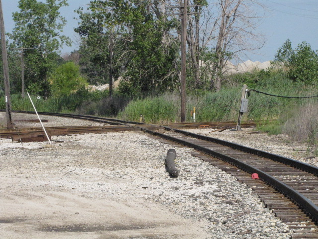


 Looking south.
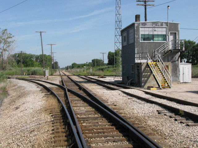 Looking north.
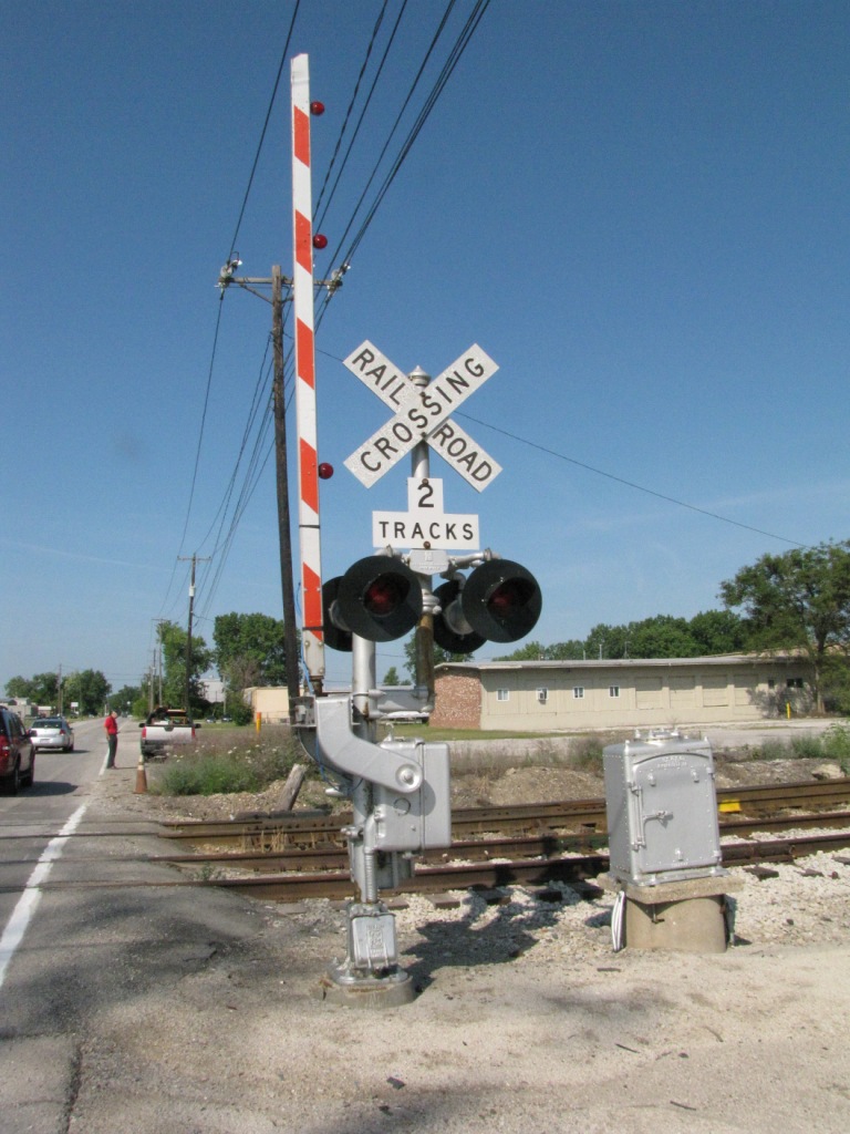
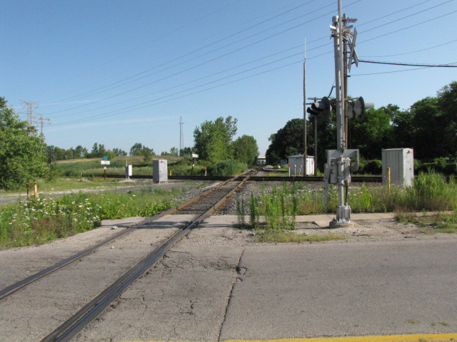
 The grade crossing at the tower.
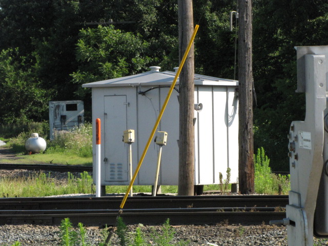
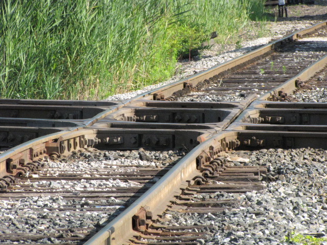
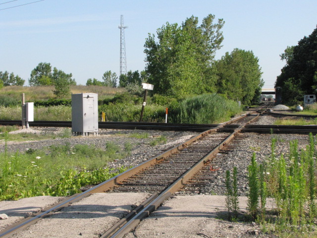
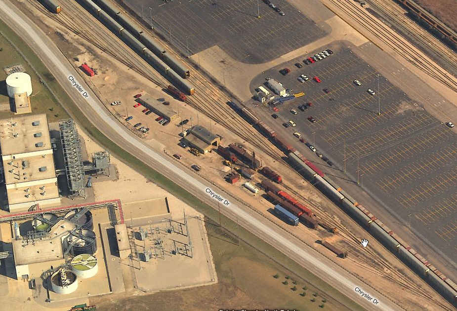
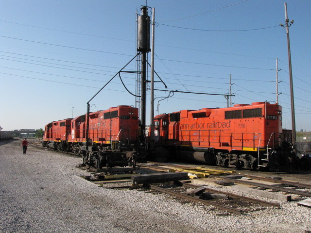
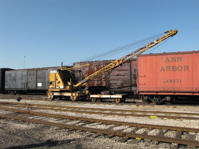
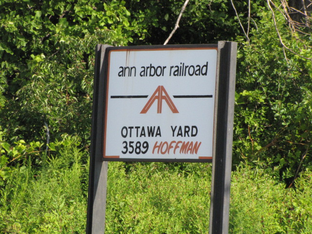
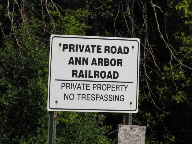
2 Ann Arbor's Ottawa Yard
Southern end of the AA yard.
Diamond at the south end of the AA yard.


Sometimes you get lucky, except for the RR cop that chased
us off!
This train was parked off the bottom end of the above photo, the single
track on the left, most of it was parked in the trees.
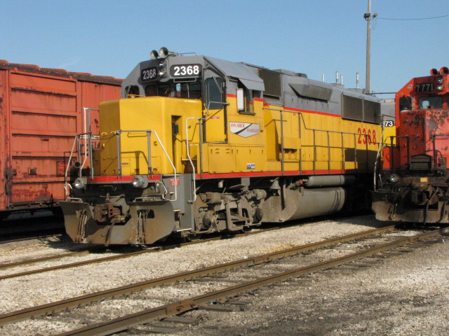
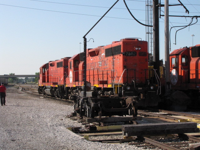
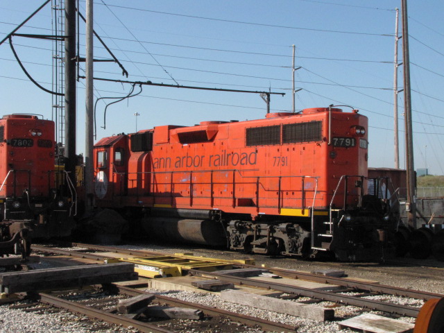
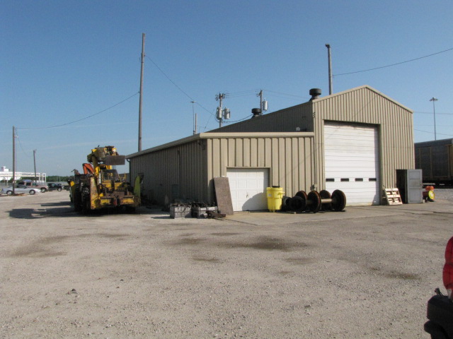
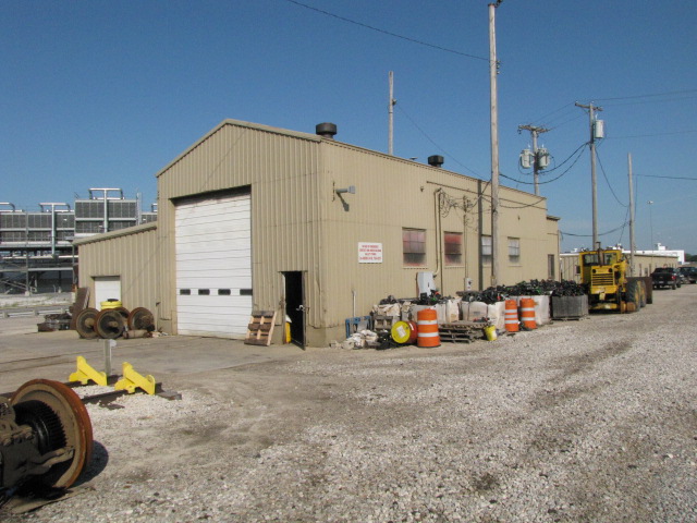
3 the shops at Ann Arbor's Ottawa Yard
The Ann Arbor engines are kinda in the middle of the yard. Permission was requested at their yard office to wander around and take pictures.


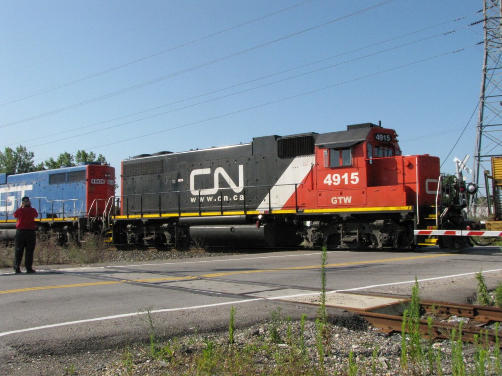
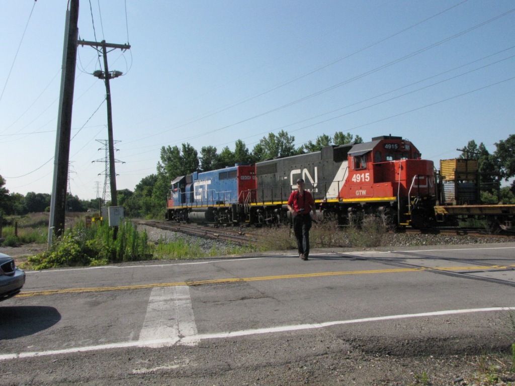
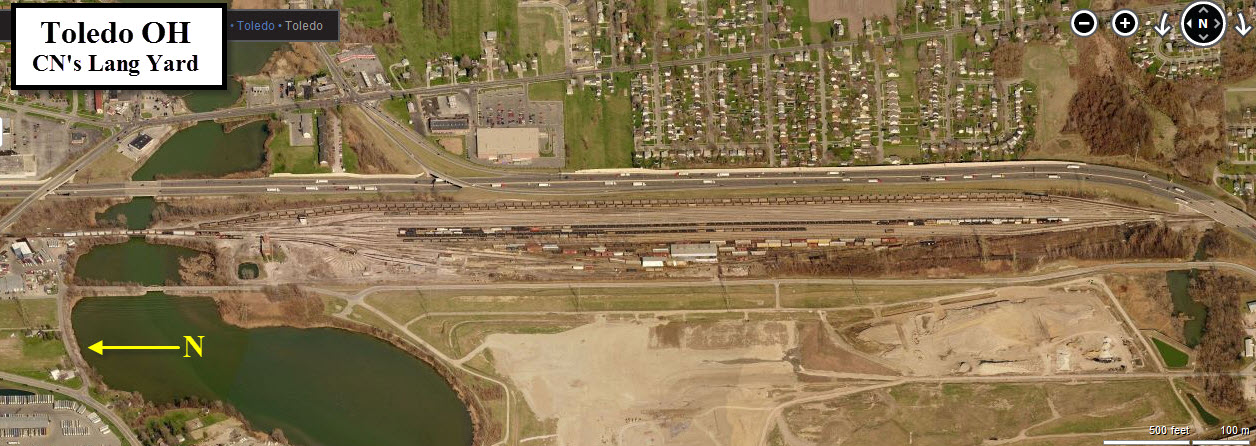
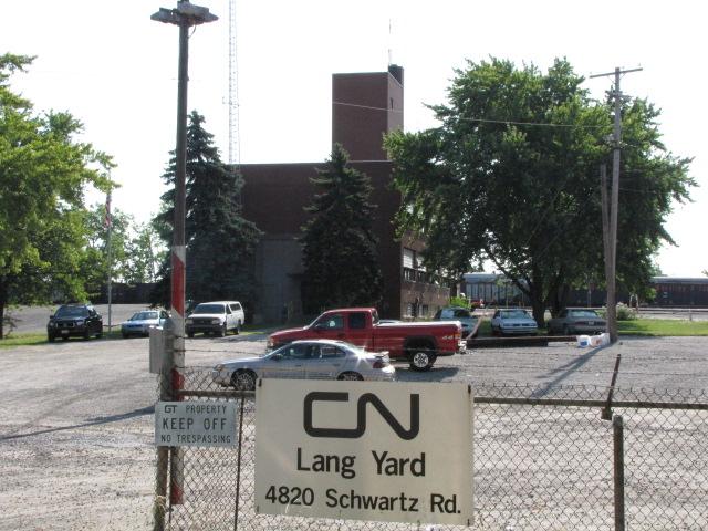
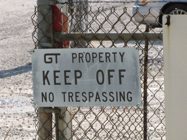
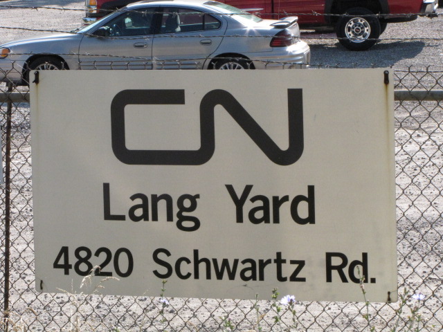
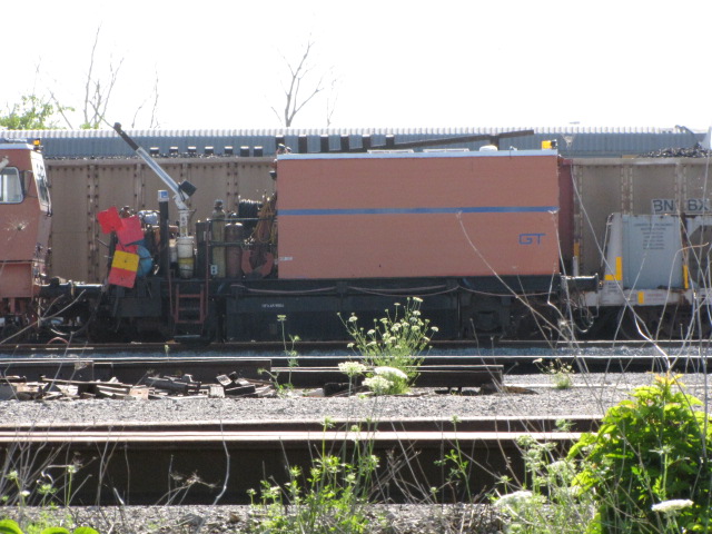
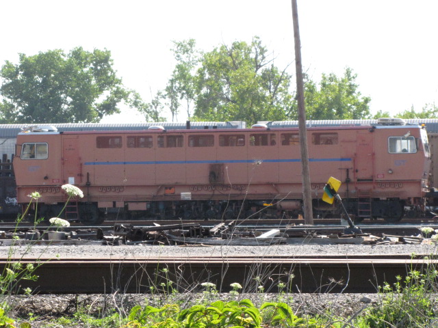
4 CN's Lang Yard
Off of Schwartz Rd, there's not too much you have access to without going onto railroad property.
5
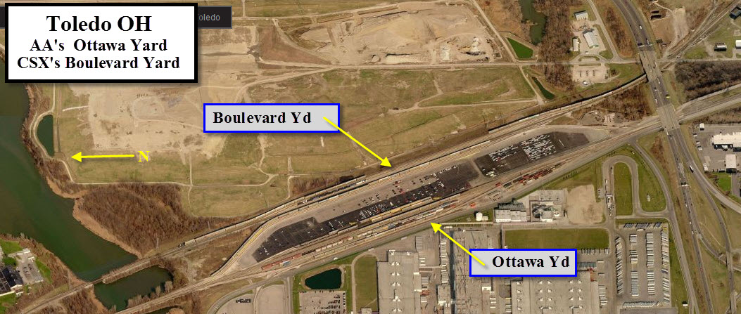
CSX's
Boulevard Yard
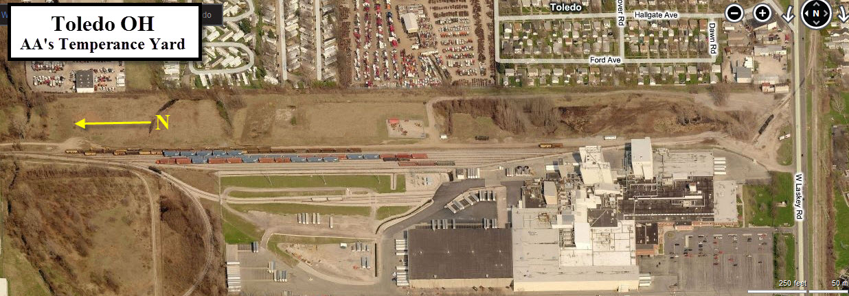
6 Ann Arbor's Temperance Yard
This is a former GTW and DT&I yard, now operated by the Ann Arbor.
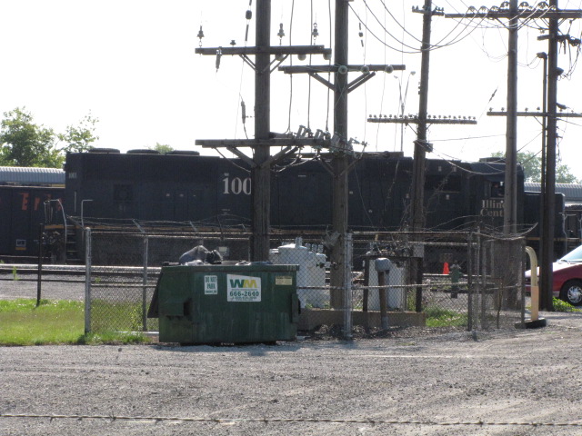
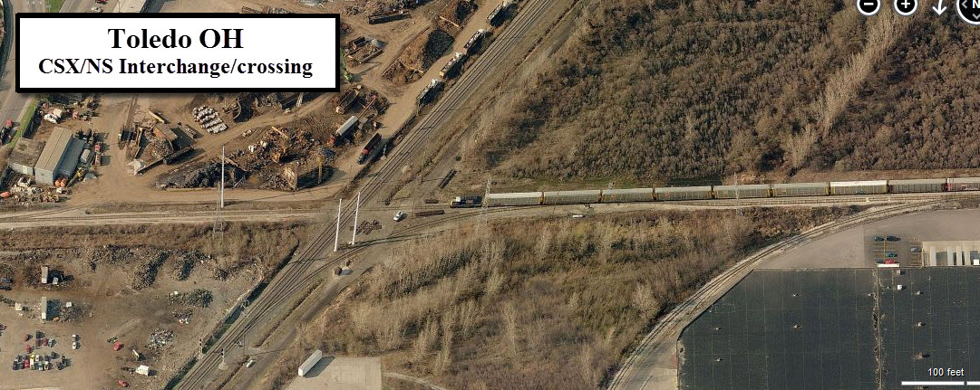
7 CSX/NS Junction
This is a crossing between the Norfolk Southern's double track main to Detroit, and the local track serving industries along Laskey Road, and the GM Powertrain plant. According to the map put out by Toledo, the track belongs to CSX, but I have seen Ann Arbor trains serving the local businesses.
The NS main is signaled for both tracks in both directions, but CSX's track is only signaled for trains coming from the yards (EB).
8 AA/CSX/NS Junction
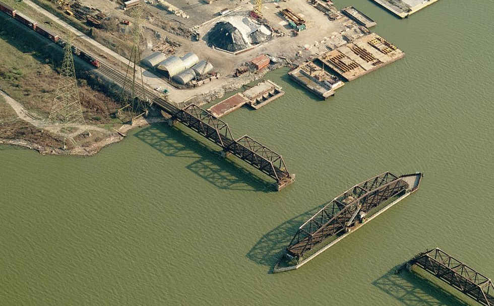
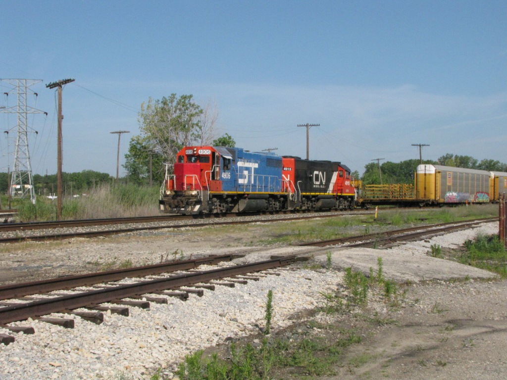
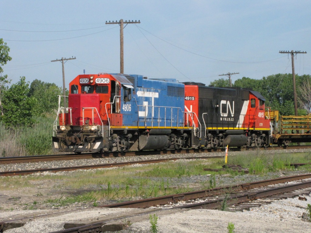
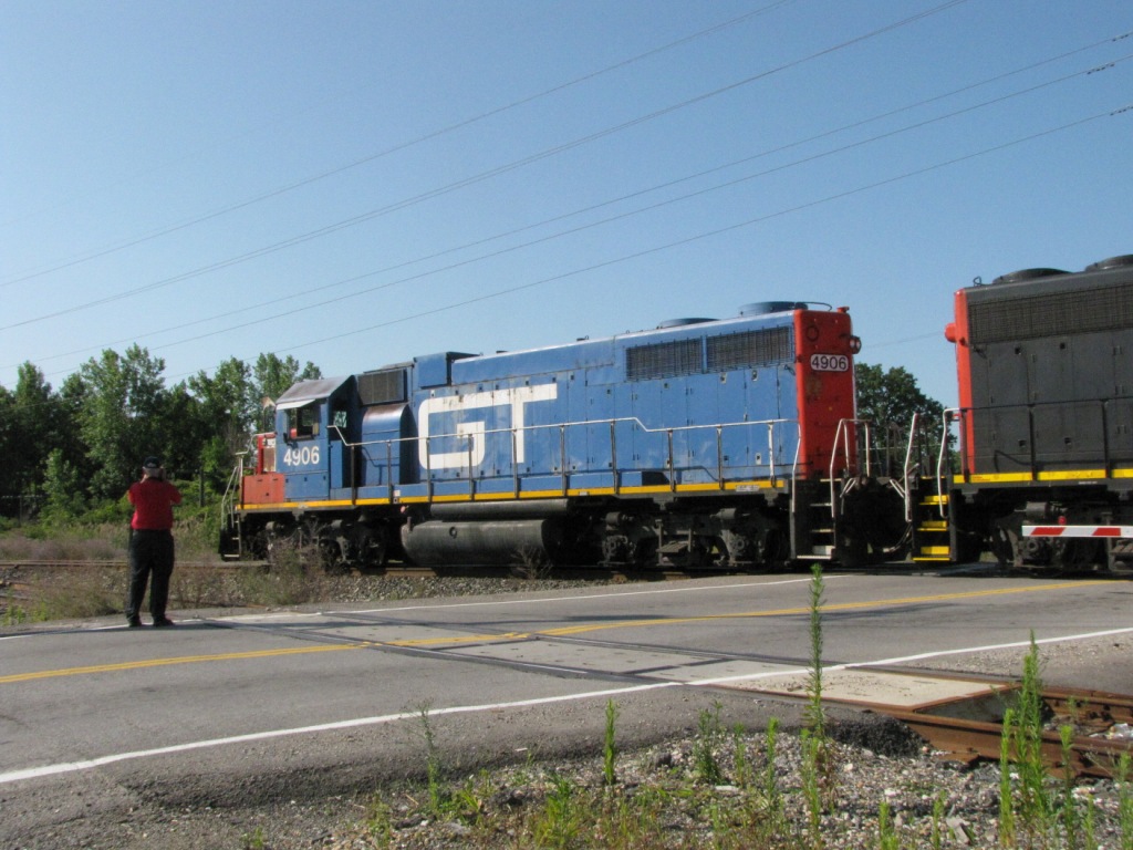
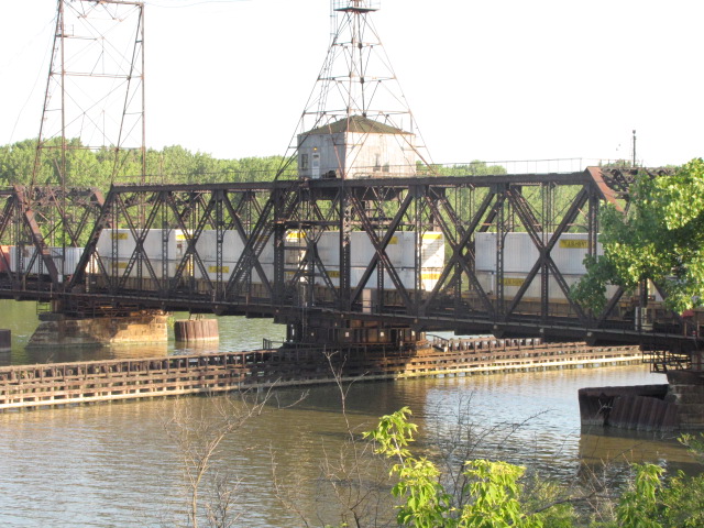
Two views of the northern most swing bridge, 1 of 3, with a CN freight
waiting for it to close. Typical of all three bridges.
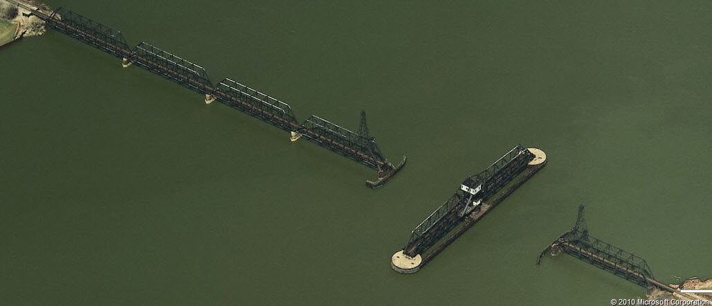
The 2nd bridge of three.
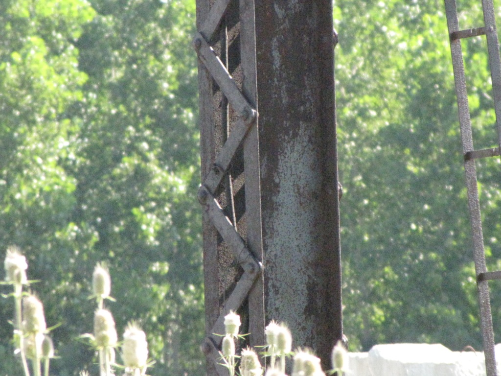
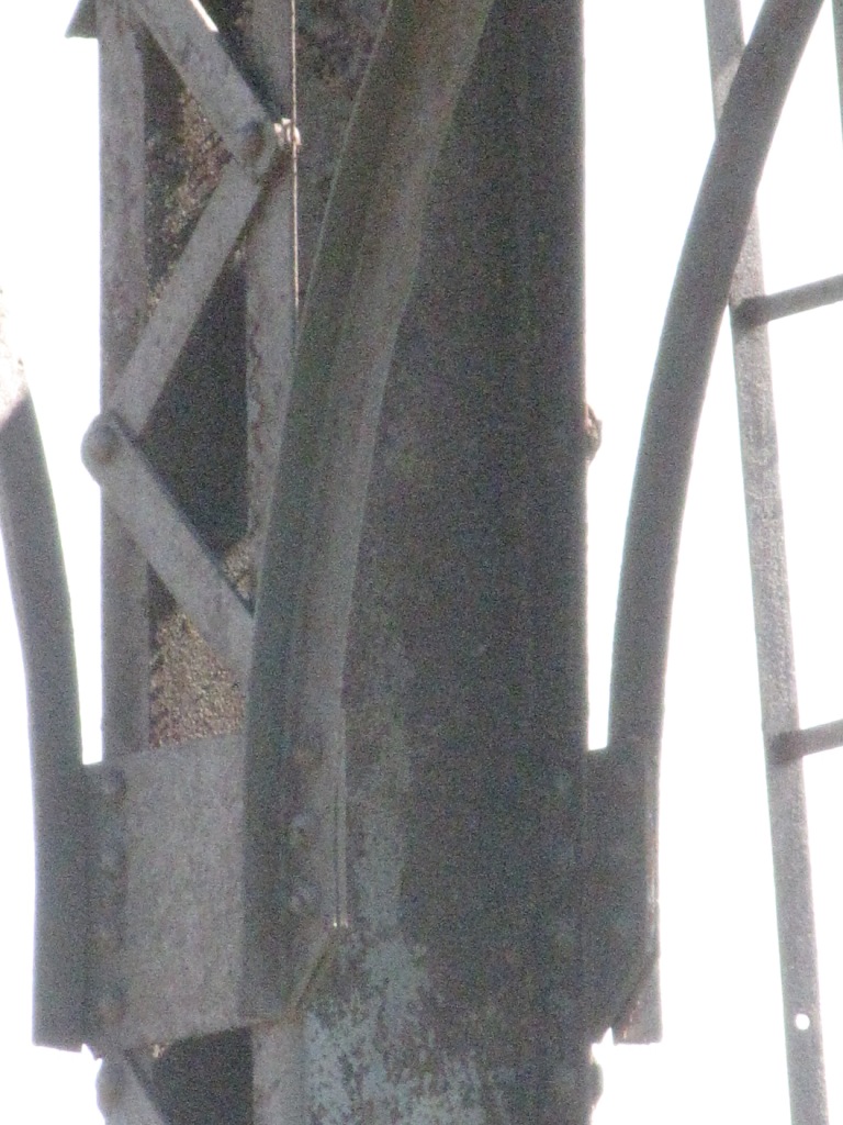
NS Bridges/Overpasses
Used for grade separation purposes so we don't get
stuck waiting for the train!
Provided more for reference and historical purposes rather than something to
go and shoot....
BR 12
BR 13
BR 14
BR 16
BR 17
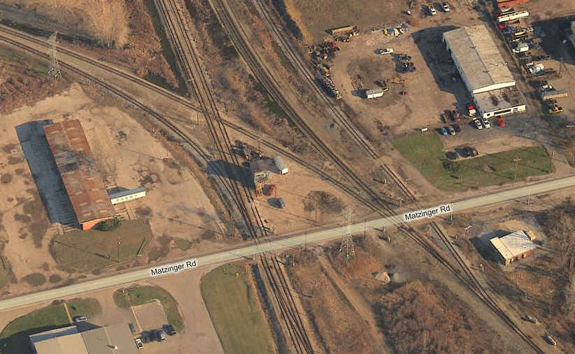
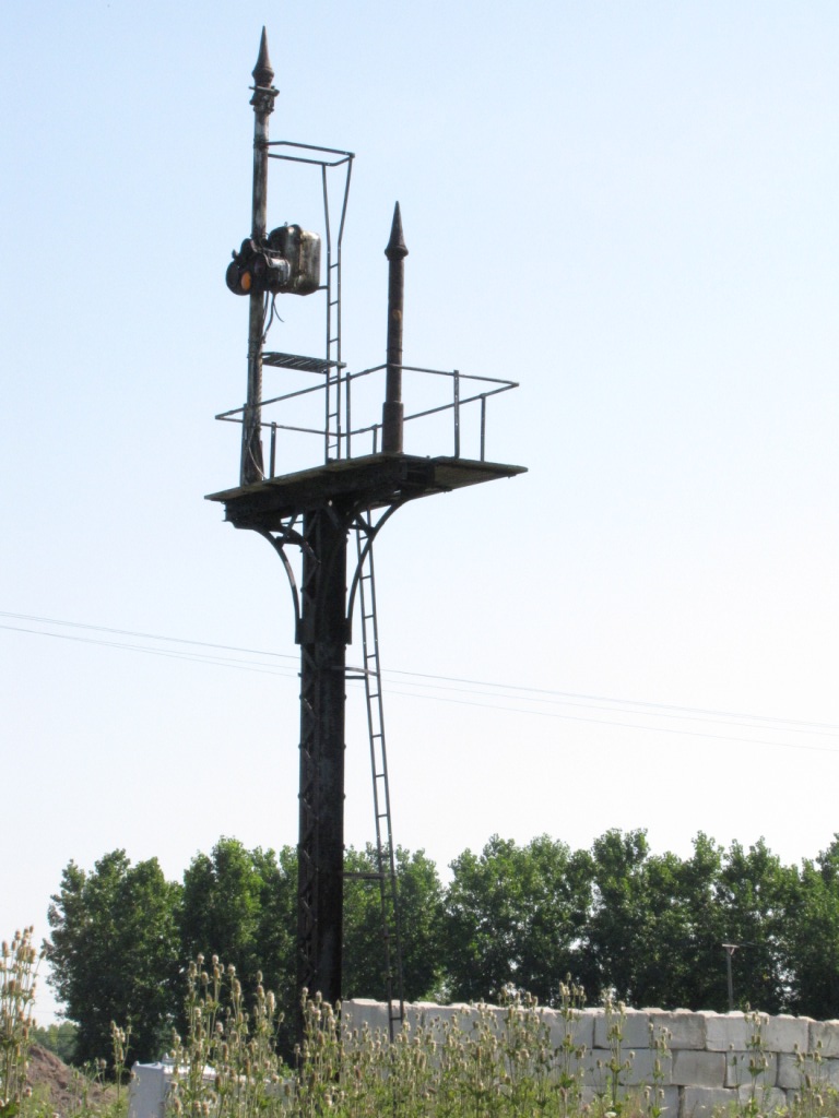
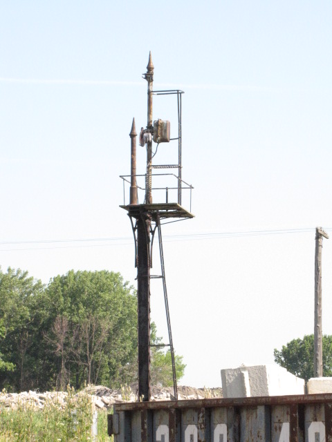
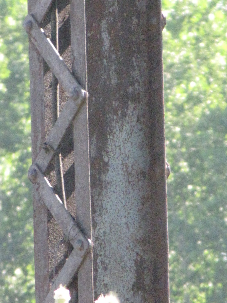
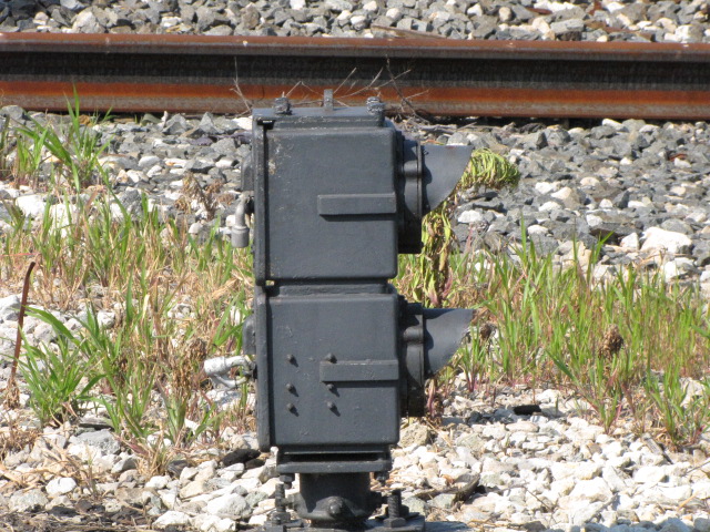
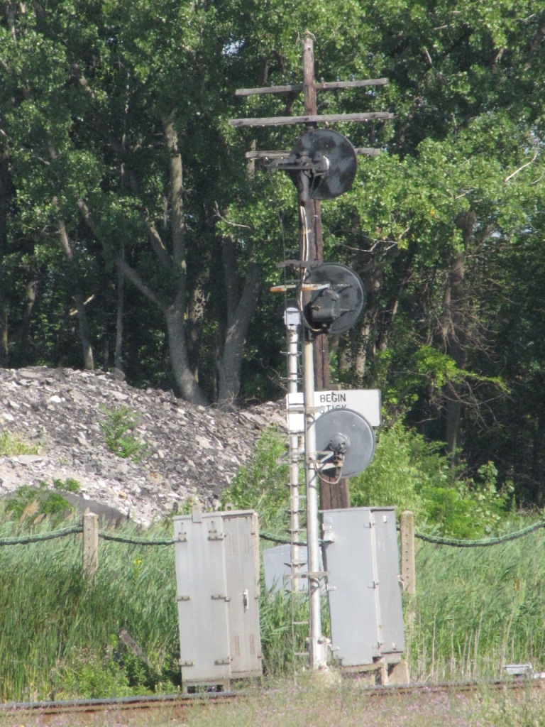
1 Semaphore
Just by chance, I saw this semaphore from the tower. It is located behind a business off Matzinger, and we asked for permission to go onto their fenced in parking lot to take these pictures.

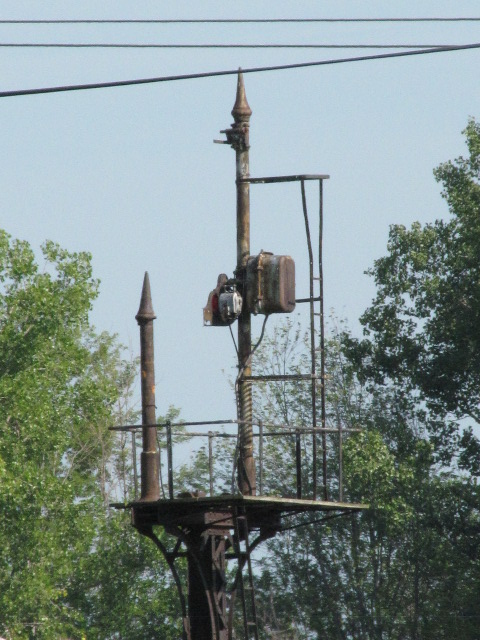


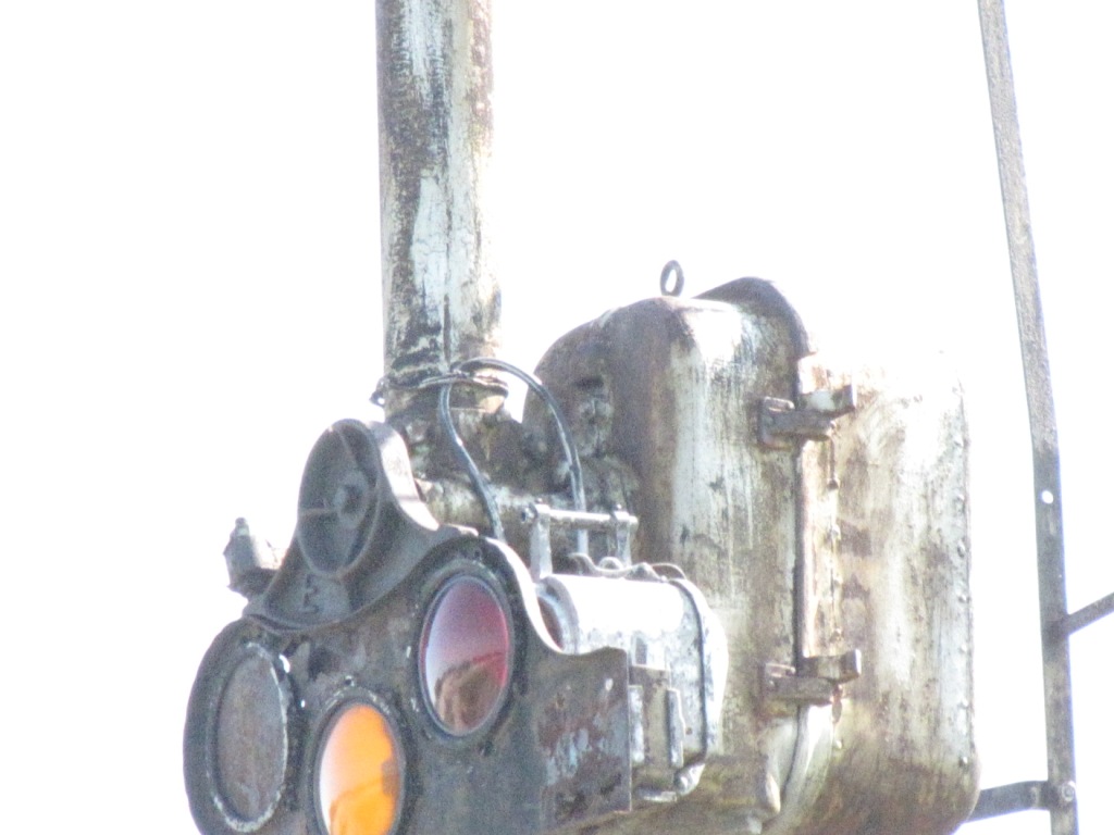
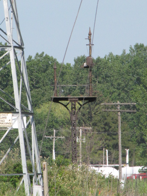 The semaphore sighted from the tower.
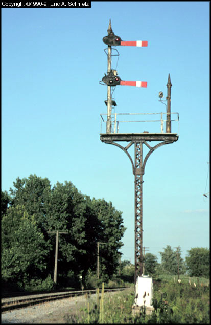
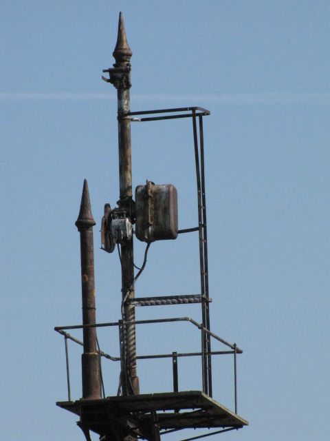
A great photo of this installation in better days,
photo by Eric Schmelz in the summer of 1998, used with permission
It's funny how some parts were left behind and others taken, guess it
depended on what needed replacing elsewhere :-)
Notice the blue light on the doll post!
2
at the AA Tower
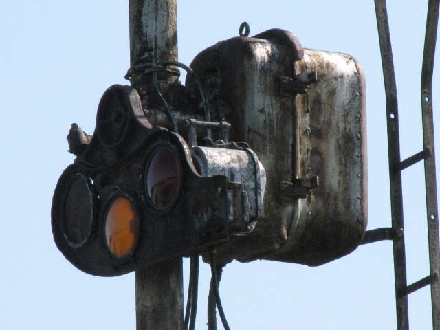
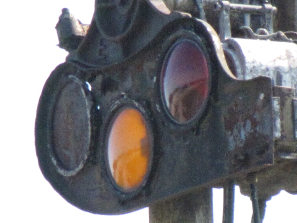
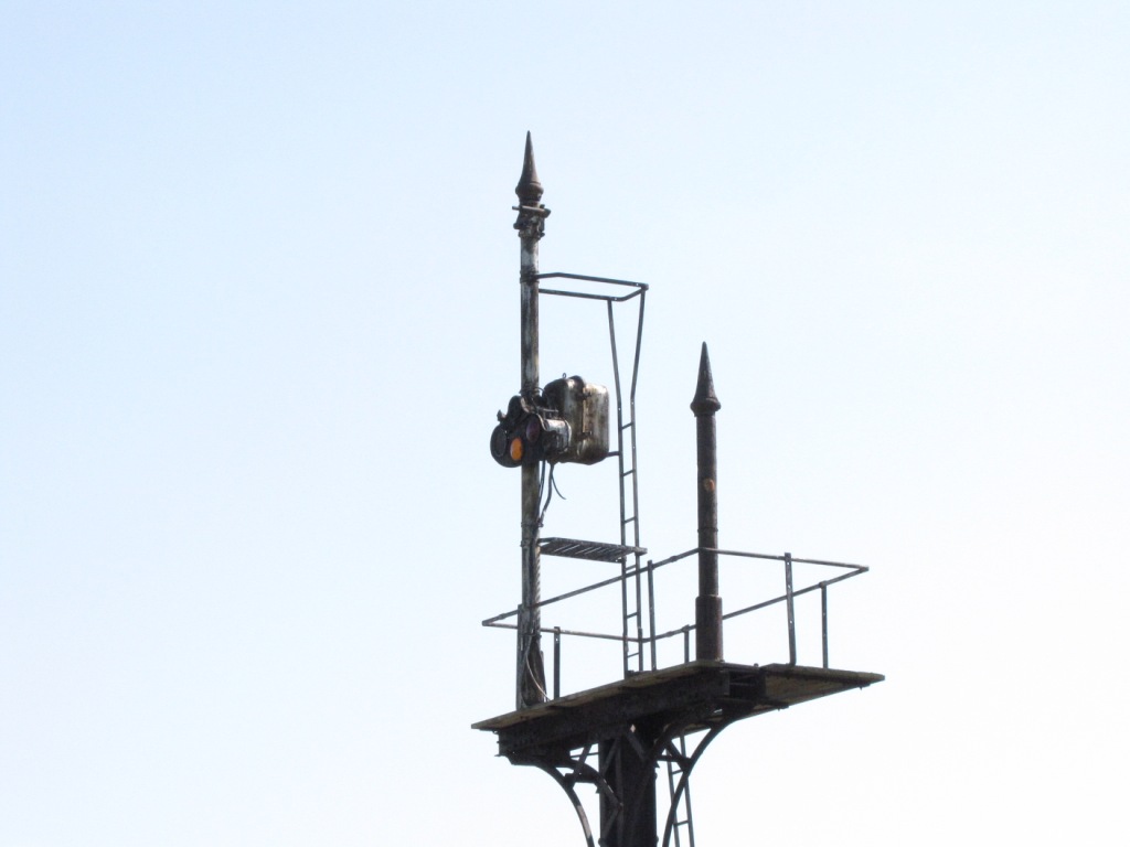
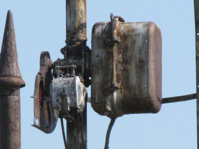
Signals around the AA Tower, site #2.

 Some of the signals around the tower.
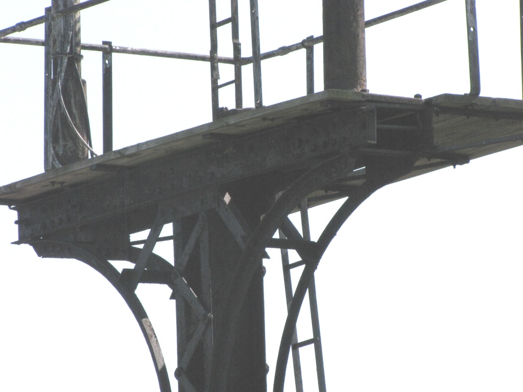
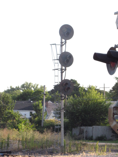
3
NS Bridge
Pictures of the approach signals on the east bank for the third bridge

Disclaimers:
I love trains, and I love signals. I am not an expert. My webpages reflect what I find on the topic of the page. This is something I have fun with while trying to help others. My webpages are an attempt at putting everything I can find of the subject in one convenient place. There are plenty of other good websites to help me in this effort, and they are listed in the links section on my indexa page, or as needed on individual pages. Please do not write to me about something that may be incorrect, and then hound the heck out of me if I do not respond to you in the manner you would like. I operate on the "Golden Rule Principle", and if you are not familiar with it, please acquaint yourself with how to treat people by reading Mathew 7:12 (among others, the principle exists in almost every religion). If you contact me (like some do, hi Paul) and try to make it a "non-fun" thing and start with the name calling, your name will go into my spambox list! :-)
Please Note: Since the main focus of my two websites is railroad signals, the railfan guides are oriented towards the signal fan being able to locate them. For those of you into the modeling aspect of our hobby, my indexa page has a list of almost everything railroad oriented I can think of to provide you with at least a few pictures to help you detail your pike.
If this is a railfan page, every effort has been made to make sure that the information contained on this map and in this railfan guide is correct. Once in a while, an error may creep in, especially if restaurants or gas stations open, close, or change names. Most of my maps are a result of personal observation after visiting these locations. I have always felt that a picture is worth a thousand words", and I feel annotated maps such as the ones I work up do the same justice for the railfan over a simple text description of the area. Since the main focus of my website is railroad signals, the railfan guides are oriented towards the signal fan being able to locate them. Since most of us railheads don't have just trains as a hobby, I have also tried to point out where other interesting sites of the area are.... things like fire stations, neat bridges, or other significant historical or geographical feature. While some may feel they shouldn't be included, these other things tend to make MY trips a lot more interesting.... stuff like where the C&O Canal has a bridge going over a river (the Monocacy Aqueduct) between Point of Rocks and Gaithersburg MD, it's way cool to realize this bridge to support a water "road" over a river was built in the 1830's!!!
My philosophy: Pictures and maps are worth a thousand
words, especially for railfanning. Text descriptions only get you so
far, especially if you get lost or disoriented. Take along good
maps.... a GPS is OK to get somewhere, but maps are still better if you get
lost! I belong to AAA, which allows you to get local maps for free
when you visit the local branches. ADC puts out a nice series of
county maps for the Washington DC area, but their state maps do not have the
railroads on them. If you can find em, I like the National Geographic
map book of the U.S..... good, clear, and concise graphics, and they do a
really good job of showing you where tourist type attractions are, although
they too lack the railroads. Other notes about specific areas will
show up on that page if known.
Pictures and additional information is
always needed if anyone feels inclined to take 'em, send 'em, and share 'em,
or if you have something to add or correct.... credit is always given! BE
NICE!!! Contact info is
here
Beware: If used as a source, ANYTHING from Wikipedia must be treated as being possibly being inaccurate, wrong, or not true.
RAILFAN GUIDES HOME
RAILROAD SIGNALS HOME
NEW 07/19/2009
Last Modified
12-Feb-2015