In General
Getting Here
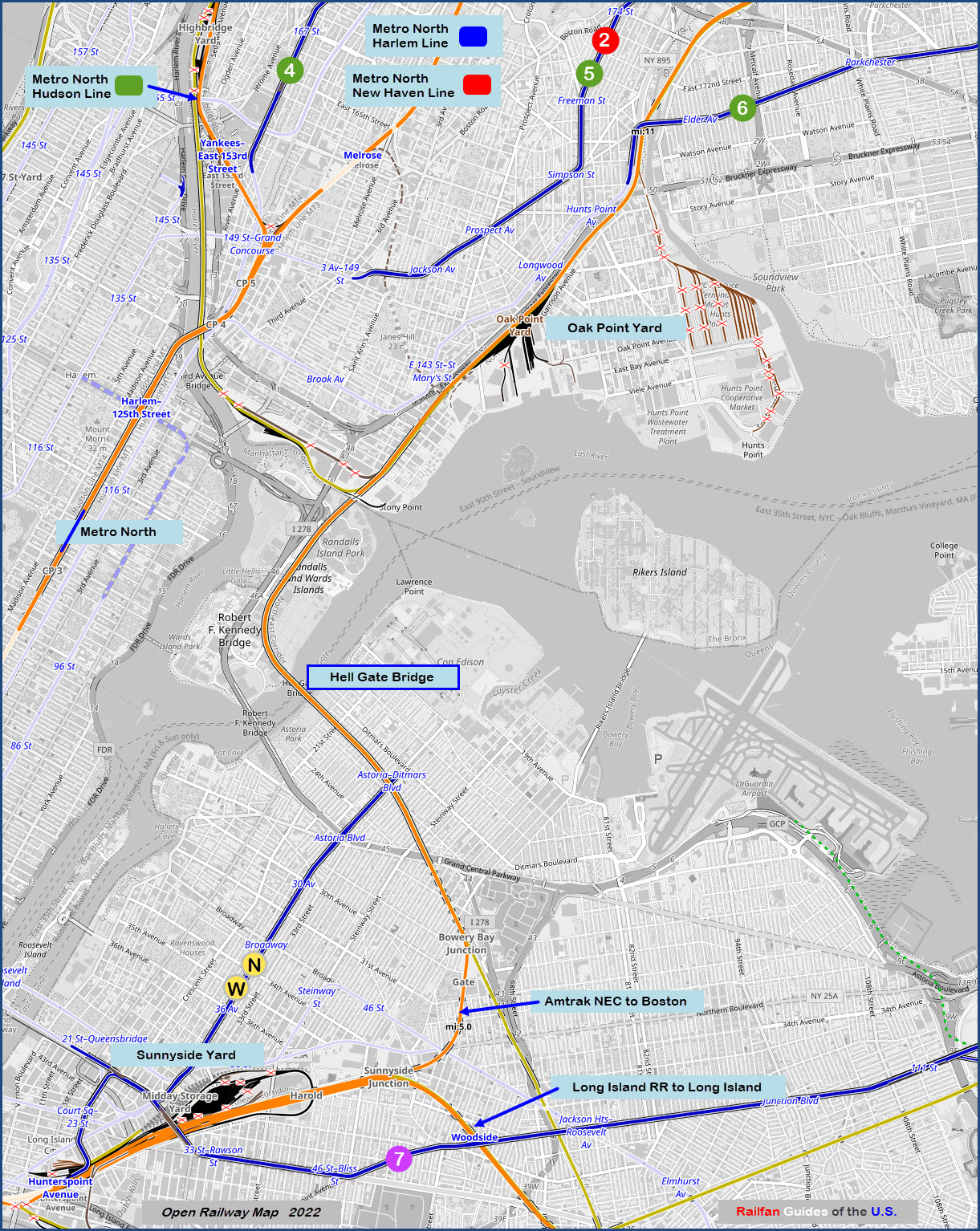
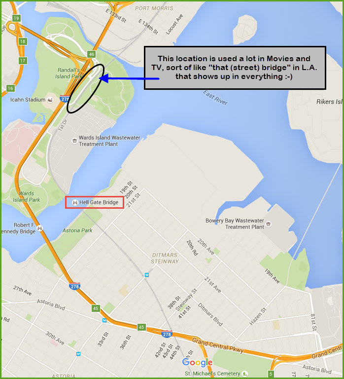
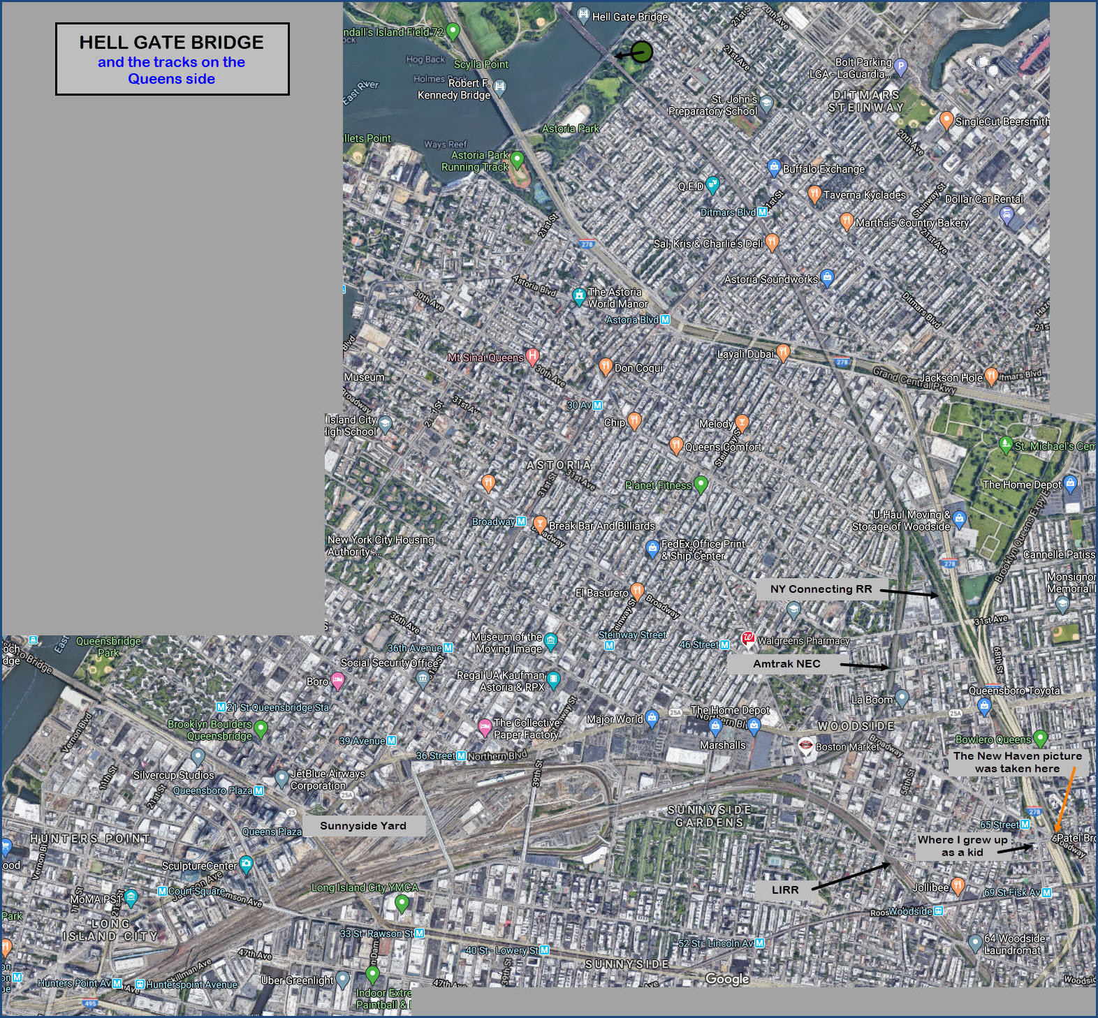
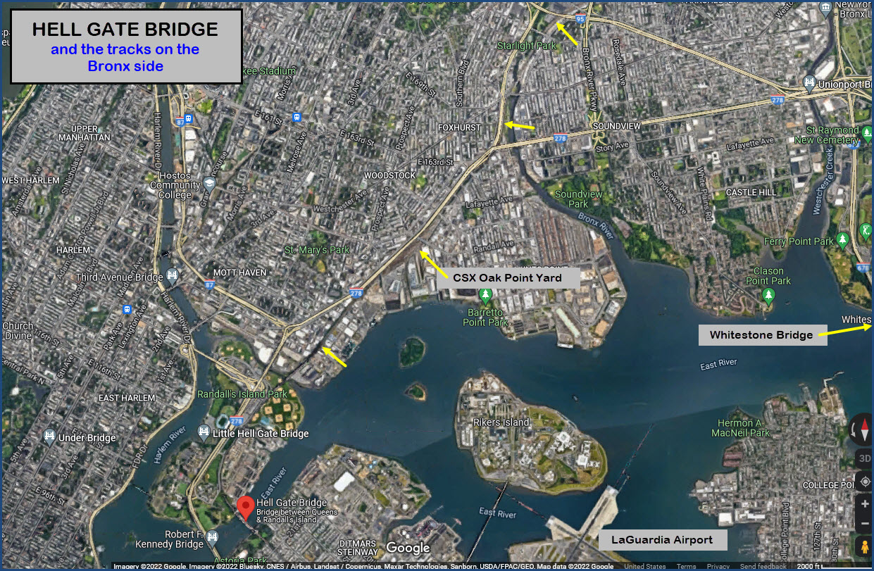
Map
The Bridge
A Quick Tour - Sunnyside to New Rochelle
Signals
Astoria and Under the Viaduct
Models
Postcards
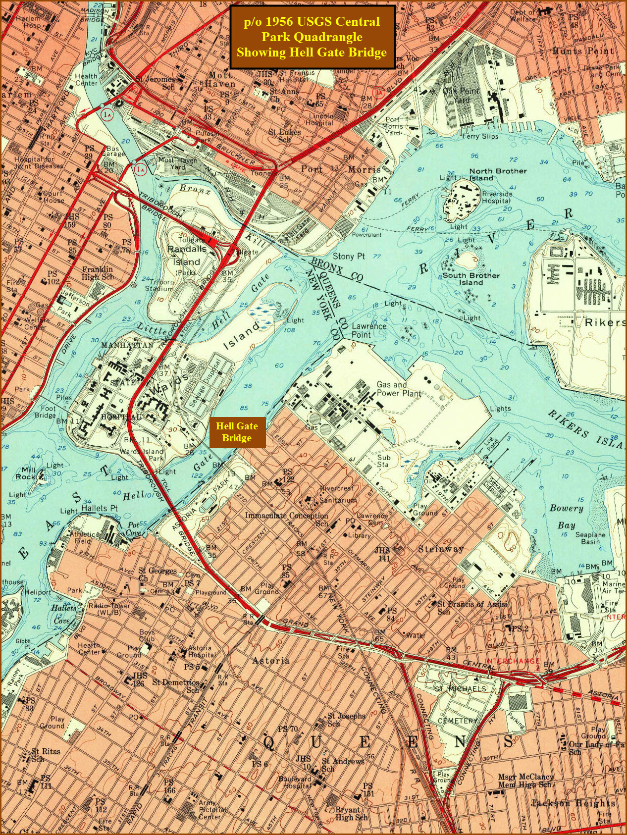
USGS Maps
RAILROAD SIGNALS HOME
Location / Name:
Queens Borough of New York City, AKA, Queens County
What's Here:
Hell Gate Bridge and its approaches
Data:
GPS Coordinates:
40.781519, -73.920620 Queens Abutment
40.783611, -73.923419 Randall's Island Abutment
Phone A/C: 718
ZIP: 11105
Access by train/transit:
Take your pick: the New York City/MTA Subway Q and N lines, and the Bus system
The Scoop:
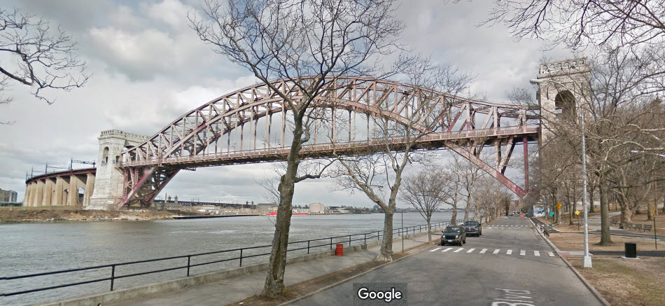
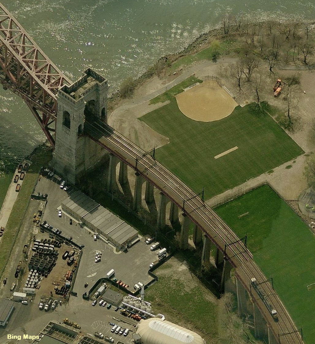
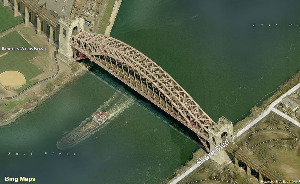
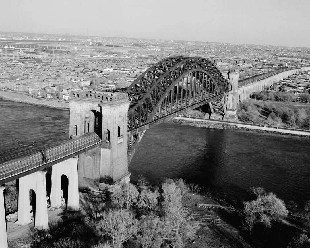
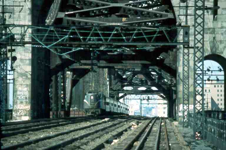
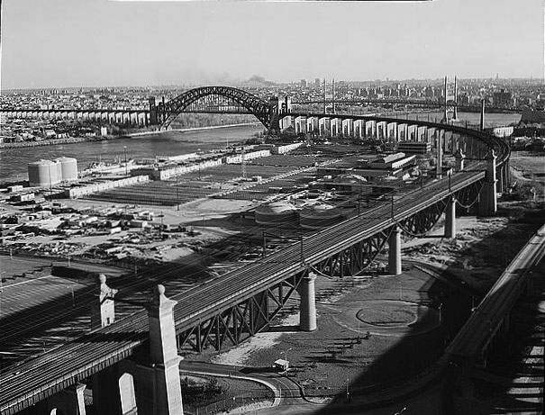
The Hell Gate Bridge, originally the New York Connecting Railroad Bridge or the East River Arch Bridge, is a 1,017-foot (310 m) steel through arch railroad bridge in New York City. Today, the bridge carries three tracks: two tracks of Amtrak's Northeast Corridor and one freight track. The bridge spans Hell Gate, a strait of the East River, between Astoria in Queens, and Randalls and Wards Islands in Manhattan. HOWEVER, remember that the bridge originally carried four tracks - two for the freight. Sometime in the 80's, the underused second track was removed by Conrail.
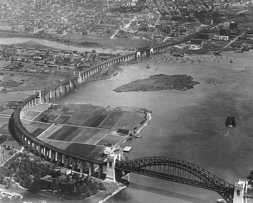
The arch across the Hell Gate is the largest of three bridges that form the Hell Gate railroad viaduct. An inverted bowstring truss bridge with four 300-foot (91.4 m) spans crosses the Little Hell Gate, a former strait that is now filled in, and a 350-foot (106.7 m) fixed truss bridge crosses the Bronx Kill, a strait now narrowed by fill. Together with approaches, the bridges are more than 17,000 feet (3.2 mi, 5.2 km) long.
Hell Gate Bridge is arguably the most famous "thing" in New York City, train wise. Maybe more so than the train stations of Manhattan? Most people think of Hell Gate Bridge when someone mentions trains and Queens NY.
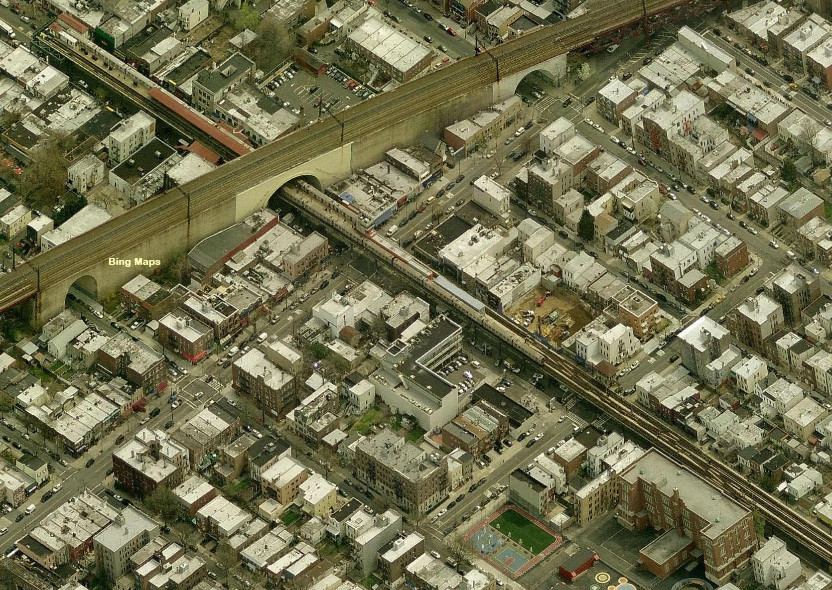
If you get to see the bridge in person, you will be impressed by it's "massiveness", and never forget how huge a bridge it actually is. And this includes the approaches to it on both sides. The approaches more or less divide the neighborhoods they go through, especially on the Queens side.
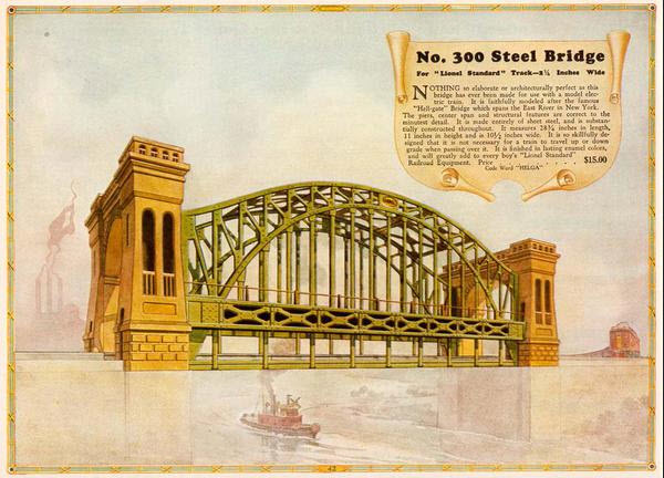
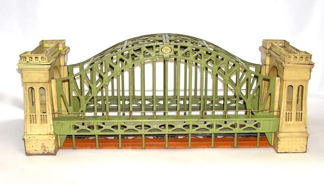
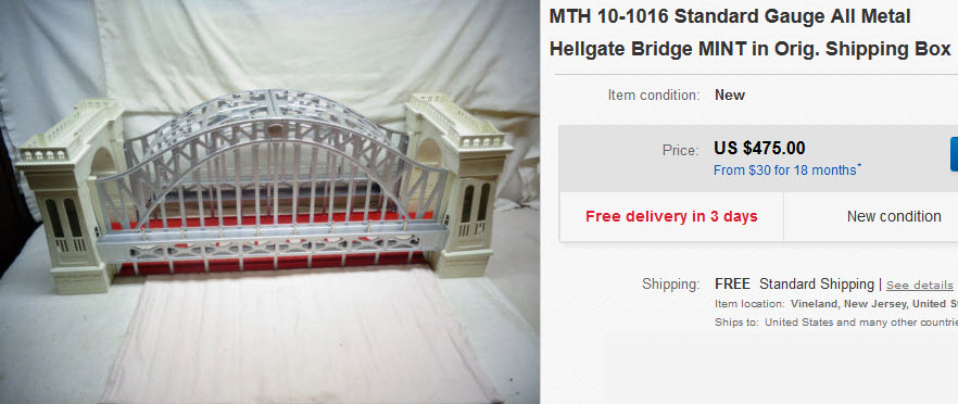
The bridge has been made famous in the model world by both Lionel and MTH.
History, from Wikipedia: Construction of the Hell Gate Bridge began on March 1, 1912 and ended on September 30, 1916. The bridge was dedicated and opened to rail traffic on March 9, 1917, with Washington–Boston through trains first running on April 1.
The bridge originally carried four tracks, two each for passenger and freight, but one freight track was abandoned in the mid-1970s. At one time, all tracks were electrified with the 11 kV, 25 Hz overhead catenary, the standard of NH and PRR. The passenger tracks have been electrified since 1917, and the freight tracks from 1927 to 1969, using Amtrak's 25 Hz traction power system.
The bridge and structure are owned by Amtrak, and lies in the New York Terminal District, part of its Boston to Washington, D.C. electrified main line known as the Northeast Corridor. The bridge's two west most tracks are electrified with 12.5 kV 60 Hz overhead power and are used by Amtrak for Acela Express and Northeast Regional service between New York and Boston.
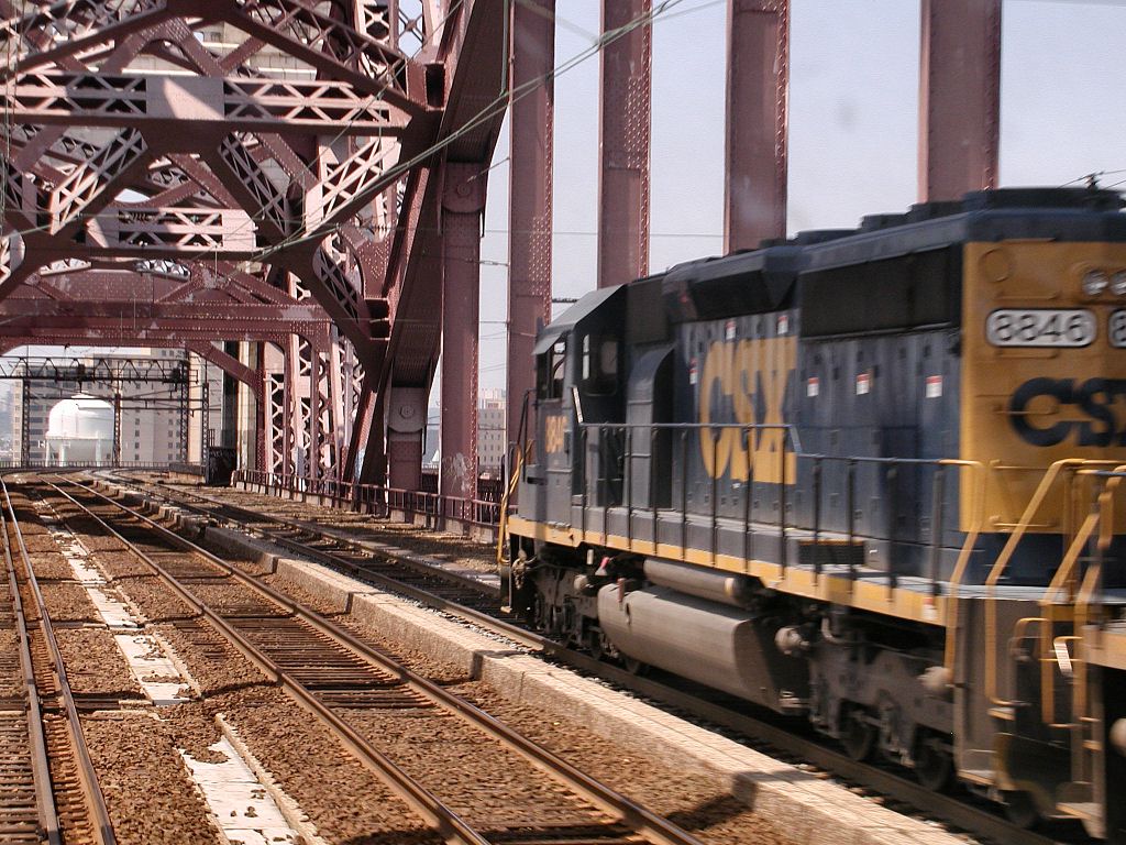
The bridge is also part of the New York Connecting Railroad, a rail line that links New York City and Long Island to the North American mainland. The third track forms part of the CSX Fremont Secondary and carries CSX, Canadian Pacific and Providence & Worcester RR freight trains between Oak Point Yard in the Bronx and Fresh Pond Yard in Queens, where it connects with the New York and Atlantic Rwy.
The bridge holds a special place in my heart, because as a kid spending summers with my grandparents in Jackson Heights, on the top floor of their apartment building, I had a most excellent view of the bridge and the approach to it. This was during the late 50's and through the 60's into the Penn Central era. I watched the New Haven freights being pulled by the behemoth EF-4 (E33's) electric engines, and then later once Penn Central took over, Alco DL-701's, or RS-11's. I wish I had (any) picture of two freights passing each other on the approach, it was a sight to behold. The E33's I believe, are the only engine to wear the colors of five class 1 railroads: the Virginian, the Norfolk & Western, the New Haven, Penn Central, and finally Conrail. One is saved in Roanoke VA at the Virginia Railroad Museum. When the Virginian had them, they were EL-C's, the New Haven called them EF-4's, and the Penn Central called them E33's.
I wonder what it would cost to build the bridge and the approaches today?
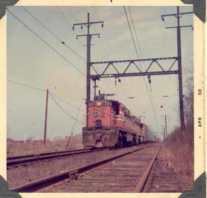
Below is a picture I took in 1968 while the New Haven E-33's were still running. The picture was taken adjacent to my grandparents apartment building, just before the trains would pass under their first road overpass (Broadway) after coming down the grade from Hell Gate Bridge. If the picture was taken just a fraction of a second earlier, you would have been able to see the semaphore that is just barely visible next to the pantograph. An HO model of the engine was done in brass, and the most common number for it will be found with 301 on it.
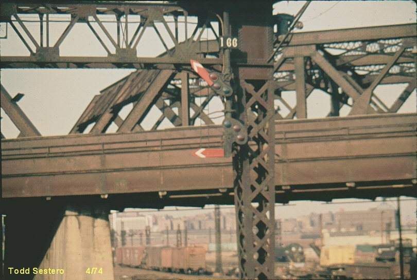
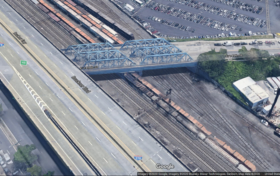
Another picture from the "way back machine", is this picture I shot out of the side, when they used to let you take pictures out of an open vestibule window. It is a picture of a New Haven semaphore still "up" in 1974, as we're getting ready to go under East 149th St in the Bronx. Keep in mind, that when the Penn Central took over from the New Haven in 1968, all of the signals in use were semaphores. So I'm guessing during the Conrail era, when they decided to replace the semaphores, they used the Pennsy PL signals, because at the time, Sunnyside Yard was full of them, and that's all the maintainers had around to use. Most of the signals you will find between New Rochelle and Sunnyside are the standard all yellow Pennsy PL's, while others have been colorized with the "red eyes".
Acknowledgements:
Mitch Waxman
Jersey Mike
Brian Weinberg
Doug Grotjahn
Dennis Livesey
Google Maps
Open Railway Map
Websites and other additional information sources of interest for the area:
https://en.wikipedia.org/wiki/Hell_Gate_Bridge
https://en.wikipedia.org/wiki/List_of_railroad_yards_in_New_York_City
https://en.wikipedia.org/wiki/Oak_Point_Yard
https://en.wikipedia.org/wiki/Fresh_Pond_Junction
https://www.railroadsignals.us/signals/unusual/index.htm You'll find the Penn Station signals on this page
https://en.wikipedia.org/wiki/Pennsylvania_Station_(New_York_City)
https://jasongibbs.com/pennstation/
http://newpenn.nyc/reference/historic-penn-station/
https://www.flickr.com/photos/95914888@N07/ photos by "Around the Horn"
Getting to the bridge is an involved process since nothing is right off an interstate exit. So I won't even begin to guide you here. GPS or a good map is going to be your best friend here. sorry. :-) :-)
The Ditmars Blvd station under the Hell Gate approach in Astoria.
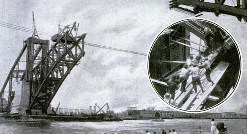 1915
1915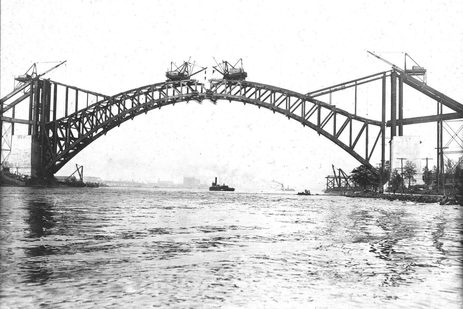
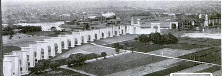 1917
1917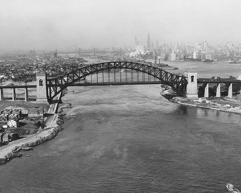
 Jersey Mike
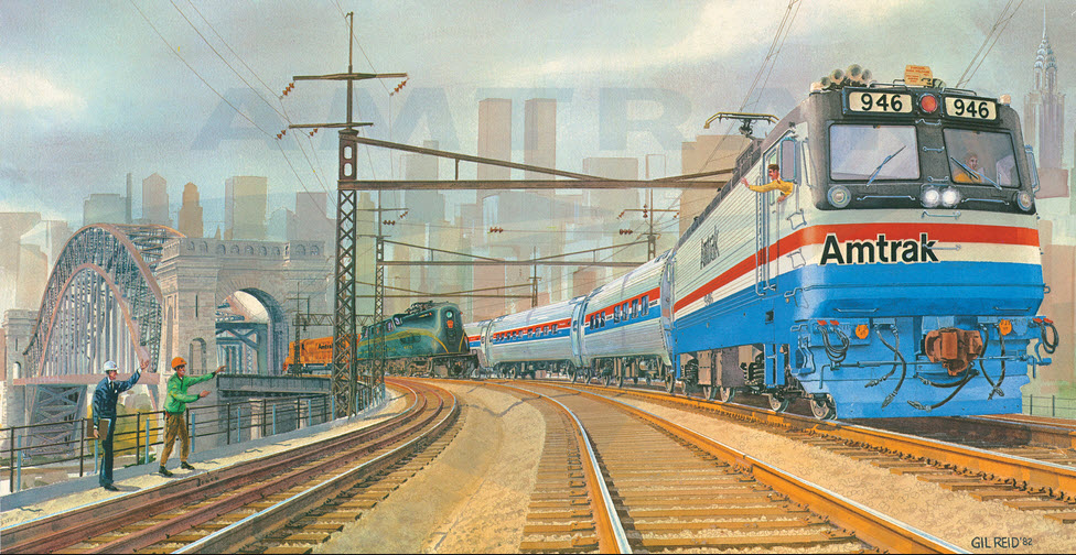
Beautiful drawing, however.........
Out the back of a NB Northeast Regional Train
On the Queens side, the Northeast Corridor meets up with the former New Haven Freight line coming from Fresh Pond Yard. The freight line used to have two tracks. It is now CSX's Freemont Industrial Track. I wish I had more pictures of those electrified New Haven freights back in the days.
The CSX/Connecting RR of NY Freight Line splits off from the Amtrak NEC.
This section is about the signals between the East River Tunnel Portal, and New Rochelle NY.
It has been moved to it's own page, for it made this page just a tad too large.....
https://railfanguides.us/ny/penntonewrochelle/index.htm
Because there are so many signals, especially when going through Sunnyside Yard, they are included in the above "Quick Tour" page.
I always loved taking a ride up to Ditmars Blvd, and wasting time hoping to catch a New Haven freight or a speeding Pennsy passenger train going over. New York City was a great place for a railfan to grow up!
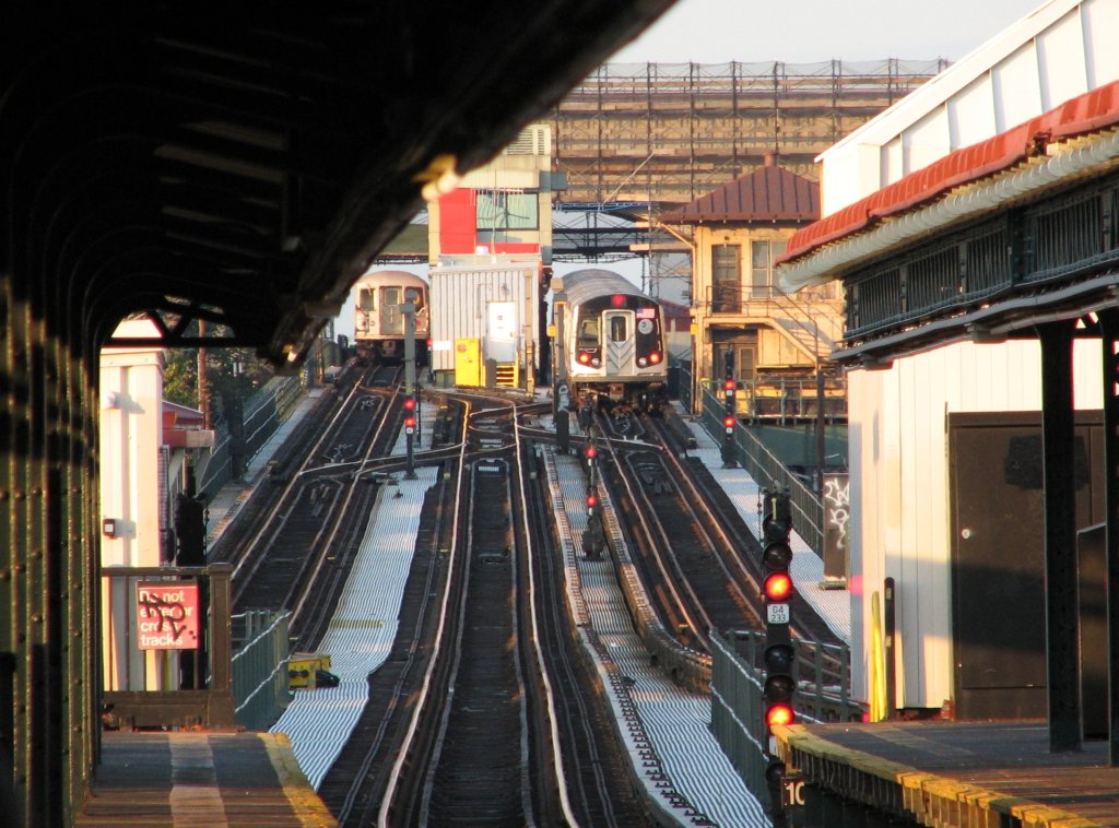
R-160B cars at Astoria-Ditmars Blvd. Photo taken by Brian Weinberg, 8/27/2007.
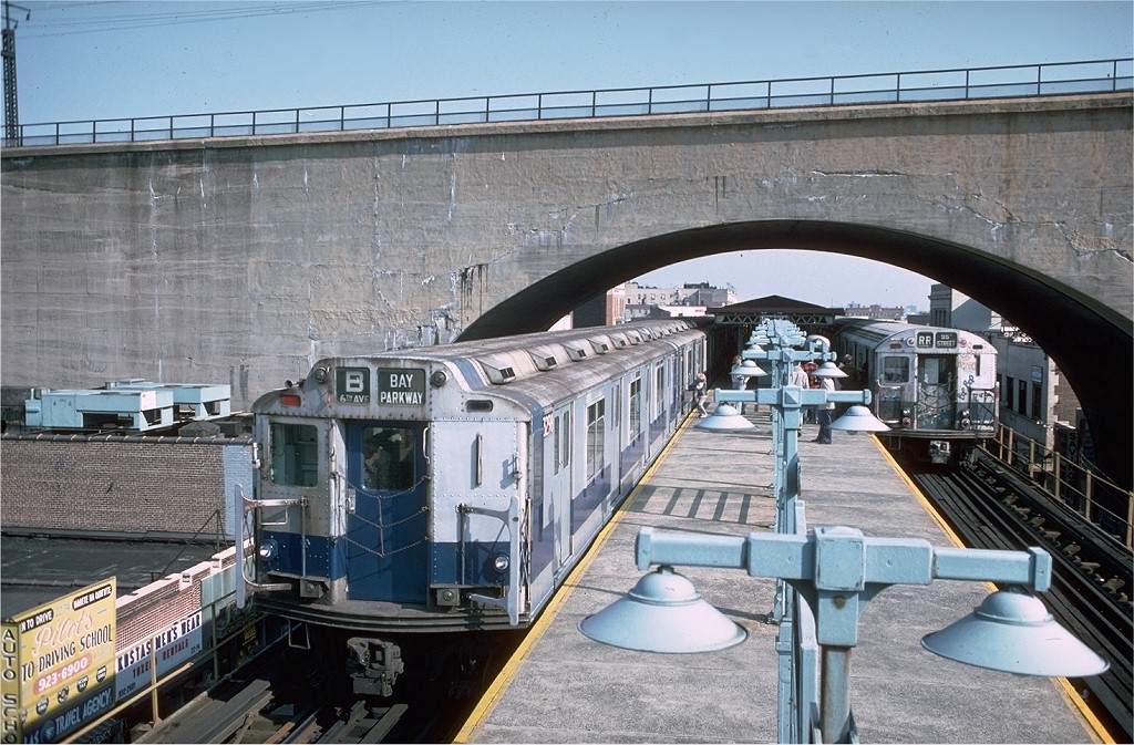
Date: 10/23/1976, Car: R-10 (American Car & Foundry, 1948) 3298, Photo by: Doug Grotjahn, Collection of: Joe Testagrose
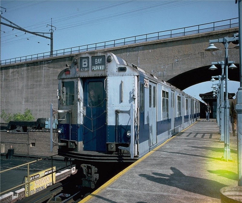
Date: 10/23/1976, Car: R-10 (American Car & Foundry, 1948) 3298, Photo by: Doug Grotjahn, Collection of: Joe Testagrose
If you notice above, by 1976, the wires had been removed from the two New Haven freight tracks.....
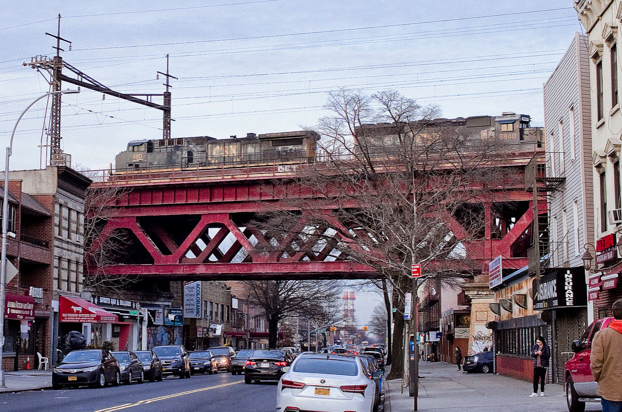 Mitch Waxman
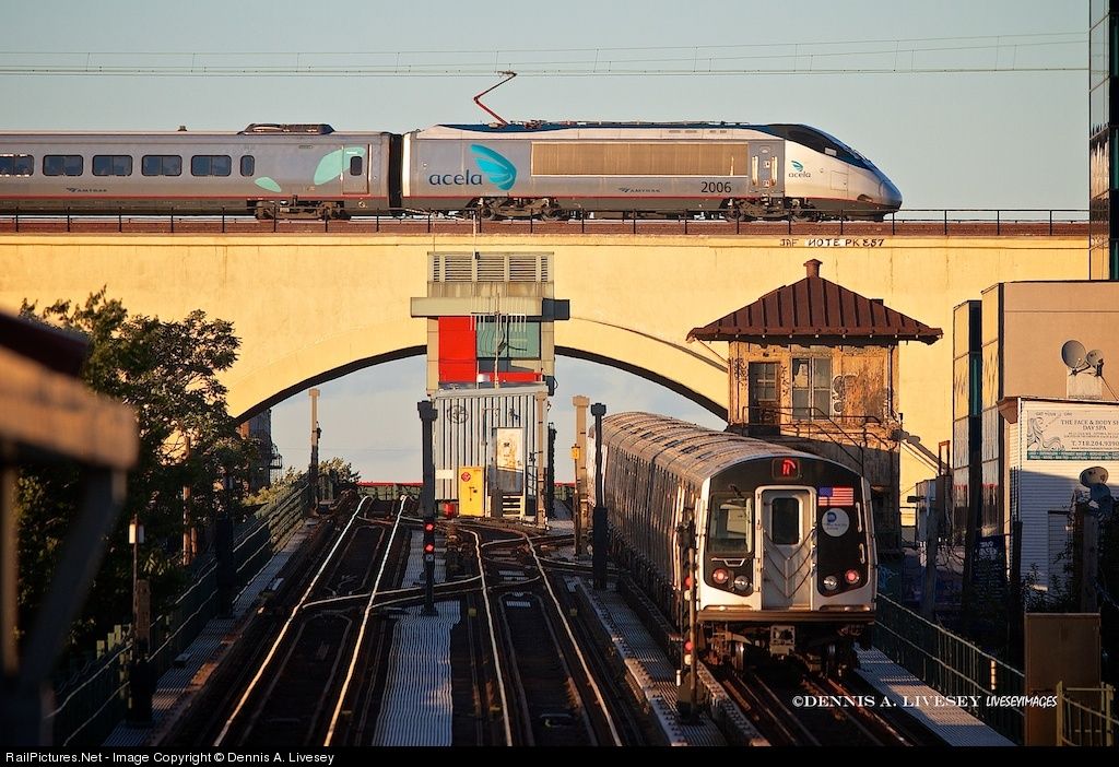
The best of two worlds!!! :-) :-)
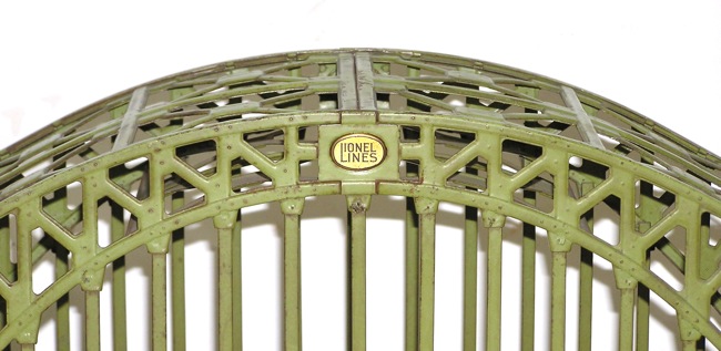
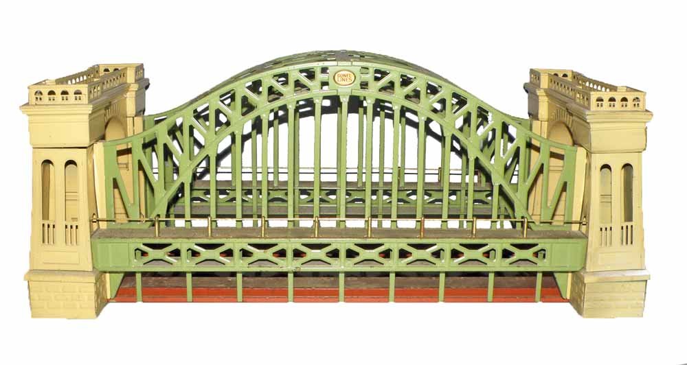
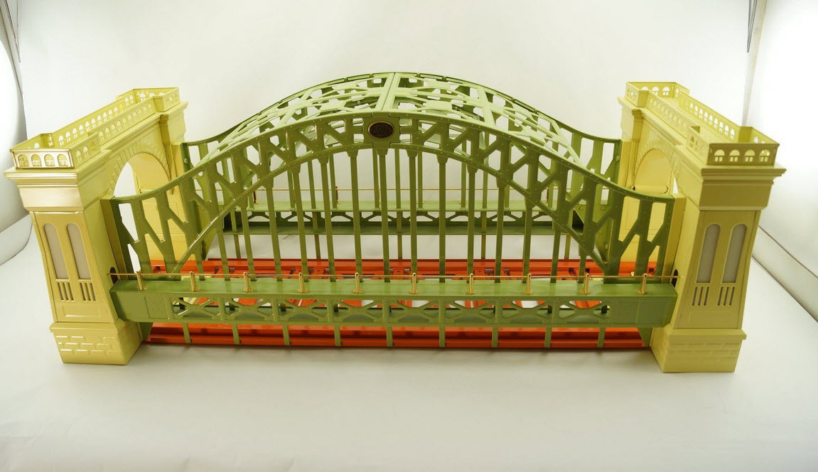
Lionel's Version 1
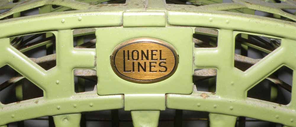
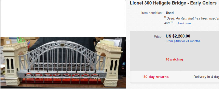
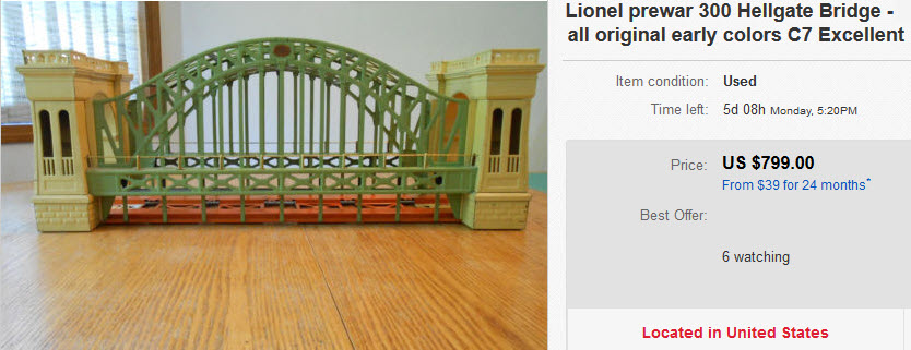
Lionel produced the original model 300 from 1928 to 1933, and it carried the part number 6-32999. If you can find an original one, it's in the $500-$3000 price range depending on condition. Two versions were made, one was cream and green, the other was cream and silver.
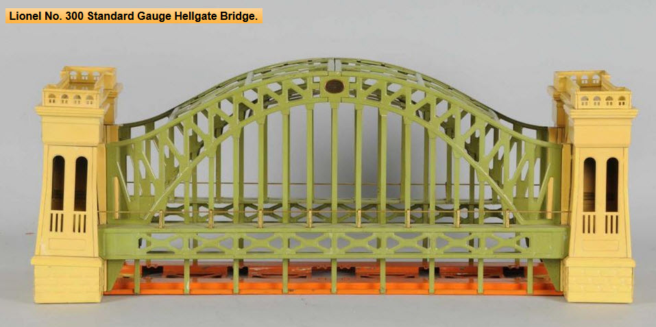
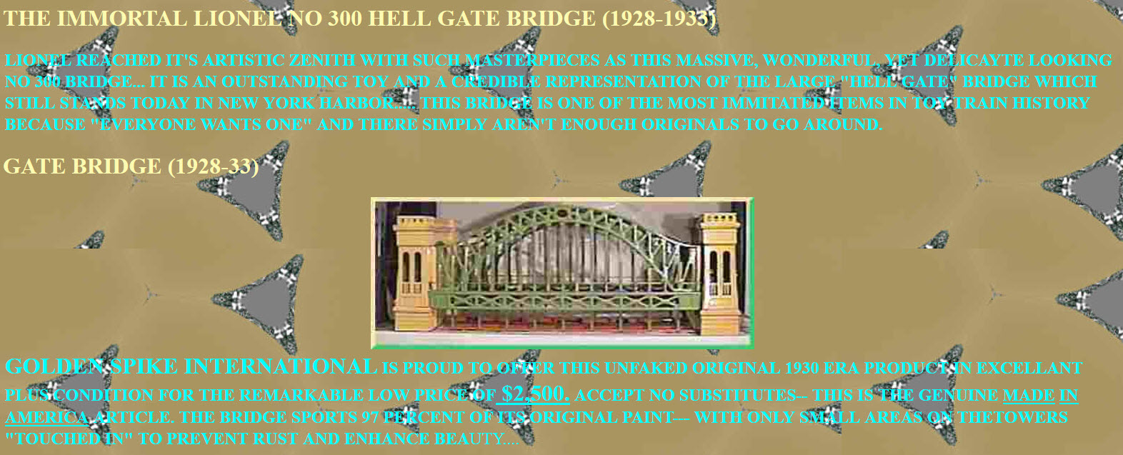
An ad from: http://moira.meccahosting.com/~a000072b/300hg.htm
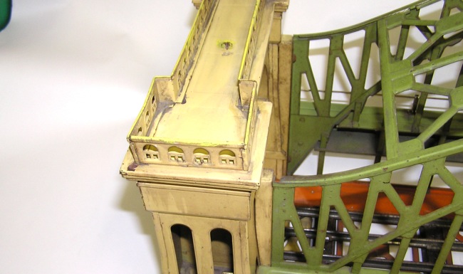
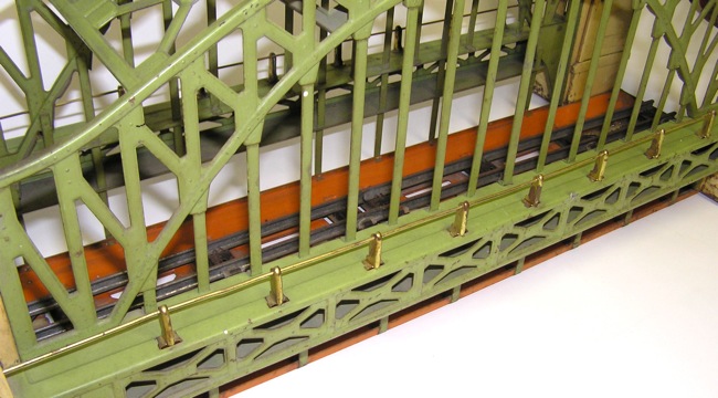
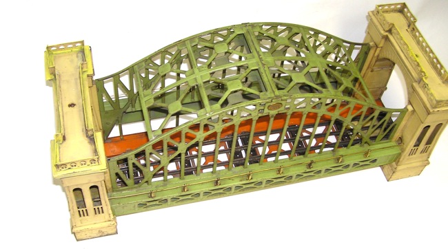
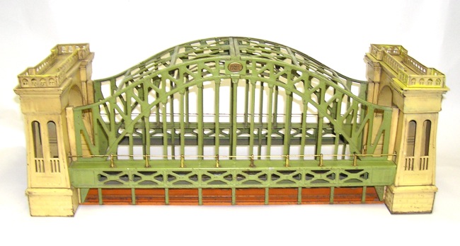
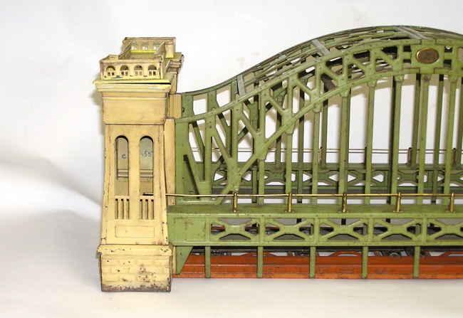
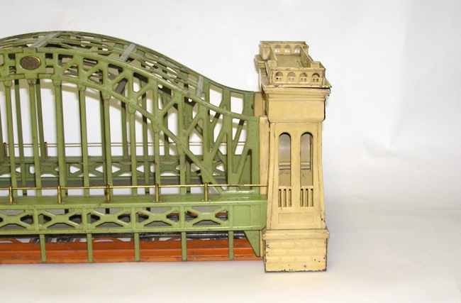
Pictures from: http://www.dakotapaul.com/items/showitem.asp?iid=2017
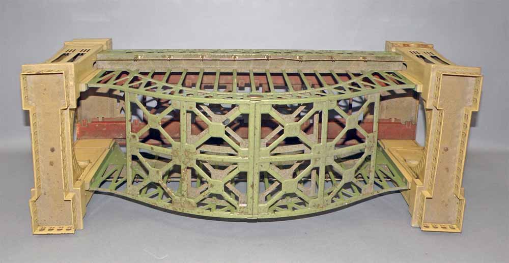
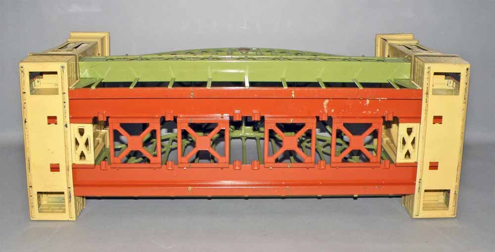
Lionel's Version 2
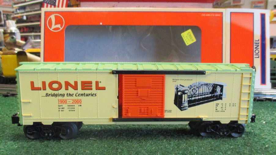
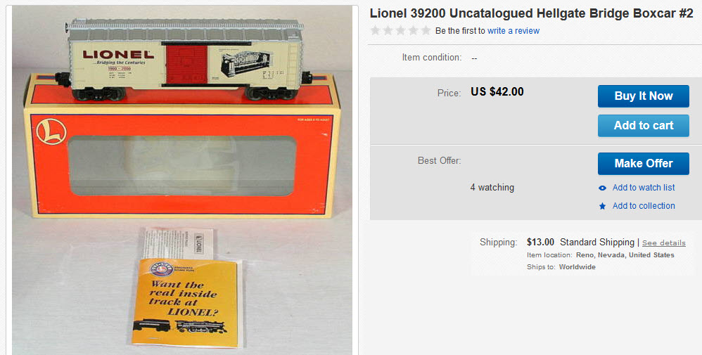
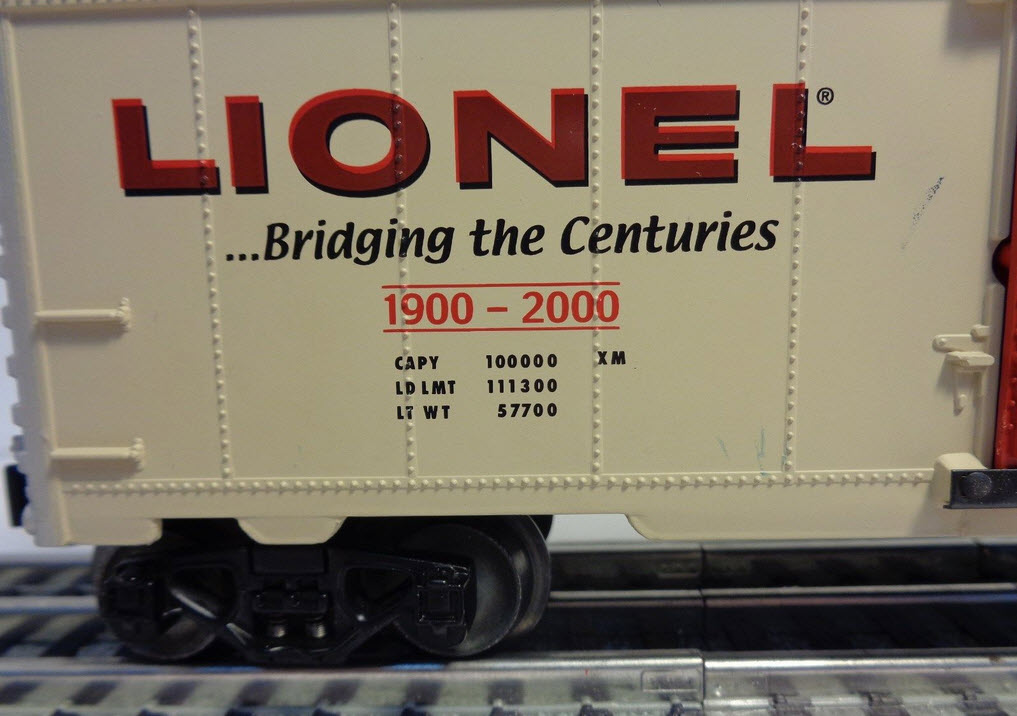
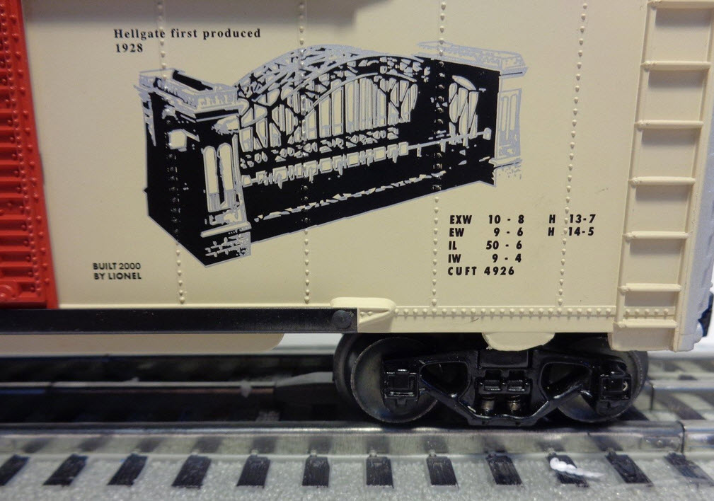
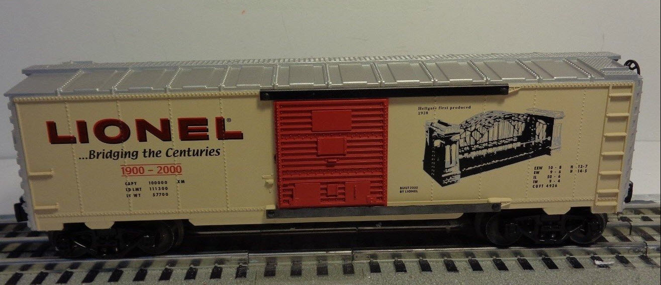
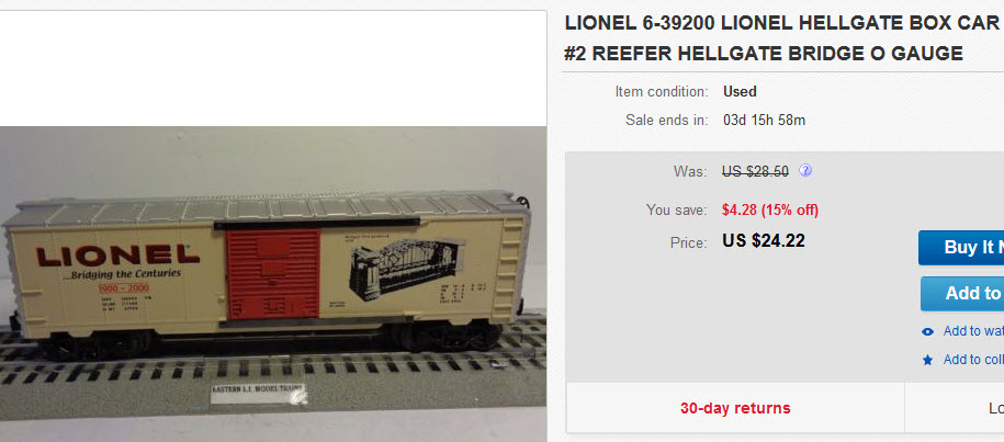
Lionel made a second run and called it a model 305 in 1999-2000. Lionel also made "matching" boxcars in 1999, offering them in the same two color schemes.
MTH's Version
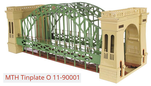
MTH also offered the bridge in the same two color versions as Lionel made.
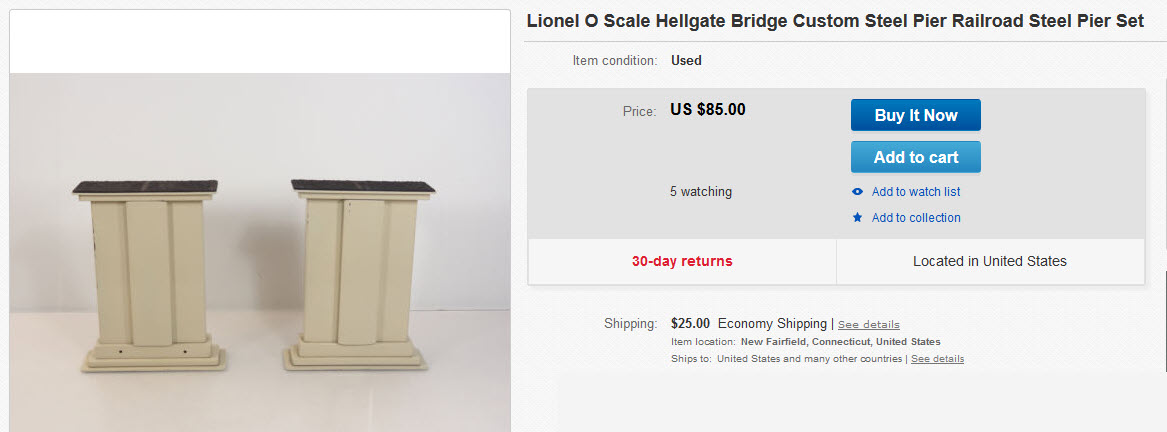
Although not Lionel or MTH made, are these custom made steel bridge piers to accompany the bridge:
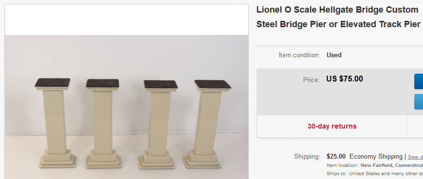
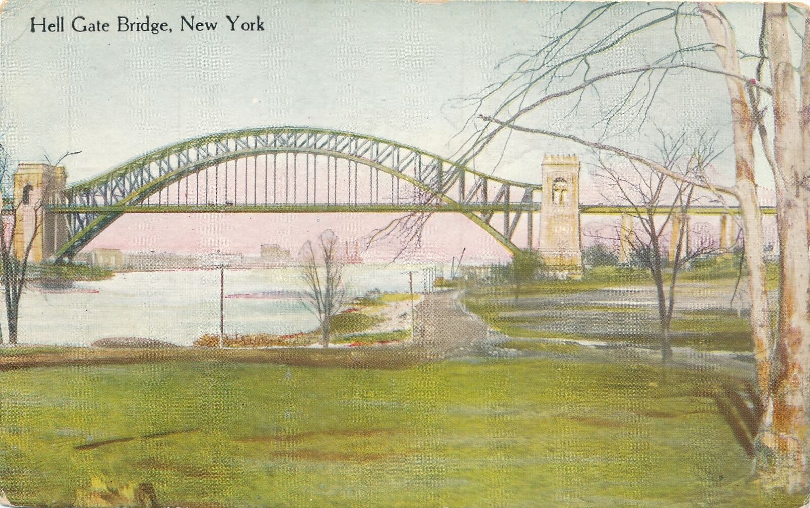

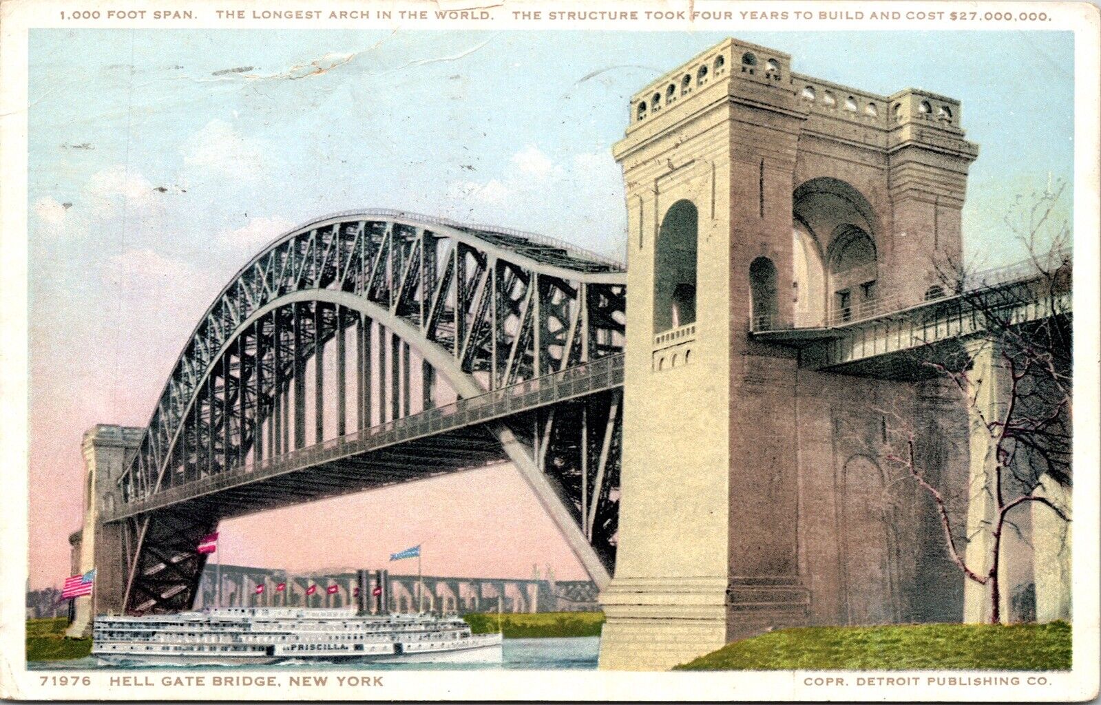
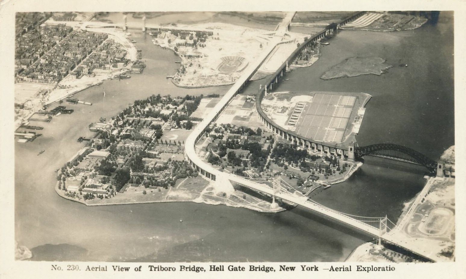
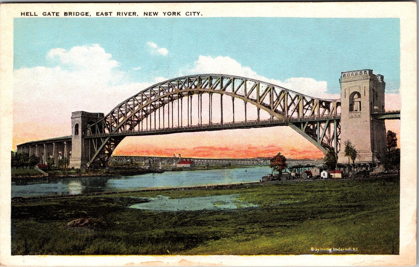

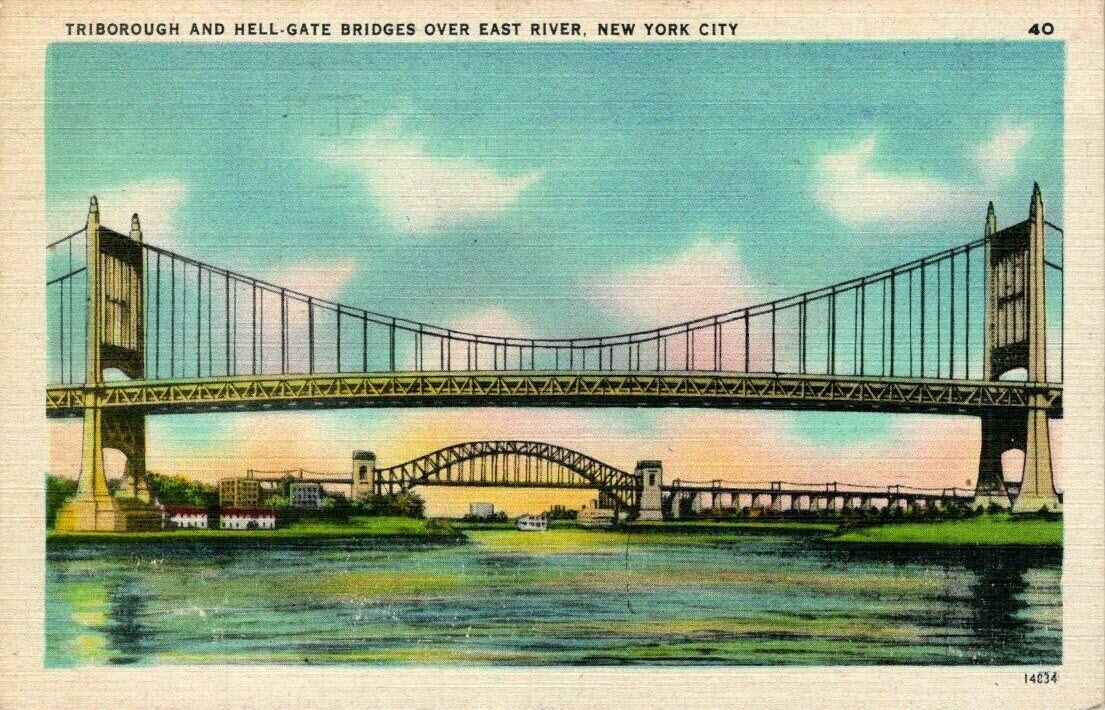

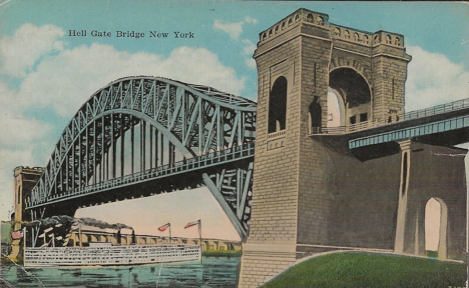

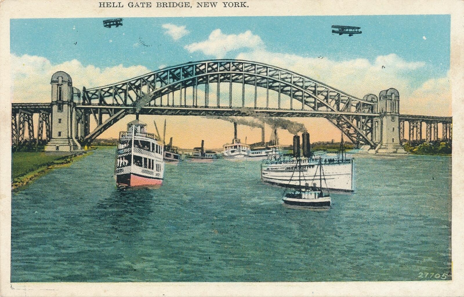

Notice whomever did the 1920's version of Photo shopping took a -little- liberty in touching up the bridge :-)
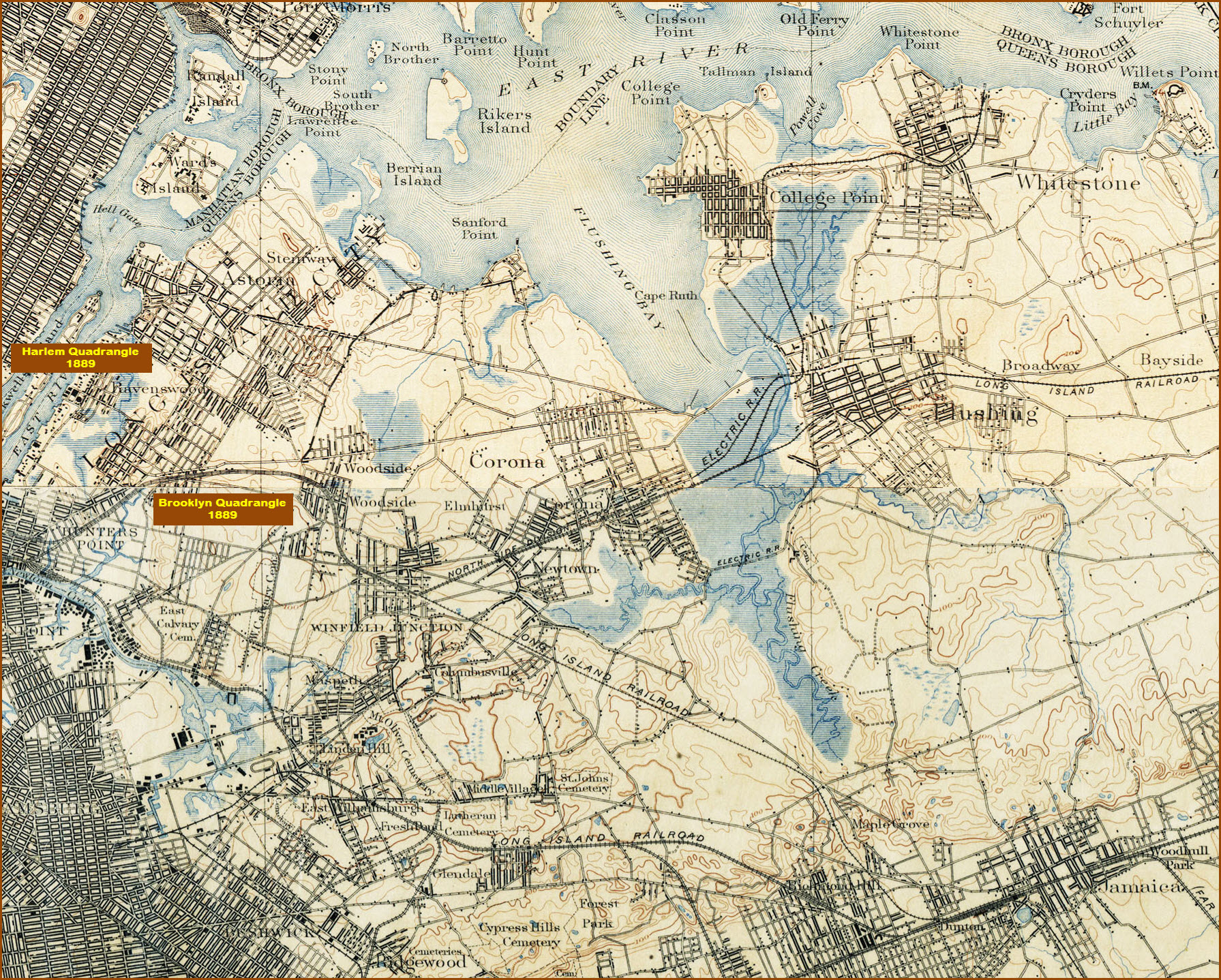
Below, composite USGS map from 1889, before Hell Gate bridge was built
Disclaimers:
I love trains, and I love signals. I am not an expert. My webpages reflect what I find on the topic of the page. This is something I have fun with while trying to help others.
Please Note: Since the main focus of my two websites is railroad signals, the railfan guides are oriented towards the signal fan being able to locate them. For those of you into the modeling aspect of our hobby, my indexa page has a list of almost everything railroad oriented I can think of to provide you with at least a few pictures to help you detail your pike.
If this is a railfan page, every effort has been made to make sure that the information contained on this map and in this railfan guide is correct. Once in a while, an error may creep in :-)
My philosophy: Pictures and maps are worth a thousand words, especially for railfanning. Text descriptions only get you so far, especially if you get lost or disoriented. Take along good maps.... a GPS is OK to get somewhere, but maps are still better if you get lost! I belong to AAA, which allows you to get local maps for free when you visit the local branches. ADC puts out a nice series of county maps for the Washington DC area, but their state maps do not have the railroads on them. If you can find em, I like the National Geographic map book of the U.S..... good, clear, and concise graphics, and they do a really good job of showing you where tourist type attractions are, although they too lack the railroads. Other notes about specific areas will show up on that page if known.
Aerial shots were taken from either Google or Bing Maps as noted. Screen captures are made with Snagit, a Techsmith product... a great tool if you have never used it!
By the way, floobydust is a term I picked up 30-40 years ago from a National Semiconductor data book, and means miscellaneous and/or other stuff.
Pictures and additional information is always needed if anyone feels inclined to take 'em, send 'em, and share 'em, or if you have something to add or correct.... credit is always given! Please be NICE!!! Contact info is here
Beware: If used as a source, ANYTHING from Wikipedia must be treated as being possibly being inaccurate, wrong, or not true.
RAILFAN GUIDES HOME
RAILROAD SIGNALS HOME
NEW JUL06/2016, JUL13/2016, MAR01/2018, OCT16/2022
Last Modified 16-Oct-2022
