RAILROAD SIGNALS HOME
Location / Name:
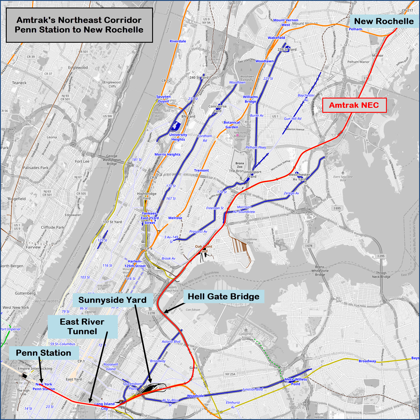
Manhattan, Queens, and Bronx Boroughs of New York City, To New Rochelle NY in Westchester County
What's Here:
Penn Station
Sunnyside Yard
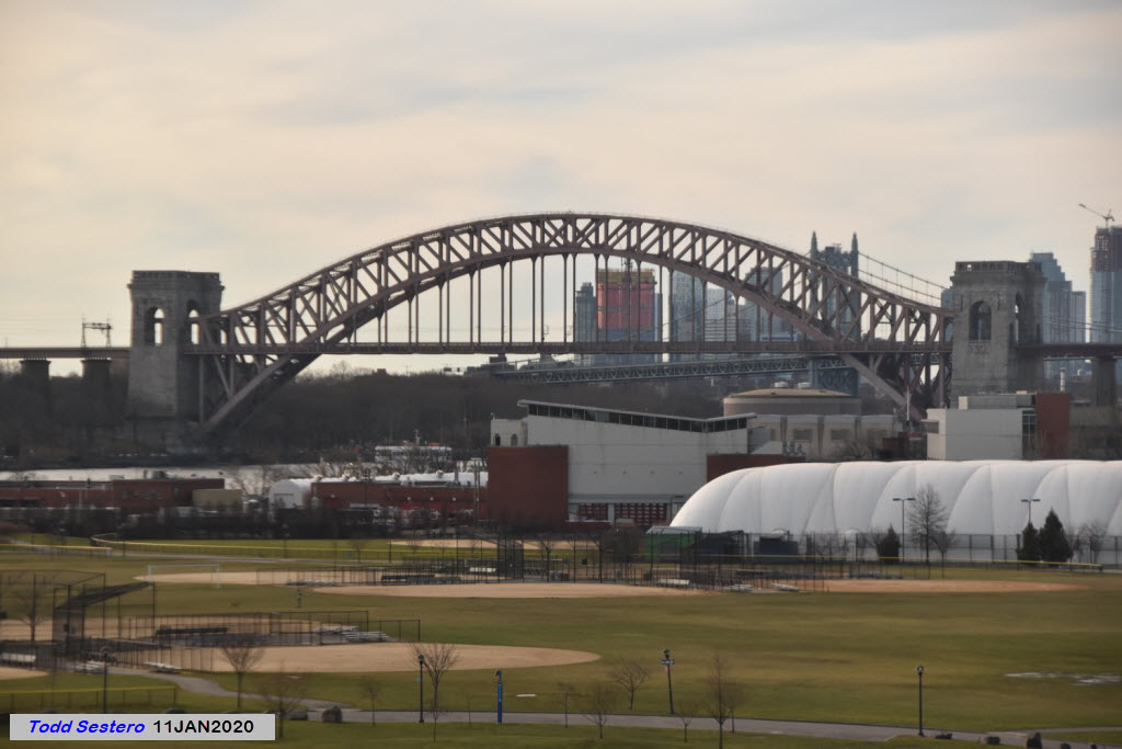
Hell Gate Bridge
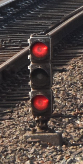
And plenty of PRR PL style Signals, still!
Access by train/transit:
Penn Station, Manhattan, NYC: Amtrak, LIRR, NJT, New York City Subway: A, C, E, 1, 2, 3
New Rochelle NY: Metro North and Amtrak
The Scoop:
This tour was originally on my Hell Gate page, but it made the page just tooooooo big, so, we have planted it here....
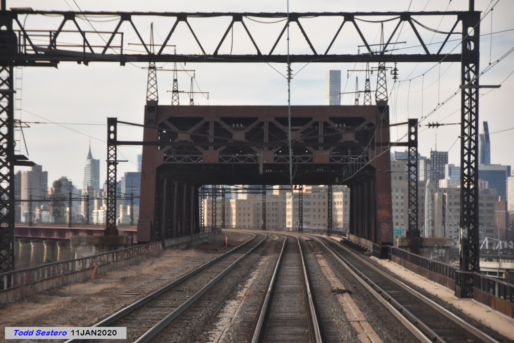
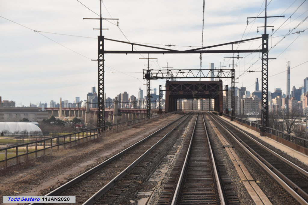
The trip starts at Penn Station, and takes in as many of the signals as I could capture on the ride to New Rochelle NY, about 20 miles away.
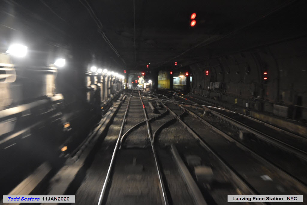
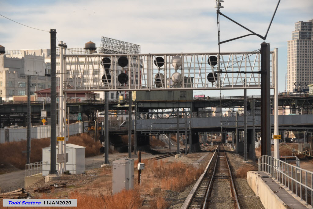
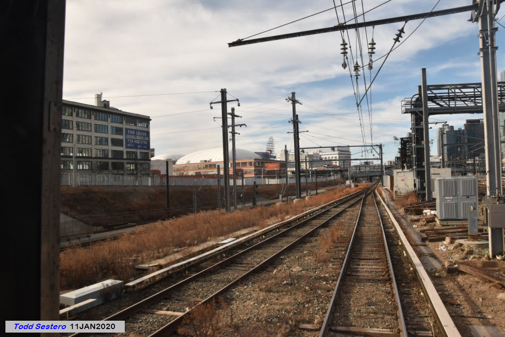
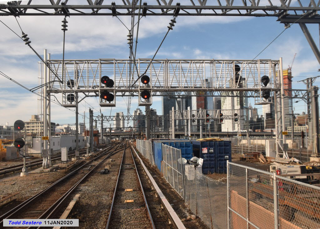
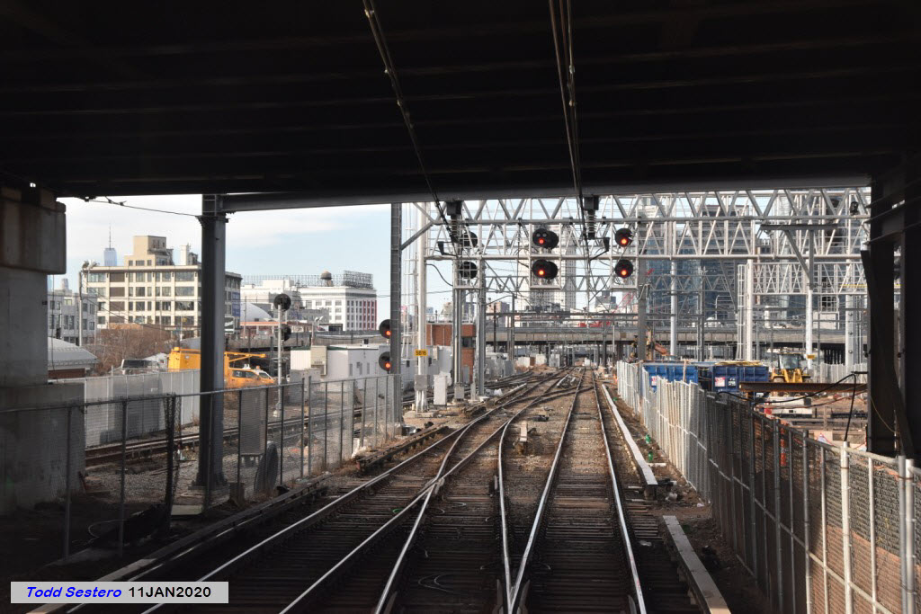
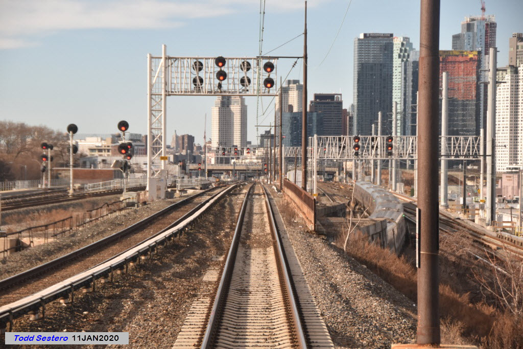
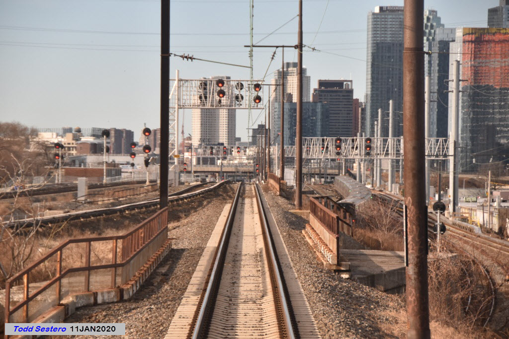
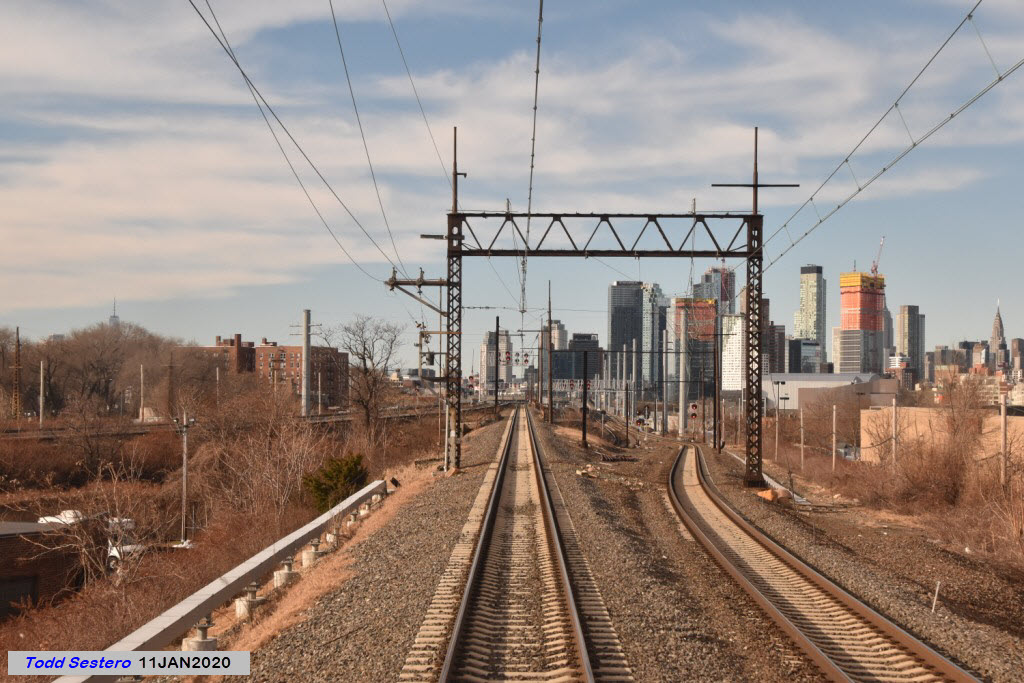
Background: On January 11th, 2020, my buddy John and I took a trip to Boston to visit my aunt for her 100th birthday. We decided to ride up in business class, hoping the business car would be the last car of the consist, and luckily, it was. Here are a few of the pictures I took out the rear window. I start with leaving the track 9 platform in Penn Station in the middle of "JO" interlocking, and work my way to New Rochelle.
Many thanks to Joshua who sent me an email outlining a bunch of updates and a few course corrections!
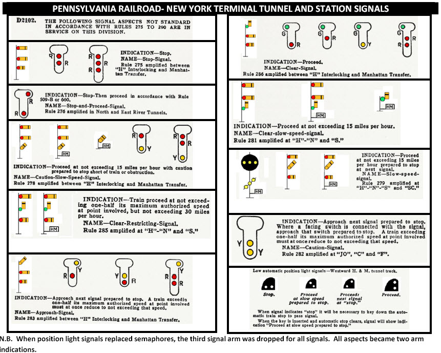
As a side note, since signals got me started with all of this stuff back in 2005; a trip from Penn Station to New Rochelle takes you past FOUR different types of signals. Today, with signal standardization going towards Colorlight Signals, this is more than anywhere else in the United States (left to right):
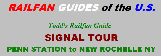
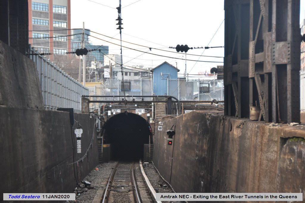
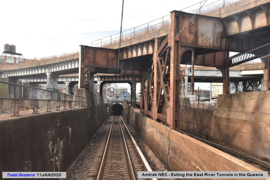
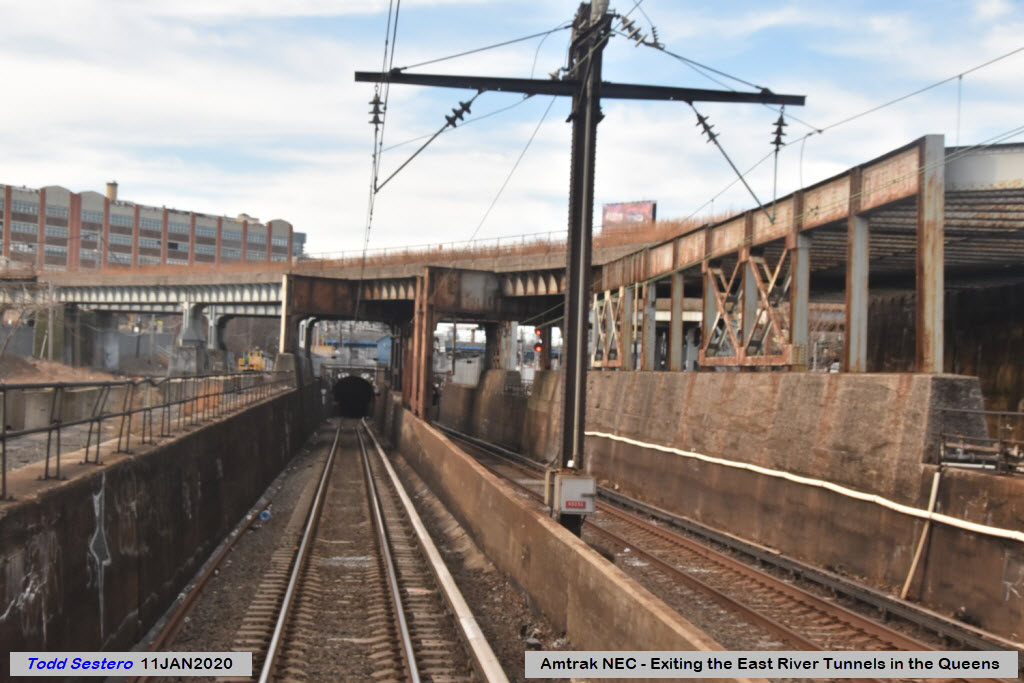
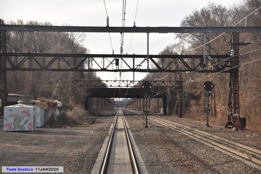
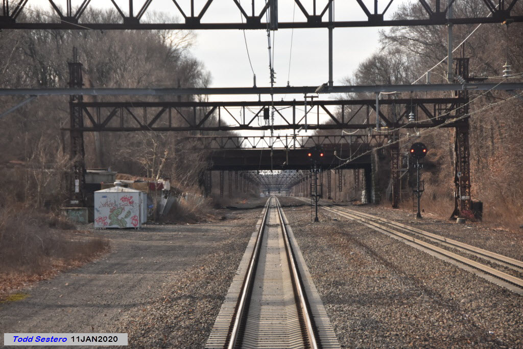
- Penn Station PL signals in the station, in the tunnels, and one signal as you get ready to enter the East River Tunnels,
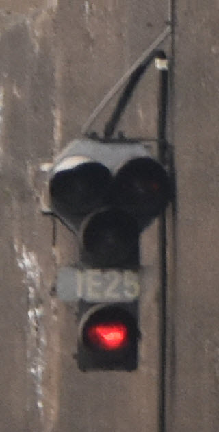
- Tri-light style Colorlight signals going thru Sunnyside Yard (what the LIRR is changing over to),
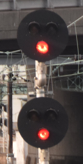
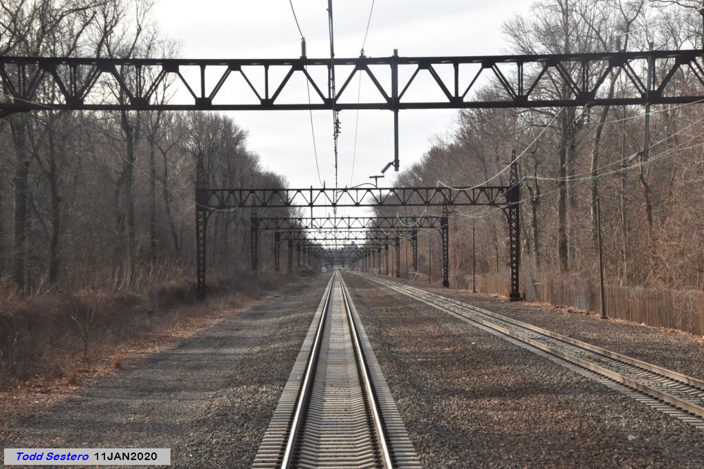
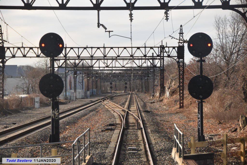
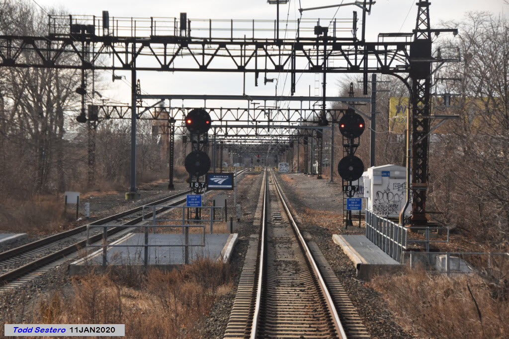
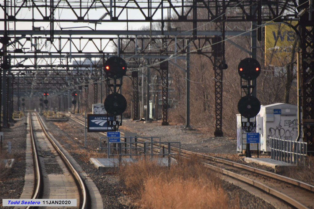
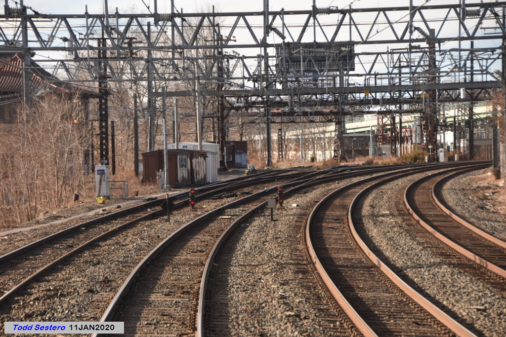
- Standard Pennsy style PL signals from Sunnyside Yard to New Rochelle,
- And finally, in New Rochelle, Metro North Dwarf Colorlight signals.
In an interesting side note, up until (at least) the mid 70's, you could find semaphores on the New Haven. At the top of my semaphore page, I took that picture somewhere in the Bronx in 1974 during a trip from Baltimore to Rhode Island (Thanks goes to SIO).
Acknowledgements:
Joshua Moldover
Mitch Waxman
Jersey Mike
Peter Ehrlich
Steve I. Olbert
Websites and other additional information sources of interest for the area:
None so far
You can start at either Penn Station or the station in New Rochelle NY.
I will leave you to your own devices to find your way to either of those two stations.
Map
I took the map below and embellished it with a few more details....
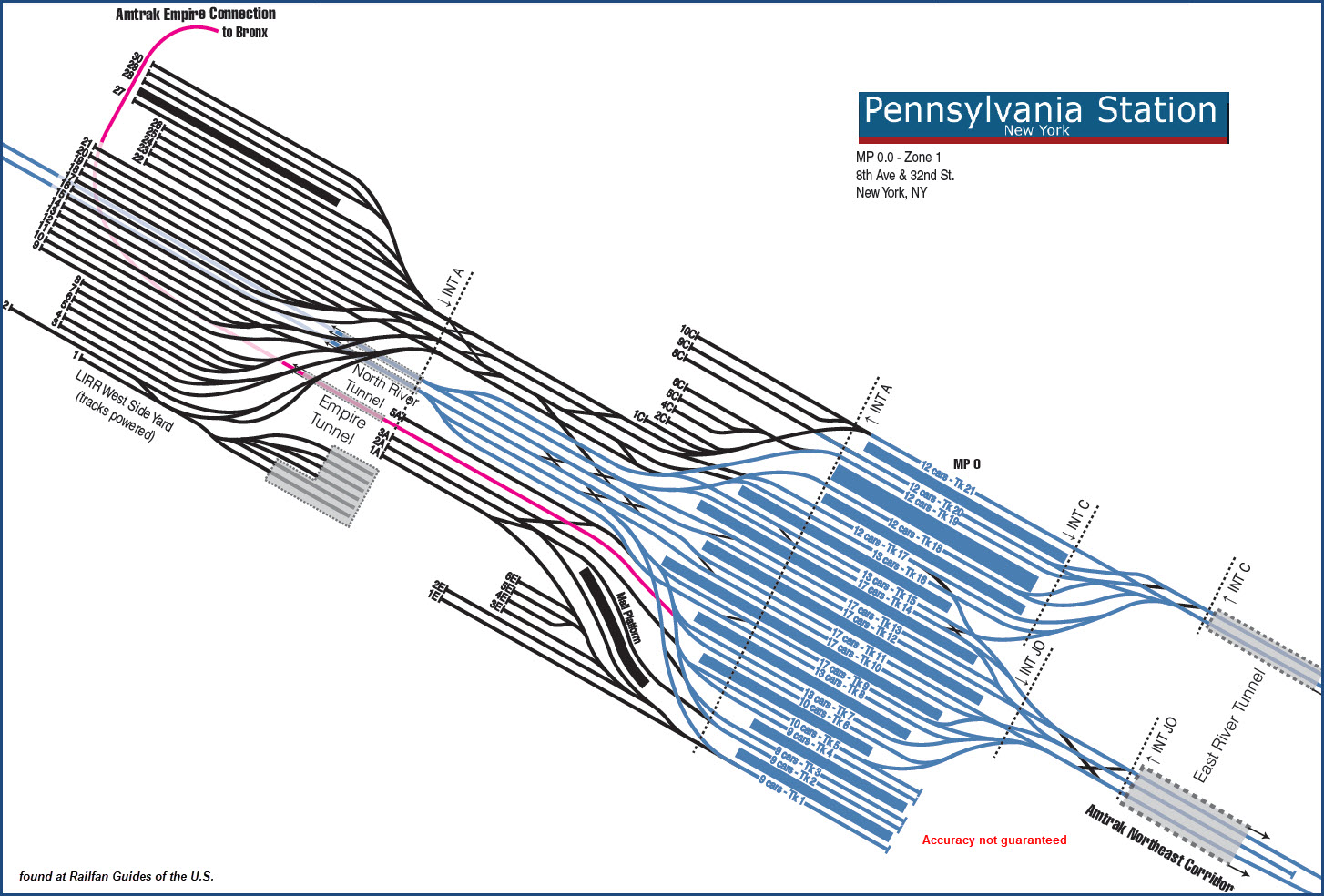
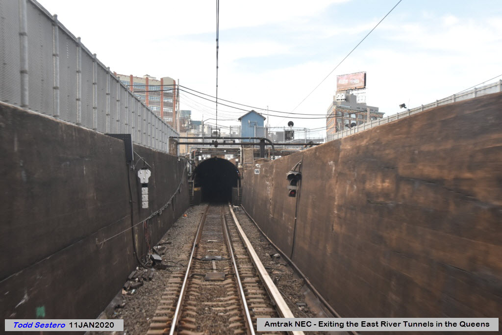
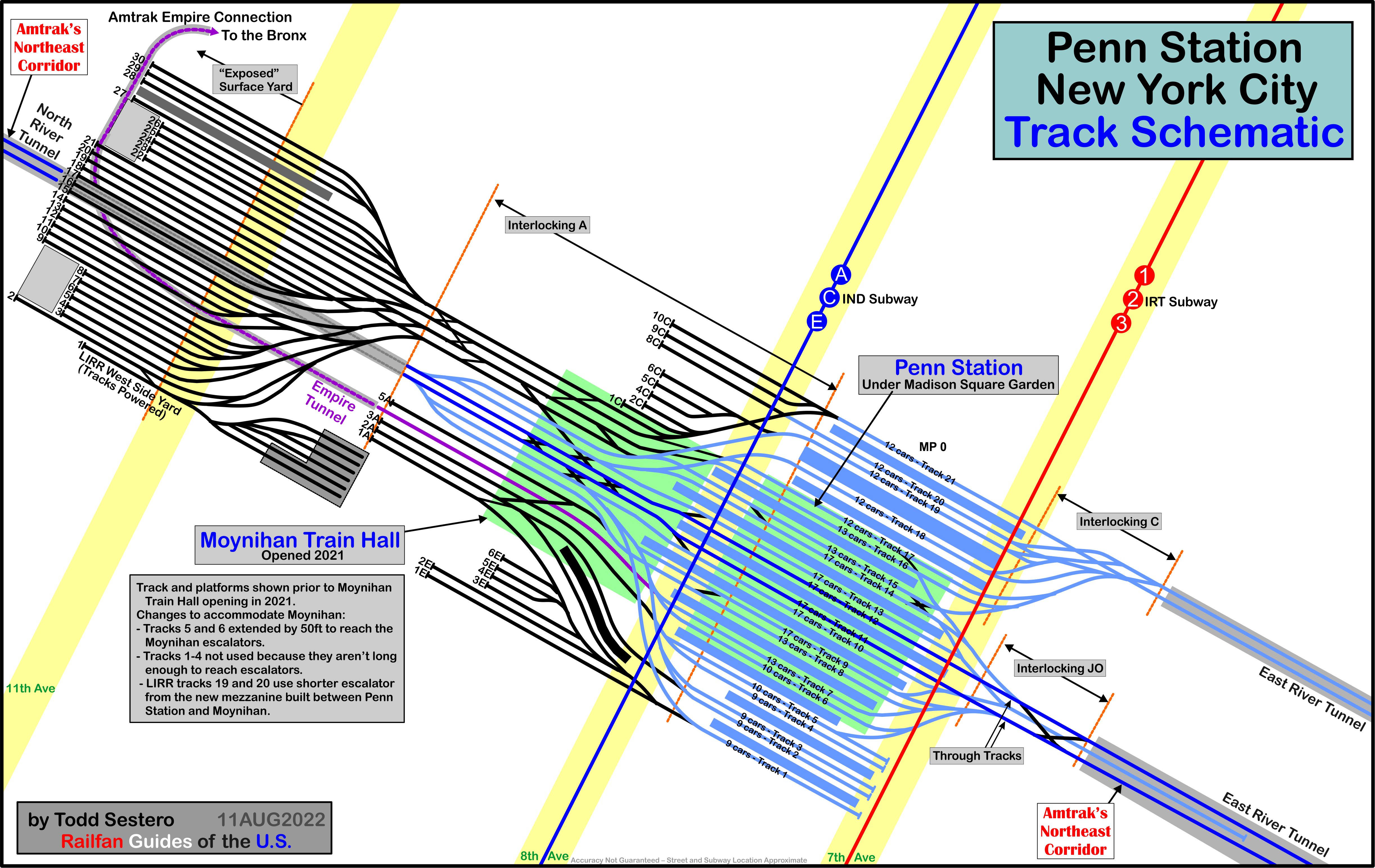
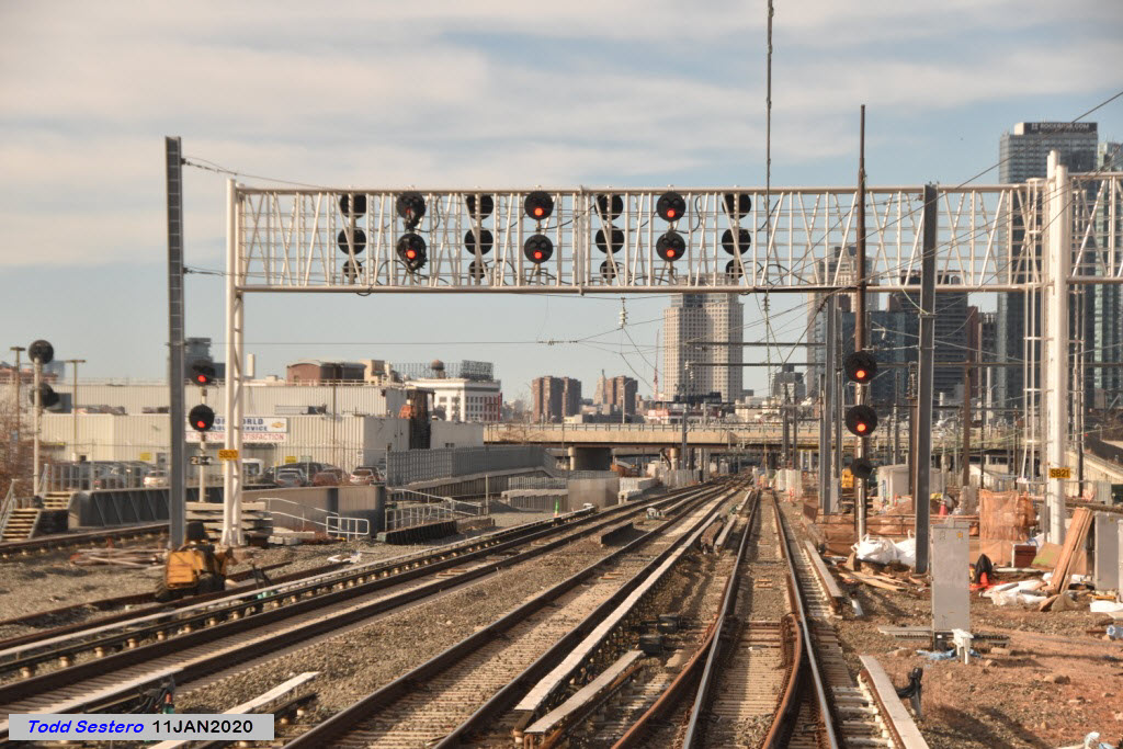
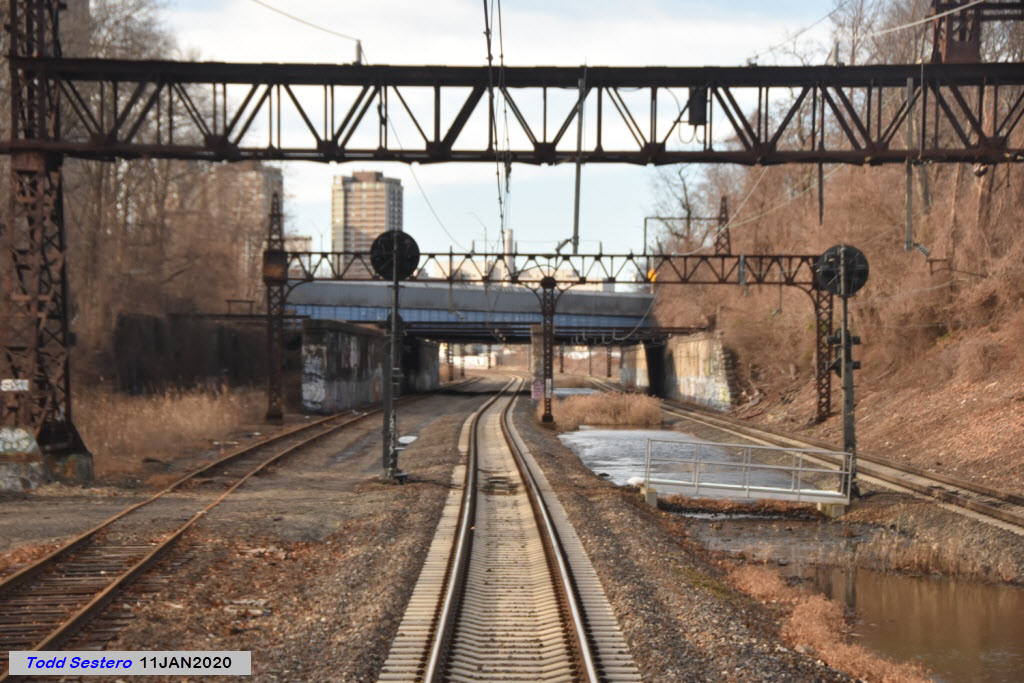
The signal(s) at the entrance to the tunnel are unique to Penn Station, they are not used anywhere else in the world. See my link above for more information on them. From here on, into Penn Station, and over to the portal in New Jersey, they are the only type of signal used.
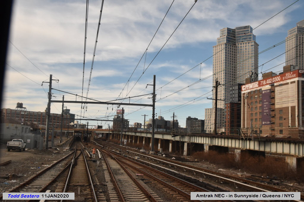
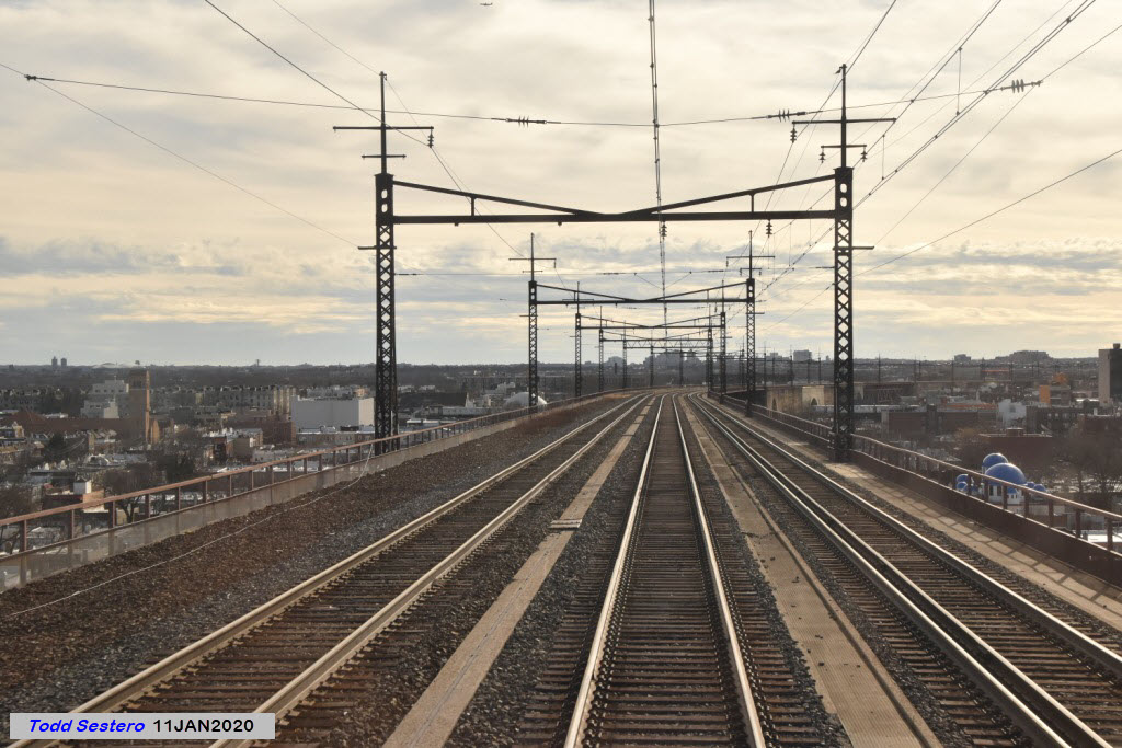
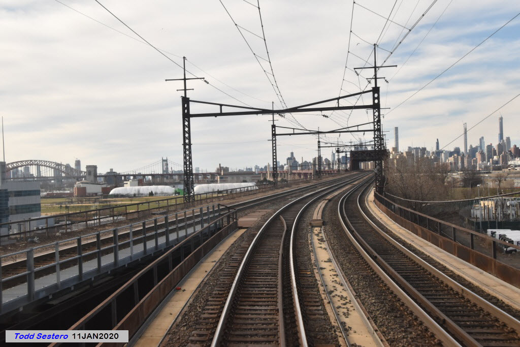
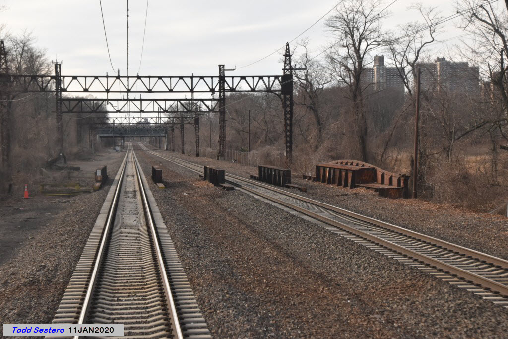
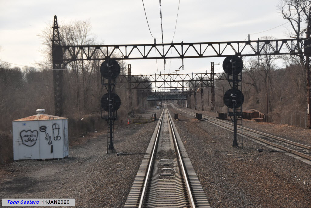
Signals at Sunnyside are all "tri-lights" style colorlight. If we had taken pictures here 20 years ago, EVERYTHING would have been (almost) all yellow Pennsy PL signals - on the Long Island as well as Amtrak, for the Long Island RR used them too, since they were at one time they were partially owned by the PRR.
Notice that early on, while still in the yard proper, both LIRR and Amtrak use these tracks, as evidenced by the third rail.
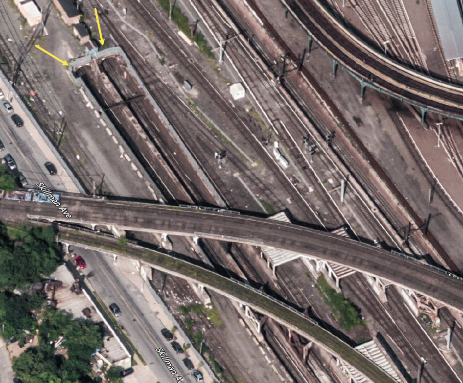
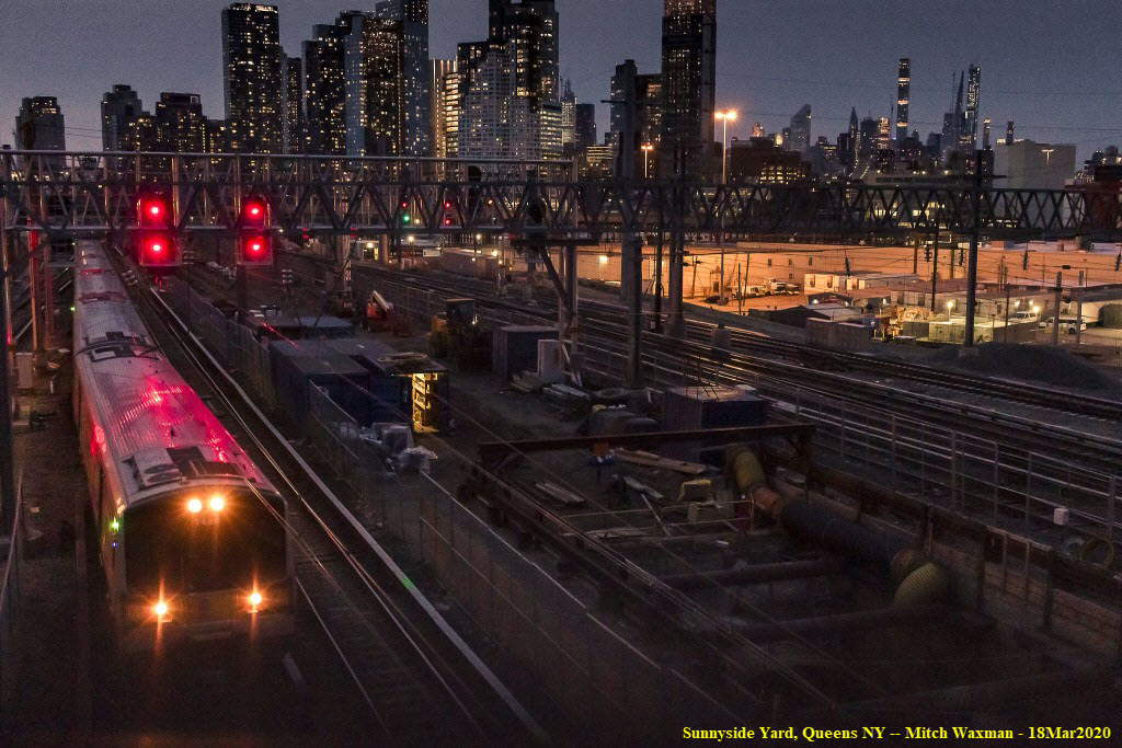
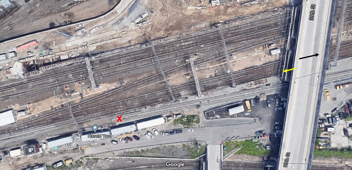
The next picture comes from Mitch Waxman, he is standing on the 39th St overpass, which I am going under in the picture above. An outbound LIRR train is passing under him. Looks like the track off to the left is a relative new-comer, for in the aerial shot, we can see the track is not complete, and the ties are squeaky clean! :-) I was going under 39th Street when I took the picture (the black arrow), and Mitch is standing on the bridge at the yellow arrow. It's a great sunset shot!!!
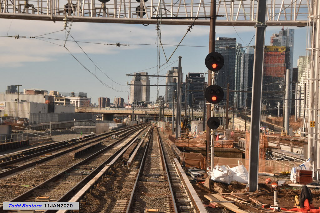
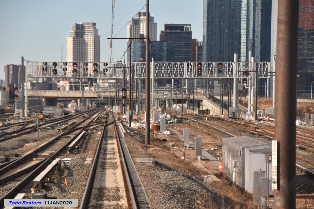
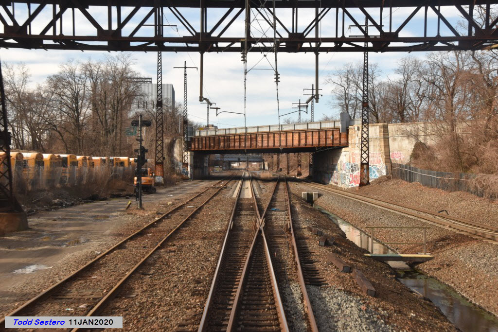
We pass over an inbound LIRR commuter train.
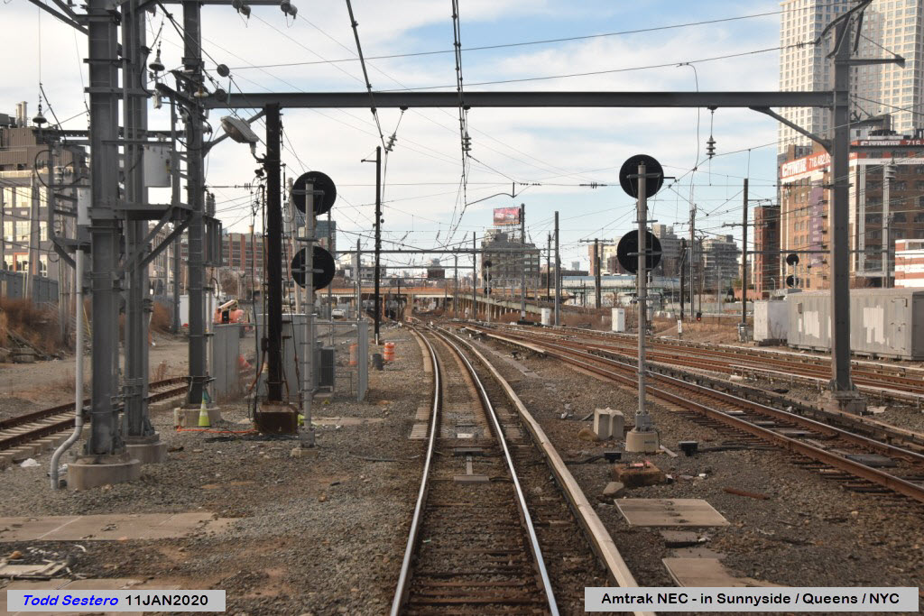
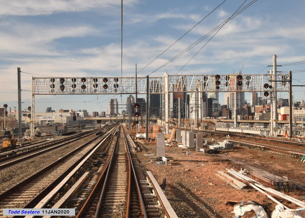
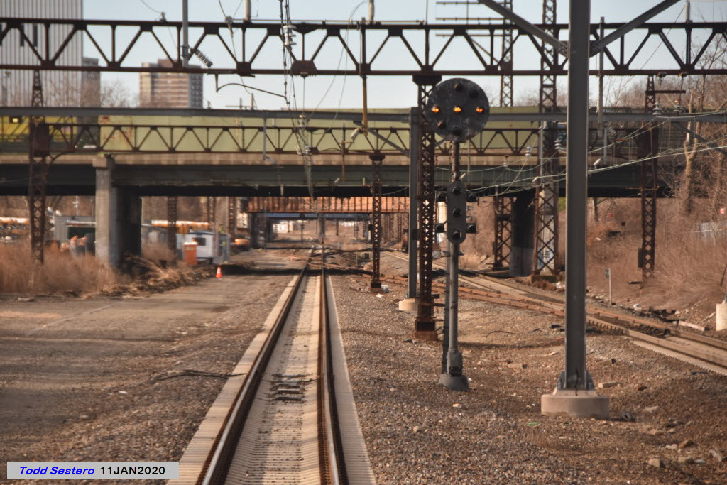
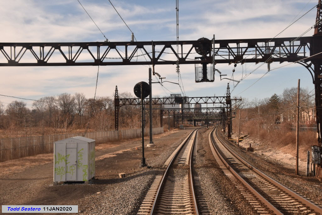
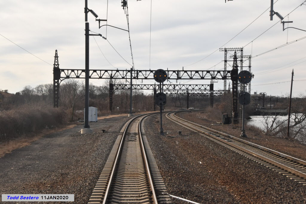
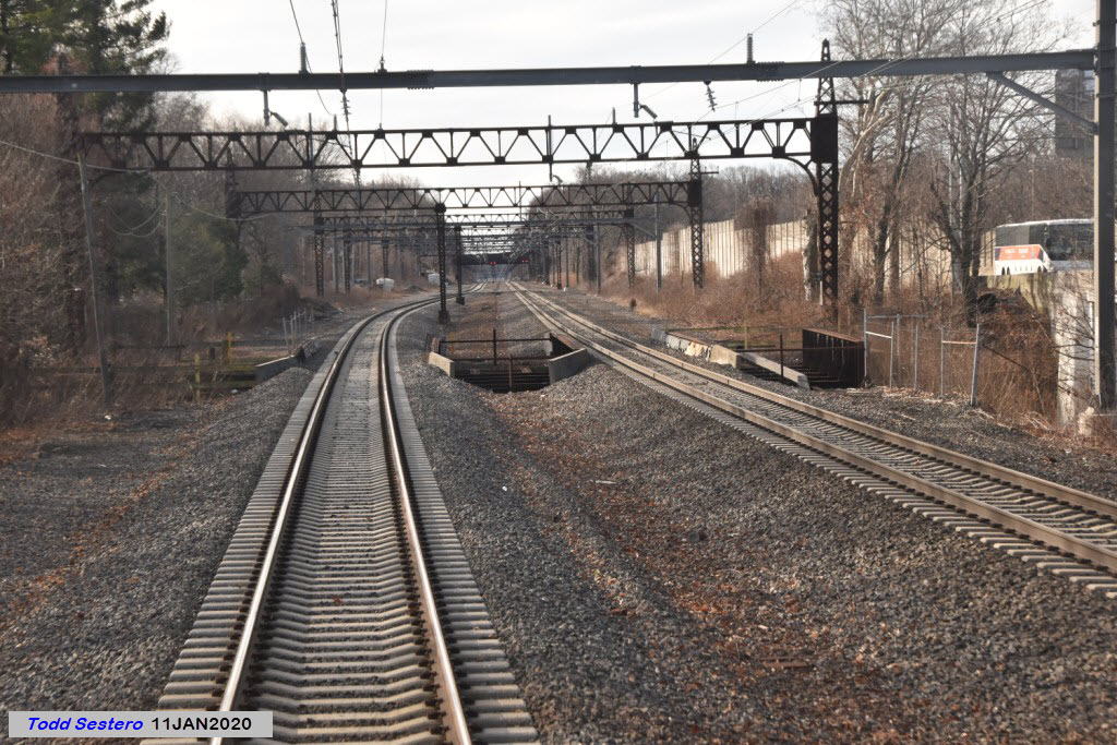
Here we see the inbound and outbound NEC tracks part ways for their trek thru Sunnyside Yard.
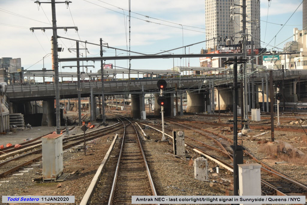
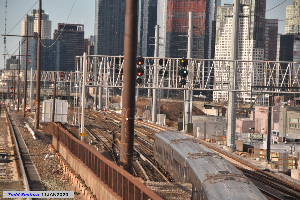
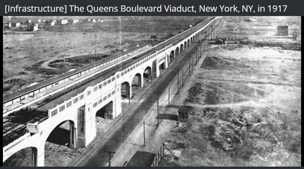
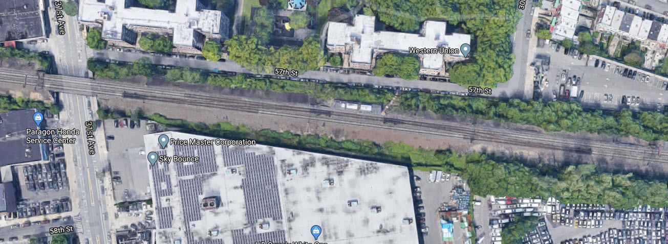
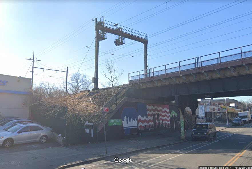
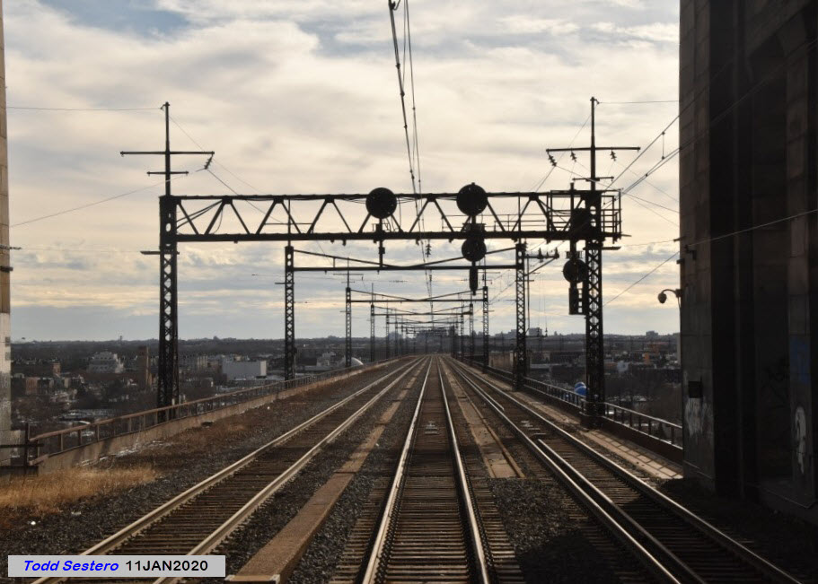
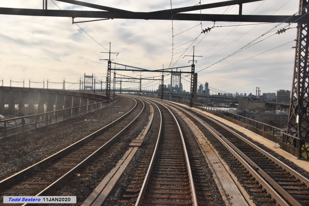
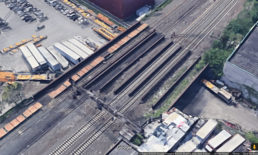
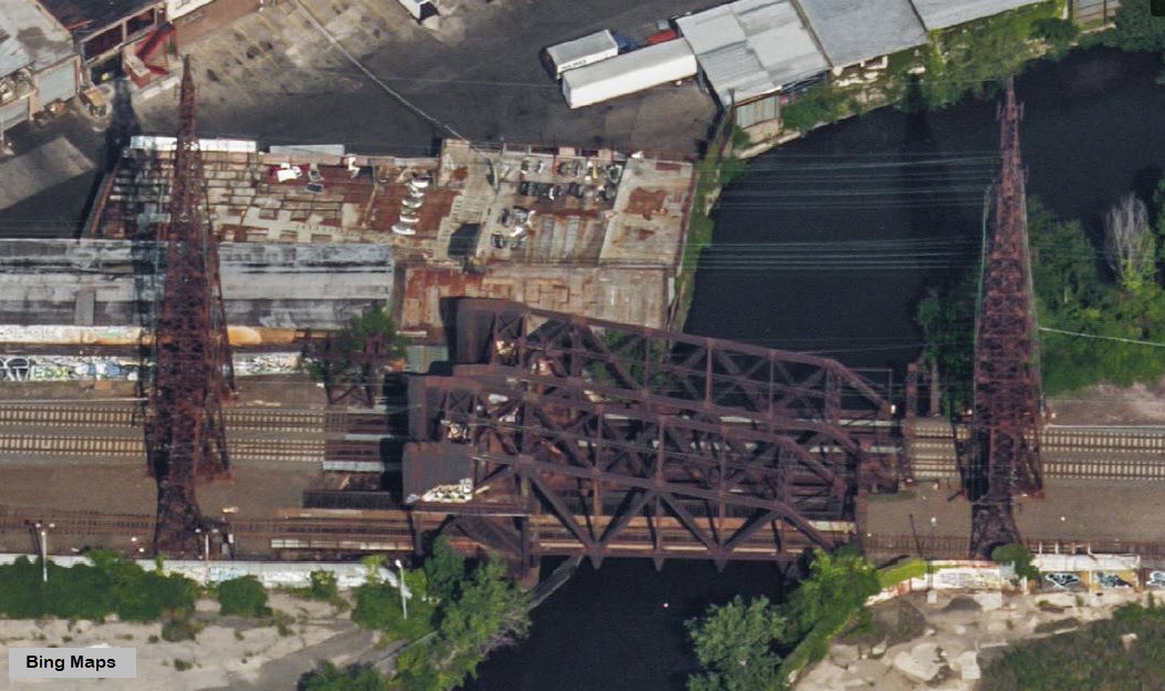
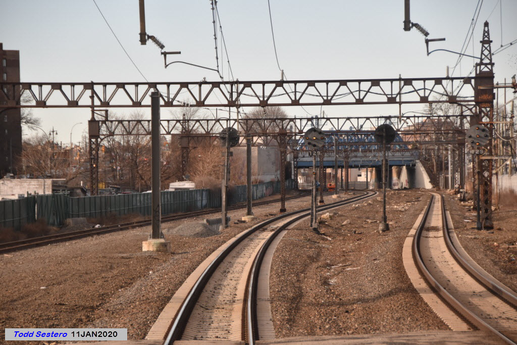
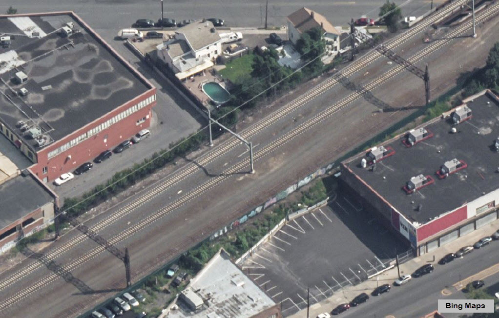
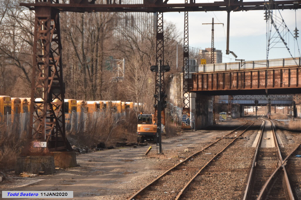
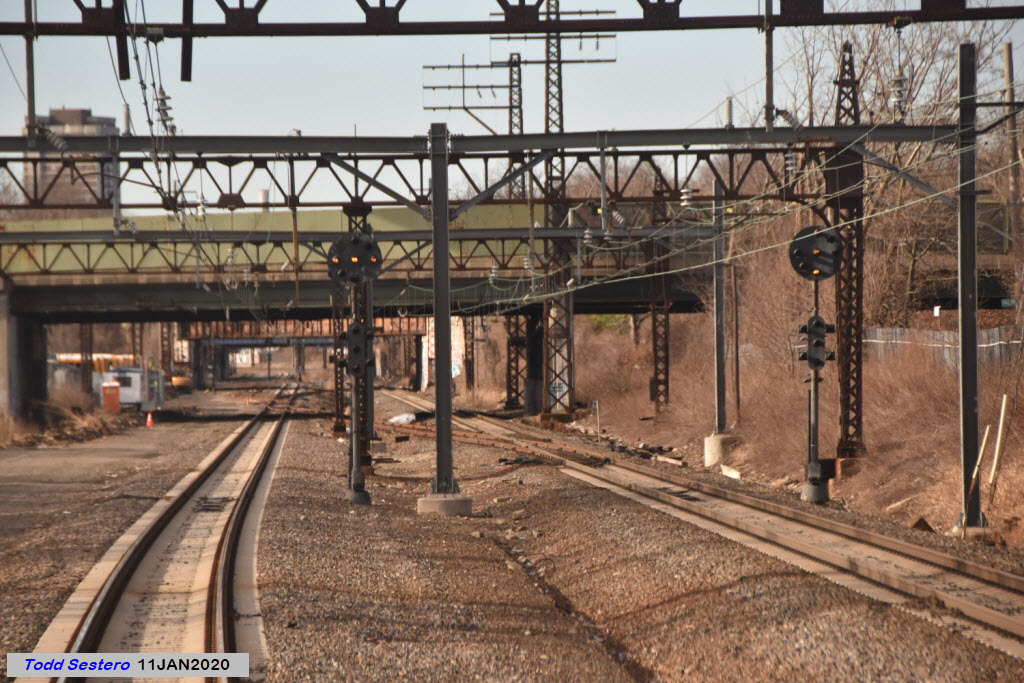
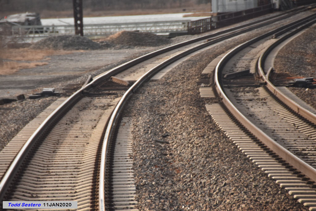
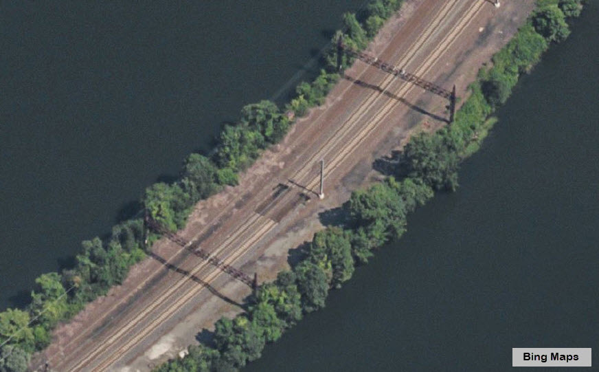
Once we have left Sunnyside Yard behind, and start climbing the grade to the bridge, we go through a set of double crossovers at 31st Ave in the Queens. This is Gate Interlocking. Signaled at both ends. Building the approach on both sides of the bridge must have been a huge undertaking at the time, but at least, when it was done, neither side was developed like it is today, or even when I was born in the 50's. For comparison, I've included a picture from 1917, around the time the #7 IRT line was built in the Queens, and as you can see, there was virtually nothing around at the time!!! :-) 1917 was the year Hell Gate Bridge was dedicated.
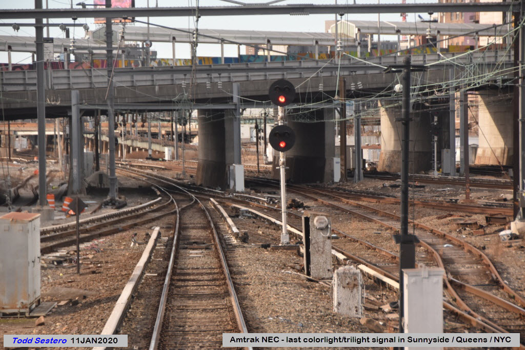
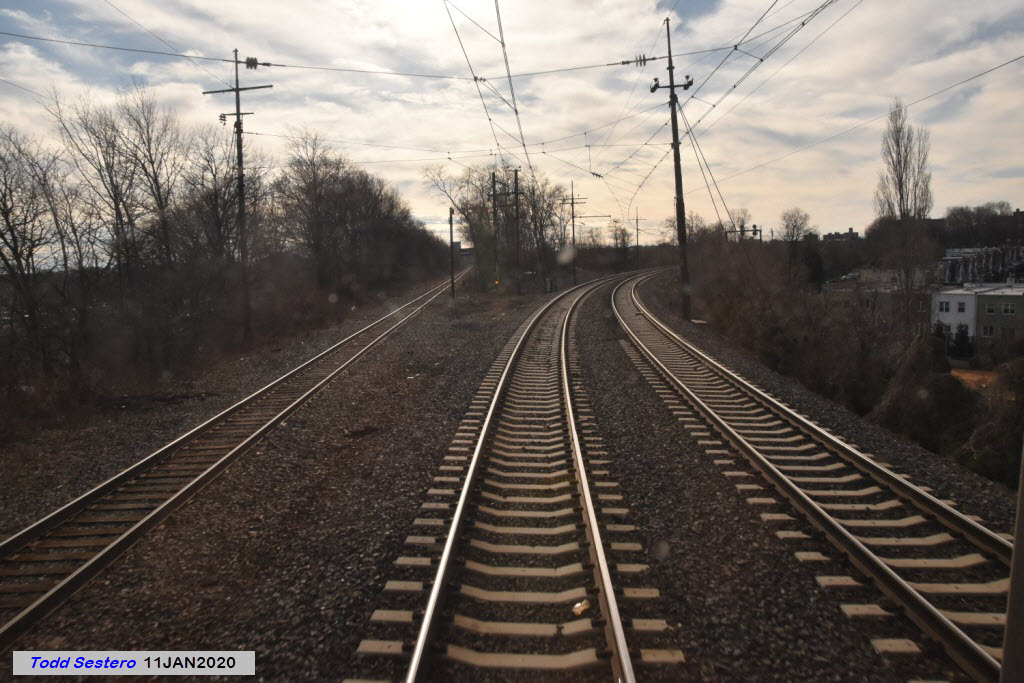
Next up just around the curve from the crossovers, is where the freight line and the passenger lines join up.
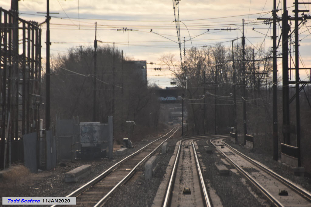
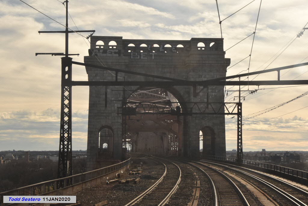
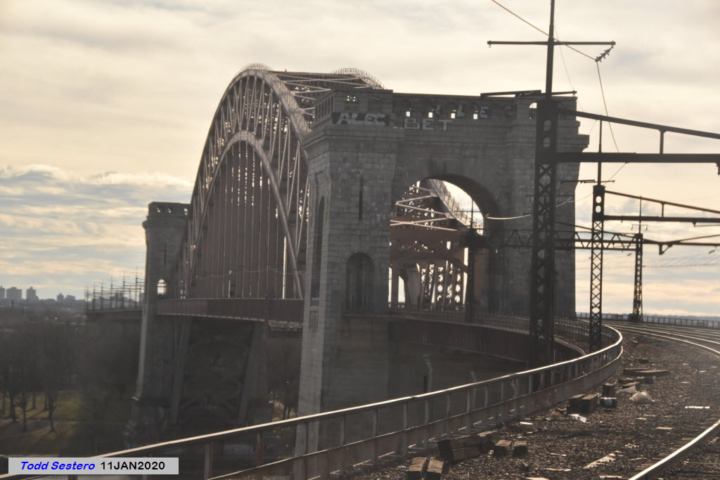
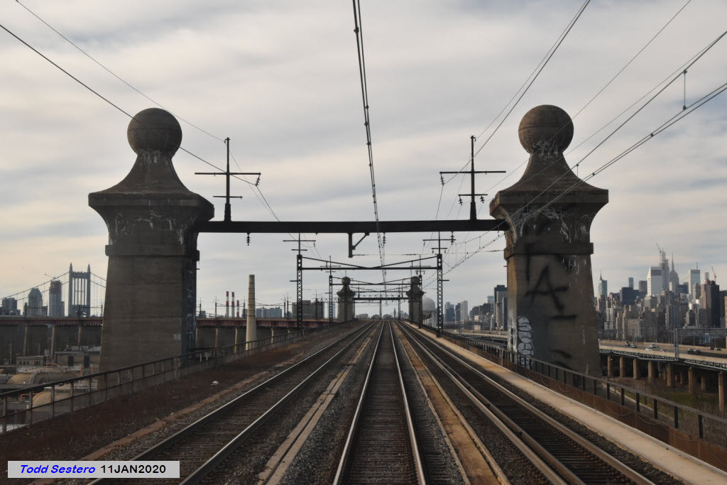
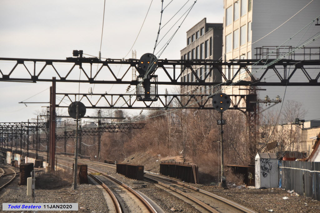
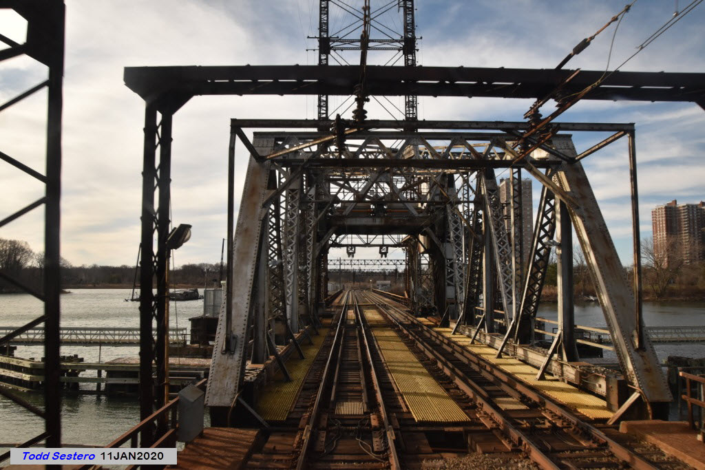
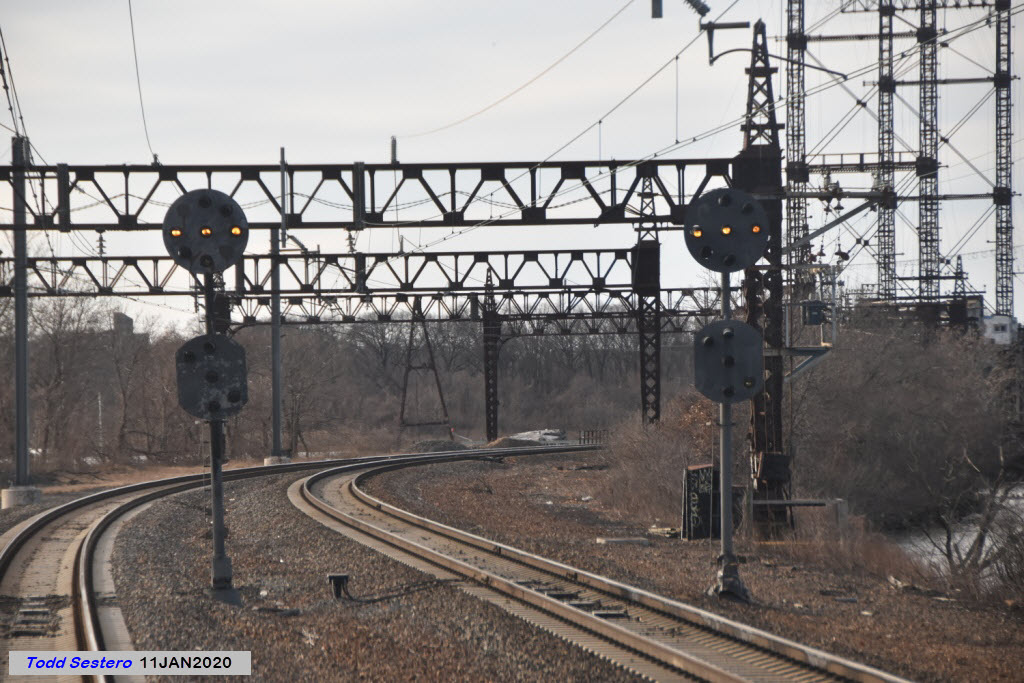
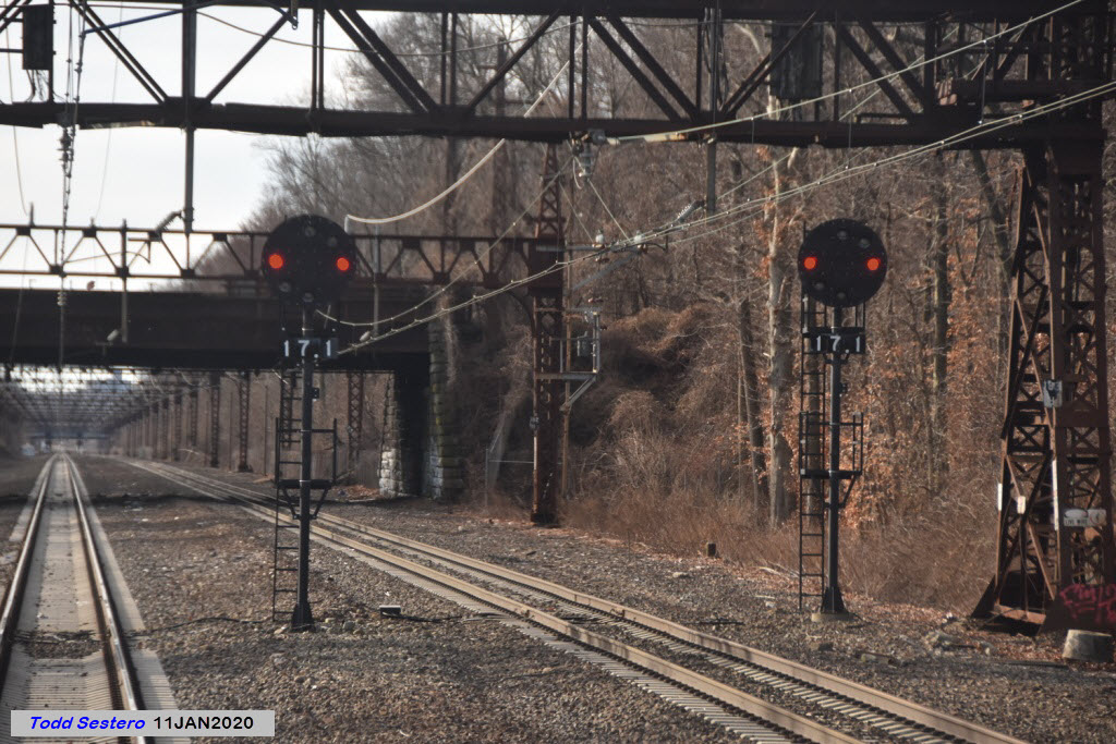
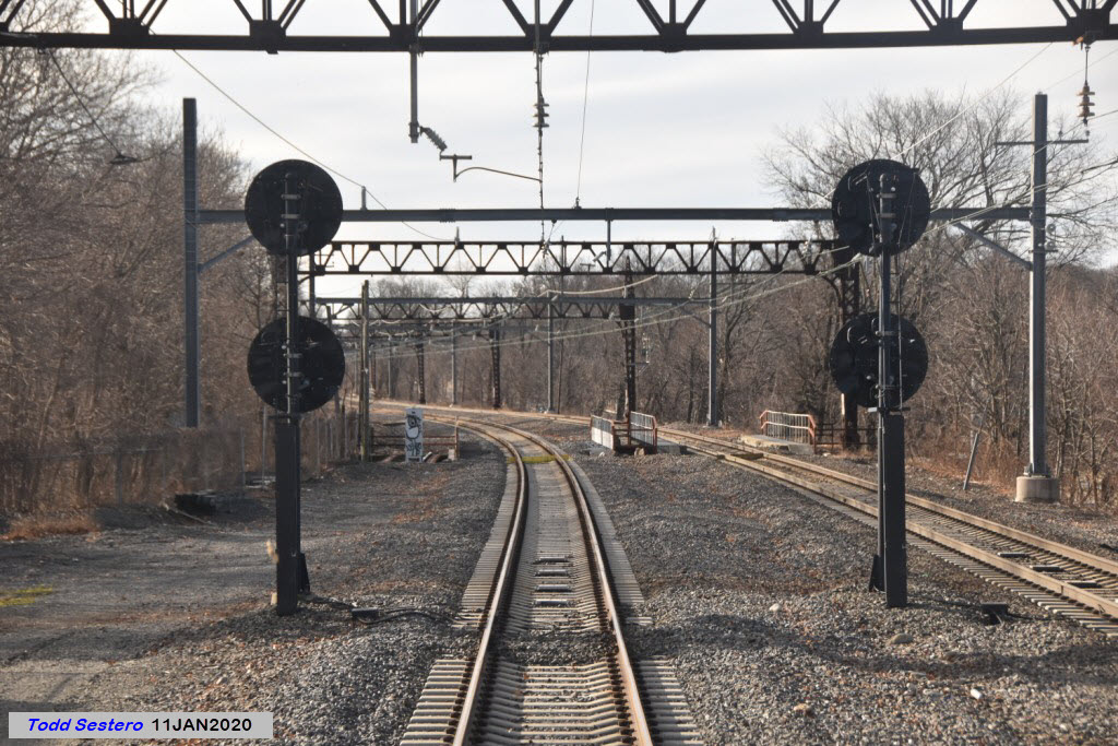
Well, we've made it to the bridge. Just before going thru the concrete abutment we have a set of NB and SB signals. In the New Haven days, there was a NB semaphore off to the right side, for the track that is no longer there.
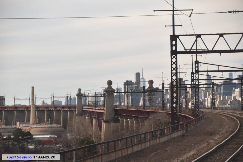
Here we descend the grade on the Bronx side approach.
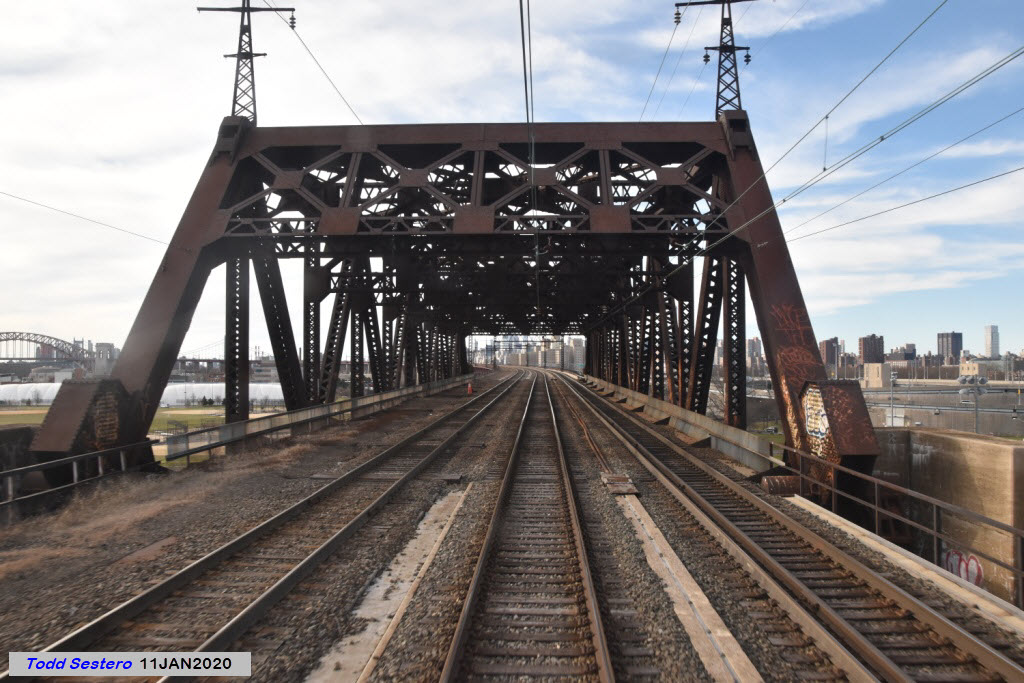
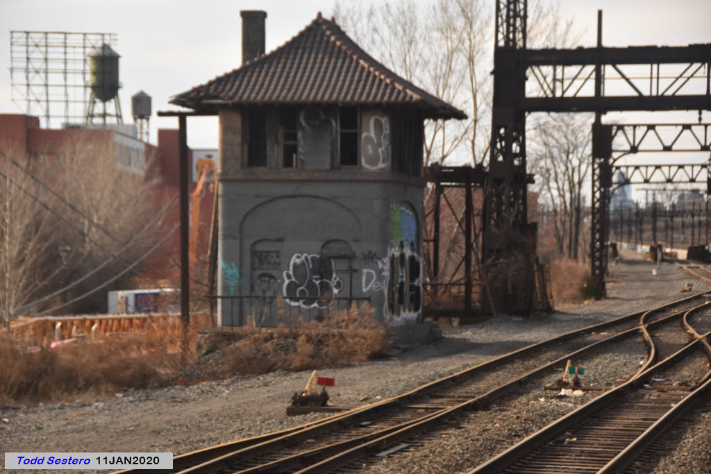
Here, the freight line(s) and passenger lines split to make room for line that heads west into the Harlem River Yards.
In this view, you can see the line in the middle that heads off into the yard, while the freight and passenger lines start their ascent to to Hell Gate Bridge.
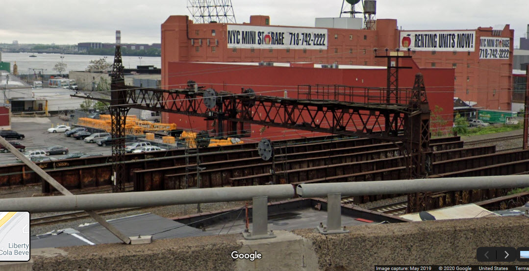
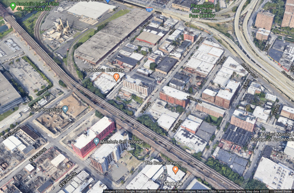
Not sure, but from up here, it sure does look like these short bridge sections may have at one point gone over another set of tracks heading to a small river front yard. Joshua adds that yes, my guess is correct: This was the ex-NYC line to Port Morris that's now abandoned. It wound back and forth to a connection with the ex-NYC Harlem Line in the Melrose section of the Bronx.
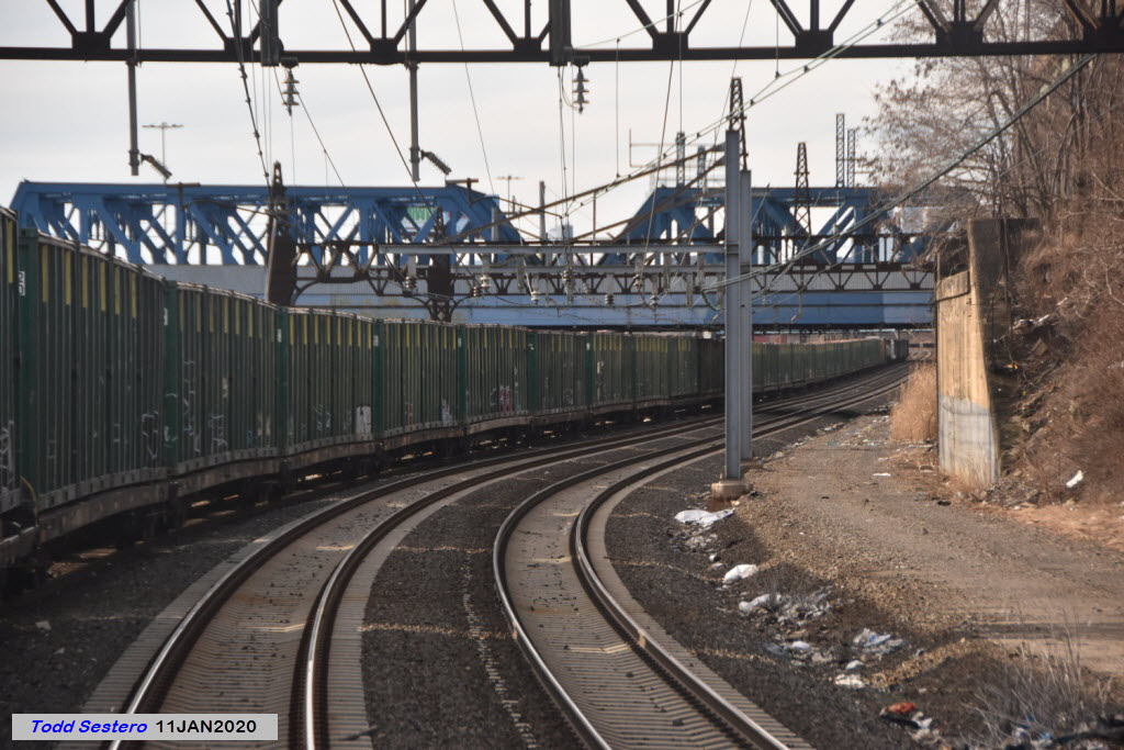
Here we see a string of cars of CSX's infamous "trash train", which rolls thru most of the east coast towns into Virginia.
This line of cars blocked my view of Oak Point Yard.
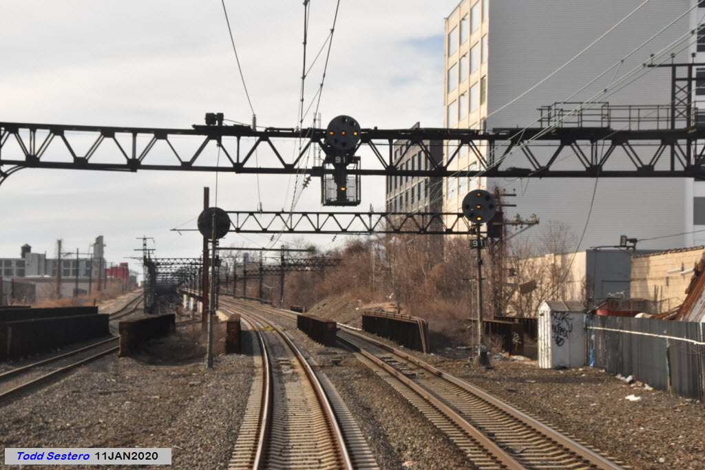
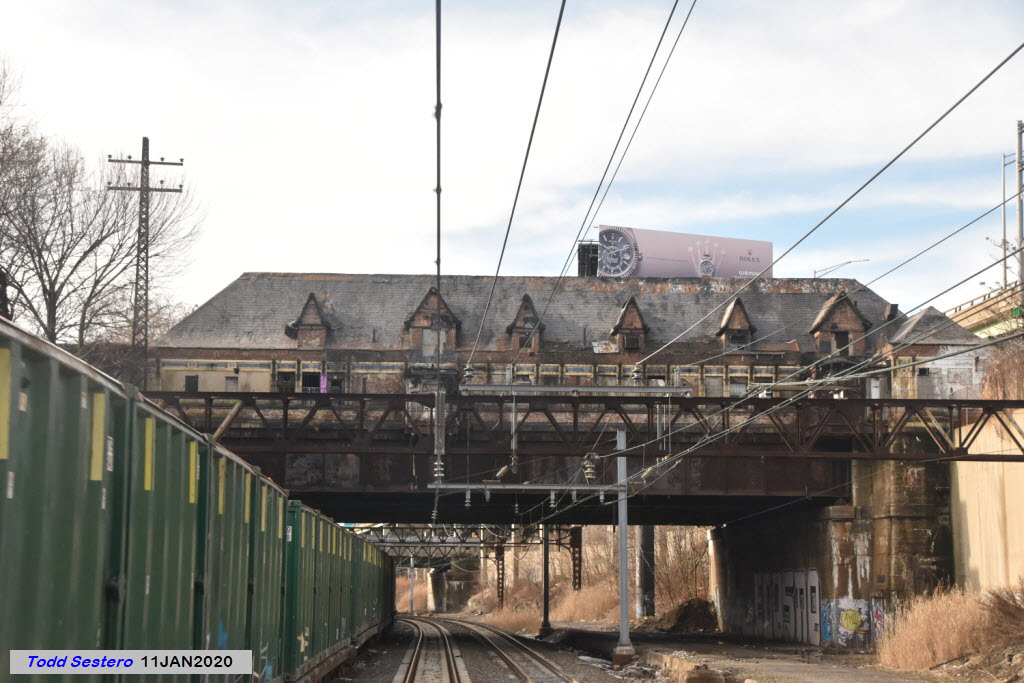
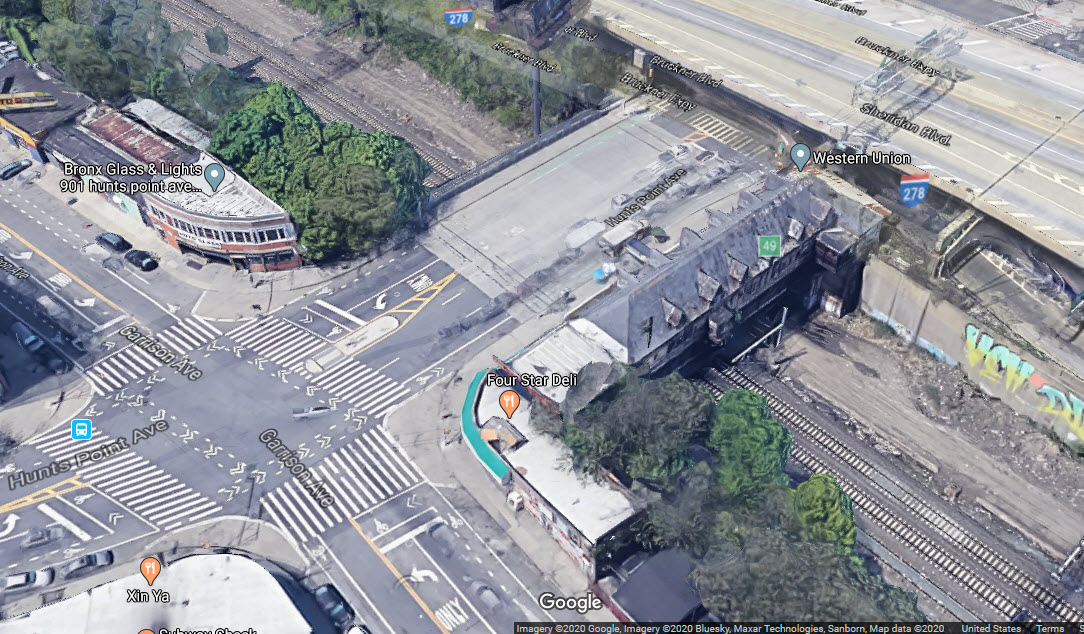
Interesting building we go under at Hunts Point Ave, but I don't have a clue. So Joshua informs me that it is the ex-New Haven/New York, Westchester & Boston Hunts Point station. Looking at the photo, you can see the remnants of a platform on the right hand side. The newer catenary poles are in the middle of where one of the tracks serving the platform was.
https://en.wikipedia.org/wiki/Hunts_Point_station_(Metro-North)


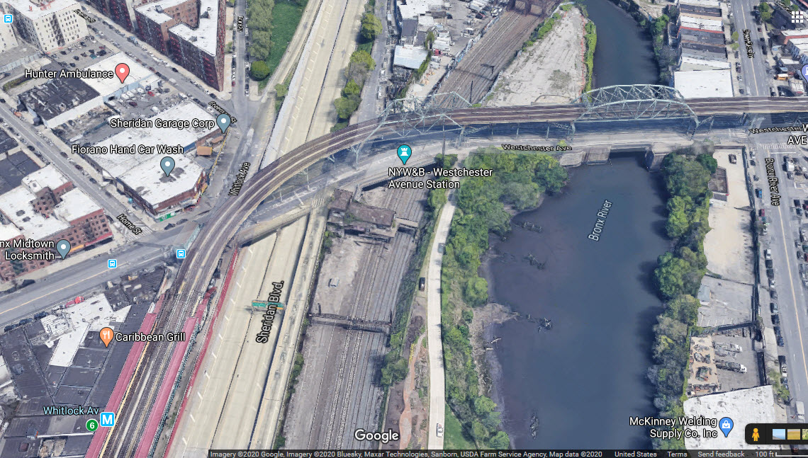
The number 6 IRT line goes over us at Westchester Ave.
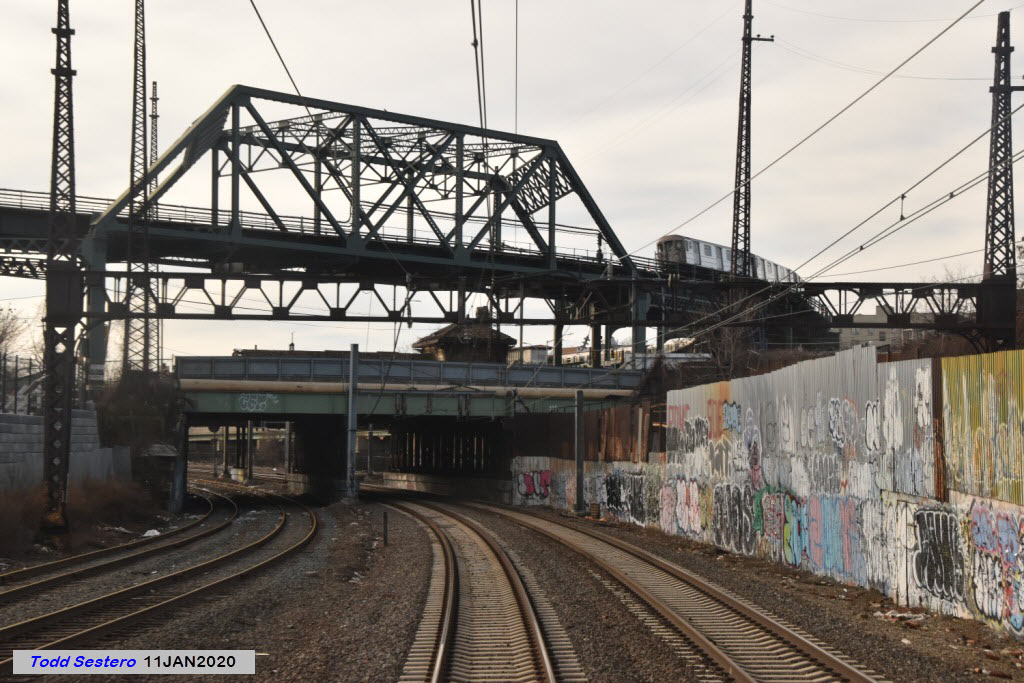
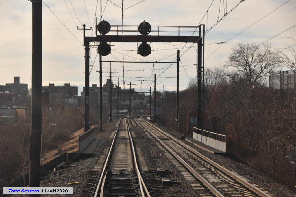
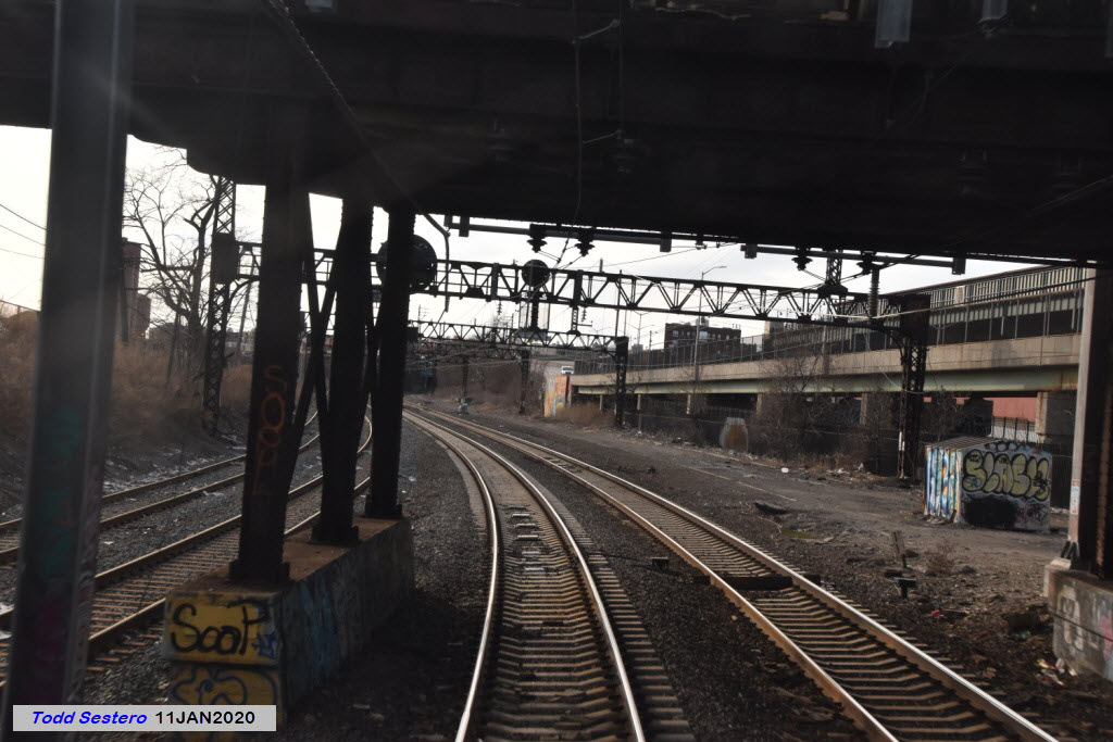
Just north of the bridge over the Bronx River is a set of signals, presumably for the bridge.

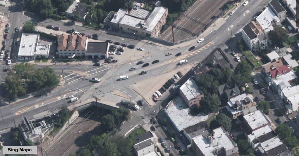
You don't, or can't notice it, but you go under this huge intersection along Tremont Avenue.....
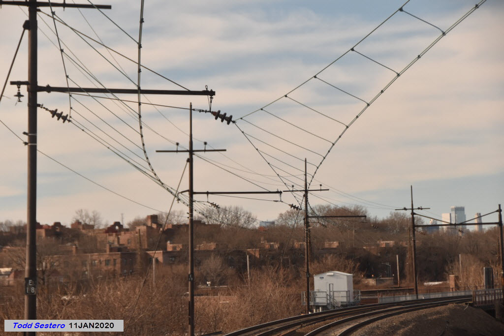
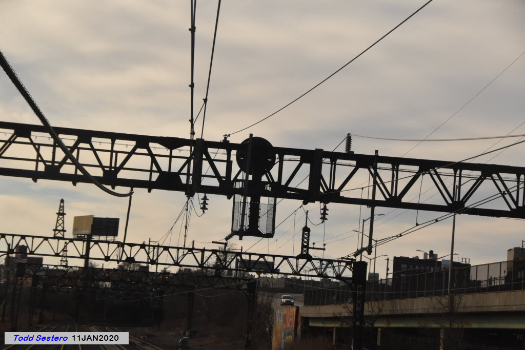
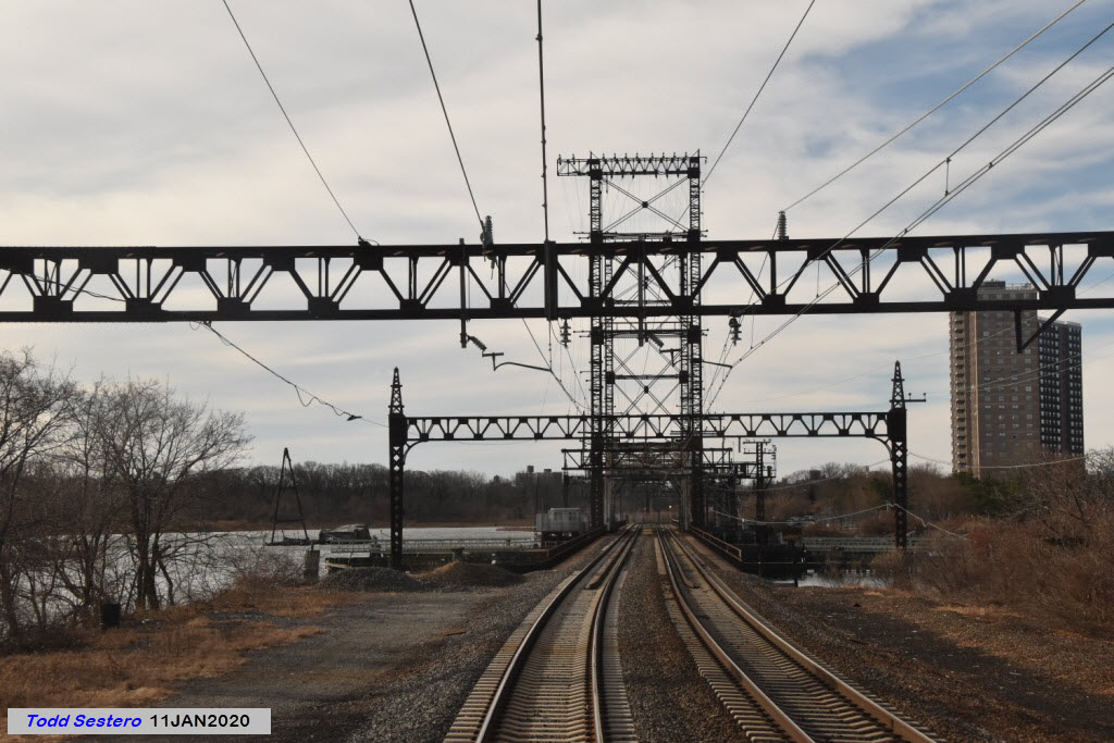
Along this stretch of track, we can see where Amtrak has installed new catenary supports where the original New Haven supports are too far spaced for the Amtrak overhead support system.
Because many railfans today probably have not seen the New Haven triangular catenary, here are a couple of pictures. I can't even begin to guess how much more expensive this would be to install today.... phew! Mike's picture came from here. In the second photo, it looks like the catenary has seen better days!


We don't see many stretches of straight track through here....
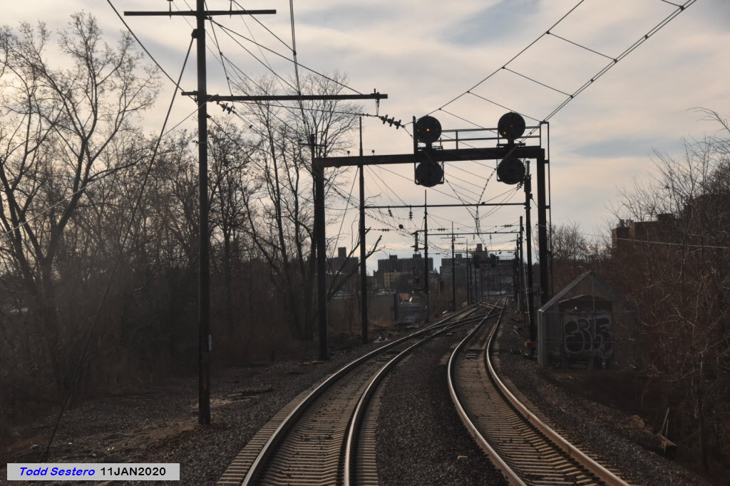
A SB freight getting ready to go over Eastchester Rd.
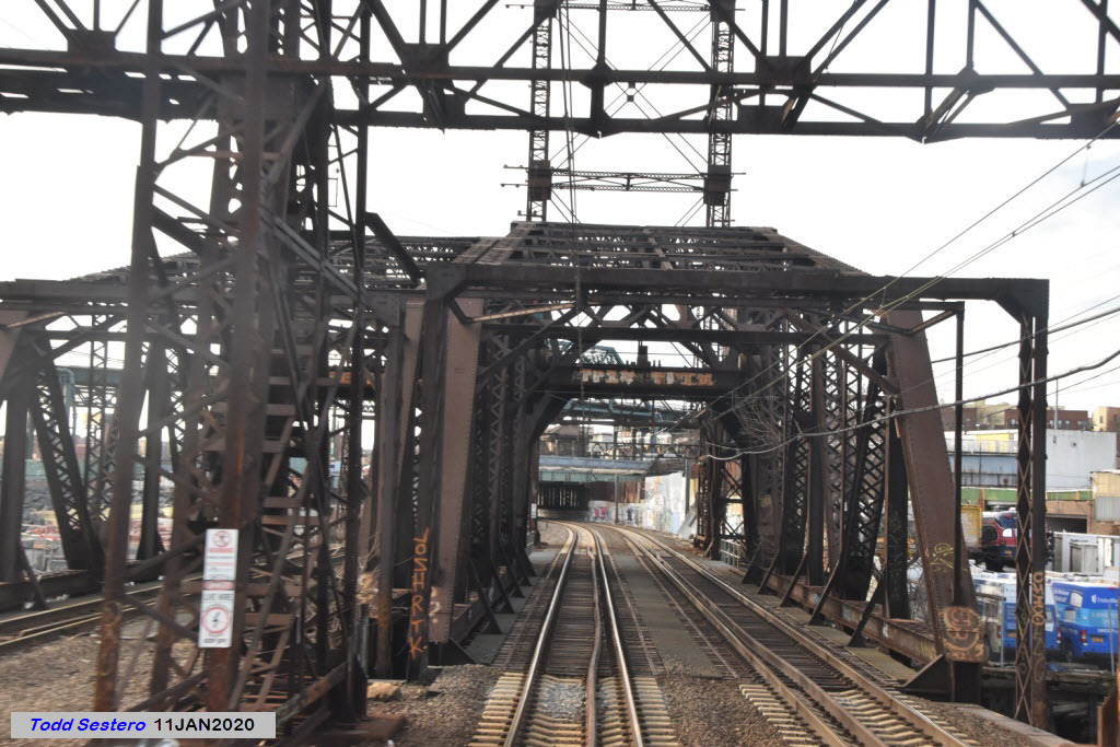
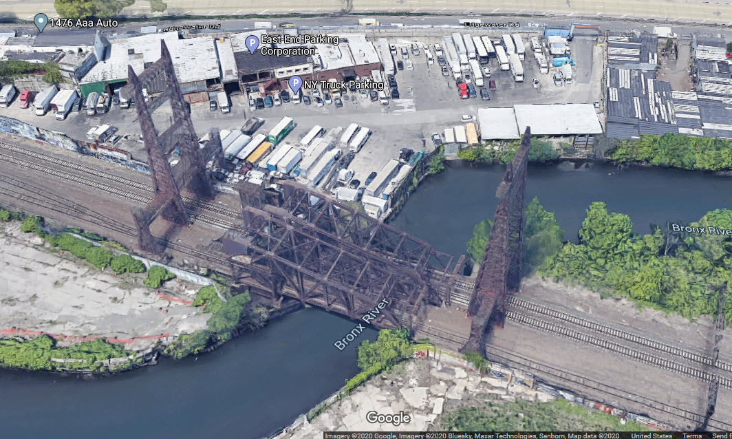
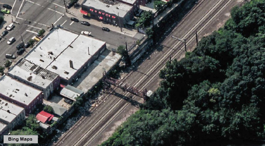
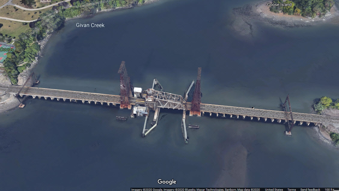
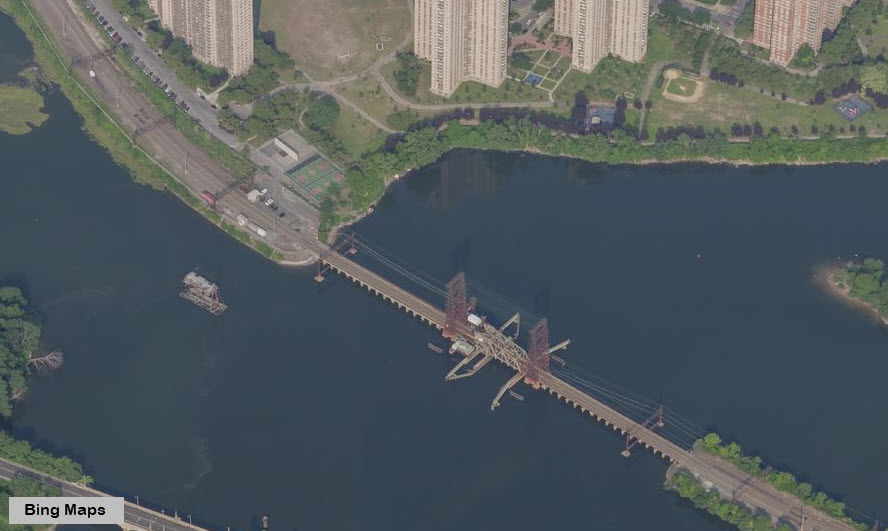
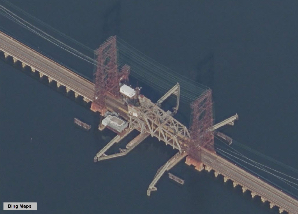
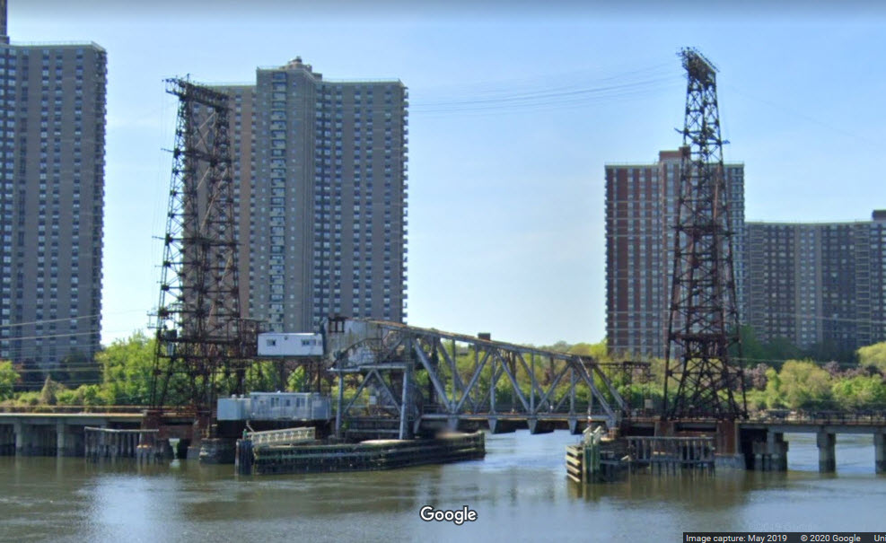
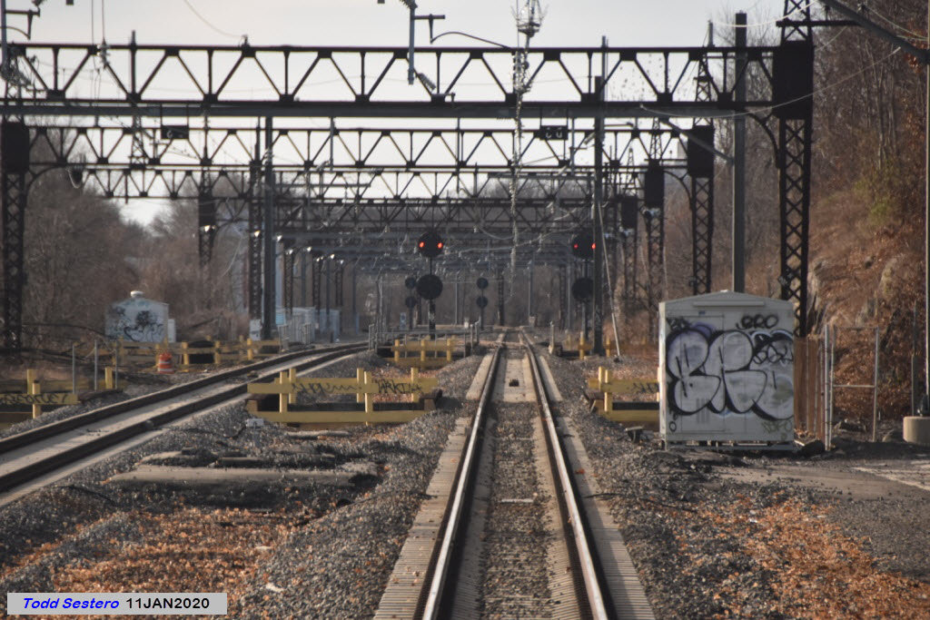
Prior to the NEC crossing the Hutchinson River, there is a pair of crossovers, and an interlocking with the third (freight) track. This is Pelham Bay interlocking, which also includes the drawbridge. Thanks again to Joshua for providing me that information.
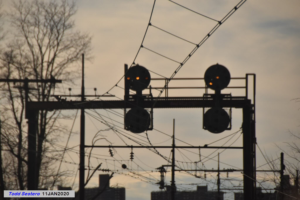
And then we have a set of NB signals for the bridge before we cross it. Wonder why they didn't put both sets on the signal bridge?
The bridge is across the shore from one of the Bronx's more "famous" housing areas called Co-op City.
A set of derails just before the bridge, and an aerial view below that.
And a set of signals before we get to the bridge.
A nice straight stretch of track, and an interesting detail on the bridge off to the right.
I wonder how much longer the old New Haven catenary supports will last?
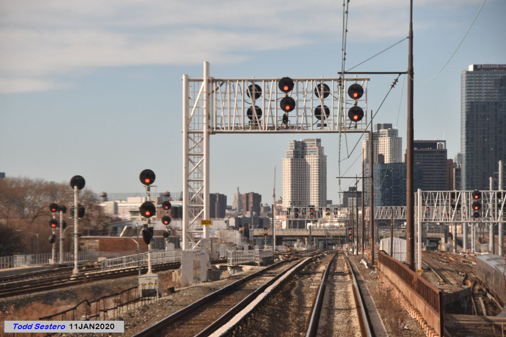
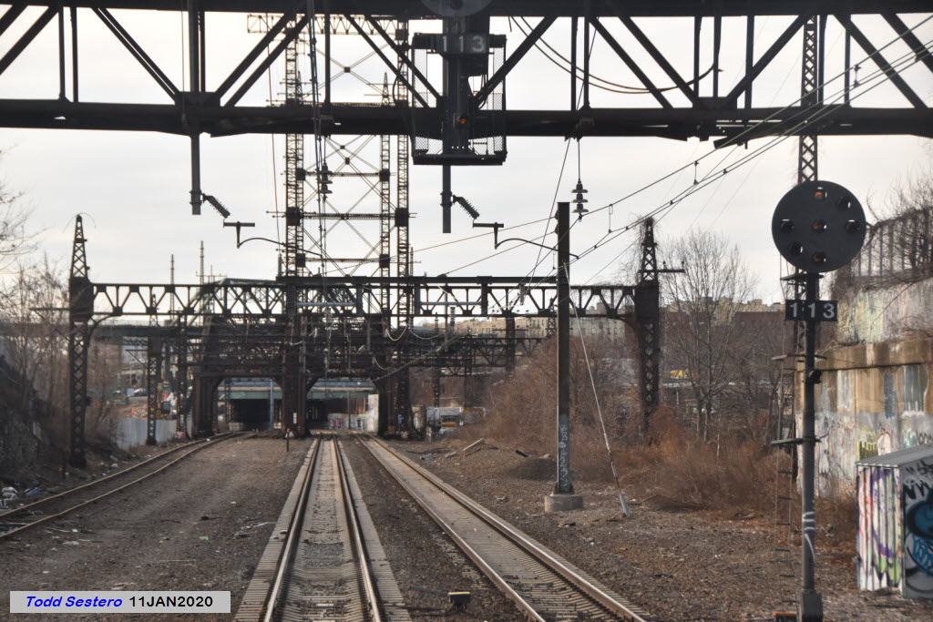
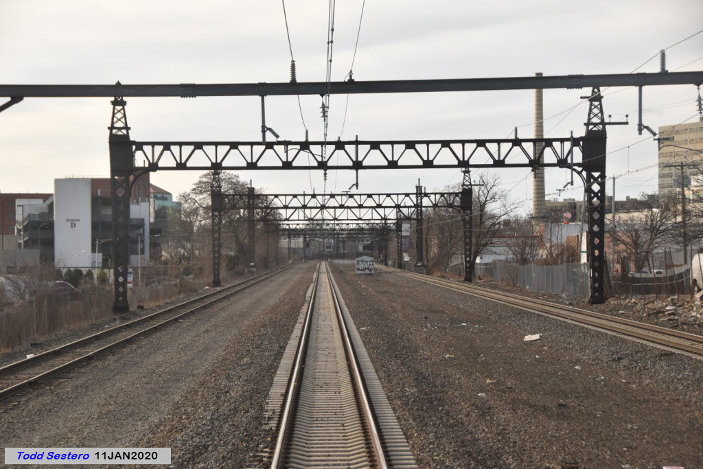
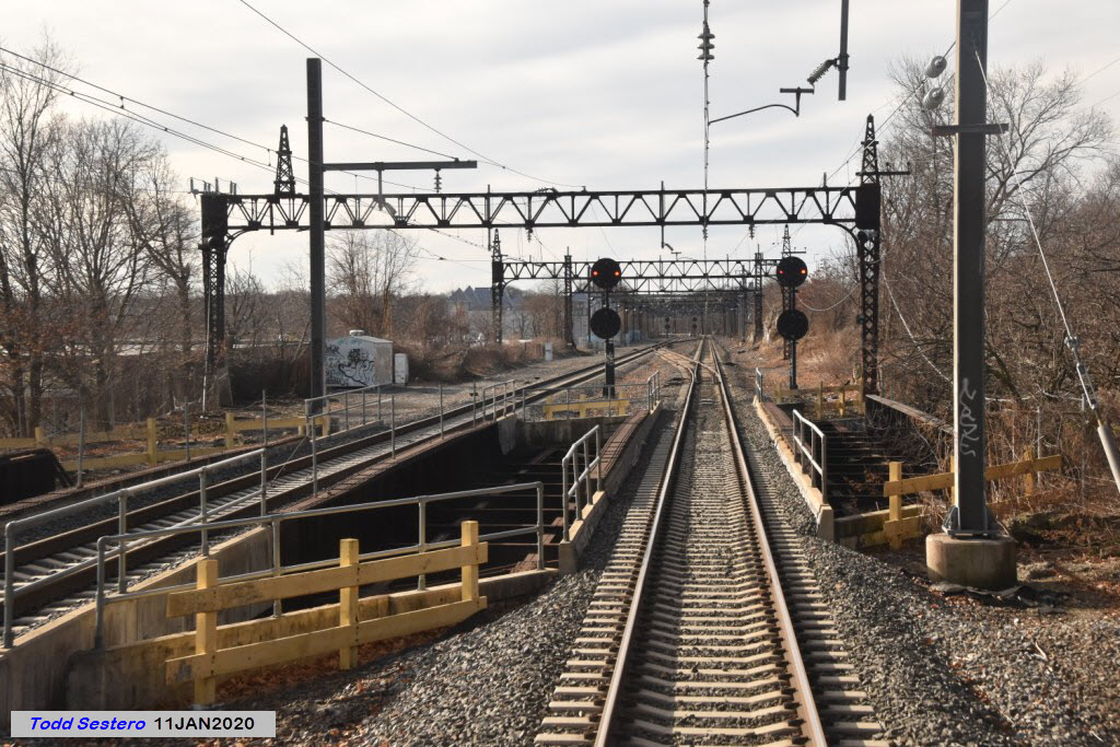
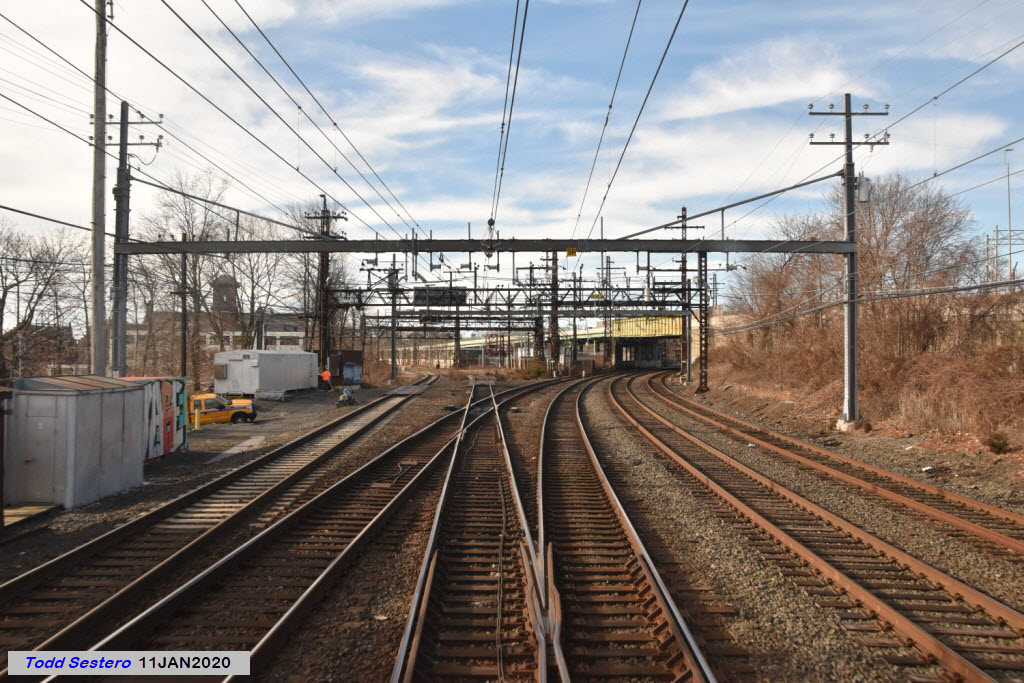
Below we have the last set of crossovers before reaching New Rochelle: Manor interlocking.
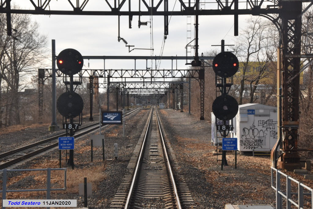
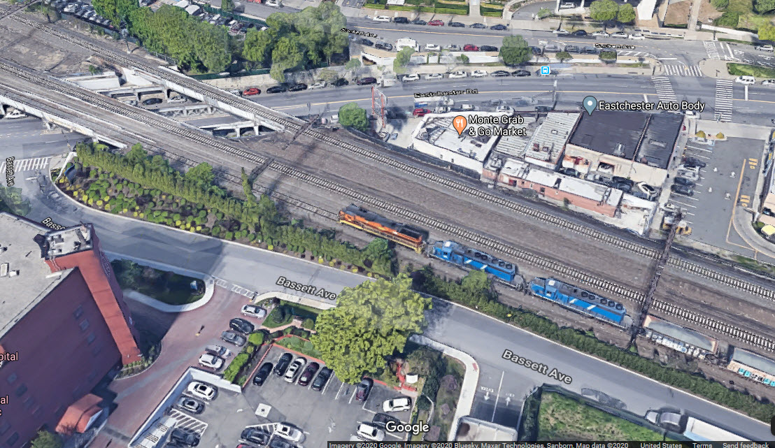
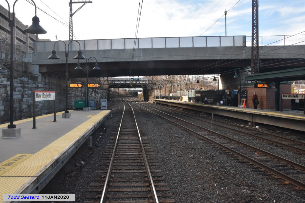
Just out of sight of the New Rochelle station, is where the NEC and the Metro North join up. Arrows point to the dwarf signals for NB Metro North traffic. These are standard Metro North signals, since their cars are cab signaled. So what will happen when Metro North starts using the Hell Gate route, will they re-signal the track and use catenary, or put in 3rd rail?

Here we have a set of dwarf signals for the interchange with the NEC, which heads off to the left. Under normal circumstances, the only trains using these signals would be the SB Amtrak trains.
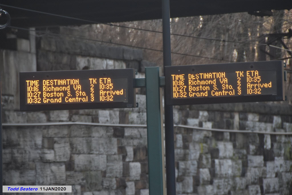
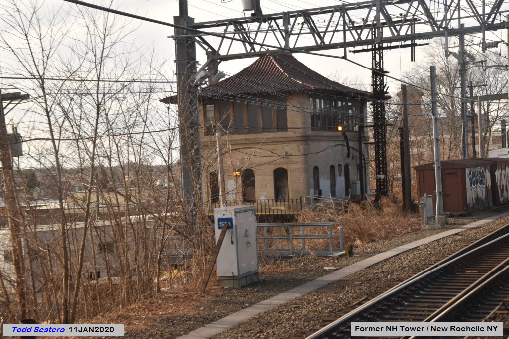
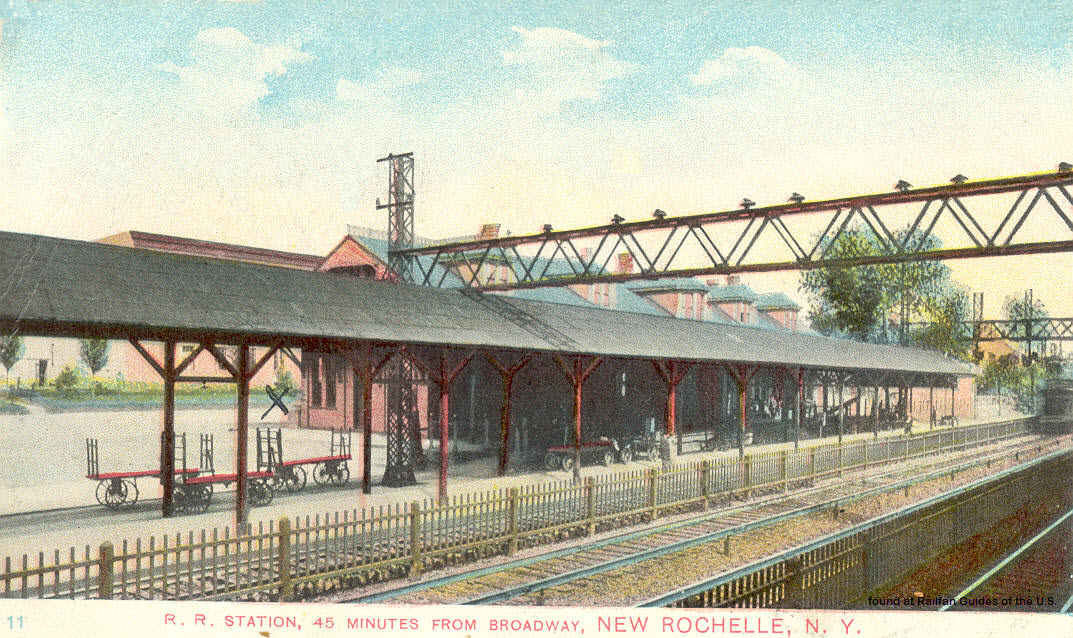
The New Rochelle station has changed significantly since I went to Junior High School here in the mid 60's (Middle School for those of you not old enough to be familiar with that term :-)
Disclaimers:
I love trains, and I love signals. I am not an expert. My webpages reflect what I find on the topic of the page. This is something I have fun with while trying to help others.
Please Note: Since the main focus of my two websites is railroad signals, the railfan guides are oriented towards the signal fan being able to locate them. For those of you into the modeling aspect of our hobby, my indexa page has a list of almost everything railroad oriented I can think of to provide you with at least a few pictures to help you detail your pike.
If this is a railfan page, every effort has been made to make sure that the information contained on this map and in this railfan guide is correct. Once in a while, an error may creep in :-)
My philosophy: Pictures and maps are worth a thousand words, especially for railfanning. Text descriptions only get you so far, especially if you get lost or disoriented. Take along good maps.... a GPS is OK to get somewhere, but maps are still better if you get lost! I belong to AAA, which allows you to get local maps for free when you visit the local branches. ADC puts out a nice series of county maps for the Washington DC area, but their state maps do not have the railroads on them. If you can find em, I like the National Geographic map book of the U.S..... good, clear, and concise graphics, and they do a really good job of showing you where tourist type attractions are, although they too lack the railroads. Other notes about specific areas will show up on that page if known.
Aerial shots were taken from either Google or Bing Maps as noted. Screen captures are made with Snagit, a Techsmith product... a great tool if you have never used it!
By the way, floobydust is a term I picked up 30-40 years ago from a National Semiconductor data book, and means miscellaneous and/or other stuff.
Pictures and additional information is always needed if anyone feels inclined to take 'em, send 'em, and share 'em, or if you have something to add or correct.... credit is always given! Please be NICE!!! Contact info is here
Beware: If used as a source, ANYTHING from Wikipedia must be treated as being possibly being inaccurate, wrong, or not true.
RAILFAN GUIDES HOME
RAILROAD SIGNALS HOME
NEW 08/23/2022, AUG24/2022, JUL03/2023
Last Modified 06-Jul-2023