RAILFAN GUIDES of the U.S.
Todd's Railfan Guide to
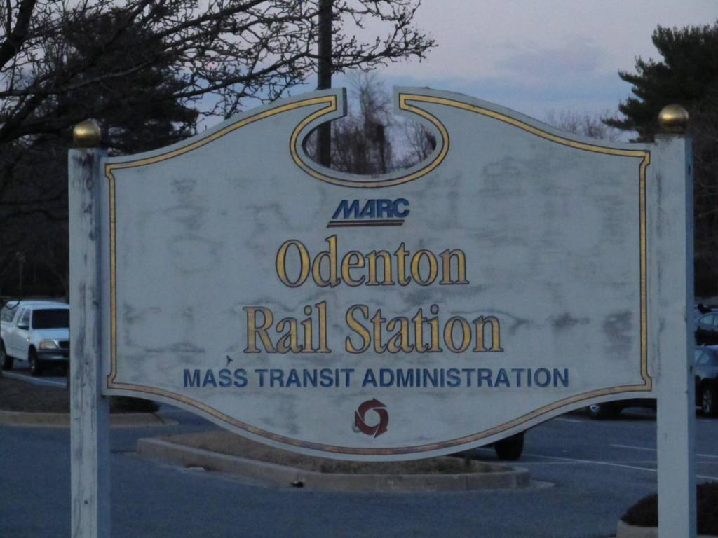
ODENTON MD
In General
Getting Here
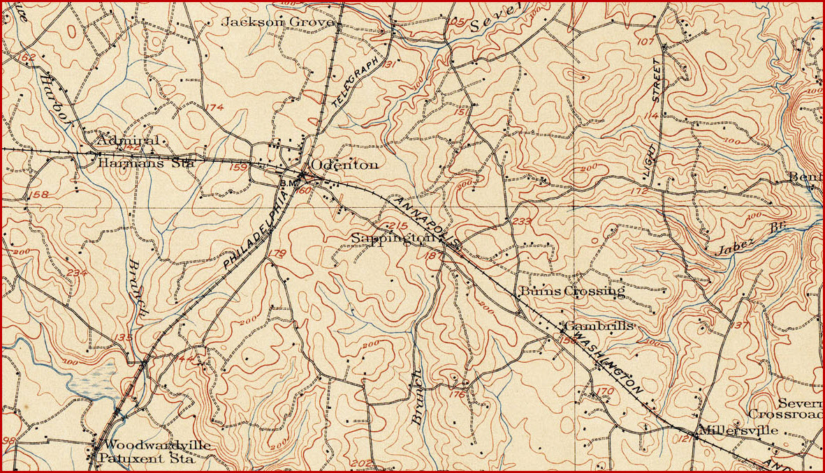
Map
Sites
Signals
Fire and Police
Floobydust
RAILFAN GUIDES HOME
RAILROAD SIGNALS HOME
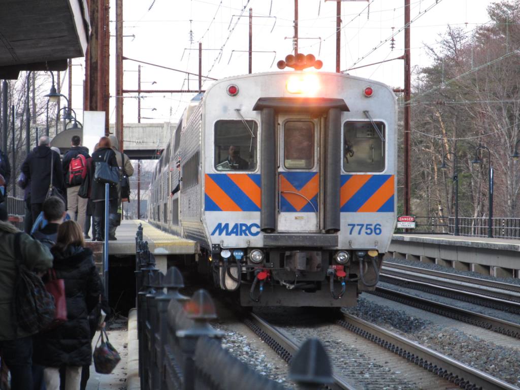
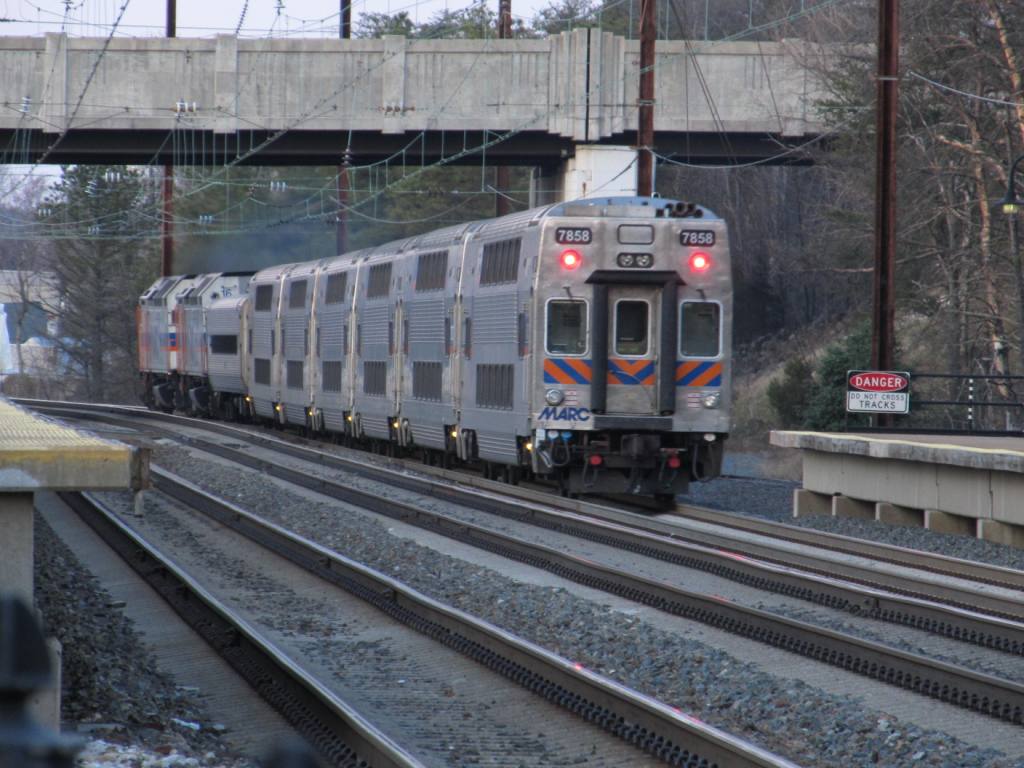
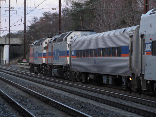
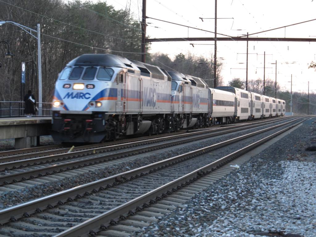
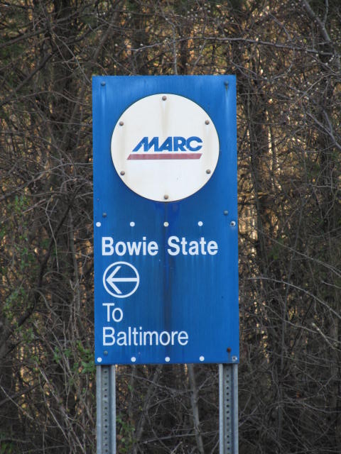
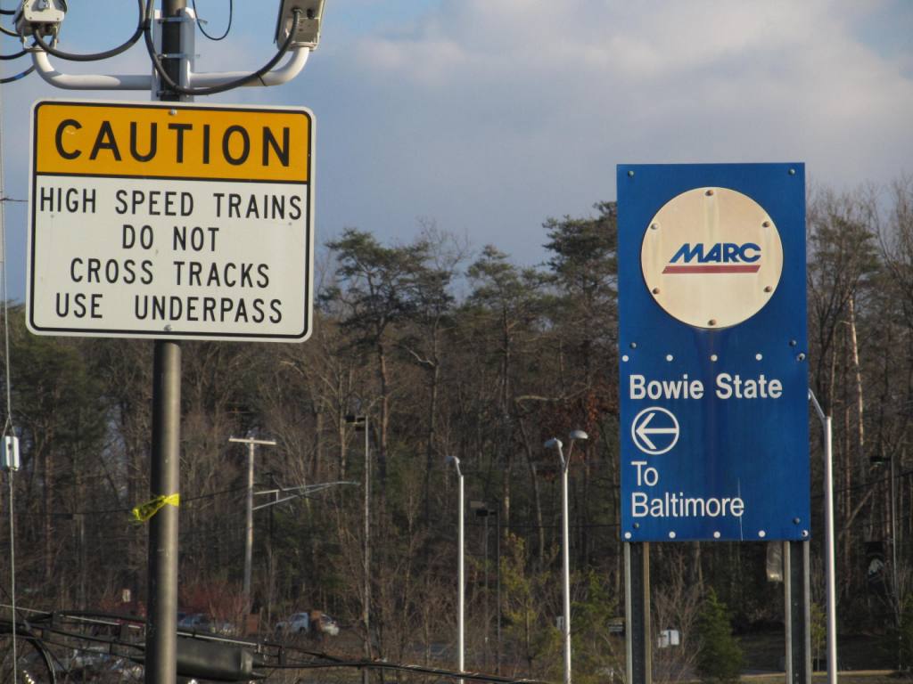
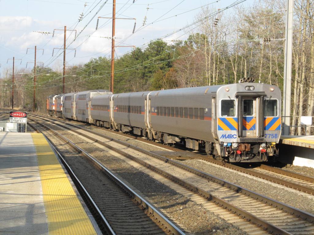
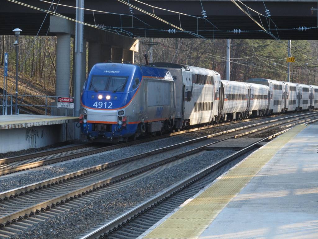
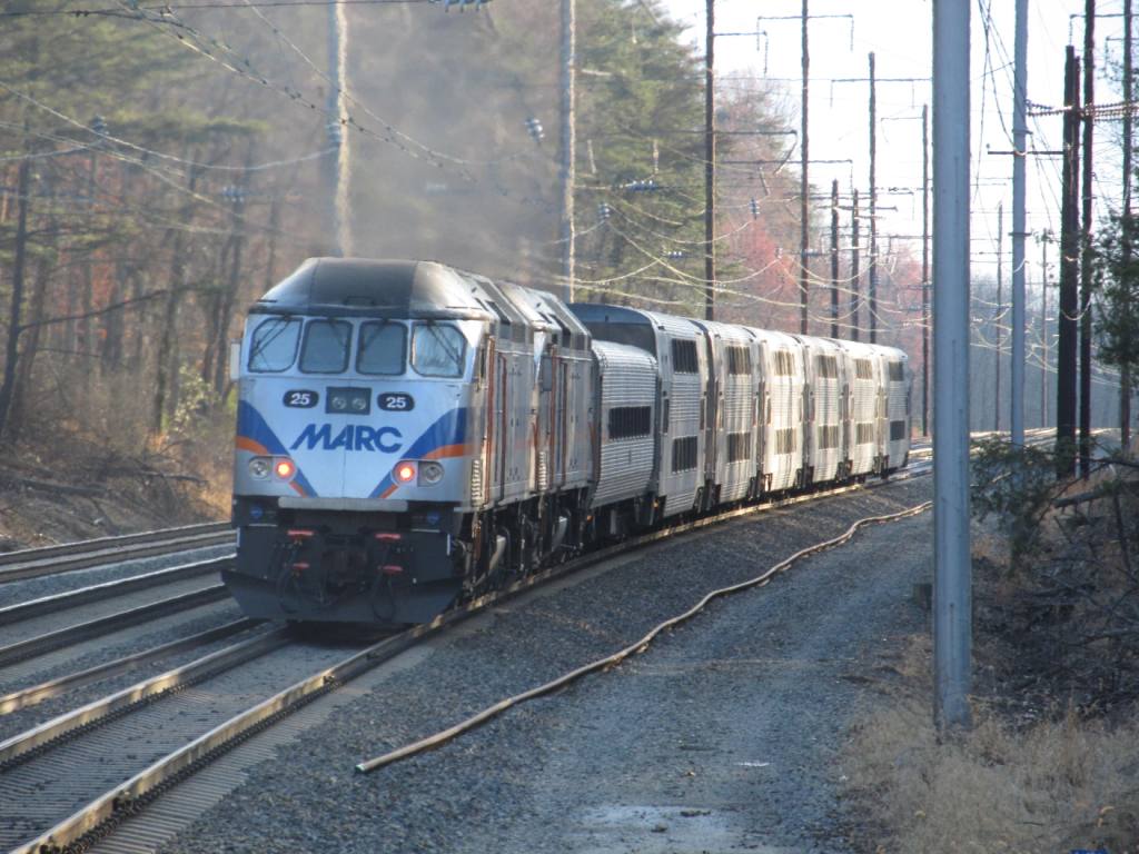
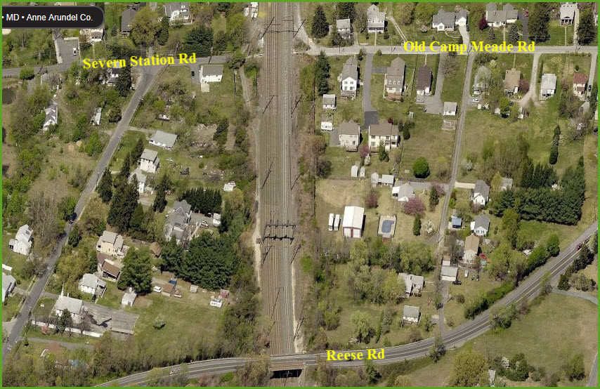
On this map, we have two MARC stations on the Penn Line that are of interest: Odenton and Bowie State. They are on the Northeast Corridor, so you will see a lot more than just MARC trains. You may even get to see a Norfolk Southern freight once in a while.
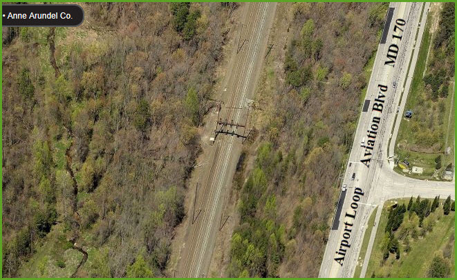
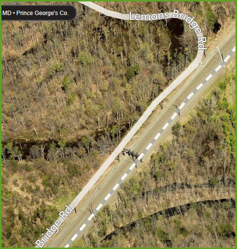
Up on the top of the map at Harman's, there is a good spot for taking pictures, from right along the right-of-way, next to an 84 Lumber lumberyard
Please Note: Since the main focus of my two websites is railroad signals, the railfan guides are oriented towards the signal fan being able to locate them. For those of you into the modeling aspect of our hobby, my indexa page has a list of almost everything railroad oriented I can think of to provide you with at least a few pictures to help you detail your pike.
My RSUS philosophy: Pictures and maps are worth a
thousand words, especially for railfanning. Text descriptions only
get you so far, especially if you get lost or disoriented. Take
along good maps.... a GPS is OK to get somewhere, but maps are still
better if you get lost! I belong to AAA, which allows you to get
local maps for free when you visit the local branches. ADC puts
out a nice series of county maps for the Washington DC area, but their
state maps do not have the railroads on them. If you can find em,
I like the National Geographic map book of the U.S..... good, clear, and
concise graphics, and they do a really good job of showing you where
tourist type attractions are, although they too lack the railroads.
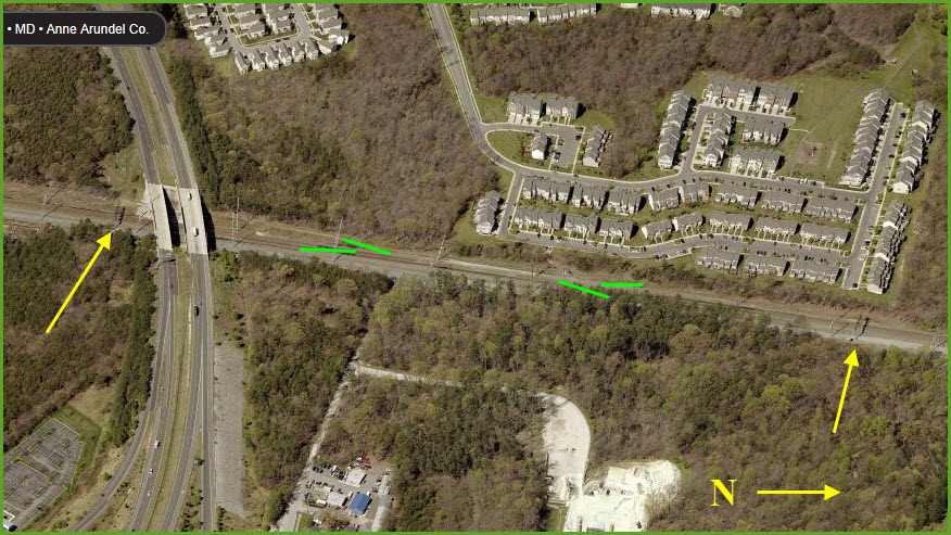
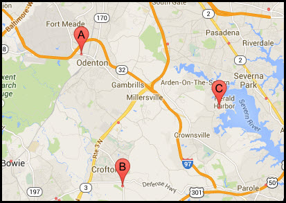
Odenton is about halfway between Baltimore and Washington DC. Both I-95 and the Baltimore-Washington Parkway, MD295, travel between the two.
From I-95 (blue arrows), take exit 41 for MD 175
(Waterloo Rd at this point), and travel east. You will see the signs
for the station before crossing over the NEC.
If you're coming up from the south on I-95, you can save a few miles by jumping off
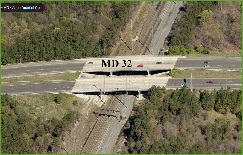
at exit 38, MD 32, and take that to Annapolis Rd/MD 175, and take a right to
the station. MD 32 will take you thru Ft Meade and alongside NSA, so
turn off your cellphones so they can't spy on you :-)
From the B-W Parkway (green arrows), look for the MD
175 exit and again, go east.
If you're coming up from DC on 295, get off at the MD 198 exit and go east,
it will take you to 32, and then you can go east to 175.
You can also come down from the Baltimore Beltway on MD 3, all the way to Md 175, Annapolis Rd (red arrow), and head west.

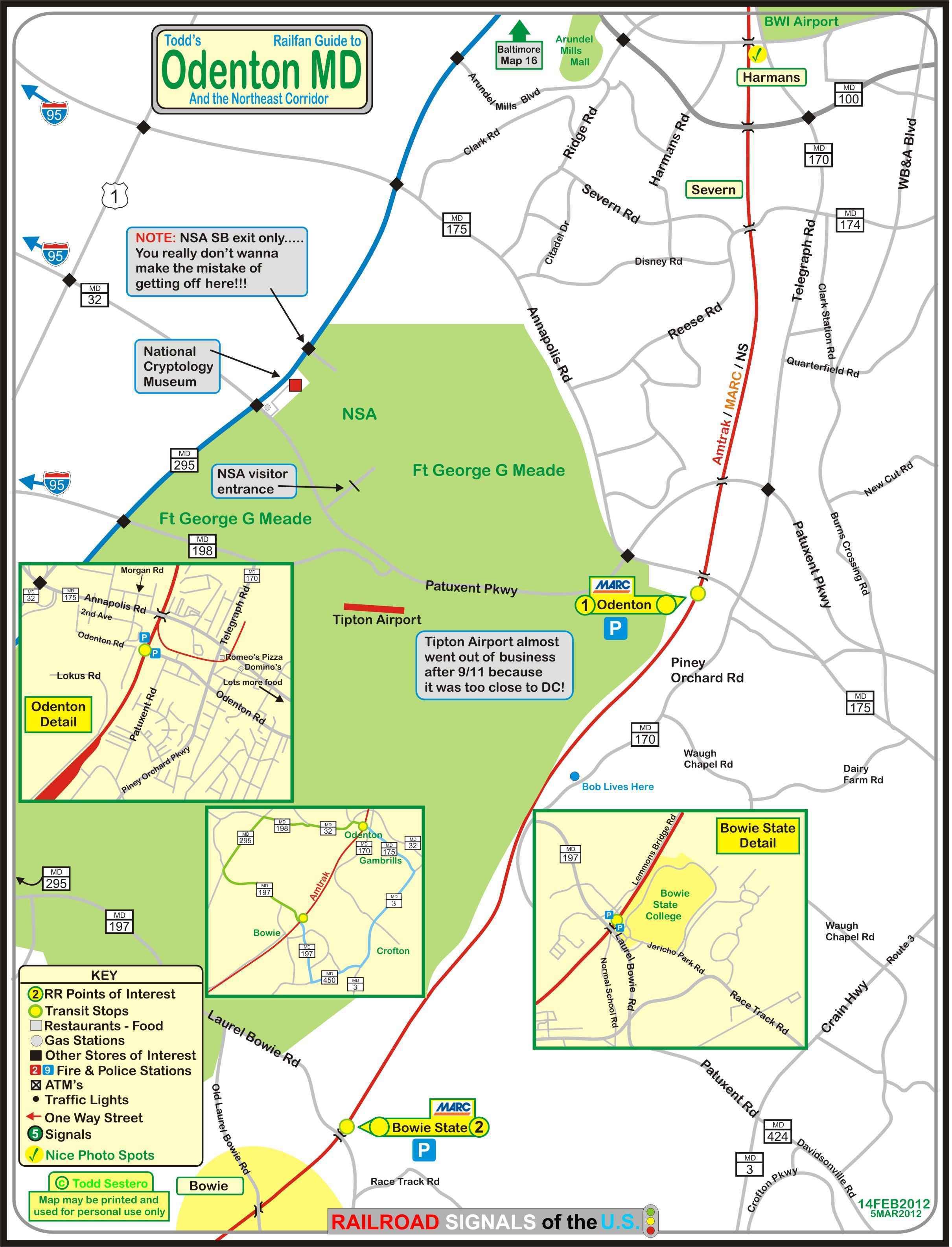
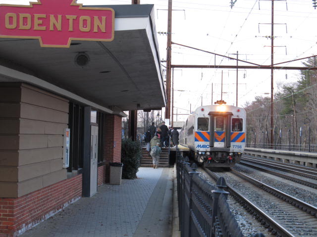
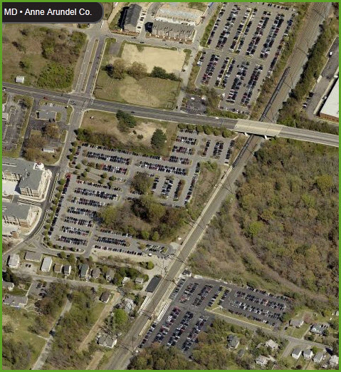
1 MARC Odenton Station
2 MARC Bowie State Station


Harman's Photo Spot

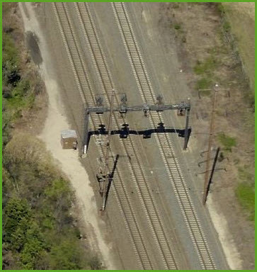
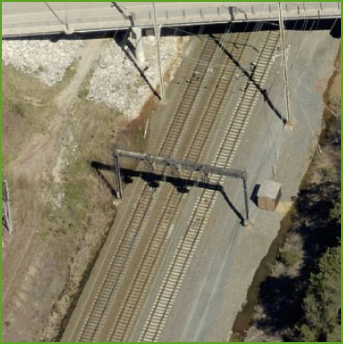
NEC Substation

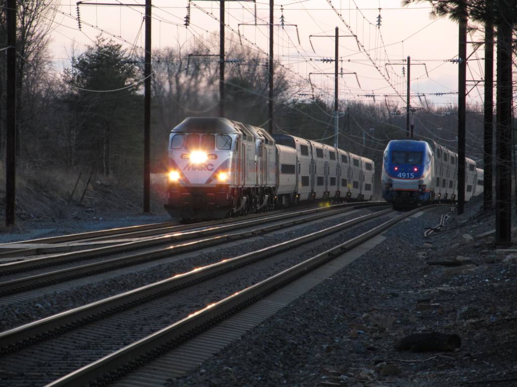
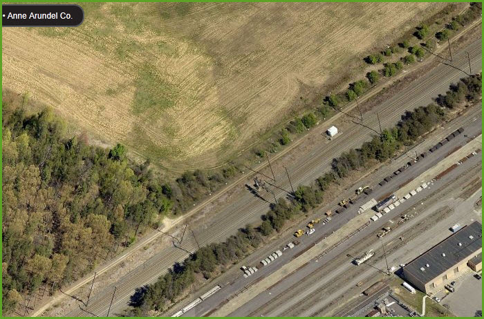
1 NB/SB Signals
This first location is just off the top of the map. I'm starting at the top and going south. The signal coverage continues south on the Bowie map.

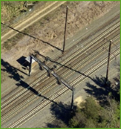
2 NB/SB Signals
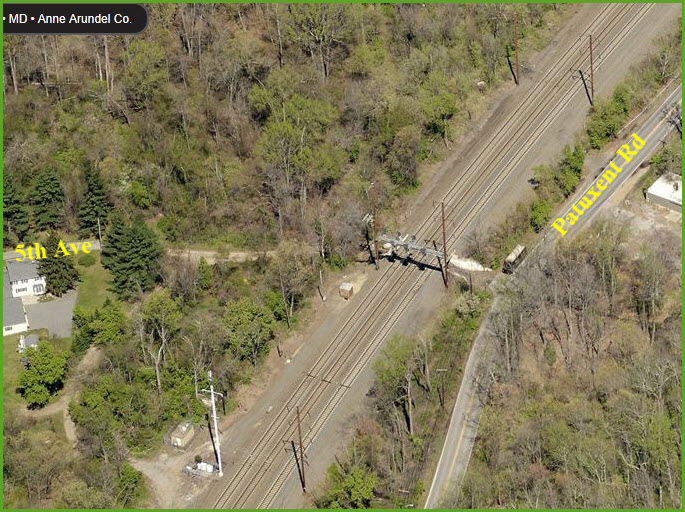
3 SB Signals
SB interlocking signals for the crossovers below.

Crossovers
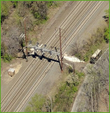
4 NB Signals
NB interlocking signals for the crossovers above.
Caught in the Act
SB Acela caught at Annapolis Road, just before whizzing past the Odenton Station.

5 NB/SB Signals
6 NB/SB Signals
7 NB/SB Signals

1
The Odenton Volunteer Fire Company's website is here.

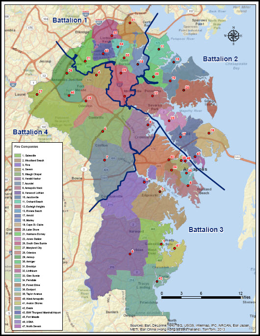
Locations of volunteer fire companies around Odenton.

The map below is from the county website, and shows the locations of all of the fire stations in Anne Arundel county.
1
The Anne Arundel county website for police is here.
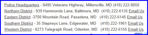
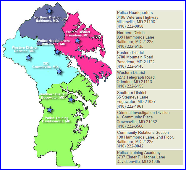
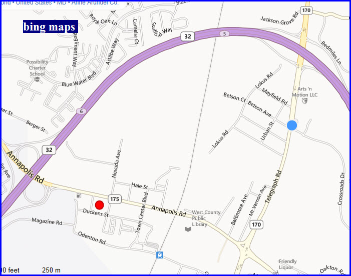
Notice below, that the Western District is not too far away from the train station.
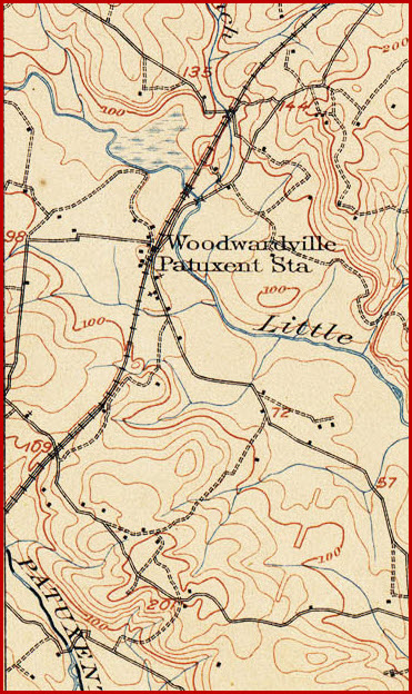
The first two maps come from a 1905 Quadrangle map of Relay, from the University of Texas website at: http://www.lib.utexas.edu/maps/topo/maryland/
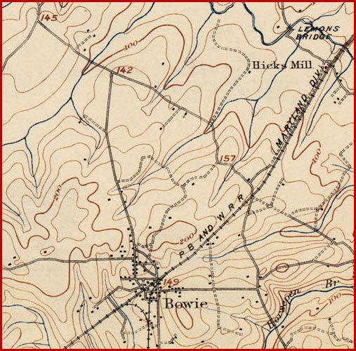
This map is from the 1906 Laurel Quadrangle from the same source as above.

NEW 06/20/2009
Last Modified
28-Feb-2014