What's Here:
Not much, a couple of local industries
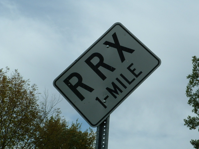
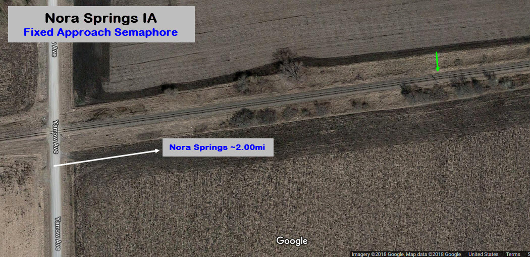
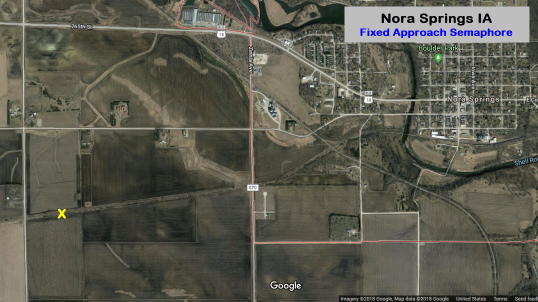
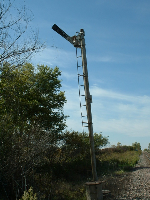
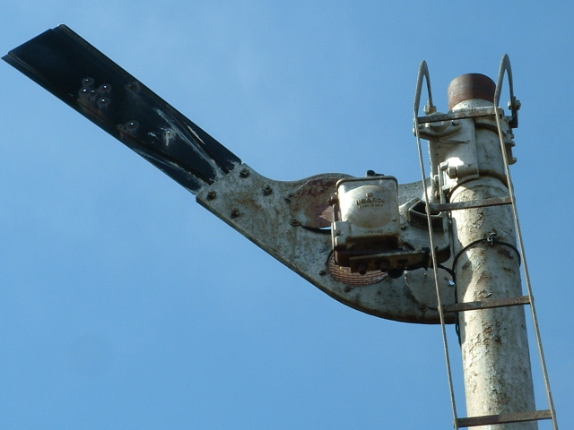
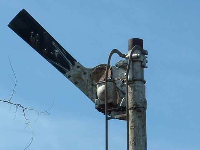
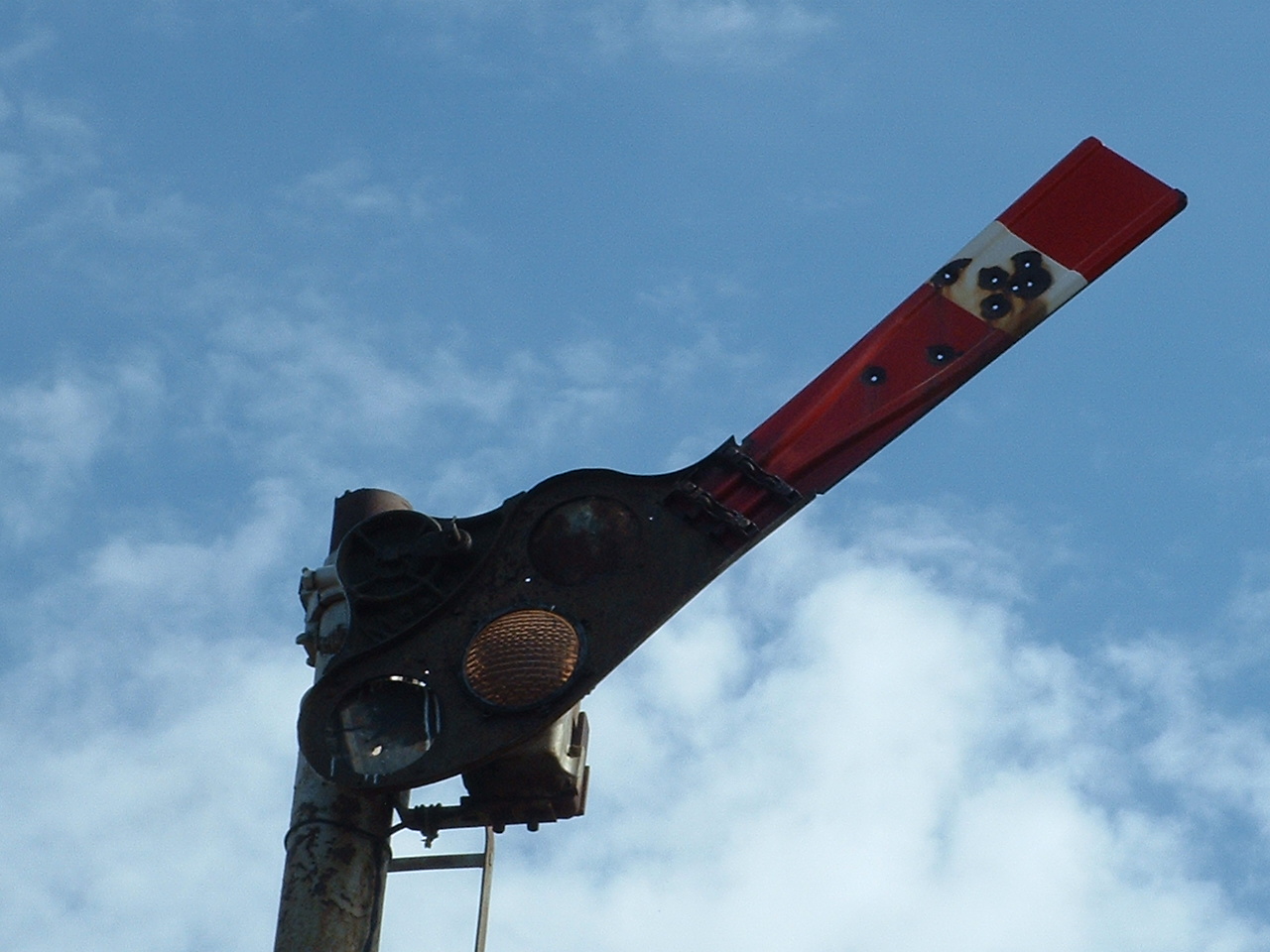
Distant Semaphore, fixed
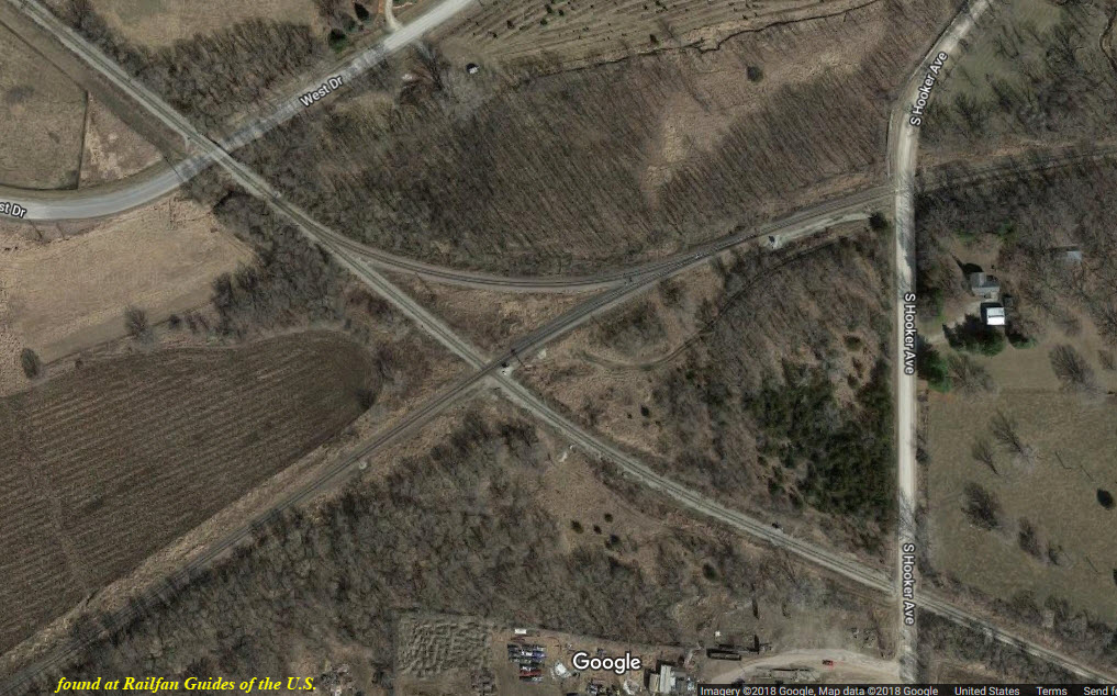
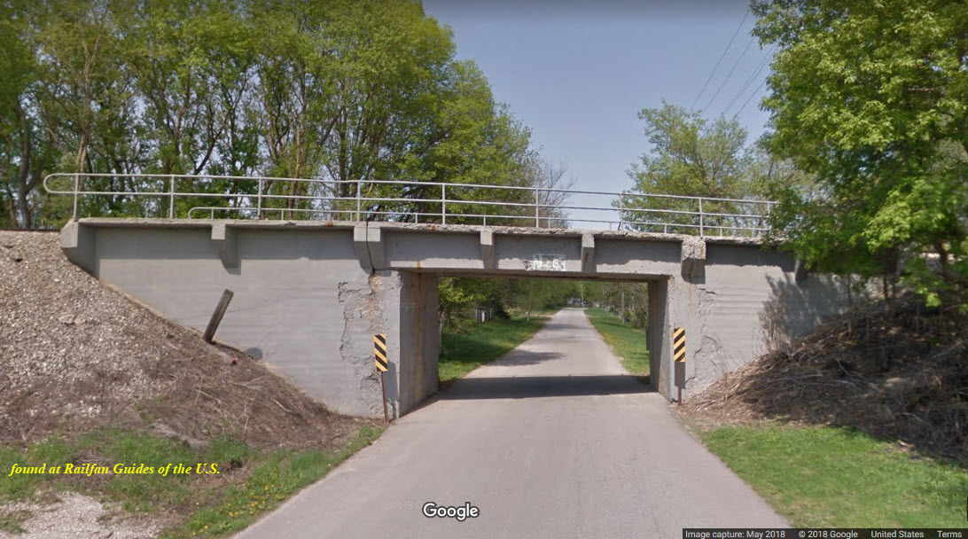
A diamond crossing and single interchange track west of town, 4-way signals
Iowa seems to be one of those under rated states for railfanning. When I was traveling a lot for work back in the late 90's, I got to sample a fair portion
of what Iowa has to offer, including Mason City, Des Moines, Cedar Rapids, Ames, Waterloo, Iowa City, and the quad cities area with Davenport.
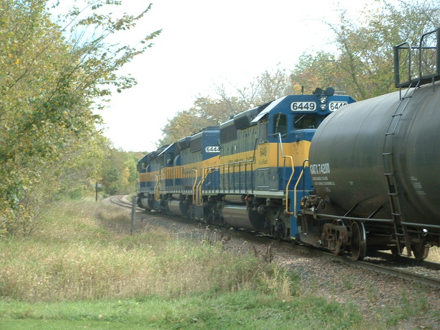
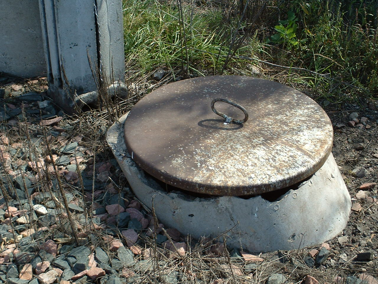
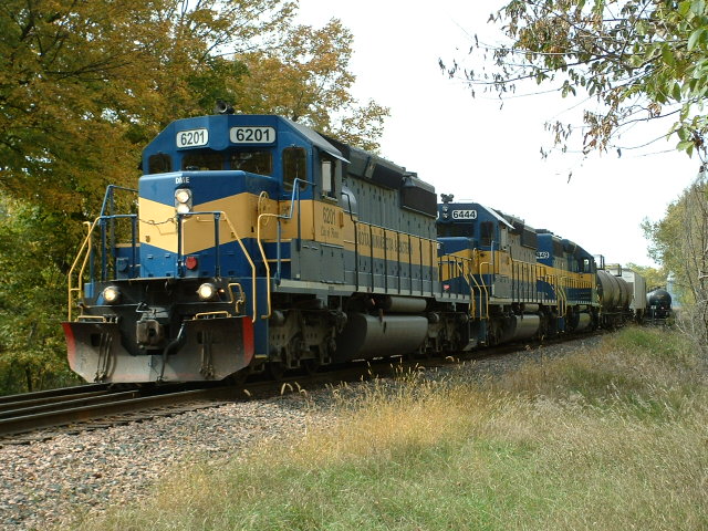
10 miles to the east of Mason City is Nora Springs where the IC&E services a few local industries. This
train, where the head end was east of "downtown", was in the process of dropping off a couple of cars in Nora Springs.
Just west of town is a distant semaphore.
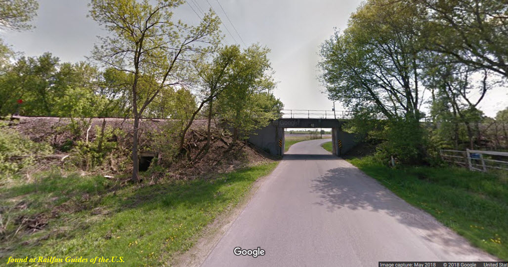
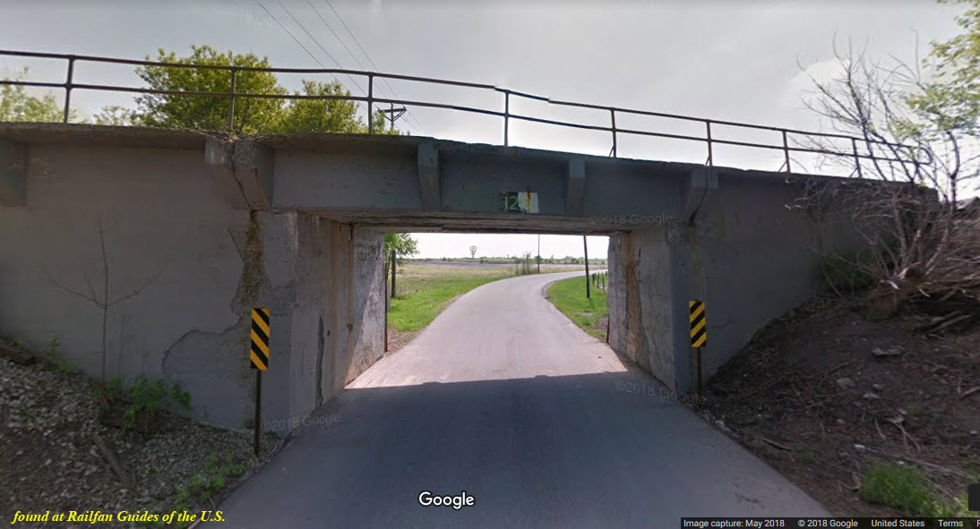
At least when I was here last in 2006, the n/s Rock Island line still had some of the old RI searchlight signals still in place, but inoperative. I'm
sure they are probably long gone by now, but in 2006, they still had the mechanisms inside the casings. Somewhere around here, I have a set of lenses
from one of them.
Altho out of the target area for this railfan guide, the Iowa Interstate has a railfan guide for their lines from Chicago to Council Bluffs: http://www.iaisrailfans.org/info/RailGuide
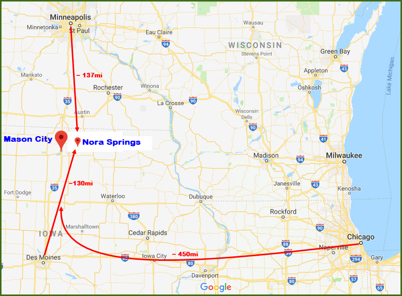
Interstate I-35 bi-sects the state of Iowa right down the middle. This makes it easy to get to from the twin cities of Minneapolis and St Paul to the north, and
Des Moines to the south. I-35 is such a central interstate, for it goes all the way up to Minneapolis and St Paul, and all the way down south into
Kansas City, Oklahoma City, Dallas and San Antonio.
Mason City is about 3 hours from the twin cities.
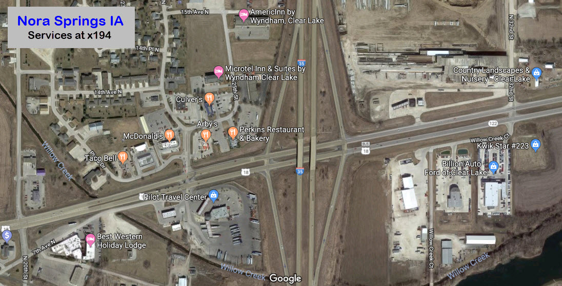
I would probably take exit 194, which is US Business 18. Take it east into Mason City.
There are quite a few services at this exit for food and gas.
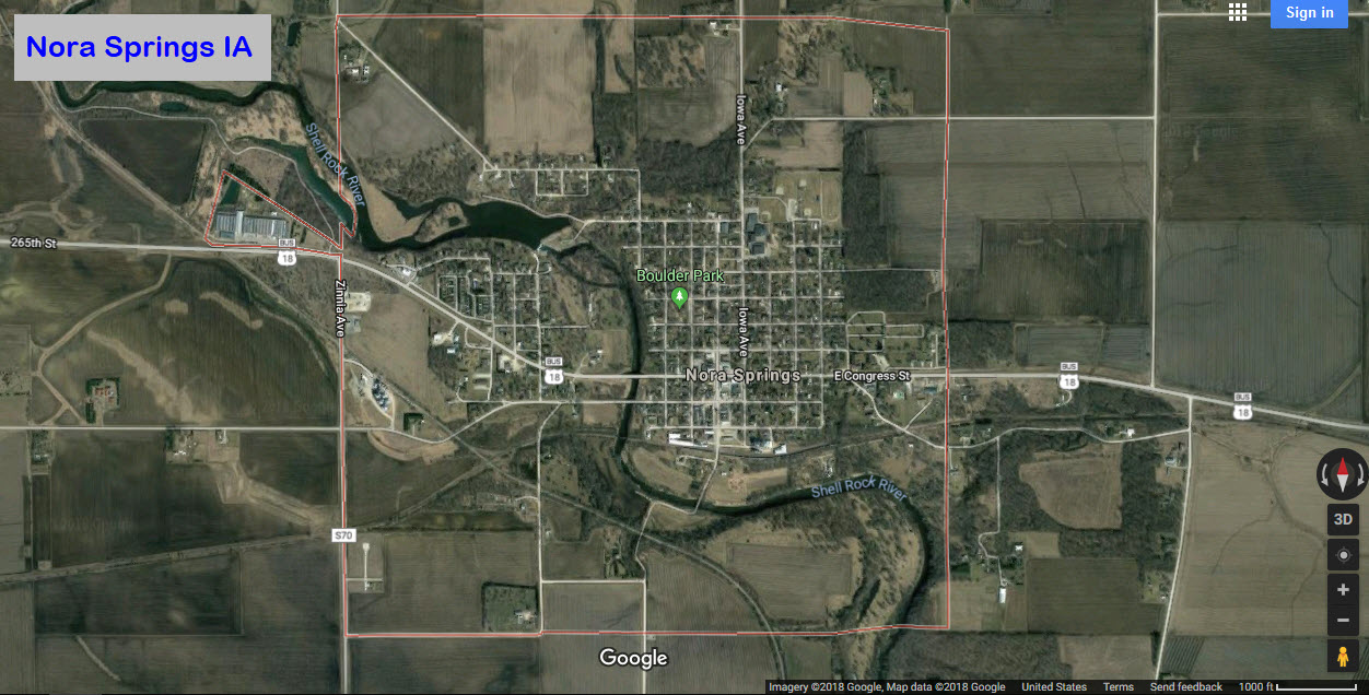
Once in Mason City, stay on Business 18, and take it west 10.0 miles from US
65. This will put you in the center of Nora Springs.
From elsewhere, use your GPS, as it is all backroads.
GPS Coordinates: 43.139706, -93.016638
The Rock Island used to run north/south, it is now the Iowa Northern;
and the Milwaukee Road used to run east/west - this was the IC&E, but is now the Canadian Pacific.
Signals pictures are below
The big draw around town is a distant semaphore signal - when I was there in 2006, I did not make a note as to where
it is, and 12 years later, I can't remember. But thanks to Jim Mihalek, he remembers that it is off Yarrow Ave, about 2 miles west of town!
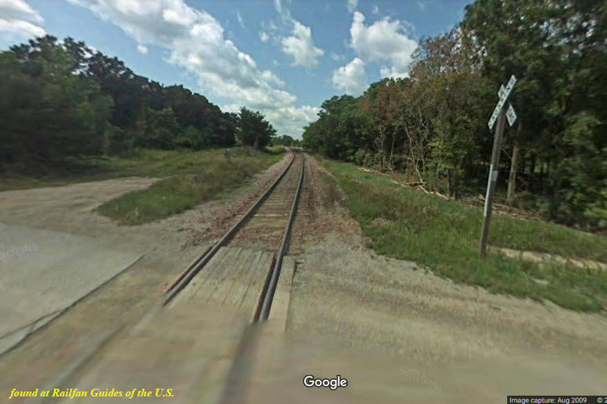
Signals at the Diamond
It looks like there are signals on all four legs, but a field check is needed to confirm this.
Arrows point to the signal locations, and in the bottom picture, you can just make out a signal in the 2009 capture by the Google cameras.
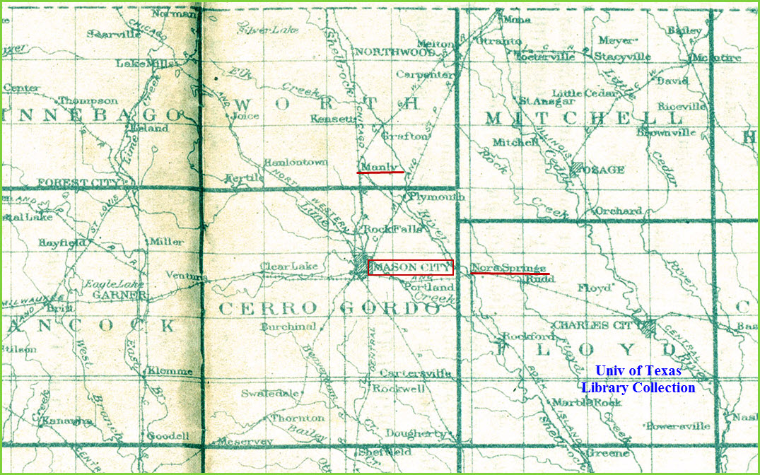
This is the only vintage map I could find of the area.... a USGS index map from roughly 1920
Disclaimers:
I love trains, and I love signals. I am not an expert. My webpages reflect what I find on the topic of the page. This is something I have fun with while
trying to help others.
Please Note: Since the main focus of my two websites is railroad signals, the railfan guides are oriented towards the signal fan being able to locate them.
For those of you into the modeling aspect of our hobby, my indexa page has a list of almost everything railroad oriented
I can think of to provide you with at least a few pictures to help you detail your pike.
If this is a railfan page, every effort has been made to make sure that the information contained on this map and in this railfan guide is correct. Once in a while,
an error may creep in :-)
My philosophy: Pictures and maps are worth a thousand words, especially for railfanning. Text descriptions only get you so far, especially if you get lost or
disoriented. Take along good maps.... a GPS is OK to get somewhere, but maps are still better if you get lost! I belong to AAA, which allows you to get
local maps for free when you visit the local branches. ADC puts out a nice series of county maps for the Washington DC area, but their state maps do not have the
railroads on them. If you can find em, I like the National Geographic map book of the U.S..... good, clear, and concise graphics, and they do a really good job
of showing you where tourist type attractions are, although they too lack the railroads. Other notes about specific areas will show up on that page if known.
Aerial shots were taken from either Google or Bing Maps as noted. Screen captures are made
with Snagit, a Techsmith product... a great tool if you have never used it!
By the way, floobydust is a term I picked up 30-40 years ago from a National Semiconductor data book, and means miscellaneous
and/or other stuff.
Pictures and additional information is always needed if anyone feels inclined to take 'em, send 'em, and share 'em, or if you have something to add or correct.... credit
is always given! Please be NICE!!! Contact info is here
Beware: If used as a source, ANYTHING from Wikipedia must be treated as being possibly being inaccurate, wrong, or not true.


 looking east
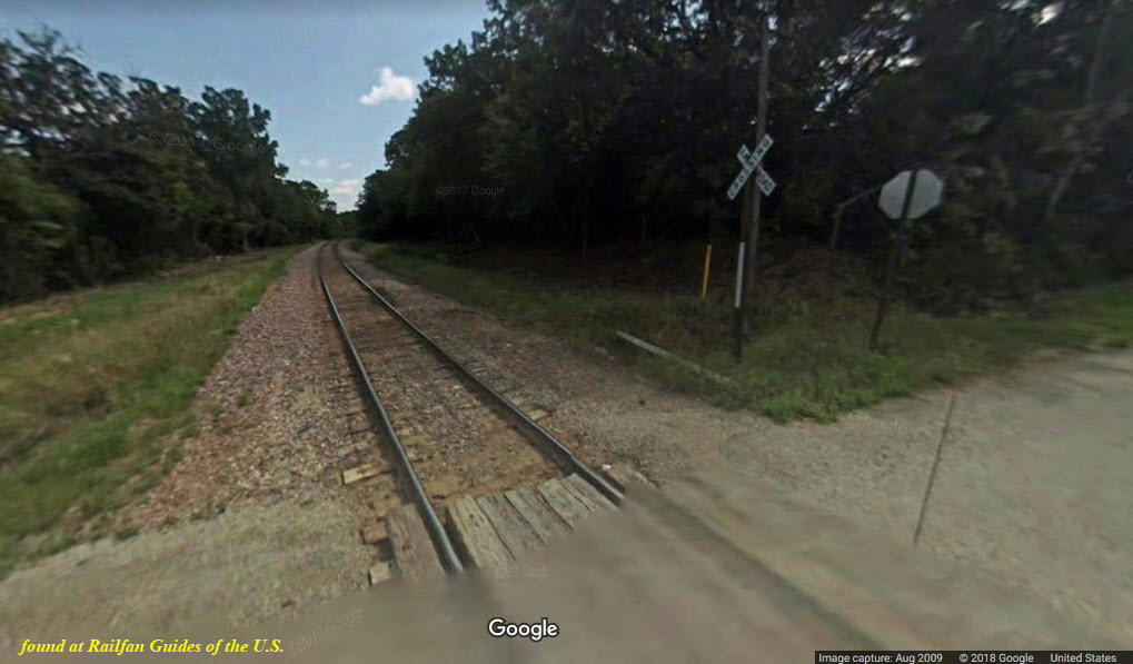 looking west
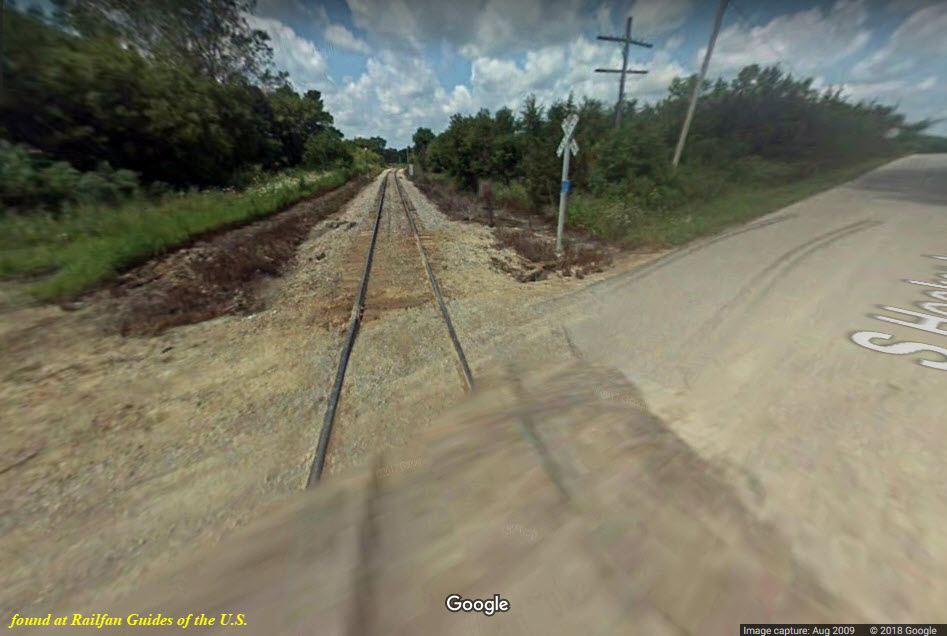 looking NW
 looking SE
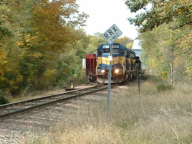
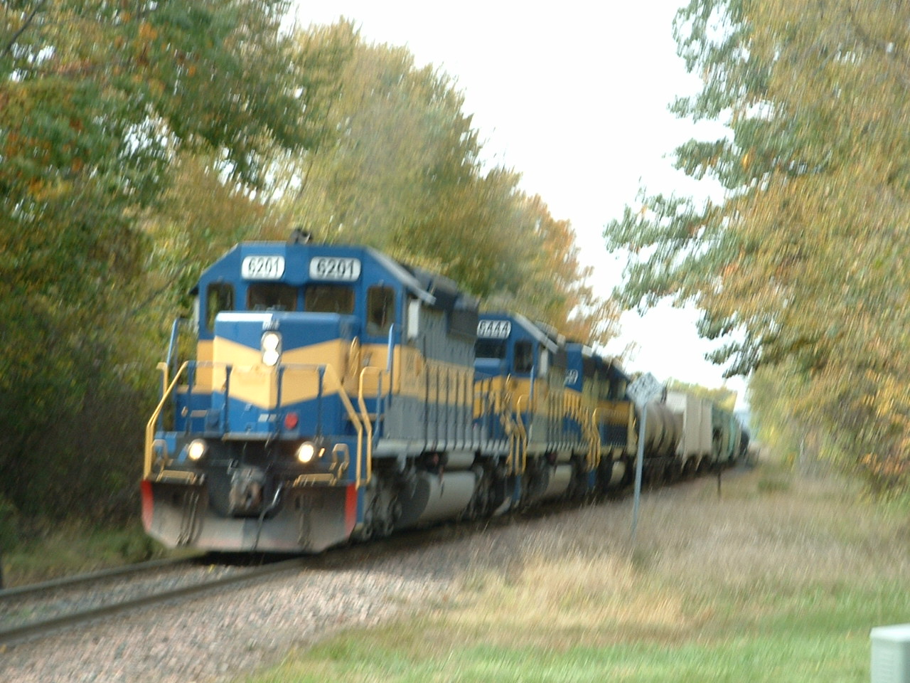 sorry for the fuzz :-)