the Station
Maps
Signals
Floobydust
DC Guide Home Hiways Hotels Intro Railroad Sights Links Photos Busses
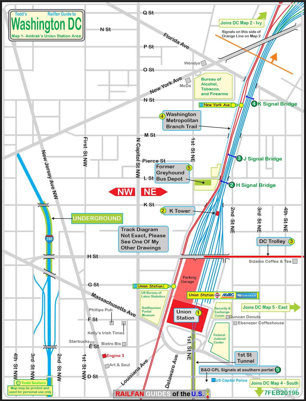
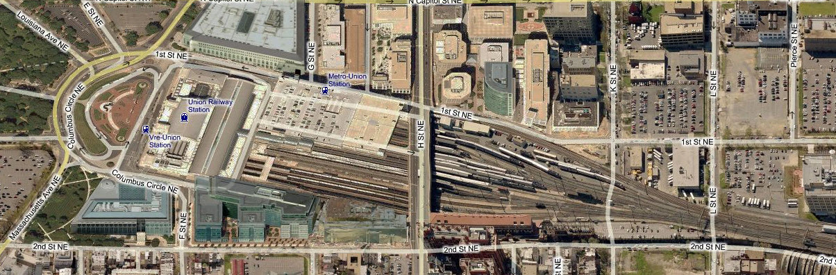
The above map is available here as a PDF
Below are B&O (upper) and CSX era drawings of the area.
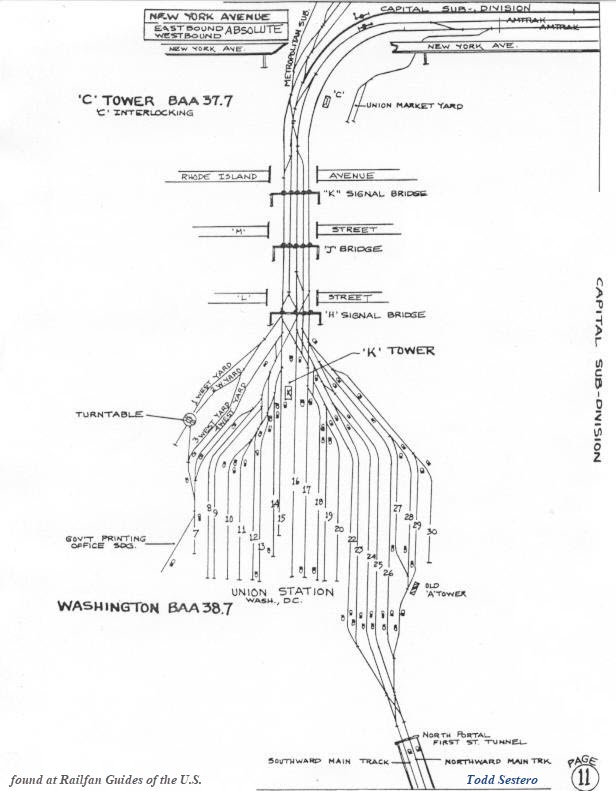

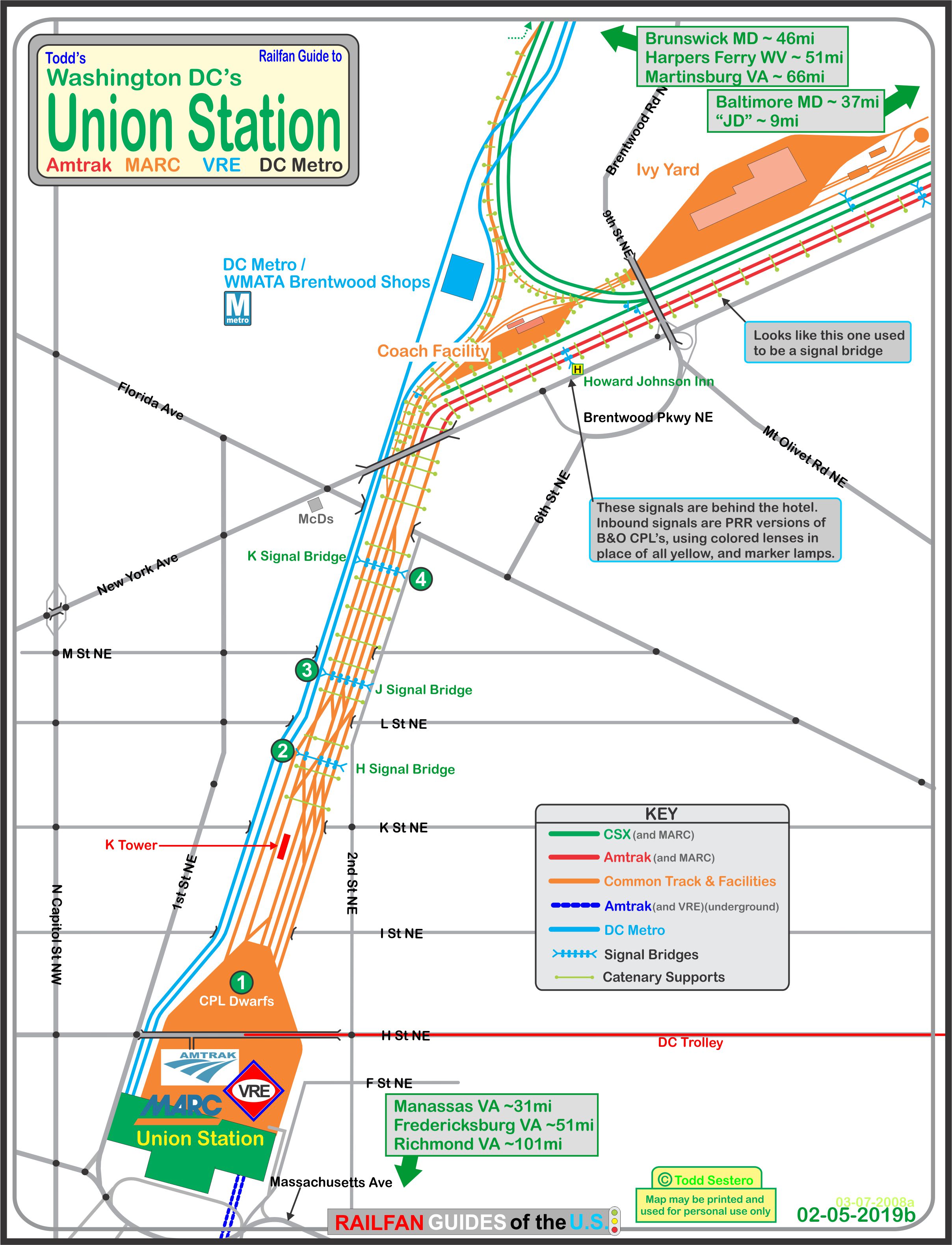
The above map is available here as a PDF
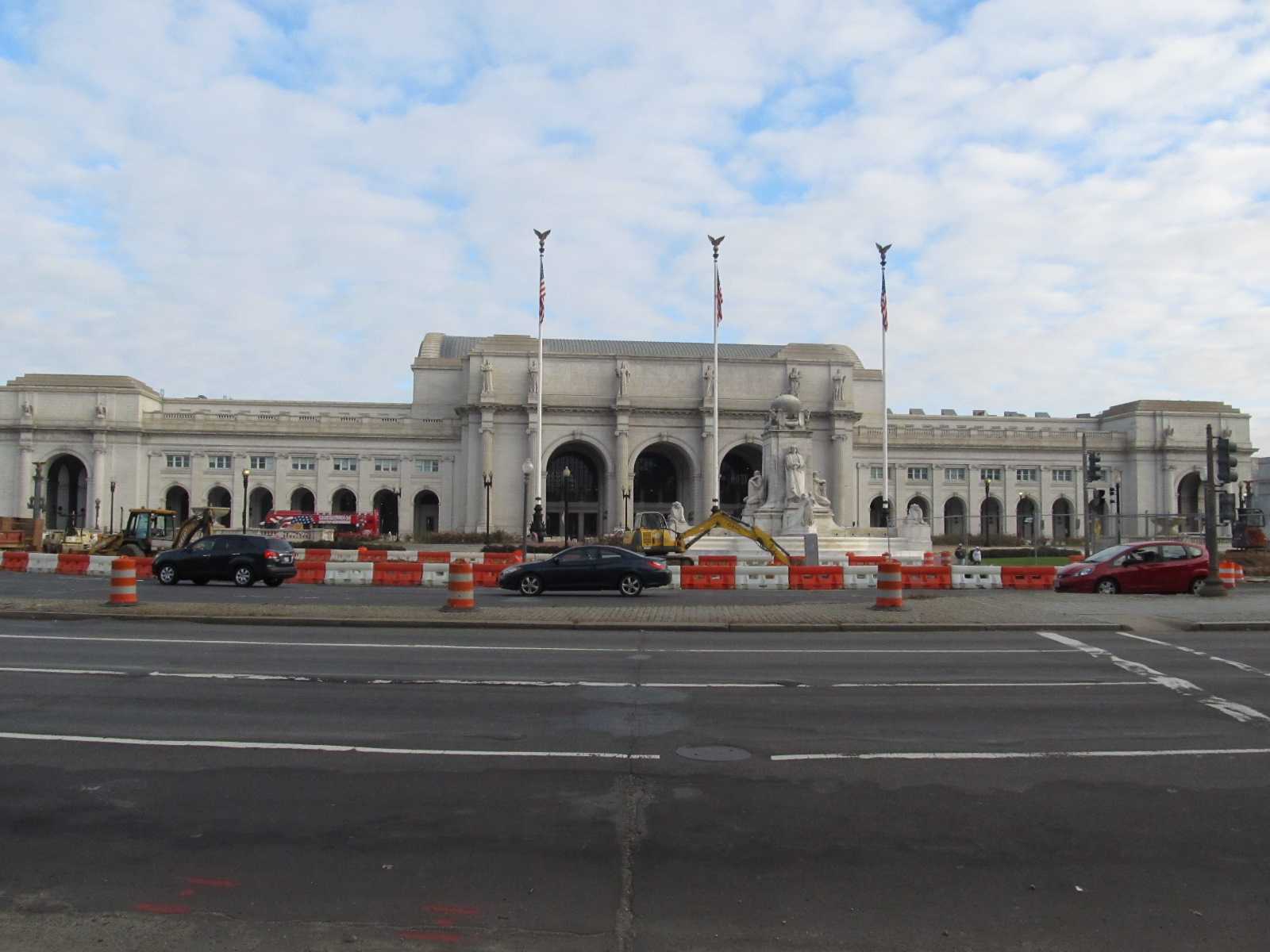
Although Union Station was completed 1908, it officially opened on October 27th, 1907 when the B&O Pittsburgh Express pulled into the station - construction started in 1903. Union Station was built jointly with the B&O, and the architect was Daniel Burnham. The station served as a hub for the Pennsylvania Railroad, the Baltimore and Ohio Railroad, the Southern Railway, and the Richmond, Fredericksburg and Potomac Railway, and through trackage rights, the Atlantic Coast Line and Seaboard Air Lines (later the Seaboard Coast Line), both of which terminated in Richmond and "came up" via the RF&P.
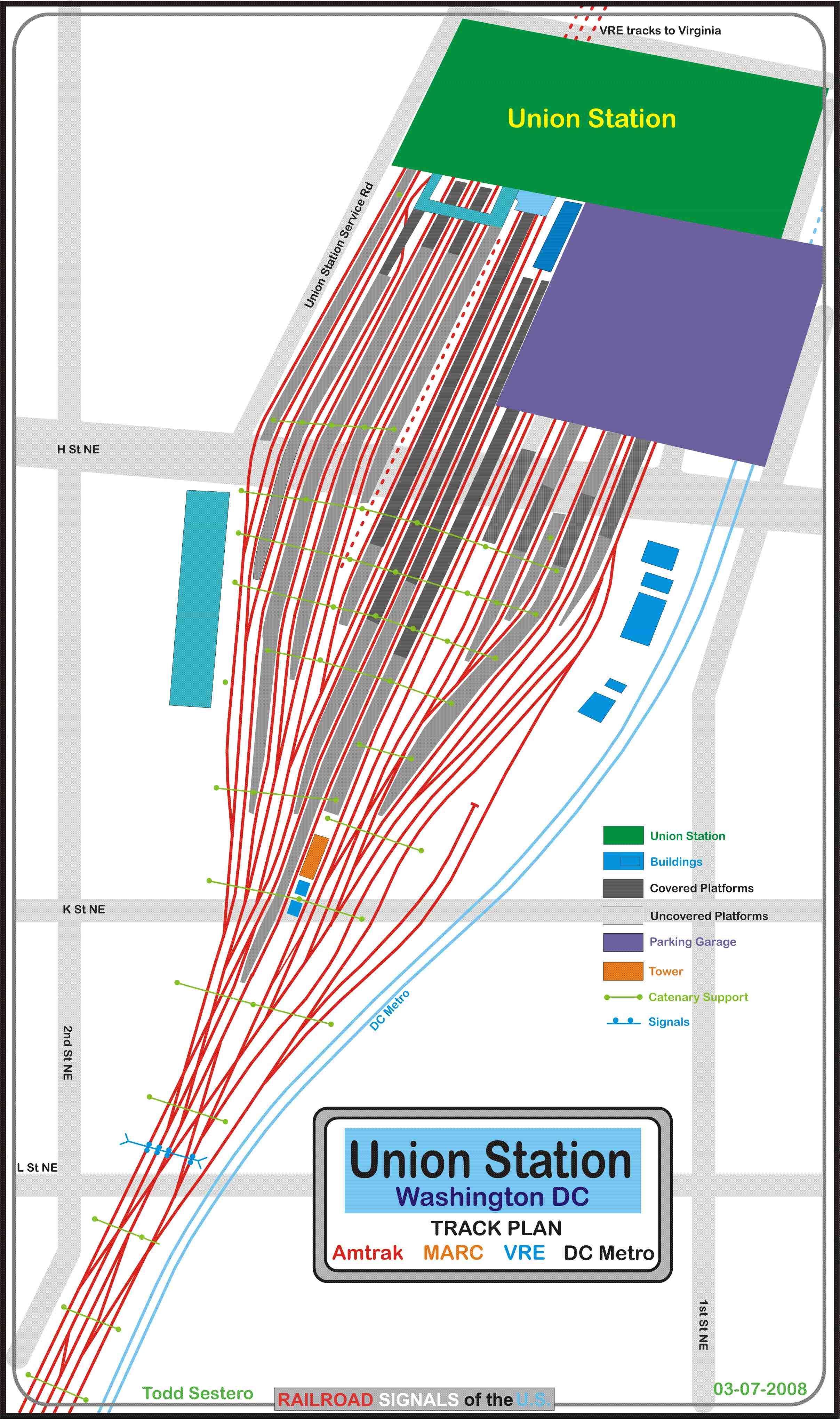
The station currently serves Amtrak, MARC (MAryland Rail Commuter), and the VRE (Virginia Rail Express).
May of 1972 was the last steam operated excursion train to use Union Station when 2102 ran a trip to Philadelphia. 2102 also held the title for the first steam into Union Station on August 15/16th, 1964, after the formal end of steam on January 3rd, 1954 on the RF&P (although C&O #490 ran a trip on June 7th, 1953).
MDOT began commuter service in 1974, which
later became MARC in 1984.
VRE started using Union Station on June 22nd,
1992.
In June of 1981, Amtrak purchased the Washington Terminal Co which had been used to provide all of the inter-railroad movements, and to and from Union Station and Ivy City Yard and the coach yard.
Electric service in and out of Union Station started on January 28th, 1935... all the way to New York City.
On September 29th, 1988, the station re-opened after a major overhaul of everything, and cost a reported $160 million after Congress authorized the project in 1981. It is the largest and most complex restoration project done in the United States.
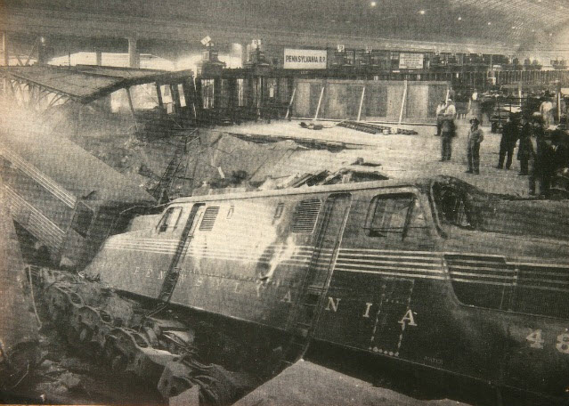
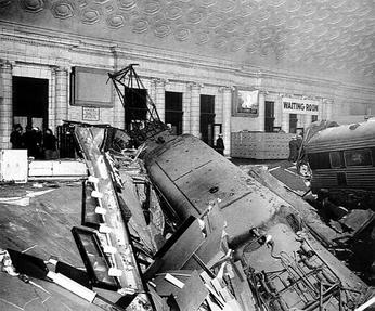
One of the more famous things that ever
happened here was on January 15th, 1953,
when the Federal Express train came into the station out of control
on Track 16, crashed through a newsstand and into
the main concourse of Union Station. No one was killed!
Thanks to a tower crewmember located about a mile from Union Station who had
been able to warn the stationmaster's office that a runaway train was on its
way, the concourse was cleared in two and a half minutes. Although the
floor collapsed under the locomotive, 96 hours later, at
8:00am, an Eisenhower inaugural special train rolled to
a stop on Track 16 into a concourse that showed little evidence of
the accident - they had built a temporary floor over the accident site.
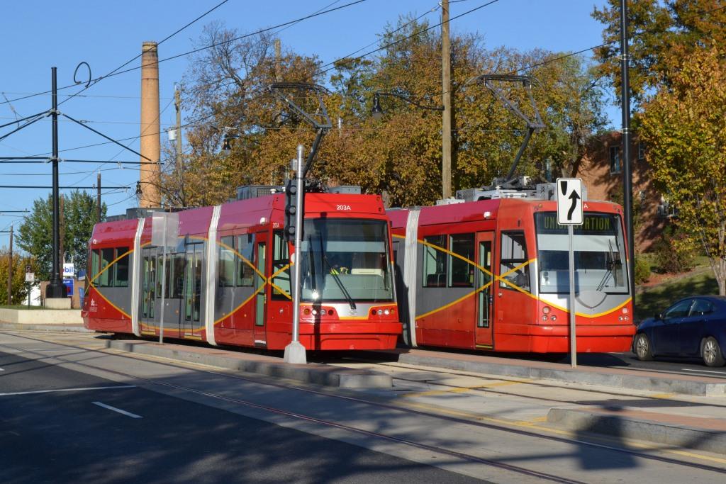
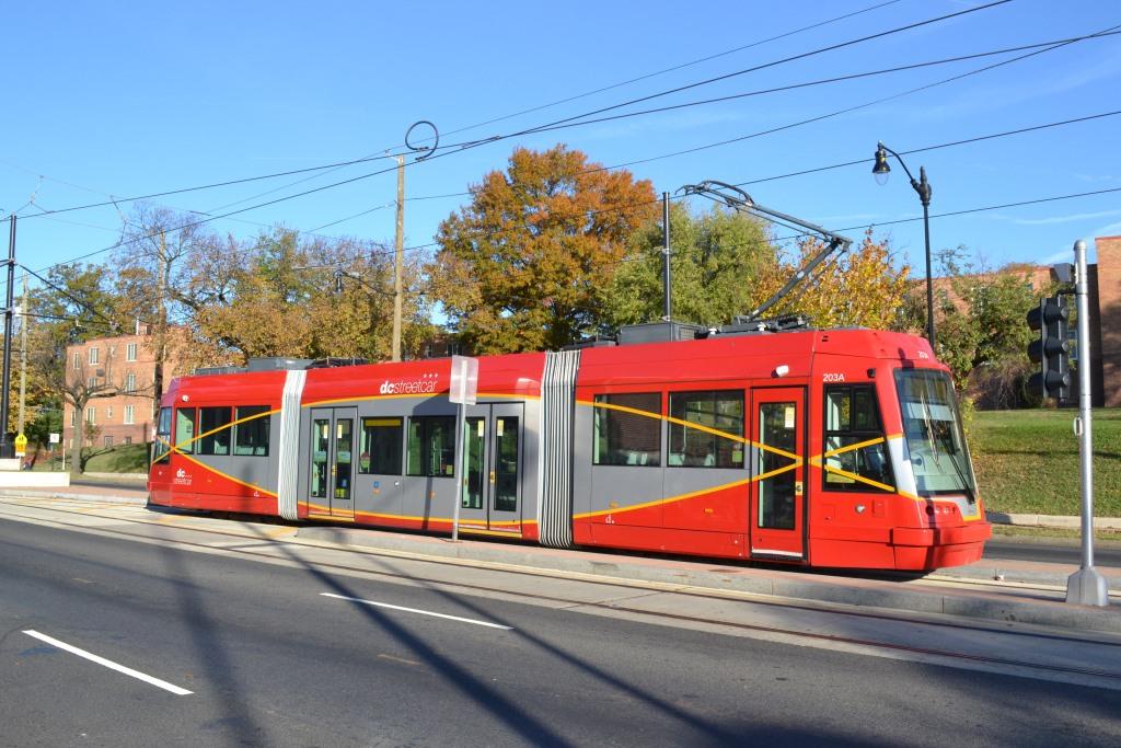
Well, Washington DC was supposed to get a
it's trolley system back in 2012. Although it was in place over the summer
of 2015, it didn't begin "revenue" service until the early part of 2016. I
say revenue service in quotes because as of November 2016, it is still free to
ride. The ride is 2.2 miles long, and many people people say you can
almost walk faster than the streetcar runs. The tracks run up H St NE.
The pictures below are from November 6th, 2016. Much more info at:
https://railfanguides.us/dc/DCstreetcar/index.htm Beware: If used as a source, ANYTHING from Wikipedia must be treated as being possibly being inaccurate, wrong, or not true.
More info at:
https://en.wikipedia.org/wiki/1953_Pennsylvania_Railroad_train_wreck
http://dcist.com/2013/01/post_55.php#photo-1
http://ghostsofdc.org/2012/06/21/runaway-train-union-station-1953/
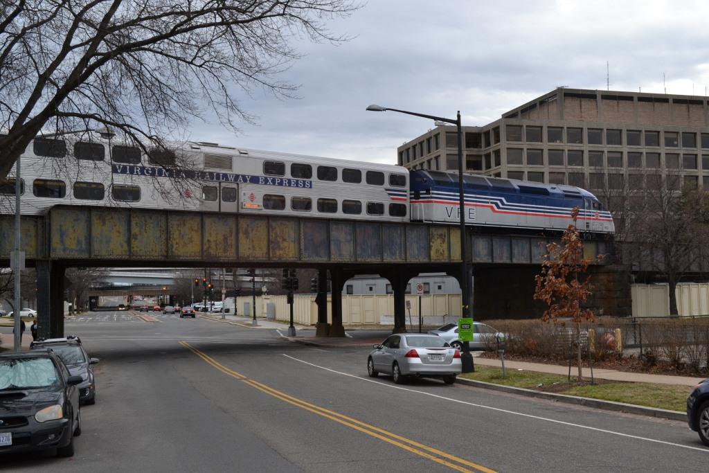
 Views from the H Street overpass.
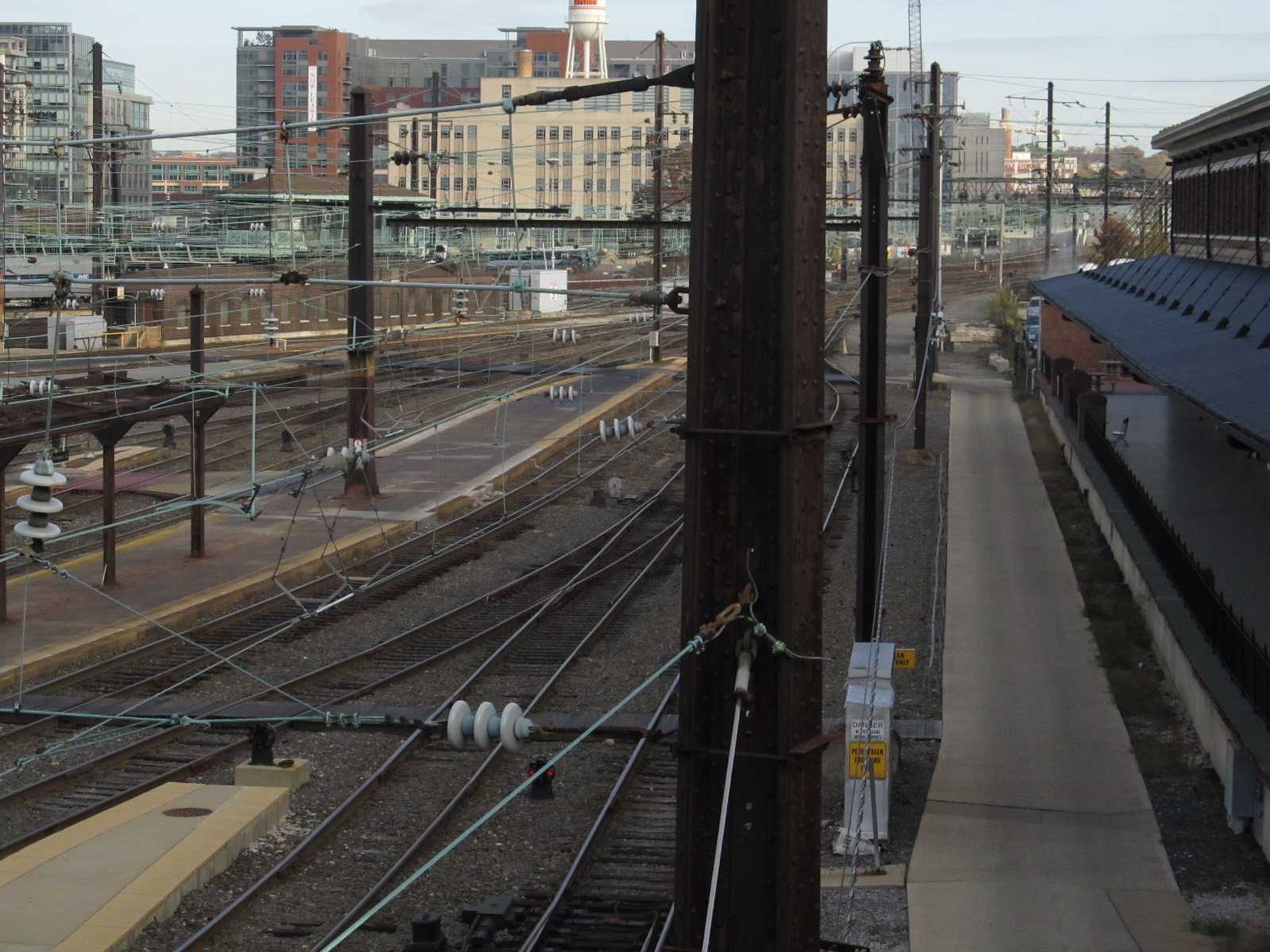
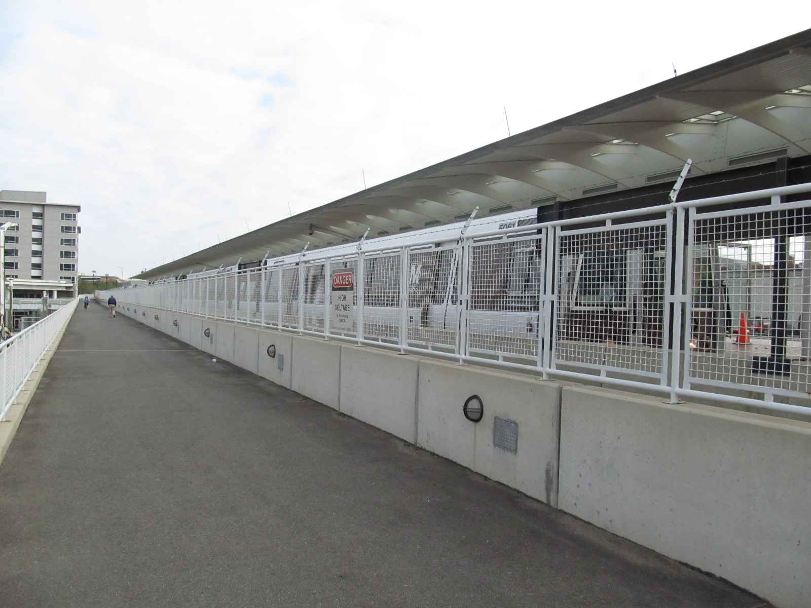
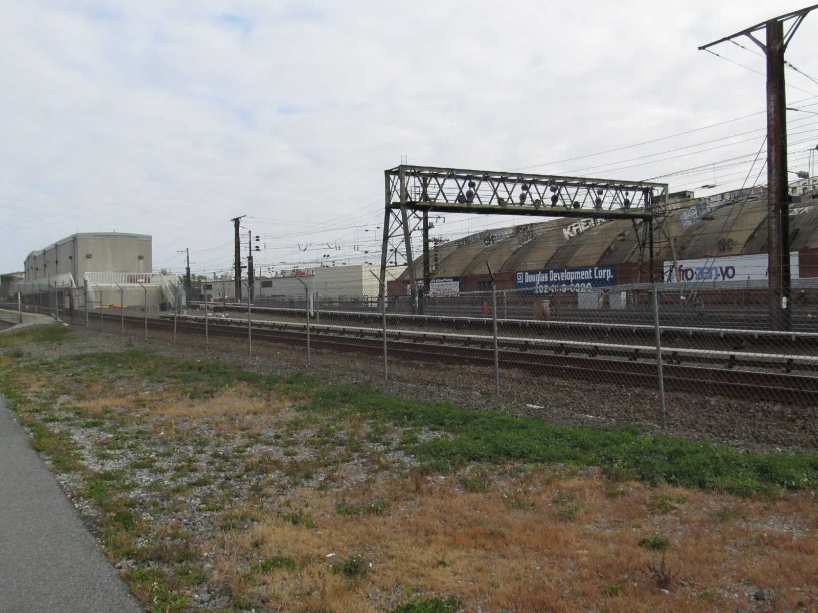
 Looking into the platform area from along the hikey-bikey trail.
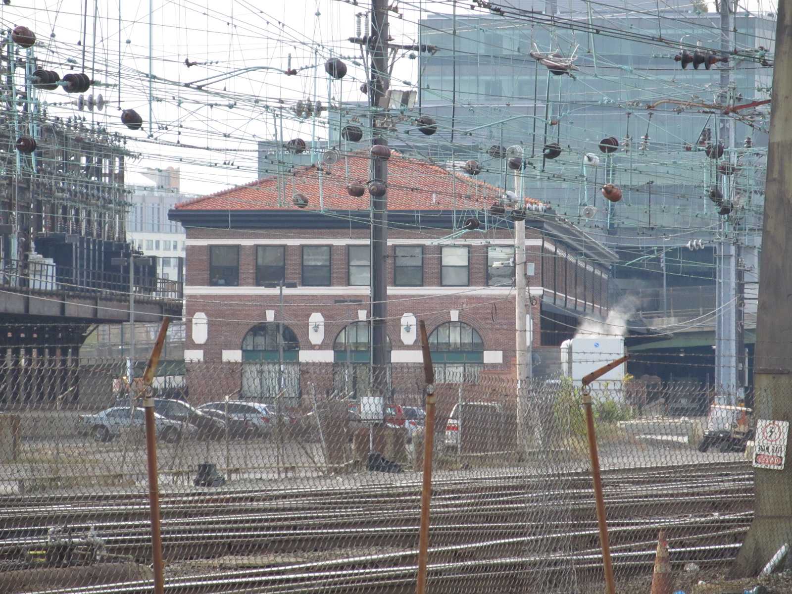
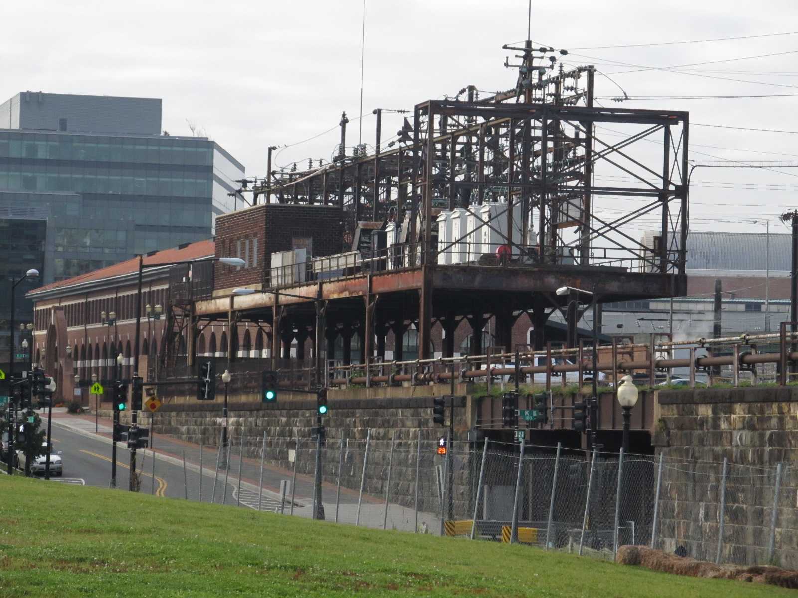 Electrical equipment at K Street.
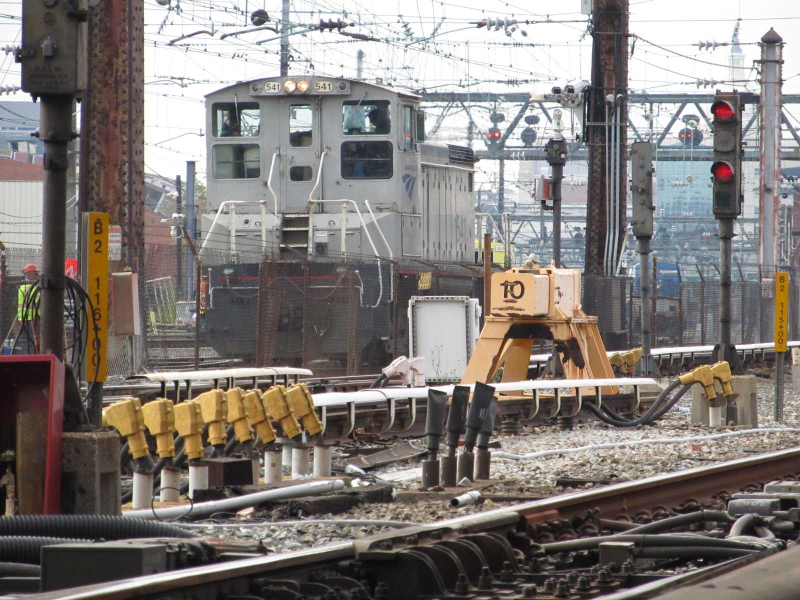
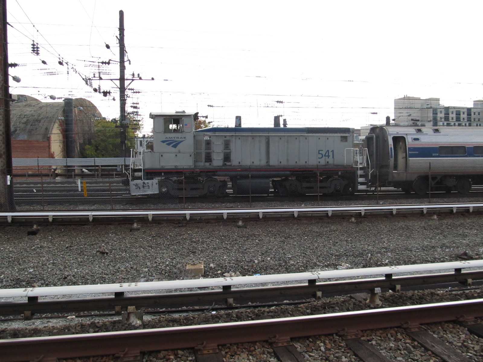
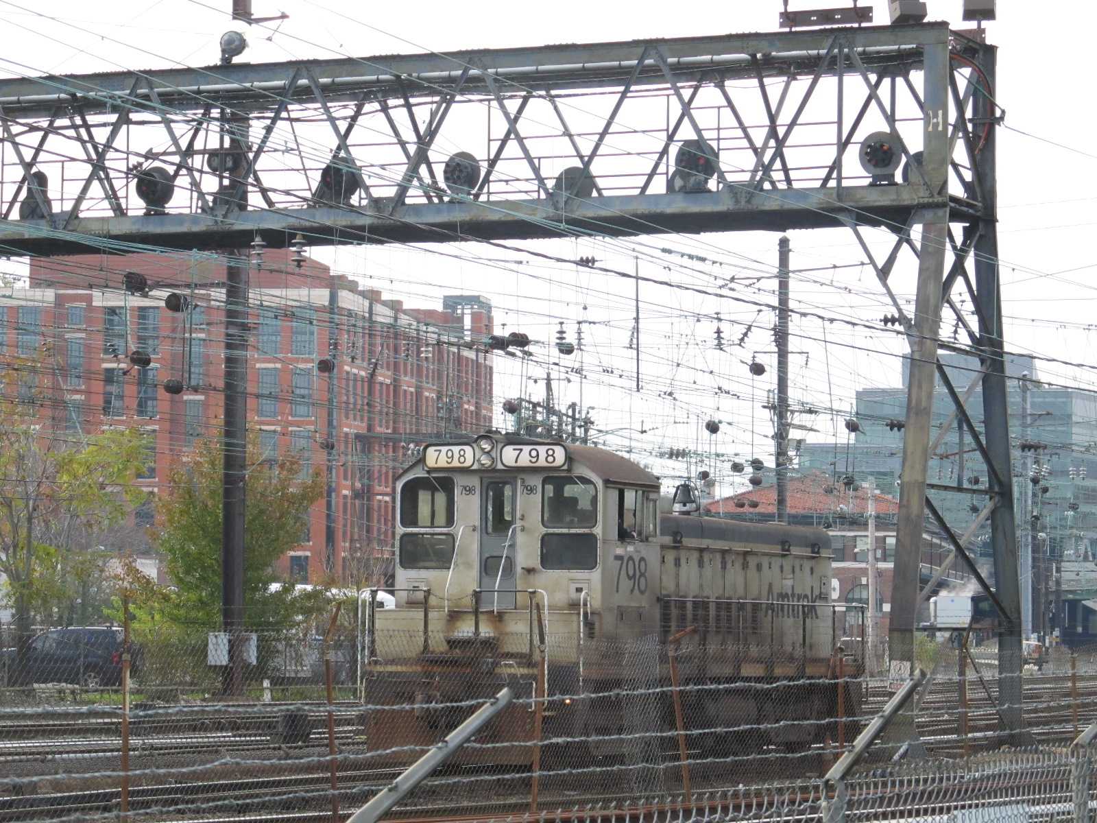
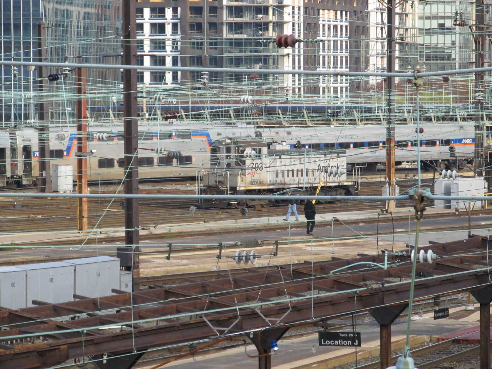
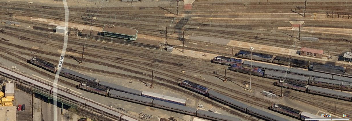
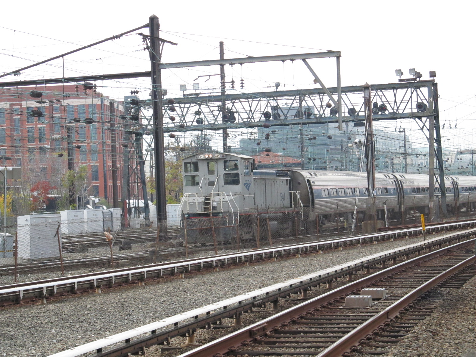
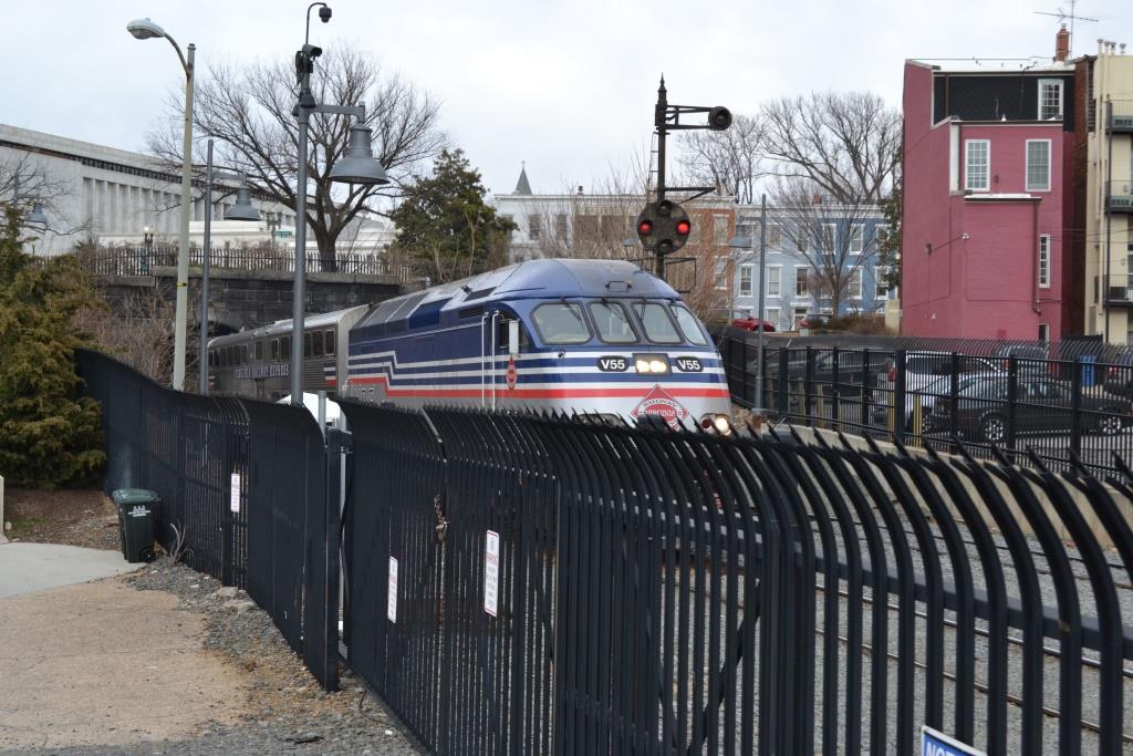
 Switchers are kept busy all day long shunting cars back and forth from the station to Ivy City.
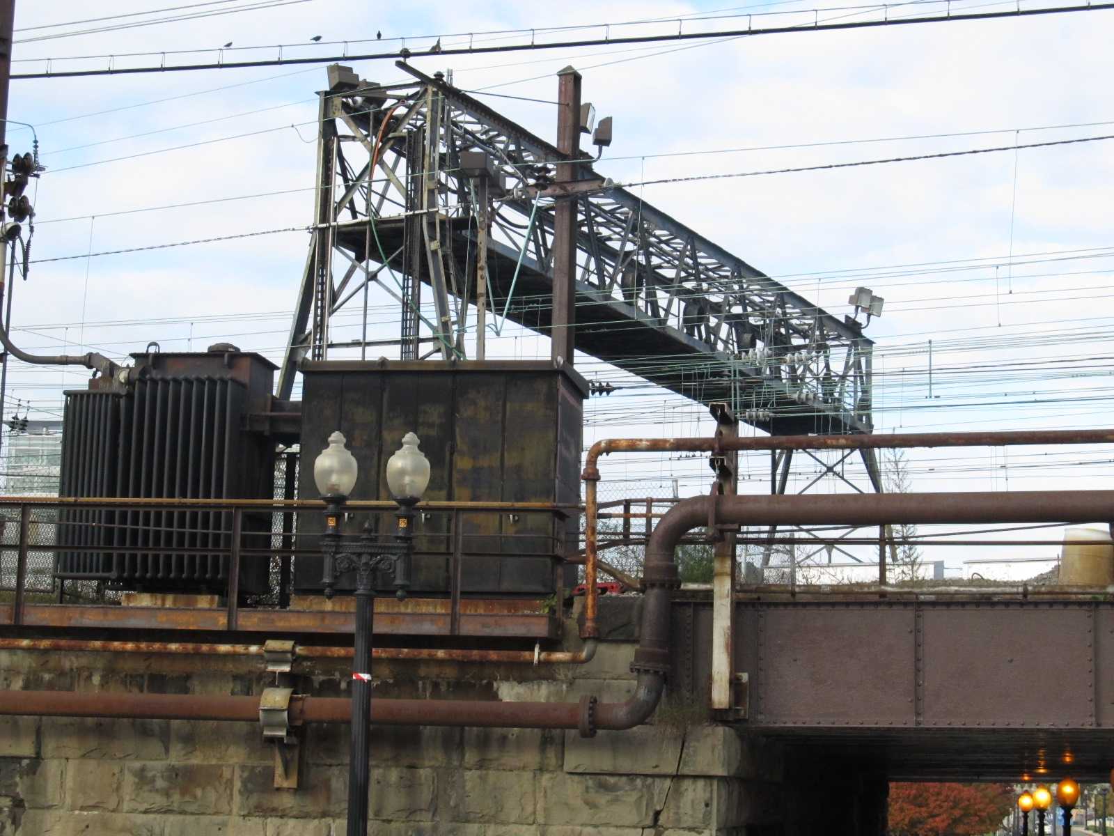
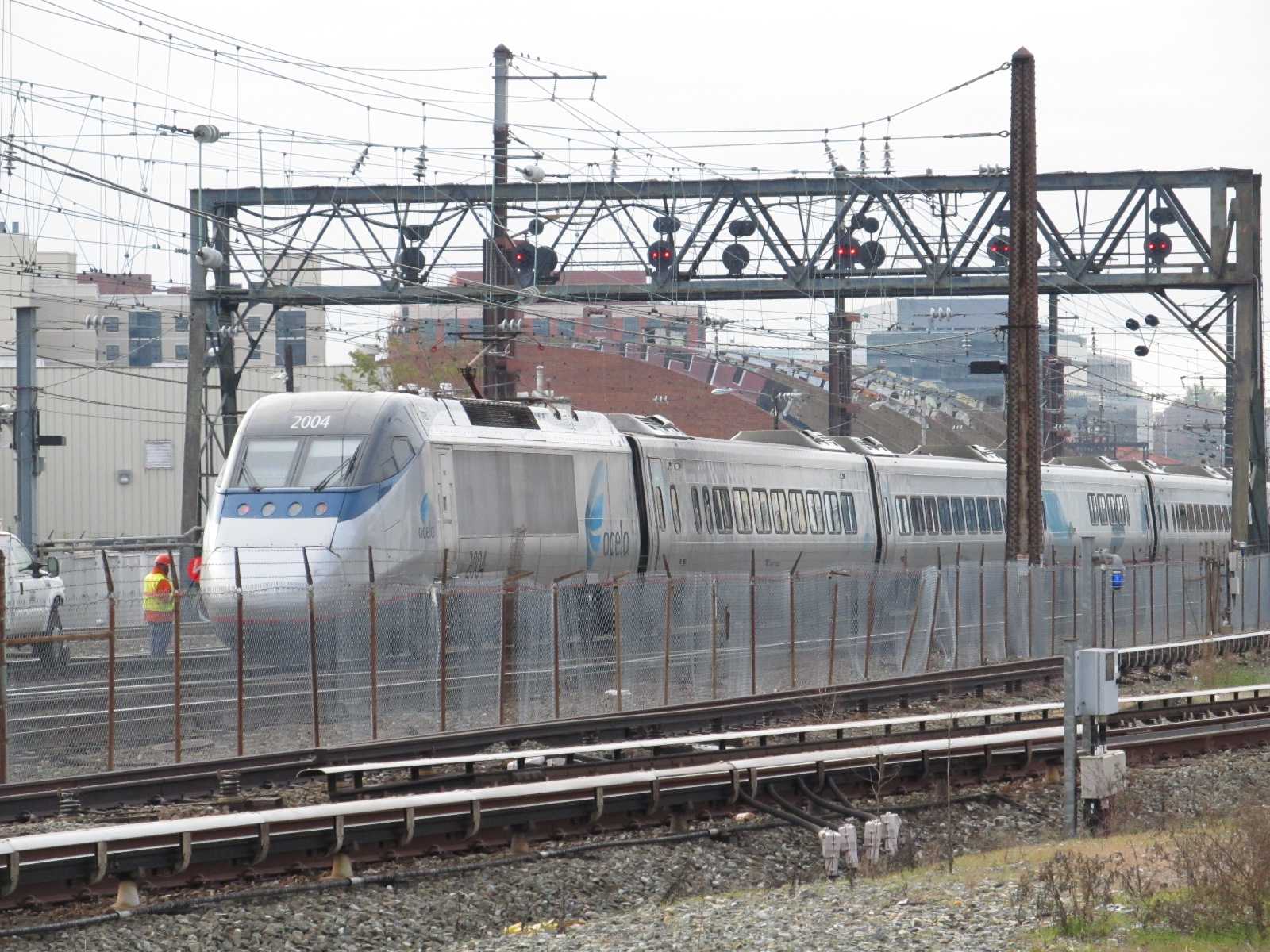
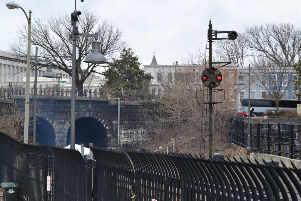
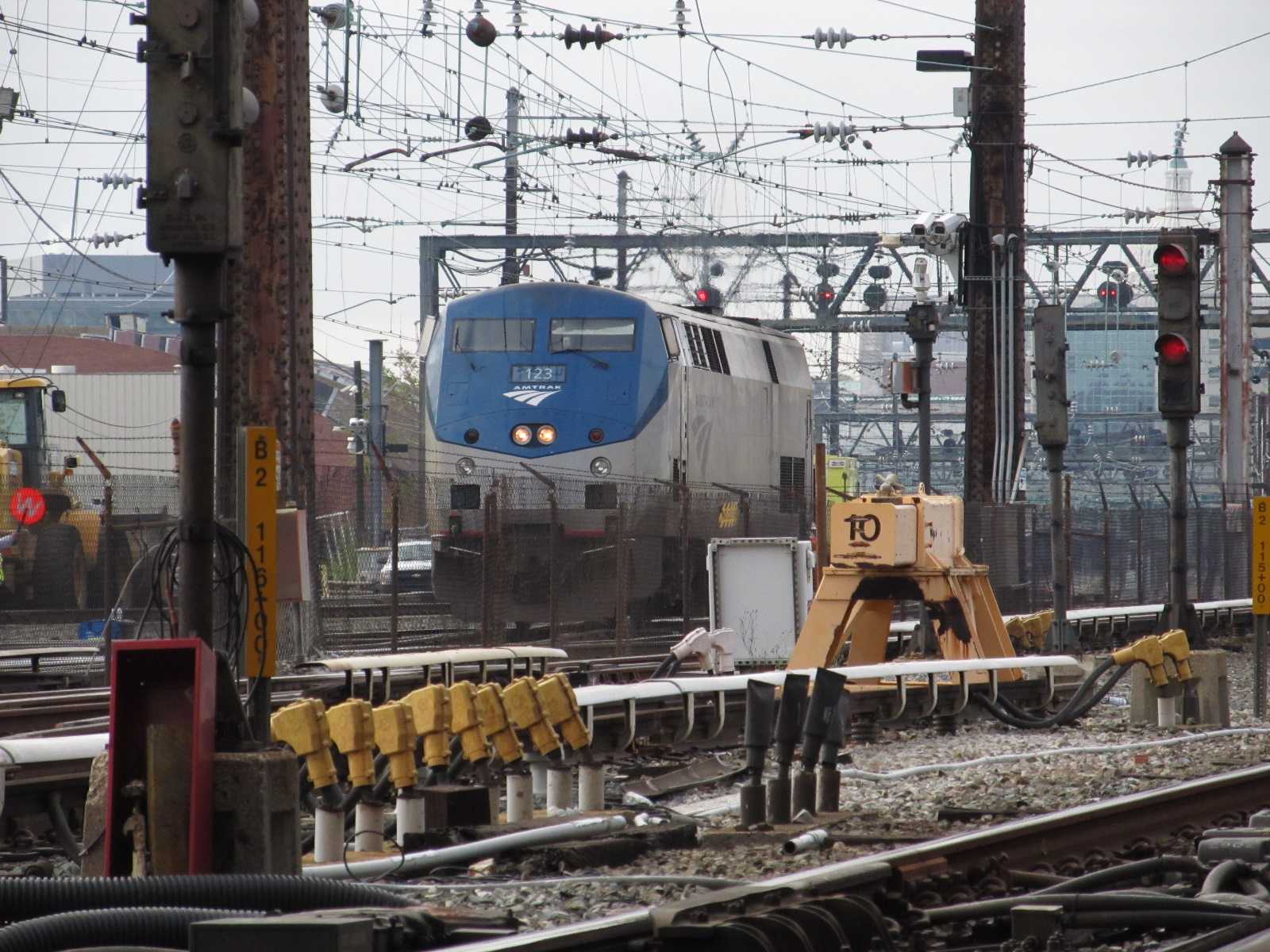 Passing under the K Signal Bridge.
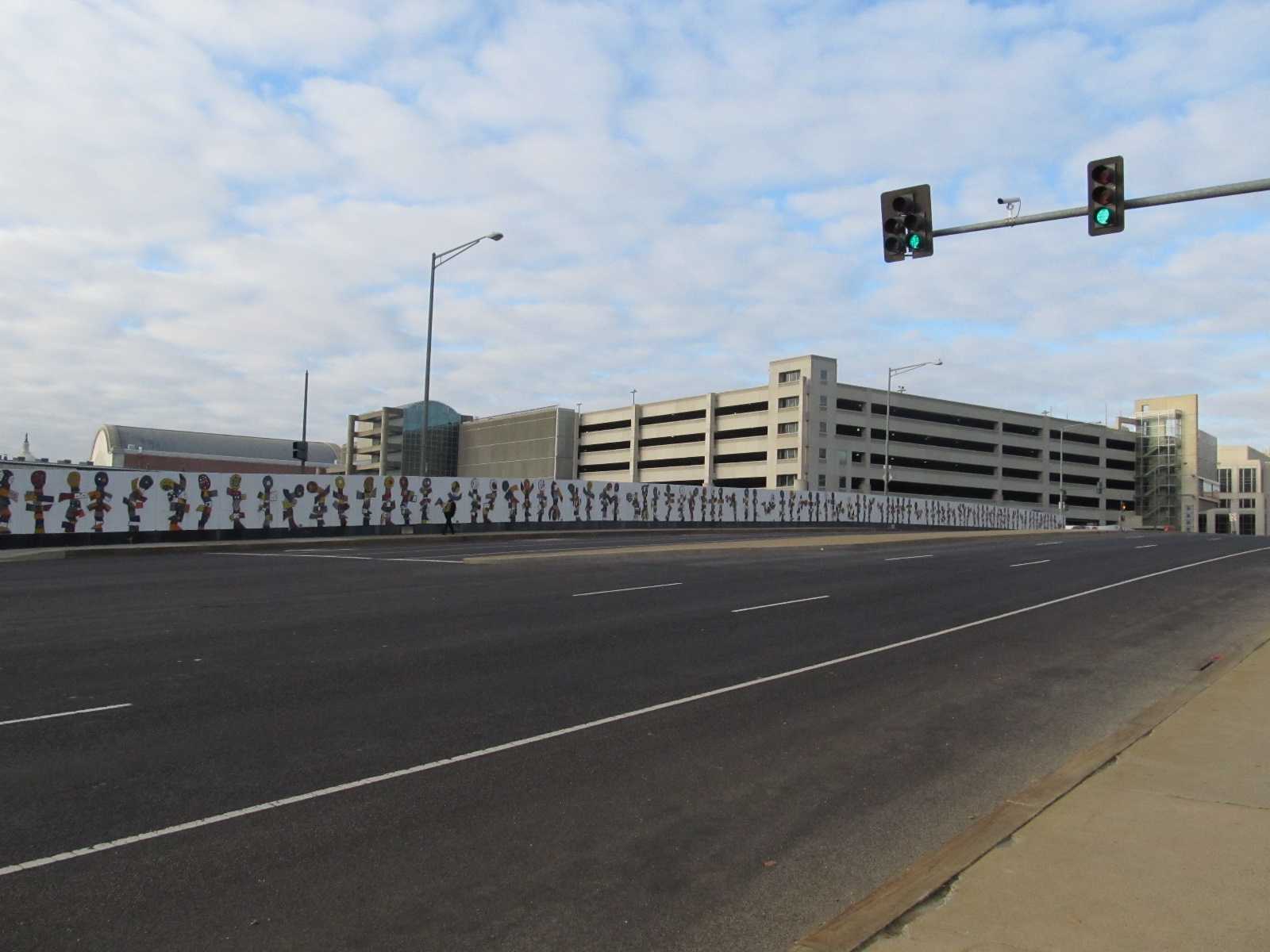 Rear of the station from H Street (it's actually the parking garage), before the DC Trolley made it's apperance.
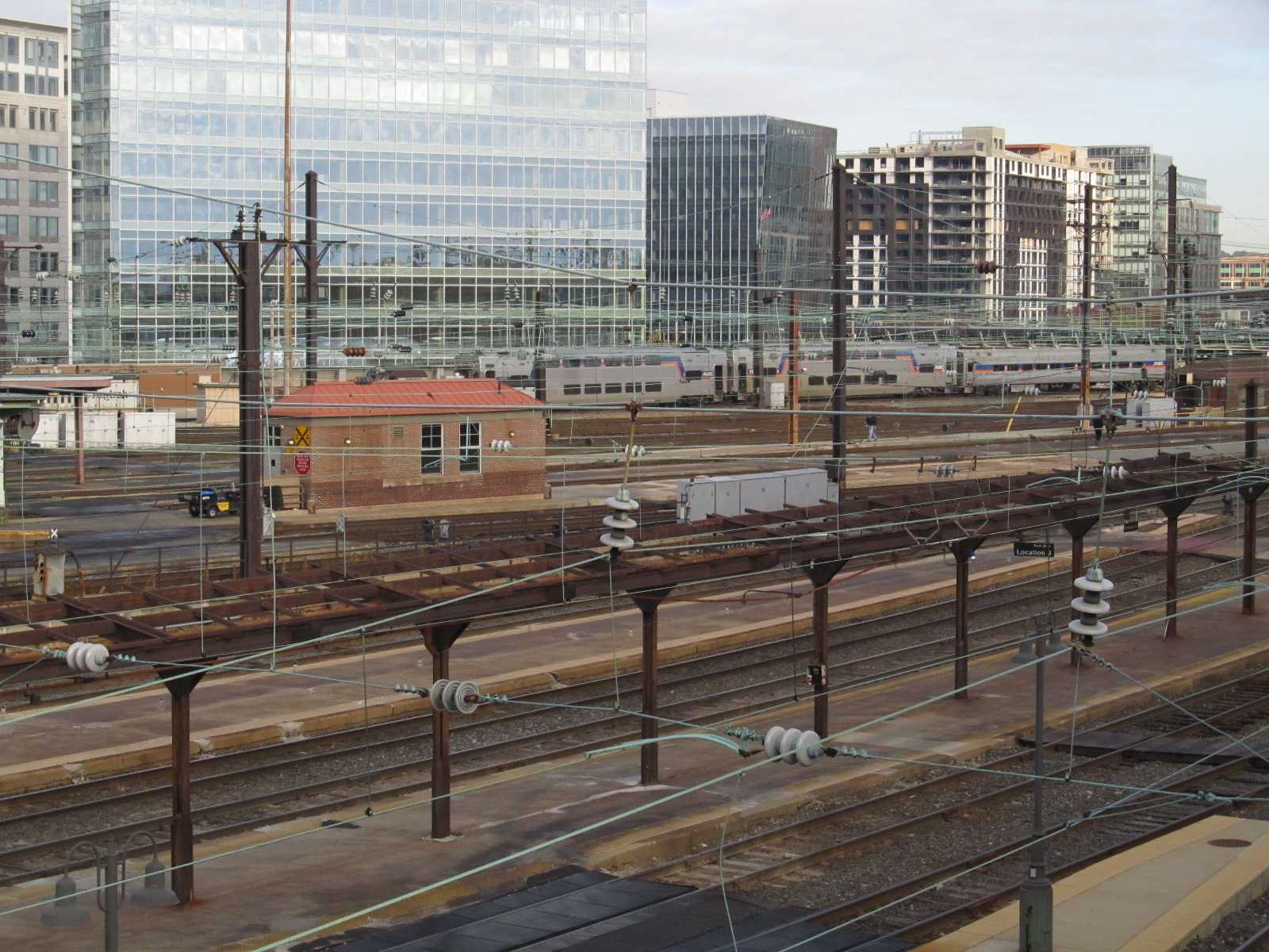
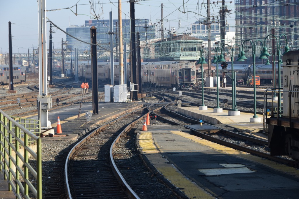
Overall view of Union Station and it's tracks.
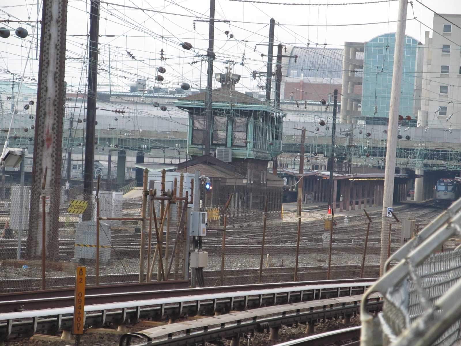
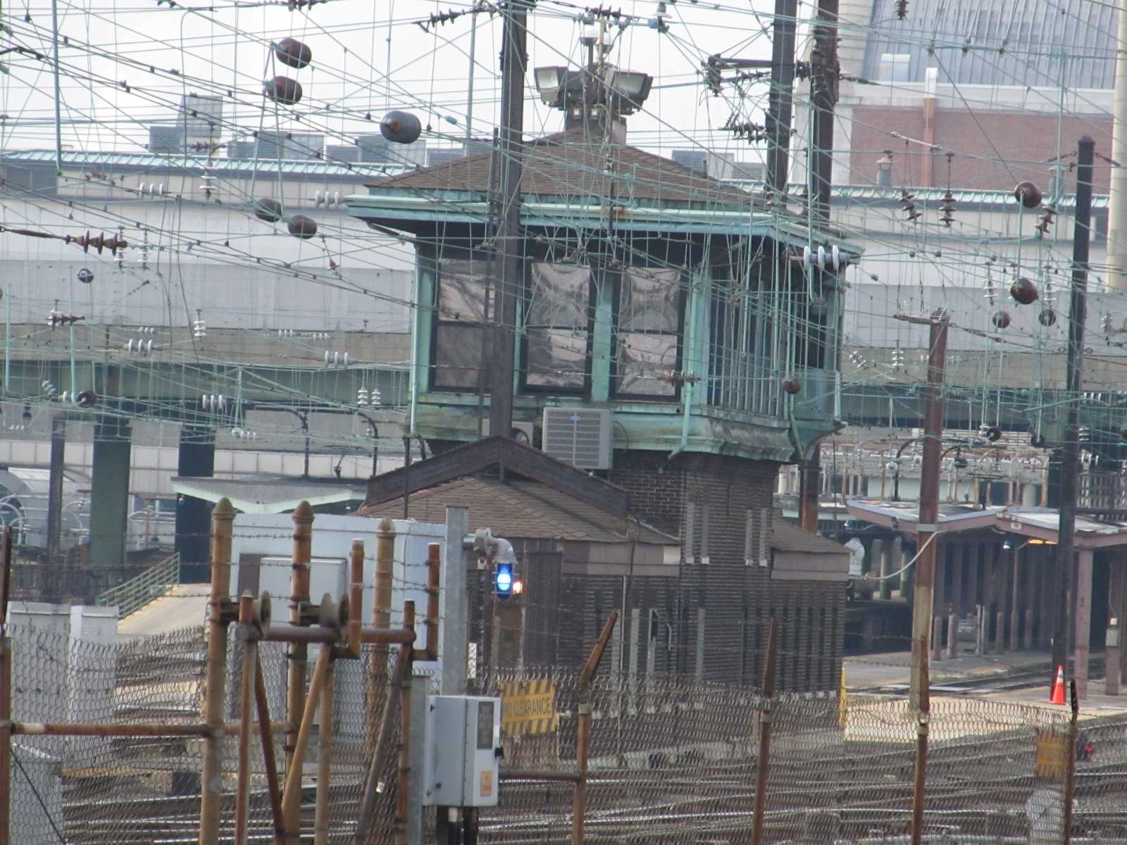
![]() K Tower
K Tower
Interesting view of the tower and trains. The tower is named after the
street that runs below the tracks, K Street. The station in this shot is
to the right.
![]() the DC Streetcar
the DC Streetcar
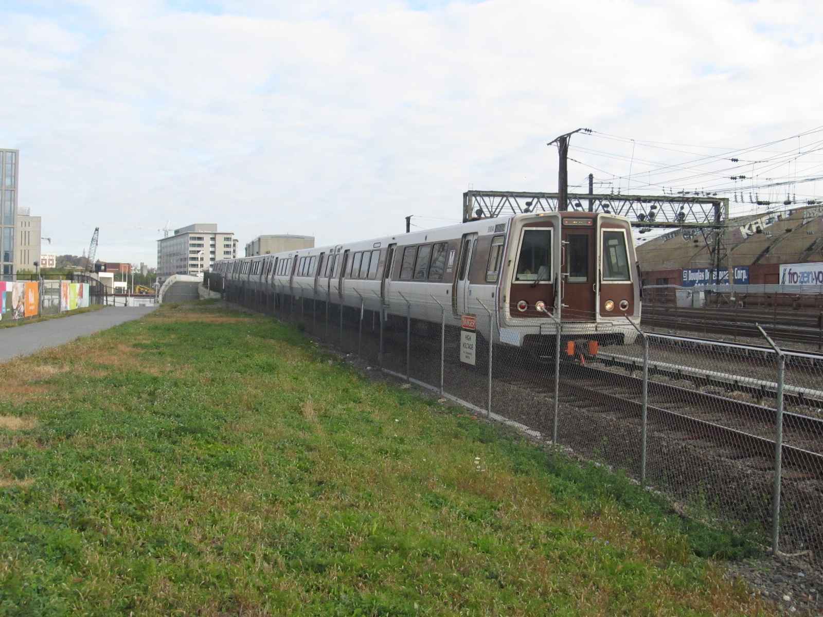
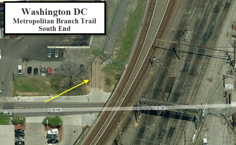
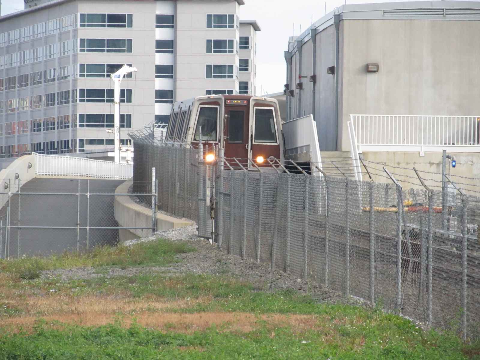
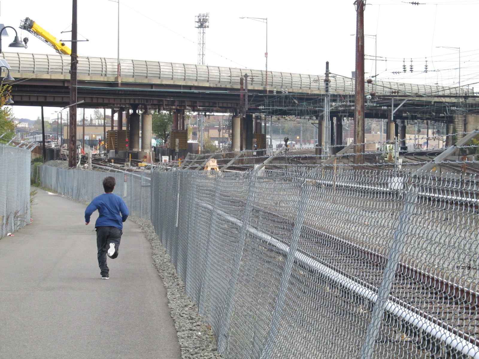
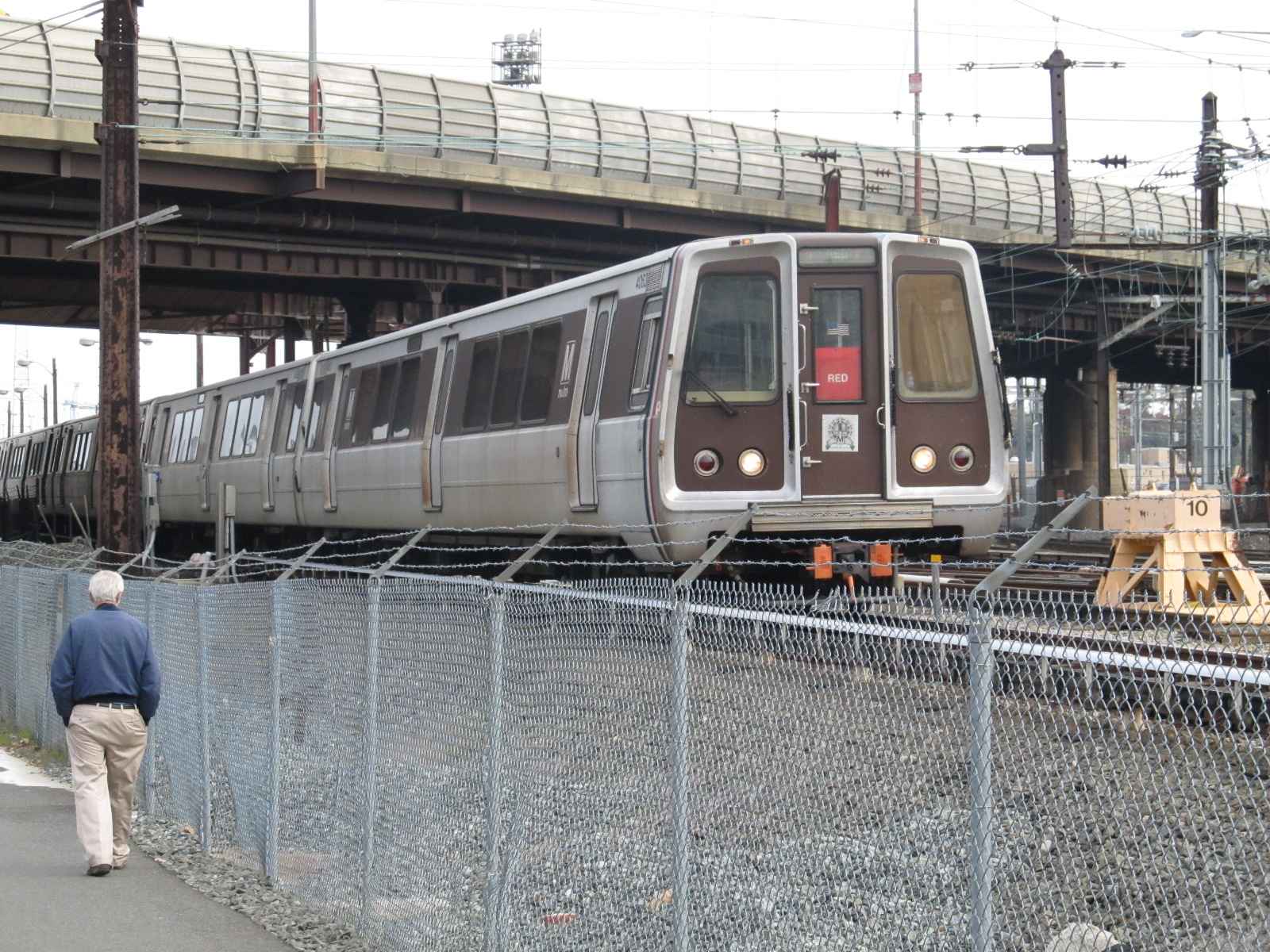
![]() the Washington Metropolitan Branch Trail
the Washington Metropolitan Branch Trail
The Trail opened about 2008 or 2009. It
starts on the south side at L St NE. The trail offer great opportunities
for taking pictures of SB Red Line trains. The trail is not handicap
accessible.
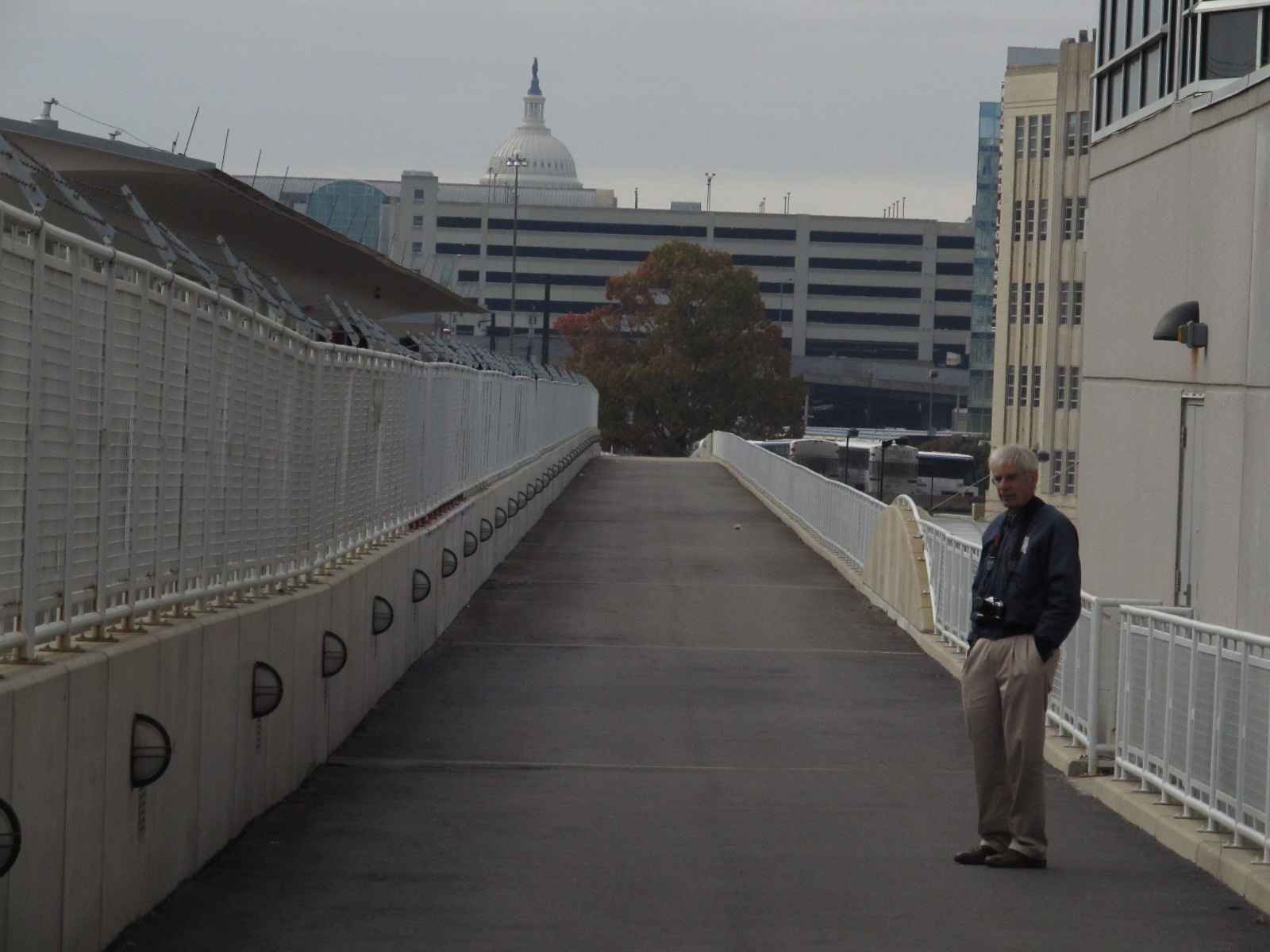 John Buxton taking a rest alongside the Metro station.
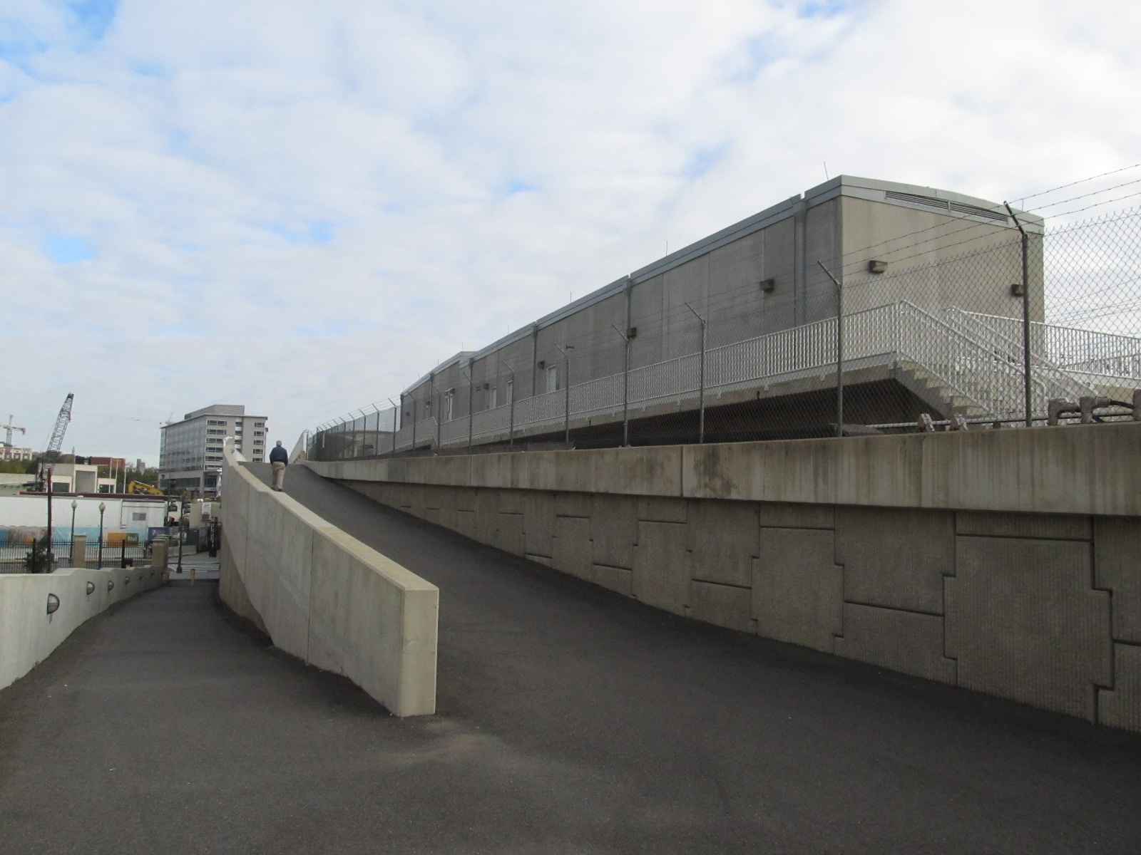 The ramp on the left takes you "down" to M St, the one on the
right continues the train past the New York Ave Metro station.
The ramp on the left takes you "down" to M St, the one on the
right continues the train past the New York Ave Metro station.
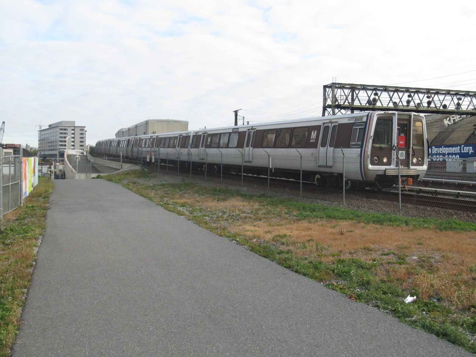 A SB train passes the middle signal bridge of the three at Union Station.
 The trail adjacent to the New York Ave Metro Station.
 Going under New York Ave.
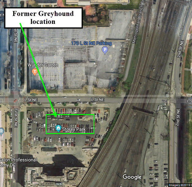
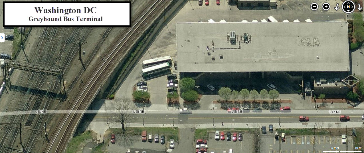
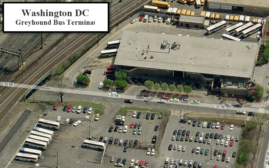
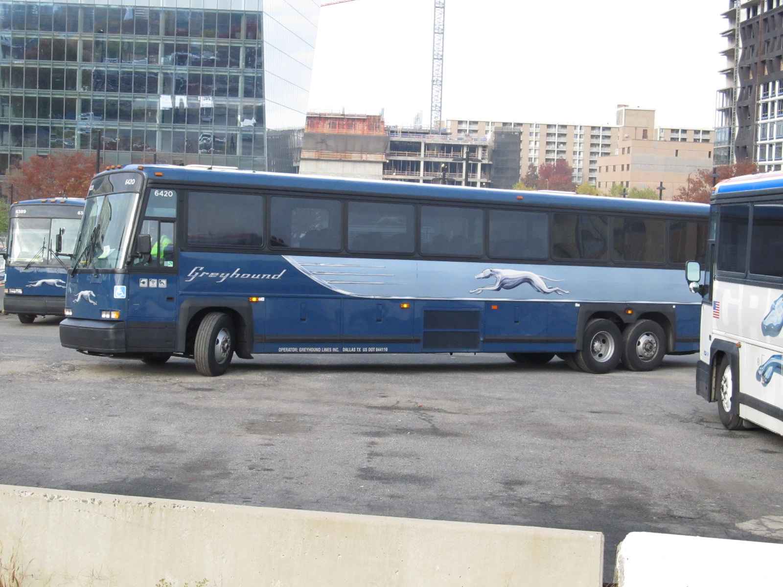
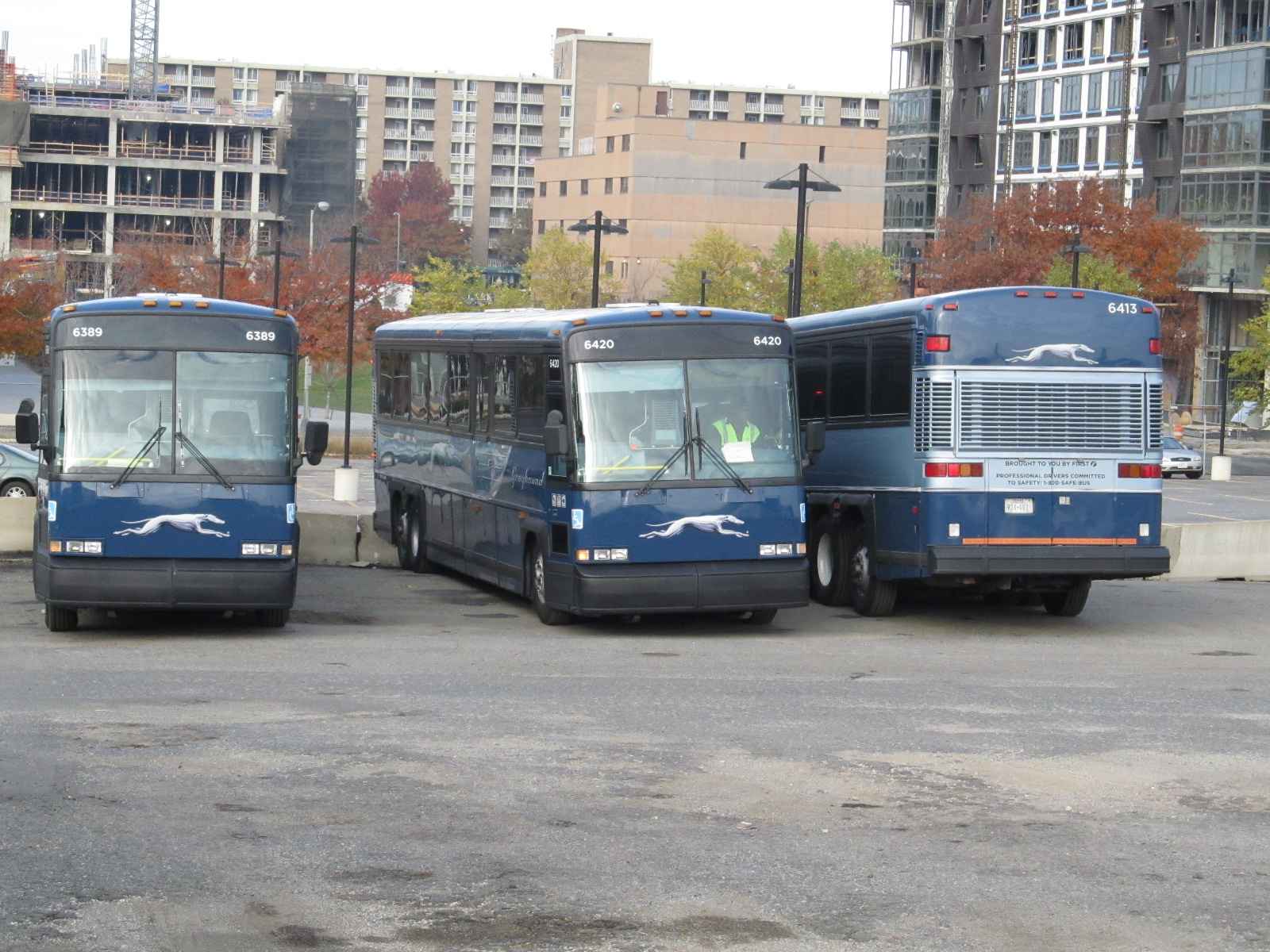
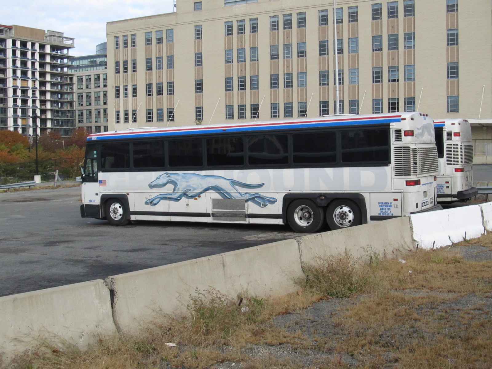
![]() the Greyhound Bus Terminal
the Greyhound Bus Terminal
Greyhound's center of operations for the central DC area was just
north of the station and parking garage complex.
Greyhound now comes into the parking complex as do most other regional bus lines.
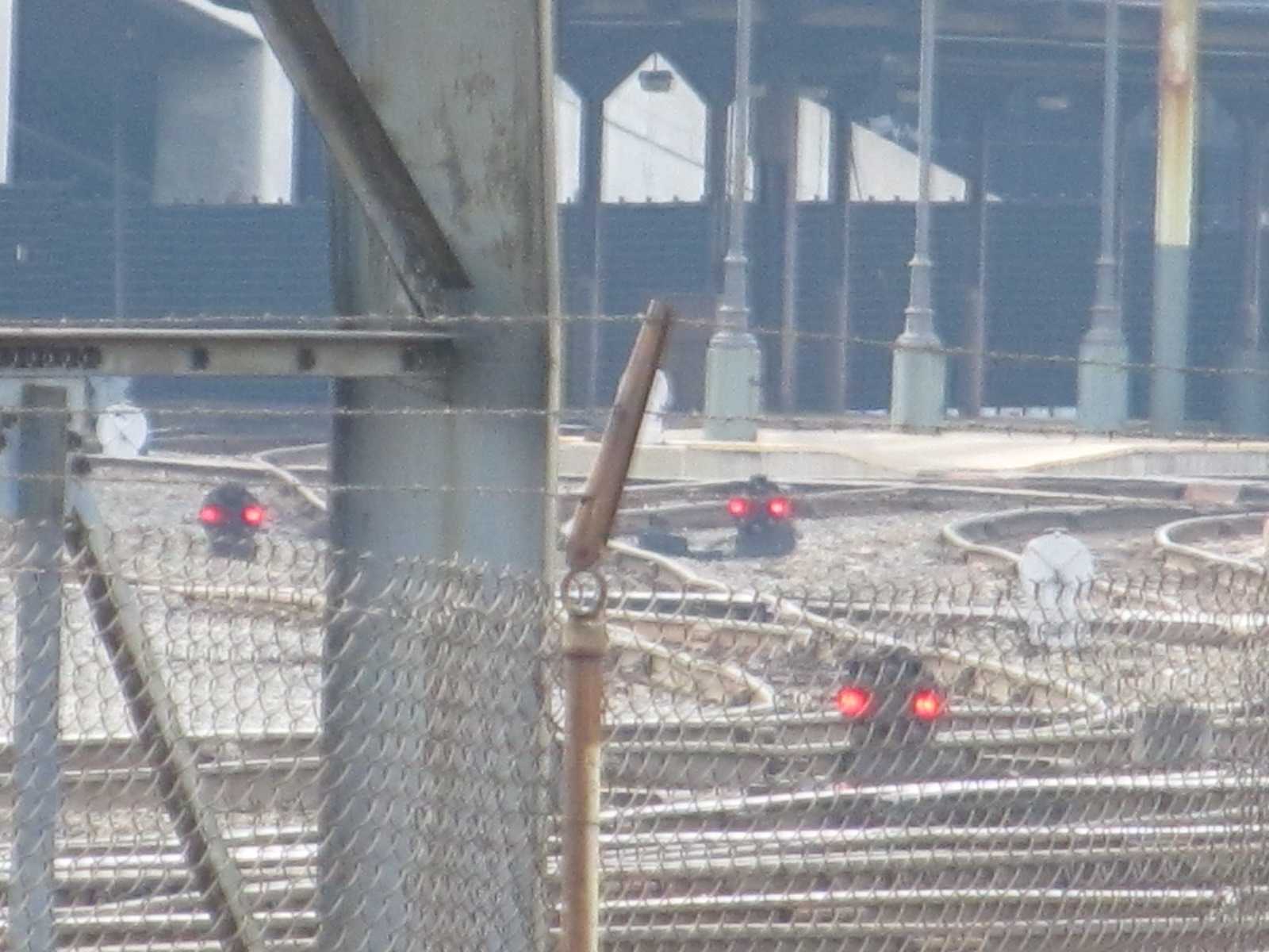
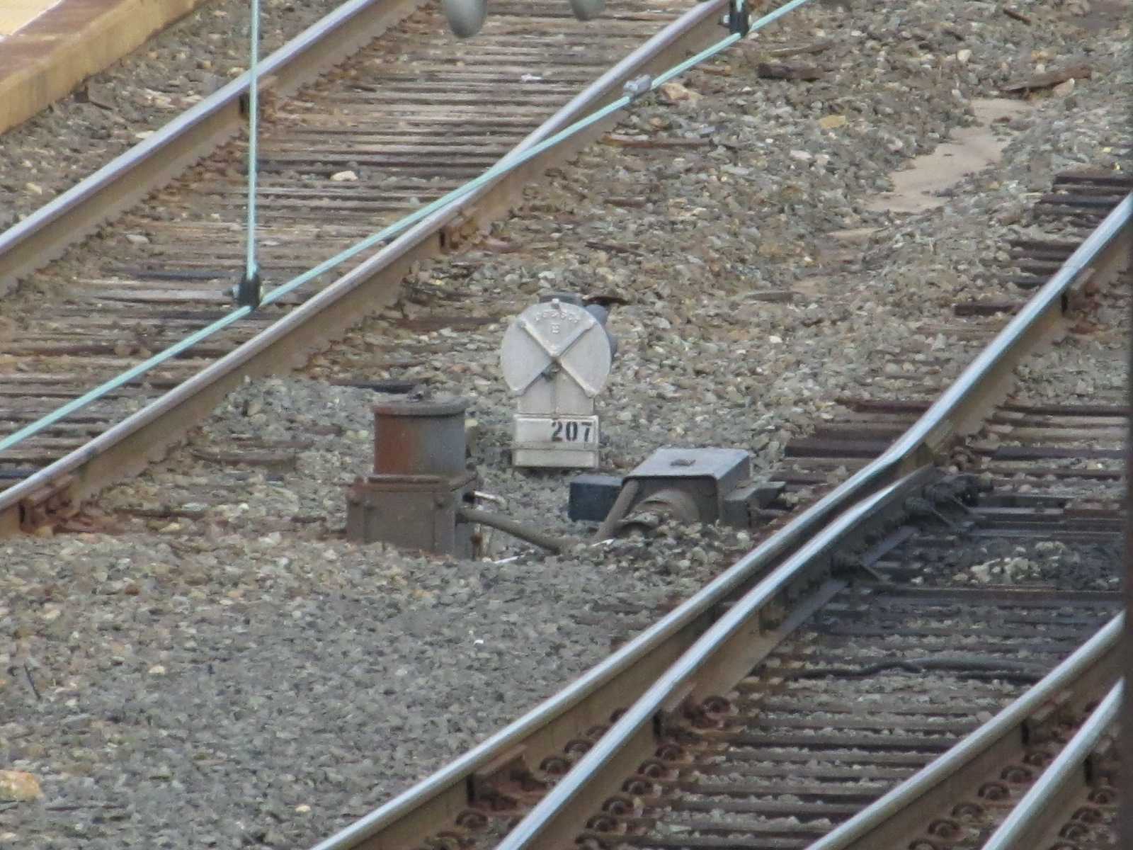
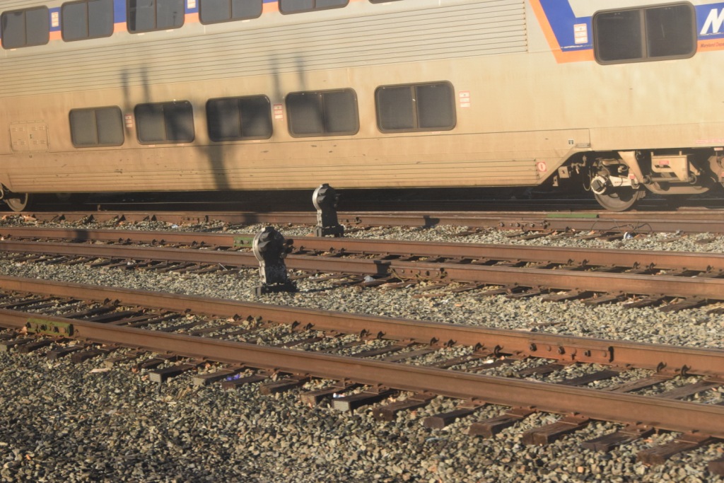
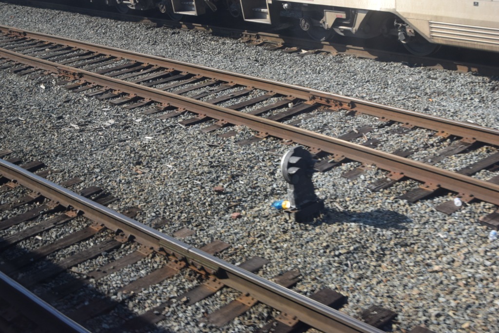
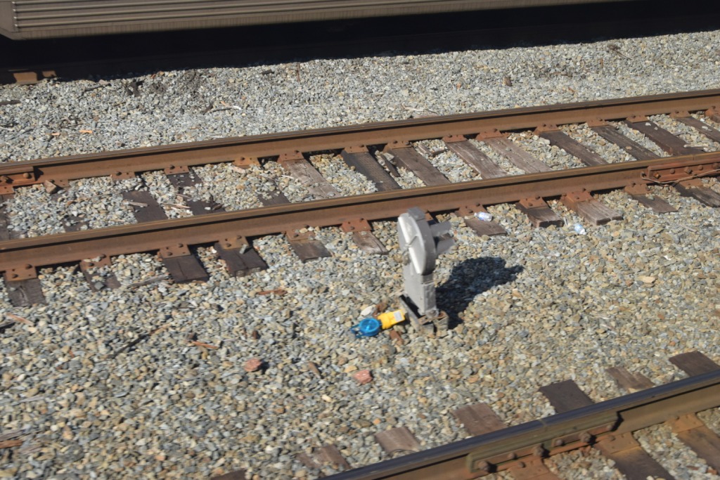
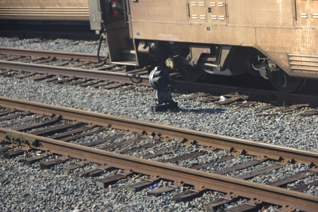
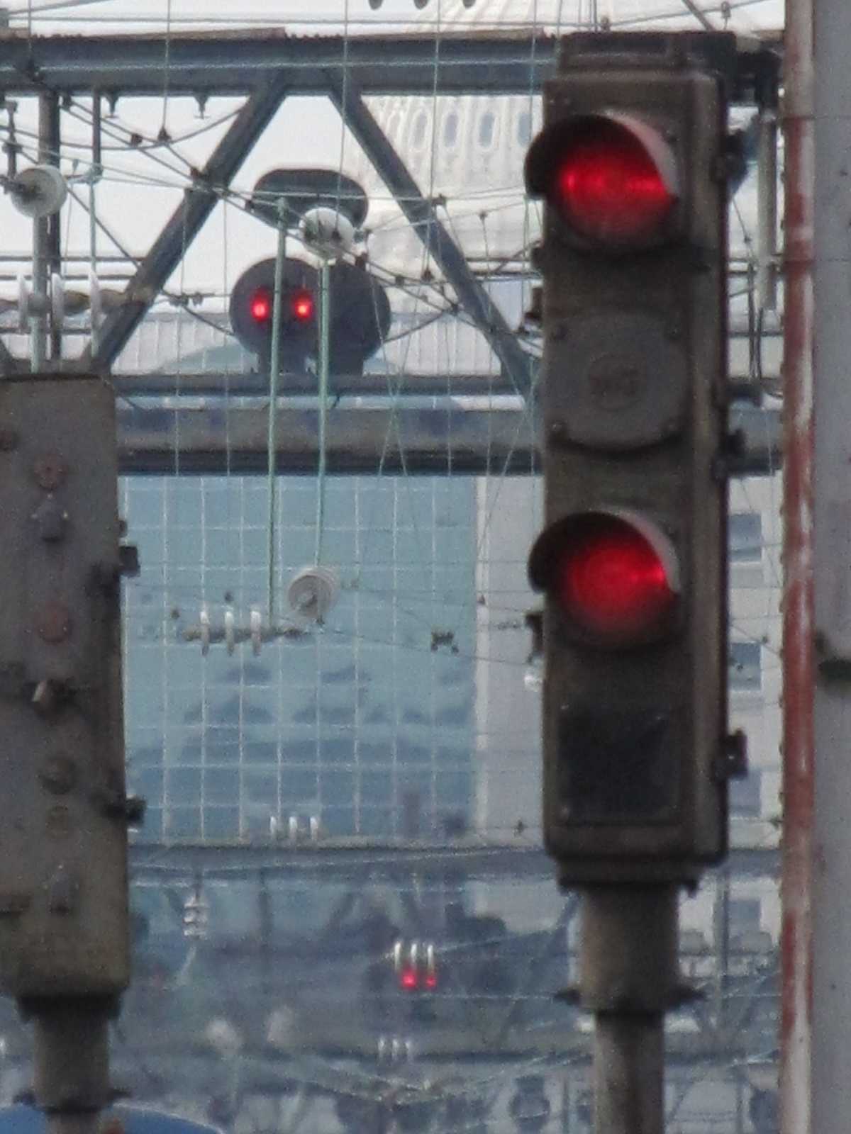
There are oodles of dwarf CPL's at the end of the platforms, on the three
signal bridges, and other places in the terminal area. Lots.
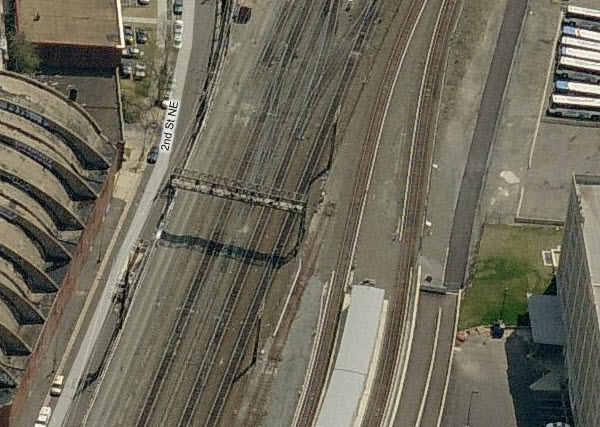
In the picture below, taken from the top level of the parking garage, you can
see the three signal bridges: H, J, and K, with the outbound signals facing us.
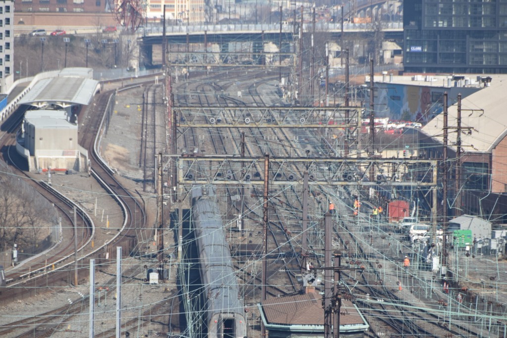
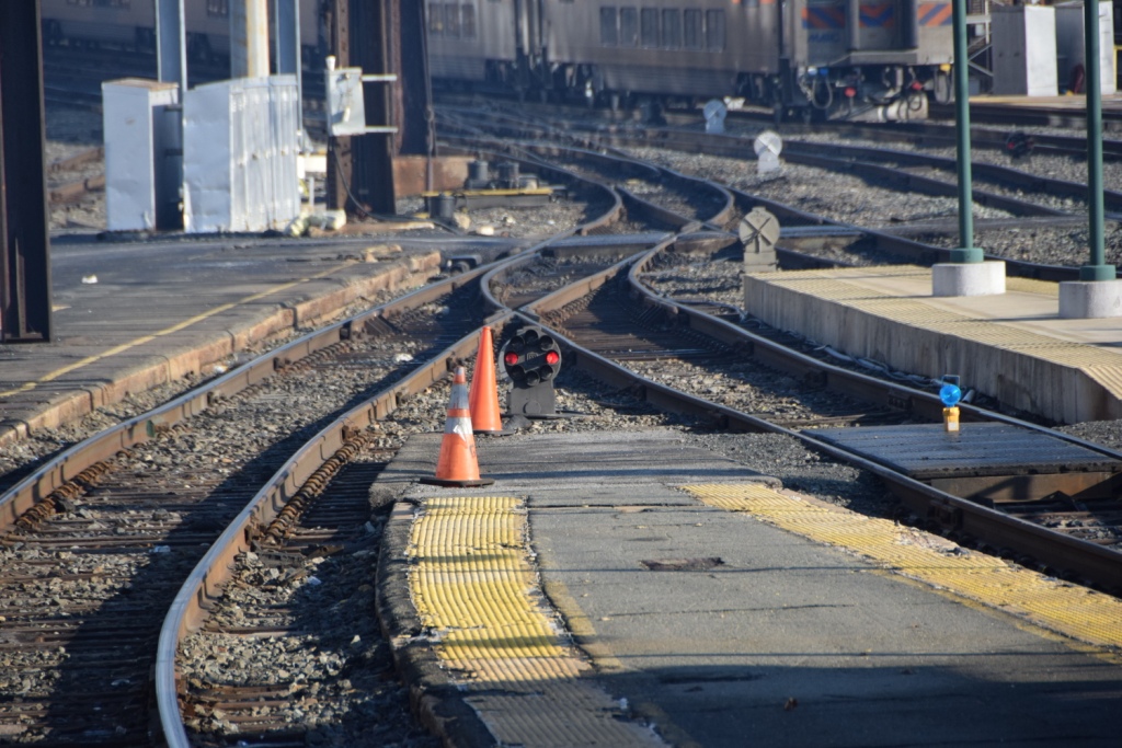
In the picture below, how many dwarf CPL's can you find? Not counting the ones on the signal bridges, I count 9.
![]() Dwarf CPL's in and around the Platforms
Dwarf CPL's in and around the Platforms
This first set is taken from the H Street overpass

 Track 9 signal
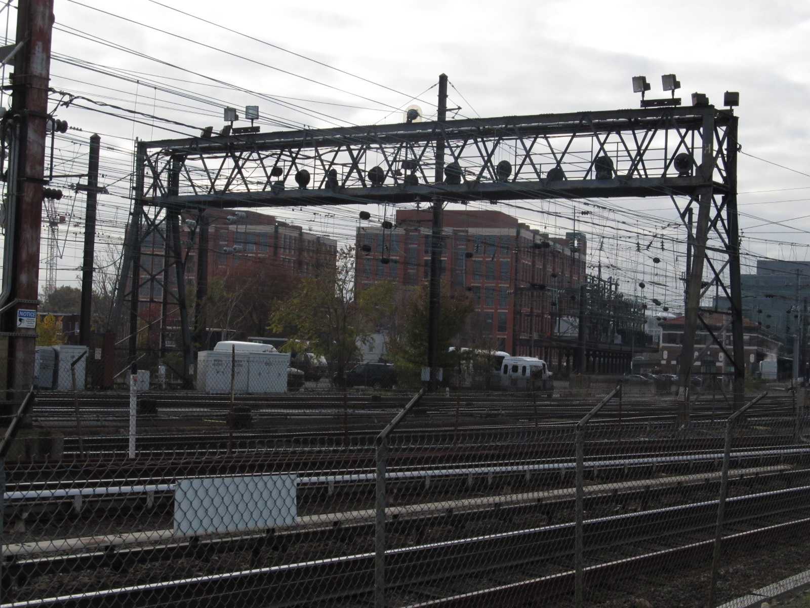
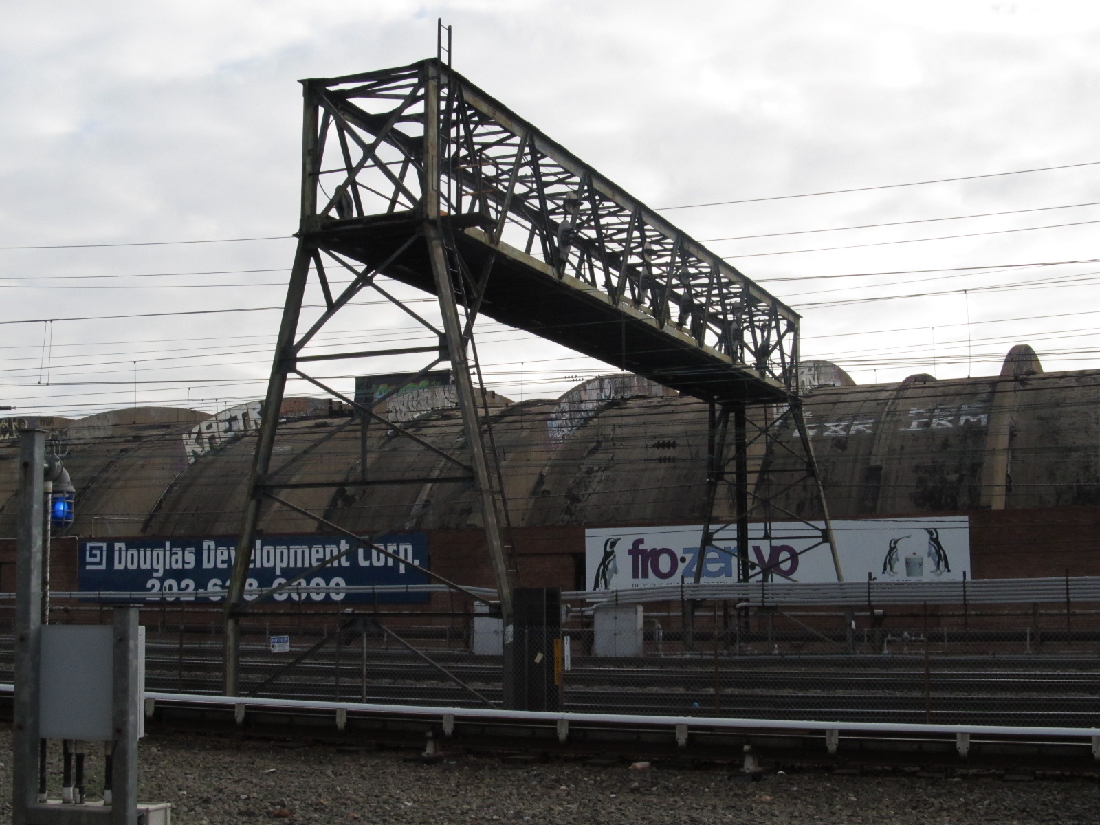
![]() The H Street Signal Bridge
The H Street Signal Bridge
I don't know why the H St signal bridge is adjacent to L St NE.... But it is :-)
It is the last signal bridge going into Union Station, just as the throat tracks open
into the platform tracks. The birds eye view is looking south.
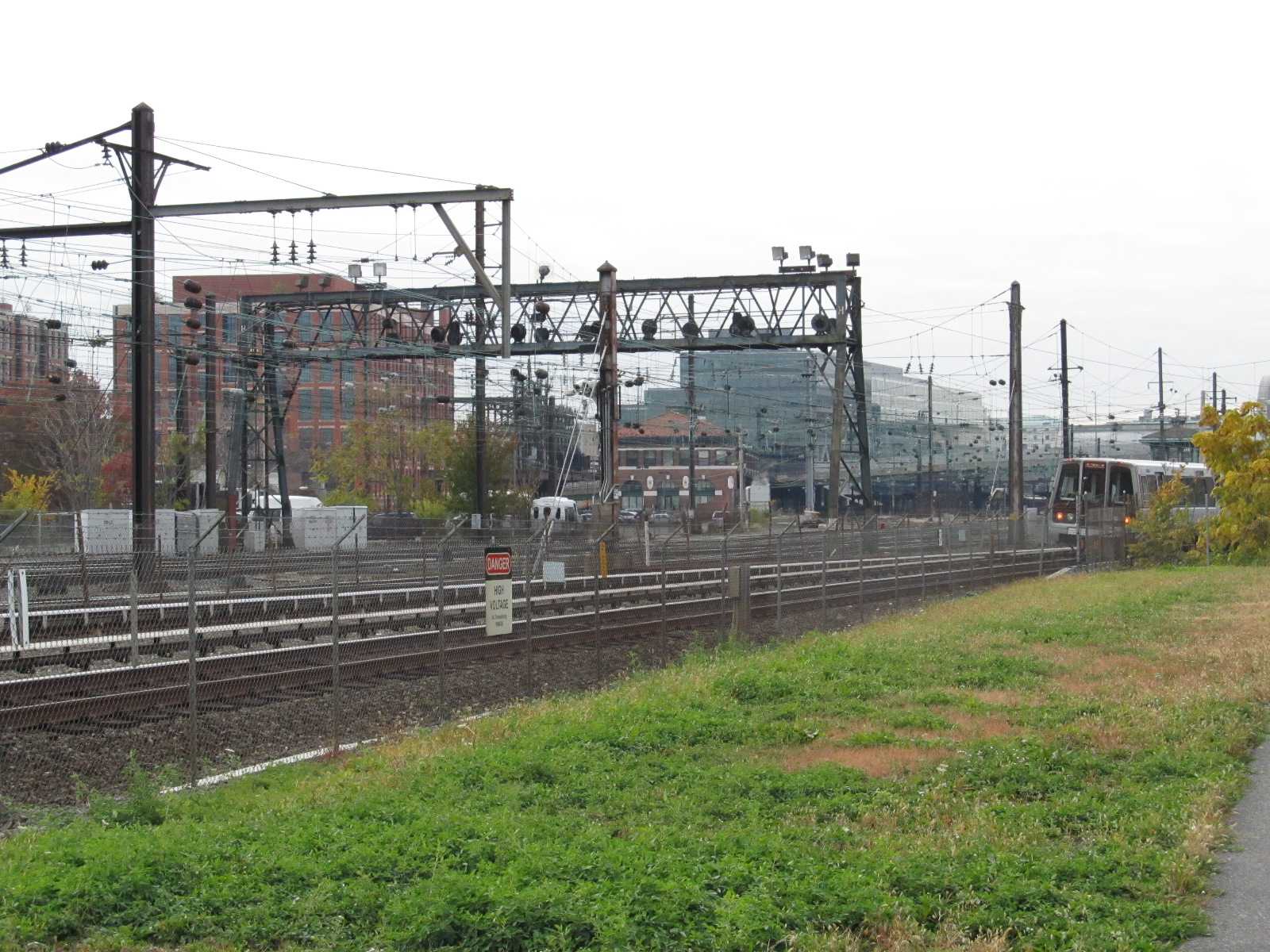


There are precious few places anymore that you can get such a
busy photograph of railroad "stuff" like this....
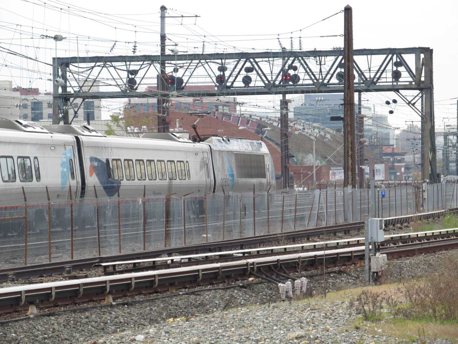
![]() The J Street Signal Bridge
The J Street Signal Bridge
The second of three signal bridges heading into Union Station,
between L and M streets (why is it called "J"?).
The second and third signal bridges are easily photographed from
the hikey-bikey trail that runs along the Metro tracks.

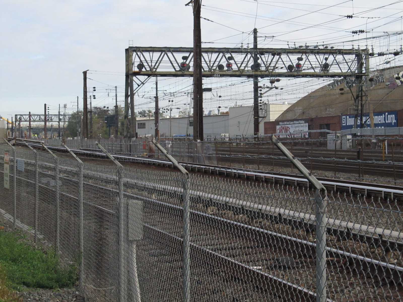
The second and third signal bridges.
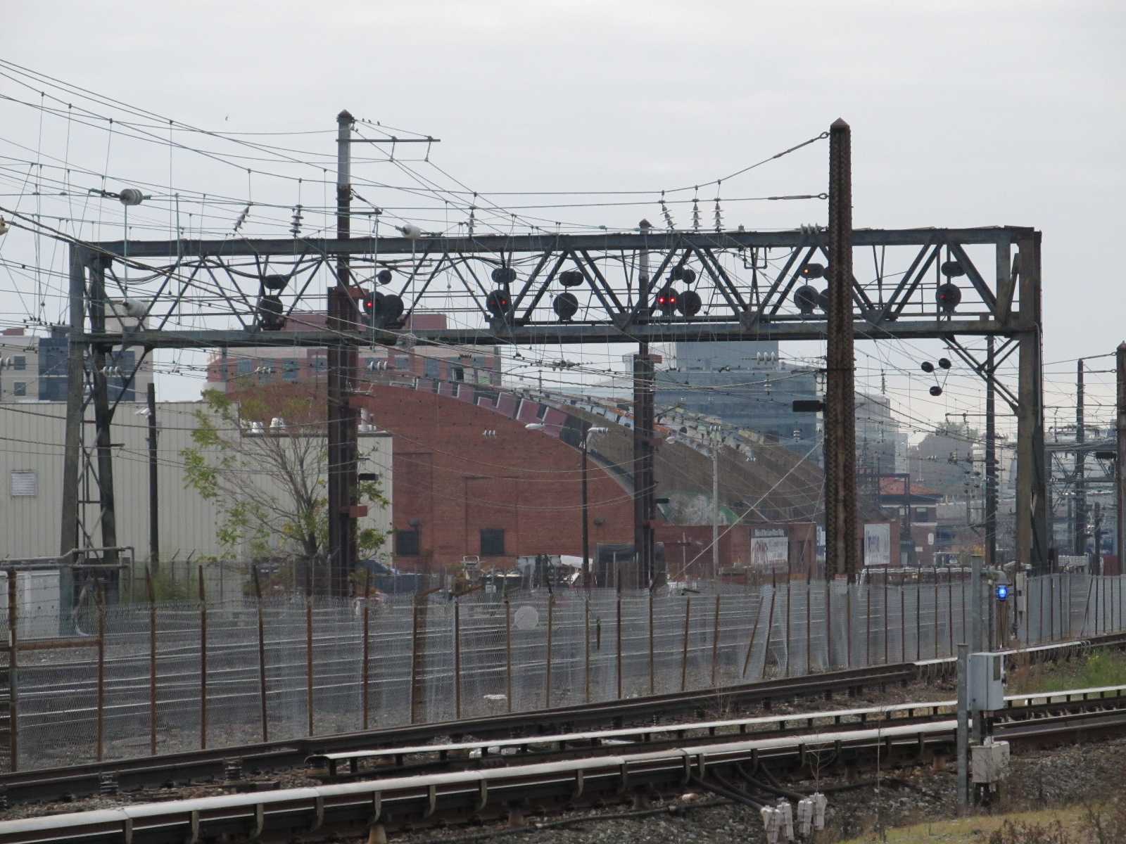
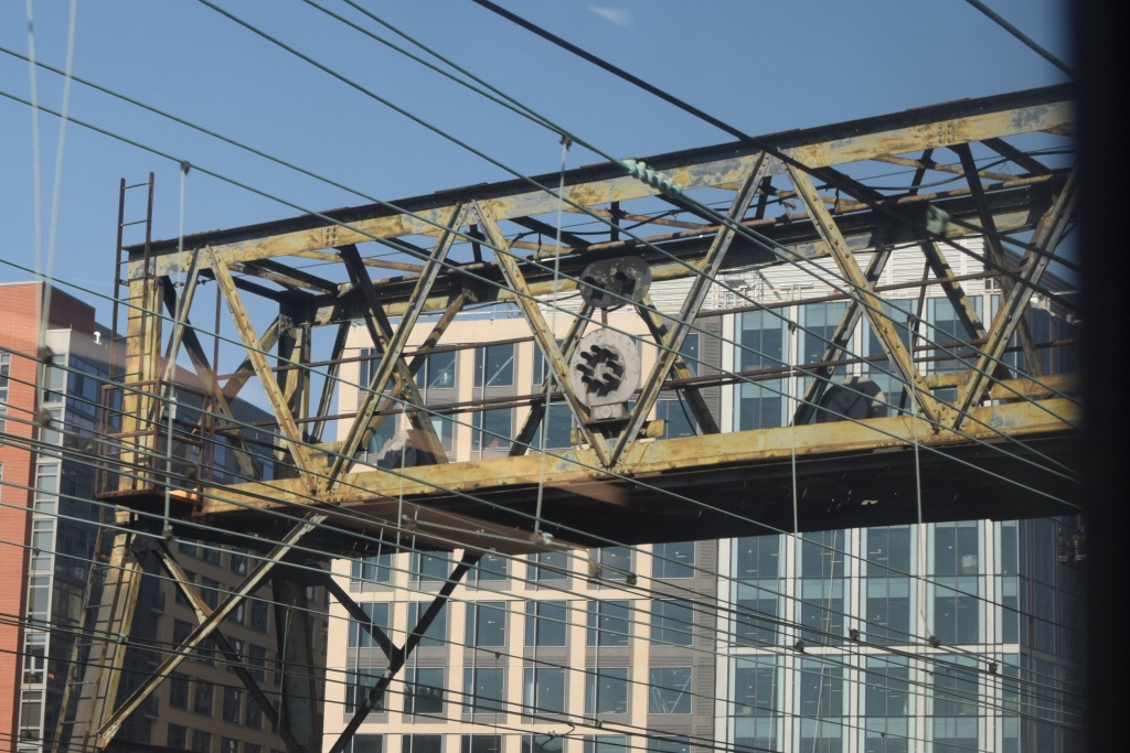
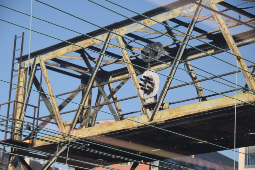
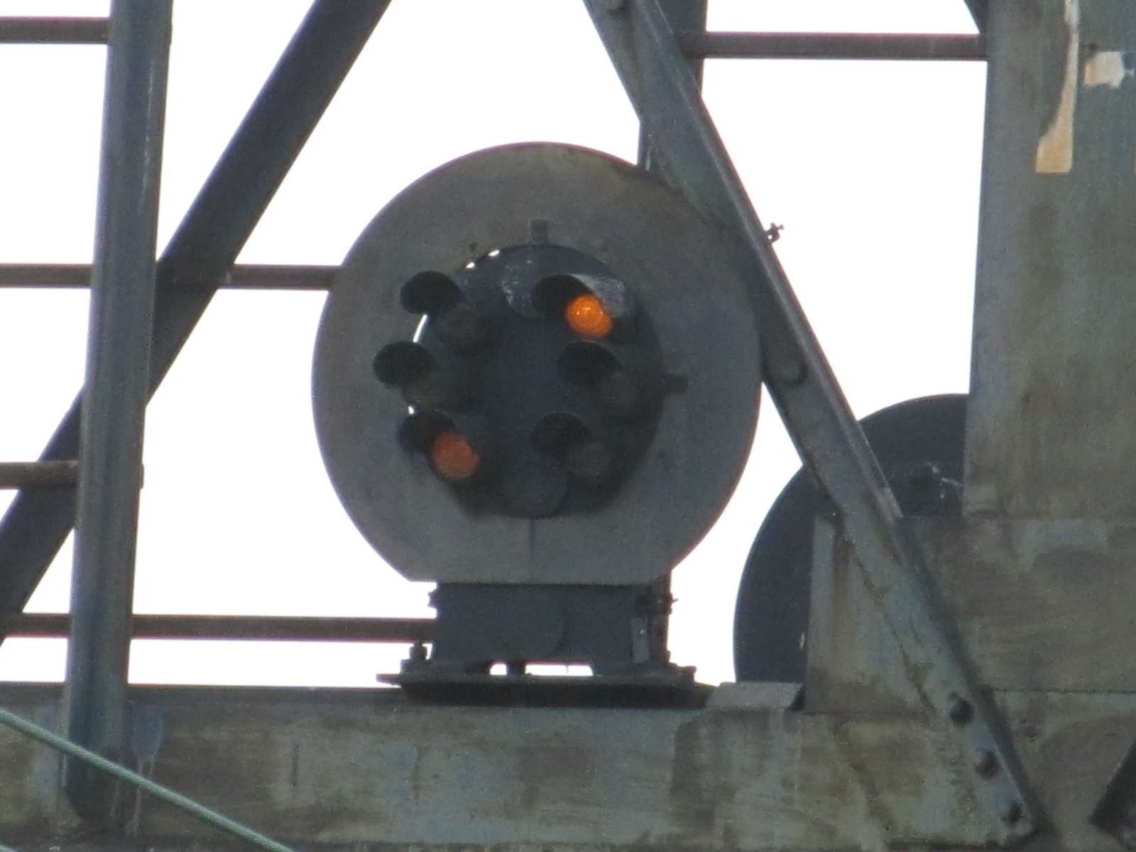
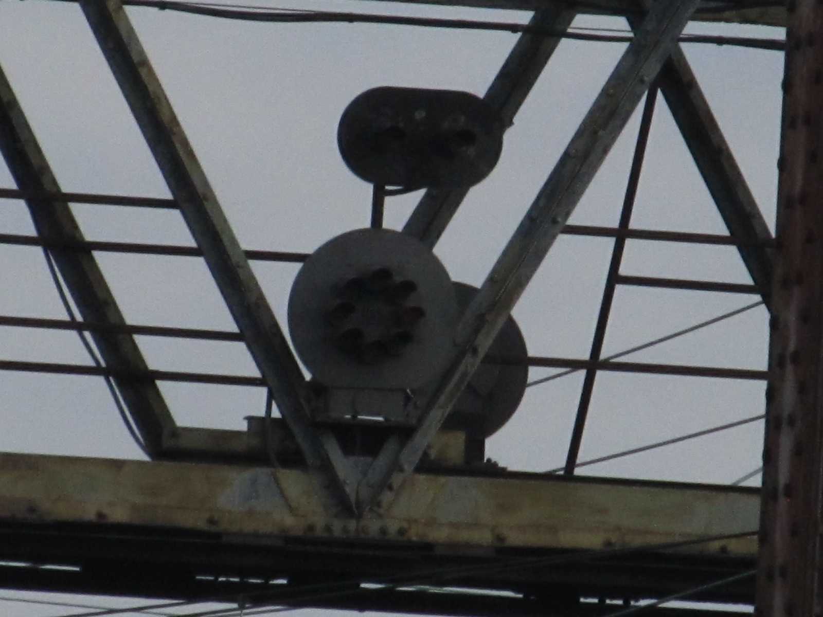
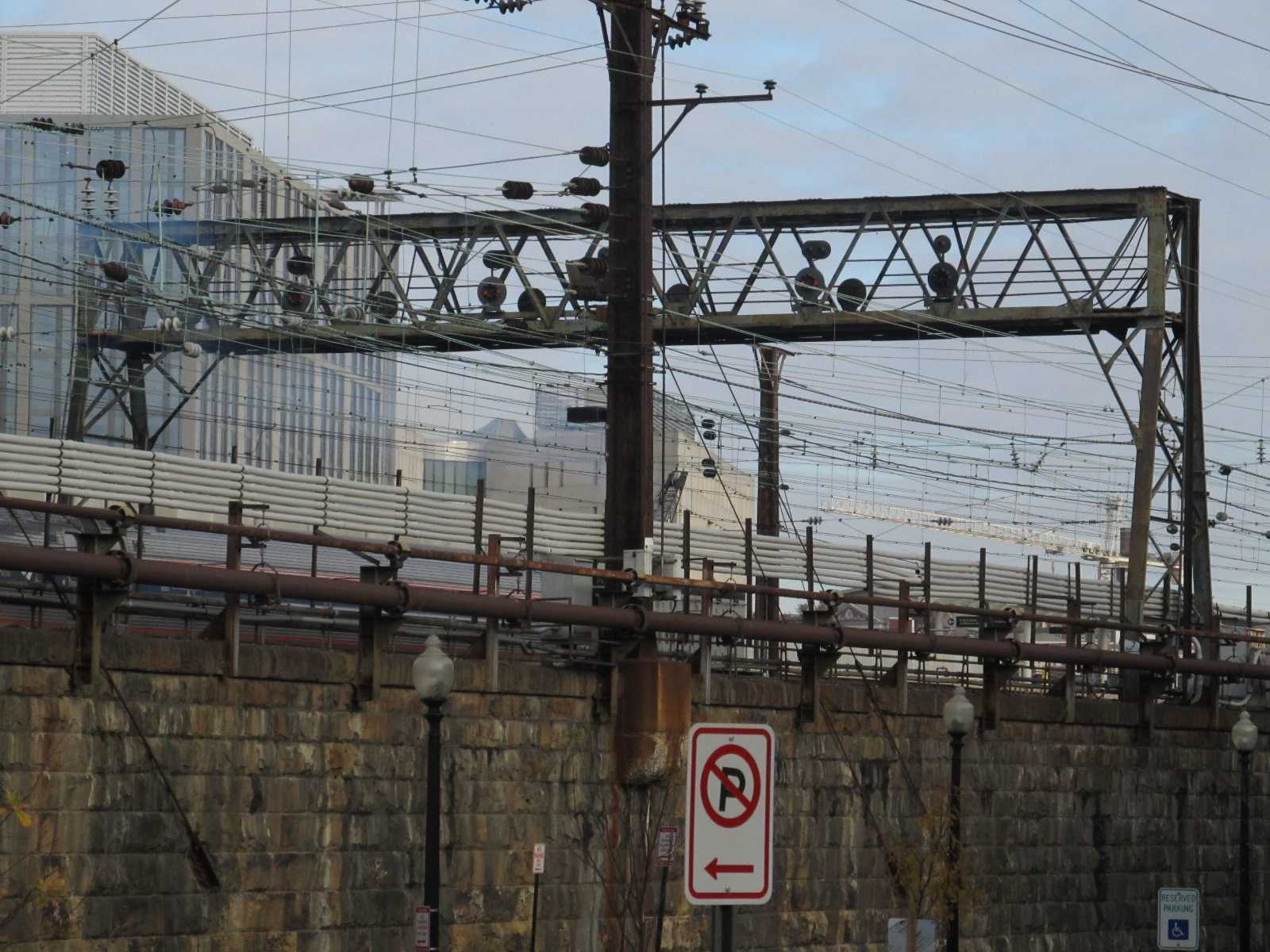
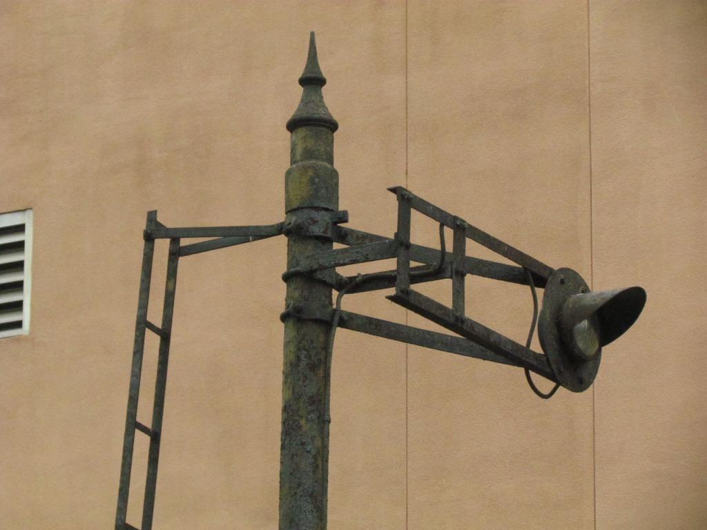
![]() The K Street Signal Bridge
The K Street Signal Bridge
The first signal bridge going into Union
Station is on the south side of Florida Ave NE and adjacent to the Metro Station.
Close-ups of this bridge can be had from the Metro platform, otherwise, pretty
decent shots can be had from either side of the Metro station.
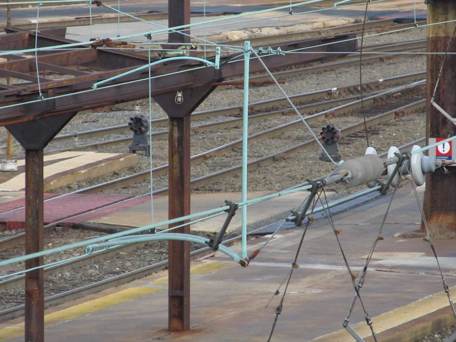
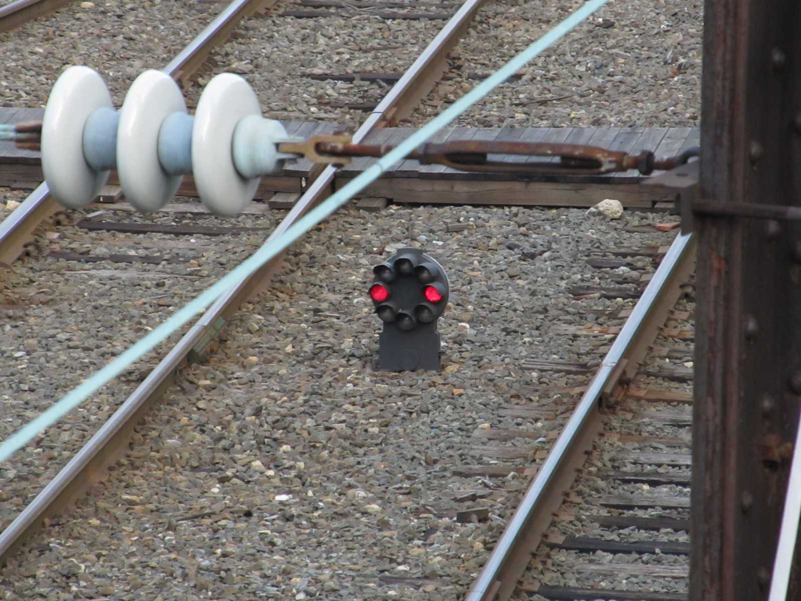
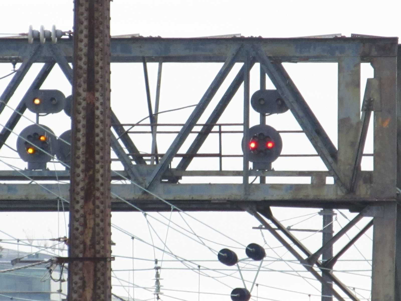
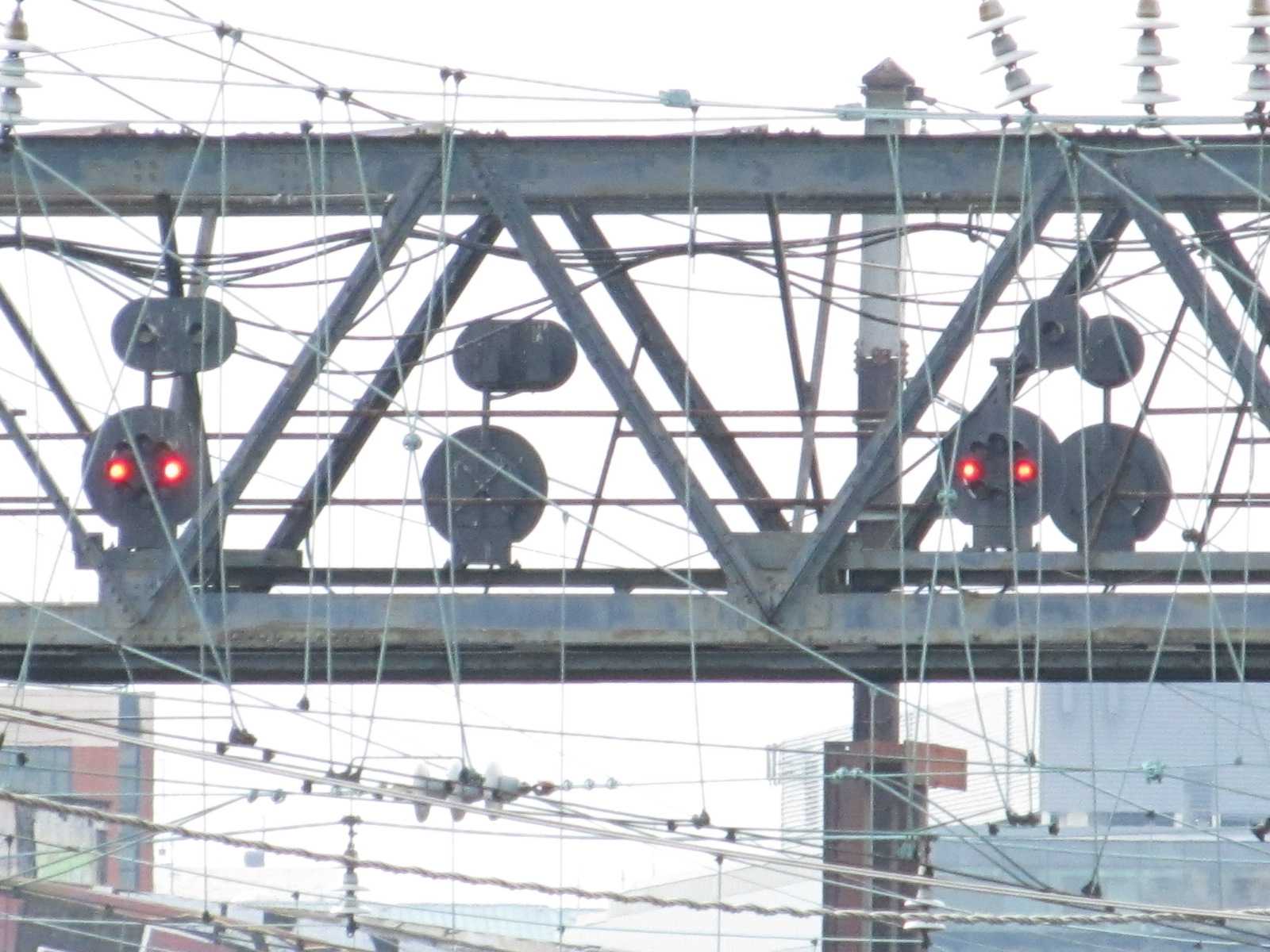
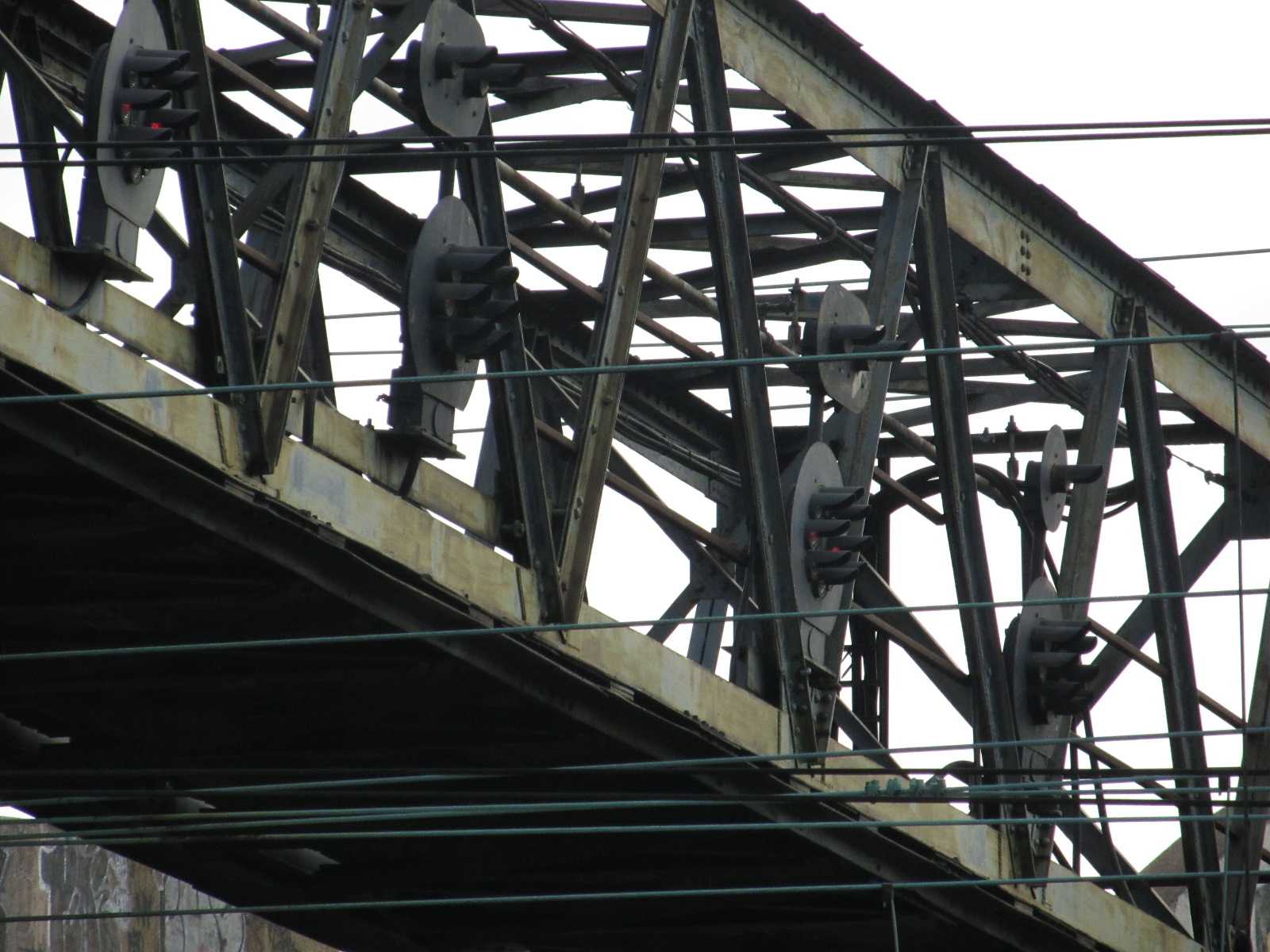
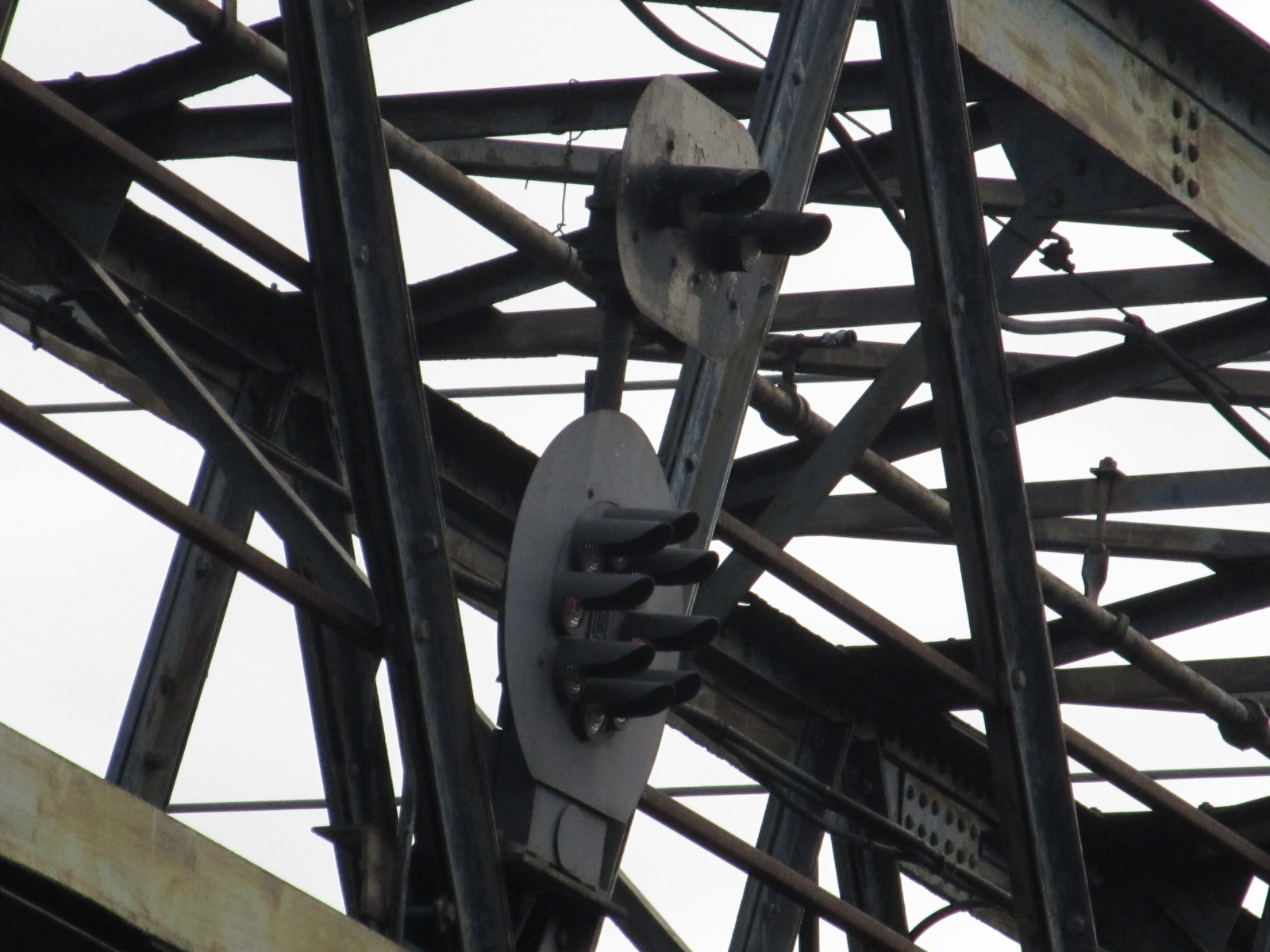
Notice that the signals are a little modified
from the typical "low" mounted CPL dwarf, where the marker lamps are mounted
directly to the signal case. The dwarf signals on the signal bridges have
the marker lamps mounted somewhat higher, and more widely spaced to make then
more "readable" from a distance, since they are not really designed for long
distance viewing. This can be seen in the close-up pictures below.
Also notice that the signals and markers have backgrounds - a departure from the
norm for dwarf signals... again, it's to make them more "visible" against the
sky.
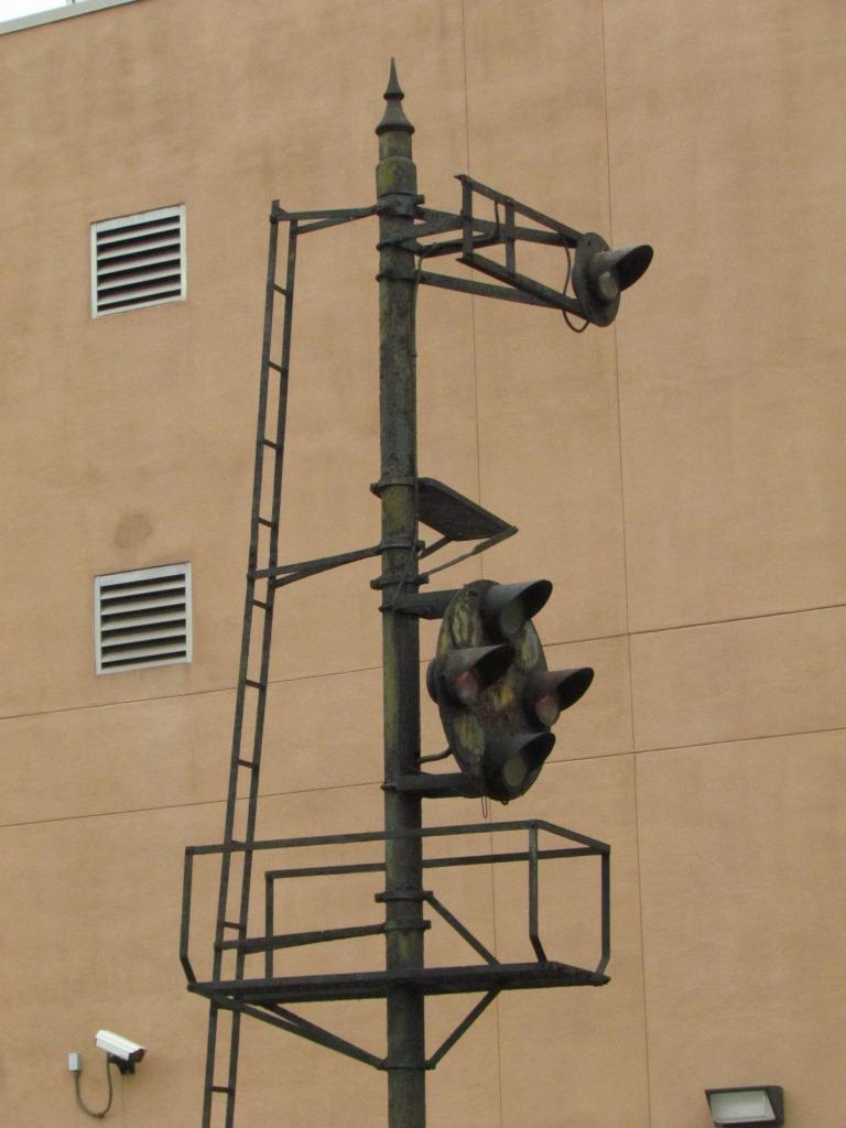
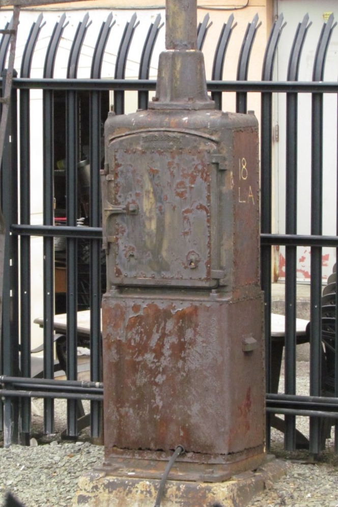
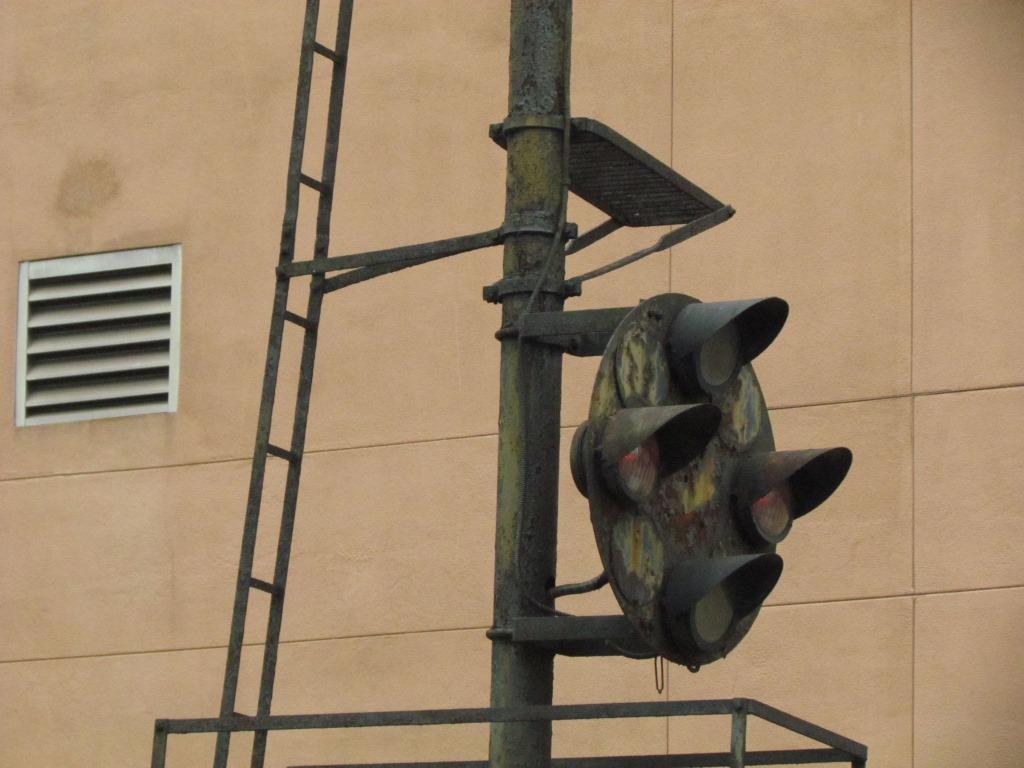
![]() NB B&O CPL's on the Southern Approach
NB B&O CPL's on the Southern Approach
Amtrak and VRE pass this set of signals on their way into Union Station when coming
from Virginia. They are the last signals passed before going into the First
Street tunnel.
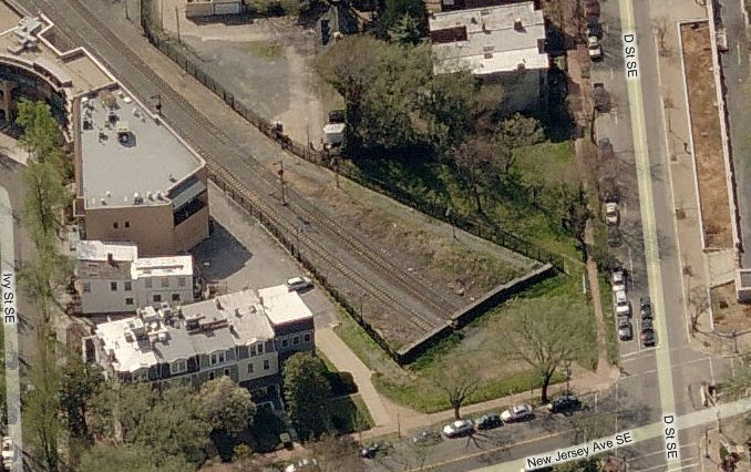
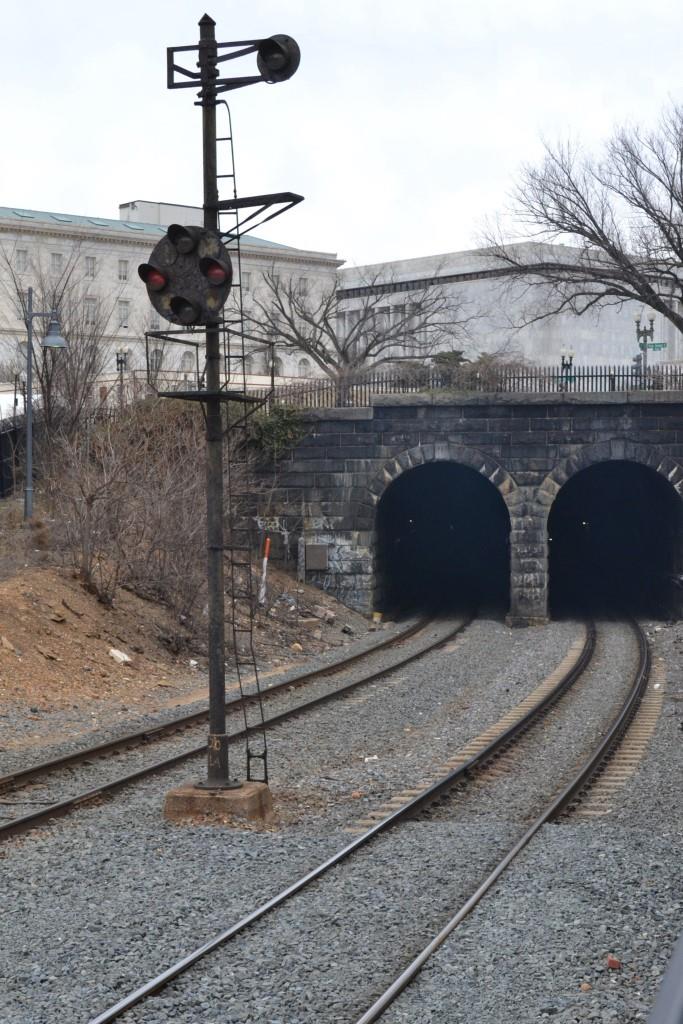
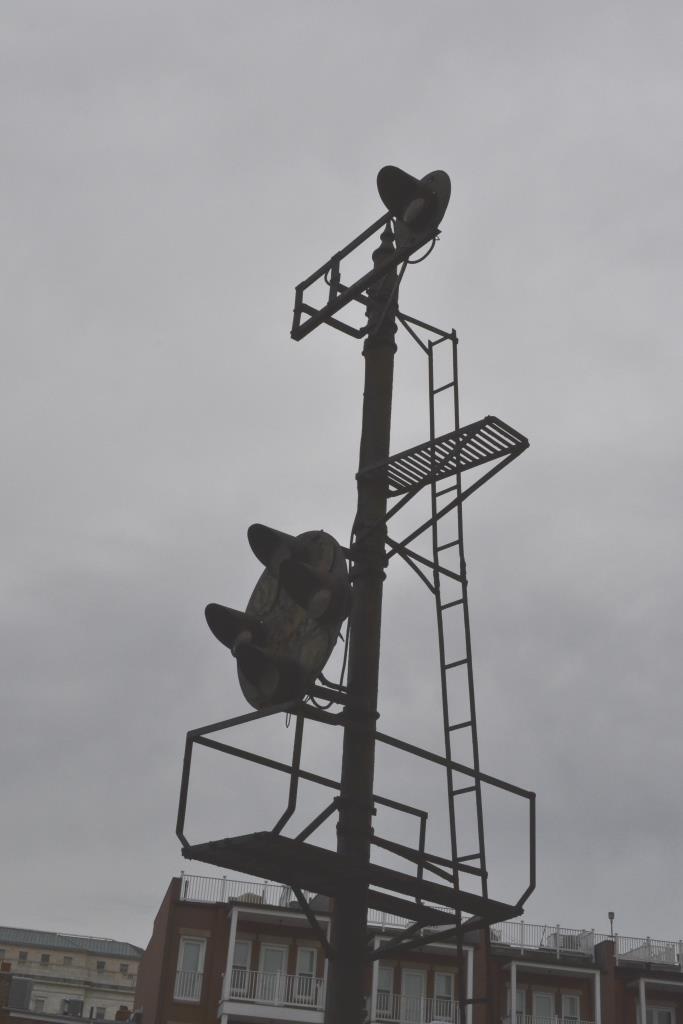
On the southern approach to Union Station is this pair of B&O CPL's, 18LA and
20LA, just before trains enter the First Street
Tunnel. The tunnel is 4108 feet in length. Access for
pictures looks pretty good behind the odd shaped building. It's off the
corner of New Jersey Ave SE and D St SE..... Make sure
you're not railfanning alone, it's not the best area.
I may be wrong, but because of the platform under the marker lamp, and the old
style finials, my guess would be that these masts are holdovers from semaphore
days. If so, that is a rare treat indeed.
There are SB signals inside the tunnel, about 1/3 of the way from this entrance to the station.
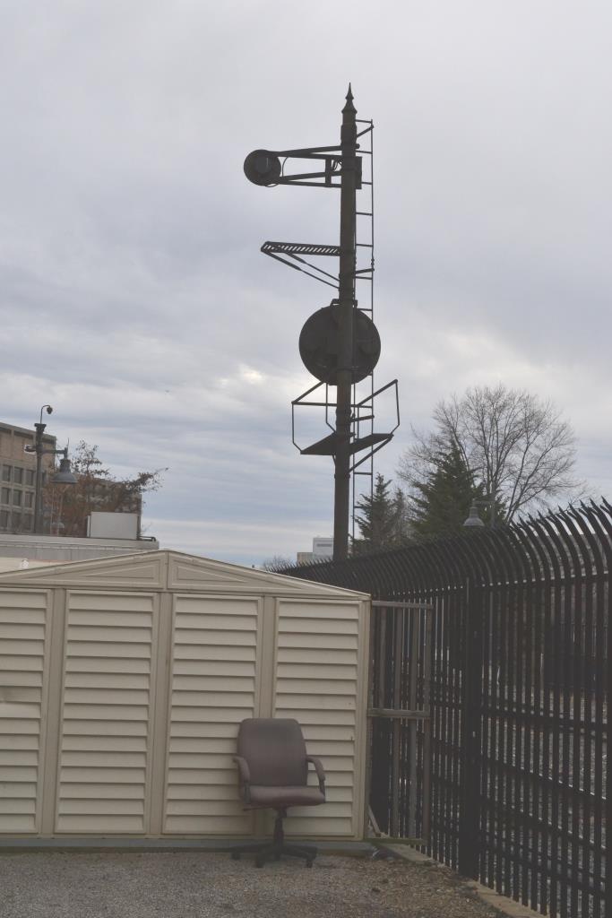
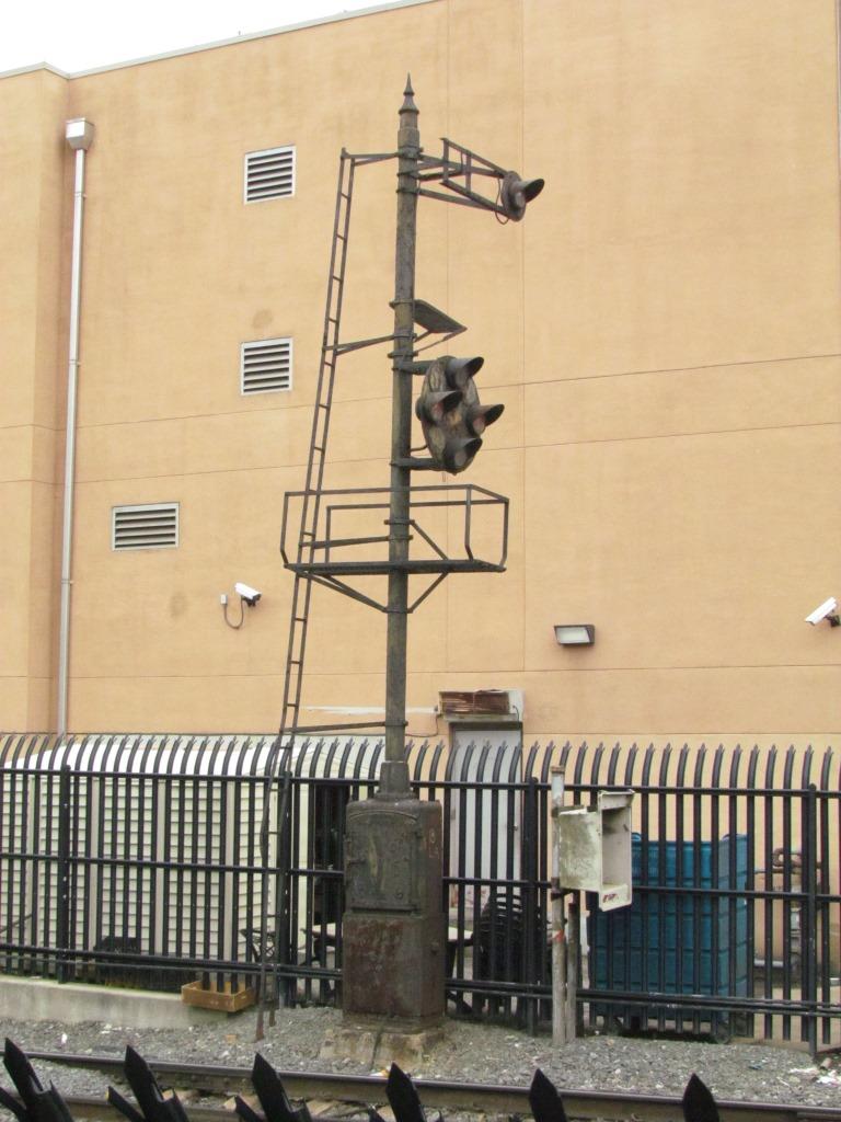
Unless you have a selfie stick for your cellphone, or a ladder, this is the best you are going to get without one.
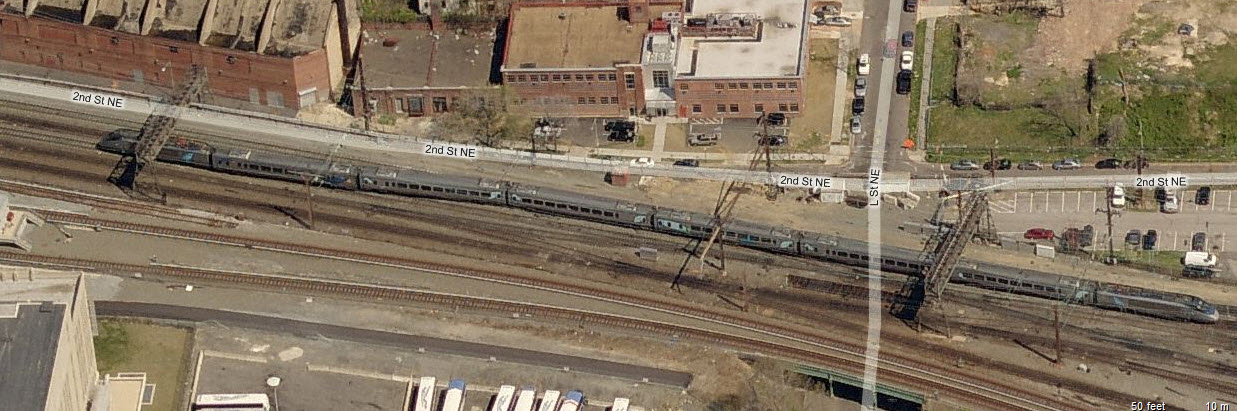
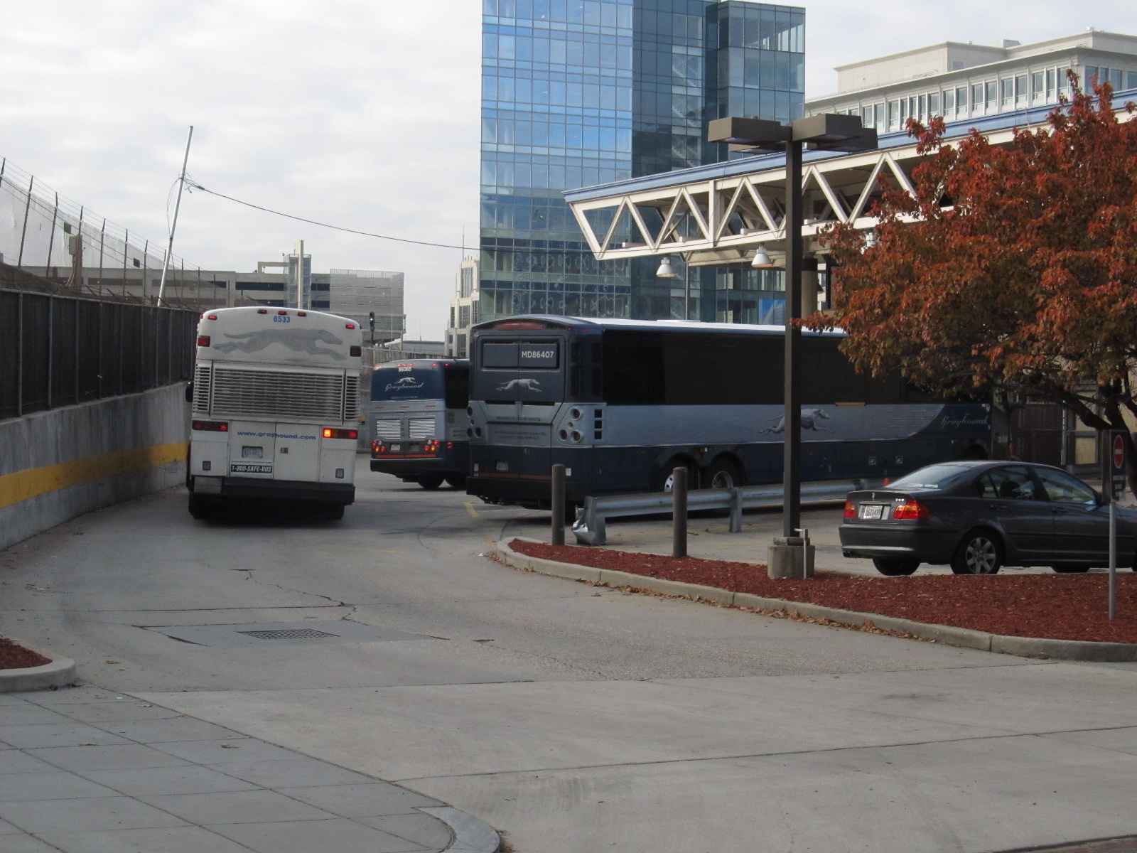
the Greyhound Bus Terminal
This was Greyhound's center of operations for the central DC area up until 2 years ago or so (2017?).
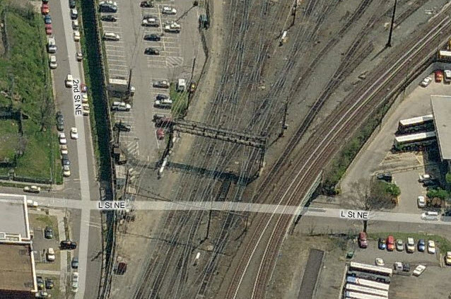
As can be seen on the map, it is only a couple of blocks north Union Station. They had a
storage yard on the opposite side of L Street.
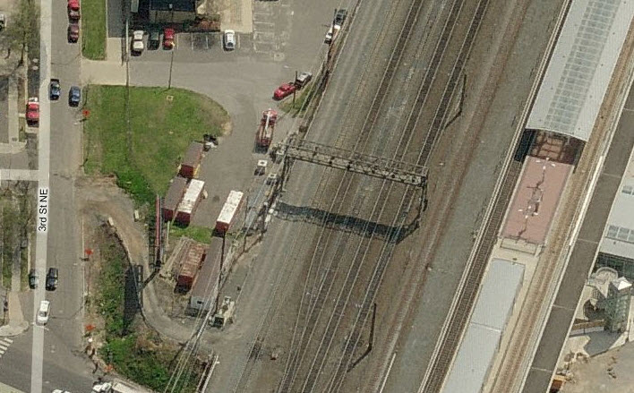
 Aerial shot of the area now....
Disclaimers:
I love trains, and I love signals. I am not an expert. I do these pages because I love spending my time doing them - although I do a reasonable amount of research to make sure the information
presented is accurate! :-) :-)
Please Note: Since the main focus of my two websites is railroad signals, the railfan guides are oriented towards the signal fan being able to locate them. For those
of you into the modeling aspect of our hobby, my indexa page has a list of almost everything railroad oriented I can think of to
provide you with at least a few pictures to help you detail your pike.
If this is a railfan page, every effort has been made to make sure that the information contained on this map and in this railfan guide is correct. Once in a while, an error may creep in,
oooooooops, oh well! :-)
My philosophy: Pictures and maps are worth a thousand words, especially for railfanning. Text descriptions only get you so far, especially if you get lost or disoriented. Take
along good maps.... a GPS is OK to get somewhere, but maps are still better if you get lost! I belong to AAA, which allows you to get local maps for free when you visit the
local branches. ADC puts out a nice series of county maps for the Washington DC area, but their state maps do not have the railroads on them. If you can find em,
I like the National Geographic map book of the U.S..... good, clear, and concise graphics, and they do a really good job of showing you where tourist type attractions are, although they too lack the railroads.
Other notes about specific areas will show up on that page if known.
BTW, floobydust is a term I picked up 30-40 years ago from a National Semiconductor data book, and means miscellaneous and/or other stuff.
Pictures and additional information is always needed if anyone feels inclined to take 'em, send 'em, and share 'em, or if you have something to add or correct.... credit is always given! BE NICE!!! Contact info
is here
RAILFAN GUIDES HOME
RAILROAD SIGNALS HOME
New
02/17/2008, 11/17/2016, 02/05/19
Last Modified:
02/07/2019