In General
Getting Here
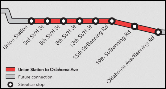
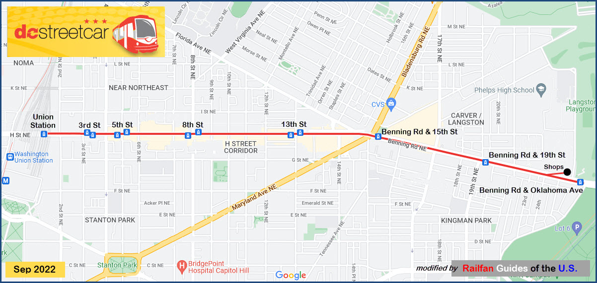
Map
Station by Station
Signals
Pictures
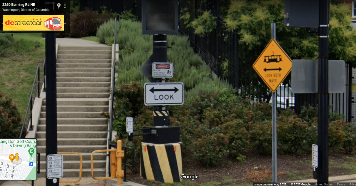
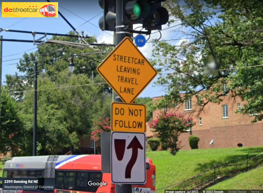
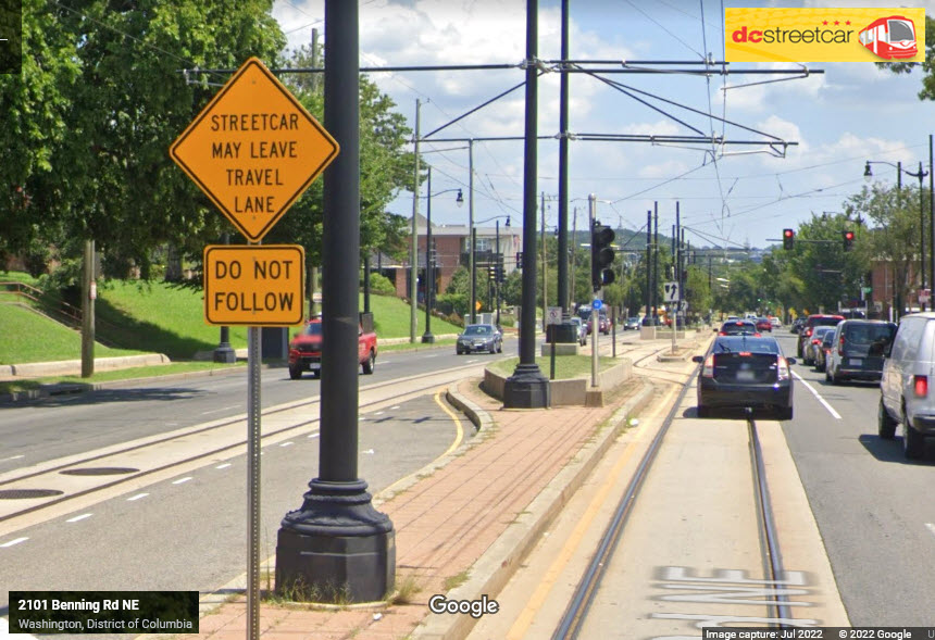
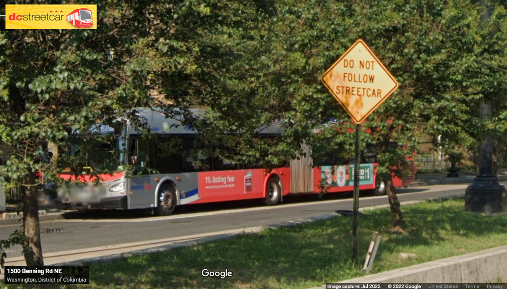
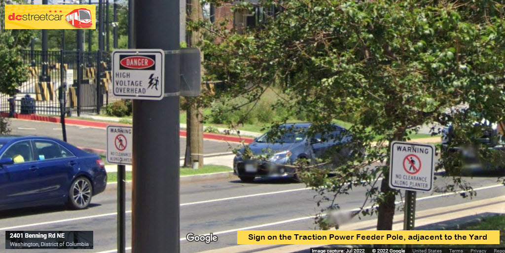
Signs
Support / Physical Plant
Floobydust
Articles
- The End Is Near -
Personal Comments
RAILFAN GUIDES HOME
RAILROAD SIGNALS HOME
Location / Name:
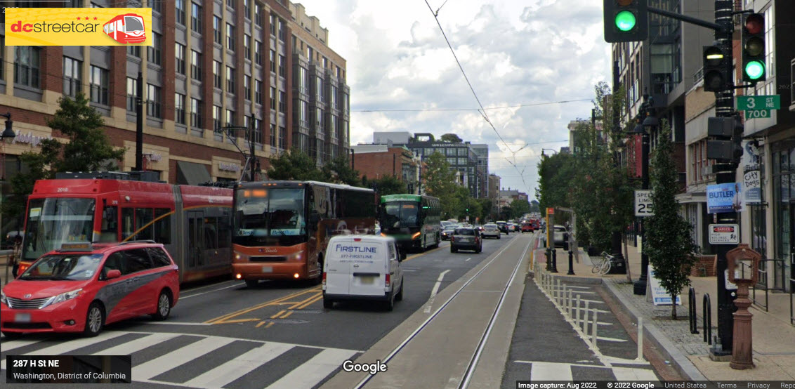
Washington DC, H Street NE, east of Union Station
What's Here:
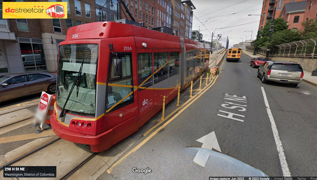
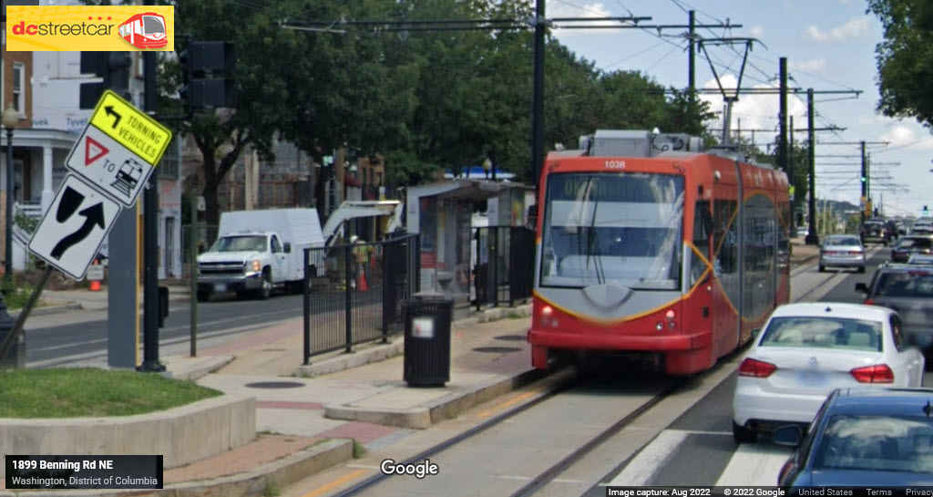
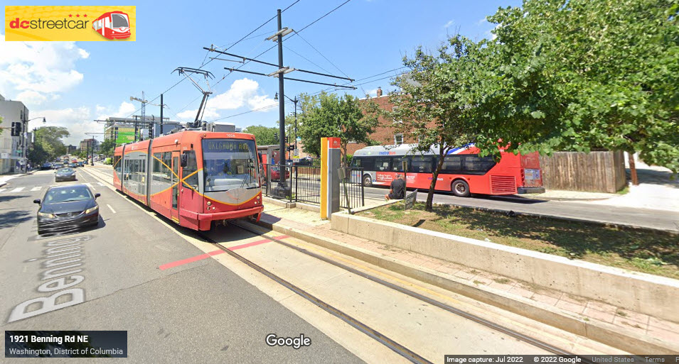
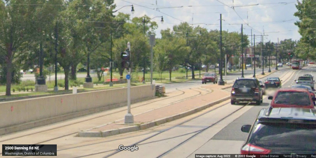
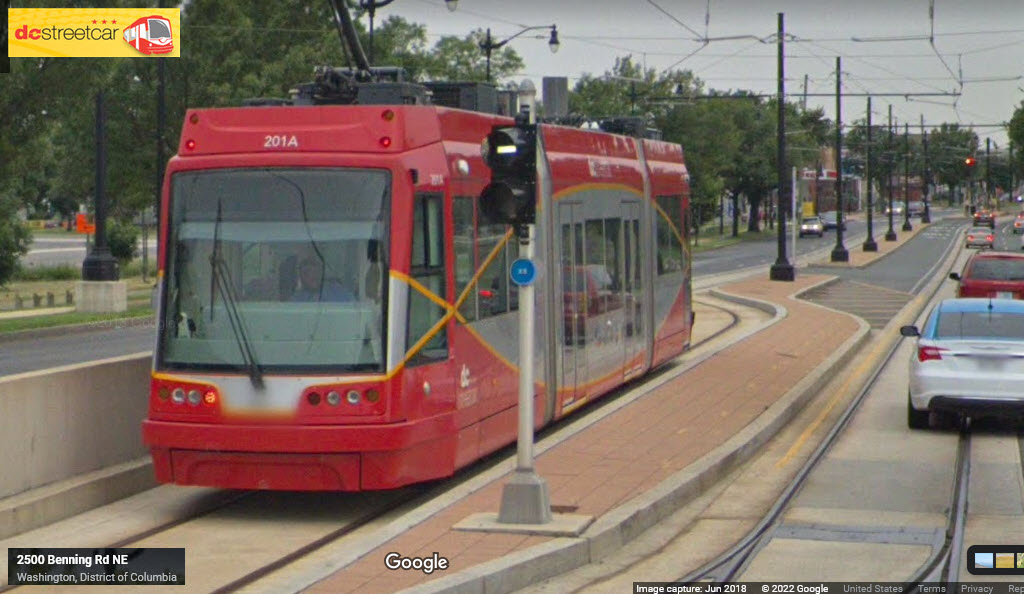
The DC Streetcar
Data:
GPS Coordinates: 38.900206, -77.004660 (west end)
ZIP: 20002
Access by train/transit:
the Metro, Union Station stop
MARC at Union Station
Amtrak at Union Station
VRE at Union Station
Oodles of bus lines at Union Station and along the route
The Scoop:
In contrast to 99.9% of my other 1300 pages, this one carries a negative tone to it, because the DC Streetcar system exemplifies how and why things can get out of control when bad decisions are made from almost day one. And then you throw in things like the EPA requirements, incompetence AND inexperience in management, incompetence and inexperience in the oversight committees, historical constraints, physical limitations, and public resistance, one can understand how a project like this can quickly turn into "a mess", and I'm being very nice by just calling it "it mess".
The DC Streetcar system is a much ballyhooed streetcar system that is years late in opening for a large variety of reasons. The complete system was supposed to be something like 20 miles long, but because of delays, stupid decisions and choices in just about everything, the system is only 2.2 miles long, and opening about a year and a half late.
For transit fans, we are glad to have a streetcar system back in DC.
For the general public, reactions are mixed. Many see the system as a huge waste of money. Why? Pick a reason, the are many: incompetent management and oversight, huge cost overruns, a carbarn that cost three times what a typical facility cost, stupid layout of the tracks, problems in the physical plant, such as rail breaking, no connections to anything but bus lines, and so on.
We have gone too far to turn back or turn the project off. So time will tell if the government of DC has done a good thing or not.
As of 2022, there are plans to extend the line another 2 miles east, for a projected cost of around $100 mil.
The End?
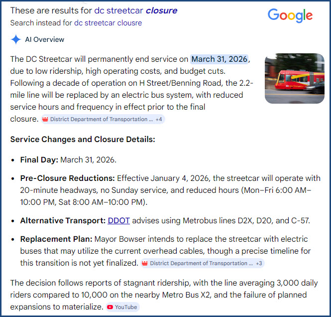
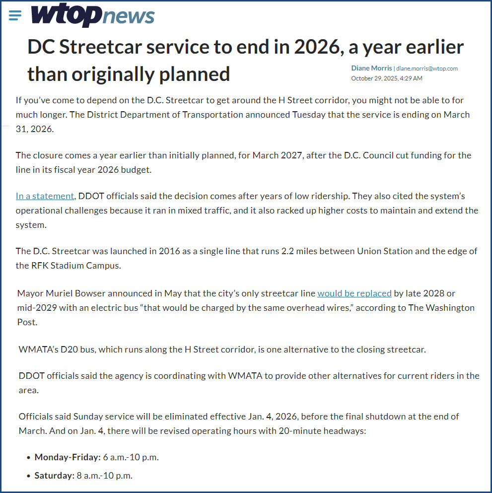
As a result of everything above - after less than ten years of operation, Mayor Muriel E. Bowser announcedin May 2025 that he plans to end the DC Streetcar in two years once funding for it's operation ends. It's a shame. But, it illustrates why a light rail or streetcar system is not a viable solution to every transit shortcoming. NOVA (Northern Virginia) decided years ago to NOT put in a light rail system, one reason is probably because they heard of ballooning costs. Governor Hogan axed the Red line light rail system in Baltimore while he was in office, but now that Wes Moore, a democrat, is "in there", talk about building it has resurfaced - on my Red Line page, I have pointed to the DC Streetcar as a reason for NOT building the line. They could use busses instead, and hybrid busses would be a great choice - maybe something that could be recharged briefly at the stops.
The End - Part Deux
Sometime around the end of October 2025, it was announced that March 31st would be the last day of operation for the DC Streetcar. As I write this update, John and I are going down today, the 30th, to ride the streetcar for one last time :-( :-( I wonder what is going to happen to all of the infrastructure that was built - The shops, the track, the catenary, and that massive Union Station stop on the bridge? Time will tell..... BTW, in order for the electric bus option to use the overhead wire, they would have to put some sort of collection device on the bus to make contact with the rails, which carry the 600 volts back to the substation.....
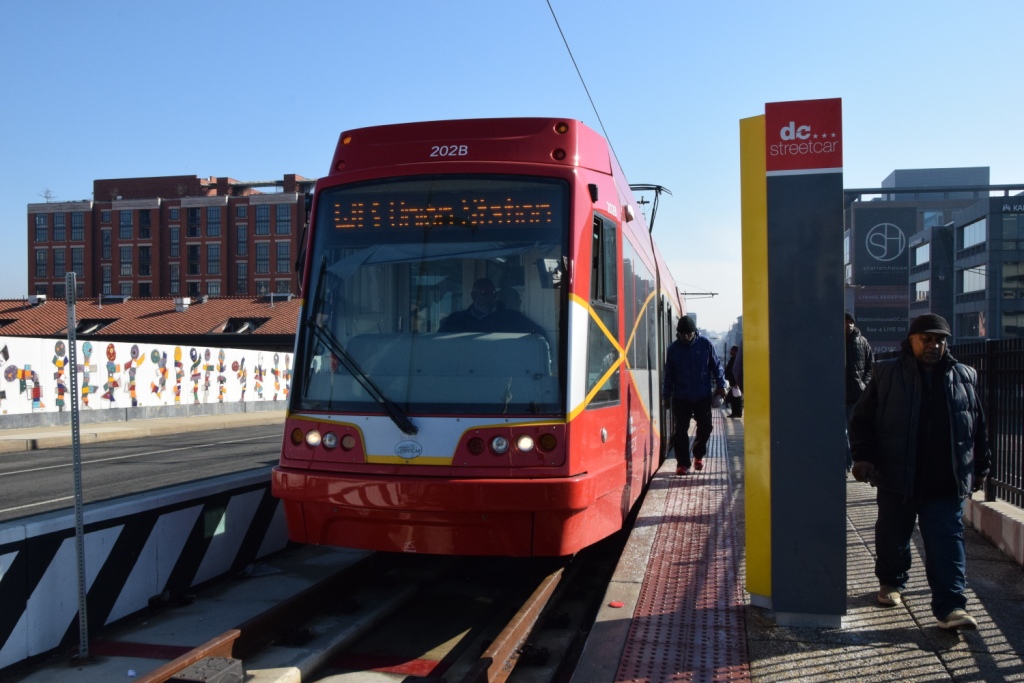
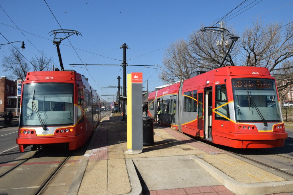
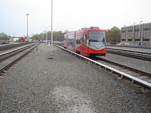
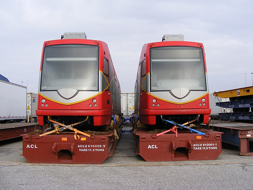
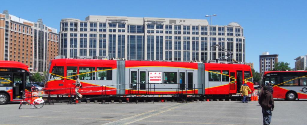
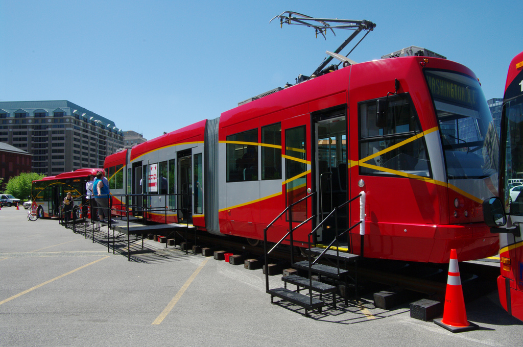
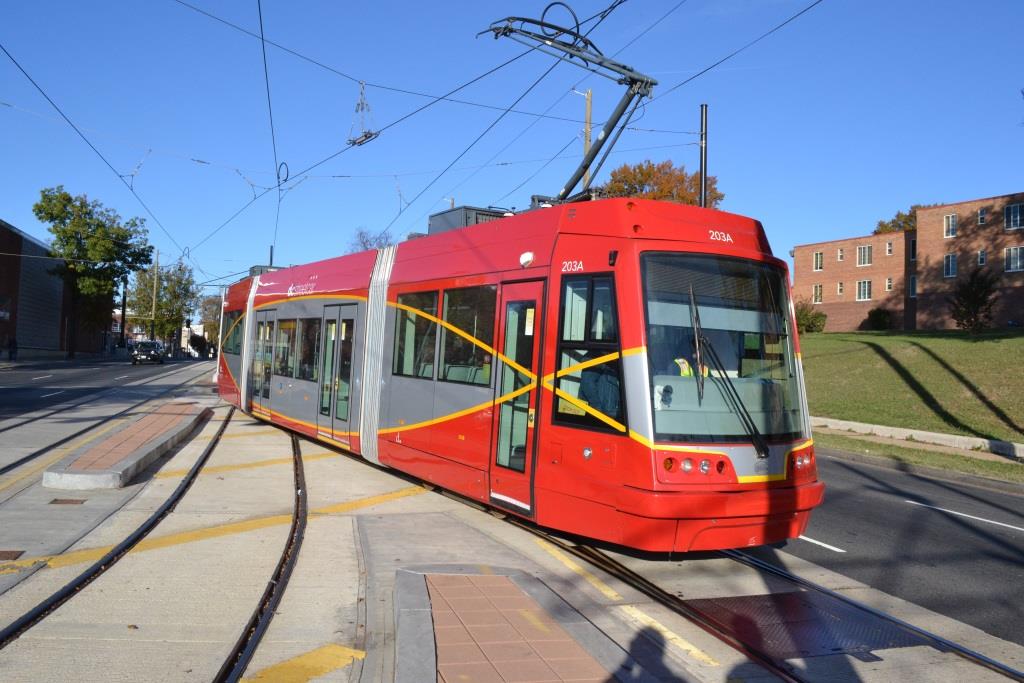
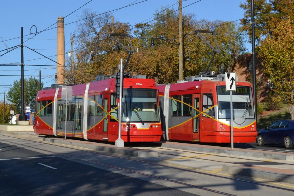
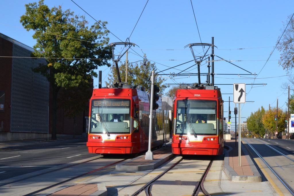
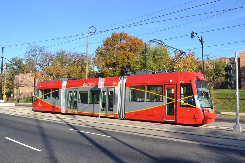
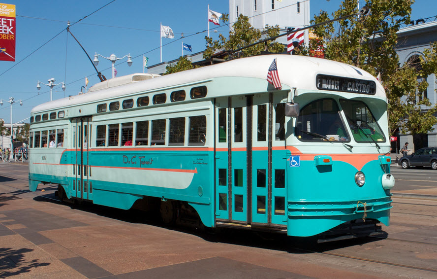
The Cars:
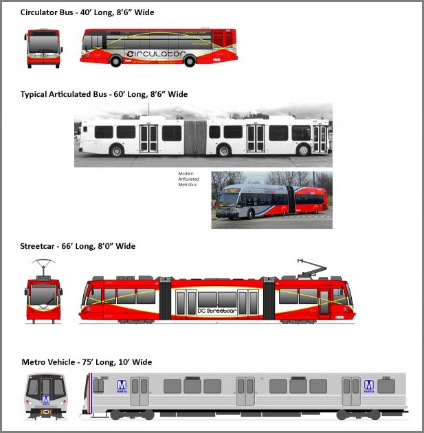
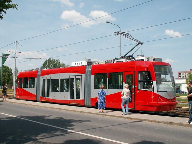
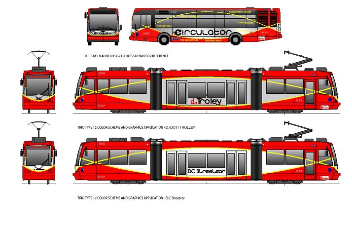
From Wikipedia: The D.C. government owns six streetcars that serve the system, built by two manufacturers to very similar designs. The first three streetcars, numbered 101 through 103, were ordered in 2005 and built in the Czech Republic in 2007 by Inekon Trams, for the Anacostia line, but because of delays in the start of construction of the line in Washington, they were stored in the Czech Republic until December 2009. They are model 12 Trio. The second set of streetcars, initially numbered 13-001 through 13-003 (subsequently renumbered 201–203), were built in the U.S. in 2013 by United Streetcar, of Oregon, based on a Skoda design (model Skoda 10T) that was originally developed jointly by Inekon and Skoda, and the shared design history explains the similarity between the two designs. They are United Streetcar model 100. The first United car was delivered to DC Streetcar in January 2014 and the third and last in June 2014. Visually, the United units differ from the Inekon cars in appearance with different fiberglass driver compartments, and cowling, but the overall dimensions are identical. Each car is eight ft (2.438 metres) wide and 66 feet (20.12 m) long, and each car consists of three connected sections, a design known as an articulated streetcar. End Wiki
Acknowledgements:
Denver Todd
Electric Railroaders Assoc.
Google Maps
Wikipedia
Websites and other additional information:
https://dcstreetcar.com/
https://en.wikipedia.org/wiki/DC_Streetcar
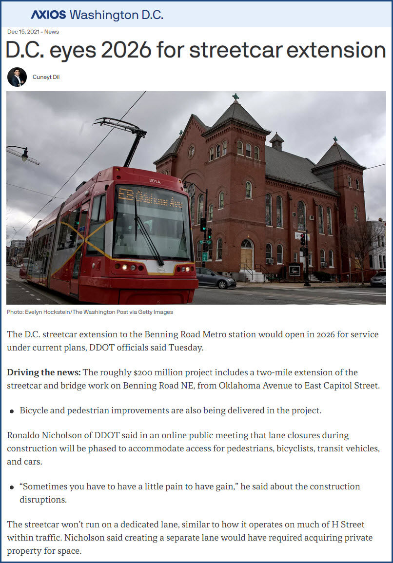
https://www.axios.com/local/washington-dc/2021/12/15/dc-2026-streetcar-extension
https://twitter.com/dcstreetcar?lang=en
https://friendsofdcstreetcar.wixsite.com/website
https://www.hdrinc.com/portfolio/dc-streetcar-program-management
https://www.facebook.com/dcstreetcar/
https://ggwash.org/view/80521/support-for-streetcar-plans-in-ward-7-gain-momemtum-from-some-residents-but-will-it-be-enough
https://dc.urbanturf.com/articles/blog/the_full_dc_streetcar_routes_explained/2236
https://www.bizjournals.com/washington/inno/stories/news/2015/04/03/dc-streetcar-cost-and-total-miles.html Note: Costs $$$ to read the full article
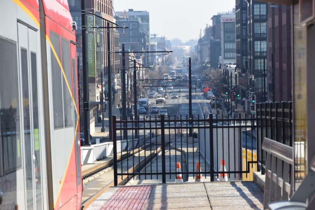
295 to the Benning Road exit, west to H Street NE.
If you are going thru the city, find your way to Union Station and head around the "backside" of the station to H Street NE.
Map

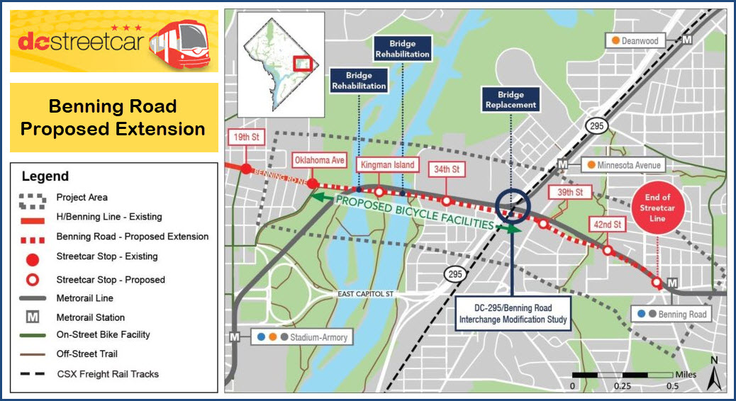
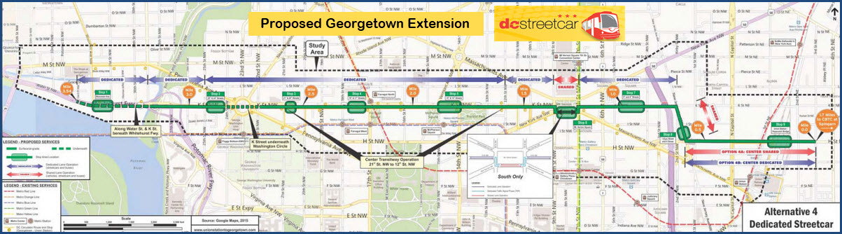
The Georgetown Extension that so far, has not happened.
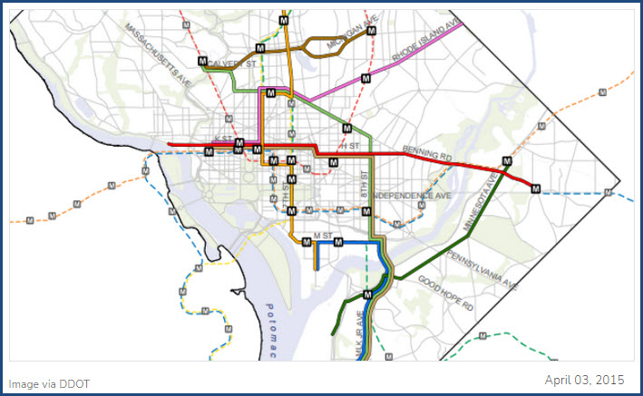
From the bizjournal article from 2015, comes this map of projected DC transit projects
that includes the proposed DC Streetcar Benning Rd and Georgetown extensions.
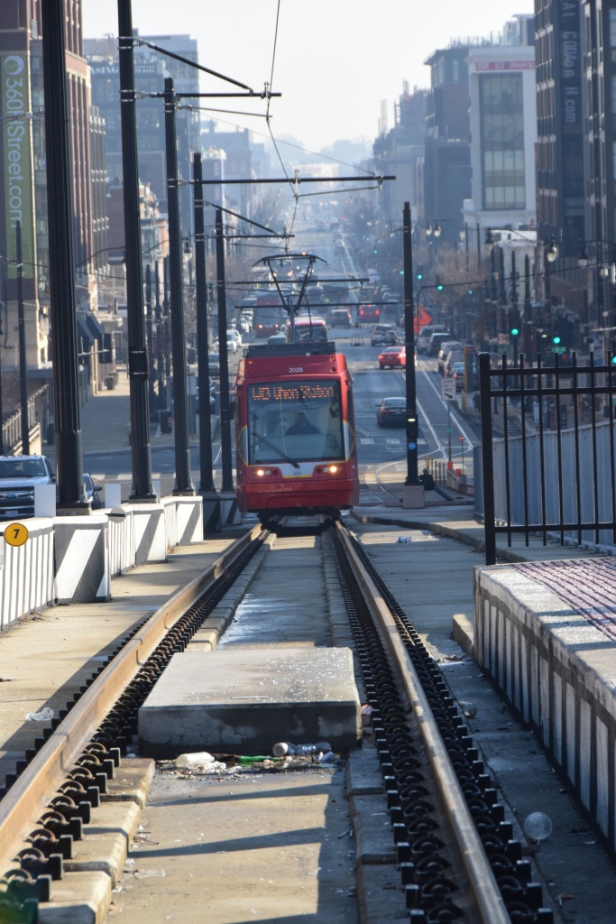
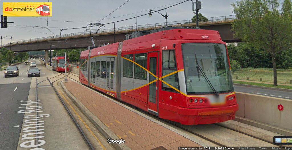
Union Station
GPS Coordinates: 38.90024, -77.00470
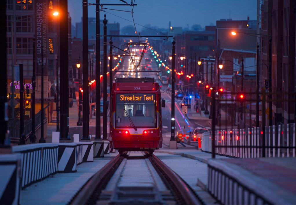
Beautiful shot at dusk of a test train leaving Union Station - Katherine Frey/The Washington Post
H St and 3rd Street
GPS Coordinates: 38.90023, -77.00470
H St and 5th Street
GPS Coordinates: 38.90023, -76.99930
H St and 8th Street
GPS Coordinates: 38.90023, -76.99504
H St and 13th Street
GPS Coordinates: 38.90023, -76.98808
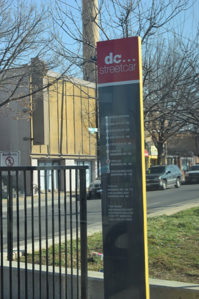
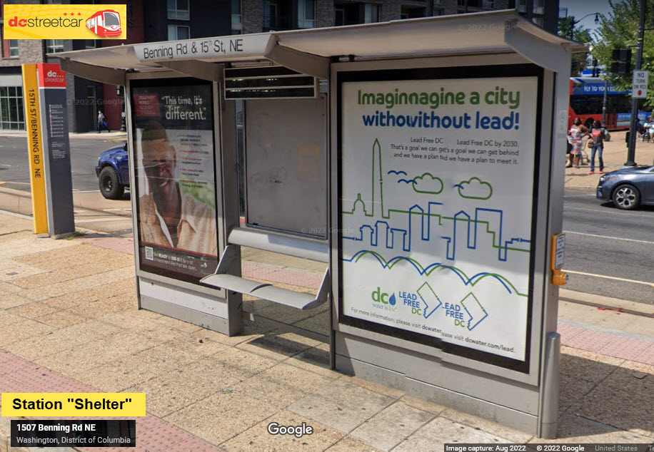
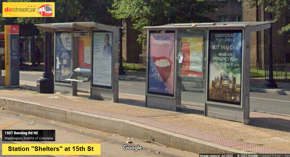
Benning and 15th Street
GPS Coordinates: 38.90004, -76.98297
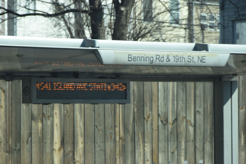
Benning and 19th Street
GPS Coordinates: 38.89886, -76.97602
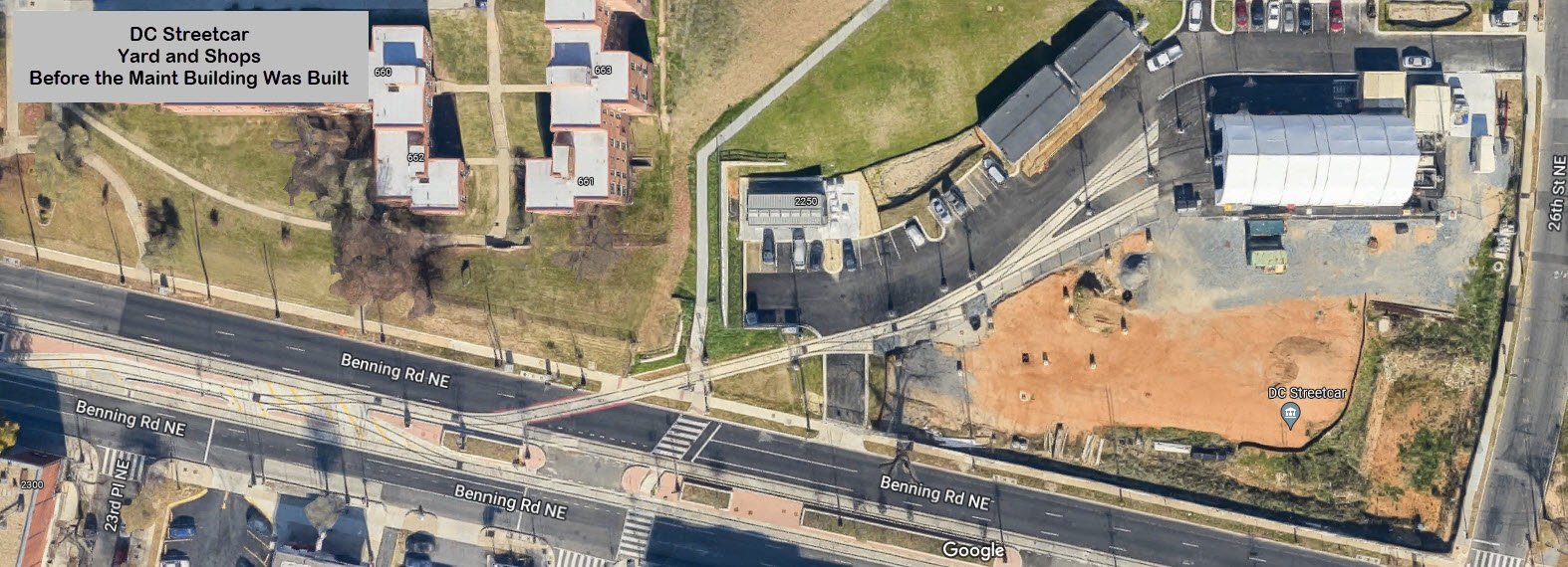
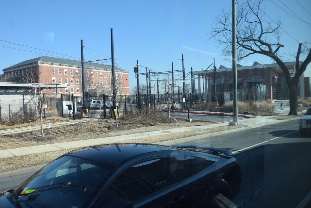
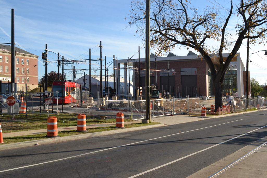
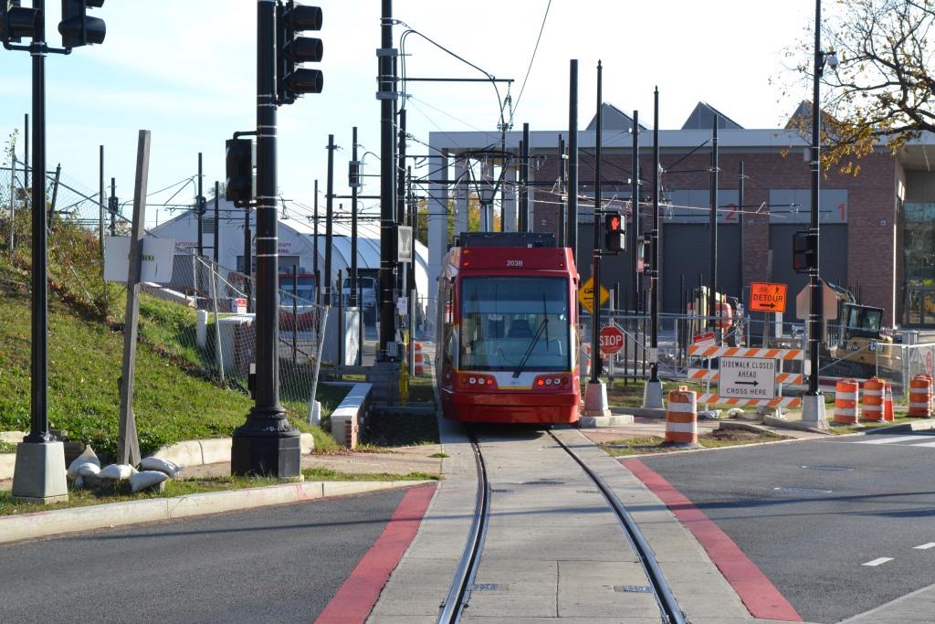
The Shops
GPS Coordinates: 38.89837, -76.97085 (center of building)
 ~2014
~2014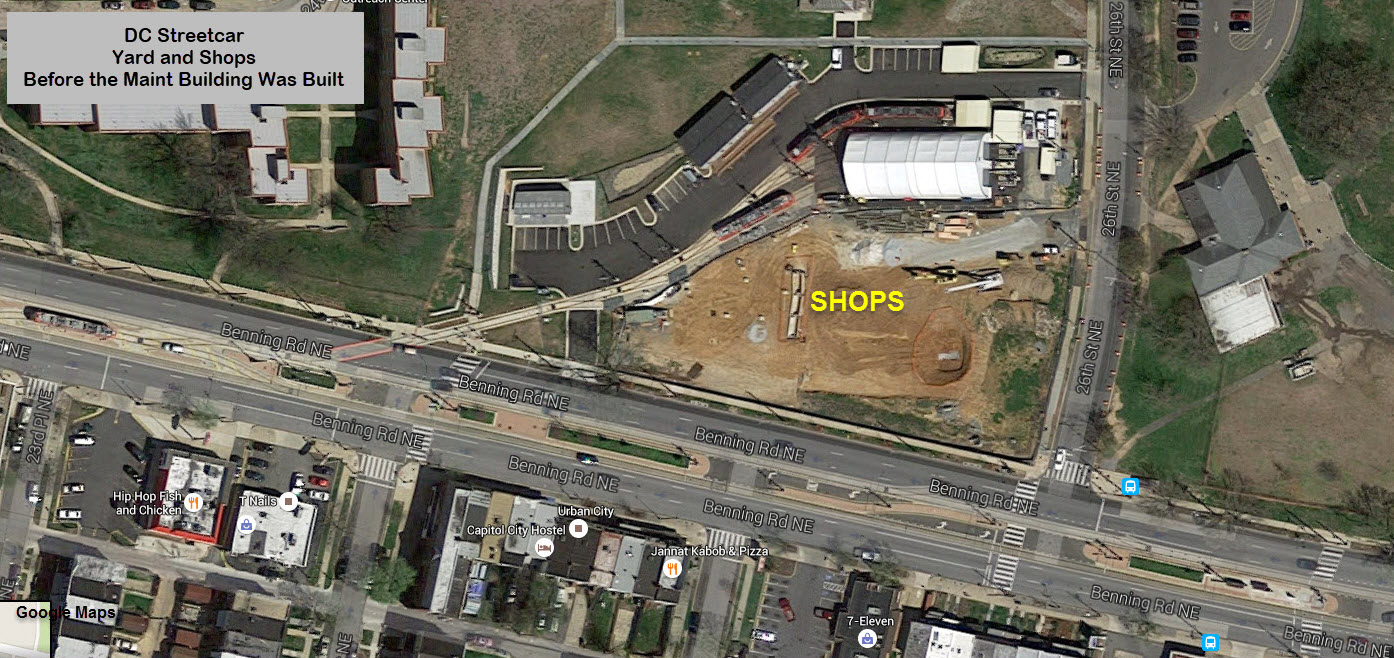 ~2015
~2015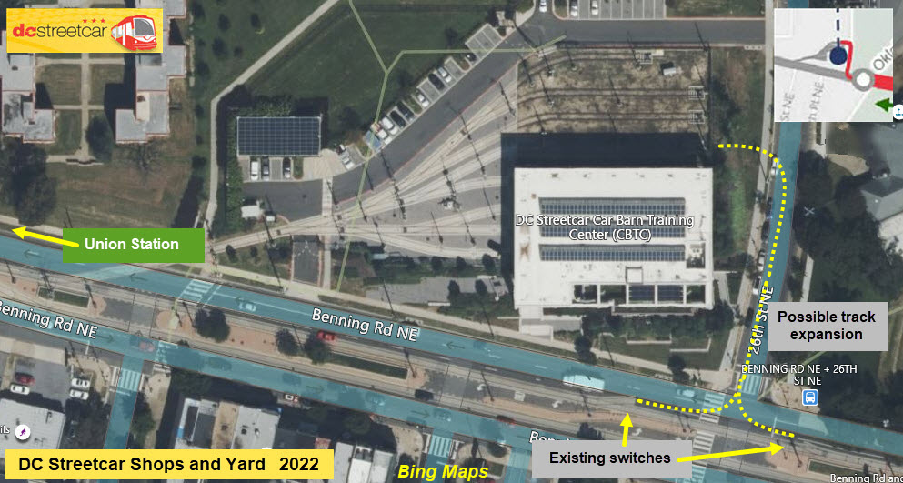 2022
2022The inset above comes from one of the proposals in the map section....
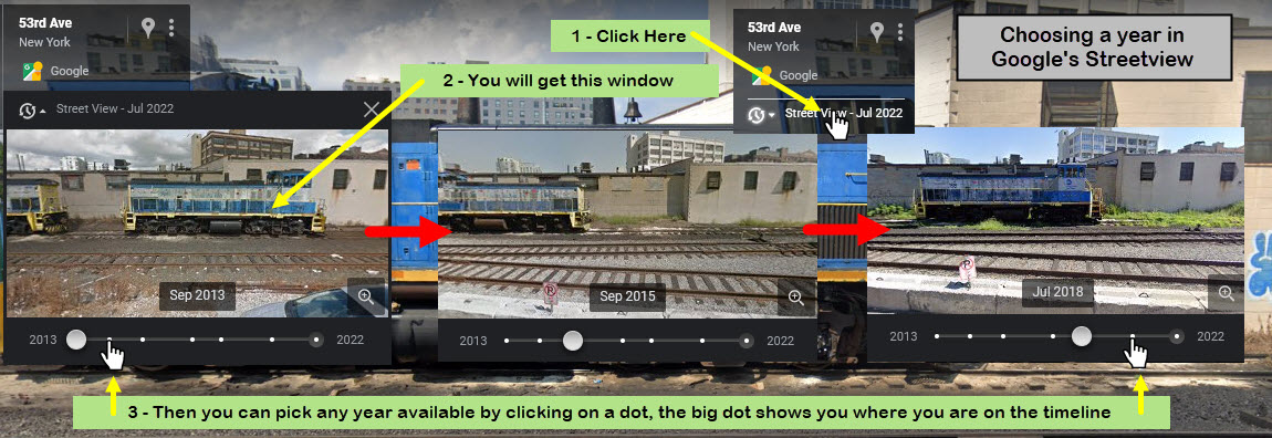
Here is a sequence of Google Streetview shots that show the yard and shop area from "nothing" to having the facility built.
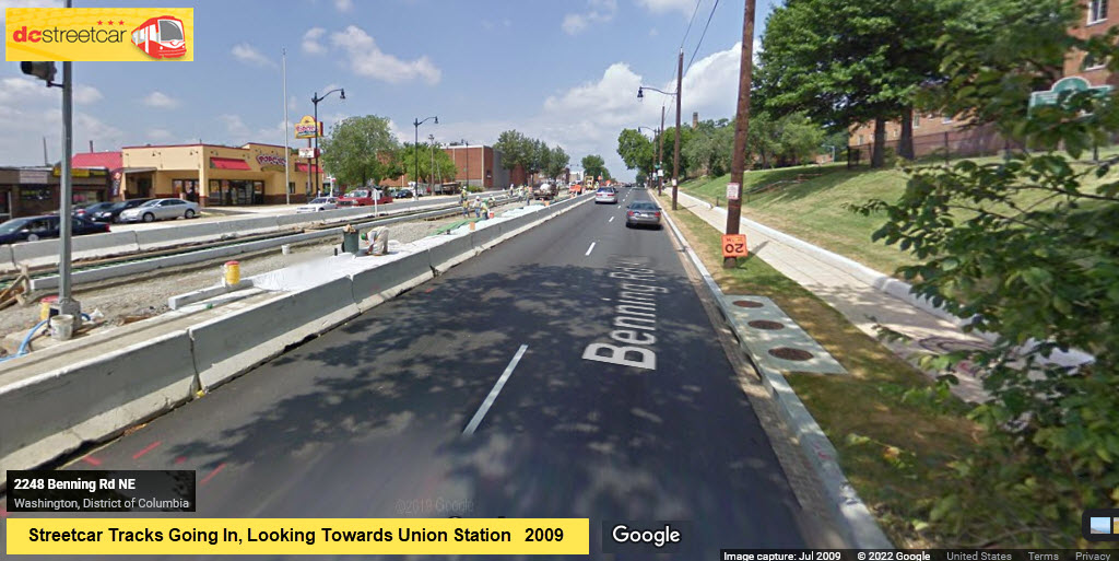
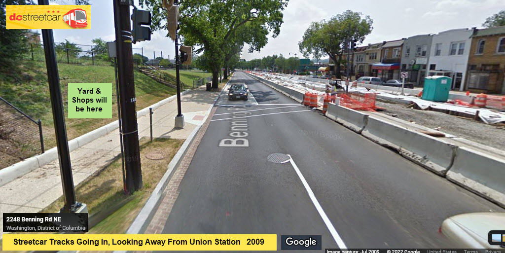
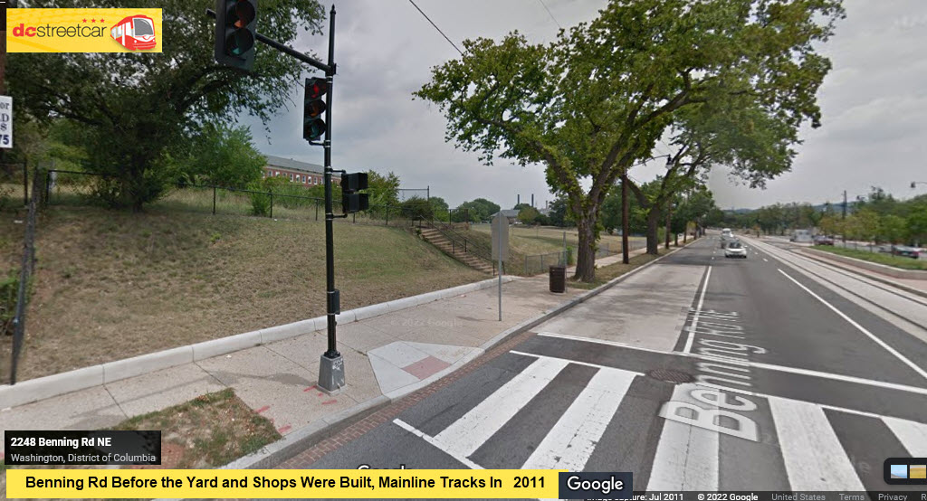
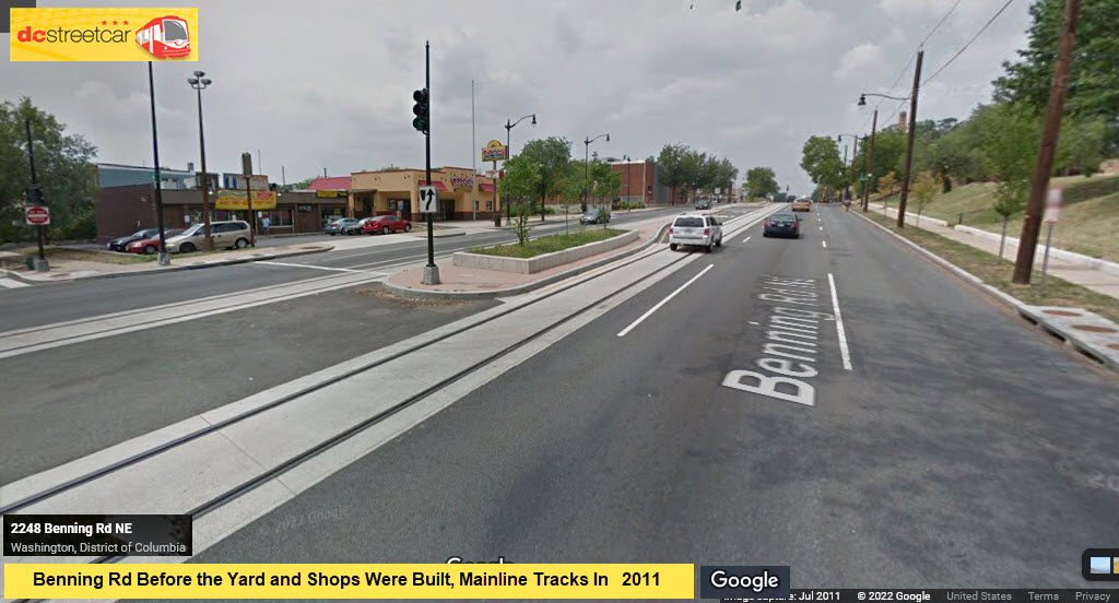
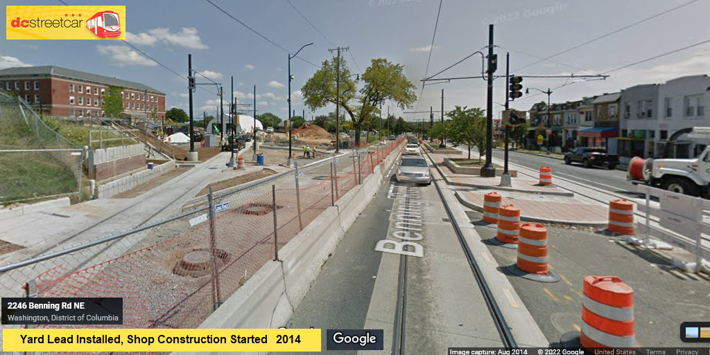
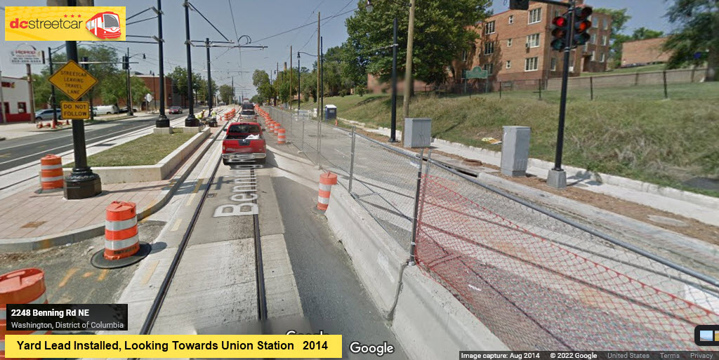
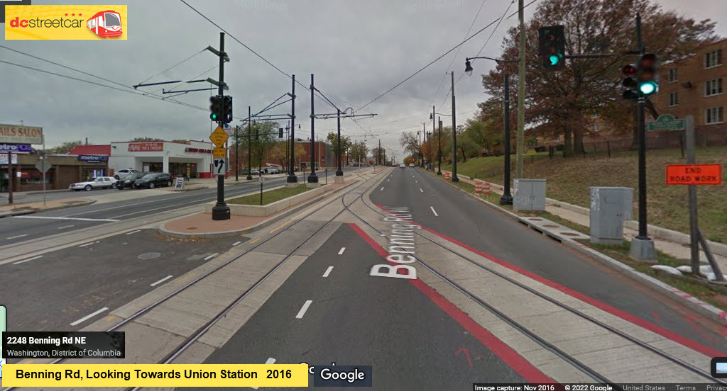
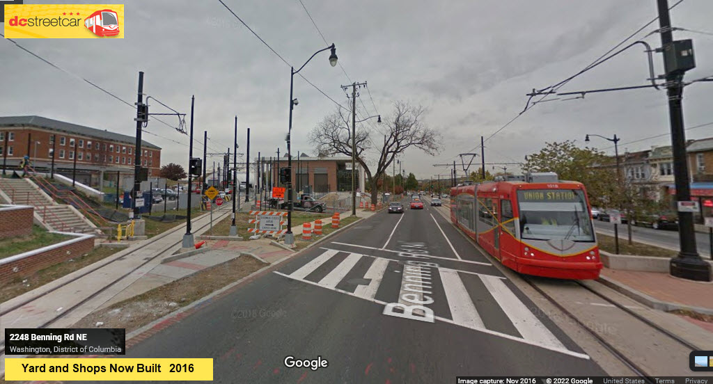
If you have never done it before, here is how you toggle between the various years Google Streetview has pictures of for that location....
Benning Ave and Oklahoma
GPS Coordinates: 38.89776, -76.96988
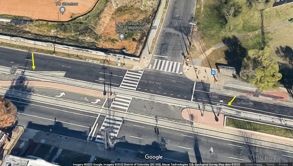
Planning ahead for a future yard lead track that will come in from 26th St NE.
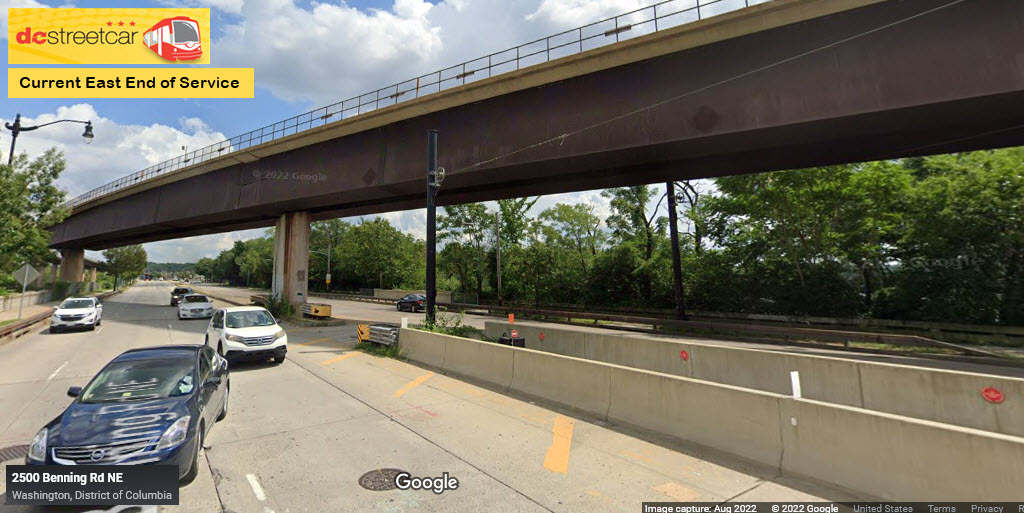
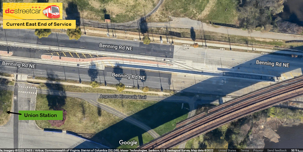
Current End of Operations / 2022
GPS Coordinates: 38.89740, -76.96611
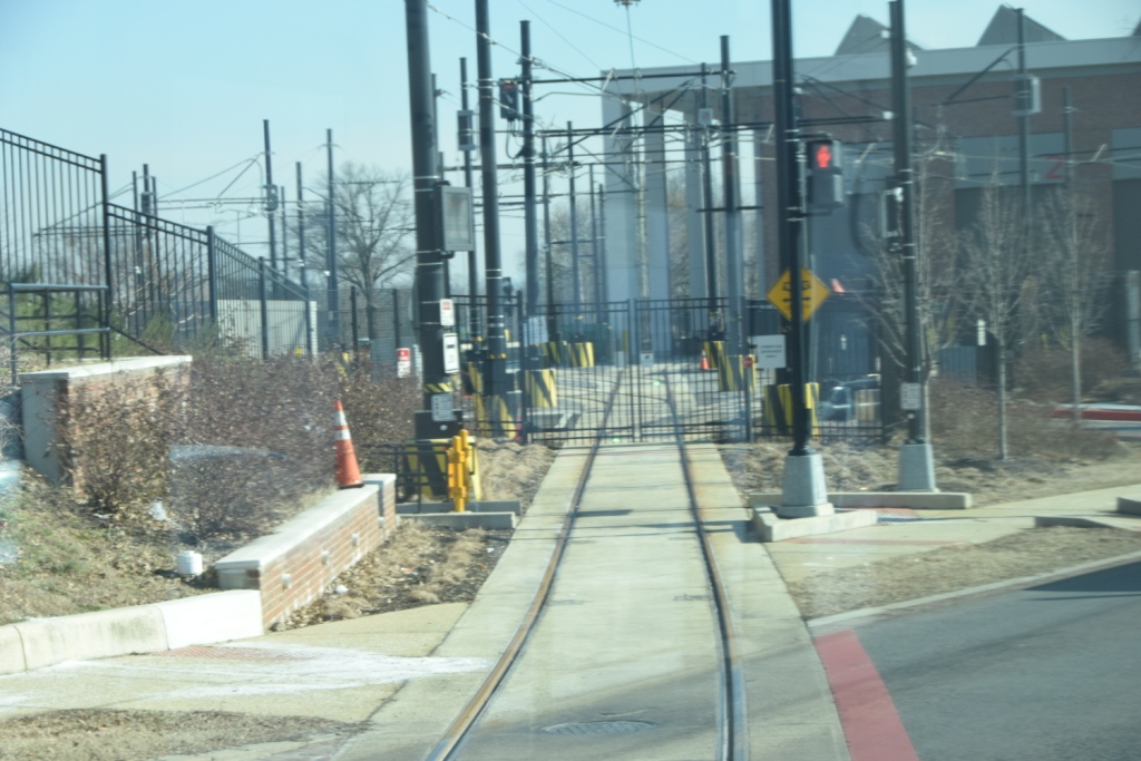
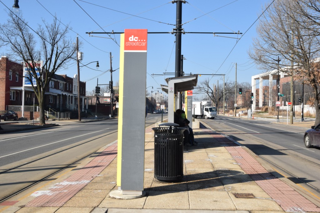
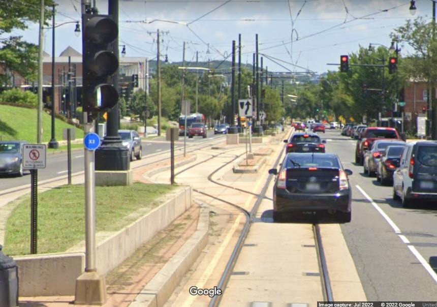
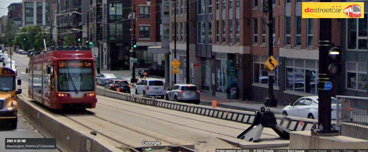
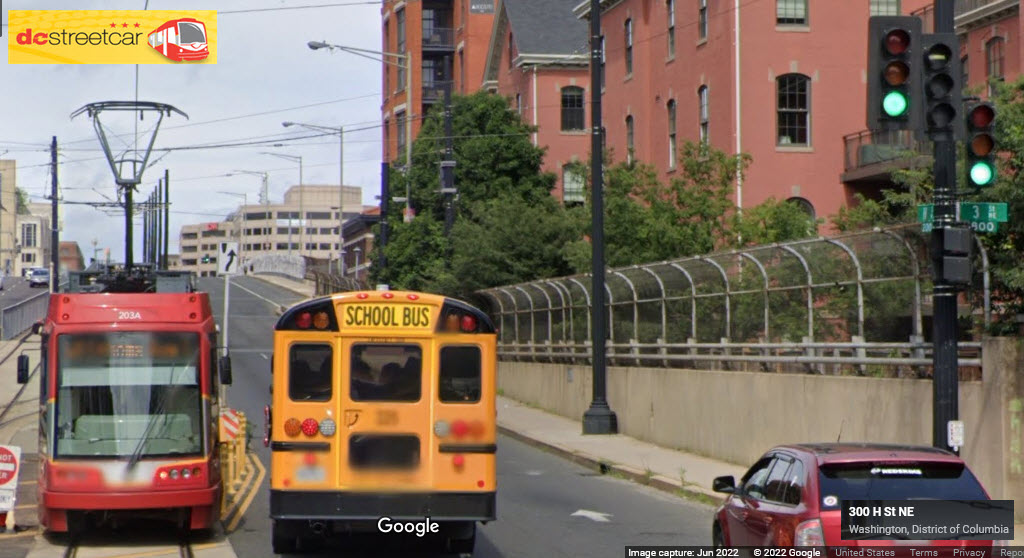
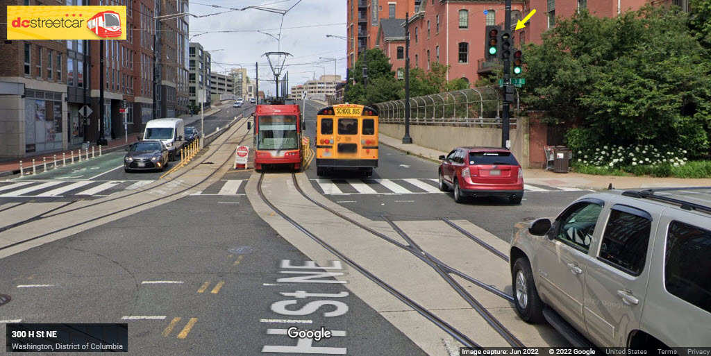
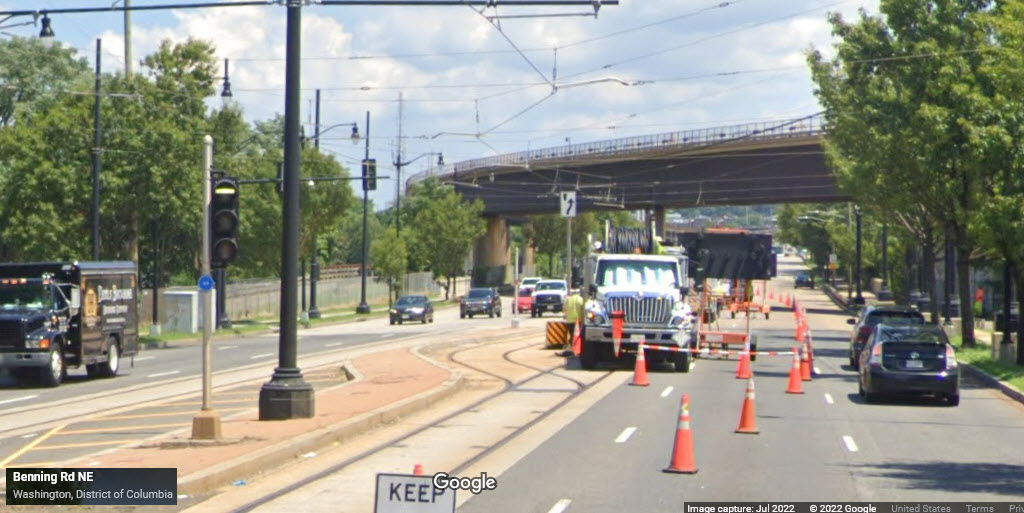
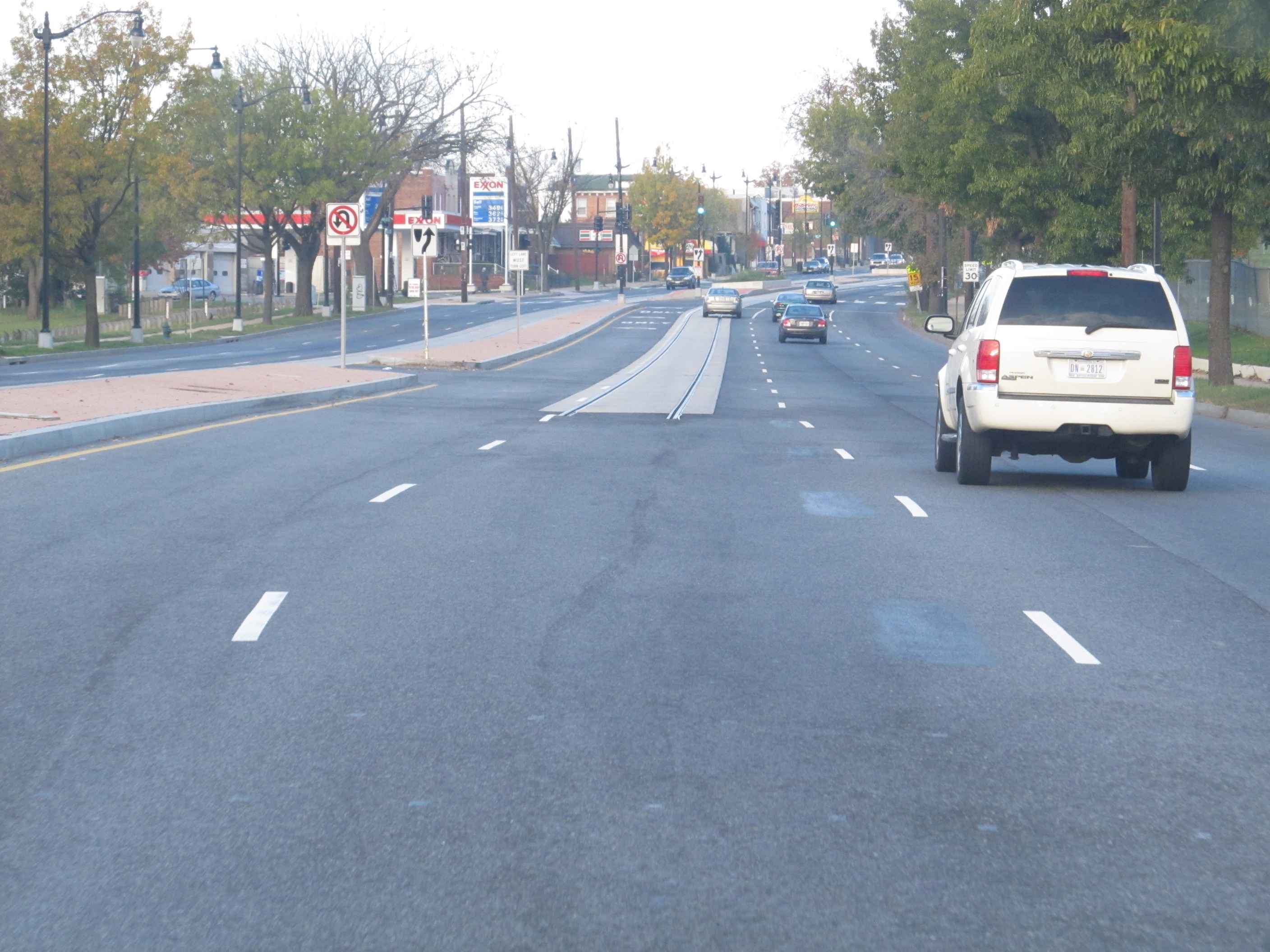
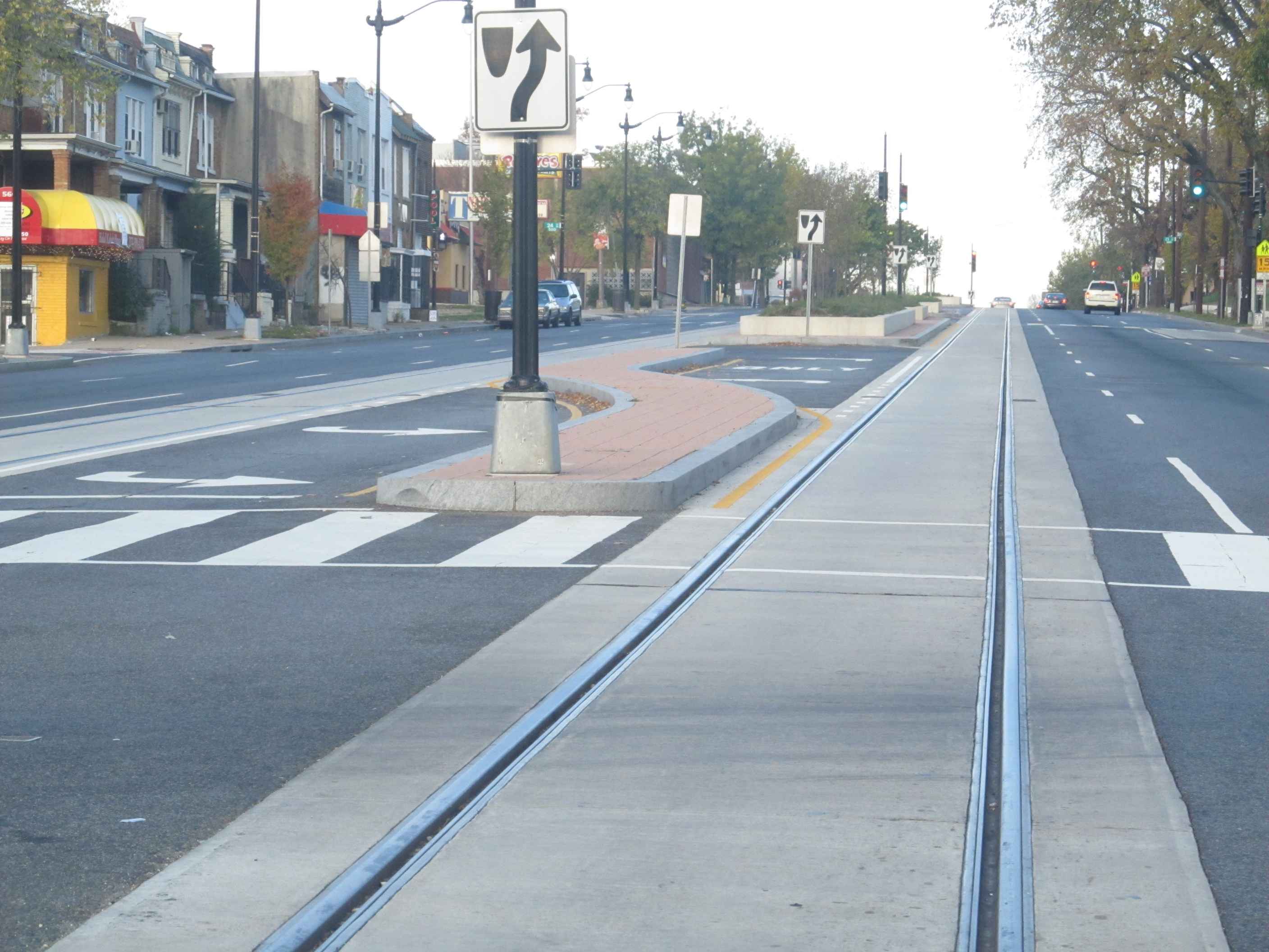
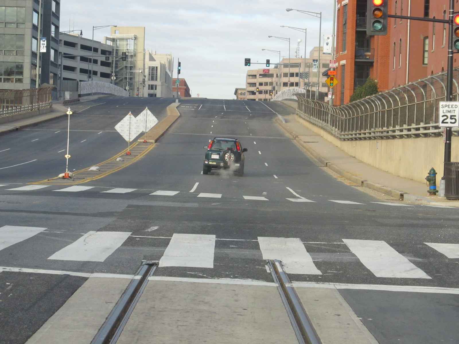
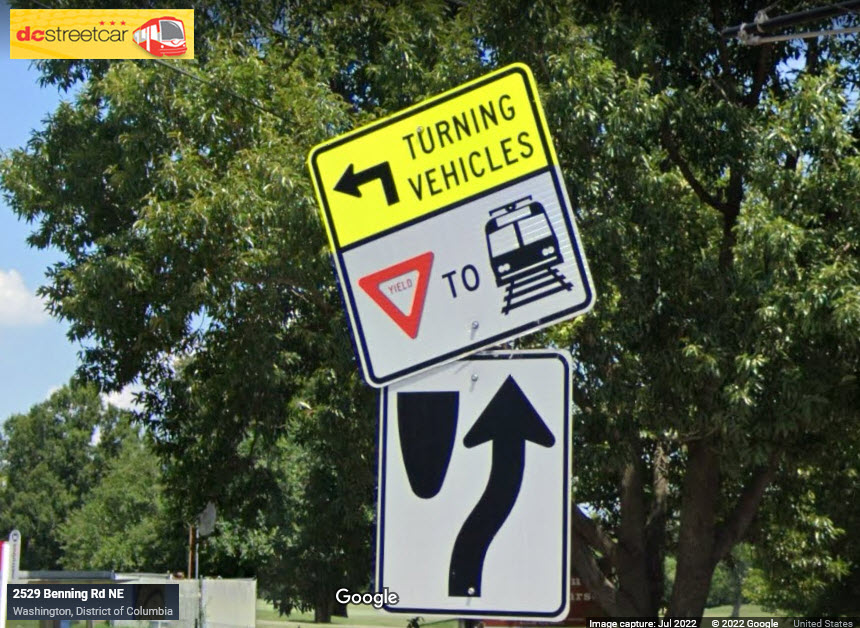
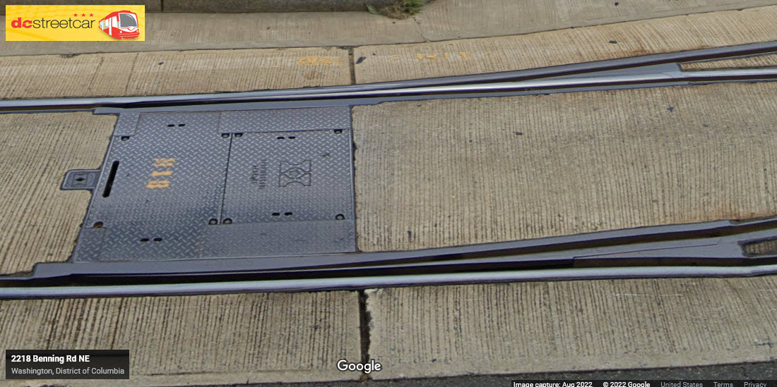
The DC Streetcars generally follow the traffic lights for vehicular traffic on H Street and Benning Avenue, unless they need to cross the street.
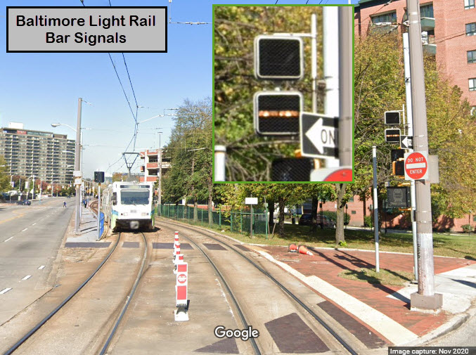
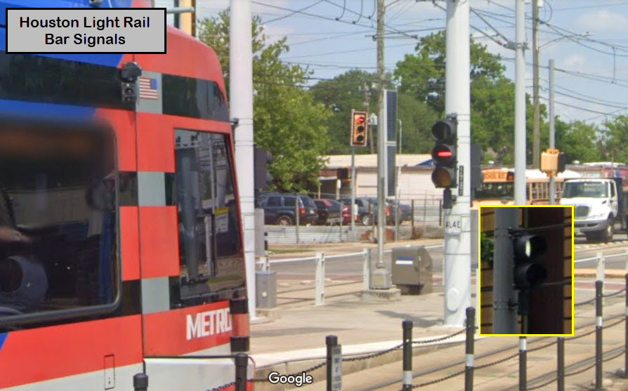
When they do, they use BAR SIGNALS, which are common for Light Rail and streetcar systems to use when they need to be controlled separately from vehicular traffic. They can be in standard "round" traffic light housings, as done here in DC, or they can housed in the common "walk/don't walk" housings, AKA "hand-man" signals like Baltimore uses.
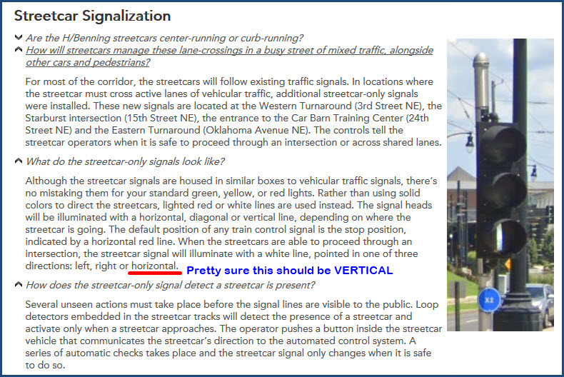
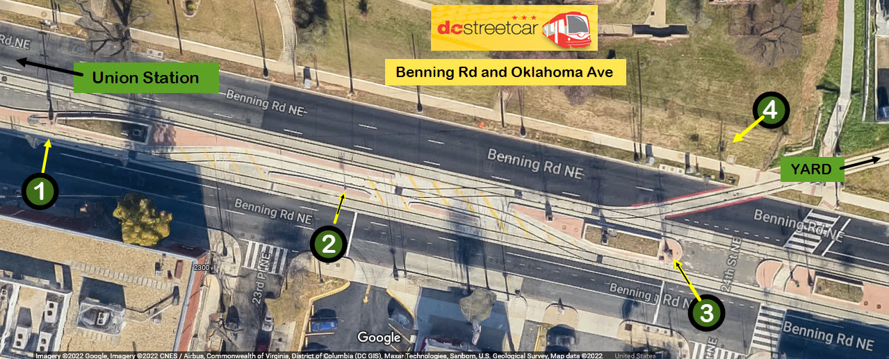
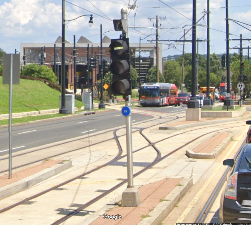
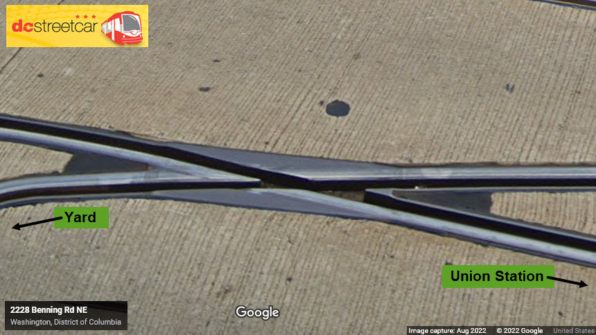
The first signal the streetcars pass going EB coming into the Oklahoma station, a vertical bar means it will go straight and into the station, a bar on the 45 will send the train into the pocket track.
A bar only signal for EB Pocket Track moves at the division point for going into the yard. This signal is blocked by the poles in the above shot.
Bar Signal where the WB streetcar's go through the small interlocking and have a choice of going either straight, into the pocket track, or having to wait for a train going in or out of the yard.
This signal controls trains coming out of the yard.
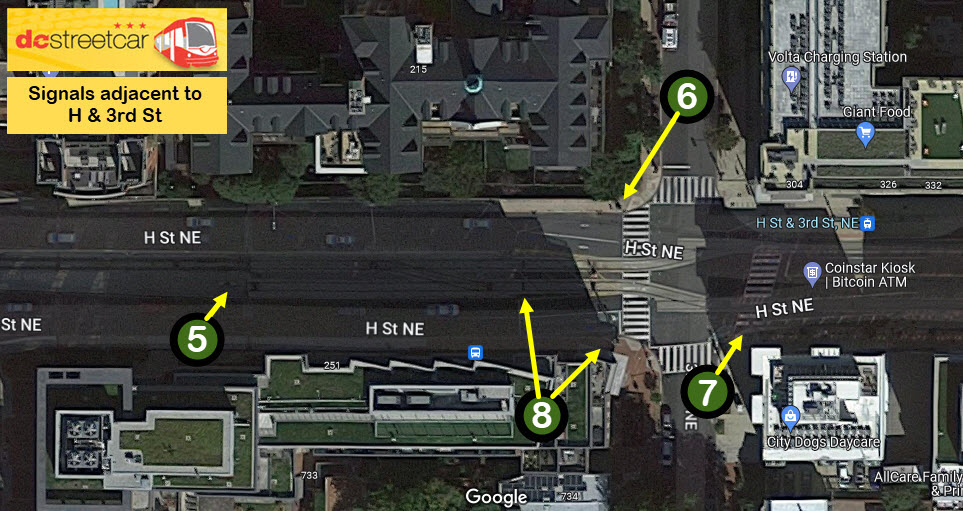
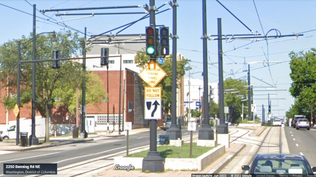
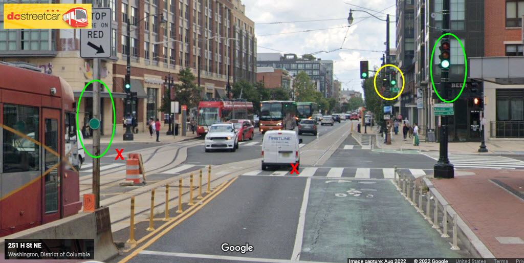
A 2 aspect Bar Signal, for controlling moves onto EB H Street, I'm guessing to avoid conflict with a train if one is sitting on the stub track.
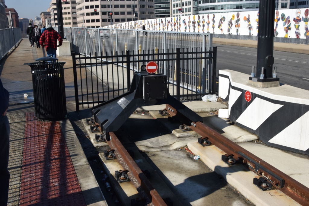
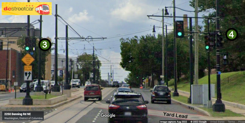
A 3 aspect Bar Signal, controlling moves from/off H St onto the "private R-O-W" tracks leading up to Union Station. Another guess - I'm guessing this is a three aspect signal because there is a switch here, which offers you a choice between going straight, which as of today, dead ends, and going left into the Union Station track.
A 2 aspect Bar Signal, controlling moves from the Union Station private R-O-W onto H Street.
Playing the guessing game - If they ever put in additional tracks to connect to these two switches, which currently dead end, they would have to change the signals here at 3rd Street in order to have an interlocking. Although it is hard to imagine why they would put in FOUR tracks to cross the bridge??? So let's suppose they do, and extend the tracks at the red X's, they would need to add bar signals where the green circles are, and possibly remove the existing bar signal in the yellow circle - since it is controlling cars coming from Union Station and crossing a vehicular traffic lane. The signal for WB trains is already a 3 aspect signal, so no changes would have to be made to that one (signal location 6 above).
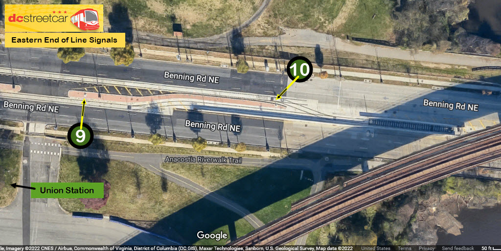
Although there is a switch here, of which one of the routes continues straight, the track does not continue east, yet. So the only routing for a streetcar is to go into the pocket track for now. The only other indication the signal should display (for now), is stop.
Since there is only a two aspect signal here, I'm going to make another guess that the only choices are stop, and to make a diverging move onto the WB main. And, for at least now, there is no provision for going back out to the EB main.
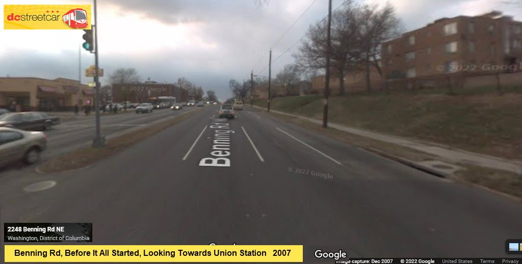
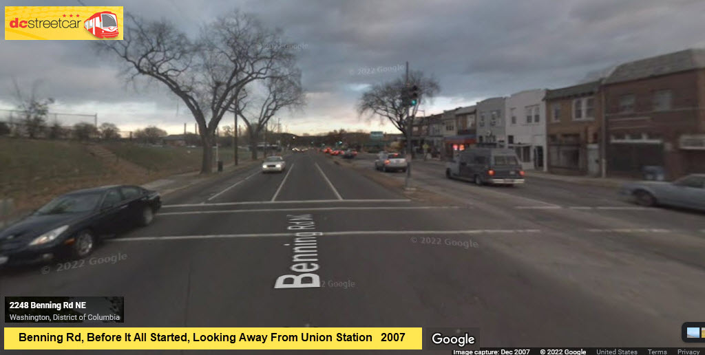
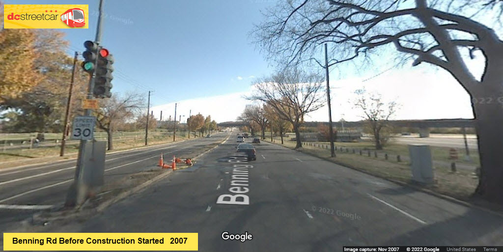
The following set of pictures is from November 2011, taken on the way to the Gaithersburg MD Train Show. Pictures progress from the eastern end of the line to the west end on the right, just shy of the overpass to go over the Amtrak tracks, just behind Union Station. The pictures illustrate some of the station areas where they have built up the sidewalk for access to the cars. It looks like they used the project as an excuse to beautify the immediate area along H St.
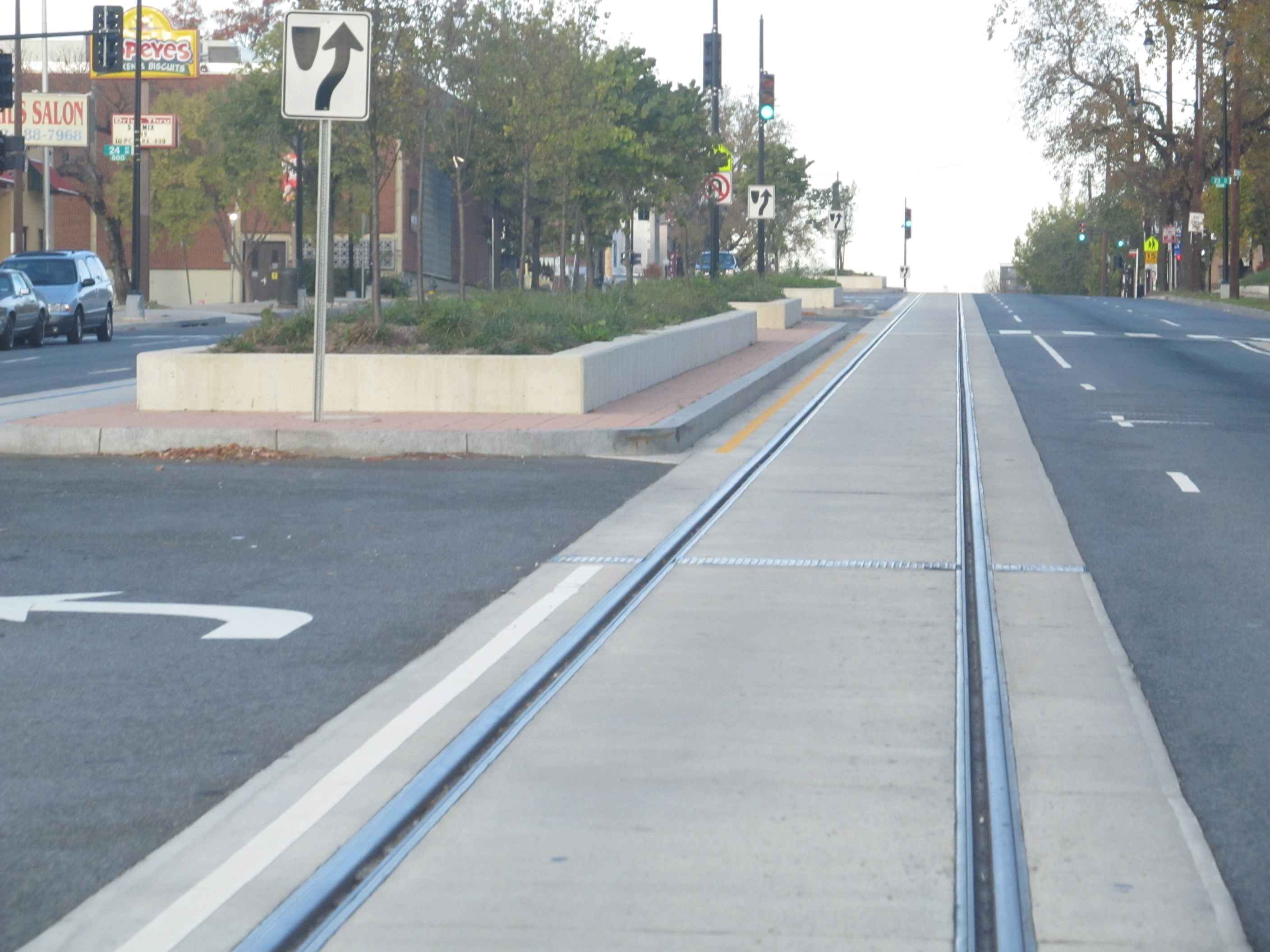
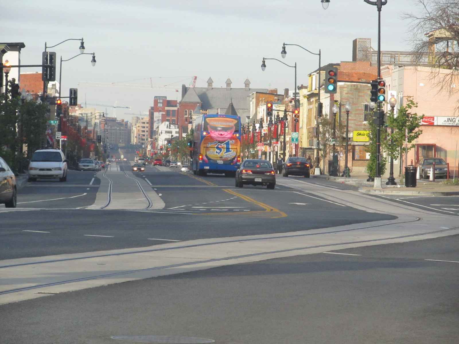
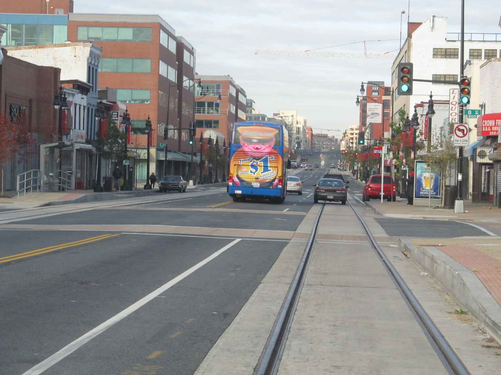
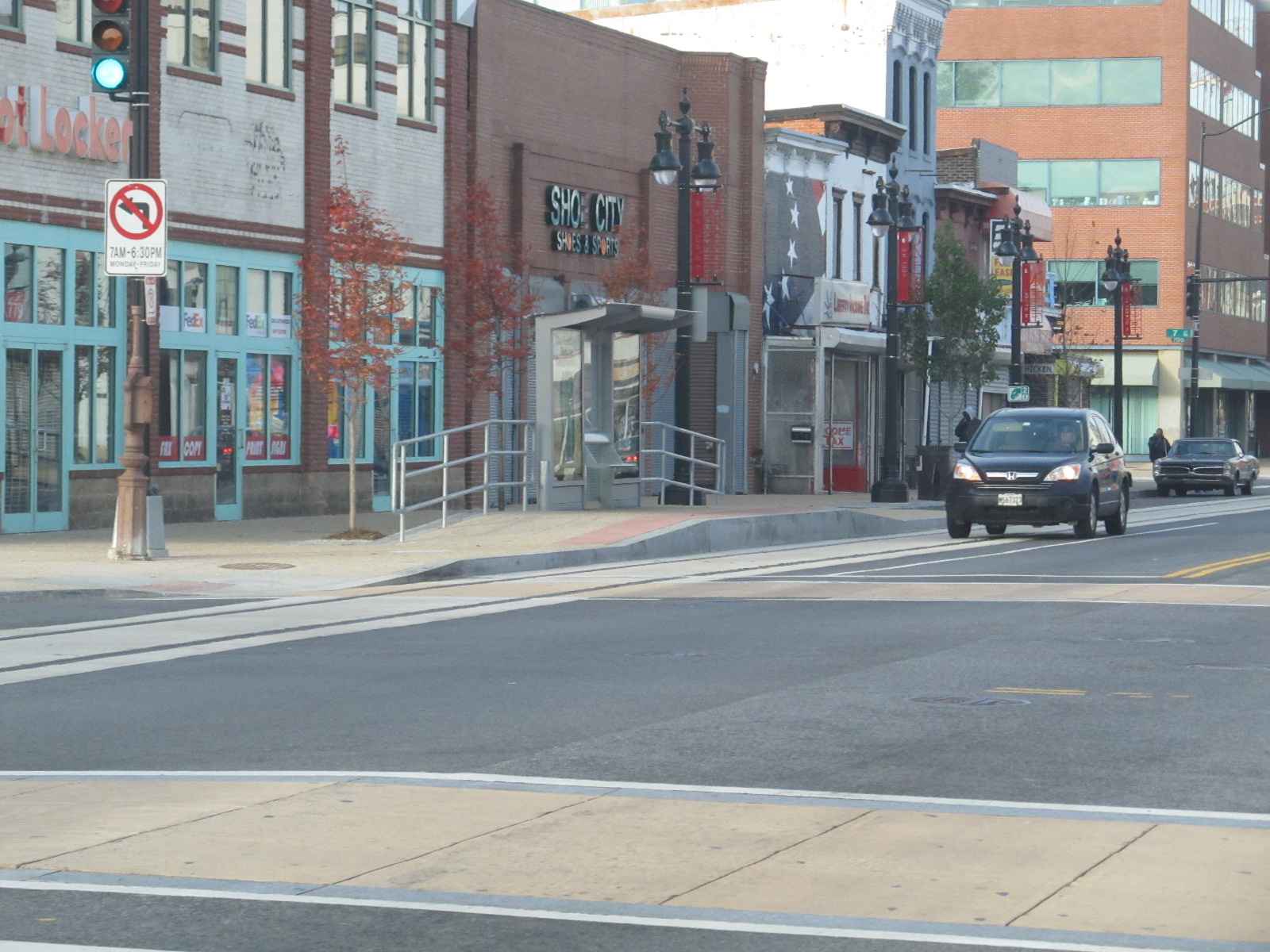
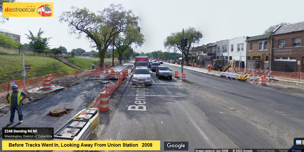
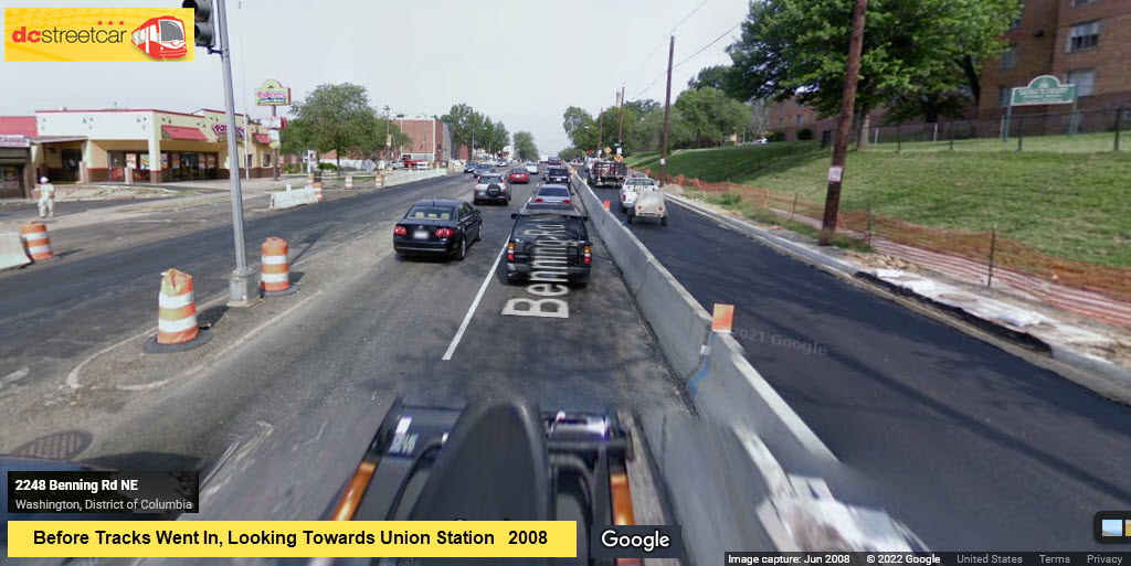
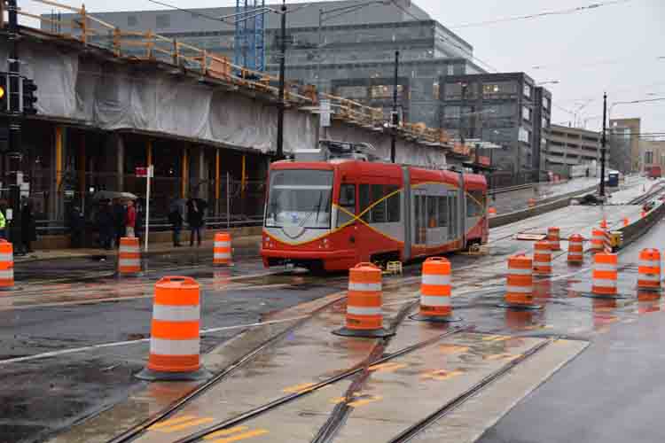
Five years later, again, on the way to the Gaithersburg Train Show, we finally have trains running. These pictures are from November 6th, 2016. Rides as of that day, are still free, since that way since opening in January. They are STILL working on the shops building.

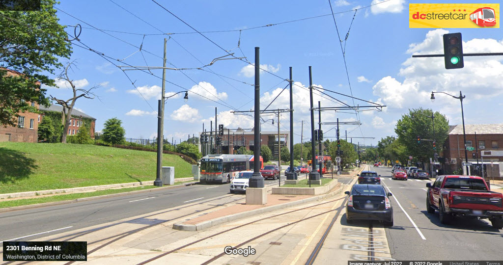
The above photo, and the one below, show some of the catenary work where we have a diverging route into a pocket track/siding.
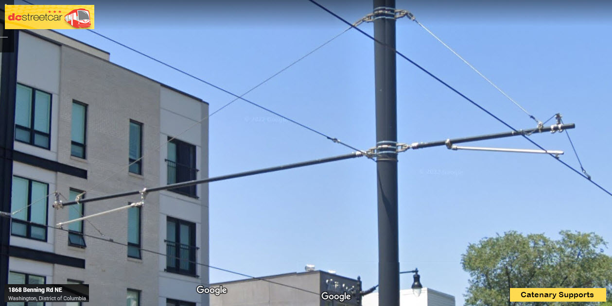
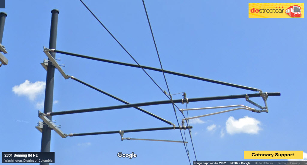
Two different "sized" Catenary Supports.
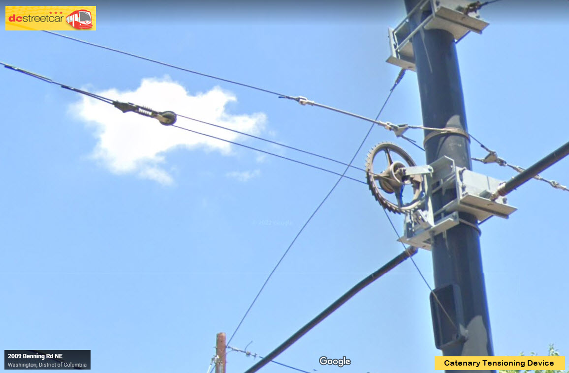
Catenary tensioning device, the counter-weights are inside the pole.
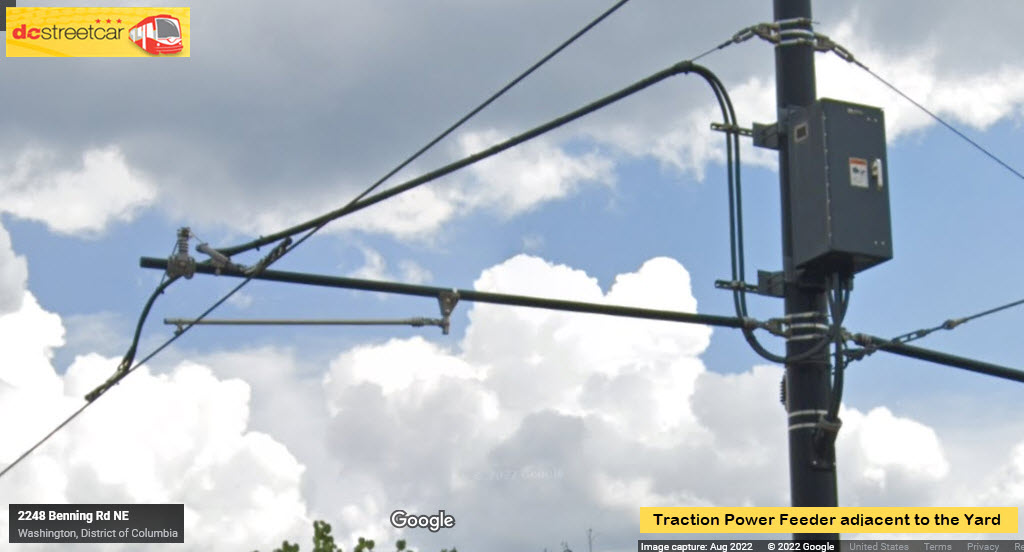
According to one mention on the Wikipedia page, there are three substations, I'm guessing one is at the yard. This one is for the WB track.
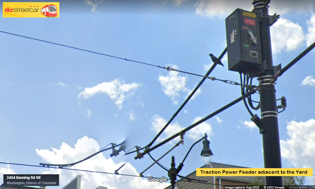
Two poles away from the above feeder, we have another one for the EB track, 2 views, above and below.....
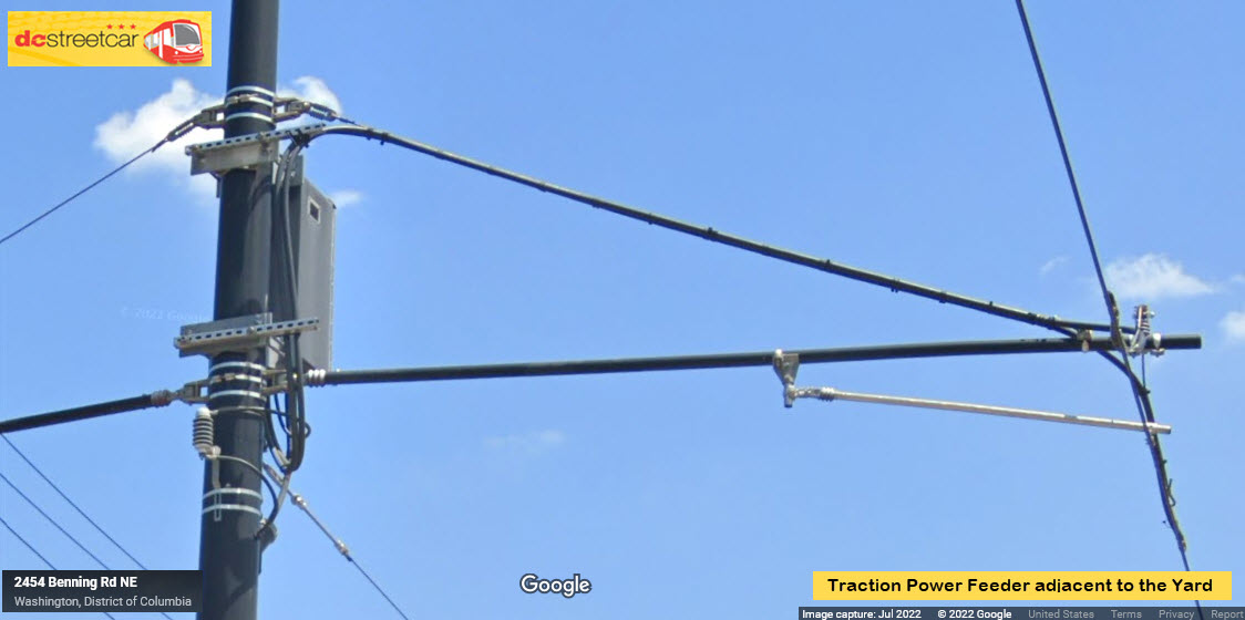
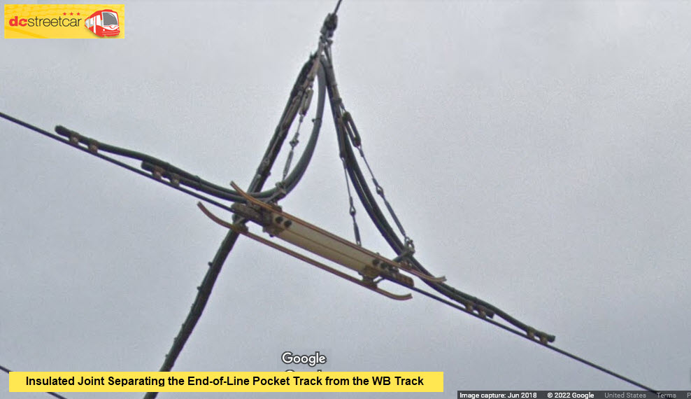
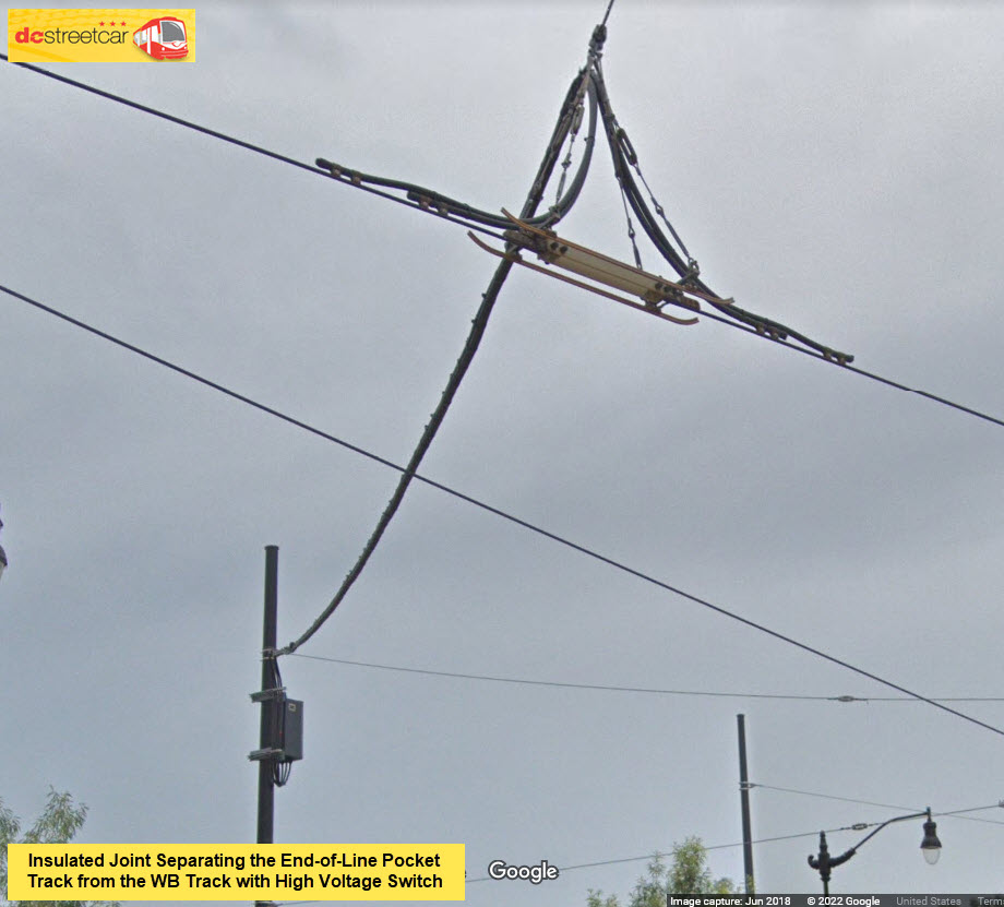
My guess, is that the high-voltage switch is normally closed, so the two catenary sections are normally connected. The switch allows them to isolate the two sections if there is some sort of problem. This allows them to at least use "one side" of the system.
the PCC Cars That Came Before
A map of the Capitol Transit Co. system from 1948:

 February 27, 2016
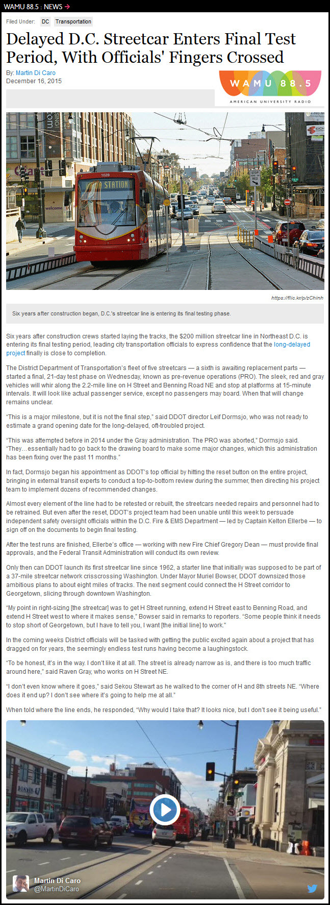
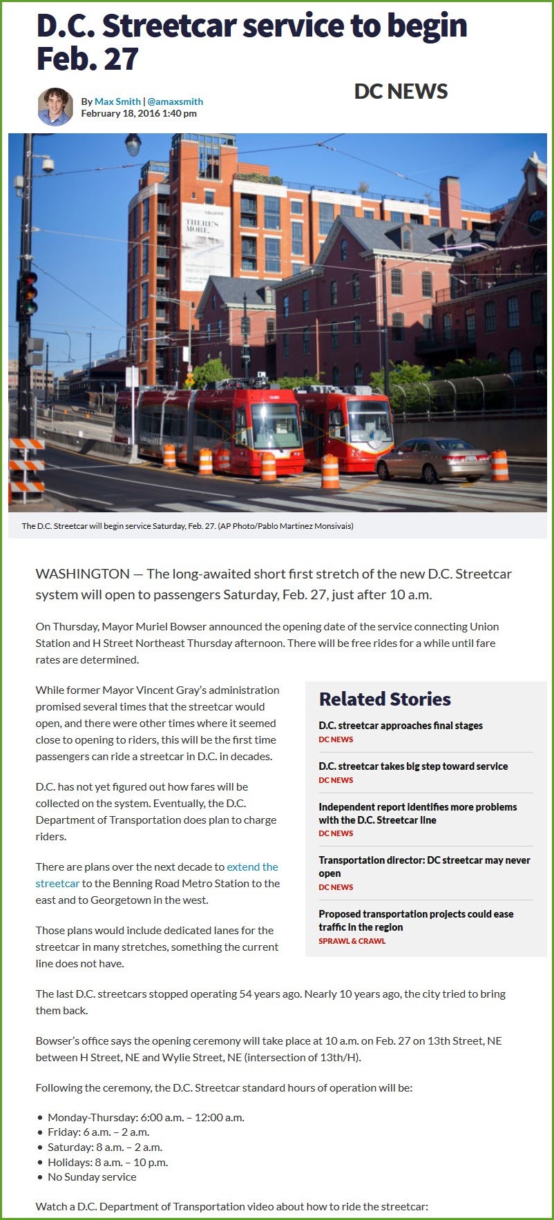
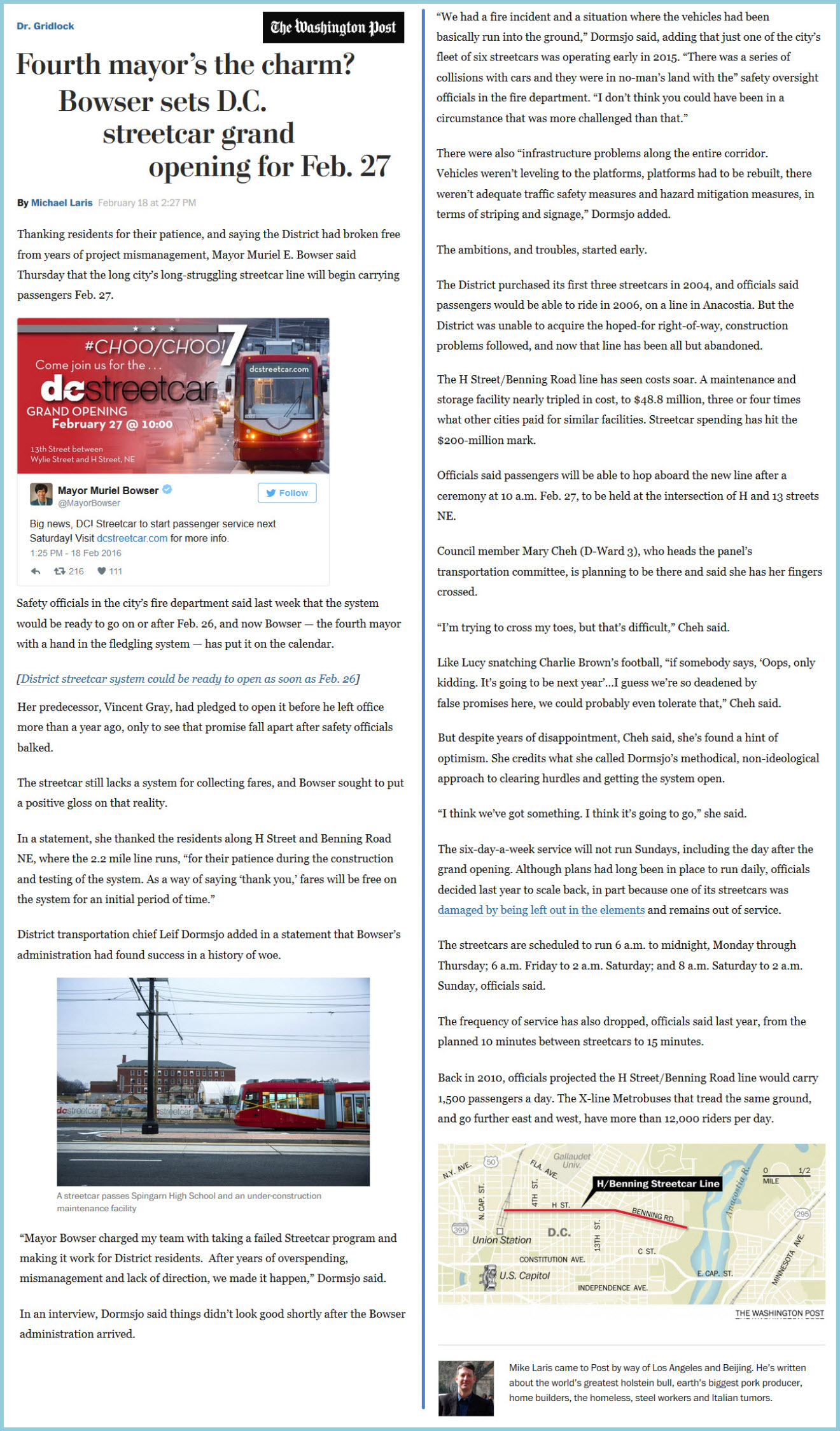
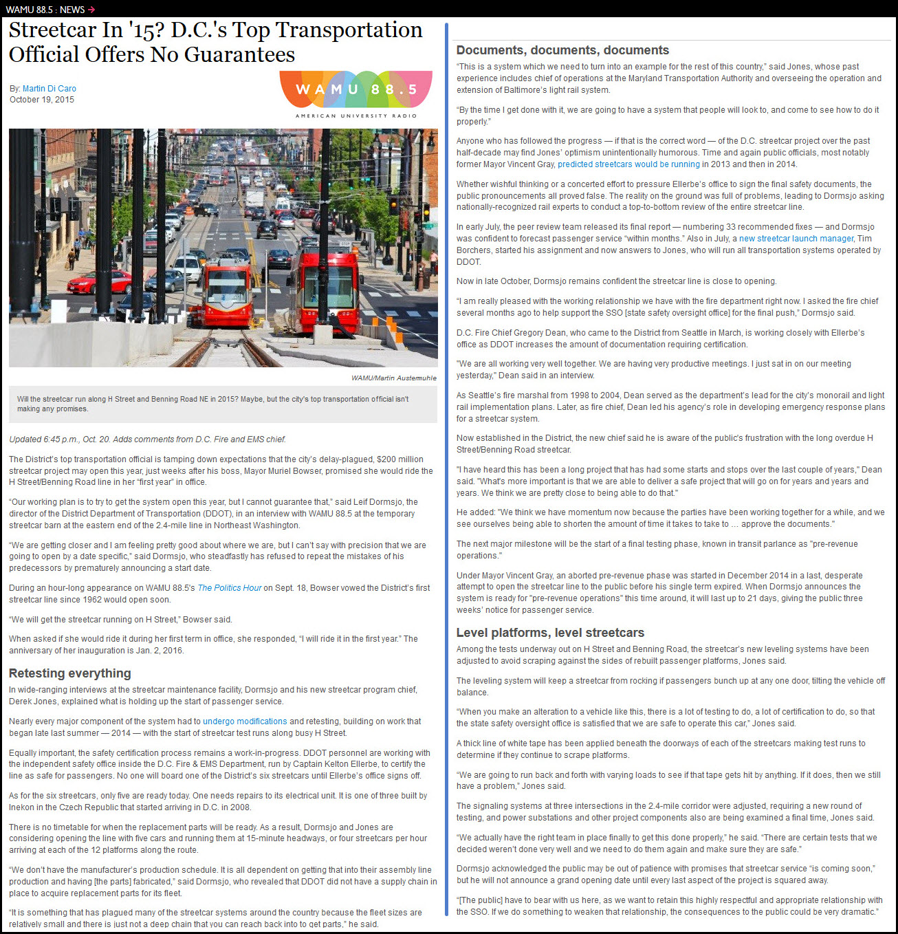
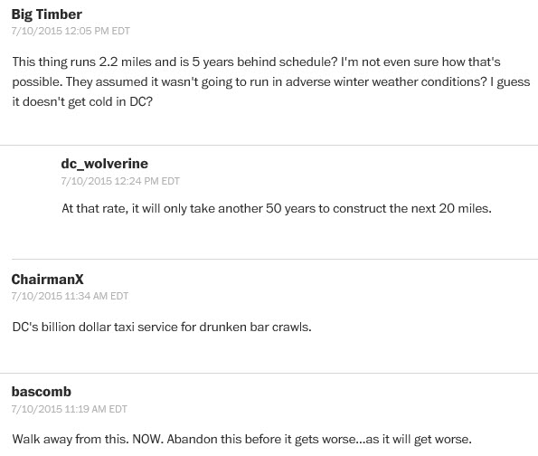
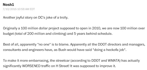
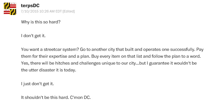
Obviously, with a government run project such as this, especially in Washington DC where no-one knows what they are doing, there is bound to be pages and pages of commentary. Here is some of what I have come across:
Finally, someone prints an article in a positive and upbeat manner!:
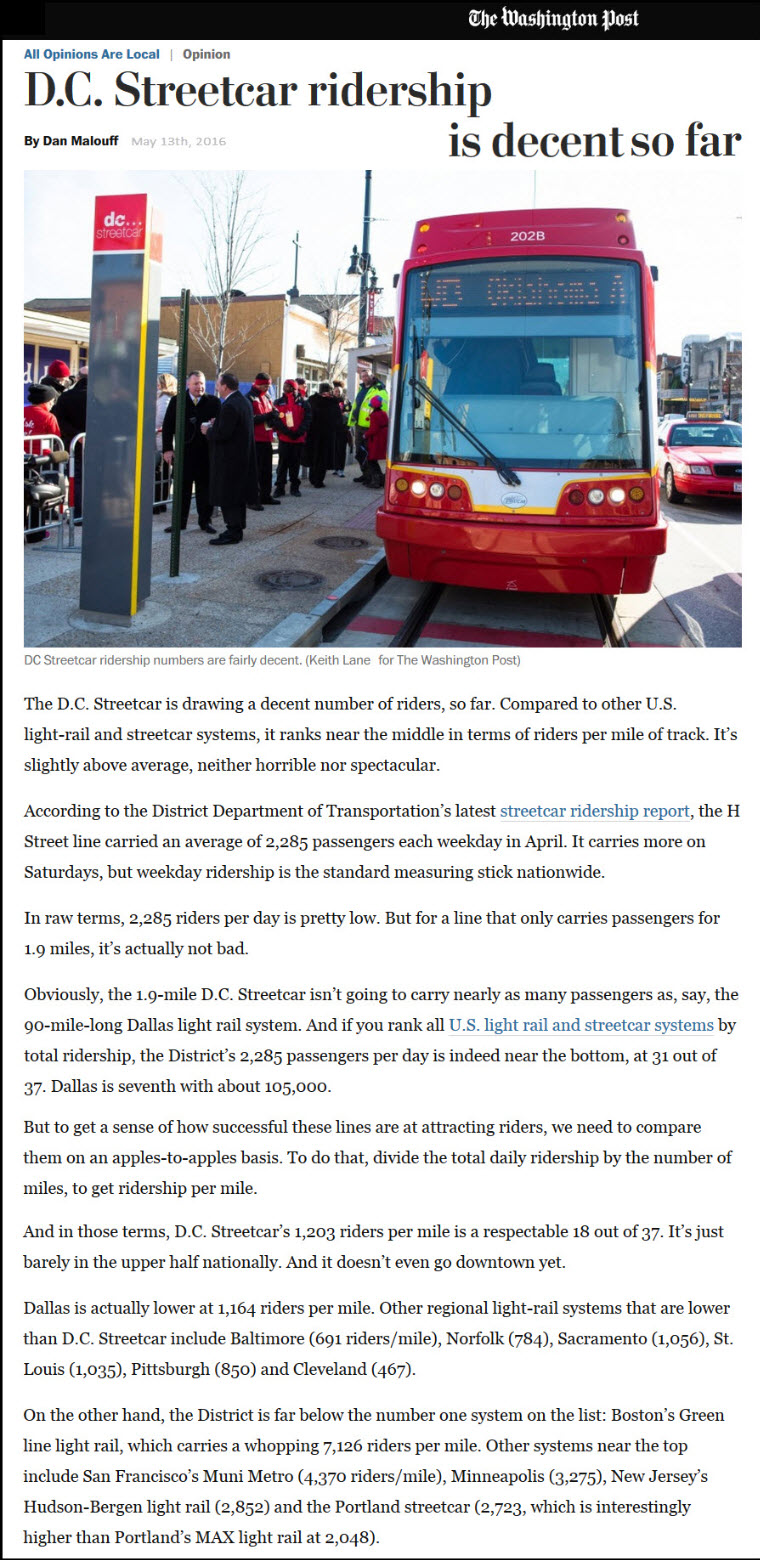
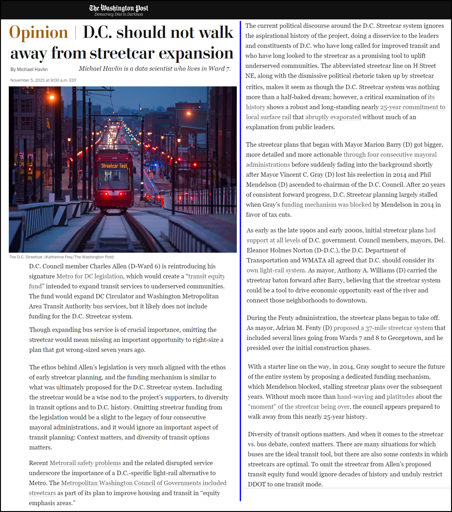
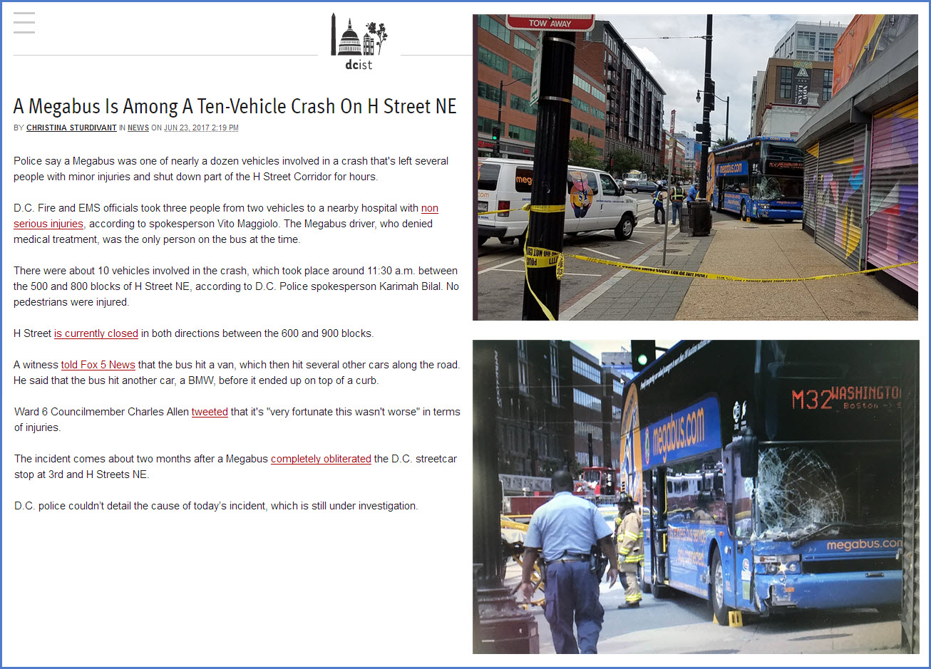
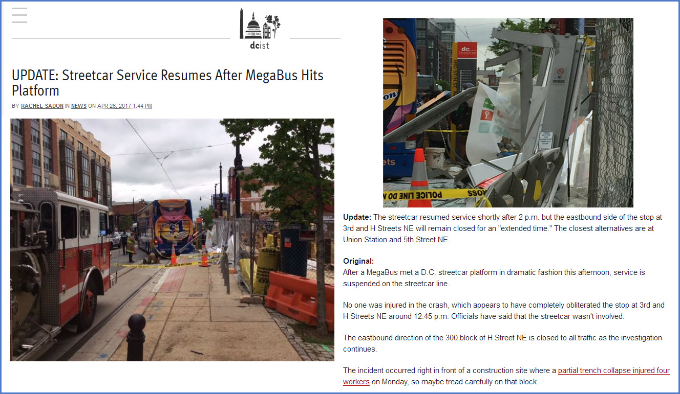
The two following articles illustrate why streetcars are not an effective mode of transportation when people depend on it to get them "there" and on-time - not that the DC Streetcar system goes anywhere people need to get in the first place :-) And when are they going to keep Megabusses off H Street?
The End Is Near
In mid 2025, the mayor of DC, Muriel E. Bowser (D), announced that the DC Streetcar "is set to be phased out and replaced by an electric bus".

https://www.transittalent.com/articles/index.cfm?story=DC_Streetcar_To_Be_Phased_Out_5-27-2025
https://www.washingtonpost.com/dc-md-va/2025/05/27/steetcar-replaced-by-electirc-bus/

https://secretdc.com/dc-streetcar-electric-bus/
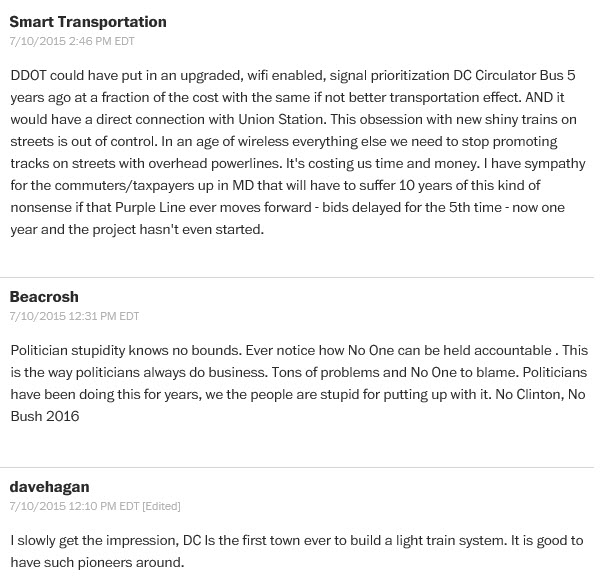
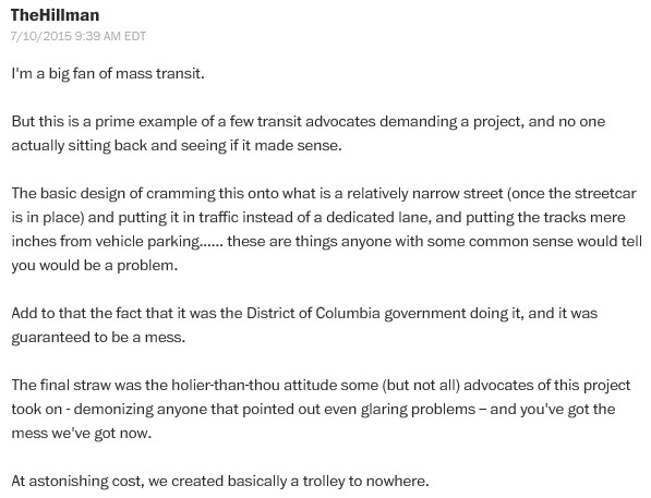
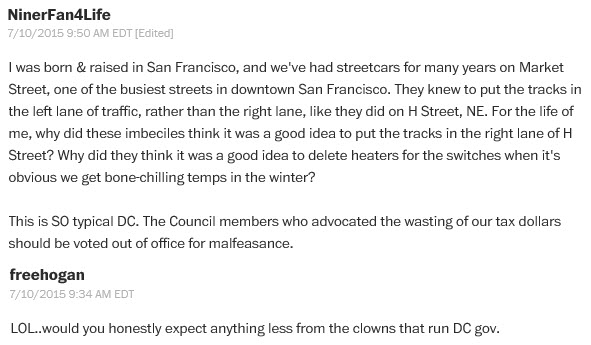
Personal Comments
I especially like Dave Hagan's comment! :-) It's like, HELLO, is there no-one around with any expertise in designing these things? Why do we keep getting such inept people to be in charge of massive amounts of money and public projects? Aren't consultants supposed to know WTF they are talking about? And the carbarn, doesn't anyone know when to "keep it in their pants?" I could go on forever......
Disclaimers:
New format 10/26/23: Please check out my disclaimer page for my standard dribble and contact info here
RAILFAN GUIDES HOME
RAILROAD SIGNALS HOME
NEW 01/01/2014, JUN25/2017, SEP22/23/24/25/26/27/28/2022, JUN12/2025, MAR30/2026
Last Modified 30-Mar-2026