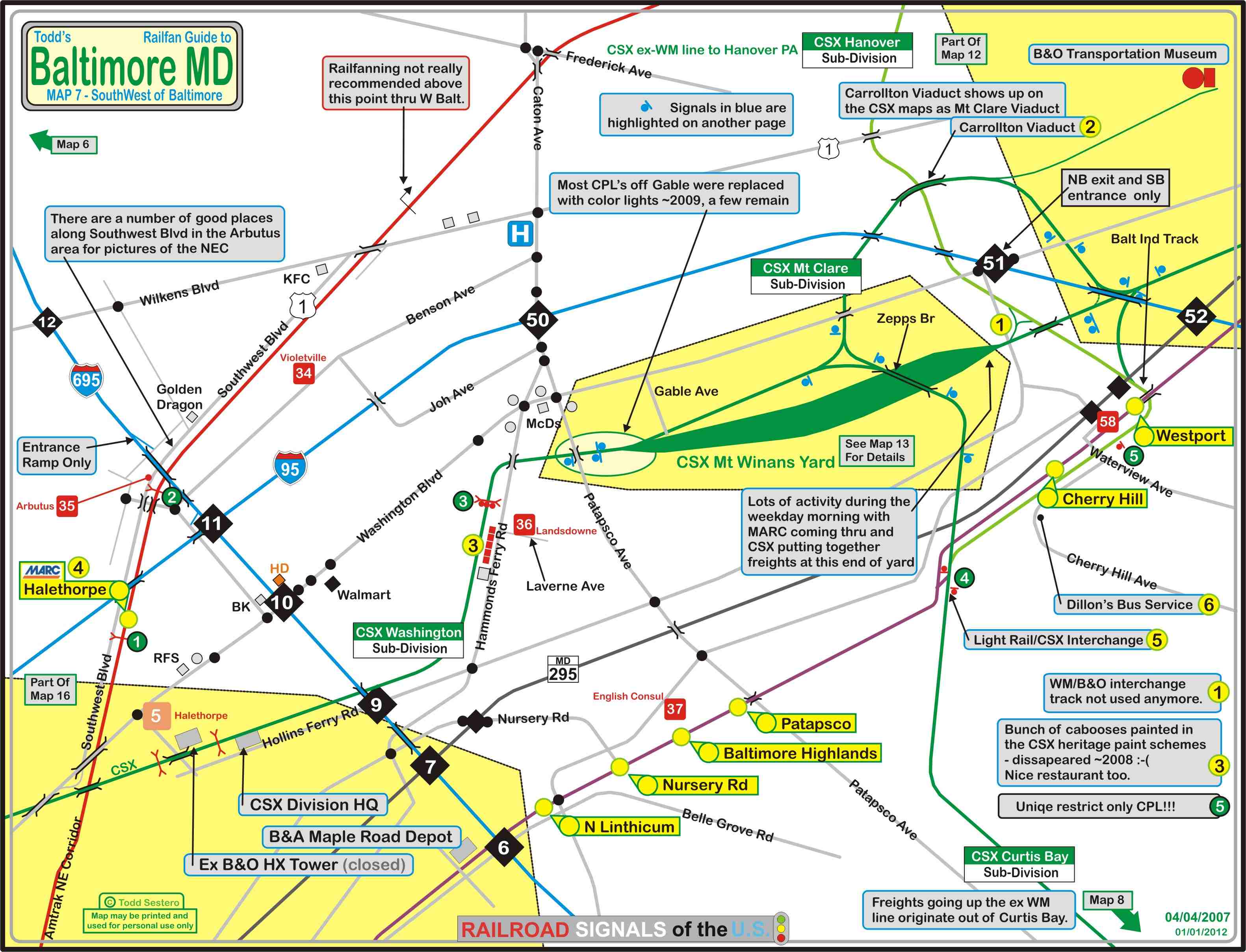
The map below shows the area on the southwest side of Baltimore City, and to the SW of the city.... some in Baltimore County and some in Anne Arundel County.
Like MAP 6, it has a lot going on, a lot to see...... it contains a lot of stuff to keep you busy, and you could easily spend a day in this quadrant alone.
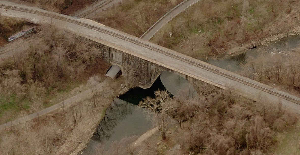
The biggest attractions on this map are the B&O RR Museum and Carrolton Viaduct, supposedly the oldest railroad bridge in the world still in service.
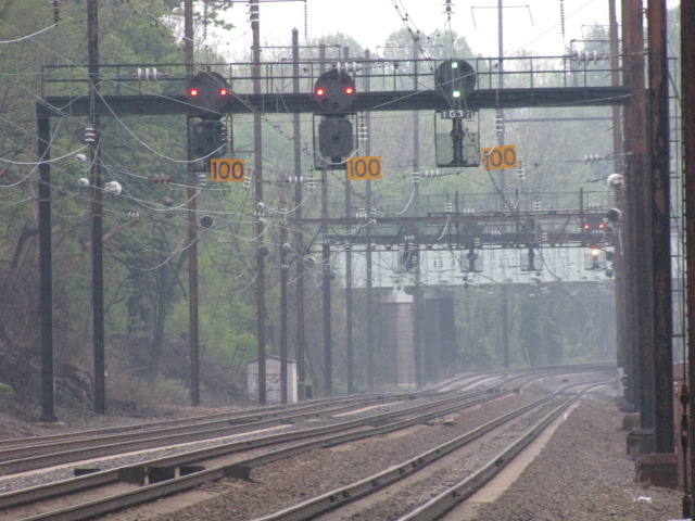
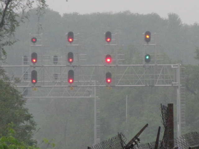
There are a couple of yards on the map, the big one being CSX's Mt. Winans Yard. Most of the CSX line's still have their CPL's in place, although color lights
are slowly creeping into the region.
Also on this map, you have the southern end of the Light Rail system, but no Metro. There are no MARC stops on this map.
Note: even though the B&O's tracks went north and south, the B&O referred to the directions as East (north) and West (south). I use the north and south
terms mostly, only because it is easier to reference to the maps.
A lot of the pictures I use are taken on signal hunting trips with Michael Watnoski, as we scour Baltimore and the Delmarva area for those elusive CPL's and PL's, most
of which are gone by 2017.
It's difficult to get all of the little street names on the map without cluttering it up, so make sure you take along a good map of the Baltimore area. ADC puts
out a good book map of the area, DeLorme's is so-so, I would go with ADC's - they've been doing the area for around 30 years and know the area well. Thomas also
has an excellent map book out on Baltimore, slightly more expensive tho. If you belong to AAA, they have a pretty good map, even tho they now put everything on
one map (they used to have 3 or 4 for the area, and if you can find someone that wants to let loose with the set, GRAB IT!).
As far as food and other services go...... A few of my favorite restaurants in this quadrant are the Double-T off exit 16, and G&M's and Snyders off exit
8 - they all have lines getting into them during the popular hours, attesting to the quality of their food (especially G&M's if you want some of the best
crabcakes in Baltimore).
Interstate 895 sucks for commuting around, since it is not one of those roads you can get on n off of like the reminder of the highways around Baltimore.
This stems from the fact that it was a tollroad in the beginning, and for some reason, Maryland has been happy to keep it as a very limited access highway.
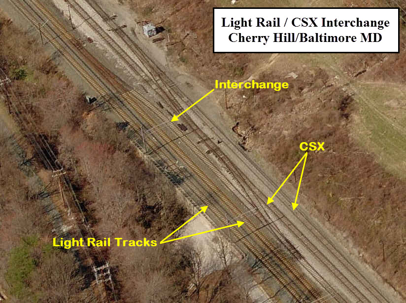
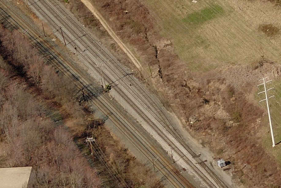
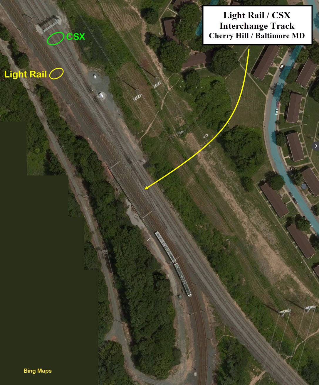
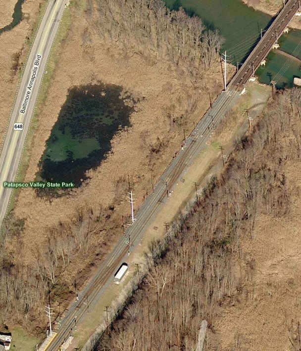
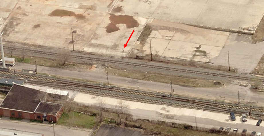
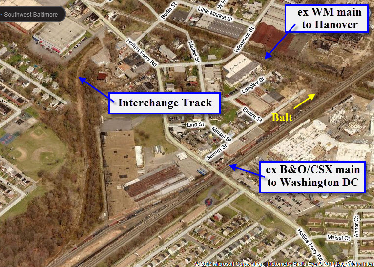
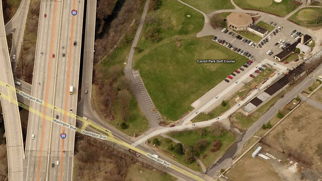
The interchange track is long gone. Shown here for historical reference purposes. Up until 2005 or so, there were a couple of high WM signals just off Hollins
Ferry Road, and when I say high, I'm not referring to the fact that they were not dwarf signals... these puppies were placed up high like semaphores, maybe 25
feet up in the air! In the eight years between the aerial shots below, any evidence of the track's existence is almost completely gone.
According to many sources, Carrollton Viaduct is the oldest railroad bridge in the world still in use, check out the references below. The bridge was completed in
1829, and has two arches... the main arch is 80 feet wide, and crosses the creek. The second smaller arch is 18 feet wide, and crossed an old wagon trail, now
a walking path, which gives easy access to the viaduct for pictures. Easy parking can be found off Washington Blvd.
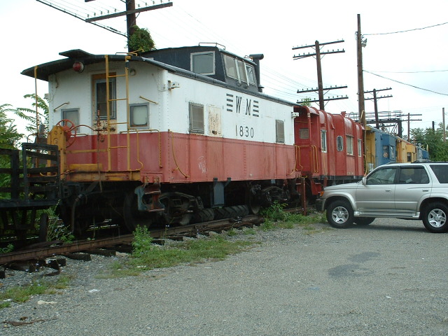
These guys are in here for historical reference only, as they were removed around the (maybe) 2008 timeframe. The cabooses were moved here in an attempt to lure people
to come here for shopping, and for a short while, they were actually occupied by retailers. If anyone has any idea where they wound up, please email me and let
me know. For additional photos, click
here
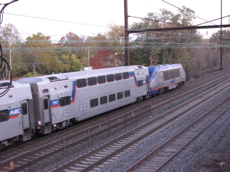
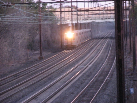
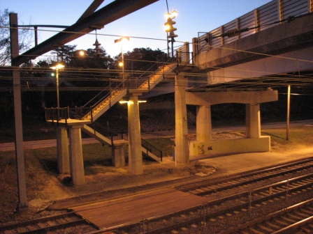
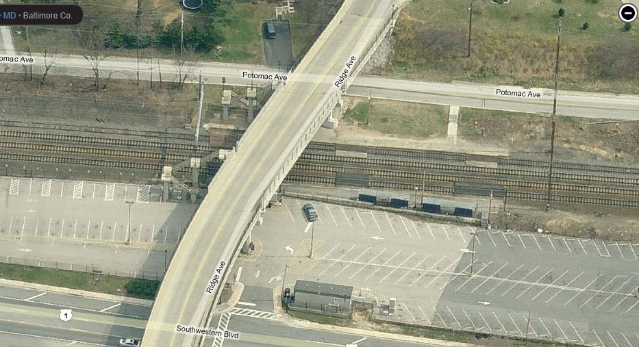
MARC Halethorpe Station
This station was given a major facelift around the 2012 timeframe, going from a simple ground level station to the super-duper high level platform station it is today, with the now common design many a
commuter rail stations use.
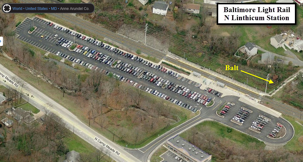
Not an attraction per se, but it is an interesting interchange, and offers the signal railfan with something else to check out. The only problem is however,
is that the only easy way to check things out there is by riding the light rail.
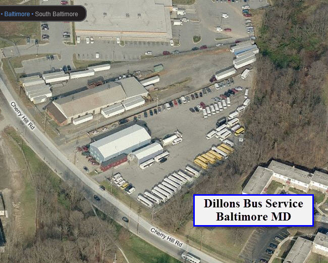
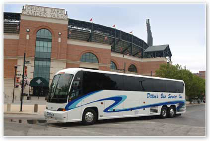
Dillon's Bus Service
Dillon's has one of the larger local fleets, and also provides school bus and commuter service for the MTA.
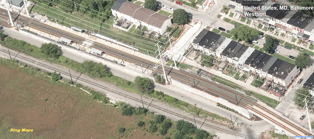
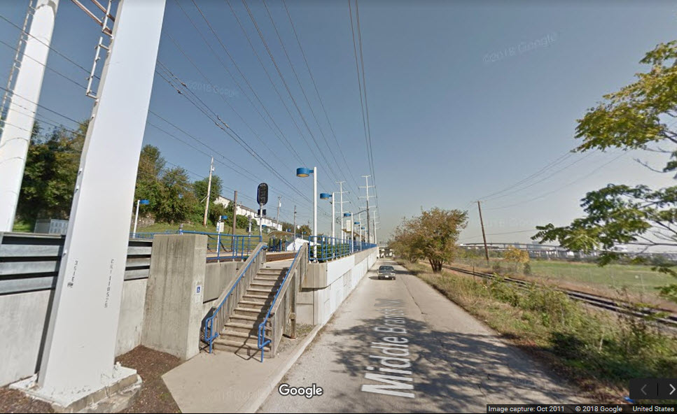
The first station south of the Harbor. It's also at the end of a nice overpass. Good photo ops here. Adjacent to the station is a unique restrict
only CPL signal for freights coming from Curtis Bay, and may be one of only three CPL's remaining in the Baltimore area. If you're going to an Orioles or
Ravens Game, the best way in and out is to park in the adjoining neighborhood and take the light rail in and out!
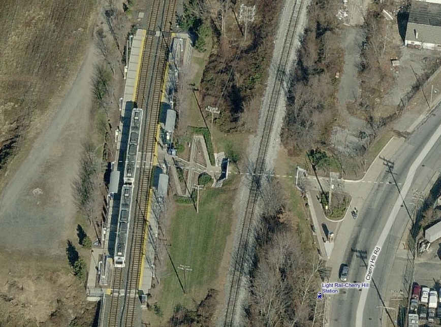
Cherry Hill Station
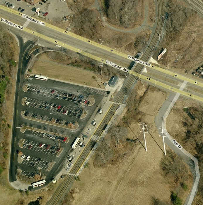
Patapsco Station
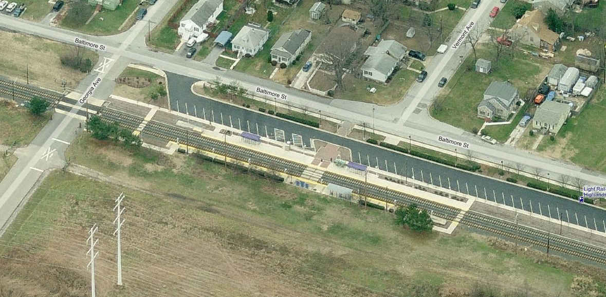
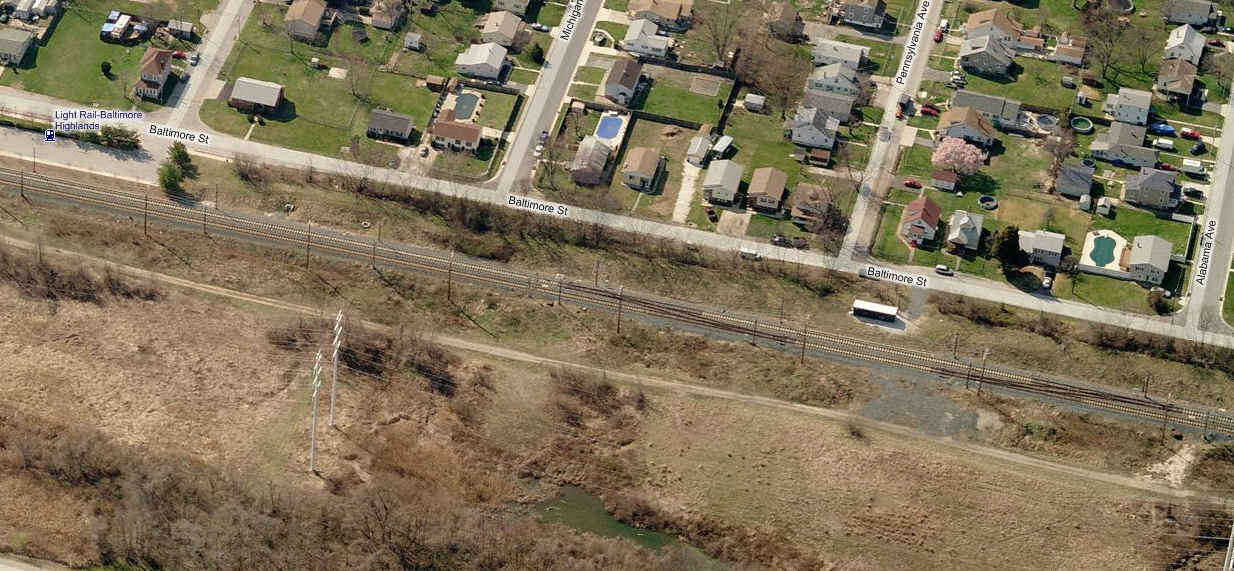
Baltimore Highlands Station
The station is on the left, a set of crossovers just north of the station is on the right. Pictures come from Bing Maps.
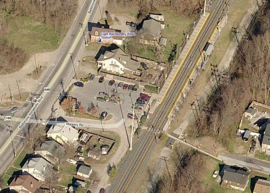
Nursery Road Station
The station is the top photo, and another set of crossovers just north of the station is below. The crossovers were installed in 1997 over a Friday night
to early Sunday morning weekend work detail. Trackwork was completed around 3:30 in the morning, and I got to run the first train thru the crossovers
shortly thereafter to check the integrity of the work.
A very rare signal with only the one aspect! For additional photos and detail shots of this signal, click
here. The building was torn down around 2004, and the foundation was ripped out maybe around 2010 or so. This signal escaped the CPL upgrade to Darth
Vaders in 2012!!!
I love trains, and I love signals. I am not an expert. My webpages reflect what I find on the topic of the page. This is something I have fun with while
trying to help others. My webpages are an attempt at putting everything I can find of the subject in one convenient place.
Please Note: Since the main focus of my two websites is railroad signals, the railfan guides are oriented towards the signal fan being able to locate
them. For those of you into the modeling aspect of our hobby, my indexa page has a list of almost
everything railroad oriented I can think of to provide you with at least a few pictures to help you detail your pike.
If this is a railfan page, every effort has been made to make sure that the information contained on this map and in this railfan guide is correct. Once in a
while, an error may creep in :-)
My philosophy: Pictures and maps are worth a thousand words, especially for railfanning. Text descriptions only get you so far, especially if you get lost or
disoriented. Take along good maps.... a GPS is OK to get somewhere, but maps are still better if you get lost! I belong to AAA, which allows you to get
local maps for free when you visit the local branches. ADC puts out a nice series of county maps for the Washington DC area, but their state maps do not have
the railroads on them. If you can find em, I like the National Geographic map book of the U.S..... good, clear, and concise graphics, and they do a really good
job of showing you where tourist type attractions are, although they too lack the railroads. Other notes about specific areas will show up on that page if known.
Pictures and additional information is always needed if anyone feels inclined to take 'em, send 'em, and share 'em, or if you have something to add or correct.... credit
is always given! BE NICE!!! Contact info is here
Beware: If used as a source, ANYTHING from Wikipedia must be treated as being possibly being inaccurate, wrong, or not true.
 aerial view from 2010
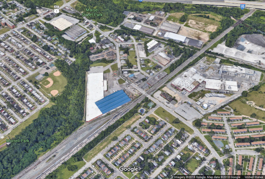 aerial view from 2018
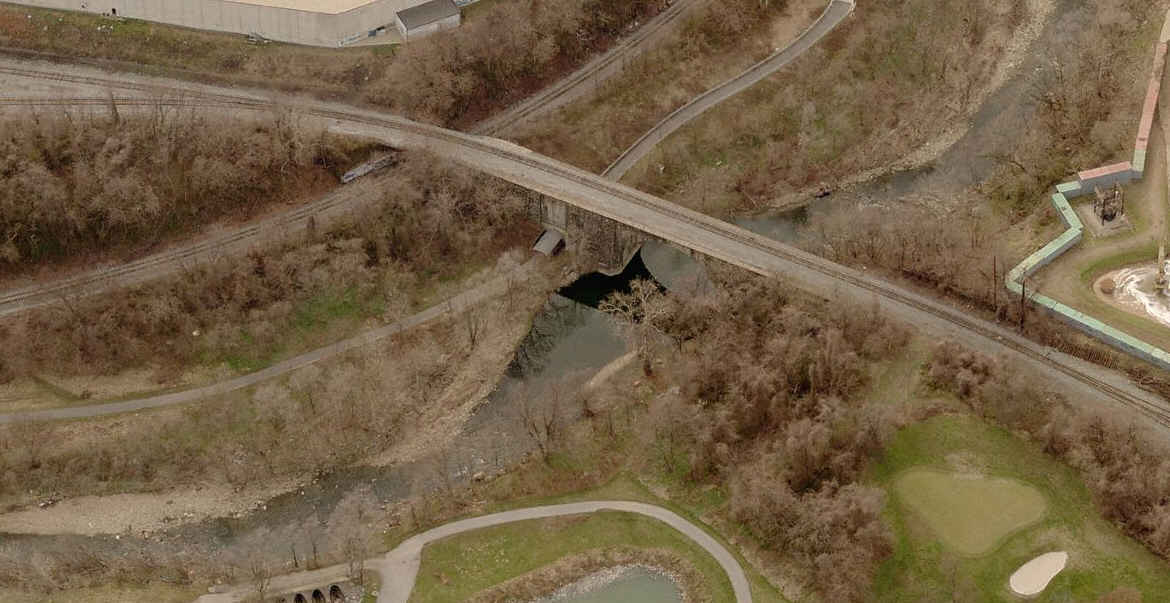
 Before the facelift
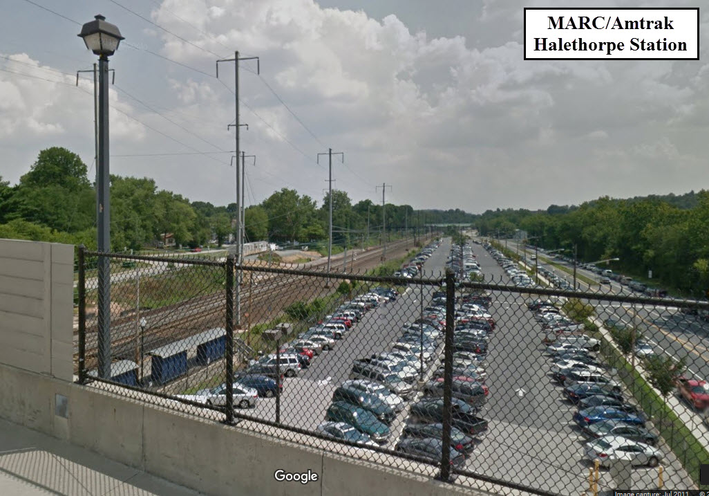 Before
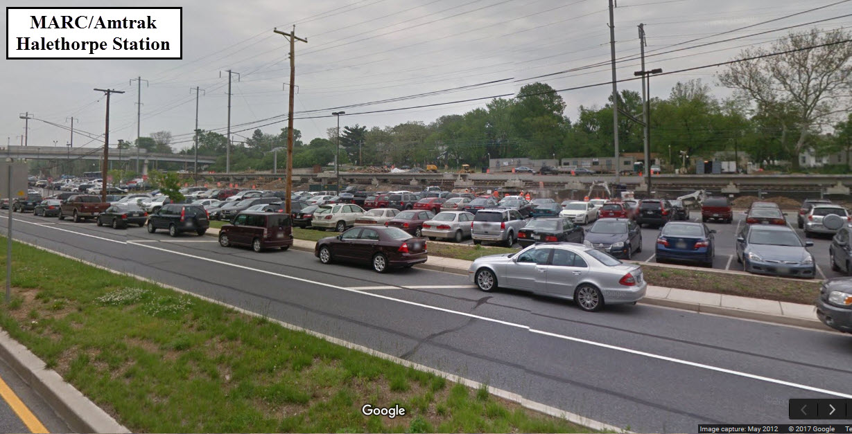 During
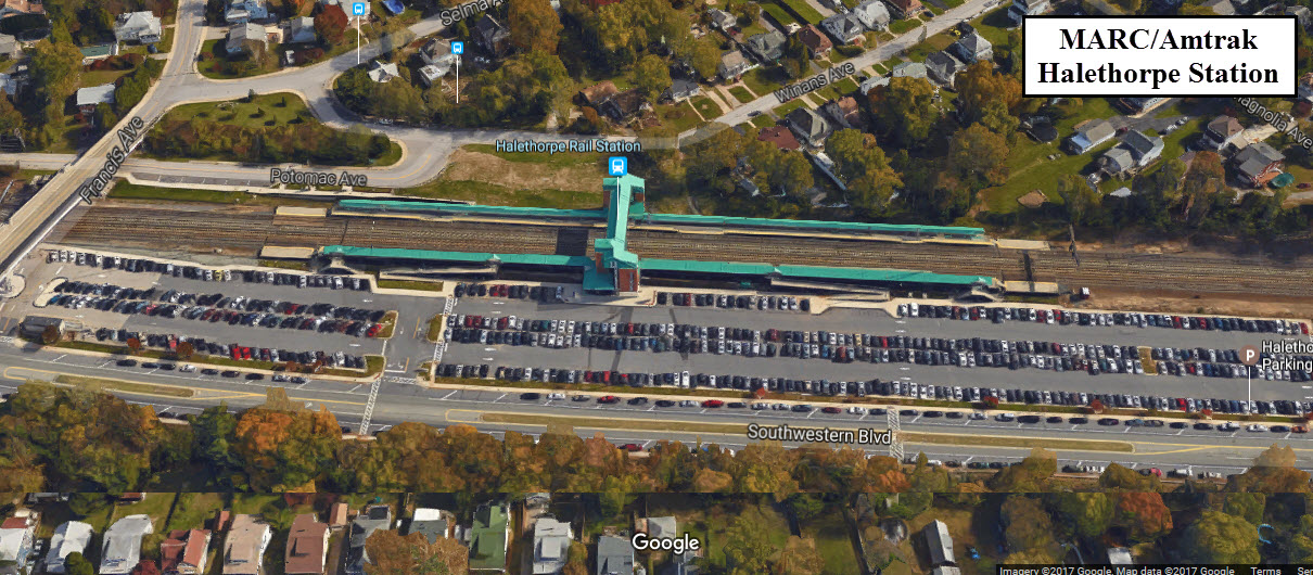 Today
Today