What's Here:
Light Rail
Former PRR Stations (5)
Former PRR Freight Station
Former PRR/NC R-O-W, now the NCR Trail
Former PRR/NC Green Spring Branch
Former M&Pa R-O-W
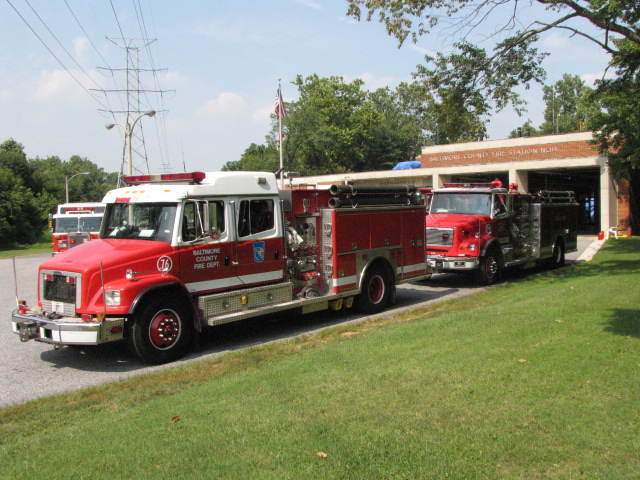
7 Fire Stations
2 Police Precincts
Data:
GPS Coordinates: as needed
Phone A/C: 410/443
ZIP: Multiple
Access by train/transit:
Light Rail/8 Stations:
-- Hunt Valley
-- Pepper Rd
-- Schilling Circle
-- Gilroy Rd
-- Warren Rd
-- Timonium
-- Timonium Business Park
-- Lutherville
Geography:
Fairly flat, slight hills here and there, but getting bigger and bigger as
you approach Pennsylvania along the old NCR
The Scoop:
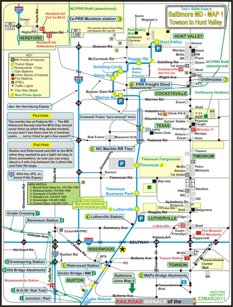
The map below shows the suburban area north of Baltimore City in Baltimore
County - it is very busy. So much so, that I have decided to have this
page as sort of a launching point for more detailed pages on the varying areas and
items covered.
There's lots to check out and see, as this part of Baltimore happens to be blessed
with quite a variety of railroad oriented attractions.
Northern Baltimore County is home to the second railroad of
Baltimore, the Baltimore and Susquehanna Rwy.
It came through here in 1831-32 heading to York and Harrisburg. The railroad was re-organized
as the Northern Central Rwy
after a really bad accident in Ruxton/Riderwood killed 35 people, and the B&S
was prompted to reorganize in order to stave off bankruptcy. The B&S also built the
Green Spring Branch, which the
Western Maryland used in the beginning before
they had their own route out of the city.
They built this route as an alternate way out of Baltimore when the state of
Pennsylvania denied the Northern Central access to entering York County.
The R-O-W was double tracked and signaled by WW1. Going thru Ruxton and
Riderwood, the line had three tracks.
Up until 1959, the Pennsylvania ran local passenger service
up the Northern Central,
known as the Parkton
Local. Soon after, the line
reverted to a single track with passing sidings.
Up until Amtrak took over national train service on May 1st, 1971, the Pennsy
ran a small one car train from Baltimore to Harrisburg, to connect with the
Capitol Limited. It left Baltimore at 6pm, and the return trip came down
into Baltimore around 9am. That left only freight service on the Northern
Central.
Thru freight service on the Northern Central came to an end in June of 1972
(approximately June 19th-20th), with
the advent of Hurricane Agnes. It wiped out so much of the Northern
Central's physical structure, that there was no way for the financially
bankrupted Penn Central to rebuild the line. So up until 2005 when the
light rail double-tracking project happened, the Penn Central (then Conrail and
Norfolk Southern) only had local freight service going up to Cockeysville.
The remnants of the hurricane, joined with a non-tropical low-pressure system
which stalled over the Mid Atlantic area, and dumped several years worth of rain
on the area, doing huge amounts of damage, not only here, but in Pennsylvania
and New York as well. If you visit the NCR Trail in the
Parkton area, you cannot be anything but amazed to find out that there was a
whole maintenance facility there, but now, barely ANYTHING exists to prove
otherwise!
The northern part of the light rail system
runs right up the middle of the map. The original section which opened in 1990 and went as far
north as Timonium. The extension opened to Hunt Valley in
September of 1997.
Any part of the system that was not already double-tracked, became so after the 2005 project to
make everything on the system two tracks, with the exception of the last bit of the system
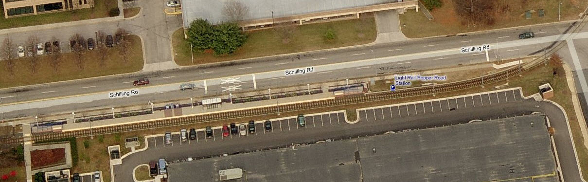
from Gilroy Road north, including the Schilling Circle, Pepper Road, and Hunt Valley stations.
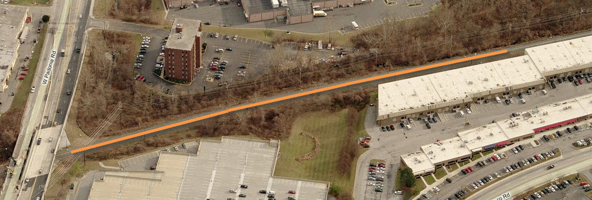
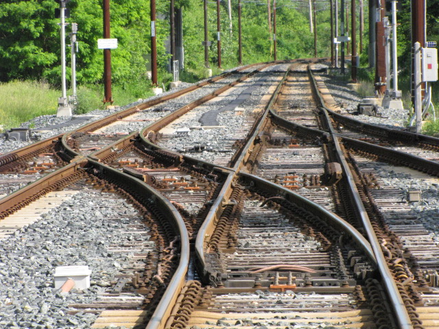
In "the beginning", the Baltimore & Susquehanna used marble ties, AKA stringers,
for the ties of their strap rail. During the double-tracking construction,
there were uncovered and could be seen in two places: just south of Industry
Lane in Texas/Cockeysville, and a little further south under Padonia Road.
Above Cockeysville, the R-O-W is now the NCR Trail, which is very popular. The
original Northern Central R-O-W
splits off at Warren Rd, and other than the stub that is still there, not much
remains left or visible. NS trains stopped running when the light rail closed the
track for the double tracking project at the beginning of 2005. They
applied for abandonment shortly thereafter.
It's kind of funny how, with the advent of
light rail service, that the main line and siding functions of the track in
Cockeysville reversed roles. What is now the light rail's main line at
Warren Road, used to be an industrial siding, servicing business' in
Cockeysville and the Hunt Valley Industrial Park. What used to be the
Pennsy main line, became the siding. The line became a local line after
hurricane Agnes in September of 1972 and washed out many bridges and trackage
north of Cockeysville where it followed the river. The track went up to
the freight shed for many years, then when the MTA took over, ended the line
just shy of Cockeysville Rd. Today, the track goes up far enough to make a
usable wye, and you can barely see where the tracks were from Cockeysville Road.
Hidden in the trees off Cockeysville Road, you can still find three tracks
sitting around. Prior to the end of freight service, you could find a Norfolk Southern or
Conrail engine, and maybe a few cars sitting north of Warren Road because they
couldn't make it back to the interchange track back at the light rail shops
before the start of service.
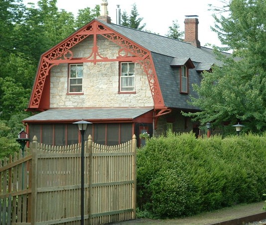
Several old PRR depots are still around to check out:
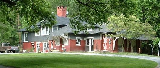
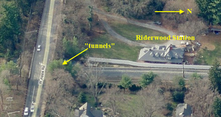
-- Riderwood, off Joppa Road at Bellona Ave, now a private home.
-- Lutherville, off Seminary Ave, now a private home.
-- Greenspring, off Falls Rd at Hillside Rd, now a private home.
-- Stevenson, at Stevenson and Hillside Roads.
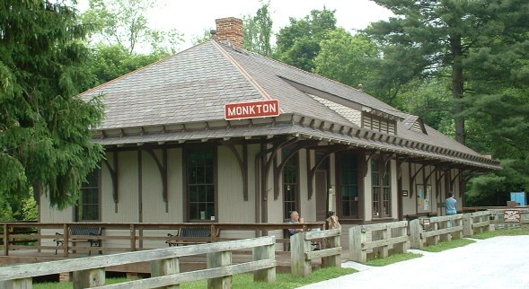
-- Monkton, serves as the HQ for the NCR Trail.
Anyone wishing to take pictures of the ones used as homes should respect the privacy of the homeowners!
Just north of Padonia Road, across from the
Lowe's, the Glen Burnie/Cromwell trains "turn around". During the
double-tracking project, the MTA put in this really nice pocket track station
arrangement (like Camden Station), and the turn-around trains wait in the pocket track.
Towson is the Baltimore County seat, and as
such, has both the police and fire department headquarters in the town center. On Map #1, there are
three paid fire stations:
-- Station #1, Towson,
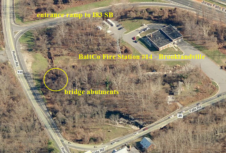
-- Station #14, Brooklandville, and
-- Station #17, Texas.
There are four volunteer stations:
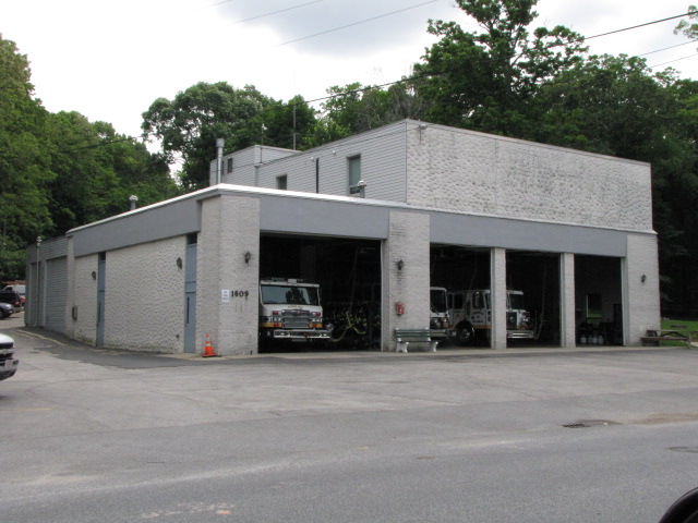
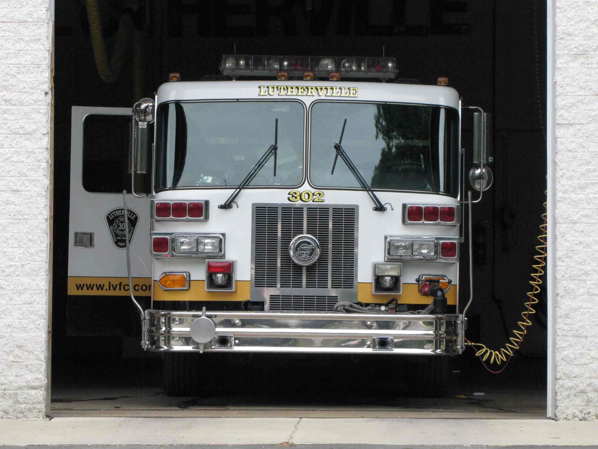
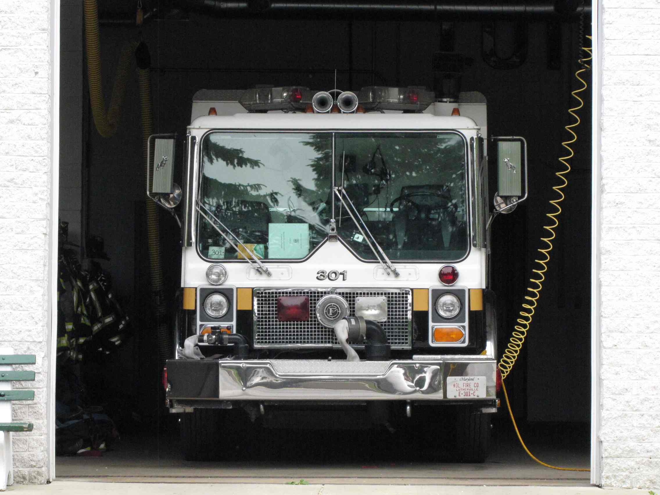
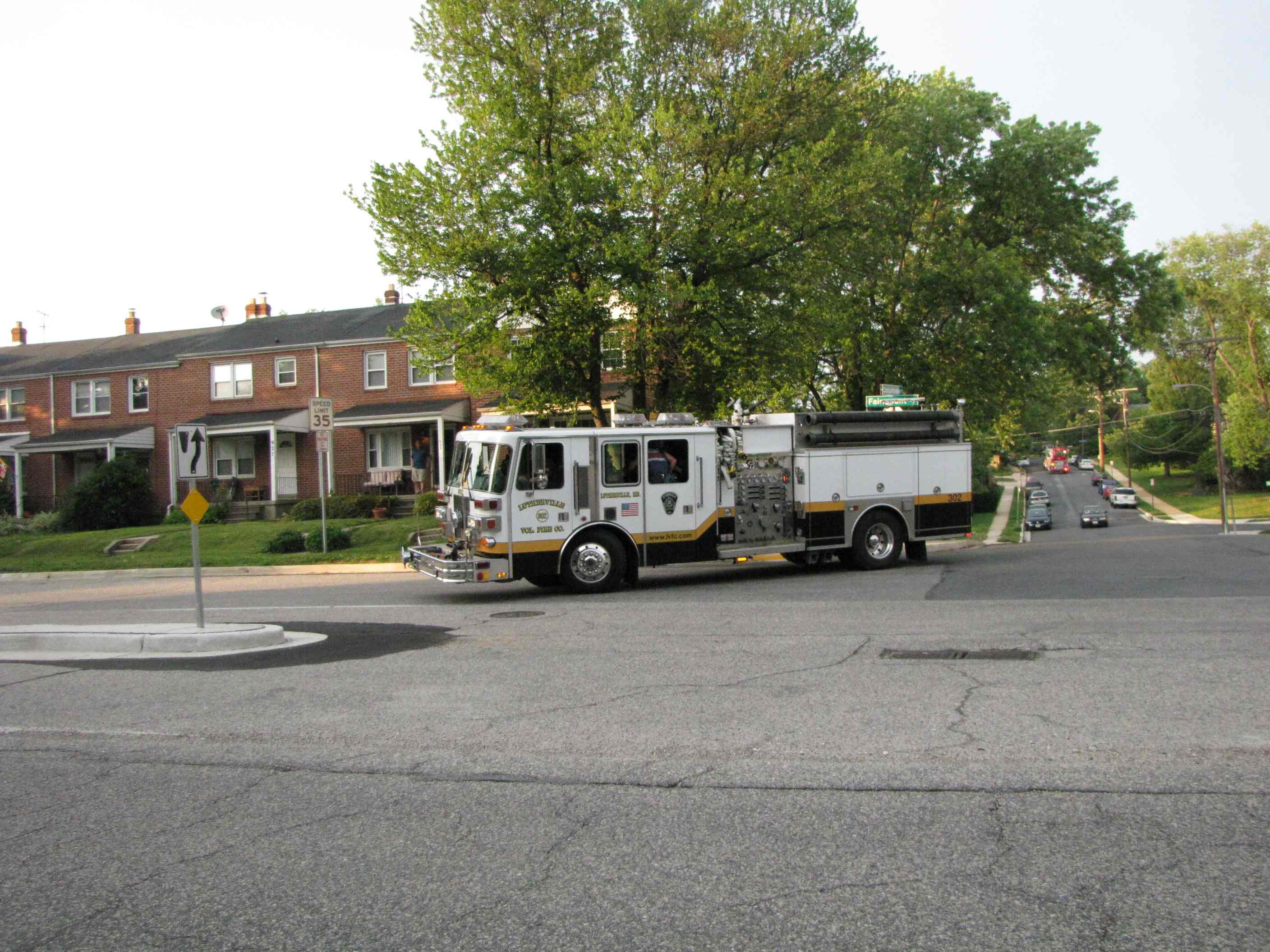
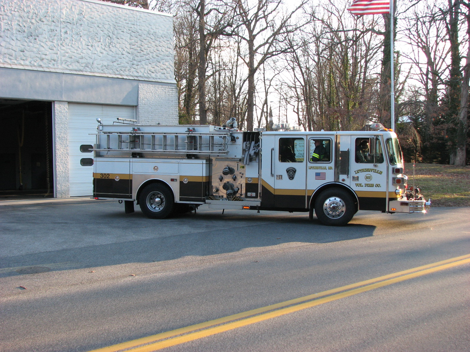
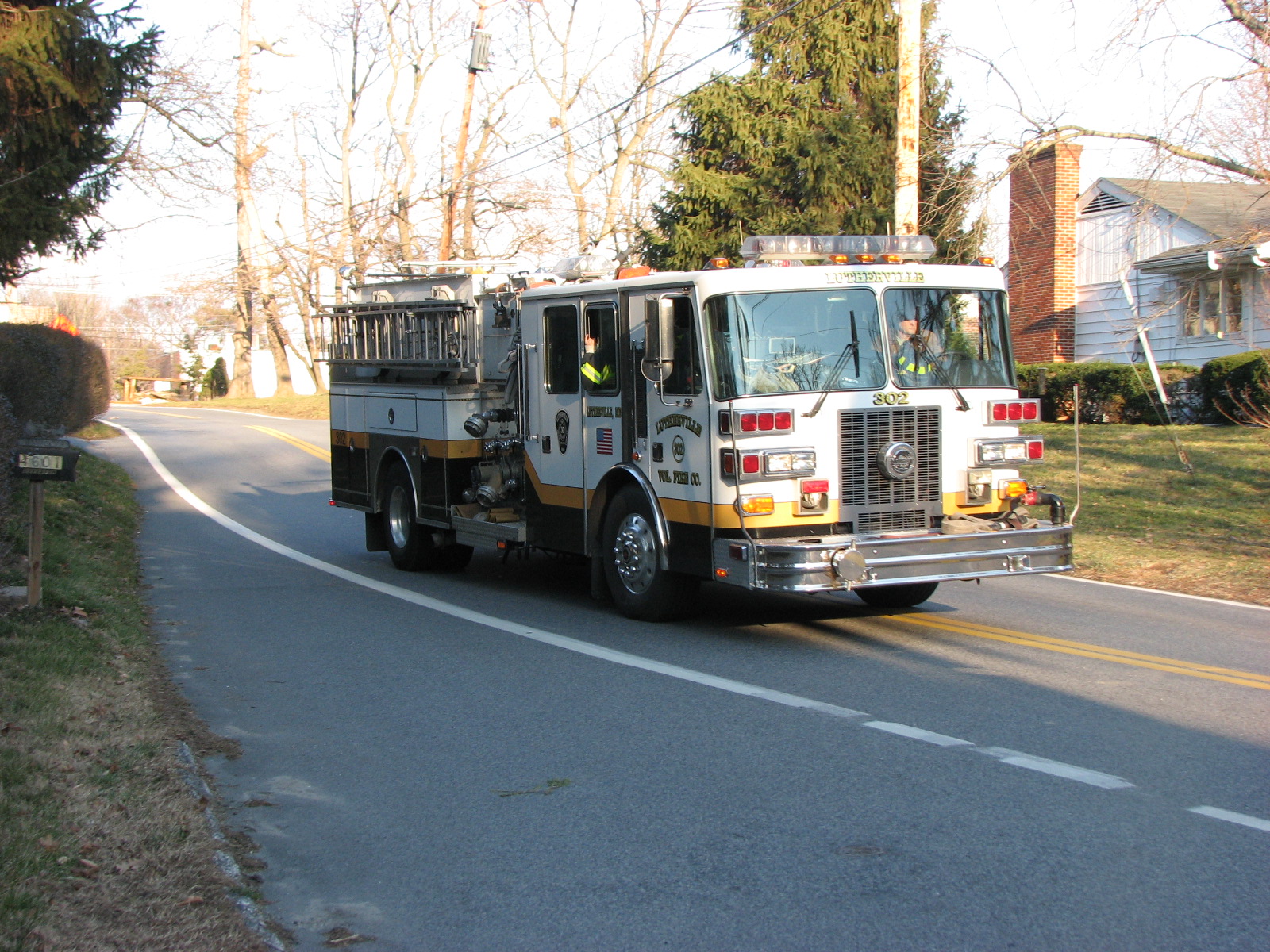
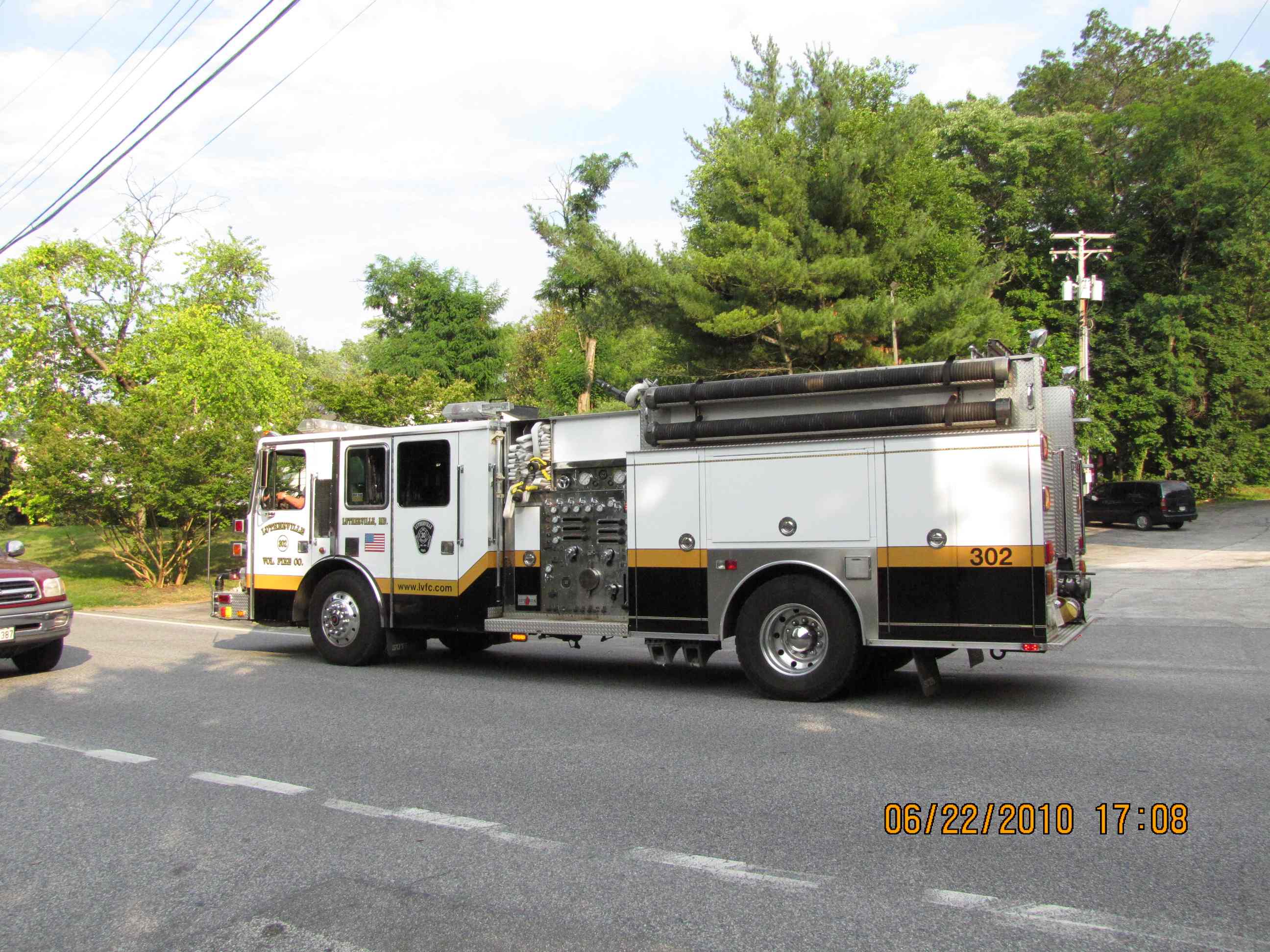
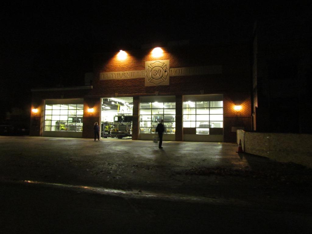
-- Station #30, Lutherville Volunteer Fire Company,
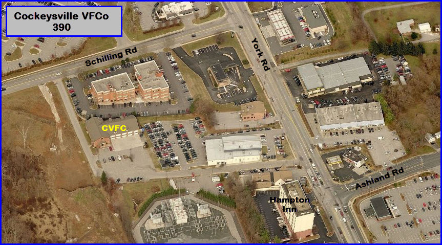
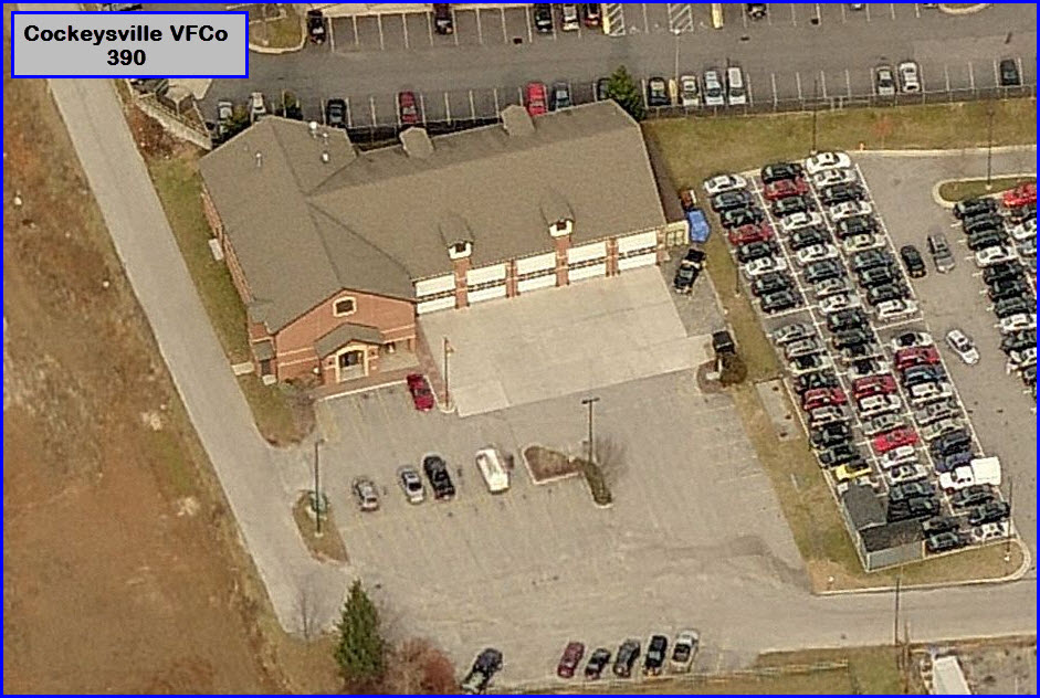
-- Station #39, Cockeysville Volunteer Fire Company,
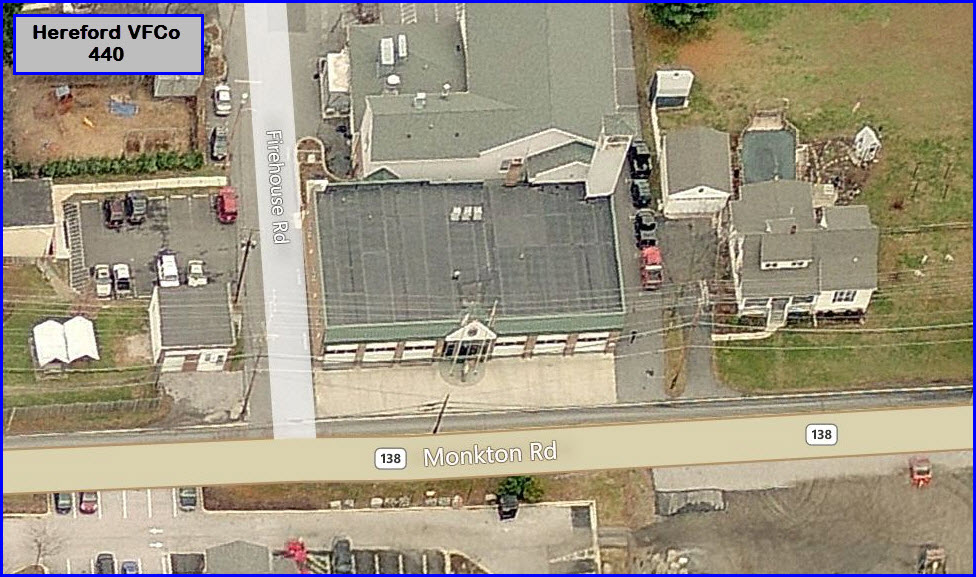
-- Station #51, Hereford Volunteer Fire Company, and
-- Station #53, Hereford Volunteer Ambulance.
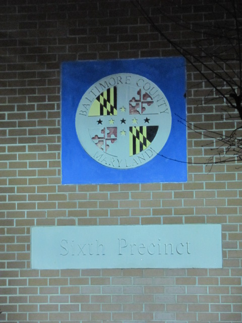
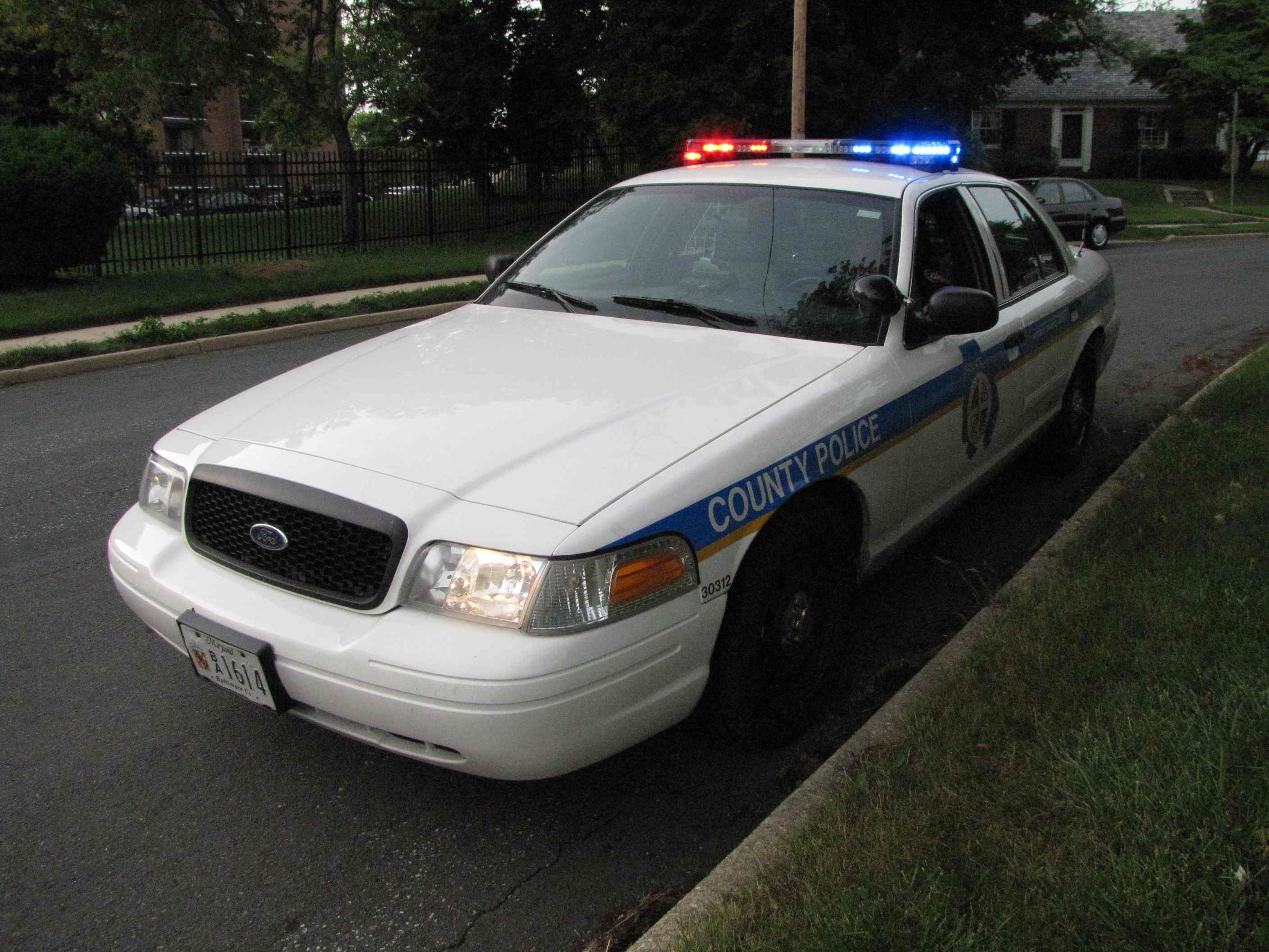
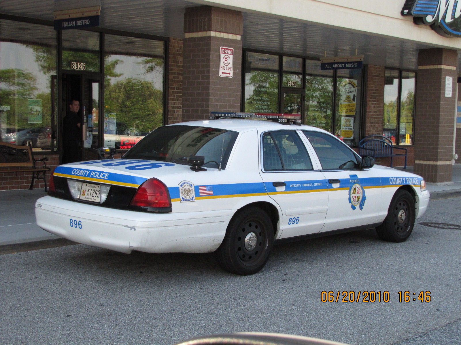
The two Police precincts on the map are:
-- Precinct 6, Towson, and
-- Precinct 7, Cockeysville.
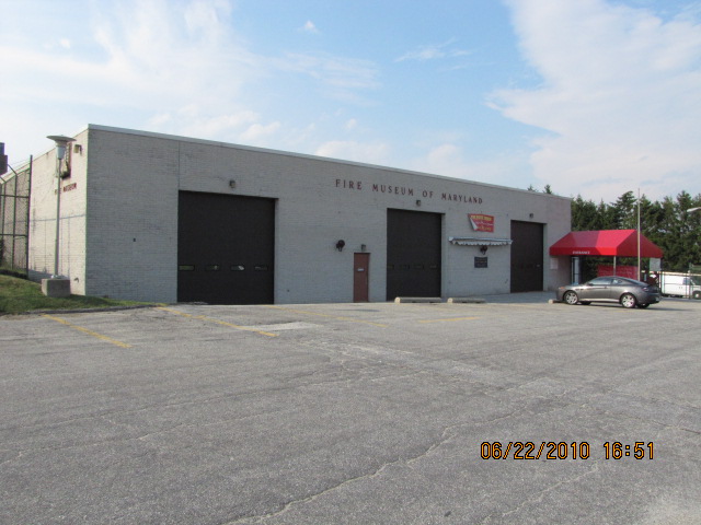
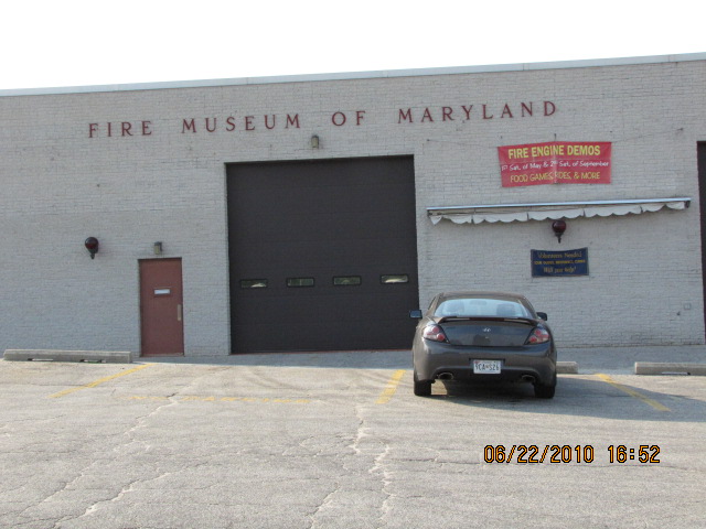
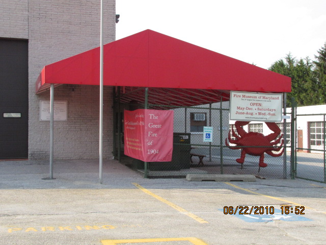
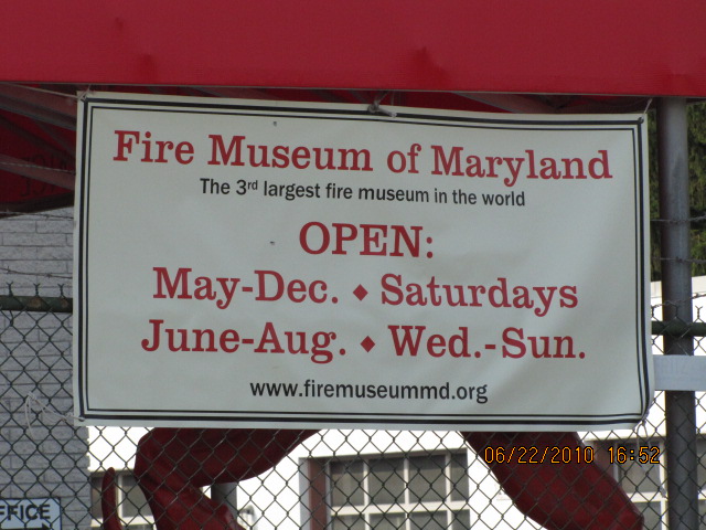
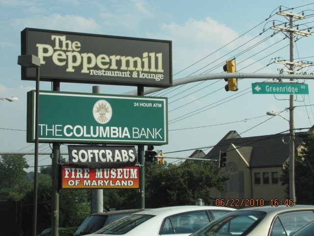
And while you're in the area on a weekend, don't forget to check out the Fire Museum of Maryland in Lutherville.
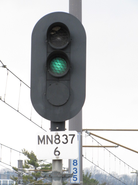
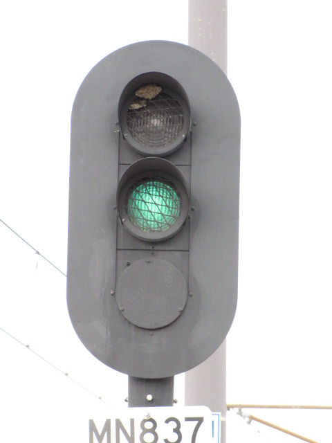
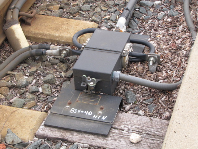
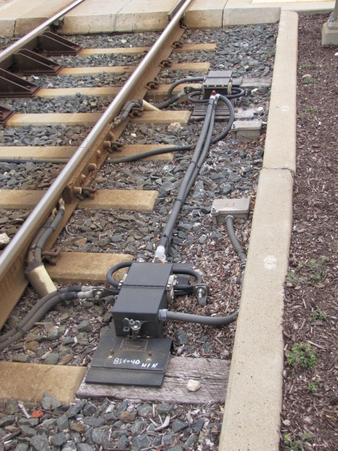
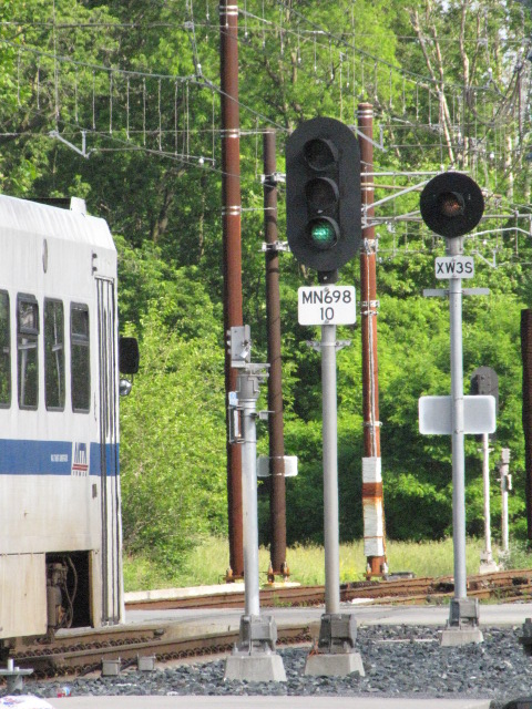
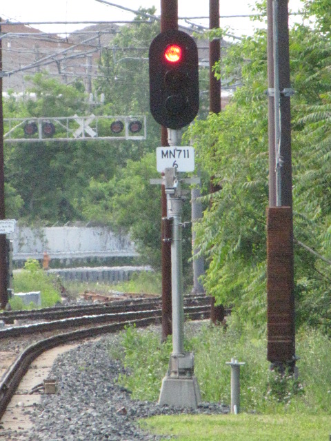
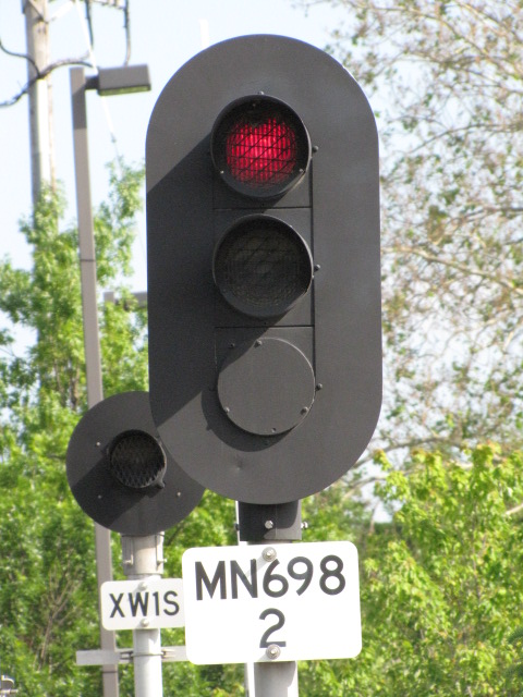
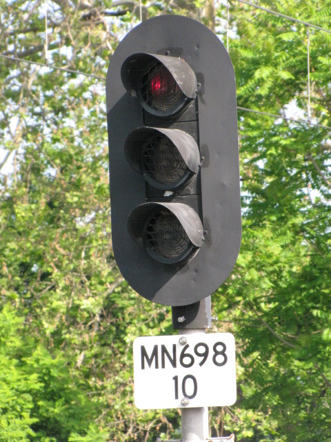
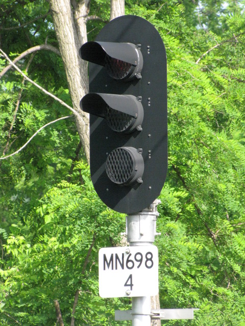
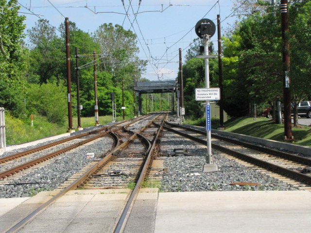
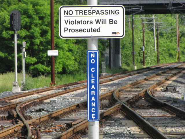
Signals:
The only train signals in the area are the light rail signals save for one or two on the NCR Trail,
which are non-operating. The light rail signals look like standard
three aspect vehicular signals, complete with red on TOP :-(
Acknowledgements:
John Buxton
Steve Panopolous
Google Maps
Bing Maps
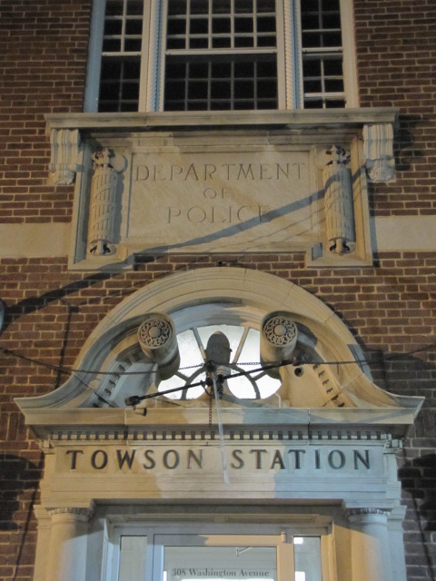
This station was in service as a station until 1959, when it was sold and
became privately owned. The station was designed by Frank Furness, and is
one his few remaining works. More on the linked page.
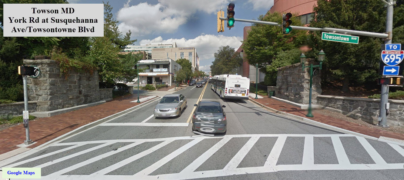
Luckily, Towson decided to keep the old Ma and Pa bridge abutments and make
them part of the Towson renewal. They are located at the south "entrance"
to the CBD of Towson at York Road and Towsontowne Blvd.
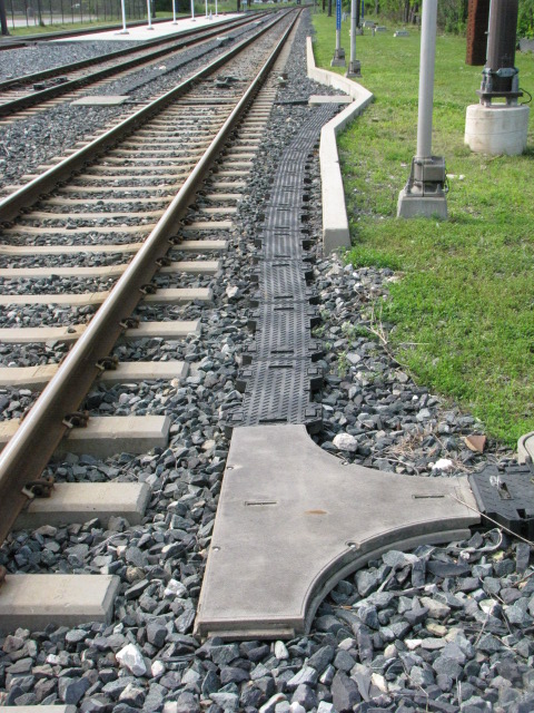
GPS Coordinates: 39.46542, -76.64405 (south of Industry Lane)
GPS Coordinates: 39.45309, -76.63739 (south of Padonia Rd) https://www.railroadsignals.us/support/sleepers/index.htm A whole page
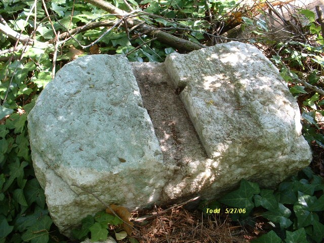
dedicated to the early railroad ties known as sleepers
These fine examples of marble railroad ties date back to when
the Northern Central was heading north out of Baltimore in the 1834 time frame.
When the MTA Light Rail was double tracking the northern section in 2005, they
"uncovered" many of the ones still left in the old right-of-way. There
were two sections that we saw, one was under Padonia Road going several hundred
feet to the south, the other section was at Industry Lane. I tried like a
bandit to get some of them saved, but neither the MTA nor the Maryland
Historical Trust wanted to do so, stating that they should be preserved for the
future when "we" will know more about discovering their secrets. The
letter I received also asked me if I knew anything about extracting historical
artifacts out of the ground without damaging them, but a couple of days after I
received that letter, people doing the R-O-W worked came along and scraped the
top of several dozen of them while clearing the way for the new track - so much
for the state being good guardians of our past. So, they all got buried
and none of us will ever see them again :-(
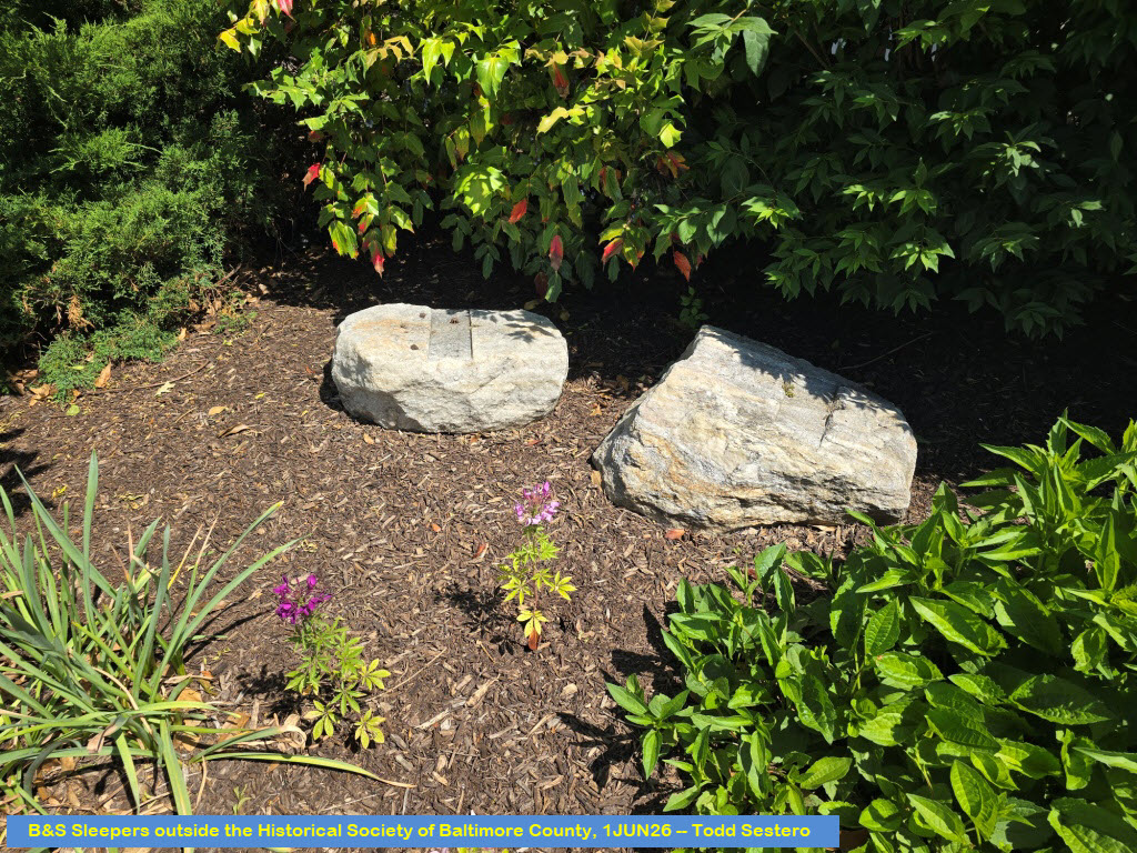
BTW, the Historical Society of Baltimore County has two of them on
display. They are up behind the Cockeysville Library, off Gibbons Blvd and
Greenside.
The two Bing birdseye views below show where the stones were uncovered and could easily be seen during 2005.
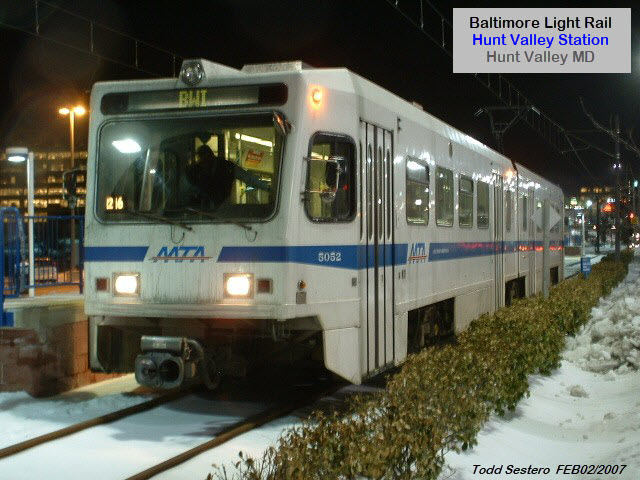
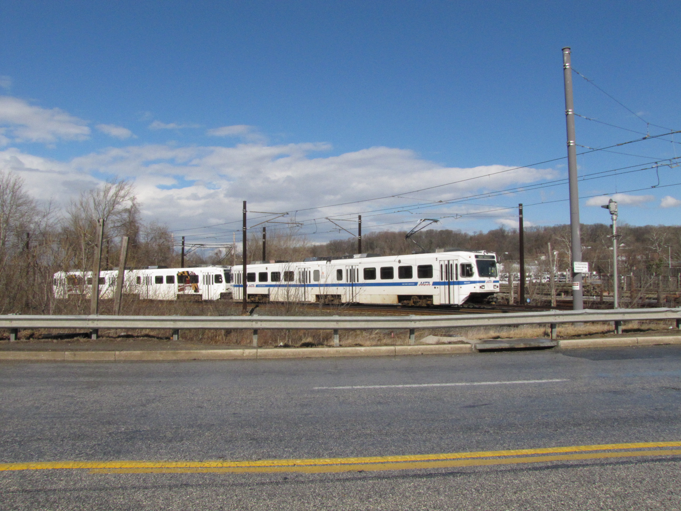
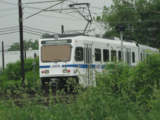
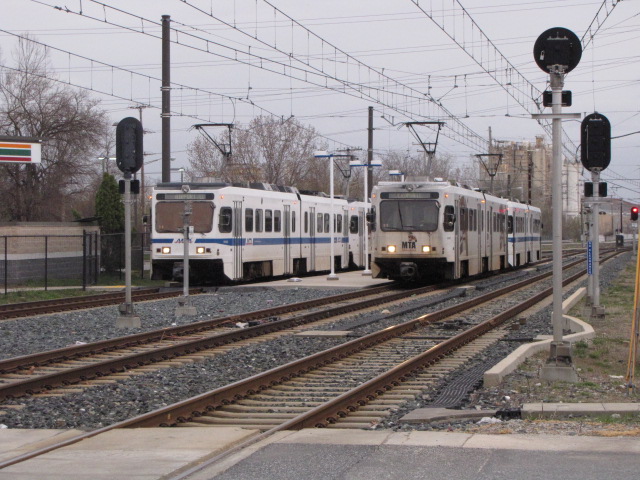
The Baltimore Light Rail system starts/ends on
the northern part of the map in Hunt Valley at the mall. Too bad for
riders, but by the time the current owner of the Mall told the MTA that they
would love to have the Light Rail come into the Mall, the MTA already had
started building the station as it is and where it is now.
This map covers the system from the northern
end down to the Twin Tunnels in Riderwood. The longest stretch of track
without a stop starts on this map at Lutherville, and goes about 4 miles to the
Falls Road station, and also takes in the best scenery of the entire system at
Lake Roland.
I am only going to cover on the stations shown on my map, if you need or want additional
info on what there is on the light rail, there is much more detail and info on this page:
https://railfanguides.us/MDMTA/lightrail/stations/map1/index.htm.
Doing it this way "unclutters" this page, and makes it easier on me when updating.
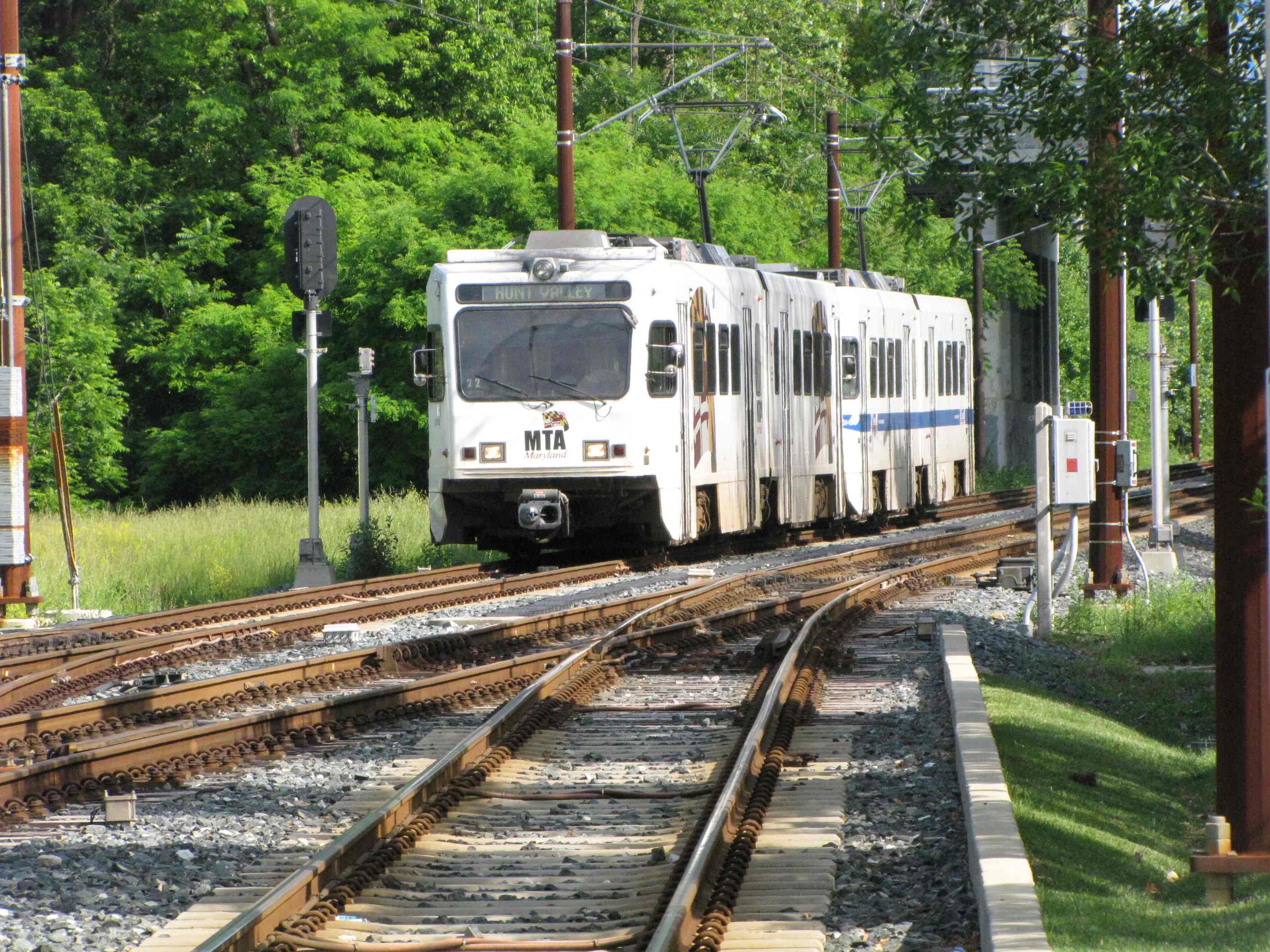
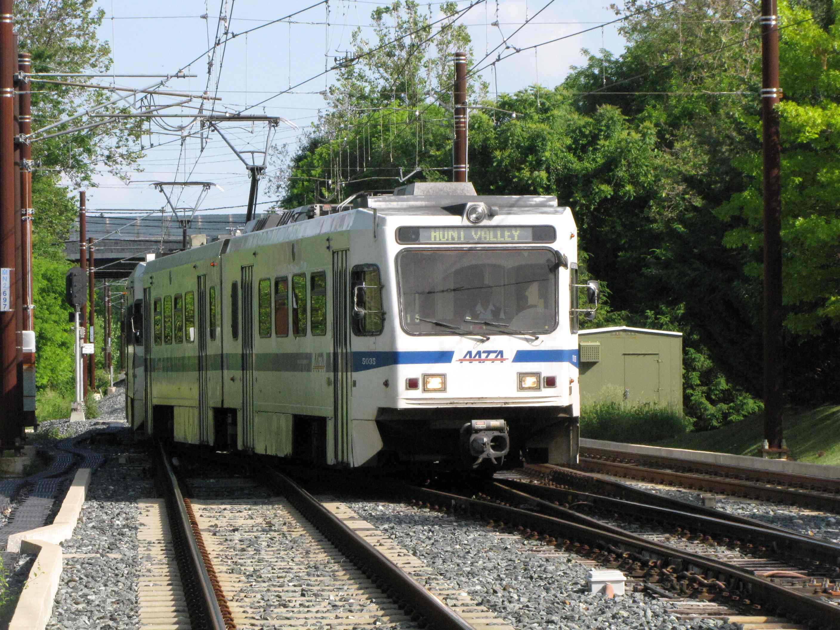
Hunt Valley
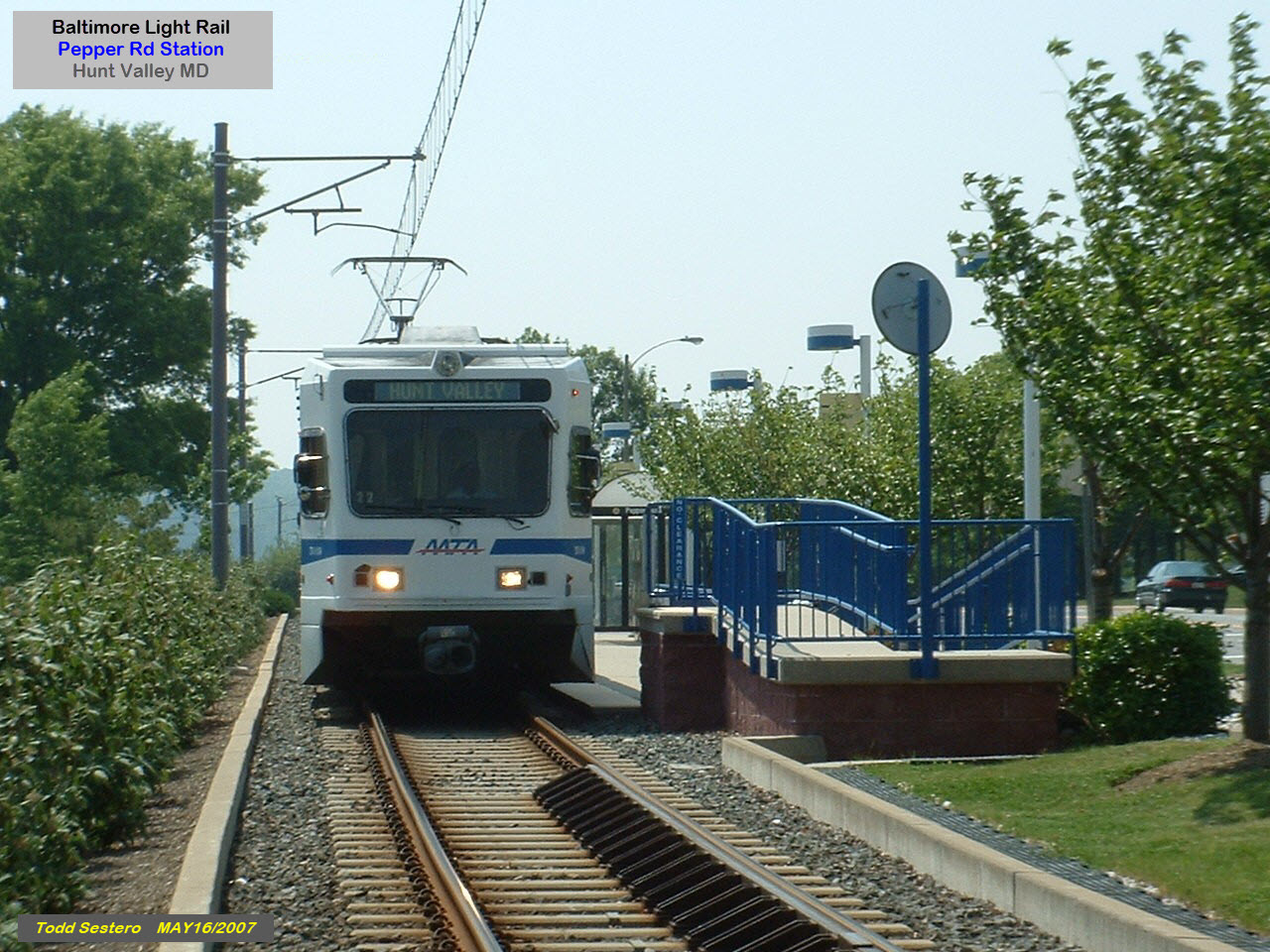
Pepper Road
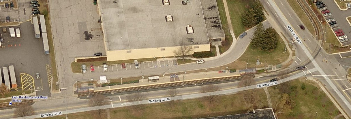
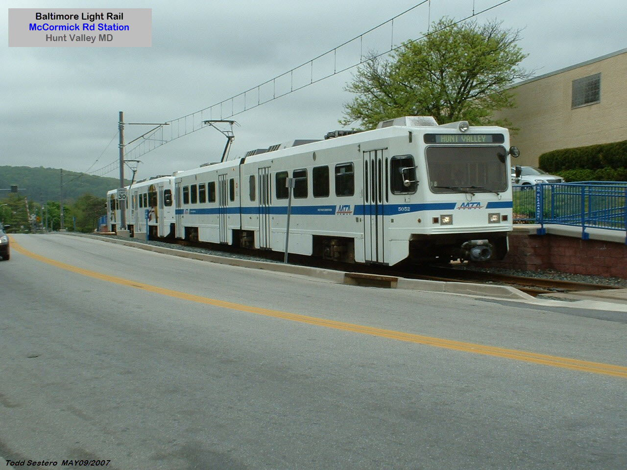
McCormick Rd (on Schilling Circle)
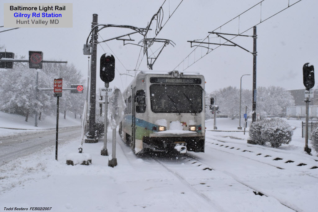
Gilroy Rd
At Gilroy, the line goes into a single track for its trip through most of the industrial park.
It goes back into two tracks for the Hunt Valley station before crossing Shawan Rd).
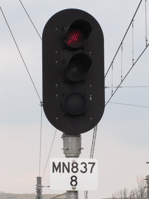
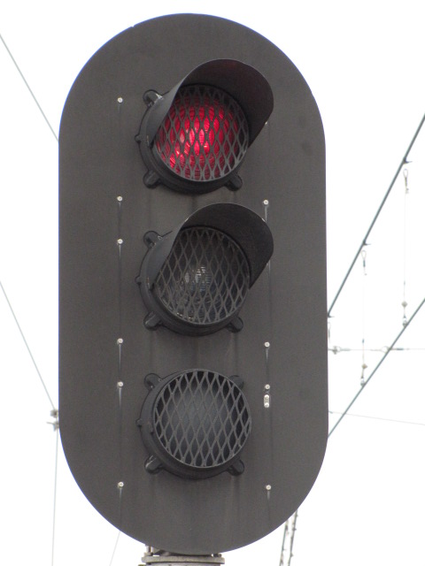
The NB signal for trains heading to Hunt Valley is fairly unique in that it only displays two aspects as seen below.
Signals like this also show up at the Timonium turn around.
You can almost always count on a meet here,
for trains going to HV have to wait for the SB train to clear the single track.
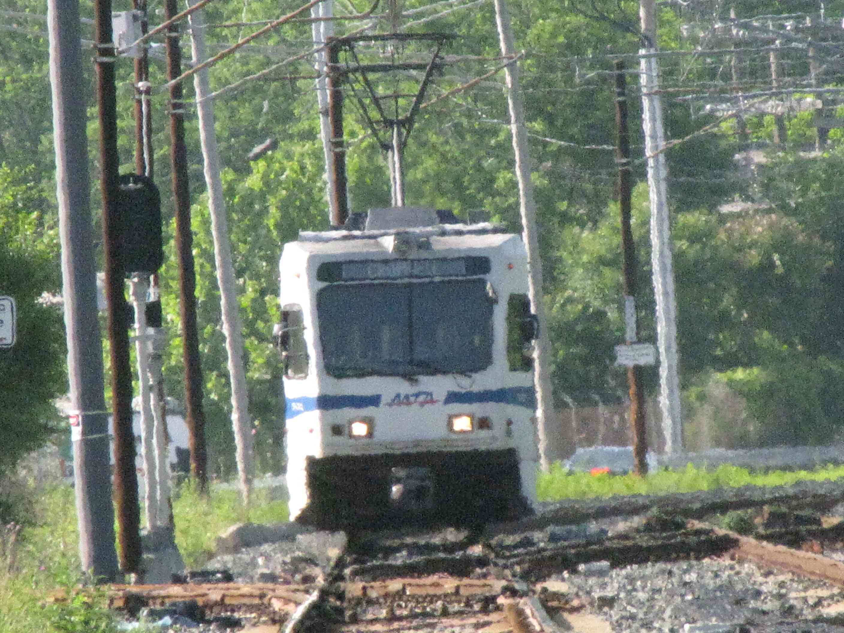
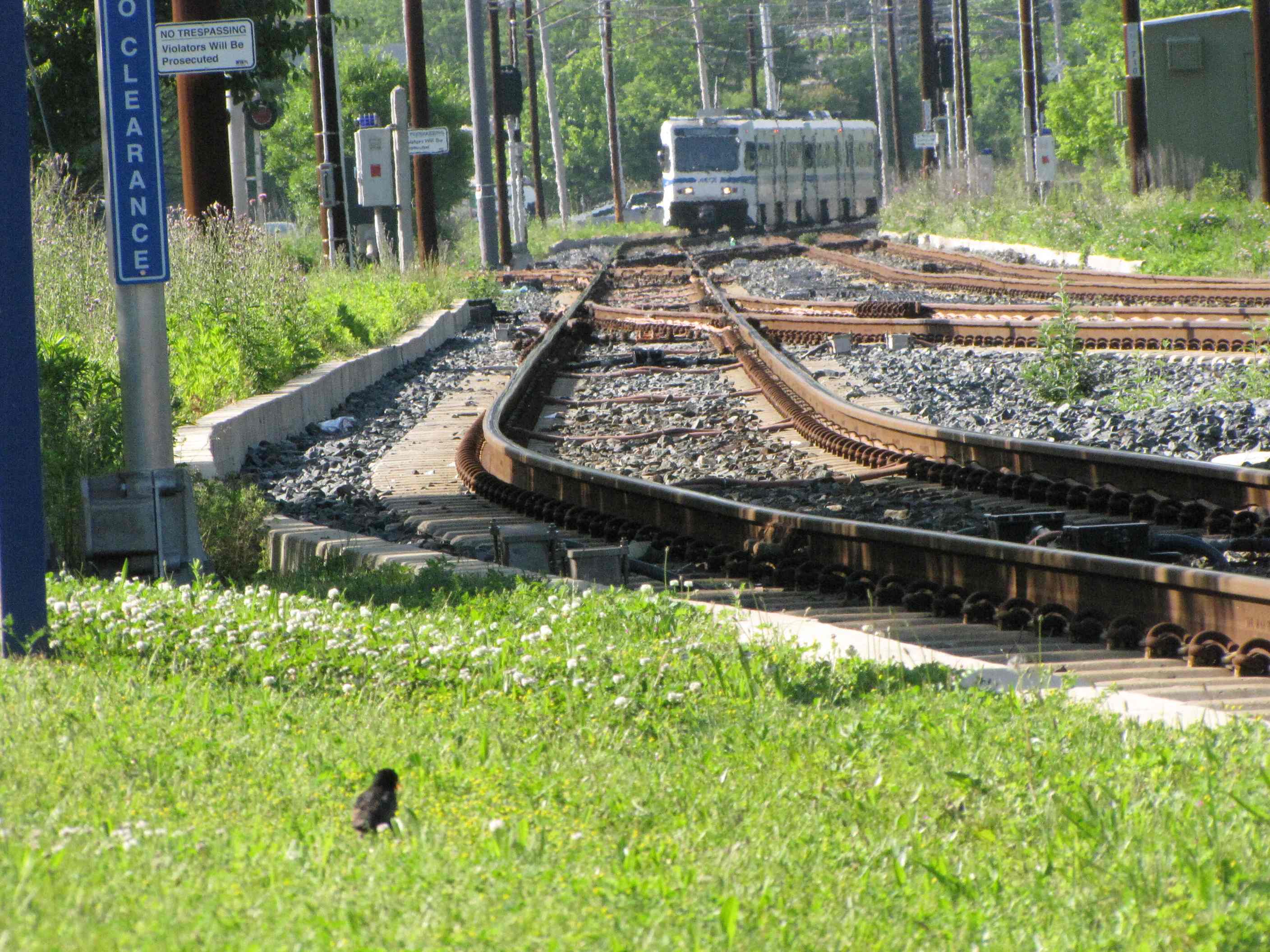
A SB train coming into Gilroy
A NB train coming into Gilroy and then heading to HV
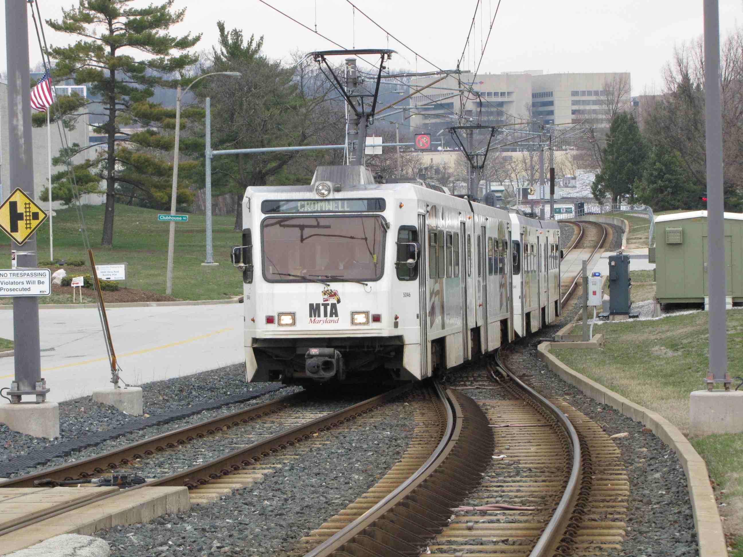
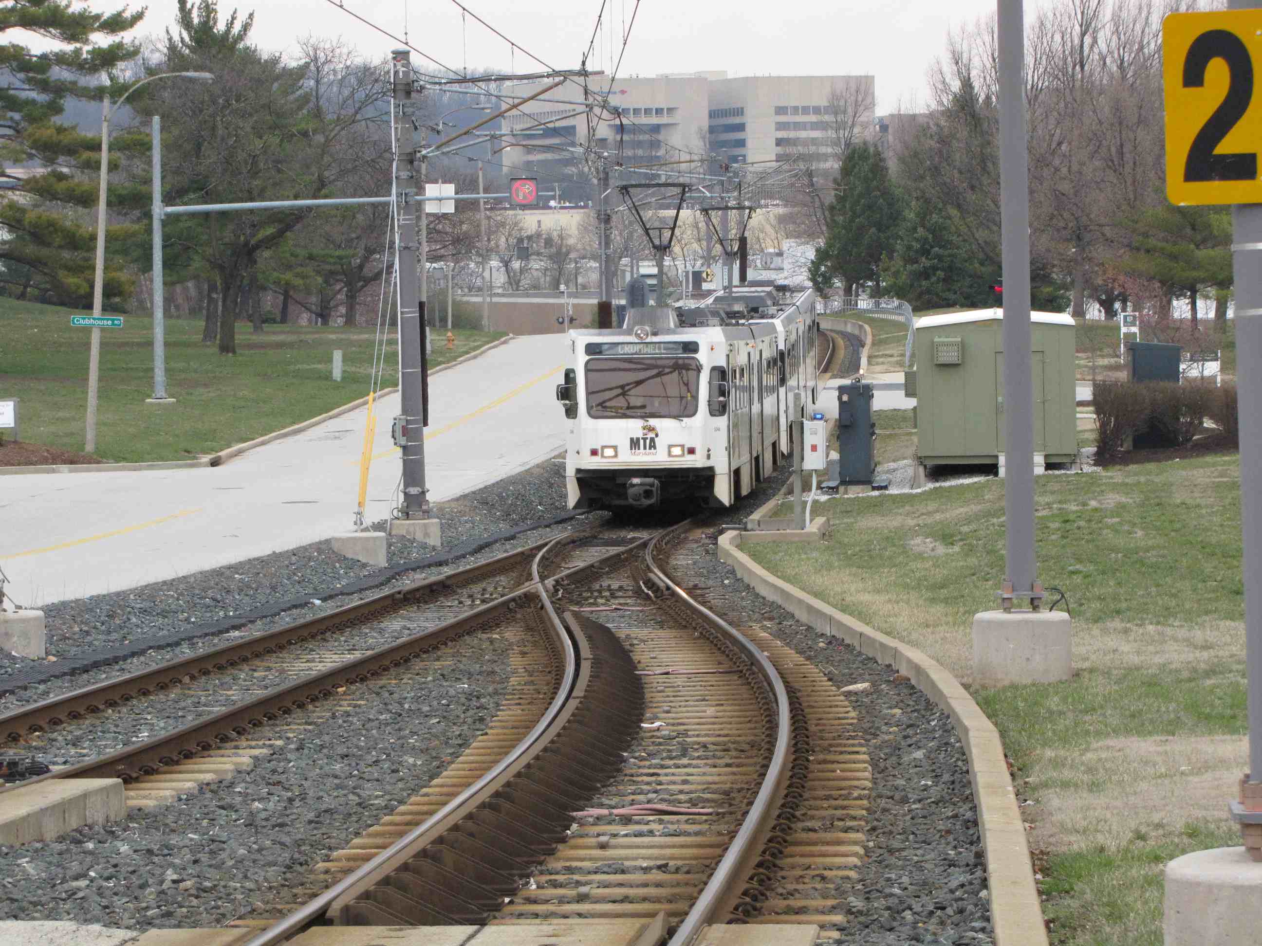
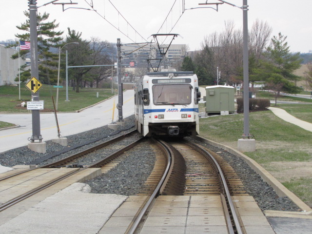
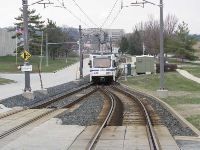
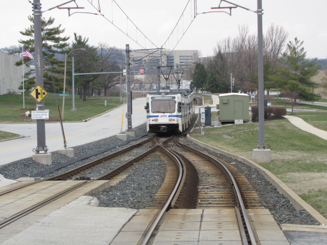
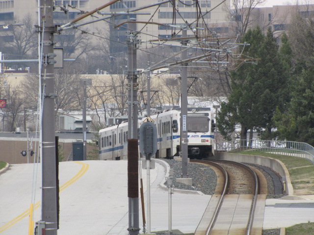
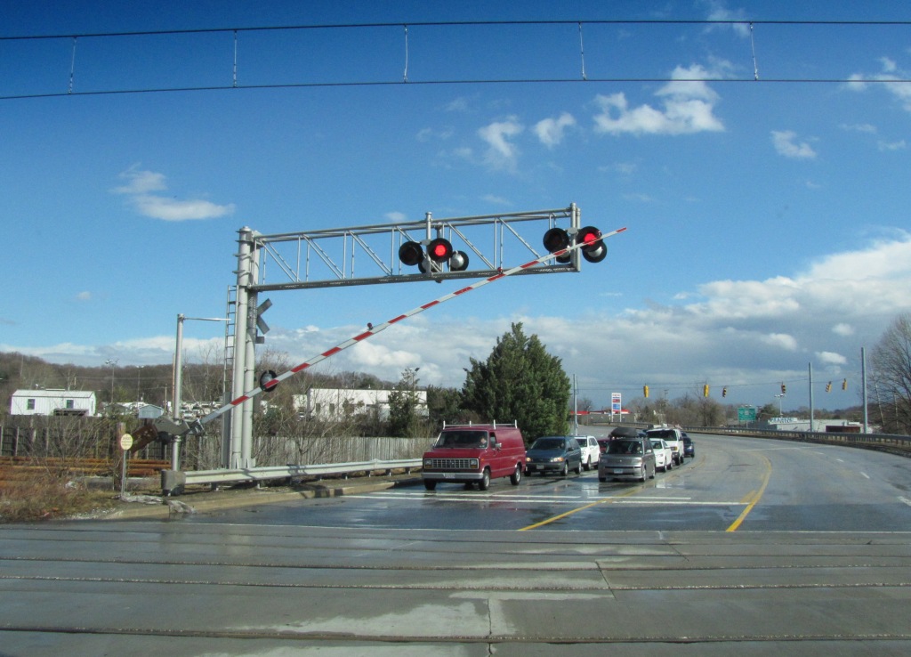
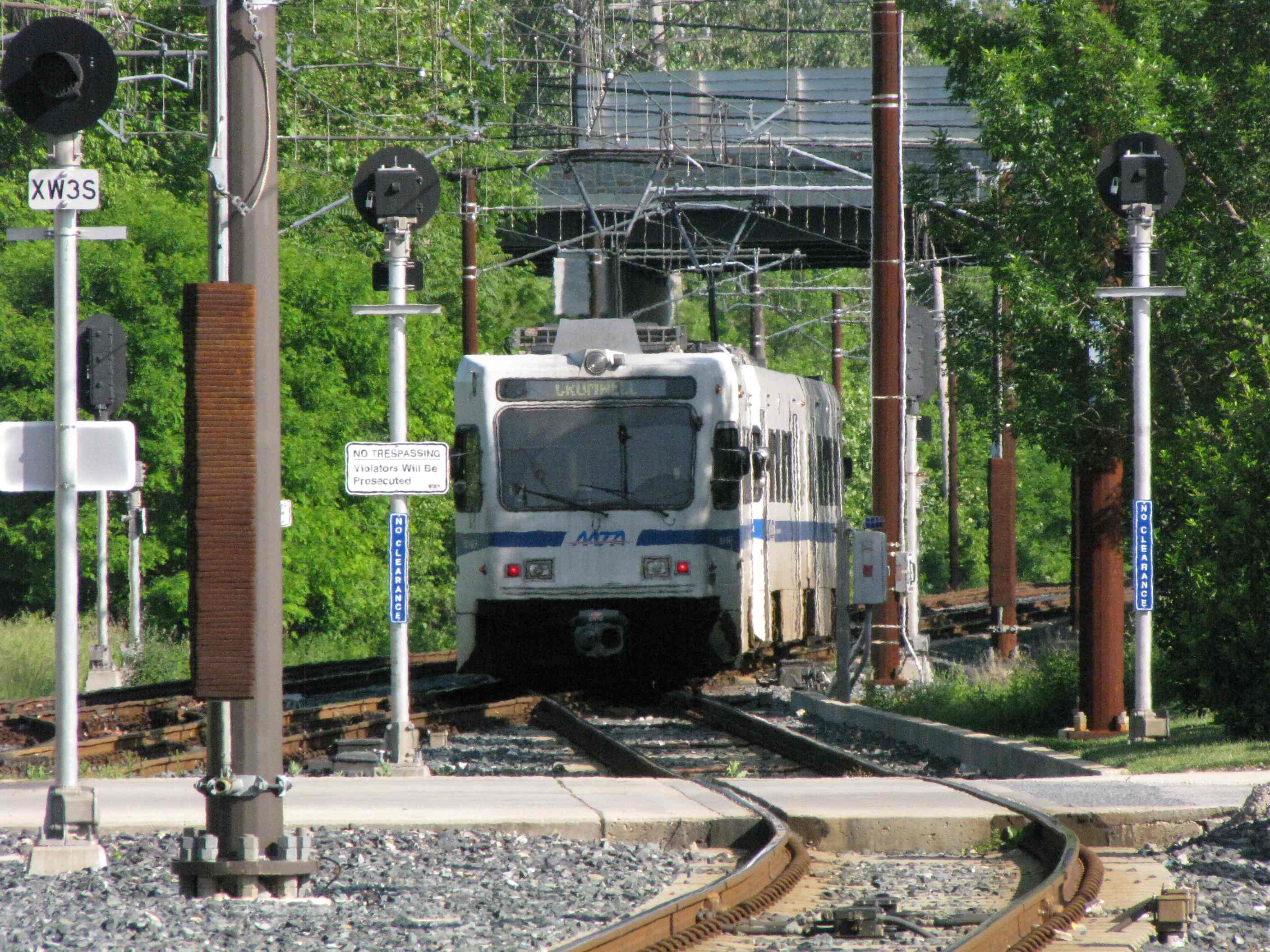
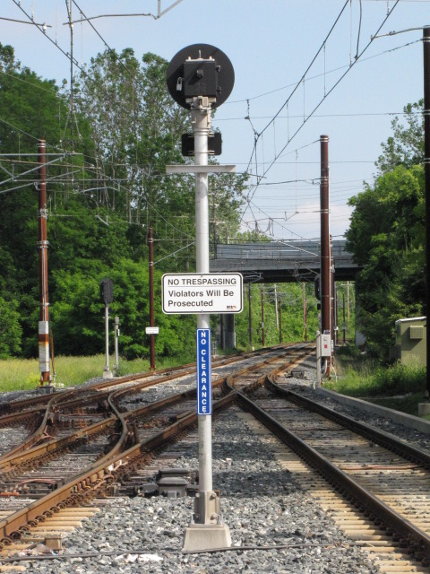
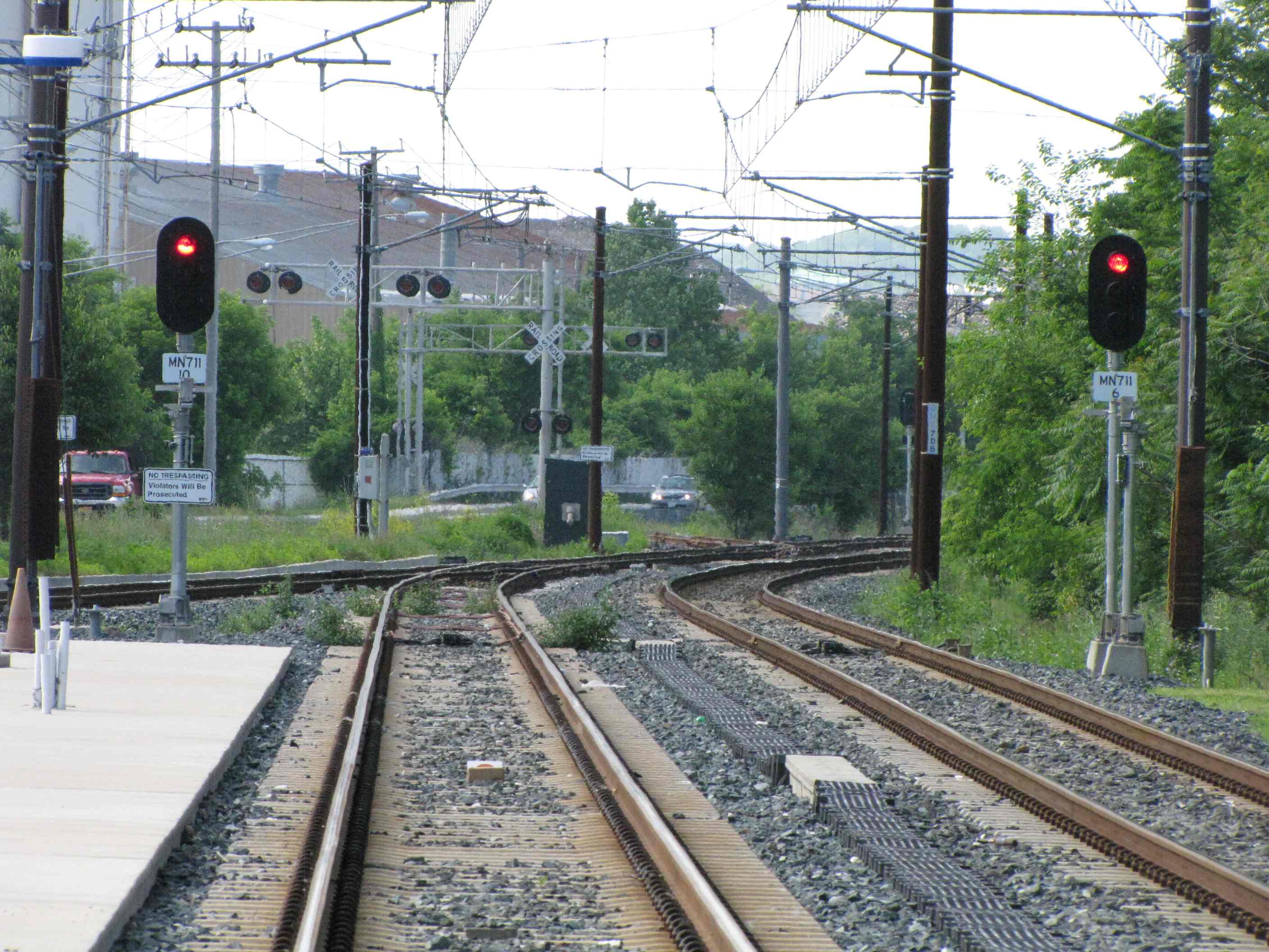
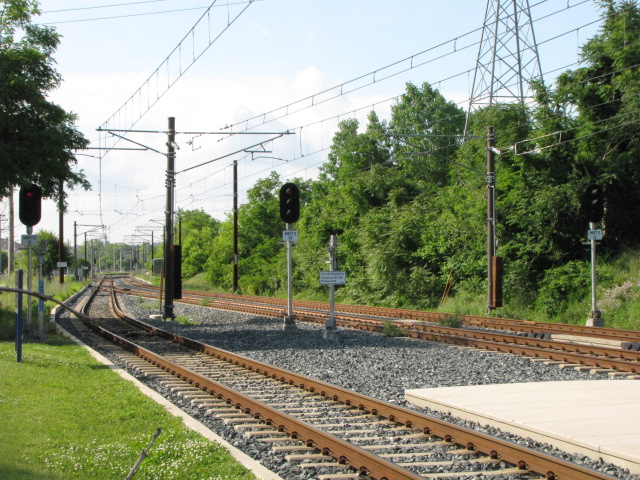
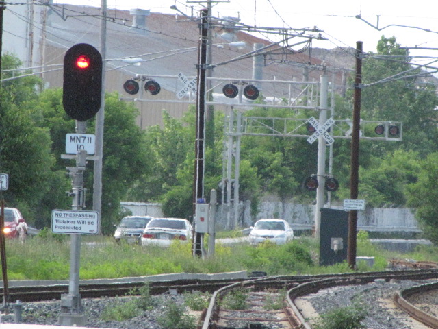
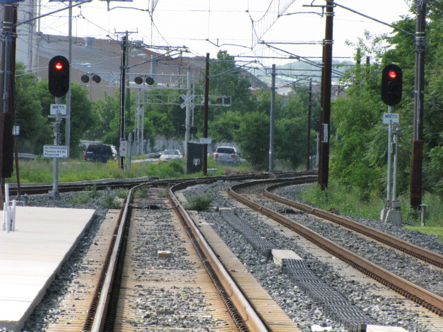
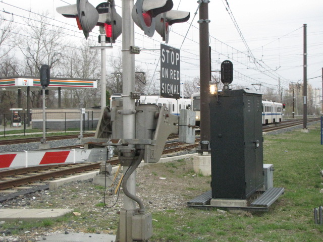
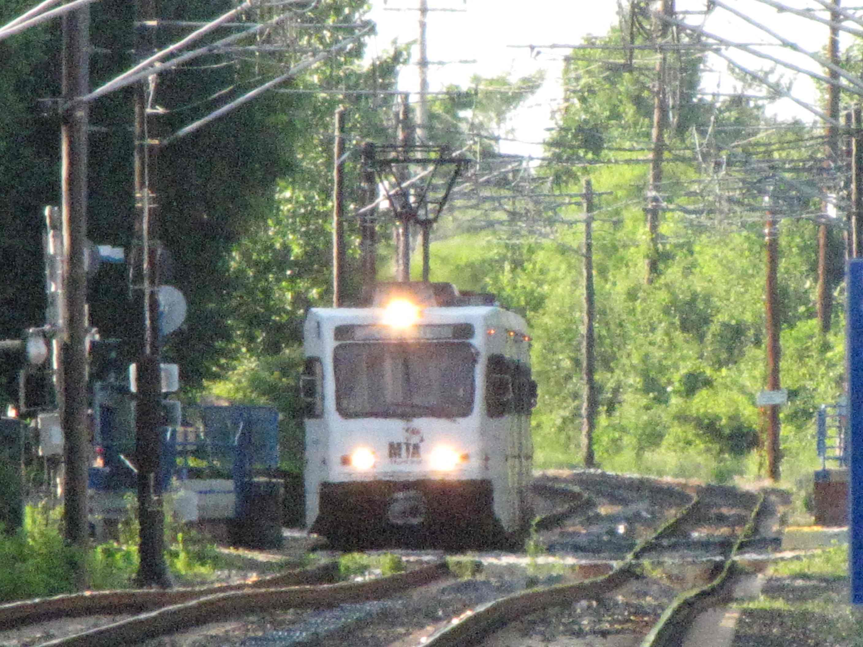
Warren Rd
Warren Rd Grade Crossing
The Cockeysville Siding
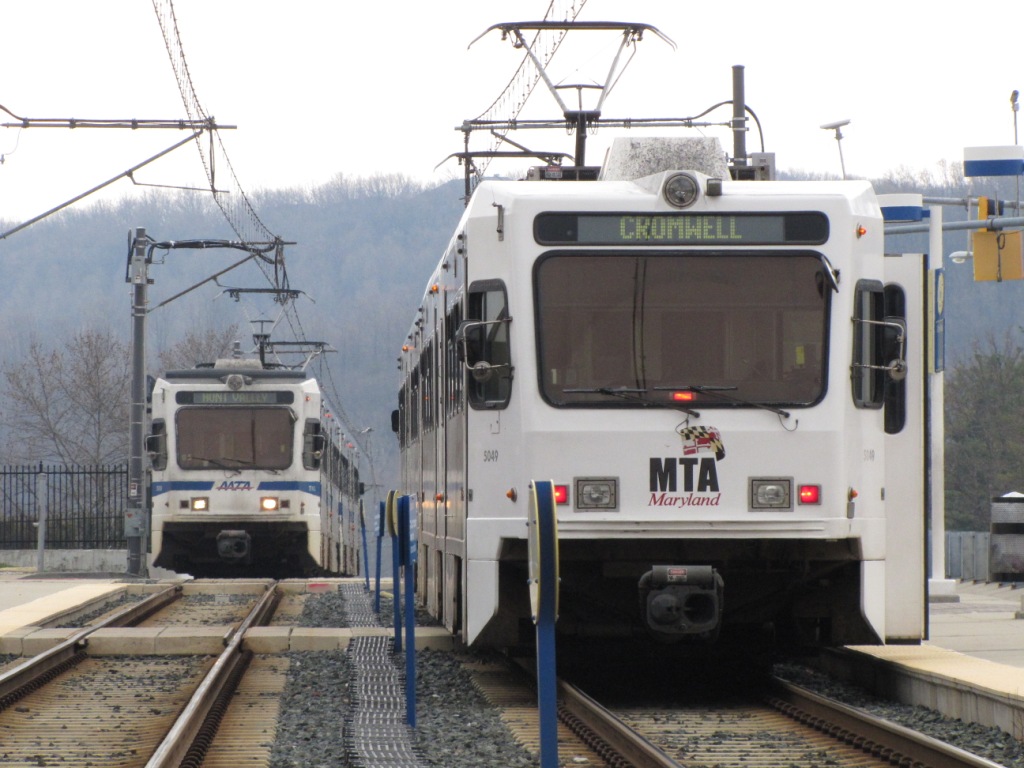
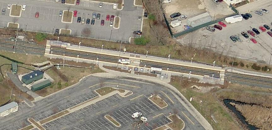
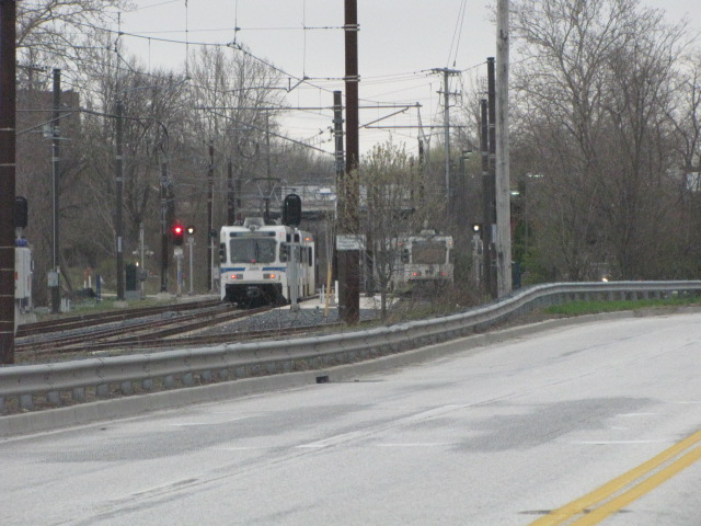
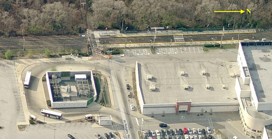
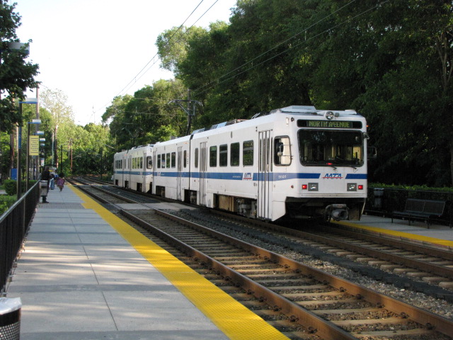
Timonium Turn Around
NB trains passing the pocket track.
NB going into the pocket track.
In the pocket track.
SB trains passing the pocket track.
Picture from the adjacent medical building and my doctors office,
they think I'm nuts when I show up for an exam with my camera :-)
Signals and signs.
More signals and signs.
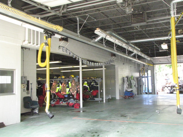
Ductwork used for running the cables in, instead of running them overhead and/or on poles.
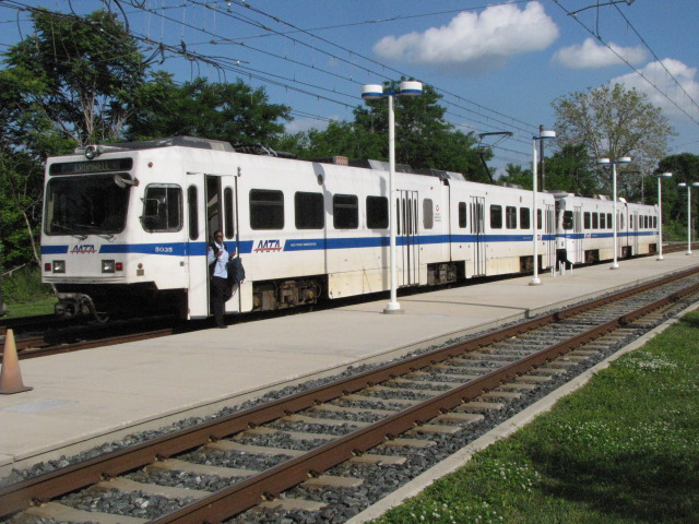
Timonium
Timonium used to the be the last stop before the Hunt Valley extension was finished in 1997.
Timonium Road Grade Crossing
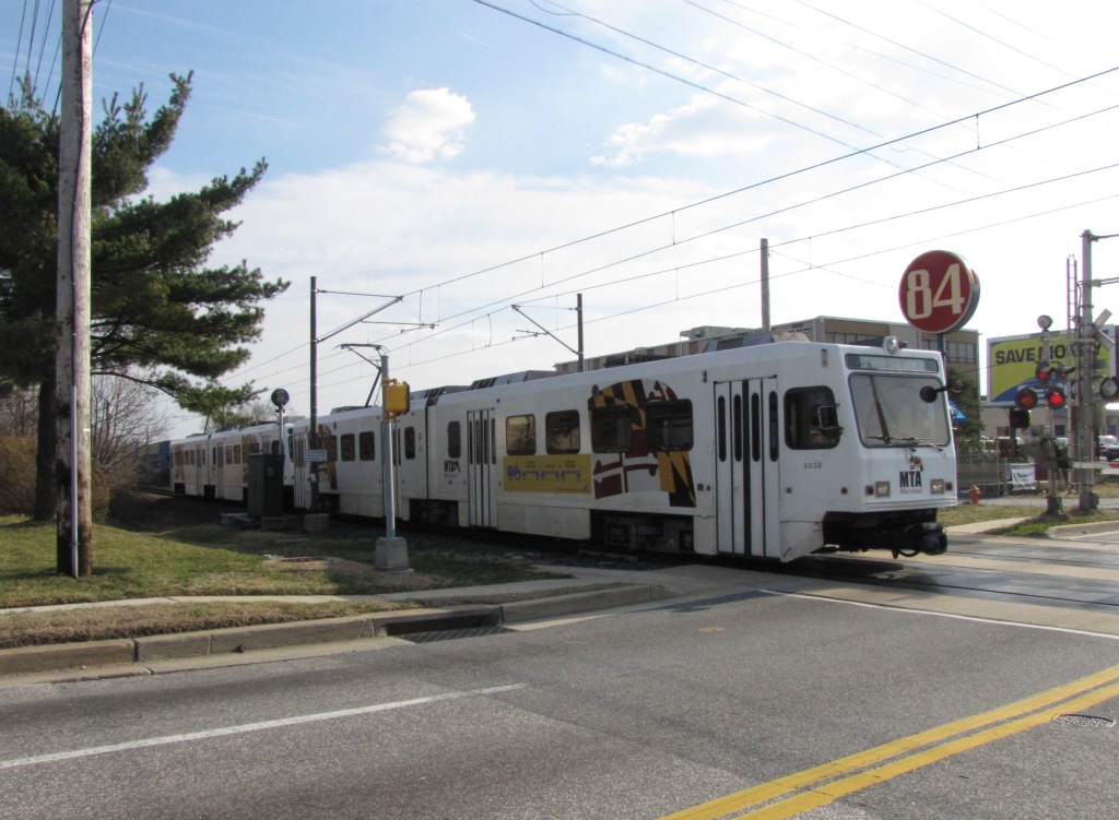
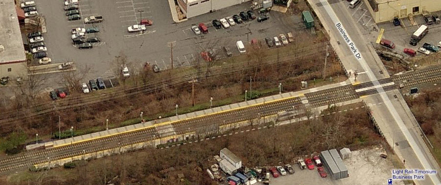
Timonium Business Park
Lutherville
Coming from the Lutherville station at Ridgely Rd, and heading into station.
MP 525
Living next to the light rail can have its
advantages. During the blizzard of 1996, traffic went no-where for two
days, so I called up Light Rail Control and had them stop behind my house at
this milepost to pick me up for work. Did this for two days. Some of
the operators will still blow the horn when they pass by and see me in the yard.
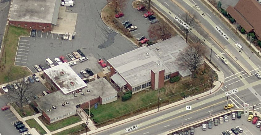
For what seemed like "forever", Station 1 sat at the corner of York
Road and Bosley Ave in the middle of Towson. In early 2016, "they" moved
into a brand new building built at the other end of Bosley, near Towsontowne
Blvd. A small shopping center which includes a Mission Barbeque now
resides at the corner of York Rd.
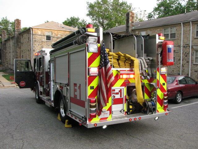
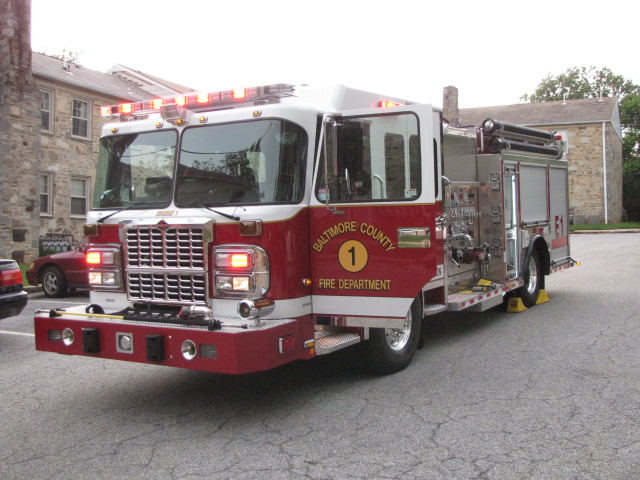
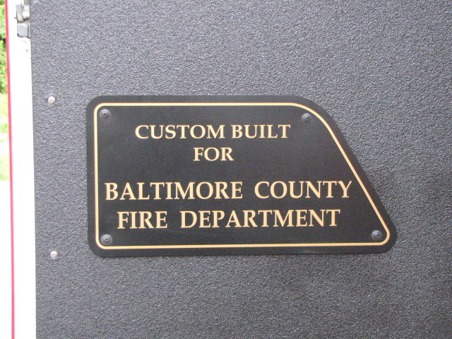
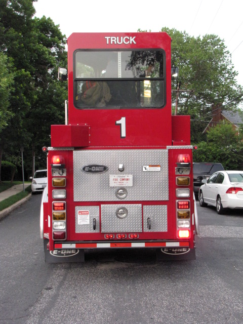
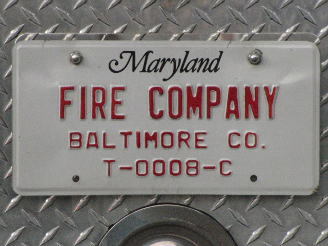
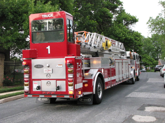
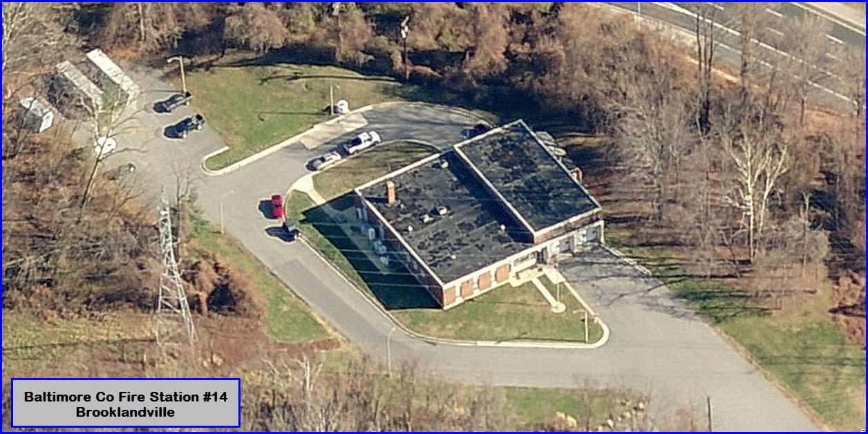
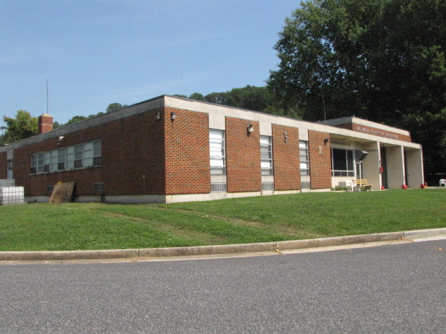
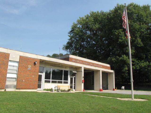
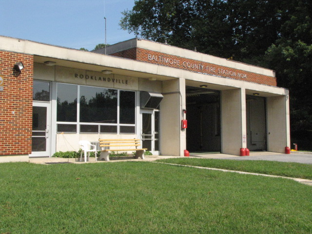
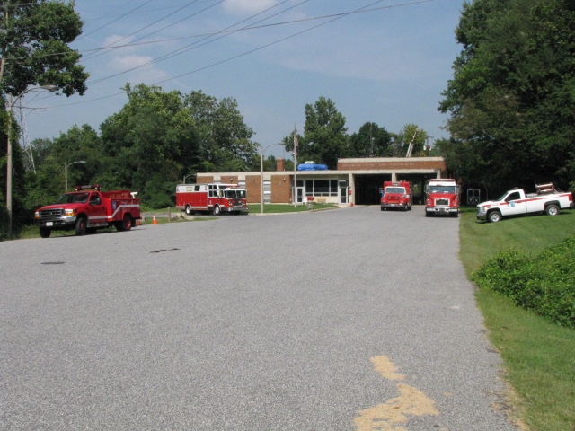
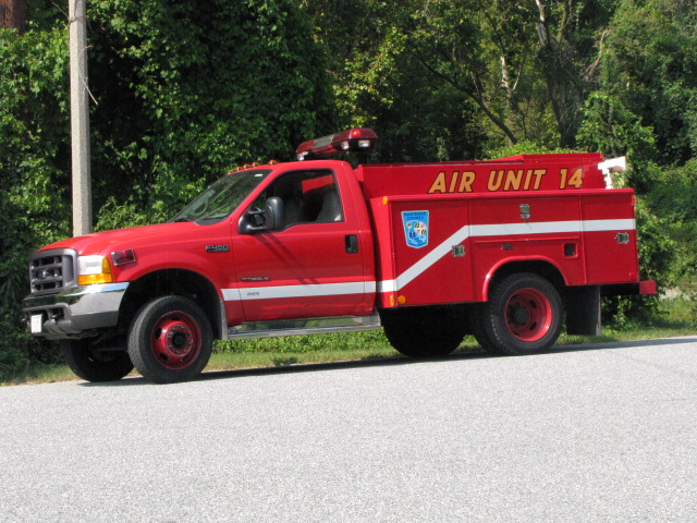
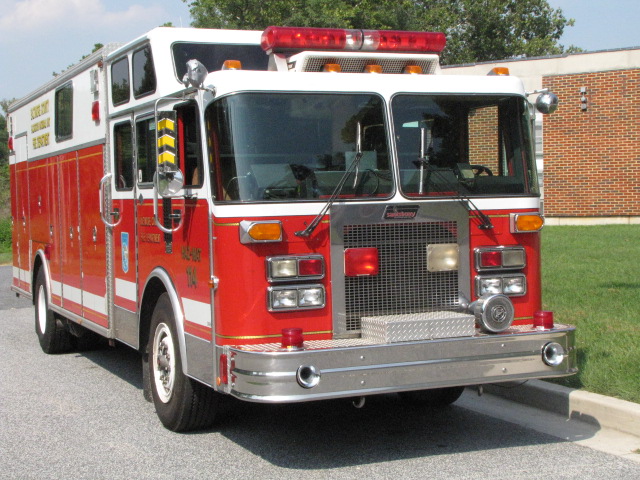
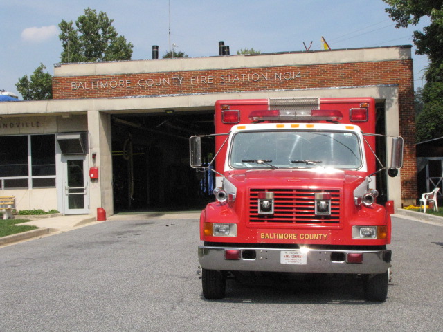
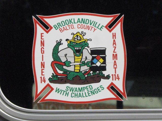
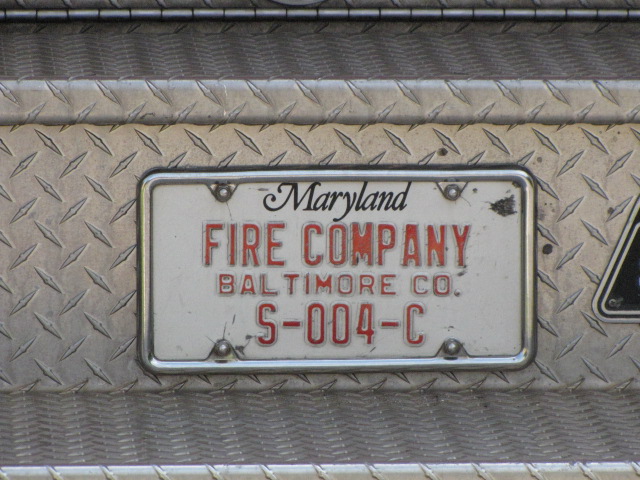
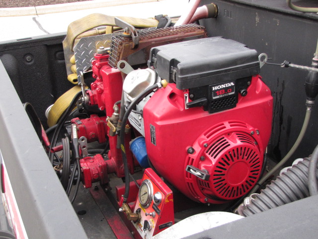
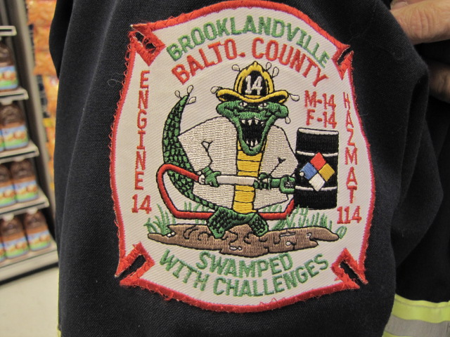
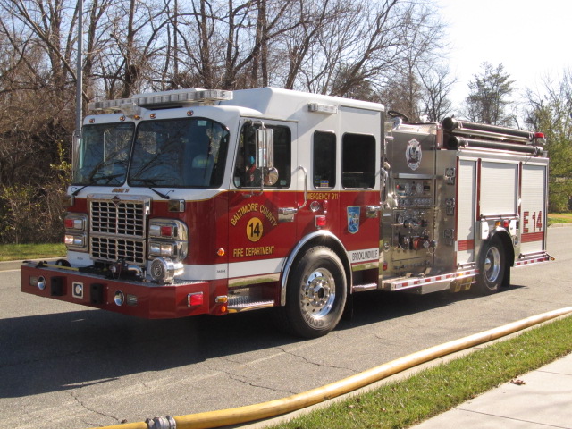
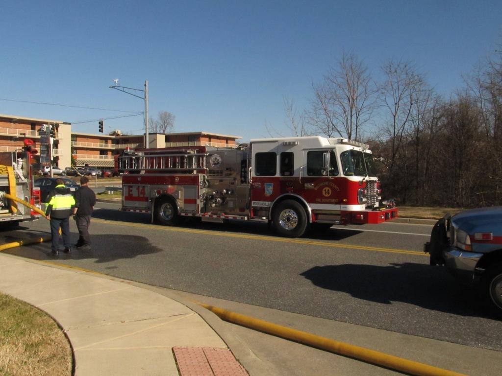
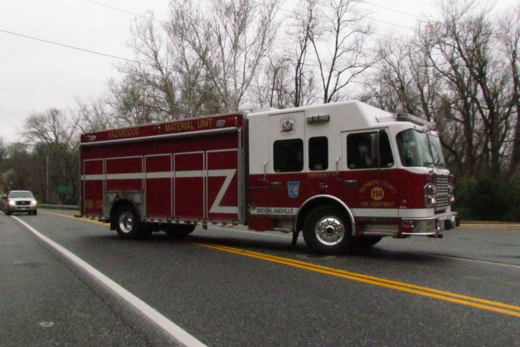
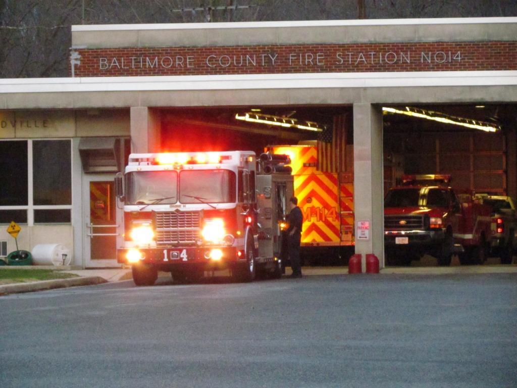
Baltimore County Fire Station #14 - Brooklandville
One lucky day, I happened to drive by Brooklandville, and ALL of the equipment was
outside. I didn't see anyone around to ask what was going on, but got a
lot of good pictures. Timing is everything. They took delivery of a
new Hazmat truck in April of 2011. I would like to thank the guys of Station
14 for their hospitality and for taking the time to chat on another occasion when I stopped by.
The above photos are from 9/2/2010.
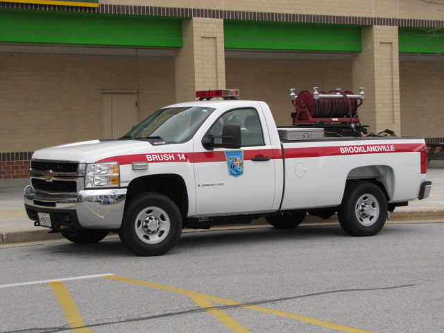
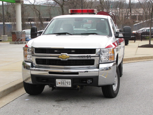
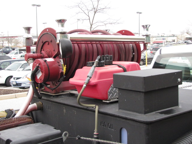
Brush 14 caught in front of the Superfresh in Timonium. The onboard pump can empty the 150 gallon tank in about 3 or 4 minutes.
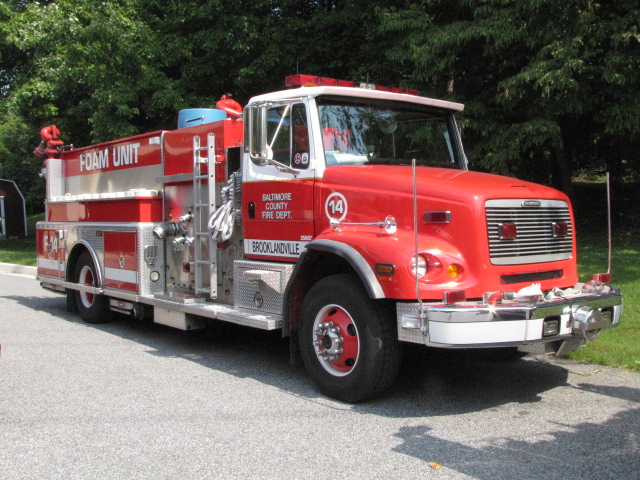
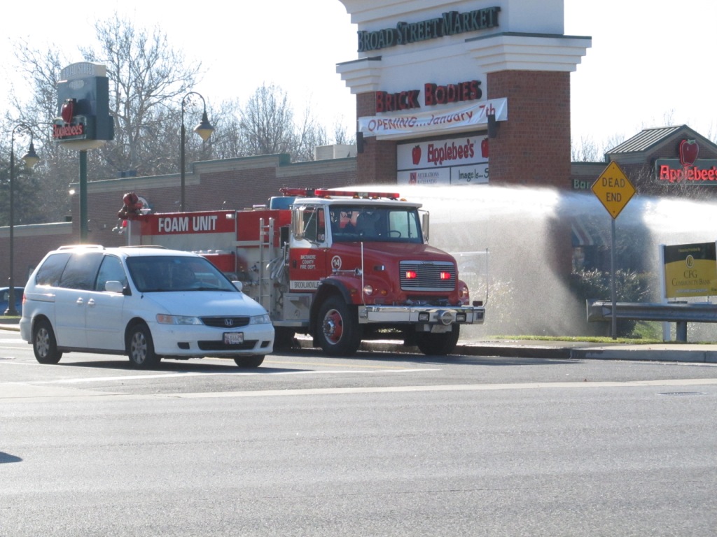
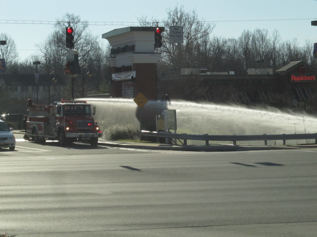
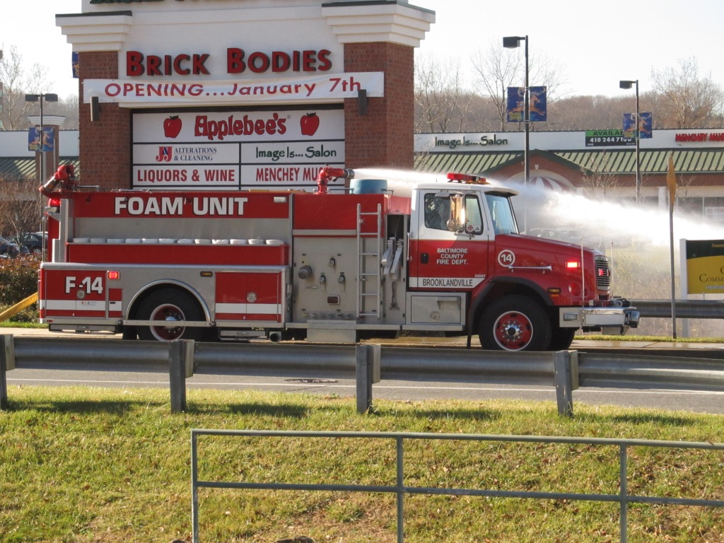
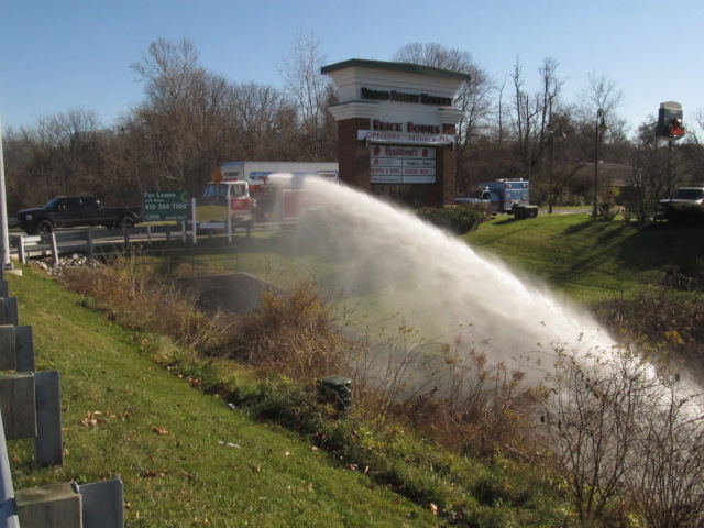
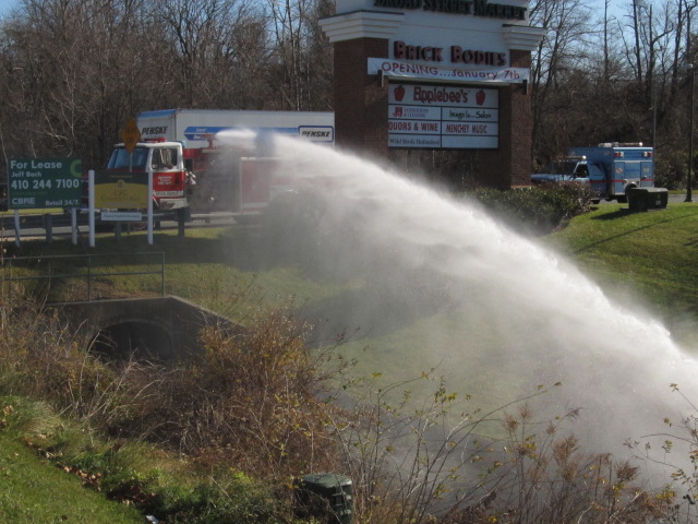
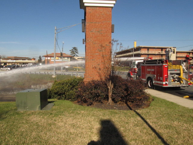
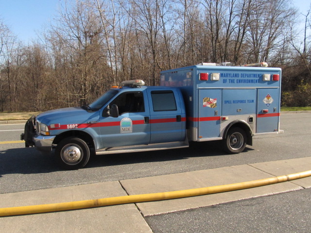
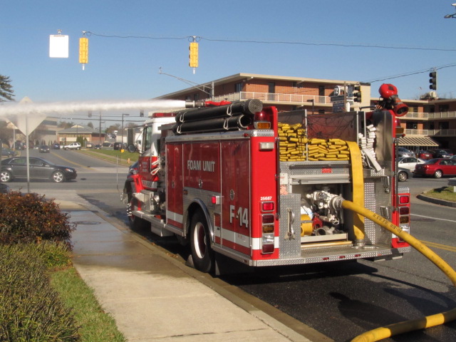
Caught in the act on Friday 12/14/12, at a shopping center off Padonia Rd in 17
territory, was Foam Unit #14 on a detail with the MD Department of the Environment.
Hazmat 114 caught on 11/29/2015 turning into the station in the rain - I was headed "down" Falls Road.
Engine 14 caught on 11/29/2015 having it's equipment checked out, I was headed "up" Falls Road returning home.
NOTE: If anyone from any of the stations or precincts wants better resolution photos for
picture purposes, give me a hollar, contact info is here
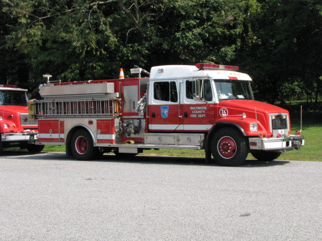
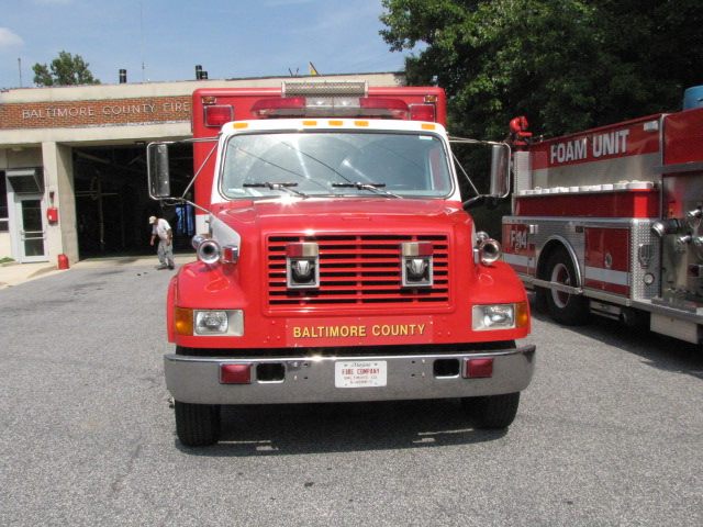
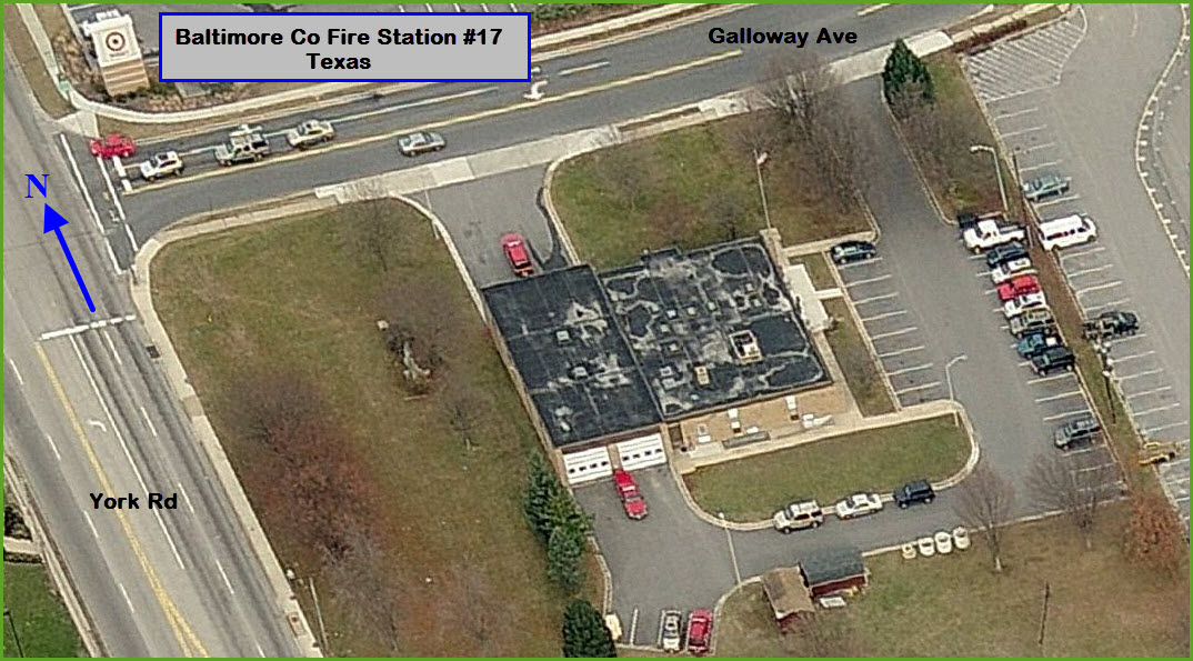
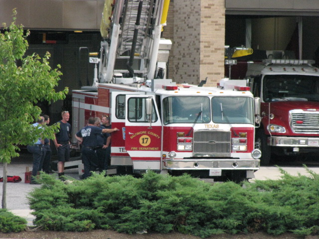
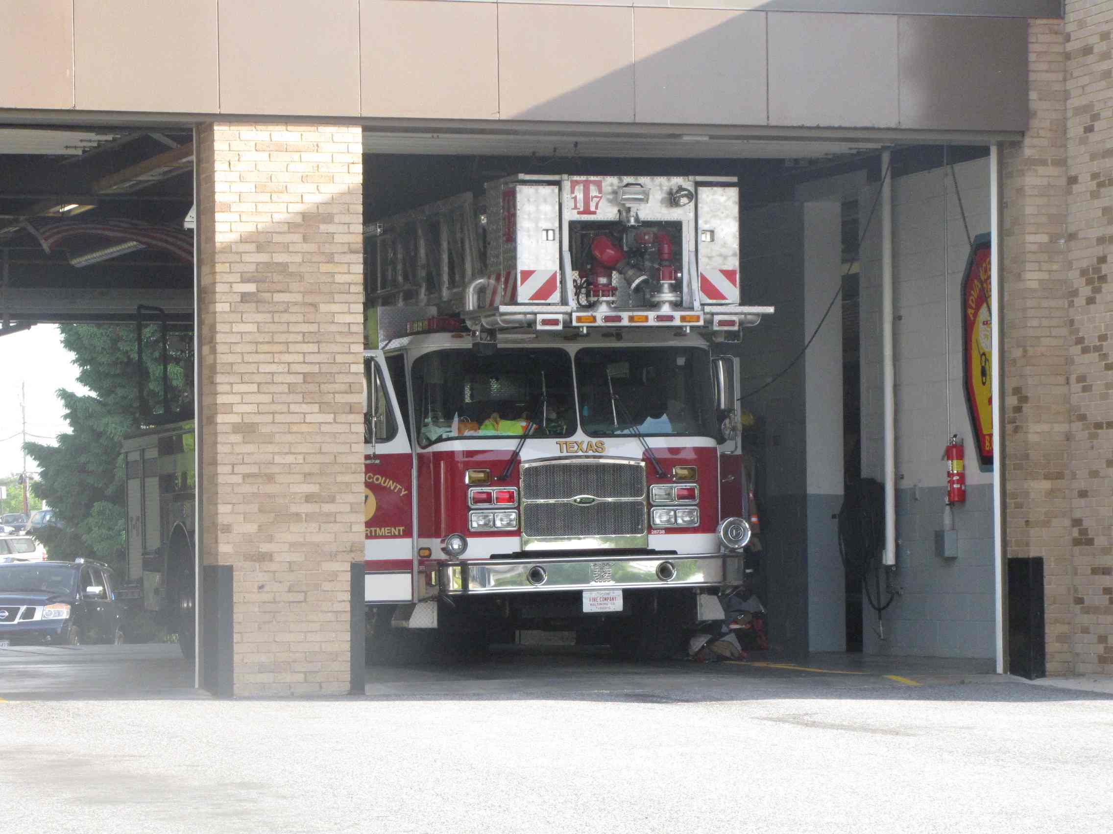
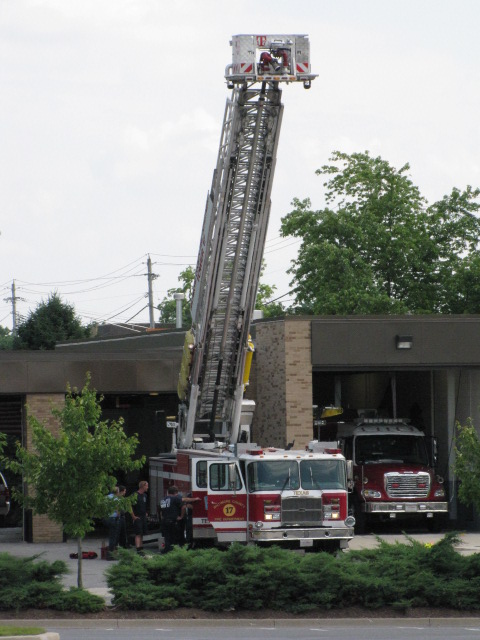
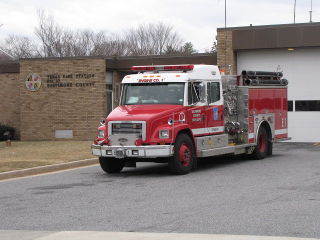
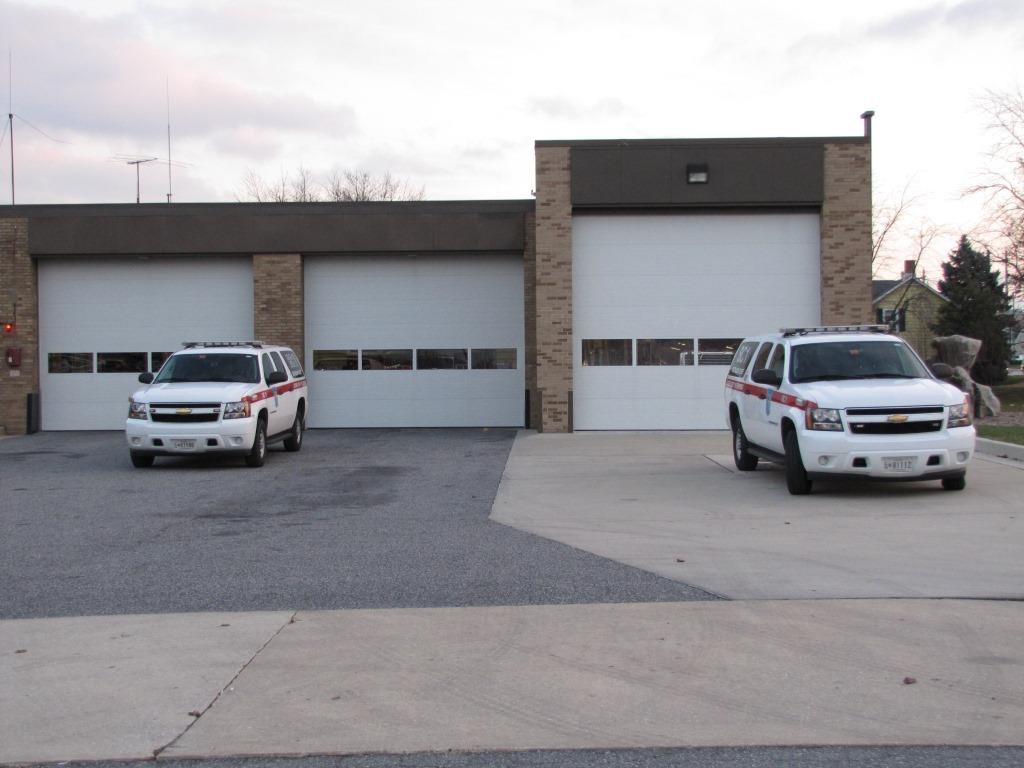
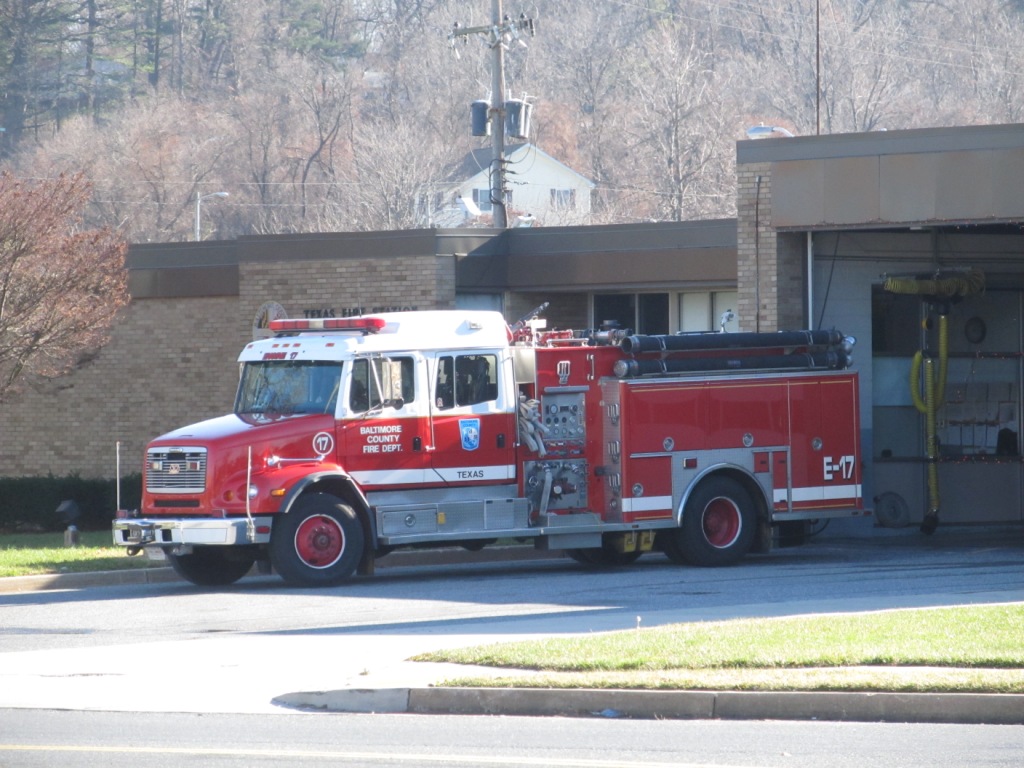
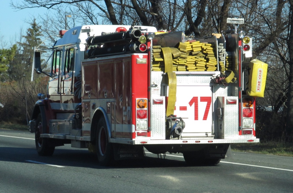
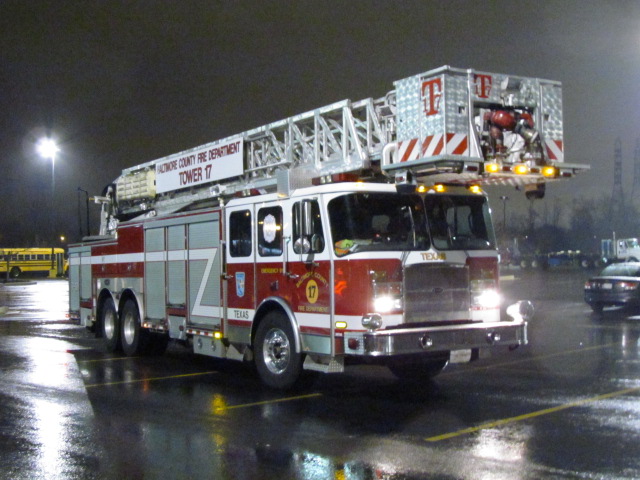
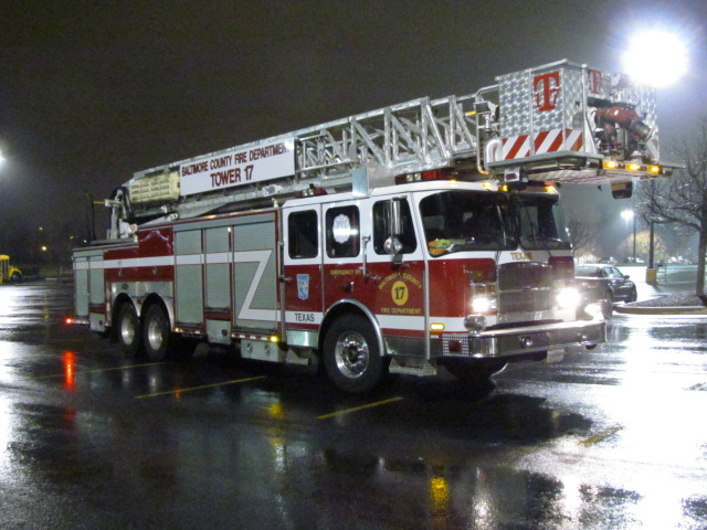
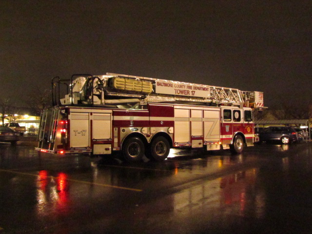
Baltimore County Fire Station #17 - Texas
Battalion Chief 11/1 sitting outside the station, and BC3 outside Sams Club, near the L/R pocket track.
Truck #17
Engine #1 at Texas.
Engine #17 caught on NB 83, and then at the station about 30
minutes later going down York Rd.
Tower 17 at Sam's Club on a rainy night in Texas (MD) on
11/30/2015.
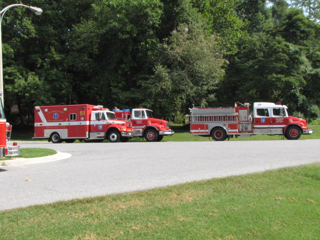
Misc Other Equipment
Because of where I live, off Charles Street
and the Beltway, we are lucky (if you wanna call it that) to have TWO hospitals
about a mile from the Beltway, I-695 - GBMC (Greater Baltimore Medical Center)
and St. Joes, therefore, we see a LOT of equipment from other stations besides
those noted on Map 1. Here is a small sampling of what I have been able to
catch as I have been driving around.
Ambo 11, Hillendale, getting off the outer loop (westbound) of
the Beltway.
Ambo 18, Randallstown, on the eastbound side of the Beltway
getting ready to get off at Charles St.
Ambo 56, Franklin, also on the eastbound side of the Beltway
getting ready to get off at Charles St.
Ambo 55, seen on Perring Pkwy and Joppa Road, not quite near
Charles St.
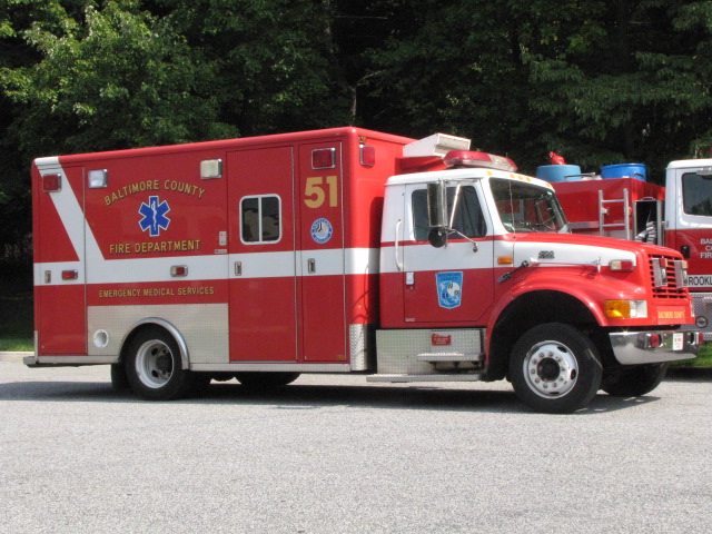
Medic 475, Jacksonville VFCo, heading south to the hospitals on Charles St
by Bellona/Kennilworth. http://www.jvfc.com/
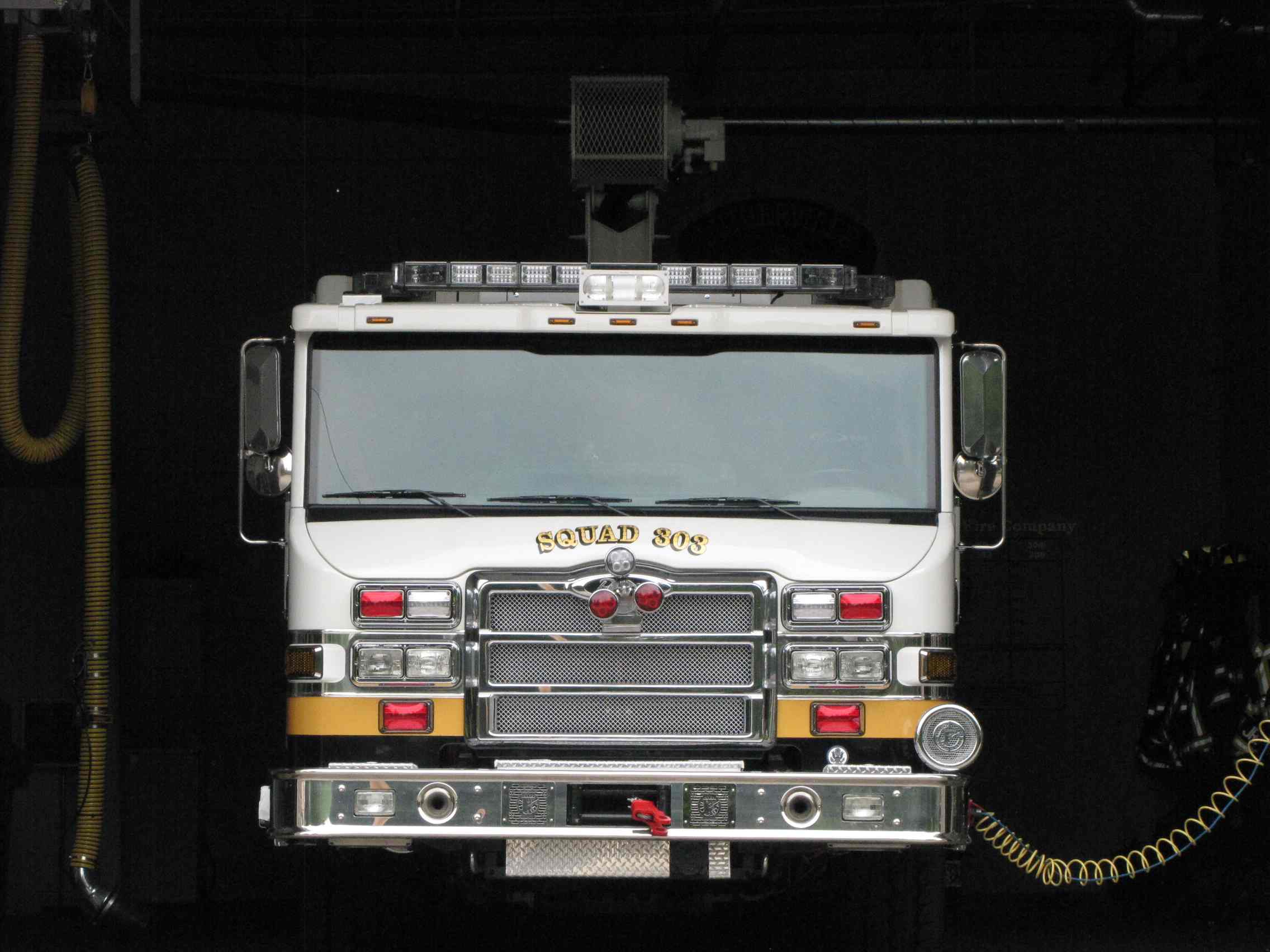
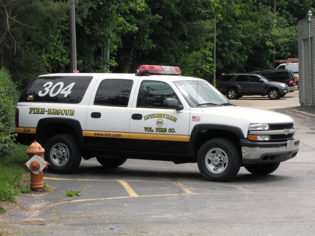
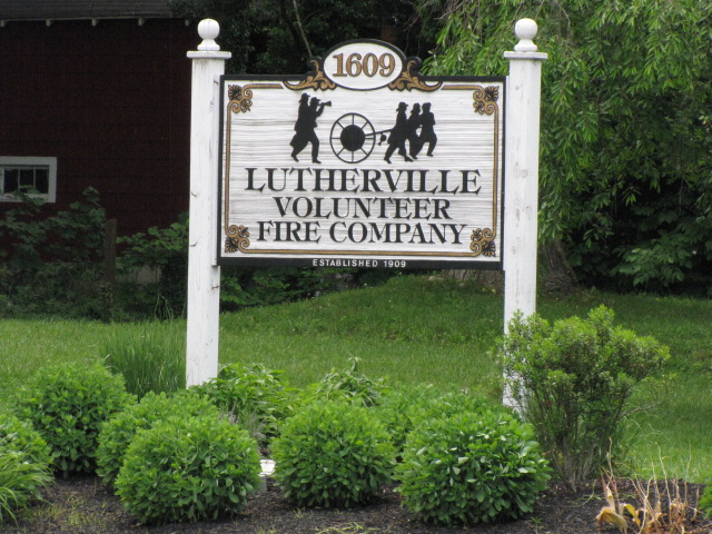
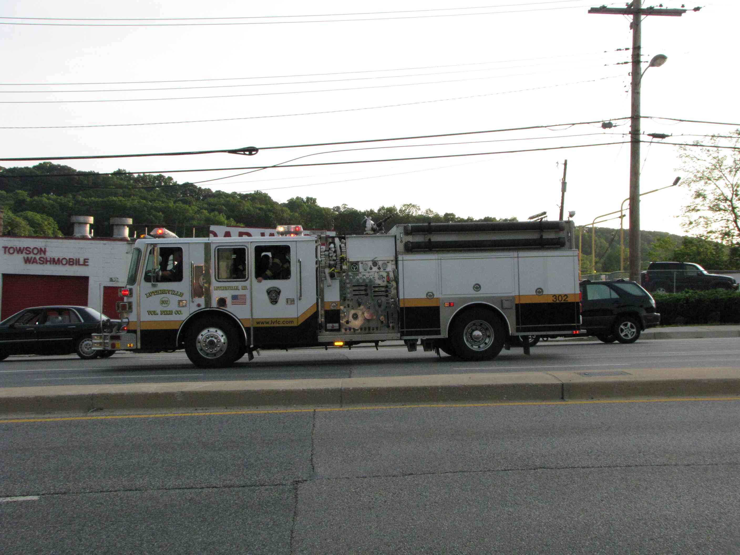
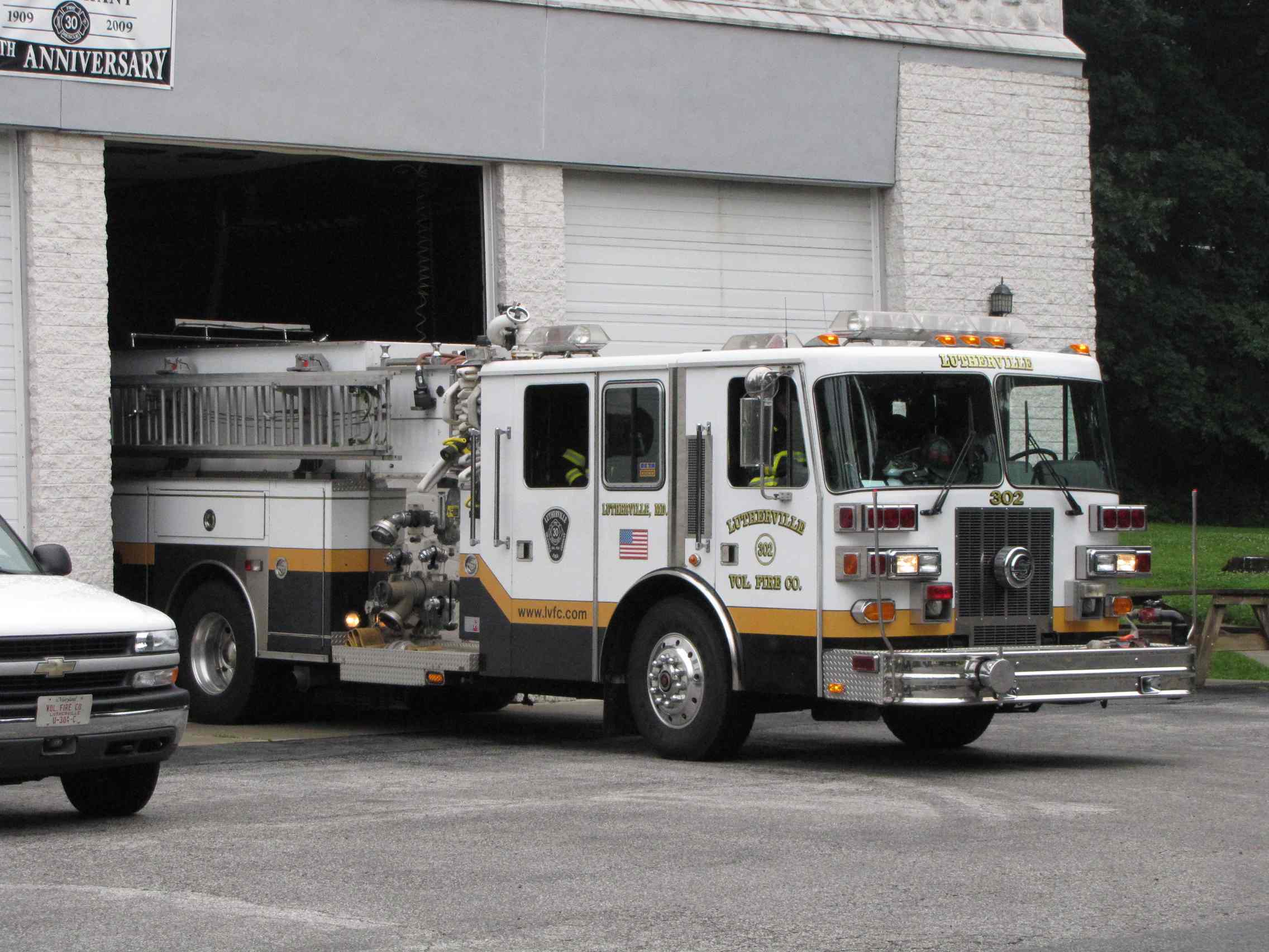
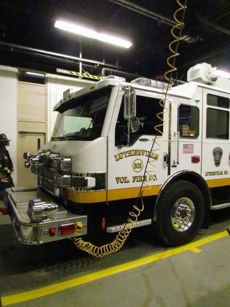
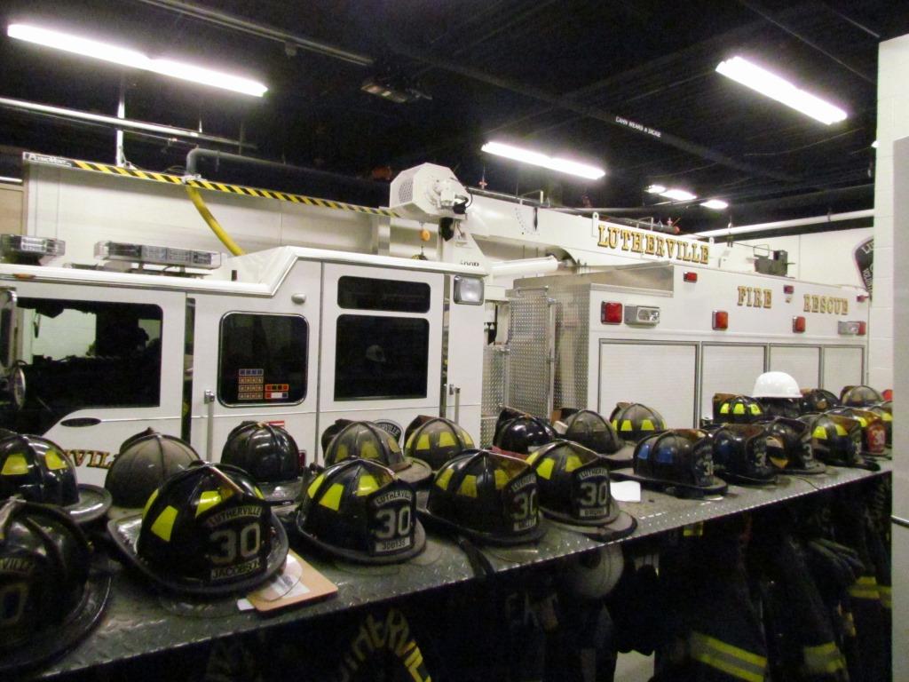
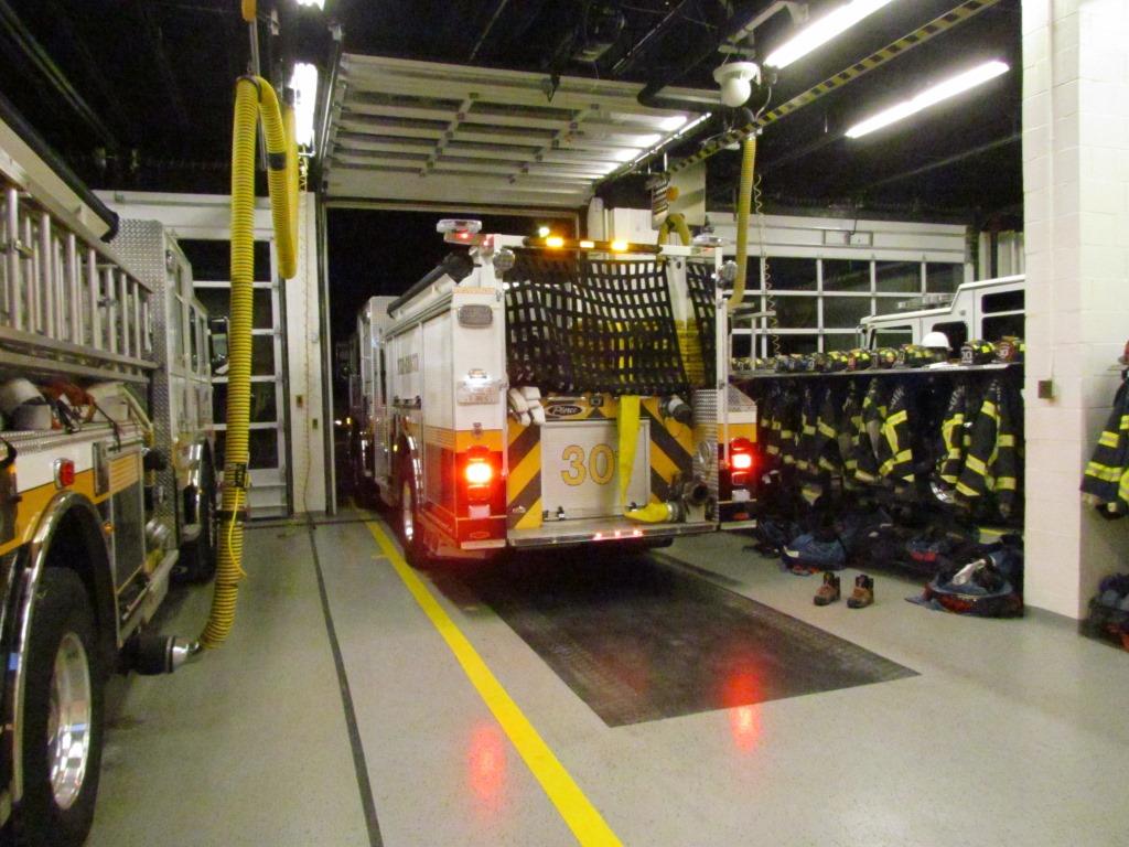
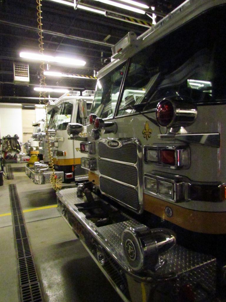
Lutherville Volunteer Fire Company
GPS: 39.422188, -76.620346 http://www.lvfc.com/
Lutherville is the closest station to where I
live. They have the distinction of being the only company in the county
that has a truck outfitted especially for vehicle rescue, truck 303. They
just got a new 303 in 2011, replacing the older truck that had been in service
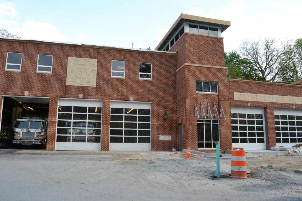
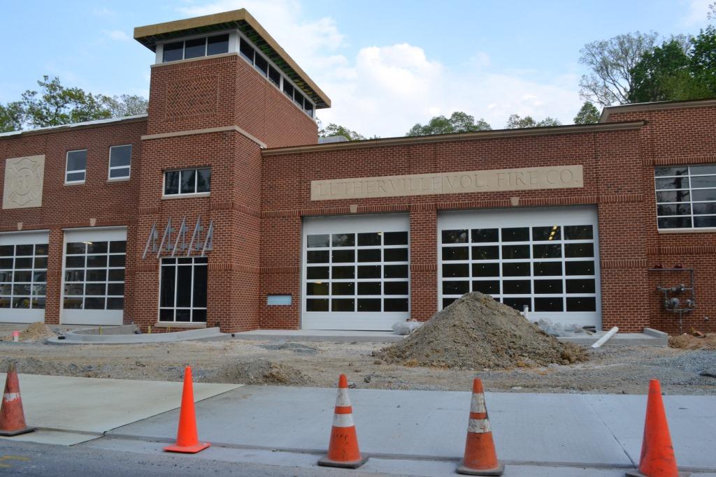
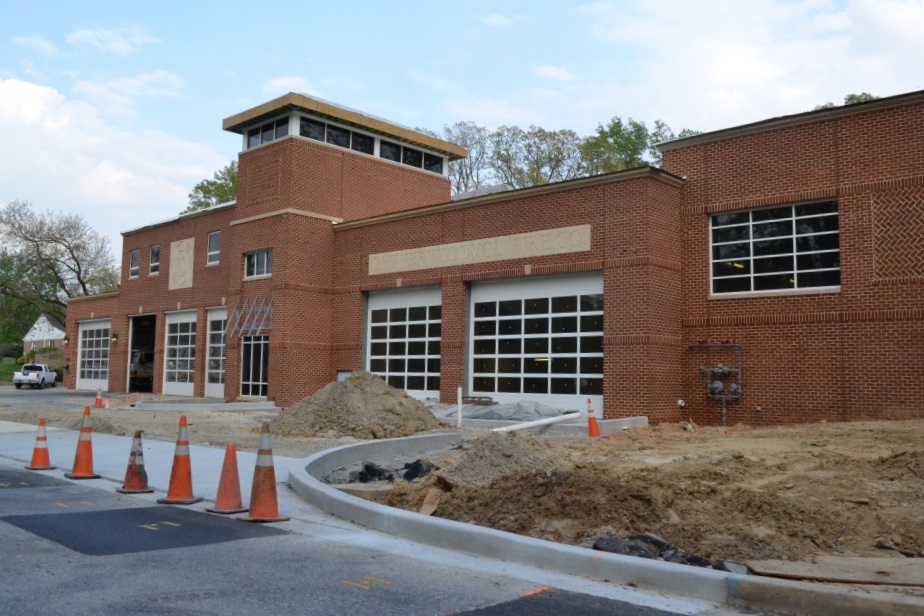
for about 25 years. As of 2012, Lutherville wanted to double the size of the firehouse
into the adjoining lot to the right - it was completed over the summer of 2015.
Construction pictures from May 2015.
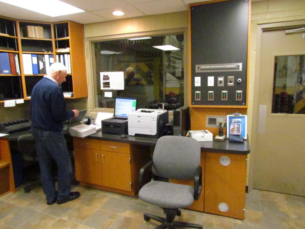
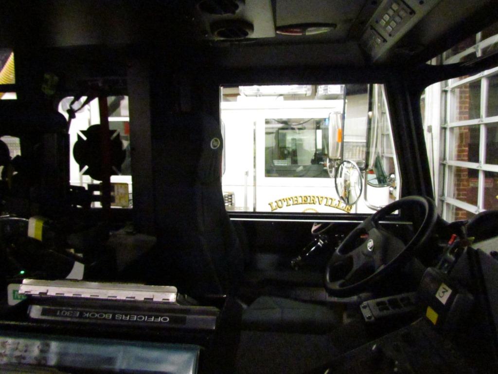
Interior shots from October 2014. Every call gets a map to the location
as can be seen in the picture above. 301 got called out while I was there.
 South of Padonia Road
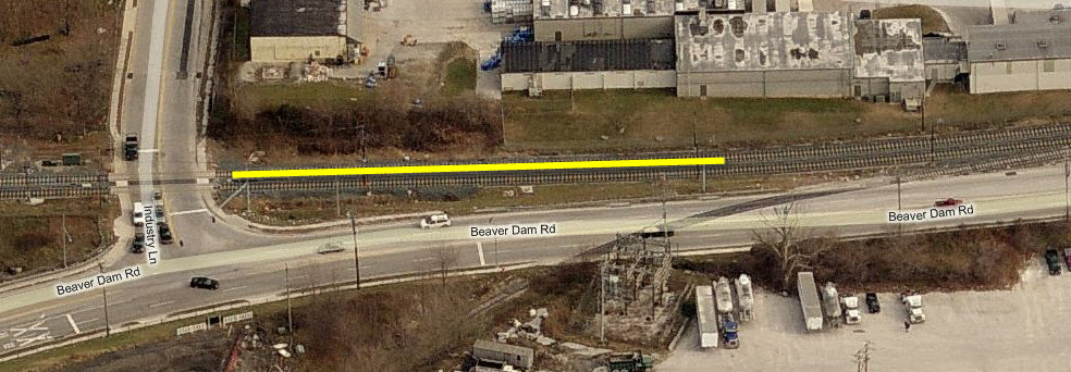 On the south side of Industry Lane


 A SB train coming into Gilroy
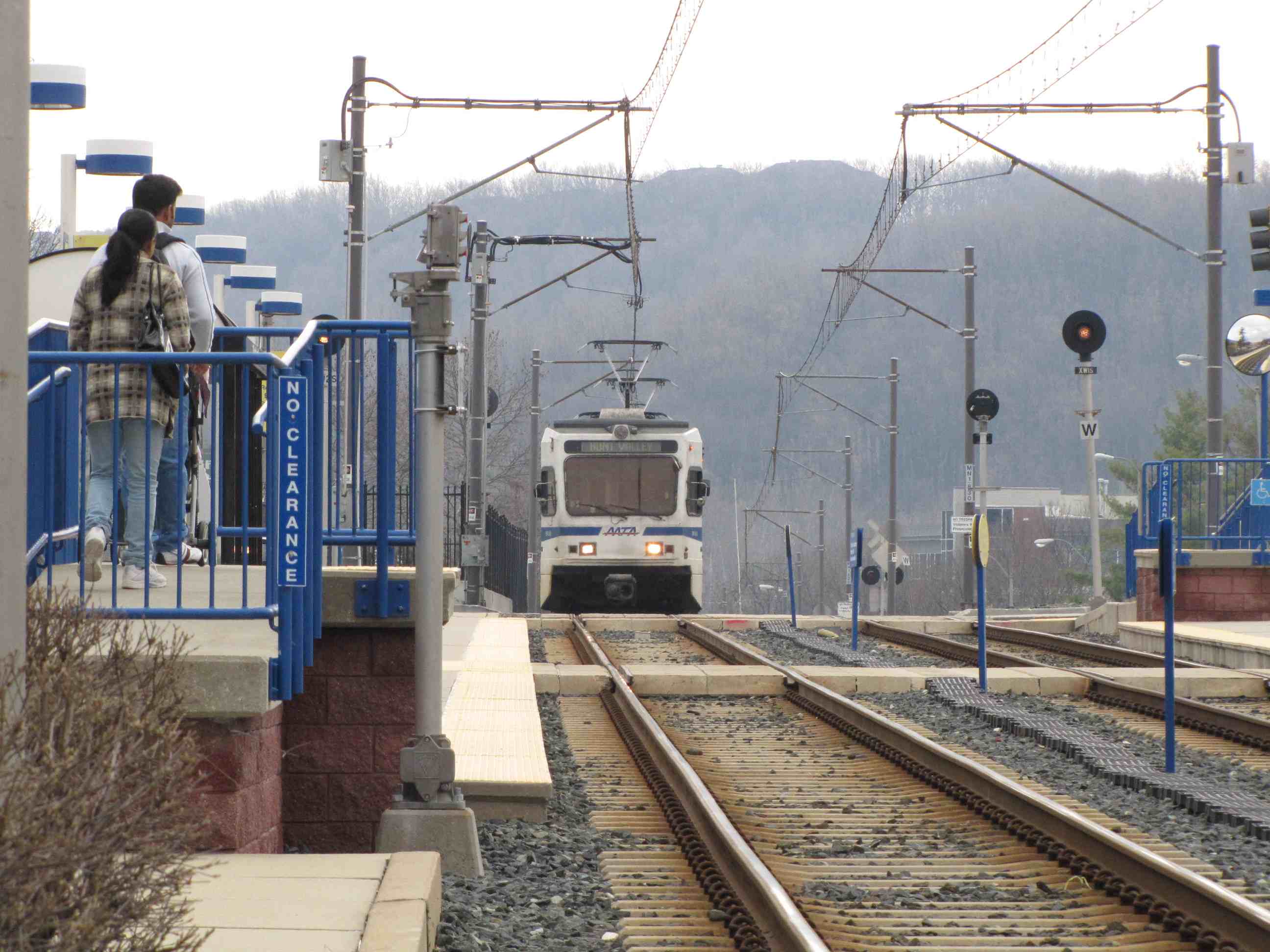

 A NB train coming into Gilroy and then heading to HV
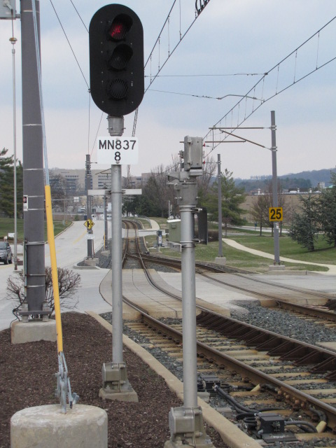


 NB trains passing the pocket track.
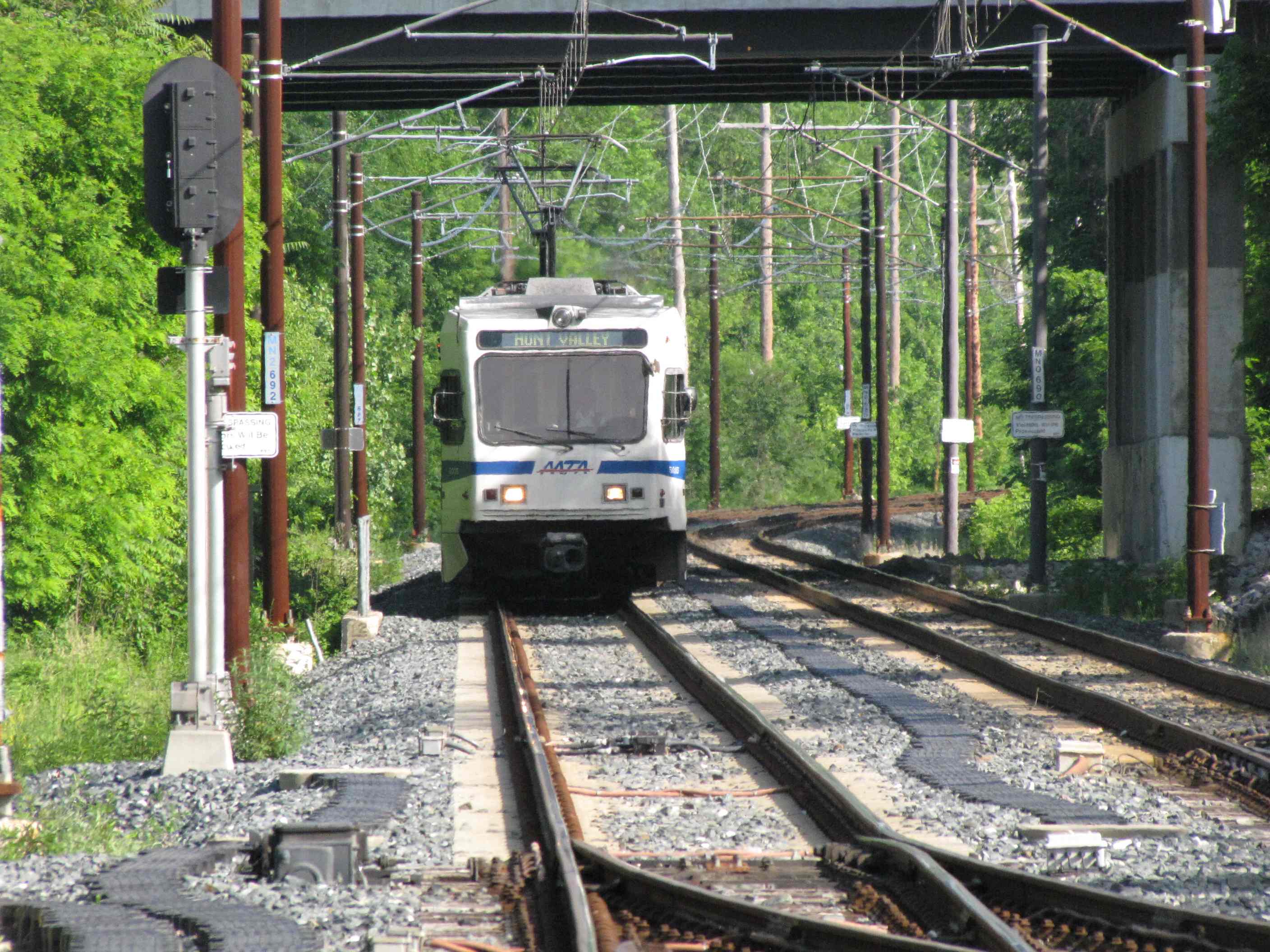
 NB going into the pocket track.
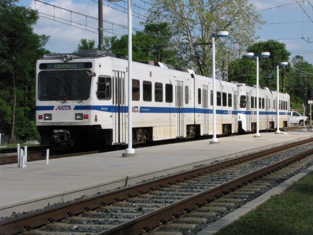
 In the pocket track.
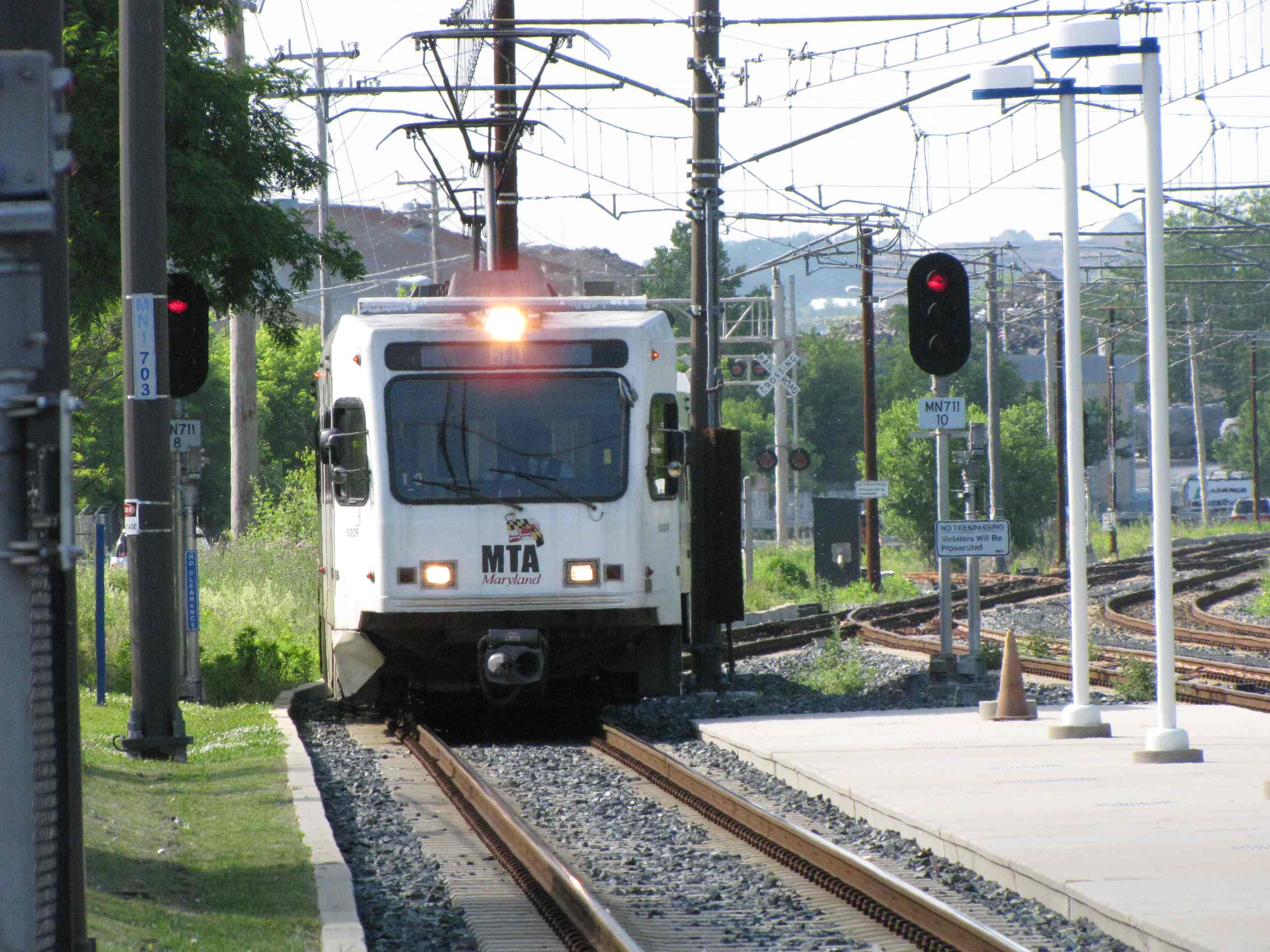


 SB trains passing the pocket track.
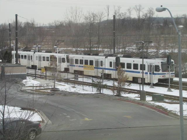 Picture from the adjacent medical building and my doctors office,
they think I'm nuts when I show up for an exam with my camera :-)
Picture from the adjacent medical building and my doctors office,
they think I'm nuts when I show up for an exam with my camera :-)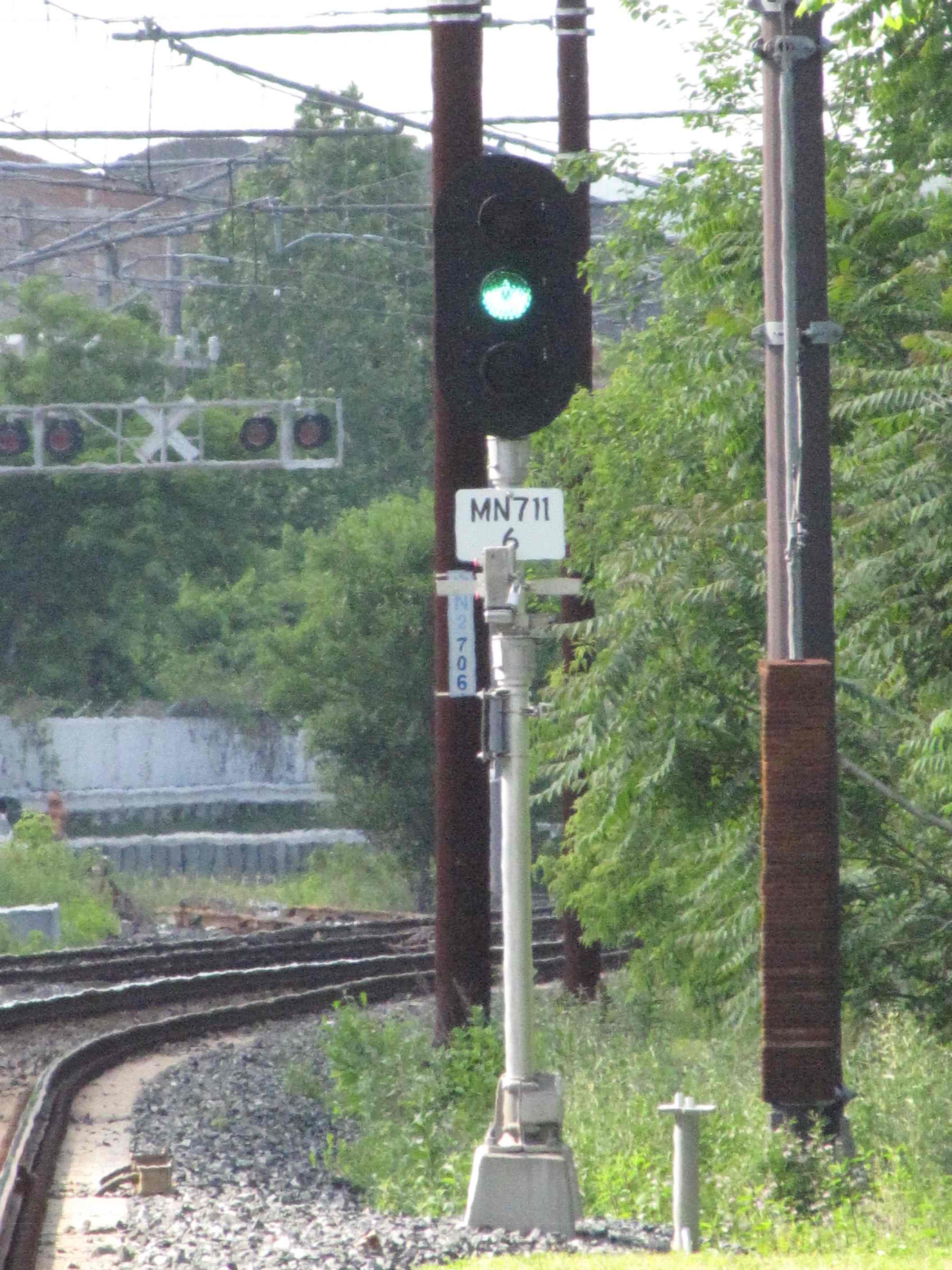
 Signals and signs.

 More signals and signs.
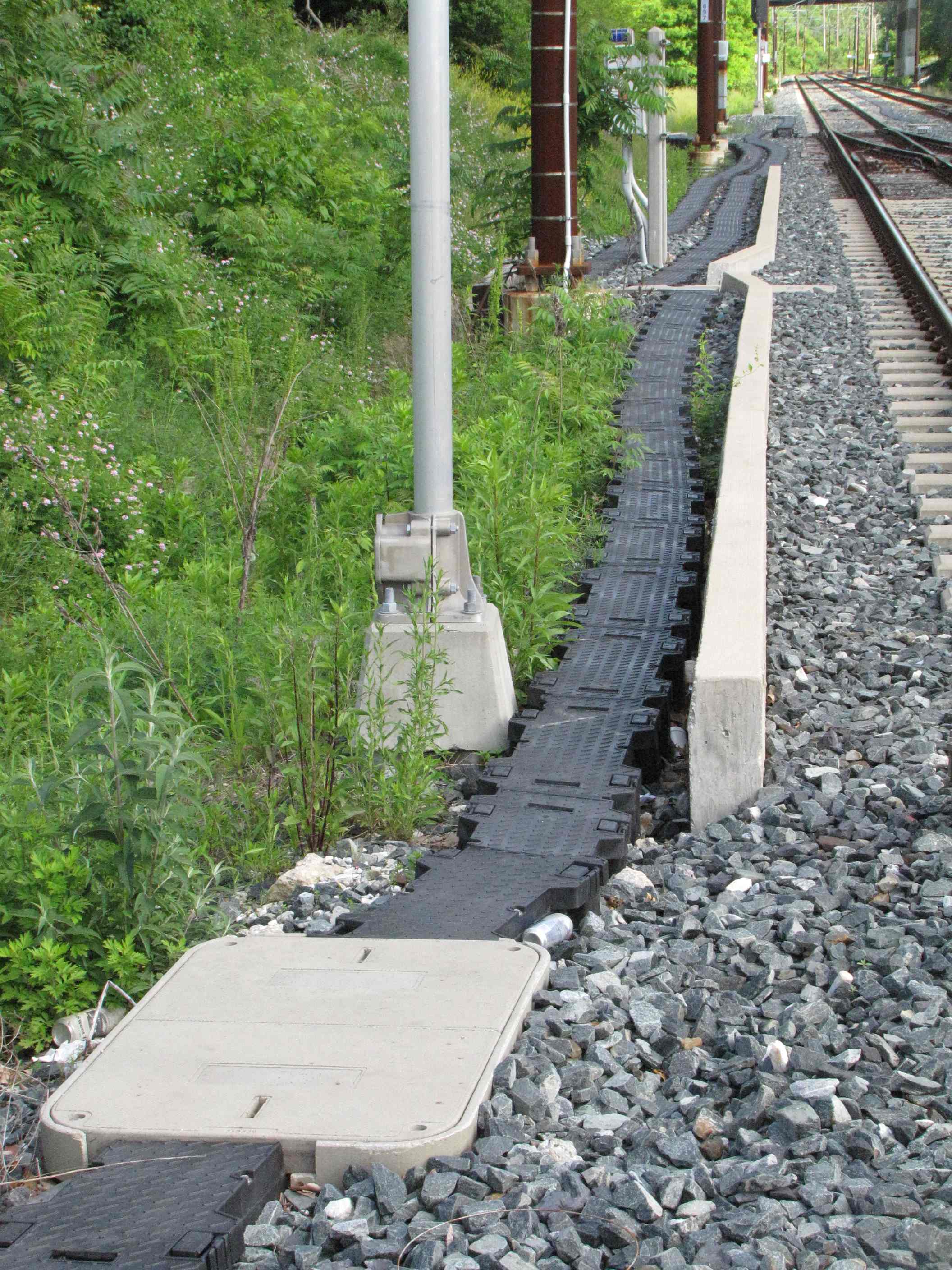
 Ductwork used for running the cables in, instead of running them overhead and/or on poles.
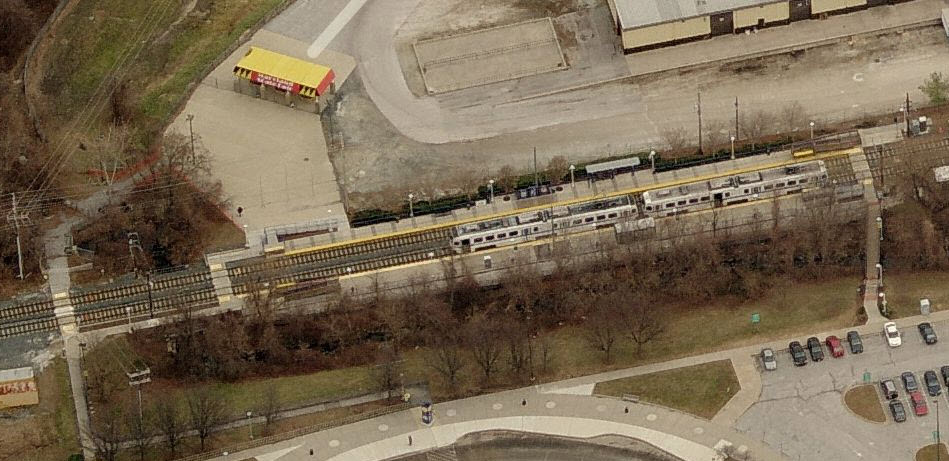


 Coming from the Lutherville station at Ridgely Rd, and heading into station.
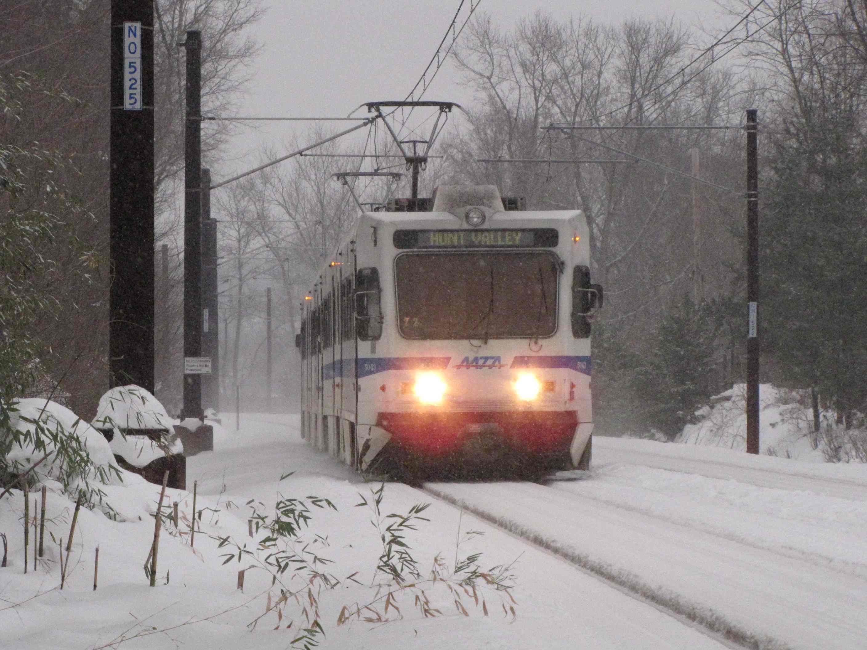
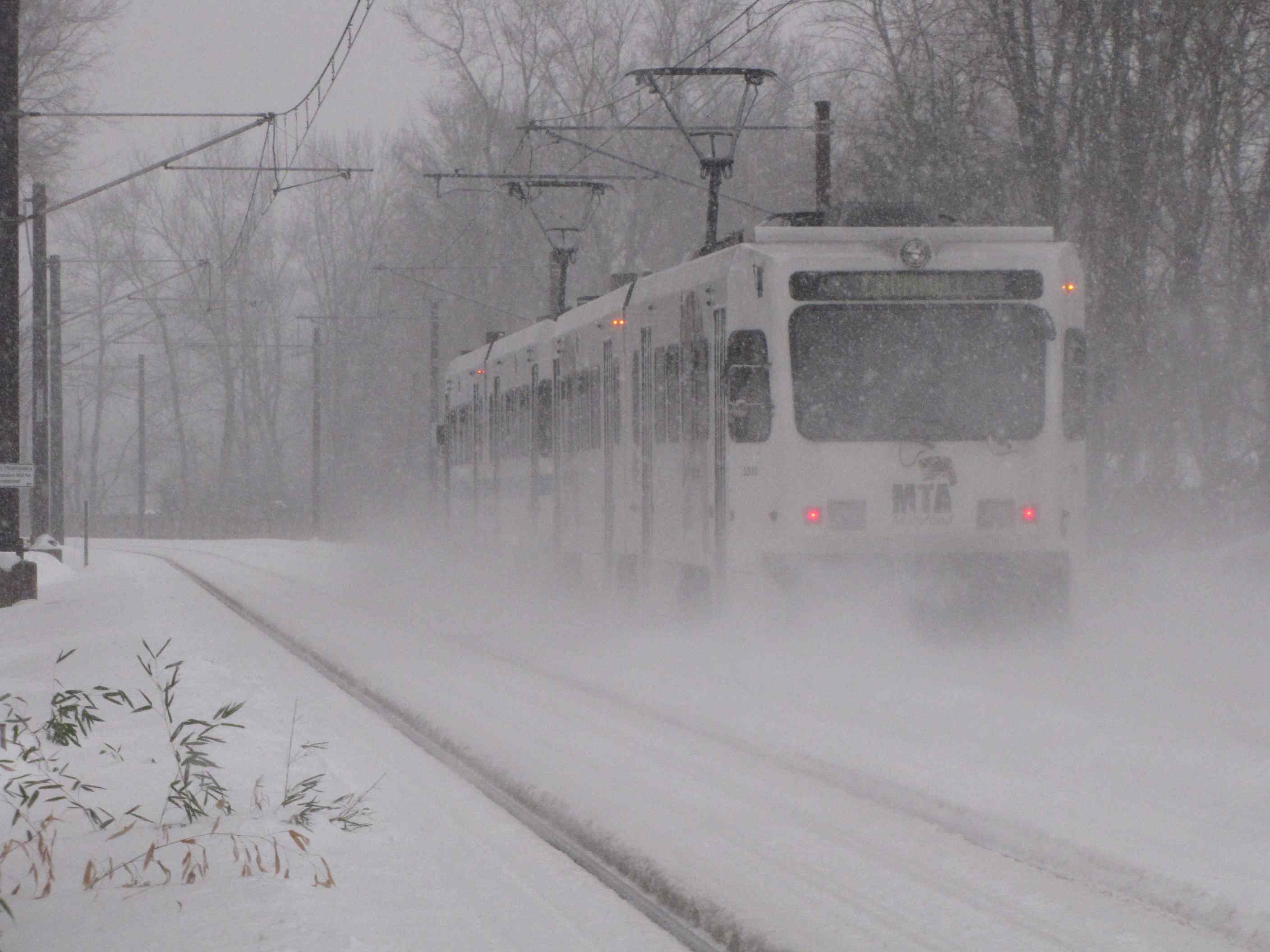
 A couple of winter shots from behind my house.
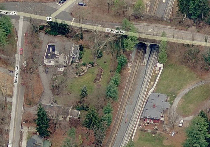

 Reserve Ambulance #117
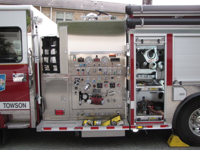

 Engine #1
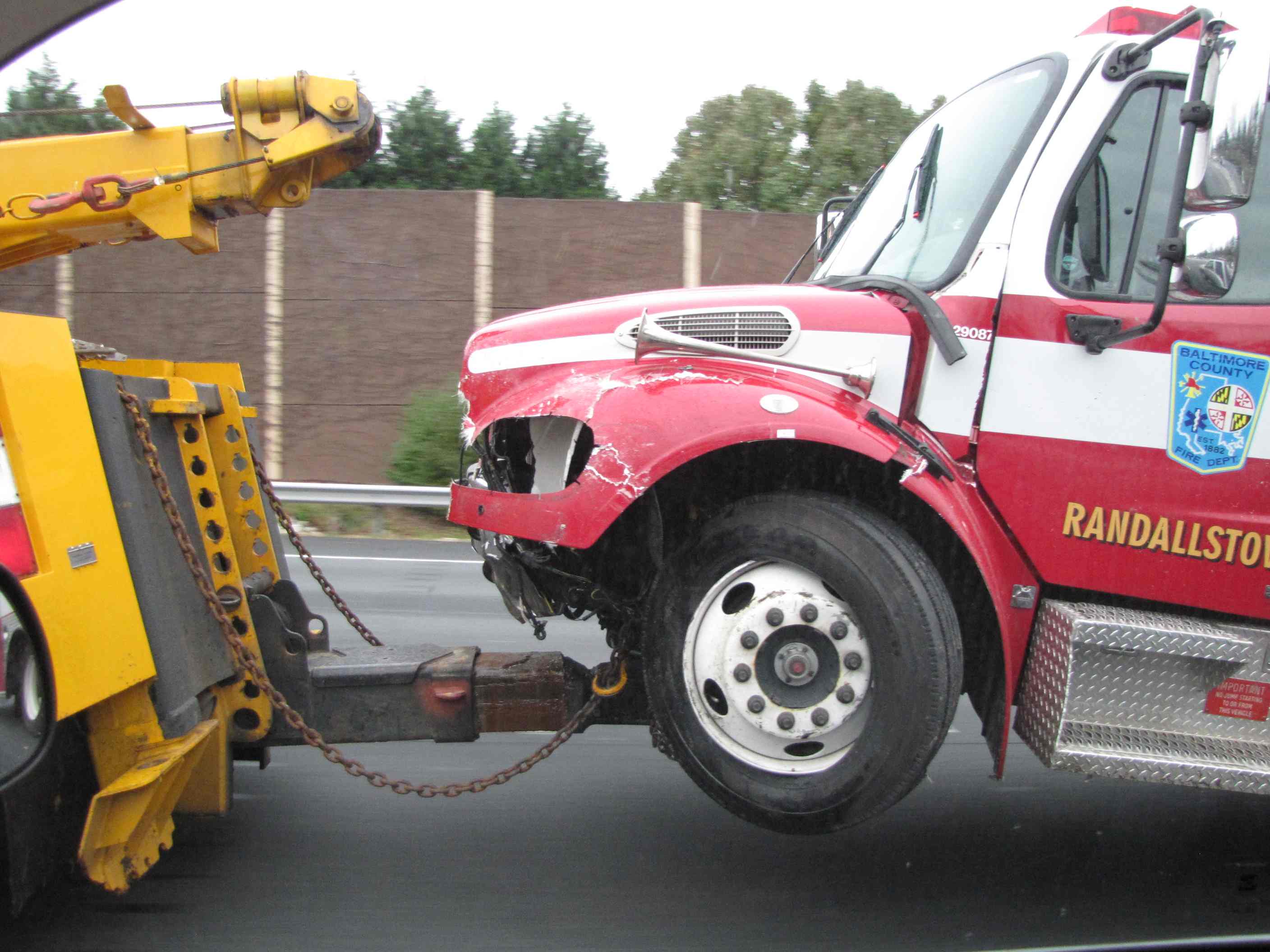 Oooooops
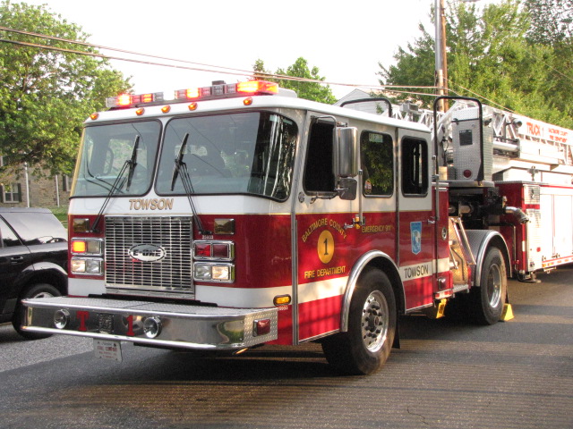
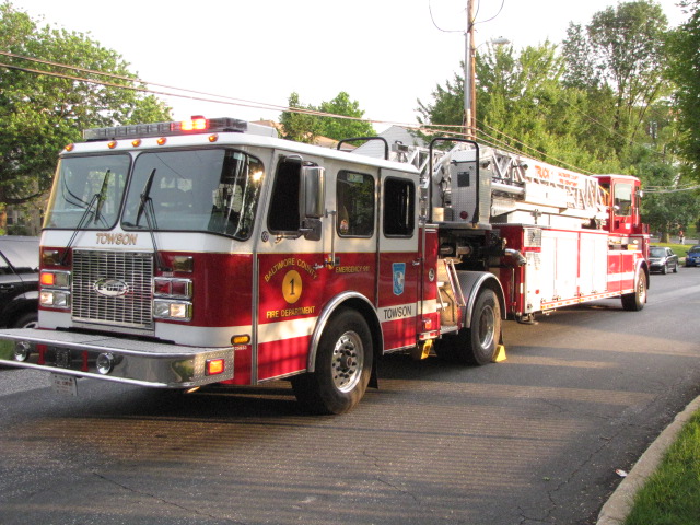
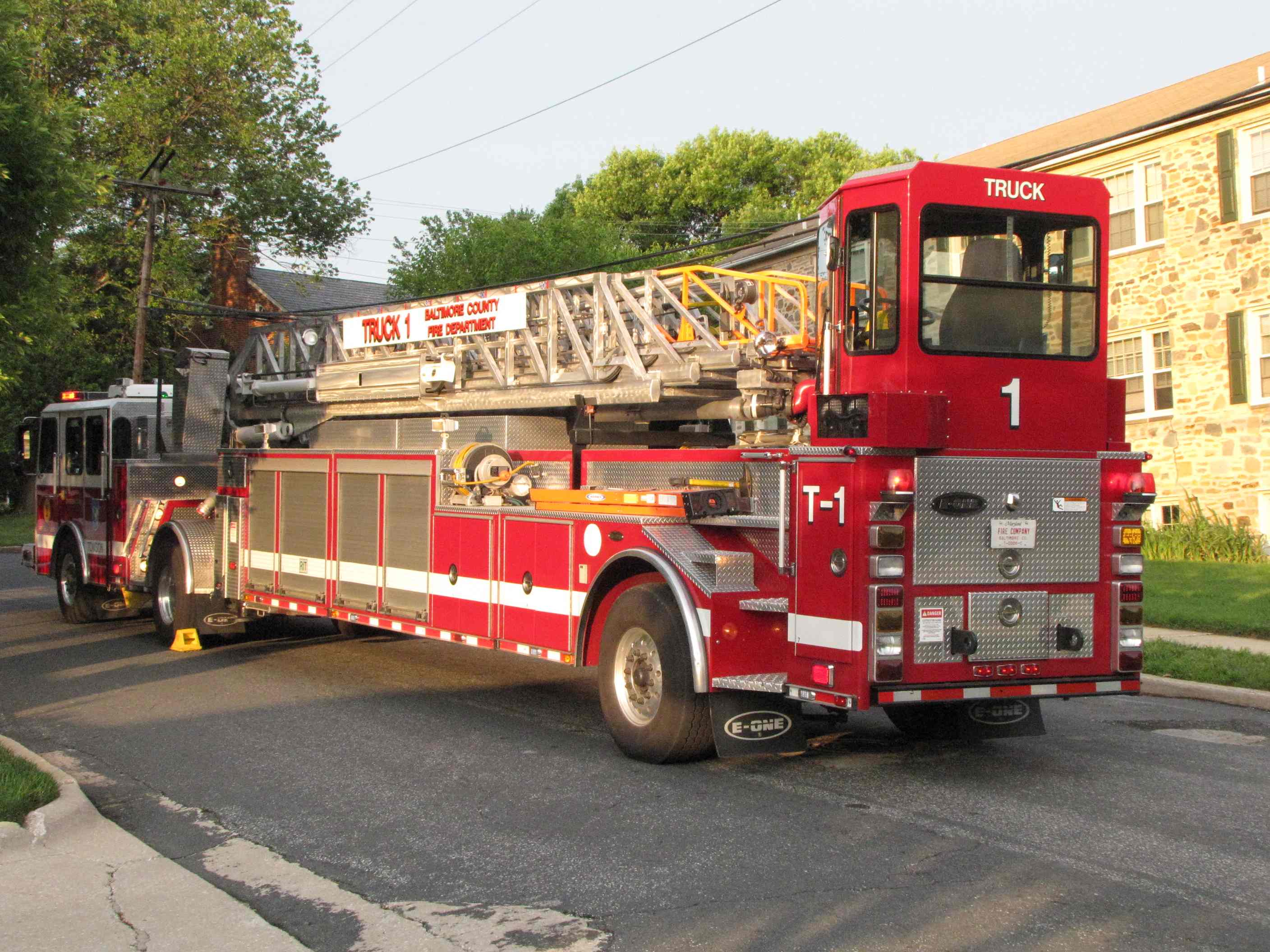
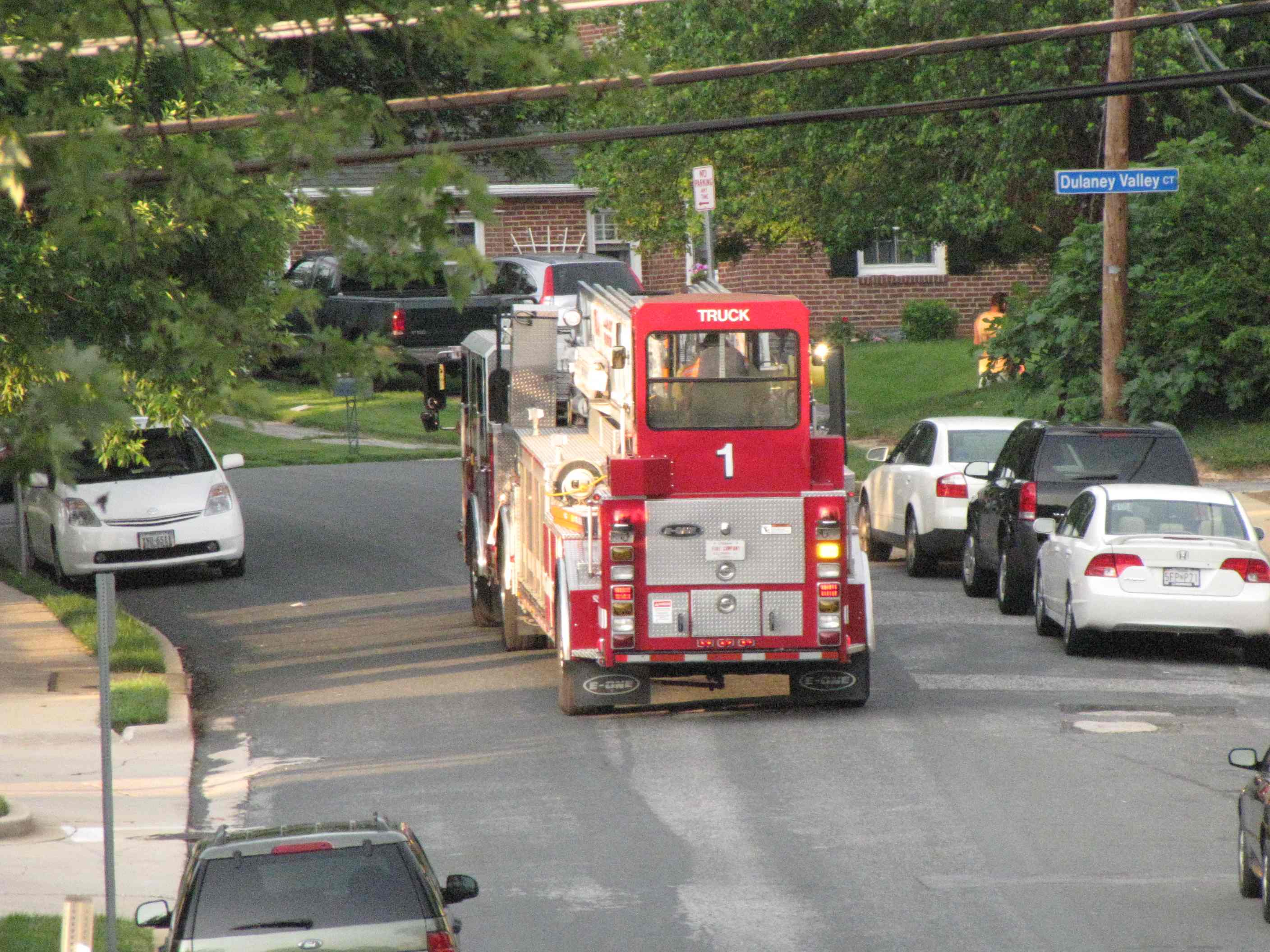
 Truck #1
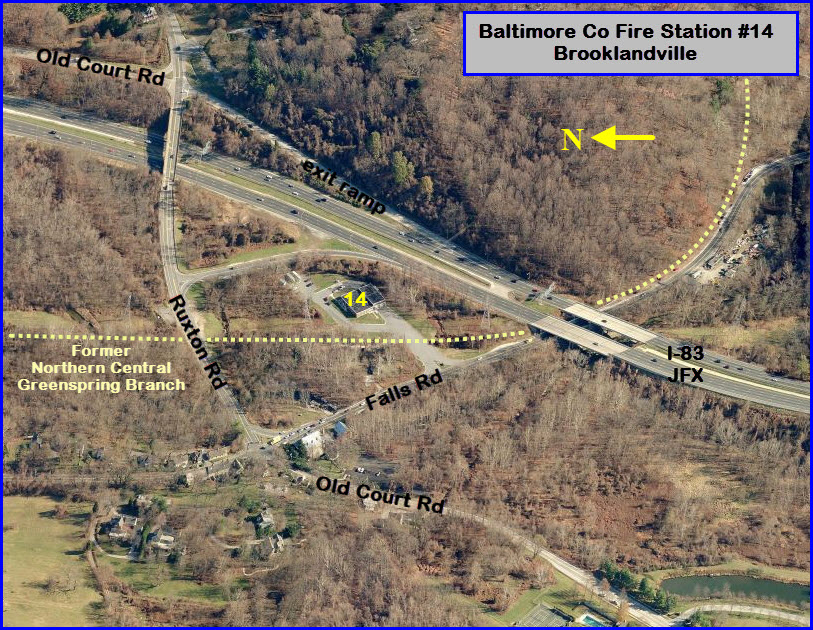


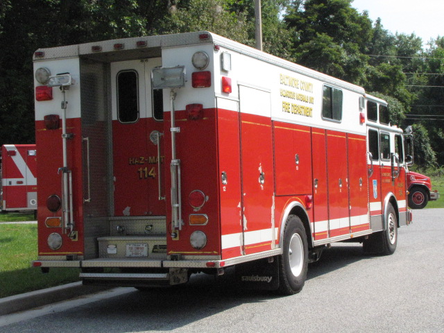


 Hazmat 114 caught on 11/29/2015 turning into the station in the rain - I was headed "down" Falls Road.
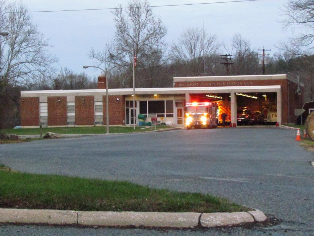
 Engine 14 caught on 11/29/2015 having it's equipment checked out, I was headed "up" Falls Road returning home.
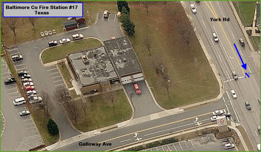
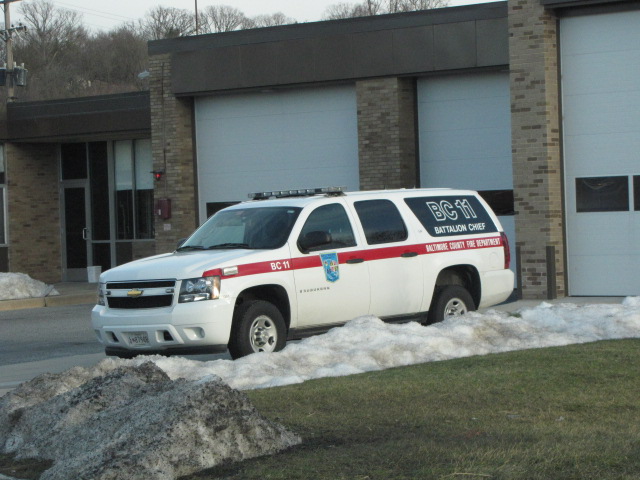
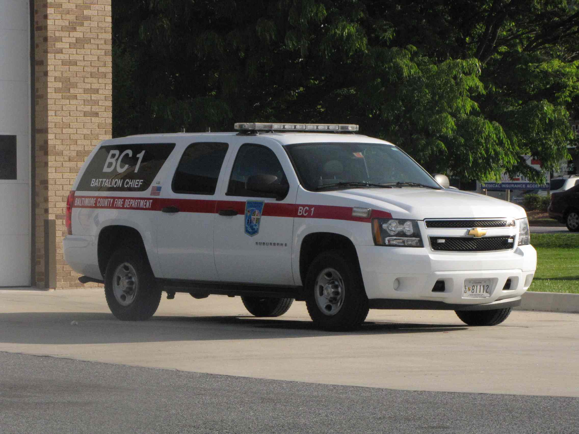
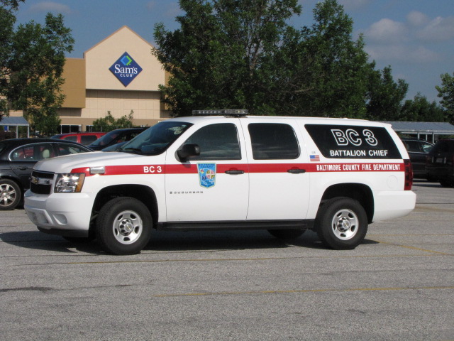 Battalion Chief 11/1 sitting outside the station, and BC3 outside Sams Club, near the L/R pocket track.
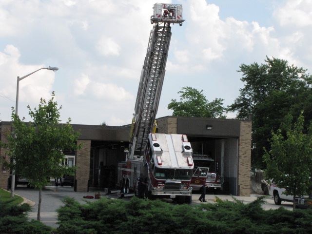
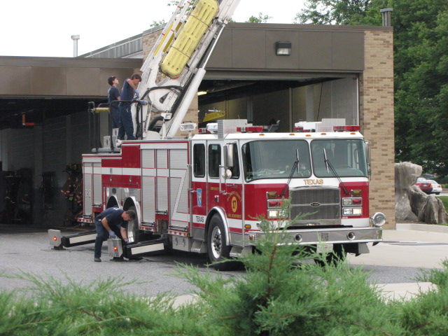
 Truck #17
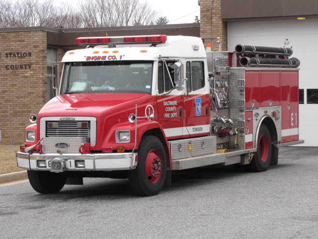
 Engine #1 at Texas.
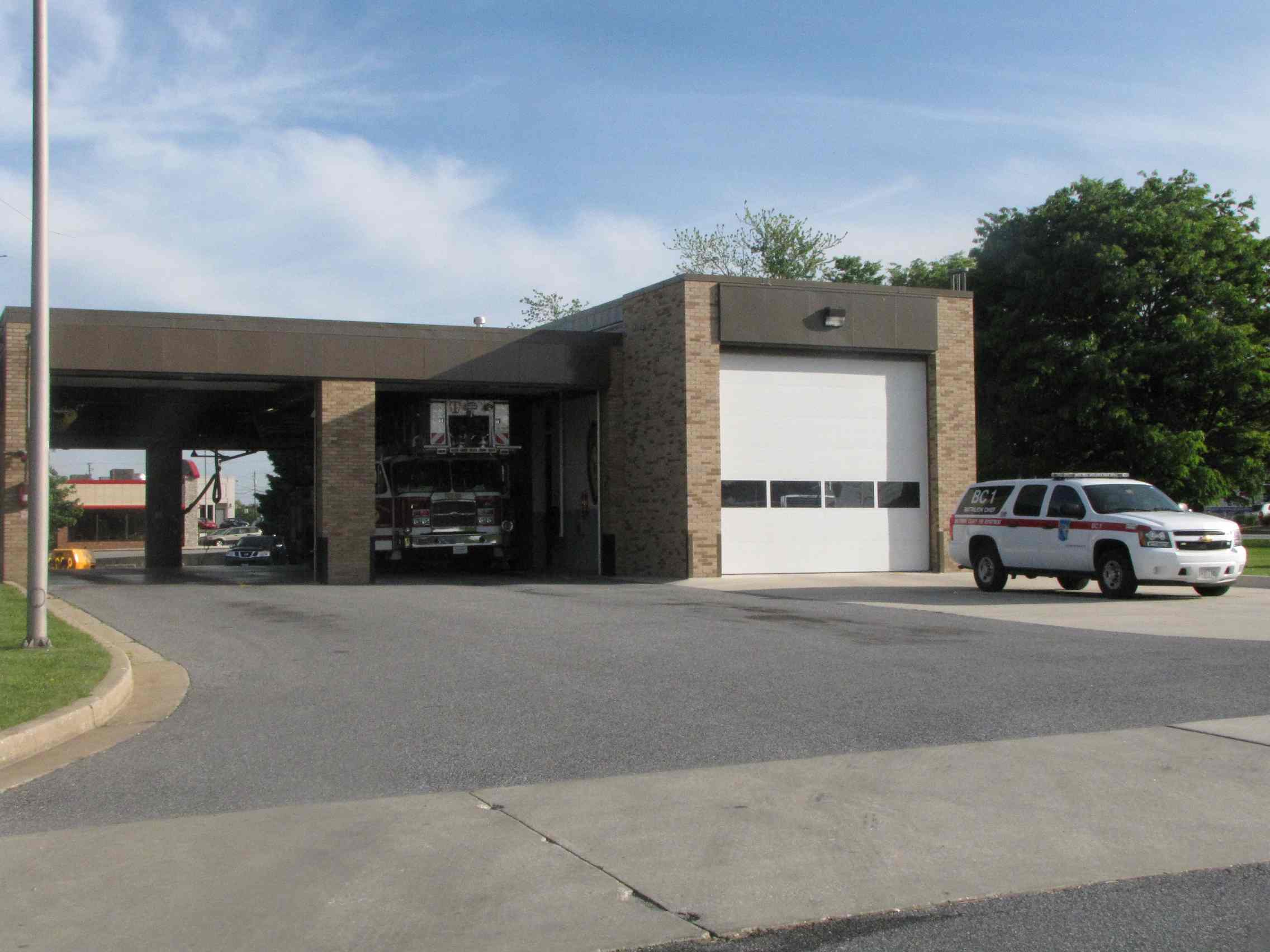
 Engine #17 caught on NB 83, and then at the station about 30
minutes later going down York Rd.
Engine #17 caught on NB 83, and then at the station about 30
minutes later going down York Rd.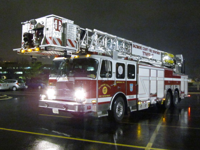
 Tower 17 at Sam's Club on a rainy night in Texas (MD) on
11/30/2015.
Tower 17 at Sam's Club on a rainy night in Texas (MD) on
11/30/2015.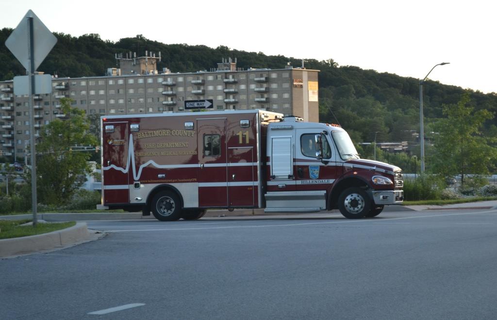 Ambo 11, Hillendale, getting off the outer loop (westbound) of
the Beltway.
Ambo 11, Hillendale, getting off the outer loop (westbound) of
the Beltway.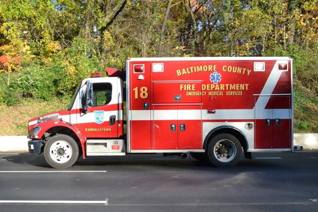 Ambo 18, Randallstown, on the eastbound side of the Beltway
getting ready to get off at Charles St.
Ambo 18, Randallstown, on the eastbound side of the Beltway
getting ready to get off at Charles St.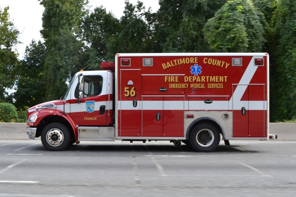 Ambo 56, Franklin, also on the eastbound side of the Beltway
getting ready to get off at Charles St.
Ambo 56, Franklin, also on the eastbound side of the Beltway
getting ready to get off at Charles St.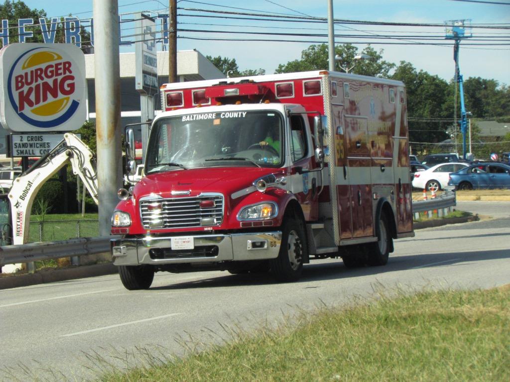 Ambo 55, seen on Perring Pkwy and Joppa Road, not quite near
Charles St.
Ambo 55, seen on Perring Pkwy and Joppa Road, not quite near
Charles St. Medic 475, Jacksonville VFCo, heading south to the hospitals on Charles St
by Bellona/Kennilworth. http://www.jvfc.com/
Medic 475, Jacksonville VFCo, heading south to the hospitals on Charles St
by Bellona/Kennilworth. http://www.jvfc.com/ 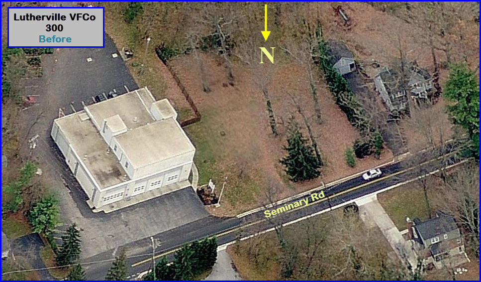


 Construction pictures from May 2015.
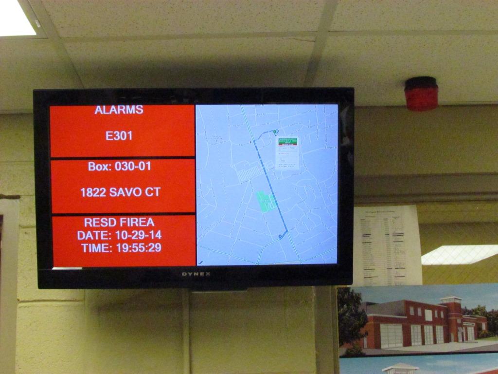
 Interior shots from October 2014.
 Ambo 395 in Timonium.
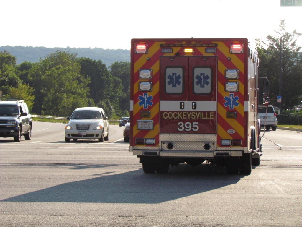
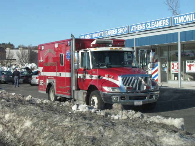
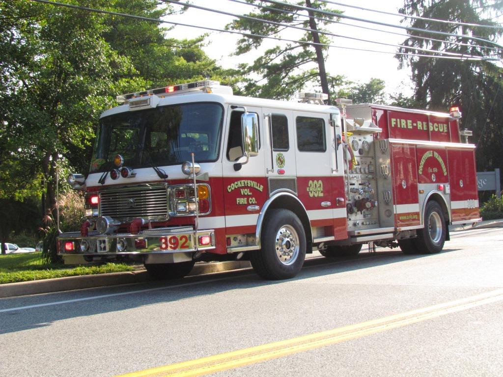 Ambo 395 and engine 392 caught near the station off Schilling Road.
 GPS:
39.590225, -76.648094 http://hvaa.org/
GPS:
39.590225, -76.648094 http://hvaa.org/ 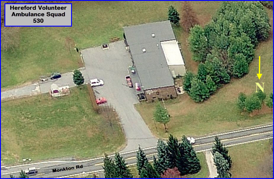
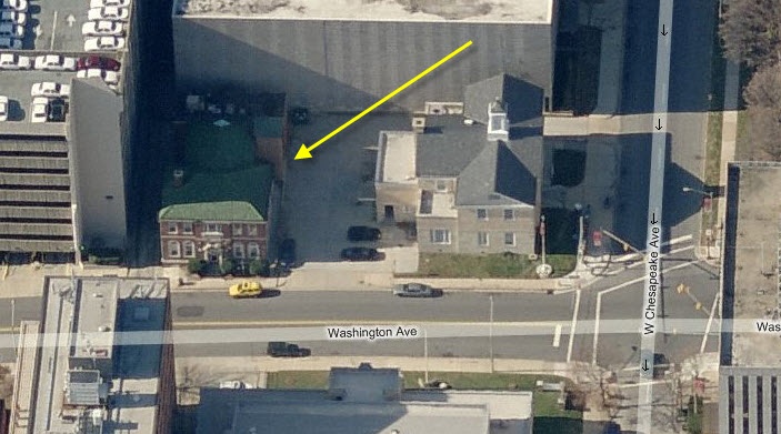
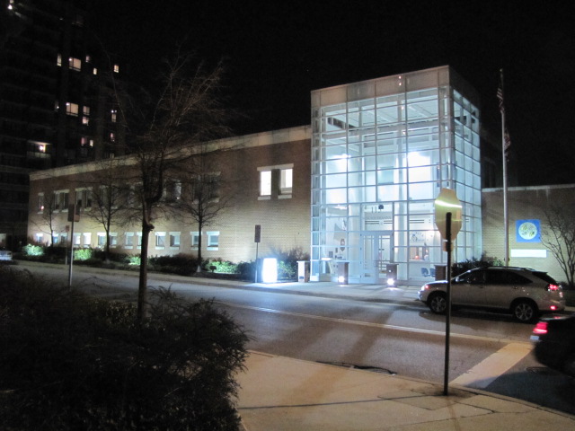
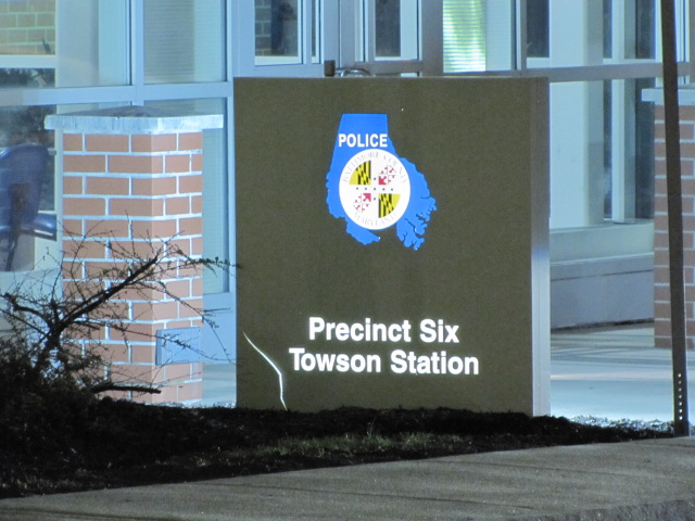
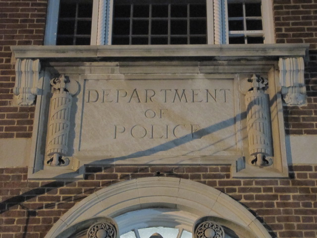
 The "new" home of precinct 6, opened for business in 2001
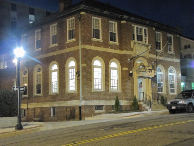
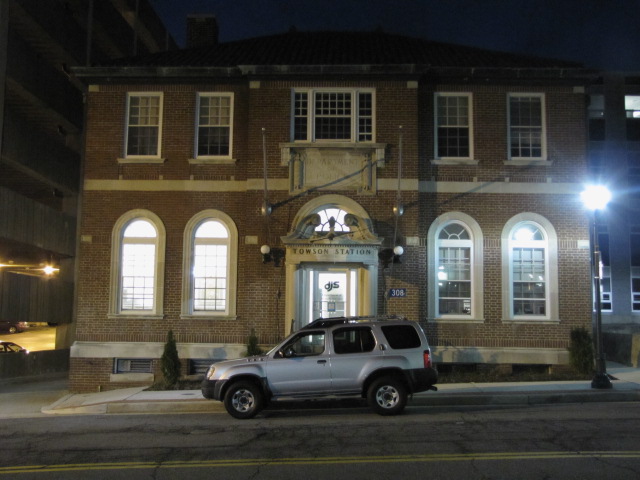
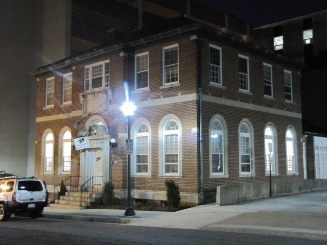
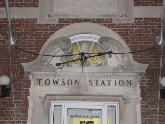 The old Towson Station
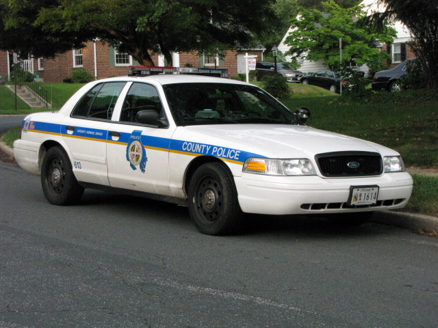


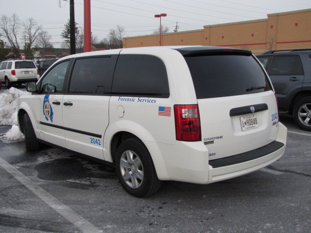
 Car 2042 - assigned to Forensic Services, caught at Target in
Texas, across from Station 17.
Car 2042 - assigned to Forensic Services, caught at Target in
Texas, across from Station 17.
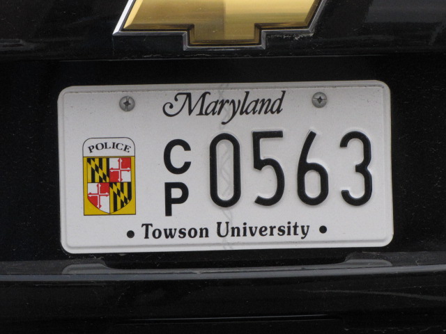
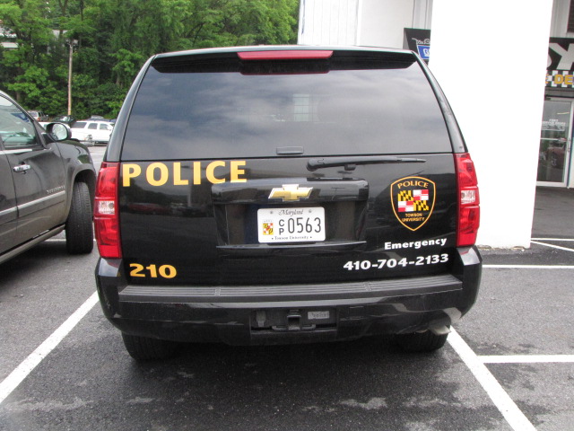
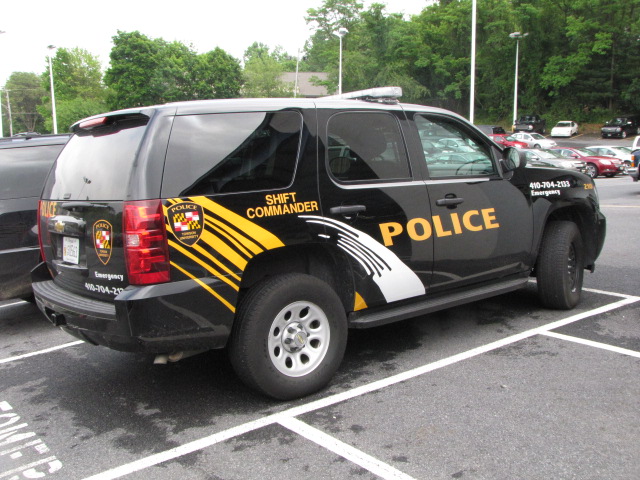

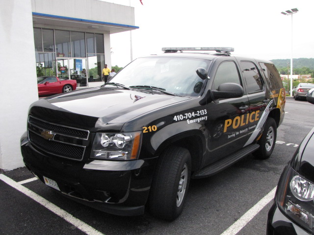 Towson State University Shift Commanders SUV, caught at Jerry's Chevrolet for service
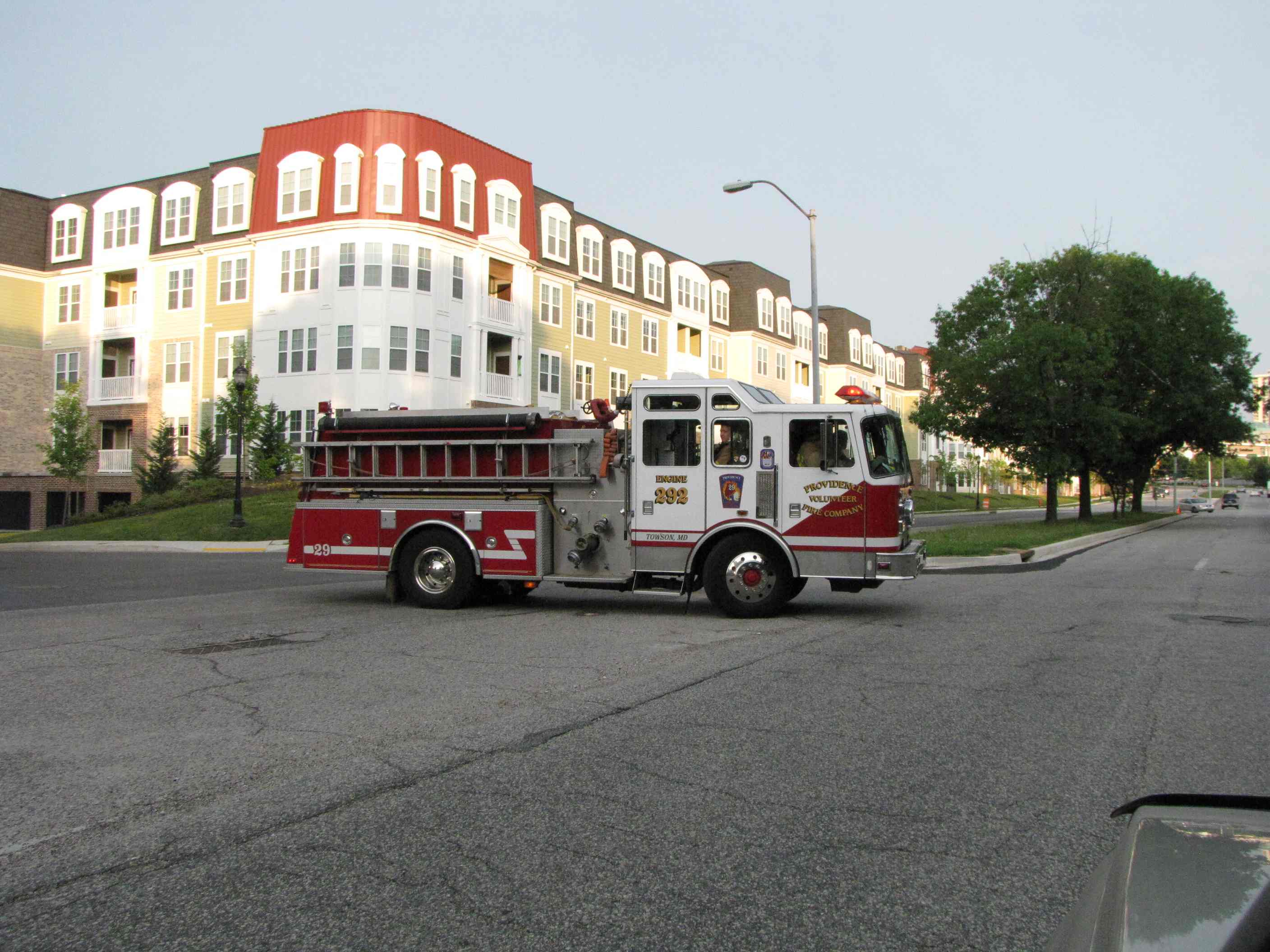 Providence Road Volunteers Truck 292 going home from fire in Towson.
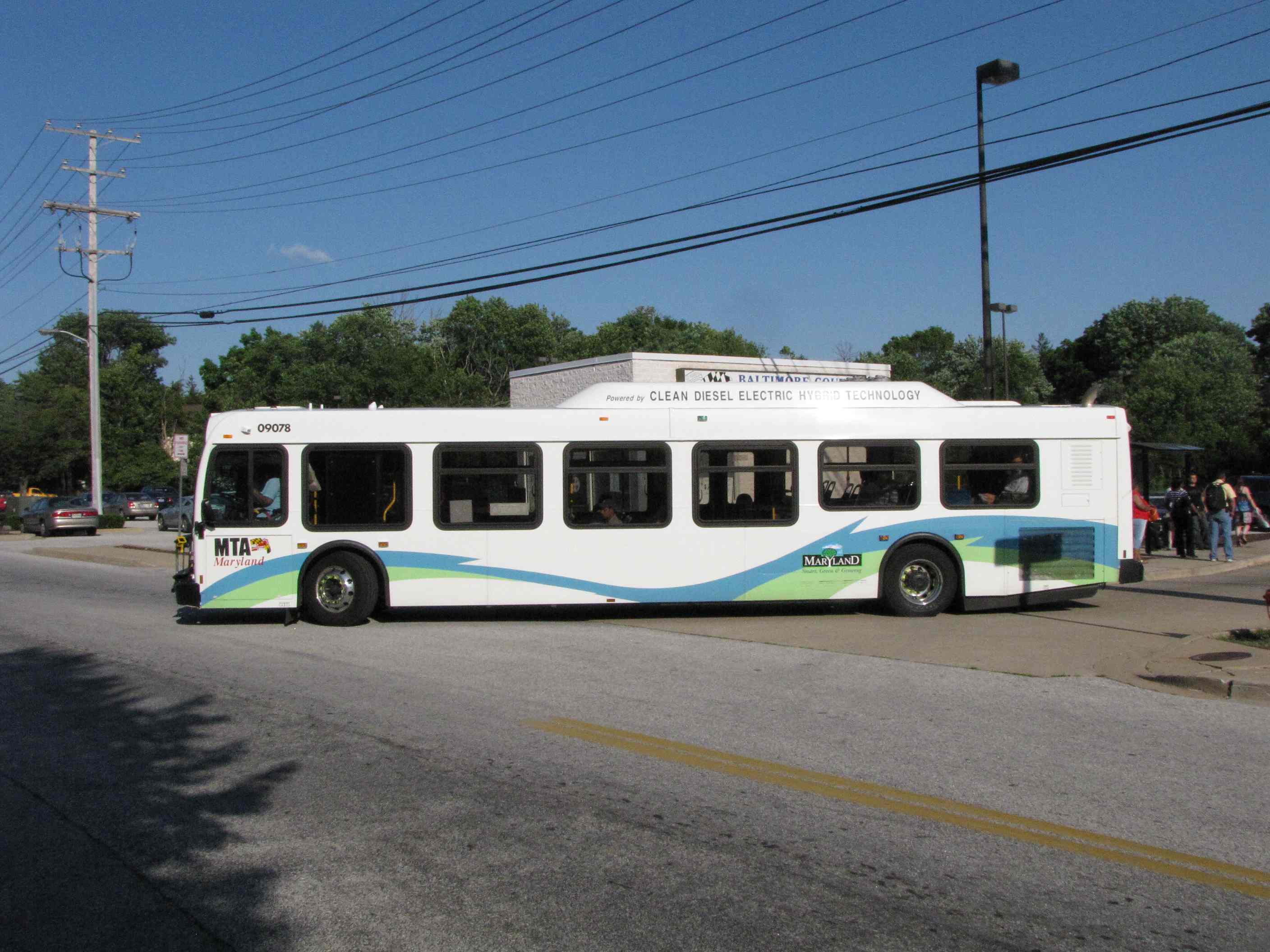
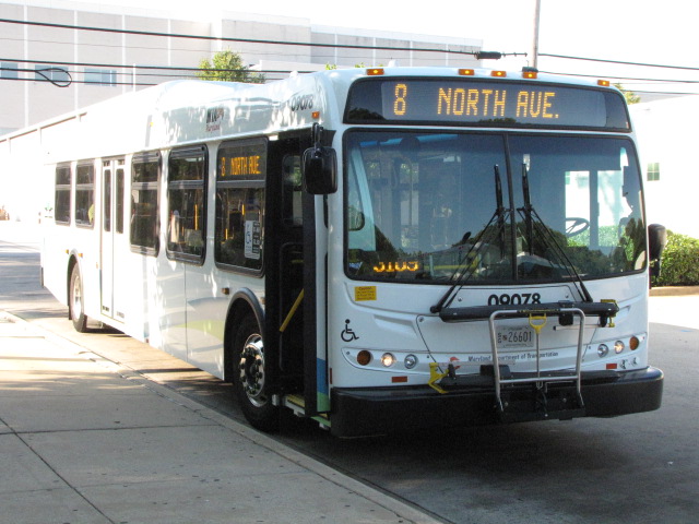
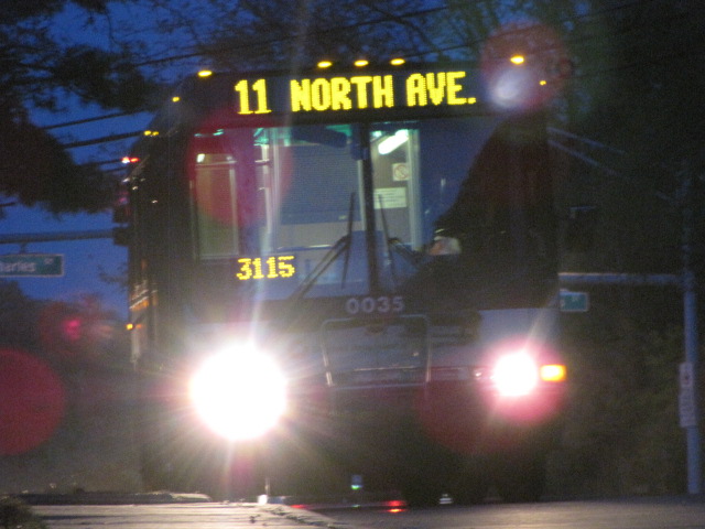 Bus on route 11 in Riderwood off Charles St, waiting for operations to give it the go-ahead to go.
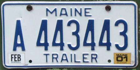 Seen somewhere around Towson.... Love the double 443