
In General
Getting Here
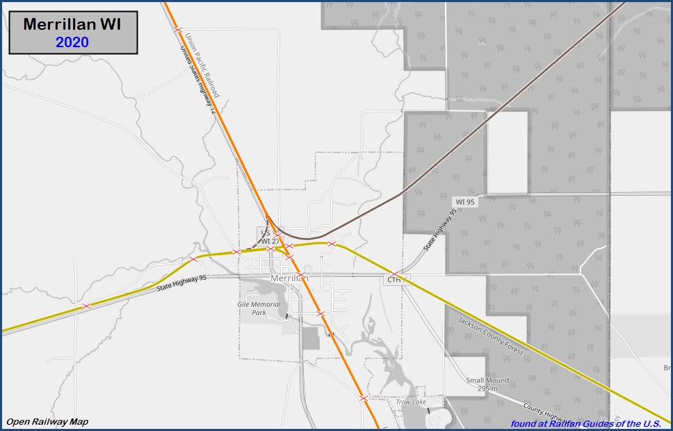
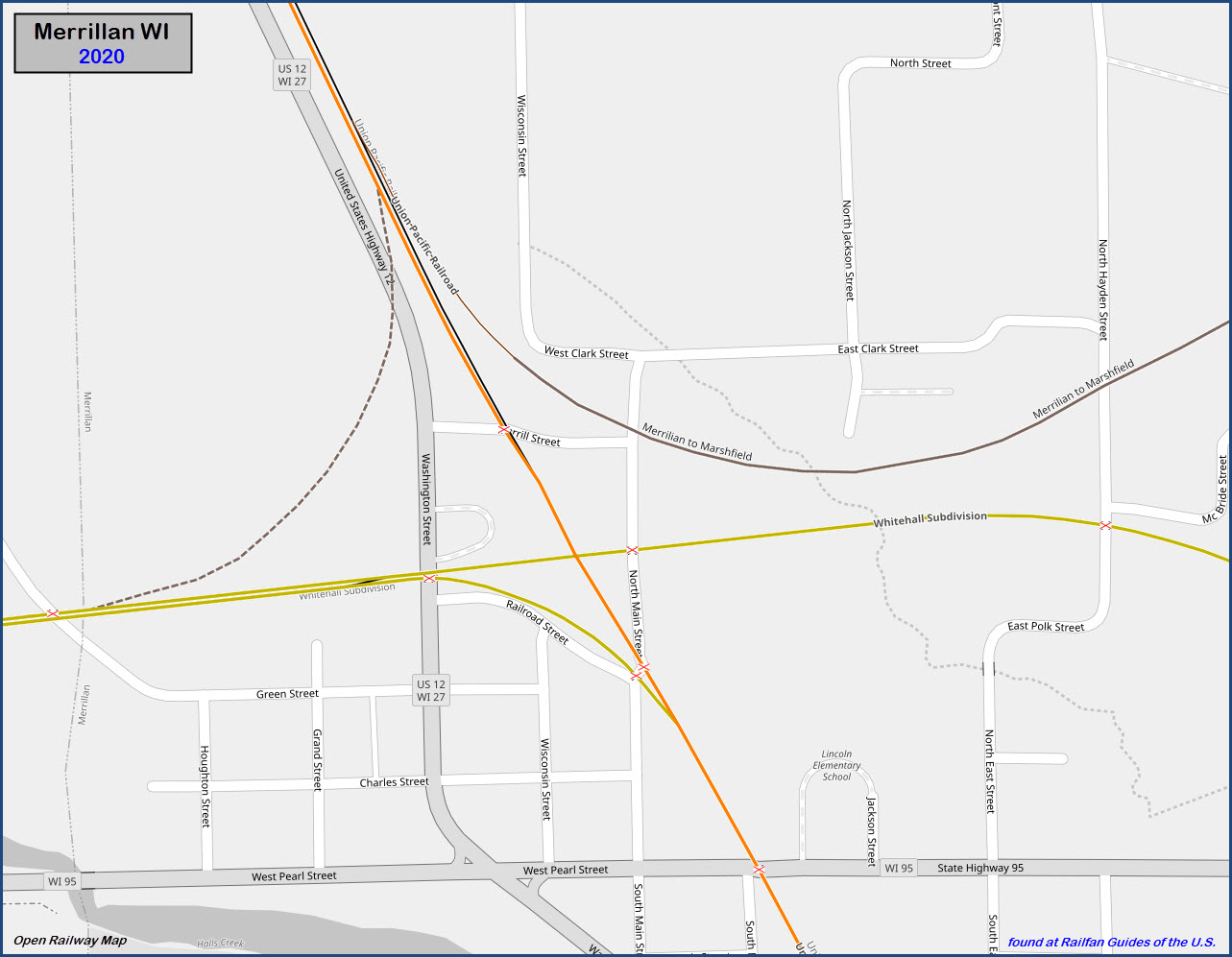
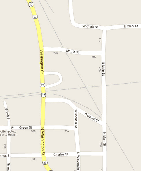
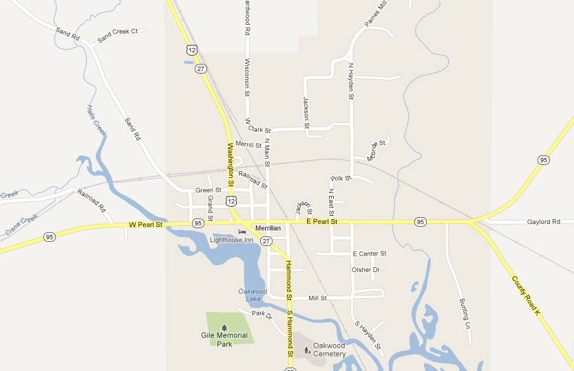
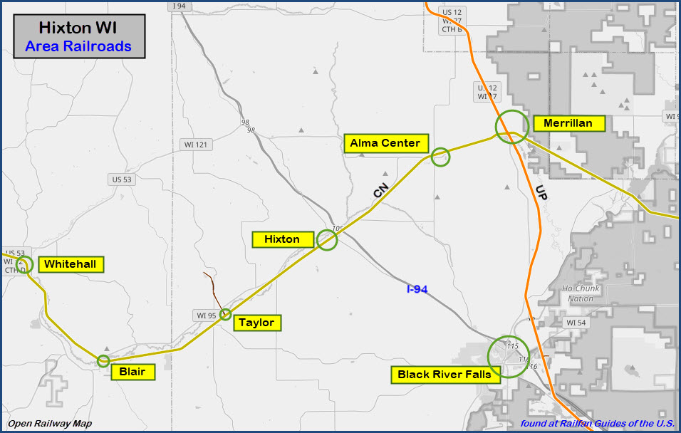
Maps
Pictures
RAILFAN GUIDES HOME
RAILROAD SIGNALS HOME
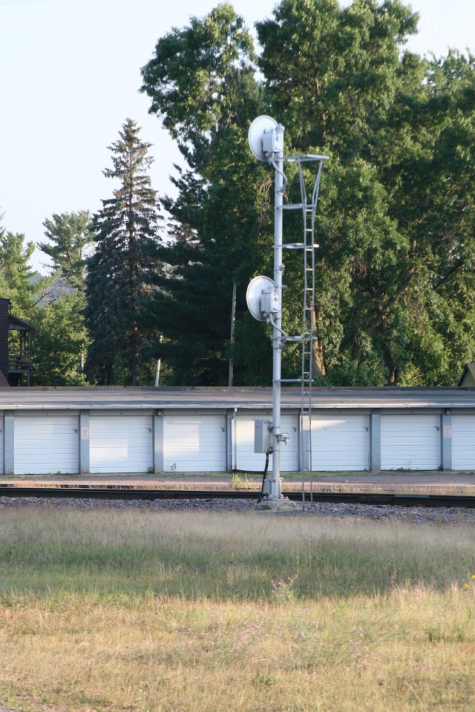
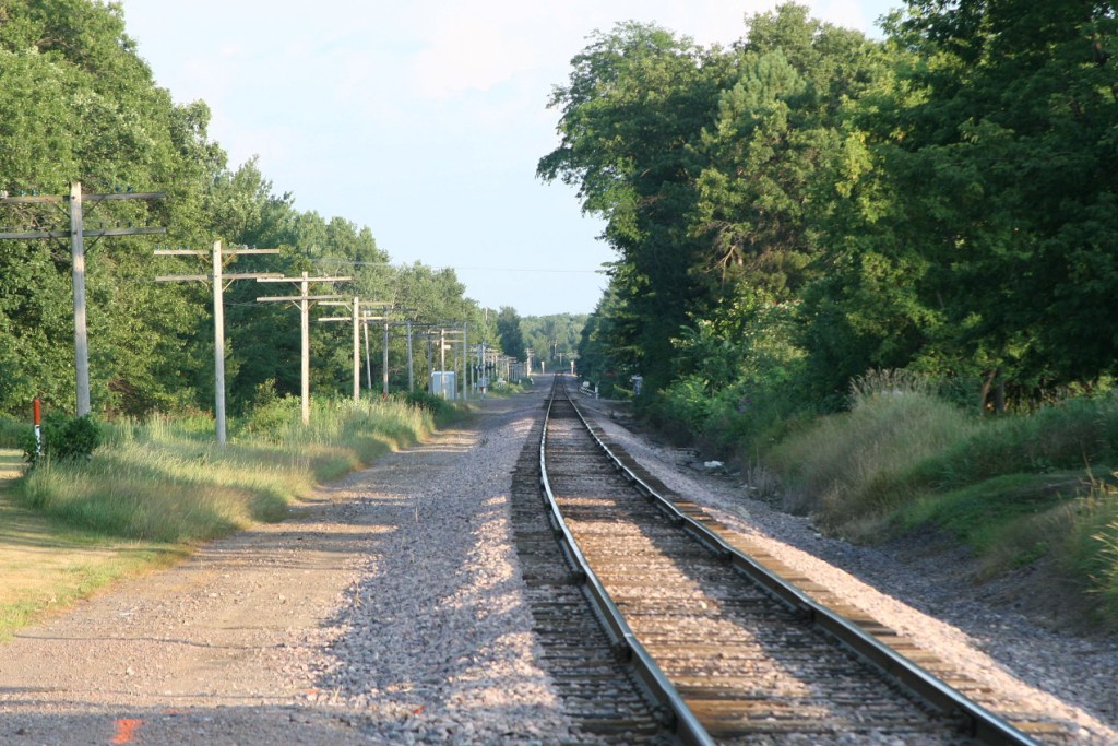
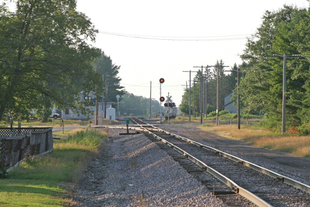
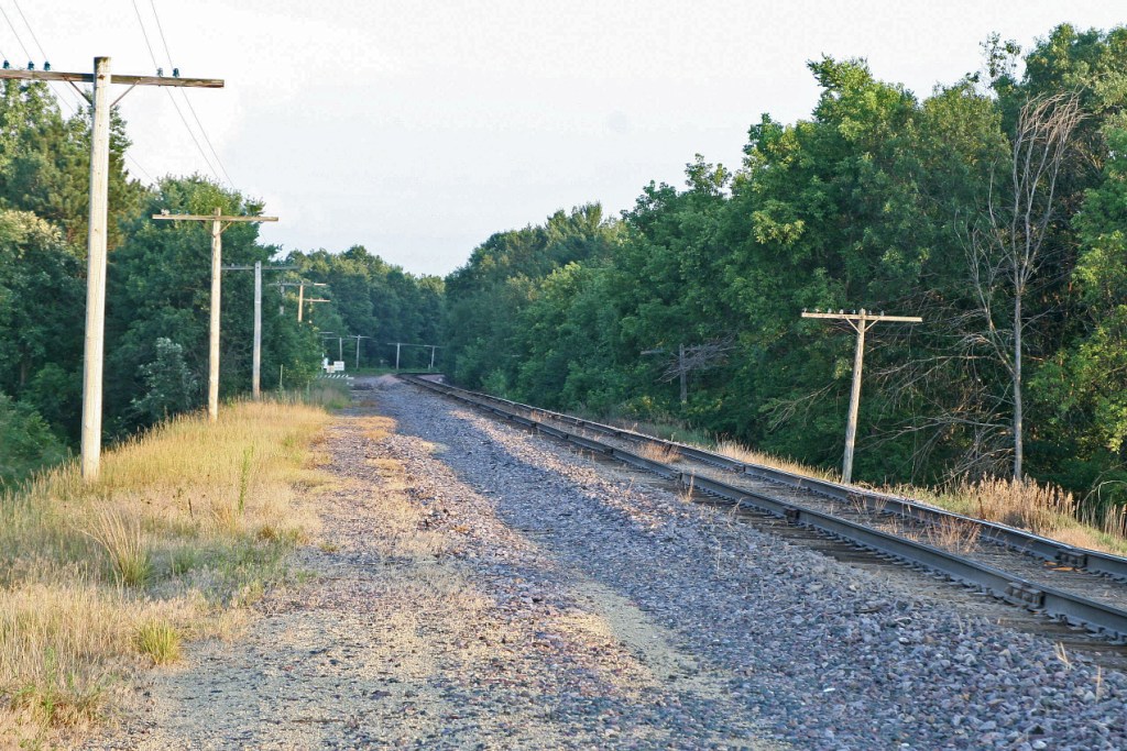
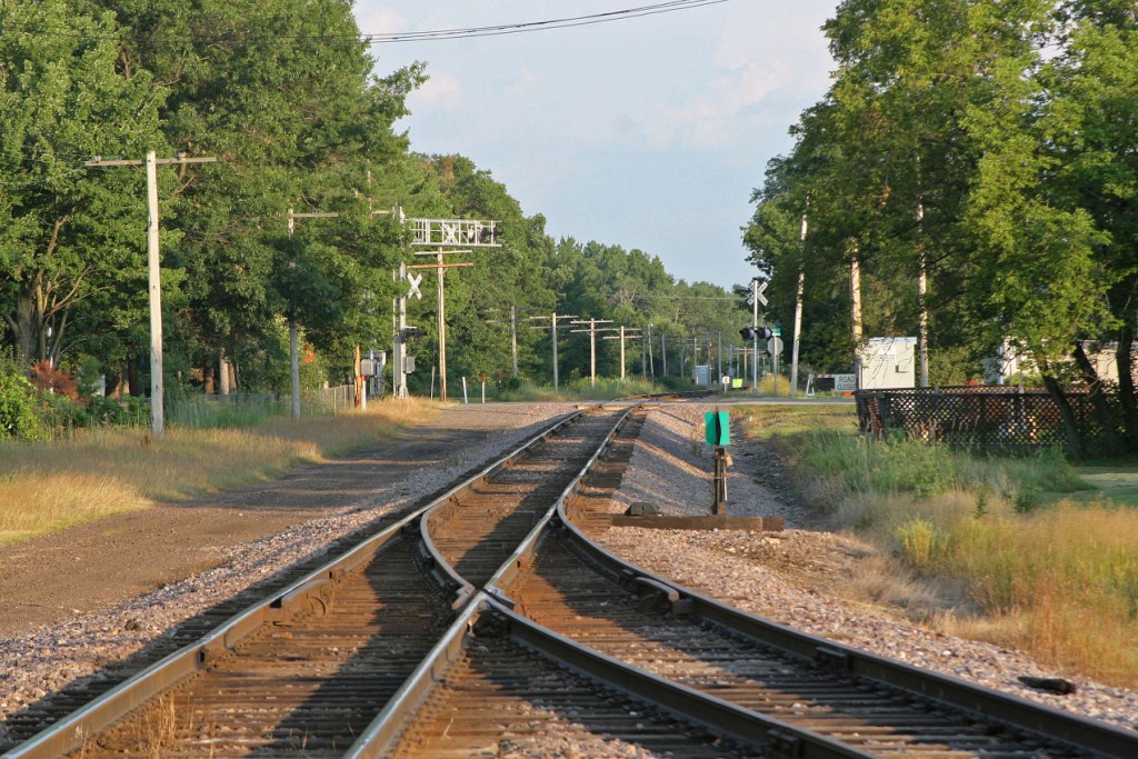
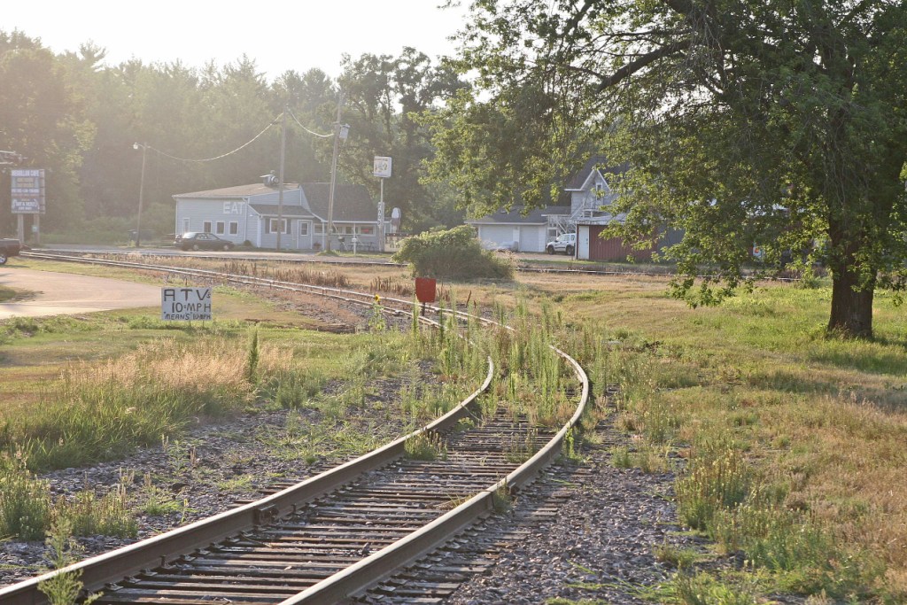
A quiet, little used diamond off the beaten path, but worth the trip if you're into signals.
I would like to give a big thanks to Jim Mihalek and his brother for the pictures. Every year, they go out and document signals from the Minneapolis area (where Jim lives) down into Michigan and Ohio where they grew up. They do a great job and should be commended for their efforts!
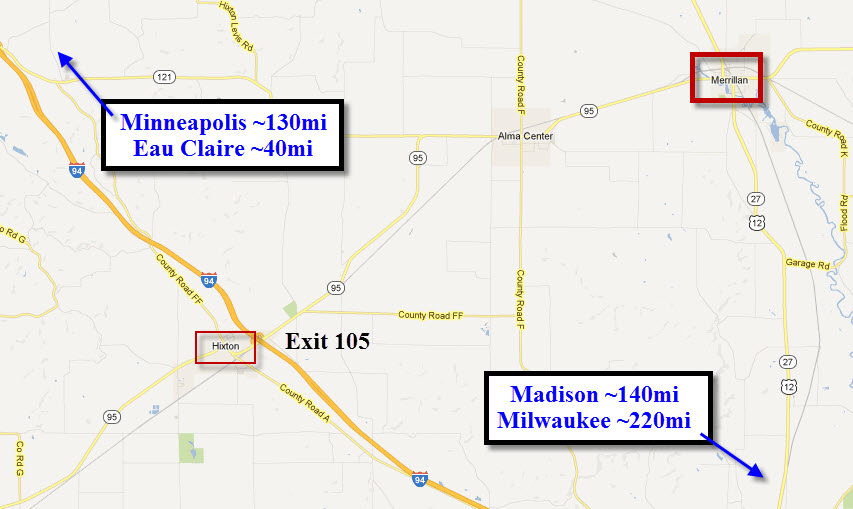
Take exit 105 off of I-94, and head NE on route 95 to Merrillan via the small township of Alma Center. For most of the ride, you parallel the tracks. Mileages to "known" cities are on one of the maps.
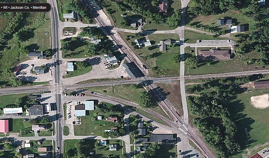


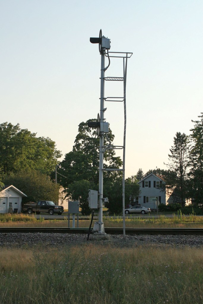
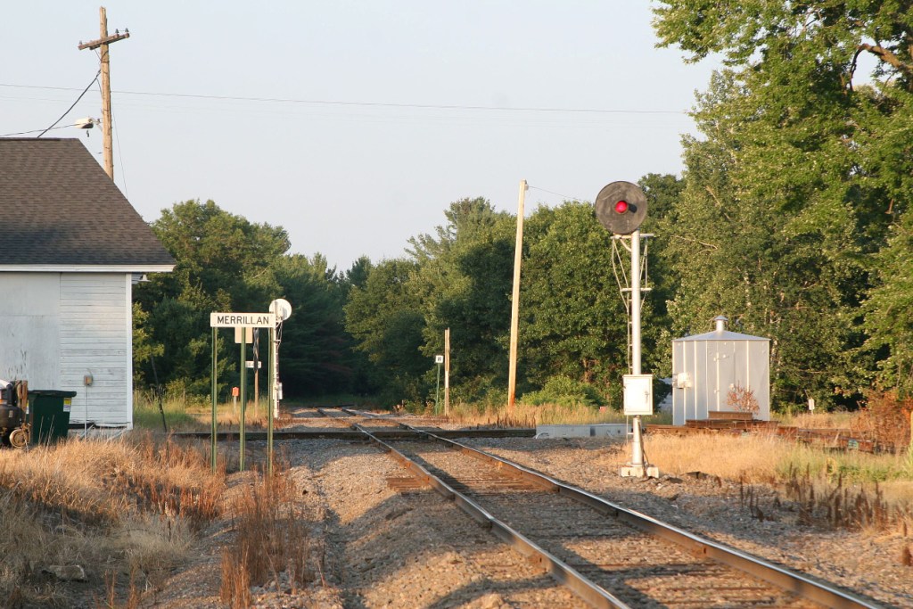
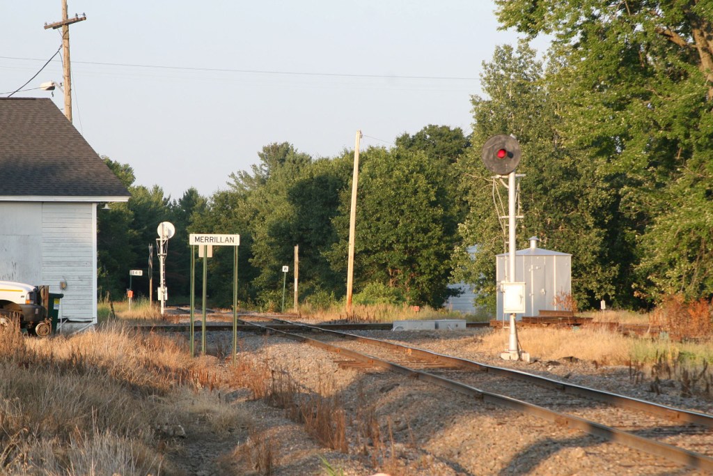
On the CNW side of the Diamond

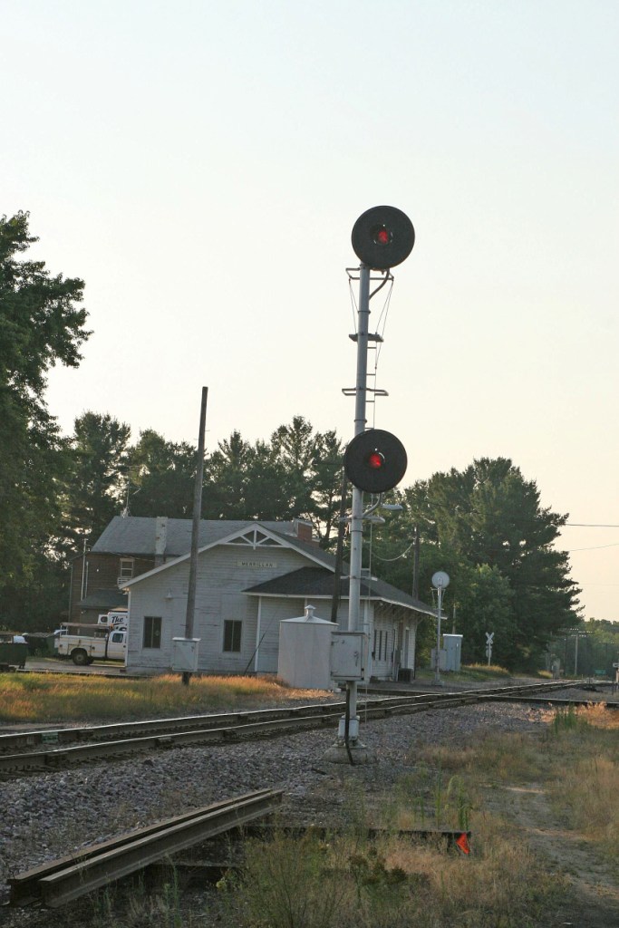


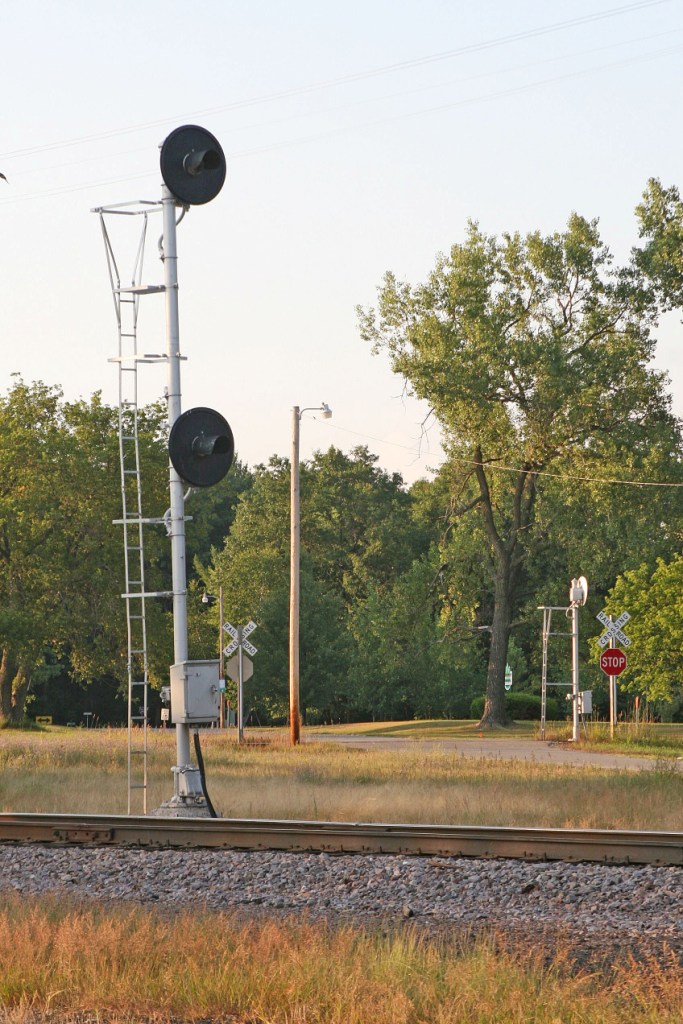
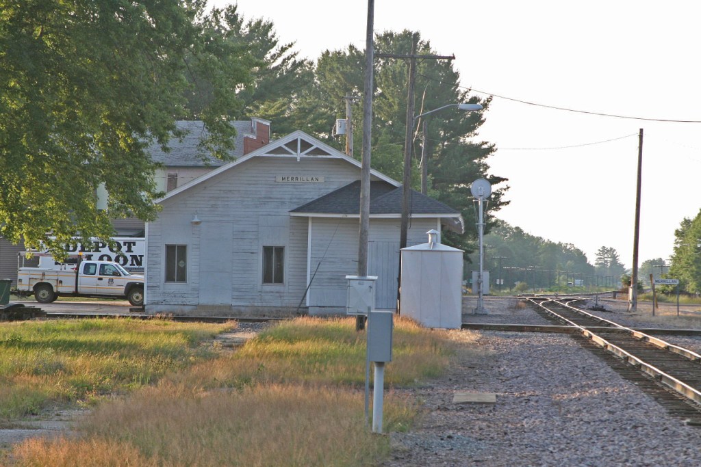
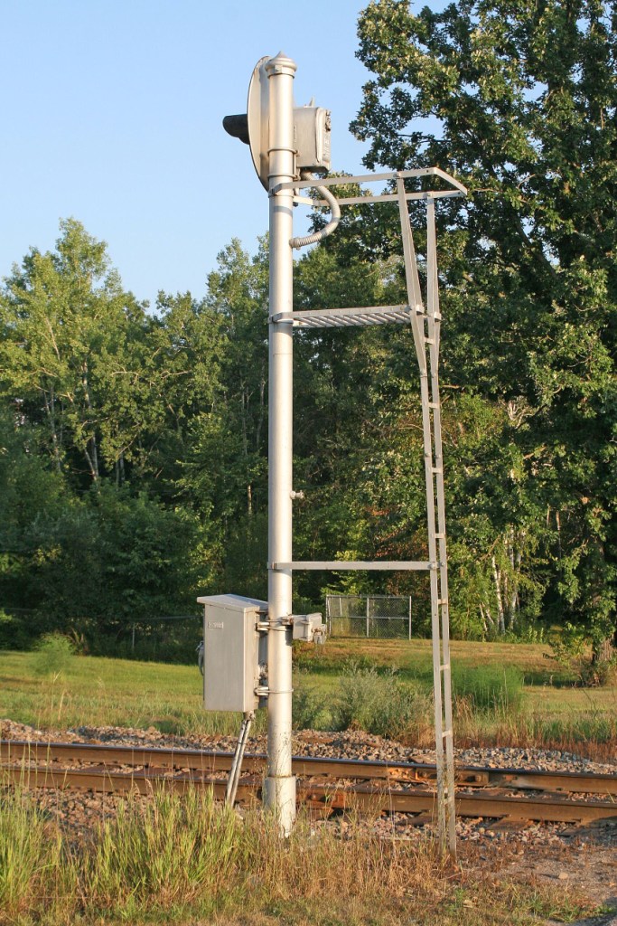
On the GBW side of the Diamond


Disclaimers:
I love trains, and I love signals. I am not an expert. My webpages reflect what I find on the topic of the page. This is something I have fun with while trying to help others.
Please Note: Since the main focus of my two websites is railroad signals, the railfan guides are oriented towards the signal fan being able to locate them. For those of you into the modeling aspect of our hobby, my indexa page has a list of almost everything railroad oriented I can think of to provide you with at least a few pictures to help you detail your pike.
If this is a railfan page, every effort has been made to make sure that the information contained on this map and in this railfan guide is correct. Once in a while, an error may creep in :-)
My philosophy: Pictures and maps are worth a thousand words, especially for railfanning. Text descriptions only get you so far, especially if you get lost or disoriented. Take along good maps.... a GPS is OK to get somewhere, but maps are still better if you get lost! I belong to AAA, which allows you to get local maps for free when you visit the local branches. ADC puts out a nice series of county maps for the Washington DC area, but their state maps do not have the railroads on them. If you can find em, I like the National Geographic map book of the U.S..... good, clear, and concise graphics, and they do a really good job of showing you where tourist type attractions are, although they too lack the railroads. Other notes about specific areas will show up on that page if known.
Aerial shots were taken from either Google or Bing Maps as noted. Screen captures are made with Snagit, a Techsmith product... a great tool if you have never used it!
By the way, floobydust is a term I picked up 30-40 years ago from a National Semiconductor data book, and means miscellaneous and/or other stuff.
Pictures and additional information is always needed if anyone feels inclined to take 'em, send 'em, and share 'em, or if you have something to add or correct.... credit is always given! Please be NICE!!! Contact info is here
Beware: If used as a source, ANYTHING from Wikipedia must be treated as being possibly inaccurate, wrong, or not true.
RAILFAN GUIDES HOME
RAILROAD SIGNALS HOME
NEW 11/22/2012, AUG29/2016, OCT28/2020
Last Modified 28-Oct-2020