
RAILROAD SIGNALS HOME
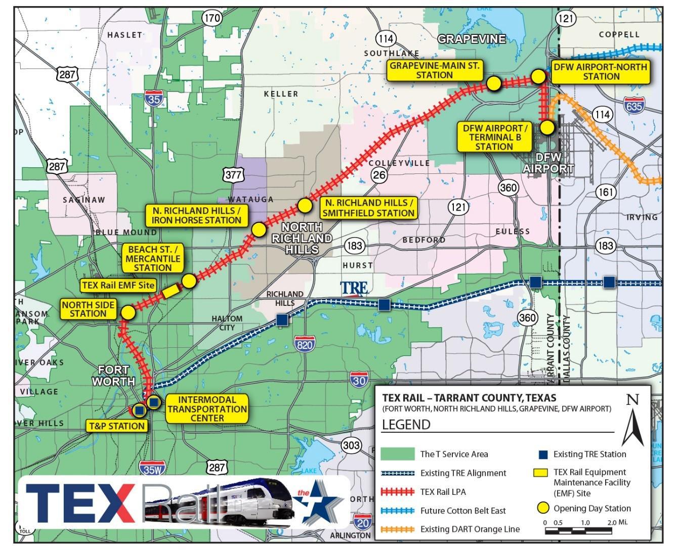
TEX Rail has quite a few bridges and overpasses on the line, most of which are new. Texas spared no expense in putting a line together that saves time for it's customers, while providing the utmost in passenger safety, eliminating many grade and railroad crossings through the use of flyovers.
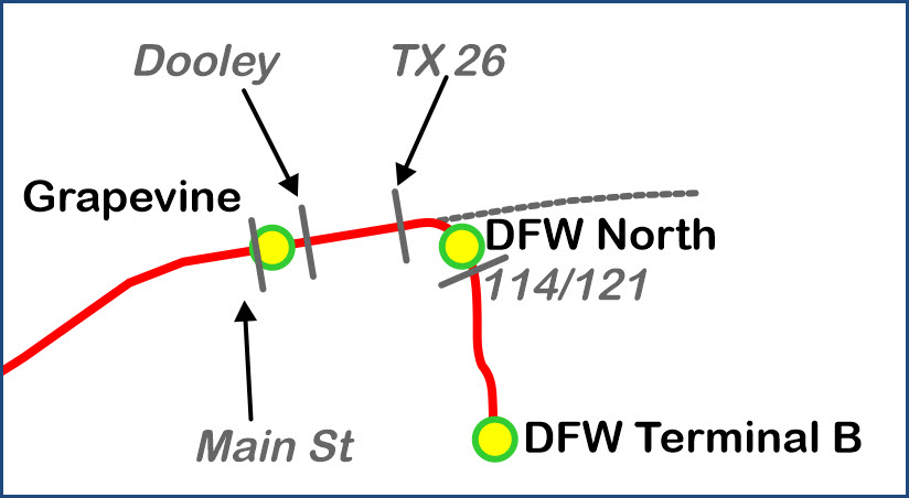
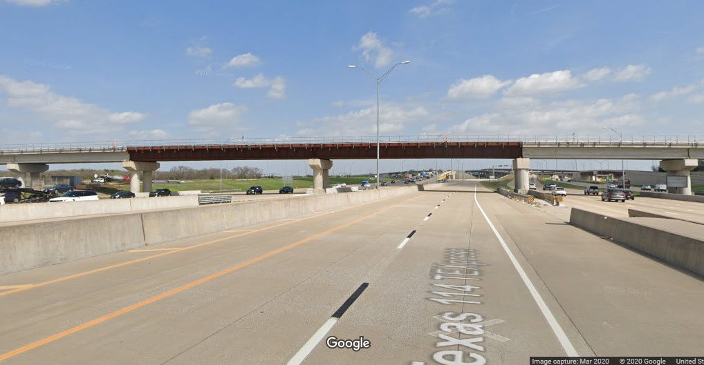
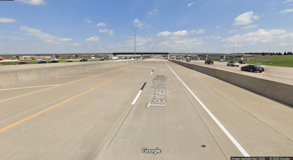
Over TX 114/121
GPS Coordinates: 32.929328, -97.049677
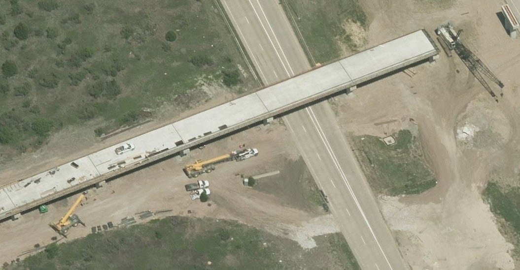
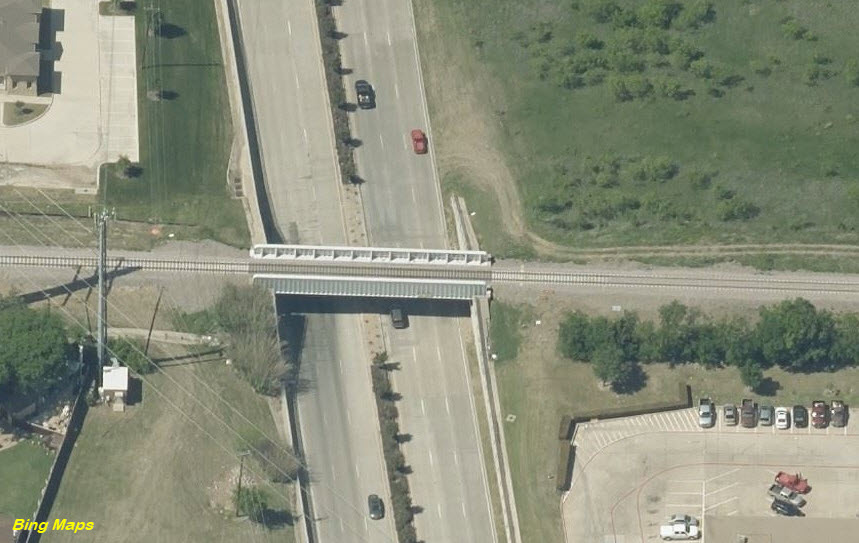
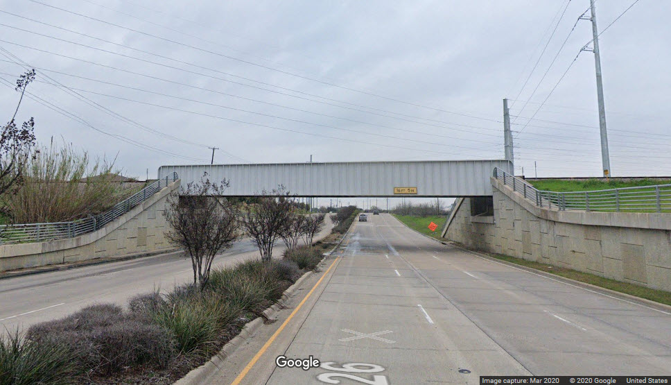
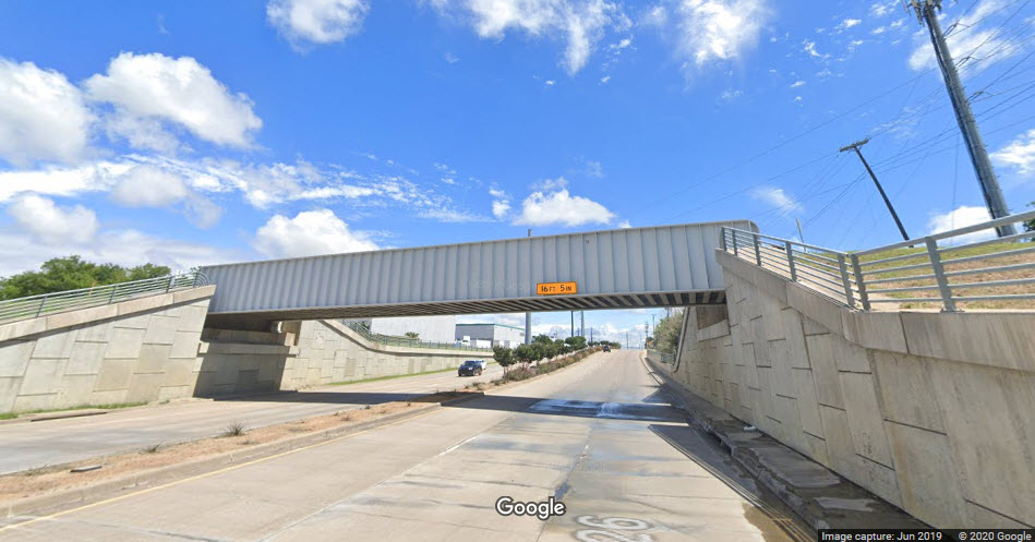
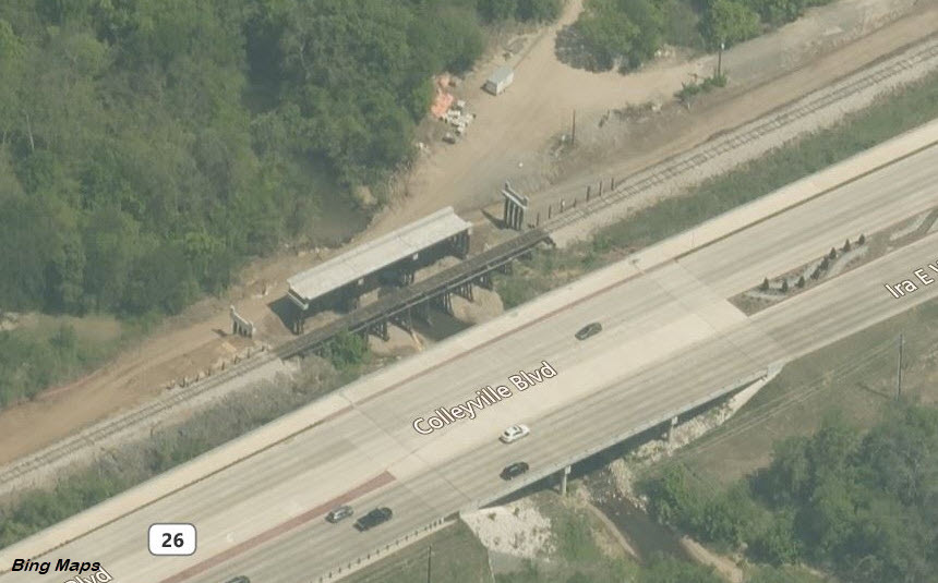
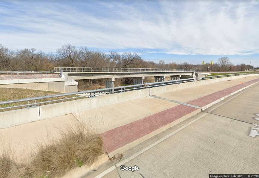
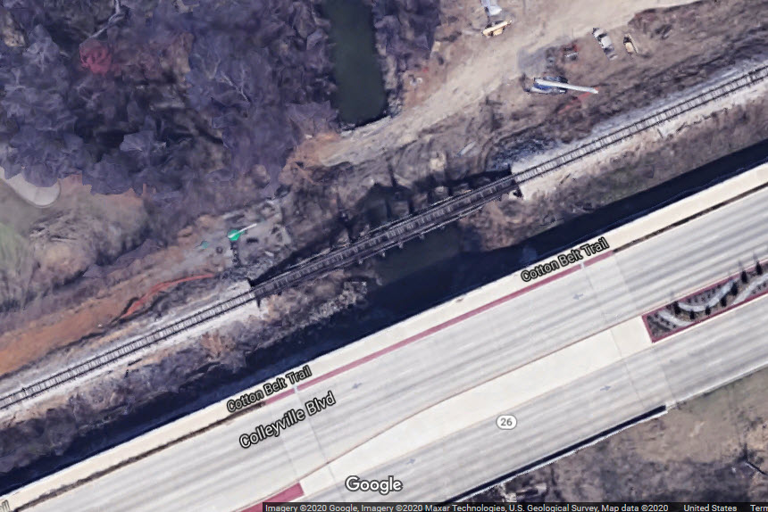
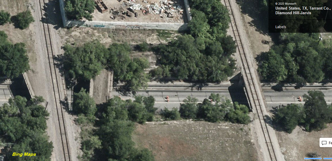
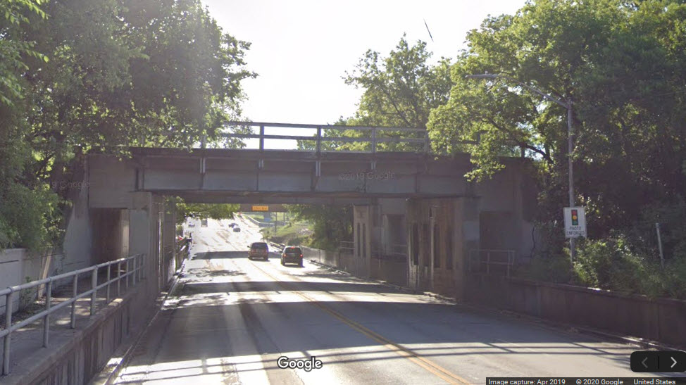
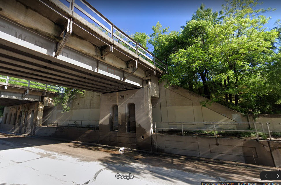
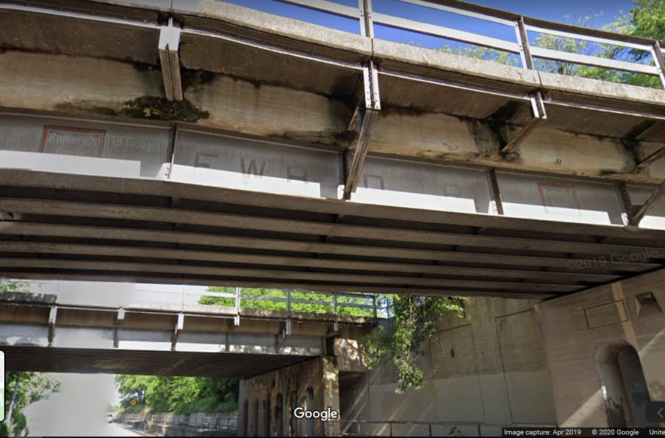
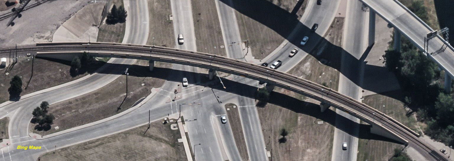
Over TX 26, Grapevine
GPS Coordinates: 32.935856, -97.062040
High side girder bridge, not especially good for street level pictures, maybe from track side shots adjacent to the bridge on embankment,
Closest place to pull over for pictures is several hundred feet in either direction, narrow sidewalk on west side only....
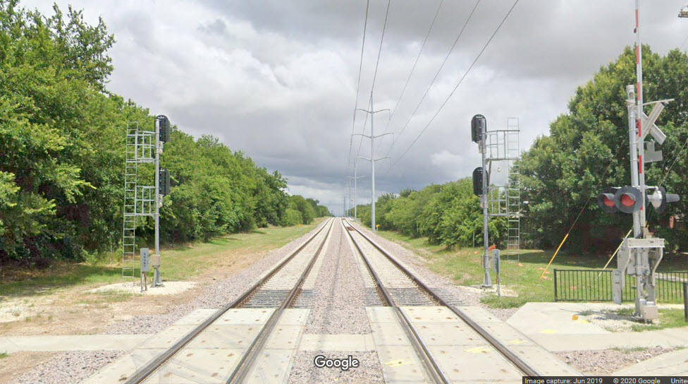
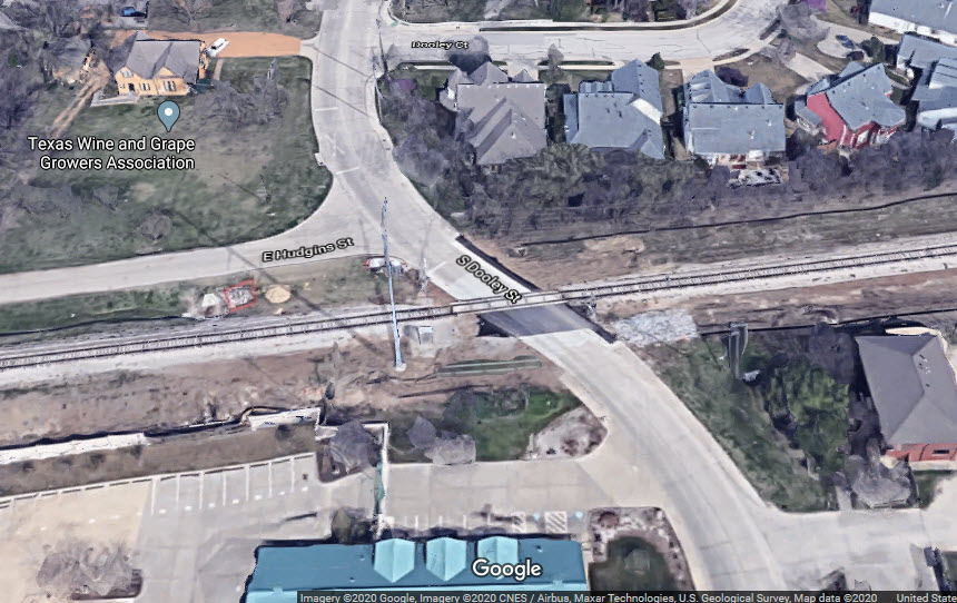
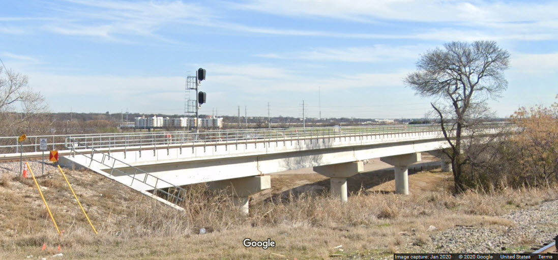
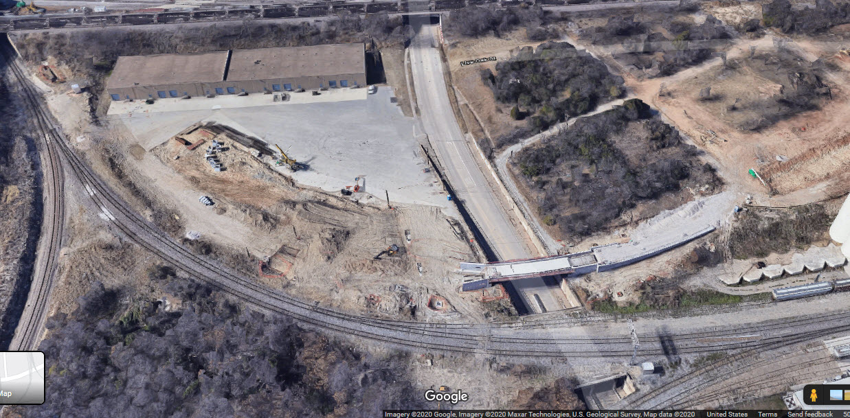
S Dooley St Grade Crossing, Grapevine
GPS Coordinates: 32.934334, -97.073137
This use to be a single track grade crossing. A second track was added, and across from the Grapevine station, a couple of new sidings have been added.
Before the maintenance facility was built, it looks like (if we go by the aerial views), the DMU's were parked on one of the sidings.
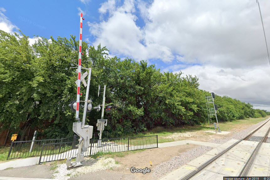
A set of signals was added on both tracks on the east side of Dooley St, and the grade crossing even includes pedestrian crossing gates!
 before
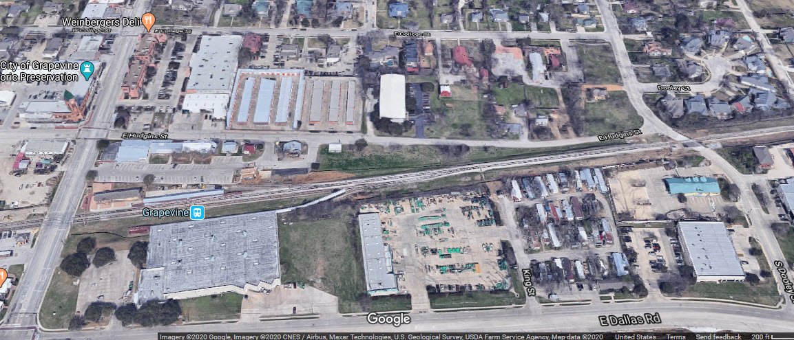
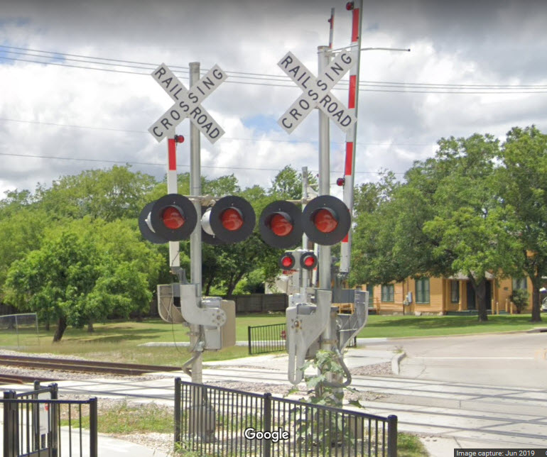 pedestrian crossing gate!
Main St, Grapevine
GPS Coordinates: 32.934334, -97.073137
 NOT the commuter station
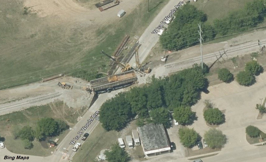
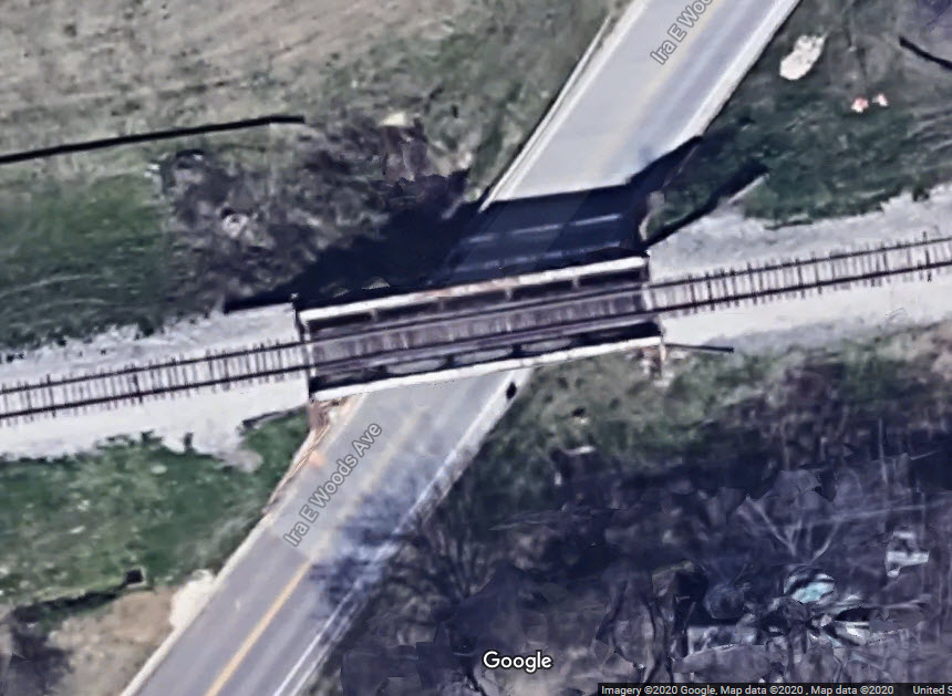
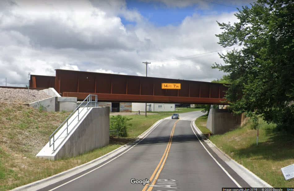
Over Ira E. Woods Ave
GPS Coordinates: 32.933121, -97.081850
Brand new single track girder bridge, brand new abutments, and it looks like the street even got re-paved!
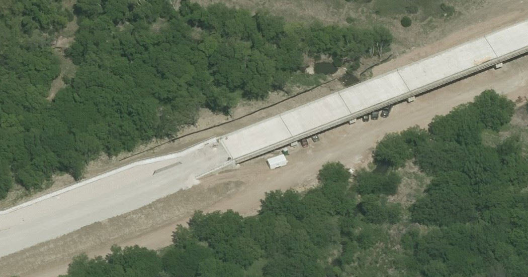
Over Big Bear Creek/South of Brumlow Ave
GPS Coordinates: 32.913995, -97.129592
Brand new single track concrete girder bridge. Convenient parking at a nearby CVS pharmacy.
Ira E. Woods Ave changes into Colleyville Blvd at Brumlow Ave/Pool Rd....
Gee, stand in the middle of the intersection, and you have a different street name in each direction! :-)
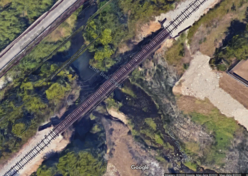
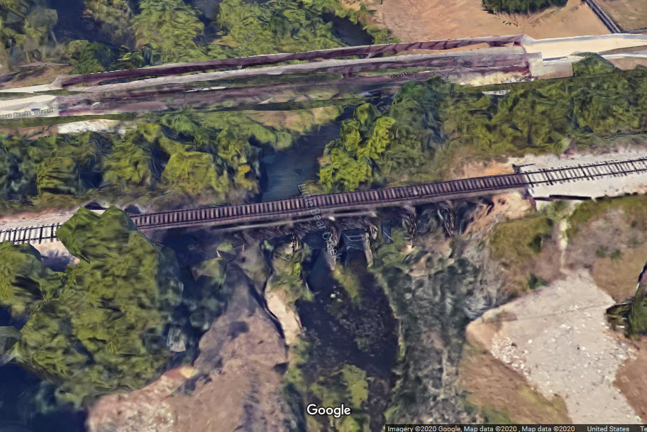
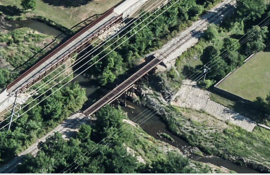
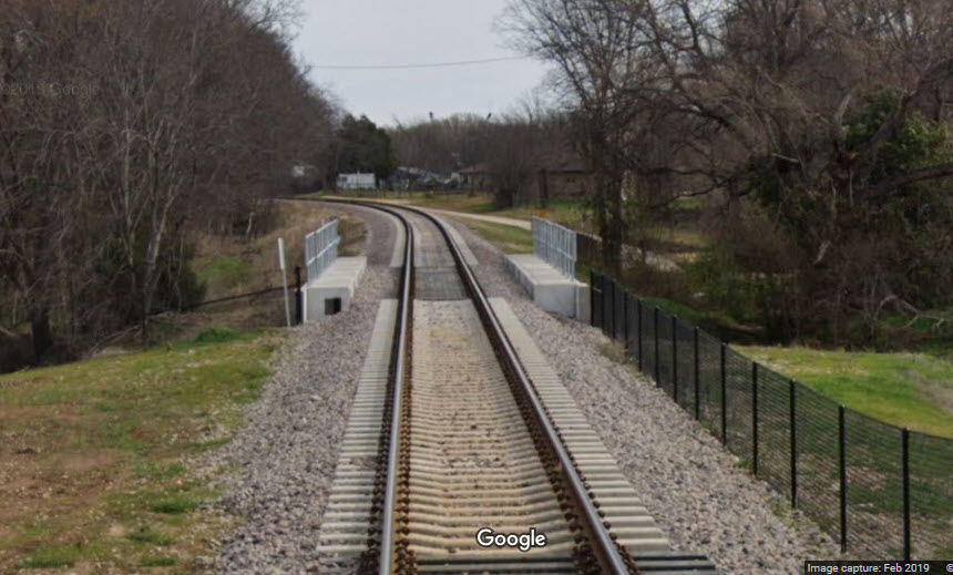
Over Little Bear Creek/North of Precent Line Rd
GPS Coordinates: 32.882201, -97.182299
I do not know if they replaced this bridge, but judging from the work they did on the rest of the system, I'm guessing they did.
You may be able to get pictures from the Cotton Belt Trail.
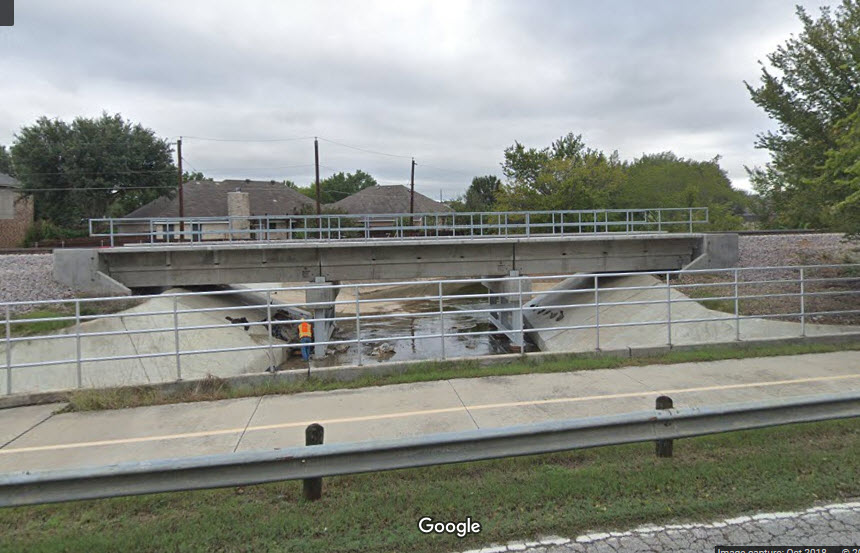
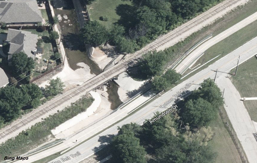
Over Culvert/Amundson Dr by Simmons Rd
GPS Coordinates: 32.871870, -97.199570
Another new concrete span - it used to be a timber structure.
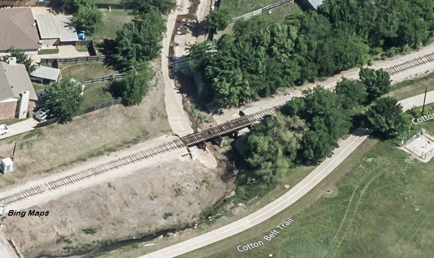
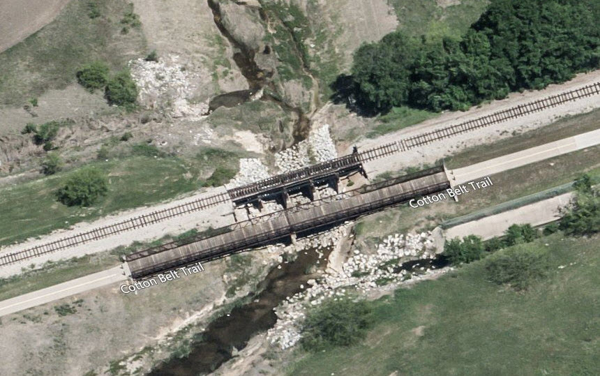
Over Culvert by Holliday Ln
GPS Coordinates: 32.861641, -97.217593
Yet another new concrete span - it too used to be a timber structure.
Looks like you can get good shots from the Cotton Belt Trail!
Over Culvert west of Mid Cities Blvd
GPS Coordinates: 32.858600, -97.225478
Another new concrete span that used to be a timber structure (no current picture, so I'm making an asumption).
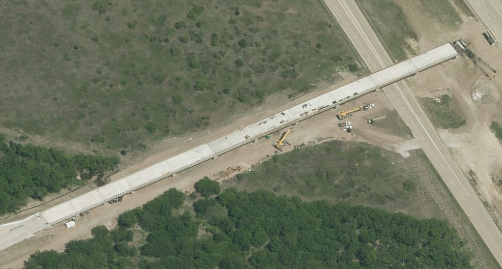
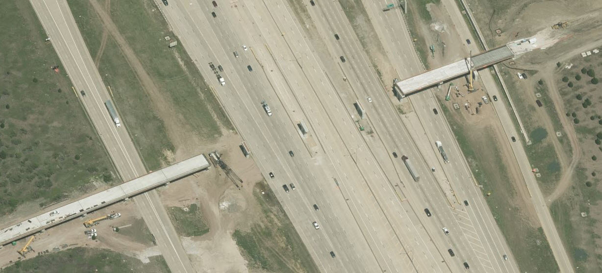
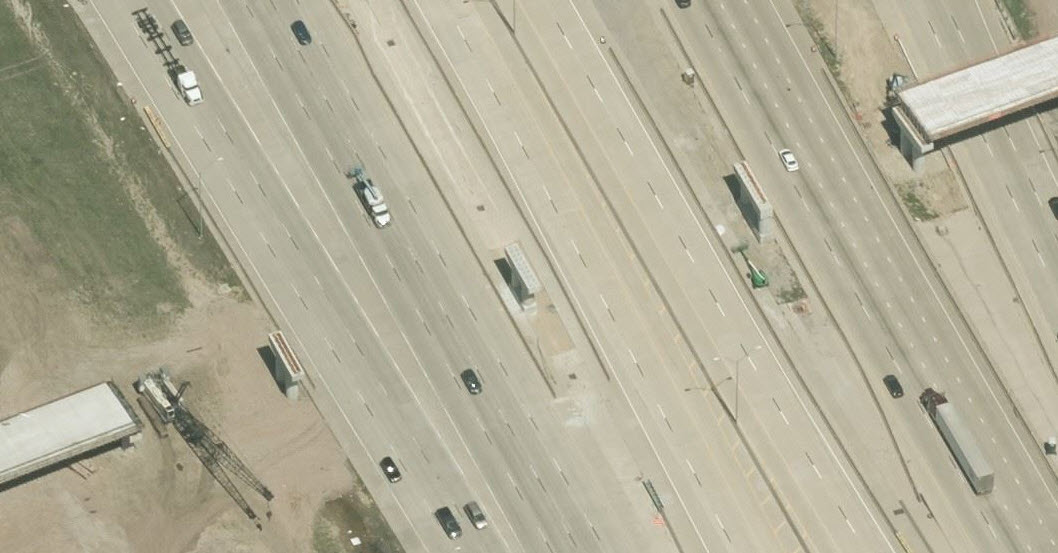
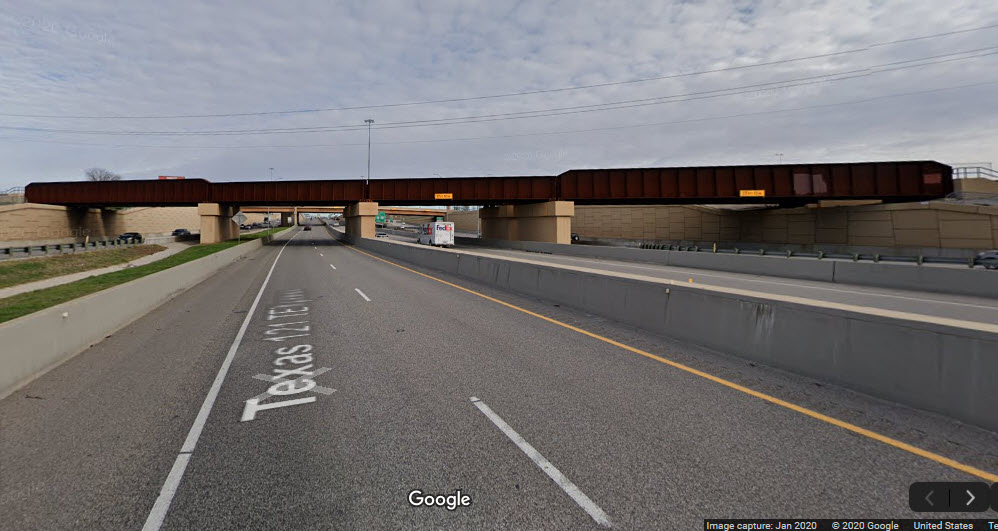
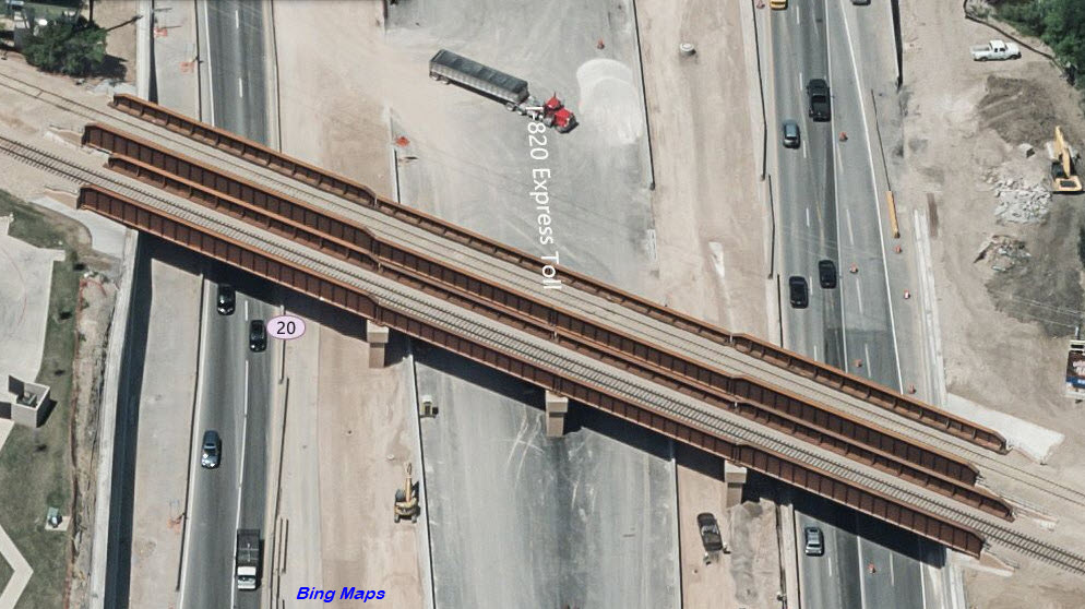
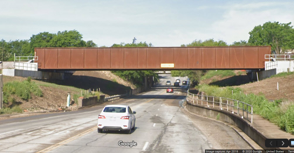
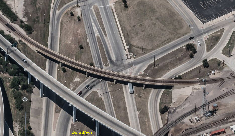
Over I-820
GPS Coordinates: 32.840222, -97.252830
Given that TexRail has renewed all of the other bridges on the line, I have no reason to not suspect that the twin spans crossing I-820 are new, just like much of the highway underneath them!
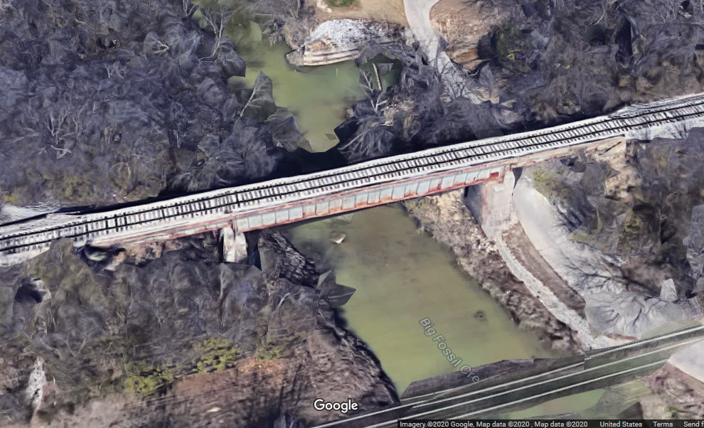
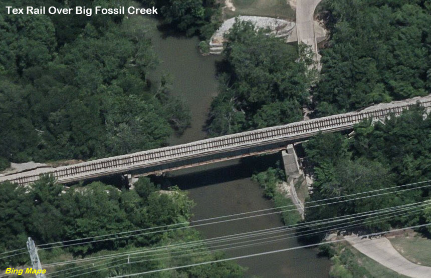
Over Big Fossil Creek
GPS Coordinates: 32.835524, -97.258769
If the girders on this bridge were in good enough condition, they may have left this bridge alone.
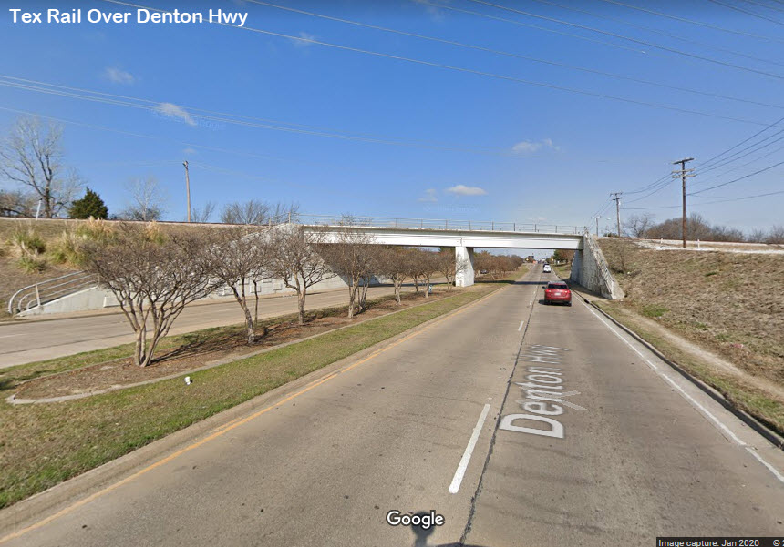
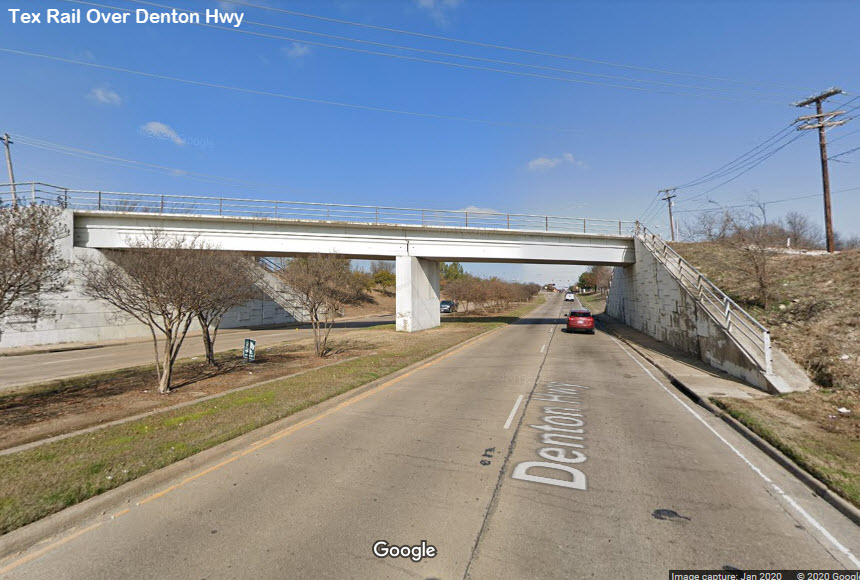
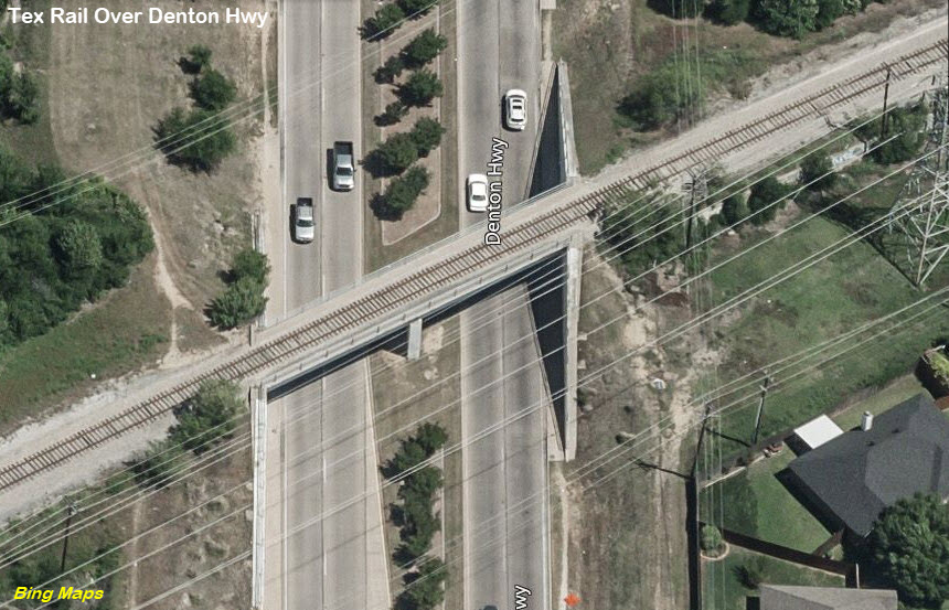
Over Denton Highway
GPS Coordinates: 32.833791, -97.264178
Another steel girders bridge they may have been put into service with a minimum of work.
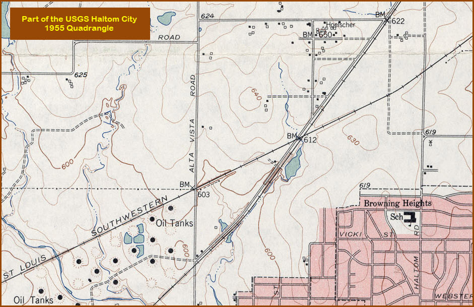
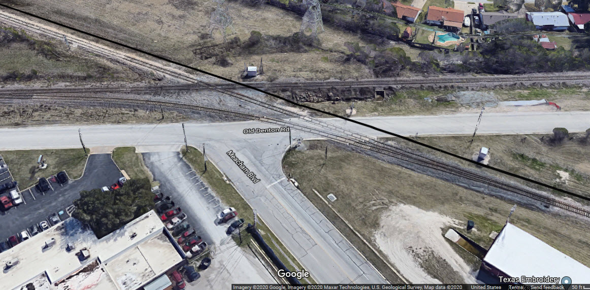
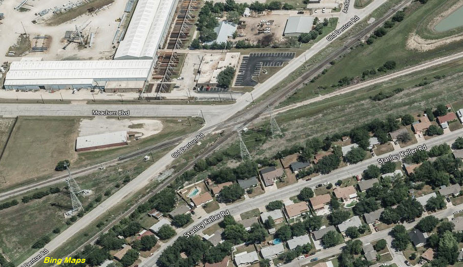
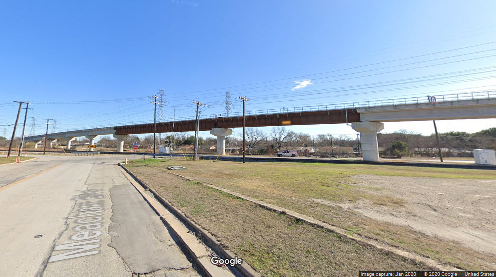
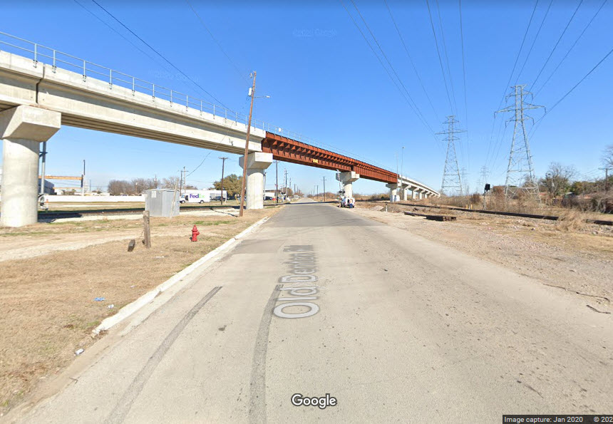
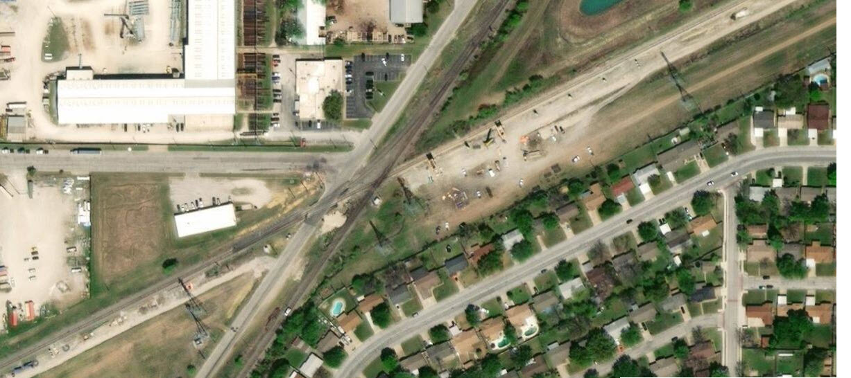
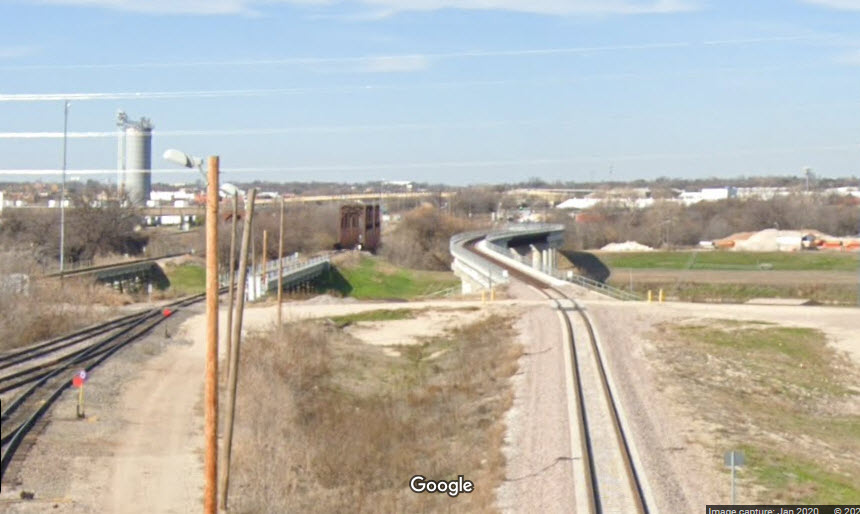
Old Denton Rd/T&Prr Overpass
GPS Coordinates: 32.823854, -97.282746
I have to hand the transit railroads engineers when it comes to lessening the impact for both the riders and the non-riders alike, when they go to great lengths to incorporate grade separation into their projects. I was impressed when DART did this along their first light rail line, and either went over or under many of the main thoroughfares to keep grade crossings to a minimum. This method has a high initial cost, but in the long run, it minimizes maintenance costs, makes trips quicker, and minimizes the chance of incursions at the grade crossings, including the of loss of life.
The tracks crossing the Cotton Belt line used to be the old Texas & Pacific.
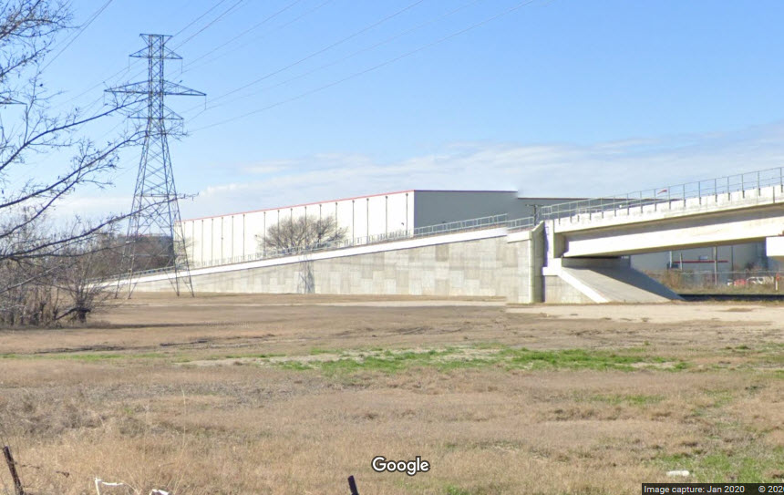
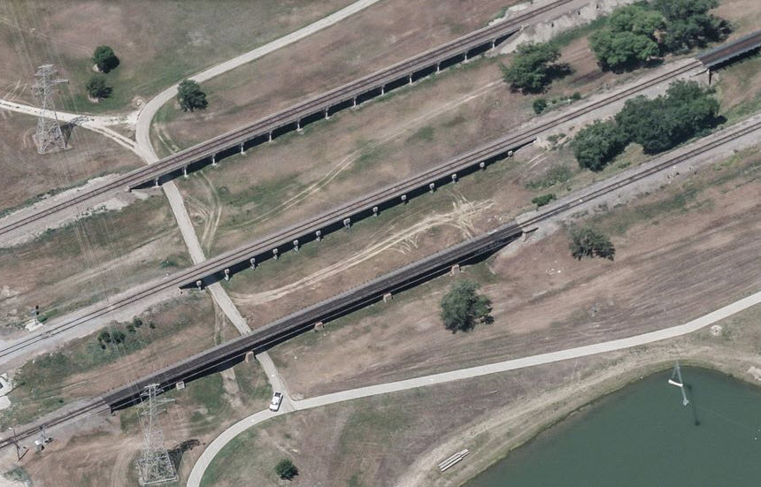
Over Creek between Mercantile Station and Little Fossil Creek
GPS Coordinates: 32.817469, -97.298062
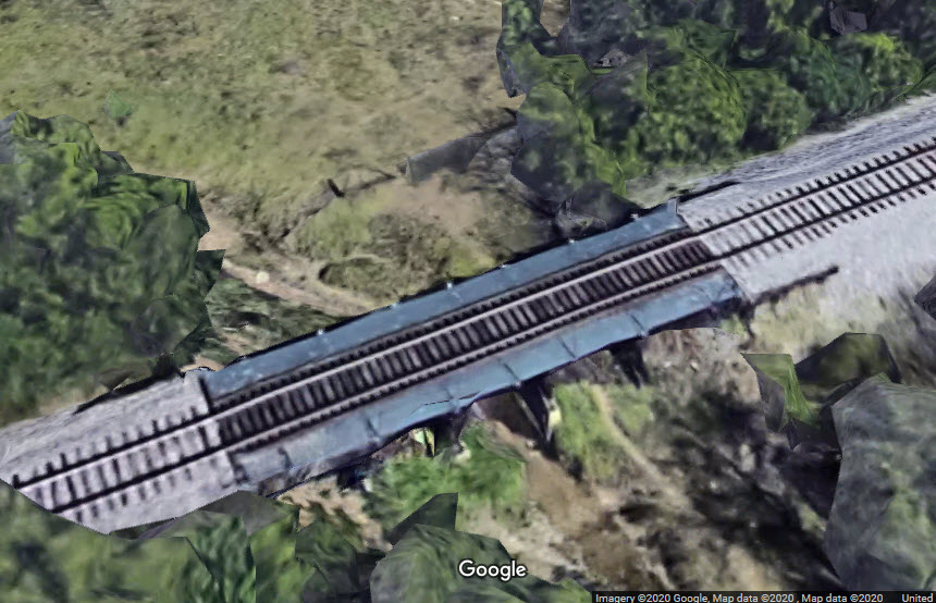
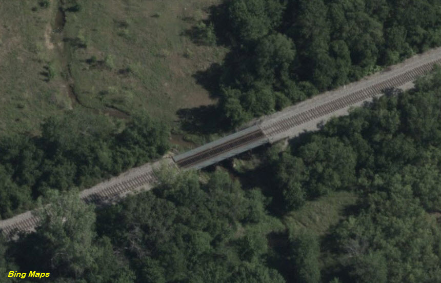
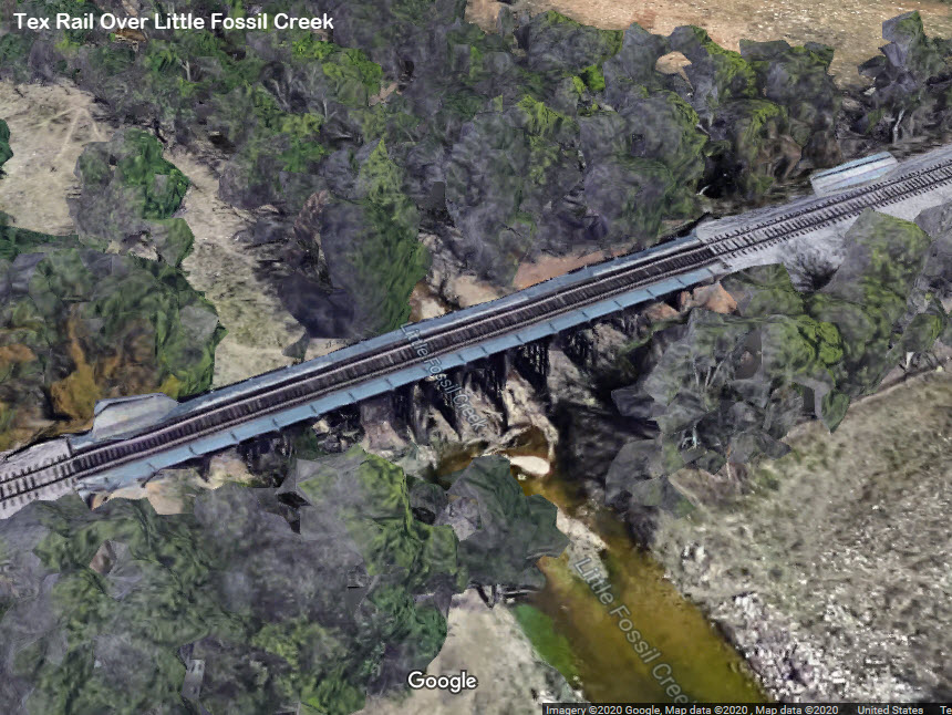
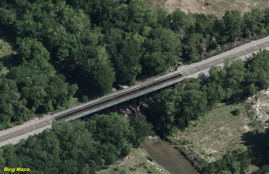
Over Little Fossil Creek
GPS Coordinates: 32.816183, -97.301176
More than likely, these are "before" pictures
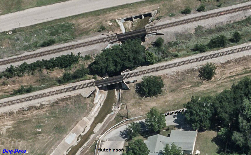
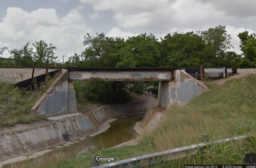
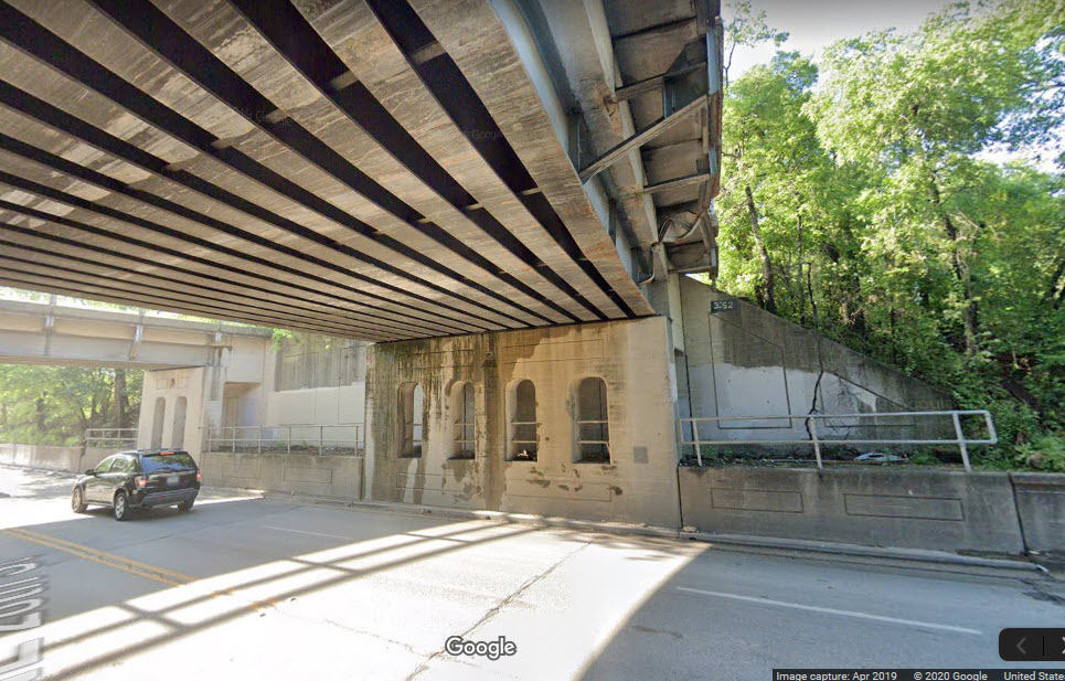
Over Culvert/Hutchinson St/Diamond Rd
GPS Coordinates: 32.804763, -97.330124
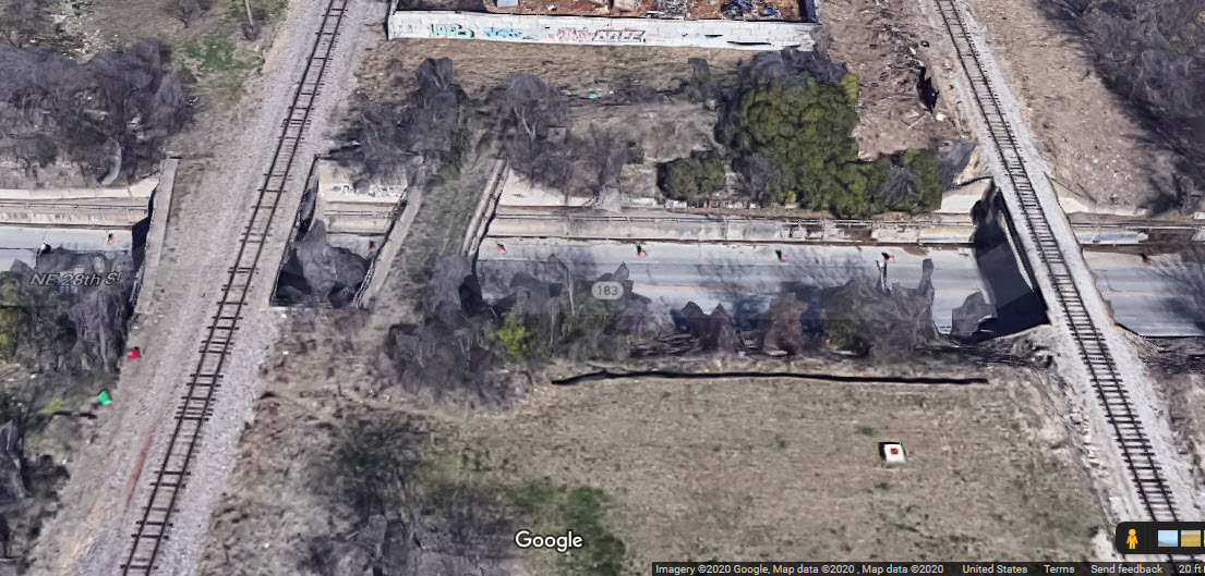
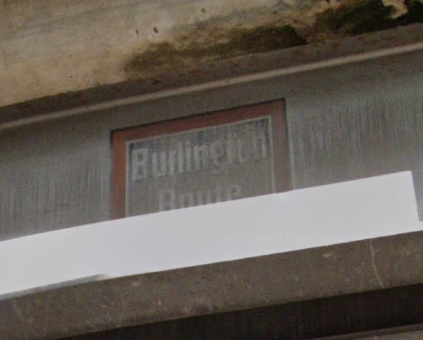
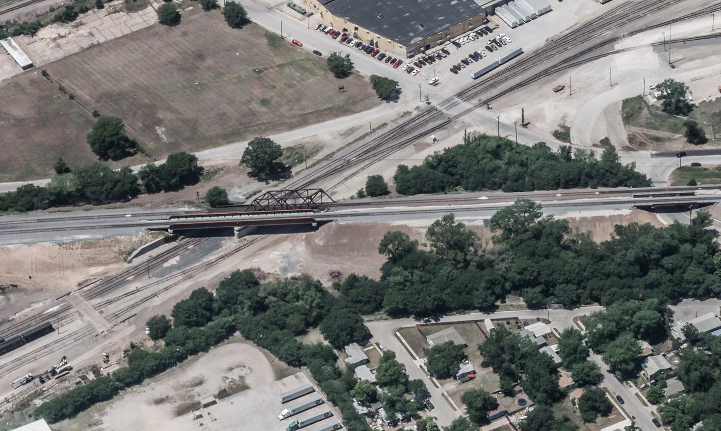
Over 28th St at Northside Station
GPS Coordinates: 32.816183, -97.301176
One new span for TEX Rail. Extremely rare Burlington Route logo on one of the adjacent spans - that disappeared, when, 1970?
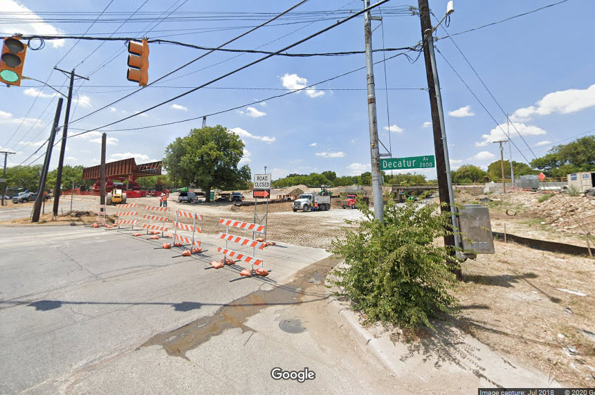
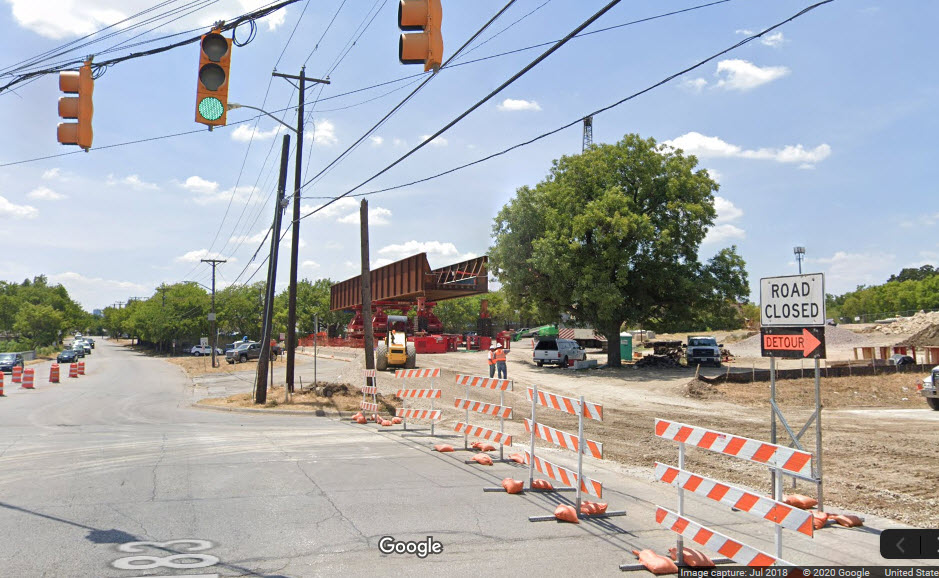
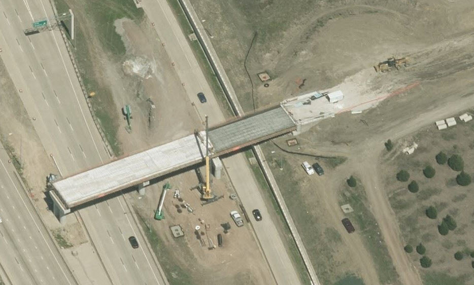
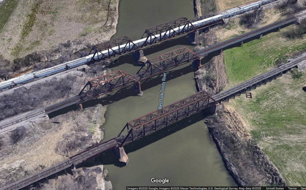
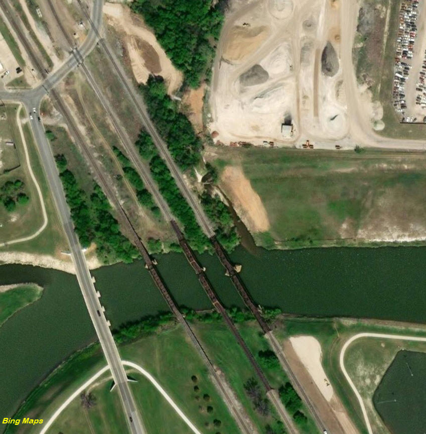
Over West Fork Trinity River
GPS Coordinates: 32.783158, -97.334711
Brand spanking new bridge over the Trinity River, that gives us 4 spans. Texas knows how to do "stuff" right!
 before
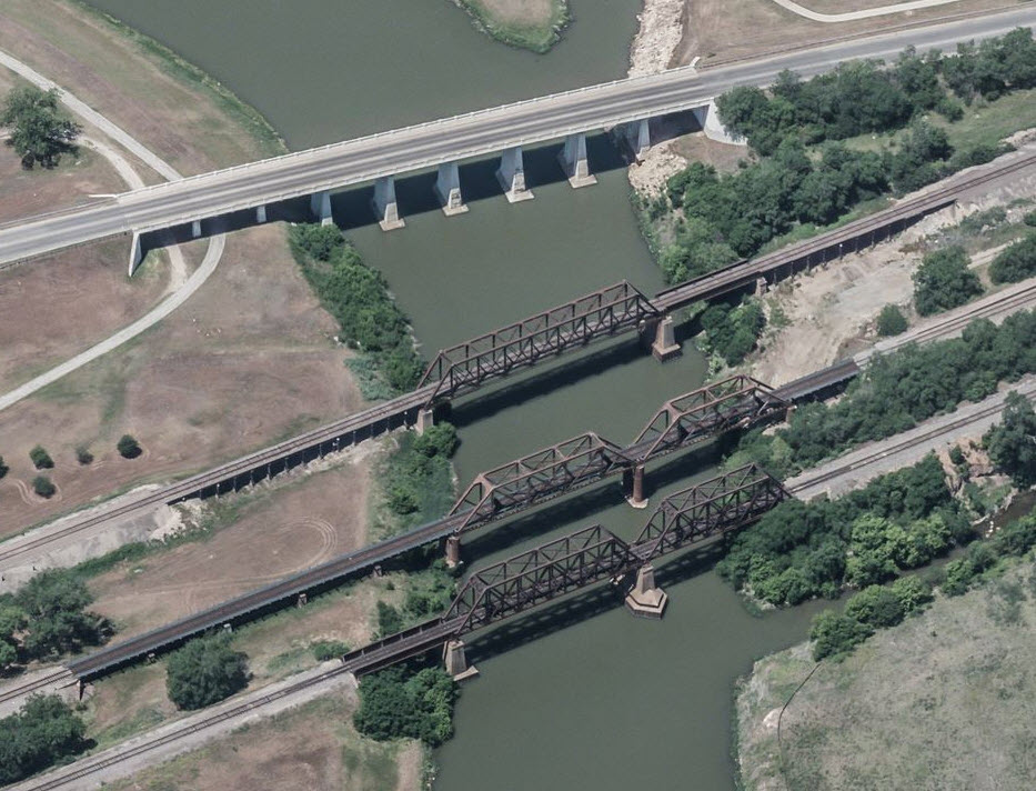 before
Whenever this aerial was taken, it looks like they just got started on clearing away land for the new bridge.
From Northside Dr, we can catch a glimpse of the completed bridge, which does in one huge span, what the railroads did in two.
For reference, once we have access to aerial views that show the new TEX Rail span, here is the second set of railroad bridges to span the area.
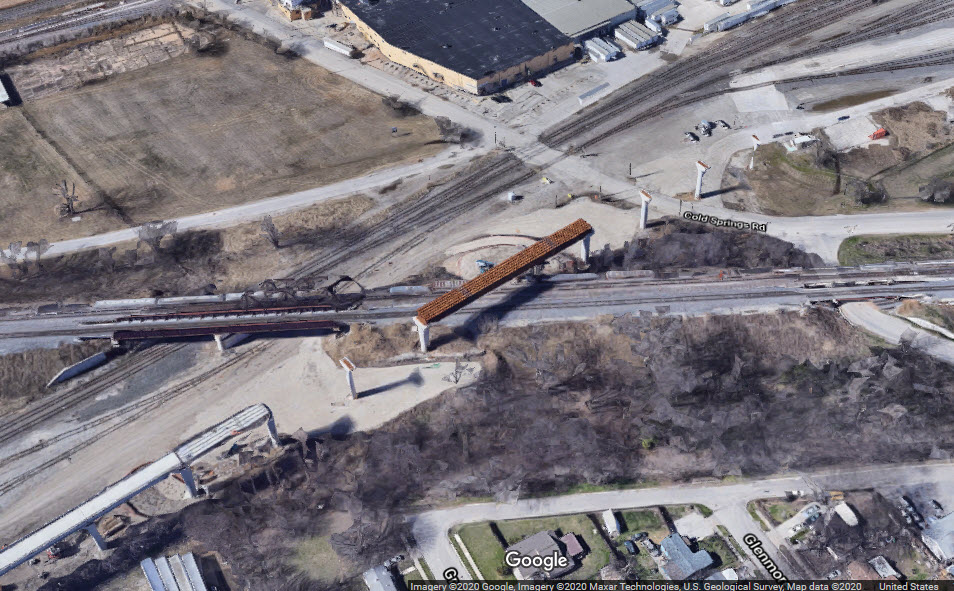
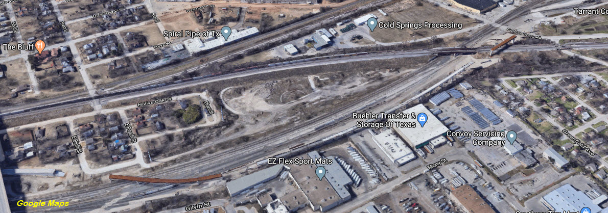
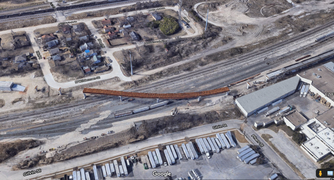
Yard Flyover / Cold Spring Rd
GPS Coordinates: 32.770896, -97.325891 (at Cold Spring Rd)
It looks to be in the order of 3,800 feet long, just a guess since I don't have a starting spot on the east end of it. It goes over Cold Spring Rd and then the yard.
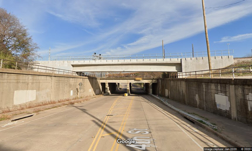
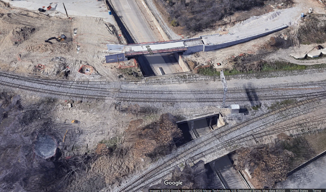
Over 4th St
GPS Coordinates: 32.759290, -97.320944 (at Cold Spring Rd)
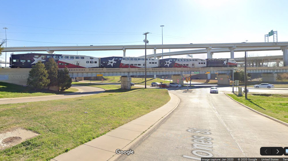
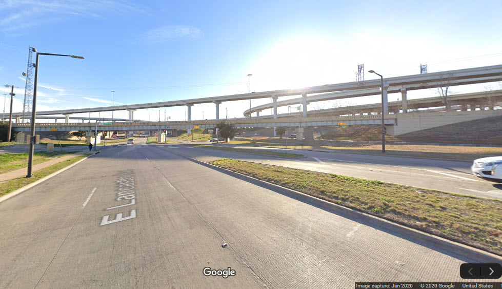
Over Lancaster St / Jones St
GPS Coordinates: 32.746741, -97.322827
This bridge has been here for a while, so it is not going to look like the rest of the bridges built specifically for TEX Rail.
This bridge serves both TEX Rail and the TRE, and is located between the T&P and Ft Worth Central stations.
Disclaimers:
I love trains, and I love signals. I am not an expert. My webpages reflect what I find on the topic of the page. This is something I have fun with while trying to help others.
Please Note: Since the main focus of my two websites is railroad signals, the railfan guides are oriented towards the signal fan being able to locate them. For those of you into the modeling aspect of our hobby, my indexa page has a list of almost everything railroad oriented I can think of to provide you with at least a few pictures to help you detail your pike.
If this is a railfan page, every effort has been made to make sure that the information contained on this map and in this railfan guide is correct. Once in a while, an error may creep in :-)
My philosophy: Pictures and maps are worth a thousand words, especially for railfanning. Text descriptions only get you so far, especially if you get lost or disoriented. Take along good maps.... a GPS is OK to get somewhere, but maps are still better if you get lost! I belong to AAA, which allows you to get local maps for free when you visit the local branches. ADC puts out a nice series of county maps for the Washington DC area, but their state maps do not have the railroads on them. If you can find em, I like the National Geographic map book of the U.S..... good, clear, and concise graphics, and they do a really good job of showing you where tourist type attractions are, although they too lack the railroads. Other notes about specific areas will show up on that page if known.
Aerial shots were taken from either Google or Bing Maps as noted. Screen captures are made with Snagit, a Techsmith product... a great tool if you have never used it!
By the way, floobydust is a term I picked up 30-40 years ago from a National Semiconductor data book, and means miscellaneous and/or other stuff.
Pictures and additional information is always needed if anyone feels inclined to take 'em, send 'em, and share 'em, or if you have something to add or correct.... credit is always given! Please be NICE!!! Contact info is here
Beware: If used as a source, ANYTHING from Wikipedia must be treated as being possibly being inaccurate, wrong, or not true.
RAILFAN GUIDES HOME
RAILROAD SIGNALS HOME
NEW JUN29/2020
Last Modified
29-Jun-2020