RAILROAD SIGNALS HOME
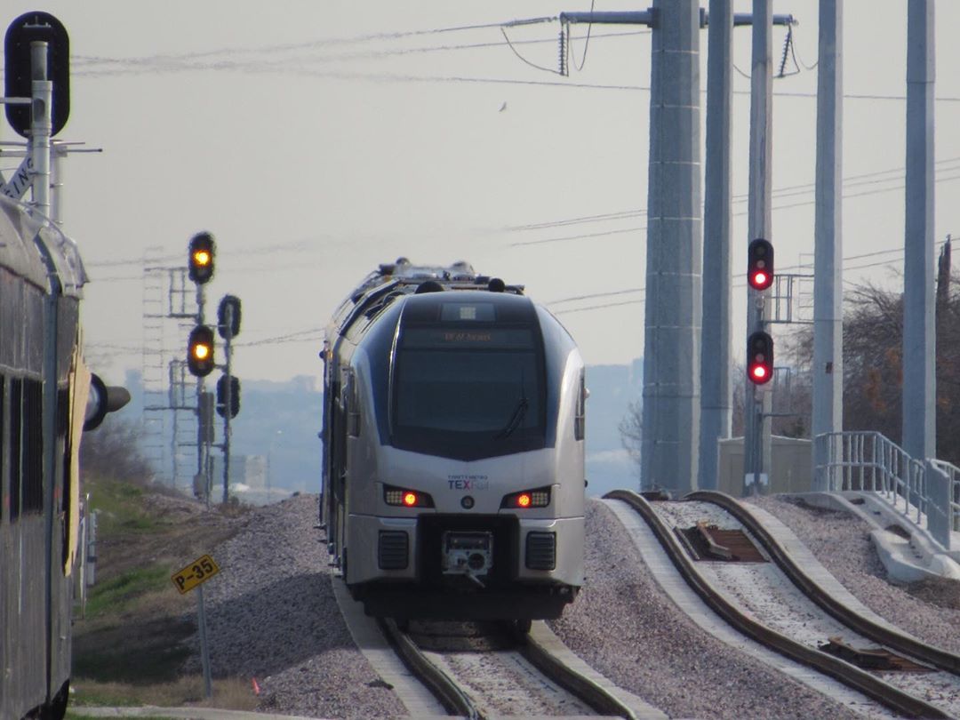
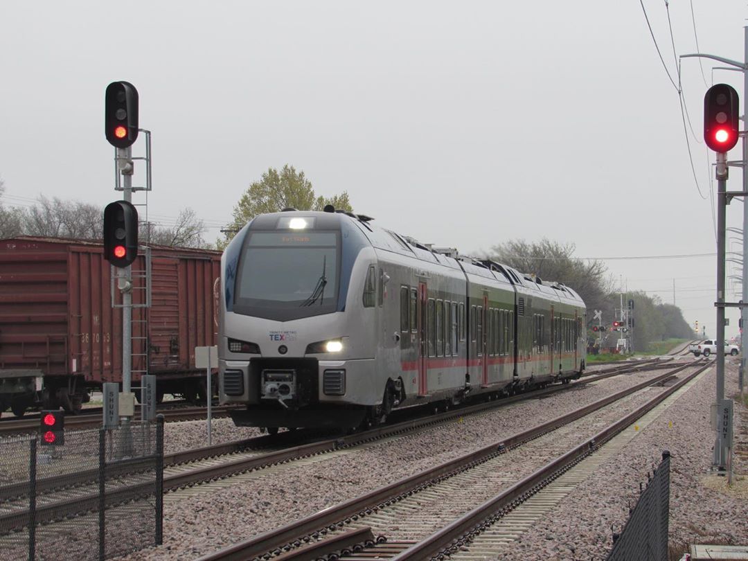
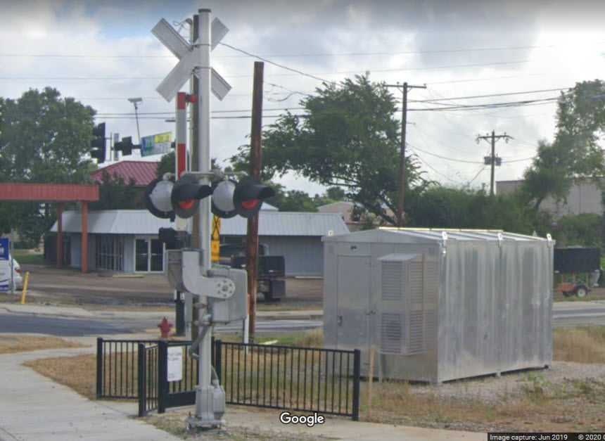
The signals on TEX Rail are all colorlight signals, no surprise there. Almost the entire line runs on former trackage of one railroad or another, and most of them also used colorlight signals, altho of older styles.
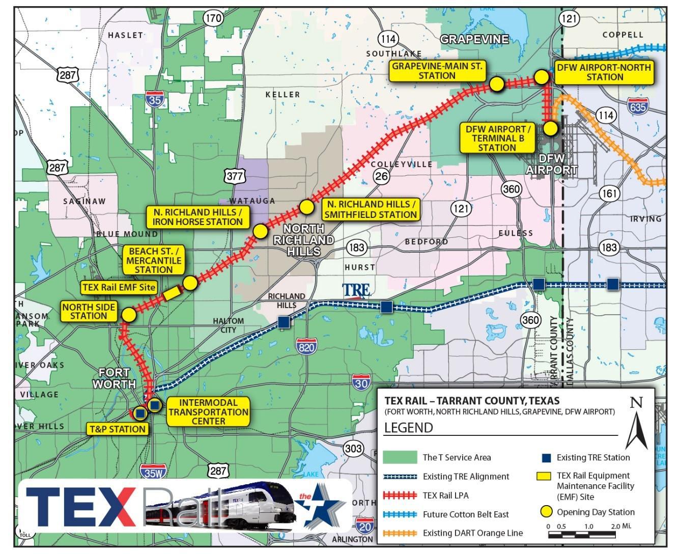
Most of the track TEX Rail runs on used to be old Cotton Belt rails. The two eastern most stations are on a brand new track AND right-of-way. There is also new trackage where the line crosses the Trinity River and goes over a rail yard to join up with the TRE line just above the Ft Worth Central station.
My signal guide starts at the DFW end and works its way west to the T&P station.
My signal guide is the result of following the line on Google and Bing Maps, neither of which, as of June 2020, have current pictures of ghe line. However, don't fret, that allows us to see what was there before the change took place, and in many instances, especially with the station views of the areas the stations are in (on the main page of this guide), there is nothing there at all, and many of the signal locations don't have any signals at all.
If you have any pictures of the system you would like to share, I hope you shoot me an email and send them my way!
There is one dwarf signal along the access road where the track goes from one to two for the station. There are probably signals for the outbounds trains, but I haven't seen them yet....
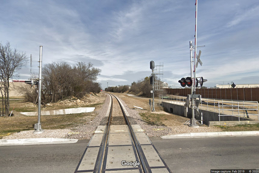
New signals. This is where the TexRail branch to DFW comes off the Cotton Belt mainline.
Leaving Grapevine for the DFW branch.
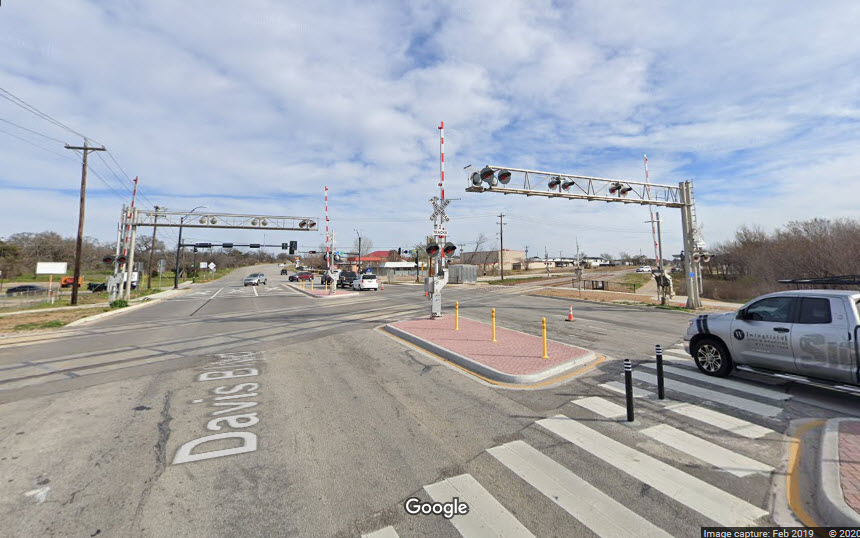
The signals here, on the east side of Dooley St, are for the crossover track and siding on the other side of Dooley St.
There used to be a single track here, a second one was added for the station.
On the far side of the station at Main St, there is another set of signals where the three tracks go back to being two.
Two sets of signals on the west side of the crossover and siding take-off. Easy to shoot off the end of the passenger platforms.
Two high colorlight signals for the two station tracks, and dwarf a little further down for the siding, where it all goes down to a single track.
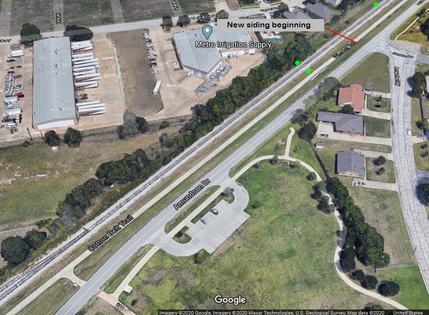
A new signal installation for the Grapevine Vintage RR siding because of the requirements of TexRail.
 before
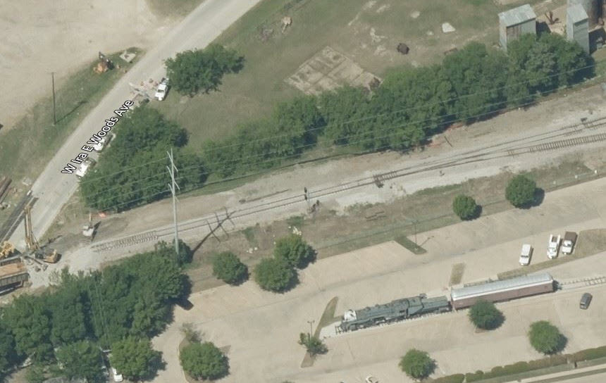 after
afterIn this aerial view, the signal has not been installed yet....
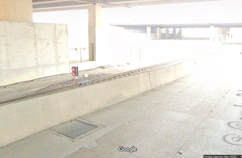
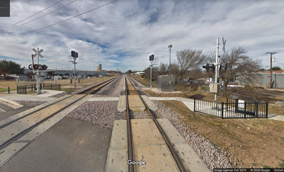
The Google Streetview shots show the grade crossing and tracks before work got started.
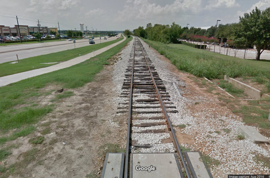
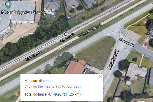
The siding looks to be about 4,300 feet long.
At the other end of the siding, is the EB siding signal.
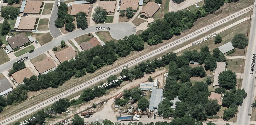
The east end of the siding for the station at Smithfield, the siding was extended.
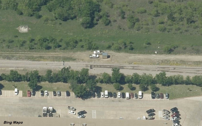
There is a parking lot for the trail here-at the Dick Faram Park, making it a very convenient spot for pictures.
 before
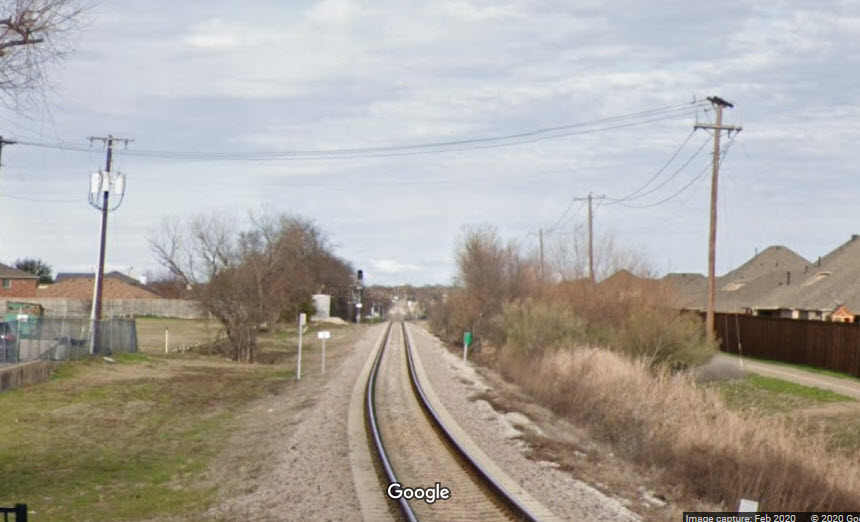
The siding looks to be about 4200-4300 feet long... nice sight lines in both directions.
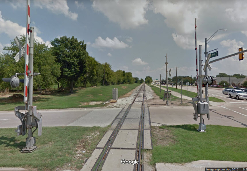
Love those pedestrian crossing gates!
 before
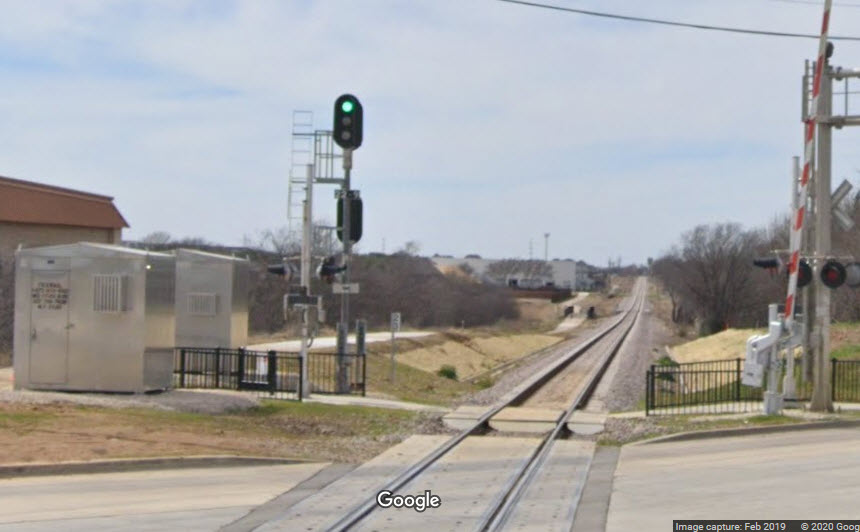
 before
Anyone want to take a walk down the trail for some close-up shots??? :-)
 the WB signals
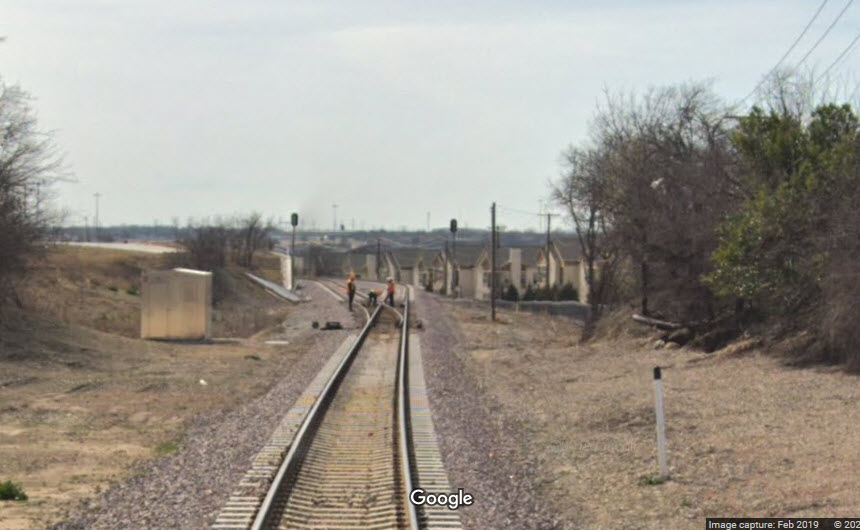 the EB signals
No pictures yet, but there has to be some, given the signals at the other stations, may even have an intermediate set.
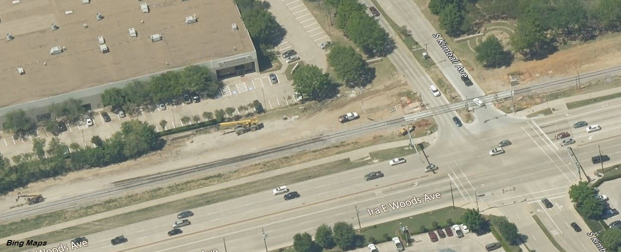
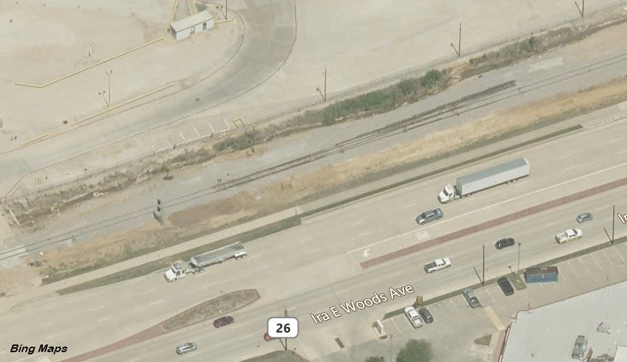
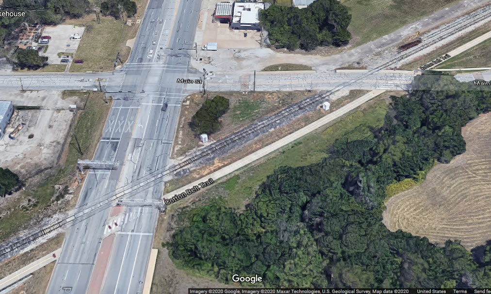
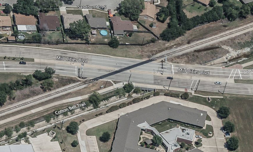
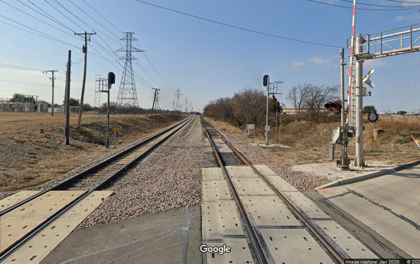
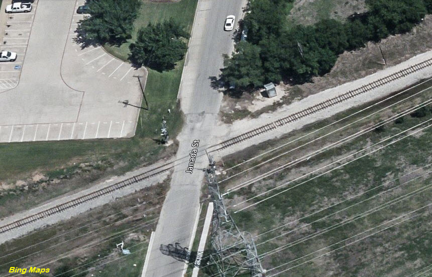
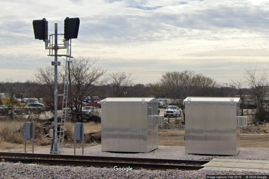
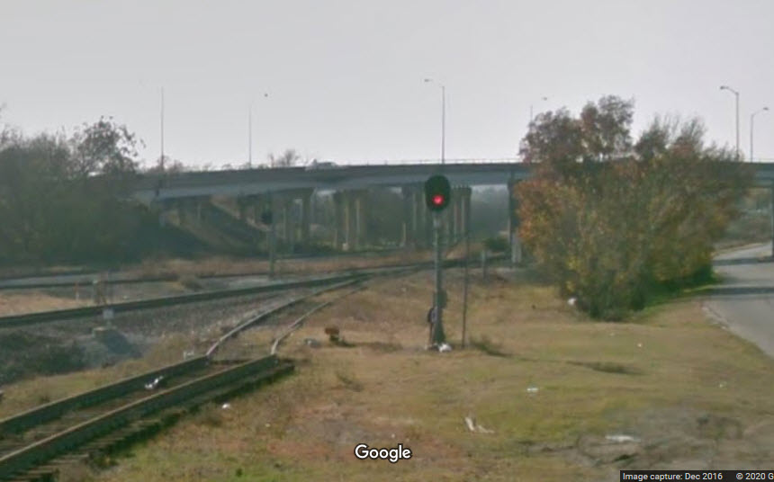
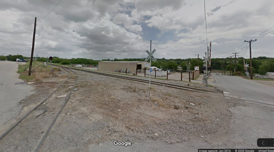
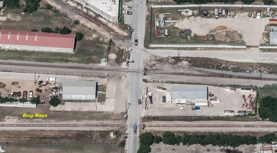
Signals for the single to double track interlocking, with a single track heading east.
You may think the double tracking is for TexRail, in part you are correct, but the track to the right is for freight, and has a diamond and interchange track up ahead.
 looking west
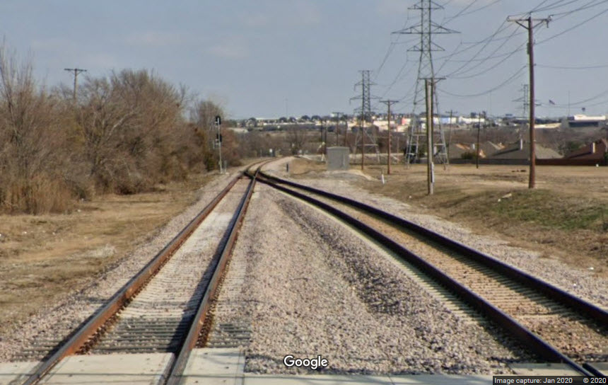 looking east
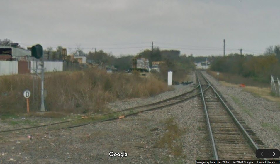
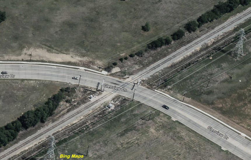 before signals & double tracking
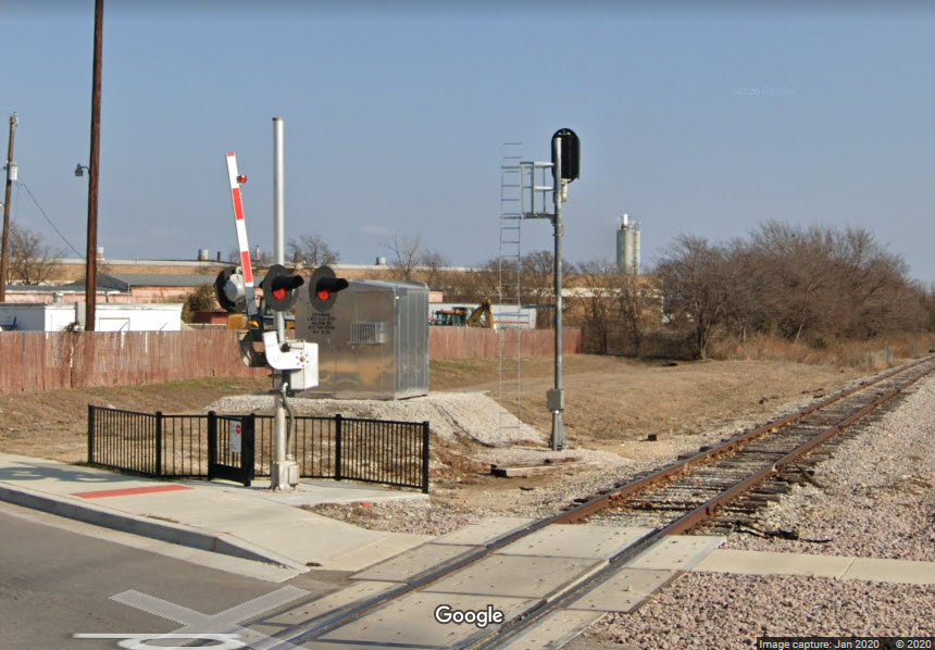
 before
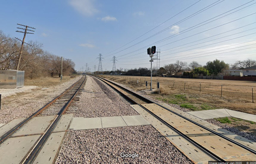 the TexRail Intermediates
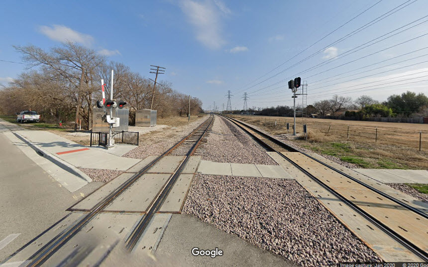 how did that one pole get left behind?
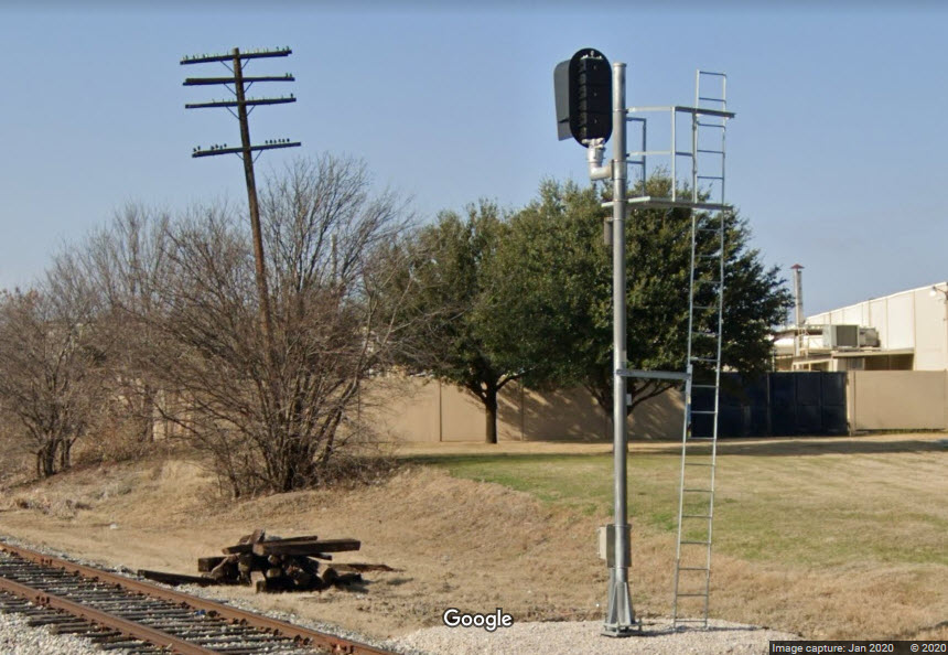 the EB freight signal
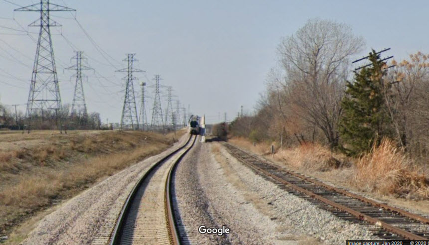
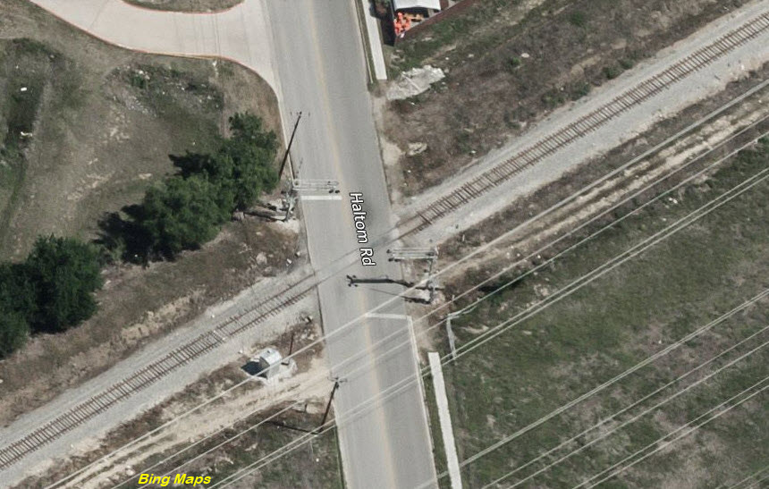
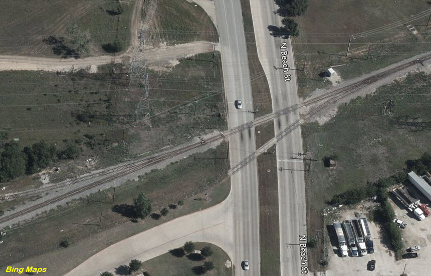
Here you can see the freight line on the right, with the TexRail line going over the other rail line, bypassing the diamond and interchange.
 before
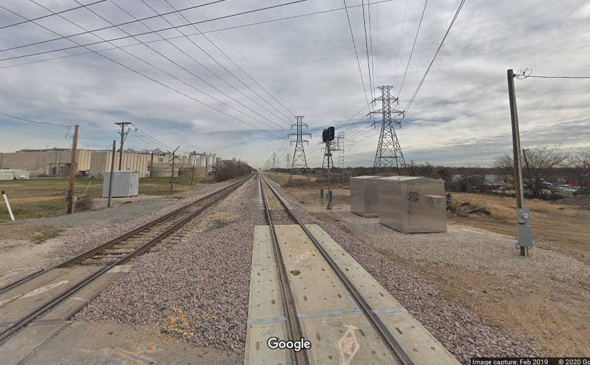
 before
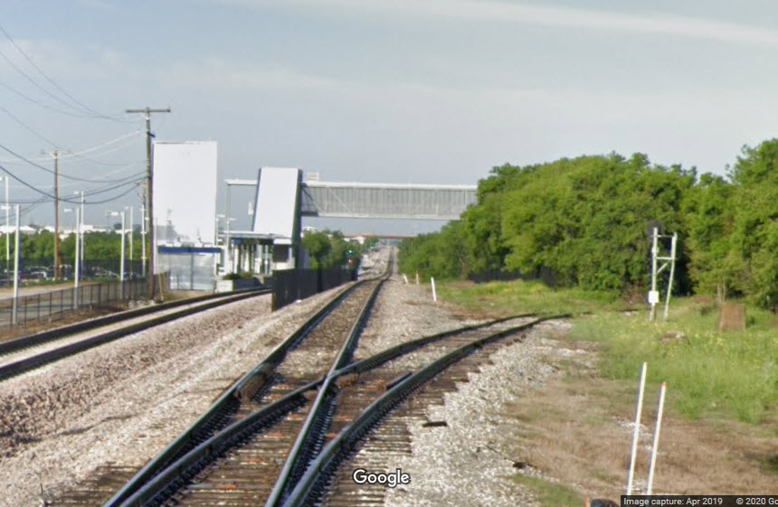
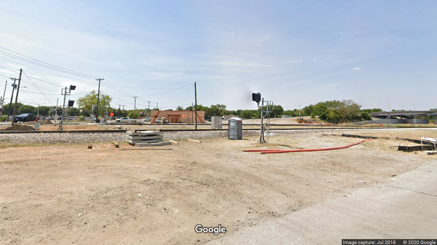
From Beach Street, we can see the Beach St/Mercantile station, and a signal for a siding.
TBD.....
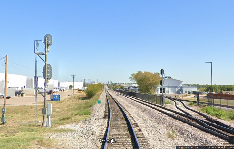
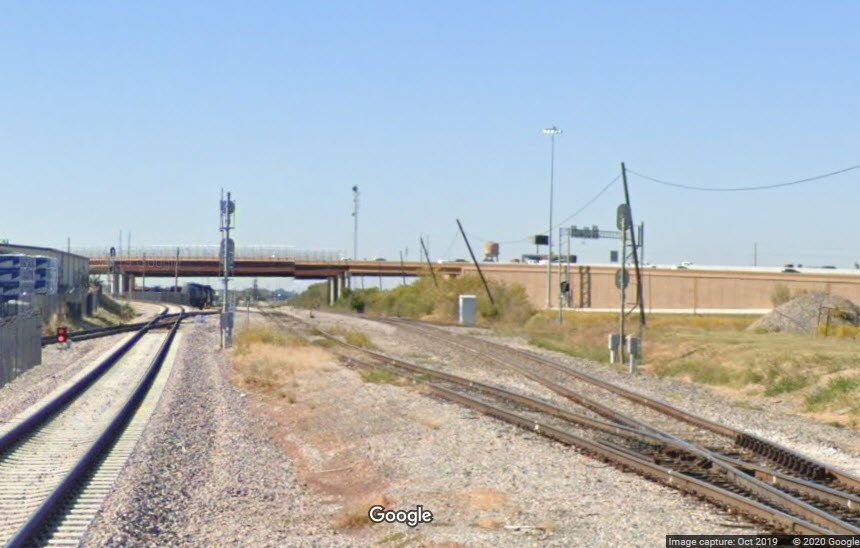
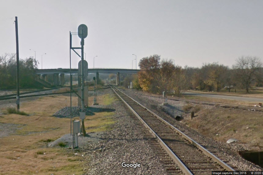
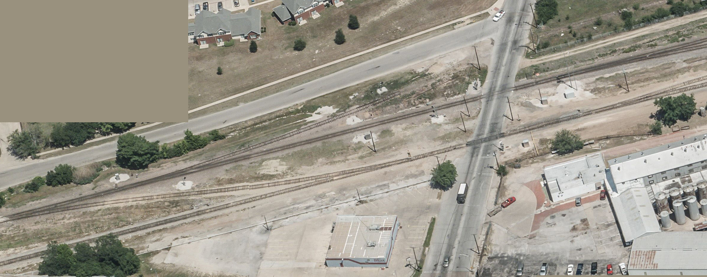
Four sets of signals can be seen if we look west from Sylvania Ave, the FtW&W yard is off to the left.
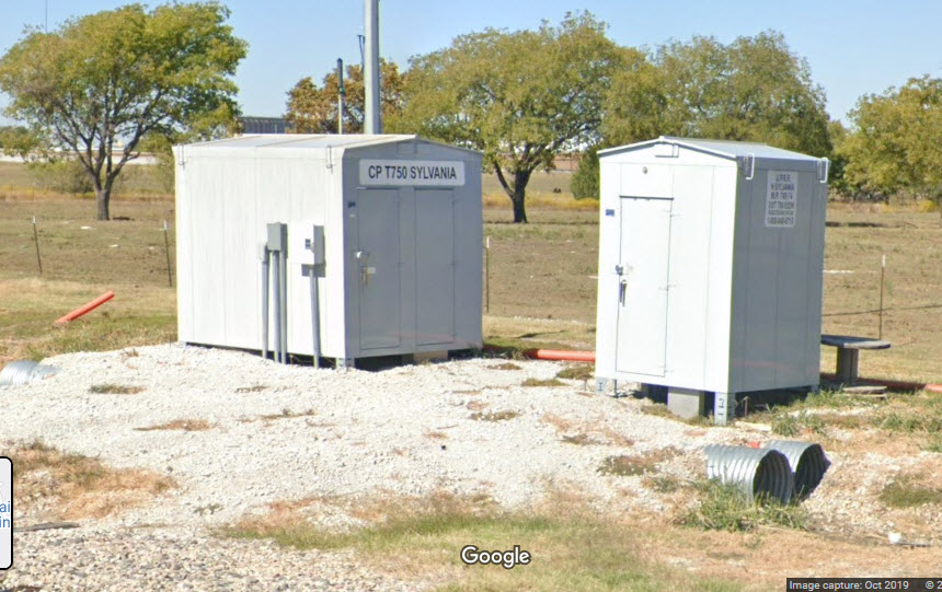
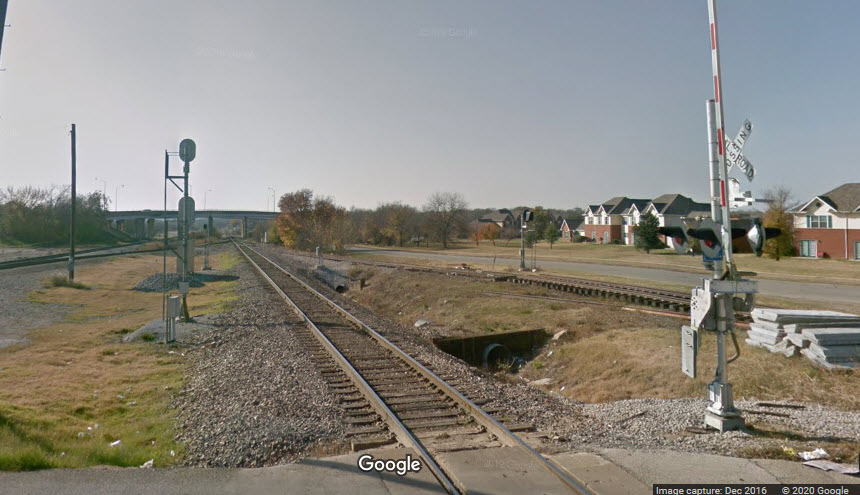
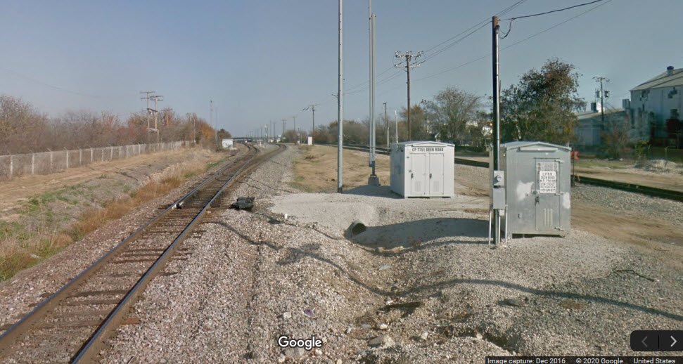
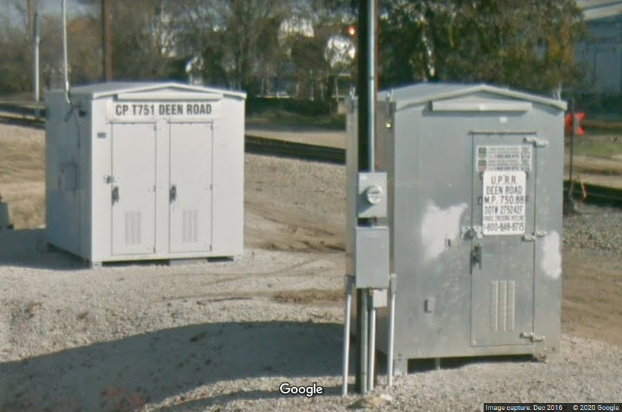
Spare slot, I'm sure there is something else in here before Deen Rd
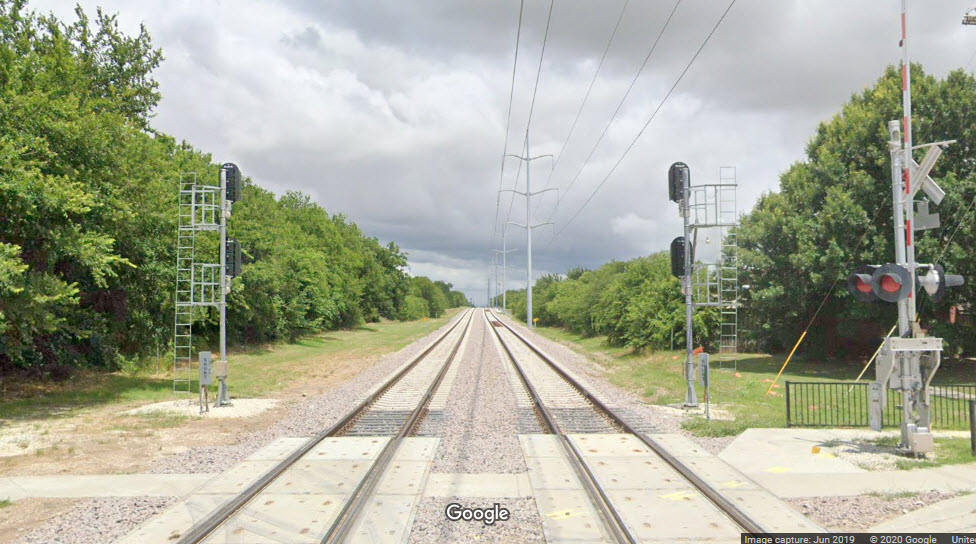
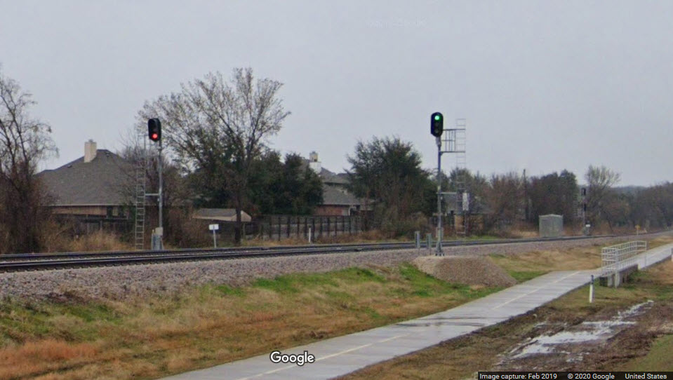
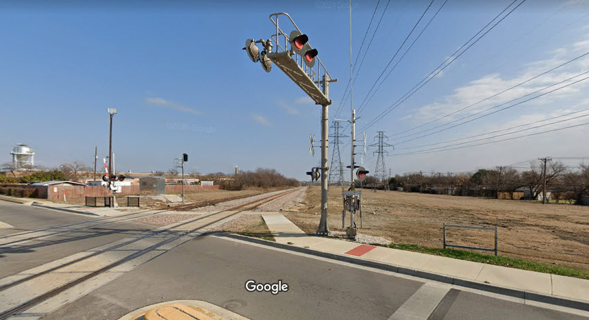
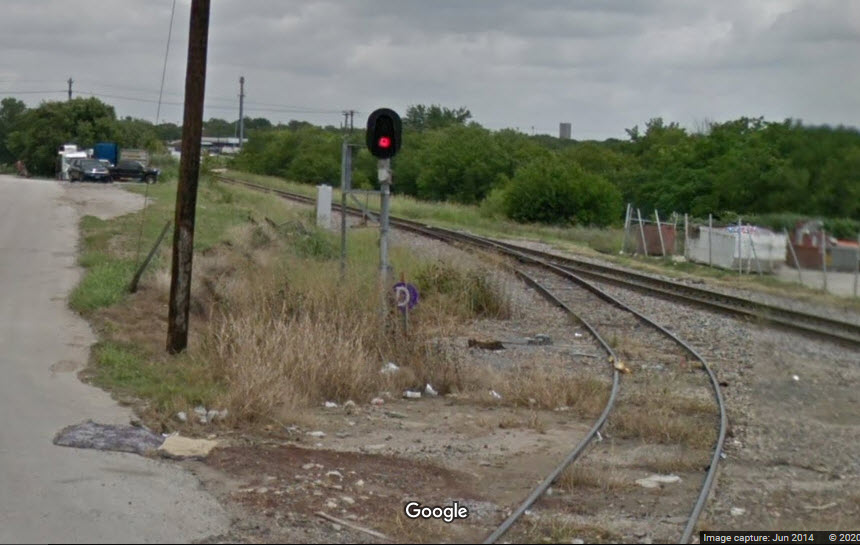
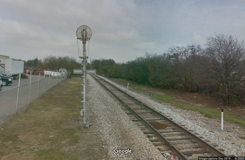
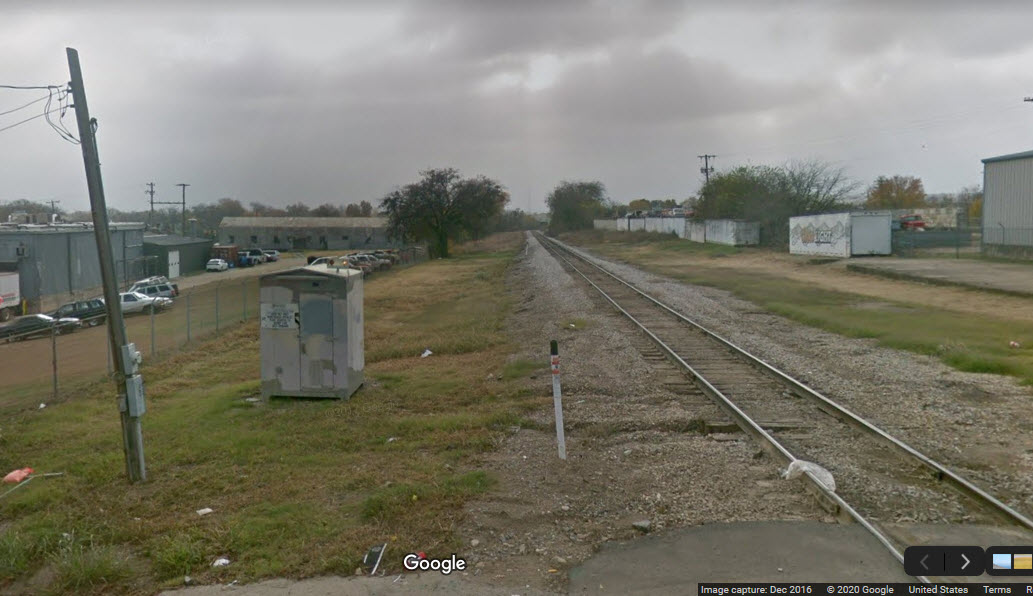
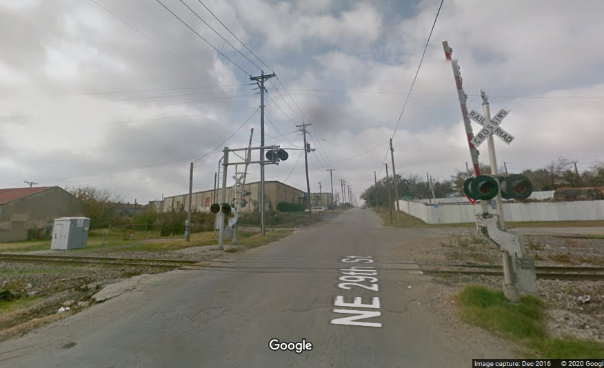
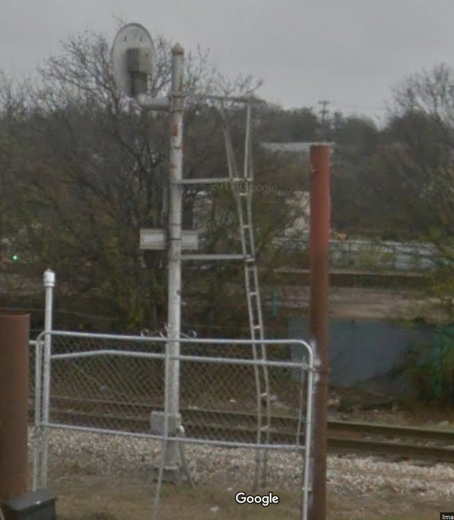
These Google Streetviews are from 2016, before TEX Rail came thru. Looks like there was a signaled siding here, and even as late as 2018, the signal for the siding was still standing. I'm sure by now, it is gone....
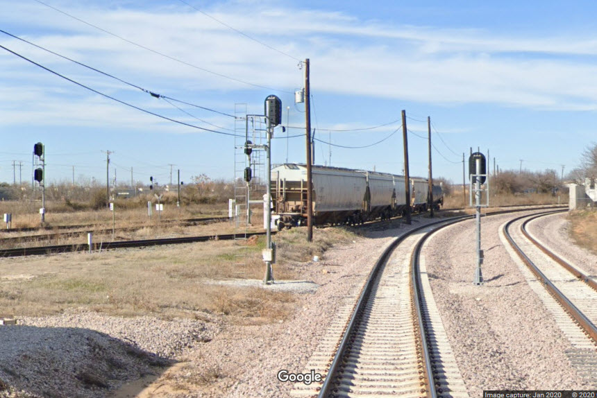
These Google Streetviews are mostly from 2014, way before the Northside station was built, so I'm sure this WHOLE area has changed dramatically.
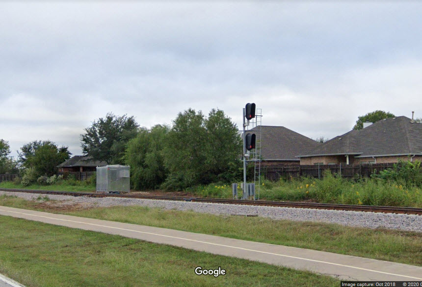
We have a signaled siding, and (I assume), an approach signal... back then.....
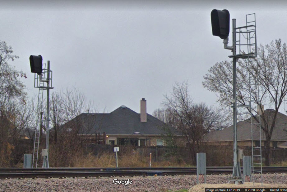
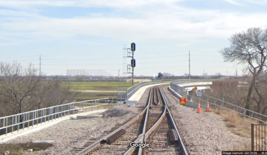
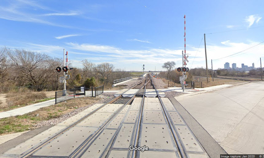
 One
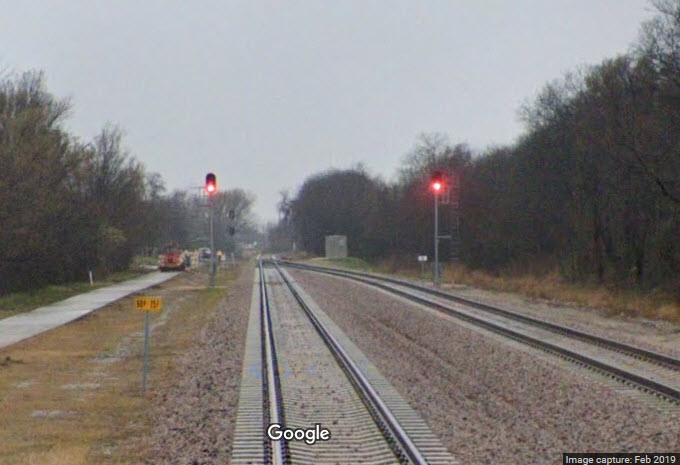
of the few fixed approach signals seen around here....
One
of the few fixed approach signals seen around here....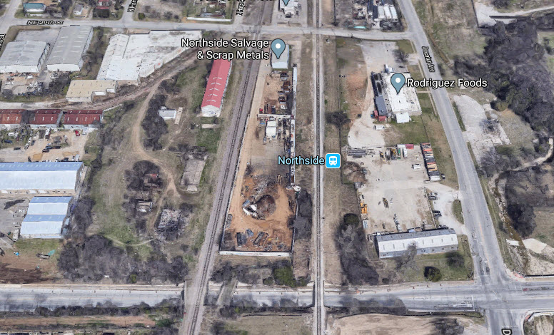
Have any pictures you would like to contribute?
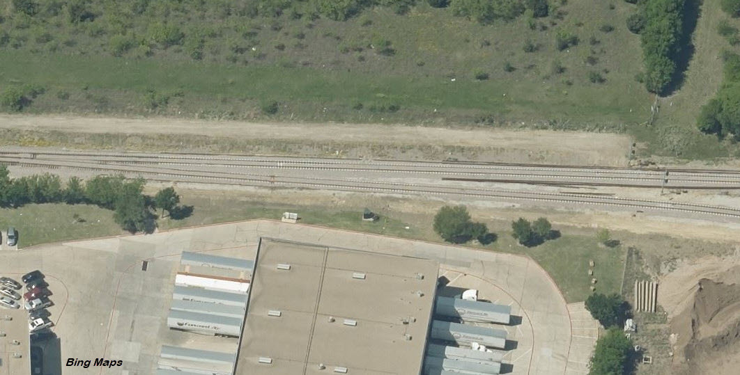
This is where TEX Rail diverges from the Cotton Belt line (behind 2567 Decatur Ave), avoiding the huge diamond with the BNSF, and heads south into downtown Ft Worth on the east side of the BNSF. Have any pictures you would like to contribute and share?
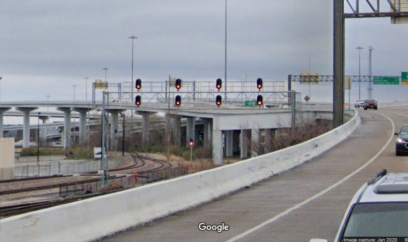
Busy place, I count six signals in the first screengrab....
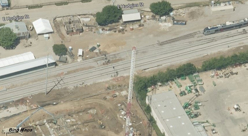
There are numerous signal locations that can not be covered at this time, since I am doing this remotely, and have not had a chance to visit yet.
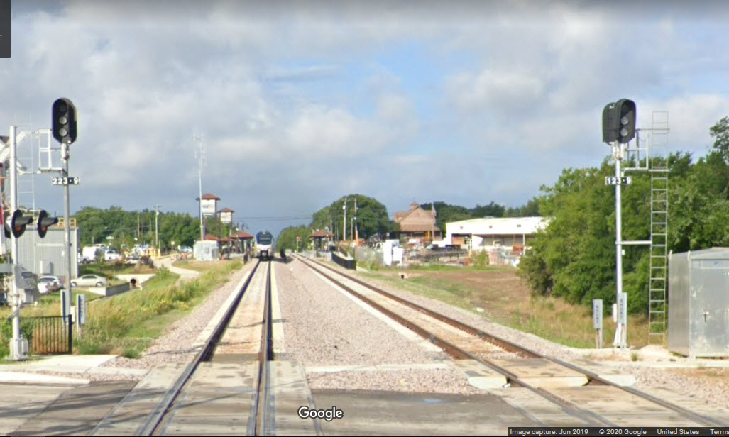
Taken from Google's streetview from I-30, we can see a number of the signals on the east side of T&P stationm.
Both commuter rail tracks deadend just to the west of the platforms.
For now, this concludes my coverage of the signals of the TEX Rail line.
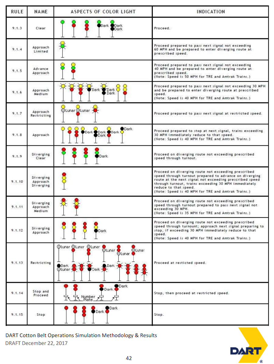
I don't know if TexRail uses the same signal indications as the TRE does, but here is a DART TRE signal chart.
Disclaimers:
I love trains, and I love signals. I am not an expert. My webpages reflect what I find on the topic of the page. This is something I have fun with while trying to help others.
Please Note: Since the main focus of my two websites is railroad signals, the railfan guides are oriented towards the signal fan being able to locate them. For those of you into the modeling aspect of our hobby, my indexa page has a list of almost everything railroad oriented I can think of to provide you with at least a few pictures to help you detail your pike.
If this is a railfan page, every effort has been made to make sure that the information contained on this map and in this railfan guide is correct. Once in a while, an error may creep in :-)
My philosophy: Pictures and maps are worth a thousand words, especially for railfanning. Text descriptions only get you so far, especially if you get lost or disoriented. Take along good maps.... a GPS is OK to get somewhere, but maps are still better if you get lost! I belong to AAA, which allows you to get local maps for free when you visit the local branches. ADC puts out a nice series of county maps for the Washington DC area, but their state maps do not have the railroads on them. If you can find em, I like the National Geographic map book of the U.S..... good, clear, and concise graphics, and they do a really good job of showing you where tourist type attractions are, although they too lack the railroads. Other notes about specific areas will show up on that page if known.
Aerial shots were taken from either Google or Bing Maps as noted. Screen captures are made with Snagit, a Techsmith product... a great tool if you have never used it!
By the way, floobydust is a term I picked up 30-40 years ago from a National Semiconductor data book, and means miscellaneous and/or other stuff.
Pictures and additional information is always needed if anyone feels inclined to take 'em, send 'em, and share 'em, or if you have something to add or correct.... credit is always given! Please be NICE!!! Contact info is here
Beware: If used as a source, ANYTHING from Wikipedia must be treated as being possibly being inaccurate, wrong, or not true.
RAILFAN GUIDES HOME
RAILROAD SIGNALS HOME
NEW JUN29/2020
Last Modified
29-Jun-2020