In General
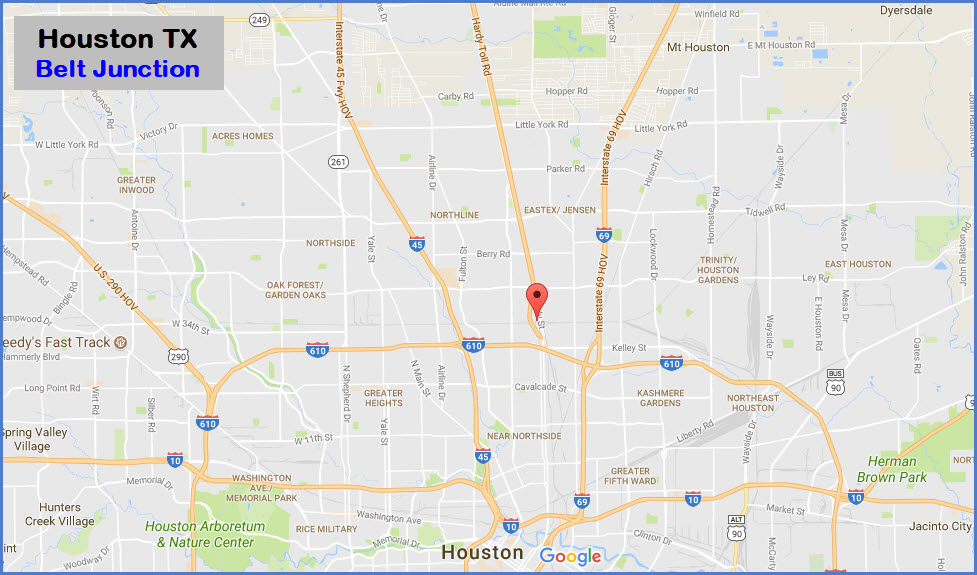
Getting Here
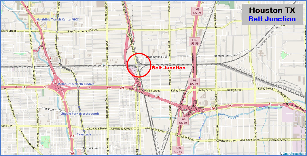
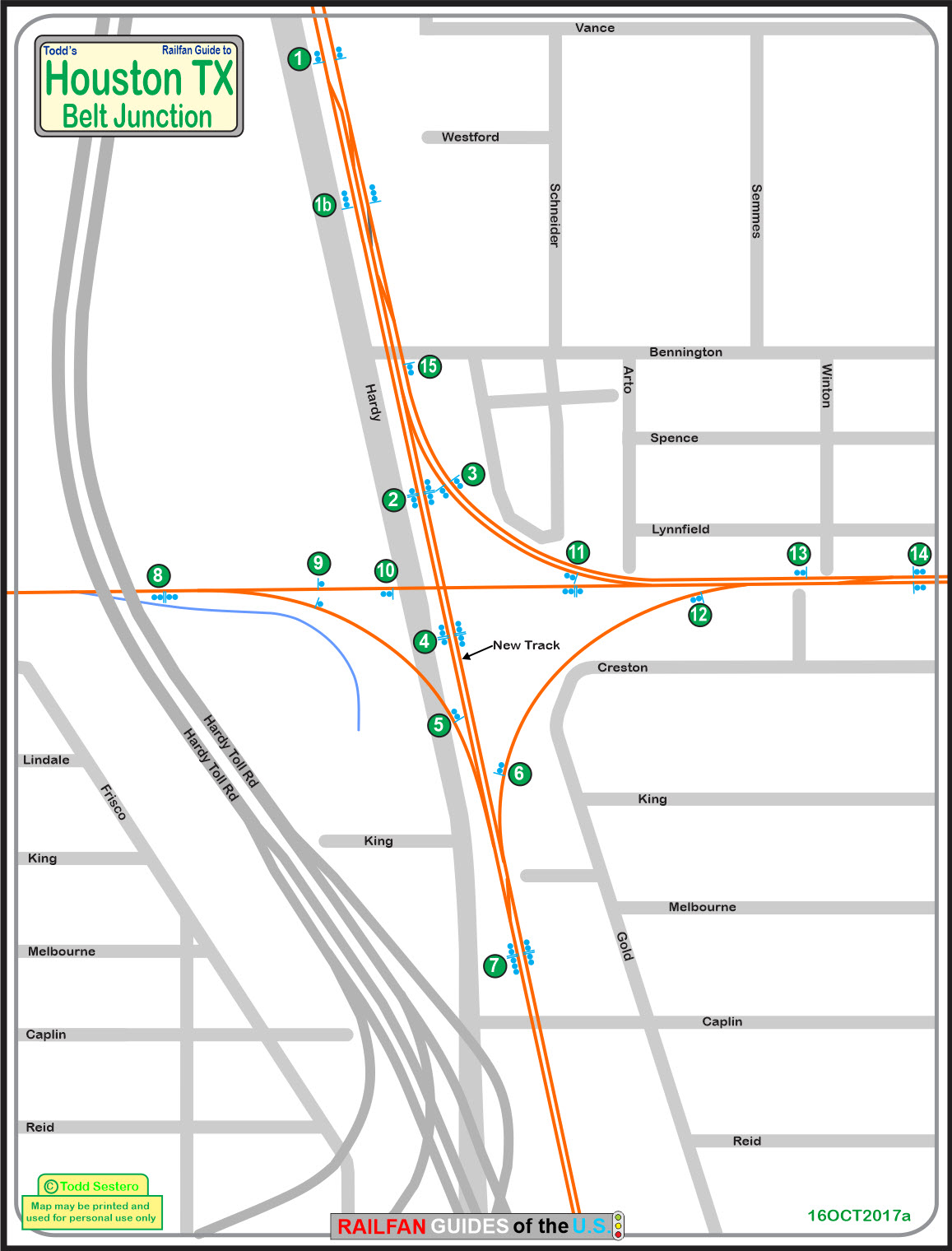
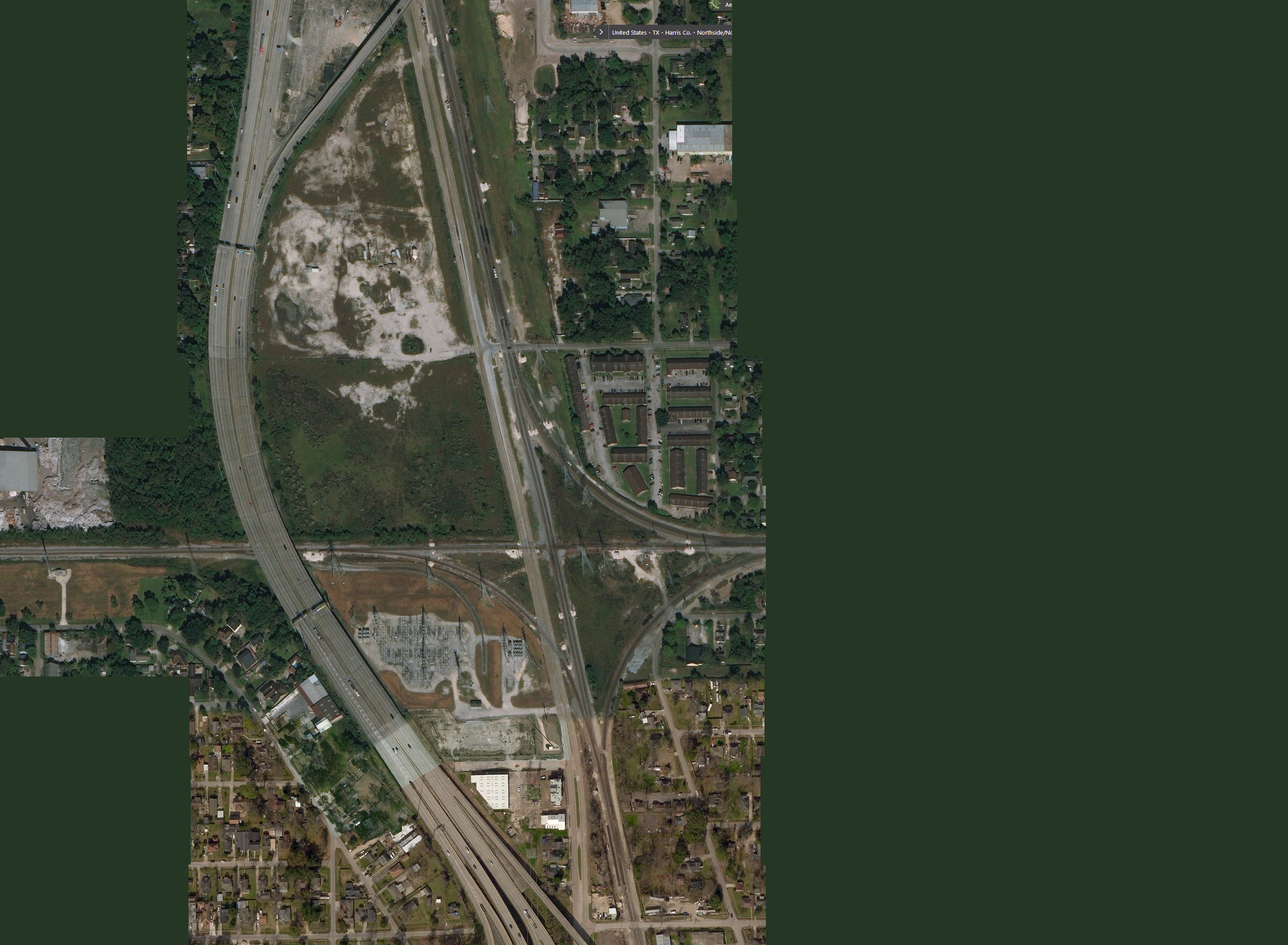
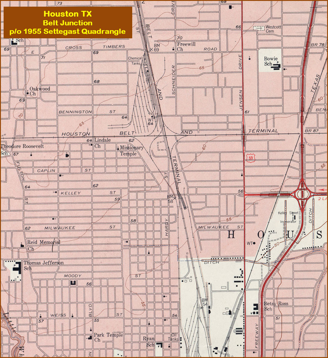
Map
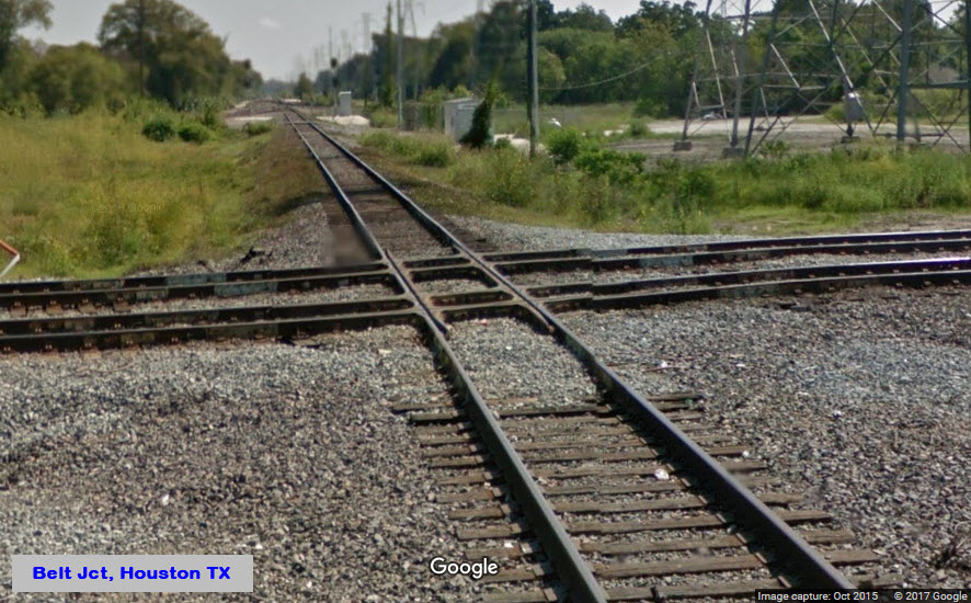
The Diamond
Pictures
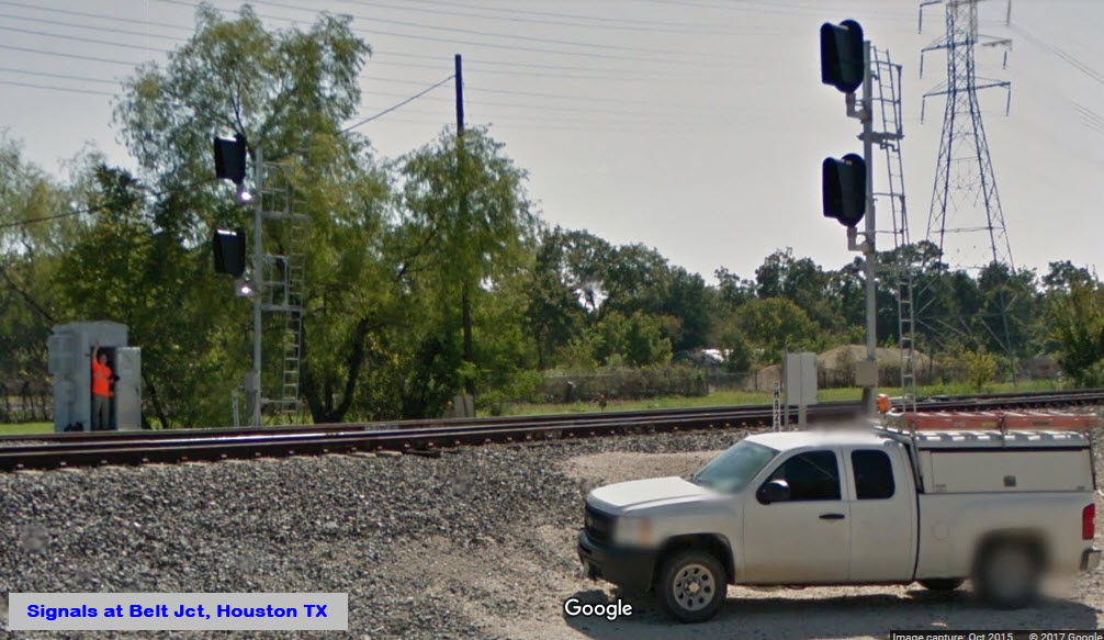
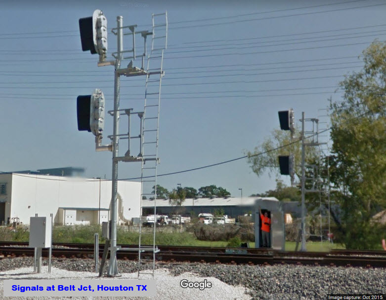
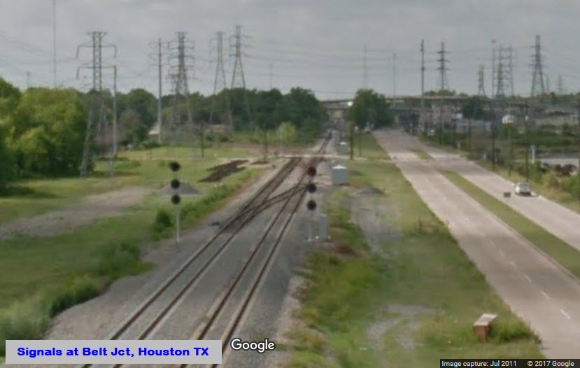
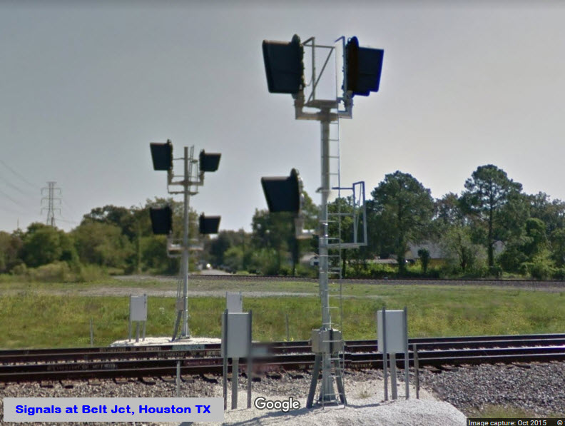
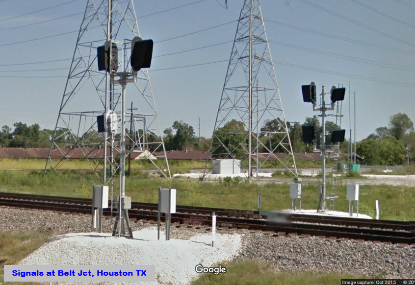
Signals
Floobydust
USGS Maps
RAILFAN GUIDES HOME
RAILROAD SIGNALS HOME
Location / Name:
NE Houston TX, Harris County
What's Here:
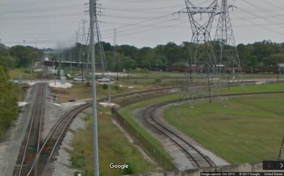
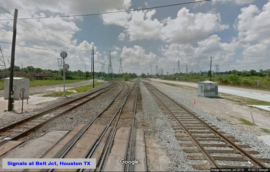
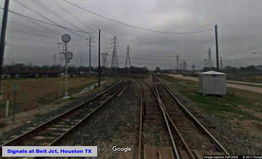
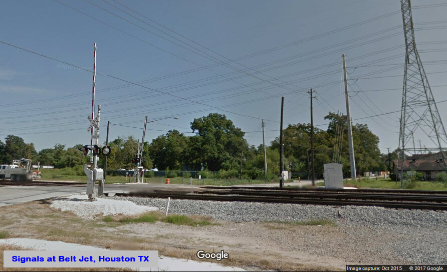
Belt Junction:
Diamond Crossover
Three Interchange Tracks
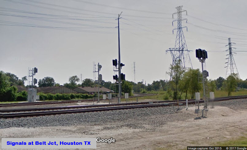
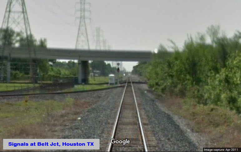
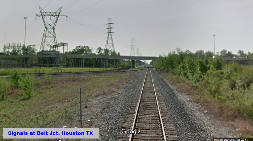
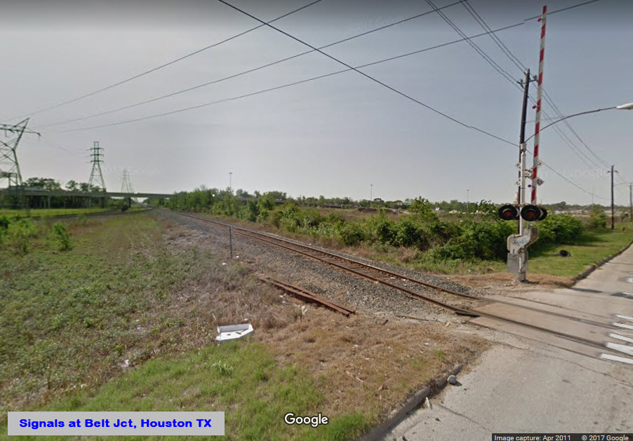
Plenty of signals!
Data:
GPS Coordinates: 29.819729, -95.352115
Phone A/C: 713
ZIP: 77093
Access by train/transit:
None
The Scoop:
A junction with a rich history, including the Rock Island and the Missouri Pacific. The Rock Island used to come in from the west and then went south. The Mopac used to come in from the north.
Traffic thru here is fairly steady, but can be slow at times.
For now, this page is ALL about signals, for I have not come across any pictures of trains to accompany the signals.
If you have any pictures, please consider sending them in.
Acknowledgements:
Steve Sandifer
Denver Todd
Websites and other additional information sources of interest for the area:
none yet
It's complicated. Best thing I can say is take I-610 to the Hardy Toll Road and take the very first exit for Hardy Street and go north to Berry Rd, while you'll make a U-Turn to go back south on Hardy Street, this time, staying on Hardy Street. Your GPS is always an option to, but you'll have to punch in the coordinates, which may still not work depending on your GPS. A good map of Houston will be advantageous here!
 After the upgrade
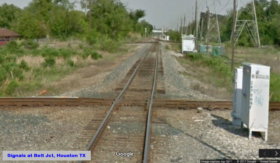 Before
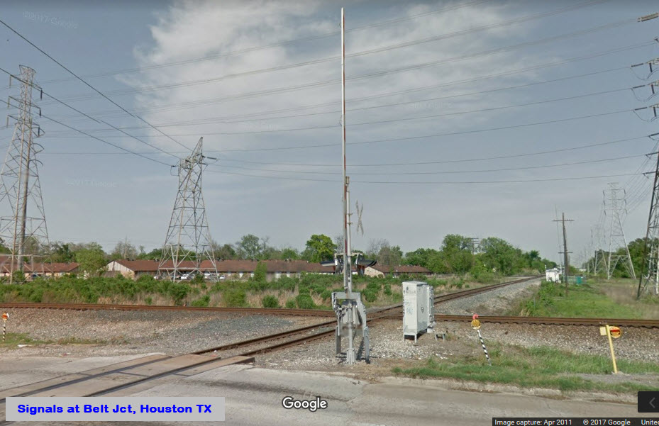 Before
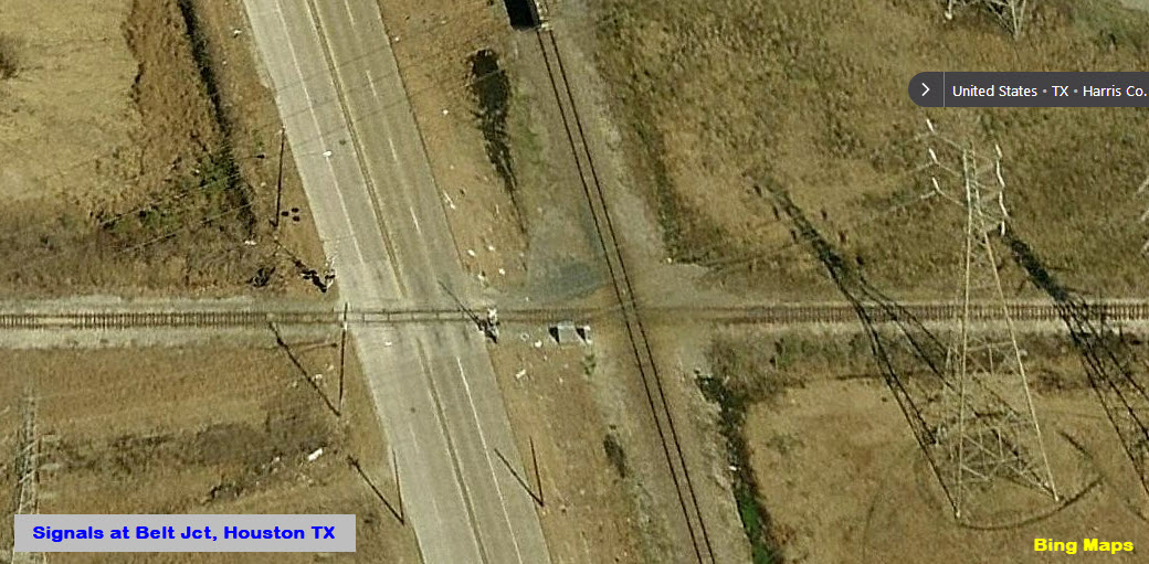
None yet.....
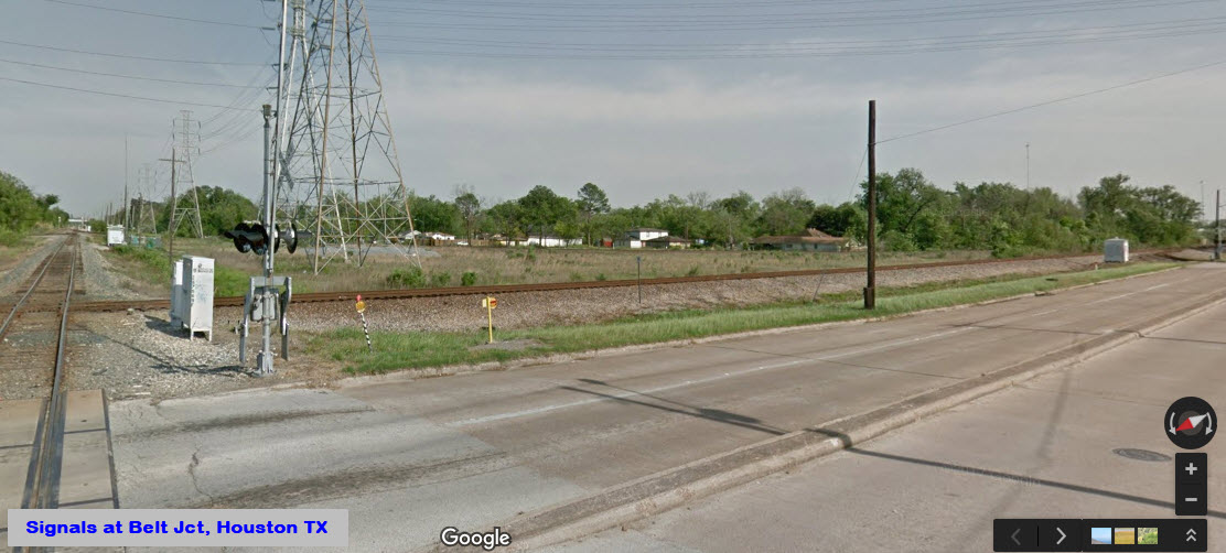
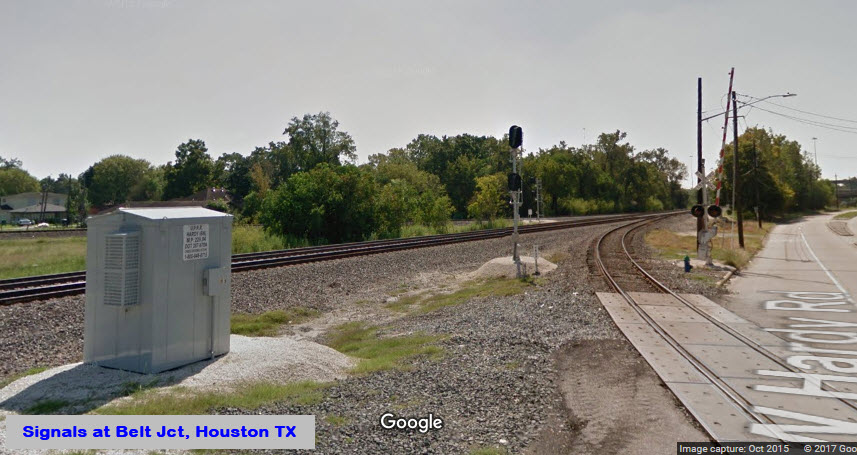
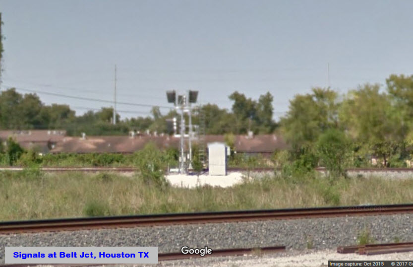
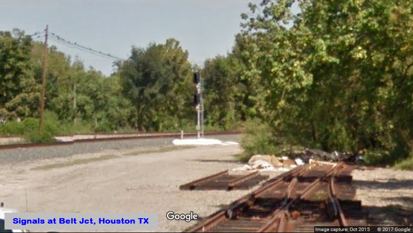
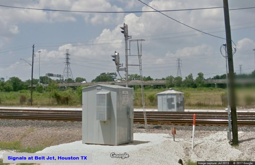
Not sure when, but the Union Pacific spent a massive amount of money to upgrade the signals at this junction. It also appears that they may have changed the signals to approach lighting. The aerial picture from Bing shows all brand new ballast around all of the signal locations, except for the southern section of the junction where they have older shots. A couple of the locations, namely 1, 3, and 8, had pictures from the dark places on Google's servers and show the older track alignment and signals.
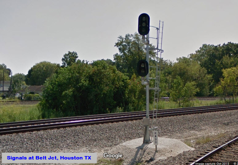
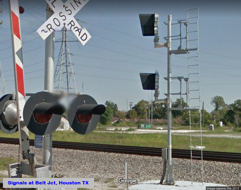
All signals are now the "Darth Vader" type colorlight signals.
I wonder if he was waving at the Google camera truck? :-)

 Before adding the second track
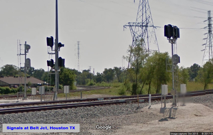
From the street there is no real good vantage point for pictures at location 3 by itself, so here are some with 2 and 3 together.
 After
After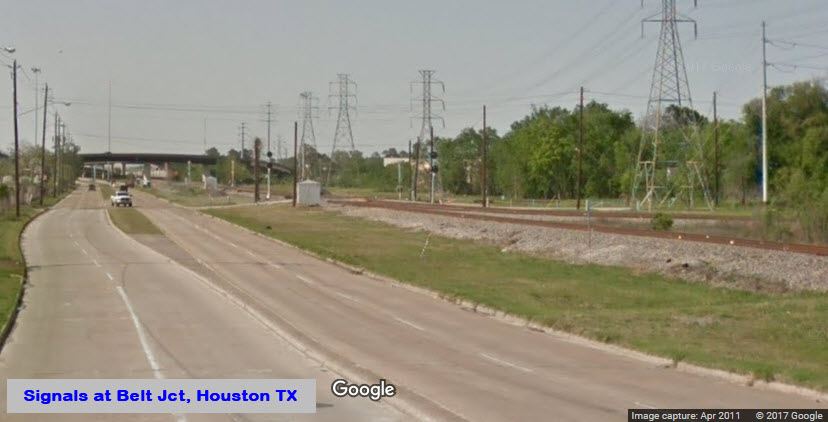 Before
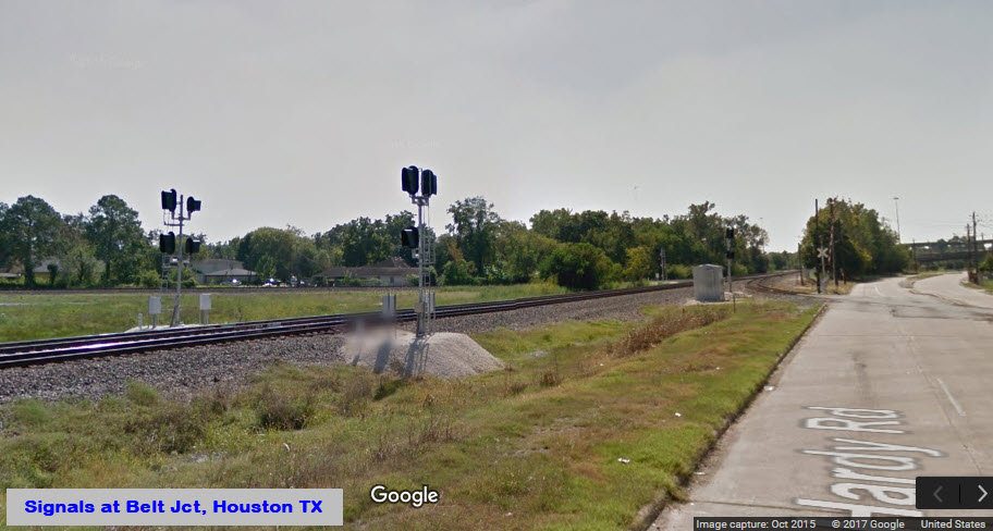
 Before
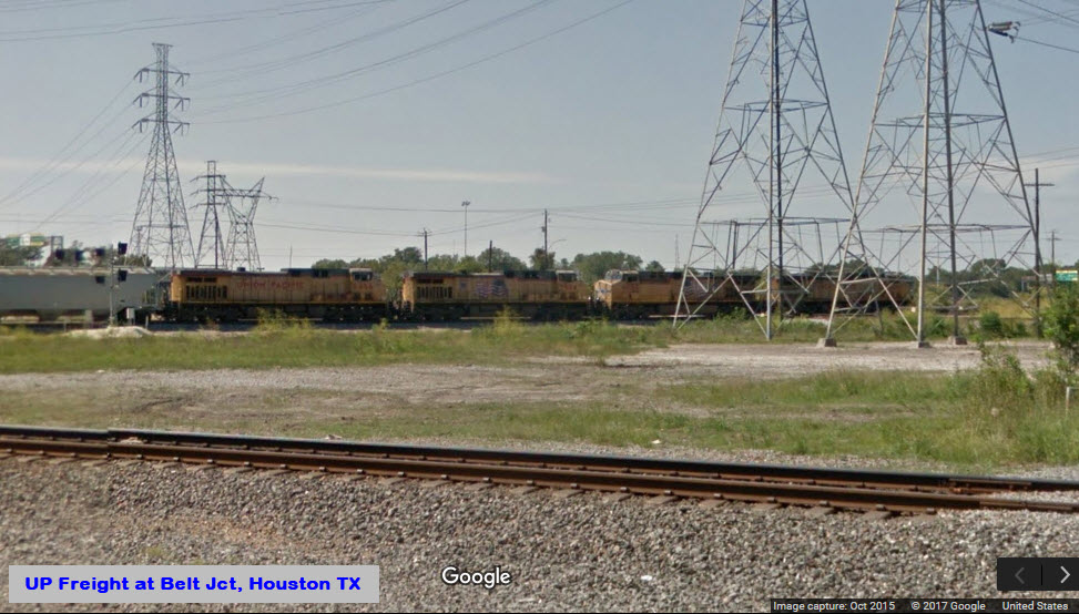
 Before
The
The
This location is one of the few that still has a picture from before the signal upgrade was performed.
 From the Hardy Toll Road overpass
Need good pictures

 Before
Need good pictures
Need good pictures
Need pictures
Need pictures
This appears to have been the last "vintage" signal removed from the interlocking, sometime between July and October of 2015.
Got nuthin....
Courtesy of the University of Texas Library, click here for their index page.
Disclaimers:
I love trains, and I love signals. I am not an expert. My webpages reflect what I find on the topic of the page. This is something I have fun with while trying to help others.
Please Note: Since the main focus of my two websites is railroad signals, the railfan guides are oriented towards the signal fan being able to locate them. For those of you into the modeling aspect of our hobby, myindexa page has a list of almost everything railroad oriented I can think of to provide you with at least a few pictures to help you detail your pike.
If this is a railfan page, every effort has been made to make sure that the information contained on this map and in this railfan guide is correct. Once in a while, an error may creep in :-)
My philosophy: Pictures and maps are worth a thousand words, especially for railfanning. Text descriptions only get you so far, especially if you get lost or disoriented. Take along good maps.... a GPS is OK to get somewhere, but maps are still better if you get lost! I belong to AAA, which allows you to get local maps for free when you visit the local branches. ADC puts out a nice series of county maps for the Washington DC area, but their state maps do not have the railroads on them. If you can find em, I like the National Geographic map book of the U.S..... good, clear, and concise graphics, and they do a really good job of showing you where tourist type attractions are, although they too lack the railroads. Other notes about specific areas will show up on that page if known.
Aerial shots were taken from either Google Maps or www.bing.com/maps as noted. Screen captures are made with Snagit, a Techsmith product... a great tool if you have never used it!
By the way, floobydust is a term I picked up 30-40 years ago from a National Semiconductor data book, and means miscellaneous and/or other stuff.
Pictures and additional information is always needed if anyone feels inclined to take 'em, send 'em, and share 'em, or if you have something to add or correct.... credit is always given! Please be NICE!!! Contact info is here
Beware: If used as a source, ANYTHING from Wikipedia must be treated as being possibly being inaccurate, wrong, or not true.
SEPTA HOMEPAGE
RAILFAN GUIDES HOME
RAILROAD SIGNALS HOME
NEW 07/01/2017
Last Modified
17-Oct-2017