
In General
Maps
Signals
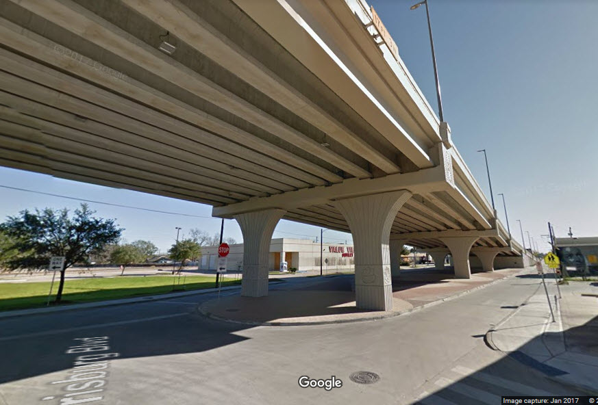
Bridges
Floobydust
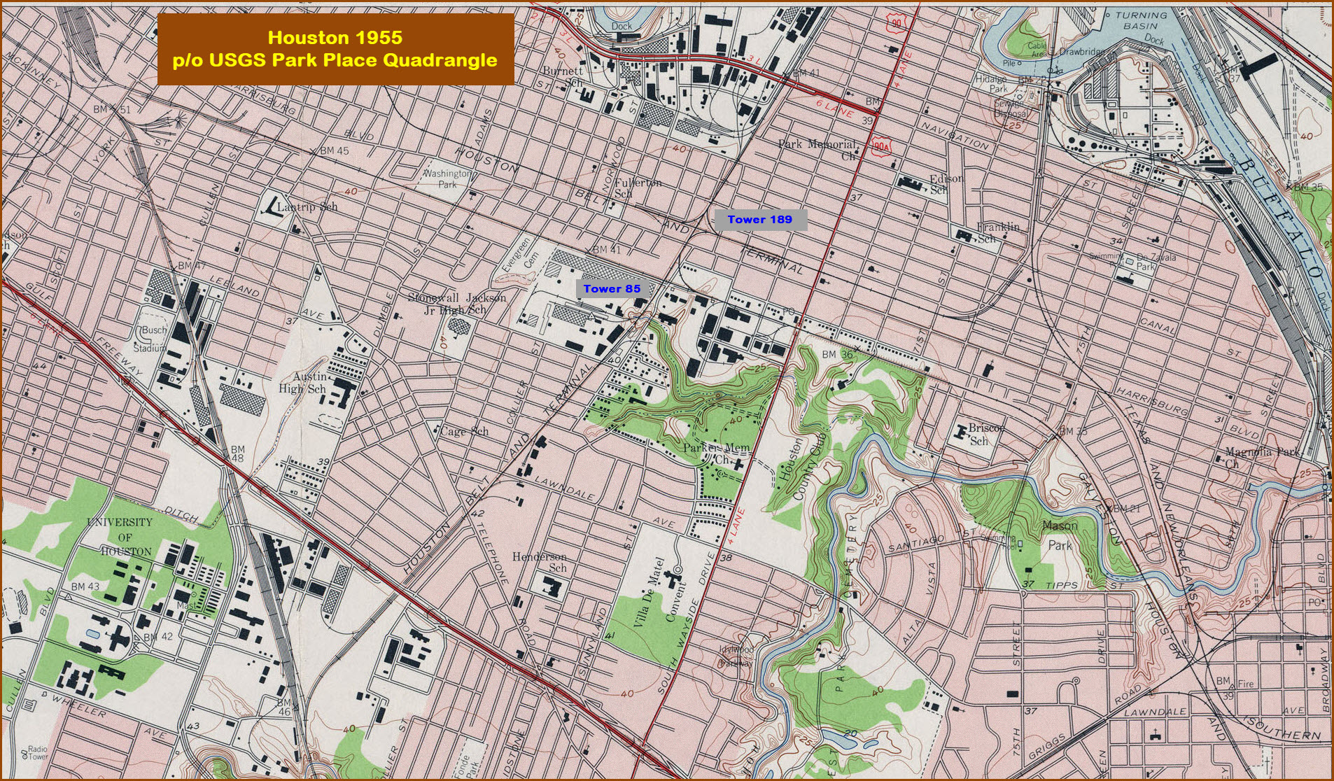
USGS Maps
In General
Maps
Signals
Bridges
Floobydust
USGS Maps
HOUSTON RAILFAN GUIDE HOME
RAILFAN GUIDES HOME
RAILROAD SIGNALS HOME
Location / Name:
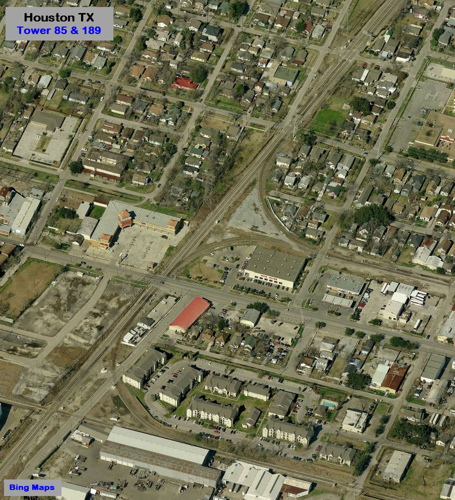
Houston TX, Harris County
What's Here:
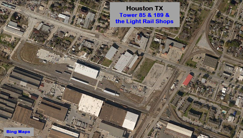
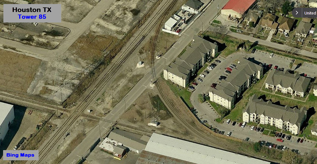
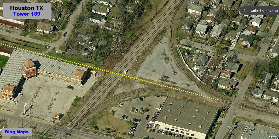
Tower 85
The Green & Blue Line Metrorail Light Rail Shops
Three Light Rail Stations
Data:
GPS Coordinates: 29.739022, -95.313078
Phone A/C: 713
ZIP: 77011
Access by train/transit:
the Cesar Chavez/67th St station is 3 blocks east on Harrisburg Blvd
the Altic/Howard Hughes Light Rail stop is 7 blocks west
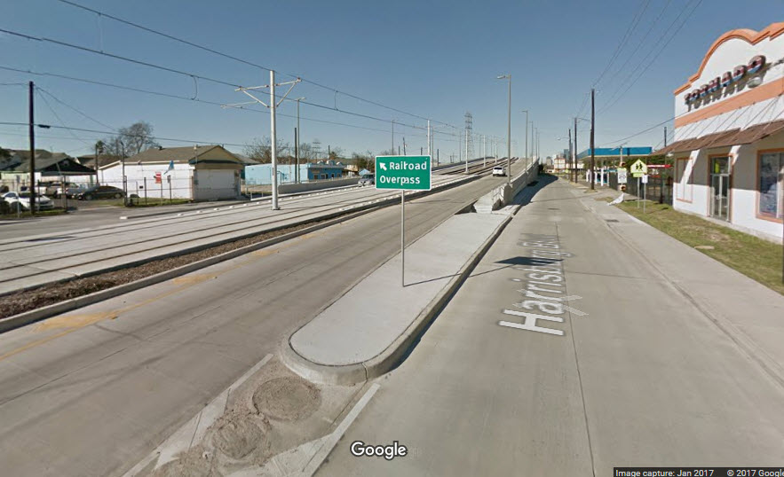
The Scoop:
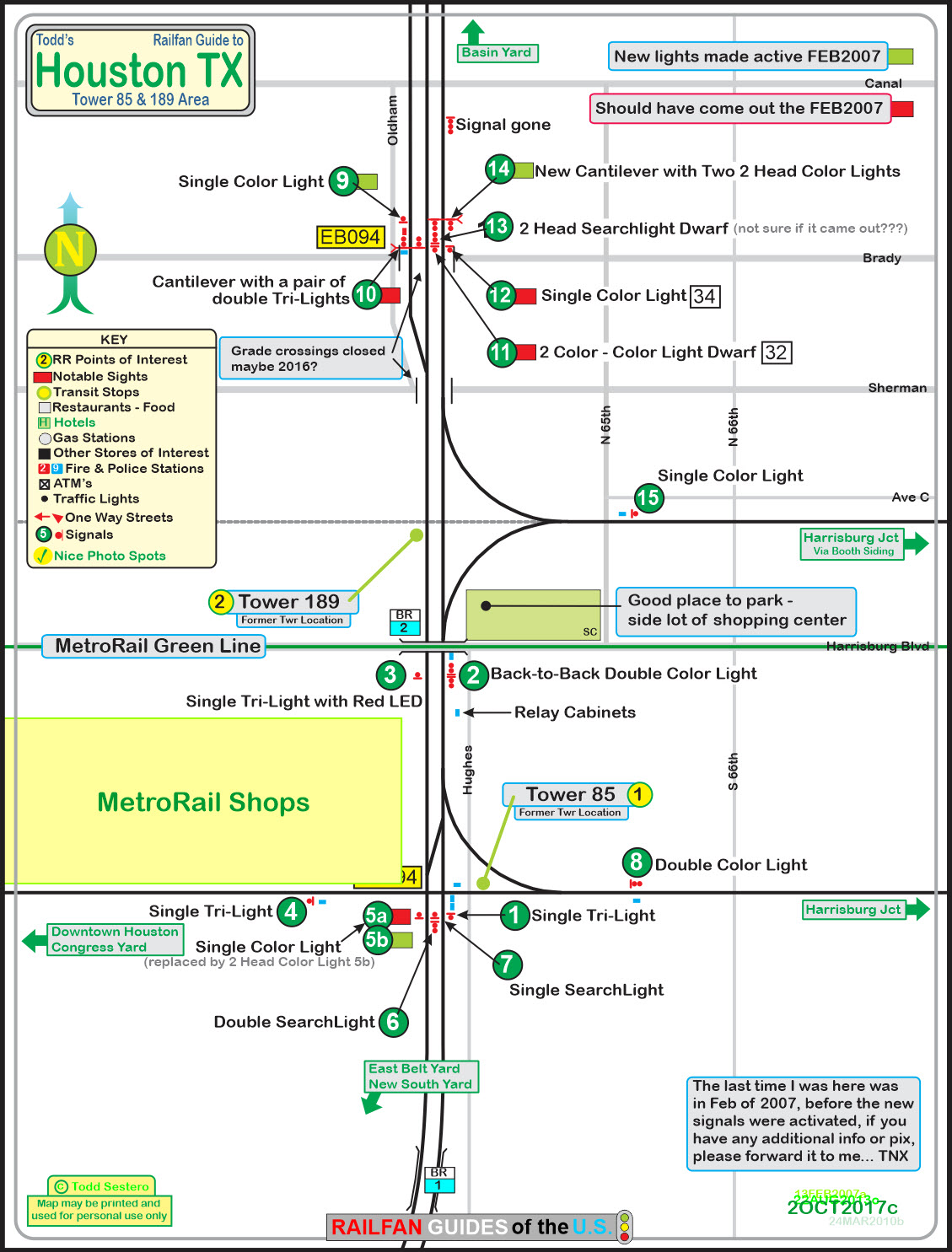
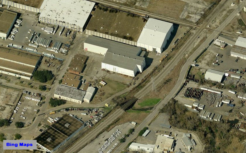
This page covers
the Tower 85 junction in southeast Houston TX and is all about signals. It
is a great signal location. Now, if I could have caught a train or two
while here, that would have been a bonus :-) Seems like the railroads are
getting away from calling their control points by the old tower names, and
substituting CP numbers. The junction is known as CP 283, altho it seems
to me they could have made it CP 285 to make it easier to keep track of where it
is.
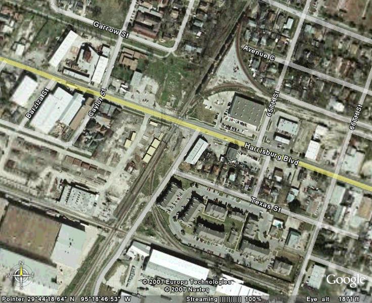
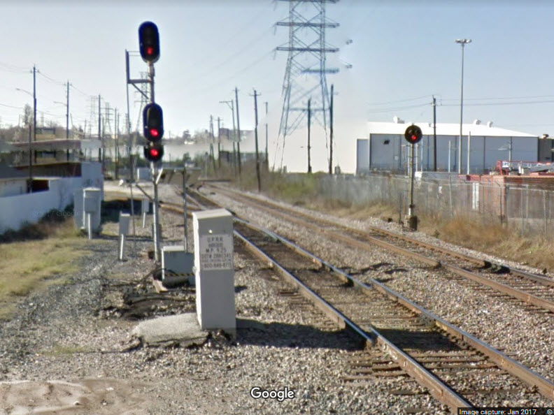
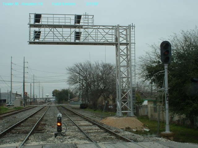
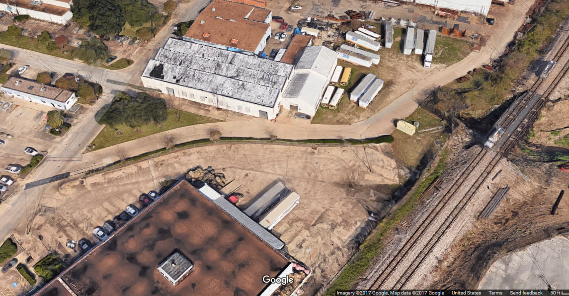
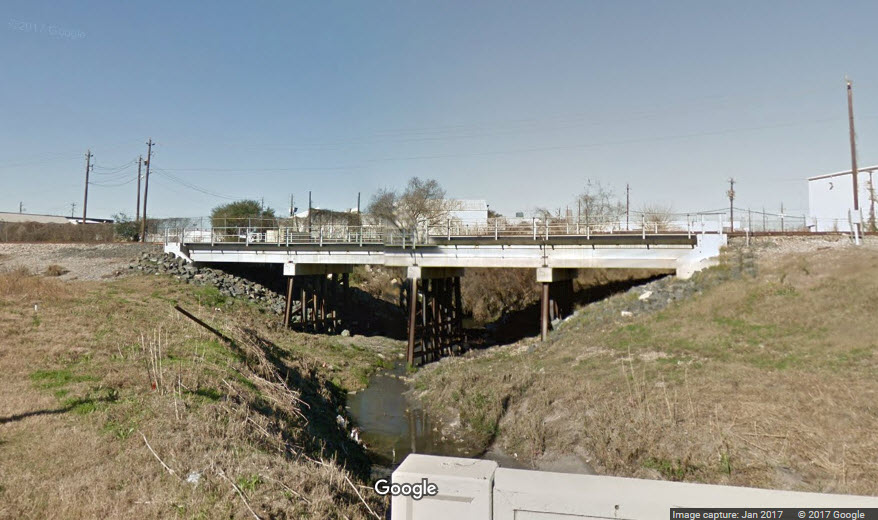
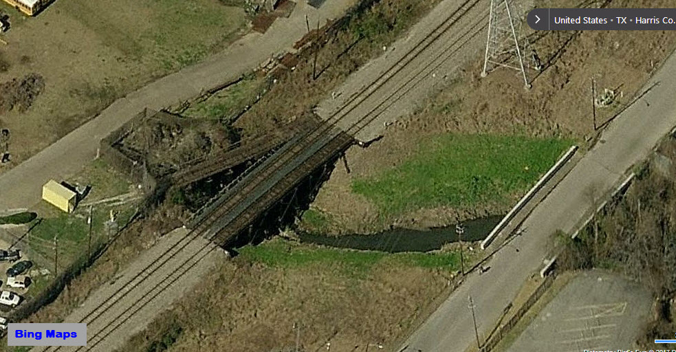
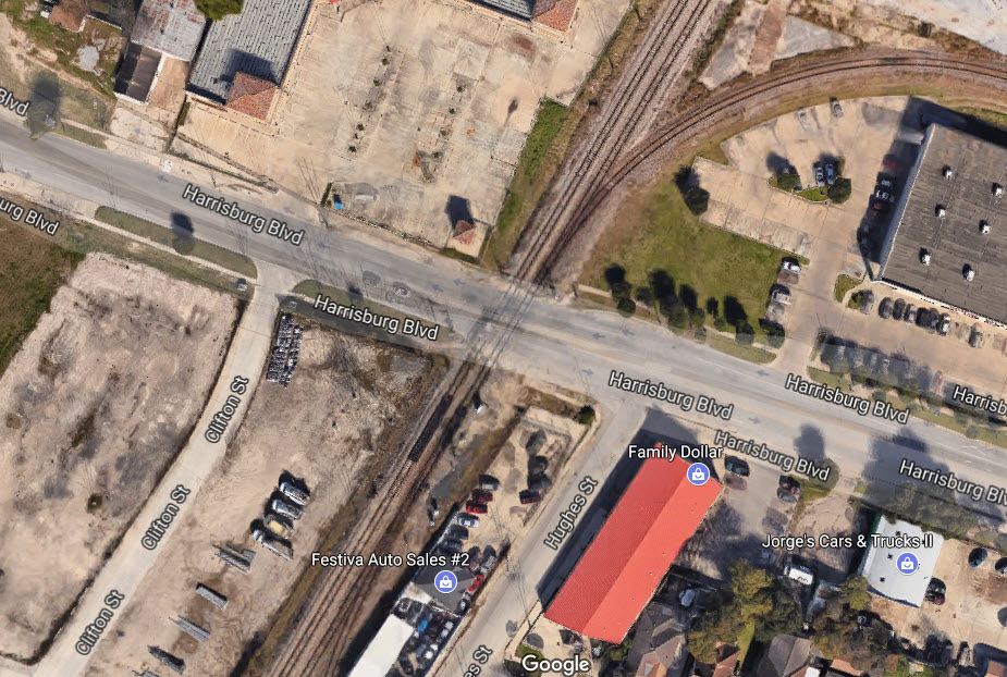
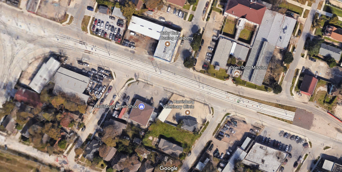
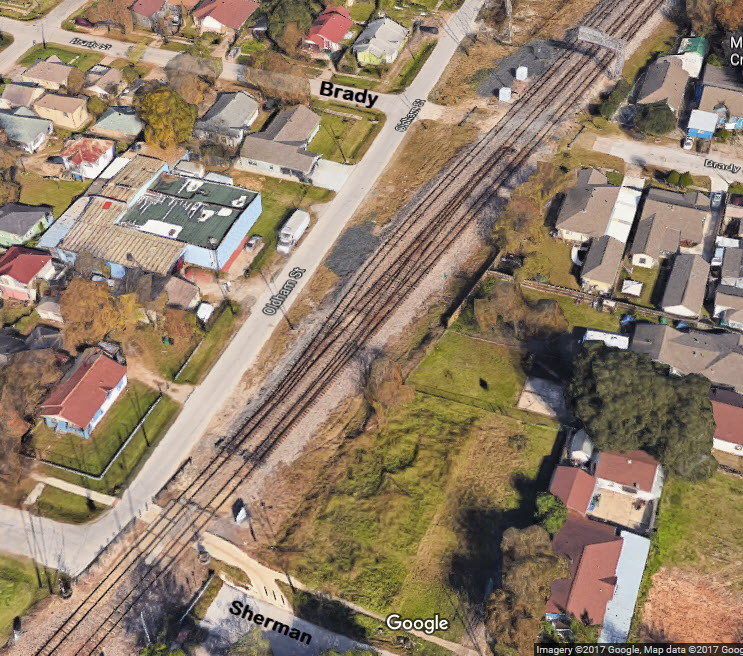
Below is a map of the signals at and adjacent to Tower 85, and below the map is a Google Earth picture of the area.
I guess I was lucky to have made it
here when I did, because I caught the junction in the middle of a signal
upgrade, so I was able to catch the old signals before they came out.
Please note: this is a
signals mostly page, for I didn't see a single train in the two hours or so
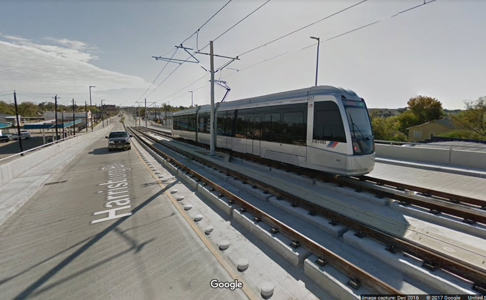
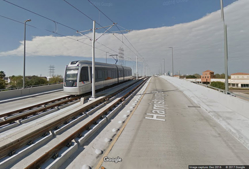
I was here :-( So, any train pictures are from Google or Google Images.
Acknowledgements:
Denver Todd
Websites and other additional information sources of interest for the area:
The above map in PDF format is
here

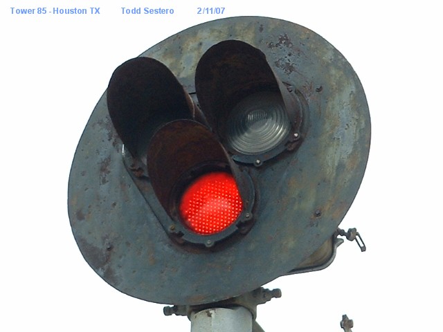
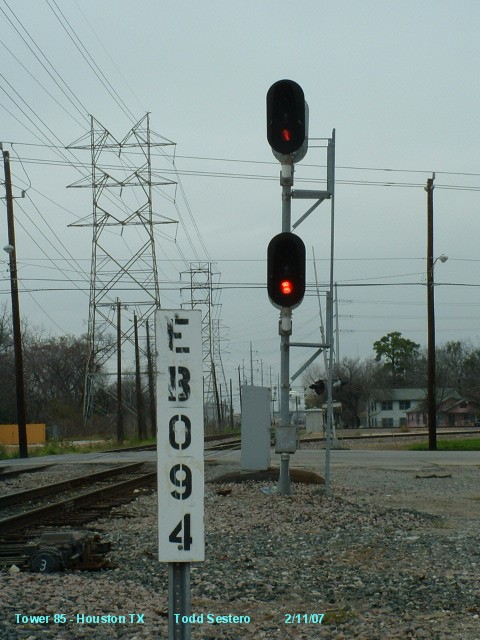
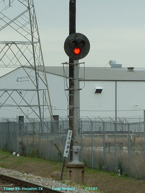
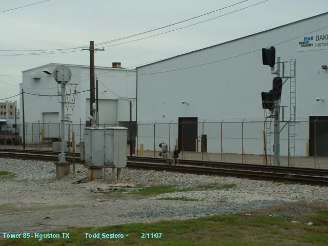
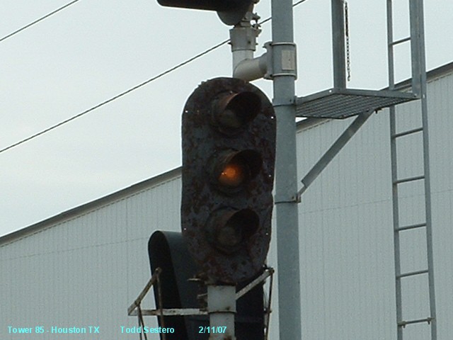
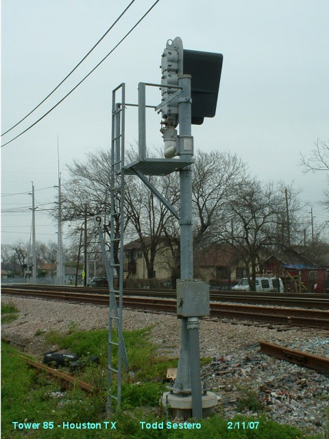
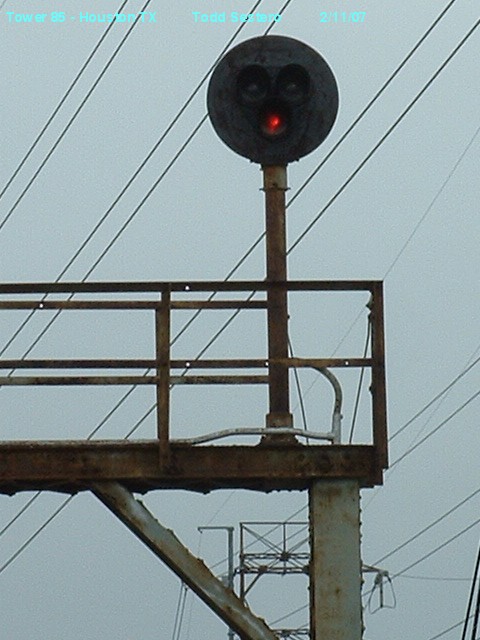
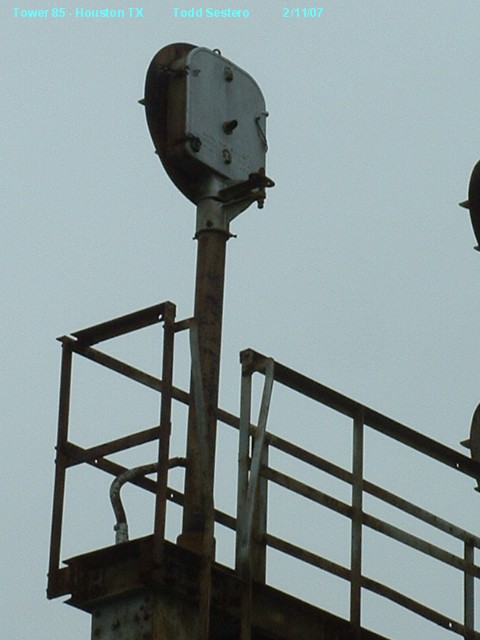
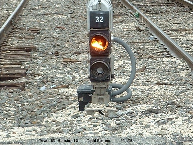
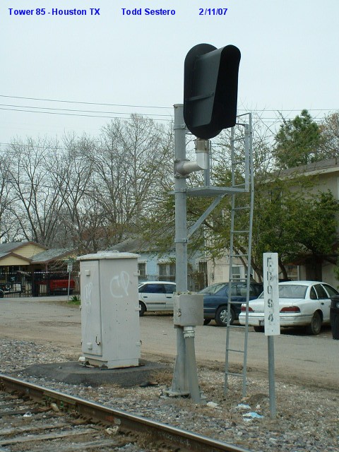
 A Tri-light with a red LED.
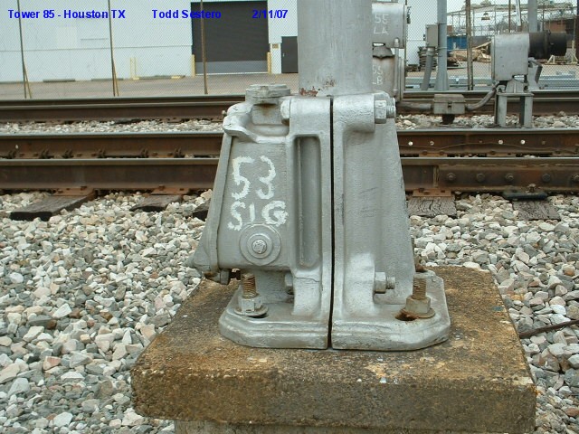 The base for signal 1, handily marked with it's designation on UP's drawings.
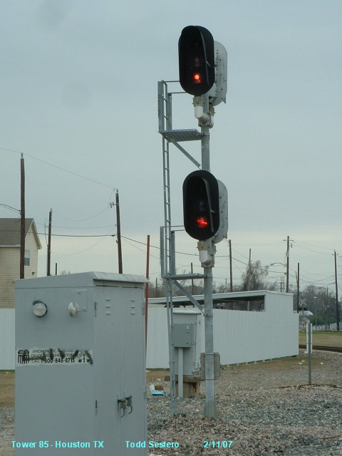
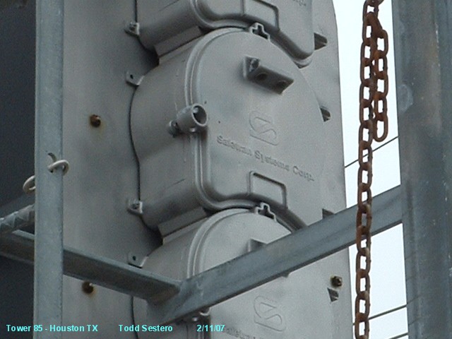
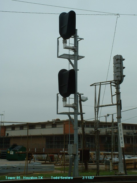
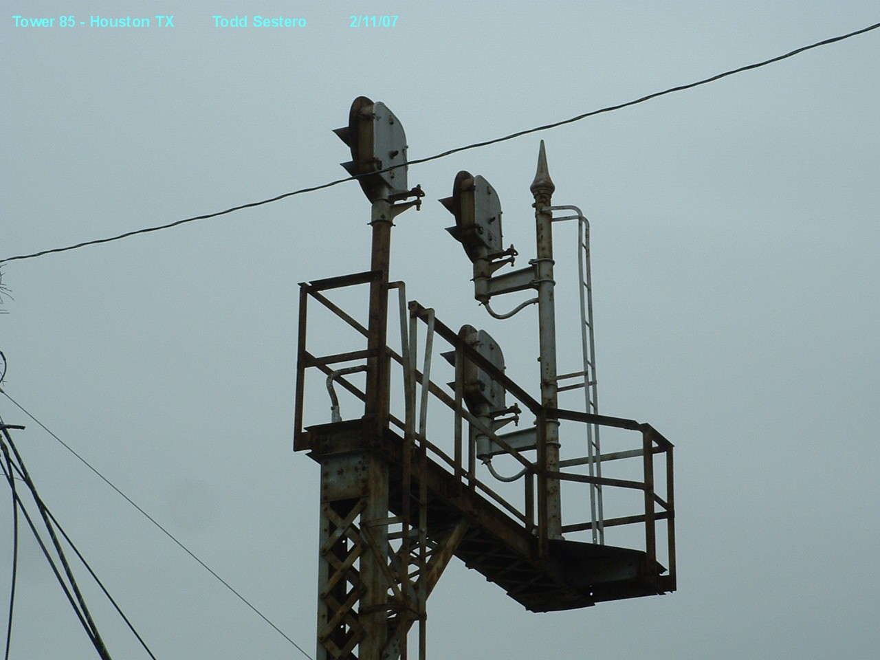
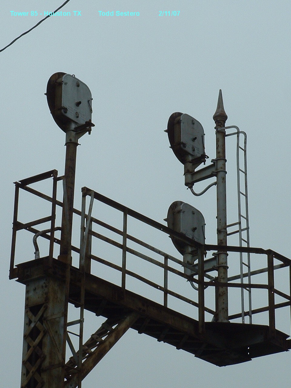
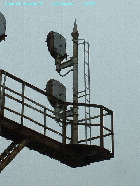
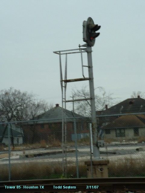 The signals used at location 3 are the same as at location 1.
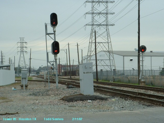
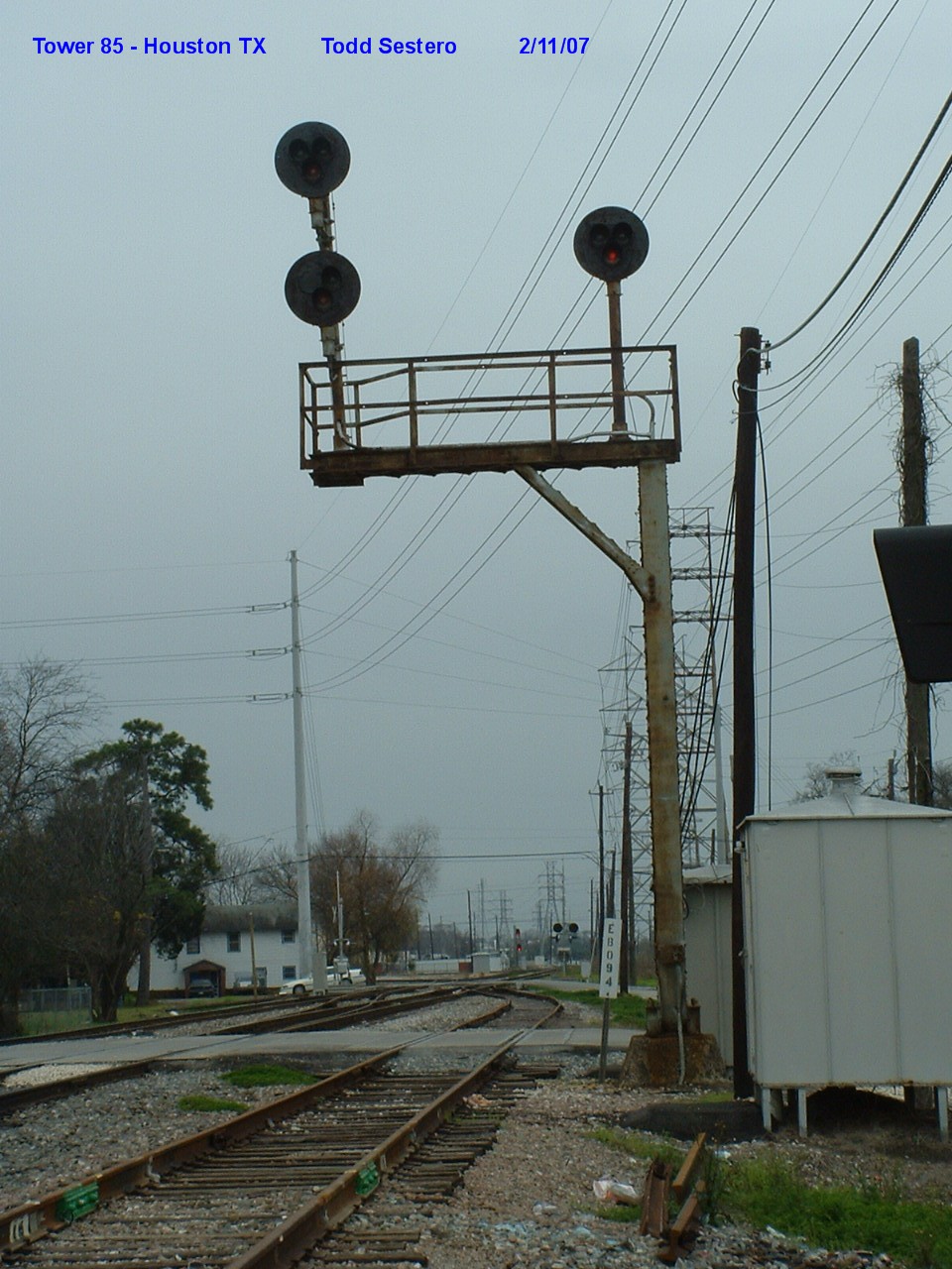
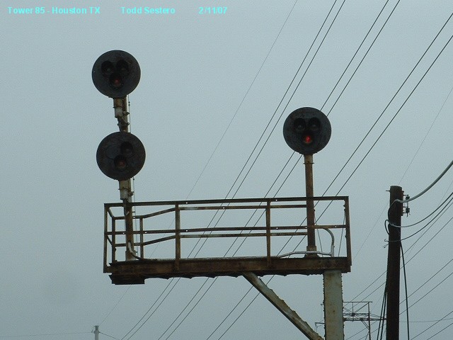
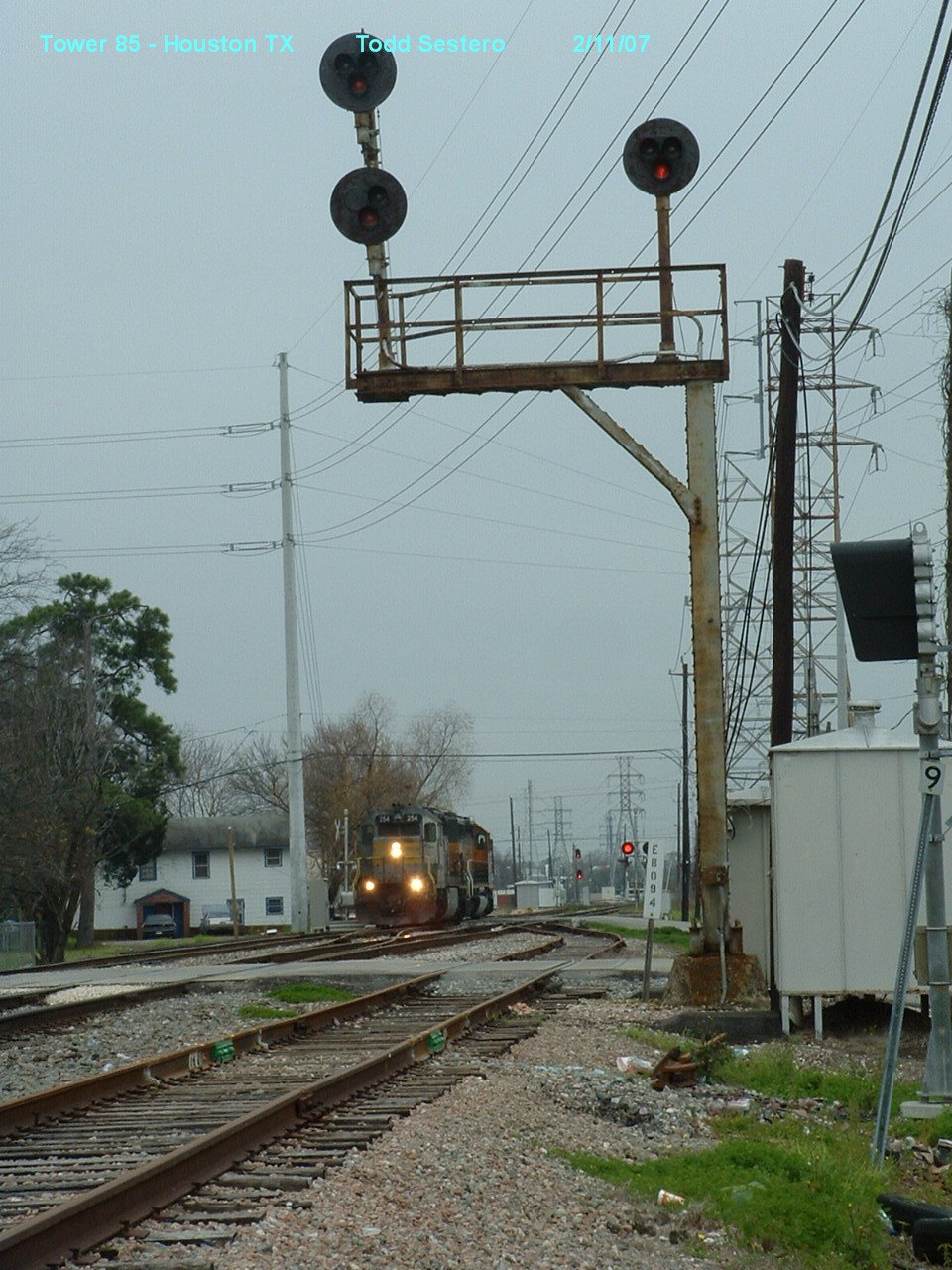
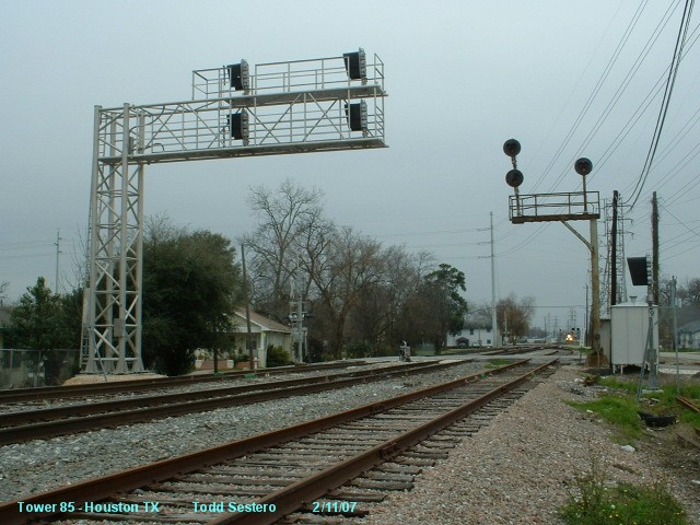
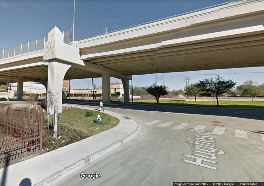
 A couple of views looking south towards signals 2 and 3 from Harrisburg.
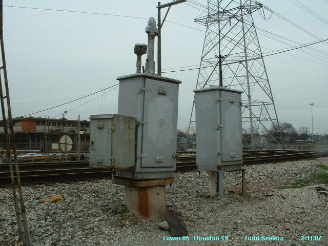
 The far relay cabinet in the above photos.
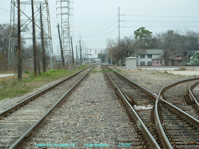 A view looking north from Harrisburg.
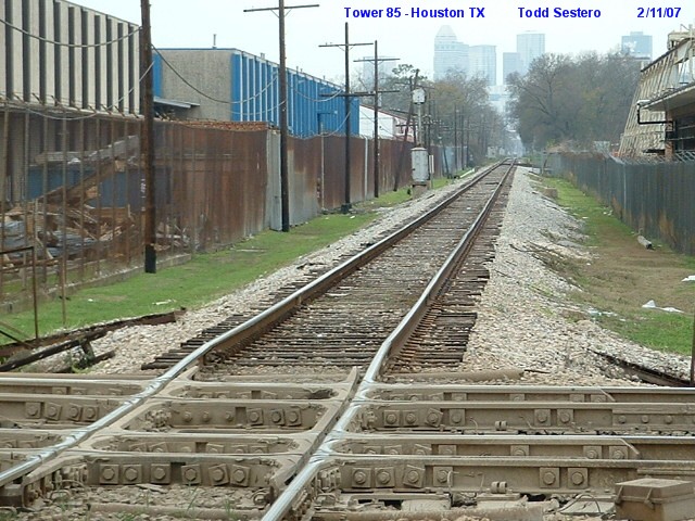
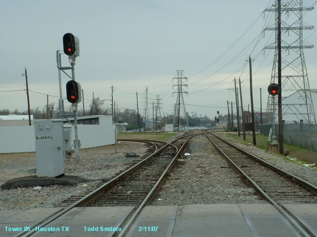
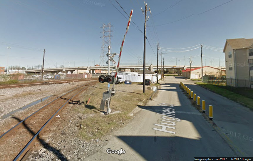
 Looking west from the diamond - a single head Tri-light.
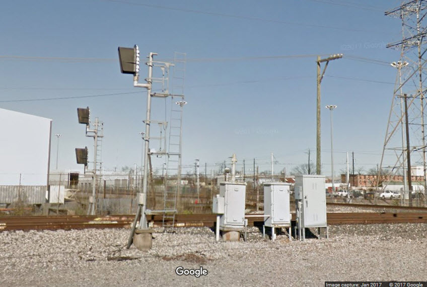
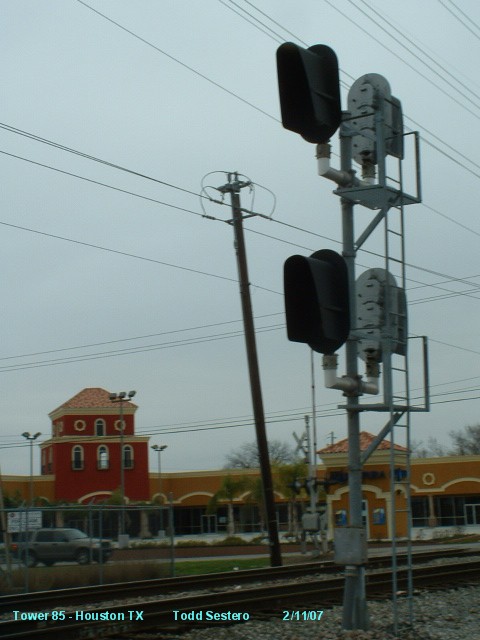
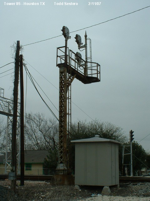
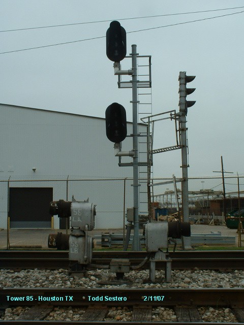 Signals at locations 5a, 5b, 6, and 7.
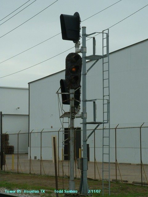
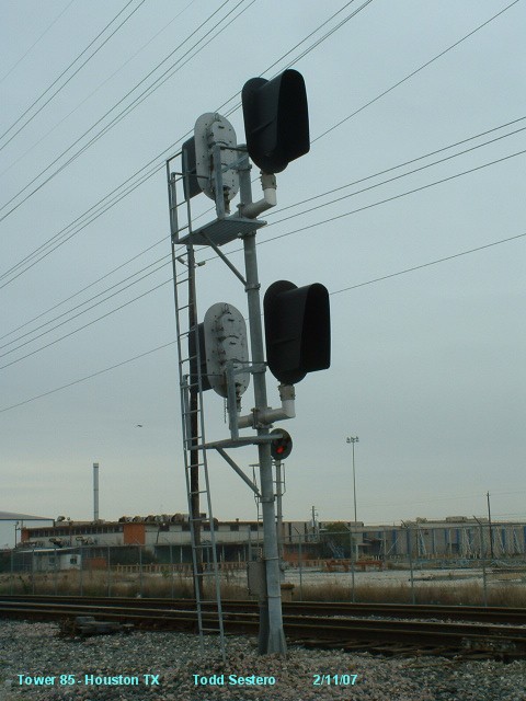
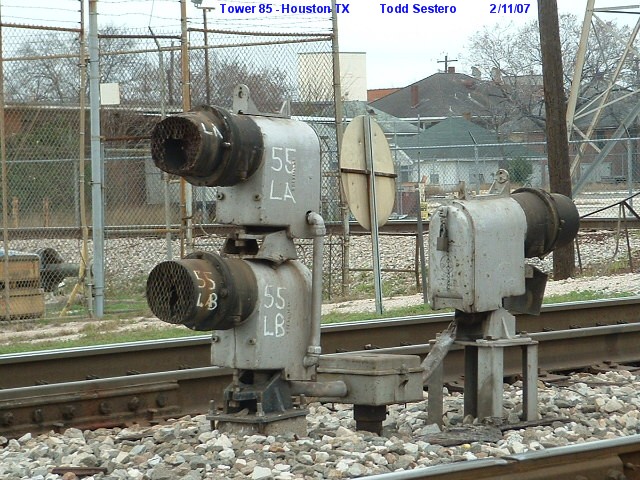
 Signals at 5a and 5b..... the old and the new. A single color light is being replaced by a two head color light.
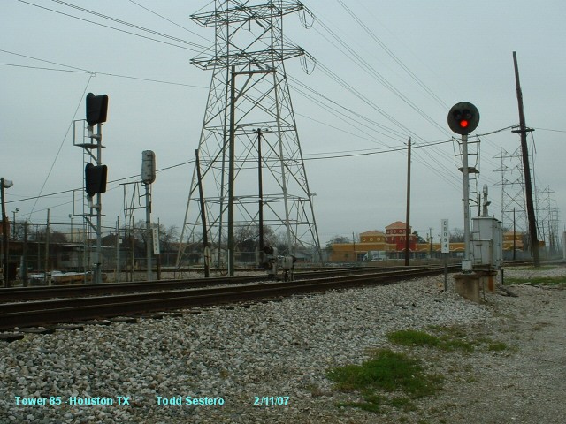 Looking across the diamond at signals 1, 5a and 5b.
 Looking north across the diamond from location 1.
 The diamond itself.
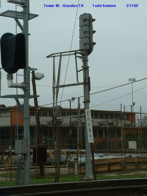
 Signal 5a.
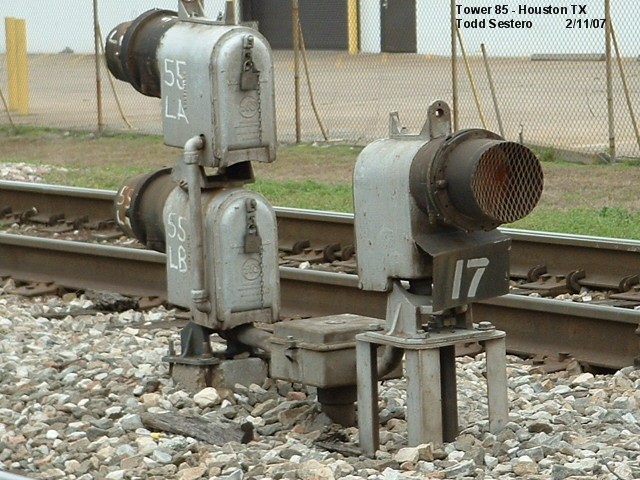

 The two relay cabinets adjacent to signal 7, the single searchlight dwarf.
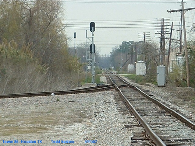 Looking west from the diamond, and a distant view of Signal 8, a 2 head color light signal.
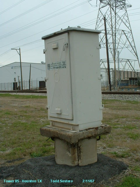
 A new signal at 9 waiting to be activated.
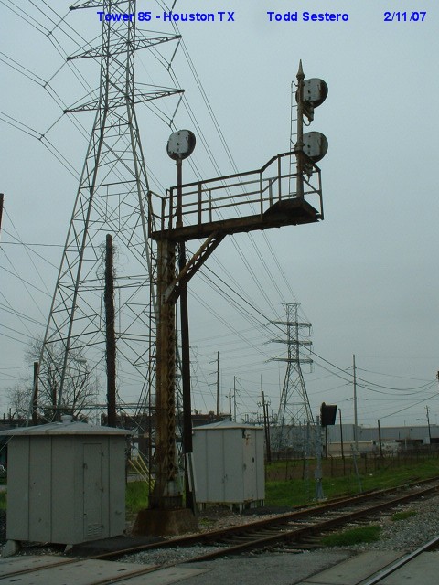


 Looking south towards signals at locations 9, 10, and 14.
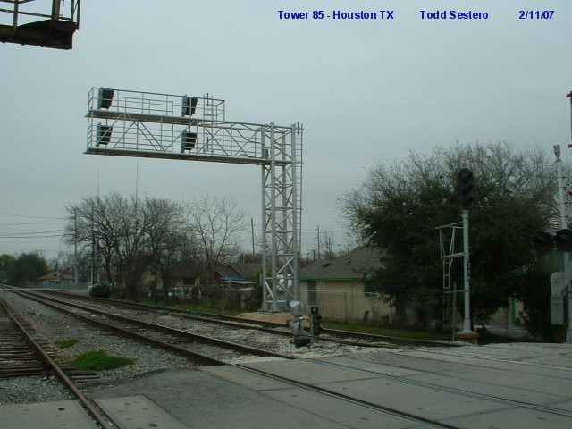
 Signals 9, 11, 12, 13, and 14
 The relays cabinets at this location
 Insulated joints are clearly marked.
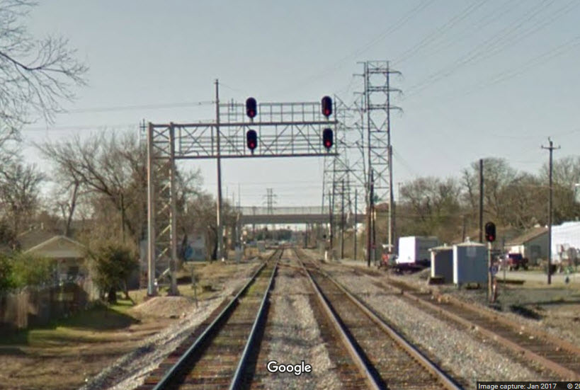
 Looking in the opposite direction
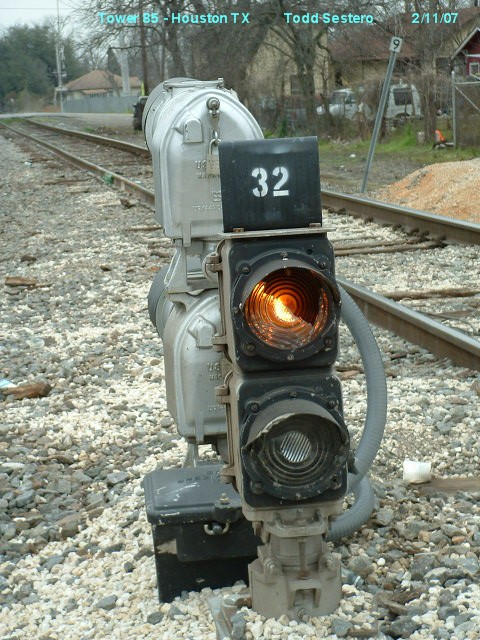
 The signal at location 11 is a 2 aspect color light dwarf.
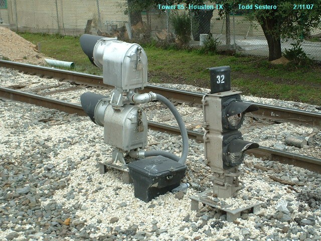 Signals at 11 and the double searchlight dwarf at 13.
 Signal 12 is a standard 3 color - single head color light signal.
 Looking south from Brady towards the diamond.
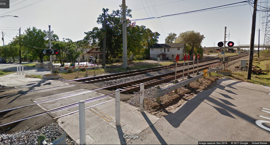
 A standard 3 color - color light signal with a "Darth Vader" hood.
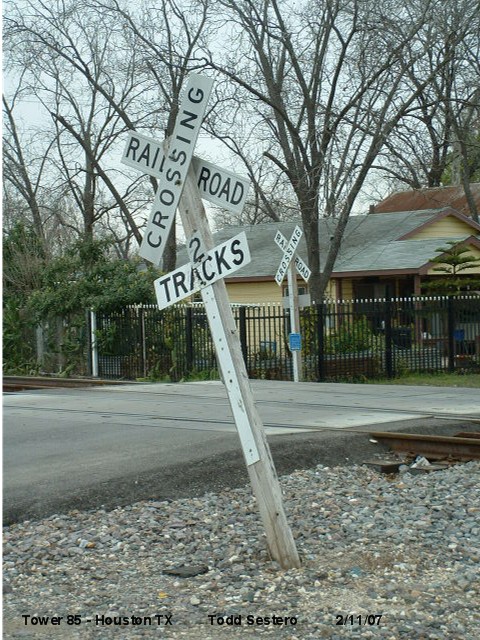 The grade crossing on N 65th behind signal 15 above is protected by this poor sign.
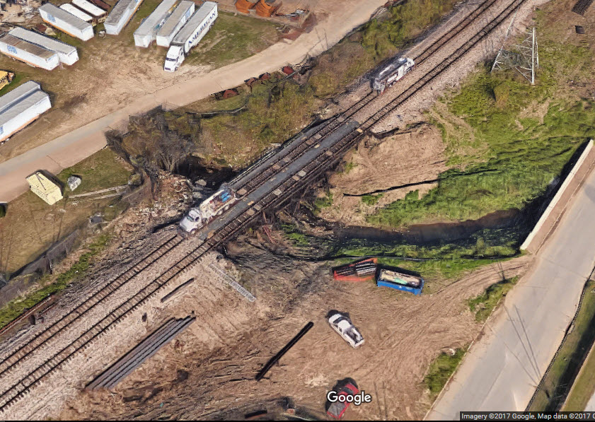
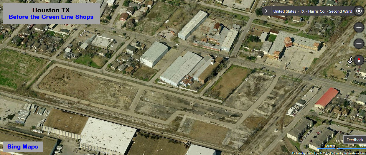
 After; and below, before
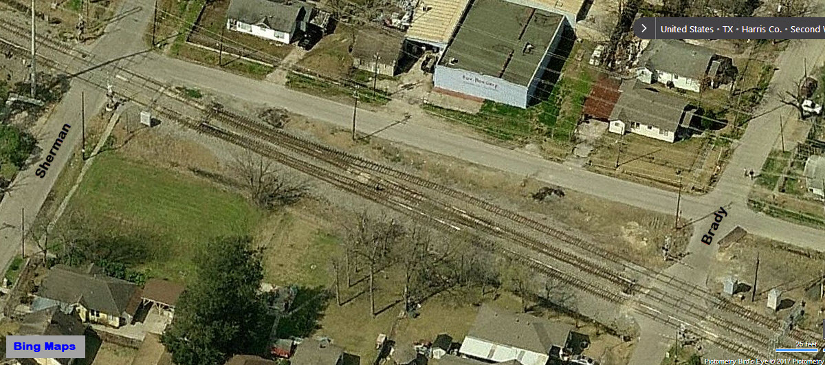

Disclaimers:
I love trains, and I love signals. I am not an expert. My webpages reflect what I find on the topic of the page. This is something I have fun with while trying to help others. My webpages are an attempt at putting everything I can find of the subject in one convenient place. There are plenty of other good websites to help me in this effort, and they are listed in the links section on my indexa page, or as needed on individual pages. Please do not write to me about something that may be incorrect, and then hound the heck out of me if I do not respond to you in the manner you would like. I operate on the "Golden Rule Principle", and if you are not familiar with it, please acquaint yourself with how to treat people by reading Mathew 7:12 (among others, the principle exists in almost every religion). If you contact me (like some do, hi Paul) and try to make it a "non-fun" thing and start with the name calling, your name will go into my spambox list! :-)
Please Note: Since the main focus of my two websites is railroad signals, the railfan guides are oriented towards the signal fan being able to locate them. For those of you into the modeling aspect of our hobby, my indexa page has a list of almost everything railroad oriented I can think of to provide you with at least a few pictures to help you detail your pike.
If this is a railfan page, every effort has been made to make sure that the information contained on this map and in this railfan guide is correct. Once in a while, an error may creep in, especially if restaurants or gas stations open, close, or change names. Most of my maps are a result of personal observation after visiting these locations. I have always felt that a picture is worth a thousand words", and I feel annotated maps such as the ones I work up do the same justice for the railfan over a simple text description of the area. Since the main focus of my website is railroad signals, the railfan guides are oriented towards the signal fan being able to locate them. Since most of us railheads don't have just trains as a hobby, I have also tried to point out where other interesting sites of the area are.... things like fire stations, neat bridges, or other significant historical or geographical feature. While some may feel they shouldn't be included, these other things tend to make MY trips a lot more interesting.... stuff like where the C&O Canal has a bridge going over a river (the Monocacy Aqueduct) between Point of Rocks and Gaithersburg MD, it's way cool to realize this bridge to support a water "road" over a river was built in the 1830's!!!
My philosophy: Pictures and maps are worth a
thousand words, especially for railfanning. Text descriptions only
get you so far, especially if you get lost or disoriented. Take
along good maps.... a GPS is OK to get somewhere, but maps are still
better if you get lost! I belong to AAA, which allows you to get
local maps for free when you visit the local branches. ADC puts
out a nice series of county maps for the Washington DC area, but their
state maps do not have the railroads on them. If you can find em,
I like the National Geographic map book of the U.S..... good, clear, and
concise graphics, and they do a really good job of showing you where
tourist type attractions are, although they too lack the railroads.
Other notes about specific areas will show up on that page if known.
By the way, floobydust is
a term I picked up 30-40 years ago from a National Semiconductor data
book, and means miscellaneous and/or other stuff.
Pictures and additional information is always needed if anyone feels
inclined to take 'em, send 'em, and share 'em, or if you have
something to add or correct.... credit is always given! BE NICE!!! Contact info
is here
Beware: If used as a source, ANYTHING from Wikipedia must be treated as being possibly being inaccurate, wrong, or not true.
RAILFAN GUIDES HOME
RAILROAD SIGNALS HOME
NEW 2/18/2007--1/10/2014
Last Modified:
03-Oct-2017