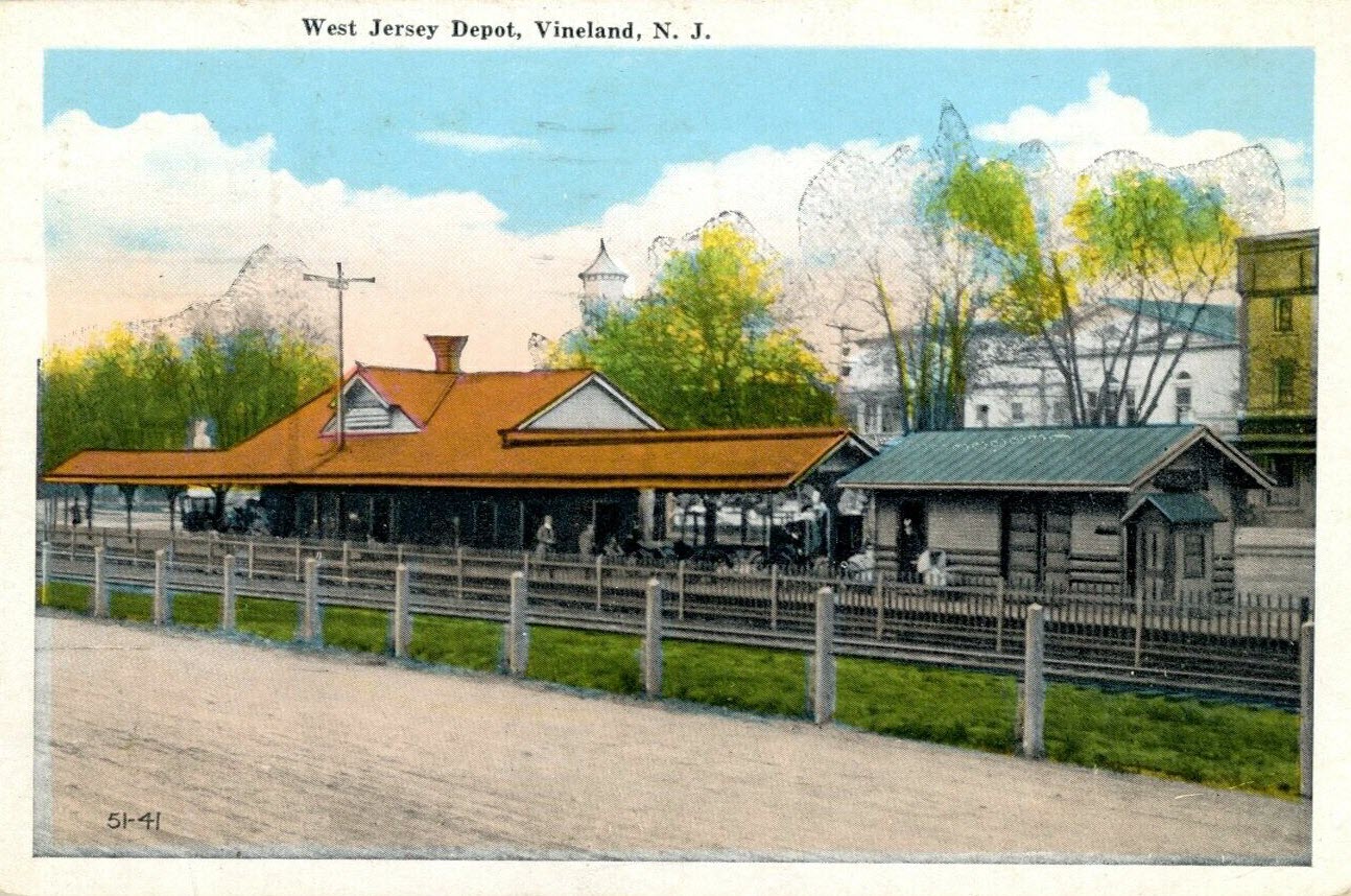
One of the better resources I have come across to this end is the plethora of old post cards still around depicting many of these structures, some better than others.
Most of the postcards were found on EBay unless noted, other pictures, mostly the more recent ones, come from Google and/or Bing images - credit given if the source is known.
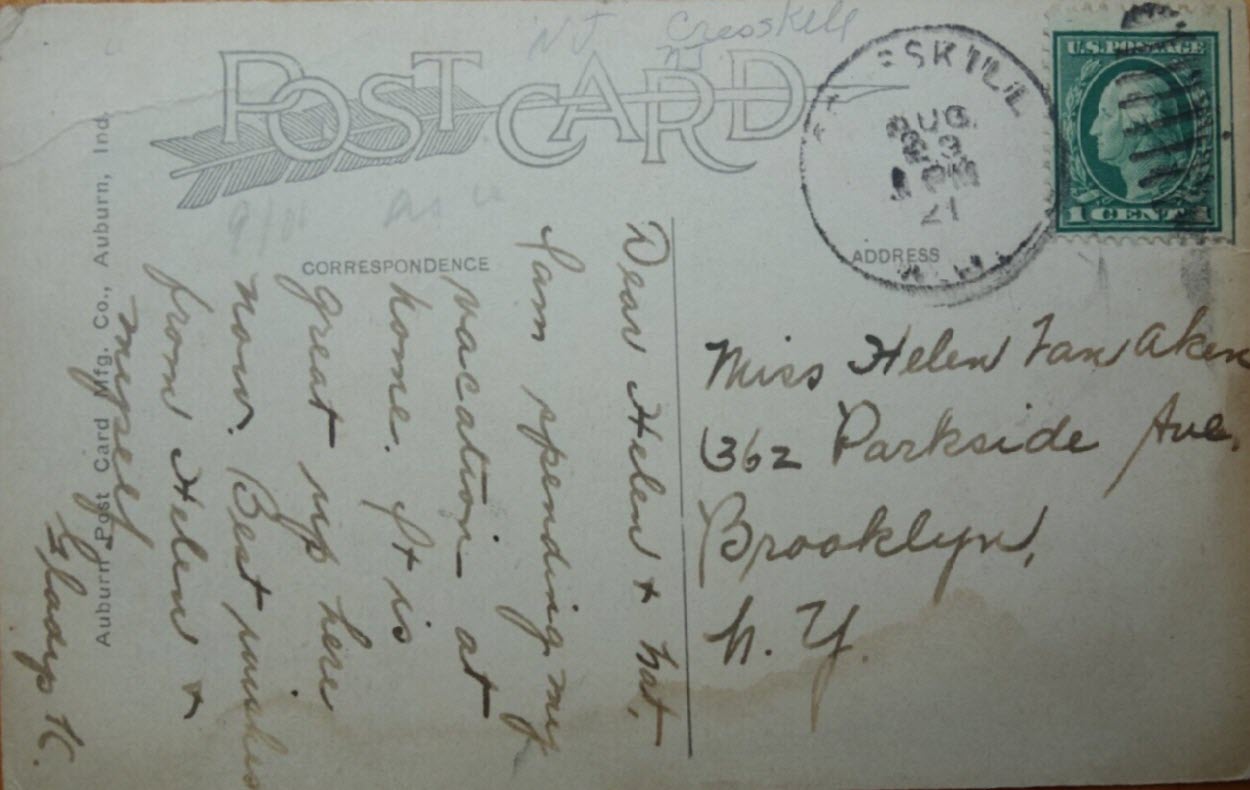
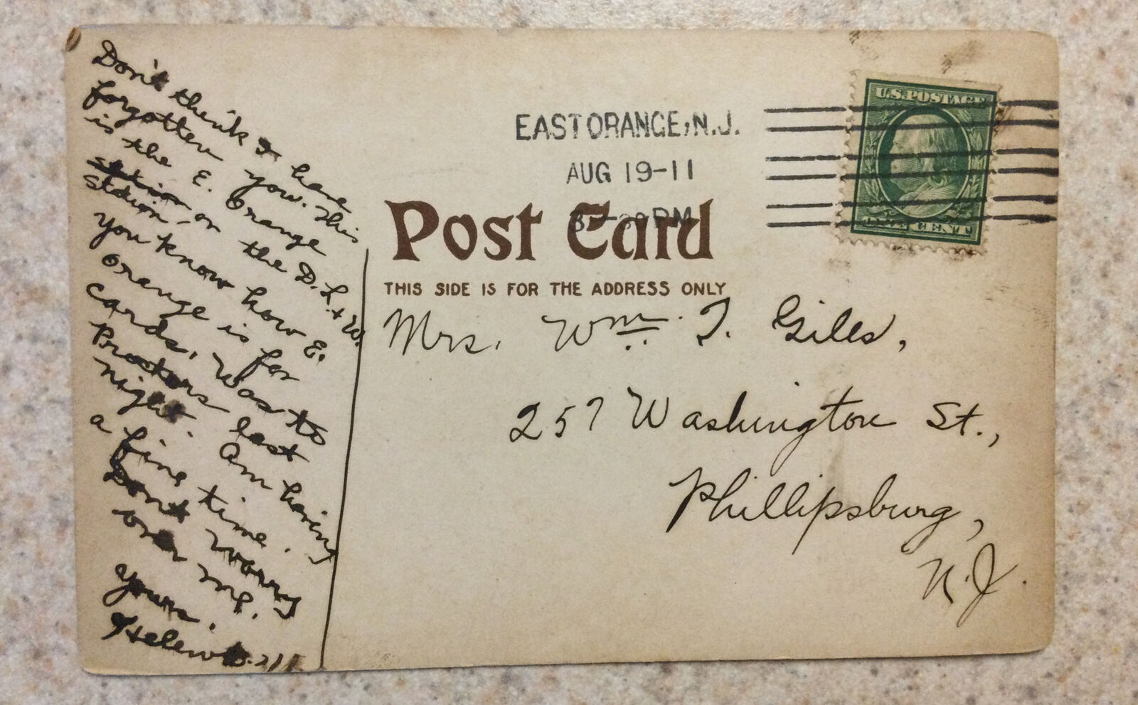
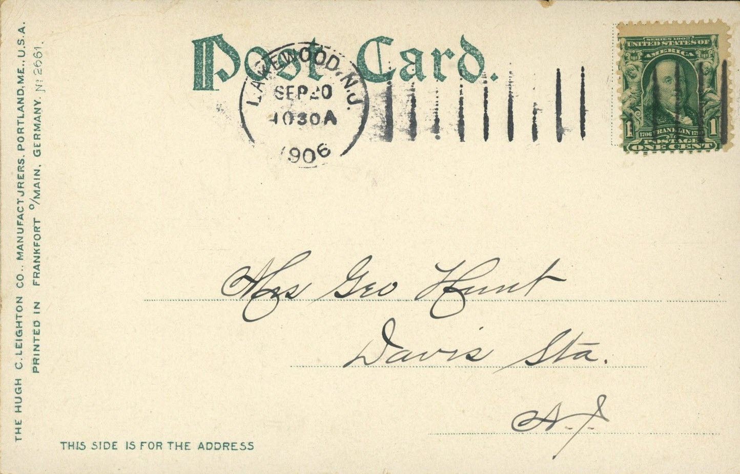
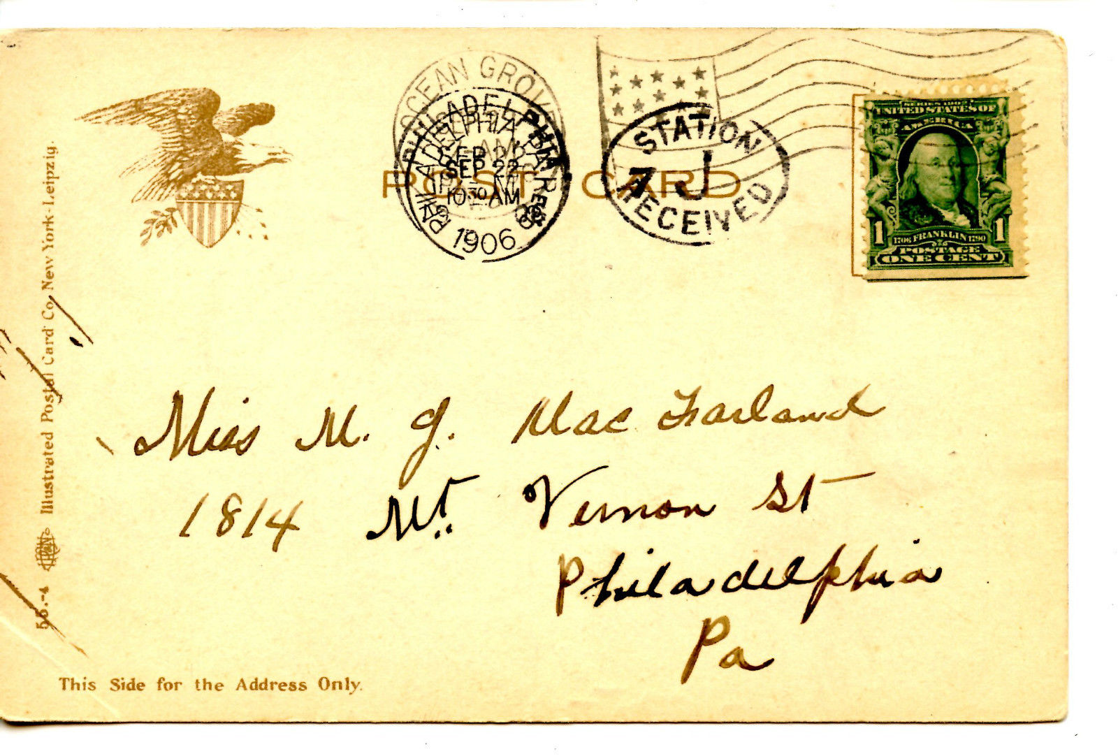
Dates are in the picture name, x means the date is approximate. If they were available, and interesting, I included the back side of the postcards. 1910a and 1910b
would be the same card, both sides.
If the picture was really, really bad, some of them have been cleaned up and/or repaired when I had the energy.
Since many of these stations are no longer around (railfans seem to prefer the term "extant", I'm not one of them! :-), this page is mostly for historical reference.
What's the difference between a station and a depot? Most people will say "nuttin", it's a matter of preference, although many will use depot for older buildings.
If you have a picture you would like to contribute, please see the bottom of the page for how to find me, credit is always given to contributing photographers.
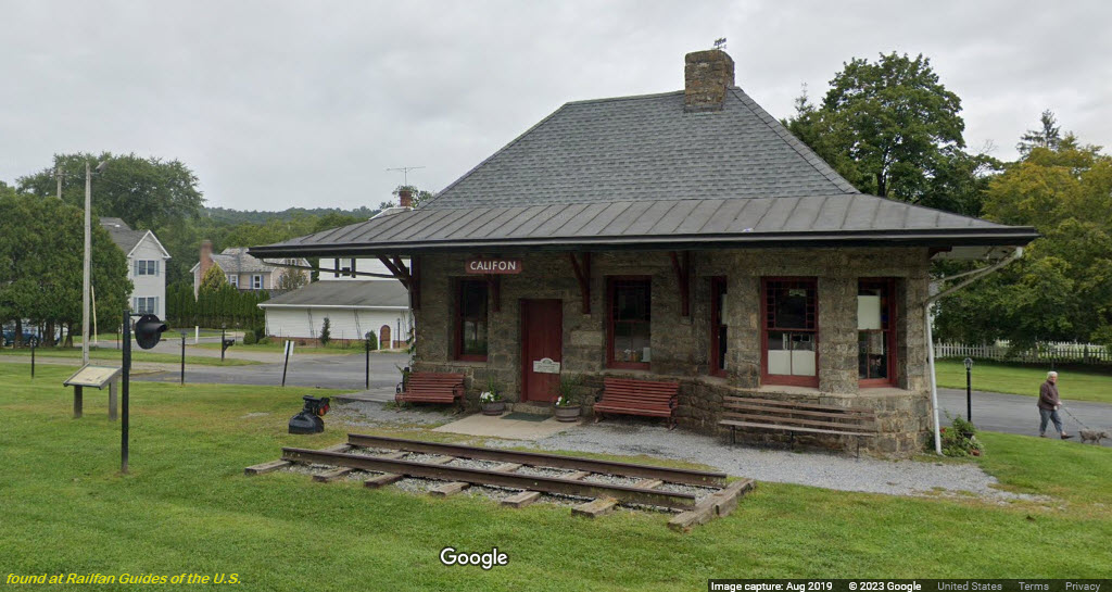
From Wikipedia: Former train station in Califon NJ. Now used as a museum by the Califon
Historical Society. Contributing property #27 of the Califon Historic District.
Califon hosts part of a rail trail that was created out of the former Central
Railroad of New Jersey High Bridge Branch. The trail is maintained by Hunterdon
County Parks and Recreation and is called the Columbia Trail, which includes a
scenic area known as the Ken Lockwood Gorge.
Also: Merv Griffin (1925–2007), television producer, once owned a farm a few
miles outside of Califon.[107] When he created the game show Wheel of
Fortune, he gave a nod to Califon when naming the show's production
company. To this day, Califon Productions, Inc. is the copyright
holder for all episodes of Wheel of Fortune to date, although the
show is owned by Sony Pictures Television. end Wiki
From califonboro.org: With some homes and buildings in the area, Califon was basically
rural until about 1850, when several mills were established. By 1870,
it even had a hotel. The district developed along the South Branch of
the Raritan River and by 1875, Califon was a station on the High Bridge
branch of the Central Railroad of New Jersey. The rail line was
abandoned in 1976 and now serves as a Hunterdon County administered
rail trail called Columbia Trail, which runs south to High Bridge
and north to points in Morris County. end califonboro
~1910, from EBay user: markomundo
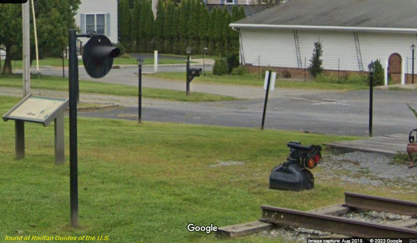
Looks like they have two signals, but the dwarf semaphore looks like they take
in at night so people can't run off with it :-)
Someone should donate a REAL train signal for them to erect and display!....
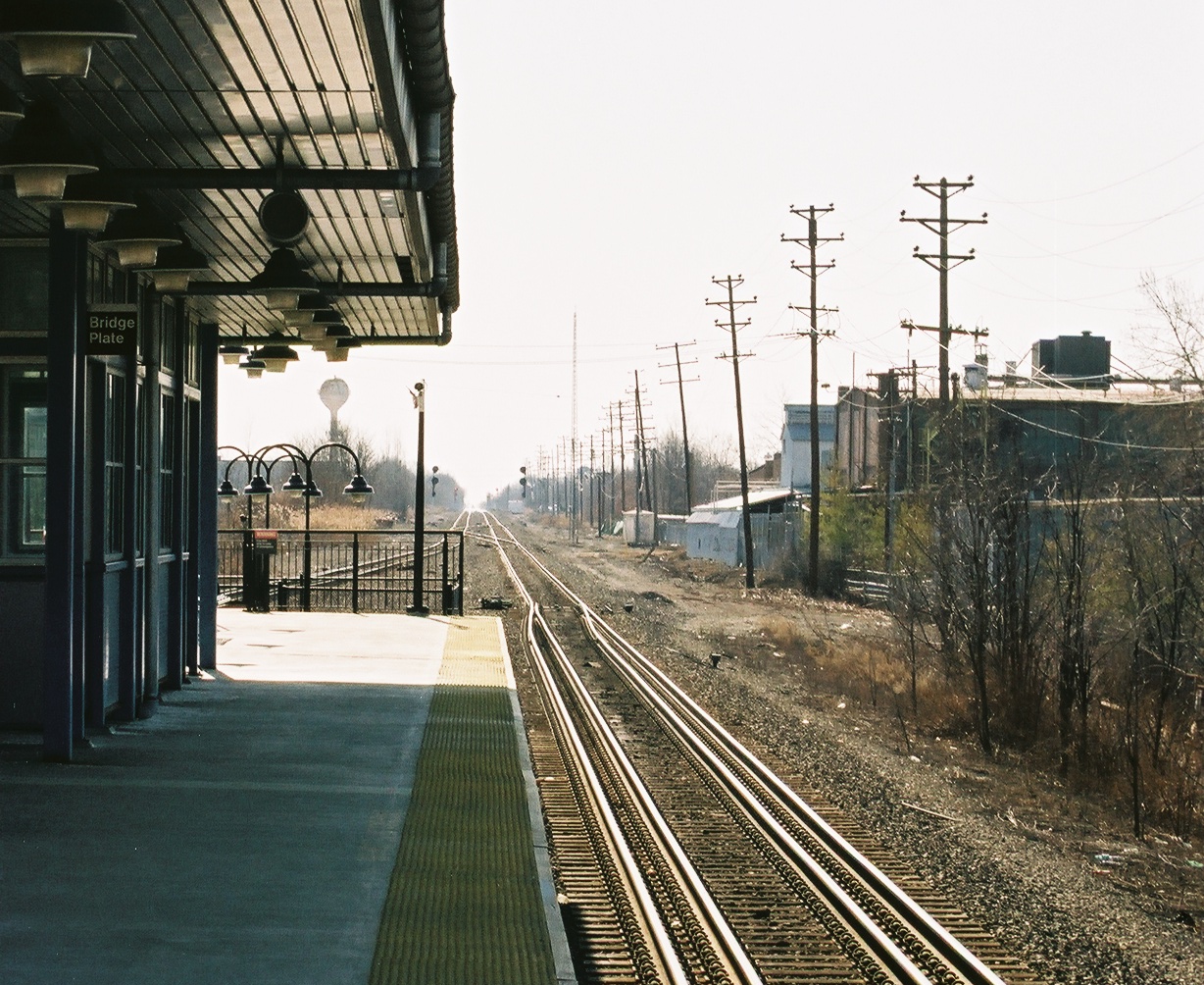
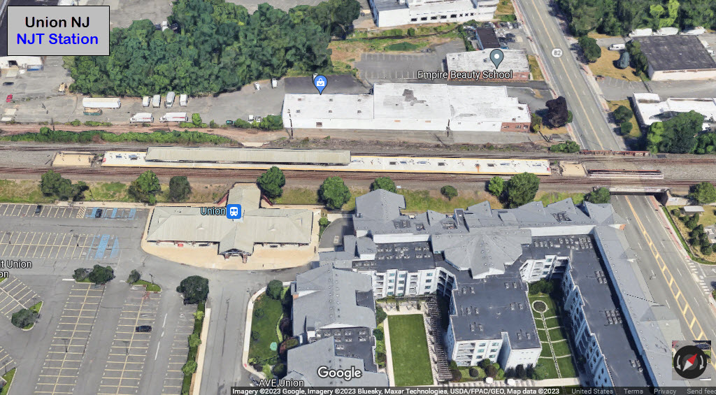
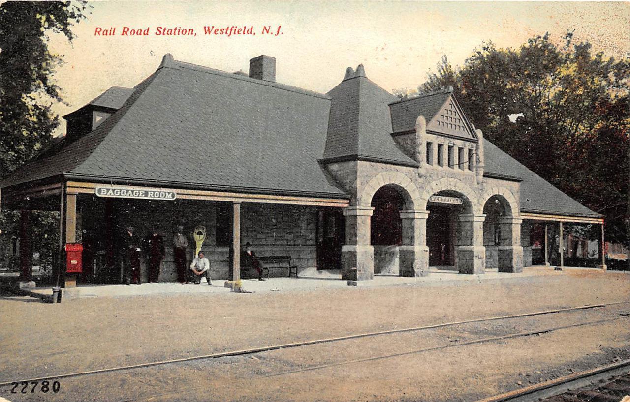
From Wikiwand: Union is a NJ Transit railroad station in Union NJ. Located
on the Conrail Lehigh Line, Union is served by Raritan Valley Line trains that
travel between Newark Penn Station and Raritan. There is also limited service to
and from High Bridge and New York Penn Station and one morning train to Hoboken
Terminal. The physical structures of the station are owned by NJ Transit; however,
the land remains the property of Conrail Shared Assets Operations, which is in turn
owned by Norfolk Southern Railway and CSX Corporation. Because the station is on an
active freight line, both tracks passing the station have a gauntlet
track to bring the passenger trains closer to the platform than the freights.
According to Wikiwand, 30-40 freights operate past the station depending
on the day of the week. end Wiki
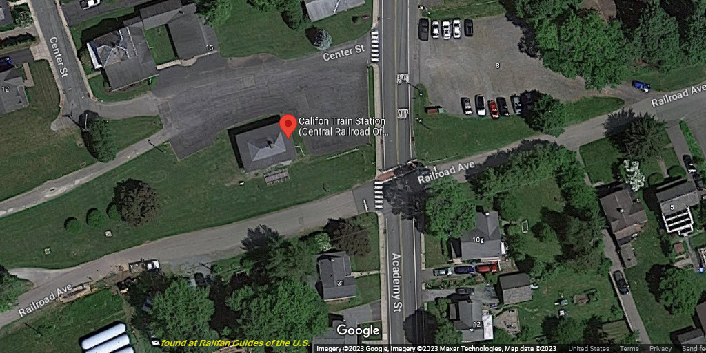
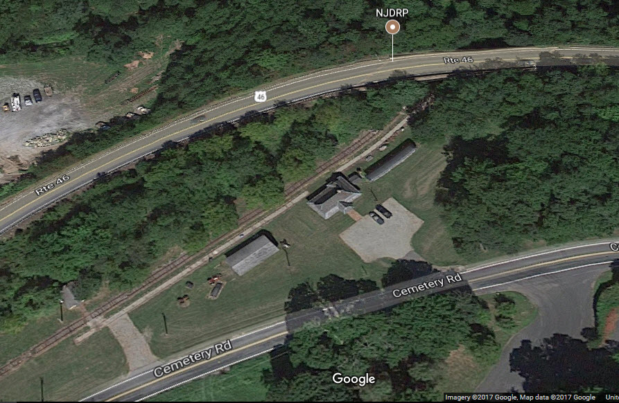
GPS Coordinates: 40.874616, -74.907395
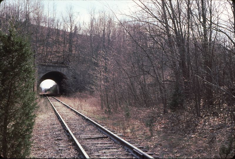
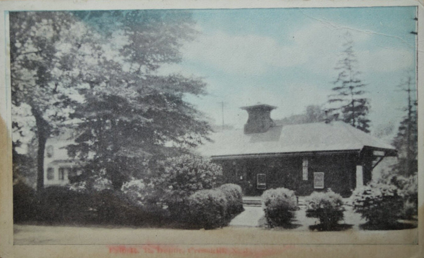
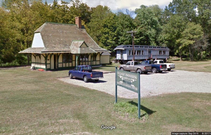
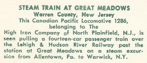
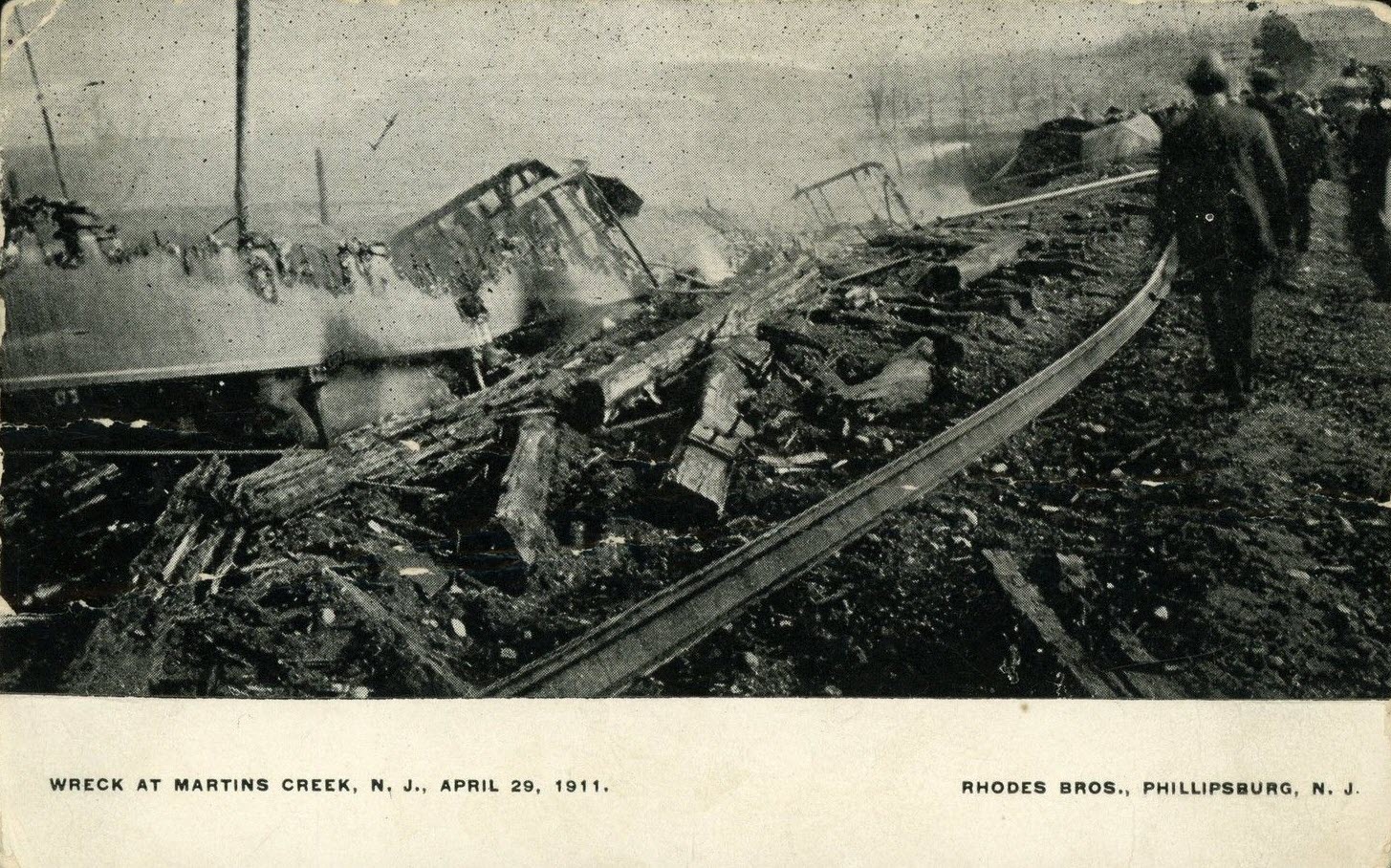
I wonder what happened to all of the "stuff" when they abandoned this line from Allentown PA to Warwick NY???
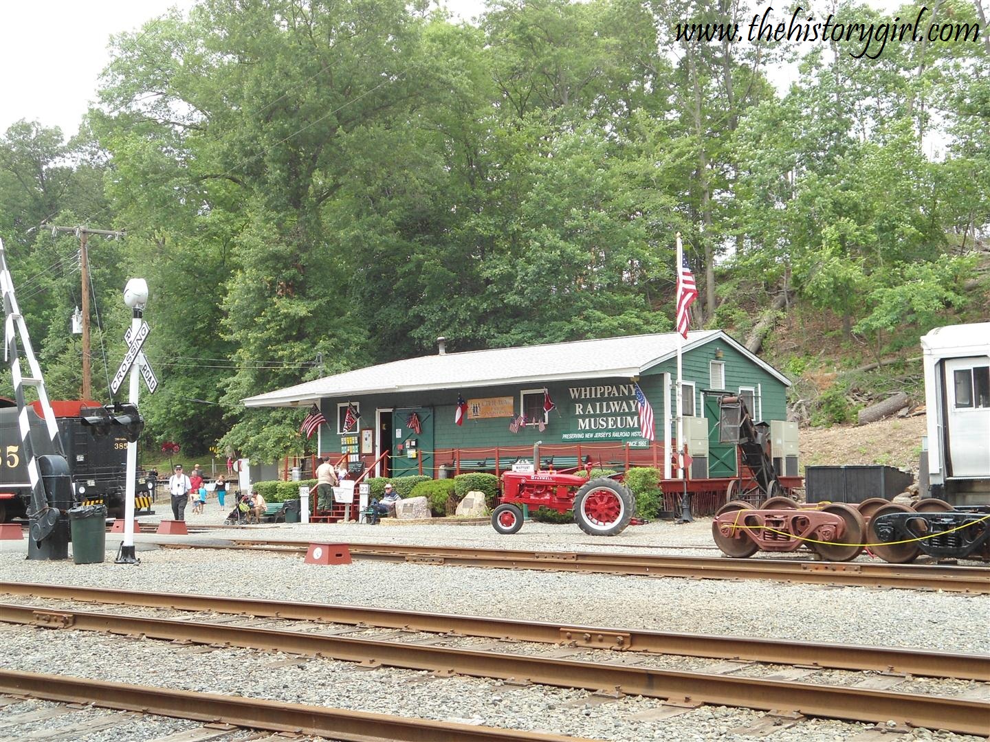
The depot is now owned by an engineering company.
From EBay user: iluv2lookatpictures
From EBay user: postcardspast
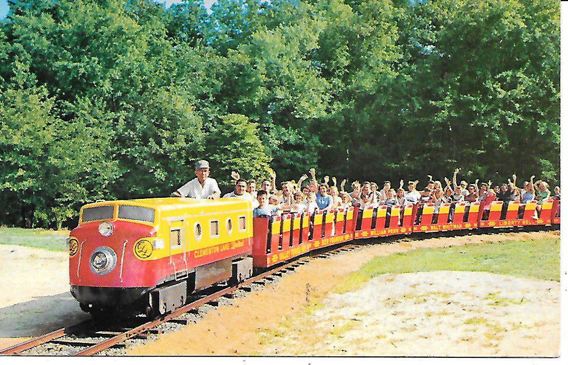
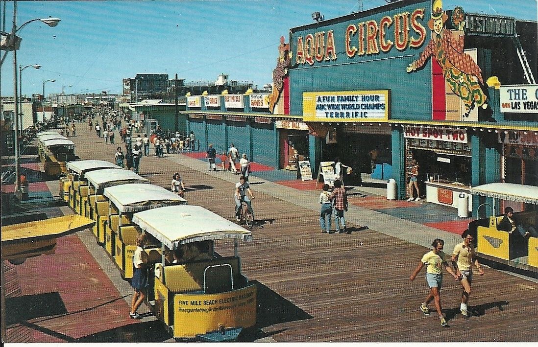
Boardwalk Electric Train
Disclaimers:
New format 10/26/23: Please check out my disclaimer page for my standard
dribble and contact info here
RAILFAN GUIDES HOME RAILROAD SIGNALS HOME New APR28/2013,
SEP15/2017, JUN16/2020, JUN13/2021, APR30/2023, MAY01/03/04/2023, DEC10/11/2024
Last Changed: 11-Dec-2024

 1989, photo by Chuck Walsh, via Wikipedia
 photo by Wayne Brumbaugh
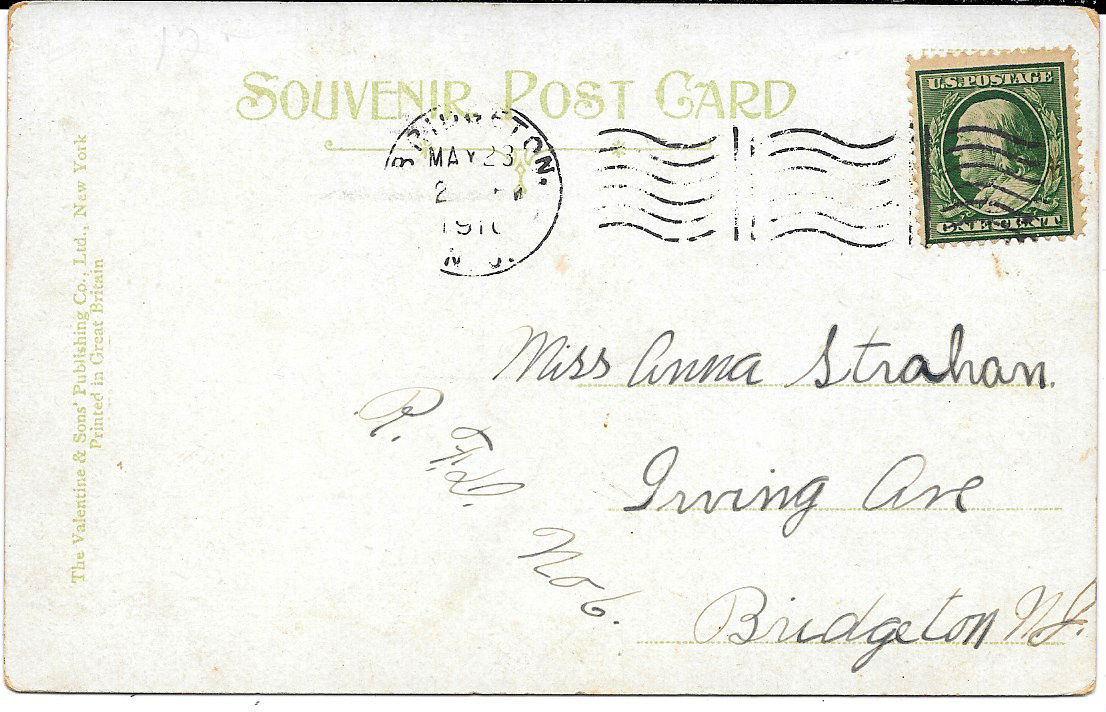
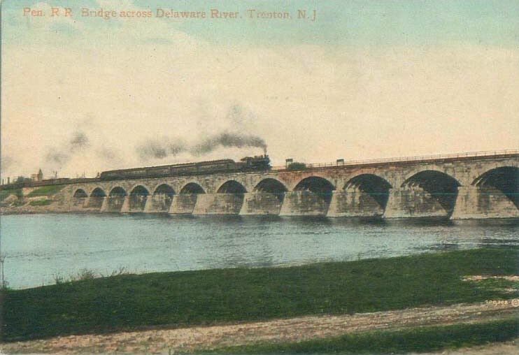
 from EBay user: trentonstampandcoinco
 same source
 same source
 from EBay user: tejas-postcards-sportscards
 from EBay user: evernham9
 from EBay user: marass2007
 from EBay user: thepostcardhouse
 from EBay user: lobsterclaws
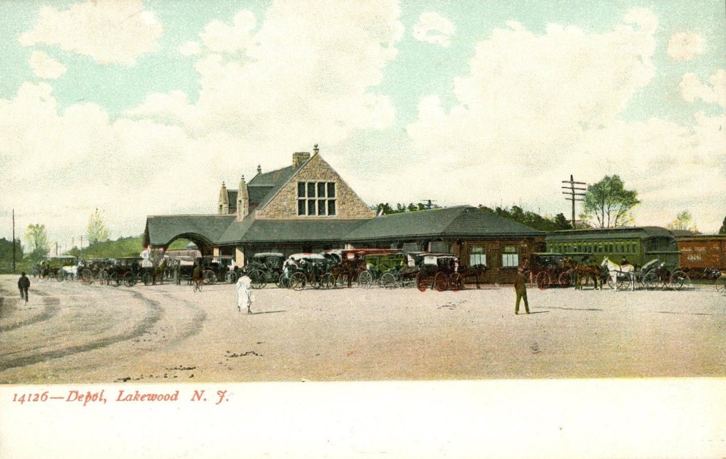
 found on EBay
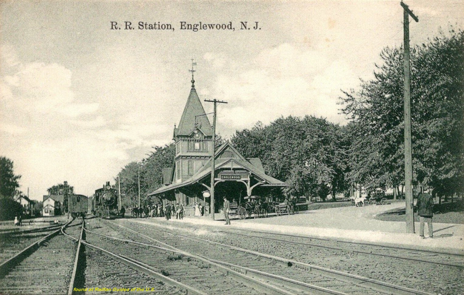
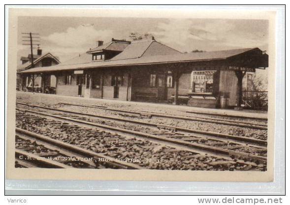
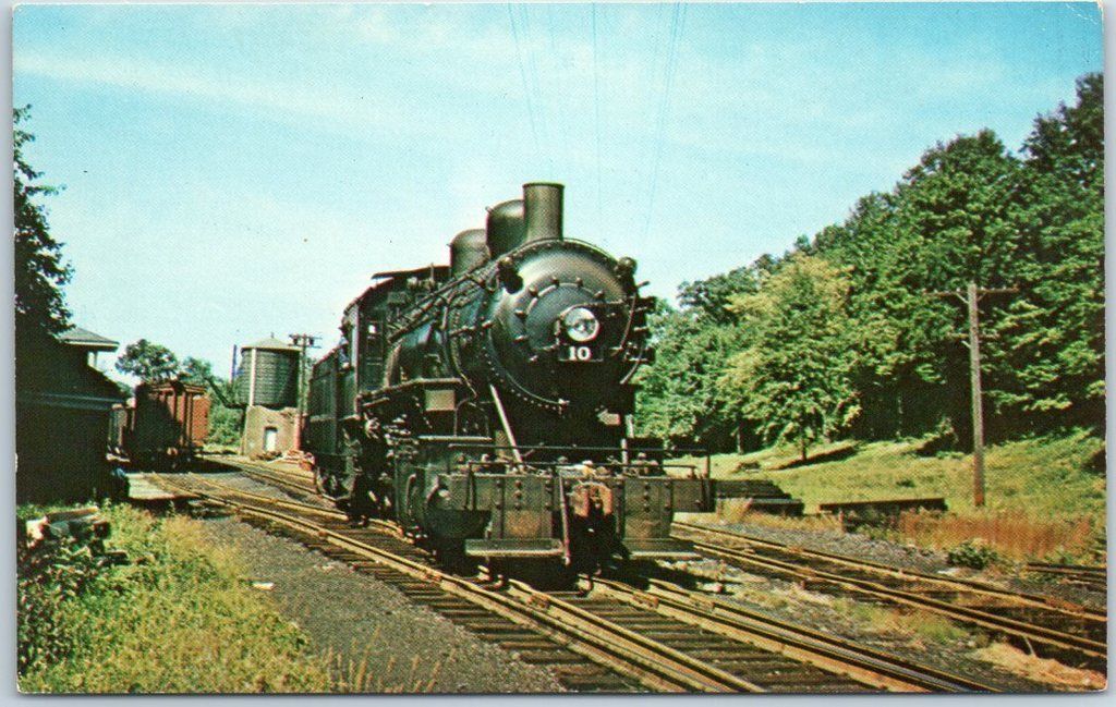
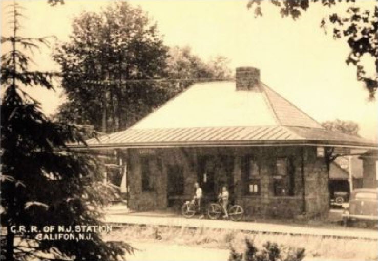 ~1910, from EBay user: markomundo
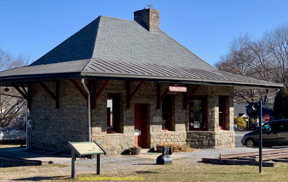
 from EBay user: scruffy4159
 from EBay user: trentonstampandcoinco
 from EBay user: trentonstampandcoinco
 from EBay user: mac-2-mac
 From EBay user: mikeingreensboro
 From EBay user: markomundo
 From EBay user: Skurfan Postcards
 From EBay user: baysideantiques_02
 From EBay user: postcardspast
 From EBay user: trentonstampandcoinco
 From EBay user: trentonstampandcoinco
 From EBay user: pratercollectibles
 From EBay user: tejas-postcards-sportscards
 From EBay user: kaye70
 From EBay user: walkerspostcards
 postcardsetc304
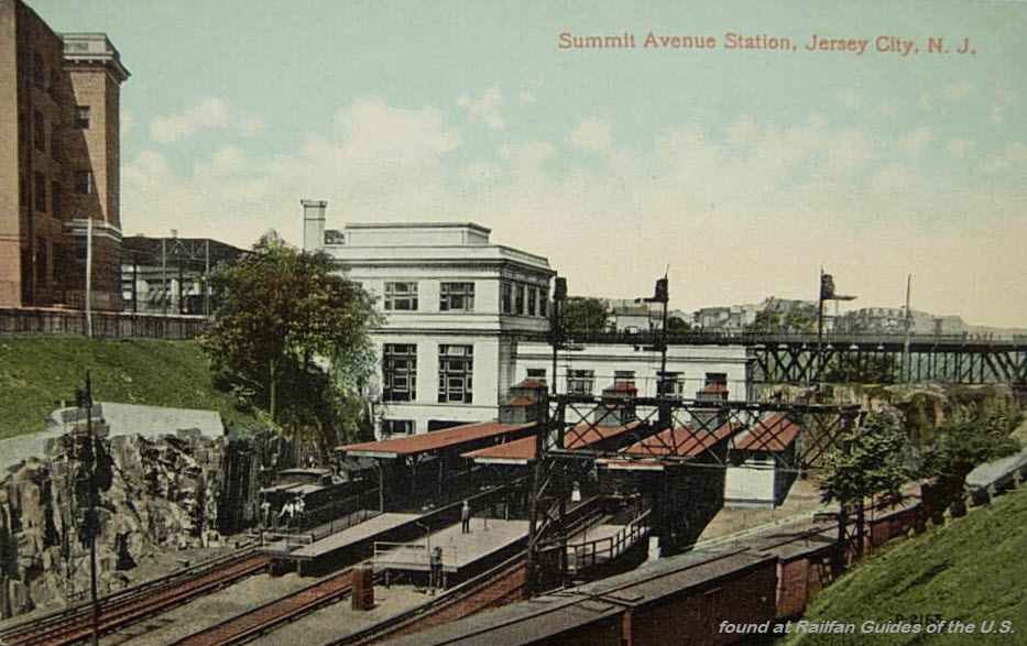 From EBay user: pegpens75
 From EBay user: foundation*antiques
 Same source
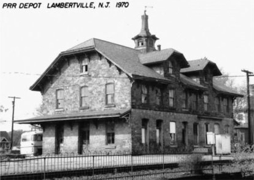
 From EBay user: mgk_man


 From EBay user: vintage_antique_finder
 From EBay user: mikeingreensboro
 From EBay user: walkerspostcards
 From EBay user: susie201
 From EBay user: good_buys
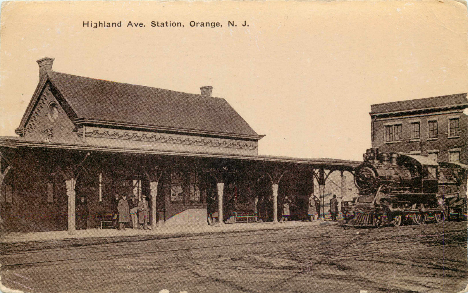
 From EBay user: crowspostcards
 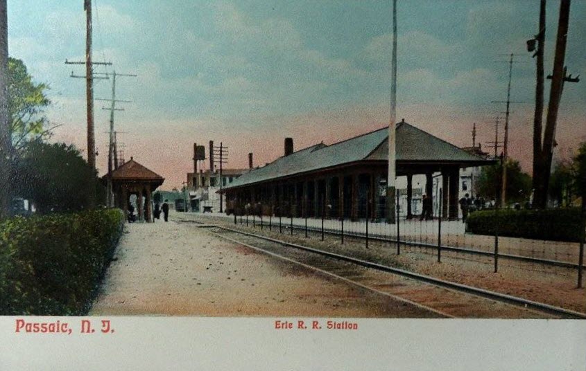 From EBay user: scruffy4159
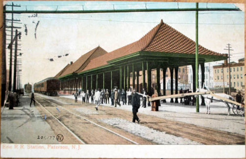 From EBay user: gold-coast
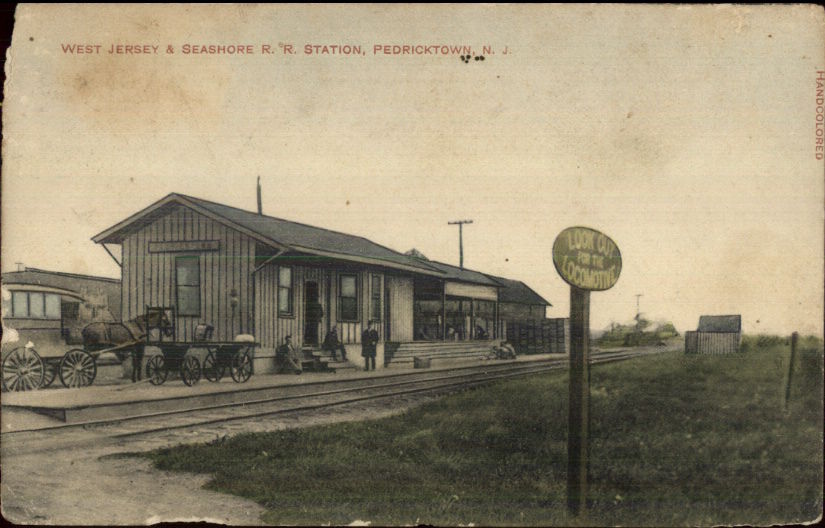 From EBay user: mikeingreensboro
 I'm impressed!
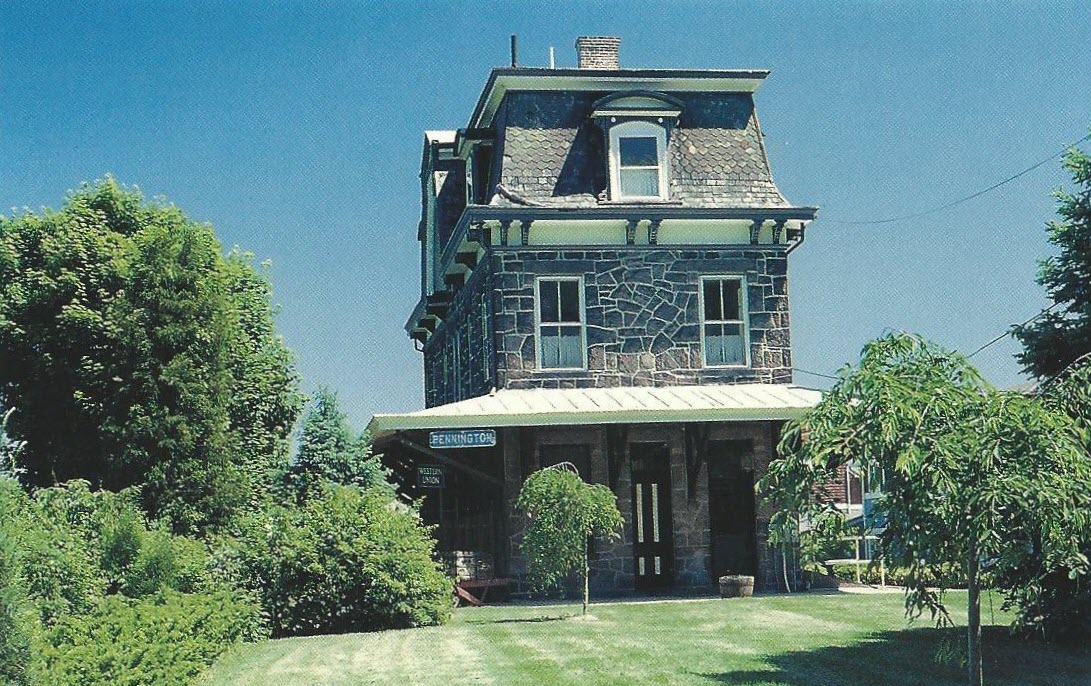 From EBay user: thepostcardhouse
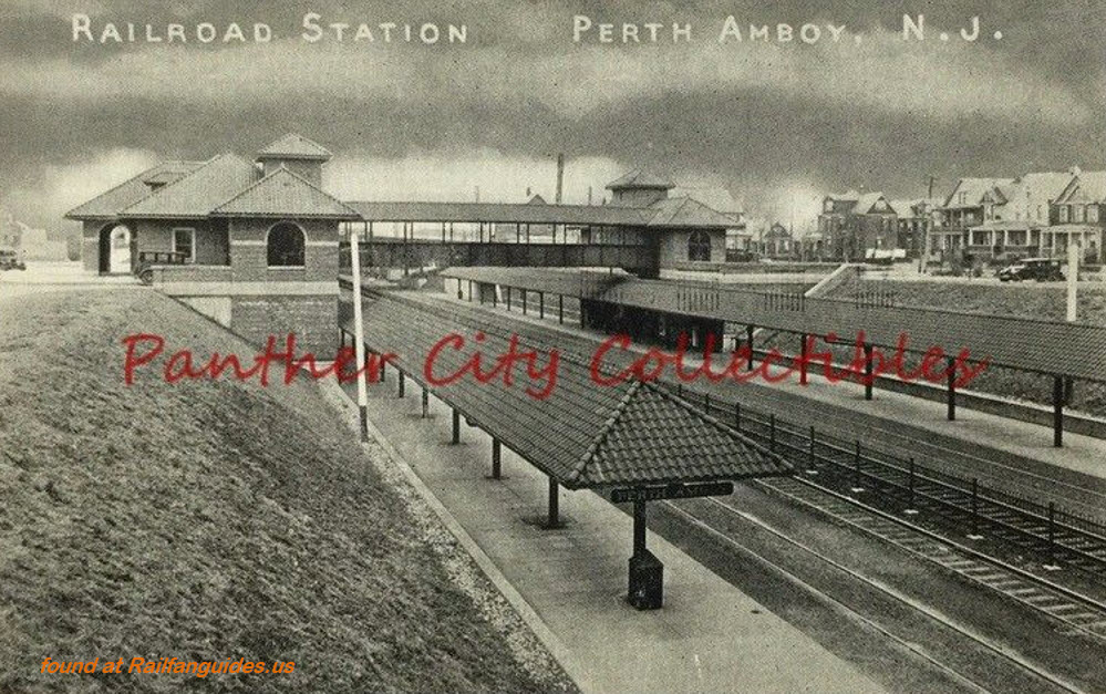
 From EBay user: foundation*antiques
 from EBay user: trentonstampandcoinco
 from EBay user: trentonstampandcoinco
 From EBay user: magazinemarc1
 From EBay user: baysideantiques_02
 From EBay user: brooklyngallery
 From EBay user: baysideantiques_02
  Found on Pinterest
 From EBay user: mikeingreensboro
 From EBay user: baysideantiques_02
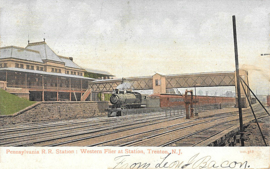
 From EBay user: a1bookdealer
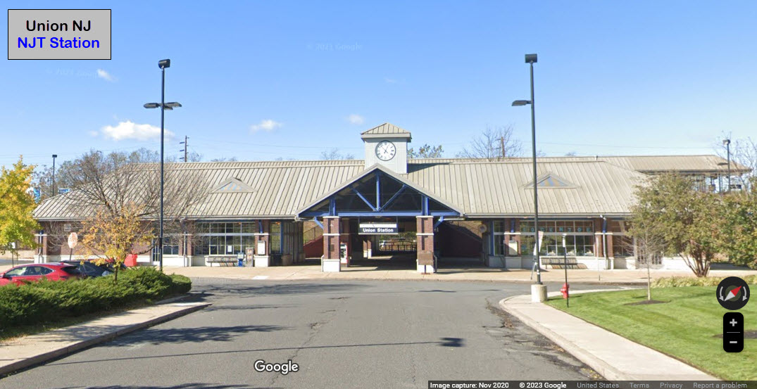
 From EBay user: newbie56
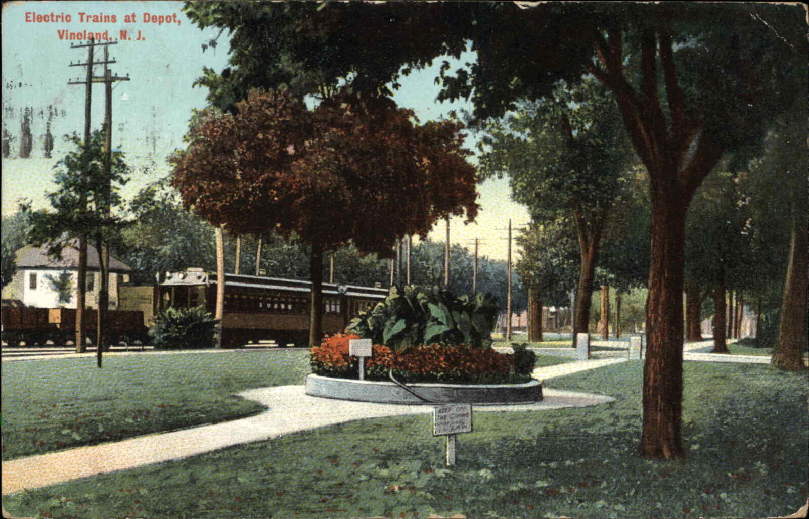
 From EBay user: stampyboy
 From EBay user: crowspostcards
 From EBay user: baysideantiques_02
 mikeingreensboro
 crowspostcards
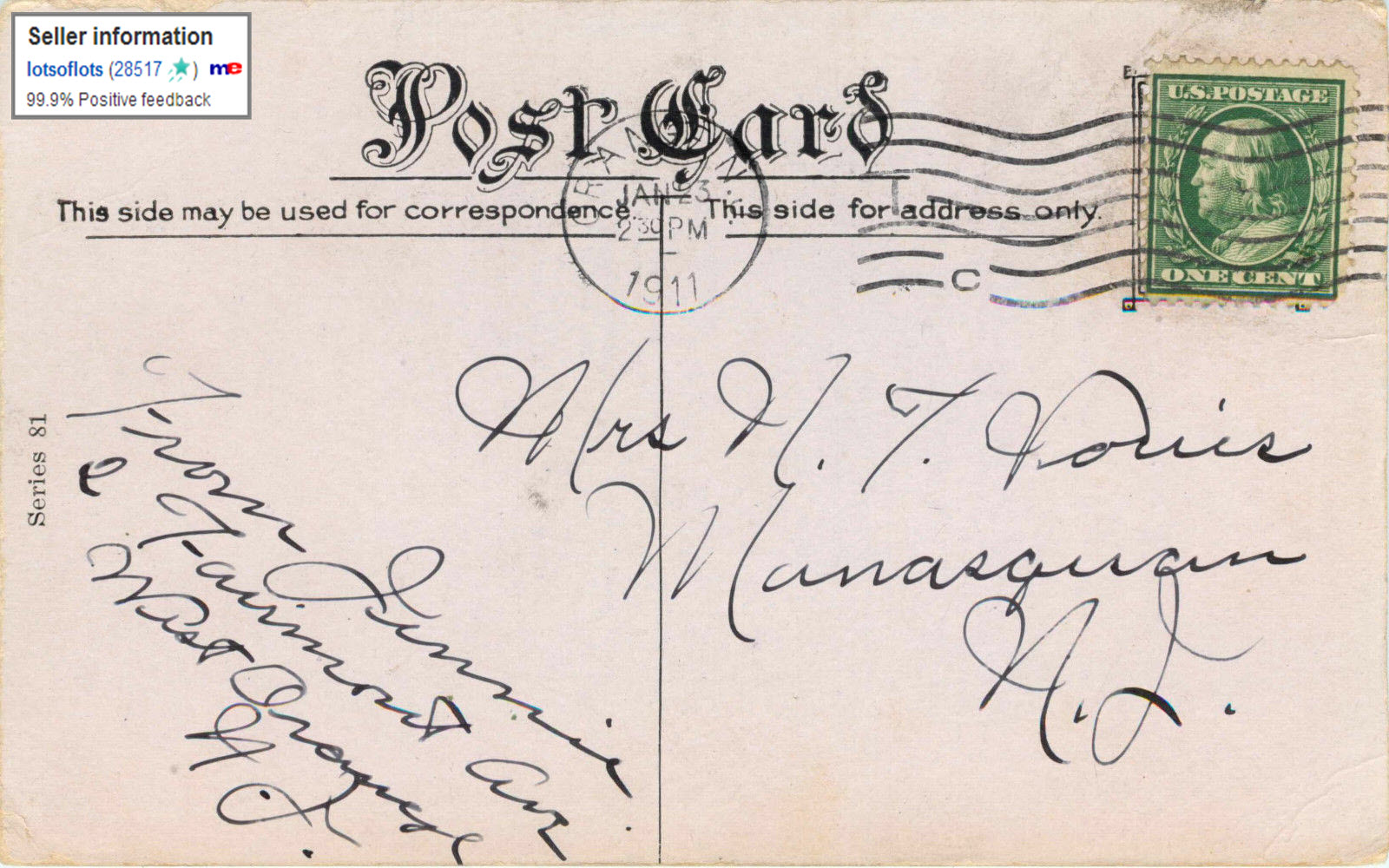
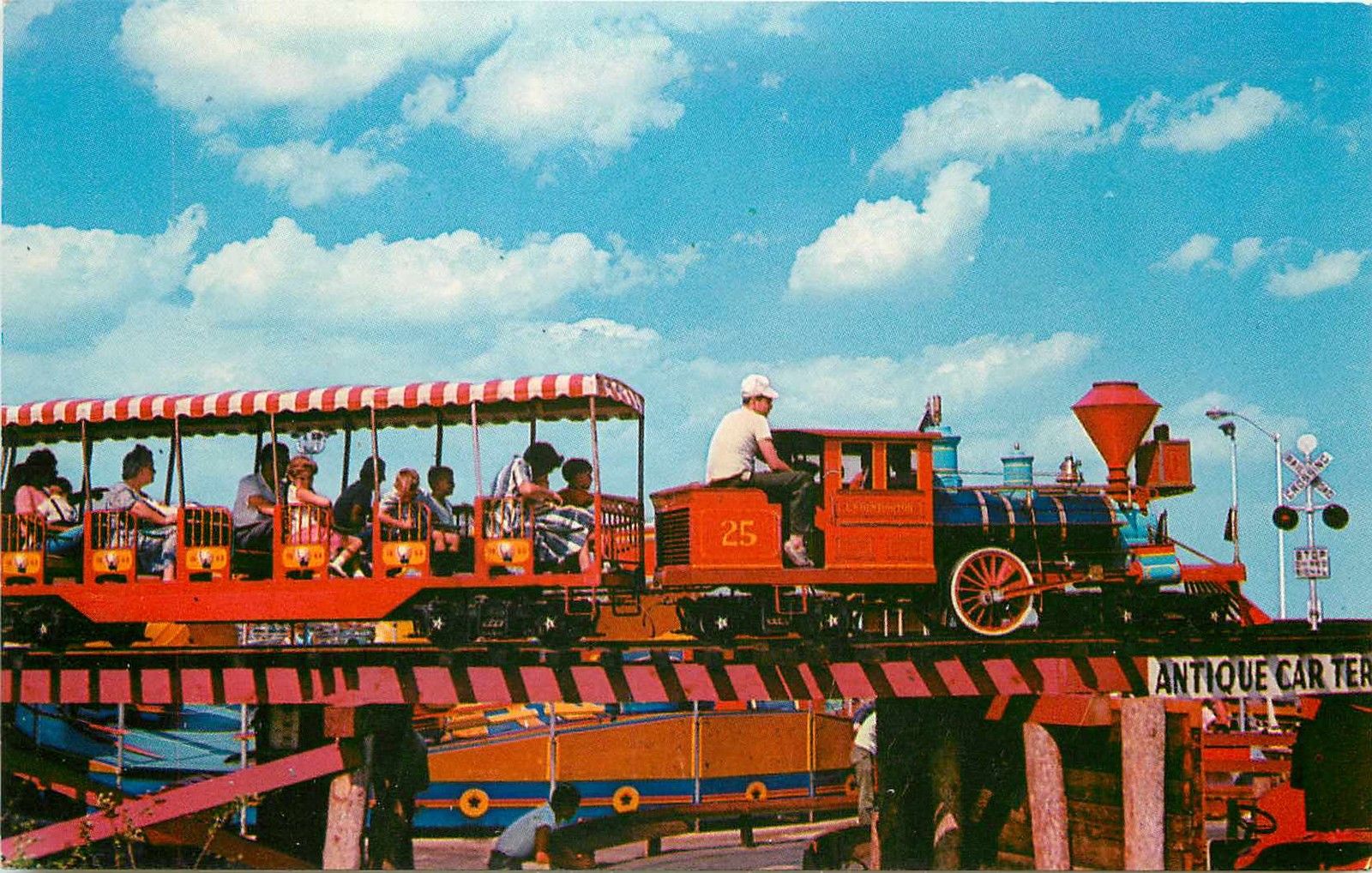 From EBay user: lotsoflots
 foundation*antiques
 from EBay user: crowspostcards
 same source
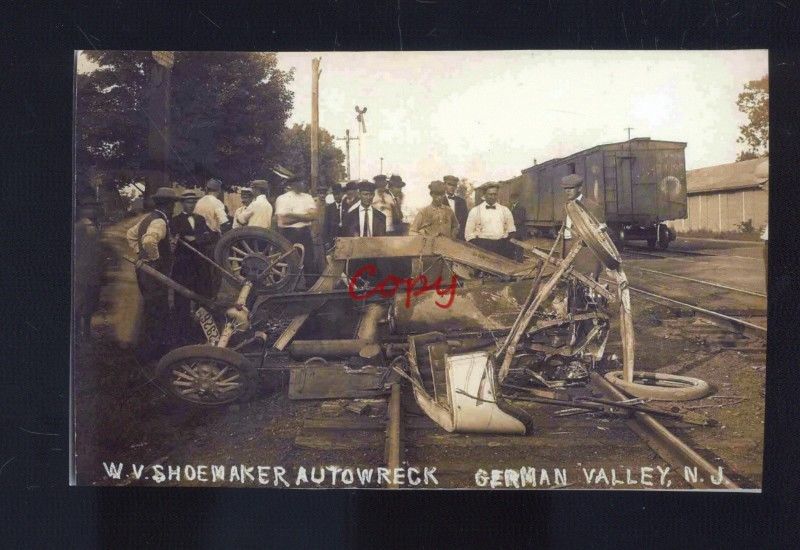 From EBay user: skurfanpostcards
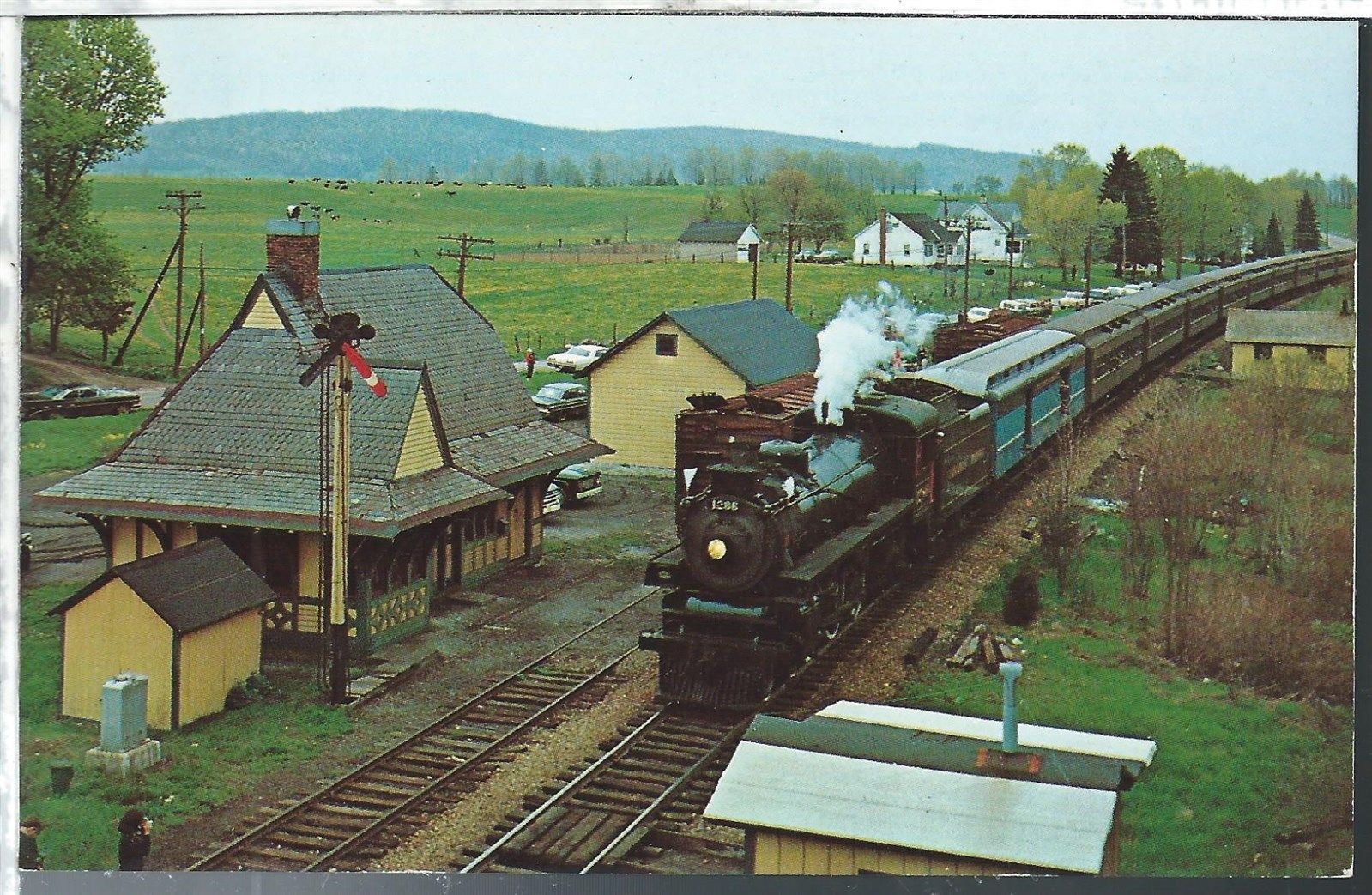
 from EBay user: scview
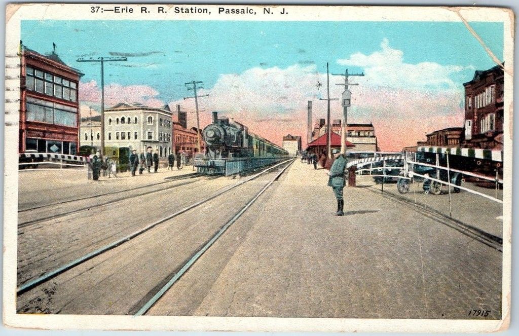
 from EBay user: trentonpostcardco
 from EBay user: trentonstampandcoinco
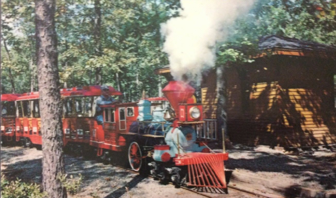
 from EBay user: crowspostcards
 From EBay user: scruffy4159
 From EBay user: dcal1210
  From EBay user: scruffy4159
 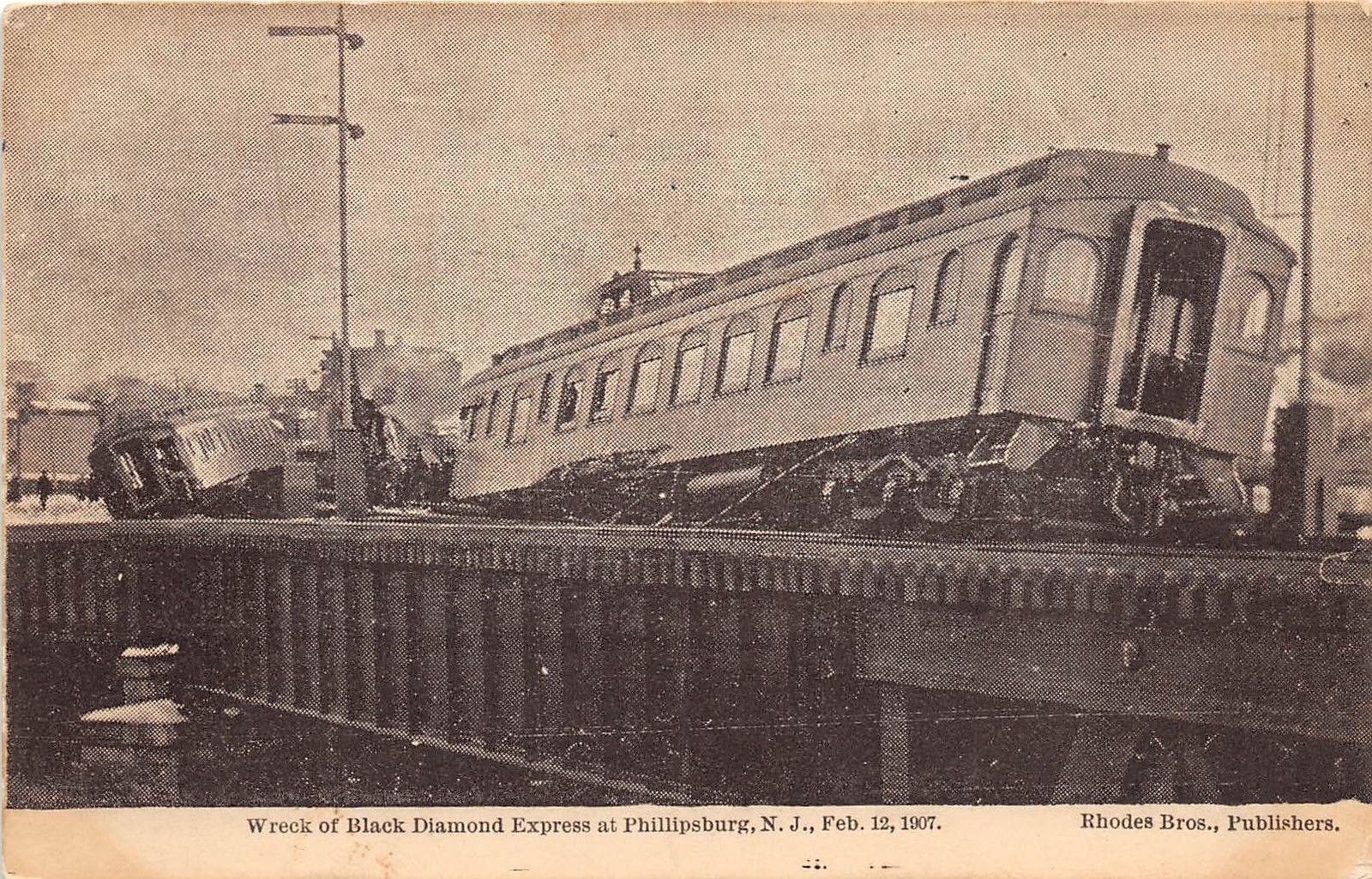 from EBay user: dsap
 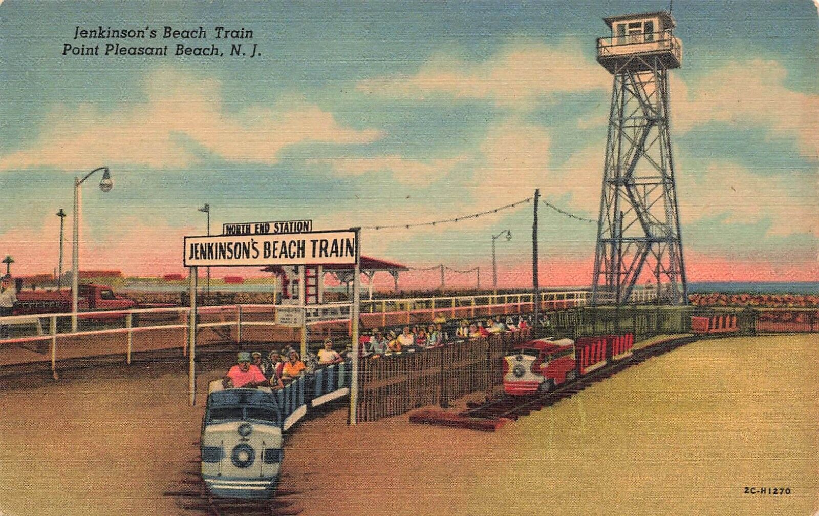 From EBay user: the-deltiologist-list
 From EBay user: postcardspast