One of the better resources I have come across to this end is the plethora of old post cards still around depicting many of these structures, some better than others.
Most of the postcards were found on EBay unless noted, other pictures, mostly the more recent ones, come from Google and/or Bing images -
credit given if the source is known.
Dates are in the picture name, x means the date is approximate. If they were available, and interesting, I included the back side of the postcards.
1901a and 1910b would be the same card, both sides.
If the picture was really, really bad, some of them have been cleaned up and/or repaired when I had the energy.
Since many of these stations are no longer around (railfans seem to prefer the term "extant", I'm not one of them! :-), this page is mostly for historical reference.
This page is mostly for historical reference, as MANY of these stations are not around anymore!
There are precious few good references for many of the railroad stations and depots that used to exist.
One of the better resources I have come across to this end is the plethora of old post cards still around depicting many of these structures, some better than others.
Most of the postcards were found on EBay unless noted, other pictures, mostly the more recent ones, come from Google and/or Bing images -
credit given if the source is known.
Dates are in the picture name, x means the date is approximate. If they were available, and interesting, I included the back side of the postcards.
1901a and 1910b would be the same card, both sides.
If the picture was really, really bad, some of them have been cleaned up and/or repaired when I had the energy.
Since many of these stations are no longer around (railfans seem to prefer the term "extant", I'm not one of them! :-), this page is mostly for historical reference.
This page is mostly for historical reference, as MANY of these stations are not around anymore!
What's the difference between a station and a depot? Most people will say "nuttin", it's a matter of preference, although many will use depot for older buildings.
If you have a picture you would like to contribute, please see the bottom of the page for how to find me, credit is always given to contributing photographers.
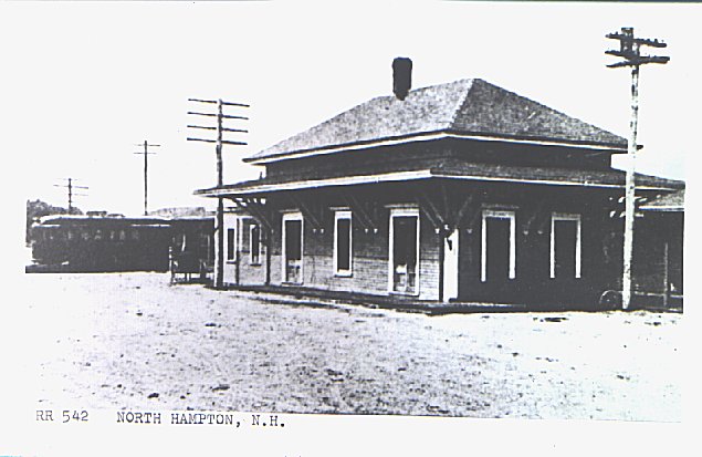
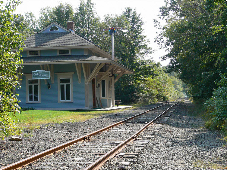
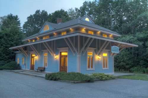
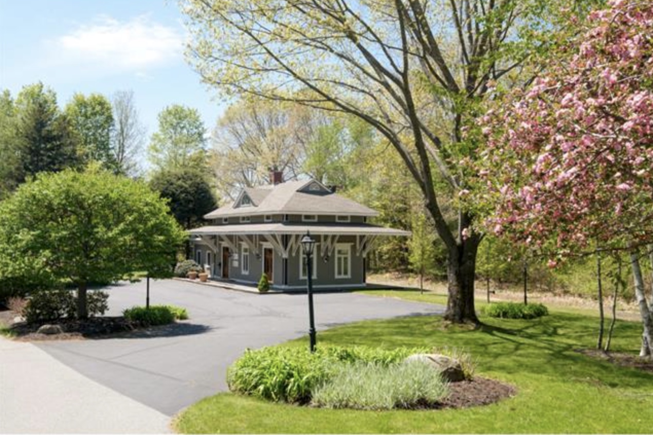
A former B&M depot, recently sold (as of MAR2018), now a privately owned building used as an office. According to the model kit website: The Eastern railroad
built the North Hampton Station in the mid to late 1860s. Later it was owned and operated by the Boston & Maine Railroad as a part of its Eastern Division.
Thanks to Scott B. for some of the pictures.
I love trains, and I love signals. I am not an expert. My webpages reflect what I find on the topic of the page. This is something I have fun with
while trying to help others.
Please Note: Since the main focus of my two websites is railroad signals, the railfan guides are oriented towards the signal fan being able to locate
them. For those of you into the modeling aspect of our hobby, my indexa page has a list of almost
everything railroad oriented I can think of to provide you with at least a few pictures to help you detail your pike.
If this is a railfan page, every effort has been made to make sure that the information contained on this map and in this railfan guide is correct. Once in a
while, an error may creep in :-)
My philosophy: Pictures and maps are worth a thousand words, especially for railfanning. Text descriptions only get you so far, especially if you get lost or
disoriented. Take along good maps.... a GPS is OK to get somewhere, but maps are still better if you get lost! I belong to AAA, which allows you to get
local maps for free when you visit the local branches. ADC puts out a nice series of county maps for the Washington DC area, but their state maps do not have
the railroads on them. If you can find em, I like the National Geographic map book of the U.S..... good, clear, and concise graphics, and they do a really good
job of showing you where tourist type attractions are, although they too lack the railroads. Other notes about specific areas will show up on that page if known.
By the way, floobydust is a term I picked up 30-40 years ago from a National Semiconductor data book, and means miscellaneous
and/or other stuff.
Pictures and additional information is always needed if anyone feels inclined to take 'em, send 'em, and share 'em, or if you have something to add or correct....
credit is always given! BE NICE!!! Contact info is here
Beware: If used as a source, ANYTHING from Wikipedia must be treated as being possibly being inaccurate, wrong, or not true.
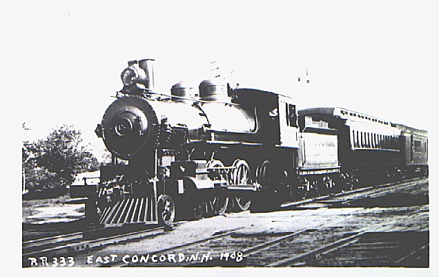
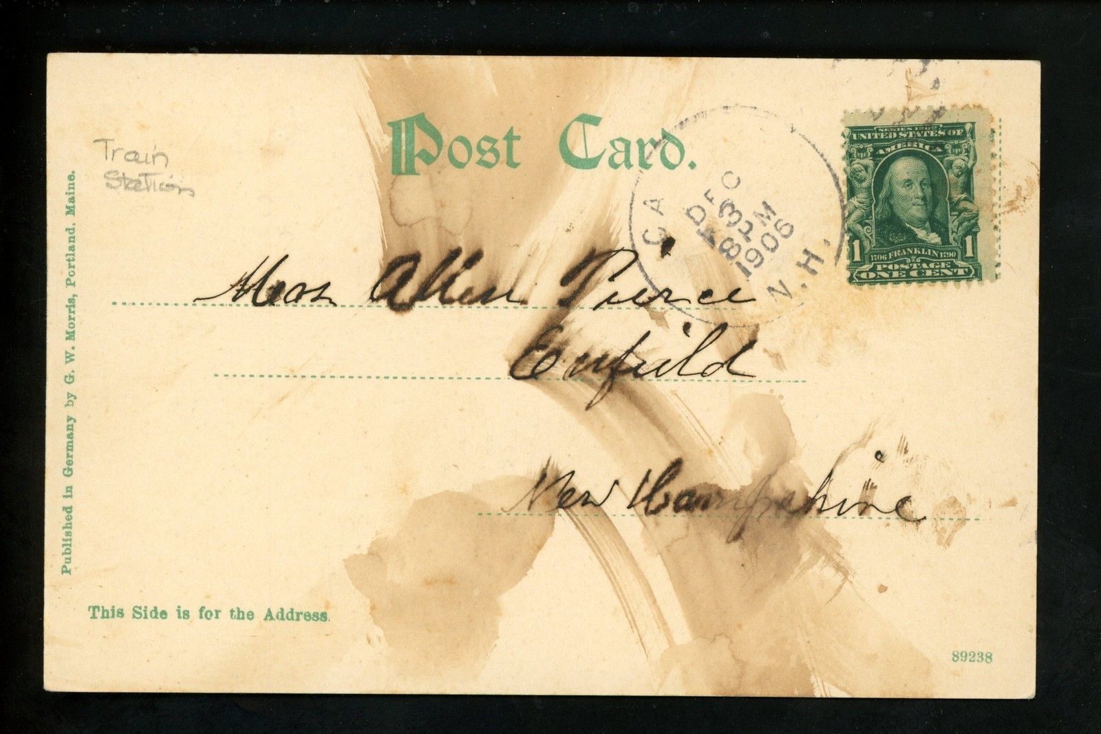
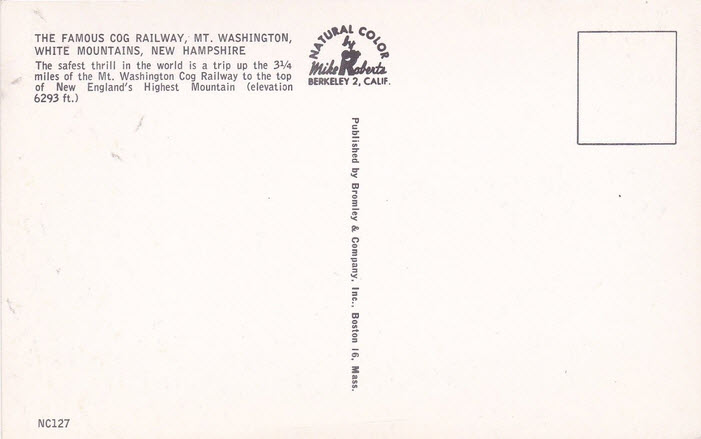
 EBay seller: outweststv
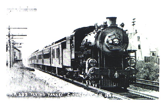
 EBay seller: outweststv
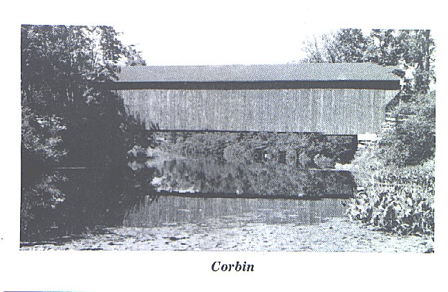
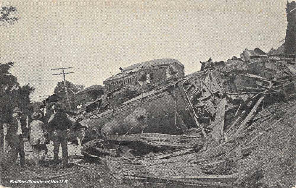
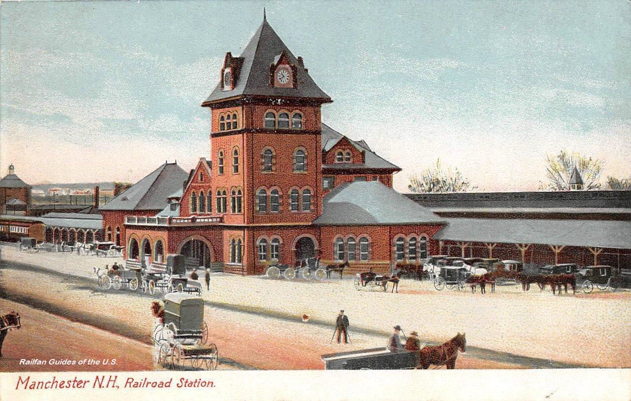
 The original of the picture above looked like this.....
 EBay seller: outweststv
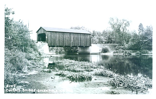
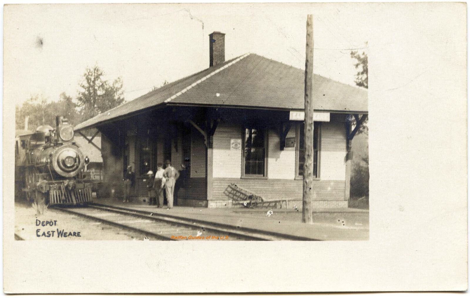
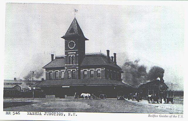
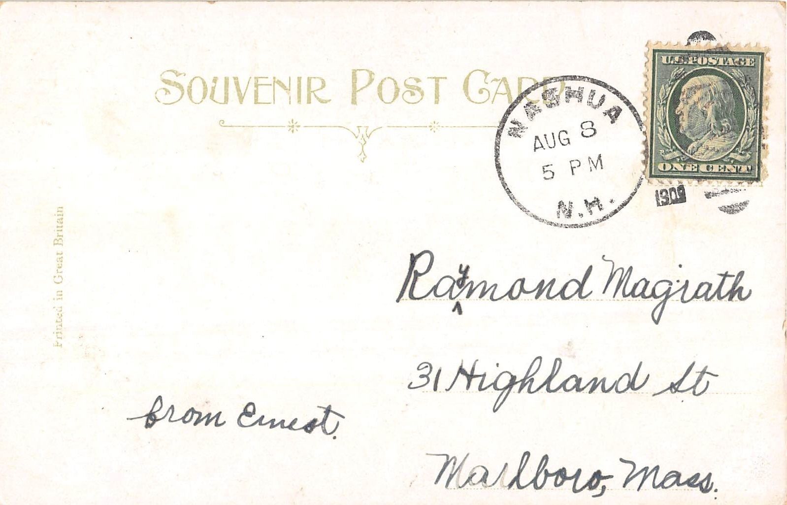
 EBay seller: cherryhillpc
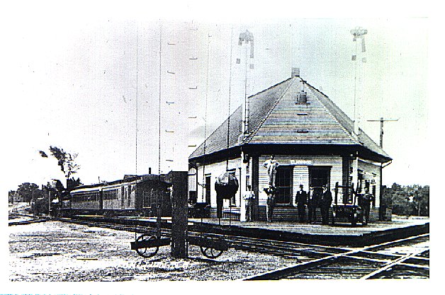
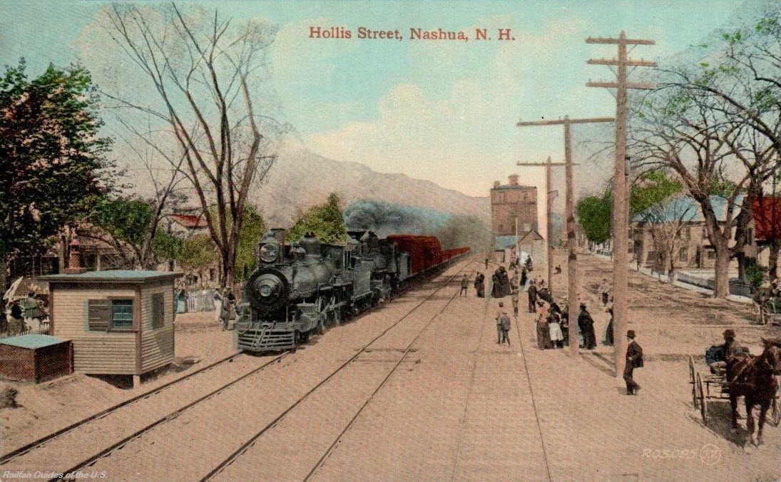
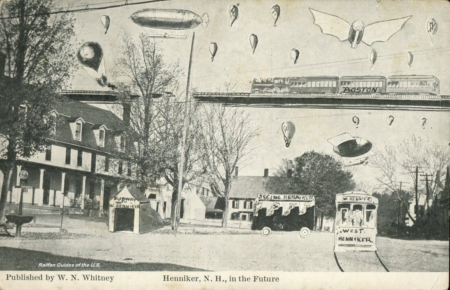 EBay seller: trentonstampandcoinco
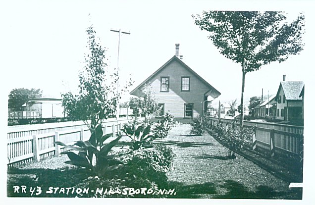
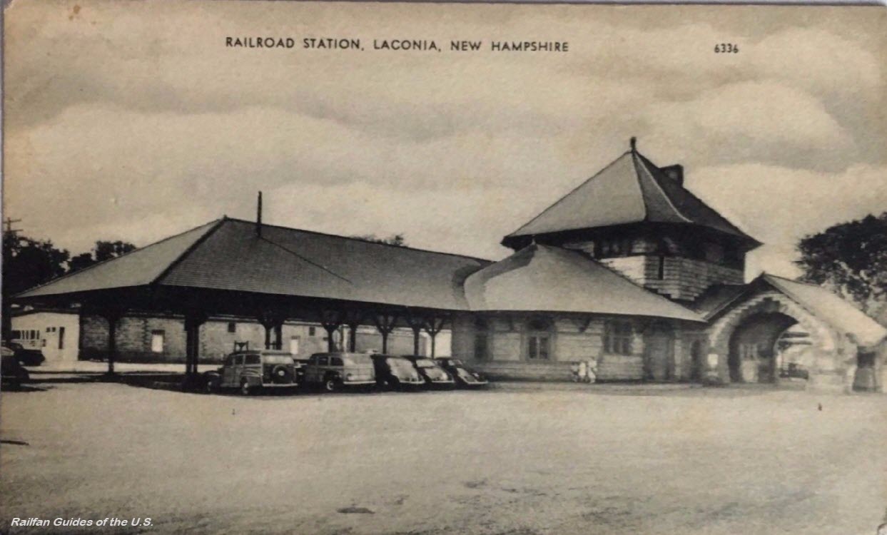 EBay seller: ats4824
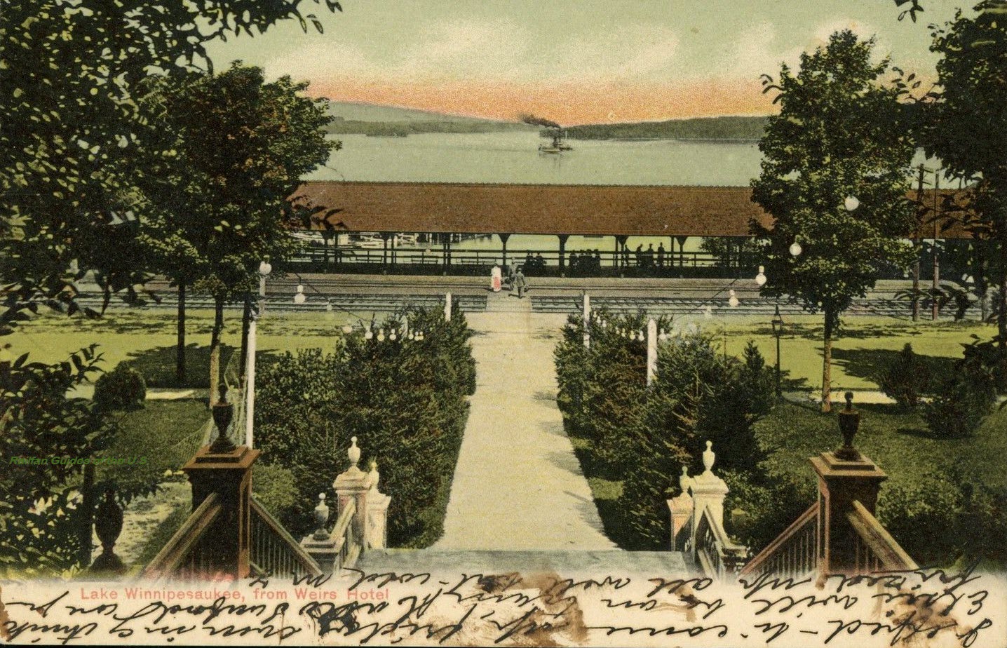
 EBay seller: walkerspostcards
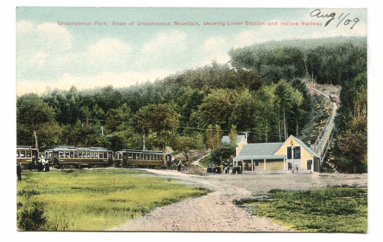
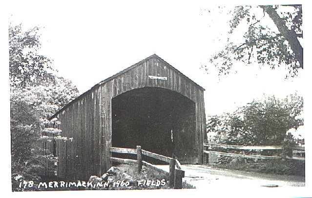
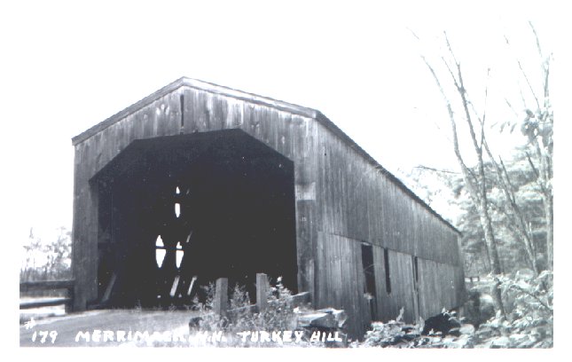
 Covered Bridge, non railroad
 EBay seller: beth0514
 EBay seller: walkerspostcards

 EBay seller: outweststv

 Scott B
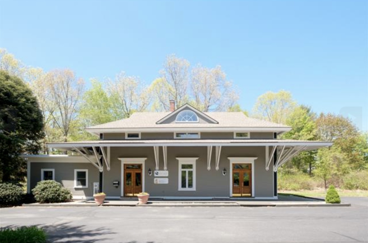 Scott B
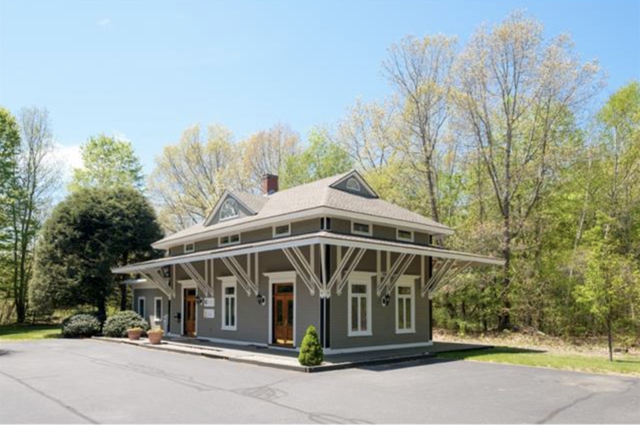 Scott B
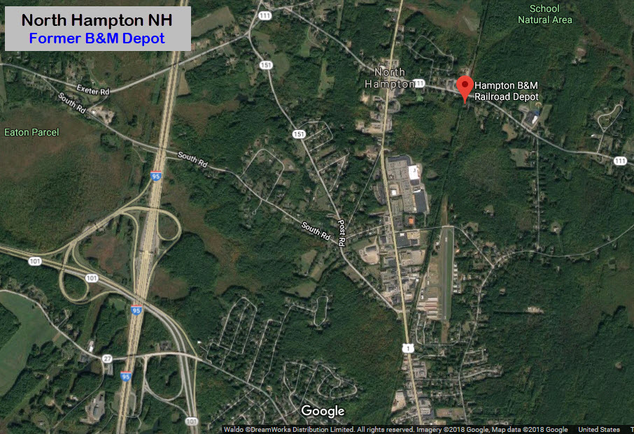
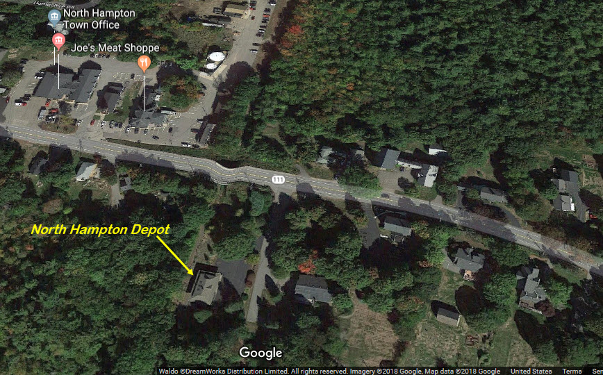
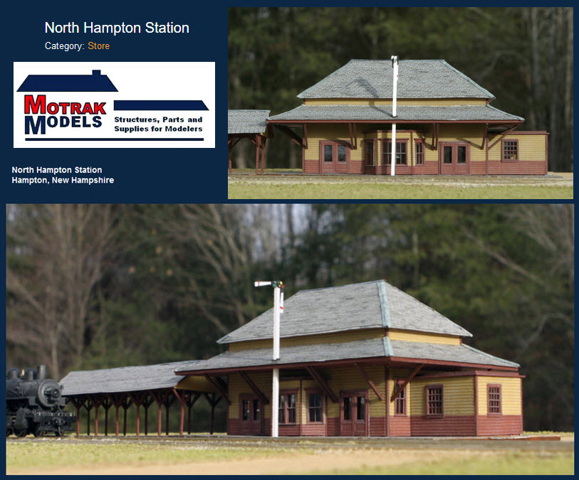
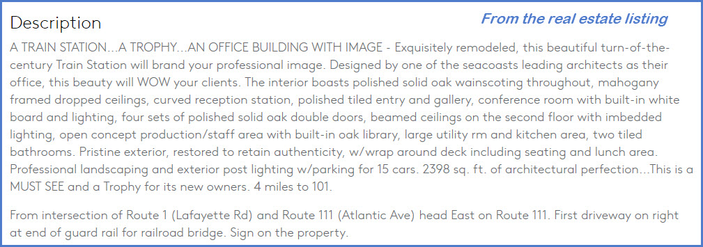
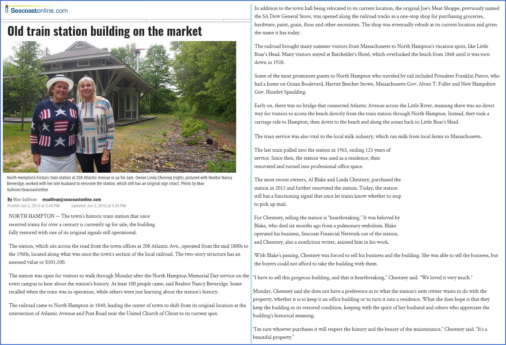
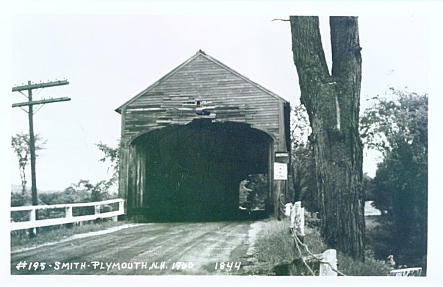
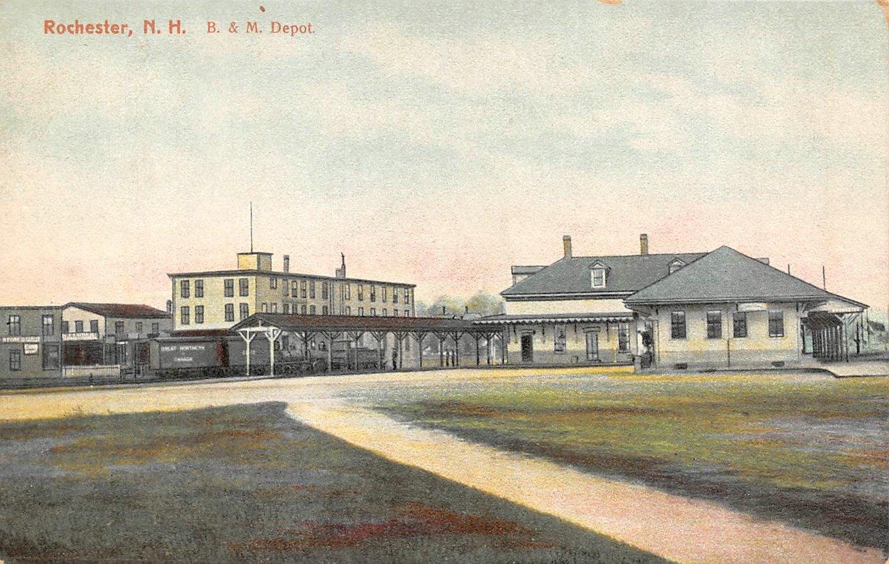
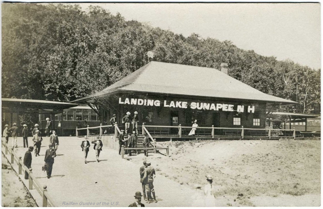
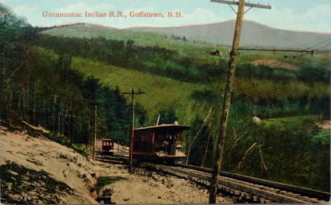
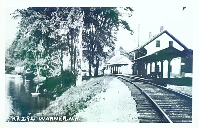
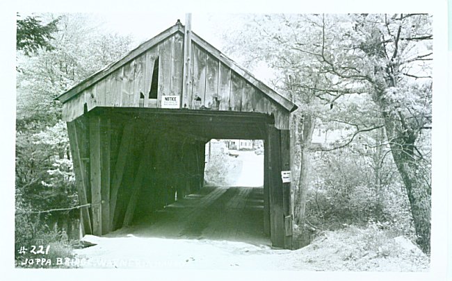
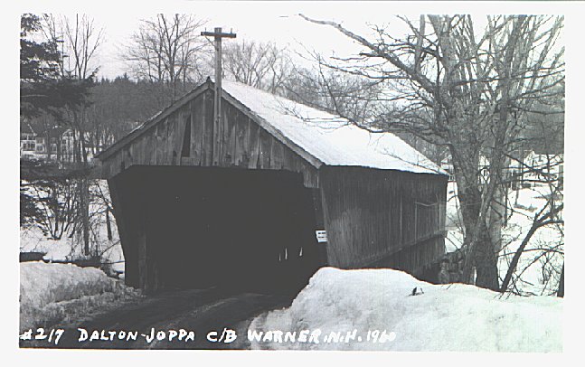
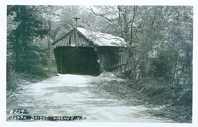
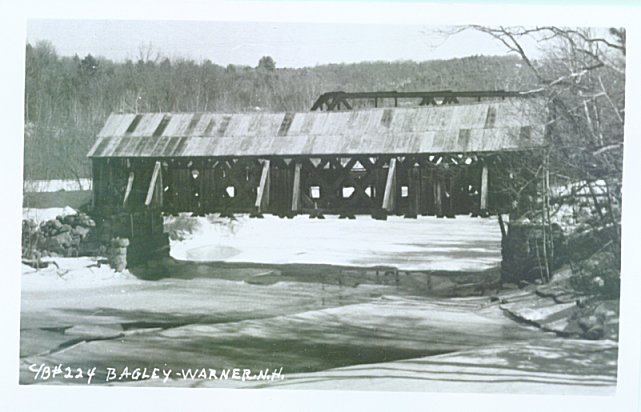
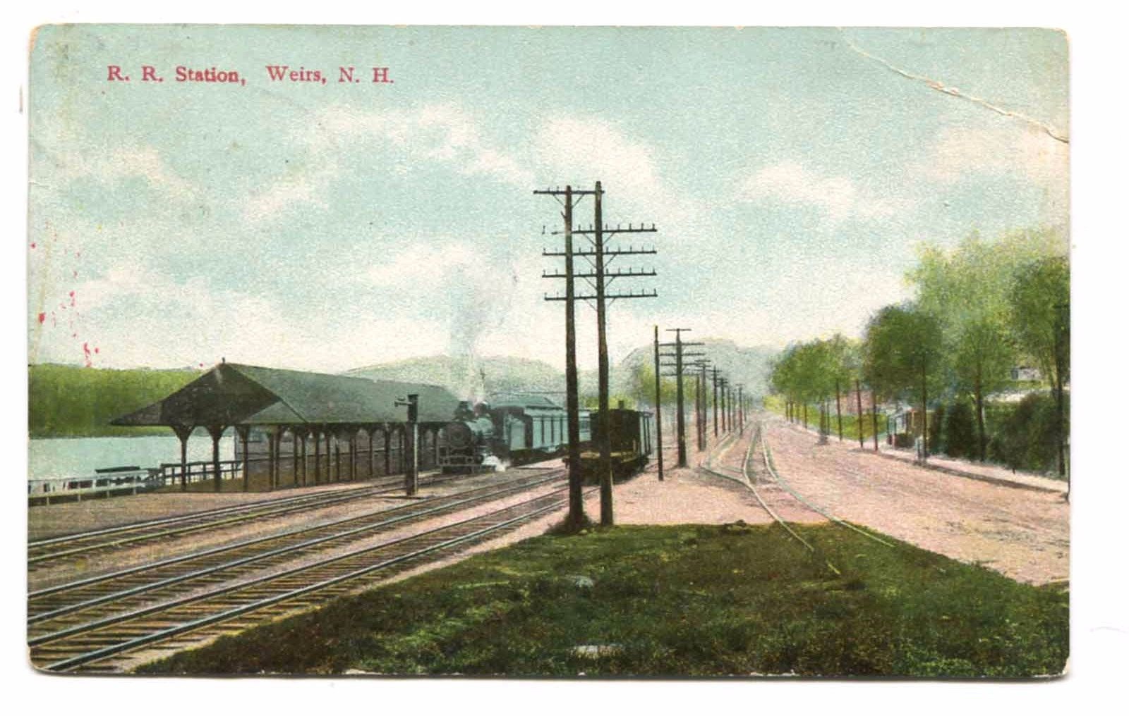
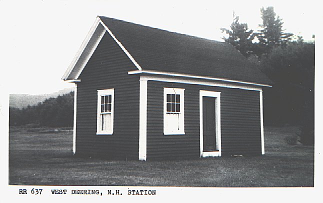
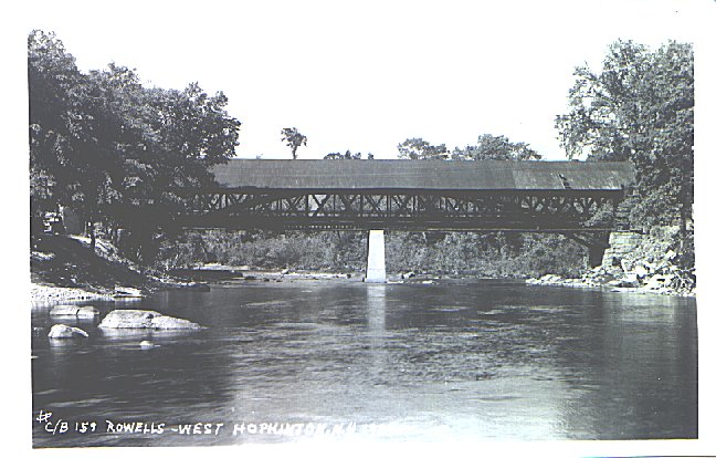
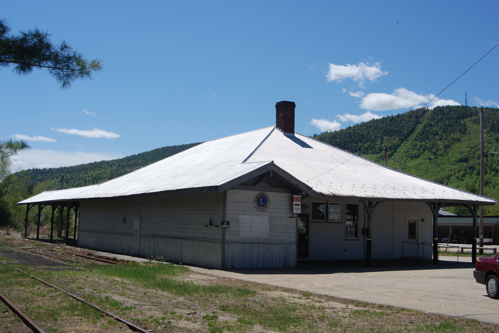 photo by photoman82
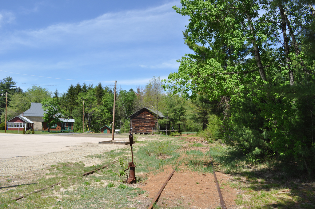 photo by photoman82
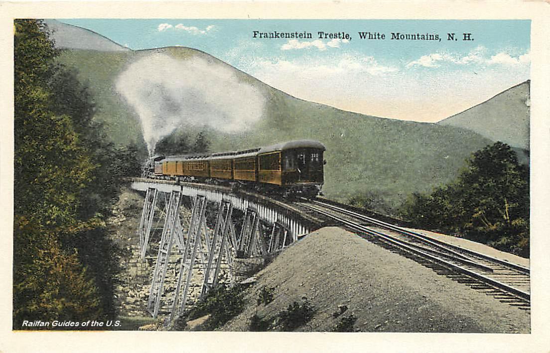 EBay seller: outweststv
 EBay seller: vintage_antique_finder