One of the better resources I have come across to this end is the plethora of old post cards still around depicting many of these structures, some better than others.
Most of the postcards were found on EBay unless noted, other pictures, mostly the more recent ones, come from Google and/or Bing images -
credit given if the source is known.
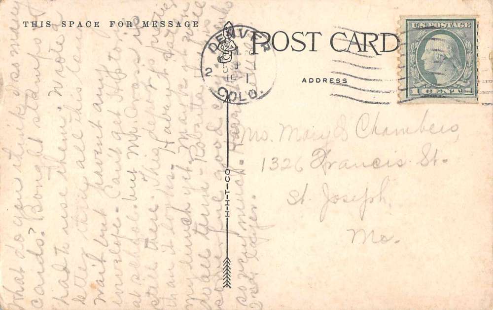
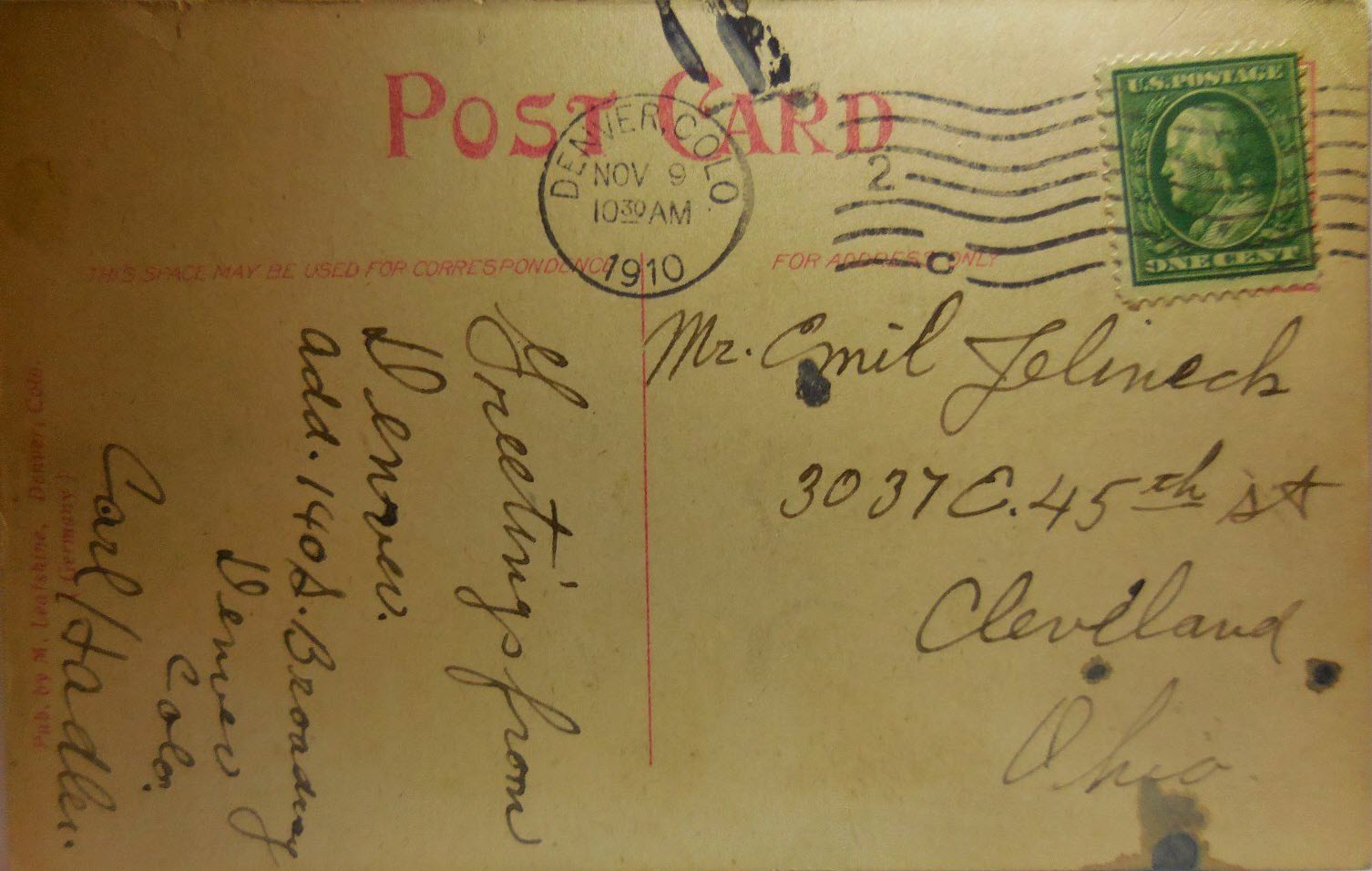
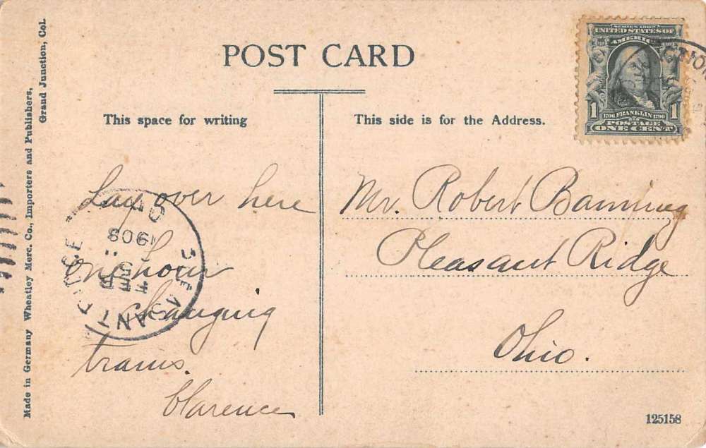
Dates are in the picture name, x means the date is approximate. If they were available, and interesting, I included the back side of the postcards.
1910a and 1910b would be the same card, both sides.
If the picture was really, really bad, some of them have been cleaned up and/or repaired when I had the energy.
Since many of these stations are no longer around (railfans seem to prefer the term "extant", I'm not one of them! :-), this page is mostly for historical reference.
This page is mostly for historical reference, as MANY of these stations are not around anymore!
What's the difference between a station and a depot? Most people will say "nuttin", it's a matter of preference, although many will use depot for older
buildings.
If you have a picture you would like to contribute, please see the bottom of the page for how to find me, credit is always given to contributing photographers.
Original structures: Denver's first train station was constructed in 1868 to serve the new
Denver Pacific Railway, which connected Denver to
the main transcontinental line at Cheyenne WY. By 1875, there were four different railroad stations, making passenger transfers between different railroad lines
inconvenient. To remedy this issue, theUnion Pacific Railroad
proposed creating one central "Union Station" to combine the various operations. In February 1880, the owners of the four lines (the Union Pacific, the
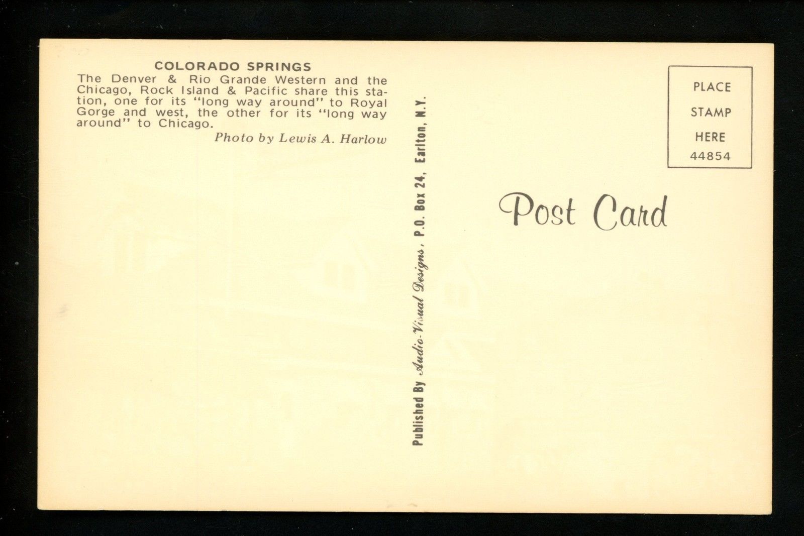
Denver & Rio Grande Western, the
Denver, South Park & Pacific, and the
Colorado Central) agreed to build a station at 17th and Wynkoop
Streets. Architect A. Taylor of Kansas City was hired to develop the plans and the station opened in May 1881.
However, a fire that started in the women's restroom in 1894 destroyed the central portion of the 1881 depot. The Kansas City architectural firm of Van Brunt &
Howe was hired to design a larger replacement depot in the Romanesque Revival style. Both the 1881 and 1894 depots included a tall central clock tower with
four clock faces.
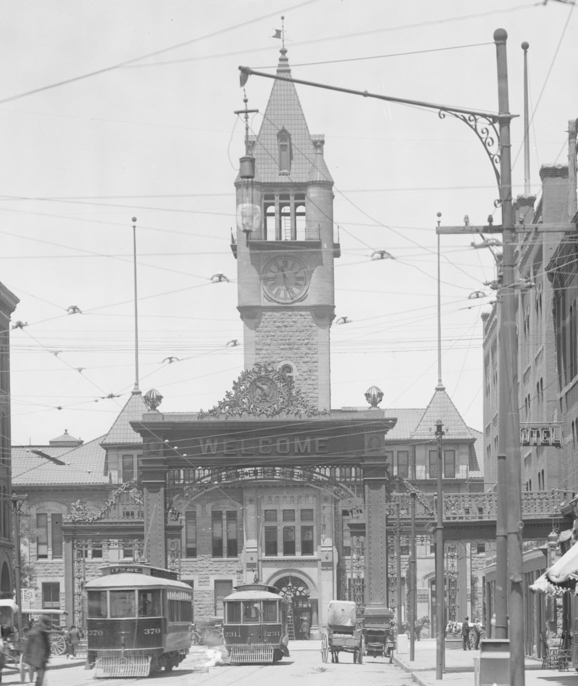
Early 20th century: On July 4, 1906, a large arch known as the Mizpah Arch was dedicated in front of the station in order to provide a threshold for travelers
entering and leaving the city. Constructed at a cost of $22,500 with 70 tons of steel and over 2,000 light bulbs, the arch originally featured the word
"Welcome" on both sides. However, the elevation facing 17th Street was changed to "
Mizpah", a Hebrew word expressing an emotional bond between
separated people, and used as a farewell to people leaving Denver.
In 1912, the original Union Depot partnership was dissolved and replaced by the Denver Terminal Railway Company, representing the then-major operators of the station (the
Atchison, Topeka and Santa Fe, the
Chicago, Burlington and Quincy, the
Chicago, Rock Island and Pacific, the
Colorado & Southern, the Union Pacific, and the
Denver & Rio Grande Western railways). The new partnership decided to demolish and rebuild the central portion of the station to handle the increasing
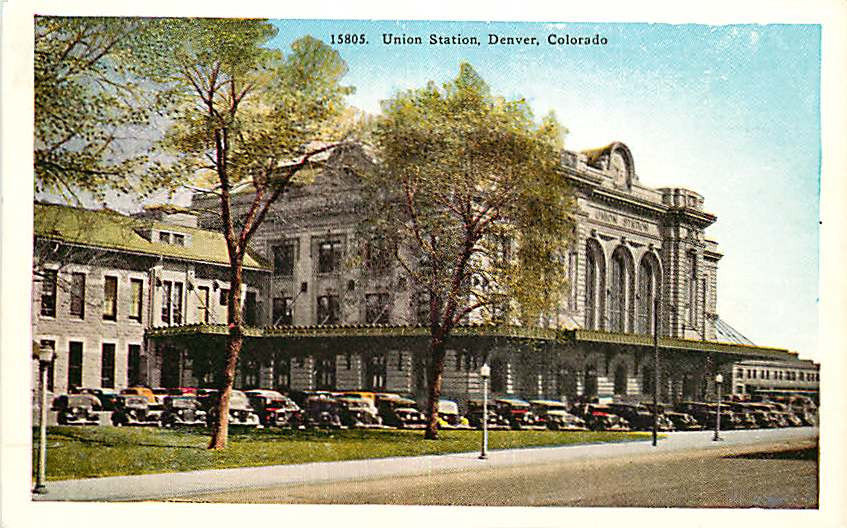
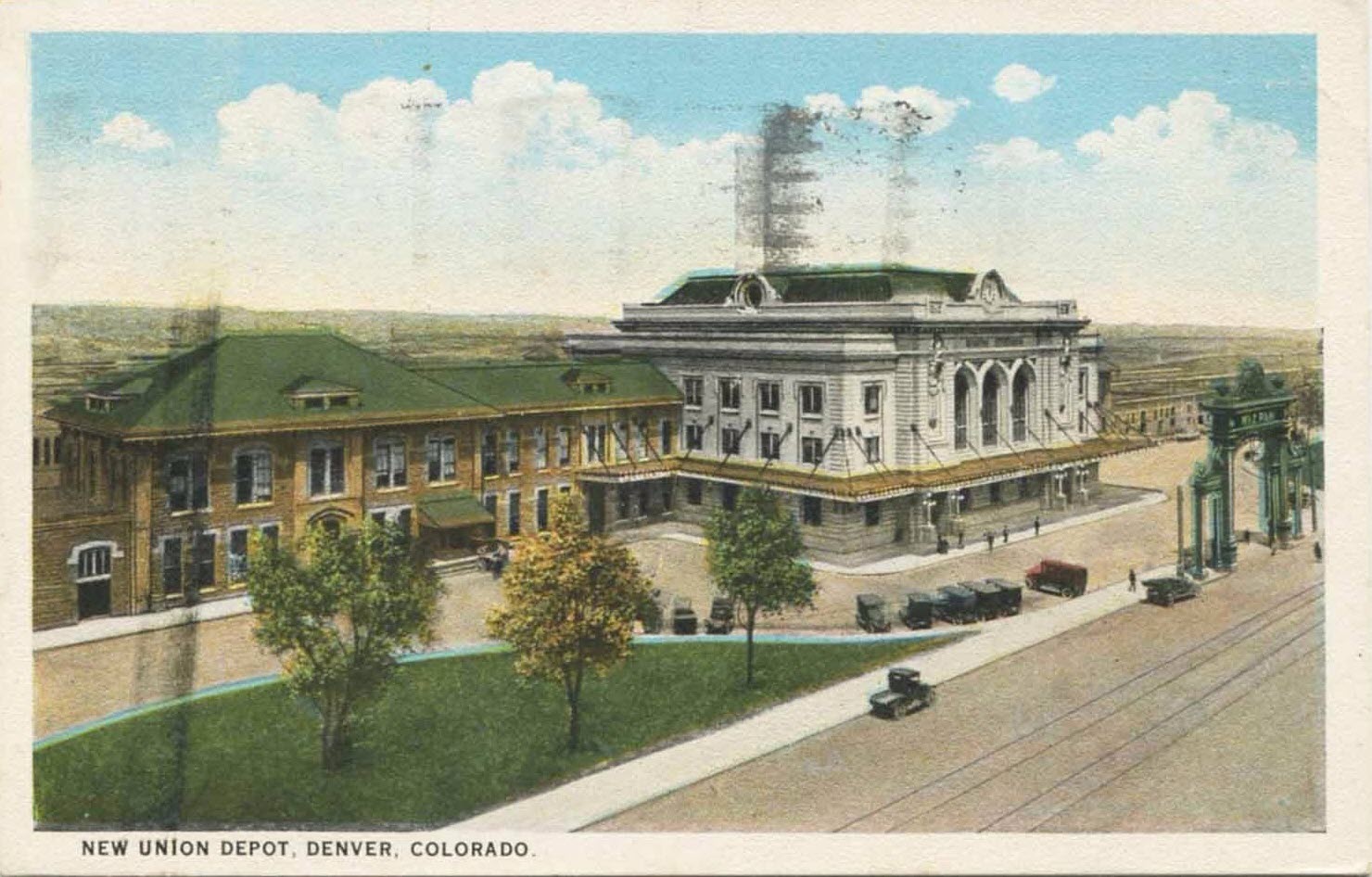
passenger traffic. The new central portion, designed by Denver architects Gove & Walsh, was built in the Beaux-Arts style and opened in 1914.
By the 1920s and 1930s, over 80 trains served the station daily with notable dignitaries such as Queen Marie of Romania, Presidents Theodore Roosevelt, William Howard
Taft, and Franklin Delano Roosevelt arriving to Denver through the station. As a result of growing passenger service, the Mizpah Arch in front of the station
was deemed a traffic hazard and was torn down in 1931.
Late 20th century -- Decline: Although World War II saw a surge in rail traffic, the latter half of the 20th century saw a sharp decline in service for Union Station
and countless other train stations in the United States as competition began to grow from automobiles and airlines. For the first time in 1958, passenger traffic
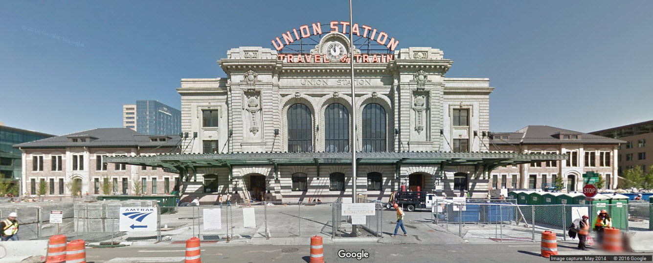
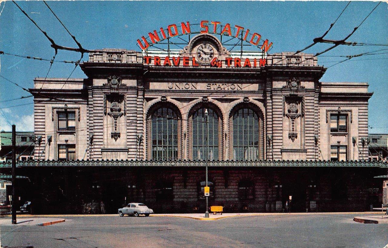
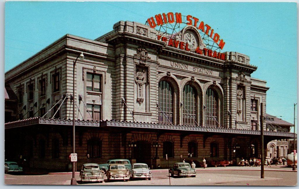
at Stapleton International Airport exceeded that of Union Station. It was during this period that the orange "Union Station: Travel by Train" signs
were placed on both sides of the building in order to advertise intercity rail travel.
The above photo is part of a picture found on the Wikipedia page for Union Station. Looking down 17th Street, from 1908. Love the detail!
I love trains, and I love signals. I am not an expert. My webpages reflect what I find on the topic of the page. This is something I have fun with while
trying to help others.
Please Note: Since the main focus of my two websites is railroad signals, the railfan guides are oriented towards the signal fan being able to locate them.
For those of you into the modeling aspect of our hobby, my indexa page has a list of almost everything railroad oriented
I can think of to provide you with at least a few pictures to help you detail your pike.
If this is a railfan page, every effort has been made to make sure that the information contained on this map and in this railfan guide is correct. Once in a while,
an error may creep in :-)
My philosophy: Pictures and maps are worth a thousand words, especially for railfanning. Text descriptions only get you so far, especially if you get lost or
disoriented. Take along good maps.... a GPS is OK to get somewhere, but maps are still better if you get lost! I belong to AAA, which allows you to get
local maps for free when you visit the local branches. ADC puts out a nice series of county maps for the Washington DC area, but their state maps do not have the
railroads on them. If you can find em, I like the National Geographic map book of the U.S..... good, clear, and concise graphics, and they do a really good job
of showing you where tourist type attractions are, although they too lack the railroads. Other notes about specific areas will show up on that page if known.
Aerial shots were taken from either Google Maps or www.bing.com/maps as noted. Screen captures are made
with Snagit, a Techsmith product... a great tool if you have never used it!
By the way, floobydust is a term I picked up 30-40 years ago from a National Semiconductor data book, and means miscellaneous
and/or other stuff.
Pictures and additional information is always needed if anyone feels inclined to take 'em, send 'em, and share 'em, or if you have something to add or correct.... credit
is always given! Please be NICE!!! Contact info is here
Beware: If used as a source, ANYTHING from Wikipedia must be treated as being possibly being inaccurate, wrong, or not true.

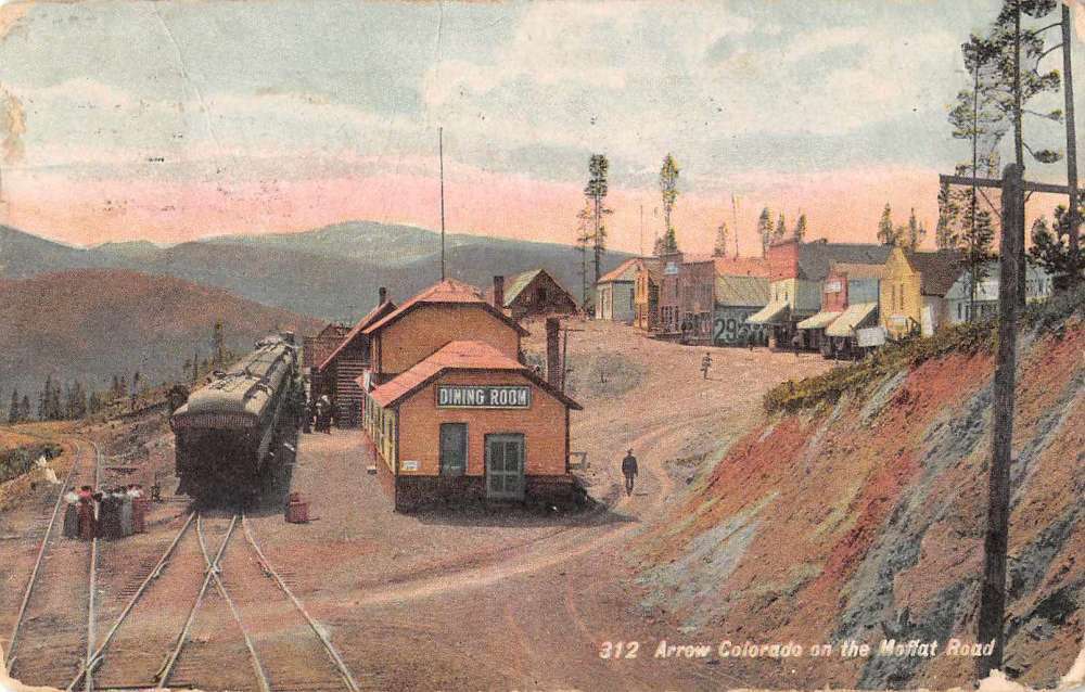
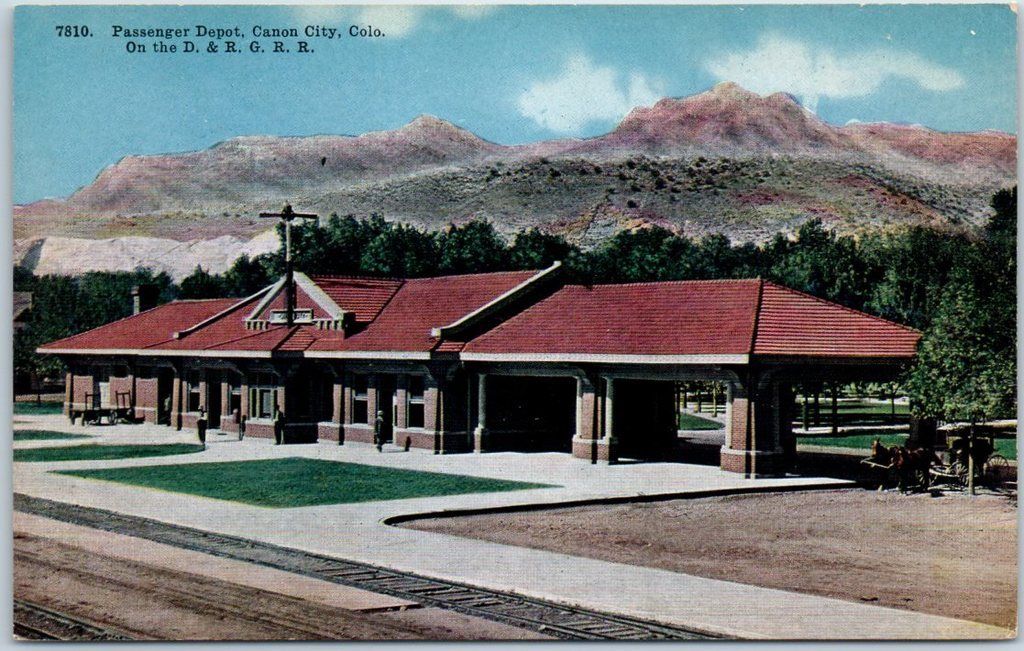
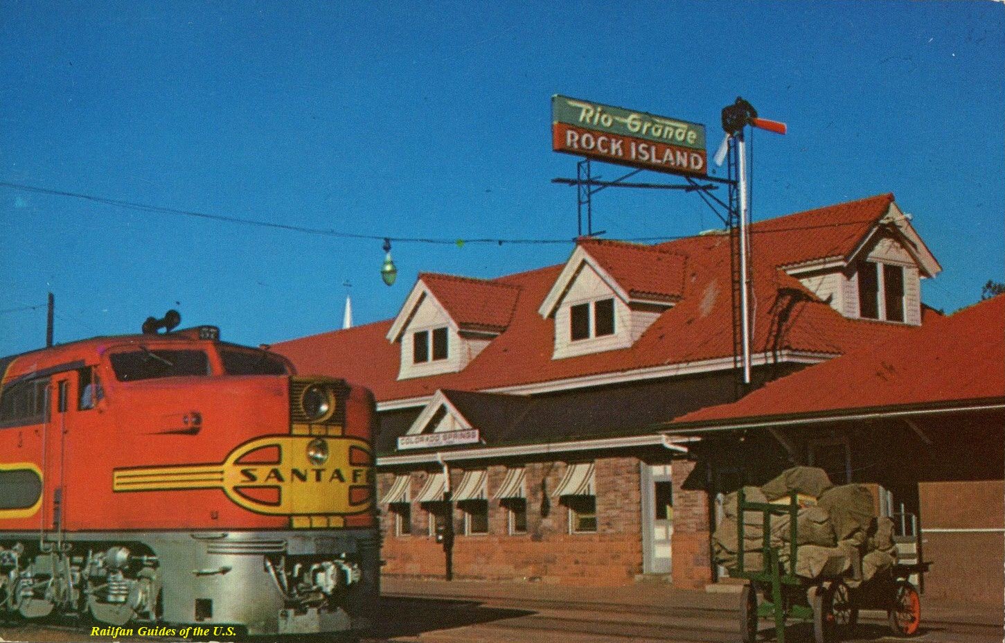
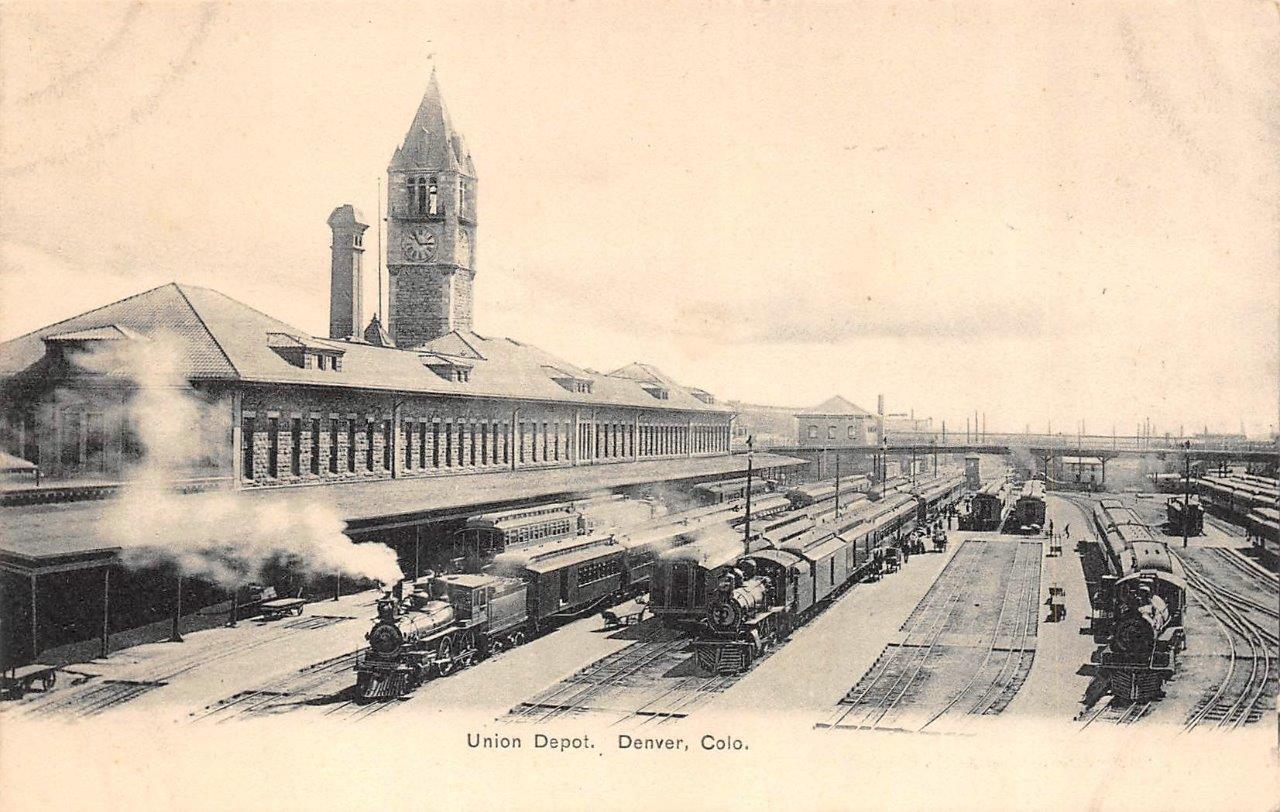
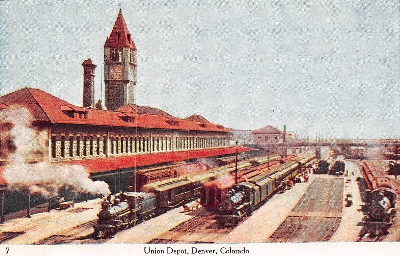
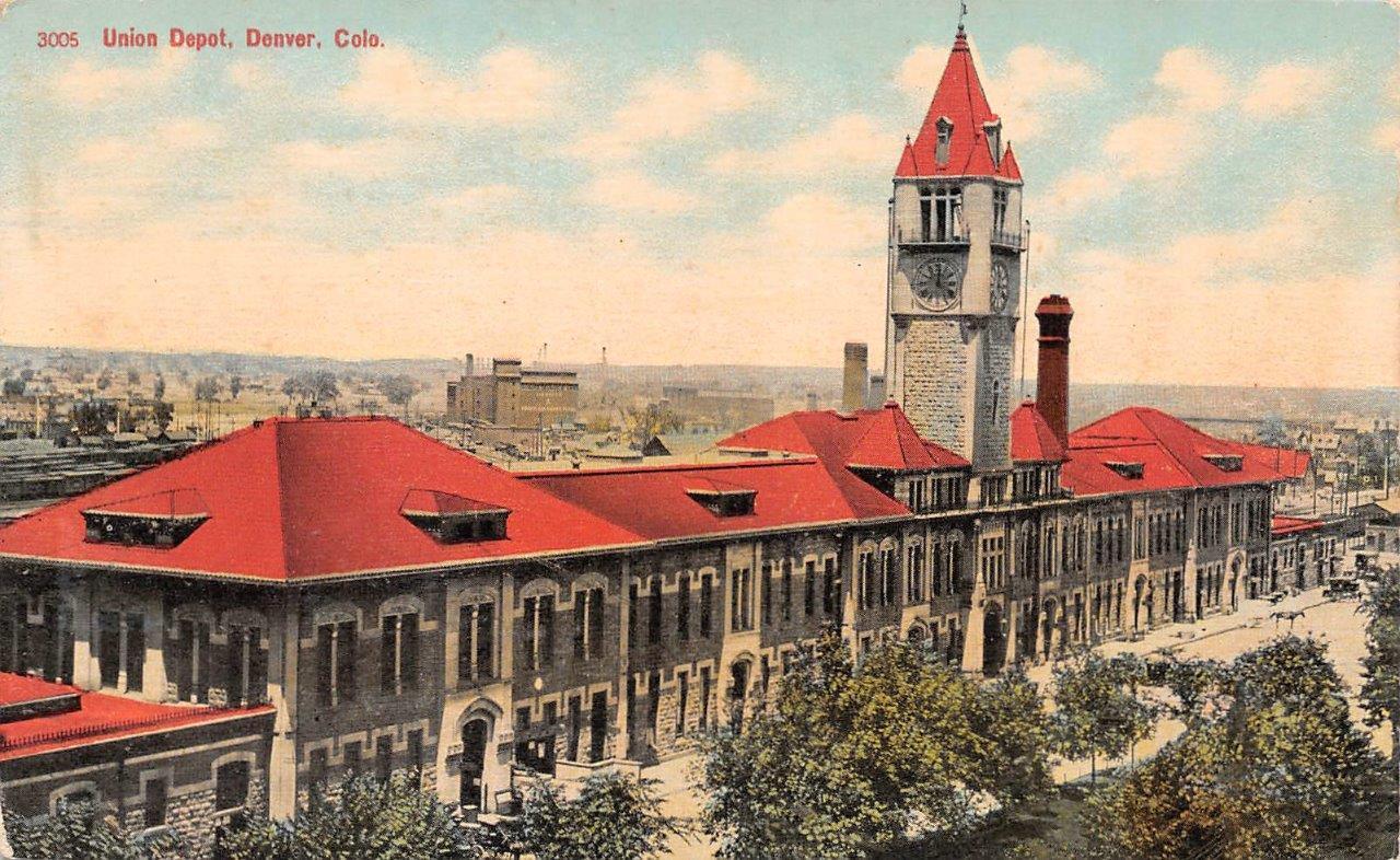
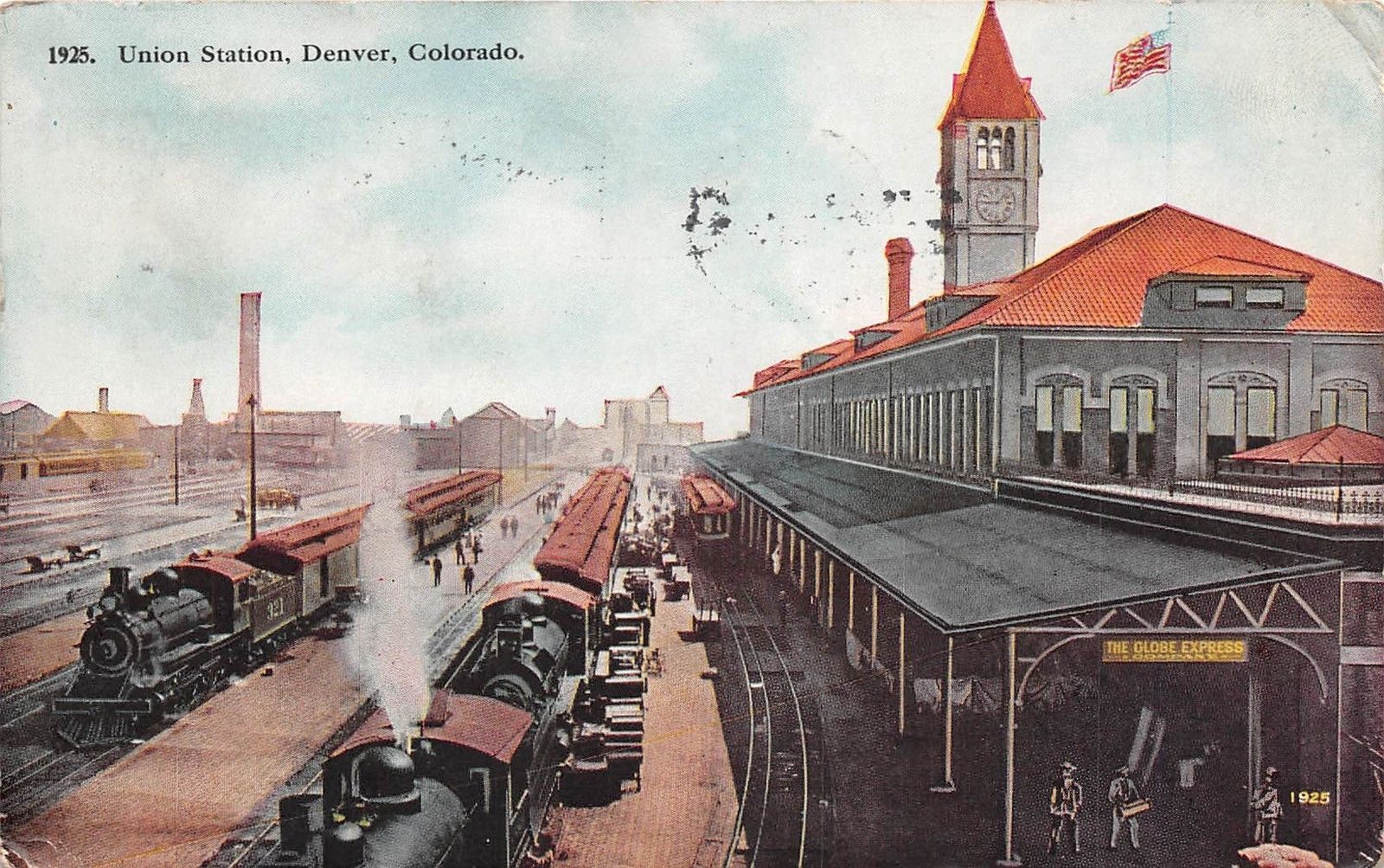

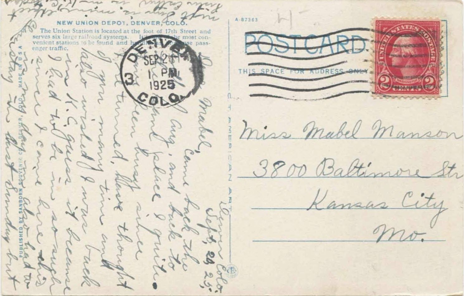

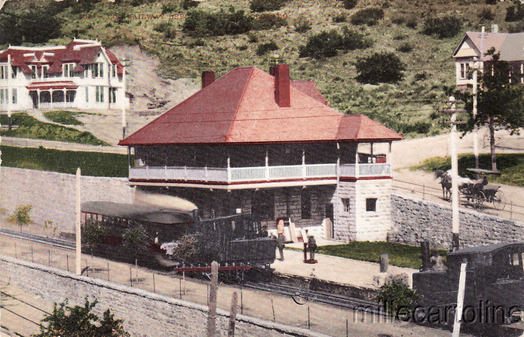
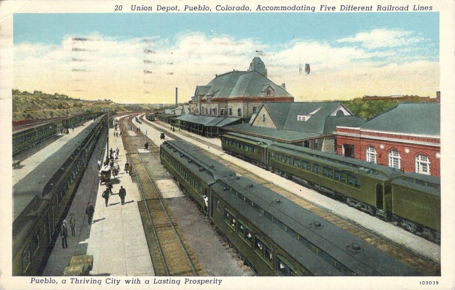
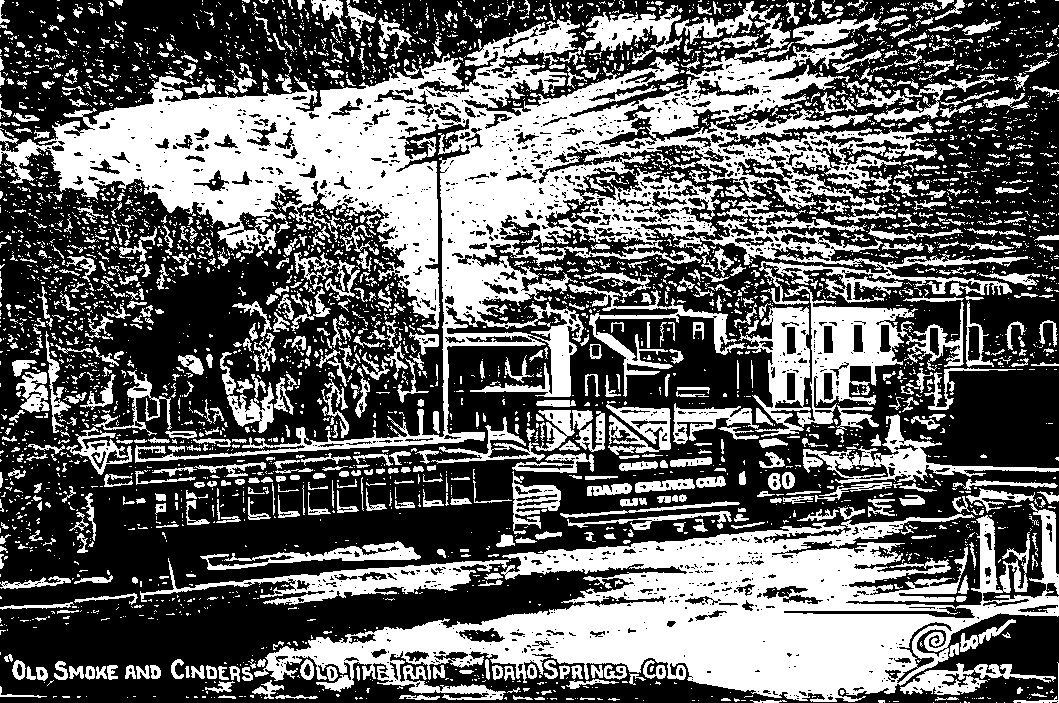
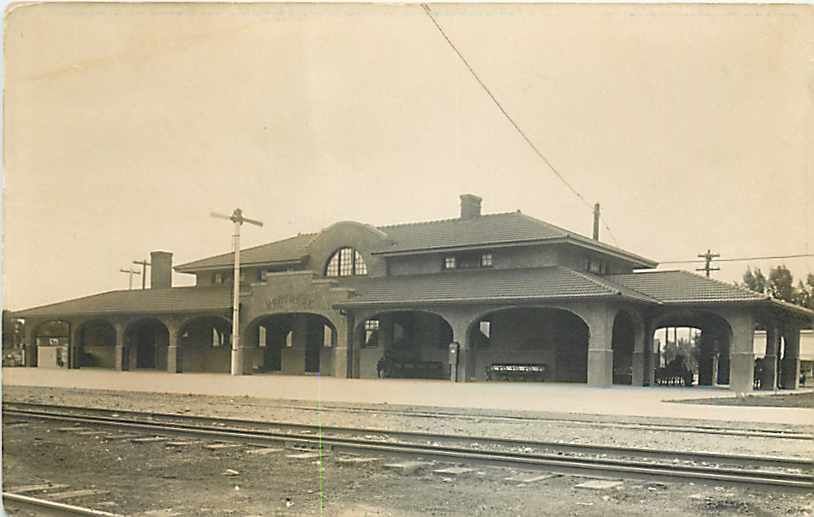
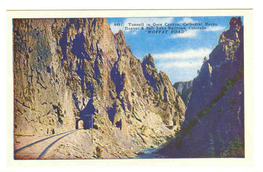 From ~1925
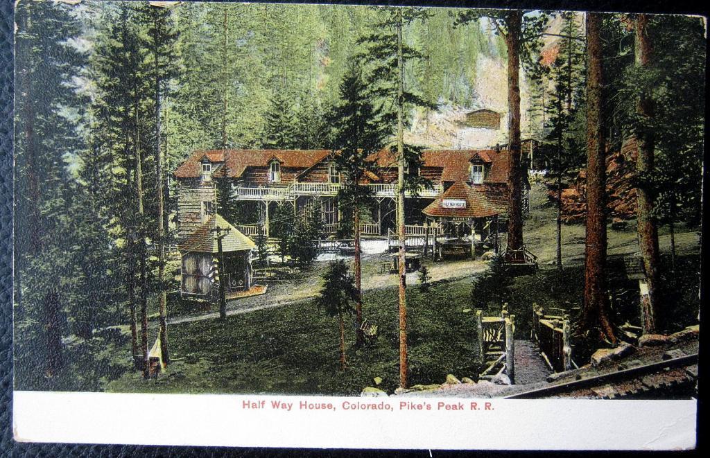
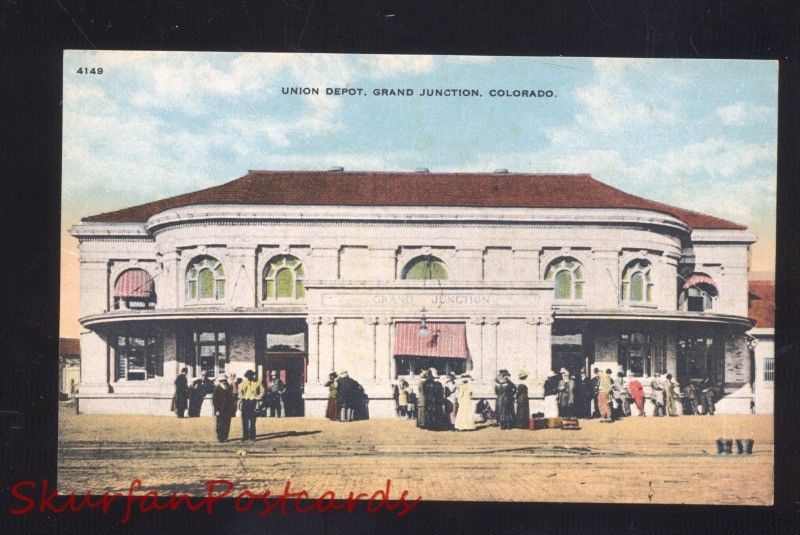
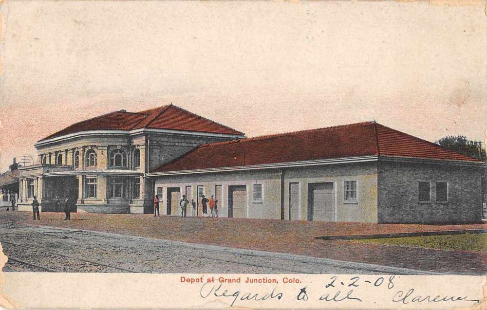
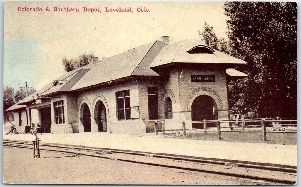
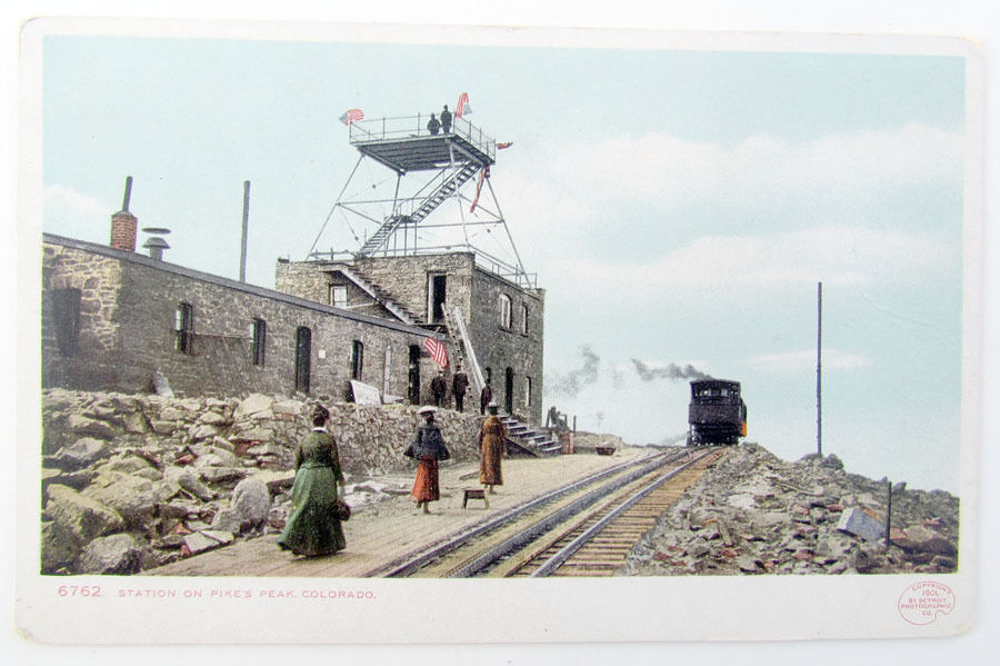
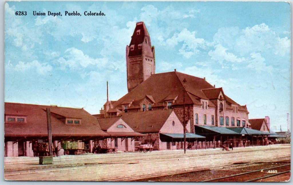
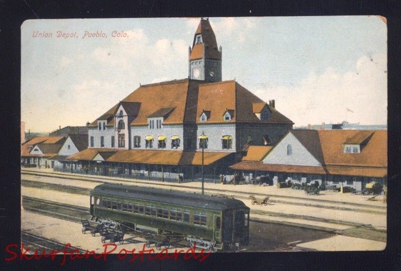
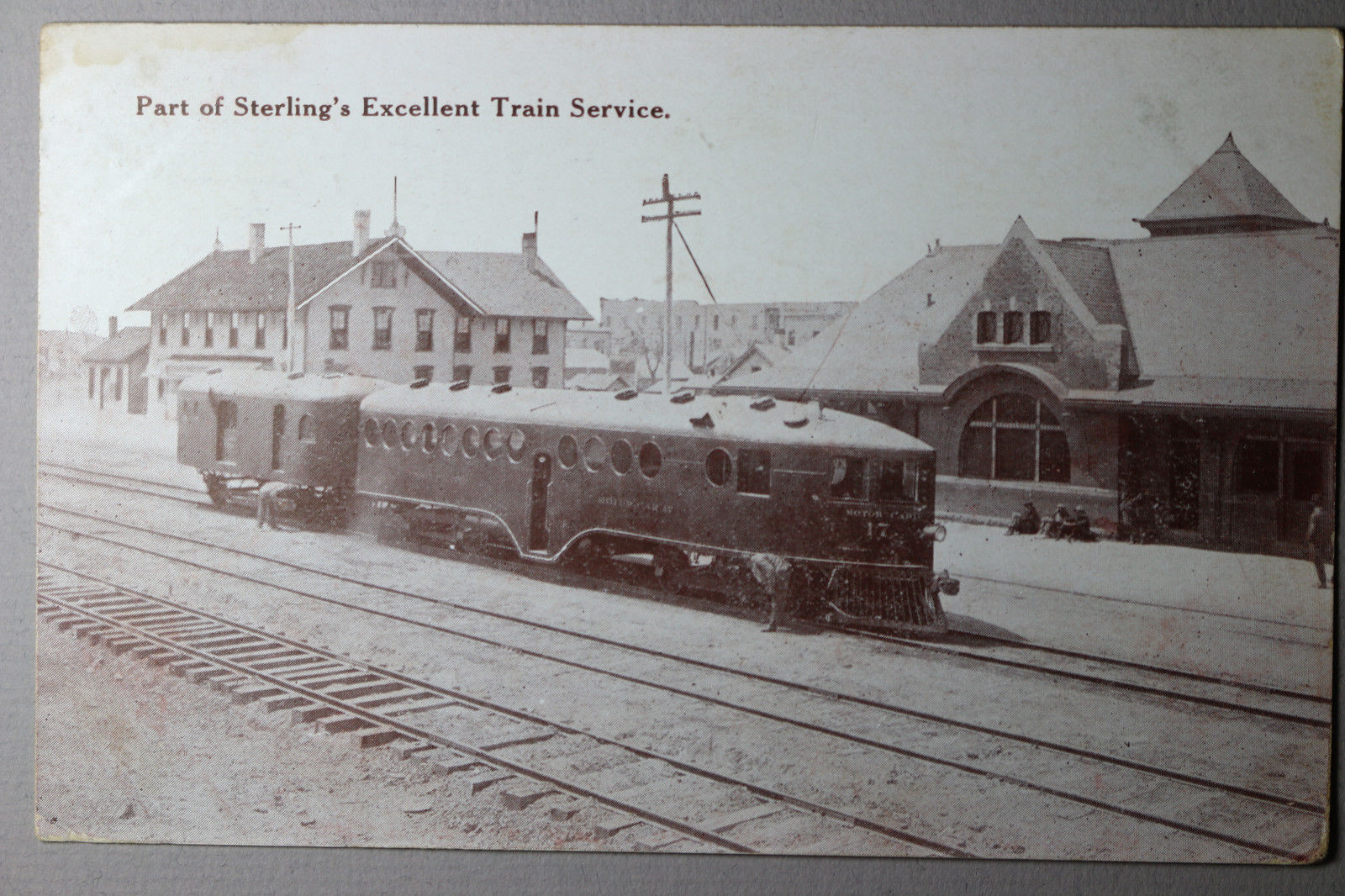
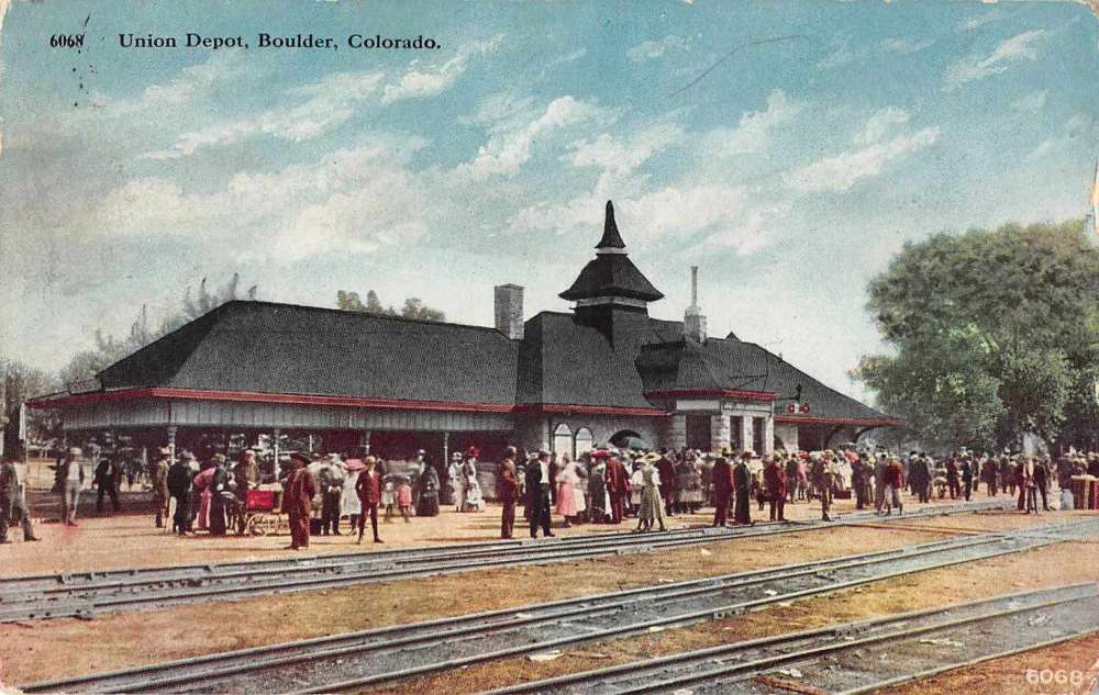
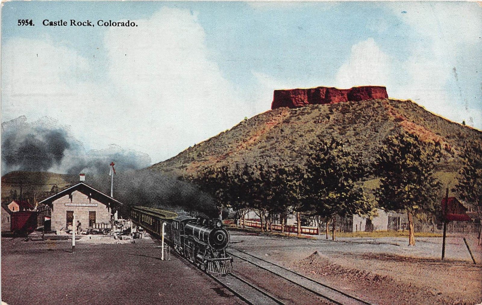
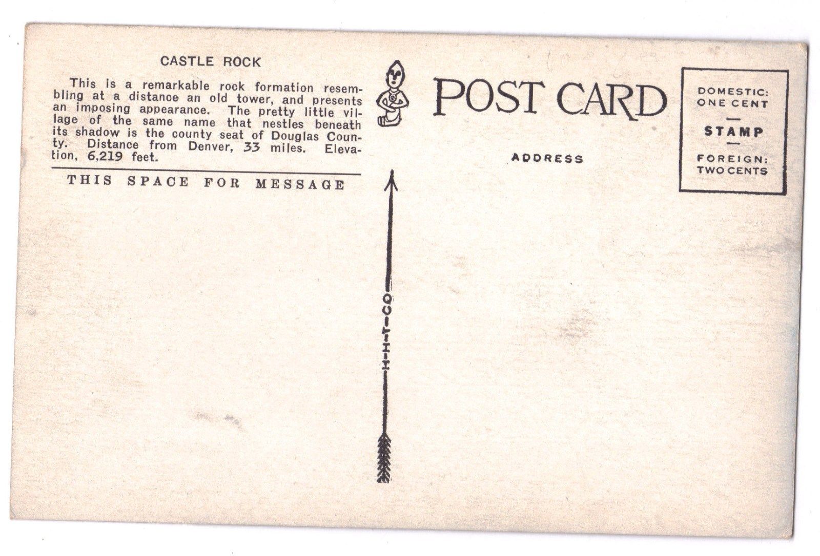
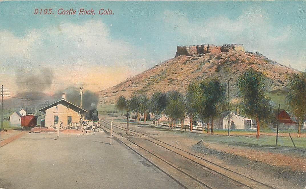
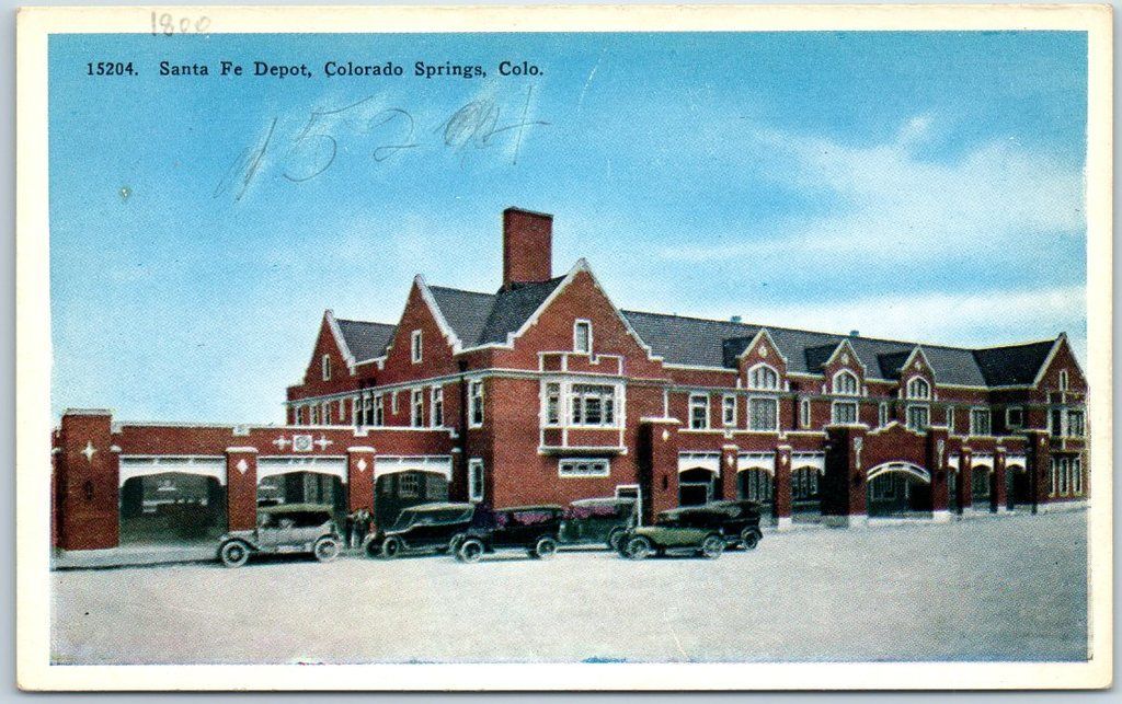
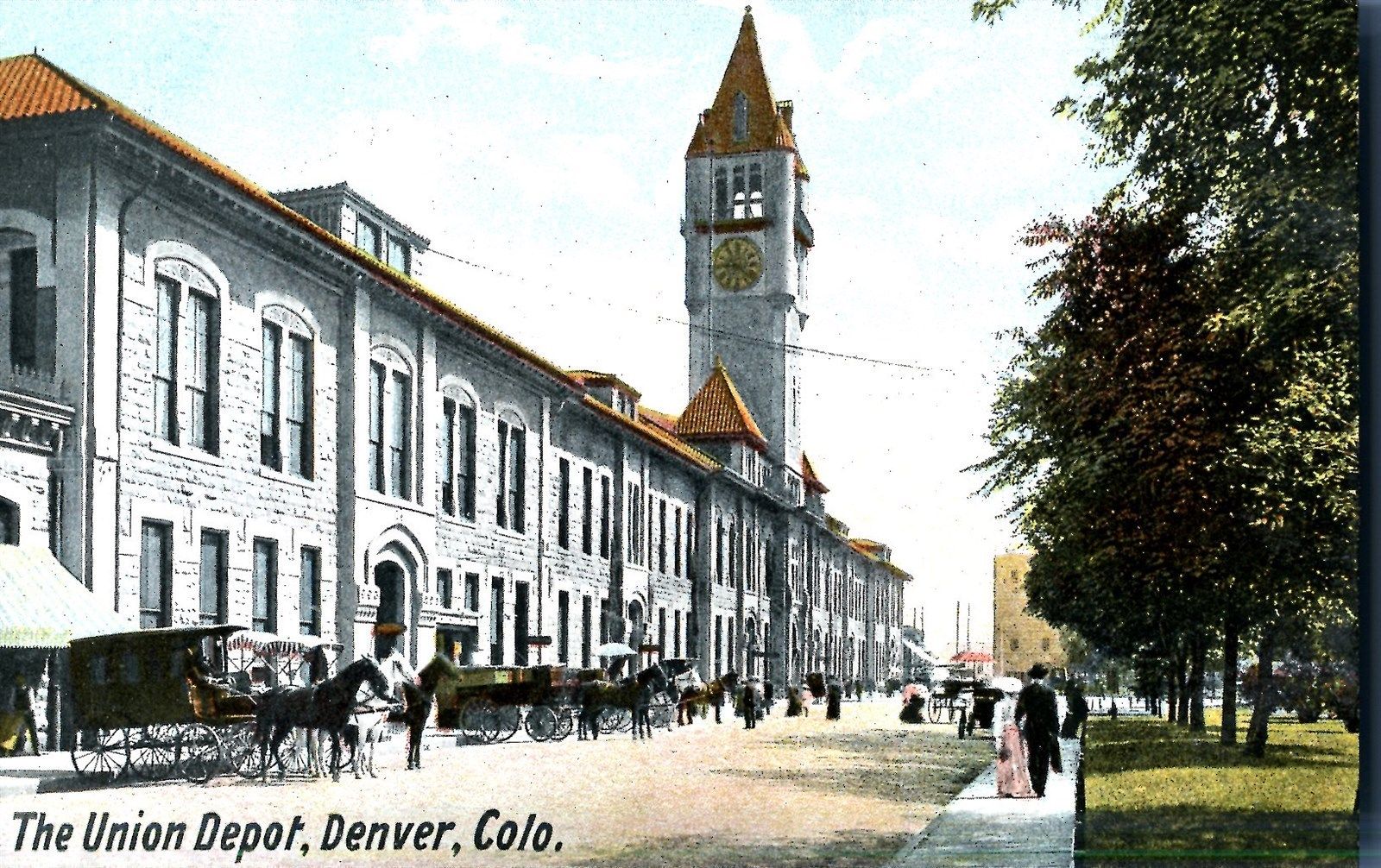
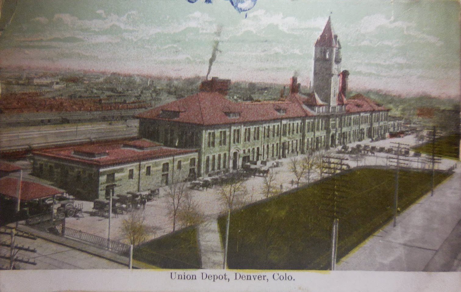
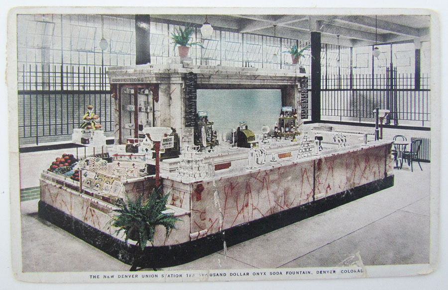
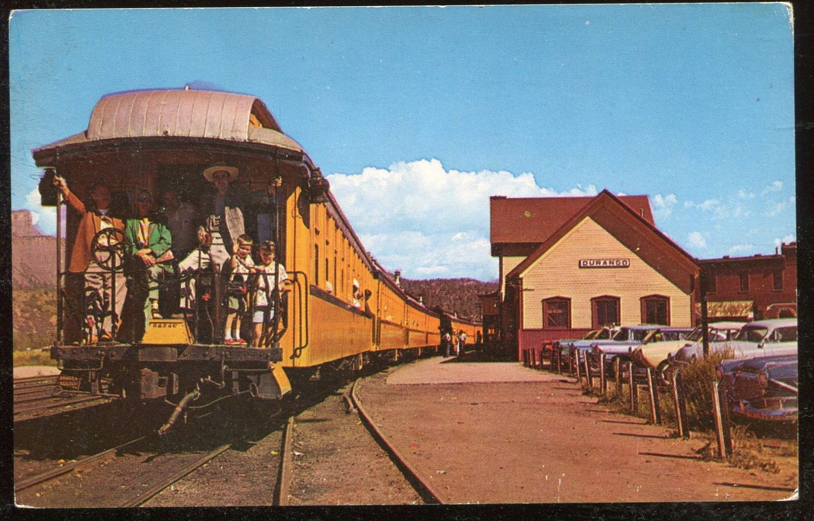
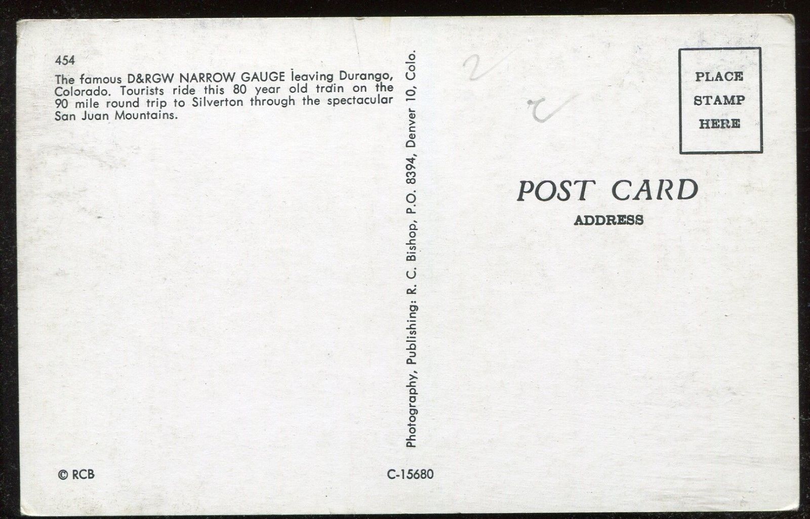
 From around 1910
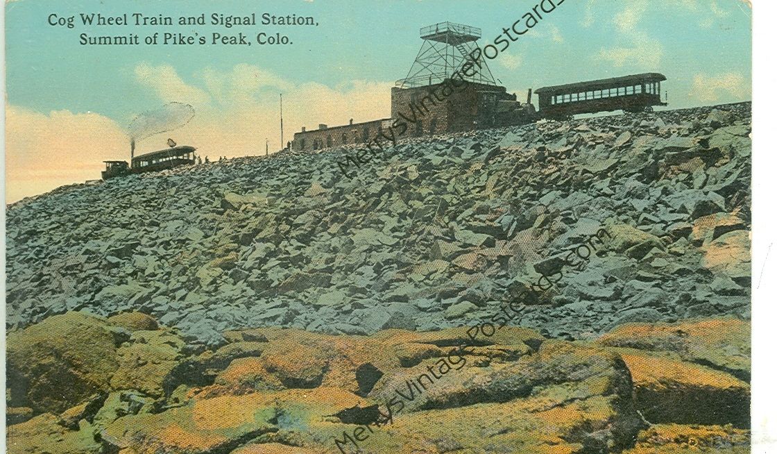
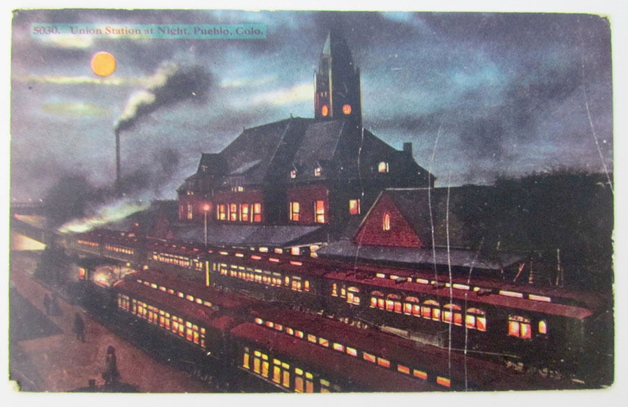
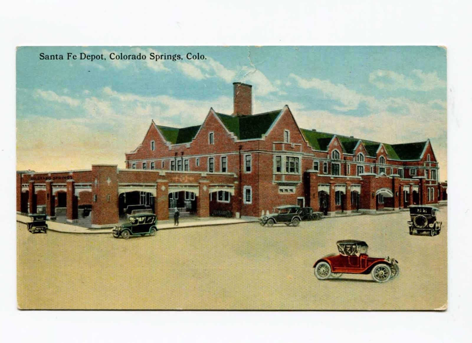
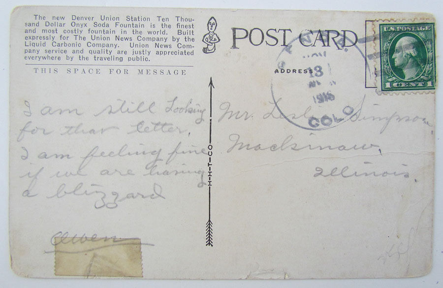