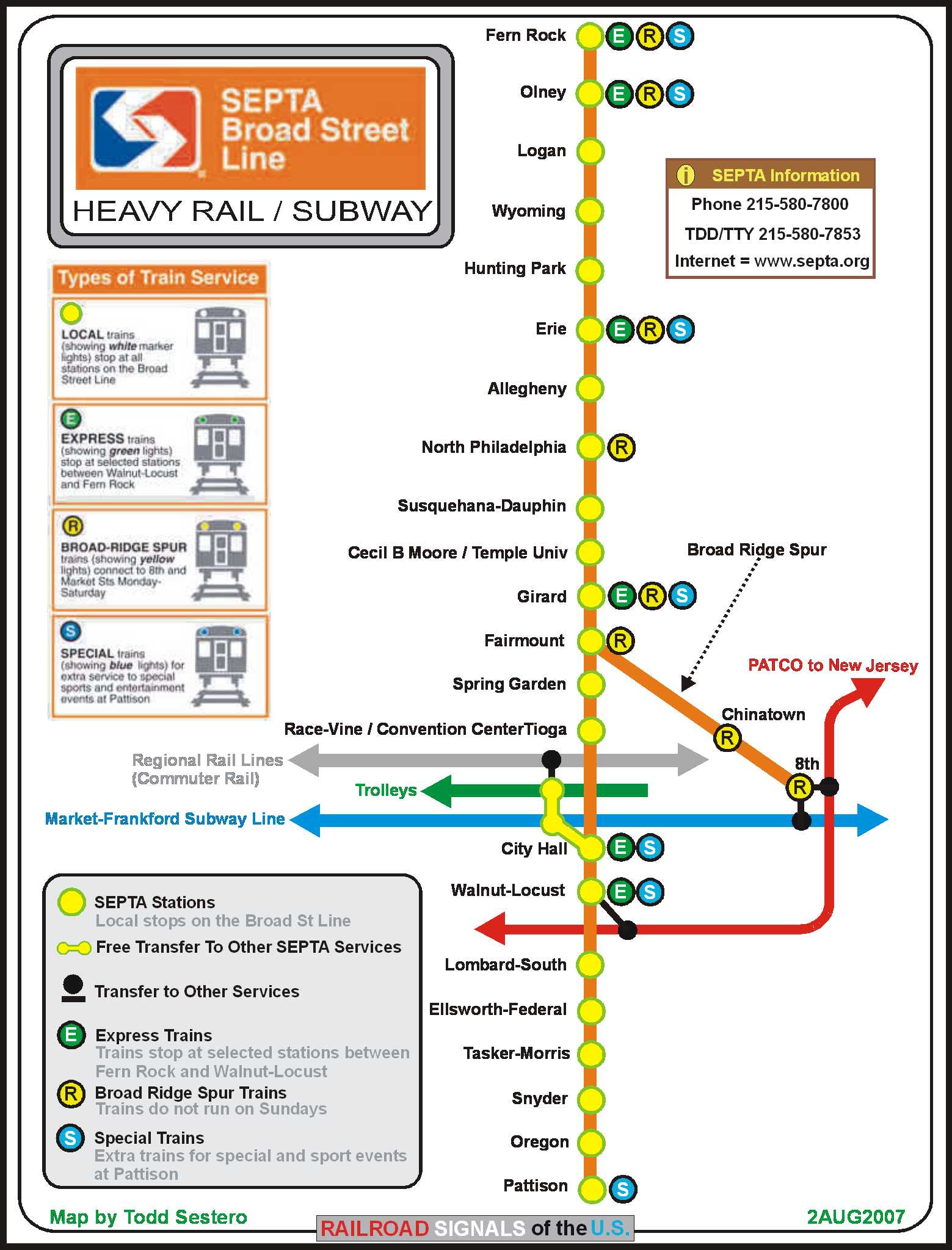
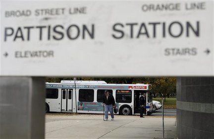
Since I did my map, the Pattison Station has been renamed the AT&T station.
RAILFAN GUIDES of the U.S.
Todd's Railfan Guide to
SEPTA's
Broad St Subway Line
In General
Map
Pictures
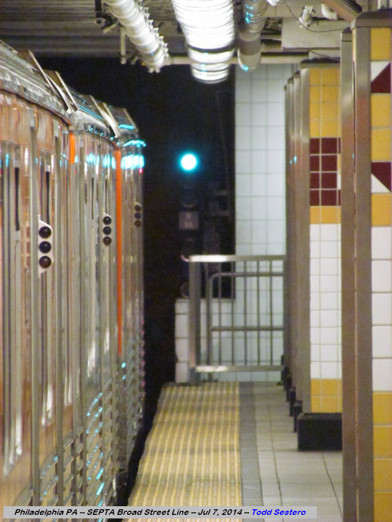
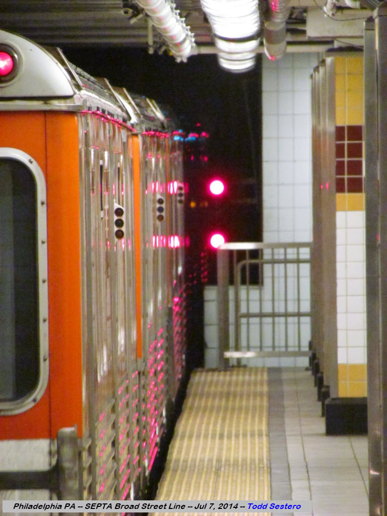
Signals
Floobydust
the Yard
SEPTA HOMEPAGE
RAILFAN GUIDES HOME
RAILROAD SIGNALS HOME
From Wikipedia at: http://en.wikipedia.org/wiki/Broad_Street_Line :
The Broad Street Line (BSL) is also known as the Broad Street Subway (BSS), the Orange Line, and the Broad Line. It is a rapid transit line operated by the Southeastern Pennsylvania Transportation Authority that runs from Fern Rock Transportation Center in North Philadelphia to Pattison Avenue in South Philadelphia. The latter station provides access to the stadiums and arenas for the city's major professional sports teams, about a quarter mile away. It is named for Broad Street, the street under which it runs for almost its entire length. The line, which is entirely underground except for the northern terminus at Fern Rock, has four tracks in a local/express configuration from Fern Rock to Walnut-Locust and two tracks from Lombard-South to the southern terminus at Pattison (now known as AT&T Station). The line and its trains are owned by the City of Philadelphia and were leased to SEPTA in 1968 after it assumed operation of the city transit systems. Broad Street Line subway cars bear both the SEPTA logo and the seal of the City of Philadelphia to reflect the split ownership-operation arrangement.
Since I did my map, the Pattison Station has been renamed the
AT&T station.
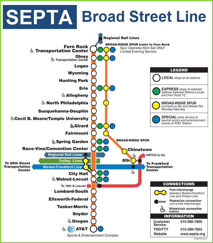
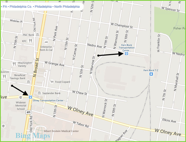
The above map was found
here
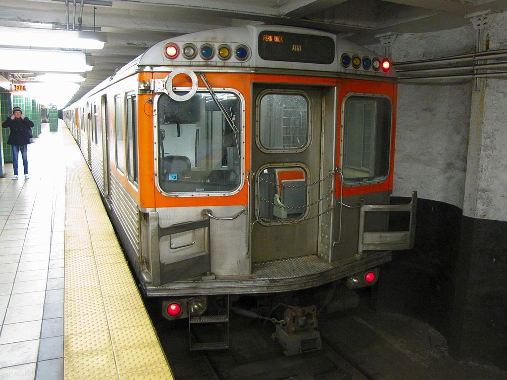
Photo from Wikipedia,
taken by Ben Schumin at the Race-Vine/Convention Center station.
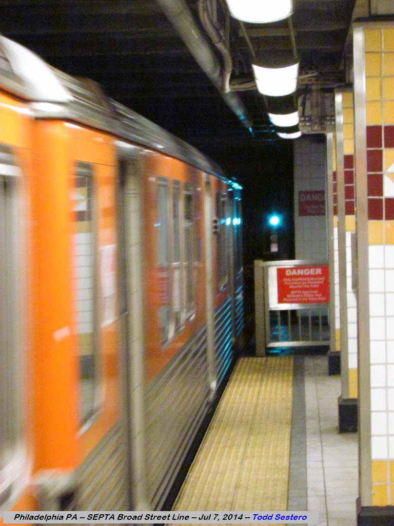
Red markers on top indicate this is the rear of the train.
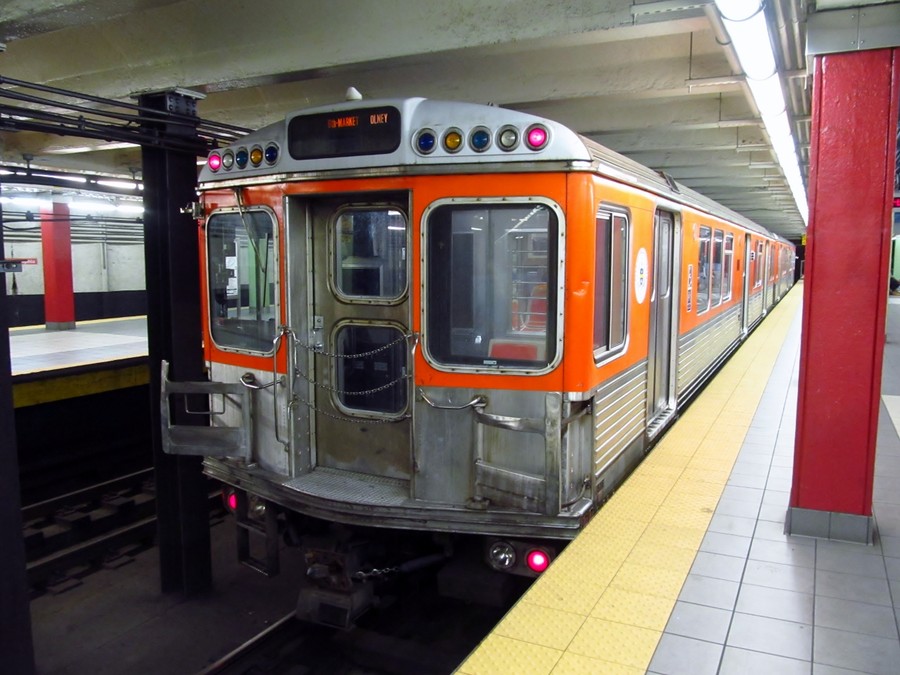
SEPTA Broad Street Subway Pattison station (Lower Level). It was open because of an Eagles home game. Photo taken by Brian Weinberg.
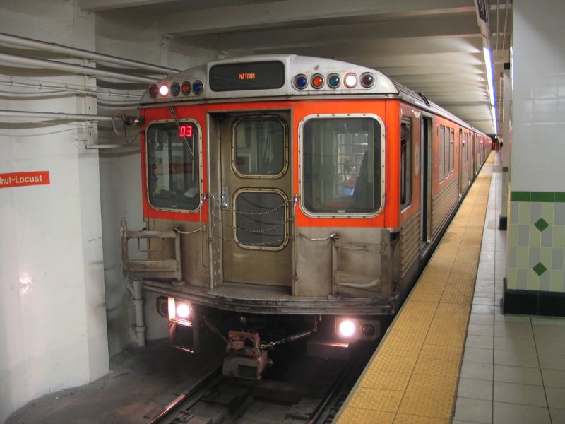
Broad Street Subway at Walnut-Locust. Photo taken by Brian Weinberg. An older picture because the destination sign says "Pattison".
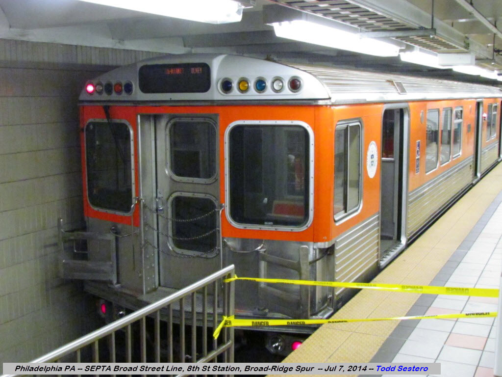
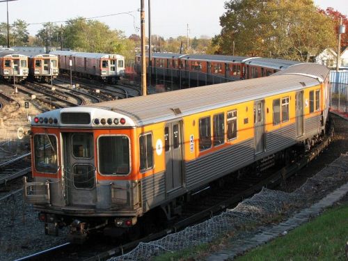 A Kawasaki B-IV Subway Car heading into the yard.
Always looking for pictures, my contact info is below...

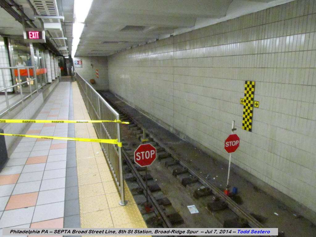
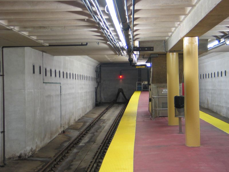
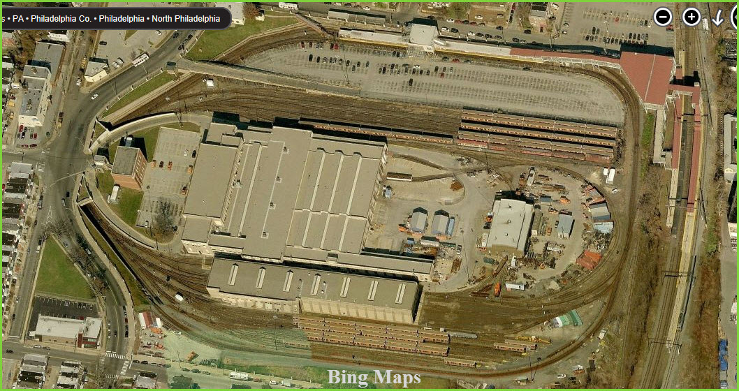
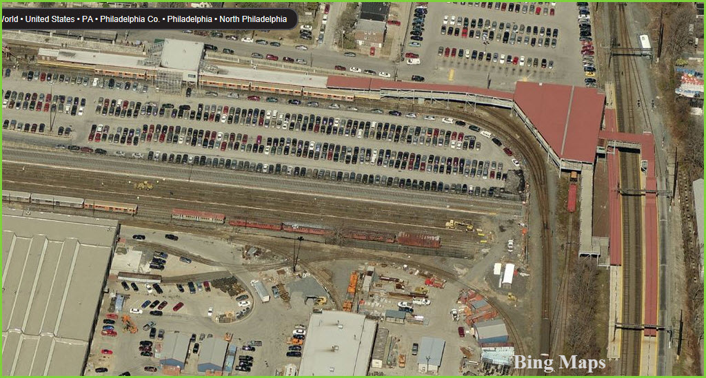
The yard for the Broad Street line is located at the north end. It is also where the only above ground station, Fern Rock, is located on the northern rim of the property. You can catch the busses adjacent to the subway station. Looks like you can get good shots from just about everywhere. To the right in the pictures below is the station for the regional commuter trains.
Disclaimers:
I love trains, and I love signals. I am not an expert. My webpages reflect what I find on the topic of the page. This is something I have fun with while trying to help others. My webpages are an attempt at putting everything I can find of the subject in one convenient place.
Please Note: Since the main focus of my two websites is railroad signals, the railfan guides are oriented towards the signal fan being able to locate them. For those of you into the modeling aspect of our hobby, my indexa page has a list of almost everything railroad oriented I can think of to provide you with at least a few pictures to help you detail your pike.
If this is a railfan page, every effort has been made to make sure that the information contained on this map and in this railfan guide is correct. Once in a while, an error may creep in, and I hate it when that happens, so I rely on you to let me know! :-)
My philosophy: Pictures and maps are worth a
thousand words, especially for railfanning. Text descriptions only
get you so far, especially if you get lost or disoriented. Take
along good maps.... a GPS is OK to get somewhere, but maps are still
better if you get lost! I belong to AAA, which allows you to get
local maps for free when you visit the local branches. ADC puts
out a nice series of county maps for the Washington DC area, but their
state maps do not have the railroads on them. If you can find em,
I like the National Geographic map book of the U.S..... good, clear, and
concise graphics, and they do a really good job of showing you where
tourist type attractions are, although they too lack the railroads.
Other notes about specific areas will show up on that page if known.
Pictures and additional information is always needed if anyone feels
inclined to take 'em, send 'em, and share 'em, or if you have
something to add or correct.... credit is always given! BE NICE!!! Contact info
is here
Beware: If used as a source, ANYTHING from Wikipedia must be treated as being possibly being inaccurate, wrong, or not true.
RAILFAN GUIDES HOME
RAILROAD SIGNALS HOME
NEW 08/08/2007, 06/29/2014
Last Updated: 18-Sep-2019