
In General
Getting Here
Maps
Sights
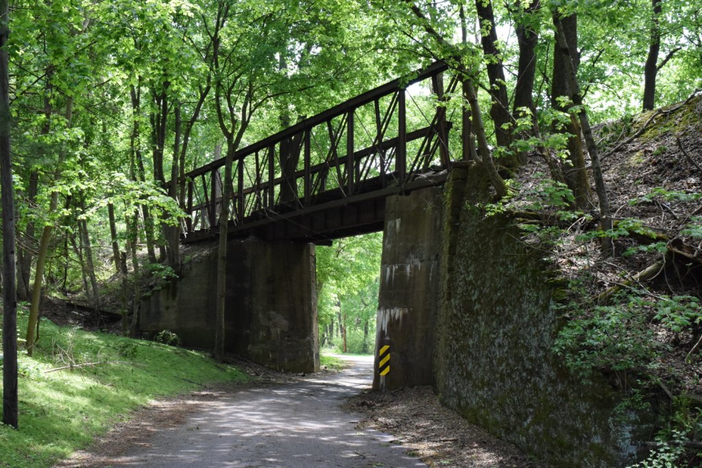
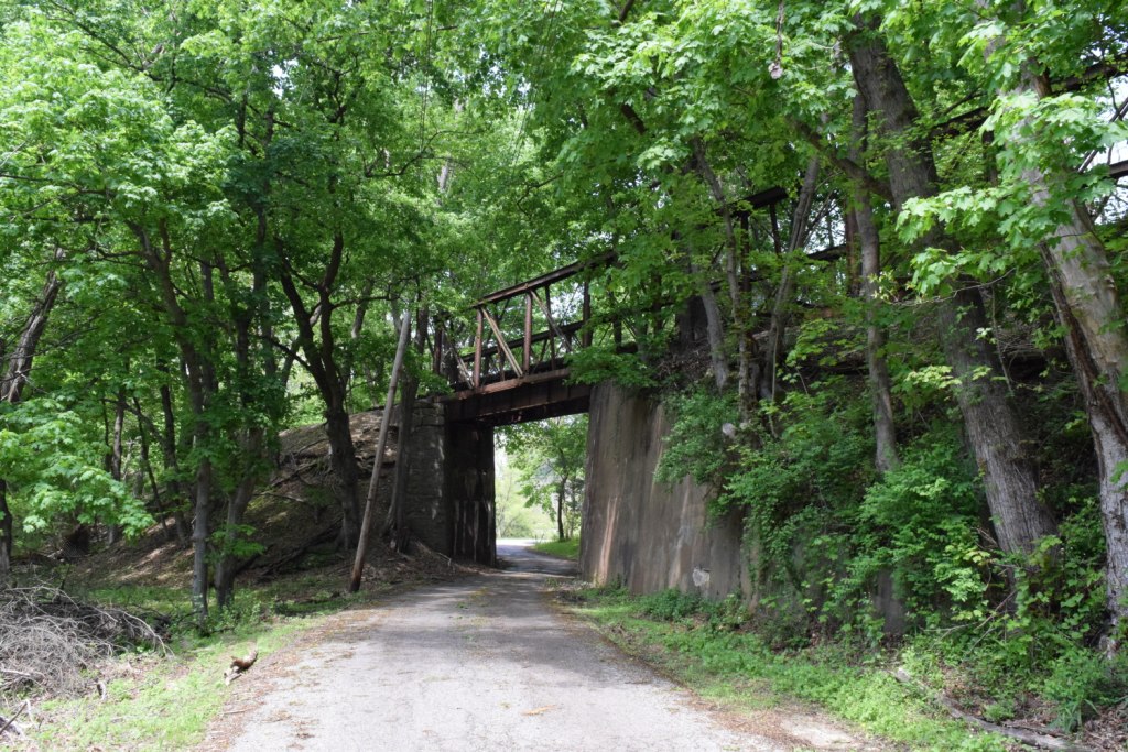
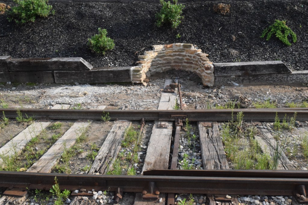
Bridges
Pictures
Floobydust
USGS Maps
RAILROAD SIGNALS HOME
Location / Name:
Stewartstown and New Freedom PA
What's Here:
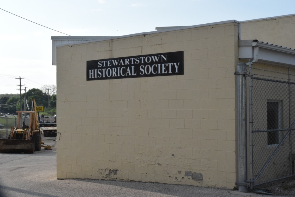
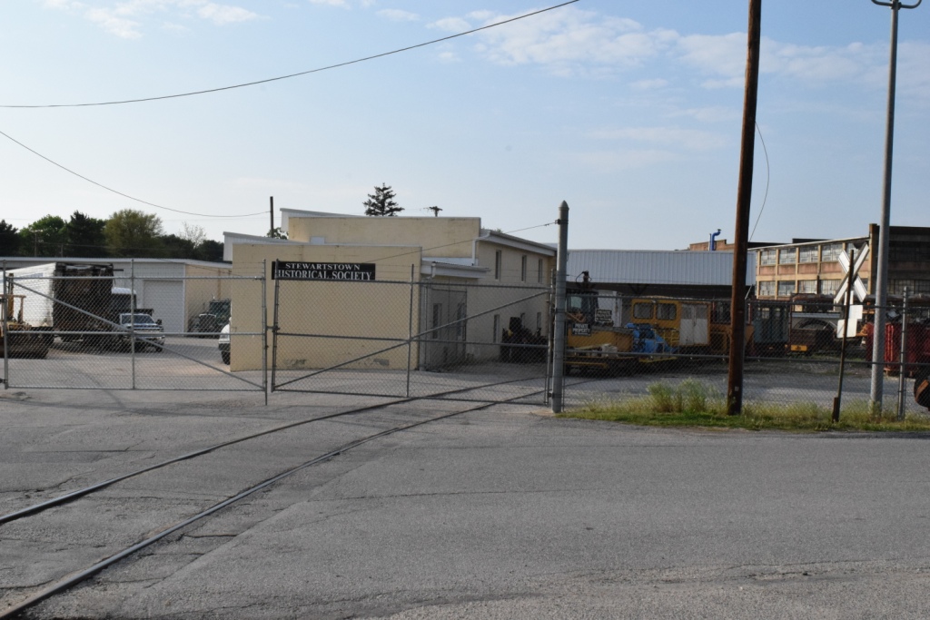
the Stewartstown Railroad
Data:
GPS Coordinates: 39.754717, -76.594834 (Center of the wye in Stewartstown)
GPS Coordinates: 39.740475, -76.700106 (New Freedom station)
Scanner Frequencies:
?
Access by train/transit:
None
The Scoop:
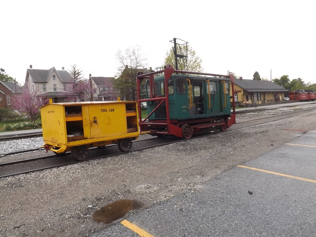
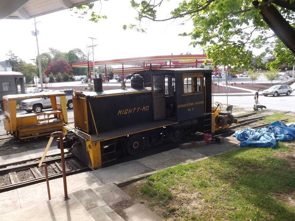
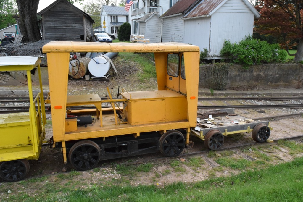
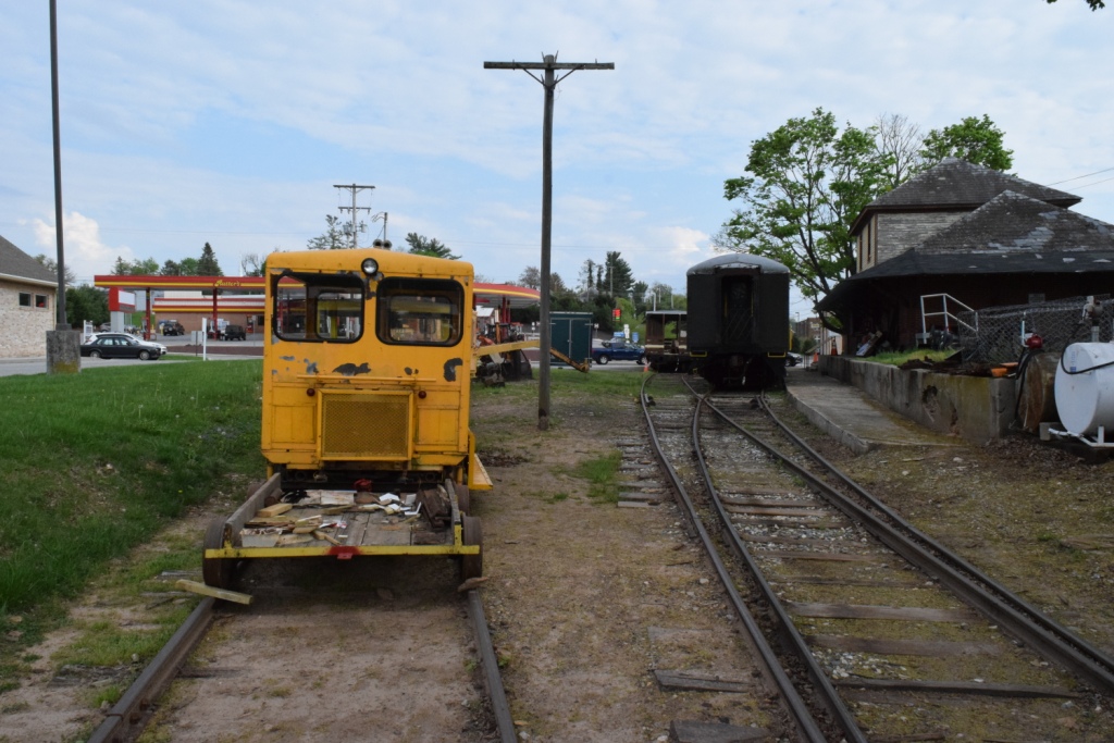
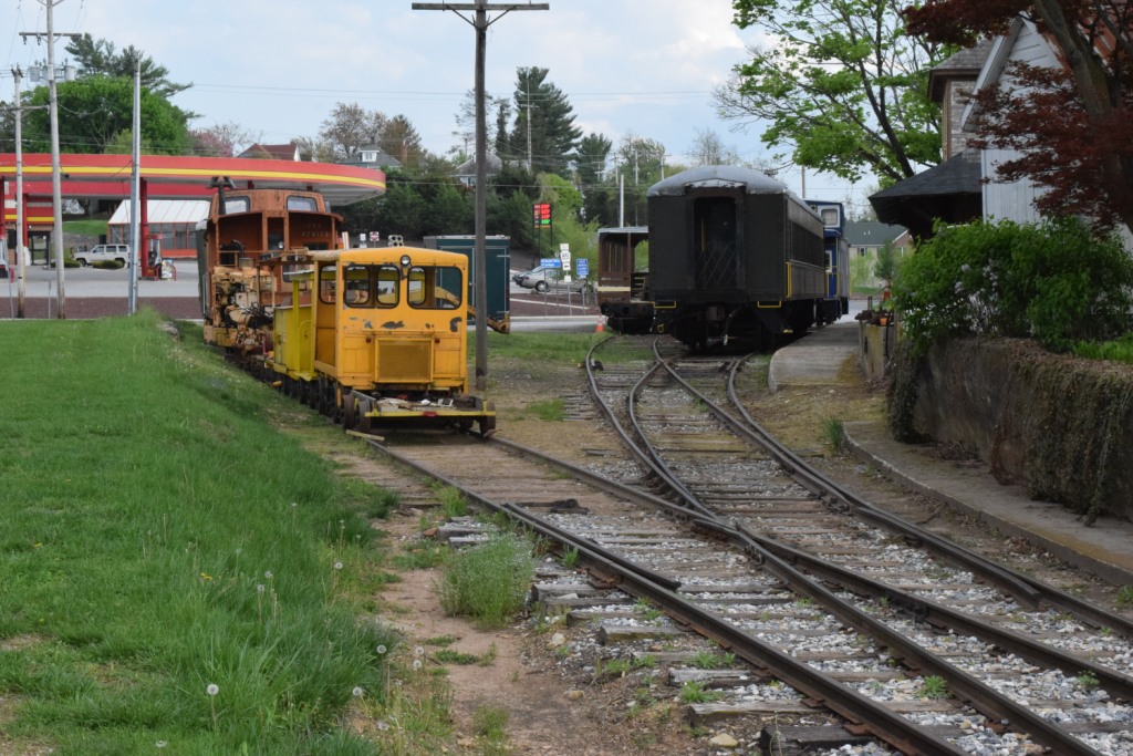
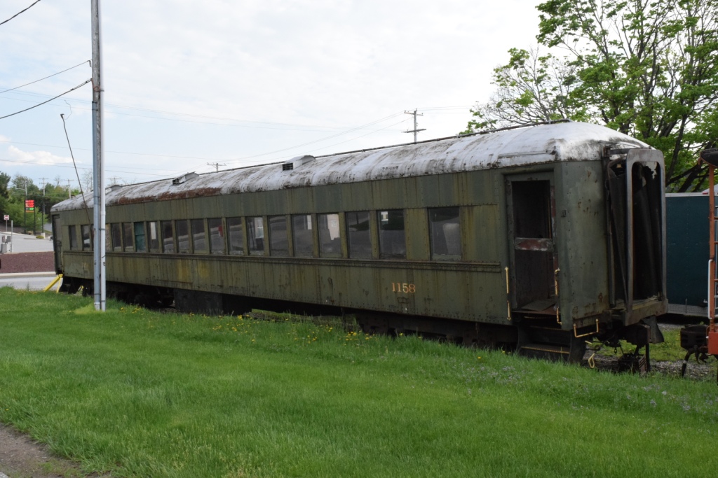
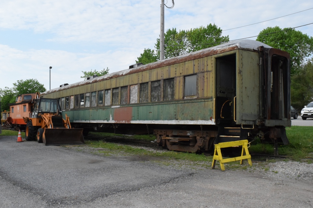
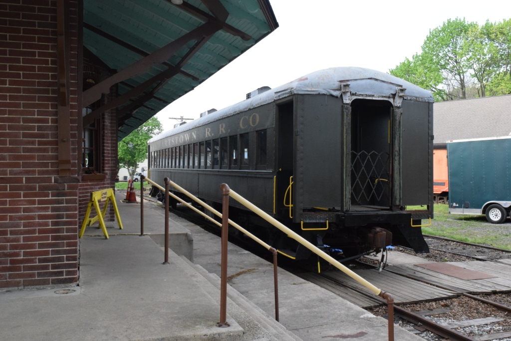
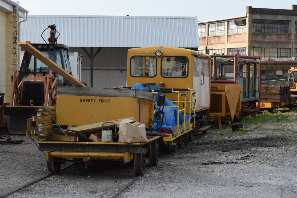
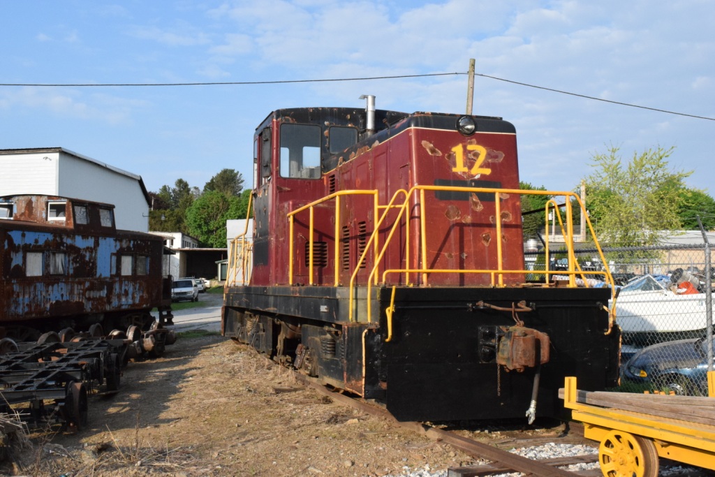
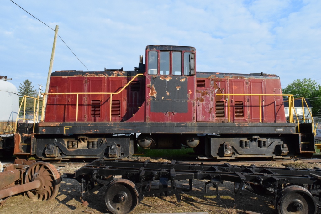
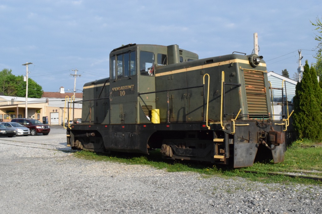
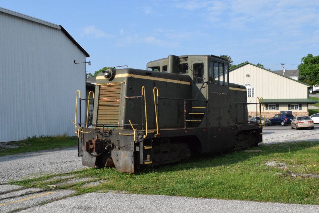
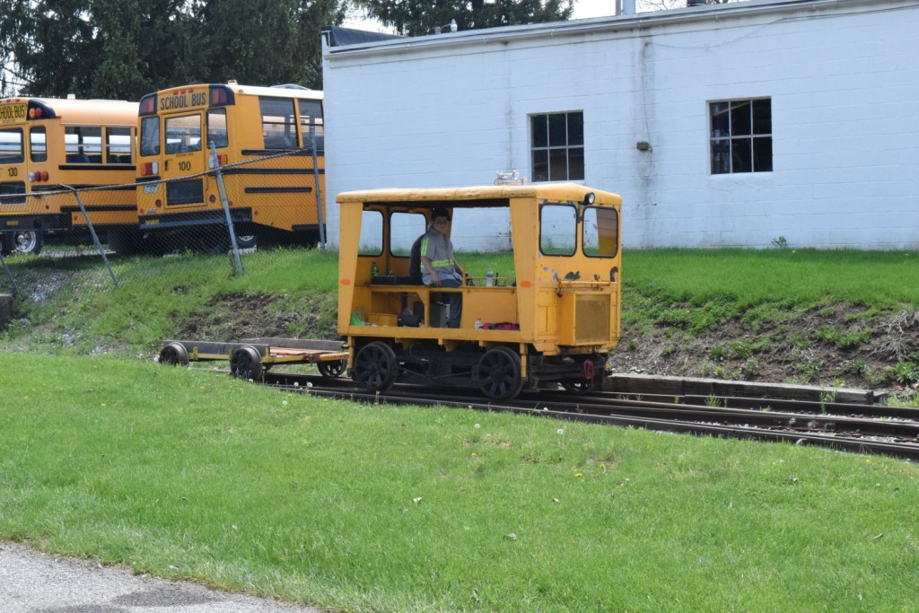
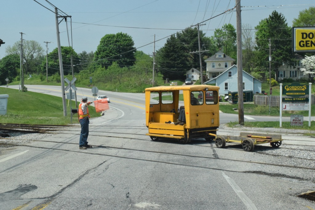
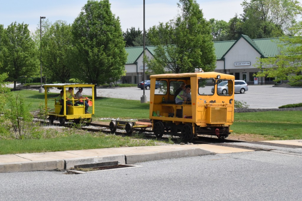
The Stewartstown railroad is indeed alive. Significant progress on restoring the track has been made (as of the original writing of this in 2014). Their engine, # 9, the Mighty Mo is ready for service once FRA 92 day inspection has been performed. This is the engine they used back in the late 60's and early 70's to move freight cars into Stewartstown. Coach 1341 is about half way done being restored. The entire line is usable by motor cars, and a trip to New Freedom was made on 5-10-14.
They offer excursions on motor cars on select weekends, and hopefully, they should be running full sized trains by the end of the year (2014). Check out the Stewartstown Railroad Facebook page for lots of pics and the progress that has been made.
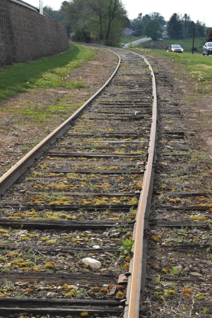
If you look at the USGS map at the bottom of the page, and know how to read it, you will notice that the elevation at both ends of the railroad are at almost the same elevation, around 830 feet. However, in between there are quite a few hills to negotiate. If you are in the area on a day they are operating, you should take advantage of the ride, because it is something that most railroads can't capture, the feeling of going thru the countryside and being in peoples front and back yards.... I'm surprised the locals have allowed the railroad to continue operation because of where they run! :-) (of course, I have the light rail running behind me by about 70 feet, but I guess it's not the same thing, huh?)
If I can find them, the only pictures I have of the Stewartstown operating was one cold blustery day back in 1970, and #9 was heading into Stewartstown with a single boxcar, and having a few problems because of the slipping from ice on the track :-(.
The roof of the Stewartstown depot was recently damaged from the high winds that the area has seen recently, and a GO GUND ME page has been set up to support the repair effort:
https://www.gofundme.com/stewartstown-railroad-station-roof
The following comes from Wikipedia:
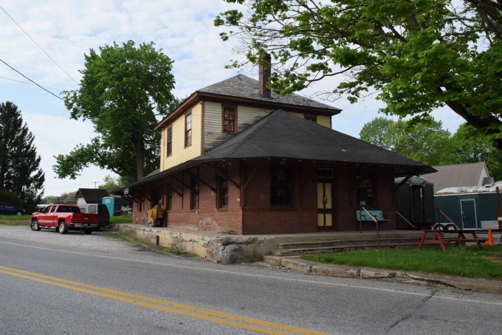
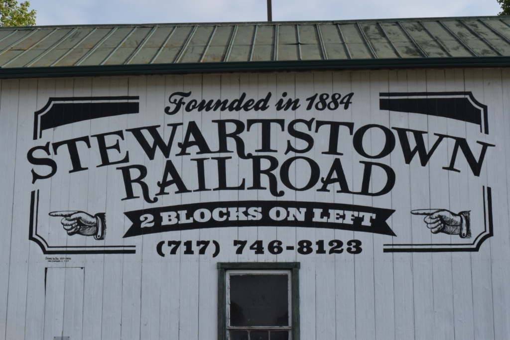
The Stewartstown Railroad is a heritage railroad that operates in Stewartstown, Pennsylvania. Chartered in 1884 by local interests in the Stewartstown area, and opened in 1885, the Stewartstown Railroad survives today in very much original condition, and retains its original corporate charter.
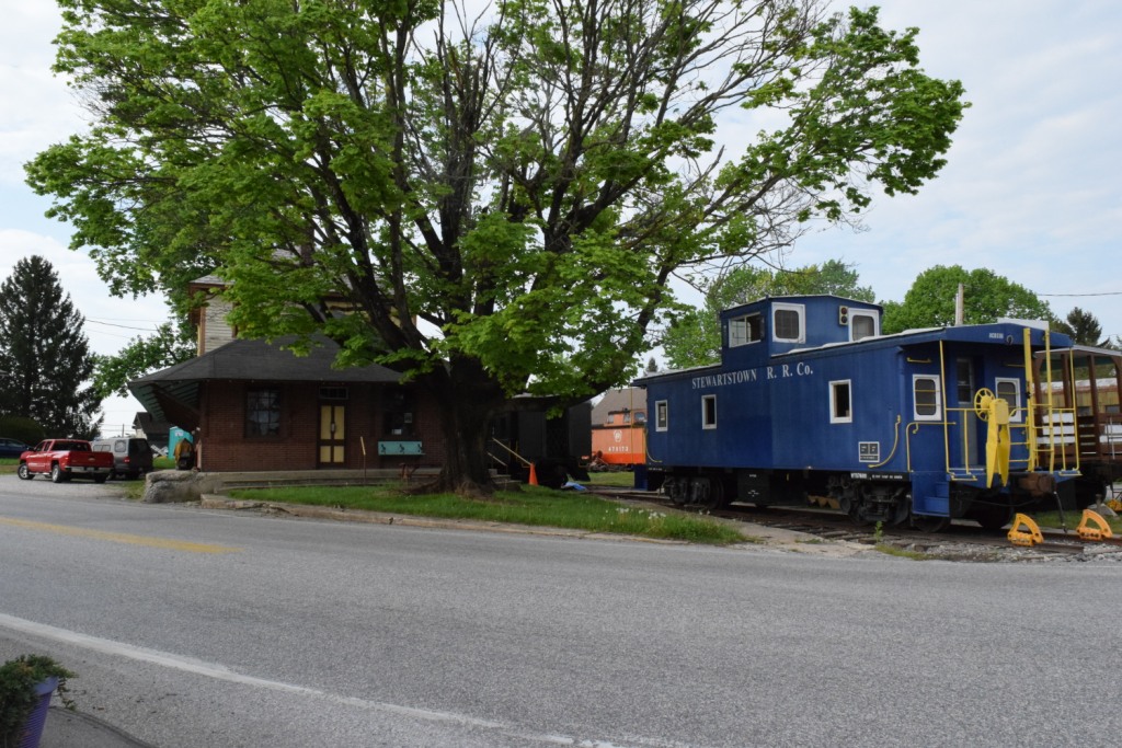
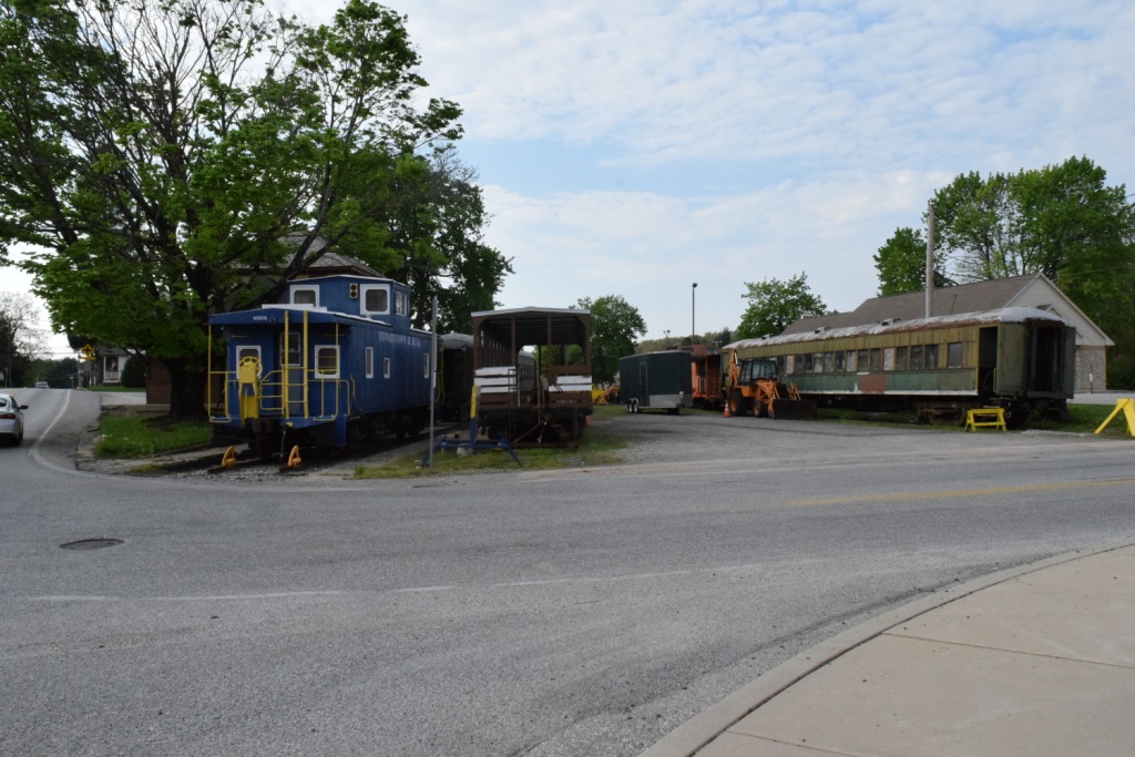
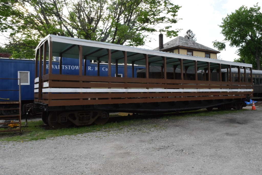
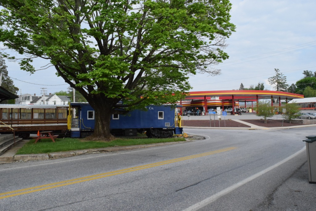
Back in service since 2015, the railroad has a crew of volunteers working on operations. Currently, passenger and tourist trains operate out of the Stewartstown Railroad Station, for either Coach rides or Caboose rides, approximately a mile down the line and back. Former Reading Railroad coach 1341 is back in service as of December 2016. As of June 2018, a new Open Air car is available for use.
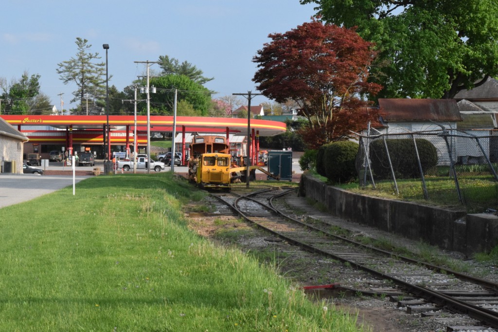
Motorcar rides operate out of the Stewartstown Railroad Station and run the entire length of the 7.4 mile line. Approximately one weekend a month motorcar trains run from Stewartstown to New Freedom, and return.
The Railroad offers holiday specific trains, such as Easter Bunny Trains, Fall Foliage Runs, Halloween Trains, and Santa Trains.
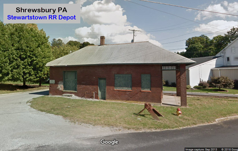
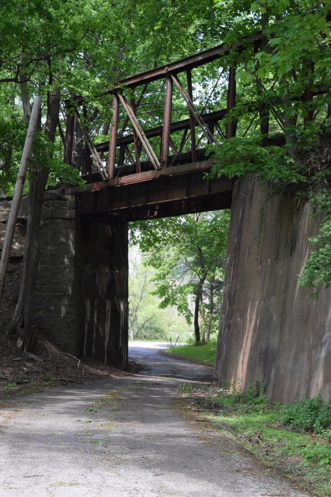
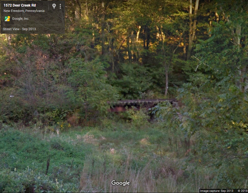
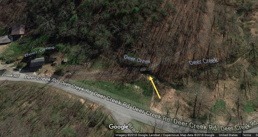
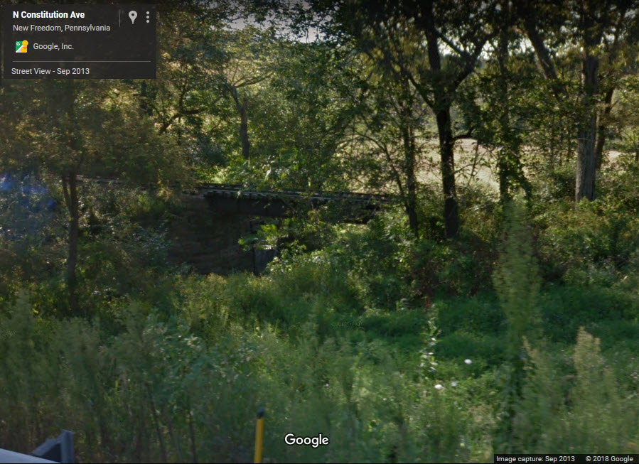
The Shrewsbury Railroad Station, Stewartstown Railroad Station, and Stewartstown Engine House at Stewartstown are listed on the National Register of Historic Places in York County, Pennsylvania. Also listed are the Deer Creek Bridge, Ridge Road Bridge, Stone Arch Road Bridge, and Valley Road Bridge.
Acknowledgements:
Denver Todd
Thanks to psilovetrains for the pictures of the work sessions.
Mike R for updates in June 2018.
Websites and other additional information sources of interest for the area:
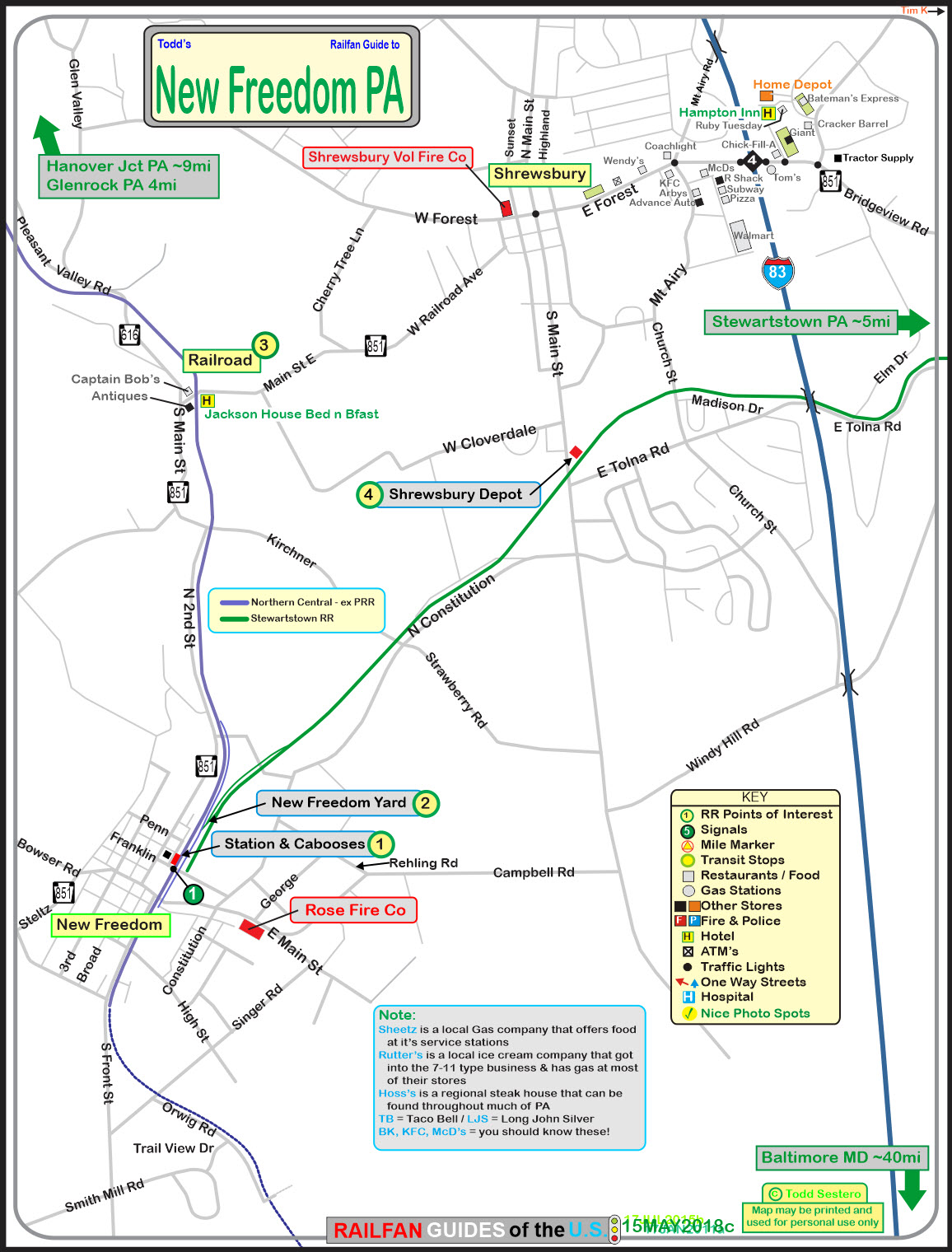
My guide to the New Freedom area is here.
My guide to the Northern Central RR is here.
https://en.wikipedia.org/wiki/Stewartstown_Railroad
http://www.stewartstownrailroadco.com/train-rides/
https://en.wikipedia.org/wiki/Stewartstown_Engine_House,_Stewartstown_Railroad
https://www.tripadvisor.com/Attraction_Review-g53762-d6628512-Reviews-Stewartstown_Railroad-Stewartstown_Pennsylvania.html
http://www.stewartstownfriends.org/
http://www.fieldtrip.com/pa/79932936.htm
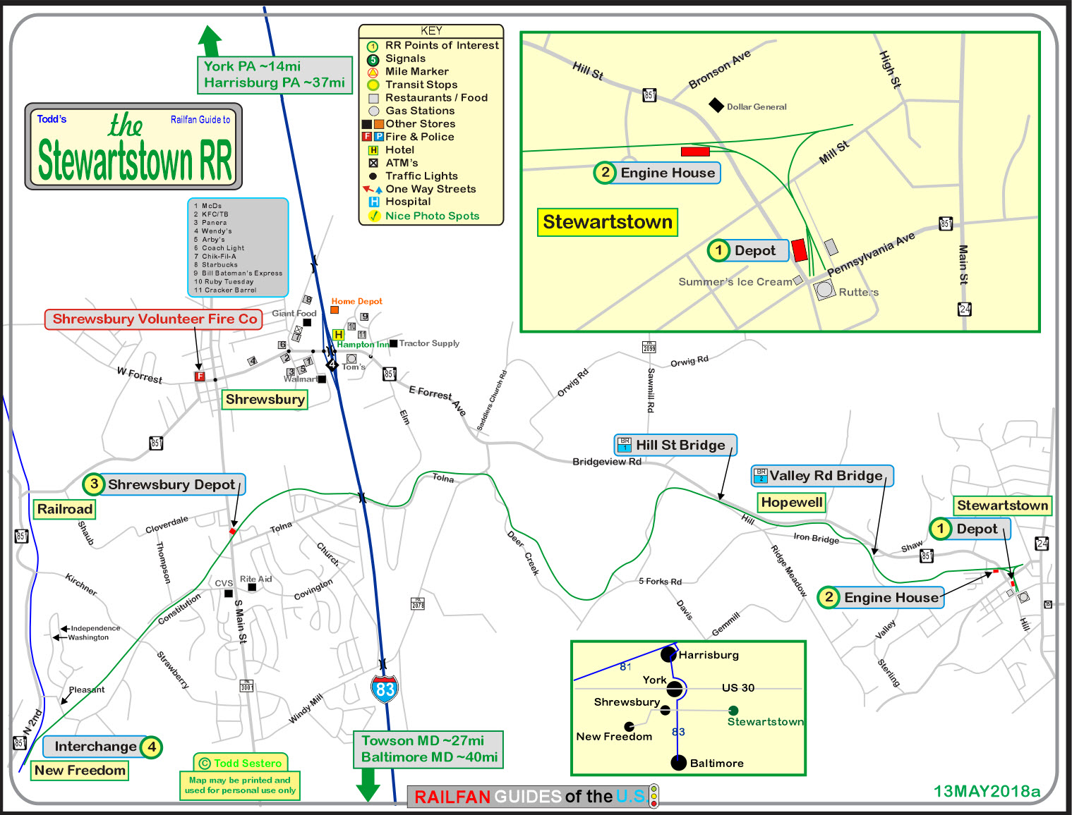
If you're not local, the best way is to find your way to Interstate I-83 between Baltimore MD and York PA. You'll want to take the first exit north of the MD/PA line, which is exit 4.
To get to Stewartstown, head east on PA851, which at this point, is East Forest Ave. In less than a mile, 851 turns into Bridgeview Rd, and then as you enter Stewartstown, it turns into North Hill St. The wye will be on your left.
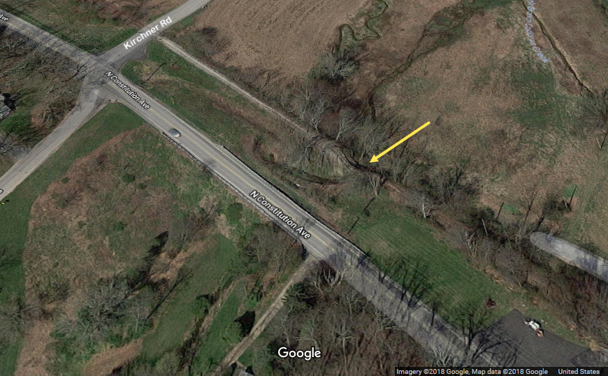
The map at the bottom of this section is from my New Freedom railfan guide, it shows the Stewartstown tracks west of the interstate I-83.
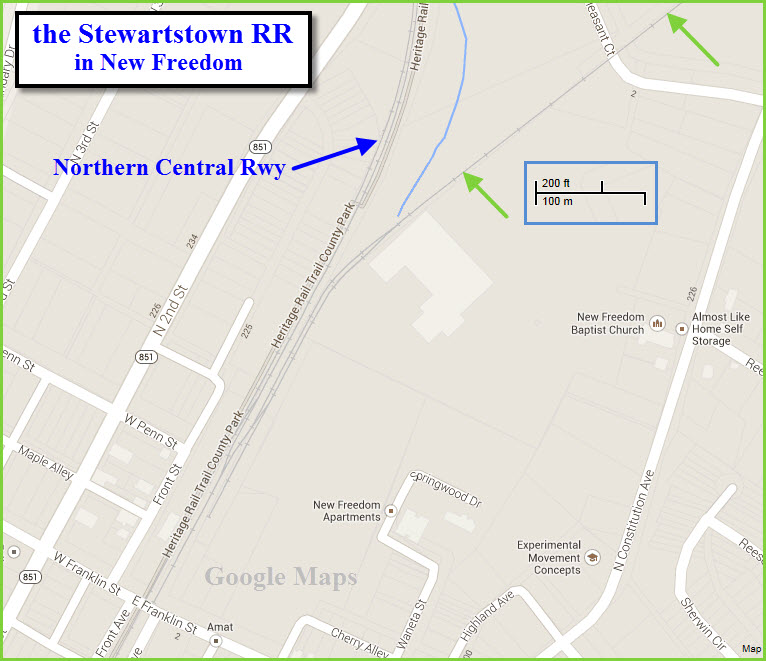
The one map is a screen capture from Google Maps. The green arrows point to the right-of-way.
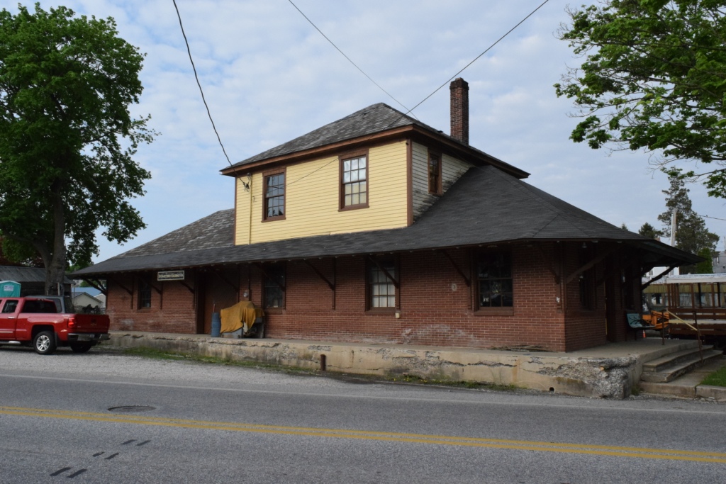
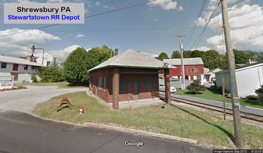
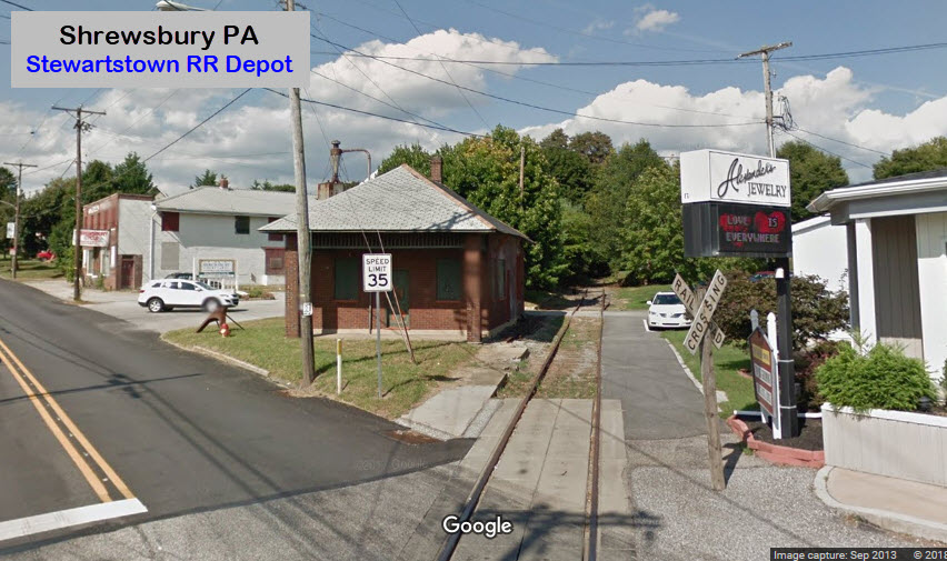
This depot was built in 1914, and opened on December 28th of that year. Thanks Mike!
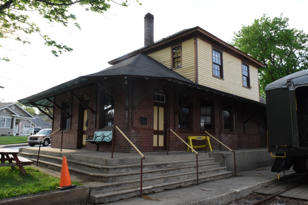
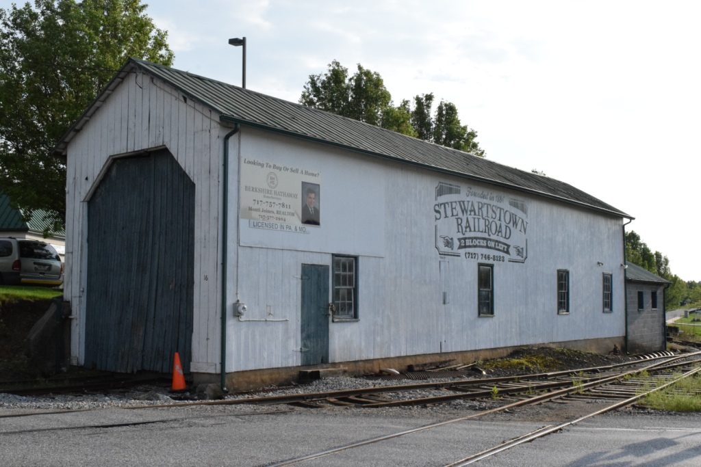
From Wikipedia: Stewartstown Engine House, Stewartstown Railroad is a historic railroad engine house located at Stewartstown, York County, Pennsylvania. It was built about 1884, and is a simple weatherboard building with a metal covered gable roof built by the Stewartstown Railroad. It has two large bay doors on the front facade and a cement block addition. It was added to the National Register of Historic Places in 1995.
Another source says it was built in 1906, so I guess I will have to find out from someone that volunteers there, maybe.
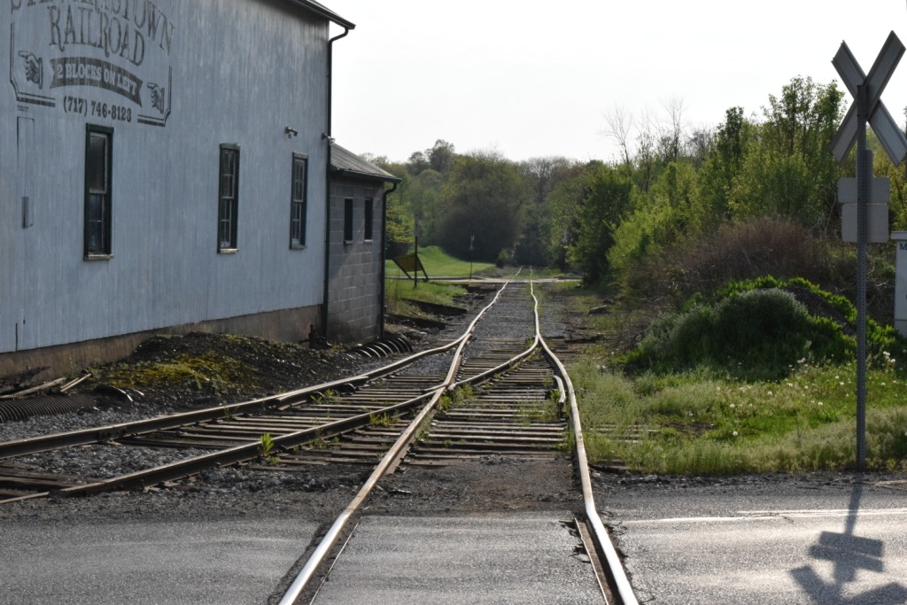
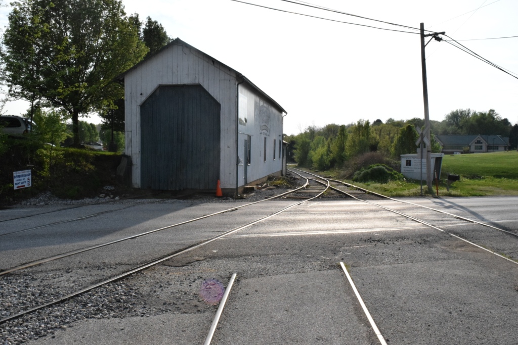
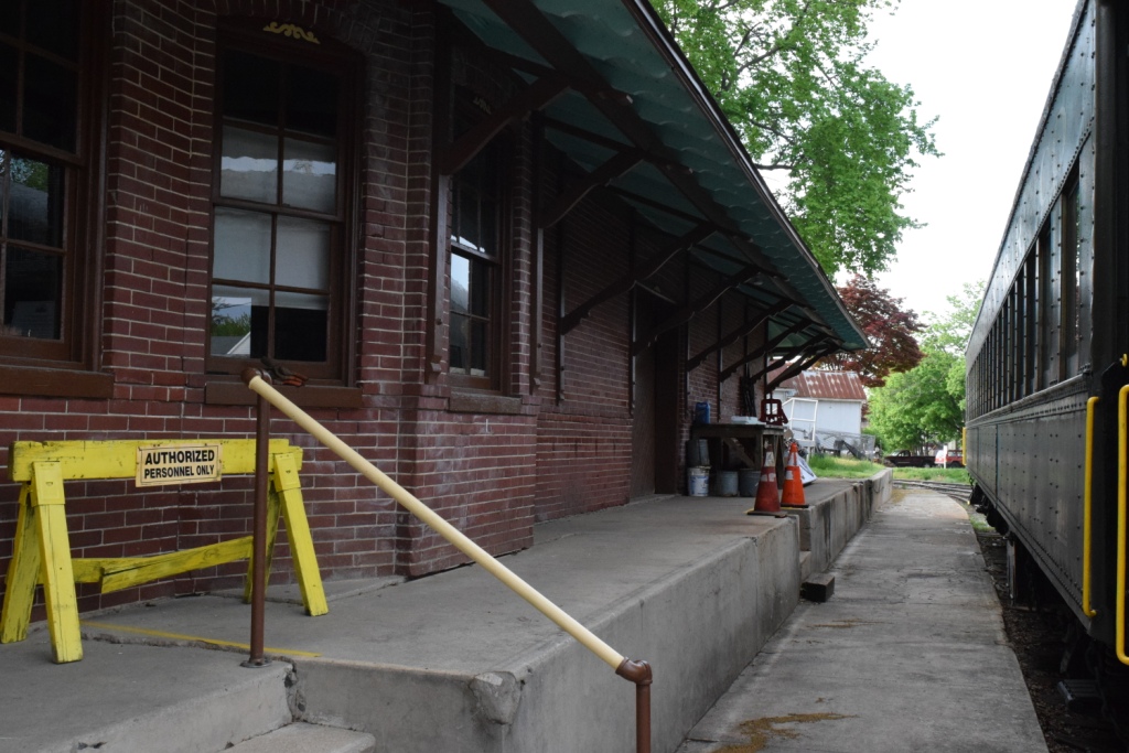
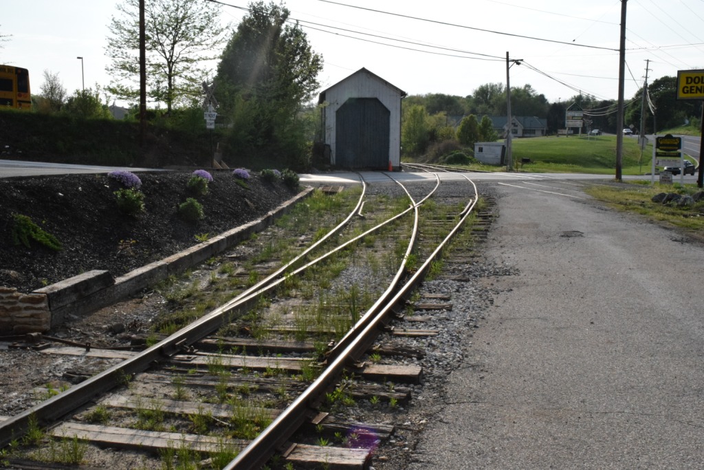 The lead into the engine house, part 1.
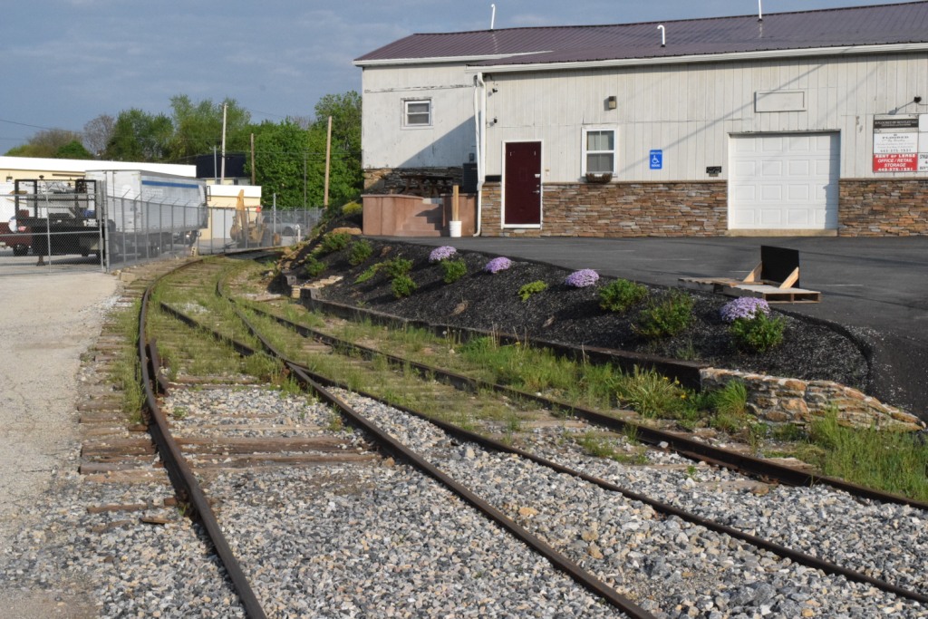 The lead into the engine house, part 2.
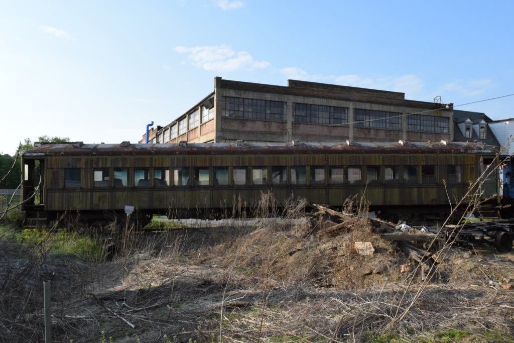
The Hungerford depot is currently (as of June 2018) being renovated. The inside has been gutted and is work is being performed to restore it to its former glory.
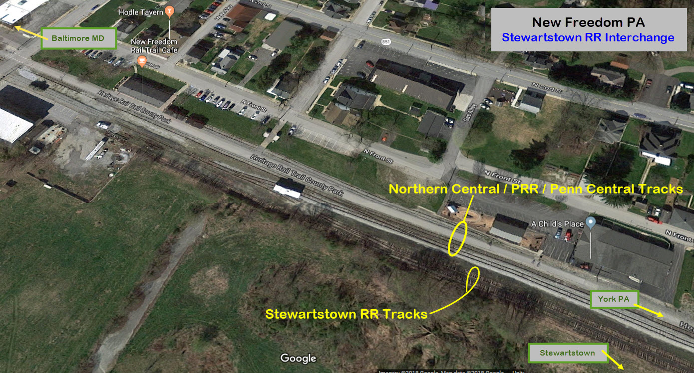
By the time the Stewartstown RR came around in 1884, the "other" track in New Freedom was already the Northern Central Rwy, having been formed by the merger of the Baltimore & Susquehanna RR and several other small lines in 1854. The interchange has not changed substantially over the years, for it was never a high volume interchange. The last time the Stewartstown RR made a revenue freight run was sometime in the early 1980's (needs verification).
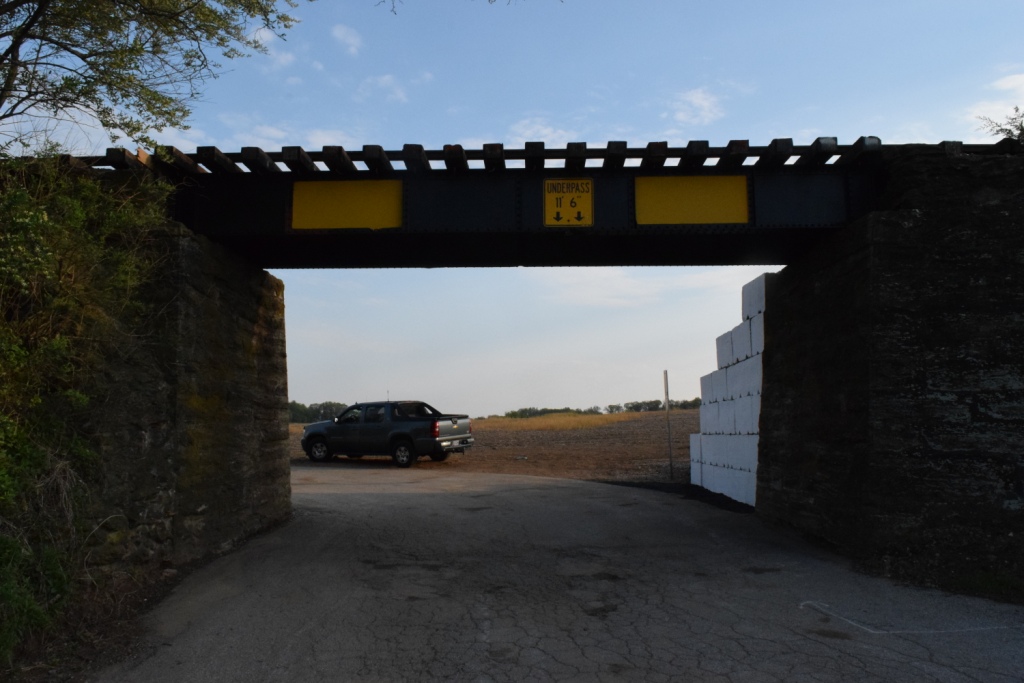
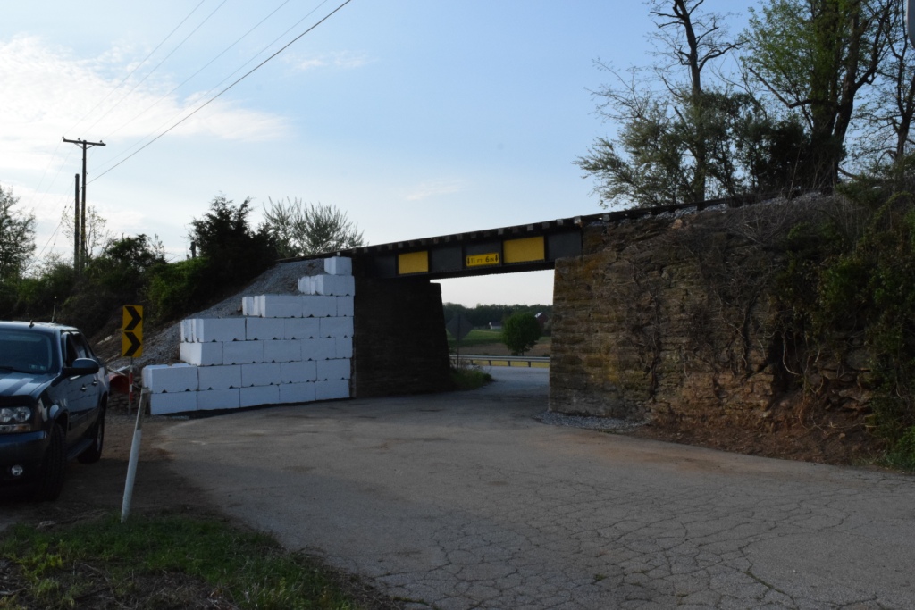
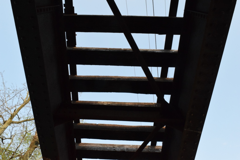
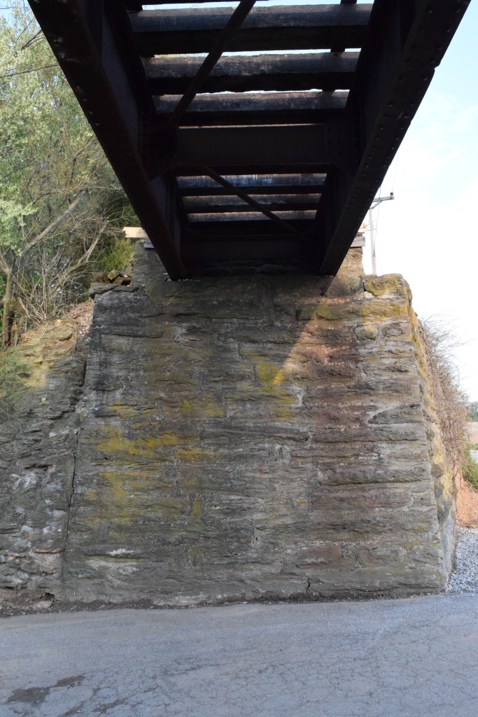
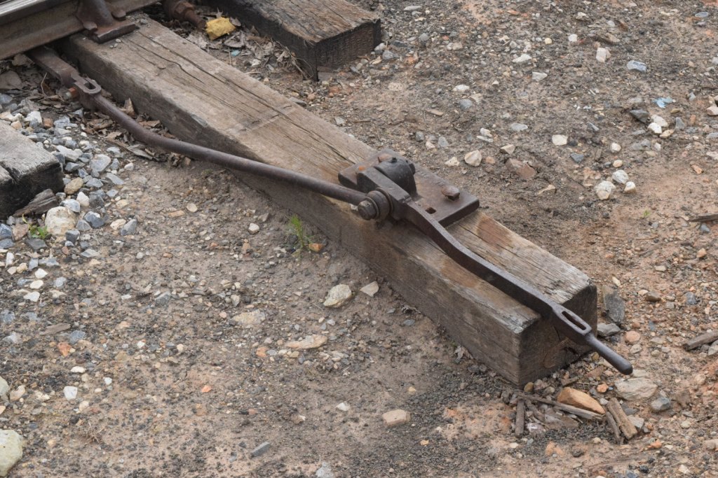
Bridges are numbered consecutively from New Freedom to Stewartstown.
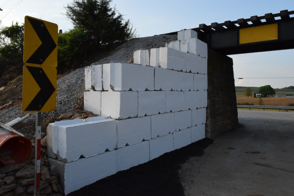
The retaining wall was hit and damaged by a driver, so, while the road was closed for its repair and replacement to what you see now, they took advantage of the road closure to replace the bridge timbers and paint the bridge!
 Before repairs were made
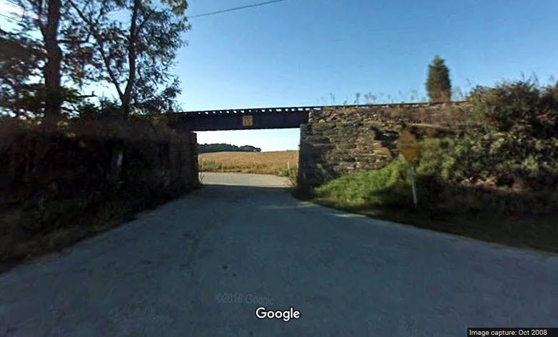
The
The
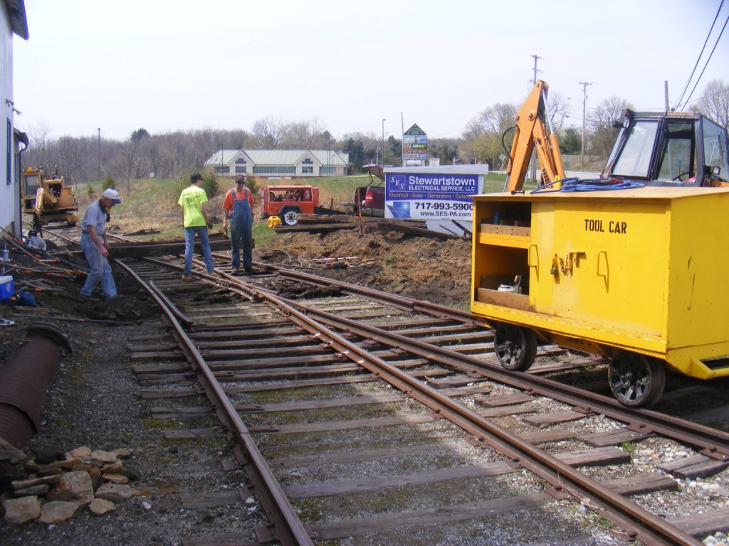
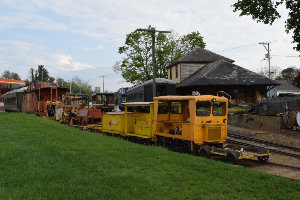
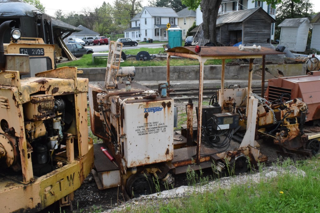
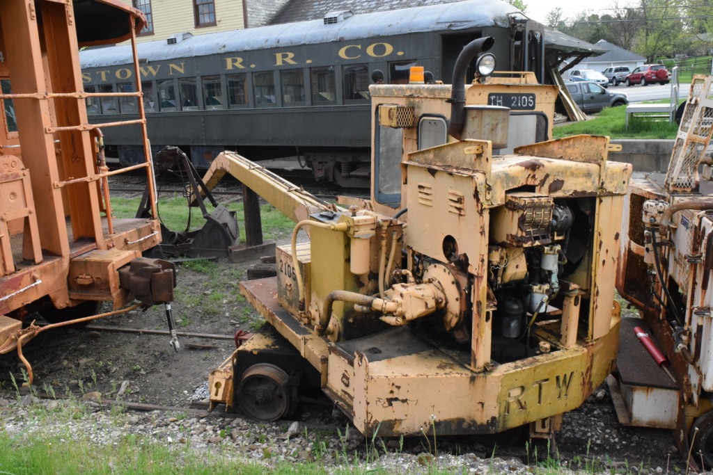
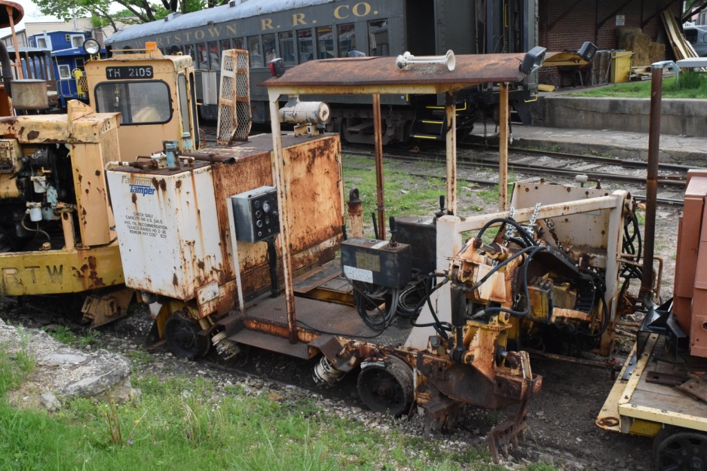
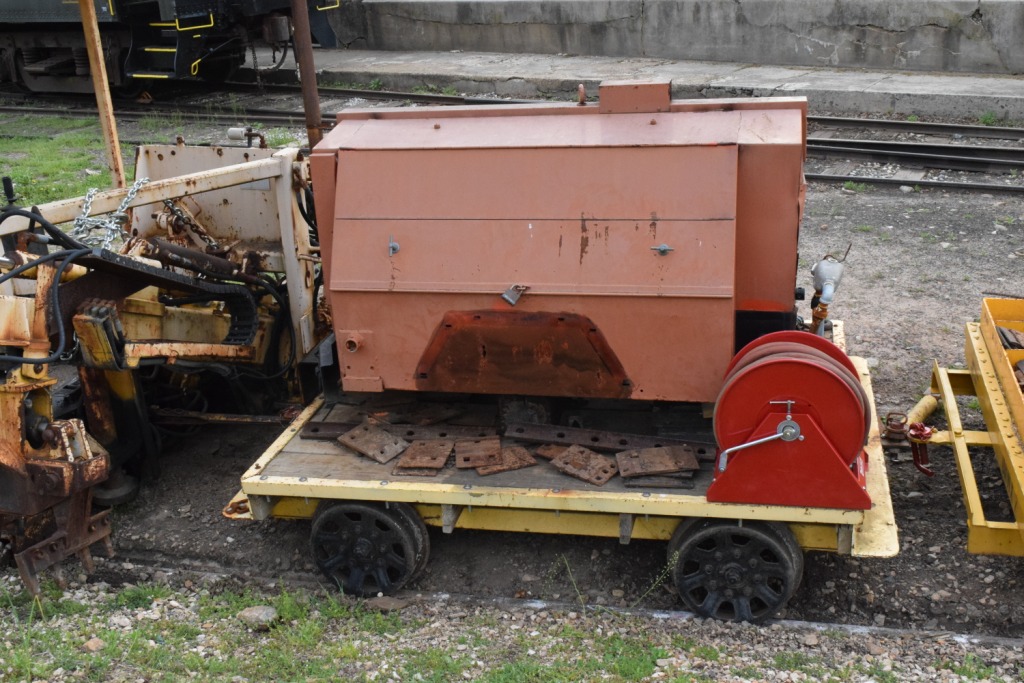
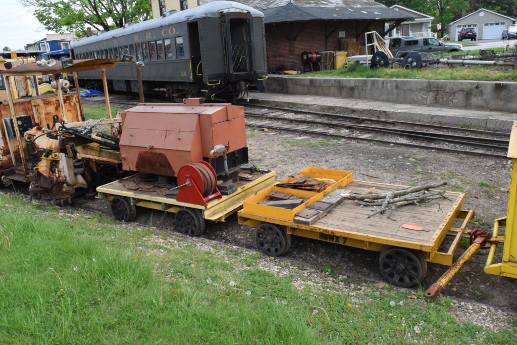
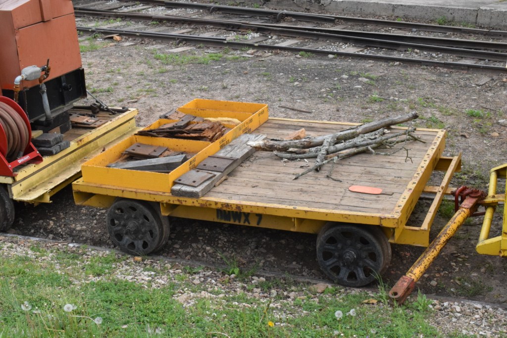
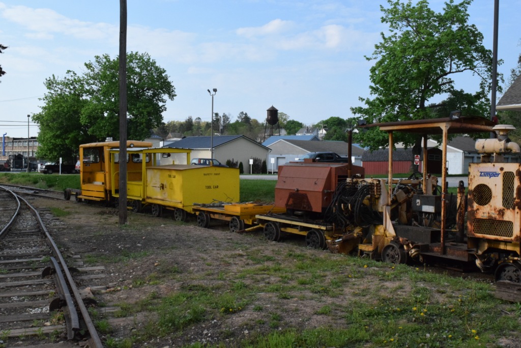
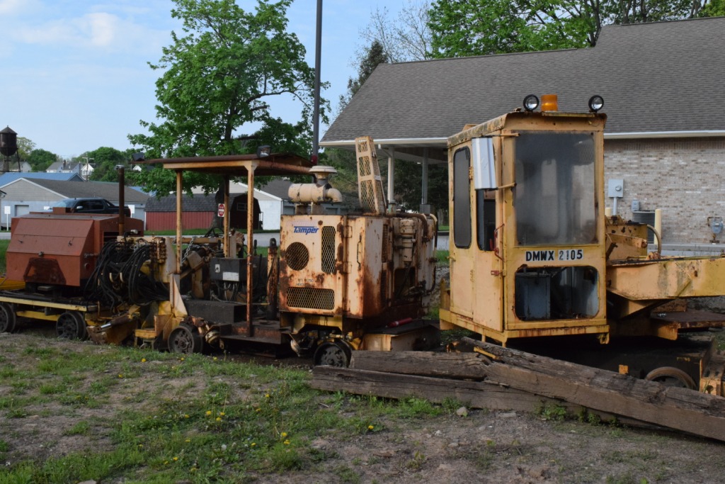
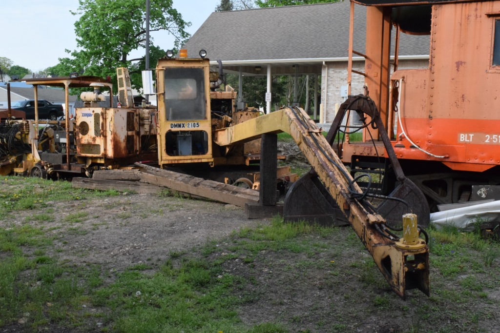
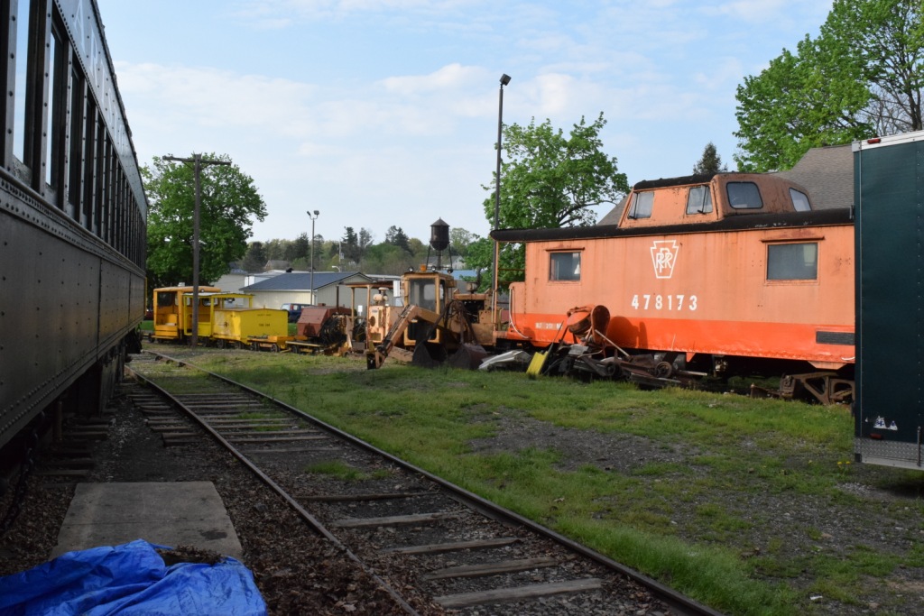
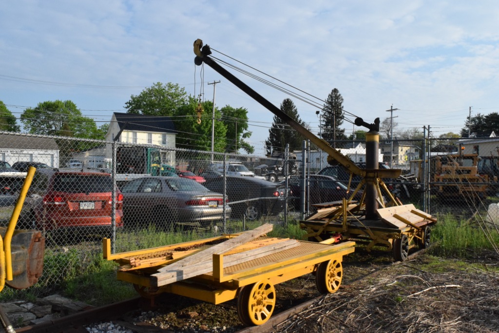
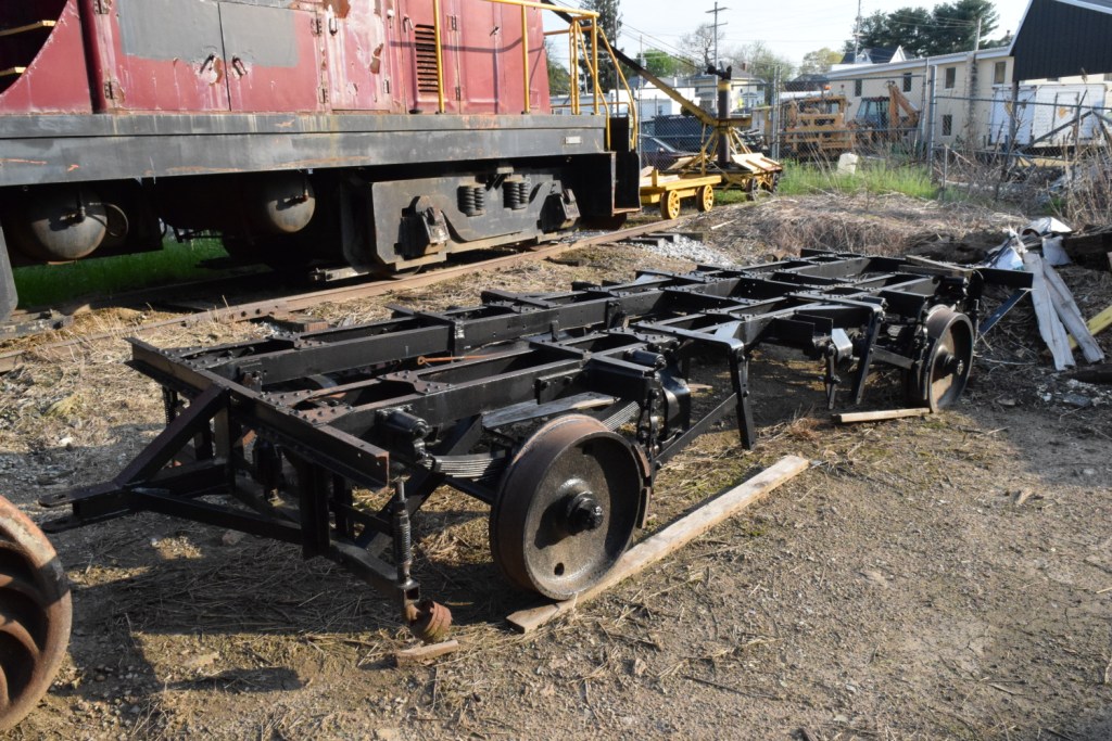
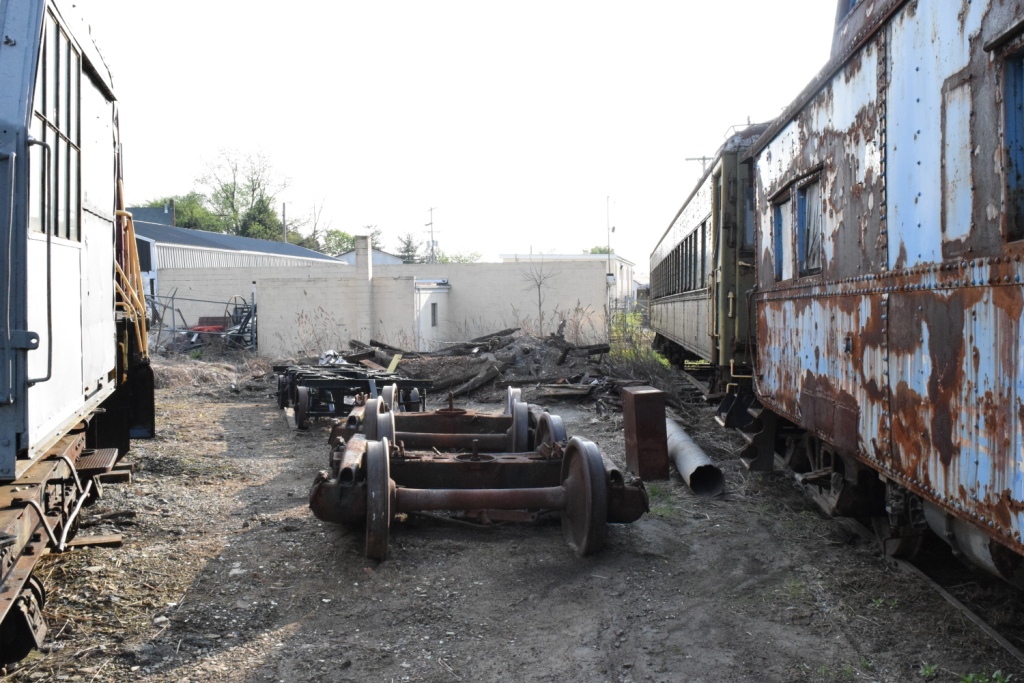
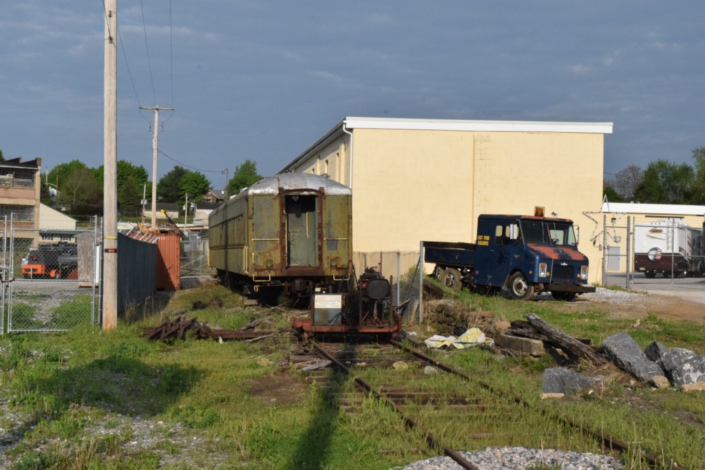
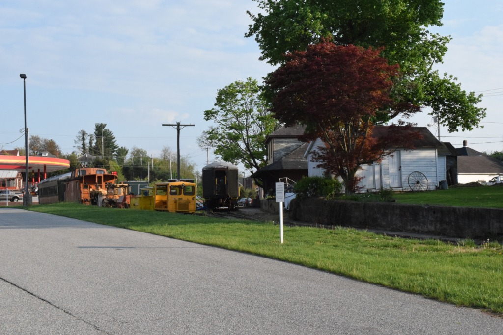
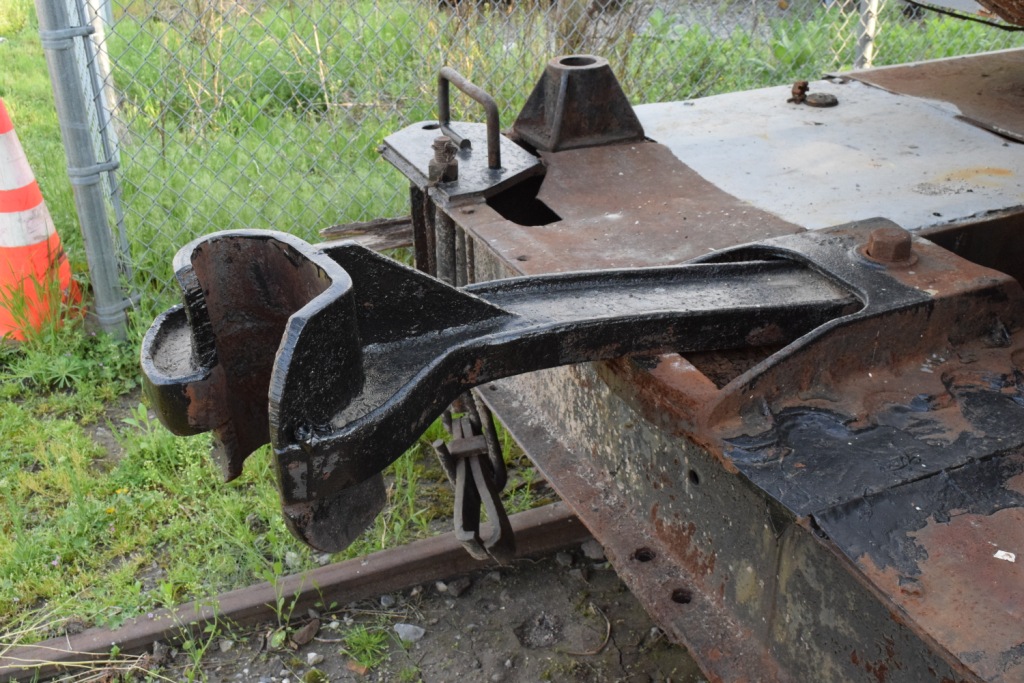
These are "work" pictures from around 2014......
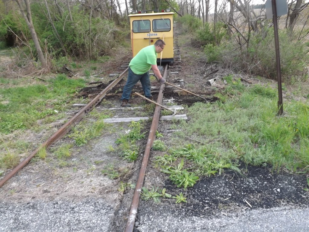
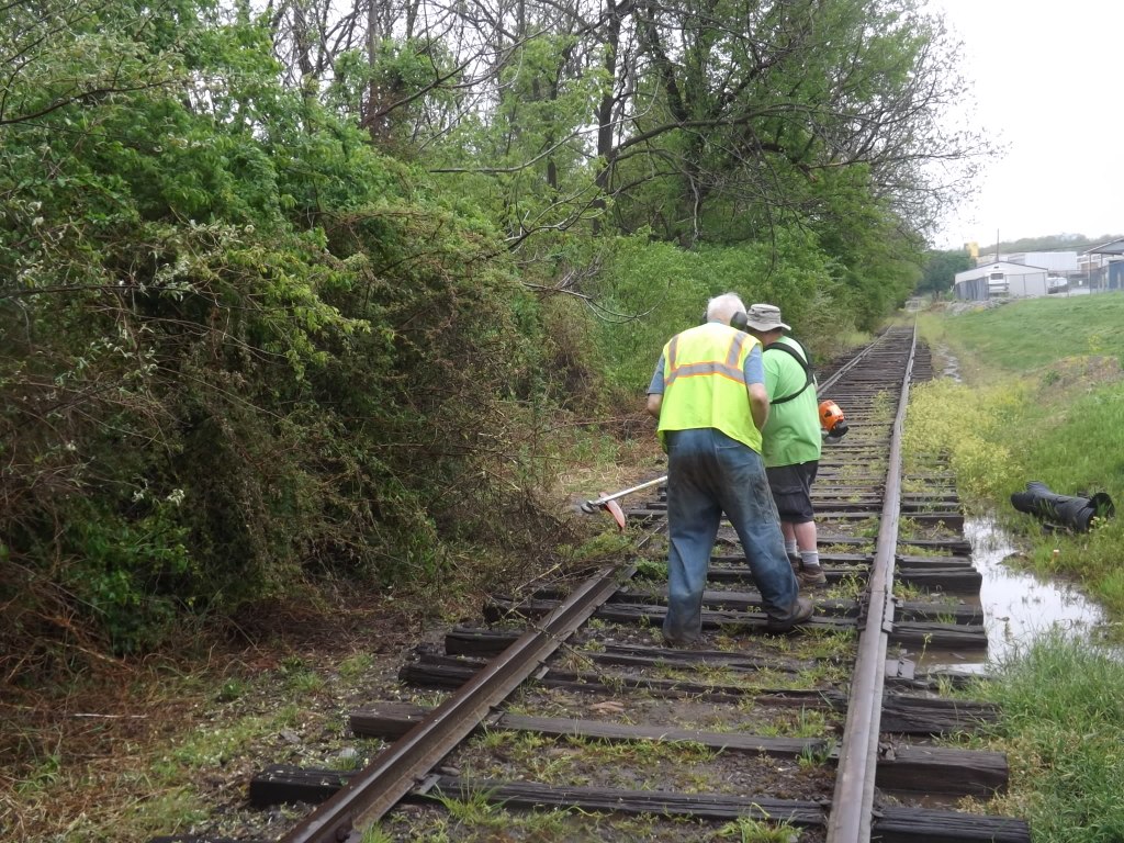
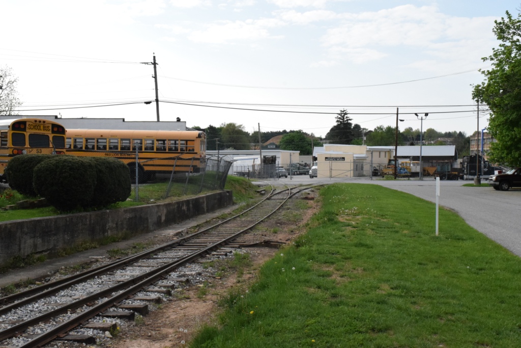
 In New Freedom
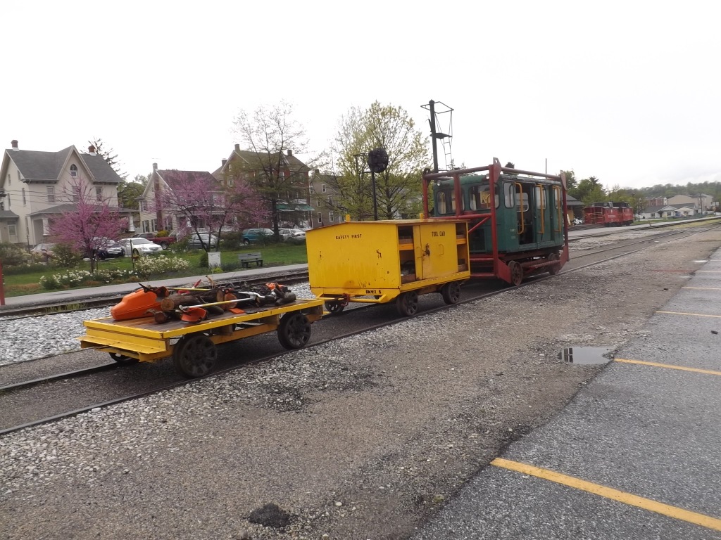 In New Freedom
Below: If you pay attention to the track the Mighty-Mo is on, you will notice that they removed one of tracks in front of the station platform; compare to pictures above in the station section pictures.
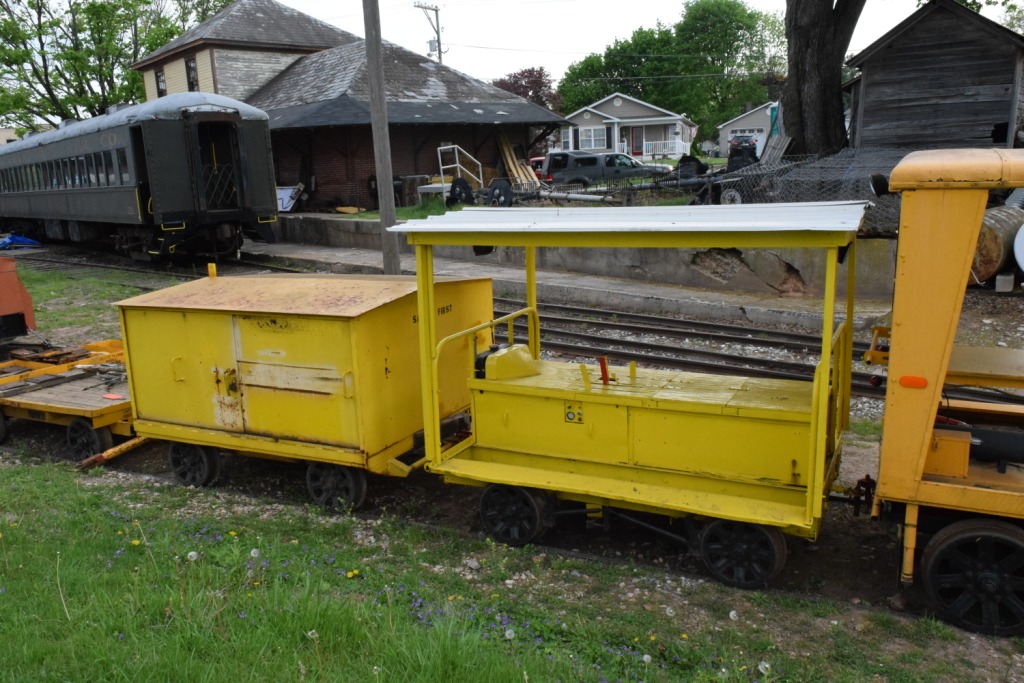
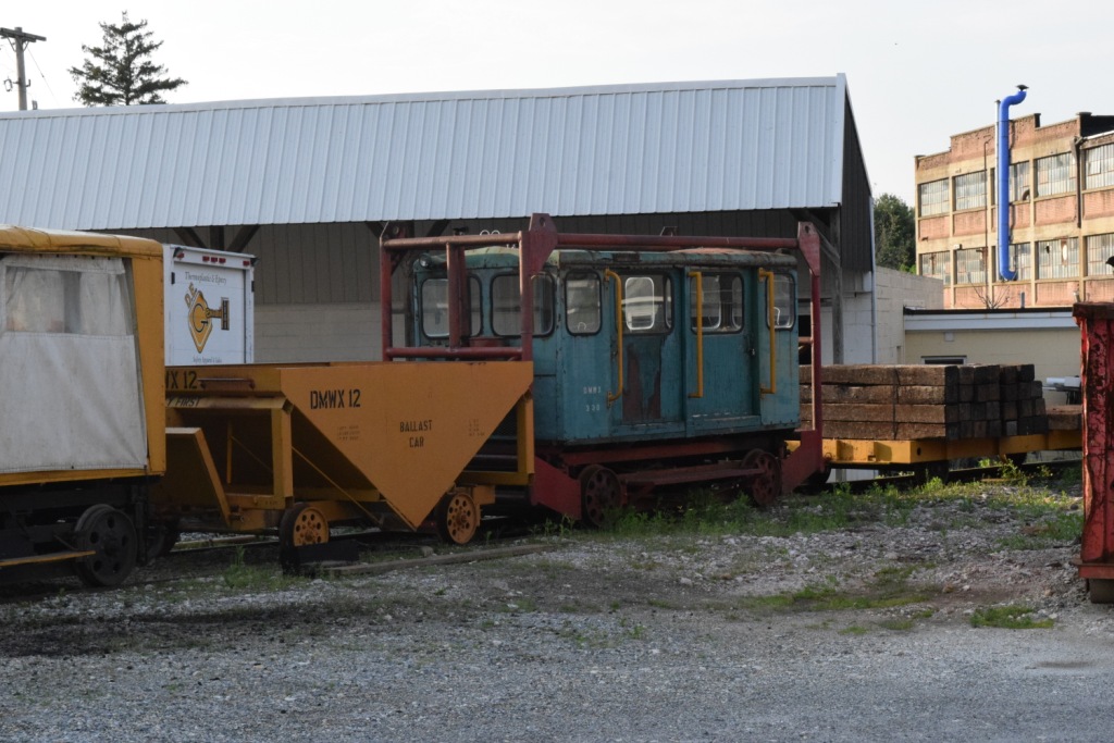
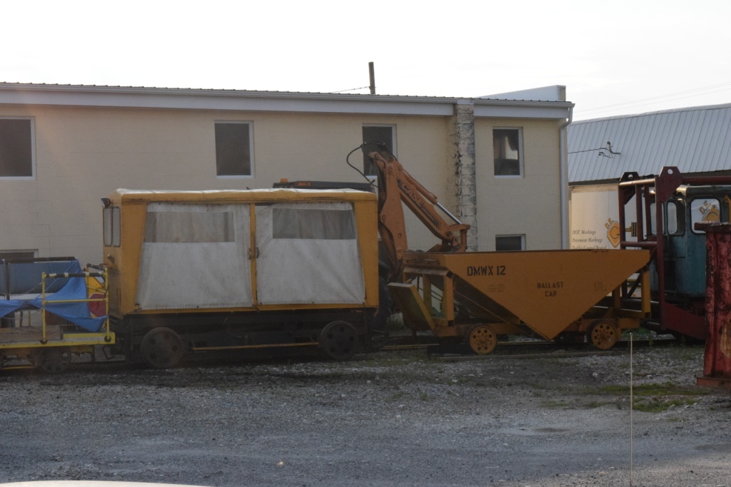
These are pictures taken on Sunday, May 6th, 2018.
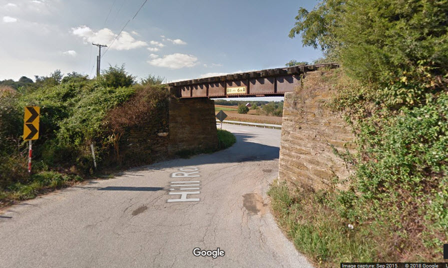
The newest structure on the Stewartstown RR is the small bridge going over Hill Rd, right along PA 851, Bridgetown Rd, about 1.8 miles west of the depot in Stewartstown. The bridge was in such condition, that the state made them replace it if they wanted to continue operation. Pictures are below.
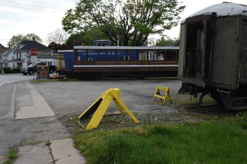
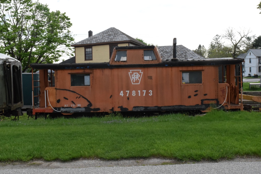
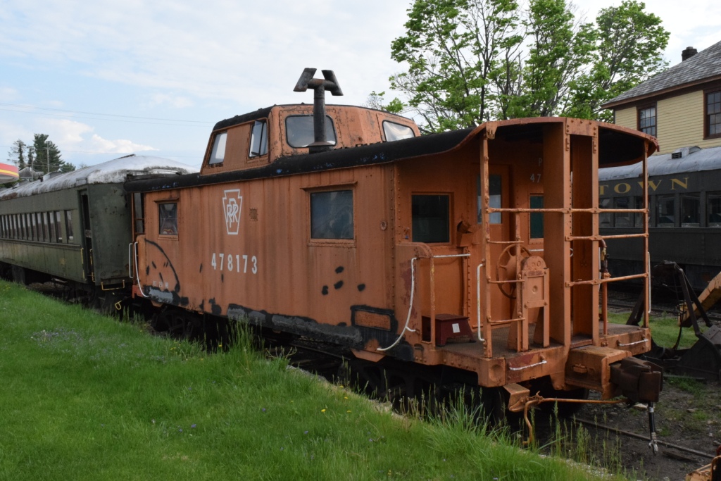
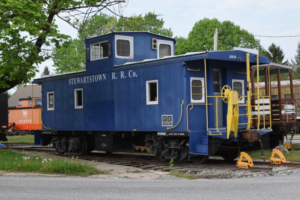
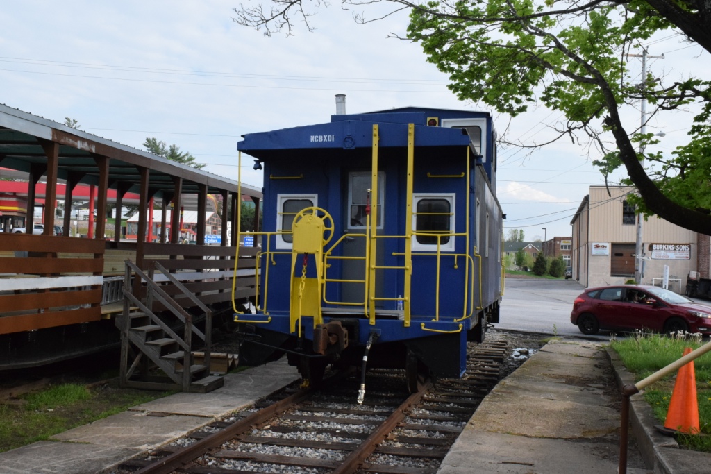
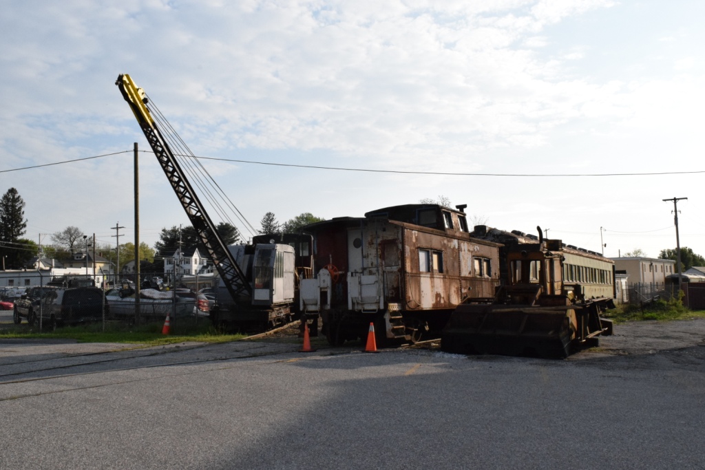
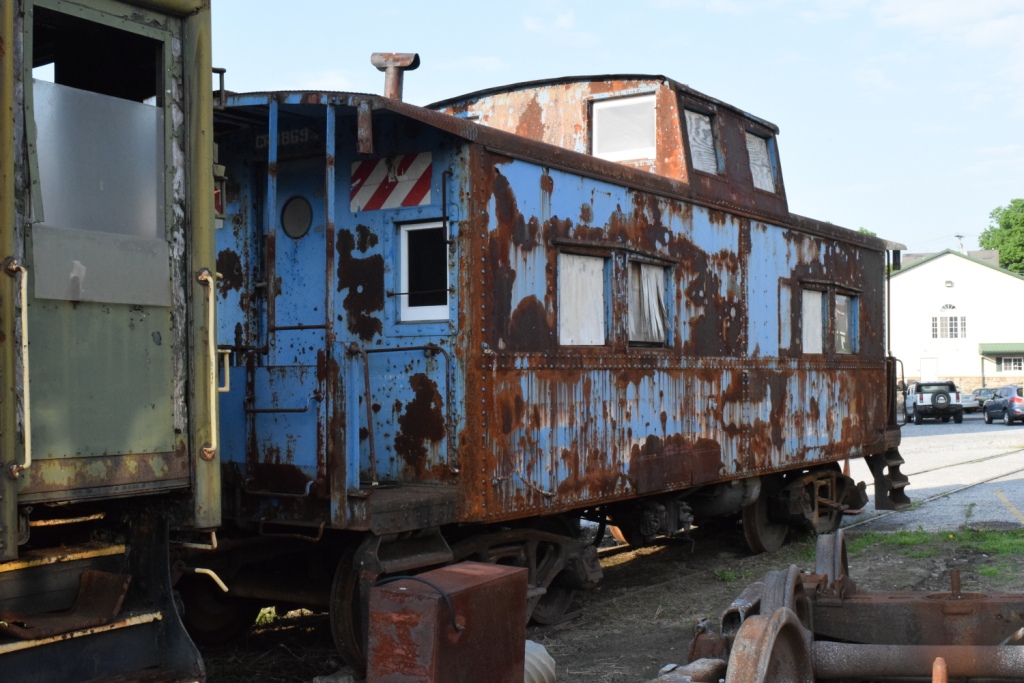
The Conrail caboose above has, as of June 2018, received a coat of primer paint, and will be eventually be painted in Lehigh Valley red.
These pictures were taken on Saturday, May 12th, 2018. They were supposed to be running Mother's Day trains this weekend, but two things kept them from that mission - about six large trees were downed by a storm the weekend before, and the 70-80ish year old engine is awaiting parts. Work crews were out on the line cutting up the trees.
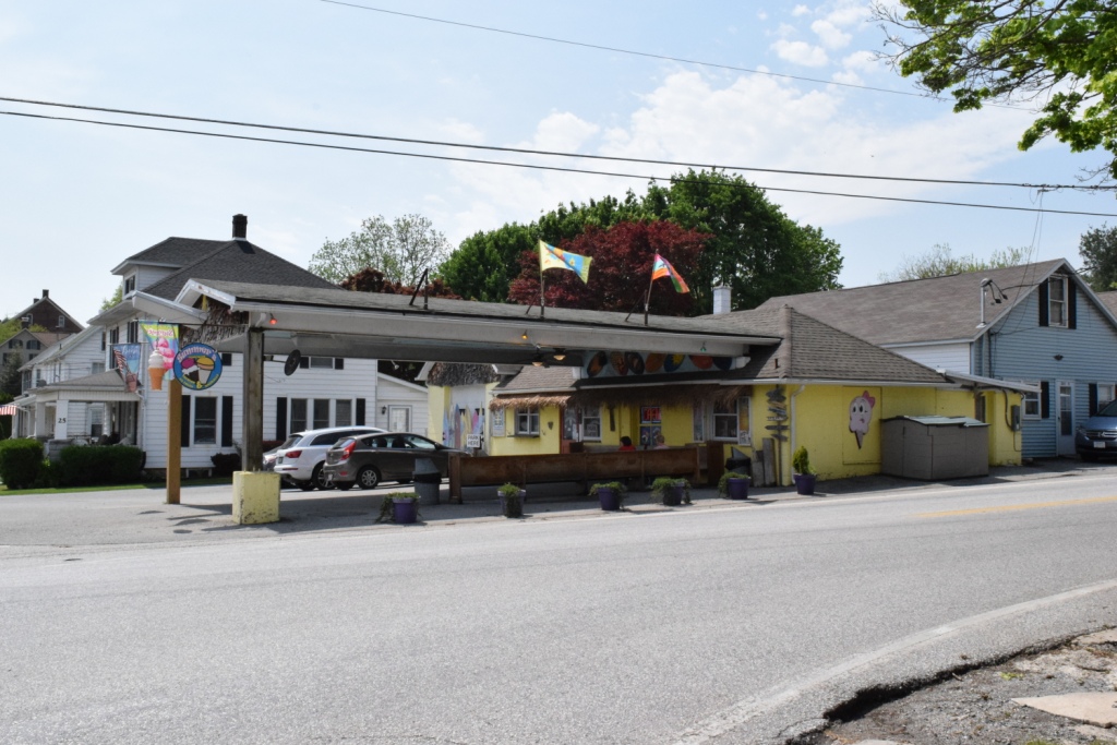
Summer's Ice Cream, across the street from the depot, and a great place to cool off! :-)
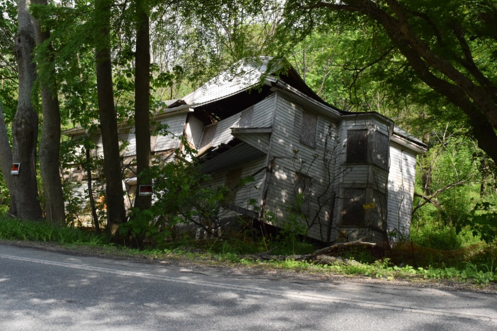
Just outside Shrewsbury, on the way to Railroad via PA851, sits this house, precariously, ready to fall over.....
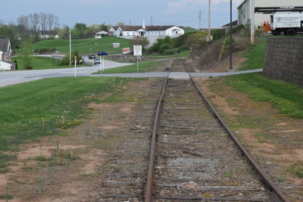
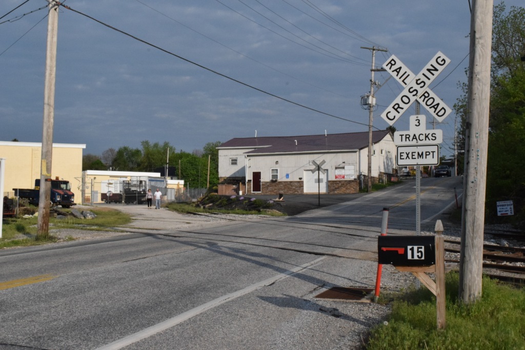
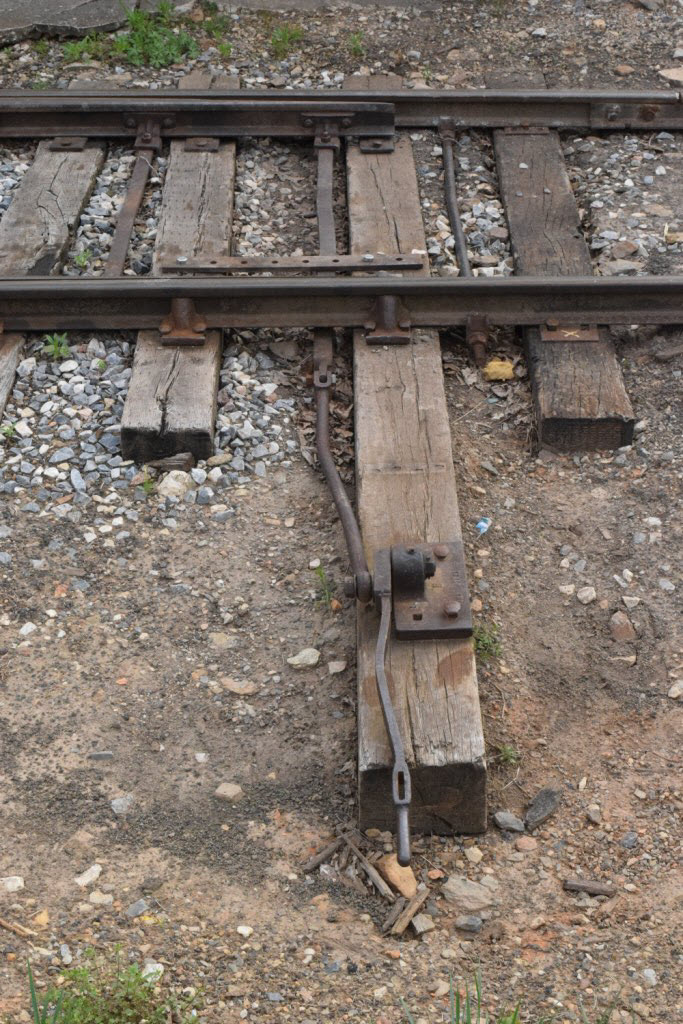
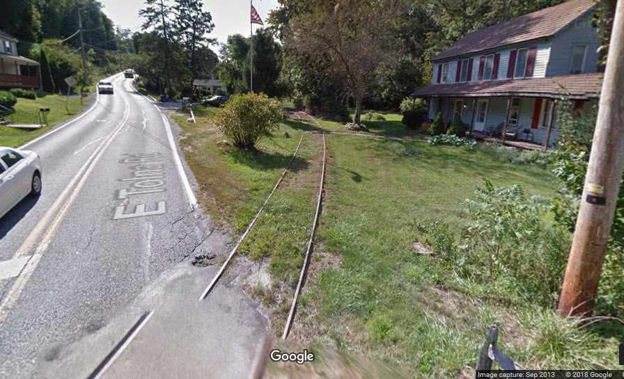 Tolna Rd Grade Crossing
Courtesy of the University of Texas Library, click here for their index page.
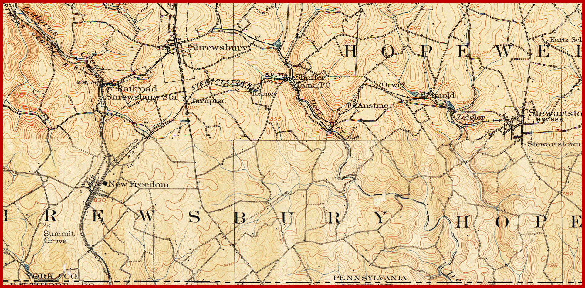
This map is a composite of the York PA Quadrangle from 1908, and the Parkton MD Quadrangle from 1900. The Parkton map was scanned at a smaller resolution, and therefore, does not look as detailed as the York section.
Disclaimers:
I love trains, and I love signals. I am not an expert. My webpages reflect what I find on the topic of the page. This is something I have fun with while trying to help others. My webpages are an attempt at putting everything I can find of the subject in one convenient place.
Please Note: Since the main focus of my two websites is railroad signals, the railfan guides are oriented towards the signal fan being able to locate them. For those of you into the modeling aspect of our hobby, my indexa page has a list of almost everything railroad oriented I can think of to provide you with at least a few pictures to help you detail your pike.
If this is a railfan page, every effort has been made to make sure that the information contained on this map and in this railfan guide is correct. Once in a while, an error may creep in :-)
My philosophy: Pictures and maps are worth a
thousand words, especially for railfanning. Text descriptions only
get you so far, especially if you get lost or disoriented. Take
along good maps.... a GPS is OK to get somewhere, but maps are still
better if you get lost! I belong to AAA, which allows you to get
local maps for free when you visit the local branches. ADC puts
out a nice series of county maps for the Washington DC area, but their
state maps do not have the railroads on them. If you can find em,
I like the National Geographic map book of the U.S..... good, clear, and
concise graphics, and they do a really good job of showing you where
tourist type attractions are, although they too lack the railroads.
Other notes about specific areas will show up on that page if known.
Pictures and additional information is always needed if anyone feels
inclined to take 'em, send 'em, and share 'em, or if you have
something to add or correct.... credit is always given! BE NICE!!! Contact info
is here
Aerial shots were taken from
either Google or Bing Maps as noted, once
in a great while maybe MapQuest. The screen captures are made with Snagit, a
Techsmith product... a great
tool if you have never used it!