
In General
Getting Here
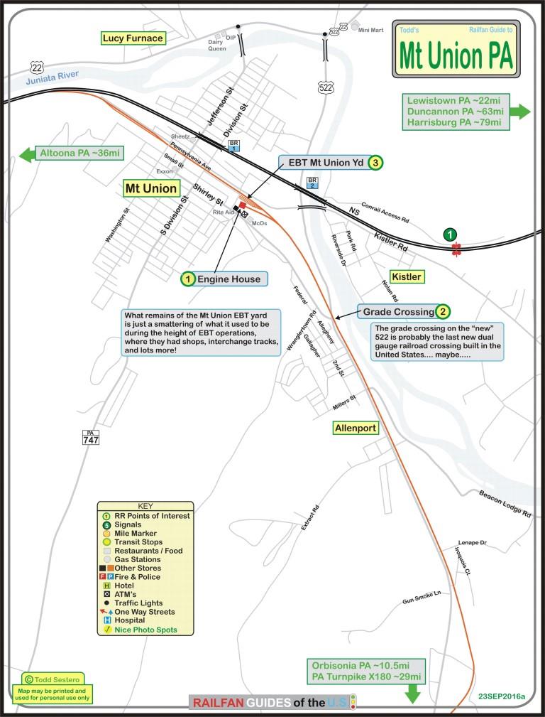
Map
Sights
Signals
Floobydust
USGS Maps
RAILROAD SIGNALS HOME
Location / Name:
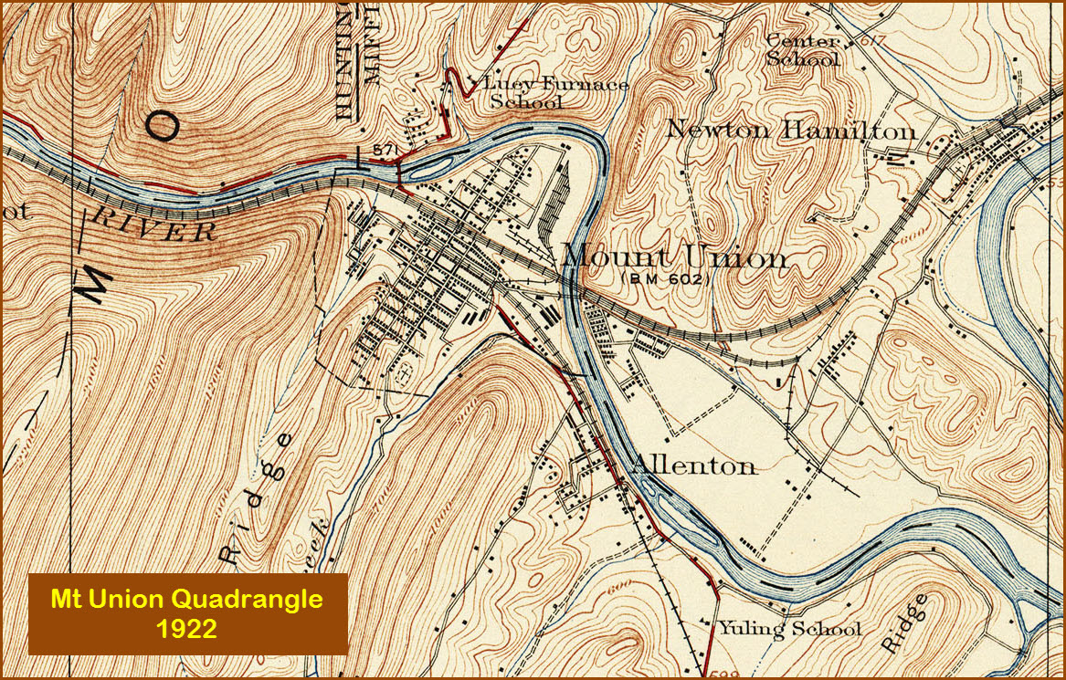
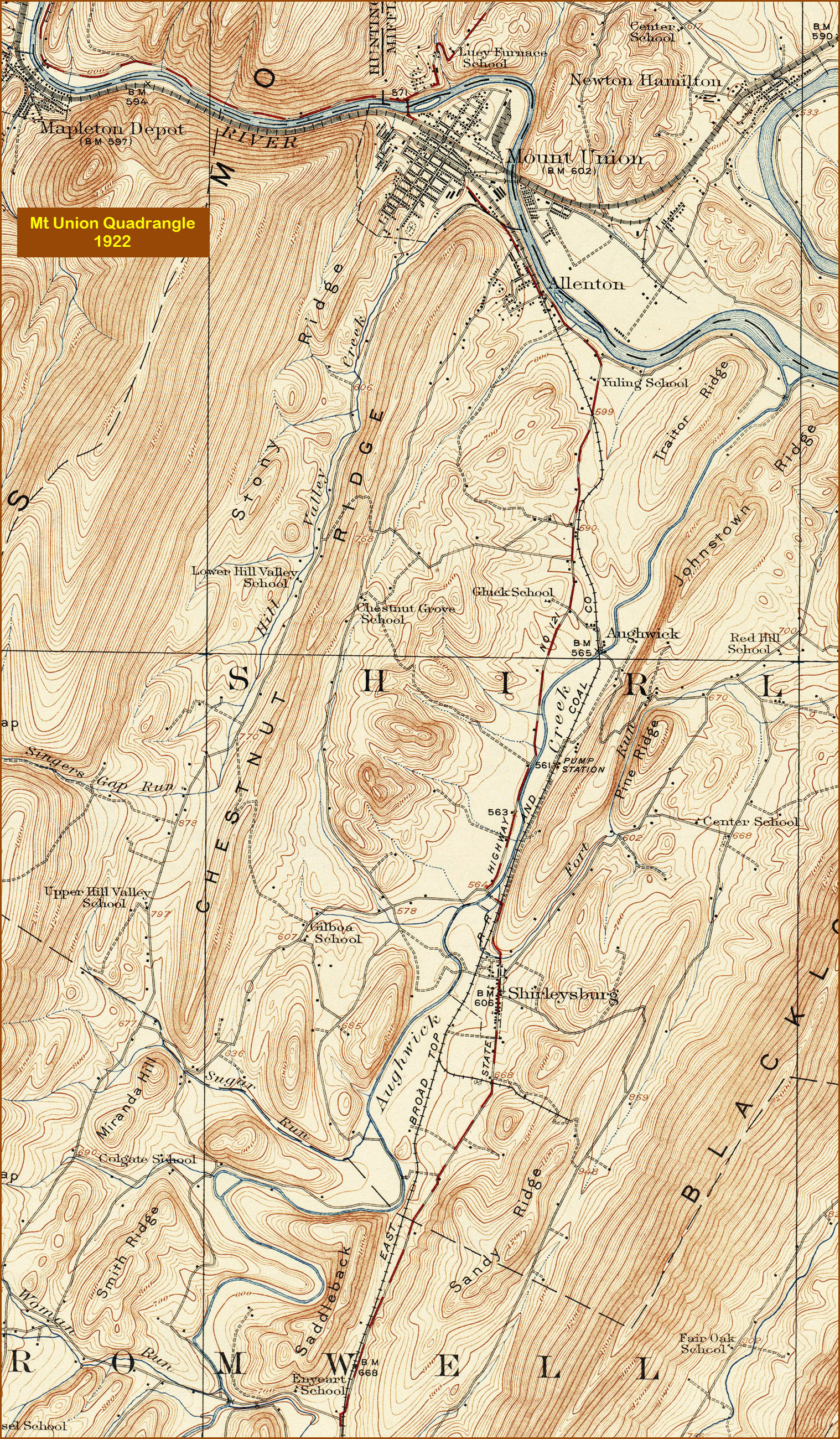
Mt Union PA, Huntingdon County
What's Here:
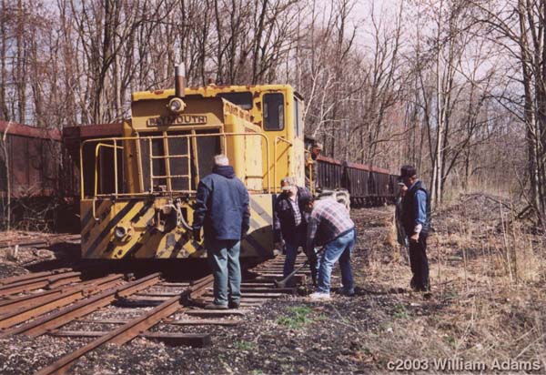
the EBT Connecting RR
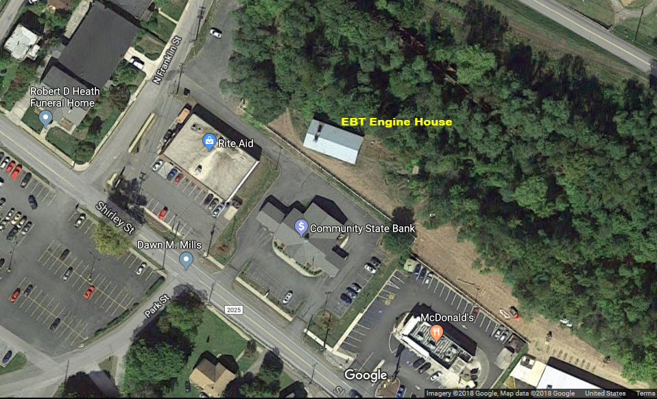
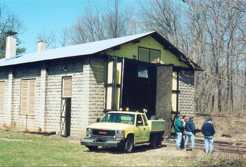
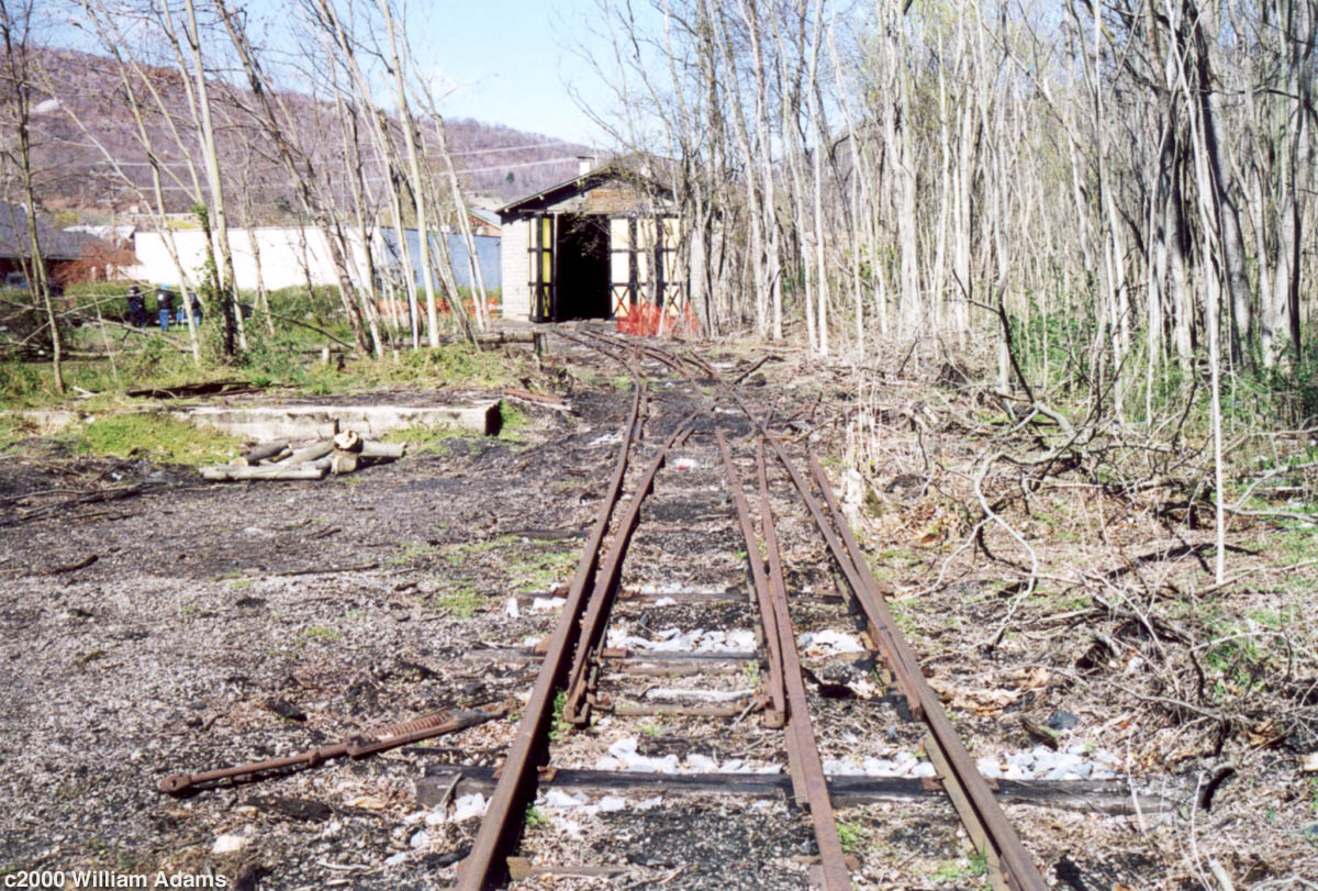
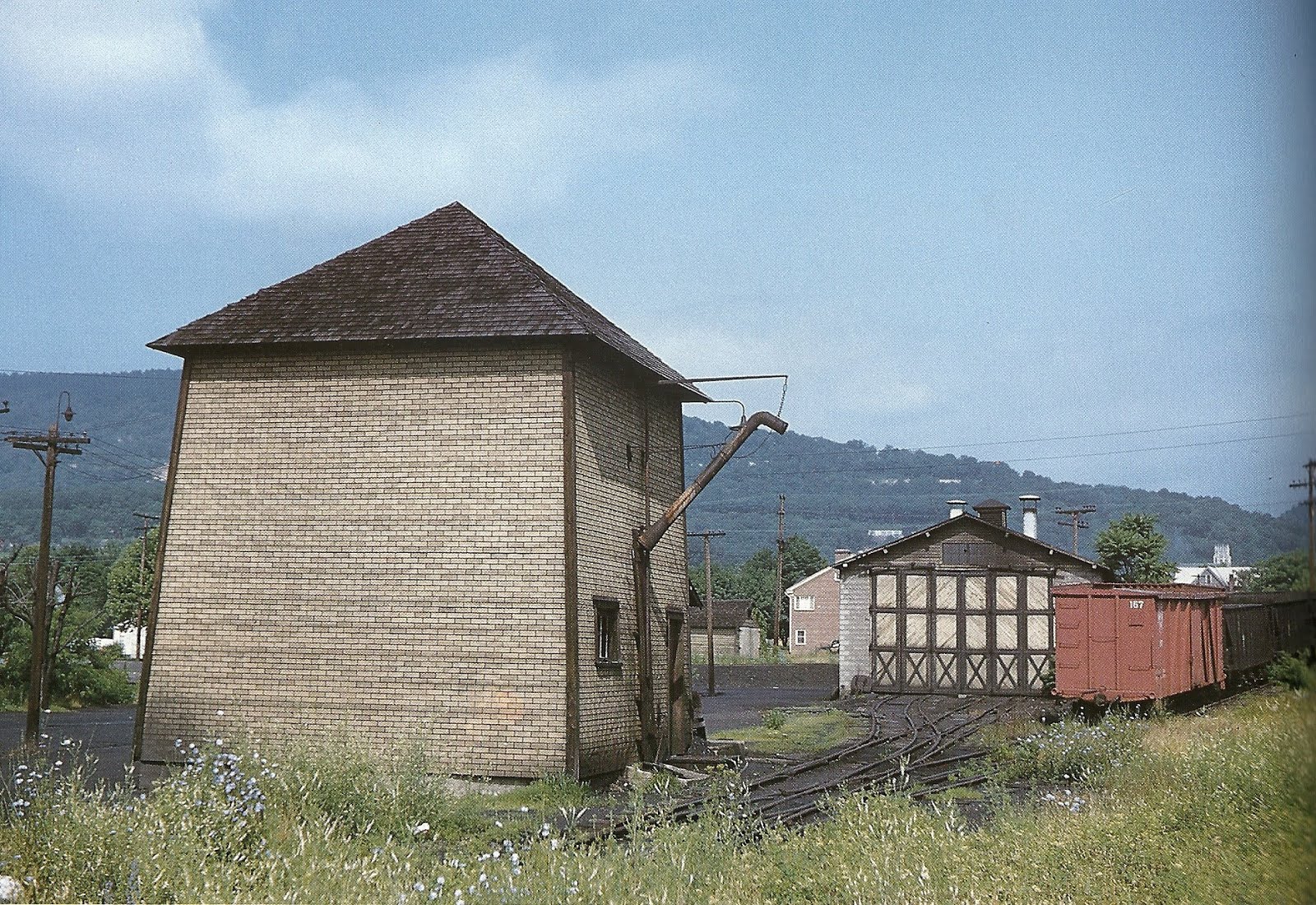
former (and current) EBT Engine House
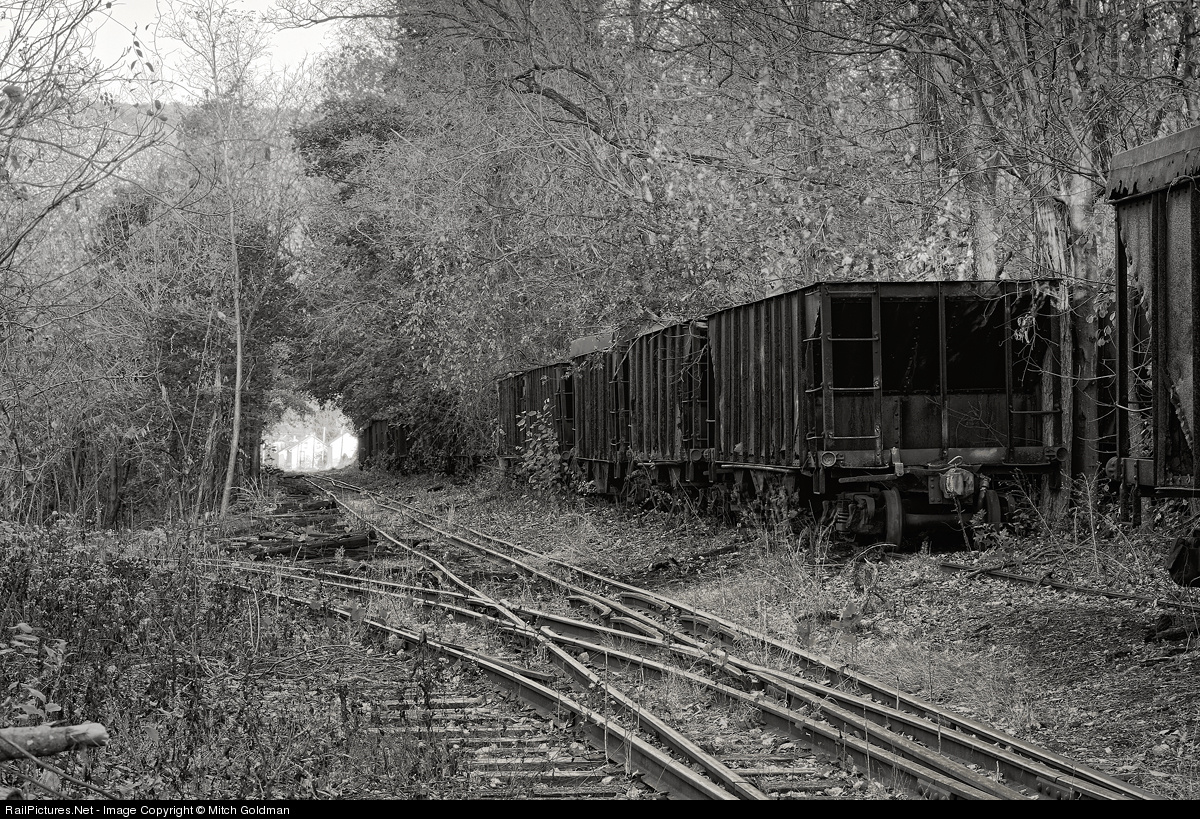
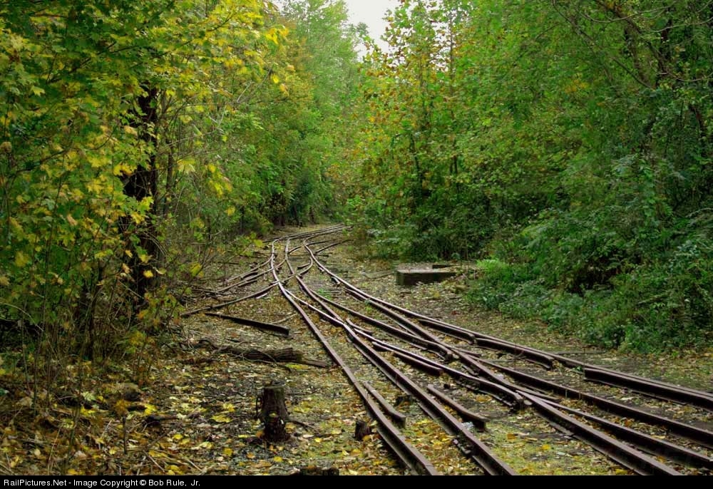
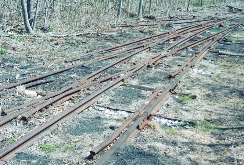
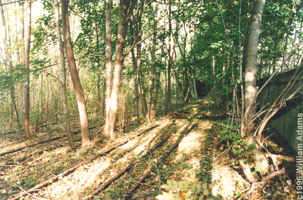
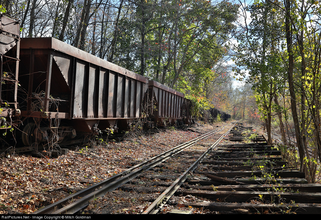
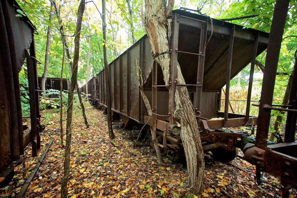
Remains of the EBT Yard
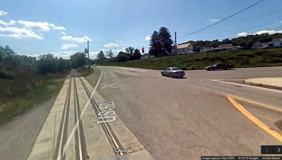
Probably the newest dual gauge railroad grade crossing in the United States
The NS Harrisburg-Pittsburgh main comes through
Data:
GPS Coordinates: 40.383084, -77.878801 (at the engine house)
ZIP: 17066
Phone A/C: 814
Access by train/transit:
None
The Scoop:
Mt Union is the northern end of what used to be, at one time, the end of a great narrow gauge shortline railroad stretching from Mt Union to Robertsdale PA. Remembering that the East Broad Top was "abandoned in place", and not "torn up", the whole railroad is still in place even though it was shut down (we don't like to use the word "abandoned") over 50 years ago. The shops are still in place in Orbisonia, or more correctly, Rockhill Furnace, while most facilities still exist in Robertsdale, the railroad's other terminus about 33 miles south. Between Mt Union and Robertsdale, the railroad still exists in one form or another, although many locals have taken over the right-of-way, a legal gray area.
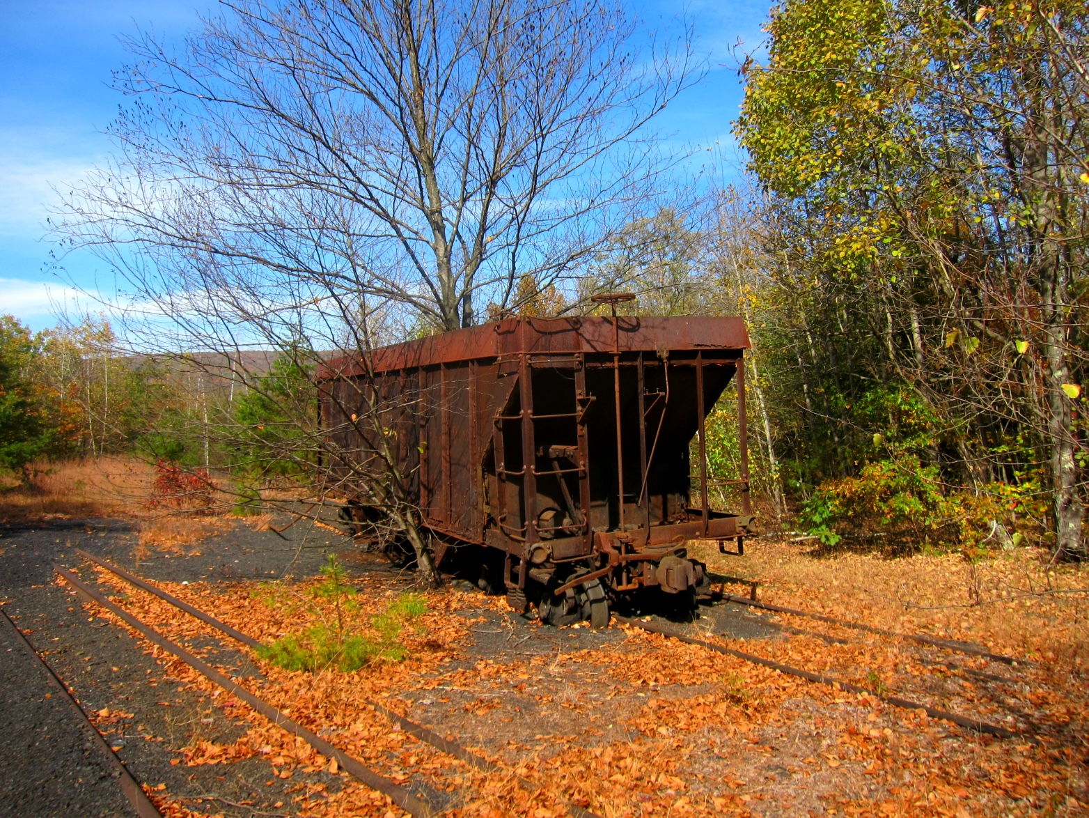
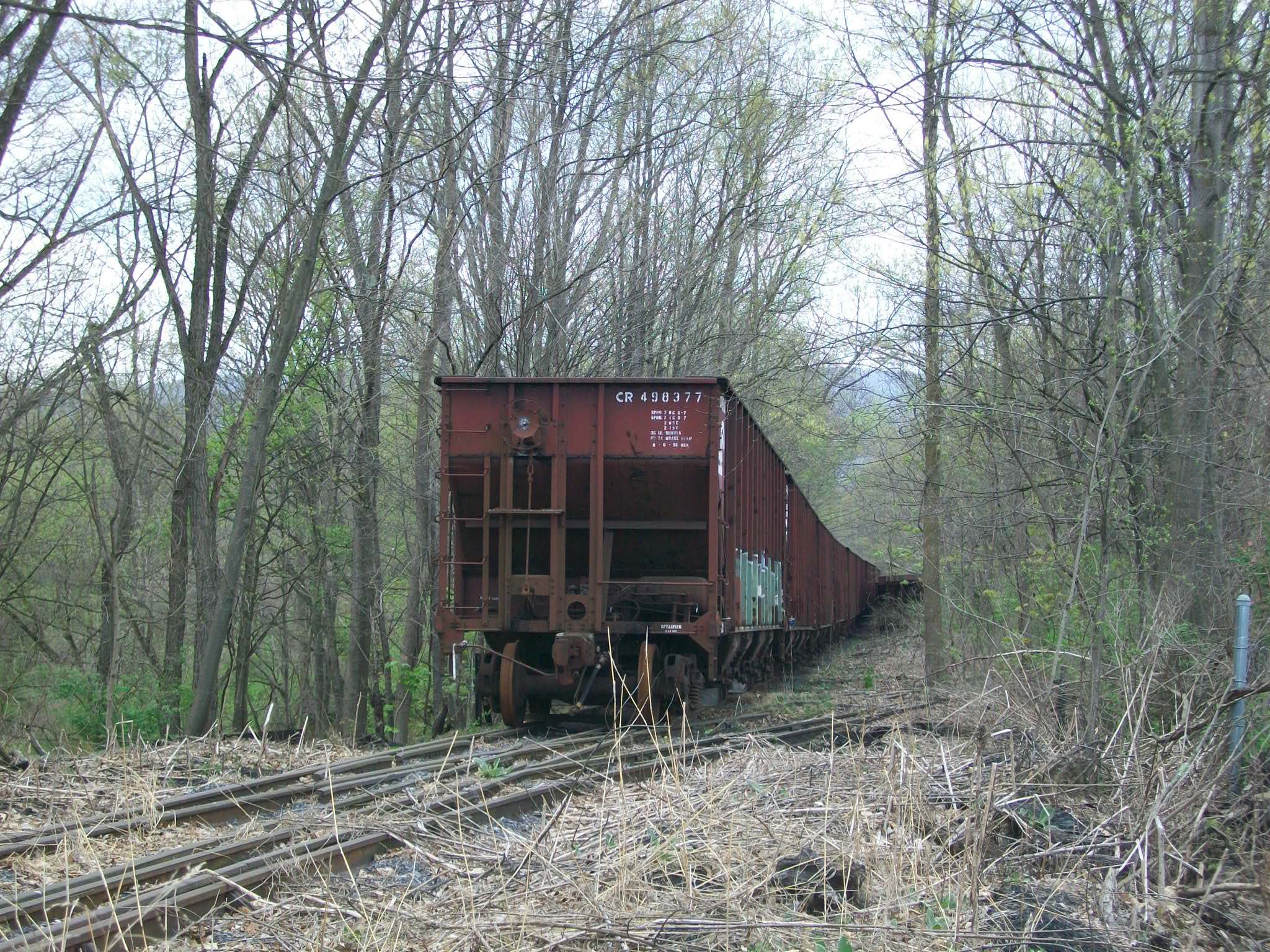
Mt Union still has it's interchange with the Pennsy, ooooops, I mean, Norfolk Southern, and they are using the yard area adjacent to the interchange for a storage area of current hopper cars.
Just south of the downtown Mt Union area remains the northern engine house, and it is still dual gauged.
Websites and other additional information sources of interest for the area:
http://www.spikesys.com/EBT/News/mucrr.html
http://www.spikesys.com/EBT/visiting.html
http://www.febt.org/
US22 from the east and west on the north side.
US522 from the south (as far as Maryland), and to the NE of Mt Union.
What's left of the EBT in Orbisonia/Rockhill Furnace is about 10 miles to the south.

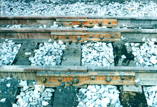 The EBT uses 100lb rail, while the crossing was put in with 132lb rail.
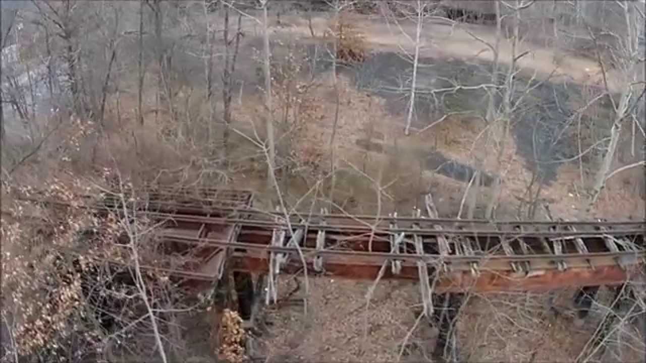 I'm guessin taken with a drone :-)
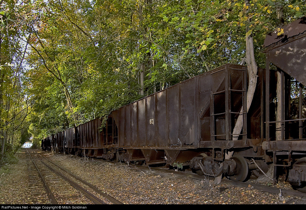
At Washington St.
Slightly east of the bridge, really hard to get to for pictures.....
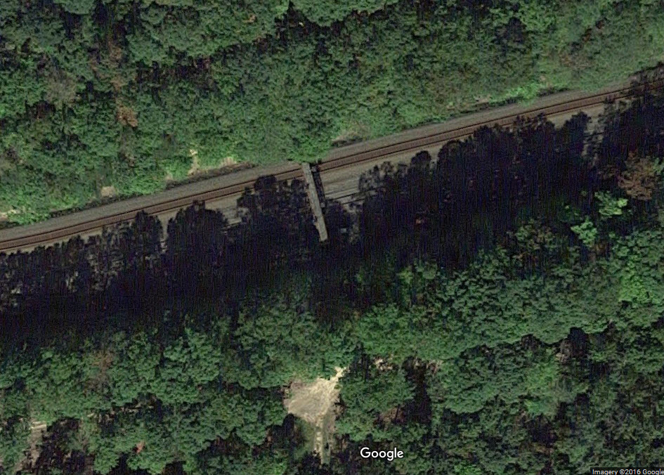
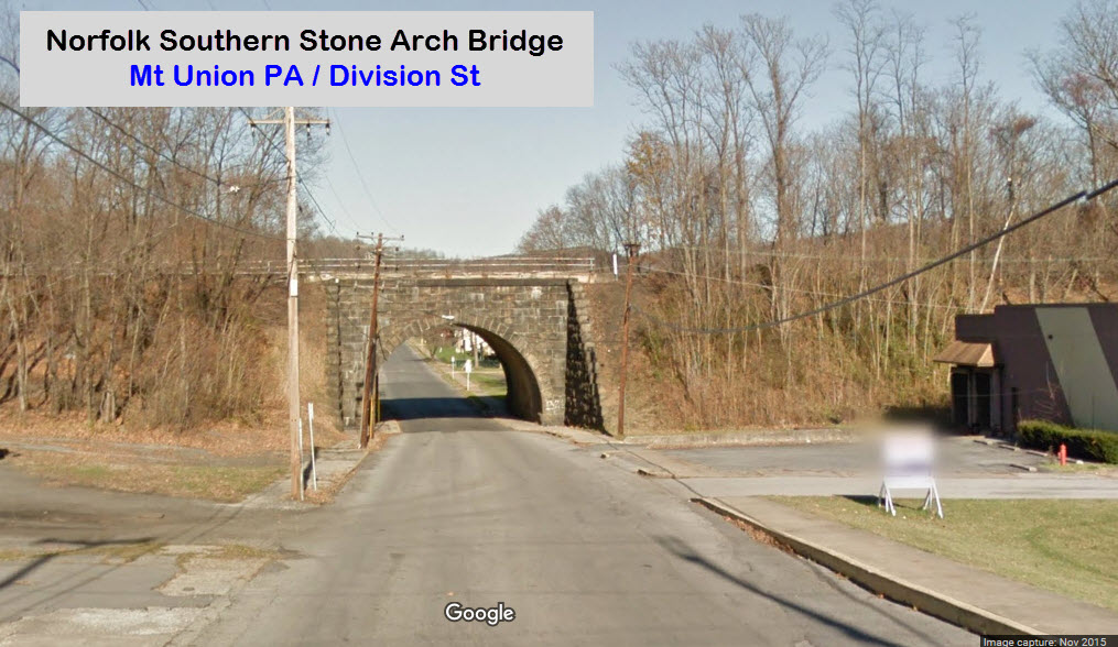
 NS Mainline over Mt Union
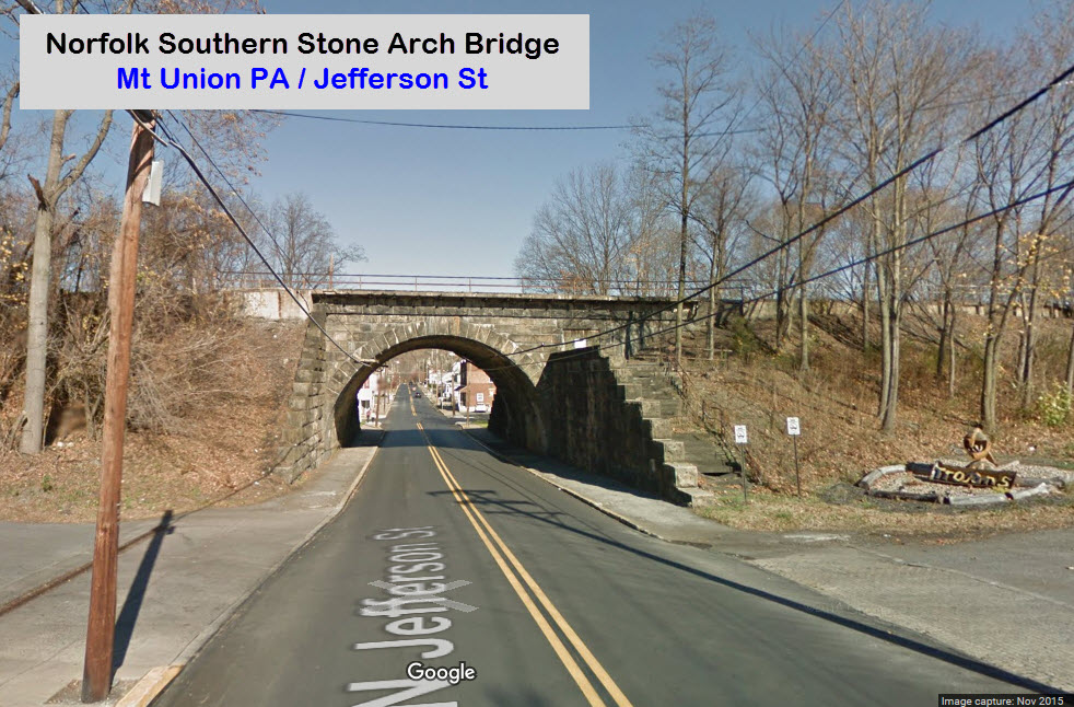
 NS Mainline over the Juniata River
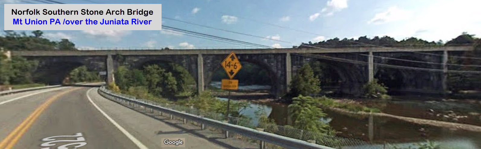
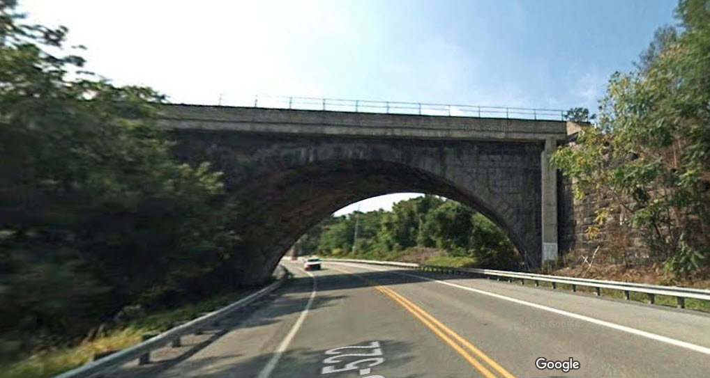 Looking south
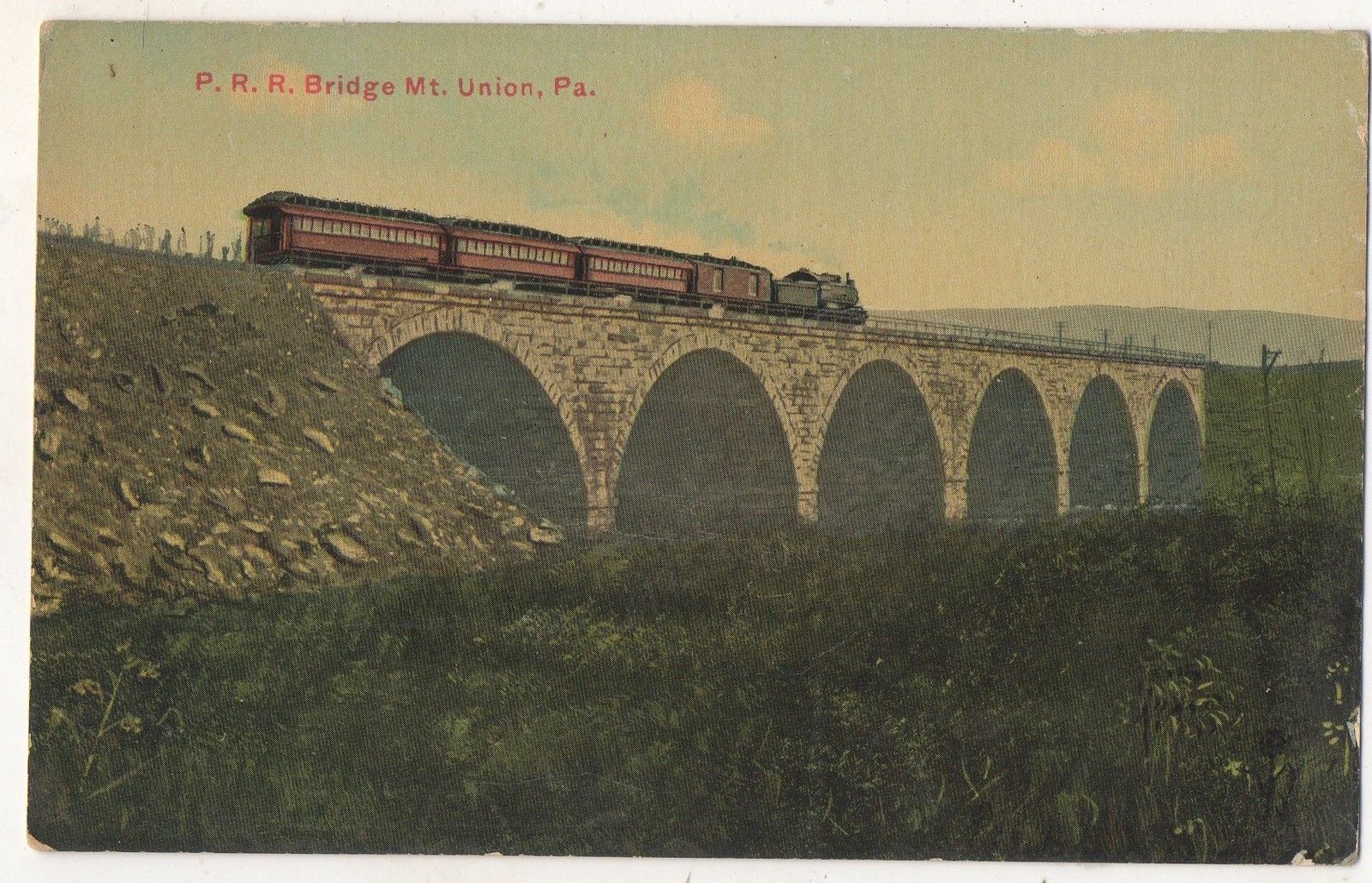
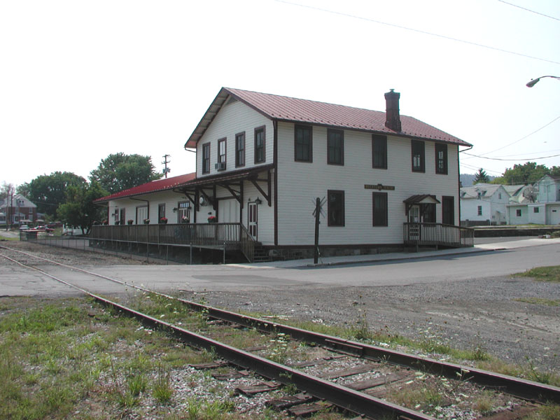
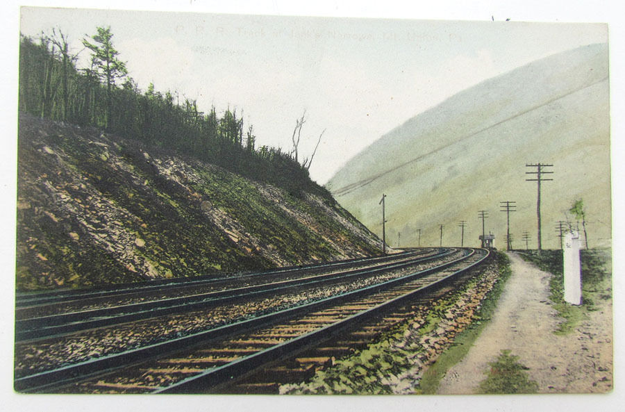
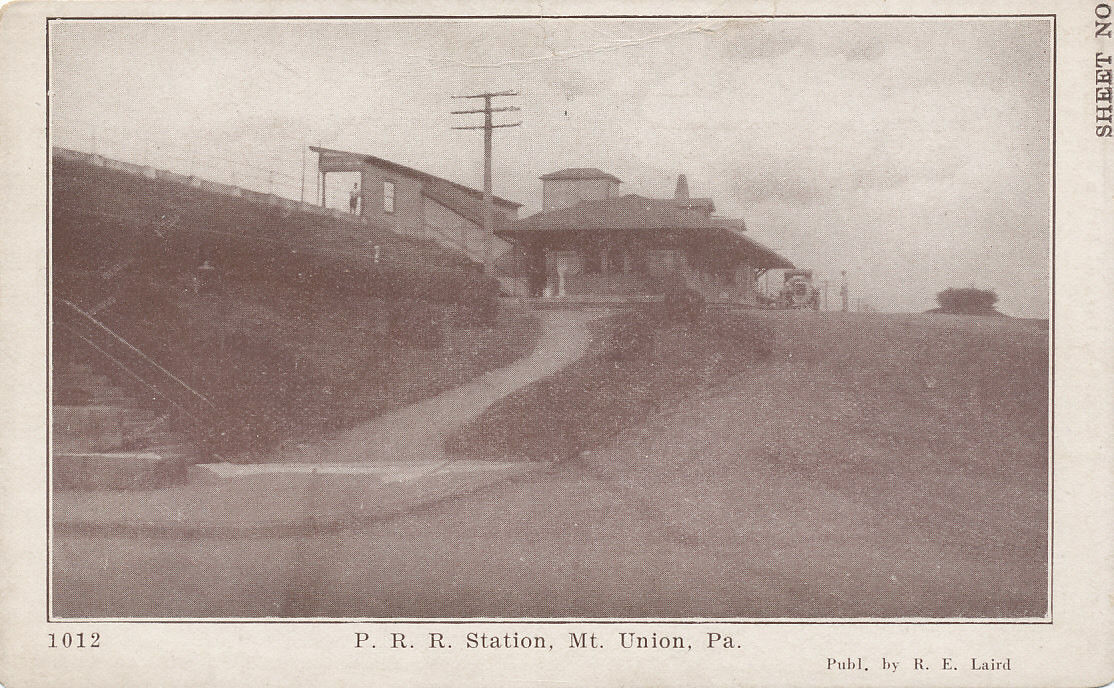
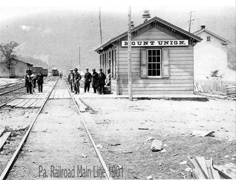 The PRR station up on the mainline, back around 1902.
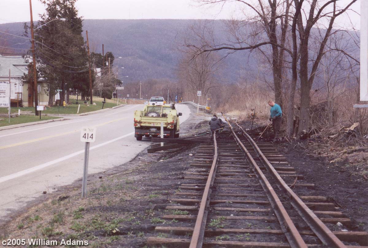
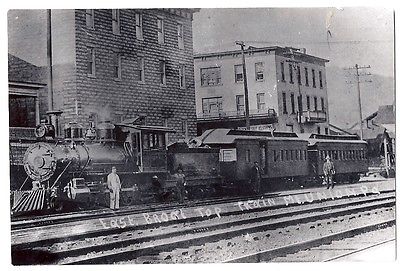
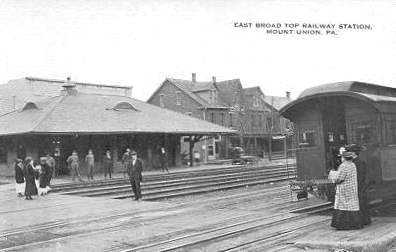
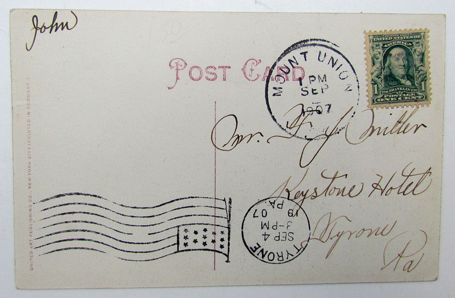
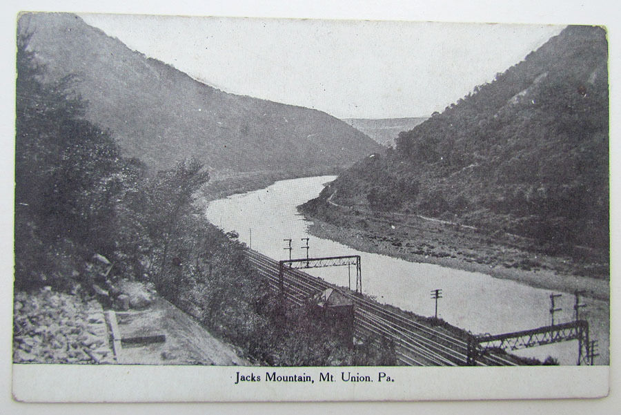
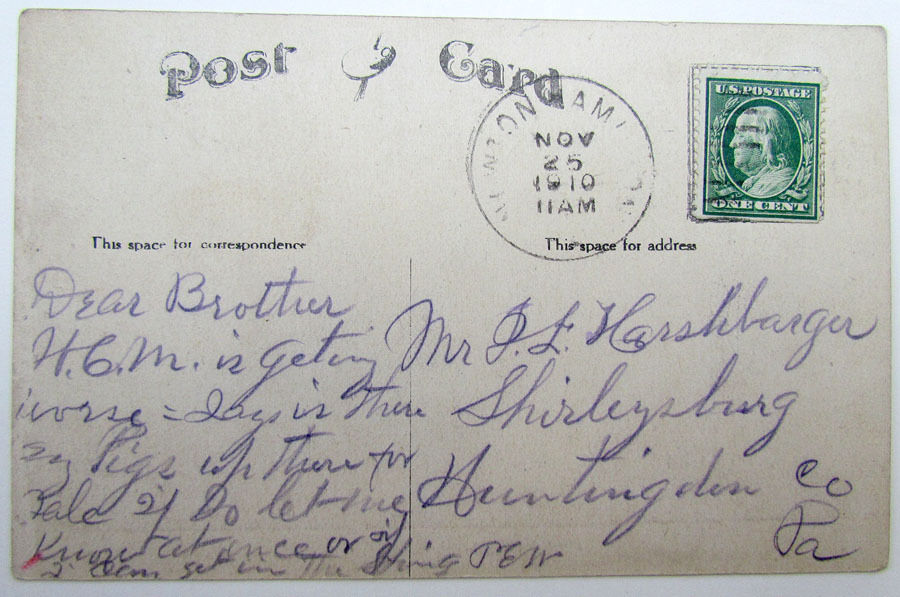
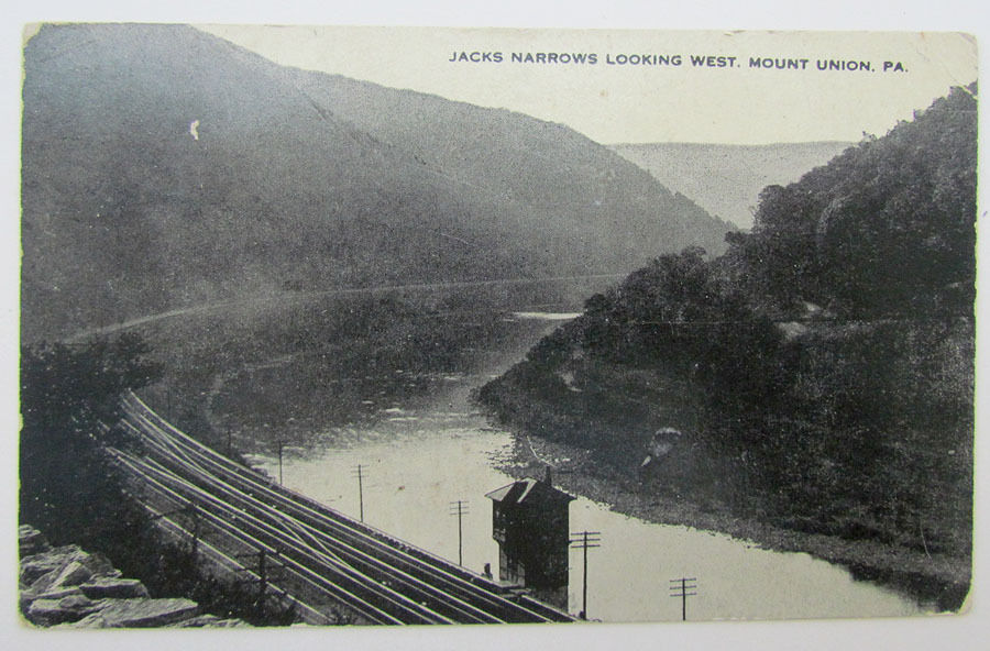
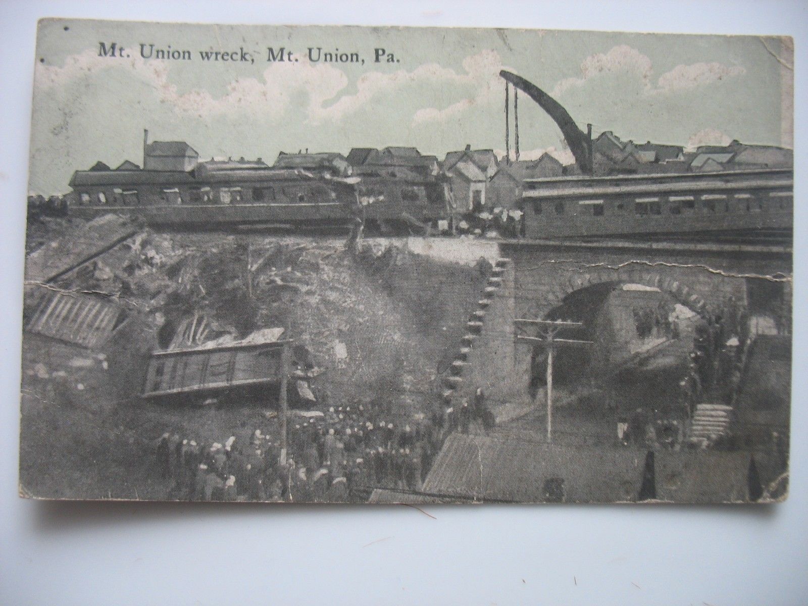
A small collection of postcards, mostly found on EBay......

Historical USGS Maps
Courtesy of the University of Texas Library, click here for their index page.
Disclaimers:
I love trains, and I love signals. I am not an expert. I do these pages because I love spending my time doing them - although I do a reasonable amount of research to make sure the information presented is accurate! :-) :-)
Please Note: Since the main focus of my two websites is railroad signals, the railfan guides are oriented towards the signal fan being able to locate them. For those of you into the modeling aspect of our hobby, my indexa page has a list of almost everything railroad oriented I can think of to provide you with at least a few pictures to help you detail your pike.
If this is a railfan page, every effort has been made to make sure that the information contained on this map and in this railfan guide is correct. Once in a while, an error may creep in, oooooooops, oh well! :-)
My philosophy: Pictures and maps are worth a
thousand words, especially for railfanning. Text descriptions only
get you so far, especially if you get lost or disoriented. Take
along good maps.... a GPS is OK to get somewhere, but maps are still
better if you get lost! I belong to AAA, which allows you to get
local maps for free when you visit the local branches. ADC puts
out a nice series of county maps for the Washington DC area, but their
state maps do not have the railroads on them. If you can find em,
I like the National Geographic map book of the U.S..... good, clear, and
concise graphics, and they do a really good job of showing you where
tourist type attractions are, although they too lack the railroads.
Other notes about specific areas will show up on that page if known.
BTW, floobydust is
a term I picked up 30-40 years ago from a National Semiconductor data
book, and means miscellaneous and/or other stuff.
Pictures and additional information is always needed if anyone feels
inclined to take 'em, send 'em, and share 'em, or if you have
something to add or correct.... credit is always given! BE NICE!!! Contact info
is here
Beware: If used as a source, ANYTHING from Wikipedia must be treated as being possibly being inaccurate, wrong, or not true.
RAILFAN GUIDES HOME
RAILROAD SIGNALS HOME
NEW 09/23/2016,
09/24/2016
Last Modified
22-Jul-2018