
In General
Getting Here
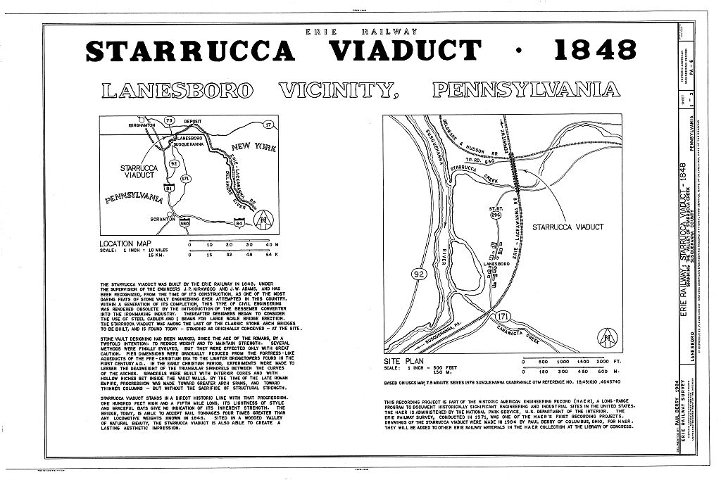
Maps
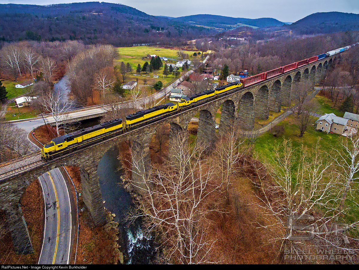
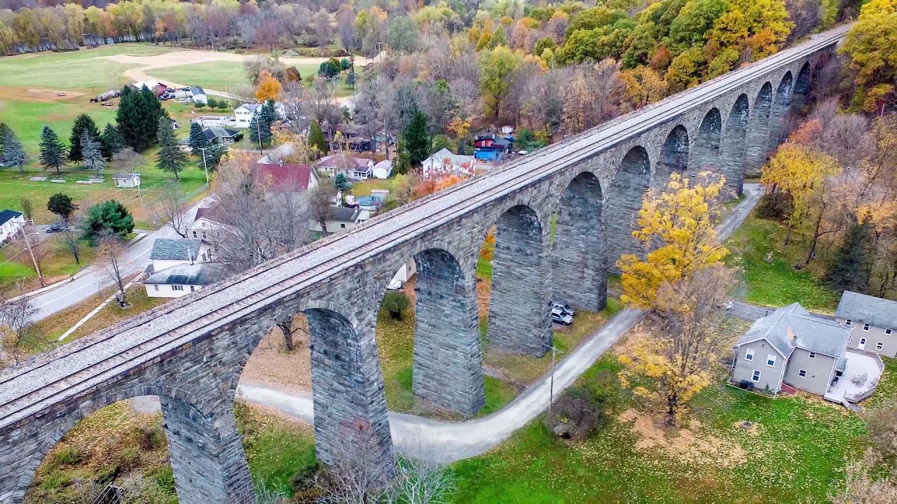
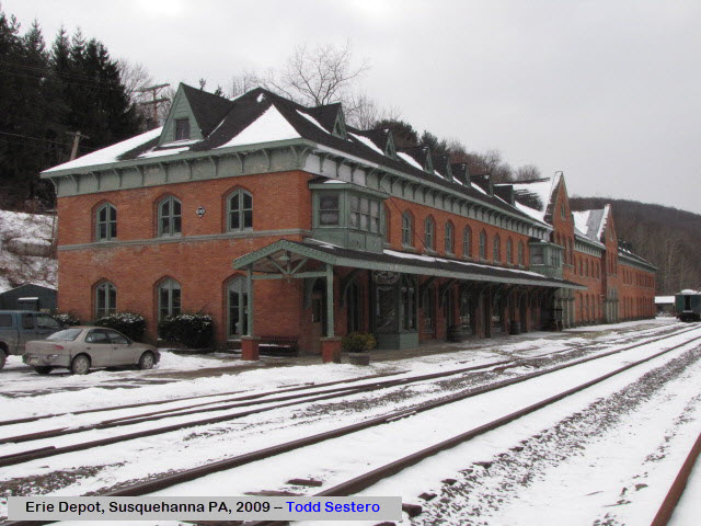
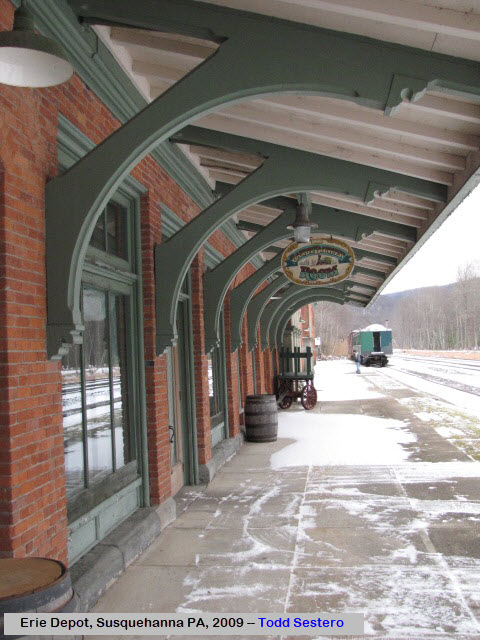
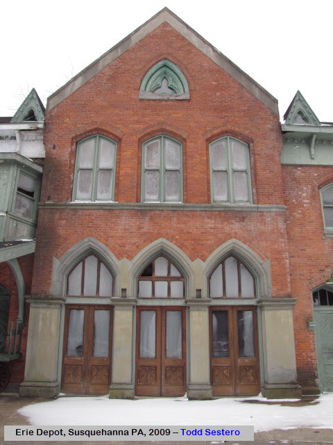
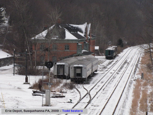
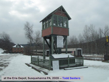
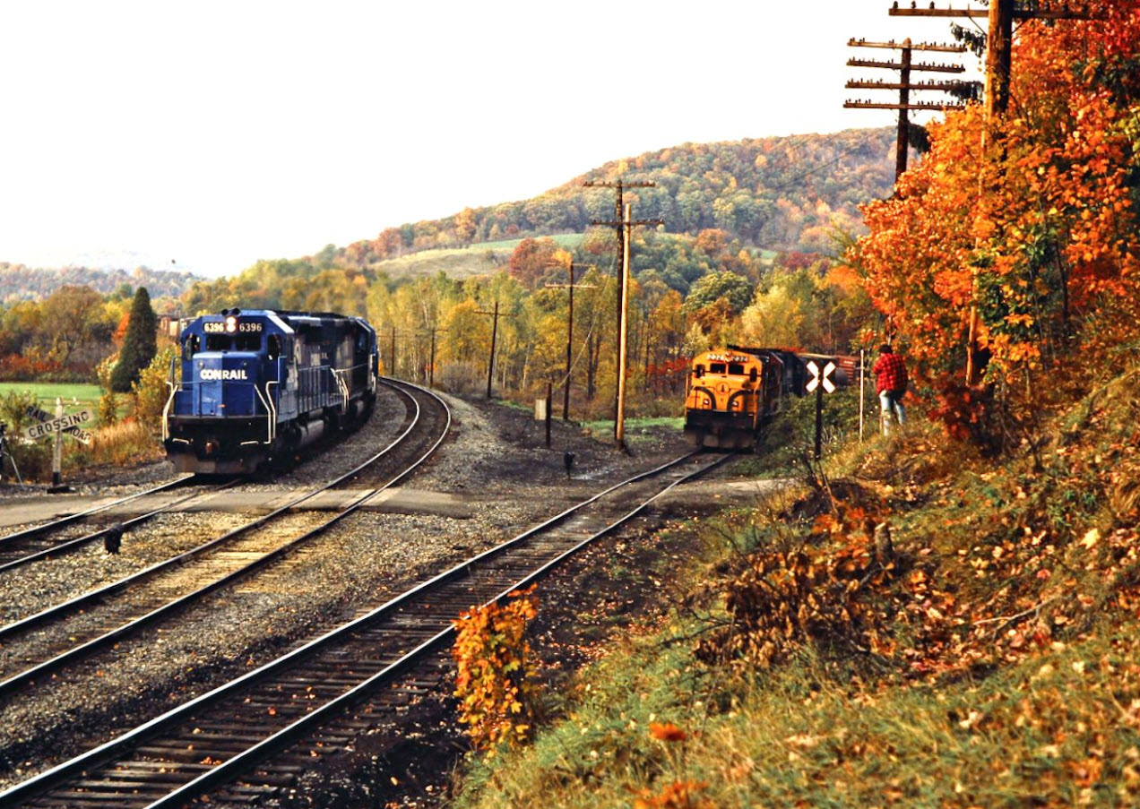
Sights
Bridges
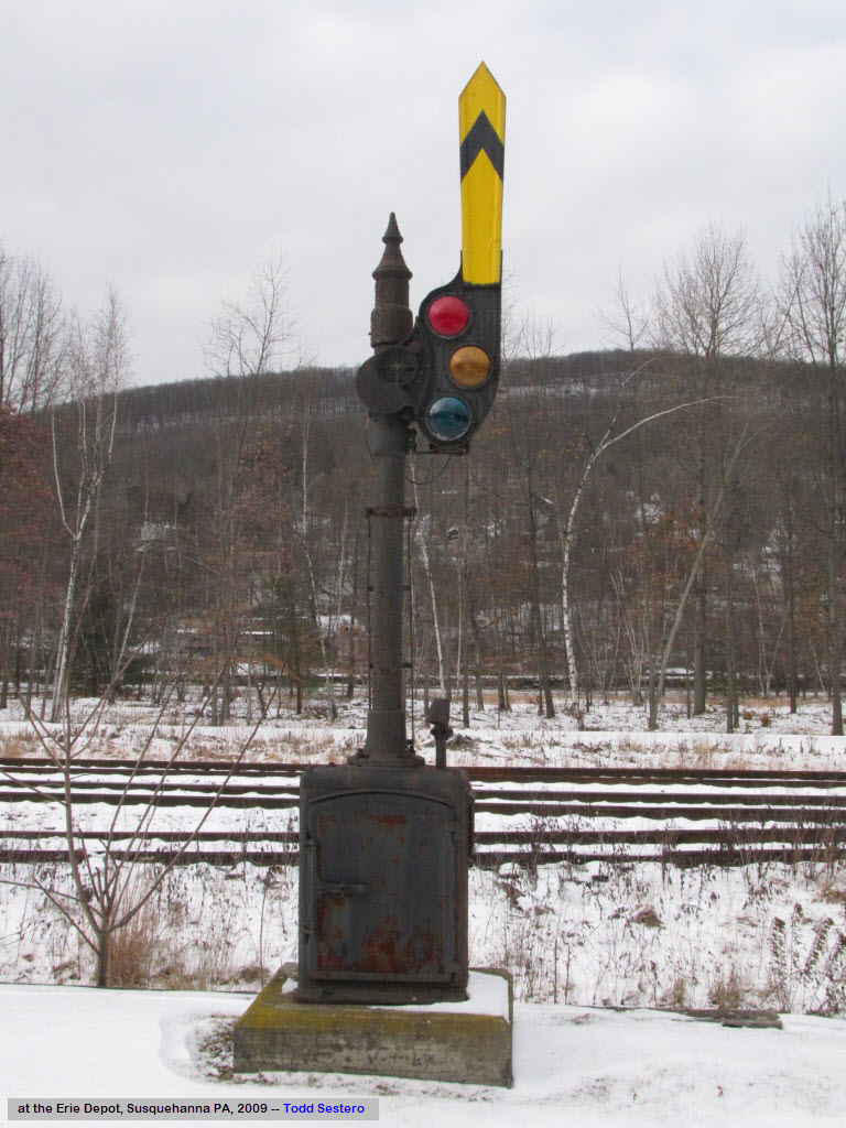
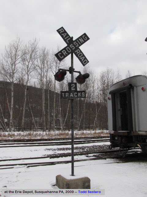
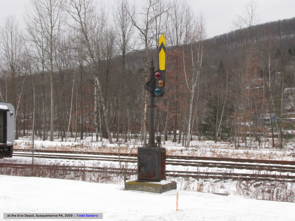
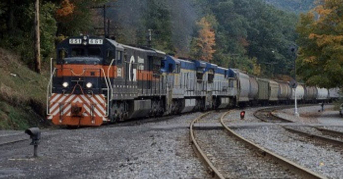
Signals
Fire and Police
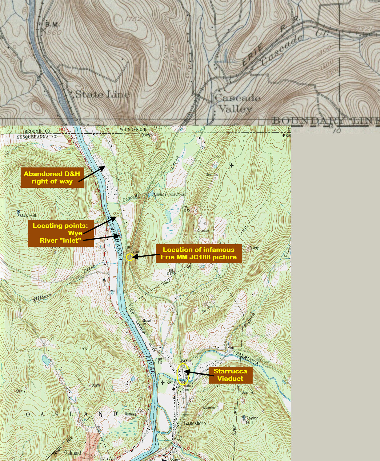
USGS Map
In General
Getting Here
Maps
Sights
Bridges
Signals
Fire and Police
USGS Map
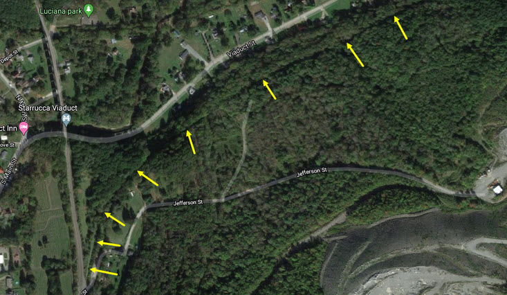
Maps
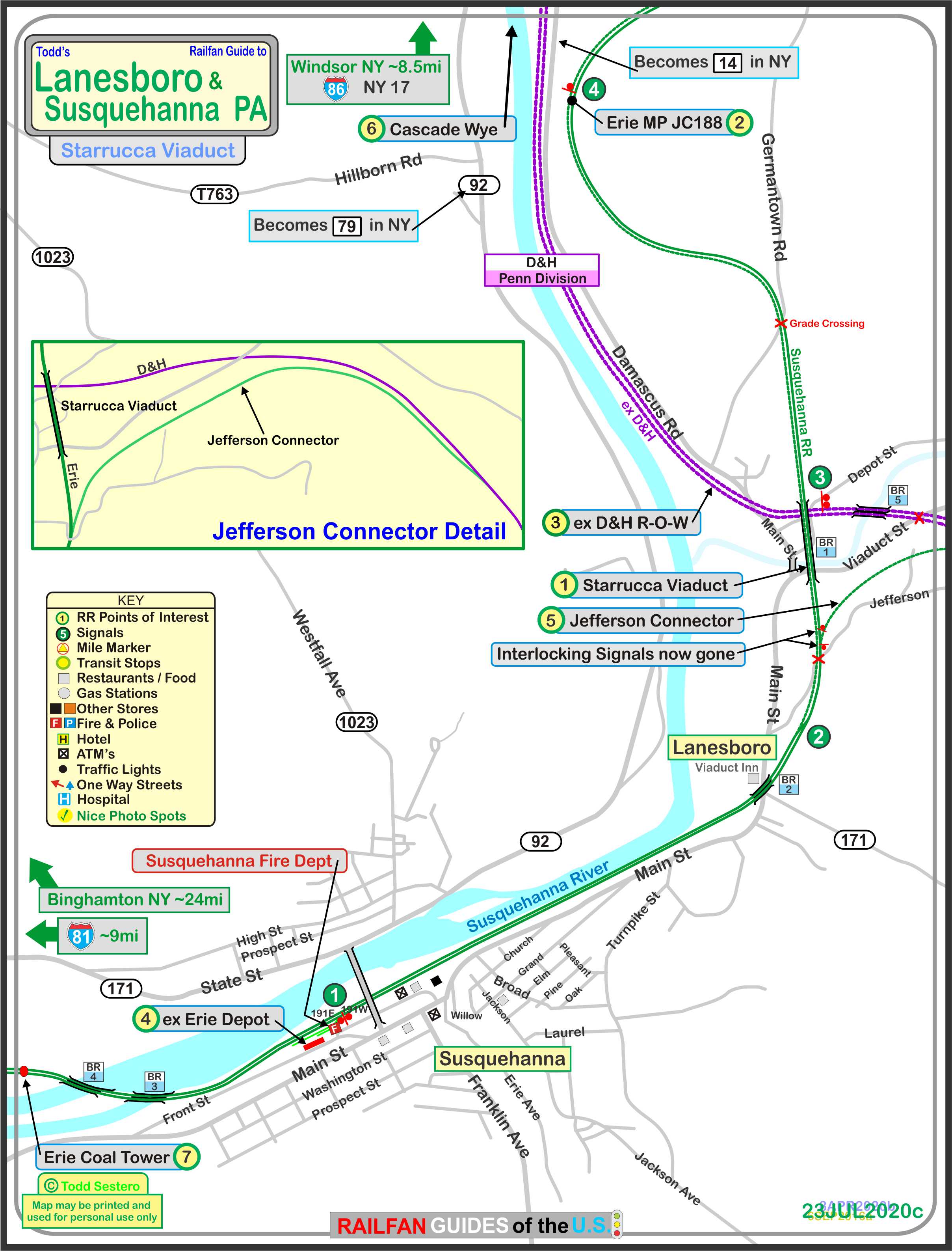
The above map in a PDF format can be found here
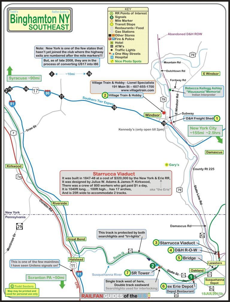
The above map is shown for reference, and the numbering is different than the
Lanesboro map, in PDF format is here
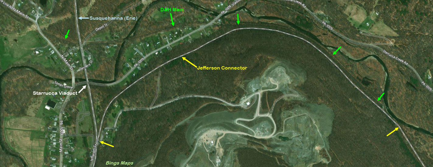
Below is a map from --Open Railway Map--, denoted with the places of
interest mentioned on this page, without reference numbers
if you want to print off something not as cluttered.
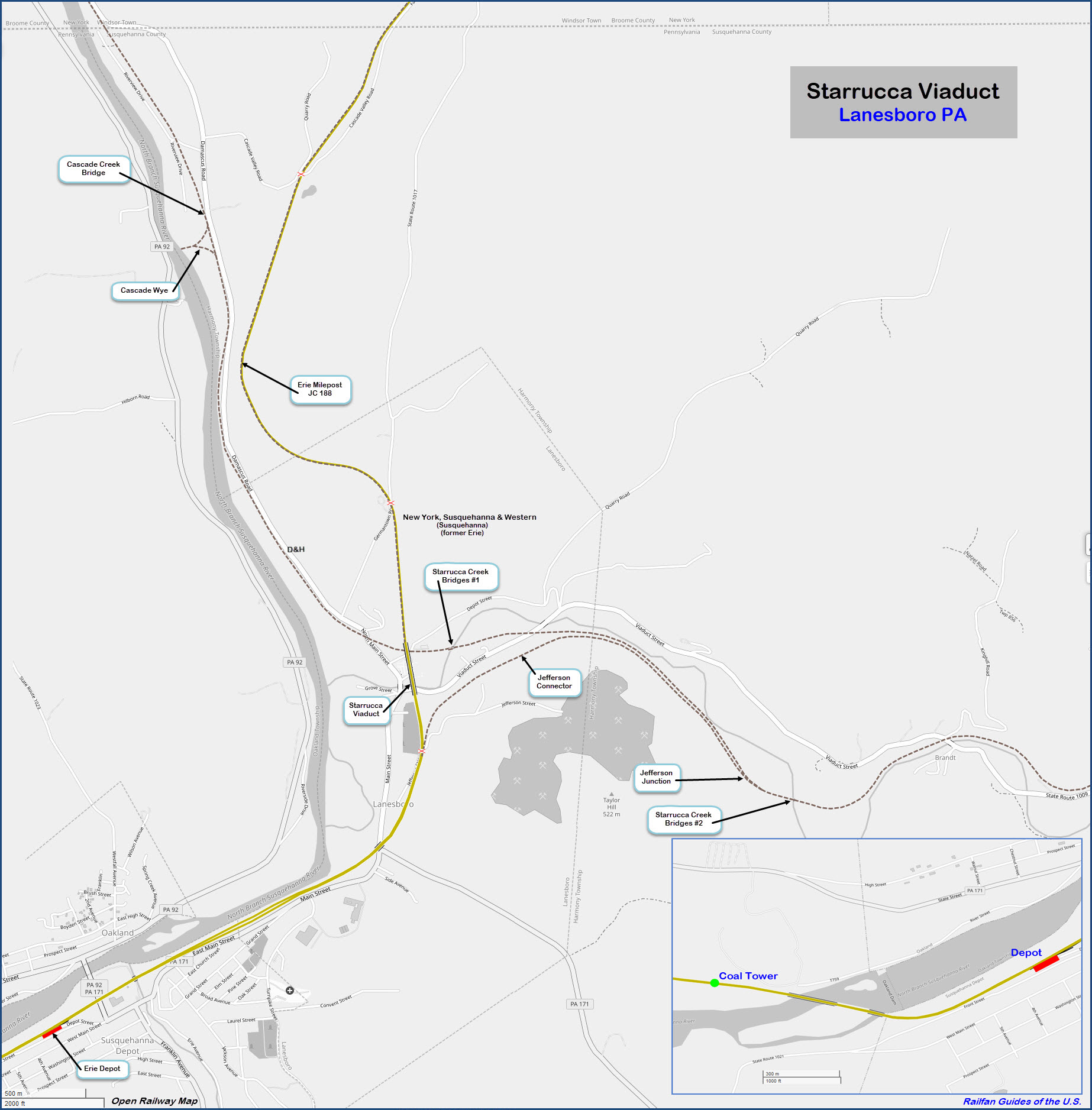
An undated early topographical map showing the Jefferson Connector, provided by Nelson Lawry.

![]()
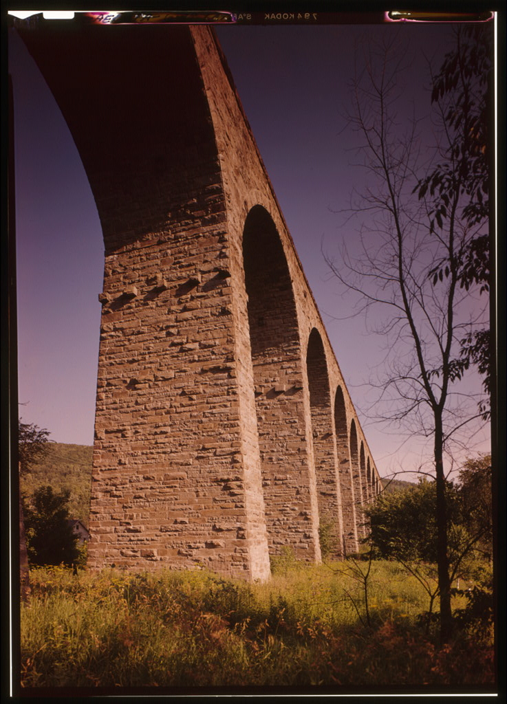
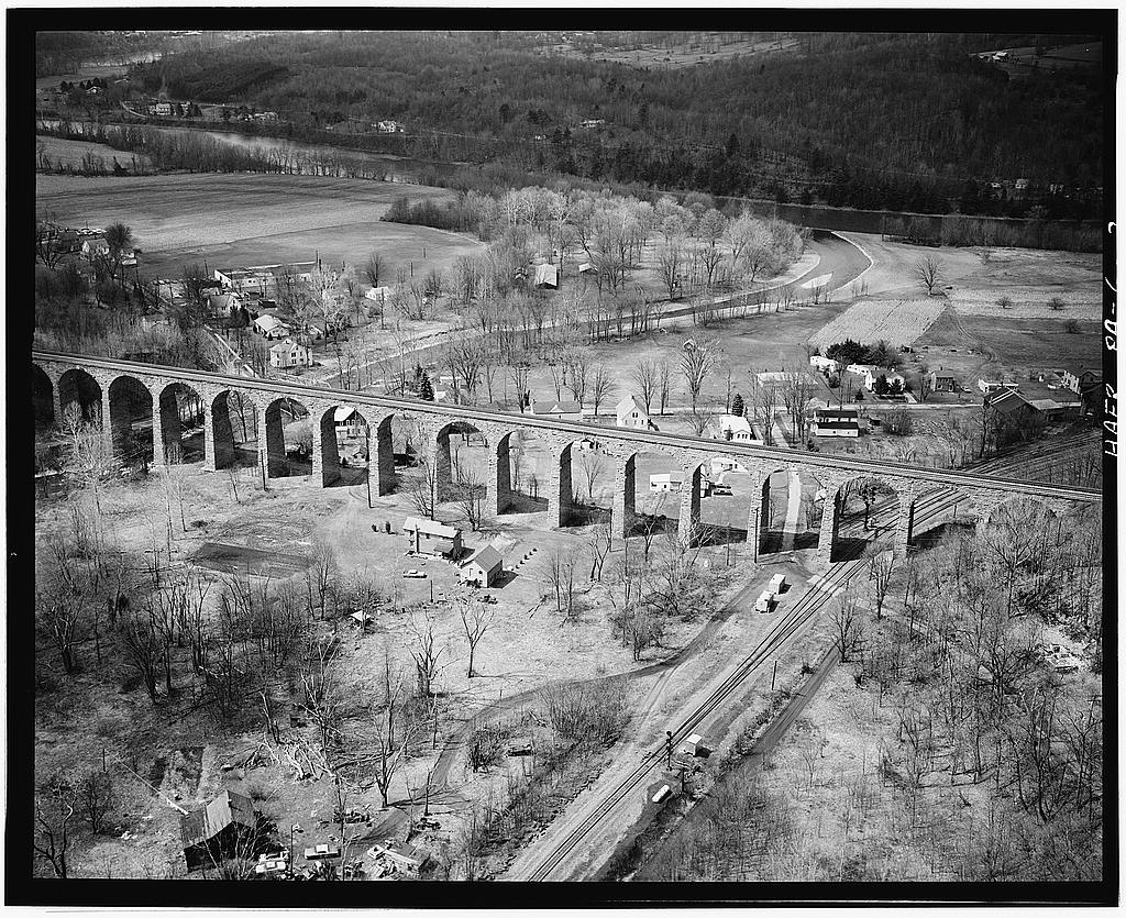
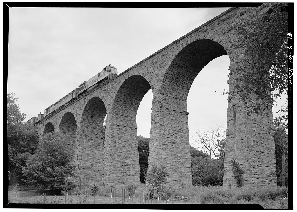
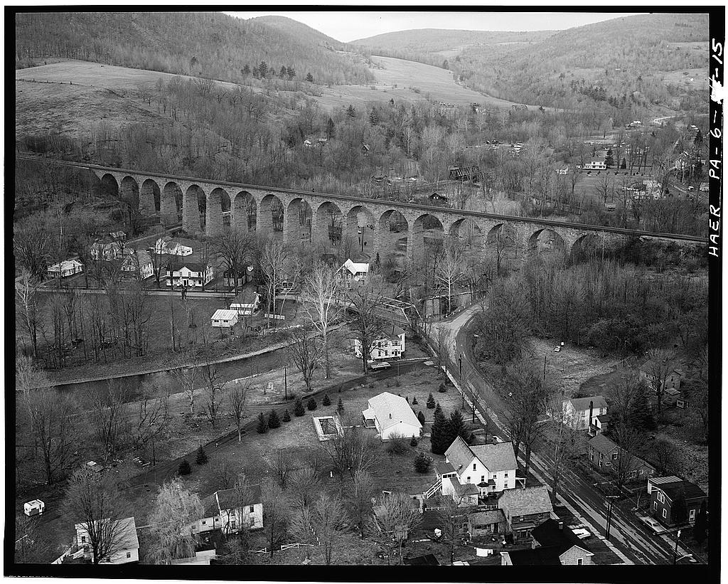
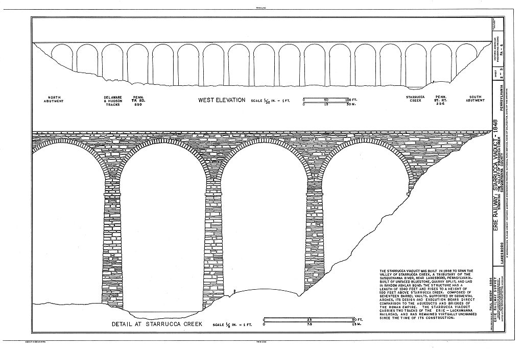
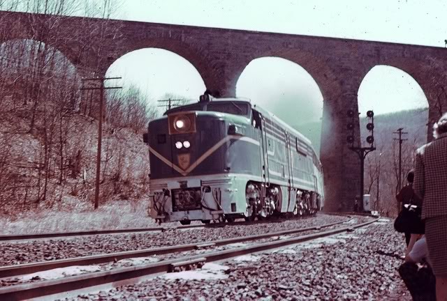
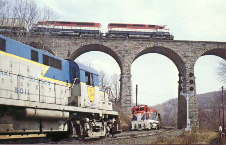
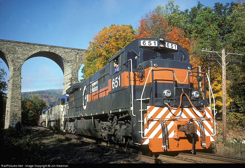
![]() The Starrucca Viaduct
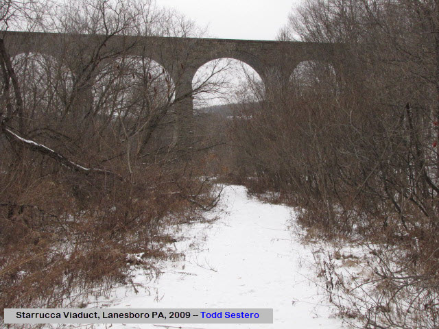
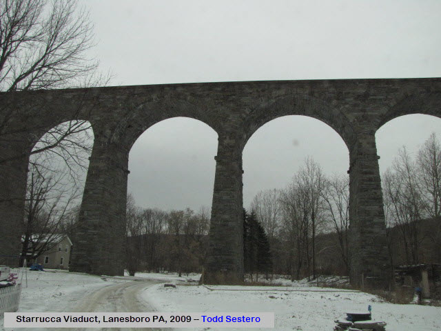
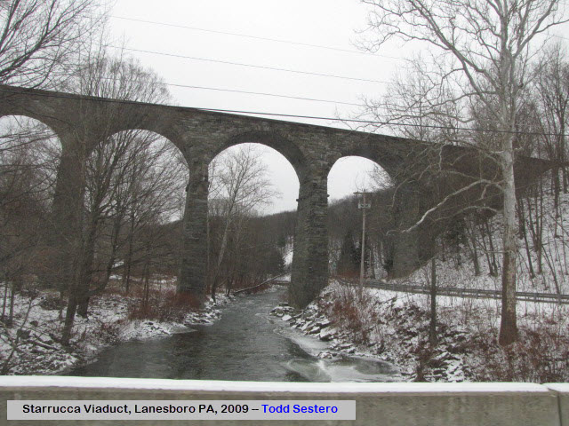
The Starrucca Viaduct
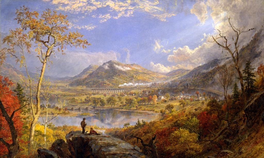
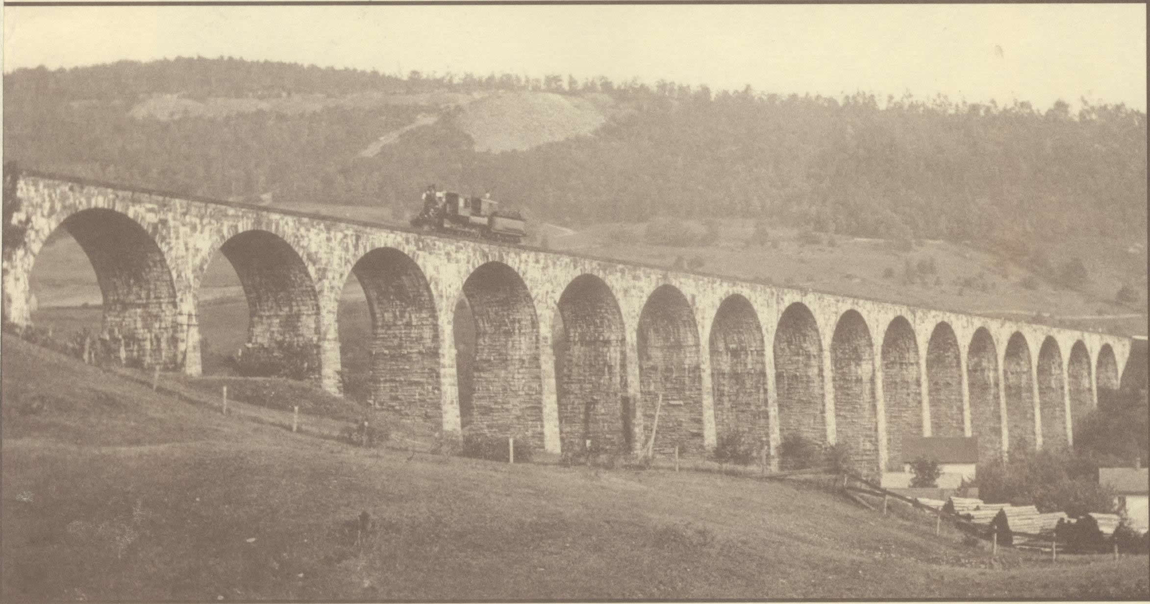
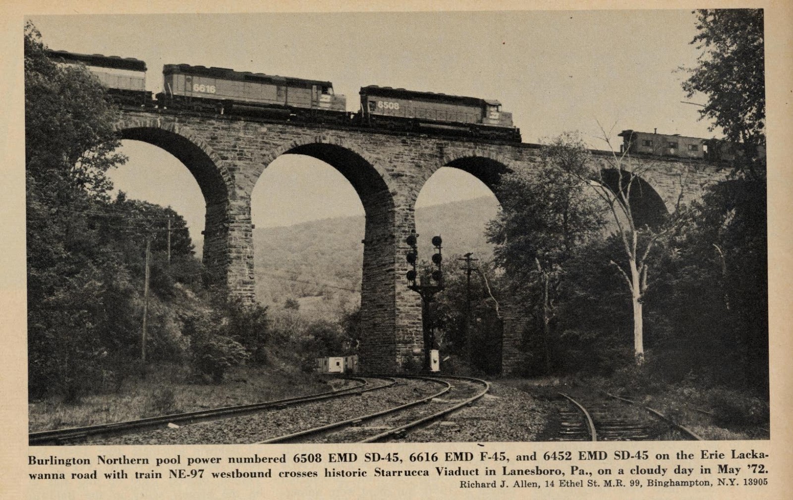
The pictures below were found on the Library of Congress website at the links provided above.
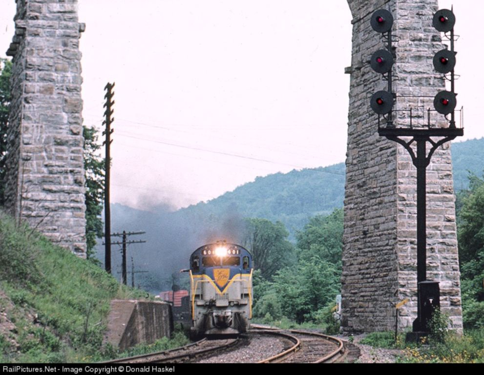
In several of the photographs, you can see pretty good detail of the D&H R-O-W
below, and the signals.


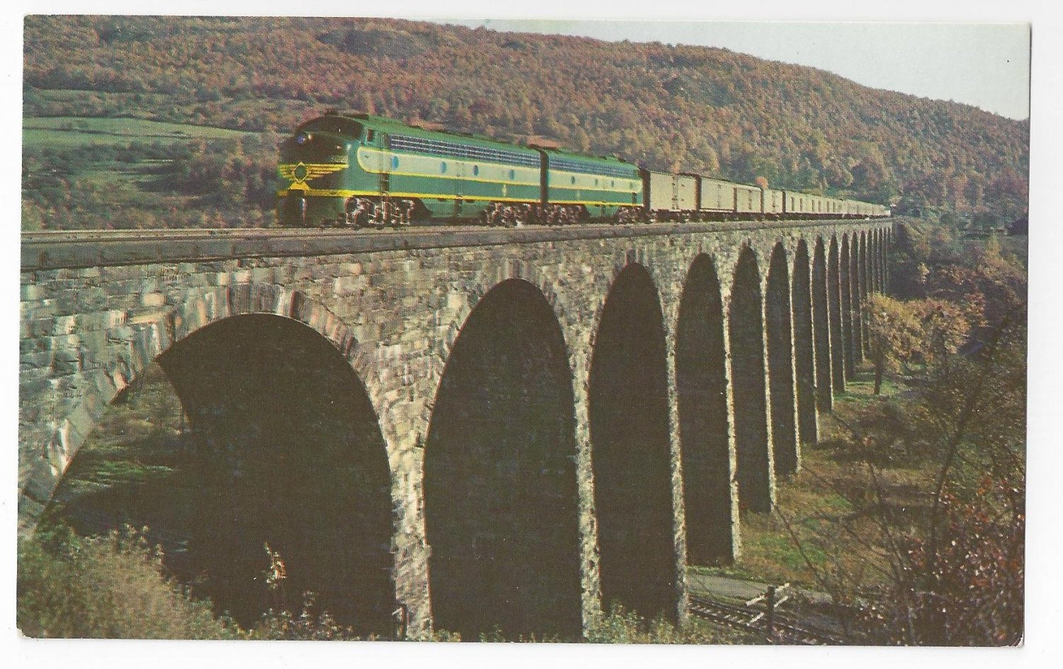
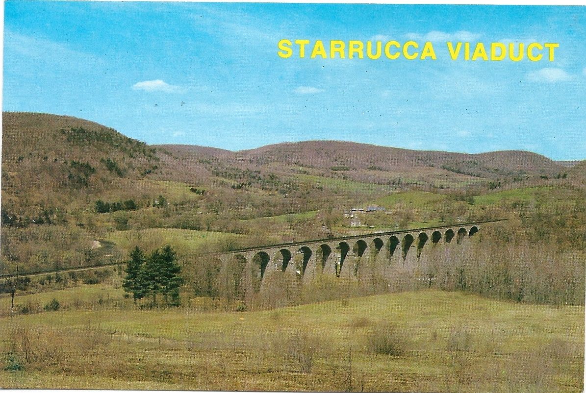
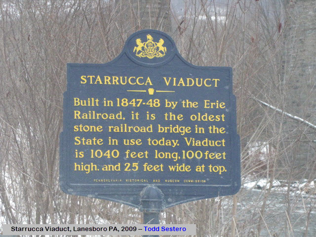
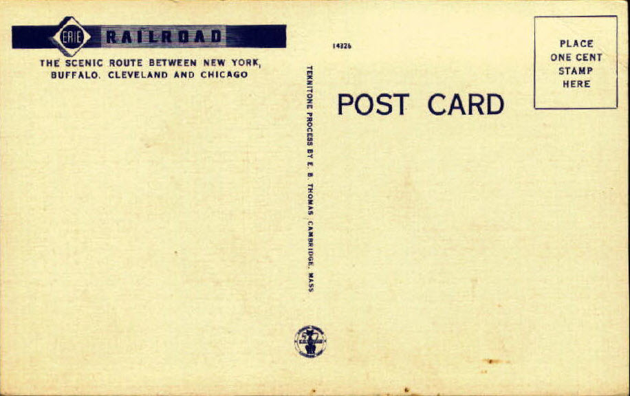
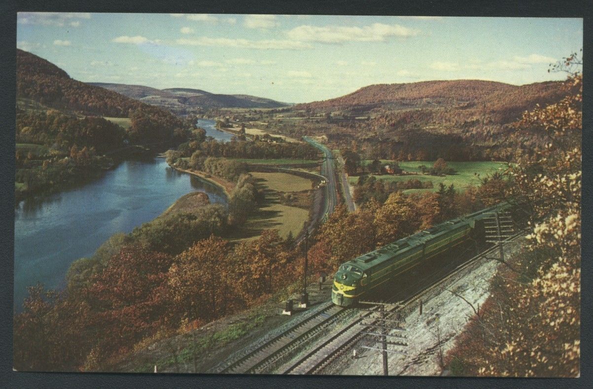
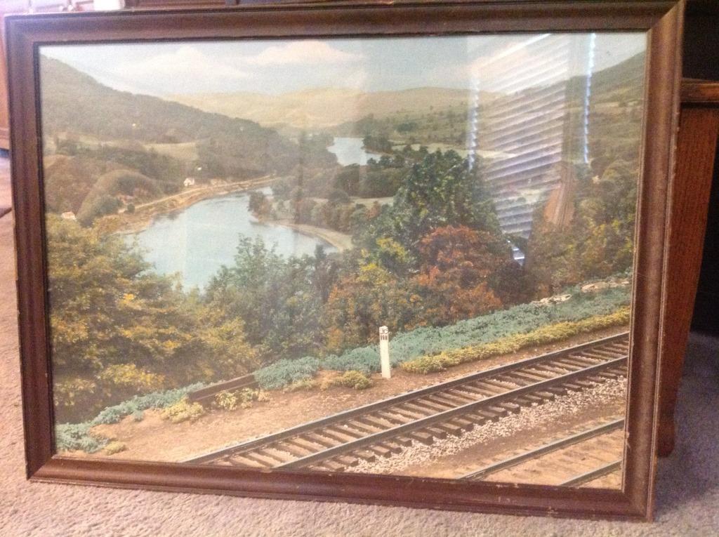
Below is a postcard of the viaduct, altho the title of being the oldest stone bridge goes to Thomas Viaduct in Relay MD....
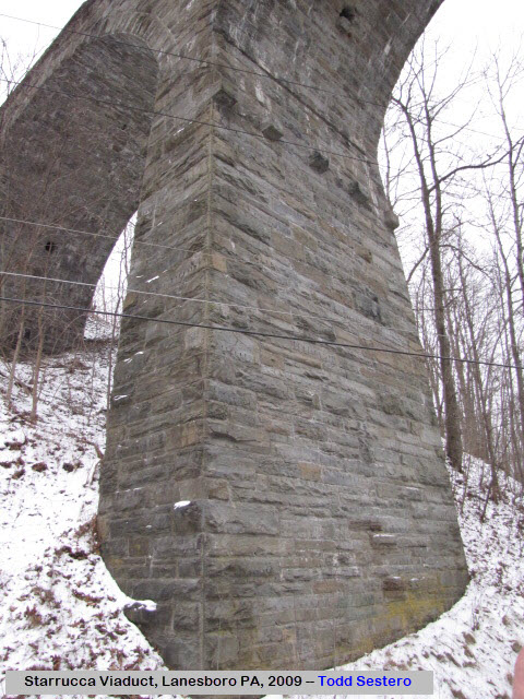
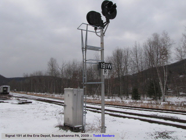
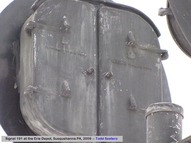
And finally, my own pictures from a dreary snowyish day back in 2009.....


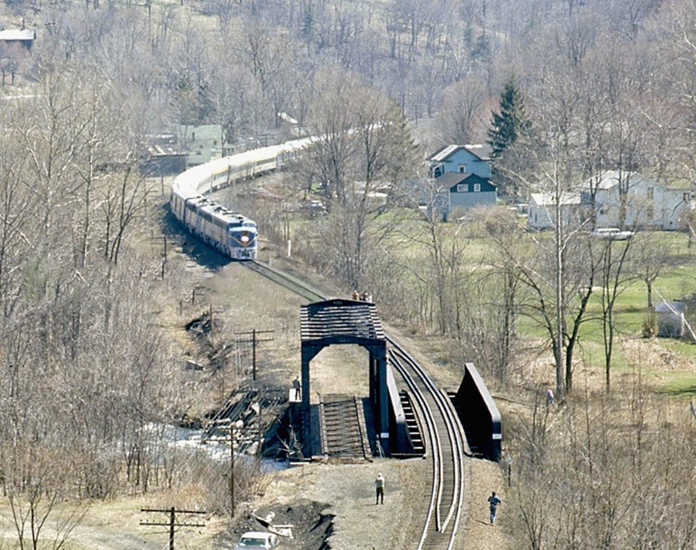
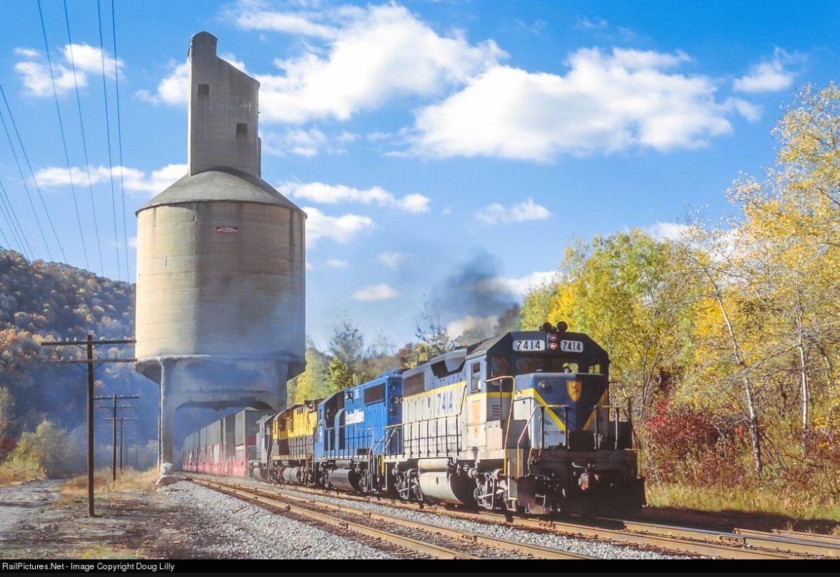
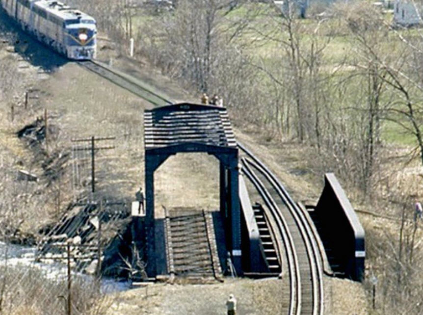
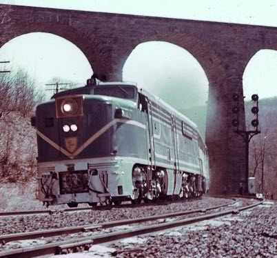
D&H Excursion approaching Starrucca Creek and the Viaduct, April 1974, unknown photographer
up on the Starrucca Viaduct

1976, unknown photographer -- with three trains in the shot, it's the kind of
picture we ALL wish we were around for!!!


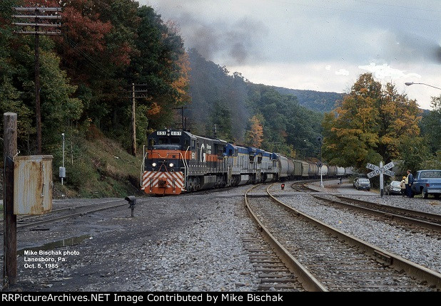


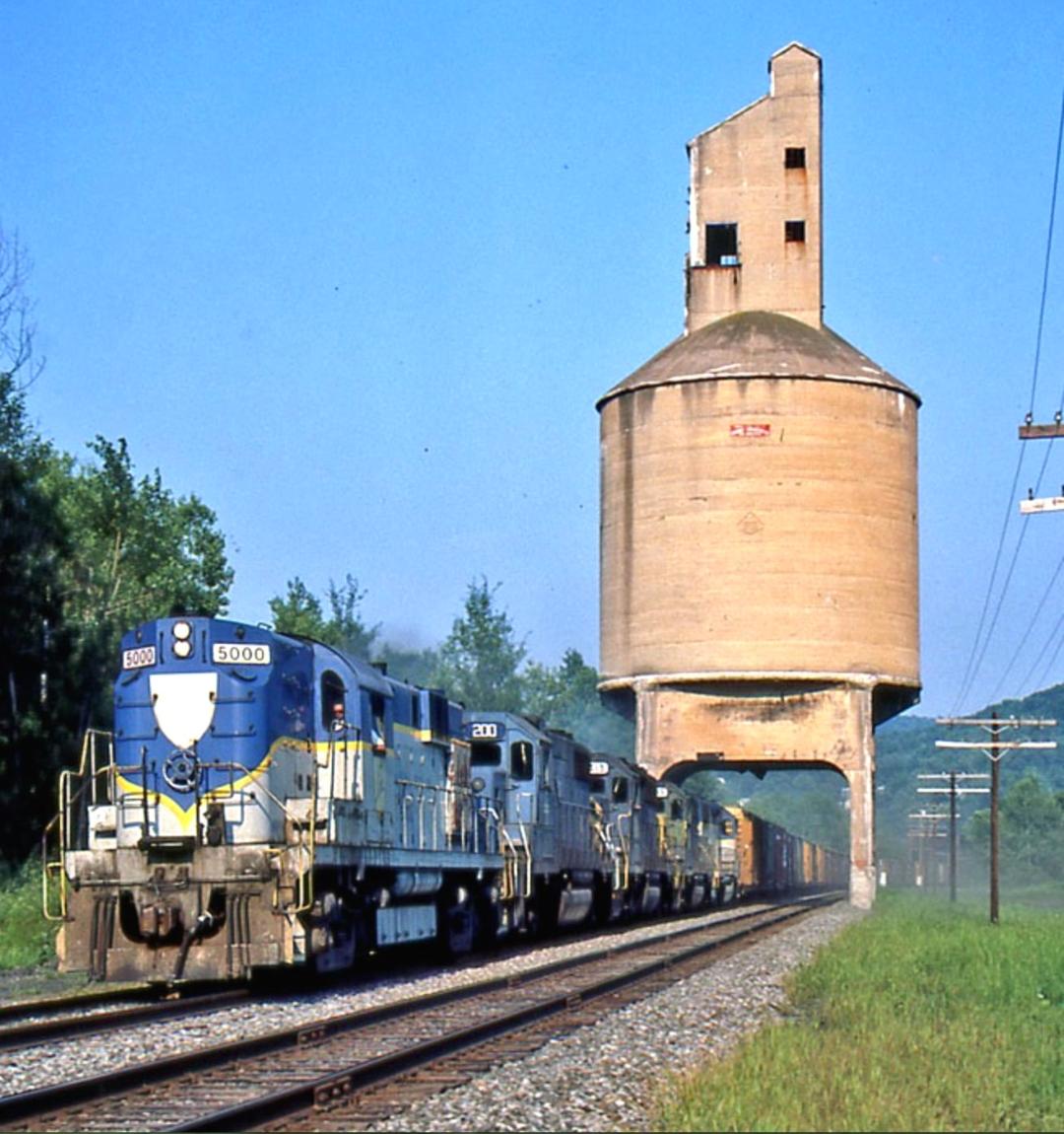
 10/1985, John Bjorklund photo
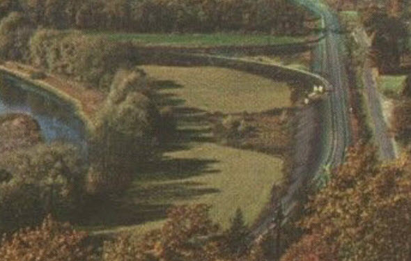


The Other Bridges of the Area
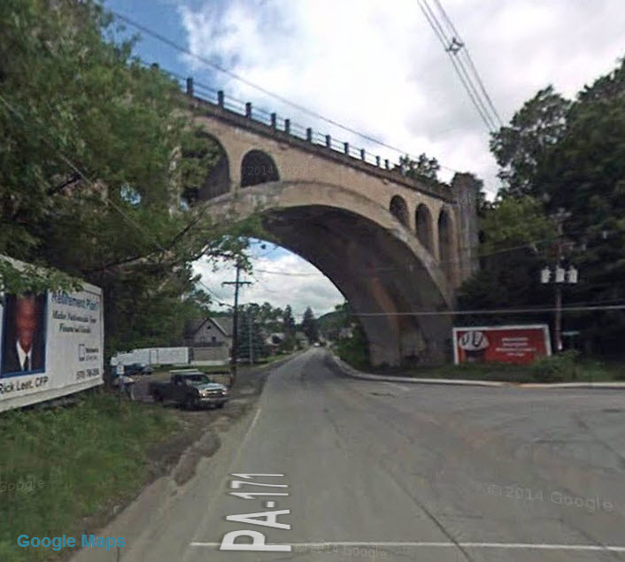
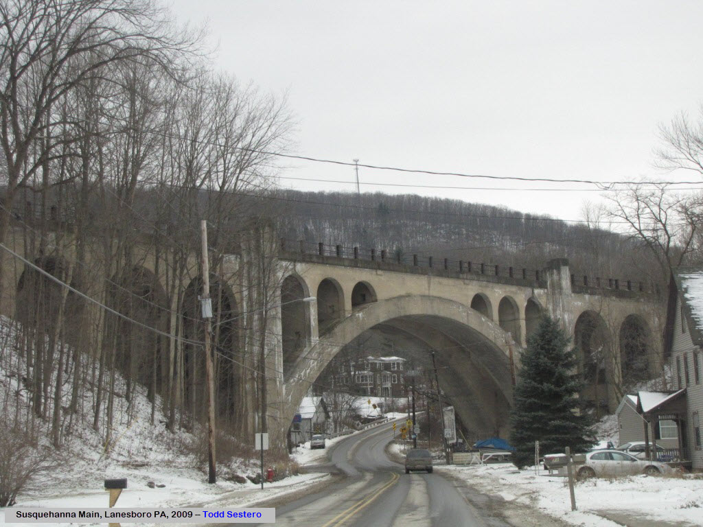
![]() Bridge Over Main St in Lanesboro - Susquehanna RR/former Erie
Bridge Over Main St in Lanesboro - Susquehanna RR/former Erie
GPS Coordinates: 41.954631, -75.585898

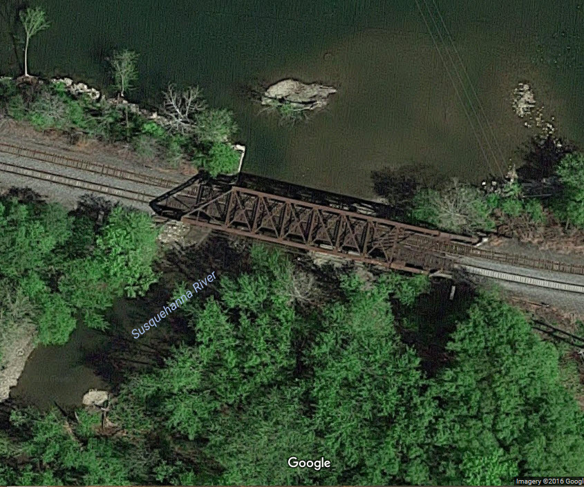
![]() Bridge Over the Susquehanna River on the
"Erie"
Bridge Over the Susquehanna River on the
"Erie"
GPS Coordinates: 41.954631, -75.585898

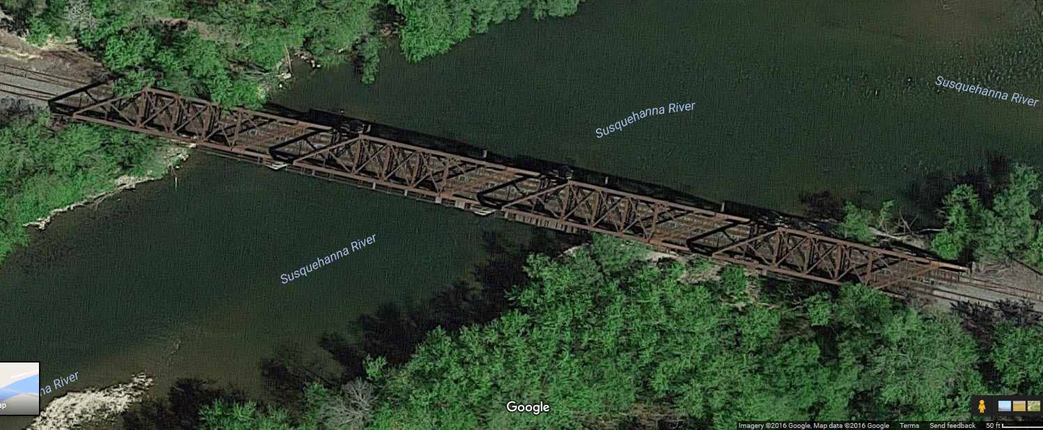
![]() Bridge Over the Susquehanna River on the
"Erie"
Bridge Over the Susquehanna River on the
"Erie"
GPS Coordinates: 41.943273, -75.621222
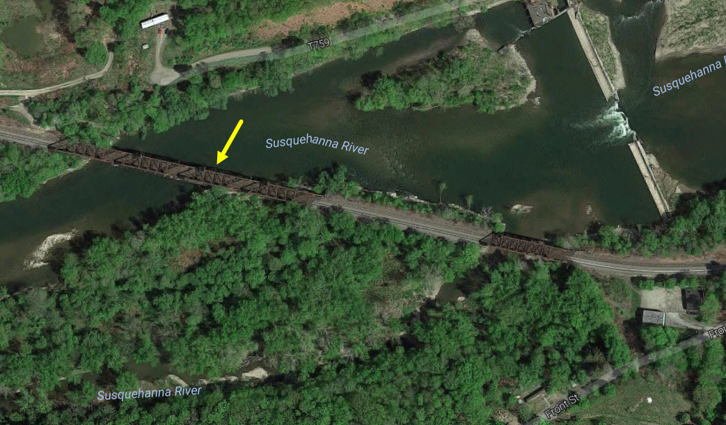
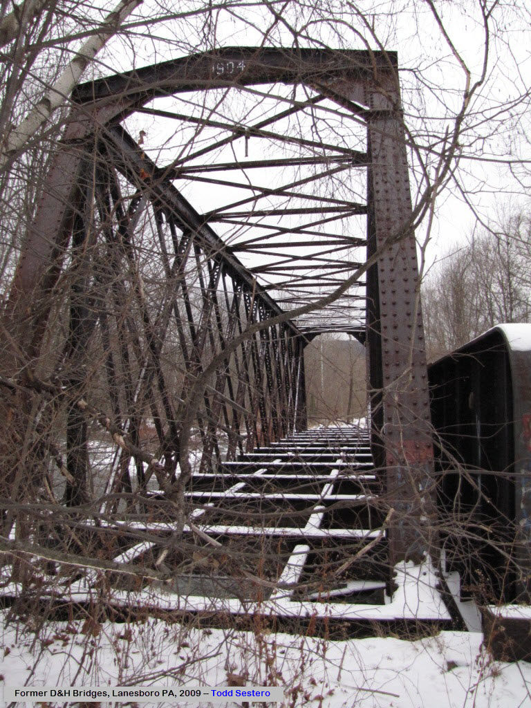
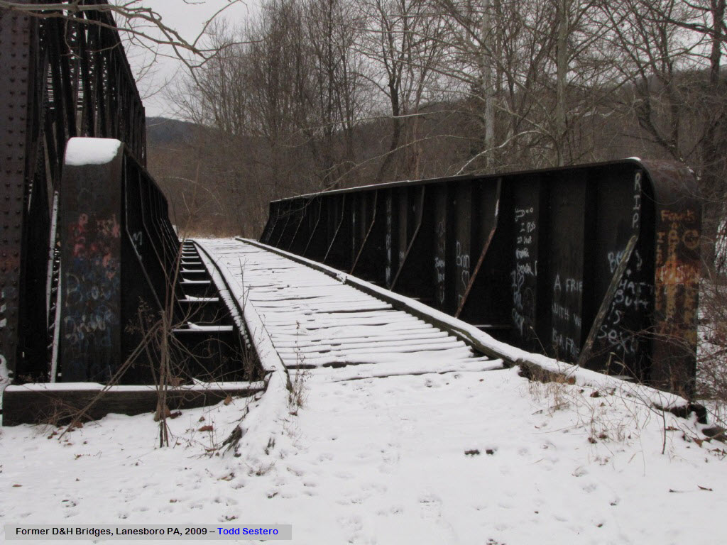
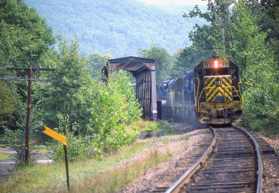
![]() Former D&H Bridges over Starrucca Creek #1
Former D&H Bridges over Starrucca Creek #1
GPS Coordinates: 41.965481, -75.580489
Here we have an older through-truss type bridge sitting next to a
through-plate-girder bridge. The girder bridge dates to 1929, and
rests on concrete abutments. The other bridge dates to 1904, and sits
on stone abutments. The newer bridge was removed in June of 2016 by
Canadian Pacific, present day owner of the D&H R-O-W, due to issues with
high water. At some point, the D&H re-aligned the curve to go over the
newer bridge. Thanks to Nelson Lawry for this information.

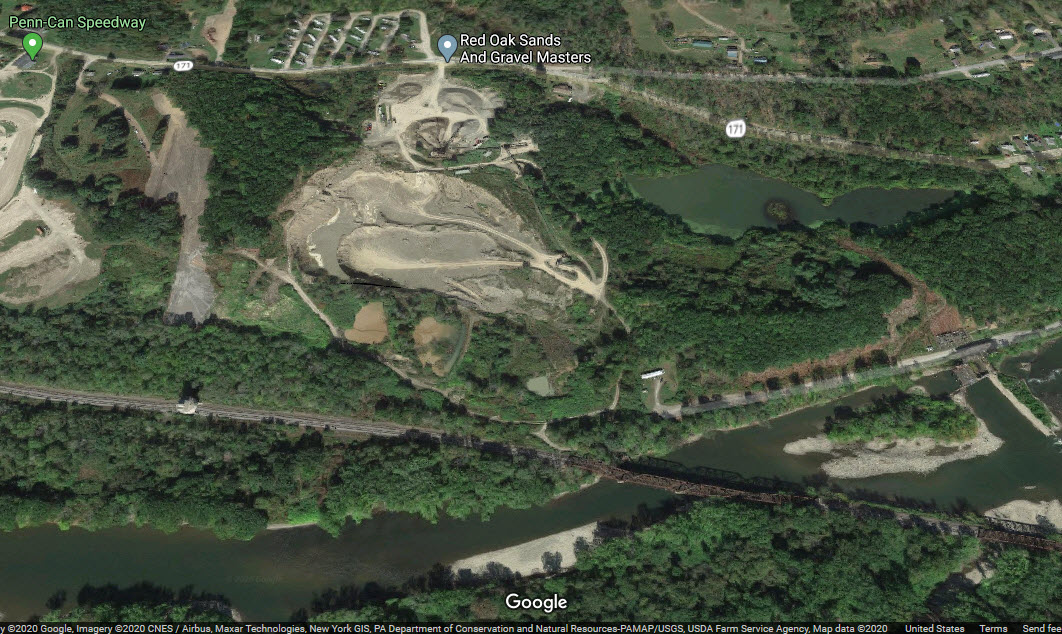
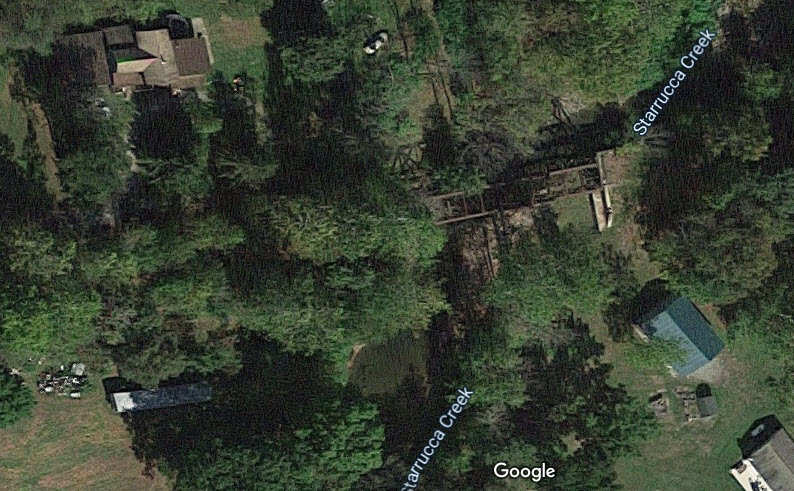
In the 2020 aerial view from Google, we can see that the girder bridge has been removed.
 2016
2016
 in 2020
 1985
1985

![]() Former D&H Bridges over Starrucca Creek #2
Former D&H Bridges over Starrucca Creek #2
GPS Coordinates: 41.957190, -75.555971
Can anyone help out with the details of these bridges? Has one of them been
re-decked for a trail? Dunno, can't tell from up here....
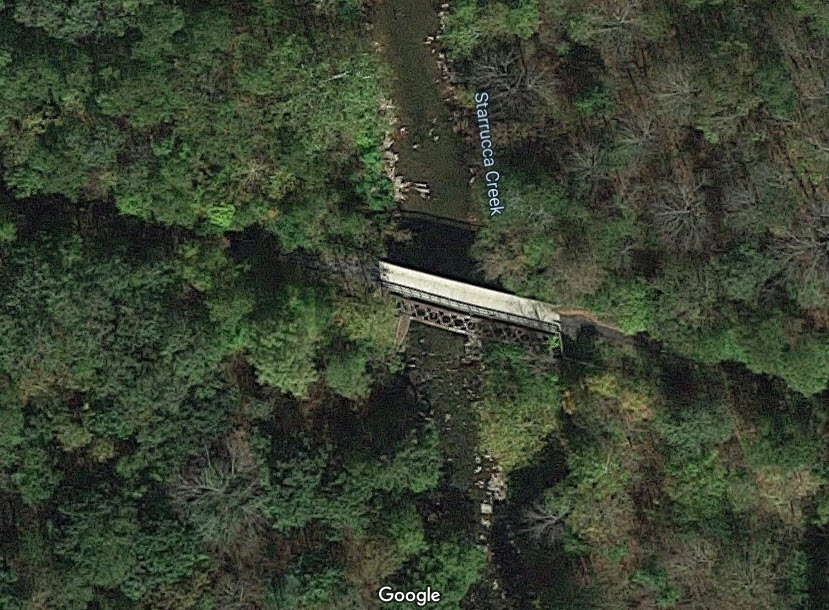
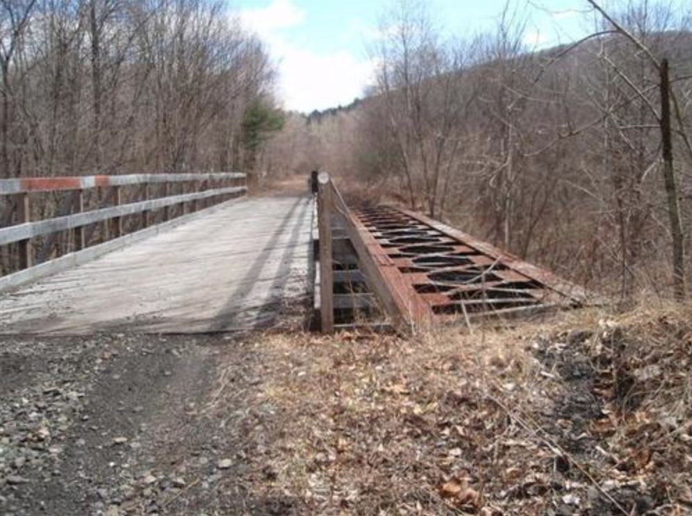 photo: Nelson Lawry
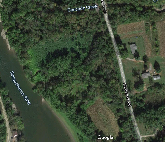
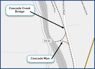
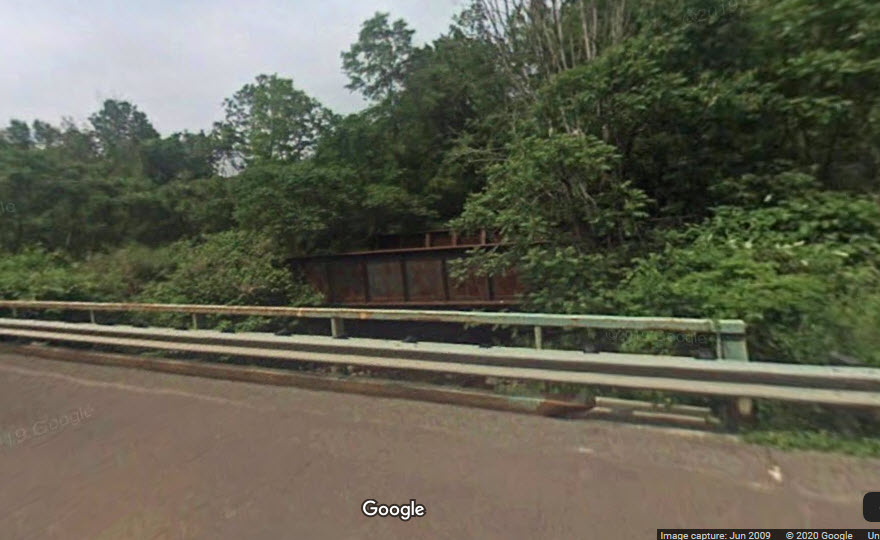
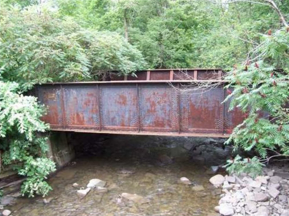
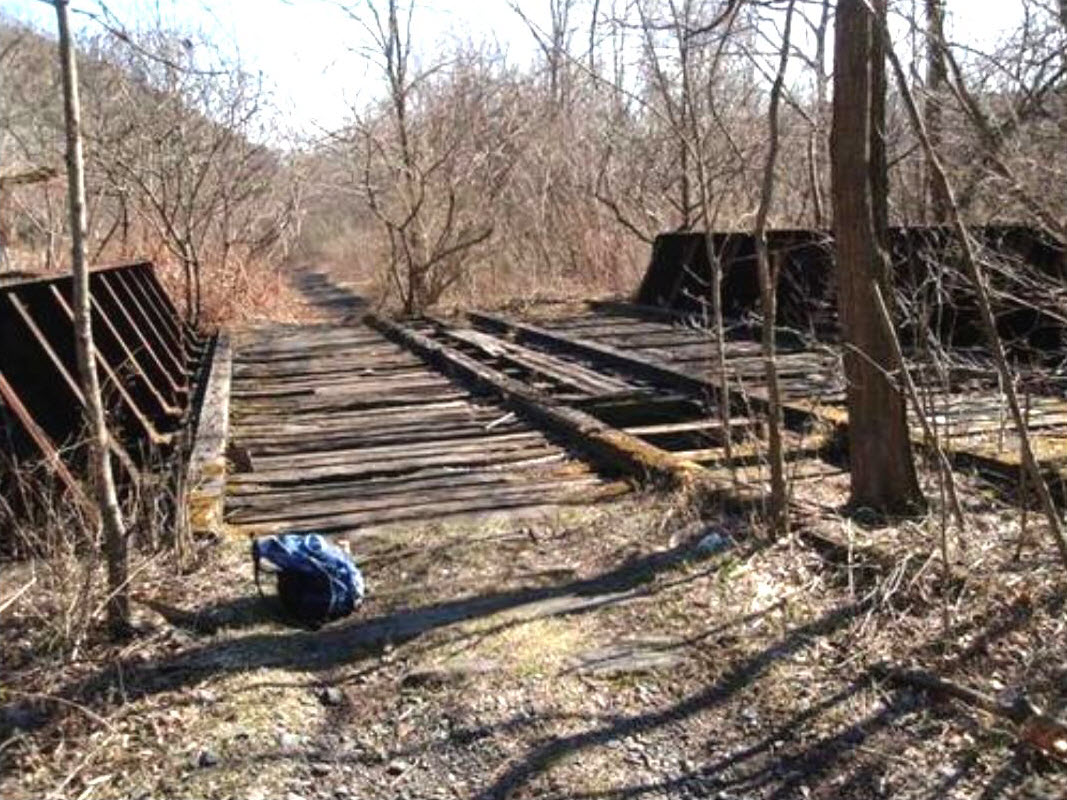
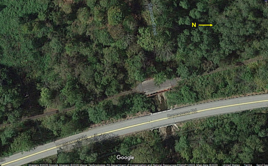
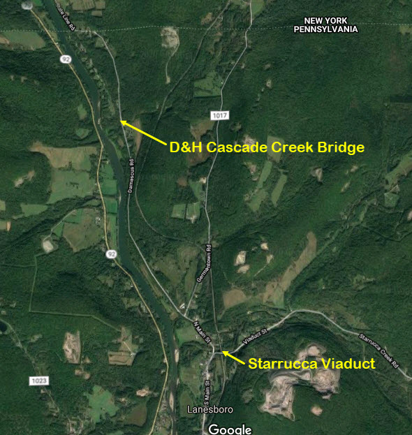
![]() Former D&H Bridge over Cascade Creek
Former D&H Bridge over Cascade Creek
GPS Coordinates: 41.98874, -75.59855
Can be seen from Damascus Road.
 unknown photographer/date
 4/2009, photo by Mike Guzzi


 from the Mike Bischak photo
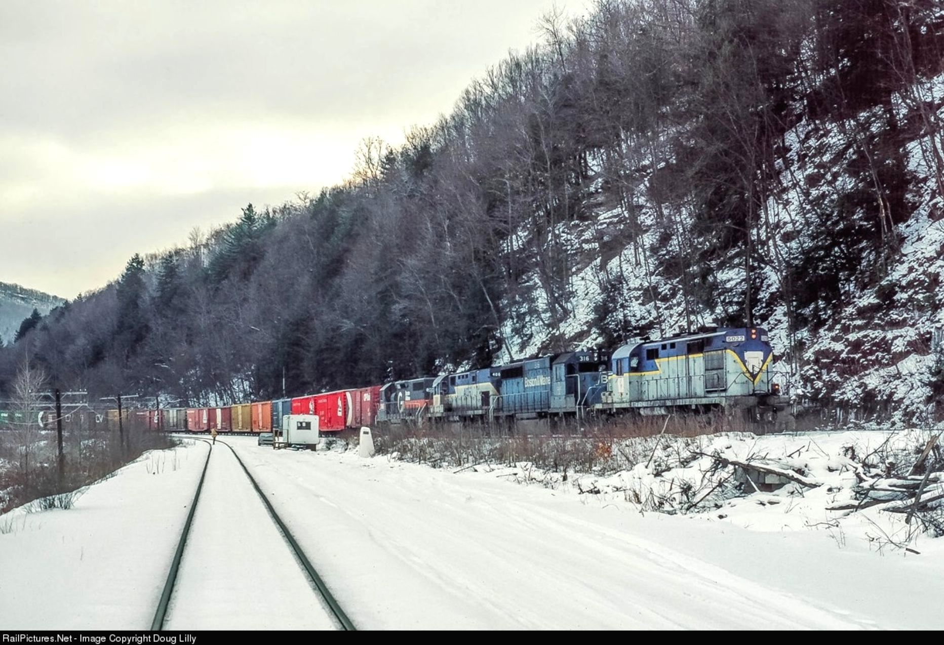
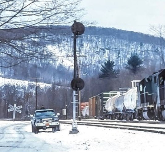 from the Doug Lilly photo
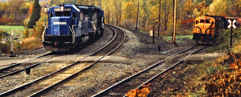 from John
Bjorklund photo
from John
Bjorklund photo

Disclaimers:
I love trains, and I love signals. I am not an expert.
Please Note: Since the main focus of my two websites is railroad signals, the railfan guides are oriented towards the signal fan being able to locate them. For those of you into the modeling aspect of our hobby, my indexa page has a list of almost everything railroad oriented I can think of to provide you with at least a few pictures to help you detail your pike.
If this is a railfan page, every effort has been made to make sure that the information contained on this map and in this railfan guide is correct. Once in a while, an error may creep in :-)
My philosophy: Pictures and maps are worth a thousand words, especially for railfanning. Text descriptions only get you so far, especially if you get lost or disoriented. Take along good maps.... a GPS is OK to get somewhere, but maps are still better if you get lost! I belong to AAA, which allows you to get local maps for free when you visit the local branches. ADC puts out a nice series of county maps for the Washington DC area, but their state maps do not have the railroads on them. If you can find em, I like the National Geographic map book of the U.S..... good, clear, and concise graphics, and they do a really good job of showing you where tourist type attractions are, although they too lack the railroads. Other notes about specific areas will show up on that page if known.
Aerial shots were taken from either Google or Bing Maps as noted.
Screen captures are made with Snagit, a
Techsmith product... a great tool if you have never used it!
By the way, floobydust is
a term I picked up 30-40 years ago from a National Semiconductor data
book, and means miscellaneous and/or other stuff.
Pictures and additional information is always needed if anyone feels
inclined to take 'em, send 'em, and share 'em, or if you have
something to add or correct.... credit is always given! BE NICE!!! Contact info
is here
Beware: If used as a source, ANYTHING from Wikipedia must be treated as being possibly being inaccurate, wrong, or not true.
RAILFAN GUIDES HOME
RAILROAD SIGNALS HOME