In General
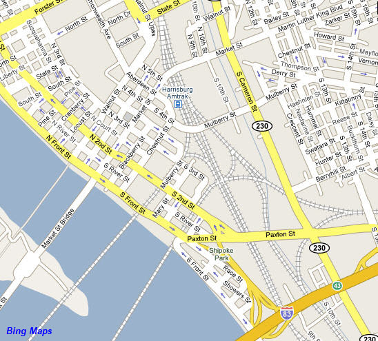
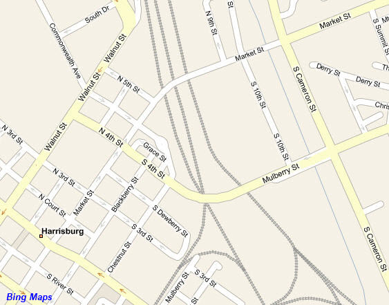
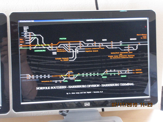
Map
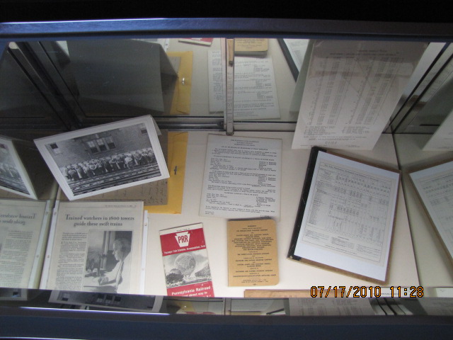
Sights
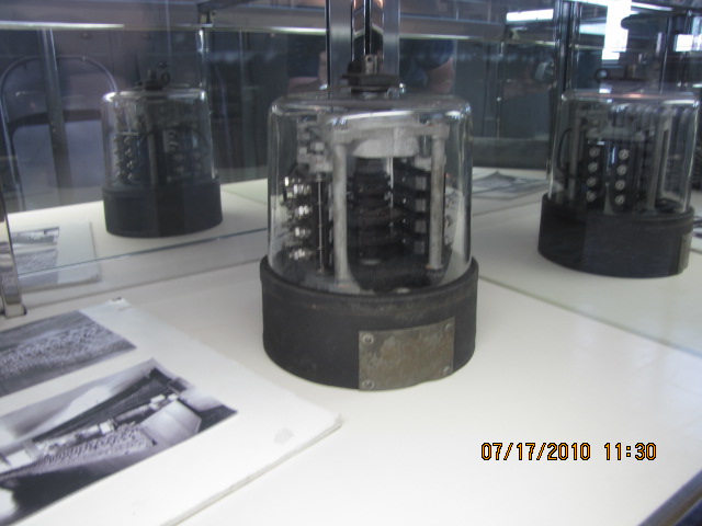
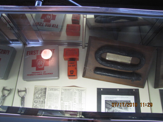
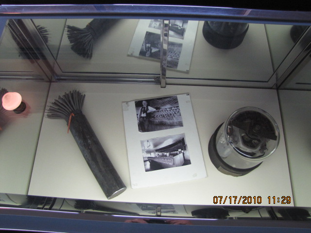
Pictures
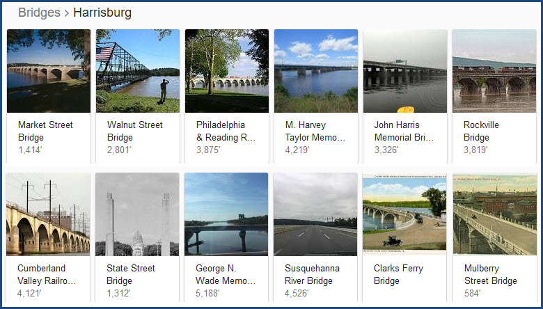
Bridges
Signals
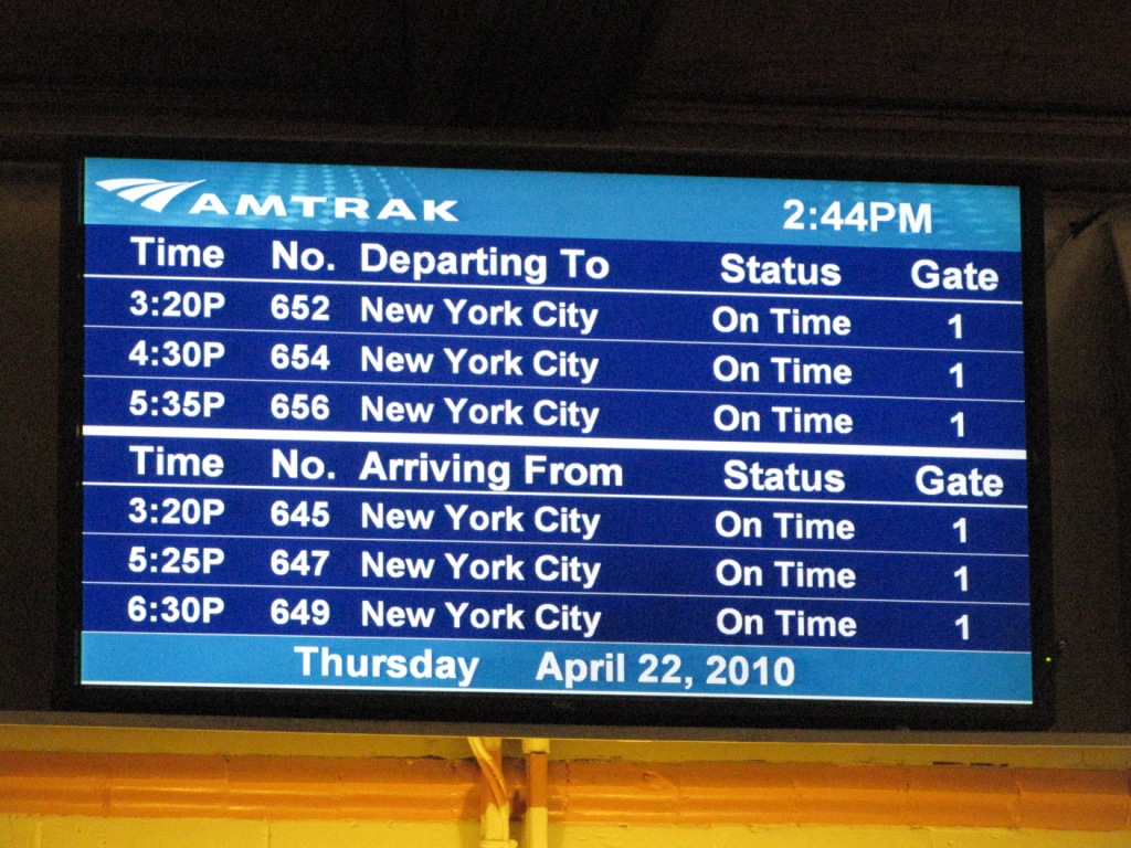
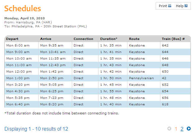
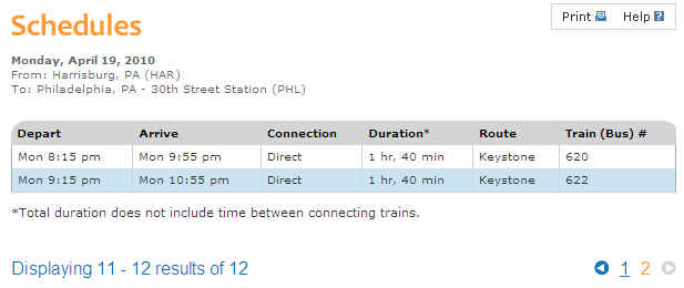
Amtrak Schedules
In General
Map
Sights
Pictures
Bridges
Signals
Amtrak Schedules

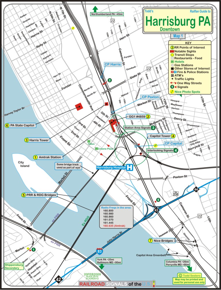
The above map is available
here as a PDF.
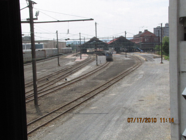
the Amtrak Station
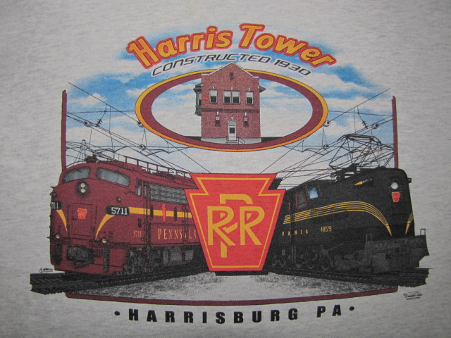
GG1 #4859
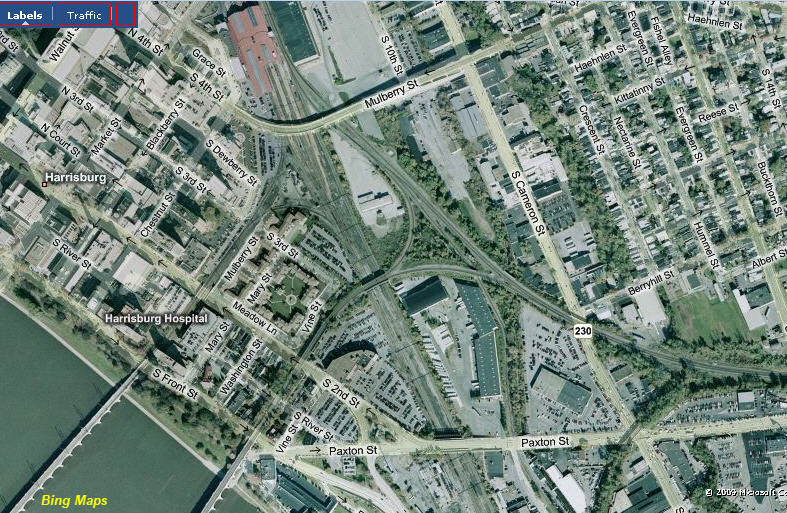
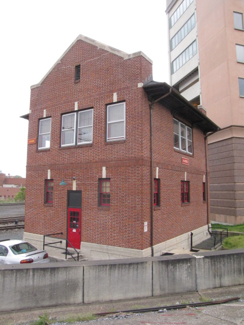
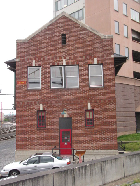
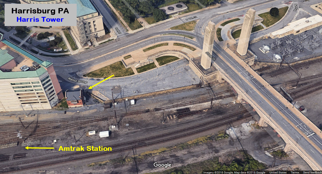
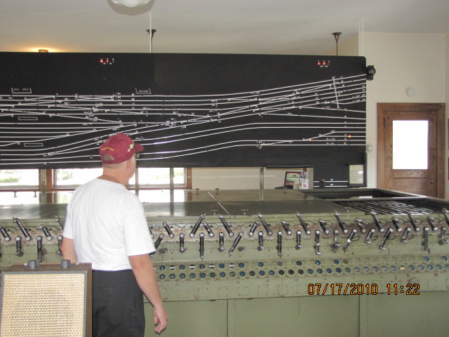
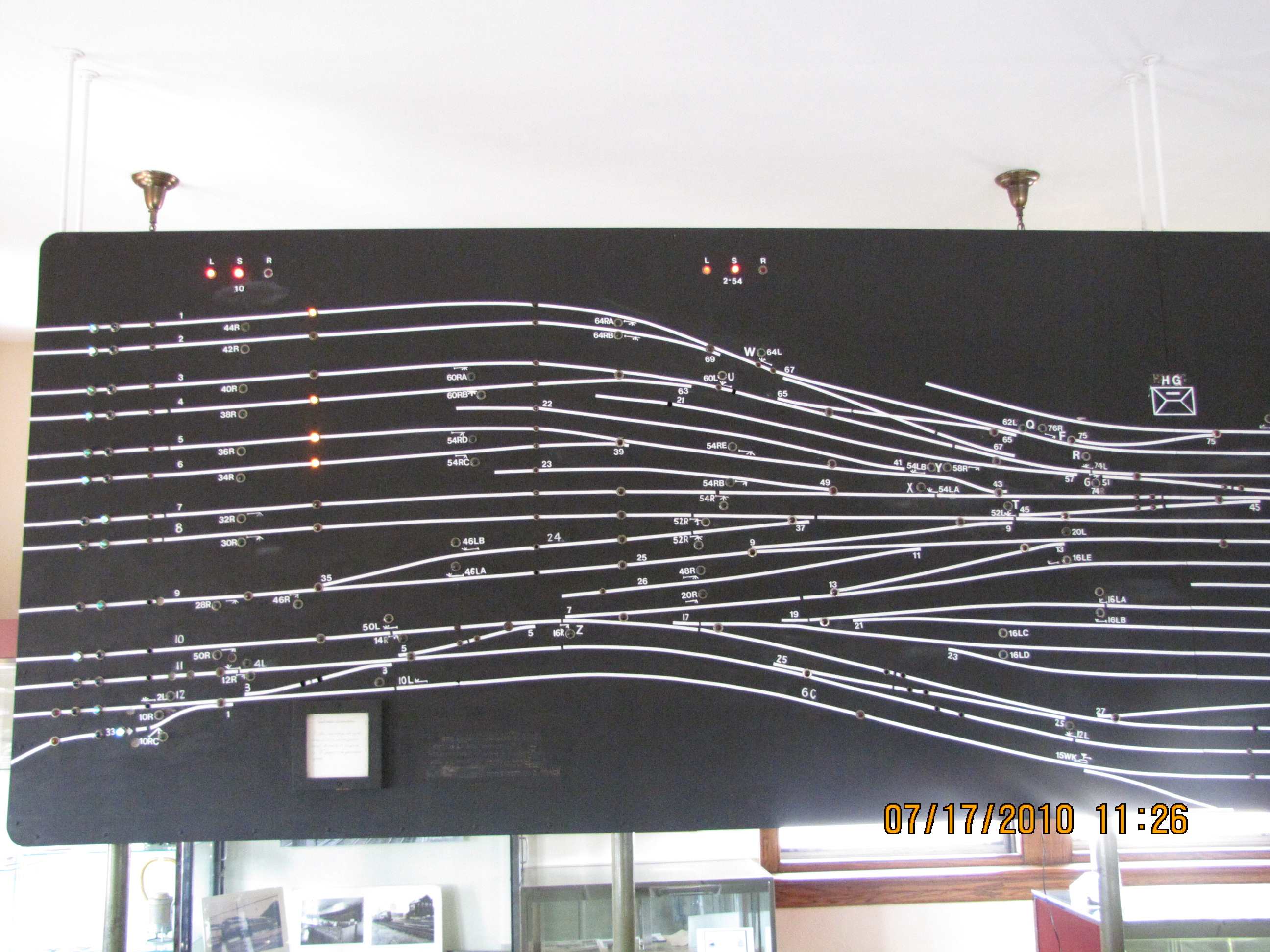
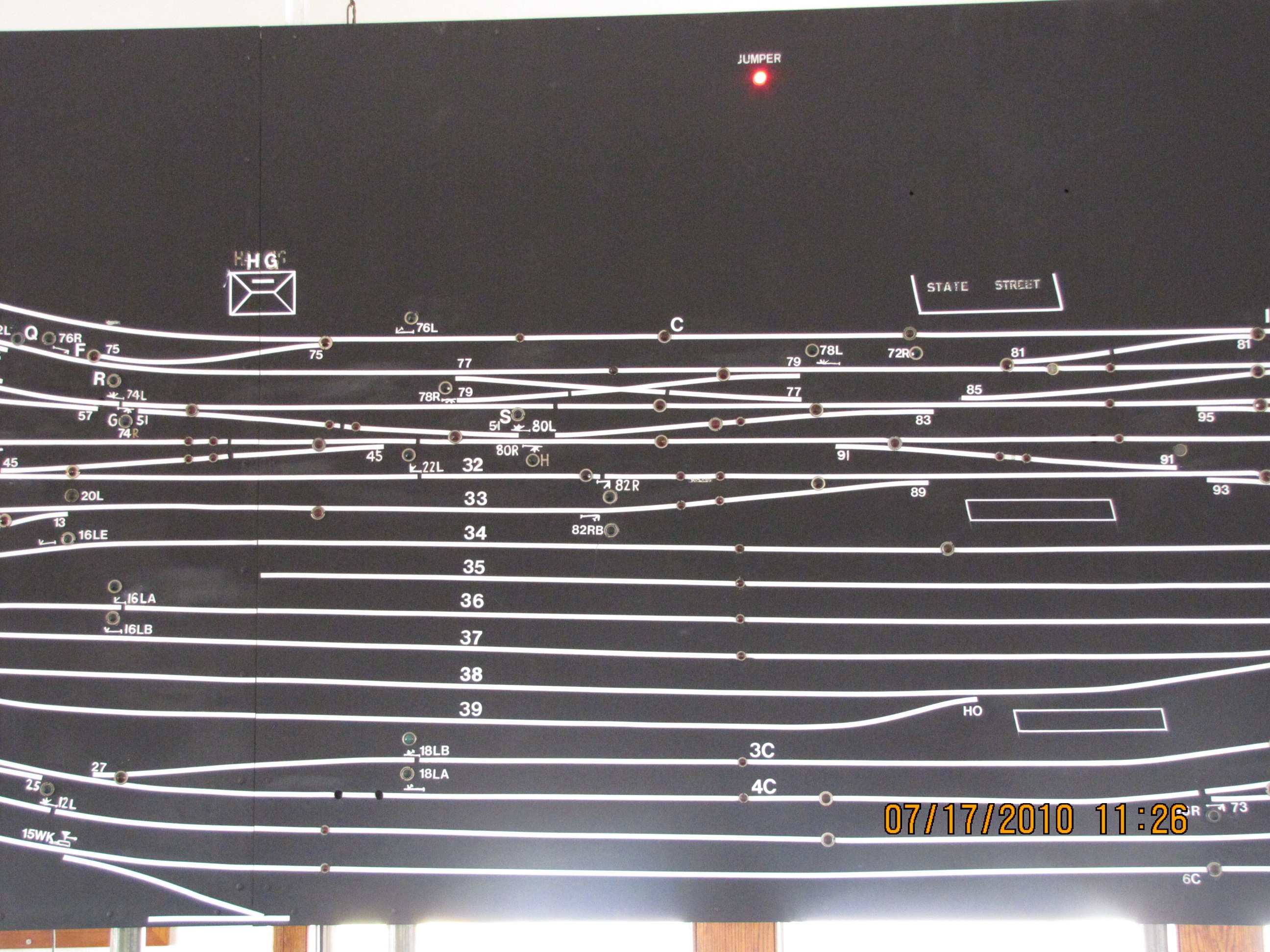
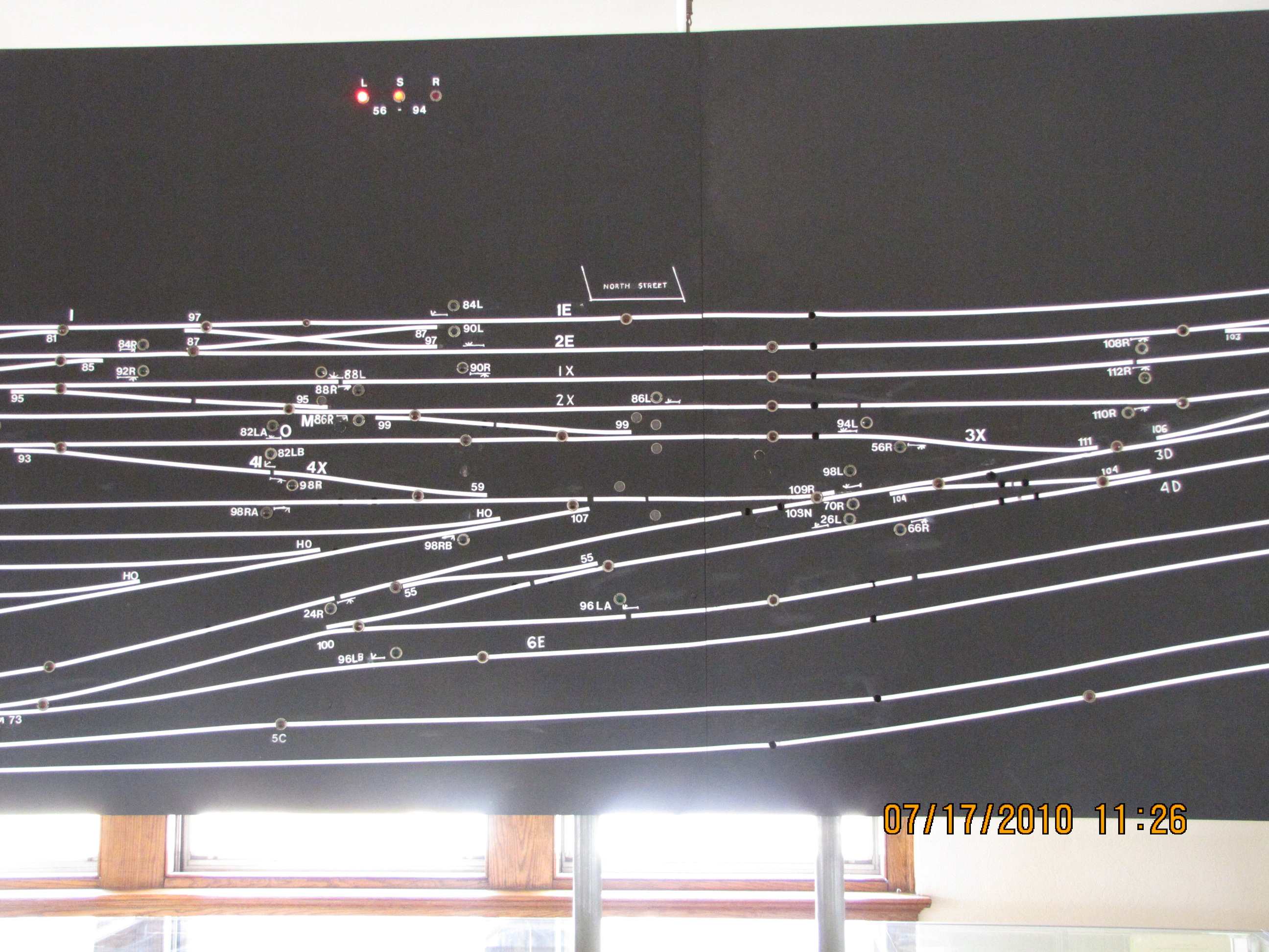
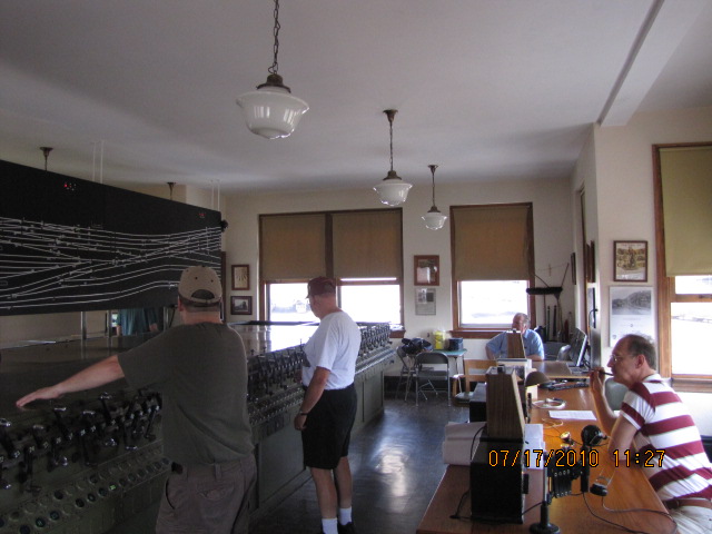
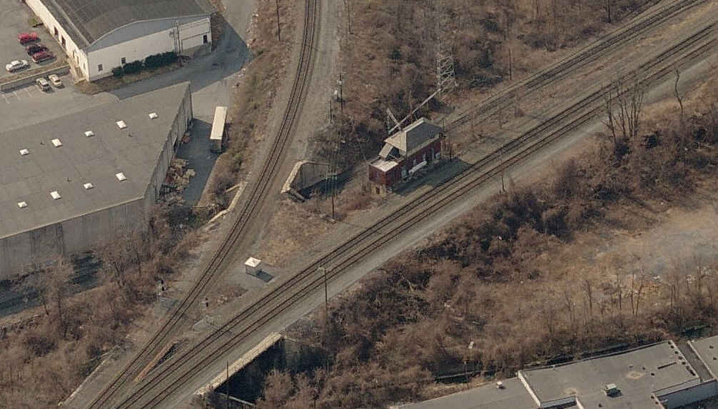
Harris Tower
Capital Tower
the PA Capitol Building
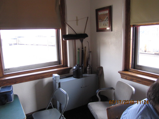
Pennsy's Power Directors Office
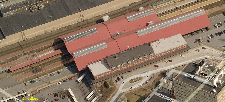
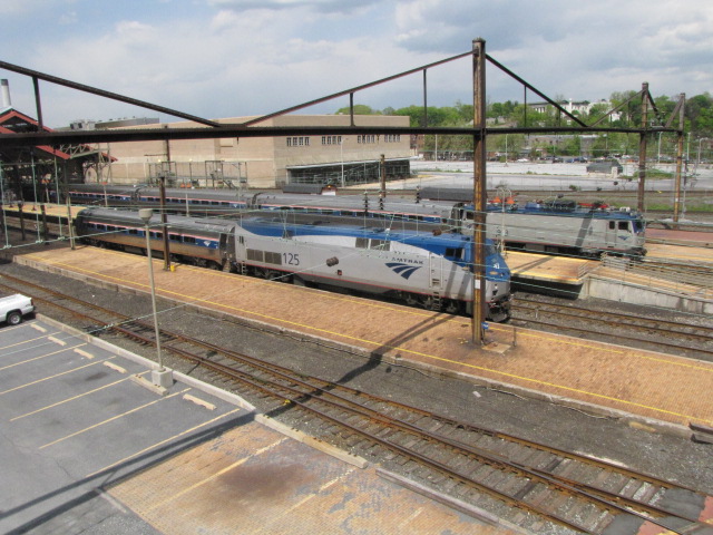
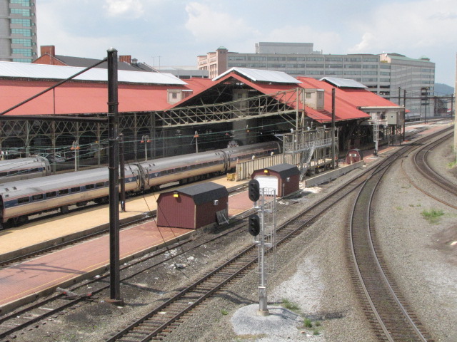
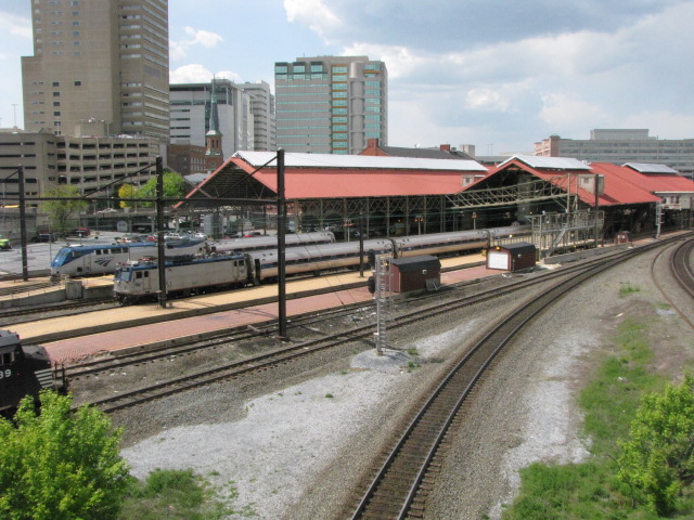
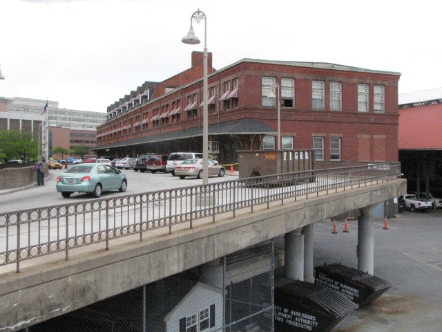
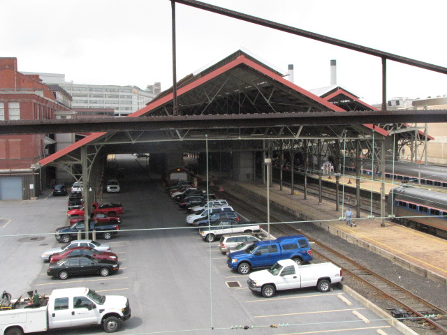
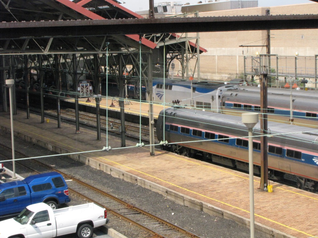
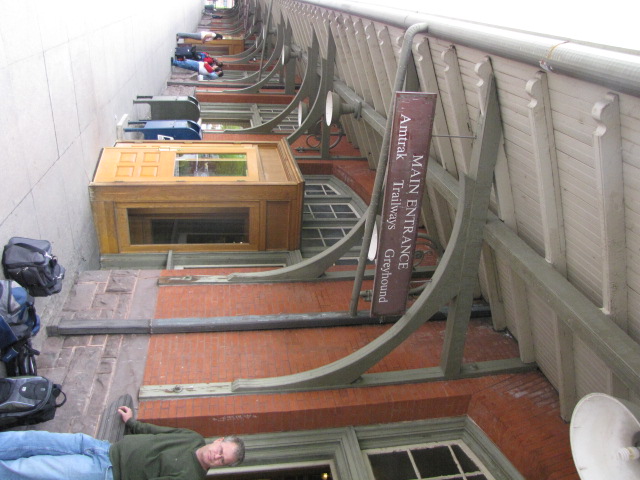
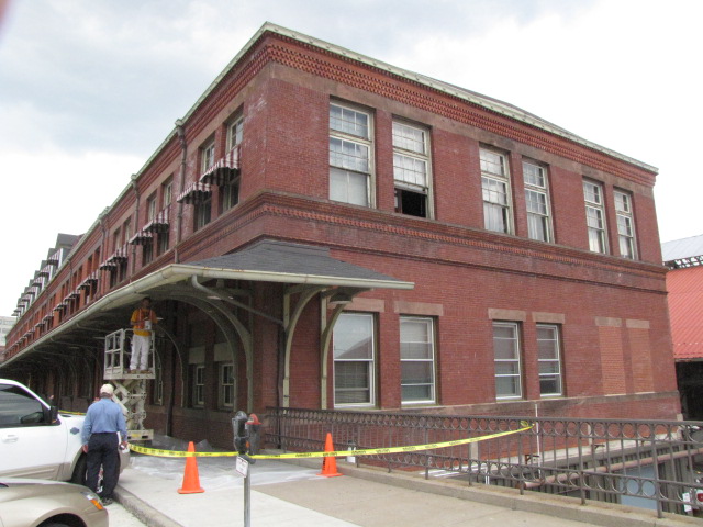
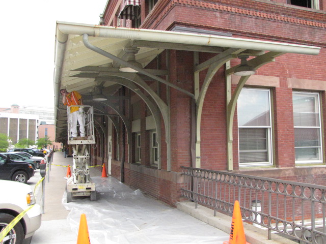
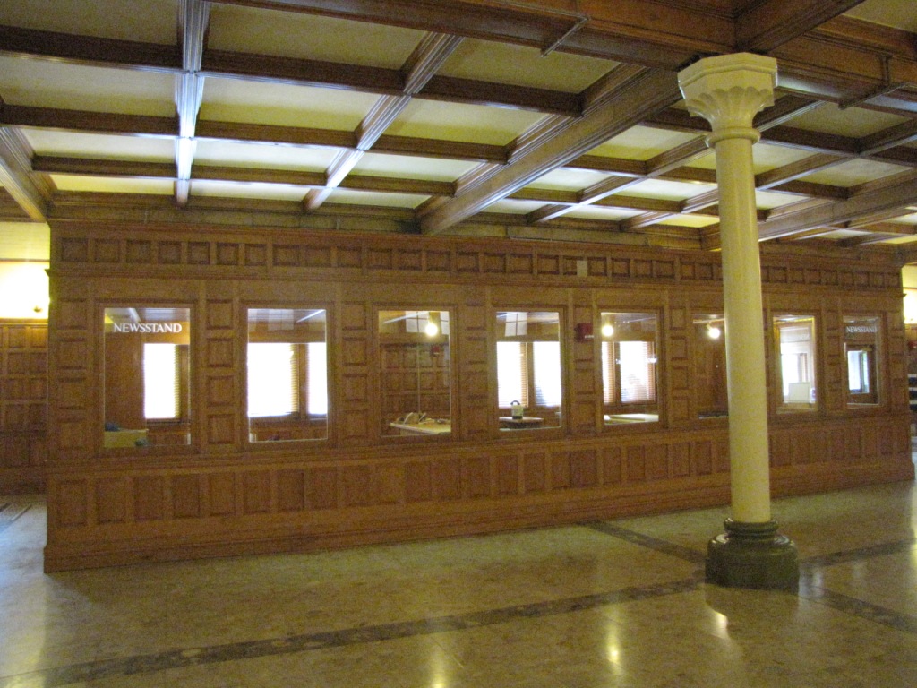
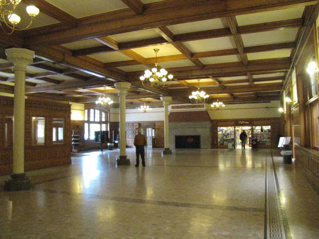
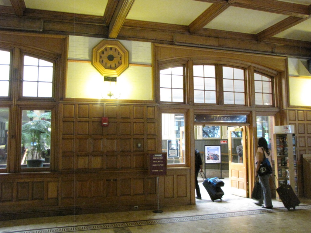
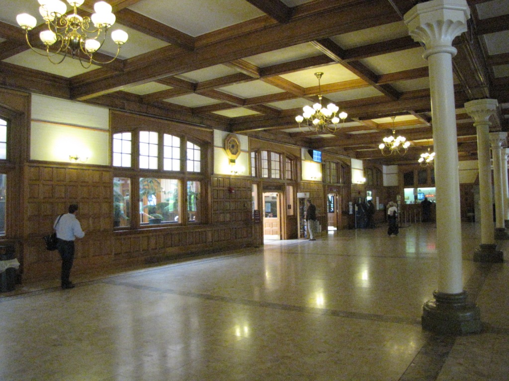
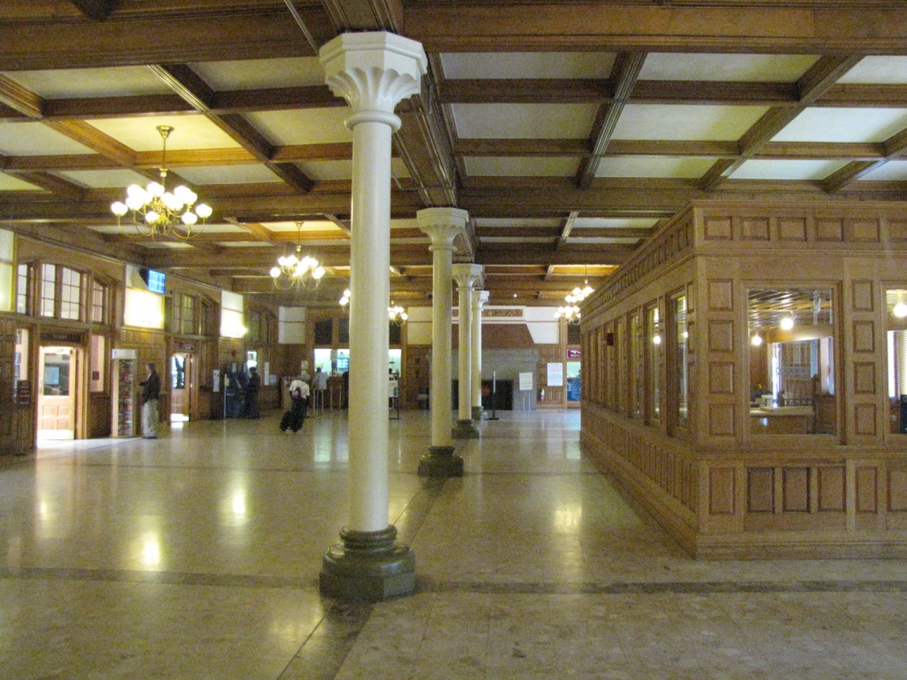
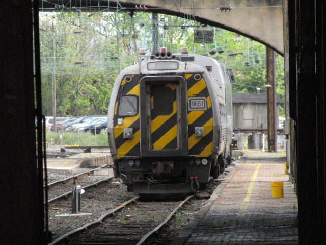
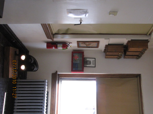
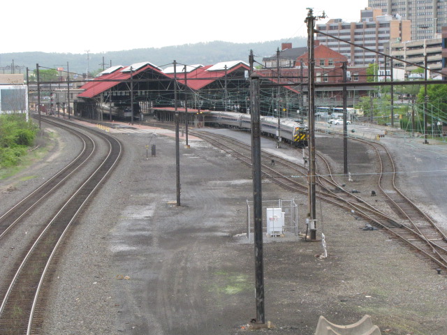
![]() The Amtrak Station
The Amtrak Station
A former Pennsylvania Railroad depot. The management of the station is divided between Amtrak, and a private management company. The private company manages the
building, and the areas not used by Amtrak. Everyone I ran into the other day was nice, in fact, the Amtrak cop didn't hassle us while taking pictures of the
interior. The right picture on the 2nd row is of the WB Pennsylvanian coming into the station, which was only 3 minutes late!


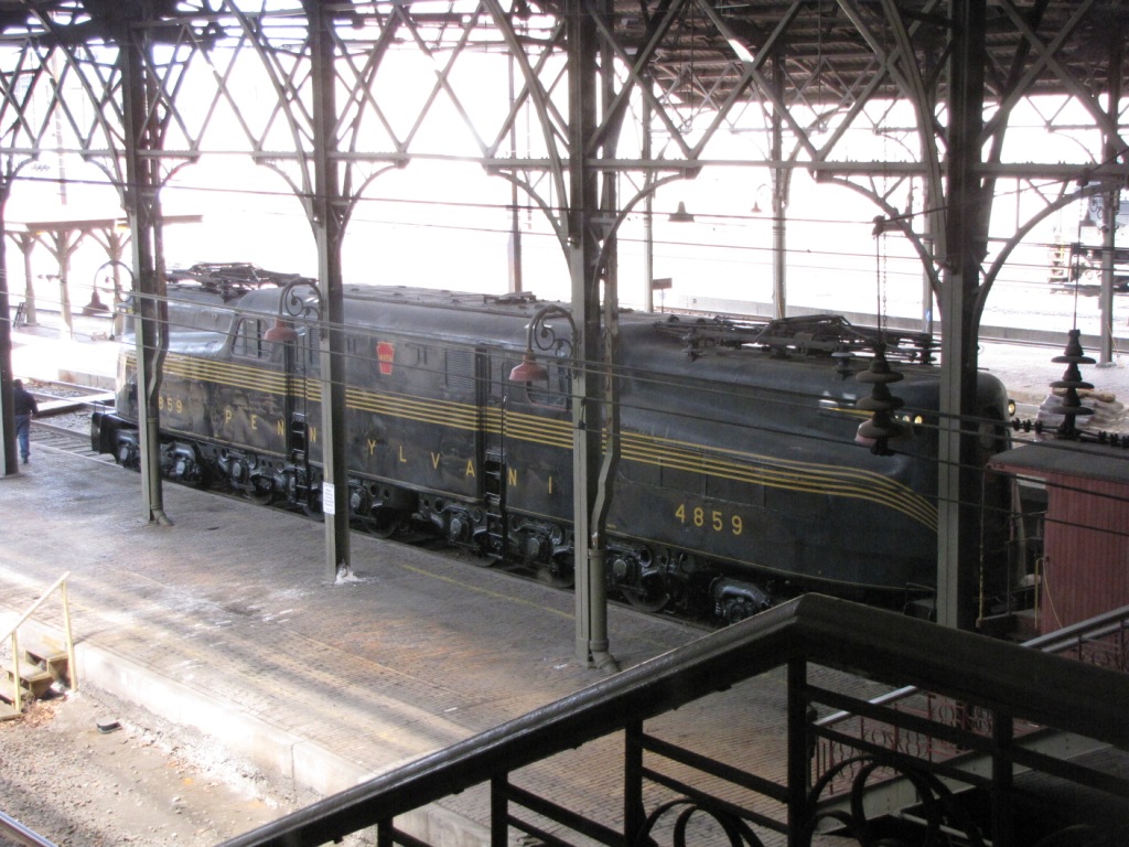
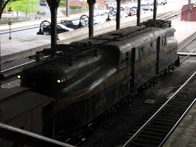
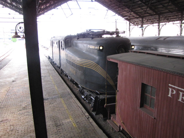
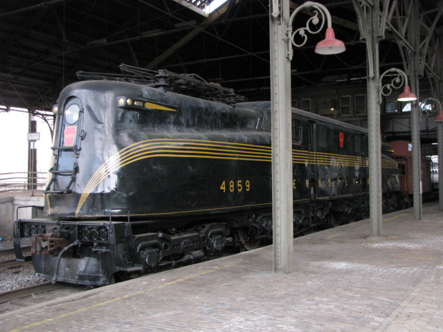
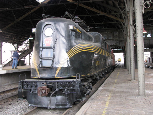

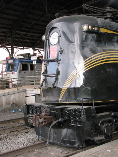


![]() GG1 #4859
GG1 #4859
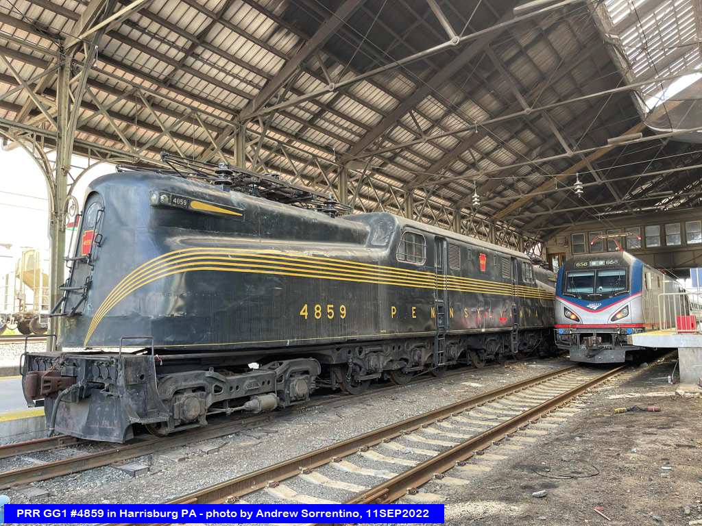
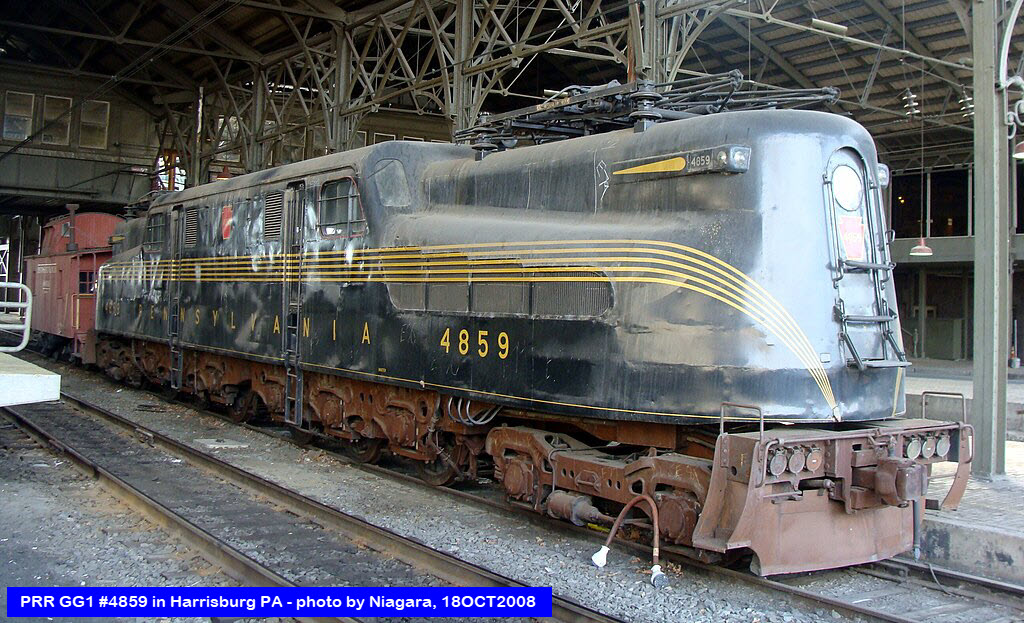
Here's a link to webcam files at the
Harris Tower: http://www.trainorders.com/cameras/harrisburg/


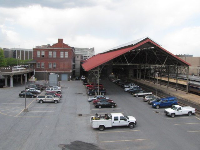
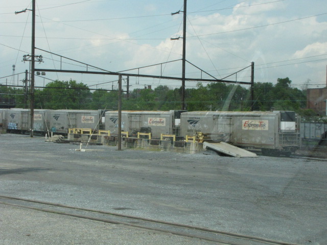
 Shots from the parking lot.
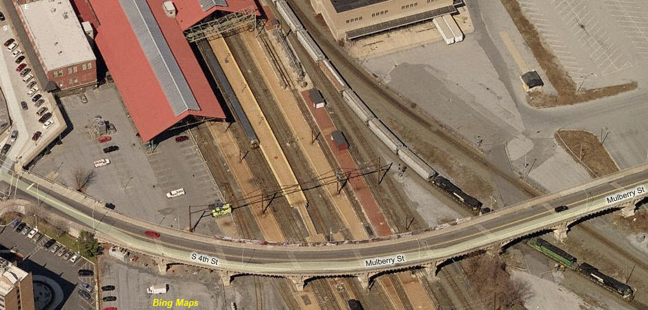
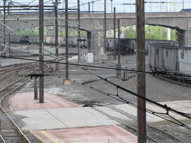
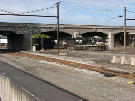
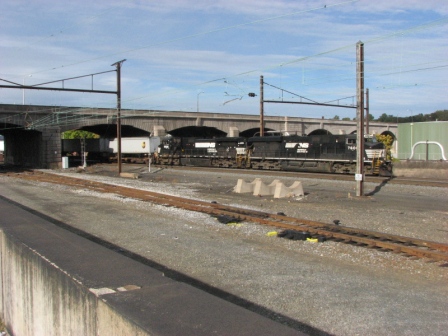
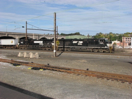
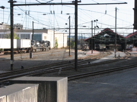
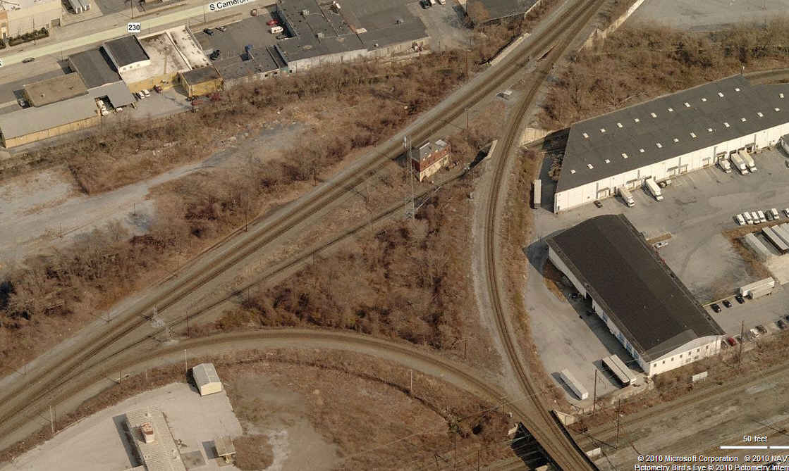
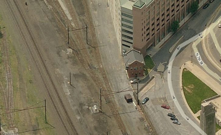
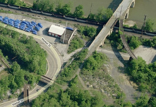
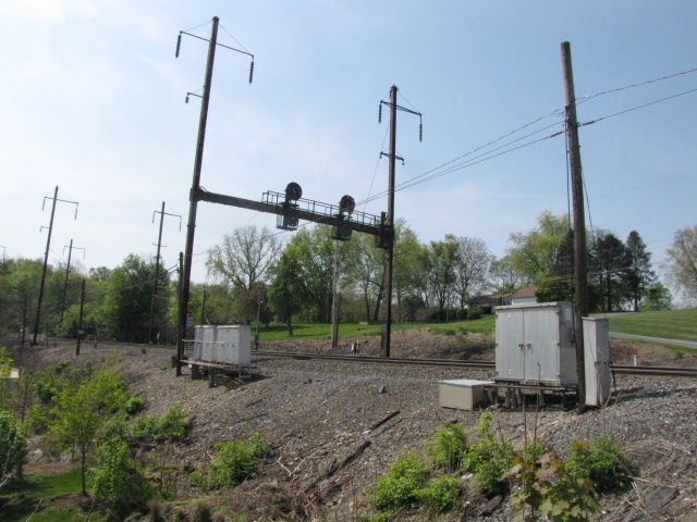
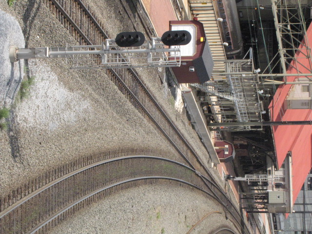
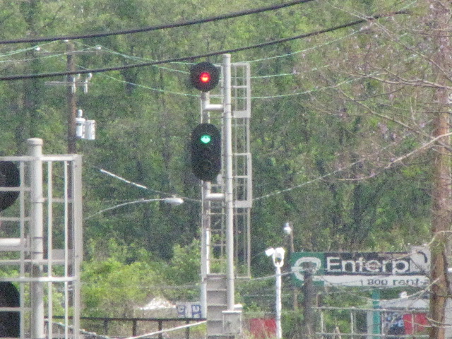
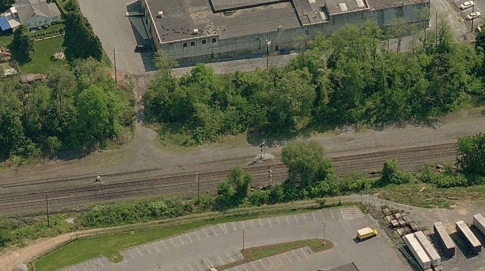
![]() Capitol Tower
Capitol Tower
The tower is located at the wye, just south of the Amtrak Station. It's not accessible. Plenty of signals tho! :-) The picture I took was taken
from the Mulberry St overpass. The bridge has a solid protection fence over the Philly line because of the 25kV below you.


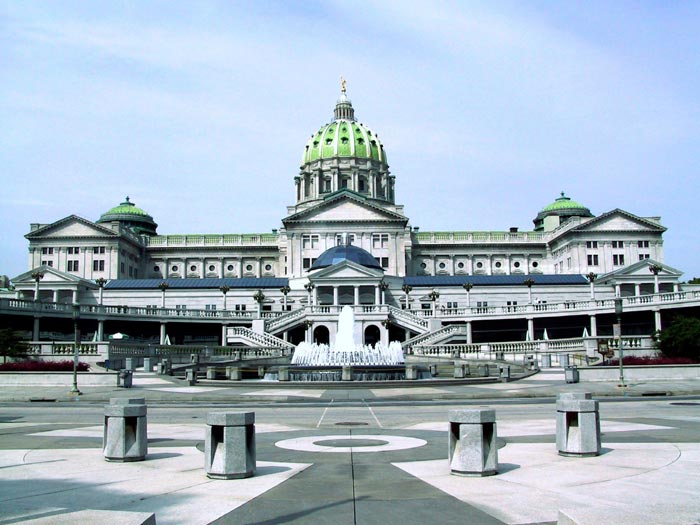
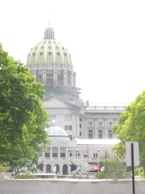
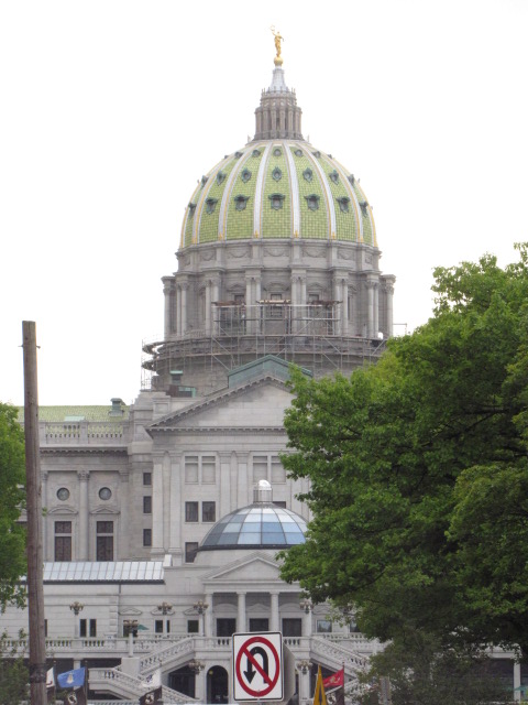
![]() the Pennsylvania Capitol Building
the Pennsylvania Capitol Building
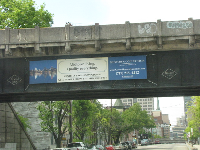
The left photo shows you how close the Capitol Building is to the Harris Tower and the tracks.


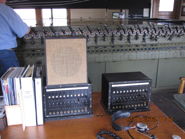
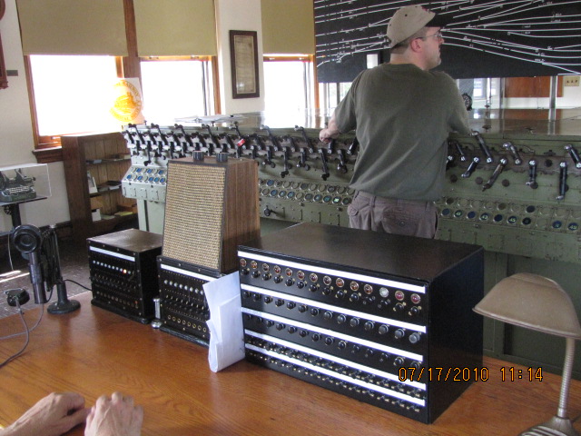
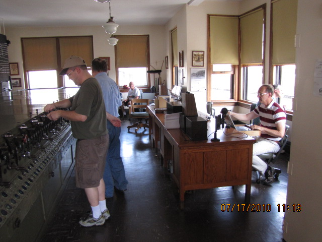
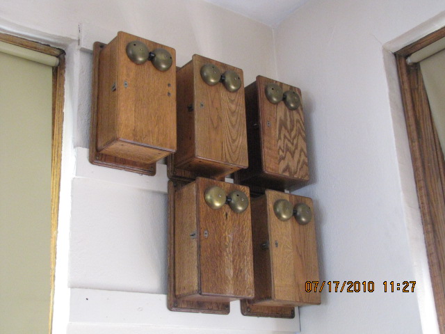
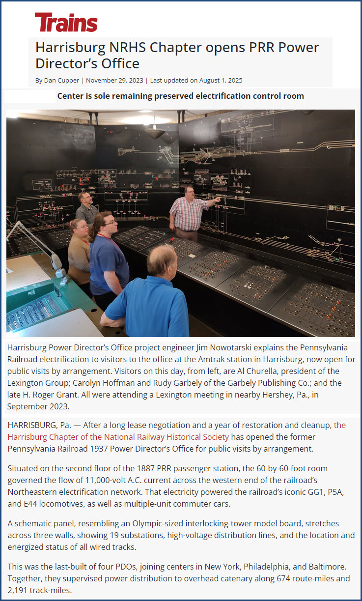
![]() PRR's Power Directors Office
PRR's Power Directors Office
https://www.trains.com/trn/railroads/heritage-rail/preservation/harrisburg-nrhs-chapter-opens-prr-power-directors-office/
Stuck away on the second floor of the Harrisburg Amtrak Station is the only
remaining office of it's kind in the United States. It is truly a hidden
gem! And if you're ever in the area when it is open, you need to stop in and
check it out. Somewhere I have a ton of pictures, and will post them as
soon as I can find them. The director of the restoration effort, Jim Nowotarski,
is a software engineer I worked with at Northrop Grumman in Baltimore is an
excellent and knowledgeable chap. I have a page of mostly his pictures of
the Capitol Heights station in Maryland here.
For the rest of the Trains article, click on the link above.
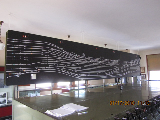
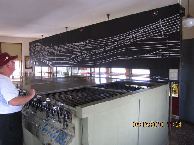
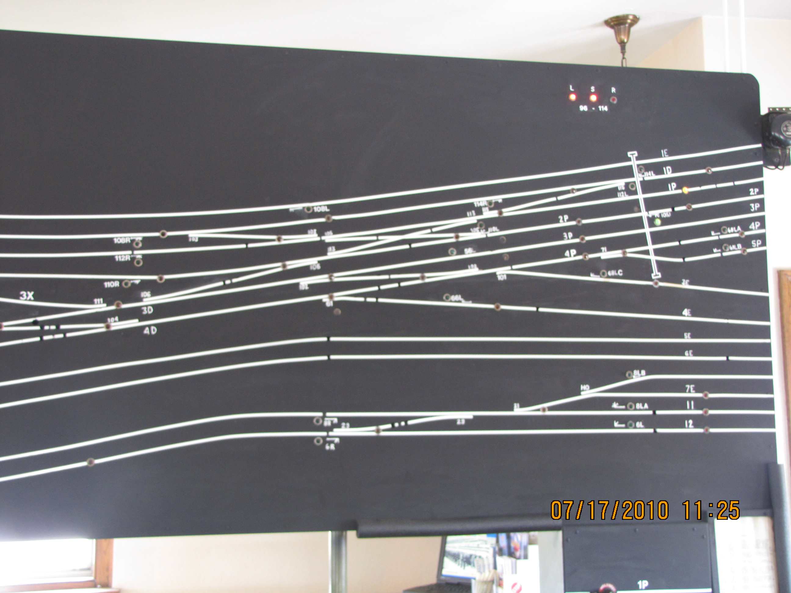
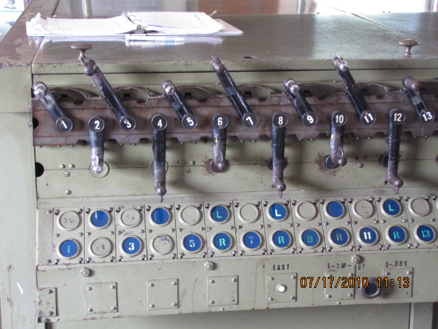
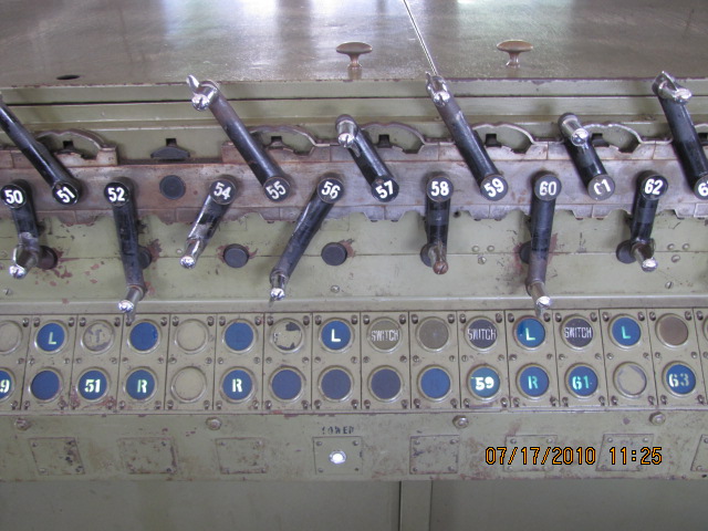
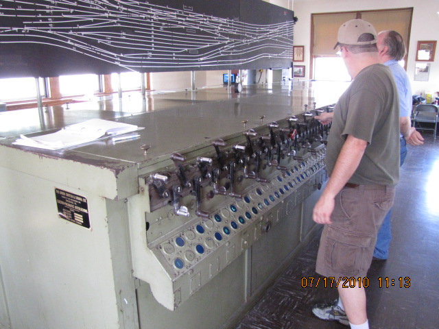
With the restored Harris Tower, the Power Directors Office, and the user
controllable PL signal outside the Harris Tower, you have a railroad attraction
of unequaled value almost anywhere else in the U.S. Throw in the Rockville
Bridge, and Enola Yard with its great view from US15, you have a railfan
destination that is GREAT! Yes, there is Horseshoe Curve, Tehachapi Loop,
and many fine museums like the one in Illinois, but still, the significance of
what Harrisburg offers is hard to beat!
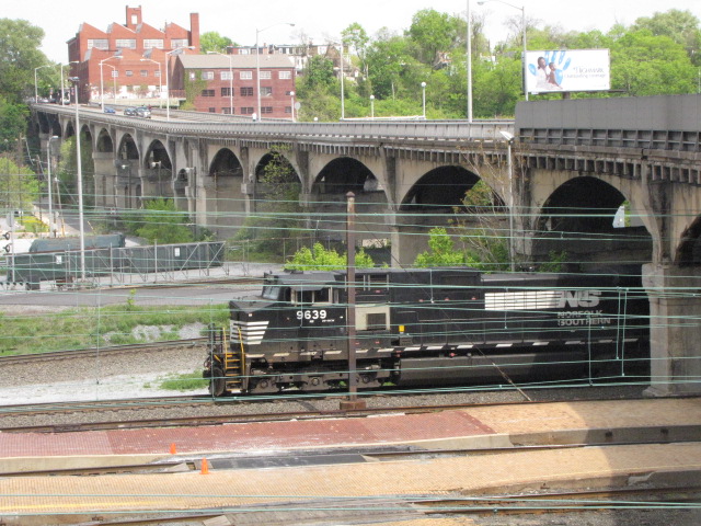
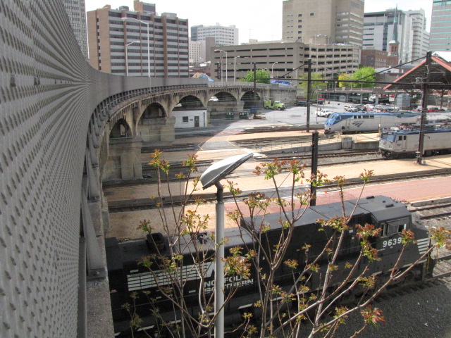
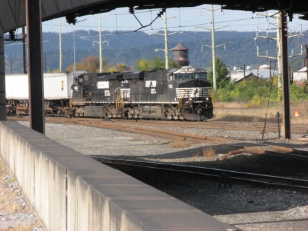
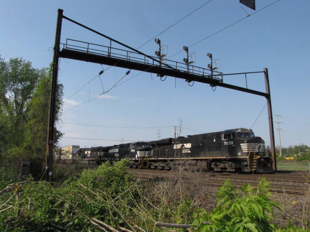
A SB NS freight passing by signal 1071W, headed towards downtown Harrisburg.
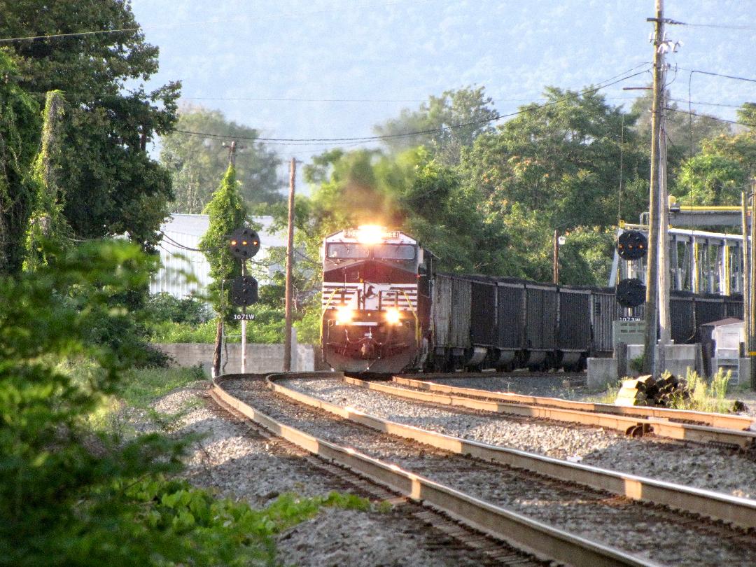 photo by Bill Phelan
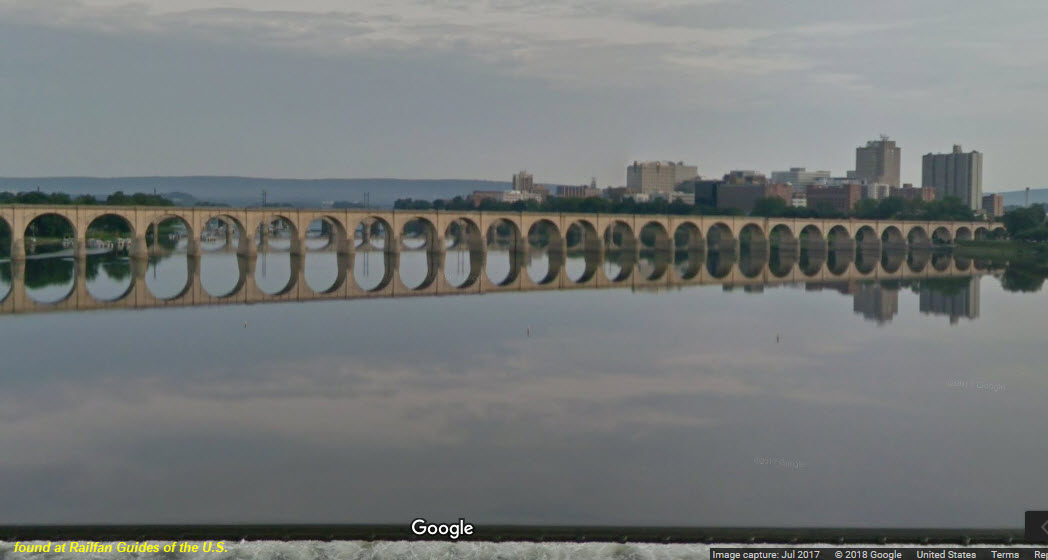
Harrisburg is a town of bridges being that it is situated on the Susquehanna River. Here's a quick list, starting with the "southernmost" bridge:
-- First is the I-83 bridge, known as the John Harris Bridge, or the South Bridge, it's 3326 ft long and opened in 1960,
-- The former Reading RR bridge, still used with two tracks on it, a 3875 foot long stone arch bridge that opened in 1924,
-- Next we have the former Pennsy RR/Cumberland Valley bridge, a concrete arch structure about 4121 feet long, it opened in 1916,
-- Next up is the Market St bridge, a stone arch bridge, 1414ft, opened in 1926,
-- Then we have the ole, unused Walnut St bridge, a 2801ft steel truss type, opened in 1890, and a flood floated away a section in 1996,
-- Next north is the Harvey Taylor bridge carrying Forster St over the river, a 4219ft long steel truss type, it opened in 1952,
-- Then we have the Capitol Beltway/I-81, George N. Wade Memorial bridge, 5188ft long that opened in 1970,
-- And finally, we have the Rockville Bridge carrying Norfolk Southern over the river at Marysville, a 3819ft long stone arch bridge completed in 1902.
A couple of the other notable bridges are the State Street Bridge and the McClay St Bridge, both going over the NS yard and tracks.
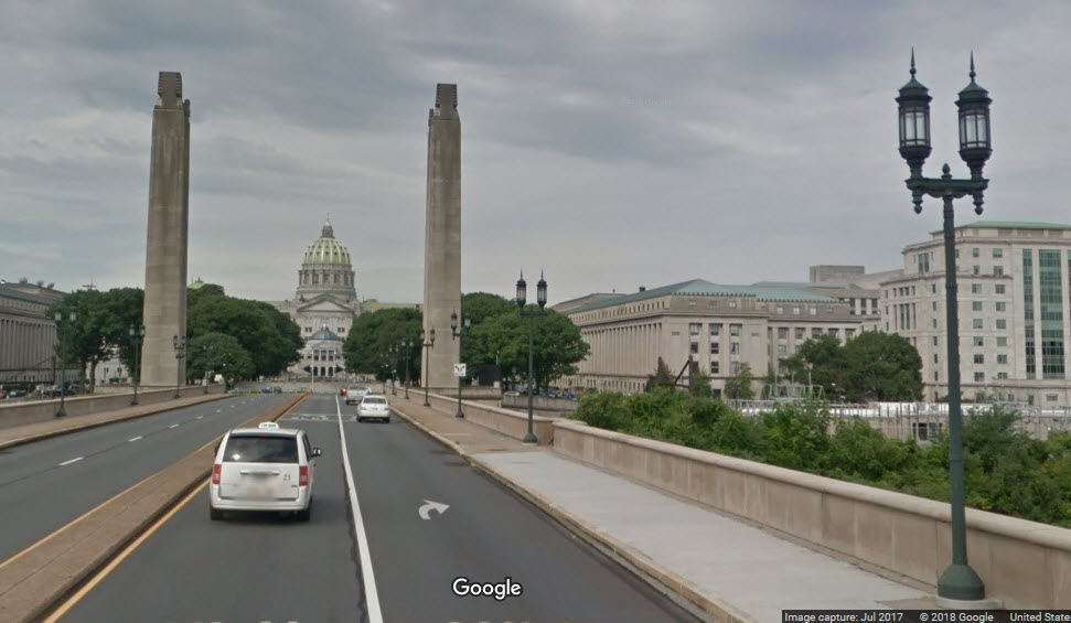
![]() the State St Vehicular Bridge
the State St Vehicular Bridge
Beautiful and impressive approach to the PA Capitol Building from the east!
![]()


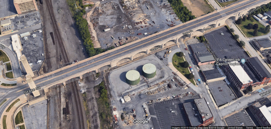
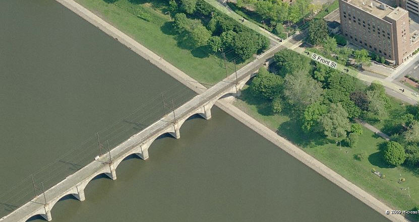
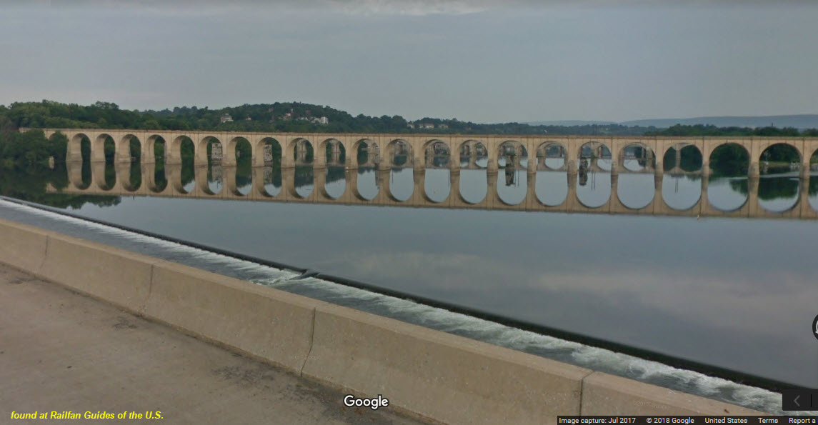
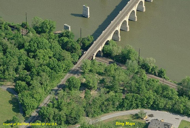
![]() the Pennsy RR Bridge
the Pennsy RR Bridge
There are two major railroad bridges in Harrisburg proper going over the Susquehanna River. The northern of the two bridges was used by the Pennsy.
It no longer has tracks going over most of the bridge. On the eastern, or Harrisburg end, there is a small tail track coming off the wye adjacent to the Amtrak
station, used to turn trains around. Here is the Pennsy bridge, the picture on the right is the western shore over the Port Road.
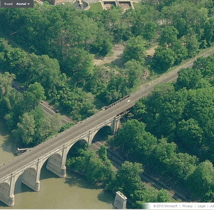
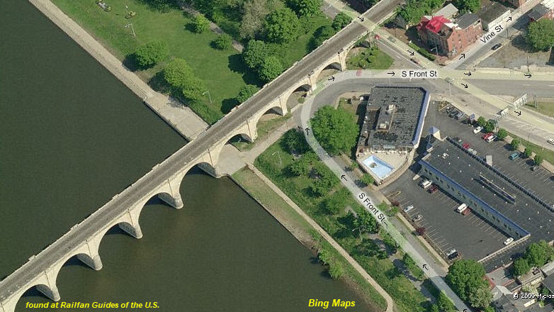
![]() the Philadelphia & Reading RR Bridge
the Philadelphia & Reading RR Bridge
The ex Reading bridge carries the main NS west out of Harrisburg towards. It's got 2 tracks on it, and comes off the second wye by the station.
The bottom two aerial pictures are from a time when Bing actually cared about what their product looked like :-)
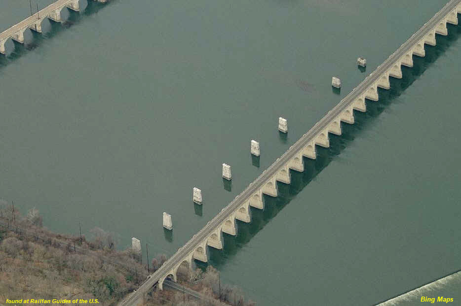
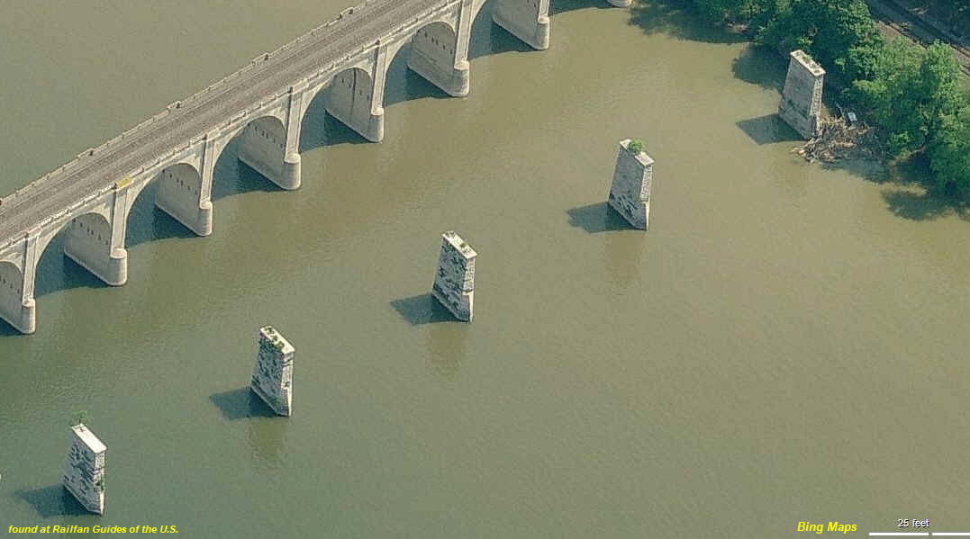
![]() Unfinished South Pennsylvania RR Bridge Piers
Unfinished South Pennsylvania RR Bridge Piers
The piers to the left of the Reading bridge, and below, are from another attempt to cross the Susquehanna around 1884, as noted on Wikimapia: The South
Pennsylvania Railroad Bridge would have carried the South Pennsylvania Railroad rail lines across the Susquehanna River between Cumberland County, Pennsylvania
and Harrisburg, Pennsylvania. Work began on the South Penn and was abruptly halted by banker J. P. Morgan in 1885 when he called a truce in the railroad wars that
threatened to undermine investor confidence in the Pennsylvania and New York Central railroads. Eight piers still rise from the water at the west side of the
river near the current location of the Philadelphia & Reading Railroad Bridge.
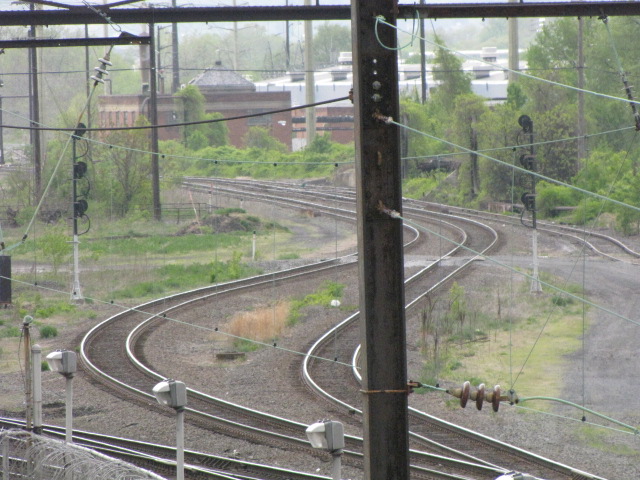
![]() SW, Lemoyne at Stella Ave
SW, Lemoyne at Stella Ave
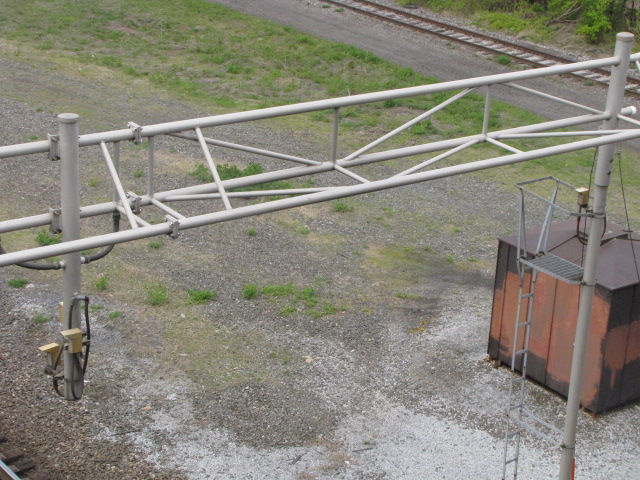
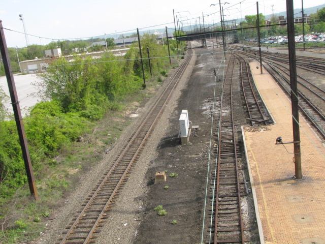
A Set of SB Signals on a Signal Bridge along with a grade crossing and over height detector. South of here, there is a crossover, and it goes
from two to three tracks.
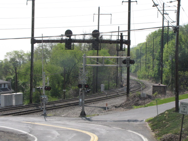
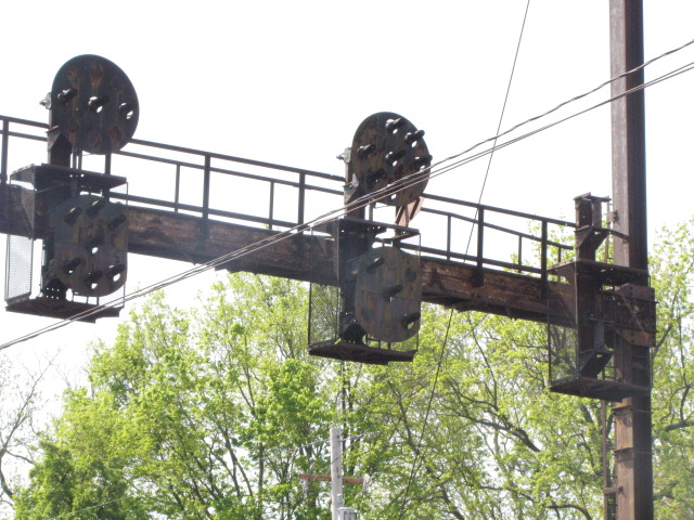
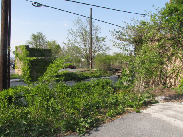
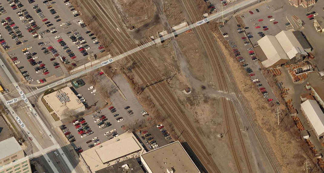
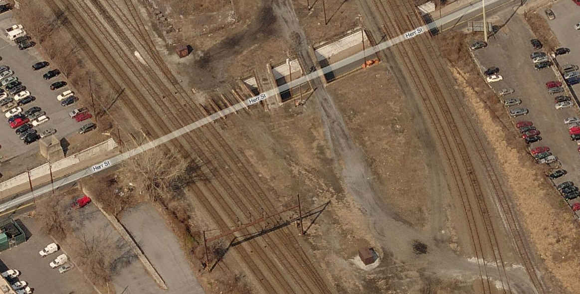
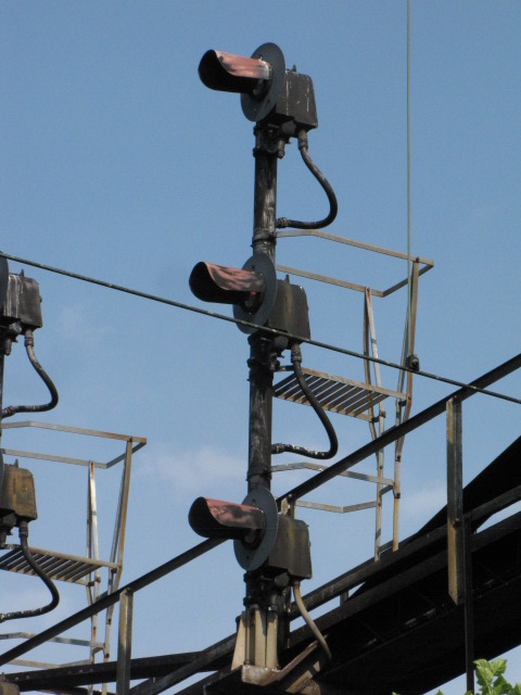
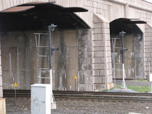
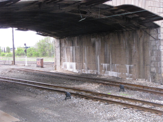
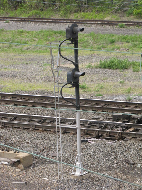
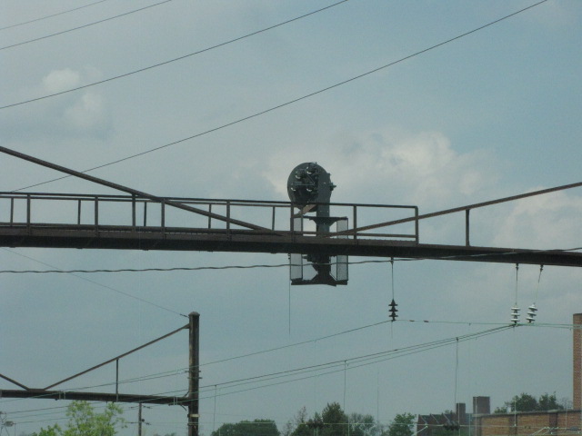
![]() Herr St
Herr St
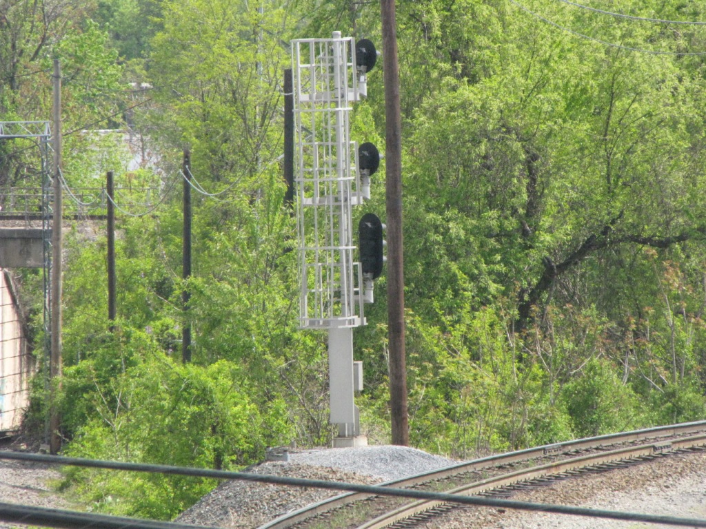
This is the only signal bridge in town which sports searchlight signals, which are unique for the area. Also here is "the end" of the electric service
for the Keystone trains, and a couple of bridge abutments (use unknown, but nevertheless, interesting). The signals are GRS. The photo on the right was
taken from the State St bridge. I didn't get pix of the mast mounted signals across the way from the bridge, that's for another trip :-(
Now for the history lesson part, which I just learned from the guys at the Yahoo PRR Signaling Group. These signals were installed by Conrail sometime around the
1990 timeframe, when Conrail was split it's CP-HARRIS Operation from the Amtrak HARRIS Tower. Thanks to Jersey Mike for the info!

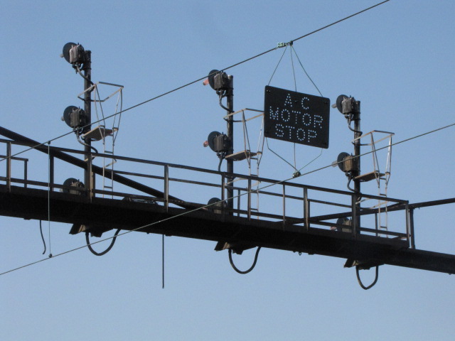
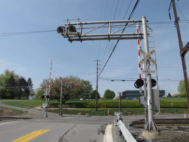
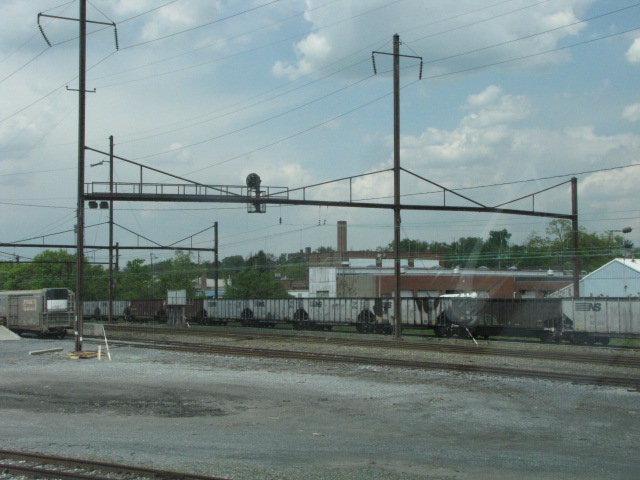
![]() at State St and Harris Tower
at State St and Harris Tower
There are searchlight signals to the north of here, and Pennsy PL signals to the south. Not a bad spot for photos, either from the parking lot adjacent to the
tower or from the State St bridge.
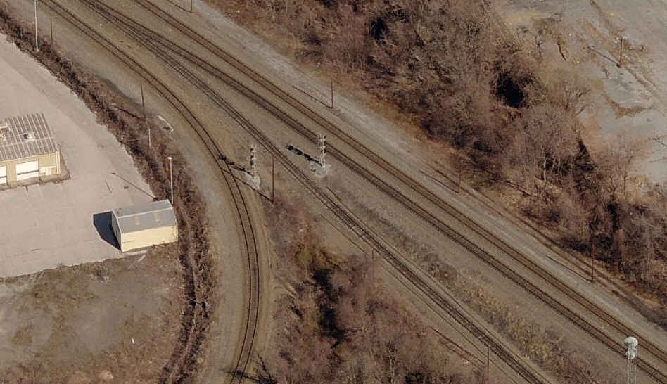
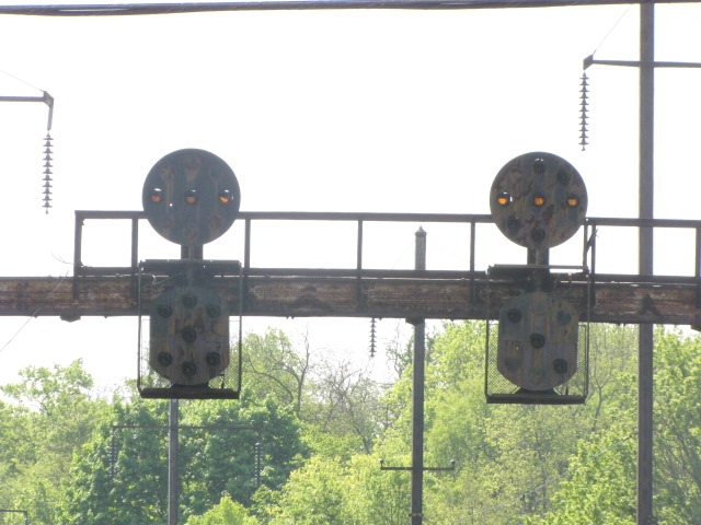
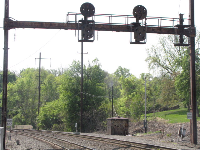
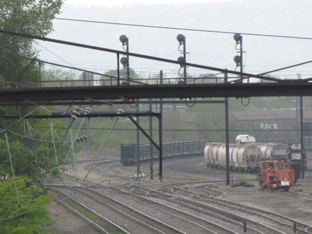
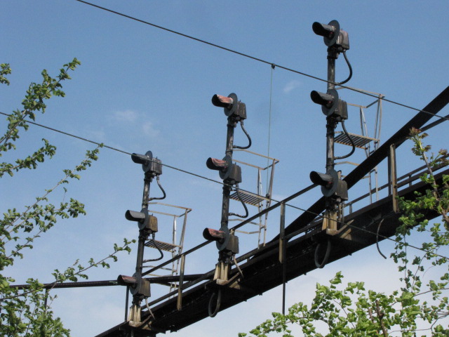
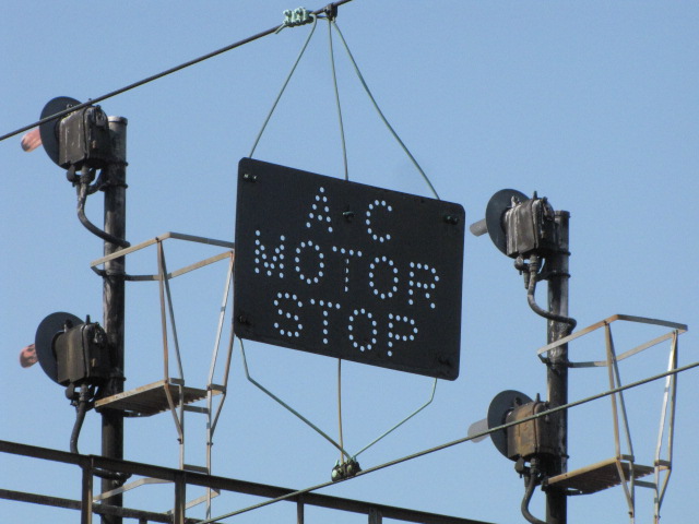
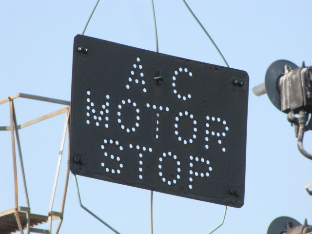
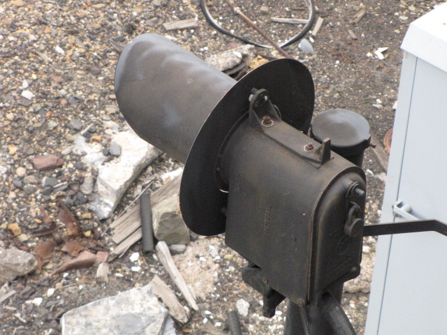
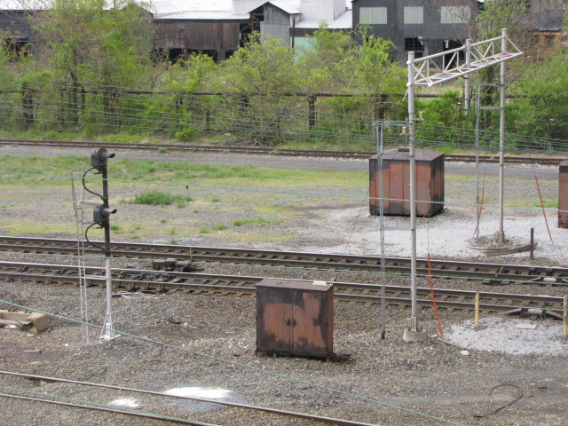
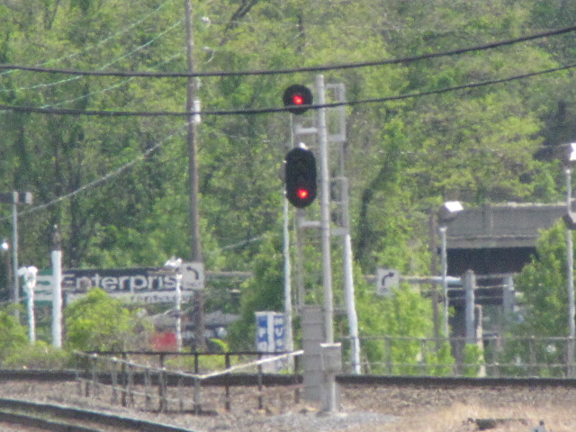
![]() the Searchlight Signals
the Searchlight Signals


 NB searchlights under State St, and a couple of dwarf PL's.
 Looking down at the above signals from State St.
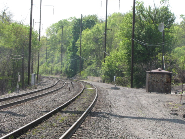
 Looking north towards Harrisburg Yard.
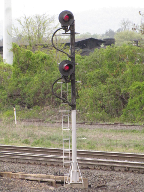
 A NB searchlight on the north side of State St.
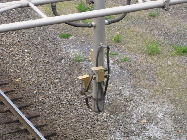 Excessive height detector on the north side of the bridge.
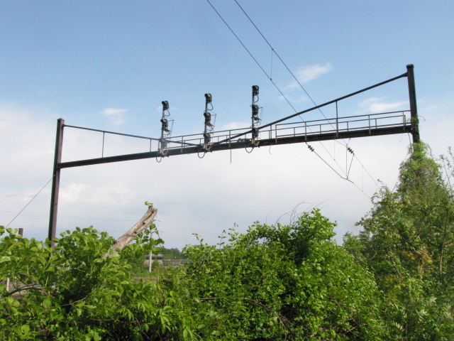
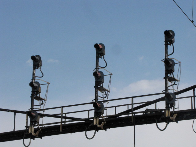
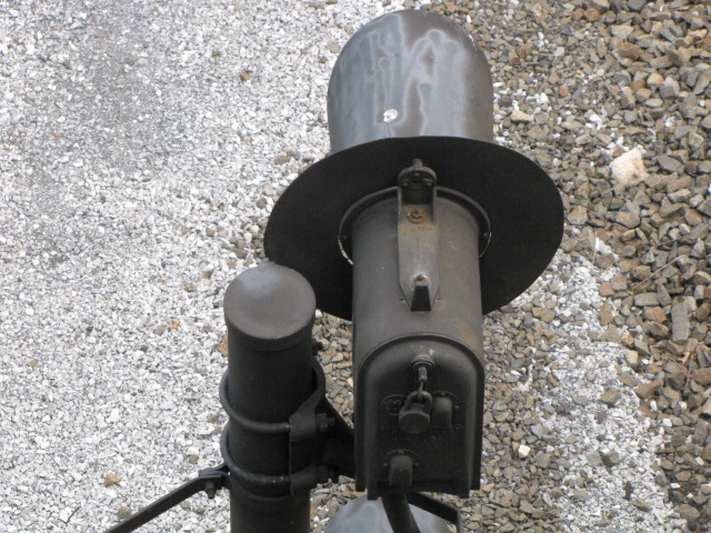
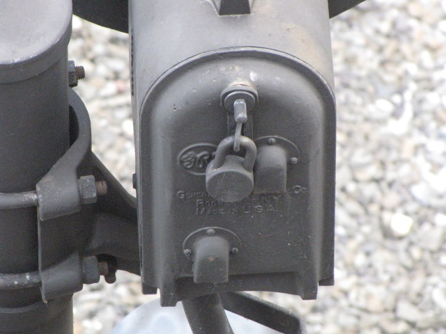
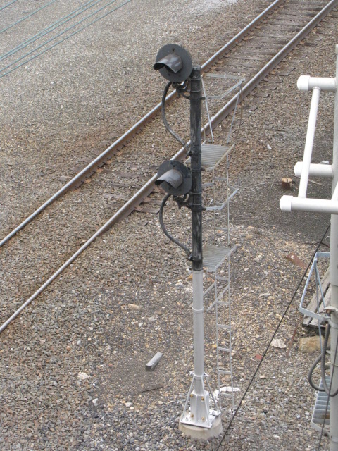
![]() the PL Signals
the PL Signals
 Looking south towards the station, two on the right from the bridge.
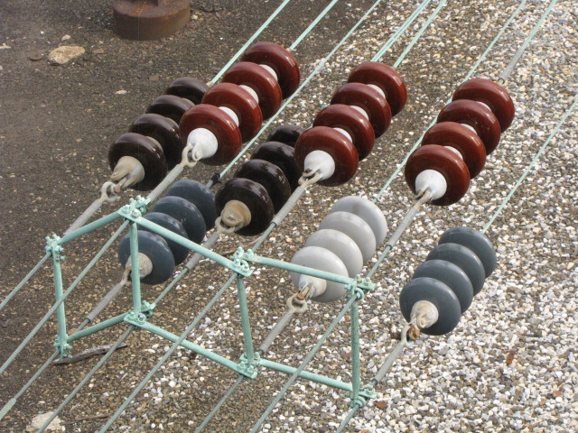
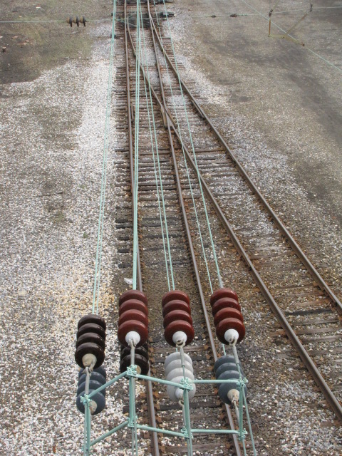
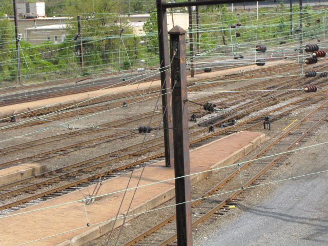
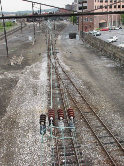 Mass quantities of 25kV insulators north of the station.
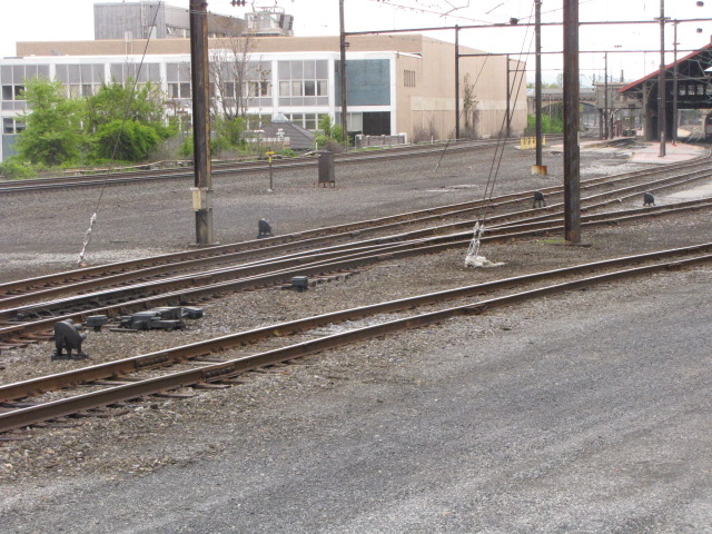
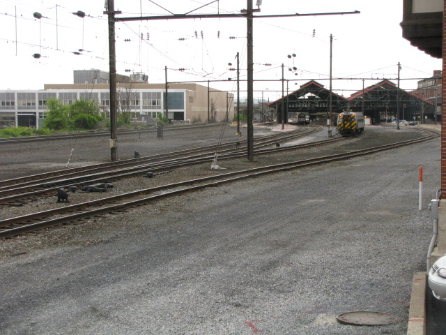
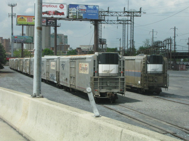
![]() In and Around the Amtrak Station
In and Around the Amtrak Station
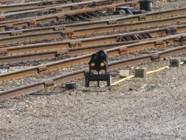
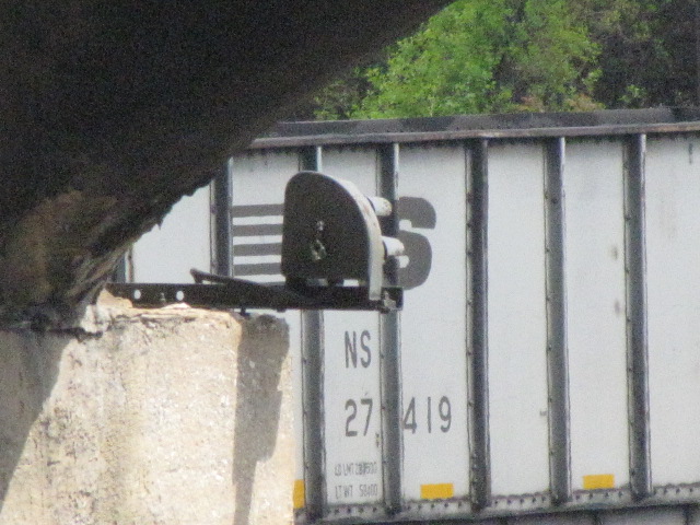
Most of the signals in the immediate area of the station are either Pennsy PL dwarfs, or color light signals. On the left is a NB freight waiting for the signal,
one of two color lights in the area. On the right are three unique installations: a dwarf on one of the bridge abutments, one on a piece of angle iron off a
telephone pole, and a couple of vertical crossing lights where a road to a private company has to cross the Philadelphia tracks.


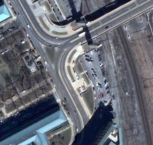
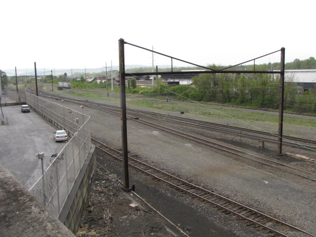
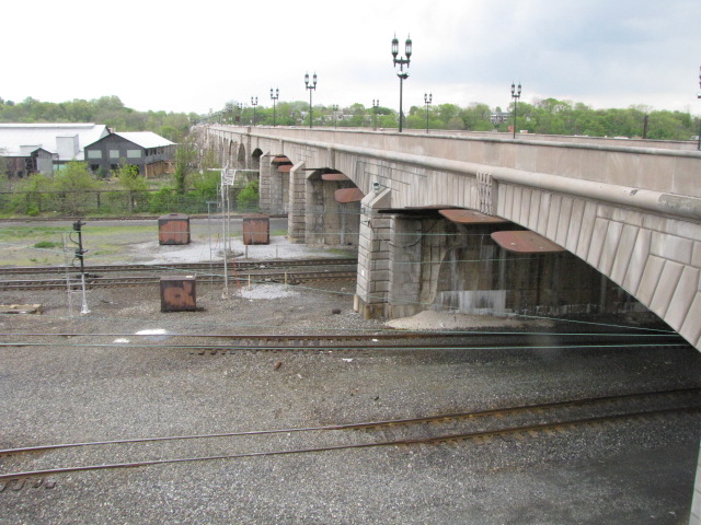
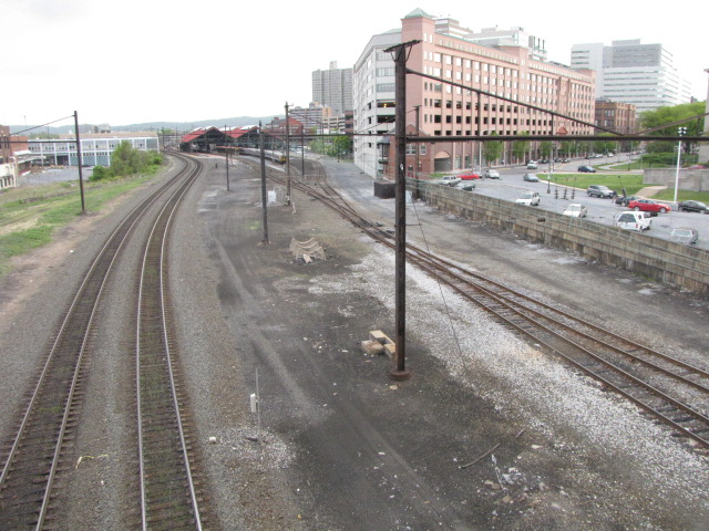
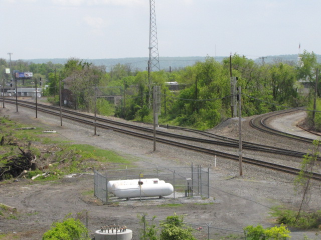
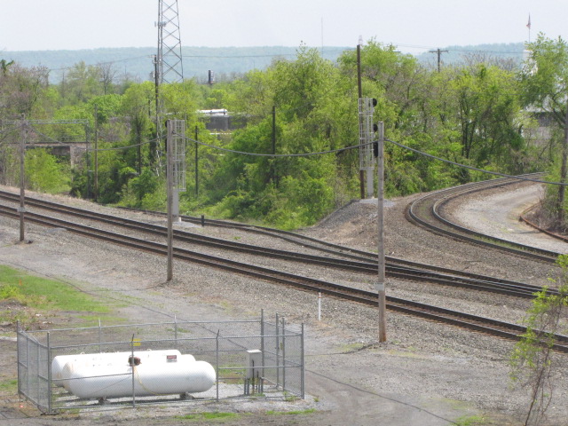
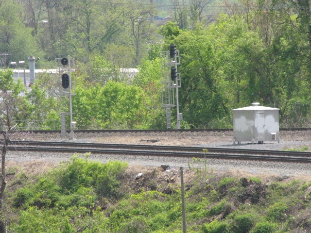
![]() Interlocking Around Capitol Tower
Interlocking Around Capitol Tower
Most of the signals around the tower are off limits, except for the one you can get from the Mulberry St overpass, and, unless you have a camera like my Canon SX20
which will do up to x80, or an SLR with a 300mm lens, you won't be able to take good shots from the bridge. This area is unique, for there are TWO wyes right
next t o each other; one was for the Pennsy, the other for the Reading. The Pennsy track coming off the wye onto the bridge is only used to turn trains around,
and does not cross the entire bridge.


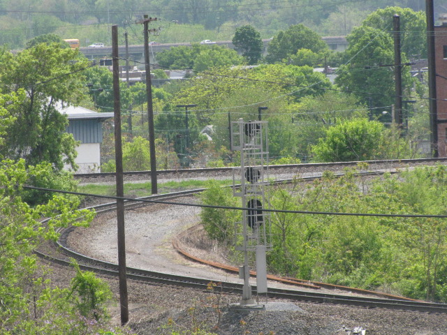

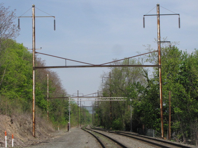
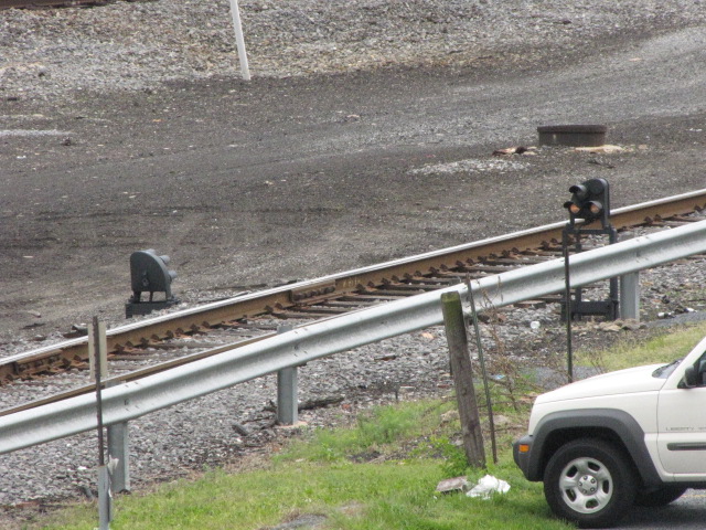
![]() South of the Amtrak Station, Philadelphia Line
South of the Amtrak Station, Philadelphia Line
There are at least three locations south of station where a single PL signal is placed on the old catenary supports. The one I got coming off the NB exit ramp of
I83, just after crossing the river. Just past this location, the Reading line goes over you, getting ready to cross the river. I think we're all surprised
that the Reading lasted through the Penn Central, Conrail, and now the NS era's!
Through Service From New York City to Pittsburgh on the Pennsylvanian, once a day in each direction.
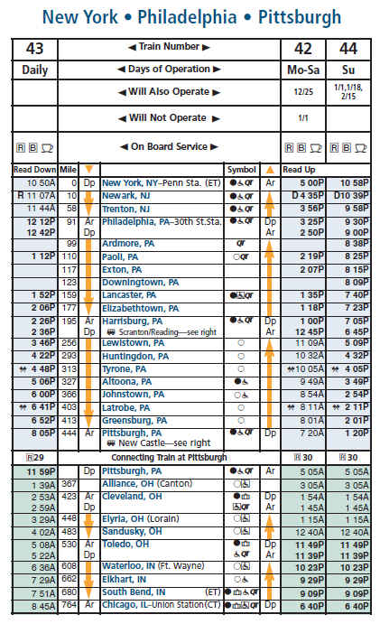
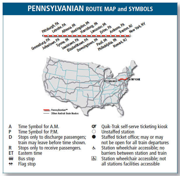
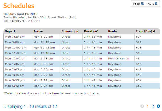
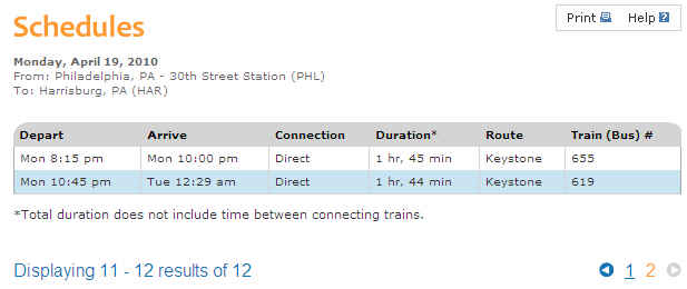
Keystone Service Between Harrisburg and Philadelphia.
Disclaimers:
New format 10/26/23: Please check out my disclaimer page for my standard
dribble and contact info here
RAILFAN GUIDES HOME
RAILROAD SIGNALS HOME
NEW 3/9/2009, JUN21/2012, OCT04/05/2025
Last Modified
05-Oct-2025