In General
Getting Here
Map
Bridges
Yards
Signals
Floobydust
RAILFAN GUIDES HOME
RAILROAD SIGNALS HOME
Location / Name:
Cleveland OH, Cuyahoga County, county seat
What's Here:
CSX Yards:
--
--
Norfolk Southern Yards:
--
--
Omnitrax Yards
-- Marcy Yard
NS Bridge #1
The Rock n Roll Hall of Fame
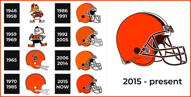
The Cleveland Browns football team
The Cleveland Guardians baseball team
Note: Omnitrax includes: the Cleveland Port Rwy, the Cleveland Works Rwy, and the Newburgh & South Shore RR
Data:
GPS Coordinates: as needed
Phone A/C: 216
ZIP: 44114 (at the R&R Hall of Fame)
Access by train/transit:
Amtrak
RTA heavy Rail
RTA Light Rail
Geography:
Hills, some real good :-)
The Scoop:
As you can see from the list of what's around Cleveland to check out, there is a lot if you know where to look:
- You have the two short line railroads: the Cleveland Port Railway, and the Cleveland Works Railway.
- You have a presence by both of the east coast class 1's: CSX and Norfolk Southern.
- South of town, you have the Cuyahoga Valley Scenic Railroad, a railfan favorite for many decades.
- In town, the RTA offers you both heavy rail and light rail service.
- Amtrak has a relatively new station (1977) near the Brown's stadium and the Rock n Roll Hall of Fame, although it is not service by light rail.
- The -best- railfan spot is Berea where you can catch freights at speed, about 25 miles SW of downtown.
- And among others, there is the aforementioned Brown's Huntington Bank Stadium and the Rock n Roll Hall of Fame, a must see.
- Cleveland's Hopkins International Airport is about 16mi SW of downtown, just above Berea, and heavy rail goes there.
For things not on this page, please check out the Cleveland Part 1 page.
For the RTA Transit System in Cleveland, it is covered on it's own page here.
Because of the way the Cuyahoga River meanders thru Cleveland, the Case Western Reserve University Encyclopedia of Cleveland History puts the bridge count in Cleveland at 330 bridges. According the Google AI, Pittsburgh PA has the most recognized bridge count in the United States, with an official total of 446 bridges.
Acknowledgements:
x
x
x
Google Maps
Open Railway Map
Wikipedia
Websites and other additional information sources of interest for the area:
xx
Visit the Part 1 page here for that information.
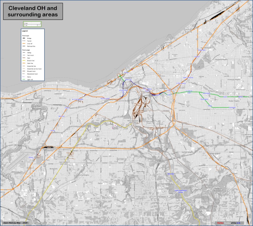
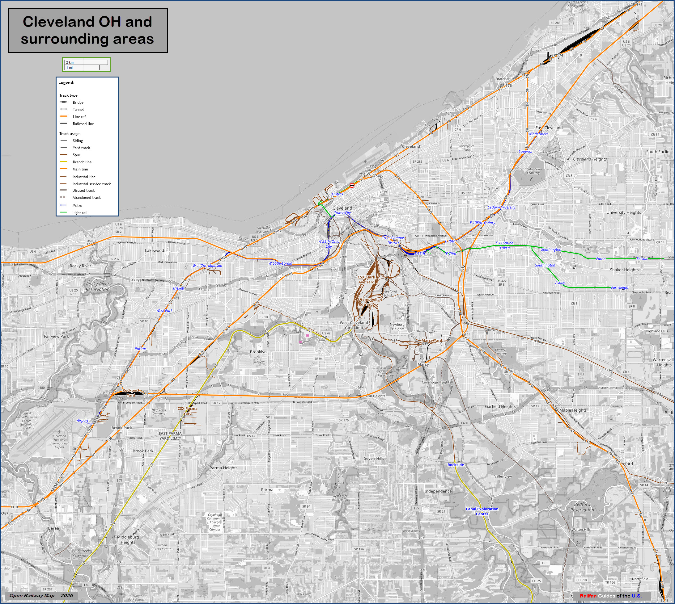
For a higher resolution version of the above map, click here
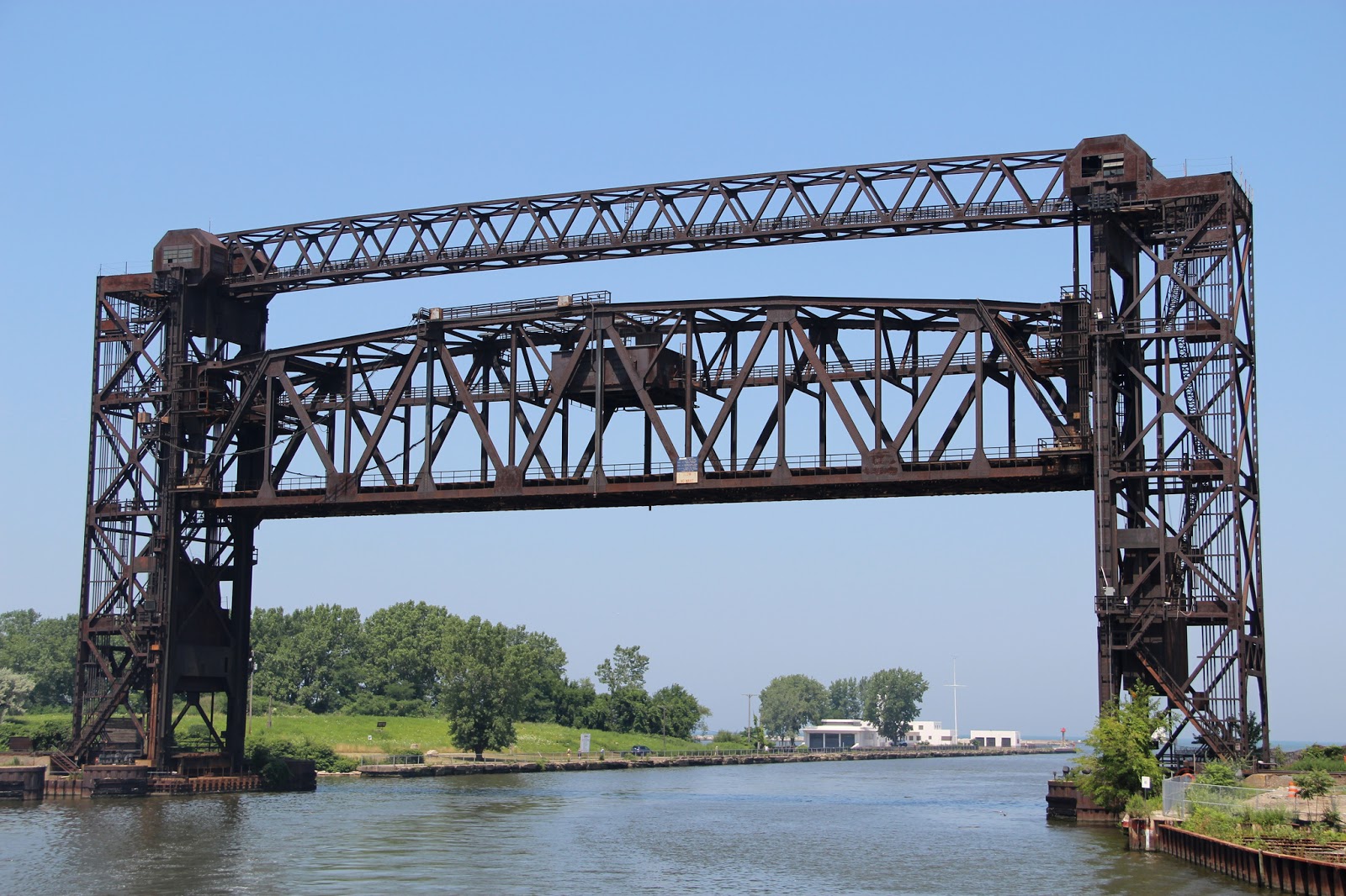
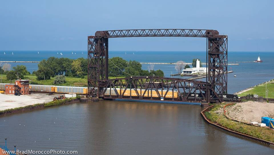
 NS Cuyahoga Lift Bridge #1
GPS Coordinates: 41.50001, -81.70910
A former New York Central bridge, this bridge is on the Norfolk Southern main, at the mouth of the Cuyahoga River. You can get to it by walking from the light rail Flats East Landing station (when the Waterfront line is operating))(red "X"), or by driving and parking in the lot where the green check mark is. You can get shots from the Whiskey Island side too, but I don't think the sun will be with you.
 from the Industrial Scenery page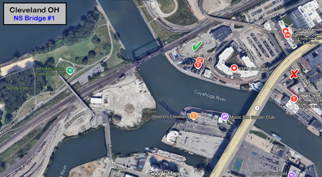
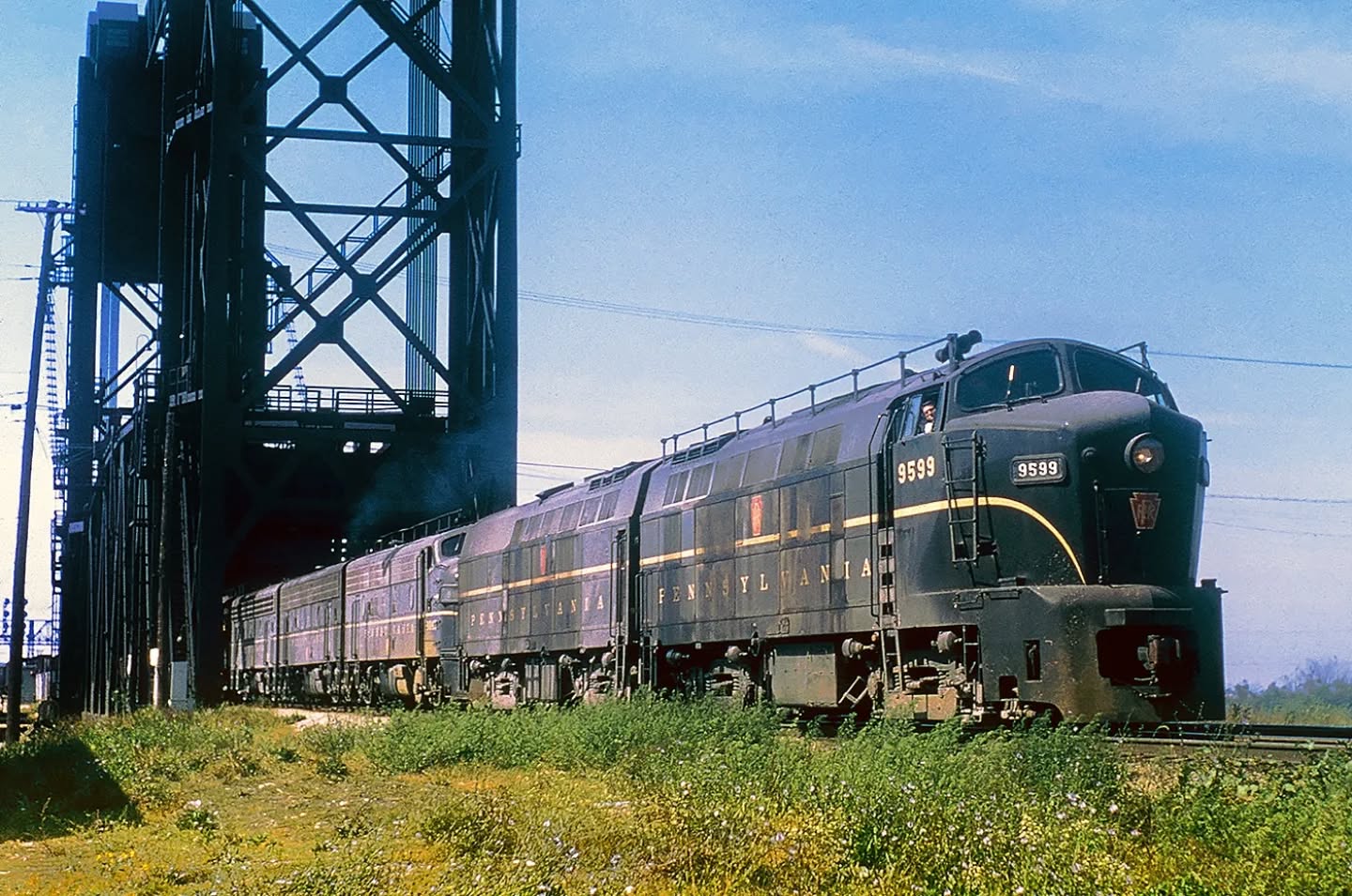
Pennsy Shark Noses on the lead in 1956, Chris Zygmunt photo, collection of Derren Reynolds
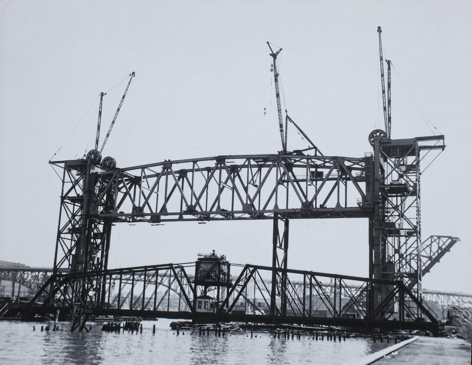
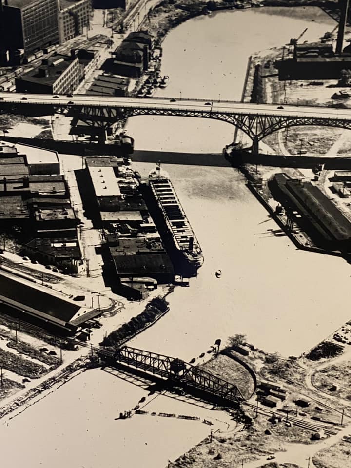 the lift bridge replaced this swing bridge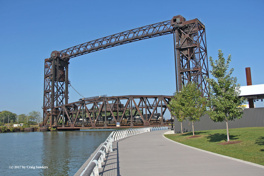
 222
222GPS Coordinates:
The
 Marcy Yard
GPS Coordinates: (center)
 xxx Yard
GPS Coordinates: (center)
 xxx Yard
GPS Coordinates: (center)
 xxx Yard
GPS Coordinates: (center)
 xxx Yard
GPS Coordinates: (center)
 xxx Yard
GPS Coordinates: (center)
 xxx Yard
GPS Coordinates: (center)
 xxx Yard
GPS Coordinates: (center)
 xxx Yard
GPS Coordinates: (center)
 xxx Yard
GPS Coordinates: (center)
 111
111GPS Coordinates:
The
 222
222GPS Coordinates:
The
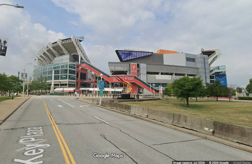
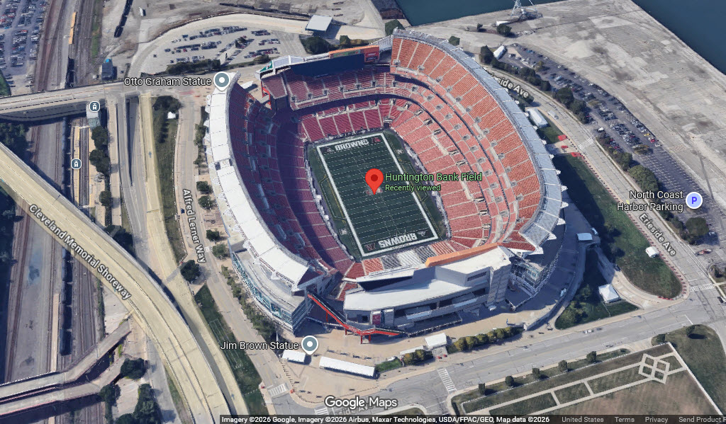
Cleveland Browns Huntingdon Bank Stadium
American Football Conference (AFC) North division
GPS Coordinates: 41.50593, -81.69967
100 Alfred Lerner Way, Cleveland OH 44114
https://huntingtonbankfield.com/
https://en.wikipedia.org/wiki/Cleveland_Browns
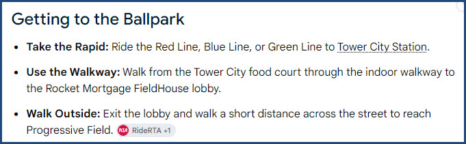
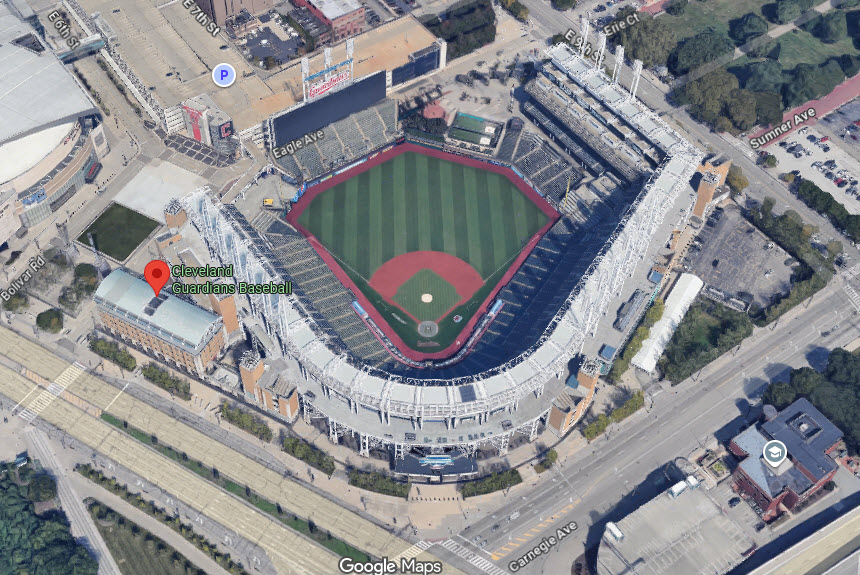
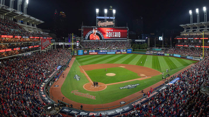
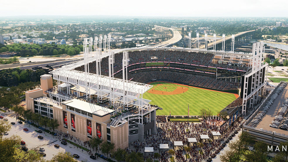
Cleveland Guardians Progressive Field Stadium
American League, Central Division
GPS Coordinates: 41.49600, -81.68527
2401 Ontario St, Cleveland OH 44115
https://en.wikipedia.org/wiki/Cleveland_Guardians
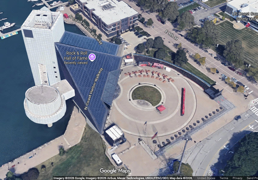
Rock n Roll Hall of Fame
GPS Coordinates: 41.50841, -81.69497
1100 E 9th St, Cleveland OH 44114
216-781-7625
Disclaimers:
New format 10/26/23: Please check out my disclaimer page for my standard dribble and contact info here
RAILFAN GUIDES HOME
RAILROAD SIGNALS HOME
NEW 08/29/2026, AUG30/2026
Last Modified 30-Aug-2026