


In General
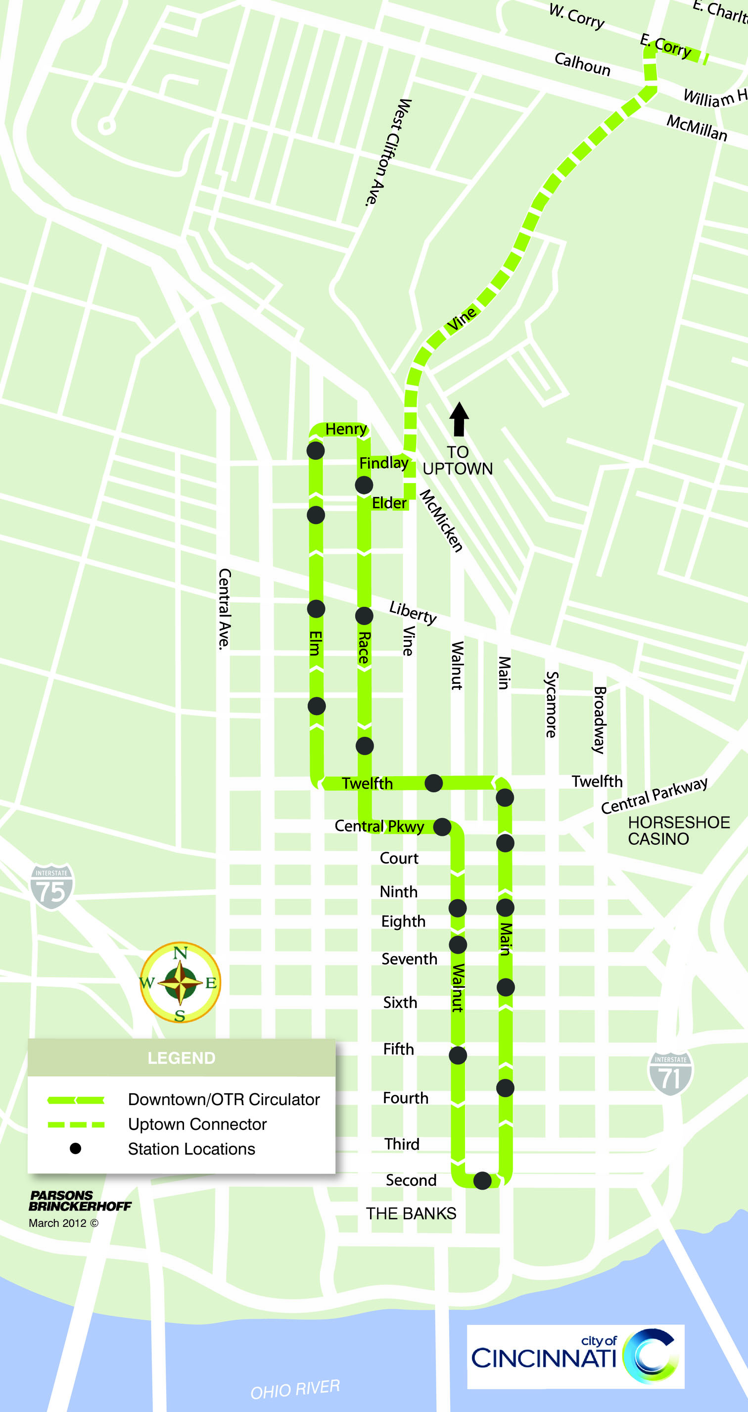
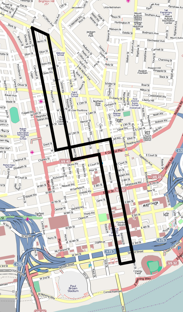
Map
Sights
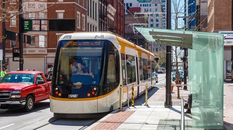
Pictures
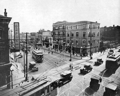
Historical Pictures
Articles
USGS Maps
RAILROAD SIGNALS HOME
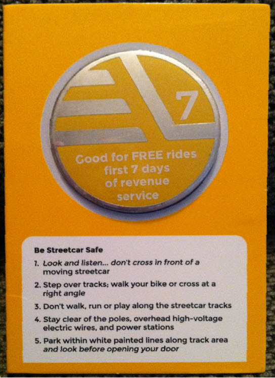
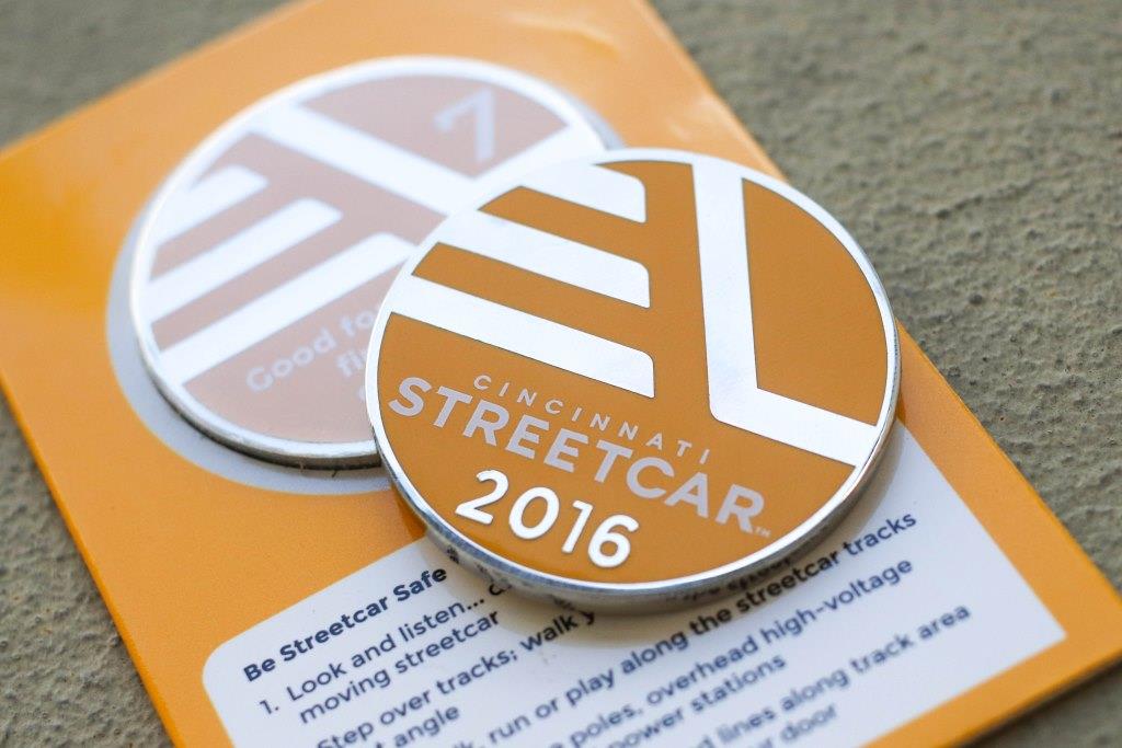
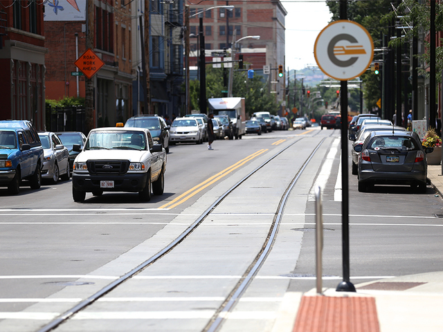
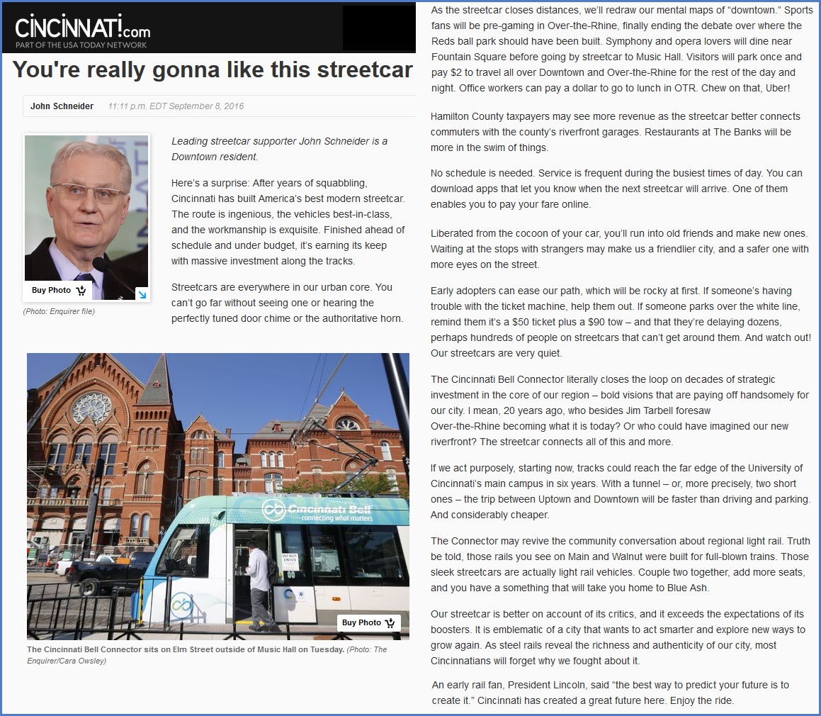
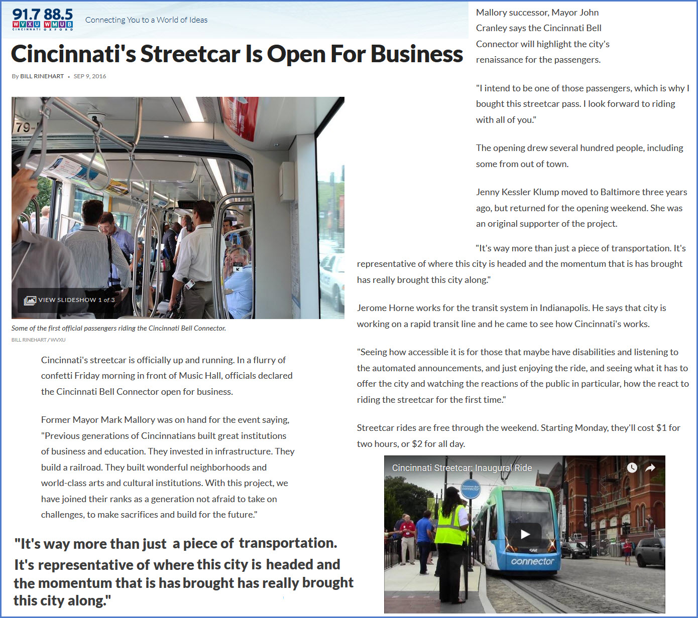
Opening day was Friday, September 9th, 2016.
Tokens were issued to commemorate opening day. They are good for free rides for the first 7 days of operation, starting on the 9th. Mine arrived on 9/10.

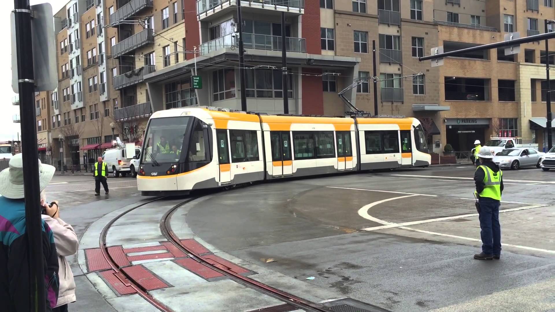
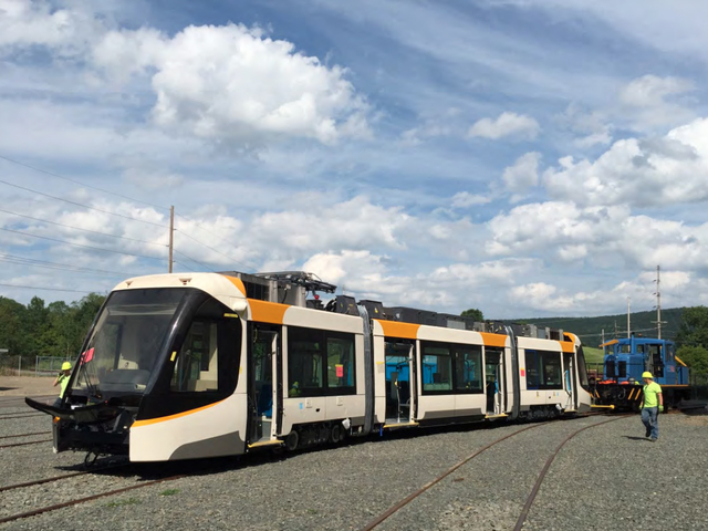
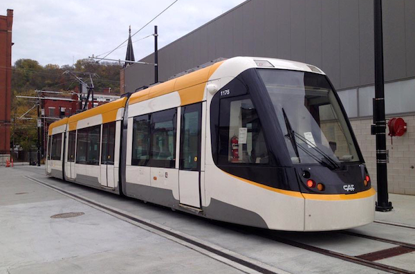 First streetcar on the property - #1175
I know how this operator feels, I was the first one to drive over a newly installed crossover back in 1998 over the Patapsco River on the Baltimore Light Rail..... can you say nervous!!!
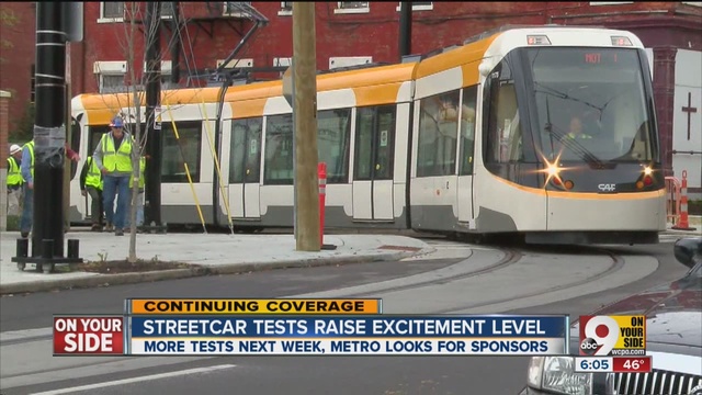

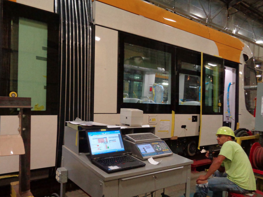
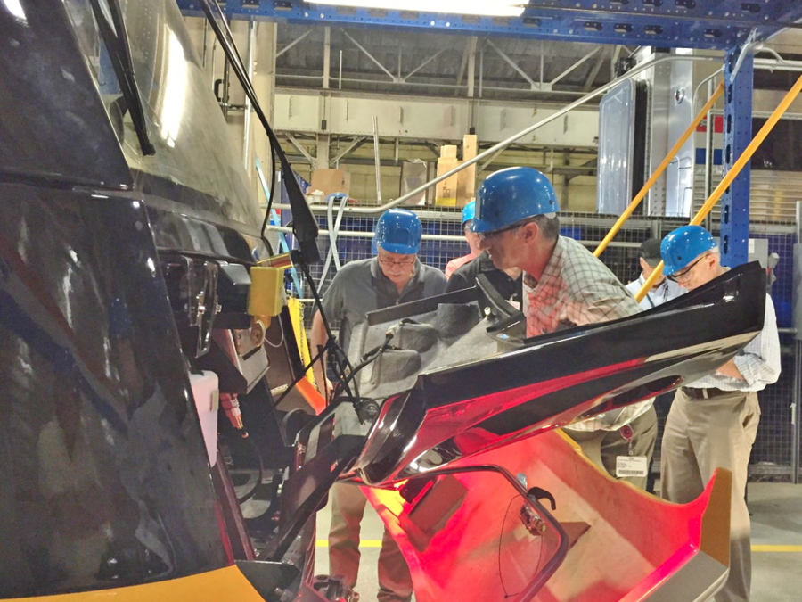
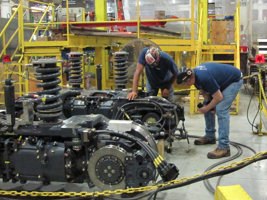
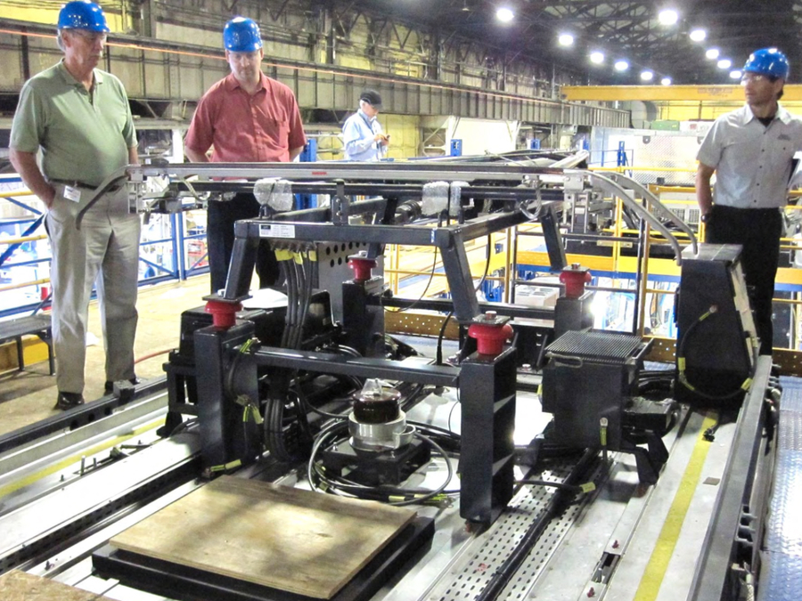
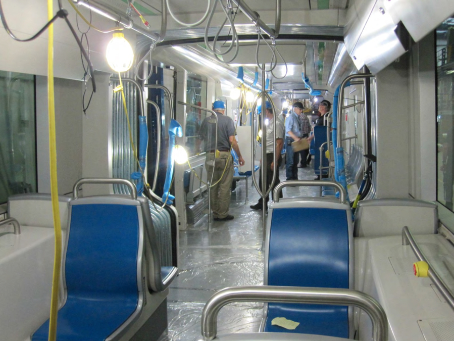
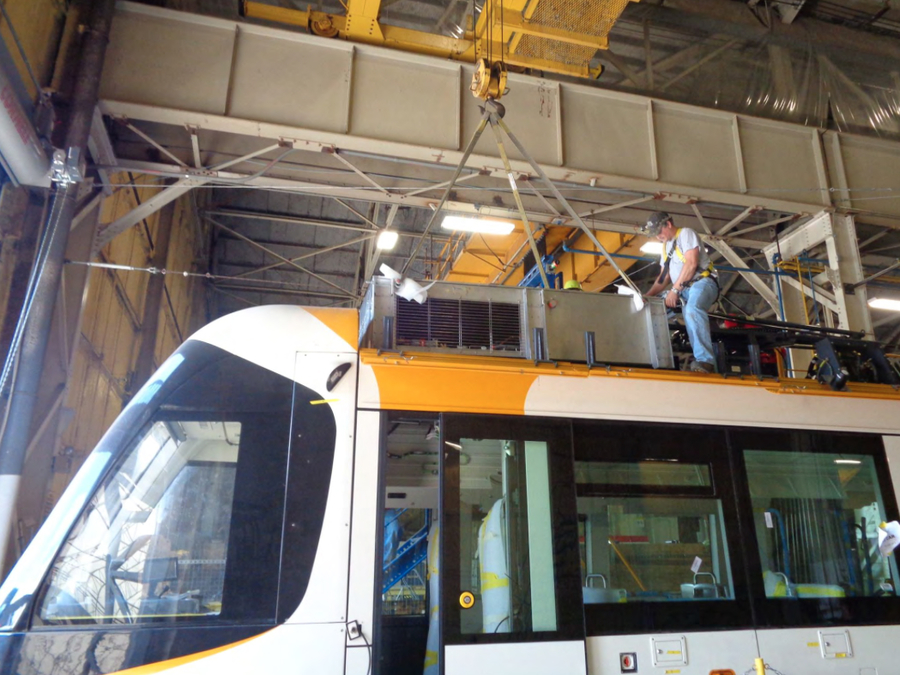
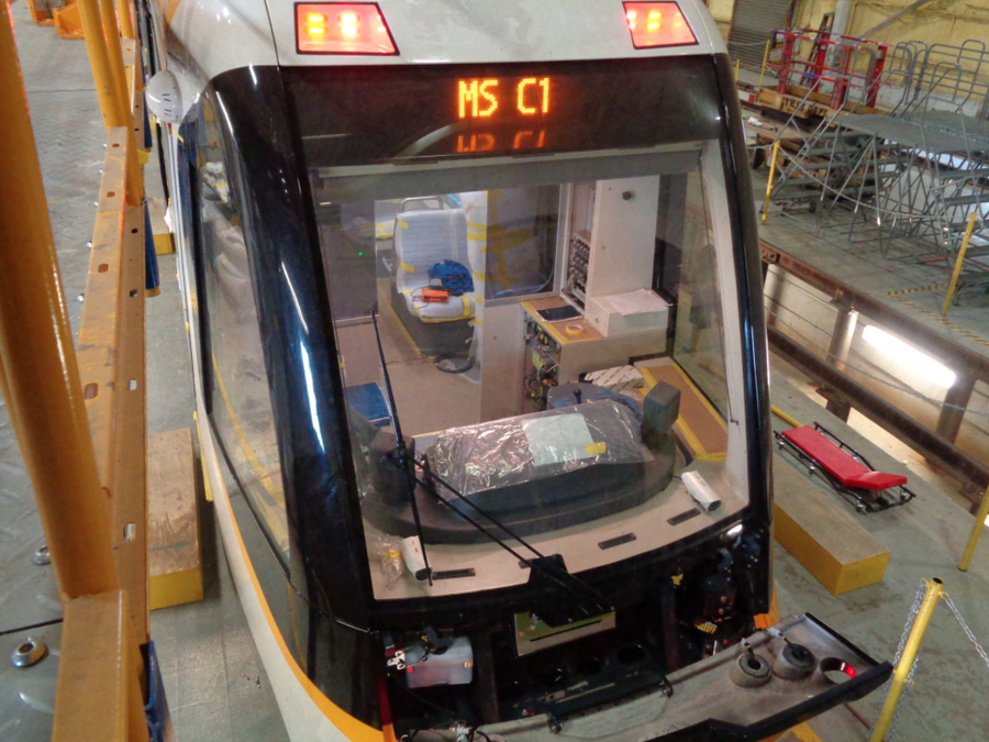
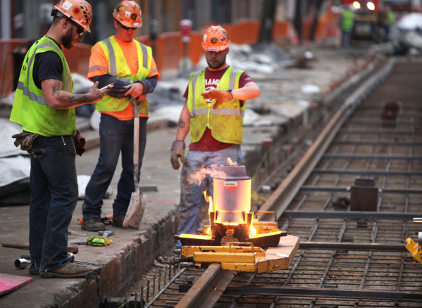
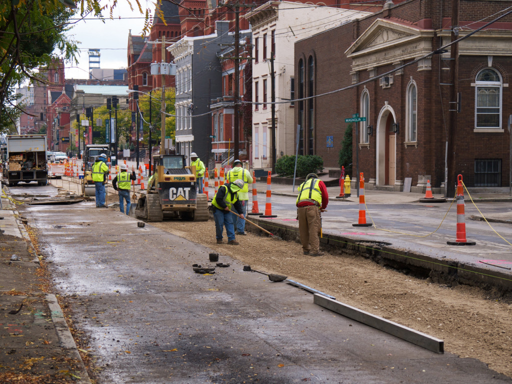
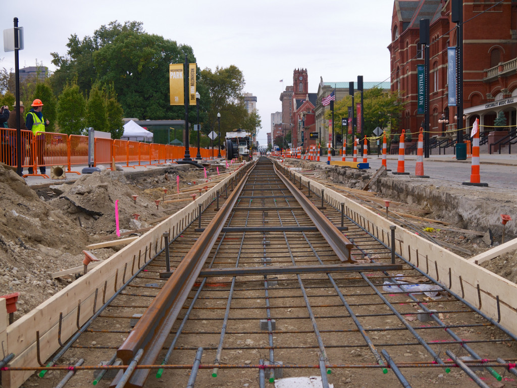
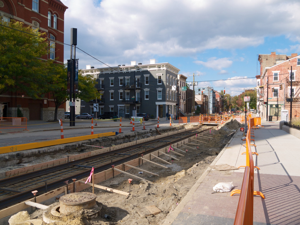
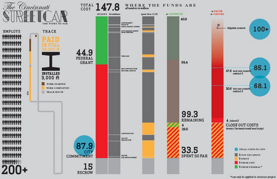
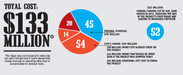
Building the System
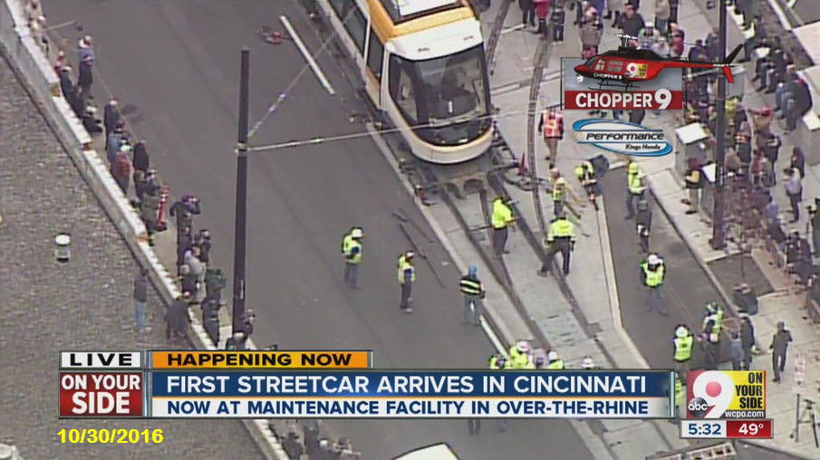
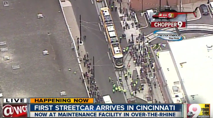
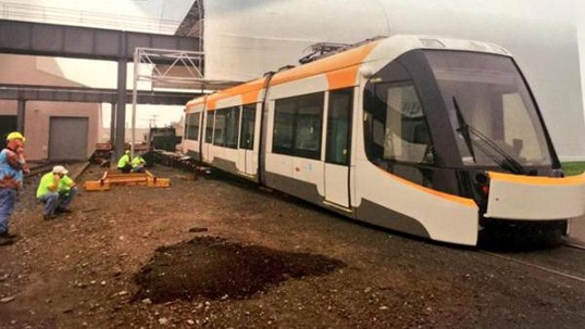
The following pictures were found here: http://www.wcpo.com/news/news-photo-gallery/the-making-of-a-cincinnati-streetcar


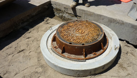
A few construction pictures, found via Google Images (I love rail welding pictures :-):

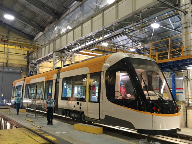
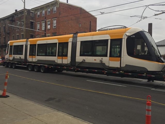
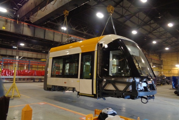 In Elmira assembly
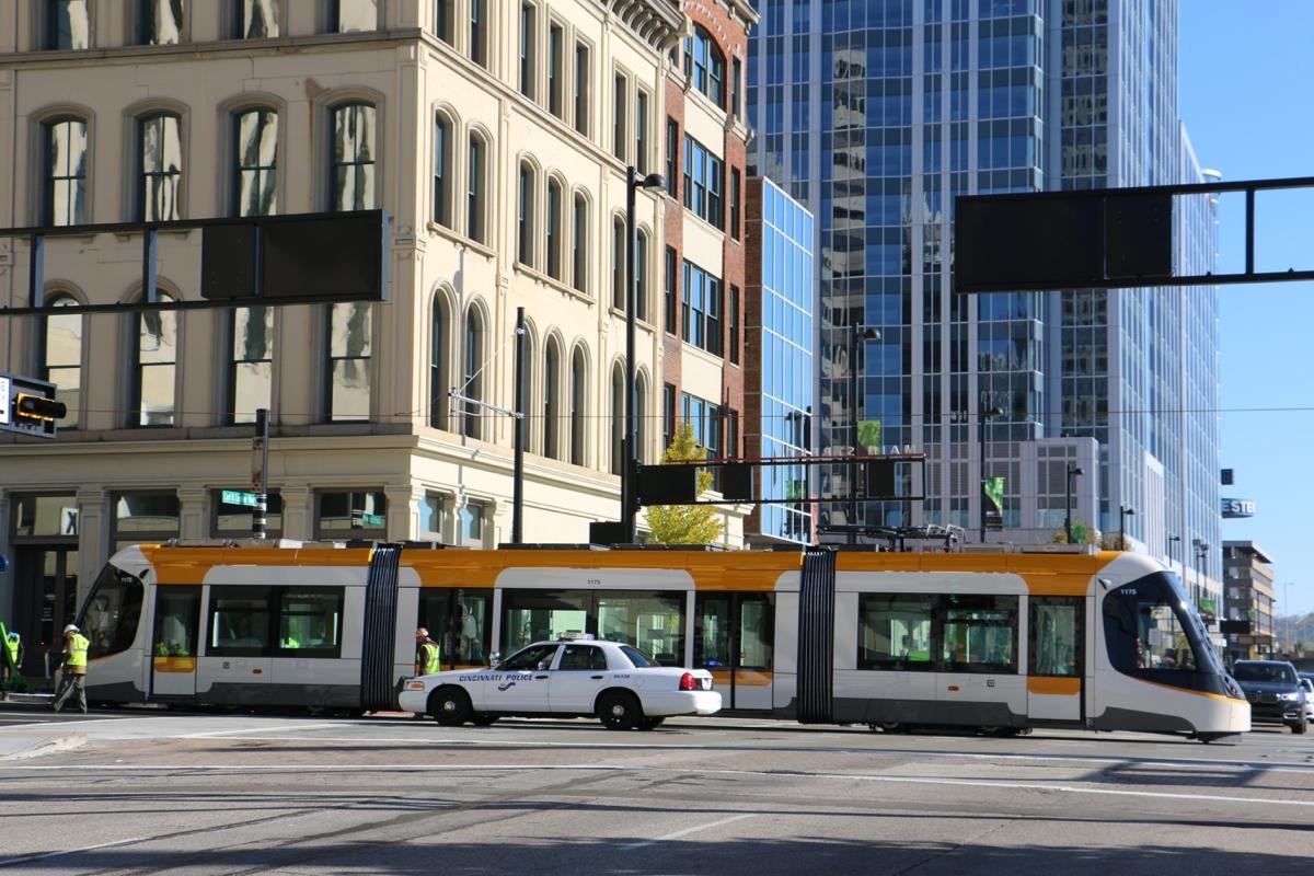 In Test
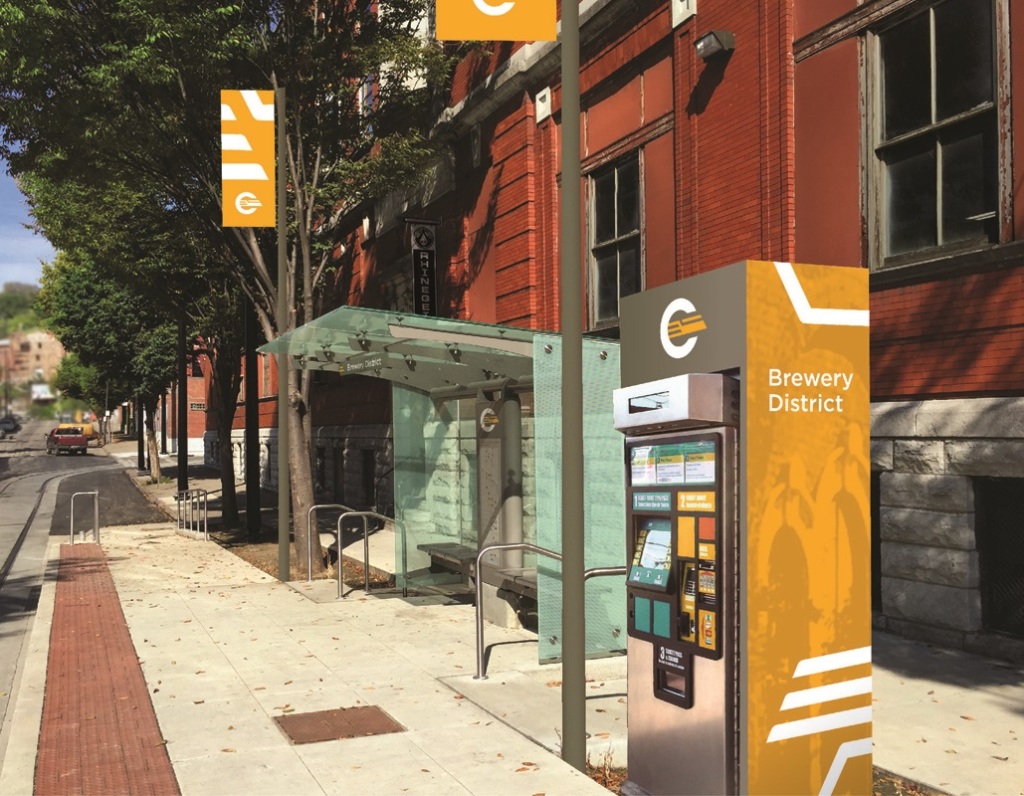 Typical station
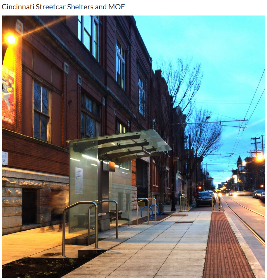
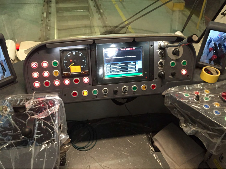
 I wonder who is paying to re-label all of this stuff?
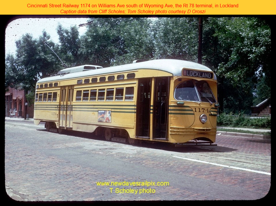
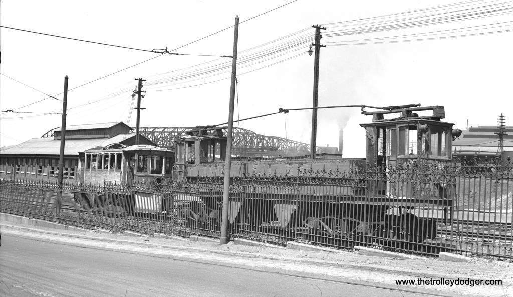
The following picture comes from http://newdavesrailpix.com/cvg/htm/usr_h_cvg_1174_williamssouthofwyoming_lockland_tsch_0423.htm, and was Cincinnati's last "old" streetcar.
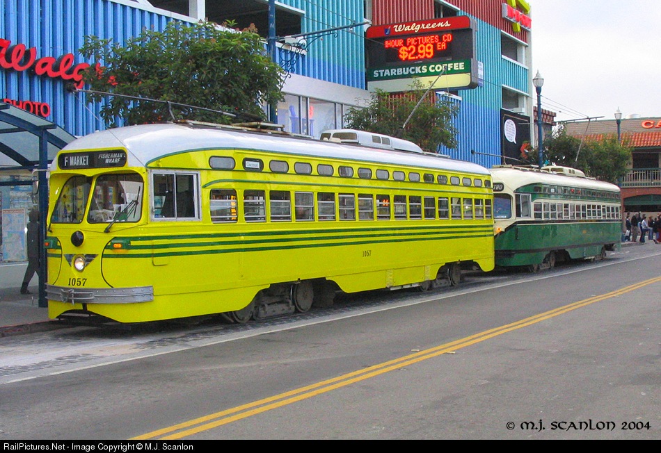 Muni car in Cincinnati colors

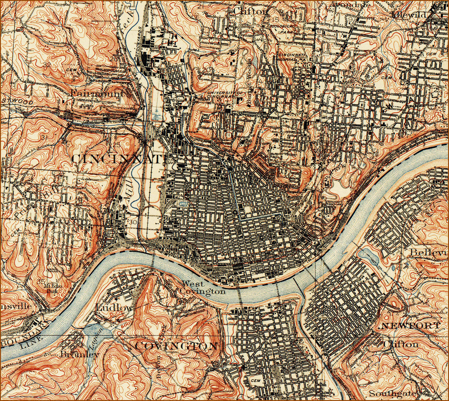
Courtesy of the University of Texas Library, click
here for
their index page.
This page is at:
http://www.lib.utexas.edu/maps/topo/ohio/txu-pclmaps-topo-oh-cincinnati-1912.jpg
Disclaimers:
I love trains, and I love signals. I am not an expert. My webpages reflect what I find on the topic of the page. This is something I have fun with while trying to help others.
Please Note: Since the main focus of my two websites is railroad signals, the railfan guides are oriented towards the signal fan being able to locate them. For those of you into the modeling aspect of our hobby, my indexa page has a list of almost everything railroad oriented I can think of to provide you with at least a few pictures to help you detail your pike.
If this is a railfan page, every effort has been made to make sure that the information contained on this map and in this railfan guide is correct. Once in a while, an error may creep in :-)
My philosophy: Pictures and maps are worth a
thousand words, especially for railfanning. Text descriptions only
get you so far, especially if you get lost or disoriented. Take
along good maps.... a GPS is OK to get somewhere, but maps are still
better if you get lost! I belong to AAA, which allows you to get
local maps for free when you visit the local branches. ADC puts
out a nice series of county maps for the Washington DC area, but their
state maps do not have the railroads on them. If you can find em,
I like the National Geographic map book of the U.S..... good, clear, and
concise graphics, and they do a really good job of showing you where
tourist type attractions are, although they too lack the railroads.
Other notes about specific areas will show up on that page if known.
By the way, floobydust is
a term I picked up 30-40 years ago from a National Semiconductor data
book, and means miscellaneous and/or other stuff.
Pictures and additional information is always needed if anyone feels
inclined to take 'em, send 'em, and share 'em, or if you have
something to add or correct.... credit is always given! BE NICE!!! Contact info
is here
Beware: If used as a source, ANYTHING from Wikipedia must be treated as being possibly being inaccurate, wrong, or not true.
RAILFAN GUIDES HOME
RAILROAD SIGNALS HOME
NEW
10OCT/25/2015, 09SEP/10/2016
Last Modified
16-Mar-2018