
In General
Getting Here
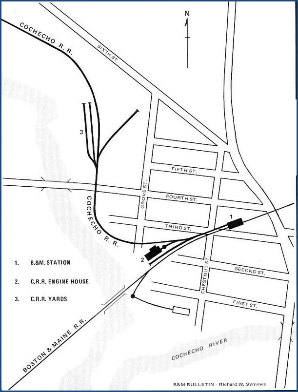
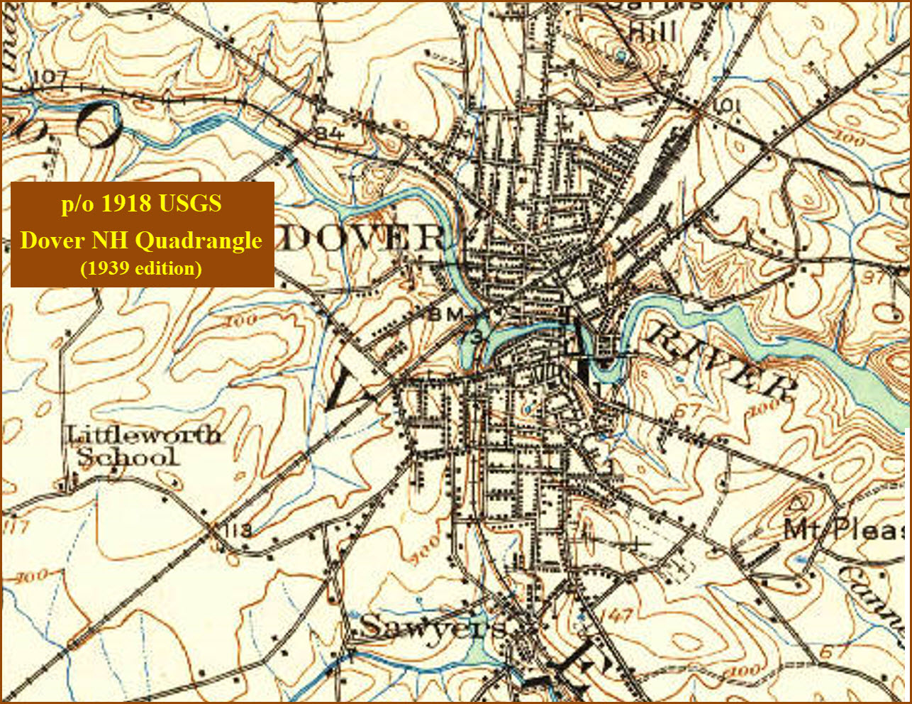
Map
Sights
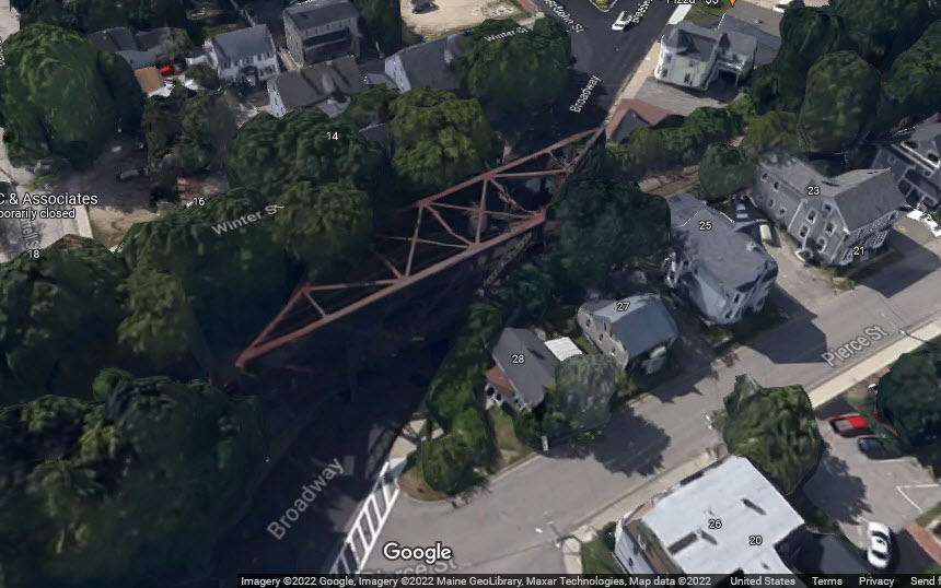
Bridges
Signals
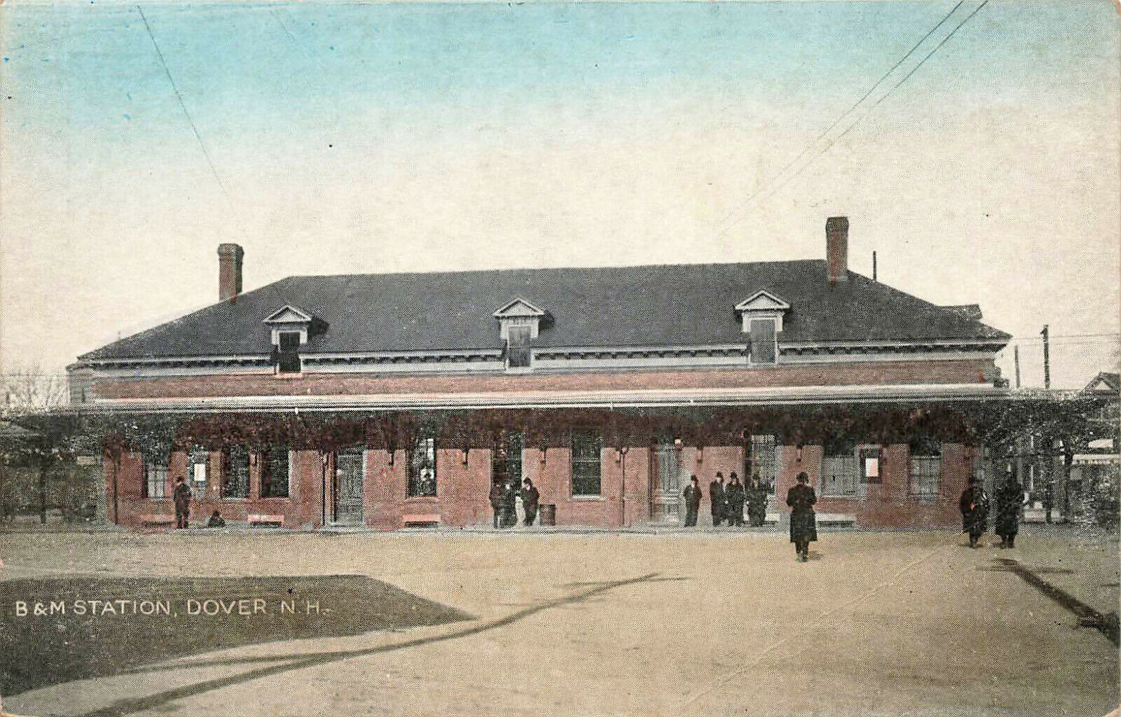
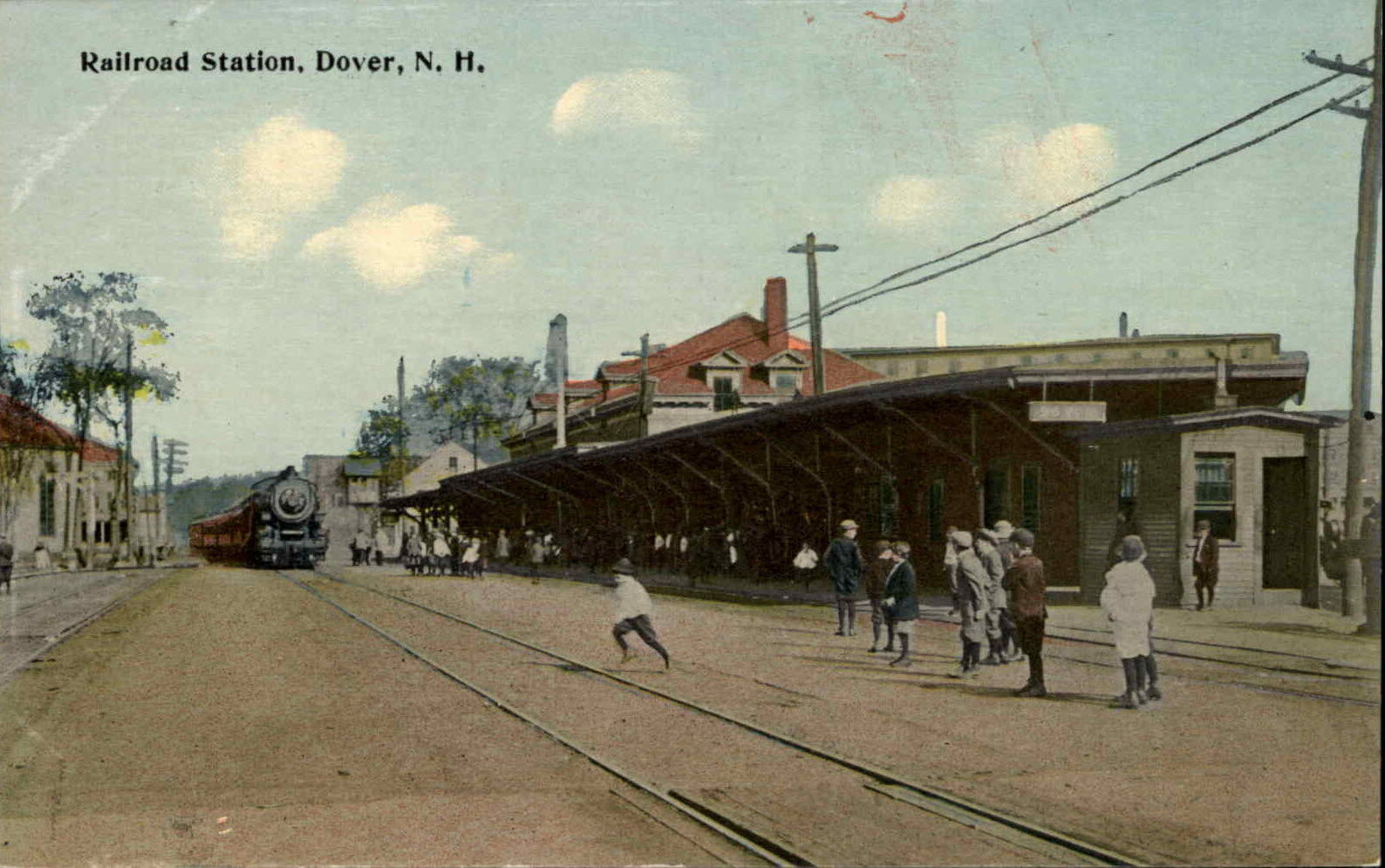
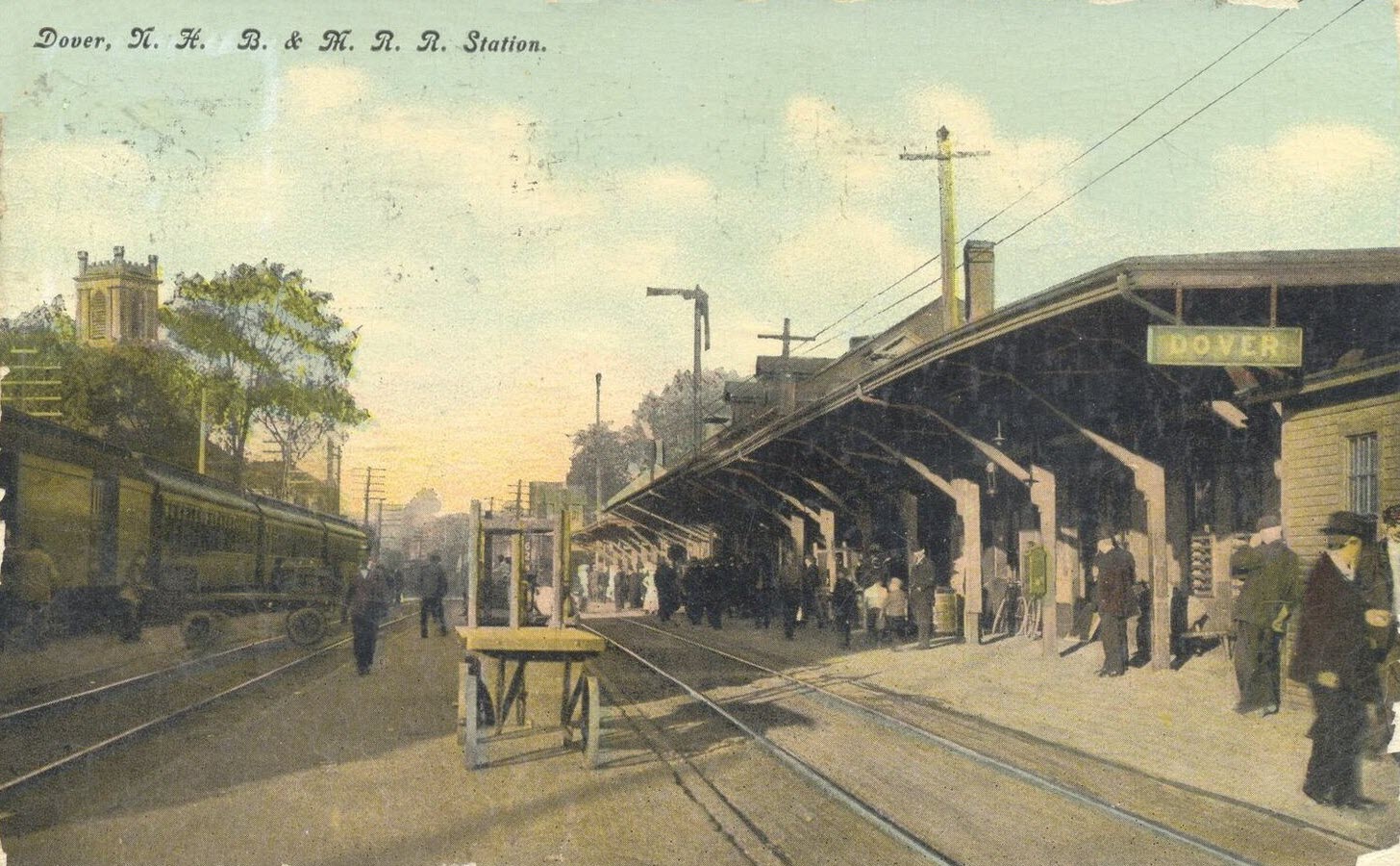
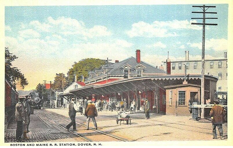
Postcards
Floobydust
USGS Maps
RAILROAD SIGNALS HOME
Location / Name:
Dover NH, Strafford County
What's Here:
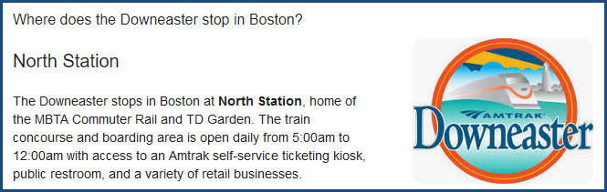
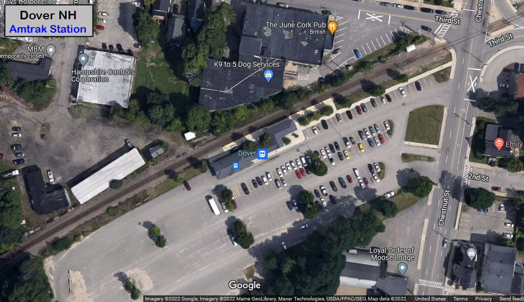
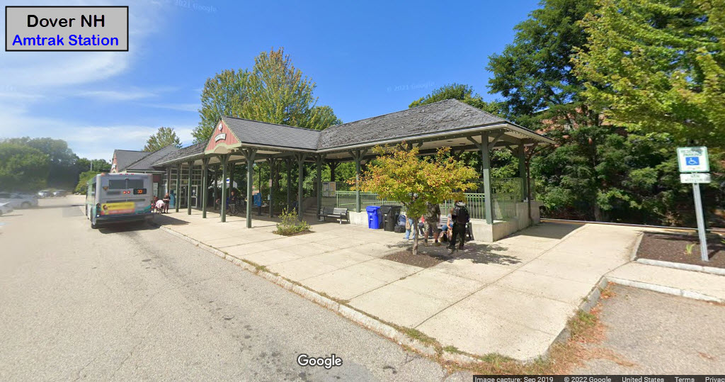
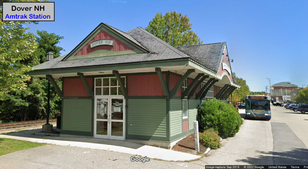
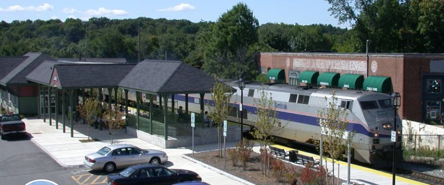
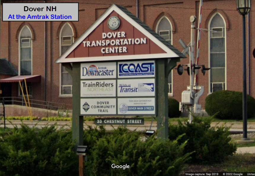
Amtrak Station
A couple of bridges
Data:
GPS Coordinates: as needed
Phone A/C: 603
ZIP: 03820
Population: 32,741 in the 2020 census
Access by train/transit:
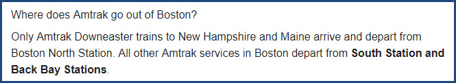
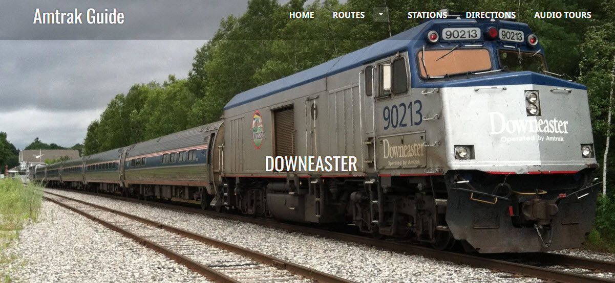
Amtrak
The Scoop:
Not much going on in town railroad wise except for Amtrak coming thru, and a Pan Am train a few times a day.
I don't have any info on the Pan Am trains :-(
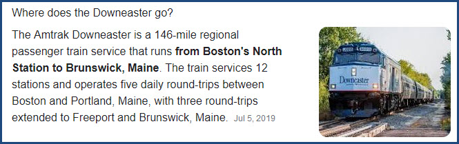
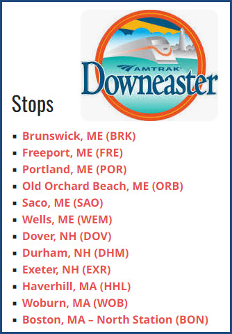
There are five Downeaster trains a day in each direction, see schedule below.
From the Dover.nh.gov website: The first chartered railroad in New Hampshire ran from Boston to Lowell in 1830. By late in 1837, the railroad had been extended to the New Hampshire state line.
In 1838, Dover voters gave permission for the B&M tracks to pass through Dover. The Dover Gazette lobbied against it, saying the railroad would put men out of work who rode the stages and coasting vessels. Dover would “be turned into a town of idlers, under a tyrant’s power.”
The track was completed to Coffin’s Cut in Dover (at the intersection of Washington and Arch Streets) in August, 1841. On the east side of the track were the passenger and freight stations. From there, passengers and cargo were transported to town by horse-pulled omnibus or wagon.
The first train arrived on September 1, 1841, carrying a number of stockholders of the railroad. Although it was a stormy day, a large crowd of spectators turned out, both at the station and along the route from Newmarket. Most had never seen a train before and, according to a newspaper account of the day, one man was heard to remark, “You can’t fool me. I know there’s a horse in there somewhere!”
Since the station was unfinished, and further grading operations were necessary on the tracks, the trains did not run regularly at first.
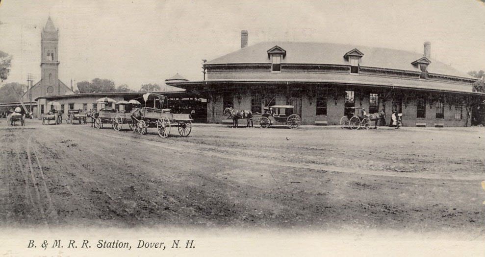
Over the course of the next year, work continued to get through Coffins Cut, which meant burrowing through a hill. Finally, the track was extended into town, so a new railroad station was built on land once used by the Cochecho Manufacturing Company as a wood yard, extending from Third to Fourth Street and surrounded by a wood fence. The new station (now the site of the Municipal Parking Lot) was built of wood, with pillars in front, and was painted dark gray, then sanded. It stood over the track, and the train cars went through it via large doors at either end. In the winter, the doors were open only to let trains pass through; however, this practice was soon stopped because the smoke from the wood smoke of the engines was stifling. This station was replaced in 1873 by a brick station constructed on the same site. It was a two-story building that did not cross the track.
When passenger service was discontinued on June 30, 1967, the downtown station was demolished and a new smaller station was built in the old Second Street railyards west of Chestnut Street. That station was demolished when the existing station was built for the renewal of passenger service in 2001. end Dover.nh.gov
Additional snipets of information from Google.....


Acknowledgements:
Denver Todd
Websites and other additional information sources of interest for the area:
https://www.dover.nh.gov/government/city-operations/library/research-learn/Heritage-Walking-Tours/2002-heritage-walking-tour/ excellent resource of RR info
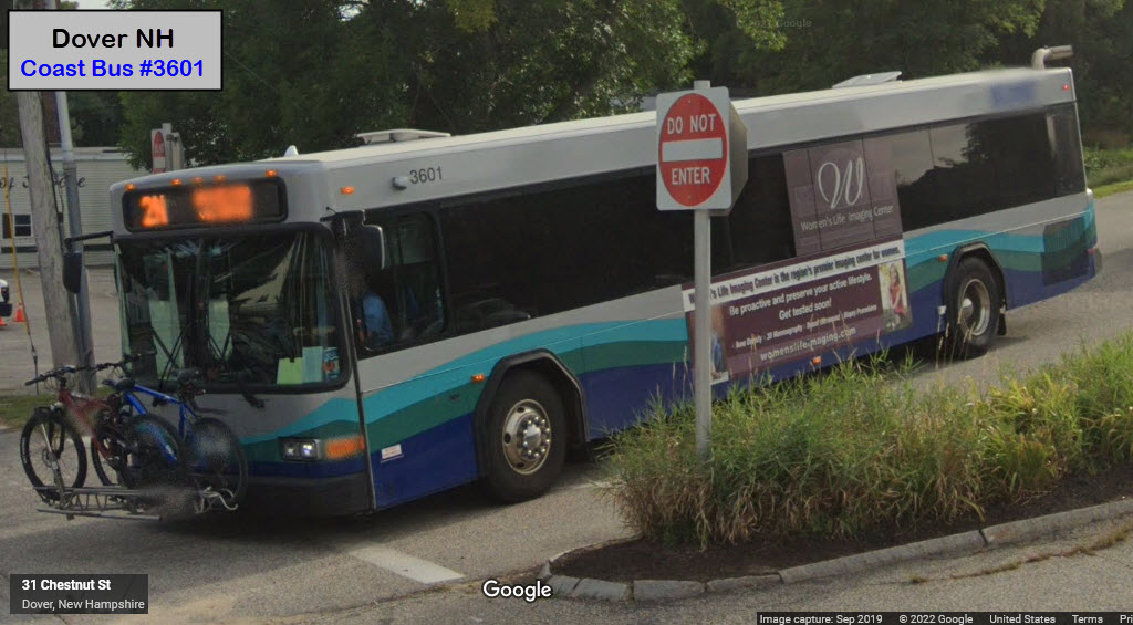
https://coastbus.org/
https://www.facebook.com/dovertrainstation/
http://wikimapia.org/5640611/Dover-NH-Amtrak-Station
https://www.locateindovernh.com/business-benefits/transportation/
http://www.amtrakdowneaster.com/schedule
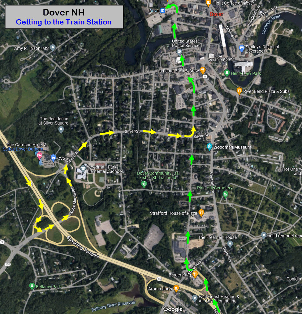
Take exit 4 off of NB I-95 (or exit 5 from SB I-95), and go north on US-4/NH-16 (The Spaulding Turnpike) about 10 miles. Get off at Central Ave, make a left turn at the end of the off ramp, and then an immediate right onto Locust St. In about 4/5 of a mile, the street will curve to your left and turn into Chestnut St, this will take you to the train station.... GREEN ARROWS
If you're going SB on US-4, take the Knox Marsh Rd exit, and take a left at the end of the ramp. Take a right onto Silver Spring Rd when you come up on it, and take that till it connects with Locust St, and take a left. YELLOW ARROWS
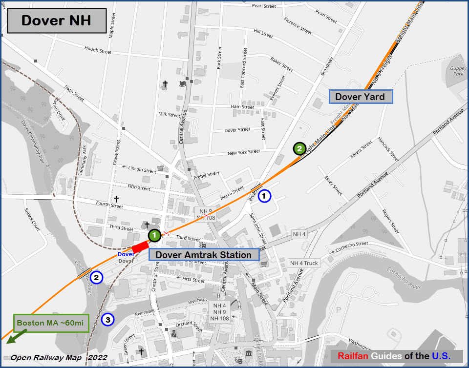
Station Code: DOV
GPS Coordinates: 43.19802, -70.97837
33 Chestnut St, Dover, NH 03820
 from the Dover FB page
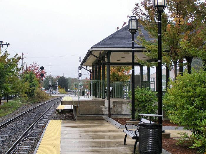 from the Wikimapia page
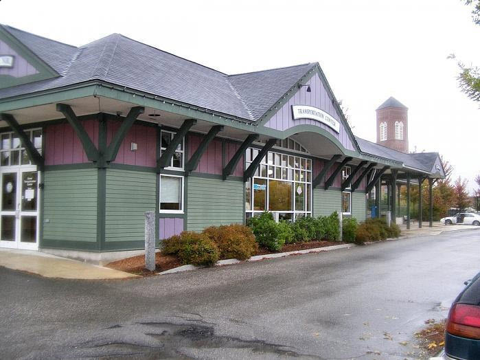 from the Wikimapia page
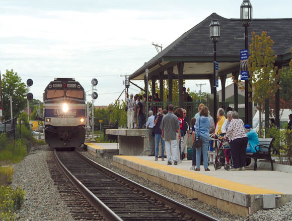
GPS Coordinates: 43.20010, -70.87267
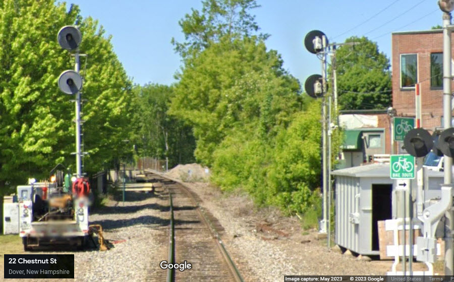
GPS Coordinates: 43.19743, -70.88011
Just south of the train station.
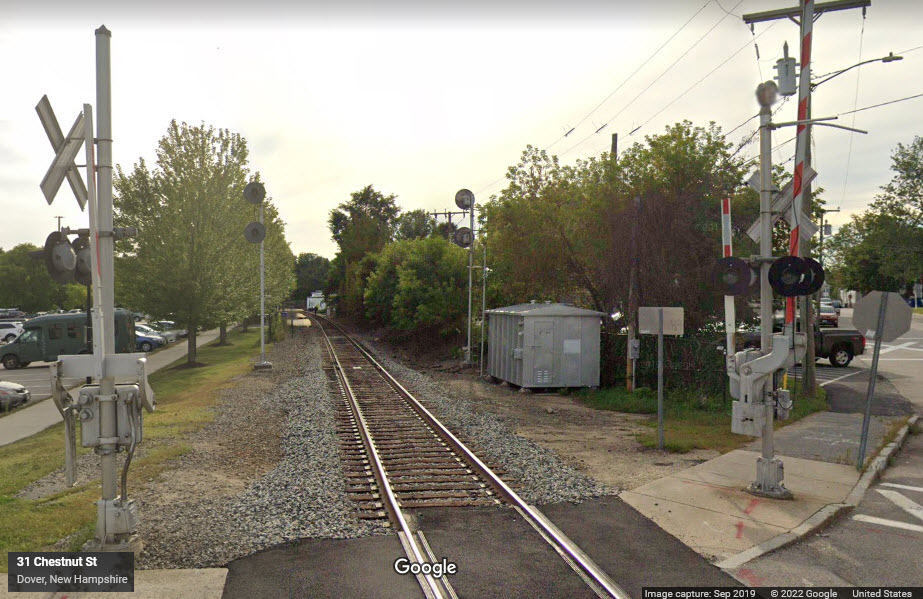
GPS Coordinates: 43.19606, -70.87959
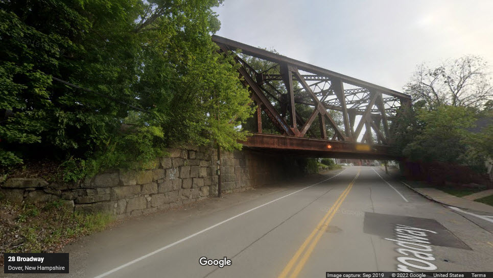
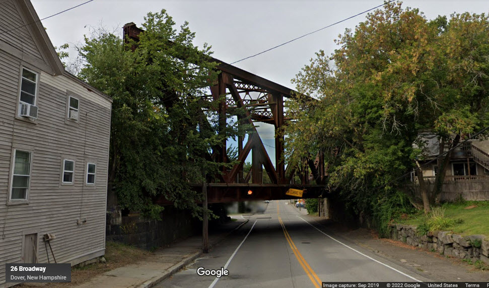
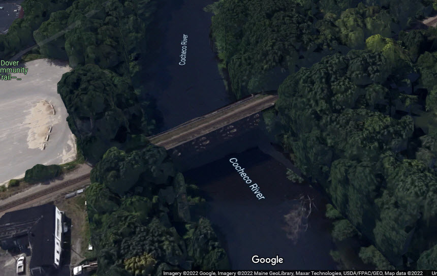
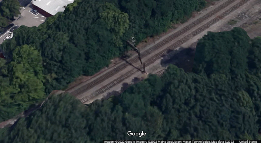
Abandoned railroad bridge.
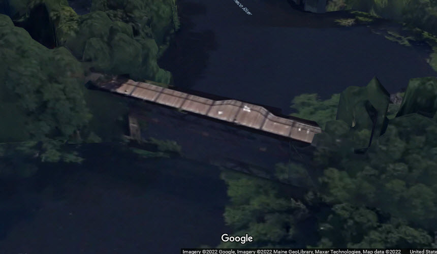
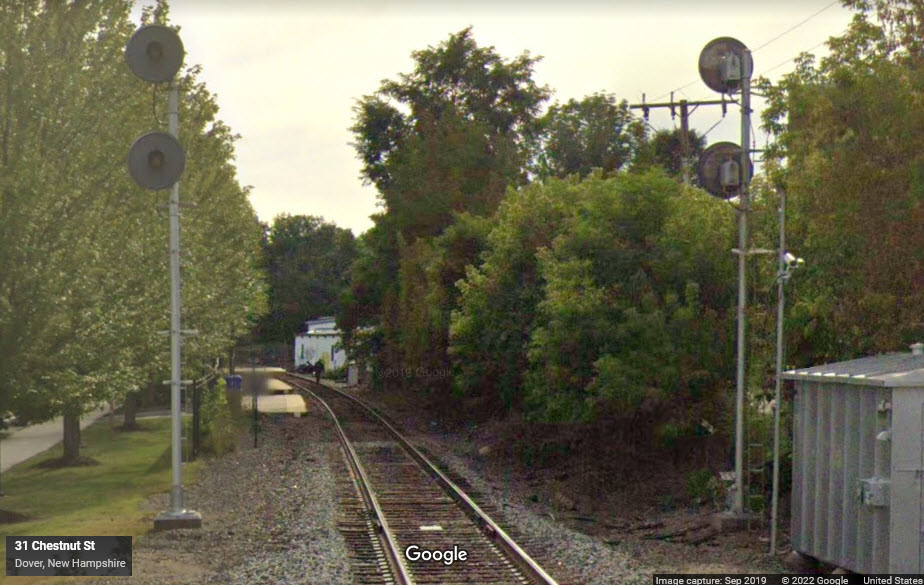
GPS Coordinates: 43.19847, -70.87730
Just north of the train station.
GPS Coordinates: 43.20109, -70.87082
Need better pictures if anyone ventures to town....
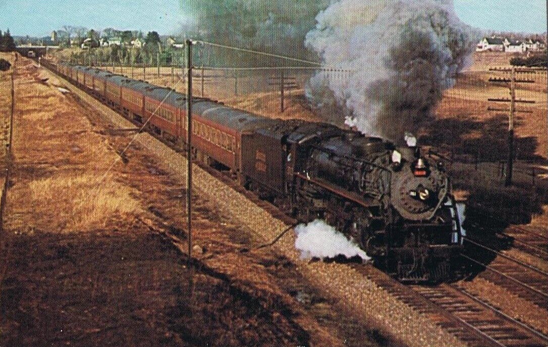
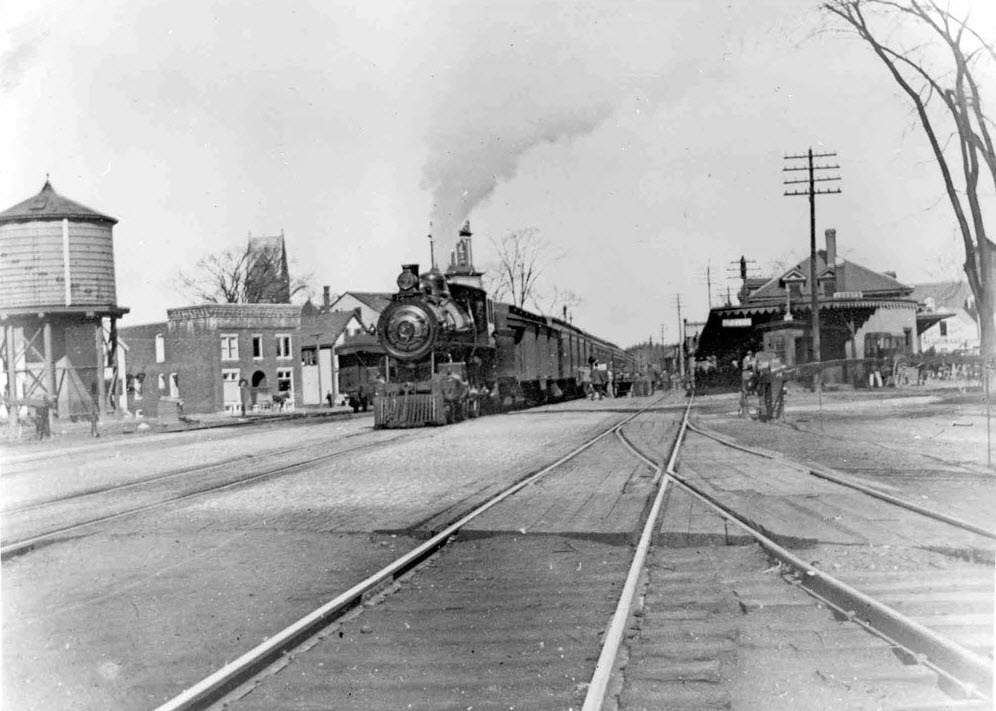
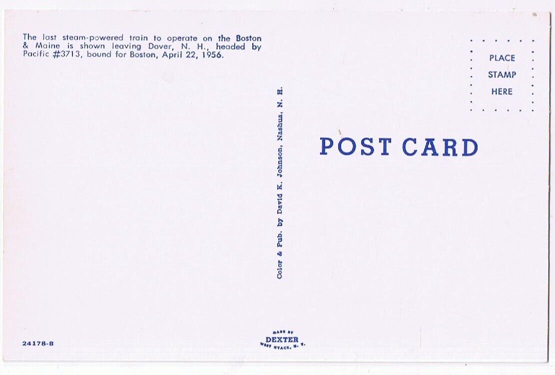 last steam out of Dover, 1956
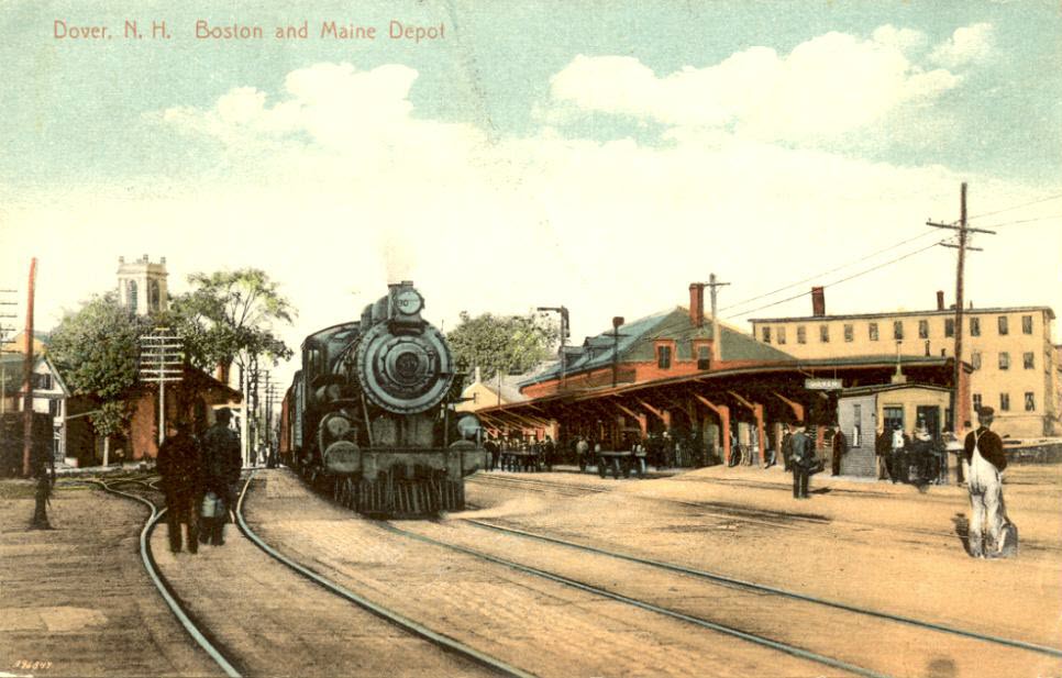
Leaving the transit center and the Amtrak Station.

At the entrance to the Amtrak Station and transit center.
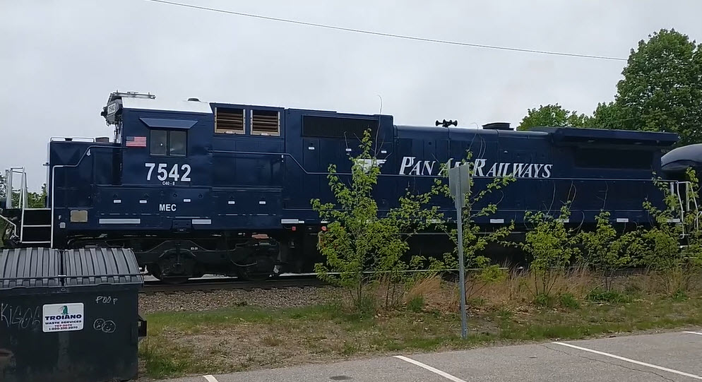
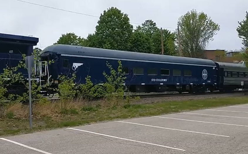
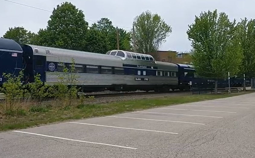
Pan Am Railways OCS at Dover Transportation Center
May 19, 2022.... One comment said this was probably the last time they will see this train come thru.
Courtesy of the USGS, click here for their index page.
Disclaimers:
New format 10/26/23: Please check out my disclaimer page for my standard dribble and contact info here
RAILFAN GUIDES HOME
RAILROAD SIGNALS HOME
NEW JUL10/2022, NOV10/2023
Last Modified 10-Nov-2023