In General
Getting Here
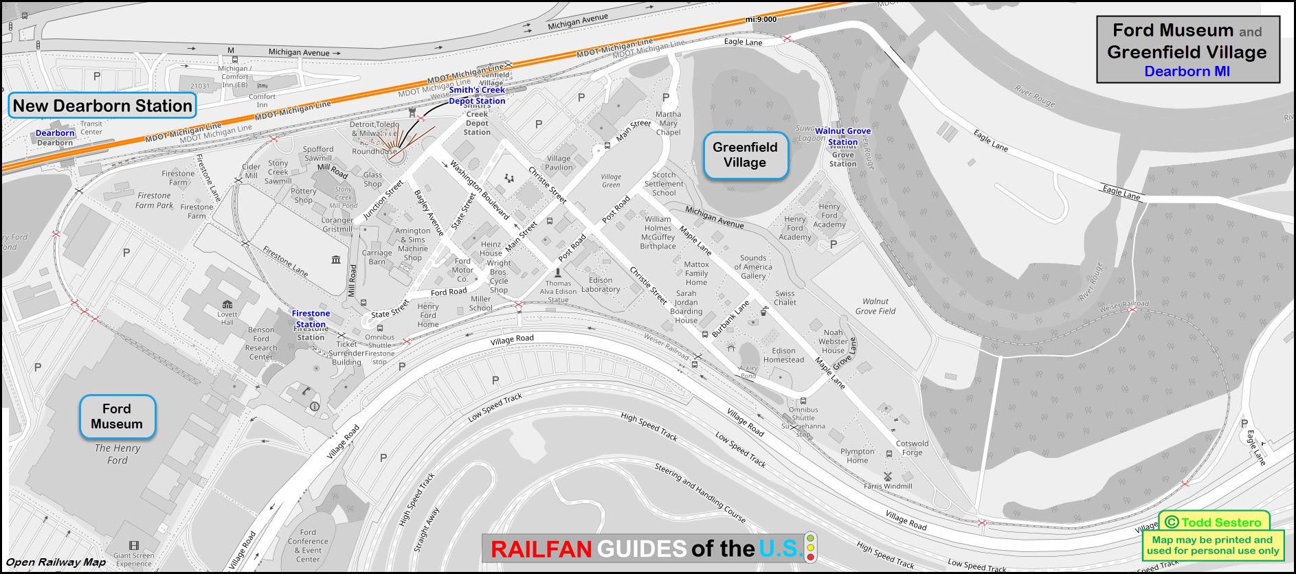
Map
Sights
Signals
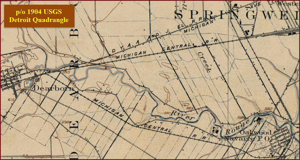
Historical USGS Maps
DETROIT RAILFAN GUIDE HOME
RAILFAN GUIDES HOME
RAILROAD SIGNALS HOME
Location / Name:
Detroit MI, Wayne County
What's Here:
Amtrak Dearborn Station
Ford Museum
Data:
GPS Coordinates: as needed
Phone A/C: 313
ZIP: 482xx
Access by train/transit:
Amtrak
The Scoop:
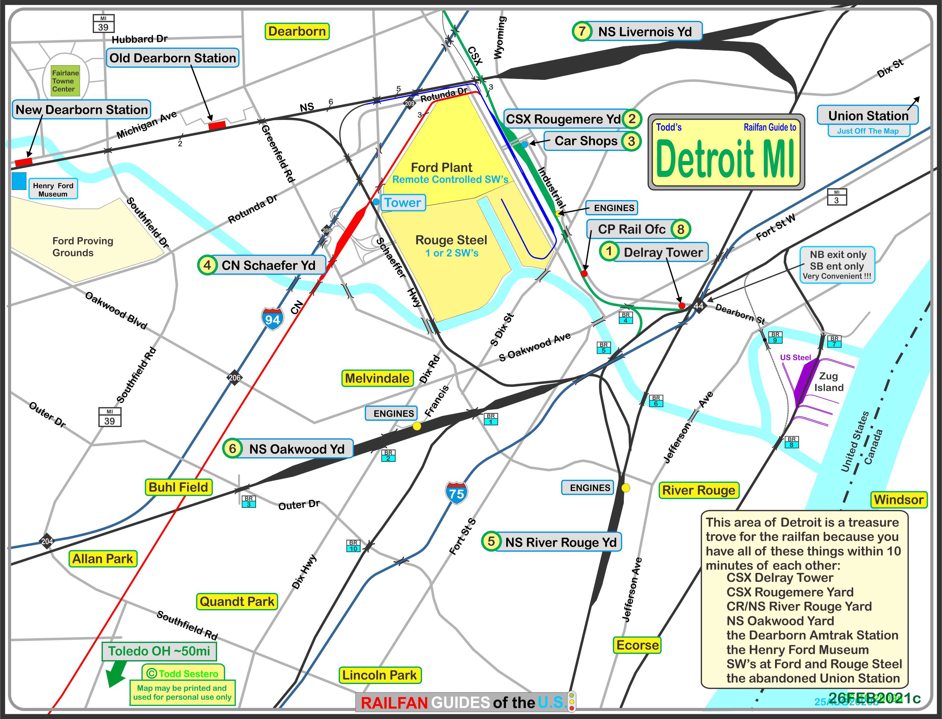
Detroit has so much cool stuff for the railfan to see. In this area alone, all within 10 minutes or so of each other, are a multitude of yards, two stations, two towers, the Ford Museum, the Ford plant, Rouge Steel... phew, I get tired just thinking about it all!
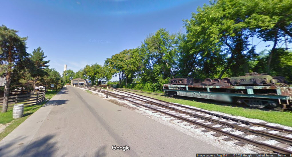
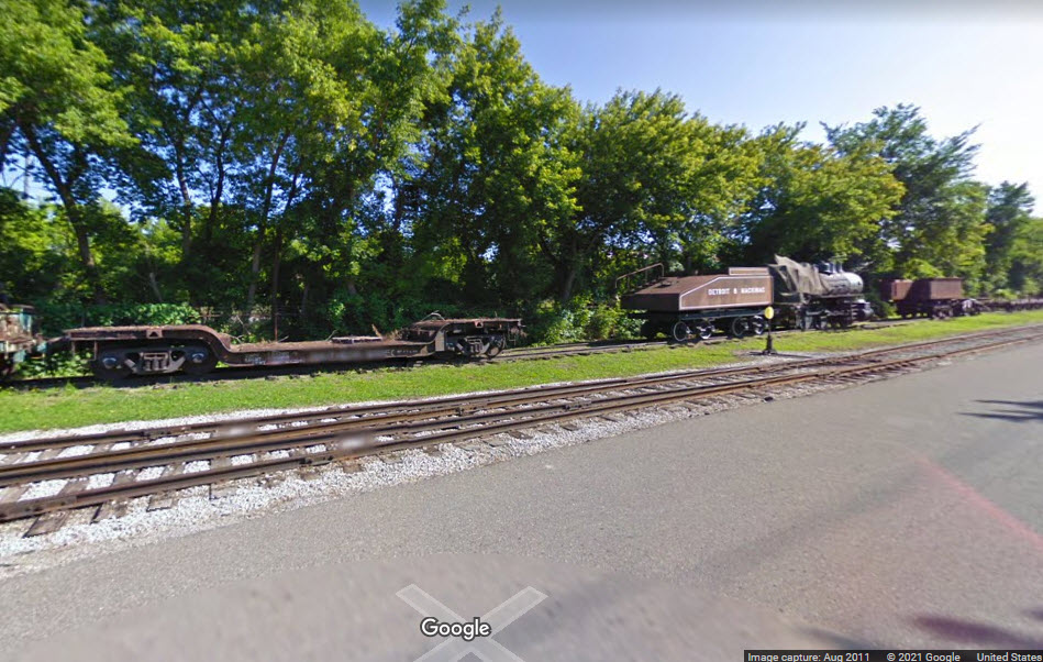
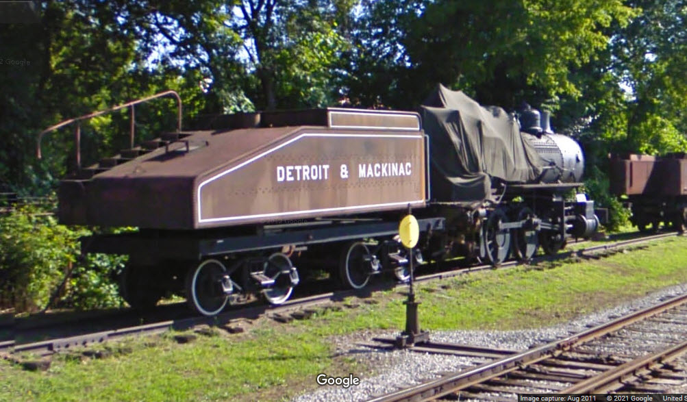
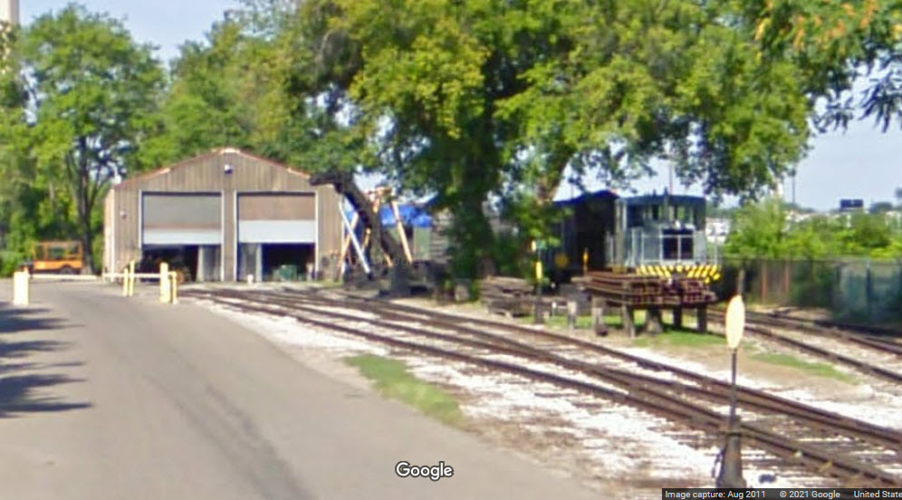
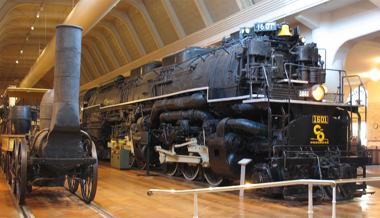
The Dearborn area has three big draws: the Amtrak Station, the Henry Ford Museum and adjoining Greenfield Village, which includes a full scale steam train.
Acknowledgements:
Denver Todd
Google Maps
Bing Maps
Websites and other additional information sources of interest for the area:
None for now.....
Good Luck
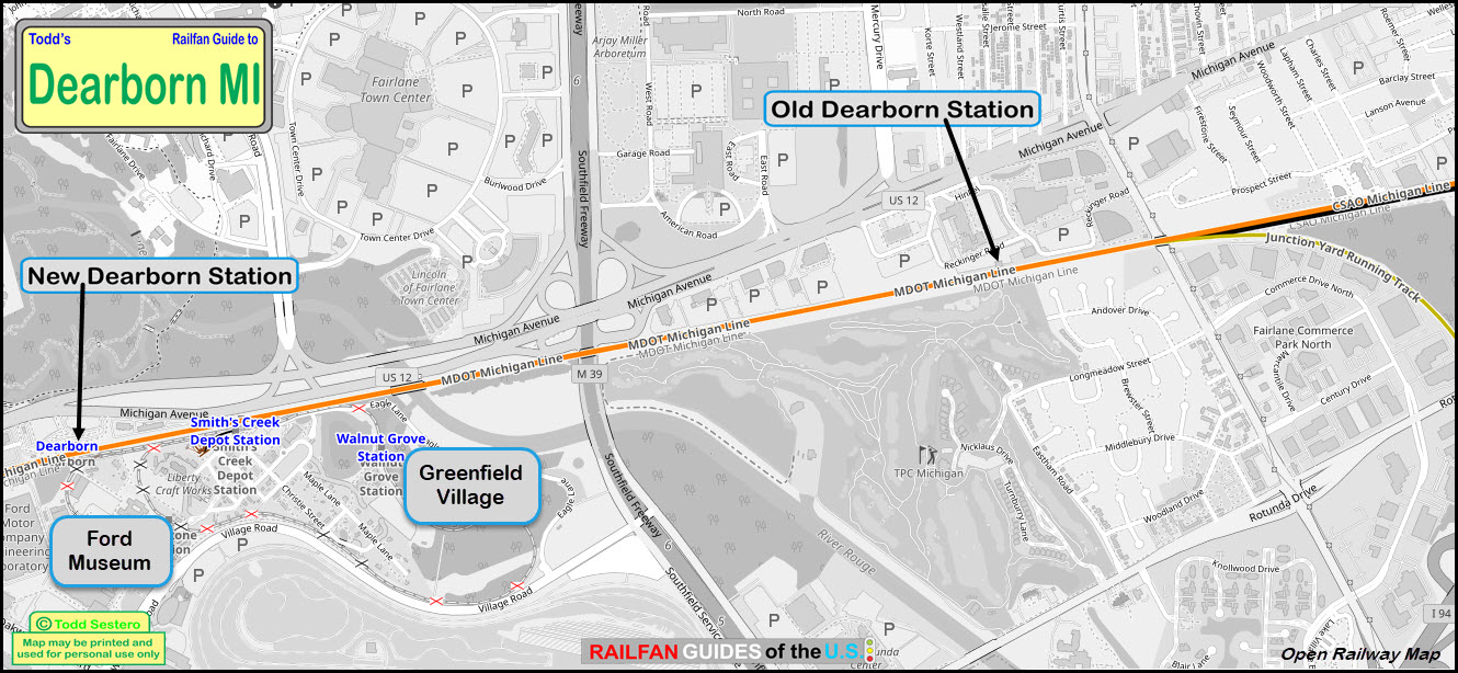
the above map in PDF format is available here
GPS Coordinates: 42.30704, -83.23521
Station Code: DER
800-872-7245
21201 Michigan Ave, Dearborn MI 48124
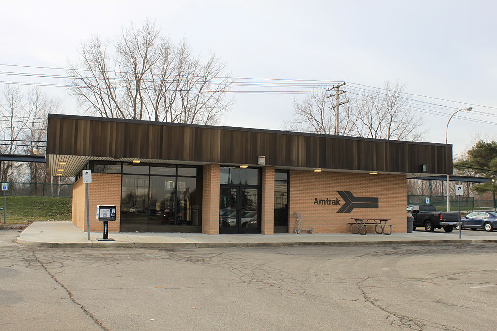
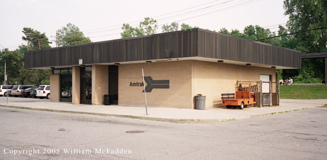
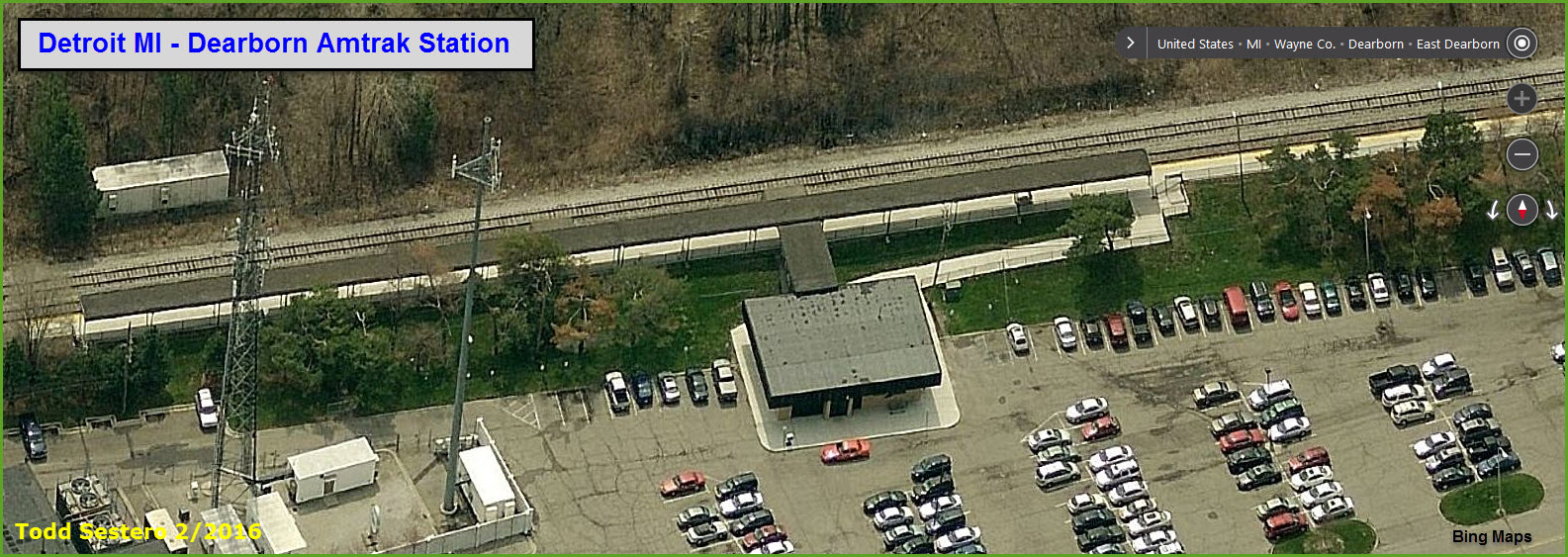
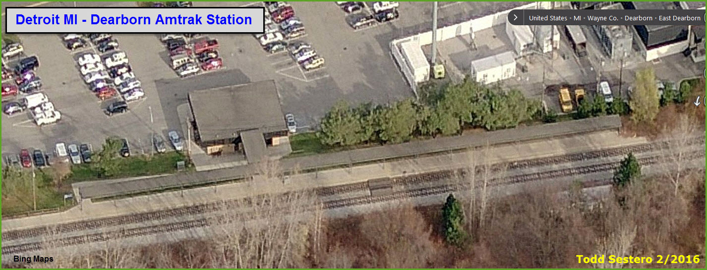
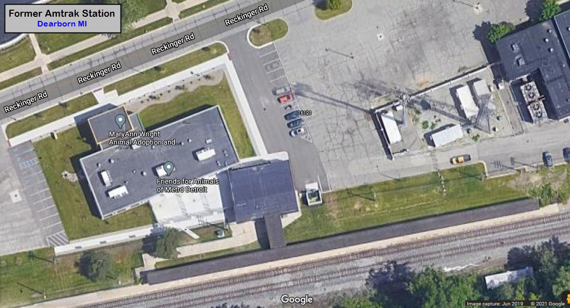
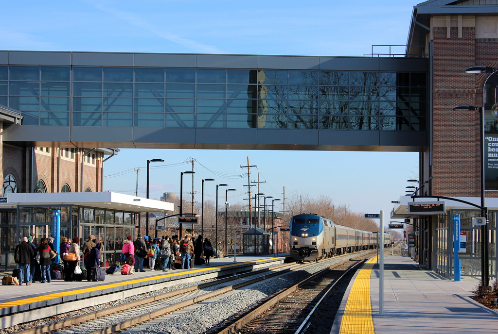
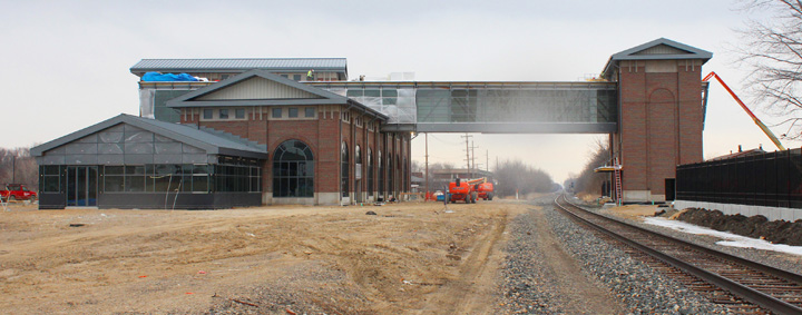
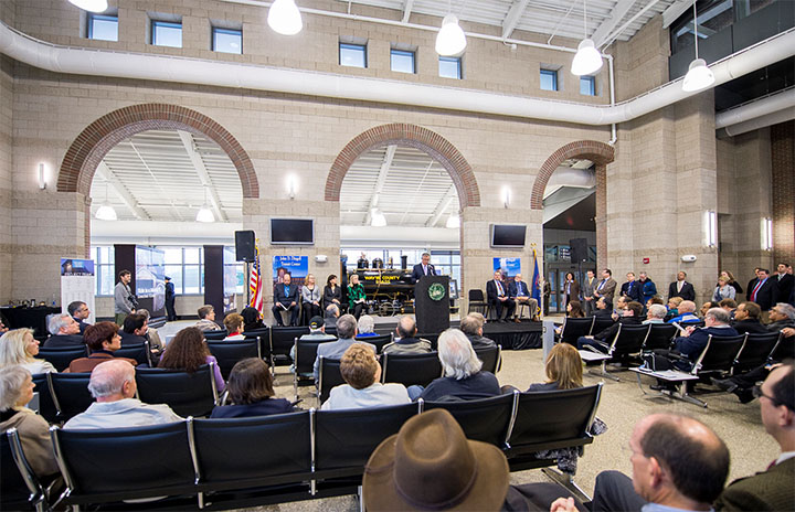
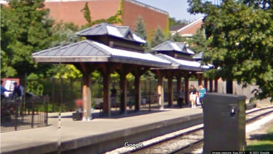
The station in Dearborn is a new one, having been completed in 2014. Amtrak service to the new John D. Dingell Transit Center in Dearborn’s West Downtown area began on December 10, 2014. The facility replaced a smaller, standardized Amtrak depot built in 1979 and located about two miles east. The transit center is within easy walking distance of shops, restaurants and businesses along Michigan Avenue, as well as the Henry Ford Museum and Greenfield Village. The new and old stations are 1.88 miles apart according to Google Maps.
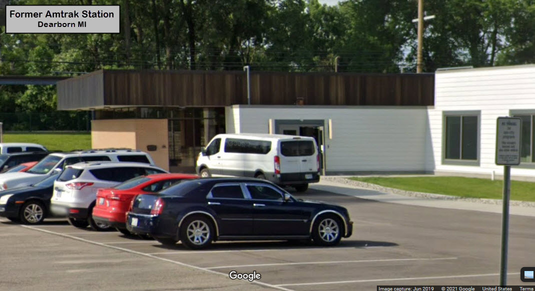
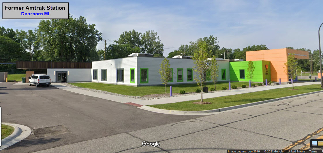
The Old Station.....
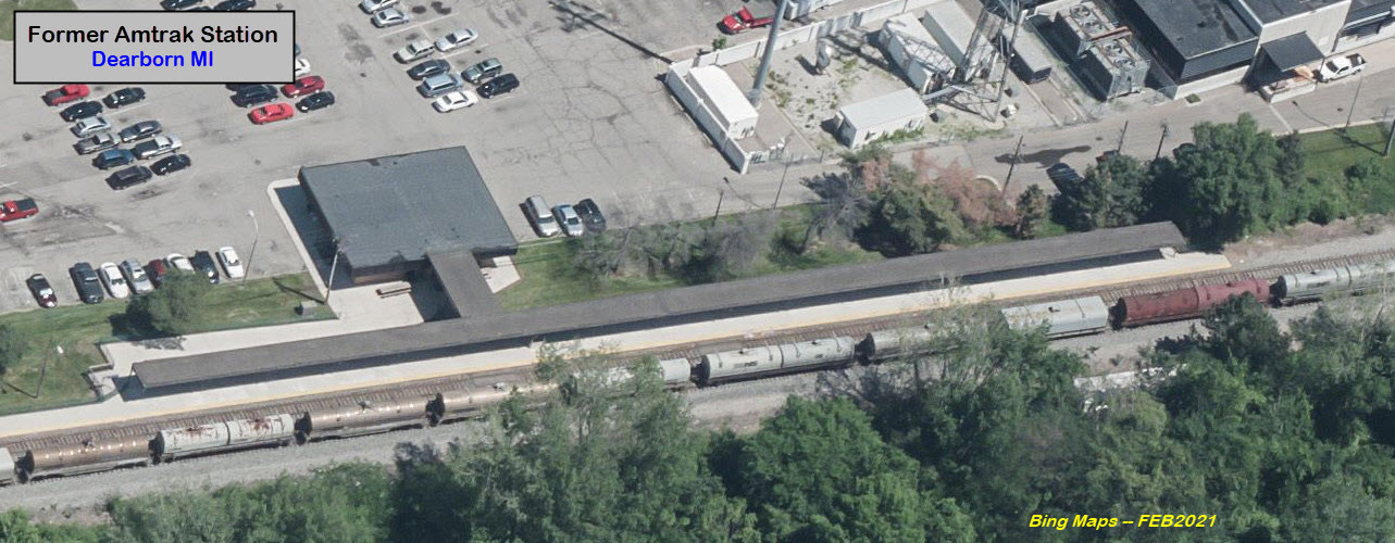
The Old Station Today.....
This is what Bing has for the aerial of the old Amtrak station in early 2021 - I guess they haven't had an airplane fly over recently :-)
The New Station.....
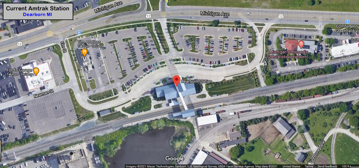
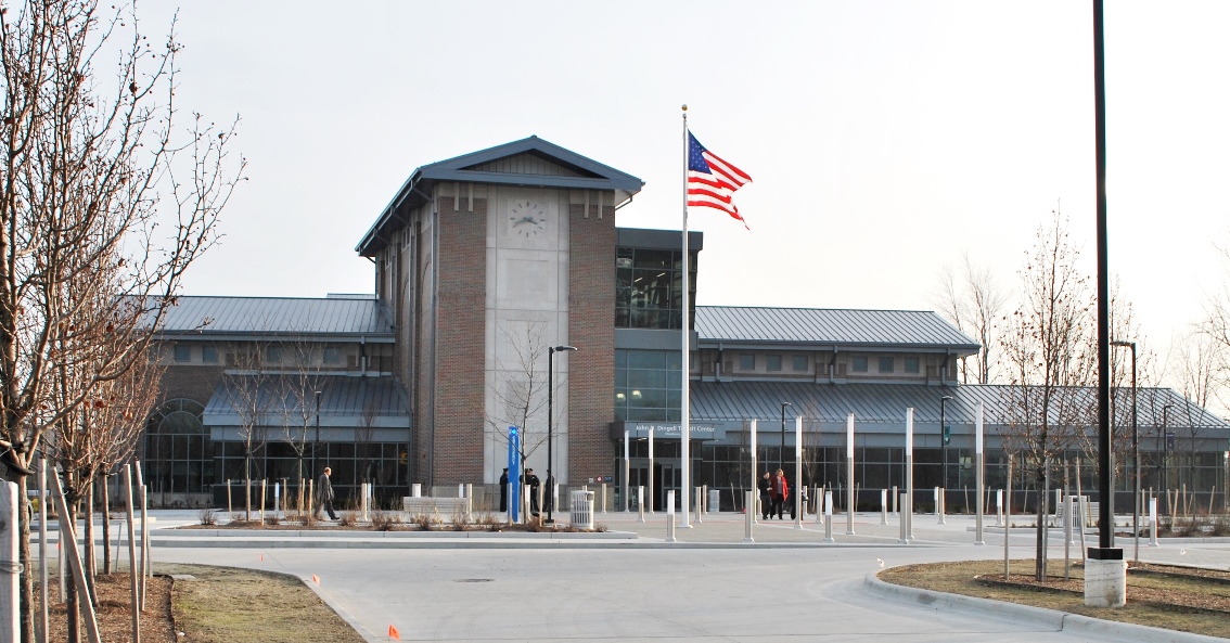
20900 Oakwood Blvd, Dearborn MI 48124
313-982-6001
Open 9:30am - 5pm
https://www.thehenryford.org/
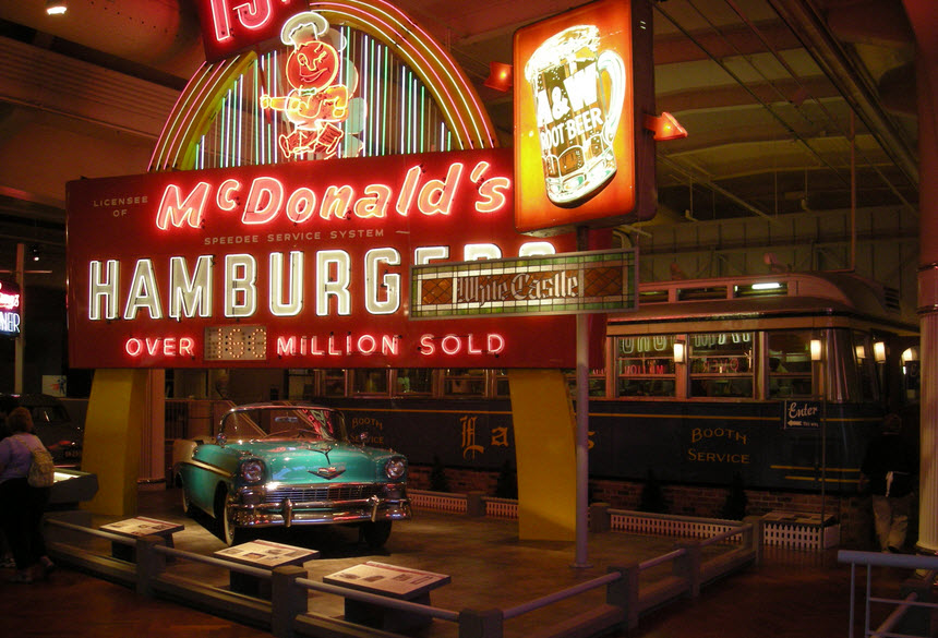
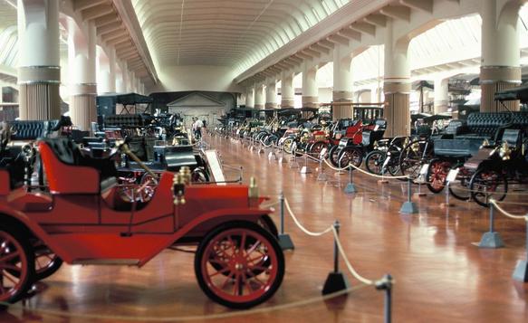
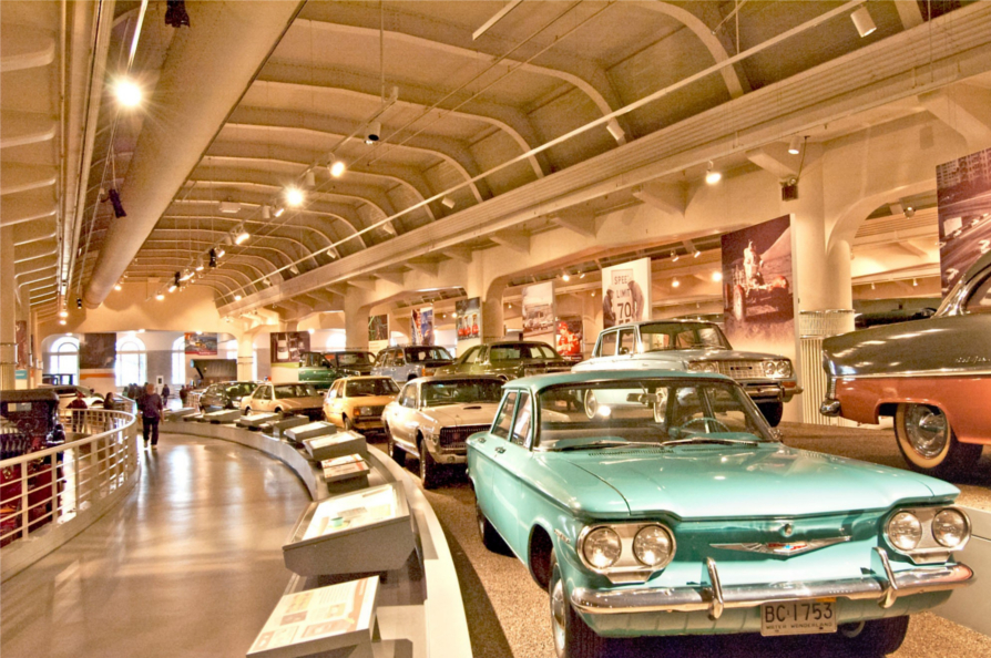
The Ford Museum is a very comprehensive museum, that covers many items of historical interest, including (obviously) cars, and not just Fords; trains; and Americana like an original McDonalds neon sign. Admission is $25, discounts for kids and seniors.
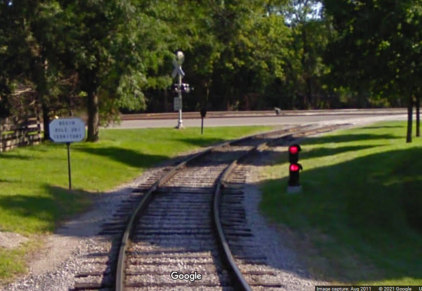
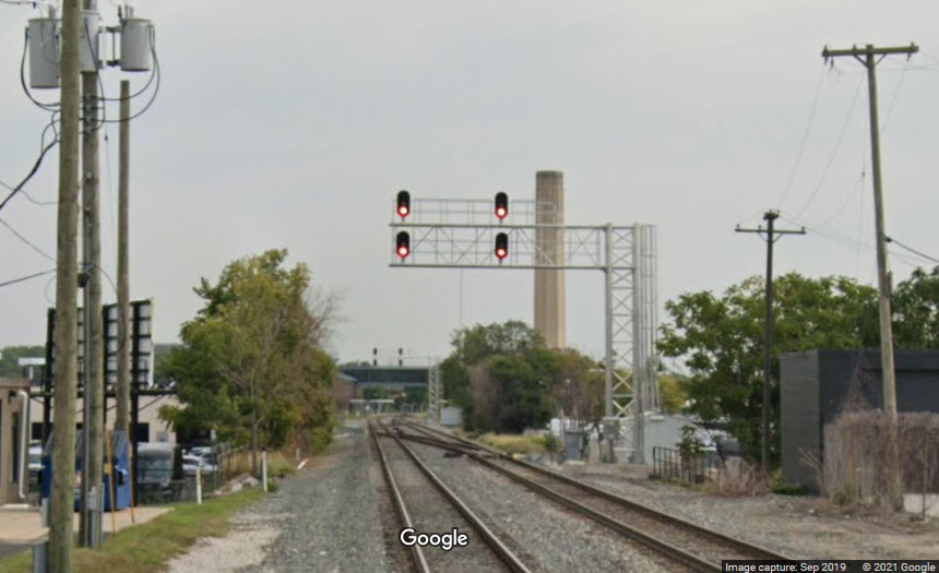
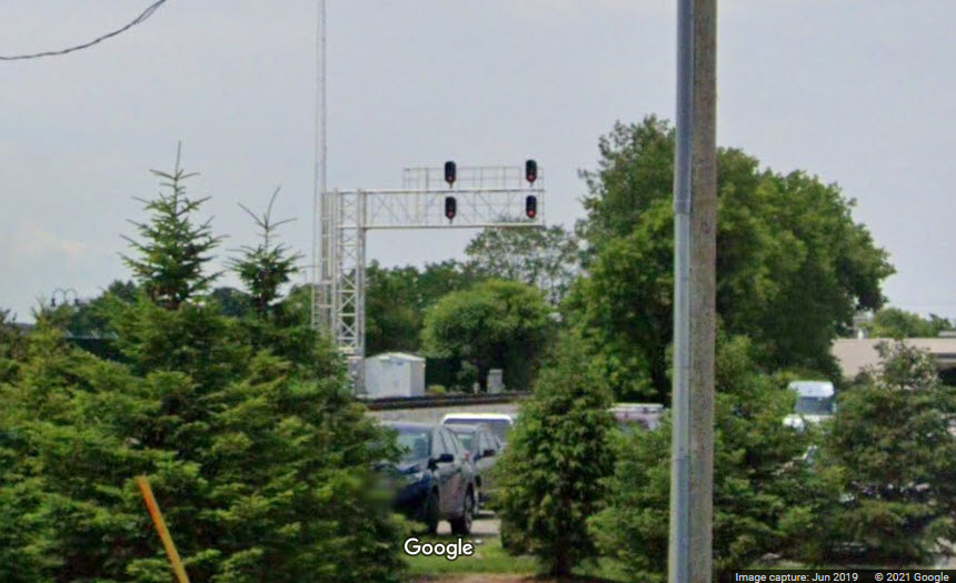
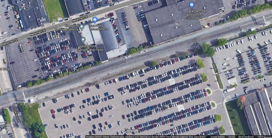
To the west of the Dearborn Station is a pair of crossovers, with cantilever signals on both sides of the crossovers. The first shot is from Google Streetview taken from the Monroe St grade crossing. Oakwood is right under the west signal bridge, but it goes under the ROW. The second one is from the station parking lot.
Courtesy of the University of Texas
Library, click
here for their index page.
Disclaimers:
I love trains, and I love signals. I am not an expert. My webpages reflect what I find on the topic of the page. This is something I have fun with while trying to help others.
Please Note: Since the main focus of my two websites is railroad signals, the railfan guides are oriented towards the signal fan being able to locate them. For those of you into the modeling aspect of our hobby, my indexa page has a list of almost everything railroad oriented I can think of to provide you with at least a few pictures to help you detail your pike.
If this is a railfan page, every effort has been made to make sure that the information contained on this map and in this railfan guide is correct. Once in a while, an error may creep in :-)
My philosophy: Pictures and maps are worth a thousand words, especially for railfanning. Text descriptions only get you so far, especially if you get lost or disoriented. Take along good maps.... a GPS is OK to get somewhere, but maps are still better if you get lost! I belong to AAA, which allows you to get local maps for free when you visit the local branches. ADC puts out a nice series of county maps for the Washington DC area, but their state maps do not have the railroads on them. If you can find em, I like the National Geographic map book of the U.S..... good, clear, and concise graphics, and they do a really good job of showing you where tourist type attractions are, although they too lack the railroads. Other notes about specific areas will show up on that page if known.
Aerial shots were taken from either Google or Bing Maps as noted. Screen captures are made with Snagit, a Techsmith product... a great tool if you have never used it!
By the way, floobydust is a term I picked up 30-40 years ago from a National Semiconductor data book, and means miscellaneous and/or other stuff.
Pictures and additional information is always needed if anyone feels inclined to take 'em, send 'em, and share 'em, or if you have something to add or correct.... credit is always given! Please be NICE!!! Contact info is here
Beware: If used as a source, ANYTHING from Wikipedia must be treated as being possibly being inaccurate, wrong, or not true.
DETROIT RAILFAN GUIDE HOME
RAILFAN GUIDES HOME
RAILROAD SIGNALS HOME
NEW JUL05/2019, FEB26/2021
Last Modified 27-Feb-2021