
![]()
In General
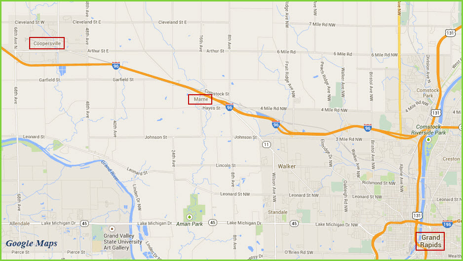
Getting Here
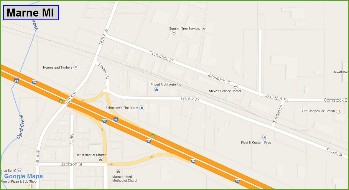
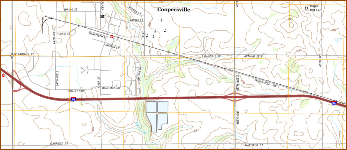
Map
Sights
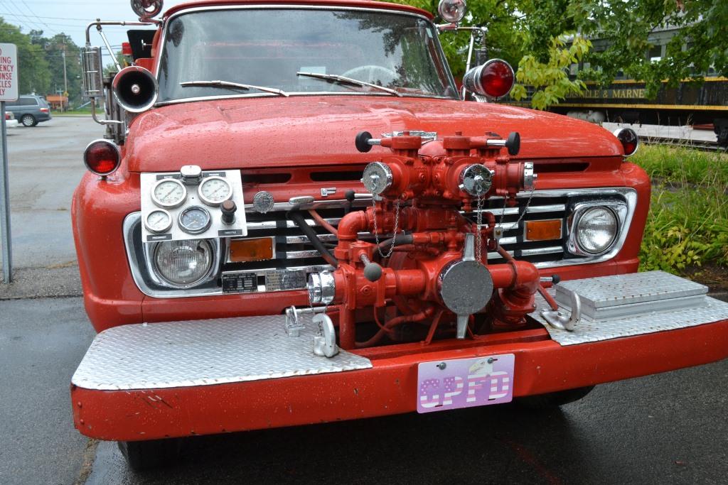
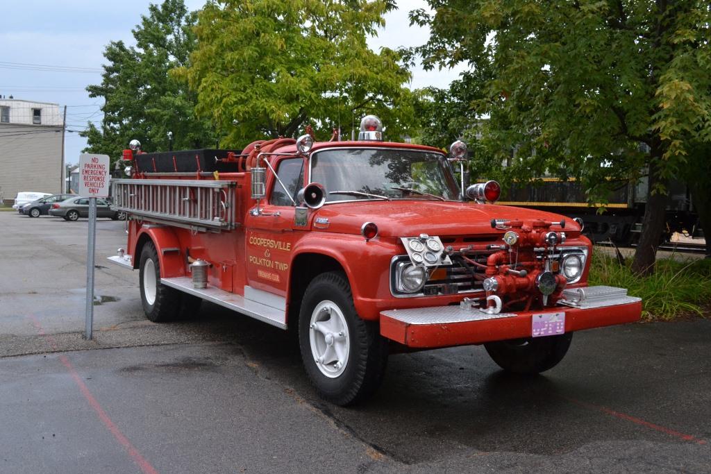
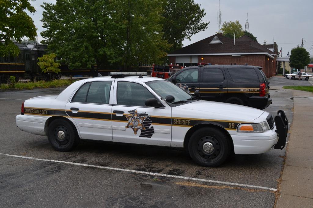
Fire & Police
Floobydust
USGS Maps
MICHIGAN RAILFAN GUIDE HOMEPAGE
RAILFAN GUIDES HOME
RAILROAD SIGNALS HOME
Location / Name:
Coopersville MI,
What's Here:
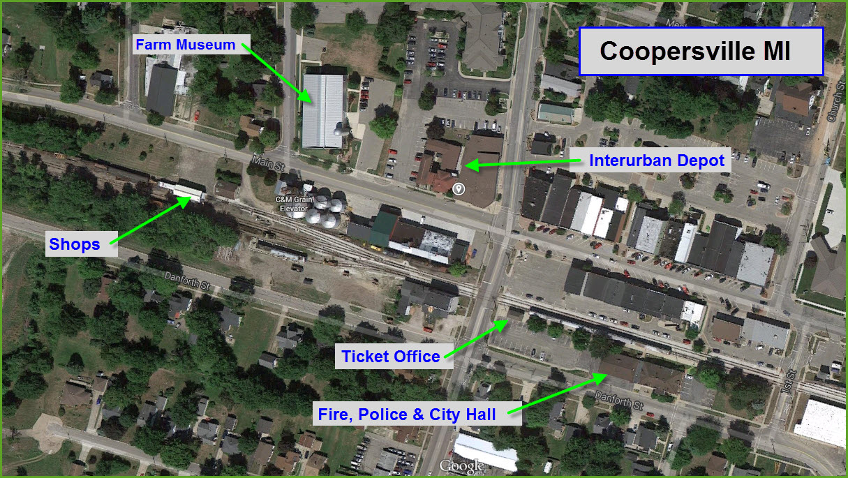
the Coopersville & Marne Railway
the Coopersville Historical Museum - Housed in a former Interurban railway station
the Coopersville Farm Museum
the transplanted Spring Lake interurban depot
Data:
GPS Coordinates: 43.063510, -85.935206 (Town Square across from the C&M station/ticket sales)
ZIP; 49404
Phone: 616-997-7000
Scanner Frequencies:
160.6950
Access by train/transit:
None
Railroad Signals in the area:
None
The Scoop:
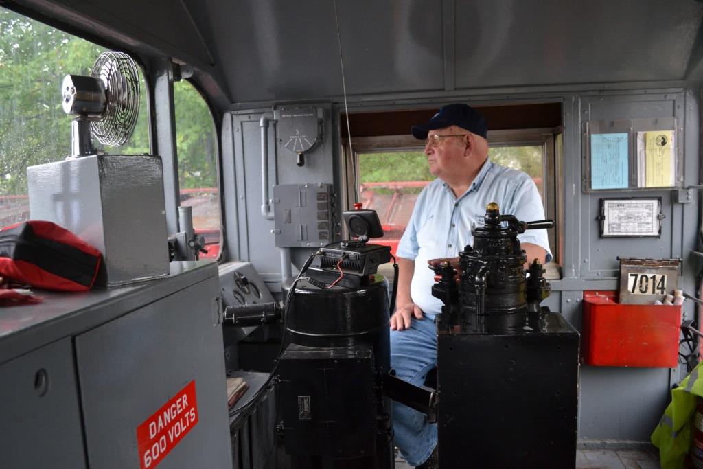
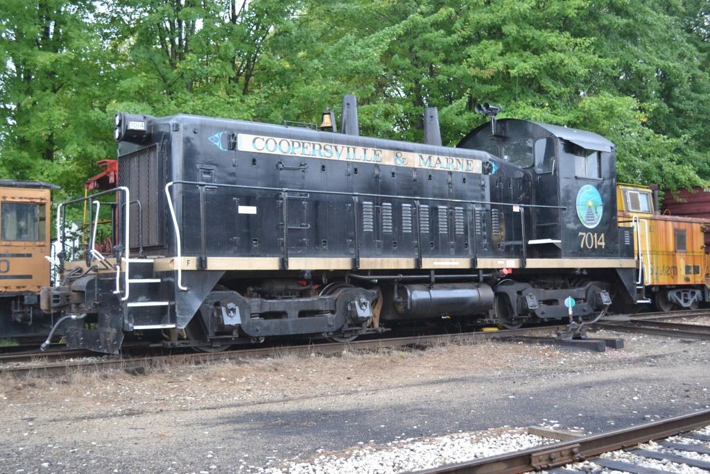
The Coopersville and Marne Railway Company is a historic and excursion railroad about 15 miles northwest of Grand Rapids, and is all volunteer. You can also ride in their SW-9 engine for 35 bucks, and rent a caboose for parties or private affairs hooked to their excursion train.
The Coopersville and Marne Railway Company was incorporated on July 13, 1989. The initial purpose of those involved was to purchase the old Grand Trunk right-of-way between the towns of Coopersville and Marne, just to the northwest of Grand Rapids. The idea was to preserve the track for future use and to provide vintage passenger service. The purchase was made on December 14, 1989.
The line has a long history. It was chartered as the Oakland and Ottawa Railroad Company on April 3, 1848. The purpose was to build a railroad from "Oakland via Fentonville to Lake Michigan in Ottawa County". The railroad was merged with the Detroit and Pontiac Railroad Company in 1855, and the name was changed to the Detroit and Milwaukee Railroad. The track through Marne and Coopersville was first laid down in the summer of 1858. The first train into Grand Rapids arrived there in June of 1858, with the first train into Grand Haven arriving there in September of that year. There is more history available on their history page, which is where this was plagiarized from :-).
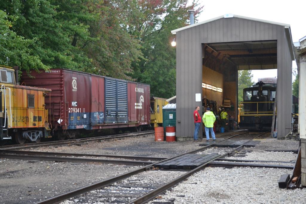
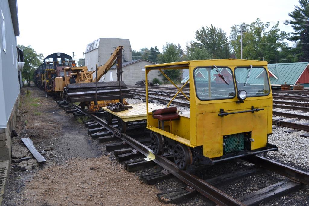
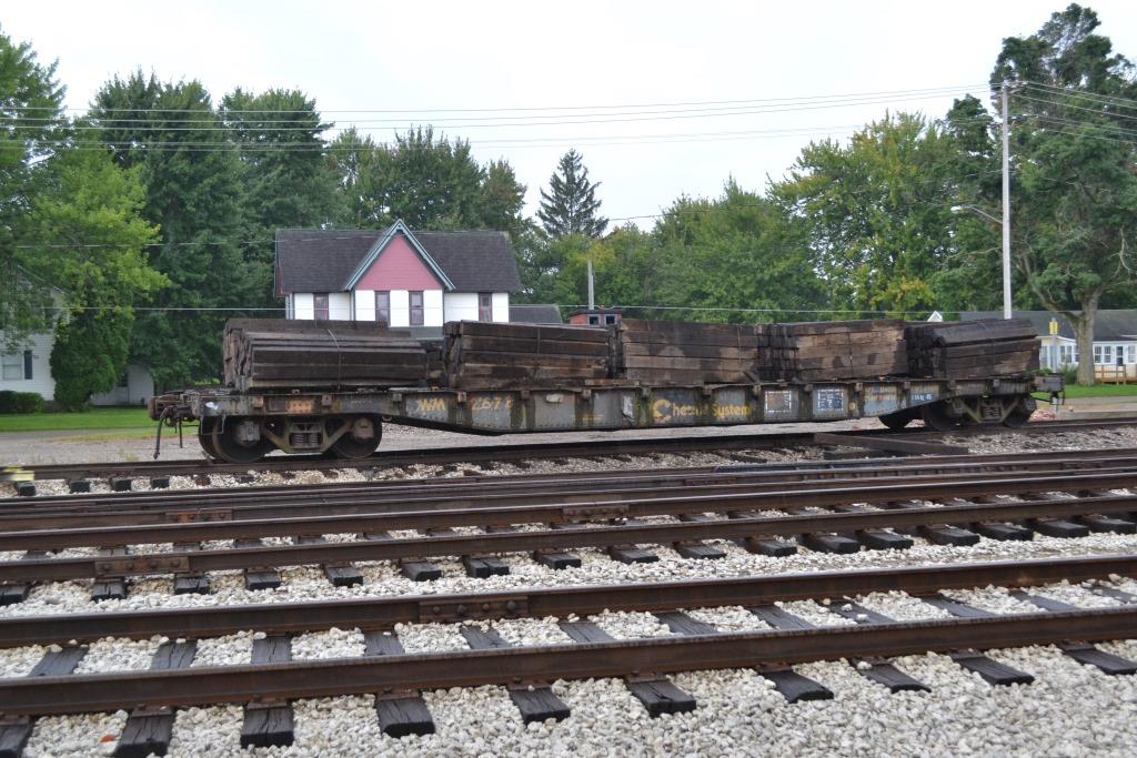
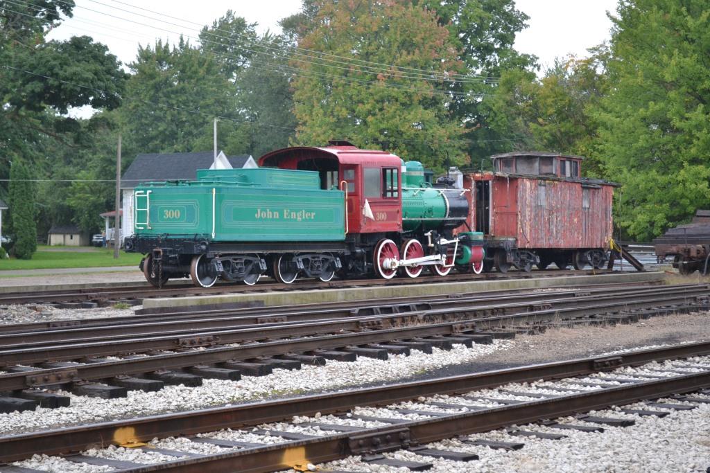
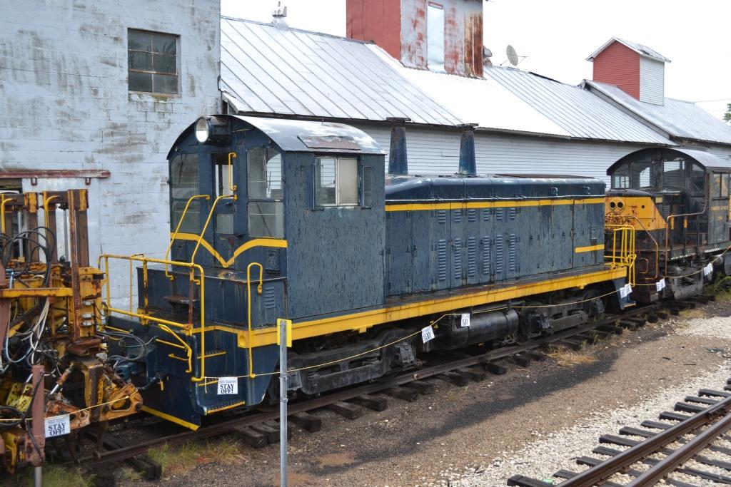
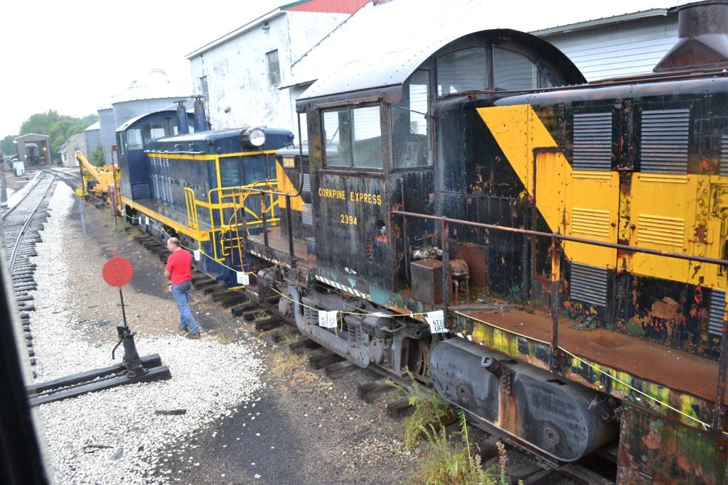
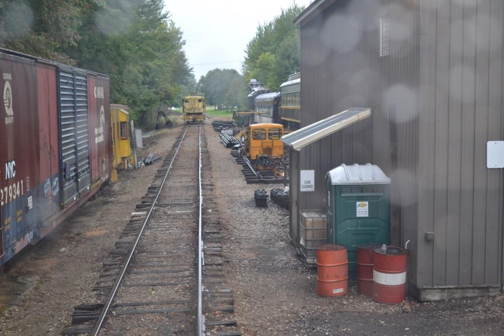
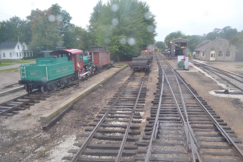
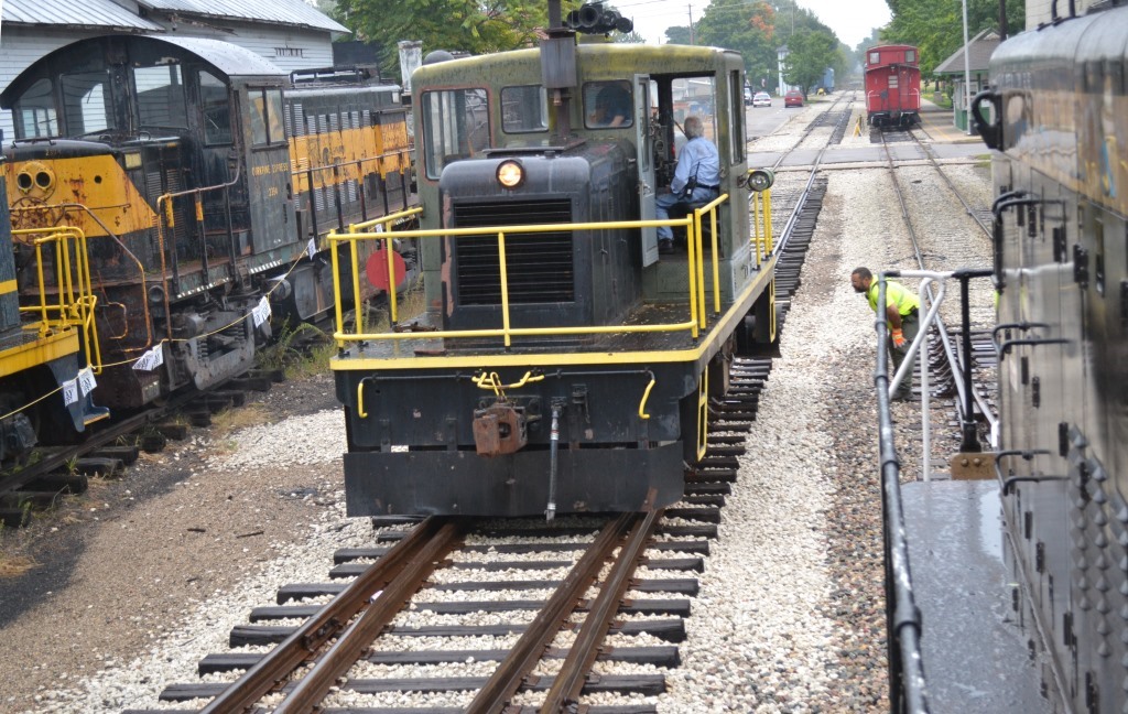
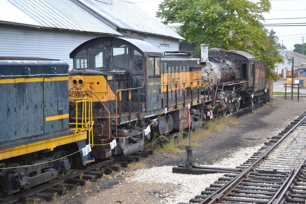
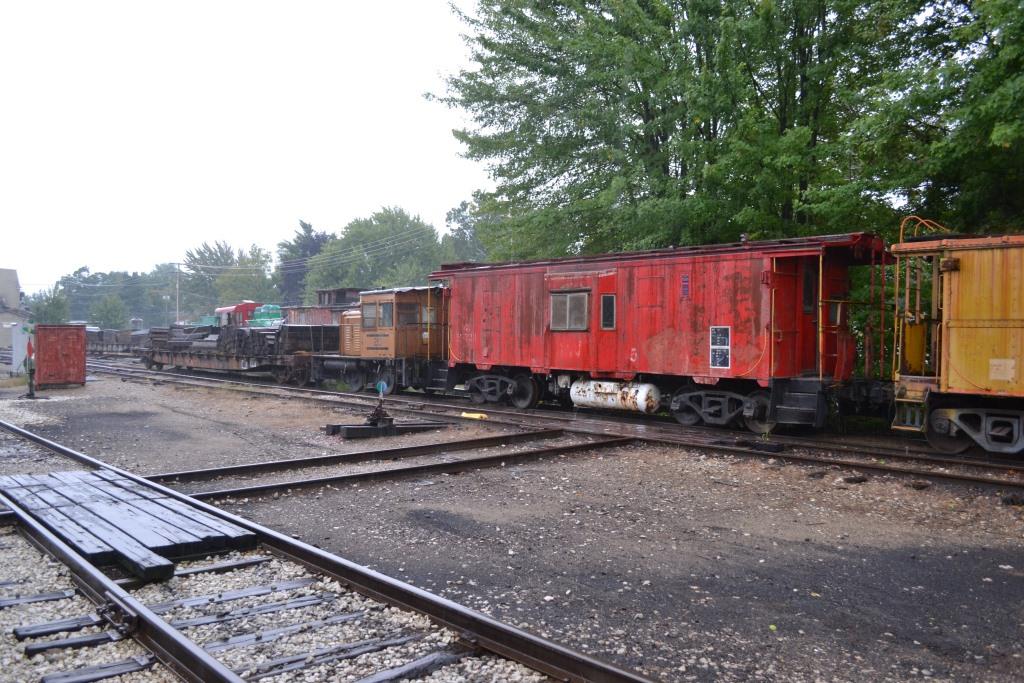
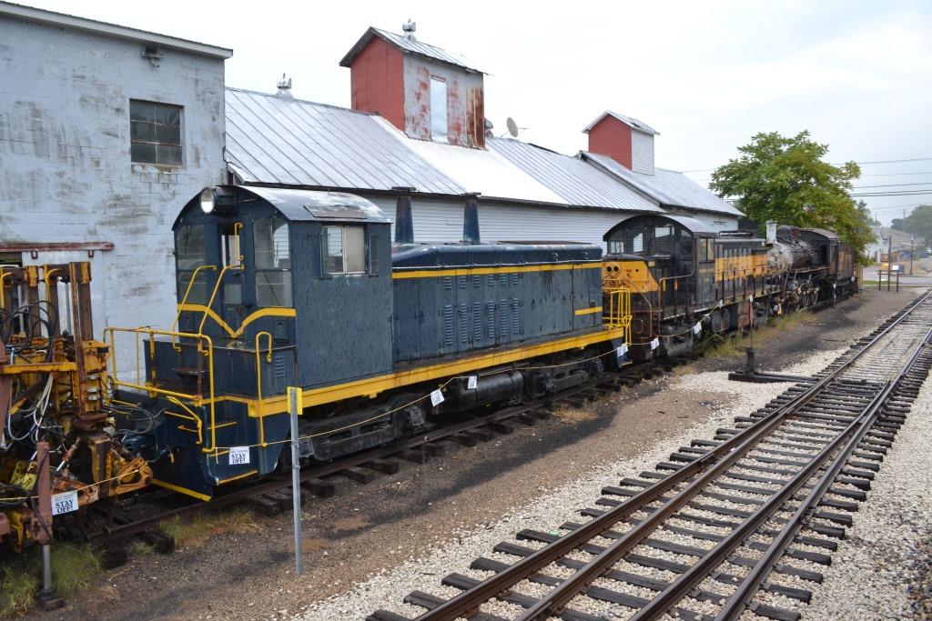
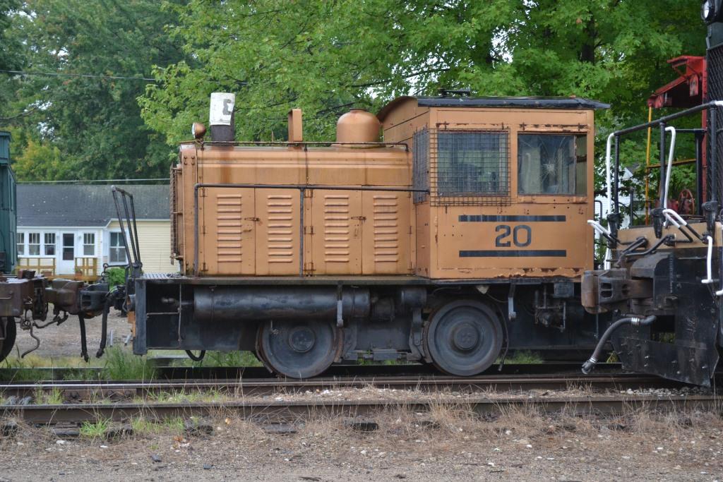
The main attraction in Coopersville is the Coopersville & Marne Rwy. The railroad is primarily an excursion railroad, with trains operating for almost the whole year except for January and February. Some trains are regular excursion trains, others are themed trains. They offer two special items of interest not offered by most other excursion railroads: you can rent the services of their caboose either in the yard, or to run behind one of their regularly scheduled trains. In addition, they offer cab rides in the engine for $35, with a maximum of two riders per trip. The people running the railroad are all volunteers, most are Ham Radio operators, and they are all just as friendly as can be. As you can see from the pictures below, they have quite an assortment of equipment in their yard. For much more and current information, check out their website. Below are some of the key points about the railroad:
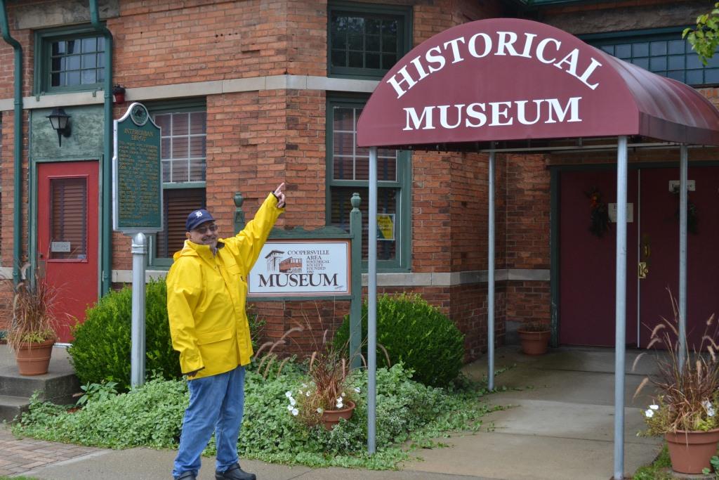
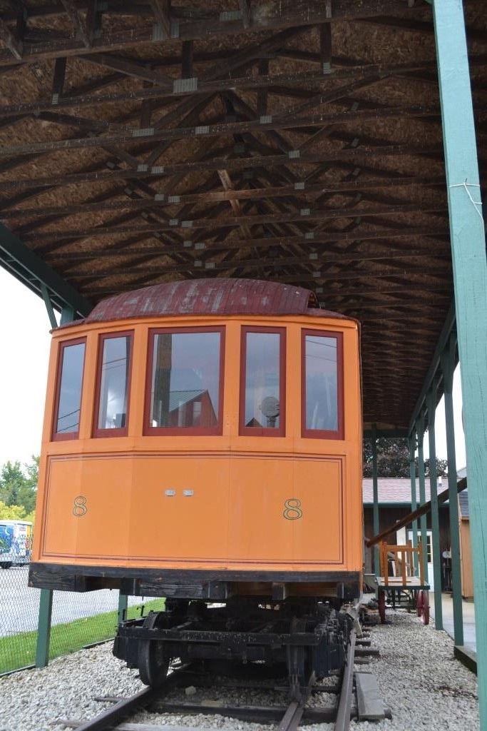
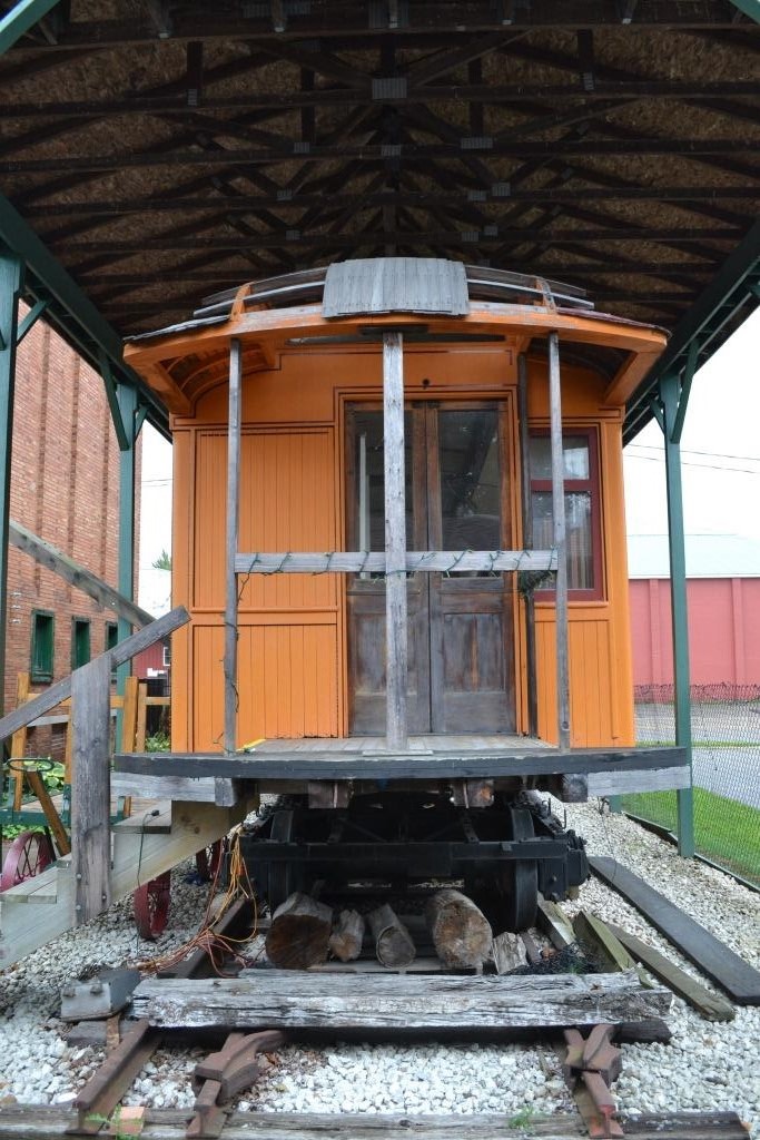
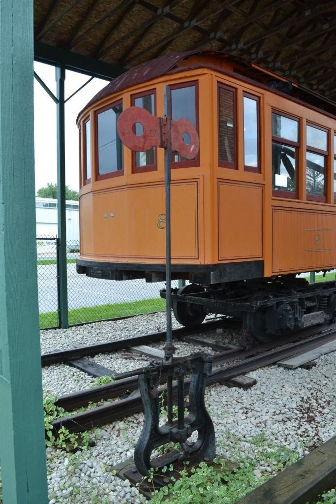
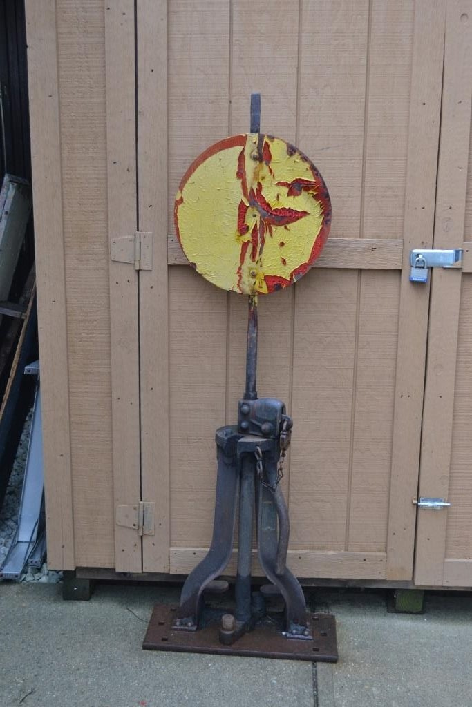
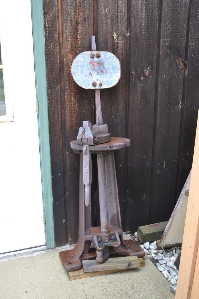
Another railroad related building is the Coopersville Historical Museum, which is partially housed in a ~1902 interurban railway depot. Outside on display is an interurban car, and a number of older railroad related items as can be seen below.
There is also the Coopersville Farm Museum which looks interesting. We didn't have a chance to go thru either of the museums, for they were both closed.
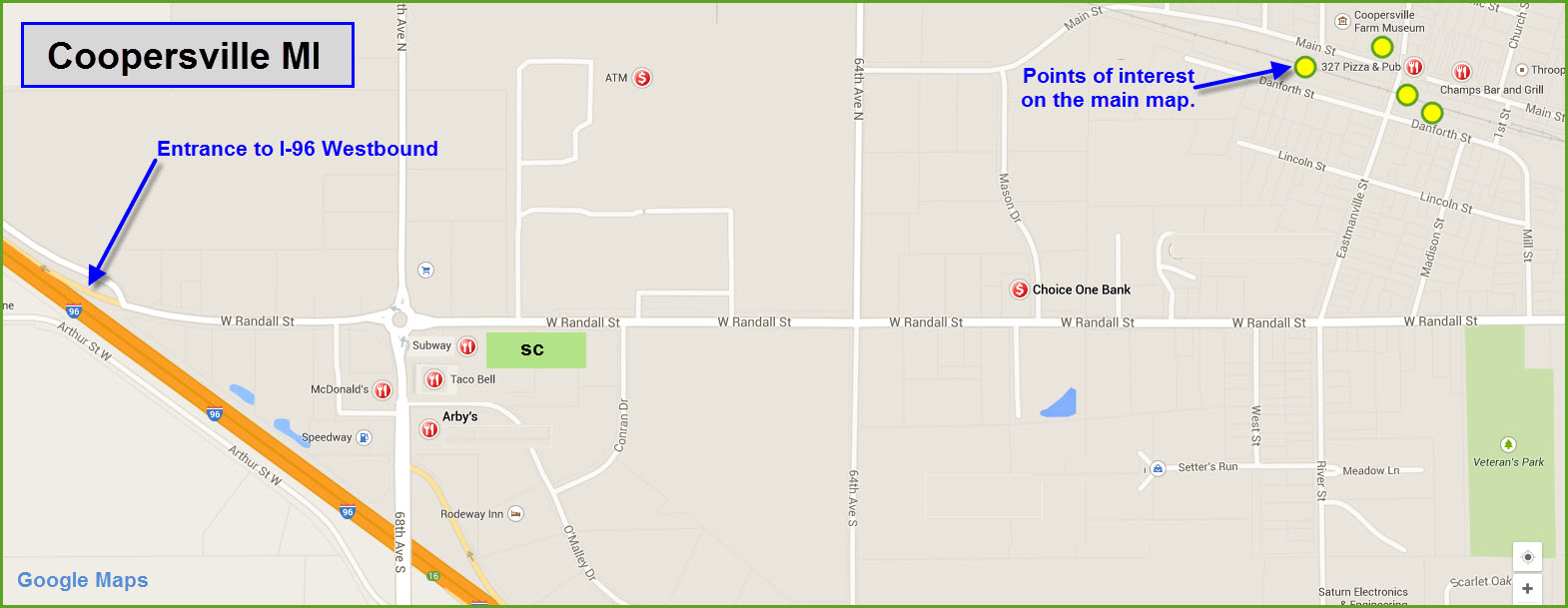
By far, the busiest area of town for fast food, services, and hotels is on the west side of town, near the traffic circle at 68th Street and W. Randall Street.
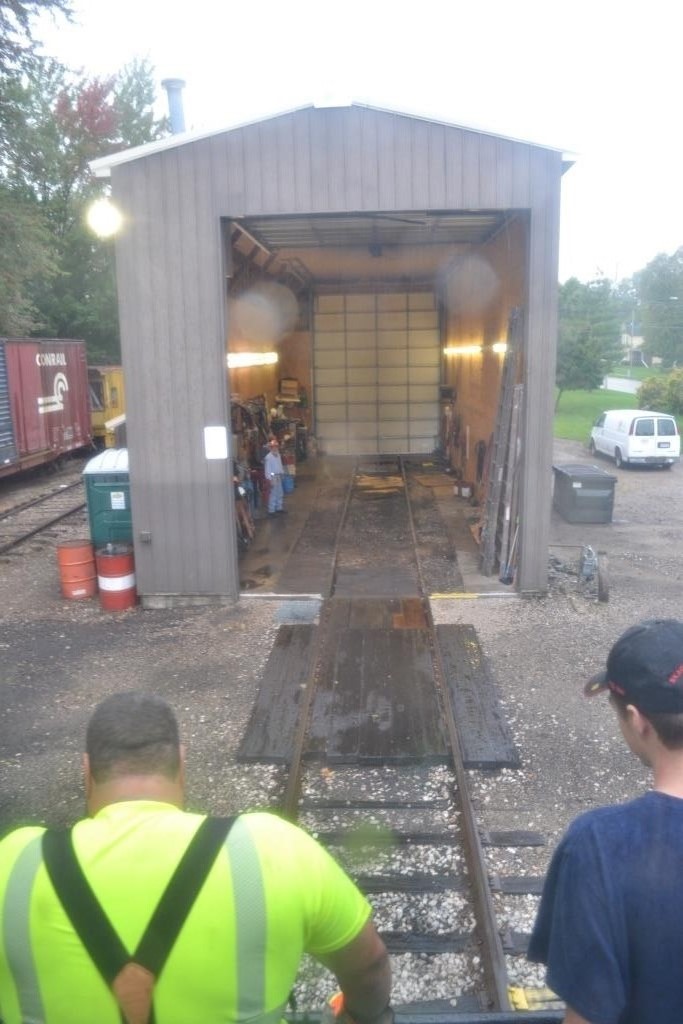
Denver Todd knows all of the guys at the railroad, and besides giving me a great personal tour, arranged a ride on the loco while they were making some last minute moves. Thanks!
Acknowledgements:
Denver Todd
Websites and additional information sources of interest for the area:
http://www.coopersvilleandmarne.org/index.html C&M website
http://www.coopersville.com/ Coopersville's Chamber of Commerce
http://coopersvillehistoricalmuseum.org/ Coopersville Historical Museum
http://www.coopersvillefarmmuseum.org/ Coopersville Farm Museum
Getting to Coopersville couldn't get much easier, being located right off of interstate 96, between Grand Rapids and Grand Haven/Muskegon. Regardless from which direction you come from, it is easier to get off at exit 16, go north to the traffic circle, then proceed east on Randall Street.
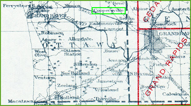
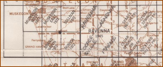
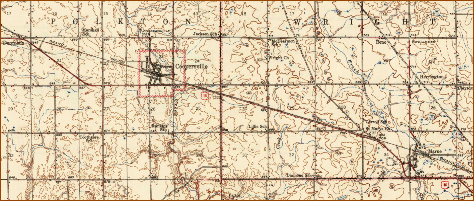
Maps
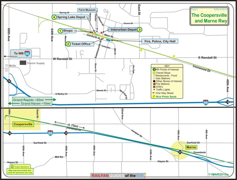
Click here for the above map in PDF form
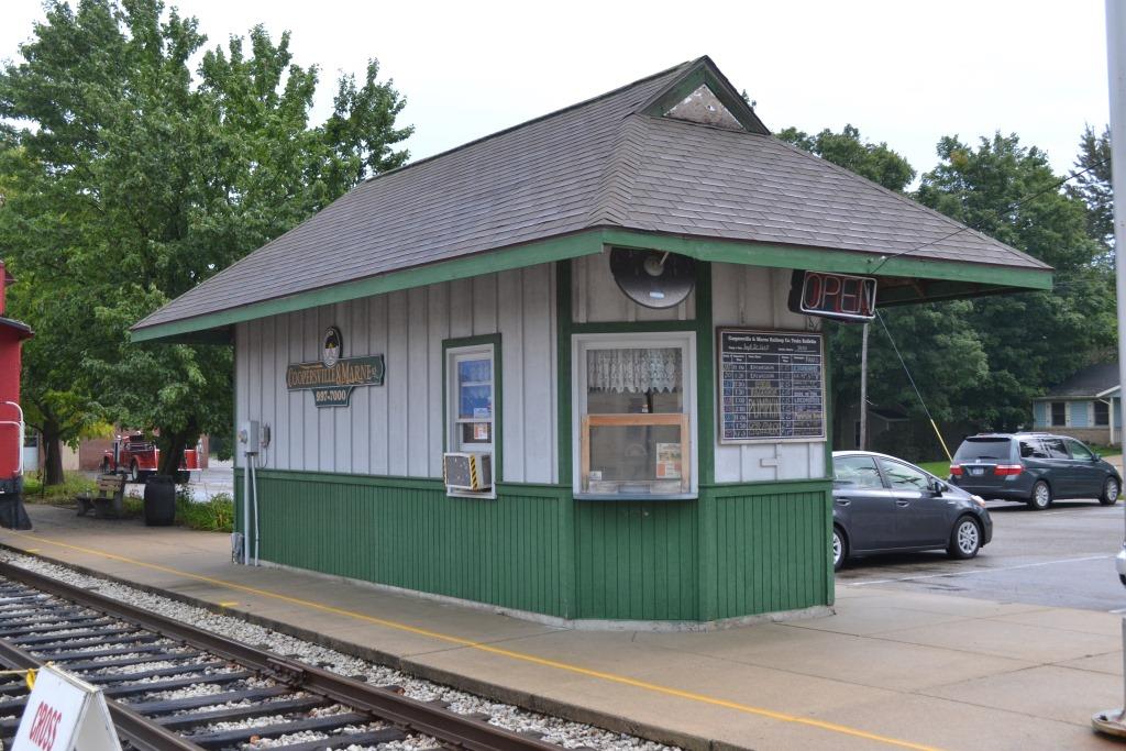
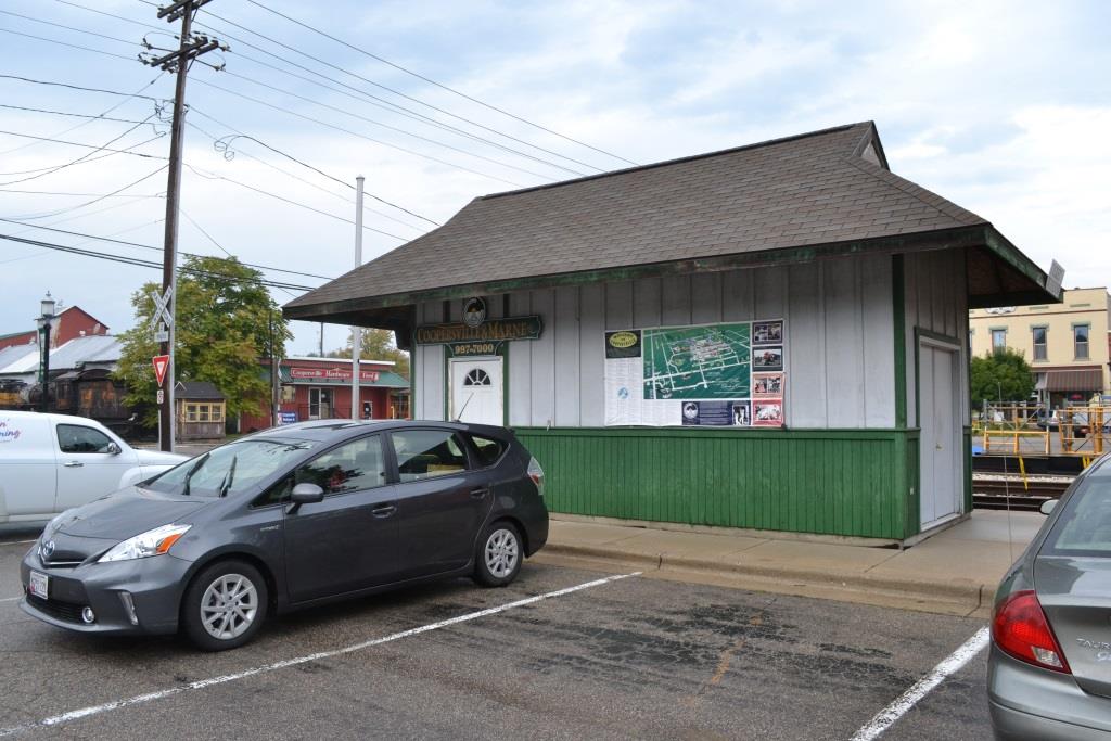
GPS Coordinates: 43.064006, -85.938009
311 E. Danforth St., PO Box 55, Coopersville MI 49404
616-997-7000


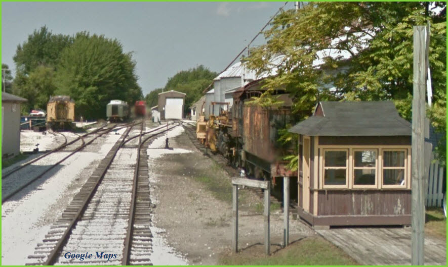
GPS Coordinates: 43.063341, -85.935330

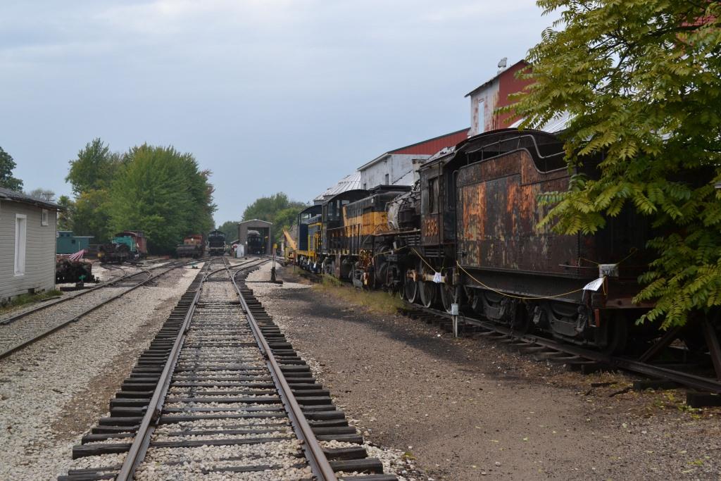
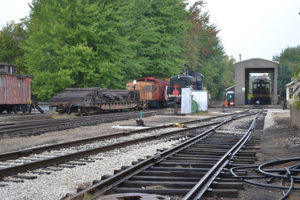
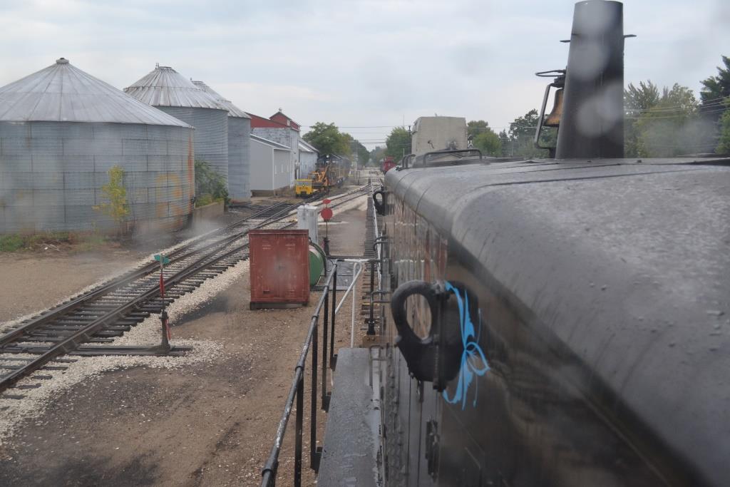
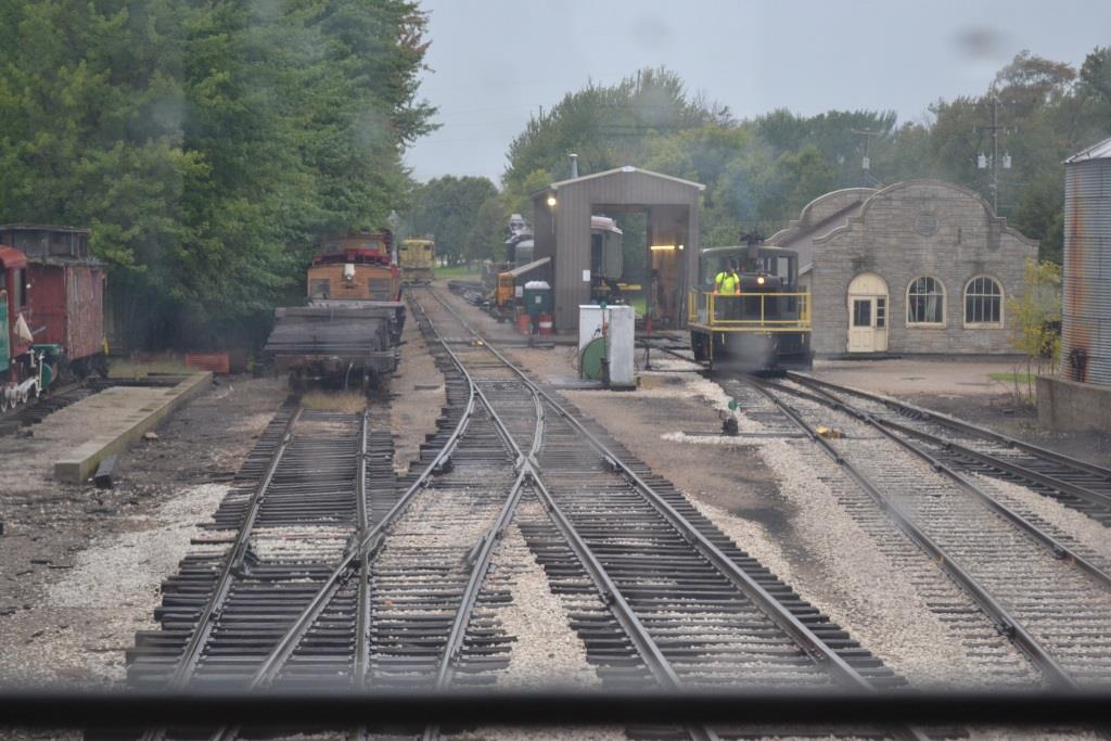
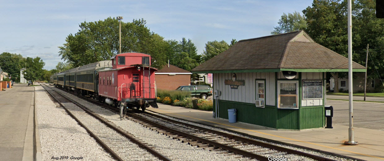
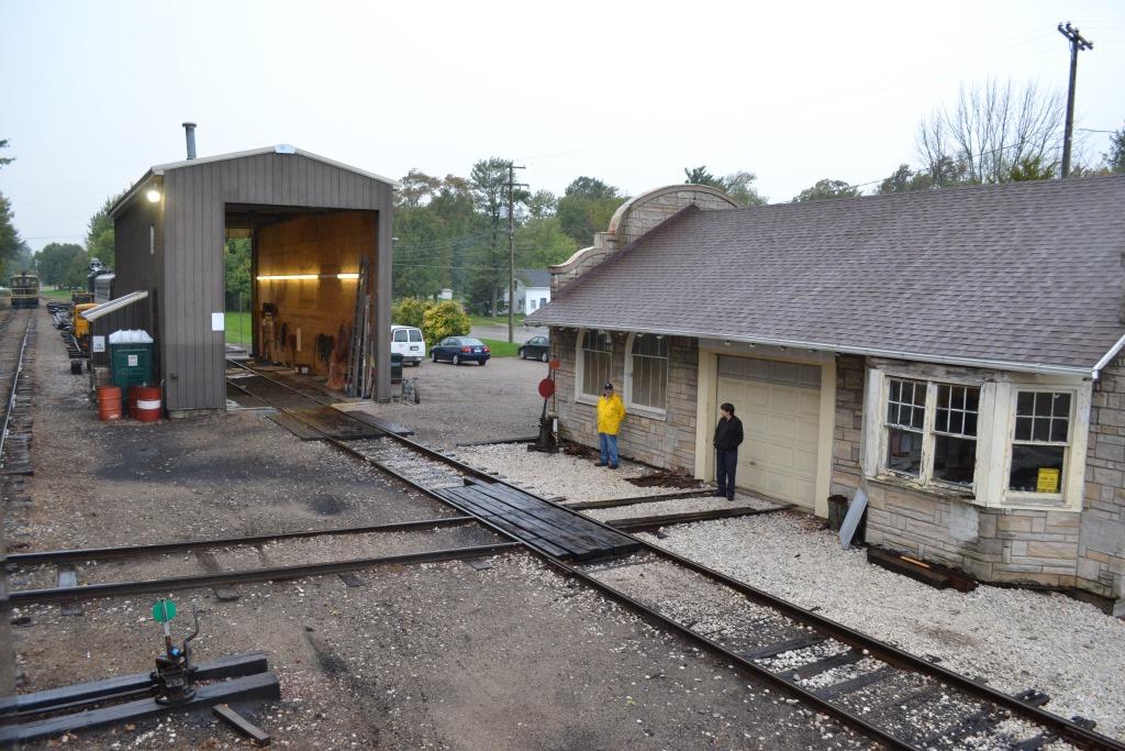
Looking down the tracks from the station towards the shops
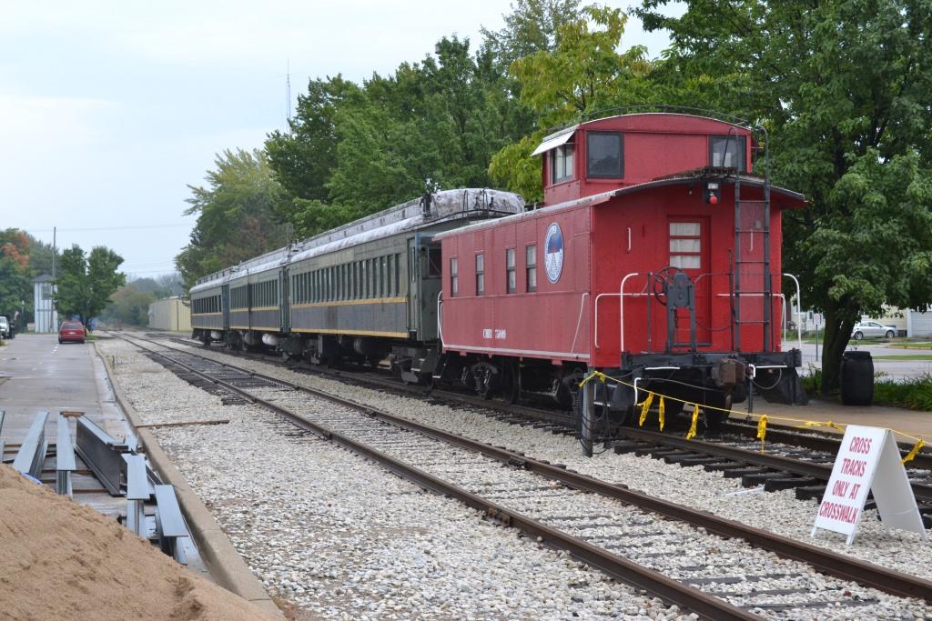

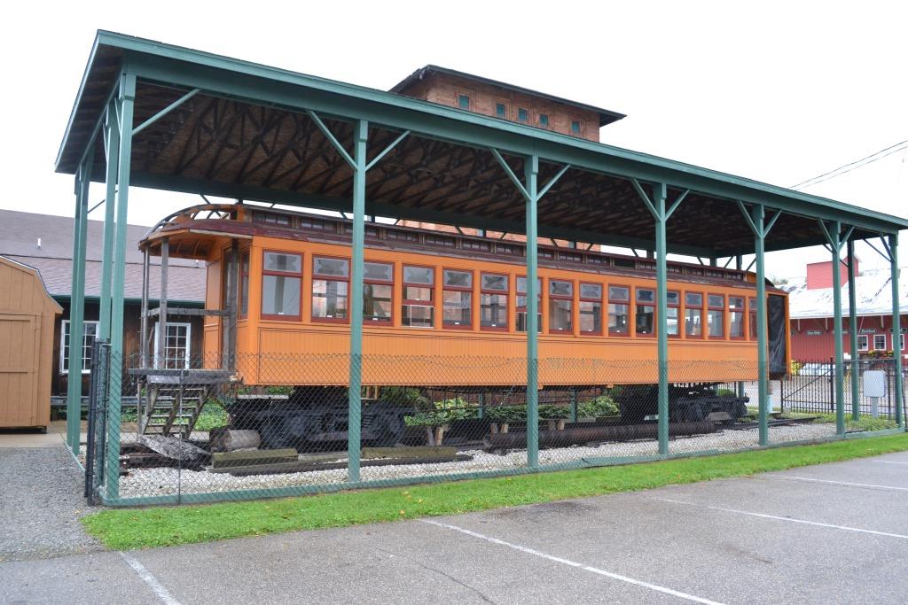
The passenger cars and caboose parked at the station.
GPS Coordinates: 43.064055, -85.935754
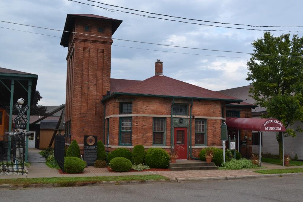
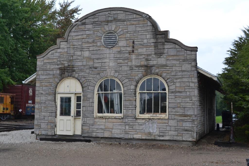
This depot served the Grand Rapids, Grand Haven & Muskegon Rwy from 1902 till the railroad stopped running in 1928. It was an electric interurban railway that ran on overhead wire in the cities, and 3rd rail power in the country. The building now serves as the Coopersville Historical Museum. That is Denver happily pointing to the sign.


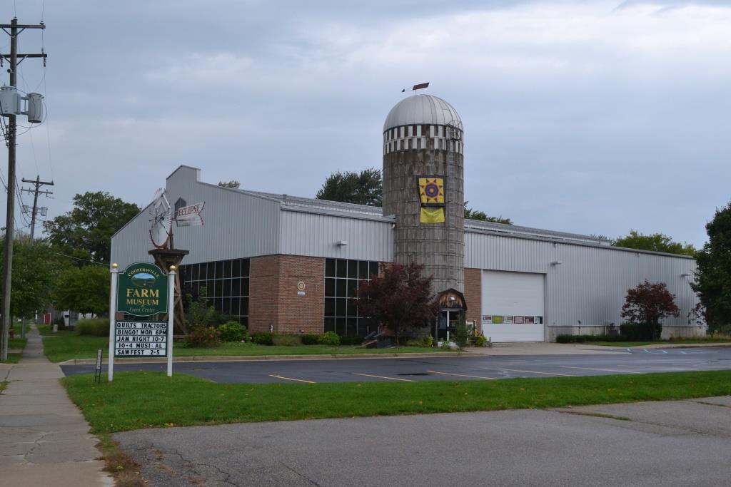 Next door to the Historical Museum is the Farm Museum
GPS Coordinates: 43.064046, -85.937522
This depot was moved from Sprig Lake to here, and it sits next to the shop building.

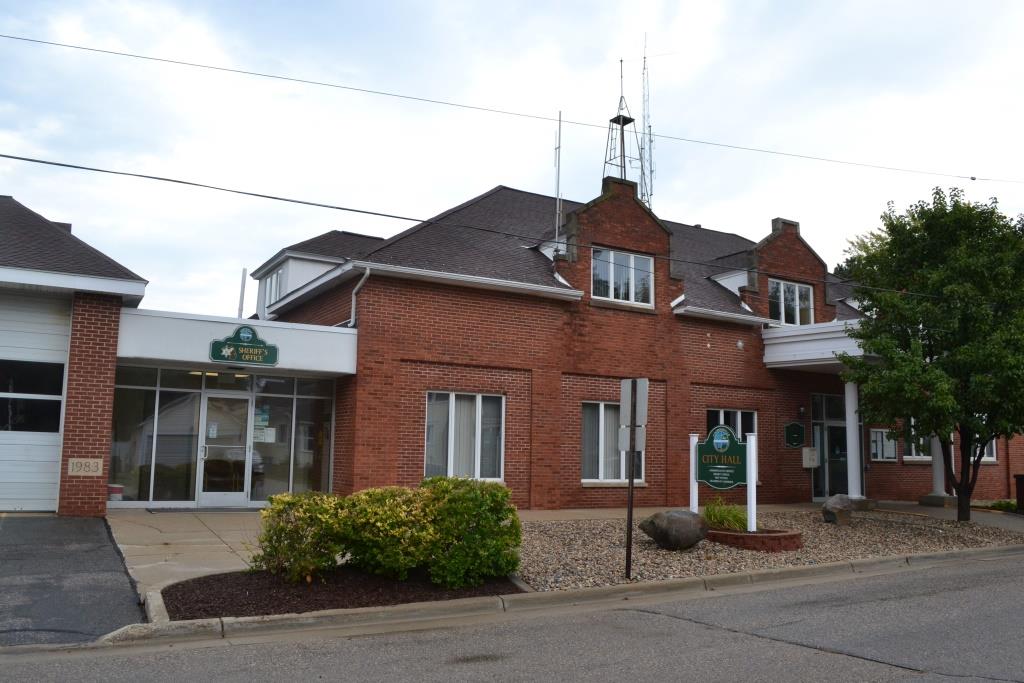
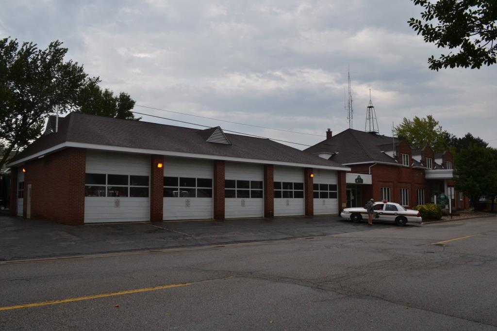
City Hall / Sheriff's Office / Fire Station
GPS Coordinates: 43.06299, -85.93432
289 Danforth St, Coopersville MI 49404
616-997-6615
Being a smaller town, all of the important city functions and services are located in this one building.


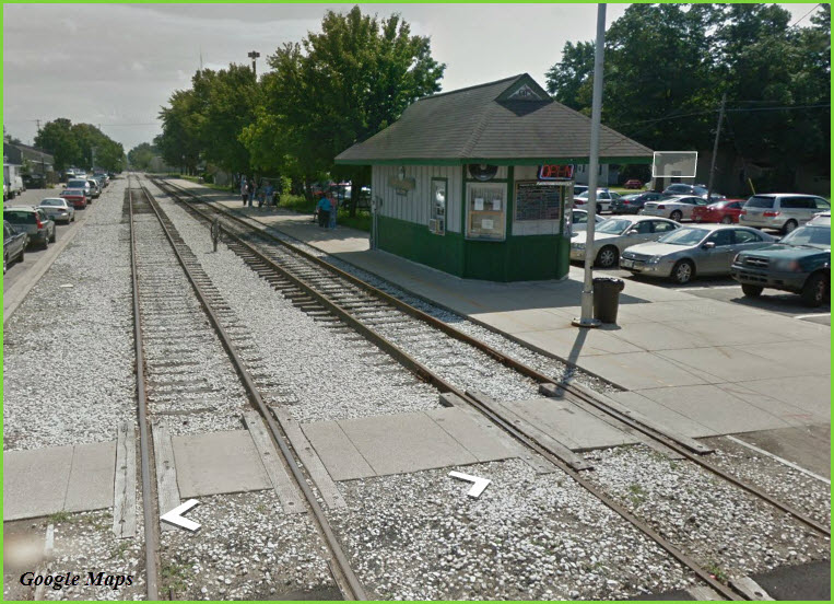
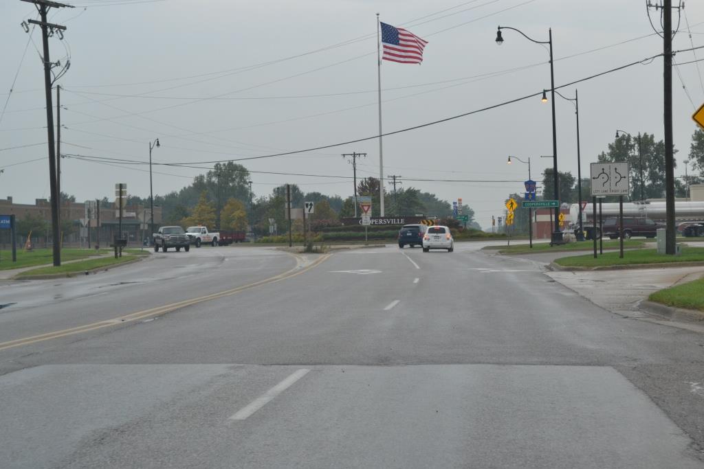 When coming into town and Randall Street off of exit 16, this is the traffic circle you come up to.....
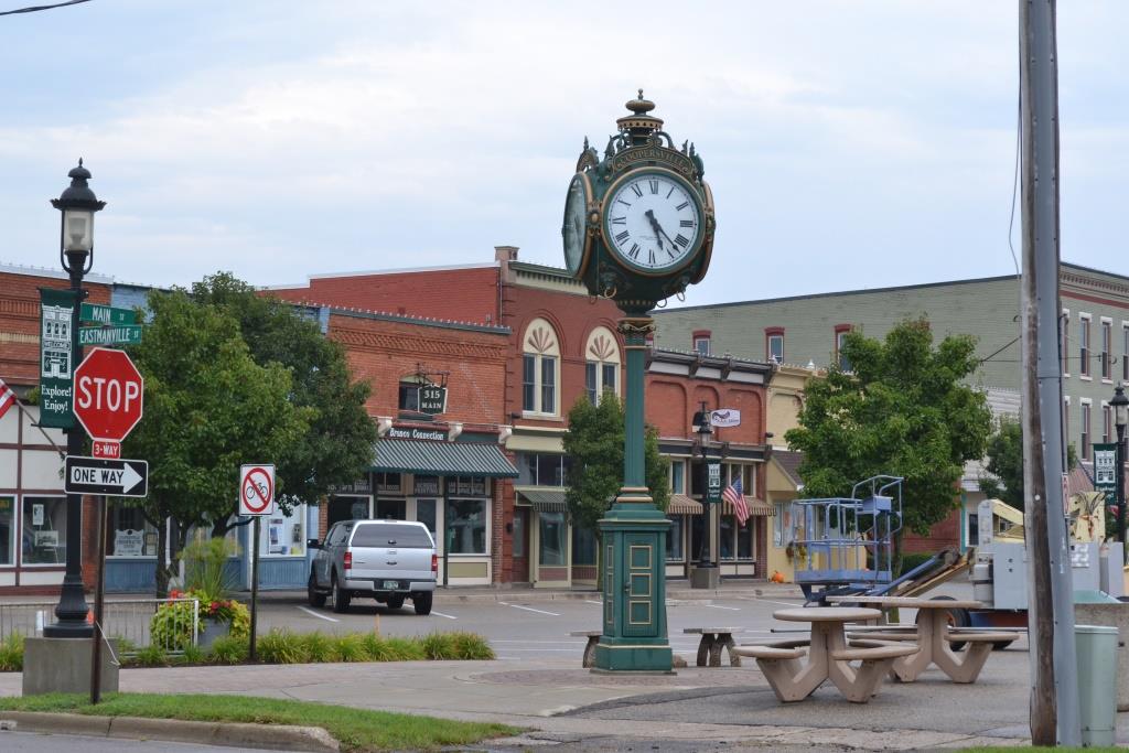 Across the street from the station, in the downtown district
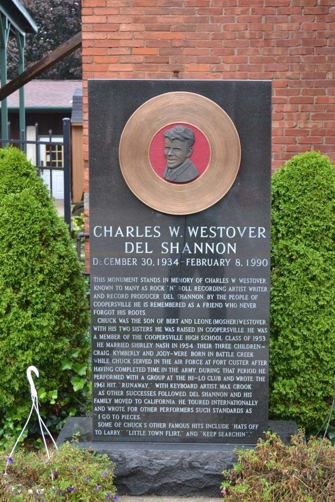 Historical plaque dedicated to Charles W. Westover, who was the producer for singer Del Shannon
Left: Courtesy of the University of Texas Library, click here for their index page.
In their collection, the set of maps is from too early a time frame to have a quadrangle map for Cooperstown.
I'm not sure when the newer map is from, but it doesn't have the detail the older maps do.
Disclaimers:
Updated 8/13/2023.... I love trains, and I love signals. I am not an expert. My webpages reflect what I find on the topic of the page. This is something I have fun with while trying to help others.
Please Note: Since the main focus of my two websites is railroad signals, the railfan guides are oriented towards the signal fan being able to locate them. For those of you into the modeling aspect of our hobby, my indexa page has a list of almost everything railroad oriented I can think of to provide you with at least a few pictures to help you detail your pike.
If this is a railfan page, every effort has been made to make sure that the information contained on this map and in this railfan guide is correct. Once in a while, an error may creep in :-)
My philosophy: Pictures and maps are worth a thousand words, especially for railfanning. Text descriptions only get you so far, especially if you get lost or disoriented. Take along good maps.... a GPS is OK to get somewhere, but maps are still better if you get lost! I belong to AAA, which allows you to get local maps for free when you visit the local branches. ADC puts out a nice series of county maps for the Washington DC area, but their state maps do not have the railroads on them. If you can find em, I like the National Geographic map book of the U.S..... good, clear, and concise graphics, and they do a really good job of showing you where tourist type attractions are, although they too lack the railroads. Other notes about specific areas will show up on that page if known.
Aerial shots were taken from either Google or Bing Maps as noted. Screen captures are made with Snagit, a Techsmith product... a great tool if you have never used it!
By the way, floobydust is a term I picked up 30-40 years ago from a National Semiconductor data book, and means miscellaneous and/or other stuff.
Pictures and additional information is always needed if anyone feels inclined to take 'em, send 'em, and share 'em, or if you have something to add or correct.... credit is always given! Please be NICE!!! Contact info is here
Beware: If used as a source, ANYTHING from Wikipedia must be treated as being possibly inaccurate, wrong, or not true.
MICHIGAN RAILFAN GUIDE HOMEPAGE
RAILFAN GUIDES HOME
RAILROAD SIGNALS HOME
NEW 03/10/2015, SEP06/2016, DEC02/2017, AUG15/17/2023
Last Modified 17-Aug-2023