In General
Getting Here
Map
Pictures
Signals
Floobydust
RAILFAN GUIDES HOME
RAILROAD SIGNALS HOME
Location / Name:
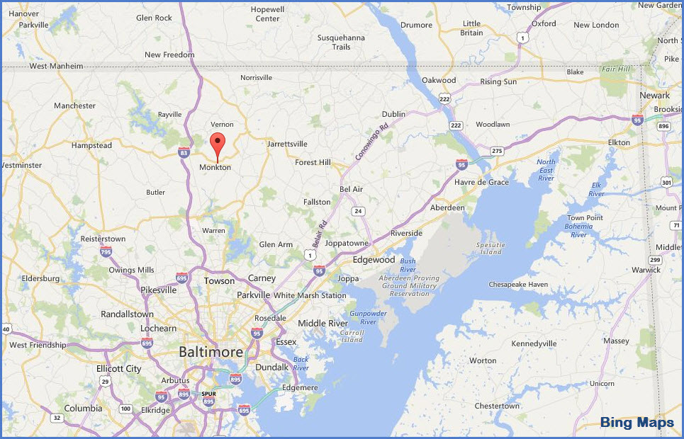
Monkton, Baltimore County MD
Glencoe, Baltimore County MD
What's Here:
A couple of former stations of the Northern Central / Pennsylvania RR
Data:
GPS Coordinates: as needed
ZIP: 21111 (Monkton)
ZIP: 21152 (Glencoe)
Phone A/C: 410/443 cell
Access by train/transit:
Geography:
Very hilly, almost mountainous.
The Scoop:
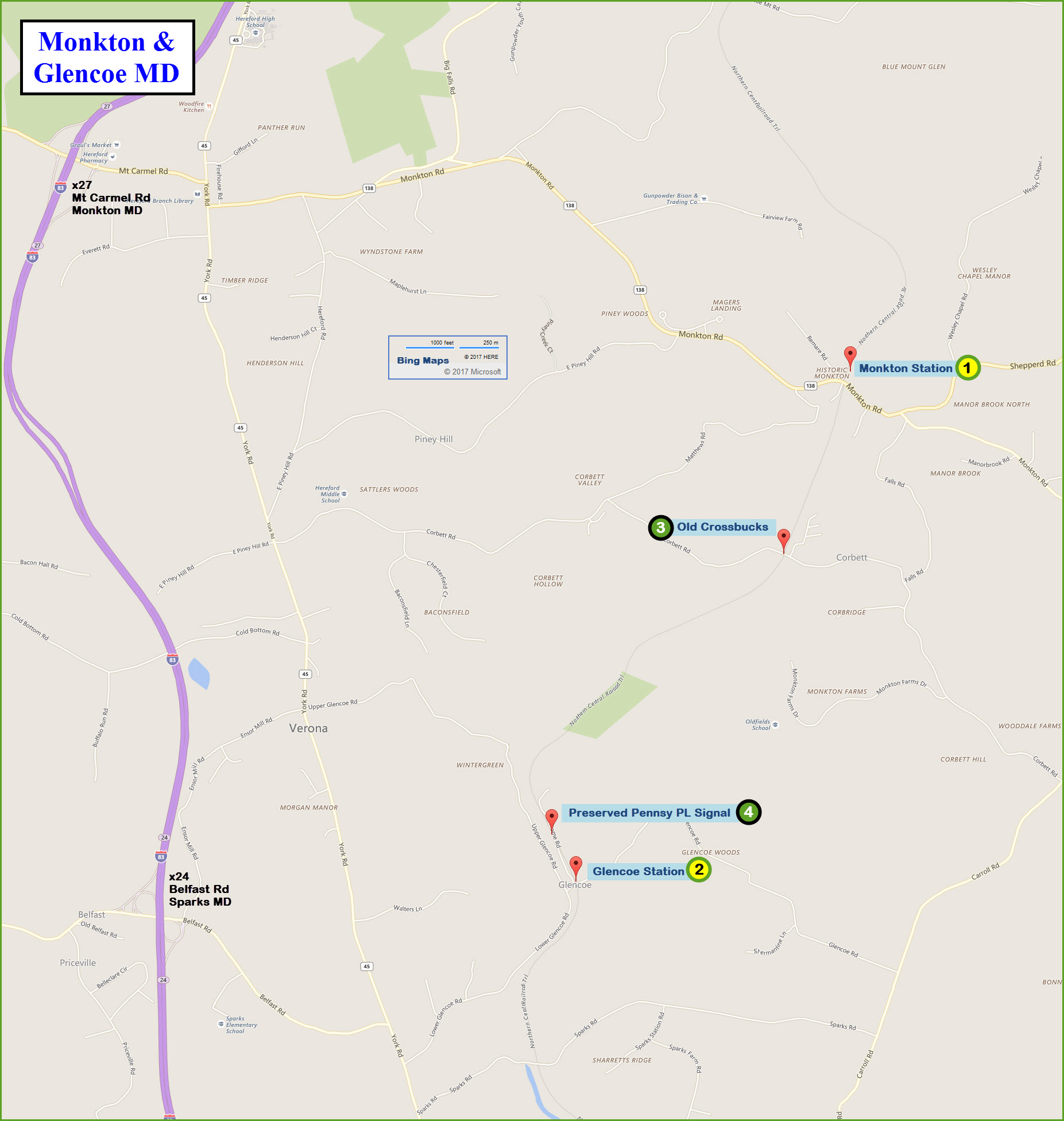
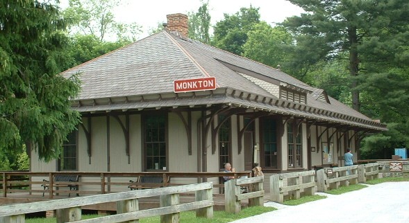
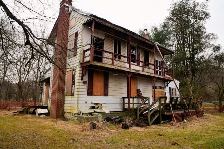
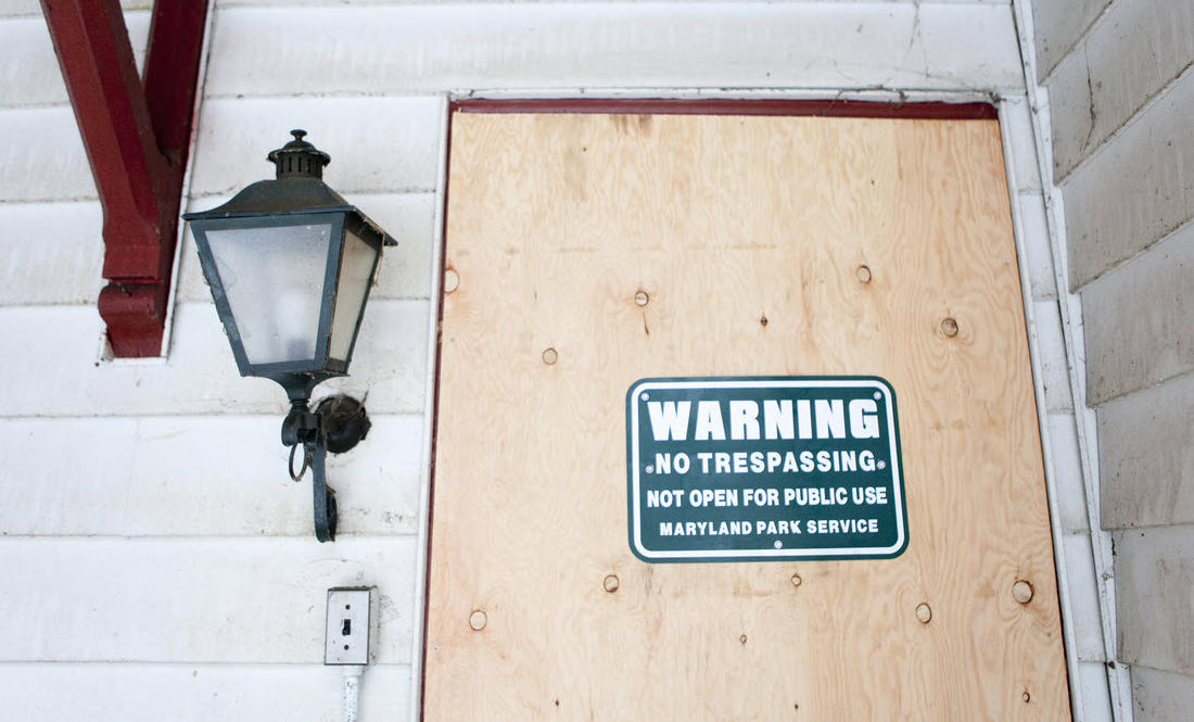
A former Northern Central / PRR depot is now the headquarters for the NCR trail. A few miles south is an old house that was moved a few feet once passenger train operation ceased, it served as the Glencoe station.
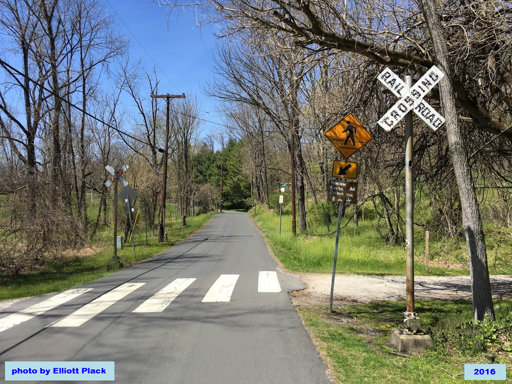
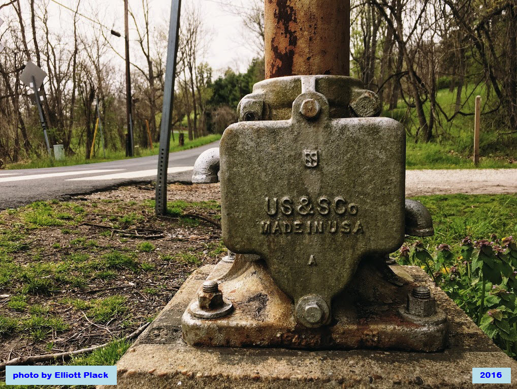
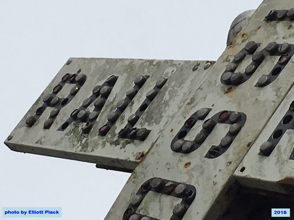
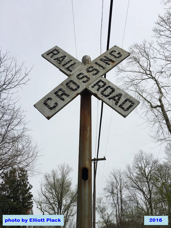
Also on the trail, just north of Glencoe Rd and the Glencoe station is a somewhat preserved Pennsy PL signal. At the Corbett Rd crossing remains a couple of OLD reflectorized crossbucks.
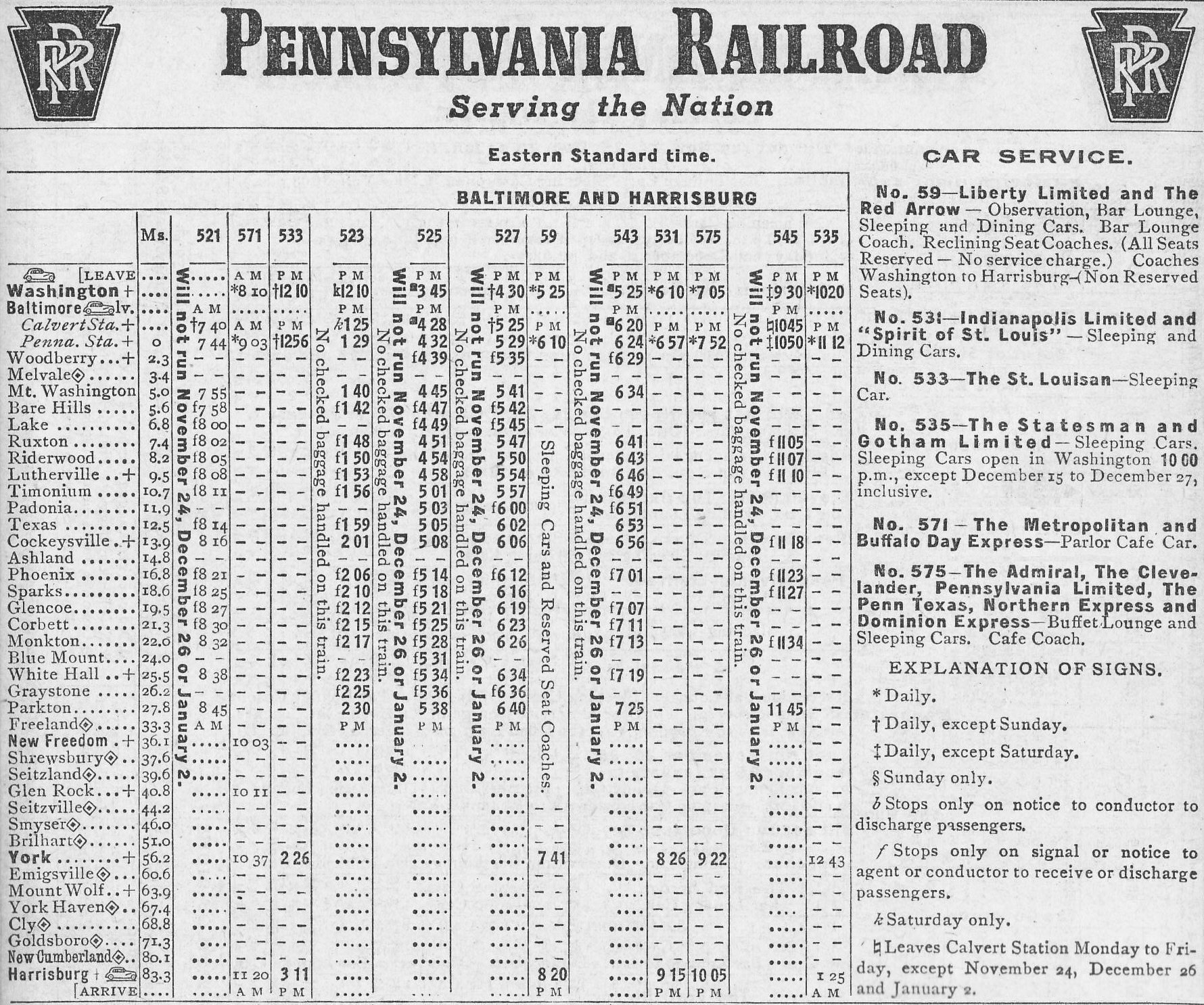
Below is a schedule from 1955 for the Parkton Local and thru trains between Baltimore MD and Harrisburg PA. The local made its last run in 1959.
Hurricane Agnes wiped out many a bridge and washed out A LOT of fill in June of 1972. The bankrupt Penn Central chose NOT to rebuild the line since they had the Harrisburg line as an alternative route to get to Harrisburg - just took a little longer. Trains would go "up" the North East Corridor to Perryville MD, and then jump on the -Port Road-, which followed the Susquehanna River up to Harrisburg.
So, north of Cockeysville, service had come to an end, although engines would go halfway down to Ashland Road for the switch to get around the cars still standing on either the siding or the mainline.
Freight service was disrupted in the 1989-1990 timeframe to rebuild the trackage from North Ave to Timonium for the light rail. Construction photos can be found on my Timonium, and Cockeysville pages among others.
One light rail service started, Conrail had to run freights between 1am and 4am while the light rail trains were not running, altho maintenance LRV's would share the line with freights, I have a few pictures somewhere taken while I worked at light rail.
Norfolk Southern filed for abandonment when the MTA started the double-tracking project on December 31st, 2004 - the project took one year. We never saw another freight on the Northern Central.
Acknowledgements:
Elliott Plack
Alexander Mitchell IV
Bing Birds Eye View (the OLD (and GOOD) version)
Websites and other additional information sources of interest:
http://www.rypn.org/forums/viewtopic.php?f=1&t=38917&p=243093
Exit 27 from the Harrisburg Expwy, I-83, north of the Baltimore Beltway, Mt Carmel Rd east to York Rd, south about 100ft, then a left onto Monkton Rd.
Or to Glencoe, use exit 24, Belfast Rd and head east to York Rd, take a right, go about 1000ft to Lower Glencoe Rd and take the left, take a right onto Glencoe Rd where it crosses the stream, the house/was on your left.
GPS Coordinates: 39.579290, -76.615450
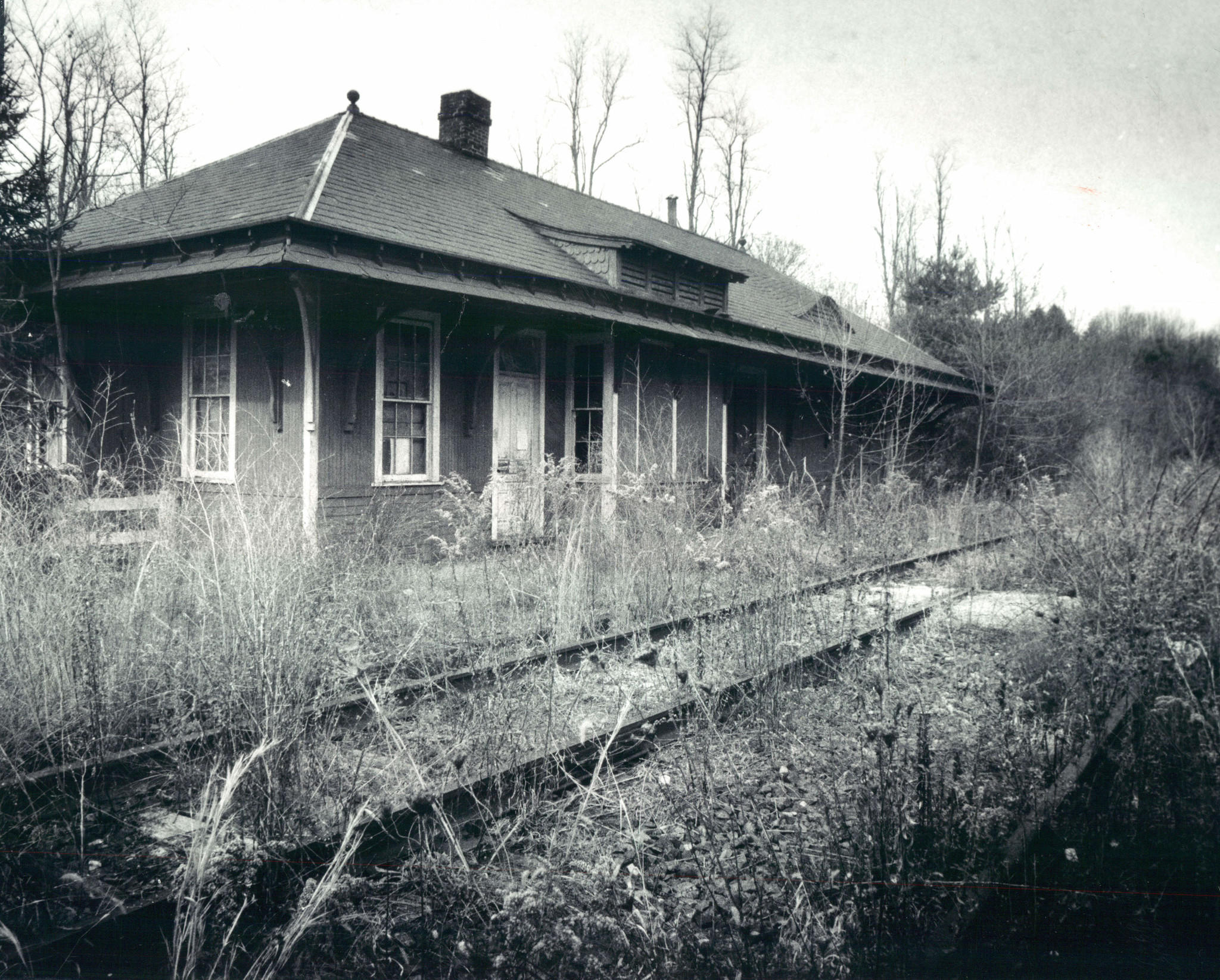
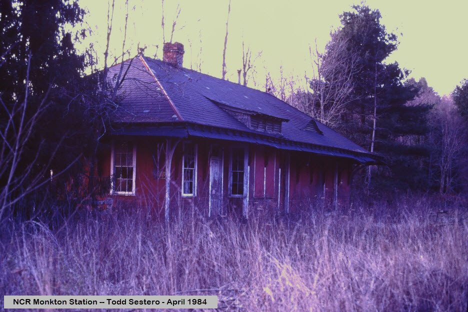
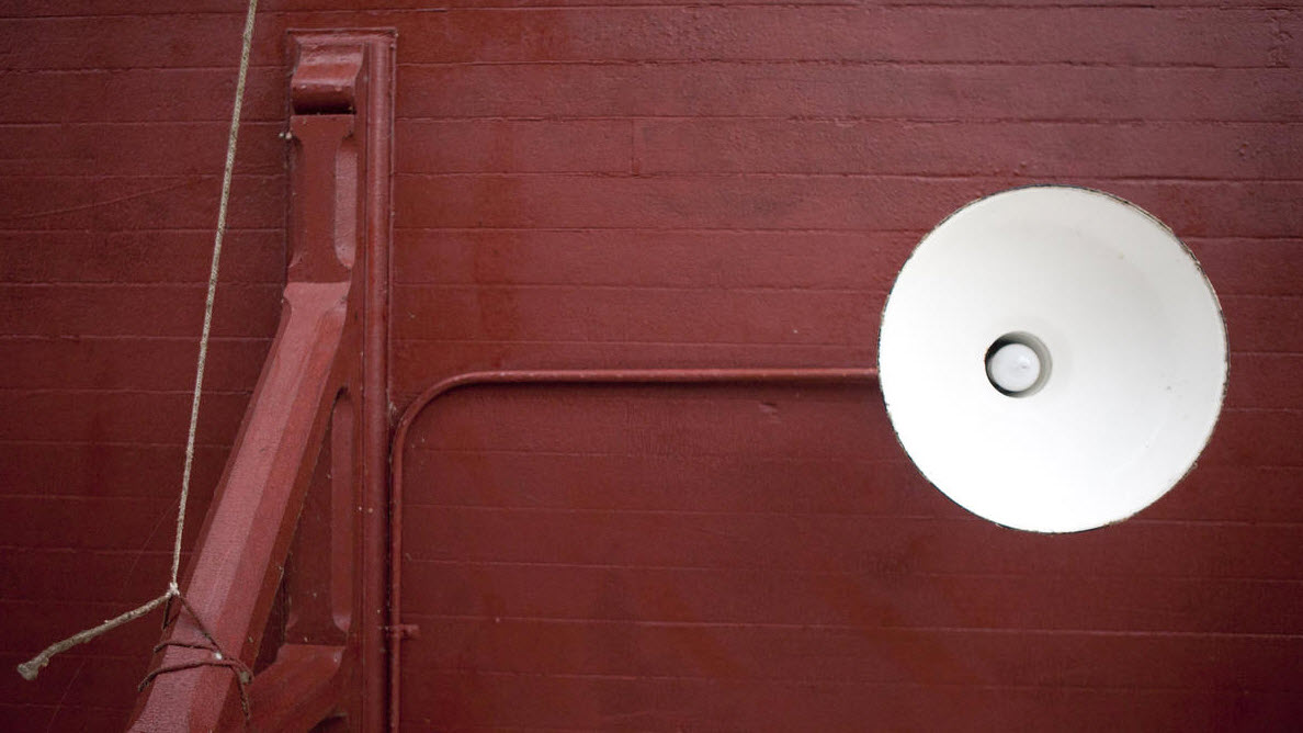
The building is currently used as the headquarters for the NCR (Northern Central Railroad) Trail. The B&W photo is from 1979.

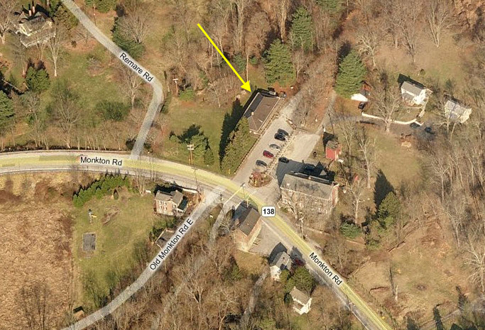
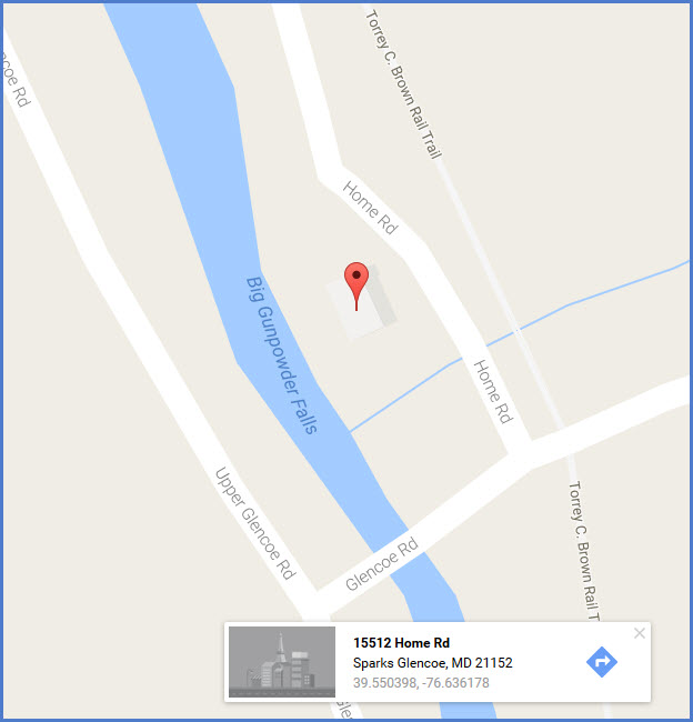
GPS Coordinates: 39.550398, -76.636178
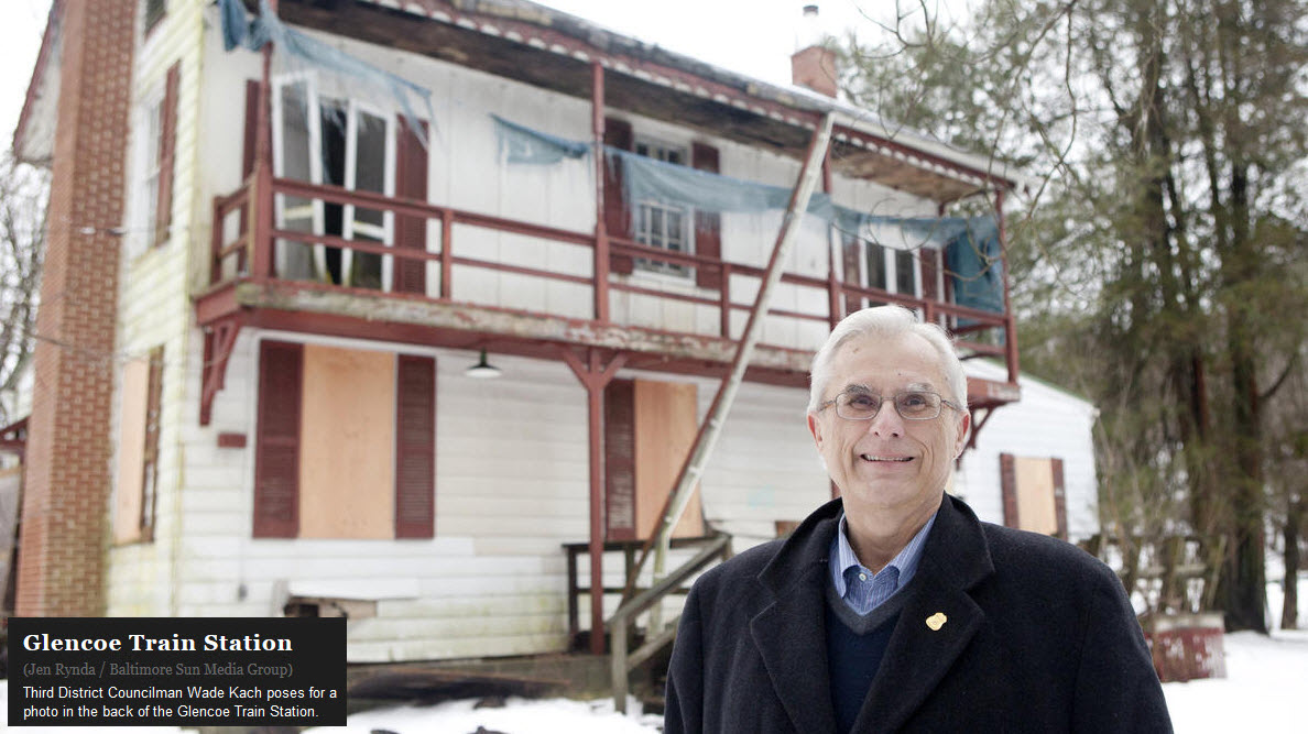
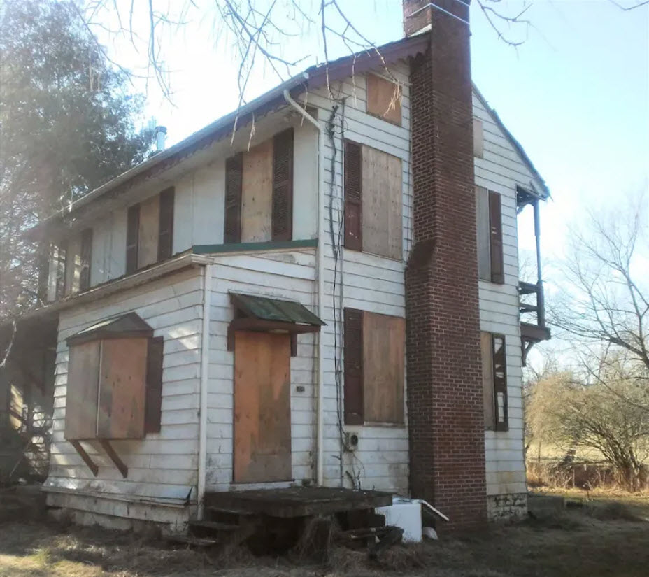
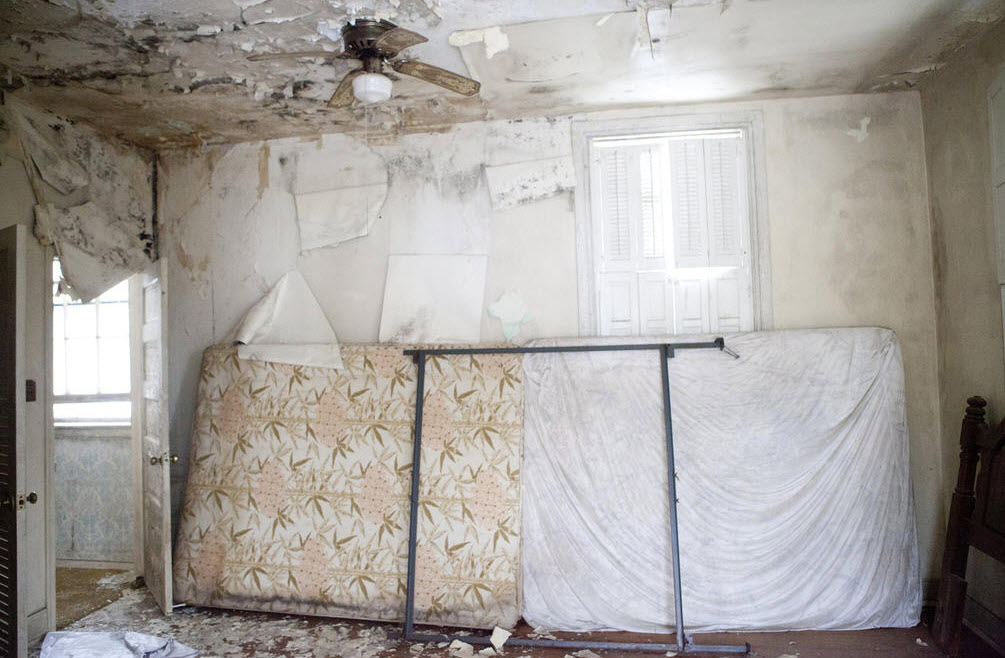
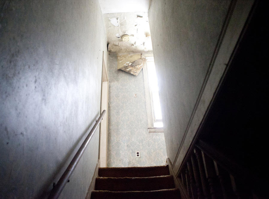
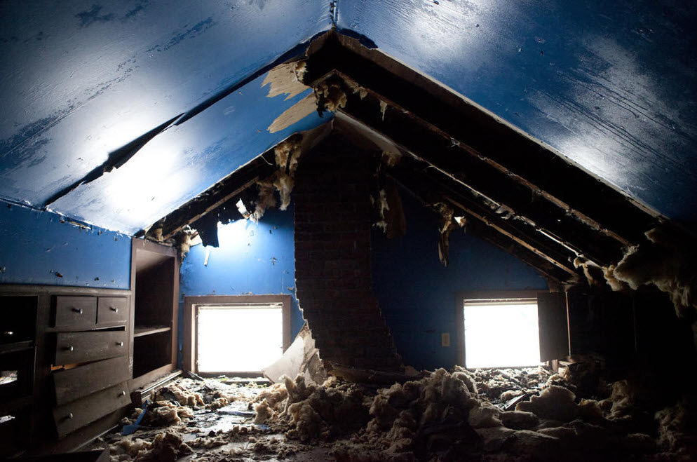
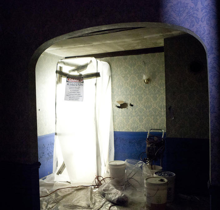
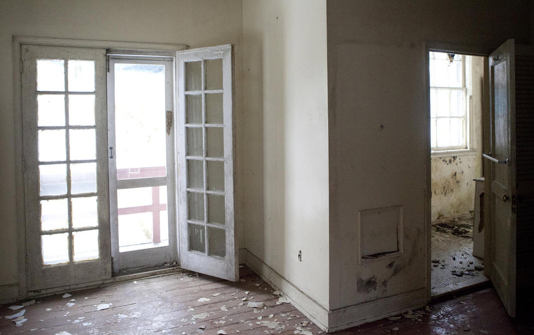
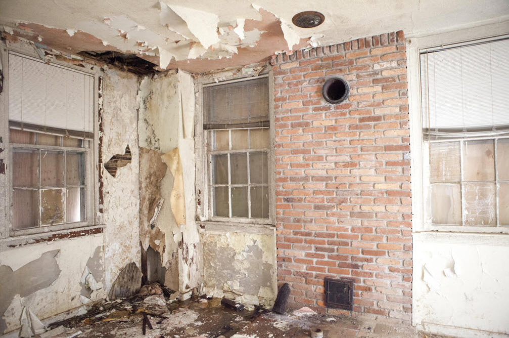
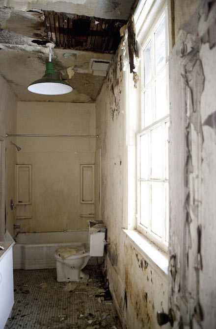
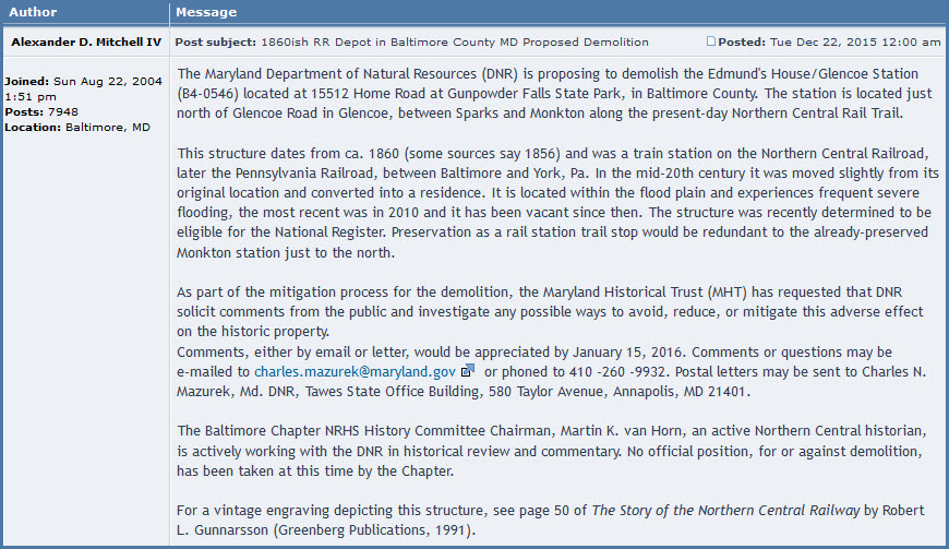
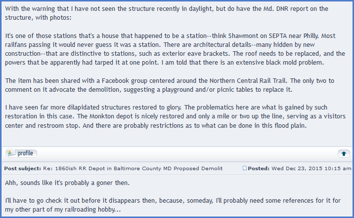
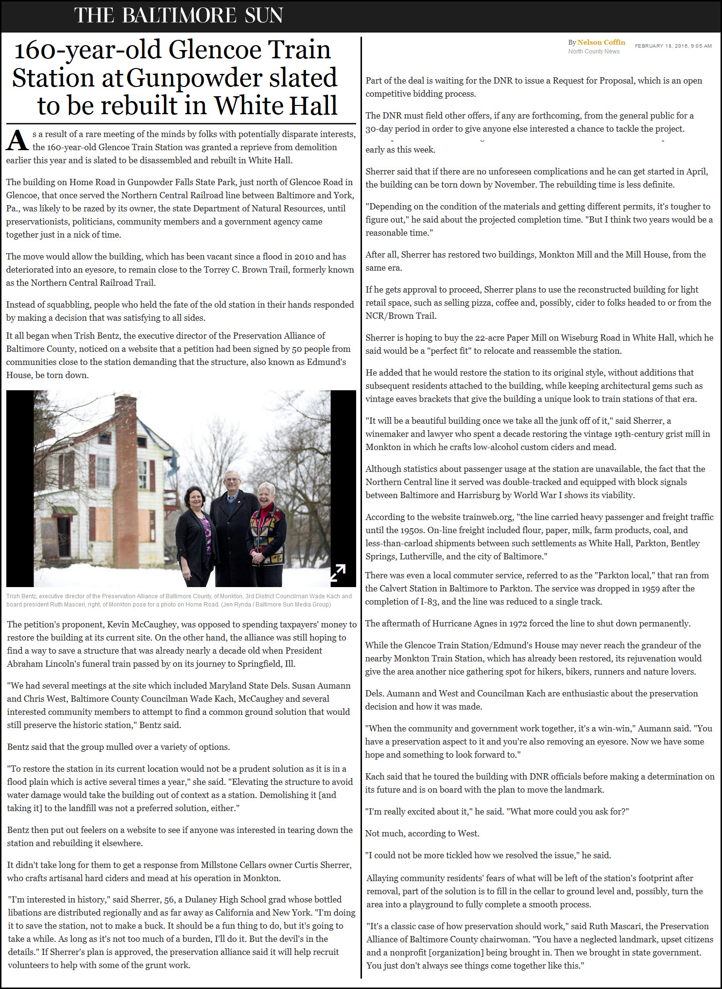
This building was used as the Glencoe station, although it looks like a house. Built sometime around 1856-1860. The state wants to tear it down because it is in bad shape. Details below in Alexander's forum note. The screen shot below is from one of Alan Brougham's Bullsheet pages.

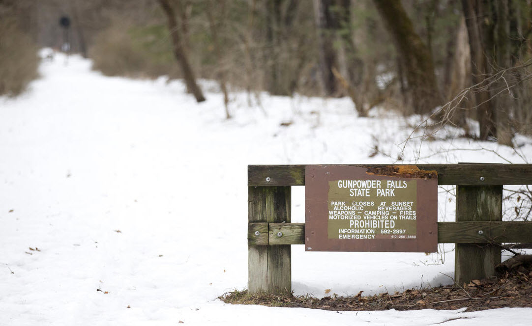
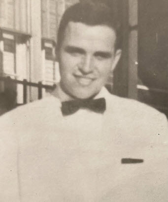
At the entrance to the trail here on the north side of Glencoe Rd, you can see a preserved signal in the background of the picture below.
GPS Coordinates: 39.569121, -76.620099
Kind of surprising these fellas are still around after 54 years (in 2026) of non-use. Thanks Elliott! Now all we need to do is put operating lights on them! :-)
GPS Coordinates: 39.552302, -76.636865
Along the trail, just north of Glencoe Rd.
PHOTO NEEDED
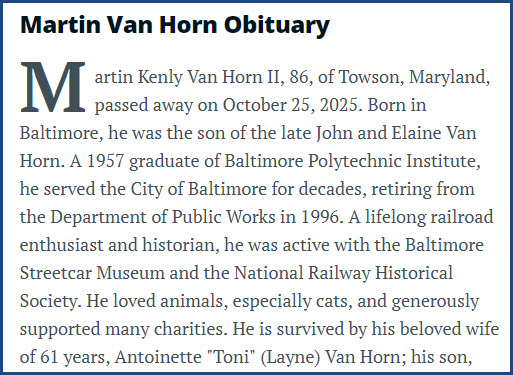
Martin K. Van Horn
This page is dedicated to Martin K. Van Horn, who was a railfan, a 'go to' expert on the Northern Central, a supporter of saving the Glencoe station, and a supporter of the 7303 restoration efforts at the Baltimore Streetcar Museum. His presence will be missed. Martin was involved with writing a book on the Green Spring Branch of the Northern Central/Pennsylvania RR: Green Spring Accommodation: 130 Years of Railway History in the Green Spring Valley, Baltimore County, Maryland, 1832-1962.
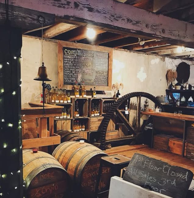
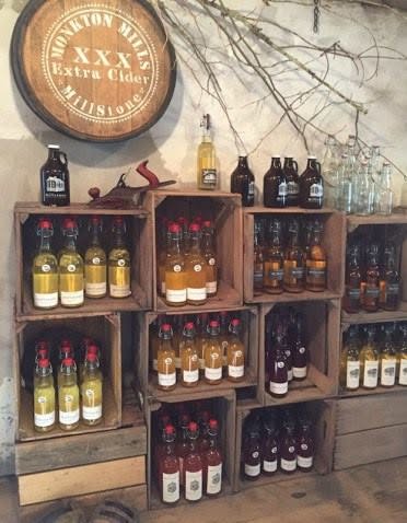
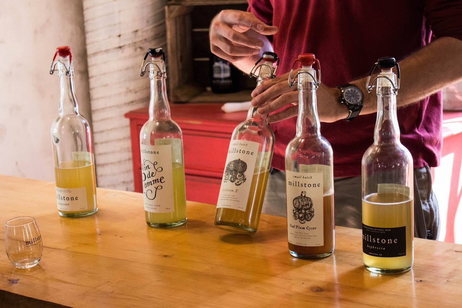
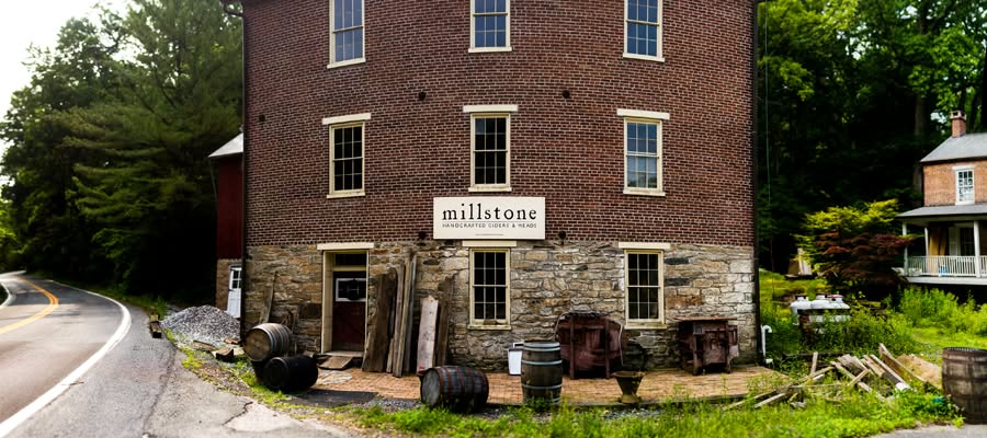
Remembering Millstone Cellars
https://www.manor-mill.com/about/history
https://www.facebook.com/Millstonecellars/
Curtis Shearer at one point was going to try to rescue the Glencoe station, but it apparently didn't work out.
Millstone Cellars closed in 2018. Shame.
From their (still around) Facebook page: From Farm to Bottle; we source local raw honey, fruits and apples to handcraft intriguing ciders and meads.
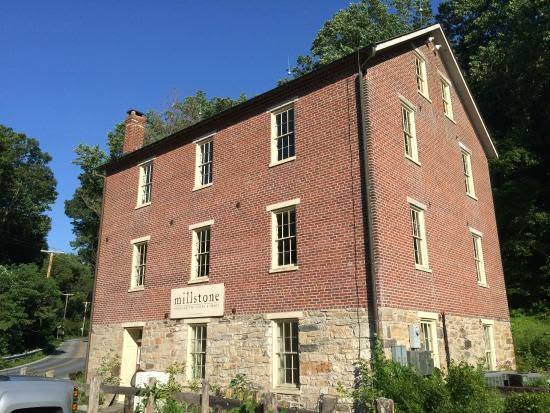
Partial History from the manor-mill.com site: Rodney Fields continued the antique business until 2004. That year, Curtis and Joann Shearer bought the mill property and promptly started restoring the brick dwelling. The mill had suffered serious alterations since 1978, and there was much seepage from the roof. The floors in places were wearing thin. The water wheel buckets had entirely rusted away. The wooden grain hoppers from the old millstone installations were still on hand. The excellent crafting of chamfered posts was still apparent.
Mr. Shearer founded Millstone Cellars, which became a successful artisanal cidery business for approximately 10 years, using apples from local orchards in Maryland and Pennsylvania and produced onsite. The business closed in 2017 and the property began to fall into disarray as it was abandoned. Its current owner has continued the restoration of both the house and mill starting in November, 2019.
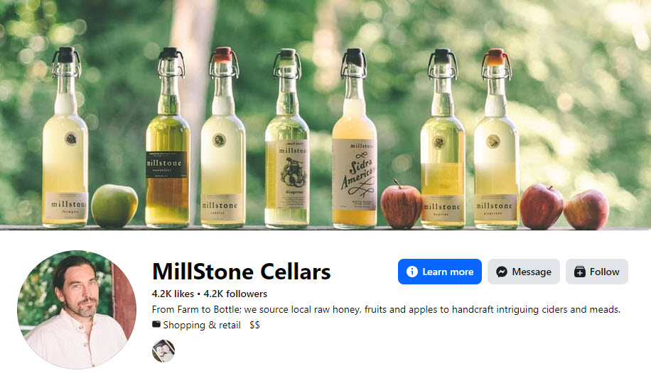

Above: Curtis Shearer, and below, a few pix from the Millstone Cellars FB page:
Disclaimers:
New format 10/26/23: Please check out my disclaimer page for my standard dribble and contact info here
RAILFAN GUIDES HOME
RAILROAD SIGNALS HOME
NEW 2/10/2017, MAY25/26/27/2026, JUL01/11/12/2026
Last Modified 12-Jul-2026