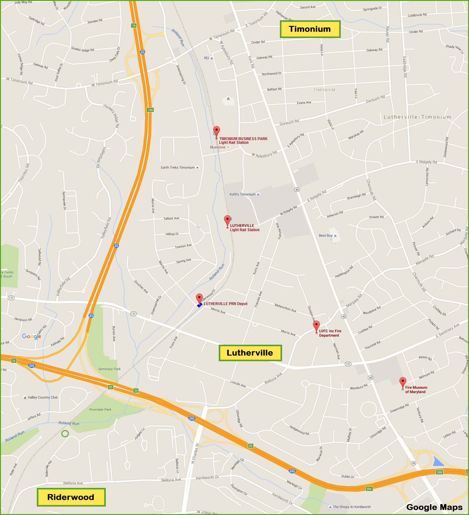
What's Here:
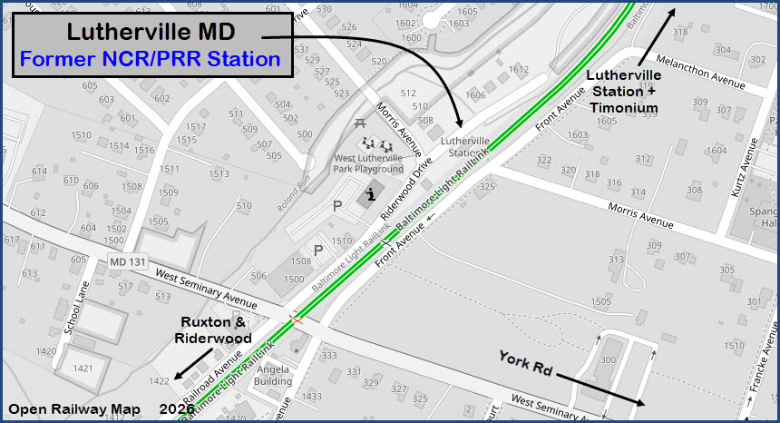
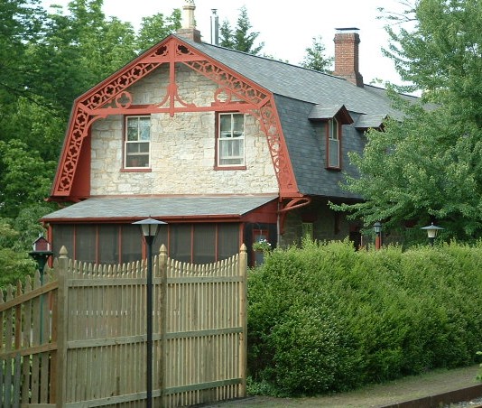
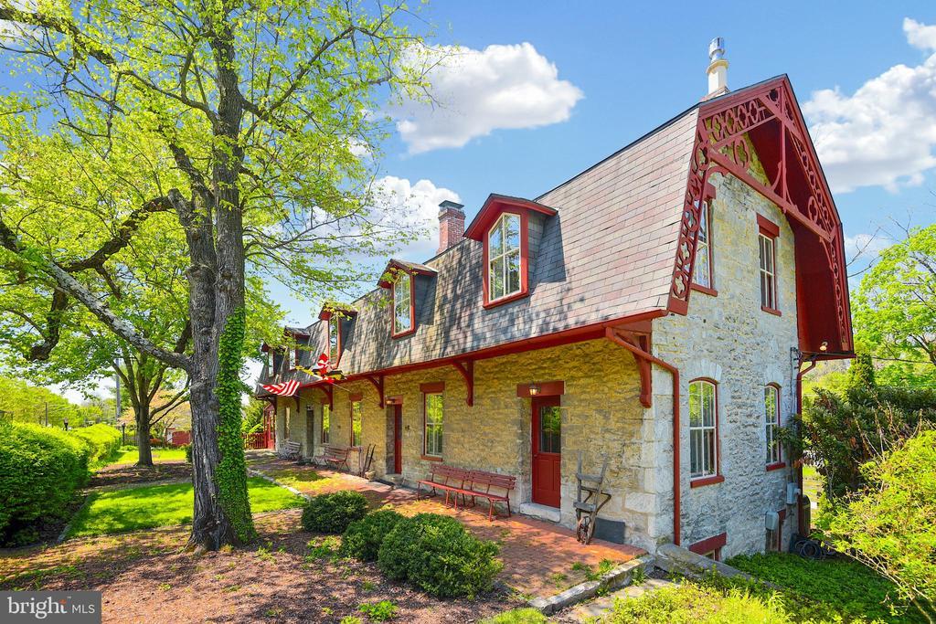
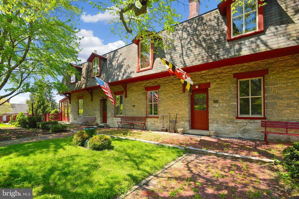
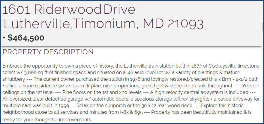
Former Northern Central Lutherville station
Two light Rail stations:
- Lutherville
- Timonium Business Park
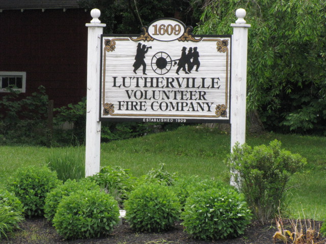
Lutherville Volunteer Fire Company
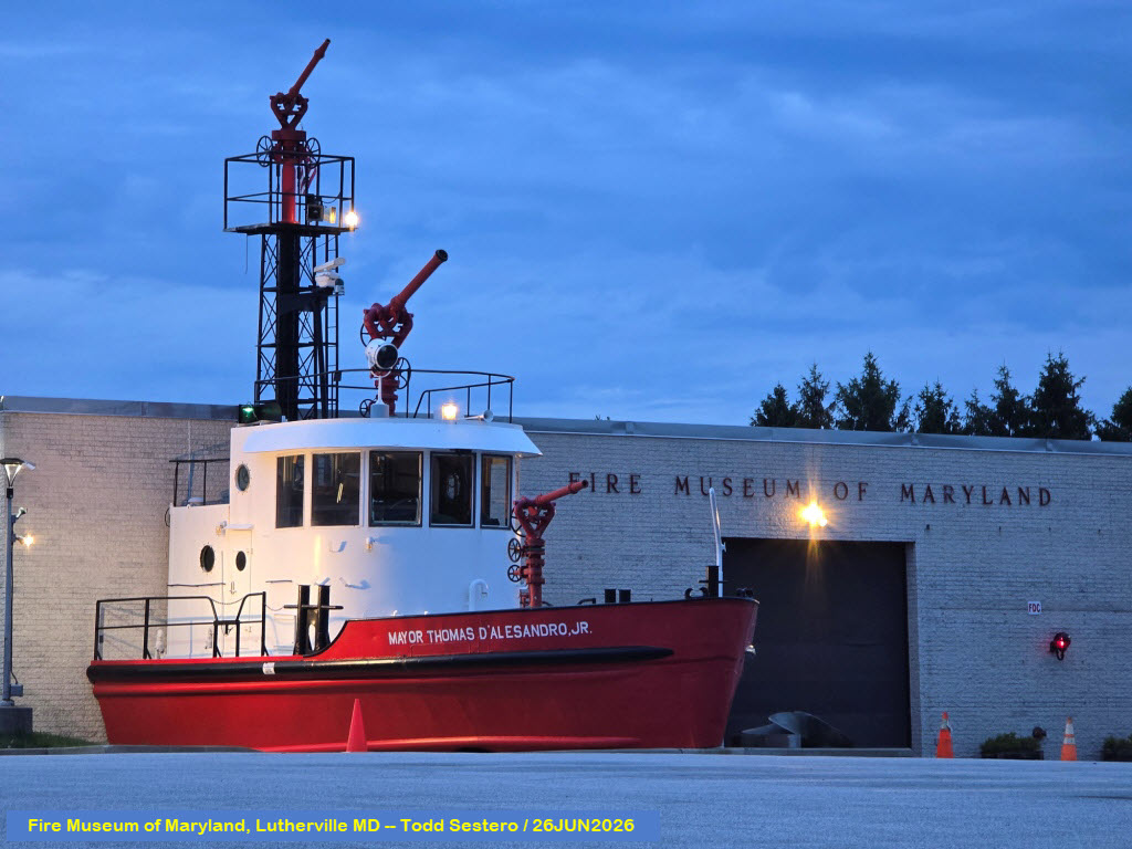
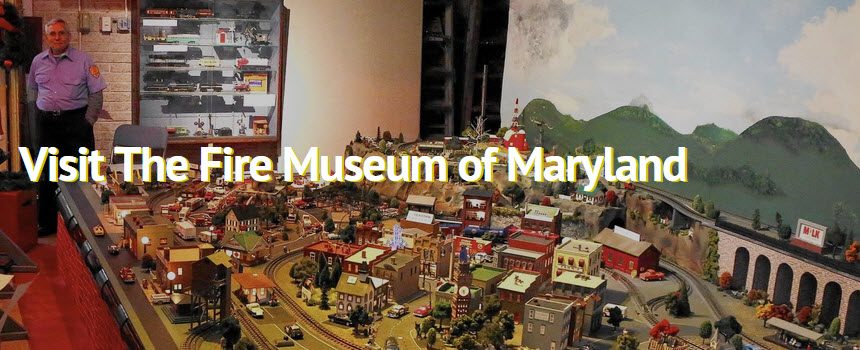
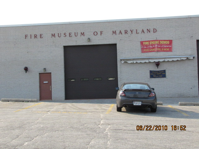
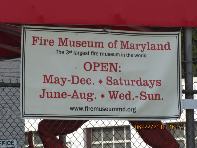
Fire Museum of Maryland
The Peppermill Restaurant, Todd's Pick!!!
Data:
GPS Coordinates: as needed
Phone A/C: 410/443cell
ZIP: 21093
Milepost: NCR 9.5, Light Rail: ~11.0 (closest catenary pole with a chain
marker says 555, which is 55,500ft from Baltimore St.)
Access by train/transit:
Light Rail
Geography:
Pretty much flat!
The Scoop:
Lutherville is one of those old, old suburban
communities of Baltimore from the 1700's. As you drive around you can
see the houses are generally "older" than new.
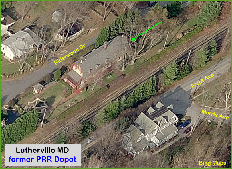
You have one of the remaining Northern Central railway stations off Seminary Ave.
It is a private residence.
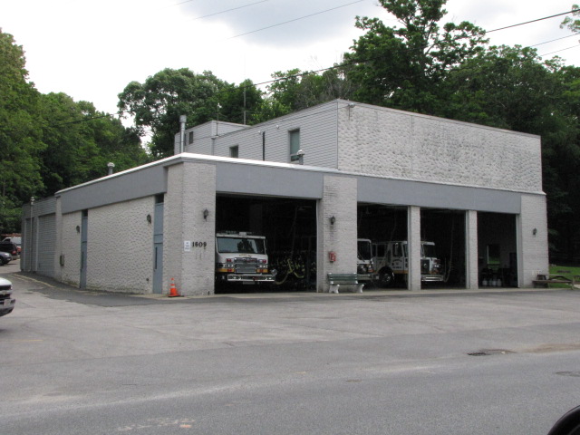
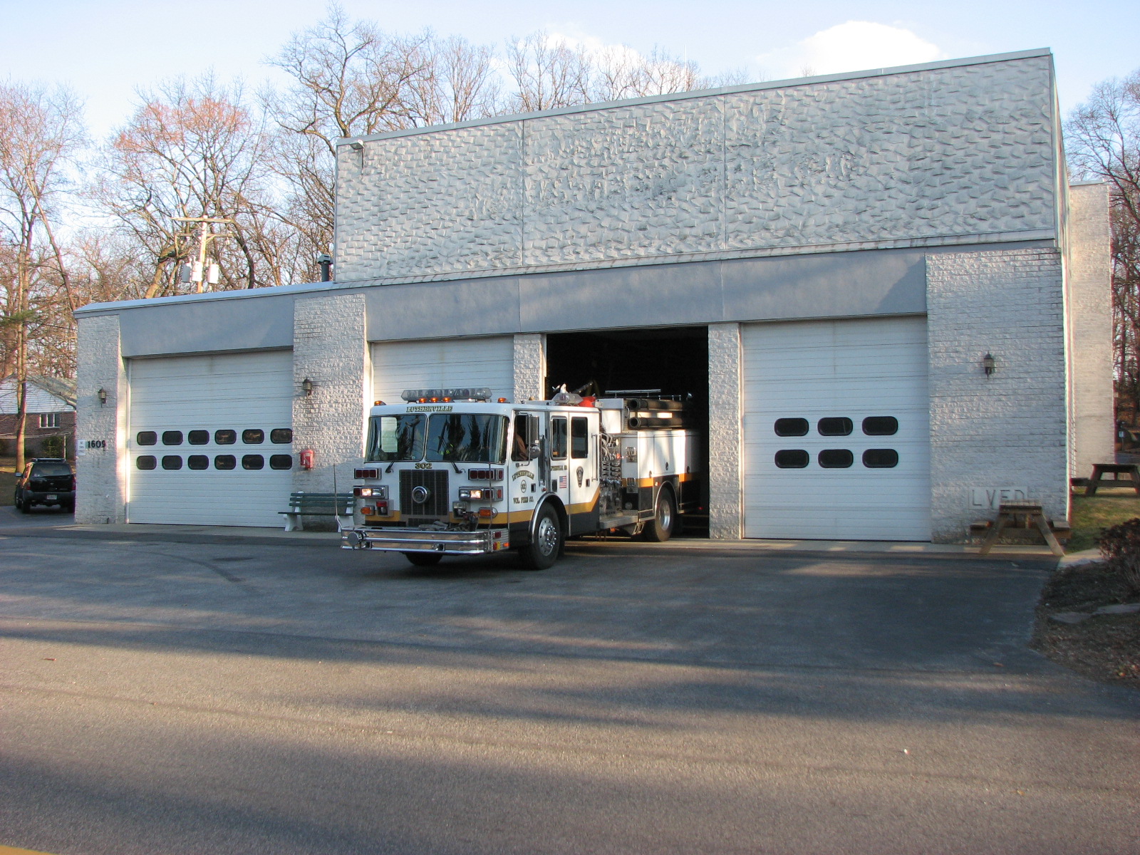
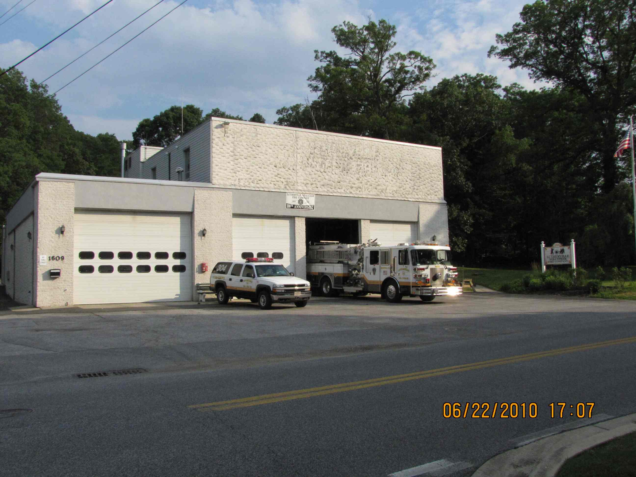
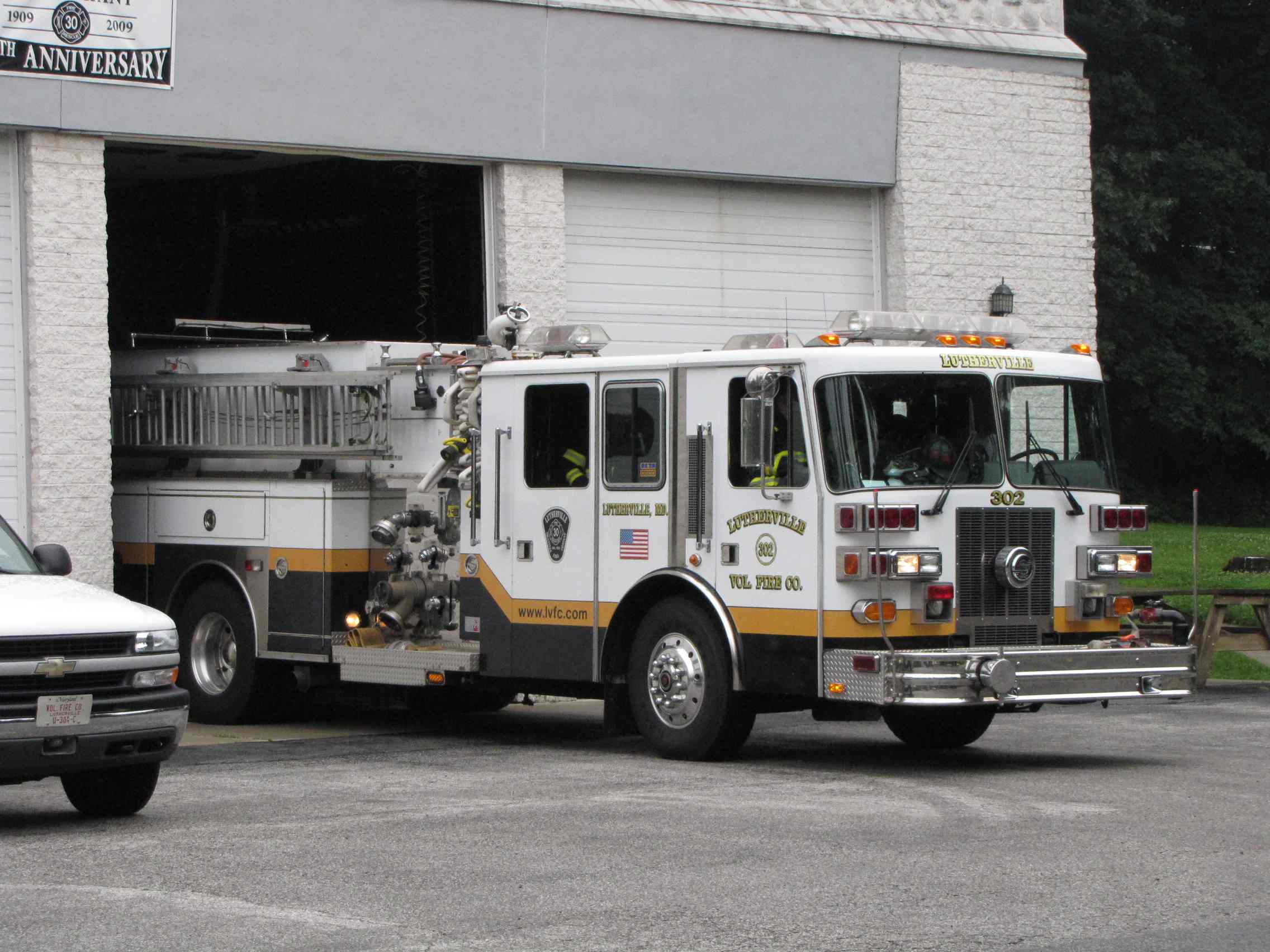
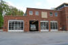
Not to far away on Bellona Avenue is the Lutherville Volunteer Fire Company,
station 30. They enlarged their station house in 2015.
About three-four blocks away from LVFC on York Road is the Fire Museum of Maryland,
which has some really nice exhibits, including a working fire alarm display.
The second railroad of Baltimore, the Baltimore and Susquehanna,
came through here in 1831-32 heading to York and Harrisburg. The railroad was re-organized
as the Northern Central Rwy
after a really bad accident in Ruxton/Riderwood killed 35 people, and the B&S
was prompted to reorganize in order to stave off bankruptcy.
The B&S also built the Green Spring Branch, which the
Western Maryland used in the beginning
before they had their own route out of the city. They started building
this route as an alternate way out of Baltimore when the state of
Pennsylvania denied the Northern Central access to entering York County.
The R-O-W was double tracked and signaled by WW1. Local passenger
service, known as the Parkton Local, was discontinued
in 1959. Soon after, the line reverted to a single track with passing sidings.
The "Campbell's" Quarry siding by Lowe's was removed (maybe) in 2013?
A complete history of the Parkton Local is on the Parkton page.
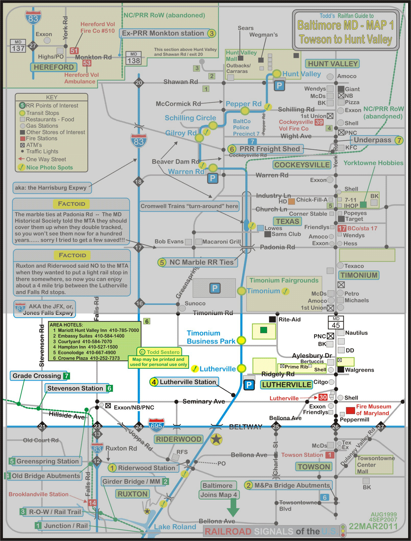
The northern part of the light rail system runs right up the middle of my Map #1, which
was the original right-of-way of the Northern Central. The original section opened in
1990 and went as far as Timonium. The extension opened to Hunt Valley in
September of 1997.
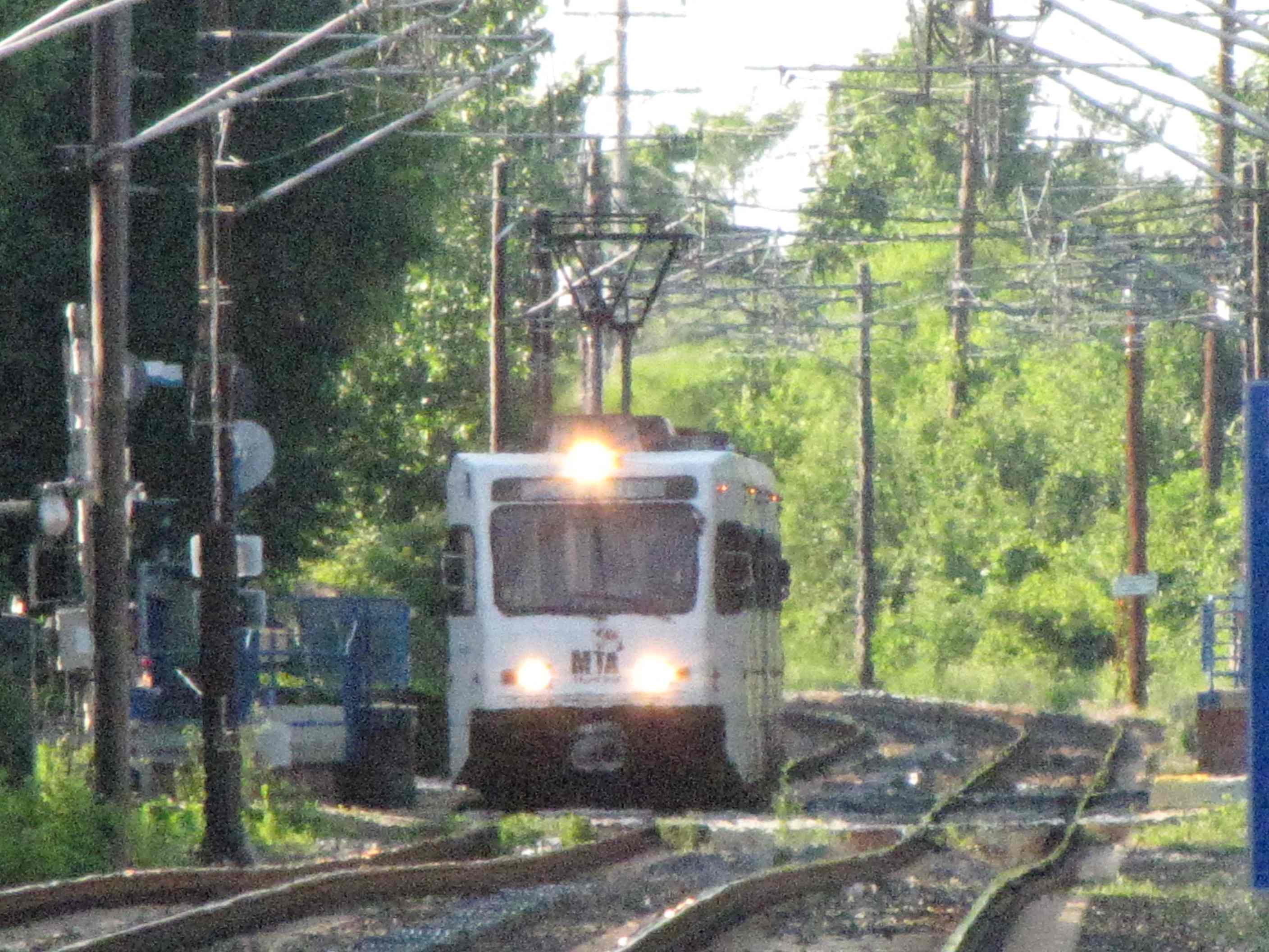
There are two light rail stops in the neighborhood: Lutherville and the
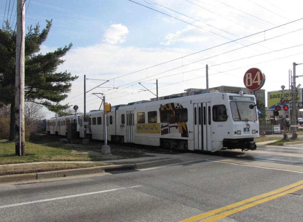
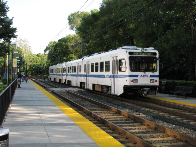
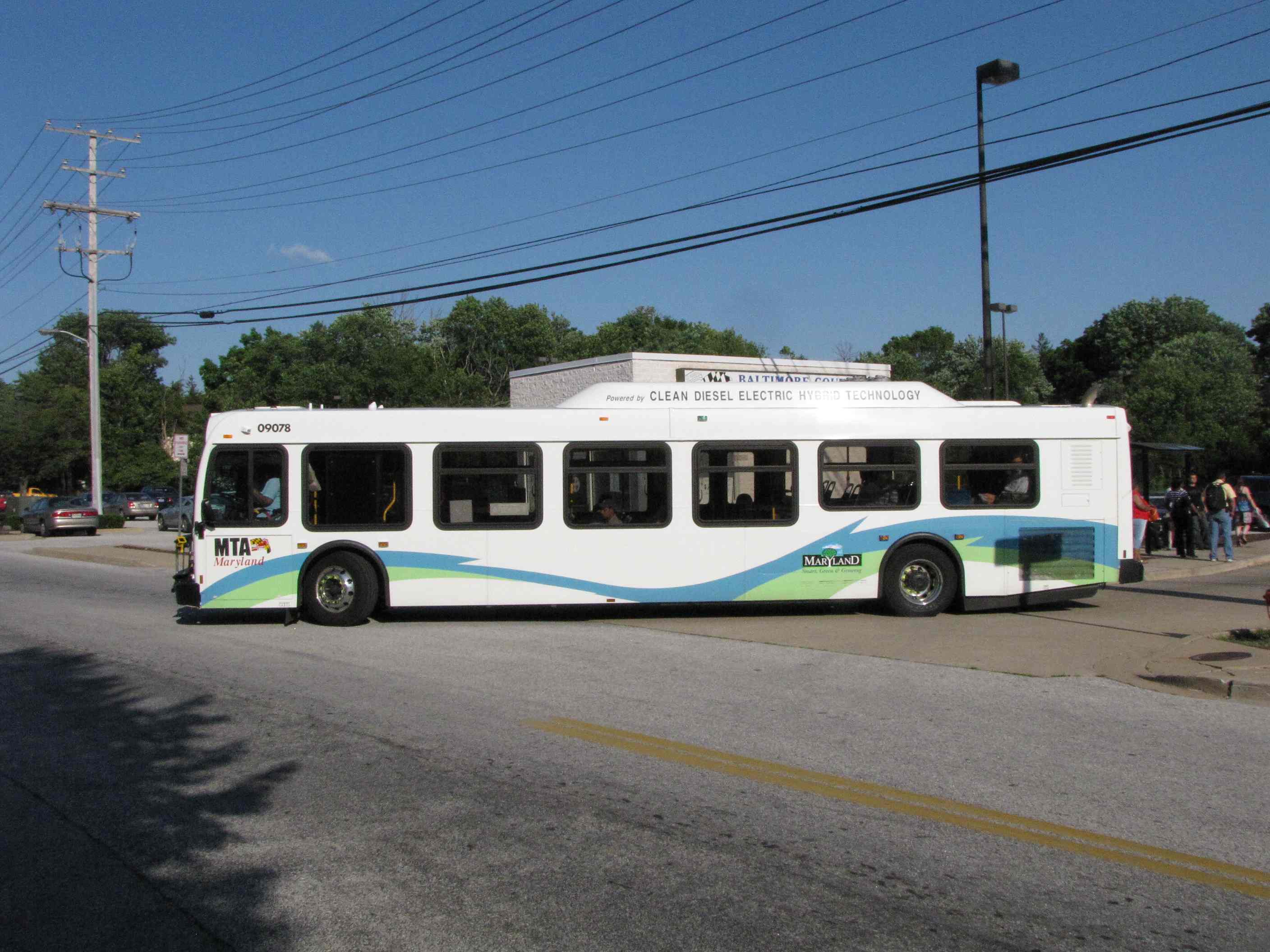
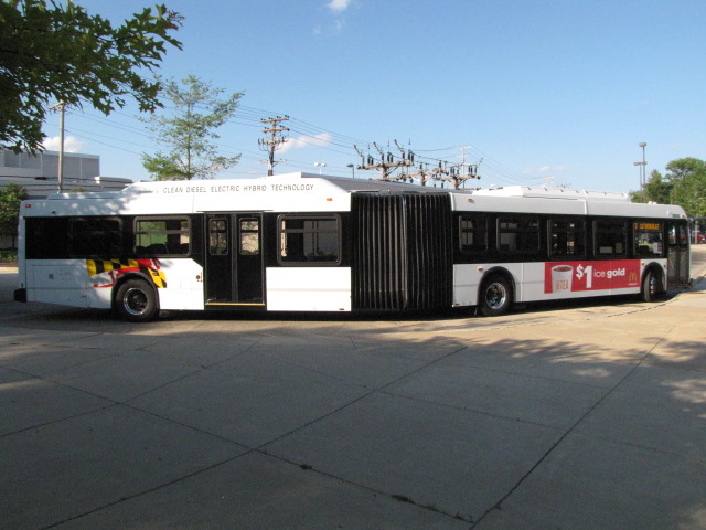
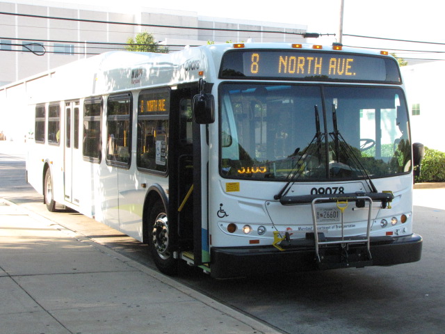
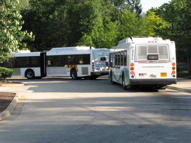
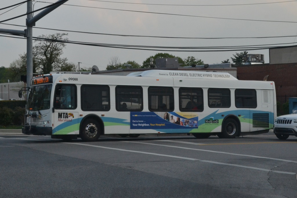
Timonium Business Park. Lutherville has become a semi-major bus terminal
for the number 8 and 9 routes. You can see both 40 footers and
articulateds come through.
North End Double Tracking Project:
For any part of the light rail system that wasn't double tracked on the
north end, that project started on January 1st, 2005 and lasted about a year.
The old marble ties (stringers) that the B&S used in the "very beginning" were
visible along the R-O-W in two places, see
here and
here.
Those early ties kept the old strap iron track in place.
Above Cockeysville, the NCR ROW is now the NCR Trail, which is very popular. The R-O-W
splits off at Warren Rd, and other than the stub that is still there, not much
remains visible. Stations and sights along the trail are covered on my
Parkton/Parkton Local page.
The last Norfolk Southern freight came through in 2004 before the
double-tracking project started - NS used it as an excuse to abandon the
line. They applied for abandonment shortly thereafter.
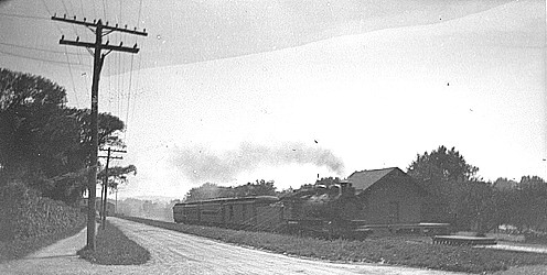
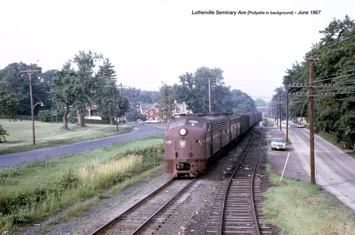
unknown photographer, found on Pinterest
A (rare) northbound Pennsy freight using a pair of E8's (maybe - could also be an E8A and an E8B) at
Seminary Ave. The Beltway overpass can be seen in the distance.
The red house to the left is now white, and the grade crossing seen at the
second boxcar IS Seminary Ave. Not sure what the photographer was on
to get this elevated shot, but it's a great photo! If you can envision
the time when this track was double-tracked, the siding is where the second
track would have been. Thanks to Google AI, we have the following tidbit of info:
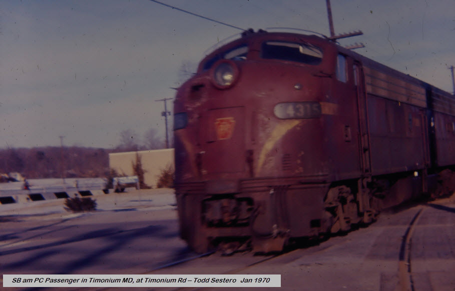
Timonium Road loosely defines the border between Timonium and Lutherville,
because of that, I include this photo as the remaining passenger train on
the Northern Central nears its southward journey into Baltimore crossing
Timonium Road. Wish I had a good camera and better photo taking skills
as a teenager :-)
Lutherville has two light rail stops: Lutherville and the Timonium Business Park.
The Baltimore Light Rail system starts/ends on
the northern part of the map in Hunt Valley, at the mall. Too bad for
riders, but by the time the current owner of the Mall told the MTA that they
would love to have the Light Rail come into the Mall, the MTA already had
started on building the station as it is now.
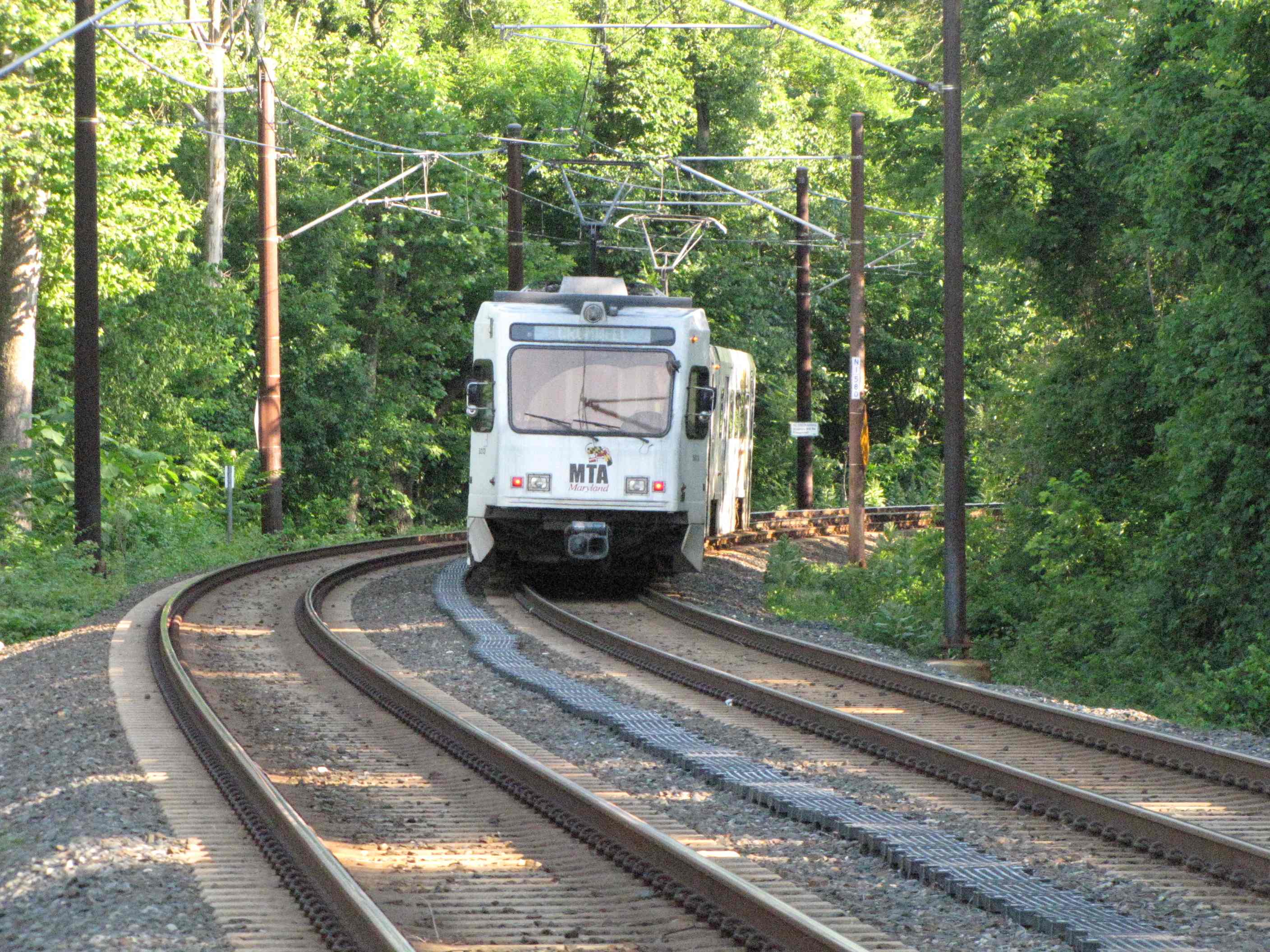
This map, map 1, covers the system from the northern end down to the Twin
Tunnels in Riderwood. The longest stretch of track without a stop
starts on this map at Lutherville, and goes about 4 miles to the Falls Road station,
and also takes in the best scenery of the entire system at Lake Roland.
Timonium Road Grade Crossing
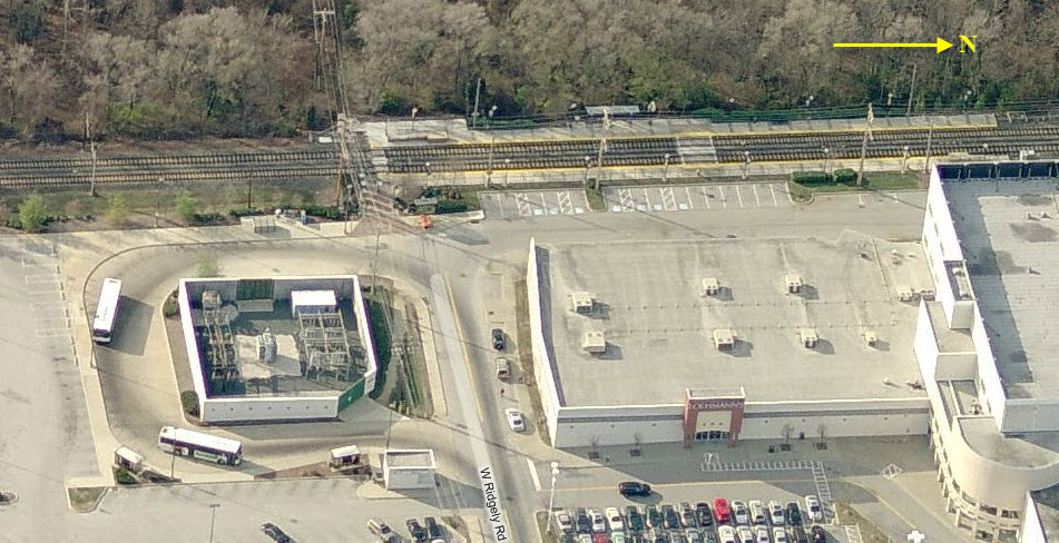
Timonium Business Park
Lutherville
Coming from the Lutherville station at Ridgely Rd, and heading into station.
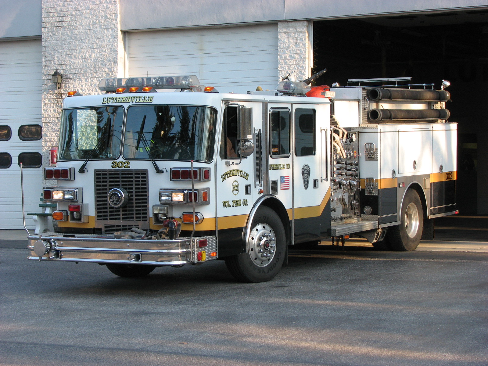
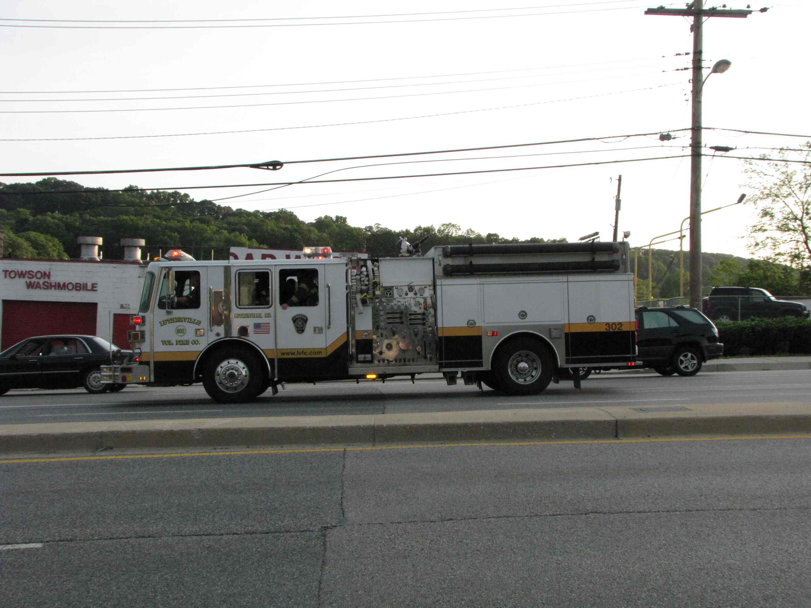
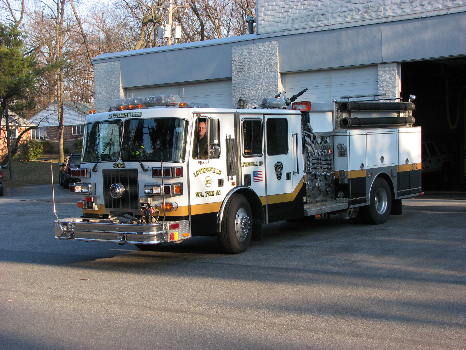
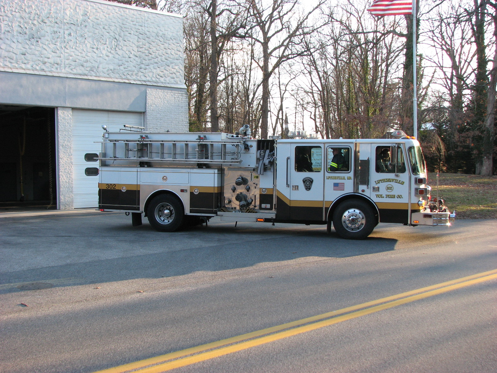
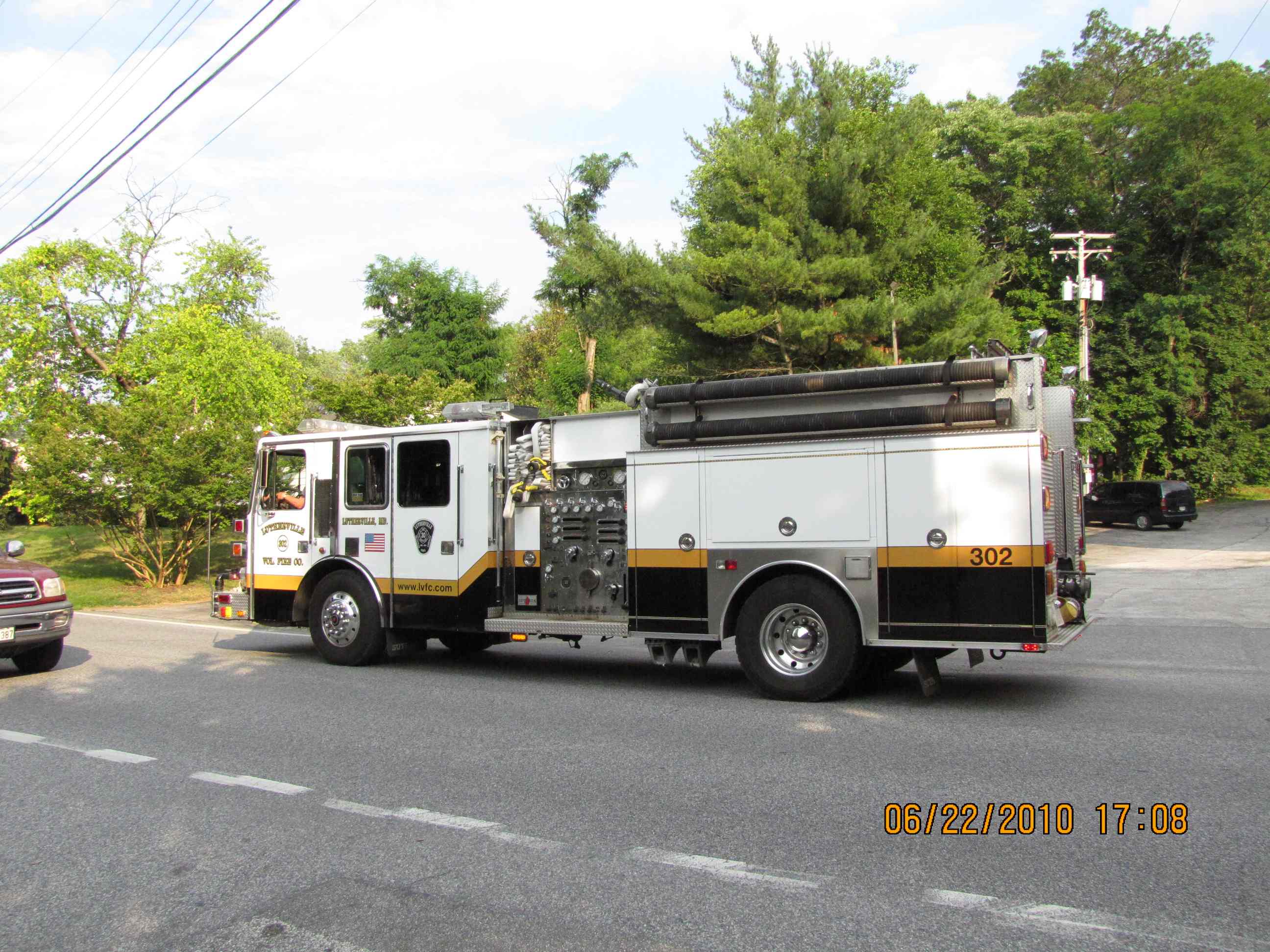
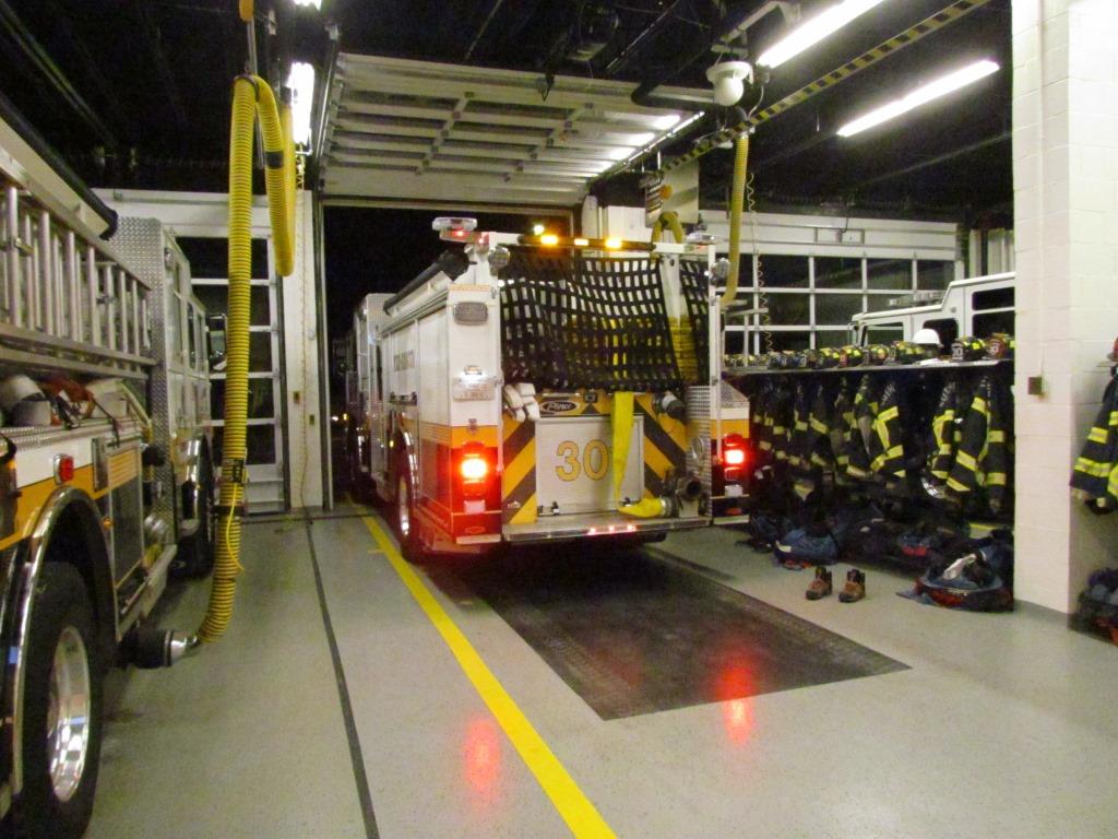
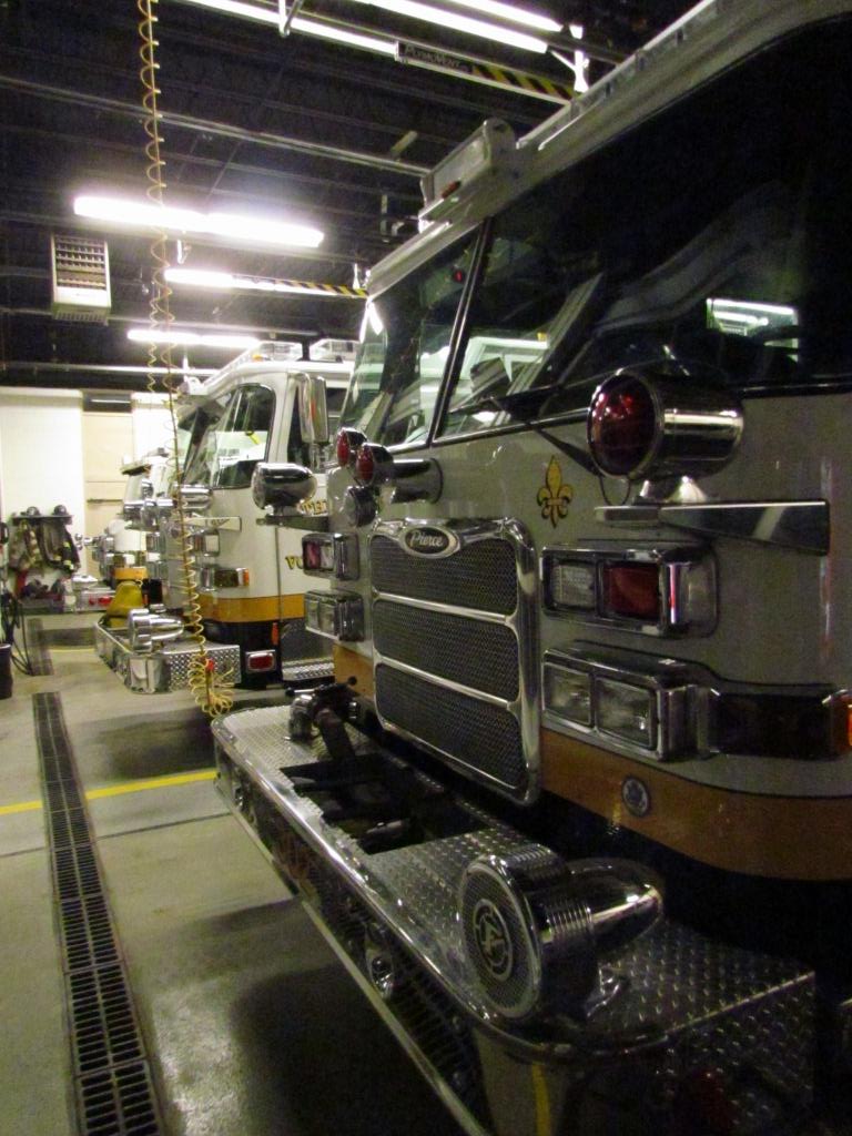
Lutherville MD is served by one volunteer fire company, Lutherville.
Other nearby fire stations are:
-- Towson, Station #1,
-- Texas, Station #17, and
-- Brooklandville, Station #14.
There is no police precinct in Lutherville, most calls are handled by cars from Towson
(to the south), and Cockeysville (to the north) if needed.
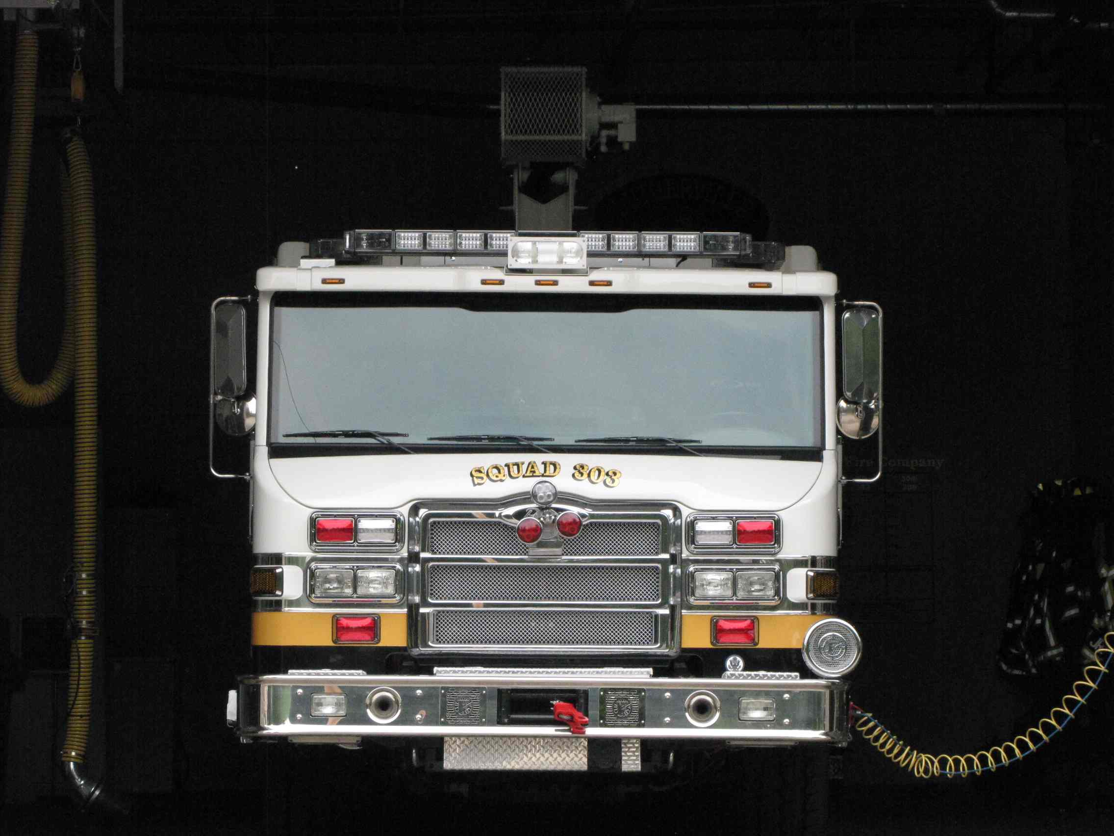
Lutherville is the closest station to where I
live. They have the distinction of being the only company in the county
that has a truck outfitted especially for vehicle rescue, truck 303. They
received a new 303 in 2011, replacing the older truck that had been in service
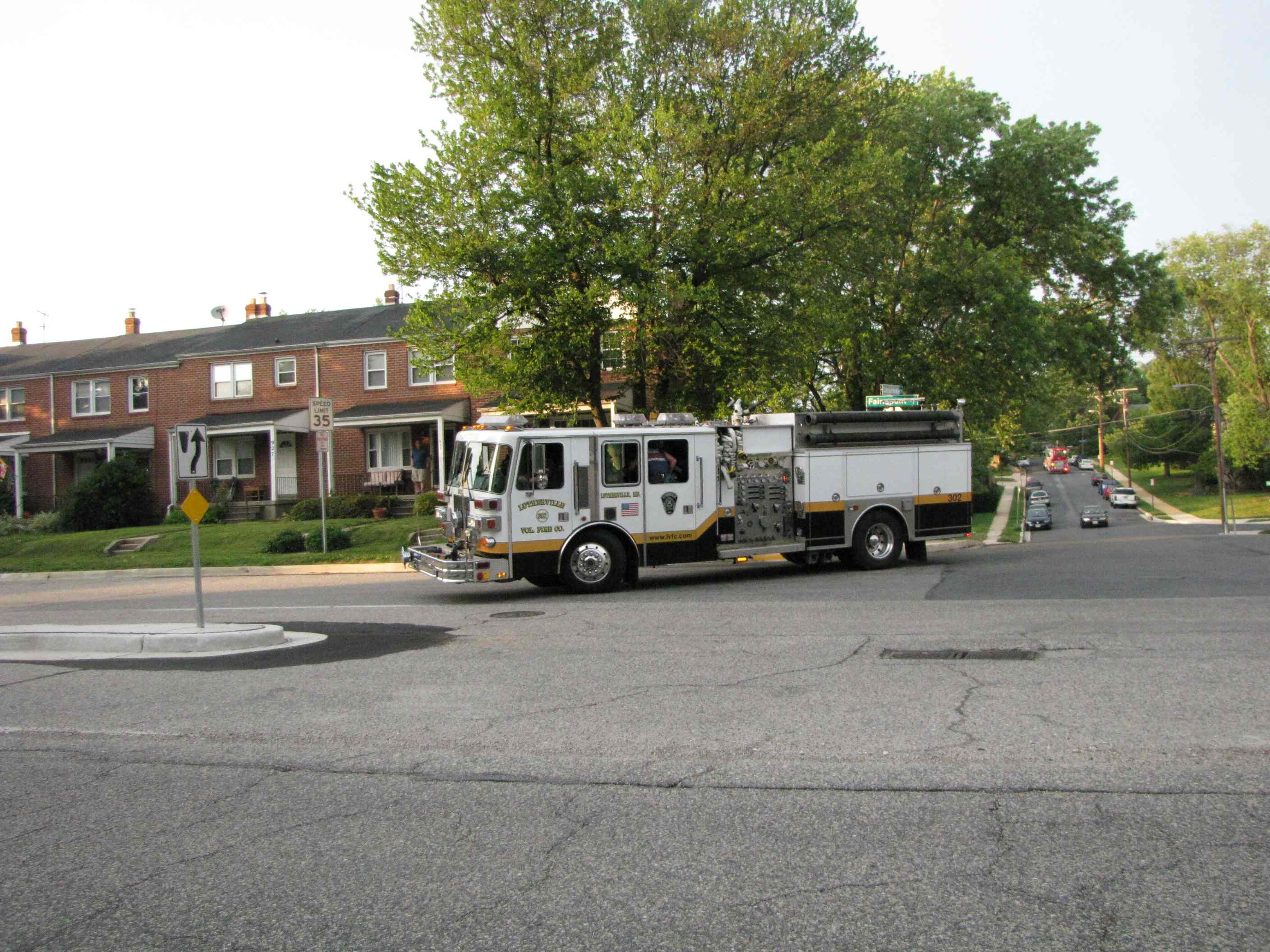
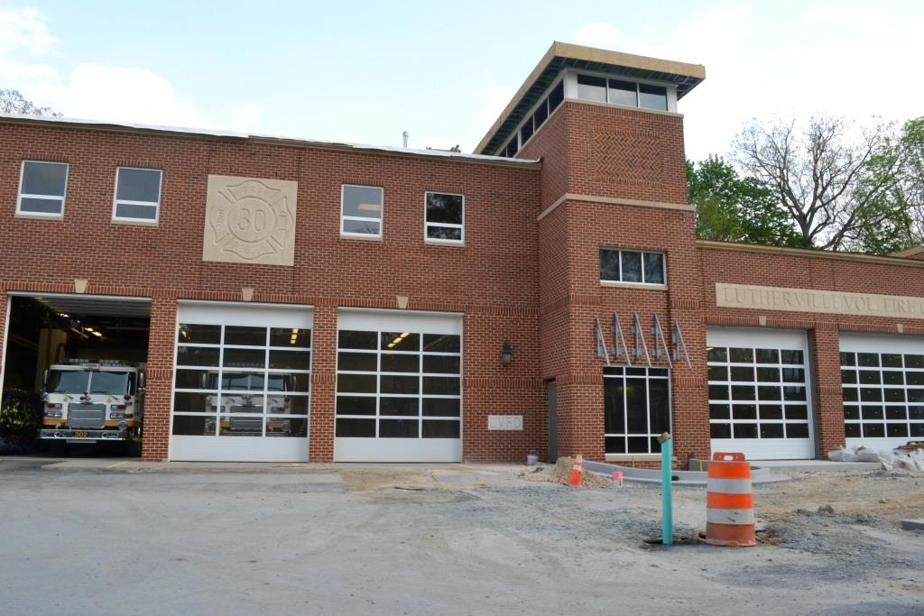
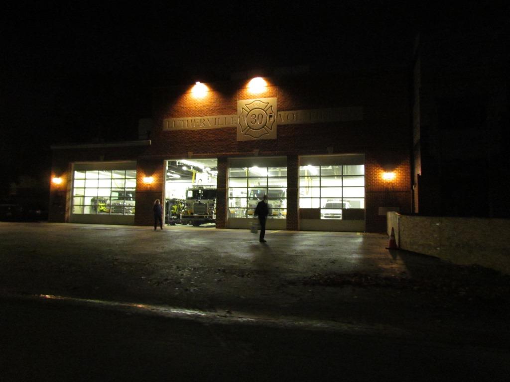
for about 25 years. In 2012, Lutherville wanted to double the size of the firehouse
into the adjoining lot to the right - that project was completed over the summer of 2015.
Construction pictures from May 2015.
Interior shots from October 2014.
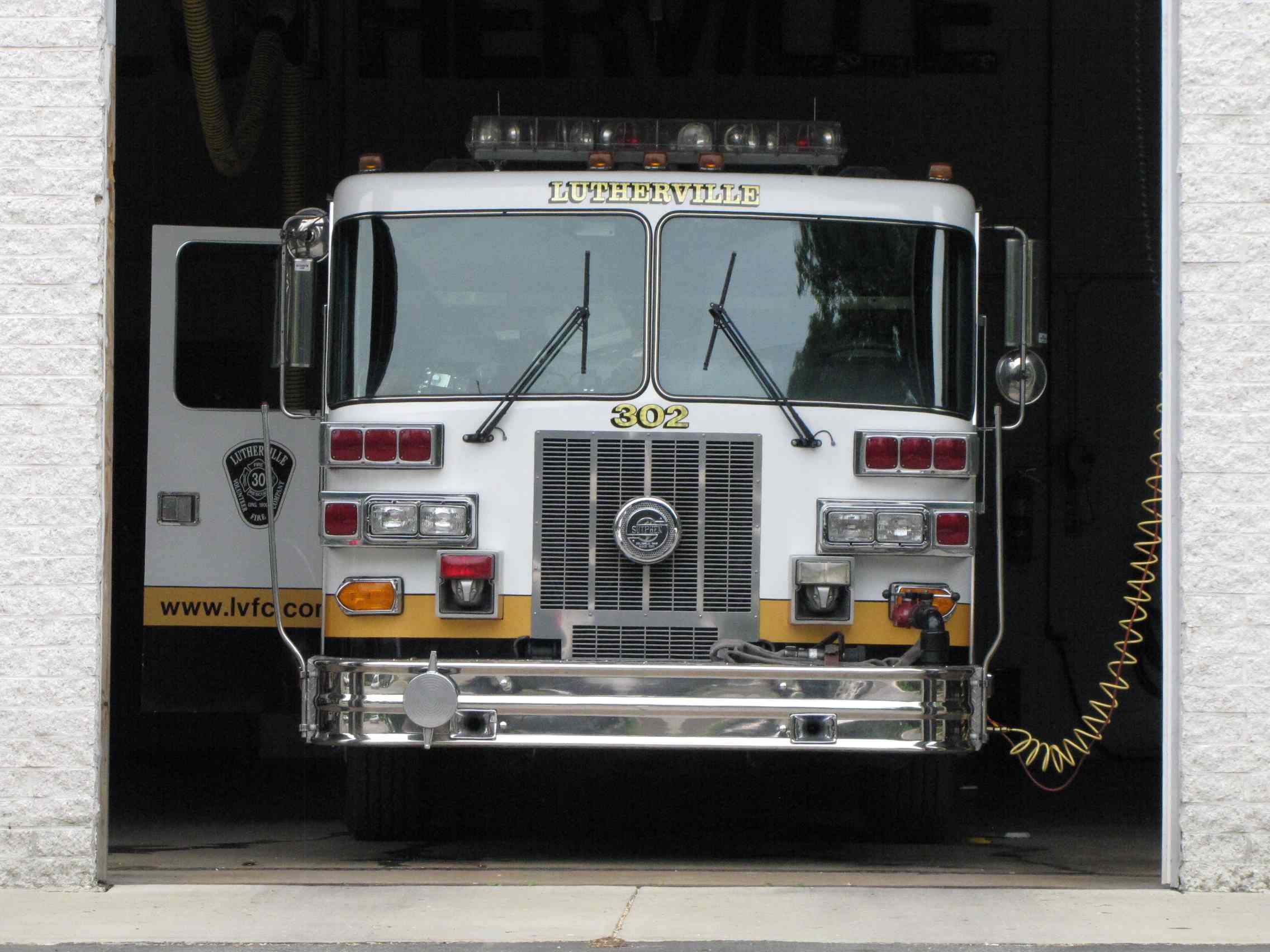
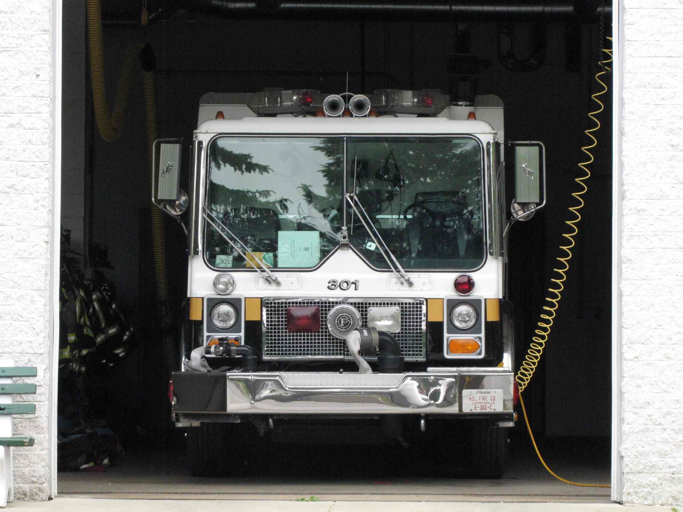
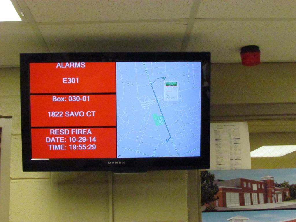
Every call gets a map to the location as can be seen in the picture above. 301 got a call while I was there.
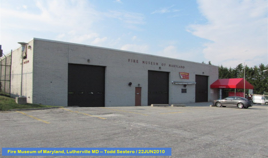
the Fire Museum of Maryland
GPS Coordinates: 39.419041, -76.613518
1301-R York Rd, Lutherville MD 21093
410-321-7500
Located in Lutherville, off York Rd (exit 26 off the Baltimore Beltway)
Admission: $15 / $13 for seniors and fire fighters / $7 for kids 2-18
Open:
-- Saturdays year-round - 10am-4pm
-- June, July, and August: Wed-Fri - 10am-4pm
Thomas D'Alesandro Jr, BTW, besides being the 41st mayor of Baltimore 1947-1959, is Nancy Pelosi's father!
An area institution since the mid 80's, the Peppermill is overlooked by the younger crowd,
probably because it is known for catering to "the old folks". I've
loved the atmosphere and food here since I was -not old-. :-) Prices
are good, great food, and my next door buddy Dan says the drinks are CHEAP!
Meals are around the $20 range, drinks are about 7-8 bucks, and deserts are
also around 8 bucks. Open 7 days till 8 in the dining room, the lounge
is open till 1, but food service stops at 10. It's very busy 5-7,
although Thursdays are quieter. It's in the basement floor of what use
to be known as the INVESTMENT BUILDING.
Located in the adjacent building to the Fire Museum!
Disclaimers:
New format 10/26/23: Please check out my disclaimer page for my standard
dribble and contact info here
 unknown photographer, found on Pinterest
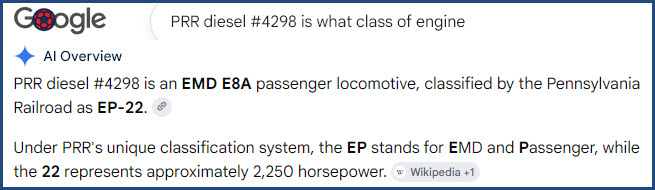


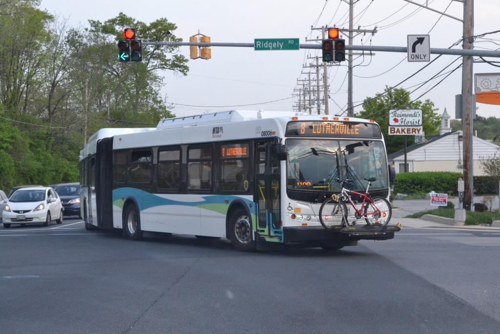 Coming from the Lutherville station at Ridgely Rd, and heading into station.
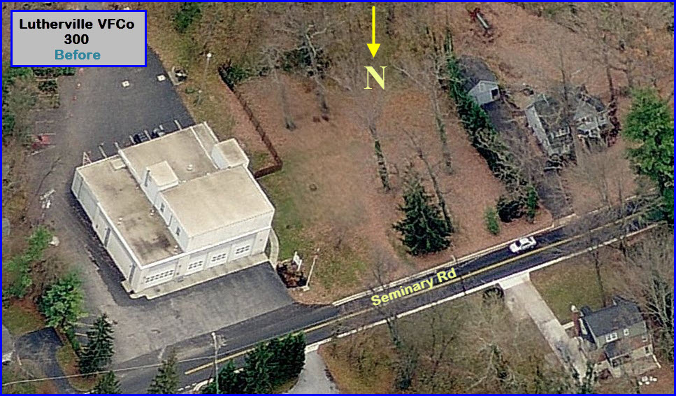


 Construction pictures from May 2015.
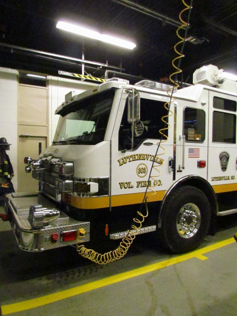
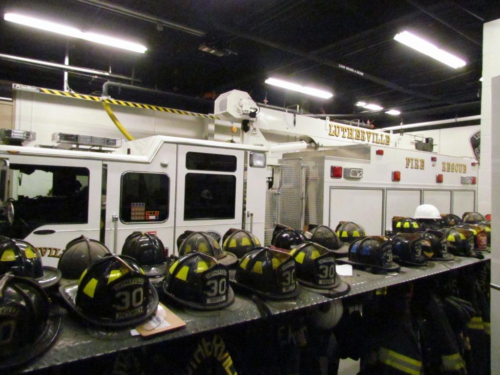
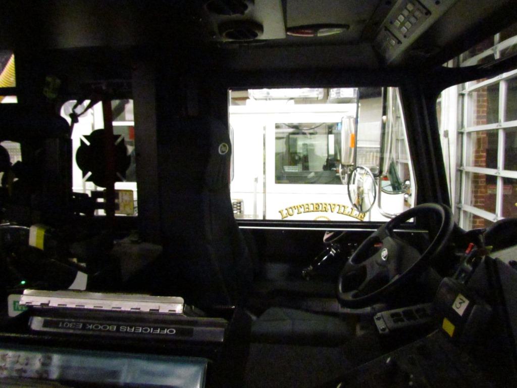
 Interior shots from October 2014.
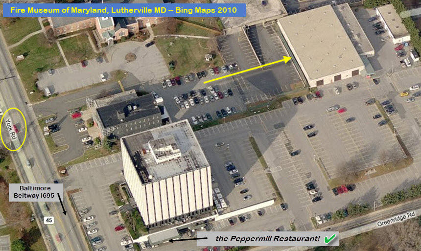
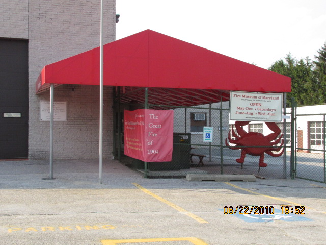
 Turn off York Rd when you see this sign.