Access by train/transit:
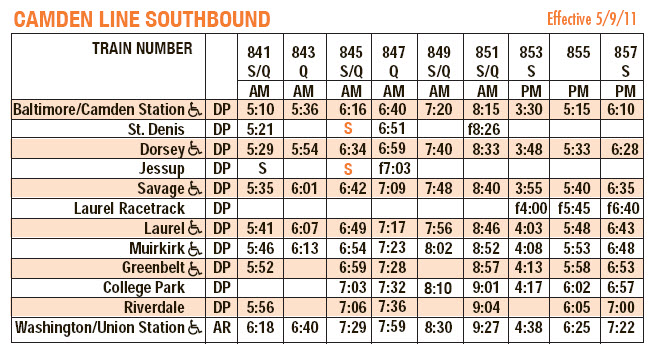
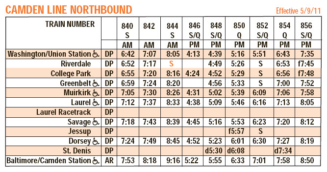
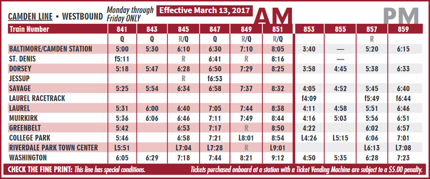
MARC Commuter Trains, Camden Line
The Scoop:
Although not a spectacular railfan area, it does offer a few noteworthy items worth investigating
and stopping by for a visit.
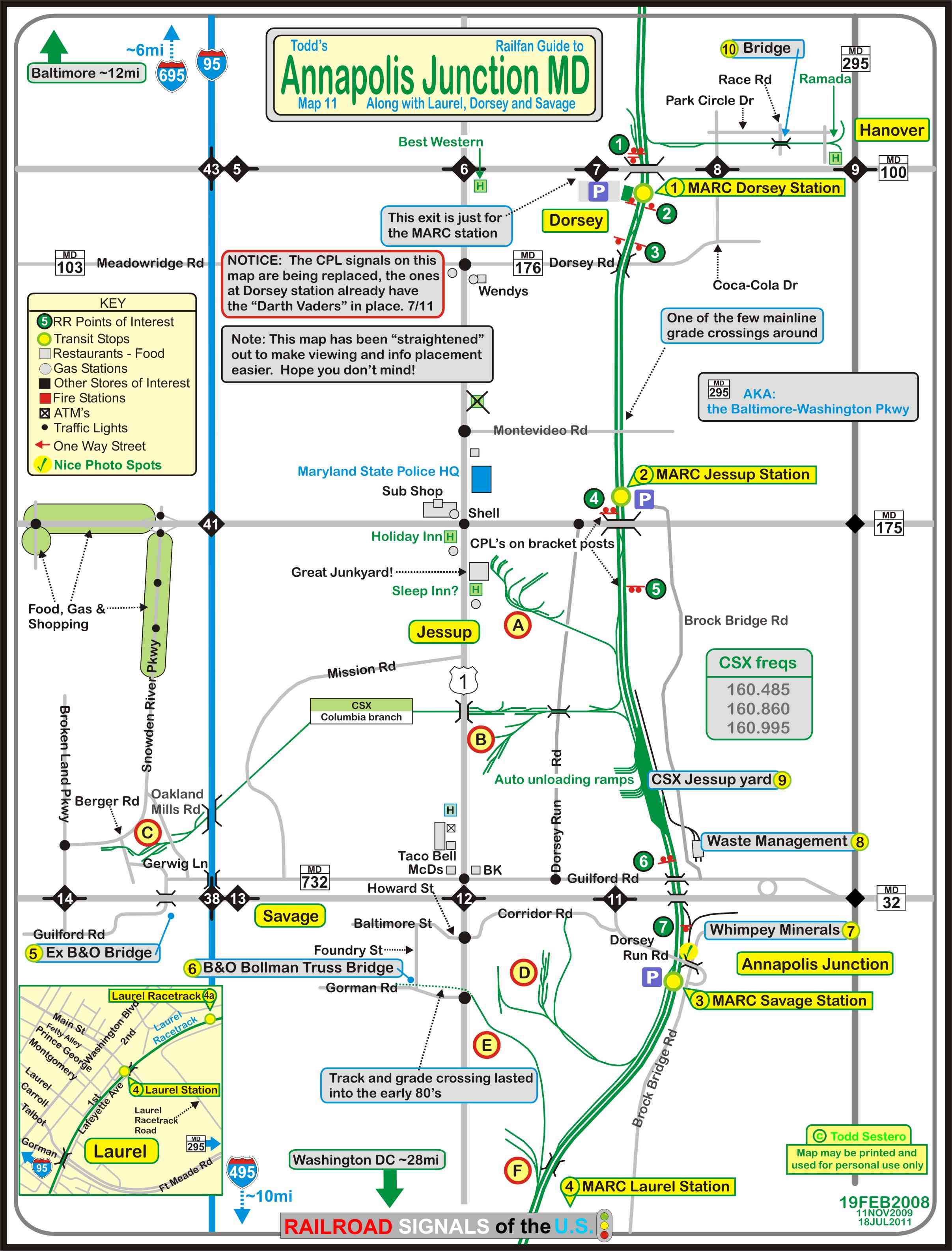
Probably the most notable is the 160ft long B&O Bollman Truss Bridge built in 1869.
It's the only one of this design left. It is in neighboring Savage,
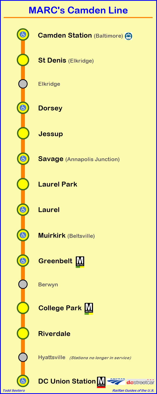
see the map, or visit my page for more details:
https://www.railfanguides.us/md/bollman/index.htm
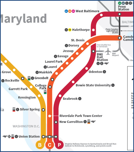
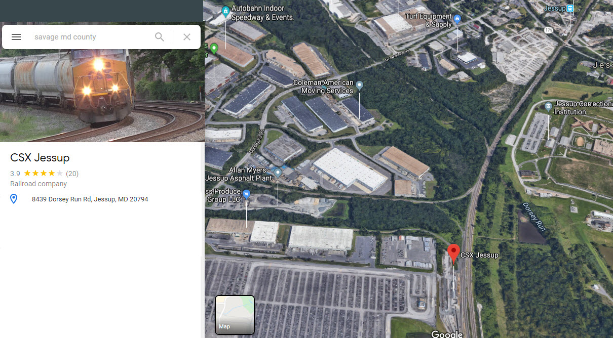
There are three MARC Stations on my map for the area, one of them is here in Jessup.
Reminder: following the B&O tradition, all directions on the B&O are either
eastbound or westbound, at least here in the Baltimore area. So, here on this map, a westbound
freight is going south from Philly to DC, and an eastbound freight is actually going north.
If you're looking for the B&O CPL signals, they were replaced around the 2012 timeframe.
Amtrak's NEC is about 4-1/2 miles to the east of Jessup, but there are not many
good places for photographing the trains in the Severn area.
Acknowledgements:
Denver Todd
Websites and other additional information sources of interest for the area:
None for now.....
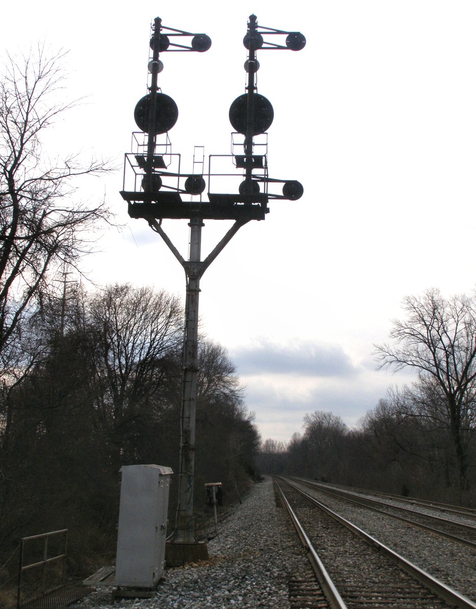
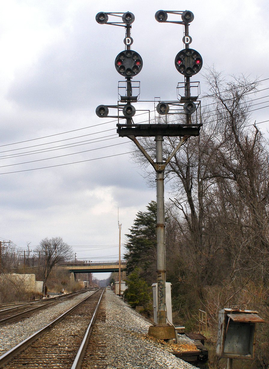
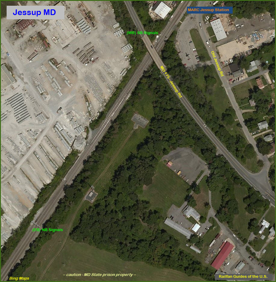
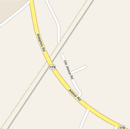
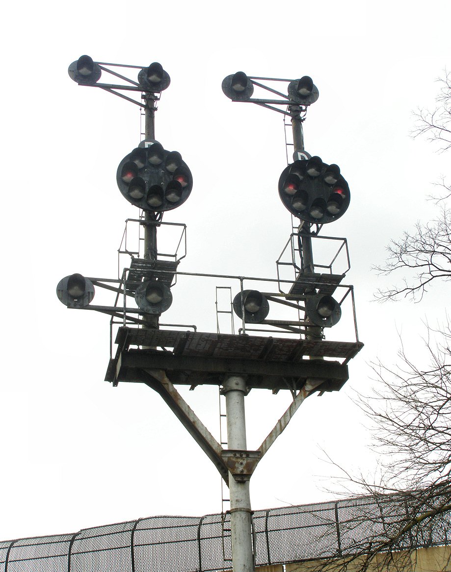
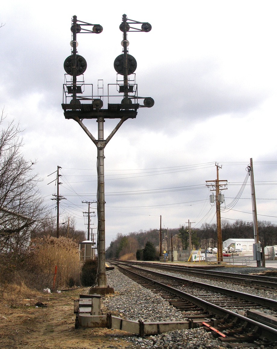
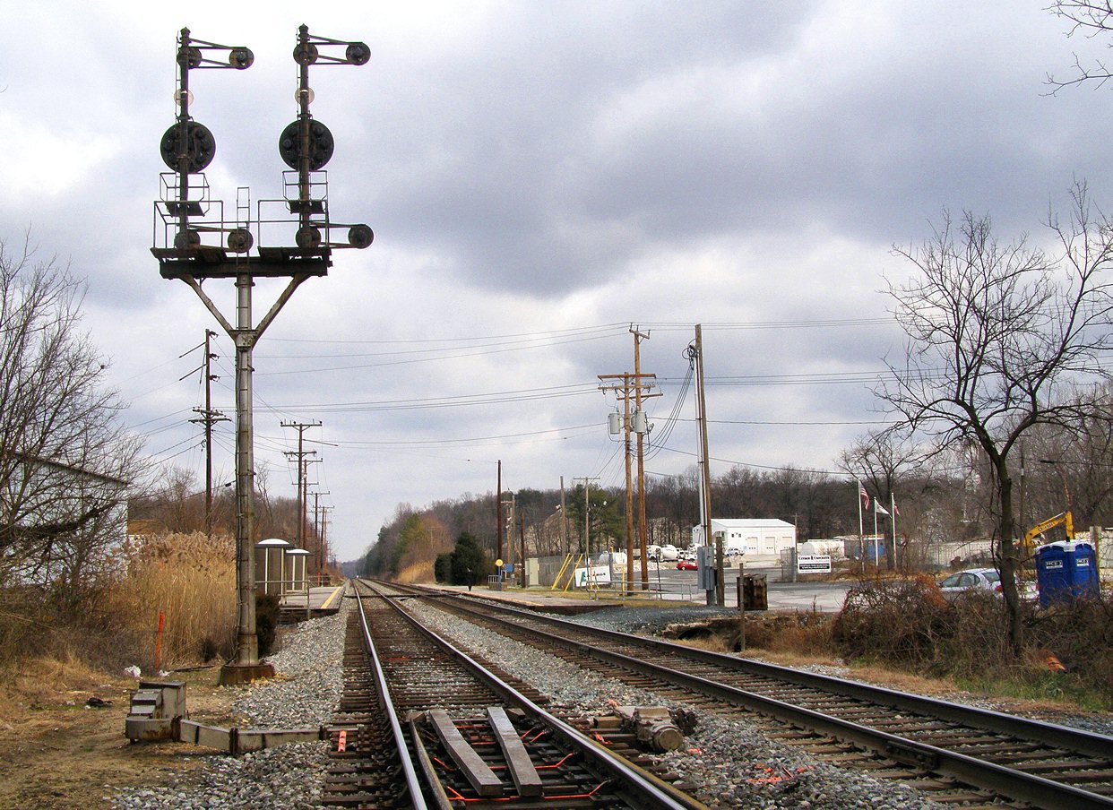
SB Signals at the Jessup Station / just north of 175 and
at the north end of crossovers
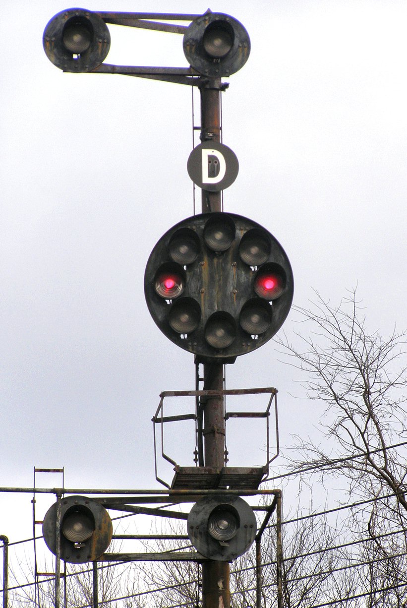
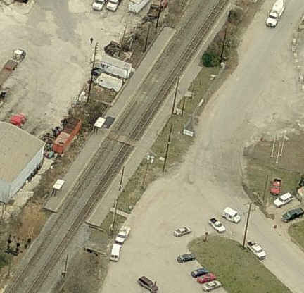
This is former B&O territory, so B&O CPL signals used to rule. The CPL
signals at this location were replaced maybe in the 2010 timeframe. They
were replaced by the "darth vader" type color light signals.
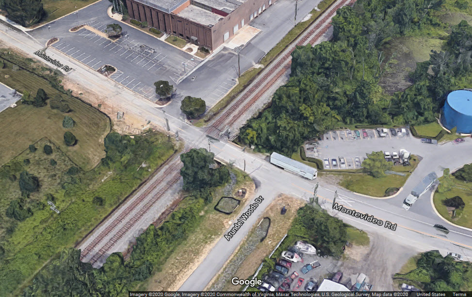
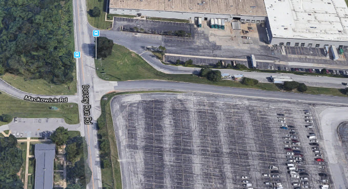
This is the only grade crossing on the Camden line for miles -- Hanover Road
to the north is 3.3 miles away, and Sunnyside Ave is 13.2 miles to the south.
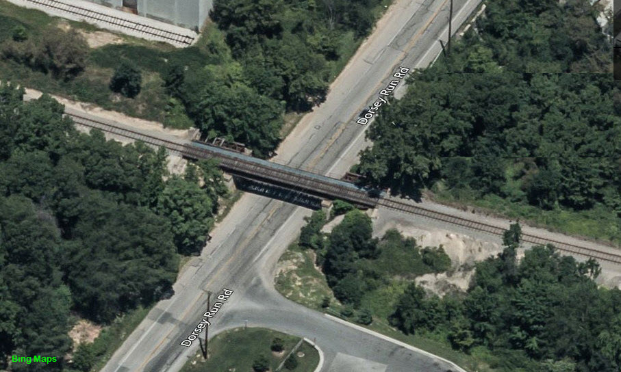
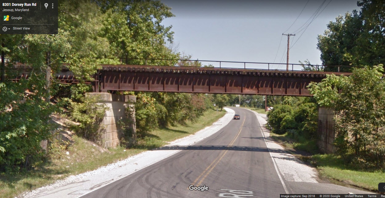
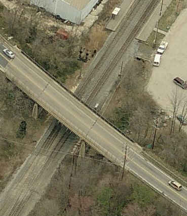
Dorsey Run Road Bridge
This is one of the few bridges in the area that still sees traffic.
Disclaimers:
I love trains, and I love signals. I am not an expert. My webpages reflect what I find on the topic of the page. This is something I have fun with while
trying to help others.
Please Note: Since the main focus of my two websites is railroad signals, the railfan guides are oriented towards the signal fan being able to locate them.
For those of you into the modeling aspect of our hobby, my
indexa page has a list of almost everything railroad oriented
I can think of to provide you with at least a few pictures to help you detail your pike.
If this is a railfan page, every effort has been made to make sure that the information contained on this map and in this railfan guide is correct. Once in a while,
an error may creep in :-)
My philosophy: Pictures and maps are worth a thousand words, especially for railfanning. Text descriptions only get you so far, especially if you get lost or
disoriented. Take along good maps.... a GPS is OK to get somewhere, but maps are still better if you get lost! I belong to AAA, which allows you to get
local maps for free when you visit the local branches. ADC puts out a nice series of county maps for the Washington DC area, but their state maps do not have the
railroads on them. If you can find em, I like the National Geographic map book of the U.S..... good, clear, and concise graphics, and they do a really good job
of showing you where tourist type attractions are, although they too lack the railroads. Other notes about specific areas will show up on that page if known.
Aerial shots were taken from either Google or Bing Maps as noted. Screen captures are made
with Snagit, a Techsmith product... a great tool if you have never used it!
By the way, floobydust is a term I picked up 30-40 years ago from a National Semiconductor data book, and means miscellaneous
and/or other stuff.
Pictures and additional information is always needed if anyone feels inclined to take 'em, send 'em, and share 'em, or if you have something to add or correct.... credit
is always given! Please be NICE!!! Contact info is here
Beware: If used as a source, ANYTHING from Wikipedia must be treated as being possibly being inaccurate, wrong, or not true.


 2008 views
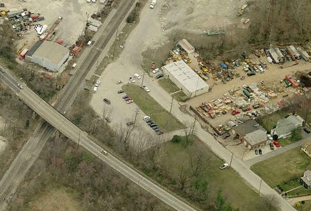 2008 view
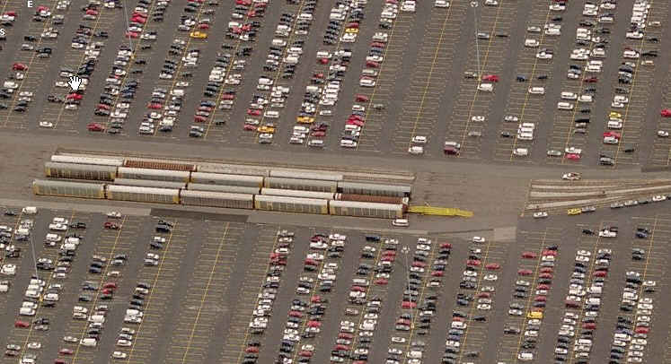
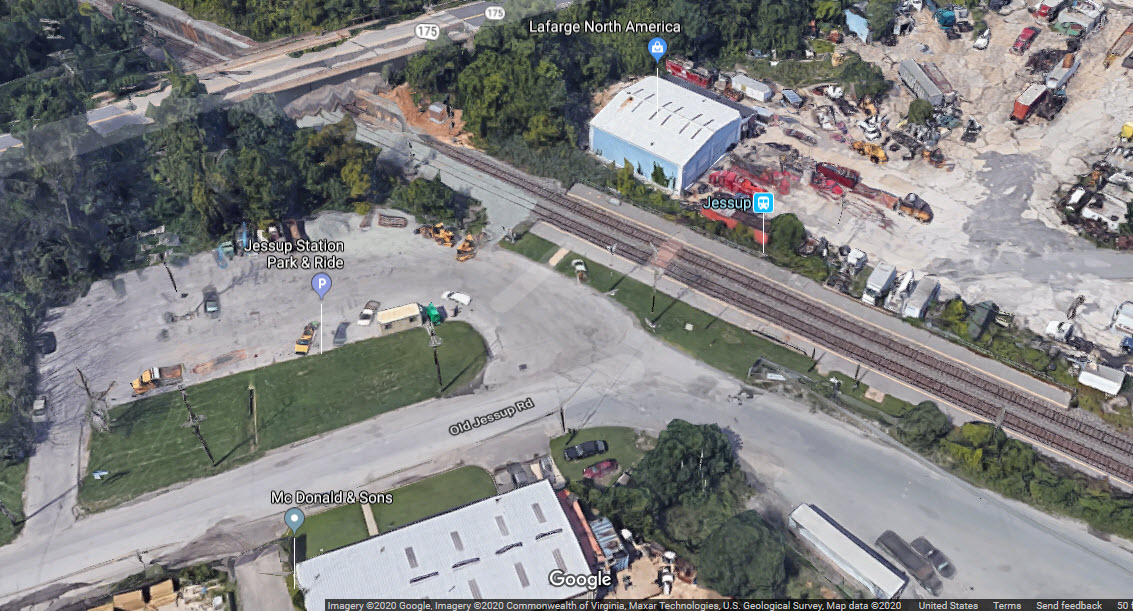 2020 view
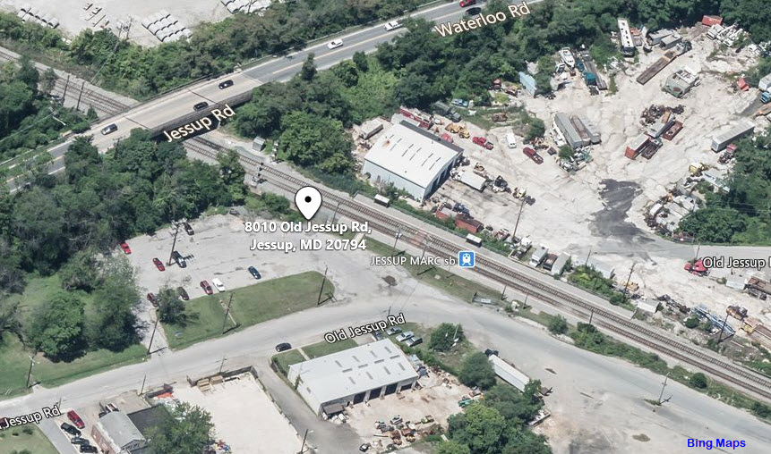 2020 view
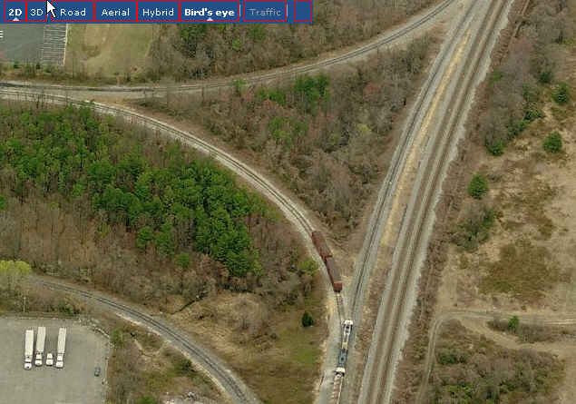
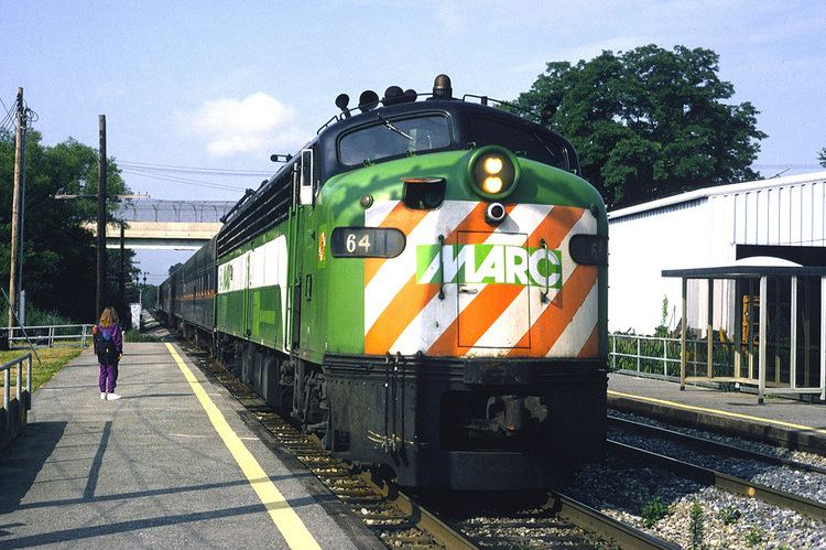 from around 1990
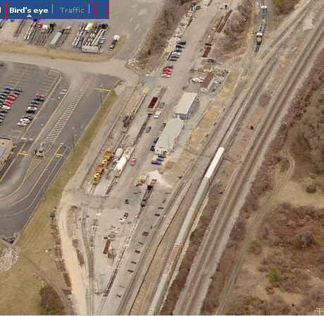
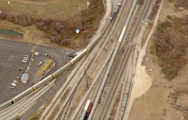
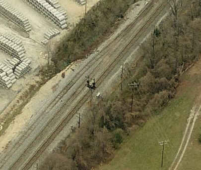
 Entrance to the yard off Dorsey Run Road
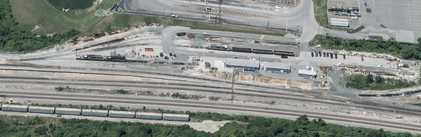
 from 2008
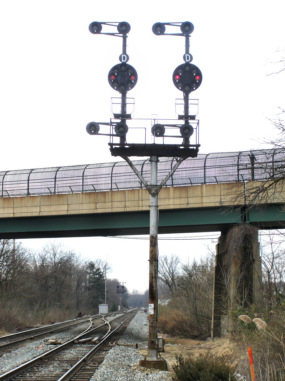
 from 2008