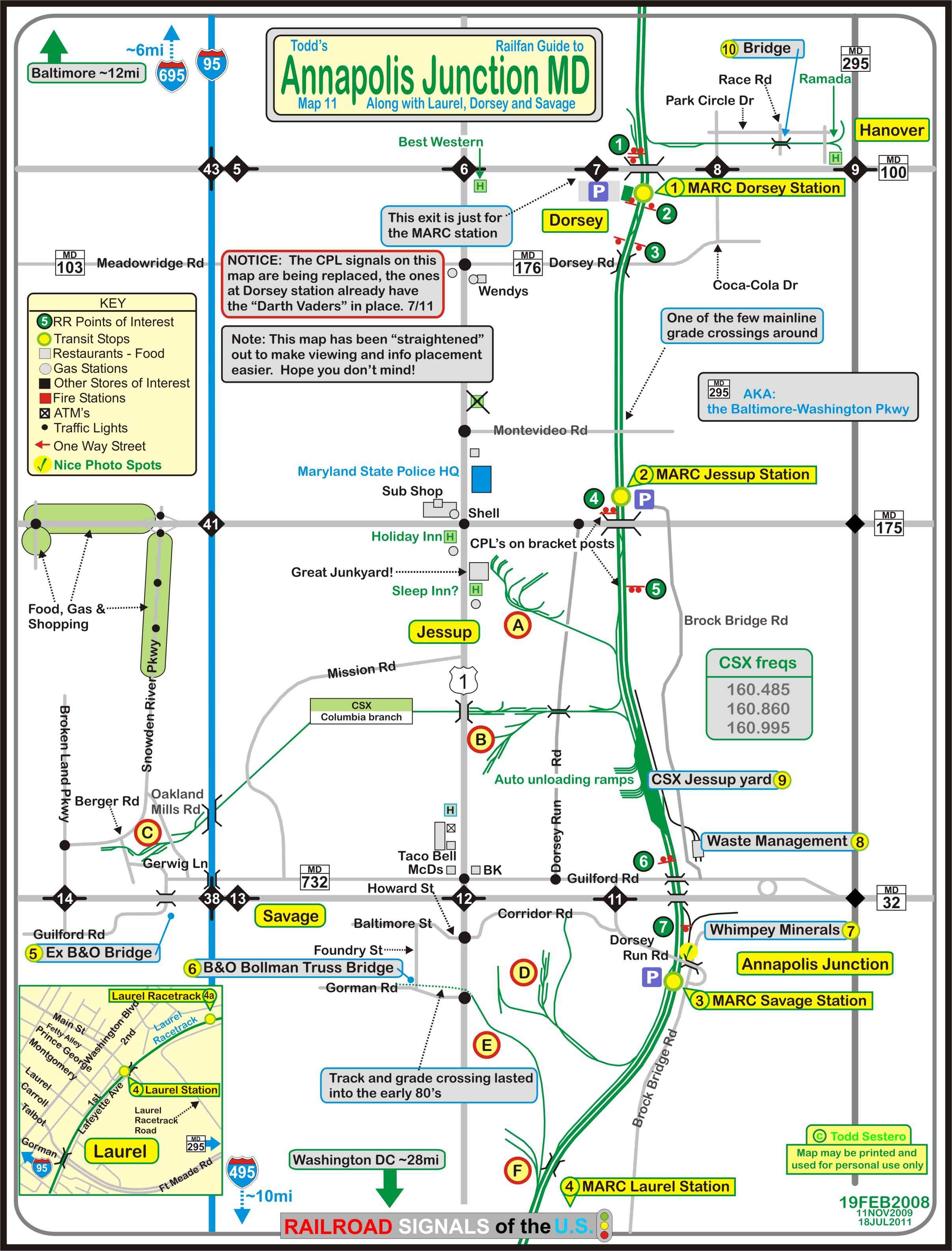
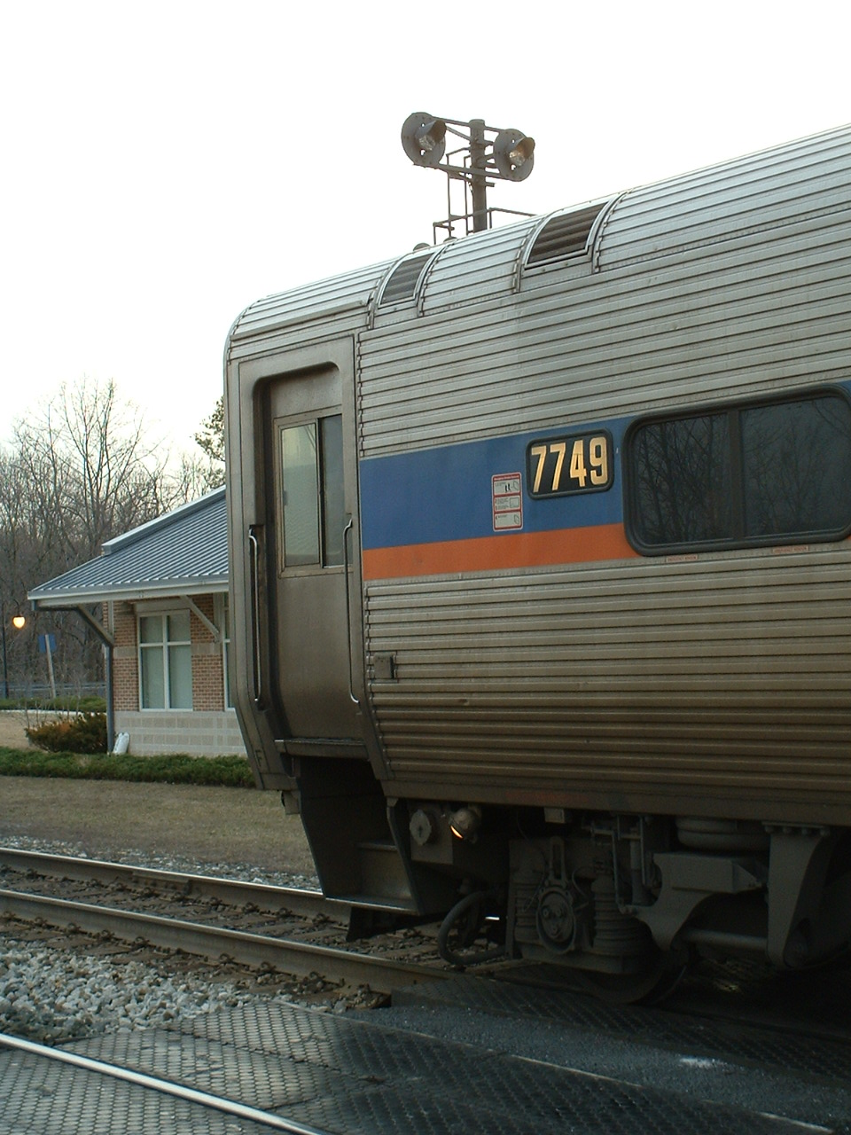
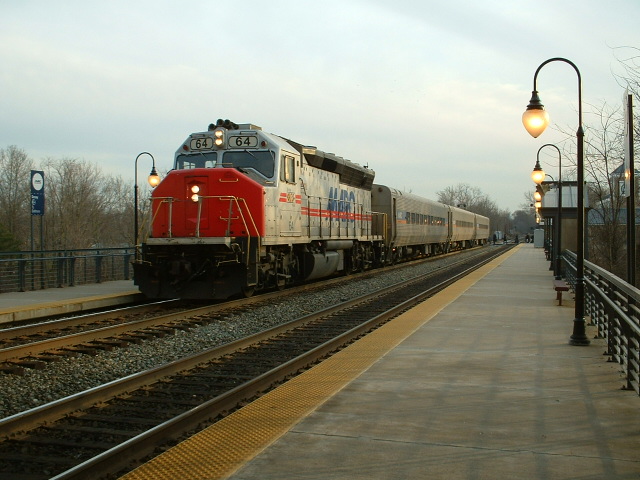
Not a whole heck of a lot here in Dorsey to lure you in, except for pictures of the
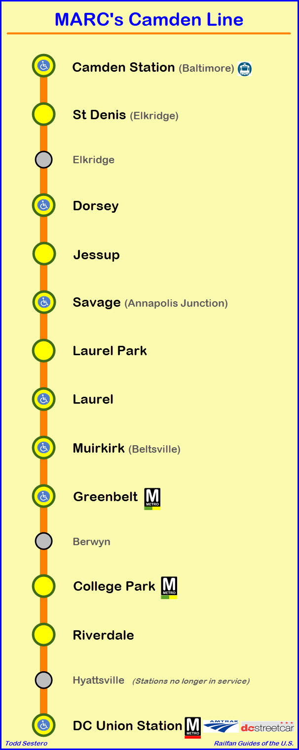
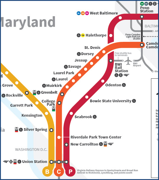
Dorsey station and the trains coming through. However, within a few minutes of
driving, you have the St Denis, Savage, and Jessup stations.
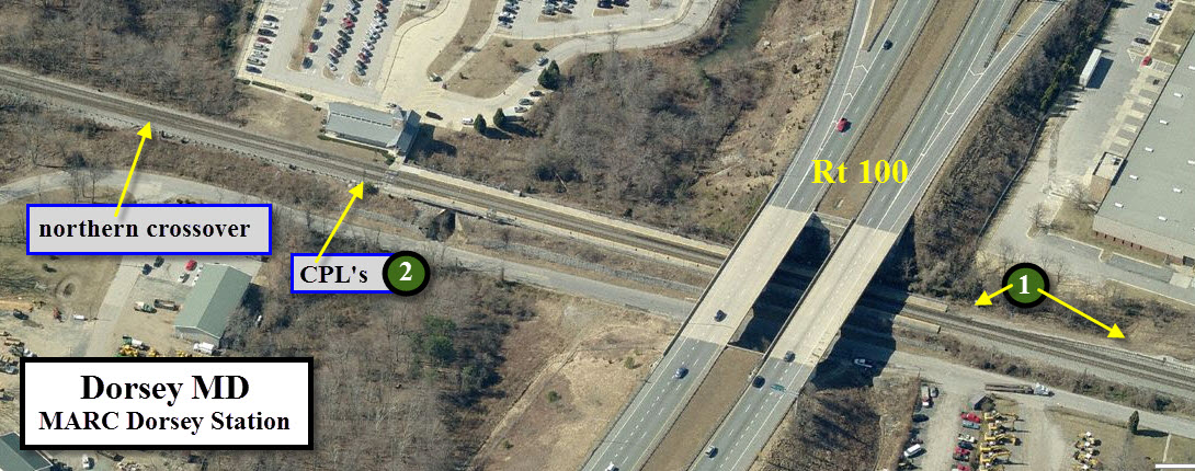
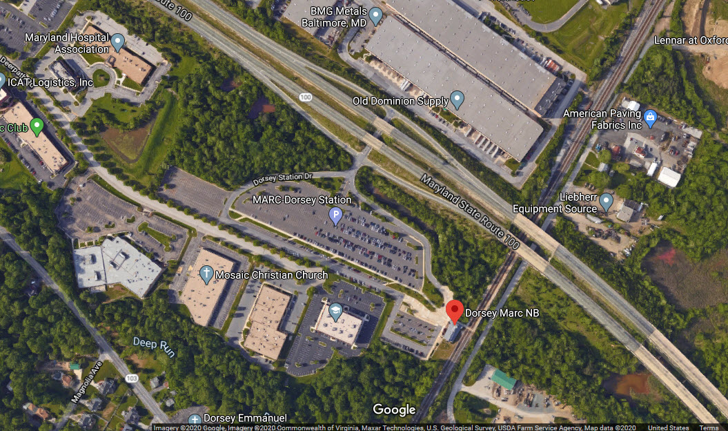
Note: The Dorsey station parking lot is only accessible by car from MD RT100!
There is no way to "get in" from the "local" roads immediately surrounding the
station.
And while you are in the Savage area, you have several bridges of notoriety, the best
known of which is the last surviving example of a Bollman Truss Bridge.
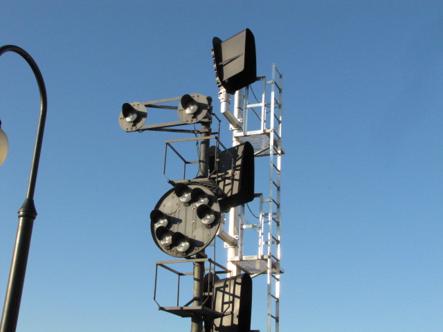
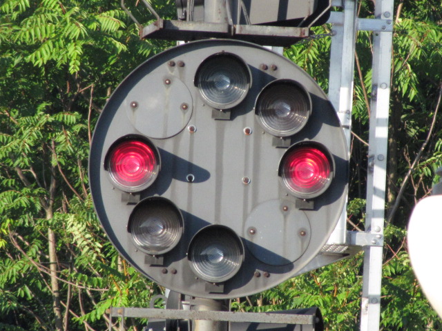
For the signal fan, this area was predominated
by CPL signals, but as of the summer of 2012, they were all replaced by
color light signals :-( There were a bunch that are easy to photograph on the
south (or west) side of the station platforms at Jessup and Dorsey, and the north end of Savage.
The signal locations are still the same, just not as nice to frame up with a train.
Reminder: following the
B&O tradition, all directions on the B&O are either eastbound or westbound, at
least here in the Baltimore area. So, here on this map, a westbound
freight is going south from Philly to DC, and an eastbound freight is actually
going north.
Also in Jessup are a couple of industrial businesses with
older first and second generation diesels as shown on the map.
If you in the mood for some great food at reasonable prices, you have the
Timbuktu restaurant at the nearby Coca Cola Dr -- they are known for their crab
cakes, and I recently attended a retirement party with about 40 people, and
probably 35 of them had the crab cakes!
Acknowledgements:
Denver Todd
Aerials from Bing Maps (of days yore, when they were better)
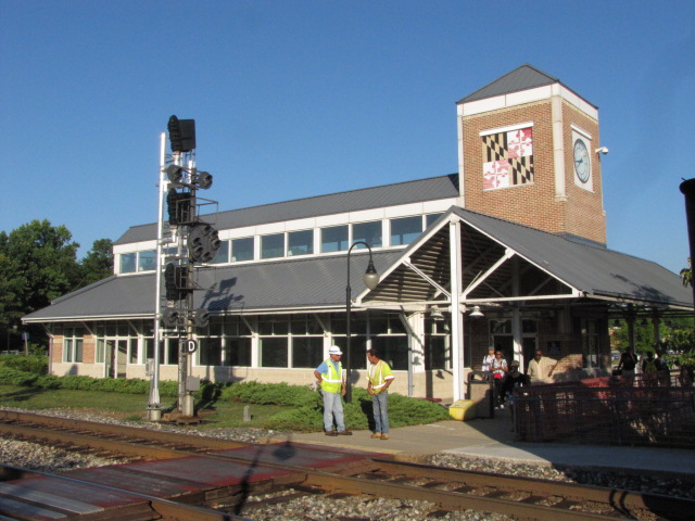
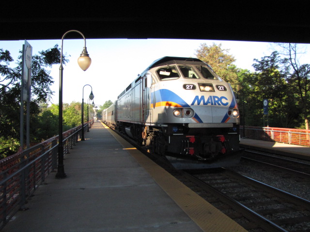
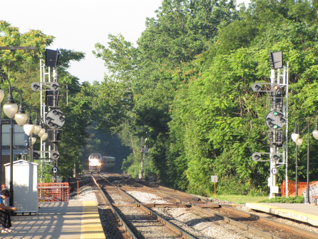
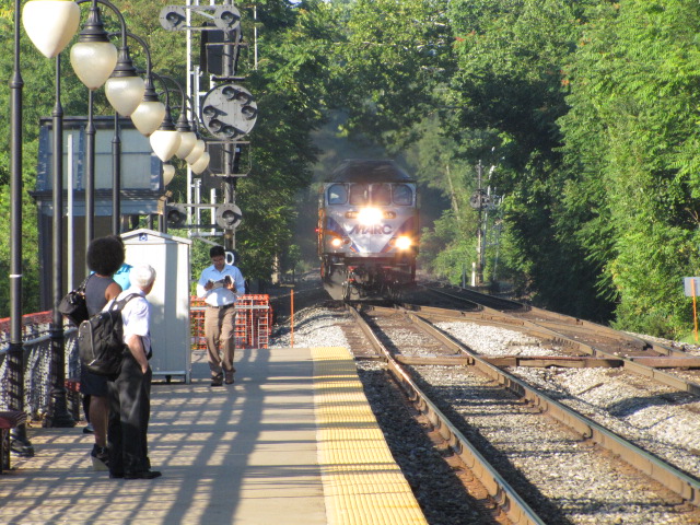
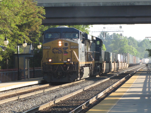
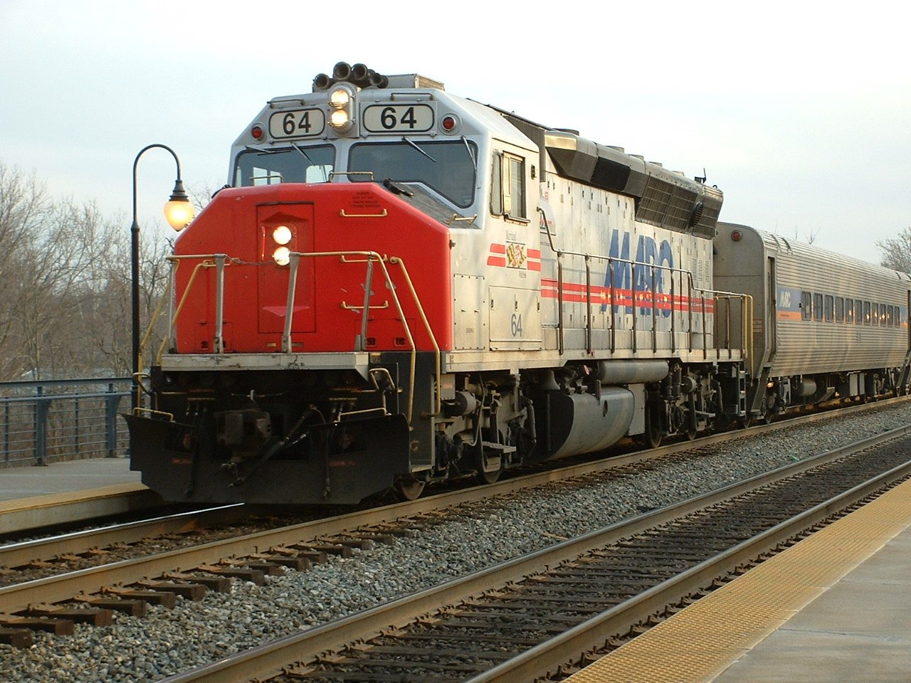
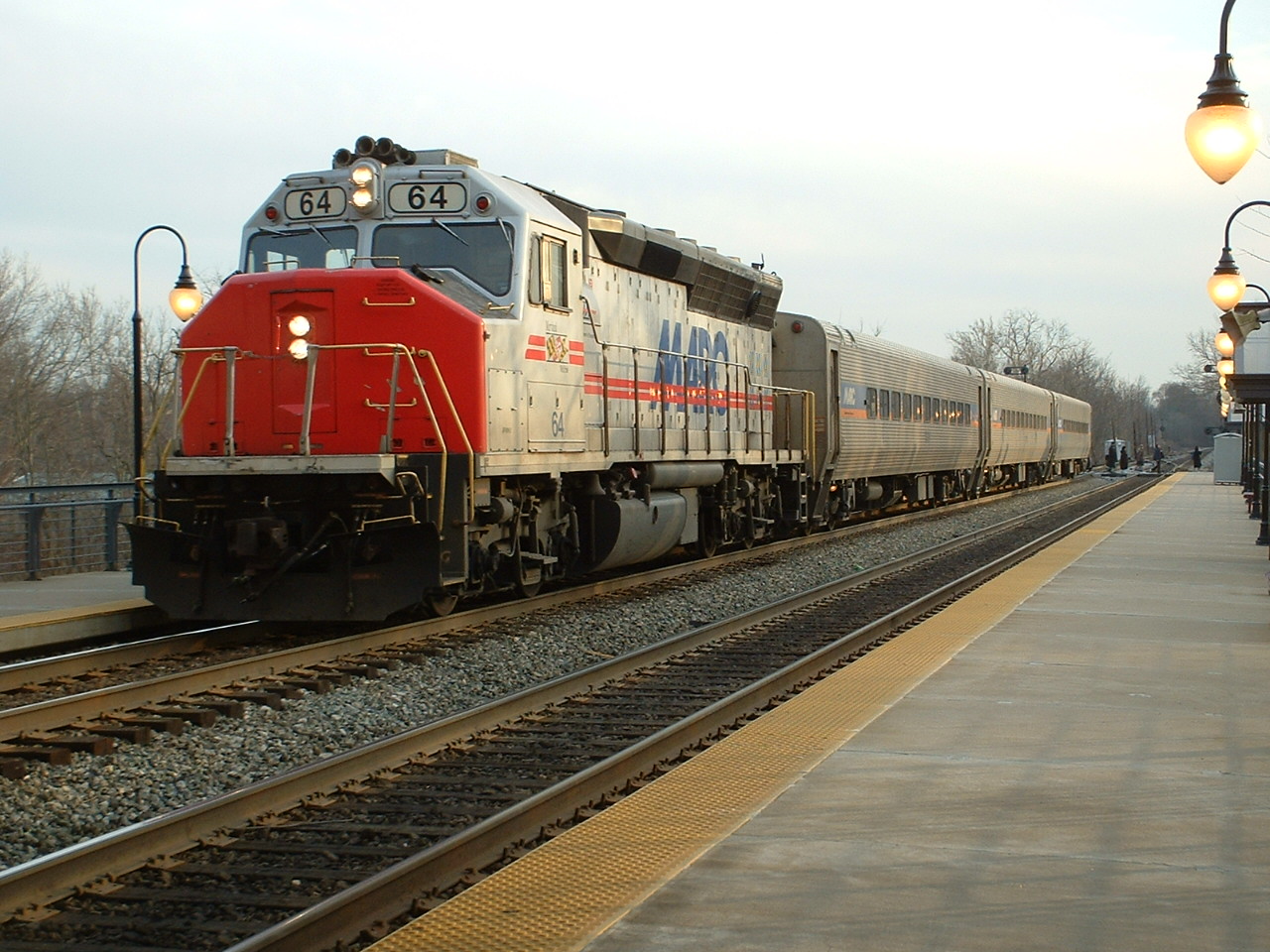
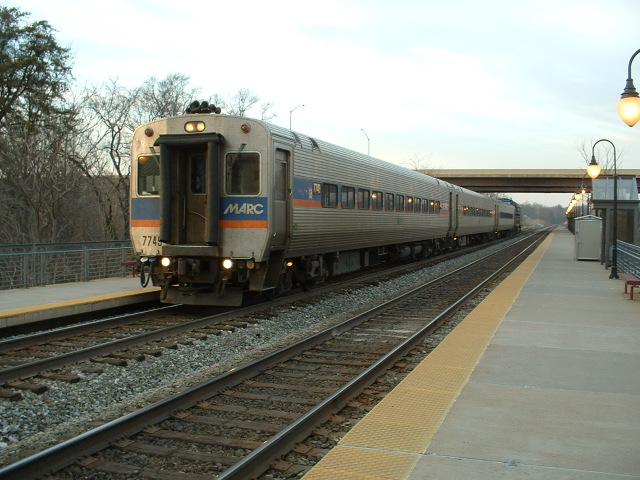
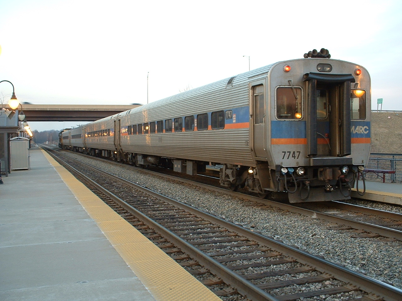
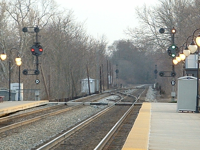
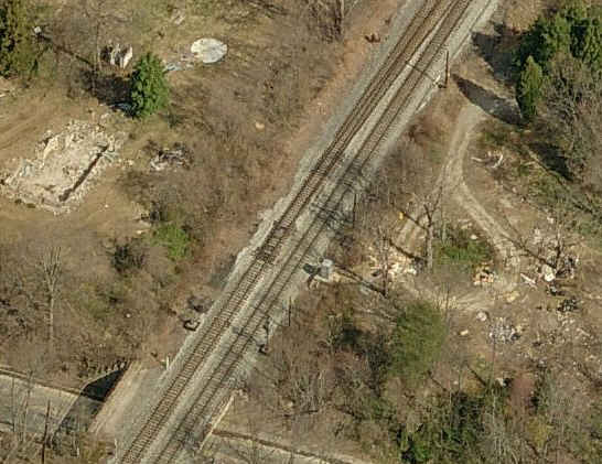
The Dorsey station, looking south. Look hard and you can just see the CPL's
off the end of the platforms. These signals are for the crossovers just south of here.
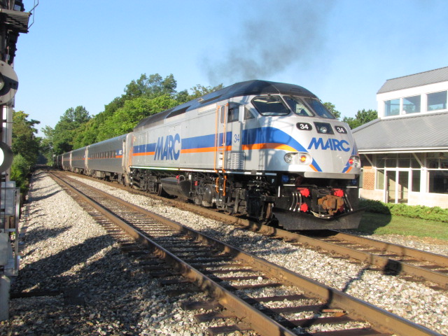
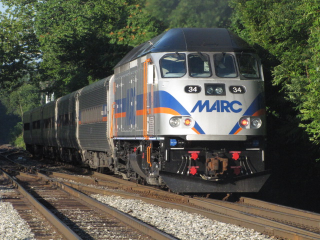
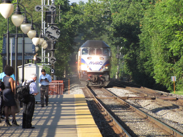
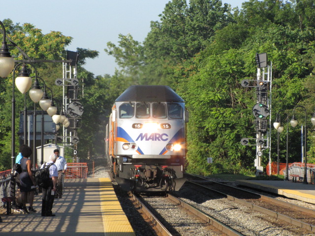
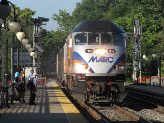
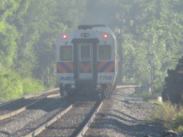
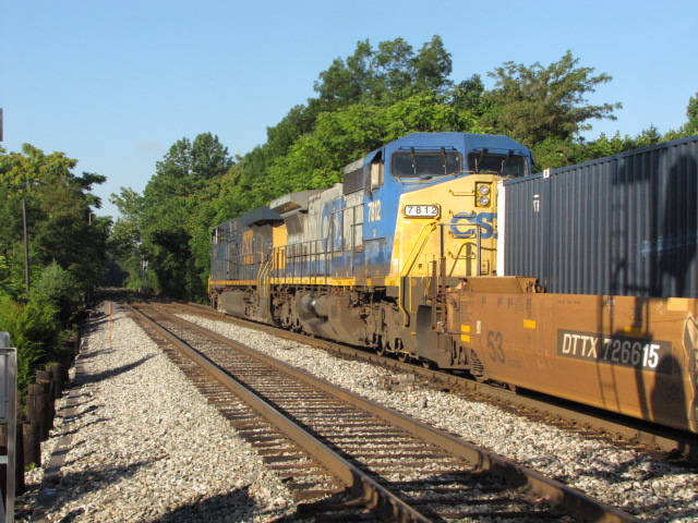
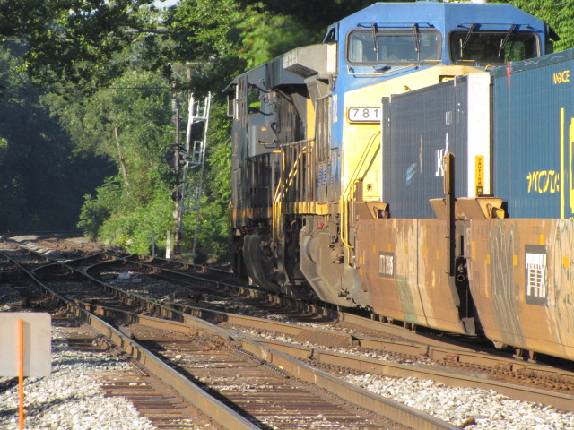
NB 7:24 -- Train #840
SB 7:40 -- Train #849
NB 7:49 -- Train #842
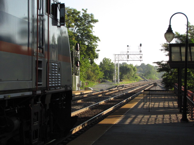
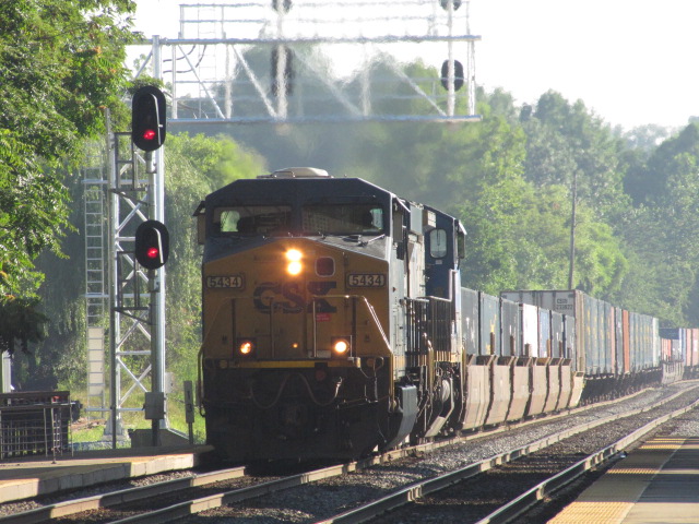
SB Freight around 8am, on the last pix on the right, you can see the NB signals, new and old
The above set was taken on March 17th, 2005, pretty early in the morn.
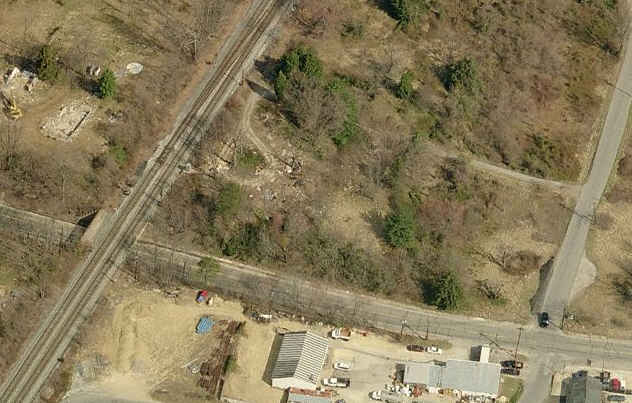
See the aerial shot of Dorsey Station for their locations.
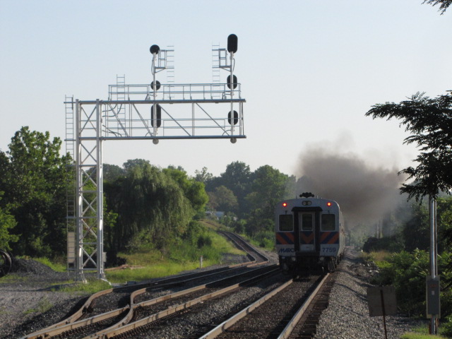
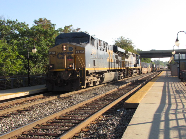
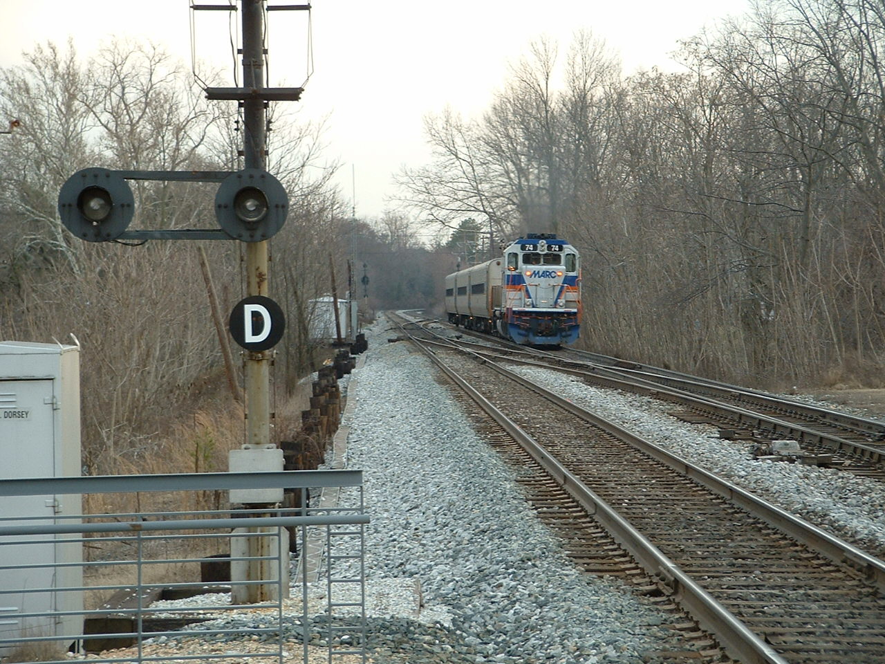
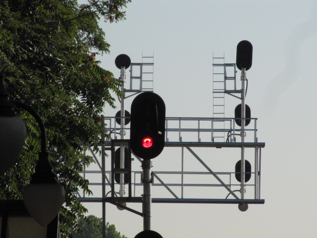
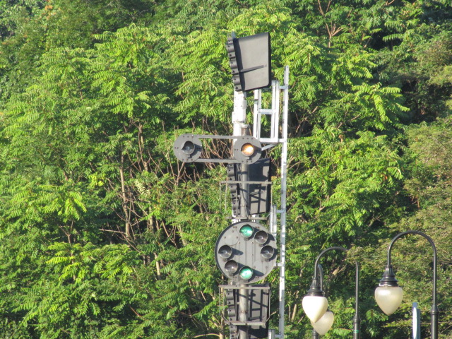
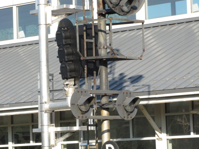
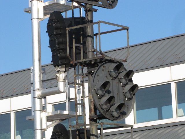
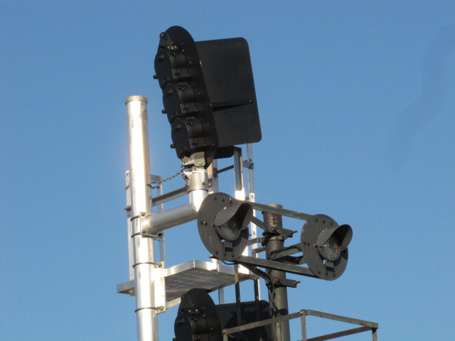
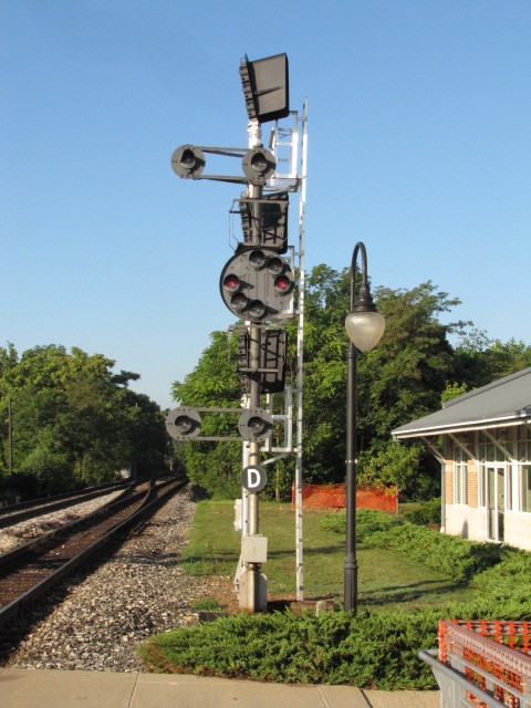
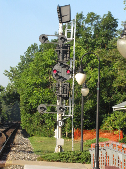
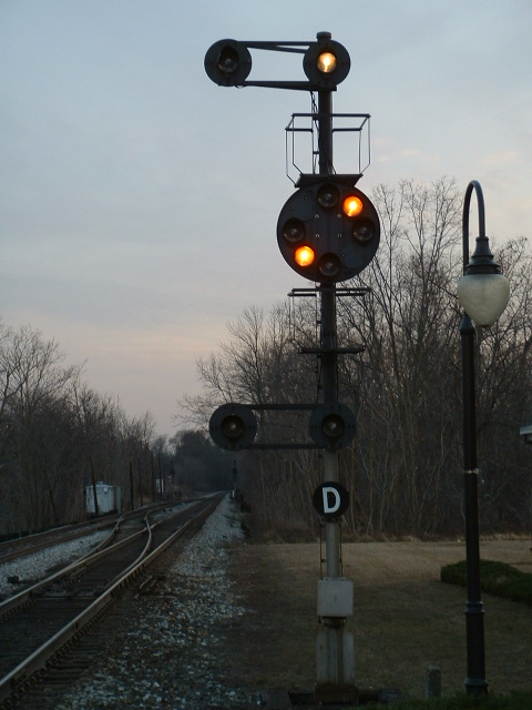
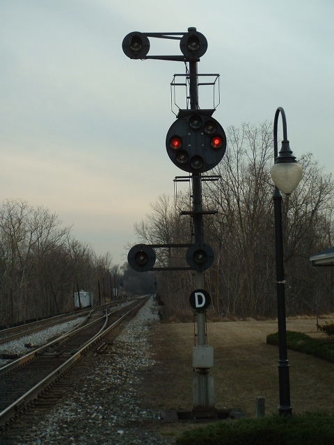
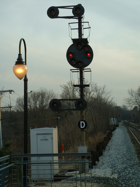
SB Signals at Dorsey Station and the north end of the crossover
One of the easiest set of signals to get pictures of in the Baltimore area!
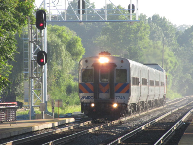
When I was here in late July 2011, they were getting ready to replace the CPL's,
and the signal on "left/NB" track was out of service, never lighting
up as trains approached.
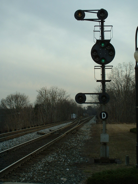
The bottom set of pictures is from March 17th, 2005, way before the changeover started.
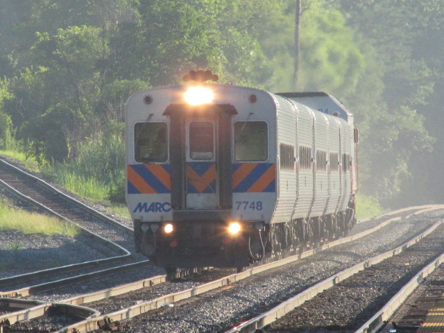
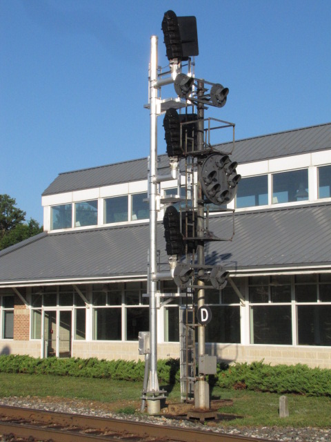
NB Signals at the south end of the Dorsey crossover
Disclaimers:
New format 10/26/23: Please check out my disclaimer page for my standard
dribble and contact info here