In General
Map
Pictures
North of Bowie
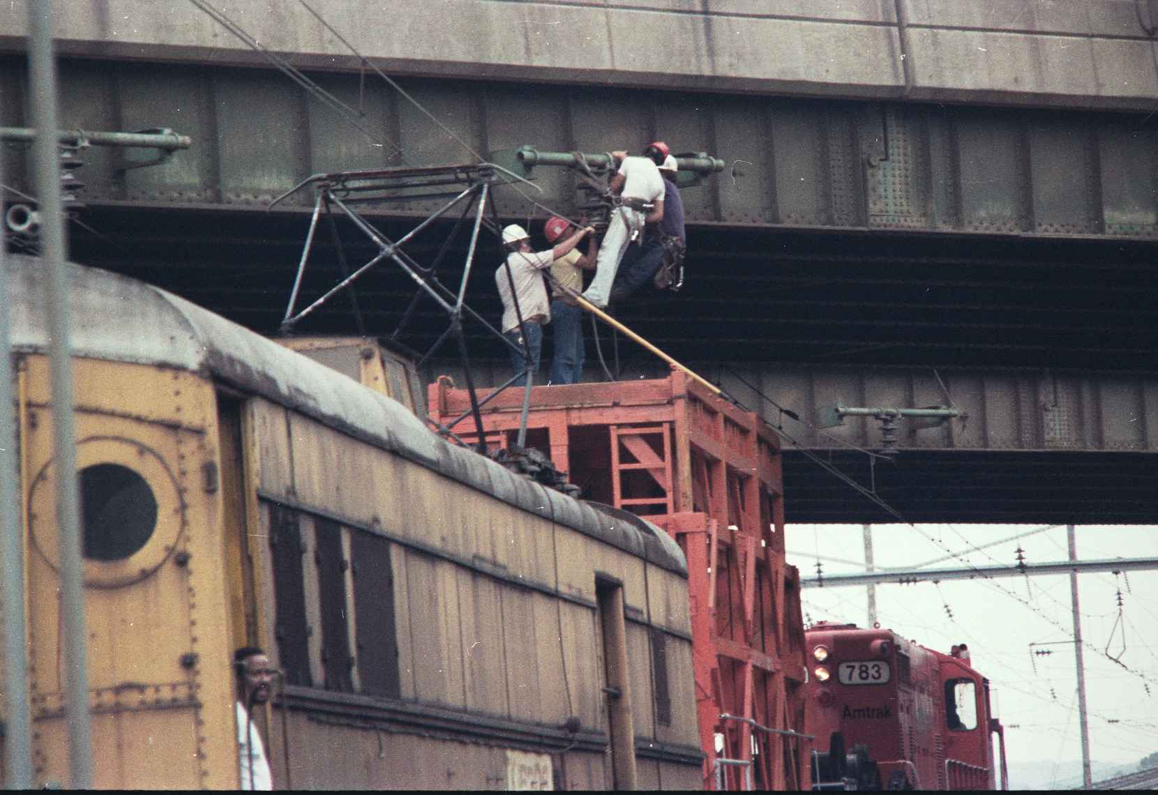
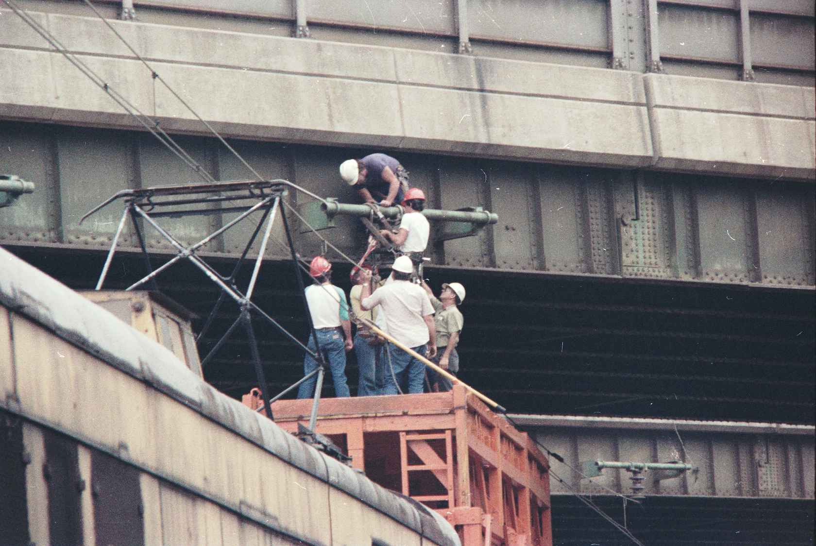
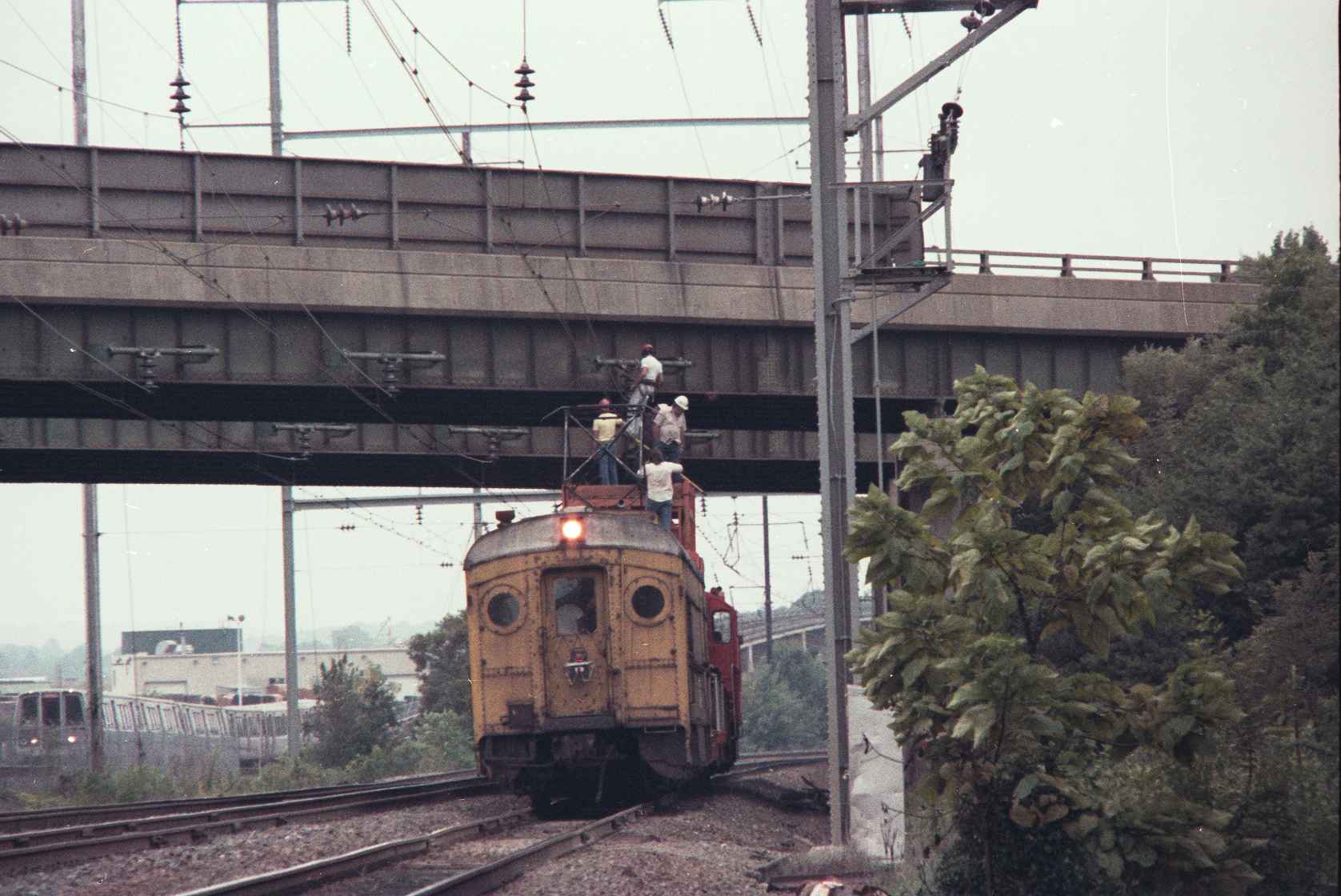
Catenary Work
Pictures at New Carrolton
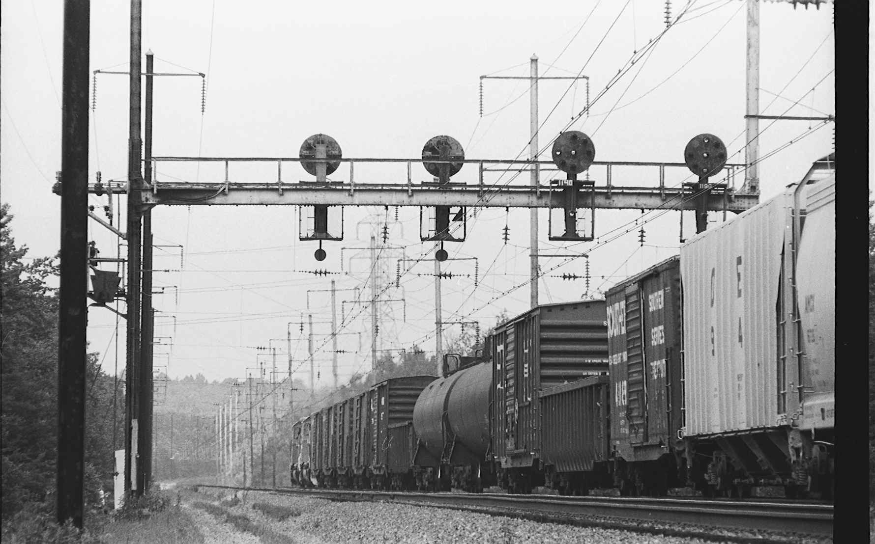
Signals
Pictures by Others
RAILFAN GUIDES HOME
RAILROAD SIGNALS HOME
Location / Name:
New Carrollton, MD 20785, Prince George County
What's Here:
Former Capitol Beltway PRR/PC/Amtrak station
Data:
GPS Coordinates: 38.95541, -76.86587
Phone A/C: 301
ZIP: 20784
Access by train/transit:
None now, but earlier - PRR/PC/Amtrak Northeast corridor
Geography:
Flat
The Scoop:
As a railfan, I consider myself lucky with the places I had the opportunity to live in because of my father's job assignments: Batavia NY, Tyler TX, and New Rochelle NY. In Tyler, I got to see the new GP-30's come thru town on the Cotton Belt, besides being to roam the yard and turntable areas in the 60's - something kids can't do anymore :-( In Batavia during the 1964/65 timeframe, we had the Erie, New York Central, and EL come into town. In New Rochelle (and Queens, NYC where my grandparents lived), we had the New Haven with their E-33's going over Hell Gate, the Pennsy with their GG1's, and the New Haven commuter trains. But out of all of them, maybe only the Hell Gate trains can compare with what Jim grew up next to on the Northeast Corridor. Sweet!
With that said, I am delighted to share with you, a whole page of photographs from a friend of mine, Jim Nowotarski, who, as a youth, lived in the area of the Capitol Beltway station. Many thanks to Jim for scanning the photographs so that he could share them with the rest of us!
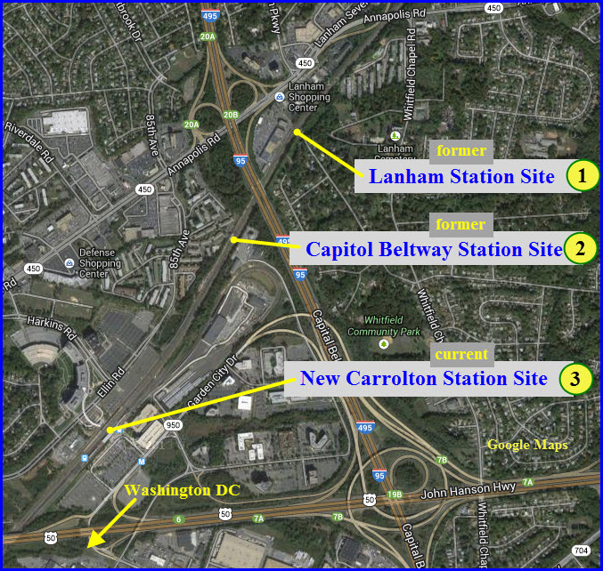
The Capitol Beltway station was the second of three commuter stations to be built in this general area. The first one was the Lanham station, which was located just "outside" the Washington Beltway.
This page is not so much a railfan guide as it is a collection of pictures of days gone by, and I feel fortunate to know Jim so he could share these pictures with you and me. I wish more railfans were more sharing with their material!
For cameras, Jim used a Minolta SRT-202 with either the 50mm or a fixed 200 mm lens, except for the odd day when he "borrowed" his high school's yearbook Pentax. Film would have been Tri-X Pan at ASA 400 for the B&W (processed by himself) or Kodacolor 80. Ah, the days when we just dreamed of a color film with a speed of 400...
NOTE: I have made two versions of this page. This page has thumbnails to click on in order to see the higher resolution version. I know not everyone has a high speed connection, or you're viewing it on a phone, so this page with the thumbnails will load more quickly. Click here for the bigger photo page version.
History From Wikipedia:
The New Carrollton station is the third station in the area to serve intercity rail traffic.
The first station, Lanham, 0.75 miles (1.21 km) north of the current station, consisted of a small shelter and an asphalt platform served by a few Penn Central trains.
The second station, Capital Beltway Station, sat just inside the Capital Beltway. Opened on January 16, 1969, it was served by Penn Central (later Amtrak) Metroliners.
On November 20, 1978, Washington Metro opened its New Carrollton station, along with the Cheverly, Deanwood, Landover and Minnesota Avenue stations, marking the completion of 7.4 miles (11.9 km) of Metro track northeast from the Stadium–Armory station.
In the early 1980s, the state of Maryland took over commuter rail from Conrail (the successor to the Penn Central). The newly renamed MARC service was moved to Capital Beltway Station and Lanham station was abandoned. In 1983, Amtrak and MARC shifted service to the New Carrollton station, using a new island platform next to the existing Washington Metro platform.
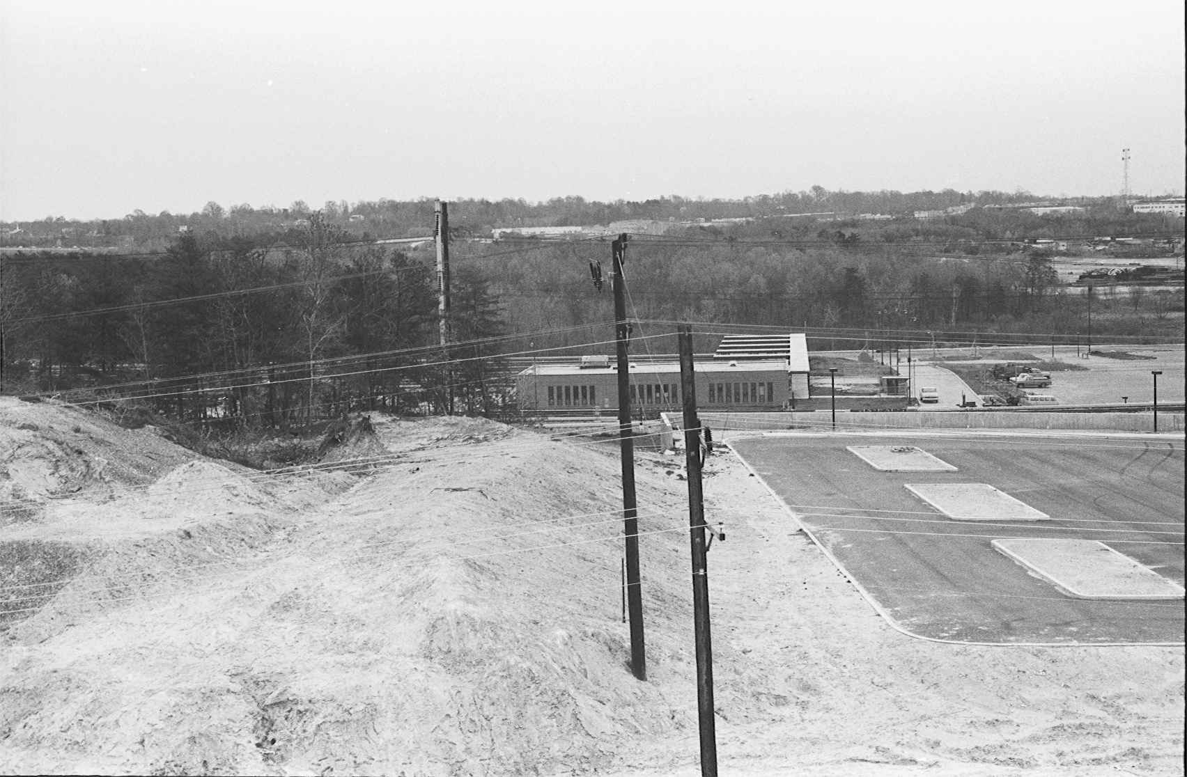
The platforms of Capital Beltway were eventually demolished, although as of 2010 the concrete cap over the stairs that led to one of the platforms was still visible. The former station building off Cobb Road is now used by the Maryland DOT and the station's parking lot is used for road maintenance vehicles.
From: http://www.railroad.net/forums/viewtopic.php?t=30368 (NellieBly)
The original Capital Beltway station was north of the current New Carrolton station. A concrete cap on the stairway leading to the underpass can still be seen between tracks 1 and 2 (platforms were adjacent to Tracks 2 and 3, just as at the current station).
One major difference was that trains stopping at the Beltway would have to use the gauntlet track, while through trains went "straight rail". What this meant was that northbound trains got an "advance approach diverging" and then an "approach diverging" at Landover interlocking and had to run at 45 mph all the way to the stop (about a mile). As I recall, both platforms were gauntleted.
The current station is set up so that freights are gauntleted away from the platform on Track 2, but passenger trains (including those that don't stop) make the straight rail move.
The Capital Beltway station also featured a narrow and drippy tunnel with long, steep flights of stairs -- a real joy with luggage. But hey, it was a start.
Also from: http://www.railroad.net/forums/viewtopic.php?t=30368 (RRspatch)
Ah, Capital Beltway station. Now that brings back lots of memories.
I grew up in the city of New Carrollton and spend many a day sitting on the platform watching GG1's, Metroliners, E33 and E44 pass by. Later on I hired on with Amtrak as a tower operator on the then Baltimore division. One of the towers I worked at was "Landover Tower" which controlled the signals and switches at Capital Beltway. When Capital Beltway closed, Landover then controlled "Carroll" interlocking which is located where Capital Beltway used to be. A little later on in my career with Amtrak I controlled both "Carroll" and "Landover" as the CETC 1 dispatcher in Philadelphia.
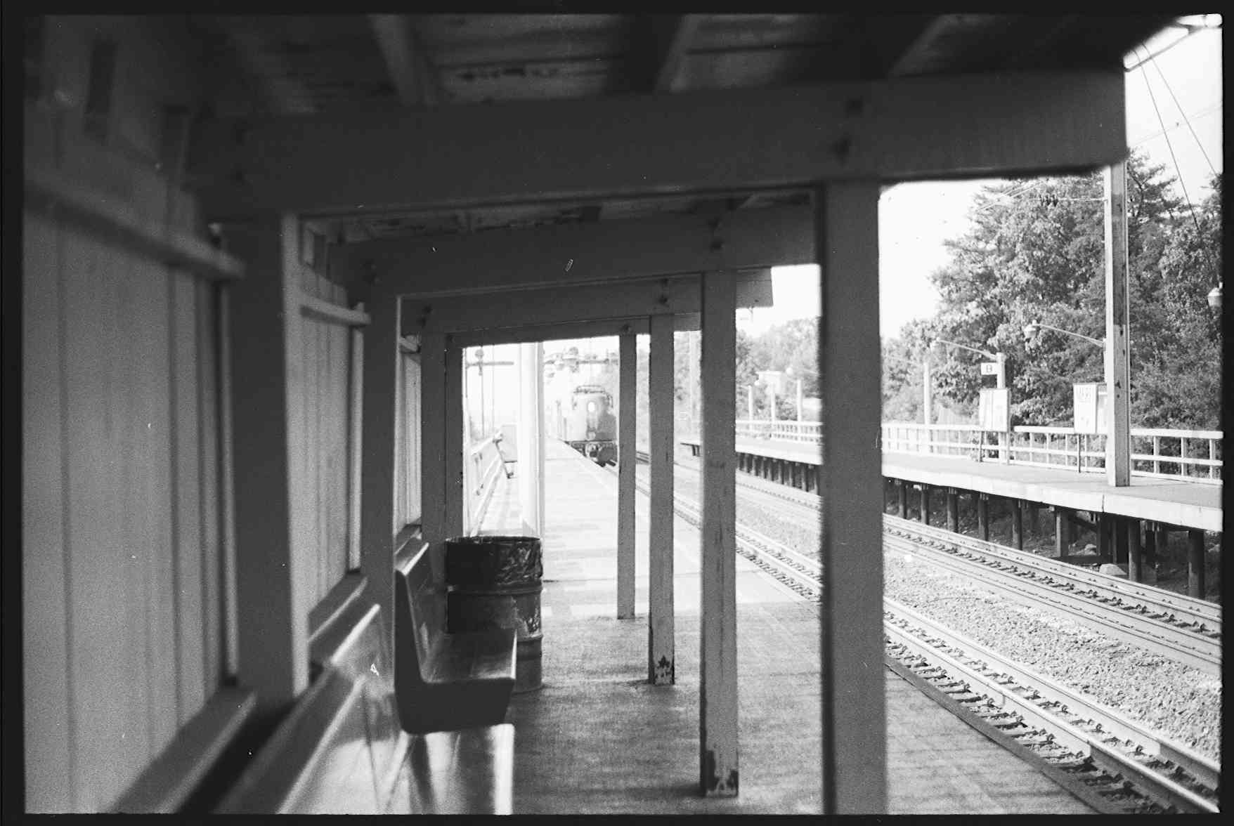
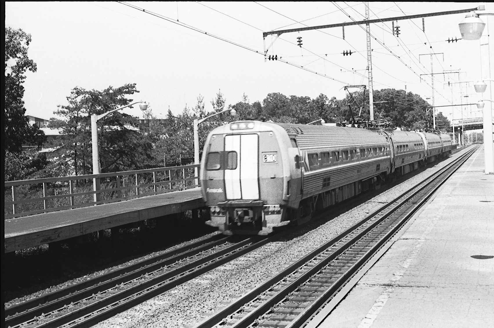
The station was built as part of the Metroliner High Speed project back in the late 60's/early 70's. There were two platforms. One was between No.1 and No.2 track serving No.2 track. The other platform was along side No.3 track. Both platforms were connected by a tunnel that connected to the station building. The station building was a green (Penn Central green?) pre-fab building that had a small ticket office, two restrooms and a waiting room that held maybe 20 to 30 people.
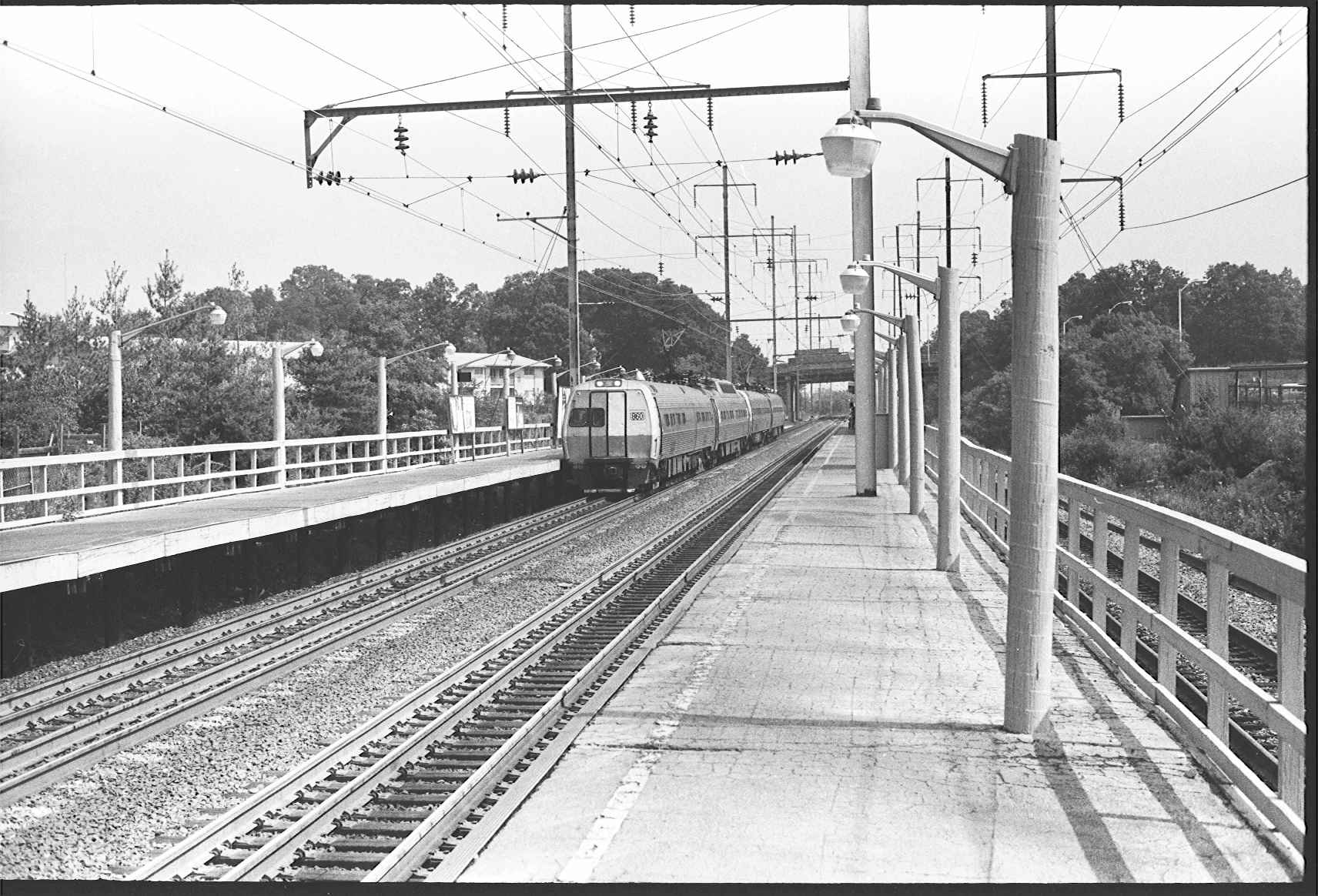
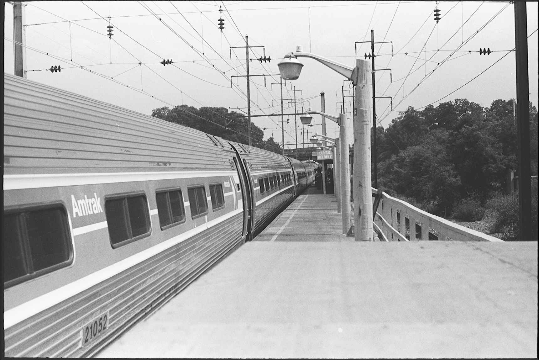
The photographer is standing on the No.2 track platform looking north. The gauntlet tracks can be clearly seen in this picture with the train on the platform track. The highway bridge in the background is the Capital Beltway bridge. (the picture he is describing is the one below by Gary Oltmann)
As you can see in the picture, the platforms were wooden with a blacktop overlay. Towards the end in the early 80's the platforms started to sag noticeably.
Today not much remains of Capital Beltway. The tunnels have been capped and the platforms torn down to make way for the switches at "Carroll". The station building still stands and is now used by the Maryland DOT. The parking lot is used to park highway maintenance trucks and a large salt dome stands at the north end of the lot.
As far as the Lanham MARC station is concerned, MARC trains stopped there until the station at New Carrollton opened in 1983. The station was located at the old Lanham road crossing (which was closed when the Metroliners started running). MARC trains never did stop at Capital Beltway. end wiki
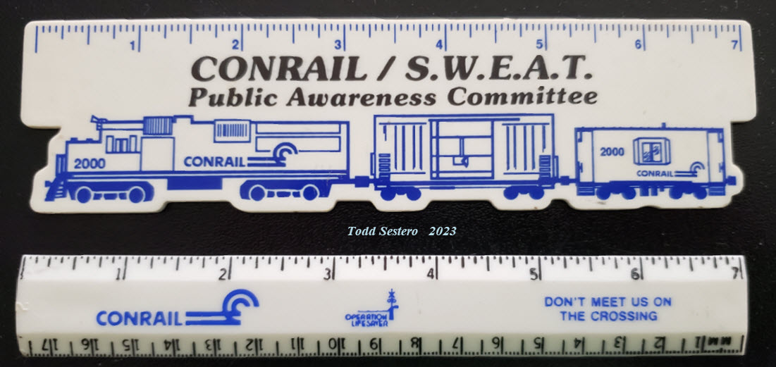
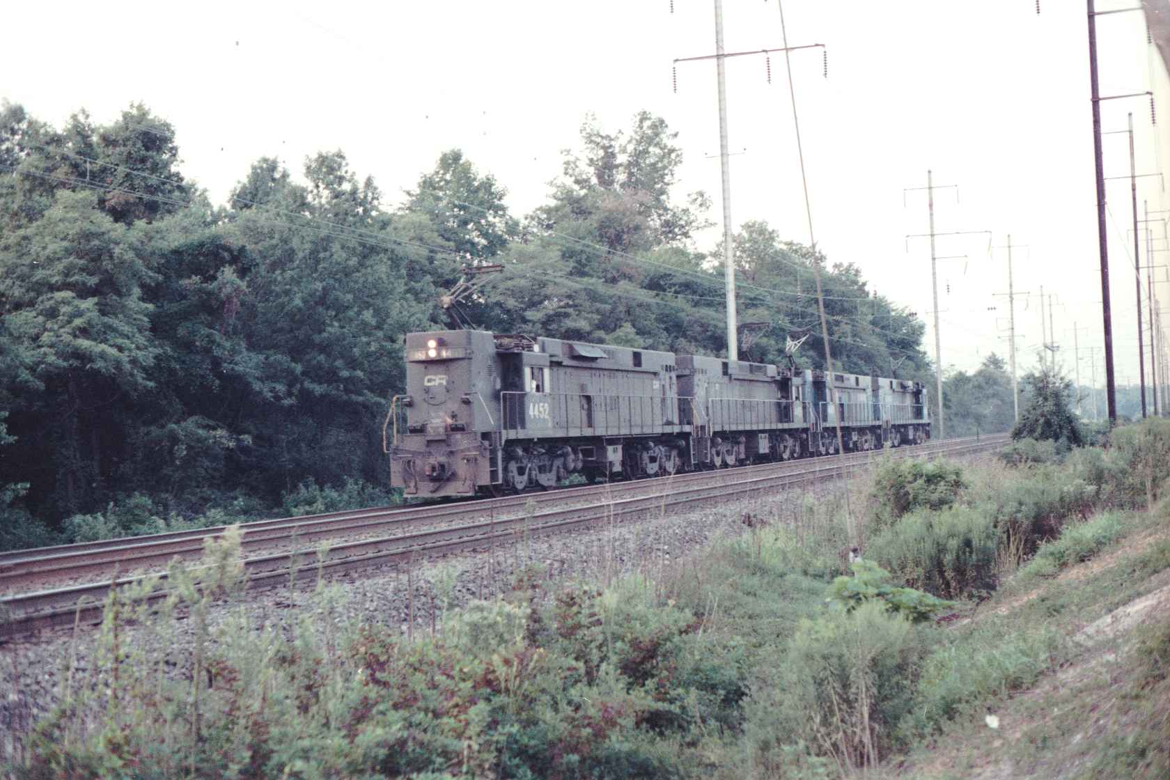
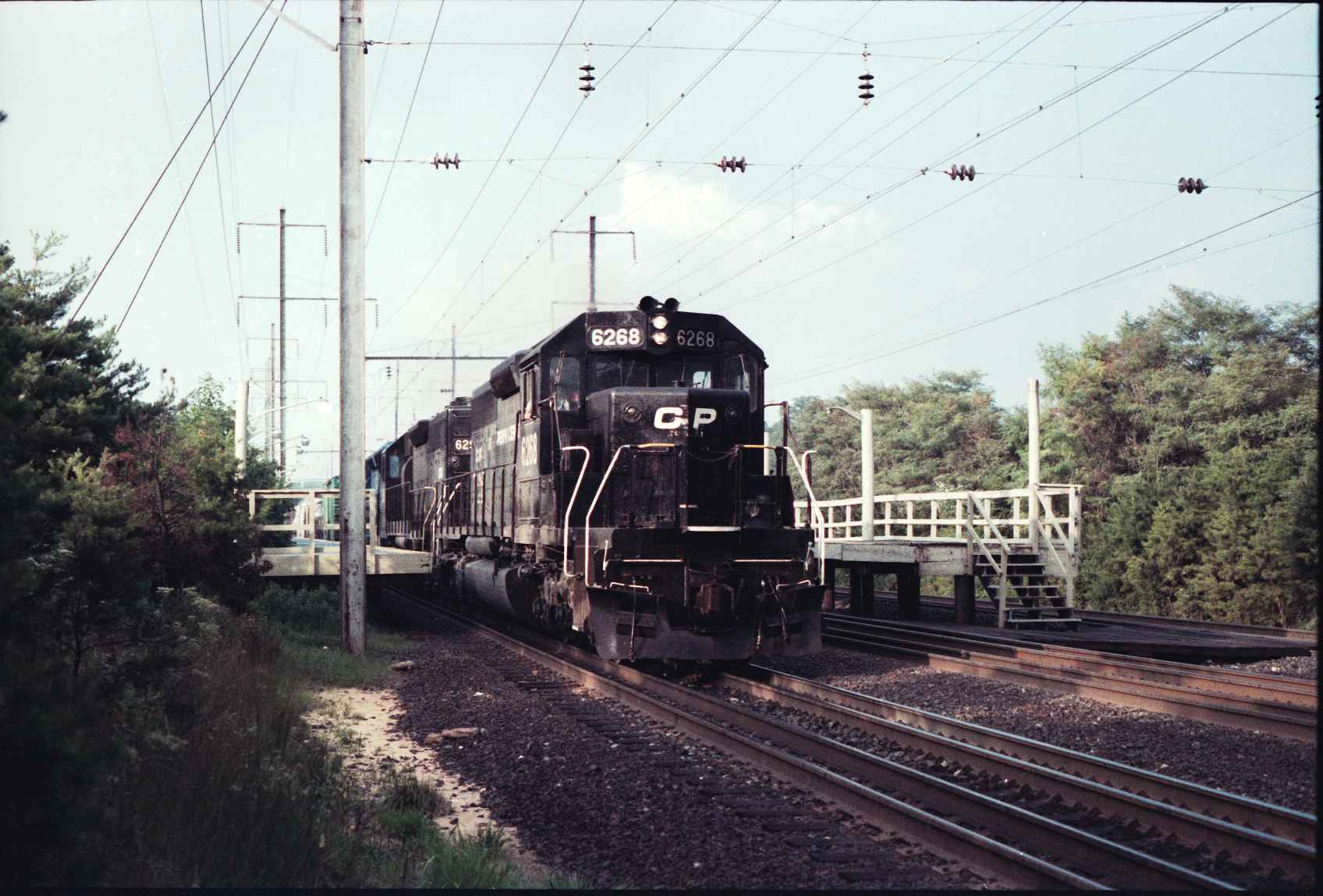
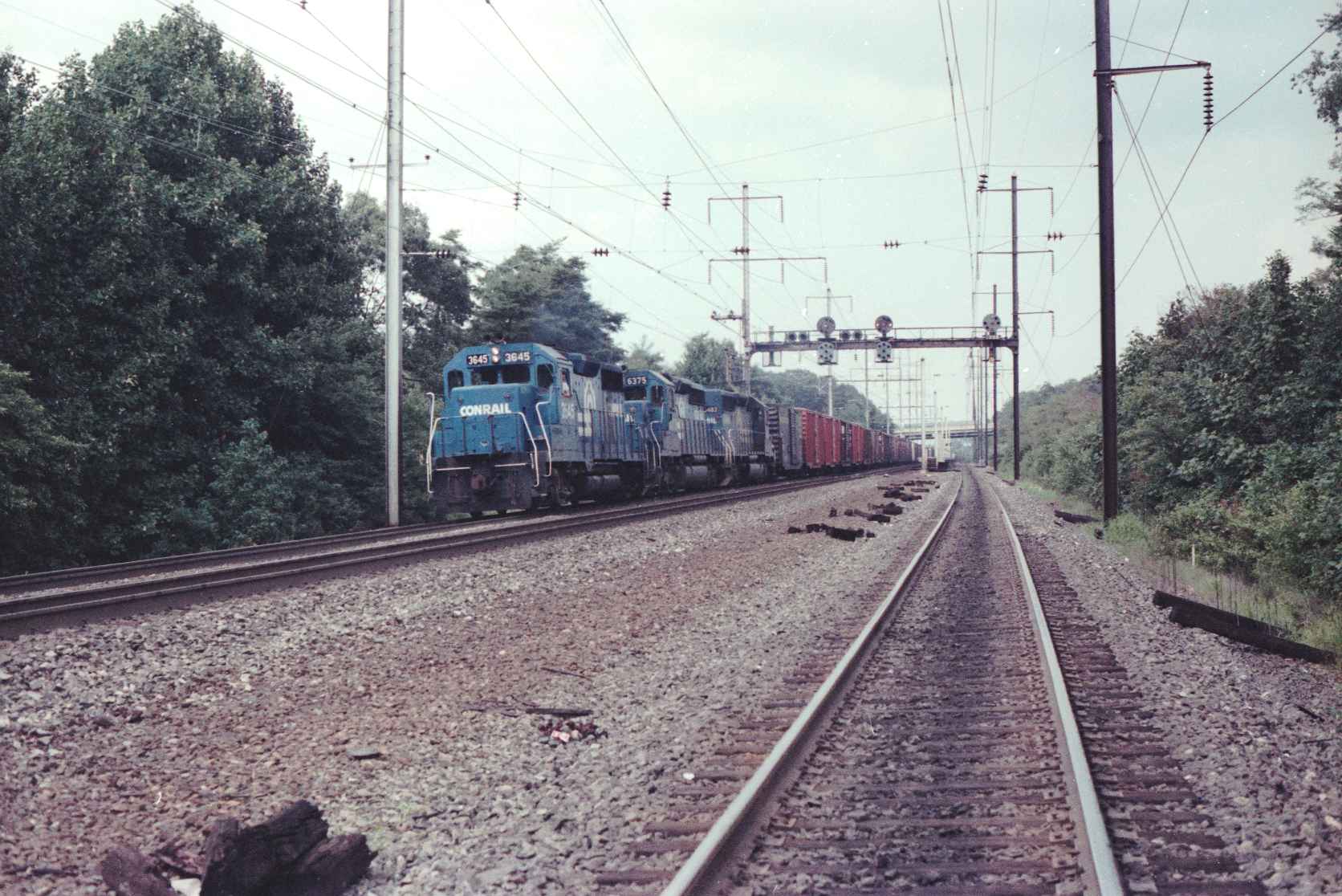
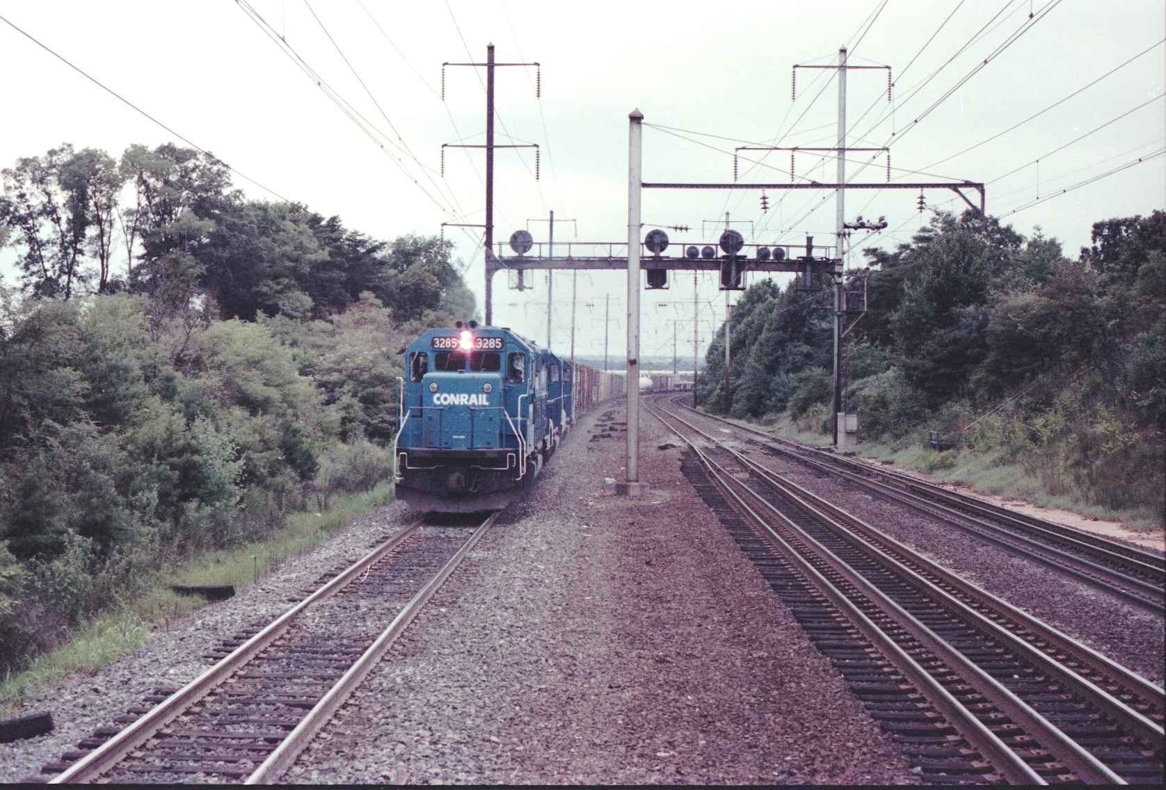
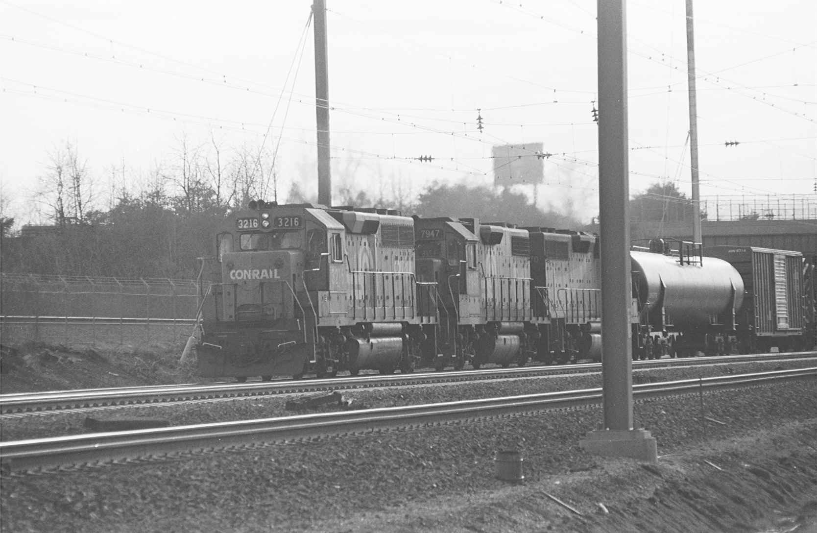
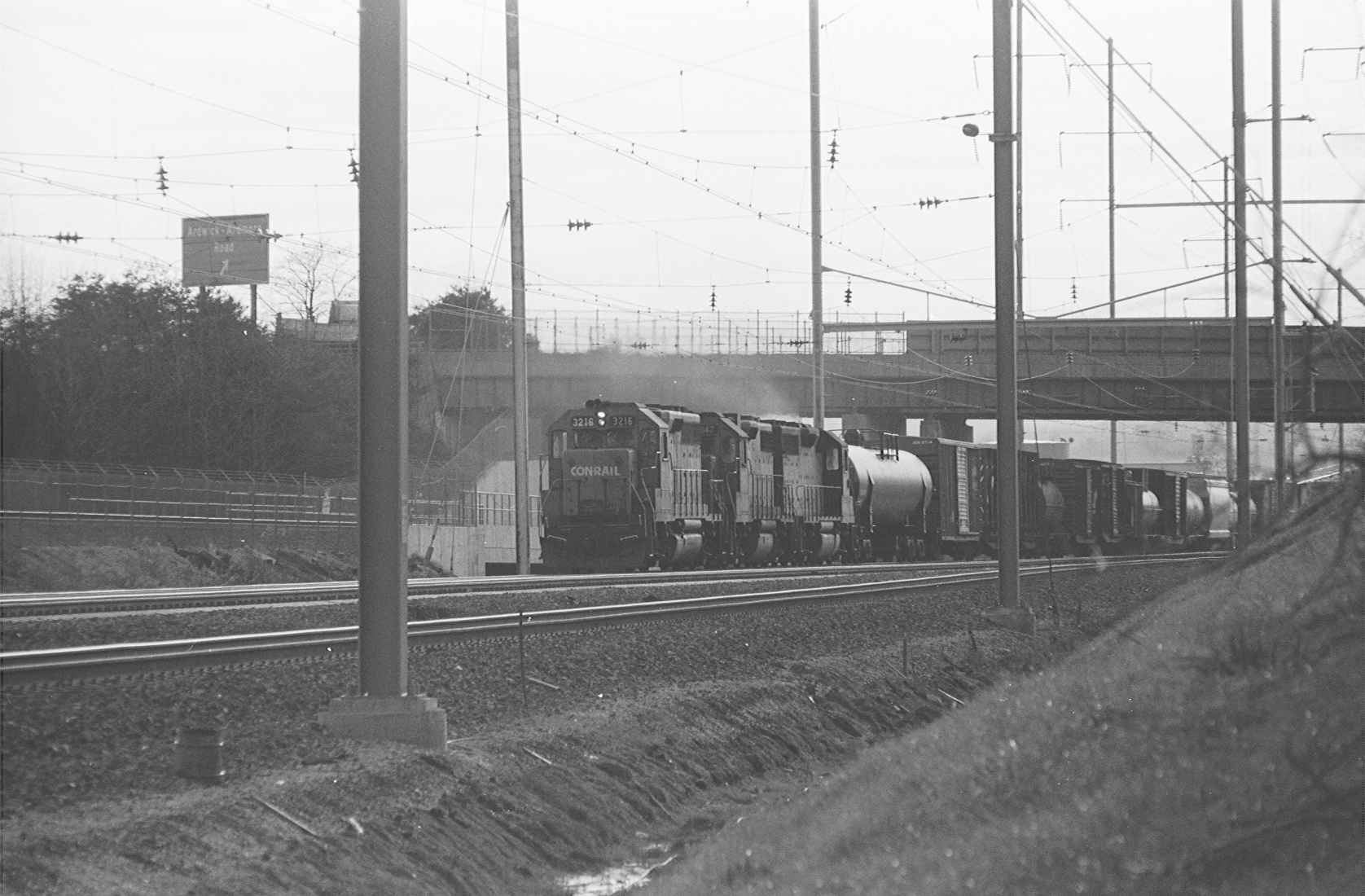
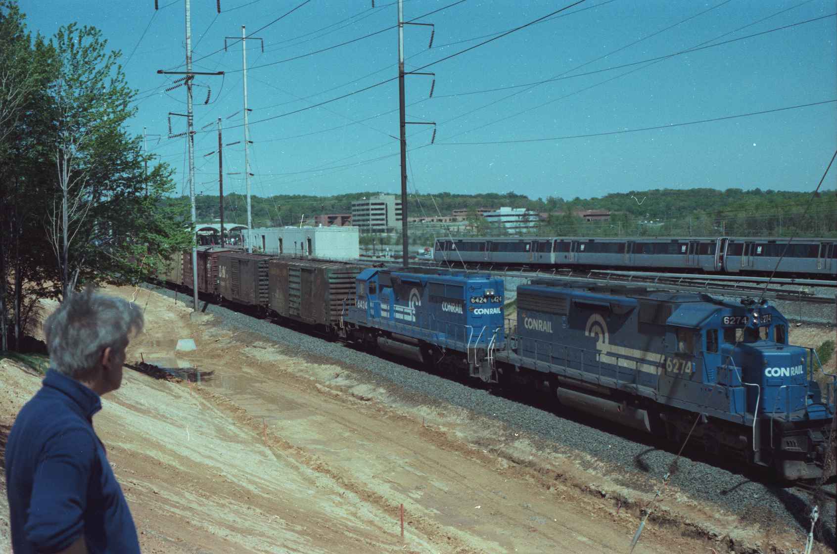
Here are a couple of Conrail things I got back in 2001 when I was visiting Indianapolis, and got invited by my buddy Paul to a Conrail meeting when he worked at RCA, they don't really have anything to do with Capitol Heights, but I didn't have anywhere else to put them, for now :-) ....
Acknowledgements:
Jim Nowotarski
Douglas G. Walker
Google Maps
Wikipedia
Websites and other additional information sources of interest for the area:
https://en.wikipedia.org/wiki/New_Carrollton,_Maryland
http://history.amtrak.com/archives/southbound-i-colonial-i-at-the-capital-beltway-station-1970s
You really can't get here anymore.
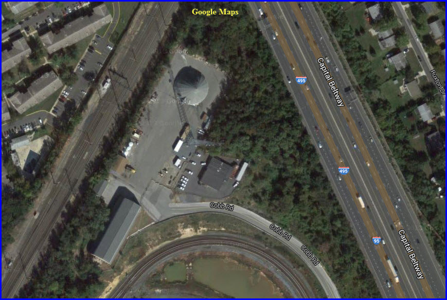
The screen capture above is of the site of the former Capitol Beltway station location.
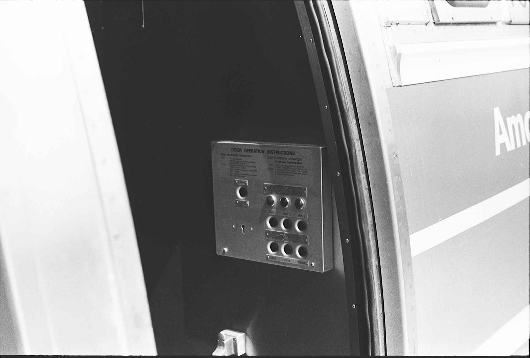
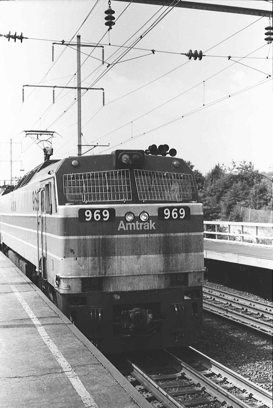
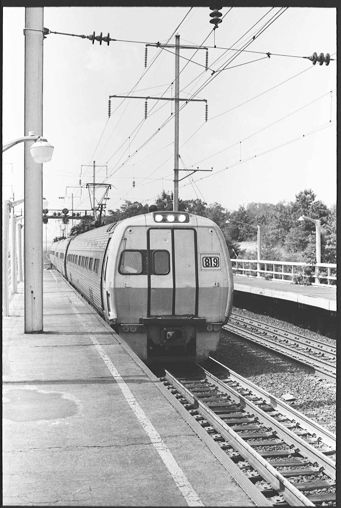
Pictures by Jim Nowotarski
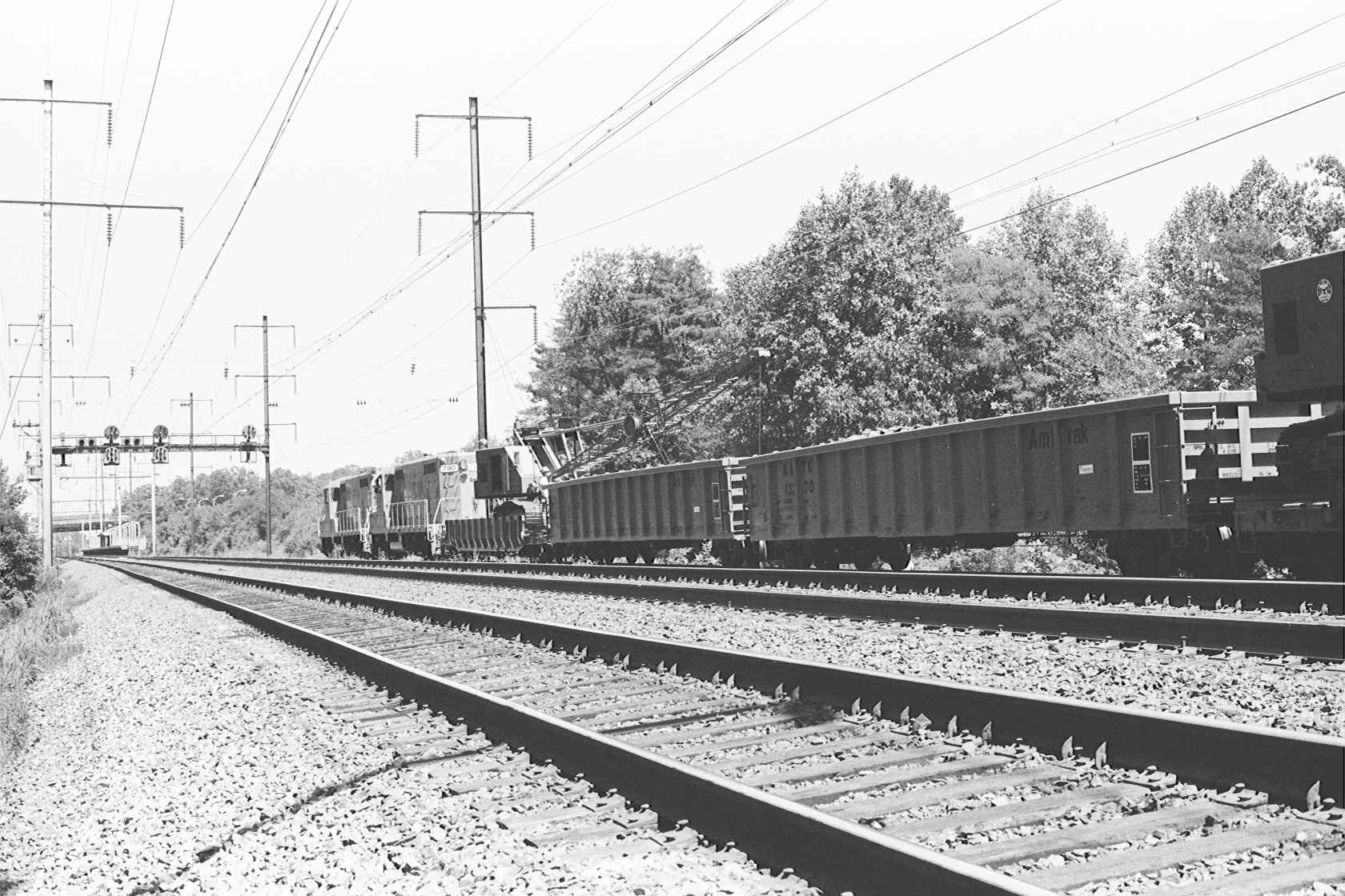
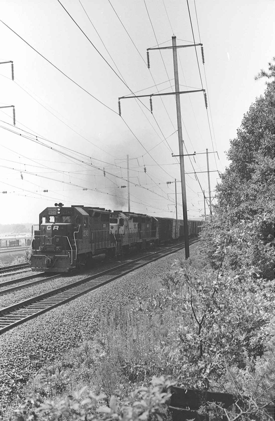


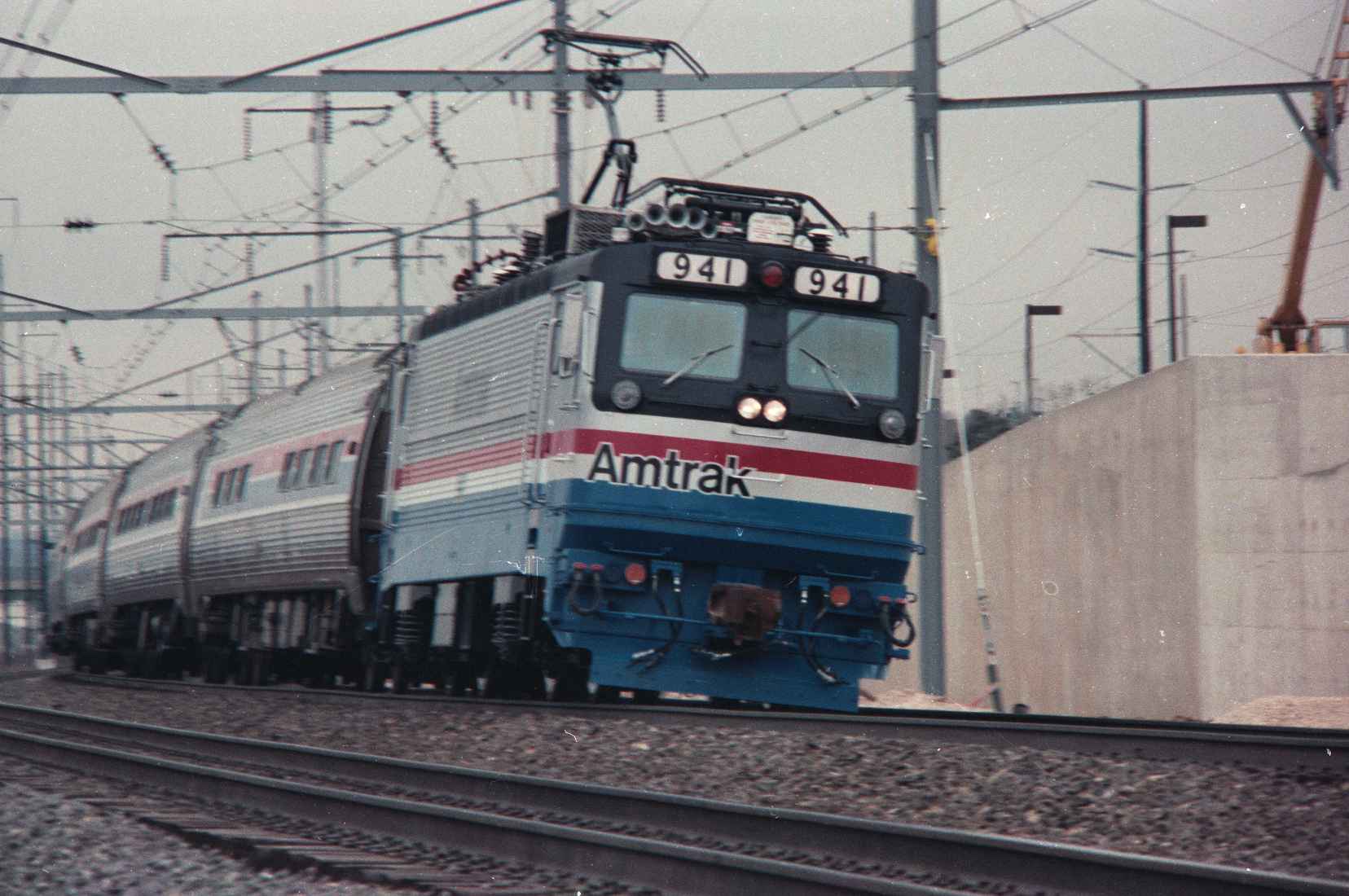
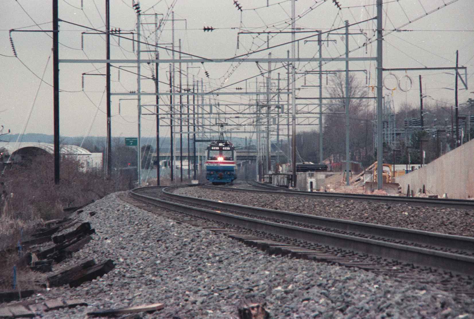
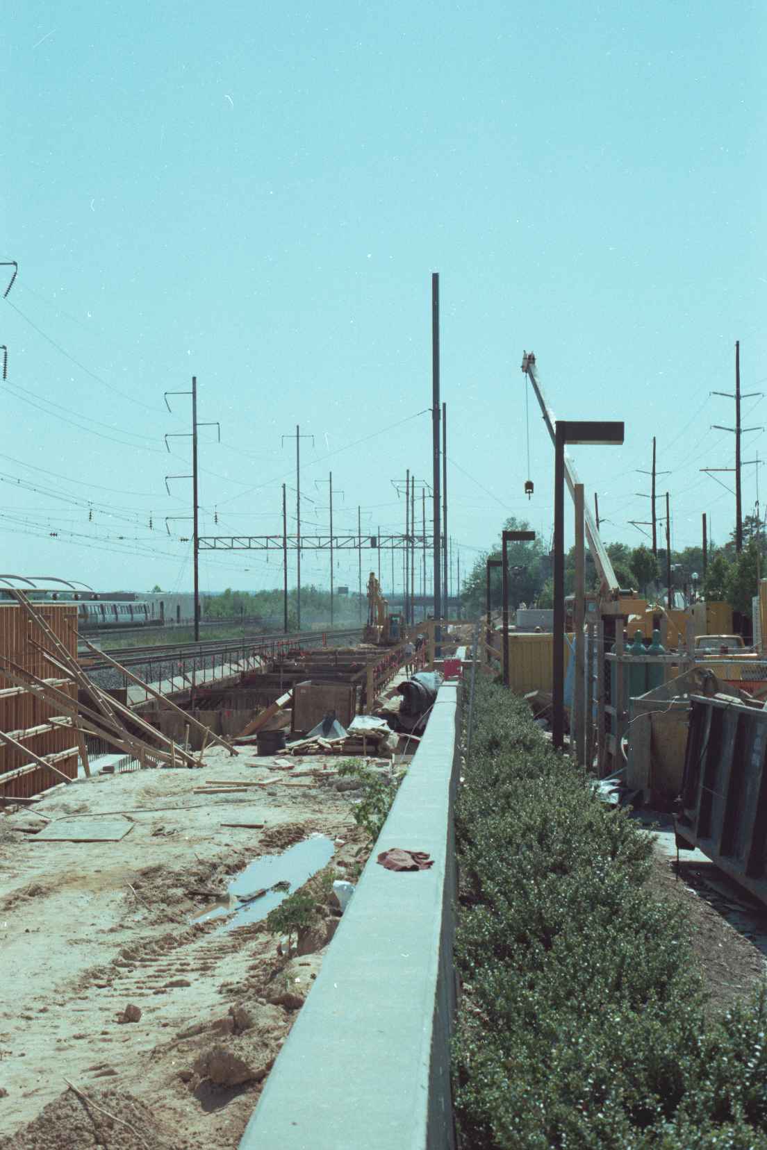
Catenary Work

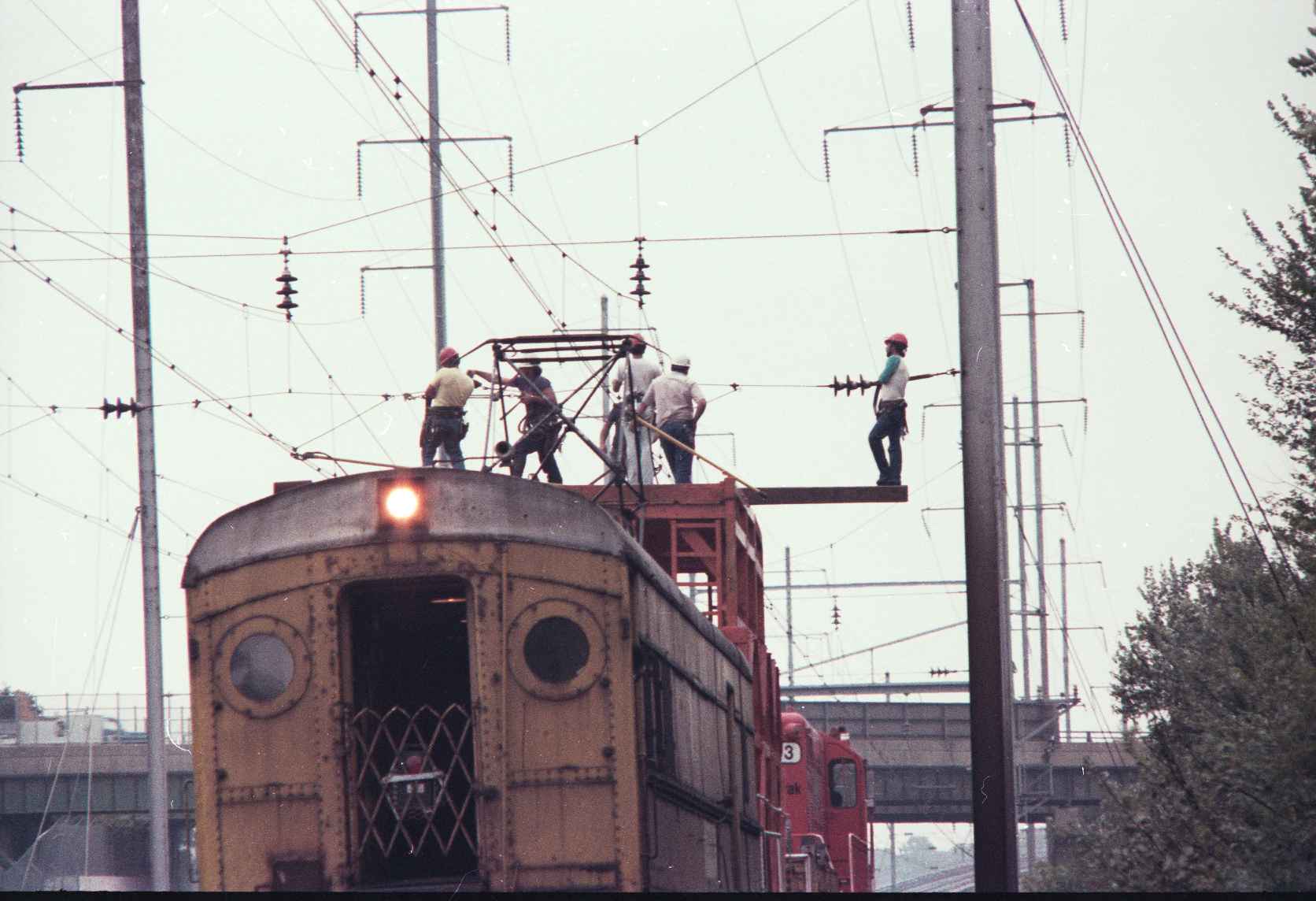
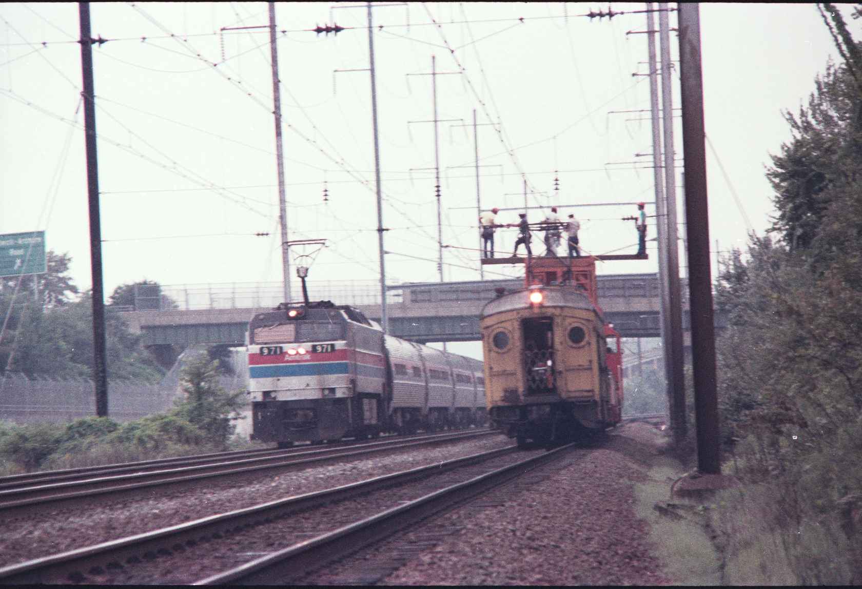
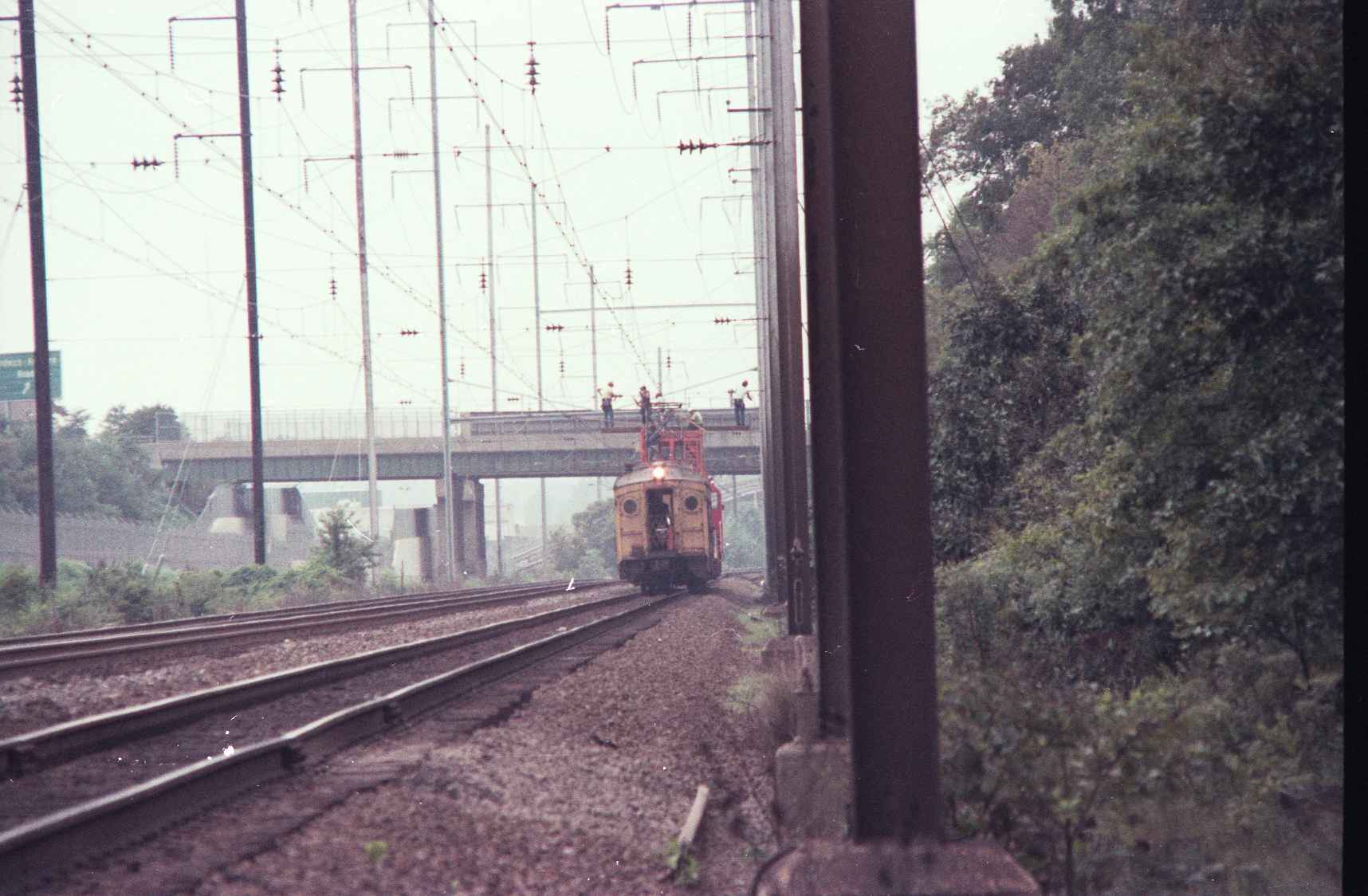
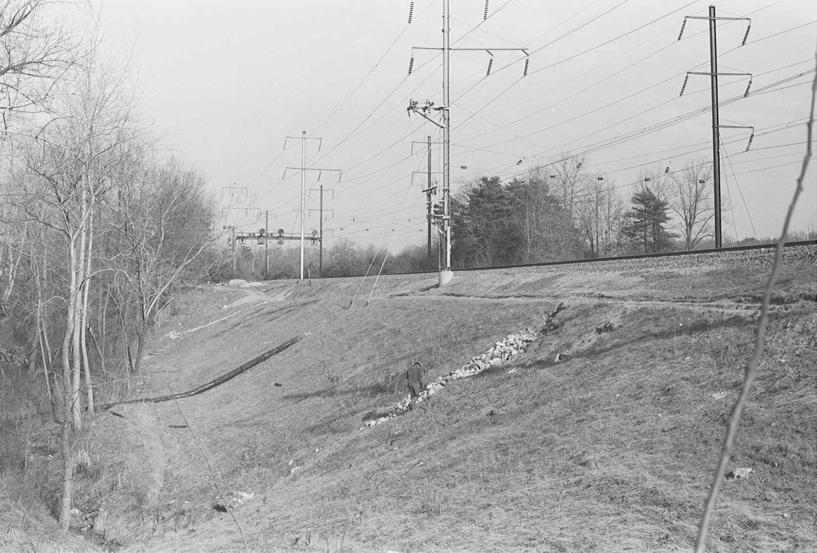
Bowie
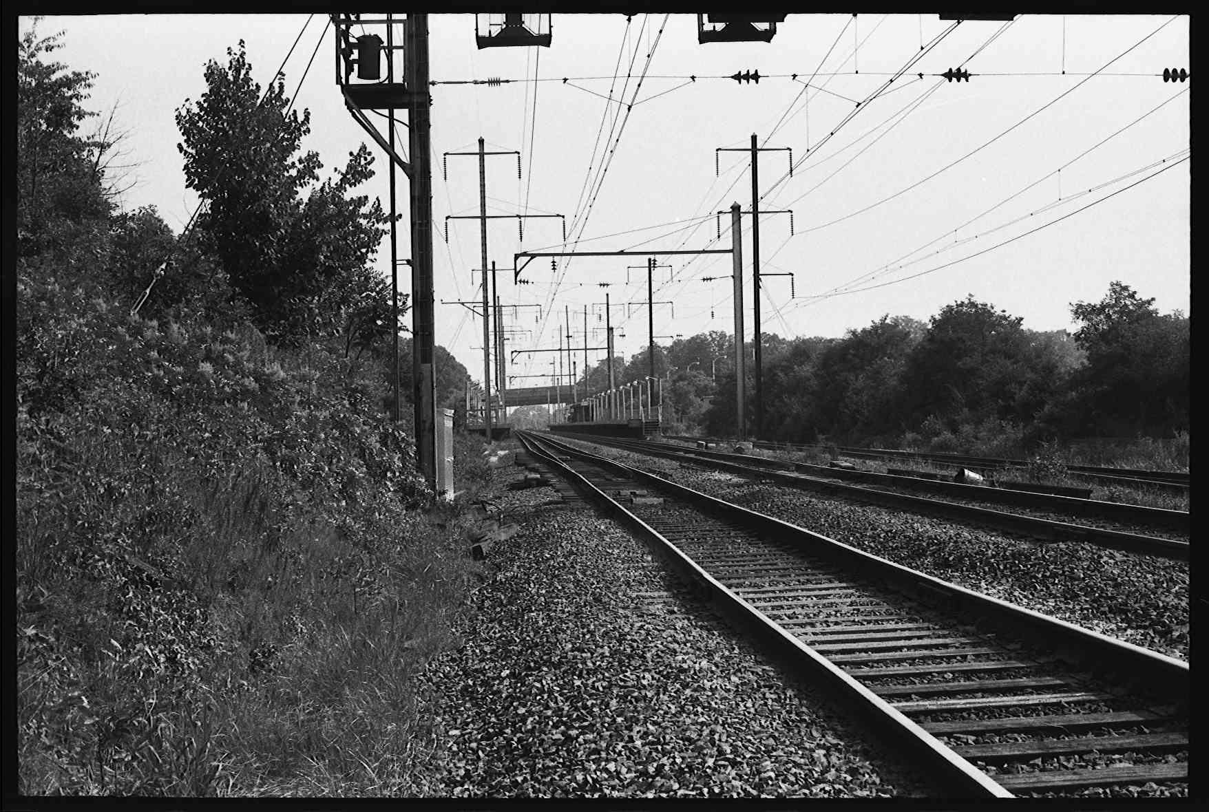
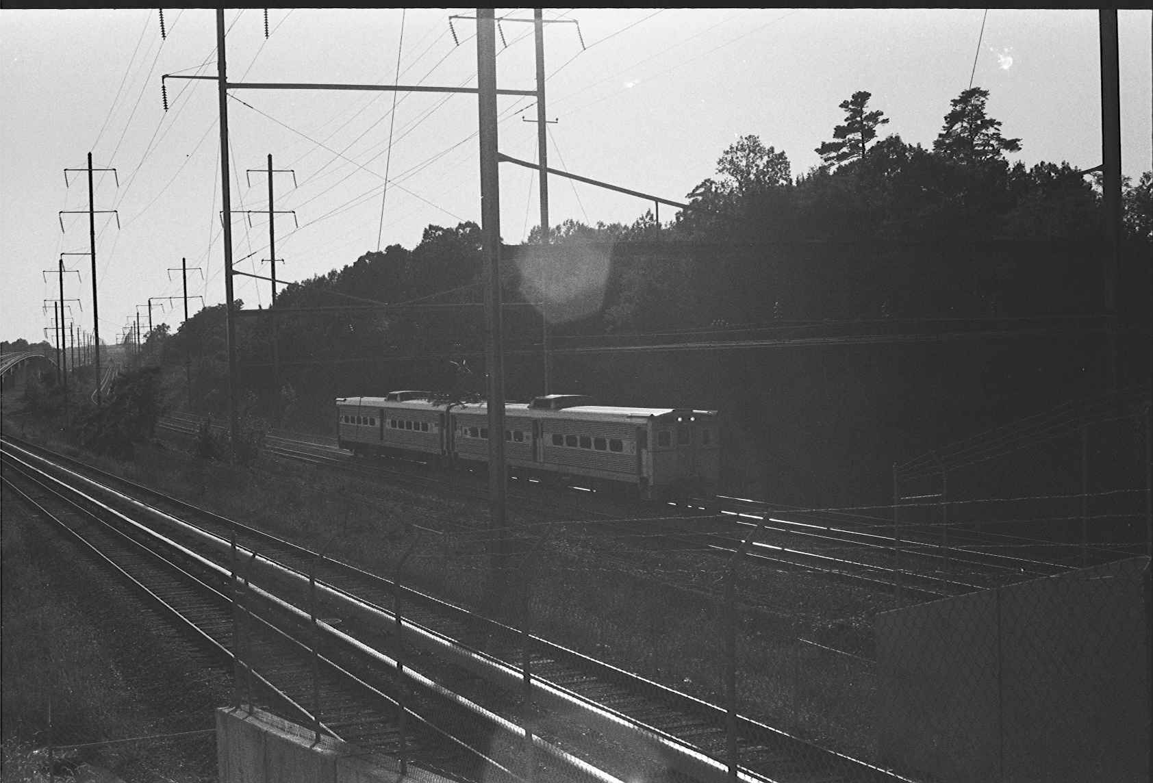
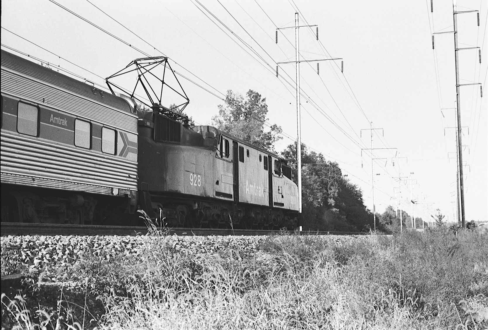
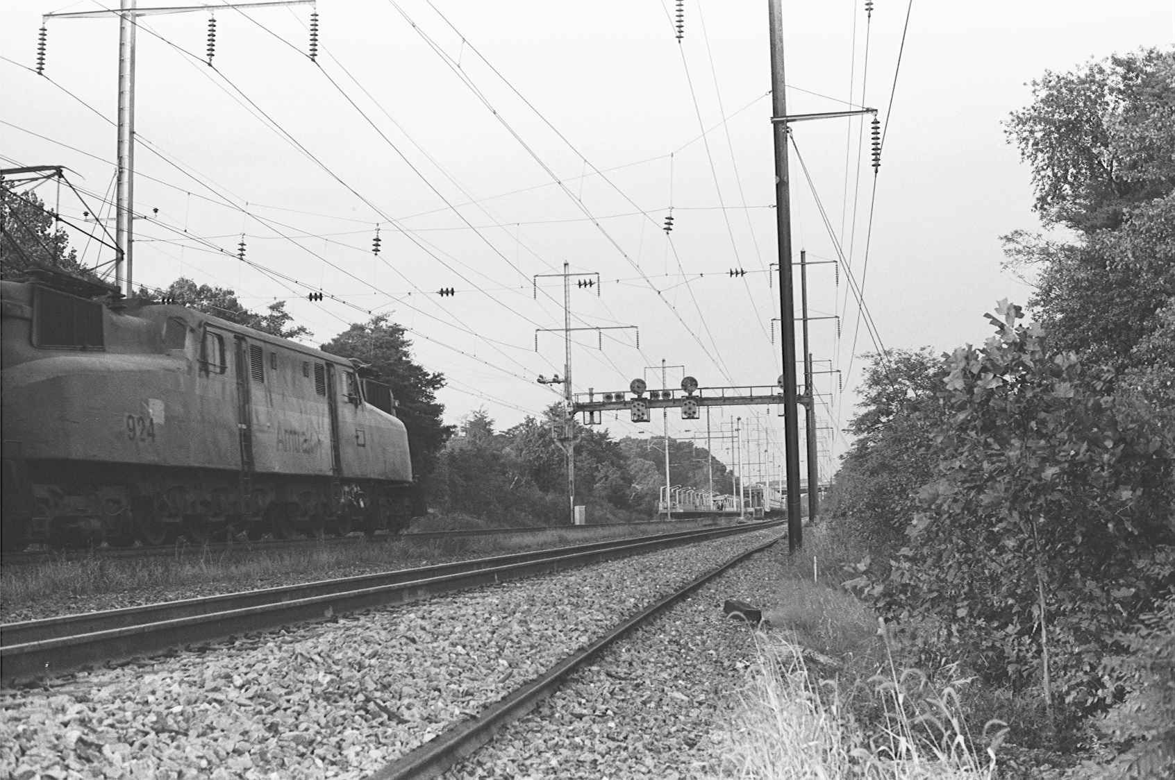
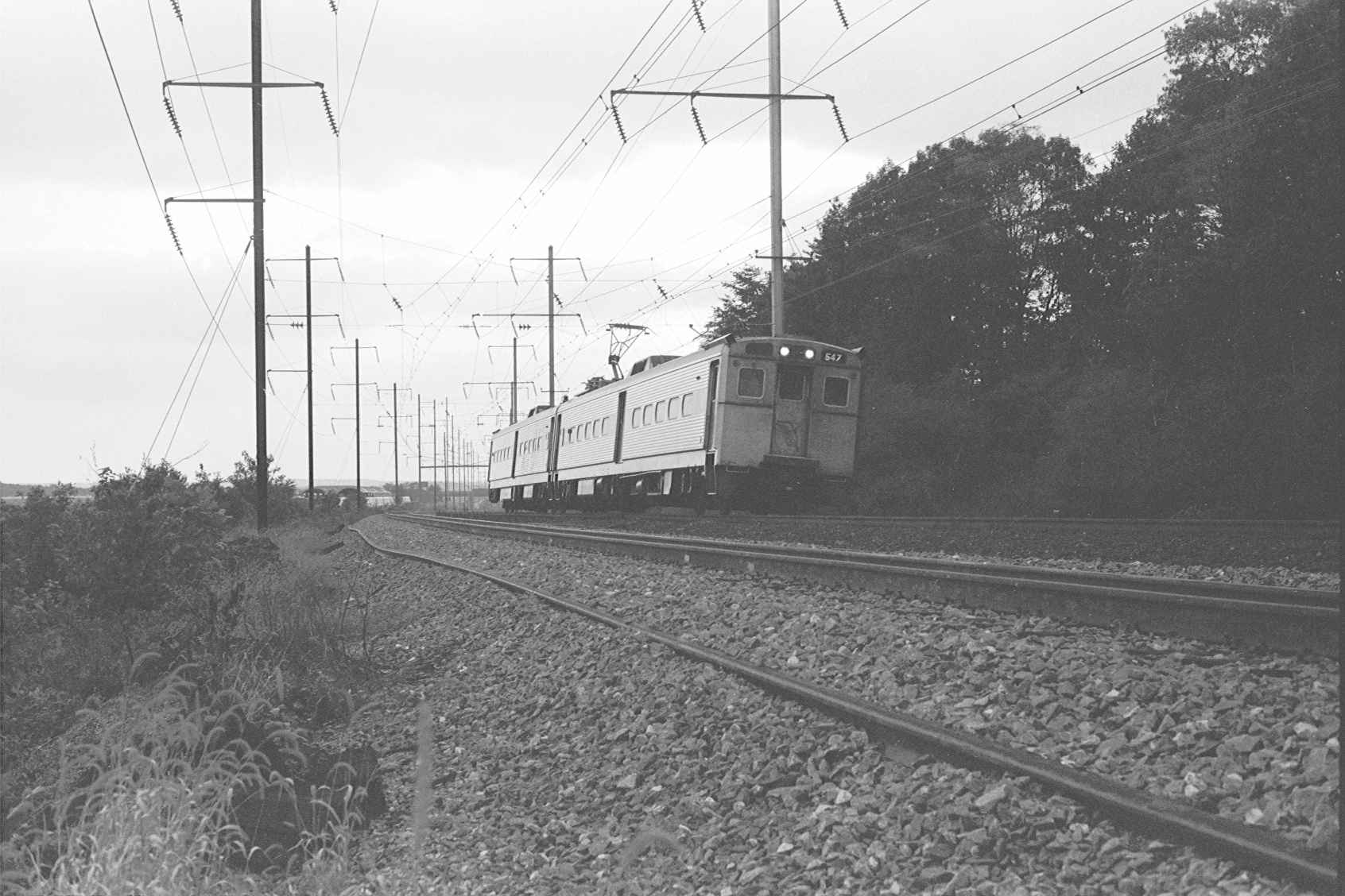
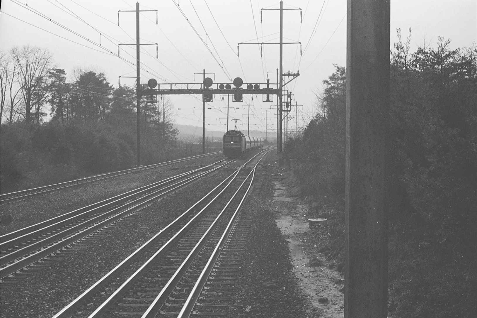
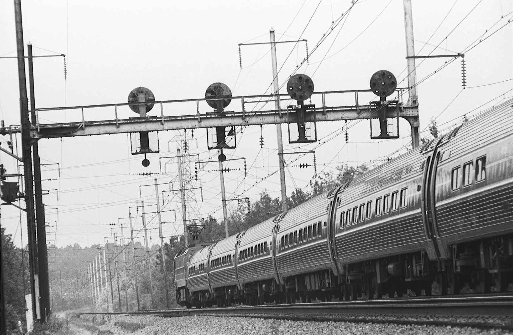
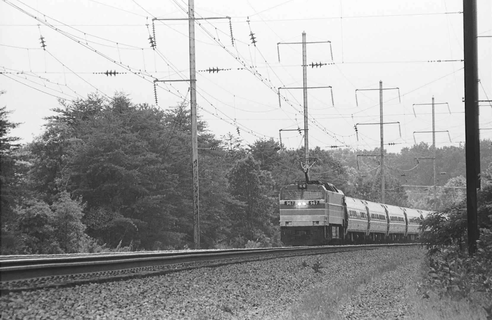
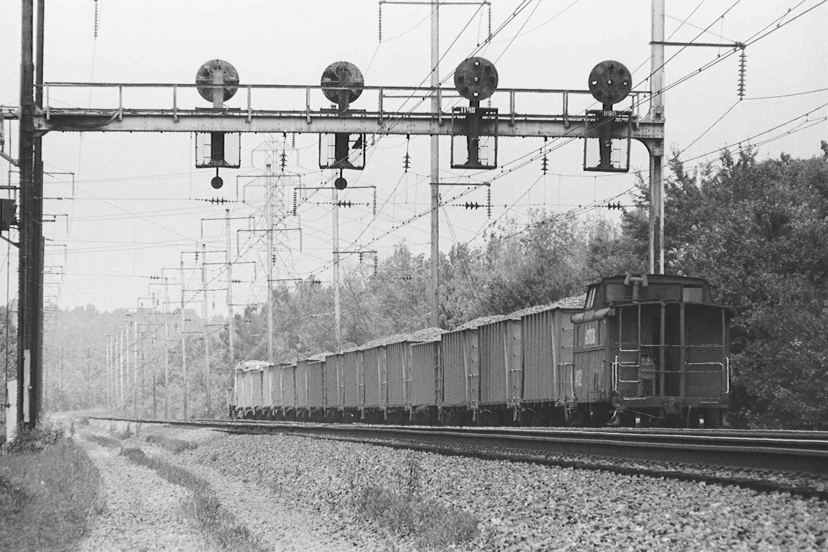
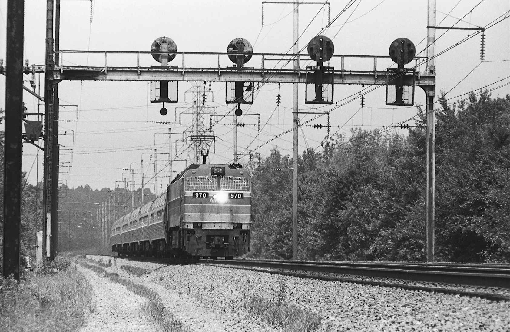
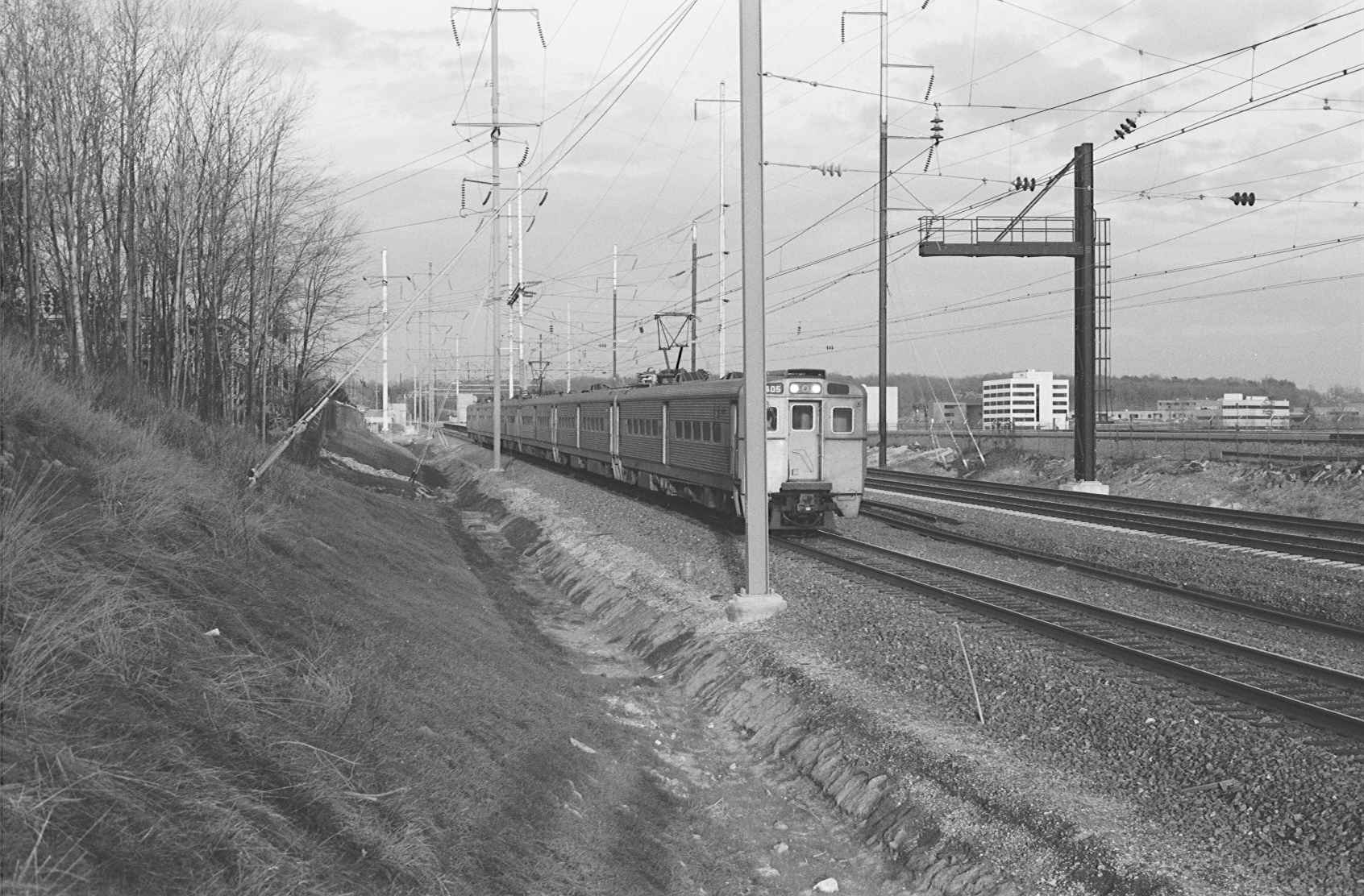
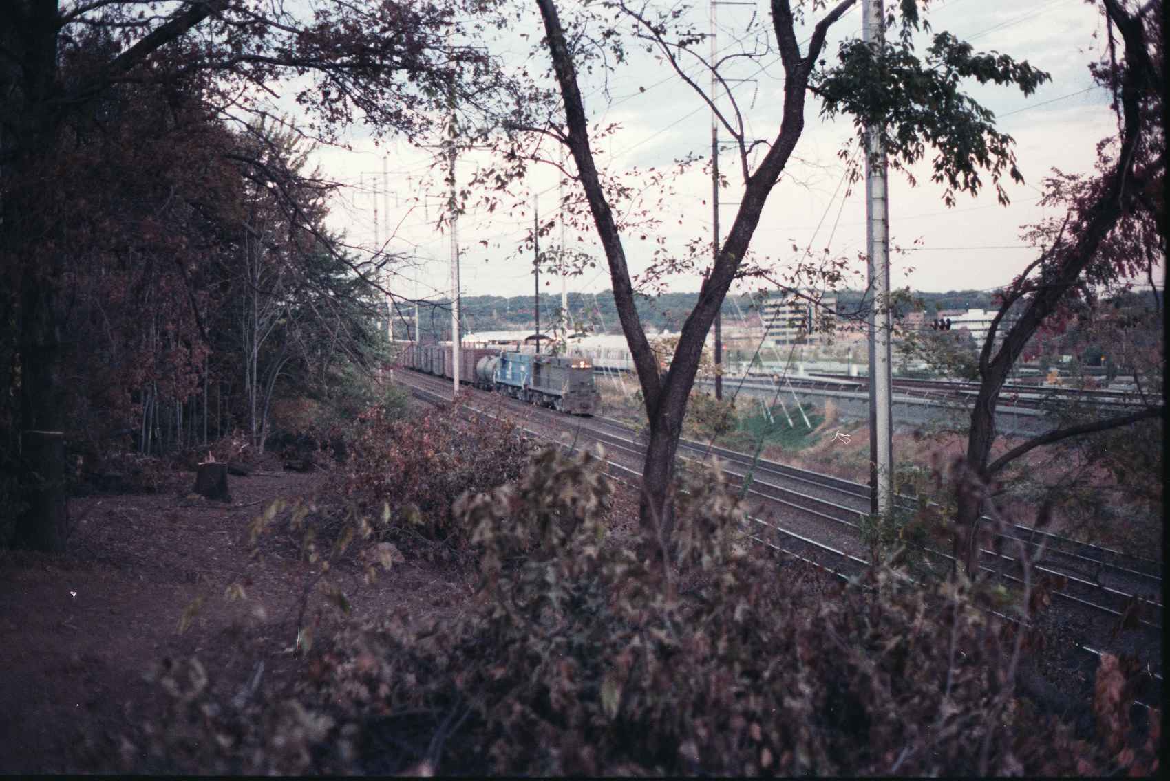
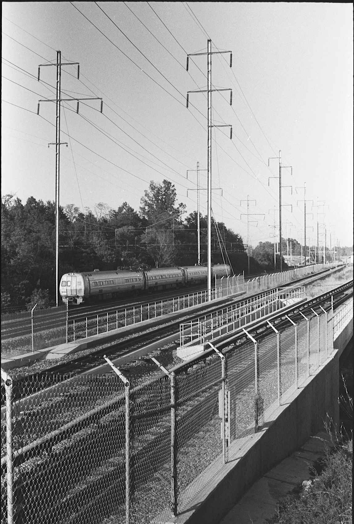
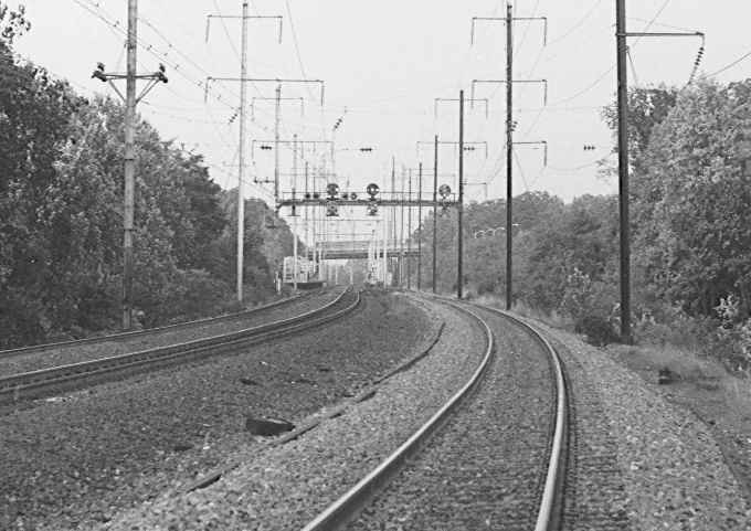
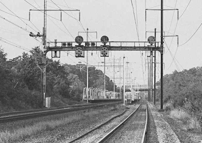
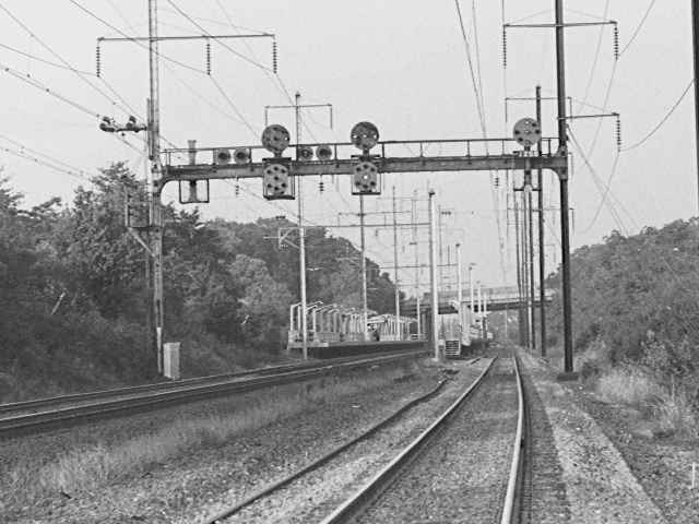
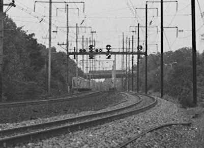
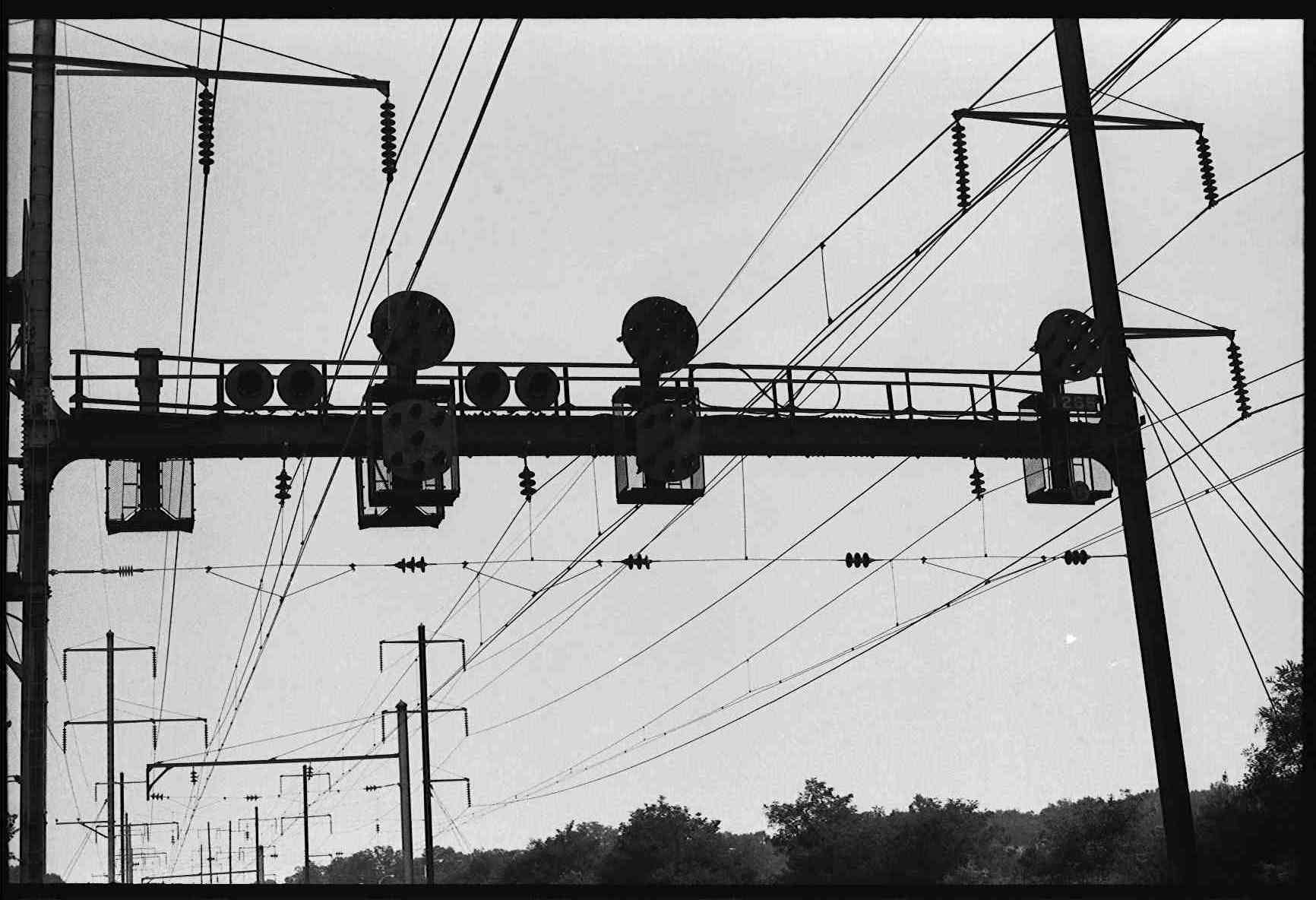
These pictures are under the signals at 1190, north of the Bowie station

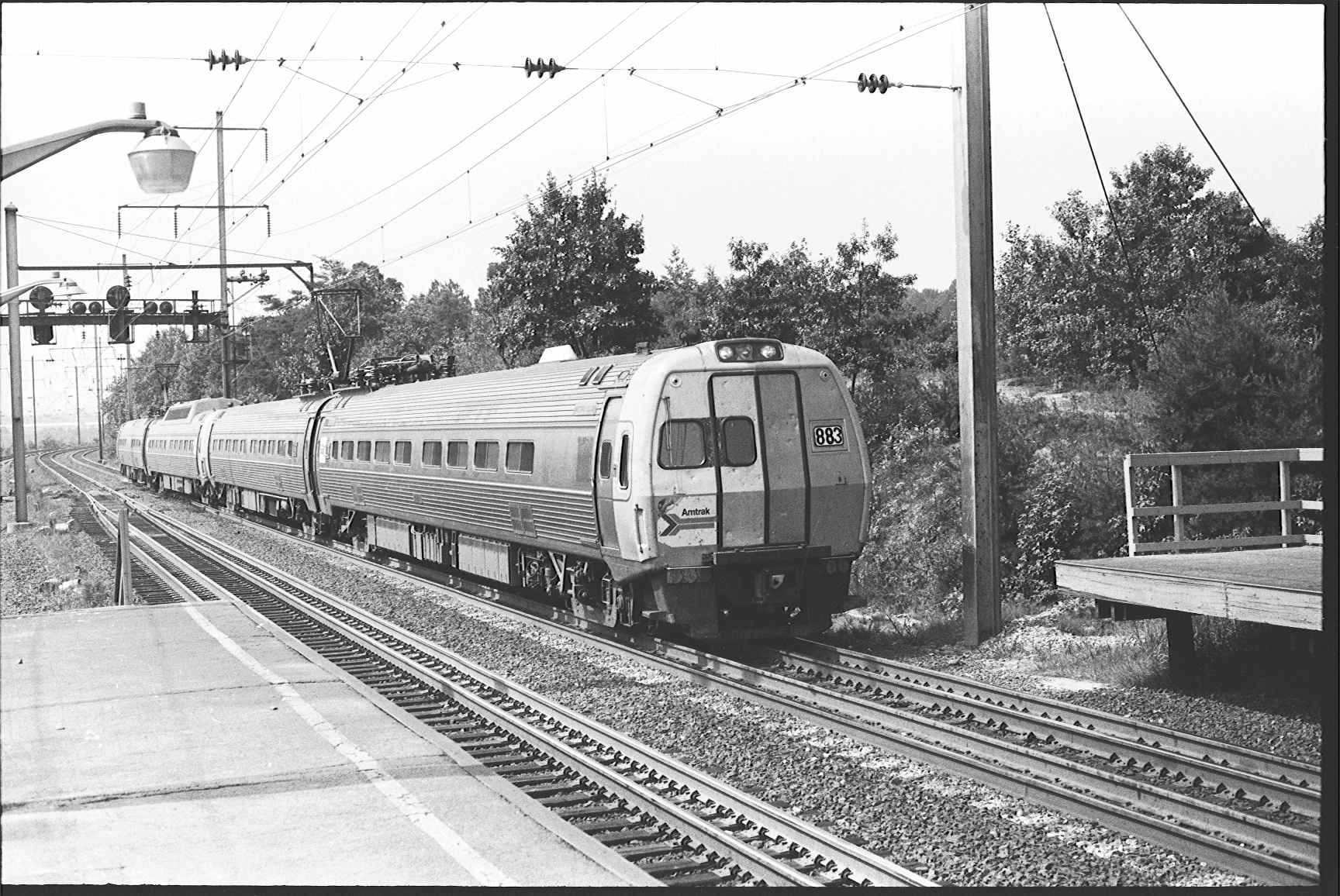
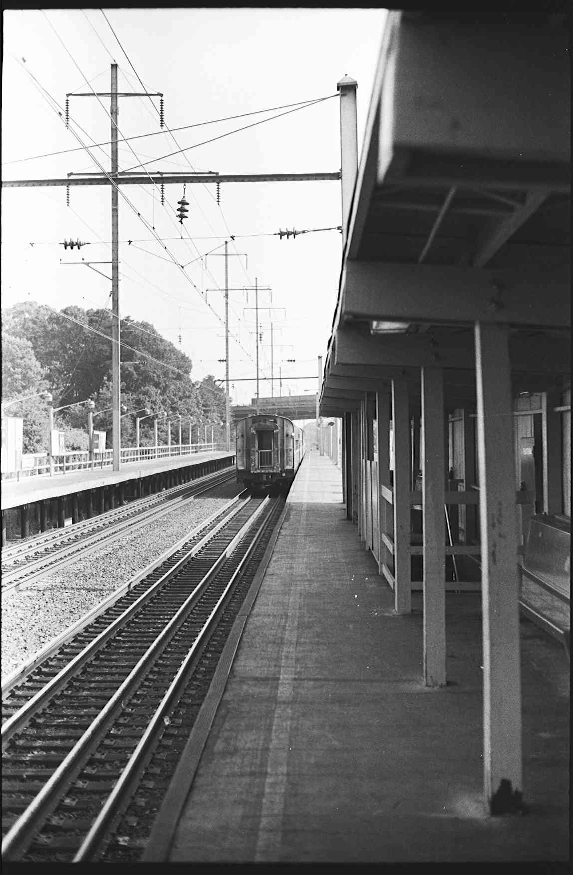
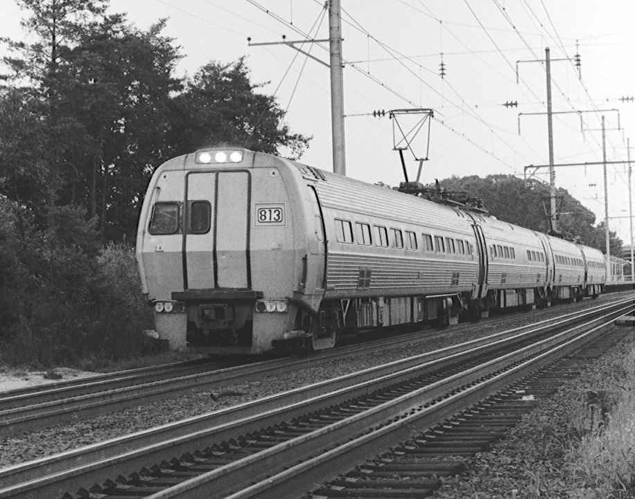
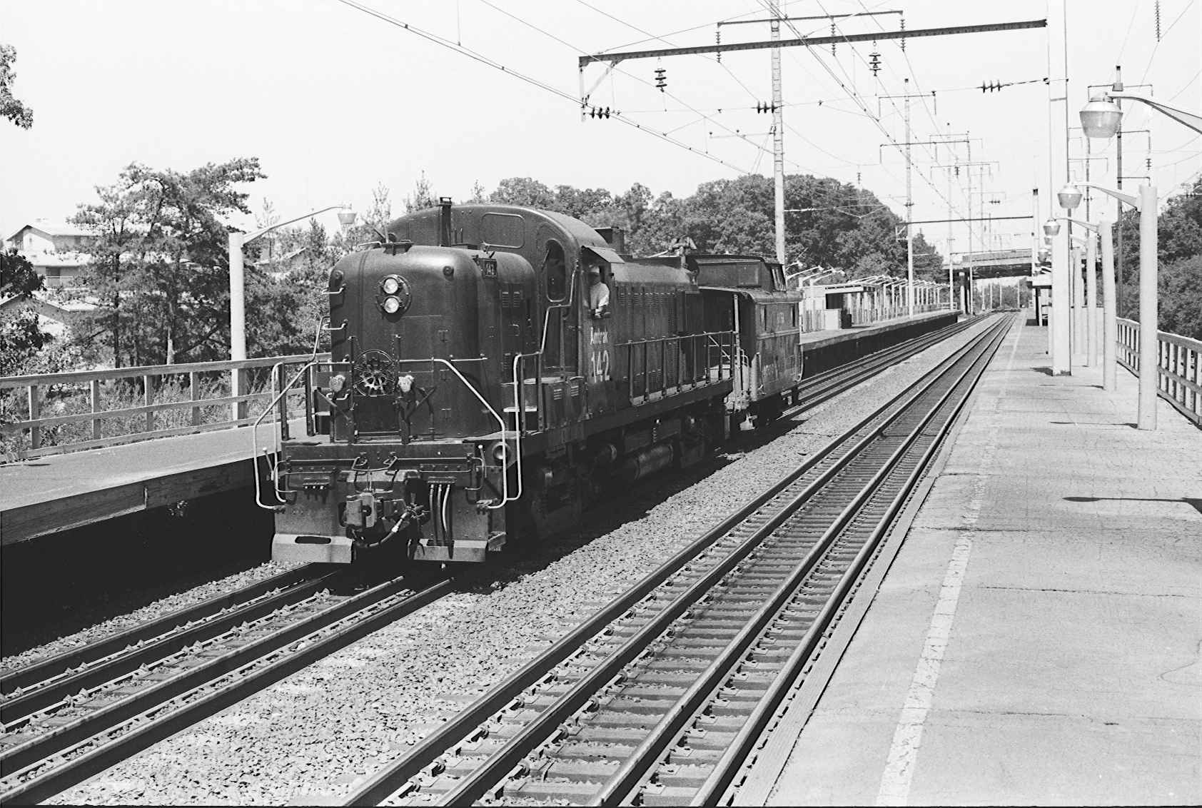
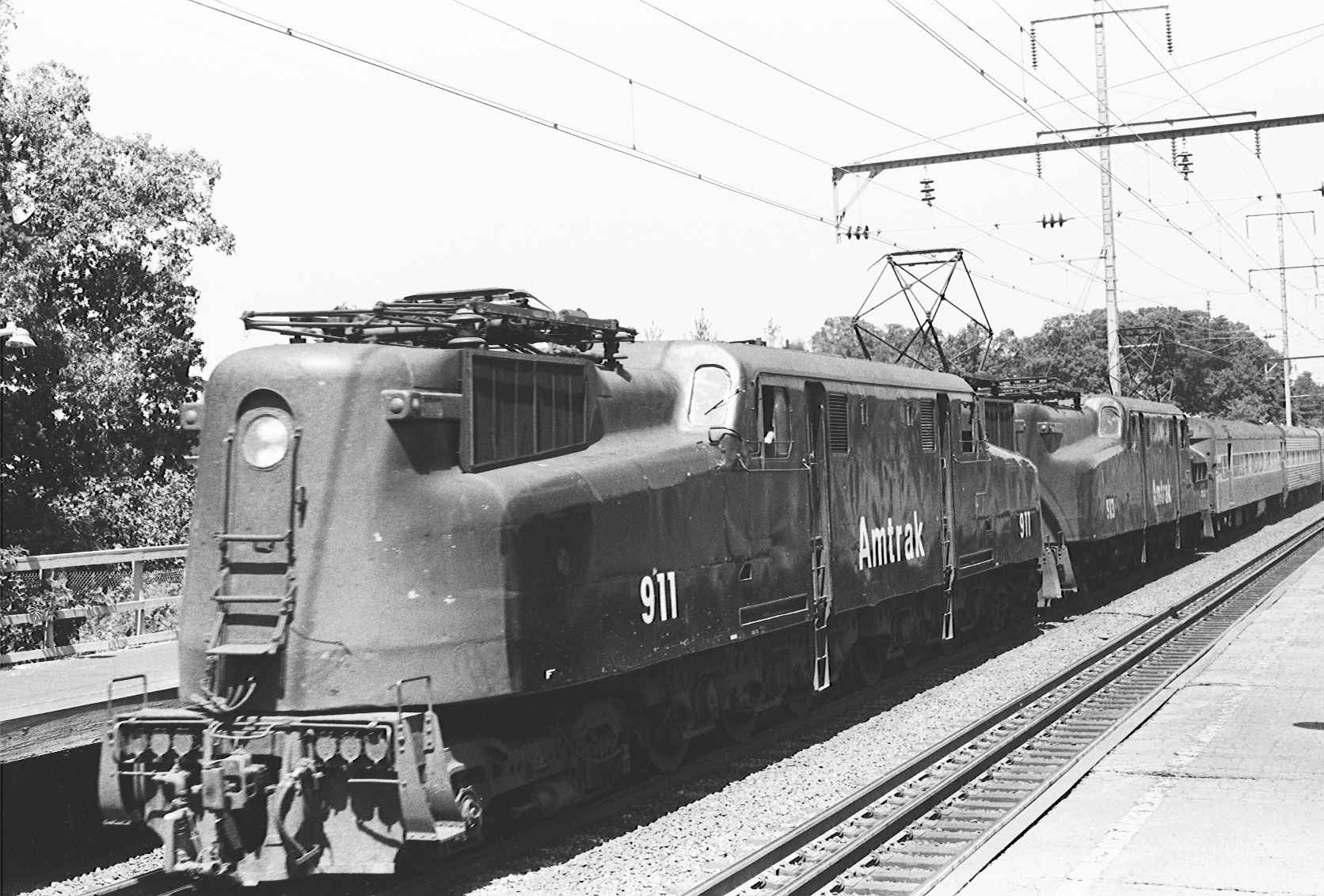
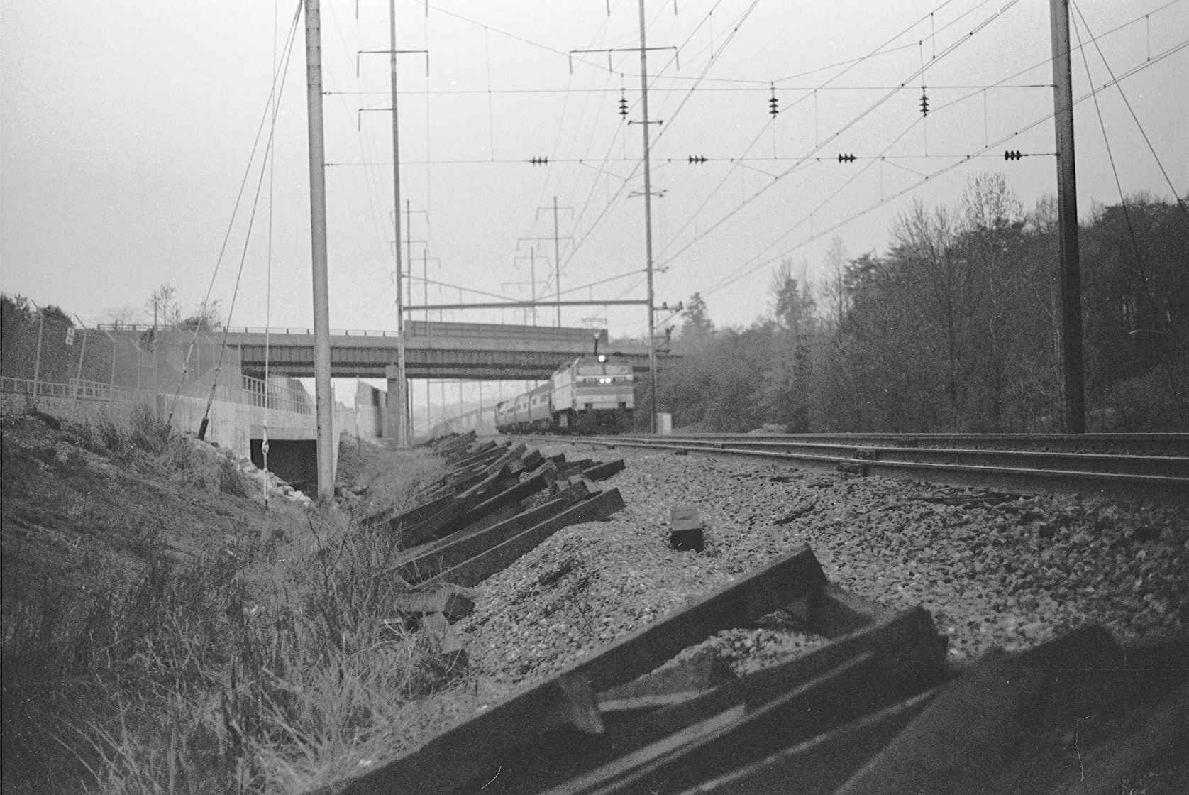
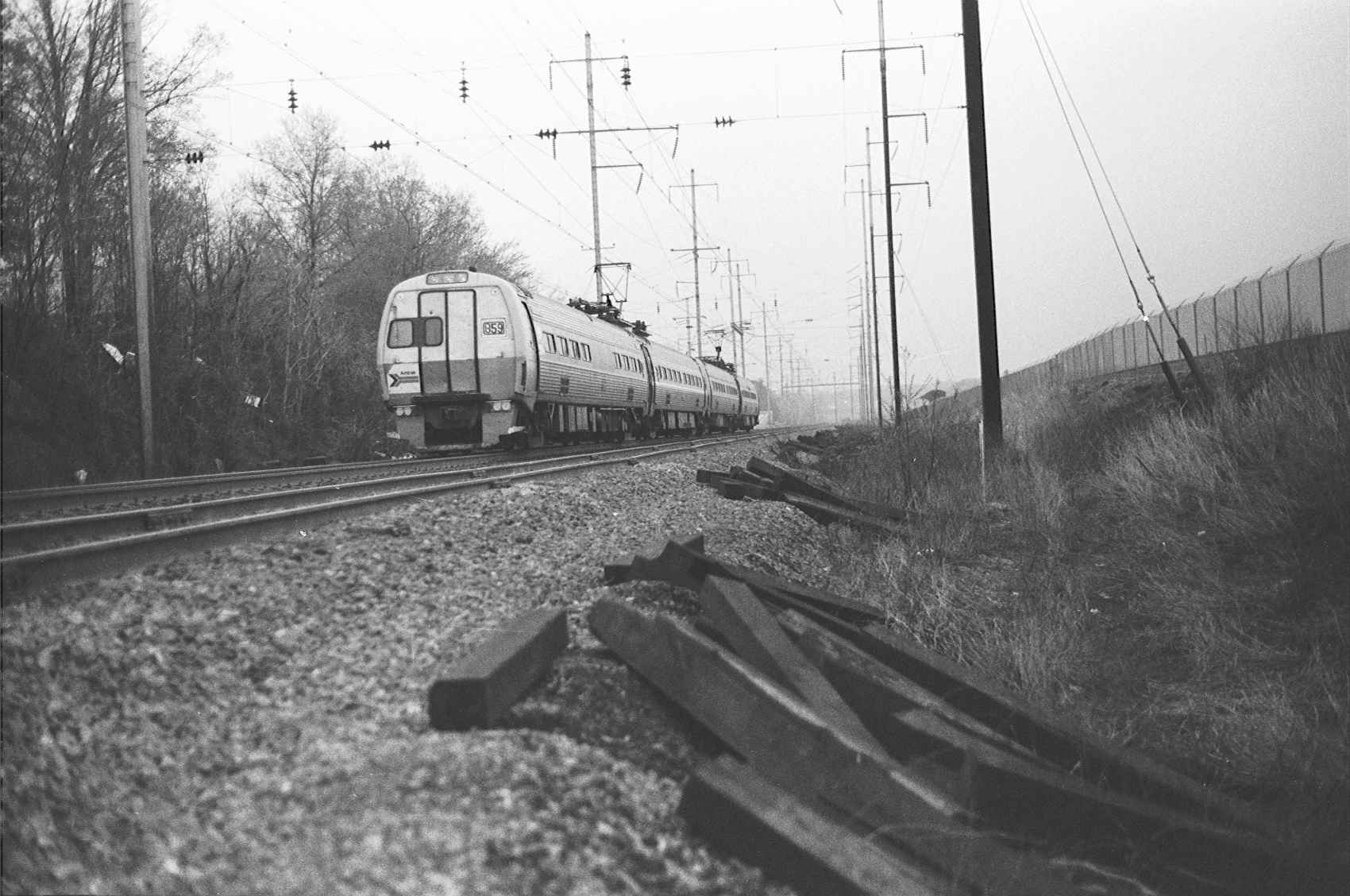
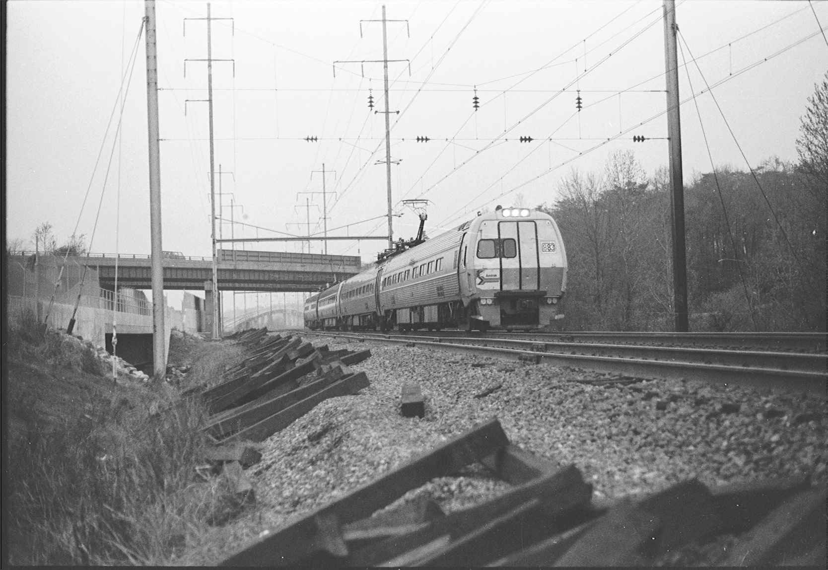
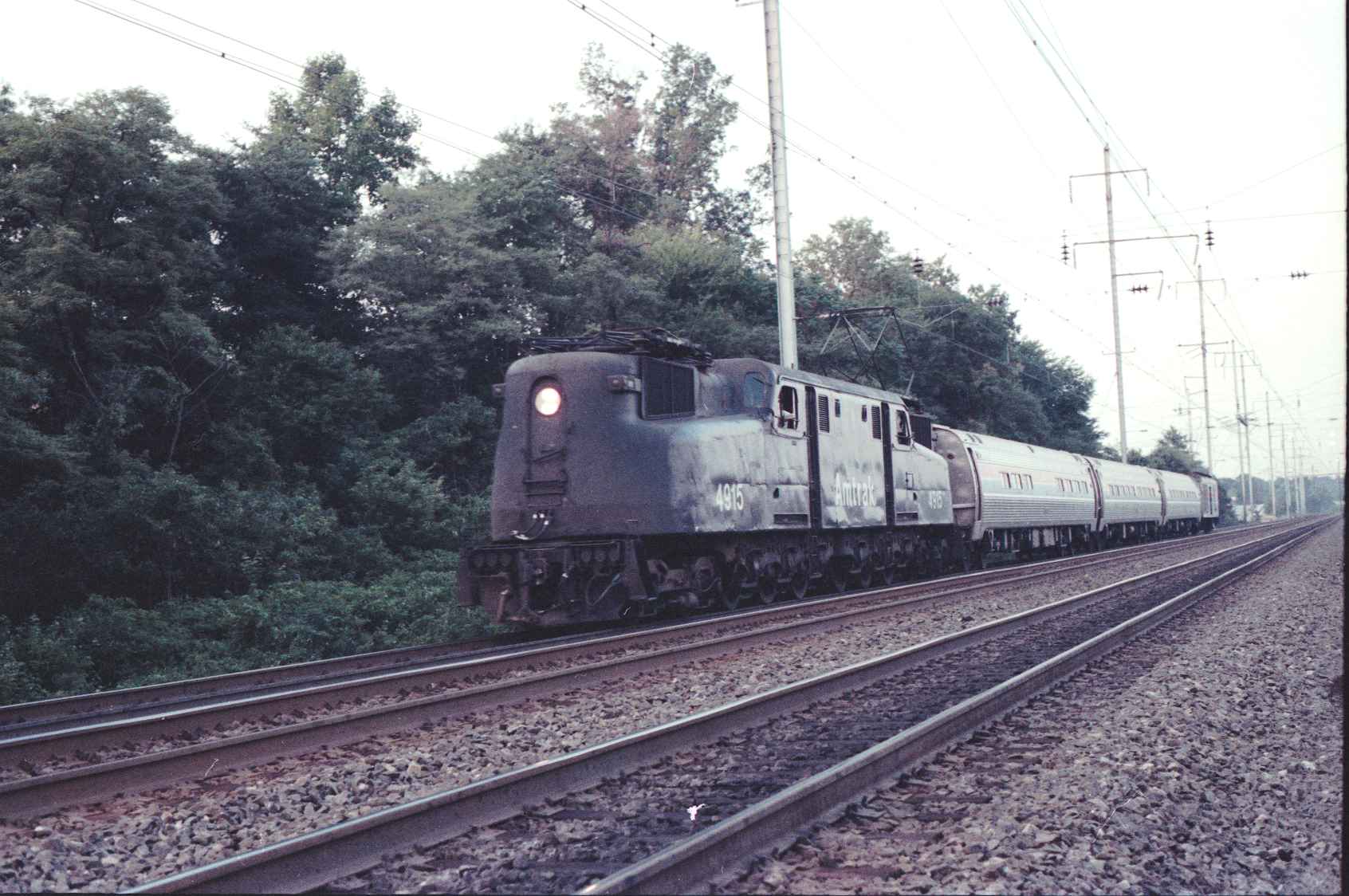
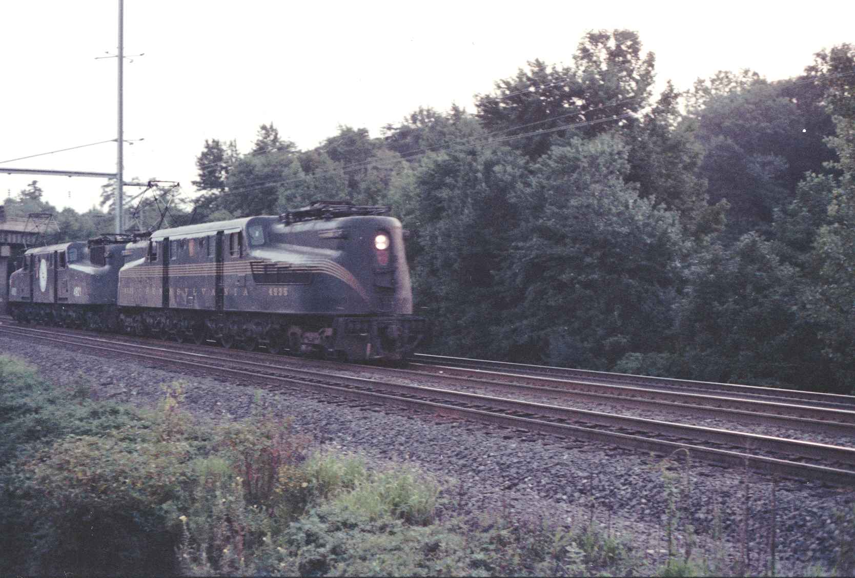
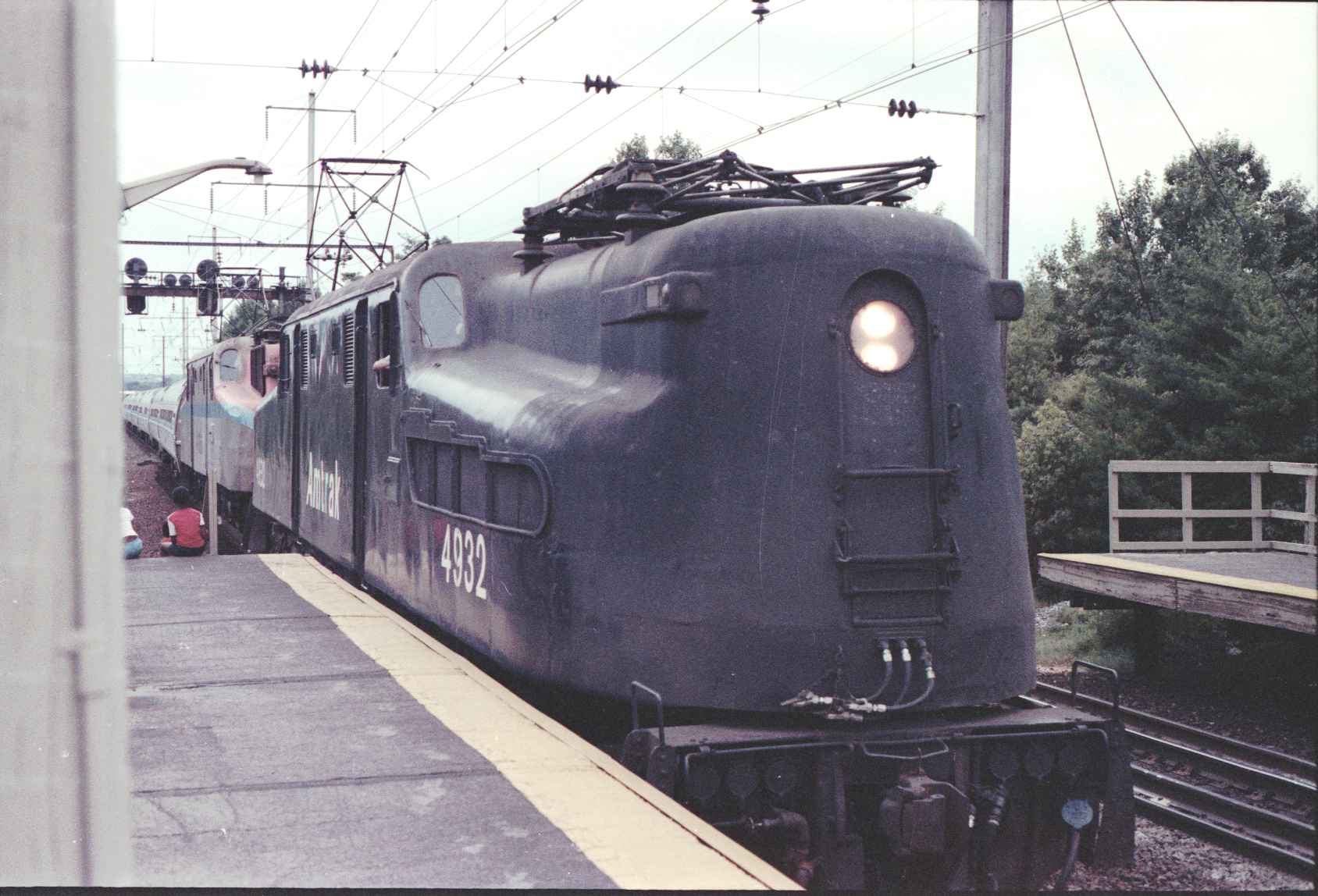
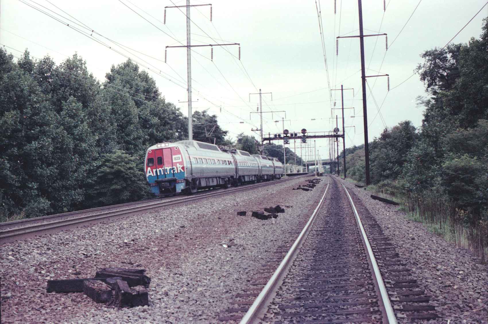
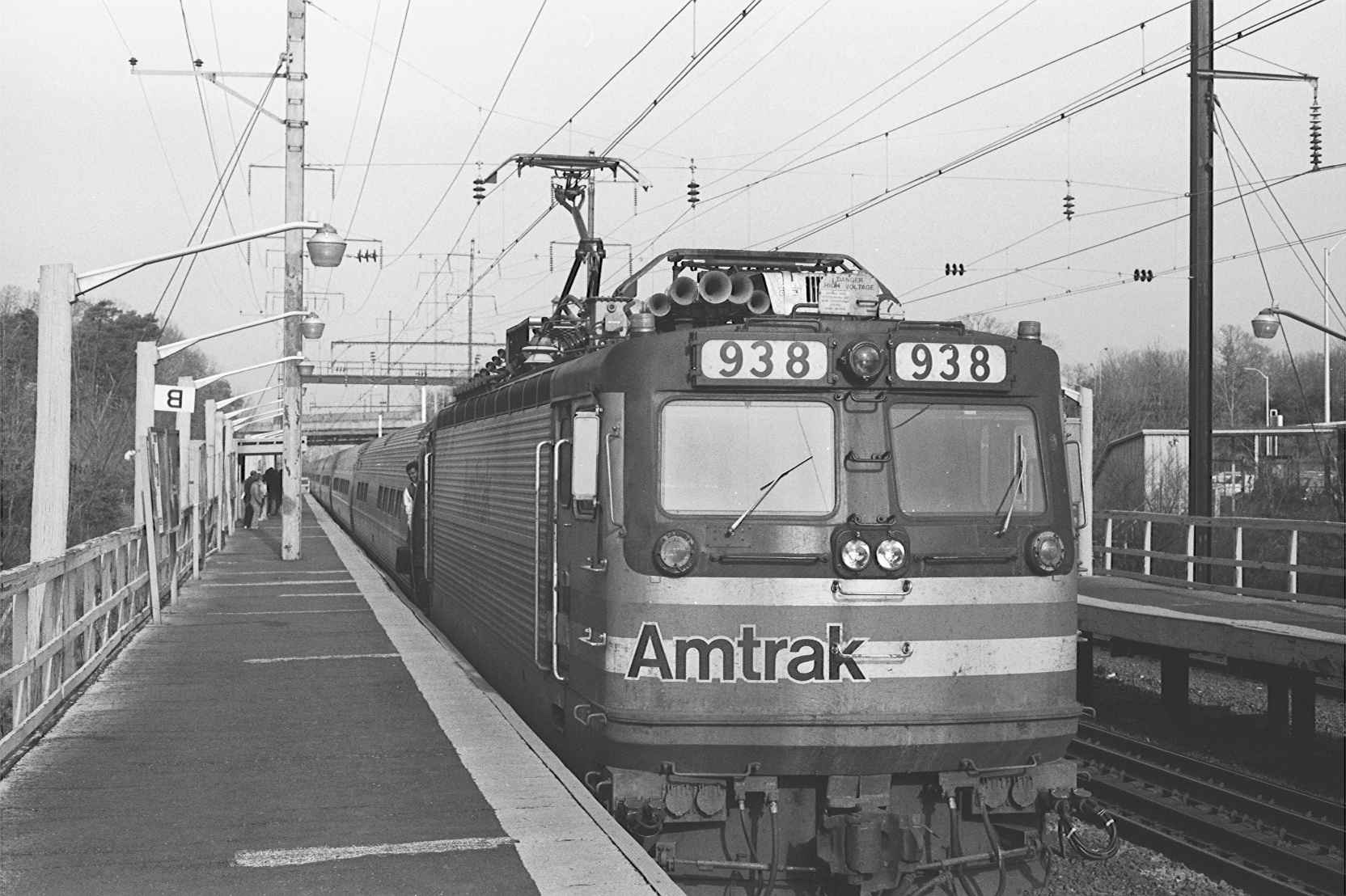
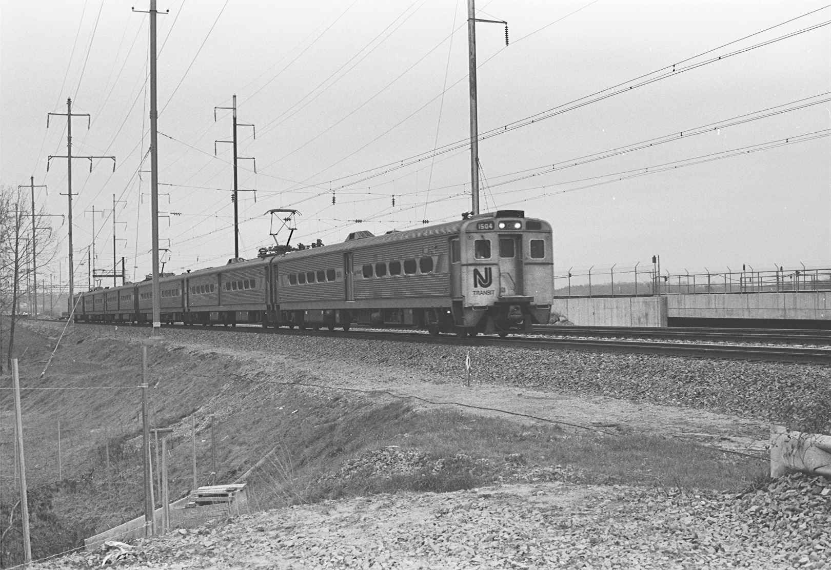
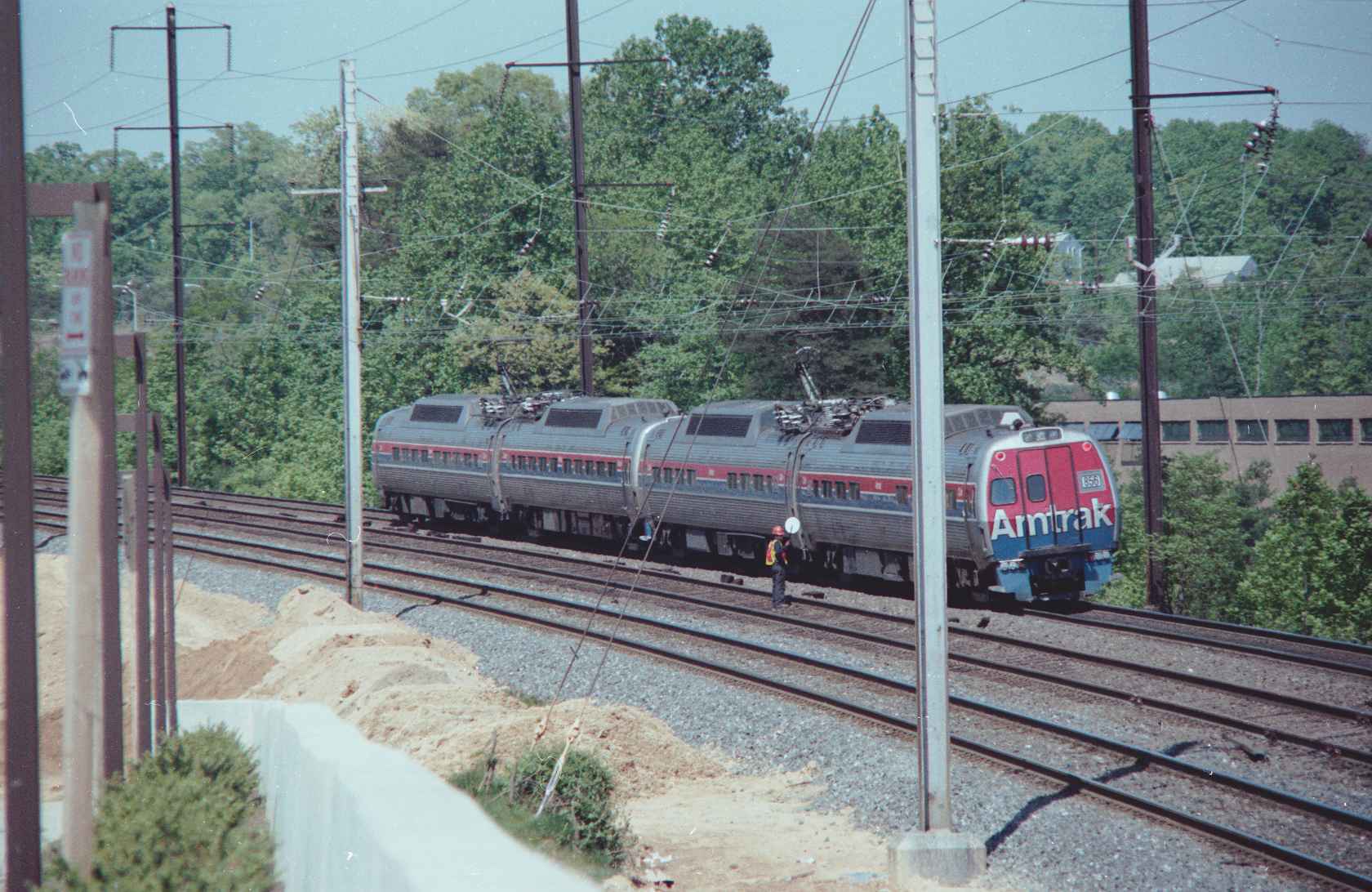
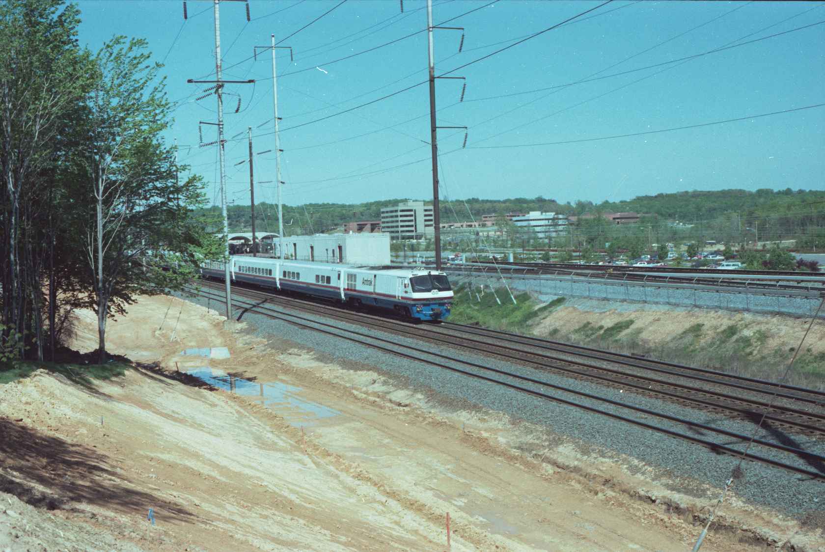
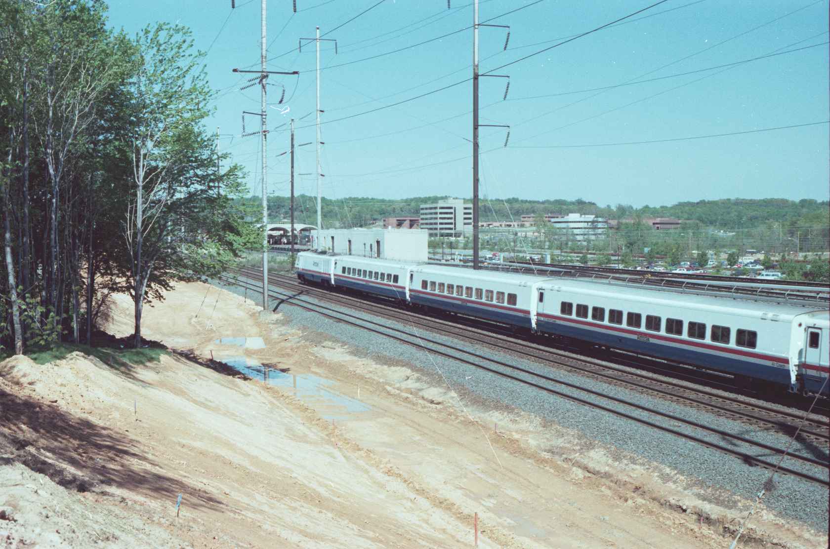
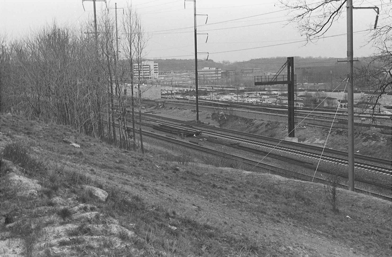
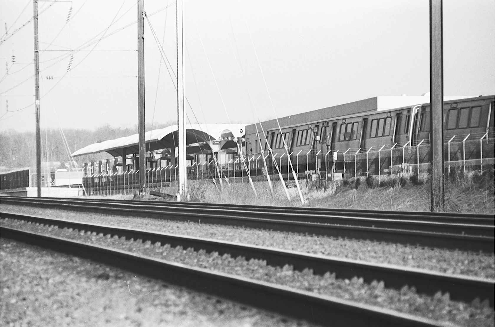
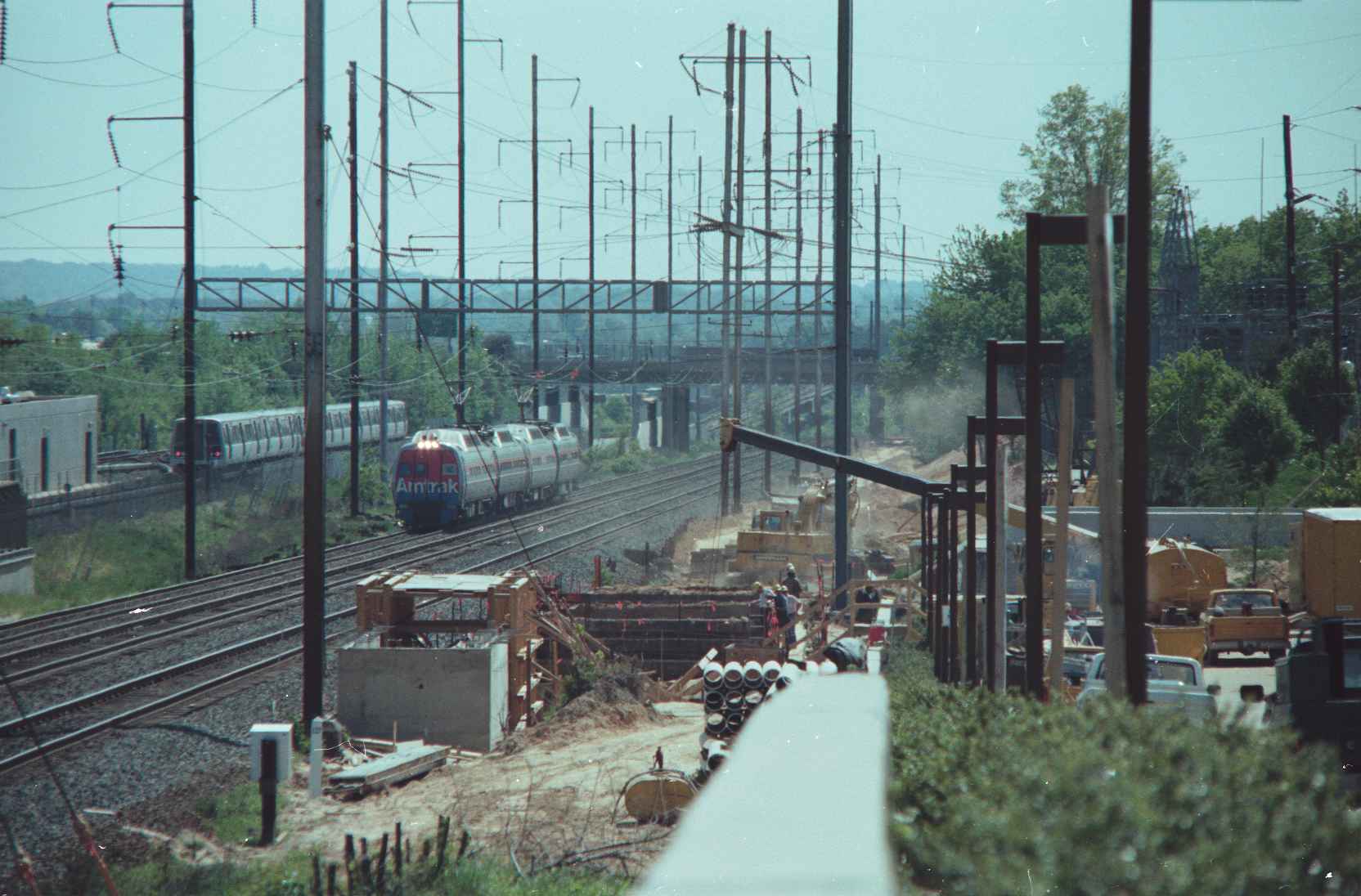
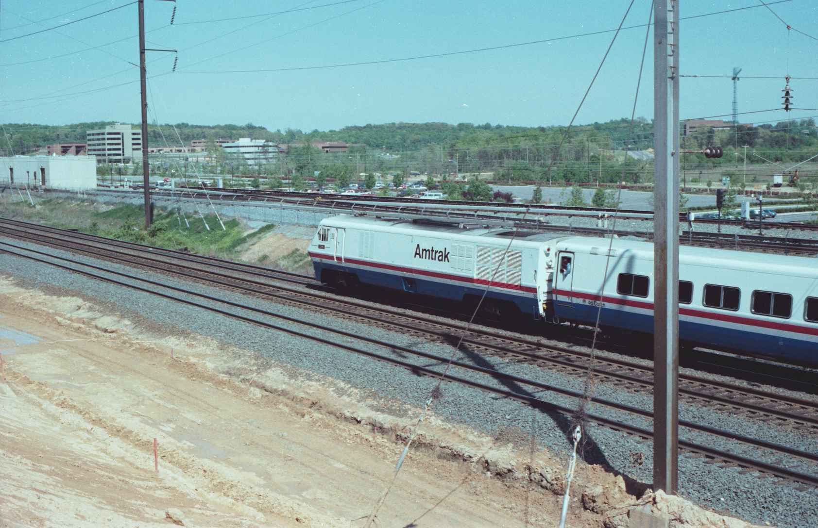
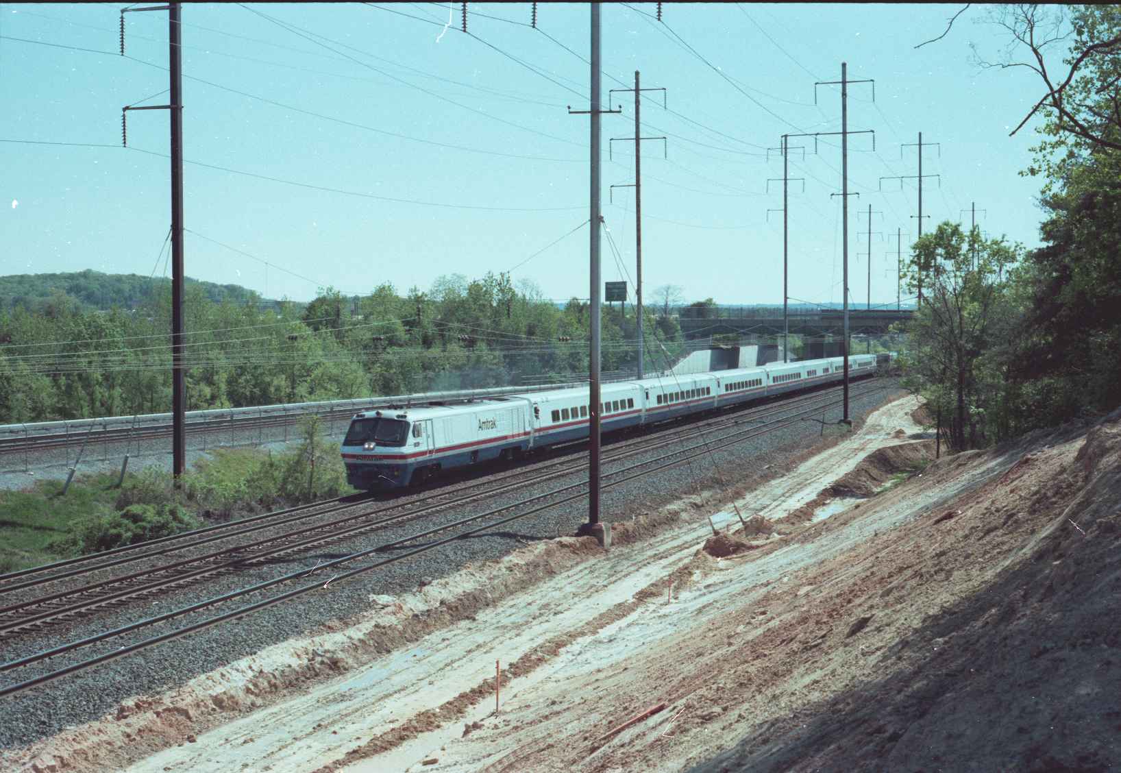
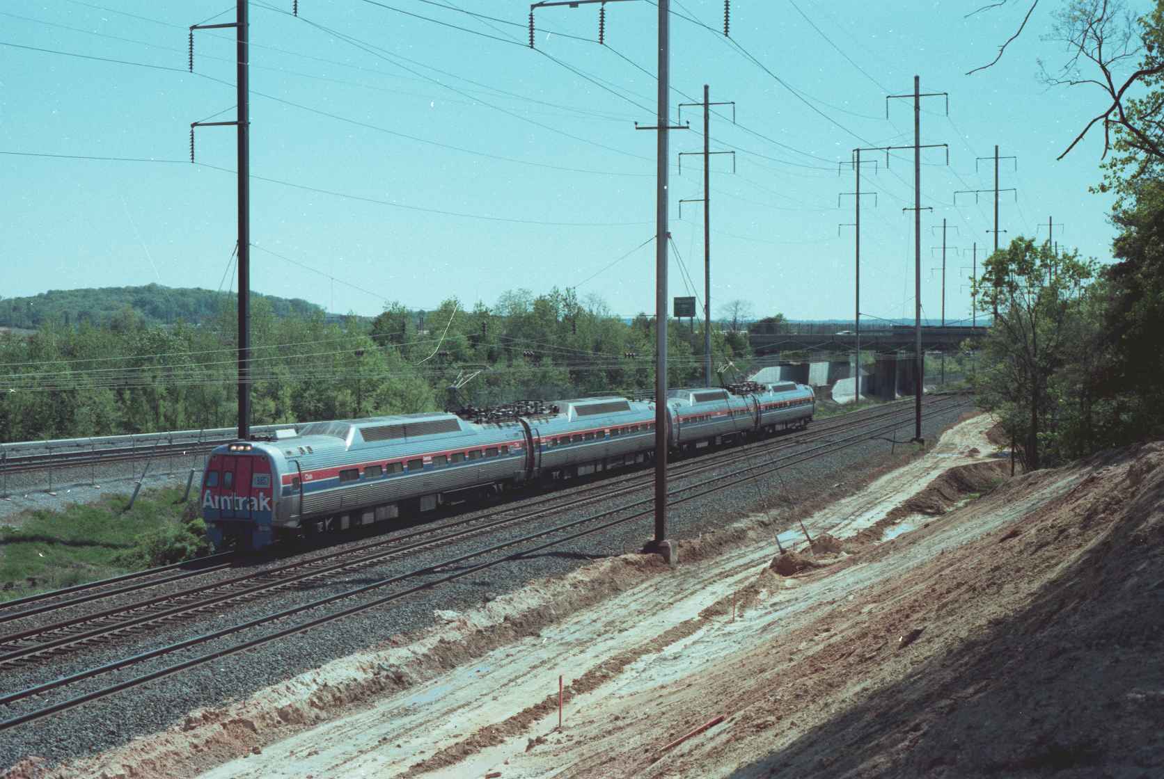
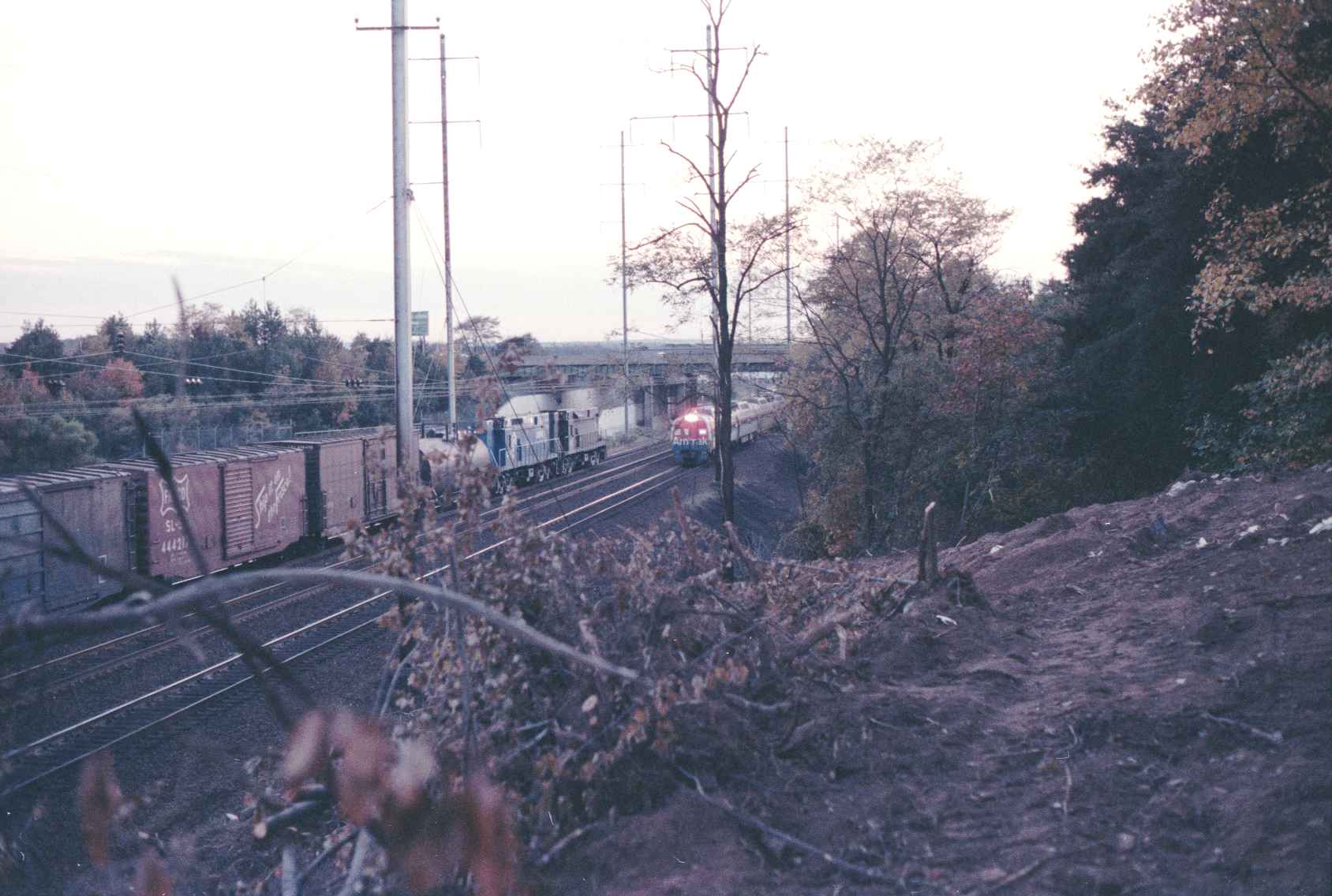
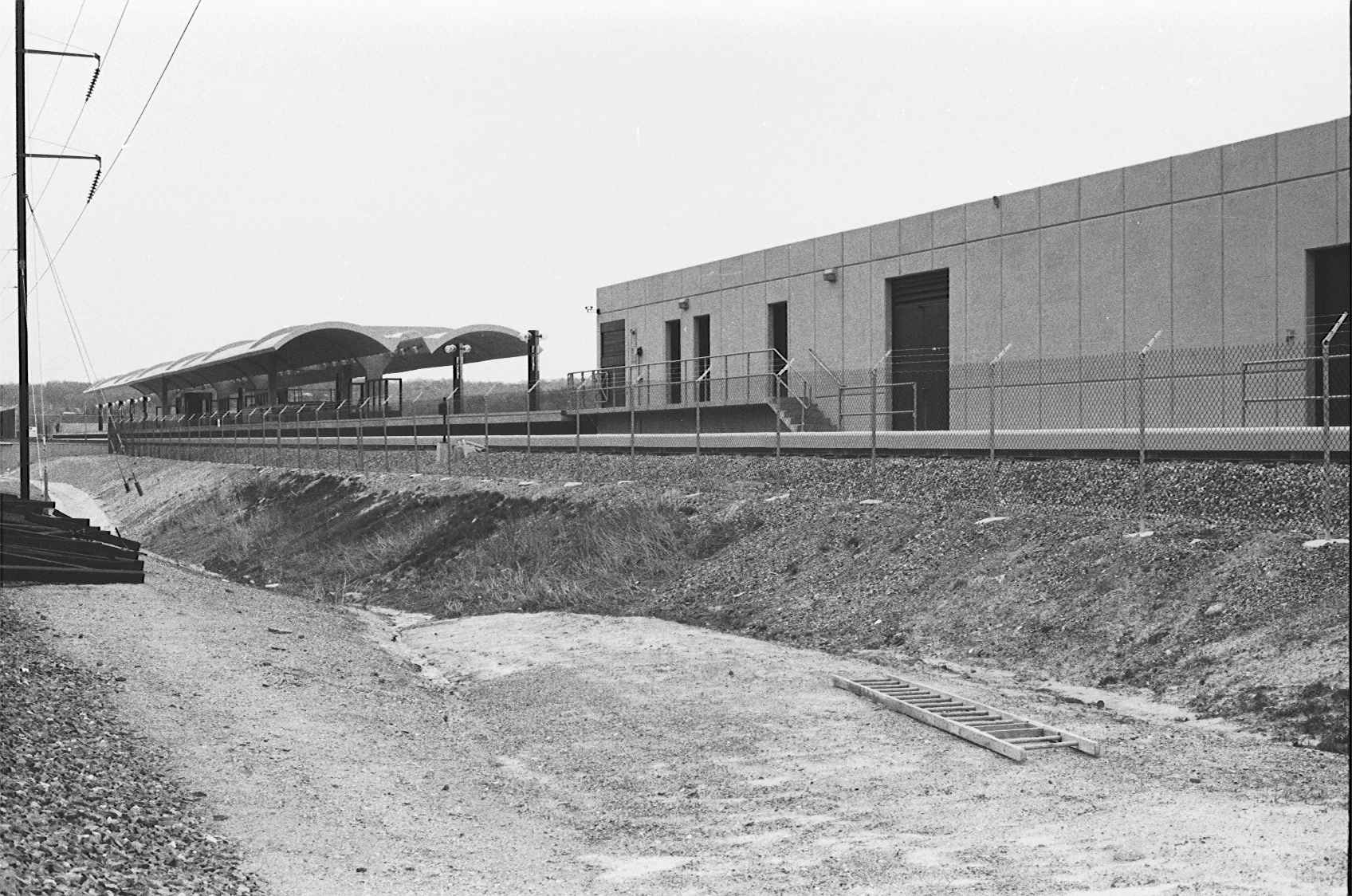
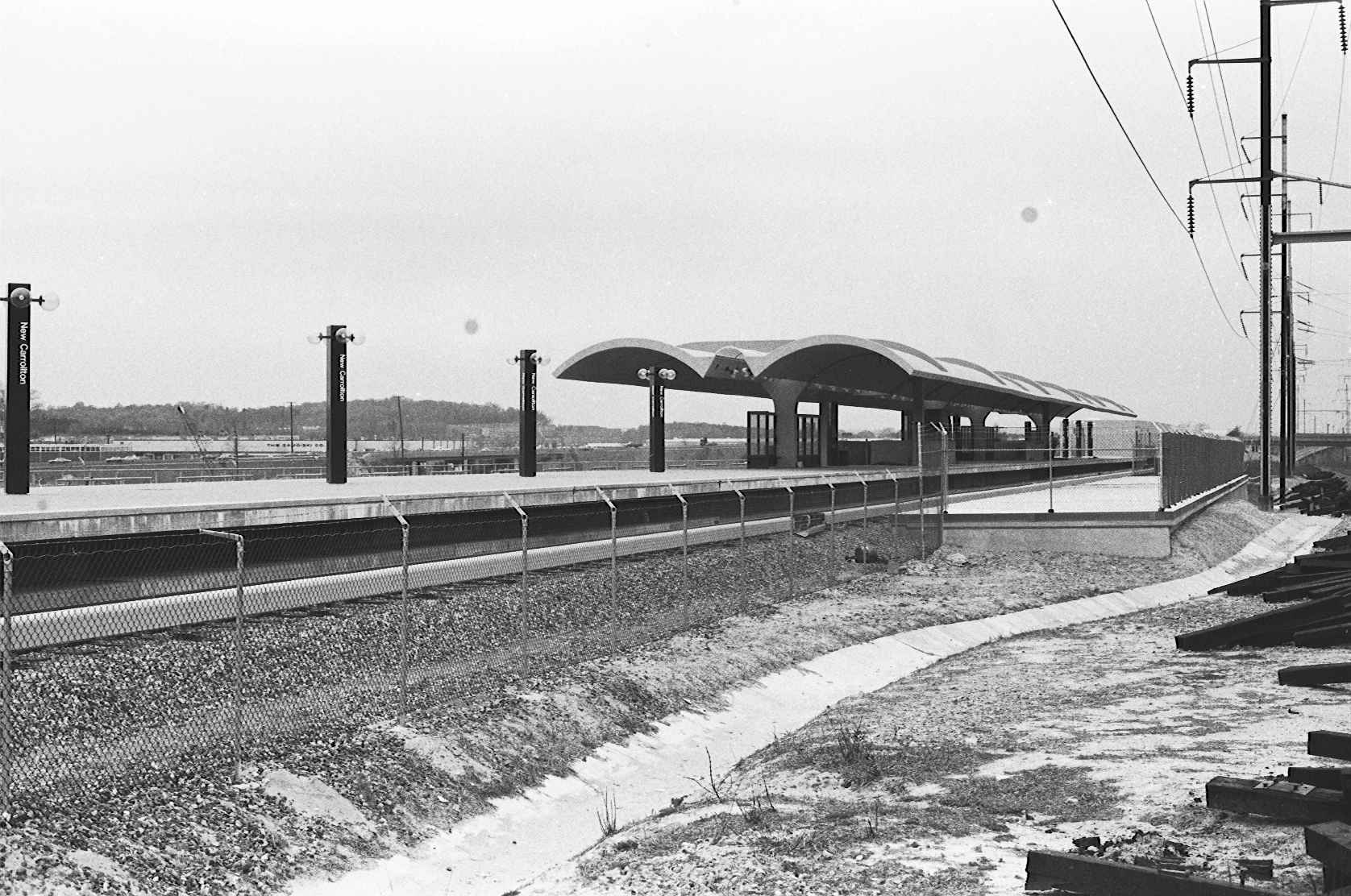
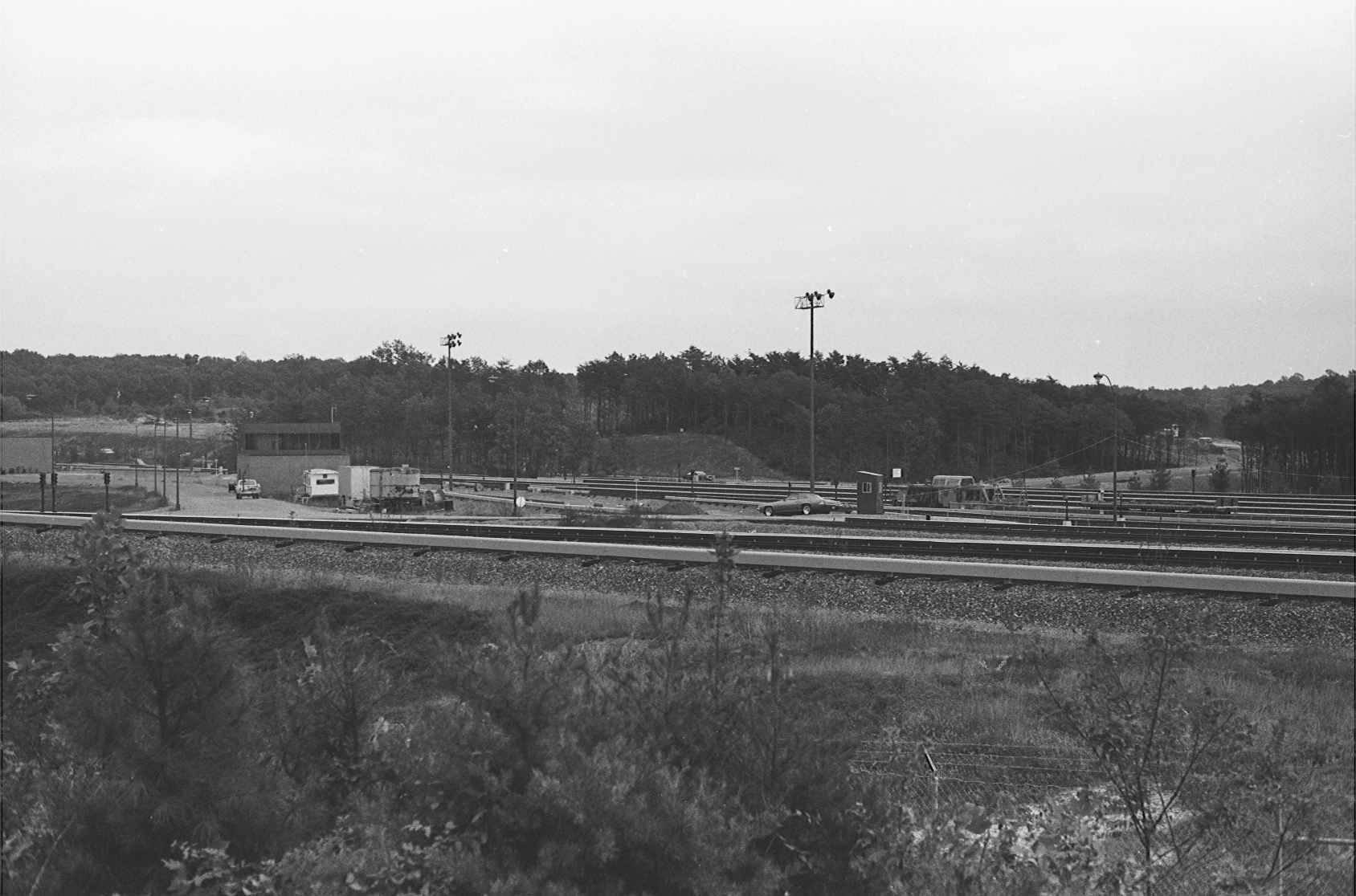
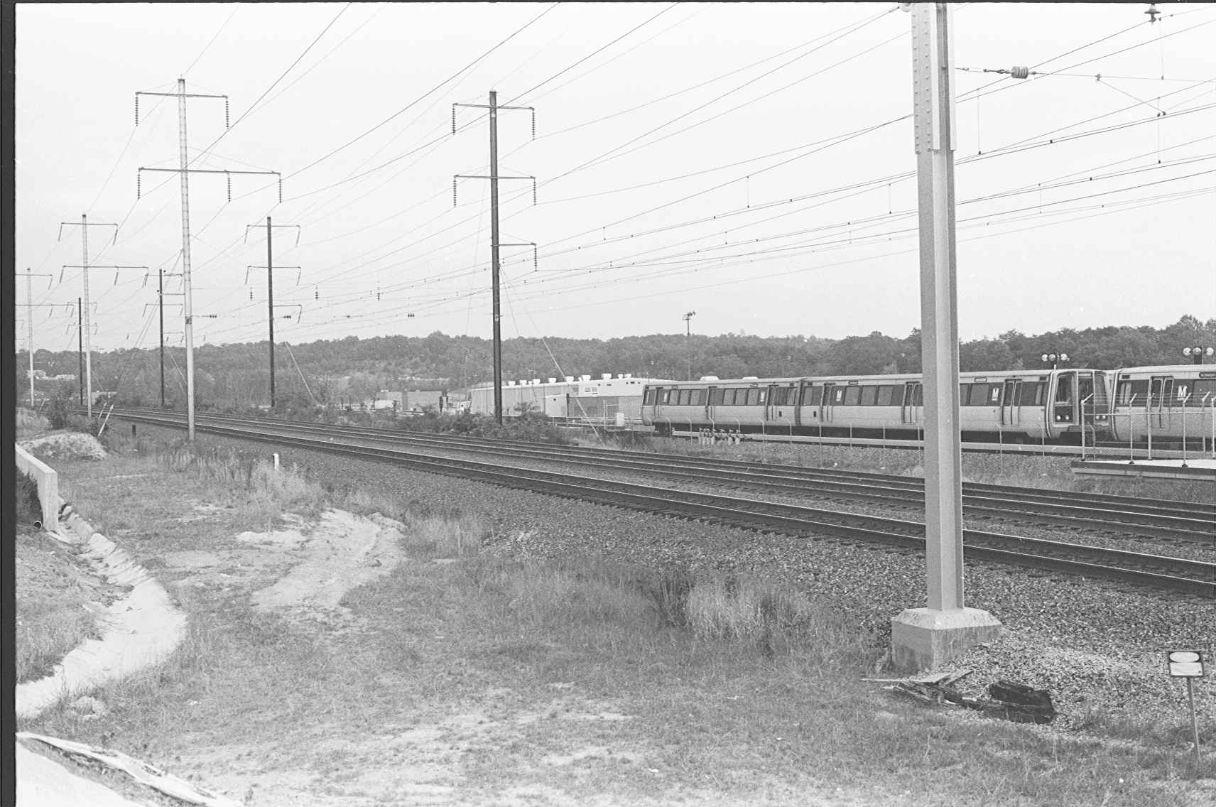
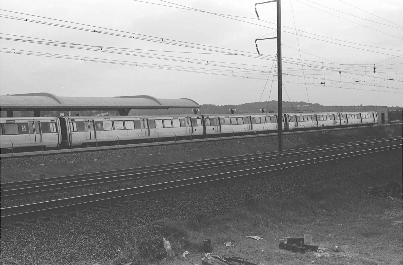
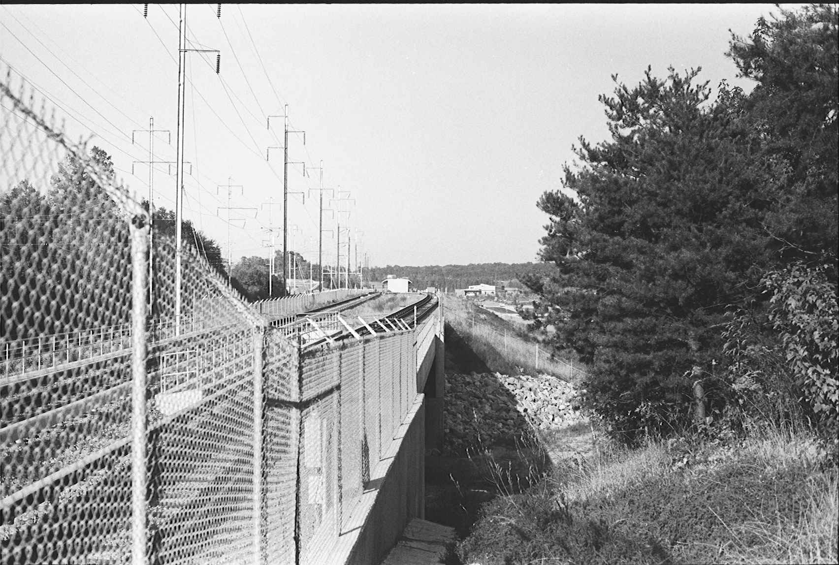
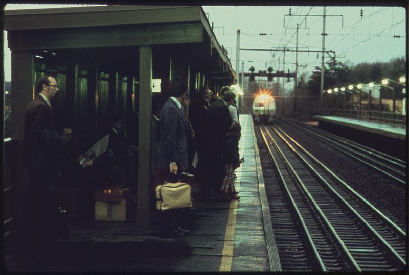
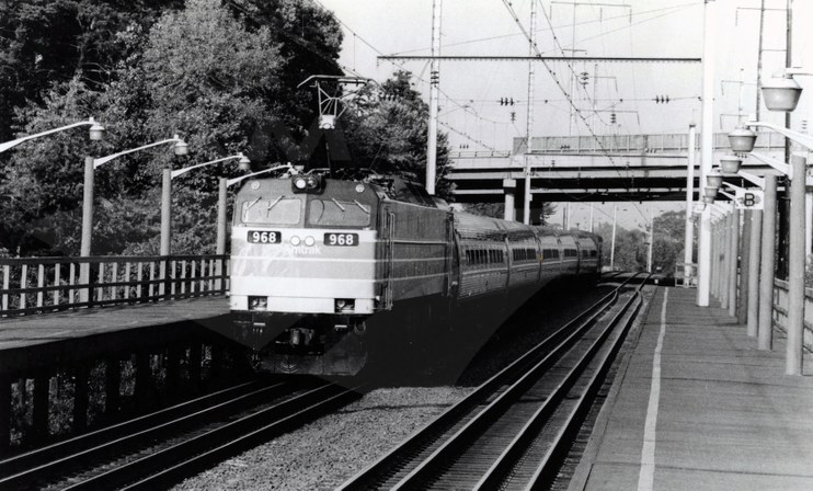
Meanwhile, down at New Carrolton before the Amtrak Station was completed


Pictures of the Capitol Beltway Station from other sources
Metroliner at Capital Beltway in 1974. From the Wikipedia page on New Carrolton: http://en.wikipedia.org/wiki/New_Carrollton_(WMATA_station)
This picture comes from the Amtrak archives:
http://history.amtrak.com/archives/southbound-i-colonial-i-at-the-capital-beltway-station-1970s
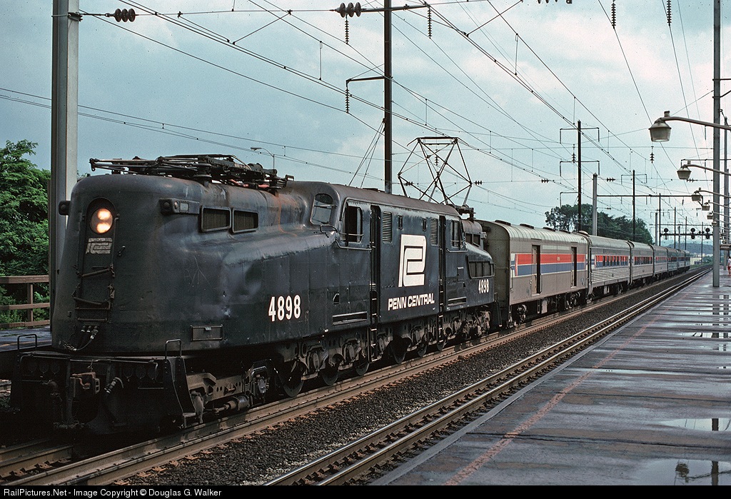
Above photo found at: http://www.railpictures.net/viewphoto.php?id=117634
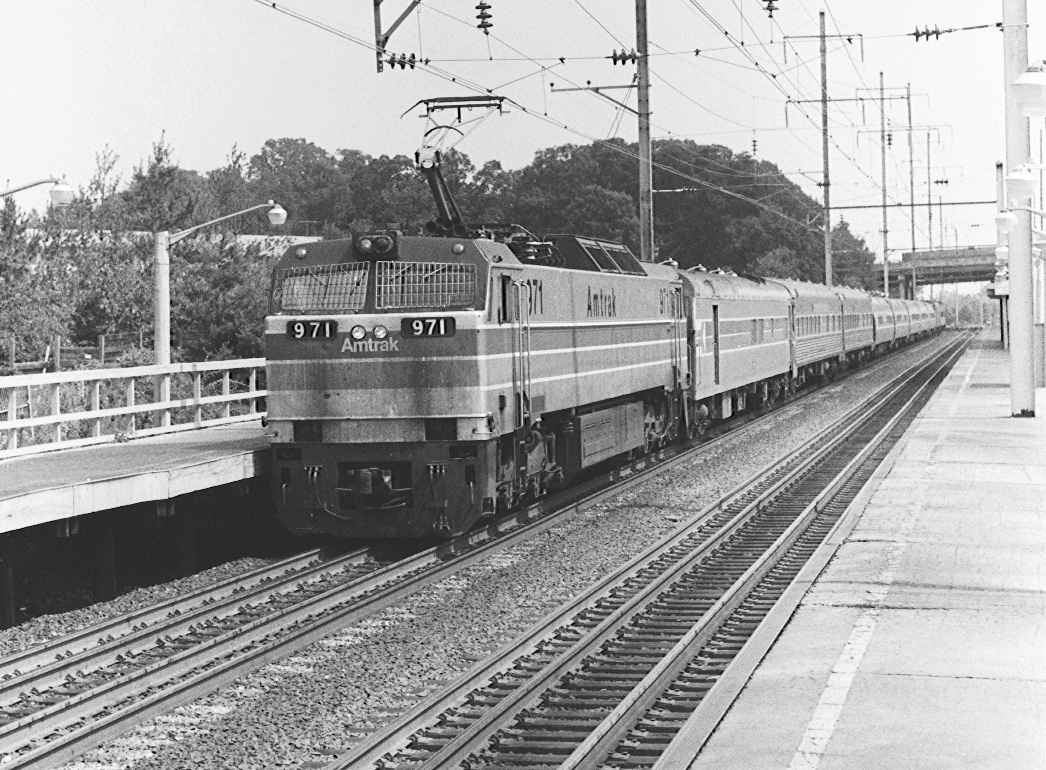
In this photo we are looking south. The photographer is standing on the No.3 track platform.
The northbound signals for "Lanham" interlocking can be seen in the background. The two signals on the right side are the controlled signals for No.2 and No.3 tracks. The round objects between the two signals on the right is the gauntlet indicator. One had an arrow that pointed upward indicating the route was set for a straight move. The other had an arrow pointing to the right indicating the route was set for the platform. The two gauntlet indicators you can see are for No.2 track. The gauntlet indicators for No.3 track are out of view behind the catenary pole. The signal on the far left is the automatic signal for No.1 track (1265 IIRC).
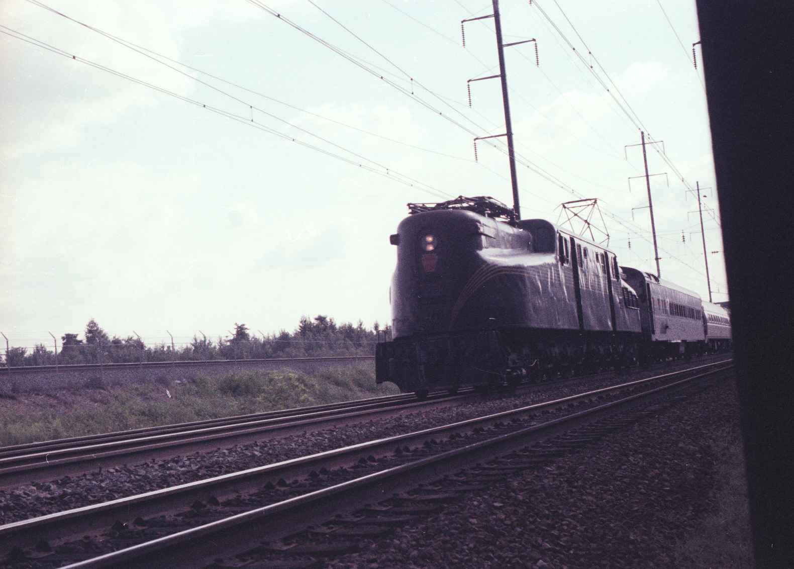
The station building would be directly behind the GG1 on the other side of No.1 track.
On the far right of the photo you see a person standing under the overhang that protected the entrance to the tunnel.
Disclaimers:
Updated 8/13/2023.... I love trains, and I love signals. I am not an expert. My webpages reflect what I find on the topic of the page. This is something I have fun with while trying to help others.
Please Note: Since the main focus of my two websites is railroad signals, the railfan guides are oriented towards the signal fan being able to locate them. For those of you into the modeling aspect of our hobby, my indexa page has a list of almost everything railroad oriented I can think of to provide you with at least a few pictures to help you detail your pike.
If this is a railfan page, every effort has been made to make sure that the information contained on this map and in this railfan guide is correct. Once in a while, an error may creep in :-)
My philosophy: Pictures and maps are worth a thousand words, especially for railfanning. Text descriptions only get you so far, especially if you get lost or disoriented. Take along good maps.... a GPS is OK to get somewhere, but maps are still better if you get lost! I belong to AAA, which allows you to get local maps for free when you visit the local branches. ADC puts out a nice series of county maps for the Washington DC area, but their state maps do not have the railroads on them. If you can find em, I like the National Geographic map book of the U.S..... good, clear, and concise graphics, and they do a really good job of showing you where tourist type attractions are, although they too lack the railroads. Other notes about specific areas will show up on that page if known.
Aerial shots were taken from either Google or Bing Maps as noted. Screen captures are made with Snagit, a Techsmith product... a great tool if you have never used it!
By the way, floobydust is a term I picked up 30-40 years ago from a National Semiconductor data book, and means miscellaneous and/or other stuff.
Pictures and additional information is always needed if anyone feels inclined to take 'em, send 'em, and share 'em, or if you have something to add or correct.... credit is always given! Please be NICE!!! Contact info is here
Beware: If used as a source, ANYTHING from Wikipedia must be treated as being possibly inaccurate, wrong, or not true.
RAILFAN GUIDES HOME
RAILROAD SIGNALS HOME
NEW
12/23/2013, AUG14/2023
Last Modified
14-Aug-2023