Access by train/transit:
Bus Route #79 (but not really recommended)
The Scoop:
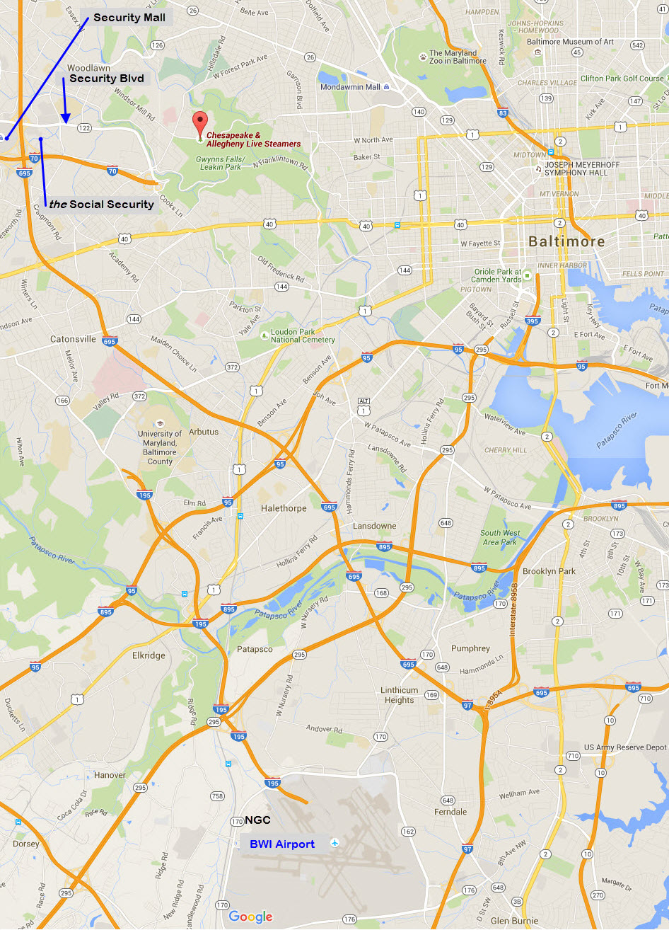
The Chesapeake and Allegheny Live Steamers is
Baltimore's live steam club. It is located in Leakin Park in
western Baltimore City, kinda just down the road (Security Blvd) from the
national headquarters of the Social Security Administration.
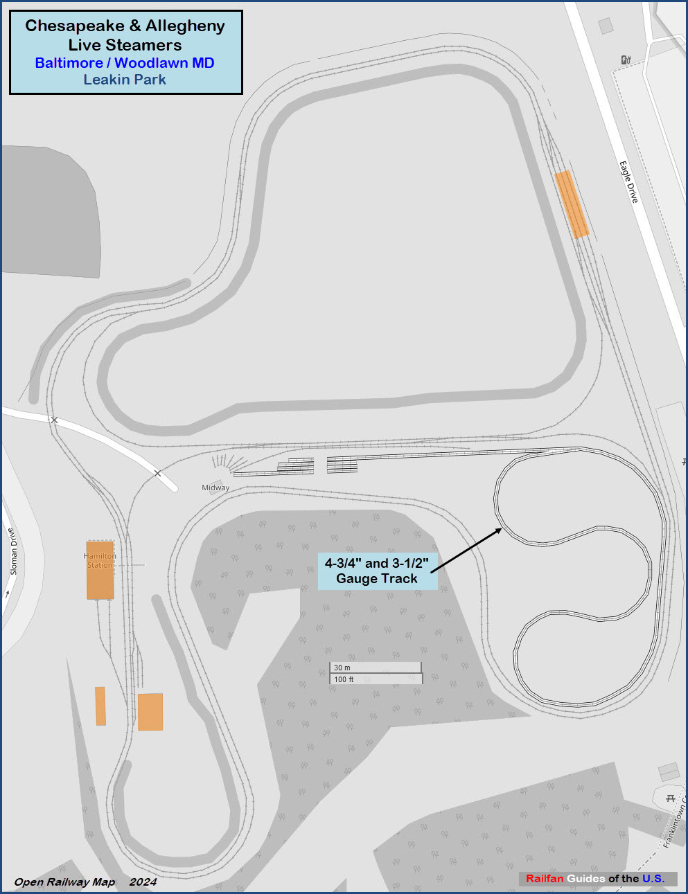
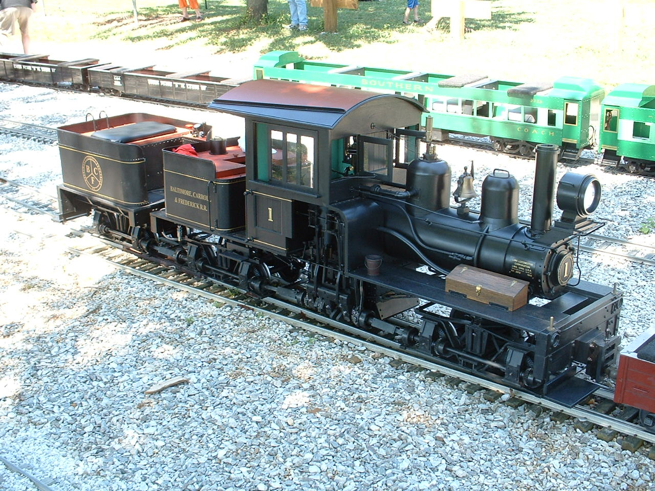
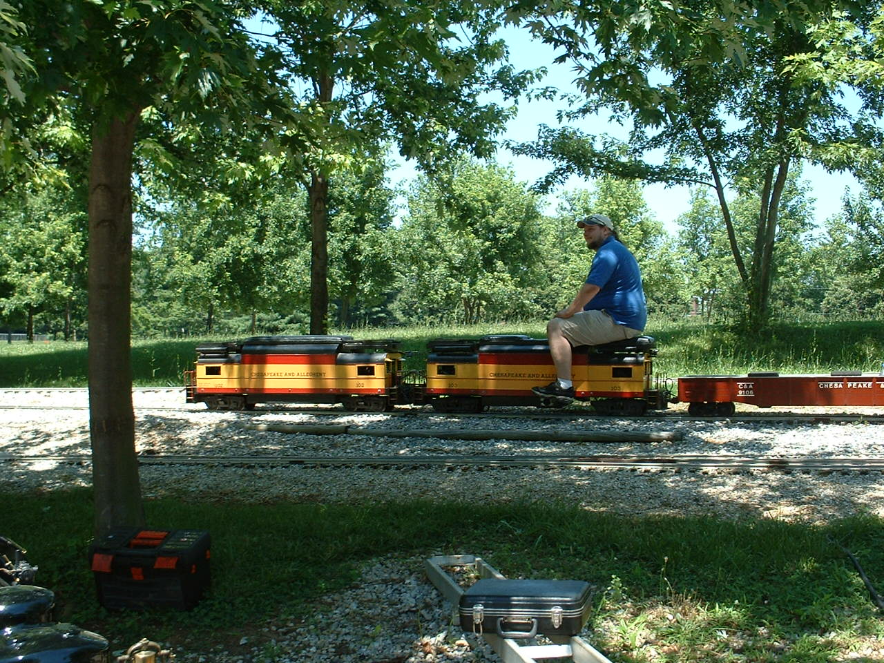
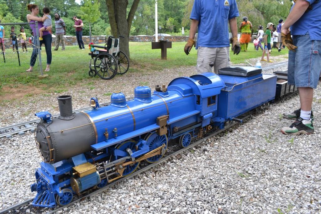
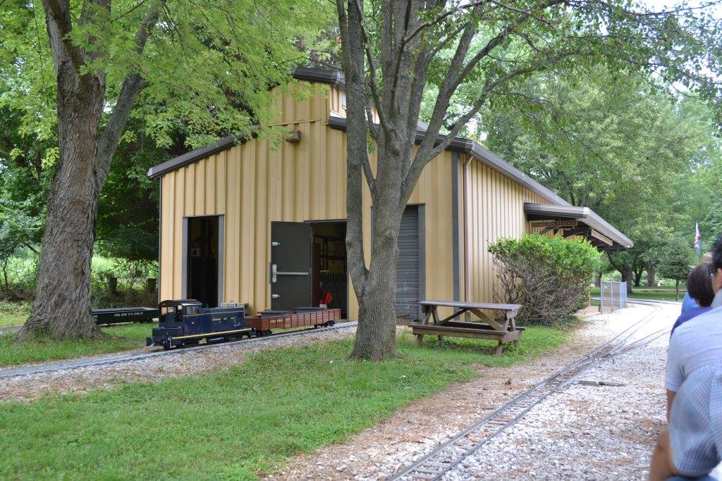
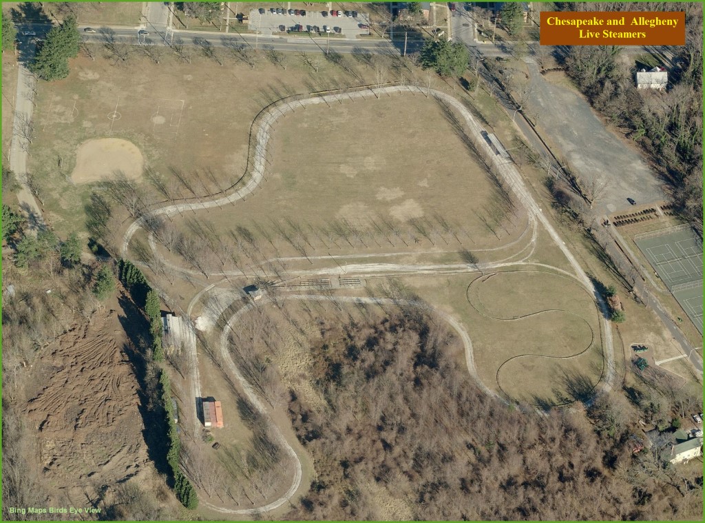
The main track is for 1/8 scale trains, which has a gauge of 7 1/2".
There is approximately 3400 feet of 7-1/2" gauge track. The main
line is double tracked, so trains can be run in both directions at the same time,
but since they are loops, operation is limited in comparison to, say, White
Creek in Michigan. Nevertheless, it's the only group track within a
reasonable distance.
There is also a dual gauge track for 1-3/4" gauge trains, but it not
quite as extensive. There is approximately 1630 feet of
4 3/4" track on the ground, and 1050 feet of 4-3/4" and 3-1/2"
track elevated.
Public operations are on the 2nd Sunday of the month between 11am and 3:30pm,
April thru October.
There is also a club run day on the 4th Sunday of the month in case you are visiting
from out of town and can't make it on the 2nd Sunday.
Members also take
their trains to most of the local train shows and Cabin Fever
just south of
Lebanon PA - held in January (used to be in April when held in York PA).
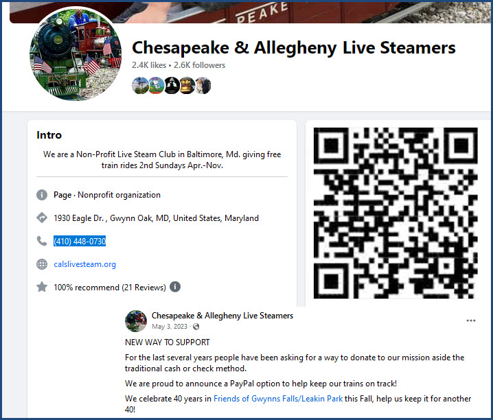
I don't know if the QR Code is going to work for donations, but I have included the
info heading from their Facebook page:
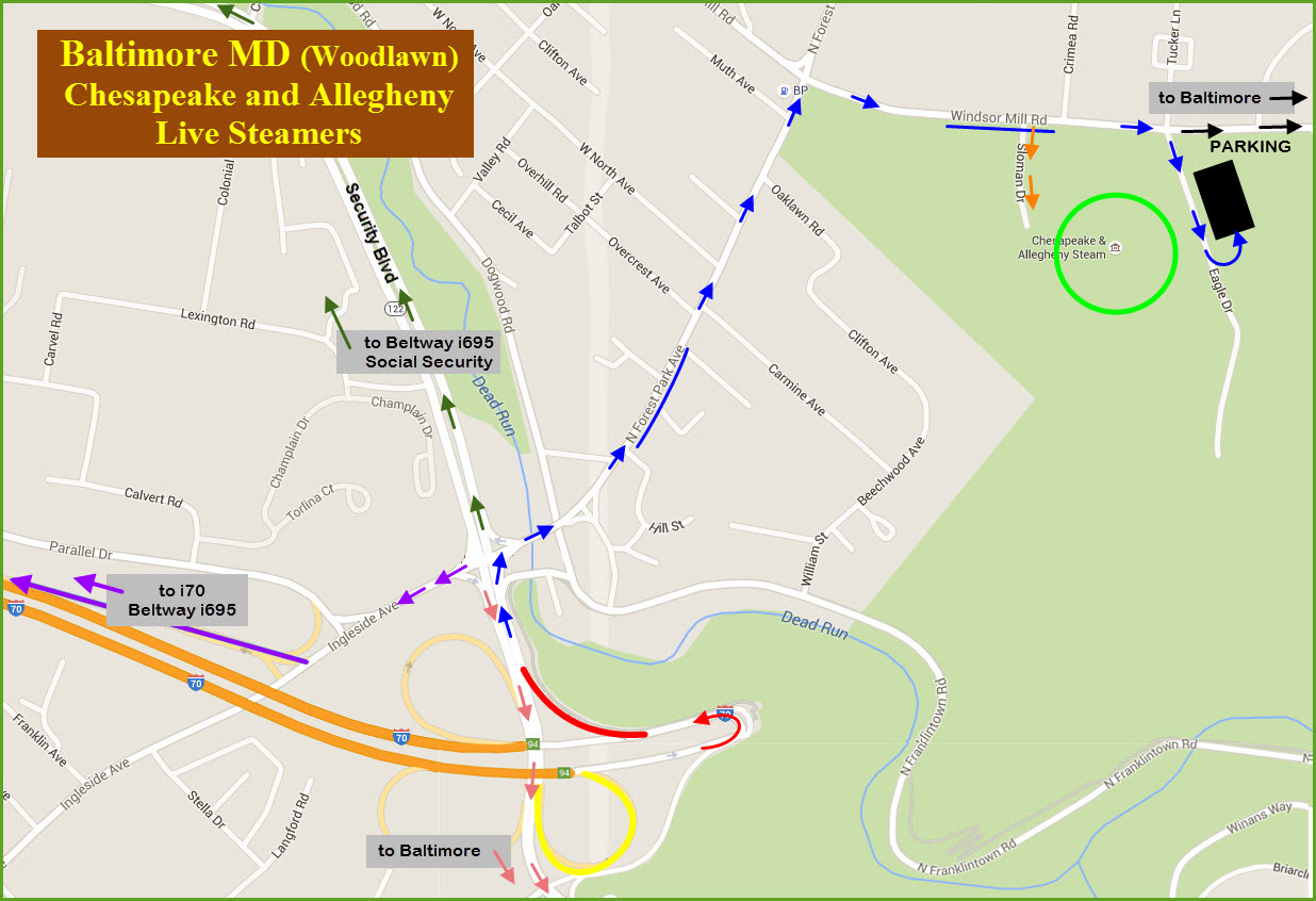
The easiest way is to come in via the I-70 stub that is
INSIDE the Baltimore Beltway, I-695.
• If you are coming from the north (like I-83 or I-95 from PA, DE, or NJ)
or south (via I-95 from DC or VA, or I-97), come around the Beltway to I-70
at exit 17 and head east.
Go all the way to the end of the interstate, and refer
to the second map below.
• If you are coming in from the west via I-70 (Hagerstown MD & I-81/
PA Turnpike in Breezewood / Western MD), STAY on I-70, go straight at the
Baltimore Beltway (not taking either exit for the Beltway), and then follow the
directions on the map below.
• If you are in the downtown area of Baltimore, it may be
easier to come out Route 40 (Baltimore National Pike), and then hang a right
onto Security Blvd. If you are down around the stadiums or Baileys Wye
however, take I-95 south to the Beltway and then take 695 north to I-70, it
will be much quicker.
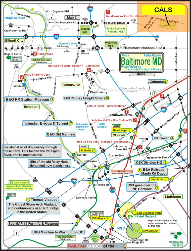
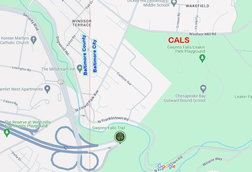
Below is a map of the Leakin Park area off of the east end of Interstate 70
and Security Blvd, adjacent to Catonsville, so let's go over the info on it:
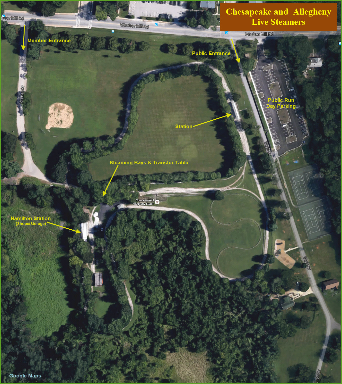
CALS is at the Green circle.
• If you are coming to CALS by way of the Baltimore Beltway, take I-70 into
Baltimore, it will bring you to the end of the highway pictured on the map, then:
You have two options in RED and YELLOW:
To take the RED exit, you'll have to go to the very end of the interstate and make a U-Turn.
Then follow the BLUE arrows to CALS.
If you come on a public run day, park in the "black" parking lot, following the BLUE arrows, or,
If coming on a private run day, take the entrance a little earlier on Windsor Mill Rd where the ORANGE arrows are.
You can also get off at the Security Blvd exit off of 695 and come down that road,
but you have all those traffic lights!
If you're hungry, there are a few fast food joints on Security Blvd.
Getting back on to I-70 or the Beltway is easy off of Ingleside
Ave at the ramp in PURPLE. If you stayed on Ingelside,
it would take you into Catonsville (eventually).
If you follow the PINK arrows to leave, it will
take you back into Baltimore via RT 40: Edmondston Ave and Franklin St.
This will take you right by the West Baltimore MARC station which
affords the railfan great pictures of NB NEC trains! The NB trains come
straight at you for about a mile or so, and then curve to your right just
before hitting the station platform.
If you leave heading east on Windsor Mill (the BLACK arrows), it will take you
to Gwynn Falls Pkwy, which will take you over the old Western Maryland R-O-W
and bring you up on the backside of Mondawmin Mall, which is where the first
of the underground Metro stations is. This and the above railfan spots
at West Baltimore are in less than desirable neighborhoods, although not
unsafe, but I would still not recommend railfaning alone.
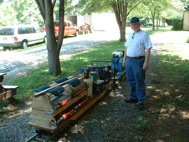
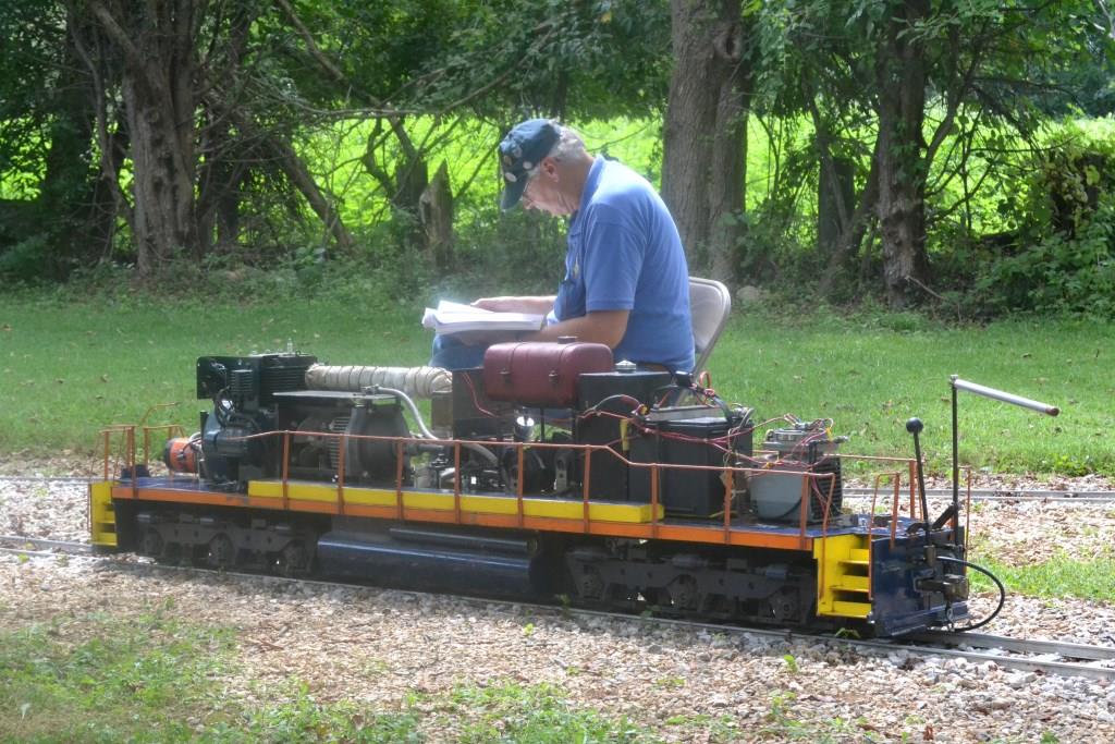
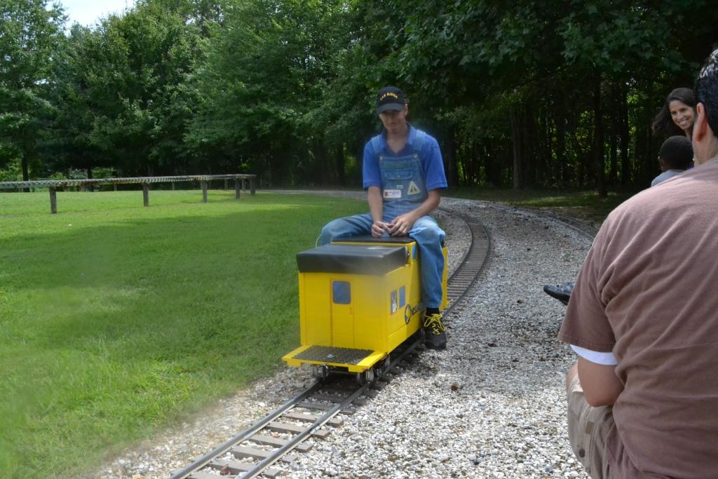
Michael Watnoski checking out some of the MOW equipment.
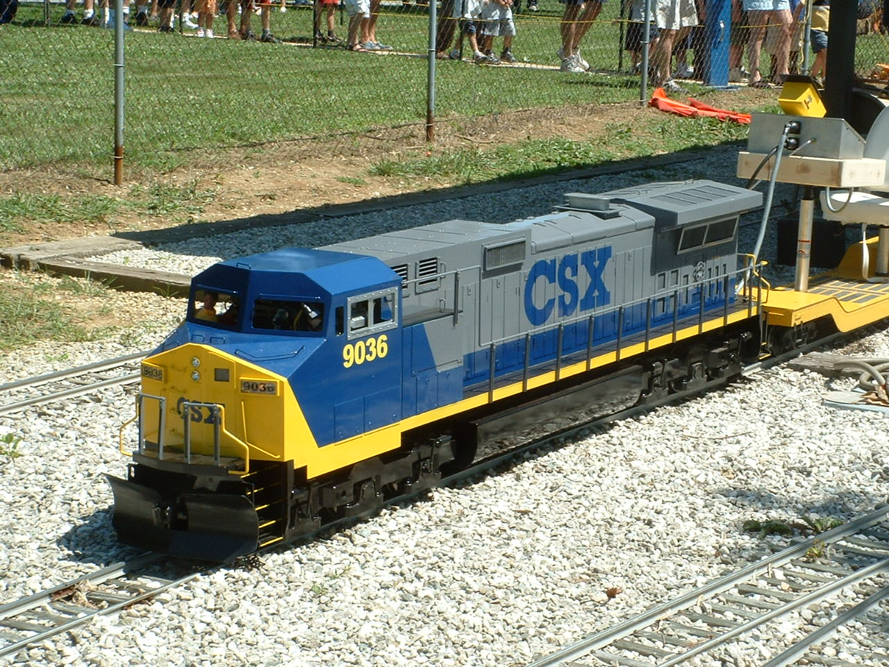
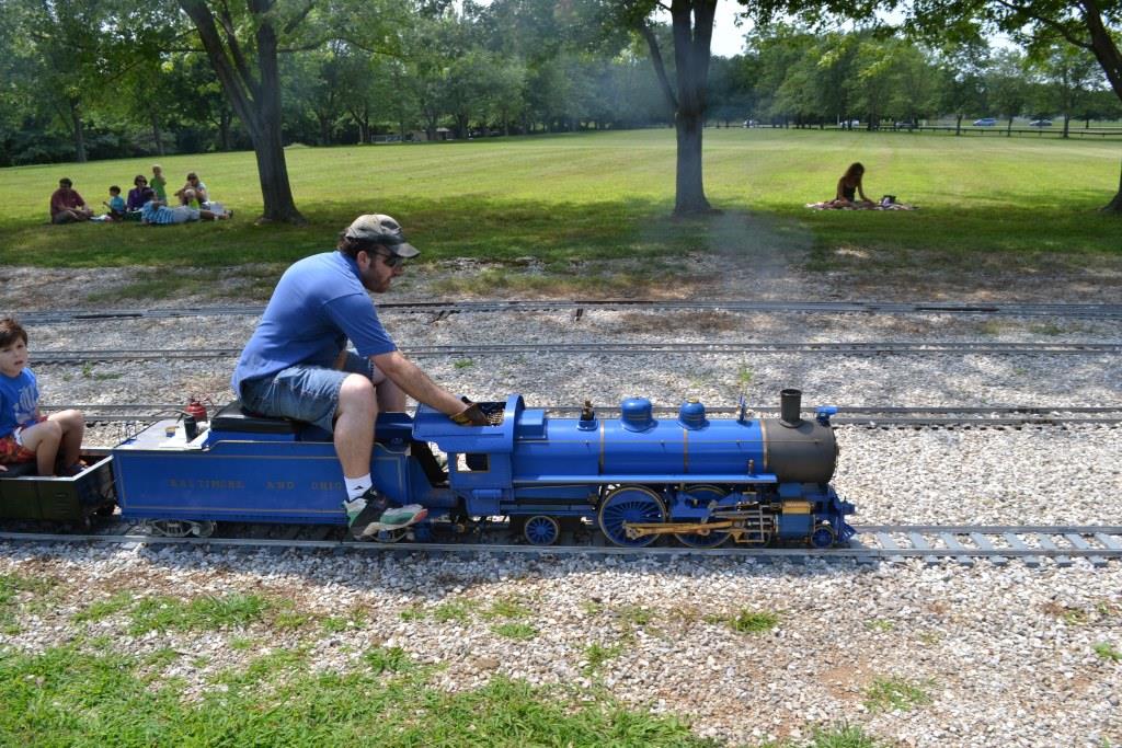
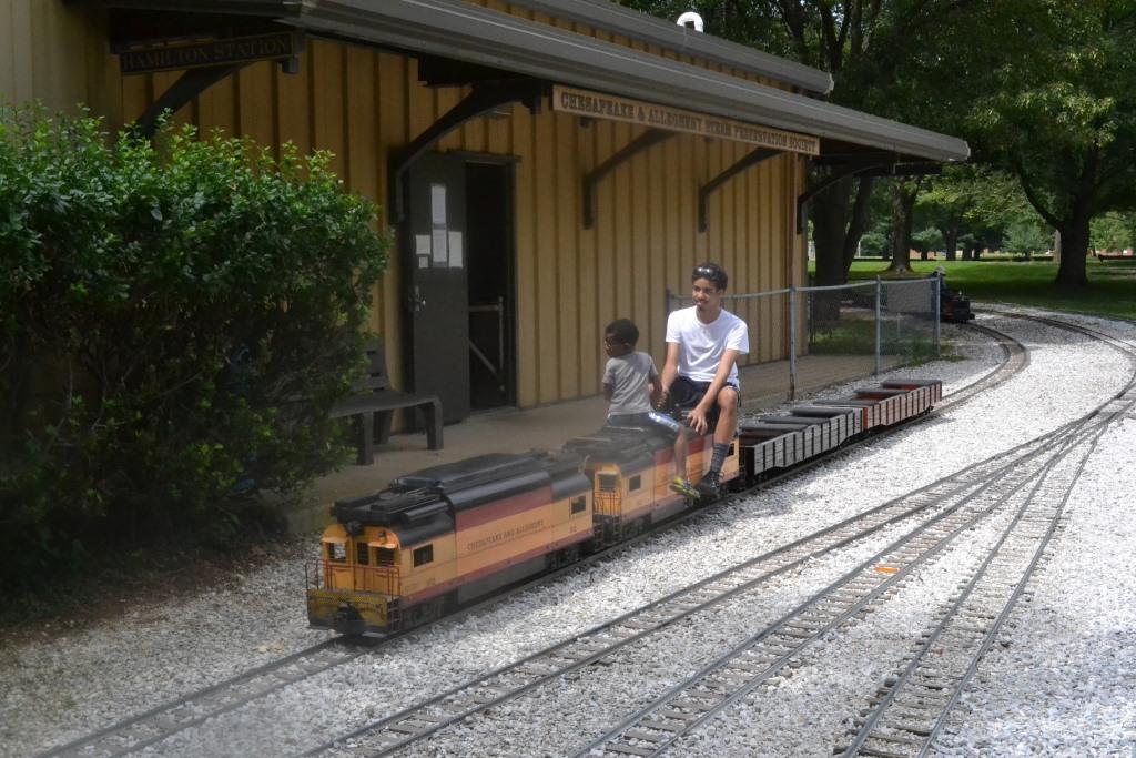
The club electric running around.
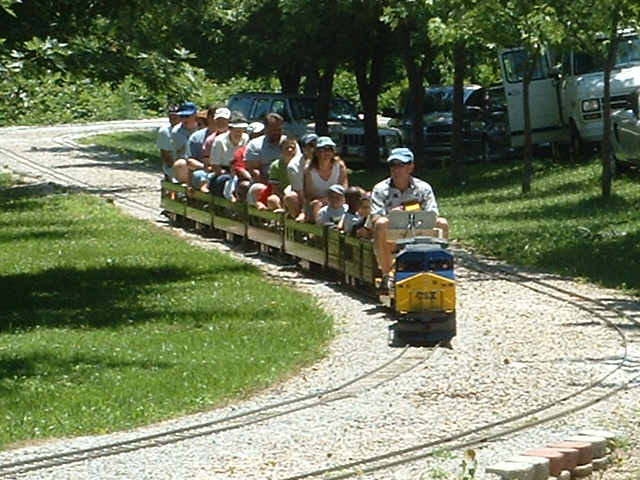
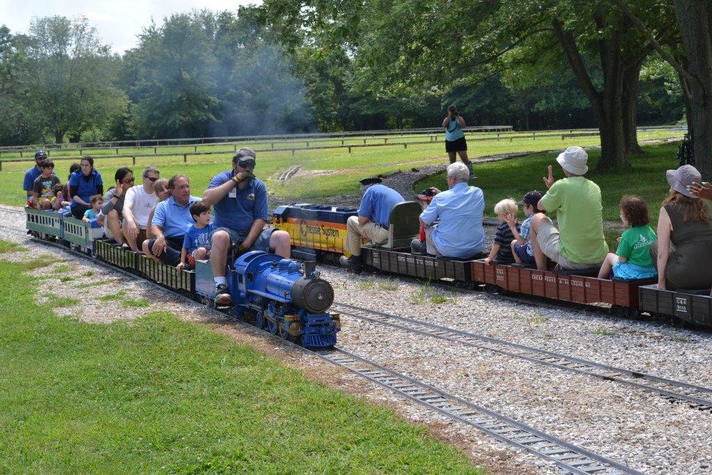
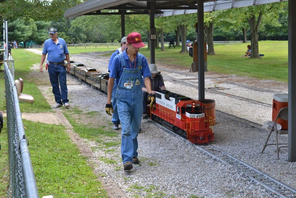
Public Run Day - August 2015
So how do I start this here thing? :-)
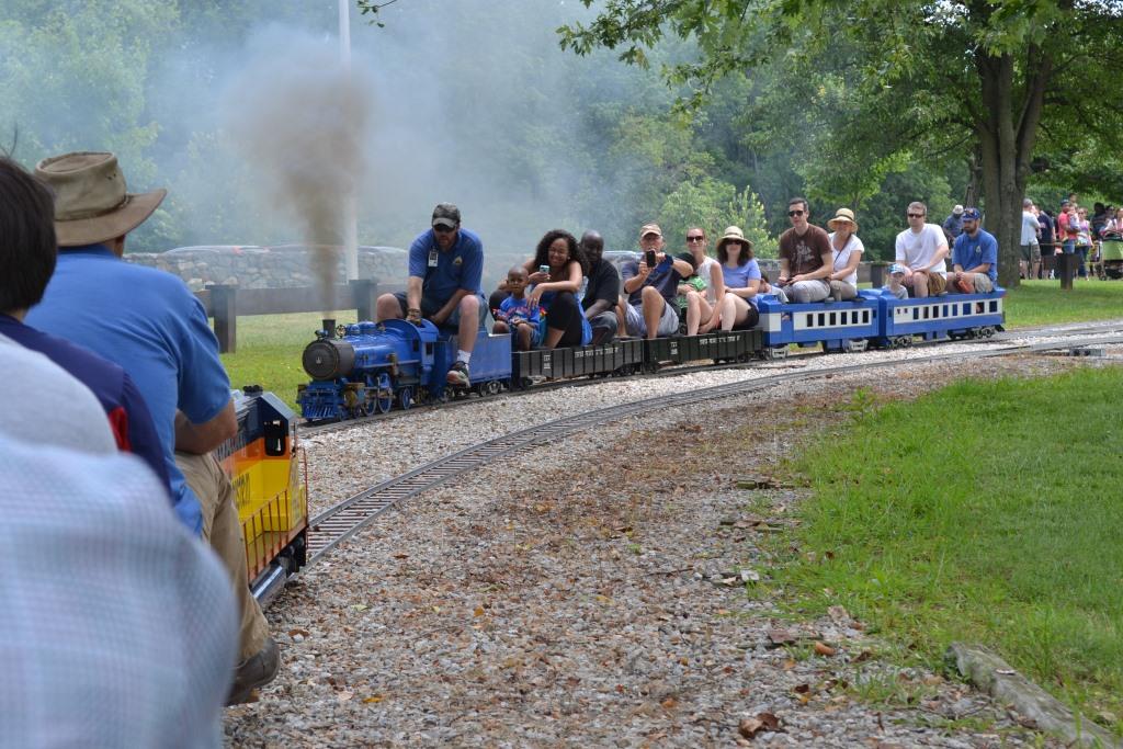
Member Run Day - August 2015
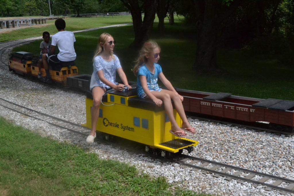
My granddaughters showing off and proving even a kid can run these things :-)
Elena is on the left, Sophia is on the right.
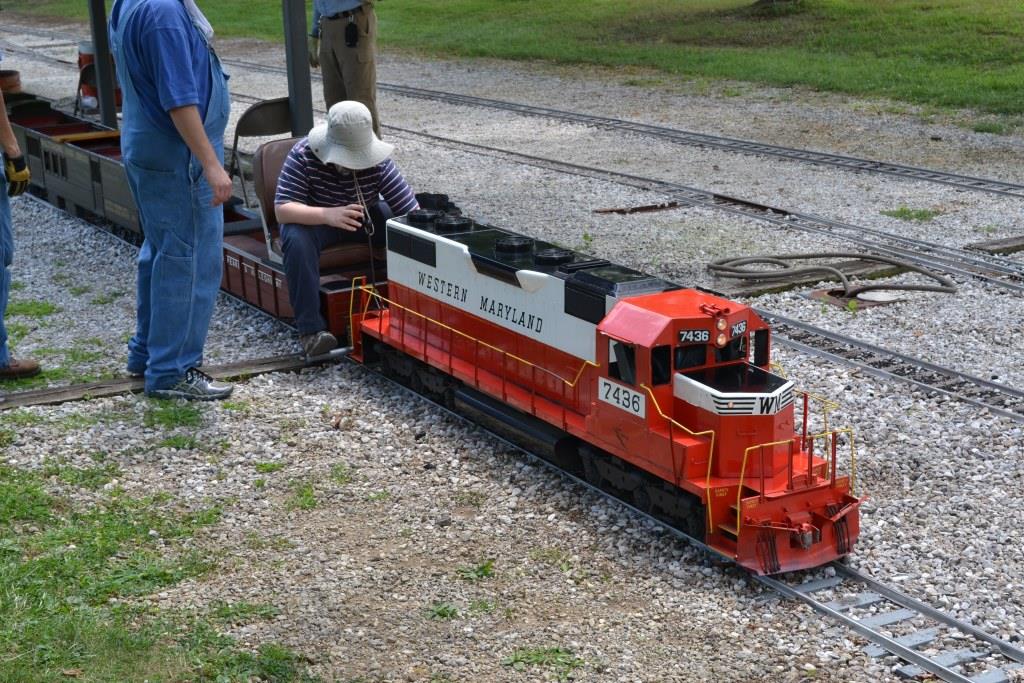
You can tell it's a Plumb Cove creation because of the controller and trucks.
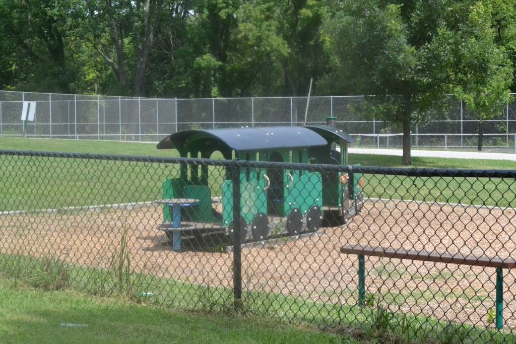
In an adjacent play area on the public boarding side sits a train themed playset.